Quick filters:
Map of fairfax Stock Photos and Images
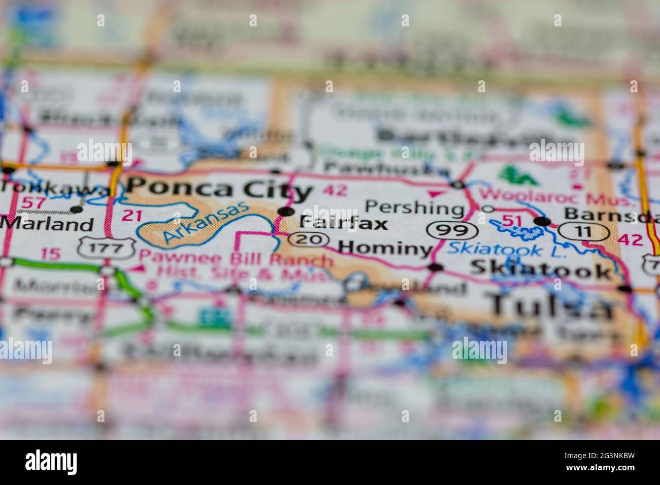 Fairfax Oklahoma USA shown on a Geography map or road map Stock Photohttps://www.alamy.com/image-license-details/?v=1https://www.alamy.com/fairfax-oklahoma-usa-shown-on-a-geography-map-or-road-map-image432579389.html
RM2G3NKBW–Fairfax Oklahoma USA shown on a Geography map or road map
 128 A map of Fairfax County, and parts of Loudoun and Prince William Counties, Va., and the District of Columbia LOC 2002627423 Stock Photohttps://www.alamy.com/image-license-details/?v=1https://www.alamy.com/128-a-map-of-fairfax-county-and-parts-of-loudoun-and-prince-william-counties-va-and-the-district-of-columbia-loc-2002627423-image206725186.html
RMP0942A–128 A map of Fairfax County, and parts of Loudoun and Prince William Counties, Va., and the District of Columbia LOC 2002627423
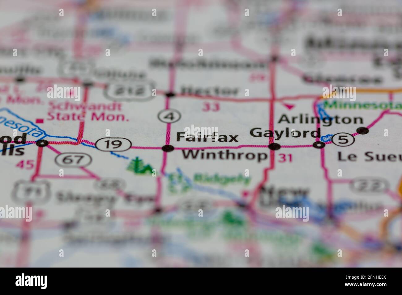 Fairfax Minnesota USA shown on a Geography map or road map Stock Photohttps://www.alamy.com/image-license-details/?v=1https://www.alamy.com/fairfax-minnesota-usa-shown-on-a-geography-map-or-road-map-image426341172.html
RM2FNHEEC–Fairfax Minnesota USA shown on a Geography map or road map
 A military map of The Battle of Naseby, 1645. The Battle of Naseby was a decisive engagement of the First English Civil War, fought on 14th June 1645, between the Royalist army of King Charles I and the Parliamentarian New Model Army under the commanded of Sir Thomas Fairfax and Oliver Cromwell. It was fought near the village of Naseby in Northamptonshire. Stock Photohttps://www.alamy.com/image-license-details/?v=1https://www.alamy.com/a-military-map-of-the-battle-of-naseby-1645-the-battle-of-naseby-was-a-decisive-engagement-of-the-first-english-civil-war-fought-on-14th-june-1645-between-the-royalist-army-of-king-charles-i-and-the-parliamentarian-new-model-army-under-the-commanded-of-sir-thomas-fairfax-and-oliver-cromwell-it-was-fought-near-the-village-of-naseby-in-northamptonshire-image261852668.html
RMW60BN0–A military map of The Battle of Naseby, 1645. The Battle of Naseby was a decisive engagement of the First English Civil War, fought on 14th June 1645, between the Royalist army of King Charles I and the Parliamentarian New Model Army under the commanded of Sir Thomas Fairfax and Oliver Cromwell. It was fought near the village of Naseby in Northamptonshire.
 (A Civil War field map of Fairfax County, Virginia with Fort Coccoran). LOC 2014588392. Stock Photohttps://www.alamy.com/image-license-details/?v=1https://www.alamy.com/a-civil-war-field-map-of-fairfax-county-virginia-with-fort-coccoran-loc-2014588392-image207699017.html
RMP1WE61–(A Civil War field map of Fairfax County, Virginia with Fort Coccoran). LOC 2014588392.
![[A Civil War field map of Fairfax County, Virginia with Fort Coccoran] 1861 Stock Photo [A Civil War field map of Fairfax County, Virginia with Fort Coccoran] 1861 Stock Photo](https://c8.alamy.com/comp/2S799MM/a-civil-war-field-map-of-fairfax-county-virginia-with-fort-coccoran-1861-2S799MM.jpg) [A Civil War field map of Fairfax County, Virginia with Fort Coccoran] 1861 Stock Photohttps://www.alamy.com/image-license-details/?v=1https://www.alamy.com/a-civil-war-field-map-of-fairfax-county-virginia-with-fort-coccoran-1861-image641291412.html
[A Civil War field map of Fairfax County, Virginia with Fort Coccoran] 1861 Stock Photohttps://www.alamy.com/image-license-details/?v=1https://www.alamy.com/a-civil-war-field-map-of-fairfax-county-virginia-with-fort-coccoran-1861-image641291412.htmlRM2S799MM–[A Civil War field map of Fairfax County, Virginia with Fort Coccoran] 1861
 Fairfax Rock, , AU, Australia, Queensland, S 21 34' 0'', N 149 48' 0'', map, Cartascapes Map published in 2024. Explore Cartascapes, a map revealing Earth's diverse landscapes, cultures, and ecosystems. Journey through time and space, discovering the interconnectedness of our planet's past, present, and future. Stock Photohttps://www.alamy.com/image-license-details/?v=1https://www.alamy.com/fairfax-rock-au-australia-queensland-s-21-34-0-n-149-48-0-map-cartascapes-map-published-in-2024-explore-cartascapes-a-map-revealing-earths-diverse-landscapes-cultures-and-ecosystems-journey-through-time-and-space-discovering-the-interconnectedness-of-our-planets-past-present-and-future-image625394714.html
RM2Y9D59E–Fairfax Rock, , AU, Australia, Queensland, S 21 34' 0'', N 149 48' 0'', map, Cartascapes Map published in 2024. Explore Cartascapes, a map revealing Earth's diverse landscapes, cultures, and ecosystems. Journey through time and space, discovering the interconnectedness of our planet's past, present, and future.
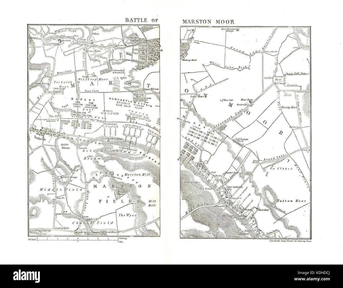 Map of The Battle of Marston Moor, 2 July 1644, English Civil War Stock Photohttps://www.alamy.com/image-license-details/?v=1https://www.alamy.com/stock-image-map-of-the-battle-of-marston-moor-2-july-1644-english-civil-war-163267570.html
RMKDHDCJ–Map of The Battle of Marston Moor, 2 July 1644, English Civil War
 Miss Sybll Arundale and Miss Betty Fairfax out for a motor cycle trip Examining a map Stock Photohttps://www.alamy.com/image-license-details/?v=1https://www.alamy.com/miss-sybll-arundale-and-miss-betty-fairfax-out-for-a-motor-cycle-trip-examining-a-map-image359831741.html
RM2BWBN1H–Miss Sybll Arundale and Miss Betty Fairfax out for a motor cycle trip Examining a map
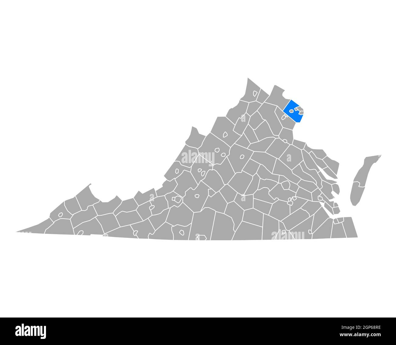 Map of Fairfax in Virginia Stock Photohttps://www.alamy.com/image-license-details/?v=1https://www.alamy.com/map-of-fairfax-in-virginia-image443920274.html
RF2GP68RE–Map of Fairfax in Virginia
 A survey of the Northern Neck of Virginia: being the lands belonging to the Rt. Honourable Thomas Lord Fairfax Baron Cameron, bounded by & within the Bay of Chesapoyocke and between the rivers Rappahannock and Potowmack: With the courses of the rivers Rappahannock and Potowmack, in Virginia, as surveyed according to order in the years 1736 & 1737 Cartographic. Maps. 1747. Lionel Pincus and Princess Firyal Map Division. Fairfax, Thomas Fairfax, Lord, 1692-1782, Northern Neck (Va.), Potomac River, Rappahannock River (Va.), Rivers , Virginia, Virginia Stock Photohttps://www.alamy.com/image-license-details/?v=1https://www.alamy.com/a-survey-of-the-northern-neck-of-virginia-being-the-lands-belonging-to-the-rt-honourable-thomas-lord-fairfax-baron-cameron-bounded-by-within-the-bay-of-chesapoyocke-and-between-the-rivers-rappahannock-and-potowmack-with-the-courses-of-the-rivers-rappahannock-and-potowmack-in-virginia-as-surveyed-according-to-order-in-the-years-1736-1737-cartographic-maps-1747-lionel-pincus-and-princess-firyal-map-division-fairfax-thomas-fairfax-lord-1692-1782-northern-neck-va-potomac-river-rappahannock-river-va-rivers-virginia-virginia-image484372517.html
RM2K4122D–A survey of the Northern Neck of Virginia: being the lands belonging to the Rt. Honourable Thomas Lord Fairfax Baron Cameron, bounded by & within the Bay of Chesapoyocke and between the rivers Rappahannock and Potowmack: With the courses of the rivers Rappahannock and Potowmack, in Virginia, as surveyed according to order in the years 1736 & 1737 Cartographic. Maps. 1747. Lionel Pincus and Princess Firyal Map Division. Fairfax, Thomas Fairfax, Lord, 1692-1782, Northern Neck (Va.), Potomac River, Rappahannock River (Va.), Rivers , Virginia, Virginia
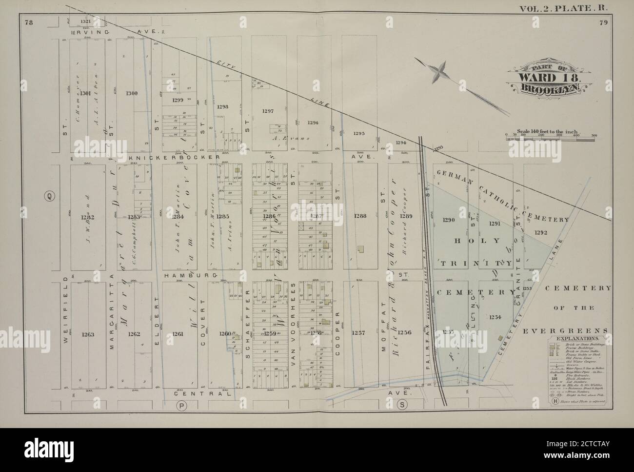 Vol. 2. Plate, R. Map bound by City Line, Cemetery Lane, Central Ave., Weirfield; Including Irving Ave., Knickerbocker Ave., Hamburg St., Margaretta St., Eldert St., Covert St., Schaeffer St., Van Voorhees St., Cooper St., Moffat St., Fairfax St., Pilling St., Granite St., still image, Maps, 1880 Stock Photohttps://www.alamy.com/image-license-details/?v=1https://www.alamy.com/vol-2-plate-r-map-bound-by-city-line-cemetery-lane-central-ave-weirfield-including-irving-ave-knickerbocker-ave-hamburg-st-margaretta-st-eldert-st-covert-st-schaeffer-st-van-voorhees-st-cooper-st-moffat-st-fairfax-st-pilling-st-granite-st-still-image-maps-1880-image376452019.html
RM2CTCTAY–Vol. 2. Plate, R. Map bound by City Line, Cemetery Lane, Central Ave., Weirfield; Including Irving Ave., Knickerbocker Ave., Hamburg St., Margaretta St., Eldert St., Covert St., Schaeffer St., Van Voorhees St., Cooper St., Moffat St., Fairfax St., Pilling St., Granite St., still image, Maps, 1880
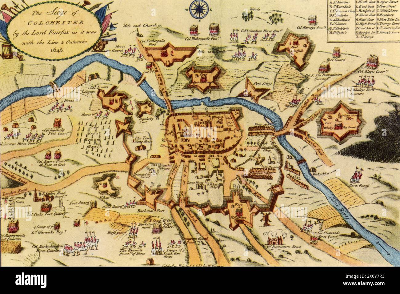 'The Siege of Colchester by the Lord Fairfax as it was with the Line & Outworks', 1648. By W. Keymer. The Siege of Colchester occurred in the 1648, during the Second English Civil War. Colchester found itself under siege when the Royalist army was attacked by the Parliamentary force of Thomas Fairfax (1612-1671). The Parliamentarians' initial attack forced the Royalist army to retreat behind the town's walls. Despite the privations of the siege, the Royalists resisted for eleven weeks and only surrendered following the defeat of the Royalist army at the Battle of Preston. Stock Photohttps://www.alamy.com/image-license-details/?v=1https://www.alamy.com/the-siege-of-colchester-by-the-lord-fairfax-as-it-was-with-the-line-outworks-1648-by-w-keymer-thesiege-of-colchesteroccurred-in-the-1648-during-thesecond-english-civil-warcolchesterfound-itself-under-siege-when-theroyalistarmy-was-attacked-by-the-parliamentary-force-of-thomas-fairfax-1612-1671-the-parliamentarians-initial-attack-forced-the-royalist-army-to-retreat-behind-the-towns-walls-despite-the-privations-of-the-siege-the-royalists-resisted-for-eleven-weeks-and-only-surrendered-following-the-defeat-of-the-royalist-army-at-thebattle-of-preston-image602961719.html
RM2X0Y7R3–'The Siege of Colchester by the Lord Fairfax as it was with the Line & Outworks', 1648. By W. Keymer. The Siege of Colchester occurred in the 1648, during the Second English Civil War. Colchester found itself under siege when the Royalist army was attacked by the Parliamentary force of Thomas Fairfax (1612-1671). The Parliamentarians' initial attack forced the Royalist army to retreat behind the town's walls. Despite the privations of the siege, the Royalists resisted for eleven weeks and only surrendered following the defeat of the Royalist army at the Battle of Preston.
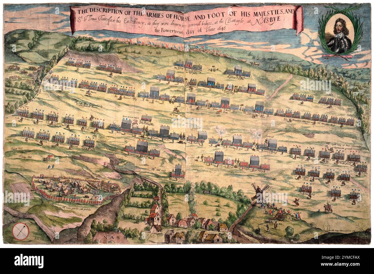 English Civil War. Battle of Naseby, 14th June 1645, Battlefield Map, hand-coloured etching by Robert Streeter, 1648 Stock Photohttps://www.alamy.com/image-license-details/?v=1https://www.alamy.com/english-civil-war-battle-of-naseby-14th-june-1645-battlefield-map-hand-coloured-etching-by-robert-streeter-1648-image632141858.html
RM2YMCFAX–English Civil War. Battle of Naseby, 14th June 1645, Battlefield Map, hand-coloured etching by Robert Streeter, 1648
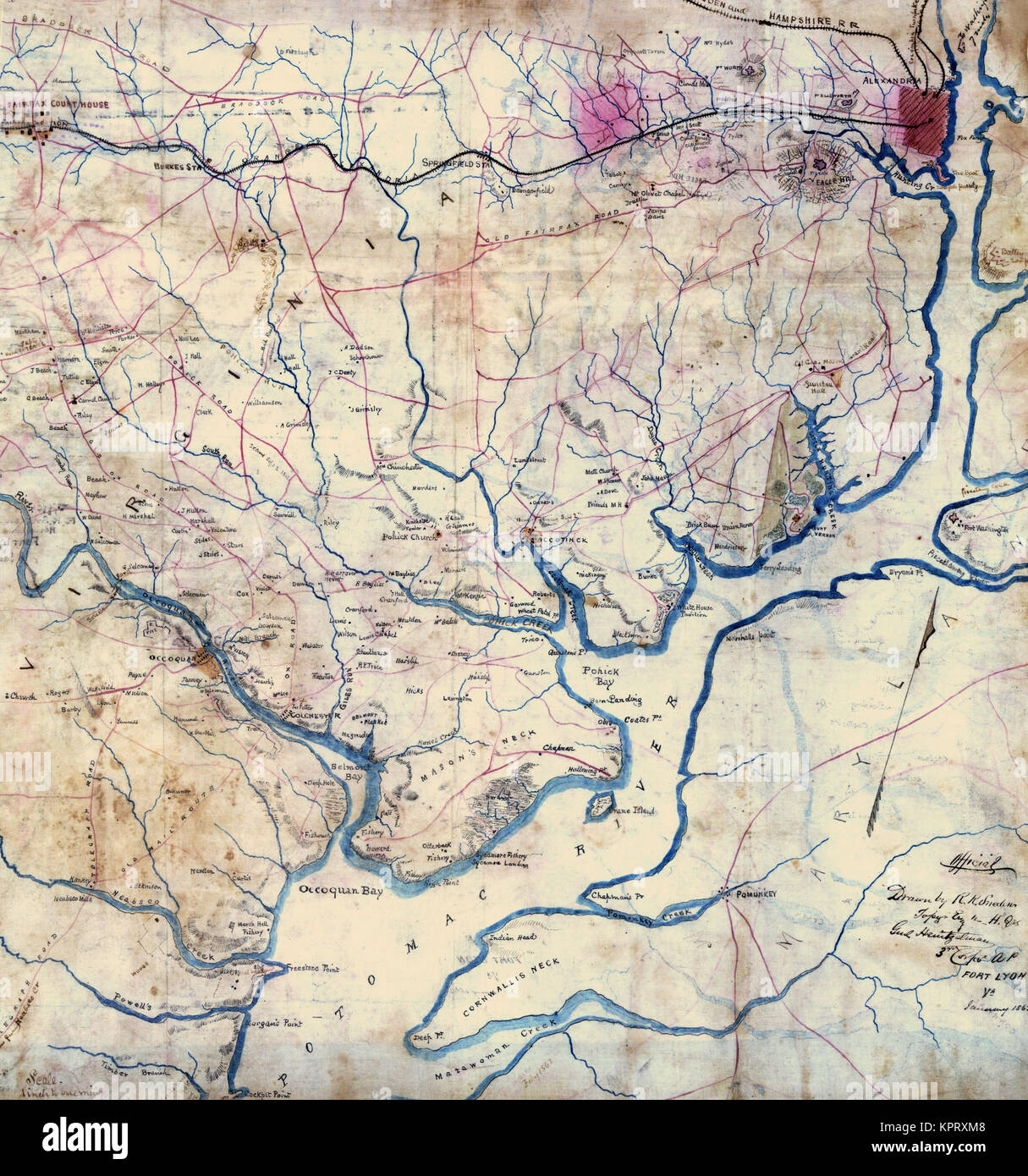 Map of the Potomac River, Va. : from Alexandria to below the Occoquan. Stock Photohttps://www.alamy.com/image-license-details/?v=1https://www.alamy.com/stock-image-map-of-the-potomac-river-va-from-alexandria-to-below-the-occoquan-168941592.html
RMKPRXM8–Map of the Potomac River, Va. : from Alexandria to below the Occoquan.
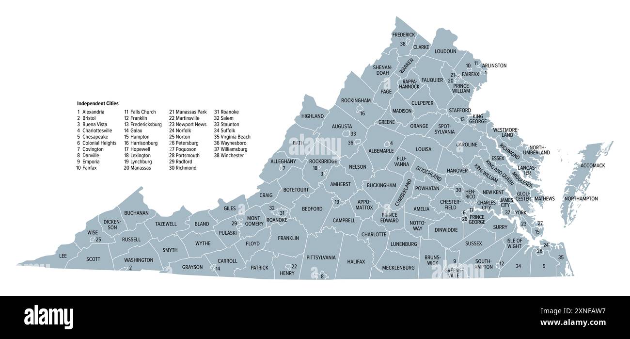 Virginia, U.S. state subdivided into 95 counties and 38 independent cities, gray political map. Commonwealth of Virginia. Stock Photohttps://www.alamy.com/image-license-details/?v=1https://www.alamy.com/virginia-us-state-subdivided-into-95-counties-and-38-independent-cities-gray-political-map-commonwealth-of-virginia-image615608483.html
RF2XNFAW7–Virginia, U.S. state subdivided into 95 counties and 38 independent cities, gray political map. Commonwealth of Virginia.
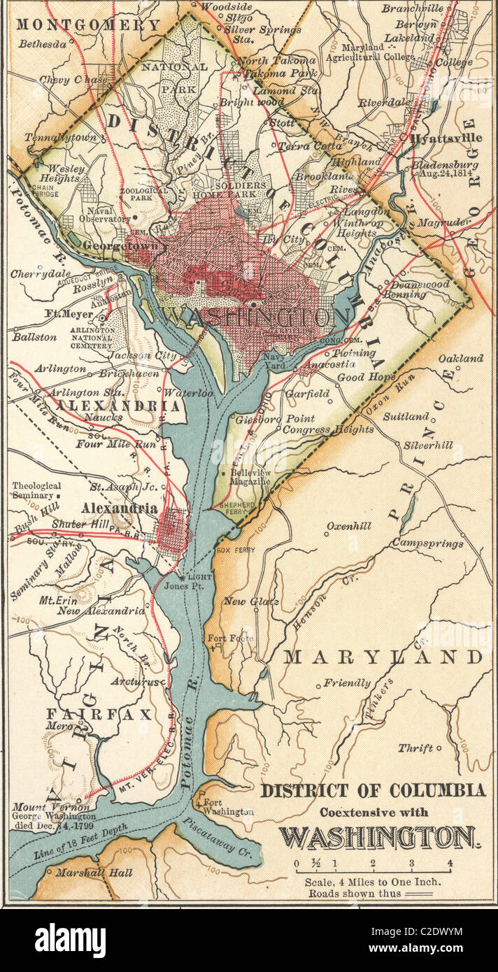 Map of Washington DC Stock Photohttps://www.alamy.com/image-license-details/?v=1https://www.alamy.com/stock-photo-map-of-washington-dc-35955800.html
RMC2DWYM–Map of Washington DC
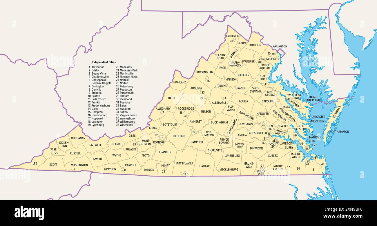 Virginia counties and cities, political map. Commonwealth of Virginia, a state in the Southeastern and Mid-Atlantic regions of the United States. Stock Photohttps://www.alamy.com/image-license-details/?v=1https://www.alamy.com/virginia-counties-and-cities-political-map-commonwealth-of-virginia-a-state-in-the-southeastern-and-mid-atlantic-regions-of-the-united-states-image615477274.html
RF2XN9BF6–Virginia counties and cities, political map. Commonwealth of Virginia, a state in the Southeastern and Mid-Atlantic regions of the United States.
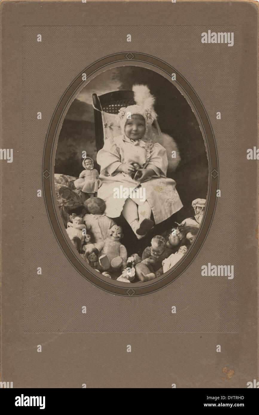 Samuel Bell Maxey Collection - Alice Fairfax - 1981 177 73 1769 Stock Photohttps://www.alamy.com/image-license-details/?v=1https://www.alamy.com/samuel-bell-maxey-collection-alice-fairfax-1981-177-73-1769-image68772185.html
RMDYTRHD–Samuel Bell Maxey Collection - Alice Fairfax - 1981 177 73 1769
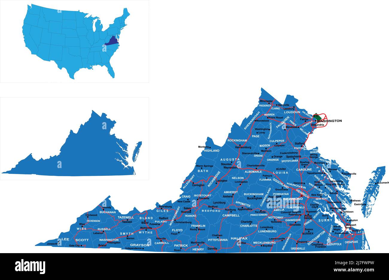 Detailed state-county map of Virginia. Stock Vectorhttps://www.alamy.com/image-license-details/?v=1https://www.alamy.com/detailed-state-county-map-of-virginia-image469332049.html
RF2J7FWPW–Detailed state-county map of Virginia.
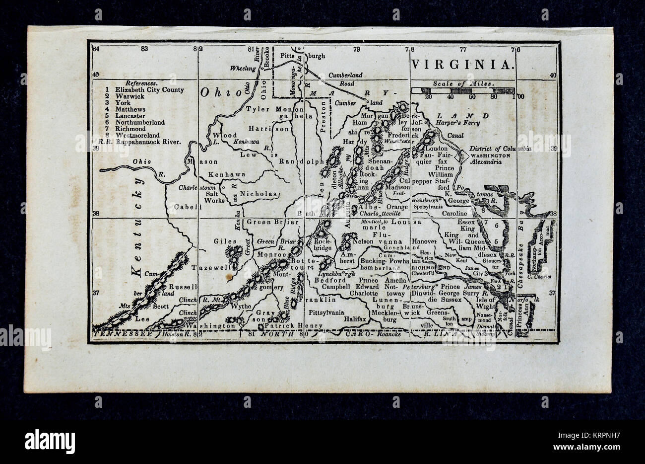 1830 Nathan Hale Map - Virginia & West Virginia - Richmond Norfolk Alexandria - United States Stock Photohttps://www.alamy.com/image-license-details/?v=1https://www.alamy.com/stock-image-1830-nathan-hale-map-virginia-west-virginia-richmond-norfolk-alexandria-169530291.html
RFKRPNH7–1830 Nathan Hale Map - Virginia & West Virginia - Richmond Norfolk Alexandria - United States
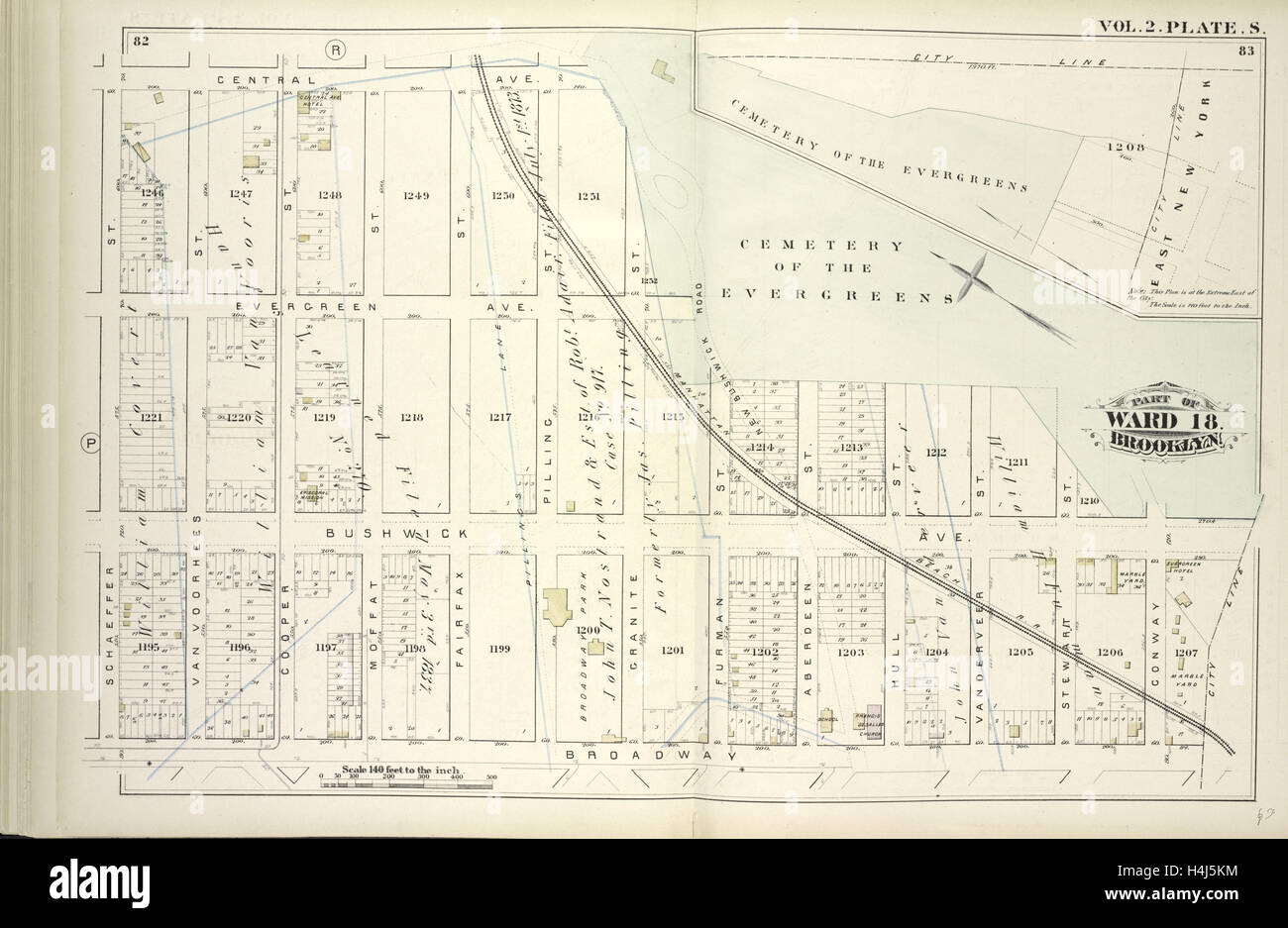 Vol. 2. Plate, S. Map bound by Central Ave., Cemetery of the Evergreens, City Line, Broadway, Schaeffer St. Stock Photohttps://www.alamy.com/image-license-details/?v=1https://www.alamy.com/stock-photo-vol-2-plate-s-map-bound-by-central-ave-cemetery-of-the-evergreens-123330808.html
RMH4J5KM–Vol. 2. Plate, S. Map bound by Central Ave., Cemetery of the Evergreens, City Line, Broadway, Schaeffer St.
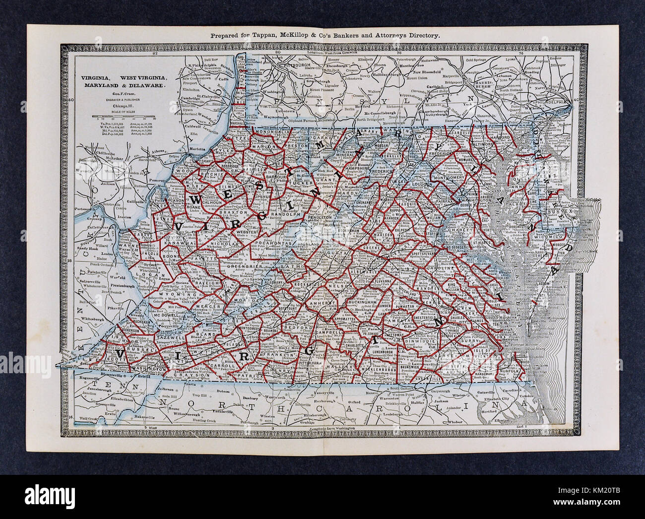 George Cram Antique Map from 1866 Atlas for Attorneys and Bankers: United States - Virginia Maryland West Virginia - Richmond Washington DC Baltimore Stock Photohttps://www.alamy.com/image-license-details/?v=1https://www.alamy.com/stock-image-george-cram-antique-map-from-1866-atlas-for-attorneys-and-bankers-167231019.html
RFKM20TB–George Cram Antique Map from 1866 Atlas for Attorneys and Bankers: United States - Virginia Maryland West Virginia - Richmond Washington DC Baltimore
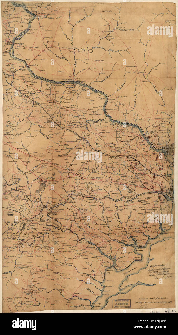 A map of Fairfax County, and parts of Loudoun and Prince William Counties, Va., and the District of Columbia Stock Photohttps://www.alamy.com/image-license-details/?v=1https://www.alamy.com/a-map-of-fairfax-county-and-parts-of-loudoun-and-prince-william-counties-va-and-the-district-of-columbia-image212454447.html
RMP9J3PR–A map of Fairfax County, and parts of Loudoun and Prince William Counties, Va., and the District of Columbia
![[Map of Fairfax and Alexandria counties, Virginia, and parts of adjoining counties] 1864 by Michler N. (Nathaniel) Stock Photo [Map of Fairfax and Alexandria counties, Virginia, and parts of adjoining counties] 1864 by Michler N. (Nathaniel) Stock Photo](https://c8.alamy.com/comp/2S7963J/map-of-fairfax-and-alexandria-counties-virginia-and-parts-of-adjoining-counties-1864-by-michler-n-nathaniel-2S7963J.jpg) [Map of Fairfax and Alexandria counties, Virginia, and parts of adjoining counties] 1864 by Michler N. (Nathaniel) Stock Photohttps://www.alamy.com/image-license-details/?v=1https://www.alamy.com/map-of-fairfax-and-alexandria-counties-virginia-and-parts-of-adjoining-counties-1864-by-michler-n-nathaniel-image641288582.html
[Map of Fairfax and Alexandria counties, Virginia, and parts of adjoining counties] 1864 by Michler N. (Nathaniel) Stock Photohttps://www.alamy.com/image-license-details/?v=1https://www.alamy.com/map-of-fairfax-and-alexandria-counties-virginia-and-parts-of-adjoining-counties-1864-by-michler-n-nathaniel-image641288582.htmlRM2S7963J–[Map of Fairfax and Alexandria counties, Virginia, and parts of adjoining counties] 1864 by Michler N. (Nathaniel)
 Fairfax Park, , AU, Australia, Western Australia, S 31 53' 8'', N 116 2' 48'', map, Cartascapes Map published in 2024. Explore Cartascapes, a map revealing Earth's diverse landscapes, cultures, and ecosystems. Journey through time and space, discovering the interconnectedness of our planet's past, present, and future. Stock Photohttps://www.alamy.com/image-license-details/?v=1https://www.alamy.com/fairfax-park-au-australia-western-australia-s-31-53-8-n-116-2-48-map-cartascapes-map-published-in-2024-explore-cartascapes-a-map-revealing-earths-diverse-landscapes-cultures-and-ecosystems-journey-through-time-and-space-discovering-the-interconnectedness-of-our-planets-past-present-and-future-image625734728.html
RM2YA0K0T–Fairfax Park, , AU, Australia, Western Australia, S 31 53' 8'', N 116 2' 48'', map, Cartascapes Map published in 2024. Explore Cartascapes, a map revealing Earth's diverse landscapes, cultures, and ecosystems. Journey through time and space, discovering the interconnectedness of our planet's past, present, and future.
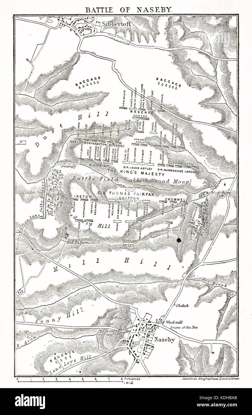 Plan of The Battle of Naseby, 14 June 1645 Stock Photohttps://www.alamy.com/image-license-details/?v=1https://www.alamy.com/stock-image-plan-of-the-battle-of-naseby-14-june-1645-163265939.html
RMKDHBAB–Plan of The Battle of Naseby, 14 June 1645
 Miss Sybll Arundale and Miss Betty Fairfax out for a motor cycle trip Pumping Up Stock Photohttps://www.alamy.com/image-license-details/?v=1https://www.alamy.com/miss-sybll-arundale-and-miss-betty-fairfax-out-for-a-motor-cycle-trip-pumping-up-image359830089.html
RM2BWBJXH–Miss Sybll Arundale and Miss Betty Fairfax out for a motor cycle trip Pumping Up
 Map of Fairfax in Virginia Stock Photohttps://www.alamy.com/image-license-details/?v=1https://www.alamy.com/map-of-fairfax-in-virginia-image443866404.html
RF2GP3T3G–Map of Fairfax in Virginia
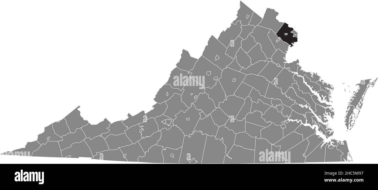 Black highlighted location map of the Fairfax County inside gray administrative map of the Federal State of Virginia, USA Stock Vectorhttps://www.alamy.com/image-license-details/?v=1https://www.alamy.com/black-highlighted-location-map-of-the-fairfax-county-inside-gray-administrative-map-of-the-federal-state-of-virginia-usa-image454971139.html
RF2HC5M97–Black highlighted location map of the Fairfax County inside gray administrative map of the Federal State of Virginia, USA
 Business people examining world map Stock Photohttps://www.alamy.com/image-license-details/?v=1https://www.alamy.com/stock-photo-business-people-examining-world-map-72138260.html
RFE5A52C–Business people examining world map
 19th century map of Virginia.Published in New Dollar Atlas of the United States and Dominion of Canada. (Rand McNally & Co's, Chicago, 1884). Stock Photohttps://www.alamy.com/image-license-details/?v=1https://www.alamy.com/19th-century-map-of-virginiapublished-in-new-dollar-atlas-of-the-united-states-and-dominion-of-canada-rand-mcnally-cos-chicago-1884-image385203936.html
RF2DAKFFC–19th century map of Virginia.Published in New Dollar Atlas of the United States and Dominion of Canada. (Rand McNally & Co's, Chicago, 1884).
 05-17-2021 Portsmouth, Hampshire, UK, Fairfax Minnesota USA shown on a Geography map or road map Stock Photohttps://www.alamy.com/image-license-details/?v=1https://www.alamy.com/05-17-2021-portsmouth-hampshire-uk-fairfax-minnesota-usa-shown-on-a-geography-map-or-road-map-image426339080.html
RM2FNHBRM–05-17-2021 Portsmouth, Hampshire, UK, Fairfax Minnesota USA shown on a Geography map or road map
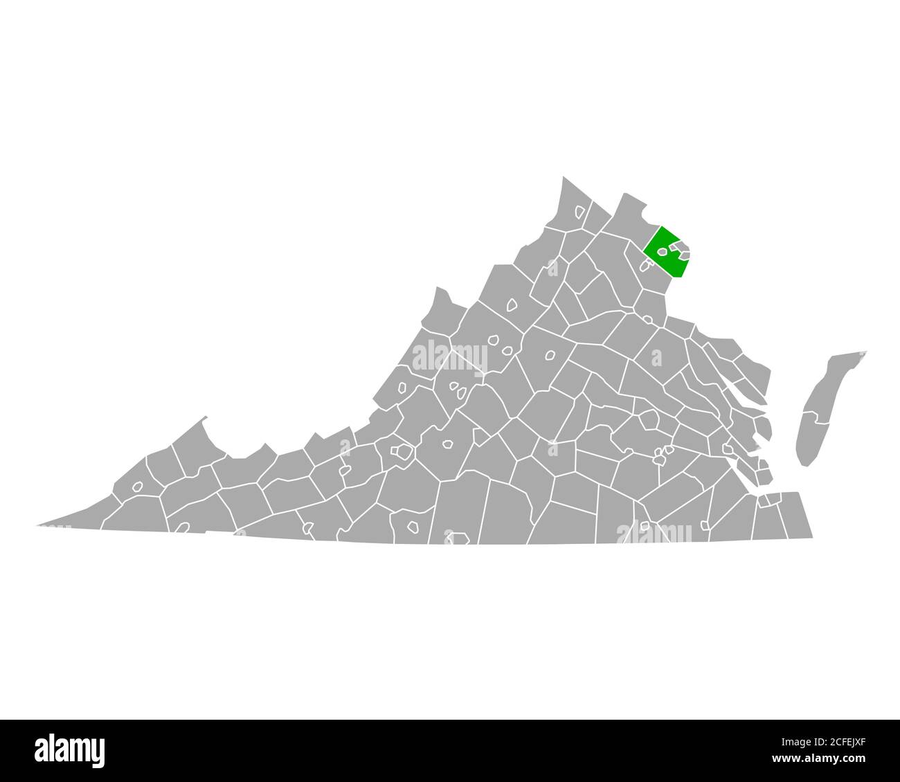 Map of Fairfax in Virginia Stock Photohttps://www.alamy.com/image-license-details/?v=1https://www.alamy.com/map-of-fairfax-in-virginia-image370959751.html
RF2CFEJXF–Map of Fairfax in Virginia
![A SURVEY of the NORTHERN NECK of VIRGINIA, being The LANDS belonging to the R.t Honourable THOMAS LORD FAIRFAX BARON CAMERON, bounded by & within the Bay of Chesapoyocke and between the Rivers Rappahannock and Poto Author Warner, John 122.45.1. Place of publication: [London] Publisher: [John Warner] Date of publication: [1747.] Item type: 1 map Medium: copperplate engraving Dimensions: 30 x 35 cm Former owner: George III, King of Great Britain, 1738-1820 Stock Photo A SURVEY of the NORTHERN NECK of VIRGINIA, being The LANDS belonging to the R.t Honourable THOMAS LORD FAIRFAX BARON CAMERON, bounded by & within the Bay of Chesapoyocke and between the Rivers Rappahannock and Poto Author Warner, John 122.45.1. Place of publication: [London] Publisher: [John Warner] Date of publication: [1747.] Item type: 1 map Medium: copperplate engraving Dimensions: 30 x 35 cm Former owner: George III, King of Great Britain, 1738-1820 Stock Photo](https://c8.alamy.com/comp/2E9GMDC/a-survey-of-the-northern-neck-of-virginia-being-the-lands-belonging-to-the-rt-honourable-thomas-lord-fairfax-baron-cameron-bounded-by-within-the-bay-of-chesapoyocke-and-between-the-rivers-rappahannock-and-poto-author-warner-john-122451-place-of-publication-london-publisher-john-warner-date-of-publication-1747-item-type-1-map-medium-copperplate-engraving-dimensions-30-x-35-cm-former-owner-george-iii-king-of-great-britain-1738-1820-2E9GMDC.jpg) A SURVEY of the NORTHERN NECK of VIRGINIA, being The LANDS belonging to the R.t Honourable THOMAS LORD FAIRFAX BARON CAMERON, bounded by & within the Bay of Chesapoyocke and between the Rivers Rappahannock and Poto Author Warner, John 122.45.1. Place of publication: [London] Publisher: [John Warner] Date of publication: [1747.] Item type: 1 map Medium: copperplate engraving Dimensions: 30 x 35 cm Former owner: George III, King of Great Britain, 1738-1820 Stock Photohttps://www.alamy.com/image-license-details/?v=1https://www.alamy.com/a-survey-of-the-northern-neck-of-virginia-being-the-lands-belonging-to-the-rt-honourable-thomas-lord-fairfax-baron-cameron-bounded-by-within-the-bay-of-chesapoyocke-and-between-the-rivers-rappahannock-and-poto-author-warner-john-122451-place-of-publication-london-publisher-john-warner-date-of-publication-1747-item-type-1-map-medium-copperplate-engraving-dimensions-30-x-35-cm-former-owner-george-iii-king-of-great-britain-1738-1820-image401737656.html
A SURVEY of the NORTHERN NECK of VIRGINIA, being The LANDS belonging to the R.t Honourable THOMAS LORD FAIRFAX BARON CAMERON, bounded by & within the Bay of Chesapoyocke and between the Rivers Rappahannock and Poto Author Warner, John 122.45.1. Place of publication: [London] Publisher: [John Warner] Date of publication: [1747.] Item type: 1 map Medium: copperplate engraving Dimensions: 30 x 35 cm Former owner: George III, King of Great Britain, 1738-1820 Stock Photohttps://www.alamy.com/image-license-details/?v=1https://www.alamy.com/a-survey-of-the-northern-neck-of-virginia-being-the-lands-belonging-to-the-rt-honourable-thomas-lord-fairfax-baron-cameron-bounded-by-within-the-bay-of-chesapoyocke-and-between-the-rivers-rappahannock-and-poto-author-warner-john-122451-place-of-publication-london-publisher-john-warner-date-of-publication-1747-item-type-1-map-medium-copperplate-engraving-dimensions-30-x-35-cm-former-owner-george-iii-king-of-great-britain-1738-1820-image401737656.htmlRM2E9GMDC–A SURVEY of the NORTHERN NECK of VIRGINIA, being The LANDS belonging to the R.t Honourable THOMAS LORD FAIRFAX BARON CAMERON, bounded by & within the Bay of Chesapoyocke and between the Rivers Rappahannock and Poto Author Warner, John 122.45.1. Place of publication: [London] Publisher: [John Warner] Date of publication: [1747.] Item type: 1 map Medium: copperplate engraving Dimensions: 30 x 35 cm Former owner: George III, King of Great Britain, 1738-1820
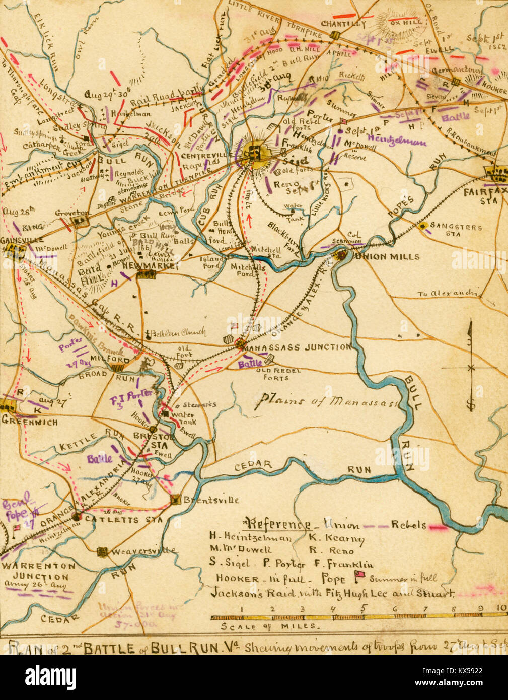 2nd battle of Bull Run, Va. Troop Movements Stock Photohttps://www.alamy.com/image-license-details/?v=1https://www.alamy.com/stock-photo-2nd-battle-of-bull-run-va-troop-movements-170991242.html
RMKX5922–2nd battle of Bull Run, Va. Troop Movements
!['The Siege of Colchester by the Parliament Forces Under the Command of General Fairfax, 1648', (1944). Map of the town of Colchester in Essex which was attacked by Parliamentary commander Lord-General Thomas Fairfax. The Royalists resisted for eleven weeks but eventually surrendered. From "Battlefields in Britain', by C. V. Wedgwood. [Collins, London, 1944] Stock Photo 'The Siege of Colchester by the Parliament Forces Under the Command of General Fairfax, 1648', (1944). Map of the town of Colchester in Essex which was attacked by Parliamentary commander Lord-General Thomas Fairfax. The Royalists resisted for eleven weeks but eventually surrendered. From "Battlefields in Britain', by C. V. Wedgwood. [Collins, London, 1944] Stock Photo](https://c8.alamy.com/comp/2AG0HJC/the-siege-of-colchester-by-the-parliament-forces-under-the-command-of-general-fairfax-1648-1944-map-of-the-town-of-colchester-in-essex-which-was-attacked-by-parliamentary-commander-lord-general-thomas-fairfax-the-royalists-resisted-for-eleven-weeks-but-eventually-surrendered-from-quotbattlefields-in-britain-by-c-v-wedgwood-collins-london-1944-2AG0HJC.jpg) 'The Siege of Colchester by the Parliament Forces Under the Command of General Fairfax, 1648', (1944). Map of the town of Colchester in Essex which was attacked by Parliamentary commander Lord-General Thomas Fairfax. The Royalists resisted for eleven weeks but eventually surrendered. From "Battlefields in Britain', by C. V. Wedgwood. [Collins, London, 1944] Stock Photohttps://www.alamy.com/image-license-details/?v=1https://www.alamy.com/the-siege-of-colchester-by-the-parliament-forces-under-the-command-of-general-fairfax-1648-1944-map-of-the-town-of-colchester-in-essex-which-was-attacked-by-parliamentary-commander-lord-general-thomas-fairfax-the-royalists-resisted-for-eleven-weeks-but-eventually-surrendered-from-quotbattlefields-in-britain-by-c-v-wedgwood-collins-london-1944-image336845332.html
'The Siege of Colchester by the Parliament Forces Under the Command of General Fairfax, 1648', (1944). Map of the town of Colchester in Essex which was attacked by Parliamentary commander Lord-General Thomas Fairfax. The Royalists resisted for eleven weeks but eventually surrendered. From "Battlefields in Britain', by C. V. Wedgwood. [Collins, London, 1944] Stock Photohttps://www.alamy.com/image-license-details/?v=1https://www.alamy.com/the-siege-of-colchester-by-the-parliament-forces-under-the-command-of-general-fairfax-1648-1944-map-of-the-town-of-colchester-in-essex-which-was-attacked-by-parliamentary-commander-lord-general-thomas-fairfax-the-royalists-resisted-for-eleven-weeks-but-eventually-surrendered-from-quotbattlefields-in-britain-by-c-v-wedgwood-collins-london-1944-image336845332.htmlRM2AG0HJC–'The Siege of Colchester by the Parliament Forces Under the Command of General Fairfax, 1648', (1944). Map of the town of Colchester in Essex which was attacked by Parliamentary commander Lord-General Thomas Fairfax. The Royalists resisted for eleven weeks but eventually surrendered. From "Battlefields in Britain', by C. V. Wedgwood. [Collins, London, 1944]
 Samuel Bell Maxey Collection - Alice Fairfax - 1981 177 73 1785 Stock Photohttps://www.alamy.com/image-license-details/?v=1https://www.alamy.com/samuel-bell-maxey-collection-alice-fairfax-1981-177-73-1785-image68772184.html
RMDYTRHC–Samuel Bell Maxey Collection - Alice Fairfax - 1981 177 73 1785
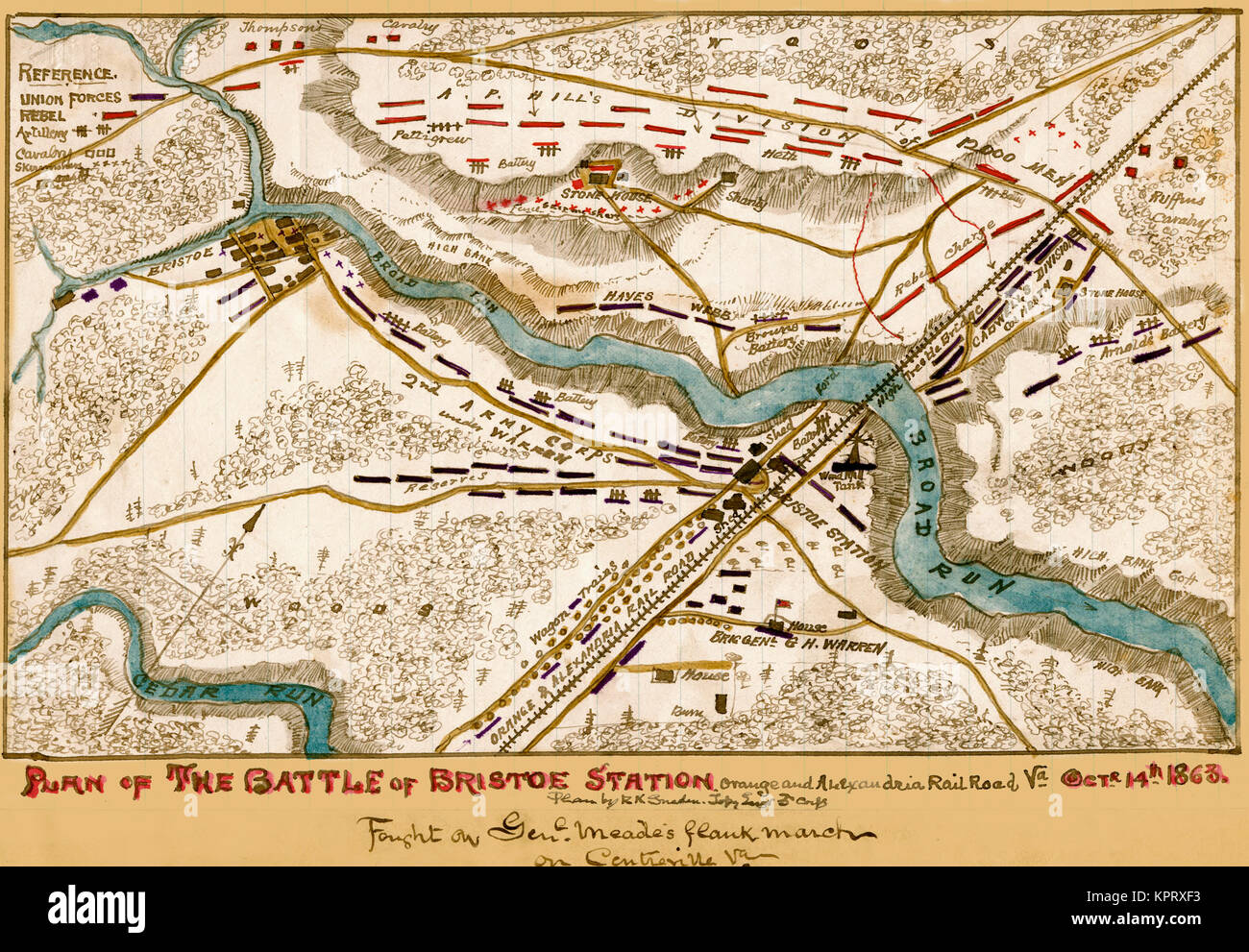 Battle of Bristoe Station, Orange and Alexandria Railroad Stock Photohttps://www.alamy.com/image-license-details/?v=1https://www.alamy.com/stock-image-battle-of-bristoe-station-orange-and-alexandria-railroad-168941447.html
RMKPRXF3–Battle of Bristoe Station, Orange and Alexandria Railroad
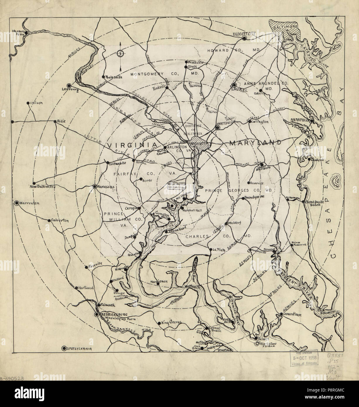 . 7 (Map of Washington D.C. region showing radial distances from Washington Air Junction, near Rose Hill, Fairfax County, Va.). LOC 88690523 Stock Photohttps://www.alamy.com/image-license-details/?v=1https://www.alamy.com/7-map-of-washington-dc-region-showing-radial-distances-from-washington-air-junction-near-rose-hill-fairfax-county-va-loc-88690523-image211959676.html
RMP8RGMC–. 7 (Map of Washington D.C. region showing radial distances from Washington Air Junction, near Rose Hill, Fairfax County, Va.). LOC 88690523
 Vol. 2. Plate, R. Map bound by City Line, Cemetery Lane, Central Ave., Weirfield; Including Irving Ave., Knickerbocker Ave. Stock Photohttps://www.alamy.com/image-license-details/?v=1https://www.alamy.com/stock-photo-vol-2-plate-r-map-bound-by-city-line-cemetery-lane-central-ave-weirfield-123330807.html
RMH4J5KK–Vol. 2. Plate, R. Map bound by City Line, Cemetery Lane, Central Ave., Weirfield; Including Irving Ave., Knickerbocker Ave.
 Battle of Chantilly, or Ox Hill, was the last action in the 2d Bull Run Campaign Stock Photohttps://www.alamy.com/image-license-details/?v=1https://www.alamy.com/stock-image-battle-of-chantilly-or-ox-hill-was-the-last-action-in-the-2d-bull-168941504.html
RMKPRXH4–Battle of Chantilly, or Ox Hill, was the last action in the 2d Bull Run Campaign
 Road map of Fairfax County and Prince William County, Virginia Stock Photohttps://www.alamy.com/image-license-details/?v=1https://www.alamy.com/road-map-of-fairfax-county-and-prince-william-county-virginia-image455481999.html
RM2HD0YX7–Road map of Fairfax County and Prince William County, Virginia
![[Map of Fairfax and Alexandria counties, Virginia, and parts of adjoining counties] 1864 by Michler N. (Nathaniel) Stock Photo [Map of Fairfax and Alexandria counties, Virginia, and parts of adjoining counties] 1864 by Michler N. (Nathaniel) Stock Photo](https://c8.alamy.com/comp/2S719B6/map-of-fairfax-and-alexandria-counties-virginia-and-parts-of-adjoining-counties-1864-by-michler-n-nathaniel-2S719B6.jpg) [Map of Fairfax and Alexandria counties, Virginia, and parts of adjoining counties] 1864 by Michler N. (Nathaniel) Stock Photohttps://www.alamy.com/image-license-details/?v=1https://www.alamy.com/map-of-fairfax-and-alexandria-counties-virginia-and-parts-of-adjoining-counties-1864-by-michler-n-nathaniel-image641115530.html
[Map of Fairfax and Alexandria counties, Virginia, and parts of adjoining counties] 1864 by Michler N. (Nathaniel) Stock Photohttps://www.alamy.com/image-license-details/?v=1https://www.alamy.com/map-of-fairfax-and-alexandria-counties-virginia-and-parts-of-adjoining-counties-1864-by-michler-n-nathaniel-image641115530.htmlRM2S719B6–[Map of Fairfax and Alexandria counties, Virginia, and parts of adjoining counties] 1864 by Michler N. (Nathaniel)
 Fairfax Islands, Gladstone, AU, Australia, Queensland, S 23 51' 27'', N 152 22' 6'', map, Cartascapes Map published in 2024. Explore Cartascapes, a map revealing Earth's diverse landscapes, cultures, and ecosystems. Journey through time and space, discovering the interconnectedness of our planet's past, present, and future. Stock Photohttps://www.alamy.com/image-license-details/?v=1https://www.alamy.com/fairfax-islands-gladstone-au-australia-queensland-s-23-51-27-n-152-22-6-map-cartascapes-map-published-in-2024-explore-cartascapes-a-map-revealing-earths-diverse-landscapes-cultures-and-ecosystems-journey-through-time-and-space-discovering-the-interconnectedness-of-our-planets-past-present-and-future-image625696167.html
RM2Y9XWRK–Fairfax Islands, Gladstone, AU, Australia, Queensland, S 23 51' 27'', N 152 22' 6'', map, Cartascapes Map published in 2024. Explore Cartascapes, a map revealing Earth's diverse landscapes, cultures, and ecosystems. Journey through time and space, discovering the interconnectedness of our planet's past, present, and future.
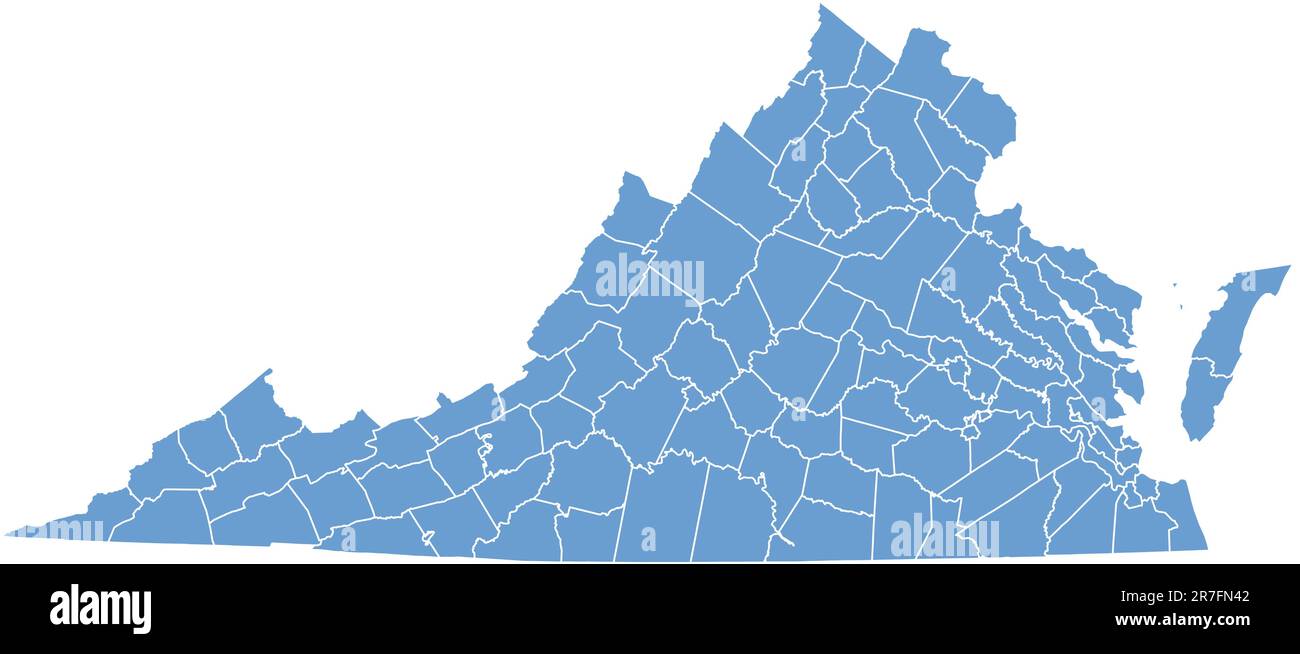 Virginia map by counties Stock Vectorhttps://www.alamy.com/image-license-details/?v=1https://www.alamy.com/virginia-map-by-counties-image555380226.html
RF2R7FN42–Virginia map by counties
 Miss Sybll Arundale and Miss Betty Fairfax out for a motor cycle trip Mending a Puncture Stock Photohttps://www.alamy.com/image-license-details/?v=1https://www.alamy.com/miss-sybll-arundale-and-miss-betty-fairfax-out-for-a-motor-cycle-trip-mending-a-puncture-image359831212.html
RM2BWBMAM–Miss Sybll Arundale and Miss Betty Fairfax out for a motor cycle trip Mending a Puncture
 Map of Fairfax in Virginia Stock Photohttps://www.alamy.com/image-license-details/?v=1https://www.alamy.com/map-of-fairfax-in-virginia-image443795199.html
RF2GP0H8F–Map of Fairfax in Virginia
 Black highlighted location map of the Fairfax independent city inside gray administrative map of the Federal State of Virginia, USA Stock Vectorhttps://www.alamy.com/image-license-details/?v=1https://www.alamy.com/black-highlighted-location-map-of-the-fairfax-independent-city-inside-gray-administrative-map-of-the-federal-state-of-virginia-usa-image454972611.html
RF2HC5P5R–Black highlighted location map of the Fairfax independent city inside gray administrative map of the Federal State of Virginia, USA
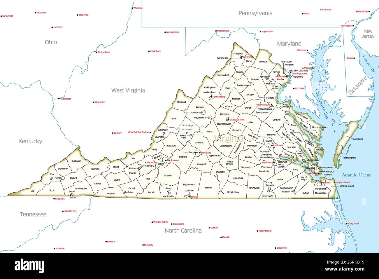 Detailed map of the state of Virginia, USA, showing its counties and major cities. Stock Photohttps://www.alamy.com/image-license-details/?v=1https://www.alamy.com/detailed-map-of-the-state-of-virginia-usa-showing-its-counties-and-major-cities-image651347097.html
RF2SRKBT9–Detailed map of the state of Virginia, USA, showing its counties and major cities.
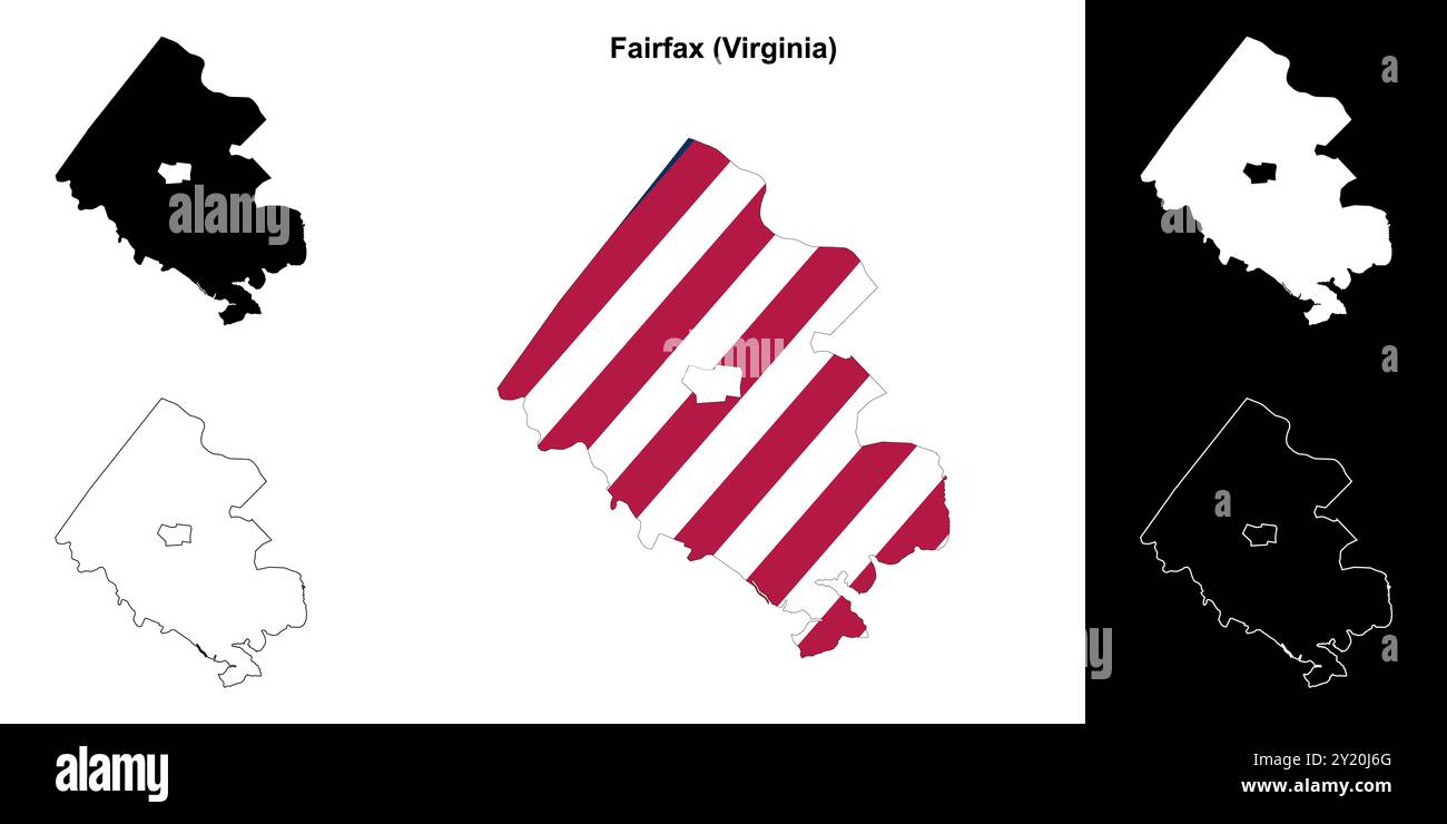 Fairfax County (Virginia) outline map set Stock Vectorhttps://www.alamy.com/image-license-details/?v=1https://www.alamy.com/fairfax-county-virginia-outline-map-set-image620816856.html
RF2Y20J6G–Fairfax County (Virginia) outline map set
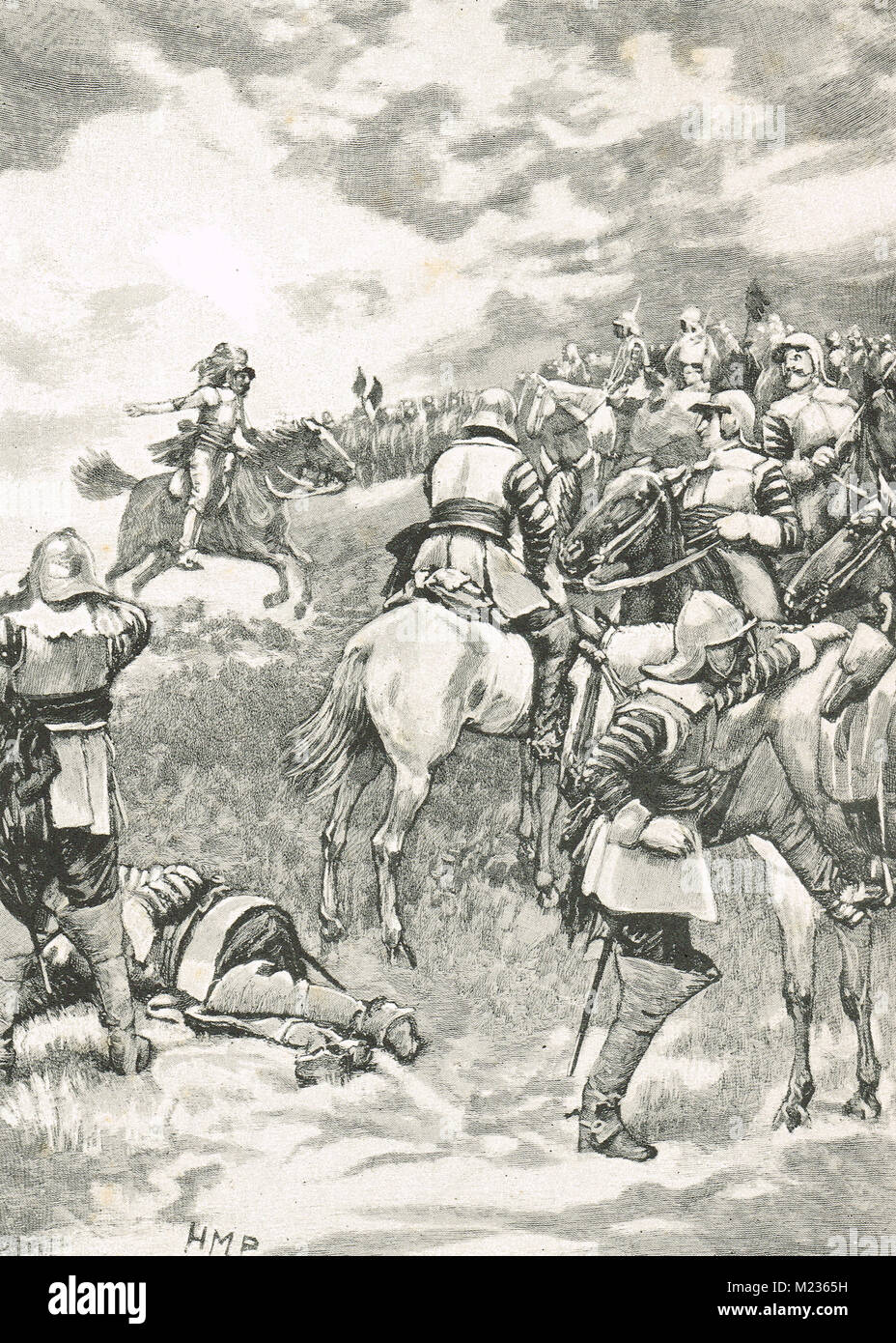 Charles I, trying to rally his army, Battle of Naseby, 14 June 1645 Stock Photohttps://www.alamy.com/image-license-details/?v=1https://www.alamy.com/stock-photo-charles-i-trying-to-rally-his-army-battle-of-naseby-14-june-1645-173403709.html
RMM2365H–Charles I, trying to rally his army, Battle of Naseby, 14 June 1645
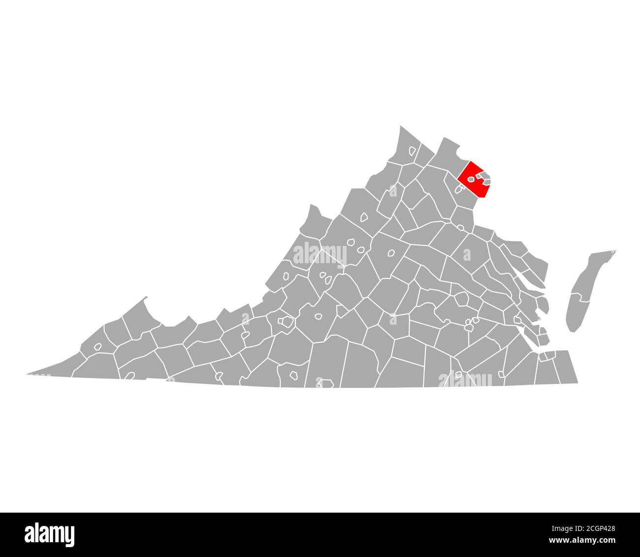 Map of Fairfax in Virginia Stock Photohttps://www.alamy.com/image-license-details/?v=1https://www.alamy.com/map-of-fairfax-in-virginia-image371738368.html
RF2CGP428–Map of Fairfax in Virginia
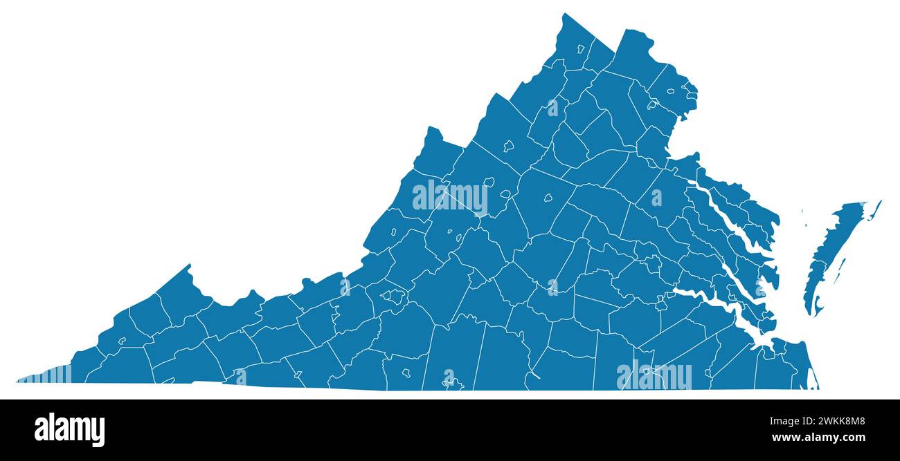 Editable vector file of the counties that make up the state of Virginia Stock Vectorhttps://www.alamy.com/image-license-details/?v=1https://www.alamy.com/editable-vector-file-of-the-counties-that-make-up-the-state-of-virginia-image597254904.html
RF2WKK8M8–Editable vector file of the counties that make up the state of Virginia
 Fairfax Track on North Head Manly Sydney, part of Sydney Harbour national park, with tourist visitor information and directions,Sydney,NSW,Australia Stock Photohttps://www.alamy.com/image-license-details/?v=1https://www.alamy.com/fairfax-track-on-north-head-manly-sydney-part-of-sydney-harbour-national-park-with-tourist-visitor-information-and-directionssydneynswaustralia-image604764667.html
RM2X3WBE3–Fairfax Track on North Head Manly Sydney, part of Sydney Harbour national park, with tourist visitor information and directions,Sydney,NSW,Australia
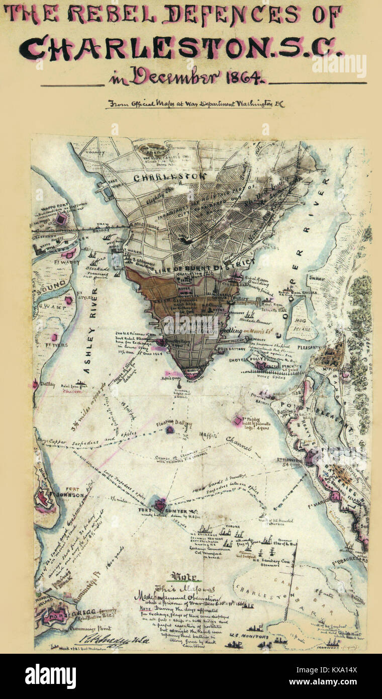 Map of the Potomac River, Va. : from Alexandria to below the Occoquan. Stock Photohttps://www.alamy.com/image-license-details/?v=1https://www.alamy.com/stock-photo-map-of-the-potomac-river-va-from-alexandria-to-below-the-occoquan-171094810.html
RMKXA14X–Map of the Potomac River, Va. : from Alexandria to below the Occoquan.
 Samuel Bell Maxey Collection - Alice Fairfax - 1981 177 73 1770 Stock Photohttps://www.alamy.com/image-license-details/?v=1https://www.alamy.com/samuel-bell-maxey-collection-alice-fairfax-1981-177-73-1770-image68772193.html
RMDYTRHN–Samuel Bell Maxey Collection - Alice Fairfax - 1981 177 73 1770
 Army Pilot Trains - Cpl. P.J. Grimshaw of the 1st Ground Liason Group, C.M.F. who is training for a pilot at the Kingsford Smith Air Training School, Bankstown checks over a map prior to doing his 22nd hour. Grimshaw is one of four army men who are doing this course to become Army Pilots. The men do their flying in the Auster aircraft. July 23, 1955. (Photo by Winton Irving/Fairfax Media). Stock Photohttps://www.alamy.com/image-license-details/?v=1https://www.alamy.com/army-pilot-trains-cpl-pj-grimshaw-of-the-1st-ground-liason-group-cmf-who-is-training-for-a-pilot-at-the-kingsford-smith-air-training-school-bankstown-checks-over-a-map-prior-to-doing-his-22nd-hour-grimshaw-is-one-of-four-army-men-who-are-doing-this-course-to-become-army-pilots-the-men-do-their-flying-in-the-auster-aircraft-july-23-1955-photo-by-winton-irvingfairfax-media-image476341185.html
RM2JJY615–Army Pilot Trains - Cpl. P.J. Grimshaw of the 1st Ground Liason Group, C.M.F. who is training for a pilot at the Kingsford Smith Air Training School, Bankstown checks over a map prior to doing his 22nd hour. Grimshaw is one of four army men who are doing this course to become Army Pilots. The men do their flying in the Auster aircraft. July 23, 1955. (Photo by Winton Irving/Fairfax Media).
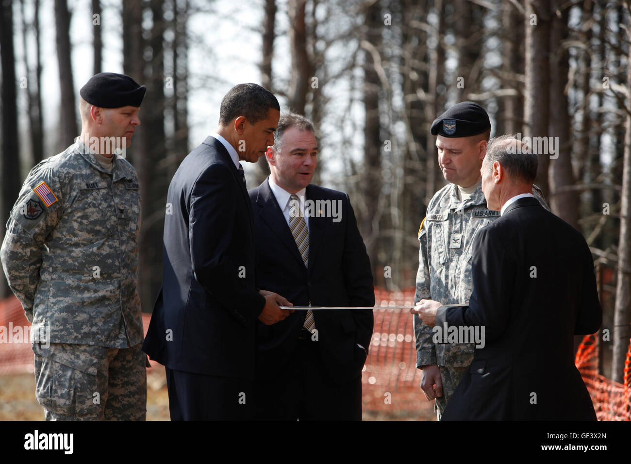 Springfield, VA - February 11, 2009 -- United States President Barack Obama (2L) and Virginia Governor Tim Kaine (3L) look at a map of the Construction site of Fairfax County Parkway connector that they are visiting, surrounded by Colonel Jerry Blixt (L), Colonel Mark Moffatt (2R) and Director of the North Atlantic Division of the US Army Corps of Engineers James Stuart Turkel, Springfield, VA, Tuesday, February 11, 2009.Credit: Aude Guerrucci - Pool via CNP - NO WIRE SERVICE- Stock Photohttps://www.alamy.com/image-license-details/?v=1https://www.alamy.com/stock-photo-springfield-va-february-11-2009-united-states-president-barack-obama-111953709.html
RMGE3X2N–Springfield, VA - February 11, 2009 -- United States President Barack Obama (2L) and Virginia Governor Tim Kaine (3L) look at a map of the Construction site of Fairfax County Parkway connector that they are visiting, surrounded by Colonel Jerry Blixt (L), Colonel Mark Moffatt (2R) and Director of the North Atlantic Division of the US Army Corps of Engineers James Stuart Turkel, Springfield, VA, Tuesday, February 11, 2009.Credit: Aude Guerrucci - Pool via CNP - NO WIRE SERVICE-
 Fairfax Moresby Stock Photohttps://www.alamy.com/image-license-details/?v=1https://www.alamy.com/stock-photo-fairfax-moresby-139860922.html
RMJ3F60X–Fairfax Moresby
 Cartographic, Maps. 1880. Lionel Pincus and Princess Firyal Map Division. Brooklyn (New York, N.Y.), Real property , New York (State) , New York Vol. 2. Plate, R. Map bound by City Line, Cemetery Lane, Central Ave., Weirfield; Including Irving Ave., Knickerbocker Ave., Hamburg St., Margaretta St., Eldert St., Covert St., Schaeffer St., Van Voorhees St., Cooper St., Moffat St., Fairfax St., Pilling St., Granite St. Stock Photohttps://www.alamy.com/image-license-details/?v=1https://www.alamy.com/cartographic-maps-1880-lionel-pincus-and-princess-firyal-map-division-brooklyn-new-york-ny-real-property-new-york-state-new-york-vol-2-plate-r-map-bound-by-city-line-cemetery-lane-central-ave-weirfield-including-irving-ave-knickerbocker-ave-hamburg-st-margaretta-st-eldert-st-covert-st-schaeffer-st-van-voorhees-st-cooper-st-moffat-st-fairfax-st-pilling-st-granite-st-image483558108.html
RM2K2KY8C–Cartographic, Maps. 1880. Lionel Pincus and Princess Firyal Map Division. Brooklyn (New York, N.Y.), Real property , New York (State) , New York Vol. 2. Plate, R. Map bound by City Line, Cemetery Lane, Central Ave., Weirfield; Including Irving Ave., Knickerbocker Ave., Hamburg St., Margaretta St., Eldert St., Covert St., Schaeffer St., Van Voorhees St., Cooper St., Moffat St., Fairfax St., Pilling St., Granite St.
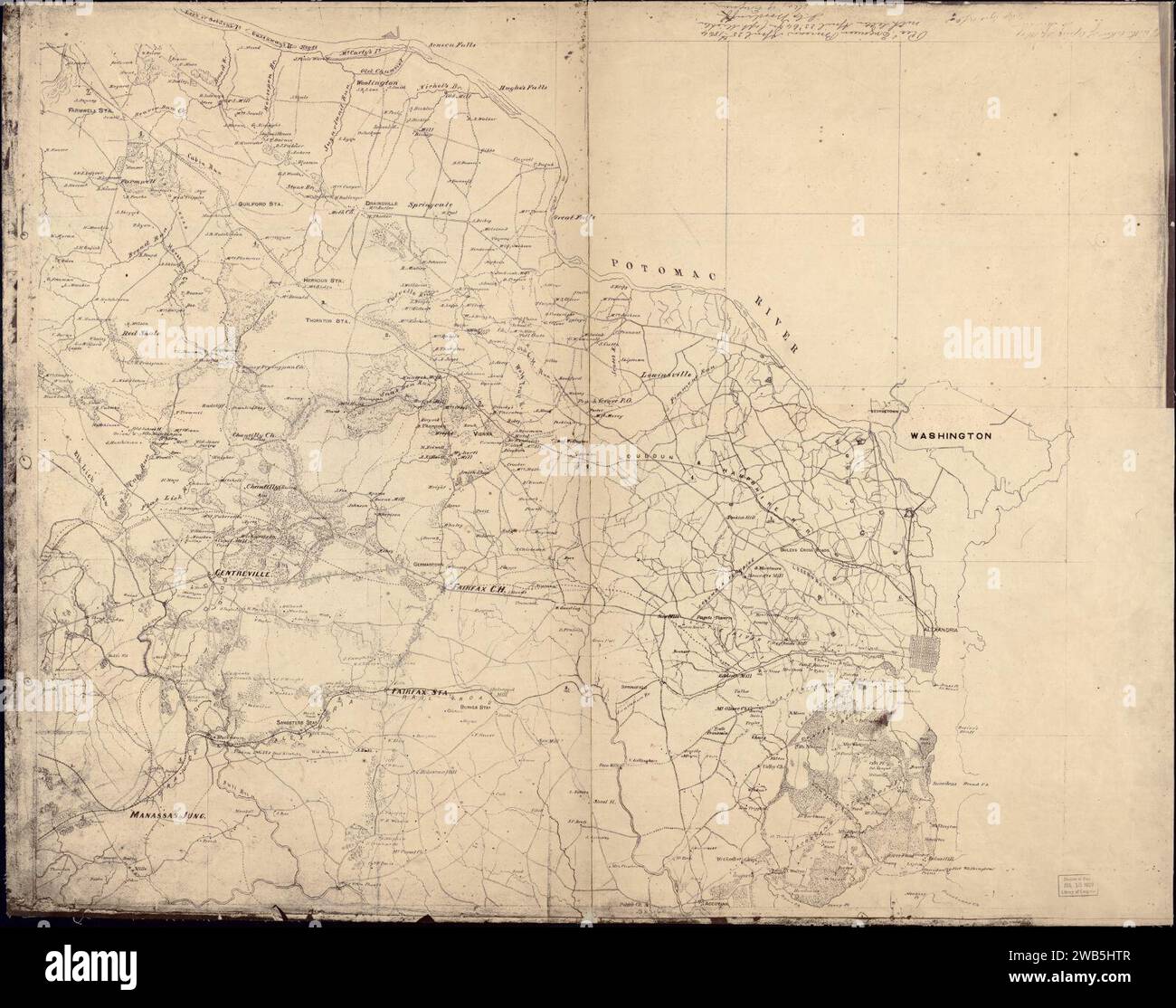 (Map of Fairfax and Alexandria counties, Virginia, and parts of adjoining counties) Stock Photohttps://www.alamy.com/image-license-details/?v=1https://www.alamy.com/map-of-fairfax-and-alexandria-counties-virginia-and-parts-of-adjoining-counties-image592037511.html
RM2WB5HTR–(Map of Fairfax and Alexandria counties, Virginia, and parts of adjoining counties)
![[A map of Fairfax County, and parts of Loudoun and Prince William Counties, Va., and the District of Columbia] 1864 by Hoffmann J. Paul., Brown Samuel Howell. Stock Photo [A map of Fairfax County, and parts of Loudoun and Prince William Counties, Va., and the District of Columbia] 1864 by Hoffmann J. Paul., Brown Samuel Howell. Stock Photo](https://c8.alamy.com/comp/2S6E3T9/a-map-of-fairfax-county-and-parts-of-loudoun-and-prince-william-counties-va-and-the-district-of-columbia-1864-by-hoffmann-j-paul-brown-samuel-howell-2S6E3T9.jpg) [A map of Fairfax County, and parts of Loudoun and Prince William Counties, Va., and the District of Columbia] 1864 by Hoffmann J. Paul., Brown Samuel Howell. Stock Photohttps://www.alamy.com/image-license-details/?v=1https://www.alamy.com/a-map-of-fairfax-county-and-parts-of-loudoun-and-prince-william-counties-va-and-the-district-of-columbia-1864-by-hoffmann-j-paul-brown-samuel-howell-image640781913.html
[A map of Fairfax County, and parts of Loudoun and Prince William Counties, Va., and the District of Columbia] 1864 by Hoffmann J. Paul., Brown Samuel Howell. Stock Photohttps://www.alamy.com/image-license-details/?v=1https://www.alamy.com/a-map-of-fairfax-county-and-parts-of-loudoun-and-prince-william-counties-va-and-the-district-of-columbia-1864-by-hoffmann-j-paul-brown-samuel-howell-image640781913.htmlRM2S6E3T9–[A map of Fairfax County, and parts of Loudoun and Prince William Counties, Va., and the District of Columbia] 1864 by Hoffmann J. Paul., Brown Samuel Howell.
 Fairfax Island, , AU, Australia, Western Australia, S 15 11' 0'', N 128 6' 16'', map, Cartascapes Map published in 2024. Explore Cartascapes, a map revealing Earth's diverse landscapes, cultures, and ecosystems. Journey through time and space, discovering the interconnectedness of our planet's past, present, and future. Stock Photohttps://www.alamy.com/image-license-details/?v=1https://www.alamy.com/fairfax-island-au-australia-western-australia-s-15-11-0-n-128-6-16-map-cartascapes-map-published-in-2024-explore-cartascapes-a-map-revealing-earths-diverse-landscapes-cultures-and-ecosystems-journey-through-time-and-space-discovering-the-interconnectedness-of-our-planets-past-present-and-future-image625832192.html
RM2YA539M–Fairfax Island, , AU, Australia, Western Australia, S 15 11' 0'', N 128 6' 16'', map, Cartascapes Map published in 2024. Explore Cartascapes, a map revealing Earth's diverse landscapes, cultures, and ecosystems. Journey through time and space, discovering the interconnectedness of our planet's past, present, and future.
 Burke, USA - November 24, 2017: Black Friday sign in Walmart store entrance with map after Thanksgiving shopping consumerism in Virginia Stock Photohttps://www.alamy.com/image-license-details/?v=1https://www.alamy.com/burke-usa-november-24-2017-black-friday-sign-in-walmart-store-entrance-with-map-after-thanksgiving-shopping-consumerism-in-virginia-image178445251.html
RFMA8TMK–Burke, USA - November 24, 2017: Black Friday sign in Walmart store entrance with map after Thanksgiving shopping consumerism in Virginia
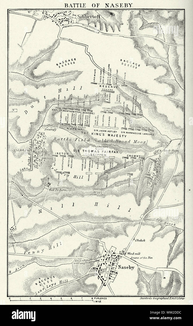 Battle of Naseby was a decisive engagement of the First English Civil War, fought on 14 June 1645 between the main Royalist army of King Charles I and the Parliamentarian New Model Army, commanded by Sir Thomas Fairfax and Oliver Cromwell. Stock Photohttps://www.alamy.com/image-license-details/?v=1https://www.alamy.com/battle-of-naseby-was-a-decisive-engagement-of-the-first-english-civil-war-fought-on-14-june-1645-between-the-main-royalist-army-of-king-charles-i-and-the-parliamentarian-new-model-army-commanded-by-sir-thomas-fairfax-and-oliver-cromwell-image273576392.html
RMWW2DDC–Battle of Naseby was a decisive engagement of the First English Civil War, fought on 14 June 1645 between the main Royalist army of King Charles I and the Parliamentarian New Model Army, commanded by Sir Thomas Fairfax and Oliver Cromwell.
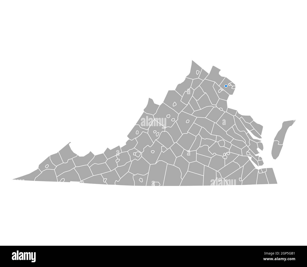 Map of Fairfax City in Virginia Stock Photohttps://www.alamy.com/image-license-details/?v=1https://www.alamy.com/map-of-fairfax-city-in-virginia-image443904245.html
RF2GP5GB1–Map of Fairfax City in Virginia
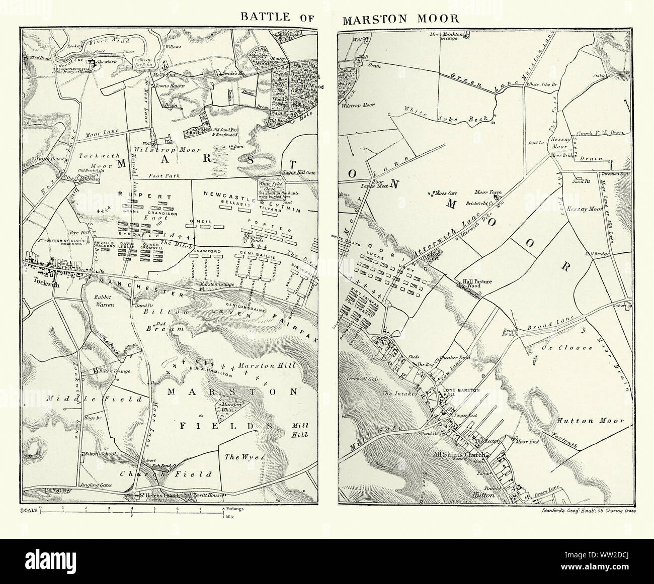 Battle of Marston Moor was fought on 2 July 1644, during the First English Civil War of 1642–1646. Combined forces of the English Parliamentarians under Lord Fairfax and the Earl of Manchester and the Scottish Covenanters under the Earl of Leven defeated the Royalists commanded by Prince Rupert of the Rhine and the Marquess of Newcastle. Stock Photohttps://www.alamy.com/image-license-details/?v=1https://www.alamy.com/battle-of-marston-moor-was-fought-on-2-july-1644-during-the-first-english-civil-war-of-16421646-combined-forces-of-the-english-parliamentarians-under-lord-fairfax-and-the-earl-of-manchester-and-the-scottish-covenanters-under-the-earl-of-leven-defeated-the-royalists-commanded-by-prince-rupert-of-the-rhine-and-the-marquess-of-newcastle-image273576370.html
RMWW2DCJ–Battle of Marston Moor was fought on 2 July 1644, during the First English Civil War of 1642–1646. Combined forces of the English Parliamentarians under Lord Fairfax and the Earl of Manchester and the Scottish Covenanters under the Earl of Leven defeated the Royalists commanded by Prince Rupert of the Rhine and the Marquess of Newcastle.
 Springfield, Virginia, USA. 11th Feb, 2009. Springfield, VA - February 11, 2009 -- United States President Barack Obama (2L) and Virginia Governor Tim Kaine (3L) look at a map of the Construction site of Fairfax County Parkway connector that they are visiting, surrounded by Colonel Jerry Blixt (L), Colonel Mark Moffatt (2R) and Director of the North Atlantic Division of the US Army Corps of Engineers James Stuart Turkel, Springfield, VA, Tuesday, February 11, 2009.Credit: Aude Guerrucci - Pool via CNP © Aude Guerrucci/CNP/ZUMA Wire/Alamy Live News Stock Photohttps://www.alamy.com/image-license-details/?v=1https://www.alamy.com/stock-photo-springfield-virginia-usa-11th-feb-2009-springfield-va-february-11-111950036.html
RMGE3NBG–Springfield, Virginia, USA. 11th Feb, 2009. Springfield, VA - February 11, 2009 -- United States President Barack Obama (2L) and Virginia Governor Tim Kaine (3L) look at a map of the Construction site of Fairfax County Parkway connector that they are visiting, surrounded by Colonel Jerry Blixt (L), Colonel Mark Moffatt (2R) and Director of the North Atlantic Division of the US Army Corps of Engineers James Stuart Turkel, Springfield, VA, Tuesday, February 11, 2009.Credit: Aude Guerrucci - Pool via CNP © Aude Guerrucci/CNP/ZUMA Wire/Alamy Live News
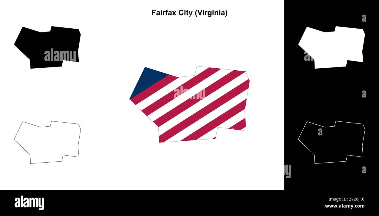 Fairfax City County (Virginia) outline map set Stock Vectorhttps://www.alamy.com/image-license-details/?v=1https://www.alamy.com/fairfax-city-county-virginia-outline-map-set-image620817204.html
RF2Y20JK0–Fairfax City County (Virginia) outline map set
 Civil War Maps 1989 Map of Fairfax and Alexandria counties Virginia and parts of adjoining counties Rebuild and Repair Stock Photohttps://www.alamy.com/image-license-details/?v=1https://www.alamy.com/civil-war-maps-1989-map-of-fairfax-and-alexandria-counties-virginia-and-parts-of-adjoining-counties-rebuild-and-repair-image261983918.html
RMW66B4E–Civil War Maps 1989 Map of Fairfax and Alexandria counties Virginia and parts of adjoining counties Rebuild and Repair
 Map of Fairfax in Virginia Stock Photohttps://www.alamy.com/image-license-details/?v=1https://www.alamy.com/map-of-fairfax-in-virginia-image376727085.html
RF2CTWB6N–Map of Fairfax in Virginia
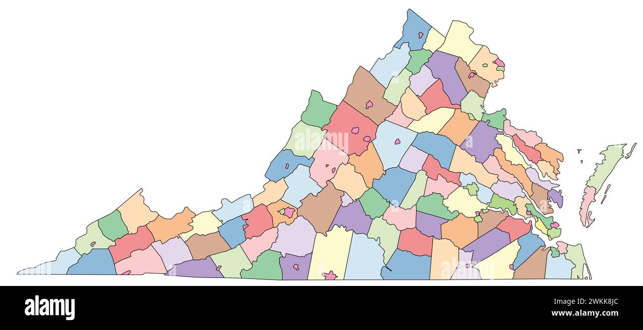 Editable vector file of the counties that make up the state of Virginia Stock Vectorhttps://www.alamy.com/image-license-details/?v=1https://www.alamy.com/editable-vector-file-of-the-counties-that-make-up-the-state-of-virginia-image597254852.html
RF2WKK8JC–Editable vector file of the counties that make up the state of Virginia
 Fairfax Track on North Head Manly Sydney, part of Sydney Harbour national park, with tourist visitor information and directions,Sydney,NSW,Australia Stock Photohttps://www.alamy.com/image-license-details/?v=1https://www.alamy.com/fairfax-track-on-north-head-manly-sydney-part-of-sydney-harbour-national-park-with-tourist-visitor-information-and-directionssydneynswaustralia-image604764659.html
RM2X3WBDR–Fairfax Track on North Head Manly Sydney, part of Sydney Harbour national park, with tourist visitor information and directions,Sydney,NSW,Australia
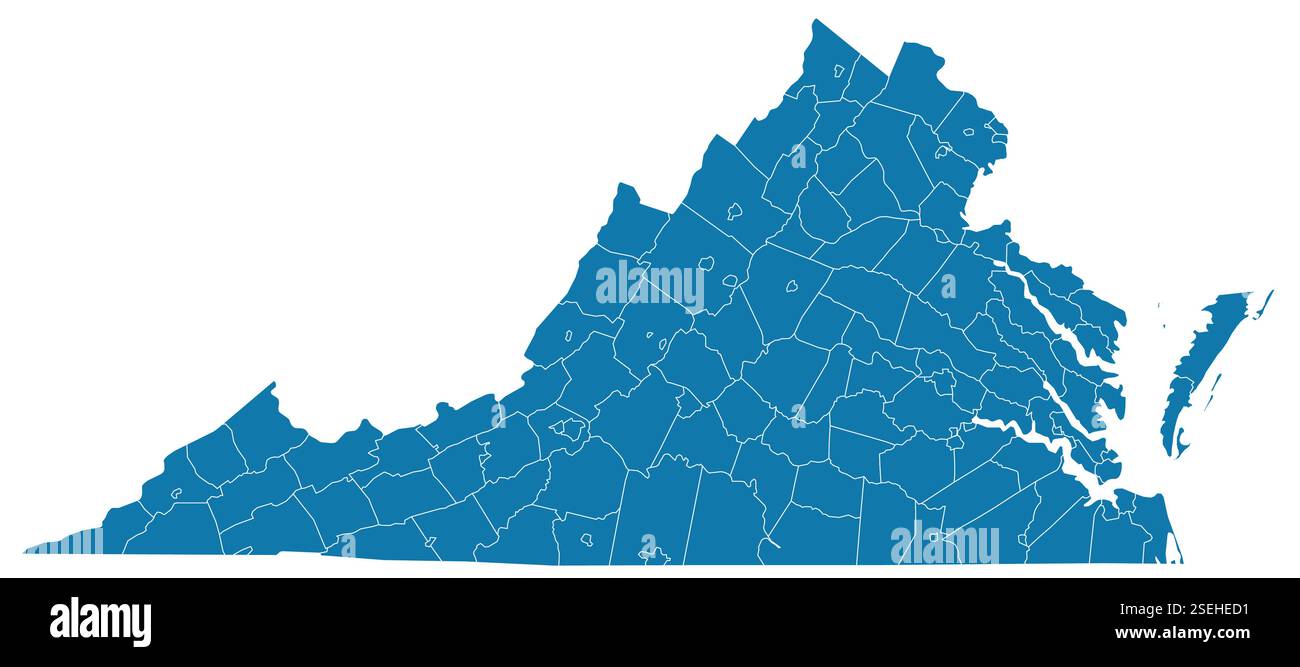 Editable vector file of the counties that make up the state of Virginia Stock Vectorhttps://www.alamy.com/image-license-details/?v=1https://www.alamy.com/editable-vector-file-of-the-counties-that-make-up-the-state-of-virginia-image645773325.html
RF2SEHED1–Editable vector file of the counties that make up the state of Virginia
 Samuel Bell Maxey Collection - Guy Percy Fairfax - 1981 177 73 2003 Stock Photohttps://www.alamy.com/image-license-details/?v=1https://www.alamy.com/samuel-bell-maxey-collection-guy-percy-fairfax-1981-177-73-2003-image68772755.html
RMDYTT9R–Samuel Bell Maxey Collection - Guy Percy Fairfax - 1981 177 73 2003
 . Concise history of the camp and field life of the 122d regiment, Penn'a volunteers. Compiled from notes, sketches, facts and incidents. ia in Conflict with Third Corps atChancellorsville, with notes of Incidents and Events. . 331—355. PRELIMINARV RE-UNION.Preparations for Same after a» Lapse of 20 Vears—The Lists ofCommittees—Extracts from The Nfav Era—216 Survivors inLine—Addresses by K. Allen Lovell and J. Davis Dufheld,Esqs.—The Banquet 3t Mamnerchor Hall 356—372. ILLUSTRATIONS. PAGE Washington City and Arlington Heights 18 Map of Fairfax C. H. and Vicinity 28 Harpers Ferry, Va.s and Surr Stock Photohttps://www.alamy.com/image-license-details/?v=1https://www.alamy.com/concise-history-of-the-camp-and-field-life-of-the-122d-regiment-penna-volunteers-compiled-from-notes-sketches-facts-and-incidents-ia-in-conflict-with-third-corps-atchancellorsville-with-notes-of-incidents-and-events-331355-preliminarv-re-unionpreparations-for-same-after-a-lapse-of-20-vearsthe-lists-ofcommitteesextracts-from-the-nfav-era216-survivors-inlineaddresses-by-k-allen-lovell-and-j-davis-dufheldesqsthe-banquet-3t-mamnerchor-hall-356372-illustrations-page-washington-city-and-arlington-heights-18-map-of-fairfax-c-h-and-vicinity-28-harpers-ferry-vas-and-surr-image370435311.html
RM2CEJP0F–. Concise history of the camp and field life of the 122d regiment, Penn'a volunteers. Compiled from notes, sketches, facts and incidents. ia in Conflict with Third Corps atChancellorsville, with notes of Incidents and Events. . 331—355. PRELIMINARV RE-UNION.Preparations for Same after a» Lapse of 20 Vears—The Lists ofCommittees—Extracts from The Nfav Era—216 Survivors inLine—Addresses by K. Allen Lovell and J. Davis Dufheld,Esqs.—The Banquet 3t Mamnerchor Hall 356—372. ILLUSTRATIONS. PAGE Washington City and Arlington Heights 18 Map of Fairfax C. H. and Vicinity 28 Harpers Ferry, Va.s and Surr
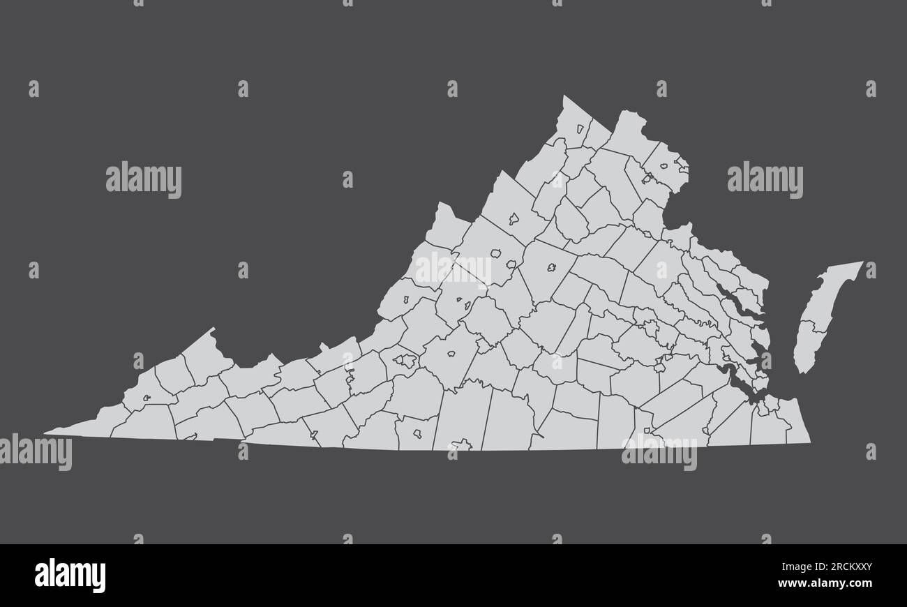 The Virginia State administrative map isolated on dark background Stock Vectorhttps://www.alamy.com/image-license-details/?v=1https://www.alamy.com/the-virginia-state-administrative-map-isolated-on-dark-background-image558545875.html
RF2RCKXXY–The Virginia State administrative map isolated on dark background
 Thomas Fairfax Stock Photohttps://www.alamy.com/image-license-details/?v=1https://www.alamy.com/stock-photo-thomas-fairfax-140701094.html
RMJ4WDK2–Thomas Fairfax
 Map of battles on Bull Run, near Manassas, on the line of Fairfax & Prince William Counties, in Virginia, fought between the forces of the Confederate States and of the United States of America : Gene'ls. Beauregard and Johnston commanding the Confederate and Genl. McDoweel, the United States forces, on the 21st of July, 1861, from 7 a.m.-9 p.m , Bull Run, 1st Battle of, Va., 1861, Maps, Manassas Va., Maps Norman B. Leventhal Map Center Collection Stock Photohttps://www.alamy.com/image-license-details/?v=1https://www.alamy.com/map-of-battles-on-bull-run-near-manassas-on-the-line-of-fairfax-prince-william-counties-in-virginia-fought-between-the-forces-of-the-confederate-states-and-of-the-united-states-of-america-genels-beauregard-and-johnston-commanding-the-confederate-and-genl-mcdoweel-the-united-states-forces-on-the-21st-of-july-1861-from-7-am-9-pm-bull-run-1st-battle-of-va-1861-maps-manassas-va-maps-norman-b-leventhal-map-center-collection-image501267480.html
RM2M3EKP0–Map of battles on Bull Run, near Manassas, on the line of Fairfax & Prince William Counties, in Virginia, fought between the forces of the Confederate States and of the United States of America : Gene'ls. Beauregard and Johnston commanding the Confederate and Genl. McDoweel, the United States forces, on the 21st of July, 1861, from 7 a.m.-9 p.m , Bull Run, 1st Battle of, Va., 1861, Maps, Manassas Va., Maps Norman B. Leventhal Map Center Collection
 A Civil War field map of Fairfax County, Virginia with Fort Coccoran. Stock Photohttps://www.alamy.com/image-license-details/?v=1https://www.alamy.com/a-civil-war-field-map-of-fairfax-county-virginia-with-fort-coccoran-image592940800.html
RM2WCJP14–A Civil War field map of Fairfax County, Virginia with Fort Coccoran.
![[A map of Fairfax County, and parts of Loudoun and Prince William Counties, Va., and the District of Columbia] 1864 by Hoffmann J. Paul., Brown Samuel Howell. Stock Photo [A map of Fairfax County, and parts of Loudoun and Prince William Counties, Va., and the District of Columbia] 1864 by Hoffmann J. Paul., Brown Samuel Howell. Stock Photo](https://c8.alamy.com/comp/2S6Y4K5/a-map-of-fairfax-county-and-parts-of-loudoun-and-prince-william-counties-va-and-the-district-of-columbia-1864-by-hoffmann-j-paul-brown-samuel-howell-2S6Y4K5.jpg) [A map of Fairfax County, and parts of Loudoun and Prince William Counties, Va., and the District of Columbia] 1864 by Hoffmann J. Paul., Brown Samuel Howell. Stock Photohttps://www.alamy.com/image-license-details/?v=1https://www.alamy.com/a-map-of-fairfax-county-and-parts-of-loudoun-and-prince-william-counties-va-and-the-district-of-columbia-1864-by-hoffmann-j-paul-brown-samuel-howell-image641067929.html
[A map of Fairfax County, and parts of Loudoun and Prince William Counties, Va., and the District of Columbia] 1864 by Hoffmann J. Paul., Brown Samuel Howell. Stock Photohttps://www.alamy.com/image-license-details/?v=1https://www.alamy.com/a-map-of-fairfax-county-and-parts-of-loudoun-and-prince-william-counties-va-and-the-district-of-columbia-1864-by-hoffmann-j-paul-brown-samuel-howell-image641067929.htmlRM2S6Y4K5–[A map of Fairfax County, and parts of Loudoun and Prince William Counties, Va., and the District of Columbia] 1864 by Hoffmann J. Paul., Brown Samuel Howell.
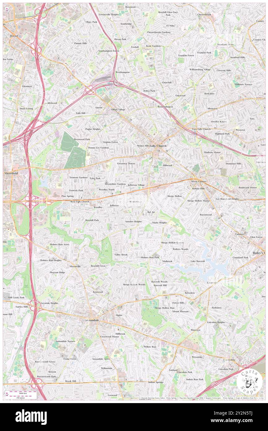 Westlawn, Fairfax County, US, United States, Virginia, N 38 51' 56'', S 77 10' 48'', map, Cartascapes Map published in 2024. Explore Cartascapes, a map revealing Earth's diverse landscapes, cultures, and ecosystems. Journey through time and space, discovering the interconnectedness of our planet's past, present, and future. Stock Photohttps://www.alamy.com/image-license-details/?v=1https://www.alamy.com/westlawn-fairfax-county-us-united-states-virginia-n-38-51-56-s-77-10-48-map-cartascapes-map-published-in-2024-explore-cartascapes-a-map-revealing-earths-diverse-landscapes-cultures-and-ecosystems-journey-through-time-and-space-discovering-the-interconnectedness-of-our-planets-past-present-and-future-image621268162.html
RM2Y2N5TJ–Westlawn, Fairfax County, US, United States, Virginia, N 38 51' 56'', S 77 10' 48'', map, Cartascapes Map published in 2024. Explore Cartascapes, a map revealing Earth's diverse landscapes, cultures, and ecosystems. Journey through time and space, discovering the interconnectedness of our planet's past, present, and future.
 The Most Excellent Thomas Fairfax Stock Photohttps://www.alamy.com/image-license-details/?v=1https://www.alamy.com/stock-photo-the-most-excellent-thomas-fairfax-140724498.html
RMJ4XFEX–The Most Excellent Thomas Fairfax
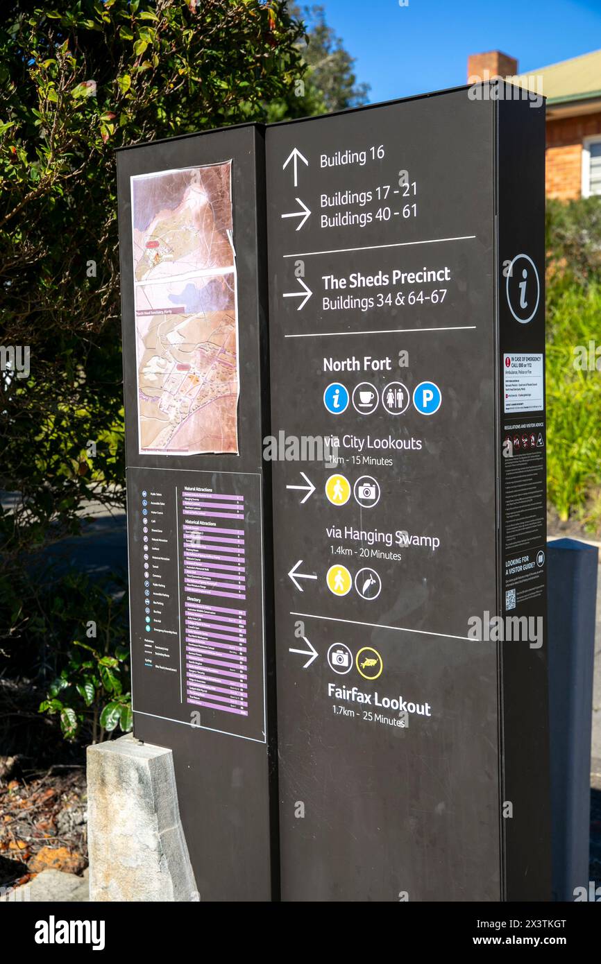 North Head Manly, The Barracks precinct is a historical landmark of military operations during World War 2, sign gives local map and directions,Sydney Stock Photohttps://www.alamy.com/image-license-details/?v=1https://www.alamy.com/north-head-manly-the-barracks-precinct-is-a-historical-landmark-of-military-operations-during-world-war-2-sign-gives-local-map-and-directionssydney-image604749064.html
RM2X3TKGT–North Head Manly, The Barracks precinct is a historical landmark of military operations during World War 2, sign gives local map and directions,Sydney
 Map of Fairfax City in Virginia Stock Photohttps://www.alamy.com/image-license-details/?v=1https://www.alamy.com/map-of-fairfax-city-in-virginia-image443825144.html
RF2GP1YE0–Map of Fairfax City in Virginia
 Donald M. Fairfax Stock Photohttps://www.alamy.com/image-license-details/?v=1https://www.alamy.com/stock-photo-donald-m-fairfax-142879877.html
RMJ8CMMN–Donald M. Fairfax
 Fields where the army of parliament led by Fairfax defeated the royalist army of Charles I led by Rupert at the battle of Naseby, England, in 1645 Stock Photohttps://www.alamy.com/image-license-details/?v=1https://www.alamy.com/fields-where-the-army-of-parliament-led-by-fairfax-defeated-the-royalist-army-of-charles-i-led-by-rupert-at-the-battle-of-naseby-england-in-1645-image245971826.html
RFT84YG2–Fields where the army of parliament led by Fairfax defeated the royalist army of Charles I led by Rupert at the battle of Naseby, England, in 1645
 Habibur Rahman, Pakistan high commissioner photographed in his office this morning. November 29, 1955. (Photo by Wright/Fairfax Media). Stock Photohttps://www.alamy.com/image-license-details/?v=1https://www.alamy.com/habibur-rahman-pakistan-high-commissioner-photographed-in-his-office-this-morning-november-29-1955-photo-by-wrightfairfax-media-image463562498.html
RM2HX52KE–Habibur Rahman, Pakistan high commissioner photographed in his office this morning. November 29, 1955. (Photo by Wright/Fairfax Media).
 Civil War Maps 1989 Map of Fairfax and Alexandria counties Virginia and parts of adjoining counties Inverted Rebuild and Repair Stock Photohttps://www.alamy.com/image-license-details/?v=1https://www.alamy.com/civil-war-maps-1989-map-of-fairfax-and-alexandria-counties-virginia-and-parts-of-adjoining-counties-inverted-rebuild-and-repair-image261983868.html
RMW66B2M–Civil War Maps 1989 Map of Fairfax and Alexandria counties Virginia and parts of adjoining counties Inverted Rebuild and Repair
 Map of Fairfax City in Virginia Stock Photohttps://www.alamy.com/image-license-details/?v=1https://www.alamy.com/map-of-fairfax-city-in-virginia-image376940688.html
RF2CW73KC–Map of Fairfax City in Virginia
 001 A map of Fairfax County and parts of Loudoun and Prince William Counties Va and the District of Columbia Rebuild and Repair Stock Photohttps://www.alamy.com/image-license-details/?v=1https://www.alamy.com/001-a-map-of-fairfax-county-and-parts-of-loudoun-and-prince-william-counties-va-and-the-district-of-columbia-rebuild-and-repair-image261648746.html
RMW5K3J2–001 A map of Fairfax County and parts of Loudoun and Prince William Counties Va and the District of Columbia Rebuild and Repair
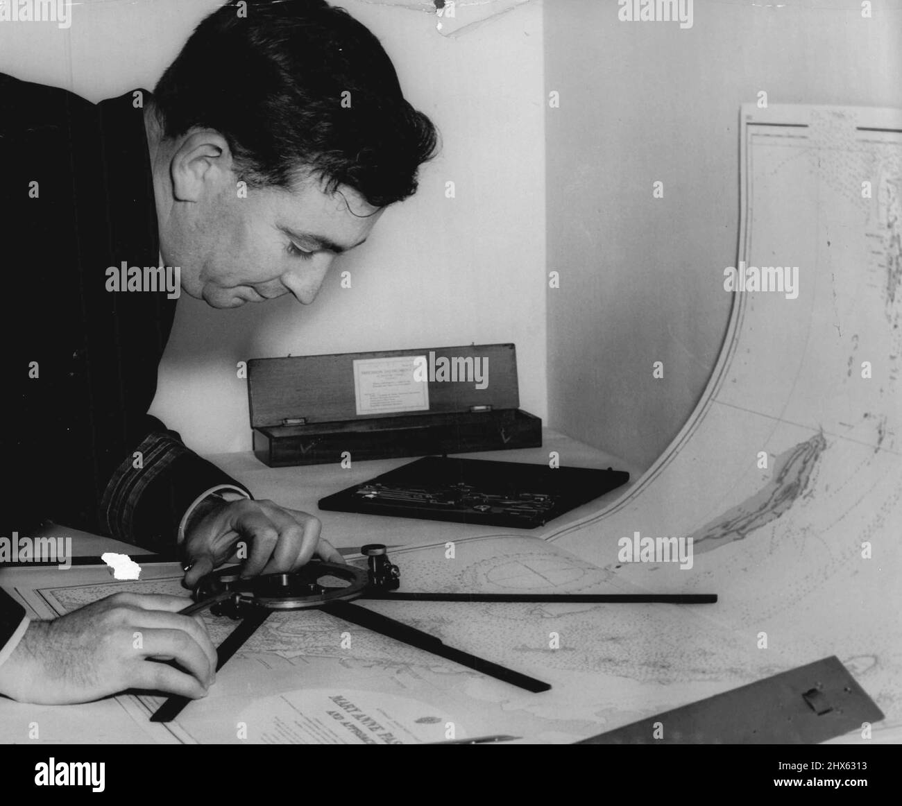 Not To Be Heed Until News Announced -- Not Commander R. J. Hardstaff, deputy senior officer Ran Hydrographic service and superintendent of the chart depot, checking a chart for HMAS warrego which is leaving to carry out survey duties in the monte bello area in connection with the projected atom bomb explosion. September 15, 1955. (Photo by Ronald Leslie Stewart/Fairfax Media). Stock Photohttps://www.alamy.com/image-license-details/?v=1https://www.alamy.com/not-to-be-heed-until-news-announced-not-commander-r-j-hardstaff-deputy-senior-officer-ran-hydrographic-service-and-superintendent-of-the-chart-depot-checking-a-chart-for-hmas-warrego-which-is-leaving-to-carry-out-survey-duties-in-the-monte-bello-area-in-connection-with-the-projected-atom-bomb-explosion-september-15-1955-photo-by-ronald-leslie-stewartfairfax-media-image463584719.html
RM2HX6313–Not To Be Heed Until News Announced -- Not Commander R. J. Hardstaff, deputy senior officer Ran Hydrographic service and superintendent of the chart depot, checking a chart for HMAS warrego which is leaving to carry out survey duties in the monte bello area in connection with the projected atom bomb explosion. September 15, 1955. (Photo by Ronald Leslie Stewart/Fairfax Media).
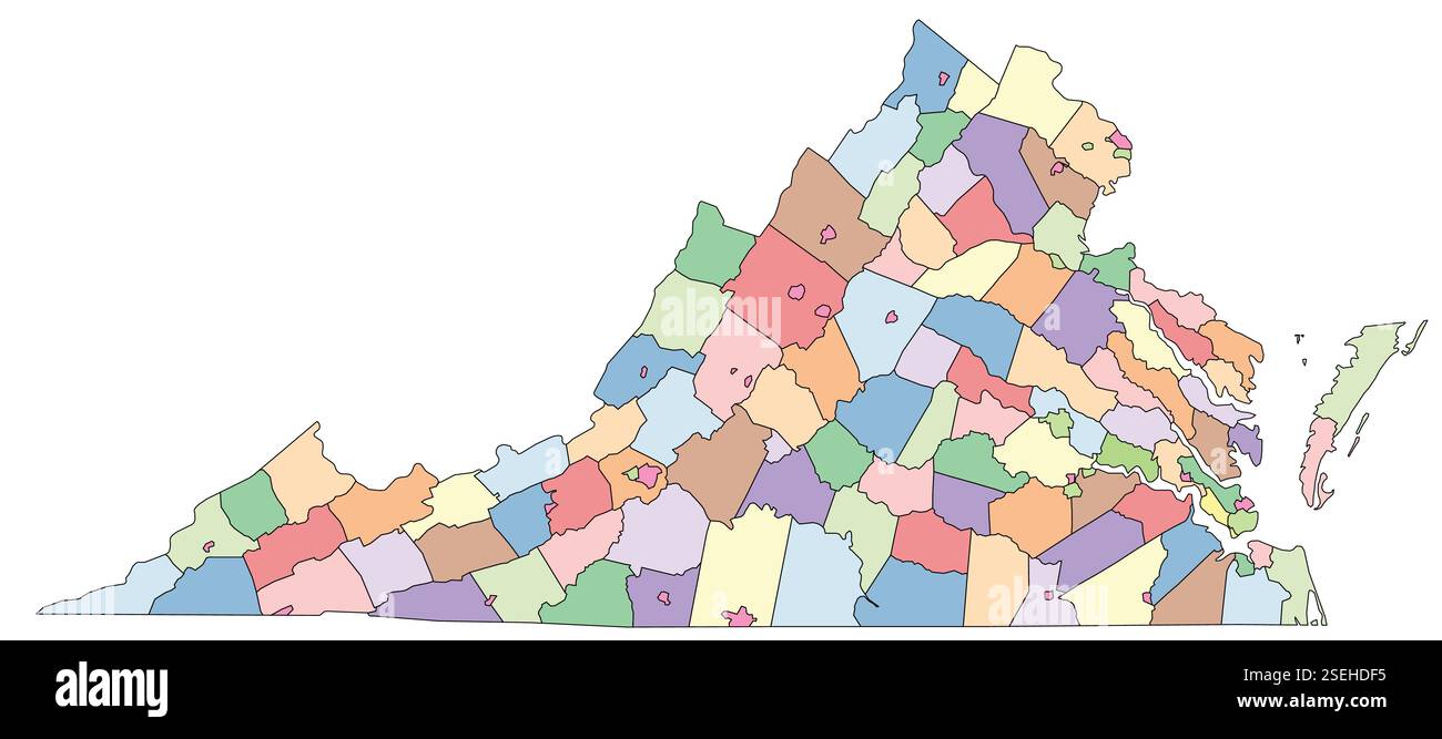 Editable vector file of the counties that make up the state of Virginia Stock Vectorhttps://www.alamy.com/image-license-details/?v=1https://www.alamy.com/editable-vector-file-of-the-counties-that-make-up-the-state-of-virginia-image645772601.html
RF2SEHDF5–Editable vector file of the counties that make up the state of Virginia
 Samuel Bell Maxey Collection - Elgie Crook Fairfax - 1981 177 73 2002 Stock Photohttps://www.alamy.com/image-license-details/?v=1https://www.alamy.com/samuel-bell-maxey-collection-elgie-crook-fairfax-1981-177-73-2002-image68771964.html
RMDYTR9G–Samuel Bell Maxey Collection - Elgie Crook Fairfax - 1981 177 73 2002
 Civil War Maps 1930 A Civil War field map of Fairfax County Virginia with Fort Coccoran Rebuild and Repair Stock Photohttps://www.alamy.com/image-license-details/?v=1https://www.alamy.com/civil-war-maps-1930-a-civil-war-field-map-of-fairfax-county-virginia-with-fort-coccoran-rebuild-and-repair-image261981723.html
RMW668A3–Civil War Maps 1930 A Civil War field map of Fairfax County Virginia with Fort Coccoran Rebuild and Repair
![A survey of the Northern neck of Virginia. A SURVEY of the NORTHERN NECK of VIRGINIA, being The LANDS belonging to the R.t Honourable THOMAS LORD FAIRFAX BARON CAMERON, bounded by & within the Bay of Chesapoyocke and between the Rivers Rappahannock and Potowmack: with The Courses of the Rivers RAPPAHANNOCK and POTOWMACK, in VIRGINIA, as surveyed according to Order in the Years 1736 & 1737. [London] : [John Warner], [1747.]. Copperplate engraving. Source: Maps K.Top.122.45.1. Language: English. Stock Photo A survey of the Northern neck of Virginia. A SURVEY of the NORTHERN NECK of VIRGINIA, being The LANDS belonging to the R.t Honourable THOMAS LORD FAIRFAX BARON CAMERON, bounded by & within the Bay of Chesapoyocke and between the Rivers Rappahannock and Potowmack: with The Courses of the Rivers RAPPAHANNOCK and POTOWMACK, in VIRGINIA, as surveyed according to Order in the Years 1736 & 1737. [London] : [John Warner], [1747.]. Copperplate engraving. Source: Maps K.Top.122.45.1. Language: English. Stock Photo](https://c8.alamy.com/comp/R58H6H/a-survey-of-the-northern-neck-of-virginia-a-survey-of-the-northern-neck-of-virginia-being-the-lands-belonging-to-the-rt-honourable-thomas-lord-fairfax-baron-cameron-bounded-by-within-the-bay-of-chesapoyocke-and-between-the-rivers-rappahannock-and-potowmack-with-the-courses-of-the-rivers-rappahannock-and-potowmack-in-virginia-as-surveyed-according-to-order-in-the-years-1736-1737-london-john-warner-1747-copperplate-engraving-source-maps-ktop122451-language-english-R58H6H.jpg) A survey of the Northern neck of Virginia. A SURVEY of the NORTHERN NECK of VIRGINIA, being The LANDS belonging to the R.t Honourable THOMAS LORD FAIRFAX BARON CAMERON, bounded by & within the Bay of Chesapoyocke and between the Rivers Rappahannock and Potowmack: with The Courses of the Rivers RAPPAHANNOCK and POTOWMACK, in VIRGINIA, as surveyed according to Order in the Years 1736 & 1737. [London] : [John Warner], [1747.]. Copperplate engraving. Source: Maps K.Top.122.45.1. Language: English. Stock Photohttps://www.alamy.com/image-license-details/?v=1https://www.alamy.com/a-survey-of-the-northern-neck-of-virginia-a-survey-of-the-northern-neck-of-virginia-being-the-lands-belonging-to-the-rt-honourable-thomas-lord-fairfax-baron-cameron-bounded-by-within-the-bay-of-chesapoyocke-and-between-the-rivers-rappahannock-and-potowmack-with-the-courses-of-the-rivers-rappahannock-and-potowmack-in-virginia-as-surveyed-according-to-order-in-the-years-1736-1737-london-john-warner-1747-copperplate-engraving-source-maps-ktop122451-language-english-image226997193.html
A survey of the Northern neck of Virginia. A SURVEY of the NORTHERN NECK of VIRGINIA, being The LANDS belonging to the R.t Honourable THOMAS LORD FAIRFAX BARON CAMERON, bounded by & within the Bay of Chesapoyocke and between the Rivers Rappahannock and Potowmack: with The Courses of the Rivers RAPPAHANNOCK and POTOWMACK, in VIRGINIA, as surveyed according to Order in the Years 1736 & 1737. [London] : [John Warner], [1747.]. Copperplate engraving. Source: Maps K.Top.122.45.1. Language: English. Stock Photohttps://www.alamy.com/image-license-details/?v=1https://www.alamy.com/a-survey-of-the-northern-neck-of-virginia-a-survey-of-the-northern-neck-of-virginia-being-the-lands-belonging-to-the-rt-honourable-thomas-lord-fairfax-baron-cameron-bounded-by-within-the-bay-of-chesapoyocke-and-between-the-rivers-rappahannock-and-potowmack-with-the-courses-of-the-rivers-rappahannock-and-potowmack-in-virginia-as-surveyed-according-to-order-in-the-years-1736-1737-london-john-warner-1747-copperplate-engraving-source-maps-ktop122451-language-english-image226997193.htmlRMR58H6H–A survey of the Northern neck of Virginia. A SURVEY of the NORTHERN NECK of VIRGINIA, being The LANDS belonging to the R.t Honourable THOMAS LORD FAIRFAX BARON CAMERON, bounded by & within the Bay of Chesapoyocke and between the Rivers Rappahannock and Potowmack: with The Courses of the Rivers RAPPAHANNOCK and POTOWMACK, in VIRGINIA, as surveyed according to Order in the Years 1736 & 1737. [London] : [John Warner], [1747.]. Copperplate engraving. Source: Maps K.Top.122.45.1. Language: English.
 001 A map of Fairfax County and parts of Loudoun and Prince William Counties Va and the District of Columbia Inverted Rebuild and Repair Stock Photohttps://www.alamy.com/image-license-details/?v=1https://www.alamy.com/001-a-map-of-fairfax-county-and-parts-of-loudoun-and-prince-william-counties-va-and-the-district-of-columbia-inverted-rebuild-and-repair-image261648759.html
RMW5K3JF–001 A map of Fairfax County and parts of Loudoun and Prince William Counties Va and the District of Columbia Inverted Rebuild and Repair
 Map of the new convalescent camp : Fairfax Co., Va. four miles S.W. from Washington, D.C , United States Sanitary Commission, Maps, United States Christian Commission, Maps, Hospitals, Convalescent, Virginia, Fairfax, History, Civil War, 1861-1865, Maps, Libraries, Virginia, Fairfax, History, Civil War, 1861-1865, Maps, Fairfax County Va., History, 19th century, Maps, Fairfax Va., History, 19th century, Maps Norman B. Leventhal Map Center Collection Stock Photohttps://www.alamy.com/image-license-details/?v=1https://www.alamy.com/map-of-the-new-convalescent-camp-fairfax-co-va-four-miles-sw-from-washington-dc-united-states-sanitary-commission-maps-united-states-christian-commission-maps-hospitals-convalescent-virginia-fairfax-history-civil-war-1861-1865-maps-libraries-virginia-fairfax-history-civil-war-1861-1865-maps-fairfax-county-va-history-19th-century-maps-fairfax-va-history-19th-century-maps-norman-b-leventhal-map-center-collection-image501281357.html
RM2M3F9DH–Map of the new convalescent camp : Fairfax Co., Va. four miles S.W. from Washington, D.C , United States Sanitary Commission, Maps, United States Christian Commission, Maps, Hospitals, Convalescent, Virginia, Fairfax, History, Civil War, 1861-1865, Maps, Libraries, Virginia, Fairfax, History, Civil War, 1861-1865, Maps, Fairfax County Va., History, 19th century, Maps, Fairfax Va., History, 19th century, Maps Norman B. Leventhal Map Center Collection
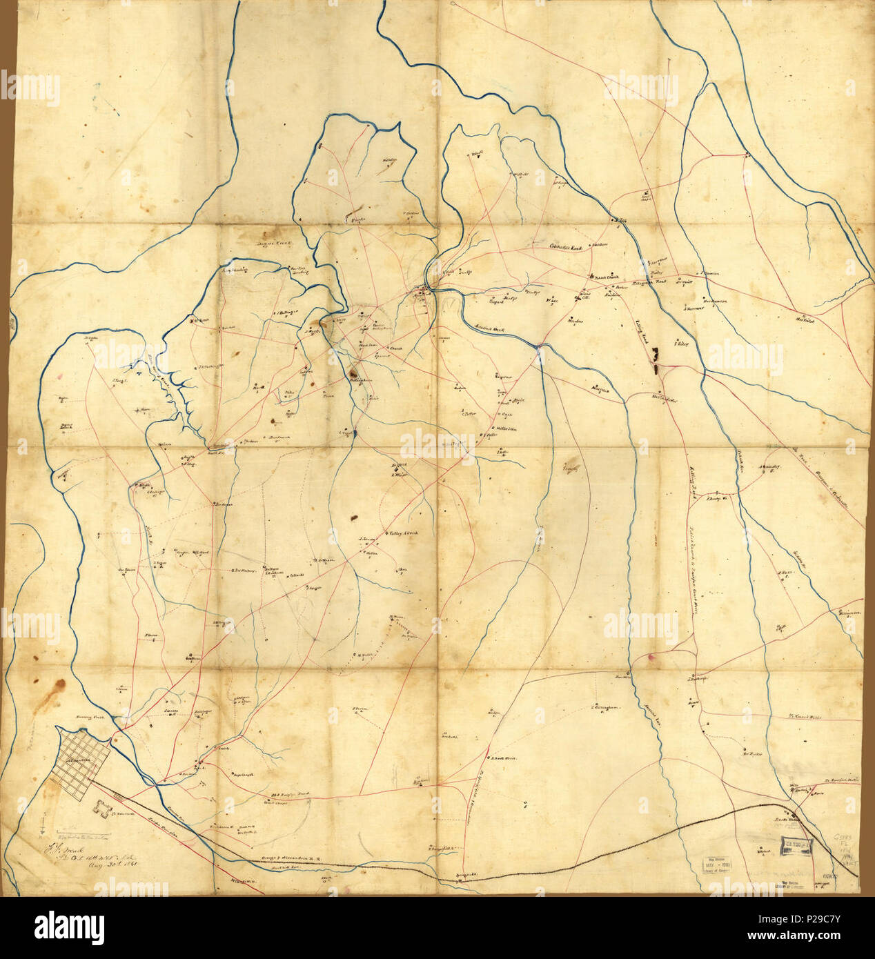 (Map of part of Fairfax County, Virginia, south of the city of Alexandria and the Orange and Alexandria Railroad) LOC 99446519. Stock Photohttps://www.alamy.com/image-license-details/?v=1https://www.alamy.com/map-of-part-of-fairfax-county-virginia-south-of-the-city-of-alexandria-and-the-orange-and-alexandria-railroad-loc-99446519-image207960927.html
RMP29C7Y–(Map of part of Fairfax County, Virginia, south of the city of Alexandria and the Orange and Alexandria Railroad) LOC 99446519.