Quick filters:
Map of fairport Stock Photos and Images
 Image 5 of Sanborn Fire Insurance Map from Fairport, Monroe County, New York. Nov 1892. 5 Sheet(s), America, street map with a Nineteenth Century compass Stock Photohttps://www.alamy.com/image-license-details/?v=1https://www.alamy.com/image-5-of-sanborn-fire-insurance-map-from-fairport-monroe-county-new-york-nov-1892-5-sheets-america-street-map-with-a-nineteenth-century-compass-image344687806.html
RM2B0NTPP–Image 5 of Sanborn Fire Insurance Map from Fairport, Monroe County, New York. Nov 1892. 5 Sheet(s), America, street map with a Nineteenth Century compass
 Fairport Michigan USA shown on a Geography map or road map Stock Photohttps://www.alamy.com/image-license-details/?v=1https://www.alamy.com/fairport-michigan-usa-shown-on-a-geography-map-or-road-map-image426087127.html
RM2FN5XDB–Fairport Michigan USA shown on a Geography map or road map
 Fairport, Northumberland County, US, United States, Virginia, N 37 50' 0'', S 76 17' 24'', map, Cartascapes Map published in 2024. Explore Cartascapes, a map revealing Earth's diverse landscapes, cultures, and ecosystems. Journey through time and space, discovering the interconnectedness of our planet's past, present, and future. Stock Photohttps://www.alamy.com/image-license-details/?v=1https://www.alamy.com/fairport-northumberland-county-us-united-states-virginia-n-37-50-0-s-76-17-24-map-cartascapes-map-published-in-2024-explore-cartascapes-a-map-revealing-earths-diverse-landscapes-cultures-and-ecosystems-journey-through-time-and-space-discovering-the-interconnectedness-of-our-planets-past-present-and-future-image621153360.html
RM2Y2FYCG–Fairport, Northumberland County, US, United States, Virginia, N 37 50' 0'', S 76 17' 24'', map, Cartascapes Map published in 2024. Explore Cartascapes, a map revealing Earth's diverse landscapes, cultures, and ecosystems. Journey through time and space, discovering the interconnectedness of our planet's past, present, and future.
 Sanborn Fire Insurance Map from Fairport, Monroe County, New York. Stock Photohttps://www.alamy.com/image-license-details/?v=1https://www.alamy.com/sanborn-fire-insurance-map-from-fairport-monroe-county-new-york-image456391696.html
RM2HEEC7C–Sanborn Fire Insurance Map from Fairport, Monroe County, New York.
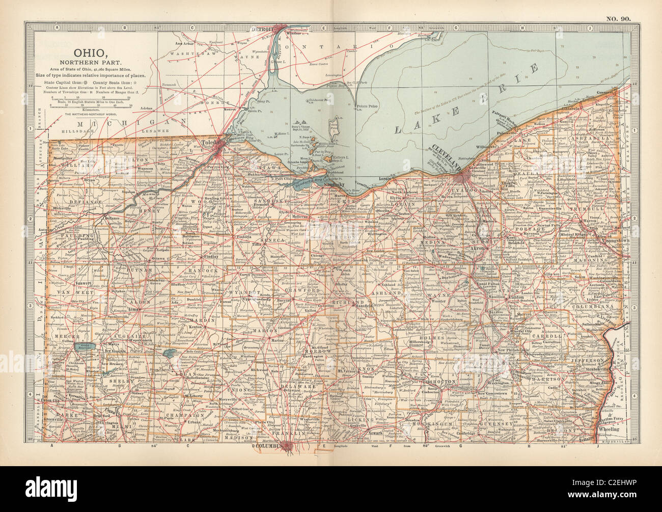 Map of northern Ohio Stock Photohttps://www.alamy.com/image-license-details/?v=1https://www.alamy.com/stock-photo-map-of-northern-ohio-35971426.html
RMC2EHWP–Map of northern Ohio
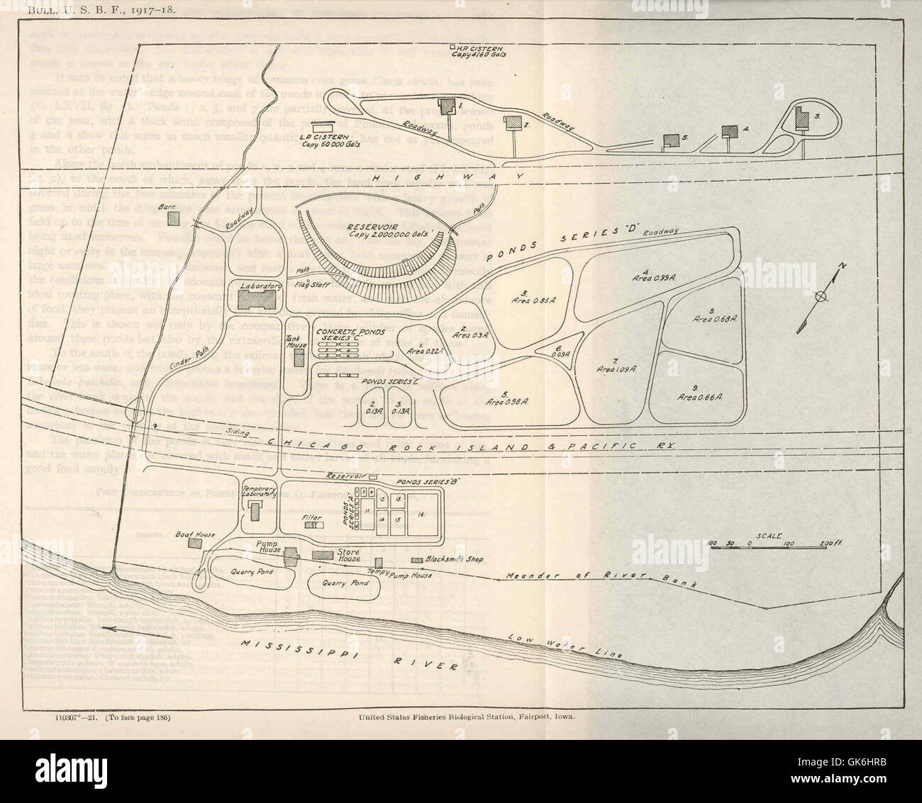 38383 United States Biological Station, Fairport, Iowa Stock Photohttps://www.alamy.com/image-license-details/?v=1https://www.alamy.com/stock-photo-38383-united-states-biological-station-fairport-iowa-115086367.html
RMGK6HRB–38383 United States Biological Station, Fairport, Iowa
 USGS TOPO Map Michigan MI Fairport 20110920 TM Stock Photohttps://www.alamy.com/image-license-details/?v=1https://www.alamy.com/usgs-topo-map-michigan-mi-fairport-20110920-tm-image332229397.html
RM2A8E9YH–USGS TOPO Map Michigan MI Fairport 20110920 TM
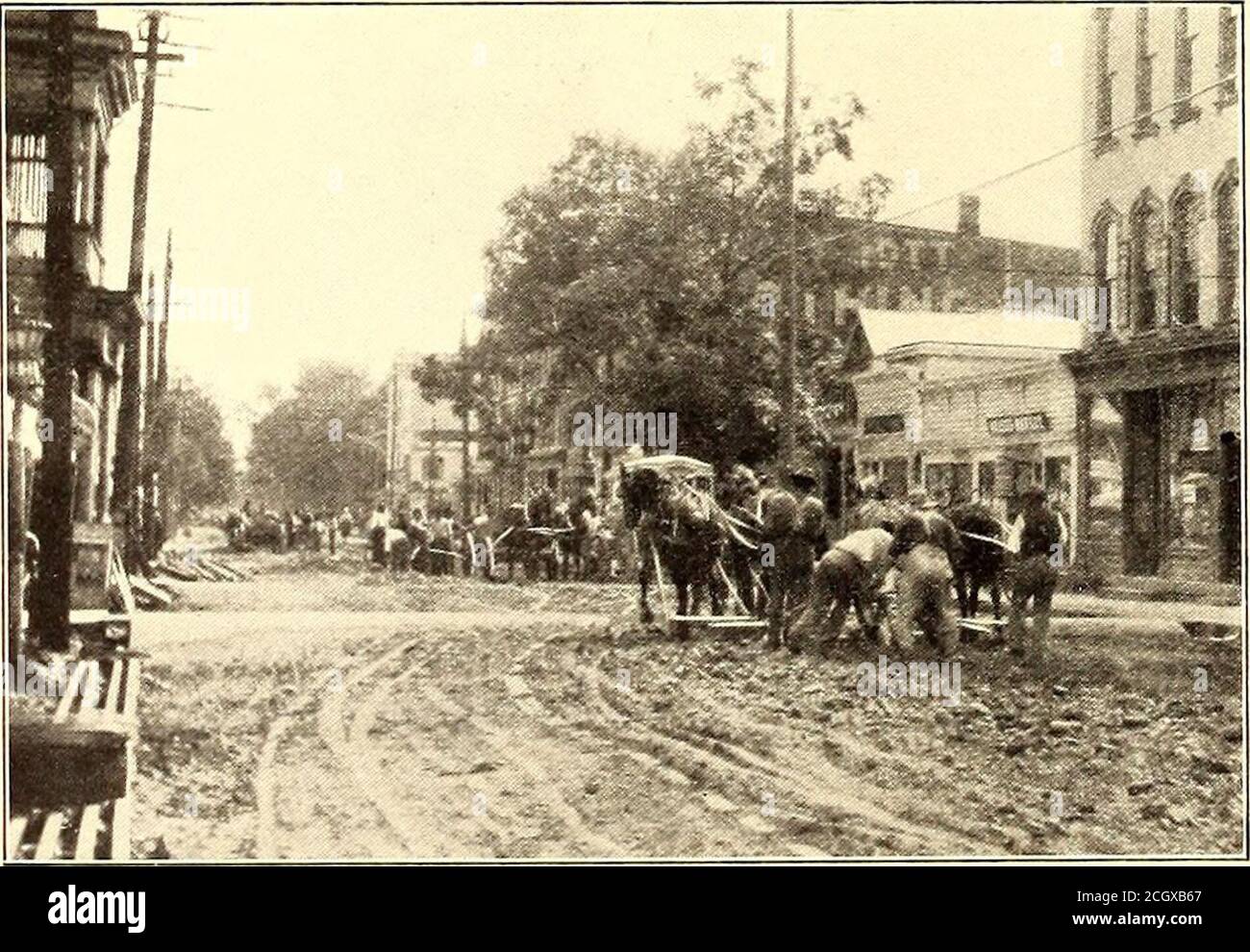 . The Street railway journal . MAP OF ROCHESTER, SYRACUSE & EASTERN RAILROAD Street Ky. Journal York Central and West Shore Railroad tracks at a point 2miles east of Newark over a bridge approximately 630 ft. long.From this bridge the line runs practically due west throughthe towns of Newark, Port Gibson, Palmyra, Macedon, Egypt,Fairport, Despatch, Brighton and into the city of Rochester,where connection will be made with the local street railwaysystem of that city. The plans provide for a heavier type of construction thanhas been previously attempted in the East, and the road, whenfinished, w Stock Photohttps://www.alamy.com/image-license-details/?v=1https://www.alamy.com/the-street-railway-journal-map-of-rochester-syracuse-eastern-railroad-street-ky-journal-york-central-and-west-shore-railroad-tracks-at-a-point-2miles-east-of-newark-over-a-bridge-approximately-630-ft-longfrom-this-bridge-the-line-runs-practically-due-west-throughthe-towns-of-newark-port-gibson-palmyra-macedon-egyptfairport-despatch-brighton-and-into-the-city-of-rochesterwhere-connection-will-be-made-with-the-local-street-railwaysystem-of-that-city-the-plans-provide-for-a-heavier-type-of-construction-thanhas-been-previously-attempted-in-the-east-and-the-road-whenfinished-w-image371831775.html
RM2CGXB67–. The Street railway journal . MAP OF ROCHESTER, SYRACUSE & EASTERN RAILROAD Street Ky. Journal York Central and West Shore Railroad tracks at a point 2miles east of Newark over a bridge approximately 630 ft. long.From this bridge the line runs practically due west throughthe towns of Newark, Port Gibson, Palmyra, Macedon, Egypt,Fairport, Despatch, Brighton and into the city of Rochester,where connection will be made with the local street railwaysystem of that city. The plans provide for a heavier type of construction thanhas been previously attempted in the East, and the road, whenfinished, w
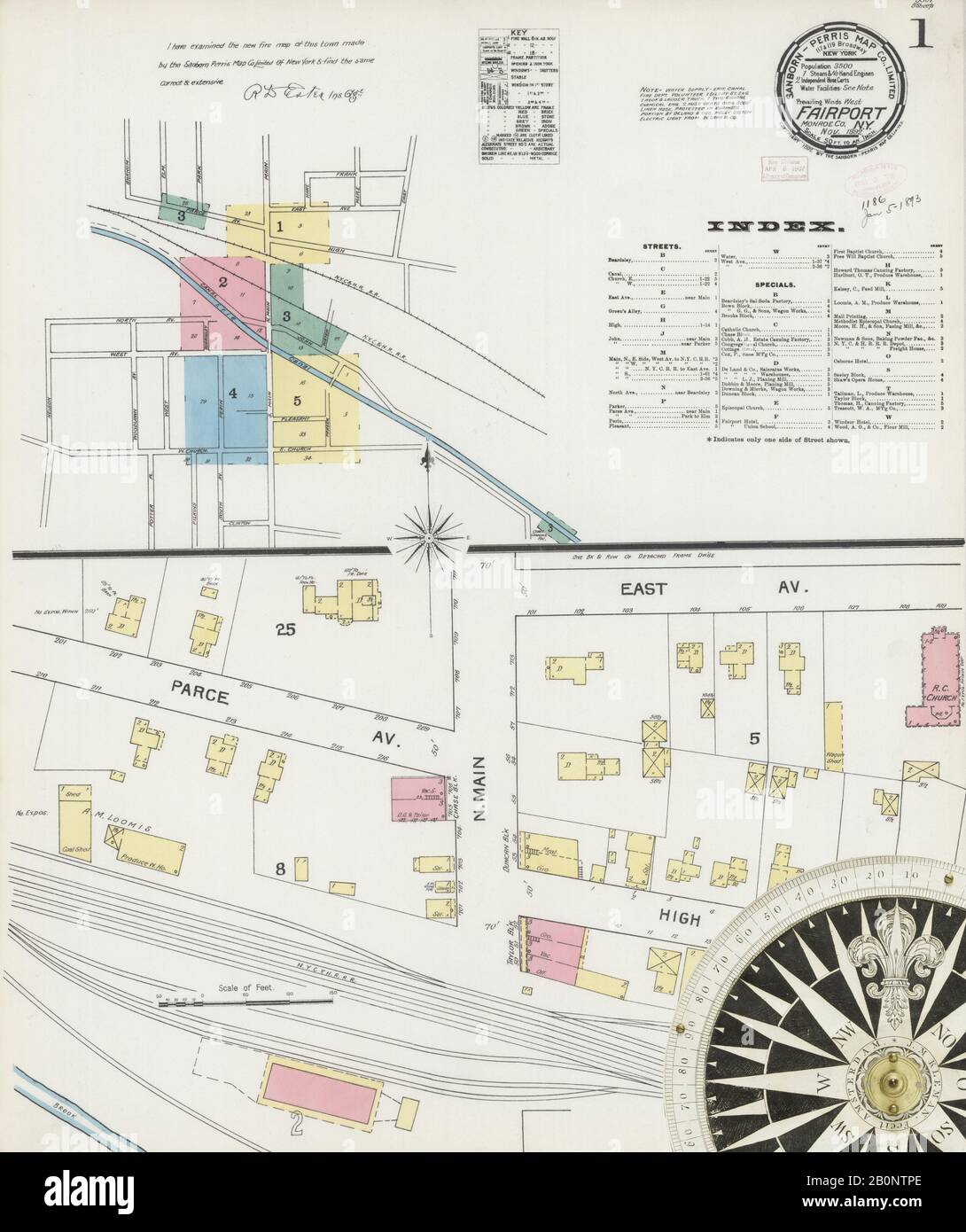 Image 1 of Sanborn Fire Insurance Map from Fairport, Monroe County, New York. Nov 1892. 5 Sheet(s), America, street map with a Nineteenth Century compass Stock Photohttps://www.alamy.com/image-license-details/?v=1https://www.alamy.com/image-1-of-sanborn-fire-insurance-map-from-fairport-monroe-county-new-york-nov-1892-5-sheets-america-street-map-with-a-nineteenth-century-compass-image344687798.html
RM2B0NTPE–Image 1 of Sanborn Fire Insurance Map from Fairport, Monroe County, New York. Nov 1892. 5 Sheet(s), America, street map with a Nineteenth Century compass
 Fairport, DeKalb County, US, United States, Missouri, N 39 59' 16'', S 94 20' 45'', map, Cartascapes Map published in 2024. Explore Cartascapes, a map revealing Earth's diverse landscapes, cultures, and ecosystems. Journey through time and space, discovering the interconnectedness of our planet's past, present, and future. Stock Photohttps://www.alamy.com/image-license-details/?v=1https://www.alamy.com/fairport-dekalb-county-us-united-states-missouri-n-39-59-16-s-94-20-45-map-cartascapes-map-published-in-2024-explore-cartascapes-a-map-revealing-earths-diverse-landscapes-cultures-and-ecosystems-journey-through-time-and-space-discovering-the-interconnectedness-of-our-planets-past-present-and-future-image621193662.html
RM2Y2HPRX–Fairport, DeKalb County, US, United States, Missouri, N 39 59' 16'', S 94 20' 45'', map, Cartascapes Map published in 2024. Explore Cartascapes, a map revealing Earth's diverse landscapes, cultures, and ecosystems. Journey through time and space, discovering the interconnectedness of our planet's past, present, and future.
 Sanborn Fire Insurance Map from Fairport, Monroe County, New York. Stock Photohttps://www.alamy.com/image-license-details/?v=1https://www.alamy.com/sanborn-fire-insurance-map-from-fairport-monroe-county-new-york-image456391708.html
RM2HEEC7T–Sanborn Fire Insurance Map from Fairport, Monroe County, New York.
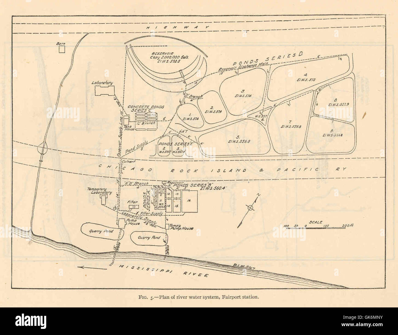 40311 Plan of river water system, Fairport station Stock Photohttps://www.alamy.com/image-license-details/?v=1https://www.alamy.com/stock-photo-40311-plan-of-river-water-system-fairport-station-115088679.html
RMGK6MNY–40311 Plan of river water system, Fairport station
 USGS TOPO Map Kansas KS Fairport 20120904 TM Restoration Stock Photohttps://www.alamy.com/image-license-details/?v=1https://www.alamy.com/usgs-topo-map-kansas-ks-fairport-20120904-tm-restoration-image260167746.html
RMW37JH6–USGS TOPO Map Kansas KS Fairport 20120904 TM Restoration
 Image 1 of Sanborn Fire Insurance Map from Fairport, Monroe County, New York. Nov 1885. 2 Sheet(s), America, street map with a Nineteenth Century compass Stock Photohttps://www.alamy.com/image-license-details/?v=1https://www.alamy.com/image-1-of-sanborn-fire-insurance-map-from-fairport-monroe-county-new-york-nov-1885-2-sheets-america-street-map-with-a-nineteenth-century-compass-image344687794.html
RM2B0NTPA–Image 1 of Sanborn Fire Insurance Map from Fairport, Monroe County, New York. Nov 1885. 2 Sheet(s), America, street map with a Nineteenth Century compass
 Fairport, Russell County, US, United States, Kansas, N 39 2' 45'', S 99 1' 50'', map, Cartascapes Map published in 2024. Explore Cartascapes, a map revealing Earth's diverse landscapes, cultures, and ecosystems. Journey through time and space, discovering the interconnectedness of our planet's past, present, and future. Stock Photohttps://www.alamy.com/image-license-details/?v=1https://www.alamy.com/fairport-russell-county-us-united-states-kansas-n-39-2-45-s-99-1-50-map-cartascapes-map-published-in-2024-explore-cartascapes-a-map-revealing-earths-diverse-landscapes-cultures-and-ecosystems-journey-through-time-and-space-discovering-the-interconnectedness-of-our-planets-past-present-and-future-image621404956.html
RM2Y2YCA4–Fairport, Russell County, US, United States, Kansas, N 39 2' 45'', S 99 1' 50'', map, Cartascapes Map published in 2024. Explore Cartascapes, a map revealing Earth's diverse landscapes, cultures, and ecosystems. Journey through time and space, discovering the interconnectedness of our planet's past, present, and future.
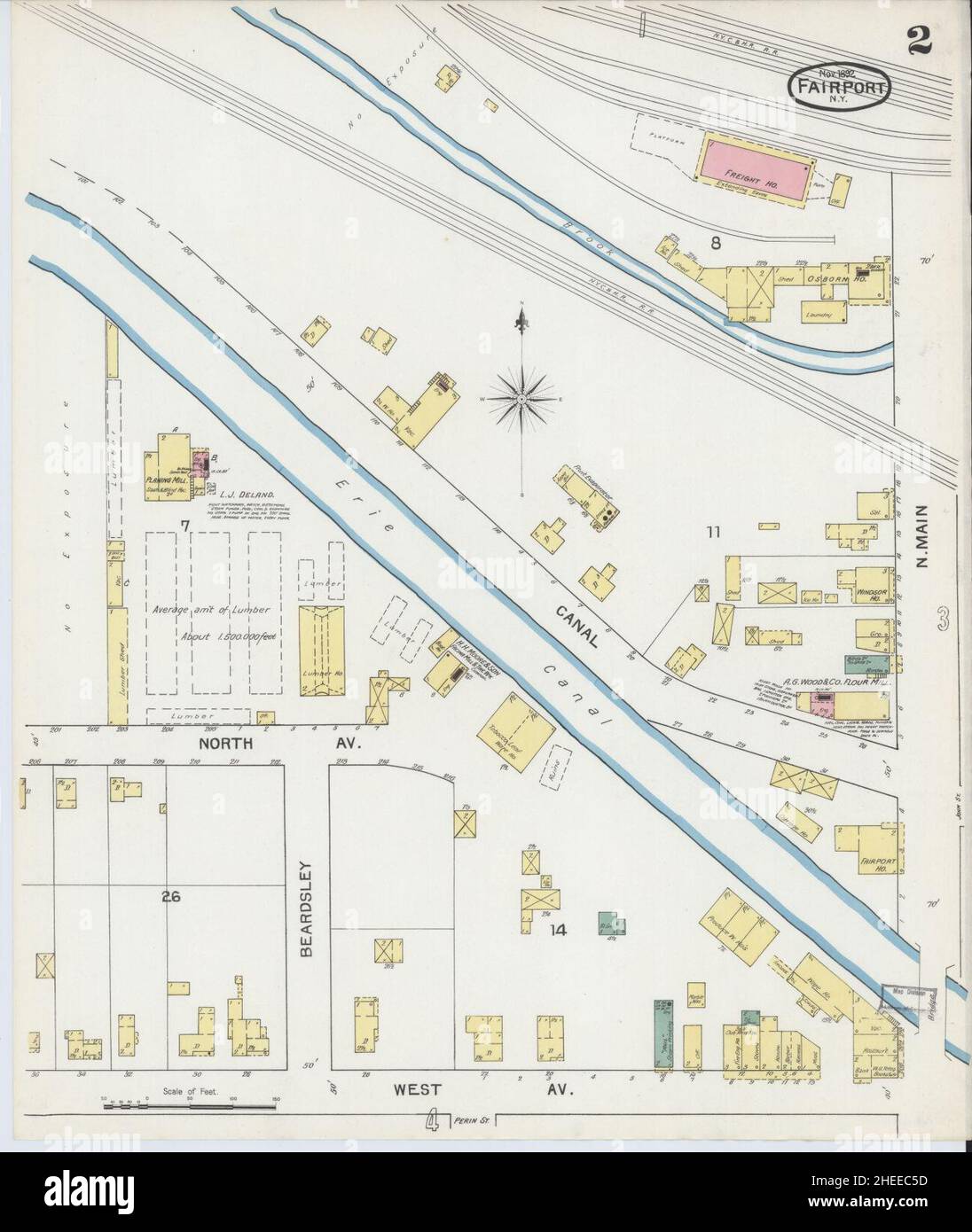 Sanborn Fire Insurance Map from Fairport, Monroe County, New York. Stock Photohttps://www.alamy.com/image-license-details/?v=1https://www.alamy.com/sanborn-fire-insurance-map-from-fairport-monroe-county-new-york-image456391641.html
RM2HEEC5D–Sanborn Fire Insurance Map from Fairport, Monroe County, New York.
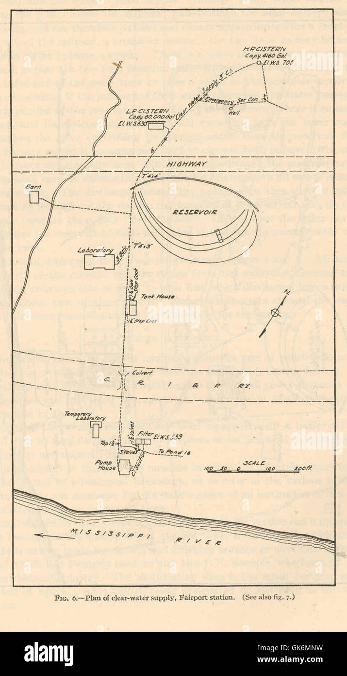 40308 Plan of clear-water supply, Fairport station Stock Photohttps://www.alamy.com/image-license-details/?v=1https://www.alamy.com/stock-photo-40308-plan-of-clear-water-supply-fairport-station-115088677.html
RMGK6MNW–40308 Plan of clear-water supply, Fairport station
 USGS TOPO Map Kansas KS Fairport 20091110 TM Restoration Stock Photohttps://www.alamy.com/image-license-details/?v=1https://www.alamy.com/usgs-topo-map-kansas-ks-fairport-20091110-tm-restoration-image260167704.html
RMW37JFM–USGS TOPO Map Kansas KS Fairport 20091110 TM Restoration
 Image 2 of Sanborn Fire Insurance Map from Fairport, Monroe County, New York. Nov 1892. 5 Sheet(s), America, street map with a Nineteenth Century compass Stock Photohttps://www.alamy.com/image-license-details/?v=1https://www.alamy.com/image-2-of-sanborn-fire-insurance-map-from-fairport-monroe-county-new-york-nov-1892-5-sheets-america-street-map-with-a-nineteenth-century-compass-image344687801.html
RM2B0NTPH–Image 2 of Sanborn Fire Insurance Map from Fairport, Monroe County, New York. Nov 1892. 5 Sheet(s), America, street map with a Nineteenth Century compass
 Fairport, Modoc County, US, United States, California, N 41 59' 6'', S 120 19' 18'', map, Cartascapes Map published in 2024. Explore Cartascapes, a map revealing Earth's diverse landscapes, cultures, and ecosystems. Journey through time and space, discovering the interconnectedness of our planet's past, present, and future. Stock Photohttps://www.alamy.com/image-license-details/?v=1https://www.alamy.com/fairport-modoc-county-us-united-states-california-n-41-59-6-s-120-19-18-map-cartascapes-map-published-in-2024-explore-cartascapes-a-map-revealing-earths-diverse-landscapes-cultures-and-ecosystems-journey-through-time-and-space-discovering-the-interconnectedness-of-our-planets-past-present-and-future-image621422859.html
RM2Y3075F–Fairport, Modoc County, US, United States, California, N 41 59' 6'', S 120 19' 18'', map, Cartascapes Map published in 2024. Explore Cartascapes, a map revealing Earth's diverse landscapes, cultures, and ecosystems. Journey through time and space, discovering the interconnectedness of our planet's past, present, and future.
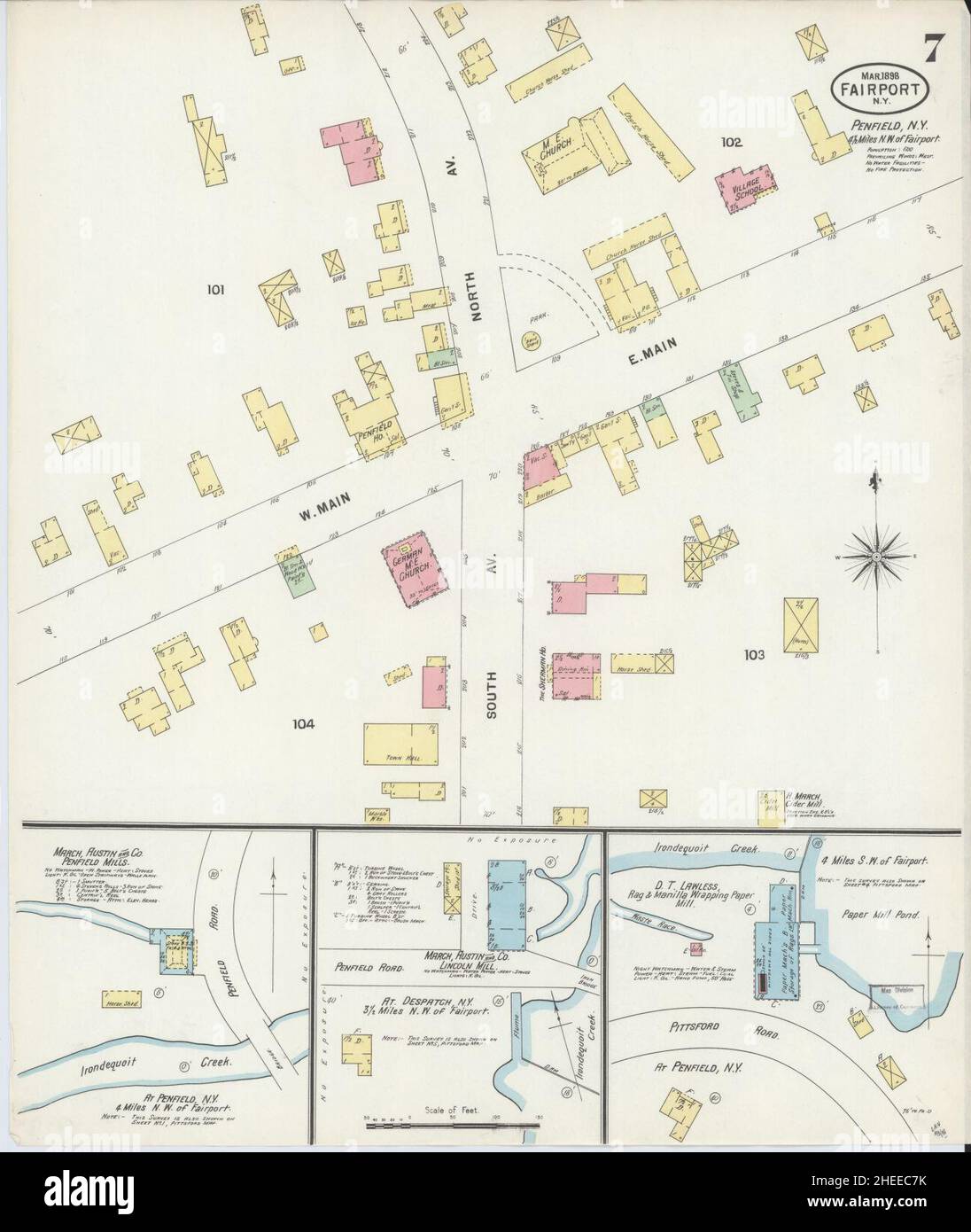 Sanborn Fire Insurance Map from Fairport, Monroe County, New York. Stock Photohttps://www.alamy.com/image-license-details/?v=1https://www.alamy.com/sanborn-fire-insurance-map-from-fairport-monroe-county-new-york-image456391703.html
RM2HEEC7K–Sanborn Fire Insurance Map from Fairport, Monroe County, New York.
 40301 Plan of clear-water service and upper poortion of sewage system, Fairport station Stock Photohttps://www.alamy.com/image-license-details/?v=1https://www.alamy.com/stock-photo-40301-plan-of-clear-water-service-and-upper-poortion-of-sewage-system-115088667.html
RMGK6MNF–40301 Plan of clear-water service and upper poortion of sewage system, Fairport station
 USGS TOPO Map Michigan MI Fairport 20110920 TM Inverted Stock Photohttps://www.alamy.com/image-license-details/?v=1https://www.alamy.com/usgs-topo-map-michigan-mi-fairport-20110920-tm-inverted-image332229404.html
RM2A8E9YT–USGS TOPO Map Michigan MI Fairport 20110920 TM Inverted
 Image 3 of Sanborn Fire Insurance Map from Fairport, Monroe County, New York. Nov 1892. 5 Sheet(s), America, street map with a Nineteenth Century compass Stock Photohttps://www.alamy.com/image-license-details/?v=1https://www.alamy.com/image-3-of-sanborn-fire-insurance-map-from-fairport-monroe-county-new-york-nov-1892-5-sheets-america-street-map-with-a-nineteenth-century-compass-image344687803.html
RM2B0NTPK–Image 3 of Sanborn Fire Insurance Map from Fairport, Monroe County, New York. Nov 1892. 5 Sheet(s), America, street map with a Nineteenth Century compass
 Fairport, Delta County, US, United States, Michigan, N 45 37' 15'', S 86 39' 30'', map, Cartascapes Map published in 2024. Explore Cartascapes, a map revealing Earth's diverse landscapes, cultures, and ecosystems. Journey through time and space, discovering the interconnectedness of our planet's past, present, and future. Stock Photohttps://www.alamy.com/image-license-details/?v=1https://www.alamy.com/fairport-delta-county-us-united-states-michigan-n-45-37-15-s-86-39-30-map-cartascapes-map-published-in-2024-explore-cartascapes-a-map-revealing-earths-diverse-landscapes-cultures-and-ecosystems-journey-through-time-and-space-discovering-the-interconnectedness-of-our-planets-past-present-and-future-image621271325.html
RM2Y2N9WH–Fairport, Delta County, US, United States, Michigan, N 45 37' 15'', S 86 39' 30'', map, Cartascapes Map published in 2024. Explore Cartascapes, a map revealing Earth's diverse landscapes, cultures, and ecosystems. Journey through time and space, discovering the interconnectedness of our planet's past, present, and future.
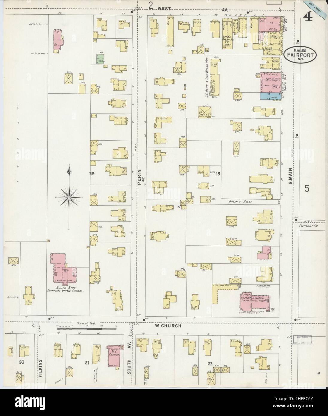 Sanborn Fire Insurance Map from Fairport, Monroe County, New York. Stock Photohttps://www.alamy.com/image-license-details/?v=1https://www.alamy.com/sanborn-fire-insurance-map-from-fairport-monroe-county-new-york-image456391683.html
RM2HEEC6Y–Sanborn Fire Insurance Map from Fairport, Monroe County, New York.
 40290 Main laboratory, with storage reservoir in foreground Fisheries Biological Station, Fairport, Iowa Stock Photohttps://www.alamy.com/image-license-details/?v=1https://www.alamy.com/stock-photo-40290-main-laboratory-with-storage-reservoir-in-foreground-fisheries-115088656.html
RMGK6MN4–40290 Main laboratory, with storage reservoir in foreground Fisheries Biological Station, Fairport, Iowa
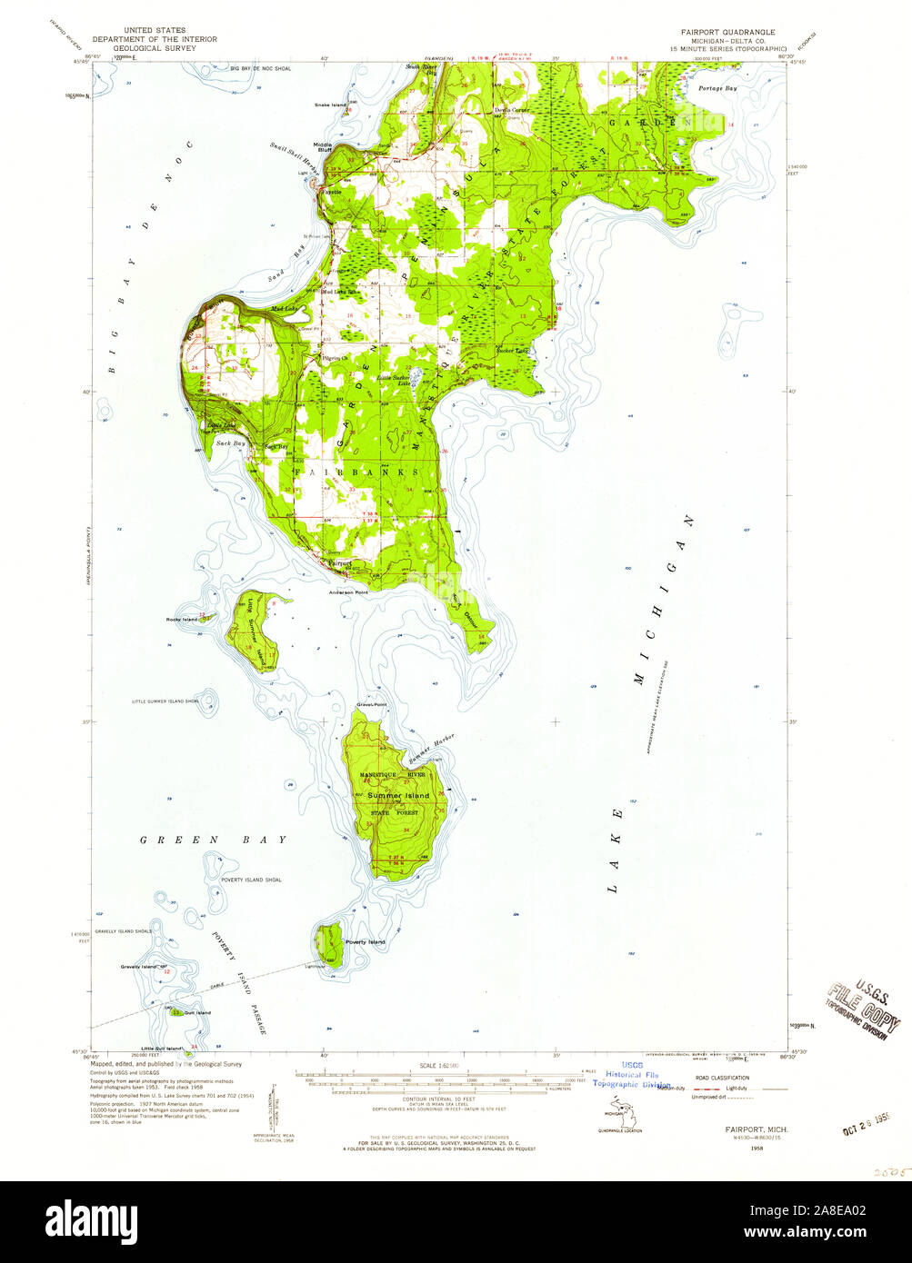 USGS TOPO Map Michigan MI Fairport 278111 1958 62500 Stock Photohttps://www.alamy.com/image-license-details/?v=1https://www.alamy.com/usgs-topo-map-michigan-mi-fairport-278111-1958-62500-image332229410.html
RM2A8EA02–USGS TOPO Map Michigan MI Fairport 278111 1958 62500
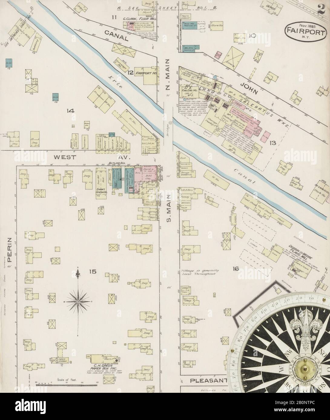 Image 2 of Sanborn Fire Insurance Map from Fairport, Monroe County, New York. Nov 1885. 2 Sheet(s), America, street map with a Nineteenth Century compass Stock Photohttps://www.alamy.com/image-license-details/?v=1https://www.alamy.com/image-2-of-sanborn-fire-insurance-map-from-fairport-monroe-county-new-york-nov-1885-2-sheets-america-street-map-with-a-nineteenth-century-compass-image344687796.html
RM2B0NTPC–Image 2 of Sanborn Fire Insurance Map from Fairport, Monroe County, New York. Nov 1885. 2 Sheet(s), America, street map with a Nineteenth Century compass
 Fairport, Granville County, US, United States, North Carolina, N 36 13' 38'', S 78 31' 18'', map, Cartascapes Map published in 2024. Explore Cartascapes, a map revealing Earth's diverse landscapes, cultures, and ecosystems. Journey through time and space, discovering the interconnectedness of our planet's past, present, and future. Stock Photohttps://www.alamy.com/image-license-details/?v=1https://www.alamy.com/fairport-granville-county-us-united-states-north-carolina-n-36-13-38-s-78-31-18-map-cartascapes-map-published-in-2024-explore-cartascapes-a-map-revealing-earths-diverse-landscapes-cultures-and-ecosystems-journey-through-time-and-space-discovering-the-interconnectedness-of-our-planets-past-present-and-future-image621237895.html
RM2Y2KR7K–Fairport, Granville County, US, United States, North Carolina, N 36 13' 38'', S 78 31' 18'', map, Cartascapes Map published in 2024. Explore Cartascapes, a map revealing Earth's diverse landscapes, cultures, and ecosystems. Journey through time and space, discovering the interconnectedness of our planet's past, present, and future.
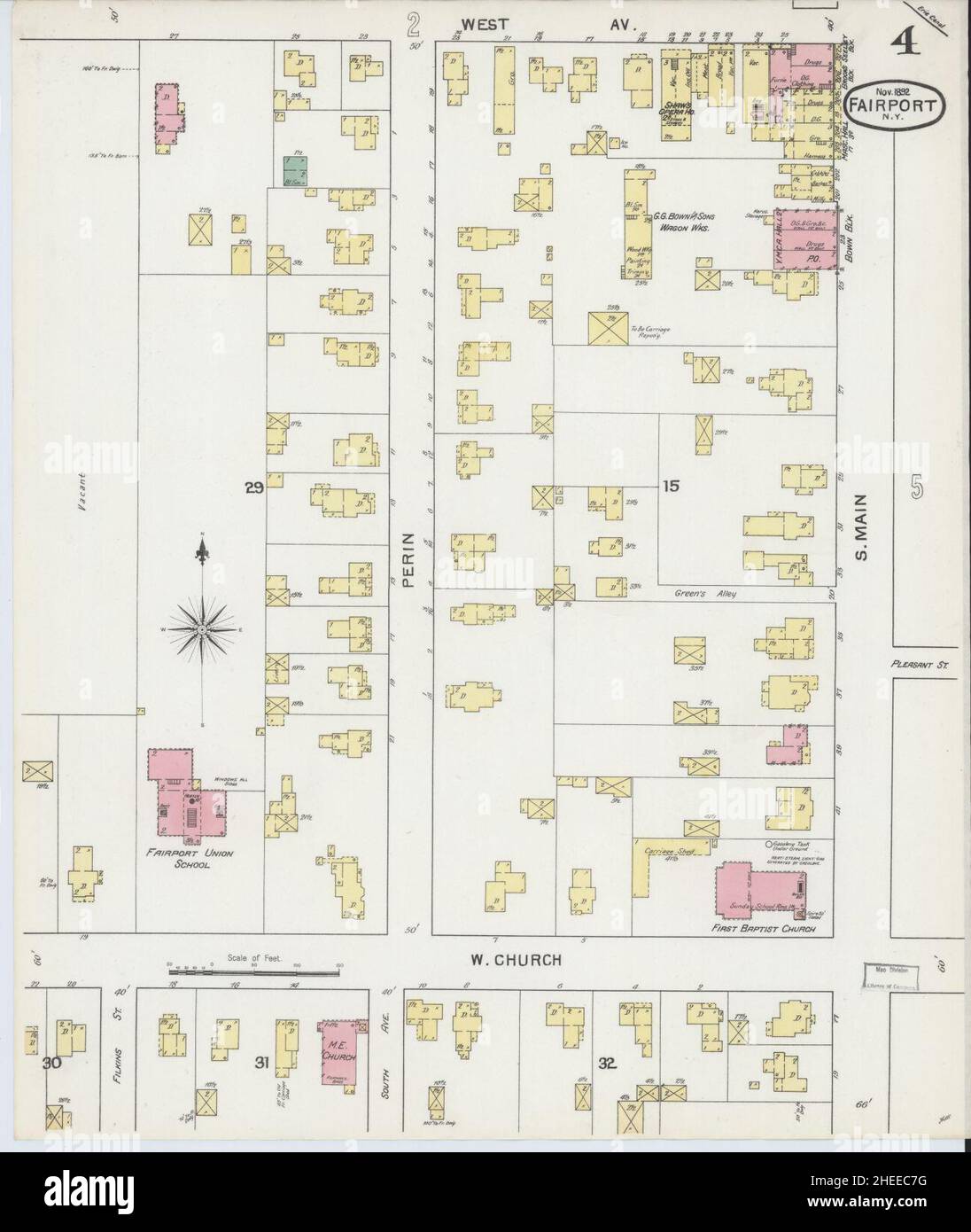 Sanborn Fire Insurance Map from Fairport, Monroe County, New York. Stock Photohttps://www.alamy.com/image-license-details/?v=1https://www.alamy.com/sanborn-fire-insurance-map-from-fairport-monroe-county-new-york-image456391700.html
RM2HEEC7G–Sanborn Fire Insurance Map from Fairport, Monroe County, New York.
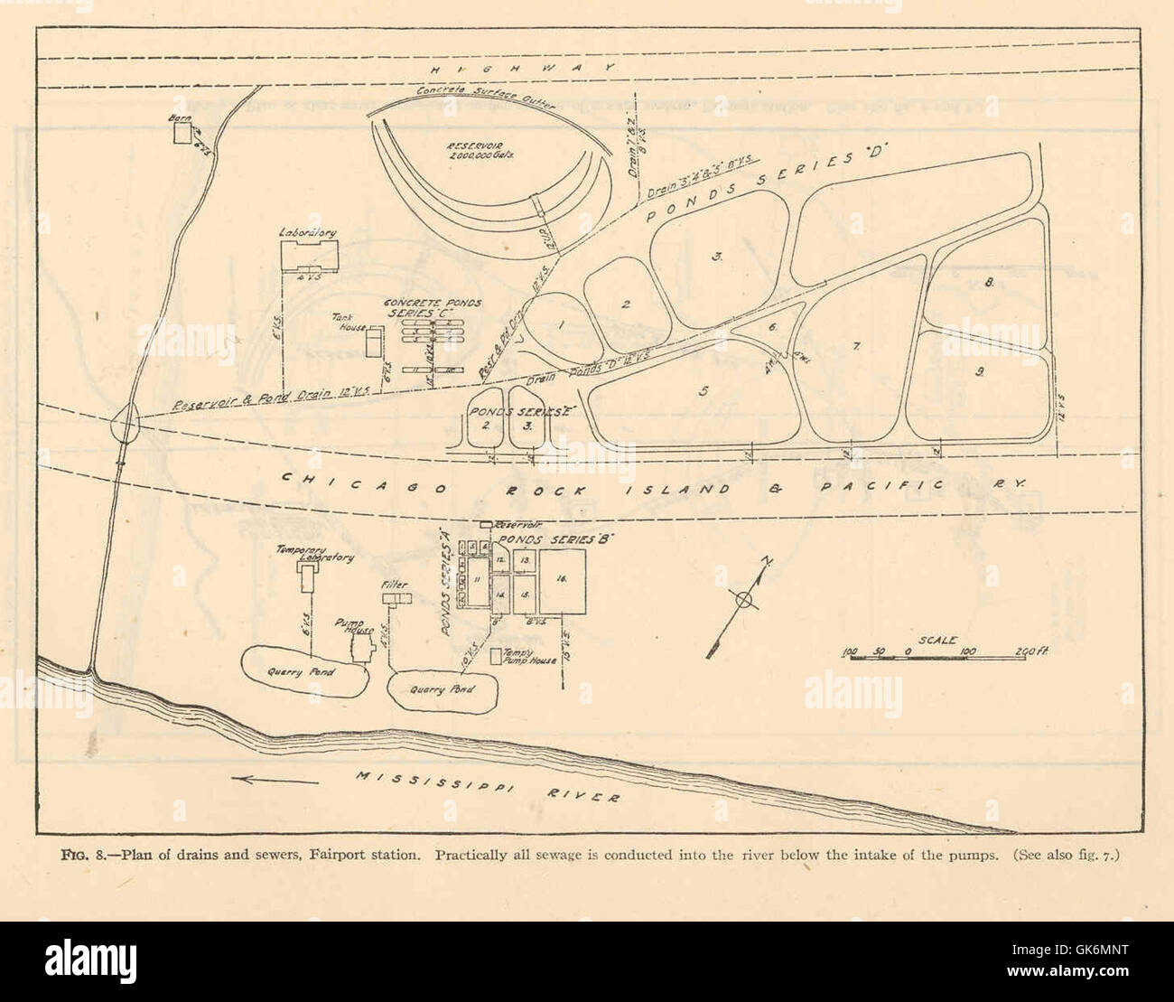 40307 Plan of drains and ssewers, Fairport station Practically all sewage is conducted into the river below the intake of the pumps Stock Photohttps://www.alamy.com/image-license-details/?v=1https://www.alamy.com/stock-photo-40307-plan-of-drains-and-ssewers-fairport-station-practically-all-115088676.html
RMGK6MNT–40307 Plan of drains and ssewers, Fairport station Practically all sewage is conducted into the river below the intake of the pumps
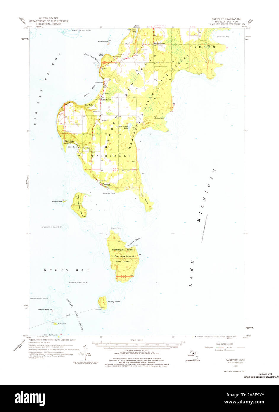 USGS TOPO Map Michigan MI Fairport 278110 1958 62500 Stock Photohttps://www.alamy.com/image-license-details/?v=1https://www.alamy.com/usgs-topo-map-michigan-mi-fairport-278110-1958-62500-image332229407.html
RM2A8E9YY–USGS TOPO Map Michigan MI Fairport 278110 1958 62500
 Image 4 of Sanborn Fire Insurance Map from Fairport, Monroe County, New York. Nov 1892. 5 Sheet(s), America, street map with a Nineteenth Century compass Stock Photohttps://www.alamy.com/image-license-details/?v=1https://www.alamy.com/image-4-of-sanborn-fire-insurance-map-from-fairport-monroe-county-new-york-nov-1892-5-sheets-america-street-map-with-a-nineteenth-century-compass-image344687804.html
RM2B0NTPM–Image 4 of Sanborn Fire Insurance Map from Fairport, Monroe County, New York. Nov 1892. 5 Sheet(s), America, street map with a Nineteenth Century compass
 Fairport (historical), Noxubee County, US, United States, Mississippi, N 33 16' 42'', S 88 41' 55'', map, Cartascapes Map published in 2024. Explore Cartascapes, a map revealing Earth's diverse landscapes, cultures, and ecosystems. Journey through time and space, discovering the interconnectedness of our planet's past, present, and future. Stock Photohttps://www.alamy.com/image-license-details/?v=1https://www.alamy.com/fairport-historical-noxubee-county-us-united-states-mississippi-n-33-16-42-s-88-41-55-map-cartascapes-map-published-in-2024-explore-cartascapes-a-map-revealing-earths-diverse-landscapes-cultures-and-ecosystems-journey-through-time-and-space-discovering-the-interconnectedness-of-our-planets-past-present-and-future-image621265627.html
RM2Y2N2J3–Fairport (historical), Noxubee County, US, United States, Mississippi, N 33 16' 42'', S 88 41' 55'', map, Cartascapes Map published in 2024. Explore Cartascapes, a map revealing Earth's diverse landscapes, cultures, and ecosystems. Journey through time and space, discovering the interconnectedness of our planet's past, present, and future.
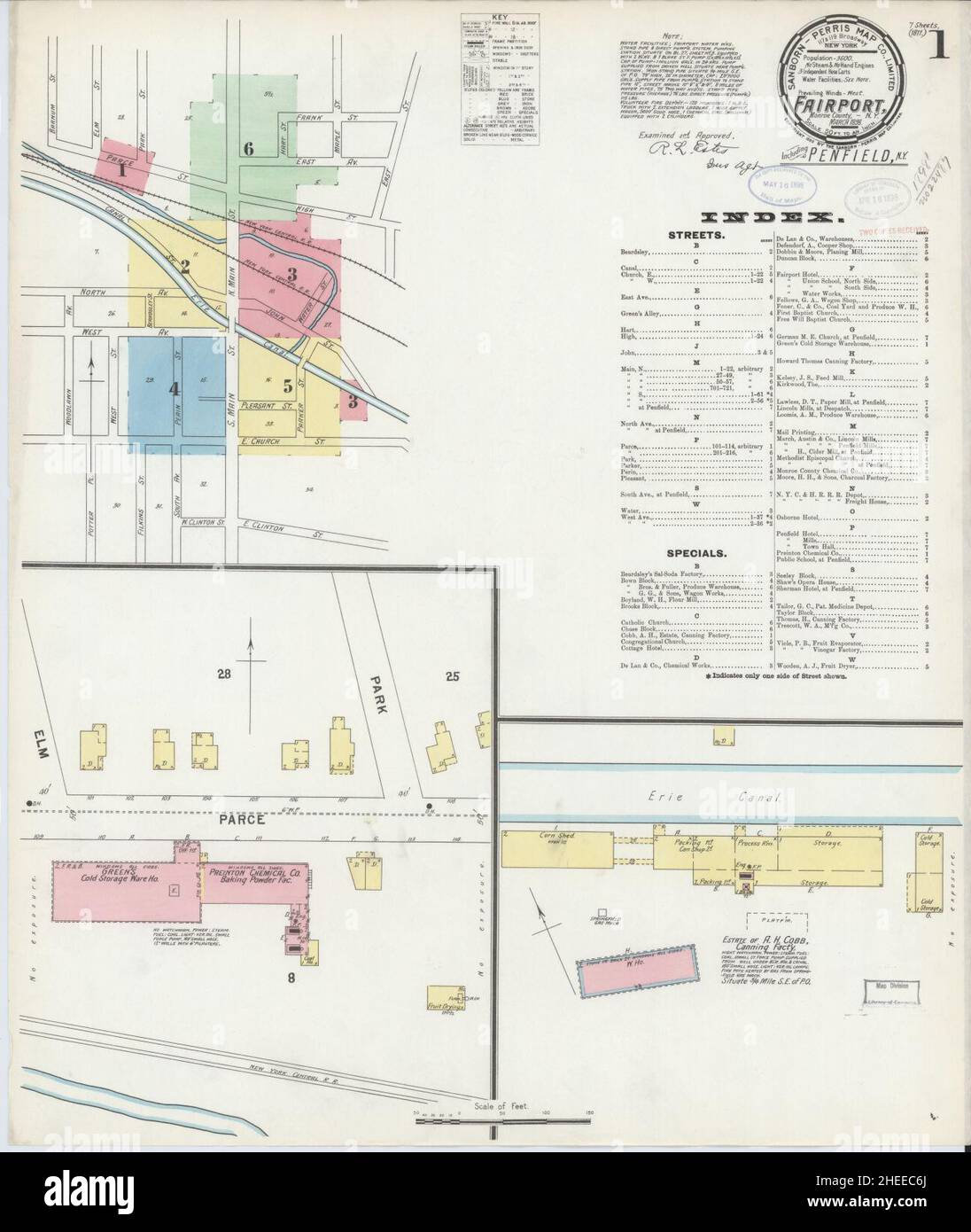 Sanborn Fire Insurance Map from Fairport, Monroe County, New York. Stock Photohttps://www.alamy.com/image-license-details/?v=1https://www.alamy.com/sanborn-fire-insurance-map-from-fairport-monroe-county-new-york-image456391674.html
RM2HEEC6J–Sanborn Fire Insurance Map from Fairport, Monroe County, New York.
 34745 View of Part of Gradually Sloping Reservoir Bank, U S Fisheries Biological Station, Fairport, Iowa, After Water Was Lowered on Stock Photohttps://www.alamy.com/image-license-details/?v=1https://www.alamy.com/stock-photo-34745-view-of-part-of-gradually-sloping-reservoir-bank-u-s-fisheries-115082012.html
RMGK6C7T–34745 View of Part of Gradually Sloping Reservoir Bank, U S Fisheries Biological Station, Fairport, Iowa, After Water Was Lowered on
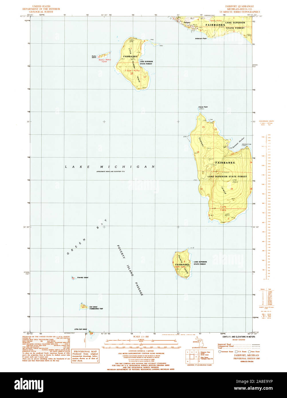 USGS TOPO Map Michigan MI Fairport 276080 1985 24000 Stock Photohttps://www.alamy.com/image-license-details/?v=1https://www.alamy.com/usgs-topo-map-michigan-mi-fairport-276080-1985-24000-image332229402.html
RM2A8E9YP–USGS TOPO Map Michigan MI Fairport 276080 1985 24000
 Image 3 of Sanborn Fire Insurance Map from Fairport, Monroe County, New York. Mar 1898. 7 Sheet(s). Includes Penfield, America, street map with a Nineteenth Century compass Stock Photohttps://www.alamy.com/image-license-details/?v=1https://www.alamy.com/image-3-of-sanborn-fire-insurance-map-from-fairport-monroe-county-new-york-mar-1898-7-sheets-includes-penfield-america-street-map-with-a-nineteenth-century-compass-image344687811.html
RM2B0NTPY–Image 3 of Sanborn Fire Insurance Map from Fairport, Monroe County, New York. Mar 1898. 7 Sheet(s). Includes Penfield, America, street map with a Nineteenth Century compass
 Fairport, Monroe County, US, United States, New York, N 43 5' 55'', S 77 26' 30'', map, Cartascapes Map published in 2024. Explore Cartascapes, a map revealing Earth's diverse landscapes, cultures, and ecosystems. Journey through time and space, discovering the interconnectedness of our planet's past, present, and future. Stock Photohttps://www.alamy.com/image-license-details/?v=1https://www.alamy.com/fairport-monroe-county-us-united-states-new-york-n-43-5-55-s-77-26-30-map-cartascapes-map-published-in-2024-explore-cartascapes-a-map-revealing-earths-diverse-landscapes-cultures-and-ecosystems-journey-through-time-and-space-discovering-the-interconnectedness-of-our-planets-past-present-and-future-image621243870.html
RM2Y2M2W2–Fairport, Monroe County, US, United States, New York, N 43 5' 55'', S 77 26' 30'', map, Cartascapes Map published in 2024. Explore Cartascapes, a map revealing Earth's diverse landscapes, cultures, and ecosystems. Journey through time and space, discovering the interconnectedness of our planet's past, present, and future.
 Sanborn Fire Insurance Map from Fairport, Monroe County, New York. Stock Photohttps://www.alamy.com/image-license-details/?v=1https://www.alamy.com/sanborn-fire-insurance-map-from-fairport-monroe-county-new-york-image456391643.html
RM2HEEC5F–Sanborn Fire Insurance Map from Fairport, Monroe County, New York.
 The Arbroath year book and Fairport almanac - directory for Arbroath, Carnoustie, Friockheim and surrounding districts (1926) Stock Photohttps://www.alamy.com/image-license-details/?v=1https://www.alamy.com/stock-photo-the-arbroath-year-book-and-fairport-almanac-directory-for-arbroath-114250198.html
RMGHTF86–The Arbroath year book and Fairport almanac - directory for Arbroath, Carnoustie, Friockheim and surrounding districts (1926)
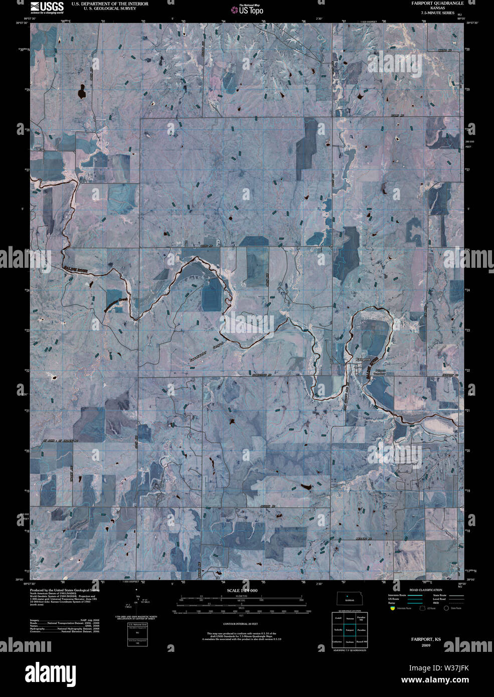 USGS TOPO Map Kansas KS Fairport 20091110 TM Inverted Restoration Stock Photohttps://www.alamy.com/image-license-details/?v=1https://www.alamy.com/usgs-topo-map-kansas-ks-fairport-20091110-tm-inverted-restoration-image260167703.html
RMW37JFK–USGS TOPO Map Kansas KS Fairport 20091110 TM Inverted Restoration
 Image 5 of Sanborn Fire Insurance Map from Fairport, Monroe County, New York. Mar 1898. 7 Sheet(s). Includes Penfield, America, street map with a Nineteenth Century compass Stock Photohttps://www.alamy.com/image-license-details/?v=1https://www.alamy.com/image-5-of-sanborn-fire-insurance-map-from-fairport-monroe-county-new-york-mar-1898-7-sheets-includes-penfield-america-street-map-with-a-nineteenth-century-compass-image344687817.html
RM2B0NTR5–Image 5 of Sanborn Fire Insurance Map from Fairport, Monroe County, New York. Mar 1898. 7 Sheet(s). Includes Penfield, America, street map with a Nineteenth Century compass
 Fairport, Canada, Ontario, N 43 49' 26'', W 79 4' 48'', map, Timeless Map published in 2021. Travelers, explorers and adventurers like Florence Nightingale, David Livingstone, Ernest Shackleton, Lewis and Clark and Sherlock Holmes relied on maps to plan travels to the world's most remote corners, Timeless Maps is mapping most locations on the globe, showing the achievement of great dreams Stock Photohttps://www.alamy.com/image-license-details/?v=1https://www.alamy.com/fairport-canada-ontario-n-43-49-26-w-79-4-48-map-timeless-map-published-in-2021-travelers-explorers-and-adventurers-like-florence-nightingale-david-livingstone-ernest-shackleton-lewis-and-clark-and-sherlock-holmes-relied-on-maps-to-plan-travels-to-the-worlds-most-remote-corners-timeless-maps-is-mapping-most-locations-on-the-globe-showing-the-achievement-of-great-dreams-image457861598.html
RM2HGWB3X–Fairport, Canada, Ontario, N 43 49' 26'', W 79 4' 48'', map, Timeless Map published in 2021. Travelers, explorers and adventurers like Florence Nightingale, David Livingstone, Ernest Shackleton, Lewis and Clark and Sherlock Holmes relied on maps to plan travels to the world's most remote corners, Timeless Maps is mapping most locations on the globe, showing the achievement of great dreams
 Sanborn Fire Insurance Map from Fairport, Monroe County, New York. Stock Photohttps://www.alamy.com/image-license-details/?v=1https://www.alamy.com/sanborn-fire-insurance-map-from-fairport-monroe-county-new-york-image456391638.html
RM2HEEC5A–Sanborn Fire Insurance Map from Fairport, Monroe County, New York.
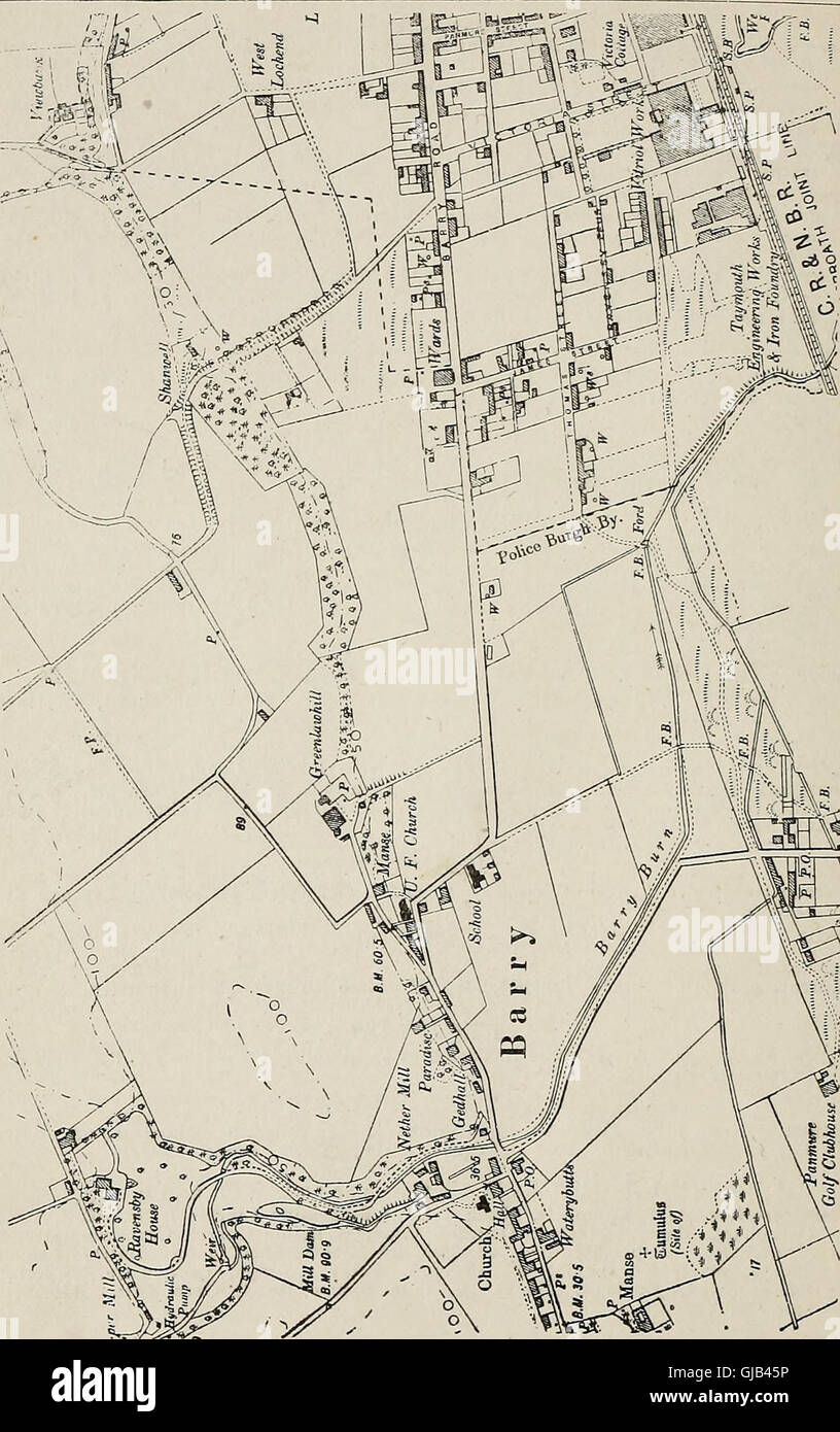 The Arbroath year book and Fairport almanac - directory for Arbroath, Carnoustie, Friockheim and surrounding districts (1926) Stock Photohttps://www.alamy.com/image-license-details/?v=1https://www.alamy.com/stock-photo-the-arbroath-year-book-and-fairport-almanac-directory-for-arbroath-114570786.html
RMGJB45P–The Arbroath year book and Fairport almanac - directory for Arbroath, Carnoustie, Friockheim and surrounding districts (1926)
 USGS TOPO Map Kansas KS Fairport 511325 1978 24000 Restoration Stock Photohttps://www.alamy.com/image-license-details/?v=1https://www.alamy.com/usgs-topo-map-kansas-ks-fairport-511325-1978-24000-restoration-image260167827.html
RMW37JM3–USGS TOPO Map Kansas KS Fairport 511325 1978 24000 Restoration
 Image 1 of Sanborn Fire Insurance Map from Fairport, Monroe County, New York. Mar 1898. 7 Sheet(s). Includes Penfield, America, street map with a Nineteenth Century compass Stock Photohttps://www.alamy.com/image-license-details/?v=1https://www.alamy.com/image-1-of-sanborn-fire-insurance-map-from-fairport-monroe-county-new-york-mar-1898-7-sheets-includes-penfield-america-street-map-with-a-nineteenth-century-compass-image344687808.html
RM2B0NTPT–Image 1 of Sanborn Fire Insurance Map from Fairport, Monroe County, New York. Mar 1898. 7 Sheet(s). Includes Penfield, America, street map with a Nineteenth Century compass
 Fairport Beach, Canada, Ontario, N 43 48' 53'', W 79 6' 12'', map, Timeless Map published in 2021. Travelers, explorers and adventurers like Florence Nightingale, David Livingstone, Ernest Shackleton, Lewis and Clark and Sherlock Holmes relied on maps to plan travels to the world's most remote corners, Timeless Maps is mapping most locations on the globe, showing the achievement of great dreams Stock Photohttps://www.alamy.com/image-license-details/?v=1https://www.alamy.com/fairport-beach-canada-ontario-n-43-48-53-w-79-6-12-map-timeless-map-published-in-2021-travelers-explorers-and-adventurers-like-florence-nightingale-david-livingstone-ernest-shackleton-lewis-and-clark-and-sherlock-holmes-relied-on-maps-to-plan-travels-to-the-worlds-most-remote-corners-timeless-maps-is-mapping-most-locations-on-the-globe-showing-the-achievement-of-great-dreams-image457861610.html
RM2HGWB4A–Fairport Beach, Canada, Ontario, N 43 48' 53'', W 79 6' 12'', map, Timeless Map published in 2021. Travelers, explorers and adventurers like Florence Nightingale, David Livingstone, Ernest Shackleton, Lewis and Clark and Sherlock Holmes relied on maps to plan travels to the world's most remote corners, Timeless Maps is mapping most locations on the globe, showing the achievement of great dreams
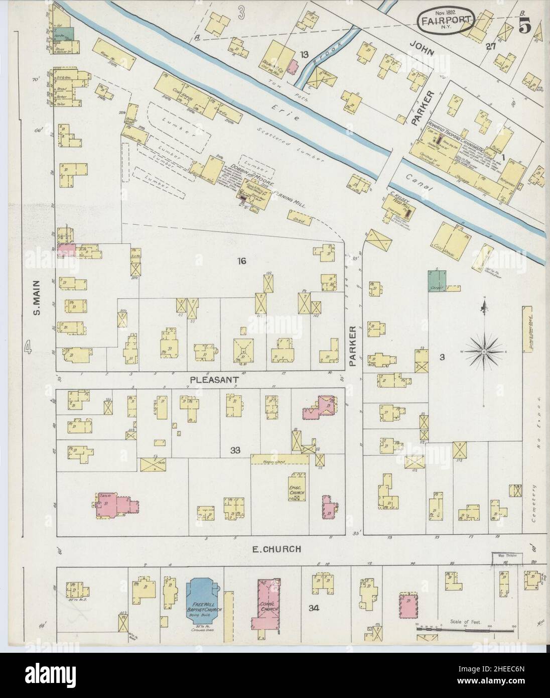 Sanborn Fire Insurance Map from Fairport, Monroe County, New York. Stock Photohttps://www.alamy.com/image-license-details/?v=1https://www.alamy.com/sanborn-fire-insurance-map-from-fairport-monroe-county-new-york-image456391677.html
RM2HEEC6N–Sanborn Fire Insurance Map from Fairport, Monroe County, New York.
 The Arbroath year book and Fairport almanac - directory for Arbroath, Carnoustie, Friockheim and surrounding districts (1894) Stock Photohttps://www.alamy.com/image-license-details/?v=1https://www.alamy.com/stock-photo-the-arbroath-year-book-and-fairport-almanac-directory-for-arbroath-114606574.html
RMGJCNRX–The Arbroath year book and Fairport almanac - directory for Arbroath, Carnoustie, Friockheim and surrounding districts (1894)
 USGS TOPO Map Kansas KS Fairport 20120904 TM Inverted Restoration Stock Photohttps://www.alamy.com/image-license-details/?v=1https://www.alamy.com/usgs-topo-map-kansas-ks-fairport-20120904-tm-inverted-restoration-image260167741.html
RMW37JH1–USGS TOPO Map Kansas KS Fairport 20120904 TM Inverted Restoration
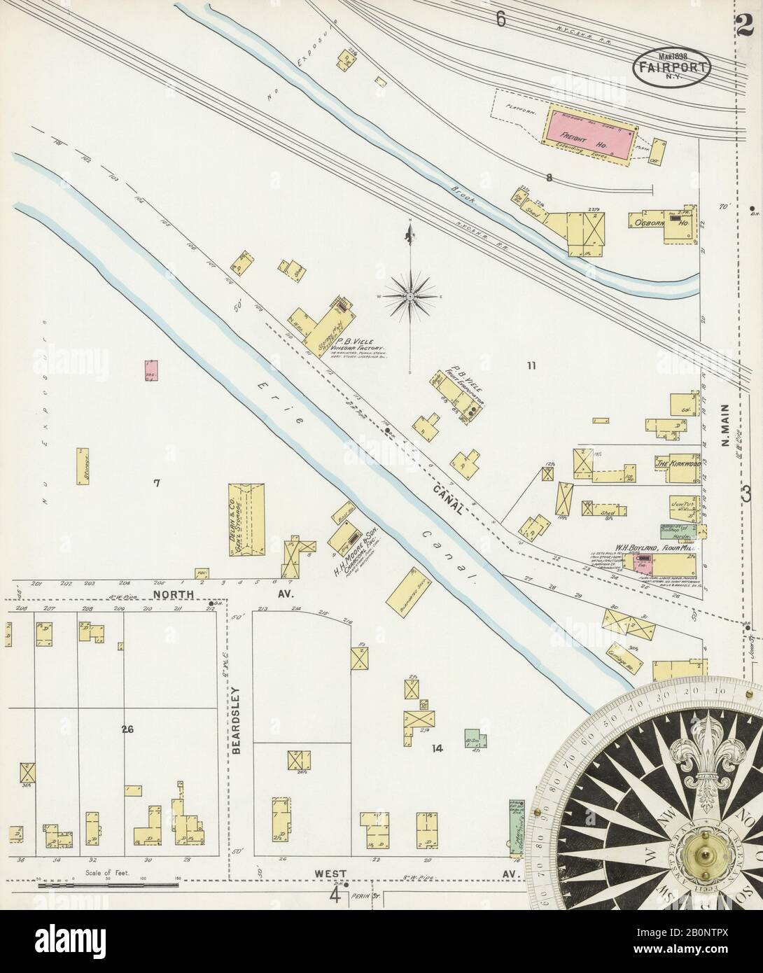 Image 2 of Sanborn Fire Insurance Map from Fairport, Monroe County, New York. Mar 1898. 7 Sheet(s). Includes Penfield, America, street map with a Nineteenth Century compass Stock Photohttps://www.alamy.com/image-license-details/?v=1https://www.alamy.com/image-2-of-sanborn-fire-insurance-map-from-fairport-monroe-county-new-york-mar-1898-7-sheets-includes-penfield-america-street-map-with-a-nineteenth-century-compass-image344687810.html
RM2B0NTPX–Image 2 of Sanborn Fire Insurance Map from Fairport, Monroe County, New York. Mar 1898. 7 Sheet(s). Includes Penfield, America, street map with a Nineteenth Century compass
 Fairport Harbor, Lake County, US, United States, Ohio, N 41 45' 0'', S 81 16' 26'', map, Cartascapes Map published in 2024. Explore Cartascapes, a map revealing Earth's diverse landscapes, cultures, and ecosystems. Journey through time and space, discovering the interconnectedness of our planet's past, present, and future. Stock Photohttps://www.alamy.com/image-license-details/?v=1https://www.alamy.com/fairport-harbor-lake-county-us-united-states-ohio-n-41-45-0-s-81-16-26-map-cartascapes-map-published-in-2024-explore-cartascapes-a-map-revealing-earths-diverse-landscapes-cultures-and-ecosystems-journey-through-time-and-space-discovering-the-interconnectedness-of-our-planets-past-present-and-future-image621212311.html
RM2Y2JJHY–Fairport Harbor, Lake County, US, United States, Ohio, N 41 45' 0'', S 81 16' 26'', map, Cartascapes Map published in 2024. Explore Cartascapes, a map revealing Earth's diverse landscapes, cultures, and ecosystems. Journey through time and space, discovering the interconnectedness of our planet's past, present, and future.
 Sanborn Fire Insurance Map from Fairport, Monroe County, New York. Stock Photohttps://www.alamy.com/image-license-details/?v=1https://www.alamy.com/sanborn-fire-insurance-map-from-fairport-monroe-county-new-york-image456391722.html
RM2HEEC8A–Sanborn Fire Insurance Map from Fairport, Monroe County, New York.
 The Arbroath year book and Fairport almanac - directory for Arbroath, Carnoustie, Friockheim and surrounding districts (1891) Stock Photohttps://www.alamy.com/image-license-details/?v=1https://www.alamy.com/stock-photo-the-arbroath-year-book-and-fairport-almanac-directory-for-arbroath-100403090.html
RMFR9N4J–The Arbroath year book and Fairport almanac - directory for Arbroath, Carnoustie, Friockheim and surrounding districts (1891)
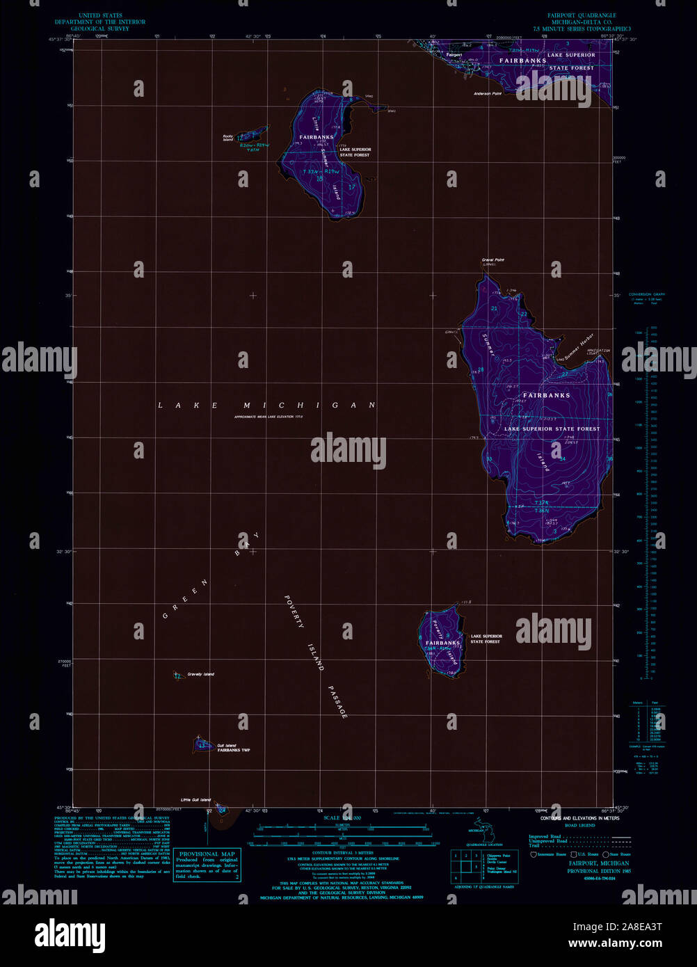 USGS TOPO Map Michigan MI Fairport 276080 1985 24000 Inverted Stock Photohttps://www.alamy.com/image-license-details/?v=1https://www.alamy.com/usgs-topo-map-michigan-mi-fairport-276080-1985-24000-inverted-image332229516.html
RM2A8EA3T–USGS TOPO Map Michigan MI Fairport 276080 1985 24000 Inverted
 Image 7 of Sanborn Fire Insurance Map from Fairport, Monroe County, New York. Mar 1898. 7 Sheet(s). Includes Penfield, America, street map with a Nineteenth Century compass Stock Photohttps://www.alamy.com/image-license-details/?v=1https://www.alamy.com/image-7-of-sanborn-fire-insurance-map-from-fairport-monroe-county-new-york-mar-1898-7-sheets-includes-penfield-america-street-map-with-a-nineteenth-century-compass-image344687819.html
RM2B0NTR7–Image 7 of Sanborn Fire Insurance Map from Fairport, Monroe County, New York. Mar 1898. 7 Sheet(s). Includes Penfield, America, street map with a Nineteenth Century compass
 Fairport Harbor, Lake County, US, United States, Ohio, N 41 45' 0'', S 81 16' 26'', map, Cartascapes Map published in 2024. Explore Cartascapes, a map revealing Earth's diverse landscapes, cultures, and ecosystems. Journey through time and space, discovering the interconnectedness of our planet's past, present, and future. Stock Photohttps://www.alamy.com/image-license-details/?v=1https://www.alamy.com/fairport-harbor-lake-county-us-united-states-ohio-n-41-45-0-s-81-16-26-map-cartascapes-map-published-in-2024-explore-cartascapes-a-map-revealing-earths-diverse-landscapes-cultures-and-ecosystems-journey-through-time-and-space-discovering-the-interconnectedness-of-our-planets-past-present-and-future-image621370504.html
RM2Y2WTBM–Fairport Harbor, Lake County, US, United States, Ohio, N 41 45' 0'', S 81 16' 26'', map, Cartascapes Map published in 2024. Explore Cartascapes, a map revealing Earth's diverse landscapes, cultures, and ecosystems. Journey through time and space, discovering the interconnectedness of our planet's past, present, and future.
 Sanborn Fire Insurance Map from Fairport, Monroe County, New York. Stock Photohttps://www.alamy.com/image-license-details/?v=1https://www.alamy.com/sanborn-fire-insurance-map-from-fairport-monroe-county-new-york-image456391682.html
RM2HEEC6X–Sanborn Fire Insurance Map from Fairport, Monroe County, New York.
 The Arbroath year book and Fairport almanac - directory for Arbroath, Carnoustie, Friockheim and surrounding districts (1926) Stock Photohttps://www.alamy.com/image-license-details/?v=1https://www.alamy.com/stock-photo-the-arbroath-year-book-and-fairport-almanac-directory-for-arbroath-100448635.html
RMFRBR77–The Arbroath year book and Fairport almanac - directory for Arbroath, Carnoustie, Friockheim and surrounding districts (1926)
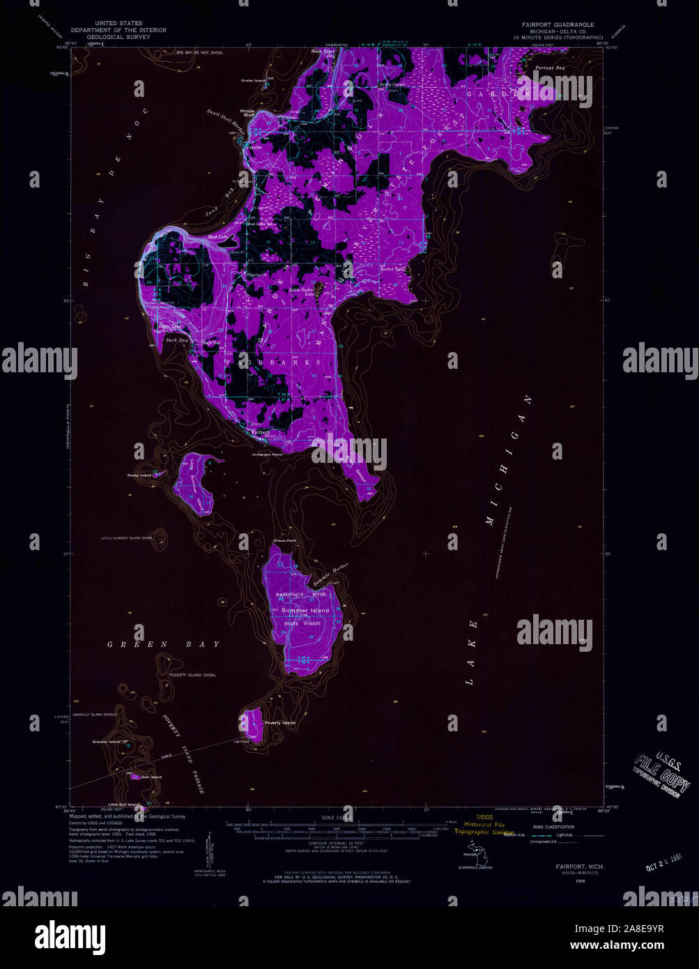 USGS TOPO Map Michigan MI Fairport 278111 1958 62500 Inverted Stock Photohttps://www.alamy.com/image-license-details/?v=1https://www.alamy.com/usgs-topo-map-michigan-mi-fairport-278111-1958-62500-inverted-image332229403.html
RM2A8E9YR–USGS TOPO Map Michigan MI Fairport 278111 1958 62500 Inverted
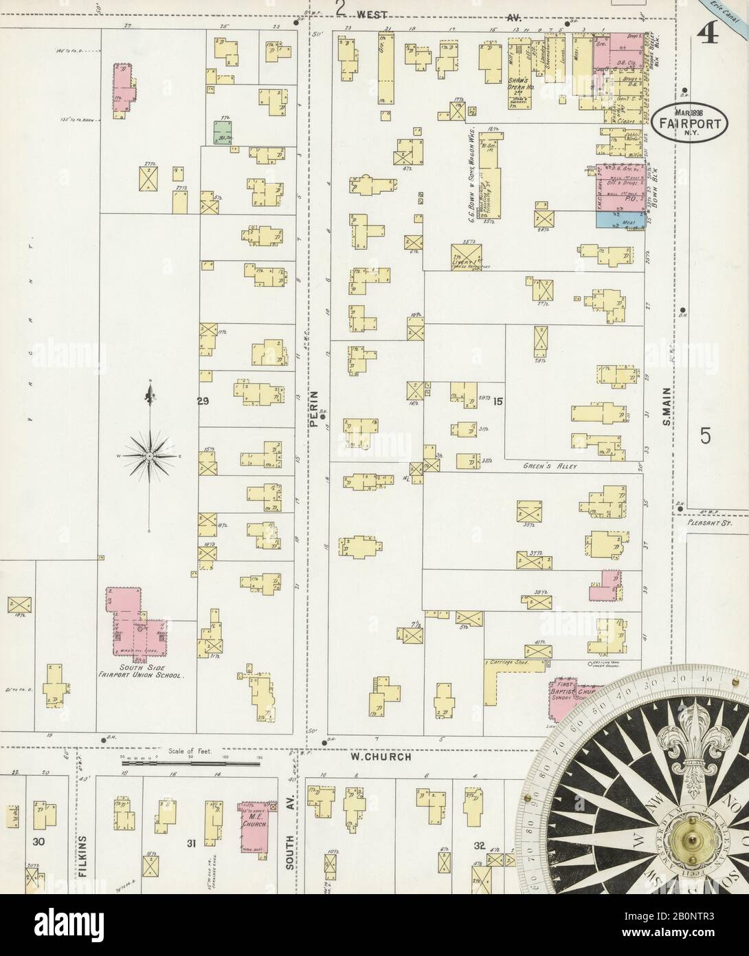 Image 4 of Sanborn Fire Insurance Map from Fairport, Monroe County, New York. Mar 1898. 7 Sheet(s). Includes Penfield, America, street map with a Nineteenth Century compass Stock Photohttps://www.alamy.com/image-license-details/?v=1https://www.alamy.com/image-4-of-sanborn-fire-insurance-map-from-fairport-monroe-county-new-york-mar-1898-7-sheets-includes-penfield-america-street-map-with-a-nineteenth-century-compass-image344687815.html
RM2B0NTR3–Image 4 of Sanborn Fire Insurance Map from Fairport, Monroe County, New York. Mar 1898. 7 Sheet(s). Includes Penfield, America, street map with a Nineteenth Century compass
 Fairport, Muscatine County, US, United States, Iowa, N 41 26' 9'', S 90 54' 16'', map, Cartascapes Map published in 2024. Explore Cartascapes, a map revealing Earth's diverse landscapes, cultures, and ecosystems. Journey through time and space, discovering the interconnectedness of our planet's past, present, and future. Stock Photohttps://www.alamy.com/image-license-details/?v=1https://www.alamy.com/fairport-muscatine-county-us-united-states-iowa-n-41-26-9-s-90-54-16-map-cartascapes-map-published-in-2024-explore-cartascapes-a-map-revealing-earths-diverse-landscapes-cultures-and-ecosystems-journey-through-time-and-space-discovering-the-interconnectedness-of-our-planets-past-present-and-future-image620824137.html
RM2Y20YEH–Fairport, Muscatine County, US, United States, Iowa, N 41 26' 9'', S 90 54' 16'', map, Cartascapes Map published in 2024. Explore Cartascapes, a map revealing Earth's diverse landscapes, cultures, and ecosystems. Journey through time and space, discovering the interconnectedness of our planet's past, present, and future.
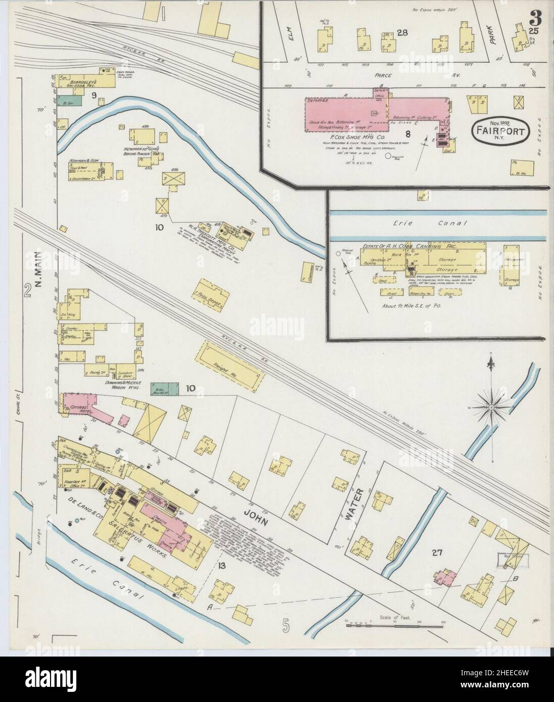 Sanborn Fire Insurance Map from Fairport, Monroe County, New York. Stock Photohttps://www.alamy.com/image-license-details/?v=1https://www.alamy.com/sanborn-fire-insurance-map-from-fairport-monroe-county-new-york-image456391681.html
RM2HEEC6W–Sanborn Fire Insurance Map from Fairport, Monroe County, New York.
 The Arbroath year book and Fairport almanac - directory for Arbroath, Carnoustie, Friockheim and surrounding districts (1926) Stock Photohttps://www.alamy.com/image-license-details/?v=1https://www.alamy.com/stock-photo-the-arbroath-year-book-and-fairport-almanac-directory-for-arbroath-100471885.html
RMFRCTWH–The Arbroath year book and Fairport almanac - directory for Arbroath, Carnoustie, Friockheim and surrounding districts (1926)
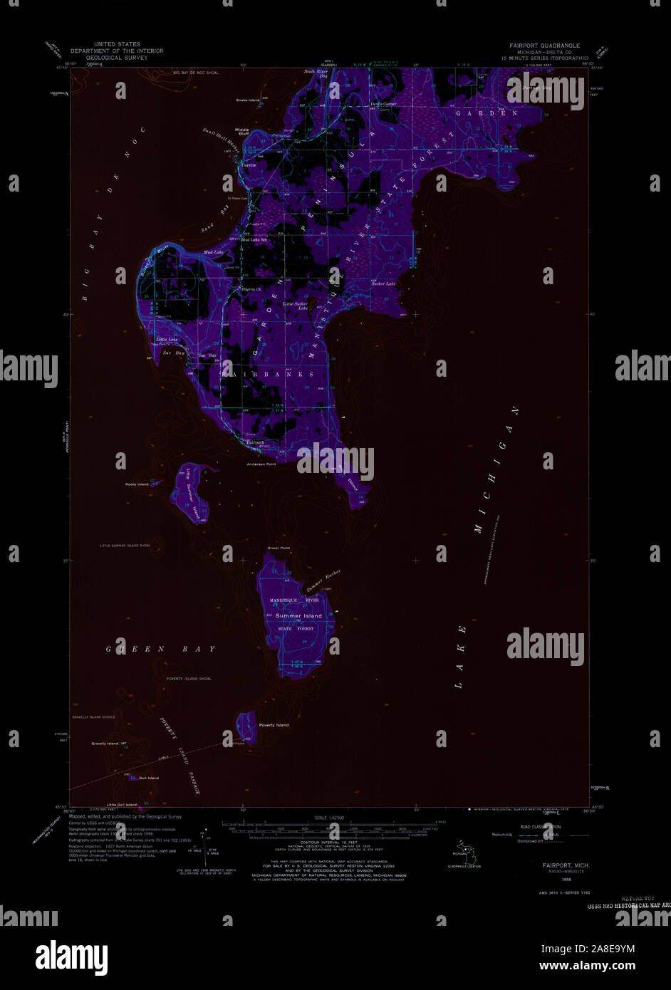 USGS TOPO Map Michigan MI Fairport 278110 1958 62500 Inverted Stock Photohttps://www.alamy.com/image-license-details/?v=1https://www.alamy.com/usgs-topo-map-michigan-mi-fairport-278110-1958-62500-inverted-image332229400.html
RM2A8E9YM–USGS TOPO Map Michigan MI Fairport 278110 1958 62500 Inverted
 Village of Fairport, Monroe County, US, United States, New York, N 43 5' 55'', S 77 26' 33'', map, Cartascapes Map published in 2024. Explore Cartascapes, a map revealing Earth's diverse landscapes, cultures, and ecosystems. Journey through time and space, discovering the interconnectedness of our planet's past, present, and future. Stock Photohttps://www.alamy.com/image-license-details/?v=1https://www.alamy.com/village-of-fairport-monroe-county-us-united-states-new-york-n-43-5-55-s-77-26-33-map-cartascapes-map-published-in-2024-explore-cartascapes-a-map-revealing-earths-diverse-landscapes-cultures-and-ecosystems-journey-through-time-and-space-discovering-the-interconnectedness-of-our-planets-past-present-and-future-image633839326.html
RM2YR5TEP–Village of Fairport, Monroe County, US, United States, New York, N 43 5' 55'', S 77 26' 33'', map, Cartascapes Map published in 2024. Explore Cartascapes, a map revealing Earth's diverse landscapes, cultures, and ecosystems. Journey through time and space, discovering the interconnectedness of our planet's past, present, and future.
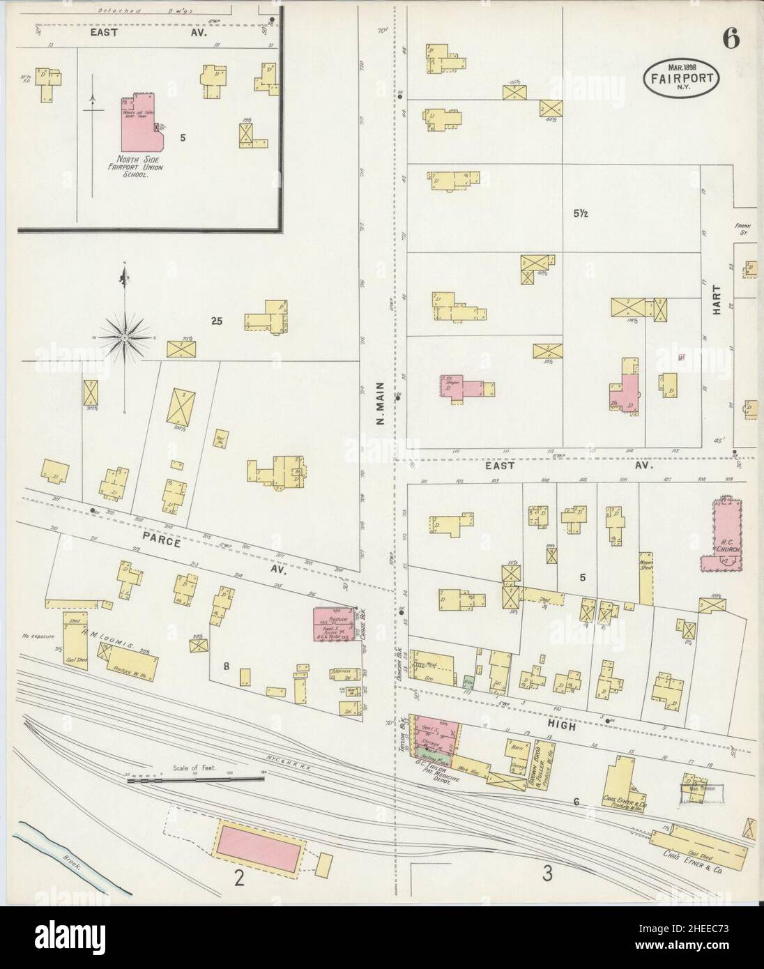 Sanborn Fire Insurance Map from Fairport, Monroe County, New York. Stock Photohttps://www.alamy.com/image-license-details/?v=1https://www.alamy.com/sanborn-fire-insurance-map-from-fairport-monroe-county-new-york-image456391687.html
RM2HEEC73–Sanborn Fire Insurance Map from Fairport, Monroe County, New York.
 The Arbroath year book and Fairport almanac - directory for Arbroath, Carnoustie, Friockheim and surrounding districts (1891) Stock Photohttps://www.alamy.com/image-license-details/?v=1https://www.alamy.com/stock-photo-the-arbroath-year-book-and-fairport-almanac-directory-for-arbroath-100449809.html
RMFRBTN5–The Arbroath year book and Fairport almanac - directory for Arbroath, Carnoustie, Friockheim and surrounding districts (1891)
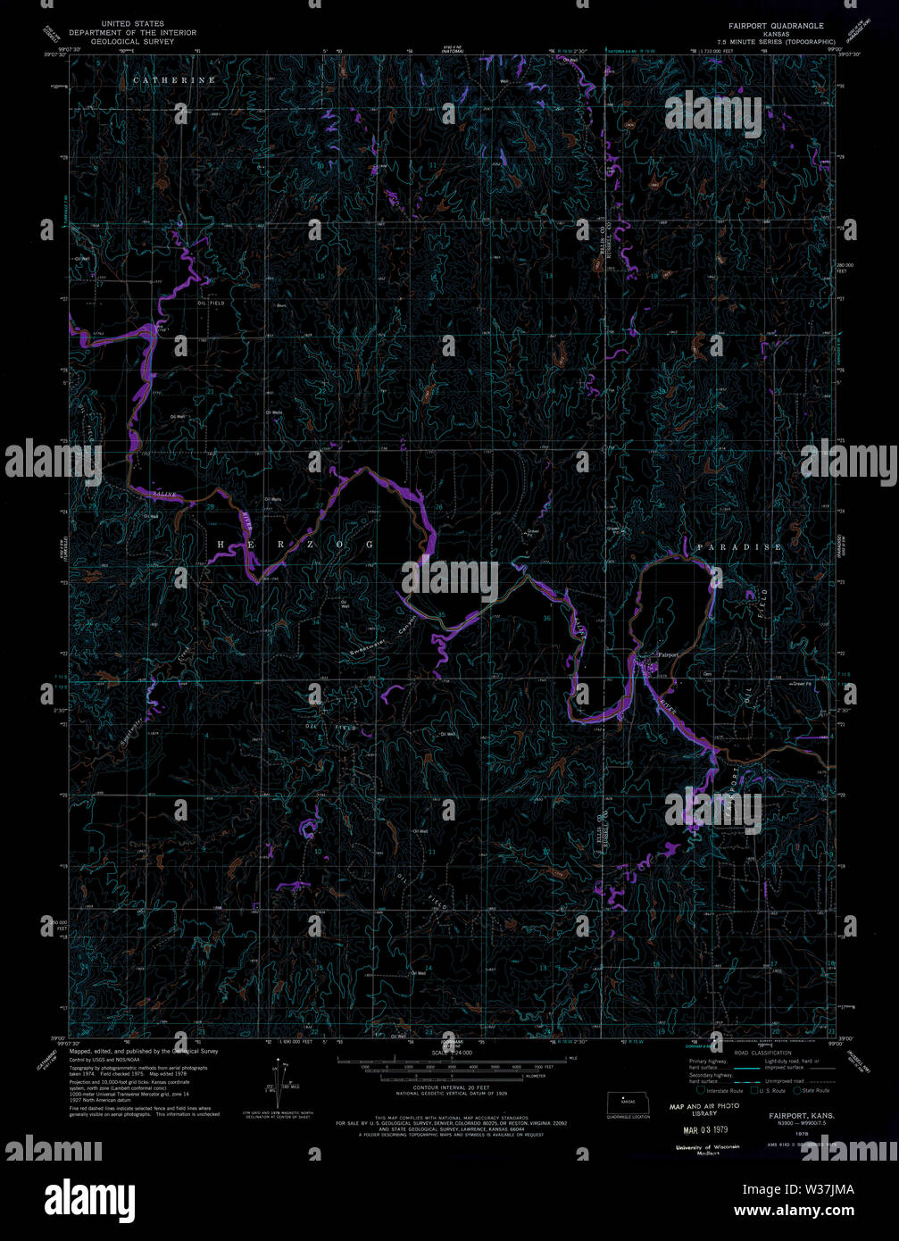 USGS TOPO Map Kansas KS Fairport 511325 1978 24000 Inverted Restoration Stock Photohttps://www.alamy.com/image-license-details/?v=1https://www.alamy.com/usgs-topo-map-kansas-ks-fairport-511325-1978-24000-inverted-restoration-image260167834.html
RMW37JMA–USGS TOPO Map Kansas KS Fairport 511325 1978 24000 Inverted Restoration
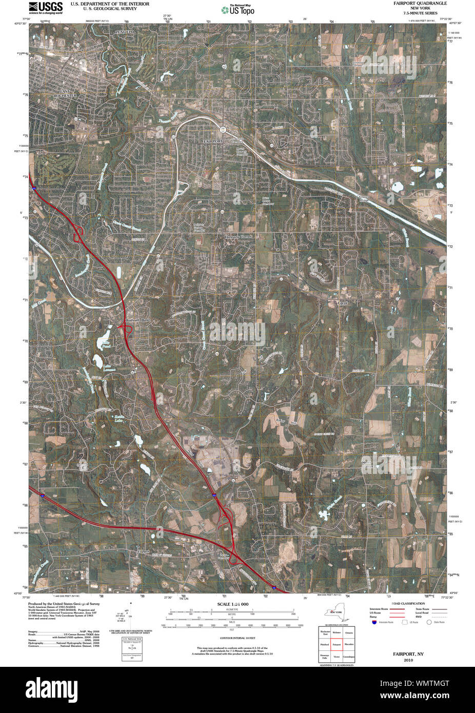 New York NY Fairport 20100427 TM Restoration Stock Photohttps://www.alamy.com/image-license-details/?v=1https://www.alamy.com/new-york-ny-fairport-20100427-tm-restoration-image270991640.html
RMWMTMGT–New York NY Fairport 20100427 TM Restoration
 New York NY Fairport 139532 1932 24000 Restoration Stock Photohttps://www.alamy.com/image-license-details/?v=1https://www.alamy.com/new-york-ny-fairport-139532-1932-24000-restoration-image270991278.html
RMWMTM3X–New York NY Fairport 139532 1932 24000 Restoration
 New York NY Fairport 138131 1952 24000 Restoration Stock Photohttps://www.alamy.com/image-license-details/?v=1https://www.alamy.com/new-york-ny-fairport-138131-1952-24000-restoration-image270989445.html
RMWMTHPD–New York NY Fairport 138131 1952 24000 Restoration
 Village of Fairport, Monroe County, US, United States, New York, N 43 5' 55'', S 77 26' 33'', map, Cartascapes Map published in 2024. Explore Cartascapes, a map revealing Earth's diverse landscapes, cultures, and ecosystems. Journey through time and space, discovering the interconnectedness of our planet's past, present, and future. Stock Photohttps://www.alamy.com/image-license-details/?v=1https://www.alamy.com/village-of-fairport-monroe-county-us-united-states-new-york-n-43-5-55-s-77-26-33-map-cartascapes-map-published-in-2024-explore-cartascapes-a-map-revealing-earths-diverse-landscapes-cultures-and-ecosystems-journey-through-time-and-space-discovering-the-interconnectedness-of-our-planets-past-present-and-future-image633887617.html
RM2YR823D–Village of Fairport, Monroe County, US, United States, New York, N 43 5' 55'', S 77 26' 33'', map, Cartascapes Map published in 2024. Explore Cartascapes, a map revealing Earth's diverse landscapes, cultures, and ecosystems. Journey through time and space, discovering the interconnectedness of our planet's past, present, and future.
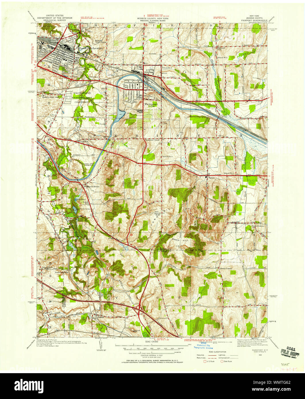 New York NY Fairport 138129 1952 24000 Restoration Stock Photohttps://www.alamy.com/image-license-details/?v=1https://www.alamy.com/new-york-ny-fairport-138129-1952-24000-restoration-image270988202.html
RMWMTG62–New York NY Fairport 138129 1952 24000 Restoration
 Village of Fairport Harbor, Lake County, US, United States, Ohio, N 41 44' 51'', S 81 16' 22'', map, Cartascapes Map published in 2024. Explore Cartascapes, a map revealing Earth's diverse landscapes, cultures, and ecosystems. Journey through time and space, discovering the interconnectedness of our planet's past, present, and future. Stock Photohttps://www.alamy.com/image-license-details/?v=1https://www.alamy.com/village-of-fairport-harbor-lake-county-us-united-states-ohio-n-41-44-51-s-81-16-22-map-cartascapes-map-published-in-2024-explore-cartascapes-a-map-revealing-earths-diverse-landscapes-cultures-and-ecosystems-journey-through-time-and-space-discovering-the-interconnectedness-of-our-planets-past-present-and-future-image633800649.html
RM2YR435D–Village of Fairport Harbor, Lake County, US, United States, Ohio, N 41 44' 51'', S 81 16' 22'', map, Cartascapes Map published in 2024. Explore Cartascapes, a map revealing Earth's diverse landscapes, cultures, and ecosystems. Journey through time and space, discovering the interconnectedness of our planet's past, present, and future.
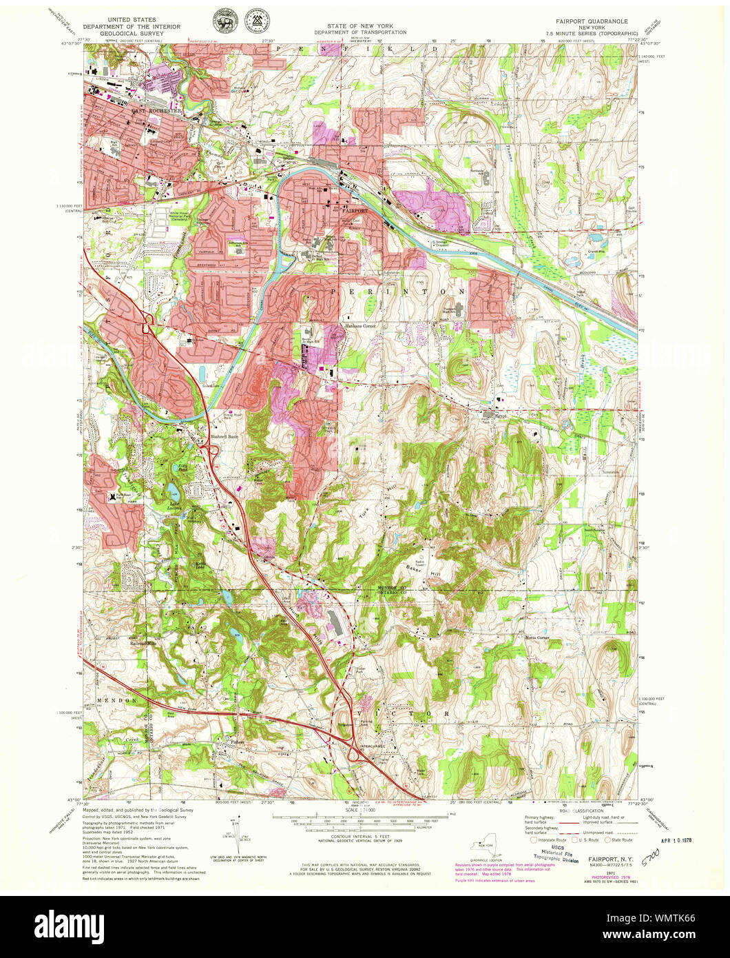 New York NY Fairport 138134 1971 24000 Restoration Stock Photohttps://www.alamy.com/image-license-details/?v=1https://www.alamy.com/new-york-ny-fairport-138134-1971-24000-restoration-image270990558.html
RMWMTK66–New York NY Fairport 138134 1971 24000 Restoration
 Village of Fairport Harbor, Lake County, US, United States, Ohio, N 41 44' 51'', S 81 16' 23'', map, Cartascapes Map published in 2024. Explore Cartascapes, a map revealing Earth's diverse landscapes, cultures, and ecosystems. Journey through time and space, discovering the interconnectedness of our planet's past, present, and future. Stock Photohttps://www.alamy.com/image-license-details/?v=1https://www.alamy.com/village-of-fairport-harbor-lake-county-us-united-states-ohio-n-41-44-51-s-81-16-23-map-cartascapes-map-published-in-2024-explore-cartascapes-a-map-revealing-earths-diverse-landscapes-cultures-and-ecosystems-journey-through-time-and-space-discovering-the-interconnectedness-of-our-planets-past-present-and-future-image633868997.html
RM2YR76AD–Village of Fairport Harbor, Lake County, US, United States, Ohio, N 41 44' 51'', S 81 16' 23'', map, Cartascapes Map published in 2024. Explore Cartascapes, a map revealing Earth's diverse landscapes, cultures, and ecosystems. Journey through time and space, discovering the interconnectedness of our planet's past, present, and future.
 New York NY Fairport 138133 1971 24000 Restoration Stock Photohttps://www.alamy.com/image-license-details/?v=1https://www.alamy.com/new-york-ny-fairport-138133-1971-24000-restoration-image270990173.html
RMWMTJMD–New York NY Fairport 138133 1971 24000 Restoration
 Fairport, Kansas, map 1978, 1:24000, United States of America by Timeless Maps, data U.S. Geological Survey Stock Photohttps://www.alamy.com/image-license-details/?v=1https://www.alamy.com/fairport-kansas-map-1978-124000-united-states-of-america-by-timeless-maps-data-us-geological-survey-image406483743.html
RM2EH8X4F–Fairport, Kansas, map 1978, 1:24000, United States of America by Timeless Maps, data U.S. Geological Survey
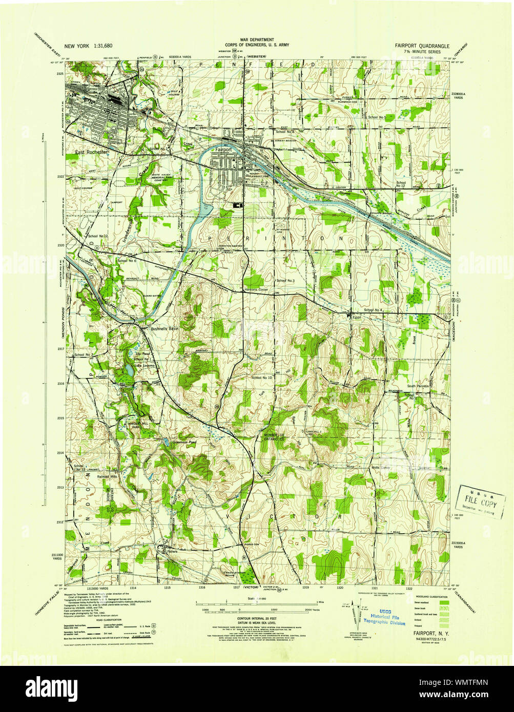 New York NY Fairport 138127 1943 31680 Restoration Stock Photohttps://www.alamy.com/image-license-details/?v=1https://www.alamy.com/new-york-ny-fairport-138127-1943-31680-restoration-image270987829.html
RMWMTFMN–New York NY Fairport 138127 1943 31680 Restoration
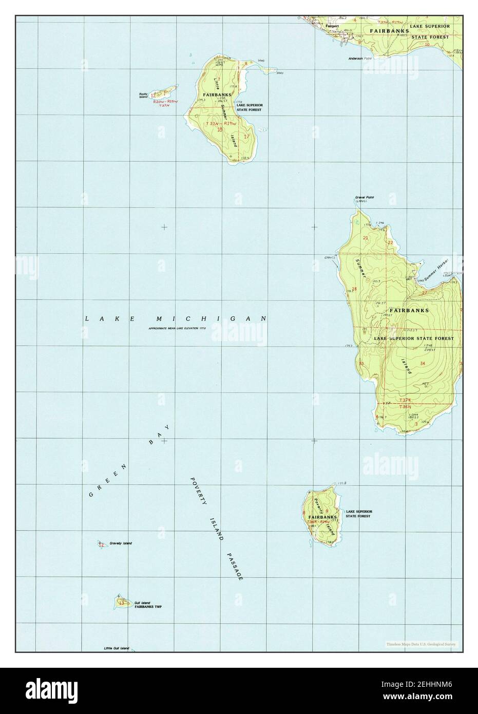 Fairport, Michigan, map 1985, 1:24000, United States of America by Timeless Maps, data U.S. Geological Survey Stock Photohttps://www.alamy.com/image-license-details/?v=1https://www.alamy.com/fairport-michigan-map-1985-124000-united-states-of-america-by-timeless-maps-data-us-geological-survey-image406677830.html
RM2EHHNM6–Fairport, Michigan, map 1985, 1:24000, United States of America by Timeless Maps, data U.S. Geological Survey
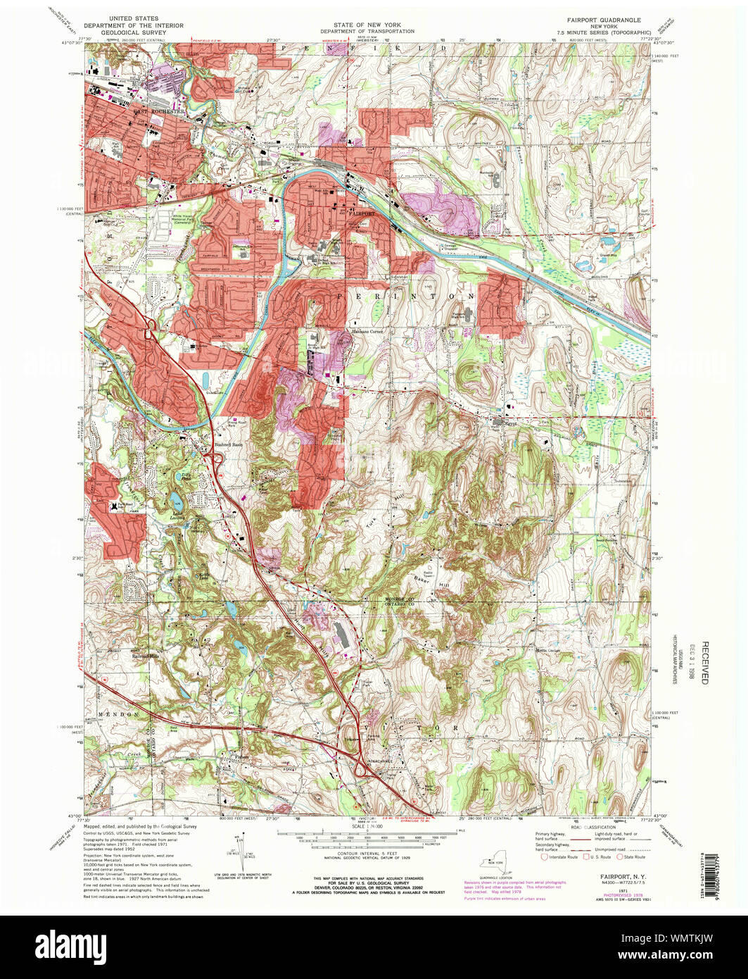 New York NY Fairport 138135 1971 24000 Restoration Stock Photohttps://www.alamy.com/image-license-details/?v=1https://www.alamy.com/new-york-ny-fairport-138135-1971-24000-restoration-image270990913.html
RMWMTKJW–New York NY Fairport 138135 1971 24000 Restoration
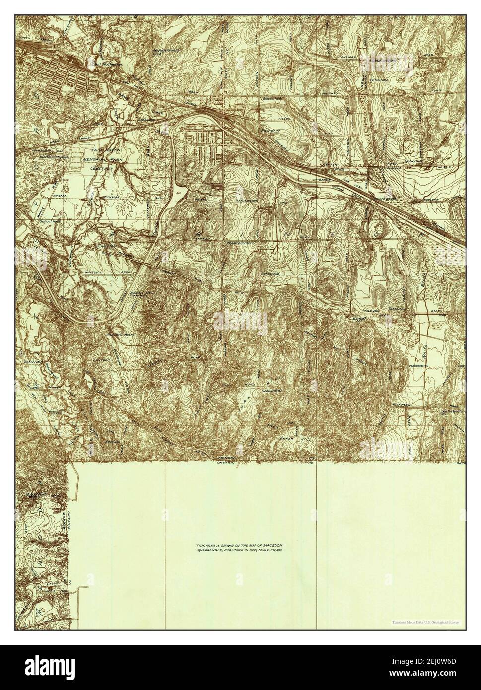 Fairport, New York, map 1932, 1:24000, United States of America by Timeless Maps, data U.S. Geological Survey Stock Photohttps://www.alamy.com/image-license-details/?v=1https://www.alamy.com/fairport-new-york-map-1932-124000-united-states-of-america-by-timeless-maps-data-us-geological-survey-image406922053.html
RM2EJ0W6D–Fairport, New York, map 1932, 1:24000, United States of America by Timeless Maps, data U.S. Geological Survey
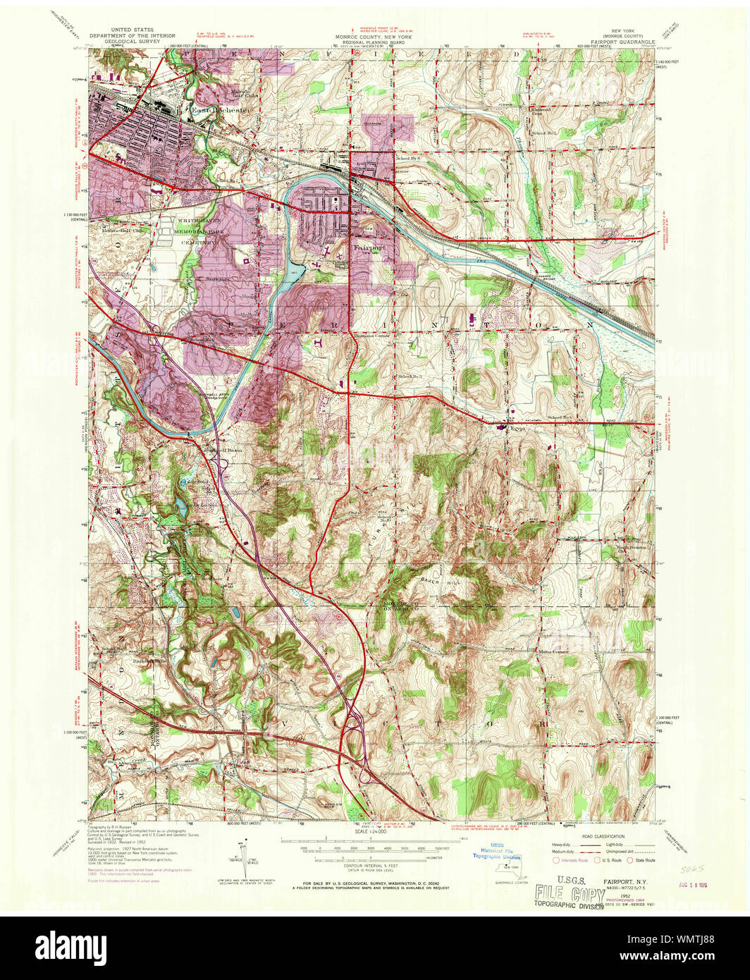 New York NY Fairport 138132 1952 24000 Restoration Stock Photohttps://www.alamy.com/image-license-details/?v=1https://www.alamy.com/new-york-ny-fairport-138132-1952-24000-restoration-image270989832.html
RMWMTJ88–New York NY Fairport 138132 1952 24000 Restoration
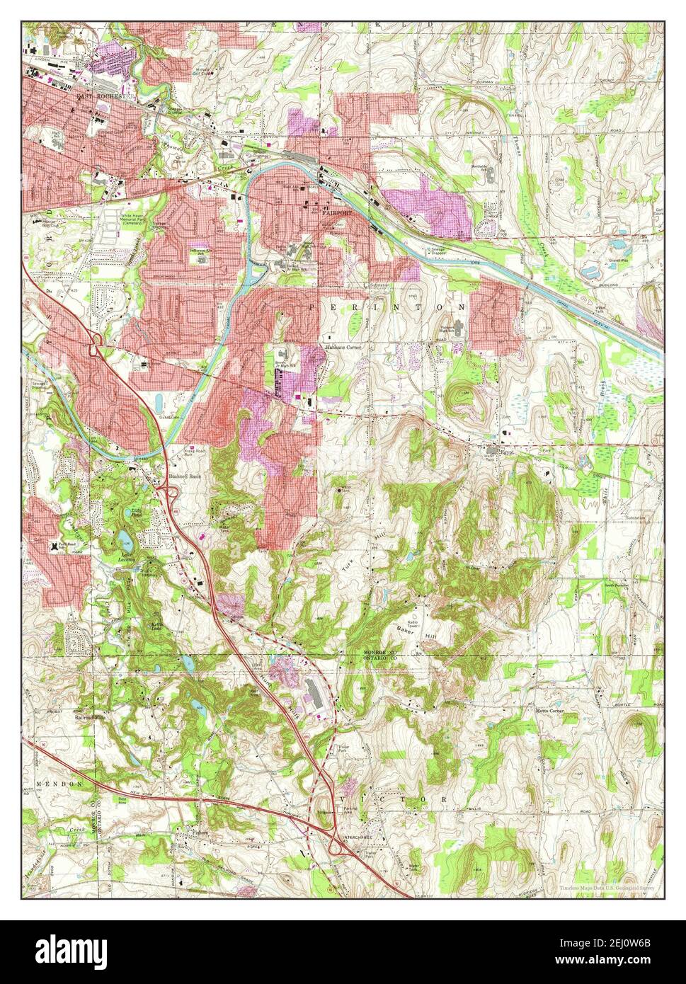 Fairport, New York, map 1971, 1:24000, United States of America by Timeless Maps, data U.S. Geological Survey Stock Photohttps://www.alamy.com/image-license-details/?v=1https://www.alamy.com/fairport-new-york-map-1971-124000-united-states-of-america-by-timeless-maps-data-us-geological-survey-image406922051.html
RM2EJ0W6B–Fairport, New York, map 1971, 1:24000, United States of America by Timeless Maps, data U.S. Geological Survey
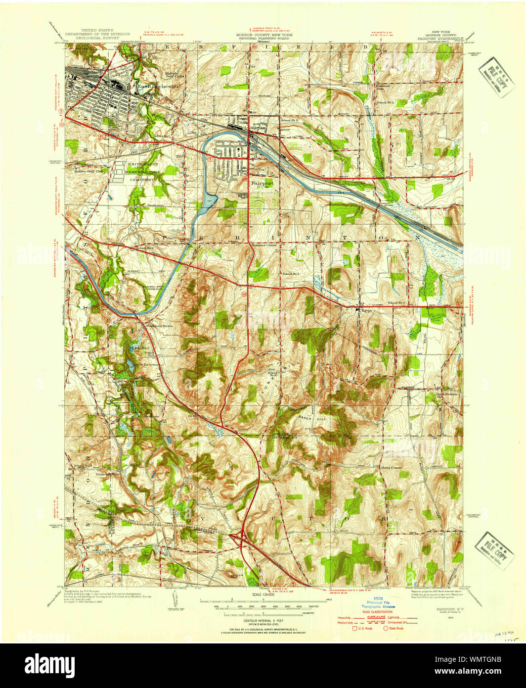 New York NY Fairport 138130 1952 24000 Restoration Stock Photohttps://www.alamy.com/image-license-details/?v=1https://www.alamy.com/new-york-ny-fairport-138130-1952-24000-restoration-image270988631.html
RMWMTGNB–New York NY Fairport 138130 1952 24000 Restoration
 New York NY Fairport 138126 1934 24000 Restoration Stock Photohttps://www.alamy.com/image-license-details/?v=1https://www.alamy.com/new-york-ny-fairport-138126-1934-24000-restoration-image270987465.html
RMWMTF7N–New York NY Fairport 138126 1934 24000 Restoration
 New York NY Fairport 20100427 TM Inverted Restoration Stock Photohttps://www.alamy.com/image-license-details/?v=1https://www.alamy.com/new-york-ny-fairport-20100427-tm-inverted-restoration-image270991652.html
RMWMTMH8–New York NY Fairport 20100427 TM Inverted Restoration
 New York NY Fairport 139532 1932 24000 Inverted Restoration Stock Photohttps://www.alamy.com/image-license-details/?v=1https://www.alamy.com/new-york-ny-fairport-139532-1932-24000-inverted-restoration-image270991281.html
RMWMTM41–New York NY Fairport 139532 1932 24000 Inverted Restoration
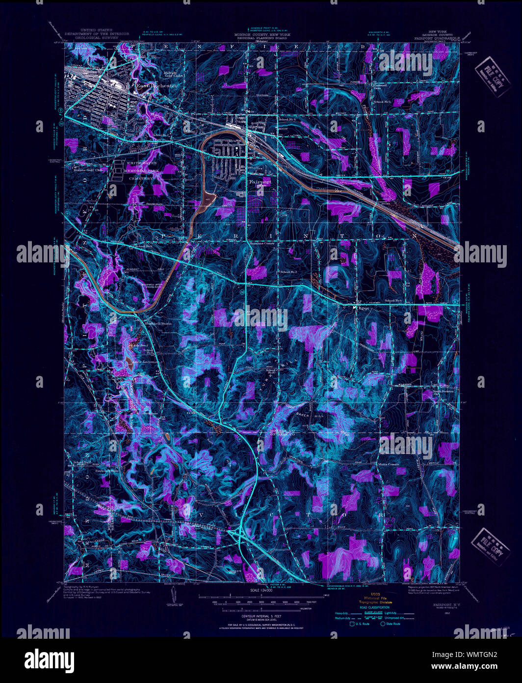 New York NY Fairport 138130 1952 24000 Inverted Restoration Stock Photohttps://www.alamy.com/image-license-details/?v=1https://www.alamy.com/new-york-ny-fairport-138130-1952-24000-inverted-restoration-image270988622.html
RMWMTGN2–New York NY Fairport 138130 1952 24000 Inverted Restoration
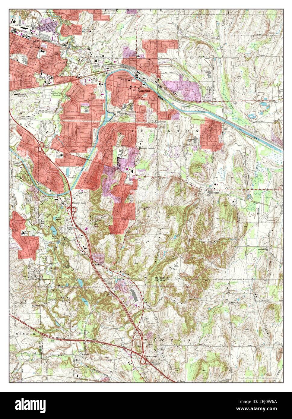 Fairport, New York, map 1971, 1:24000, United States of America by Timeless Maps, data U.S. Geological Survey Stock Photohttps://www.alamy.com/image-license-details/?v=1https://www.alamy.com/fairport-new-york-map-1971-124000-united-states-of-america-by-timeless-maps-data-us-geological-survey-image406922050.html
RM2EJ0W6A–Fairport, New York, map 1971, 1:24000, United States of America by Timeless Maps, data U.S. Geological Survey
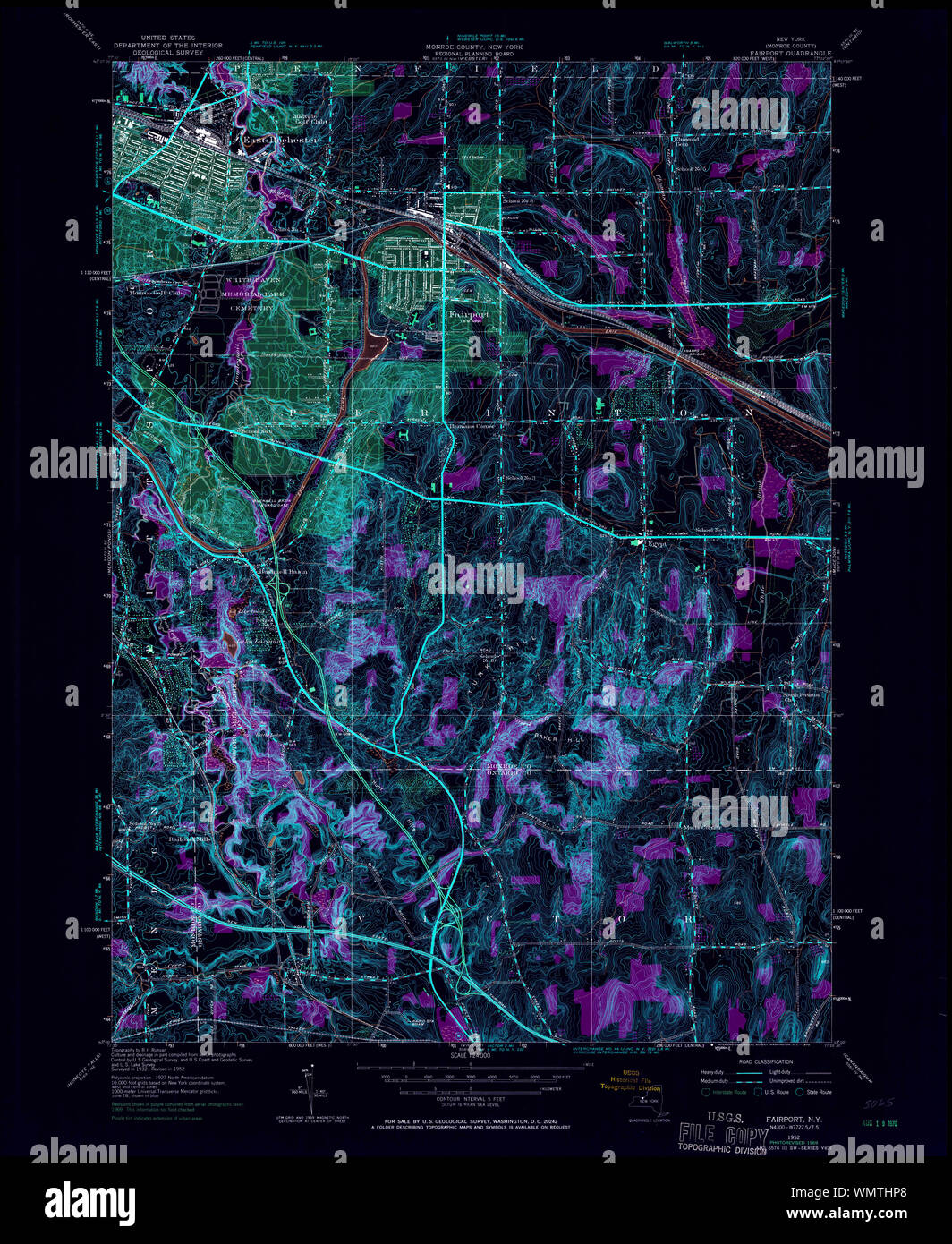 New York NY Fairport 138132 1952 24000 Inverted Restoration Stock Photohttps://www.alamy.com/image-license-details/?v=1https://www.alamy.com/new-york-ny-fairport-138132-1952-24000-inverted-restoration-image270989440.html
RMWMTHP8–New York NY Fairport 138132 1952 24000 Inverted Restoration
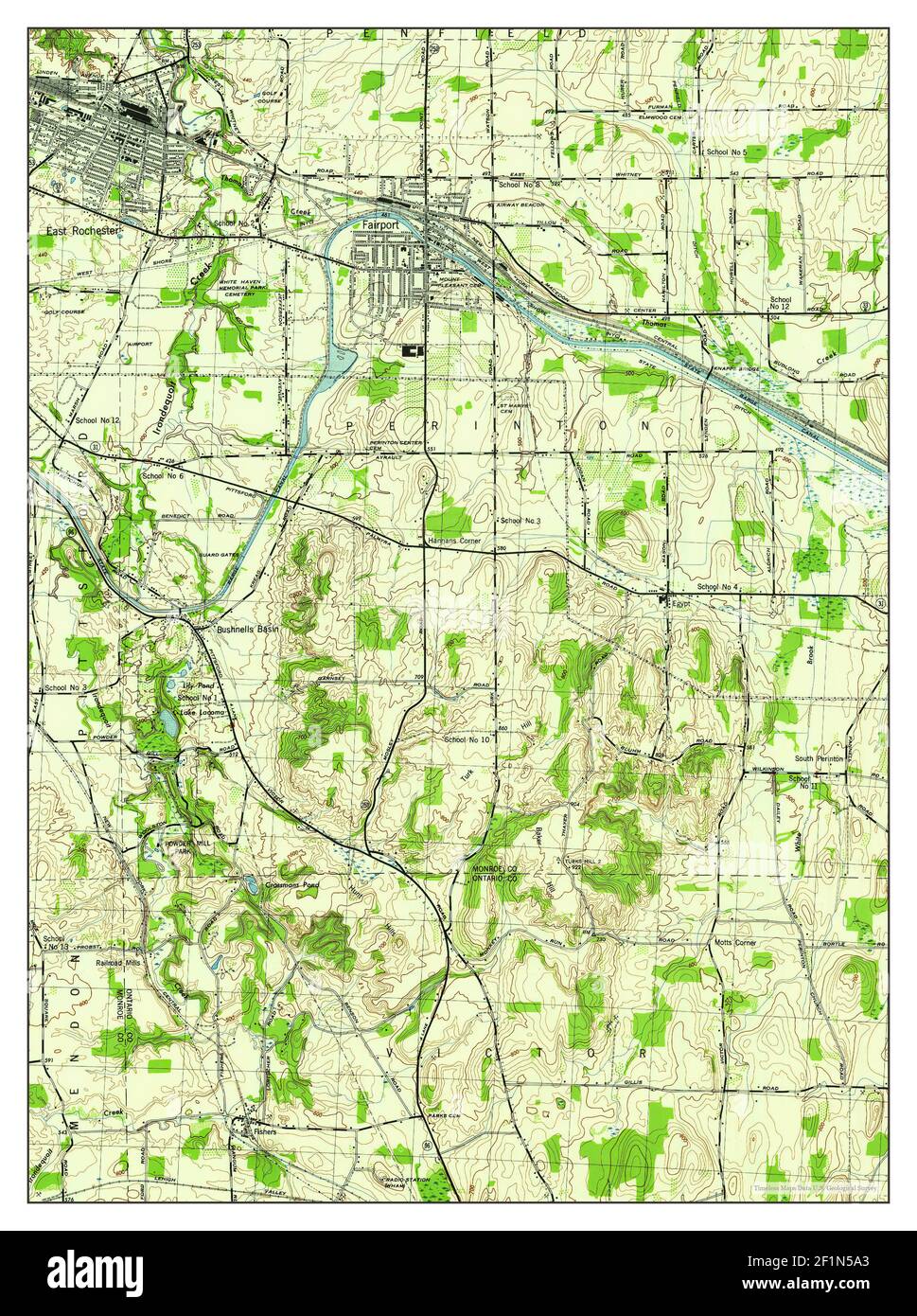 Fairport, New York, map 1943, 1:31680, United States of America by Timeless Maps, data U.S. Geological Survey Stock Photohttps://www.alamy.com/image-license-details/?v=1https://www.alamy.com/fairport-new-york-map-1943-131680-united-states-of-america-by-timeless-maps-data-us-geological-survey-image414128683.html
RM2F1N5A3–Fairport, New York, map 1943, 1:31680, United States of America by Timeless Maps, data U.S. Geological Survey
 New York NY Fairport 138131 1952 24000 Inverted Restoration Stock Photohttps://www.alamy.com/image-license-details/?v=1https://www.alamy.com/new-york-ny-fairport-138131-1952-24000-inverted-restoration-image270989048.html
RMWMTH88–New York NY Fairport 138131 1952 24000 Inverted Restoration
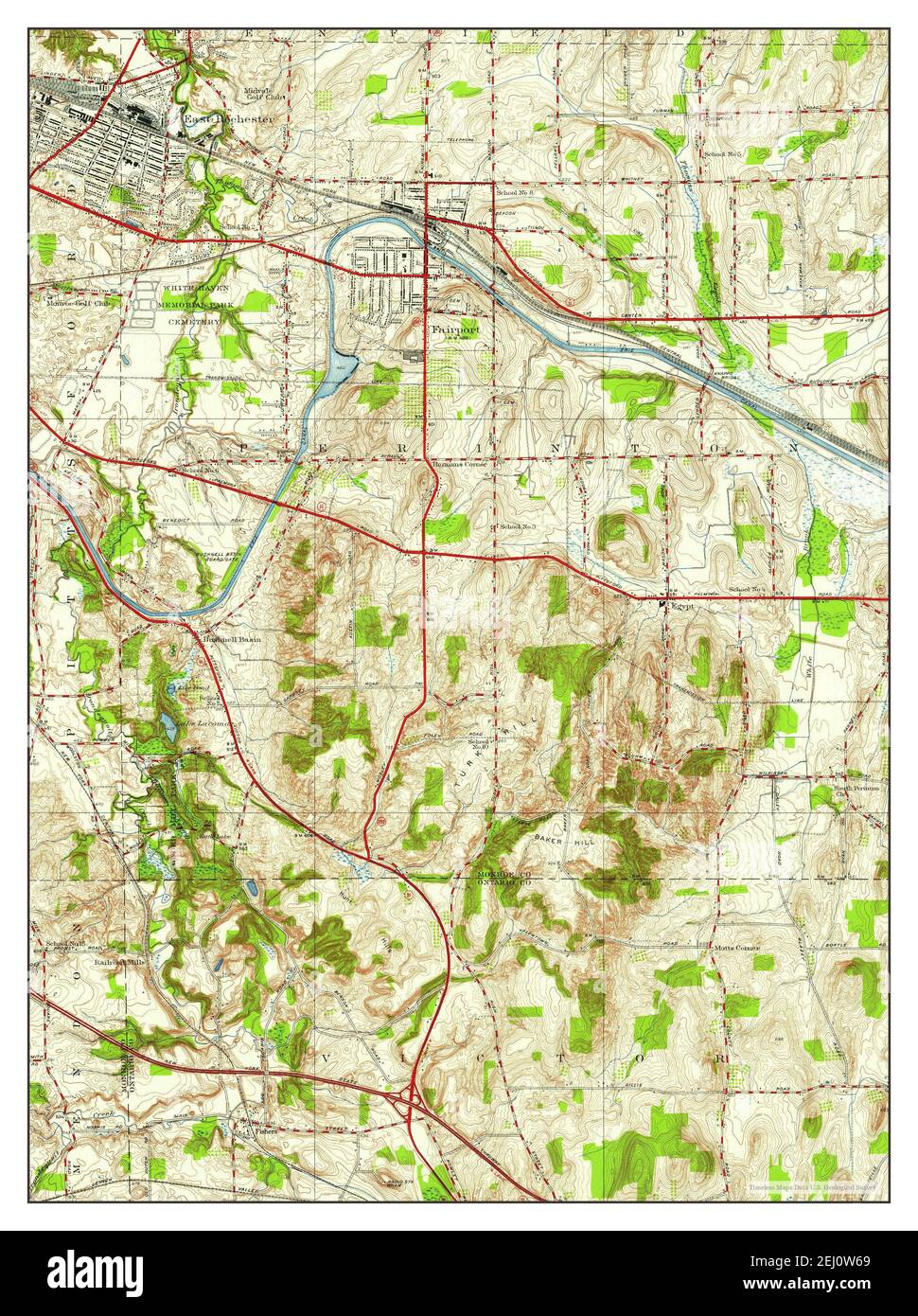 Fairport, New York, map 1952, 1:24000, United States of America by Timeless Maps, data U.S. Geological Survey Stock Photohttps://www.alamy.com/image-license-details/?v=1https://www.alamy.com/fairport-new-york-map-1952-124000-united-states-of-america-by-timeless-maps-data-us-geological-survey-image406922049.html
RM2EJ0W69–Fairport, New York, map 1952, 1:24000, United States of America by Timeless Maps, data U.S. Geological Survey
 New York NY Fairport 138127 1943 31680 Inverted Restoration Stock Photohttps://www.alamy.com/image-license-details/?v=1https://www.alamy.com/new-york-ny-fairport-138127-1943-31680-inverted-restoration-image270987819.html
RMWMTFMB–New York NY Fairport 138127 1943 31680 Inverted Restoration
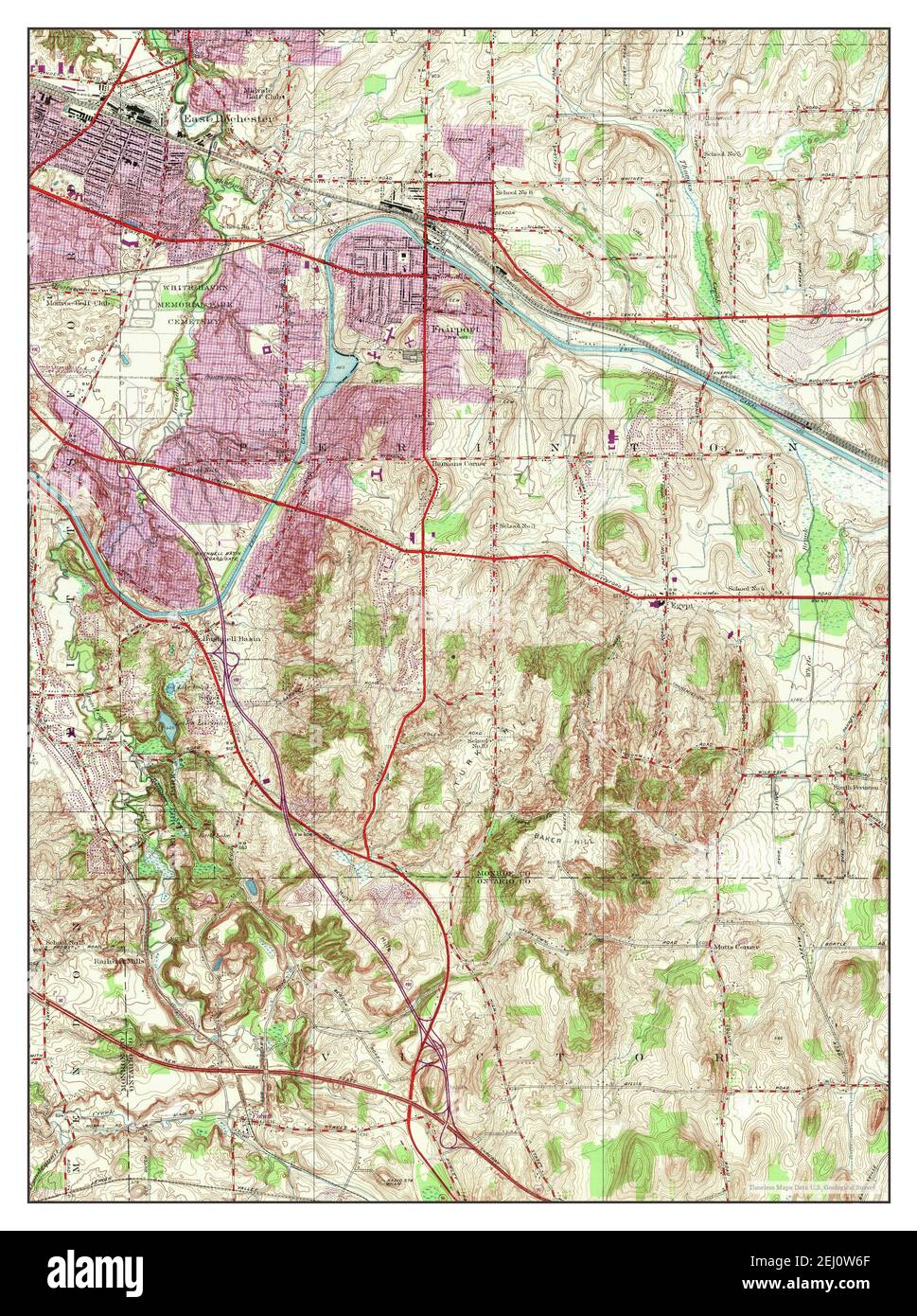 Fairport, New York, map 1952, 1:24000, United States of America by Timeless Maps, data U.S. Geological Survey Stock Photohttps://www.alamy.com/image-license-details/?v=1https://www.alamy.com/fairport-new-york-map-1952-124000-united-states-of-america-by-timeless-maps-data-us-geological-survey-image406922055.html
RM2EJ0W6F–Fairport, New York, map 1952, 1:24000, United States of America by Timeless Maps, data U.S. Geological Survey