Map of frankston texas Cut Out Stock Images
 Frankston, Anderson County, US, United States, Texas, N 32 3' 9'', S 95 30' 22'', map, Cartascapes Map published in 2024. Explore Cartascapes, a map revealing Earth's diverse landscapes, cultures, and ecosystems. Journey through time and space, discovering the interconnectedness of our planet's past, present, and future. Stock Photohttps://www.alamy.com/image-license-details/?v=1https://www.alamy.com/frankston-anderson-county-us-united-states-texas-n-32-3-9-s-95-30-22-map-cartascapes-map-published-in-2024-explore-cartascapes-a-map-revealing-earths-diverse-landscapes-cultures-and-ecosystems-journey-through-time-and-space-discovering-the-interconnectedness-of-our-planets-past-present-and-future-image621328370.html
RM2Y2RXJX–Frankston, Anderson County, US, United States, Texas, N 32 3' 9'', S 95 30' 22'', map, Cartascapes Map published in 2024. Explore Cartascapes, a map revealing Earth's diverse landscapes, cultures, and ecosystems. Journey through time and space, discovering the interconnectedness of our planet's past, present, and future.
 Frankston, Anderson County, US, United States, Texas, N 32 3' 9'', S 95 30' 22'', map, Cartascapes Map published in 2024. Explore Cartascapes, a map revealing Earth's diverse landscapes, cultures, and ecosystems. Journey through time and space, discovering the interconnectedness of our planet's past, present, and future. Stock Photohttps://www.alamy.com/image-license-details/?v=1https://www.alamy.com/frankston-anderson-county-us-united-states-texas-n-32-3-9-s-95-30-22-map-cartascapes-map-published-in-2024-explore-cartascapes-a-map-revealing-earths-diverse-landscapes-cultures-and-ecosystems-journey-through-time-and-space-discovering-the-interconnectedness-of-our-planets-past-present-and-future-image620814392.html
RM2Y20F2G–Frankston, Anderson County, US, United States, Texas, N 32 3' 9'', S 95 30' 22'', map, Cartascapes Map published in 2024. Explore Cartascapes, a map revealing Earth's diverse landscapes, cultures, and ecosystems. Journey through time and space, discovering the interconnectedness of our planet's past, present, and future.
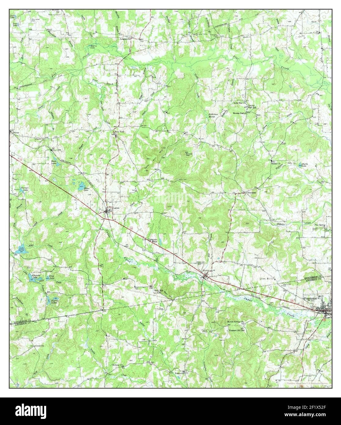
 Frankston, Texas, map 1949, 1:62500, United States of America by Timeless Maps, data U.S. Geological Survey Stock Photohttps://www.alamy.com/image-license-details/?v=1https://www.alamy.com/frankston-texas-map-1949-162500-united-states-of-america-by-timeless-maps-data-us-geological-survey-image414238231.html
RM2F1X52F–Frankston, Texas, map 1949, 1:62500, United States of America by Timeless Maps, data U.S. Geological Survey
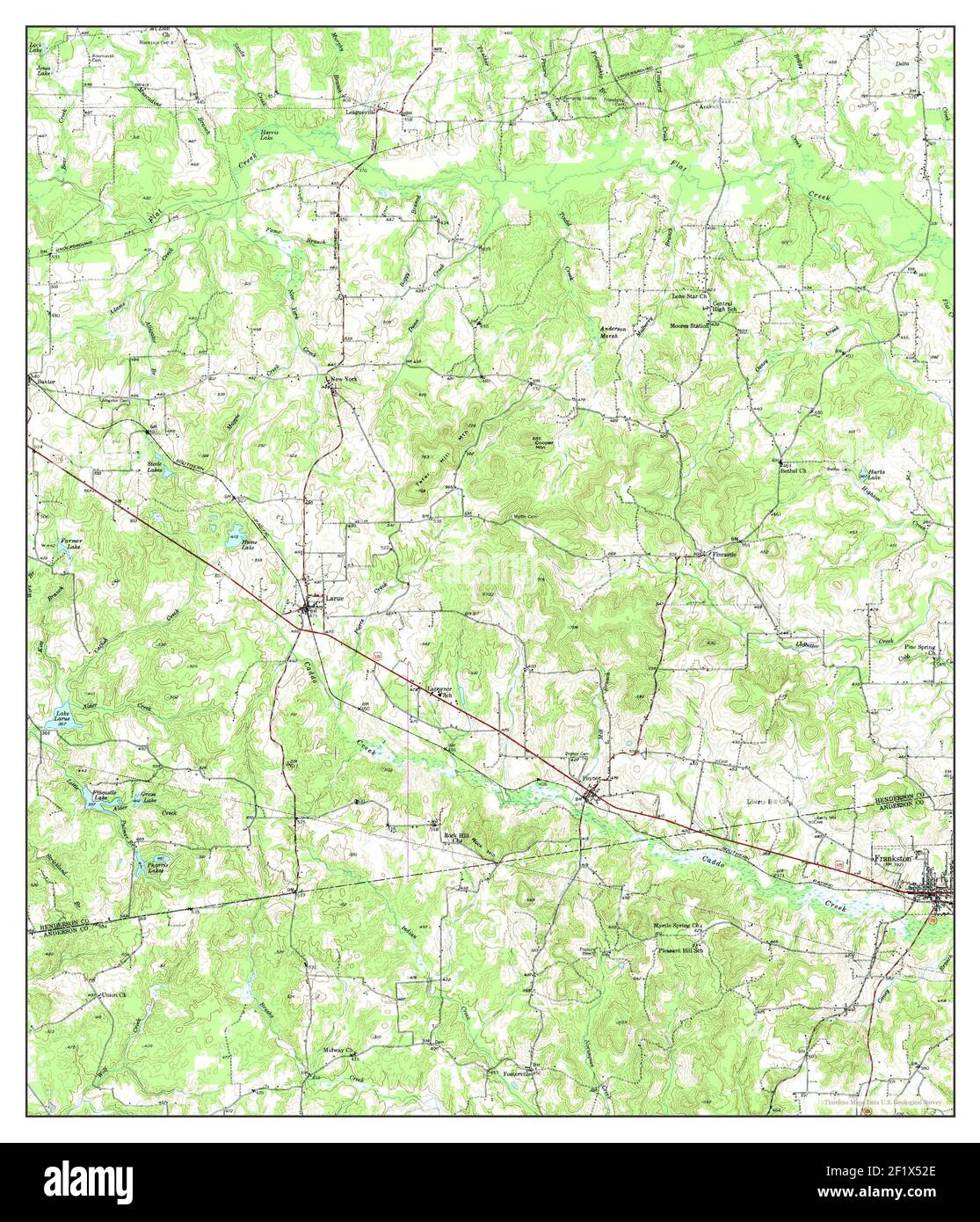
 Frankston, Texas, map 1949, 1:62500, United States of America by Timeless Maps, data U.S. Geological Survey Stock Photohttps://www.alamy.com/image-license-details/?v=1https://www.alamy.com/frankston-texas-map-1949-162500-united-states-of-america-by-timeless-maps-data-us-geological-survey-image414238230.html
RM2F1X52E–Frankston, Texas, map 1949, 1:62500, United States of America by Timeless Maps, data U.S. Geological Survey
 Frankston, Texas, map 1950, 1:62500, United States of America by Timeless Maps, data U.S. Geological Survey Stock Photohttps://www.alamy.com/image-license-details/?v=1https://www.alamy.com/frankston-texas-map-1950-162500-united-states-of-america-by-timeless-maps-data-us-geological-survey-image414238445.html
RM2F1X5A5–Frankston, Texas, map 1950, 1:62500, United States of America by Timeless Maps, data U.S. Geological Survey
 Frankston, Texas, map 1949, 1:62500, United States of America by Timeless Maps, data U.S. Geological Survey Stock Photohttps://www.alamy.com/image-license-details/?v=1https://www.alamy.com/frankston-texas-map-1949-162500-united-states-of-america-by-timeless-maps-data-us-geological-survey-image414238223.html
RM2F1X527–Frankston, Texas, map 1949, 1:62500, United States of America by Timeless Maps, data U.S. Geological Survey