Quick filters:
Map of friend nebraska Stock Photos and Images
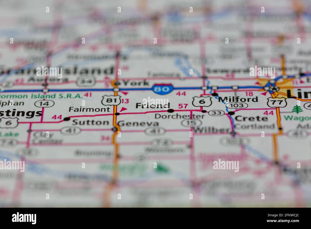 Friend Nebraska USA Shown on a Geography map or Road map Stock Photohttps://www.alamy.com/image-license-details/?v=1https://www.alamy.com/friend-nebraska-usa-shown-on-a-geography-map-or-road-map-image426515332.html
RM2FNWCJC–Friend Nebraska USA Shown on a Geography map or Road map
 Friend, Saline County, US, United States, Nebraska, N 40 39' 13'', S 97 17' 10'', map, Cartascapes Map published in 2024. Explore Cartascapes, a map revealing Earth's diverse landscapes, cultures, and ecosystems. Journey through time and space, discovering the interconnectedness of our planet's past, present, and future. Stock Photohttps://www.alamy.com/image-license-details/?v=1https://www.alamy.com/friend-saline-county-us-united-states-nebraska-n-40-39-13-s-97-17-10-map-cartascapes-map-published-in-2024-explore-cartascapes-a-map-revealing-earths-diverse-landscapes-cultures-and-ecosystems-journey-through-time-and-space-discovering-the-interconnectedness-of-our-planets-past-present-and-future-image621328608.html
RM2Y2RXYC–Friend, Saline County, US, United States, Nebraska, N 40 39' 13'', S 97 17' 10'', map, Cartascapes Map published in 2024. Explore Cartascapes, a map revealing Earth's diverse landscapes, cultures, and ecosystems. Journey through time and space, discovering the interconnectedness of our planet's past, present, and future.
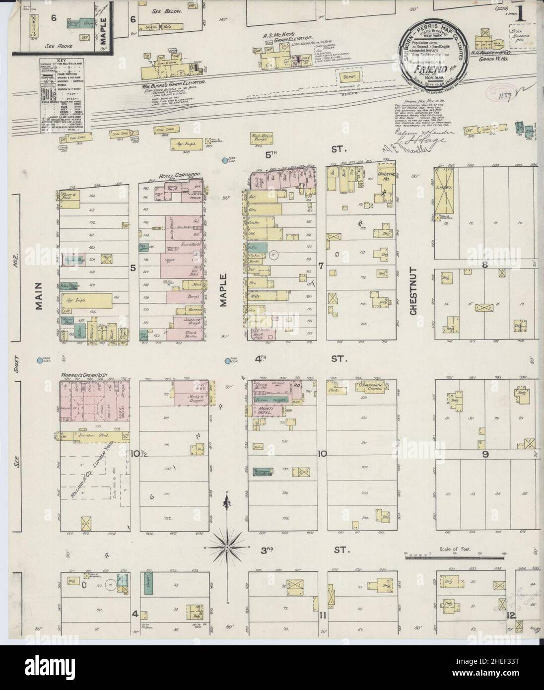 Sanborn Fire Insurance Map from Friend, Saline County, Nebraska. Stock Photohttps://www.alamy.com/image-license-details/?v=1https://www.alamy.com/sanborn-fire-insurance-map-from-friend-saline-county-nebraska-image456406492.html
RM2HEF33T–Sanborn Fire Insurance Map from Friend, Saline County, Nebraska.
 Huebinger's map and guide for Omaha-Denver transcontinental route; . Friend, Nebraska, is one of the principal business towns of thestate, and has a population of fourteen hundred souls. Its location is onthe main line of the Burlington 38 miles west of Lincoln. It has eightmail trains a day and also excellent train service. The Hotel Coronado is first class, has steam heat, light and waterin all rooms. Millers Hotel is also a good hostlery. Then there areDieberts Cafe, and W. H. True & Co., restaurants where short ordersare served. Naturally the tourist is interested in the garages of Friend. Stock Photohttps://www.alamy.com/image-license-details/?v=1https://www.alamy.com/huebingers-map-and-guide-for-omaha-denver-transcontinental-route-friend-nebraska-is-one-of-the-principal-business-towns-of-thestate-and-has-a-population-of-fourteen-hundred-souls-its-location-is-onthe-main-line-of-the-burlington-38-miles-west-of-lincoln-it-has-eightmail-trains-a-day-and-also-excellent-train-service-the-hotel-coronado-is-first-class-has-steam-heat-light-and-waterin-all-rooms-millers-hotel-is-also-a-good-hostlery-then-there-aredieberts-cafe-and-w-h-true-co-restaurants-where-short-ordersare-served-naturally-the-tourist-is-interested-in-the-garages-of-friend-image340012480.html
RM2AN4WAT–Huebinger's map and guide for Omaha-Denver transcontinental route; . Friend, Nebraska, is one of the principal business towns of thestate, and has a population of fourteen hundred souls. Its location is onthe main line of the Burlington 38 miles west of Lincoln. It has eightmail trains a day and also excellent train service. The Hotel Coronado is first class, has steam heat, light and waterin all rooms. Millers Hotel is also a good hostlery. Then there areDieberts Cafe, and W. H. True & Co., restaurants where short ordersare served. Naturally the tourist is interested in the garages of Friend.
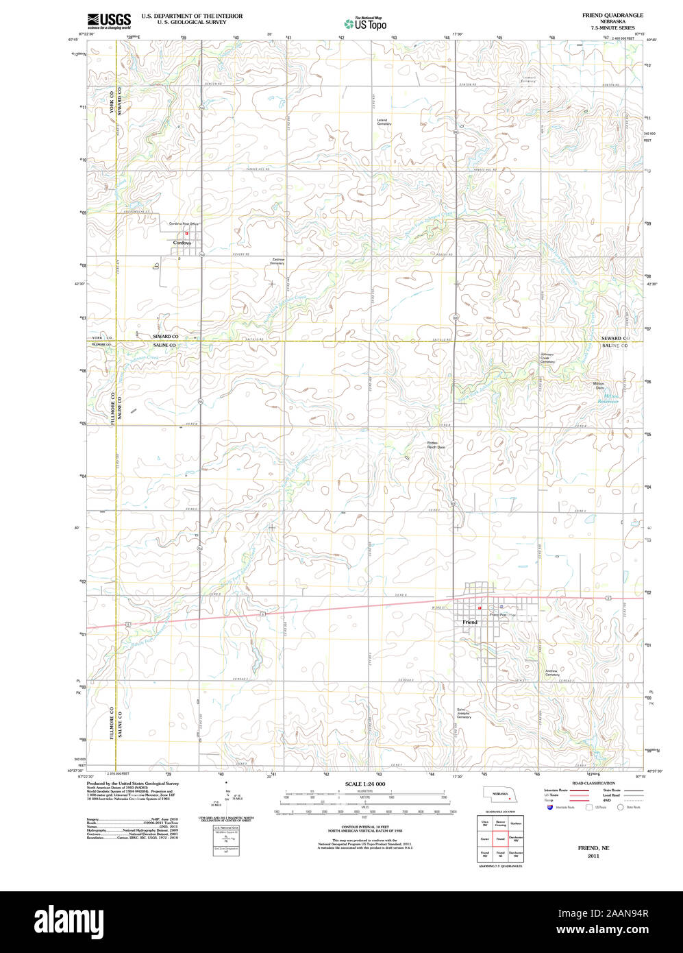 USGS TOPO Map Nebraska NE Friend 20111027 TM Restoration Stock Photohttps://www.alamy.com/image-license-details/?v=1https://www.alamy.com/usgs-topo-map-nebraska-ne-friend-20111027-tm-restoration-image333611735.html
RM2AAN94R–USGS TOPO Map Nebraska NE Friend 20111027 TM Restoration
 Image taken from page 323 of 'Nebraska, its advantages, resources, and drawbacks. Illustrated' Image taken from page 323 of 'Nebraska, its advantages, resources, Stock Photohttps://www.alamy.com/image-license-details/?v=1https://www.alamy.com/stock-photo-image-taken-from-page-323-of-nebraska-its-advantages-resources-and-130138756.html
RMHFM98M–Image taken from page 323 of 'Nebraska, its advantages, resources, and drawbacks. Illustrated' Image taken from page 323 of 'Nebraska, its advantages, resources,
 Friend, Saline County, US, United States, Nebraska, N 40 39' 13'', S 97 17' 10'', map, Cartascapes Map published in 2024. Explore Cartascapes, a map revealing Earth's diverse landscapes, cultures, and ecosystems. Journey through time and space, discovering the interconnectedness of our planet's past, present, and future. Stock Photohttps://www.alamy.com/image-license-details/?v=1https://www.alamy.com/friend-saline-county-us-united-states-nebraska-n-40-39-13-s-97-17-10-map-cartascapes-map-published-in-2024-explore-cartascapes-a-map-revealing-earths-diverse-landscapes-cultures-and-ecosystems-journey-through-time-and-space-discovering-the-interconnectedness-of-our-planets-past-present-and-future-image620652145.html
RM2Y1N441–Friend, Saline County, US, United States, Nebraska, N 40 39' 13'', S 97 17' 10'', map, Cartascapes Map published in 2024. Explore Cartascapes, a map revealing Earth's diverse landscapes, cultures, and ecosystems. Journey through time and space, discovering the interconnectedness of our planet's past, present, and future.
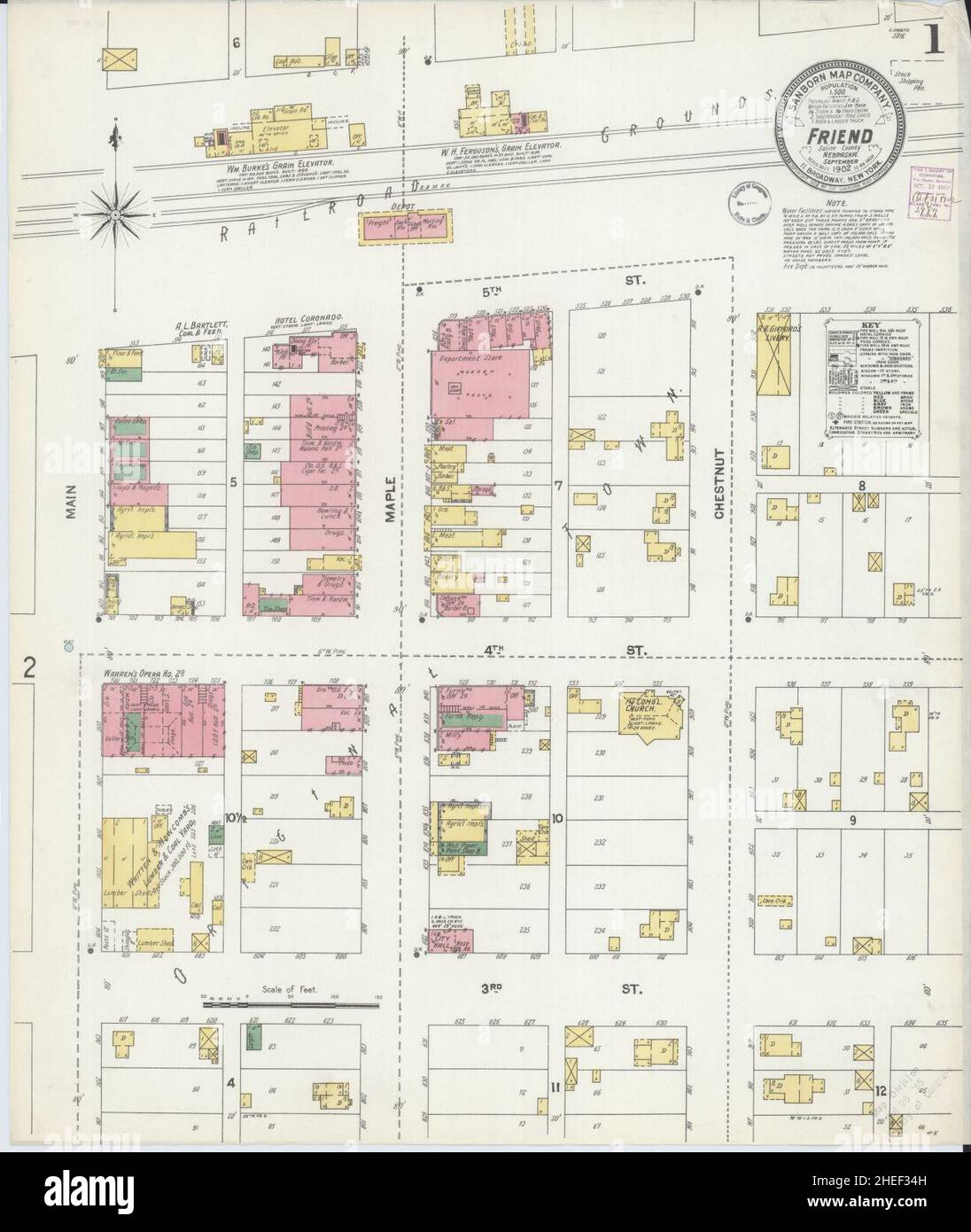 Sanborn Fire Insurance Map from Friend, Saline County, Nebraska. Stock Photohttps://www.alamy.com/image-license-details/?v=1https://www.alamy.com/sanborn-fire-insurance-map-from-friend-saline-county-nebraska-image456406513.html
RM2HEF34H–Sanborn Fire Insurance Map from Friend, Saline County, Nebraska.
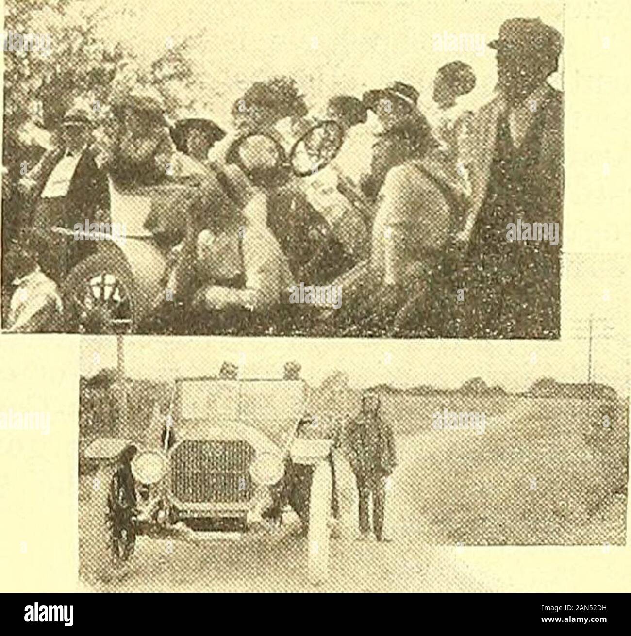 Huebinger's map and guide for Omaha-Denver transcontinental route; . oute meant the opening of a high-way by means of which the capitalist, lookin,?: for land investments, canget into the heart of one of the great agricultural portions of Nebraska,and of the entire West, for that matter. As will be seen by reference to the m»ps elsewhere in this book,the Omaha-Denver-Trans-Continental Route passes through Lincoln,Friend, Exeter, Fairmont, Sutton, Hastings, Minden, Oxford, McCook,Imperial, Holyoke, Sterling, Fort Morgan and Denver, as well as anumber of intermediate points . All the way from Om Stock Photohttps://www.alamy.com/image-license-details/?v=1https://www.alamy.com/huebingers-map-and-guide-for-omaha-denver-transcontinental-route-oute-meant-the-opening-of-a-high-way-by-means-of-which-the-capitalist-lookin-for-land-investments-canget-into-the-heart-of-one-of-the-great-agricultural-portions-of-nebraskaand-of-the-entire-west-for-that-matter-as-will-be-seen-by-reference-to-the-mps-elsewhere-in-this-bookthe-omaha-denver-trans-continental-route-passes-through-lincolnfriend-exeter-fairmont-sutton-hastings-minden-oxford-mccookimperial-holyoke-sterling-fort-morgan-and-denver-as-well-as-anumber-of-intermediate-points-all-the-way-from-om-image340016477.html
RM2AN52DH–Huebinger's map and guide for Omaha-Denver transcontinental route; . oute meant the opening of a high-way by means of which the capitalist, lookin,?: for land investments, canget into the heart of one of the great agricultural portions of Nebraska,and of the entire West, for that matter. As will be seen by reference to the m»ps elsewhere in this book,the Omaha-Denver-Trans-Continental Route passes through Lincoln,Friend, Exeter, Fairmont, Sutton, Hastings, Minden, Oxford, McCook,Imperial, Holyoke, Sterling, Fort Morgan and Denver, as well as anumber of intermediate points . All the way from Om
 USGS TOPO Map Nebraska NE Friend 20111027 TM Inverted Restoration Stock Photohttps://www.alamy.com/image-license-details/?v=1https://www.alamy.com/usgs-topo-map-nebraska-ne-friend-20111027-tm-inverted-restoration-image333611741.html
RM2AAN951–USGS TOPO Map Nebraska NE Friend 20111027 TM Inverted Restoration
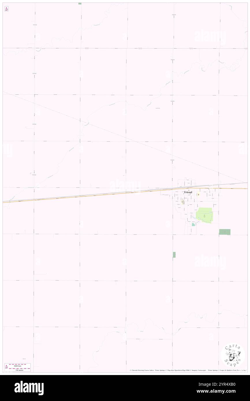 Friend Election Precinct, Saline County, US, United States, Nebraska, N 40 39' 18'', S 97 18' 43'', map, Cartascapes Map published in 2024. Explore Cartascapes, a map revealing Earth's diverse landscapes, cultures, and ecosystems. Journey through time and space, discovering the interconnectedness of our planet's past, present, and future. Stock Photohttps://www.alamy.com/image-license-details/?v=1https://www.alamy.com/friend-election-precinct-saline-county-us-united-states-nebraska-n-40-39-18-s-97-18-43-map-cartascapes-map-published-in-2024-explore-cartascapes-a-map-revealing-earths-diverse-landscapes-cultures-and-ecosystems-journey-through-time-and-space-discovering-the-interconnectedness-of-our-planets-past-present-and-future-image633818836.html
RM2YR4XB0–Friend Election Precinct, Saline County, US, United States, Nebraska, N 40 39' 18'', S 97 18' 43'', map, Cartascapes Map published in 2024. Explore Cartascapes, a map revealing Earth's diverse landscapes, cultures, and ecosystems. Journey through time and space, discovering the interconnectedness of our planet's past, present, and future.
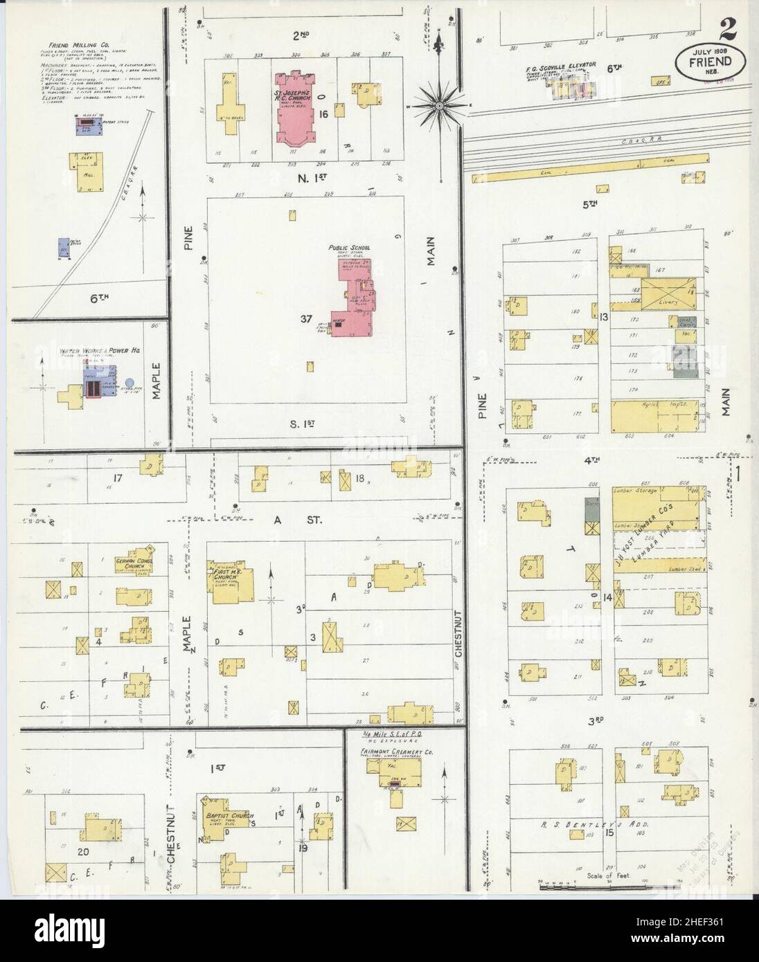 Sanborn Fire Insurance Map from Friend, Saline County, Nebraska. Stock Photohttps://www.alamy.com/image-license-details/?v=1https://www.alamy.com/sanborn-fire-insurance-map-from-friend-saline-county-nebraska-image456406553.html
RM2HEF361–Sanborn Fire Insurance Map from Friend, Saline County, Nebraska.
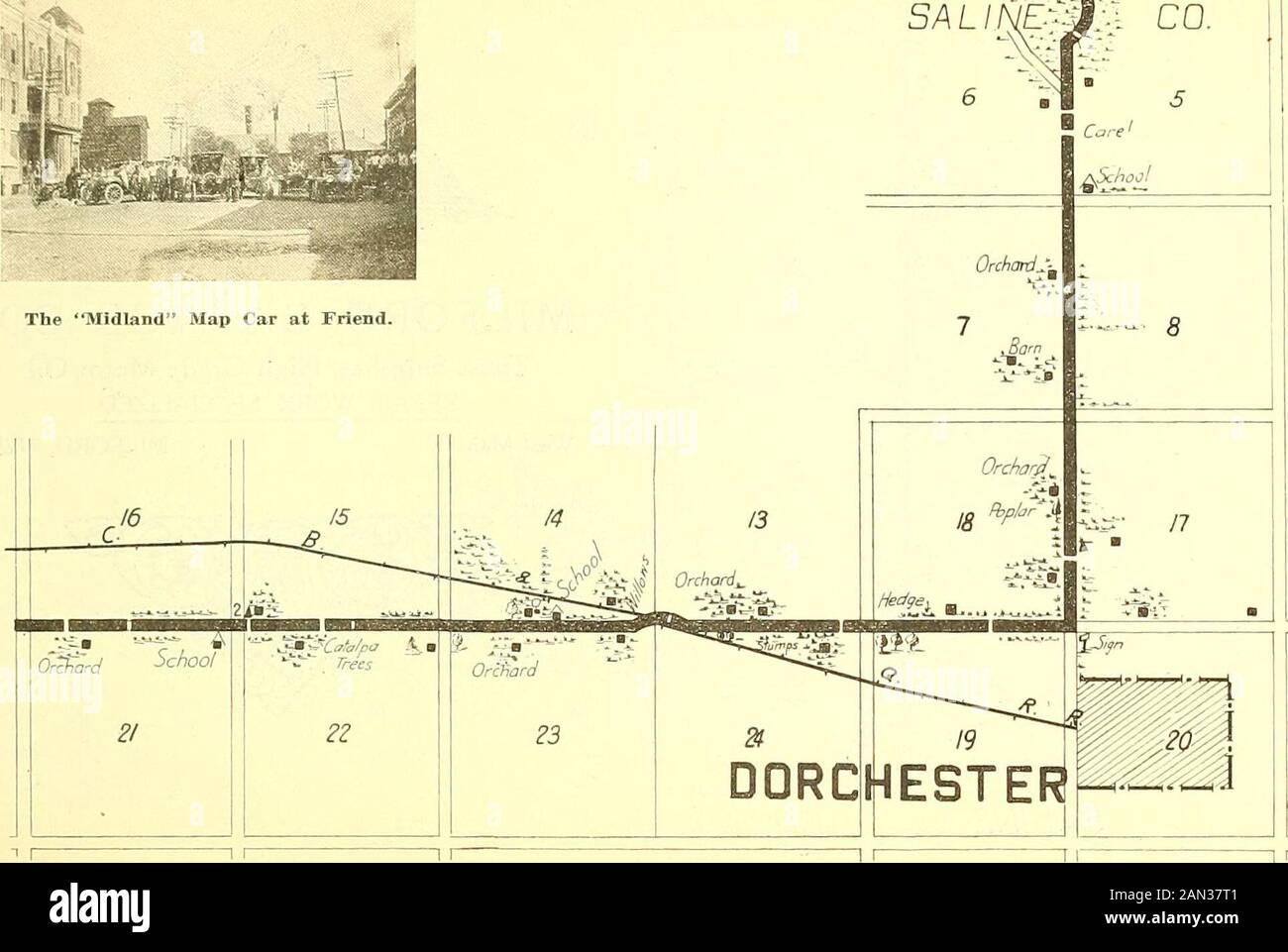 Huebinger's map and guide for Omaha-Denver transcontinental route; . 149 jOHN KAriM EIVIANUEL. KAHM JACOB KAHM KAHM BROS. GARAGE Expert Automobile repairing in all its branches,and Sundries in the City. The only shop in tlithing and everything repaired. Only complete stock of Tirese state where you can get any- OPEN ALL T HE TIME ONE BLOCK SOUTH AND ONE BUOCK WEST OF B. & M. DEPOT OFFICIAL A. A. A. GARAGE TOURISTS NA/ELCOME PHONE IIS FRIEND. NEBRASKA 150 SEWARD ..^ CO,SAUNE^W^ CO.. 151 18 Sfunjpsii m s School^ChirchT SF 19 .Mre 30 School ScKbol n ^M 20 V ^ Orchard :32= SALINE CO. Cl^ 152 Stock Photohttps://www.alamy.com/image-license-details/?v=1https://www.alamy.com/huebingers-map-and-guide-for-omaha-denver-transcontinental-route-149-john-karim-eivianuel-kahm-jacob-kahm-kahm-bros-garage-expert-automobile-repairing-in-all-its-branchesand-sundries-in-the-city-the-only-shop-in-tlithing-and-everything-repaired-only-complete-stock-of-tirese-state-where-you-can-get-any-open-all-t-he-time-one-block-south-and-one-buock-west-of-b-m-depot-official-a-a-a-garage-tourists-naelcome-phone-iis-friend-nebraska-150-seward-cosaunew-co-151-18-sfunjpsii-m-s-schoolchircht-sf-19-mre-30-school-sckbol-n-m-20-v-orchard-32=-saline-co-cl-152-image339976785.html
RM2AN37T1–Huebinger's map and guide for Omaha-Denver transcontinental route; . 149 jOHN KAriM EIVIANUEL. KAHM JACOB KAHM KAHM BROS. GARAGE Expert Automobile repairing in all its branches,and Sundries in the City. The only shop in tlithing and everything repaired. Only complete stock of Tirese state where you can get any- OPEN ALL T HE TIME ONE BLOCK SOUTH AND ONE BUOCK WEST OF B. & M. DEPOT OFFICIAL A. A. A. GARAGE TOURISTS NA/ELCOME PHONE IIS FRIEND. NEBRASKA 150 SEWARD ..^ CO,SAUNE^W^ CO.. 151 18 Sfunjpsii m s School^ChirchT SF 19 .Mre 30 School ScKbol n ^M 20 V ^ Orchard :32= SALINE CO. Cl^ 152
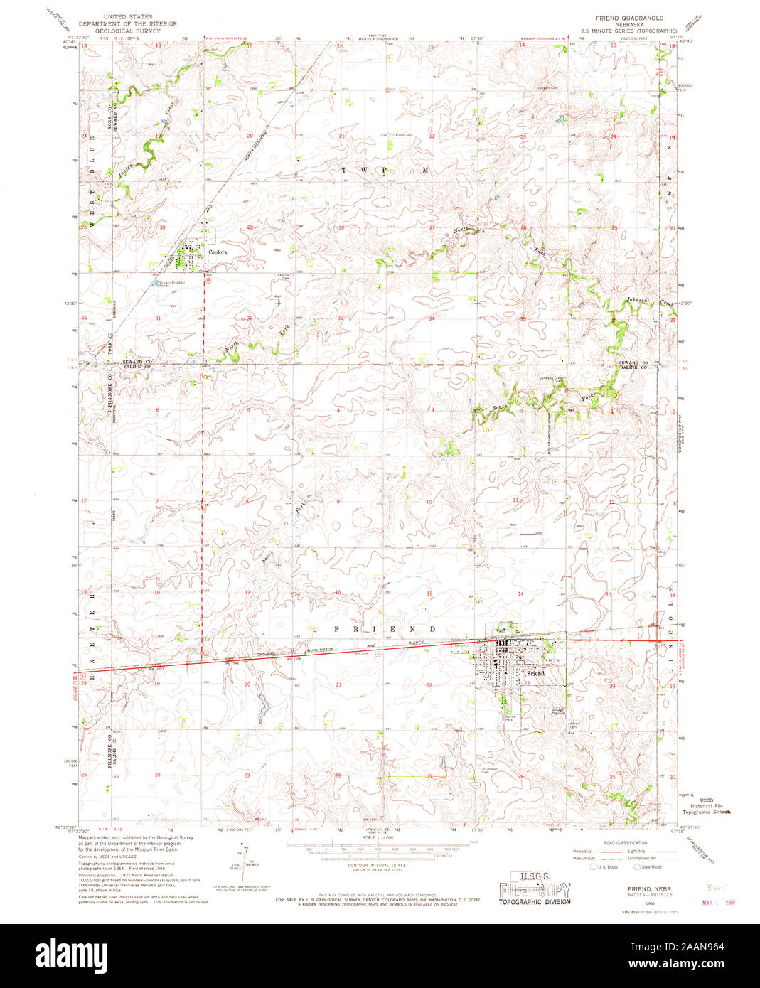 USGS TOPO Map Nebraska NE Friend 316319 1966 24000 Restoration Stock Photohttps://www.alamy.com/image-license-details/?v=1https://www.alamy.com/usgs-topo-map-nebraska-ne-friend-316319-1966-24000-restoration-image333611772.html
RM2AAN964–USGS TOPO Map Nebraska NE Friend 316319 1966 24000 Restoration
 City of Friend, Saline County, US, United States, Nebraska, N 40 39' 1'', S 97 17' 1'', map, Cartascapes Map published in 2024. Explore Cartascapes, a map revealing Earth's diverse landscapes, cultures, and ecosystems. Journey through time and space, discovering the interconnectedness of our planet's past, present, and future. Stock Photohttps://www.alamy.com/image-license-details/?v=1https://www.alamy.com/city-of-friend-saline-county-us-united-states-nebraska-n-40-39-1-s-97-17-1-map-cartascapes-map-published-in-2024-explore-cartascapes-a-map-revealing-earths-diverse-landscapes-cultures-and-ecosystems-journey-through-time-and-space-discovering-the-interconnectedness-of-our-planets-past-present-and-future-image633780396.html
RM2YR35A4–City of Friend, Saline County, US, United States, Nebraska, N 40 39' 1'', S 97 17' 1'', map, Cartascapes Map published in 2024. Explore Cartascapes, a map revealing Earth's diverse landscapes, cultures, and ecosystems. Journey through time and space, discovering the interconnectedness of our planet's past, present, and future.
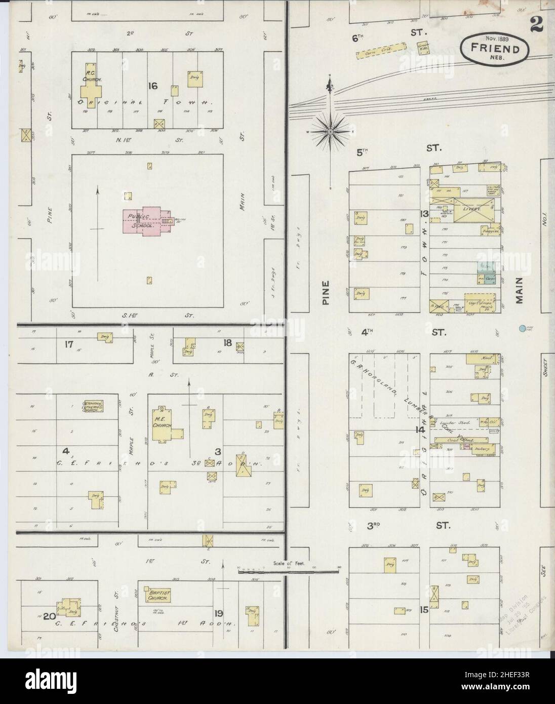 Sanborn Fire Insurance Map from Friend, Saline County, Nebraska. Stock Photohttps://www.alamy.com/image-license-details/?v=1https://www.alamy.com/sanborn-fire-insurance-map-from-friend-saline-county-nebraska-image456406491.html
RM2HEF33R–Sanborn Fire Insurance Map from Friend, Saline County, Nebraska.
 Huebinger's map and guide for Omaha-Denver transcontinental route; . OMAHA-DENVERGOOD ROAD ASSOCIATION ^ OFFICERS J. E. Davis, President Sutton, Nebr. W. A. Taylor, Treasurer Hastings, Nebr. Geo. E. Parisoe, Secretary Minden, Nebr. EXECUTIVE COMMITTEE Dr. J. M. Prime Oxford, Nebr. Frank Hacker Friend, Nebr. G. E. Parisoe Minden, Nebr. W. A. Taylor Hastings, Nebr. J. E. Davis Sutton, Nebr VICE PRESIDENTS J. V. Beghtol Hastings, Nebr. S. A. Searle Omaha, Nebr. 0. C. Morton Nebraska City, Nebr. Charles Stuart Lincoln, Nebr. F. Hacker Friend, Nebr. W. P. Wallace Exeter, Nebr. G. Phillips Harvard Stock Photohttps://www.alamy.com/image-license-details/?v=1https://www.alamy.com/huebingers-map-and-guide-for-omaha-denver-transcontinental-route-omaha-denvergood-road-association-officers-j-e-davis-president-sutton-nebr-w-a-taylor-treasurer-hastings-nebr-geo-e-parisoe-secretary-minden-nebr-executive-committee-dr-j-m-prime-oxford-nebr-frank-hacker-friend-nebr-g-e-parisoe-minden-nebr-w-a-taylor-hastings-nebr-j-e-davis-sutton-nebr-vice-presidents-j-v-beghtol-hastings-nebr-s-a-searle-omaha-nebr-0-c-morton-nebraska-city-nebr-charles-stuart-lincoln-nebr-f-hacker-friend-nebr-w-p-wallace-exeter-nebr-g-phillips-harvard-image340018103.html
RM2AN54FK–Huebinger's map and guide for Omaha-Denver transcontinental route; . OMAHA-DENVERGOOD ROAD ASSOCIATION ^ OFFICERS J. E. Davis, President Sutton, Nebr. W. A. Taylor, Treasurer Hastings, Nebr. Geo. E. Parisoe, Secretary Minden, Nebr. EXECUTIVE COMMITTEE Dr. J. M. Prime Oxford, Nebr. Frank Hacker Friend, Nebr. G. E. Parisoe Minden, Nebr. W. A. Taylor Hastings, Nebr. J. E. Davis Sutton, Nebr VICE PRESIDENTS J. V. Beghtol Hastings, Nebr. S. A. Searle Omaha, Nebr. 0. C. Morton Nebraska City, Nebr. Charles Stuart Lincoln, Nebr. F. Hacker Friend, Nebr. W. P. Wallace Exeter, Nebr. G. Phillips Harvard
 USGS TOPO Map Nebraska NE Friend SE 20111021 TM Restoration Stock Photohttps://www.alamy.com/image-license-details/?v=1https://www.alamy.com/usgs-topo-map-nebraska-ne-friend-se-20111021-tm-restoration-image333611771.html
RM2AAN963–USGS TOPO Map Nebraska NE Friend SE 20111021 TM Restoration
 Township of Friend, Saline County, US, United States, Nebraska, N 40 39' 10'', S 97 18' 31'', map, Cartascapes Map published in 2024. Explore Cartascapes, a map revealing Earth's diverse landscapes, cultures, and ecosystems. Journey through time and space, discovering the interconnectedness of our planet's past, present, and future. Stock Photohttps://www.alamy.com/image-license-details/?v=1https://www.alamy.com/township-of-friend-saline-county-us-united-states-nebraska-n-40-39-10-s-97-18-31-map-cartascapes-map-published-in-2024-explore-cartascapes-a-map-revealing-earths-diverse-landscapes-cultures-and-ecosystems-journey-through-time-and-space-discovering-the-interconnectedness-of-our-planets-past-present-and-future-image633779343.html
RM2YR340F–Township of Friend, Saline County, US, United States, Nebraska, N 40 39' 10'', S 97 18' 31'', map, Cartascapes Map published in 2024. Explore Cartascapes, a map revealing Earth's diverse landscapes, cultures, and ecosystems. Journey through time and space, discovering the interconnectedness of our planet's past, present, and future.
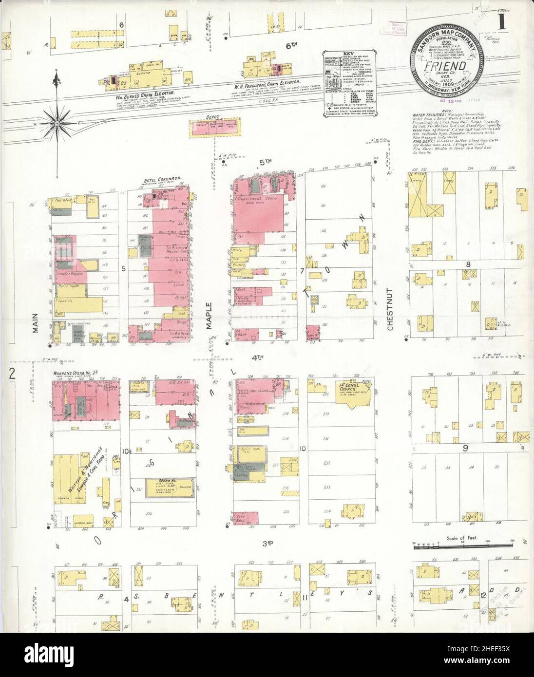 Sanborn Fire Insurance Map from Friend, Saline County, Nebraska. Stock Photohttps://www.alamy.com/image-license-details/?v=1https://www.alamy.com/sanborn-fire-insurance-map-from-friend-saline-county-nebraska-image456406550.html
RM2HEF35X–Sanborn Fire Insurance Map from Friend, Saline County, Nebraska.
 USGS TOPO Map Nebraska NE Friend SW 20111021 TM Restoration Stock Photohttps://www.alamy.com/image-license-details/?v=1https://www.alamy.com/usgs-topo-map-nebraska-ne-friend-sw-20111021-tm-restoration-image333611785.html
RM2AAN96H–USGS TOPO Map Nebraska NE Friend SW 20111021 TM Restoration
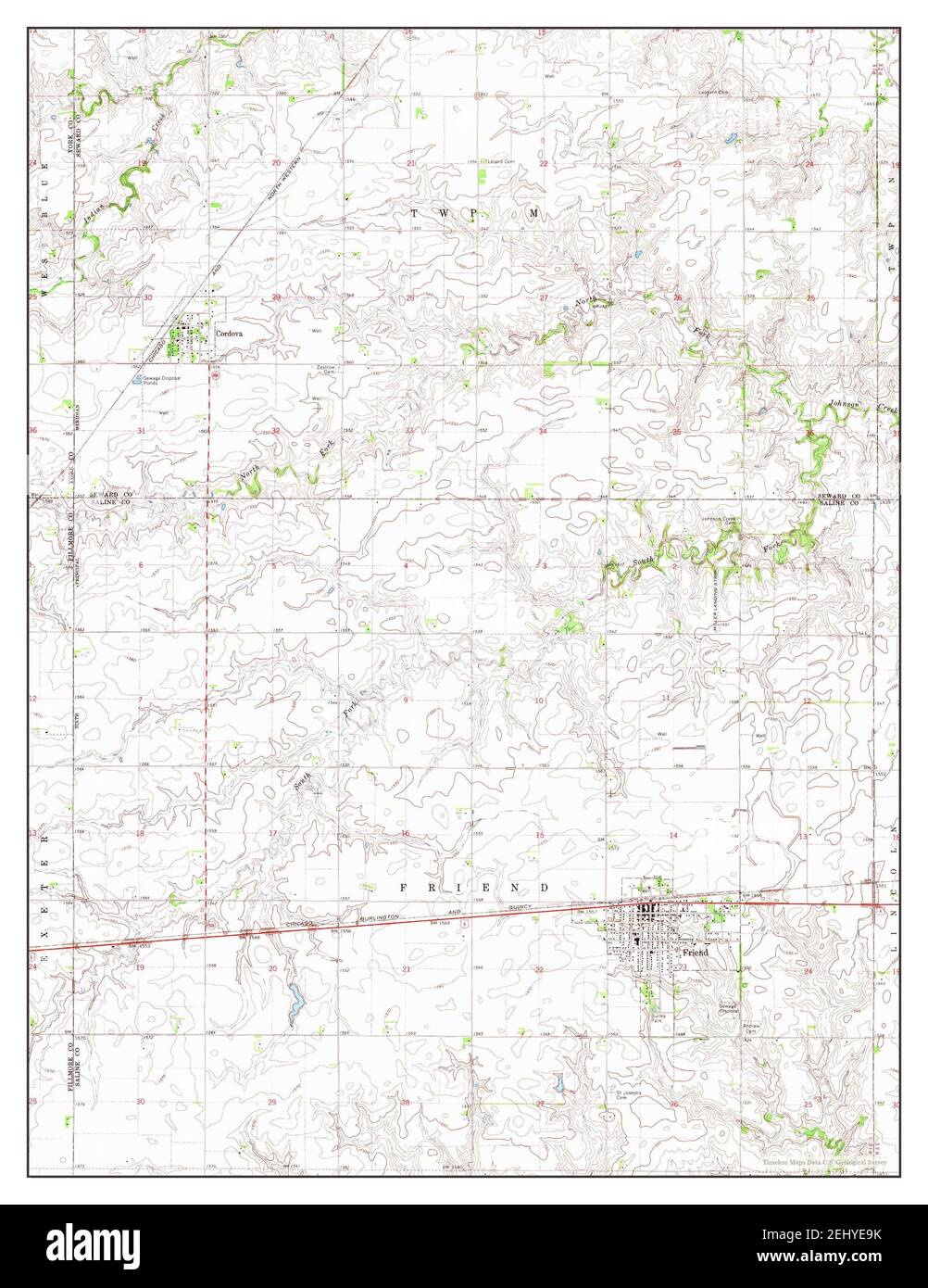 Friend, Nebraska, map 1966, 1:24000, United States of America by Timeless Maps, data U.S. Geological Survey Stock Photohttps://www.alamy.com/image-license-details/?v=1https://www.alamy.com/friend-nebraska-map-1966-124000-united-states-of-america-by-timeless-maps-data-us-geological-survey-image406891567.html
RM2EHYE9K–Friend, Nebraska, map 1966, 1:24000, United States of America by Timeless Maps, data U.S. Geological Survey
 Sanborn Fire Insurance Map from Friend, Saline County, Nebraska. Stock Photohttps://www.alamy.com/image-license-details/?v=1https://www.alamy.com/sanborn-fire-insurance-map-from-friend-saline-county-nebraska-image456406507.html
RM2HEF34B–Sanborn Fire Insurance Map from Friend, Saline County, Nebraska.
 USGS TOPO Map Nebraska NE Friend SW 316321 1969 24000 Restoration Stock Photohttps://www.alamy.com/image-license-details/?v=1https://www.alamy.com/usgs-topo-map-nebraska-ne-friend-sw-316321-1969-24000-restoration-image333611820.html
RM2AAN97T–USGS TOPO Map Nebraska NE Friend SW 316321 1969 24000 Restoration
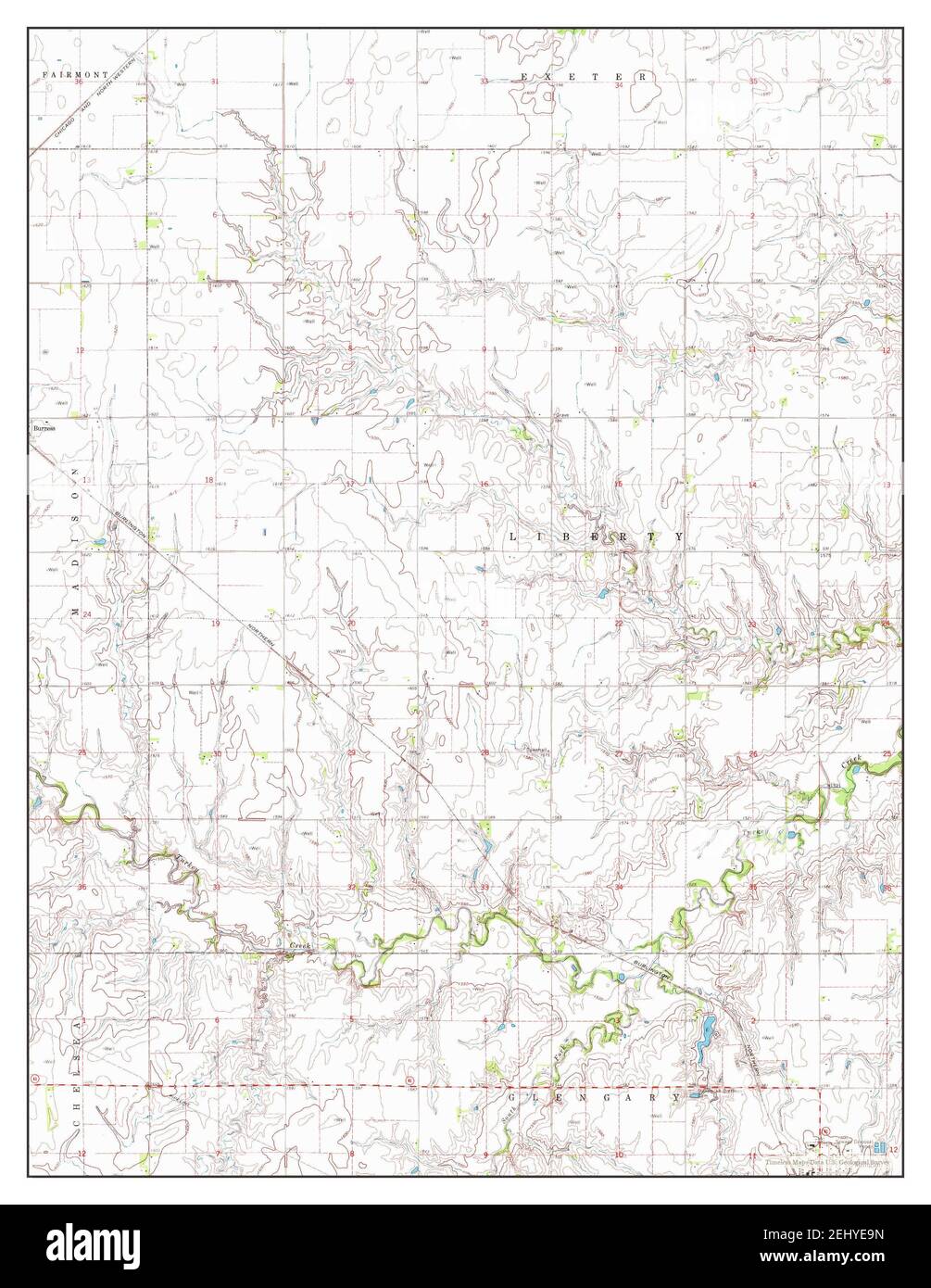 Friend SW, Nebraska, map 1969, 1:24000, United States of America by Timeless Maps, data U.S. Geological Survey Stock Photohttps://www.alamy.com/image-license-details/?v=1https://www.alamy.com/friend-sw-nebraska-map-1969-124000-united-states-of-america-by-timeless-maps-data-us-geological-survey-image406891569.html
RM2EHYE9N–Friend SW, Nebraska, map 1969, 1:24000, United States of America by Timeless Maps, data U.S. Geological Survey
 Sanborn Fire Insurance Map from Friend, Saline County, Nebraska. Stock Photohttps://www.alamy.com/image-license-details/?v=1https://www.alamy.com/sanborn-fire-insurance-map-from-friend-saline-county-nebraska-image456406498.html
RM2HEF342–Sanborn Fire Insurance Map from Friend, Saline County, Nebraska.
 USGS TOPO Map Nebraska NE Friend SE 20111021 TM Inverted Restoration Stock Photohttps://www.alamy.com/image-license-details/?v=1https://www.alamy.com/usgs-topo-map-nebraska-ne-friend-se-20111021-tm-inverted-restoration-image333611789.html
RM2AAN96N–USGS TOPO Map Nebraska NE Friend SE 20111021 TM Inverted Restoration
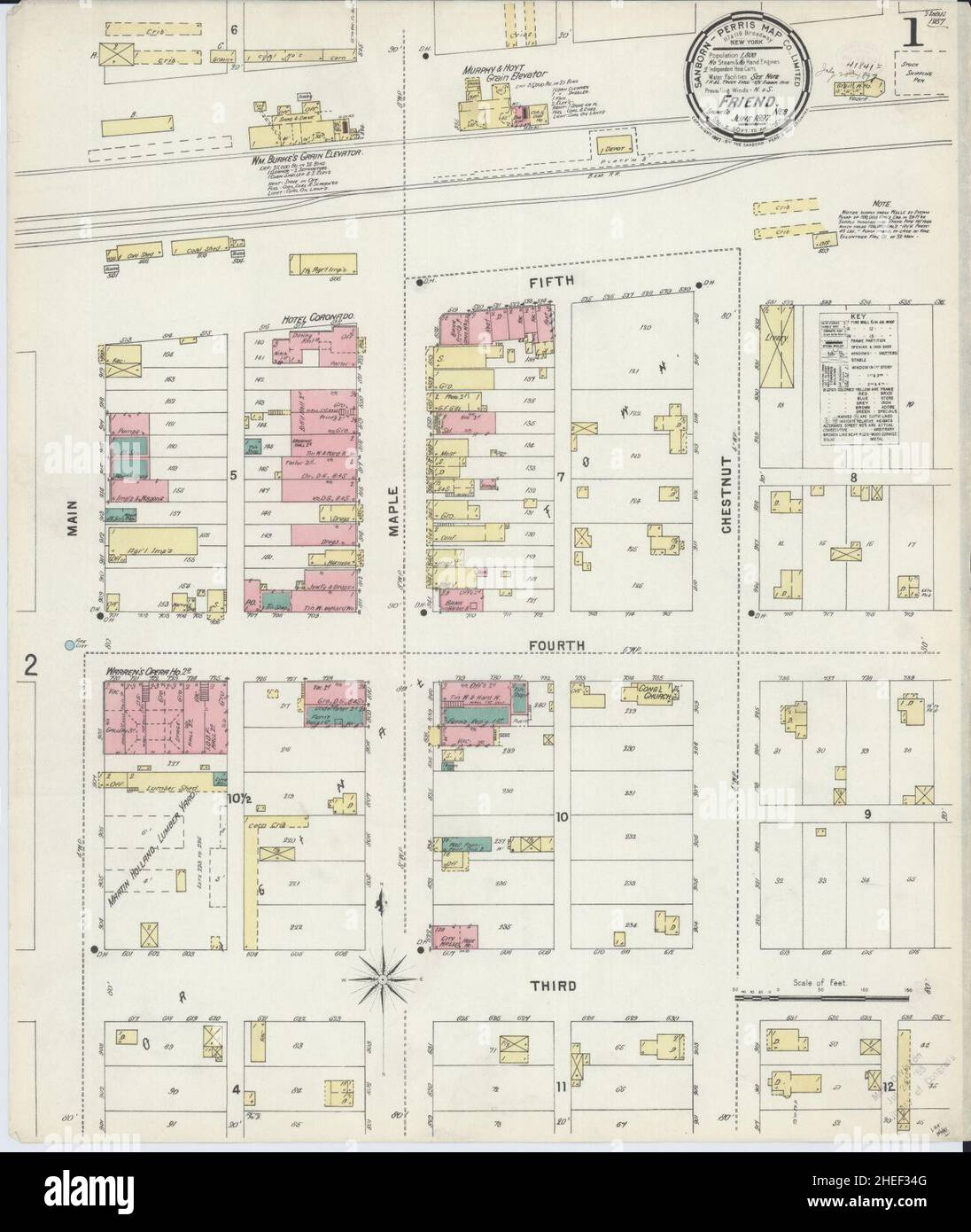 Sanborn Fire Insurance Map from Friend, Saline County, Nebraska. Stock Photohttps://www.alamy.com/image-license-details/?v=1https://www.alamy.com/sanborn-fire-insurance-map-from-friend-saline-county-nebraska-image456406512.html
RM2HEF34G–Sanborn Fire Insurance Map from Friend, Saline County, Nebraska.
 USGS TOPO Map Nebraska NE Friend SE 316320 1966 24000 Restoration Stock Photohttps://www.alamy.com/image-license-details/?v=1https://www.alamy.com/usgs-topo-map-nebraska-ne-friend-se-316320-1966-24000-restoration-image333611779.html
RM2AAN96B–USGS TOPO Map Nebraska NE Friend SE 316320 1966 24000 Restoration
 USGS TOPO Map Nebraska NE Friend SW 20111021 TM Inverted Restoration Stock Photohttps://www.alamy.com/image-license-details/?v=1https://www.alamy.com/usgs-topo-map-nebraska-ne-friend-sw-20111021-tm-inverted-restoration-image333611774.html
RM2AAN966–USGS TOPO Map Nebraska NE Friend SW 20111021 TM Inverted Restoration
 USGS TOPO Map Nebraska NE Friend 316319 1966 24000 Inverted Restoration Stock Photohttps://www.alamy.com/image-license-details/?v=1https://www.alamy.com/usgs-topo-map-nebraska-ne-friend-316319-1966-24000-inverted-restoration-image333611787.html
RM2AAN96K–USGS TOPO Map Nebraska NE Friend 316319 1966 24000 Inverted Restoration
 USGS TOPO Map Nebraska NE Friend SW 316321 1969 24000 Inverted Restoration Stock Photohttps://www.alamy.com/image-license-details/?v=1https://www.alamy.com/usgs-topo-map-nebraska-ne-friend-sw-316321-1969-24000-inverted-restoration-image333611816.html
RM2AAN97M–USGS TOPO Map Nebraska NE Friend SW 316321 1969 24000 Inverted Restoration
 USGS TOPO Map Nebraska NE Friend SE 316320 1966 24000 Inverted Restoration Stock Photohttps://www.alamy.com/image-license-details/?v=1https://www.alamy.com/usgs-topo-map-nebraska-ne-friend-se-316320-1966-24000-inverted-restoration-image333611812.html
RM2AAN97G–USGS TOPO Map Nebraska NE Friend SE 316320 1966 24000 Inverted Restoration