Quick filters:
Map of fryburg Stock Photos and Images
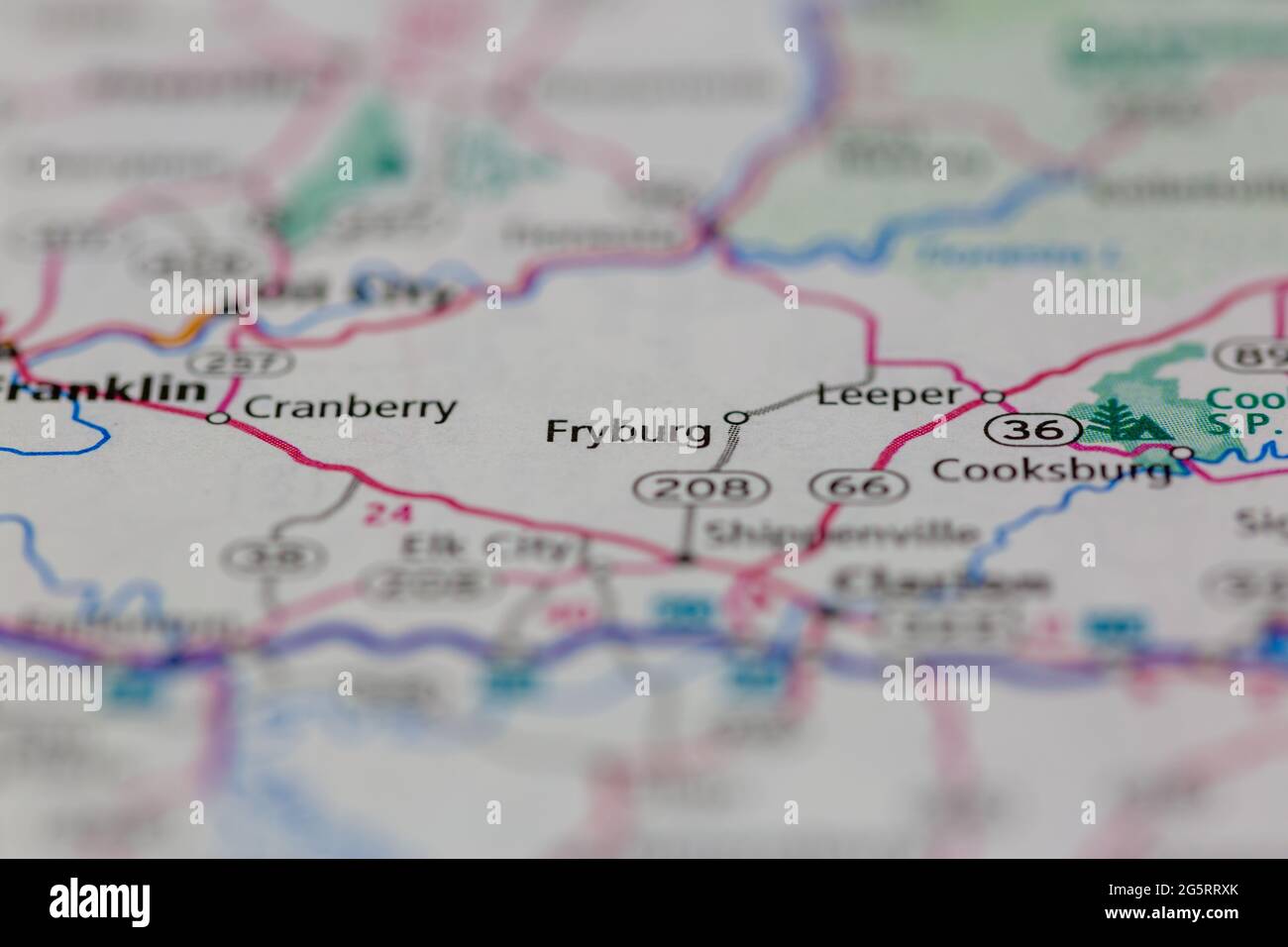 Fryburg Pennsylvania USA shown on a Geography map or Road map Stock Photohttps://www.alamy.com/image-license-details/?v=1https://www.alamy.com/fryburg-pennsylvania-usa-shown-on-a-geography-map-or-road-map-image433856155.html
RM2G5RRXK–Fryburg Pennsylvania USA shown on a Geography map or Road map
 Fryburg, Holmes County, US, United States, Ohio, N 40 36' 49'', S 81 49' 31'', map, Cartascapes Map published in 2024. Explore Cartascapes, a map revealing Earth's diverse landscapes, cultures, and ecosystems. Journey through time and space, discovering the interconnectedness of our planet's past, present, and future. Stock Photohttps://www.alamy.com/image-license-details/?v=1https://www.alamy.com/fryburg-holmes-county-us-united-states-ohio-n-40-36-49-s-81-49-31-map-cartascapes-map-published-in-2024-explore-cartascapes-a-map-revealing-earths-diverse-landscapes-cultures-and-ecosystems-journey-through-time-and-space-discovering-the-interconnectedness-of-our-planets-past-present-and-future-image621306641.html
RM2Y2PXXW–Fryburg, Holmes County, US, United States, Ohio, N 40 36' 49'', S 81 49' 31'', map, Cartascapes Map published in 2024. Explore Cartascapes, a map revealing Earth's diverse landscapes, cultures, and ecosystems. Journey through time and space, discovering the interconnectedness of our planet's past, present, and future.
![FLABOURG MAP, CA. 1702; Nouveau Plan de la Ville de Friborg, Avec Ses Fortifications et Lieux Circervoisins; New signature of the city of Fryburg, with Syn Strengthens and submitting countries; Les Forces de l'Europe, Asie, Afrique et Amerique, Ou Description des Principales Villes Avec Leurs Fortifications. Dessignées PAR LES MEILLEURS Engineers, private party Celles Qui Sont Sous La Domination de la France (...) Et Ornées the plusieurs Superbes Edifes. Large map with floor plan of reinforcements to the city of Friborg. Unnumbered plate [No. 120b] In the picture in the context of 276 numbered Stock Photo FLABOURG MAP, CA. 1702; Nouveau Plan de la Ville de Friborg, Avec Ses Fortifications et Lieux Circervoisins; New signature of the city of Fryburg, with Syn Strengthens and submitting countries; Les Forces de l'Europe, Asie, Afrique et Amerique, Ou Description des Principales Villes Avec Leurs Fortifications. Dessignées PAR LES MEILLEURS Engineers, private party Celles Qui Sont Sous La Domination de la France (...) Et Ornées the plusieurs Superbes Edifes. Large map with floor plan of reinforcements to the city of Friborg. Unnumbered plate [No. 120b] In the picture in the context of 276 numbered Stock Photo](https://c8.alamy.com/comp/2G14GEN/flabourg-map-ca-1702-nouveau-plan-de-la-ville-de-friborg-avec-ses-fortifications-et-lieux-circervoisins-new-signature-of-the-city-of-fryburg-with-syn-strengthens-and-submitting-countries-les-forces-de-leurope-asie-afrique-et-amerique-ou-description-des-principales-villes-avec-leurs-fortifications-dessignes-par-les-meilleurs-engineers-private-party-celles-qui-sont-sous-la-domination-de-la-france-et-ornes-the-plusieurs-superbes-edifes-large-map-with-floor-plan-of-reinforcements-to-the-city-of-friborg-unnumbered-plate-no-120b-in-the-picture-in-the-context-of-276-numbered-2G14GEN.jpg) FLABOURG MAP, CA. 1702; Nouveau Plan de la Ville de Friborg, Avec Ses Fortifications et Lieux Circervoisins; New signature of the city of Fryburg, with Syn Strengthens and submitting countries; Les Forces de l'Europe, Asie, Afrique et Amerique, Ou Description des Principales Villes Avec Leurs Fortifications. Dessignées PAR LES MEILLEURS Engineers, private party Celles Qui Sont Sous La Domination de la France (...) Et Ornées the plusieurs Superbes Edifes. Large map with floor plan of reinforcements to the city of Friborg. Unnumbered plate [No. 120b] In the picture in the context of 276 numbered Stock Photohttps://www.alamy.com/image-license-details/?v=1https://www.alamy.com/flabourg-map-ca-1702-nouveau-plan-de-la-ville-de-friborg-avec-ses-fortifications-et-lieux-circervoisins-new-signature-of-the-city-of-fryburg-with-syn-strengthens-and-submitting-countries-les-forces-de-leurope-asie-afrique-et-amerique-ou-description-des-principales-villes-avec-leurs-fortifications-dessignes-par-les-meilleurs-engineers-private-party-celles-qui-sont-sous-la-domination-de-la-france-et-ornes-the-plusieurs-superbes-edifes-large-map-with-floor-plan-of-reinforcements-to-the-city-of-friborg-unnumbered-plate-no-120b-in-the-picture-in-the-context-of-276-numbered-image430974621.html
FLABOURG MAP, CA. 1702; Nouveau Plan de la Ville de Friborg, Avec Ses Fortifications et Lieux Circervoisins; New signature of the city of Fryburg, with Syn Strengthens and submitting countries; Les Forces de l'Europe, Asie, Afrique et Amerique, Ou Description des Principales Villes Avec Leurs Fortifications. Dessignées PAR LES MEILLEURS Engineers, private party Celles Qui Sont Sous La Domination de la France (...) Et Ornées the plusieurs Superbes Edifes. Large map with floor plan of reinforcements to the city of Friborg. Unnumbered plate [No. 120b] In the picture in the context of 276 numbered Stock Photohttps://www.alamy.com/image-license-details/?v=1https://www.alamy.com/flabourg-map-ca-1702-nouveau-plan-de-la-ville-de-friborg-avec-ses-fortifications-et-lieux-circervoisins-new-signature-of-the-city-of-fryburg-with-syn-strengthens-and-submitting-countries-les-forces-de-leurope-asie-afrique-et-amerique-ou-description-des-principales-villes-avec-leurs-fortifications-dessignes-par-les-meilleurs-engineers-private-party-celles-qui-sont-sous-la-domination-de-la-france-et-ornes-the-plusieurs-superbes-edifes-large-map-with-floor-plan-of-reinforcements-to-the-city-of-friborg-unnumbered-plate-no-120b-in-the-picture-in-the-context-of-276-numbered-image430974621.htmlRM2G14GEN–FLABOURG MAP, CA. 1702; Nouveau Plan de la Ville de Friborg, Avec Ses Fortifications et Lieux Circervoisins; New signature of the city of Fryburg, with Syn Strengthens and submitting countries; Les Forces de l'Europe, Asie, Afrique et Amerique, Ou Description des Principales Villes Avec Leurs Fortifications. Dessignées PAR LES MEILLEURS Engineers, private party Celles Qui Sont Sous La Domination de la France (...) Et Ornées the plusieurs Superbes Edifes. Large map with floor plan of reinforcements to the city of Friborg. Unnumbered plate [No. 120b] In the picture in the context of 276 numbered
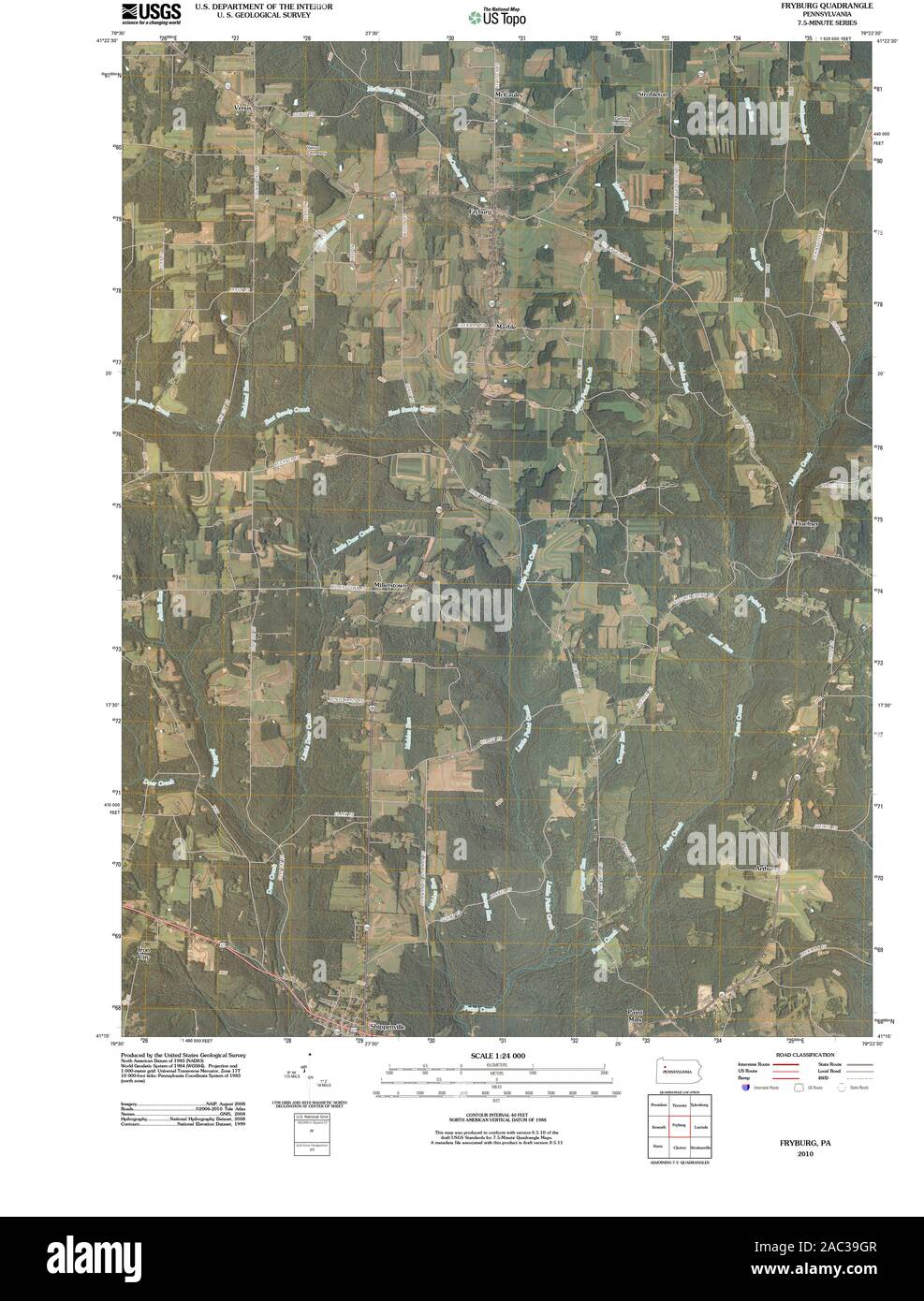 USGS TOPO Map Pennsylvania PA Fryburg 20100630 TM Restoration Stock Photohttps://www.alamy.com/image-license-details/?v=1https://www.alamy.com/usgs-topo-map-pennsylvania-pa-fryburg-20100630-tm-restoration-image334446247.html
RM2AC39GR–USGS TOPO Map Pennsylvania PA Fryburg 20100630 TM Restoration
![NOUVEAU PLAN DE LA VILLE DE FRIBOURG, AVEC SES FORTIFICATIONS ET LIEUX CIRCONVOISINS &c. = NIEUWE AFTEEKENING VAN DE STAD FRYBURG, MET SYN STERKTENS EN OMLEGGENDE LANDEN enz. Map information: Title: NOUVEAU PLAN DE LA VILLE DE FRIBOURG, AVEC SES FORTIFICATIONS ET LIEUX CIRCONVOISINS ,c. = NIEUWE AFTEEKENING VAN DE STAD FRYBURG, MET SYN STERKTENS EN OMLEGGENDE LANDEN enz. 90.100. Place of publication: A AMSTERDAM Publisher: Chez JEAN COÃÅVENS et CORNEILLE MORTIER, Date of publication: [about 1721.] Item type: 1 map Medium: copperplate engraving Dimension Stock Photo NOUVEAU PLAN DE LA VILLE DE FRIBOURG, AVEC SES FORTIFICATIONS ET LIEUX CIRCONVOISINS &c. = NIEUWE AFTEEKENING VAN DE STAD FRYBURG, MET SYN STERKTENS EN OMLEGGENDE LANDEN enz. Map information: Title: NOUVEAU PLAN DE LA VILLE DE FRIBOURG, AVEC SES FORTIFICATIONS ET LIEUX CIRCONVOISINS ,c. = NIEUWE AFTEEKENING VAN DE STAD FRYBURG, MET SYN STERKTENS EN OMLEGGENDE LANDEN enz. 90.100. Place of publication: A AMSTERDAM Publisher: Chez JEAN COÃÅVENS et CORNEILLE MORTIER, Date of publication: [about 1721.] Item type: 1 map Medium: copperplate engraving Dimension Stock Photo](https://c8.alamy.com/comp/2E9FX51/nouveau-plan-de-la-ville-de-fribourg-avec-ses-fortifications-et-lieux-circonvoisins-c-=-nieuwe-afteekening-van-de-stad-fryburg-met-syn-sterktens-en-omleggende-landen-enz-map-information-title-nouveau-plan-de-la-ville-de-fribourg-avec-ses-fortifications-et-lieux-circonvoisins-c-=-nieuwe-afteekening-van-de-stad-fryburg-met-syn-sterktens-en-omleggende-landen-enz-90100-place-of-publication-a-amsterdam-publisher-chez-jean-covens-et-corneille-mortier-date-of-publication-about-1721-item-type-1-map-medium-copperplate-engraving-dimension-2E9FX51.jpg) NOUVEAU PLAN DE LA VILLE DE FRIBOURG, AVEC SES FORTIFICATIONS ET LIEUX CIRCONVOISINS &c. = NIEUWE AFTEEKENING VAN DE STAD FRYBURG, MET SYN STERKTENS EN OMLEGGENDE LANDEN enz. Map information: Title: NOUVEAU PLAN DE LA VILLE DE FRIBOURG, AVEC SES FORTIFICATIONS ET LIEUX CIRCONVOISINS ,c. = NIEUWE AFTEEKENING VAN DE STAD FRYBURG, MET SYN STERKTENS EN OMLEGGENDE LANDEN enz. 90.100. Place of publication: A AMSTERDAM Publisher: Chez JEAN COÃÅVENS et CORNEILLE MORTIER, Date of publication: [about 1721.] Item type: 1 map Medium: copperplate engraving Dimension Stock Photohttps://www.alamy.com/image-license-details/?v=1https://www.alamy.com/nouveau-plan-de-la-ville-de-fribourg-avec-ses-fortifications-et-lieux-circonvoisins-c-=-nieuwe-afteekening-van-de-stad-fryburg-met-syn-sterktens-en-omleggende-landen-enz-map-information-title-nouveau-plan-de-la-ville-de-fribourg-avec-ses-fortifications-et-lieux-circonvoisins-c-=-nieuwe-afteekening-van-de-stad-fryburg-met-syn-sterktens-en-omleggende-landen-enz-90100-place-of-publication-a-amsterdam-publisher-chez-jean-covens-et-corneille-mortier-date-of-publication-about-1721-item-type-1-map-medium-copperplate-engraving-dimension-image401720173.html
NOUVEAU PLAN DE LA VILLE DE FRIBOURG, AVEC SES FORTIFICATIONS ET LIEUX CIRCONVOISINS &c. = NIEUWE AFTEEKENING VAN DE STAD FRYBURG, MET SYN STERKTENS EN OMLEGGENDE LANDEN enz. Map information: Title: NOUVEAU PLAN DE LA VILLE DE FRIBOURG, AVEC SES FORTIFICATIONS ET LIEUX CIRCONVOISINS ,c. = NIEUWE AFTEEKENING VAN DE STAD FRYBURG, MET SYN STERKTENS EN OMLEGGENDE LANDEN enz. 90.100. Place of publication: A AMSTERDAM Publisher: Chez JEAN COÃÅVENS et CORNEILLE MORTIER, Date of publication: [about 1721.] Item type: 1 map Medium: copperplate engraving Dimension Stock Photohttps://www.alamy.com/image-license-details/?v=1https://www.alamy.com/nouveau-plan-de-la-ville-de-fribourg-avec-ses-fortifications-et-lieux-circonvoisins-c-=-nieuwe-afteekening-van-de-stad-fryburg-met-syn-sterktens-en-omleggende-landen-enz-map-information-title-nouveau-plan-de-la-ville-de-fribourg-avec-ses-fortifications-et-lieux-circonvoisins-c-=-nieuwe-afteekening-van-de-stad-fryburg-met-syn-sterktens-en-omleggende-landen-enz-90100-place-of-publication-a-amsterdam-publisher-chez-jean-covens-et-corneille-mortier-date-of-publication-about-1721-item-type-1-map-medium-copperplate-engraving-dimension-image401720173.htmlRM2E9FX51–NOUVEAU PLAN DE LA VILLE DE FRIBOURG, AVEC SES FORTIFICATIONS ET LIEUX CIRCONVOISINS &c. = NIEUWE AFTEEKENING VAN DE STAD FRYBURG, MET SYN STERKTENS EN OMLEGGENDE LANDEN enz. Map information: Title: NOUVEAU PLAN DE LA VILLE DE FRIBOURG, AVEC SES FORTIFICATIONS ET LIEUX CIRCONVOISINS ,c. = NIEUWE AFTEEKENING VAN DE STAD FRYBURG, MET SYN STERKTENS EN OMLEGGENDE LANDEN enz. 90.100. Place of publication: A AMSTERDAM Publisher: Chez JEAN COÃÅVENS et CORNEILLE MORTIER, Date of publication: [about 1721.] Item type: 1 map Medium: copperplate engraving Dimension
 Fryburg, Auglaize County, US, United States, Ohio, N 40 30' 54'', S 84 8' 55'', map, Cartascapes Map published in 2024. Explore Cartascapes, a map revealing Earth's diverse landscapes, cultures, and ecosystems. Journey through time and space, discovering the interconnectedness of our planet's past, present, and future. Stock Photohttps://www.alamy.com/image-license-details/?v=1https://www.alamy.com/fryburg-auglaize-county-us-united-states-ohio-n-40-30-54-s-84-8-55-map-cartascapes-map-published-in-2024-explore-cartascapes-a-map-revealing-earths-diverse-landscapes-cultures-and-ecosystems-journey-through-time-and-space-discovering-the-interconnectedness-of-our-planets-past-present-and-future-image621197881.html
RM2Y2J06H–Fryburg, Auglaize County, US, United States, Ohio, N 40 30' 54'', S 84 8' 55'', map, Cartascapes Map published in 2024. Explore Cartascapes, a map revealing Earth's diverse landscapes, cultures, and ecosystems. Journey through time and space, discovering the interconnectedness of our planet's past, present, and future.
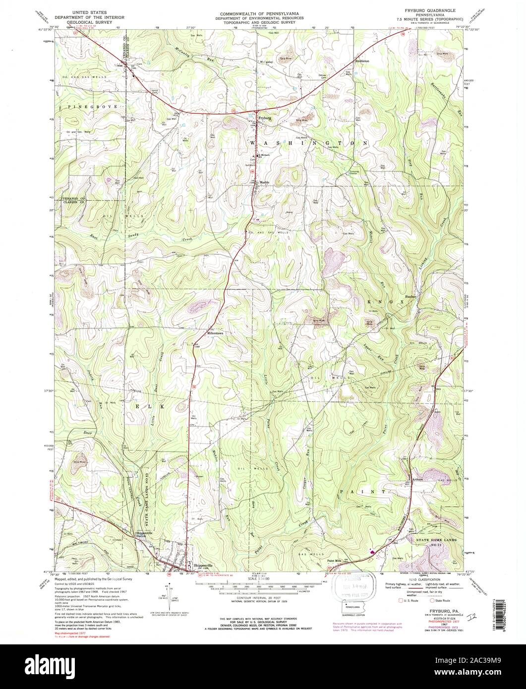 USGS TOPO Map Pennsylvania PA Fryburg 223088 1967 24000 Restoration Stock Photohttps://www.alamy.com/image-license-details/?v=1https://www.alamy.com/usgs-topo-map-pennsylvania-pa-fryburg-223088-1967-24000-restoration-image334446345.html
RM2AC39M9–USGS TOPO Map Pennsylvania PA Fryburg 223088 1967 24000 Restoration
 Fryburg, Clarion County, US, United States, Pennsylvania, N 41 21' 13'', S 79 26' 17'', map, Cartascapes Map published in 2024. Explore Cartascapes, a map revealing Earth's diverse landscapes, cultures, and ecosystems. Journey through time and space, discovering the interconnectedness of our planet's past, present, and future. Stock Photohttps://www.alamy.com/image-license-details/?v=1https://www.alamy.com/fryburg-clarion-county-us-united-states-pennsylvania-n-41-21-13-s-79-26-17-map-cartascapes-map-published-in-2024-explore-cartascapes-a-map-revealing-earths-diverse-landscapes-cultures-and-ecosystems-journey-through-time-and-space-discovering-the-interconnectedness-of-our-planets-past-present-and-future-image621332057.html
RM2Y2T3AH–Fryburg, Clarion County, US, United States, Pennsylvania, N 41 21' 13'', S 79 26' 17'', map, Cartascapes Map published in 2024. Explore Cartascapes, a map revealing Earth's diverse landscapes, cultures, and ecosystems. Journey through time and space, discovering the interconnectedness of our planet's past, present, and future.
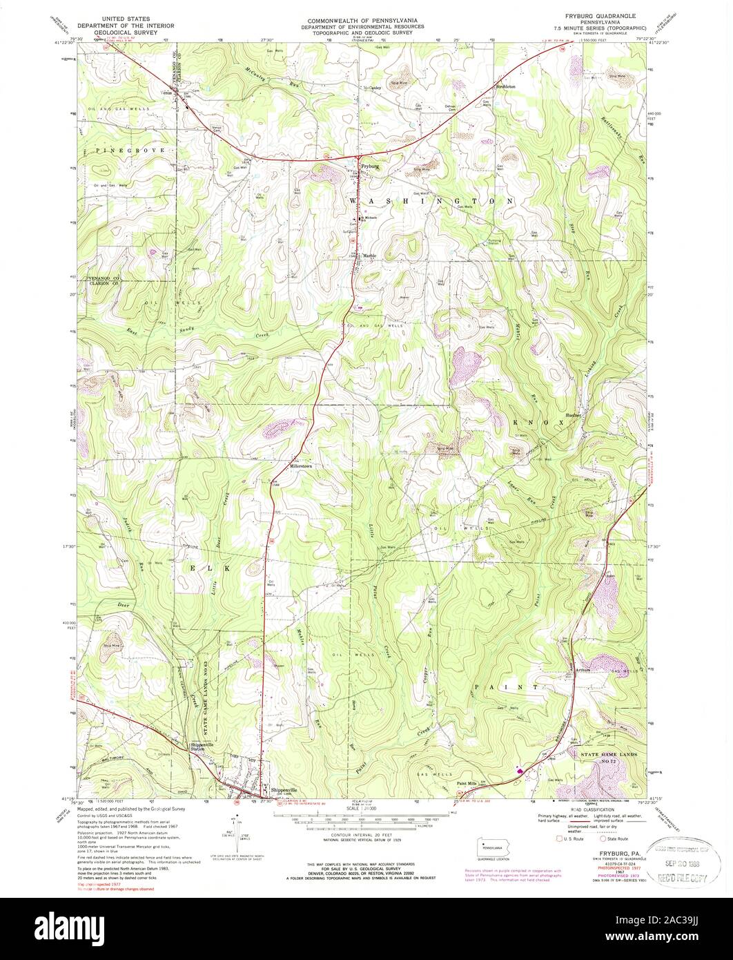 USGS TOPO Map Pennsylvania PA Fryburg 223089 1967 24000 Restoration Stock Photohttps://www.alamy.com/image-license-details/?v=1https://www.alamy.com/usgs-topo-map-pennsylvania-pa-fryburg-223089-1967-24000-restoration-image334446298.html
RM2AC39JJ–USGS TOPO Map Pennsylvania PA Fryburg 223089 1967 24000 Restoration
 Fryburg, Billings County, US, United States, North Dakota, N 46 52' 14'', S 103 18' 10'', map, Cartascapes Map published in 2024. Explore Cartascapes, a map revealing Earth's diverse landscapes, cultures, and ecosystems. Journey through time and space, discovering the interconnectedness of our planet's past, present, and future. Stock Photohttps://www.alamy.com/image-license-details/?v=1https://www.alamy.com/fryburg-billings-county-us-united-states-north-dakota-n-46-52-14-s-103-18-10-map-cartascapes-map-published-in-2024-explore-cartascapes-a-map-revealing-earths-diverse-landscapes-cultures-and-ecosystems-journey-through-time-and-space-discovering-the-interconnectedness-of-our-planets-past-present-and-future-image621296613.html
RM2Y2PE4N–Fryburg, Billings County, US, United States, North Dakota, N 46 52' 14'', S 103 18' 10'', map, Cartascapes Map published in 2024. Explore Cartascapes, a map revealing Earth's diverse landscapes, cultures, and ecosystems. Journey through time and space, discovering the interconnectedness of our planet's past, present, and future.
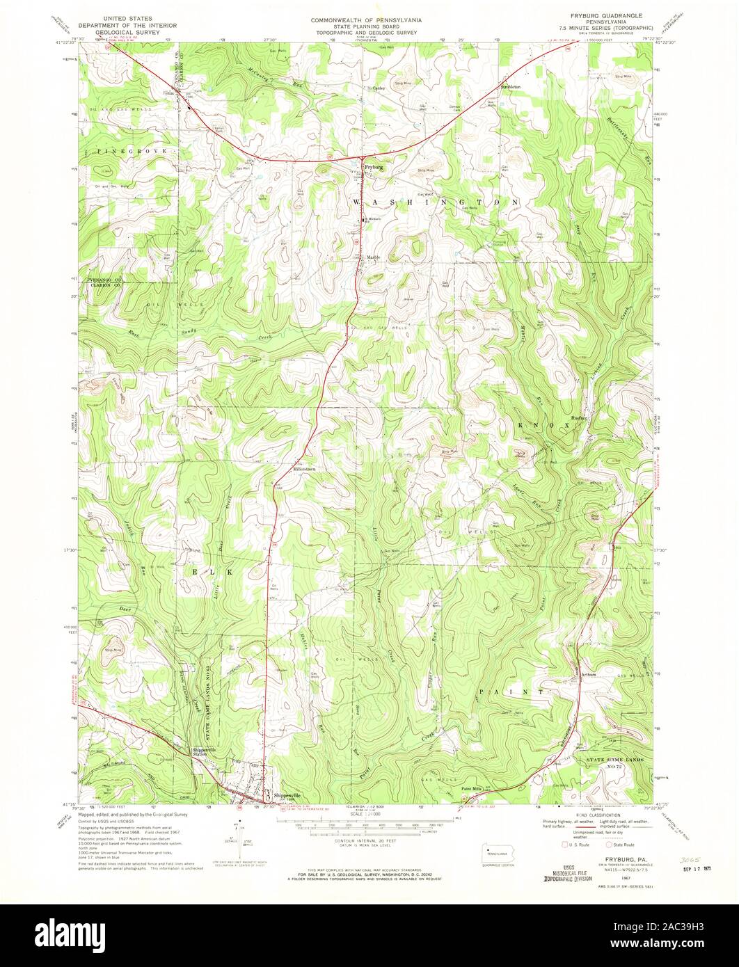 USGS TOPO Map Pennsylvania PA Fryburg 172696 1967 24000 Restoration Stock Photohttps://www.alamy.com/image-license-details/?v=1https://www.alamy.com/usgs-topo-map-pennsylvania-pa-fryburg-172696-1967-24000-restoration-image334446255.html
RM2AC39H3–USGS TOPO Map Pennsylvania PA Fryburg 172696 1967 24000 Restoration
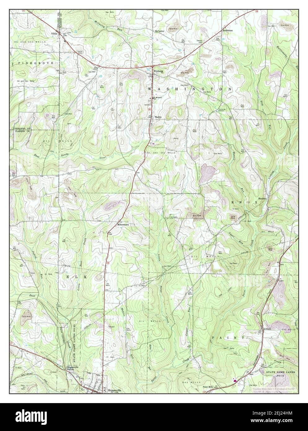 Fryburg, Pennsylvania, map 1967, 1:24000, United States of America by Timeless Maps, data U.S. Geological Survey Stock Photohttps://www.alamy.com/image-license-details/?v=1https://www.alamy.com/fryburg-pennsylvania-map-1967-124000-united-states-of-america-by-timeless-maps-data-us-geological-survey-image406949808.html
RM2EJ24HM–Fryburg, Pennsylvania, map 1967, 1:24000, United States of America by Timeless Maps, data U.S. Geological Survey
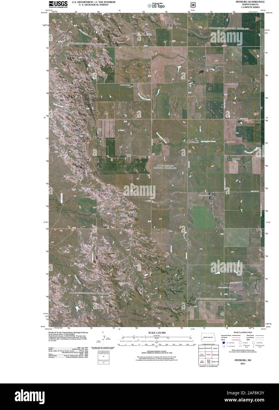 USGS TOPO Map North Dakota ND Fryburg 20110316 TM Restoration Stock Photohttps://www.alamy.com/image-license-details/?v=1https://www.alamy.com/usgs-topo-map-north-dakota-nd-fryburg-20110316-tm-restoration-image336407455.html
RM2AF8K3Y–USGS TOPO Map North Dakota ND Fryburg 20110316 TM Restoration
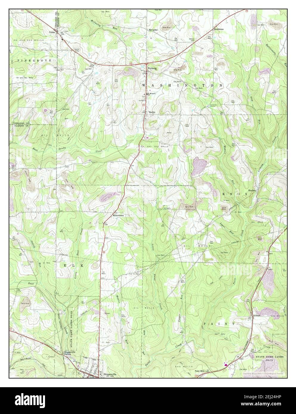 Fryburg, Pennsylvania, map 1967, 1:24000, United States of America by Timeless Maps, data U.S. Geological Survey Stock Photohttps://www.alamy.com/image-license-details/?v=1https://www.alamy.com/fryburg-pennsylvania-map-1967-124000-united-states-of-america-by-timeless-maps-data-us-geological-survey-image406949810.html
RM2EJ24HP–Fryburg, Pennsylvania, map 1967, 1:24000, United States of America by Timeless Maps, data U.S. Geological Survey
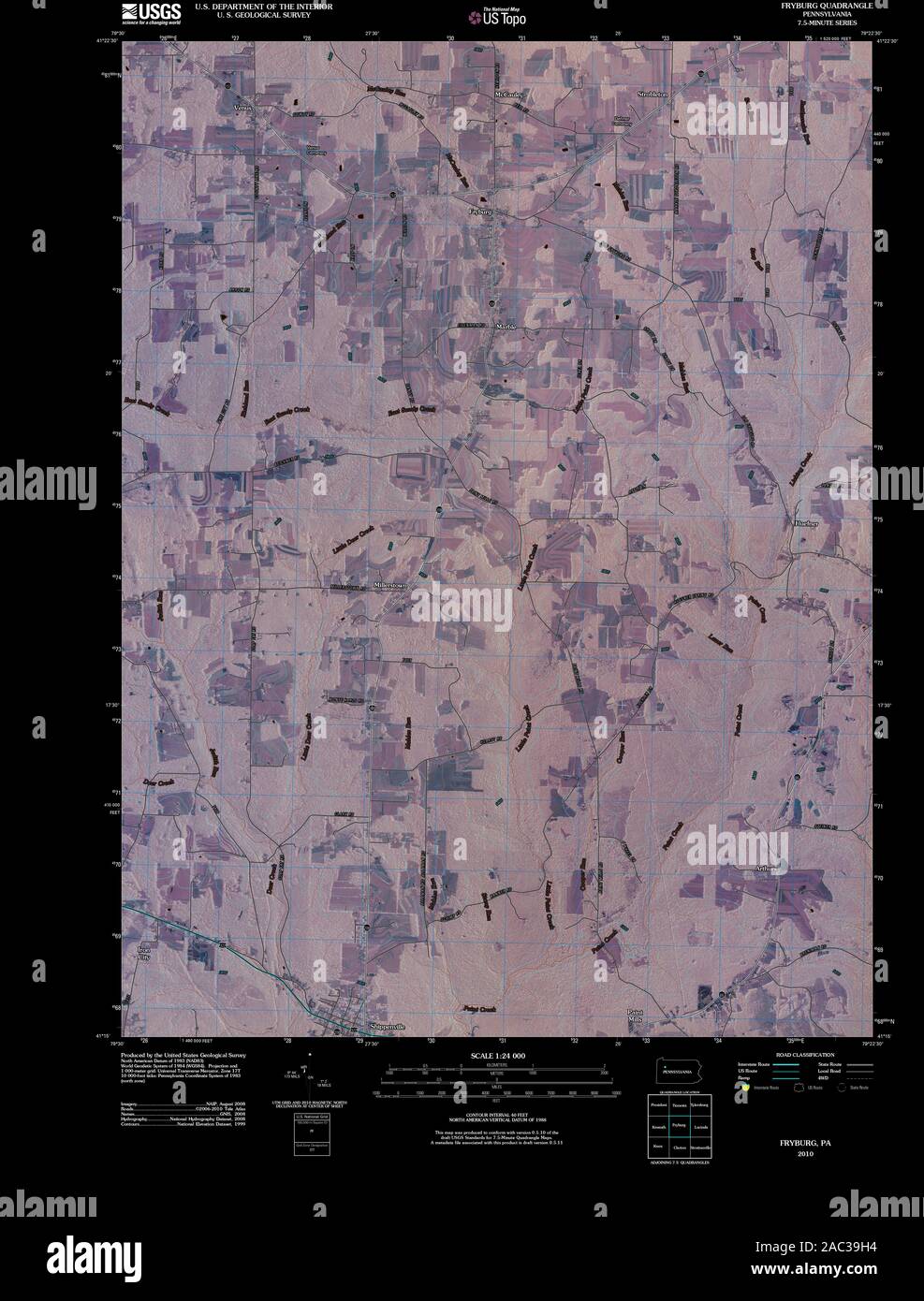 USGS TOPO Map Pennsylvania PA Fryburg 20100630 TM Inverted Restoration Stock Photohttps://www.alamy.com/image-license-details/?v=1https://www.alamy.com/usgs-topo-map-pennsylvania-pa-fryburg-20100630-tm-inverted-restoration-image334446256.html
RM2AC39H4–USGS TOPO Map Pennsylvania PA Fryburg 20100630 TM Inverted Restoration
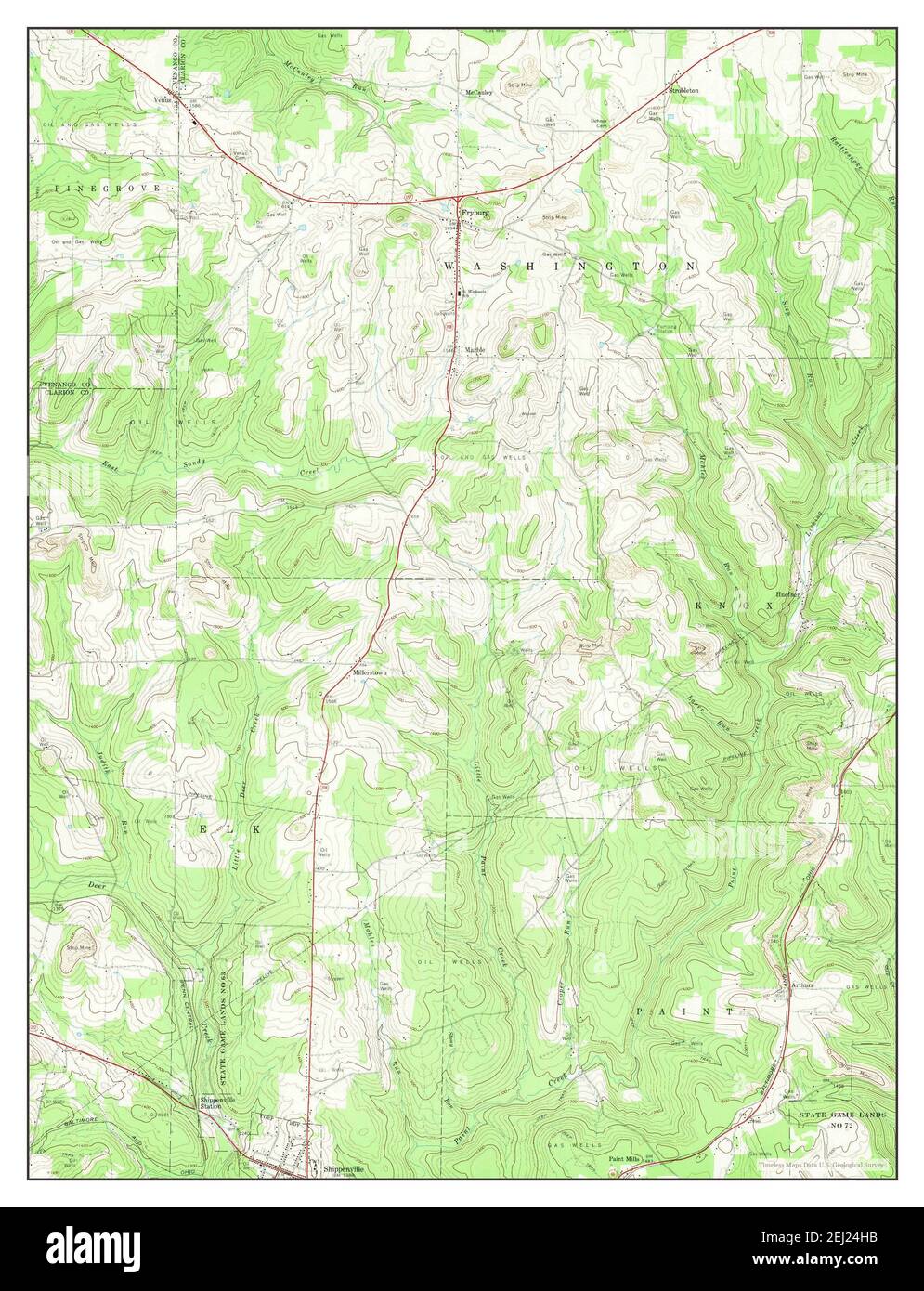 Fryburg, Pennsylvania, map 1967, 1:24000, United States of America by Timeless Maps, data U.S. Geological Survey Stock Photohttps://www.alamy.com/image-license-details/?v=1https://www.alamy.com/fryburg-pennsylvania-map-1967-124000-united-states-of-america-by-timeless-maps-data-us-geological-survey-image406949799.html
RM2EJ24HB–Fryburg, Pennsylvania, map 1967, 1:24000, United States of America by Timeless Maps, data U.S. Geological Survey
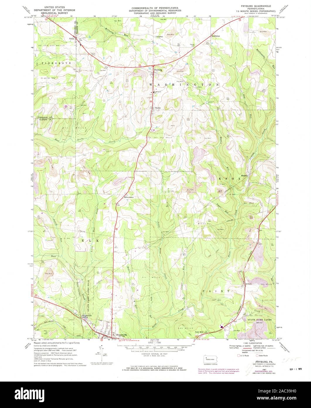 USGS TOPO Map Pennsylvania PA Fryburg 172697 1967 24000 Restoration Stock Photohttps://www.alamy.com/image-license-details/?v=1https://www.alamy.com/usgs-topo-map-pennsylvania-pa-fryburg-172697-1967-24000-restoration-image334446252.html
RM2AC39H0–USGS TOPO Map Pennsylvania PA Fryburg 172697 1967 24000 Restoration
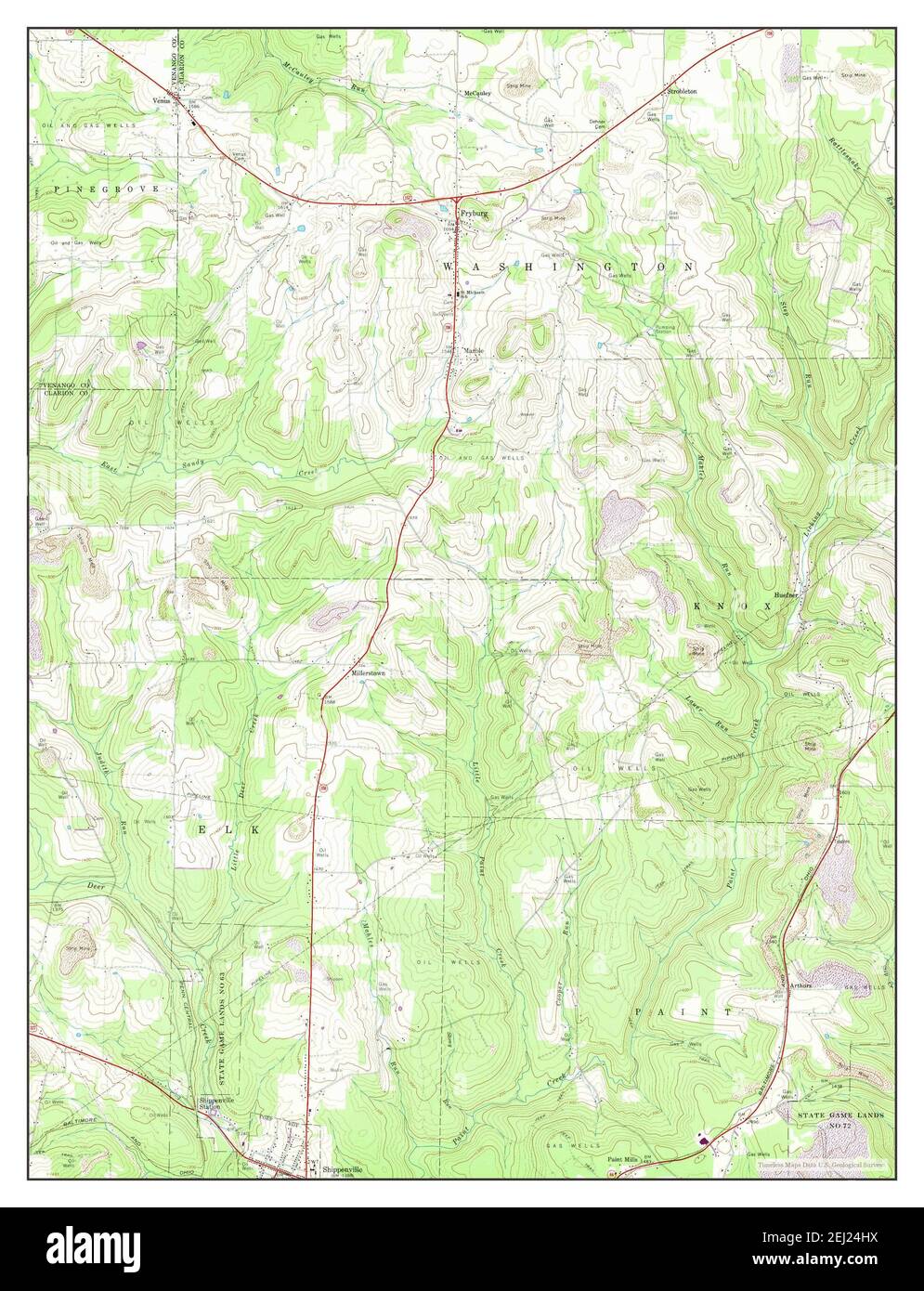 Fryburg, Pennsylvania, map 1967, 1:24000, United States of America by Timeless Maps, data U.S. Geological Survey Stock Photohttps://www.alamy.com/image-license-details/?v=1https://www.alamy.com/fryburg-pennsylvania-map-1967-124000-united-states-of-america-by-timeless-maps-data-us-geological-survey-image406949814.html
RM2EJ24HX–Fryburg, Pennsylvania, map 1967, 1:24000, United States of America by Timeless Maps, data U.S. Geological Survey
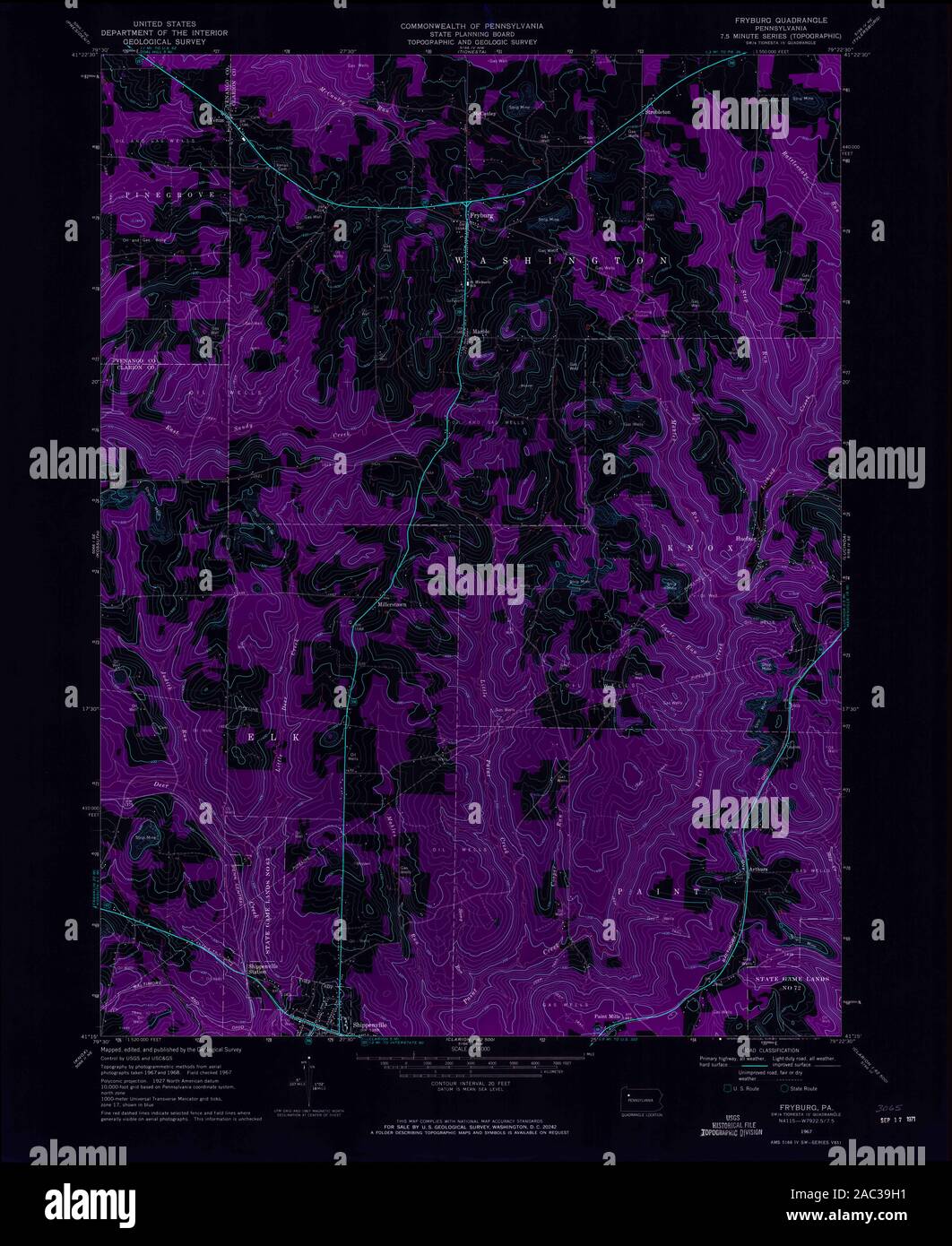 USGS TOPO Map Pennsylvania PA Fryburg 172696 1967 24000 Inverted Restoration Stock Photohttps://www.alamy.com/image-license-details/?v=1https://www.alamy.com/usgs-topo-map-pennsylvania-pa-fryburg-172696-1967-24000-inverted-restoration-image334446253.html
RM2AC39H1–USGS TOPO Map Pennsylvania PA Fryburg 172696 1967 24000 Inverted Restoration
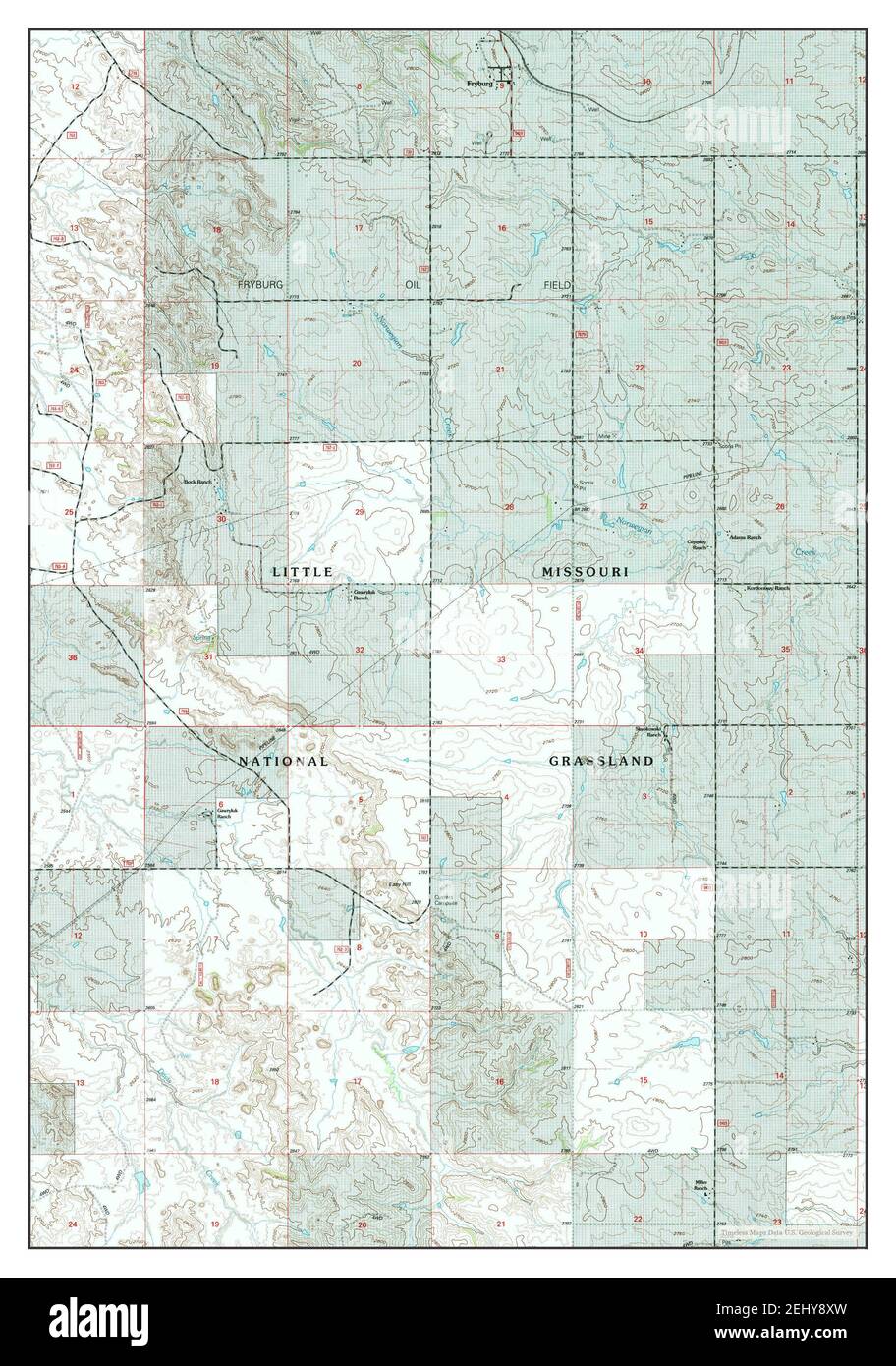 Fryburg, North Dakota, map 1997, 1:24000, United States of America by Timeless Maps, data U.S. Geological Survey Stock Photohttps://www.alamy.com/image-license-details/?v=1https://www.alamy.com/fryburg-north-dakota-map-1997-124000-united-states-of-america-by-timeless-maps-data-us-geological-survey-image406887345.html
RM2EHY8XW–Fryburg, North Dakota, map 1997, 1:24000, United States of America by Timeless Maps, data U.S. Geological Survey
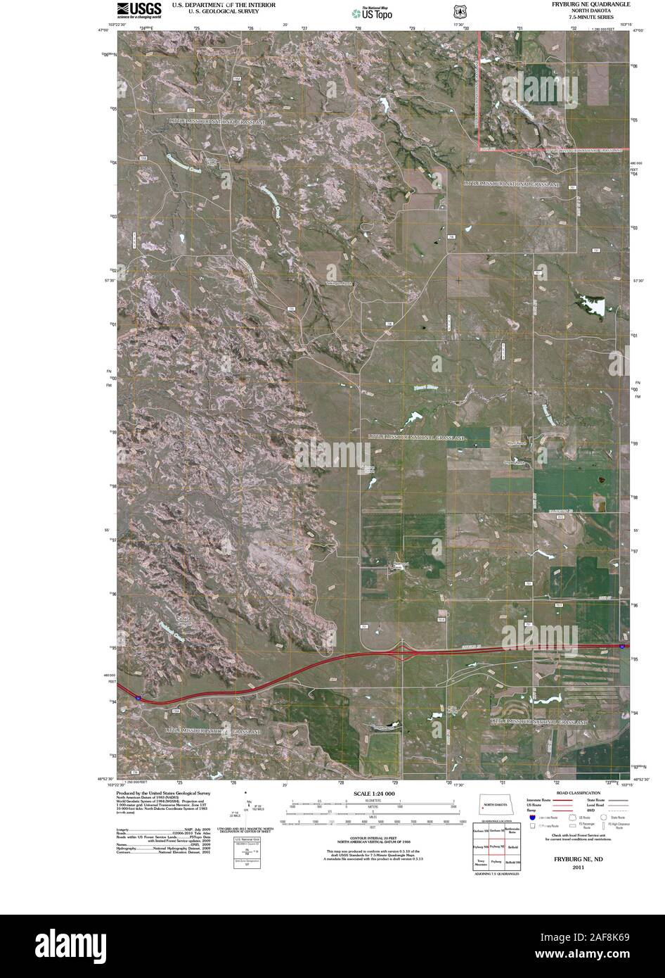 USGS TOPO Map North Dakota ND Fryburg NE 20110316 TM Restoration Stock Photohttps://www.alamy.com/image-license-details/?v=1https://www.alamy.com/usgs-topo-map-north-dakota-nd-fryburg-ne-20110316-tm-restoration-image336407521.html
RM2AF8K69–USGS TOPO Map North Dakota ND Fryburg NE 20110316 TM Restoration
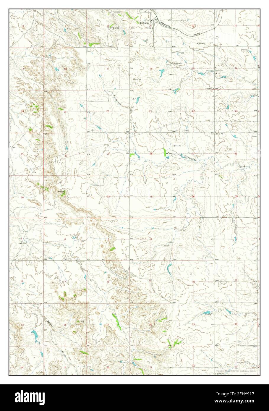 Fryburg, North Dakota, map 1962, 1:24000, United States of America by Timeless Maps, data U.S. Geological Survey Stock Photohttps://www.alamy.com/image-license-details/?v=1https://www.alamy.com/fryburg-north-dakota-map-1962-124000-united-states-of-america-by-timeless-maps-data-us-geological-survey-image406887411.html
RM2EHY917–Fryburg, North Dakota, map 1962, 1:24000, United States of America by Timeless Maps, data U.S. Geological Survey
 USGS TOPO Map North Dakota ND Fryburg NW 20110316 TM Restoration Stock Photohttps://www.alamy.com/image-license-details/?v=1https://www.alamy.com/usgs-topo-map-north-dakota-nd-fryburg-nw-20110316-tm-restoration-image336407676.html
RM2AF8KBT–USGS TOPO Map North Dakota ND Fryburg NW 20110316 TM Restoration
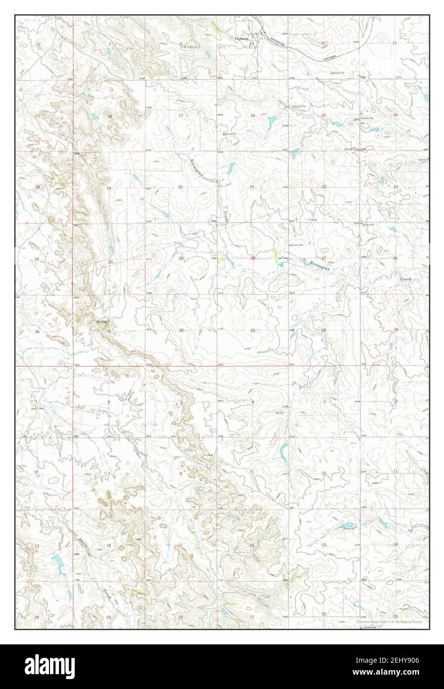 Fryburg, North Dakota, map 1962, 1:24000, United States of America by Timeless Maps, data U.S. Geological Survey Stock Photohttps://www.alamy.com/image-license-details/?v=1https://www.alamy.com/fryburg-north-dakota-map-1962-124000-united-states-of-america-by-timeless-maps-data-us-geological-survey-image406887382.html
RM2EHY906–Fryburg, North Dakota, map 1962, 1:24000, United States of America by Timeless Maps, data U.S. Geological Survey
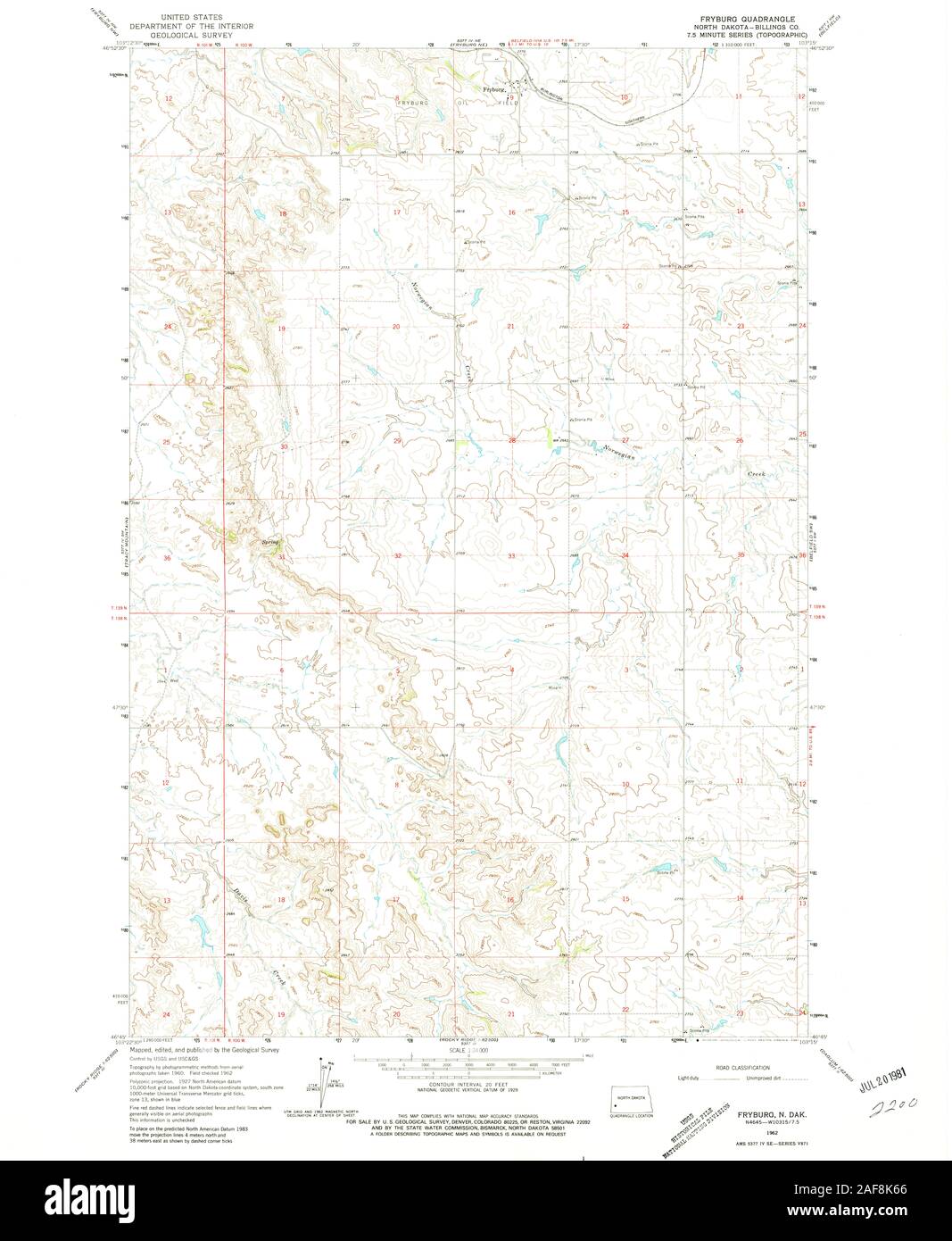 USGS TOPO Map North Dakota ND Fryburg 284006 1962 24000 Restoration Stock Photohttps://www.alamy.com/image-license-details/?v=1https://www.alamy.com/usgs-topo-map-north-dakota-nd-fryburg-284006-1962-24000-restoration-image336407518.html
RM2AF8K66–USGS TOPO Map North Dakota ND Fryburg 284006 1962 24000 Restoration
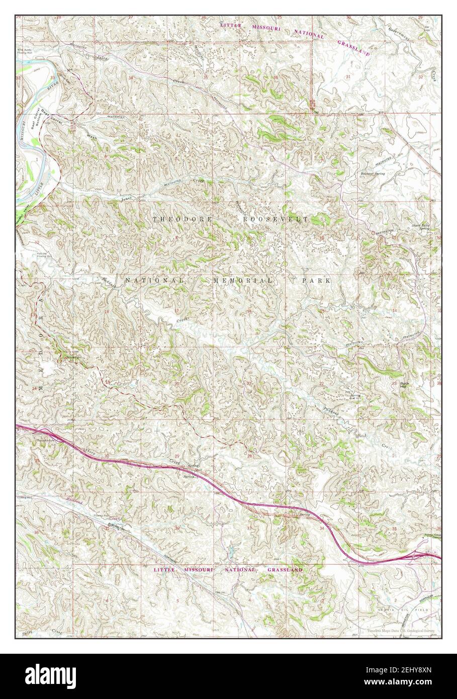 Fryburg NW, North Dakota, map 1962, 1:24000, United States of America by Timeless Maps, data U.S. Geological Survey Stock Photohttps://www.alamy.com/image-license-details/?v=1https://www.alamy.com/fryburg-nw-north-dakota-map-1962-124000-united-states-of-america-by-timeless-maps-data-us-geological-survey-image406887341.html
RM2EHY8XN–Fryburg NW, North Dakota, map 1962, 1:24000, United States of America by Timeless Maps, data U.S. Geological Survey
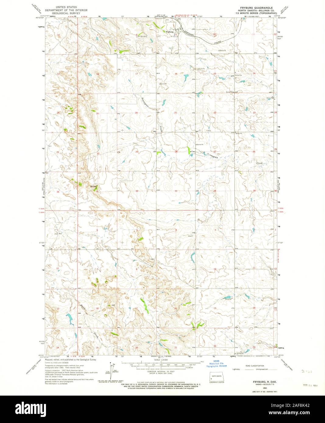 USGS TOPO Map North Dakota ND Fryburg 284005 1962 24000 Restoration Stock Photohttps://www.alamy.com/image-license-details/?v=1https://www.alamy.com/usgs-topo-map-north-dakota-nd-fryburg-284005-1962-24000-restoration-image336407458.html
RM2AF8K42–USGS TOPO Map North Dakota ND Fryburg 284005 1962 24000 Restoration
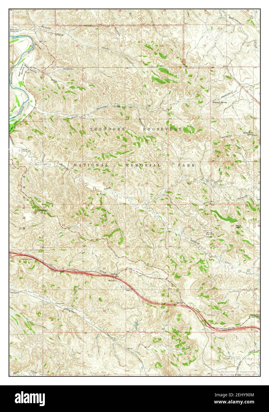 Fryburg NW, North Dakota, map 1962, 1:24000, United States of America by Timeless Maps, data U.S. Geological Survey Stock Photohttps://www.alamy.com/image-license-details/?v=1https://www.alamy.com/fryburg-nw-north-dakota-map-1962-124000-united-states-of-america-by-timeless-maps-data-us-geological-survey-image406887396.html
RM2EHY90M–Fryburg NW, North Dakota, map 1962, 1:24000, United States of America by Timeless Maps, data U.S. Geological Survey
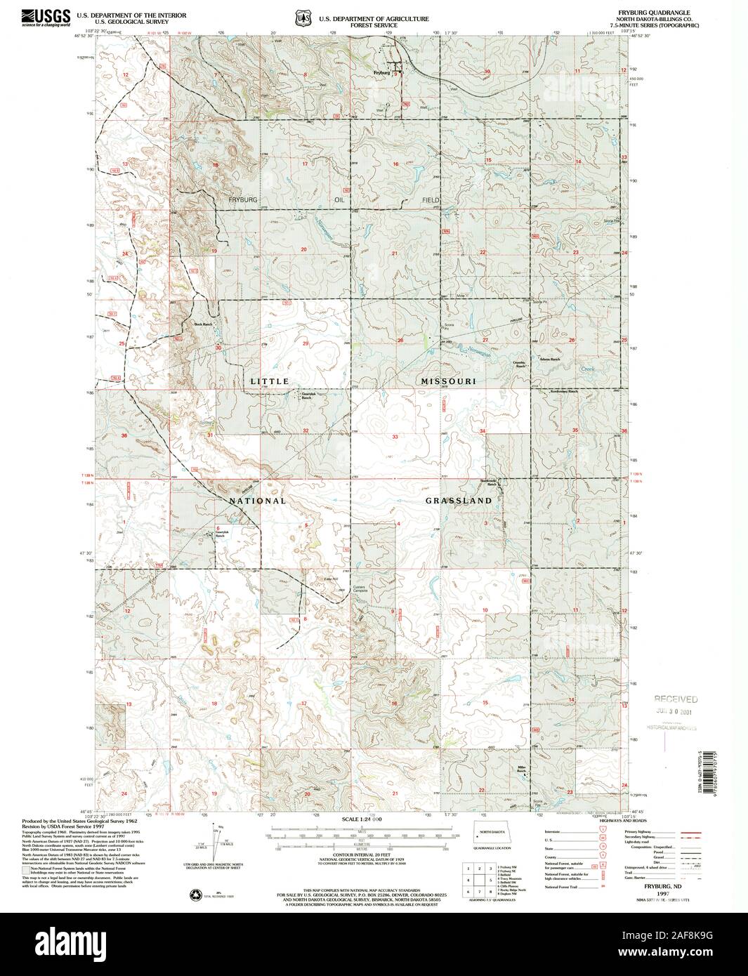 USGS TOPO Map North Dakota ND Fryburg 284007 1997 24000 Restoration Stock Photohttps://www.alamy.com/image-license-details/?v=1https://www.alamy.com/usgs-topo-map-north-dakota-nd-fryburg-284007-1997-24000-restoration-image336407612.html
RM2AF8K9G–USGS TOPO Map North Dakota ND Fryburg 284007 1997 24000 Restoration
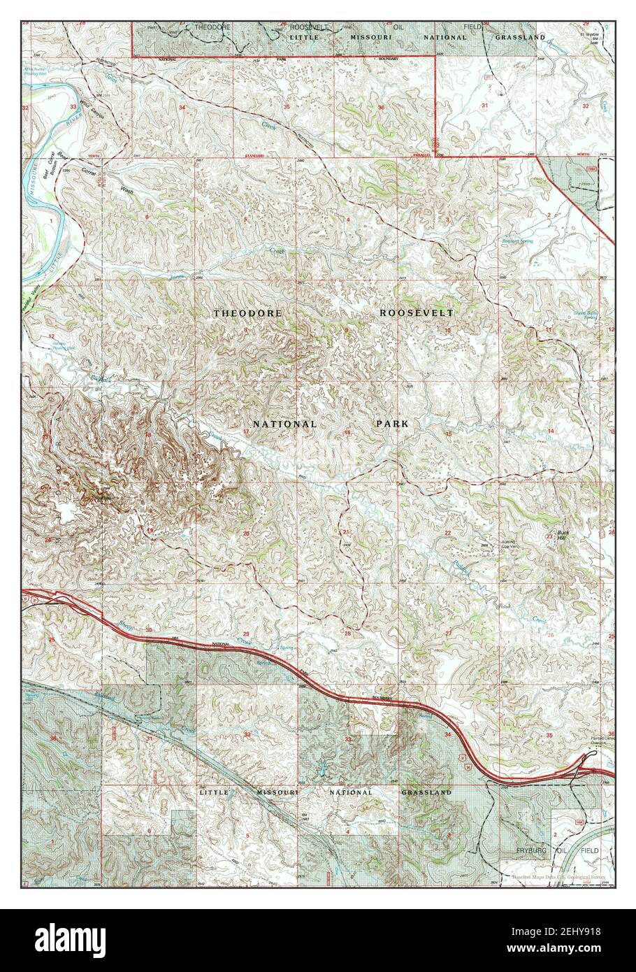 Fryburg NW, North Dakota, map 1997, 1:24000, United States of America by Timeless Maps, data U.S. Geological Survey Stock Photohttps://www.alamy.com/image-license-details/?v=1https://www.alamy.com/fryburg-nw-north-dakota-map-1997-124000-united-states-of-america-by-timeless-maps-data-us-geological-survey-image406887412.html
RM2EHY918–Fryburg NW, North Dakota, map 1997, 1:24000, United States of America by Timeless Maps, data U.S. Geological Survey
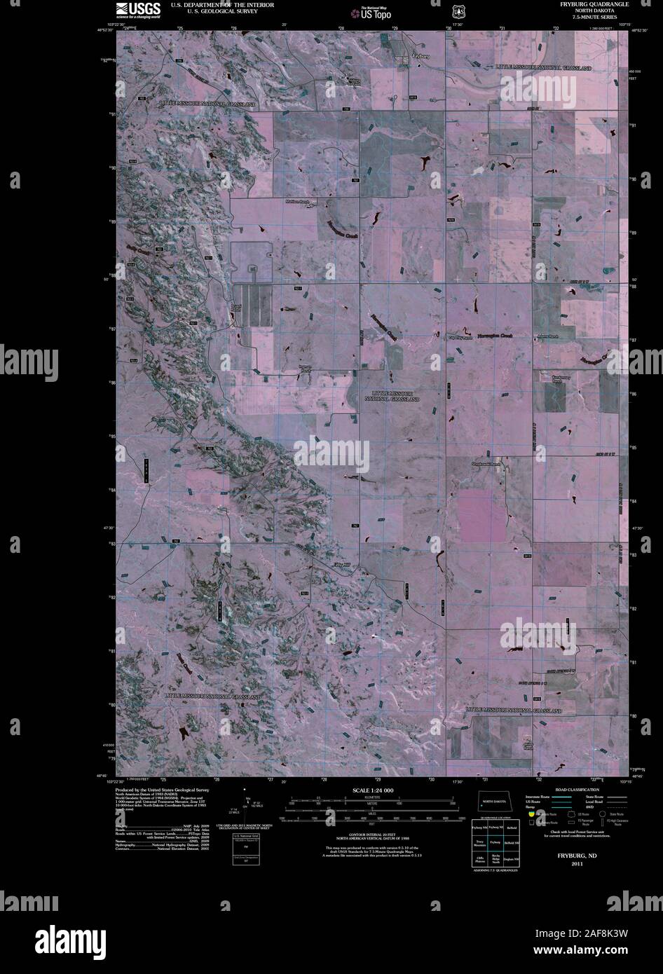 USGS TOPO Map North Dakota ND Fryburg 20110316 TM Inverted Restoration Stock Photohttps://www.alamy.com/image-license-details/?v=1https://www.alamy.com/usgs-topo-map-north-dakota-nd-fryburg-20110316-tm-inverted-restoration-image336407453.html
RM2AF8K3W–USGS TOPO Map North Dakota ND Fryburg 20110316 TM Inverted Restoration
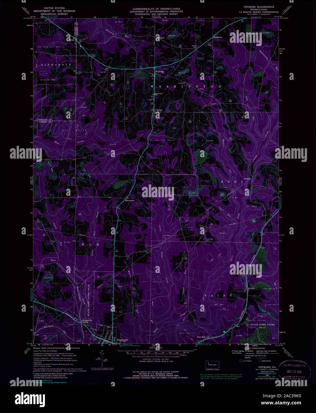 USGS TOPO Map Pennsylvania PA Fryburg 223089 1967 24000 Inverted Restoration Stock Photohttps://www.alamy.com/image-license-details/?v=1https://www.alamy.com/usgs-topo-map-pennsylvania-pa-fryburg-223089-1967-24000-inverted-restoration-image334446308.html
RM2AC39K0–USGS TOPO Map Pennsylvania PA Fryburg 223089 1967 24000 Inverted Restoration
 USGS TOPO Map Pennsylvania PA Fryburg 223088 1967 24000 Inverted Restoration Stock Photohttps://www.alamy.com/image-license-details/?v=1https://www.alamy.com/usgs-topo-map-pennsylvania-pa-fryburg-223088-1967-24000-inverted-restoration-image334446342.html
RM2AC39M6–USGS TOPO Map Pennsylvania PA Fryburg 223088 1967 24000 Inverted Restoration
 USGS TOPO Map Pennsylvania PA Fryburg 172697 1967 24000 Inverted Restoration Stock Photohttps://www.alamy.com/image-license-details/?v=1https://www.alamy.com/usgs-topo-map-pennsylvania-pa-fryburg-172697-1967-24000-inverted-restoration-image334446254.html
RM2AC39H2–USGS TOPO Map Pennsylvania PA Fryburg 172697 1967 24000 Inverted Restoration
 USGS TOPO Map North Dakota ND Fryburg NW 284012 1962 24000 Restoration Stock Photohttps://www.alamy.com/image-license-details/?v=1https://www.alamy.com/usgs-topo-map-north-dakota-nd-fryburg-nw-284012-1962-24000-restoration-image336407732.html
RM2AF8KDT–USGS TOPO Map North Dakota ND Fryburg NW 284012 1962 24000 Restoration
 USGS TOPO Map North Dakota ND Fryburg NE 20110316 TM Inverted Restoration Stock Photohttps://www.alamy.com/image-license-details/?v=1https://www.alamy.com/usgs-topo-map-north-dakota-nd-fryburg-ne-20110316-tm-inverted-restoration-image336407523.html
RM2AF8K6B–USGS TOPO Map North Dakota ND Fryburg NE 20110316 TM Inverted Restoration
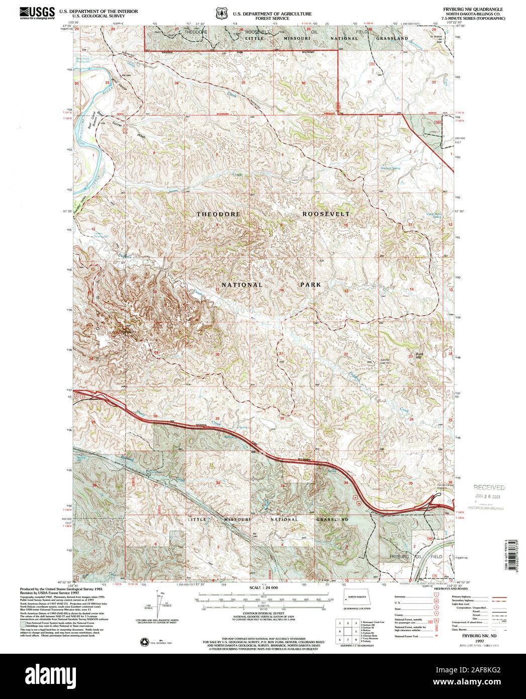 USGS TOPO Map North Dakota ND Fryburg NW 284013 1997 24000 Restoration Stock Photohttps://www.alamy.com/image-license-details/?v=1https://www.alamy.com/usgs-topo-map-north-dakota-nd-fryburg-nw-284013-1997-24000-restoration-image336407794.html
RM2AF8KG2–USGS TOPO Map North Dakota ND Fryburg NW 284013 1997 24000 Restoration
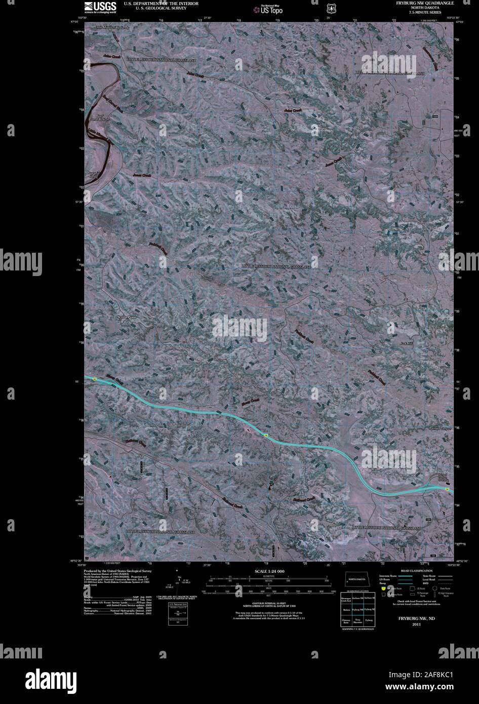 USGS TOPO Map North Dakota ND Fryburg NW 20110316 TM Inverted Restoration Stock Photohttps://www.alamy.com/image-license-details/?v=1https://www.alamy.com/usgs-topo-map-north-dakota-nd-fryburg-nw-20110316-tm-inverted-restoration-image336407681.html
RM2AF8KC1–USGS TOPO Map North Dakota ND Fryburg NW 20110316 TM Inverted Restoration
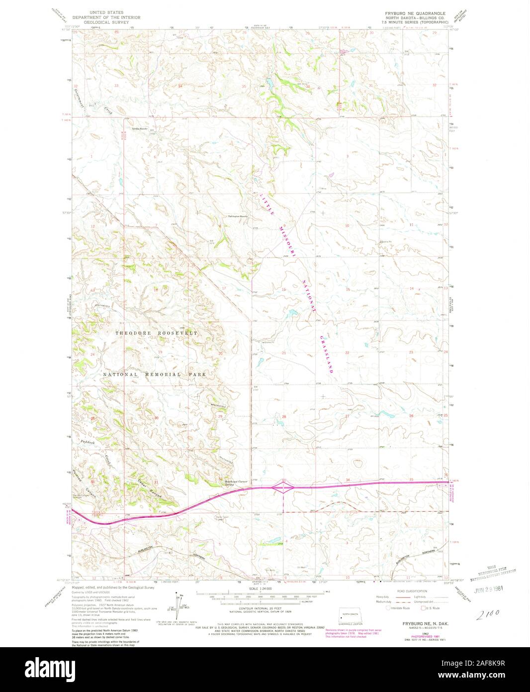 USGS TOPO Map North Dakota ND Fryburg NE 284009 1962 24000 Restoration Stock Photohttps://www.alamy.com/image-license-details/?v=1https://www.alamy.com/usgs-topo-map-north-dakota-nd-fryburg-ne-284009-1962-24000-restoration-image336407619.html
RM2AF8K9R–USGS TOPO Map North Dakota ND Fryburg NE 284009 1962 24000 Restoration
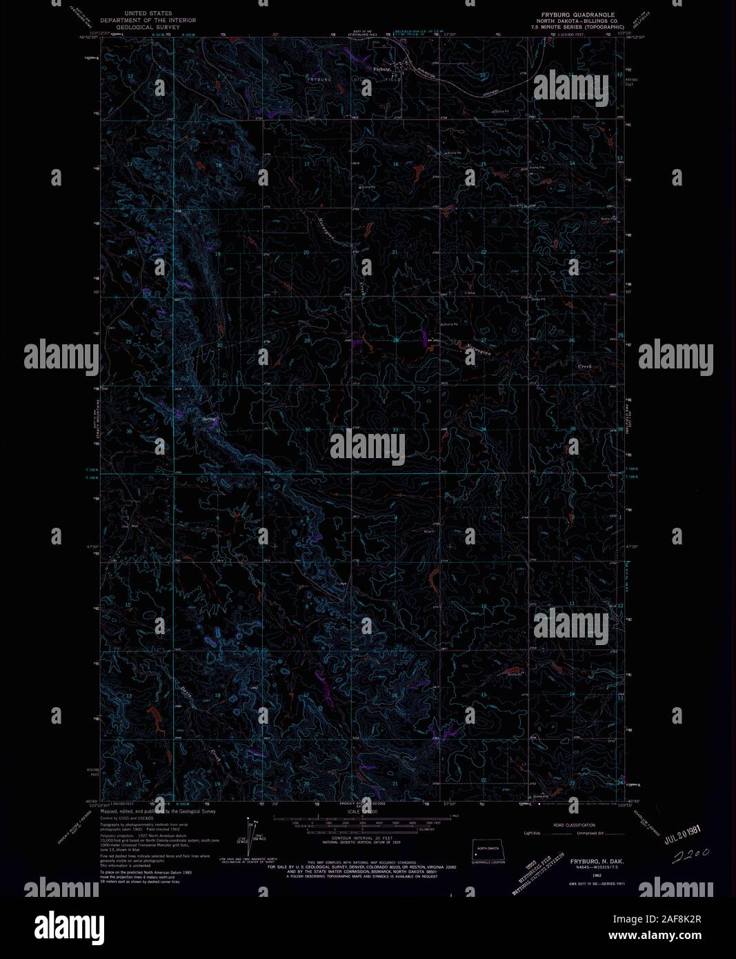 USGS TOPO Map North Dakota ND Fryburg 284006 1962 24000 Inverted Restoration Stock Photohttps://www.alamy.com/image-license-details/?v=1https://www.alamy.com/usgs-topo-map-north-dakota-nd-fryburg-284006-1962-24000-inverted-restoration-image336407423.html
RM2AF8K2R–USGS TOPO Map North Dakota ND Fryburg 284006 1962 24000 Inverted Restoration
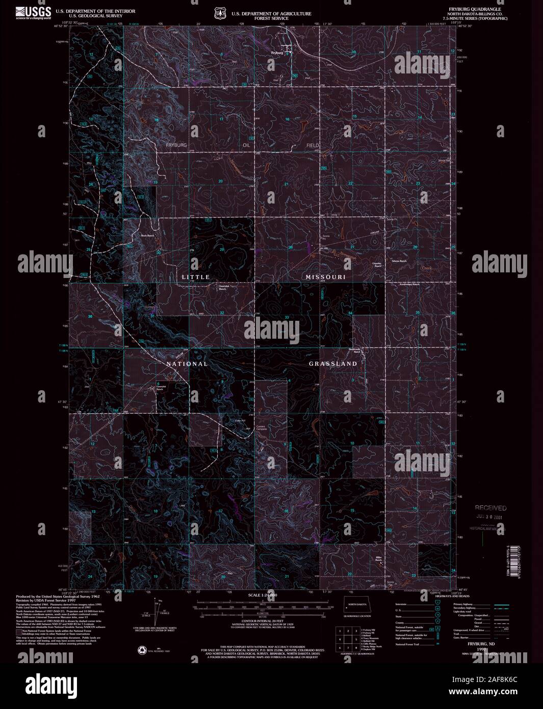 USGS TOPO Map North Dakota ND Fryburg 284007 1997 24000 Inverted Restoration Stock Photohttps://www.alamy.com/image-license-details/?v=1https://www.alamy.com/usgs-topo-map-north-dakota-nd-fryburg-284007-1997-24000-inverted-restoration-image336407524.html
RM2AF8K6C–USGS TOPO Map North Dakota ND Fryburg 284007 1997 24000 Inverted Restoration
 USGS TOPO Map North Dakota ND Fryburg NE 284008 1962 24000 Restoration Stock Photohttps://www.alamy.com/image-license-details/?v=1https://www.alamy.com/usgs-topo-map-north-dakota-nd-fryburg-ne-284008-1962-24000-restoration-image336407513.html
RM2AF8K61–USGS TOPO Map North Dakota ND Fryburg NE 284008 1962 24000 Restoration
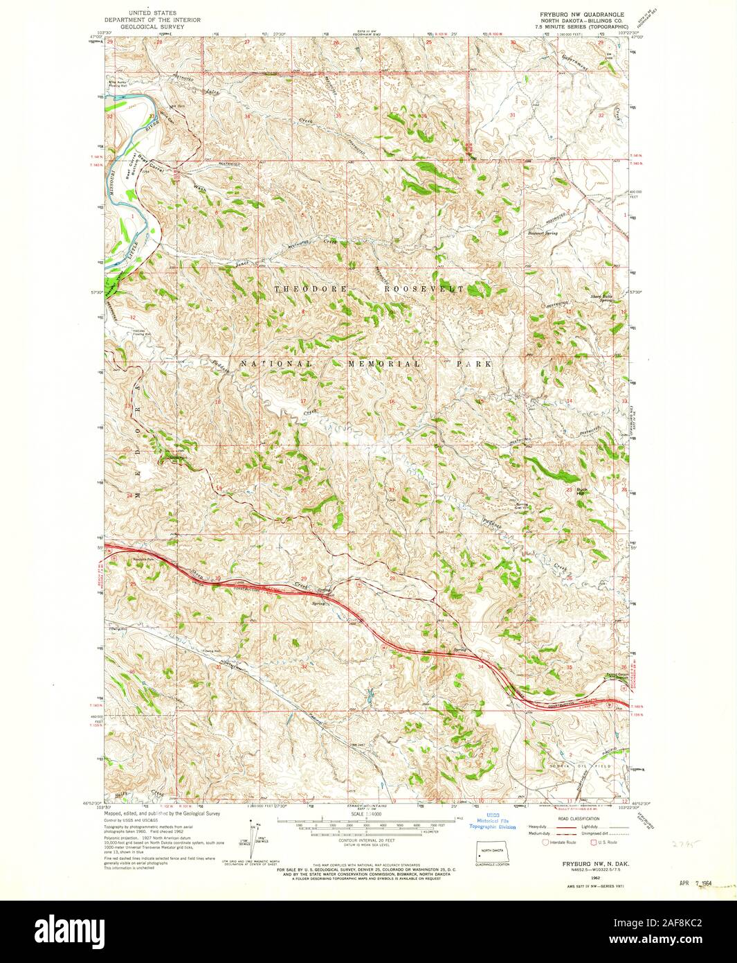 USGS TOPO Map North Dakota ND Fryburg NW 284011 1962 24000 Restoration Stock Photohttps://www.alamy.com/image-license-details/?v=1https://www.alamy.com/usgs-topo-map-north-dakota-nd-fryburg-nw-284011-1962-24000-restoration-image336407682.html
RM2AF8KC2–USGS TOPO Map North Dakota ND Fryburg NW 284011 1962 24000 Restoration
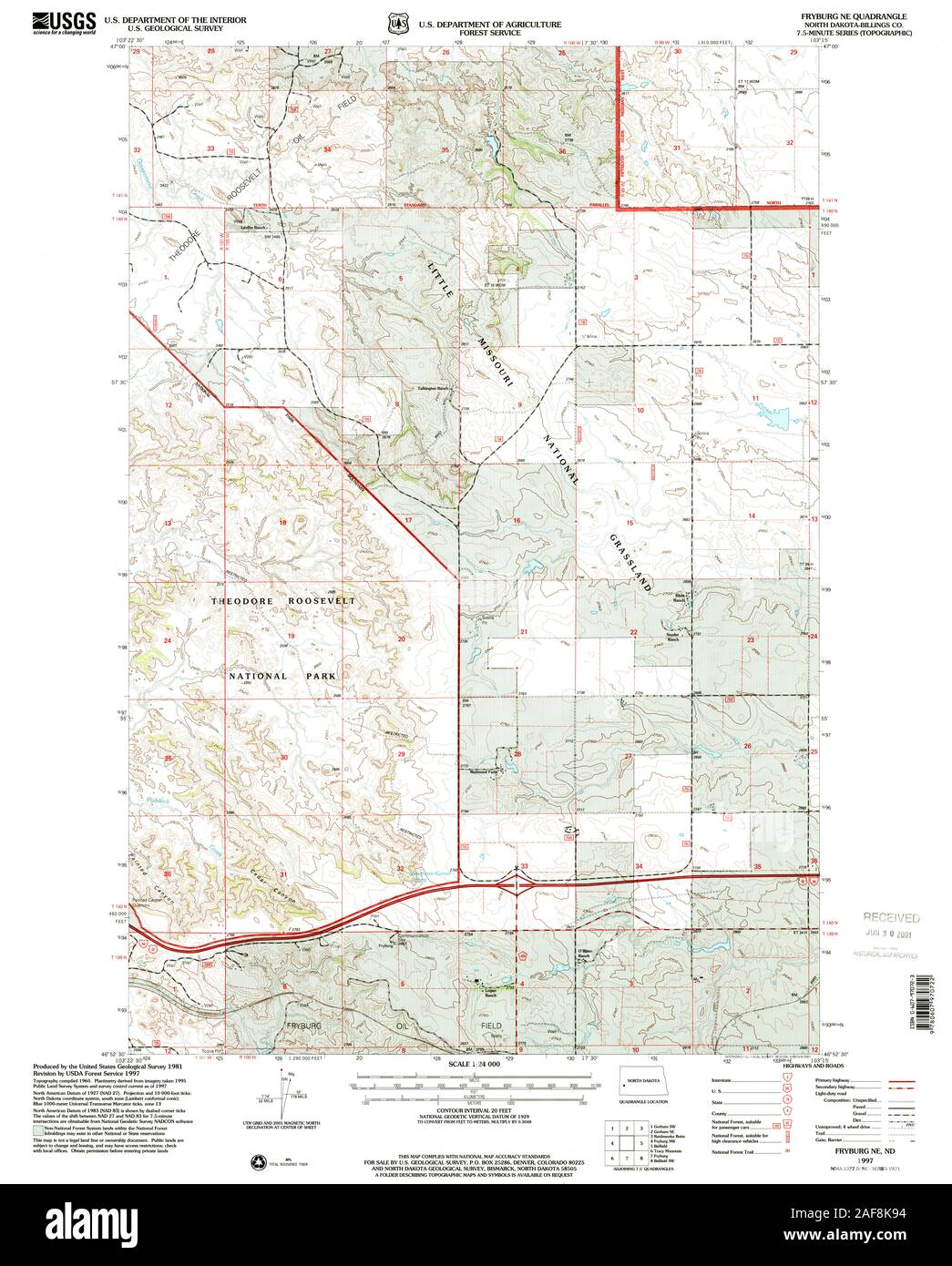 USGS TOPO Map North Dakota ND Fryburg NE 284010 1997 24000 Restoration Stock Photohttps://www.alamy.com/image-license-details/?v=1https://www.alamy.com/usgs-topo-map-north-dakota-nd-fryburg-ne-284010-1997-24000-restoration-image336407600.html
RM2AF8K94–USGS TOPO Map North Dakota ND Fryburg NE 284010 1997 24000 Restoration
 USGS TOPO Map North Dakota ND Fryburg 284005 1962 24000 Inverted Restoration Stock Photohttps://www.alamy.com/image-license-details/?v=1https://www.alamy.com/usgs-topo-map-north-dakota-nd-fryburg-284005-1962-24000-inverted-restoration-image336407443.html
RM2AF8K3F–USGS TOPO Map North Dakota ND Fryburg 284005 1962 24000 Inverted Restoration
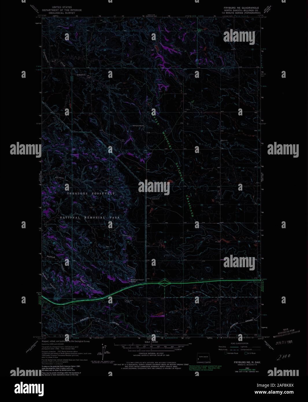 USGS TOPO Map North Dakota ND Fryburg NE 284009 1962 24000 Inverted Restoration Stock Photohttps://www.alamy.com/image-license-details/?v=1https://www.alamy.com/usgs-topo-map-north-dakota-nd-fryburg-ne-284009-1962-24000-inverted-restoration-image336407594.html
RM2AF8K8X–USGS TOPO Map North Dakota ND Fryburg NE 284009 1962 24000 Inverted Restoration
 USGS TOPO Map North Dakota ND Fryburg NW 284012 1962 24000 Inverted Restoration Stock Photohttps://www.alamy.com/image-license-details/?v=1https://www.alamy.com/usgs-topo-map-north-dakota-nd-fryburg-nw-284012-1962-24000-inverted-restoration-image336407728.html
RM2AF8KDM–USGS TOPO Map North Dakota ND Fryburg NW 284012 1962 24000 Inverted Restoration
 USGS TOPO Map North Dakota ND Fryburg NE 284010 1997 24000 Inverted Restoration Stock Photohttps://www.alamy.com/image-license-details/?v=1https://www.alamy.com/usgs-topo-map-north-dakota-nd-fryburg-ne-284010-1997-24000-inverted-restoration-image336407615.html
RM2AF8K9K–USGS TOPO Map North Dakota ND Fryburg NE 284010 1997 24000 Inverted Restoration
 USGS TOPO Map North Dakota ND Fryburg NW 284011 1962 24000 Inverted Restoration Stock Photohttps://www.alamy.com/image-license-details/?v=1https://www.alamy.com/usgs-topo-map-north-dakota-nd-fryburg-nw-284011-1962-24000-inverted-restoration-image336407677.html
RM2AF8KBW–USGS TOPO Map North Dakota ND Fryburg NW 284011 1962 24000 Inverted Restoration
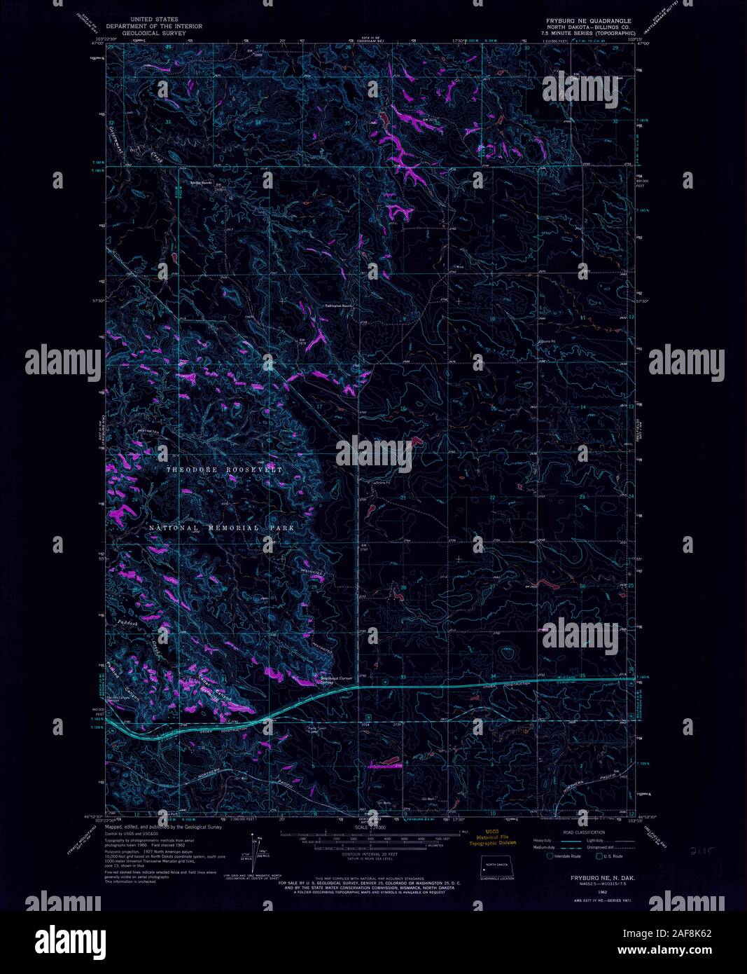 USGS TOPO Map North Dakota ND Fryburg NE 284008 1962 24000 Inverted Restoration Stock Photohttps://www.alamy.com/image-license-details/?v=1https://www.alamy.com/usgs-topo-map-north-dakota-nd-fryburg-ne-284008-1962-24000-inverted-restoration-image336407514.html
RM2AF8K62–USGS TOPO Map North Dakota ND Fryburg NE 284008 1962 24000 Inverted Restoration
 USGS TOPO Map North Dakota ND Fryburg NW 284013 1997 24000 Inverted Restoration Stock Photohttps://www.alamy.com/image-license-details/?v=1https://www.alamy.com/usgs-topo-map-north-dakota-nd-fryburg-nw-284013-1997-24000-inverted-restoration-image336407724.html
RM2AF8KDG–USGS TOPO Map North Dakota ND Fryburg NW 284013 1997 24000 Inverted Restoration