Map of galena Cut Out Stock Images
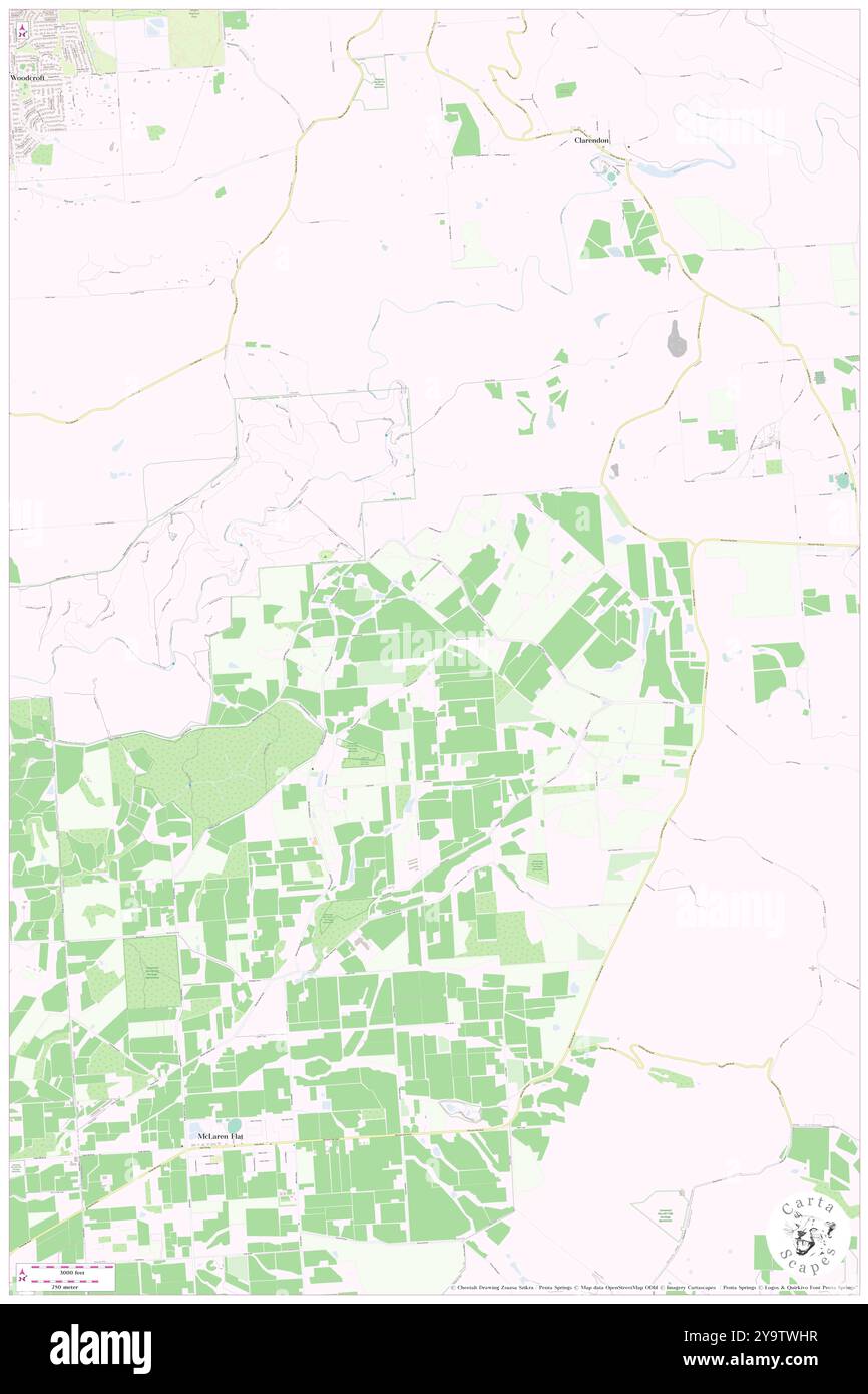 Galena, Onkaparinga, AU, Australia, South Australia, S 35 9' 31'', N 138 36' 38'', map, Cartascapes Map published in 2024. Explore Cartascapes, a map revealing Earth's diverse landscapes, cultures, and ecosystems. Journey through time and space, discovering the interconnectedness of our planet's past, present, and future. Stock Photohttps://www.alamy.com/image-license-details/?v=1https://www.alamy.com/galena-onkaparinga-au-australia-south-australia-s-35-9-31-n-138-36-38-map-cartascapes-map-published-in-2024-explore-cartascapes-a-map-revealing-earths-diverse-landscapes-cultures-and-ecosystems-journey-through-time-and-space-discovering-the-interconnectedness-of-our-planets-past-present-and-future-image625652099.html
RM2Y9TWHR–Galena, Onkaparinga, AU, Australia, South Australia, S 35 9' 31'', N 138 36' 38'', map, Cartascapes Map published in 2024. Explore Cartascapes, a map revealing Earth's diverse landscapes, cultures, and ecosystems. Journey through time and space, discovering the interconnectedness of our planet's past, present, and future.
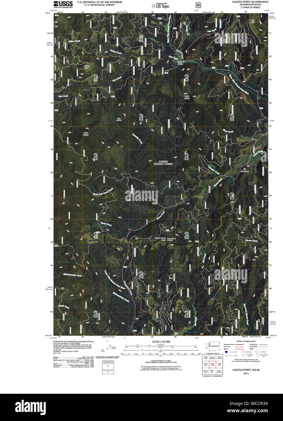 USGS Topo Map Washington State WA Galena Point 20110510 TM Restoration Stock Photohttps://www.alamy.com/image-license-details/?v=1https://www.alamy.com/usgs-topo-map-washington-state-wa-galena-point-20110510-tm-restoration-image265812936.html
RMWCCR34–USGS Topo Map Washington State WA Galena Point 20110510 TM Restoration
 Greetings from Galena vintage rusty metal sign on a white background, vector illustration Stock Vectorhttps://www.alamy.com/image-license-details/?v=1https://www.alamy.com/greetings-from-galena-vintage-rusty-metal-sign-on-a-white-background-vector-illustration-image538256076.html
RF2P7KK38–Greetings from Galena vintage rusty metal sign on a white background, vector illustration
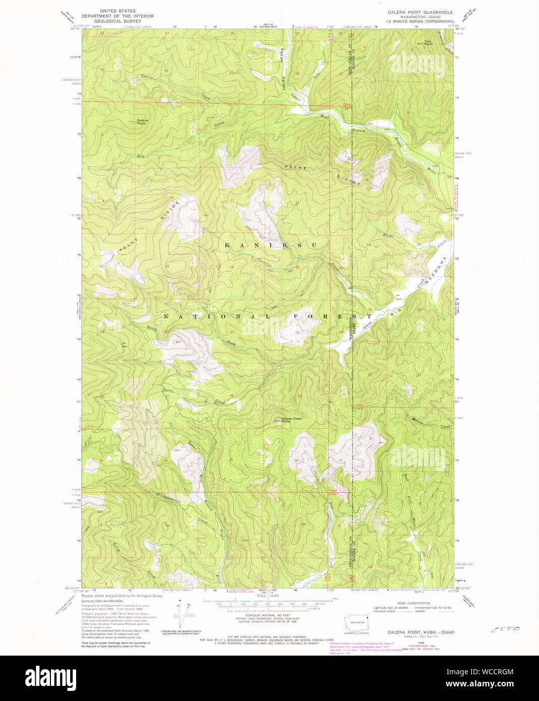 USGS Topo Map Washington State WA Galena Point 236175 1968 24000 Restoration Stock Photohttps://www.alamy.com/image-license-details/?v=1https://www.alamy.com/usgs-topo-map-washington-state-wa-galena-point-236175-1968-24000-restoration-image265813316.html
RMWCCRGM–USGS Topo Map Washington State WA Galena Point 236175 1968 24000 Restoration
 Stone County, Missouri (U.S. county, United States of America, USA, U.S., US) map vector illustration, scribble sketch Stone map Stock Vectorhttps://www.alamy.com/image-license-details/?v=1https://www.alamy.com/stone-county-missouri-us-county-united-states-of-america-usa-us-us-map-vector-illustration-scribble-sketch-stone-map-image386974379.html
RF2DDG5NF–Stone County, Missouri (U.S. county, United States of America, USA, U.S., US) map vector illustration, scribble sketch Stone map
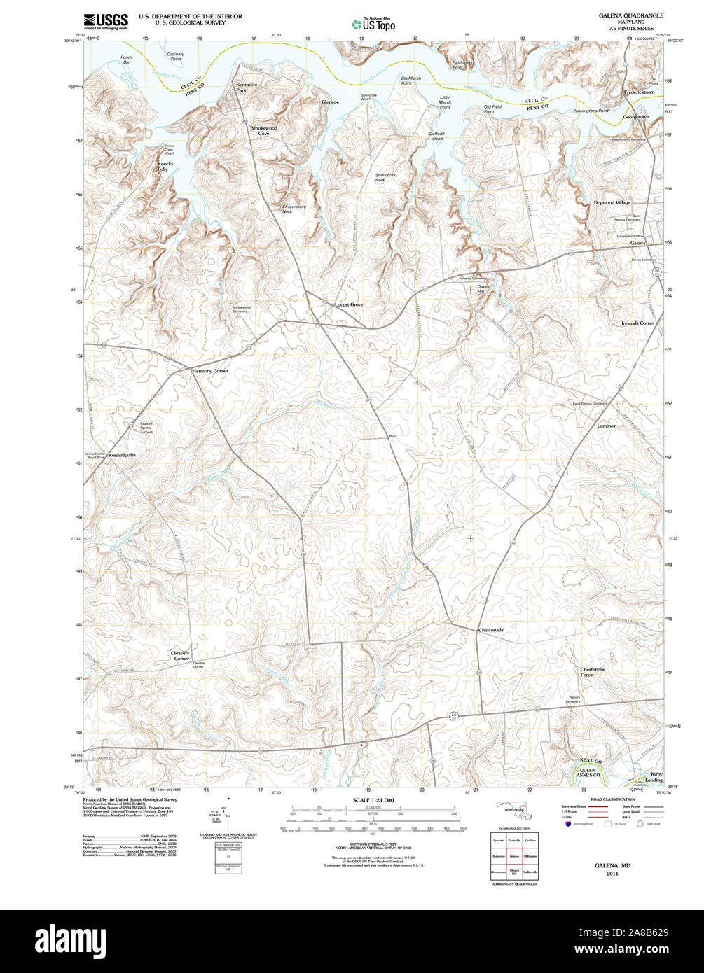 USGS TOPO Map Maryland MD Galena 20110805 TM Stock Photohttps://www.alamy.com/image-license-details/?v=1https://www.alamy.com/usgs-topo-map-maryland-md-galena-20110805-tm-image332160481.html
RM2A8B629–USGS TOPO Map Maryland MD Galena 20110805 TM
 Galena, Blaine County, US, United States, Idaho, N 43 52' 16'', S 114 39' 26'', map, Cartascapes Map published in 2024. Explore Cartascapes, a map revealing Earth's diverse landscapes, cultures, and ecosystems. Journey through time and space, discovering the interconnectedness of our planet's past, present, and future. Stock Photohttps://www.alamy.com/image-license-details/?v=1https://www.alamy.com/galena-blaine-county-us-united-states-idaho-n-43-52-16-s-114-39-26-map-cartascapes-map-published-in-2024-explore-cartascapes-a-map-revealing-earths-diverse-landscapes-cultures-and-ecosystems-journey-through-time-and-space-discovering-the-interconnectedness-of-our-planets-past-present-and-future-image621446867.html
RM2Y319PY–Galena, Blaine County, US, United States, Idaho, N 43 52' 16'', S 114 39' 26'', map, Cartascapes Map published in 2024. Explore Cartascapes, a map revealing Earth's diverse landscapes, cultures, and ecosystems. Journey through time and space, discovering the interconnectedness of our planet's past, present, and future.
 Stone County, Missouri (U.S. county, United States of America, USA, U.S., US) map vector illustration, scribble sketch Stone map Stock Vectorhttps://www.alamy.com/image-license-details/?v=1https://www.alamy.com/stone-county-missouri-us-county-united-states-of-america-usa-us-us-map-vector-illustration-scribble-sketch-stone-map-image397420430.html
RF2E2G1PP–Stone County, Missouri (U.S. county, United States of America, USA, U.S., US) map vector illustration, scribble sketch Stone map
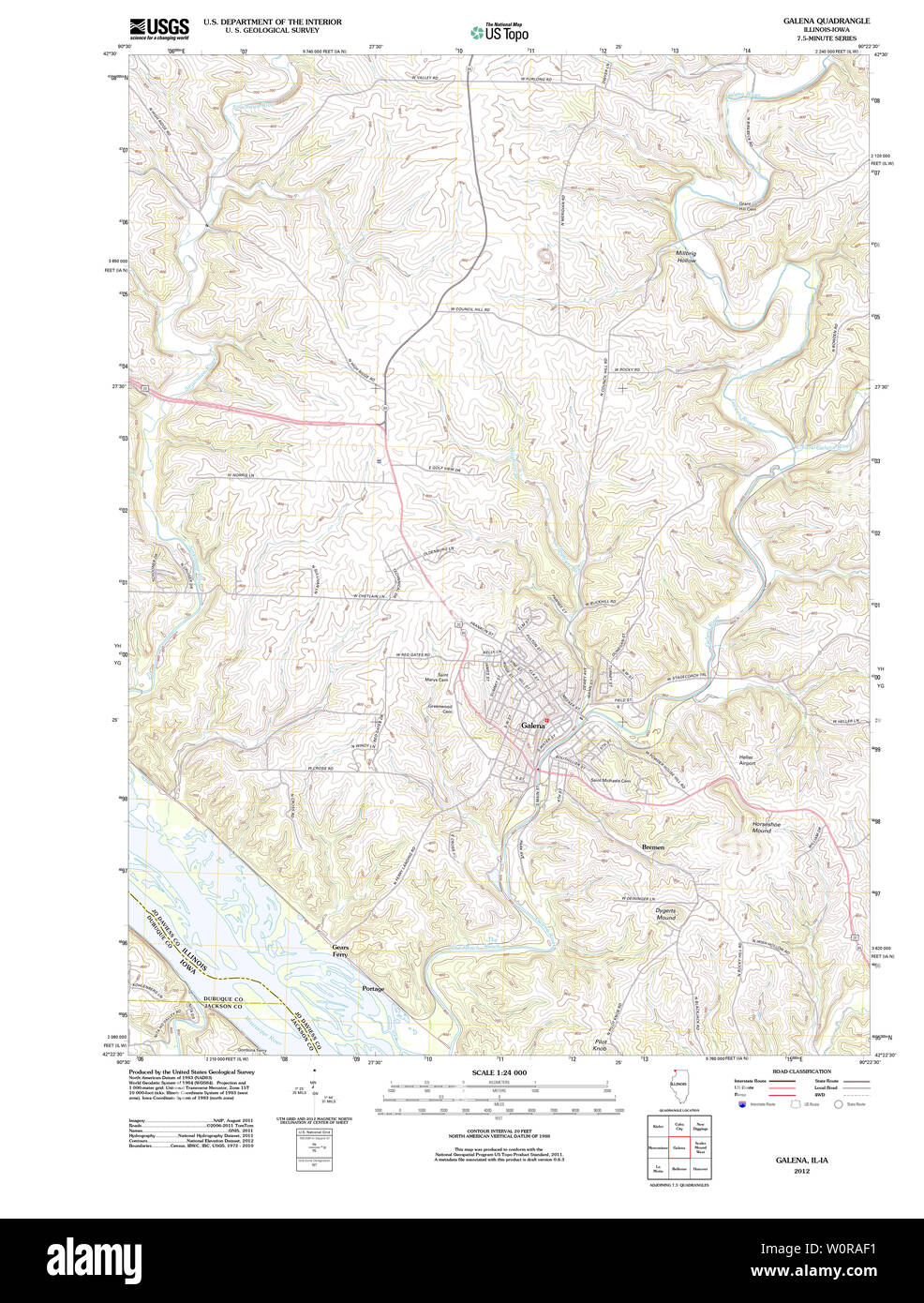 USGS TOPO Map Illinois IL Galena 20120907 TM Restoration Stock Photohttps://www.alamy.com/image-license-details/?v=1https://www.alamy.com/usgs-topo-map-illinois-il-galena-20120907-tm-restoration-image258668677.html
RMW0RAF1–USGS TOPO Map Illinois IL Galena 20120907 TM Restoration
 Galena, Northampton Shire, AU, Australia, Western Australia, S 27 49' 48'', N 114 41' 29'', map, Cartascapes Map published in 2024. Explore Cartascapes, a map revealing Earth's diverse landscapes, cultures, and ecosystems. Journey through time and space, discovering the interconnectedness of our planet's past, present, and future. Stock Photohttps://www.alamy.com/image-license-details/?v=1https://www.alamy.com/galena-northampton-shire-au-australia-western-australia-s-27-49-48-n-114-41-29-map-cartascapes-map-published-in-2024-explore-cartascapes-a-map-revealing-earths-diverse-landscapes-cultures-and-ecosystems-journey-through-time-and-space-discovering-the-interconnectedness-of-our-planets-past-present-and-future-image625697812.html
RM2Y9XYXC–Galena, Northampton Shire, AU, Australia, Western Australia, S 27 49' 48'', N 114 41' 29'', map, Cartascapes Map published in 2024. Explore Cartascapes, a map revealing Earth's diverse landscapes, cultures, and ecosystems. Journey through time and space, discovering the interconnectedness of our planet's past, present, and future.
 Stone County, Missouri (U.S. county, United States of America, USA, U.S., US) map vector illustration, scribble sketch Stone map Stock Vectorhttps://www.alamy.com/image-license-details/?v=1https://www.alamy.com/stone-county-missouri-us-county-united-states-of-america-usa-us-us-map-vector-illustration-scribble-sketch-stone-map-image382071595.html
RF2D5GT63–Stone County, Missouri (U.S. county, United States of America, USA, U.S., US) map vector illustration, scribble sketch Stone map
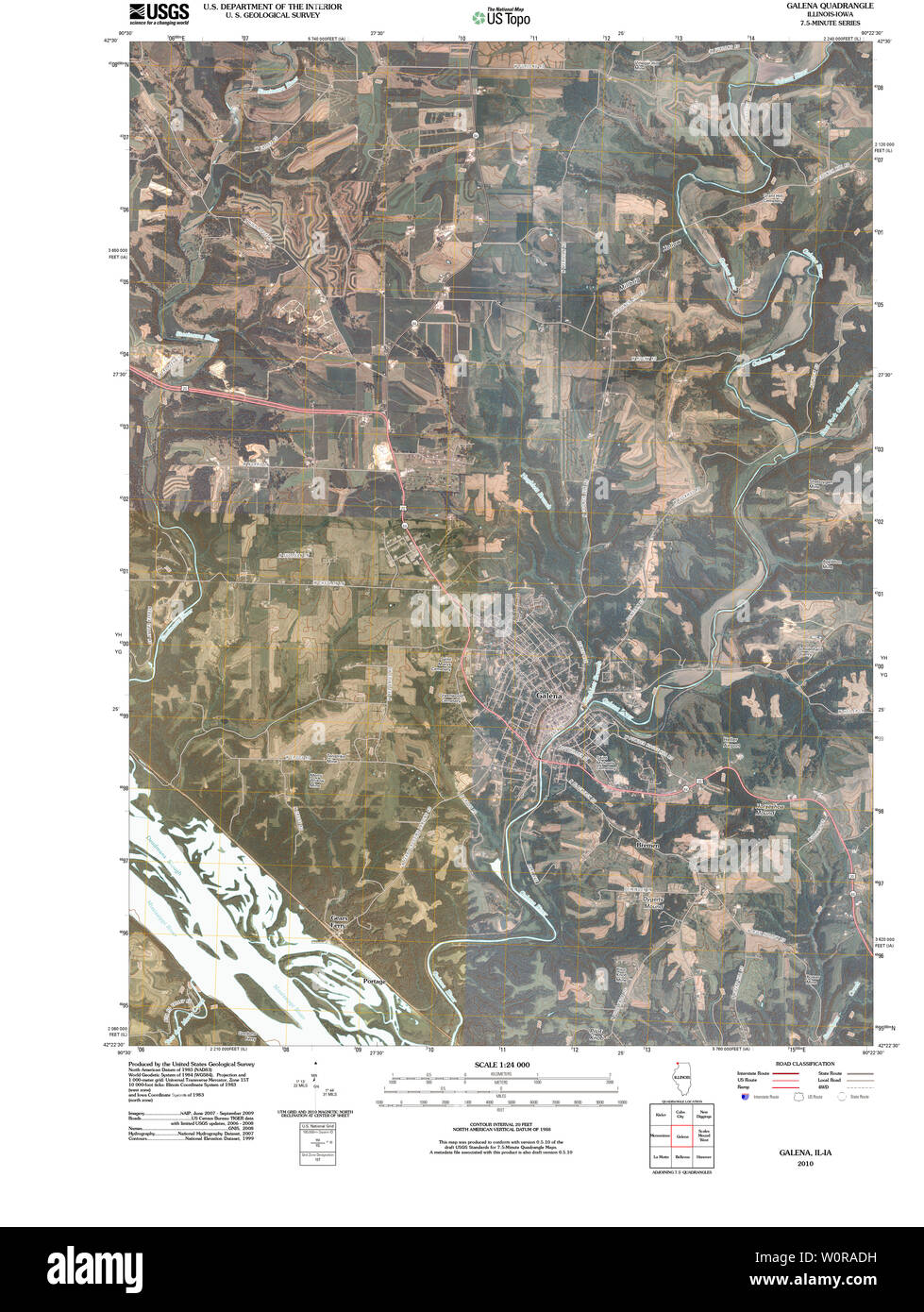 USGS TOPO Map Illinois IL Galena 20100617 TM Restoration Stock Photohttps://www.alamy.com/image-license-details/?v=1https://www.alamy.com/usgs-topo-map-illinois-il-galena-20100617-tm-restoration-image258668637.html
RMW0RADH–USGS TOPO Map Illinois IL Galena 20100617 TM Restoration
 Galena, Kent County, US, United States, Maryland, N 39 20' 26'', S 75 52' 43'', map, Cartascapes Map published in 2024. Explore Cartascapes, a map revealing Earth's diverse landscapes, cultures, and ecosystems. Journey through time and space, discovering the interconnectedness of our planet's past, present, and future. Stock Photohttps://www.alamy.com/image-license-details/?v=1https://www.alamy.com/galena-kent-county-us-united-states-maryland-n-39-20-26-s-75-52-43-map-cartascapes-map-published-in-2024-explore-cartascapes-a-map-revealing-earths-diverse-landscapes-cultures-and-ecosystems-journey-through-time-and-space-discovering-the-interconnectedness-of-our-planets-past-present-and-future-image621431043.html
RM2Y30HHR–Galena, Kent County, US, United States, Maryland, N 39 20' 26'', S 75 52' 43'', map, Cartascapes Map published in 2024. Explore Cartascapes, a map revealing Earth's diverse landscapes, cultures, and ecosystems. Journey through time and space, discovering the interconnectedness of our planet's past, present, and future.
 Jo Daviess County, Illinois (U.S. county, United States of America, USA, U.S., US) map vector illustration, scribble sketch Jo Daviess map Stock Vectorhttps://www.alamy.com/image-license-details/?v=1https://www.alamy.com/jo-daviess-county-illinois-us-county-united-states-of-america-usa-us-us-map-vector-illustration-scribble-sketch-jo-daviess-map-image362061429.html
RF2C11919–Jo Daviess County, Illinois (U.S. county, United States of America, USA, U.S., US) map vector illustration, scribble sketch Jo Daviess map
 USGS TOPO Map Idaho ID Galena 20110112 TM Restoration Stock Photohttps://www.alamy.com/image-license-details/?v=1https://www.alamy.com/usgs-topo-map-idaho-id-galena-20110112-tm-restoration-image245736377.html
RMT7P775–USGS TOPO Map Idaho ID Galena 20110112 TM Restoration
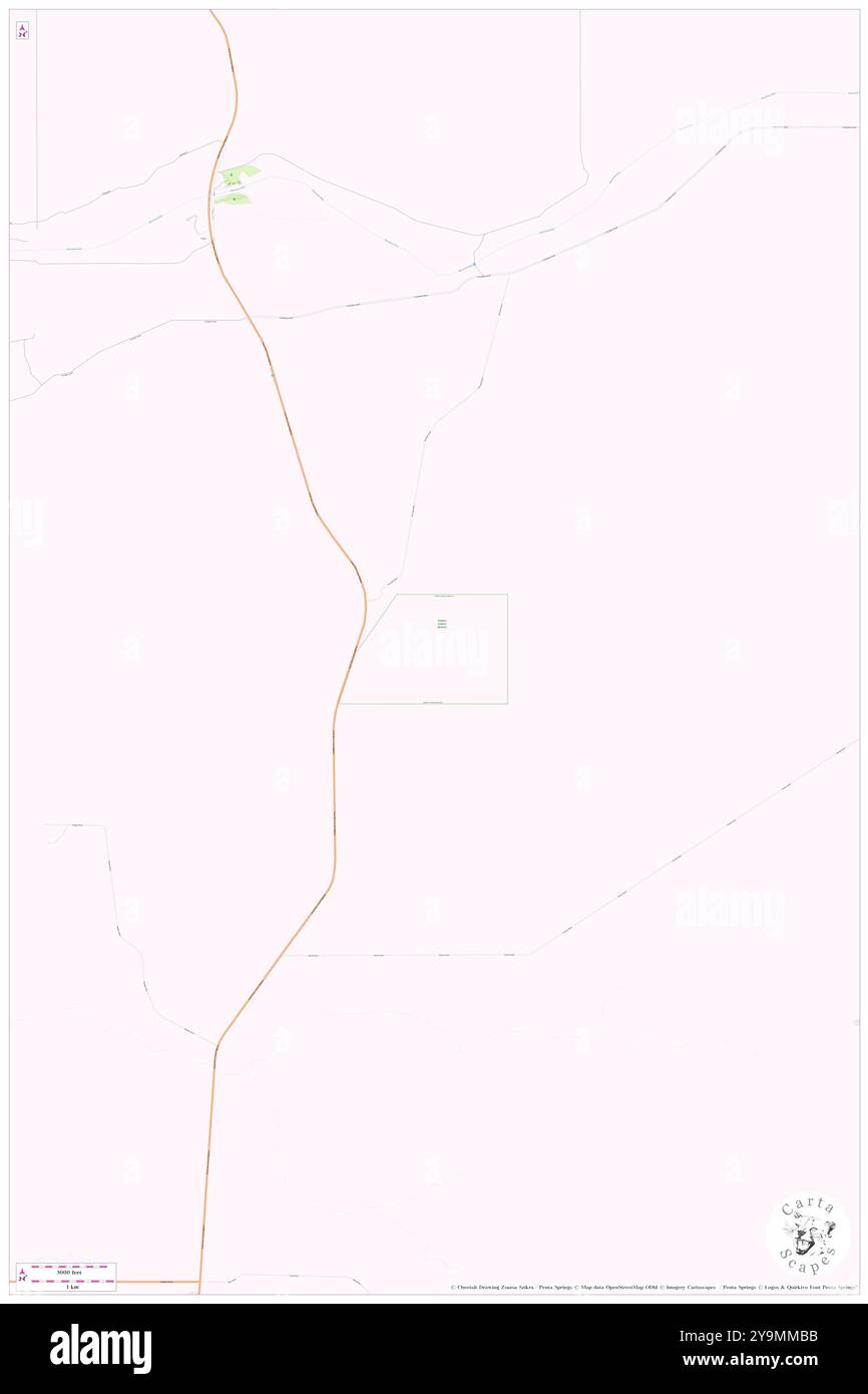 Galena Nature Reserve, , AU, Australia, Western Australia, S 27 52' 30'', N 114 42' 52'', map, Cartascapes Map published in 2024. Explore Cartascapes, a map revealing Earth's diverse landscapes, cultures, and ecosystems. Journey through time and space, discovering the interconnectedness of our planet's past, present, and future. Stock Photohttps://www.alamy.com/image-license-details/?v=1https://www.alamy.com/galena-nature-reserve-au-australia-western-australia-s-27-52-30-n-114-42-52-map-cartascapes-map-published-in-2024-explore-cartascapes-a-map-revealing-earths-diverse-landscapes-cultures-and-ecosystems-journey-through-time-and-space-discovering-the-interconnectedness-of-our-planets-past-present-and-future-image625560191.html
RM2Y9MMBB–Galena Nature Reserve, , AU, Australia, Western Australia, S 27 52' 30'', N 114 42' 52'', map, Cartascapes Map published in 2024. Explore Cartascapes, a map revealing Earth's diverse landscapes, cultures, and ecosystems. Journey through time and space, discovering the interconnectedness of our planet's past, present, and future.
 Jo Daviess County, Illinois (U.S. county, United States of America, USA, U.S., US) map vector illustration, scribble sketch Jo Daviess map Stock Vectorhttps://www.alamy.com/image-license-details/?v=1https://www.alamy.com/jo-daviess-county-illinois-us-county-united-states-of-america-usa-us-us-map-vector-illustration-scribble-sketch-jo-daviess-map-image365921044.html
RF2C7940M–Jo Daviess County, Illinois (U.S. county, United States of America, USA, U.S., US) map vector illustration, scribble sketch Jo Daviess map
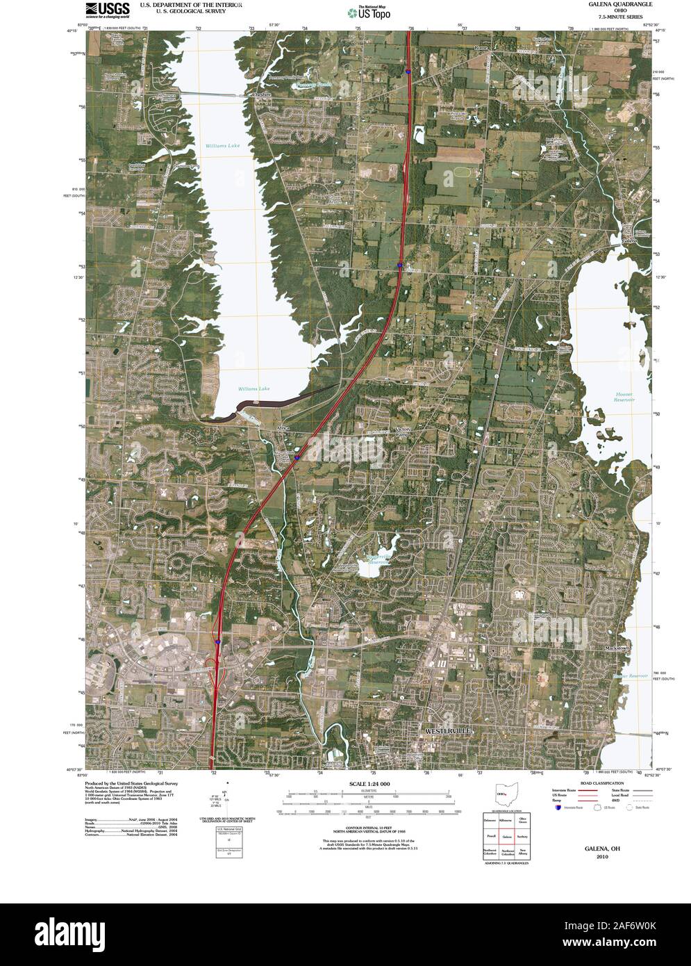 USGS TOPO Map Ohio OH Galena 20100816 TM Restoration Stock Photohttps://www.alamy.com/image-license-details/?v=1https://www.alamy.com/usgs-topo-map-ohio-oh-galena-20100816-tm-restoration-image336368163.html
RM2AF6W0K–USGS TOPO Map Ohio OH Galena 20100816 TM Restoration
 Galena, Cochise County, US, United States, Arizona, N 31 25' 19'', S 109 53' 35'', map, Cartascapes Map published in 2024. Explore Cartascapes, a map revealing Earth's diverse landscapes, cultures, and ecosystems. Journey through time and space, discovering the interconnectedness of our planet's past, present, and future. Stock Photohttps://www.alamy.com/image-license-details/?v=1https://www.alamy.com/galena-cochise-county-us-united-states-arizona-n-31-25-19-s-109-53-35-map-cartascapes-map-published-in-2024-explore-cartascapes-a-map-revealing-earths-diverse-landscapes-cultures-and-ecosystems-journey-through-time-and-space-discovering-the-interconnectedness-of-our-planets-past-present-and-future-image621385894.html
RM2Y2XG1A–Galena, Cochise County, US, United States, Arizona, N 31 25' 19'', S 109 53' 35'', map, Cartascapes Map published in 2024. Explore Cartascapes, a map revealing Earth's diverse landscapes, cultures, and ecosystems. Journey through time and space, discovering the interconnectedness of our planet's past, present, and future.
 Jo Daviess County, Illinois (U.S. county, United States of America, USA, U.S., US) map vector illustration, scribble sketch Jo Daviess map Stock Vectorhttps://www.alamy.com/image-license-details/?v=1https://www.alamy.com/jo-daviess-county-illinois-us-county-united-states-of-america-usa-us-us-map-vector-illustration-scribble-sketch-jo-daviess-map-image369092786.html
RF2CCDHH6–Jo Daviess County, Illinois (U.S. county, United States of America, USA, U.S., US) map vector illustration, scribble sketch Jo Daviess map
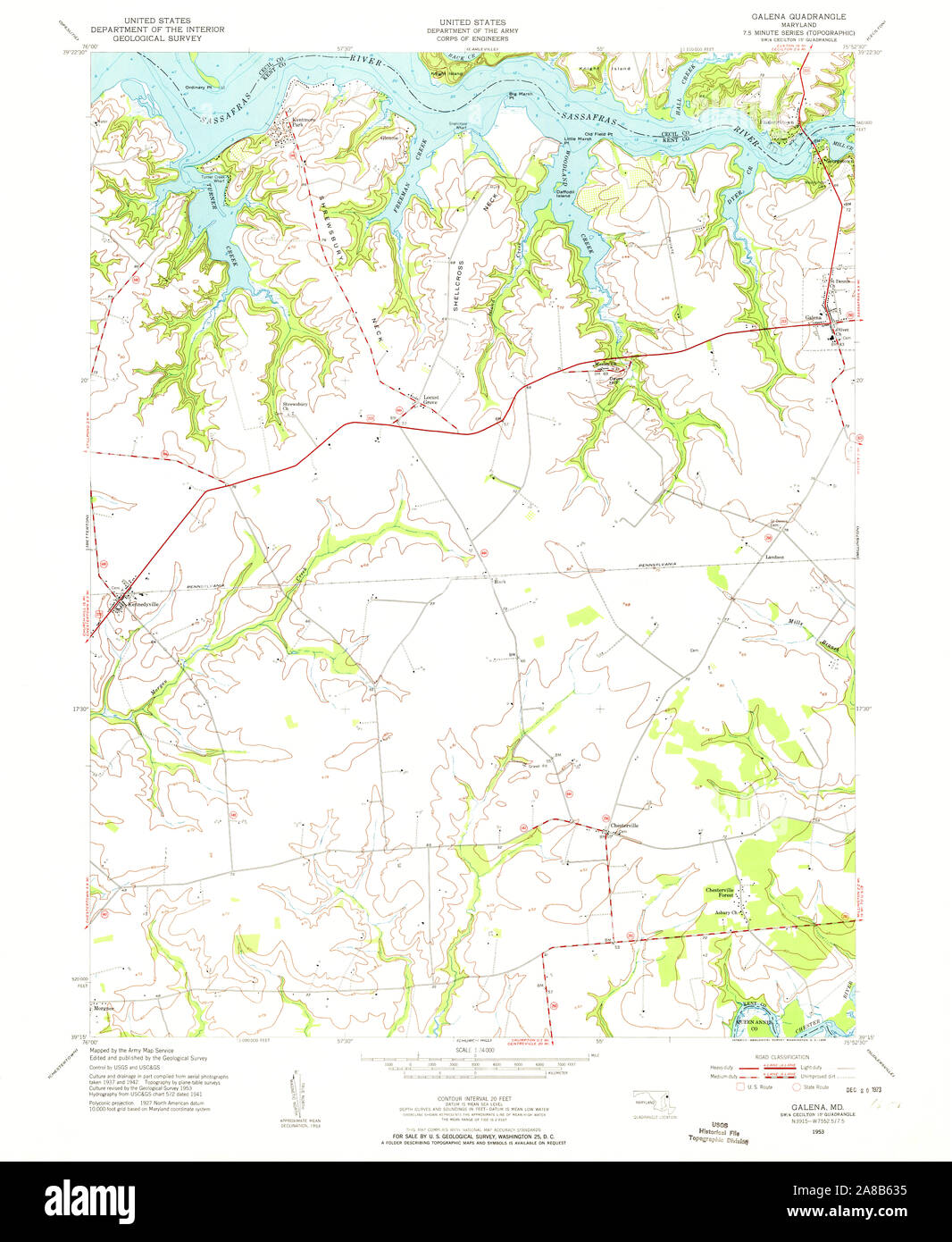 USGS TOPO Map Maryland MD Galena 256356 1953 24000 Stock Photohttps://www.alamy.com/image-license-details/?v=1https://www.alamy.com/usgs-topo-map-maryland-md-galena-256356-1953-24000-image332160505.html
RM2A8B635–USGS TOPO Map Maryland MD Galena 256356 1953 24000
 Galena, Delaware County, US, United States, Ohio, N 40 12' 54'', S 82 52' 47'', map, Cartascapes Map published in 2024. Explore Cartascapes, a map revealing Earth's diverse landscapes, cultures, and ecosystems. Journey through time and space, discovering the interconnectedness of our planet's past, present, and future. Stock Photohttps://www.alamy.com/image-license-details/?v=1https://www.alamy.com/galena-delaware-county-us-united-states-ohio-n-40-12-54-s-82-52-47-map-cartascapes-map-published-in-2024-explore-cartascapes-a-map-revealing-earths-diverse-landscapes-cultures-and-ecosystems-journey-through-time-and-space-discovering-the-interconnectedness-of-our-planets-past-present-and-future-image621377840.html
RM2Y2X5NM–Galena, Delaware County, US, United States, Ohio, N 40 12' 54'', S 82 52' 47'', map, Cartascapes Map published in 2024. Explore Cartascapes, a map revealing Earth's diverse landscapes, cultures, and ecosystems. Journey through time and space, discovering the interconnectedness of our planet's past, present, and future.
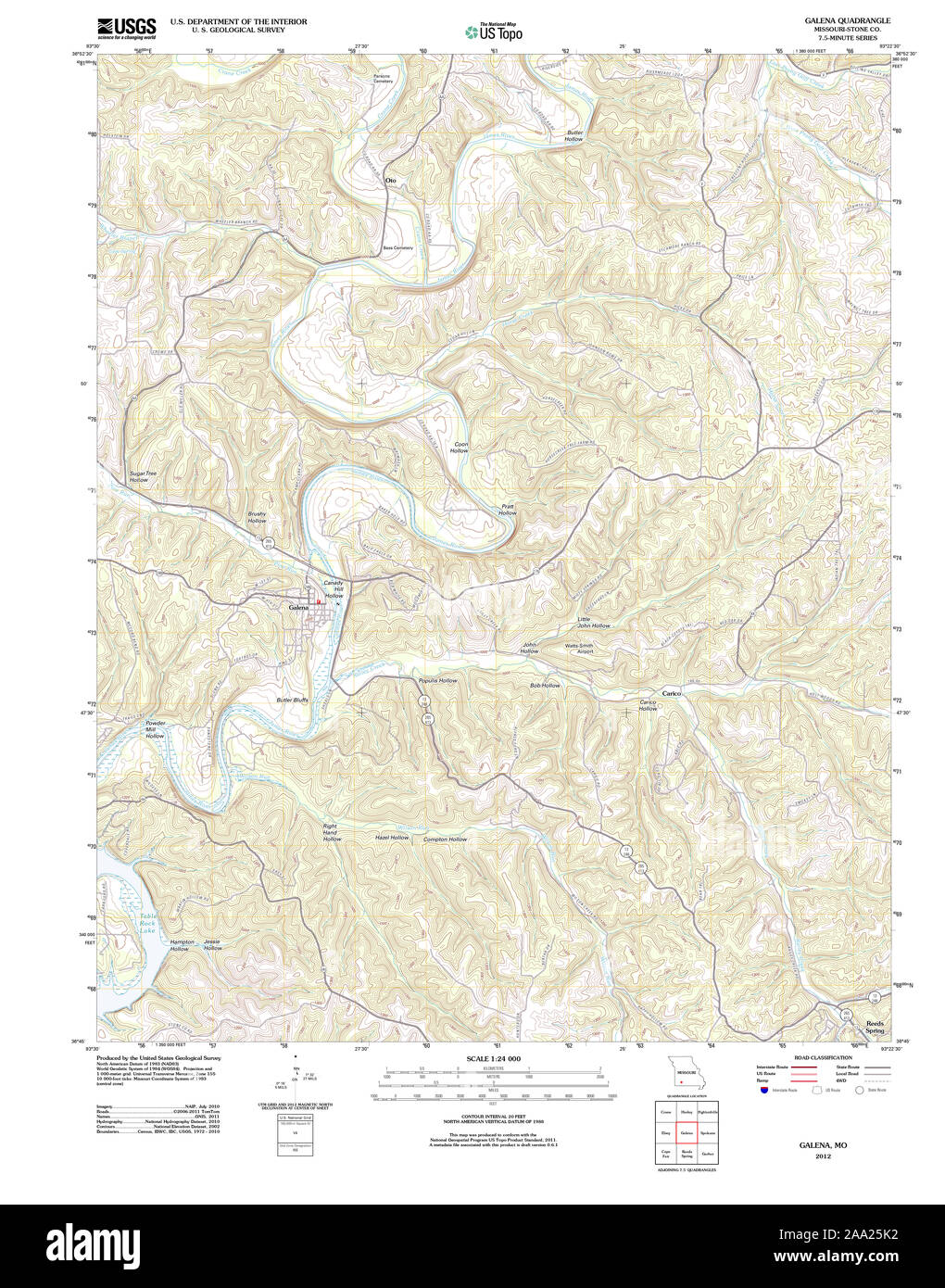 USGS TOPO Map Missouri MO Galena 20120105 TM Restoration Stock Photohttps://www.alamy.com/image-license-details/?v=1https://www.alamy.com/usgs-topo-map-missouri-mo-galena-20120105-tm-restoration-image333191910.html
RM2AA25K2–USGS TOPO Map Missouri MO Galena 20120105 TM Restoration
 Galena, Wythe County, US, United States, Virginia, N 36 52' 52'', S 80 53' 35'', map, Cartascapes Map published in 2024. Explore Cartascapes, a map revealing Earth's diverse landscapes, cultures, and ecosystems. Journey through time and space, discovering the interconnectedness of our planet's past, present, and future. Stock Photohttps://www.alamy.com/image-license-details/?v=1https://www.alamy.com/galena-wythe-county-us-united-states-virginia-n-36-52-52-s-80-53-35-map-cartascapes-map-published-in-2024-explore-cartascapes-a-map-revealing-earths-diverse-landscapes-cultures-and-ecosystems-journey-through-time-and-space-discovering-the-interconnectedness-of-our-planets-past-present-and-future-image621174798.html
RM2Y2GXP6–Galena, Wythe County, US, United States, Virginia, N 36 52' 52'', S 80 53' 35'', map, Cartascapes Map published in 2024. Explore Cartascapes, a map revealing Earth's diverse landscapes, cultures, and ecosystems. Journey through time and space, discovering the interconnectedness of our planet's past, present, and future.
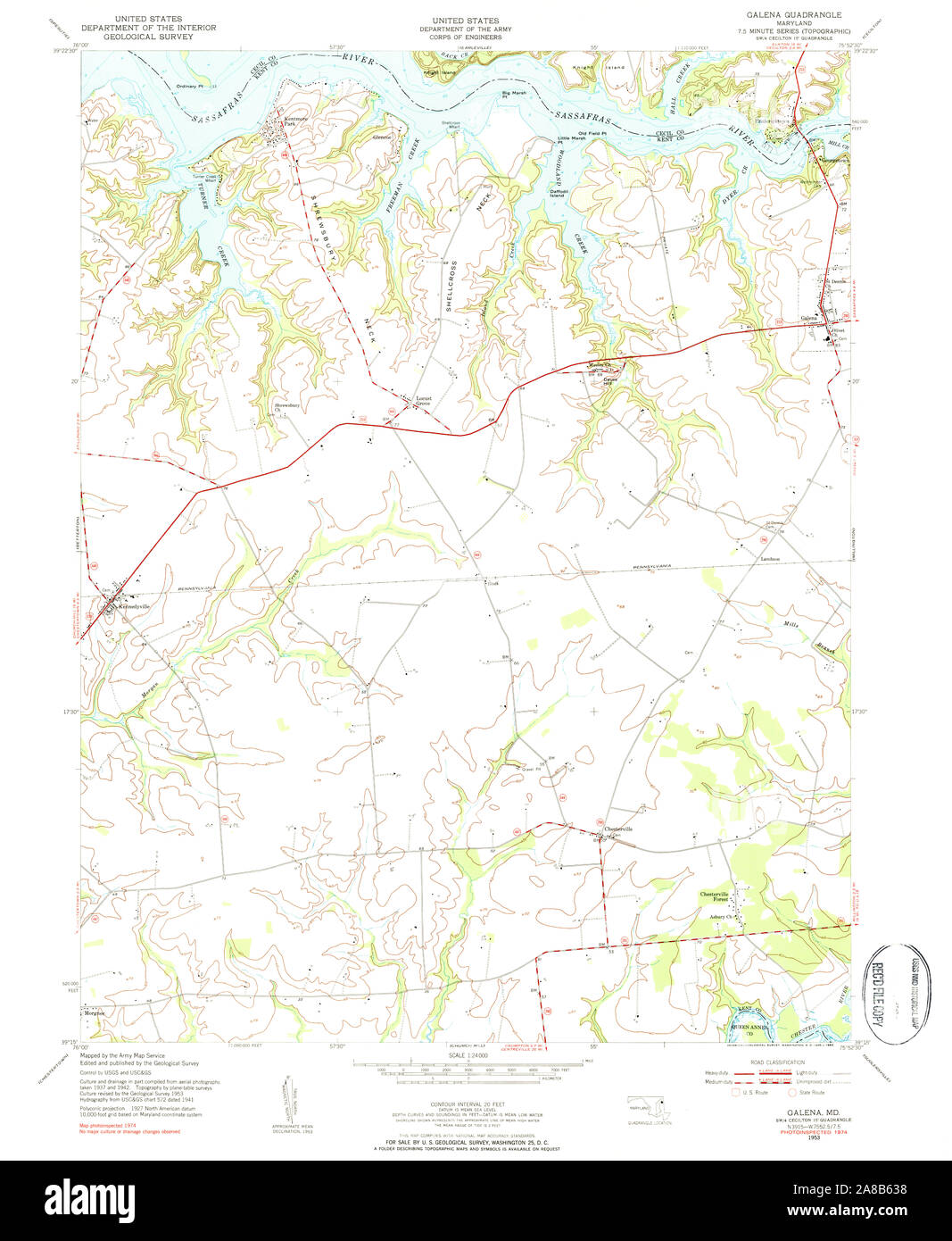 USGS TOPO Map Maryland MD Galena 256359 1953 24000 Stock Photohttps://www.alamy.com/image-license-details/?v=1https://www.alamy.com/usgs-topo-map-maryland-md-galena-256359-1953-24000-image332160508.html
RM2A8B638–USGS TOPO Map Maryland MD Galena 256359 1953 24000
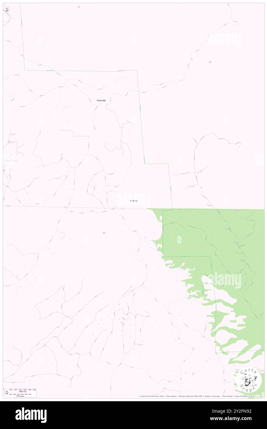 Galena, Fremont County, US, United States, Colorado, N 38 15' 42'', S 105 16' 39'', map, Cartascapes Map published in 2024. Explore Cartascapes, a map revealing Earth's diverse landscapes, cultures, and ecosystems. Journey through time and space, discovering the interconnectedness of our planet's past, present, and future. Stock Photohttps://www.alamy.com/image-license-details/?v=1https://www.alamy.com/galena-fremont-county-us-united-states-colorado-n-38-15-42-s-105-16-39-map-cartascapes-map-published-in-2024-explore-cartascapes-a-map-revealing-earths-diverse-landscapes-cultures-and-ecosystems-journey-through-time-and-space-discovering-the-interconnectedness-of-our-planets-past-present-and-future-image621148558.html
RM2Y2FN92–Galena, Fremont County, US, United States, Colorado, N 38 15' 42'', S 105 16' 39'', map, Cartascapes Map published in 2024. Explore Cartascapes, a map revealing Earth's diverse landscapes, cultures, and ecosystems. Journey through time and space, discovering the interconnectedness of our planet's past, present, and future.
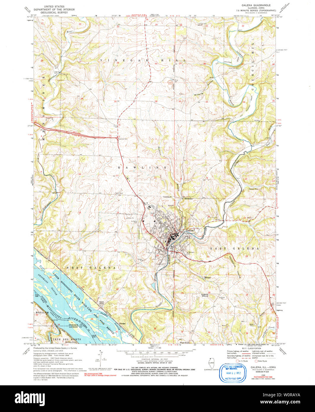 USGS TOPO Map Illinois IL Galena 307648 1968 24000 Restoration Stock Photohttps://www.alamy.com/image-license-details/?v=1https://www.alamy.com/usgs-topo-map-illinois-il-galena-307648-1968-24000-restoration-image258669022.html
RMW0RAYA–USGS TOPO Map Illinois IL Galena 307648 1968 24000 Restoration
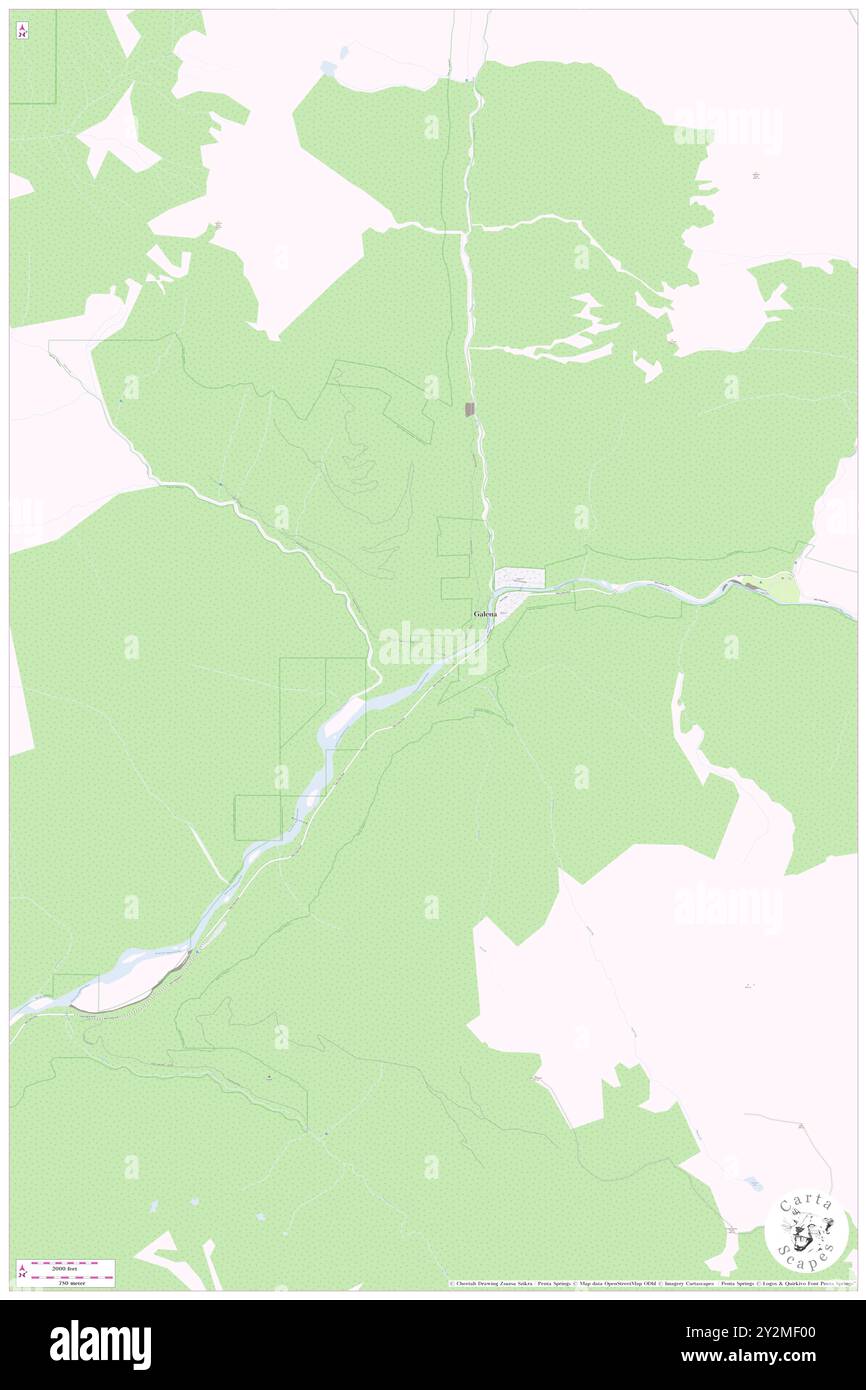 Galena, Snohomish County, US, United States, Washington, N 47 53' 32'', S 121 26' 36'', map, Cartascapes Map published in 2024. Explore Cartascapes, a map revealing Earth's diverse landscapes, cultures, and ecosystems. Journey through time and space, discovering the interconnectedness of our planet's past, present, and future. Stock Photohttps://www.alamy.com/image-license-details/?v=1https://www.alamy.com/galena-snohomish-county-us-united-states-washington-n-47-53-32-s-121-26-36-map-cartascapes-map-published-in-2024-explore-cartascapes-a-map-revealing-earths-diverse-landscapes-cultures-and-ecosystems-journey-through-time-and-space-discovering-the-interconnectedness-of-our-planets-past-present-and-future-image621253360.html
RM2Y2MF00–Galena, Snohomish County, US, United States, Washington, N 47 53' 32'', S 121 26' 36'', map, Cartascapes Map published in 2024. Explore Cartascapes, a map revealing Earth's diverse landscapes, cultures, and ecosystems. Journey through time and space, discovering the interconnectedness of our planet's past, present, and future.
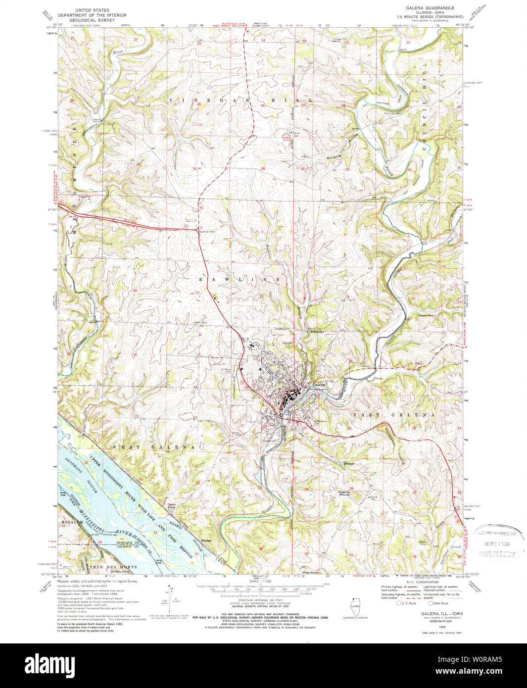 USGS TOPO Map Illinois IL Galena 307647 1968 24000 Restoration Stock Photohttps://www.alamy.com/image-license-details/?v=1https://www.alamy.com/usgs-topo-map-illinois-il-galena-307647-1968-24000-restoration-image258668821.html
RMW0RAM5–USGS TOPO Map Illinois IL Galena 307647 1968 24000 Restoration
 Galena, Grant County, US, United States, Oregon, N 44 42' 37'', S 118 48' 58'', map, Cartascapes Map published in 2024. Explore Cartascapes, a map revealing Earth's diverse landscapes, cultures, and ecosystems. Journey through time and space, discovering the interconnectedness of our planet's past, present, and future. Stock Photohttps://www.alamy.com/image-license-details/?v=1https://www.alamy.com/galena-grant-county-us-united-states-oregon-n-44-42-37-s-118-48-58-map-cartascapes-map-published-in-2024-explore-cartascapes-a-map-revealing-earths-diverse-landscapes-cultures-and-ecosystems-journey-through-time-and-space-discovering-the-interconnectedness-of-our-planets-past-present-and-future-image621335903.html
RM2Y2T87Y–Galena, Grant County, US, United States, Oregon, N 44 42' 37'', S 118 48' 58'', map, Cartascapes Map published in 2024. Explore Cartascapes, a map revealing Earth's diverse landscapes, cultures, and ecosystems. Journey through time and space, discovering the interconnectedness of our planet's past, present, and future.
 USGS TOPO Map Idaho ID Galena 236170 1970 24000 Restoration Stock Photohttps://www.alamy.com/image-license-details/?v=1https://www.alamy.com/usgs-topo-map-idaho-id-galena-236170-1970-24000-restoration-image245736463.html
RMT7P7A7–USGS TOPO Map Idaho ID Galena 236170 1970 24000 Restoration
 Galena, Kent County, US, United States, Maryland, N 39 20' 26'', S 75 52' 43'', map, Cartascapes Map published in 2024. Explore Cartascapes, a map revealing Earth's diverse landscapes, cultures, and ecosystems. Journey through time and space, discovering the interconnectedness of our planet's past, present, and future. Stock Photohttps://www.alamy.com/image-license-details/?v=1https://www.alamy.com/galena-kent-county-us-united-states-maryland-n-39-20-26-s-75-52-43-map-cartascapes-map-published-in-2024-explore-cartascapes-a-map-revealing-earths-diverse-landscapes-cultures-and-ecosystems-journey-through-time-and-space-discovering-the-interconnectedness-of-our-planets-past-present-and-future-image621176098.html
RM2Y2H0CJ–Galena, Kent County, US, United States, Maryland, N 39 20' 26'', S 75 52' 43'', map, Cartascapes Map published in 2024. Explore Cartascapes, a map revealing Earth's diverse landscapes, cultures, and ecosystems. Journey through time and space, discovering the interconnectedness of our planet's past, present, and future.
 USGS TOPO Map Illinois IL Galena 309483 1911 62500 Restoration Stock Photohttps://www.alamy.com/image-license-details/?v=1https://www.alamy.com/usgs-topo-map-illinois-il-galena-309483-1911-62500-restoration-image258669613.html
RMW0RBMD–USGS TOPO Map Illinois IL Galena 309483 1911 62500 Restoration
 Galena, Stone County, US, United States, Missouri, N 36 48' 19'', S 93 27' 59'', map, Cartascapes Map published in 2024. Explore Cartascapes, a map revealing Earth's diverse landscapes, cultures, and ecosystems. Journey through time and space, discovering the interconnectedness of our planet's past, present, and future. Stock Photohttps://www.alamy.com/image-license-details/?v=1https://www.alamy.com/galena-stone-county-us-united-states-missouri-n-36-48-19-s-93-27-59-map-cartascapes-map-published-in-2024-explore-cartascapes-a-map-revealing-earths-diverse-landscapes-cultures-and-ecosystems-journey-through-time-and-space-discovering-the-interconnectedness-of-our-planets-past-present-and-future-image621209354.html
RM2Y2JETA–Galena, Stone County, US, United States, Missouri, N 36 48' 19'', S 93 27' 59'', map, Cartascapes Map published in 2024. Explore Cartascapes, a map revealing Earth's diverse landscapes, cultures, and ecosystems. Journey through time and space, discovering the interconnectedness of our planet's past, present, and future.
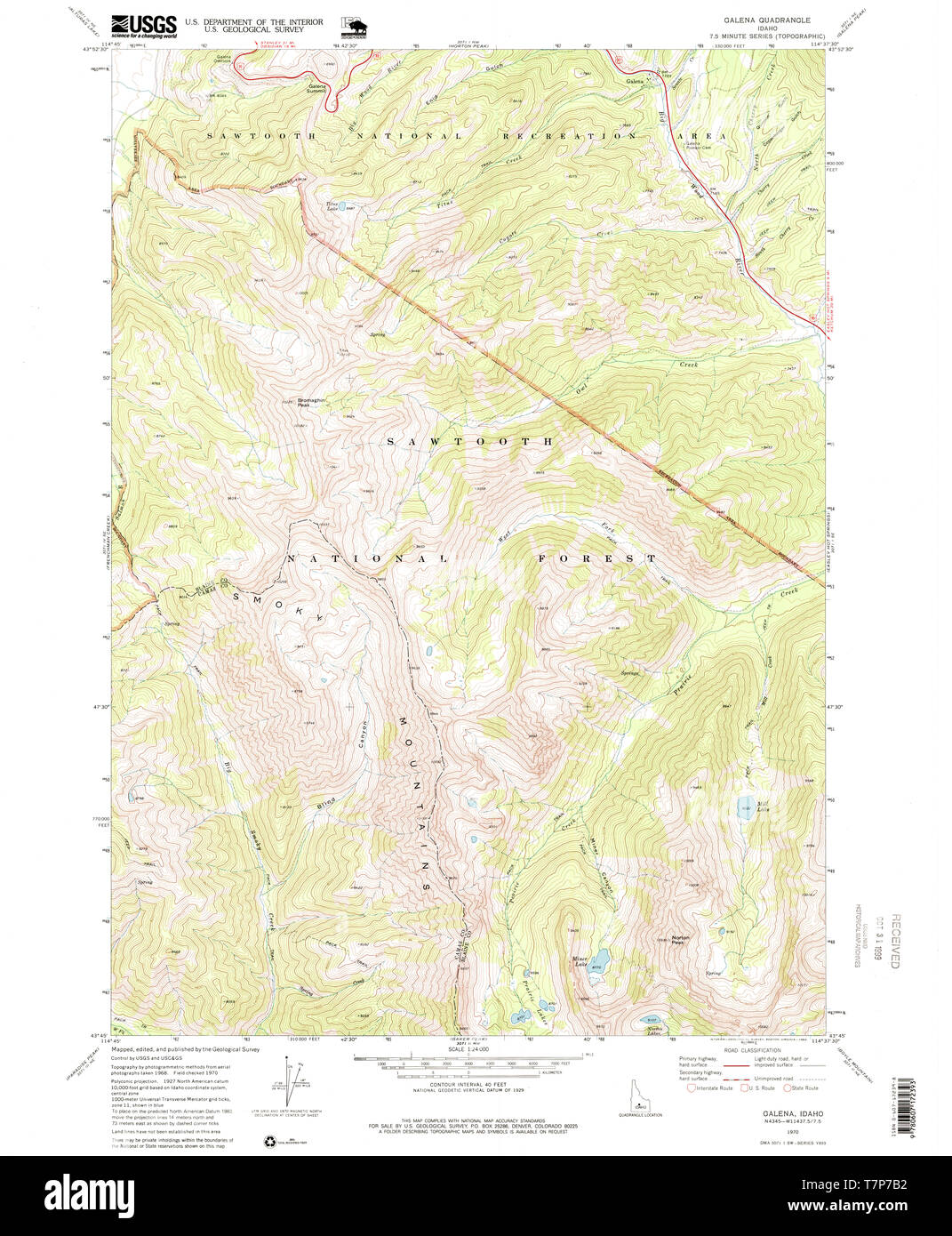 USGS TOPO Map Idaho ID Galena 236172 1970 24000 Restoration Stock Photohttps://www.alamy.com/image-license-details/?v=1https://www.alamy.com/usgs-topo-map-idaho-id-galena-236172-1970-24000-restoration-image245736486.html
RMT7P7B2–USGS TOPO Map Idaho ID Galena 236172 1970 24000 Restoration
 Galena Nature Reserve, , AU, Australia, Western Australia, S 27 52' 30'', N 114 42' 52'', map, Cartascapes Map published in 2024. Explore Cartascapes, a map revealing Earth's diverse landscapes, cultures, and ecosystems. Journey through time and space, discovering the interconnectedness of our planet's past, present, and future. Stock Photohttps://www.alamy.com/image-license-details/?v=1https://www.alamy.com/galena-nature-reserve-au-australia-western-australia-s-27-52-30-n-114-42-52-map-cartascapes-map-published-in-2024-explore-cartascapes-a-map-revealing-earths-diverse-landscapes-cultures-and-ecosystems-journey-through-time-and-space-discovering-the-interconnectedness-of-our-planets-past-present-and-future-image625516493.html
RM2Y9JMJN–Galena Nature Reserve, , AU, Australia, Western Australia, S 27 52' 30'', N 114 42' 52'', map, Cartascapes Map published in 2024. Explore Cartascapes, a map revealing Earth's diverse landscapes, cultures, and ecosystems. Journey through time and space, discovering the interconnectedness of our planet's past, present, and future.
 USGS TOPO Map Idaho ID Galena Peak 20110112 TM Restoration Stock Photohttps://www.alamy.com/image-license-details/?v=1https://www.alamy.com/usgs-topo-map-idaho-id-galena-peak-20110112-tm-restoration-image245736488.html
RMT7P7B4–USGS TOPO Map Idaho ID Galena Peak 20110112 TM Restoration
 Galena, Delaware County, US, United States, Ohio, N 40 12' 54'', S 82 52' 47'', map, Cartascapes Map published in 2024. Explore Cartascapes, a map revealing Earth's diverse landscapes, cultures, and ecosystems. Journey through time and space, discovering the interconnectedness of our planet's past, present, and future. Stock Photohttps://www.alamy.com/image-license-details/?v=1https://www.alamy.com/galena-delaware-county-us-united-states-ohio-n-40-12-54-s-82-52-47-map-cartascapes-map-published-in-2024-explore-cartascapes-a-map-revealing-earths-diverse-landscapes-cultures-and-ecosystems-journey-through-time-and-space-discovering-the-interconnectedness-of-our-planets-past-present-and-future-image621433761.html
RM2Y30N2W–Galena, Delaware County, US, United States, Ohio, N 40 12' 54'', S 82 52' 47'', map, Cartascapes Map published in 2024. Explore Cartascapes, a map revealing Earth's diverse landscapes, cultures, and ecosystems. Journey through time and space, discovering the interconnectedness of our planet's past, present, and future.
 USGS TOPO Map Illinois IL Galena 307650 1968 24000 Restoration Stock Photohttps://www.alamy.com/image-license-details/?v=1https://www.alamy.com/usgs-topo-map-illinois-il-galena-307650-1968-24000-restoration-image258669584.html
RMW0RBKC–USGS TOPO Map Illinois IL Galena 307650 1968 24000 Restoration
 Galena, Floyd County, US, United States, Indiana, N 38 21' 6'', S 85 56' 29'', map, Cartascapes Map published in 2024. Explore Cartascapes, a map revealing Earth's diverse landscapes, cultures, and ecosystems. Journey through time and space, discovering the interconnectedness of our planet's past, present, and future. Stock Photohttps://www.alamy.com/image-license-details/?v=1https://www.alamy.com/galena-floyd-county-us-united-states-indiana-n-38-21-6-s-85-56-29-map-cartascapes-map-published-in-2024-explore-cartascapes-a-map-revealing-earths-diverse-landscapes-cultures-and-ecosystems-journey-through-time-and-space-discovering-the-interconnectedness-of-our-planets-past-present-and-future-image621241778.html
RM2Y2M06A–Galena, Floyd County, US, United States, Indiana, N 38 21' 6'', S 85 56' 29'', map, Cartascapes Map published in 2024. Explore Cartascapes, a map revealing Earth's diverse landscapes, cultures, and ecosystems. Journey through time and space, discovering the interconnectedness of our planet's past, present, and future.
 USGS TOPO Map Illinois IL Galena 307649 1968 24000 Restoration Stock Photohttps://www.alamy.com/image-license-details/?v=1https://www.alamy.com/usgs-topo-map-illinois-il-galena-307649-1968-24000-restoration-image258669098.html
RMW0RB22–USGS TOPO Map Illinois IL Galena 307649 1968 24000 Restoration
 Galena Hill, Venango County, US, United States, Pennsylvania, N 41 23' 40'', S 79 50' 35'', map, Cartascapes Map published in 2024. Explore Cartascapes, a map revealing Earth's diverse landscapes, cultures, and ecosystems. Journey through time and space, discovering the interconnectedness of our planet's past, present, and future. Stock Photohttps://www.alamy.com/image-license-details/?v=1https://www.alamy.com/galena-hill-venango-county-us-united-states-pennsylvania-n-41-23-40-s-79-50-35-map-cartascapes-map-published-in-2024-explore-cartascapes-a-map-revealing-earths-diverse-landscapes-cultures-and-ecosystems-journey-through-time-and-space-discovering-the-interconnectedness-of-our-planets-past-present-and-future-image621425532.html
RM2Y30AH0–Galena Hill, Venango County, US, United States, Pennsylvania, N 41 23' 40'', S 79 50' 35'', map, Cartascapes Map published in 2024. Explore Cartascapes, a map revealing Earth's diverse landscapes, cultures, and ecosystems. Journey through time and space, discovering the interconnectedness of our planet's past, present, and future.
 USGS TOPO Map Nevada NV Galena Canyon 20111223 TM Restoration Stock Photohttps://www.alamy.com/image-license-details/?v=1https://www.alamy.com/usgs-topo-map-nevada-nv-galena-canyon-20111223-tm-restoration-image333719681.html
RM2AAX6T1–USGS TOPO Map Nevada NV Galena Canyon 20111223 TM Restoration
 Galena Bridge, Northampton Shire, AU, Australia, Western Australia, S 27 49' 38'', N 114 41' 18'', map, Cartascapes Map published in 2024. Explore Cartascapes, a map revealing Earth's diverse landscapes, cultures, and ecosystems. Journey through time and space, discovering the interconnectedness of our planet's past, present, and future. Stock Photohttps://www.alamy.com/image-license-details/?v=1https://www.alamy.com/galena-bridge-northampton-shire-au-australia-western-australia-s-27-49-38-n-114-41-18-map-cartascapes-map-published-in-2024-explore-cartascapes-a-map-revealing-earths-diverse-landscapes-cultures-and-ecosystems-journey-through-time-and-space-discovering-the-interconnectedness-of-our-planets-past-present-and-future-image625484077.html
RM2Y9H791–Galena Bridge, Northampton Shire, AU, Australia, Western Australia, S 27 49' 38'', N 114 41' 18'', map, Cartascapes Map published in 2024. Explore Cartascapes, a map revealing Earth's diverse landscapes, cultures, and ecosystems. Journey through time and space, discovering the interconnectedness of our planet's past, present, and future.
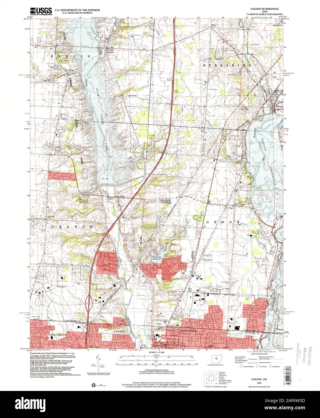 USGS TOPO Map Ohio OH Galena 226109 1995 24000 Restoration Stock Photohttps://www.alamy.com/image-license-details/?v=1https://www.alamy.com/usgs-topo-map-ohio-oh-galena-226109-1995-24000-restoration-image336368241.html
RM2AF6W3D–USGS TOPO Map Ohio OH Galena 226109 1995 24000 Restoration
 Galena (historical), Lander County, US, United States, Nevada, N 40 33' 51'', S 117 7' 48'', map, Cartascapes Map published in 2024. Explore Cartascapes, a map revealing Earth's diverse landscapes, cultures, and ecosystems. Journey through time and space, discovering the interconnectedness of our planet's past, present, and future. Stock Photohttps://www.alamy.com/image-license-details/?v=1https://www.alamy.com/galena-historical-lander-county-us-united-states-nevada-n-40-33-51-s-117-7-48-map-cartascapes-map-published-in-2024-explore-cartascapes-a-map-revealing-earths-diverse-landscapes-cultures-and-ecosystems-journey-through-time-and-space-discovering-the-interconnectedness-of-our-planets-past-present-and-future-image621286189.html
RM2Y2P0TD–Galena (historical), Lander County, US, United States, Nevada, N 40 33' 51'', S 117 7' 48'', map, Cartascapes Map published in 2024. Explore Cartascapes, a map revealing Earth's diverse landscapes, cultures, and ecosystems. Journey through time and space, discovering the interconnectedness of our planet's past, present, and future.
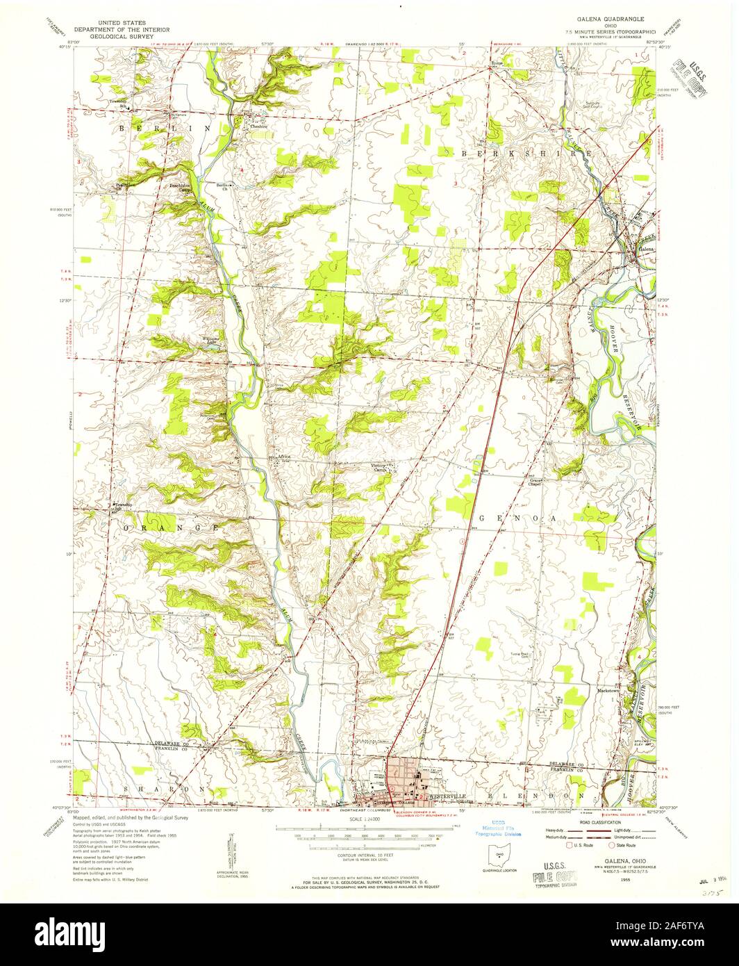 USGS TOPO Map Ohio OH Galena 225134 1955 24000 Restoration Stock Photohttps://www.alamy.com/image-license-details/?v=1https://www.alamy.com/usgs-topo-map-ohio-oh-galena-225134-1955-24000-restoration-image336368126.html
RM2AF6TYA–USGS TOPO Map Ohio OH Galena 225134 1955 24000 Restoration
 East Galena, Cherokee County, US, United States, Kansas, N 37 4' 22'', S 94 37' 44'', map, Cartascapes Map published in 2024. Explore Cartascapes, a map revealing Earth's diverse landscapes, cultures, and ecosystems. Journey through time and space, discovering the interconnectedness of our planet's past, present, and future. Stock Photohttps://www.alamy.com/image-license-details/?v=1https://www.alamy.com/east-galena-cherokee-county-us-united-states-kansas-n-37-4-22-s-94-37-44-map-cartascapes-map-published-in-2024-explore-cartascapes-a-map-revealing-earths-diverse-landscapes-cultures-and-ecosystems-journey-through-time-and-space-discovering-the-interconnectedness-of-our-planets-past-present-and-future-image621189934.html
RM2Y2HJ2P–East Galena, Cherokee County, US, United States, Kansas, N 37 4' 22'', S 94 37' 44'', map, Cartascapes Map published in 2024. Explore Cartascapes, a map revealing Earth's diverse landscapes, cultures, and ecosystems. Journey through time and space, discovering the interconnectedness of our planet's past, present, and future.
 USGS TOPO Map Ohio OH Galena 225135 1964 24000 Restoration Stock Photohttps://www.alamy.com/image-license-details/?v=1https://www.alamy.com/usgs-topo-map-ohio-oh-galena-225135-1964-24000-restoration-image336368278.html
RM2AF6W4P–USGS TOPO Map Ohio OH Galena 225135 1964 24000 Restoration
 Galena, Jo Daviess County, US, United States, Illinois, N 42 25' 0'', S 90 25' 44'', map, Cartascapes Map published in 2024. Explore Cartascapes, a map revealing Earth's diverse landscapes, cultures, and ecosystems. Journey through time and space, discovering the interconnectedness of our planet's past, present, and future. Stock Photohttps://www.alamy.com/image-license-details/?v=1https://www.alamy.com/galena-jo-daviess-county-us-united-states-illinois-n-42-25-0-s-90-25-44-map-cartascapes-map-published-in-2024-explore-cartascapes-a-map-revealing-earths-diverse-landscapes-cultures-and-ecosystems-journey-through-time-and-space-discovering-the-interconnectedness-of-our-planets-past-present-and-future-image621437233.html
RM2Y30WEW–Galena, Jo Daviess County, US, United States, Illinois, N 42 25' 0'', S 90 25' 44'', map, Cartascapes Map published in 2024. Explore Cartascapes, a map revealing Earth's diverse landscapes, cultures, and ecosystems. Journey through time and space, discovering the interconnectedness of our planet's past, present, and future.
 USGS TOPO Map Ohio OH Galena 225138 1964 24000 Restoration Stock Photohttps://www.alamy.com/image-license-details/?v=1https://www.alamy.com/usgs-topo-map-ohio-oh-galena-225138-1964-24000-restoration-image336368271.html
RM2AF6W4F–USGS TOPO Map Ohio OH Galena 225138 1964 24000 Restoration
 New Galena, Bucks County, US, United States, Pennsylvania, N 40 19' 49'', S 75 11' 15'', map, Cartascapes Map published in 2024. Explore Cartascapes, a map revealing Earth's diverse landscapes, cultures, and ecosystems. Journey through time and space, discovering the interconnectedness of our planet's past, present, and future. Stock Photohttps://www.alamy.com/image-license-details/?v=1https://www.alamy.com/new-galena-bucks-county-us-united-states-pennsylvania-n-40-19-49-s-75-11-15-map-cartascapes-map-published-in-2024-explore-cartascapes-a-map-revealing-earths-diverse-landscapes-cultures-and-ecosystems-journey-through-time-and-space-discovering-the-interconnectedness-of-our-planets-past-present-and-future-image621407516.html
RM2Y2YFHG–New Galena, Bucks County, US, United States, Pennsylvania, N 40 19' 49'', S 75 11' 15'', map, Cartascapes Map published in 2024. Explore Cartascapes, a map revealing Earth's diverse landscapes, cultures, and ecosystems. Journey through time and space, discovering the interconnectedness of our planet's past, present, and future.
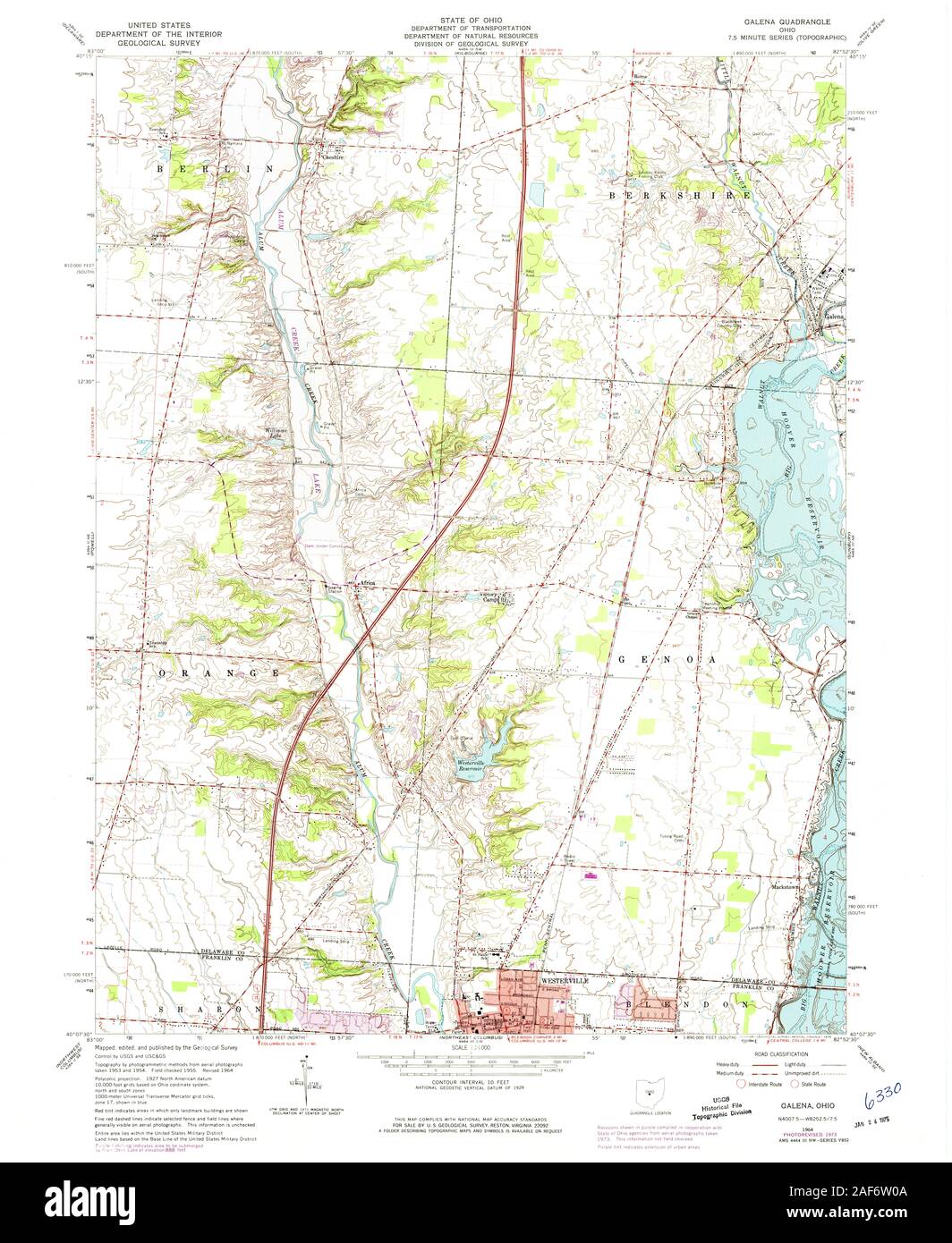 USGS TOPO Map Ohio OH Galena 225136 1964 24000 Restoration Stock Photohttps://www.alamy.com/image-license-details/?v=1https://www.alamy.com/usgs-topo-map-ohio-oh-galena-225136-1964-24000-restoration-image336368154.html
RM2AF6W0A–USGS TOPO Map Ohio OH Galena 225136 1964 24000 Restoration
 Galena Mine, Northampton Shire, AU, Australia, Western Australia, S 27 49' 40'', N 114 41' 5'', map, Cartascapes Map published in 2024. Explore Cartascapes, a map revealing Earth's diverse landscapes, cultures, and ecosystems. Journey through time and space, discovering the interconnectedness of our planet's past, present, and future. Stock Photohttps://www.alamy.com/image-license-details/?v=1https://www.alamy.com/galena-mine-northampton-shire-au-australia-western-australia-s-27-49-40-n-114-41-5-map-cartascapes-map-published-in-2024-explore-cartascapes-a-map-revealing-earths-diverse-landscapes-cultures-and-ecosystems-journey-through-time-and-space-discovering-the-interconnectedness-of-our-planets-past-present-and-future-image625713509.html
RM2Y9YKY1–Galena Mine, Northampton Shire, AU, Australia, Western Australia, S 27 49' 40'', N 114 41' 5'', map, Cartascapes Map published in 2024. Explore Cartascapes, a map revealing Earth's diverse landscapes, cultures, and ecosystems. Journey through time and space, discovering the interconnectedness of our planet's past, present, and future.
 USGS TOPO Map Missouri MO Galena 322733 1956 24000 Restoration Stock Photohttps://www.alamy.com/image-license-details/?v=1https://www.alamy.com/usgs-topo-map-missouri-mo-galena-322733-1956-24000-restoration-image333191954.html
RM2AA25MJ–USGS TOPO Map Missouri MO Galena 322733 1956 24000 Restoration
 Galena, Chenango County, US, United States, New York, N 42 36' 47'', S 75 31' 50'', map, Cartascapes Map published in 2024. Explore Cartascapes, a map revealing Earth's diverse landscapes, cultures, and ecosystems. Journey through time and space, discovering the interconnectedness of our planet's past, present, and future. Stock Photohttps://www.alamy.com/image-license-details/?v=1https://www.alamy.com/galena-chenango-county-us-united-states-new-york-n-42-36-47-s-75-31-50-map-cartascapes-map-published-in-2024-explore-cartascapes-a-map-revealing-earths-diverse-landscapes-cultures-and-ecosystems-journey-through-time-and-space-discovering-the-interconnectedness-of-our-planets-past-present-and-future-image621458812.html
RM2Y31W1G–Galena, Chenango County, US, United States, New York, N 42 36' 47'', S 75 31' 50'', map, Cartascapes Map published in 2024. Explore Cartascapes, a map revealing Earth's diverse landscapes, cultures, and ecosystems. Journey through time and space, discovering the interconnectedness of our planet's past, present, and future.
 USGS TOPO Map Ohio OH Galena 225137 1964 24000 Restoration Stock Photohttps://www.alamy.com/image-license-details/?v=1https://www.alamy.com/usgs-topo-map-ohio-oh-galena-225137-1964-24000-restoration-image336368274.html
RM2AF6W4J–USGS TOPO Map Ohio OH Galena 225137 1964 24000 Restoration
 South Galena, Cherokee County, US, United States, Kansas, N 37 3' 51'', S 94 38' 16'', map, Cartascapes Map published in 2024. Explore Cartascapes, a map revealing Earth's diverse landscapes, cultures, and ecosystems. Journey through time and space, discovering the interconnectedness of our planet's past, present, and future. Stock Photohttps://www.alamy.com/image-license-details/?v=1https://www.alamy.com/south-galena-cherokee-county-us-united-states-kansas-n-37-3-51-s-94-38-16-map-cartascapes-map-published-in-2024-explore-cartascapes-a-map-revealing-earths-diverse-landscapes-cultures-and-ecosystems-journey-through-time-and-space-discovering-the-interconnectedness-of-our-planets-past-present-and-future-image621364744.html
RM2Y2WH20–South Galena, Cherokee County, US, United States, Kansas, N 37 3' 51'', S 94 38' 16'', map, Cartascapes Map published in 2024. Explore Cartascapes, a map revealing Earth's diverse landscapes, cultures, and ecosystems. Journey through time and space, discovering the interconnectedness of our planet's past, present, and future.
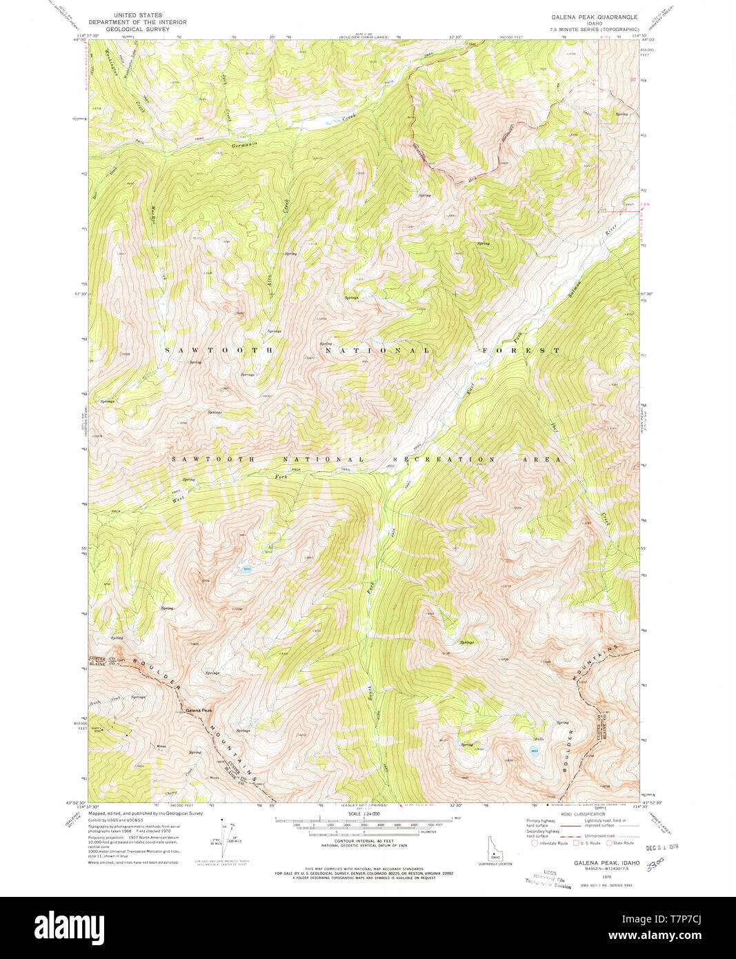 USGS TOPO Map Idaho ID Galena Peak 236174 1970 24000 Restoration Stock Photohttps://www.alamy.com/image-license-details/?v=1https://www.alamy.com/usgs-topo-map-idaho-id-galena-peak-236174-1970-24000-restoration-image245736530.html
RMT7P7CJ–USGS TOPO Map Idaho ID Galena Peak 236174 1970 24000 Restoration
 Galena, Yukon-Koyukuk Census Area, US, United States, Alaska, N 64 43' 59'', S 156 55' 39'', map, Cartascapes Map published in 2024. Explore Cartascapes, a map revealing Earth's diverse landscapes, cultures, and ecosystems. Journey through time and space, discovering the interconnectedness of our planet's past, present, and future. Stock Photohttps://www.alamy.com/image-license-details/?v=1https://www.alamy.com/galena-yukon-koyukuk-census-area-us-united-states-alaska-n-64-43-59-s-156-55-39-map-cartascapes-map-published-in-2024-explore-cartascapes-a-map-revealing-earths-diverse-landscapes-cultures-and-ecosystems-journey-through-time-and-space-discovering-the-interconnectedness-of-our-planets-past-present-and-future-image621217537.html
RM2Y2JW8H–Galena, Yukon-Koyukuk Census Area, US, United States, Alaska, N 64 43' 59'', S 156 55' 39'', map, Cartascapes Map published in 2024. Explore Cartascapes, a map revealing Earth's diverse landscapes, cultures, and ecosystems. Journey through time and space, discovering the interconnectedness of our planet's past, present, and future.
 USGS TOPO Map Nevada NV Galena Canyon 318801 1984 24000 Restoration Stock Photohttps://www.alamy.com/image-license-details/?v=1https://www.alamy.com/usgs-topo-map-nevada-nv-galena-canyon-318801-1984-24000-restoration-image333719795.html
RM2AAX703–USGS TOPO Map Nevada NV Galena Canyon 318801 1984 24000 Restoration
 Cape Galena (historical), Morgan County, US, United States, Missouri, N 38 12' 21'', S 92 46' 2'', map, Cartascapes Map published in 2024. Explore Cartascapes, a map revealing Earth's diverse landscapes, cultures, and ecosystems. Journey through time and space, discovering the interconnectedness of our planet's past, present, and future. Stock Photohttps://www.alamy.com/image-license-details/?v=1https://www.alamy.com/cape-galena-historical-morgan-county-us-united-states-missouri-n-38-12-21-s-92-46-2-map-cartascapes-map-published-in-2024-explore-cartascapes-a-map-revealing-earths-diverse-landscapes-cultures-and-ecosystems-journey-through-time-and-space-discovering-the-interconnectedness-of-our-planets-past-present-and-future-image621466994.html
RM2Y327DP–Cape Galena (historical), Morgan County, US, United States, Missouri, N 38 12' 21'', S 92 46' 2'', map, Cartascapes Map published in 2024. Explore Cartascapes, a map revealing Earth's diverse landscapes, cultures, and ecosystems. Journey through time and space, discovering the interconnectedness of our planet's past, present, and future.
 Galena Park, Harris County, US, United States, Texas, N 29 44' 0'', S 95 13' 48'', map, Cartascapes Map published in 2024. Explore Cartascapes, a map revealing Earth's diverse landscapes, cultures, and ecosystems. Journey through time and space, discovering the interconnectedness of our planet's past, present, and future. Stock Photohttps://www.alamy.com/image-license-details/?v=1https://www.alamy.com/galena-park-harris-county-us-united-states-texas-n-29-44-0-s-95-13-48-map-cartascapes-map-published-in-2024-explore-cartascapes-a-map-revealing-earths-diverse-landscapes-cultures-and-ecosystems-journey-through-time-and-space-discovering-the-interconnectedness-of-our-planets-past-present-and-future-image621355699.html
RM2Y2W5EY–Galena Park, Harris County, US, United States, Texas, N 29 44' 0'', S 95 13' 48'', map, Cartascapes Map published in 2024. Explore Cartascapes, a map revealing Earth's diverse landscapes, cultures, and ecosystems. Journey through time and space, discovering the interconnectedness of our planet's past, present, and future.
 Galena Park, Harris County, US, United States, Texas, N 29 44' 0'', S 95 13' 48'', map, Cartascapes Map published in 2024. Explore Cartascapes, a map revealing Earth's diverse landscapes, cultures, and ecosystems. Journey through time and space, discovering the interconnectedness of our planet's past, present, and future. Stock Photohttps://www.alamy.com/image-license-details/?v=1https://www.alamy.com/galena-park-harris-county-us-united-states-texas-n-29-44-0-s-95-13-48-map-cartascapes-map-published-in-2024-explore-cartascapes-a-map-revealing-earths-diverse-landscapes-cultures-and-ecosystems-journey-through-time-and-space-discovering-the-interconnectedness-of-our-planets-past-present-and-future-image621243576.html
RM2Y2M2EG–Galena Park, Harris County, US, United States, Texas, N 29 44' 0'', S 95 13' 48'', map, Cartascapes Map published in 2024. Explore Cartascapes, a map revealing Earth's diverse landscapes, cultures, and ecosystems. Journey through time and space, discovering the interconnectedness of our planet's past, present, and future.
 Galena Creek, , NZ, New Zealand, Nelson, S 41 5' 53'', N 172 39' 36'', map, Cartascapes Map published in 2024. Explore Cartascapes, a map revealing Earth's diverse landscapes, cultures, and ecosystems. Journey through time and space, discovering the interconnectedness of our planet's past, present, and future. Stock Photohttps://www.alamy.com/image-license-details/?v=1https://www.alamy.com/galena-creek-nz-new-zealand-nelson-s-41-5-53-n-172-39-36-map-cartascapes-map-published-in-2024-explore-cartascapes-a-map-revealing-earths-diverse-landscapes-cultures-and-ecosystems-journey-through-time-and-space-discovering-the-interconnectedness-of-our-planets-past-present-and-future-image634037162.html
RM2YRETTA–Galena Creek, , NZ, New Zealand, Nelson, S 41 5' 53'', N 172 39' 36'', map, Cartascapes Map published in 2024. Explore Cartascapes, a map revealing Earth's diverse landscapes, cultures, and ecosystems. Journey through time and space, discovering the interconnectedness of our planet's past, present, and future.
 Galena, Cherokee County, US, United States, Kansas, N 37 4' 33'', S 94 38' 22'', map, Cartascapes Map published in 2024. Explore Cartascapes, a map revealing Earth's diverse landscapes, cultures, and ecosystems. Journey through time and space, discovering the interconnectedness of our planet's past, present, and future. Stock Photohttps://www.alamy.com/image-license-details/?v=1https://www.alamy.com/galena-cherokee-county-us-united-states-kansas-n-37-4-33-s-94-38-22-map-cartascapes-map-published-in-2024-explore-cartascapes-a-map-revealing-earths-diverse-landscapes-cultures-and-ecosystems-journey-through-time-and-space-discovering-the-interconnectedness-of-our-planets-past-present-and-future-image620845831.html
RM2Y21Y5B–Galena, Cherokee County, US, United States, Kansas, N 37 4' 33'', S 94 38' 22'', map, Cartascapes Map published in 2024. Explore Cartascapes, a map revealing Earth's diverse landscapes, cultures, and ecosystems. Journey through time and space, discovering the interconnectedness of our planet's past, present, and future.
 Galena Creek, , NZ, New Zealand, West Coast, S 43 44' 17'', N 169 32' 24'', map, Cartascapes Map published in 2024. Explore Cartascapes, a map revealing Earth's diverse landscapes, cultures, and ecosystems. Journey through time and space, discovering the interconnectedness of our planet's past, present, and future. Stock Photohttps://www.alamy.com/image-license-details/?v=1https://www.alamy.com/galena-creek-nz-new-zealand-west-coast-s-43-44-17-n-169-32-24-map-cartascapes-map-published-in-2024-explore-cartascapes-a-map-revealing-earths-diverse-landscapes-cultures-and-ecosystems-journey-through-time-and-space-discovering-the-interconnectedness-of-our-planets-past-present-and-future-image634088510.html
RM2YRH6A6–Galena Creek, , NZ, New Zealand, West Coast, S 43 44' 17'', N 169 32' 24'', map, Cartascapes Map published in 2024. Explore Cartascapes, a map revealing Earth's diverse landscapes, cultures, and ecosystems. Journey through time and space, discovering the interconnectedness of our planet's past, present, and future.
 Quebrada de la Galena, AR, Argentina, Catamarca, S 27 48' 0'', S 67 24' 0'', map, Cartascapes Map published in 2024. Explore Cartascapes, a map revealing Earth's diverse landscapes, cultures, and ecosystems. Journey through time and space, discovering the interconnectedness of our planet's past, present, and future. Stock Photohttps://www.alamy.com/image-license-details/?v=1https://www.alamy.com/quebrada-de-la-galena-ar-argentina-catamarca-s-27-48-0-s-67-24-0-map-cartascapes-map-published-in-2024-explore-cartascapes-a-map-revealing-earths-diverse-landscapes-cultures-and-ecosystems-journey-through-time-and-space-discovering-the-interconnectedness-of-our-planets-past-present-and-future-image641518920.html
RM2S7KKX0–Quebrada de la Galena, AR, Argentina, Catamarca, S 27 48' 0'', S 67 24' 0'', map, Cartascapes Map published in 2024. Explore Cartascapes, a map revealing Earth's diverse landscapes, cultures, and ecosystems. Journey through time and space, discovering the interconnectedness of our planet's past, present, and future.
 Galena Ridge, , NZ, New Zealand, West Coast, S 43 4' 41'', N 170 55' 12'', map, Cartascapes Map published in 2024. Explore Cartascapes, a map revealing Earth's diverse landscapes, cultures, and ecosystems. Journey through time and space, discovering the interconnectedness of our planet's past, present, and future. Stock Photohttps://www.alamy.com/image-license-details/?v=1https://www.alamy.com/galena-ridge-nz-new-zealand-west-coast-s-43-4-41-n-170-55-12-map-cartascapes-map-published-in-2024-explore-cartascapes-a-map-revealing-earths-diverse-landscapes-cultures-and-ecosystems-journey-through-time-and-space-discovering-the-interconnectedness-of-our-planets-past-present-and-future-image634062343.html
RM2YRG0YK–Galena Ridge, , NZ, New Zealand, West Coast, S 43 4' 41'', N 170 55' 12'', map, Cartascapes Map published in 2024. Explore Cartascapes, a map revealing Earth's diverse landscapes, cultures, and ecosystems. Journey through time and space, discovering the interconnectedness of our planet's past, present, and future.
 Galena, Stone County, US, United States, Missouri, N 36 48' 19'', S 93 27' 59'', map, Cartascapes Map published in 2024. Explore Cartascapes, a map revealing Earth's diverse landscapes, cultures, and ecosystems. Journey through time and space, discovering the interconnectedness of our planet's past, present, and future. Stock Photohttps://www.alamy.com/image-license-details/?v=1https://www.alamy.com/galena-stone-county-us-united-states-missouri-n-36-48-19-s-93-27-59-map-cartascapes-map-published-in-2024-explore-cartascapes-a-map-revealing-earths-diverse-landscapes-cultures-and-ecosystems-journey-through-time-and-space-discovering-the-interconnectedness-of-our-planets-past-present-and-future-image620795286.html
RM2Y1YJM6–Galena, Stone County, US, United States, Missouri, N 36 48' 19'', S 93 27' 59'', map, Cartascapes Map published in 2024. Explore Cartascapes, a map revealing Earth's diverse landscapes, cultures, and ecosystems. Journey through time and space, discovering the interconnectedness of our planet's past, present, and future.
 Galena, Marshall County, US, United States, Mississippi, N 34 39' 25'', S 89 33' 8'', map, Cartascapes Map published in 2024. Explore Cartascapes, a map revealing Earth's diverse landscapes, cultures, and ecosystems. Journey through time and space, discovering the interconnectedness of our planet's past, present, and future. Stock Photohttps://www.alamy.com/image-license-details/?v=1https://www.alamy.com/galena-marshall-county-us-united-states-mississippi-n-34-39-25-s-89-33-8-map-cartascapes-map-published-in-2024-explore-cartascapes-a-map-revealing-earths-diverse-landscapes-cultures-and-ecosystems-journey-through-time-and-space-discovering-the-interconnectedness-of-our-planets-past-present-and-future-image620772937.html
RM2Y1XJ61–Galena, Marshall County, US, United States, Mississippi, N 34 39' 25'', S 89 33' 8'', map, Cartascapes Map published in 2024. Explore Cartascapes, a map revealing Earth's diverse landscapes, cultures, and ecosystems. Journey through time and space, discovering the interconnectedness of our planet's past, present, and future.
 Galena, Cherokee County, US, United States, Kansas, N 37 4' 33'', S 94 38' 22'', map, Cartascapes Map published in 2024. Explore Cartascapes, a map revealing Earth's diverse landscapes, cultures, and ecosystems. Journey through time and space, discovering the interconnectedness of our planet's past, present, and future. Stock Photohttps://www.alamy.com/image-license-details/?v=1https://www.alamy.com/galena-cherokee-county-us-united-states-kansas-n-37-4-33-s-94-38-22-map-cartascapes-map-published-in-2024-explore-cartascapes-a-map-revealing-earths-diverse-landscapes-cultures-and-ecosystems-journey-through-time-and-space-discovering-the-interconnectedness-of-our-planets-past-present-and-future-image620723725.html
RM2Y1TBCD–Galena, Cherokee County, US, United States, Kansas, N 37 4' 33'', S 94 38' 22'', map, Cartascapes Map published in 2024. Explore Cartascapes, a map revealing Earth's diverse landscapes, cultures, and ecosystems. Journey through time and space, discovering the interconnectedness of our planet's past, present, and future.
 Galena, Howard County, US, United States, Arkansas, N 34 15' 5'', S 94 6' 46'', map, Cartascapes Map published in 2024. Explore Cartascapes, a map revealing Earth's diverse landscapes, cultures, and ecosystems. Journey through time and space, discovering the interconnectedness of our planet's past, present, and future. Stock Photohttps://www.alamy.com/image-license-details/?v=1https://www.alamy.com/galena-howard-county-us-united-states-arkansas-n-34-15-5-s-94-6-46-map-cartascapes-map-published-in-2024-explore-cartascapes-a-map-revealing-earths-diverse-landscapes-cultures-and-ecosystems-journey-through-time-and-space-discovering-the-interconnectedness-of-our-planets-past-present-and-future-image620837543.html
RM2Y21GHB–Galena, Howard County, US, United States, Arkansas, N 34 15' 5'', S 94 6' 46'', map, Cartascapes Map published in 2024. Explore Cartascapes, a map revealing Earth's diverse landscapes, cultures, and ecosystems. Journey through time and space, discovering the interconnectedness of our planet's past, present, and future.
 Galena, Floyd County, US, United States, Indiana, N 38 21' 6'', S 85 56' 29'', map, Cartascapes Map published in 2024. Explore Cartascapes, a map revealing Earth's diverse landscapes, cultures, and ecosystems. Journey through time and space, discovering the interconnectedness of our planet's past, present, and future. Stock Photohttps://www.alamy.com/image-license-details/?v=1https://www.alamy.com/galena-floyd-county-us-united-states-indiana-n-38-21-6-s-85-56-29-map-cartascapes-map-published-in-2024-explore-cartascapes-a-map-revealing-earths-diverse-landscapes-cultures-and-ecosystems-journey-through-time-and-space-discovering-the-interconnectedness-of-our-planets-past-present-and-future-image620887386.html
RM2Y23T5E–Galena, Floyd County, US, United States, Indiana, N 38 21' 6'', S 85 56' 29'', map, Cartascapes Map published in 2024. Explore Cartascapes, a map revealing Earth's diverse landscapes, cultures, and ecosystems. Journey through time and space, discovering the interconnectedness of our planet's past, present, and future.
 Galena Gulch, , NZ, New Zealand, West Coast, S 42 59' 53'', N 170 45' 36'', map, Cartascapes Map published in 2024. Explore Cartascapes, a map revealing Earth's diverse landscapes, cultures, and ecosystems. Journey through time and space, discovering the interconnectedness of our planet's past, present, and future. Stock Photohttps://www.alamy.com/image-license-details/?v=1https://www.alamy.com/galena-gulch-nz-new-zealand-west-coast-s-42-59-53-n-170-45-36-map-cartascapes-map-published-in-2024-explore-cartascapes-a-map-revealing-earths-diverse-landscapes-cultures-and-ecosystems-journey-through-time-and-space-discovering-the-interconnectedness-of-our-planets-past-present-and-future-image634051097.html
RM2YRFEJ1–Galena Gulch, , NZ, New Zealand, West Coast, S 42 59' 53'', N 170 45' 36'', map, Cartascapes Map published in 2024. Explore Cartascapes, a map revealing Earth's diverse landscapes, cultures, and ecosystems. Journey through time and space, discovering the interconnectedness of our planet's past, present, and future.
 Galena Hill (historical), Yuba County, US, United States, California, N 39 28' 24'', S 121 3' 19'', map, Cartascapes Map published in 2024. Explore Cartascapes, a map revealing Earth's diverse landscapes, cultures, and ecosystems. Journey through time and space, discovering the interconnectedness of our planet's past, present, and future. Stock Photohttps://www.alamy.com/image-license-details/?v=1https://www.alamy.com/galena-hill-historical-yuba-county-us-united-states-california-n-39-28-24-s-121-3-19-map-cartascapes-map-published-in-2024-explore-cartascapes-a-map-revealing-earths-diverse-landscapes-cultures-and-ecosystems-journey-through-time-and-space-discovering-the-interconnectedness-of-our-planets-past-present-and-future-image620661723.html
RM2Y1NGA3–Galena Hill (historical), Yuba County, US, United States, California, N 39 28' 24'', S 121 3' 19'', map, Cartascapes Map published in 2024. Explore Cartascapes, a map revealing Earth's diverse landscapes, cultures, and ecosystems. Journey through time and space, discovering the interconnectedness of our planet's past, present, and future.
 Galena Mas Comangau, Província de Girona, ES, Spain, Catalonia, N 41 56' 58'', N 3 12' 18'', map, Cartascapes Map published in 2024. Explore Cartascapes, a map revealing Earth's diverse landscapes, cultures, and ecosystems. Journey through time and space, discovering the interconnectedness of our planet's past, present, and future. Stock Photohttps://www.alamy.com/image-license-details/?v=1https://www.alamy.com/galena-mas-comangau-provncia-de-girona-es-spain-catalonia-n-41-56-58-n-3-12-18-map-cartascapes-map-published-in-2024-explore-cartascapes-a-map-revealing-earths-diverse-landscapes-cultures-and-ecosystems-journey-through-time-and-space-discovering-the-interconnectedness-of-our-planets-past-present-and-future-image641935276.html
RM2S8AJYT–Galena Mas Comangau, Província de Girona, ES, Spain, Catalonia, N 41 56' 58'', N 3 12' 18'', map, Cartascapes Map published in 2024. Explore Cartascapes, a map revealing Earth's diverse landscapes, cultures, and ecosystems. Journey through time and space, discovering the interconnectedness of our planet's past, present, and future.
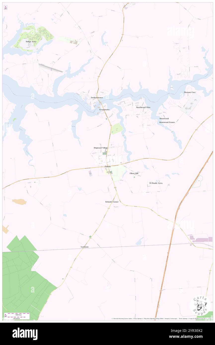 Town of Galena, Kent County, US, United States, Maryland, N 39 20' 33'', S 75 52' 43'', map, Cartascapes Map published in 2024. Explore Cartascapes, a map revealing Earth's diverse landscapes, cultures, and ecosystems. Journey through time and space, discovering the interconnectedness of our planet's past, present, and future. Stock Photohttps://www.alamy.com/image-license-details/?v=1https://www.alamy.com/town-of-galena-kent-county-us-united-states-maryland-n-39-20-33-s-75-52-43-map-cartascapes-map-published-in-2024-explore-cartascapes-a-map-revealing-earths-diverse-landscapes-cultures-and-ecosystems-journey-through-time-and-space-discovering-the-interconnectedness-of-our-planets-past-present-and-future-image633787702.html
RM2YR3EK2–Town of Galena, Kent County, US, United States, Maryland, N 39 20' 33'', S 75 52' 43'', map, Cartascapes Map published in 2024. Explore Cartascapes, a map revealing Earth's diverse landscapes, cultures, and ecosystems. Journey through time and space, discovering the interconnectedness of our planet's past, present, and future.
 Galena Junction, Jo Daviess County, US, United States, Illinois, N 42 22' 26'', S 90 26' 35'', map, Cartascapes Map published in 2024. Explore Cartascapes, a map revealing Earth's diverse landscapes, cultures, and ecosystems. Journey through time and space, discovering the interconnectedness of our planet's past, present, and future. Stock Photohttps://www.alamy.com/image-license-details/?v=1https://www.alamy.com/galena-junction-jo-daviess-county-us-united-states-illinois-n-42-22-26-s-90-26-35-map-cartascapes-map-published-in-2024-explore-cartascapes-a-map-revealing-earths-diverse-landscapes-cultures-and-ecosystems-journey-through-time-and-space-discovering-the-interconnectedness-of-our-planets-past-present-and-future-image620866753.html
RM2Y22WTH–Galena Junction, Jo Daviess County, US, United States, Illinois, N 42 22' 26'', S 90 26' 35'', map, Cartascapes Map published in 2024. Explore Cartascapes, a map revealing Earth's diverse landscapes, cultures, and ecosystems. Journey through time and space, discovering the interconnectedness of our planet's past, present, and future.
 Village of Galena, Delaware County, US, United States, Ohio, N 40 13' 18'', S 82 52' 49'', map, Cartascapes Map published in 2024. Explore Cartascapes, a map revealing Earth's diverse landscapes, cultures, and ecosystems. Journey through time and space, discovering the interconnectedness of our planet's past, present, and future. Stock Photohttps://www.alamy.com/image-license-details/?v=1https://www.alamy.com/village-of-galena-delaware-county-us-united-states-ohio-n-40-13-18-s-82-52-49-map-cartascapes-map-published-in-2024-explore-cartascapes-a-map-revealing-earths-diverse-landscapes-cultures-and-ecosystems-journey-through-time-and-space-discovering-the-interconnectedness-of-our-planets-past-present-and-future-image633876933.html
RM2YR7GDW–Village of Galena, Delaware County, US, United States, Ohio, N 40 13' 18'', S 82 52' 49'', map, Cartascapes Map published in 2024. Explore Cartascapes, a map revealing Earth's diverse landscapes, cultures, and ecosystems. Journey through time and space, discovering the interconnectedness of our planet's past, present, and future.
 Galena, Varjão de MInas, BR, Brazil, Minas Gerais, S 18 22' 41'', S 46 1' 50'', map, Cartascapes Map published in 2024. Explore Cartascapes, a map revealing Earth's diverse landscapes, cultures, and ecosystems. Journey through time and space, discovering the interconnectedness of our planet's past, present, and future. Stock Photohttps://www.alamy.com/image-license-details/?v=1https://www.alamy.com/galena-varjo-de-minas-br-brazil-minas-gerais-s-18-22-41-s-46-1-50-map-cartascapes-map-published-in-2024-explore-cartascapes-a-map-revealing-earths-diverse-landscapes-cultures-and-ecosystems-journey-through-time-and-space-discovering-the-interconnectedness-of-our-planets-past-present-and-future-image640345172.html
RM2S5P6PC–Galena, Varjão de MInas, BR, Brazil, Minas Gerais, S 18 22' 41'', S 46 1' 50'', map, Cartascapes Map published in 2024. Explore Cartascapes, a map revealing Earth's diverse landscapes, cultures, and ecosystems. Journey through time and space, discovering the interconnectedness of our planet's past, present, and future.
 City of Galena, Stone County, US, United States, Missouri, N 36 48' 19'', S 93 28' 15'', map, Cartascapes Map published in 2024. Explore Cartascapes, a map revealing Earth's diverse landscapes, cultures, and ecosystems. Journey through time and space, discovering the interconnectedness of our planet's past, present, and future. Stock Photohttps://www.alamy.com/image-license-details/?v=1https://www.alamy.com/city-of-galena-stone-county-us-united-states-missouri-n-36-48-19-s-93-28-15-map-cartascapes-map-published-in-2024-explore-cartascapes-a-map-revealing-earths-diverse-landscapes-cultures-and-ecosystems-journey-through-time-and-space-discovering-the-interconnectedness-of-our-planets-past-present-and-future-image633901190.html
RM2YR8KC6–City of Galena, Stone County, US, United States, Missouri, N 36 48' 19'', S 93 28' 15'', map, Cartascapes Map published in 2024. Explore Cartascapes, a map revealing Earth's diverse landscapes, cultures, and ecosystems. Journey through time and space, discovering the interconnectedness of our planet's past, present, and future.
 Township of Galena, Woods County, US, United States, Oklahoma, N 36 30' 30'', S 98 41' 31'', map, Cartascapes Map published in 2024. Explore Cartascapes, a map revealing Earth's diverse landscapes, cultures, and ecosystems. Journey through time and space, discovering the interconnectedness of our planet's past, present, and future. Stock Photohttps://www.alamy.com/image-license-details/?v=1https://www.alamy.com/township-of-galena-woods-county-us-united-states-oklahoma-n-36-30-30-s-98-41-31-map-cartascapes-map-published-in-2024-explore-cartascapes-a-map-revealing-earths-diverse-landscapes-cultures-and-ecosystems-journey-through-time-and-space-discovering-the-interconnectedness-of-our-planets-past-present-and-future-image633852465.html
RM2YR6D81–Township of Galena, Woods County, US, United States, Oklahoma, N 36 30' 30'', S 98 41' 31'', map, Cartascapes Map published in 2024. Explore Cartascapes, a map revealing Earth's diverse landscapes, cultures, and ecosystems. Journey through time and space, discovering the interconnectedness of our planet's past, present, and future.
 Galena, Lawrence County, US, United States, South Dakota, N 44 20' 0'', S 103 38' 27'', map, Cartascapes Map published in 2024. Explore Cartascapes, a map revealing Earth's diverse landscapes, cultures, and ecosystems. Journey through time and space, discovering the interconnectedness of our planet's past, present, and future. Stock Photohttps://www.alamy.com/image-license-details/?v=1https://www.alamy.com/galena-lawrence-county-us-united-states-south-dakota-n-44-20-0-s-103-38-27-map-cartascapes-map-published-in-2024-explore-cartascapes-a-map-revealing-earths-diverse-landscapes-cultures-and-ecosystems-journey-through-time-and-space-discovering-the-interconnectedness-of-our-planets-past-present-and-future-image620795332.html
RM2Y1YJNT–Galena, Lawrence County, US, United States, South Dakota, N 44 20' 0'', S 103 38' 27'', map, Cartascapes Map published in 2024. Explore Cartascapes, a map revealing Earth's diverse landscapes, cultures, and ecosystems. Journey through time and space, discovering the interconnectedness of our planet's past, present, and future.
 Galena Mining District, Washoe County, US, United States, Nevada, N 39 21' 4'', S 119 46' 23'', map, Cartascapes Map published in 2024. Explore Cartascapes, a map revealing Earth's diverse landscapes, cultures, and ecosystems. Journey through time and space, discovering the interconnectedness of our planet's past, present, and future. Stock Photohttps://www.alamy.com/image-license-details/?v=1https://www.alamy.com/galena-mining-district-washoe-county-us-united-states-nevada-n-39-21-4-s-119-46-23-map-cartascapes-map-published-in-2024-explore-cartascapes-a-map-revealing-earths-diverse-landscapes-cultures-and-ecosystems-journey-through-time-and-space-discovering-the-interconnectedness-of-our-planets-past-present-and-future-image633804064.html
RM2YR47FC–Galena Mining District, Washoe County, US, United States, Nevada, N 39 21' 4'', S 119 46' 23'', map, Cartascapes Map published in 2024. Explore Cartascapes, a map revealing Earth's diverse landscapes, cultures, and ecosystems. Journey through time and space, discovering the interconnectedness of our planet's past, present, and future.
 The Galena Territory, Jo Daviess County, US, United States, Illinois, N 42 23' 36'', S 90 19' 32'', map, Cartascapes Map published in 2024. Explore Cartascapes, a map revealing Earth's diverse landscapes, cultures, and ecosystems. Journey through time and space, discovering the interconnectedness of our planet's past, present, and future. Stock Photohttps://www.alamy.com/image-license-details/?v=1https://www.alamy.com/the-galena-territory-jo-daviess-county-us-united-states-illinois-n-42-23-36-s-90-19-32-map-cartascapes-map-published-in-2024-explore-cartascapes-a-map-revealing-earths-diverse-landscapes-cultures-and-ecosystems-journey-through-time-and-space-discovering-the-interconnectedness-of-our-planets-past-present-and-future-image620723619.html
RM2Y1TB8K–The Galena Territory, Jo Daviess County, US, United States, Illinois, N 42 23' 36'', S 90 19' 32'', map, Cartascapes Map published in 2024. Explore Cartascapes, a map revealing Earth's diverse landscapes, cultures, and ecosystems. Journey through time and space, discovering the interconnectedness of our planet's past, present, and future.
 Township of Galena, LaPorte County, US, United States, Indiana, N 41 43' 37'', S 86 38' 30'', map, Cartascapes Map published in 2024. Explore Cartascapes, a map revealing Earth's diverse landscapes, cultures, and ecosystems. Journey through time and space, discovering the interconnectedness of our planet's past, present, and future. Stock Photohttps://www.alamy.com/image-license-details/?v=1https://www.alamy.com/township-of-galena-laporte-county-us-united-states-indiana-n-41-43-37-s-86-38-30-map-cartascapes-map-published-in-2024-explore-cartascapes-a-map-revealing-earths-diverse-landscapes-cultures-and-ecosystems-journey-through-time-and-space-discovering-the-interconnectedness-of-our-planets-past-present-and-future-image633902149.html
RM2YR8MJD–Township of Galena, LaPorte County, US, United States, Indiana, N 41 43' 37'', S 86 38' 30'', map, Cartascapes Map published in 2024. Explore Cartascapes, a map revealing Earth's diverse landscapes, cultures, and ecosystems. Journey through time and space, discovering the interconnectedness of our planet's past, present, and future.
 Township of Galena, Jasper County, US, United States, Missouri, N 37 6' 27'', S 94 33' 55'', map, Cartascapes Map published in 2024. Explore Cartascapes, a map revealing Earth's diverse landscapes, cultures, and ecosystems. Journey through time and space, discovering the interconnectedness of our planet's past, present, and future. Stock Photohttps://www.alamy.com/image-license-details/?v=1https://www.alamy.com/township-of-galena-jasper-county-us-united-states-missouri-n-37-6-27-s-94-33-55-map-cartascapes-map-published-in-2024-explore-cartascapes-a-map-revealing-earths-diverse-landscapes-cultures-and-ecosystems-journey-through-time-and-space-discovering-the-interconnectedness-of-our-planets-past-present-and-future-image633818669.html
RM2YR4X51–Township of Galena, Jasper County, US, United States, Missouri, N 37 6' 27'', S 94 33' 55'', map, Cartascapes Map published in 2024. Explore Cartascapes, a map revealing Earth's diverse landscapes, cultures, and ecosystems. Journey through time and space, discovering the interconnectedness of our planet's past, present, and future.
 City of Galena, Jo Daviess County, US, United States, Illinois, N 42 25' 21'', S 90 25' 50'', map, Cartascapes Map published in 2024. Explore Cartascapes, a map revealing Earth's diverse landscapes, cultures, and ecosystems. Journey through time and space, discovering the interconnectedness of our planet's past, present, and future. Stock Photohttps://www.alamy.com/image-license-details/?v=1https://www.alamy.com/city-of-galena-jo-daviess-county-us-united-states-illinois-n-42-25-21-s-90-25-50-map-cartascapes-map-published-in-2024-explore-cartascapes-a-map-revealing-earths-diverse-landscapes-cultures-and-ecosystems-journey-through-time-and-space-discovering-the-interconnectedness-of-our-planets-past-present-and-future-image633914270.html
RM2YR983A–City of Galena, Jo Daviess County, US, United States, Illinois, N 42 25' 21'', S 90 25' 50'', map, Cartascapes Map published in 2024. Explore Cartascapes, a map revealing Earth's diverse landscapes, cultures, and ecosystems. Journey through time and space, discovering the interconnectedness of our planet's past, present, and future.
 Galena, Jo Daviess County, US, United States, Illinois, N 42 25' 0'', S 90 25' 44'', map, Cartascapes Map published in 2024. Explore Cartascapes, a map revealing Earth's diverse landscapes, cultures, and ecosystems. Journey through time and space, discovering the interconnectedness of our planet's past, present, and future. Stock Photohttps://www.alamy.com/image-license-details/?v=1https://www.alamy.com/galena-jo-daviess-county-us-united-states-illinois-n-42-25-0-s-90-25-44-map-cartascapes-map-published-in-2024-explore-cartascapes-a-map-revealing-earths-diverse-landscapes-cultures-and-ecosystems-journey-through-time-and-space-discovering-the-interconnectedness-of-our-planets-past-present-and-future-image620808381.html
RM2Y207BW–Galena, Jo Daviess County, US, United States, Illinois, N 42 25' 0'', S 90 25' 44'', map, Cartascapes Map published in 2024. Explore Cartascapes, a map revealing Earth's diverse landscapes, cultures, and ecosystems. Journey through time and space, discovering the interconnectedness of our planet's past, present, and future.
 Township of Galena, Dixon County, US, United States, Nebraska, N 42 28' 52'', S 96 50' 21'', map, Cartascapes Map published in 2024. Explore Cartascapes, a map revealing Earth's diverse landscapes, cultures, and ecosystems. Journey through time and space, discovering the interconnectedness of our planet's past, present, and future. Stock Photohttps://www.alamy.com/image-license-details/?v=1https://www.alamy.com/township-of-galena-dixon-county-us-united-states-nebraska-n-42-28-52-s-96-50-21-map-cartascapes-map-published-in-2024-explore-cartascapes-a-map-revealing-earths-diverse-landscapes-cultures-and-ecosystems-journey-through-time-and-space-discovering-the-interconnectedness-of-our-planets-past-present-and-future-image633866543.html
RM2YR736R–Township of Galena, Dixon County, US, United States, Nebraska, N 42 28' 52'', S 96 50' 21'', map, Cartascapes Map published in 2024. Explore Cartascapes, a map revealing Earth's diverse landscapes, cultures, and ecosystems. Journey through time and space, discovering the interconnectedness of our planet's past, present, and future.
 Galena, Yukon-Koyukuk Census Area, US, United States, Alaska, N 64 43' 59'', S 156 55' 39'', map, Cartascapes Map published in 2024. Explore Cartascapes, a map revealing Earth's diverse landscapes, cultures, and ecosystems. Journey through time and space, discovering the interconnectedness of our planet's past, present, and future. Stock Photohttps://www.alamy.com/image-license-details/?v=1https://www.alamy.com/galena-yukon-koyukuk-census-area-us-united-states-alaska-n-64-43-59-s-156-55-39-map-cartascapes-map-published-in-2024-explore-cartascapes-a-map-revealing-earths-diverse-landscapes-cultures-and-ecosystems-journey-through-time-and-space-discovering-the-interconnectedness-of-our-planets-past-present-and-future-image620789156.html
RM2Y1YAW8–Galena, Yukon-Koyukuk Census Area, US, United States, Alaska, N 64 43' 59'', S 156 55' 39'', map, Cartascapes Map published in 2024. Explore Cartascapes, a map revealing Earth's diverse landscapes, cultures, and ecosystems. Journey through time and space, discovering the interconnectedness of our planet's past, present, and future.
 New Galena (historical), Bucks County, US, United States, Pennsylvania, N 40 19' 58'', S 75 10' 34'', map, Cartascapes Map published in 2024. Explore Cartascapes, a map revealing Earth's diverse landscapes, cultures, and ecosystems. Journey through time and space, discovering the interconnectedness of our planet's past, present, and future. Stock Photohttps://www.alamy.com/image-license-details/?v=1https://www.alamy.com/new-galena-historical-bucks-county-us-united-states-pennsylvania-n-40-19-58-s-75-10-34-map-cartascapes-map-published-in-2024-explore-cartascapes-a-map-revealing-earths-diverse-landscapes-cultures-and-ecosystems-journey-through-time-and-space-discovering-the-interconnectedness-of-our-planets-past-present-and-future-image620860307.html
RM2Y22HJB–New Galena (historical), Bucks County, US, United States, Pennsylvania, N 40 19' 58'', S 75 10' 34'', map, Cartascapes Map published in 2024. Explore Cartascapes, a map revealing Earth's diverse landscapes, cultures, and ecosystems. Journey through time and space, discovering the interconnectedness of our planet's past, present, and future.
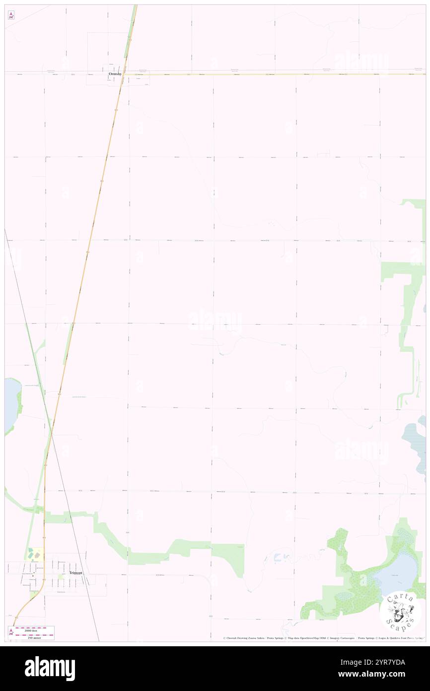 Township of Galena, Martin County, US, United States, Minnesota, N 43 48' 18'', S 94 40' 25'', map, Cartascapes Map published in 2024. Explore Cartascapes, a map revealing Earth's diverse landscapes, cultures, and ecosystems. Journey through time and space, discovering the interconnectedness of our planet's past, present, and future. Stock Photohttps://www.alamy.com/image-license-details/?v=1https://www.alamy.com/township-of-galena-martin-county-us-united-states-minnesota-n-43-48-18-s-94-40-25-map-cartascapes-map-published-in-2024-explore-cartascapes-a-map-revealing-earths-diverse-landscapes-cultures-and-ecosystems-journey-through-time-and-space-discovering-the-interconnectedness-of-our-planets-past-present-and-future-image633885542.html
RM2YR7YDA–Township of Galena, Martin County, US, United States, Minnesota, N 43 48' 18'', S 94 40' 25'', map, Cartascapes Map published in 2024. Explore Cartascapes, a map revealing Earth's diverse landscapes, cultures, and ecosystems. Journey through time and space, discovering the interconnectedness of our planet's past, present, and future.
 City of Galena, Cherokee County, US, United States, Kansas, N 37 4' 30'', S 94 38' 6'', map, Cartascapes Map published in 2024. Explore Cartascapes, a map revealing Earth's diverse landscapes, cultures, and ecosystems. Journey through time and space, discovering the interconnectedness of our planet's past, present, and future. Stock Photohttps://www.alamy.com/image-license-details/?v=1https://www.alamy.com/city-of-galena-cherokee-county-us-united-states-kansas-n-37-4-30-s-94-38-6-map-cartascapes-map-published-in-2024-explore-cartascapes-a-map-revealing-earths-diverse-landscapes-cultures-and-ecosystems-journey-through-time-and-space-discovering-the-interconnectedness-of-our-planets-past-present-and-future-image633784725.html
RM2YR3ATN–City of Galena, Cherokee County, US, United States, Kansas, N 37 4' 30'', S 94 38' 6'', map, Cartascapes Map published in 2024. Explore Cartascapes, a map revealing Earth's diverse landscapes, cultures, and ecosystems. Journey through time and space, discovering the interconnectedness of our planet's past, present, and future.
 Township of East Galena, Jo Daviess County, US, United States, Illinois, N 42 24' 33'', S 90 22' 56'', map, Cartascapes Map published in 2024. Explore Cartascapes, a map revealing Earth's diverse landscapes, cultures, and ecosystems. Journey through time and space, discovering the interconnectedness of our planet's past, present, and future. Stock Photohttps://www.alamy.com/image-license-details/?v=1https://www.alamy.com/township-of-east-galena-jo-daviess-county-us-united-states-illinois-n-42-24-33-s-90-22-56-map-cartascapes-map-published-in-2024-explore-cartascapes-a-map-revealing-earths-diverse-landscapes-cultures-and-ecosystems-journey-through-time-and-space-discovering-the-interconnectedness-of-our-planets-past-present-and-future-image633825487.html
RM2YR56TF–Township of East Galena, Jo Daviess County, US, United States, Illinois, N 42 24' 33'', S 90 22' 56'', map, Cartascapes Map published in 2024. Explore Cartascapes, a map revealing Earth's diverse landscapes, cultures, and ecosystems. Journey through time and space, discovering the interconnectedness of our planet's past, present, and future.
 Township of West Galena, Jo Daviess County, US, United States, Illinois, N 42 24' 19'', S 90 27' 30'', map, Cartascapes Map published in 2024. Explore Cartascapes, a map revealing Earth's diverse landscapes, cultures, and ecosystems. Journey through time and space, discovering the interconnectedness of our planet's past, present, and future. Stock Photohttps://www.alamy.com/image-license-details/?v=1https://www.alamy.com/township-of-west-galena-jo-daviess-county-us-united-states-illinois-n-42-24-19-s-90-27-30-map-cartascapes-map-published-in-2024-explore-cartascapes-a-map-revealing-earths-diverse-landscapes-cultures-and-ecosystems-journey-through-time-and-space-discovering-the-interconnectedness-of-our-planets-past-present-and-future-image633785023.html
RM2YR3B7B–Township of West Galena, Jo Daviess County, US, United States, Illinois, N 42 24' 19'', S 90 27' 30'', map, Cartascapes Map published in 2024. Explore Cartascapes, a map revealing Earth's diverse landscapes, cultures, and ecosystems. Journey through time and space, discovering the interconnectedness of our planet's past, present, and future.
 City of Galena, Yukon-Koyukuk Census Area, US, United States, Alaska, N 64 44' 19'', S 156 51' 29'', map, Cartascapes Map published in 2024. Explore Cartascapes, a map revealing Earth's diverse landscapes, cultures, and ecosystems. Journey through time and space, discovering the interconnectedness of our planet's past, present, and future. Stock Photohttps://www.alamy.com/image-license-details/?v=1https://www.alamy.com/city-of-galena-yukon-koyukuk-census-area-us-united-states-alaska-n-64-44-19-s-156-51-29-map-cartascapes-map-published-in-2024-explore-cartascapes-a-map-revealing-earths-diverse-landscapes-cultures-and-ecosystems-journey-through-time-and-space-discovering-the-interconnectedness-of-our-planets-past-present-and-future-image633813343.html
RM2YR4KAR–City of Galena, Yukon-Koyukuk Census Area, US, United States, Alaska, N 64 44' 19'', S 156 51' 29'', map, Cartascapes Map published in 2024. Explore Cartascapes, a map revealing Earth's diverse landscapes, cultures, and ecosystems. Journey through time and space, discovering the interconnectedness of our planet's past, present, and future.
 City of Galena Park, Harris County, US, United States, Texas, N 29 44' 42'', S 95 14' 0'', map, Cartascapes Map published in 2024. Explore Cartascapes, a map revealing Earth's diverse landscapes, cultures, and ecosystems. Journey through time and space, discovering the interconnectedness of our planet's past, present, and future. Stock Photohttps://www.alamy.com/image-license-details/?v=1https://www.alamy.com/city-of-galena-park-harris-county-us-united-states-texas-n-29-44-42-s-95-14-0-map-cartascapes-map-published-in-2024-explore-cartascapes-a-map-revealing-earths-diverse-landscapes-cultures-and-ecosystems-journey-through-time-and-space-discovering-the-interconnectedness-of-our-planets-past-present-and-future-image633775636.html
RM2YR2Y84–City of Galena Park, Harris County, US, United States, Texas, N 29 44' 42'', S 95 14' 0'', map, Cartascapes Map published in 2024. Explore Cartascapes, a map revealing Earth's diverse landscapes, cultures, and ecosystems. Journey through time and space, discovering the interconnectedness of our planet's past, present, and future.
 Galena Hill, Canada, Ontario, N 44 41' 57'', W 78 37' 0'', map, Timeless Map published in 2021. Travelers, explorers and adventurers like Florence Nightingale, David Livingstone, Ernest Shackleton, Lewis and Clark and Sherlock Holmes relied on maps to plan travels to the world's most remote corners, Timeless Maps is mapping most locations on the globe, showing the achievement of great dreams Stock Photohttps://www.alamy.com/image-license-details/?v=1https://www.alamy.com/galena-hill-canada-ontario-n-44-41-57-w-78-37-0-map-timeless-map-published-in-2021-travelers-explorers-and-adventurers-like-florence-nightingale-david-livingstone-ernest-shackleton-lewis-and-clark-and-sherlock-holmes-relied-on-maps-to-plan-travels-to-the-worlds-most-remote-corners-timeless-maps-is-mapping-most-locations-on-the-globe-showing-the-achievement-of-great-dreams-image457863478.html
RM2HGWDF2–Galena Hill, Canada, Ontario, N 44 41' 57'', W 78 37' 0'', map, Timeless Map published in 2021. Travelers, explorers and adventurers like Florence Nightingale, David Livingstone, Ernest Shackleton, Lewis and Clark and Sherlock Holmes relied on maps to plan travels to the world's most remote corners, Timeless Maps is mapping most locations on the globe, showing the achievement of great dreams