Quick filters:
Map of glouster Stock Photos and Images
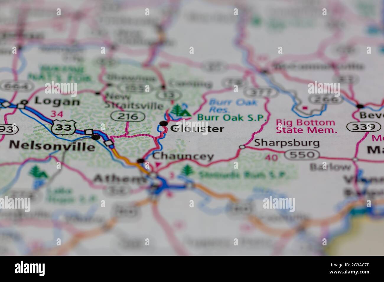 Glouster Ohio USA shown on a Geography map or Road map Stock Photohttps://www.alamy.com/image-license-details/?v=1https://www.alamy.com/glouster-ohio-usa-shown-on-a-geography-map-or-road-map-image432332314.html
RM2G3AC7P–Glouster Ohio USA shown on a Geography map or Road map
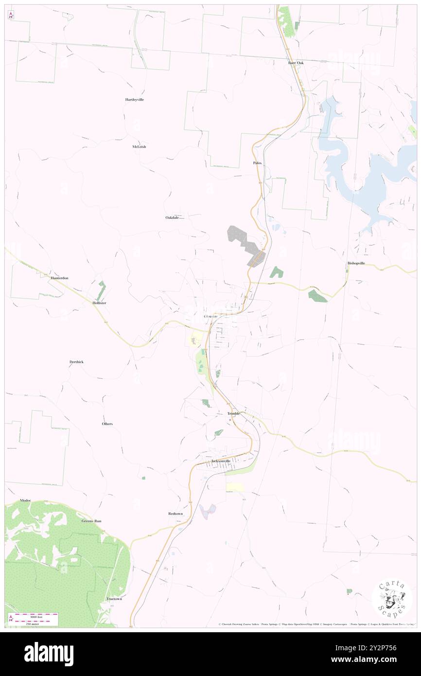 Glouster, Athens County, US, United States, Ohio, N 39 30' 11'', S 82 5' 4'', map, Cartascapes Map published in 2024. Explore Cartascapes, a map revealing Earth's diverse landscapes, cultures, and ecosystems. Journey through time and space, discovering the interconnectedness of our planet's past, present, and future. Stock Photohttps://www.alamy.com/image-license-details/?v=1https://www.alamy.com/glouster-athens-county-us-united-states-ohio-n-39-30-11-s-82-5-4-map-cartascapes-map-published-in-2024-explore-cartascapes-a-map-revealing-earths-diverse-landscapes-cultures-and-ecosystems-journey-through-time-and-space-discovering-the-interconnectedness-of-our-planets-past-present-and-future-image621291138.html
RM2Y2P756–Glouster, Athens County, US, United States, Ohio, N 39 30' 11'', S 82 5' 4'', map, Cartascapes Map published in 2024. Explore Cartascapes, a map revealing Earth's diverse landscapes, cultures, and ecosystems. Journey through time and space, discovering the interconnectedness of our planet's past, present, and future.
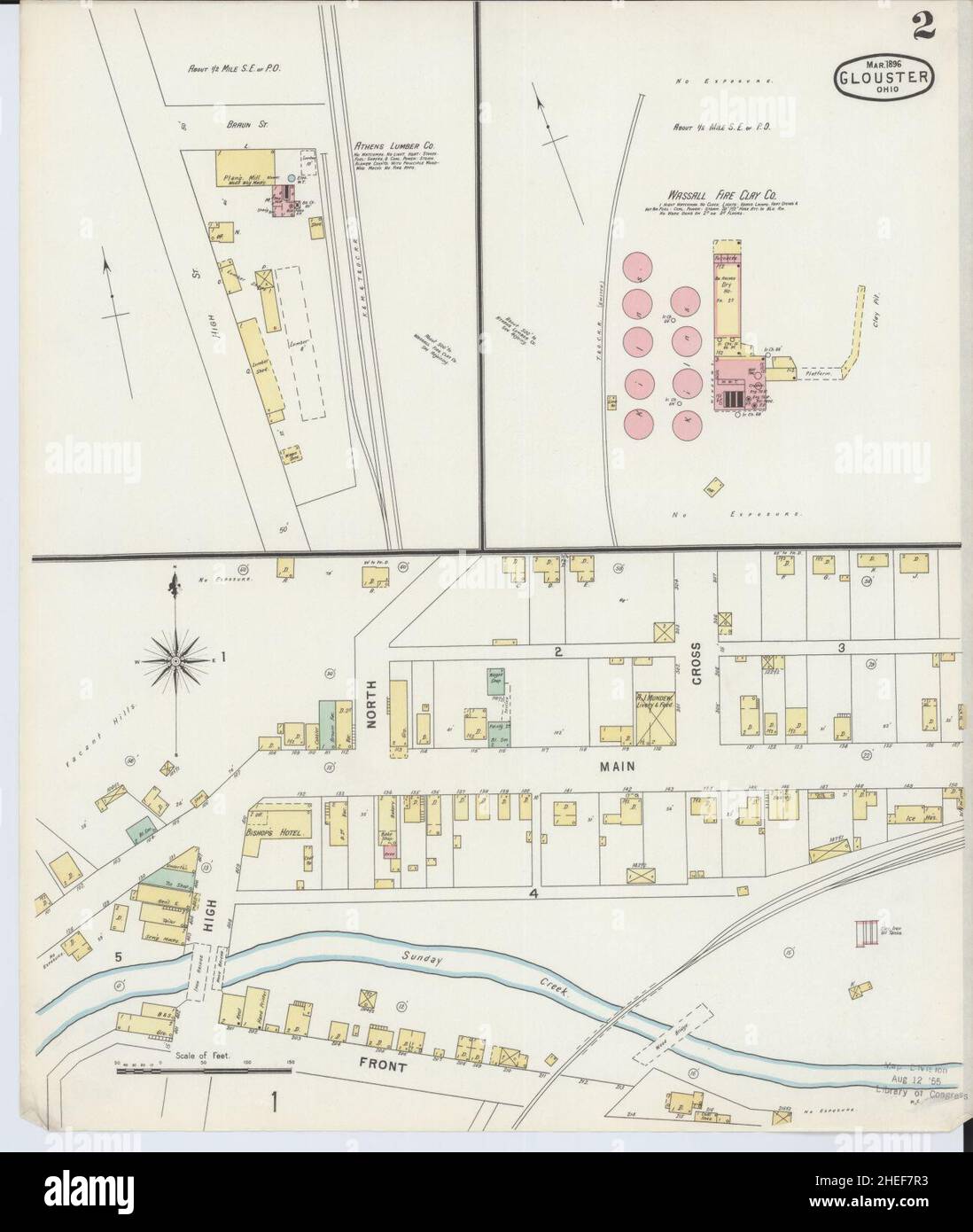 Sanborn Fire Insurance Map from Glouster, Athens County, Ohio. Stock Photohttps://www.alamy.com/image-license-details/?v=1https://www.alamy.com/sanborn-fire-insurance-map-from-glouster-athens-county-ohio-image456410167.html
RM2HEF7R3–Sanborn Fire Insurance Map from Glouster, Athens County, Ohio.
 Glouster Landing, Atlantic County, US, United States, New Jersey, N 39 35' 5'', S 74 33' 59'', map, Cartascapes Map published in 2024. Explore Cartascapes, a map revealing Earth's diverse landscapes, cultures, and ecosystems. Journey through time and space, discovering the interconnectedness of our planet's past, present, and future. Stock Photohttps://www.alamy.com/image-license-details/?v=1https://www.alamy.com/glouster-landing-atlantic-county-us-united-states-new-jersey-n-39-35-5-s-74-33-59-map-cartascapes-map-published-in-2024-explore-cartascapes-a-map-revealing-earths-diverse-landscapes-cultures-and-ecosystems-journey-through-time-and-space-discovering-the-interconnectedness-of-our-planets-past-present-and-future-image621482458.html
RM2Y32Y62–Glouster Landing, Atlantic County, US, United States, New Jersey, N 39 35' 5'', S 74 33' 59'', map, Cartascapes Map published in 2024. Explore Cartascapes, a map revealing Earth's diverse landscapes, cultures, and ecosystems. Journey through time and space, discovering the interconnectedness of our planet's past, present, and future.
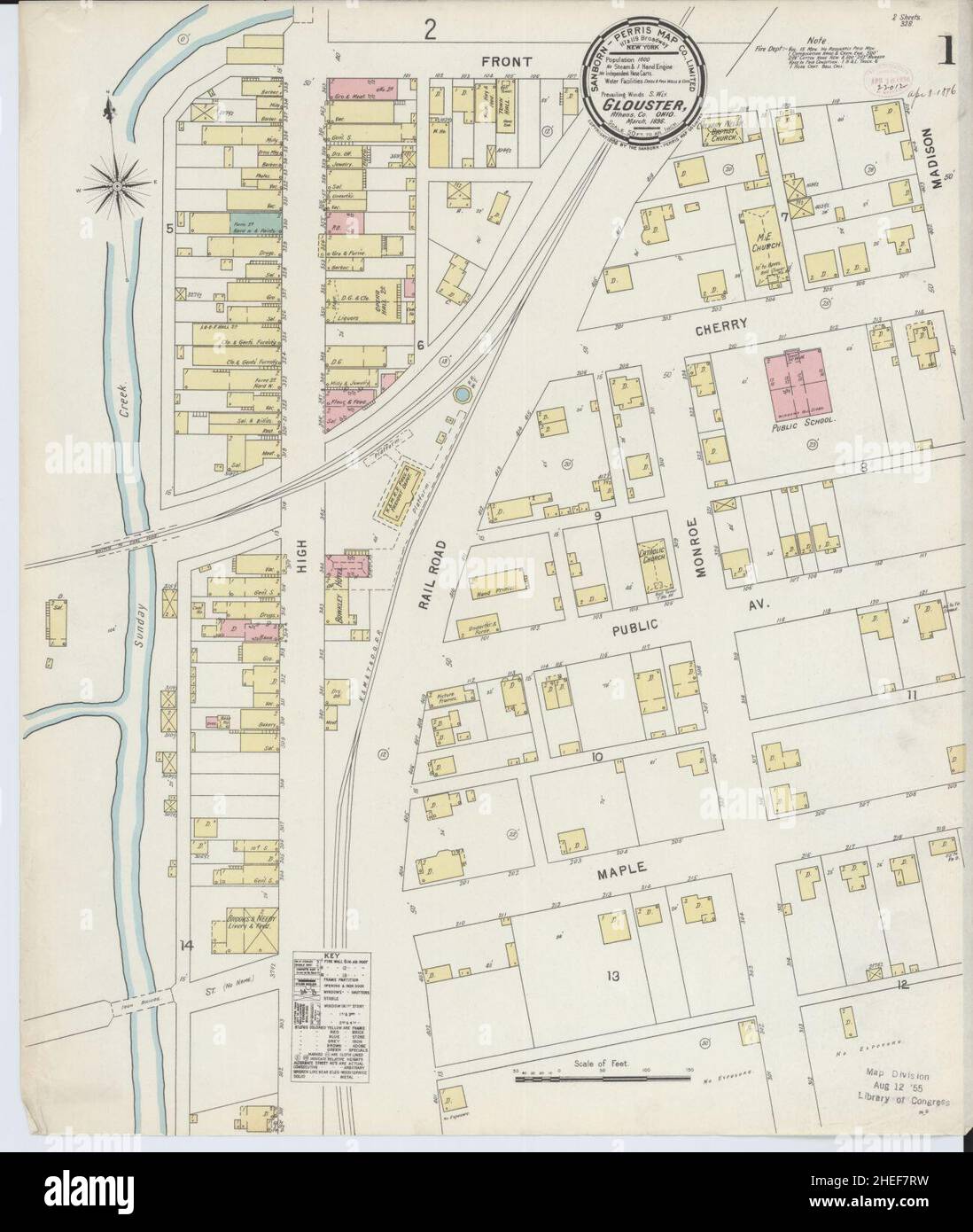 Sanborn Fire Insurance Map from Glouster, Athens County, Ohio. Stock Photohttps://www.alamy.com/image-license-details/?v=1https://www.alamy.com/sanborn-fire-insurance-map-from-glouster-athens-county-ohio-image456410189.html
RM2HEF7RW–Sanborn Fire Insurance Map from Glouster, Athens County, Ohio.
 Glouster, Athens County, US, United States, Ohio, N 39 30' 11'', S 82 5' 4'', map, Cartascapes Map published in 2024. Explore Cartascapes, a map revealing Earth's diverse landscapes, cultures, and ecosystems. Journey through time and space, discovering the interconnectedness of our planet's past, present, and future. Stock Photohttps://www.alamy.com/image-license-details/?v=1https://www.alamy.com/glouster-athens-county-us-united-states-ohio-n-39-30-11-s-82-5-4-map-cartascapes-map-published-in-2024-explore-cartascapes-a-map-revealing-earths-diverse-landscapes-cultures-and-ecosystems-journey-through-time-and-space-discovering-the-interconnectedness-of-our-planets-past-present-and-future-image620814925.html
RM2Y20FNH–Glouster, Athens County, US, United States, Ohio, N 39 30' 11'', S 82 5' 4'', map, Cartascapes Map published in 2024. Explore Cartascapes, a map revealing Earth's diverse landscapes, cultures, and ecosystems. Journey through time and space, discovering the interconnectedness of our planet's past, present, and future.
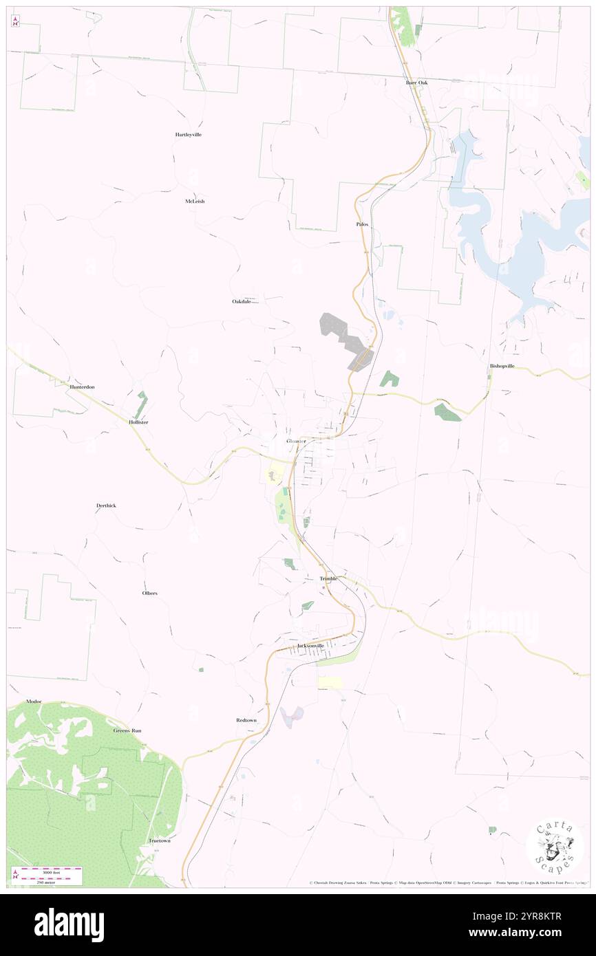 Village of Glouster, Athens County, US, United States, Ohio, N 39 30' 8'', S 82 5' 3'', map, Cartascapes Map published in 2024. Explore Cartascapes, a map revealing Earth's diverse landscapes, cultures, and ecosystems. Journey through time and space, discovering the interconnectedness of our planet's past, present, and future. Stock Photohttps://www.alamy.com/image-license-details/?v=1https://www.alamy.com/village-of-glouster-athens-county-us-united-states-ohio-n-39-30-8-s-82-5-3-map-cartascapes-map-published-in-2024-explore-cartascapes-a-map-revealing-earths-diverse-landscapes-cultures-and-ecosystems-journey-through-time-and-space-discovering-the-interconnectedness-of-our-planets-past-present-and-future-image633901543.html
RM2YR8KTR–Village of Glouster, Athens County, US, United States, Ohio, N 39 30' 8'', S 82 5' 3'', map, Cartascapes Map published in 2024. Explore Cartascapes, a map revealing Earth's diverse landscapes, cultures, and ecosystems. Journey through time and space, discovering the interconnectedness of our planet's past, present, and future.