Map of gorham new hampshire Stock Photos and Images
(68)See map of gorham new hampshire stock video clipsQuick filters:
Map of gorham new hampshire Stock Photos and Images
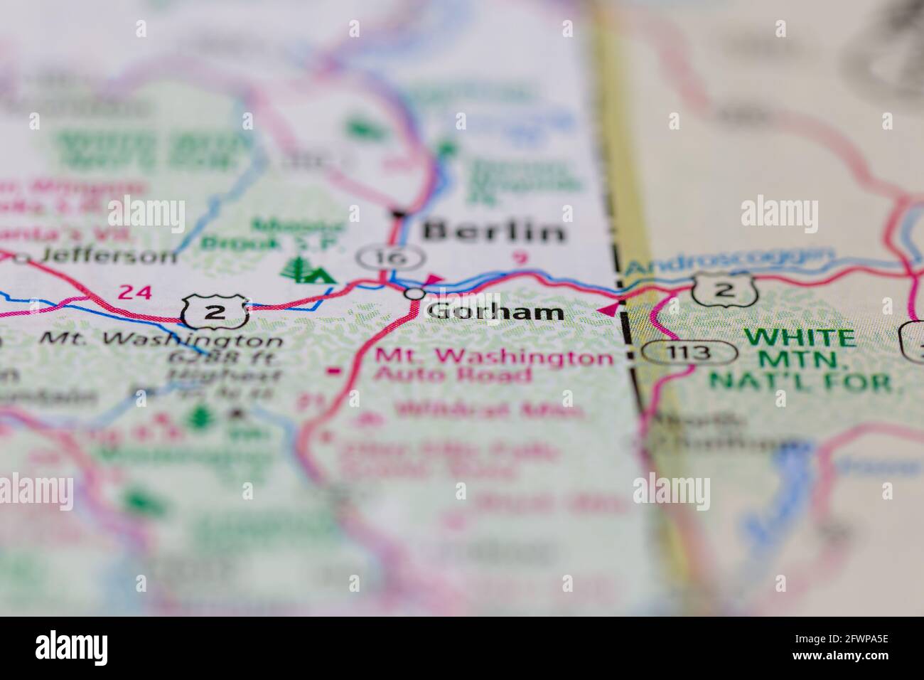 Gorham New Hampshire USA shown on a Geography map or Road map Stock Photohttps://www.alamy.com/image-license-details/?v=1https://www.alamy.com/gorham-new-hampshire-usa-shown-on-a-geography-map-or-road-map-image428906170.html
RM2FWPA5E–Gorham New Hampshire USA shown on a Geography map or Road map
 Image 3 of Sanborn Fire Insurance Map from Gorham, Coos County, New Hampshire. Jul 1897. 3 Sheet(s), America, street map with a Nineteenth Century compass Stock Photohttps://www.alamy.com/image-license-details/?v=1https://www.alamy.com/image-3-of-sanborn-fire-insurance-map-from-gorham-coos-county-new-hampshire-jul-1897-3-sheets-america-street-map-with-a-nineteenth-century-compass-image344685981.html
RM2B0NPDH–Image 3 of Sanborn Fire Insurance Map from Gorham, Coos County, New Hampshire. Jul 1897. 3 Sheet(s), America, street map with a Nineteenth Century compass
 Gorham, Coos County, US, United States, New Hampshire, N 44 23' 16'', S 71 10' 23'', map, Cartascapes Map published in 2024. Explore Cartascapes, a map revealing Earth's diverse landscapes, cultures, and ecosystems. Journey through time and space, discovering the interconnectedness of our planet's past, present, and future. Stock Photohttps://www.alamy.com/image-license-details/?v=1https://www.alamy.com/gorham-coos-county-us-united-states-new-hampshire-n-44-23-16-s-71-10-23-map-cartascapes-map-published-in-2024-explore-cartascapes-a-map-revealing-earths-diverse-landscapes-cultures-and-ecosystems-journey-through-time-and-space-discovering-the-interconnectedness-of-our-planets-past-present-and-future-image621466075.html
RM2Y3268Y–Gorham, Coos County, US, United States, New Hampshire, N 44 23' 16'', S 71 10' 23'', map, Cartascapes Map published in 2024. Explore Cartascapes, a map revealing Earth's diverse landscapes, cultures, and ecosystems. Journey through time and space, discovering the interconnectedness of our planet's past, present, and future.
 Old map of Gorham N.H., a town in New Hampshire Stock Photohttps://www.alamy.com/image-license-details/?v=1https://www.alamy.com/old-map-of-gorham-nh-a-town-in-new-hampshire-image446913388.html
RF2GY2JGC–Old map of Gorham N.H., a town in New Hampshire
 Sanborn Fire Insurance Map from Gorham, Coos County, New Hampshire. Stock Photohttps://www.alamy.com/image-license-details/?v=1https://www.alamy.com/sanborn-fire-insurance-map-from-gorham-coos-county-new-hampshire-image456410831.html
RM2HEF8JR–Sanborn Fire Insurance Map from Gorham, Coos County, New Hampshire.
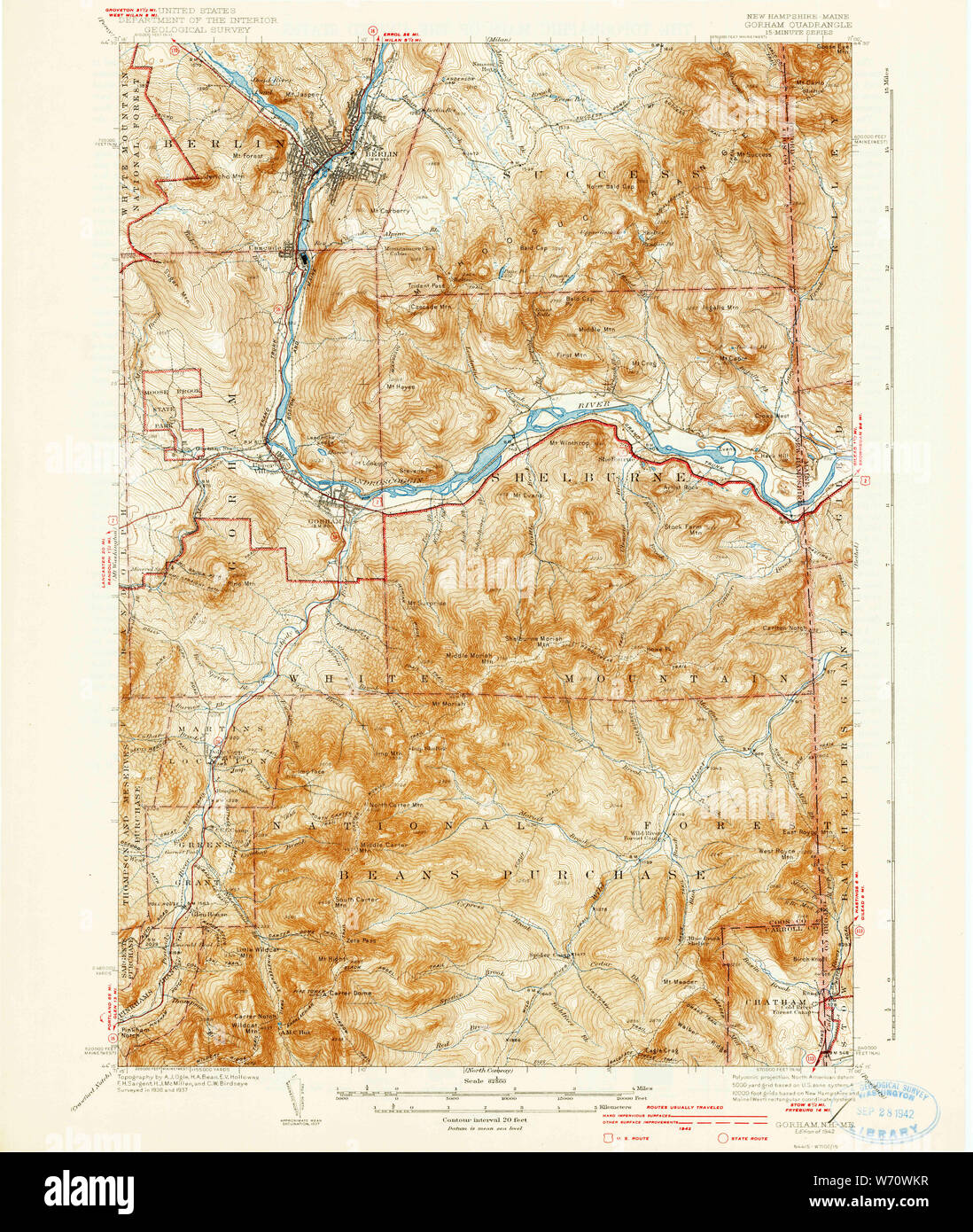 USGS TOPO Map New Hampshire NH Gorham 460049 1942 62500 Restoration Stock Photohttps://www.alamy.com/image-license-details/?v=1https://www.alamy.com/usgs-topo-map-new-hampshire-nh-gorham-460049-1942-62500-restoration-image262478267.html
RMW70WKR–USGS TOPO Map New Hampshire NH Gorham 460049 1942 62500 Restoration
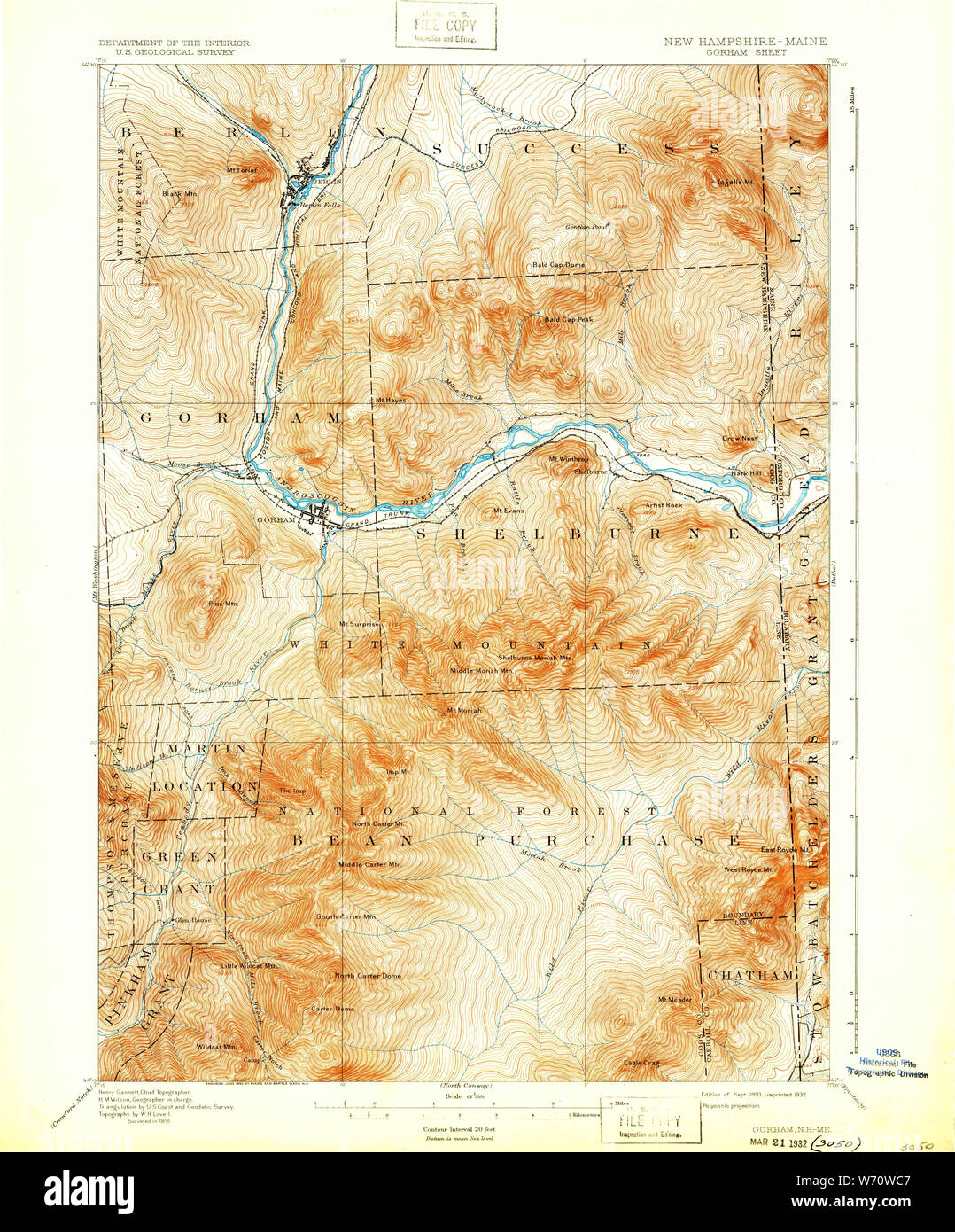 USGS TOPO Map New Hampshire NH Gorham 330067 1893 62500 Restoration Stock Photohttps://www.alamy.com/image-license-details/?v=1https://www.alamy.com/usgs-topo-map-new-hampshire-nh-gorham-330067-1893-62500-restoration-image262478055.html
RMW70WC7–USGS TOPO Map New Hampshire NH Gorham 330067 1893 62500 Restoration
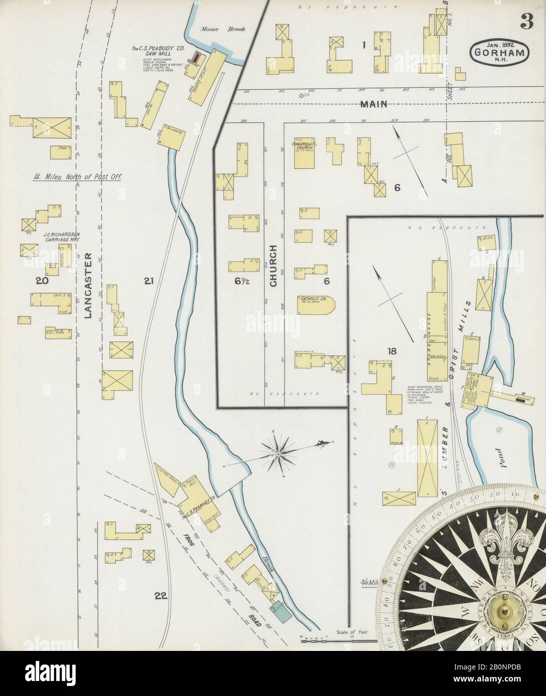 Image 3 of Sanborn Fire Insurance Map from Gorham, Coos County, New Hampshire. Jan 1892. 3 Sheet(s), America, street map with a Nineteenth Century compass Stock Photohttps://www.alamy.com/image-license-details/?v=1https://www.alamy.com/image-3-of-sanborn-fire-insurance-map-from-gorham-coos-county-new-hampshire-jan-1892-3-sheets-america-street-map-with-a-nineteenth-century-compass-image344685975.html
RM2B0NPDB–Image 3 of Sanborn Fire Insurance Map from Gorham, Coos County, New Hampshire. Jan 1892. 3 Sheet(s), America, street map with a Nineteenth Century compass
 Gorham, Coos County, US, United States, New Hampshire, N 44 23' 16'', S 71 10' 23'', map, Cartascapes Map published in 2024. Explore Cartascapes, a map revealing Earth's diverse landscapes, cultures, and ecosystems. Journey through time and space, discovering the interconnectedness of our planet's past, present, and future. Stock Photohttps://www.alamy.com/image-license-details/?v=1https://www.alamy.com/gorham-coos-county-us-united-states-new-hampshire-n-44-23-16-s-71-10-23-map-cartascapes-map-published-in-2024-explore-cartascapes-a-map-revealing-earths-diverse-landscapes-cultures-and-ecosystems-journey-through-time-and-space-discovering-the-interconnectedness-of-our-planets-past-present-and-future-image621212663.html
RM2Y2JK2F–Gorham, Coos County, US, United States, New Hampshire, N 44 23' 16'', S 71 10' 23'', map, Cartascapes Map published in 2024. Explore Cartascapes, a map revealing Earth's diverse landscapes, cultures, and ecosystems. Journey through time and space, discovering the interconnectedness of our planet's past, present, and future.
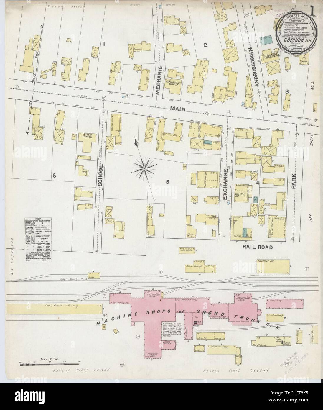 Sanborn Fire Insurance Map from Gorham, Coos County, New Hampshire. Stock Photohttps://www.alamy.com/image-license-details/?v=1https://www.alamy.com/sanborn-fire-insurance-map-from-gorham-coos-county-new-hampshire-image456410841.html
RM2HEF8K5–Sanborn Fire Insurance Map from Gorham, Coos County, New Hampshire.
 USGS TOPO Map New Hampshire NH Gorham 330058 1942 62500 Restoration Stock Photohttps://www.alamy.com/image-license-details/?v=1https://www.alamy.com/usgs-topo-map-new-hampshire-nh-gorham-330058-1942-62500-restoration-image262477617.html
RMW70TTH–USGS TOPO Map New Hampshire NH Gorham 330058 1942 62500 Restoration
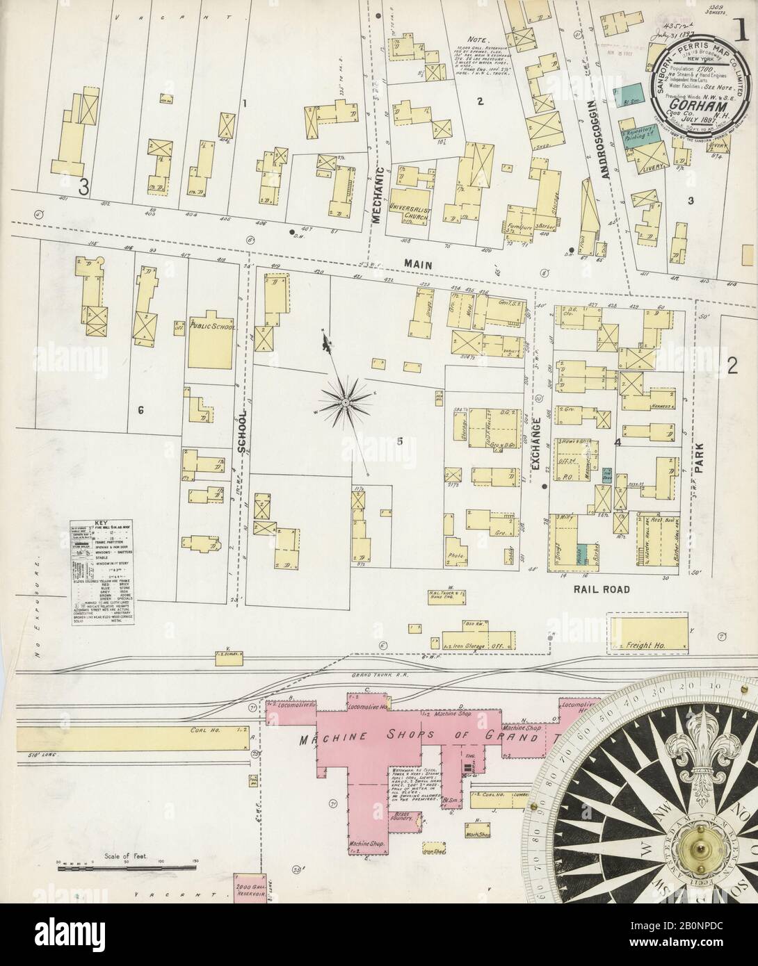 Image 1 of Sanborn Fire Insurance Map from Gorham, Coos County, New Hampshire. Jul 1897. 3 Sheet(s), America, street map with a Nineteenth Century compass Stock Photohttps://www.alamy.com/image-license-details/?v=1https://www.alamy.com/image-1-of-sanborn-fire-insurance-map-from-gorham-coos-county-new-hampshire-jul-1897-3-sheets-america-street-map-with-a-nineteenth-century-compass-image344685976.html
RM2B0NPDC–Image 1 of Sanborn Fire Insurance Map from Gorham, Coos County, New Hampshire. Jul 1897. 3 Sheet(s), America, street map with a Nineteenth Century compass
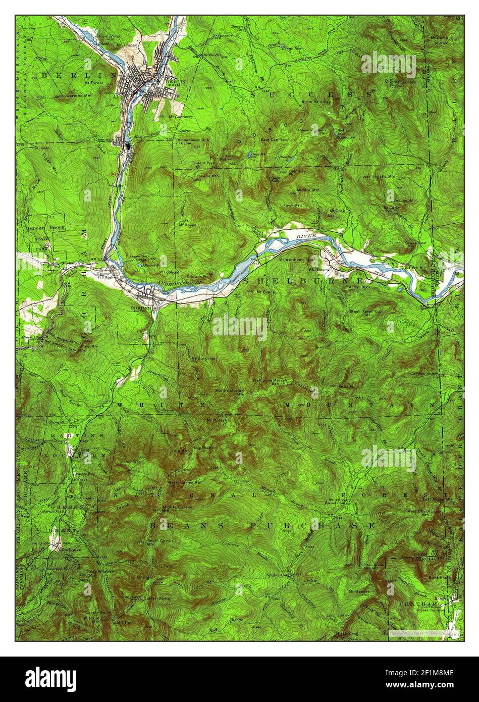 Gorham, New Hampshire, map 1937, 1:62500, United States of America by Timeless Maps, data U.S. Geological Survey Stock Photohttps://www.alamy.com/image-license-details/?v=1https://www.alamy.com/gorham-new-hampshire-map-1937-162500-united-states-of-america-by-timeless-maps-data-us-geological-survey-image414109374.html
RM2F1M8ME–Gorham, New Hampshire, map 1937, 1:62500, United States of America by Timeless Maps, data U.S. Geological Survey
 Sanborn Fire Insurance Map from Gorham, Coos County, New Hampshire. Stock Photohttps://www.alamy.com/image-license-details/?v=1https://www.alamy.com/sanborn-fire-insurance-map-from-gorham-coos-county-new-hampshire-image456410807.html
RM2HEF8HY–Sanborn Fire Insurance Map from Gorham, Coos County, New Hampshire.
 USGS TOPO Map New Hampshire NH Gorham 330060 1893 62500 Restoration Stock Photohttps://www.alamy.com/image-license-details/?v=1https://www.alamy.com/usgs-topo-map-new-hampshire-nh-gorham-330060-1893-62500-restoration-image262477692.html
RMW70TY8–USGS TOPO Map New Hampshire NH Gorham 330060 1893 62500 Restoration
 Image 2 of Sanborn Fire Insurance Map from Gorham, Coos County, New Hampshire. Jul 1897. 3 Sheet(s), America, street map with a Nineteenth Century compass Stock Photohttps://www.alamy.com/image-license-details/?v=1https://www.alamy.com/image-2-of-sanborn-fire-insurance-map-from-gorham-coos-county-new-hampshire-jul-1897-3-sheets-america-street-map-with-a-nineteenth-century-compass-image344685979.html
RM2B0NPDF–Image 2 of Sanborn Fire Insurance Map from Gorham, Coos County, New Hampshire. Jul 1897. 3 Sheet(s), America, street map with a Nineteenth Century compass
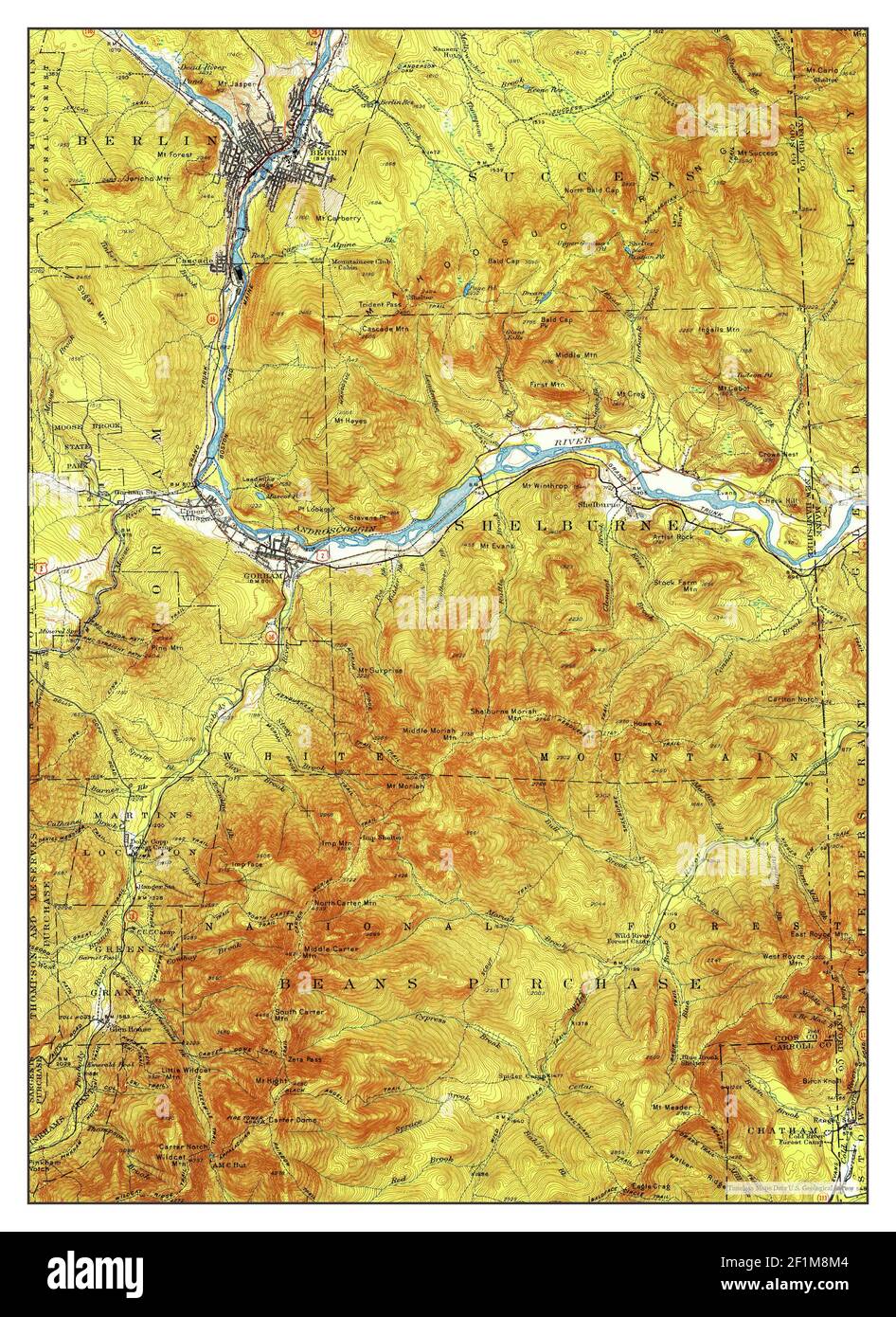 Gorham, New Hampshire, map 1937, 1:62500, United States of America by Timeless Maps, data U.S. Geological Survey Stock Photohttps://www.alamy.com/image-license-details/?v=1https://www.alamy.com/gorham-new-hampshire-map-1937-162500-united-states-of-america-by-timeless-maps-data-us-geological-survey-image414109364.html
RM2F1M8M4–Gorham, New Hampshire, map 1937, 1:62500, United States of America by Timeless Maps, data U.S. Geological Survey
 Sanborn Fire Insurance Map from Gorham, Coos County, New Hampshire. Stock Photohttps://www.alamy.com/image-license-details/?v=1https://www.alamy.com/sanborn-fire-insurance-map-from-gorham-coos-county-new-hampshire-image456410823.html
RM2HEF8JF–Sanborn Fire Insurance Map from Gorham, Coos County, New Hampshire.
 USGS TOPO Map New Hampshire NH Gorham 330066 1893 62500 Restoration Stock Photohttps://www.alamy.com/image-license-details/?v=1https://www.alamy.com/usgs-topo-map-new-hampshire-nh-gorham-330066-1893-62500-restoration-image262477998.html
RMW70WA6–USGS TOPO Map New Hampshire NH Gorham 330066 1893 62500 Restoration
 Image 2 of Sanborn Fire Insurance Map from Gorham, Coos County, New Hampshire. Jan 1892. 3 Sheet(s), America, street map with a Nineteenth Century compass Stock Photohttps://www.alamy.com/image-license-details/?v=1https://www.alamy.com/image-2-of-sanborn-fire-insurance-map-from-gorham-coos-county-new-hampshire-jan-1892-3-sheets-america-street-map-with-a-nineteenth-century-compass-image344685974.html
RM2B0NPDA–Image 2 of Sanborn Fire Insurance Map from Gorham, Coos County, New Hampshire. Jan 1892. 3 Sheet(s), America, street map with a Nineteenth Century compass
 Gorham, New Hampshire, map 1893, 1:62500, United States of America by Timeless Maps, data U.S. Geological Survey Stock Photohttps://www.alamy.com/image-license-details/?v=1https://www.alamy.com/gorham-new-hampshire-map-1893-162500-united-states-of-america-by-timeless-maps-data-us-geological-survey-image414109483.html
RM2F1M8TB–Gorham, New Hampshire, map 1893, 1:62500, United States of America by Timeless Maps, data U.S. Geological Survey
 Sanborn Fire Insurance Map from Gorham, Coos County, New Hampshire. Stock Photohttps://www.alamy.com/image-license-details/?v=1https://www.alamy.com/sanborn-fire-insurance-map-from-gorham-coos-county-new-hampshire-image456410828.html
RM2HEF8JM–Sanborn Fire Insurance Map from Gorham, Coos County, New Hampshire.
 USGS TOPO Map New Hampshire NH Gorham 330065 1893 62500 Restoration Stock Photohttps://www.alamy.com/image-license-details/?v=1https://www.alamy.com/usgs-topo-map-new-hampshire-nh-gorham-330065-1893-62500-restoration-image262477946.html
RMW70W8A–USGS TOPO Map New Hampshire NH Gorham 330065 1893 62500 Restoration
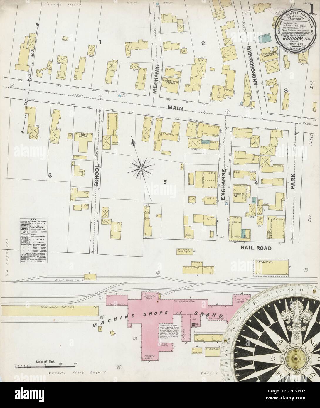 Image 1 of Sanborn Fire Insurance Map from Gorham, Coos County, New Hampshire. Jan 1892. 3 Sheet(s), America, street map with a Nineteenth Century compass Stock Photohttps://www.alamy.com/image-license-details/?v=1https://www.alamy.com/image-1-of-sanborn-fire-insurance-map-from-gorham-coos-county-new-hampshire-jan-1892-3-sheets-america-street-map-with-a-nineteenth-century-compass-image344685971.html
RM2B0NPD7–Image 1 of Sanborn Fire Insurance Map from Gorham, Coos County, New Hampshire. Jan 1892. 3 Sheet(s), America, street map with a Nineteenth Century compass
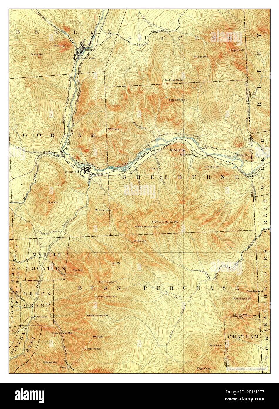 Gorham, New Hampshire, map 1893, 1:62500, United States of America by Timeless Maps, data U.S. Geological Survey Stock Photohttps://www.alamy.com/image-license-details/?v=1https://www.alamy.com/gorham-new-hampshire-map-1893-162500-united-states-of-america-by-timeless-maps-data-us-geological-survey-image414109479.html
RM2F1M8T7–Gorham, New Hampshire, map 1893, 1:62500, United States of America by Timeless Maps, data U.S. Geological Survey
 Sanborn Fire Insurance Map from Gorham, Coos County, New Hampshire. Stock Photohttps://www.alamy.com/image-license-details/?v=1https://www.alamy.com/sanborn-fire-insurance-map-from-gorham-coos-county-new-hampshire-image456410849.html
RM2HEF8KD–Sanborn Fire Insurance Map from Gorham, Coos County, New Hampshire.
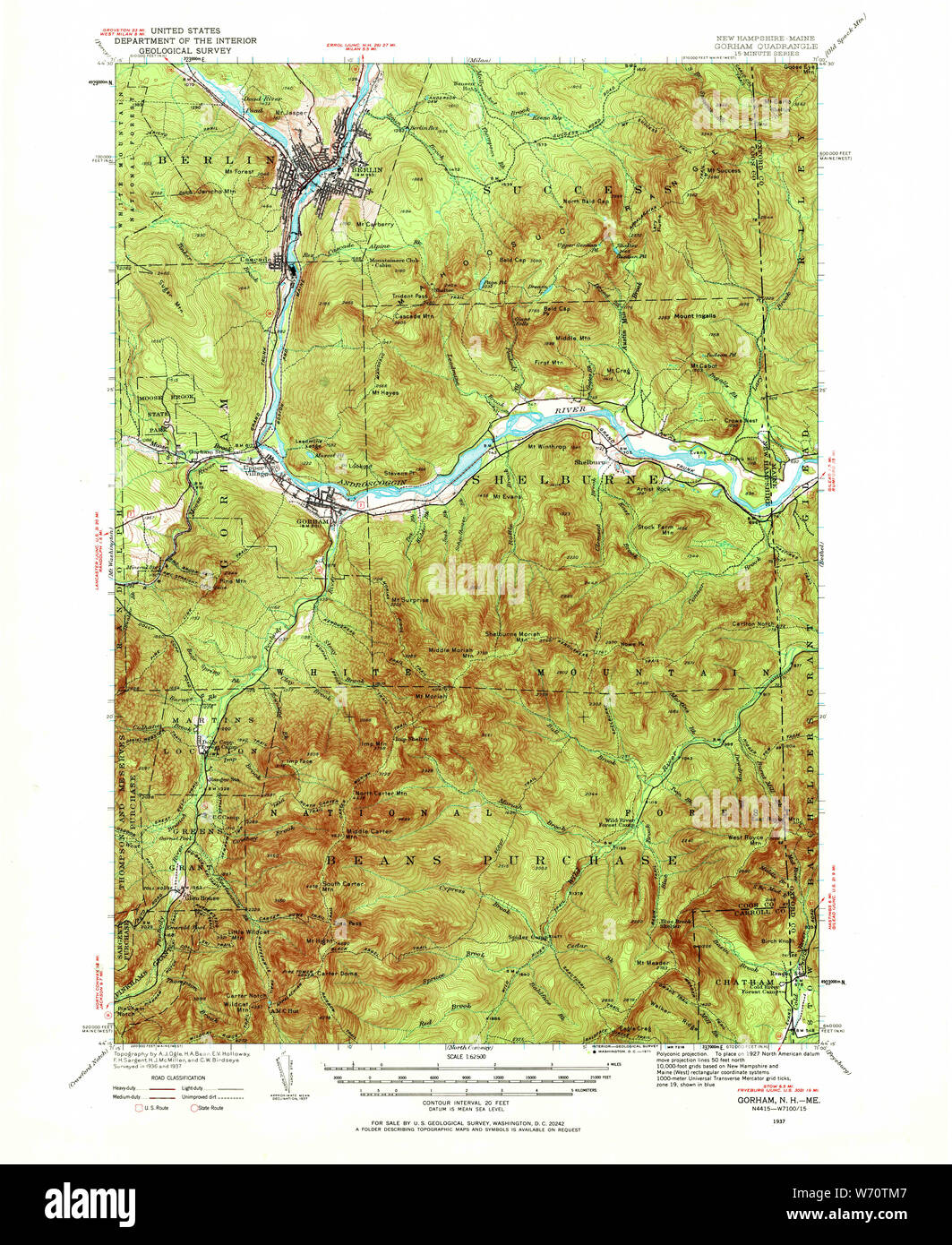 USGS TOPO Map New Hampshire NH Gorham 330056 1937 62500 Restoration Stock Photohttps://www.alamy.com/image-license-details/?v=1https://www.alamy.com/usgs-topo-map-new-hampshire-nh-gorham-330056-1937-62500-restoration-image262477495.html
RMW70TM7–USGS TOPO Map New Hampshire NH Gorham 330056 1937 62500 Restoration
 Image 2 of Sanborn Fire Insurance Map from Gorham, Coos County, New Hampshire. Oct 1887. 2 Sheet(s), America, street map with a Nineteenth Century compass Stock Photohttps://www.alamy.com/image-license-details/?v=1https://www.alamy.com/image-2-of-sanborn-fire-insurance-map-from-gorham-coos-county-new-hampshire-oct-1887-2-sheets-america-street-map-with-a-nineteenth-century-compass-image344685969.html
RM2B0NPD5–Image 2 of Sanborn Fire Insurance Map from Gorham, Coos County, New Hampshire. Oct 1887. 2 Sheet(s), America, street map with a Nineteenth Century compass
 Gorham, New Hampshire, map 1896, 1:62500, United States of America by Timeless Maps, data U.S. Geological Survey Stock Photohttps://www.alamy.com/image-license-details/?v=1https://www.alamy.com/gorham-new-hampshire-map-1896-162500-united-states-of-america-by-timeless-maps-data-us-geological-survey-image414109480.html
RM2F1M8T8–Gorham, New Hampshire, map 1896, 1:62500, United States of America by Timeless Maps, data U.S. Geological Survey
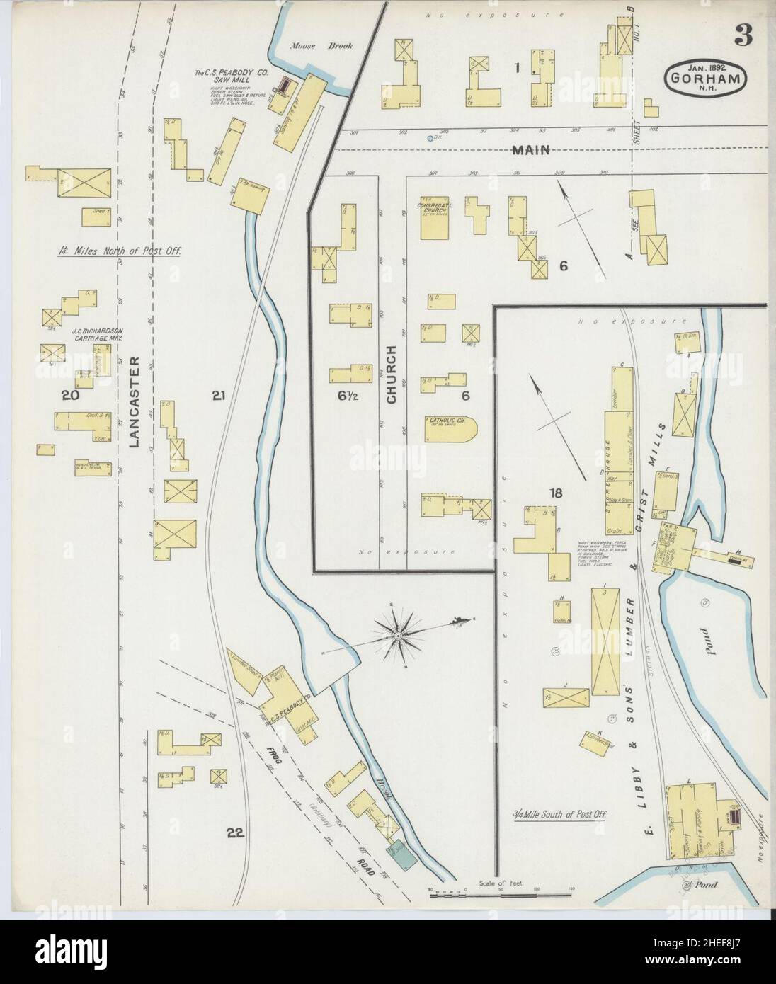 Sanborn Fire Insurance Map from Gorham, Coos County, New Hampshire. Stock Photohttps://www.alamy.com/image-license-details/?v=1https://www.alamy.com/sanborn-fire-insurance-map-from-gorham-coos-county-new-hampshire-image456410815.html
RM2HEF8J7–Sanborn Fire Insurance Map from Gorham, Coos County, New Hampshire.
 USGS TOPO Map New Hampshire NH Gorham 330059 1942 62500 Restoration Stock Photohttps://www.alamy.com/image-license-details/?v=1https://www.alamy.com/usgs-topo-map-new-hampshire-nh-gorham-330059-1942-62500-restoration-image262477656.html
RMW70TX0–USGS TOPO Map New Hampshire NH Gorham 330059 1942 62500 Restoration
 Image 1 of Sanborn Fire Insurance Map from Gorham, Coos County, New Hampshire. Oct 1887. 2 Sheet(s), America, street map with a Nineteenth Century compass Stock Photohttps://www.alamy.com/image-license-details/?v=1https://www.alamy.com/image-1-of-sanborn-fire-insurance-map-from-gorham-coos-county-new-hampshire-oct-1887-2-sheets-america-street-map-with-a-nineteenth-century-compass-image344685967.html
RM2B0NPD3–Image 1 of Sanborn Fire Insurance Map from Gorham, Coos County, New Hampshire. Oct 1887. 2 Sheet(s), America, street map with a Nineteenth Century compass
 Gorham, New Hampshire, map 1893, 1:62500, United States of America by Timeless Maps, data U.S. Geological Survey Stock Photohttps://www.alamy.com/image-license-details/?v=1https://www.alamy.com/gorham-new-hampshire-map-1893-162500-united-states-of-america-by-timeless-maps-data-us-geological-survey-image414109485.html
RM2F1M8TD–Gorham, New Hampshire, map 1893, 1:62500, United States of America by Timeless Maps, data U.S. Geological Survey
 Sanborn Fire Insurance Map from Gorham, Coos County, New Hampshire. Stock Photohttps://www.alamy.com/image-license-details/?v=1https://www.alamy.com/sanborn-fire-insurance-map-from-gorham-coos-county-new-hampshire-image456410842.html
RM2HEF8K6–Sanborn Fire Insurance Map from Gorham, Coos County, New Hampshire.
 USGS TOPO Map New Hampshire NH Gorham 330057 1893 62500 Restoration Stock Photohttps://www.alamy.com/image-license-details/?v=1https://www.alamy.com/usgs-topo-map-new-hampshire-nh-gorham-330057-1893-62500-restoration-image262477563.html
RMW70TPK–USGS TOPO Map New Hampshire NH Gorham 330057 1893 62500 Restoration
 Gorham, New Hampshire, map 1893, 1:62500, United States of America by Timeless Maps, data U.S. Geological Survey Stock Photohttps://www.alamy.com/image-license-details/?v=1https://www.alamy.com/gorham-new-hampshire-map-1893-162500-united-states-of-america-by-timeless-maps-data-us-geological-survey-image414109478.html
RM2F1M8T6–Gorham, New Hampshire, map 1893, 1:62500, United States of America by Timeless Maps, data U.S. Geological Survey
 USGS TOPO Map New Hampshire NH Gorham 330061 1896 62500 Restoration Stock Photohttps://www.alamy.com/image-license-details/?v=1https://www.alamy.com/usgs-topo-map-new-hampshire-nh-gorham-330061-1896-62500-restoration-image262477746.html
RMW70W16–USGS TOPO Map New Hampshire NH Gorham 330061 1896 62500 Restoration
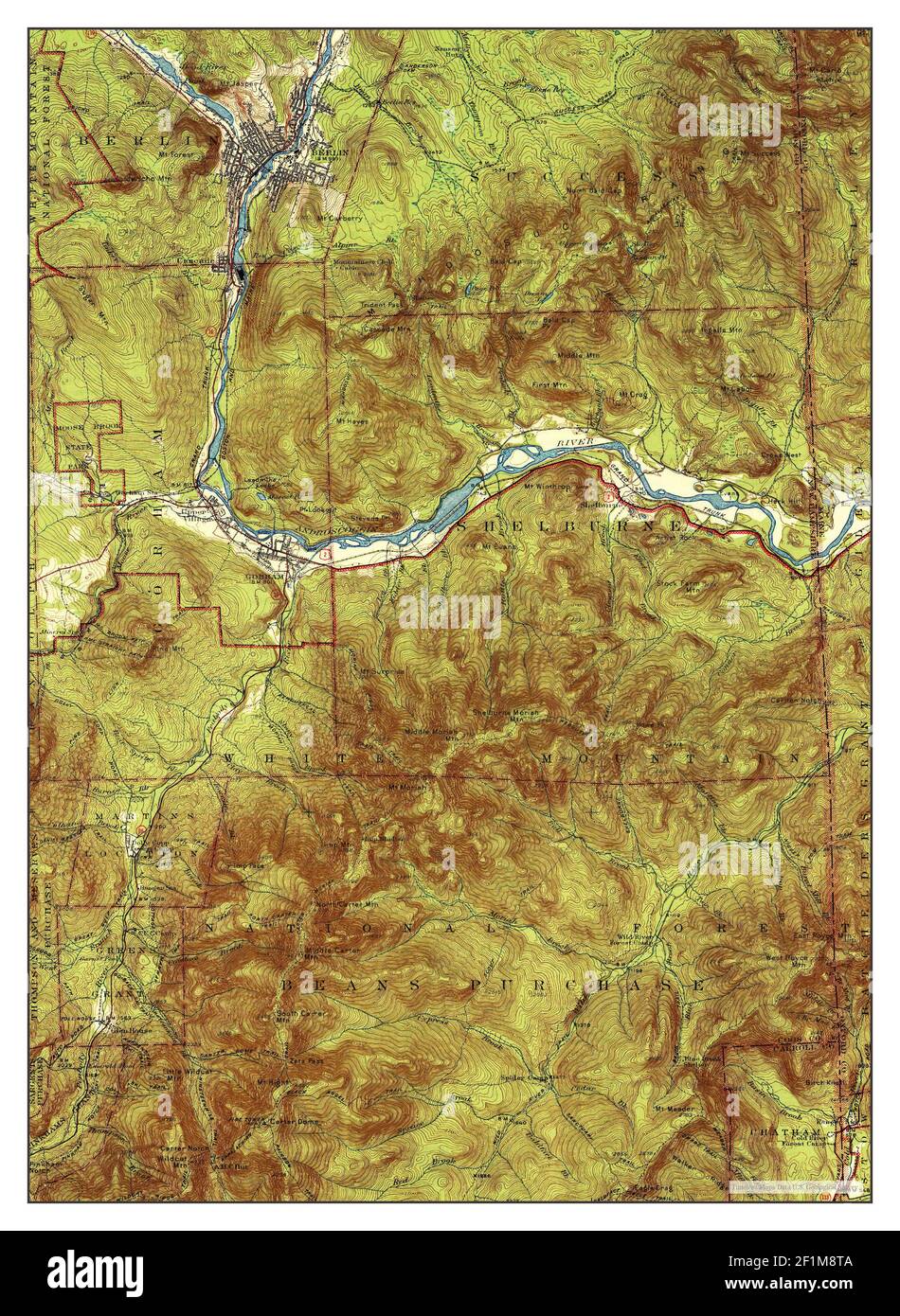 Gorham, New Hampshire, map 1942, 1:62500, United States of America by Timeless Maps, data U.S. Geological Survey Stock Photohttps://www.alamy.com/image-license-details/?v=1https://www.alamy.com/gorham-new-hampshire-map-1942-162500-united-states-of-america-by-timeless-maps-data-us-geological-survey-image414109482.html
RM2F1M8TA–Gorham, New Hampshire, map 1942, 1:62500, United States of America by Timeless Maps, data U.S. Geological Survey
 USGS TOPO Map New Hampshire NH Gorham 330064 1893 62500 Restoration Stock Photohttps://www.alamy.com/image-license-details/?v=1https://www.alamy.com/usgs-topo-map-new-hampshire-nh-gorham-330064-1893-62500-restoration-image262477876.html
RMW70W5T–USGS TOPO Map New Hampshire NH Gorham 330064 1893 62500 Restoration
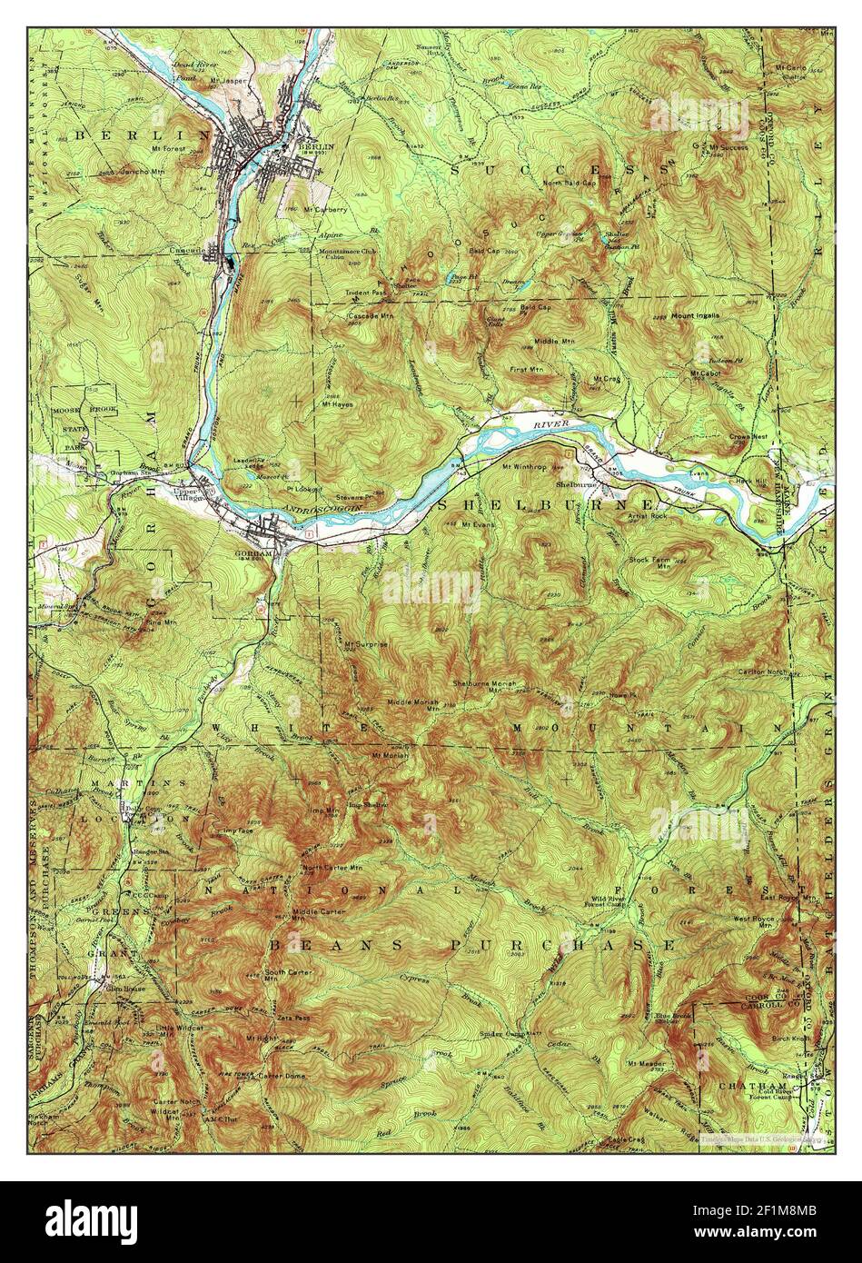 Gorham, New Hampshire, map 1937, 1:62500, United States of America by Timeless Maps, data U.S. Geological Survey Stock Photohttps://www.alamy.com/image-license-details/?v=1https://www.alamy.com/gorham-new-hampshire-map-1937-162500-united-states-of-america-by-timeless-maps-data-us-geological-survey-image414109371.html
RM2F1M8MB–Gorham, New Hampshire, map 1937, 1:62500, United States of America by Timeless Maps, data U.S. Geological Survey
 USGS TOPO Map New Hampshire NH Gorham 330063 1893 62500 Restoration Stock Photohttps://www.alamy.com/image-license-details/?v=1https://www.alamy.com/usgs-topo-map-new-hampshire-nh-gorham-330063-1893-62500-restoration-image262477836.html
RMW70W4C–USGS TOPO Map New Hampshire NH Gorham 330063 1893 62500 Restoration
 Gorham, New Hampshire, map 1893, 1:62500, United States of America by Timeless Maps, data U.S. Geological Survey Stock Photohttps://www.alamy.com/image-license-details/?v=1https://www.alamy.com/gorham-new-hampshire-map-1893-162500-united-states-of-america-by-timeless-maps-data-us-geological-survey-image414109484.html
RM2F1M8TC–Gorham, New Hampshire, map 1893, 1:62500, United States of America by Timeless Maps, data U.S. Geological Survey
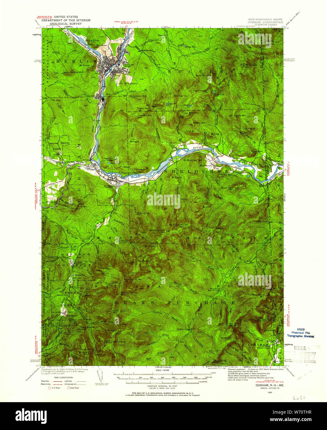 USGS TOPO Map New Hampshire NH Gorham 330054 1937 62500 Restoration Stock Photohttps://www.alamy.com/image-license-details/?v=1https://www.alamy.com/usgs-topo-map-new-hampshire-nh-gorham-330054-1937-62500-restoration-image262477427.html
RMW70THR–USGS TOPO Map New Hampshire NH Gorham 330054 1937 62500 Restoration
 Gorham, New Hampshire, map 1893, 1:62500, United States of America by Timeless Maps, data U.S. Geological Survey Stock Photohttps://www.alamy.com/image-license-details/?v=1https://www.alamy.com/gorham-new-hampshire-map-1893-162500-united-states-of-america-by-timeless-maps-data-us-geological-survey-image414109510.html
RM2F1M8WA–Gorham, New Hampshire, map 1893, 1:62500, United States of America by Timeless Maps, data U.S. Geological Survey
 USGS TOPO Map New Hampshire NH Gorham 329926 1937 48000 Restoration Stock Photohttps://www.alamy.com/image-license-details/?v=1https://www.alamy.com/usgs-topo-map-new-hampshire-nh-gorham-329926-1937-48000-restoration-image262477377.html
RMW70TG1–USGS TOPO Map New Hampshire NH Gorham 329926 1937 48000 Restoration
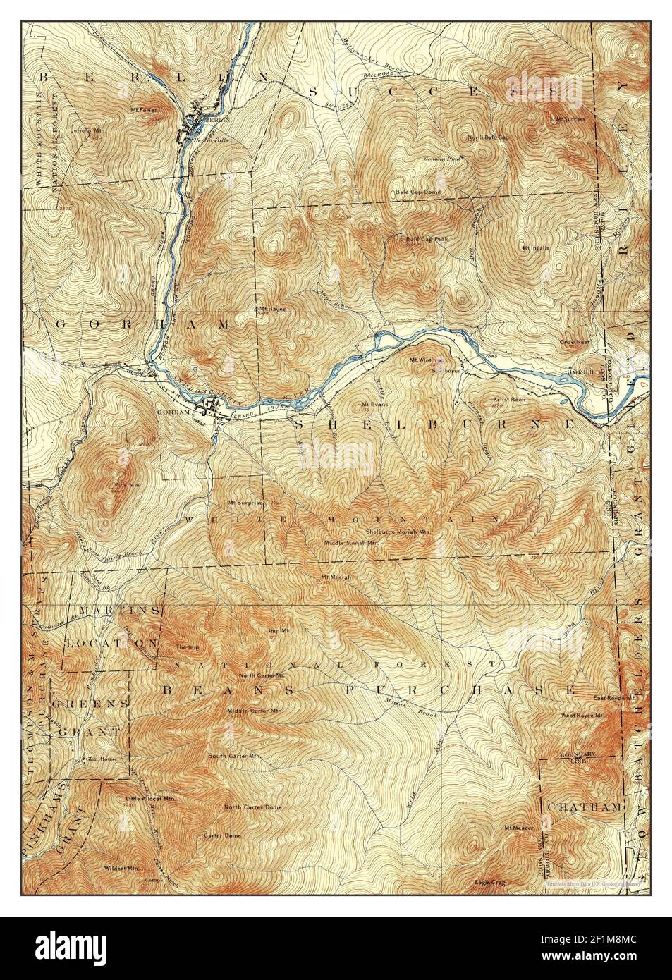 Gorham, New Hampshire, map 1893, 1:62500, United States of America by Timeless Maps, data U.S. Geological Survey Stock Photohttps://www.alamy.com/image-license-details/?v=1https://www.alamy.com/gorham-new-hampshire-map-1893-162500-united-states-of-america-by-timeless-maps-data-us-geological-survey-image414109372.html
RM2F1M8MC–Gorham, New Hampshire, map 1893, 1:62500, United States of America by Timeless Maps, data U.S. Geological Survey
 USGS TOPO Map New Hampshire NH Gorham 330055 1937 62500 Restoration Stock Photohttps://www.alamy.com/image-license-details/?v=1https://www.alamy.com/usgs-topo-map-new-hampshire-nh-gorham-330055-1937-62500-restoration-image262477457.html
RMW70TJW–USGS TOPO Map New Hampshire NH Gorham 330055 1937 62500 Restoration
 Gorham, New Hampshire, map 1893, 1:62500, United States of America by Timeless Maps, data U.S. Geological Survey Stock Photohttps://www.alamy.com/image-license-details/?v=1https://www.alamy.com/gorham-new-hampshire-map-1893-162500-united-states-of-america-by-timeless-maps-data-us-geological-survey-image414109486.html
RM2F1M8TE–Gorham, New Hampshire, map 1893, 1:62500, United States of America by Timeless Maps, data U.S. Geological Survey
 USGS TOPO Map New Hampshire NH Gorham 330062 1893 62500 Restoration Stock Photohttps://www.alamy.com/image-license-details/?v=1https://www.alamy.com/usgs-topo-map-new-hampshire-nh-gorham-330062-1893-62500-restoration-image262477788.html
RMW70W2M–USGS TOPO Map New Hampshire NH Gorham 330062 1893 62500 Restoration
 USGS TOPO Map New Hampshire NH Gorham 460049 1942 62500 Inverted Restoration Stock Photohttps://www.alamy.com/image-license-details/?v=1https://www.alamy.com/usgs-topo-map-new-hampshire-nh-gorham-460049-1942-62500-inverted-restoration-image262478127.html
RMW70WER–USGS TOPO Map New Hampshire NH Gorham 460049 1942 62500 Inverted Restoration
 USGS TOPO Map New Hampshire NH Gorham 330055 1937 62500 Inverted Restoration Stock Photohttps://www.alamy.com/image-license-details/?v=1https://www.alamy.com/usgs-topo-map-new-hampshire-nh-gorham-330055-1937-62500-inverted-restoration-image262477424.html
RMW70THM–USGS TOPO Map New Hampshire NH Gorham 330055 1937 62500 Inverted Restoration
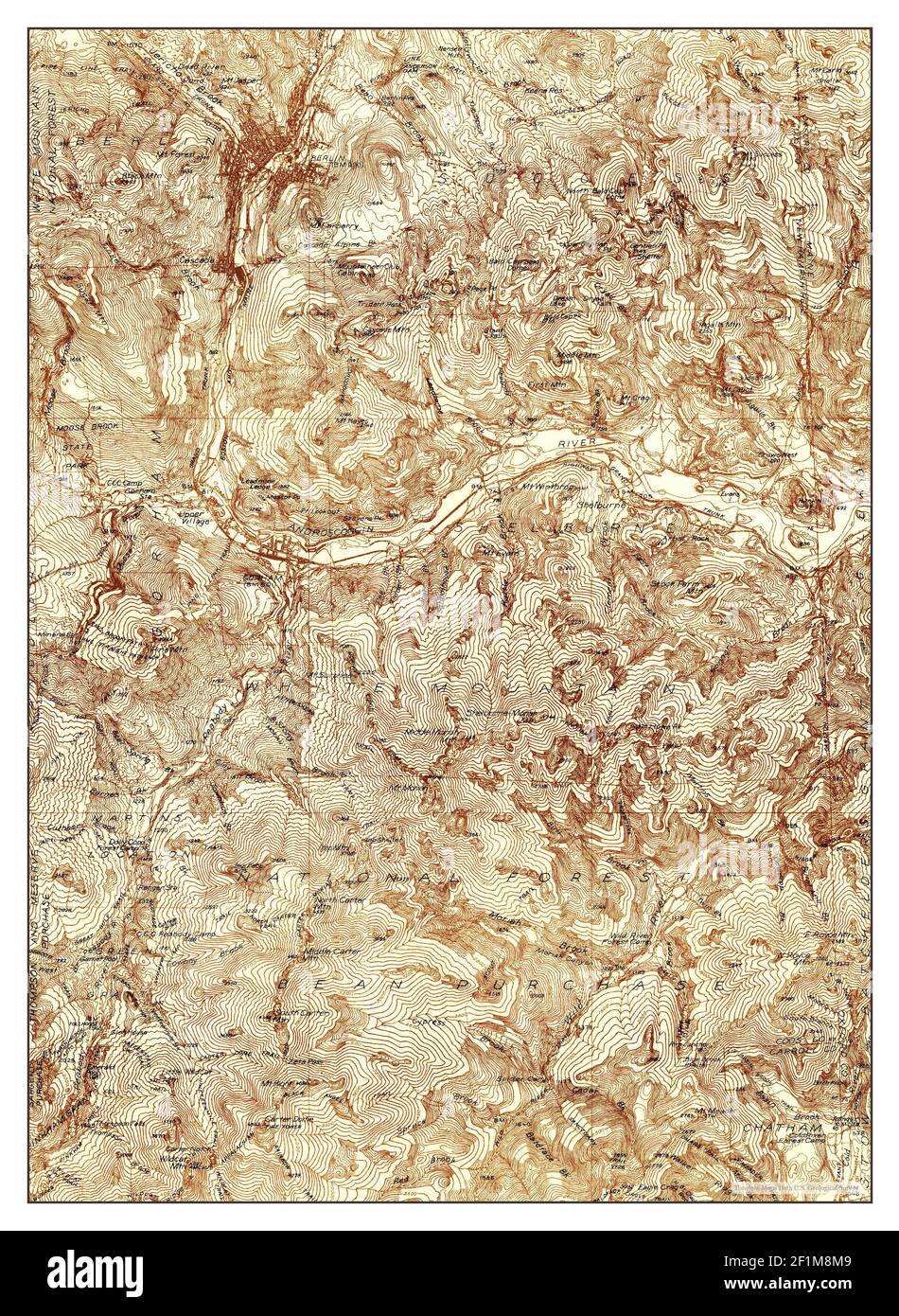 Gorham, New Hampshire, map 1937, 1:48000, United States of America by Timeless Maps, data U.S. Geological Survey Stock Photohttps://www.alamy.com/image-license-details/?v=1https://www.alamy.com/gorham-new-hampshire-map-1937-148000-united-states-of-america-by-timeless-maps-data-us-geological-survey-image414109369.html
RM2F1M8M9–Gorham, New Hampshire, map 1937, 1:48000, United States of America by Timeless Maps, data U.S. Geological Survey
 USGS TOPO Map New Hampshire NH Gorham 330060 1893 62500 Inverted Restoration Stock Photohttps://www.alamy.com/image-license-details/?v=1https://www.alamy.com/usgs-topo-map-new-hampshire-nh-gorham-330060-1893-62500-inverted-restoration-image262477698.html
RMW70TYE–USGS TOPO Map New Hampshire NH Gorham 330060 1893 62500 Inverted Restoration
 Gorham, New Hampshire, map 1942, 1:62500, United States of America by Timeless Maps, data U.S. Geological Survey Stock Photohttps://www.alamy.com/image-license-details/?v=1https://www.alamy.com/gorham-new-hampshire-map-1942-162500-united-states-of-america-by-timeless-maps-data-us-geological-survey-image414109496.html
RM2F1M8TT–Gorham, New Hampshire, map 1942, 1:62500, United States of America by Timeless Maps, data U.S. Geological Survey
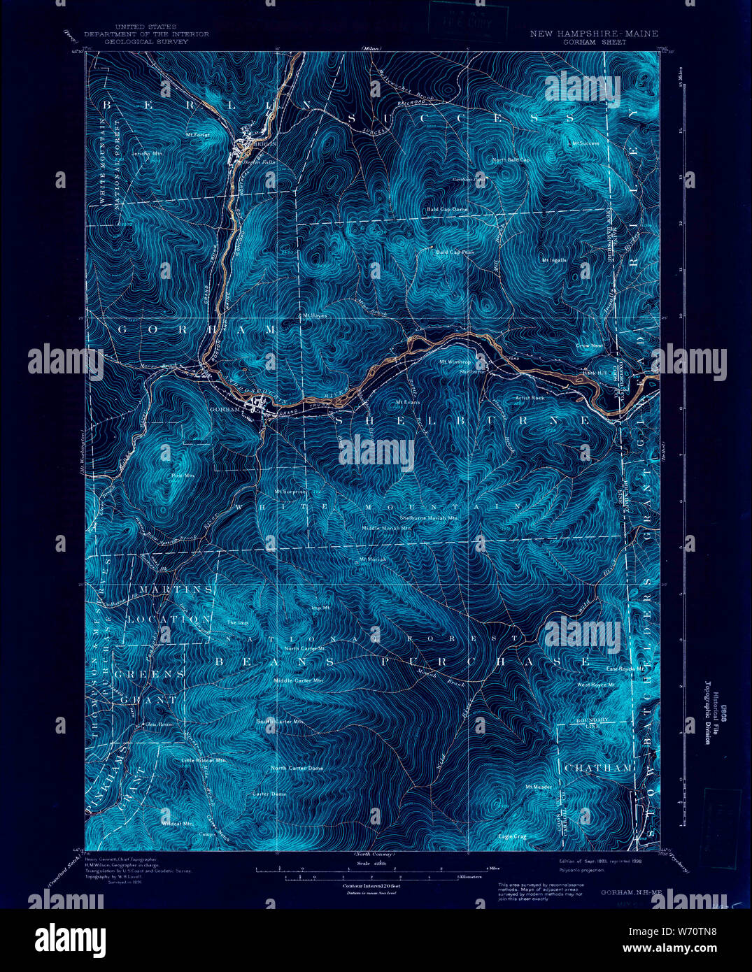 USGS TOPO Map New Hampshire NH Gorham 330057 1893 62500 Inverted Restoration Stock Photohttps://www.alamy.com/image-license-details/?v=1https://www.alamy.com/usgs-topo-map-new-hampshire-nh-gorham-330057-1893-62500-inverted-restoration-image262477524.html
RMW70TN8–USGS TOPO Map New Hampshire NH Gorham 330057 1893 62500 Inverted Restoration
 Gorham, New Hampshire, map 1942, 1:62500, United States of America by Timeless Maps, data U.S. Geological Survey Stock Photohttps://www.alamy.com/image-license-details/?v=1https://www.alamy.com/gorham-new-hampshire-map-1942-162500-united-states-of-america-by-timeless-maps-data-us-geological-survey-image414109476.html
RM2F1M8T4–Gorham, New Hampshire, map 1942, 1:62500, United States of America by Timeless Maps, data U.S. Geological Survey
 USGS TOPO Map New Hampshire NH Gorham 330061 1896 62500 Inverted Restoration Stock Photohttps://www.alamy.com/image-license-details/?v=1https://www.alamy.com/usgs-topo-map-new-hampshire-nh-gorham-330061-1896-62500-inverted-restoration-image262477735.html
RMW70W0R–USGS TOPO Map New Hampshire NH Gorham 330061 1896 62500 Inverted Restoration
 USGS TOPO Map New Hampshire NH Gorham 330063 1893 62500 Inverted Restoration Stock Photohttps://www.alamy.com/image-license-details/?v=1https://www.alamy.com/usgs-topo-map-new-hampshire-nh-gorham-330063-1893-62500-inverted-restoration-image262477835.html
RMW70W4B–USGS TOPO Map New Hampshire NH Gorham 330063 1893 62500 Inverted Restoration
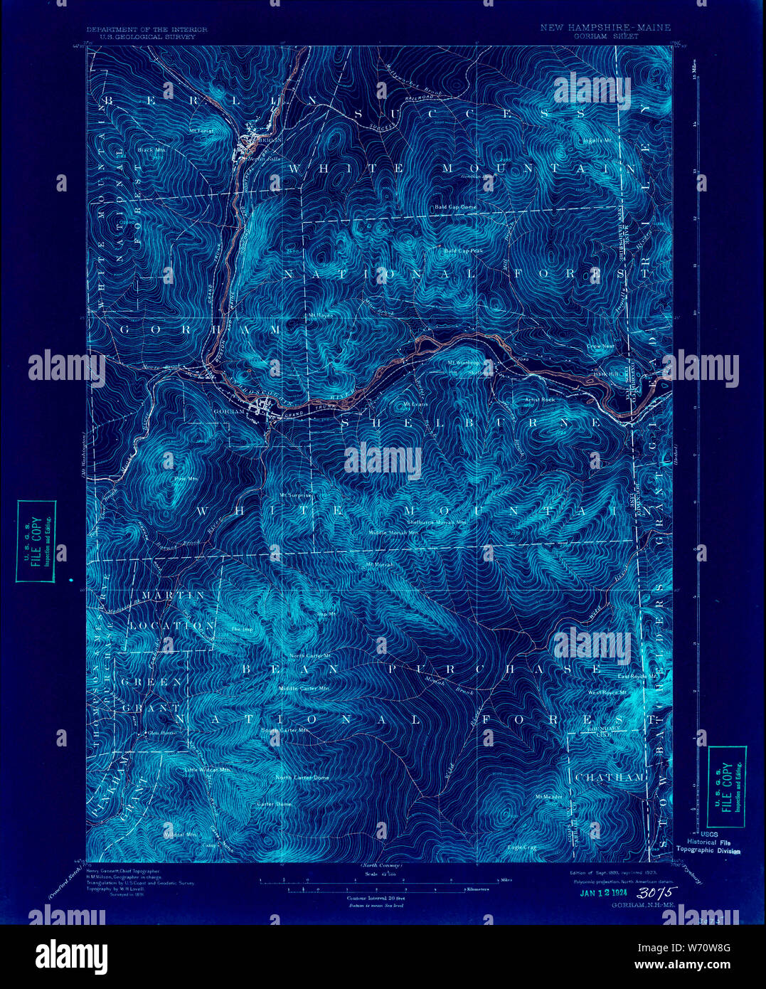 USGS TOPO Map New Hampshire NH Gorham 330066 1893 62500 Inverted Restoration Stock Photohttps://www.alamy.com/image-license-details/?v=1https://www.alamy.com/usgs-topo-map-new-hampshire-nh-gorham-330066-1893-62500-inverted-restoration-image262477952.html
RMW70W8G–USGS TOPO Map New Hampshire NH Gorham 330066 1893 62500 Inverted Restoration
 USGS TOPO Map New Hampshire NH Gorham 330058 1942 62500 Inverted Restoration Stock Photohttps://www.alamy.com/image-license-details/?v=1https://www.alamy.com/usgs-topo-map-new-hampshire-nh-gorham-330058-1942-62500-inverted-restoration-image262477581.html
RMW70TR9–USGS TOPO Map New Hampshire NH Gorham 330058 1942 62500 Inverted Restoration
 USGS TOPO Map New Hampshire NH Gorham 330062 1893 62500 Inverted Restoration Stock Photohttps://www.alamy.com/image-license-details/?v=1https://www.alamy.com/usgs-topo-map-new-hampshire-nh-gorham-330062-1893-62500-inverted-restoration-image262477786.html
RMW70W2J–USGS TOPO Map New Hampshire NH Gorham 330062 1893 62500 Inverted Restoration
 USGS TOPO Map New Hampshire NH Gorham 330067 1893 62500 Inverted Restoration Stock Photohttps://www.alamy.com/image-license-details/?v=1https://www.alamy.com/usgs-topo-map-new-hampshire-nh-gorham-330067-1893-62500-inverted-restoration-image262477999.html
RMW70WA7–USGS TOPO Map New Hampshire NH Gorham 330067 1893 62500 Inverted Restoration
 USGS TOPO Map New Hampshire NH Gorham 329926 1937 48000 Inverted Restoration Stock Photohttps://www.alamy.com/image-license-details/?v=1https://www.alamy.com/usgs-topo-map-new-hampshire-nh-gorham-329926-1937-48000-inverted-restoration-image262477330.html
RMW70TEA–USGS TOPO Map New Hampshire NH Gorham 329926 1937 48000 Inverted Restoration
 USGS TOPO Map New Hampshire NH Gorham 330065 1893 62500 Inverted Restoration Stock Photohttps://www.alamy.com/image-license-details/?v=1https://www.alamy.com/usgs-topo-map-new-hampshire-nh-gorham-330065-1893-62500-inverted-restoration-image262477908.html
RMW70W70–USGS TOPO Map New Hampshire NH Gorham 330065 1893 62500 Inverted Restoration
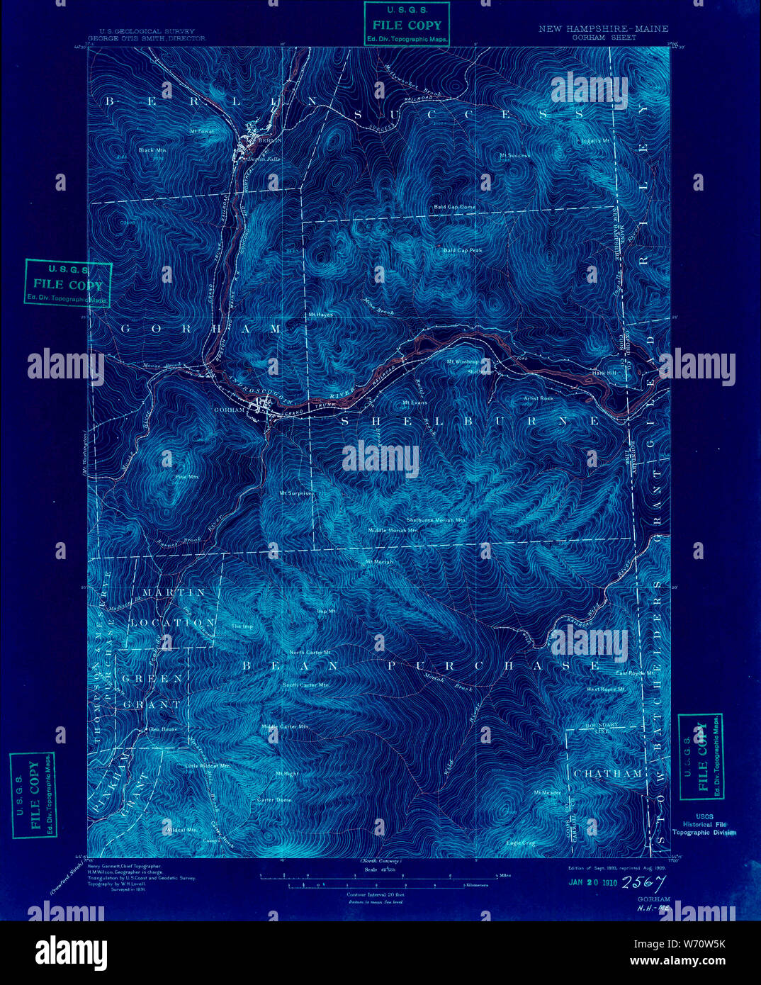 USGS TOPO Map New Hampshire NH Gorham 330064 1893 62500 Inverted Restoration Stock Photohttps://www.alamy.com/image-license-details/?v=1https://www.alamy.com/usgs-topo-map-new-hampshire-nh-gorham-330064-1893-62500-inverted-restoration-image262477871.html
RMW70W5K–USGS TOPO Map New Hampshire NH Gorham 330064 1893 62500 Inverted Restoration
 USGS TOPO Map New Hampshire NH Gorham 330059 1942 62500 Inverted Restoration Stock Photohttps://www.alamy.com/image-license-details/?v=1https://www.alamy.com/usgs-topo-map-new-hampshire-nh-gorham-330059-1942-62500-inverted-restoration-image262477605.html
RMW70TT5–USGS TOPO Map New Hampshire NH Gorham 330059 1942 62500 Inverted Restoration
 USGS TOPO Map New Hampshire NH Gorham 330056 1937 62500 Inverted Restoration Stock Photohttps://www.alamy.com/image-license-details/?v=1https://www.alamy.com/usgs-topo-map-new-hampshire-nh-gorham-330056-1937-62500-inverted-restoration-image262477493.html
RMW70TM5–USGS TOPO Map New Hampshire NH Gorham 330056 1937 62500 Inverted Restoration
 USGS TOPO Map New Hampshire NH Gorham 330054 1937 62500 Inverted Restoration Stock Photohttps://www.alamy.com/image-license-details/?v=1https://www.alamy.com/usgs-topo-map-new-hampshire-nh-gorham-330054-1937-62500-inverted-restoration-image262477373.html
RMW70TFW–USGS TOPO Map New Hampshire NH Gorham 330054 1937 62500 Inverted Restoration