Map of granger washington Cut Out Stock Images
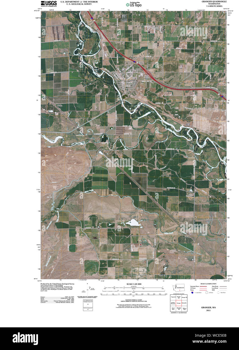 USGS Topo Map Washington State WA Granger 20110404 TM Restoration Stock Photohttps://www.alamy.com/image-license-details/?v=1https://www.alamy.com/usgs-topo-map-washington-state-wa-granger-20110404-tm-restoration-image265843043.html
RMWCE5EB–USGS Topo Map Washington State WA Granger 20110404 TM Restoration
 Granger, Yakima County, US, United States, Washington, N 46 20' 31'', S 120 11' 14'', map, Cartascapes Map published in 2024. Explore Cartascapes, a map revealing Earth's diverse landscapes, cultures, and ecosystems. Journey through time and space, discovering the interconnectedness of our planet's past, present, and future. Stock Photohttps://www.alamy.com/image-license-details/?v=1https://www.alamy.com/granger-yakima-county-us-united-states-washington-n-46-20-31-s-120-11-14-map-cartascapes-map-published-in-2024-explore-cartascapes-a-map-revealing-earths-diverse-landscapes-cultures-and-ecosystems-journey-through-time-and-space-discovering-the-interconnectedness-of-our-planets-past-present-and-future-image620740330.html
RM2Y1W4HE–Granger, Yakima County, US, United States, Washington, N 46 20' 31'', S 120 11' 14'', map, Cartascapes Map published in 2024. Explore Cartascapes, a map revealing Earth's diverse landscapes, cultures, and ecosystems. Journey through time and space, discovering the interconnectedness of our planet's past, present, and future.
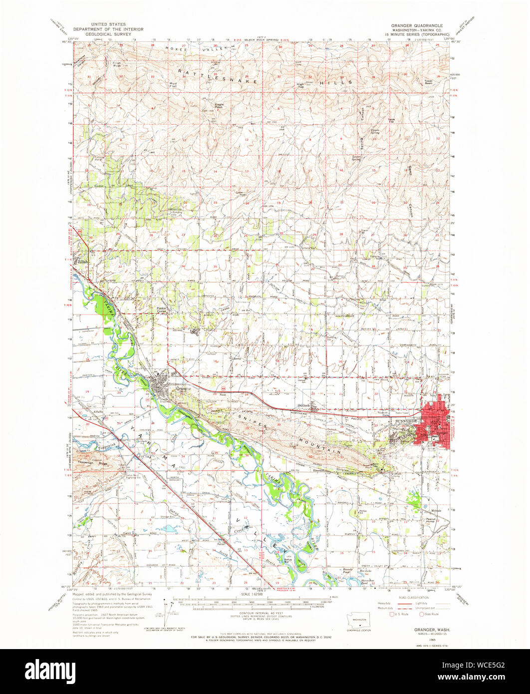 USGS Topo Map Washington State WA Granger 241387 1965 62500 Restoration Stock Photohttps://www.alamy.com/image-license-details/?v=1https://www.alamy.com/usgs-topo-map-washington-state-wa-granger-241387-1965-62500-restoration-image265843090.html
RMWCE5G2–USGS Topo Map Washington State WA Granger 241387 1965 62500 Restoration
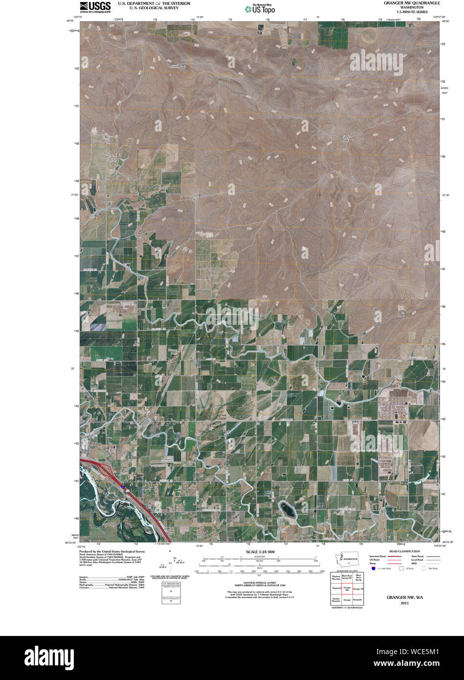 USGS Topo Map Washington State WA Granger NW 20110404 TM Restoration Stock Photohttps://www.alamy.com/image-license-details/?v=1https://www.alamy.com/usgs-topo-map-washington-state-wa-granger-nw-20110404-tm-restoration-image265843201.html
RMWCE5M1–USGS Topo Map Washington State WA Granger NW 20110404 TM Restoration
 Granger, Yakima County, US, United States, Washington, N 46 20' 31'', S 120 11' 14'', map, Cartascapes Map published in 2024. Explore Cartascapes, a map revealing Earth's diverse landscapes, cultures, and ecosystems. Journey through time and space, discovering the interconnectedness of our planet's past, present, and future. Stock Photohttps://www.alamy.com/image-license-details/?v=1https://www.alamy.com/granger-yakima-county-us-united-states-washington-n-46-20-31-s-120-11-14-map-cartascapes-map-published-in-2024-explore-cartascapes-a-map-revealing-earths-diverse-landscapes-cultures-and-ecosystems-journey-through-time-and-space-discovering-the-interconnectedness-of-our-planets-past-present-and-future-image620840106.html
RM2Y21KTX–Granger, Yakima County, US, United States, Washington, N 46 20' 31'', S 120 11' 14'', map, Cartascapes Map published in 2024. Explore Cartascapes, a map revealing Earth's diverse landscapes, cultures, and ecosystems. Journey through time and space, discovering the interconnectedness of our planet's past, present, and future.
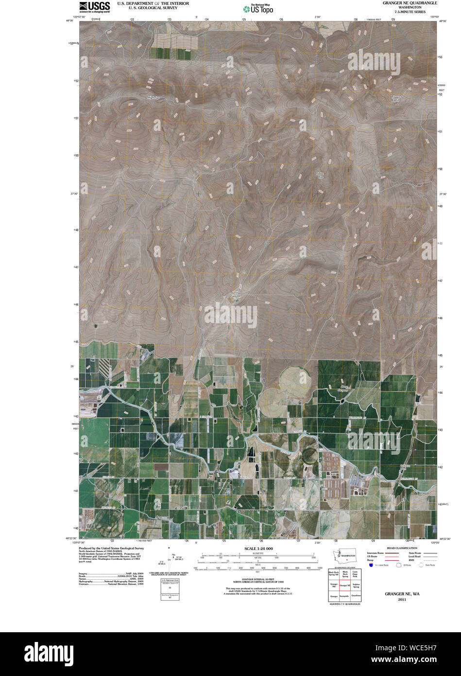 USGS Topo Map Washington State WA Granger NE 20110404 TM Restoration Stock Photohttps://www.alamy.com/image-license-details/?v=1https://www.alamy.com/usgs-topo-map-washington-state-wa-granger-ne-20110404-tm-restoration-image265843123.html
RMWCE5H7–USGS Topo Map Washington State WA Granger NE 20110404 TM Restoration
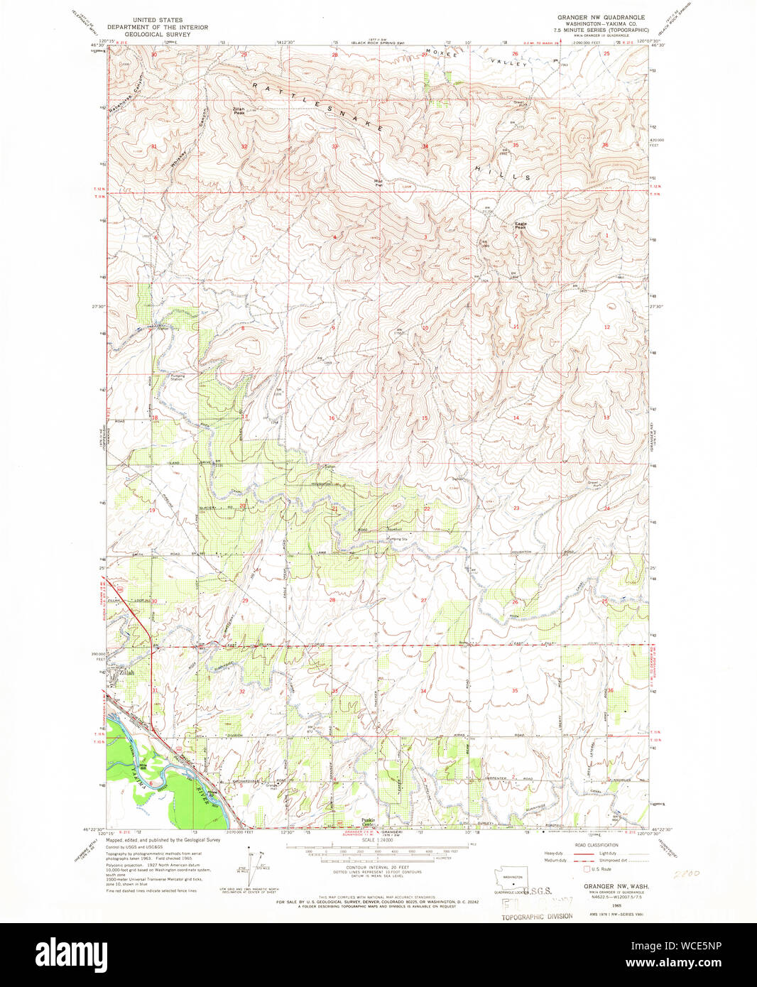 USGS Topo Map Washington State WA Granger NW 241385 1965 24000 Restoration Stock Photohttps://www.alamy.com/image-license-details/?v=1https://www.alamy.com/usgs-topo-map-washington-state-wa-granger-nw-241385-1965-24000-restoration-image265843250.html
RMWCE5NP–USGS Topo Map Washington State WA Granger NW 241385 1965 24000 Restoration
 City of Granger, Yakima County, US, United States, Washington, N 46 20' 45'', S 120 11' 34'', map, Cartascapes Map published in 2024. Explore Cartascapes, a map revealing Earth's diverse landscapes, cultures, and ecosystems. Journey through time and space, discovering the interconnectedness of our planet's past, present, and future. Stock Photohttps://www.alamy.com/image-license-details/?v=1https://www.alamy.com/city-of-granger-yakima-county-us-united-states-washington-n-46-20-45-s-120-11-34-map-cartascapes-map-published-in-2024-explore-cartascapes-a-map-revealing-earths-diverse-landscapes-cultures-and-ecosystems-journey-through-time-and-space-discovering-the-interconnectedness-of-our-planets-past-present-and-future-image633909211.html
RM2YR91JK–City of Granger, Yakima County, US, United States, Washington, N 46 20' 45'', S 120 11' 34'', map, Cartascapes Map published in 2024. Explore Cartascapes, a map revealing Earth's diverse landscapes, cultures, and ecosystems. Journey through time and space, discovering the interconnectedness of our planet's past, present, and future.
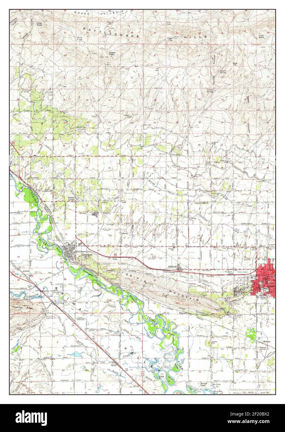 Granger, Washington, map 1965, 1:62500, United States of America by Timeless Maps, data U.S. Geological Survey Stock Photohttps://www.alamy.com/image-license-details/?v=1https://www.alamy.com/granger-washington-map-1965-162500-united-states-of-america-by-timeless-maps-data-us-geological-survey-image414287498.html
RM2F20BX2–Granger, Washington, map 1965, 1:62500, United States of America by Timeless Maps, data U.S. Geological Survey
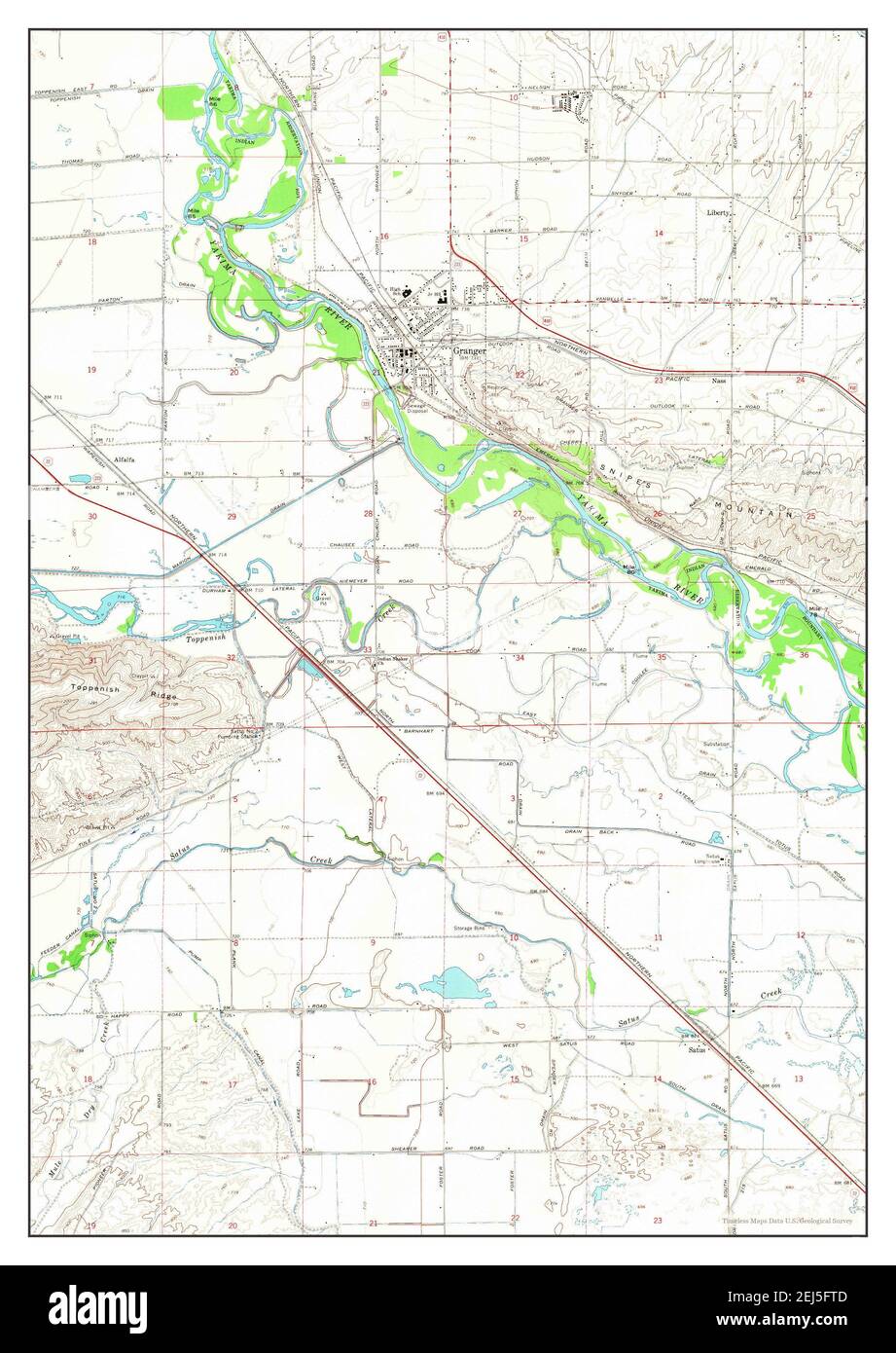 Granger, Washington, map 1965, 1:24000, United States of America by Timeless Maps, data U.S. Geological Survey Stock Photohttps://www.alamy.com/image-license-details/?v=1https://www.alamy.com/granger-washington-map-1965-124000-united-states-of-america-by-timeless-maps-data-us-geological-survey-image407024477.html
RM2EJ5FTD–Granger, Washington, map 1965, 1:24000, United States of America by Timeless Maps, data U.S. Geological Survey