Quick filters:
Map of graz Stock Photos and Images
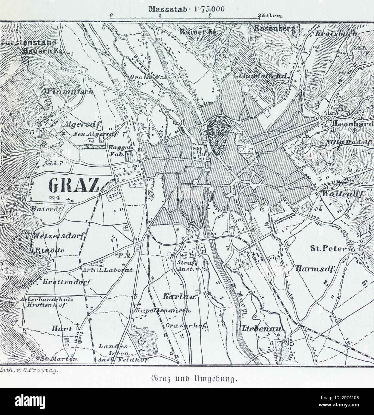 City map of Graz and its surroundings, Graz, Steiermark, Austria, Central Europe Stock Photohttps://www.alamy.com/image-license-details/?v=1https://www.alamy.com/city-map-of-graz-and-its-surroundings-graz-steiermark-austria-central-europe-image540986519.html
RM2PC41R3–City map of Graz and its surroundings, Graz, Steiermark, Austria, Central Europe
 Graz vector map. Detailed vector map of Graz city administrative area. Cityscape poster metropolitan aria view. Black land with white roads and avenue Stock Vectorhttps://www.alamy.com/image-license-details/?v=1https://www.alamy.com/graz-vector-map-detailed-vector-map-of-graz-city-administrative-area-cityscape-poster-metropolitan-aria-view-black-land-with-white-roads-and-avenue-image486057450.html
RF2K6NR6J–Graz vector map. Detailed vector map of Graz city administrative area. Cityscape poster metropolitan aria view. Black land with white roads and avenue
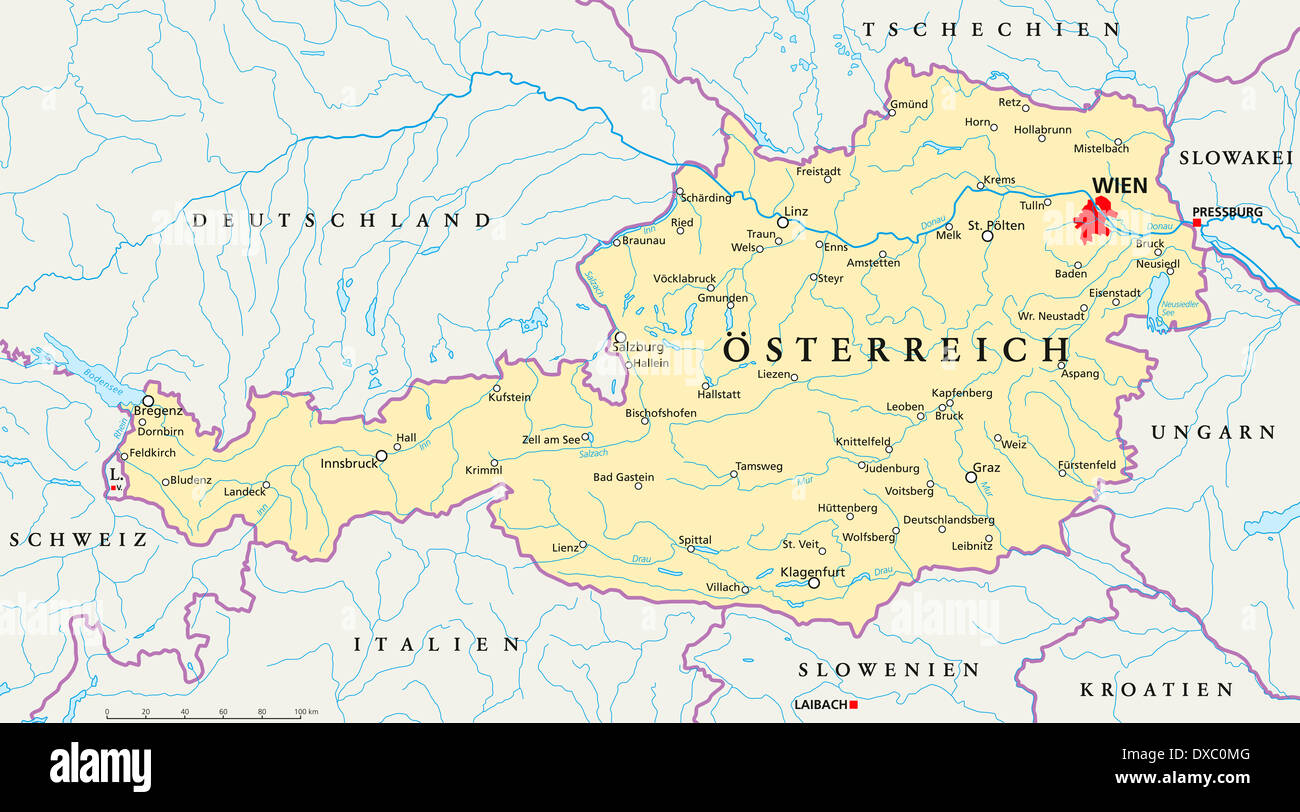 Political map of Austria with the capital Vienna, national borders, most important cities, rivers and lakes. Stock Photohttps://www.alamy.com/image-license-details/?v=1https://www.alamy.com/political-map-of-austria-with-the-capital-vienna-national-borders-image67876160.html
RFDXC0MG–Political map of Austria with the capital Vienna, national borders, most important cities, rivers and lakes.
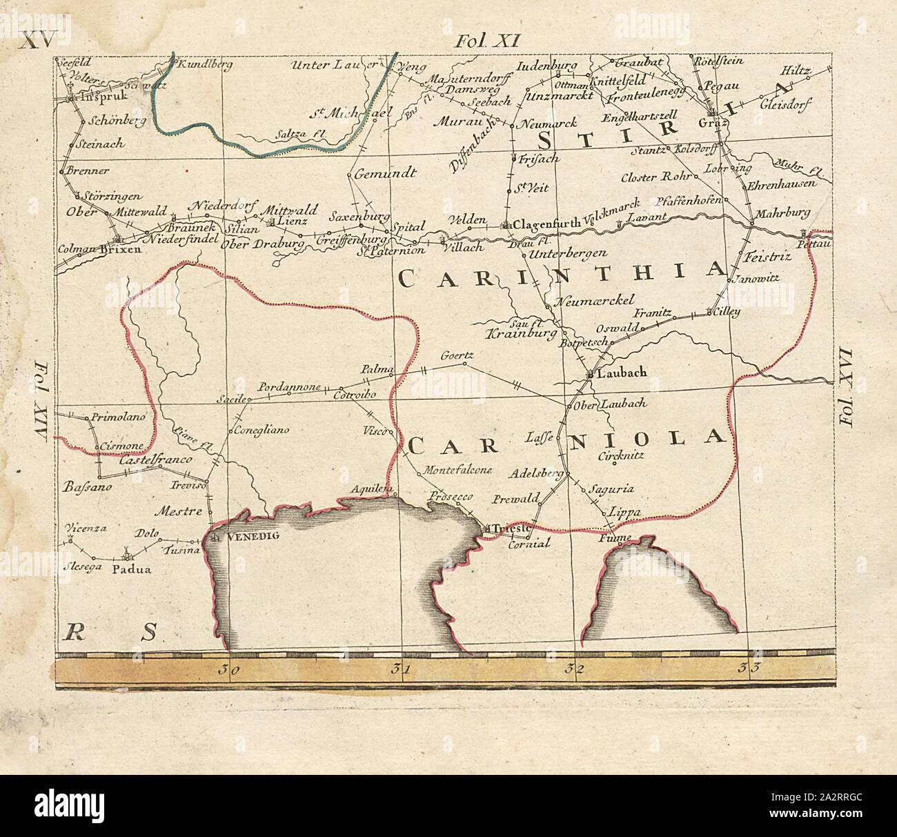 Carinthia, Map of Innsbruck, Graz, Padua and Fiume, fol. 18r, Bors, Johann Jakob (verfertigt), Homannsche Erben (ed.), Johann Jakob Bors; Franz Ioseph Heger: Neue und vollständige Postkarte durch ganz Deutschland. Nürnberg: im Verlag bey denen Homaennischen Erben, [1764 Stock Photohttps://www.alamy.com/image-license-details/?v=1https://www.alamy.com/carinthia-map-of-innsbruck-graz-padua-and-fiume-fol-18r-bors-johann-jakob-verfertigt-homannsche-erben-ed-johann-jakob-bors-franz-ioseph-heger-neue-und-vollstndige-postkarte-durch-ganz-deutschland-nrnberg-im-verlag-bey-denen-homaennischen-erben-1764-image328749692.html
RM2A2RRGC–Carinthia, Map of Innsbruck, Graz, Padua and Fiume, fol. 18r, Bors, Johann Jakob (verfertigt), Homannsche Erben (ed.), Johann Jakob Bors; Franz Ioseph Heger: Neue und vollständige Postkarte durch ganz Deutschland. Nürnberg: im Verlag bey denen Homaennischen Erben, [1764
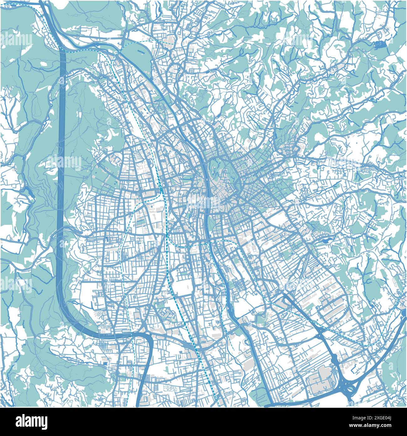 Map of Graz in Austria in blue style. Contains layered vector with roads water, parks, etc. Stock Vectorhttps://www.alamy.com/image-license-details/?v=1https://www.alamy.com/map-of-graz-in-austria-in-blue-style-contains-layered-vector-with-roads-water-parks-etc-image612504834.html
RF2XGE04J–Map of Graz in Austria in blue style. Contains layered vector with roads water, parks, etc.
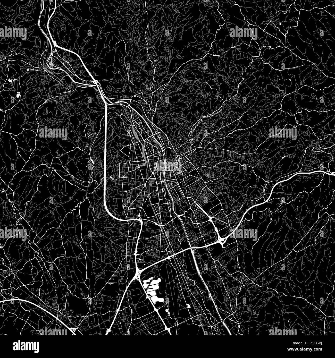 Area map of Graz, Austria. Dark background version for infographic and marketing projects. This map of Graz, contains typical landmarks with streets, Stock Vectorhttps://www.alamy.com/image-license-details/?v=1https://www.alamy.com/area-map-of-graz-austria-dark-background-version-for-infographic-and-marketing-projects-this-map-of-graz-contains-typical-landmarks-with-streets-image211805766.html
RFP8GGBJ–Area map of Graz, Austria. Dark background version for infographic and marketing projects. This map of Graz, contains typical landmarks with streets,
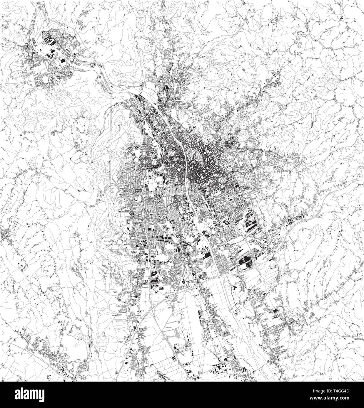 Satellite map of Graz, it is the capital of Styria and the second-largest city in Austria after Vienna. Map of streets and buildings of the town cente Stock Vectorhttps://www.alamy.com/image-license-details/?v=1https://www.alamy.com/satellite-map-of-graz-it-is-the-capital-of-styria-and-the-second-largest-city-in-austria-after-vienna-map-of-streets-and-buildings-of-the-town-cente-image243767677.html
RFT4GG4D–Satellite map of Graz, it is the capital of Styria and the second-largest city in Austria after Vienna. Map of streets and buildings of the town cente
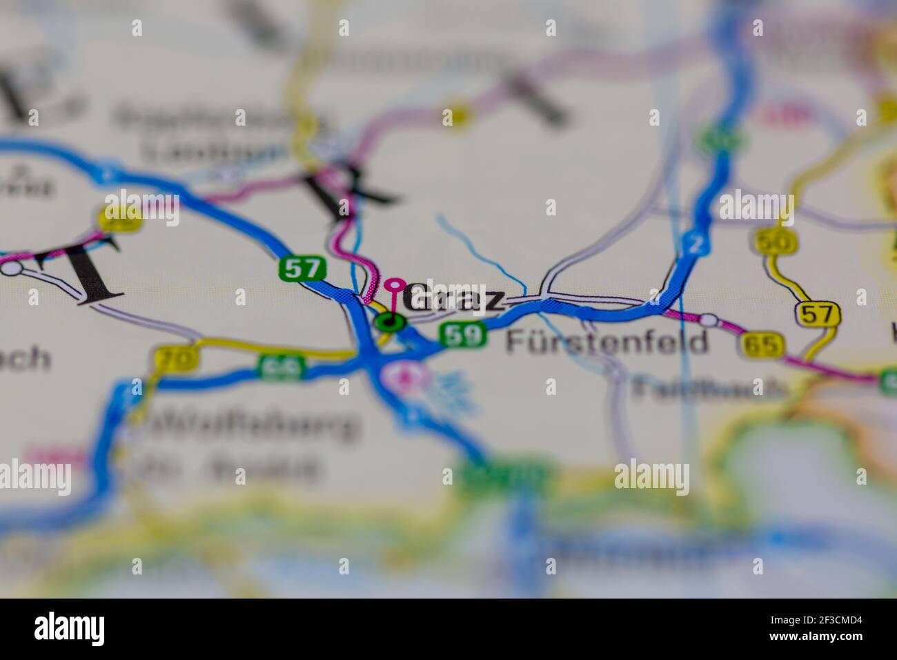 Graz Shown on a geography map or road map Stock Photohttps://www.alamy.com/image-license-details/?v=1https://www.alamy.com/graz-shown-on-a-geography-map-or-road-map-image415172272.html
RM2F3CMD4–Graz Shown on a geography map or road map
 3d isometric map of Graz is a city of Austria, vector illustration Stock Vectorhttps://www.alamy.com/image-license-details/?v=1https://www.alamy.com/3d-isometric-map-of-graz-is-a-city-of-austria-vector-illustration-image441560882.html
RF2GJARBE–3d isometric map of Graz is a city of Austria, vector illustration
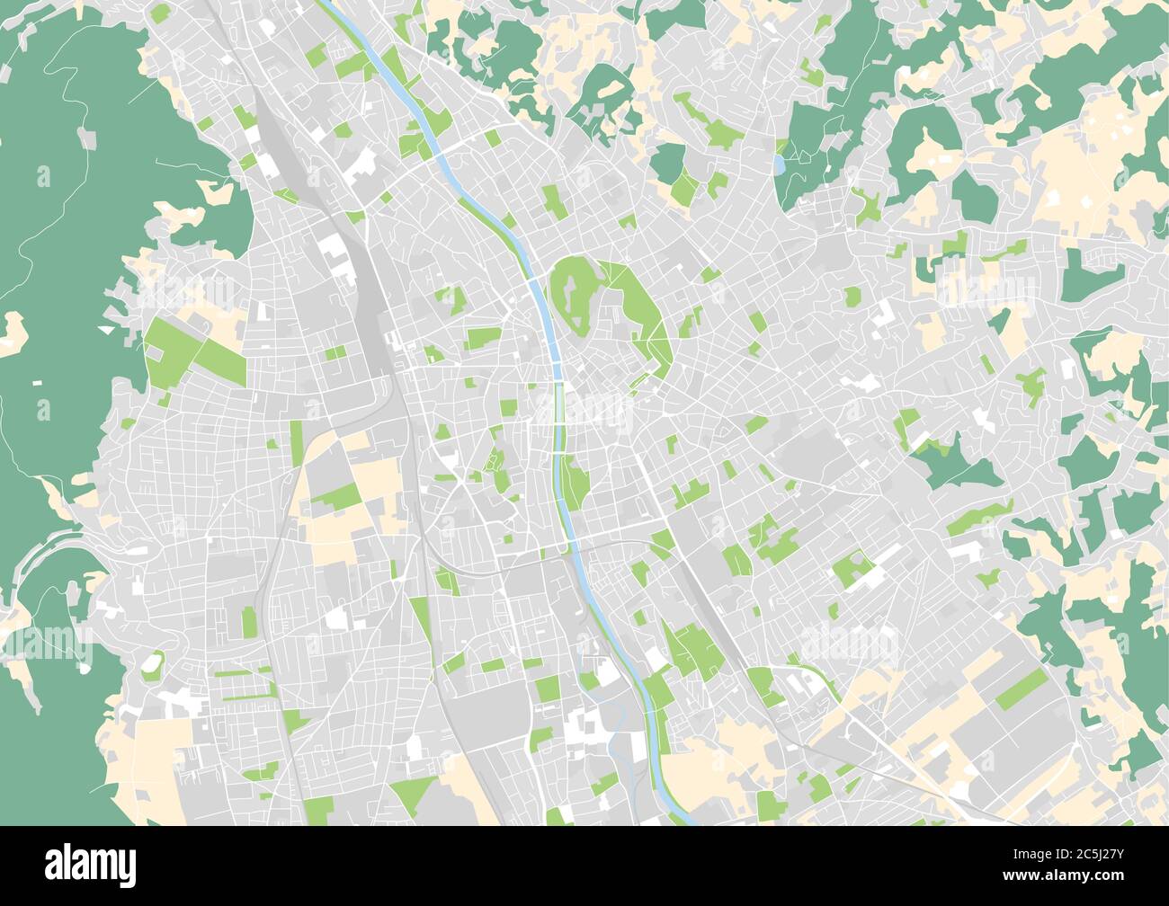 vector city map of Graz, Austria Stock Vectorhttps://www.alamy.com/image-license-details/?v=1https://www.alamy.com/vector-city-map-of-graz-austria-image364887935.html
RF2C5J27Y–vector city map of Graz, Austria
 MAP CENTRAL EUROPE Graz 1944 Stock Photohttps://www.alamy.com/image-license-details/?v=1https://www.alamy.com/map-central-europe-graz-1944-image446317091.html
RF2GX3E03–MAP CENTRAL EUROPE Graz 1944
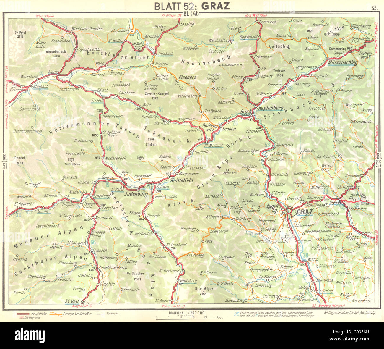 AUSTRIA: Graz, 1936 vintage map Stock Photohttps://www.alamy.com/image-license-details/?v=1https://www.alamy.com/stock-photo-austria-graz-1936-vintage-map-103463885.html
RFG0956N–AUSTRIA: Graz, 1936 vintage map
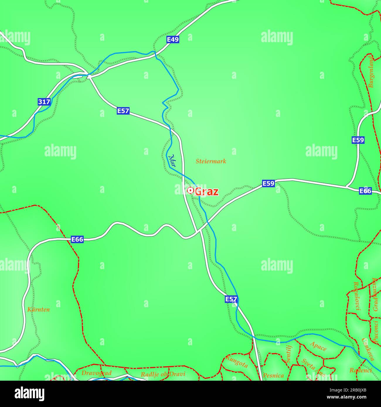 Map of Graz City in Austria Stock Photohttps://www.alamy.com/image-license-details/?v=1https://www.alamy.com/map-of-graz-city-in-austria-image557507843.html
RF2RB0JXB–Map of Graz City in Austria
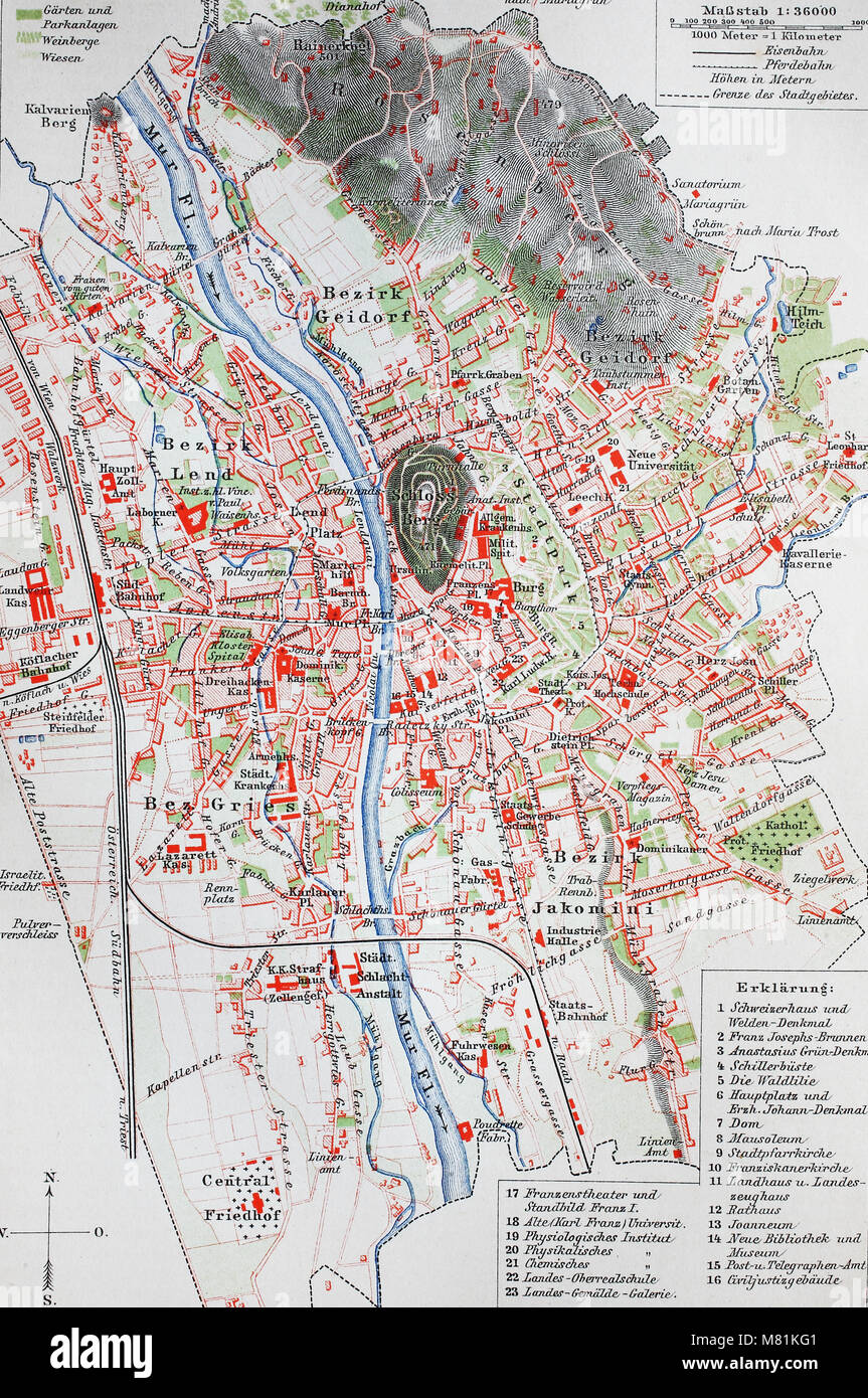 city map from the year 1892: Graz, Austria, digital improved reproduction of an original print from the year 1895 Stock Photohttps://www.alamy.com/image-license-details/?v=1https://www.alamy.com/stock-photo-city-map-from-the-year-1892-graz-austria-digital-improved-reproduction-177058225.html
RFM81KG1–city map from the year 1892: Graz, Austria, digital improved reproduction of an original print from the year 1895
 In the course of the Anschluss (annexation) of Austria to the German Reich, Nazi dictator Adolf Hitler visits Graz. The streets are decorated with swastika flags. On a wall, a map of the Greater Germanic Reich. On the poster: 'One People, One Reich, One Fuehrer'. Stock Photohttps://www.alamy.com/image-license-details/?v=1https://www.alamy.com/in-the-course-of-the-anschluss-annexation-of-austria-to-the-german-reich-nazi-dictator-adolf-hitler-visits-graz-the-streets-are-decorated-with-swastika-flags-on-a-wall-a-map-of-the-greater-germanic-reich-on-the-poster-one-people-one-reich-one-fuehrer-image247159902.html
RMTA32YA–In the course of the Anschluss (annexation) of Austria to the German Reich, Nazi dictator Adolf Hitler visits Graz. The streets are decorated with swastika flags. On a wall, a map of the Greater Germanic Reich. On the poster: 'One People, One Reich, One Fuehrer'.
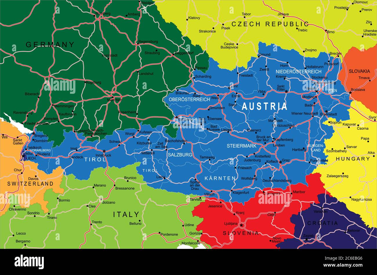 Austria political map Stock Vectorhttps://www.alamy.com/image-license-details/?v=1https://www.alamy.com/austria-political-map-image365422070.html
RF2C6EBG6–Austria political map
 Graz Austria City Map in Retro Style. Outline Map. Vector Illustration. Stock Vectorhttps://www.alamy.com/image-license-details/?v=1https://www.alamy.com/graz-austria-city-map-in-retro-style-outline-map-vector-illustration-image332344325.html
RF2A8KGG5–Graz Austria City Map in Retro Style. Outline Map. Vector Illustration.
 Alt Graz, Düsseldorf District, DE, Germany, North Rhine-Westphalia, N 51 13' 26'', N 6 47' 37'', map, Cartascapes Map published in 2024. Explore Cartascapes, a map revealing Earth's diverse landscapes, cultures, and ecosystems. Journey through time and space, discovering the interconnectedness of our planet's past, present, and future. Stock Photohttps://www.alamy.com/image-license-details/?v=1https://www.alamy.com/alt-graz-dsseldorf-district-de-germany-north-rhine-westphalia-n-51-13-26-n-6-47-37-map-cartascapes-map-published-in-2024-explore-cartascapes-a-map-revealing-earths-diverse-landscapes-cultures-and-ecosystems-journey-through-time-and-space-discovering-the-interconnectedness-of-our-planets-past-present-and-future-image629791148.html
RM2YGHD10–Alt Graz, Düsseldorf District, DE, Germany, North Rhine-Westphalia, N 51 13' 26'', N 6 47' 37'', map, Cartascapes Map published in 2024. Explore Cartascapes, a map revealing Earth's diverse landscapes, cultures, and ecosystems. Journey through time and space, discovering the interconnectedness of our planet's past, present, and future.
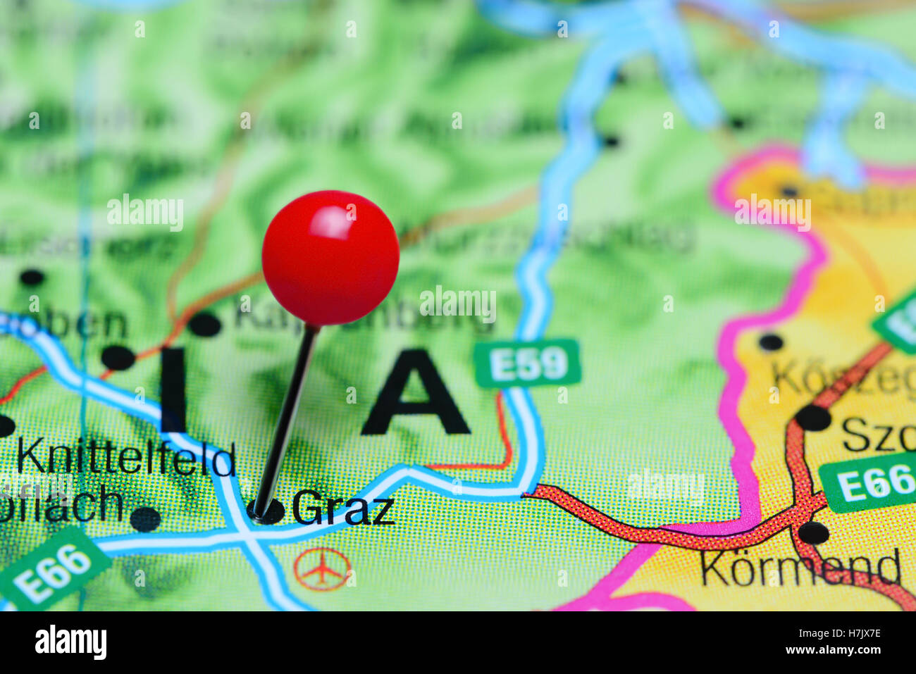 Graz pinned on a map of Austria Stock Photohttps://www.alamy.com/image-license-details/?v=1https://www.alamy.com/stock-photo-graz-pinned-on-a-map-of-austria-125190898.html
RFH7JX7E–Graz pinned on a map of Austria
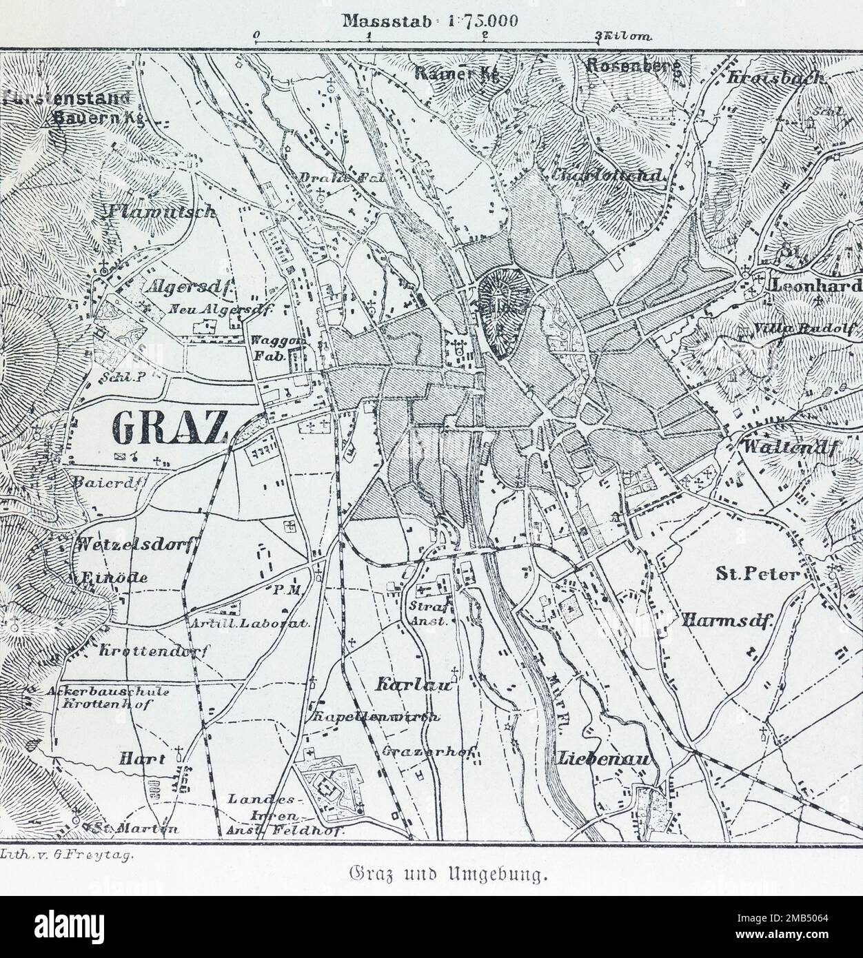 City of Graz, city map and surroundings, scale 1:75.000, districts, Liebenau, river Mur, cartography, hatchings, railway line Stock Photohttps://www.alamy.com/image-license-details/?v=1https://www.alamy.com/city-of-graz-city-map-and-surroundings-scale-175000-districts-liebenau-river-mur-cartography-hatchings-railway-line-image505971820.html
RM2MB5064–City of Graz, city map and surroundings, scale 1:75.000, districts, Liebenau, river Mur, cartography, hatchings, railway line
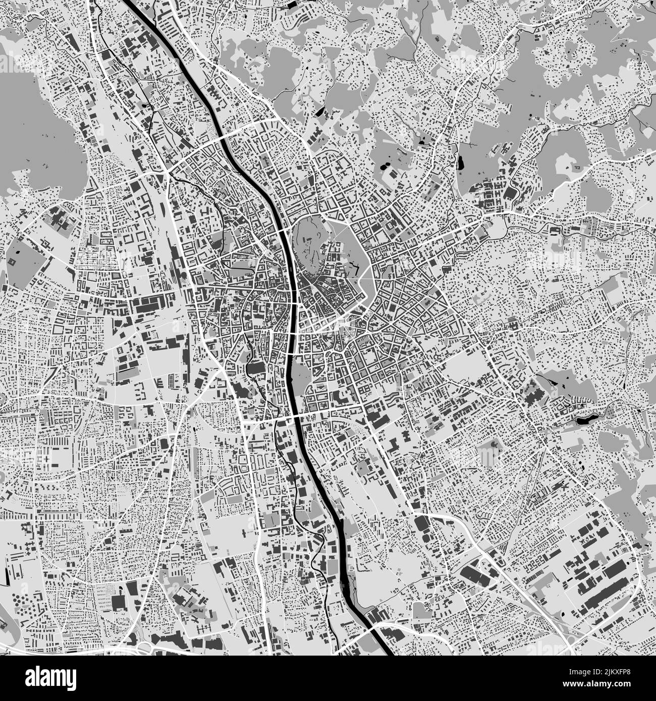 Urban city vector map of Graz. Vector illustration, Graz map grayscale black and white art poster. road map image with metropolitan city area view. Stock Vectorhttps://www.alamy.com/image-license-details/?v=1https://www.alamy.com/urban-city-vector-map-of-graz-vector-illustration-graz-map-grayscale-black-and-white-art-poster-road-map-image-with-metropolitan-city-area-view-image476941536.html
RF2JKXFP8–Urban city vector map of Graz. Vector illustration, Graz map grayscale black and white art poster. road map image with metropolitan city area view.
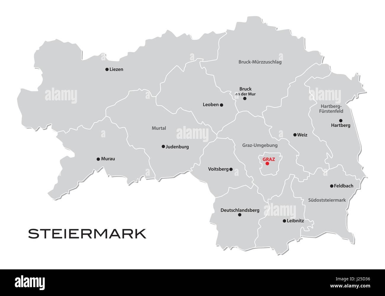 : Administrative and political map of the Austrian state of Styria Stock Vectorhttps://www.alamy.com/image-license-details/?v=1https://www.alamy.com/stock-photo-administrative-and-political-map-of-the-austrian-state-of-styria-139032298.html
RFJ25D36–: Administrative and political map of the Austrian state of Styria
 Map archive of Archduke Eugen, Alfred Cossmann, Graz 1870 - 1951 Vienna, prints, etching, sheet: 36.7 x 24.9 cm, M.u., in print, 'CARD ARCHIVE / OF THE ARCHDUKE / EUGENE, Austria Stock Photohttps://www.alamy.com/image-license-details/?v=1https://www.alamy.com/map-archive-of-archduke-eugen-alfred-cossmann-graz-1870-1951-vienna-prints-etching-sheet-367-x-249-cm-mu-in-print-card-archive-of-the-archduke-eugene-austria-image573276249.html
RM2T8JYKN–Map archive of Archduke Eugen, Alfred Cossmann, Graz 1870 - 1951 Vienna, prints, etching, sheet: 36.7 x 24.9 cm, M.u., in print, 'CARD ARCHIVE / OF THE ARCHDUKE / EUGENE, Austria
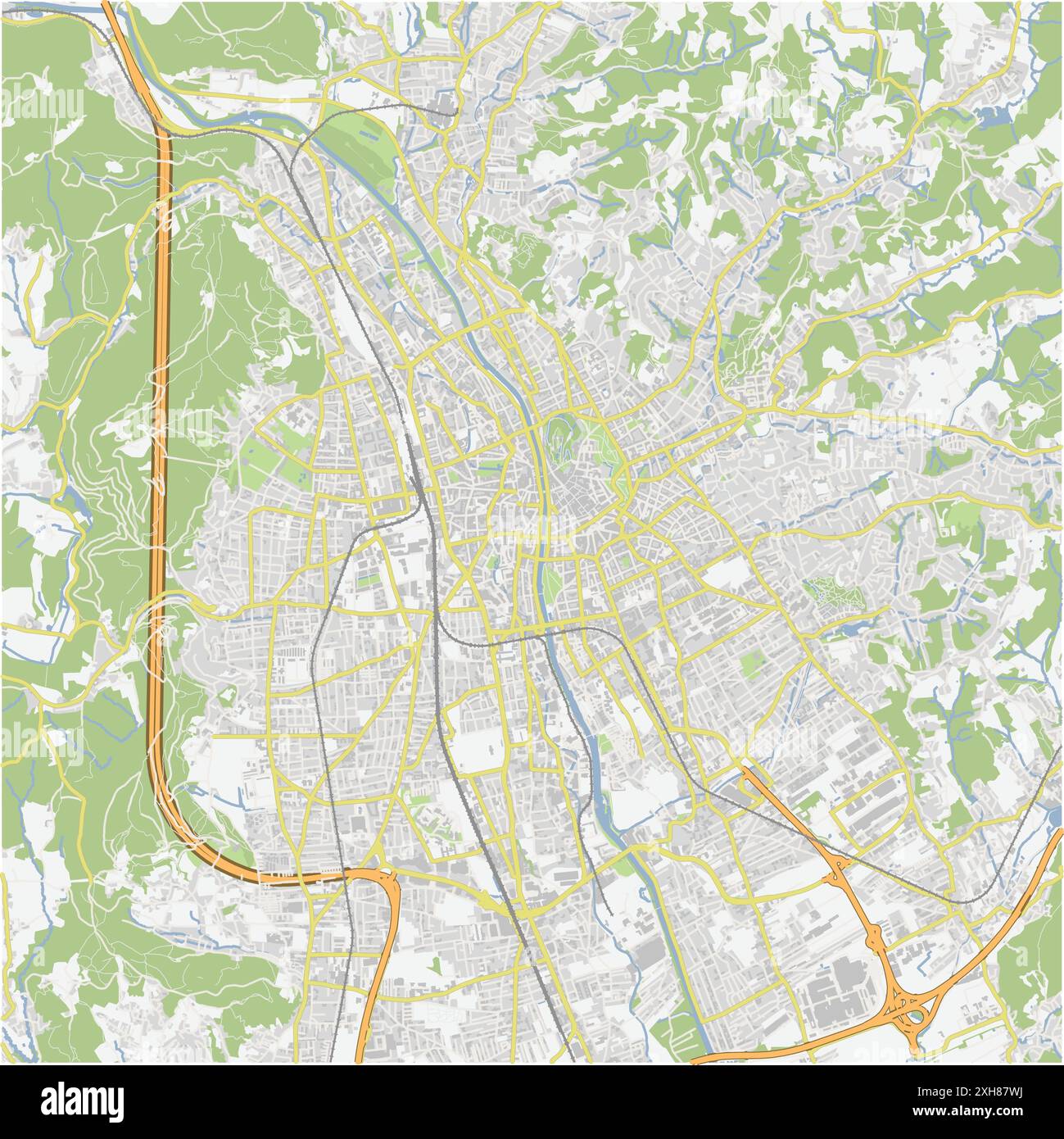 Road map of Graz in Austria. Contains layered vector with roads water, parks, etc. Stock Vectorhttps://www.alamy.com/image-license-details/?v=1https://www.alamy.com/road-map-of-graz-in-austria-contains-layered-vector-with-roads-water-parks-etc-image612993854.html
RF2XH87WJ–Road map of Graz in Austria. Contains layered vector with roads water, parks, etc.
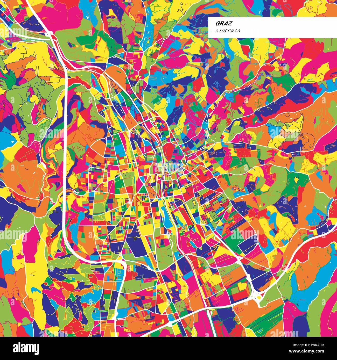 Colorful map of Graz, Austria. Background version for infographic and marketing projects. This map of Graz, contains typical landmarks with streets, w Stock Vectorhttps://www.alamy.com/image-license-details/?v=1https://www.alamy.com/colorful-map-of-graz-austria-background-version-for-infographic-and-marketing-projects-this-map-of-graz-contains-typical-landmarks-with-streets-w-image211866615.html
RFP8KA0R–Colorful map of Graz, Austria. Background version for infographic and marketing projects. This map of Graz, contains typical landmarks with streets, w
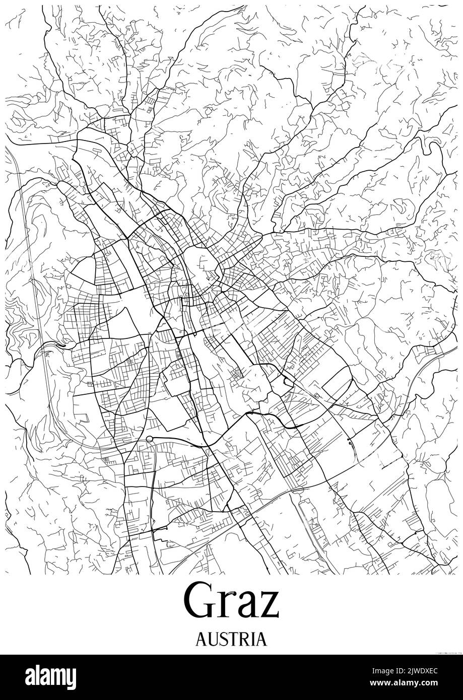 Black and white urban map of graz Stock Photohttps://www.alamy.com/image-license-details/?v=1https://www.alamy.com/black-and-white-urban-map-of-graz-image480352500.html
RF2JWDXEC–Black and white urban map of graz
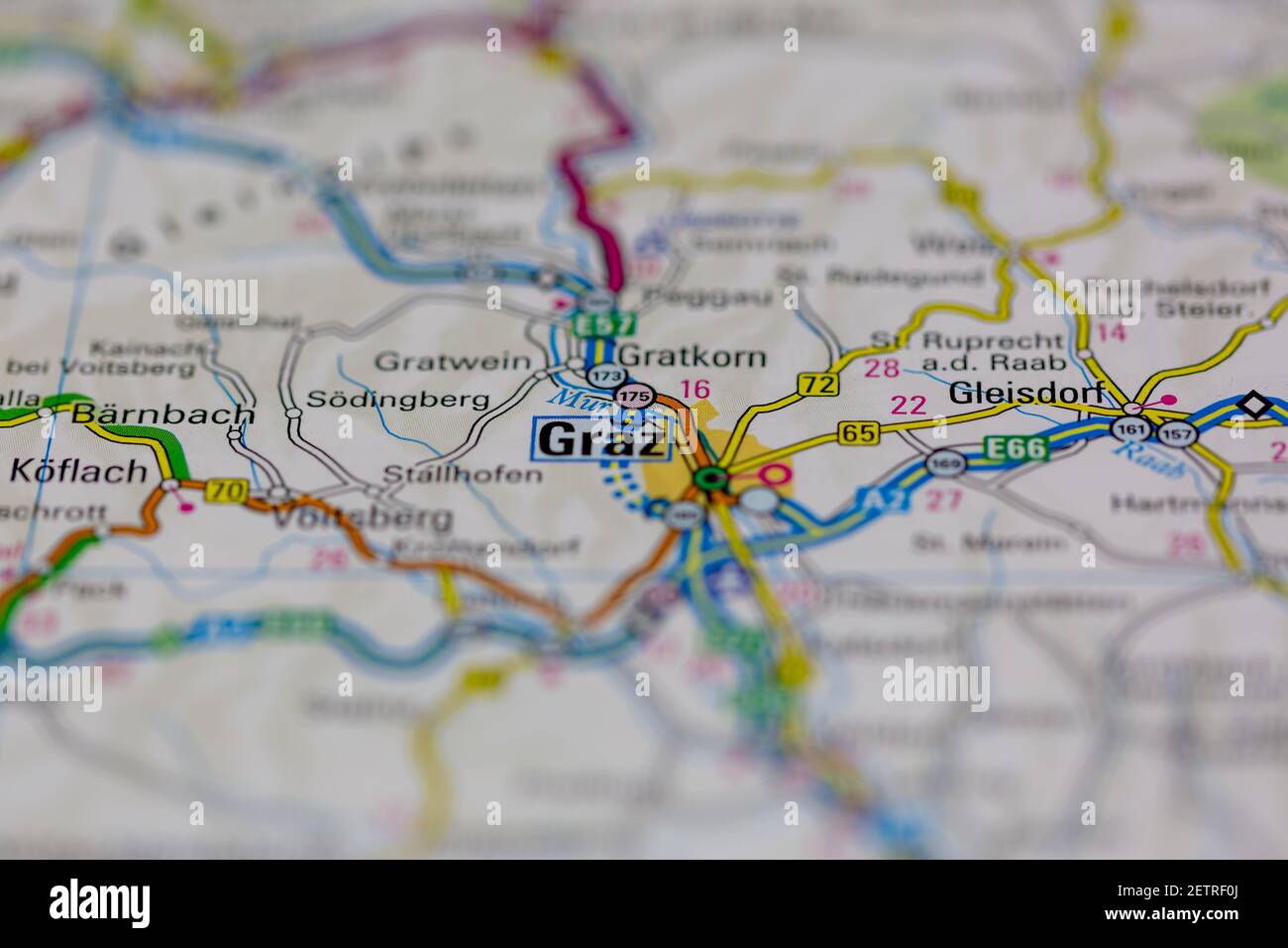 Graz Shown on a road map or Geography map and atlas Stock Photohttps://www.alamy.com/image-license-details/?v=1https://www.alamy.com/graz-shown-on-a-road-map-or-geography-map-and-atlas-image411106882.html
RM2ETRF0J–Graz Shown on a road map or Geography map and atlas
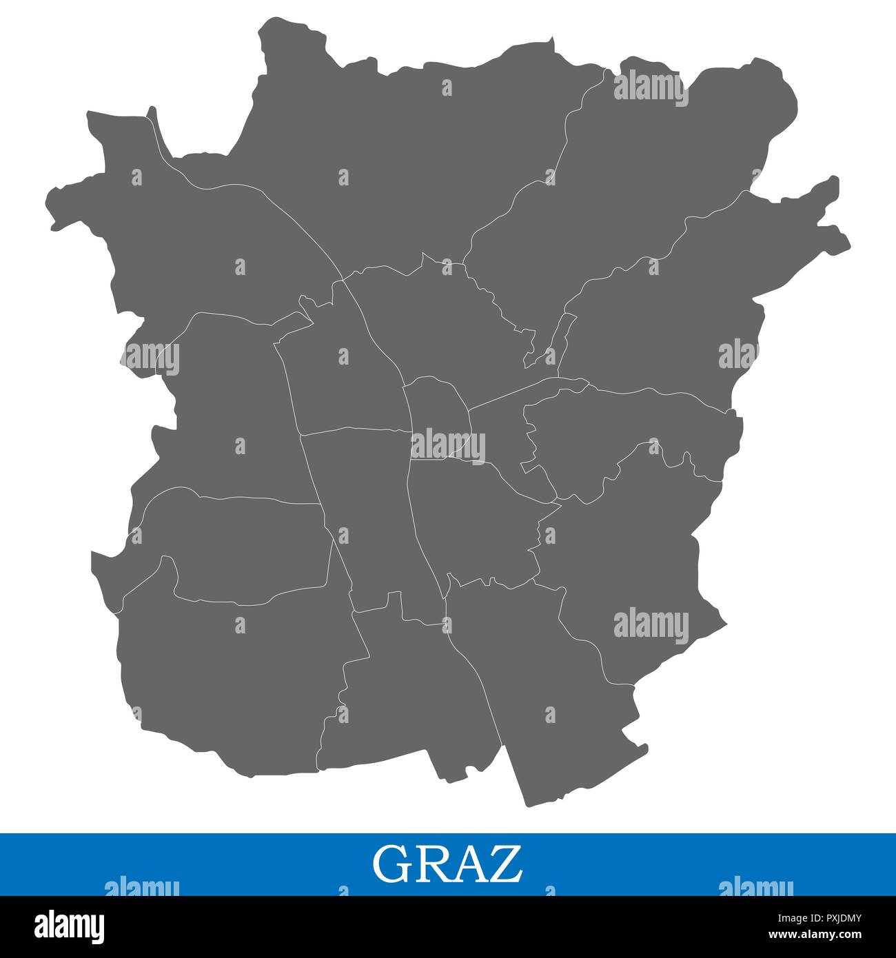 High Quality map of Graz is a city in Austria, with borders of districts Stock Vectorhttps://www.alamy.com/image-license-details/?v=1https://www.alamy.com/high-quality-map-of-graz-is-a-city-in-austria-with-borders-of-districts-image222911387.html
RFPXJDMY–High Quality map of Graz is a city in Austria, with borders of districts
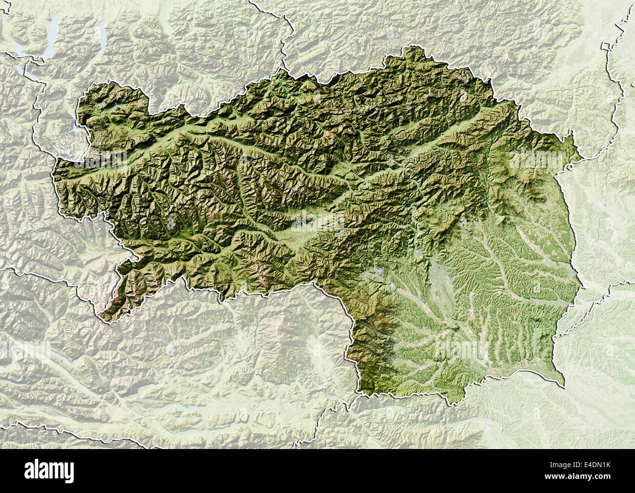 State of Styria, Austria, Relief Map Stock Photohttps://www.alamy.com/image-license-details/?v=1https://www.alamy.com/stock-photo-state-of-styria-austria-relief-map-71601983.html
RME4DN1K–State of Styria, Austria, Relief Map
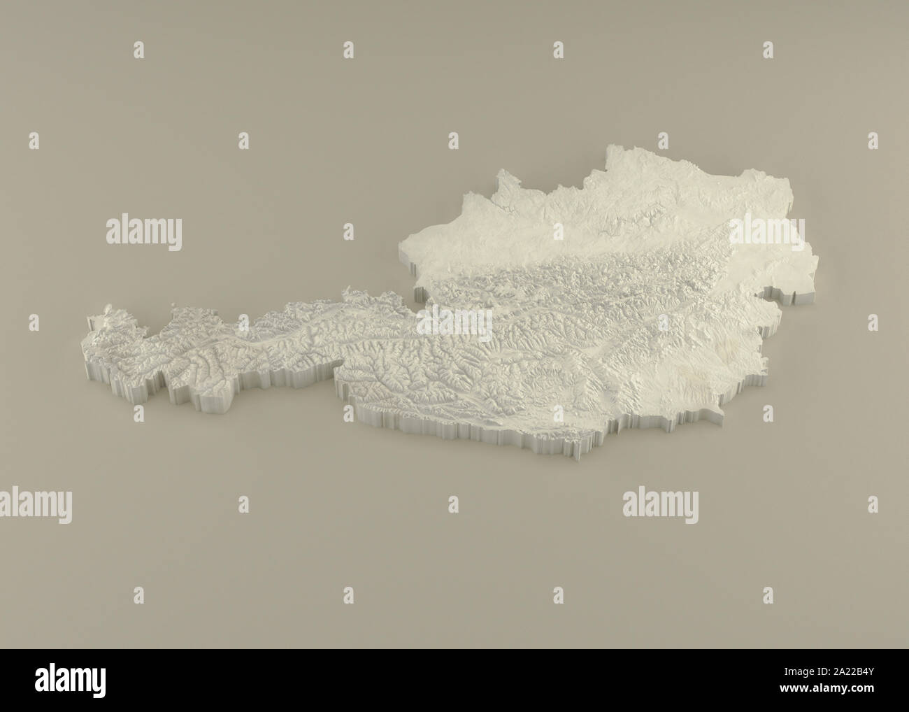 Extruded 3D political Map of Austria with relief as marble sculpture on a light beige background Stock Photohttps://www.alamy.com/image-license-details/?v=1https://www.alamy.com/extruded-3d-political-map-of-austria-with-relief-as-marble-sculpture-on-a-light-beige-background-image328278971.html
RF2A22B4Y–Extruded 3D political Map of Austria with relief as marble sculpture on a light beige background
 GRAZ environs. Gratwein. Hitzendorf. Austria Österreich karte, 1929 old map Stock Photohttps://www.alamy.com/image-license-details/?v=1https://www.alamy.com/stock-photo-graz-environs-gratwein-hitzendorf-austria-sterreich-karte-1929-old-107978903.html
RFG7JT5B–GRAZ environs. Gratwein. Hitzendorf. Austria Österreich karte, 1929 old map
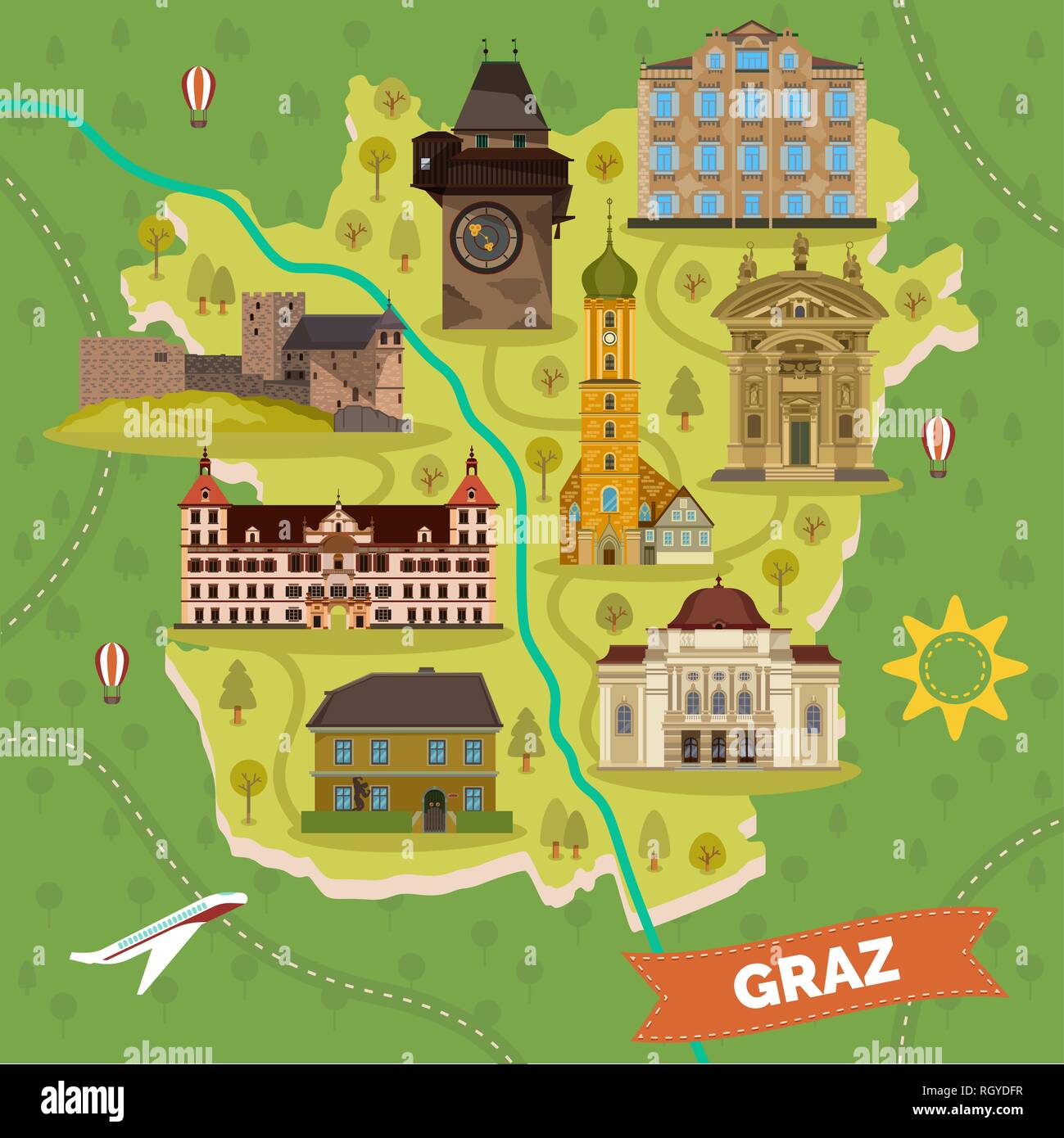 Graz town map with sightseeing landmarks Stock Vectorhttps://www.alamy.com/image-license-details/?v=1https://www.alamy.com/graz-town-map-with-sightseeing-landmarks-image234172619.html
RFRGYDFR–Graz town map with sightseeing landmarks
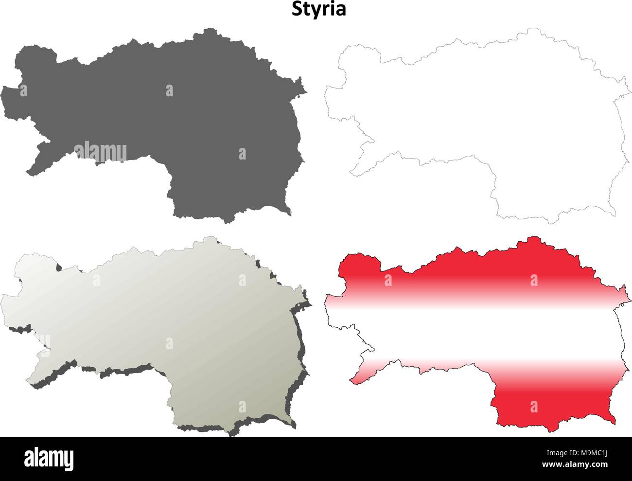 Styria blank detailed outline map set Stock Vectorhttps://www.alamy.com/image-license-details/?v=1https://www.alamy.com/styria-blank-detailed-outline-map-set-image178084078.html
RFM9MC1J–Styria blank detailed outline map set
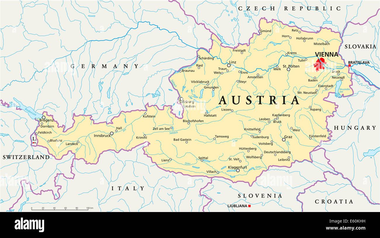 Austria Political Map Stock Photohttps://www.alamy.com/image-license-details/?v=1https://www.alamy.com/stock-photo-austria-political-map-72544797.html
RFE60KHH–Austria Political Map
 Graz, c1740. Creator: Johann Georg Ringlin. Stock Photohttps://www.alamy.com/image-license-details/?v=1https://www.alamy.com/graz-c1740-creator-johann-georg-ringlin-image248875886.html
RMTCW7ME–Graz, c1740. Creator: Johann Georg Ringlin.
 Graz Austria City Map in Retro Style in Golden Color. Outline Map. Vector Illustration. Stock Vectorhttps://www.alamy.com/image-license-details/?v=1https://www.alamy.com/graz-austria-city-map-in-retro-style-in-golden-color-outline-map-vector-illustration-image415832198.html
RF2F4EP5X–Graz Austria City Map in Retro Style in Golden Color. Outline Map. Vector Illustration.
 Ruckerlberg, Graz Stadt, Austria, Styria, N 47 4' 0'', E 15 28' 0'', map, Timeless Map published in 2021. Travelers, explorers and adventurers like Florence Nightingale, David Livingstone, Ernest Shackleton, Lewis and Clark and Sherlock Holmes relied on maps to plan travels to the world's most remote corners, Timeless Maps is mapping most locations on the globe, showing the achievement of great dreams Stock Photohttps://www.alamy.com/image-license-details/?v=1https://www.alamy.com/ruckerlberg-graz-stadt-austria-styria-n-47-4-0-e-15-28-0-map-timeless-map-published-in-2021-travelers-explorers-and-adventurers-like-florence-nightingale-david-livingstone-ernest-shackleton-lewis-and-clark-and-sherlock-holmes-relied-on-maps-to-plan-travels-to-the-worlds-most-remote-corners-timeless-maps-is-mapping-most-locations-on-the-globe-showing-the-achievement-of-great-dreams-image439249201.html
RM2GEHERD–Ruckerlberg, Graz Stadt, Austria, Styria, N 47 4' 0'', E 15 28' 0'', map, Timeless Map published in 2021. Travelers, explorers and adventurers like Florence Nightingale, David Livingstone, Ernest Shackleton, Lewis and Clark and Sherlock Holmes relied on maps to plan travels to the world's most remote corners, Timeless Maps is mapping most locations on the globe, showing the achievement of great dreams
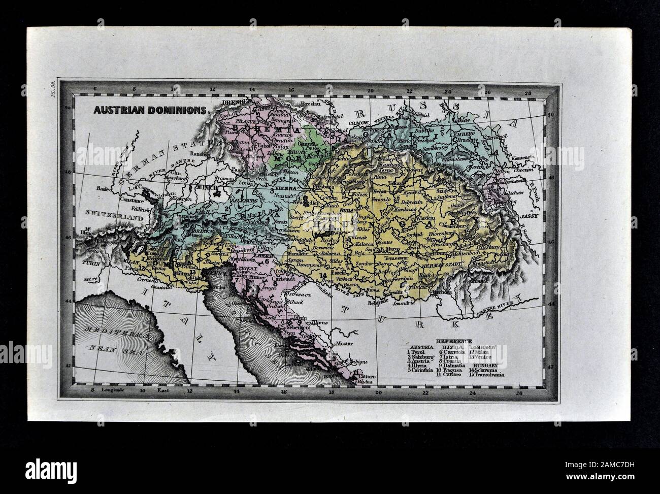 1834 Carey Map of Austria Hungary Empire Vienna Budapest Europe Stock Photohttps://www.alamy.com/image-license-details/?v=1https://www.alamy.com/1834-carey-map-of-austria-hungary-empire-vienna-budapest-europe-image339559405.html
RF2AMC7DH–1834 Carey Map of Austria Hungary Empire Vienna Budapest Europe
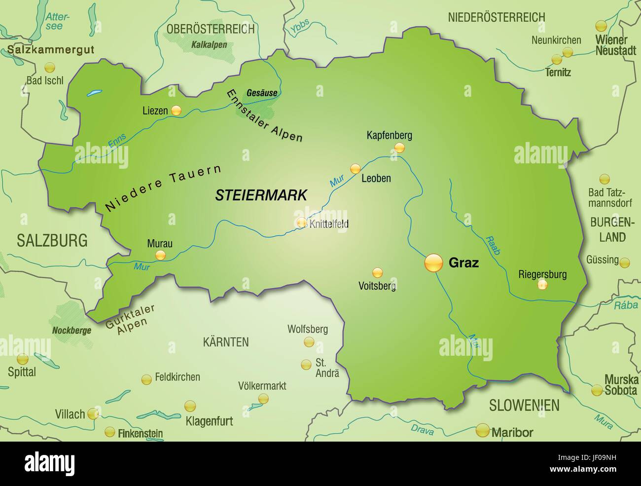 map of styria as an overview map in green Stock Vectorhttps://www.alamy.com/image-license-details/?v=1https://www.alamy.com/stock-photo-map-of-styria-as-an-overview-map-in-green-146910445.html
RFJF09NH–map of styria as an overview map in green
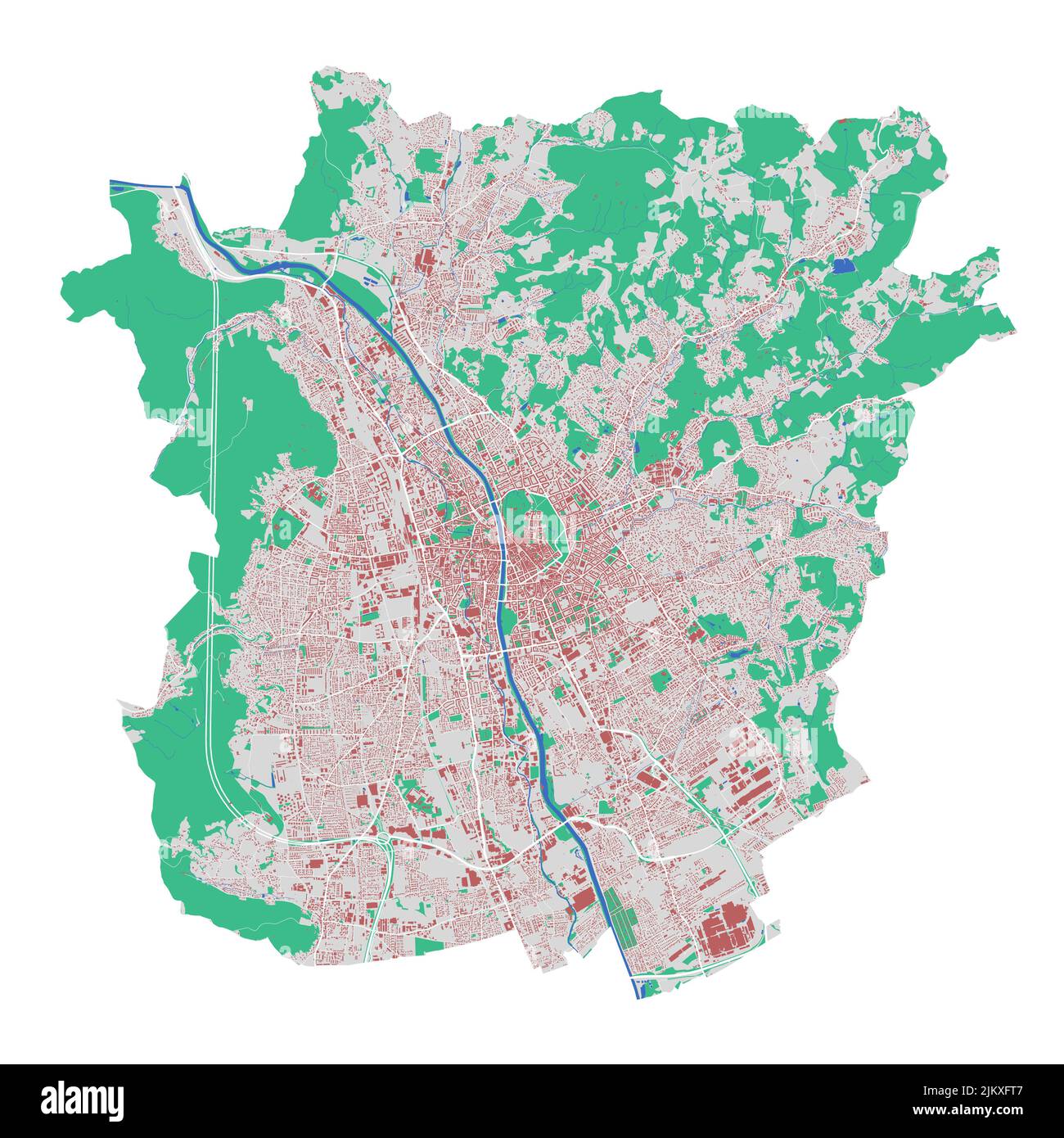 Graz vector map. Detailed map of Graz city administrative area. Cityscape panorama. Road Map with buildings, water, forest. Tourist decorative map. Stock Vectorhttps://www.alamy.com/image-license-details/?v=1https://www.alamy.com/graz-vector-map-detailed-map-of-graz-city-administrative-area-cityscape-panorama-road-map-with-buildings-water-forest-tourist-decorative-map-image476941591.html
RF2JKXFT7–Graz vector map. Detailed map of Graz city administrative area. Cityscape panorama. Road Map with buildings, water, forest. Tourist decorative map.
 Sweden Stockholm, 07 April 2018: European cities on map series. Closeup of Graz Stock Photohttps://www.alamy.com/image-license-details/?v=1https://www.alamy.com/sweden-stockholm-07-april-2018-european-cities-on-map-series-closeup-of-graz-image215132236.html
RFPE03A4–Sweden Stockholm, 07 April 2018: European cities on map series. Closeup of Graz
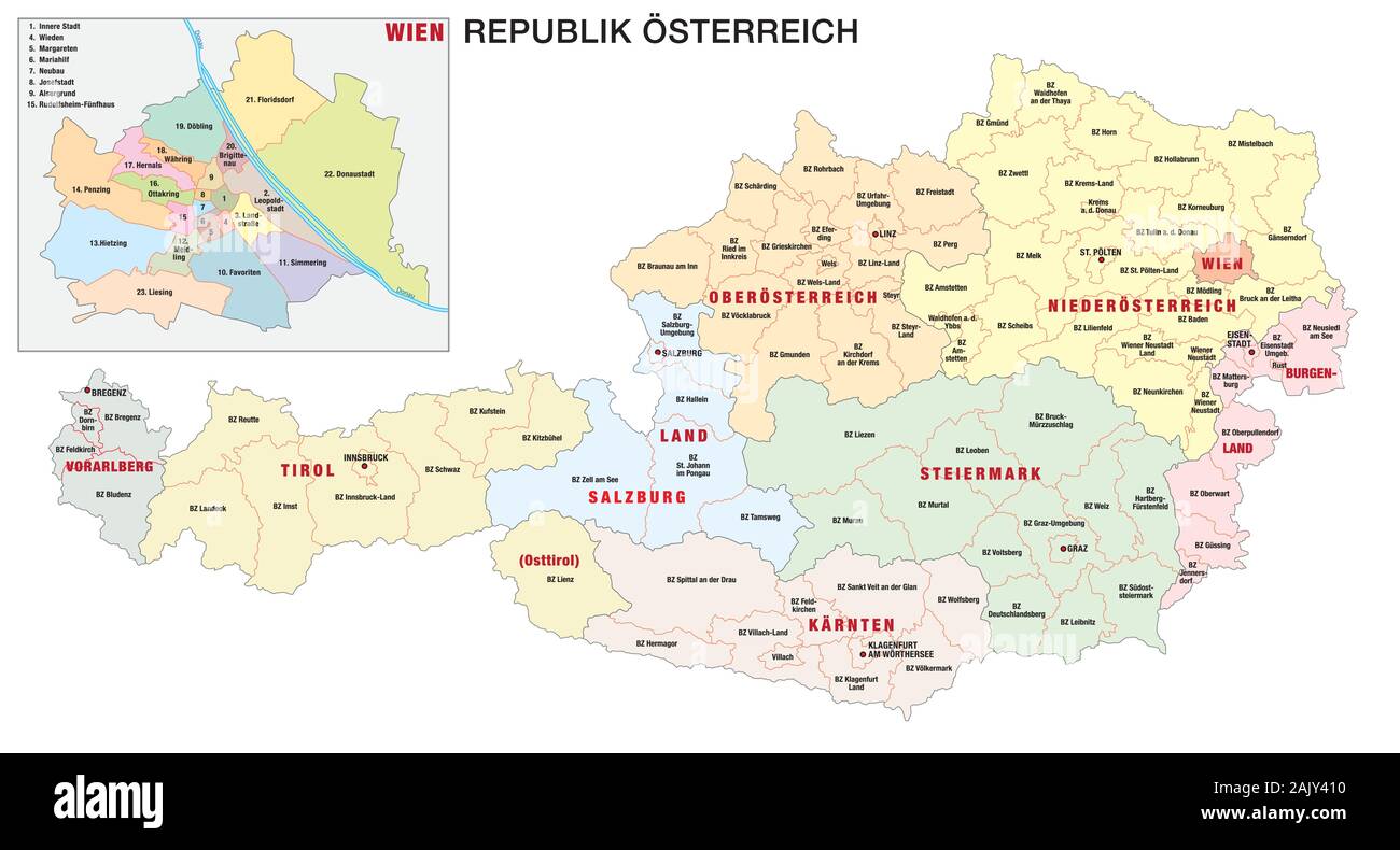 new administrative and political map of austria in german language 2020 Stock Vectorhttps://www.alamy.com/image-license-details/?v=1https://www.alamy.com/new-administrative-and-political-map-of-austria-in-german-language-2020-image338656668.html
RF2AJY410–new administrative and political map of austria in german language 2020
 Map of Graz in Austria in grayscale. Contains layered vector with roads water, parks, etc. Stock Vectorhttps://www.alamy.com/image-license-details/?v=1https://www.alamy.com/map-of-graz-in-austria-in-grayscale-contains-layered-vector-with-roads-water-parks-etc-image613526567.html
RF2XJ4FB3–Map of Graz in Austria in grayscale. Contains layered vector with roads water, parks, etc.
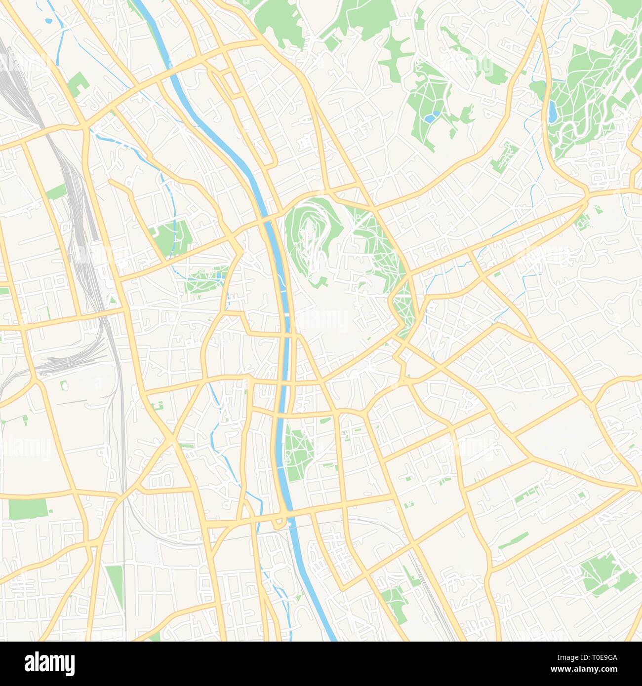 Printable map of Graz, Austria with main and secondary roads and larger railways. This map is carefully designed for routing and placing individual da Stock Vectorhttps://www.alamy.com/image-license-details/?v=1https://www.alamy.com/printable-map-of-graz-austria-with-main-and-secondary-roads-and-larger-railways-this-map-is-carefully-designed-for-routing-and-placing-individual-da-image241259994.html
RFT0E9GA–Printable map of Graz, Austria with main and secondary roads and larger railways. This map is carefully designed for routing and placing individual da
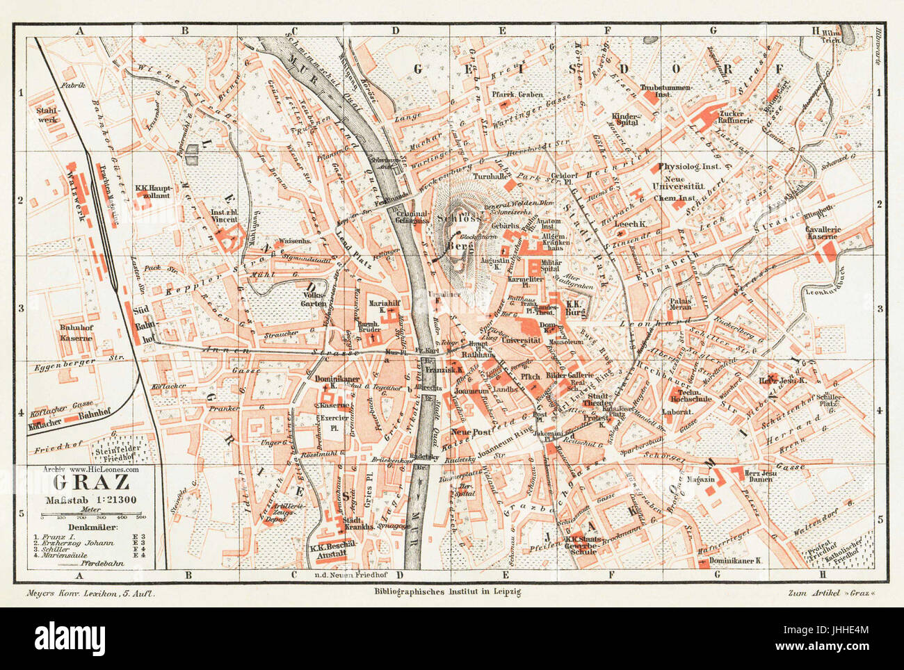 Graz map Stock Photohttps://www.alamy.com/image-license-details/?v=1https://www.alamy.com/stock-photo-graz-map-148516388.html
RMJHHE4M–Graz map
 Rendered map of the austrian state of Styria Stock Photohttps://www.alamy.com/image-license-details/?v=1https://www.alamy.com/stock-photo-rendered-map-of-the-austrian-state-of-styria-32207922.html
RFBTB5EX–Rendered map of the austrian state of Styria
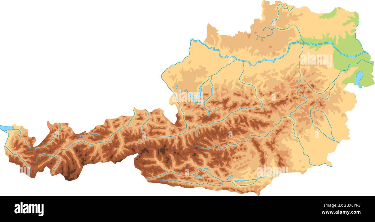 High detailed Austria physical map. Stock Vectorhttps://www.alamy.com/image-license-details/?v=1https://www.alamy.com/high-detailed-austria-physical-map-image360210203.html
RF2BX0YP3–High detailed Austria physical map.
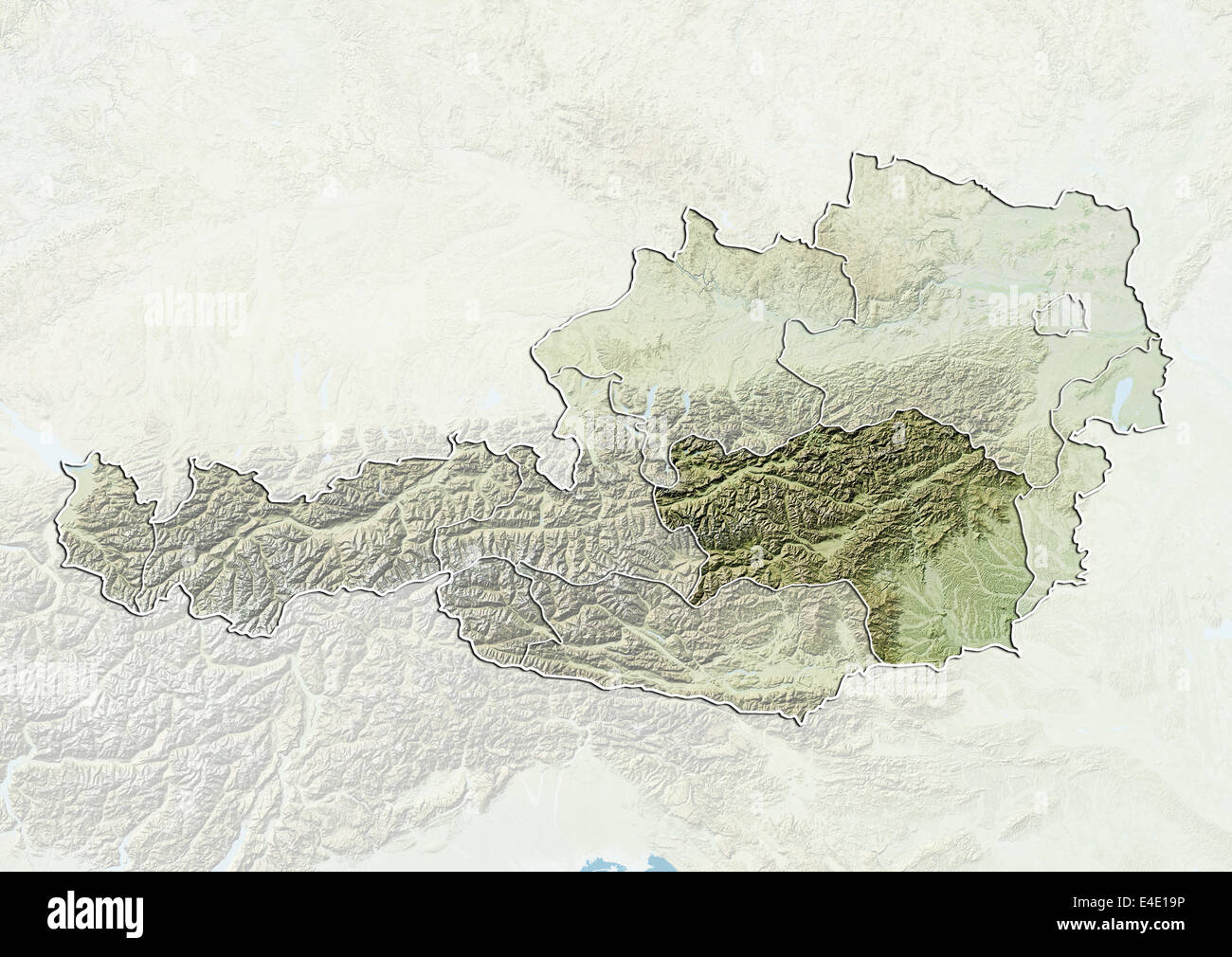 Austria and the State of Styria, Relief Map Stock Photohttps://www.alamy.com/image-license-details/?v=1https://www.alamy.com/stock-photo-austria-and-the-state-of-styria-relief-map-71608482.html
RME4E19P–Austria and the State of Styria, Relief Map
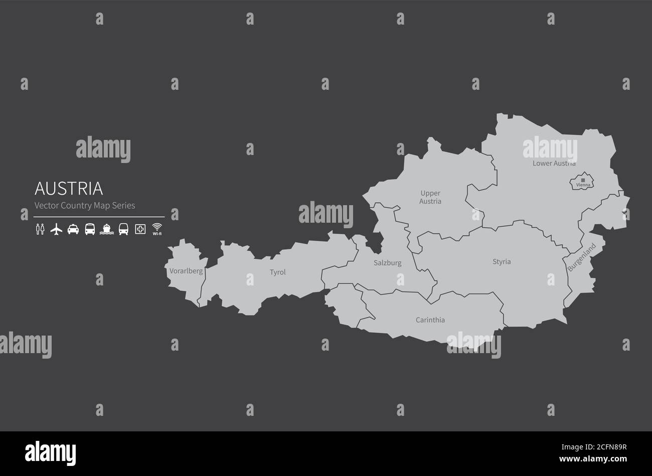 Austria map. National map of the world. Gray colored countries map series. Stock Vectorhttps://www.alamy.com/image-license-details/?v=1https://www.alamy.com/austria-map-national-map-of-the-world-gray-colored-countries-map-series-image371105107.html
RF2CFN89R–Austria map. National map of the world. Gray colored countries map series.
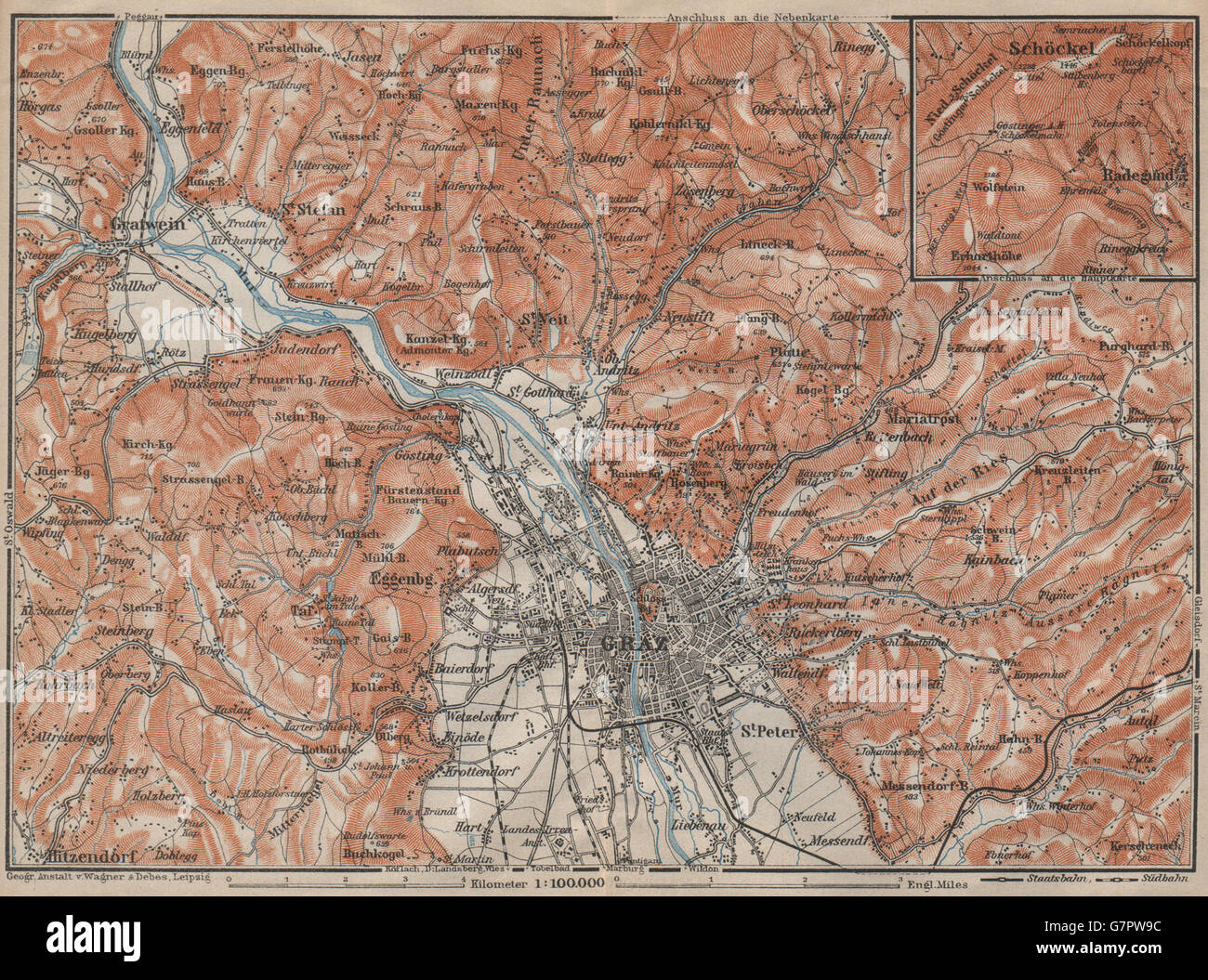 GRAZ environs. Gratwein. Hitzendorf. Austria Österreich karte, 1911 old map Stock Photohttps://www.alamy.com/image-license-details/?v=1https://www.alamy.com/stock-photo-graz-environs-gratwein-hitzendorf-austria-sterreich-karte-1911-old-108067608.html
RFG7PW9C–GRAZ environs. Gratwein. Hitzendorf. Austria Österreich karte, 1911 old map
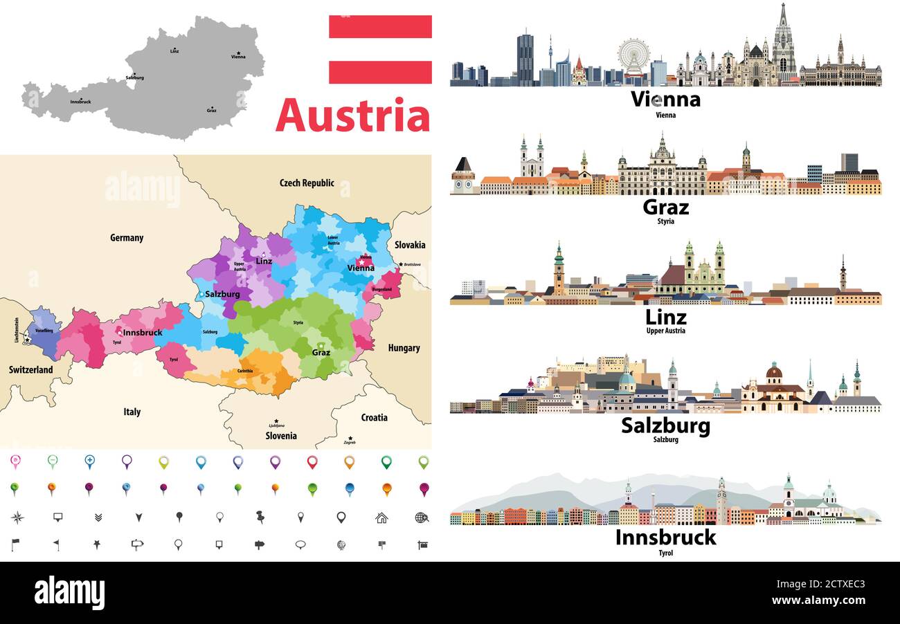 Austria map colored by states showing districts boundaries, with neighbouring countries. Austrian cities skylines. Flag of Austria. Navigation and loc Stock Vectorhttps://www.alamy.com/image-license-details/?v=1https://www.alamy.com/austria-map-colored-by-states-showing-districts-boundaries-with-neighbouring-countries-austrian-cities-skylines-flag-of-austria-navigation-and-loc-image376751539.html
RF2CTXEC3–Austria map colored by states showing districts boundaries, with neighbouring countries. Austrian cities skylines. Flag of Austria. Navigation and loc
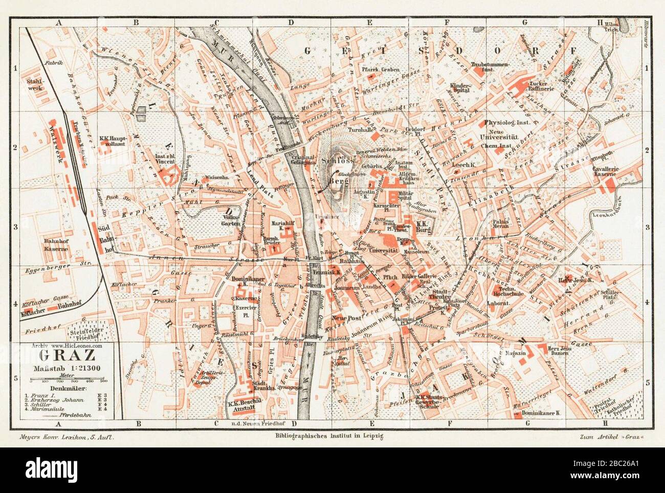 Graz map. Stock Photohttps://www.alamy.com/image-license-details/?v=1https://www.alamy.com/graz-map-image351632121.html
RM2BC26A1–Graz map.
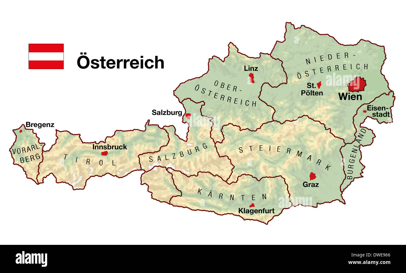 Topographic map of Austria in Europe with cities, federal states, borders and flag. German labeling! Stock Photohttps://www.alamy.com/image-license-details/?v=1https://www.alamy.com/topographic-map-of-austria-in-europe-with-cities-federal-states-borders-image67312062.html
RFDWE966–Topographic map of Austria in Europe with cities, federal states, borders and flag. German labeling!
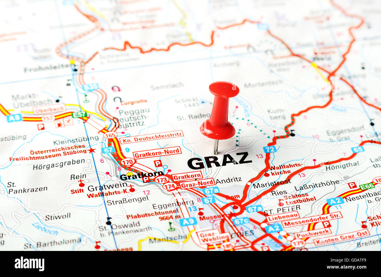 Close up of Graz , Austria map with red pin - Travel concept Stock Photohttps://www.alamy.com/image-license-details/?v=1https://www.alamy.com/stock-photo-close-up-of-graz-austria-map-with-red-pin-travel-concept-111491501.html
RFGDATF9–Close up of Graz , Austria map with red pin - Travel concept
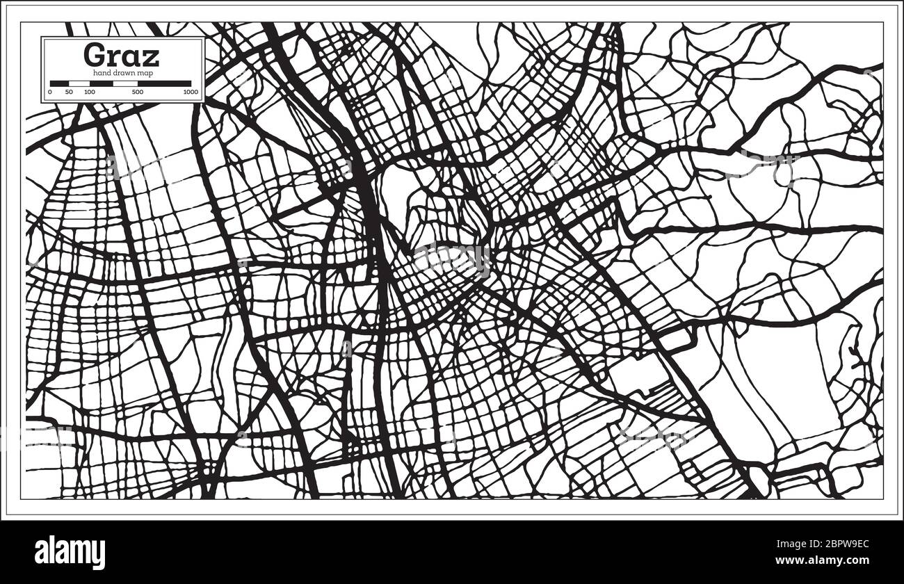 Graz Austria City Map in Black and White Color in Retro Style. Outline Map. Vector Illustration. Stock Vectorhttps://www.alamy.com/image-license-details/?v=1https://www.alamy.com/graz-austria-city-map-in-black-and-white-color-in-retro-style-outline-map-vector-illustration-image358286052.html
RF2BPW9EC–Graz Austria City Map in Black and White Color in Retro Style. Outline Map. Vector Illustration.
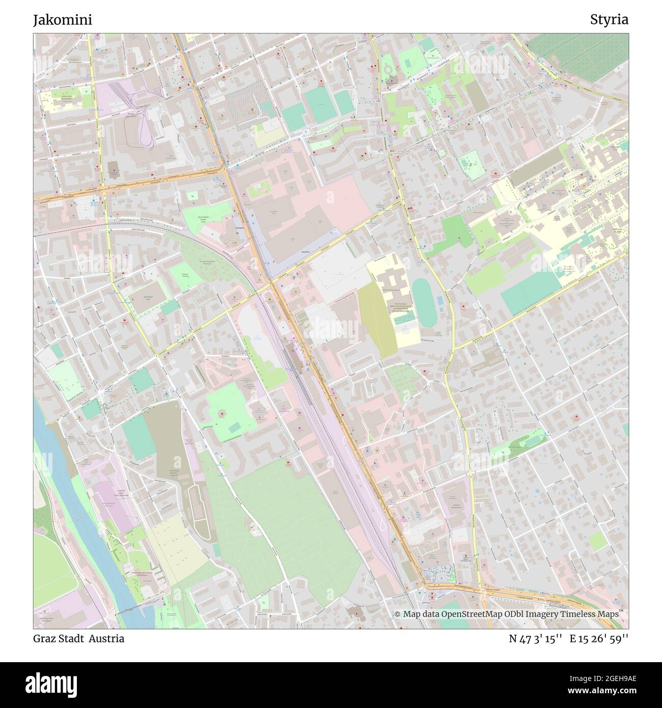 Jakomini, Graz Stadt, Austria, Styria, N 47 3' 15'', E 15 26' 59'', map, Timeless Map published in 2021. Travelers, explorers and adventurers like Florence Nightingale, David Livingstone, Ernest Shackleton, Lewis and Clark and Sherlock Holmes relied on maps to plan travels to the world's most remote corners, Timeless Maps is mapping most locations on the globe, showing the achievement of great dreams Stock Photohttps://www.alamy.com/image-license-details/?v=1https://www.alamy.com/jakomini-graz-stadt-austria-styria-n-47-3-15-e-15-26-59-map-timeless-map-published-in-2021-travelers-explorers-and-adventurers-like-florence-nightingale-david-livingstone-ernest-shackleton-lewis-and-clark-and-sherlock-holmes-relied-on-maps-to-plan-travels-to-the-worlds-most-remote-corners-timeless-maps-is-mapping-most-locations-on-the-globe-showing-the-achievement-of-great-dreams-image439244918.html
RM2GEH9AE–Jakomini, Graz Stadt, Austria, Styria, N 47 3' 15'', E 15 26' 59'', map, Timeless Map published in 2021. Travelers, explorers and adventurers like Florence Nightingale, David Livingstone, Ernest Shackleton, Lewis and Clark and Sherlock Holmes relied on maps to plan travels to the world's most remote corners, Timeless Maps is mapping most locations on the globe, showing the achievement of great dreams
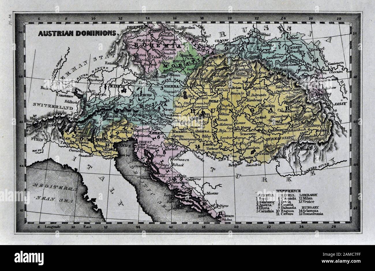 1834 Carey Map of Austria Hungary Empire Vienna Budapest Europe Stock Photohttps://www.alamy.com/image-license-details/?v=1https://www.alamy.com/1834-carey-map-of-austria-hungary-empire-vienna-budapest-europe-image339559459.html
RF2AMC7FF–1834 Carey Map of Austria Hungary Empire Vienna Budapest Europe
 card, atlas, map of the world, map, model, design, project, concept, plan, Stock Vectorhttps://www.alamy.com/image-license-details/?v=1https://www.alamy.com/stock-photo-card-atlas-map-of-the-world-map-model-design-project-concept-plan-146878166.html
RFJEXTGP–card, atlas, map of the world, map, model, design, project, concept, plan,
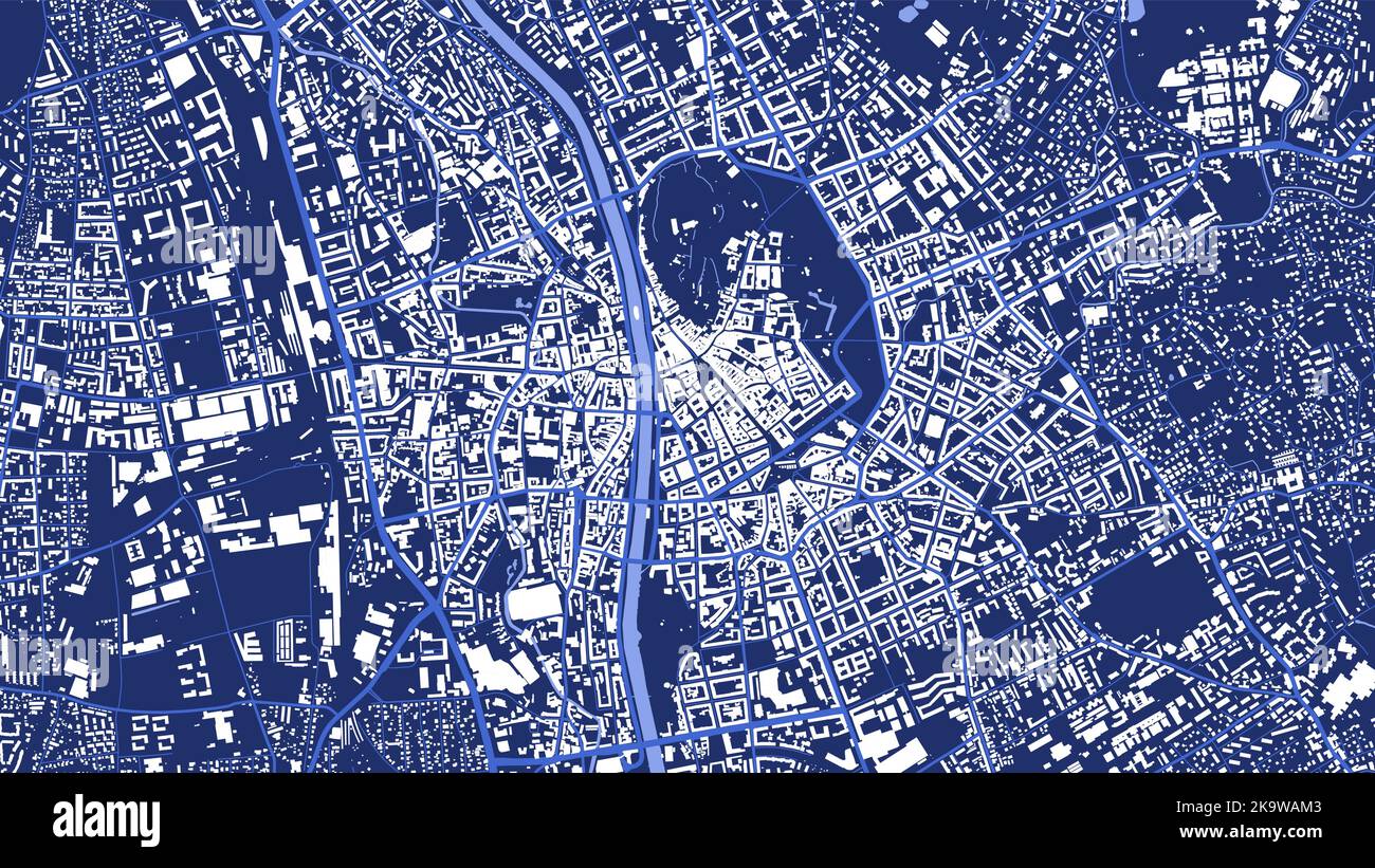 Detailed blue vector map poster of Graz city administrative area. Skyline panorama. Decorative graphic tourist map of Graz territory. Royalty free ill Stock Vectorhttps://www.alamy.com/image-license-details/?v=1https://www.alamy.com/detailed-blue-vector-map-poster-of-graz-city-administrative-area-skyline-panorama-decorative-graphic-tourist-map-of-graz-territory-royalty-free-ill-image487979411.html
RF2K9WAM3–Detailed blue vector map poster of Graz city administrative area. Skyline panorama. Decorative graphic tourist map of Graz territory. Royalty free ill
 Sweden Stockholm, 07 April 2018: European cities on map series. Closeup of Graz Stock Photohttps://www.alamy.com/image-license-details/?v=1https://www.alamy.com/sweden-stockholm-07-april-2018-european-cities-on-map-series-closeup-of-graz-image211748035.html
RFP8DXNR–Sweden Stockholm, 07 April 2018: European cities on map series. Closeup of Graz
RFG2EW3H–Republic of Austria isolated maps and official flag icon. vector Austrian political map icons with general information. European
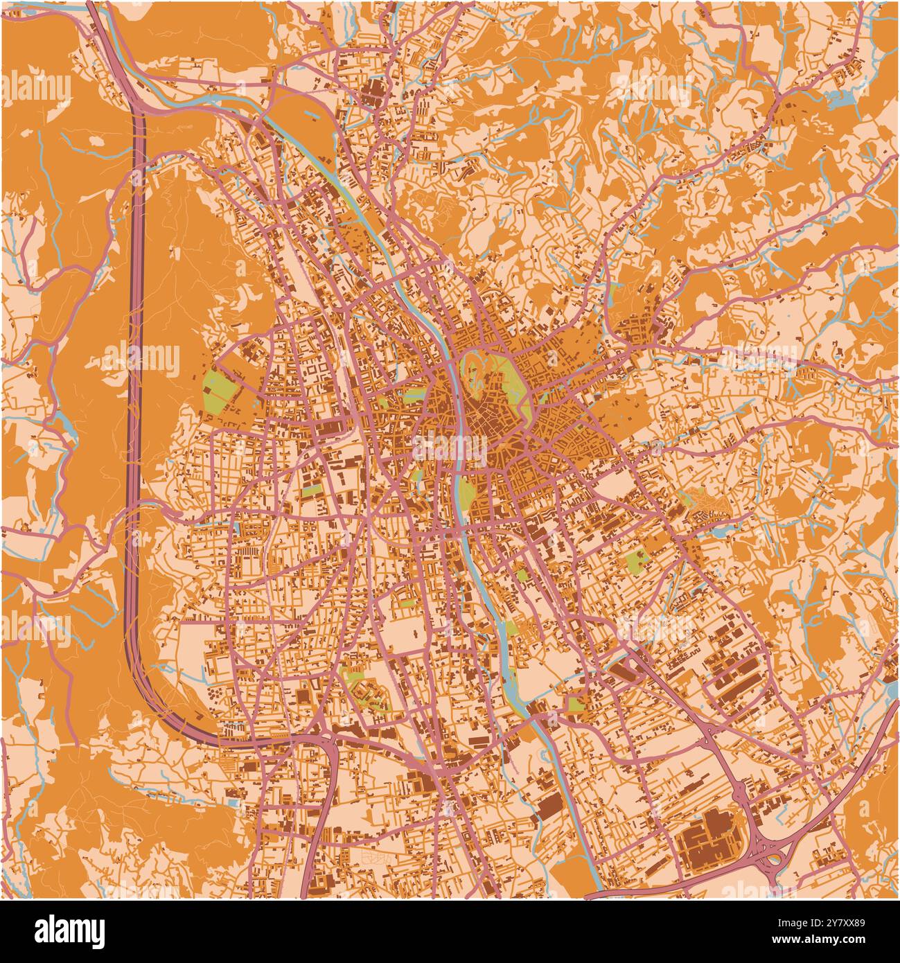 Map of Graz in Austria in a sandy theme. Contains layered vector with roads water, parks, etc. Stock Vectorhttps://www.alamy.com/image-license-details/?v=1https://www.alamy.com/map-of-graz-in-austria-in-a-sandy-theme-contains-layered-vector-with-roads-water-parks-etc-image624467209.html
RF2Y7XX89–Map of Graz in Austria in a sandy theme. Contains layered vector with roads water, parks, etc.
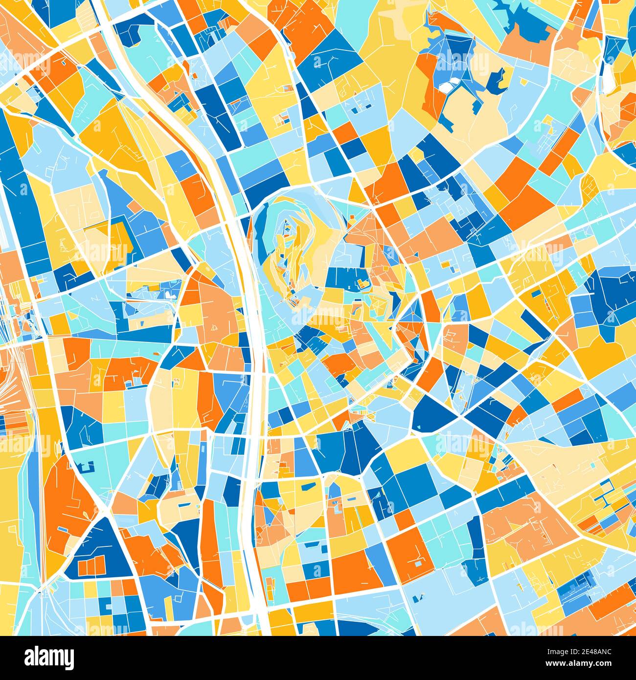 Color art map of Graz, Styria, Austria iin blues and oranges. The color gradations in Graz map follow a random pattern. Stock Vectorhttps://www.alamy.com/image-license-details/?v=1https://www.alamy.com/color-art-map-of-graz-styria-austria-iin-blues-and-oranges-the-color-gradations-in-graz-map-follow-a-random-pattern-image398481144.html
RF2E48ANC–Color art map of Graz, Styria, Austria iin blues and oranges. The color gradations in Graz map follow a random pattern.
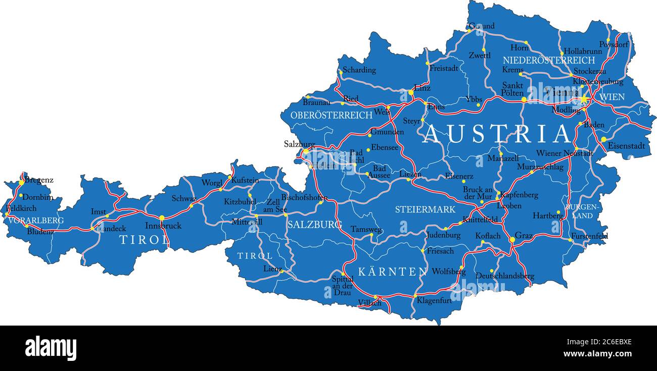 Austria map isolated on white Stock Vectorhttps://www.alamy.com/image-license-details/?v=1https://www.alamy.com/austria-map-isolated-on-white-image365422358.html
RF2C6EBXE–Austria map isolated on white
 Rendered map of the austrian state of Styria Stock Photohttps://www.alamy.com/image-license-details/?v=1https://www.alamy.com/stock-photo-rendered-map-of-the-austrian-state-of-styria-32207768.html
RFBTB59C–Rendered map of the austrian state of Styria
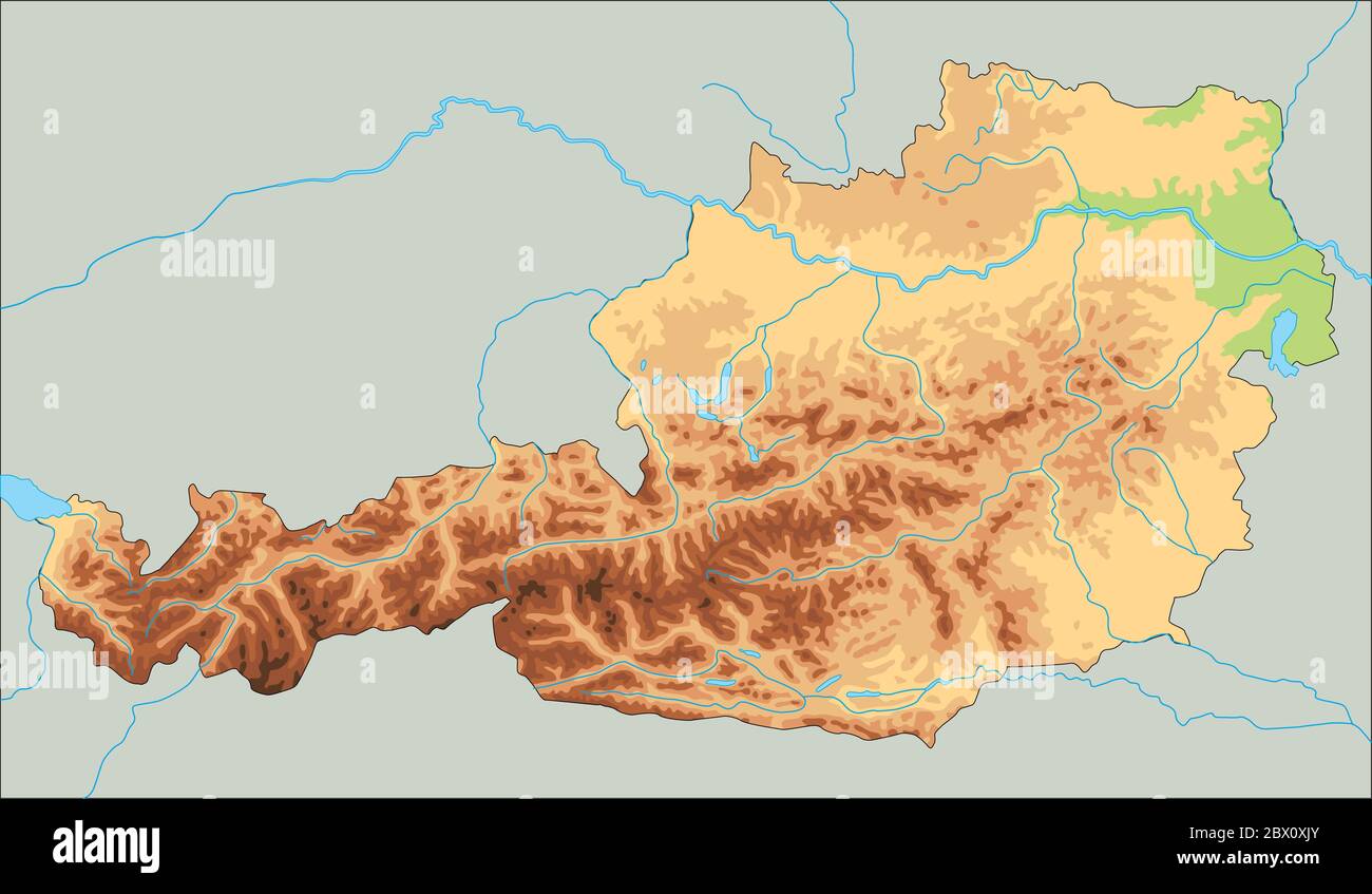 High detailed Austria physical map. Stock Vectorhttps://www.alamy.com/image-license-details/?v=1https://www.alamy.com/high-detailed-austria-physical-map-image360209331.html
RF2BX0XJY–High detailed Austria physical map.
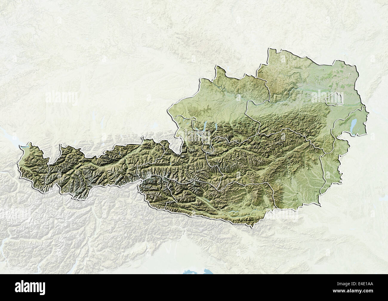 Austria, Relief Map With Boundaries of States Stock Photohttps://www.alamy.com/image-license-details/?v=1https://www.alamy.com/stock-photo-austria-relief-map-with-boundaries-of-states-71608498.html
RME4E1AA–Austria, Relief Map With Boundaries of States
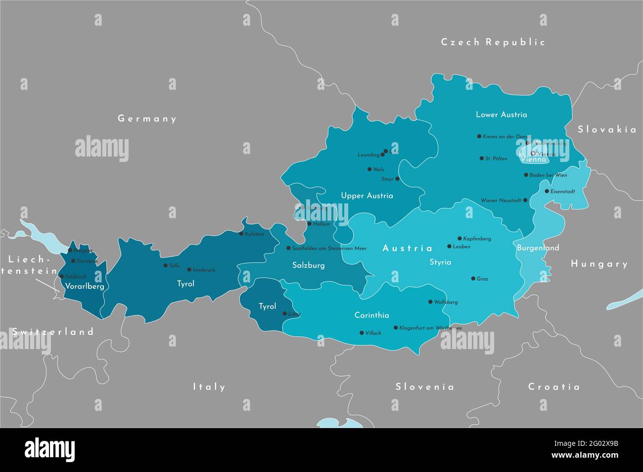 Vector modern illustration. Simplified administrative map of Austria. It is bordered by Germany, Czech Republic, Italy, Switzerland and etc. Names of Stock Vectorhttps://www.alamy.com/image-license-details/?v=1https://www.alamy.com/vector-modern-illustration-simplified-administrative-map-of-austria-it-is-bordered-by-germany-czech-republic-italy-switzerland-and-etc-names-of-image430323751.html
RF2G02X9B–Vector modern illustration. Simplified administrative map of Austria. It is bordered by Germany, Czech Republic, Italy, Switzerland and etc. Names of
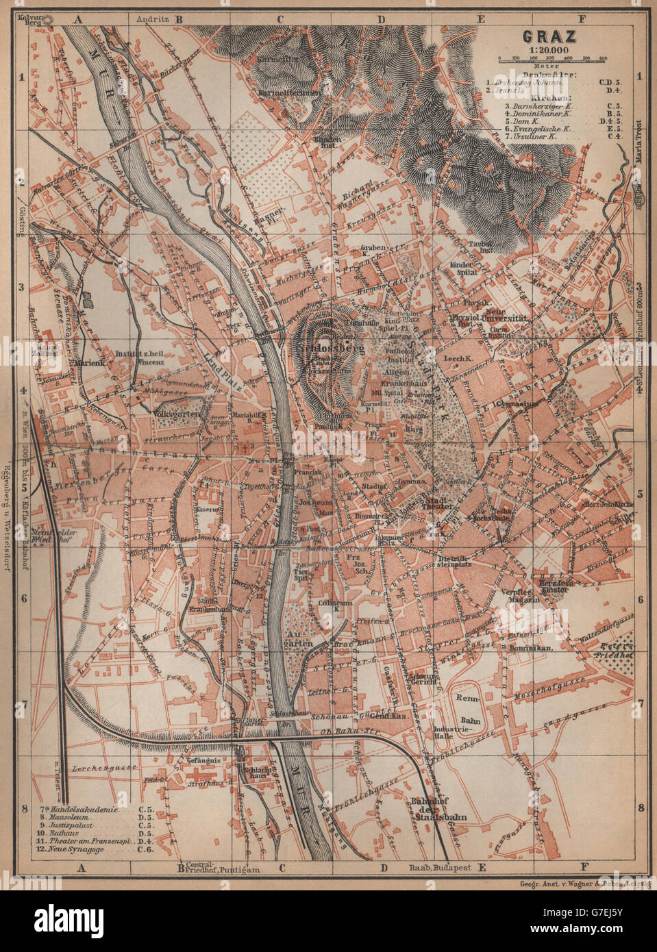 GRAZ (GRATZ) town city plan stadtplan. Austria Österreich karte, 1905 old map Stock Photohttps://www.alamy.com/image-license-details/?v=1https://www.alamy.com/stock-photo-graz-gratz-town-city-plan-stadtplan-austria-sterreich-karte-1905-old-107886407.html
RFG7EJ5Y–GRAZ (GRATZ) town city plan stadtplan. Austria Österreich karte, 1905 old map
RF2CTXE4B–Austria map with main austrian cities skylines' flat style colorful icons. Navigation and location icons set. Vector illustration
 Graz, Austria - October 23, 2017: A map of footpaths and attractions near Riegersburg Castle in Styria Stock Photohttps://www.alamy.com/image-license-details/?v=1https://www.alamy.com/graz-austria-october-23-2017-a-map-of-footpaths-and-attractions-near-riegersburg-castle-in-styria-image207769987.html
RMP20MMK–Graz, Austria - October 23, 2017: A map of footpaths and attractions near Riegersburg Castle in Styria
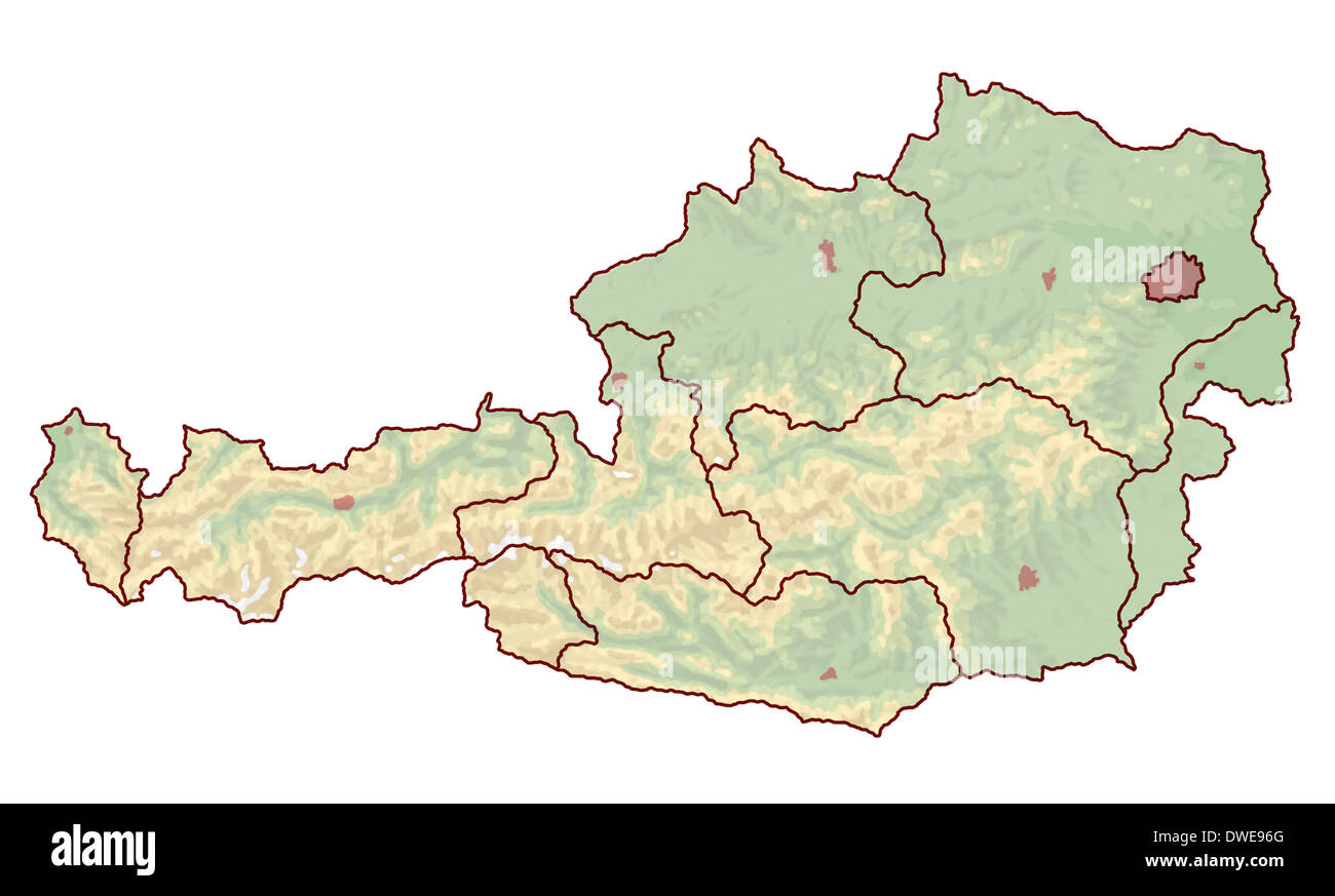 Topographic map of Austria in Europe, which is not labeled. The borders of the cities and the nine provinces are visible. Stock Photohttps://www.alamy.com/image-license-details/?v=1https://www.alamy.com/topographic-map-of-austria-in-europe-which-is-not-labeled-the-borders-image67312072.html
RFDWE96G–Topographic map of Austria in Europe, which is not labeled. The borders of the cities and the nine provinces are visible.
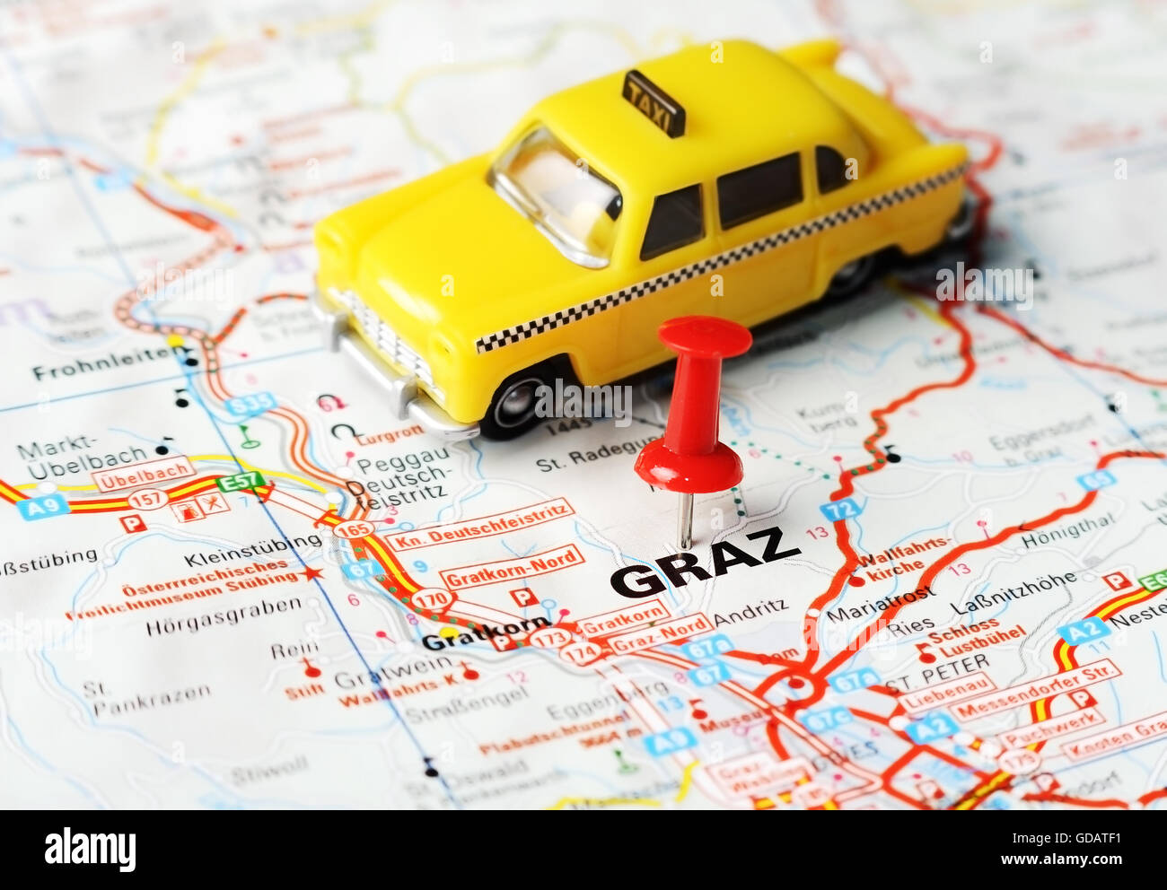 Close up of Graz , Austria map with red pin and a taxi - Travel concept Stock Photohttps://www.alamy.com/image-license-details/?v=1https://www.alamy.com/stock-photo-close-up-of-graz-austria-map-with-red-pin-and-a-taxi-travel-concept-111491493.html
RFGDATF1–Close up of Graz , Austria map with red pin and a taxi - Travel concept
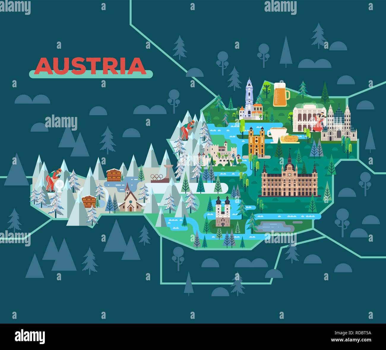 Travel map with landmarks of Austria. Stock Vectorhttps://www.alamy.com/image-license-details/?v=1https://www.alamy.com/travel-map-with-landmarks-of-austria-image231985750.html
RFRDBT5A–Travel map with landmarks of Austria.
 Straßgang, Graz Stadt, Austria, Styria, N 47 1' 59'', E 15 24' 0'', map, Timeless Map published in 2021. Travelers, explorers and adventurers like Florence Nightingale, David Livingstone, Ernest Shackleton, Lewis and Clark and Sherlock Holmes relied on maps to plan travels to the world's most remote corners, Timeless Maps is mapping most locations on the globe, showing the achievement of great dreams Stock Photohttps://www.alamy.com/image-license-details/?v=1https://www.alamy.com/stragang-graz-stadt-austria-styria-n-47-1-59-e-15-24-0-map-timeless-map-published-in-2021-travelers-explorers-and-adventurers-like-florence-nightingale-david-livingstone-ernest-shackleton-lewis-and-clark-and-sherlock-holmes-relied-on-maps-to-plan-travels-to-the-worlds-most-remote-corners-timeless-maps-is-mapping-most-locations-on-the-globe-showing-the-achievement-of-great-dreams-image439230179.html
RM2GEGJG3–Straßgang, Graz Stadt, Austria, Styria, N 47 1' 59'', E 15 24' 0'', map, Timeless Map published in 2021. Travelers, explorers and adventurers like Florence Nightingale, David Livingstone, Ernest Shackleton, Lewis and Clark and Sherlock Holmes relied on maps to plan travels to the world's most remote corners, Timeless Maps is mapping most locations on the globe, showing the achievement of great dreams
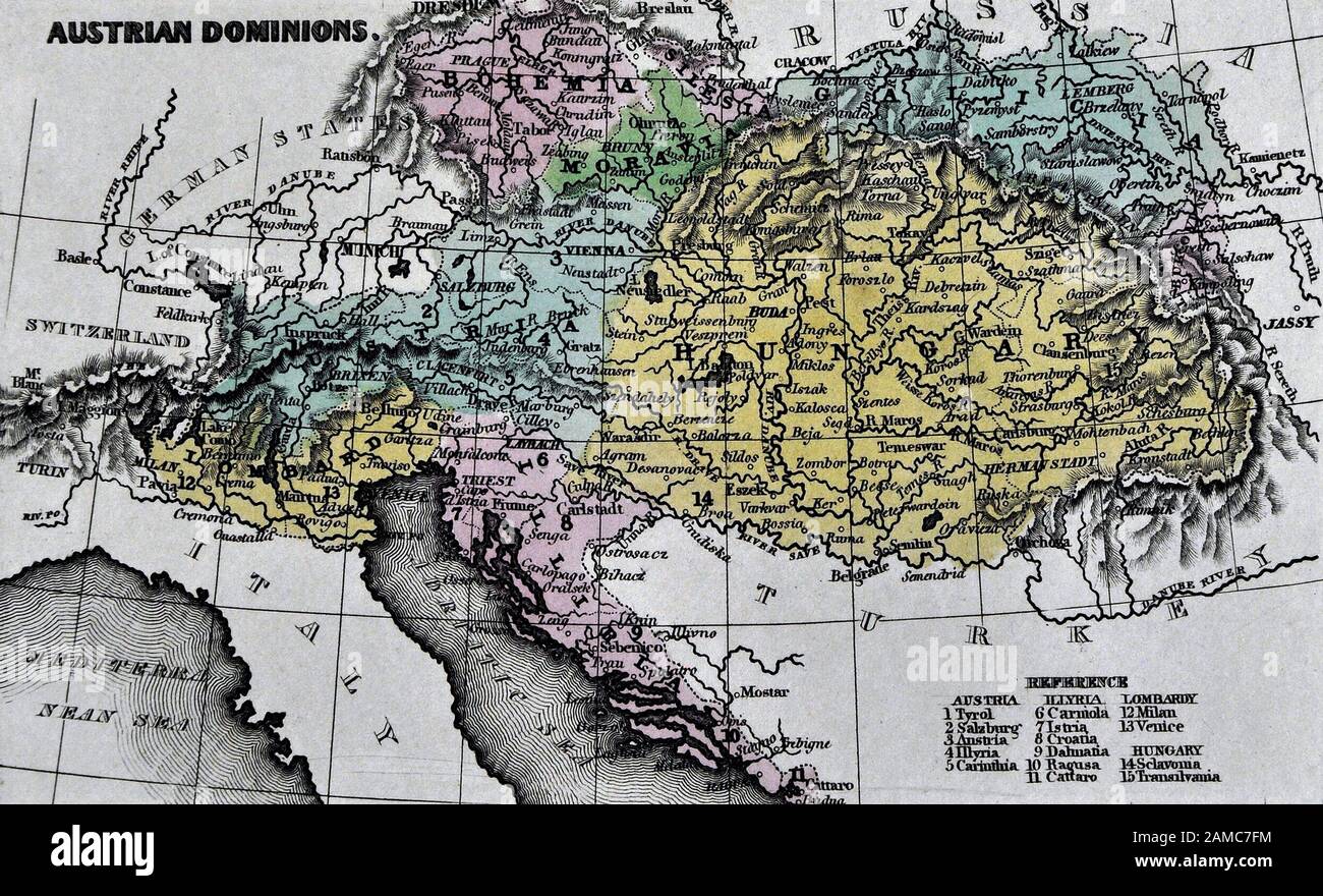 1834 Carey Map of Austria Hungary Empire Vienna Budapest Europe Stock Photohttps://www.alamy.com/image-license-details/?v=1https://www.alamy.com/1834-carey-map-of-austria-hungary-empire-vienna-budapest-europe-image339559464.html
RF2AMC7FM–1834 Carey Map of Austria Hungary Empire Vienna Budapest Europe
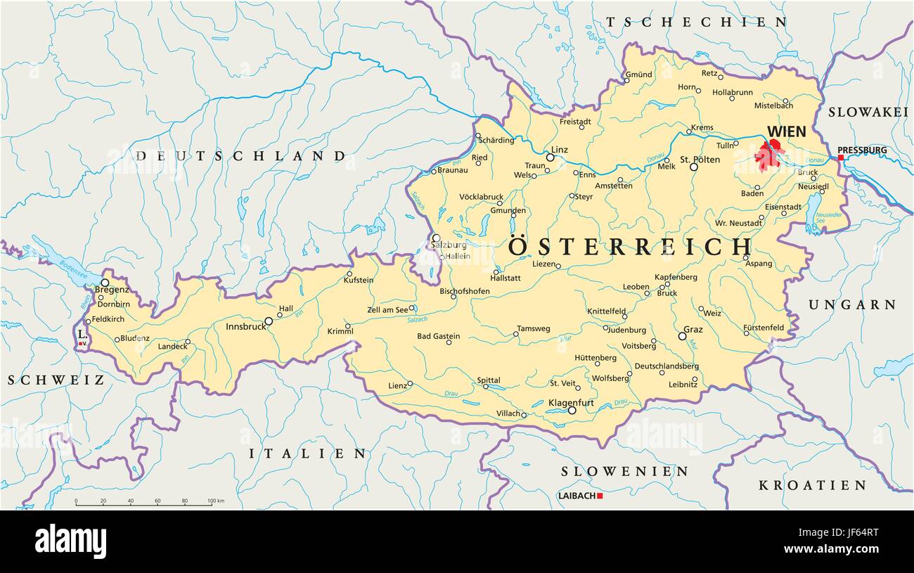 vienna, austria, danube, cartography, map, atlas, map of the world, slovakia, Stock Vectorhttps://www.alamy.com/image-license-details/?v=1https://www.alamy.com/stock-photo-vienna-austria-danube-cartography-map-atlas-map-of-the-world-slovakia-147038300.html
RFJF64RT–vienna, austria, danube, cartography, map, atlas, map of the world, slovakia,
 White and light grey Graz City area vector background map, roads and water cartography illustration. Widescreen proportion, digital flat design roadma Stock Vectorhttps://www.alamy.com/image-license-details/?v=1https://www.alamy.com/white-and-light-grey-graz-city-area-vector-background-map-roads-and-water-cartography-illustration-widescreen-proportion-digital-flat-design-roadma-image476938559.html
RF2JKXBYY–White and light grey Graz City area vector background map, roads and water cartography illustration. Widescreen proportion, digital flat design roadma
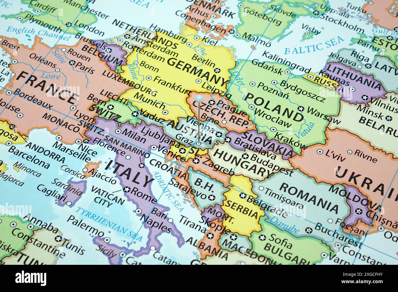 Close up to a Graz city with a white pin needle into Austria country political map Stock Photohttps://www.alamy.com/image-license-details/?v=1https://www.alamy.com/close-up-to-a-graz-city-with-a-white-pin-needle-into-austria-country-political-map-image612473063.html
RF2XGCFHY–Close up to a Graz city with a white pin needle into Austria country political map
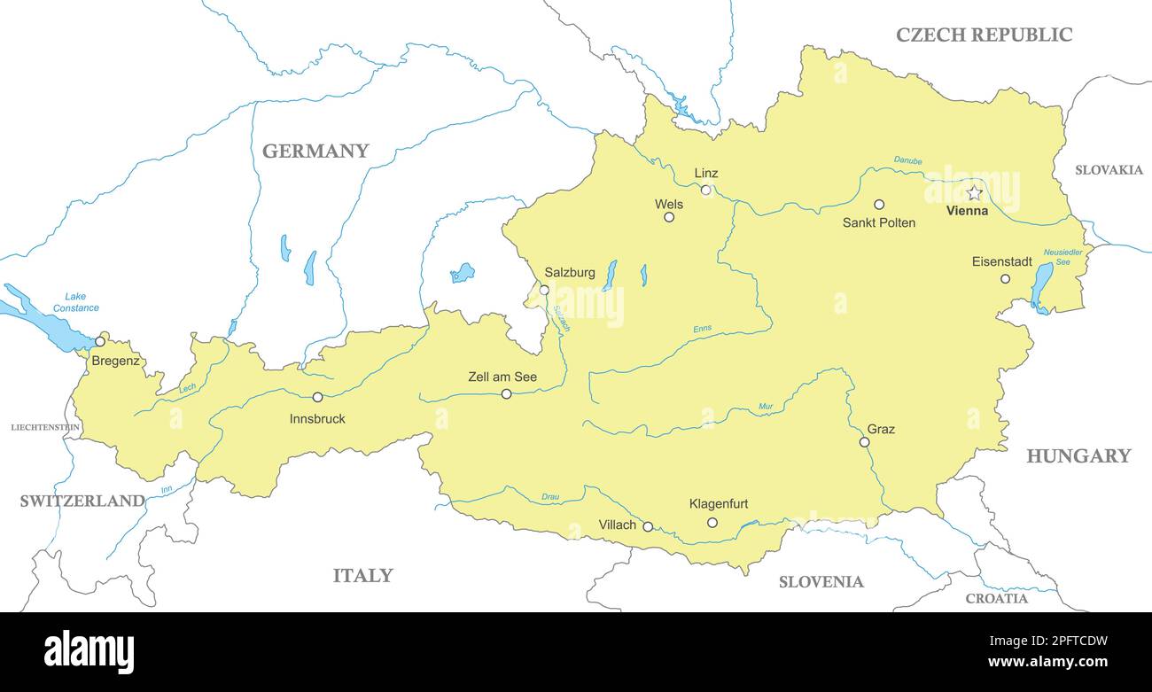 Political map of Austria with national borders, cities and rivers Stock Vectorhttps://www.alamy.com/image-license-details/?v=1https://www.alamy.com/political-map-of-austria-with-national-borders-cities-and-rivers-image543277893.html
RF2PFTCDW–Political map of Austria with national borders, cities and rivers
 Map of Graz in Austria in a smooth dark style. Contains layered vector with roads water, parks, etc. Stock Vectorhttps://www.alamy.com/image-license-details/?v=1https://www.alamy.com/map-of-graz-in-austria-in-a-smooth-dark-style-contains-layered-vector-with-roads-water-parks-etc-image624215825.html
RF2Y7FDJ9–Map of Graz in Austria in a smooth dark style. Contains layered vector with roads water, parks, etc.
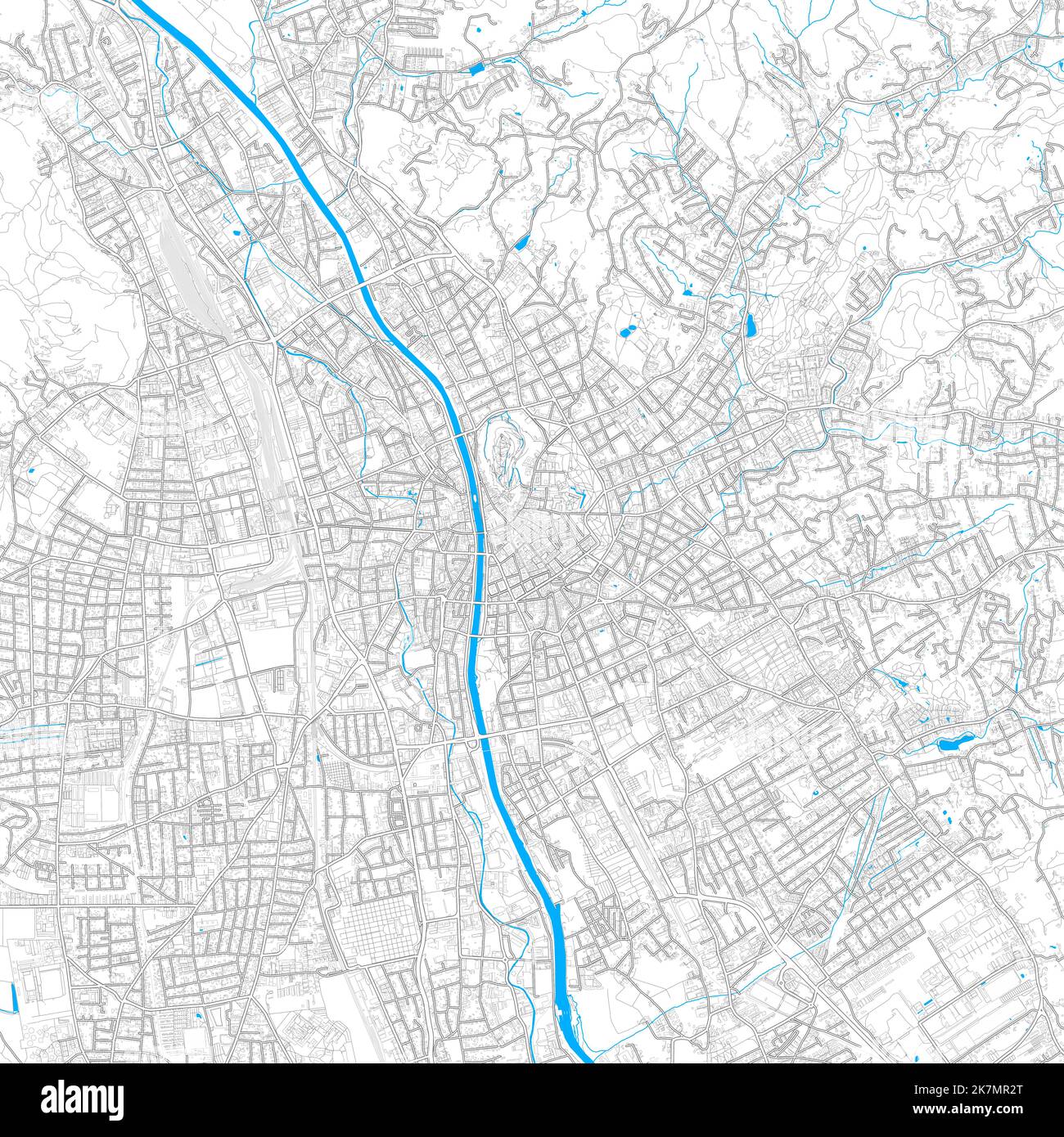 Graz, Styria, Austria high resolution vector map with editable paths. Bright outlines for main roads. Use it for any printed and digital background. B Stock Vectorhttps://www.alamy.com/image-license-details/?v=1https://www.alamy.com/graz-styria-austria-high-resolution-vector-map-with-editable-paths-bright-outlines-for-main-roads-use-it-for-any-printed-and-digital-background-b-image486650048.html
RF2K7MR2T–Graz, Styria, Austria high resolution vector map with editable paths. Bright outlines for main roads. Use it for any printed and digital background. B
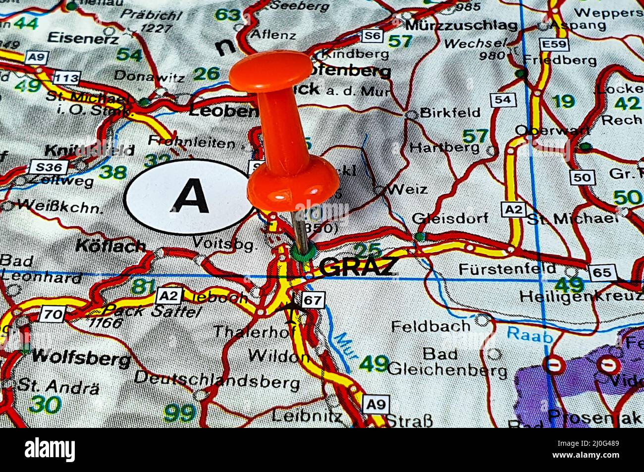 Closeup shot of a red pin marking Graz city of Austria on a map Stock Photohttps://www.alamy.com/image-license-details/?v=1https://www.alamy.com/closeup-shot-of-a-red-pin-marking-graz-city-of-austria-on-a-map-image465034537.html
RF2J0G489–Closeup shot of a red pin marking Graz city of Austria on a map
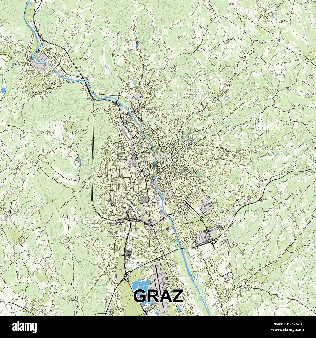 Graz, Austria map poster art Stock Vectorhttps://www.alamy.com/image-license-details/?v=1https://www.alamy.com/graz-austria-map-poster-art-image606890789.html
RF2X7A7B1–Graz, Austria map poster art
 Highly Detailed Austria Silhouette map. Stock Vectorhttps://www.alamy.com/image-license-details/?v=1https://www.alamy.com/highly-detailed-austria-silhouette-map-image360209940.html
RF2BX0YCM–Highly Detailed Austria Silhouette map.
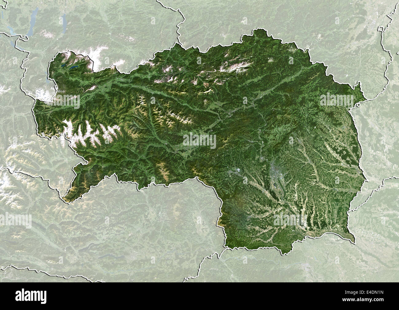 State of Styria, Austria, True Colour Satellite Image Stock Photohttps://www.alamy.com/image-license-details/?v=1https://www.alamy.com/stock-photo-state-of-styria-austria-true-colour-satellite-image-71601985.html
RME4DN1N–State of Styria, Austria, True Colour Satellite Image
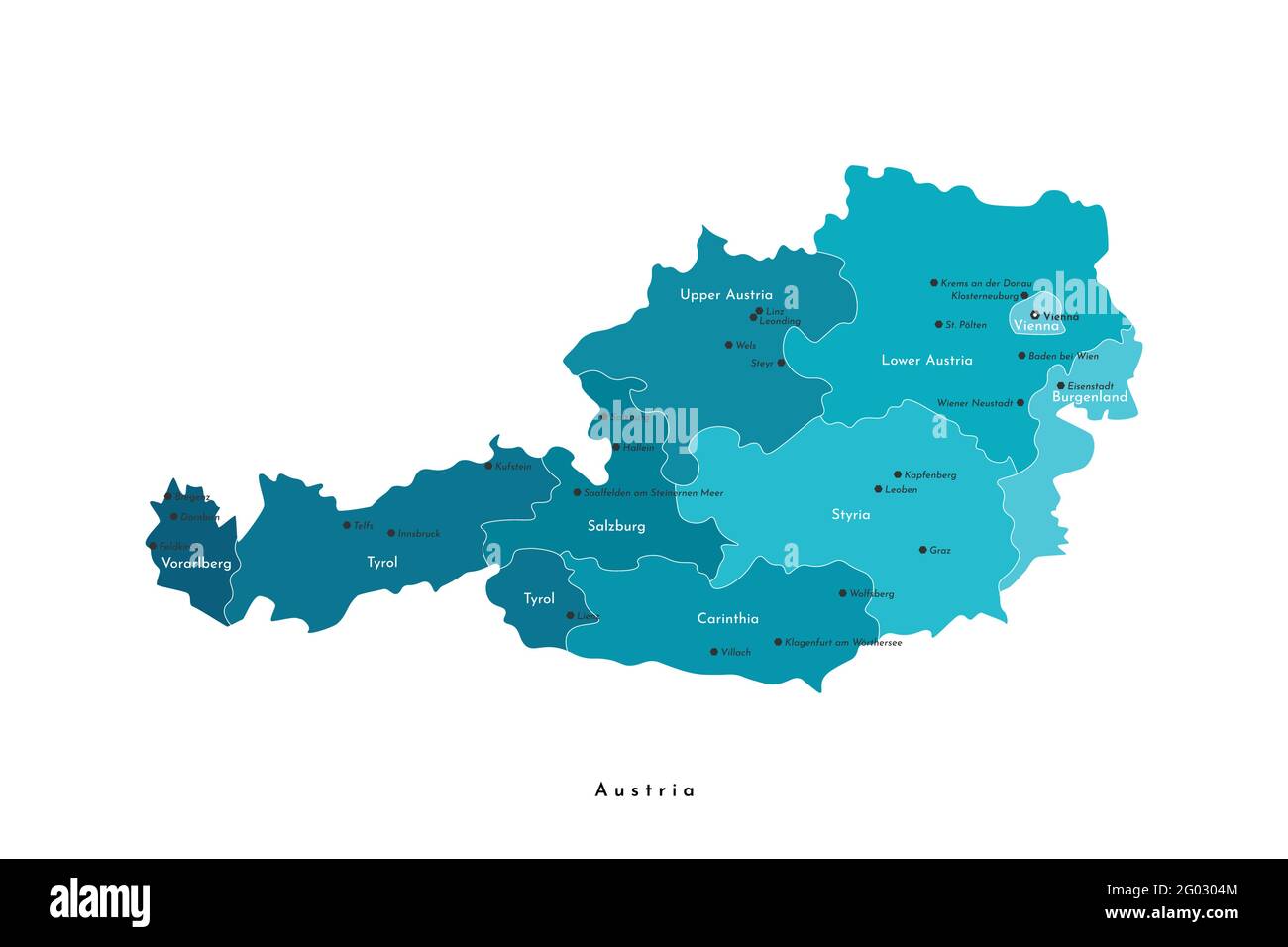 Vector isolated illustration. Simplified administrative map of Austria in blue colors. White background and outlines. Names of austrian cities and sta Stock Vectorhttps://www.alamy.com/image-license-details/?v=1https://www.alamy.com/vector-isolated-illustration-simplified-administrative-map-of-austria-in-blue-colors-white-background-and-outlines-names-of-austrian-cities-and-sta-image430325188.html
RF2G0304M–Vector isolated illustration. Simplified administrative map of Austria in blue colors. White background and outlines. Names of austrian cities and sta
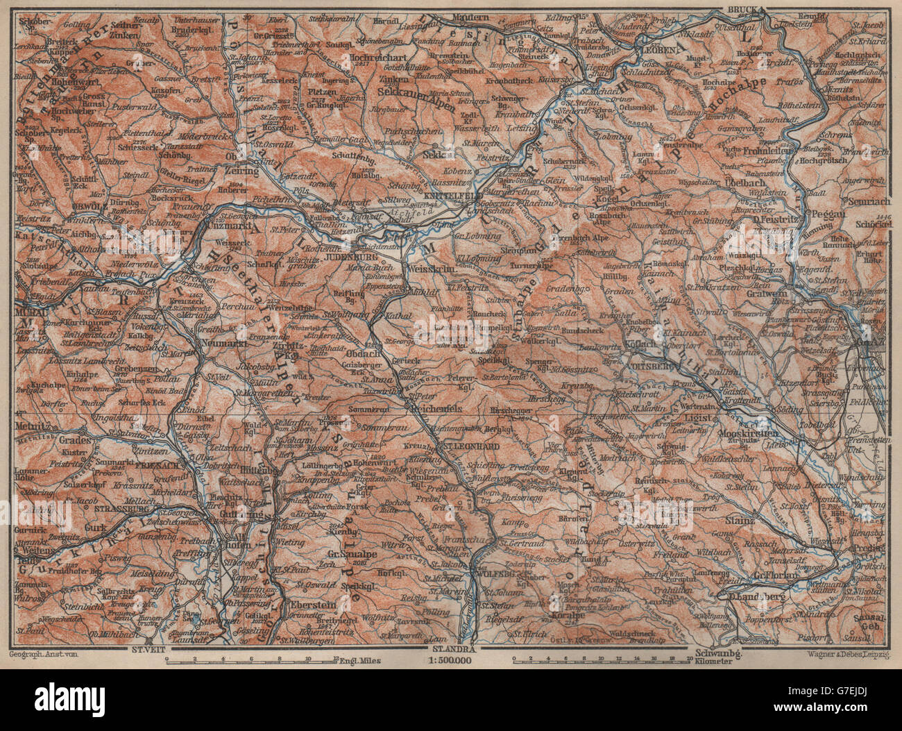 STYRIAN & CARINTHIAN ALPS. Murau Graz Murtal Leoben Wolfsburg. Austria, 1905 map Stock Photohttps://www.alamy.com/image-license-details/?v=1https://www.alamy.com/stock-photo-styrian-carinthian-alps-murau-graz-murtal-leoben-wolfsburg-austria-107886622.html
RFG7EJDJ–STYRIAN & CARINTHIAN ALPS. Murau Graz Murtal Leoben Wolfsburg. Austria, 1905 map
 Graz, Austria pin on map Stock Photohttps://www.alamy.com/image-license-details/?v=1https://www.alamy.com/graz-austria-pin-on-map-image593059733.html
RF2WCT5MN–Graz, Austria pin on map
 Graz, Austria - October 23, 2017: A map of footpaths and attractions near Riegersburg Castle in Styria Stock Photohttps://www.alamy.com/image-license-details/?v=1https://www.alamy.com/graz-austria-october-23-2017-a-map-of-footpaths-and-attractions-near-riegersburg-castle-in-styria-image207769973.html
RMP20MM5–Graz, Austria - October 23, 2017: A map of footpaths and attractions near Riegersburg Castle in Styria
 Austria with federal states, blue political map. The Republic of Austria, a landlocked country in Central Europe, with capital Vienna. Stock Photohttps://www.alamy.com/image-license-details/?v=1https://www.alamy.com/austria-with-federal-states-blue-political-map-the-republic-of-austria-a-landlocked-country-in-central-europe-with-capital-vienna-image621646715.html
RF2Y3ACMB–Austria with federal states, blue political map. The Republic of Austria, a landlocked country in Central Europe, with capital Vienna.
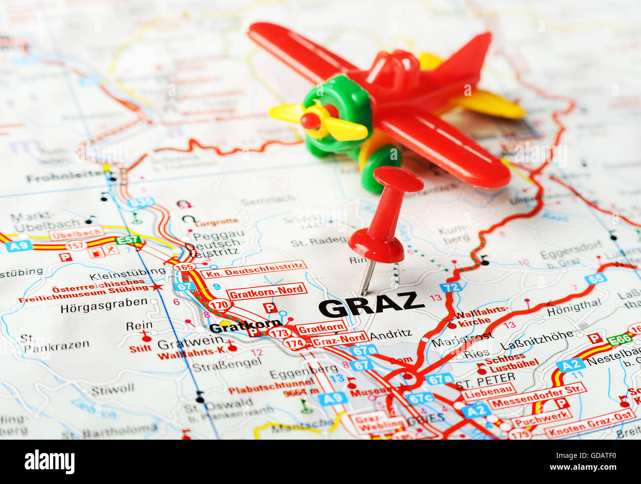 Close up of Graz , Austria map with red pin and airplane toy - Travel concept Stock Photohttps://www.alamy.com/image-license-details/?v=1https://www.alamy.com/stock-photo-close-up-of-graz-austria-map-with-red-pin-and-airplane-toy-travel-111491492.html
RFGDATF0–Close up of Graz , Austria map with red pin and airplane toy - Travel concept
 Sturm Graz 1955 Stock Photohttps://www.alamy.com/image-license-details/?v=1https://www.alamy.com/stock-photo-sturm-graz-1955-140513875.html
RMJ4GXTK–Sturm Graz 1955
 Rohrbach, Graz Stadt, Austria, Styria, N 47 6' 0'', E 15 31' 59'', map, Timeless Map published in 2021. Travelers, explorers and adventurers like Florence Nightingale, David Livingstone, Ernest Shackleton, Lewis and Clark and Sherlock Holmes relied on maps to plan travels to the world's most remote corners, Timeless Maps is mapping most locations on the globe, showing the achievement of great dreams Stock Photohttps://www.alamy.com/image-license-details/?v=1https://www.alamy.com/rohrbach-graz-stadt-austria-styria-n-47-6-0-e-15-31-59-map-timeless-map-published-in-2021-travelers-explorers-and-adventurers-like-florence-nightingale-david-livingstone-ernest-shackleton-lewis-and-clark-and-sherlock-holmes-relied-on-maps-to-plan-travels-to-the-worlds-most-remote-corners-timeless-maps-is-mapping-most-locations-on-the-globe-showing-the-achievement-of-great-dreams-image439249386.html
RM2GEHF22–Rohrbach, Graz Stadt, Austria, Styria, N 47 6' 0'', E 15 31' 59'', map, Timeless Map published in 2021. Travelers, explorers and adventurers like Florence Nightingale, David Livingstone, Ernest Shackleton, Lewis and Clark and Sherlock Holmes relied on maps to plan travels to the world's most remote corners, Timeless Maps is mapping most locations on the globe, showing the achievement of great dreams
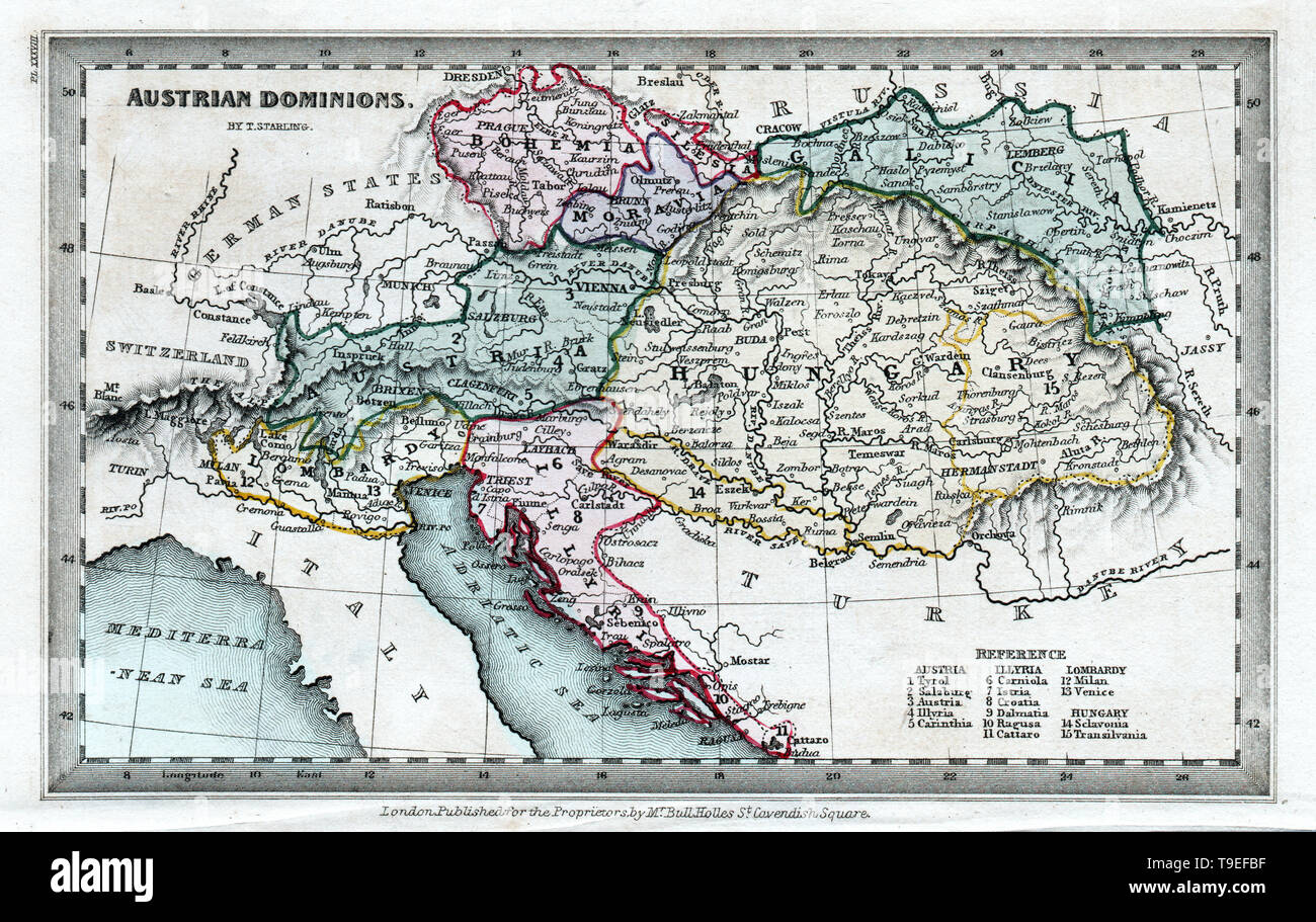 1834 Starling Map of the Austrian Hungary Empire including Bohemia, Croatia and Venice Italy Stock Photohttps://www.alamy.com/image-license-details/?v=1https://www.alamy.com/1834-starling-map-of-the-austrian-hungary-empire-including-bohemia-croatia-and-venice-italy-image246796467.html
RFT9EFBF–1834 Starling Map of the Austrian Hungary Empire including Bohemia, Croatia and Venice Italy
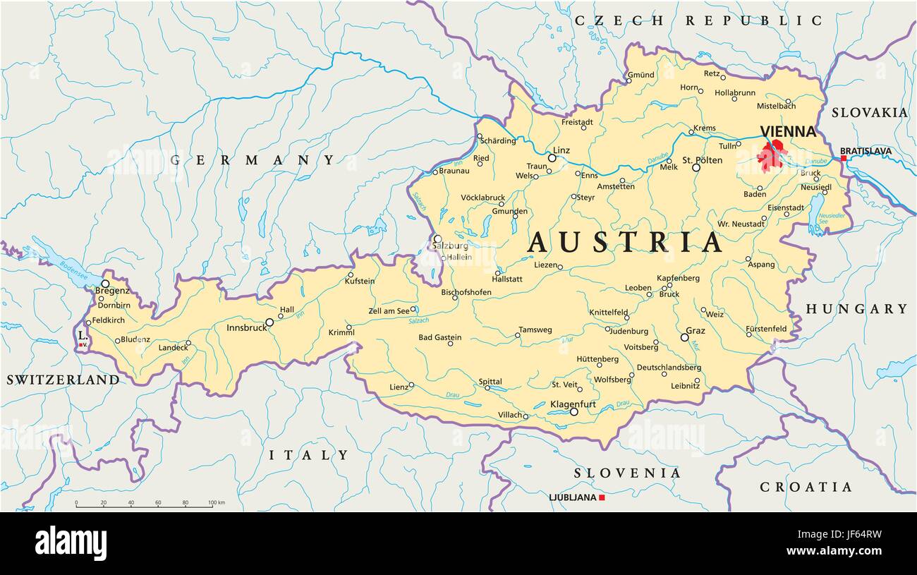 vienna, austria, danube, map, atlas, map of the world, travel, slovakia, alps, Stock Vectorhttps://www.alamy.com/image-license-details/?v=1https://www.alamy.com/stock-photo-vienna-austria-danube-map-atlas-map-of-the-world-travel-slovakia-alps-147038301.html
RFJF64RW–vienna, austria, danube, map, atlas, map of the world, travel, slovakia, alps,
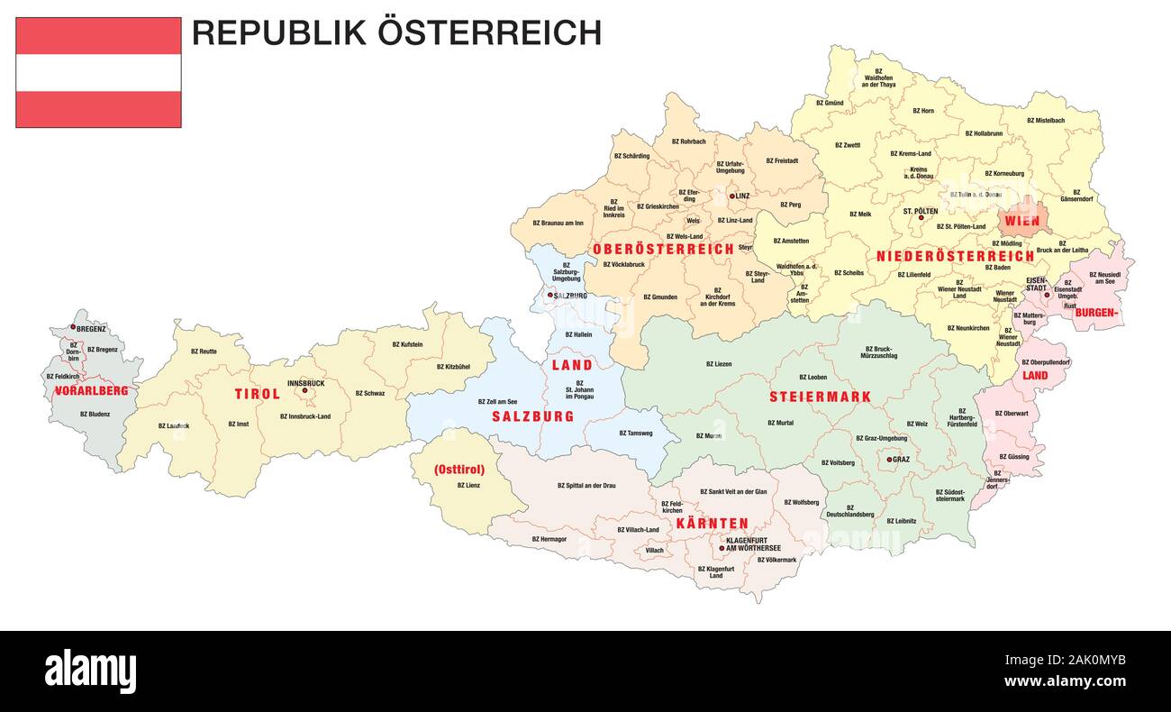 new administrative and political map of austria in german language 2020 Stock Vectorhttps://www.alamy.com/image-license-details/?v=1https://www.alamy.com/new-administrative-and-political-map-of-austria-in-german-language-2020-image338691903.html
RF2AK0MYB–new administrative and political map of austria in german language 2020
 Wenzel Hollar (Engraver) Graz (map). etching 1627-1677 , 1627/1677 Stock Photohttps://www.alamy.com/image-license-details/?v=1https://www.alamy.com/wenzel-hollar-engraver-graz-map-etching-1627-1677-16271677-image572870144.html
RM2T80DM0–Wenzel Hollar (Engraver) Graz (map). etching 1627-1677 , 1627/1677

