Quick filters:
Map of greek colonies Stock Photos and Images
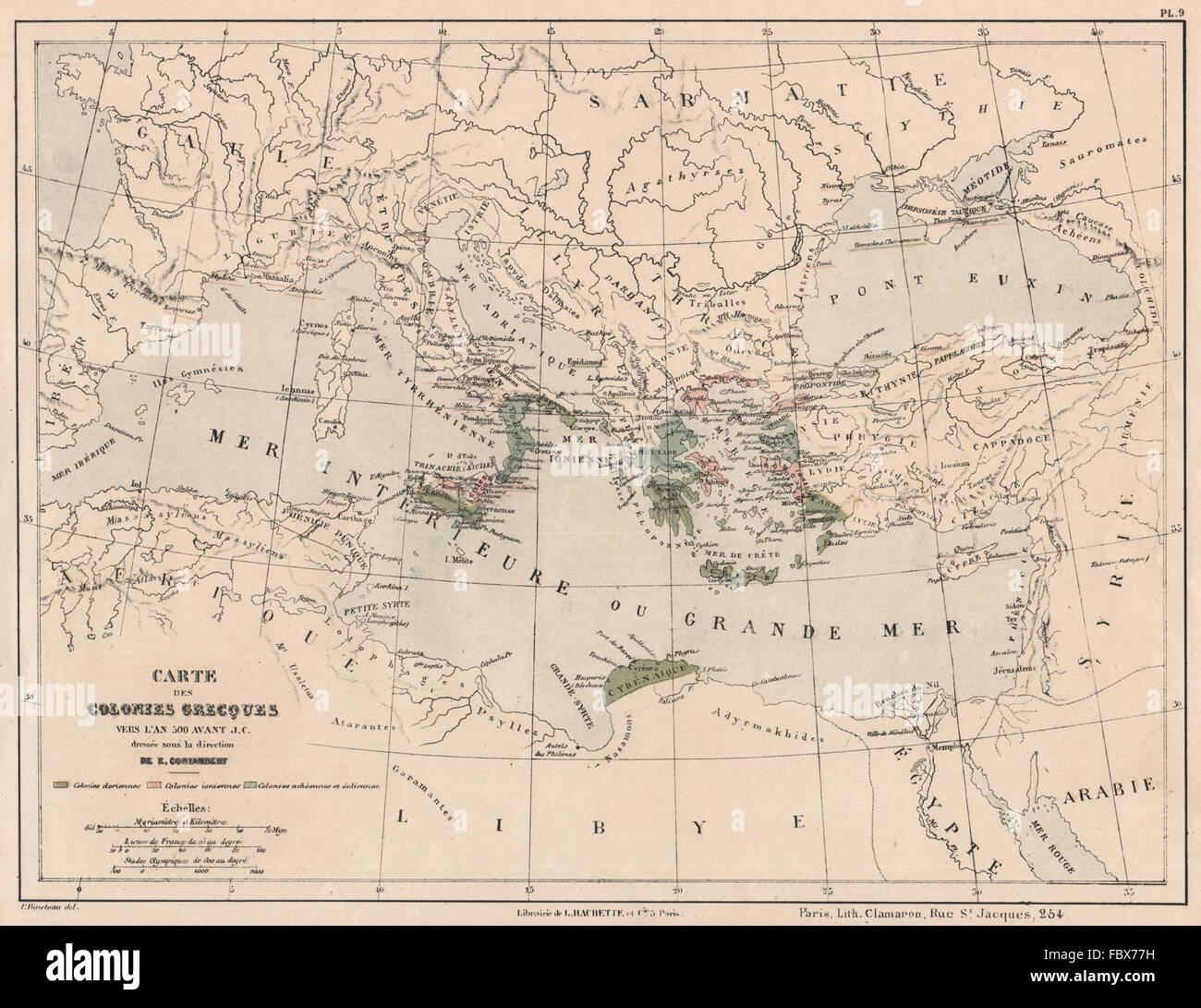 ANCIENT GREECE GREEK COLONIES in 500BC Dorian Aeolian Achaean Ionian, 1880 map Stock Photohttps://www.alamy.com/image-license-details/?v=1https://www.alamy.com/stock-photo-ancient-greece-greek-colonies-in-500bc-dorian-aeolian-achaean-ionian-93389509.html
RFFBX77H–ANCIENT GREECE GREEK COLONIES in 500BC Dorian Aeolian Achaean Ionian, 1880 map
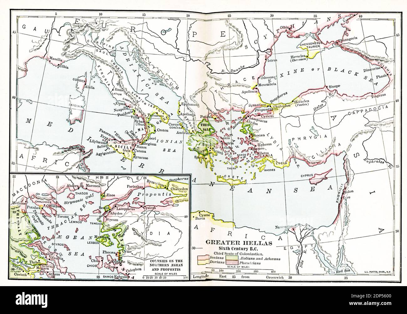 Greater Hellas Sixth Century B.C. The legend on this early 1900s map reads: Chief Seats of Colonization. Pink: Ionians; Green-Aeolians and Achaeans; Yellow-Dorians; Purple-Phoenicians. Inset map: Colonies of the Northern Aegean and Propontis Stock Photohttps://www.alamy.com/image-license-details/?v=1https://www.alamy.com/greater-hellas-sixth-century-bc-the-legend-on-this-early-1900s-map-reads-chief-seats-of-colonization-pink-ionians-green-aeolians-and-achaeans-yellow-dorians-purple-phoenicians-inset-map-colonies-of-the-northern-aegean-and-propontis-image392264992.html
RF2DP5600–Greater Hellas Sixth Century B.C. The legend on this early 1900s map reads: Chief Seats of Colonization. Pink: Ionians; Green-Aeolians and Achaeans; Yellow-Dorians; Purple-Phoenicians. Inset map: Colonies of the Northern Aegean and Propontis
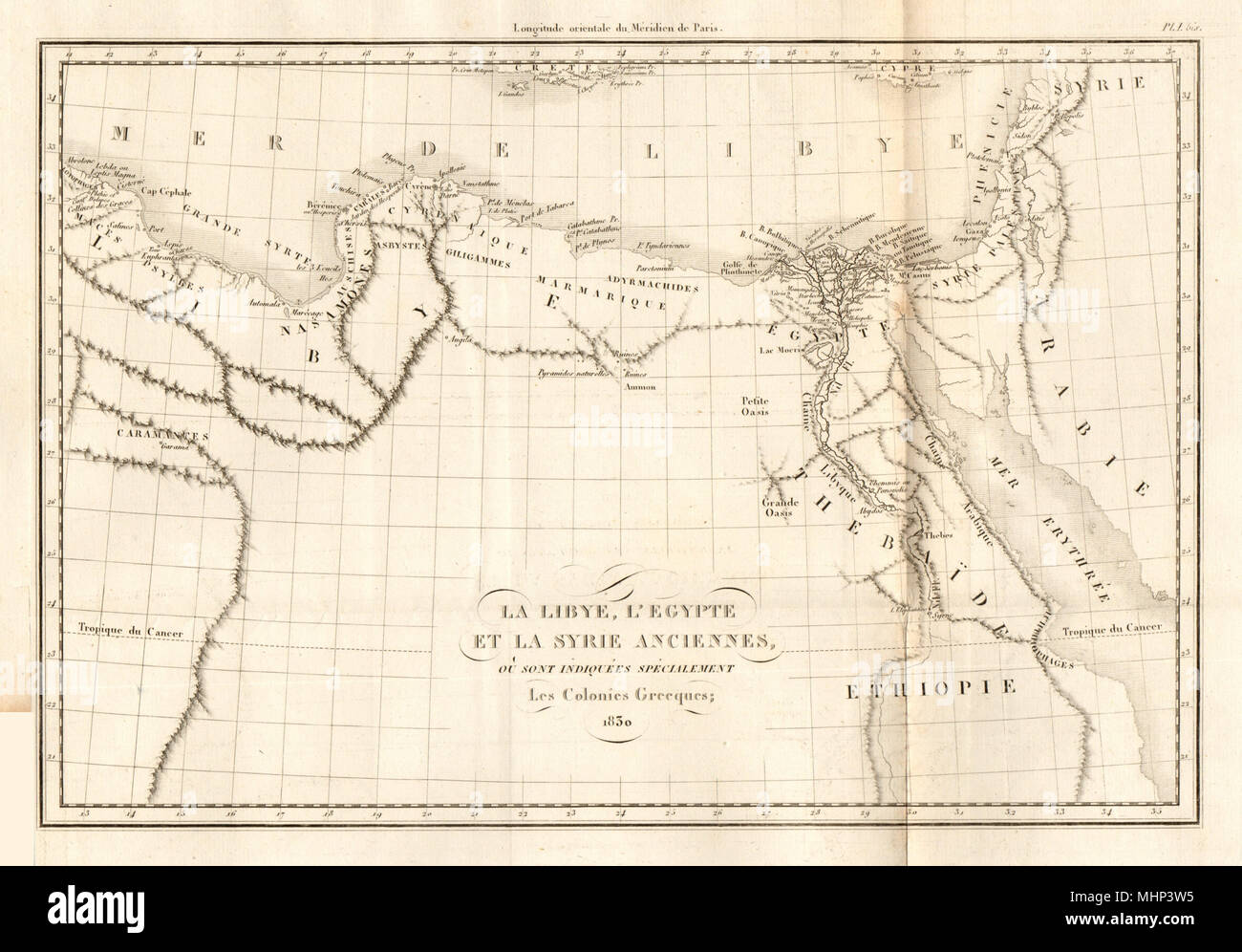 ANCIENT NORTH AFRICA. Greek colonies. 'La Libye, L'Egypte…'. TARDIEU 1830 map Stock Photohttps://www.alamy.com/image-license-details/?v=1https://www.alamy.com/ancient-north-africa-greek-colonies-la-libye-legypte-tardieu-1830-map-image183038833.html
RFMHP3W5–ANCIENT NORTH AFRICA. Greek colonies. 'La Libye, L'Egypte…'. TARDIEU 1830 map
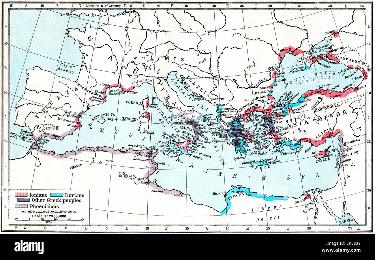 Map of Greek and Phoenician settlements in the Mediterranean basin c.550 B.C. Stock Photohttps://www.alamy.com/image-license-details/?v=1https://www.alamy.com/stock-photo-map-of-greek-and-phoenician-settlements-in-the-mediterranean-basin-80658031.html
RMEK683Y–Map of Greek and Phoenician settlements in the Mediterranean basin c.550 B.C.
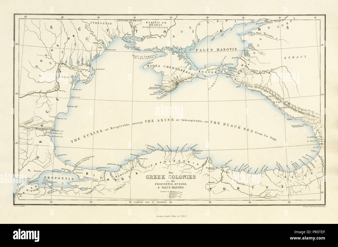 Euxine, and Palus Maeotis, Ancient Greek Colonies on the Coast of the Propontis, Euxine, and Palus Maeotis, Antiquities Stock Photohttps://www.alamy.com/image-license-details/?v=1https://www.alamy.com/euxine-and-palus-maeotis-ancient-greek-colonies-on-the-coast-of-the-propontis-euxine-and-palus-maeotis-antiquities-image220680727.html
RMPR0TEF–Euxine, and Palus Maeotis, Ancient Greek Colonies on the Coast of the Propontis, Euxine, and Palus Maeotis, Antiquities
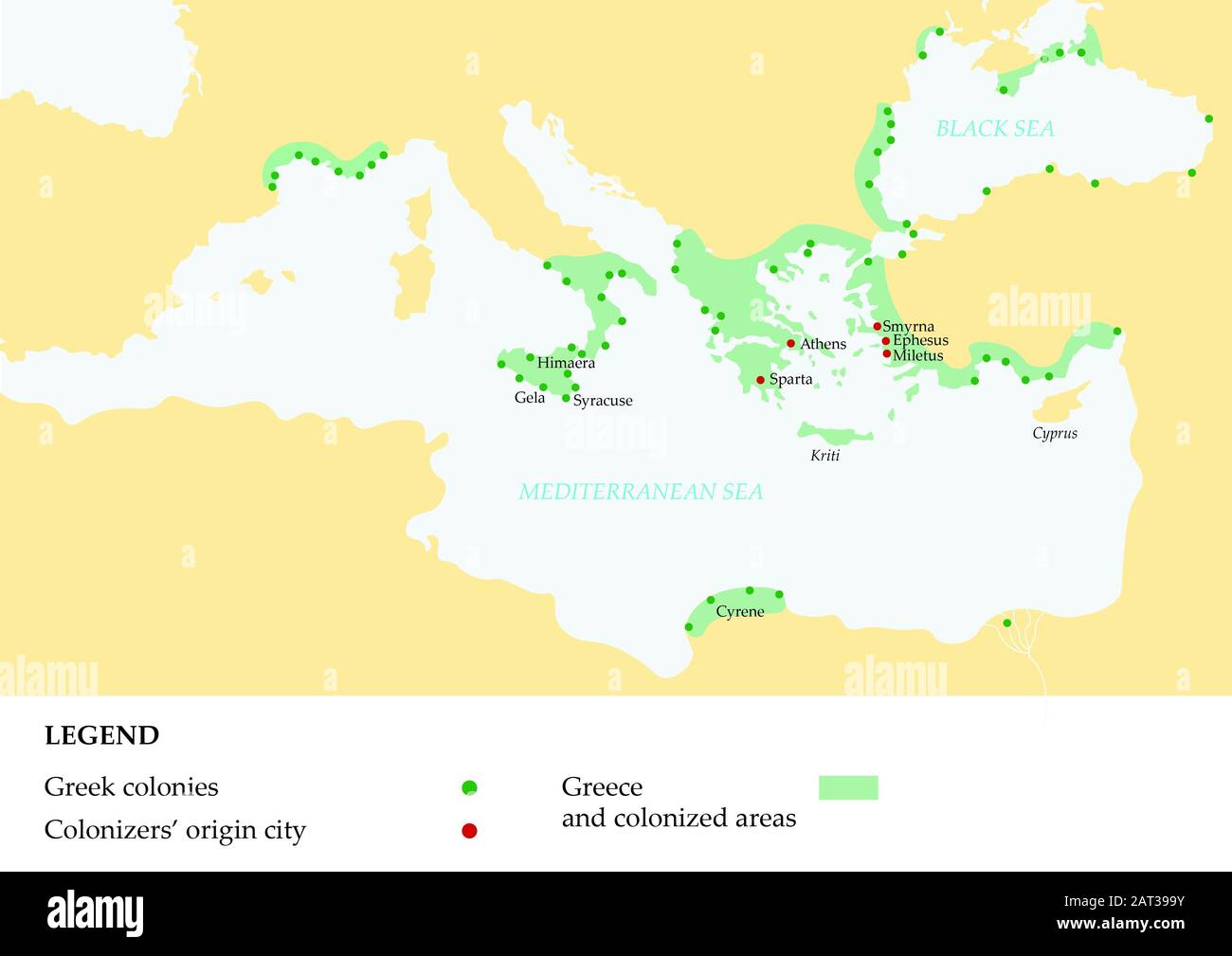 Ancient greece map showing the Greek empire and its colonies. Stock Photohttps://www.alamy.com/image-license-details/?v=1https://www.alamy.com/ancient-greece-map-showing-the-greek-empire-and-its-colonies-image341821927.html
RF2AT399Y–Ancient greece map showing the Greek empire and its colonies.
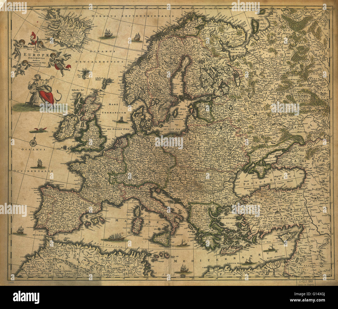 17th century map of Europe. Published in 1700, this map by the Dutch cartographer Frederick de Witt (1630-1706) shows the latest knowledge of the geography of Europe. The mapping has improved greatly on earlier maps, though there are still errors and dist Stock Photohttps://www.alamy.com/image-license-details/?v=1https://www.alamy.com/stock-photo-17th-century-map-of-europe-published-in-1700-this-map-by-the-dutch-103985522.html
RMG14XGJ–17th century map of Europe. Published in 1700, this map by the Dutch cartographer Frederick de Witt (1630-1706) shows the latest knowledge of the geography of Europe. The mapping has improved greatly on earlier maps, though there are still errors and dist
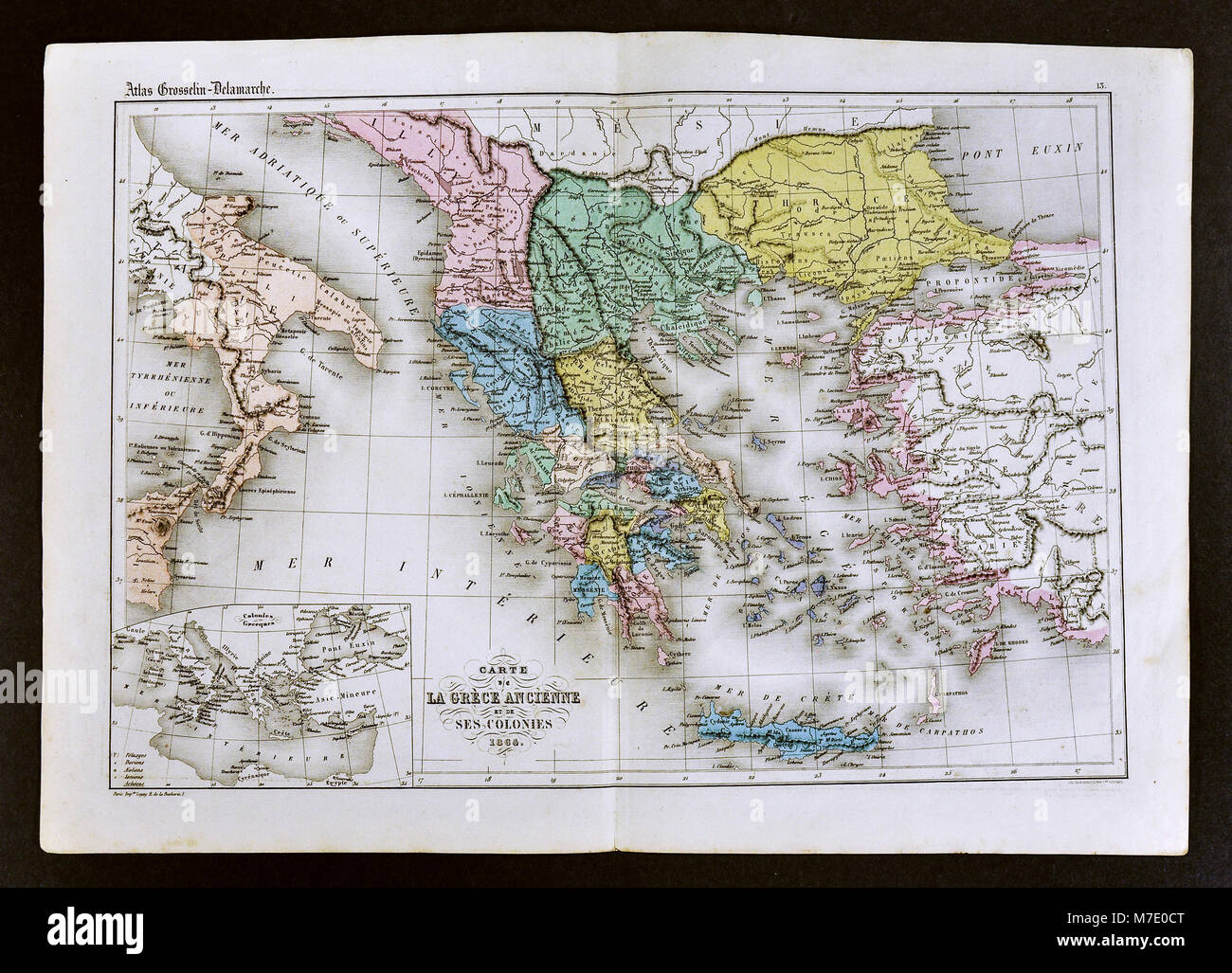 1858 Delamarche Map of Ancient Greece and its Colonies in Italy and Turkey Stock Photohttps://www.alamy.com/image-license-details/?v=1https://www.alamy.com/stock-photo-1858-delamarche-map-of-ancient-greece-and-its-colonies-in-italy-and-176713960.html
RFM7E0CT–1858 Delamarche Map of Ancient Greece and its Colonies in Italy and Turkey
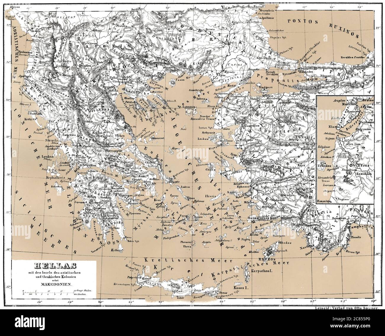 Historical map of ancient Greece with Asian and Thracian Colonies Stock Photohttps://www.alamy.com/image-license-details/?v=1https://www.alamy.com/historical-map-of-ancient-greece-with-asian-and-thracian-colonies-image366449272.html
RM2C855P0–Historical map of ancient Greece with Asian and Thracian Colonies
 . English: This is one of the Homann Heirs finest and most appealing maps of the ancient Greek World. Map centers on Greece but includes the entirety of the eastern Mediterranean and North Africa. Also includes the Black Sea as far as the Crimea and the sea of Azov. Extends north as far as Sarmatia and Pannonia. Includes Italy, Sicily, Corsica and Sardinia. Upper left quadrant features a decorative title cartouche adorned with the rectos and versos of 12 ancient Greek coins with explanatory numbered references outside the top border of the map. Show the important Greek provinces and colonies Stock Photohttps://www.alamy.com/image-license-details/?v=1https://www.alamy.com/english-this-is-one-of-the-homann-heirs-finest-and-most-appealing-maps-of-the-ancient-greek-world-map-centers-on-greece-but-includes-the-entirety-of-the-eastern-mediterranean-and-north-africa-also-includes-the-black-sea-as-far-as-the-crimea-and-the-sea-of-azov-extends-north-as-far-as-sarmatia-and-pannonia-includes-italy-sicily-corsica-and-sardinia-upper-left-quadrant-features-a-decorative-title-cartouche-adorned-with-the-rectos-and-versos-of-12-ancient-greek-coins-with-explanatory-numbered-references-outside-the-top-border-of-the-map-show-the-important-greek-provinces-and-colonies-image184873063.html
RMMMNKDB–. English: This is one of the Homann Heirs finest and most appealing maps of the ancient Greek World. Map centers on Greece but includes the entirety of the eastern Mediterranean and North Africa. Also includes the Black Sea as far as the Crimea and the sea of Azov. Extends north as far as Sarmatia and Pannonia. Includes Italy, Sicily, Corsica and Sardinia. Upper left quadrant features a decorative title cartouche adorned with the rectos and versos of 12 ancient Greek coins with explanatory numbered references outside the top border of the map. Show the important Greek provinces and colonies
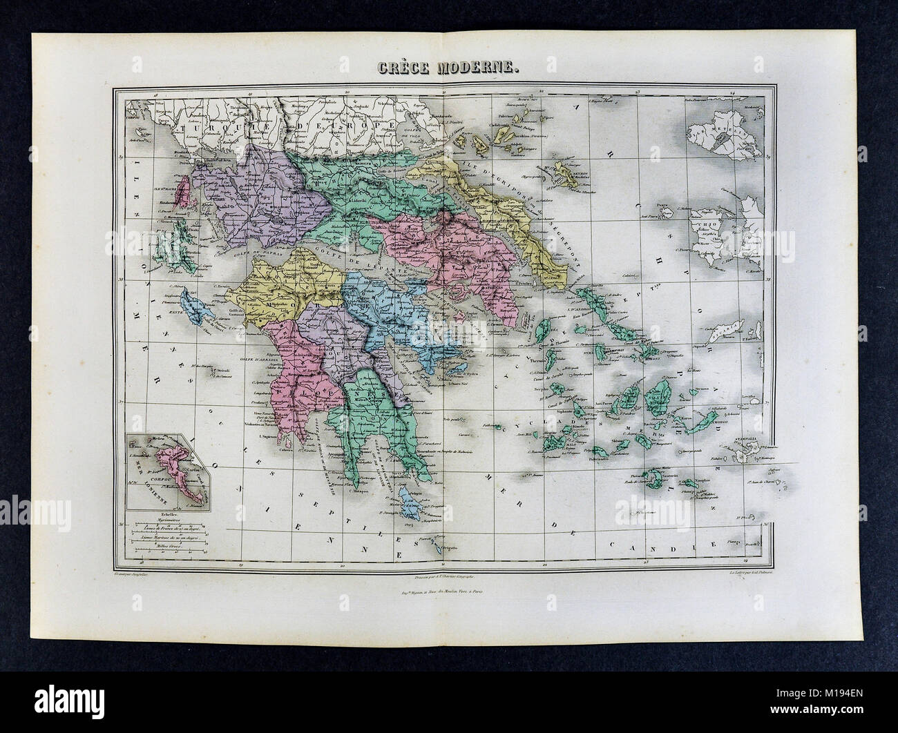 1877 Migeon Map - Greece - Athens Corinth Cyclades Stock Photohttps://www.alamy.com/image-license-details/?v=1https://www.alamy.com/stock-photo-1877-migeon-map-greece-athens-corinth-cyclades-172919453.html
RFM194EN–1877 Migeon Map - Greece - Athens Corinth Cyclades
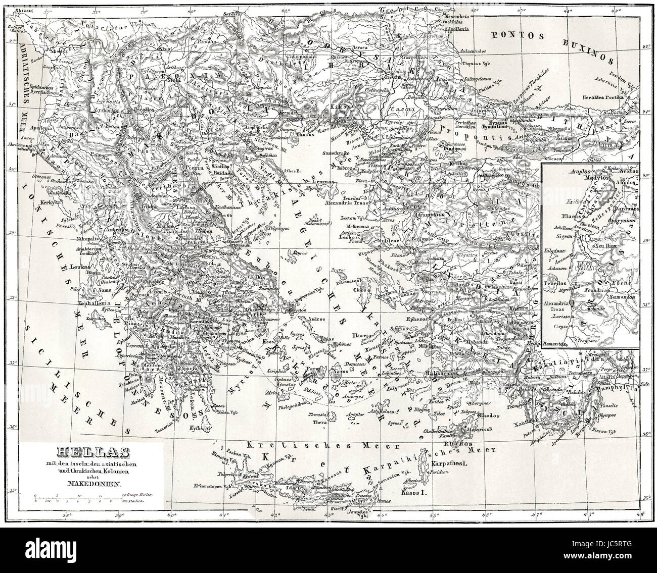 Historical map of ancient Greece with Asian and Thracian Colonies Stock Photohttps://www.alamy.com/image-license-details/?v=1https://www.alamy.com/stock-photo-historical-map-of-ancient-greece-with-asian-and-thracian-colonies-145187296.html
RMJC5RTG–Historical map of ancient Greece with Asian and Thracian Colonies
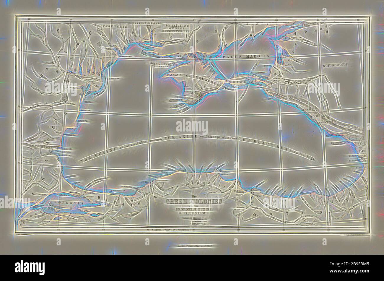 Euxine, and Palus Maeotis, Ancient Greek Colonies on the Coast of the Propontis, Euxine, and Palus Maeotis, Antiquities of Kertch, and researches in the Cimmerian Bosphorus..., McPherson, Duncan, d. 1867, Engraving, 1857, Partially colored, map 1, of the book's Chapter 1, Part 1, facing the first page of Chapter 1, with the page identified as B, Reimagined by Gibon, design of warm cheerful glowing of brightness and light rays radiance. Classic art reinvented with a modern twist. Photography inspired by futurism, embracing dynamic energy of modern technology, movement, speed and revolutionize c Stock Photohttps://www.alamy.com/image-license-details/?v=1https://www.alamy.com/euxine-and-palus-maeotis-ancient-greek-colonies-on-the-coast-of-the-propontis-euxine-and-palus-maeotis-antiquities-of-kertch-and-researches-in-the-cimmerian-bosphorus-mcpherson-duncan-d-1867-engraving-1857-partially-colored-map-1-of-the-books-chapter-1-part-1-facing-the-first-page-of-chapter-1-with-the-page-identified-as-b-reimagined-by-gibon-design-of-warm-cheerful-glowing-of-brightness-and-light-rays-radiance-classic-art-reinvented-with-a-modern-twist-photography-inspired-by-futurism-embracing-dynamic-energy-of-modern-technology-movement-speed-and-revolutionize-c-image350077733.html
RF2B9FBM5–Euxine, and Palus Maeotis, Ancient Greek Colonies on the Coast of the Propontis, Euxine, and Palus Maeotis, Antiquities of Kertch, and researches in the Cimmerian Bosphorus..., McPherson, Duncan, d. 1867, Engraving, 1857, Partially colored, map 1, of the book's Chapter 1, Part 1, facing the first page of Chapter 1, with the page identified as B, Reimagined by Gibon, design of warm cheerful glowing of brightness and light rays radiance. Classic art reinvented with a modern twist. Photography inspired by futurism, embracing dynamic energy of modern technology, movement, speed and revolutionize c
 A student's study-guide in ancient history; a combination of outlines, map work and questions to aid in visualizing, understanding and remembering the important facts of ancient history and in grasping a sense of the modern world's debt to the peoples of ancient times . FOREIGN WARS OF THE GREEKS 560 B. C—479 B. C. The Funic In vasion MAP WORK Locate and name the Greek colonies that formed the chief centers of WesternGreece. Locate and name Carthage. QUESTIONS 1. Tell about the founding of the coloniesof Western Greece. 2. At the time Persia was trying to con-quer Greece what other jiower, all Stock Photohttps://www.alamy.com/image-license-details/?v=1https://www.alamy.com/a-students-study-guide-in-ancient-history-a-combination-of-outlines-map-work-and-questions-to-aid-in-visualizing-understanding-and-remembering-the-important-facts-of-ancient-history-and-in-grasping-a-sense-of-the-modern-worlds-debt-to-the-peoples-of-ancient-times-foreign-wars-of-the-greeks-560-b-c479-b-c-the-funic-in-vasion-map-work-locate-and-name-the-greek-colonies-that-formed-the-chief-centers-of-westerngreece-locate-and-name-carthage-questions-1-tell-about-the-founding-of-the-coloniesof-western-greece-2-at-the-time-persia-was-trying-to-con-quer-greece-what-other-jiower-all-image339888080.html
RM2AMY6M0–A student's study-guide in ancient history; a combination of outlines, map work and questions to aid in visualizing, understanding and remembering the important facts of ancient history and in grasping a sense of the modern world's debt to the peoples of ancient times . FOREIGN WARS OF THE GREEKS 560 B. C—479 B. C. The Funic In vasion MAP WORK Locate and name the Greek colonies that formed the chief centers of WesternGreece. Locate and name Carthage. QUESTIONS 1. Tell about the founding of the coloniesof Western Greece. 2. At the time Persia was trying to con-quer Greece what other jiower, all
 Image taken from page 64 of 'Where to emigrate: a handy guide to all the English colonies, for intending emigrants, etc' Image taken from page 64 of 'Where to emigrate a Stock Photohttps://www.alamy.com/image-license-details/?v=1https://www.alamy.com/stock-photo-image-taken-from-page-64-of-where-to-emigrate-a-handy-guide-to-all-127699804.html
RMHBN6B8–Image taken from page 64 of 'Where to emigrate: a handy guide to all the English colonies, for intending emigrants, etc' Image taken from page 64 of 'Where to emigrate a
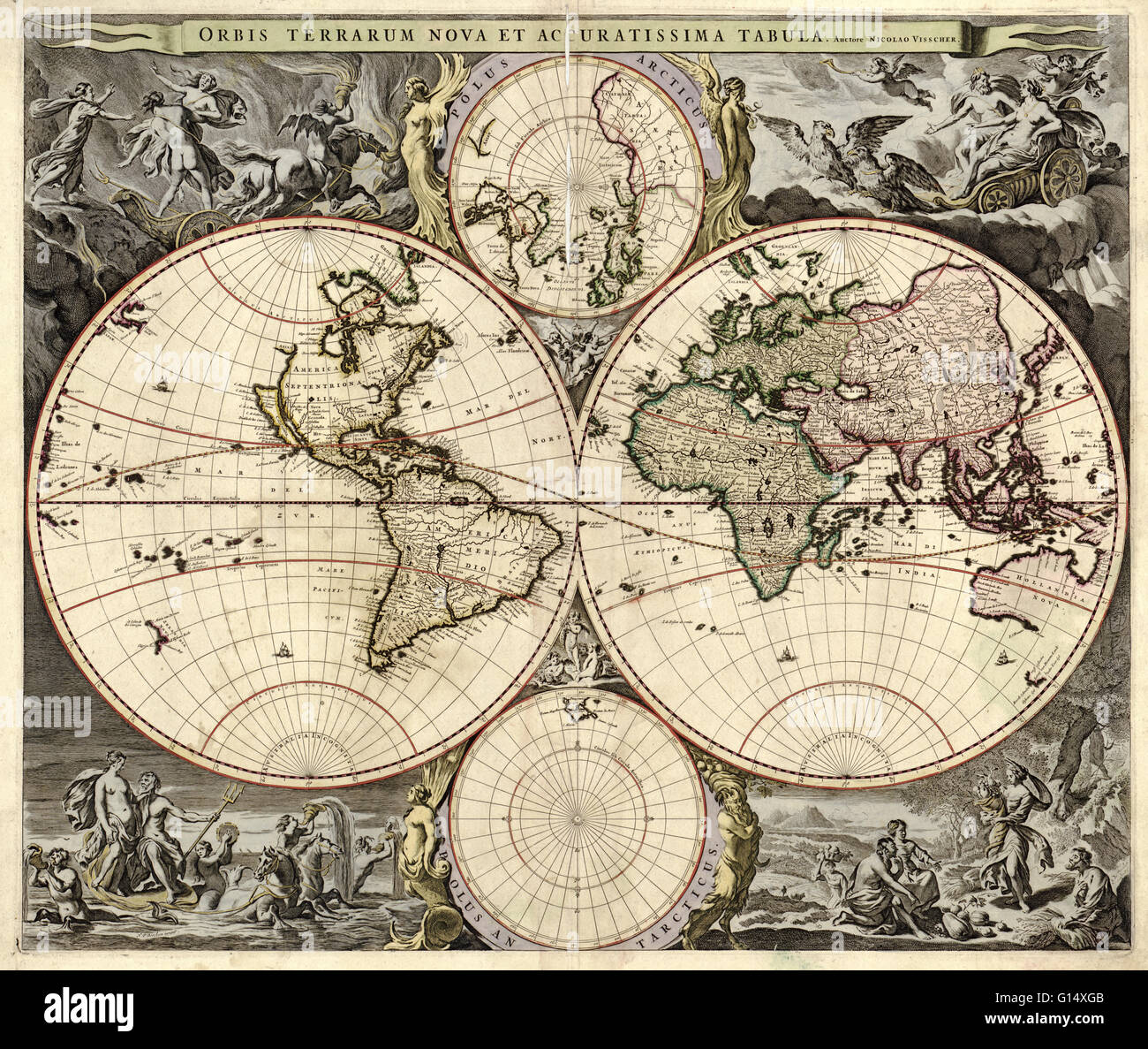 17th century map of the world. Published in Amsterdam, this is a 1690 edition of a 1658 map by the Dutch cartographer Nicolaes Visscher (1649-1702). It shows the expanding exploration of the known world. The map divides the Earth into a western and easter Stock Photohttps://www.alamy.com/image-license-details/?v=1https://www.alamy.com/stock-photo-17th-century-map-of-the-world-published-in-amsterdam-this-is-a-1690-103985515.html
RMG14XGB–17th century map of the world. Published in Amsterdam, this is a 1690 edition of a 1658 map by the Dutch cartographer Nicolaes Visscher (1649-1702). It shows the expanding exploration of the known world. The map divides the Earth into a western and easter
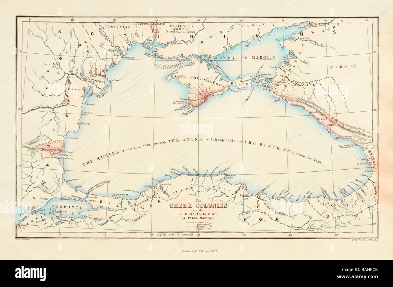 Euxine, and Palus Maeotis, Ancient Greek Colonies on the Coast of the Propontis, Euxine, and Palus Maeotis reimagined Stock Photohttps://www.alamy.com/image-license-details/?v=1https://www.alamy.com/euxine-and-palus-maeotis-ancient-greek-colonies-on-the-coast-of-the-propontis-euxine-and-palus-maeotis-reimagined-image230273307.html
RFRAHRXK–Euxine, and Palus Maeotis, Ancient Greek Colonies on the Coast of the Propontis, Euxine, and Palus Maeotis reimagined
 A student's study-guide in ancient history; a combination of outlines, map work and questions to aid in visualizing, understanding and remembering the important facts of ancient history and in grasping a sense of the modern world's debt to the peoples of ancient times . STATE AND NATIONAL DEVELOPMENT IN GREECETO THE FOREIGN WARS 750 B. C—500 B. C. Age of Colonial Enterprise MAP WORK Locate and name tlie Greek cities that were foremost in planting colonies. •Outline in color tlie districts where colonies were located, using pencils ofdifferent colors to show the Ionian, ^Eolian, Dorian and Ach^ Stock Photohttps://www.alamy.com/image-license-details/?v=1https://www.alamy.com/a-students-study-guide-in-ancient-history-a-combination-of-outlines-map-work-and-questions-to-aid-in-visualizing-understanding-and-remembering-the-important-facts-of-ancient-history-and-in-grasping-a-sense-of-the-modern-worlds-debt-to-the-peoples-of-ancient-times-state-and-national-development-in-greeceto-the-foreign-wars-750-b-c500-b-c-age-of-colonial-enterprise-map-work-locate-and-name-tlie-greek-cities-that-were-foremost-in-planting-colonies-outline-in-color-tlie-districts-where-colonies-were-located-using-pencils-ofdifferent-colors-to-show-the-ionian-eolian-dorian-and-ach-image339891092.html
RM2AMYAFG–A student's study-guide in ancient history; a combination of outlines, map work and questions to aid in visualizing, understanding and remembering the important facts of ancient history and in grasping a sense of the modern world's debt to the peoples of ancient times . STATE AND NATIONAL DEVELOPMENT IN GREECETO THE FOREIGN WARS 750 B. C—500 B. C. Age of Colonial Enterprise MAP WORK Locate and name tlie Greek cities that were foremost in planting colonies. •Outline in color tlie districts where colonies were located, using pencils ofdifferent colors to show the Ionian, ^Eolian, Dorian and Ach^
 . A history of Rome with a map of Italy and ample chronological table . d the Apennines. Thesouth-east of Italy, moreover, was inhabited by a racecalled lapyges, probably the earliest immigjants into thepeninsula, who had been pushed to the southern extremityby subsequent immigiants. The most recent inquirieshave shown that all these nations, including even theEtruscans, about whom so many wild conjectures havebeen formed, belonged to the Aryan race. But in addition to these, the southern coasts of Italywere covered -vAdth Greek colonies, whence that part ofthe peninsula is sometimes called Gr Stock Photohttps://www.alamy.com/image-license-details/?v=1https://www.alamy.com/a-history-of-rome-with-a-map-of-italy-and-ample-chronological-table-d-the-apennines-thesouth-east-of-italy-moreover-was-inhabited-by-a-racecalled-lapyges-probably-the-earliest-immigjants-into-thepeninsula-who-had-been-pushed-to-the-southern-extremityby-subsequent-immigiants-the-most-recent-inquirieshave-shown-that-all-these-nations-including-even-theetruscans-about-whom-so-many-wild-conjectures-havebeen-formed-belonged-to-the-aryan-race-but-in-addition-to-these-the-southern-coasts-of-italywere-covered-vadth-greek-colonies-whence-that-part-ofthe-peninsula-is-sometimes-called-gr-image369757860.html
RM2CDFWWT–. A history of Rome with a map of Italy and ample chronological table . d the Apennines. Thesouth-east of Italy, moreover, was inhabited by a racecalled lapyges, probably the earliest immigjants into thepeninsula, who had been pushed to the southern extremityby subsequent immigiants. The most recent inquirieshave shown that all these nations, including even theEtruscans, about whom so many wild conjectures havebeen formed, belonged to the Aryan race. But in addition to these, the southern coasts of Italywere covered -vAdth Greek colonies, whence that part ofthe peninsula is sometimes called Gr