Quick filters:
Map of griffin Stock Photos and Images
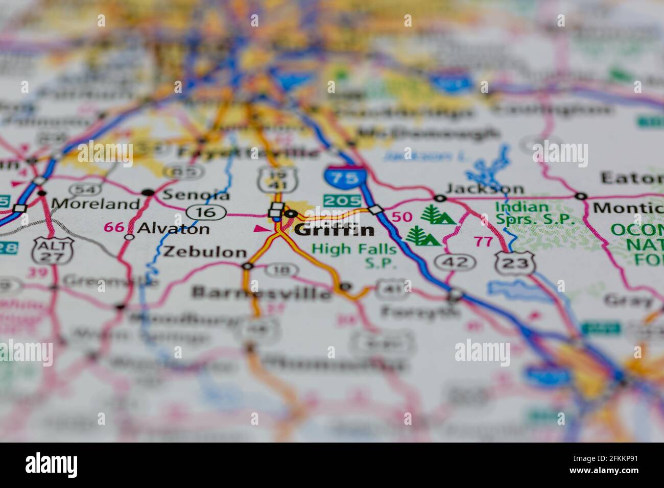 Griffin Georgia USA Shown on a Geography map or road map Stock Photohttps://www.alamy.com/image-license-details/?v=1https://www.alamy.com/griffin-georgia-usa-shown-on-a-geography-map-or-road-map-image425161885.html
RM2FKKP91–Griffin Georgia USA Shown on a Geography map or road map
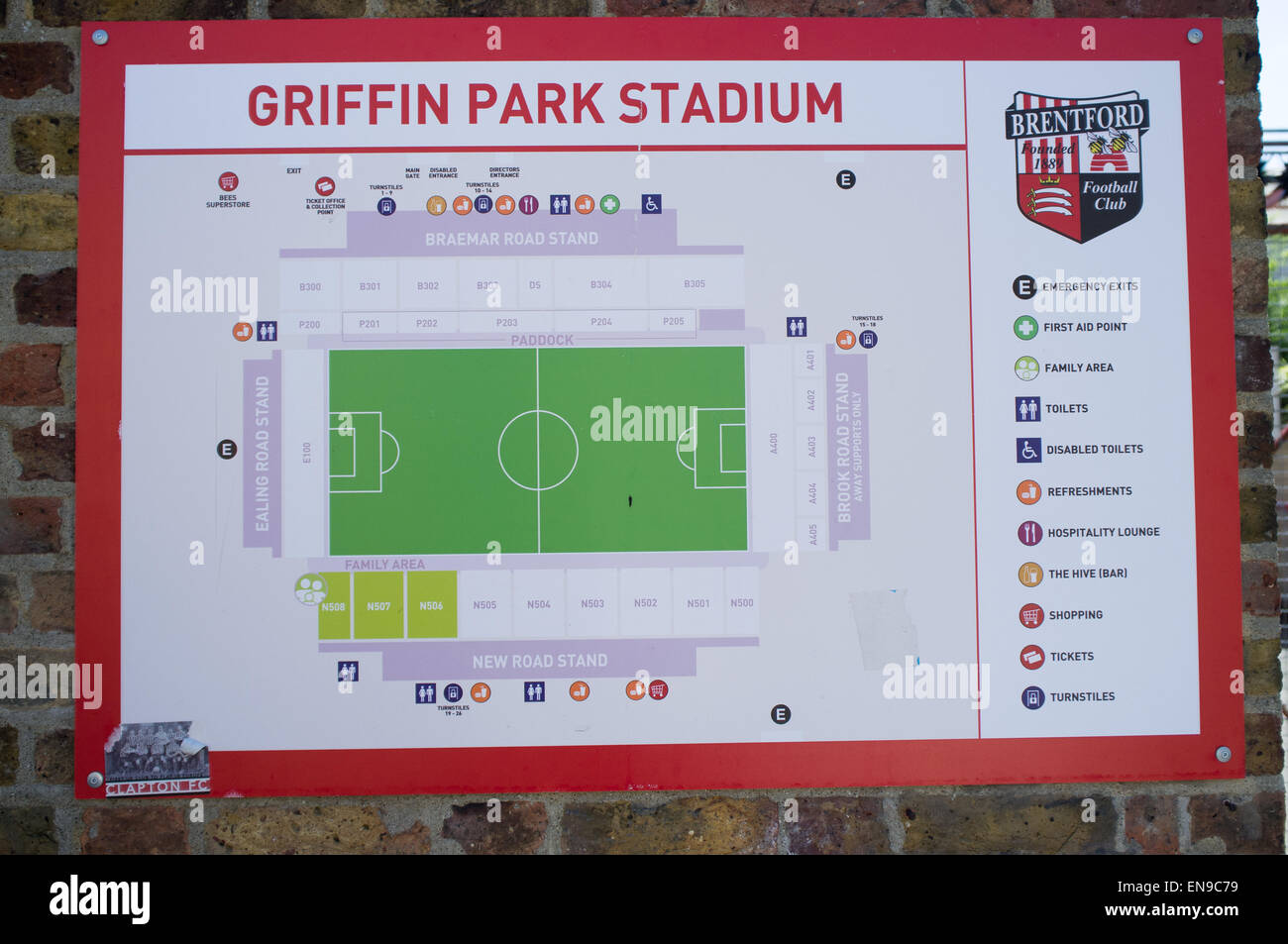 Site map of Griffin Park Stadium, the home of Brentford Football Club Stock Photohttps://www.alamy.com/image-license-details/?v=1https://www.alamy.com/stock-photo-site-map-of-griffin-park-stadium-the-home-of-brentford-football-club-81956429.html
RMEN9C79–Site map of Griffin Park Stadium, the home of Brentford Football Club
 Griffin, Moreton Bay, AU, Australia, Queensland, S 27 16' 17'', N 153 2' 21'', map, Cartascapes Map published in 2024. Explore Cartascapes, a map revealing Earth's diverse landscapes, cultures, and ecosystems. Journey through time and space, discovering the interconnectedness of our planet's past, present, and future. Stock Photohttps://www.alamy.com/image-license-details/?v=1https://www.alamy.com/griffin-moreton-bay-au-australia-queensland-s-27-16-17-n-153-2-21-map-cartascapes-map-published-in-2024-explore-cartascapes-a-map-revealing-earths-diverse-landscapes-cultures-and-ecosystems-journey-through-time-and-space-discovering-the-interconnectedness-of-our-planets-past-present-and-future-image625817642.html
RM2YA4CP2–Griffin, Moreton Bay, AU, Australia, Queensland, S 27 16' 17'', N 153 2' 21'', map, Cartascapes Map published in 2024. Explore Cartascapes, a map revealing Earth's diverse landscapes, cultures, and ecosystems. Journey through time and space, discovering the interconnectedness of our planet's past, present, and future.
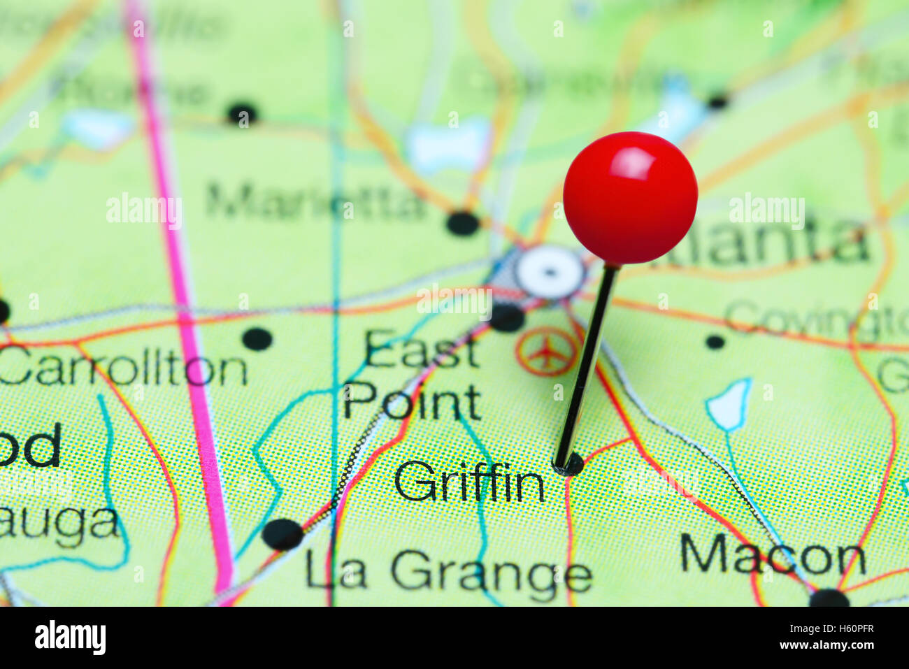 Griffin pinned on a map of Georgia, USA Stock Photohttps://www.alamy.com/image-license-details/?v=1https://www.alamy.com/stock-photo-griffin-pinned-on-a-map-of-georgia-usa-124178203.html
RFH60PFR–Griffin pinned on a map of Georgia, USA
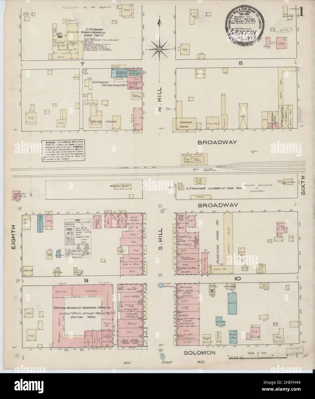 Sanborn Fire Insurance Map from Griffin, Spalding County, Georgia. Stock Photohttps://www.alamy.com/image-license-details/?v=1https://www.alamy.com/sanborn-fire-insurance-map-from-griffin-spalding-county-georgia-image456417476.html
RM2HEFH44–Sanborn Fire Insurance Map from Griffin, Spalding County, Georgia.
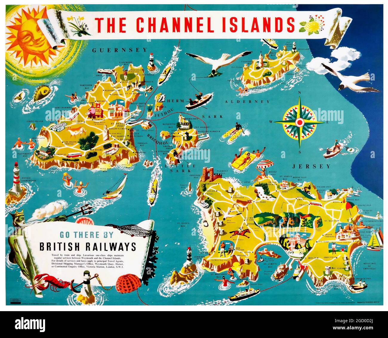 Vintage British Railways Poster Illustrated Map of the Channel Islands. Artwork by Frederick Griffin. 1950s. Stock Photohttps://www.alamy.com/image-license-details/?v=1https://www.alamy.com/vintage-british-railways-poster-illustrated-map-of-the-channel-islands-artwork-by-frederick-griffin-1950s-image438259994.html
RM2GD0D2J–Vintage British Railways Poster Illustrated Map of the Channel Islands. Artwork by Frederick Griffin. 1950s.
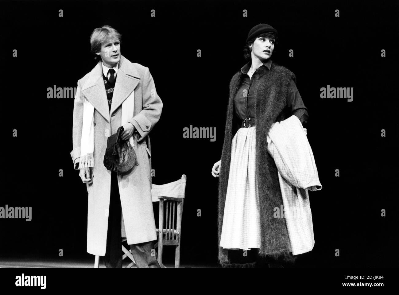 Bill Nighy (Stephen Andrews), Diana Quick (Peggy Whitton) in A MAP OF THE WORLD written & directed by David Hare at the Lyttelton Theatre, National Theatre (NT), London SE1 21/01/1983 design: Hayden Griffin lighting: Rory Dempster Stock Photohttps://www.alamy.com/image-license-details/?v=1https://www.alamy.com/bill-nighy-stephen-andrews-diana-quick-peggy-whitton-in-a-map-of-the-world-written-directed-by-david-hare-at-the-lyttelton-theatre-national-theatre-nt-london-se1-21011983-design-hayden-griffin-lighting-rory-dempster-image383340948.html
RM2D7JK84–Bill Nighy (Stephen Andrews), Diana Quick (Peggy Whitton) in A MAP OF THE WORLD written & directed by David Hare at the Lyttelton Theatre, National Theatre (NT), London SE1 21/01/1983 design: Hayden Griffin lighting: Rory Dempster
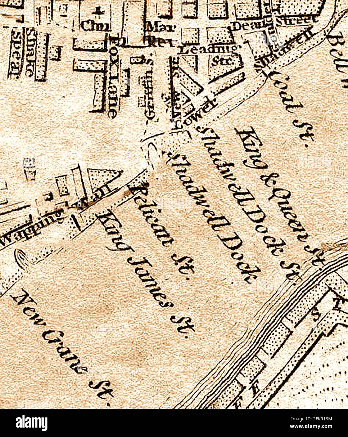 An extract from a very early 1800s map of the streets of Wapping Wall and lower Shadwell overlooking the river Thames,London England including Shakespeare street or lane, Fox lane, Dean street, King James Street,Coal street, King and Queen Street, Shadwell dock, Pelican Street, New Crane Street, Grfiffin Street. The name Shadwell is believed to bederived from St Chad's Well. Stock Photohttps://www.alamy.com/image-license-details/?v=1https://www.alamy.com/an-extract-from-a-very-early-1800s-map-of-the-streets-of-wapping-wall-and-lower-shadwell-overlooking-the-river-thameslondon-england-including-shakespeare-street-or-lane-fox-lane-dean-street-king-james-streetcoal-street-king-and-queen-street-shadwell-dock-pelican-street-new-crane-street-grfiffin-street-the-name-shadwell-is-believed-to-bederived-from-st-chads-well-image424925752.html
RM2FK913M–An extract from a very early 1800s map of the streets of Wapping Wall and lower Shadwell overlooking the river Thames,London England including Shakespeare street or lane, Fox lane, Dean street, King James Street,Coal street, King and Queen Street, Shadwell dock, Pelican Street, New Crane Street, Grfiffin Street. The name Shadwell is believed to bederived from St Chad's Well.
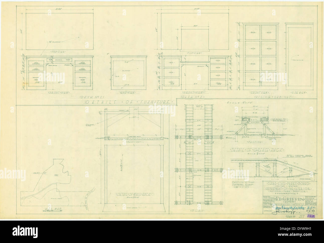 Fort Griffin State Historic Park SP63 37 Stock Photohttps://www.alamy.com/image-license-details/?v=1https://www.alamy.com/fort-griffin-state-historic-park-sp63-37-image68783149.html
RMDYW9H1–Fort Griffin State Historic Park SP63 37
![Westchester, V. 1, Double Page Plate No. 31 [Map bounded by Griffin Ave., Harrison, Mamaroneck Ave., Grand St., Weaver St.] 1910 - 1911 Stock Photo Westchester, V. 1, Double Page Plate No. 31 [Map bounded by Griffin Ave., Harrison, Mamaroneck Ave., Grand St., Weaver St.] 1910 - 1911 Stock Photo](https://c8.alamy.com/comp/2YPEDYA/westchester-v-1-double-page-plate-no-31-map-bounded-by-griffin-ave-harrison-mamaroneck-ave-grand-st-weaver-st-1910-1911-2YPEDYA.jpg) Westchester, V. 1, Double Page Plate No. 31 [Map bounded by Griffin Ave., Harrison, Mamaroneck Ave., Grand St., Weaver St.] 1910 - 1911 Stock Photohttps://www.alamy.com/image-license-details/?v=1https://www.alamy.com/westchester-v-1-double-page-plate-no-31-map-bounded-by-griffin-ave-harrison-mamaroneck-ave-grand-st-weaver-st-1910-1911-image633413966.html
Westchester, V. 1, Double Page Plate No. 31 [Map bounded by Griffin Ave., Harrison, Mamaroneck Ave., Grand St., Weaver St.] 1910 - 1911 Stock Photohttps://www.alamy.com/image-license-details/?v=1https://www.alamy.com/westchester-v-1-double-page-plate-no-31-map-bounded-by-griffin-ave-harrison-mamaroneck-ave-grand-st-weaver-st-1910-1911-image633413966.htmlRM2YPEDYA–Westchester, V. 1, Double Page Plate No. 31 [Map bounded by Griffin Ave., Harrison, Mamaroneck Ave., Grand St., Weaver St.] 1910 - 1911
 Illustration of Albania flag on map of country; isolated on white background. Stock Photohttps://www.alamy.com/image-license-details/?v=1https://www.alamy.com/stock-photo-illustration-of-albania-flag-on-map-of-country-isolated-on-white-background-35832373.html
RMC288FH–Illustration of Albania flag on map of country; isolated on white background.
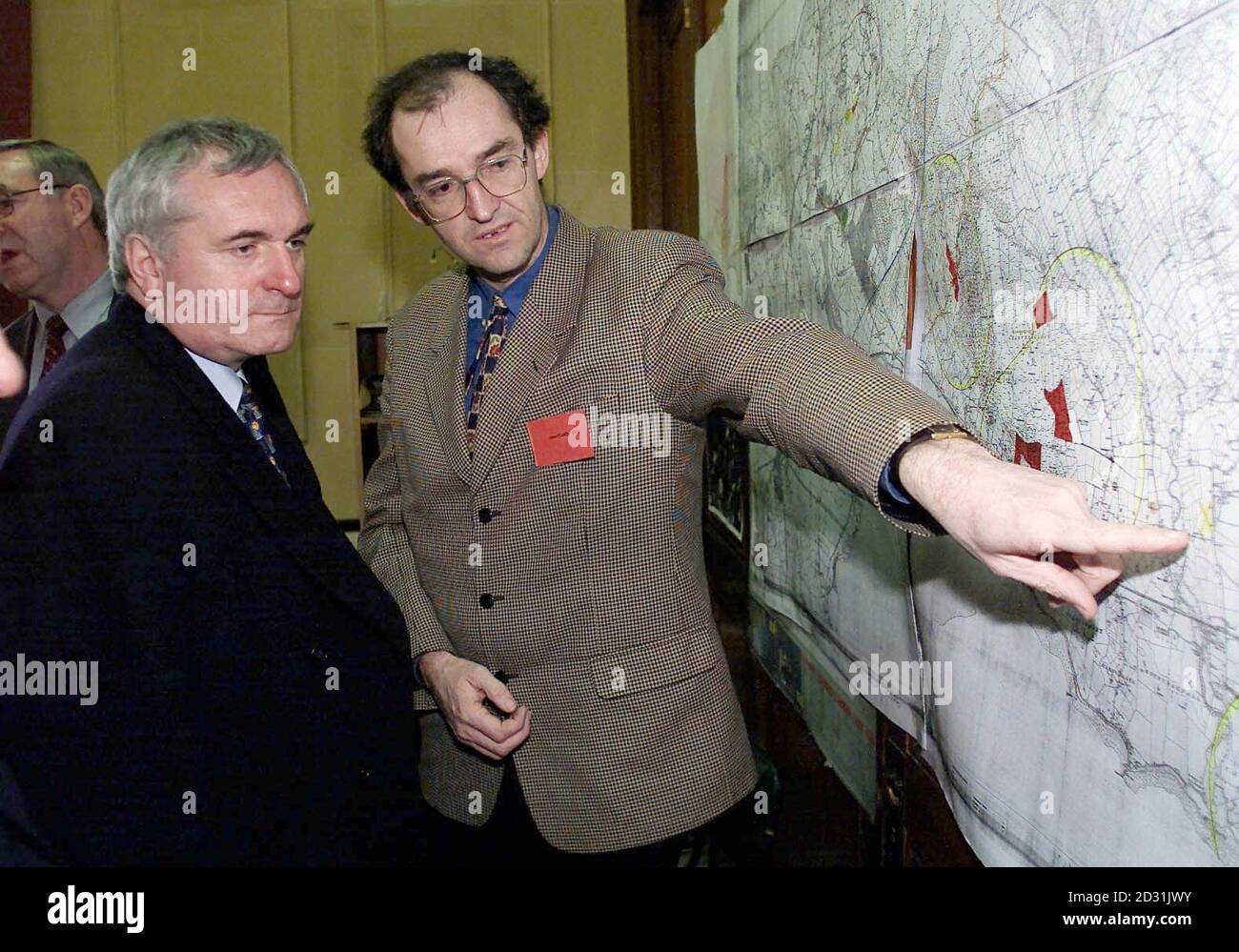 John Griffin, a Vetenery Epidemiologist with the Department of Agriculture, showing Irish Prime Minister Bertie Ahern (L) a map of the Colley Peninsula Co. Louth, during his visit to the area where the only case of foot-and-mouth disease is in the Republic. * The results for suspected cases in Co. Wexford and Co. Louth both proved negative. Stock Photohttps://www.alamy.com/image-license-details/?v=1https://www.alamy.com/john-griffin-a-vetenery-epidemiologist-with-the-department-of-agriculture-showing-irish-prime-minister-bertie-ahern-l-a-map-of-the-colley-peninsula-co-louth-during-his-visit-to-the-area-where-the-only-case-of-foot-and-mouth-disease-is-in-the-republic-the-results-for-suspected-cases-in-co-wexford-and-co-louth-both-proved-negative-image380508855.html
RM2D31JWY–John Griffin, a Vetenery Epidemiologist with the Department of Agriculture, showing Irish Prime Minister Bertie Ahern (L) a map of the Colley Peninsula Co. Louth, during his visit to the area where the only case of foot-and-mouth disease is in the Republic. * The results for suspected cases in Co. Wexford and Co. Louth both proved negative.
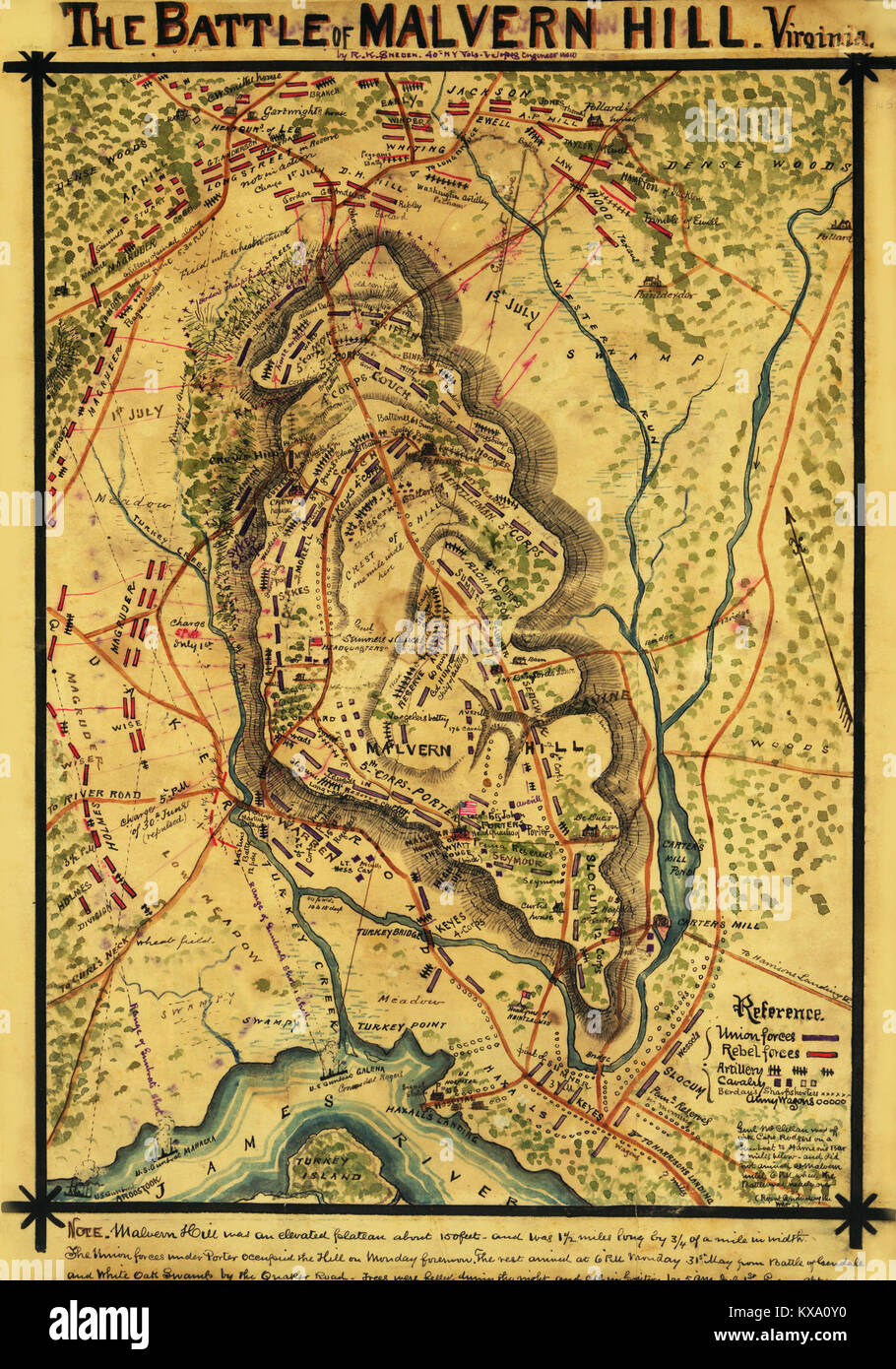 Battle of Malvern Hill, Virginia. Fought June 30th and July 1st, 1862. Stock Photohttps://www.alamy.com/image-license-details/?v=1https://www.alamy.com/stock-photo-battle-of-malvern-hill-virginia-fought-june-30th-and-july-1st-1862-171094644.html
RMKXA0Y0–Battle of Malvern Hill, Virginia. Fought June 30th and July 1st, 1862.
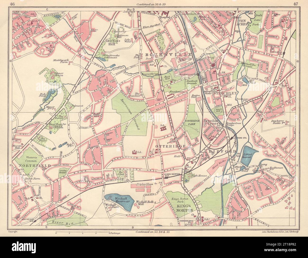 BIRMINGHAM SOUTH WEST Bournville Northfield King's Norton Lifford 1954 old map Stock Photohttps://www.alamy.com/image-license-details/?v=1https://www.alamy.com/birmingham-south-west-bournville-northfield-kings-norton-lifford-1954-old-map-image568749890.html
RF2T18P82–BIRMINGHAM SOUTH WEST Bournville Northfield King's Norton Lifford 1954 old map
 1234 PSM V84 D337 Sanitation map of north-griffin ave school los angeles Stock Photohttps://www.alamy.com/image-license-details/?v=1https://www.alamy.com/1234-psm-v84-d337-sanitation-map-of-north-griffin-ave-school-los-angeles-image213568867.html
RMPBCW7F–1234 PSM V84 D337 Sanitation map of north-griffin ave school los angeles
 Bangkok, Thailand, September 12, 2021, Macon, Georgia, Geography Road Map of United States of America, USA. Stock Photohttps://www.alamy.com/image-license-details/?v=1https://www.alamy.com/bangkok-thailand-september-12-2021-macon-georgia-geography-road-map-of-united-states-of-america-usa-image483513178.html
RF2K2HWYP–Bangkok, Thailand, September 12, 2021, Macon, Georgia, Geography Road Map of United States of America, USA.
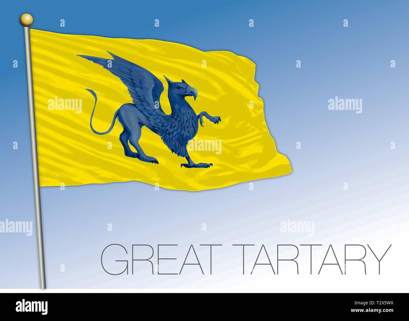 Great Tartary historical flag, eurasia Stock Vectorhttps://www.alamy.com/image-license-details/?v=1https://www.alamy.com/great-tartary-historical-flag-eurasia-image242749862.html
RFT2X5WX–Great Tartary historical flag, eurasia
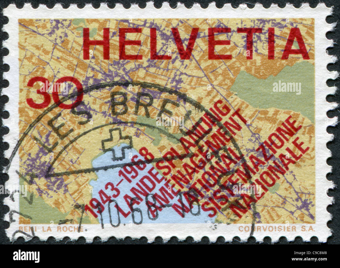 SWITZERLAND 1968: A stamp printed in Switzerland, Map Showing Systematic Planning Stock Photohttps://www.alamy.com/image-license-details/?v=1https://www.alamy.com/stock-photo-switzerland-1968-a-stamp-printed-in-switzerland-map-showing-systematic-40222904.html
RFC9C8M8–SWITZERLAND 1968: A stamp printed in Switzerland, Map Showing Systematic Planning
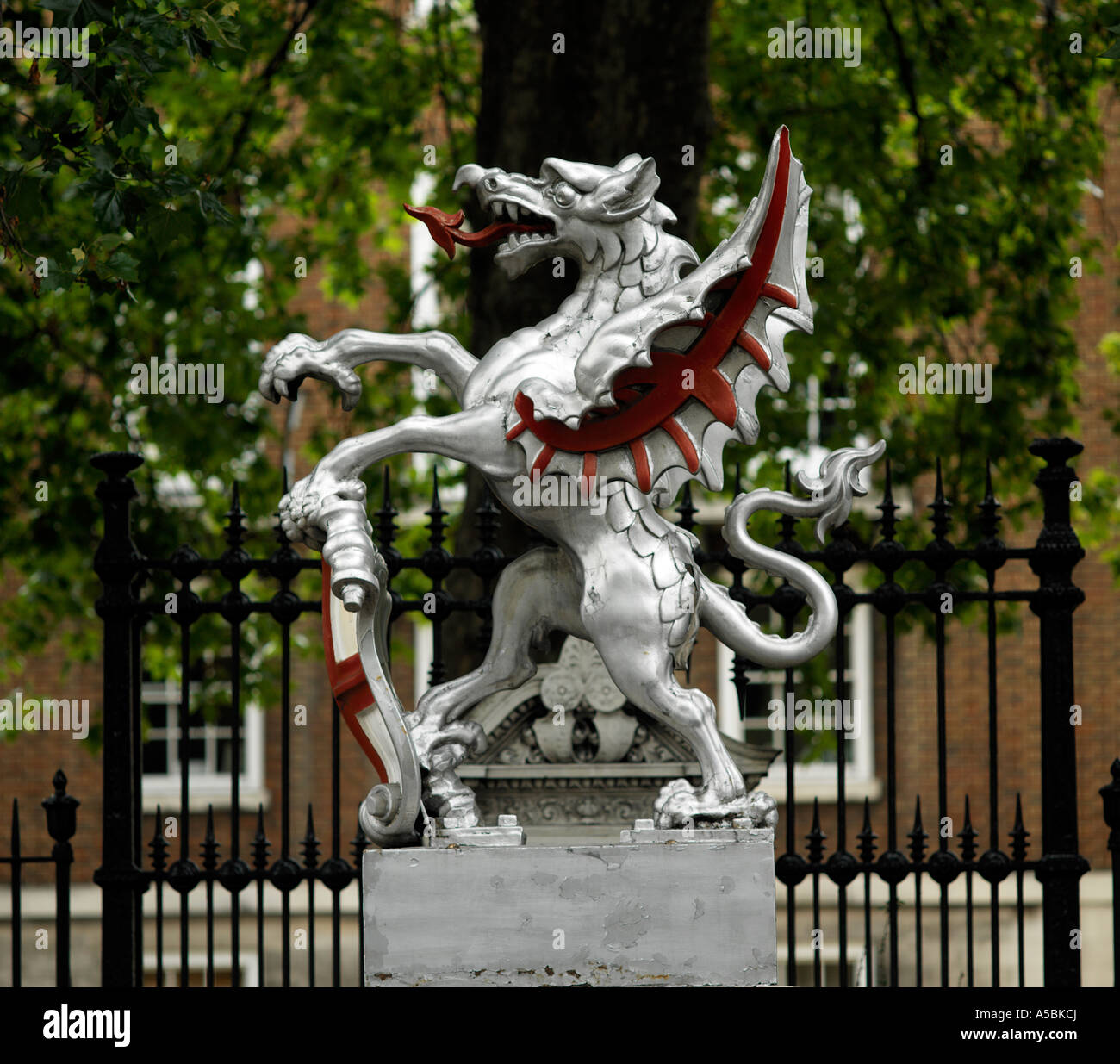 City of London griffin marking square mile Stock Photohttps://www.alamy.com/image-license-details/?v=1https://www.alamy.com/stock-photo-city-of-london-griffin-marking-square-mile-11261633.html
RMA5BKCJ–City of London griffin marking square mile
 Trail map of the RG Menzies Walk on the shores of Lake Burley Griffin in Canberra, Australian Capital Territory Stock Photohttps://www.alamy.com/image-license-details/?v=1https://www.alamy.com/trail-map-of-the-rg-menzies-walk-on-the-shores-of-lake-burley-griffin-in-canberra-australian-capital-territory-image608934818.html
RF2XAKAG2–Trail map of the RG Menzies Walk on the shores of Lake Burley Griffin in Canberra, Australian Capital Territory
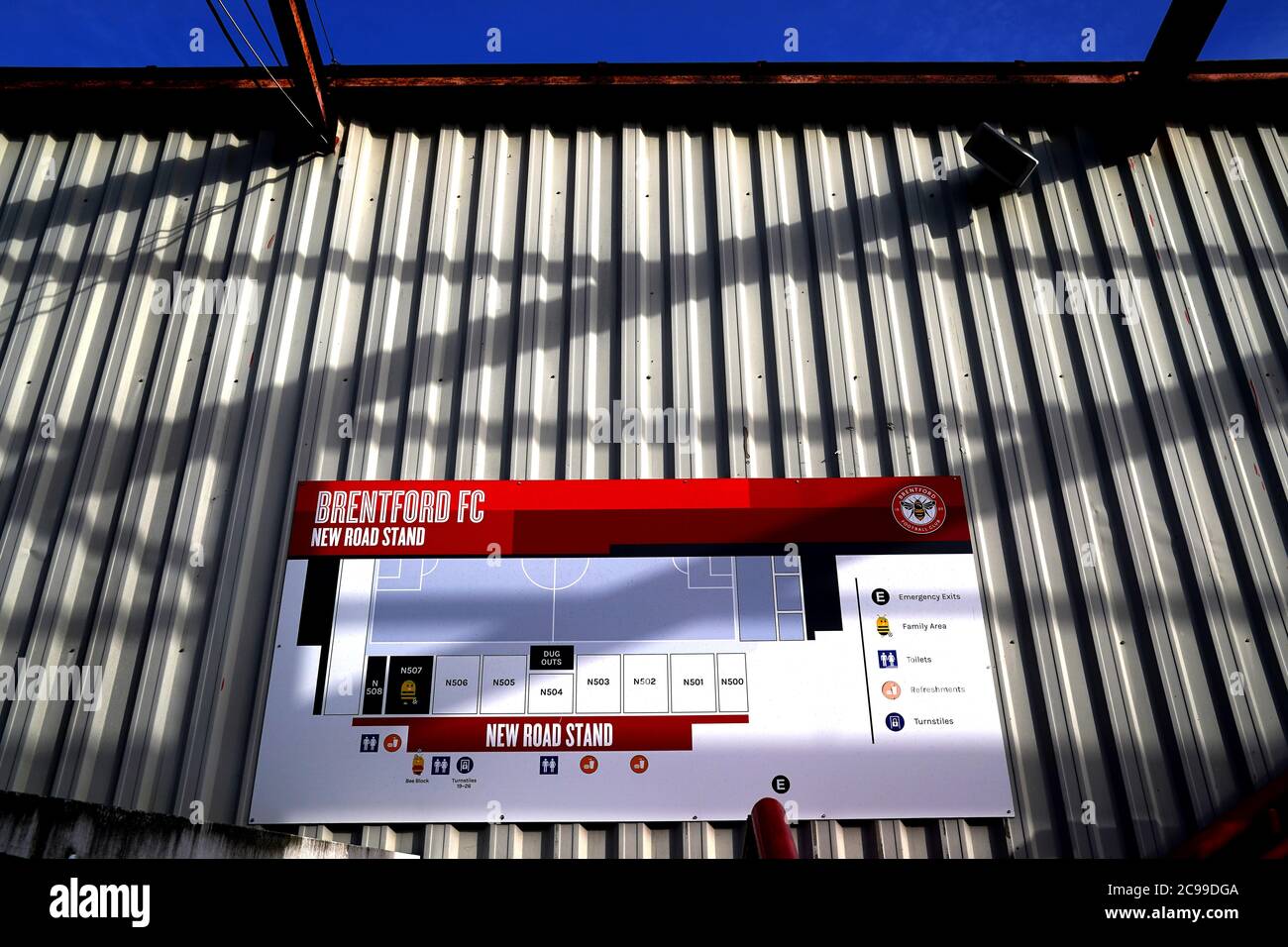 A general view of a map of the New Road Stand outside the stadium before the Sky Bet Championship play-off semi final second leg match at Griffin Park, London. Stock Photohttps://www.alamy.com/image-license-details/?v=1https://www.alamy.com/a-general-view-of-a-map-of-the-new-road-stand-outside-the-stadium-before-the-sky-bet-championship-play-off-semi-final-second-leg-match-at-griffin-park-london-image367157850.html
RM2C99DGA–A general view of a map of the New Road Stand outside the stadium before the Sky Bet Championship play-off semi final second leg match at Griffin Park, London.
 Griffin Forest Reserve, , AU, Australia, Tasmania, S 41 27' 36'', N 147 50' 24'', map, Cartascapes Map published in 2024. Explore Cartascapes, a map revealing Earth's diverse landscapes, cultures, and ecosystems. Journey through time and space, discovering the interconnectedness of our planet's past, present, and future. Stock Photohttps://www.alamy.com/image-license-details/?v=1https://www.alamy.com/griffin-forest-reserve-au-australia-tasmania-s-41-27-36-n-147-50-24-map-cartascapes-map-published-in-2024-explore-cartascapes-a-map-revealing-earths-diverse-landscapes-cultures-and-ecosystems-journey-through-time-and-space-discovering-the-interconnectedness-of-our-planets-past-present-and-future-image625528559.html
RM2Y9K81K–Griffin Forest Reserve, , AU, Australia, Tasmania, S 41 27' 36'', N 147 50' 24'', map, Cartascapes Map published in 2024. Explore Cartascapes, a map revealing Earth's diverse landscapes, cultures, and ecosystems. Journey through time and space, discovering the interconnectedness of our planet's past, present, and future.
![A map of the Magellan straights, and an inset map of part of South America. A New Mapp of Magellans Straights. Discovered by Capt: John Narbrough (Com̄ander then of his Majesties ship the Sweepstakes) as he sayled through the sade Straights. Made and sold by John Thornton, Hydrographer at ye signe of England Scotland & Ireland in ye Minories, & by James Atkinson Mathematical Instrument maker on ye East side of S. Saveris Dock over against the Griffin, and at his shop at Cherry Garden Stairs. London], [1673]. With an inset map of the southern part of South America, from Valdivia southwards. . Stock Photo A map of the Magellan straights, and an inset map of part of South America. A New Mapp of Magellans Straights. Discovered by Capt: John Narbrough (Com̄ander then of his Majesties ship the Sweepstakes) as he sayled through the sade Straights. Made and sold by John Thornton, Hydrographer at ye signe of England Scotland & Ireland in ye Minories, & by James Atkinson Mathematical Instrument maker on ye East side of S. Saveris Dock over against the Griffin, and at his shop at Cherry Garden Stairs. London], [1673]. With an inset map of the southern part of South America, from Valdivia southwards. . Stock Photo](https://c8.alamy.com/comp/R5DXG1/a-map-of-the-magellan-straights-and-an-inset-map-of-part-of-south-america-a-new-mapp-of-magellans-straights-discovered-by-capt-john-narbrough-comander-then-of-his-majesties-ship-the-sweepstakes-as-he-sayled-through-the-sade-straights-made-and-sold-by-john-thornton-hydrographer-at-ye-signe-of-england-scotland-ireland-in-ye-minories-by-james-atkinson-mathematical-instrument-maker-on-ye-east-side-of-s-saveris-dock-over-against-the-griffin-and-at-his-shop-at-cherry-garden-stairs-london-1673-with-an-inset-map-of-the-southern-part-of-south-america-from-valdivia-southwards-R5DXG1.jpg) A map of the Magellan straights, and an inset map of part of South America. A New Mapp of Magellans Straights. Discovered by Capt: John Narbrough (Com̄ander then of his Majesties ship the Sweepstakes) as he sayled through the sade Straights. Made and sold by John Thornton, Hydrographer at ye signe of England Scotland & Ireland in ye Minories, & by James Atkinson Mathematical Instrument maker on ye East side of S. Saveris Dock over against the Griffin, and at his shop at Cherry Garden Stairs. London], [1673]. With an inset map of the southern part of South America, from Valdivia southwards. . Stock Photohttps://www.alamy.com/image-license-details/?v=1https://www.alamy.com/a-map-of-the-magellan-straights-and-an-inset-map-of-part-of-south-america-a-new-mapp-of-magellans-straights-discovered-by-capt-john-narbrough-comander-then-of-his-majesties-ship-the-sweepstakes-as-he-sayled-through-the-sade-straights-made-and-sold-by-john-thornton-hydrographer-at-ye-signe-of-england-scotland-ireland-in-ye-minories-by-james-atkinson-mathematical-instrument-maker-on-ye-east-side-of-s-saveris-dock-over-against-the-griffin-and-at-his-shop-at-cherry-garden-stairs-london-1673-with-an-inset-map-of-the-southern-part-of-south-america-from-valdivia-southwards-image227114273.html
A map of the Magellan straights, and an inset map of part of South America. A New Mapp of Magellans Straights. Discovered by Capt: John Narbrough (ComÌ„ander then of his Majesties ship the Sweepstakes) as he sayled through the sade Straights. Made and sold by John Thornton, Hydrographer at ye signe of England Scotland & Ireland in ye Minories, & by James Atkinson Mathematical Instrument maker on ye East side of S. Saveris Dock over against the Griffin, and at his shop at Cherry Garden Stairs. London], [1673]. With an inset map of the southern part of South America, from Valdivia southwards. . Stock Photohttps://www.alamy.com/image-license-details/?v=1https://www.alamy.com/a-map-of-the-magellan-straights-and-an-inset-map-of-part-of-south-america-a-new-mapp-of-magellans-straights-discovered-by-capt-john-narbrough-comander-then-of-his-majesties-ship-the-sweepstakes-as-he-sayled-through-the-sade-straights-made-and-sold-by-john-thornton-hydrographer-at-ye-signe-of-england-scotland-ireland-in-ye-minories-by-james-atkinson-mathematical-instrument-maker-on-ye-east-side-of-s-saveris-dock-over-against-the-griffin-and-at-his-shop-at-cherry-garden-stairs-london-1673-with-an-inset-map-of-the-southern-part-of-south-america-from-valdivia-southwards-image227114273.htmlRMR5DXG1–A map of the Magellan straights, and an inset map of part of South America. A New Mapp of Magellans Straights. Discovered by Capt: John Narbrough (ComÌ„ander then of his Majesties ship the Sweepstakes) as he sayled through the sade Straights. Made and sold by John Thornton, Hydrographer at ye signe of England Scotland & Ireland in ye Minories, & by James Atkinson Mathematical Instrument maker on ye East side of S. Saveris Dock over against the Griffin, and at his shop at Cherry Garden Stairs. London], [1673]. With an inset map of the southern part of South America, from Valdivia southwards. .
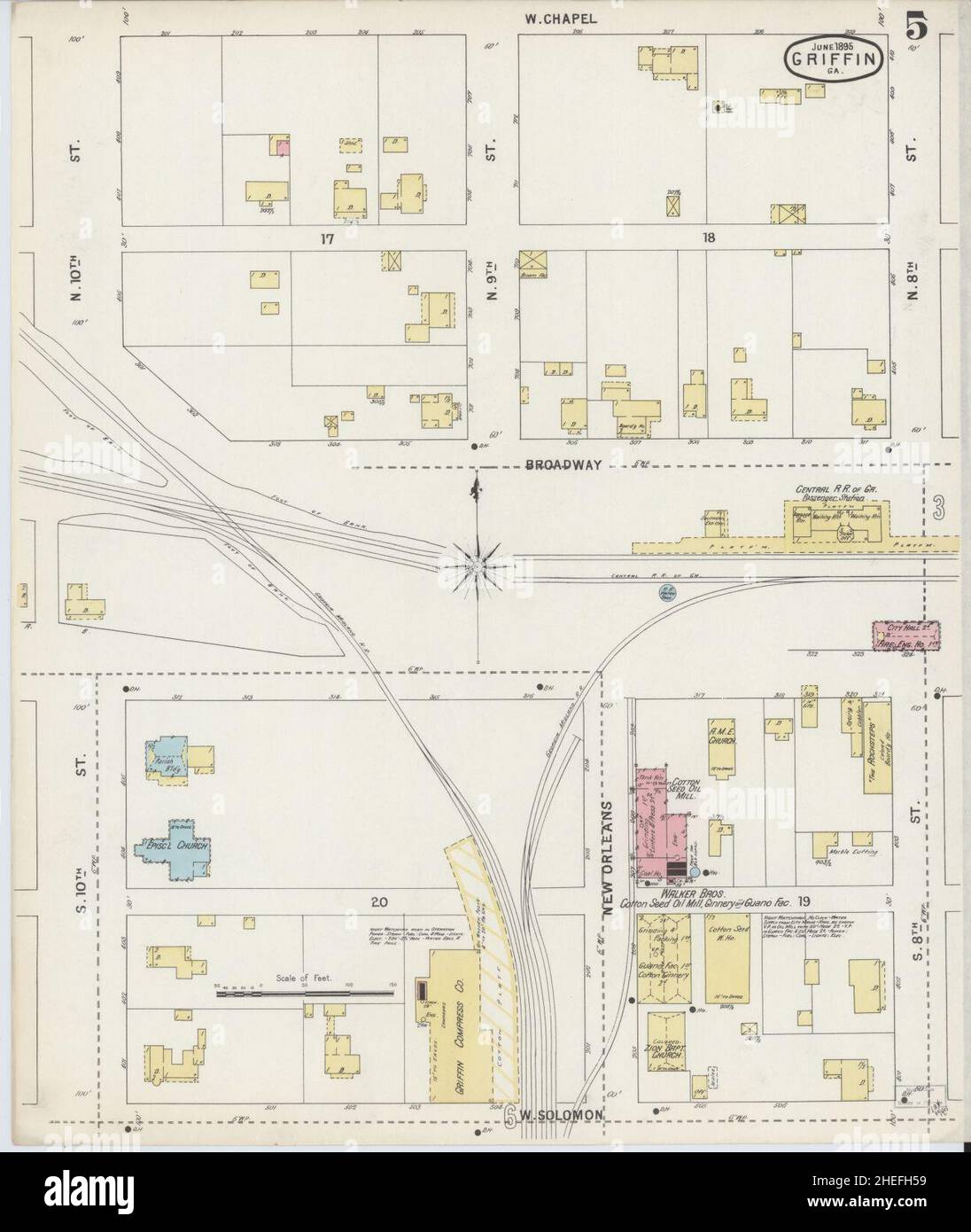 Sanborn Fire Insurance Map from Griffin, Spalding County, Georgia. Stock Photohttps://www.alamy.com/image-license-details/?v=1https://www.alamy.com/sanborn-fire-insurance-map-from-griffin-spalding-county-georgia-image456417509.html
RM2HEFH59–Sanborn Fire Insurance Map from Griffin, Spalding County, Georgia.
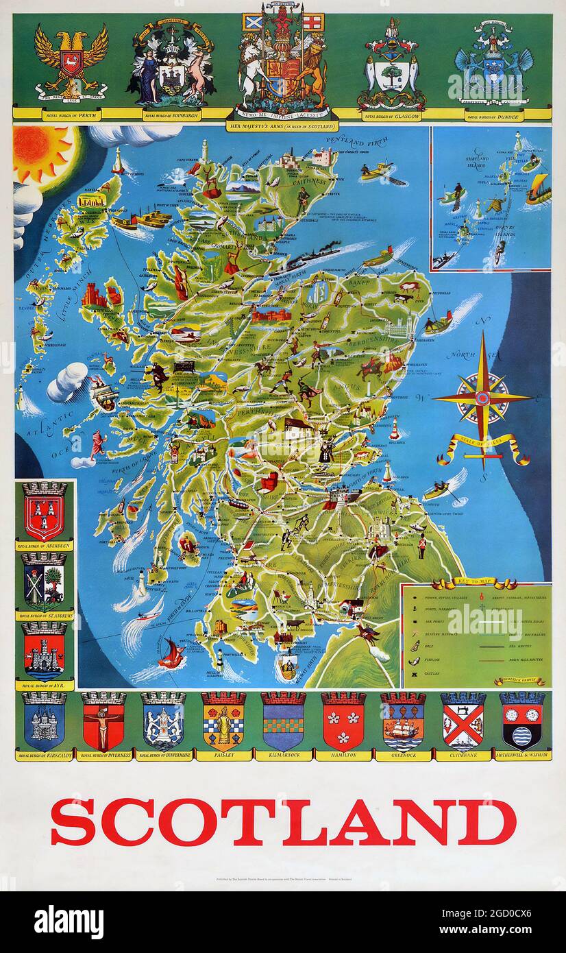 Vintage Poster Illustrated Map Of Scotland Sport Travel UK Coat Of Arms. United Kingdom. 1950s. Artwork by Frederick Griffin (1906-1976). Stock Photohttps://www.alamy.com/image-license-details/?v=1https://www.alamy.com/vintage-poster-illustrated-map-of-scotland-sport-travel-uk-coat-of-arms-united-kingdom-1950s-artwork-by-frederick-griffin-1906-1976-image438259870.html
RM2GD0CX6–Vintage Poster Illustrated Map Of Scotland Sport Travel UK Coat Of Arms. United Kingdom. 1950s. Artwork by Frederick Griffin (1906-1976).
 Edinburgh, Scotland. Sat 17 December 2022. English indie band Martha onstage at Summerhall where they played as part of the Lost Map Record’s Christmas Humbug concert. They released their fourth album ‘Please Don't Take Me Back’ in October 2022. Martha formed in the early 2010s in the village Pity Me in County Durham in the North East of England and are JC Cairns, Daniel Ellis, Naomi Griffin and Nathan Stephens-Griffin. Stock Photohttps://www.alamy.com/image-license-details/?v=1https://www.alamy.com/edinburgh-scotland-sat-17-december-2022-english-indie-band-martha-onstage-at-summerhall-where-they-played-as-part-of-the-lost-map-records-christmas-humbug-concert-they-released-their-fourth-album-please-dont-take-me-back-in-october-2022-martha-formed-in-the-early-2010s-in-the-village-pity-me-in-county-durham-in-the-north-east-of-england-and-are-jc-cairns-daniel-ellis-naomi-griffin-and-nathan-stephens-griffin-image501644260.html
RM2M43TAC–Edinburgh, Scotland. Sat 17 December 2022. English indie band Martha onstage at Summerhall where they played as part of the Lost Map Record’s Christmas Humbug concert. They released their fourth album ‘Please Don't Take Me Back’ in October 2022. Martha formed in the early 2010s in the village Pity Me in County Durham in the North East of England and are JC Cairns, Daniel Ellis, Naomi Griffin and Nathan Stephens-Griffin.
 01 October 2021, Saxony-Anhalt, Klietz: A Dutch Army officer points to a map while Brigadier General Andreas Pfeifer (M), deputy commander of the Rapid Forces Division (DSK), and Brigadier General Maurice Timmermans, deputy commander of the DSK and a member of the Dutch Army, follow the presentation behind him. With the exercise 'Green Griffin 21', the DSK has been training combat operations within the framework of national and alliance defence since 27 September 2021 at the military training areas in Klietz, Altengrabow, Lehnin and Stendal and at the Air Mobility Training and Exercise Centre Stock Photohttps://www.alamy.com/image-license-details/?v=1https://www.alamy.com/01-october-2021-saxony-anhalt-klietz-a-dutch-army-officer-points-to-a-map-while-brigadier-general-andreas-pfeifer-m-deputy-commander-of-the-rapid-forces-division-dsk-and-brigadier-general-maurice-timmermans-deputy-commander-of-the-dsk-and-a-member-of-the-dutch-army-follow-the-presentation-behind-him-with-the-exercise-green-griffin-21-the-dsk-has-been-training-combat-operations-within-the-framework-of-national-and-alliance-defence-since-27-september-2021-at-the-military-training-areas-in-klietz-altengrabow-lehnin-and-stendal-and-at-the-air-mobility-training-and-exercise-centre-image444794761.html
RM2GRJ475–01 October 2021, Saxony-Anhalt, Klietz: A Dutch Army officer points to a map while Brigadier General Andreas Pfeifer (M), deputy commander of the Rapid Forces Division (DSK), and Brigadier General Maurice Timmermans, deputy commander of the DSK and a member of the Dutch Army, follow the presentation behind him. With the exercise 'Green Griffin 21', the DSK has been training combat operations within the framework of national and alliance defence since 27 September 2021 at the military training areas in Klietz, Altengrabow, Lehnin and Stendal and at the Air Mobility Training and Exercise Centre
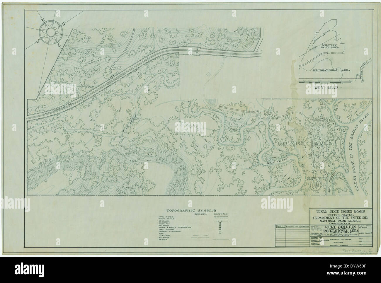 Fort Griffin State Historic Park SP63 2 Stock Photohttps://www.alamy.com/image-license-details/?v=1https://www.alamy.com/fort-griffin-state-historic-park-sp63-2-image68780342.html
RMDYW60P–Fort Griffin State Historic Park SP63 2
![Plate 6, Part of Ward 2 [Map bound by Richmond Turnpike, Arriette St, Bulkhead Line, Bay St (Griffin St), Congress St, Van Duzer St (Richmond RD), Sands St, Wave St, Beach St, St. Pauls Ave, Occident Ave, Ward Ave, Austin PL (St)] 1917 by Bromley, George Washington Stock Photo Plate 6, Part of Ward 2 [Map bound by Richmond Turnpike, Arriette St, Bulkhead Line, Bay St (Griffin St), Congress St, Van Duzer St (Richmond RD), Sands St, Wave St, Beach St, St. Pauls Ave, Occident Ave, Ward Ave, Austin PL (St)] 1917 by Bromley, George Washington Stock Photo](https://c8.alamy.com/comp/2YRC8X2/plate-6-part-of-ward-2-map-bound-by-richmond-turnpike-arriette-st-bulkhead-line-bay-st-griffin-st-congress-st-van-duzer-st-richmond-rd-sands-st-wave-st-beach-st-st-pauls-ave-occident-ave-ward-ave-austin-pl-st-1917-by-bromley-george-washington-2YRC8X2.jpg) Plate 6, Part of Ward 2 [Map bound by Richmond Turnpike, Arriette St, Bulkhead Line, Bay St (Griffin St), Congress St, Van Duzer St (Richmond RD), Sands St, Wave St, Beach St, St. Pauls Ave, Occident Ave, Ward Ave, Austin PL (St)] 1917 by Bromley, George Washington Stock Photohttps://www.alamy.com/image-license-details/?v=1https://www.alamy.com/plate-6-part-of-ward-2-map-bound-by-richmond-turnpike-arriette-st-bulkhead-line-bay-st-griffin-st-congress-st-van-duzer-st-richmond-rd-sands-st-wave-st-beach-st-st-pauls-ave-occident-ave-ward-ave-austin-pl-st-1917-by-bromley-george-washington-image633980762.html
Plate 6, Part of Ward 2 [Map bound by Richmond Turnpike, Arriette St, Bulkhead Line, Bay St (Griffin St), Congress St, Van Duzer St (Richmond RD), Sands St, Wave St, Beach St, St. Pauls Ave, Occident Ave, Ward Ave, Austin PL (St)] 1917 by Bromley, George Washington Stock Photohttps://www.alamy.com/image-license-details/?v=1https://www.alamy.com/plate-6-part-of-ward-2-map-bound-by-richmond-turnpike-arriette-st-bulkhead-line-bay-st-griffin-st-congress-st-van-duzer-st-richmond-rd-sands-st-wave-st-beach-st-st-pauls-ave-occident-ave-ward-ave-austin-pl-st-1917-by-bromley-george-washington-image633980762.htmlRM2YRC8X2–Plate 6, Part of Ward 2 [Map bound by Richmond Turnpike, Arriette St, Bulkhead Line, Bay St (Griffin St), Congress St, Van Duzer St (Richmond RD), Sands St, Wave St, Beach St, St. Pauls Ave, Occident Ave, Ward Ave, Austin PL (St)] 1917 by Bromley, George Washington
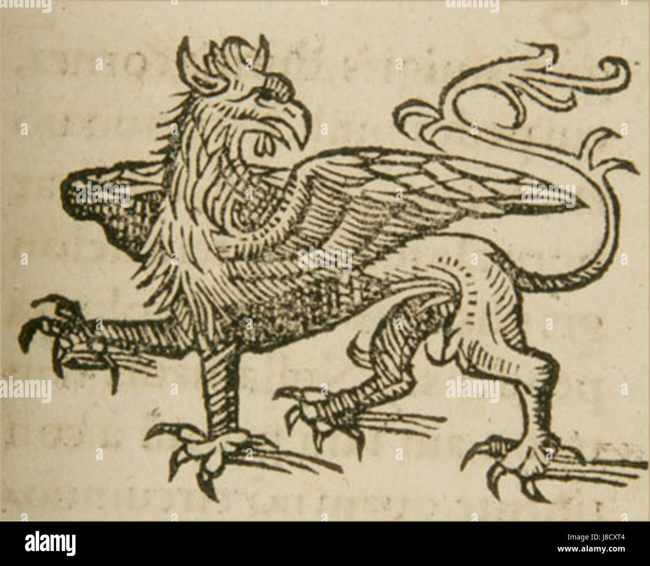 Griffin lycosthenes Stock Photohttps://www.alamy.com/image-license-details/?v=1https://www.alamy.com/stock-photo-griffin-lycosthenes-142884676.html
RMJ8CXT4–Griffin lycosthenes
 Westchester, V. 1, Double Page Plate No. 31 Map bounded by Griffin Ave., Harrison, Mamaroneck Ave., Grand St., Weaver St. Cartographic. Atlases, Maps. 1910 - 1911. Lionel Pincus and Princess Firyal Map Division. Westchester County (N.Y.), Real property , New York (State) , Westchester County Stock Photohttps://www.alamy.com/image-license-details/?v=1https://www.alamy.com/westchester-v-1-double-page-plate-no-31-map-bounded-by-griffin-ave-harrison-mamaroneck-ave-grand-st-weaver-st-cartographic-atlases-maps-1910-1911-lionel-pincus-and-princess-firyal-map-division-westchester-county-ny-real-property-new-york-state-westchester-county-image484370637.html
RM2K40YK9–Westchester, V. 1, Double Page Plate No. 31 Map bounded by Griffin Ave., Harrison, Mamaroneck Ave., Grand St., Weaver St. Cartographic. Atlases, Maps. 1910 - 1911. Lionel Pincus and Princess Firyal Map Division. Westchester County (N.Y.), Real property , New York (State) , Westchester County
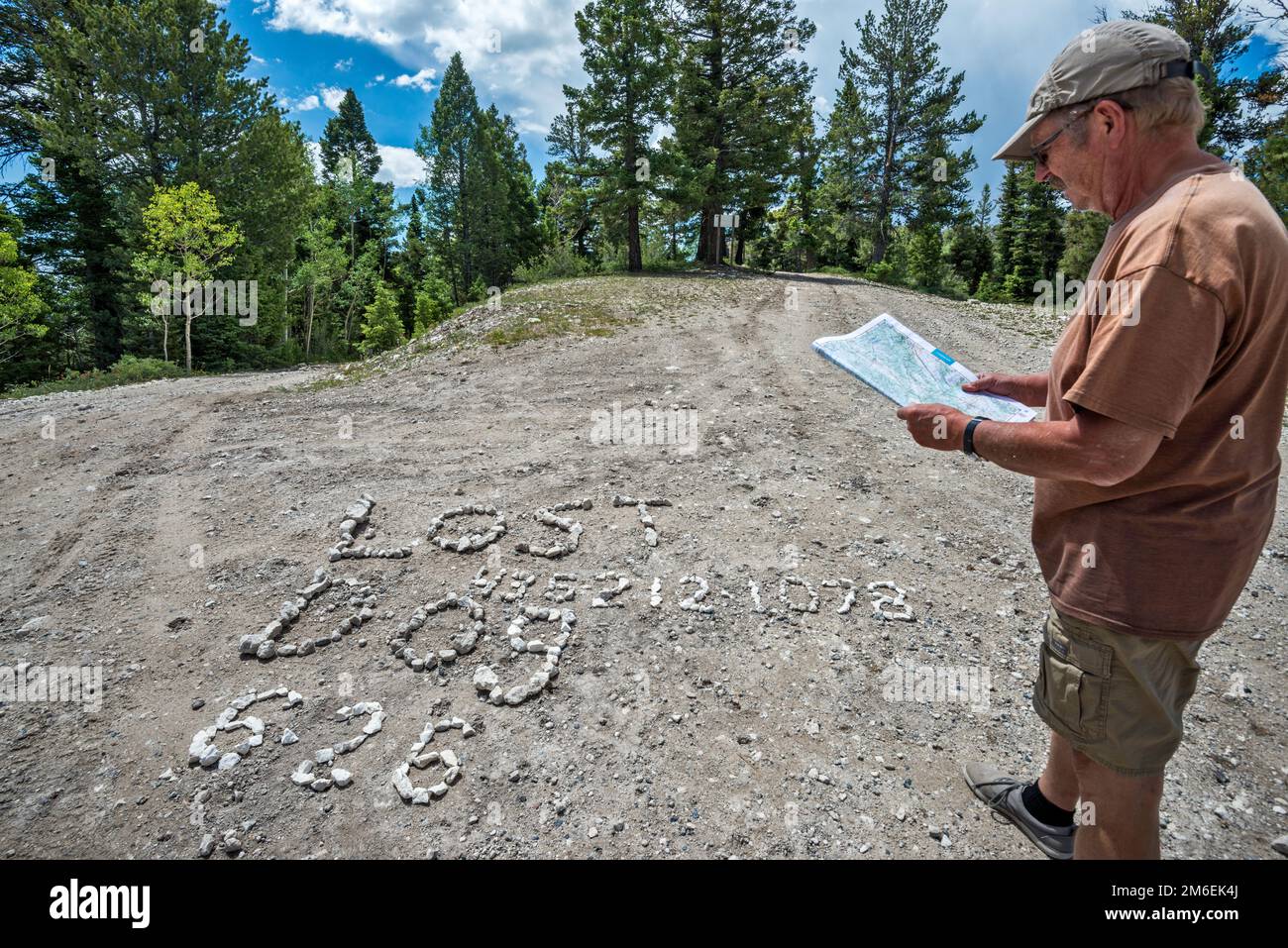 Man checking map, Lost Dog shingle lettering sign on road surface at intersection of FR 17, FR 143 and FR 140. Escalante Mountains, Utah, USA Stock Photohttps://www.alamy.com/image-license-details/?v=1https://www.alamy.com/man-checking-map-lost-dog-shingle-lettering-sign-on-road-surface-at-intersection-of-fr-17-fr-143-and-fr-140-escalante-mountains-utah-usa-image503110962.html
RF2M6EK4J–Man checking map, Lost Dog shingle lettering sign on road surface at intersection of FR 17, FR 143 and FR 140. Escalante Mountains, Utah, USA
 The first print copy of the U-2R reconnaissance imagery is delivered to photo interpreter STAFF SGT. Jonathan Griffin who matches the print to the map of the mission. Exact Date Shot Unknown. Published in AIRMAN Magazine, May 1994. Base: Beale Air Force Base State: California (CA) Country: United States Of America (USA) Stock Photohttps://www.alamy.com/image-license-details/?v=1https://www.alamy.com/the-first-print-copy-of-the-u-2r-reconnaissance-imagery-is-delivered-to-photo-interpreter-staff-sgt-jonathan-griffin-who-matches-the-print-to-the-map-of-the-mission-exact-date-shot-unknown-published-in-airman-magazine-may-1994-base-beale-air-force-base-state-california-ca-country-united-states-of-america-usa-image504421494.html
RM2M8JANA–The first print copy of the U-2R reconnaissance imagery is delivered to photo interpreter STAFF SGT. Jonathan Griffin who matches the print to the map of the mission. Exact Date Shot Unknown. Published in AIRMAN Magazine, May 1994. Base: Beale Air Force Base State: California (CA) Country: United States Of America (USA)
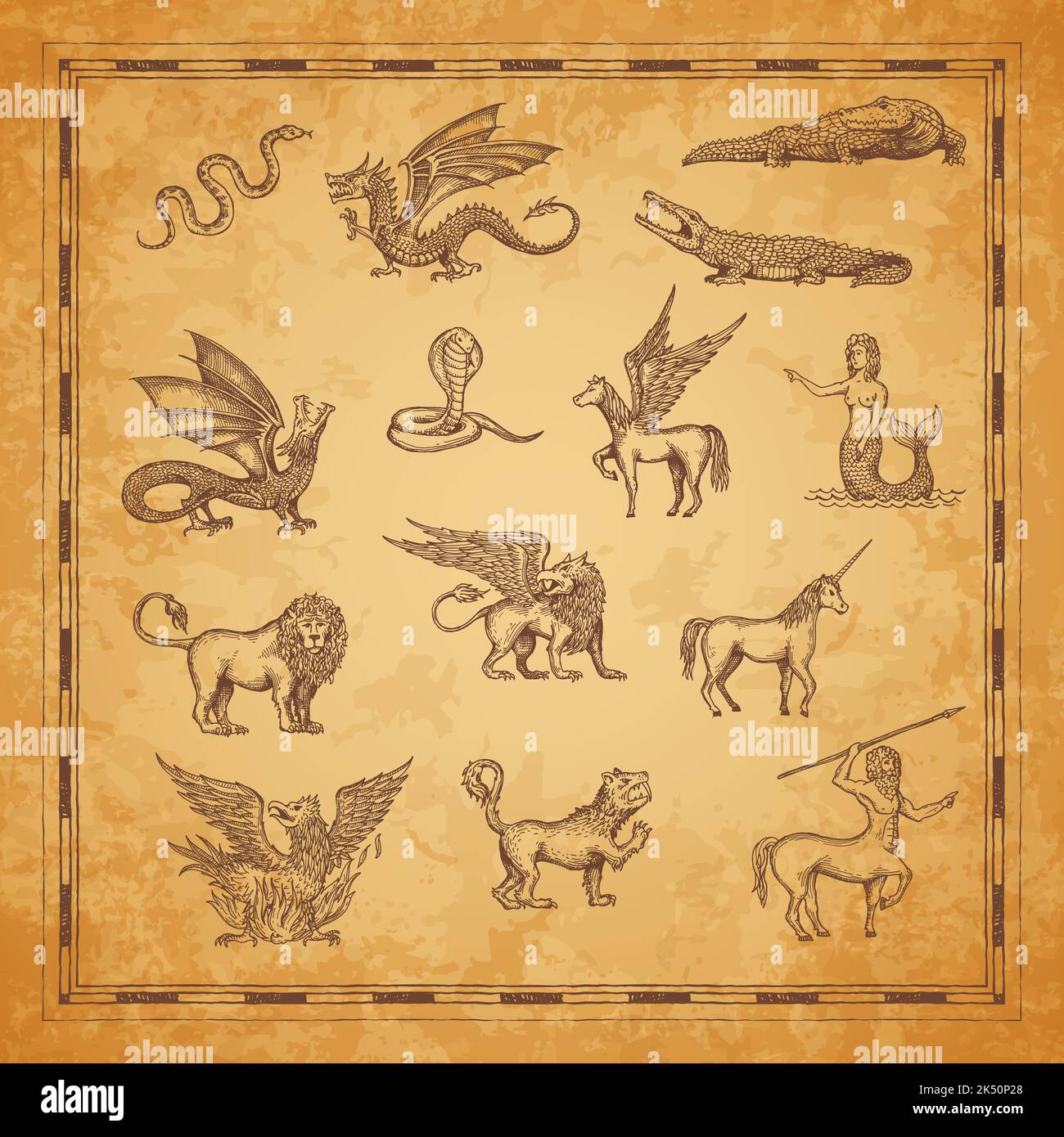 Vintage map characters of unicorn, dragon and pegasus, minotaur, lion, mermaid and crocodile, snake, griffin and werewolf. Vector sketches of mythology animals and monsters of ancient treasure map Stock Vectorhttps://www.alamy.com/image-license-details/?v=1https://www.alamy.com/vintage-map-characters-of-unicorn-dragon-and-pegasus-minotaur-lion-mermaid-and-crocodile-snake-griffin-and-werewolf-vector-sketches-of-mythology-animals-and-monsters-of-ancient-treasure-map-image484980896.html
RF2K50P28–Vintage map characters of unicorn, dragon and pegasus, minotaur, lion, mermaid and crocodile, snake, griffin and werewolf. Vector sketches of mythology animals and monsters of ancient treasure map
 Cartographic, Maps. 1917. Lionel Pincus and Princess Firyal Map Division. Staten Island (New York, N.Y.) Plate 6, Part of Ward 2 Map bound by Richmond Turnpike, Arriette St, Bulkhead Line, Bay St (Griffin St), Congress St, Van Duzer St (Richmond RD), Sands St, Wave St, Beach St, St. Pauls Ave, Occident Ave, Ward Ave, Austin PL (St) Stock Photohttps://www.alamy.com/image-license-details/?v=1https://www.alamy.com/cartographic-maps-1917-lionel-pincus-and-princess-firyal-map-division-staten-island-new-york-ny-plate-6-part-of-ward-2-map-bound-by-richmond-turnpike-arriette-st-bulkhead-line-bay-st-griffin-st-congress-st-van-duzer-st-richmond-rd-sands-st-wave-st-beach-st-st-pauls-ave-occident-ave-ward-ave-austin-pl-st-image483720965.html
RM2K2YB0N–Cartographic, Maps. 1917. Lionel Pincus and Princess Firyal Map Division. Staten Island (New York, N.Y.) Plate 6, Part of Ward 2 Map bound by Richmond Turnpike, Arriette St, Bulkhead Line, Bay St (Griffin St), Congress St, Van Duzer St (Richmond RD), Sands St, Wave St, Beach St, St. Pauls Ave, Occident Ave, Ward Ave, Austin PL (St)
 Spc. Michael Jensen, a military policeman with 127th Military Police Company, 759th Military Police Battalion, 89th Military Police Brigade, plots point on a map before trekking the Texas wilderness during a land navigation course for the Griffin Soldier/Noncommissioned Officer/Officer of the Year Competition June 2, at Fort Hood, Texas. (U.S. Army Photo by Staff Sgt. Ryan Hohman, 89th Military Police Brigade) Griffin Soldiers compete to be the best of the best 150602-A-WQ889-577 Stock Photohttps://www.alamy.com/image-license-details/?v=1https://www.alamy.com/stock-photo-spc-michael-jensen-a-military-policeman-with-127th-military-police-129571672.html
RMHEPDYM–Spc. Michael Jensen, a military policeman with 127th Military Police Company, 759th Military Police Battalion, 89th Military Police Brigade, plots point on a map before trekking the Texas wilderness during a land navigation course for the Griffin Soldier/Noncommissioned Officer/Officer of the Year Competition June 2, at Fort Hood, Texas. (U.S. Army Photo by Staff Sgt. Ryan Hohman, 89th Military Police Brigade) Griffin Soldiers compete to be the best of the best 150602-A-WQ889-577
 Cartographic, Maps. 1942 - 1957. Lionel Pincus and Princess Firyal Map Division. Real property , New York (State) , New York (N.Y.), Bronx (New York, N.Y.) , Maps Double Page Plate 9, Part of Section 9, Borough of the Bronx: Bounded by E. 150th Street, Anthony J. Griffin Place, E. 149th Street, Park Avenue, E. 150th Street, Morris Avenue, E. 141st Street, Park Avenue, E. 140th Street and (Harlem River) Exterior Street Stock Photohttps://www.alamy.com/image-license-details/?v=1https://www.alamy.com/cartographic-maps-1942-1957-lionel-pincus-and-princess-firyal-map-division-real-property-new-york-state-new-york-ny-bronx-new-york-ny-maps-double-page-plate-9-part-of-section-9-borough-of-the-bronx-bounded-by-e-150th-street-anthony-j-griffin-place-e-149th-street-park-avenue-e-150th-street-morris-avenue-e-141st-street-park-avenue-e-140th-street-and-harlem-river-exterior-street-image483592696.html
RM2K2NFBM–Cartographic, Maps. 1942 - 1957. Lionel Pincus and Princess Firyal Map Division. Real property , New York (State) , New York (N.Y.), Bronx (New York, N.Y.) , Maps Double Page Plate 9, Part of Section 9, Borough of the Bronx: Bounded by E. 150th Street, Anthony J. Griffin Place, E. 149th Street, Park Avenue, E. 150th Street, Morris Avenue, E. 141st Street, Park Avenue, E. 140th Street and (Harlem River) Exterior Street
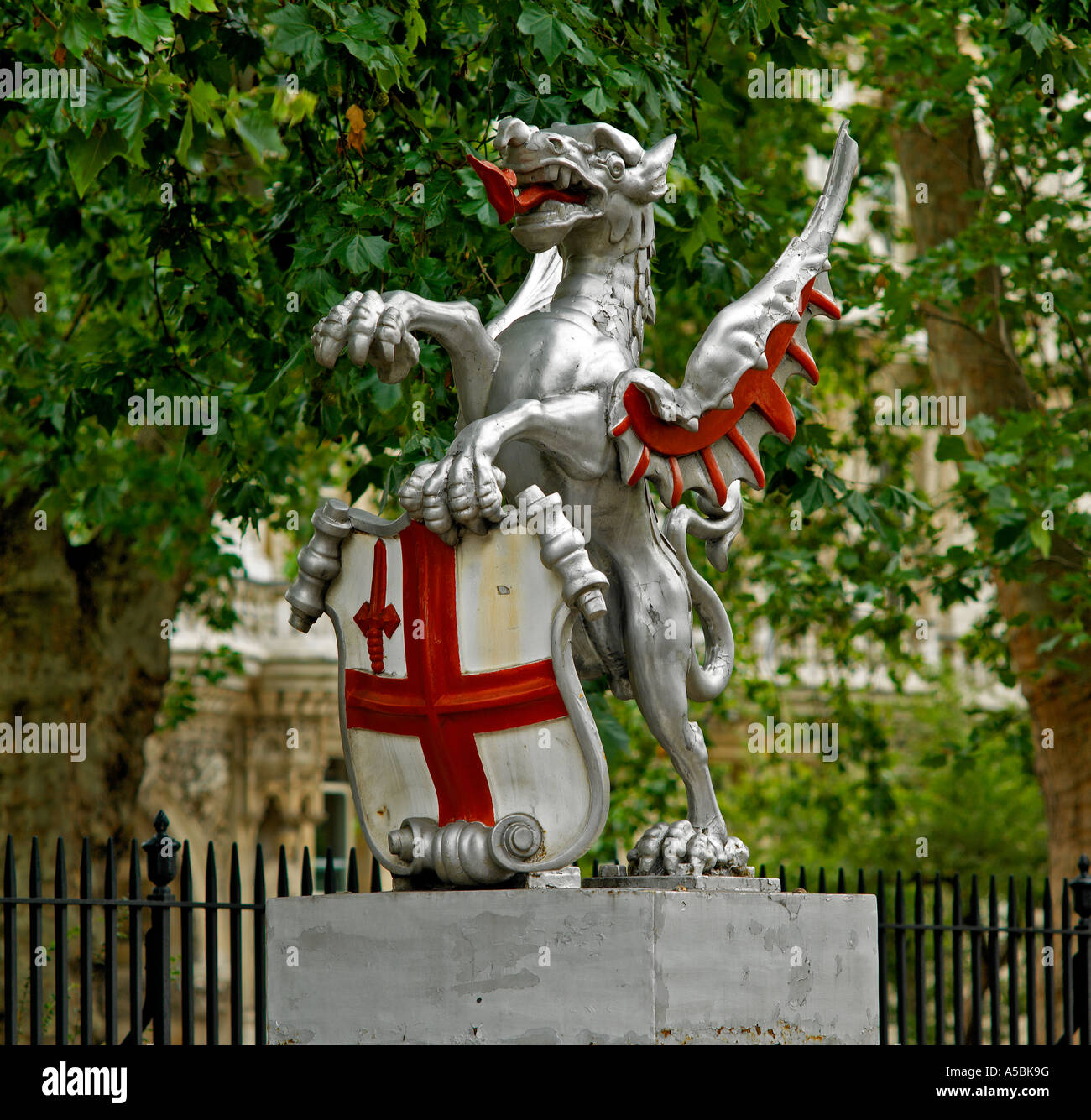 City of London griffin marking square mile Stock Photohttps://www.alamy.com/image-license-details/?v=1https://www.alamy.com/stock-photo-city-of-london-griffin-marking-square-mile-11261595.html
RMA5BK9G–City of London griffin marking square mile
 Cartographic, Maps. 1942. Lionel Pincus and Princess Firyal Map Division. Real property , New York (State) , New York (N.Y.), Bronx (New York, N.Y.) , Maps Double Page Plate 9, Part of Section 9, Borough of the Bronx: Bounded by E. 150th Street, Anthony J. Griffin Place, E. 149th Street, Park Avenue, E. 150th Street, Moris Avenue, E. 141st Street, Park Avenue, E. 140th Street, (Harlem River) Exterior Street and River Avenue Stock Photohttps://www.alamy.com/image-license-details/?v=1https://www.alamy.com/cartographic-maps-1942-lionel-pincus-and-princess-firyal-map-division-real-property-new-york-state-new-york-ny-bronx-new-york-ny-maps-double-page-plate-9-part-of-section-9-borough-of-the-bronx-bounded-by-e-150th-street-anthony-j-griffin-place-e-149th-street-park-avenue-e-150th-street-moris-avenue-e-141st-street-park-avenue-e-140th-street-harlem-river-exterior-street-and-river-avenue-image483600800.html
RM2K2NWN4–Cartographic, Maps. 1942. Lionel Pincus and Princess Firyal Map Division. Real property , New York (State) , New York (N.Y.), Bronx (New York, N.Y.) , Maps Double Page Plate 9, Part of Section 9, Borough of the Bronx: Bounded by E. 150th Street, Anthony J. Griffin Place, E. 149th Street, Park Avenue, E. 150th Street, Moris Avenue, E. 141st Street, Park Avenue, E. 140th Street, (Harlem River) Exterior Street and River Avenue
 090307-F-3646G-160 BETHEL, Alaska (March 7, 2009) Sgt. Shirley Grant, left, of Beaufort, S.C., and Capt. Amy Clark of Anchorage, Alaska, both from the Army's Southern California District Veterinary Command, locate the village of Alakanuk on a map for an Operation Arctic Care veterinary exercise. Arctic Care is a joint military medical readiness exercise that brings no-cost health care, including dental, optometry and veterinary support, to underserved Alaskan residents. This year's Navy-led mission has teams in 11 villages in Alaska's Yukon-Kuskokwim Delta region. (U.S. Air Force photo by Seni Stock Photohttps://www.alamy.com/image-license-details/?v=1https://www.alamy.com/stock-photo-090307-f-3646g-160-bethel-alaska-march-7-2009-sgt-shirley-grant-left-130238306.html
RMHFTT82–090307-F-3646G-160 BETHEL, Alaska (March 7, 2009) Sgt. Shirley Grant, left, of Beaufort, S.C., and Capt. Amy Clark of Anchorage, Alaska, both from the Army's Southern California District Veterinary Command, locate the village of Alakanuk on a map for an Operation Arctic Care veterinary exercise. Arctic Care is a joint military medical readiness exercise that brings no-cost health care, including dental, optometry and veterinary support, to underserved Alaskan residents. This year's Navy-led mission has teams in 11 villages in Alaska's Yukon-Kuskokwim Delta region. (U.S. Air Force photo by Seni
 Griffin, Moreton Bay, AU, Australia, Queensland, S 27 16' 17'', N 153 2' 21'', map, Cartascapes Map published in 2024. Explore Cartascapes, a map revealing Earth's diverse landscapes, cultures, and ecosystems. Journey through time and space, discovering the interconnectedness of our planet's past, present, and future. Stock Photohttps://www.alamy.com/image-license-details/?v=1https://www.alamy.com/griffin-moreton-bay-au-australia-queensland-s-27-16-17-n-153-2-21-map-cartascapes-map-published-in-2024-explore-cartascapes-a-map-revealing-earths-diverse-landscapes-cultures-and-ecosystems-journey-through-time-and-space-discovering-the-interconnectedness-of-our-planets-past-present-and-future-image625437308.html
RM2Y9F3JM–Griffin, Moreton Bay, AU, Australia, Queensland, S 27 16' 17'', N 153 2' 21'', map, Cartascapes Map published in 2024. Explore Cartascapes, a map revealing Earth's diverse landscapes, cultures, and ecosystems. Journey through time and space, discovering the interconnectedness of our planet's past, present, and future.
 Battle of Malvern Hill, Virginia. Fought June 30th and July 1st, 1862. Stock Photohttps://www.alamy.com/image-license-details/?v=1https://www.alamy.com/stock-photo-battle-of-malvern-hill-virginia-fought-june-30th-and-july-1st-1862-171094637.html
RMKXA0XN–Battle of Malvern Hill, Virginia. Fought June 30th and July 1st, 1862.
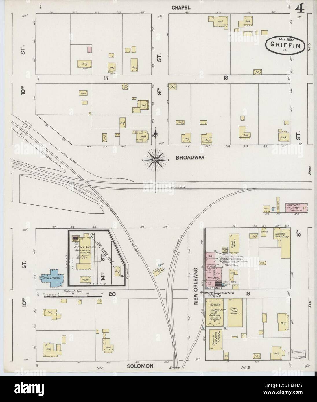 Sanborn Fire Insurance Map from Griffin, Spalding County, Georgia. Stock Photohttps://www.alamy.com/image-license-details/?v=1https://www.alamy.com/sanborn-fire-insurance-map-from-griffin-spalding-county-georgia-image456417564.html
RM2HEFH78–Sanborn Fire Insurance Map from Griffin, Spalding County, Georgia.
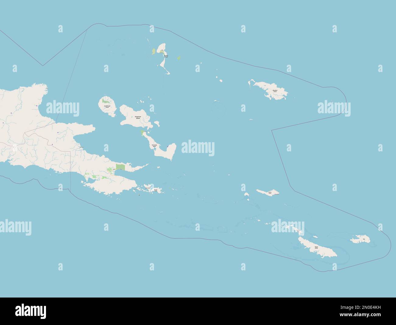 Milne Bay, province of Papua New Guinea. Open Street Map Stock Photohttps://www.alamy.com/image-license-details/?v=1https://www.alamy.com/milne-bay-province-of-papua-new-guinea-open-street-map-image516622053.html
RF2N0E4KH–Milne Bay, province of Papua New Guinea. Open Street Map
 Edinburgh, Scotland. Sat 17 December 2022. English indie band Martha onstage at Summerhall where they played as part of the Lost Map Record’s Christmas Humbug concert. They released their fourth album ‘Please Don't Take Me Back’ in October 2022. Martha formed in the early 2010s in the village Pity Me in County Durham in the North East of England and are JC Cairns, Daniel Ellis, Naomi Griffin and Nathan Stephens-Griffin. Stock Photohttps://www.alamy.com/image-license-details/?v=1https://www.alamy.com/edinburgh-scotland-sat-17-december-2022-english-indie-band-martha-onstage-at-summerhall-where-they-played-as-part-of-the-lost-map-records-christmas-humbug-concert-they-released-their-fourth-album-please-dont-take-me-back-in-october-2022-martha-formed-in-the-early-2010s-in-the-village-pity-me-in-county-durham-in-the-north-east-of-england-and-are-jc-cairns-daniel-ellis-naomi-griffin-and-nathan-stephens-griffin-image501644595.html
RM2M43TPB–Edinburgh, Scotland. Sat 17 December 2022. English indie band Martha onstage at Summerhall where they played as part of the Lost Map Record’s Christmas Humbug concert. They released their fourth album ‘Please Don't Take Me Back’ in October 2022. Martha formed in the early 2010s in the village Pity Me in County Durham in the North East of England and are JC Cairns, Daniel Ellis, Naomi Griffin and Nathan Stephens-Griffin.
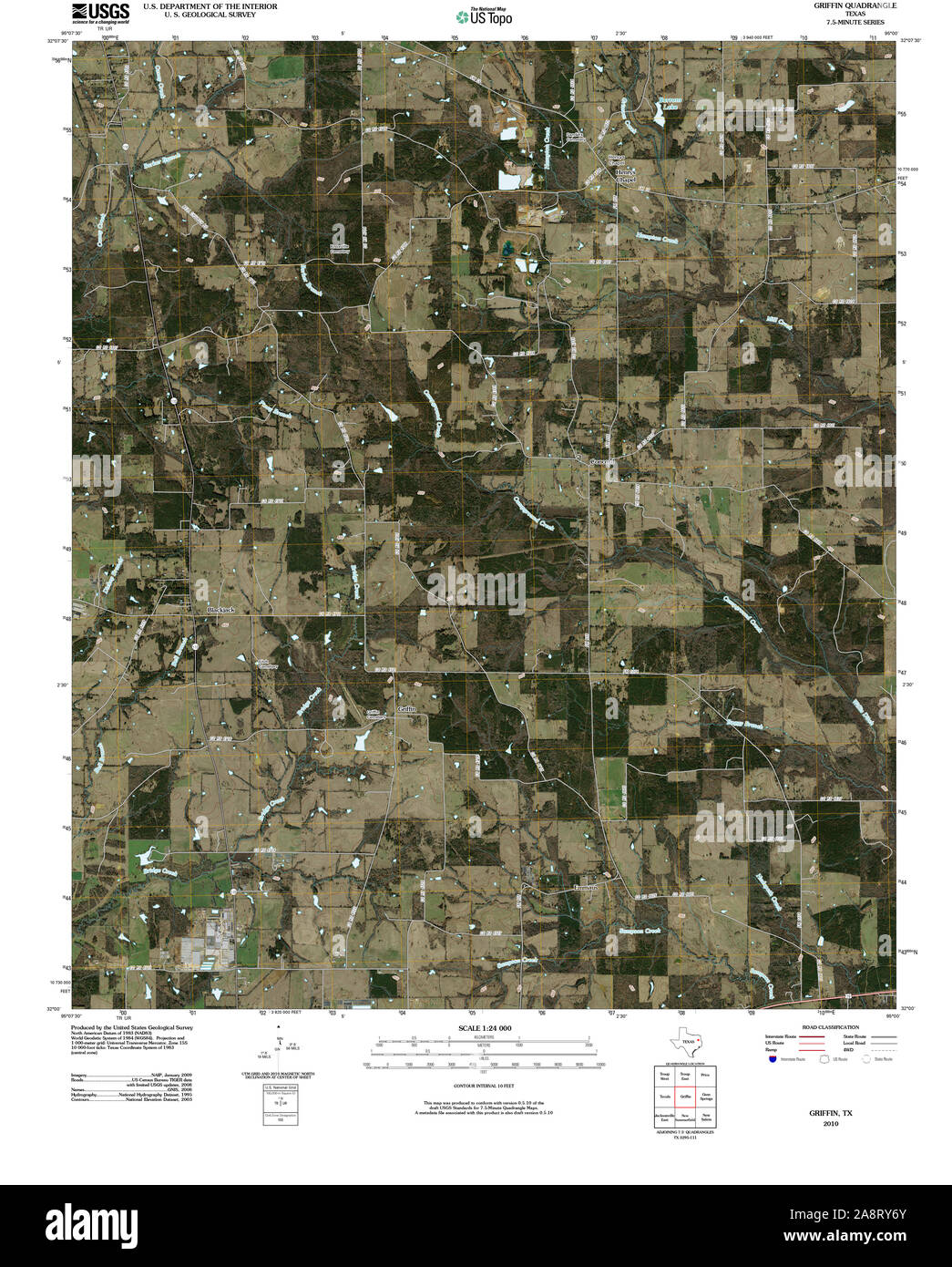 USGS TOPO Map Texas TX Griffin 20100511 TM Restoration Stock Photohttps://www.alamy.com/image-license-details/?v=1https://www.alamy.com/usgs-topo-map-texas-tx-griffin-20100511-tm-restoration-image332440499.html
RM2A8RY6Y–USGS TOPO Map Texas TX Griffin 20100511 TM Restoration
 Fort Griffin State Historic Park SP63 3 Stock Photohttps://www.alamy.com/image-license-details/?v=1https://www.alamy.com/fort-griffin-state-historic-park-sp63-3-image68781920.html
RMDYW814–Fort Griffin State Historic Park SP63 3
 LANZAROTE Timanfaya National Park Entrance with red tourist hire car Lanzarote Canary Islands Spain Stock Photohttps://www.alamy.com/image-license-details/?v=1https://www.alamy.com/stock-photo-lanzarote-timanfaya-national-park-entrance-with-red-tourist-hire-car-16649818.html
RMAWTBKR–LANZAROTE Timanfaya National Park Entrance with red tourist hire car Lanzarote Canary Islands Spain
 Griffin A Stock Photohttps://www.alamy.com/image-license-details/?v=1https://www.alamy.com/stock-photo-griffin-a-142907623.html
RMJ8E03K–Griffin A
 Bangkok, Thailand, September 12, 2021, Macon, Georgia, Geography Road Map of United States of America, USA. Stock Photohttps://www.alamy.com/image-license-details/?v=1https://www.alamy.com/bangkok-thailand-september-12-2021-macon-georgia-geography-road-map-of-united-states-of-america-usa-image469408869.html
RF2J7KBPD–Bangkok, Thailand, September 12, 2021, Macon, Georgia, Geography Road Map of United States of America, USA.
 Man checking map, Lost Dog shingle lettering sign on road surface at intersection of FR 17, FR 143 and FR 140. Escalante Mountains, Utah, USA Stock Photohttps://www.alamy.com/image-license-details/?v=1https://www.alamy.com/man-checking-map-lost-dog-shingle-lettering-sign-on-road-surface-at-intersection-of-fr-17-fr-143-and-fr-140-escalante-mountains-utah-usa-image503110886.html
RF2M6EK1X–Man checking map, Lost Dog shingle lettering sign on road surface at intersection of FR 17, FR 143 and FR 140. Escalante Mountains, Utah, USA
 Spalding County, Georgia (U.S. county, United States of America,USA, U.S., US) map vector illustration, scribble sketch Spalding map Stock Vectorhttps://www.alamy.com/image-license-details/?v=1https://www.alamy.com/spalding-county-georgia-us-county-united-states-of-americausa-us-us-map-vector-illustration-scribble-sketch-spalding-map-image365663989.html
RF2C6WC45–Spalding County, Georgia (U.S. county, United States of America,USA, U.S., US) map vector illustration, scribble sketch Spalding map
 Vintage map characters of unicorn, dragon and pegasus, minotaur, lion, mermaid and crocodile, snake, griffin and werewolf. Vector sketches of mythology animals and monsters of ancient treasure map Stock Vectorhttps://www.alamy.com/image-license-details/?v=1https://www.alamy.com/vintage-map-characters-of-unicorn-dragon-and-pegasus-minotaur-lion-mermaid-and-crocodile-snake-griffin-and-werewolf-vector-sketches-of-mythology-animals-and-monsters-of-ancient-treasure-map-image484980904.html
RF2K50P2G–Vintage map characters of unicorn, dragon and pegasus, minotaur, lion, mermaid and crocodile, snake, griffin and werewolf. Vector sketches of mythology animals and monsters of ancient treasure map
 . The blue and the gray, or, The Civil War as seen by a boy : a story of patriotism and adventure in our war for the Union . MAP OF LOYAL AND SECEDING STATES. Ralphs heart turned sick, as he saw the brave fellows whomanned the batteries tumbling over each other, many of themshot through the heart, as the Confederates, tempted by theirsuccess, stole nearer to the guns. Captain Griffin, who made the sad mistake of thinking thetroops were his own men coming to his aid, permitted the nearerapproach of the Confederates. He discovered his error when avolley of musketry took nearly every gunner and s Stock Photohttps://www.alamy.com/image-license-details/?v=1https://www.alamy.com/the-blue-and-the-gray-or-the-civil-war-as-seen-by-a-boy-a-story-of-patriotism-and-adventure-in-our-war-for-the-union-map-of-loyal-and-seceding-states-ralphs-heart-turned-sick-as-he-saw-the-brave-fellows-whomanned-the-batteries-tumbling-over-each-other-many-of-themshot-through-the-heart-as-the-confederates-tempted-by-theirsuccess-stole-nearer-to-the-guns-captain-griffin-who-made-the-sad-mistake-of-thinking-thetroops-were-his-own-men-coming-to-his-aid-permitted-the-nearerapproach-of-the-confederates-he-discovered-his-error-when-avolley-of-musketry-took-nearly-every-gunner-and-s-image371678554.html
RM2CGKBP2–. The blue and the gray, or, The Civil War as seen by a boy : a story of patriotism and adventure in our war for the Union . MAP OF LOYAL AND SECEDING STATES. Ralphs heart turned sick, as he saw the brave fellows whomanned the batteries tumbling over each other, many of themshot through the heart, as the Confederates, tempted by theirsuccess, stole nearer to the guns. Captain Griffin, who made the sad mistake of thinking thetroops were his own men coming to his aid, permitted the nearerapproach of the Confederates. He discovered his error when avolley of musketry took nearly every gunner and s
 Kerch, Crimea. Set of generic stamps and signs including elements of Kerch city coat of arms and location of the city on Crimea Stock Photohttps://www.alamy.com/image-license-details/?v=1https://www.alamy.com/stock-photo-kerch-crimea-set-of-generic-stamps-and-signs-including-elements-of-124538287.html
RFH6H5RY–Kerch, Crimea. Set of generic stamps and signs including elements of Kerch city coat of arms and location of the city on Crimea
![Double Page Plate 9, Part of Section 9, Borough of the Bronx: [Bounded by E. 150th Street, Anthony J. Griffin Place, E. 149th Street, Park Avenue, E. 150th Street, Morris Avenue, E. 141st Street, Park Avenue, E. 140th Street and (Harlem River) Exterior Street] 1942 - 1957 Stock Photo Double Page Plate 9, Part of Section 9, Borough of the Bronx: [Bounded by E. 150th Street, Anthony J. Griffin Place, E. 149th Street, Park Avenue, E. 150th Street, Morris Avenue, E. 141st Street, Park Avenue, E. 140th Street and (Harlem River) Exterior Street] 1942 - 1957 Stock Photo](https://c8.alamy.com/comp/2YR07AK/double-page-plate-9-part-of-section-9-borough-of-the-bronx-bounded-by-e-150th-street-anthony-j-griffin-place-e-149th-street-park-avenue-e-150th-street-morris-avenue-e-141st-street-park-avenue-e-140th-street-and-harlem-river-exterior-street-1942-1957-2YR07AK.jpg) Double Page Plate 9, Part of Section 9, Borough of the Bronx: [Bounded by E. 150th Street, Anthony J. Griffin Place, E. 149th Street, Park Avenue, E. 150th Street, Morris Avenue, E. 141st Street, Park Avenue, E. 140th Street and (Harlem River) Exterior Street] 1942 - 1957 Stock Photohttps://www.alamy.com/image-license-details/?v=1https://www.alamy.com/double-page-plate-9-part-of-section-9-borough-of-the-bronx-bounded-by-e-150th-street-anthony-j-griffin-place-e-149th-street-park-avenue-e-150th-street-morris-avenue-e-141st-street-park-avenue-e-140th-street-and-harlem-river-exterior-street-1942-1957-image633716123.html
Double Page Plate 9, Part of Section 9, Borough of the Bronx: [Bounded by E. 150th Street, Anthony J. Griffin Place, E. 149th Street, Park Avenue, E. 150th Street, Morris Avenue, E. 141st Street, Park Avenue, E. 140th Street and (Harlem River) Exterior Street] 1942 - 1957 Stock Photohttps://www.alamy.com/image-license-details/?v=1https://www.alamy.com/double-page-plate-9-part-of-section-9-borough-of-the-bronx-bounded-by-e-150th-street-anthony-j-griffin-place-e-149th-street-park-avenue-e-150th-street-morris-avenue-e-141st-street-park-avenue-e-140th-street-and-harlem-river-exterior-street-1942-1957-image633716123.htmlRM2YR07AK–Double Page Plate 9, Part of Section 9, Borough of the Bronx: [Bounded by E. 150th Street, Anthony J. Griffin Place, E. 149th Street, Park Avenue, E. 150th Street, Morris Avenue, E. 141st Street, Park Avenue, E. 140th Street and (Harlem River) Exterior Street] 1942 - 1957
 City of London griffin marking square mile Stock Photohttps://www.alamy.com/image-license-details/?v=1https://www.alamy.com/stock-photo-city-of-london-griffin-marking-square-mile-11261613.html
RMA5BKAP–City of London griffin marking square mile
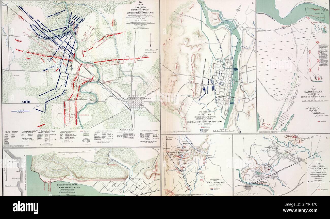 Maps of key battles and movements of the civil war Stock Photohttps://www.alamy.com/image-license-details/?v=1https://www.alamy.com/maps-of-key-battles-and-movements-of-the-civil-war-image430162976.html
RF2FYRH7C–Maps of key battles and movements of the civil war
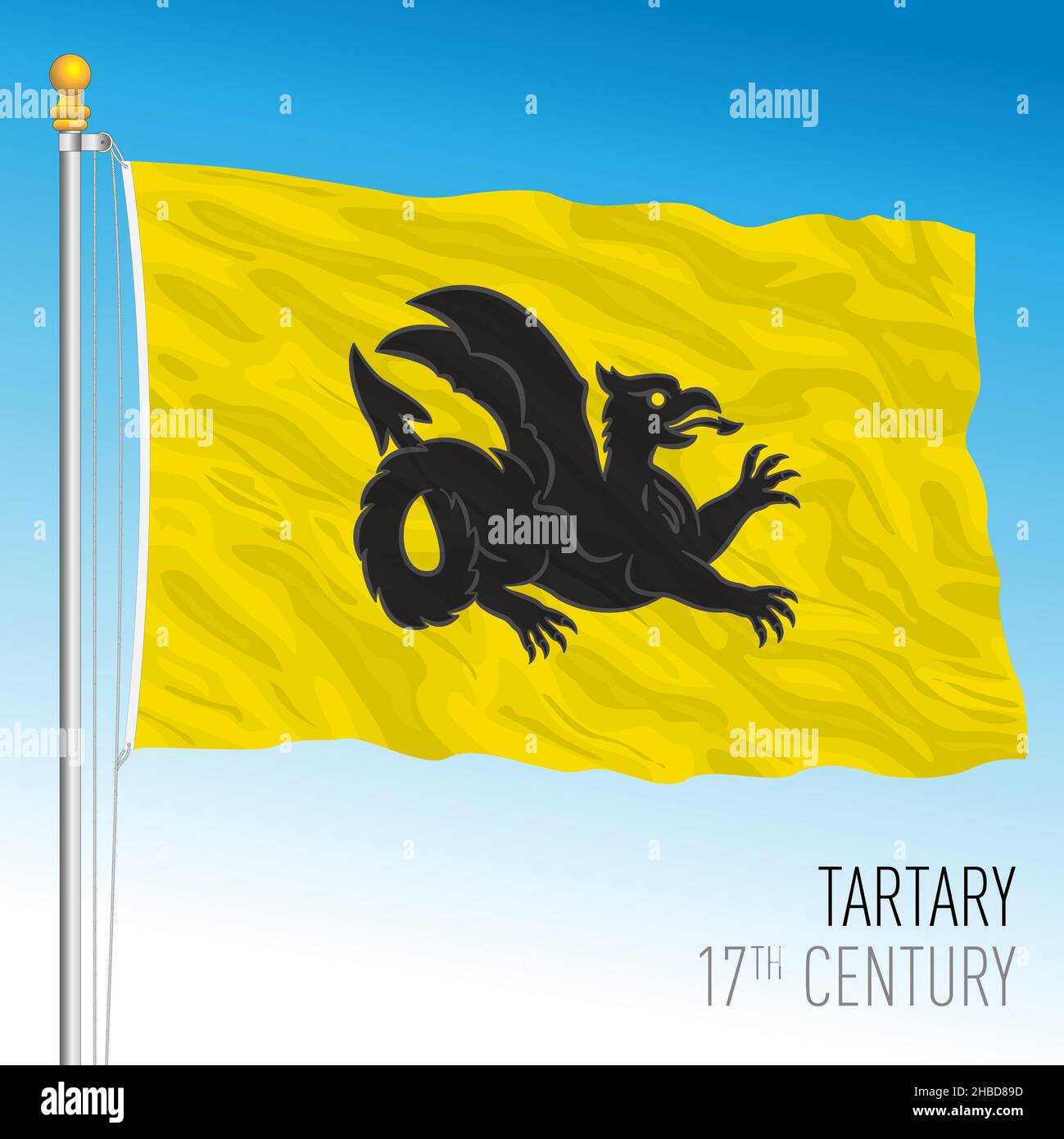 Great Tartary historical flag, 17th century, eurasia, vector illustration Stock Vectorhttps://www.alamy.com/image-license-details/?v=1https://www.alamy.com/great-tartary-historical-flag-17th-century-eurasia-vector-illustration-image454522697.html
RF2HBD89D–Great Tartary historical flag, 17th century, eurasia, vector illustration
 Griffin, Spalding County, US, United States, Georgia, N 33 14' 48'', S 84 15' 50'', map, Cartascapes Map published in 2024. Explore Cartascapes, a map revealing Earth's diverse landscapes, cultures, and ecosystems. Journey through time and space, discovering the interconnectedness of our planet's past, present, and future. Stock Photohttps://www.alamy.com/image-license-details/?v=1https://www.alamy.com/griffin-spalding-county-us-united-states-georgia-n-33-14-48-s-84-15-50-map-cartascapes-map-published-in-2024-explore-cartascapes-a-map-revealing-earths-diverse-landscapes-cultures-and-ecosystems-journey-through-time-and-space-discovering-the-interconnectedness-of-our-planets-past-present-and-future-image621434300.html
RM2Y30NP4–Griffin, Spalding County, US, United States, Georgia, N 33 14' 48'', S 84 15' 50'', map, Cartascapes Map published in 2024. Explore Cartascapes, a map revealing Earth's diverse landscapes, cultures, and ecosystems. Journey through time and space, discovering the interconnectedness of our planet's past, present, and future.
 corporation of london crest insignia crisp sharp high resolution full frame Stock Photohttps://www.alamy.com/image-license-details/?v=1https://www.alamy.com/stock-photo-corporation-of-london-crest-insignia-crisp-sharp-high-resolution-full-11261592.html
RMA5BK8W–corporation of london crest insignia crisp sharp high resolution full frame
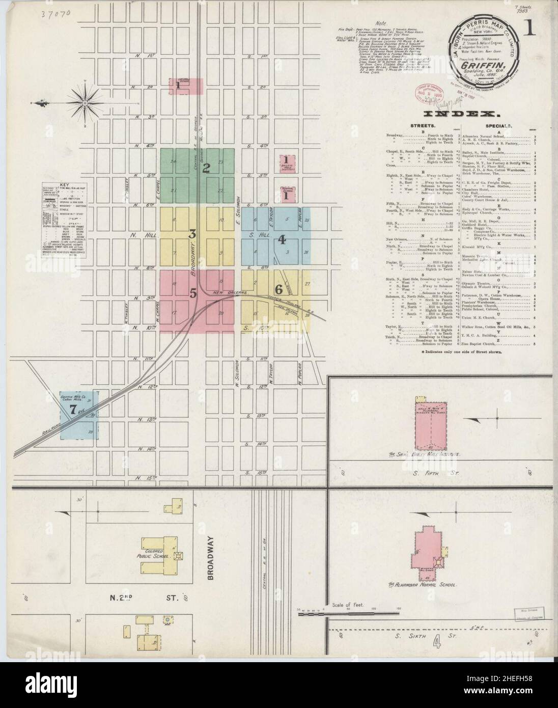 Sanborn Fire Insurance Map from Griffin, Spalding County, Georgia. Stock Photohttps://www.alamy.com/image-license-details/?v=1https://www.alamy.com/sanborn-fire-insurance-map-from-griffin-spalding-county-georgia-image456417508.html
RM2HEFH58–Sanborn Fire Insurance Map from Griffin, Spalding County, Georgia.
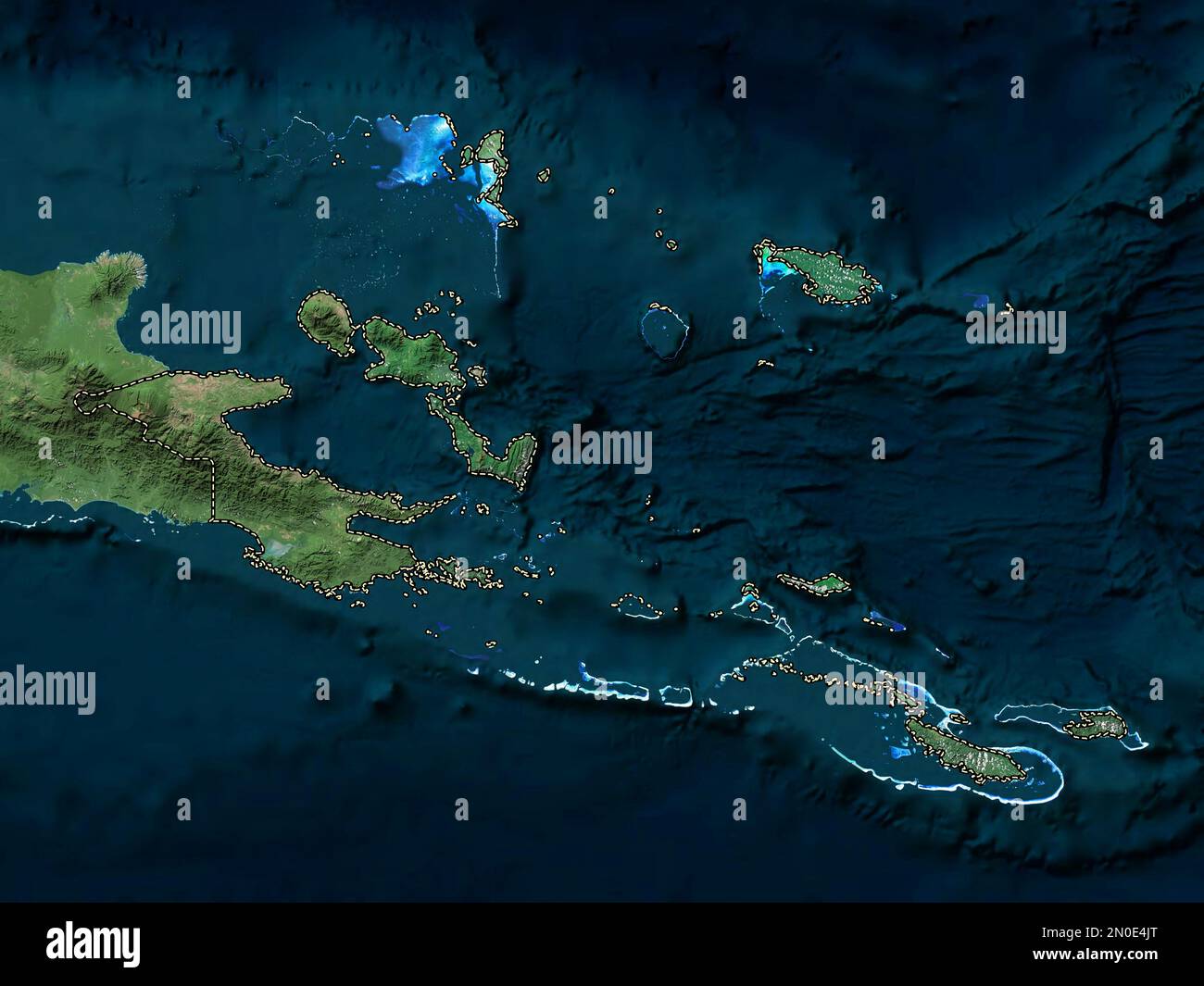 Milne Bay, province of Papua New Guinea. High resolution satellite map Stock Photohttps://www.alamy.com/image-license-details/?v=1https://www.alamy.com/milne-bay-province-of-papua-new-guinea-high-resolution-satellite-map-image516622032.html
RF2N0E4JT–Milne Bay, province of Papua New Guinea. High resolution satellite map
 Edinburgh, Scotland. Sat 17 December 2022. English indie band Martha onstage at Summerhall where they played as part of the Lost Map Record’s Christmas Humbug concert. They released their fourth album ‘Please Don't Take Me Back’ in October 2022. Martha formed in the early 2010s in the village Pity Me in County Durham in the North East of England and are JC Cairns, Daniel Ellis, Naomi Griffin and Nathan Stephens-Griffin. Stock Photohttps://www.alamy.com/image-license-details/?v=1https://www.alamy.com/edinburgh-scotland-sat-17-december-2022-english-indie-band-martha-onstage-at-summerhall-where-they-played-as-part-of-the-lost-map-records-christmas-humbug-concert-they-released-their-fourth-album-please-dont-take-me-back-in-october-2022-martha-formed-in-the-early-2010s-in-the-village-pity-me-in-county-durham-in-the-north-east-of-england-and-are-jc-cairns-daniel-ellis-naomi-griffin-and-nathan-stephens-griffin-image501644265.html
RM2M43TAH–Edinburgh, Scotland. Sat 17 December 2022. English indie band Martha onstage at Summerhall where they played as part of the Lost Map Record’s Christmas Humbug concert. They released their fourth album ‘Please Don't Take Me Back’ in October 2022. Martha formed in the early 2010s in the village Pity Me in County Durham in the North East of England and are JC Cairns, Daniel Ellis, Naomi Griffin and Nathan Stephens-Griffin.
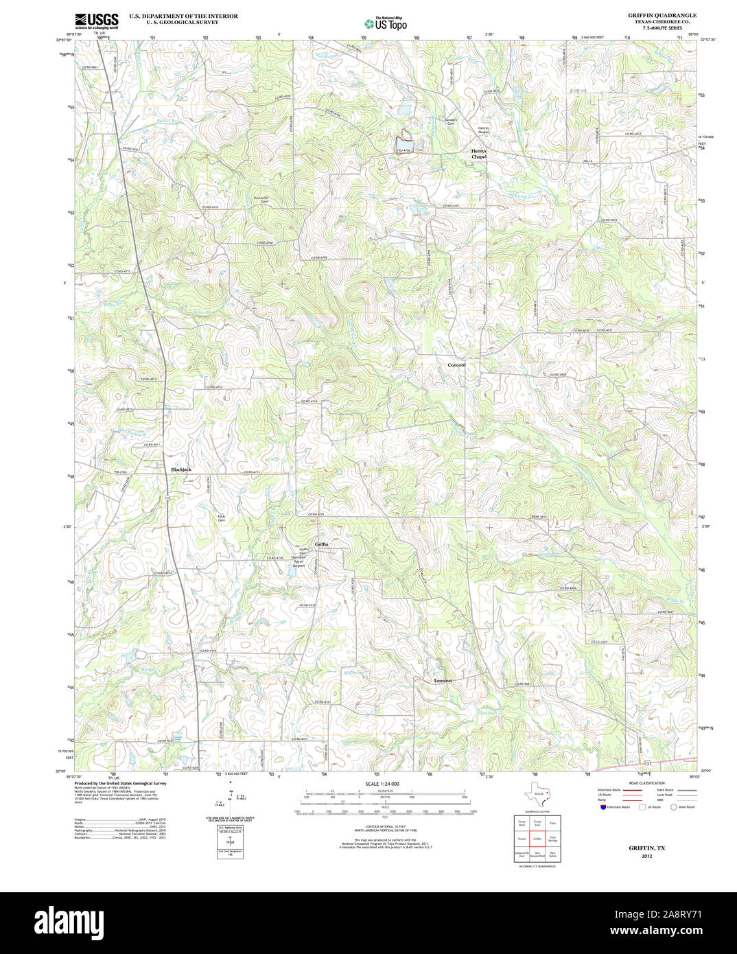 USGS TOPO Map Texas TX Griffin 20121116 TM Restoration Stock Photohttps://www.alamy.com/image-license-details/?v=1https://www.alamy.com/usgs-topo-map-texas-tx-griffin-20121116-tm-restoration-image332440501.html
RM2A8RY71–USGS TOPO Map Texas TX Griffin 20121116 TM Restoration
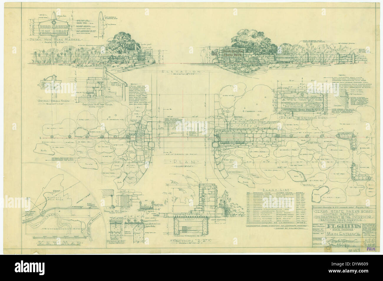 Fort Griffin State Historic Park SP63 7 Stock Photohttps://www.alamy.com/image-license-details/?v=1https://www.alamy.com/fort-griffin-state-historic-park-sp63-7-image68780329.html
RMDYW609–Fort Griffin State Historic Park SP63 7
 USGS TOPO Map Georgia GA Griffin 247641 1979 100000 Restoration Stock Photohttps://www.alamy.com/image-license-details/?v=1https://www.alamy.com/usgs-topo-map-georgia-ga-griffin-247641-1979-100000-restoration-image244667825.html
RMT61G8H–USGS TOPO Map Georgia GA Griffin 247641 1979 100000 Restoration
 Catherine Griffin 1890s Stock Photohttps://www.alamy.com/image-license-details/?v=1https://www.alamy.com/stock-photo-catherine-griffin-1890s-139485446.html
RMJ2X332–Catherine Griffin 1890s
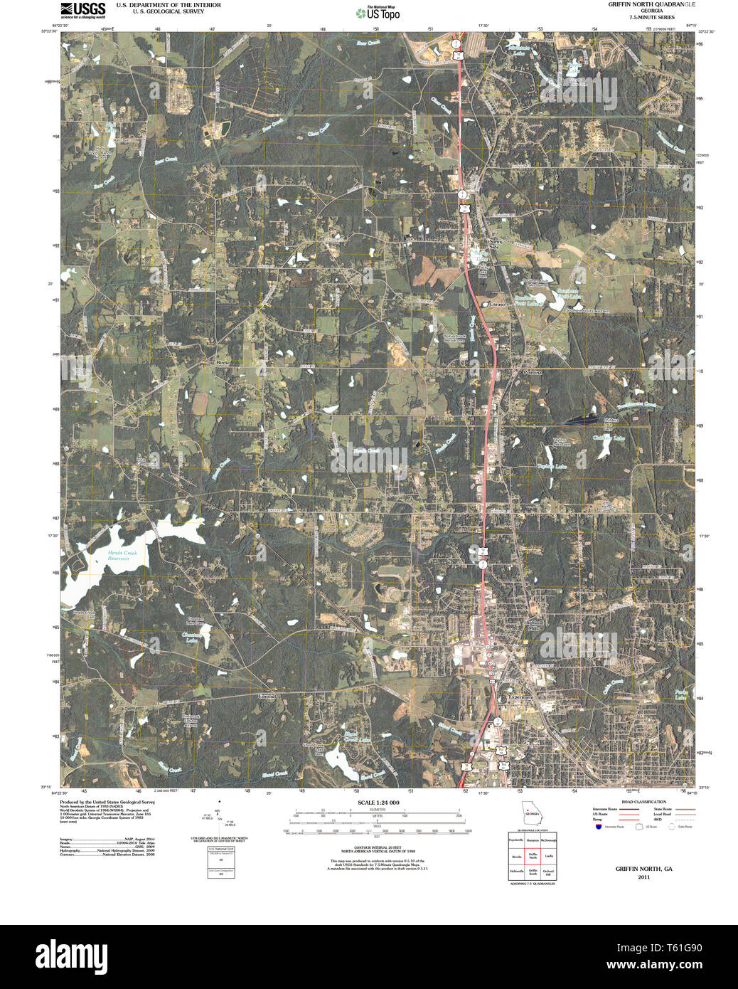 USGS TOPO Map Georgia GA Griffin North 20110307 TM Restoration Stock Photohttps://www.alamy.com/image-license-details/?v=1https://www.alamy.com/usgs-topo-map-georgia-ga-griffin-north-20110307-tm-restoration-image244667836.html
RMT61G90–USGS TOPO Map Georgia GA Griffin North 20110307 TM Restoration
 Bangkok, Thailand, September 12, 2021, Fort Valley, Peach County, Georgia, Geography Road Map of United States of America, USA. Stock Photohttps://www.alamy.com/image-license-details/?v=1https://www.alamy.com/bangkok-thailand-september-12-2021-fort-valley-peach-county-georgia-geography-road-map-of-united-states-of-america-usa-image455992561.html
RF2HDT74H–Bangkok, Thailand, September 12, 2021, Fort Valley, Peach County, Georgia, Geography Road Map of United States of America, USA.
 Spalding County, Georgia (U.S. county, United States of America,USA, U.S., US) map vector illustration, scribble sketch Spalding map Stock Vectorhttps://www.alamy.com/image-license-details/?v=1https://www.alamy.com/spalding-county-georgia-us-county-united-states-of-americausa-us-us-map-vector-illustration-scribble-sketch-spalding-map-image355326759.html
RF2BJ2EWB–Spalding County, Georgia (U.S. county, United States of America,USA, U.S., US) map vector illustration, scribble sketch Spalding map
 An in car satellite navigation device Stock Photohttps://www.alamy.com/image-license-details/?v=1https://www.alamy.com/stock-photo-an-in-car-satellite-navigation-device-19324548.html
RMB3C8JC–An in car satellite navigation device
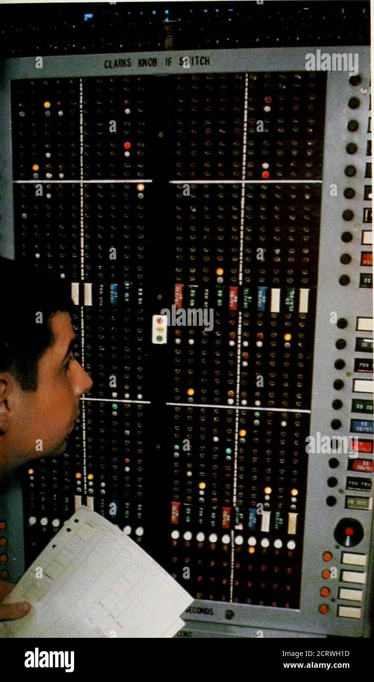 . Bell telephone magazine . Jim Griffin, who has the job of planning future TVtransmission facilities. Physically, theres just one nationwide network:that of the Bell System. Imagine a map of the UnitedStates with an enormous spider web spun across it.This web is our network. Into it we can weave anybroadcasters geographical coverage. Take a typical Sunday during the football season,for example. One minute CBS has circuitry taking anNFL game all over the country. At an appointed in-stant in time, we dissolve that hookup into 23 re-gional pieces, so local stations can show local orregional comm Stock Photohttps://www.alamy.com/image-license-details/?v=1https://www.alamy.com/bell-telephone-magazine-jim-griffin-who-has-the-job-of-planning-future-tvtransmission-facilities-physically-theres-just-one-nationwide-networkthat-of-the-bell-system-imagine-a-map-of-the-unitedstates-with-an-enormous-spider-web-spun-across-itthis-web-is-our-network-into-it-we-can-weave-anybroadcasters-geographical-coverage-take-a-typical-sunday-during-the-football-seasonfor-example-one-minute-cbs-has-circuitry-taking-annfl-game-all-over-the-country-at-an-appointed-in-stant-in-time-we-dissolve-that-hookup-into-23-re-gional-pieces-so-local-stations-can-show-local-orregional-comm-image376116985.html
RM2CRWH1D–. Bell telephone magazine . Jim Griffin, who has the job of planning future TVtransmission facilities. Physically, theres just one nationwide network:that of the Bell System. Imagine a map of the UnitedStates with an enormous spider web spun across it.This web is our network. Into it we can weave anybroadcasters geographical coverage. Take a typical Sunday during the football season,for example. One minute CBS has circuitry taking anNFL game all over the country. At an appointed in-stant in time, we dissolve that hookup into 23 re-gional pieces, so local stations can show local orregional comm
RFRNKHCA–Griffin icons set, isometric style
![Double Page Plate 9, Part of Section 9, Borough of the Bronx: [Bounded by E. 150th Street, Anthony J. Griffin Place, E. 149th Street, Park Avenue, E. 150th Street, Moris Avenue, E. 141st Street, Park Avenue, E. 140th Street, (Harlem River) Exterior Street and River Avenue] 1942 Stock Photo Double Page Plate 9, Part of Section 9, Borough of the Bronx: [Bounded by E. 150th Street, Anthony J. Griffin Place, E. 149th Street, Park Avenue, E. 150th Street, Moris Avenue, E. 141st Street, Park Avenue, E. 140th Street, (Harlem River) Exterior Street and River Avenue] 1942 Stock Photo](https://c8.alamy.com/comp/2YPEPGR/double-page-plate-9-part-of-section-9-borough-of-the-bronx-bounded-by-e-150th-street-anthony-j-griffin-place-e-149th-street-park-avenue-e-150th-street-moris-avenue-e-141st-street-park-avenue-e-140th-street-harlem-river-exterior-street-and-river-avenue-1942-2YPEPGR.jpg) Double Page Plate 9, Part of Section 9, Borough of the Bronx: [Bounded by E. 150th Street, Anthony J. Griffin Place, E. 149th Street, Park Avenue, E. 150th Street, Moris Avenue, E. 141st Street, Park Avenue, E. 140th Street, (Harlem River) Exterior Street and River Avenue] 1942 Stock Photohttps://www.alamy.com/image-license-details/?v=1https://www.alamy.com/double-page-plate-9-part-of-section-9-borough-of-the-bronx-bounded-by-e-150th-street-anthony-j-griffin-place-e-149th-street-park-avenue-e-150th-street-moris-avenue-e-141st-street-park-avenue-e-140th-street-harlem-river-exterior-street-and-river-avenue-1942-image633420727.html
Double Page Plate 9, Part of Section 9, Borough of the Bronx: [Bounded by E. 150th Street, Anthony J. Griffin Place, E. 149th Street, Park Avenue, E. 150th Street, Moris Avenue, E. 141st Street, Park Avenue, E. 140th Street, (Harlem River) Exterior Street and River Avenue] 1942 Stock Photohttps://www.alamy.com/image-license-details/?v=1https://www.alamy.com/double-page-plate-9-part-of-section-9-borough-of-the-bronx-bounded-by-e-150th-street-anthony-j-griffin-place-e-149th-street-park-avenue-e-150th-street-moris-avenue-e-141st-street-park-avenue-e-140th-street-harlem-river-exterior-street-and-river-avenue-1942-image633420727.htmlRM2YPEPGR–Double Page Plate 9, Part of Section 9, Borough of the Bronx: [Bounded by E. 150th Street, Anthony J. Griffin Place, E. 149th Street, Park Avenue, E. 150th Street, Moris Avenue, E. 141st Street, Park Avenue, E. 140th Street, (Harlem River) Exterior Street and River Avenue] 1942
RFR2CTMG–European street icons set. Simple set of 9 european street vector icons for web isolated on white background
 Grippin's Floor Crack Filler and Finishes GRIFFIN MFG. CO. Dept. 6 NEWARK NEW YORK STATE 'ovcrigr.m.P.k.' YOUR OWN ELECTRIC LIGHTS ELECTRIC DEPRTME NT RICHARDSON ENGINEERING CO. Hartford Conn. 'HE'S VERY QUICK AT FIGURES' 'ALRIGHT GIVE HIM THE JOB' CAN THIS BE SAID OF YOUR 'The Mullins Pressed Steel Boats Can't Sink Easier to Row—Absolutely Safe COMPLETE 20 LIGHT. OUTFIT $ 450 COLD GALVANIZING. NICKEL AND Eleetro-Plating Hanson & VanWinkle4fter Racine 13ont Mfg. Co. Box BR Muskegon. :Mich Boats Knocked Down Motion Picture liew York Belting and Packing Co. Rubber Belting CHARTER Gasoline Gas Ke Stock Photohttps://www.alamy.com/image-license-details/?v=1https://www.alamy.com/grippins-floor-crack-filler-and-finishes-griffin-mfg-co-dept-6-newark-new-york-state-ovcrigrmpk-your-own-electric-lights-electric-deprtme-nt-richardson-engineering-co-hartford-conn-hes-very-quick-at-figures-alright-give-him-the-job-can-this-be-said-of-your-the-mullins-pressed-steel-boats-cant-sink-easier-to-rowabsolutely-safe-complete-20-light-outfit-450-cold-galvanizing-nickel-and-eleetro-plating-hanson-vanwinkle4fter-racine-13ont-mfg-co-box-br-muskegon-mich-boats-knocked-down-motion-picture-liew-york-belting-and-packing-co-rubber-belting-charter-gasoline-gas-ke-image334351058.html
RM2ABY056–Grippin's Floor Crack Filler and Finishes GRIFFIN MFG. CO. Dept. 6 NEWARK NEW YORK STATE 'ovcrigr.m.P.k.' YOUR OWN ELECTRIC LIGHTS ELECTRIC DEPRTME NT RICHARDSON ENGINEERING CO. Hartford Conn. 'HE'S VERY QUICK AT FIGURES' 'ALRIGHT GIVE HIM THE JOB' CAN THIS BE SAID OF YOUR 'The Mullins Pressed Steel Boats Can't Sink Easier to Row—Absolutely Safe COMPLETE 20 LIGHT. OUTFIT $ 450 COLD GALVANIZING. NICKEL AND Eleetro-Plating Hanson & VanWinkle4fter Racine 13ont Mfg. Co. Box BR Muskegon. :Mich Boats Knocked Down Motion Picture liew York Belting and Packing Co. Rubber Belting CHARTER Gasoline Gas Ke
 Griffin, Cherokee County, US, United States, Texas, N 32 2' 17'', S 95 4' 31'', map, Cartascapes Map published in 2024. Explore Cartascapes, a map revealing Earth's diverse landscapes, cultures, and ecosystems. Journey through time and space, discovering the interconnectedness of our planet's past, present, and future. Stock Photohttps://www.alamy.com/image-license-details/?v=1https://www.alamy.com/griffin-cherokee-county-us-united-states-texas-n-32-2-17-s-95-4-31-map-cartascapes-map-published-in-2024-explore-cartascapes-a-map-revealing-earths-diverse-landscapes-cultures-and-ecosystems-journey-through-time-and-space-discovering-the-interconnectedness-of-our-planets-past-present-and-future-image621337304.html
RM2Y2TA20–Griffin, Cherokee County, US, United States, Texas, N 32 2' 17'', S 95 4' 31'', map, Cartascapes Map published in 2024. Explore Cartascapes, a map revealing Earth's diverse landscapes, cultures, and ecosystems. Journey through time and space, discovering the interconnectedness of our planet's past, present, and future.
 Sanborn Fire Insurance Map from Griffin, Spalding County, Georgia. Stock Photohttps://www.alamy.com/image-license-details/?v=1https://www.alamy.com/sanborn-fire-insurance-map-from-griffin-spalding-county-georgia-image456417586.html
RM2HEFH82–Sanborn Fire Insurance Map from Griffin, Spalding County, Georgia.
 Milne Bay, province of Papua New Guinea. Low resolution satellite map Stock Photohttps://www.alamy.com/image-license-details/?v=1https://www.alamy.com/milne-bay-province-of-papua-new-guinea-low-resolution-satellite-map-image516622069.html
RF2N0E4M5–Milne Bay, province of Papua New Guinea. Low resolution satellite map
 Edinburgh, Scotland. Sat 17 December 2022. English indie band Martha onstage at Summerhall where they played as part of the Lost Map Record’s Christmas Humbug concert. They released their fourth album ‘Please Don't Take Me Back’ in October 2022. Martha formed in the early 2010s in the village Pity Me in County Durham in the North East of England and are JC Cairns, Daniel Ellis, Naomi Griffin and Nathan Stephens-Griffin. Stock Photohttps://www.alamy.com/image-license-details/?v=1https://www.alamy.com/edinburgh-scotland-sat-17-december-2022-english-indie-band-martha-onstage-at-summerhall-where-they-played-as-part-of-the-lost-map-records-christmas-humbug-concert-they-released-their-fourth-album-please-dont-take-me-back-in-october-2022-martha-formed-in-the-early-2010s-in-the-village-pity-me-in-county-durham-in-the-north-east-of-england-and-are-jc-cairns-daniel-ellis-naomi-griffin-and-nathan-stephens-griffin-image501644437.html
RM2M43TGN–Edinburgh, Scotland. Sat 17 December 2022. English indie band Martha onstage at Summerhall where they played as part of the Lost Map Record’s Christmas Humbug concert. They released their fourth album ‘Please Don't Take Me Back’ in October 2022. Martha formed in the early 2010s in the village Pity Me in County Durham in the North East of England and are JC Cairns, Daniel Ellis, Naomi Griffin and Nathan Stephens-Griffin.
 Fort Griffin State Historic Park SP63 18 Stock Photohttps://www.alamy.com/image-license-details/?v=1https://www.alamy.com/fort-griffin-state-historic-park-sp63-18-image68783145.html
RMDYW9GW–Fort Griffin State Historic Park SP63 18
 Bosch vs Schongauer Griffin Stock Photohttps://www.alamy.com/image-license-details/?v=1https://www.alamy.com/stock-photo-bosch-vs-schongauer-griffin-139542964.html
RMJ30MD8–Bosch vs Schongauer Griffin
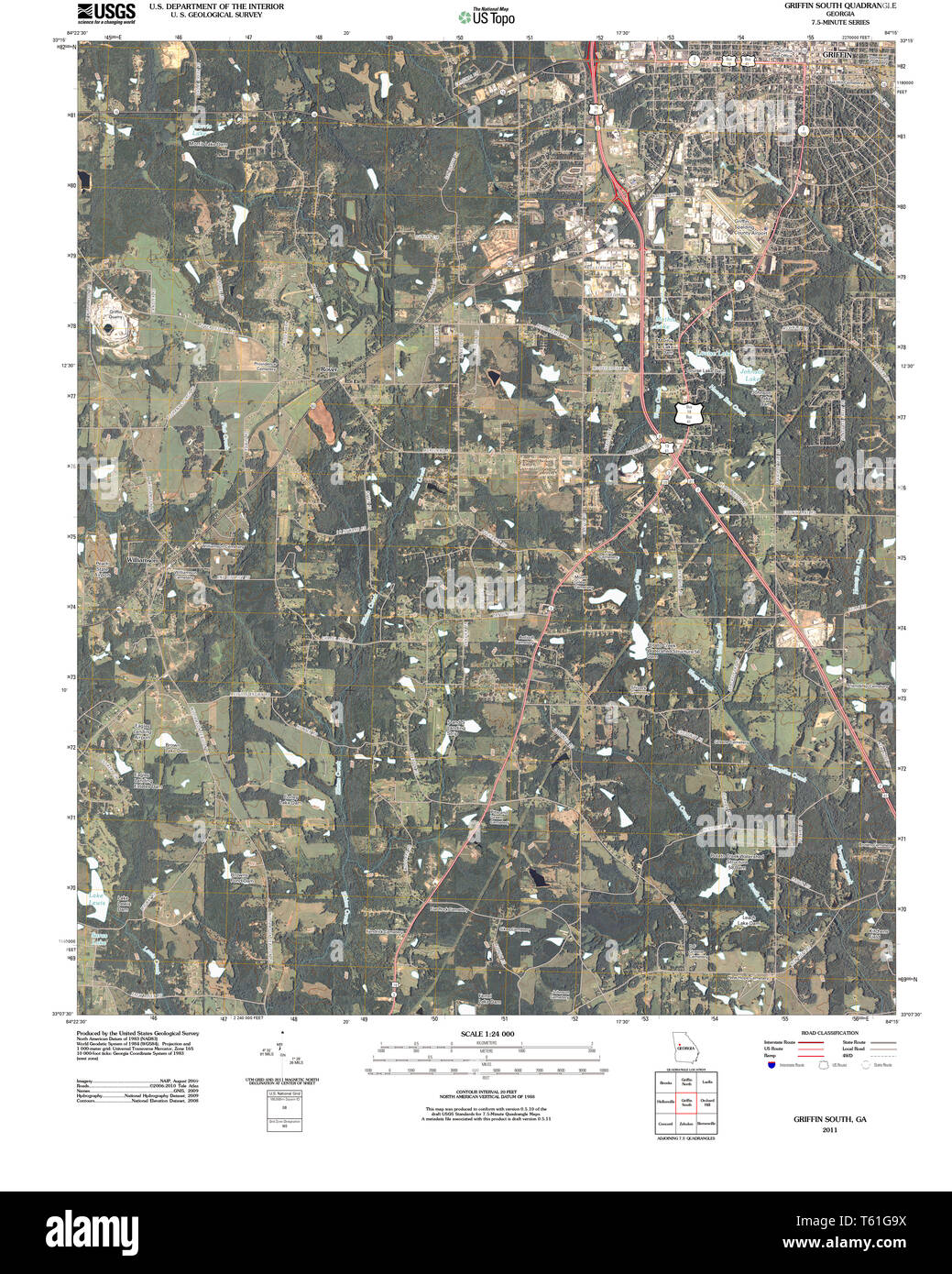 USGS TOPO Map Georgia GA Griffin South 20110307 TM Restoration Stock Photohttps://www.alamy.com/image-license-details/?v=1https://www.alamy.com/usgs-topo-map-georgia-ga-griffin-south-20110307-tm-restoration-image244667862.html
RMT61G9X–USGS TOPO Map Georgia GA Griffin South 20110307 TM Restoration
 Philadelphia, City in United States of America, USA. Stock Photohttps://www.alamy.com/image-license-details/?v=1https://www.alamy.com/philadelphia-city-in-united-states-of-america-usa-image488909942.html
RF2KBBNHA–Philadelphia, City in United States of America, USA.
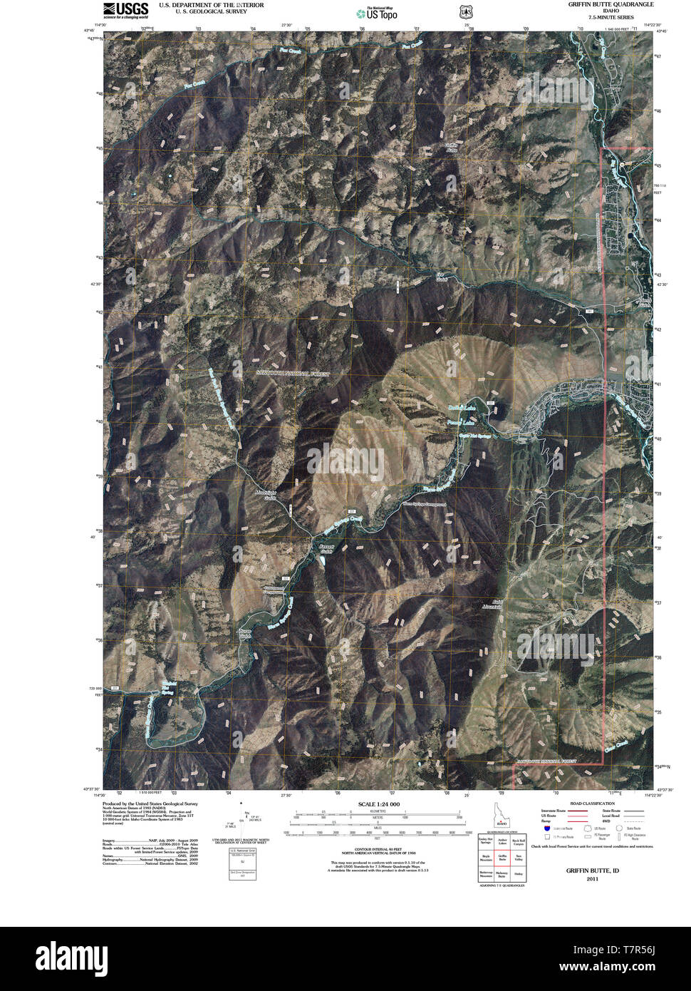 USGS TOPO Map Idaho ID Griffin Butte 20110112 TM Restoration Stock Photohttps://www.alamy.com/image-license-details/?v=1https://www.alamy.com/usgs-topo-map-idaho-id-griffin-butte-20110112-tm-restoration-image245756746.html
RMT7R56J–USGS TOPO Map Idaho ID Griffin Butte 20110112 TM Restoration
 Spalding County, Georgia (U.S. county, United States of America,USA, U.S., US) map vector illustration, scribble sketch Spalding map Stock Vectorhttps://www.alamy.com/image-license-details/?v=1https://www.alamy.com/spalding-county-georgia-us-county-united-states-of-americausa-us-us-map-vector-illustration-scribble-sketch-spalding-map-image358701918.html
RF2BRG7XP–Spalding County, Georgia (U.S. county, United States of America,USA, U.S., US) map vector illustration, scribble sketch Spalding map
 . Guide to southern Georgia and Florida, containing a brief description of points of interest to the tourist, invalid, or immigrant, and how to reach them . O ouon5v/wvNx».*v, o.A^vu^-^ <A^- 0 GUIDE SODTHEf GEOI[GIA i FLOpA, CONTAINING A BEIEF DESCRIPTION OP POINTS OF INTEREST TOUEIST, INVALID, OE IMMIGRANT, AND HOW TO REACH THEM. ARRANGED BY J. H. GRIFFIN, Passenger Agent Atlantic and Gulf Railroad. ISSUED GRATUITOUSLY. THIRD EDITION. SAVANNAH, GA.: MORNING NEWS STEAM PRINTING HOUSE.1876.. Index to Advertisements. PAGE Florida Curiosities, etc.—E. F. Gilbert, Jacksonville, Fla Back of Map Stock Photohttps://www.alamy.com/image-license-details/?v=1https://www.alamy.com/guide-to-southern-georgia-and-florida-containing-a-brief-description-of-points-of-interest-to-the-tourist-invalid-or-immigrant-and-how-to-reach-them-o-ouon5vwvnxv-oavu-lta-0-guide-sodthef-geoi-gia-i-flopa-containing-a-beief-description-op-points-of-interest-toueist-invalid-oe-immigrant-and-how-to-reach-them-arranged-by-j-h-griffin-passenger-agent-atlantic-and-gulf-railroad-issued-gratuitously-third-edition-savannah-ga-morning-news-steam-printing-house1876-index-to-advertisements-page-florida-curiosities-etce-f-gilbert-jacksonville-fla-back-of-map-image369646541.html
RM2CDARX5–. Guide to southern Georgia and Florida, containing a brief description of points of interest to the tourist, invalid, or immigrant, and how to reach them . O ouon5v/wvNx».*v, o.A^vu^-^ <A^- 0 GUIDE SODTHEf GEOI[GIA i FLOpA, CONTAINING A BEIEF DESCRIPTION OP POINTS OF INTEREST TOUEIST, INVALID, OE IMMIGRANT, AND HOW TO REACH THEM. ARRANGED BY J. H. GRIFFIN, Passenger Agent Atlantic and Gulf Railroad. ISSUED GRATUITOUSLY. THIRD EDITION. SAVANNAH, GA.: MORNING NEWS STEAM PRINTING HOUSE.1876.. Index to Advertisements. PAGE Florida Curiosities, etc.—E. F. Gilbert, Jacksonville, Fla Back of Map
RFM0JTYP–Griffin icons set, isometric style
RFR2CTMB–Rome place icons set. Flat set of 9 rome place vector icons for web isolated on white background
 Griffin, Posey County, US, United States, Indiana, N 38 12' 15'', S 87 54' 53'', map, Cartascapes Map published in 2024. Explore Cartascapes, a map revealing Earth's diverse landscapes, cultures, and ecosystems. Journey through time and space, discovering the interconnectedness of our planet's past, present, and future. Stock Photohttps://www.alamy.com/image-license-details/?v=1https://www.alamy.com/griffin-posey-county-us-united-states-indiana-n-38-12-15-s-87-54-53-map-cartascapes-map-published-in-2024-explore-cartascapes-a-map-revealing-earths-diverse-landscapes-cultures-and-ecosystems-journey-through-time-and-space-discovering-the-interconnectedness-of-our-planets-past-present-and-future-image621242228.html
RM2Y2M0PC–Griffin, Posey County, US, United States, Indiana, N 38 12' 15'', S 87 54' 53'', map, Cartascapes Map published in 2024. Explore Cartascapes, a map revealing Earth's diverse landscapes, cultures, and ecosystems. Journey through time and space, discovering the interconnectedness of our planet's past, present, and future.
 Sanborn Fire Insurance Map from Griffin, Spalding County, Georgia. Stock Photohttps://www.alamy.com/image-license-details/?v=1https://www.alamy.com/sanborn-fire-insurance-map-from-griffin-spalding-county-georgia-image456417548.html
RM2HEFH6M–Sanborn Fire Insurance Map from Griffin, Spalding County, Georgia.
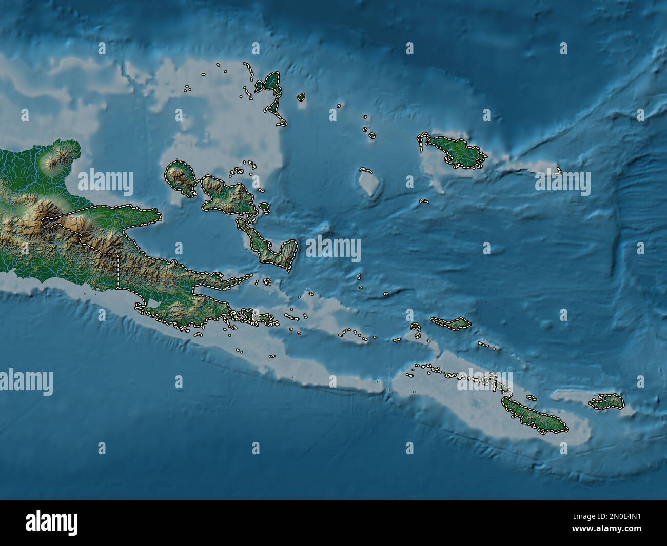 Milne Bay, province of Papua New Guinea. Colored elevation map with lakes and rivers Stock Photohttps://www.alamy.com/image-license-details/?v=1https://www.alamy.com/milne-bay-province-of-papua-new-guinea-colored-elevation-map-with-lakes-and-rivers-image516622093.html
RF2N0E4N1–Milne Bay, province of Papua New Guinea. Colored elevation map with lakes and rivers
 Edinburgh, Scotland. Sat 17 December 2022. English indie band Martha onstage at Summerhall where they played as part of the Lost Map Record’s Christmas Humbug concert. They released their fourth album ‘Please Don't Take Me Back’ in October 2022. Martha formed in the early 2010s in the village Pity Me in County Durham in the North East of England and are JC Cairns, Daniel Ellis, Naomi Griffin and Nathan Stephens-Griffin. Stock Photohttps://www.alamy.com/image-license-details/?v=1https://www.alamy.com/edinburgh-scotland-sat-17-december-2022-english-indie-band-martha-onstage-at-summerhall-where-they-played-as-part-of-the-lost-map-records-christmas-humbug-concert-they-released-their-fourth-album-please-dont-take-me-back-in-october-2022-martha-formed-in-the-early-2010s-in-the-village-pity-me-in-county-durham-in-the-north-east-of-england-and-are-jc-cairns-daniel-ellis-naomi-griffin-and-nathan-stephens-griffin-image501644456.html
RM2M43THC–Edinburgh, Scotland. Sat 17 December 2022. English indie band Martha onstage at Summerhall where they played as part of the Lost Map Record’s Christmas Humbug concert. They released their fourth album ‘Please Don't Take Me Back’ in October 2022. Martha formed in the early 2010s in the village Pity Me in County Durham in the North East of England and are JC Cairns, Daniel Ellis, Naomi Griffin and Nathan Stephens-Griffin.
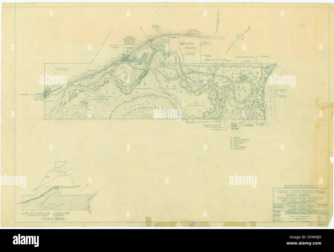 Fort Griffin State Historic Park SP63 21 Stock Photohttps://www.alamy.com/image-license-details/?v=1https://www.alamy.com/fort-griffin-state-historic-park-sp63-21-image68783189.html
RMDYW9JD–Fort Griffin State Historic Park SP63 21
 Griffin Johnson van Bleek Stock Photohttps://www.alamy.com/image-license-details/?v=1https://www.alamy.com/stock-photo-griffin-johnson-van-bleek-142856000.html
RMJ8BJ80–Griffin Johnson van Bleek
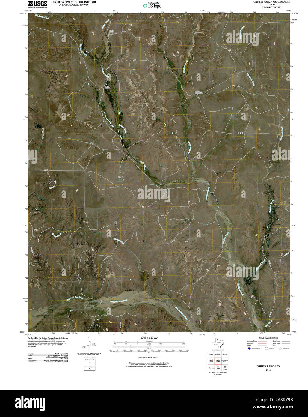 USGS TOPO Map Texas TX Griffin Ranch 20100306 TM Restoration Stock Photohttps://www.alamy.com/image-license-details/?v=1https://www.alamy.com/usgs-topo-map-texas-tx-griffin-ranch-20100306-tm-restoration-image332440567.html
RM2A8RY9B–USGS TOPO Map Texas TX Griffin Ranch 20100306 TM Restoration
 . Annual report of the auditor of the state of North Carolina. CAROLINA CORPORATION COMMISSION, CONTINGENCIES—REVALUATION ACT. Paid on above account as follows:May, 1919. G. P. Pell, Commissioner, expenses W. G. Barnes, expenses.. O. S. Thompson, expenses.. J. S. Griffin, expenses N. A. Trexlor, map, Rowan County J. S. Griffin, expenses. G. P. Pell, CoiW. T. Lee, Coram:E. J. Becton, servi ssioner, expenses.,ssioner, expenses.,ices and expenses.. C. M. Vanstory, services and expenses..A. L. Bulwinkle, services and expenses.. J. H. Howell, services and expenses J. J. Bernard, services and exp Stock Photohttps://www.alamy.com/image-license-details/?v=1https://www.alamy.com/annual-report-of-the-auditor-of-the-state-of-north-carolina-carolina-corporation-commission-contingenciesrevaluation-act-paid-on-above-account-as-followsmay-1919-g-p-pell-commissioner-expenses-w-g-barnes-expenses-o-s-thompson-expenses-j-s-griffin-expenses-n-a-trexlor-map-rowan-county-j-s-griffin-expenses-g-p-pell-coiw-t-lee-corame-j-becton-servi-ssioner-expensesssioner-expensesices-and-expenses-c-m-vanstory-services-and-expensesa-l-bulwinkle-services-and-expenses-j-h-howell-services-and-expenses-j-j-bernard-services-and-exp-image370482034.html
RM2CEMWH6–. Annual report of the auditor of the state of North Carolina. CAROLINA CORPORATION COMMISSION, CONTINGENCIES—REVALUATION ACT. Paid on above account as follows:May, 1919. G. P. Pell, Commissioner, expenses W. G. Barnes, expenses.. O. S. Thompson, expenses.. J. S. Griffin, expenses N. A. Trexlor, map, Rowan County J. S. Griffin, expenses. G. P. Pell, CoiW. T. Lee, Coram:E. J. Becton, servi ssioner, expenses.,ssioner, expenses.,ices and expenses.. C. M. Vanstory, services and expenses..A. L. Bulwinkle, services and expenses.. J. H. Howell, services and expenses J. J. Bernard, services and exp
RFRNMF4P–Euro icons set, isometric style
 Griffin Hill, Break O'Day, AU, Australia, Tasmania, S 41 27' 36'', N 147 51' 36'', map, Cartascapes Map published in 2024. Explore Cartascapes, a map revealing Earth's diverse landscapes, cultures, and ecosystems. Journey through time and space, discovering the interconnectedness of our planet's past, present, and future. Stock Photohttps://www.alamy.com/image-license-details/?v=1https://www.alamy.com/griffin-hill-break-oday-au-australia-tasmania-s-41-27-36-n-147-51-36-map-cartascapes-map-published-in-2024-explore-cartascapes-a-map-revealing-earths-diverse-landscapes-cultures-and-ecosystems-journey-through-time-and-space-discovering-the-interconnectedness-of-our-planets-past-present-and-future-image625458716.html
RM2Y9G2Y8–Griffin Hill, Break O'Day, AU, Australia, Tasmania, S 41 27' 36'', N 147 51' 36'', map, Cartascapes Map published in 2024. Explore Cartascapes, a map revealing Earth's diverse landscapes, cultures, and ecosystems. Journey through time and space, discovering the interconnectedness of our planet's past, present, and future.