Quick filters:
Map of groveton Stock Photos and Images
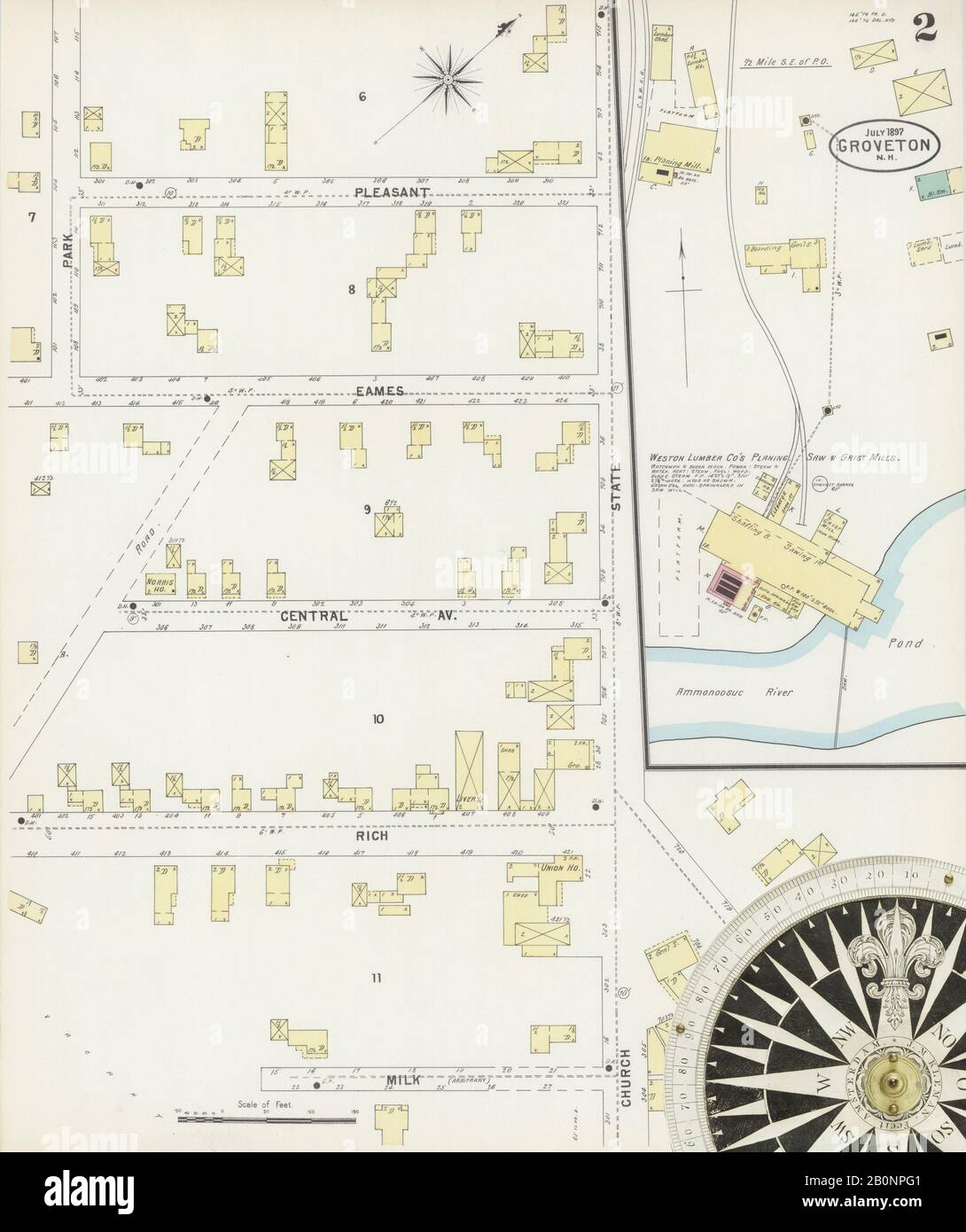 Image 2 of Sanborn Fire Insurance Map from Groveton, Coos County, New Hampshire. Jul 1897. 3 Sheet(s), America, street map with a Nineteenth Century compass Stock Photohttps://www.alamy.com/image-license-details/?v=1https://www.alamy.com/image-2-of-sanborn-fire-insurance-map-from-groveton-coos-county-new-hampshire-jul-1897-3-sheets-america-street-map-with-a-nineteenth-century-compass-image344686049.html
RM2B0NPG1–Image 2 of Sanborn Fire Insurance Map from Groveton, Coos County, New Hampshire. Jul 1897. 3 Sheet(s), America, street map with a Nineteenth Century compass
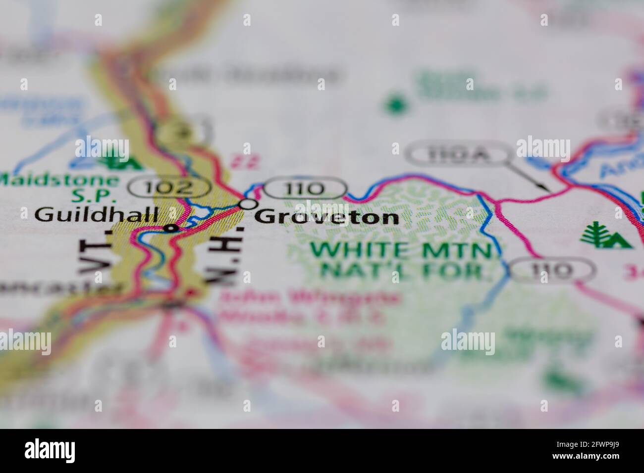 Groveton New Hampshire USA shown on a Geography map or Road map Stock Photohttps://www.alamy.com/image-license-details/?v=1https://www.alamy.com/groveton-new-hampshire-usa-shown-on-a-geography-map-or-road-map-image428905745.html
RM2FWP9J9–Groveton New Hampshire USA shown on a Geography map or Road map
 Groveton, Trinity County, US, United States, Texas, N 31 3' 17'', S 95 7' 32'', map, Cartascapes Map published in 2024. Explore Cartascapes, a map revealing Earth's diverse landscapes, cultures, and ecosystems. Journey through time and space, discovering the interconnectedness of our planet's past, present, and future. Stock Photohttps://www.alamy.com/image-license-details/?v=1https://www.alamy.com/groveton-trinity-county-us-united-states-texas-n-31-3-17-s-95-7-32-map-cartascapes-map-published-in-2024-explore-cartascapes-a-map-revealing-earths-diverse-landscapes-cultures-and-ecosystems-journey-through-time-and-space-discovering-the-interconnectedness-of-our-planets-past-present-and-future-image621419035.html
RM2Y3028Y–Groveton, Trinity County, US, United States, Texas, N 31 3' 17'', S 95 7' 32'', map, Cartascapes Map published in 2024. Explore Cartascapes, a map revealing Earth's diverse landscapes, cultures, and ecosystems. Journey through time and space, discovering the interconnectedness of our planet's past, present, and future.
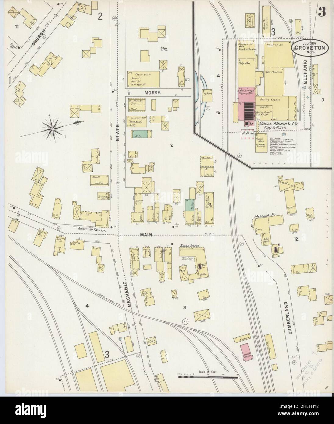 Sanborn Fire Insurance Map from Groveton, Coos County, New Hampshire. Stock Photohttps://www.alamy.com/image-license-details/?v=1https://www.alamy.com/sanborn-fire-insurance-map-from-groveton-coos-county-new-hampshire-image456418124.html
RM2HEFHY8–Sanborn Fire Insurance Map from Groveton, Coos County, New Hampshire.
 Map of battle-grounds of August 28th, 29th, & 30th 1862 in the vicinity of Groveton, Prince William Co., Va. 1878 by Warren G. K. (Gouverneur Kemble), Judson J. A. (John Andrew), Garden H. D. Stock Photohttps://www.alamy.com/image-license-details/?v=1https://www.alamy.com/map-of-battle-grounds-of-august-28th-29th-30th-1862-in-the-vicinity-of-groveton-prince-william-co-va-1878-by-warren-g-k-gouverneur-kemble-judson-j-a-john-andrew-garden-h-d-image641298202.html
RM2S79JB6–Map of battle-grounds of August 28th, 29th, & 30th 1862 in the vicinity of Groveton, Prince William Co., Va. 1878 by Warren G. K. (Gouverneur Kemble), Judson J. A. (John Andrew), Garden H. D.
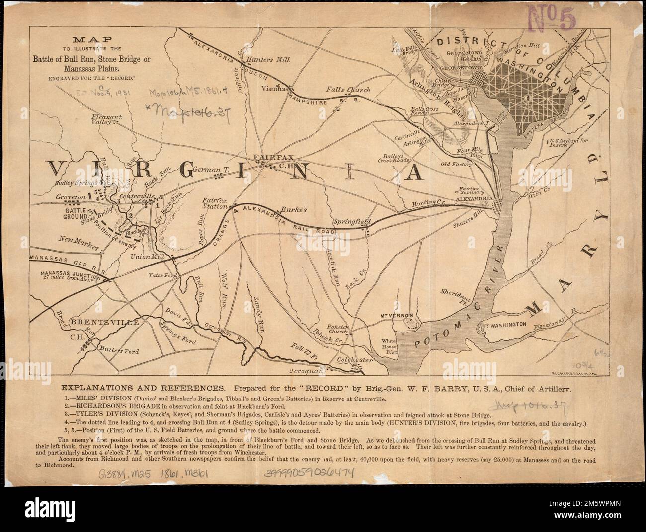 Map to illustrate the battle of Bull Run, Stone Bridge or Manassas Plains. Relief shown by hachures. Below map: Explanations and references prepared for the 'Record' by Brig.-Gen. W.F. Barry, U.S.A. chief of artillery. In lower right corner of map: Richardson, N.Y. Map covers area from Washington to Groveton.. Torn in Two: This map, prepared by a Union artillery officer, focuses less on the battle action, but demonstrates its strategic significance in relation to Washington, DC. Charged with defending the nation’s capital, Union troops hoped to gain a quick victory over Confederate troops. Ant Stock Photohttps://www.alamy.com/image-license-details/?v=1https://www.alamy.com/map-to-illustrate-the-battle-of-bull-run-stone-bridge-or-manassas-plains-relief-shown-by-hachures-below-map-explanations-and-references-prepared-for-the-record-by-brig-gen-wf-barry-usa-chief-of-artillery-in-lower-right-corner-of-map-richardson-ny-map-covers-area-from-washington-to-groveton-torn-in-two-this-map-prepared-by-a-union-artillery-officer-focuses-less-on-the-battle-action-but-demonstrates-its-strategic-significance-in-relation-to-washington-dc-charged-with-defending-the-nations-capital-union-troops-hoped-to-gain-a-quick-victory-over-confederate-troops-ant-image502740581.html
RM2M5WPMN–Map to illustrate the battle of Bull Run, Stone Bridge or Manassas Plains. Relief shown by hachures. Below map: Explanations and references prepared for the 'Record' by Brig.-Gen. W.F. Barry, U.S.A. chief of artillery. In lower right corner of map: Richardson, N.Y. Map covers area from Washington to Groveton.. Torn in Two: This map, prepared by a Union artillery officer, focuses less on the battle action, but demonstrates its strategic significance in relation to Washington, DC. Charged with defending the nation’s capital, Union troops hoped to gain a quick victory over Confederate troops. Ant
 Trinity County, Texas (Counties in Texas, United States of America,USA, U.S., US) map vector illustration, scribble sketch Trinity map Stock Vectorhttps://www.alamy.com/image-license-details/?v=1https://www.alamy.com/trinity-county-texas-counties-in-texas-united-states-of-americausa-us-us-map-vector-illustration-scribble-sketch-trinity-map-image628640913.html
RF2YEN1W5–Trinity County, Texas (Counties in Texas, United States of America,USA, U.S., US) map vector illustration, scribble sketch Trinity map
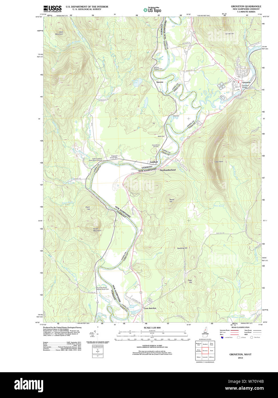 USGS TOPO Map New Hampshire NH Groveton 20120508 TM Restoration Stock Photohttps://www.alamy.com/image-license-details/?v=1https://www.alamy.com/usgs-topo-map-new-hampshire-nh-groveton-20120508-tm-restoration-image262479403.html
RMW70Y4B–USGS TOPO Map New Hampshire NH Groveton 20120508 TM Restoration
 . Abraham Lincoln and the battles of the Civil War . .Monroe and Hampton Cole hoiiftcs. The great impor-tance to the Lnif»n army of that (><iition i» devrribcd by GeneralPope on paee 453. Iyin;{»treet at that hour wa« hurrying to thefield through r^ainc^ville, and the right of the Union army was arrayed in continuous line in front of Jackson from a point onthe turnpike three-cjuartcrs of a mile west of Groveton to ihcpoint where the Sudley Springs road crosses the unfinished rail-road which was Jacksons stronghold. The map above illustratesthe situation at the time of the greatest succes Stock Photohttps://www.alamy.com/image-license-details/?v=1https://www.alamy.com/abraham-lincoln-and-the-battles-of-the-civil-war-monroe-and-hampton-cole-hoiiftcs-the-great-impor-tance-to-the-lnifn-army-of-that-gtltiition-i-devrribcd-by-generalpope-on-paee-453-iyintreet-at-that-hour-wa-hurrying-to-thefield-through-raincville-and-the-right-of-the-union-army-was-arrayed-in-continuous-line-in-front-of-jackson-from-a-point-onthe-turnpike-three-cjuartcrs-of-a-mile-west-of-groveton-to-ihcpoint-where-the-sudley-springs-road-crosses-the-unfinished-rail-road-which-was-jacksons-stronghold-the-map-above-illustratesthe-situation-at-the-time-of-the-greatest-succes-image371645794.html
RM2CGHX02–. Abraham Lincoln and the battles of the Civil War . .Monroe and Hampton Cole hoiiftcs. The great impor-tance to the Lnif»n army of that (><iition i» devrribcd by GeneralPope on paee 453. Iyin;{»treet at that hour wa« hurrying to thefield through r^ainc^ville, and the right of the Union army was arrayed in continuous line in front of Jackson from a point onthe turnpike three-cjuartcrs of a mile west of Groveton to ihcpoint where the Sudley Springs road crosses the unfinished rail-road which was Jacksons stronghold. The map above illustratesthe situation at the time of the greatest succes
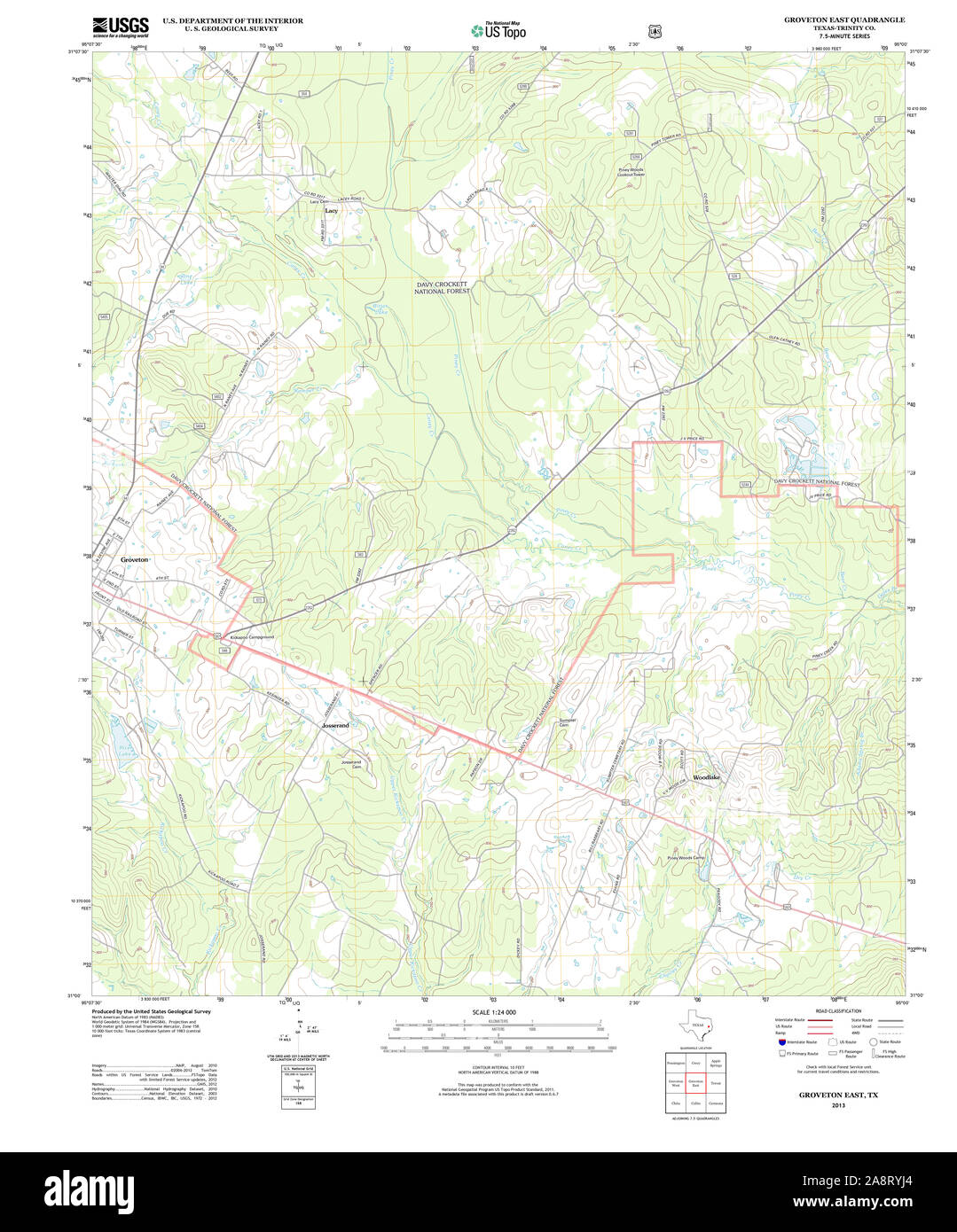 USGS TOPO Map Texas TX Groveton East 20130131 TM Restoration Stock Photohttps://www.alamy.com/image-license-details/?v=1https://www.alamy.com/usgs-topo-map-texas-tx-groveton-east-20130131-tm-restoration-image332440812.html
RM2A8RYJ4–USGS TOPO Map Texas TX Groveton East 20130131 TM Restoration
 Image 2 of Sanborn Fire Insurance Map from Groveton, Coos County, New Hampshire. Feb 1892. 2 Sheet(s), America, street map with a Nineteenth Century compass Stock Photohttps://www.alamy.com/image-license-details/?v=1https://www.alamy.com/image-2-of-sanborn-fire-insurance-map-from-groveton-coos-county-new-hampshire-feb-1892-2-sheets-america-street-map-with-a-nineteenth-century-compass-image344686045.html
RM2B0NPFW–Image 2 of Sanborn Fire Insurance Map from Groveton, Coos County, New Hampshire. Feb 1892. 2 Sheet(s), America, street map with a Nineteenth Century compass
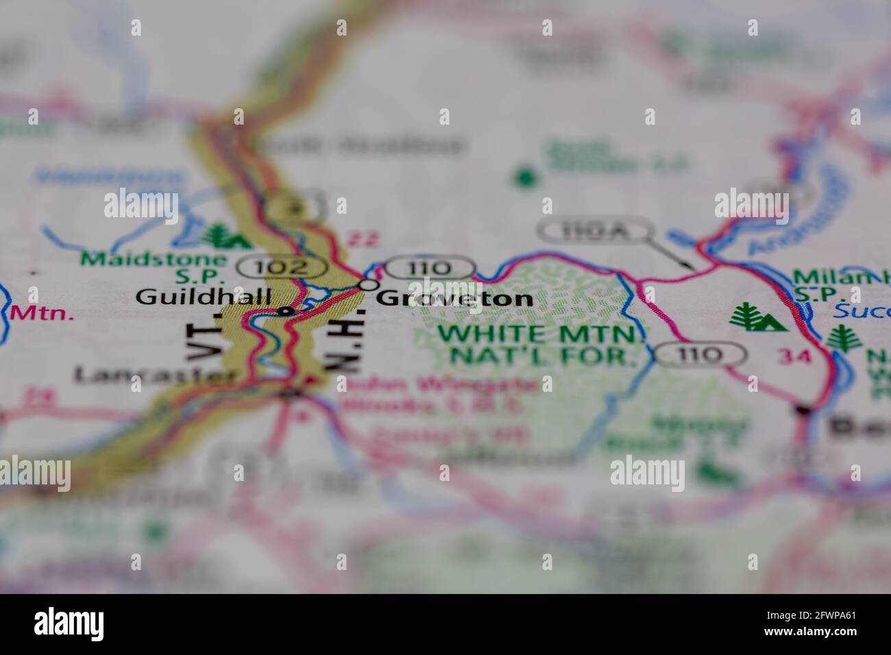 Groveton New Hampshire USA shown on a Geography map or Road map Stock Photohttps://www.alamy.com/image-license-details/?v=1https://www.alamy.com/groveton-new-hampshire-usa-shown-on-a-geography-map-or-road-map-image428906185.html
RM2FWPA61–Groveton New Hampshire USA shown on a Geography map or Road map
 Groveton, Allegheny County, US, United States, Pennsylvania, N 40 30' 14'', S 80 8' 25'', map, Cartascapes Map published in 2024. Explore Cartascapes, a map revealing Earth's diverse landscapes, cultures, and ecosystems. Journey through time and space, discovering the interconnectedness of our planet's past, present, and future. Stock Photohttps://www.alamy.com/image-license-details/?v=1https://www.alamy.com/groveton-allegheny-county-us-united-states-pennsylvania-n-40-30-14-s-80-8-25-map-cartascapes-map-published-in-2024-explore-cartascapes-a-map-revealing-earths-diverse-landscapes-cultures-and-ecosystems-journey-through-time-and-space-discovering-the-interconnectedness-of-our-planets-past-present-and-future-image621270472.html
RM2Y2N8R4–Groveton, Allegheny County, US, United States, Pennsylvania, N 40 30' 14'', S 80 8' 25'', map, Cartascapes Map published in 2024. Explore Cartascapes, a map revealing Earth's diverse landscapes, cultures, and ecosystems. Journey through time and space, discovering the interconnectedness of our planet's past, present, and future.
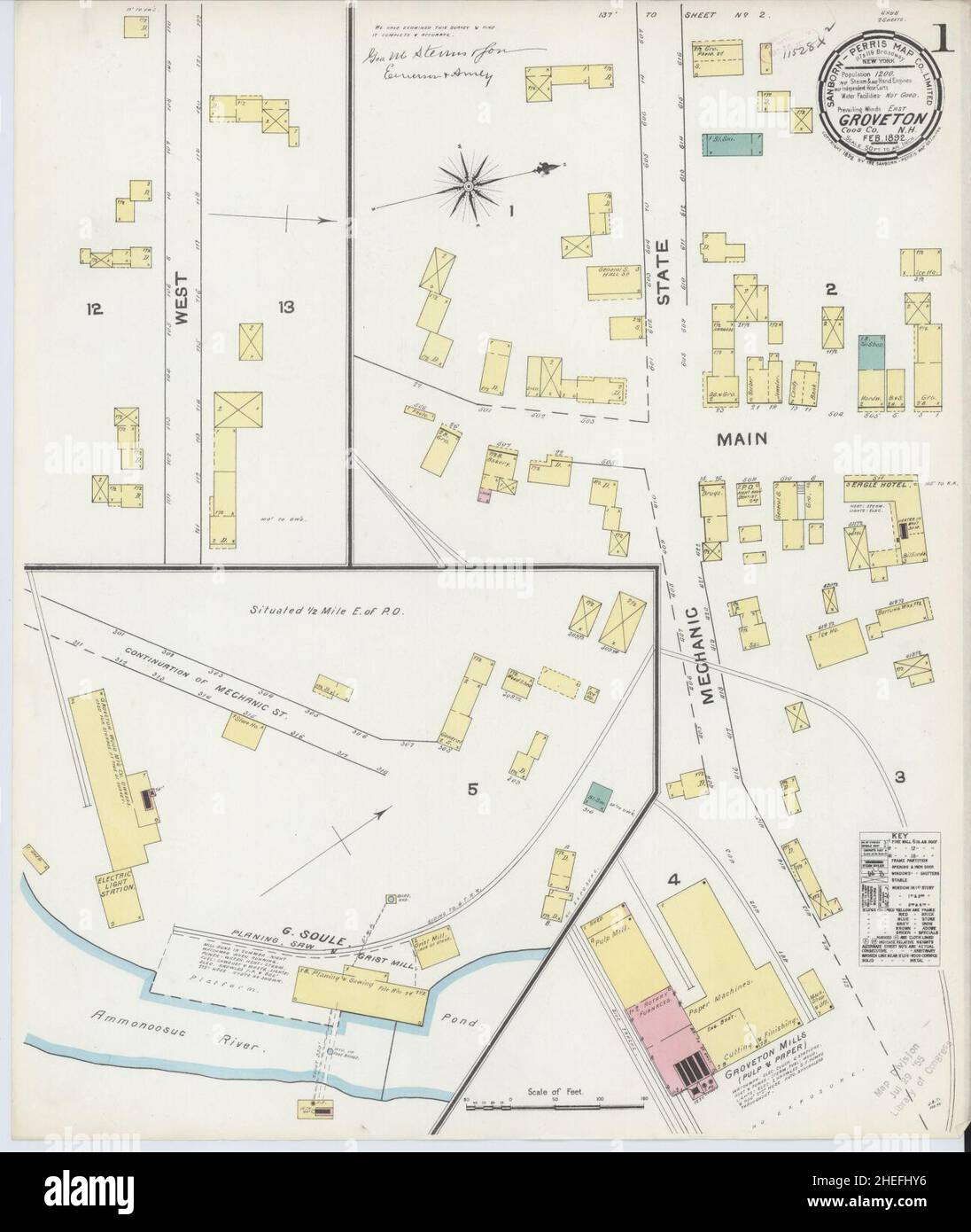 Sanborn Fire Insurance Map from Groveton, Coos County, New Hampshire. Stock Photohttps://www.alamy.com/image-license-details/?v=1https://www.alamy.com/sanborn-fire-insurance-map-from-groveton-coos-county-new-hampshire-image456418122.html
RM2HEFHY6–Sanborn Fire Insurance Map from Groveton, Coos County, New Hampshire.
 Map of battle-grounds of August 28th, 29th, & 30th, 1862, in the vicinity of Groveton, Prince William Co., Va. 1878 by Warren Gouverneur Kemble, Hawley Joseph R. (Joseph Roswell), Humphreys A. A. (Andrew Atkinson), McCrary George Washington, United States. Army. Corps of Engineers. Stock Photohttps://www.alamy.com/image-license-details/?v=1https://www.alamy.com/map-of-battle-grounds-of-august-28th-29th-30th-1862-in-the-vicinity-of-groveton-prince-william-co-va-1878-by-warren-gouverneur-kemble-hawley-joseph-r-joseph-roswell-humphreys-a-a-andrew-atkinson-mccrary-george-washington-united-states-army-corps-of-engineers-image641306873.html
RM2S7A1CW–Map of battle-grounds of August 28th, 29th, & 30th, 1862, in the vicinity of Groveton, Prince William Co., Va. 1878 by Warren Gouverneur Kemble, Hawley Joseph R. (Joseph Roswell), Humphreys A. A. (Andrew Atkinson), McCrary George Washington, United States. Army. Corps of Engineers.
 Trinity County, Texas (Counties in Texas, United States of America,USA, U.S., US) map vector illustration, scribble sketch Trinity map Stock Vectorhttps://www.alamy.com/image-license-details/?v=1https://www.alamy.com/trinity-county-texas-counties-in-texas-united-states-of-americausa-us-us-map-vector-illustration-scribble-sketch-trinity-map-image328160373.html
RF2A1TYW9–Trinity County, Texas (Counties in Texas, United States of America,USA, U.S., US) map vector illustration, scribble sketch Trinity map
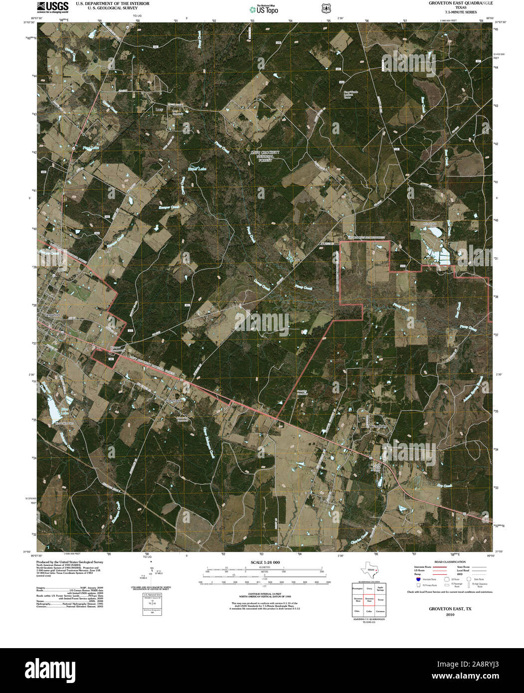 USGS TOPO Map Texas TX Groveton East 20100930 TM Restoration Stock Photohttps://www.alamy.com/image-license-details/?v=1https://www.alamy.com/usgs-topo-map-texas-tx-groveton-east-20100930-tm-restoration-image332440811.html
RM2A8RYJ3–USGS TOPO Map Texas TX Groveton East 20100930 TM Restoration
 Image 3 of Sanborn Fire Insurance Map from Groveton, Coos County, New Hampshire. Jul 1897. 3 Sheet(s), America, street map with a Nineteenth Century compass Stock Photohttps://www.alamy.com/image-license-details/?v=1https://www.alamy.com/image-3-of-sanborn-fire-insurance-map-from-groveton-coos-county-new-hampshire-jul-1897-3-sheets-america-street-map-with-a-nineteenth-century-compass-image344686051.html
RM2B0NPG3–Image 3 of Sanborn Fire Insurance Map from Groveton, Coos County, New Hampshire. Jul 1897. 3 Sheet(s), America, street map with a Nineteenth Century compass
 Groveton, Fairfax County, US, United States, Virginia, N 38 46' 2'', S 77 5' 4'', map, Cartascapes Map published in 2024. Explore Cartascapes, a map revealing Earth's diverse landscapes, cultures, and ecosystems. Journey through time and space, discovering the interconnectedness of our planet's past, present, and future. Stock Photohttps://www.alamy.com/image-license-details/?v=1https://www.alamy.com/groveton-fairfax-county-us-united-states-virginia-n-38-46-2-s-77-5-4-map-cartascapes-map-published-in-2024-explore-cartascapes-a-map-revealing-earths-diverse-landscapes-cultures-and-ecosystems-journey-through-time-and-space-discovering-the-interconnectedness-of-our-planets-past-present-and-future-image621488714.html
RM2Y3375E–Groveton, Fairfax County, US, United States, Virginia, N 38 46' 2'', S 77 5' 4'', map, Cartascapes Map published in 2024. Explore Cartascapes, a map revealing Earth's diverse landscapes, cultures, and ecosystems. Journey through time and space, discovering the interconnectedness of our planet's past, present, and future.
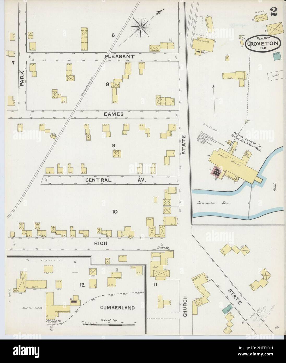 Sanborn Fire Insurance Map from Groveton, Coos County, New Hampshire. Stock Photohttps://www.alamy.com/image-license-details/?v=1https://www.alamy.com/sanborn-fire-insurance-map-from-groveton-coos-county-new-hampshire-image456418133.html
RM2HEFHYH–Sanborn Fire Insurance Map from Groveton, Coos County, New Hampshire.
 Map of battle-grounds of August 28th, 29th, & 30th, 1862, in the vicinity of Groveton, Prince William Co., Va. 1878 by Warren Gouverneur Kemble, Hawley Joseph R. (Joseph Roswell), Humphreys A. A. (Andrew Atkinson), McCrary George Washington, United States. Army. Corps of Engineers. Stock Photohttps://www.alamy.com/image-license-details/?v=1https://www.alamy.com/map-of-battle-grounds-of-august-28th-29th-30th-1862-in-the-vicinity-of-groveton-prince-william-co-va-1878-by-warren-gouverneur-kemble-hawley-joseph-r-joseph-roswell-humphreys-a-a-andrew-atkinson-mccrary-george-washington-united-states-army-corps-of-engineers-image641306878.html
RM2S7A1D2–Map of battle-grounds of August 28th, 29th, & 30th, 1862, in the vicinity of Groveton, Prince William Co., Va. 1878 by Warren Gouverneur Kemble, Hawley Joseph R. (Joseph Roswell), Humphreys A. A. (Andrew Atkinson), McCrary George Washington, United States. Army. Corps of Engineers.
 Trinity County, Texas (Counties in Texas, United States of America,USA, U.S., US) map vector illustration, scribble sketch Trinity map Stock Vectorhttps://www.alamy.com/image-license-details/?v=1https://www.alamy.com/trinity-county-texas-counties-in-texas-united-states-of-americausa-us-us-map-vector-illustration-scribble-sketch-trinity-map-image268953571.html
RFWHFW0K–Trinity County, Texas (Counties in Texas, United States of America,USA, U.S., US) map vector illustration, scribble sketch Trinity map
 USGS TOPO Map Texas TX Groveton West 20130131 TM Restoration Stock Photohttps://www.alamy.com/image-license-details/?v=1https://www.alamy.com/usgs-topo-map-texas-tx-groveton-west-20130131-tm-restoration-image332440888.html
RM2A8RYMT–USGS TOPO Map Texas TX Groveton West 20130131 TM Restoration
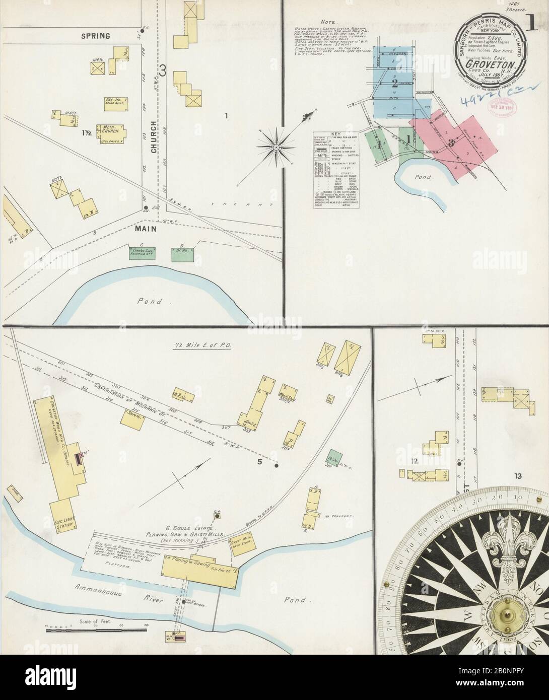 Image 1 of Sanborn Fire Insurance Map from Groveton, Coos County, New Hampshire. Jul 1897. 3 Sheet(s), America, street map with a Nineteenth Century compass Stock Photohttps://www.alamy.com/image-license-details/?v=1https://www.alamy.com/image-1-of-sanborn-fire-insurance-map-from-groveton-coos-county-new-hampshire-jul-1897-3-sheets-america-street-map-with-a-nineteenth-century-compass-image344686047.html
RM2B0NPFY–Image 1 of Sanborn Fire Insurance Map from Groveton, Coos County, New Hampshire. Jul 1897. 3 Sheet(s), America, street map with a Nineteenth Century compass
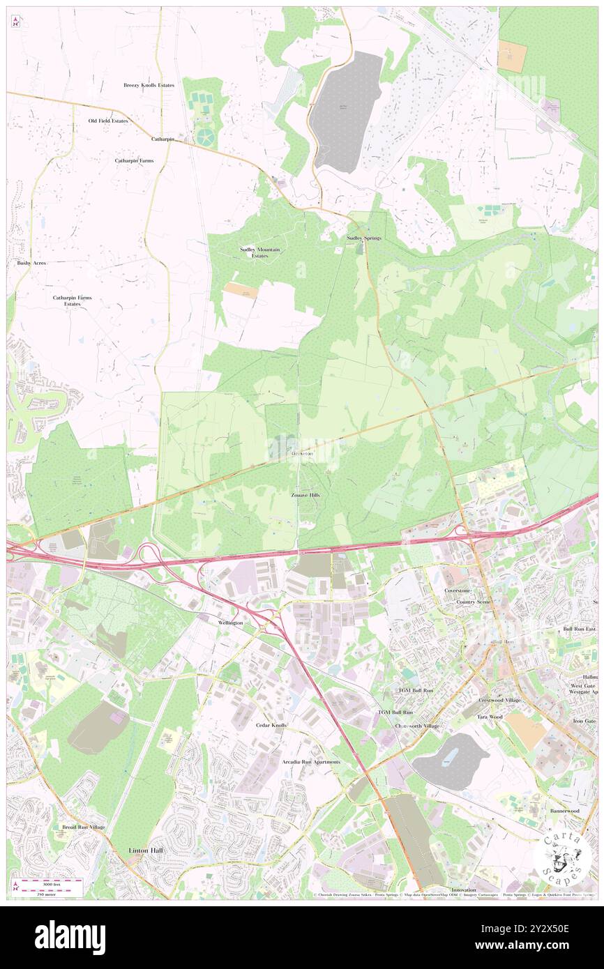 Groveton, Prince William County, US, United States, Virginia, N 38 48' 45'', S 77 32' 53'', map, Cartascapes Map published in 2024. Explore Cartascapes, a map revealing Earth's diverse landscapes, cultures, and ecosystems. Journey through time and space, discovering the interconnectedness of our planet's past, present, and future. Stock Photohttps://www.alamy.com/image-license-details/?v=1https://www.alamy.com/groveton-prince-william-county-us-united-states-virginia-n-38-48-45-s-77-32-53-map-cartascapes-map-published-in-2024-explore-cartascapes-a-map-revealing-earths-diverse-landscapes-cultures-and-ecosystems-journey-through-time-and-space-discovering-the-interconnectedness-of-our-planets-past-present-and-future-image621377246.html
RM2Y2X50E–Groveton, Prince William County, US, United States, Virginia, N 38 48' 45'', S 77 32' 53'', map, Cartascapes Map published in 2024. Explore Cartascapes, a map revealing Earth's diverse landscapes, cultures, and ecosystems. Journey through time and space, discovering the interconnectedness of our planet's past, present, and future.
 Sanborn Fire Insurance Map from Groveton, Coos County, New Hampshire. Stock Photohttps://www.alamy.com/image-license-details/?v=1https://www.alamy.com/sanborn-fire-insurance-map-from-groveton-coos-county-new-hampshire-image456418119.html
RM2HEFHY3–Sanborn Fire Insurance Map from Groveton, Coos County, New Hampshire.
 Map of battle-grounds of August 28th, 29th, & 30th, 1862, in the vicinity of Groveton, Prince William Co., Va. 1878 by Warren Gouverneur Kemble, Hawley Joseph R. (Joseph Roswell), Humphreys A. A. (Andrew Atkinson), McCrary George Washington, United States. Army. Corps of Engineers. Stock Photohttps://www.alamy.com/image-license-details/?v=1https://www.alamy.com/map-of-battle-grounds-of-august-28th-29th-30th-1862-in-the-vicinity-of-groveton-prince-william-co-va-1878-by-warren-gouverneur-kemble-hawley-joseph-r-joseph-roswell-humphreys-a-a-andrew-atkinson-mccrary-george-washington-united-states-army-corps-of-engineers-image641149765.html
RM2S72W1W–Map of battle-grounds of August 28th, 29th, & 30th, 1862, in the vicinity of Groveton, Prince William Co., Va. 1878 by Warren Gouverneur Kemble, Hawley Joseph R. (Joseph Roswell), Humphreys A. A. (Andrew Atkinson), McCrary George Washington, United States. Army. Corps of Engineers.
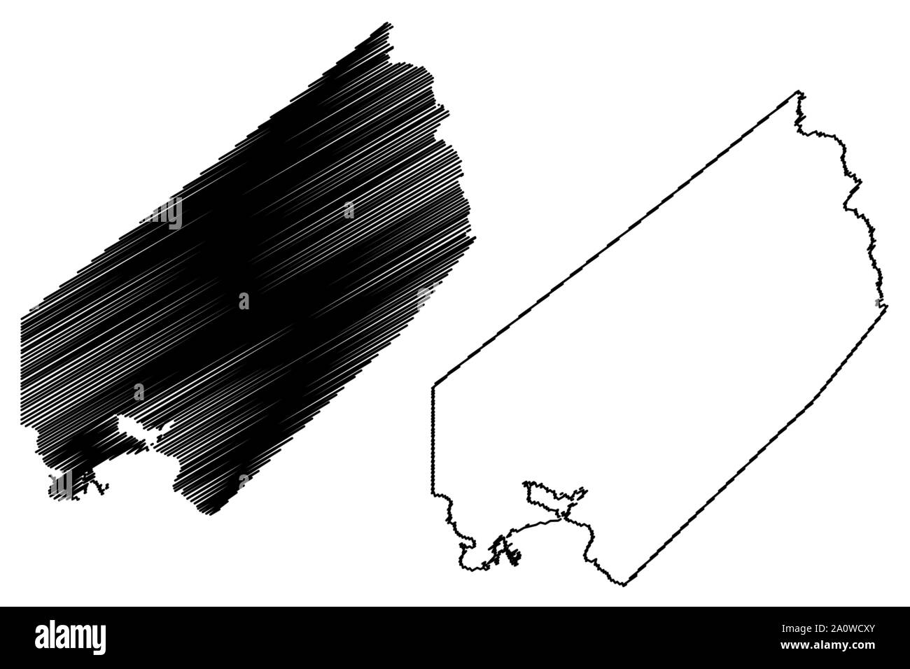 Trinity County, Texas (Counties in Texas, United States of America,USA, U.S., US) map vector illustration, scribble sketch Trinity map Stock Vectorhttps://www.alamy.com/image-license-details/?v=1https://www.alamy.com/trinity-county-texas-counties-in-texas-united-states-of-americausa-us-us-map-vector-illustration-scribble-sketch-trinity-map-image327555955.html
RF2A0WCXY–Trinity County, Texas (Counties in Texas, United States of America,USA, U.S., US) map vector illustration, scribble sketch Trinity map
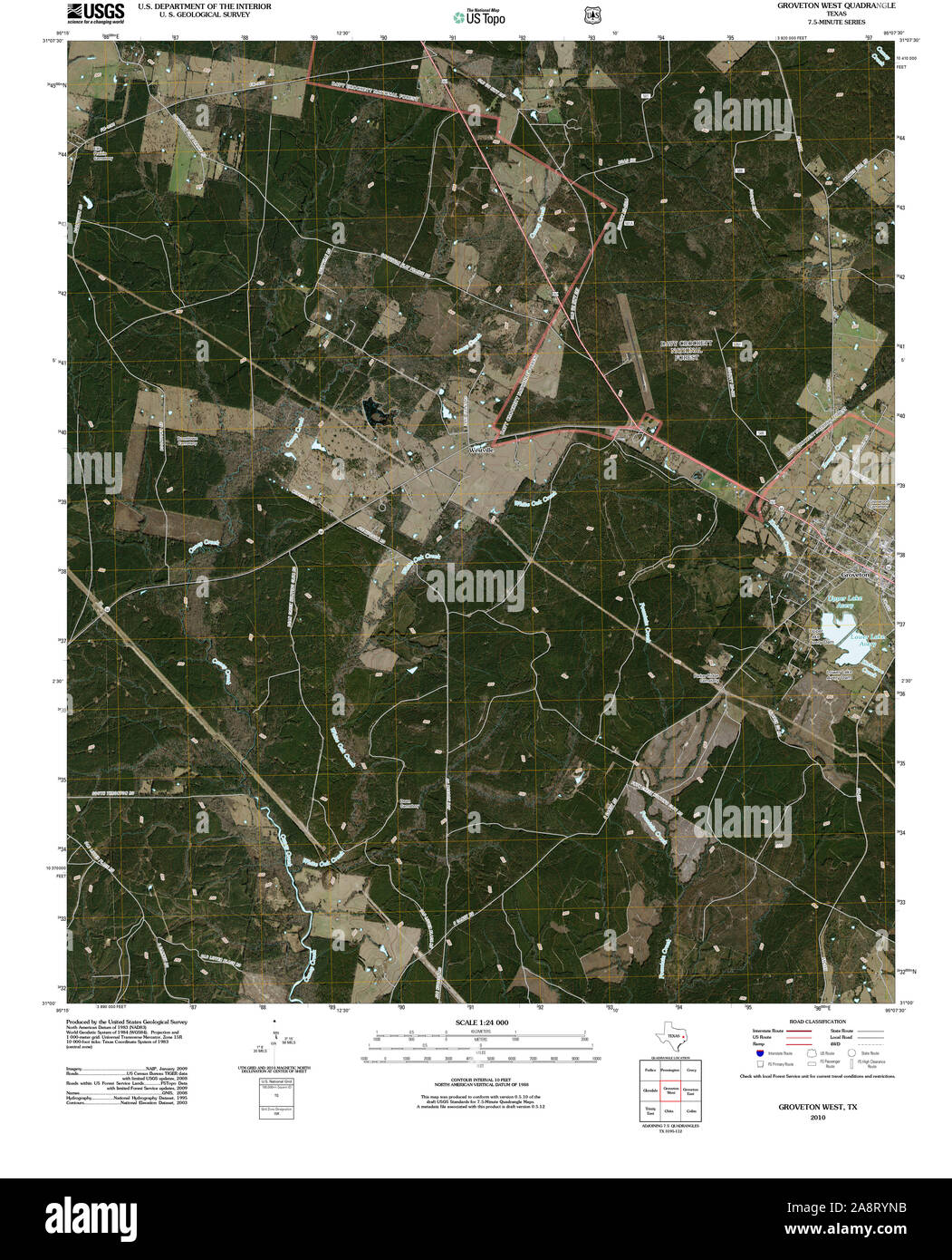 USGS TOPO Map Texas TX Groveton West 20100930 TM Restoration Stock Photohttps://www.alamy.com/image-license-details/?v=1https://www.alamy.com/usgs-topo-map-texas-tx-groveton-west-20100930-tm-restoration-image332440903.html
RM2A8RYNB–USGS TOPO Map Texas TX Groveton West 20100930 TM Restoration
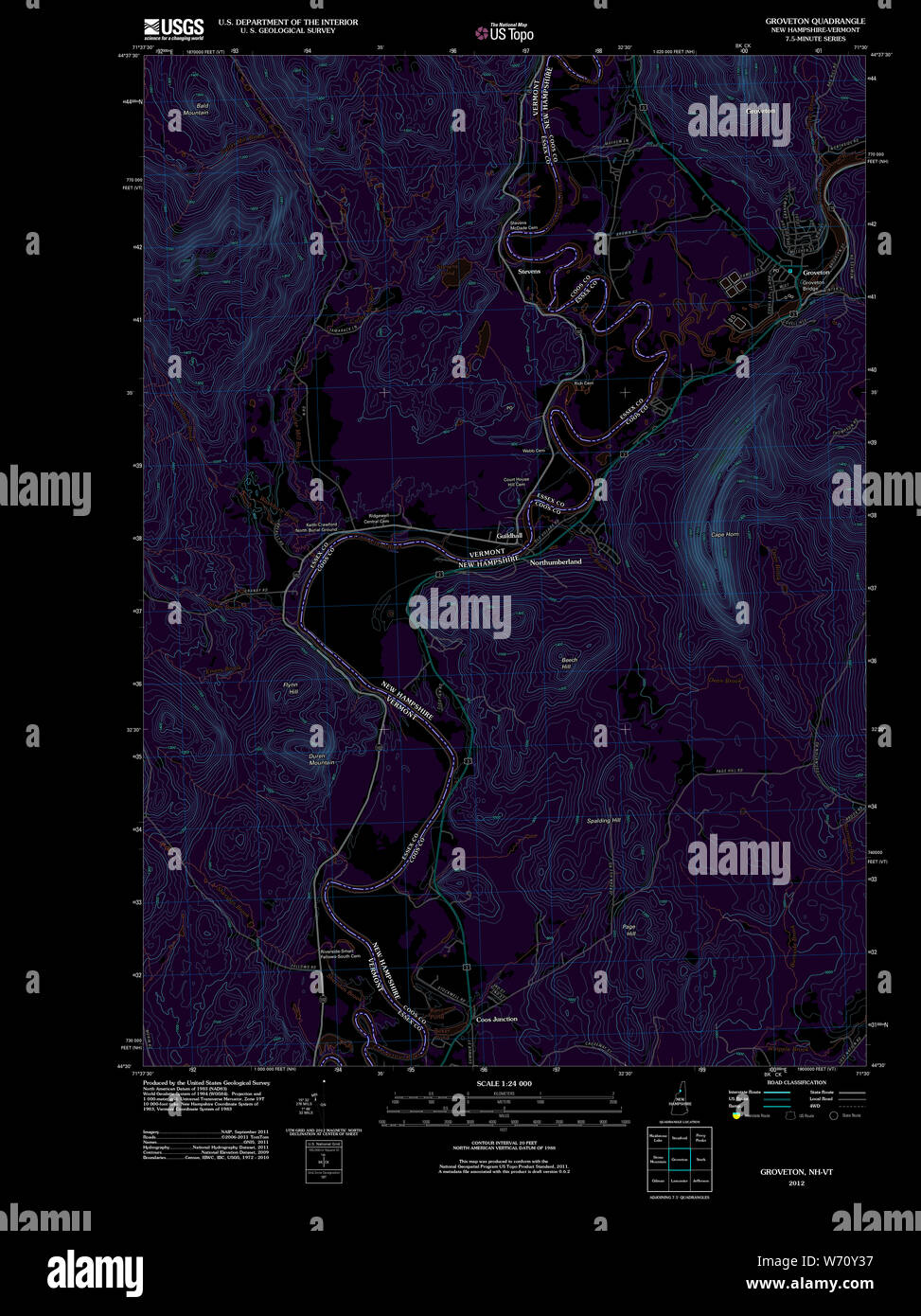 USGS TOPO Map New Hampshire NH Groveton 20120508 TM Inverted Restoration Stock Photohttps://www.alamy.com/image-license-details/?v=1https://www.alamy.com/usgs-topo-map-new-hampshire-nh-groveton-20120508-tm-inverted-restoration-image262479371.html
RMW70Y37–USGS TOPO Map New Hampshire NH Groveton 20120508 TM Inverted Restoration
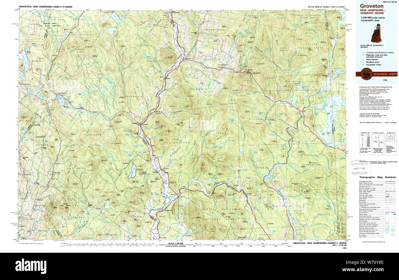 USGS TOPO Map New Hampshire NH Groveton 330404 1986 100000 Restoration Stock Photohttps://www.alamy.com/image-license-details/?v=1https://www.alamy.com/usgs-topo-map-new-hampshire-nh-groveton-330404-1986-100000-restoration-image262479518.html
RMW70Y8E–USGS TOPO Map New Hampshire NH Groveton 330404 1986 100000 Restoration
 Image 1 of Sanborn Fire Insurance Map from Groveton, Coos County, New Hampshire. Feb 1892. 2 Sheet(s), America, street map with a Nineteenth Century compass Stock Photohttps://www.alamy.com/image-license-details/?v=1https://www.alamy.com/image-1-of-sanborn-fire-insurance-map-from-groveton-coos-county-new-hampshire-feb-1892-2-sheets-america-street-map-with-a-nineteenth-century-compass-image344686043.html
RM2B0NPFR–Image 1 of Sanborn Fire Insurance Map from Groveton, Coos County, New Hampshire. Feb 1892. 2 Sheet(s), America, street map with a Nineteenth Century compass
 Groveton, Prince William County, US, United States, Virginia, N 38 48' 45'', S 77 32' 53'', map, Cartascapes Map published in 2024. Explore Cartascapes, a map revealing Earth's diverse landscapes, cultures, and ecosystems. Journey through time and space, discovering the interconnectedness of our planet's past, present, and future. Stock Photohttps://www.alamy.com/image-license-details/?v=1https://www.alamy.com/groveton-prince-william-county-us-united-states-virginia-n-38-48-45-s-77-32-53-map-cartascapes-map-published-in-2024-explore-cartascapes-a-map-revealing-earths-diverse-landscapes-cultures-and-ecosystems-journey-through-time-and-space-discovering-the-interconnectedness-of-our-planets-past-present-and-future-image621150599.html
RM2Y2FRWY–Groveton, Prince William County, US, United States, Virginia, N 38 48' 45'', S 77 32' 53'', map, Cartascapes Map published in 2024. Explore Cartascapes, a map revealing Earth's diverse landscapes, cultures, and ecosystems. Journey through time and space, discovering the interconnectedness of our planet's past, present, and future.
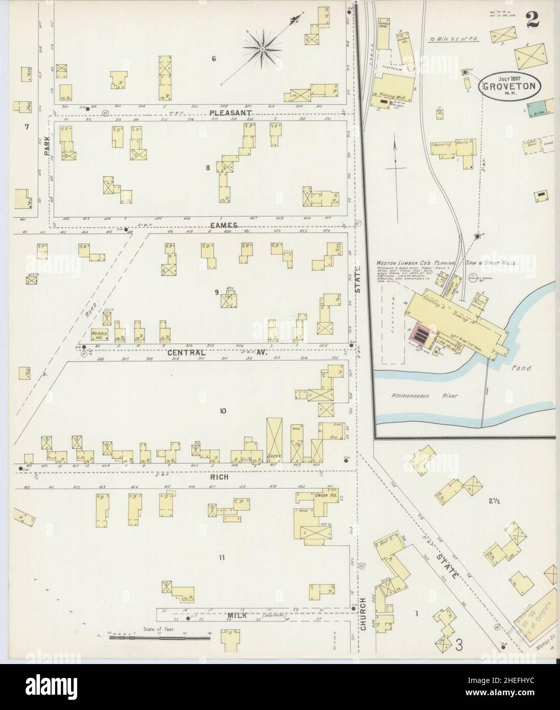 Sanborn Fire Insurance Map from Groveton, Coos County, New Hampshire. Stock Photohttps://www.alamy.com/image-license-details/?v=1https://www.alamy.com/sanborn-fire-insurance-map-from-groveton-coos-county-new-hampshire-image456418128.html
RM2HEFHYC–Sanborn Fire Insurance Map from Groveton, Coos County, New Hampshire.
 Map of battle-grounds of August 28th, 29th, & 30th, 1862, in the vicinity of Groveton, Prince William Co., Va. 1878 by Warren Gouverneur Kemble, Hawley Joseph R. (Joseph Roswell), Humphreys A. A. (Andrew Atkinson), McCrary George Washington, United States. Army. Corps of Engineers. Stock Photohttps://www.alamy.com/image-license-details/?v=1https://www.alamy.com/map-of-battle-grounds-of-august-28th-29th-30th-1862-in-the-vicinity-of-groveton-prince-william-co-va-1878-by-warren-gouverneur-kemble-hawley-joseph-r-joseph-roswell-humphreys-a-a-andrew-atkinson-mccrary-george-washington-united-states-army-corps-of-engineers-image641149767.html
RM2S72W1Y–Map of battle-grounds of August 28th, 29th, & 30th, 1862, in the vicinity of Groveton, Prince William Co., Va. 1878 by Warren Gouverneur Kemble, Hawley Joseph R. (Joseph Roswell), Humphreys A. A. (Andrew Atkinson), McCrary George Washington, United States. Army. Corps of Engineers.
 USGS TOPO Map New Hampshire NH Groveton 330403 1986 100000 Restoration Stock Photohttps://www.alamy.com/image-license-details/?v=1https://www.alamy.com/usgs-topo-map-new-hampshire-nh-groveton-330403-1986-100000-restoration-image262479452.html
RMW70Y64–USGS TOPO Map New Hampshire NH Groveton 330403 1986 100000 Restoration
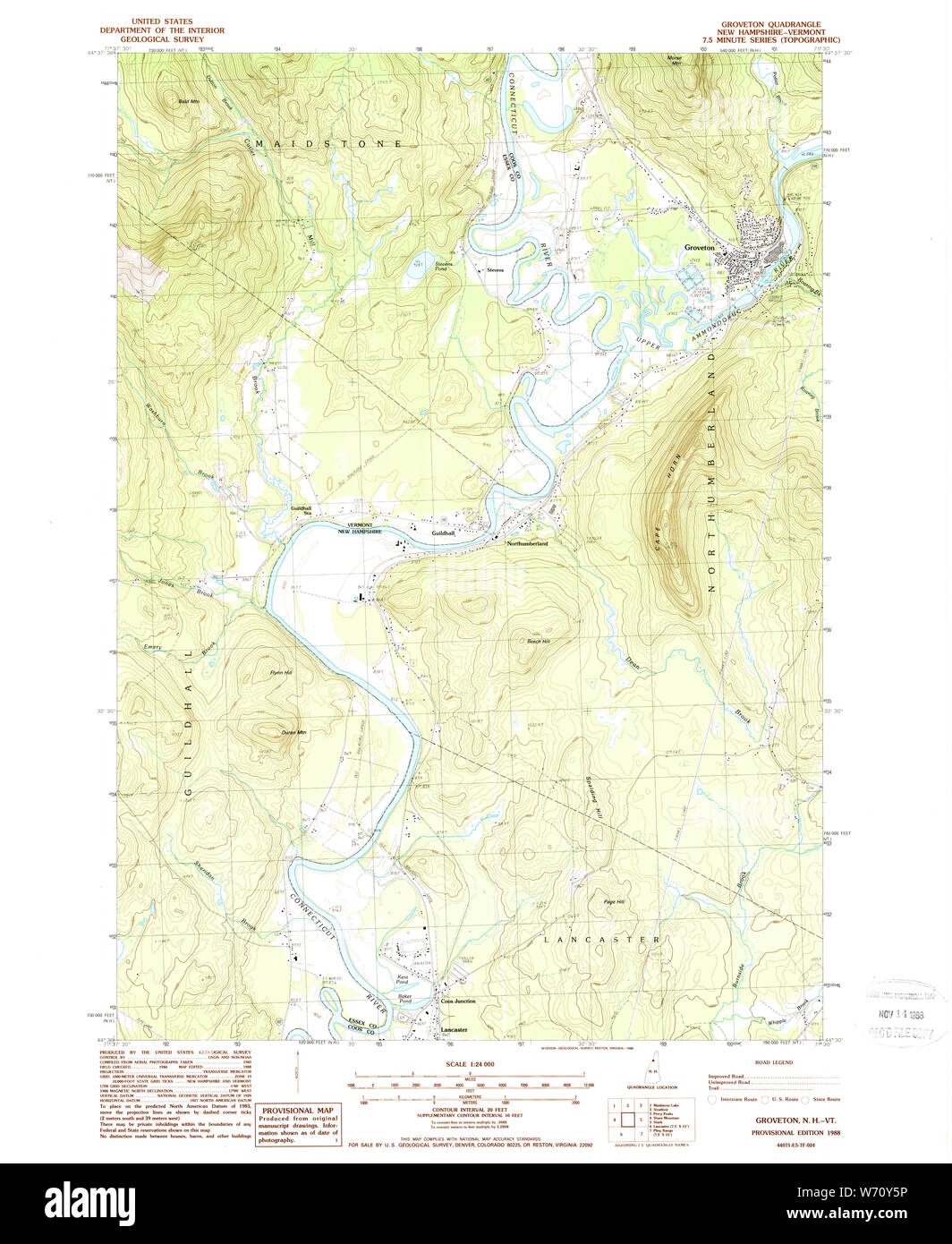 USGS TOPO Map New Hampshire NH Groveton 329588 1988 24000 Restoration Stock Photohttps://www.alamy.com/image-license-details/?v=1https://www.alamy.com/usgs-topo-map-new-hampshire-nh-groveton-329588-1988-24000-restoration-image262479442.html
RMW70Y5P–USGS TOPO Map New Hampshire NH Groveton 329588 1988 24000 Restoration
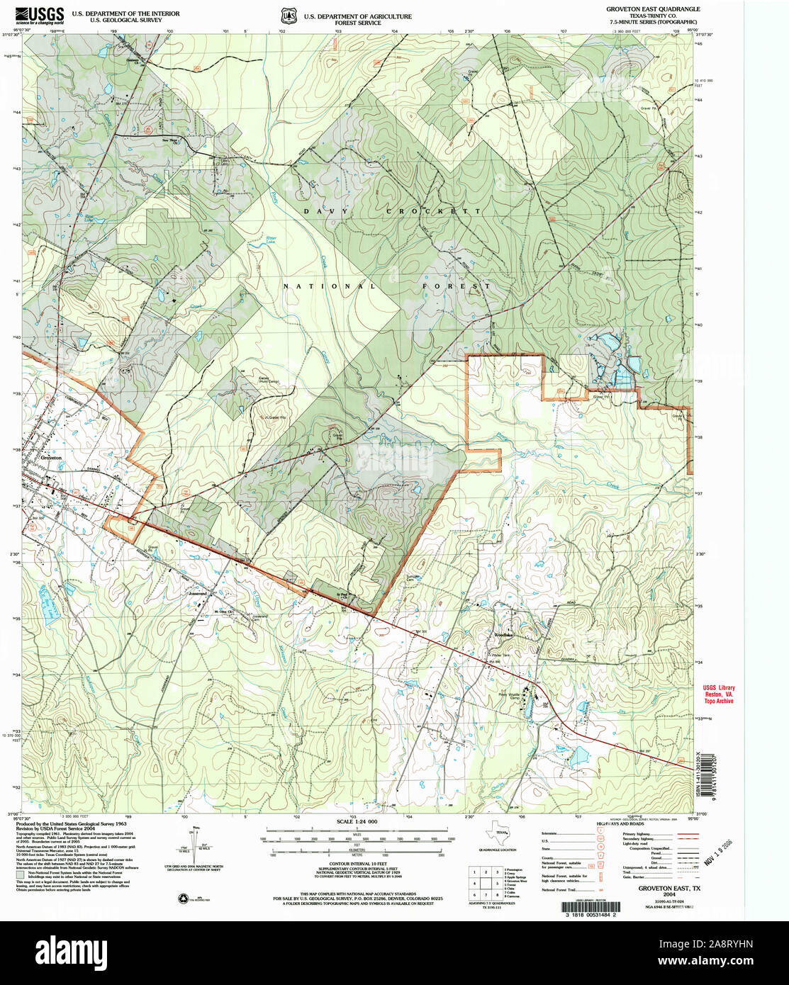 USGS TOPO Map Texas TX Groveton East 117778 2004 24000 Restoration Stock Photohttps://www.alamy.com/image-license-details/?v=1https://www.alamy.com/usgs-topo-map-texas-tx-groveton-east-117778-2004-24000-restoration-image332440801.html
RM2A8RYHN–USGS TOPO Map Texas TX Groveton East 117778 2004 24000 Restoration
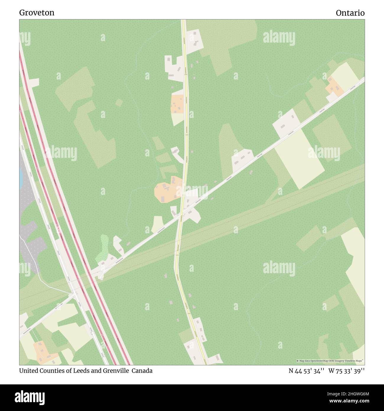 Groveton, United Counties of Leeds and Grenville, Canada, Ontario, N 44 53' 34'', W 75 33' 39'', map, Timeless Map published in 2021. Travelers, explorers and adventurers like Florence Nightingale, David Livingstone, Ernest Shackleton, Lewis and Clark and Sherlock Holmes relied on maps to plan travels to the world's most remote corners, Timeless Maps is mapping most locations on the globe, showing the achievement of great dreams Stock Photohttps://www.alamy.com/image-license-details/?v=1https://www.alamy.com/groveton-united-counties-of-leeds-and-grenville-canada-ontario-n-44-53-34-w-75-33-39-map-timeless-map-published-in-2021-travelers-explorers-and-adventurers-like-florence-nightingale-david-livingstone-ernest-shackleton-lewis-and-clark-and-sherlock-holmes-relied-on-maps-to-plan-travels-to-the-worlds-most-remote-corners-timeless-maps-is-mapping-most-locations-on-the-globe-showing-the-achievement-of-great-dreams-image457865596.html
RM2HGWG6M–Groveton, United Counties of Leeds and Grenville, Canada, Ontario, N 44 53' 34'', W 75 33' 39'', map, Timeless Map published in 2021. Travelers, explorers and adventurers like Florence Nightingale, David Livingstone, Ernest Shackleton, Lewis and Clark and Sherlock Holmes relied on maps to plan travels to the world's most remote corners, Timeless Maps is mapping most locations on the globe, showing the achievement of great dreams
 Illustrative map of battle-grounds of August 28th, 29th & 30th, 1862, in the vicinity of Groveton, Prince William Co., Va. - of counsel for the government, chiefly from the survey made under the Stock Photohttps://www.alamy.com/image-license-details/?v=1https://www.alamy.com/illustrative-map-of-battle-grounds-of-august-28th-29th-30th-1862-in-the-vicinity-of-groveton-prince-william-co-va-of-counsel-for-the-government-chiefly-from-the-survey-made-under-the-image356475499.html
RM2BKXT3R–Illustrative map of battle-grounds of August 28th, 29th & 30th, 1862, in the vicinity of Groveton, Prince William Co., Va. - of counsel for the government, chiefly from the survey made under the
 Illustrative map of battle-grounds of August 28th, 29th & 30th, 1862, in the vicinity of Groveton, Prince William Co., Va. : of counsel for the government, chiefly from the survey made under the authority of the Hon. G.W. McCrary, Secretary of War. 1862 by McCrary George W. (George Washington), Gardiner Asa Bird Stock Photohttps://www.alamy.com/image-license-details/?v=1https://www.alamy.com/illustrative-map-of-battle-grounds-of-august-28th-29th-30th-1862-in-the-vicinity-of-groveton-prince-william-co-va-of-counsel-for-the-government-chiefly-from-the-survey-made-under-the-authority-of-the-hon-gw-mccrary-secretary-of-war-1862-by-mccrary-george-w-george-washington-gardiner-asa-bird-image641297047.html
RM2S79GWY–Illustrative map of battle-grounds of August 28th, 29th & 30th, 1862, in the vicinity of Groveton, Prince William Co., Va. : of counsel for the government, chiefly from the survey made under the authority of the Hon. G.W. McCrary, Secretary of War. 1862 by McCrary George W. (George Washington), Gardiner Asa Bird
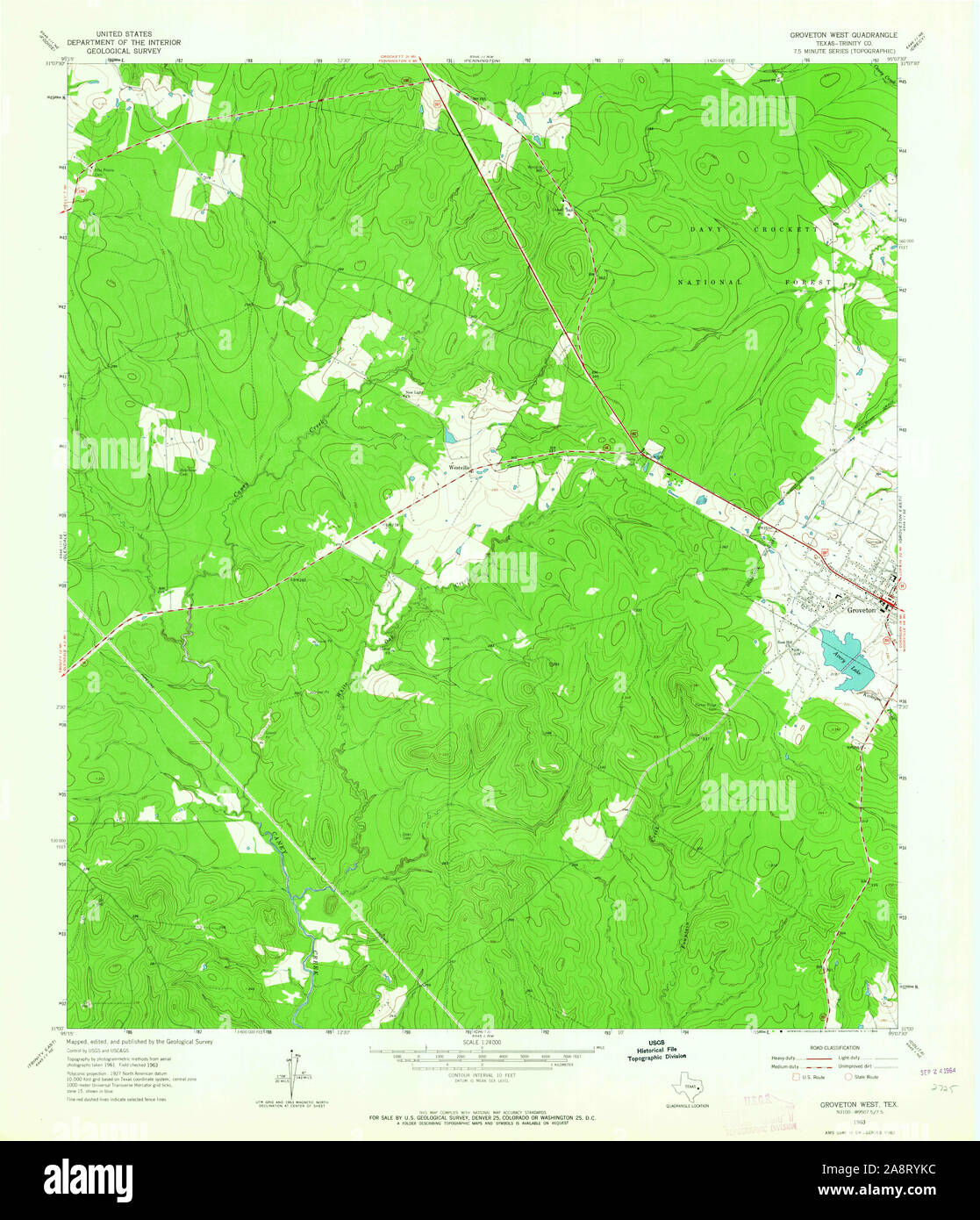 USGS TOPO Map Texas TX Groveton West 110472 1963 24000 Restoration Stock Photohttps://www.alamy.com/image-license-details/?v=1https://www.alamy.com/usgs-topo-map-texas-tx-groveton-west-110472-1963-24000-restoration-image332440848.html
RM2A8RYKC–USGS TOPO Map Texas TX Groveton West 110472 1963 24000 Restoration
 Groveton, Saginaw County, US, United States, Michigan, N 43 14' 33'', S 84 7' 44'', map, Cartascapes Map published in 2024. Explore Cartascapes, a map revealing Earth's diverse landscapes, cultures, and ecosystems. Journey through time and space, discovering the interconnectedness of our planet's past, present, and future. Stock Photohttps://www.alamy.com/image-license-details/?v=1https://www.alamy.com/groveton-saginaw-county-us-united-states-michigan-n-43-14-33-s-84-7-44-map-cartascapes-map-published-in-2024-explore-cartascapes-a-map-revealing-earths-diverse-landscapes-cultures-and-ecosystems-journey-through-time-and-space-discovering-the-interconnectedness-of-our-planets-past-present-and-future-image620779125.html
RM2Y1XX31–Groveton, Saginaw County, US, United States, Michigan, N 43 14' 33'', S 84 7' 44'', map, Cartascapes Map published in 2024. Explore Cartascapes, a map revealing Earth's diverse landscapes, cultures, and ecosystems. Journey through time and space, discovering the interconnectedness of our planet's past, present, and future.
 Illustrative map of battle-grounds of August 28th, 29th & 30th, 1862, in the vicinity of Groveton, Prince William Co., Va. - of counsel for the government, chiefly from the survey made under the Stock Photohttps://www.alamy.com/image-license-details/?v=1https://www.alamy.com/illustrative-map-of-battle-grounds-of-august-28th-29th-30th-1862-in-the-vicinity-of-groveton-prince-william-co-va-of-counsel-for-the-government-chiefly-from-the-survey-made-under-the-image356475478.html
RM2BKXT32–Illustrative map of battle-grounds of August 28th, 29th & 30th, 1862, in the vicinity of Groveton, Prince William Co., Va. - of counsel for the government, chiefly from the survey made under the
 Map of battle-grounds of August 28th, 29th & 30th, 1862, in the vicinity of Groveton, Prince William Co., Va. 1878 by Warren G. K. (Gouverneur Kemble), McCrary George W. (George Washington), Humphreys A. A. (Andrew Atkinson), Hawley Joseph R. (Joseph Roswell), United States. Army. Corps of Engineers. Stock Photohttps://www.alamy.com/image-license-details/?v=1https://www.alamy.com/map-of-battle-grounds-of-august-28th-29th-30th-1862-in-the-vicinity-of-groveton-prince-william-co-va-1878-by-warren-g-k-gouverneur-kemble-mccrary-george-w-george-washington-humphreys-a-a-andrew-atkinson-hawley-joseph-r-joseph-roswell-united-states-army-corps-of-engineers-image641296913.html
RM2S79GN5–Map of battle-grounds of August 28th, 29th & 30th, 1862, in the vicinity of Groveton, Prince William Co., Va. 1878 by Warren G. K. (Gouverneur Kemble), McCrary George W. (George Washington), Humphreys A. A. (Andrew Atkinson), Hawley Joseph R. (Joseph Roswell), United States. Army. Corps of Engineers.
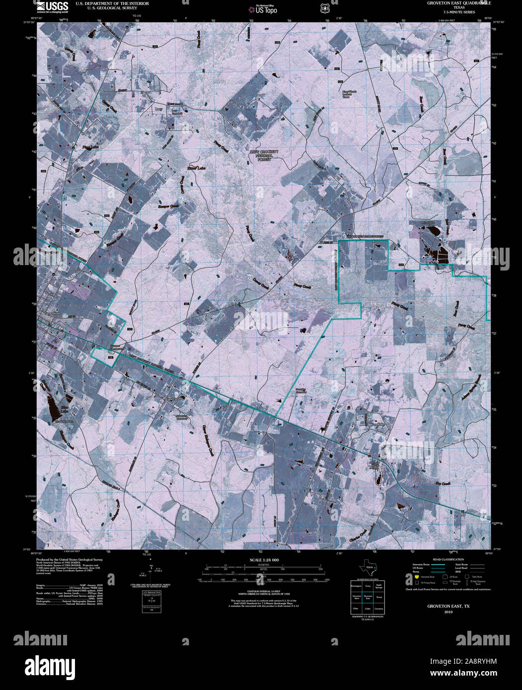 USGS TOPO Map Texas TX Groveton East 20100930 TM Inverted Restoration Stock Photohttps://www.alamy.com/image-license-details/?v=1https://www.alamy.com/usgs-topo-map-texas-tx-groveton-east-20100930-tm-inverted-restoration-image332440800.html
RM2A8RYHM–USGS TOPO Map Texas TX Groveton East 20100930 TM Inverted Restoration
 Groveton, Trinity County, US, United States, Texas, N 31 3' 17'', S 95 7' 32'', map, Cartascapes Map published in 2024. Explore Cartascapes, a map revealing Earth's diverse landscapes, cultures, and ecosystems. Journey through time and space, discovering the interconnectedness of our planet's past, present, and future. Stock Photohttps://www.alamy.com/image-license-details/?v=1https://www.alamy.com/groveton-trinity-county-us-united-states-texas-n-31-3-17-s-95-7-32-map-cartascapes-map-published-in-2024-explore-cartascapes-a-map-revealing-earths-diverse-landscapes-cultures-and-ecosystems-journey-through-time-and-space-discovering-the-interconnectedness-of-our-planets-past-present-and-future-image620831796.html
RM2Y21984–Groveton, Trinity County, US, United States, Texas, N 31 3' 17'', S 95 7' 32'', map, Cartascapes Map published in 2024. Explore Cartascapes, a map revealing Earth's diverse landscapes, cultures, and ecosystems. Journey through time and space, discovering the interconnectedness of our planet's past, present, and future.
 Map of battle-grounds of August 28th, 29th, & 30th, 1862, in the vicinity of Groveton, Prince William Co., Va. Stock Photohttps://www.alamy.com/image-license-details/?v=1https://www.alamy.com/map-of-battle-grounds-of-august-28th-29th-30th-1862-in-the-vicinity-of-groveton-prince-william-co-va-image398199308.html
RM2E3RF7T–Map of battle-grounds of August 28th, 29th, & 30th, 1862, in the vicinity of Groveton, Prince William Co., Va.
 Illustrative map of battle-grounds of August 28th, 29th & 30th, 1862, in the vicinity of Groveton, Prince William Co., Va. : of counsel for the government, chiefly from the survey made under the authority of the Hon. G. W. McCrary, Secretary of War. 1878 by McCrary George W. (George Washington), Hawley Joseph R. (Joseph Roswell), United States. War Department. Stock Photohttps://www.alamy.com/image-license-details/?v=1https://www.alamy.com/illustrative-map-of-battle-grounds-of-august-28th-29th-30th-1862-in-the-vicinity-of-groveton-prince-william-co-va-of-counsel-for-the-government-chiefly-from-the-survey-made-under-the-authority-of-the-hon-g-w-mccrary-secretary-of-war-1878-by-mccrary-george-w-george-washington-hawley-joseph-r-joseph-roswell-united-states-war-department-image641296909.html
RM2S79GN1–Illustrative map of battle-grounds of August 28th, 29th & 30th, 1862, in the vicinity of Groveton, Prince William Co., Va. : of counsel for the government, chiefly from the survey made under the authority of the Hon. G. W. McCrary, Secretary of War. 1878 by McCrary George W. (George Washington), Hawley Joseph R. (Joseph Roswell), United States. War Department.
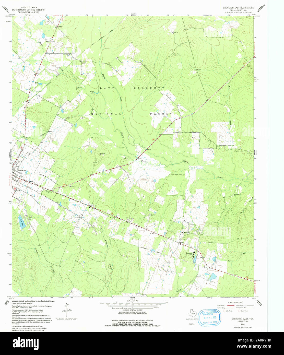 USGS TOPO Map Texas TX Groveton East 117777 1963 24000 Restoration Stock Photohttps://www.alamy.com/image-license-details/?v=1https://www.alamy.com/usgs-topo-map-texas-tx-groveton-east-117777-1963-24000-restoration-image332440799.html
RM2A8RYHK–USGS TOPO Map Texas TX Groveton East 117777 1963 24000 Restoration
 Groveton, Fairfax County, US, United States, Virginia, N 38 46' 2'', S 77 5' 4'', map, Cartascapes Map published in 2024. Explore Cartascapes, a map revealing Earth's diverse landscapes, cultures, and ecosystems. Journey through time and space, discovering the interconnectedness of our planet's past, present, and future. Stock Photohttps://www.alamy.com/image-license-details/?v=1https://www.alamy.com/groveton-fairfax-county-us-united-states-virginia-n-38-46-2-s-77-5-4-map-cartascapes-map-published-in-2024-explore-cartascapes-a-map-revealing-earths-diverse-landscapes-cultures-and-ecosystems-journey-through-time-and-space-discovering-the-interconnectedness-of-our-planets-past-present-and-future-image620809518.html
RM2Y208TE–Groveton, Fairfax County, US, United States, Virginia, N 38 46' 2'', S 77 5' 4'', map, Cartascapes Map published in 2024. Explore Cartascapes, a map revealing Earth's diverse landscapes, cultures, and ecosystems. Journey through time and space, discovering the interconnectedness of our planet's past, present, and future.
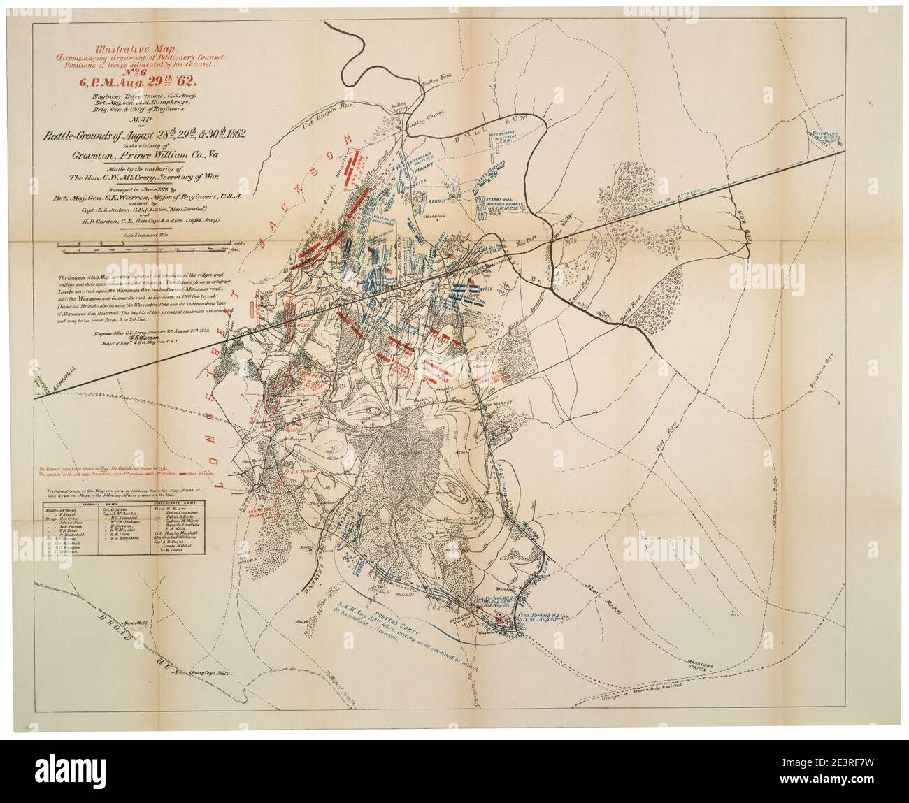 Map of battle-grounds of August 28th, 29th, & 30th, 1862, in the vicinity of Groveton, Prince William Co., Va. Stock Photohttps://www.alamy.com/image-license-details/?v=1https://www.alamy.com/map-of-battle-grounds-of-august-28th-29th-30th-1862-in-the-vicinity-of-groveton-prince-william-co-va-image398199309.html
RM2E3RF7W–Map of battle-grounds of August 28th, 29th, & 30th, 1862, in the vicinity of Groveton, Prince William Co., Va.
 [Sketch showing positions of Second Corps, A.N.Va., August 26th to September 2, 1862 : embracing engagements at Bristoe Station, Manassas Junction, Groveton or Second Manassas, and Ox Hill or Chantilly, Va. 1862 by Hotchkiss Jedediah Stock Photohttps://www.alamy.com/image-license-details/?v=1https://www.alamy.com/sketch-showing-positions-of-second-corps-anva-august-26th-to-september-2-1862-embracing-engagements-at-bristoe-station-manassas-junction-groveton-or-second-manassas-and-ox-hill-or-chantilly-va-1862-by-hotchkiss-jedediah-image640782769.html
RM2S6E4XW–[Sketch showing positions of Second Corps, A.N.Va., August 26th to September 2, 1862 : embracing engagements at Bristoe Station, Manassas Junction, Groveton or Second Manassas, and Ox Hill or Chantilly, Va. 1862 by Hotchkiss Jedediah
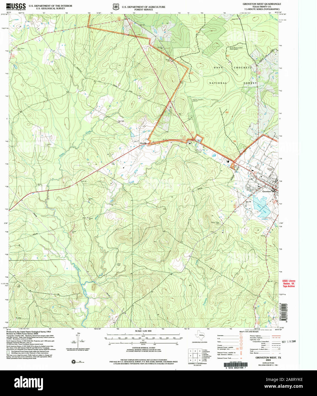 USGS TOPO Map Texas TX Groveton West 117779 2004 24000 Restoration Stock Photohttps://www.alamy.com/image-license-details/?v=1https://www.alamy.com/usgs-topo-map-texas-tx-groveton-west-117779-2004-24000-restoration-image332440850.html
RM2A8RYKE–USGS TOPO Map Texas TX Groveton West 117779 2004 24000 Restoration
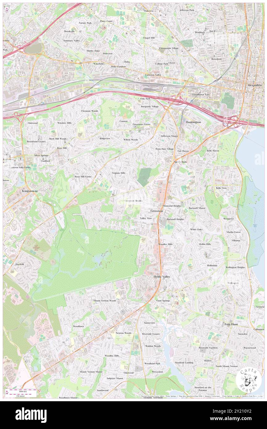 Groveton Heights, Fairfax County, US, United States, Virginia, N 38 46' 13'', S 77 5' 36'', map, Cartascapes Map published in 2024. Explore Cartascapes, a map revealing Earth's diverse landscapes, cultures, and ecosystems. Journey through time and space, discovering the interconnectedness of our planet's past, present, and future. Stock Photohttps://www.alamy.com/image-license-details/?v=1https://www.alamy.com/groveton-heights-fairfax-county-us-united-states-virginia-n-38-46-13-s-77-5-36-map-cartascapes-map-published-in-2024-explore-cartascapes-a-map-revealing-earths-diverse-landscapes-cultures-and-ecosystems-journey-through-time-and-space-discovering-the-interconnectedness-of-our-planets-past-present-and-future-image620825270.html
RM2Y210Y2–Groveton Heights, Fairfax County, US, United States, Virginia, N 38 46' 13'', S 77 5' 36'', map, Cartascapes Map published in 2024. Explore Cartascapes, a map revealing Earth's diverse landscapes, cultures, and ecosystems. Journey through time and space, discovering the interconnectedness of our planet's past, present, and future.
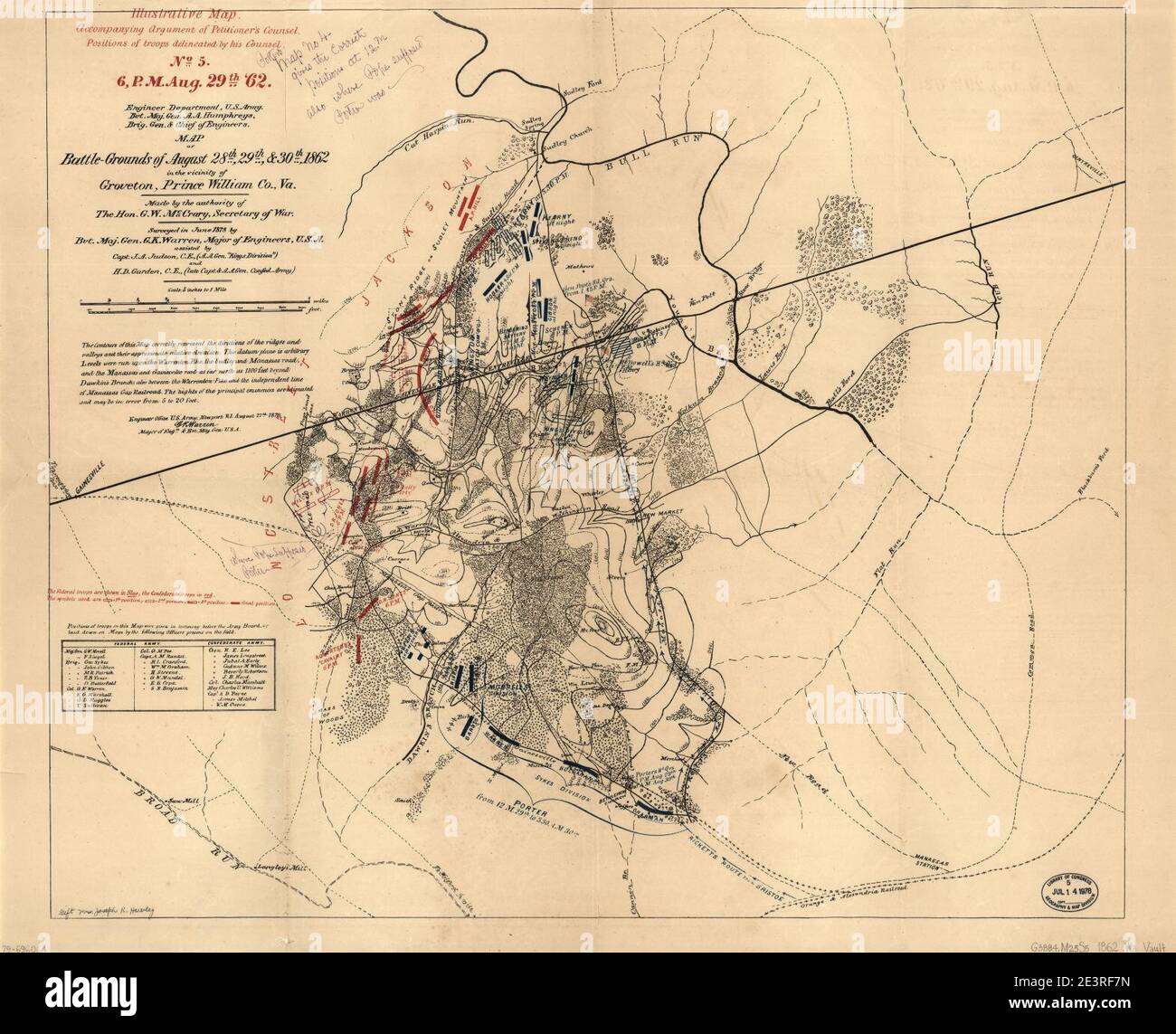 Map of battle-grounds of August 28th, 29th & 30th, 1862, in the vicinity of Groveton, Prince William Co., Va. Stock Photohttps://www.alamy.com/image-license-details/?v=1https://www.alamy.com/map-of-battle-grounds-of-august-28th-29th-30th-1862-in-the-vicinity-of-groveton-prince-william-co-va-image398199305.html
RM2E3RF7N–Map of battle-grounds of August 28th, 29th & 30th, 1862, in the vicinity of Groveton, Prince William Co., Va.
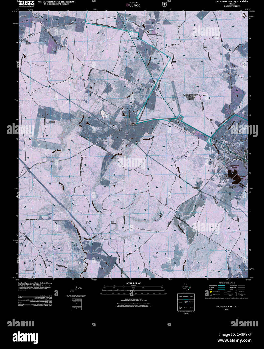 USGS TOPO Map Texas TX Groveton West 20100930 TM Inverted Restoration Stock Photohttps://www.alamy.com/image-license-details/?v=1https://www.alamy.com/usgs-topo-map-texas-tx-groveton-west-20100930-tm-inverted-restoration-image332440851.html
RM2A8RYKF–USGS TOPO Map Texas TX Groveton West 20100930 TM Inverted Restoration
 Groveton, Coos County, US, United States, New Hampshire, N 44 35' 55'', S 71 30' 40'', map, Cartascapes Map published in 2024. Explore Cartascapes, a map revealing Earth's diverse landscapes, cultures, and ecosystems. Journey through time and space, discovering the interconnectedness of our planet's past, present, and future. Stock Photohttps://www.alamy.com/image-license-details/?v=1https://www.alamy.com/groveton-coos-county-us-united-states-new-hampshire-n-44-35-55-s-71-30-40-map-cartascapes-map-published-in-2024-explore-cartascapes-a-map-revealing-earths-diverse-landscapes-cultures-and-ecosystems-journey-through-time-and-space-discovering-the-interconnectedness-of-our-planets-past-present-and-future-image620715490.html
RM2Y1T0XA–Groveton, Coos County, US, United States, New Hampshire, N 44 35' 55'', S 71 30' 40'', map, Cartascapes Map published in 2024. Explore Cartascapes, a map revealing Earth's diverse landscapes, cultures, and ecosystems. Journey through time and space, discovering the interconnectedness of our planet's past, present, and future.
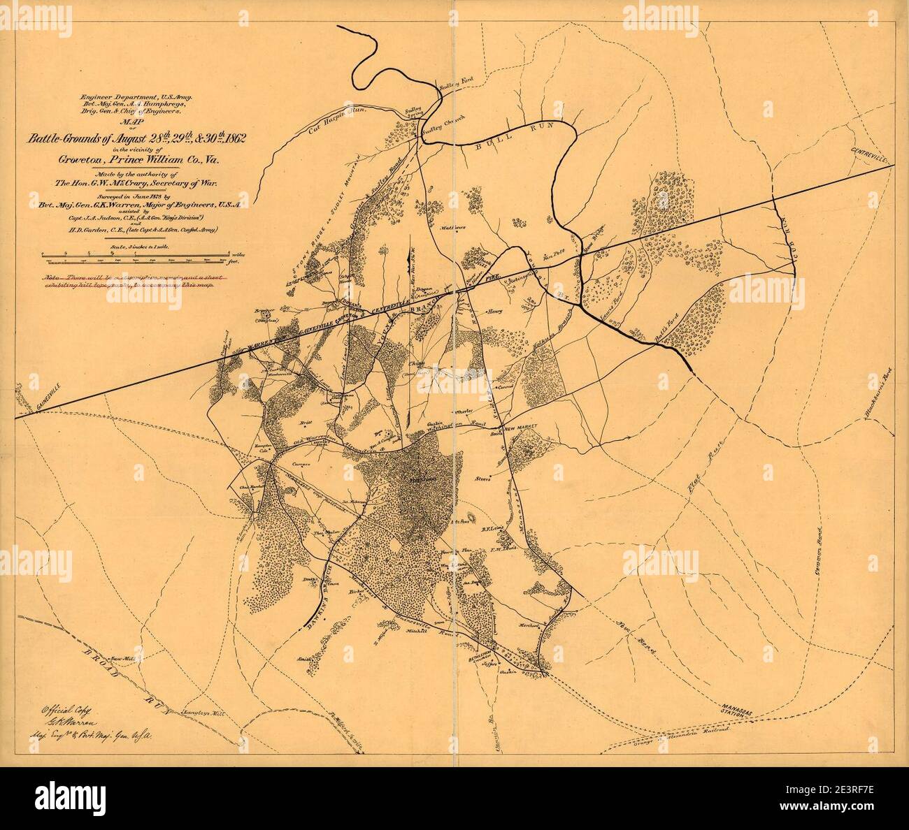 Map of battle-grounds of August 28th, 29th, & 30th 1862 in the vicinity of Groveton, Prince William Co., Va. Stock Photohttps://www.alamy.com/image-license-details/?v=1https://www.alamy.com/map-of-battle-grounds-of-august-28th-29th-30th-1862-in-the-vicinity-of-groveton-prince-william-co-va-image398199298.html
RM2E3RF7E–Map of battle-grounds of August 28th, 29th, & 30th 1862 in the vicinity of Groveton, Prince William Co., Va.
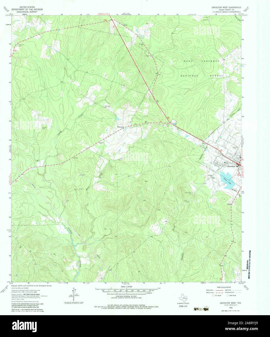 USGS TOPO Map Texas TX Groveton West 110471 1963 24000 Restoration Stock Photohttps://www.alamy.com/image-license-details/?v=1https://www.alamy.com/usgs-topo-map-texas-tx-groveton-west-110471-1963-24000-restoration-image332440817.html
RM2A8RYJ9–USGS TOPO Map Texas TX Groveton West 110471 1963 24000 Restoration
 City of Groveton, Trinity County, US, United States, Texas, N 31 3' 25'', S 95 7' 36'', map, Cartascapes Map published in 2024. Explore Cartascapes, a map revealing Earth's diverse landscapes, cultures, and ecosystems. Journey through time and space, discovering the interconnectedness of our planet's past, present, and future. Stock Photohttps://www.alamy.com/image-license-details/?v=1https://www.alamy.com/city-of-groveton-trinity-county-us-united-states-texas-n-31-3-25-s-95-7-36-map-cartascapes-map-published-in-2024-explore-cartascapes-a-map-revealing-earths-diverse-landscapes-cultures-and-ecosystems-journey-through-time-and-space-discovering-the-interconnectedness-of-our-planets-past-present-and-future-image633786134.html
RM2YR3CK2–City of Groveton, Trinity County, US, United States, Texas, N 31 3' 25'', S 95 7' 36'', map, Cartascapes Map published in 2024. Explore Cartascapes, a map revealing Earth's diverse landscapes, cultures, and ecosystems. Journey through time and space, discovering the interconnectedness of our planet's past, present, and future.
 USGS TOPO Map Texas TX Groveton West 20130131 TM Inverted Restoration Stock Photohttps://www.alamy.com/image-license-details/?v=1https://www.alamy.com/usgs-topo-map-texas-tx-groveton-west-20130131-tm-inverted-restoration-image332440845.html
RM2A8RYK9–USGS TOPO Map Texas TX Groveton West 20130131 TM Inverted Restoration
 Groveton East, Texas, map 1963, 1:24000, United States of America by Timeless Maps, data U.S. Geological Survey Stock Photohttps://www.alamy.com/image-license-details/?v=1https://www.alamy.com/groveton-east-texas-map-1963-124000-united-states-of-america-by-timeless-maps-data-us-geological-survey-image406982237.html
RM2EJ3HYW–Groveton East, Texas, map 1963, 1:24000, United States of America by Timeless Maps, data U.S. Geological Survey
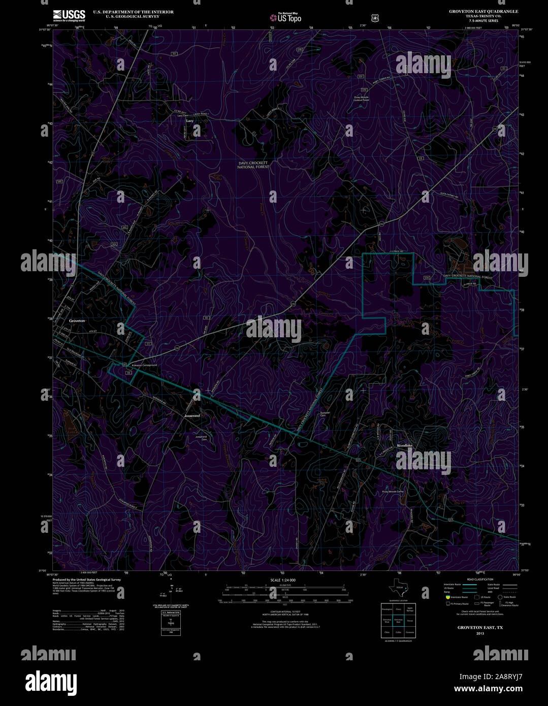 USGS TOPO Map Texas TX Groveton East 20130131 TM Inverted Restoration Stock Photohttps://www.alamy.com/image-license-details/?v=1https://www.alamy.com/usgs-topo-map-texas-tx-groveton-east-20130131-tm-inverted-restoration-image332440815.html
RM2A8RYJ7–USGS TOPO Map Texas TX Groveton East 20130131 TM Inverted Restoration
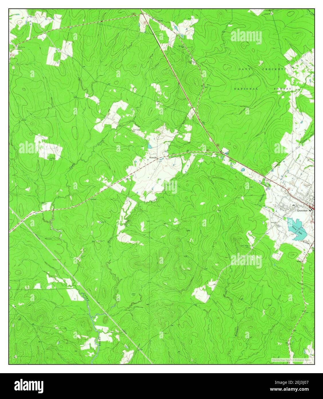 Groveton West, Texas, map 1963, 1:24000, United States of America by Timeless Maps, data U.S. Geological Survey Stock Photohttps://www.alamy.com/image-license-details/?v=1https://www.alamy.com/groveton-west-texas-map-1963-124000-united-states-of-america-by-timeless-maps-data-us-geological-survey-image406982247.html
RM2EJ3J07–Groveton West, Texas, map 1963, 1:24000, United States of America by Timeless Maps, data U.S. Geological Survey
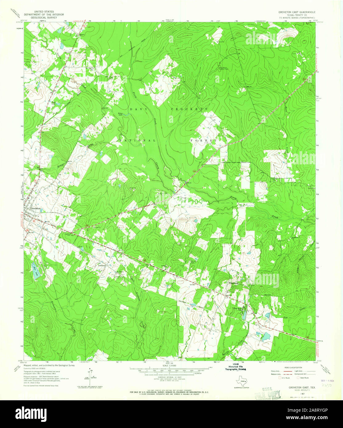 USGS TOPO Map Texas TX Groveton East 110470 1963 24000 Restoration Stock Photohttps://www.alamy.com/image-license-details/?v=1https://www.alamy.com/usgs-topo-map-texas-tx-groveton-east-110470-1963-24000-restoration-image332440774.html
RM2A8RYGP–USGS TOPO Map Texas TX Groveton East 110470 1963 24000 Restoration
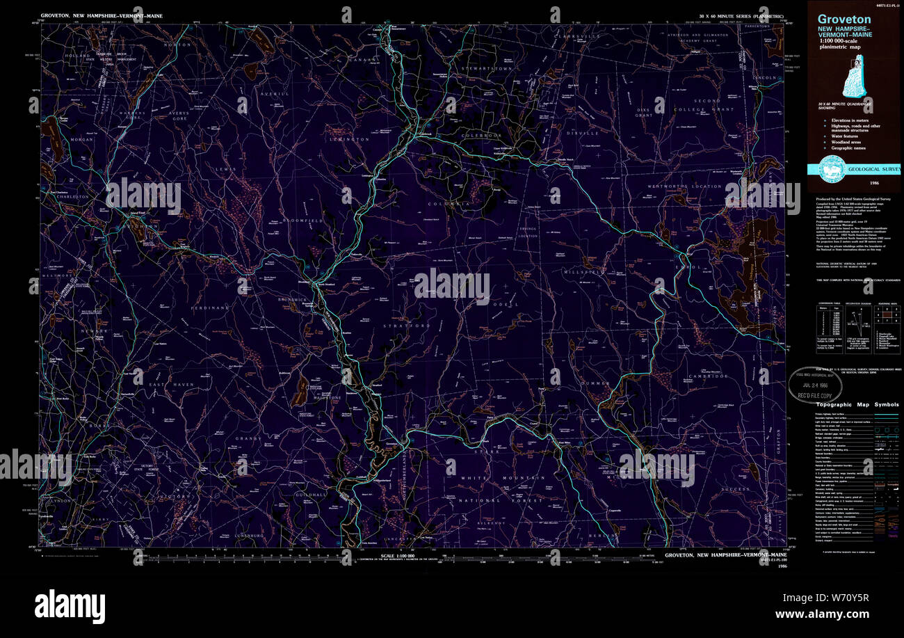 USGS TOPO Map New Hampshire NH Groveton 330403 1986 100000 Inverted Restoration Stock Photohttps://www.alamy.com/image-license-details/?v=1https://www.alamy.com/usgs-topo-map-new-hampshire-nh-groveton-330403-1986-100000-inverted-restoration-image262479443.html
RMW70Y5R–USGS TOPO Map New Hampshire NH Groveton 330403 1986 100000 Inverted Restoration
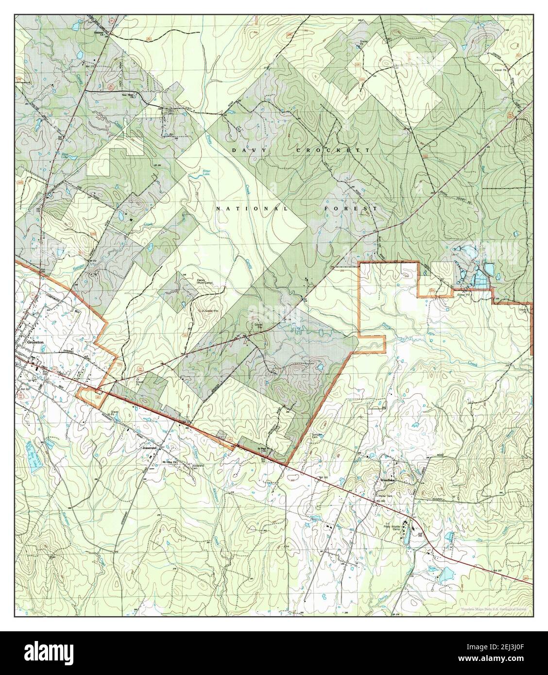 Groveton East, Texas, map 2004, 1:24000, United States of America by Timeless Maps, data U.S. Geological Survey Stock Photohttps://www.alamy.com/image-license-details/?v=1https://www.alamy.com/groveton-east-texas-map-2004-124000-united-states-of-america-by-timeless-maps-data-us-geological-survey-image406982255.html
RM2EJ3J0F–Groveton East, Texas, map 2004, 1:24000, United States of America by Timeless Maps, data U.S. Geological Survey
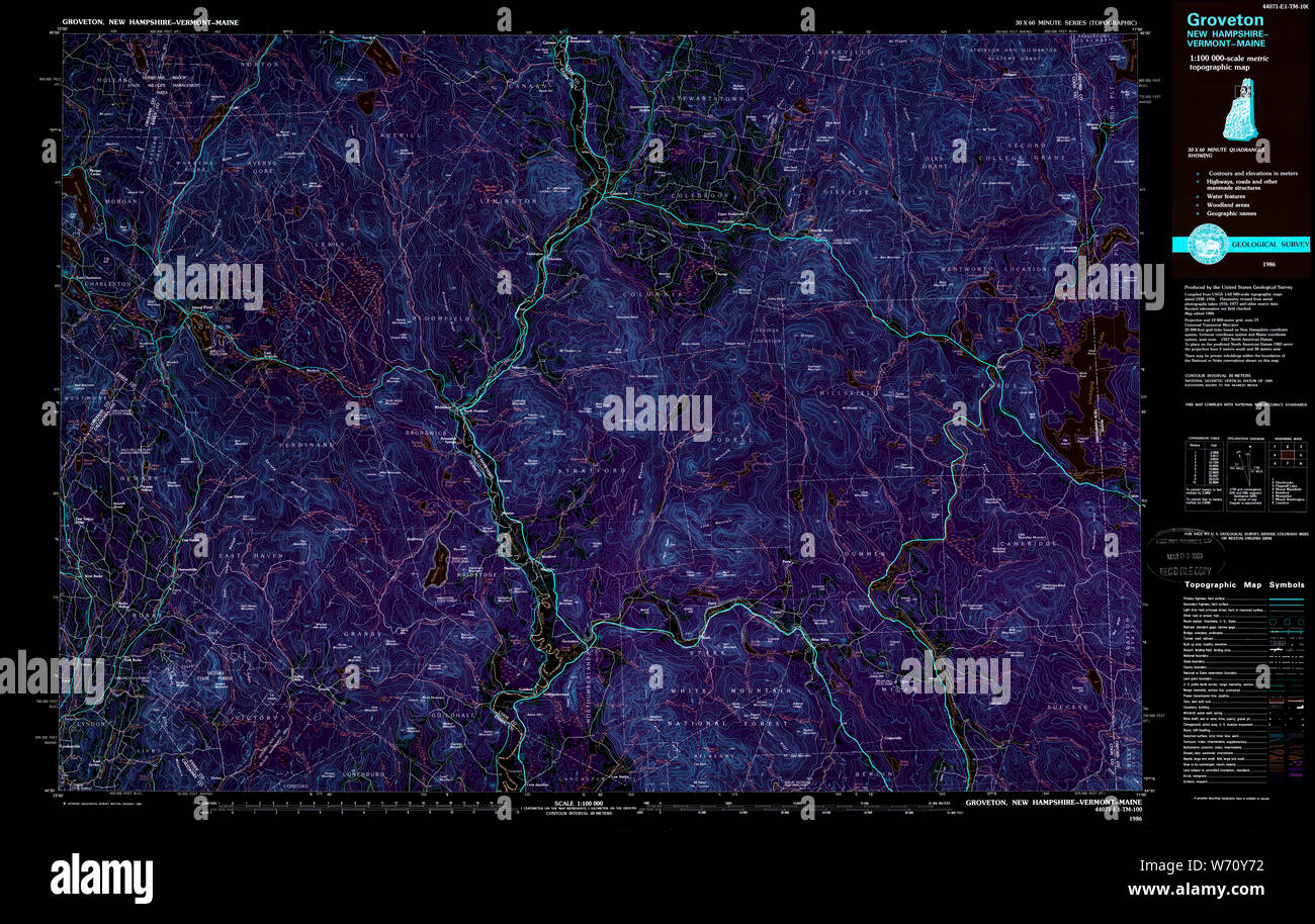 USGS TOPO Map New Hampshire NH Groveton 330404 1986 100000 Inverted Restoration Stock Photohttps://www.alamy.com/image-license-details/?v=1https://www.alamy.com/usgs-topo-map-new-hampshire-nh-groveton-330404-1986-100000-inverted-restoration-image262479478.html
RMW70Y72–USGS TOPO Map New Hampshire NH Groveton 330404 1986 100000 Inverted Restoration
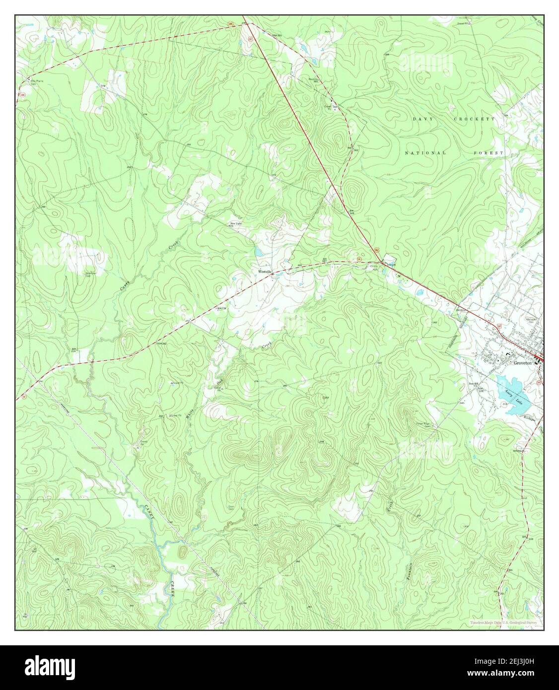 Groveton West, Texas, map 1963, 1:24000, United States of America by Timeless Maps, data U.S. Geological Survey Stock Photohttps://www.alamy.com/image-license-details/?v=1https://www.alamy.com/groveton-west-texas-map-1963-124000-united-states-of-america-by-timeless-maps-data-us-geological-survey-image406982257.html
RM2EJ3J0H–Groveton West, Texas, map 1963, 1:24000, United States of America by Timeless Maps, data U.S. Geological Survey
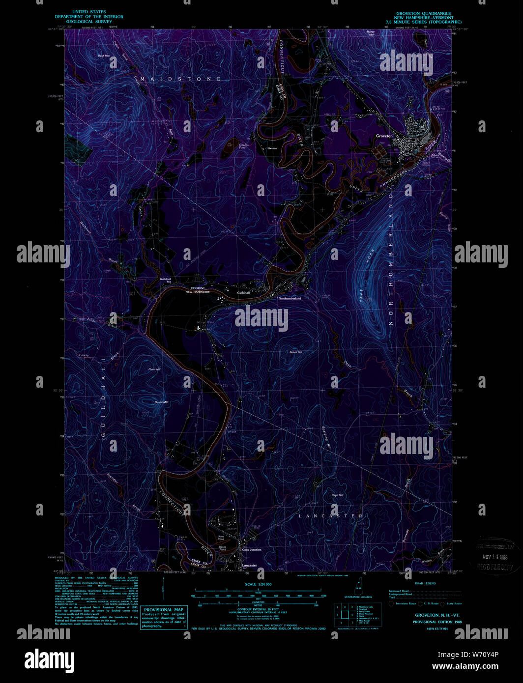 USGS TOPO Map New Hampshire NH Groveton 329588 1988 24000 Inverted Restoration Stock Photohttps://www.alamy.com/image-license-details/?v=1https://www.alamy.com/usgs-topo-map-new-hampshire-nh-groveton-329588-1988-24000-inverted-restoration-image262479414.html
RMW70Y4P–USGS TOPO Map New Hampshire NH Groveton 329588 1988 24000 Inverted Restoration
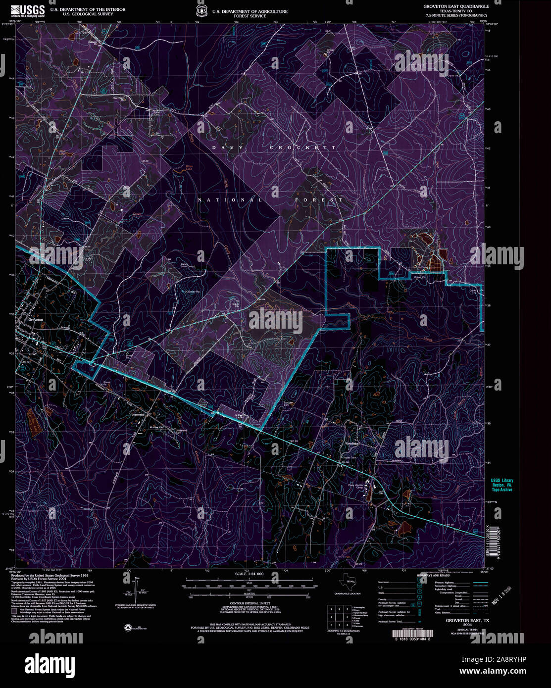 USGS TOPO Map Texas TX Groveton East 117778 2004 24000 Inverted Restoration Stock Photohttps://www.alamy.com/image-license-details/?v=1https://www.alamy.com/usgs-topo-map-texas-tx-groveton-east-117778-2004-24000-inverted-restoration-image332440802.html
RM2A8RYHP–USGS TOPO Map Texas TX Groveton East 117778 2004 24000 Inverted Restoration
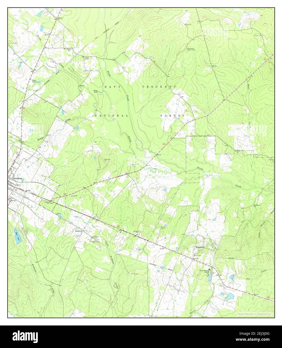 Groveton East, Texas, map 1963, 1:24000, United States of America by Timeless Maps, data U.S. Geological Survey Stock Photohttps://www.alamy.com/image-license-details/?v=1https://www.alamy.com/groveton-east-texas-map-1963-124000-united-states-of-america-by-timeless-maps-data-us-geological-survey-image406982256.html
RM2EJ3J0G–Groveton East, Texas, map 1963, 1:24000, United States of America by Timeless Maps, data U.S. Geological Survey
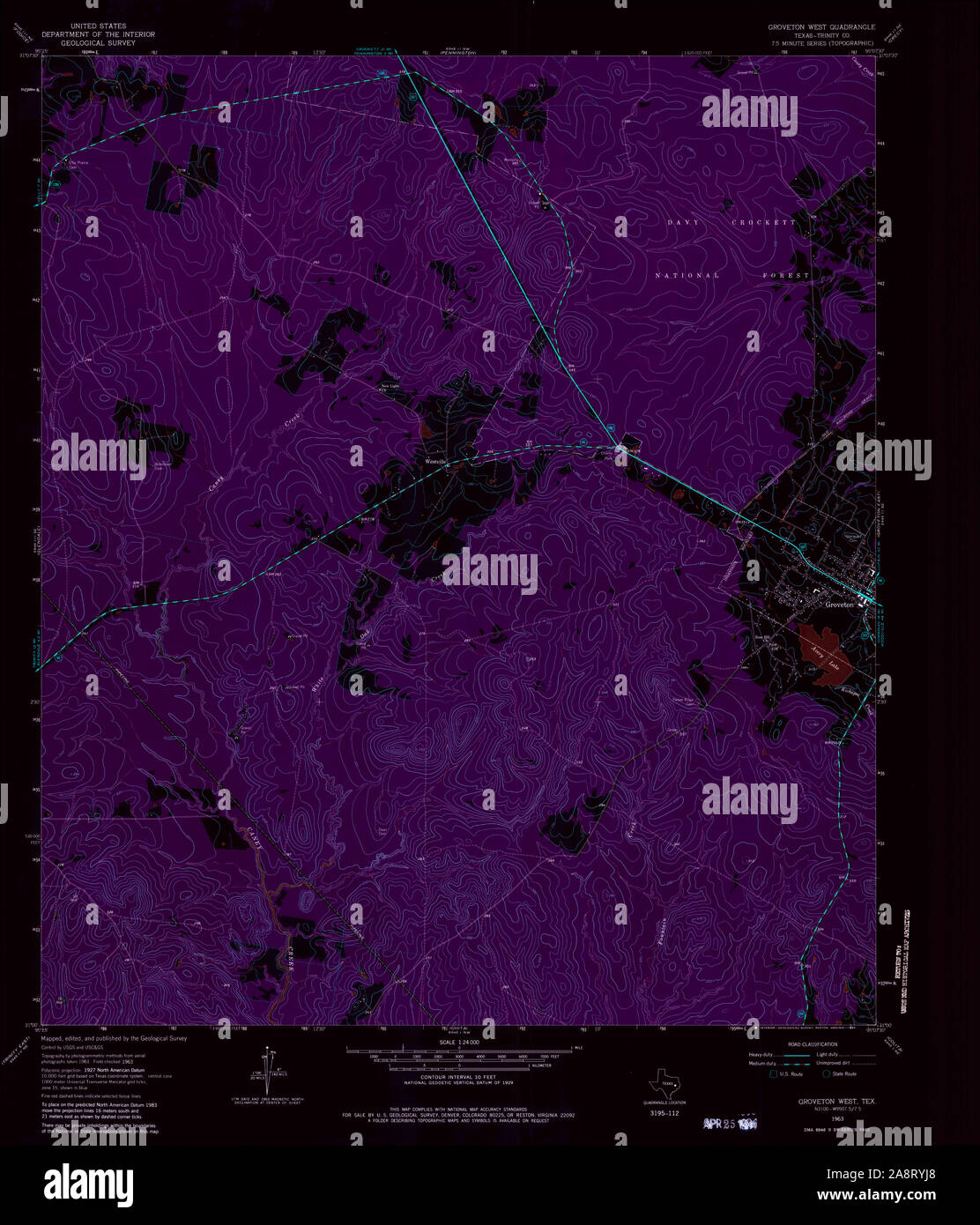 USGS TOPO Map Texas TX Groveton West 110471 1963 24000 Inverted Restoration Stock Photohttps://www.alamy.com/image-license-details/?v=1https://www.alamy.com/usgs-topo-map-texas-tx-groveton-west-110471-1963-24000-inverted-restoration-image332440816.html
RM2A8RYJ8–USGS TOPO Map Texas TX Groveton West 110471 1963 24000 Inverted Restoration
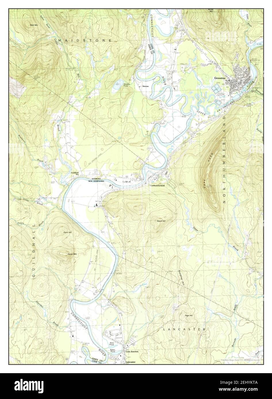 Groveton, New Hampshire, map 1988, 1:24000, United States of America by Timeless Maps, data U.S. Geological Survey Stock Photohttps://www.alamy.com/image-license-details/?v=1https://www.alamy.com/groveton-new-hampshire-map-1988-124000-united-states-of-america-by-timeless-maps-data-us-geological-survey-image406895898.html
RM2EHYKTA–Groveton, New Hampshire, map 1988, 1:24000, United States of America by Timeless Maps, data U.S. Geological Survey
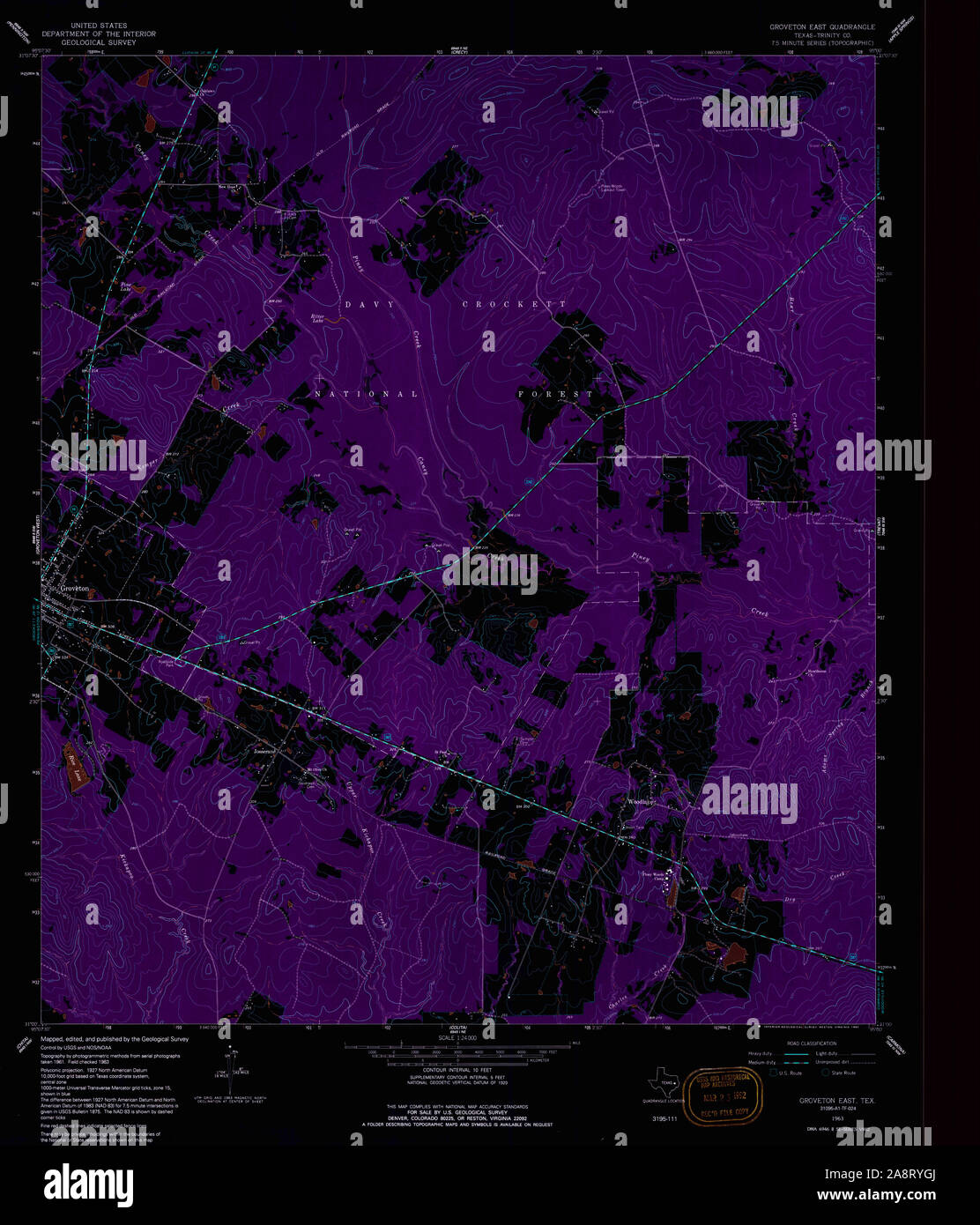 USGS TOPO Map Texas TX Groveton East 117777 1963 24000 Inverted Restoration Stock Photohttps://www.alamy.com/image-license-details/?v=1https://www.alamy.com/usgs-topo-map-texas-tx-groveton-east-117777-1963-24000-inverted-restoration-image332440770.html
RM2A8RYGJ–USGS TOPO Map Texas TX Groveton East 117777 1963 24000 Inverted Restoration
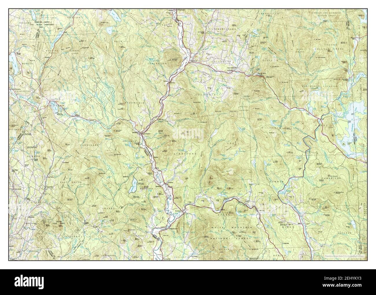 Groveton, New Hampshire, map 1986, 1:100000, United States of America by Timeless Maps, data U.S. Geological Survey Stock Photohttps://www.alamy.com/image-license-details/?v=1https://www.alamy.com/groveton-new-hampshire-map-1986-1100000-united-states-of-america-by-timeless-maps-data-us-geological-survey-image406895975.html
RM2EHYKY3–Groveton, New Hampshire, map 1986, 1:100000, United States of America by Timeless Maps, data U.S. Geological Survey
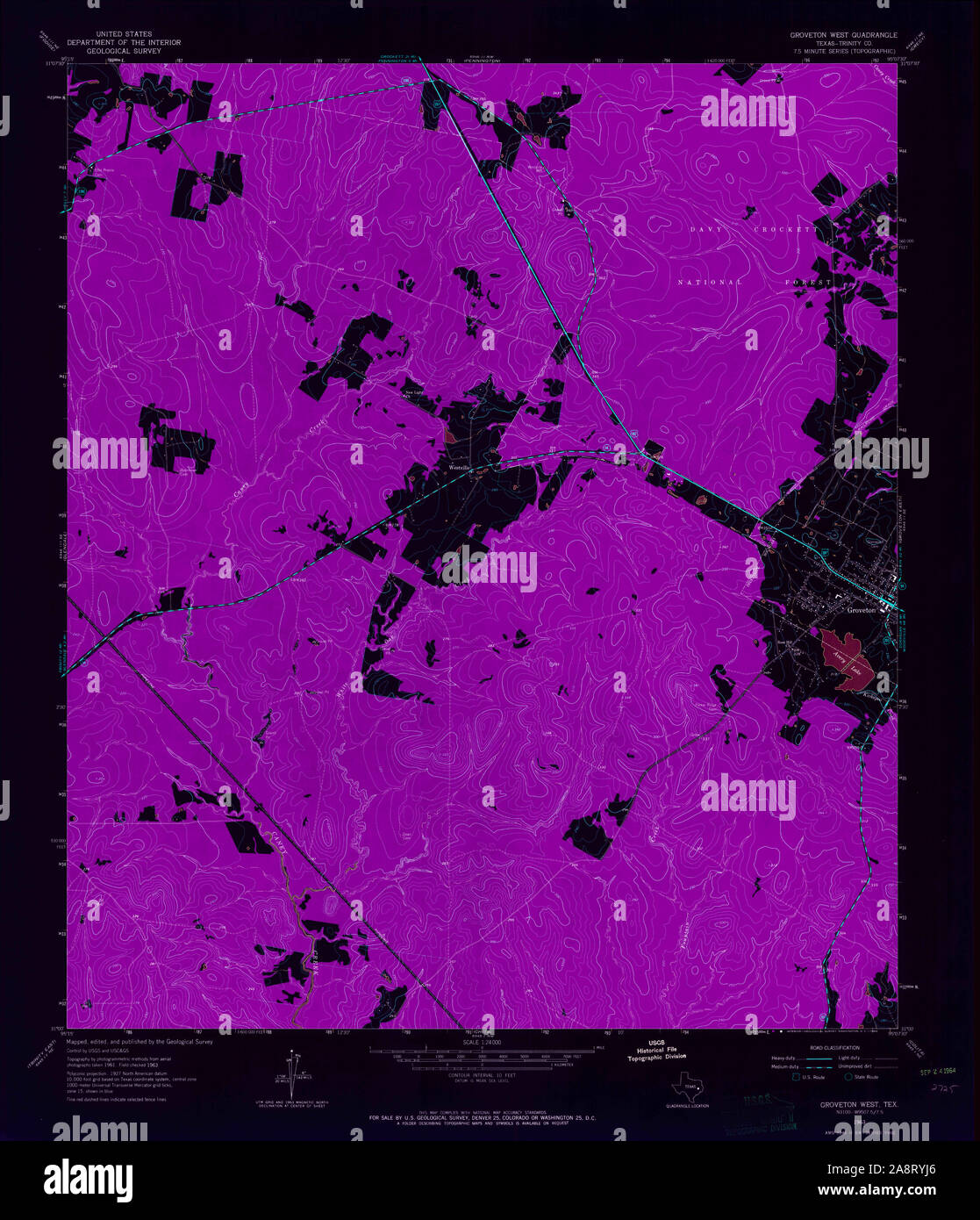 USGS TOPO Map Texas TX Groveton West 110472 1963 24000 Inverted Restoration Stock Photohttps://www.alamy.com/image-license-details/?v=1https://www.alamy.com/usgs-topo-map-texas-tx-groveton-west-110472-1963-24000-inverted-restoration-image332440814.html
RM2A8RYJ6–USGS TOPO Map Texas TX Groveton West 110472 1963 24000 Inverted Restoration
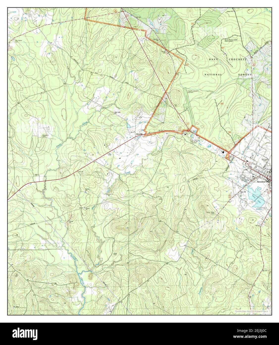 Groveton West, Texas, map 2004, 1:24000, United States of America by Timeless Maps, data U.S. Geological Survey Stock Photohttps://www.alamy.com/image-license-details/?v=1https://www.alamy.com/groveton-west-texas-map-2004-124000-united-states-of-america-by-timeless-maps-data-us-geological-survey-image406982252.html
RM2EJ3J0C–Groveton West, Texas, map 2004, 1:24000, United States of America by Timeless Maps, data U.S. Geological Survey
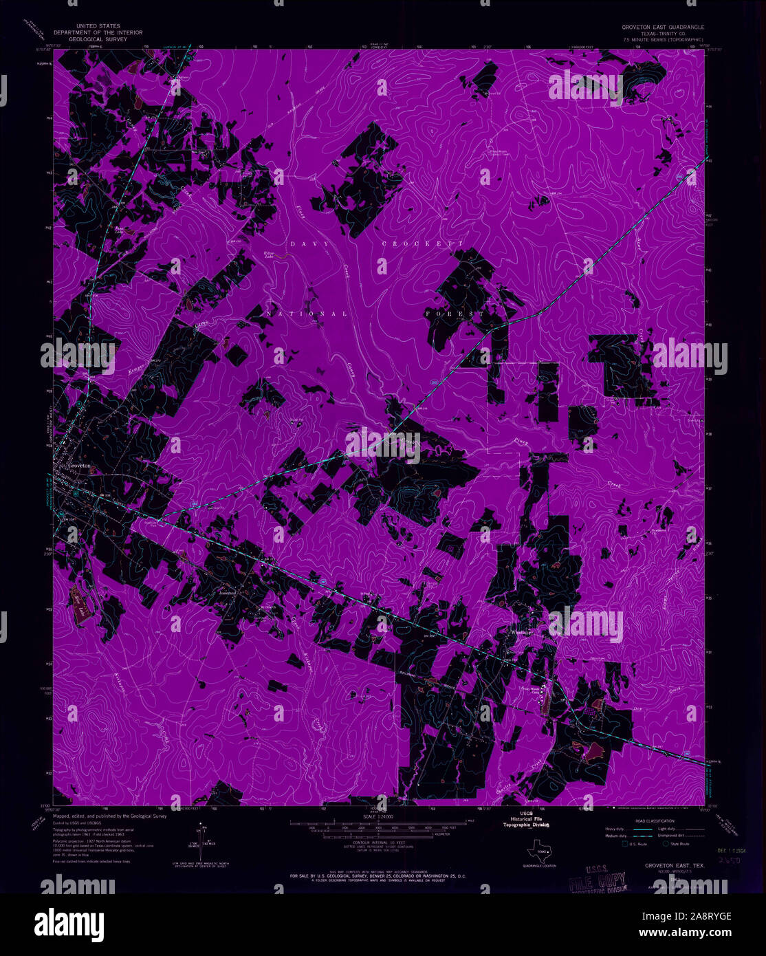 USGS TOPO Map Texas TX Groveton East 110470 1963 24000 Inverted Restoration Stock Photohttps://www.alamy.com/image-license-details/?v=1https://www.alamy.com/usgs-topo-map-texas-tx-groveton-east-110470-1963-24000-inverted-restoration-image332440766.html
RM2A8RYGE–USGS TOPO Map Texas TX Groveton East 110470 1963 24000 Inverted Restoration
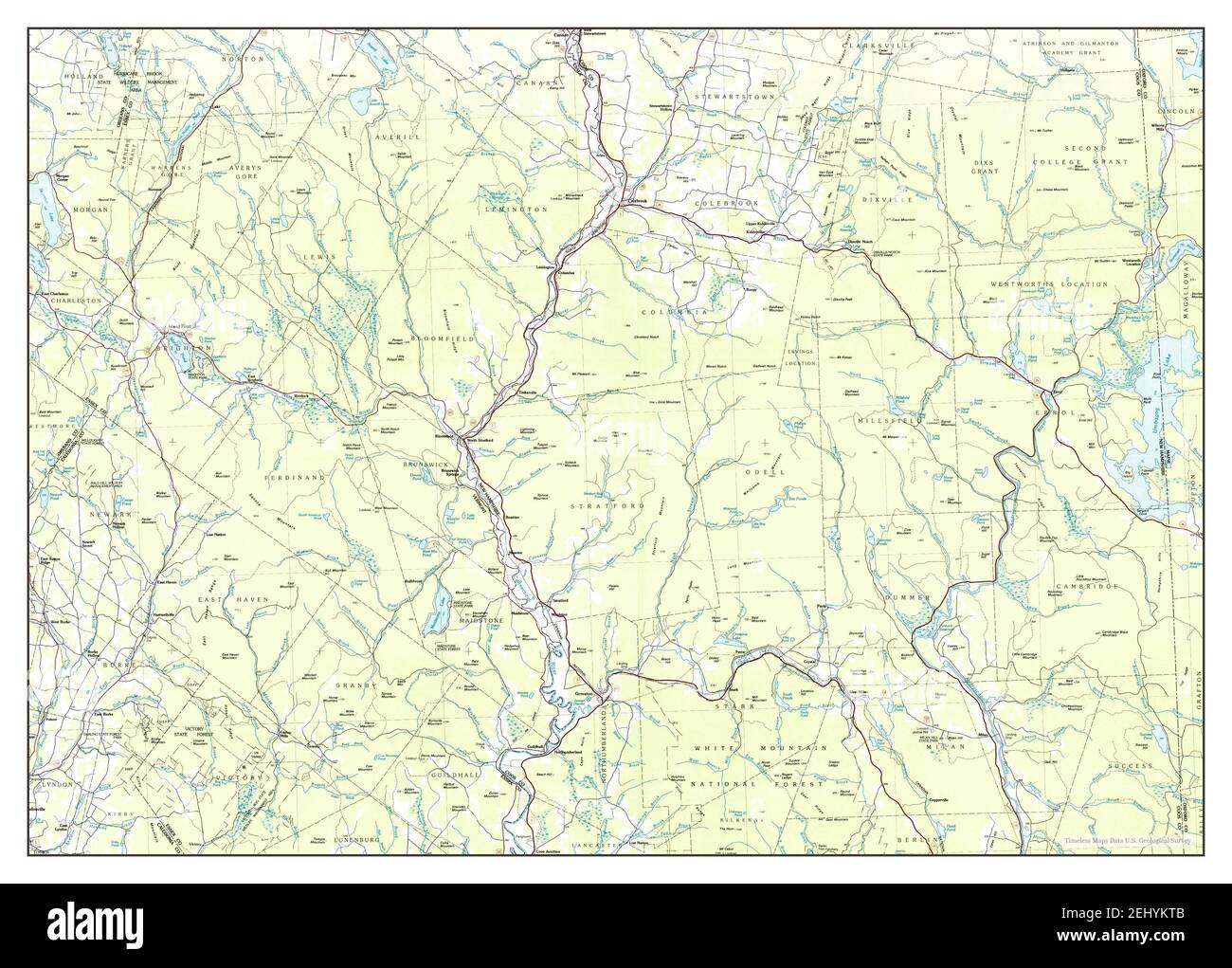 Groveton, New Hampshire, map 1986, 1:100000, United States of America by Timeless Maps, data U.S. Geological Survey Stock Photohttps://www.alamy.com/image-license-details/?v=1https://www.alamy.com/groveton-new-hampshire-map-1986-1100000-united-states-of-america-by-timeless-maps-data-us-geological-survey-image406895899.html
RM2EHYKTB–Groveton, New Hampshire, map 1986, 1:100000, United States of America by Timeless Maps, data U.S. Geological Survey
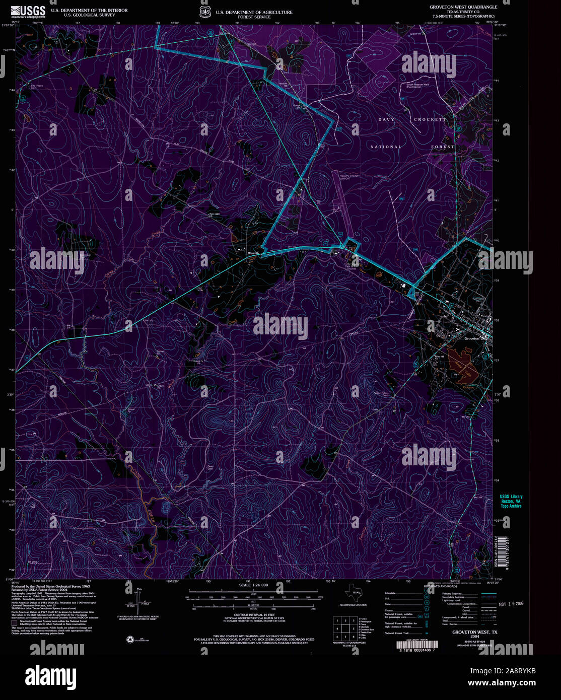 USGS TOPO Map Texas TX Groveton West 117779 2004 24000 Inverted Restoration Stock Photohttps://www.alamy.com/image-license-details/?v=1https://www.alamy.com/usgs-topo-map-texas-tx-groveton-west-117779-2004-24000-inverted-restoration-image332440847.html
RM2A8RYKB–USGS TOPO Map Texas TX Groveton West 117779 2004 24000 Inverted Restoration
 Civil War Maps 0663 Map of battle-grounds of August 28th 29th 30th 1862 in the vicinity of Groveton Prince William Co Va Rebuild and Repair Stock Photohttps://www.alamy.com/image-license-details/?v=1https://www.alamy.com/civil-war-maps-0663-map-of-battle-grounds-of-august-28th-29th-30th-1862-in-the-vicinity-of-groveton-prince-william-co-va-rebuild-and-repair-image261791846.html
RMW5WJ4P–Civil War Maps 0663 Map of battle-grounds of August 28th 29th 30th 1862 in the vicinity of Groveton Prince William Co Va Rebuild and Repair
 Civil War Maps 0663 Map of battle-grounds of August 28th 29th 30th 1862 in the vicinity of Groveton Prince William Co Va Inverted Rebuild and Repair Stock Photohttps://www.alamy.com/image-license-details/?v=1https://www.alamy.com/civil-war-maps-0663-map-of-battle-grounds-of-august-28th-29th-30th-1862-in-the-vicinity-of-groveton-prince-william-co-va-inverted-rebuild-and-repair-image261791777.html
RMW5WJ29–Civil War Maps 0663 Map of battle-grounds of August 28th 29th 30th 1862 in the vicinity of Groveton Prince William Co Va Inverted Rebuild and Repair
 Civil War Maps 0510 Illustrative map of battle-grounds of August 28th 29th 30th 1862 in the vicinity of Groveton Prince William Co Va of counsel for the government Rebuild and Repair Stock Photohttps://www.alamy.com/image-license-details/?v=1https://www.alamy.com/civil-war-maps-0510-illustrative-map-of-battle-grounds-of-august-28th-29th-30th-1862-in-the-vicinity-of-groveton-prince-william-co-va-of-counsel-for-the-government-rebuild-and-repair-image261722048.html
RMW5PD40–Civil War Maps 0510 Illustrative map of battle-grounds of August 28th 29th 30th 1862 in the vicinity of Groveton Prince William Co Va of counsel for the government Rebuild and Repair
 105 Sketch showing positions of Second Corps ANVa August 26th to September 2 1862 embracing engagements at Bristoe Station Manassas Junction Groveton Rebuild and Repair Stock Photohttps://www.alamy.com/image-license-details/?v=1https://www.alamy.com/105-sketch-showing-positions-of-second-corps-anva-august-26th-to-september-2-1862-embracing-engagements-at-bristoe-station-manassas-junction-groveton-rebuild-and-repair-image261651016.html
RMW5K6F4–105 Sketch showing positions of Second Corps ANVa August 26th to September 2 1862 embracing engagements at Bristoe Station Manassas Junction Groveton Rebuild and Repair
 105 Sketch showing positions of Second Corps ANVa August 26th to September 2 1862 embracing engagements at Bristoe Station Manassas Junction Groveton Inverted Rebuild and Repair Stock Photohttps://www.alamy.com/image-license-details/?v=1https://www.alamy.com/105-sketch-showing-positions-of-second-corps-anva-august-26th-to-september-2-1862-embracing-engagements-at-bristoe-station-manassas-junction-groveton-inverted-rebuild-and-repair-image261651026.html
RMW5K6FE–105 Sketch showing positions of Second Corps ANVa August 26th to September 2 1862 embracing engagements at Bristoe Station Manassas Junction Groveton Inverted Rebuild and Repair
 Civil War Maps 1578 Second Manassas Campaign a series of 21 pen and ink maps showing details of battles of Gainesville Groveton Second Manassas and Chantilly August 28-September 1 1862 Rebuild and Repair Stock Photohttps://www.alamy.com/image-license-details/?v=1https://www.alamy.com/civil-war-maps-1578-second-manassas-campaign-a-series-of-21-pen-and-ink-maps-showing-details-of-battles-of-gainesville-groveton-second-manassas-and-chantilly-august-28-september-1-1862-rebuild-and-repair-image261836956.html
RMW5YKKT–Civil War Maps 1578 Second Manassas Campaign a series of 21 pen and ink maps showing details of battles of Gainesville Groveton Second Manassas and Chantilly August 28-September 1 1862 Rebuild and Repair
 Civil War Maps 1578 Second Manassas Campaign a series of 21 pen and ink maps showing details of battles of Gainesville Groveton Second Manassas and Chantilly August 28-September 1 1862 Inverted Rebuild and Repair Stock Photohttps://www.alamy.com/image-license-details/?v=1https://www.alamy.com/civil-war-maps-1578-second-manassas-campaign-a-series-of-21-pen-and-ink-maps-showing-details-of-battles-of-gainesville-groveton-second-manassas-and-chantilly-august-28-september-1-1862-inverted-rebuild-and-repair-image261836952.html
RMW5YKKM–Civil War Maps 1578 Second Manassas Campaign a series of 21 pen and ink maps showing details of battles of Gainesville Groveton Second Manassas and Chantilly August 28-September 1 1862 Inverted Rebuild and Repair