Quick filters:
Map of highcliffe Stock Photos and Images
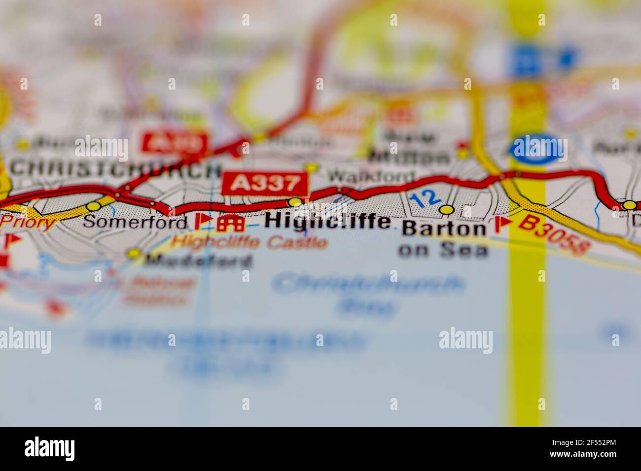 Highcliffe Shown on a Geography map or road map Stock Photohttps://www.alamy.com/image-license-details/?v=1https://www.alamy.com/highcliffe-shown-on-a-geography-map-or-road-map-image416234076.html
RM2F552PM–Highcliffe Shown on a Geography map or road map
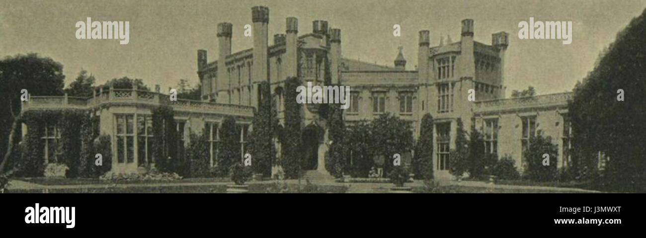 Highcliffe Castle 1907 Stock Photohttps://www.alamy.com/image-license-details/?v=1https://www.alamy.com/stock-photo-highcliffe-castle-1907-139986304.html
RMJ3MWXT–Highcliffe Castle 1907
 Highcliffe, Ashburton District, NZ, New Zealand, Canterbury, S 44 3' 30'', N 171 45' 0'', map, Cartascapes Map published in 2024. Explore Cartascapes, a map revealing Earth's diverse landscapes, cultures, and ecosystems. Journey through time and space, discovering the interconnectedness of our planet's past, present, and future. Stock Photohttps://www.alamy.com/image-license-details/?v=1https://www.alamy.com/highcliffe-ashburton-district-nz-new-zealand-canterbury-s-44-3-30-n-171-45-0-map-cartascapes-map-published-in-2024-explore-cartascapes-a-map-revealing-earths-diverse-landscapes-cultures-and-ecosystems-journey-through-time-and-space-discovering-the-interconnectedness-of-our-planets-past-present-and-future-image633947304.html
RM2YRAP74–Highcliffe, Ashburton District, NZ, New Zealand, Canterbury, S 44 3' 30'', N 171 45' 0'', map, Cartascapes Map published in 2024. Explore Cartascapes, a map revealing Earth's diverse landscapes, cultures, and ecosystems. Journey through time and space, discovering the interconnectedness of our planet's past, present, and future.
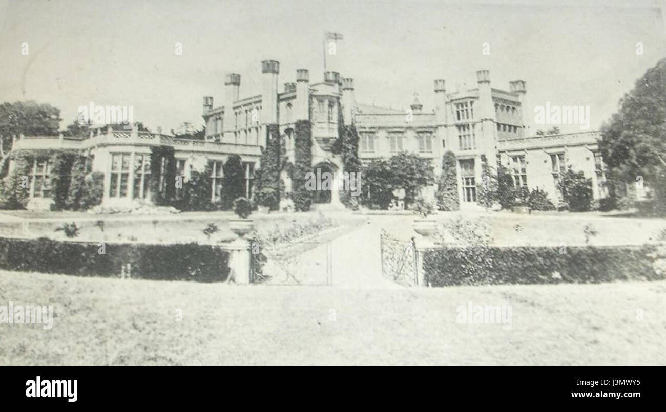 Highcliffe Castle Circa 1900 Stock Photohttps://www.alamy.com/image-license-details/?v=1https://www.alamy.com/stock-photo-highcliffe-castle-circa-1900-139986313.html
RMJ3MWY5–Highcliffe Castle Circa 1900
 An oceanography student from Southampton University using a specially built evice to search for pebbles with transponders built into them as part of a project to map the patterns of long shore drift on the beach at Highcliffe on the south coast of England.. 08 March 1994. Photo: Neil Turner Stock Photohttps://www.alamy.com/image-license-details/?v=1https://www.alamy.com/an-oceanography-student-from-southampton-university-using-a-specially-built-evice-to-search-for-pebbles-with-transponders-built-into-them-as-part-of-a-project-to-map-the-patterns-of-long-shore-drift-on-the-beach-at-highcliffe-on-the-south-coast-of-england-08-march-1994-photo-neil-turner-image383087625.html
RM2D7744W–An oceanography student from Southampton University using a specially built evice to search for pebbles with transponders built into them as part of a project to map the patterns of long shore drift on the beach at Highcliffe on the south coast of England.. 08 March 1994. Photo: Neil Turner
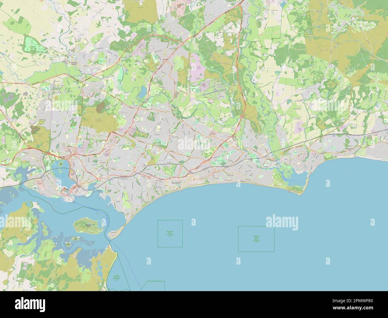 Bournemouth, Christchurch and Poole, unitary authority of England - Great Britain. Open Street Map Stock Photohttps://www.alamy.com/image-license-details/?v=1https://www.alamy.com/bournemouth-christchurch-and-poole-unitary-authority-of-england-great-britain-open-street-map-image546380800.html
RF2PMWP80–Bournemouth, Christchurch and Poole, unitary authority of England - Great Britain. Open Street Map
 Highcliffe, Dunedin City, NZ, New Zealand, Otago, S 45 52' 59'', N 170 34' 59'', map, Cartascapes Map published in 2024. Explore Cartascapes, a map revealing Earth's diverse landscapes, cultures, and ecosystems. Journey through time and space, discovering the interconnectedness of our planet's past, present, and future. Stock Photohttps://www.alamy.com/image-license-details/?v=1https://www.alamy.com/highcliffe-dunedin-city-nz-new-zealand-otago-s-45-52-59-n-170-34-59-map-cartascapes-map-published-in-2024-explore-cartascapes-a-map-revealing-earths-diverse-landscapes-cultures-and-ecosystems-journey-through-time-and-space-discovering-the-interconnectedness-of-our-planets-past-present-and-future-image634065939.html
RM2YRG5G3–Highcliffe, Dunedin City, NZ, New Zealand, Otago, S 45 52' 59'', N 170 34' 59'', map, Cartascapes Map published in 2024. Explore Cartascapes, a map revealing Earth's diverse landscapes, cultures, and ecosystems. Journey through time and space, discovering the interconnectedness of our planet's past, present, and future.
 Highcliffe Castle circa 1920 Stock Photohttps://www.alamy.com/image-license-details/?v=1https://www.alamy.com/stock-photo-highcliffe-castle-circa-1920-139986314.html
RMJ3MWY6–Highcliffe Castle circa 1920
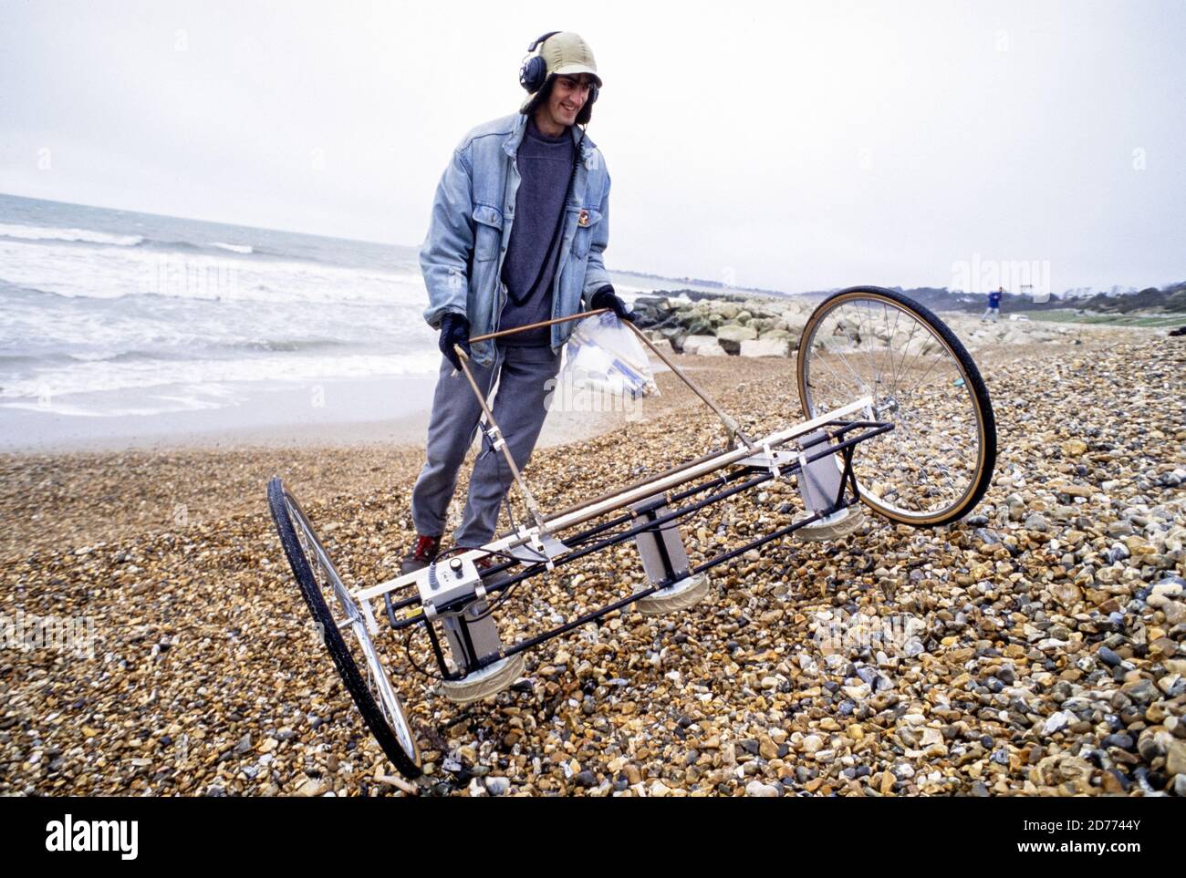 An oceanography student from Southampton University using a specially built evice to search for pebbles with transponders built into them as part of a project to map the patterns of long shore drift on the beach at Highcliffe on the south coast of England.. 08 March 1994. Photo: Neil Turner Stock Photohttps://www.alamy.com/image-license-details/?v=1https://www.alamy.com/an-oceanography-student-from-southampton-university-using-a-specially-built-evice-to-search-for-pebbles-with-transponders-built-into-them-as-part-of-a-project-to-map-the-patterns-of-long-shore-drift-on-the-beach-at-highcliffe-on-the-south-coast-of-england-08-march-1994-photo-neil-turner-image383087627.html
RM2D7744Y–An oceanography student from Southampton University using a specially built evice to search for pebbles with transponders built into them as part of a project to map the patterns of long shore drift on the beach at Highcliffe on the south coast of England.. 08 March 1994. Photo: Neil Turner
 The dining room Highcliffe Castle 1907 Stock Photohttps://www.alamy.com/image-license-details/?v=1https://www.alamy.com/stock-photo-the-dining-room-highcliffe-castle-1907-140647556.html
RMJ4R1B0–The dining room Highcliffe Castle 1907
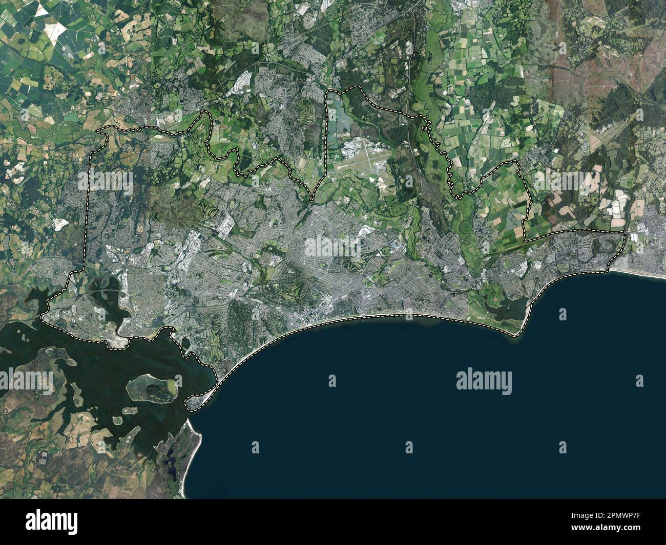 Bournemouth, Christchurch and Poole, unitary authority of England - Great Britain. High resolution satellite map Stock Photohttps://www.alamy.com/image-license-details/?v=1https://www.alamy.com/bournemouth-christchurch-and-poole-unitary-authority-of-england-great-britain-high-resolution-satellite-map-image546380787.html
RF2PMWP7F–Bournemouth, Christchurch and Poole, unitary authority of England - Great Britain. High resolution satellite map
 Highcliffe, Bournemouth, Christchurch and Poole Council, GB, United Kingdom, England, N 50 44' 23'', S 1 42' 28'', map, Cartascapes Map published in 2024. Explore Cartascapes, a map revealing Earth's diverse landscapes, cultures, and ecosystems. Journey through time and space, discovering the interconnectedness of our planet's past, present, and future. Stock Photohttps://www.alamy.com/image-license-details/?v=1https://www.alamy.com/highcliffe-bournemouth-christchurch-and-poole-council-gb-united-kingdom-england-n-50-44-23-s-1-42-28-map-cartascapes-map-published-in-2024-explore-cartascapes-a-map-revealing-earths-diverse-landscapes-cultures-and-ecosystems-journey-through-time-and-space-discovering-the-interconnectedness-of-our-planets-past-present-and-future-image604186978.html
RM2X2Y2JA–Highcliffe, Bournemouth, Christchurch and Poole Council, GB, United Kingdom, England, N 50 44' 23'', S 1 42' 28'', map, Cartascapes Map published in 2024. Explore Cartascapes, a map revealing Earth's diverse landscapes, cultures, and ecosystems. Journey through time and space, discovering the interconnectedness of our planet's past, present, and future.
 An oceanography student from Southampton University using a specially built evice to search for pebbles with transponders built into them as part of a project to map the patterns of long shore drift on the beach at Highcliffe on the south coast of England.. 08 March 1994. Photo: Neil Turner Stock Photohttps://www.alamy.com/image-license-details/?v=1https://www.alamy.com/an-oceanography-student-from-southampton-university-using-a-specially-built-evice-to-search-for-pebbles-with-transponders-built-into-them-as-part-of-a-project-to-map-the-patterns-of-long-shore-drift-on-the-beach-at-highcliffe-on-the-south-coast-of-england-08-march-1994-photo-neil-turner-image383087622.html
RM2D7744P–An oceanography student from Southampton University using a specially built evice to search for pebbles with transponders built into them as part of a project to map the patterns of long shore drift on the beach at Highcliffe on the south coast of England.. 08 March 1994. Photo: Neil Turner
 Kaiser at Highcliffe Castle 1907 2 Stock Photohttps://www.alamy.com/image-license-details/?v=1https://www.alamy.com/stock-photo-kaiser-at-highcliffe-castle-1907-2-140059319.html
RMJ3T72F–Kaiser at Highcliffe Castle 1907 2
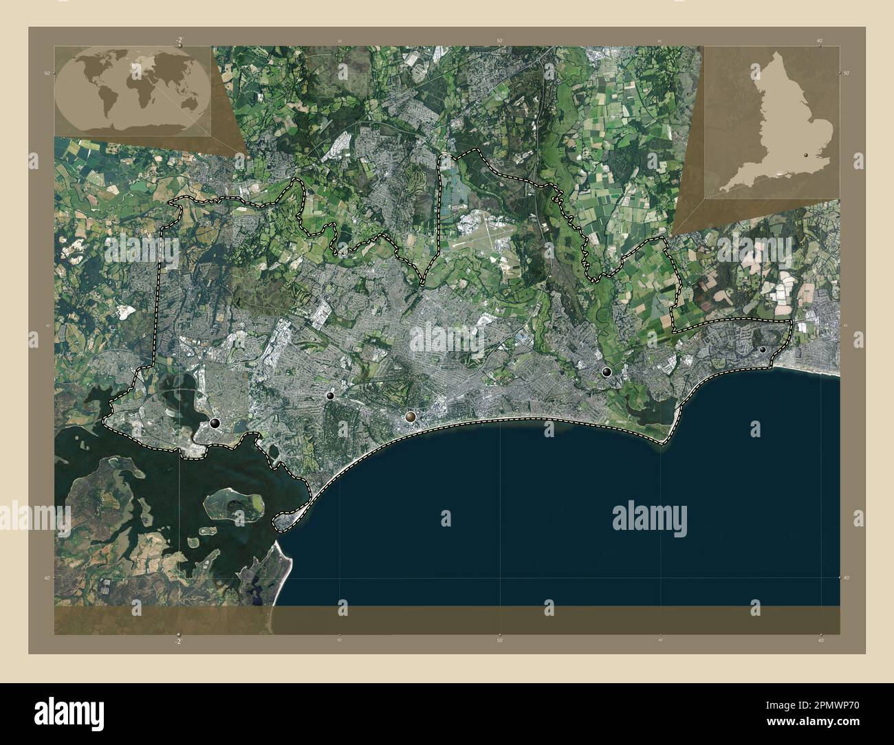 Bournemouth, Christchurch and Poole, unitary authority of England - Great Britain. High resolution satellite map. Locations of major cities of the reg Stock Photohttps://www.alamy.com/image-license-details/?v=1https://www.alamy.com/bournemouth-christchurch-and-poole-unitary-authority-of-england-great-britain-high-resolution-satellite-map-locations-of-major-cities-of-the-reg-image546380772.html
RF2PMWP70–Bournemouth, Christchurch and Poole, unitary authority of England - Great Britain. High resolution satellite map. Locations of major cities of the reg
 Highcliffe, North Somerset, GB, United Kingdom, England, N 51 26' 46'', S 2 51' 28'', map, Cartascapes Map published in 2024. Explore Cartascapes, a map revealing Earth's diverse landscapes, cultures, and ecosystems. Journey through time and space, discovering the interconnectedness of our planet's past, present, and future. Stock Photohttps://www.alamy.com/image-license-details/?v=1https://www.alamy.com/highcliffe-north-somerset-gb-united-kingdom-england-n-51-26-46-s-2-51-28-map-cartascapes-map-published-in-2024-explore-cartascapes-a-map-revealing-earths-diverse-landscapes-cultures-and-ecosystems-journey-through-time-and-space-discovering-the-interconnectedness-of-our-planets-past-present-and-future-image604096936.html
RM2X2PYPG–Highcliffe, North Somerset, GB, United Kingdom, England, N 51 26' 46'', S 2 51' 28'', map, Cartascapes Map published in 2024. Explore Cartascapes, a map revealing Earth's diverse landscapes, cultures, and ecosystems. Journey through time and space, discovering the interconnectedness of our planet's past, present, and future.
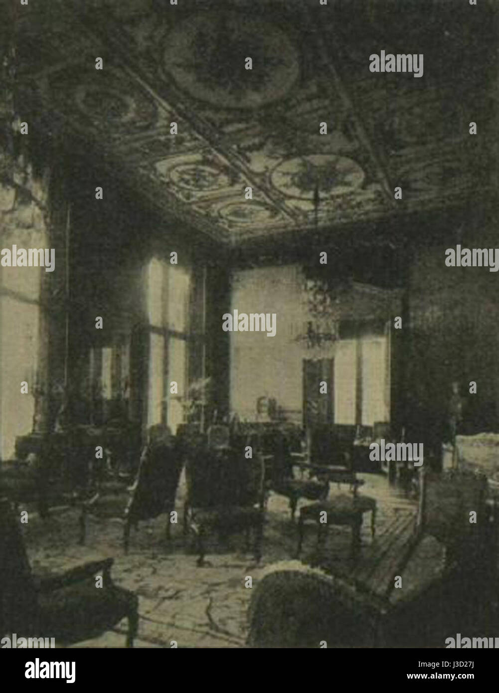 Drawing Room Highcliffe Castle 1907 Stock Photohttps://www.alamy.com/image-license-details/?v=1https://www.alamy.com/stock-photo-drawing-room-highcliffe-castle-1907-139814070.html
RMJ3D27J–Drawing Room Highcliffe Castle 1907
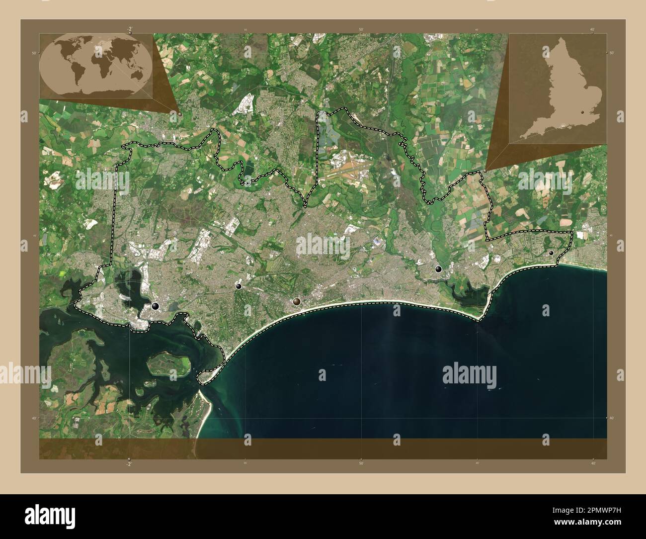 Bournemouth, Christchurch and Poole, unitary authority of England - Great Britain. Low resolution satellite map. Locations of major cities of the regi Stock Photohttps://www.alamy.com/image-license-details/?v=1https://www.alamy.com/bournemouth-christchurch-and-poole-unitary-authority-of-england-great-britain-low-resolution-satellite-map-locations-of-major-cities-of-the-regi-image546380789.html
RF2PMWP7H–Bournemouth, Christchurch and Poole, unitary authority of England - Great Britain. Low resolution satellite map. Locations of major cities of the regi
 The Highcliffe Hotel, North Somerset, GB, United Kingdom, England, N 51 26' 51'', S 2 51' 24'', map, Cartascapes Map published in 2024. Explore Cartascapes, a map revealing Earth's diverse landscapes, cultures, and ecosystems. Journey through time and space, discovering the interconnectedness of our planet's past, present, and future. Stock Photohttps://www.alamy.com/image-license-details/?v=1https://www.alamy.com/the-highcliffe-hotel-north-somerset-gb-united-kingdom-england-n-51-26-51-s-2-51-24-map-cartascapes-map-published-in-2024-explore-cartascapes-a-map-revealing-earths-diverse-landscapes-cultures-and-ecosystems-journey-through-time-and-space-discovering-the-interconnectedness-of-our-planets-past-present-and-future-image604056896.html
RM2X2N4MG–The Highcliffe Hotel, North Somerset, GB, United Kingdom, England, N 51 26' 51'', S 2 51' 24'', map, Cartascapes Map published in 2024. Explore Cartascapes, a map revealing Earth's diverse landscapes, cultures, and ecosystems. Journey through time and space, discovering the interconnectedness of our planet's past, present, and future.
 Hall and grand staircase Highcliffe Castle 1907 Stock Photohttps://www.alamy.com/image-license-details/?v=1https://www.alamy.com/stock-photo-hall-and-grand-staircase-highcliffe-castle-1907-139986306.html
RMJ3MWXX–Hall and grand staircase Highcliffe Castle 1907
 Bournemouth, Christchurch and Poole, unitary authority of England - Great Britain. High resolution satellite map. Locations and names of major cities Stock Photohttps://www.alamy.com/image-license-details/?v=1https://www.alamy.com/bournemouth-christchurch-and-poole-unitary-authority-of-england-great-britain-high-resolution-satellite-map-locations-and-names-of-major-cities-image546380790.html
RF2PMWP7J–Bournemouth, Christchurch and Poole, unitary authority of England - Great Britain. High resolution satellite map. Locations and names of major cities
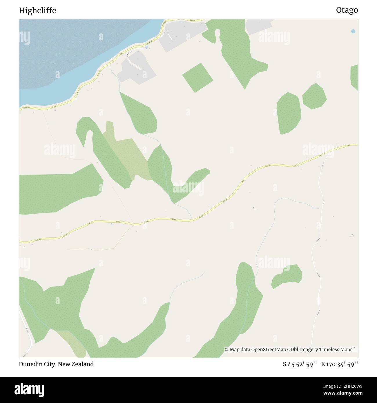 Highcliffe, Dunedin City, New Zealand, Otago, S 45 52' 59'', E 170 34' 59'', map, Timeless Map published in 2021. Travelers, explorers and adventurers like Florence Nightingale, David Livingstone, Ernest Shackleton, Lewis and Clark and Sherlock Holmes relied on maps to plan travels to the world's most remote corners, Timeless Maps is mapping most locations on the globe, showing the achievement of great dreams Stock Photohttps://www.alamy.com/image-license-details/?v=1https://www.alamy.com/highcliffe-dunedin-city-new-zealand-otago-s-45-52-59-e-170-34-59-map-timeless-map-published-in-2021-travelers-explorers-and-adventurers-like-florence-nightingale-david-livingstone-ernest-shackleton-lewis-and-clark-and-sherlock-holmes-relied-on-maps-to-plan-travels-to-the-worlds-most-remote-corners-timeless-maps-is-mapping-most-locations-on-the-globe-showing-the-achievement-of-great-dreams-image457968037.html
RM2HH26W9–Highcliffe, Dunedin City, New Zealand, Otago, S 45 52' 59'', E 170 34' 59'', map, Timeless Map published in 2021. Travelers, explorers and adventurers like Florence Nightingale, David Livingstone, Ernest Shackleton, Lewis and Clark and Sherlock Holmes relied on maps to plan travels to the world's most remote corners, Timeless Maps is mapping most locations on the globe, showing the achievement of great dreams
 Bournemouth, Christchurch and Poole, unitary authority of England - Great Britain. Open Street Map. Locations and names of major cities of the region. Stock Photohttps://www.alamy.com/image-license-details/?v=1https://www.alamy.com/bournemouth-christchurch-and-poole-unitary-authority-of-england-great-britain-open-street-map-locations-and-names-of-major-cities-of-the-region-image546380845.html
RF2PMWP9H–Bournemouth, Christchurch and Poole, unitary authority of England - Great Britain. Open Street Map. Locations and names of major cities of the region.
 Highcliffe, Bournemouth, Christchurch and Poole Council, United Kingdom, England, N 50 44' 23'', W 1 42' 28'', map, Timeless Map published in 2021. Travelers, explorers and adventurers like Florence Nightingale, David Livingstone, Ernest Shackleton, Lewis and Clark and Sherlock Holmes relied on maps to plan travels to the world's most remote corners, Timeless Maps is mapping most locations on the globe, showing the achievement of great dreams Stock Photohttps://www.alamy.com/image-license-details/?v=1https://www.alamy.com/highcliffe-bournemouth-christchurch-and-poole-council-united-kingdom-england-n-50-44-23-w-1-42-28-map-timeless-map-published-in-2021-travelers-explorers-and-adventurers-like-florence-nightingale-david-livingstone-ernest-shackleton-lewis-and-clark-and-sherlock-holmes-relied-on-maps-to-plan-travels-to-the-worlds-most-remote-corners-timeless-maps-is-mapping-most-locations-on-the-globe-showing-the-achievement-of-great-dreams-image439404840.html
RM2GETHA0–Highcliffe, Bournemouth, Christchurch and Poole Council, United Kingdom, England, N 50 44' 23'', W 1 42' 28'', map, Timeless Map published in 2021. Travelers, explorers and adventurers like Florence Nightingale, David Livingstone, Ernest Shackleton, Lewis and Clark and Sherlock Holmes relied on maps to plan travels to the world's most remote corners, Timeless Maps is mapping most locations on the globe, showing the achievement of great dreams
 Bournemouth, Christchurch and Poole, unitary authority of England - Great Britain. Open Street Map. Locations of major cities of the region. Corner au Stock Photohttps://www.alamy.com/image-license-details/?v=1https://www.alamy.com/bournemouth-christchurch-and-poole-unitary-authority-of-england-great-britain-open-street-map-locations-of-major-cities-of-the-region-corner-au-image546380777.html
RF2PMWP75–Bournemouth, Christchurch and Poole, unitary authority of England - Great Britain. Open Street Map. Locations of major cities of the region. Corner au
 Bournemouth, Christchurch and Poole, unitary authority of England - Great Britain. Low resolution satellite map. Locations and names of major cities o Stock Photohttps://www.alamy.com/image-license-details/?v=1https://www.alamy.com/bournemouth-christchurch-and-poole-unitary-authority-of-england-great-britain-low-resolution-satellite-map-locations-and-names-of-major-cities-o-image546380881.html
RF2PMWPAW–Bournemouth, Christchurch and Poole, unitary authority of England - Great Britain. Low resolution satellite map. Locations and names of major cities o
 Bournemouth, Christchurch and Poole, unitary authority of England - Great Britain. Solid color shape Stock Photohttps://www.alamy.com/image-license-details/?v=1https://www.alamy.com/bournemouth-christchurch-and-poole-unitary-authority-of-england-great-britain-solid-color-shape-image546380748.html
RF2PMWP64–Bournemouth, Christchurch and Poole, unitary authority of England - Great Britain. Solid color shape
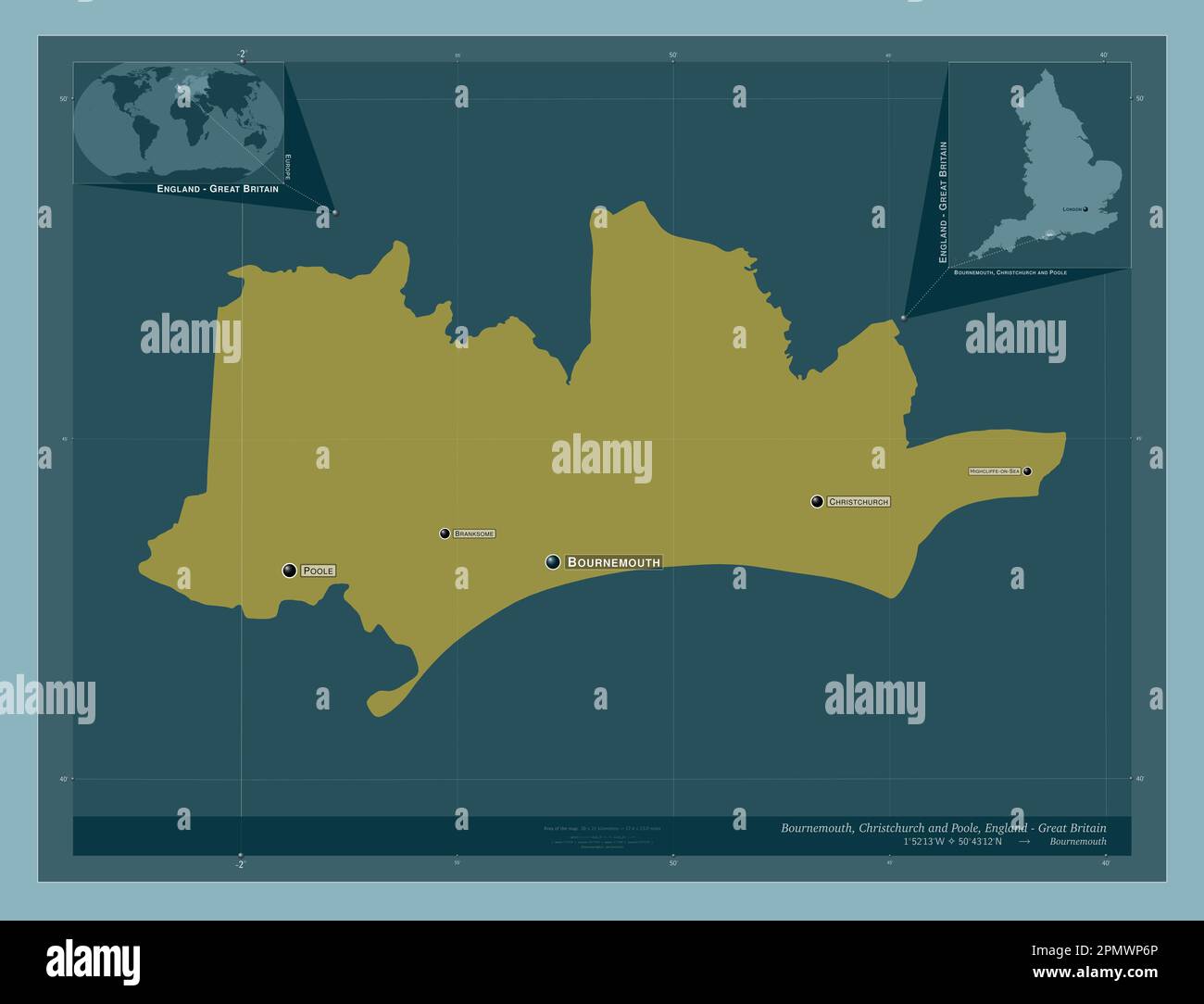 Bournemouth, Christchurch and Poole, unitary authority of England - Great Britain. Solid color shape. Locations and names of major cities of the regio Stock Photohttps://www.alamy.com/image-license-details/?v=1https://www.alamy.com/bournemouth-christchurch-and-poole-unitary-authority-of-england-great-britain-solid-color-shape-locations-and-names-of-major-cities-of-the-regio-image546380766.html
RF2PMWP6P–Bournemouth, Christchurch and Poole, unitary authority of England - Great Britain. Solid color shape. Locations and names of major cities of the regio
 Bournemouth, Christchurch and Poole, unitary authority of England - Great Britain. Solid color shape. Locations of major cities of the region. Corner Stock Photohttps://www.alamy.com/image-license-details/?v=1https://www.alamy.com/bournemouth-christchurch-and-poole-unitary-authority-of-england-great-britain-solid-color-shape-locations-of-major-cities-of-the-region-corner-image546380794.html
RF2PMWP7P–Bournemouth, Christchurch and Poole, unitary authority of England - Great Britain. Solid color shape. Locations of major cities of the region. Corner