Quick filters:
Map of hobbs Stock Photos and Images
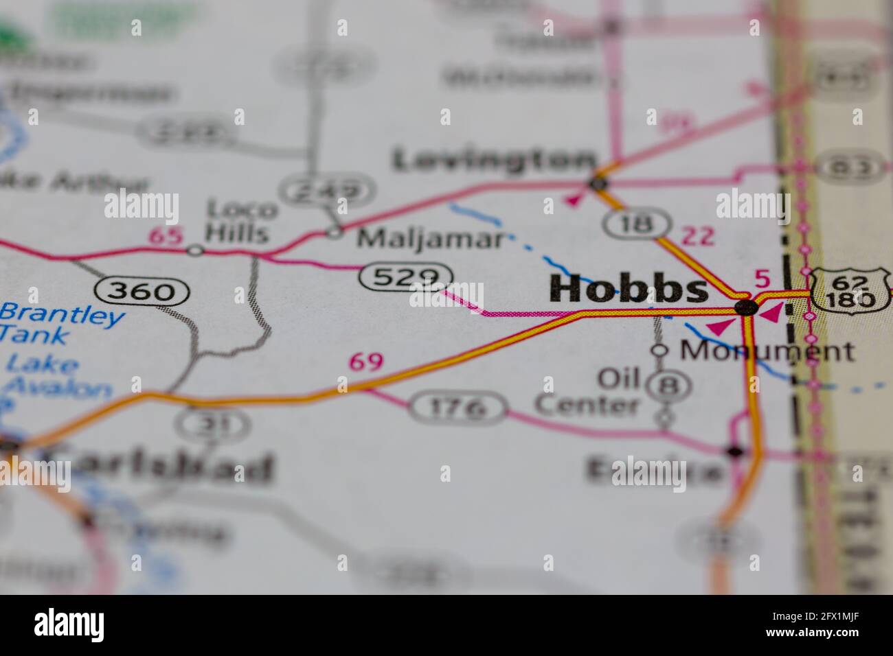 Hobbs New Mexico USA shown on a Geography map or road ma Stock Photohttps://www.alamy.com/image-license-details/?v=1https://www.alamy.com/hobbs-new-mexico-usa-shown-on-a-geography-map-or-road-ma-image429068039.html
RM2FX1MJF–Hobbs New Mexico USA shown on a Geography map or road ma
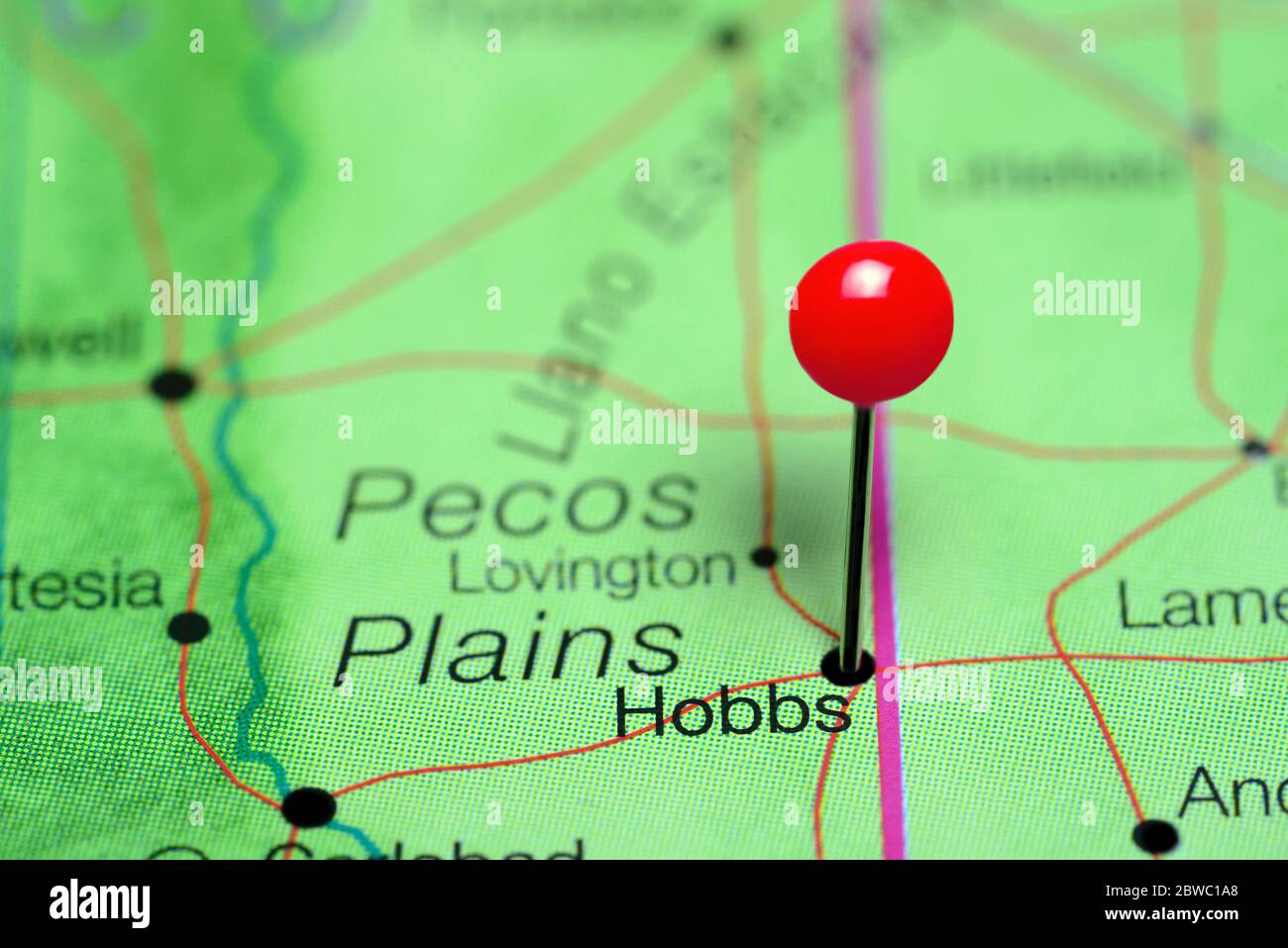 Hobbs pinned on a map of New Mexico, USA Stock Photohttps://www.alamy.com/image-license-details/?v=1https://www.alamy.com/hobbs-pinned-on-a-map-of-new-mexico-usa-image359838256.html
RF2BWC1A8–Hobbs pinned on a map of New Mexico, USA
 Two young people reading an 'A to Z' map outside Hobbs Barber Shop, Borough Market, Southwark Stock Photohttps://www.alamy.com/image-license-details/?v=1https://www.alamy.com/stock-photo-two-young-people-reading-an-a-to-z-map-outside-hobbs-barber-shop-borough-50366261.html
RMCWXAK1–Two young people reading an 'A to Z' map outside Hobbs Barber Shop, Borough Market, Southwark
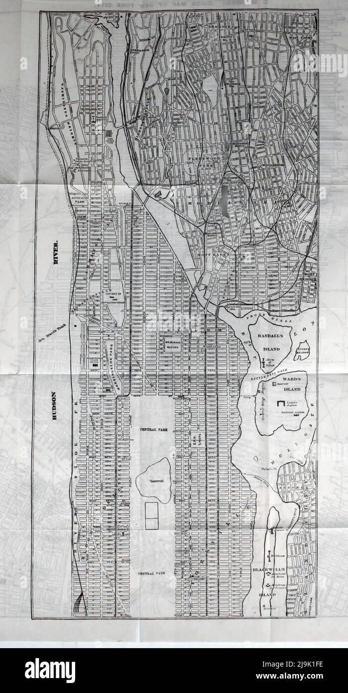 Guide Map of New York 1889 From the guidebook ' Illustrated New York city and surroundings. A descriptive guide to places of interest ' by Charles W Hobbs, Publication date 1889 Publisher New York, C.W. Hobbs & co. Stock Photohttps://www.alamy.com/image-license-details/?v=1https://www.alamy.com/guide-map-of-new-york-1889-from-the-guidebook-illustrated-new-york-city-and-surroundings-a-descriptive-guide-to-places-of-interest-by-charles-w-hobbs-publication-date-1889-publisher-new-york-cw-hobbs-co-image470630146.html
RF2J9K1FE–Guide Map of New York 1889 From the guidebook ' Illustrated New York city and surroundings. A descriptive guide to places of interest ' by Charles W Hobbs, Publication date 1889 Publisher New York, C.W. Hobbs & co.
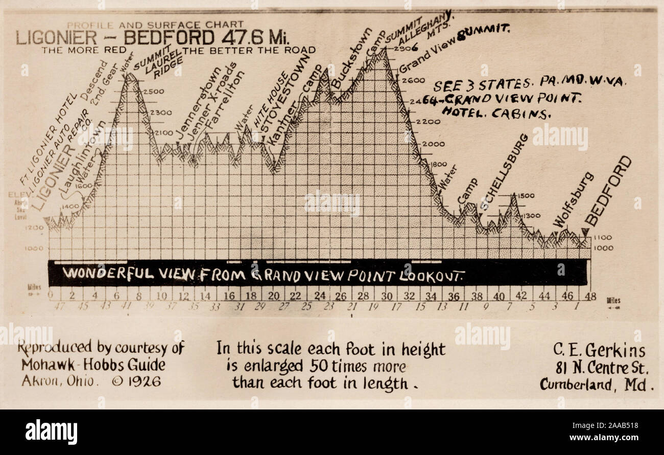 Map Elevations, Ligonier to Bedford Pennsylvania, old postcard Stock Photohttps://www.alamy.com/image-license-details/?v=1https://www.alamy.com/map-elevations-ligonier-to-bedford-pennsylvania-old-postcard-image333388980.html
RM2AAB518–Map Elevations, Ligonier to Bedford Pennsylvania, old postcard
 1193368 Jack Hobbs Stock Photohttps://www.alamy.com/image-license-details/?v=1https://www.alamy.com/stock-image-1193368-jack-hobbs-162190507.html
RMKBTBJ3–1193368 Jack Hobbs
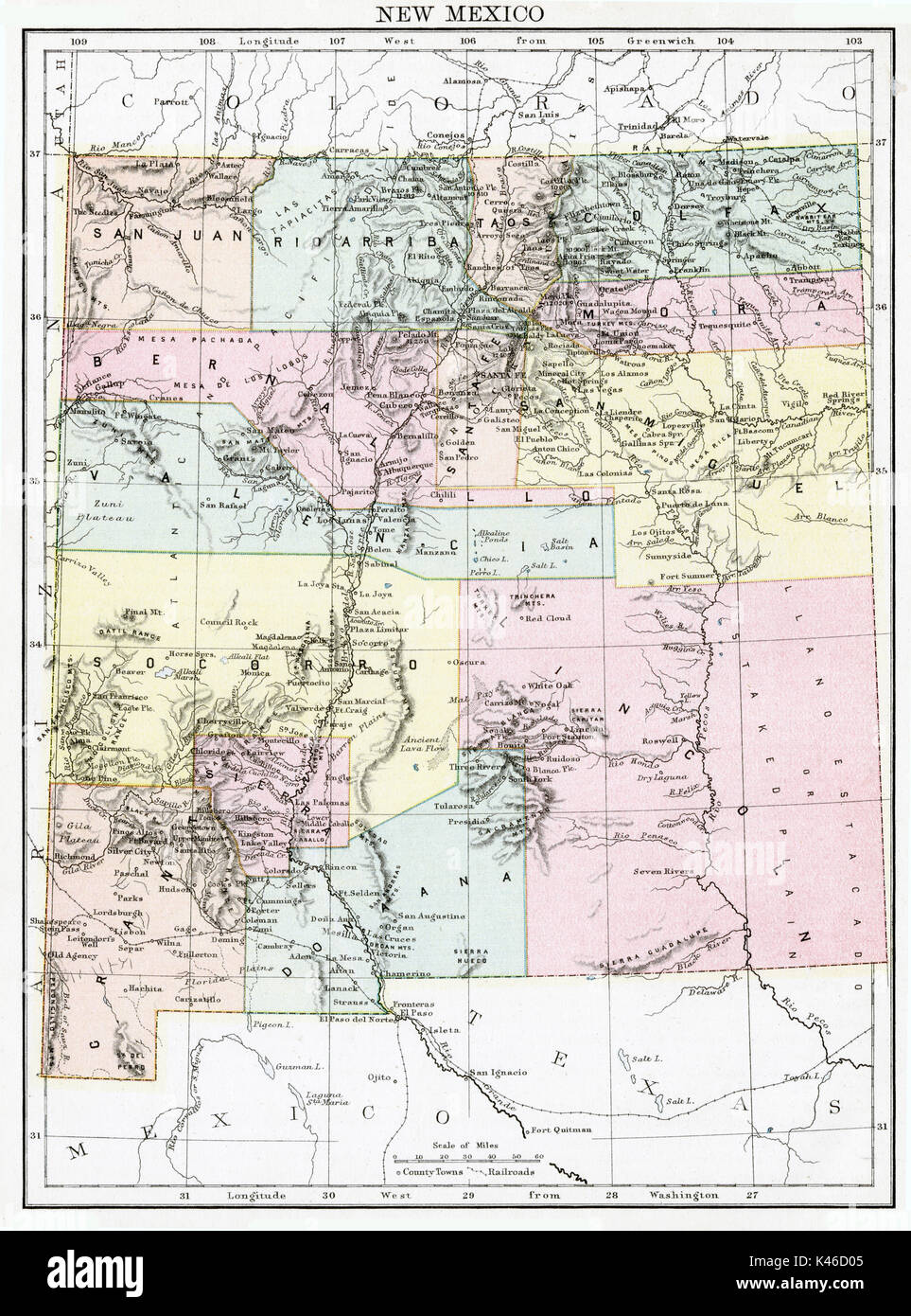 Antique map, circa 1875, of New Mexico Stock Photohttps://www.alamy.com/image-license-details/?v=1https://www.alamy.com/antique-map-circa-1875-of-new-mexico-image157493845.html
RMK46D05–Antique map, circa 1875, of New Mexico
 Mead, E. Hobbs Hole. To Francis Thornton (NYPL b11868620-5376905) Stock Photohttps://www.alamy.com/image-license-details/?v=1https://www.alamy.com/stock-photo-mead-e-hobbs-hole-to-francis-thornton-nypl-b11868620-5376905-148490425.html
RMJHG91D–Mead, E. Hobbs Hole. To Francis Thornton (NYPL b11868620-5376905)
 Hobbs Lagoon, , AU, Australia, Tasmania, S 42 25' 24'', N 147 41' 5'', map, Cartascapes Map published in 2024. Explore Cartascapes, a map revealing Earth's diverse landscapes, cultures, and ecosystems. Journey through time and space, discovering the interconnectedness of our planet's past, present, and future. Stock Photohttps://www.alamy.com/image-license-details/?v=1https://www.alamy.com/hobbs-lagoon-au-australia-tasmania-s-42-25-24-n-147-41-5-map-cartascapes-map-published-in-2024-explore-cartascapes-a-map-revealing-earths-diverse-landscapes-cultures-and-ecosystems-journey-through-time-and-space-discovering-the-interconnectedness-of-our-planets-past-present-and-future-image625480589.html
RM2Y9H2TD–Hobbs Lagoon, , AU, Australia, Tasmania, S 42 25' 24'', N 147 41' 5'', map, Cartascapes Map published in 2024. Explore Cartascapes, a map revealing Earth's diverse landscapes, cultures, and ecosystems. Journey through time and space, discovering the interconnectedness of our planet's past, present, and future.
 C.W. Hobbs' traveler's guide map to the city of Boston 1882 Stock Photohttps://www.alamy.com/image-license-details/?v=1https://www.alamy.com/cw-hobbs-travelers-guide-map-to-the-city-of-boston-1882-image633230201.html
RM2YP63G9–C.W. Hobbs' traveler's guide map to the city of Boston 1882
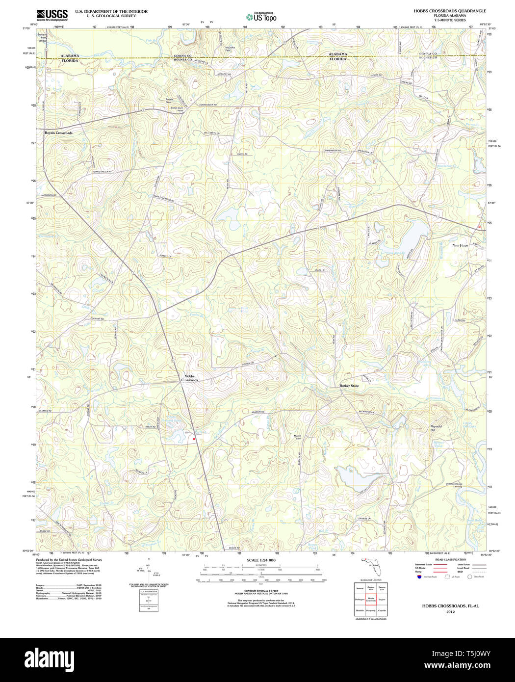 USGS TOPO Map Florida FL Hobbs Crossroads 20120801 TM Restoration Stock Photohttps://www.alamy.com/image-license-details/?v=1https://www.alamy.com/usgs-topo-map-florida-fl-hobbs-crossroads-20120801-tm-restoration-image244414295.html
RMT5J0WY–USGS TOPO Map Florida FL Hobbs Crossroads 20120801 TM Restoration
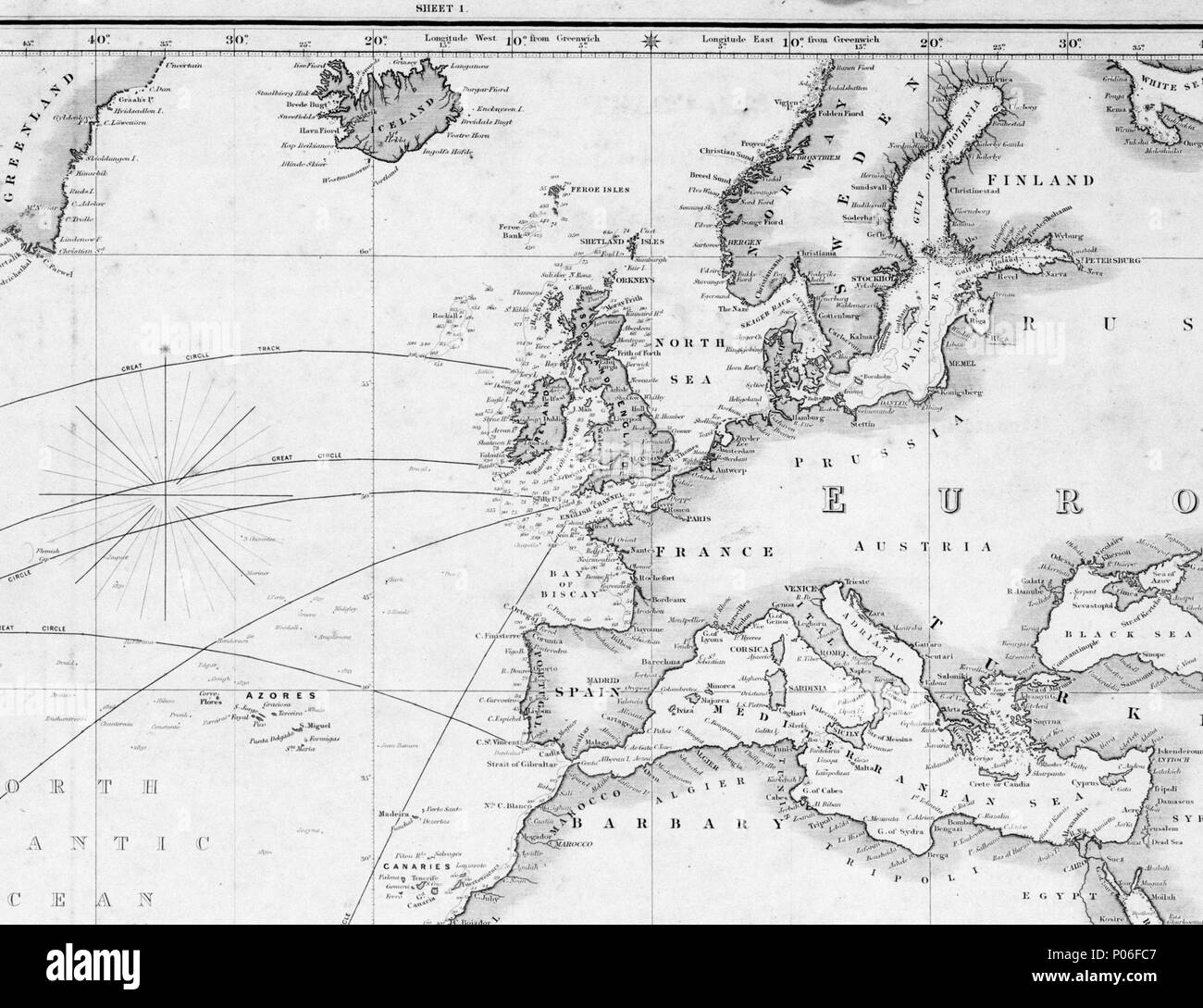 . English: A general chart for the purpose of pricking off ship's track from England southward and round the world. Drawn by J.S. Hobbs FRGS Hydrographer. Published by Charles Wilson...1860.Scale: circa 1:20 m. World map on paper, linen backed, scored for easy folding. Mercator projection. Crop of image B6165 Hobb's Chart . 1860. Charles Wilson; J.S. Hobbs 105 A general chart for the purpose of pricking off ship's track from England southward and round the world. Drawn by J.S. Hobbs FRGS Hydrographer. Published by Charles Wilson - 1860. RMG L3372 Stock Photohttps://www.alamy.com/image-license-details/?v=1https://www.alamy.com/english-a-general-chart-for-the-purpose-of-pricking-off-ships-track-from-england-southward-and-round-the-world-drawn-by-js-hobbs-frgs-hydrographer-published-by-charles-wilson1860scale-circa-120-m-world-map-on-paper-linen-backed-scored-for-easy-folding-mercator-projection-crop-of-image-b6165-hobbs-chart-1860-charles-wilson-js-hobbs-105-a-general-chart-for-the-purpose-of-pricking-off-ships-track-from-england-southward-and-round-the-world-drawn-by-js-hobbs-frgs-hydrographer-published-by-charles-wilson-1860-rmg-l3372-image206668231.html
RMP06FC7–. English: A general chart for the purpose of pricking off ship's track from England southward and round the world. Drawn by J.S. Hobbs FRGS Hydrographer. Published by Charles Wilson...1860.Scale: circa 1:20 m. World map on paper, linen backed, scored for easy folding. Mercator projection. Crop of image B6165 Hobb's Chart . 1860. Charles Wilson; J.S. Hobbs 105 A general chart for the purpose of pricking off ship's track from England southward and round the world. Drawn by J.S. Hobbs FRGS Hydrographer. Published by Charles Wilson - 1860. RMG L3372
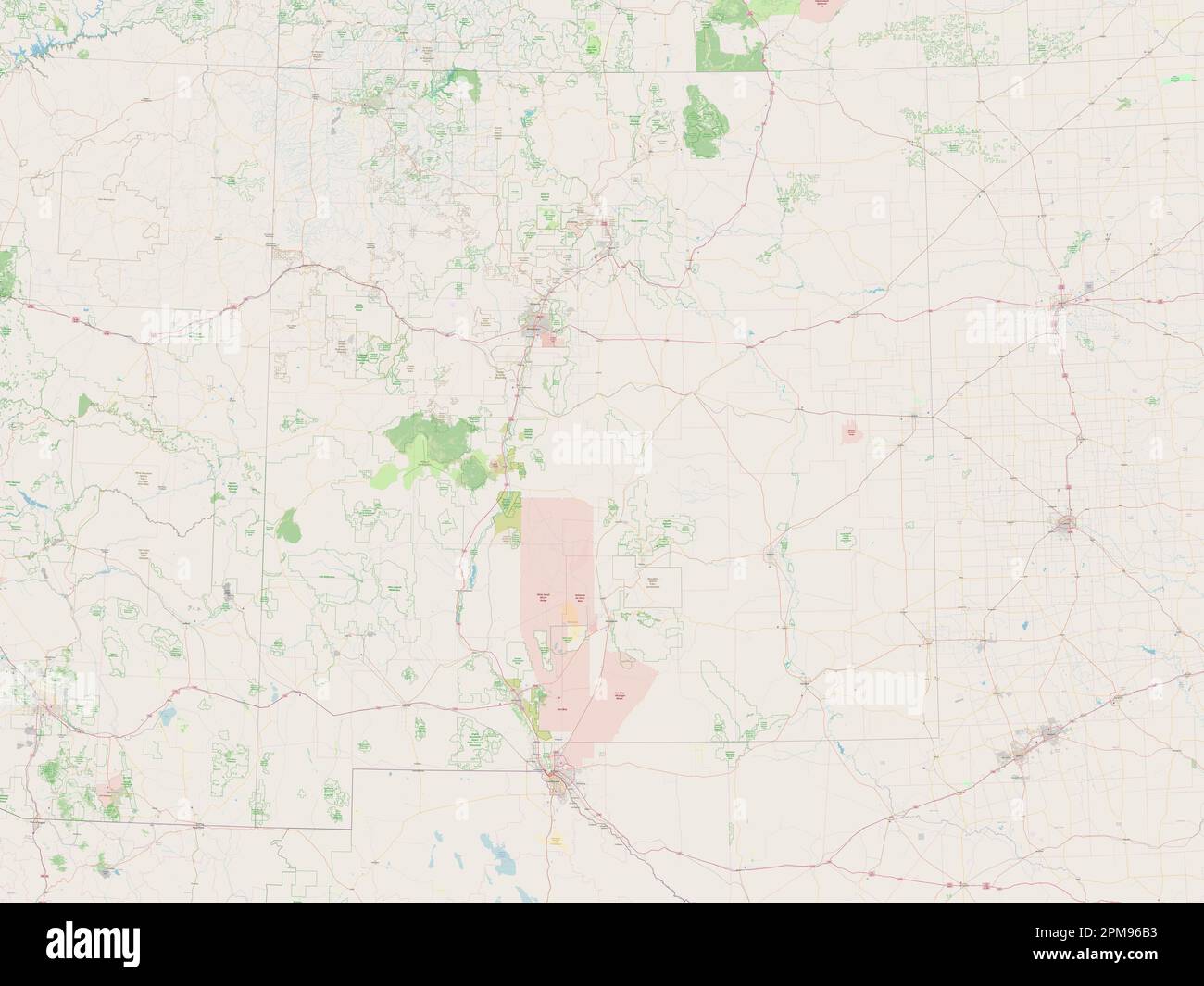 New Mexico, state of United States of America. Open Street Map Stock Photohttps://www.alamy.com/image-license-details/?v=1https://www.alamy.com/new-mexico-state-of-united-states-of-america-open-street-map-image546017111.html
RF2PM96B3–New Mexico, state of United States of America. Open Street Map
![. Annual Reports of the Department of the Interior for the Fiscal Year Ended June 30, 1900--Twenty-First Annual Report of the United States Geological Society. its extension the area of a composite oro-graphic block which stands at as high an altitude as any block in thedistrict the cap of which is of the same formation. To illustrate,areas colored in the deepest tints of the crystallines (except thatreserved for actual exposures) represent the blocks of highest altitude. HOBBs.] RELATIVE ALTITUDE OF BLOCKS. 113 within the area of the map. The areas ])earing the color of the poste-rior shale r Stock Photo . Annual Reports of the Department of the Interior for the Fiscal Year Ended June 30, 1900--Twenty-First Annual Report of the United States Geological Society. its extension the area of a composite oro-graphic block which stands at as high an altitude as any block in thedistrict the cap of which is of the same formation. To illustrate,areas colored in the deepest tints of the crystallines (except thatreserved for actual exposures) represent the blocks of highest altitude. HOBBs.] RELATIVE ALTITUDE OF BLOCKS. 113 within the area of the map. The areas ])earing the color of the poste-rior shale r Stock Photo](https://c8.alamy.com/comp/2AG22D4/annual-reports-of-the-department-of-the-interior-for-the-fiscal-year-ended-june-30-1900-twenty-first-annual-report-of-the-united-states-geological-society-its-extension-the-area-of-a-composite-oro-graphic-block-which-stands-at-as-high-an-altitude-as-any-block-in-thedistrict-the-cap-of-which-is-of-the-same-formation-to-illustrateareas-colored-in-the-deepest-tints-of-the-crystallines-except-thatreserved-for-actual-exposures-represent-the-blocks-of-highest-altitude-hobbs-relative-altitude-of-blocks-113-within-the-area-of-the-map-the-areas-earing-the-color-of-the-poste-rior-shale-r-2AG22D4.jpg) . Annual Reports of the Department of the Interior for the Fiscal Year Ended June 30, 1900--Twenty-First Annual Report of the United States Geological Society. its extension the area of a composite oro-graphic block which stands at as high an altitude as any block in thedistrict the cap of which is of the same formation. To illustrate,areas colored in the deepest tints of the crystallines (except thatreserved for actual exposures) represent the blocks of highest altitude. HOBBs.] RELATIVE ALTITUDE OF BLOCKS. 113 within the area of the map. The areas ])earing the color of the poste-rior shale r Stock Photohttps://www.alamy.com/image-license-details/?v=1https://www.alamy.com/annual-reports-of-the-department-of-the-interior-for-the-fiscal-year-ended-june-30-1900-twenty-first-annual-report-of-the-united-states-geological-society-its-extension-the-area-of-a-composite-oro-graphic-block-which-stands-at-as-high-an-altitude-as-any-block-in-thedistrict-the-cap-of-which-is-of-the-same-formation-to-illustrateareas-colored-in-the-deepest-tints-of-the-crystallines-except-thatreserved-for-actual-exposures-represent-the-blocks-of-highest-altitude-hobbs-relative-altitude-of-blocks-113-within-the-area-of-the-map-the-areas-earing-the-color-of-the-poste-rior-shale-r-image336877328.html
. Annual Reports of the Department of the Interior for the Fiscal Year Ended June 30, 1900--Twenty-First Annual Report of the United States Geological Society. its extension the area of a composite oro-graphic block which stands at as high an altitude as any block in thedistrict the cap of which is of the same formation. To illustrate,areas colored in the deepest tints of the crystallines (except thatreserved for actual exposures) represent the blocks of highest altitude. HOBBs.] RELATIVE ALTITUDE OF BLOCKS. 113 within the area of the map. The areas ])earing the color of the poste-rior shale r Stock Photohttps://www.alamy.com/image-license-details/?v=1https://www.alamy.com/annual-reports-of-the-department-of-the-interior-for-the-fiscal-year-ended-june-30-1900-twenty-first-annual-report-of-the-united-states-geological-society-its-extension-the-area-of-a-composite-oro-graphic-block-which-stands-at-as-high-an-altitude-as-any-block-in-thedistrict-the-cap-of-which-is-of-the-same-formation-to-illustrateareas-colored-in-the-deepest-tints-of-the-crystallines-except-thatreserved-for-actual-exposures-represent-the-blocks-of-highest-altitude-hobbs-relative-altitude-of-blocks-113-within-the-area-of-the-map-the-areas-earing-the-color-of-the-poste-rior-shale-r-image336877328.htmlRM2AG22D4–. Annual Reports of the Department of the Interior for the Fiscal Year Ended June 30, 1900--Twenty-First Annual Report of the United States Geological Society. its extension the area of a composite oro-graphic block which stands at as high an altitude as any block in thedistrict the cap of which is of the same formation. To illustrate,areas colored in the deepest tints of the crystallines (except thatreserved for actual exposures) represent the blocks of highest altitude. HOBBs.] RELATIVE ALTITUDE OF BLOCKS. 113 within the area of the map. The areas ])earing the color of the poste-rior shale r
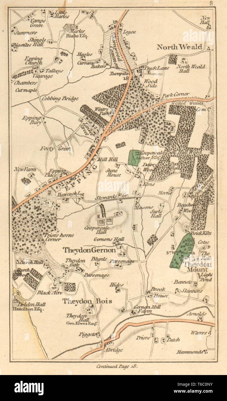 EPPING.North Weald Bassett,Loughton,Theydon Bois/Garnon/Mount,Abridge 1811 map Stock Photohttps://www.alamy.com/image-license-details/?v=1https://www.alamy.com/eppingnorth-weald-bassettloughtontheydon-boisgarnonmountabridge-1811-map-image244897127.html
RFT6C0NY–EPPING.North Weald Bassett,Loughton,Theydon Bois/Garnon/Mount,Abridge 1811 map
 C. M. Hobbs and Sons (1922) Stock Photohttps://www.alamy.com/image-license-details/?v=1https://www.alamy.com/stock-photo-c-m-hobbs-and-sons-1922-99602875.html
RMFP18DF–C. M. Hobbs and Sons (1922)
 EPPING:North Weald Bassett,Loughton,Theydon Bois/Garnon/Mount,Abridge, 1786 map Stock Photohttps://www.alamy.com/image-license-details/?v=1https://www.alamy.com/stock-photo-eppingnorth-weald-bassettloughtontheydon-boisgarnonmountabridge-1786-102709358.html
RFFY2PRA–EPPING:North Weald Bassett,Loughton,Theydon Bois/Garnon/Mount,Abridge, 1786 map
 New Mexico state cities list Stock Photohttps://www.alamy.com/image-license-details/?v=1https://www.alamy.com/new-mexico-state-cities-list-image245847547.html
RFT7Y91F–New Mexico state cities list
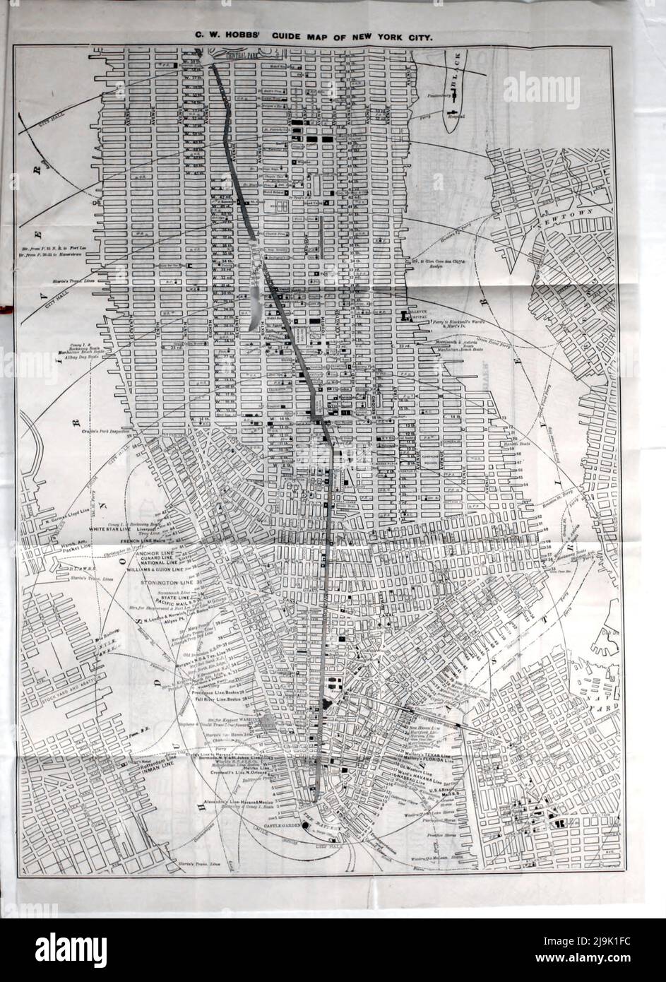 Guide Map of New York 1889 From the guidebook ' Illustrated New York city and surroundings. A descriptive guide to places of interest ' by Charles W Hobbs, Publication date 1889 Publisher New York, C.W. Hobbs & co. Stock Photohttps://www.alamy.com/image-license-details/?v=1https://www.alamy.com/guide-map-of-new-york-1889-from-the-guidebook-illustrated-new-york-city-and-surroundings-a-descriptive-guide-to-places-of-interest-by-charles-w-hobbs-publication-date-1889-publisher-new-york-cw-hobbs-co-image470630144.html
RF2J9K1FC–Guide Map of New York 1889 From the guidebook ' Illustrated New York city and surroundings. A descriptive guide to places of interest ' by Charles W Hobbs, Publication date 1889 Publisher New York, C.W. Hobbs & co.
 Mead, E. Hobbs Hole. To Francis Thornton (NYPL b11868620-5376906) Stock Photohttps://www.alamy.com/image-license-details/?v=1https://www.alamy.com/stock-photo-mead-e-hobbs-hole-to-francis-thornton-nypl-b11868620-5376906-148490426.html
RMJHG91E–Mead, E. Hobbs Hole. To Francis Thornton (NYPL b11868620-5376906)
 Hobbs Island, , AU, Australia, Tasmania, S 43 13' 27'', N 145 47' 3'', map, Cartascapes Map published in 2024. Explore Cartascapes, a map revealing Earth's diverse landscapes, cultures, and ecosystems. Journey through time and space, discovering the interconnectedness of our planet's past, present, and future. Stock Photohttps://www.alamy.com/image-license-details/?v=1https://www.alamy.com/hobbs-island-au-australia-tasmania-s-43-13-27-n-145-47-3-map-cartascapes-map-published-in-2024-explore-cartascapes-a-map-revealing-earths-diverse-landscapes-cultures-and-ecosystems-journey-through-time-and-space-discovering-the-interconnectedness-of-our-planets-past-present-and-future-image625544345.html
RM2Y9M05D–Hobbs Island, , AU, Australia, Tasmania, S 43 13' 27'', N 145 47' 3'', map, Cartascapes Map published in 2024. Explore Cartascapes, a map revealing Earth's diverse landscapes, cultures, and ecosystems. Journey through time and space, discovering the interconnectedness of our planet's past, present, and future.
 2 262956 Estate map of Hobbs Homestead Estate, Scarborough, Queensland, 1886 Stock Photohttps://www.alamy.com/image-license-details/?v=1https://www.alamy.com/stock-image-2-262956-estate-map-of-hobbs-homestead-estate-scarborough-queensland-165701623.html
RMKHGA33–2 262956 Estate map of Hobbs Homestead Estate, Scarborough, Queensland, 1886
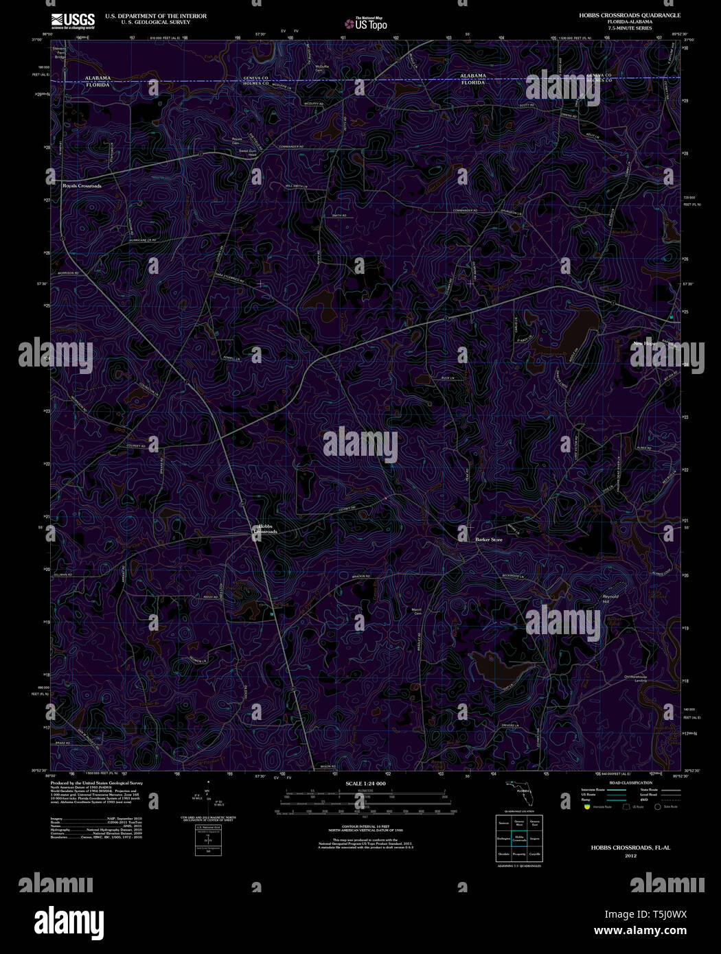 USGS TOPO Map Florida FL Hobbs Crossroads 20120801 TM Inverted Restoration Stock Photohttps://www.alamy.com/image-license-details/?v=1https://www.alamy.com/usgs-topo-map-florida-fl-hobbs-crossroads-20120801-tm-inverted-restoration-image244414294.html
RMT5J0WX–USGS TOPO Map Florida FL Hobbs Crossroads 20120801 TM Inverted Restoration
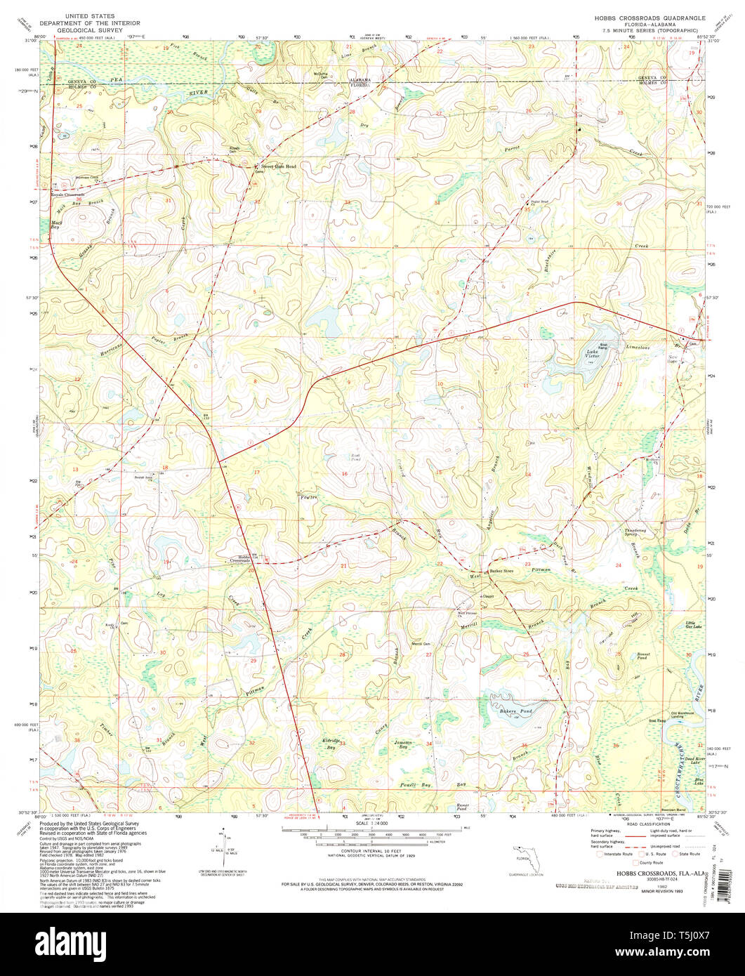 USGS TOPO Map Florida FL Hobbs Crossroads 346636 1982 24000 Restoration Stock Photohttps://www.alamy.com/image-license-details/?v=1https://www.alamy.com/usgs-topo-map-florida-fl-hobbs-crossroads-346636-1982-24000-restoration-image244414303.html
RMT5J0X7–USGS TOPO Map Florida FL Hobbs Crossroads 346636 1982 24000 Restoration
 New Mexico, state of United States of America. High resolution satellite map Stock Photohttps://www.alamy.com/image-license-details/?v=1https://www.alamy.com/new-mexico-state-of-united-states-of-america-high-resolution-satellite-map-image546017130.html
RF2PM96BP–New Mexico, state of United States of America. High resolution satellite map
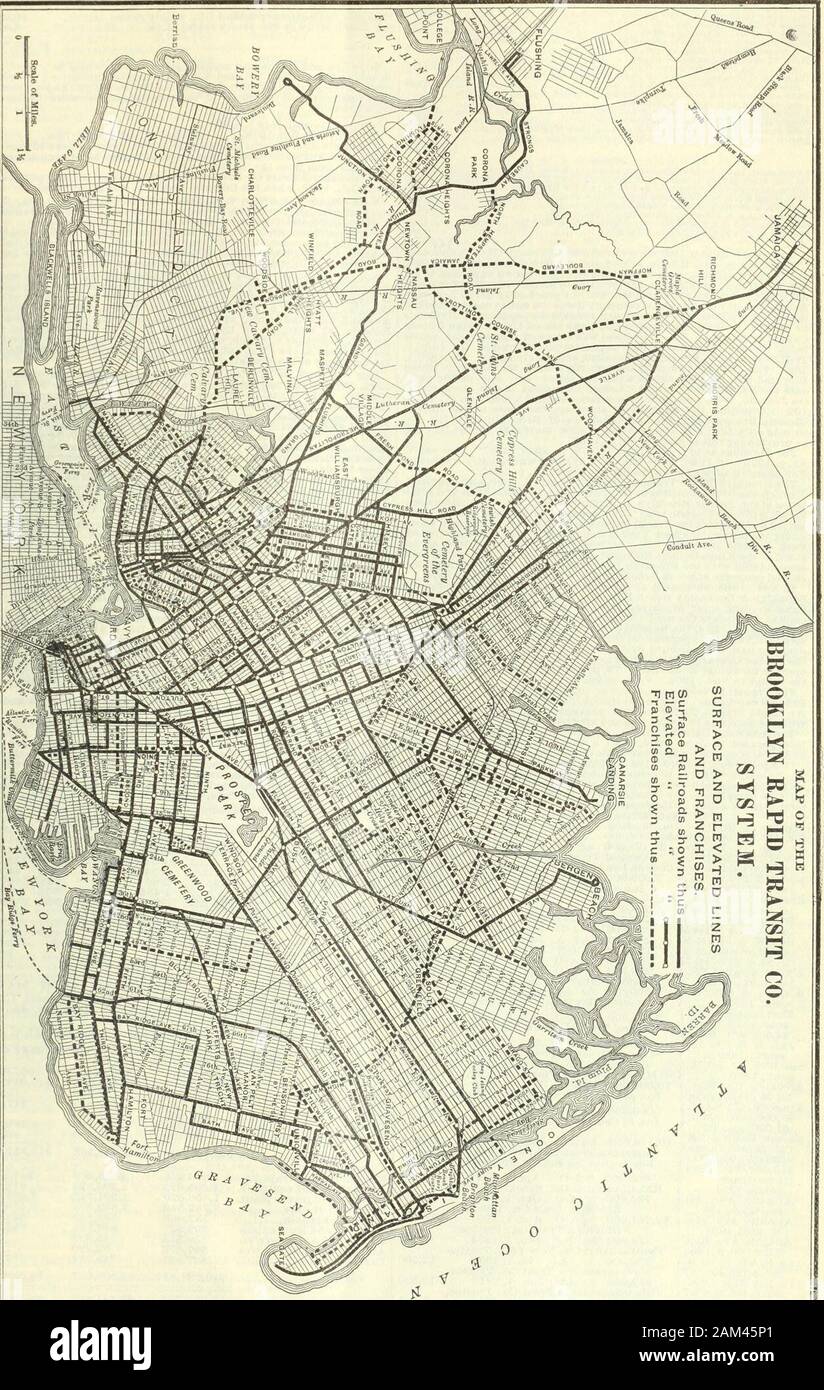 The Commercial and financial chronicle . Elect. Co.and Bristol Belt Line Ry., gross. $13,455; net, $15,789; fixed charges,$12,640; surplus, $3,149. Road—Operates about 3^ miles of track. OFFICERS—President, Charles B. Hobbs, New York; Vice-President,B L. Dulaney, Washington, D. C; Sec. and Treas. and Gen. Manager,Edwin M. Walker, Bristol.—V. 77, p. 1748. BROOKLYN, N. Y. BROOKLYN RAPID TRANSIT.-(«e« Map, pageIB.) Organization—Organized January 18,1896, per plan in Chron-icle, V. 60, p. 1145, to succeed to the property of the old Long IslandTraction Company, foreclosed ; syndicate headed by the Stock Photohttps://www.alamy.com/image-license-details/?v=1https://www.alamy.com/the-commercial-and-financial-chronicle-elect-coand-bristol-belt-line-ry-gross-13455-net-15789-fixed-charges12640-surplus-3149-roadoperates-about-3-miles-of-track-officerspresident-charles-b-hobbs-new-york-vice-presidentb-l-dulaney-washington-d-c-sec-and-treas-and-gen-manageredwin-m-walker-bristolv-77-p-1748-brooklyn-n-y-brooklyn-rapid-transit-e-map-pageib-organizationorganized-january-181896-per-plan-in-chron-icle-v-60-p-1145-to-succeed-to-the-property-of-the-old-long-islandtraction-company-foreclosed-syndicate-headed-by-the-image339382457.html
RM2AM45P1–The Commercial and financial chronicle . Elect. Co.and Bristol Belt Line Ry., gross. $13,455; net, $15,789; fixed charges,$12,640; surplus, $3,149. Road—Operates about 3^ miles of track. OFFICERS—President, Charles B. Hobbs, New York; Vice-President,B L. Dulaney, Washington, D. C; Sec. and Treas. and Gen. Manager,Edwin M. Walker, Bristol.—V. 77, p. 1748. BROOKLYN, N. Y. BROOKLYN RAPID TRANSIT.-(«e« Map, pageIB.) Organization—Organized January 18,1896, per plan in Chron-icle, V. 60, p. 1145, to succeed to the property of the old Long IslandTraction Company, foreclosed ; syndicate headed by the
 C. M. Hobbs and Sons (1922) Stock Photohttps://www.alamy.com/image-license-details/?v=1https://www.alamy.com/stock-photo-c-m-hobbs-and-sons-1922-99602882.html
RMFP18DP–C. M. Hobbs and Sons (1922)
 EPPING North Weald Bassett Loughton Theydon Bois Garnon Mount Abridge 1786 map Stock Photohttps://www.alamy.com/image-license-details/?v=1https://www.alamy.com/stock-photo-epping-north-weald-bassett-loughton-theydon-bois-garnon-mount-abridge-139061846.html
RFJ26PPE–EPPING North Weald Bassett Loughton Theydon Bois Garnon Mount Abridge 1786 map
 Hobbs Head, , AU, Australia, Victoria, S 39 1' 59'', N 146 28' 0'', map, Cartascapes Map published in 2024. Explore Cartascapes, a map revealing Earth's diverse landscapes, cultures, and ecosystems. Journey through time and space, discovering the interconnectedness of our planet's past, present, and future. Stock Photohttps://www.alamy.com/image-license-details/?v=1https://www.alamy.com/hobbs-head-au-australia-victoria-s-39-1-59-n-146-28-0-map-cartascapes-map-published-in-2024-explore-cartascapes-a-map-revealing-earths-diverse-landscapes-cultures-and-ecosystems-journey-through-time-and-space-discovering-the-interconnectedness-of-our-planets-past-present-and-future-image625631311.html
RM2Y9RY3B–Hobbs Head, , AU, Australia, Victoria, S 39 1' 59'', N 146 28' 0'', map, Cartascapes Map published in 2024. Explore Cartascapes, a map revealing Earth's diverse landscapes, cultures, and ecosystems. Journey through time and space, discovering the interconnectedness of our planet's past, present, and future.
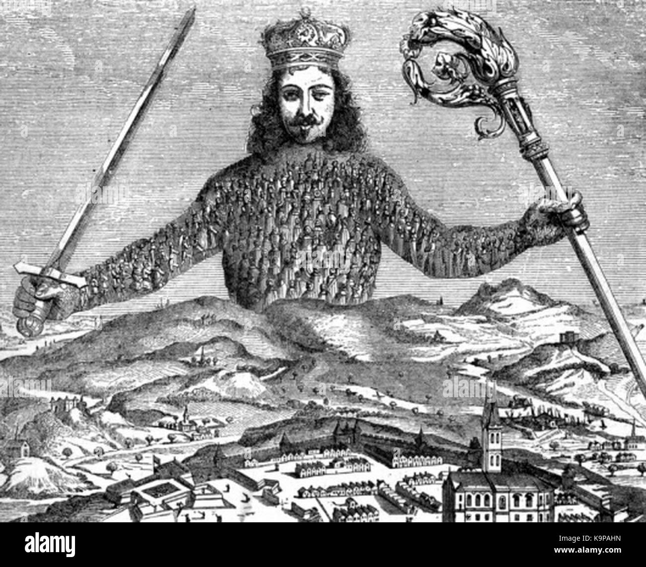 P589 Allegorical Figure of a Commonwealth, from Hobbs' Leviathan Stock Photohttps://www.alamy.com/image-license-details/?v=1https://www.alamy.com/stock-image-p589-allegorical-figure-of-a-commonwealth-from-hobbs-leviathan-160916497.html
RMK9PAHN–P589 Allegorical Figure of a Commonwealth, from Hobbs' Leviathan
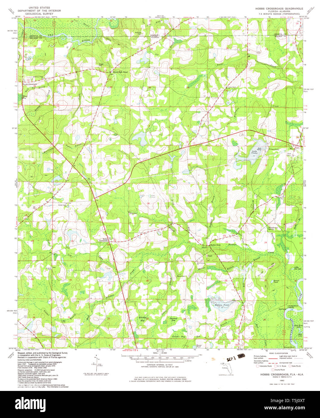 USGS TOPO Map Florida FL Hobbs Crossroads 346639 1982 24000 Restoration Stock Photohttps://www.alamy.com/image-license-details/?v=1https://www.alamy.com/usgs-topo-map-florida-fl-hobbs-crossroads-346639-1982-24000-restoration-image244414320.html
RMT5J0XT–USGS TOPO Map Florida FL Hobbs Crossroads 346639 1982 24000 Restoration
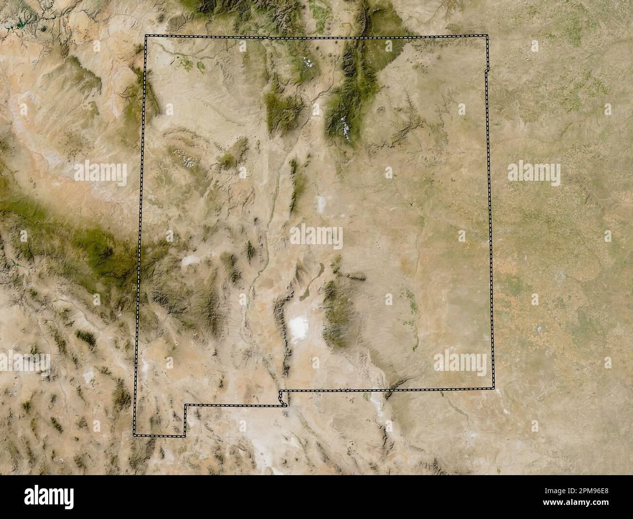 New Mexico, state of United States of America. Low resolution satellite map Stock Photohttps://www.alamy.com/image-license-details/?v=1https://www.alamy.com/new-mexico-state-of-united-states-of-america-low-resolution-satellite-map-image546017200.html
RF2PM96E8–New Mexico, state of United States of America. Low resolution satellite map
 . Illustrated New York city and surroundings. A descriptive guide to places of interest. Illustrated NEW YORK CITY And Surroundings. If Descriptive Guide to Places of Interest. WITH MAP. CHARLES W. HOBBS & CO. 113 Sixth Avenue.1889 Stock Photohttps://www.alamy.com/image-license-details/?v=1https://www.alamy.com/illustrated-new-york-city-and-surroundings-a-descriptive-guide-to-places-of-interest-illustrated-new-york-city-and-surroundings-if-descriptive-guide-to-places-of-interest-with-map-charles-w-hobbs-co-113-sixth-avenue1889-image370553557.html
RM2CET4RH–. Illustrated New York city and surroundings. A descriptive guide to places of interest. Illustrated NEW YORK CITY And Surroundings. If Descriptive Guide to Places of Interest. WITH MAP. CHARLES W. HOBBS & CO. 113 Sixth Avenue.1889
 C. M. Hobbs and Sons (1922) Stock Photohttps://www.alamy.com/image-license-details/?v=1https://www.alamy.com/stock-photo-c-m-hobbs-and-sons-1922-98700397.html
RMFMG5A5–C. M. Hobbs and Sons (1922)
 Hobbs Farm, Toowoomba, AU, Australia, Queensland, S 26 54' 3'', N 151 54' 37'', map, Cartascapes Map published in 2024. Explore Cartascapes, a map revealing Earth's diverse landscapes, cultures, and ecosystems. Journey through time and space, discovering the interconnectedness of our planet's past, present, and future. Stock Photohttps://www.alamy.com/image-license-details/?v=1https://www.alamy.com/hobbs-farm-toowoomba-au-australia-queensland-s-26-54-3-n-151-54-37-map-cartascapes-map-published-in-2024-explore-cartascapes-a-map-revealing-earths-diverse-landscapes-cultures-and-ecosystems-journey-through-time-and-space-discovering-the-interconnectedness-of-our-planets-past-present-and-future-image625727236.html
RM2YA09D8–Hobbs Farm, Toowoomba, AU, Australia, Queensland, S 26 54' 3'', N 151 54' 37'', map, Cartascapes Map published in 2024. Explore Cartascapes, a map revealing Earth's diverse landscapes, cultures, and ecosystems. Journey through time and space, discovering the interconnectedness of our planet's past, present, and future.
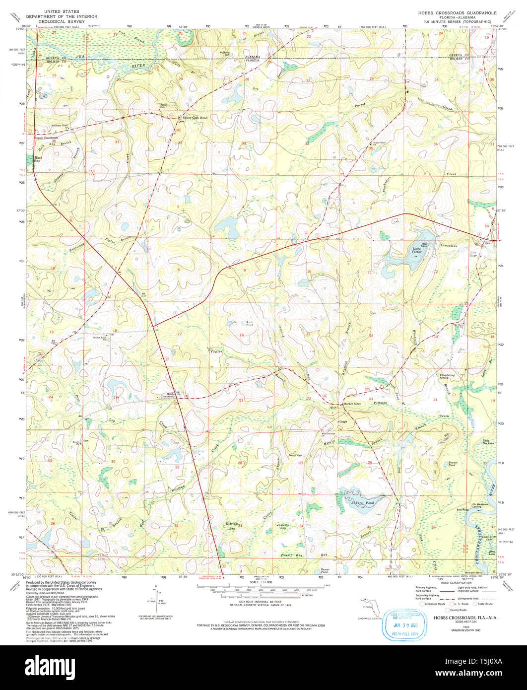 USGS TOPO Map Florida FL Hobbs Crossroads 346637 1982 24000 Restoration Stock Photohttps://www.alamy.com/image-license-details/?v=1https://www.alamy.com/usgs-topo-map-florida-fl-hobbs-crossroads-346637-1982-24000-restoration-image244414306.html
RMT5J0XA–USGS TOPO Map Florida FL Hobbs Crossroads 346637 1982 24000 Restoration
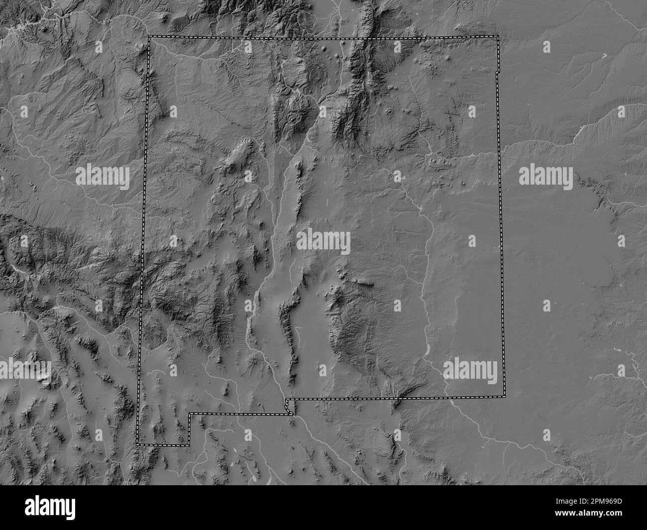 New Mexico, state of United States of America. Bilevel elevation map with lakes and rivers Stock Photohttps://www.alamy.com/image-license-details/?v=1https://www.alamy.com/new-mexico-state-of-united-states-of-america-bilevel-elevation-map-with-lakes-and-rivers-image546017065.html
RF2PM969D–New Mexico, state of United States of America. Bilevel elevation map with lakes and rivers
![. Bulletin of the Geological Society of America. Geology. 18 W. H. HOBBS—STILL RIVERS OF WESTERN CONNECTICUT. % L I MUST OWE Figure 1.—Map of the (Farmington) Still River and Vicinity.. Please note that these images are extracted from scanned page images that may have been digitally enhanced for readability - coloration and appearance of these illustrations may not perfectly resemble the original work.. Geological Society of America. [New York : The Society] Stock Photo . Bulletin of the Geological Society of America. Geology. 18 W. H. HOBBS—STILL RIVERS OF WESTERN CONNECTICUT. % L I MUST OWE Figure 1.—Map of the (Farmington) Still River and Vicinity.. Please note that these images are extracted from scanned page images that may have been digitally enhanced for readability - coloration and appearance of these illustrations may not perfectly resemble the original work.. Geological Society of America. [New York : The Society] Stock Photo](https://c8.alamy.com/comp/RGH177/bulletin-of-the-geological-society-of-america-geology-18-w-h-hobbsstill-rivers-of-western-connecticut-l-i-must-owe-figure-1map-of-the-farmington-still-river-and-vicinity-please-note-that-these-images-are-extracted-from-scanned-page-images-that-may-have-been-digitally-enhanced-for-readability-coloration-and-appearance-of-these-illustrations-may-not-perfectly-resemble-the-original-work-geological-society-of-america-new-york-the-society-RGH177.jpg) . Bulletin of the Geological Society of America. Geology. 18 W. H. HOBBS—STILL RIVERS OF WESTERN CONNECTICUT. % L I MUST OWE Figure 1.—Map of the (Farmington) Still River and Vicinity.. Please note that these images are extracted from scanned page images that may have been digitally enhanced for readability - coloration and appearance of these illustrations may not perfectly resemble the original work.. Geological Society of America. [New York : The Society] Stock Photohttps://www.alamy.com/image-license-details/?v=1https://www.alamy.com/bulletin-of-the-geological-society-of-america-geology-18-w-h-hobbsstill-rivers-of-western-connecticut-l-i-must-owe-figure-1map-of-the-farmington-still-river-and-vicinity-please-note-that-these-images-are-extracted-from-scanned-page-images-that-may-have-been-digitally-enhanced-for-readability-coloration-and-appearance-of-these-illustrations-may-not-perfectly-resemble-the-original-work-geological-society-of-america-new-york-the-society-image233943451.html
. Bulletin of the Geological Society of America. Geology. 18 W. H. HOBBS—STILL RIVERS OF WESTERN CONNECTICUT. % L I MUST OWE Figure 1.—Map of the (Farmington) Still River and Vicinity.. Please note that these images are extracted from scanned page images that may have been digitally enhanced for readability - coloration and appearance of these illustrations may not perfectly resemble the original work.. Geological Society of America. [New York : The Society] Stock Photohttps://www.alamy.com/image-license-details/?v=1https://www.alamy.com/bulletin-of-the-geological-society-of-america-geology-18-w-h-hobbsstill-rivers-of-western-connecticut-l-i-must-owe-figure-1map-of-the-farmington-still-river-and-vicinity-please-note-that-these-images-are-extracted-from-scanned-page-images-that-may-have-been-digitally-enhanced-for-readability-coloration-and-appearance-of-these-illustrations-may-not-perfectly-resemble-the-original-work-geological-society-of-america-new-york-the-society-image233943451.htmlRMRGH177–. Bulletin of the Geological Society of America. Geology. 18 W. H. HOBBS—STILL RIVERS OF WESTERN CONNECTICUT. % L I MUST OWE Figure 1.—Map of the (Farmington) Still River and Vicinity.. Please note that these images are extracted from scanned page images that may have been digitally enhanced for readability - coloration and appearance of these illustrations may not perfectly resemble the original work.. Geological Society of America. [New York : The Society]
 C. M. Hobbs and Sons (1922) Stock Photohttps://www.alamy.com/image-license-details/?v=1https://www.alamy.com/stock-photo-c-m-hobbs-and-sons-1922-99602879.html
RMFP18DK–C. M. Hobbs and Sons (1922)
 Hobbs Dams, , AU, Australia, South Australia, S 30 25' 37'', N 136 23' 51'', map, Cartascapes Map published in 2024. Explore Cartascapes, a map revealing Earth's diverse landscapes, cultures, and ecosystems. Journey through time and space, discovering the interconnectedness of our planet's past, present, and future. Stock Photohttps://www.alamy.com/image-license-details/?v=1https://www.alamy.com/hobbs-dams-au-australia-south-australia-s-30-25-37-n-136-23-51-map-cartascapes-map-published-in-2024-explore-cartascapes-a-map-revealing-earths-diverse-landscapes-cultures-and-ecosystems-journey-through-time-and-space-discovering-the-interconnectedness-of-our-planets-past-present-and-future-image625494317.html
RM2Y9HMAN–Hobbs Dams, , AU, Australia, South Australia, S 30 25' 37'', N 136 23' 51'', map, Cartascapes Map published in 2024. Explore Cartascapes, a map revealing Earth's diverse landscapes, cultures, and ecosystems. Journey through time and space, discovering the interconnectedness of our planet's past, present, and future.
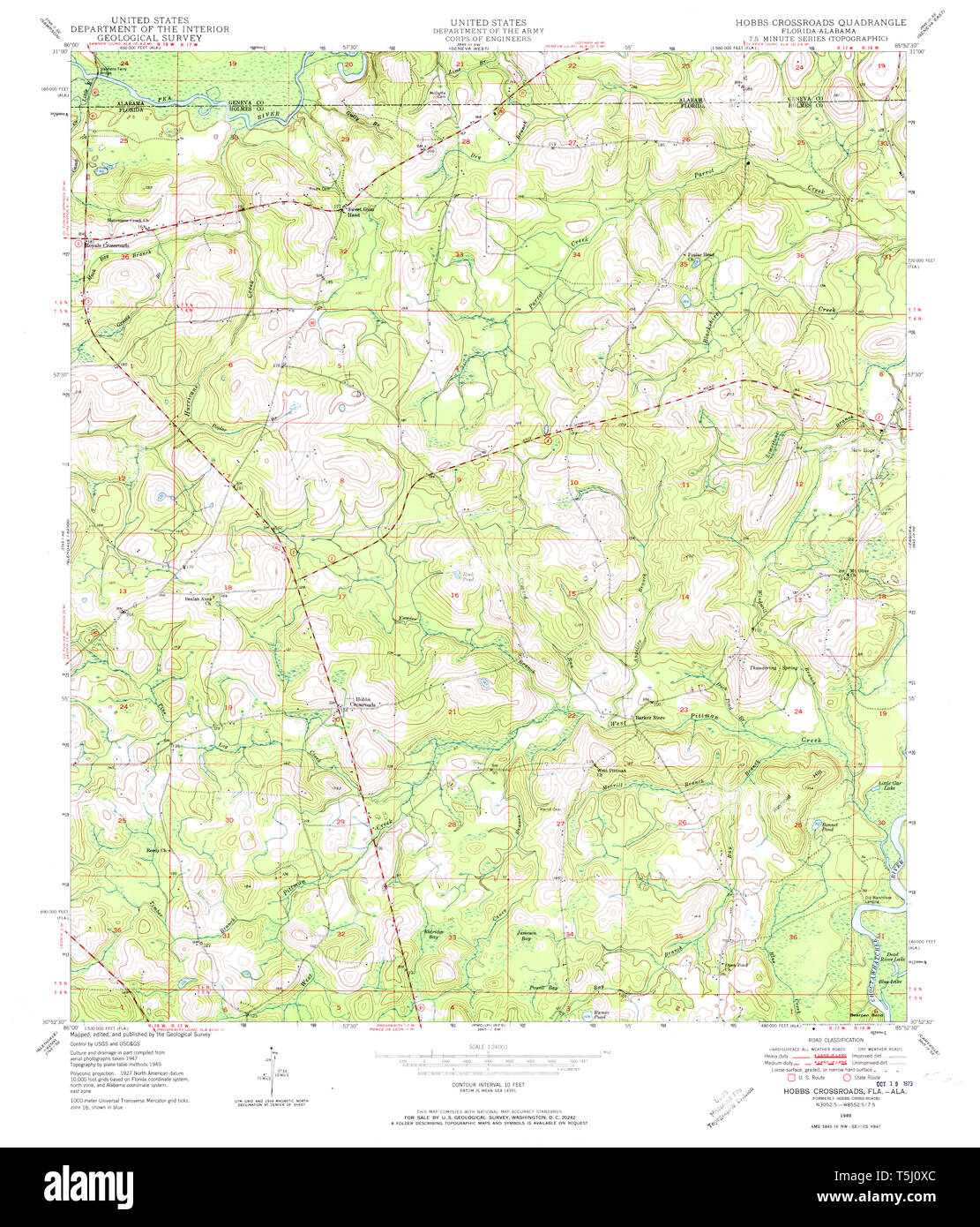 USGS TOPO Map Florida FL Hobbs Crossroads 346638 1949 24000 Restoration Stock Photohttps://www.alamy.com/image-license-details/?v=1https://www.alamy.com/usgs-topo-map-florida-fl-hobbs-crossroads-346638-1949-24000-restoration-image244414308.html
RMT5J0XC–USGS TOPO Map Florida FL Hobbs Crossroads 346638 1949 24000 Restoration
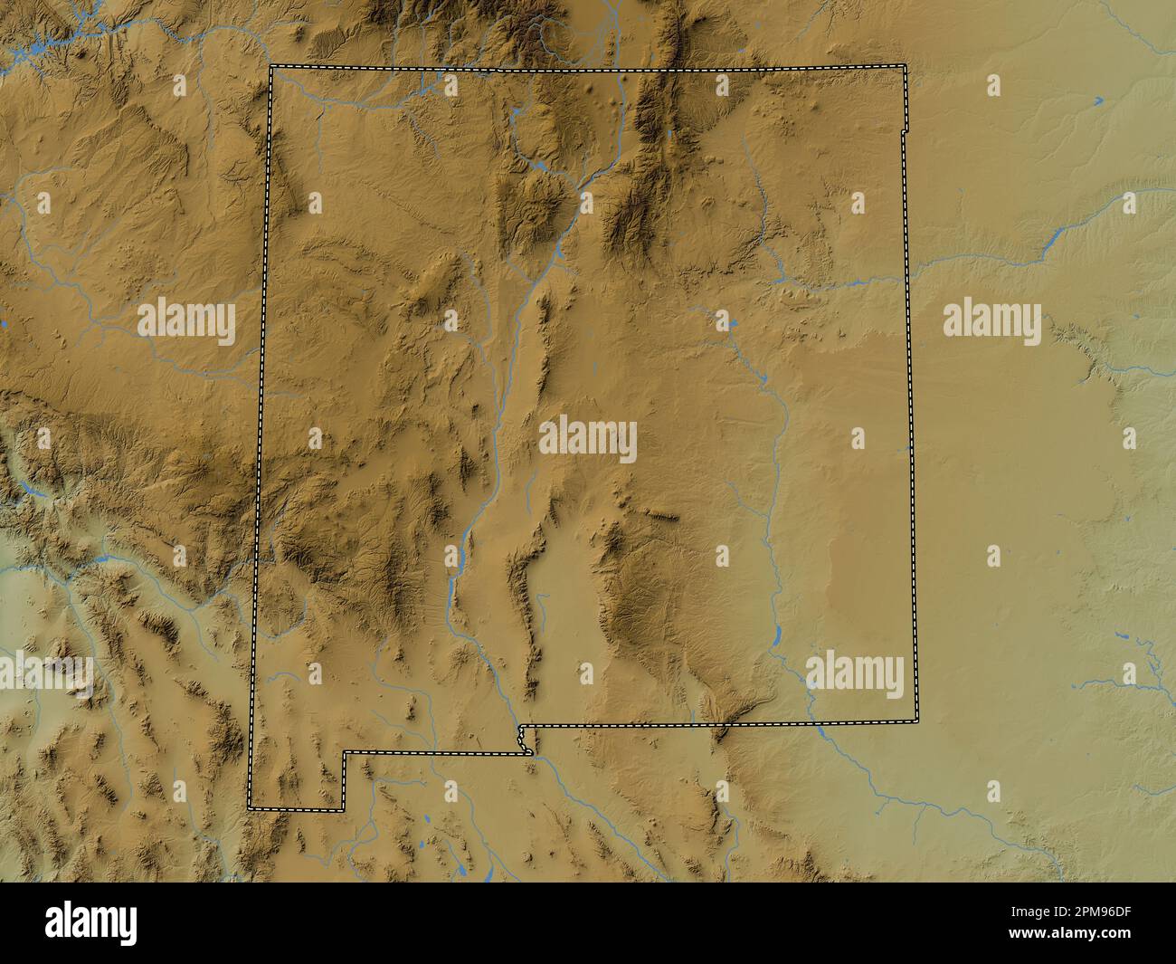 New Mexico, state of United States of America. Colored elevation map with lakes and rivers Stock Photohttps://www.alamy.com/image-license-details/?v=1https://www.alamy.com/new-mexico-state-of-united-states-of-america-colored-elevation-map-with-lakes-and-rivers-image546017179.html
RF2PM96DF–New Mexico, state of United States of America. Colored elevation map with lakes and rivers
 . Bulletin of the Geological Society of America. Geology. 286 W. H. HOBBS—GUADIX FORMATION OF GRANADA, SPAIN and, as lie believed the beds to dip beneath those of notably different type on which the Alhambra is built, be gave to the latter deposits the name Alhambra formation. The Guadix formation is areally separate from both the others, though partaking of the characters of each. The map of the Spanish Geological Commission* shows the greater part of the three formations as diluvial, and the resemblance of the Block formation in particular to a glacial deposit is certainly most striking. Unt Stock Photohttps://www.alamy.com/image-license-details/?v=1https://www.alamy.com/bulletin-of-the-geological-society-of-america-geology-286-w-h-hobbsguadix-formation-of-granada-spain-and-as-lie-believed-the-beds-to-dip-beneath-those-of-notably-different-type-on-which-the-alhambra-is-built-be-gave-to-the-latter-deposits-the-name-alhambra-formation-the-guadix-formation-is-areally-separate-from-both-the-others-though-partaking-of-the-characters-of-each-the-map-of-the-spanish-geological-commission-shows-the-greater-part-of-the-three-formations-as-diluvial-and-the-resemblance-of-the-block-formation-in-particular-to-a-glacial-deposit-is-certainly-most-striking-unt-image233939869.html
RMRGGTK9–. Bulletin of the Geological Society of America. Geology. 286 W. H. HOBBS—GUADIX FORMATION OF GRANADA, SPAIN and, as lie believed the beds to dip beneath those of notably different type on which the Alhambra is built, be gave to the latter deposits the name Alhambra formation. The Guadix formation is areally separate from both the others, though partaking of the characters of each. The map of the Spanish Geological Commission* shows the greater part of the three formations as diluvial, and the resemblance of the Block formation in particular to a glacial deposit is certainly most striking. Unt
 C. M. Hobbs and Sons (1922) Stock Photohttps://www.alamy.com/image-license-details/?v=1https://www.alamy.com/stock-photo-c-m-hobbs-and-sons-1922-99602877.html
RMFP18DH–C. M. Hobbs and Sons (1922)
 Hobbs Dam, , AU, Australia, South Australia, S 31 39' 2'', N 137 29' 47'', map, Cartascapes Map published in 2024. Explore Cartascapes, a map revealing Earth's diverse landscapes, cultures, and ecosystems. Journey through time and space, discovering the interconnectedness of our planet's past, present, and future. Stock Photohttps://www.alamy.com/image-license-details/?v=1https://www.alamy.com/hobbs-dam-au-australia-south-australia-s-31-39-2-n-137-29-47-map-cartascapes-map-published-in-2024-explore-cartascapes-a-map-revealing-earths-diverse-landscapes-cultures-and-ecosystems-journey-through-time-and-space-discovering-the-interconnectedness-of-our-planets-past-present-and-future-image625813191.html
RM2YA4733–Hobbs Dam, , AU, Australia, South Australia, S 31 39' 2'', N 137 29' 47'', map, Cartascapes Map published in 2024. Explore Cartascapes, a map revealing Earth's diverse landscapes, cultures, and ecosystems. Journey through time and space, discovering the interconnectedness of our planet's past, present, and future.
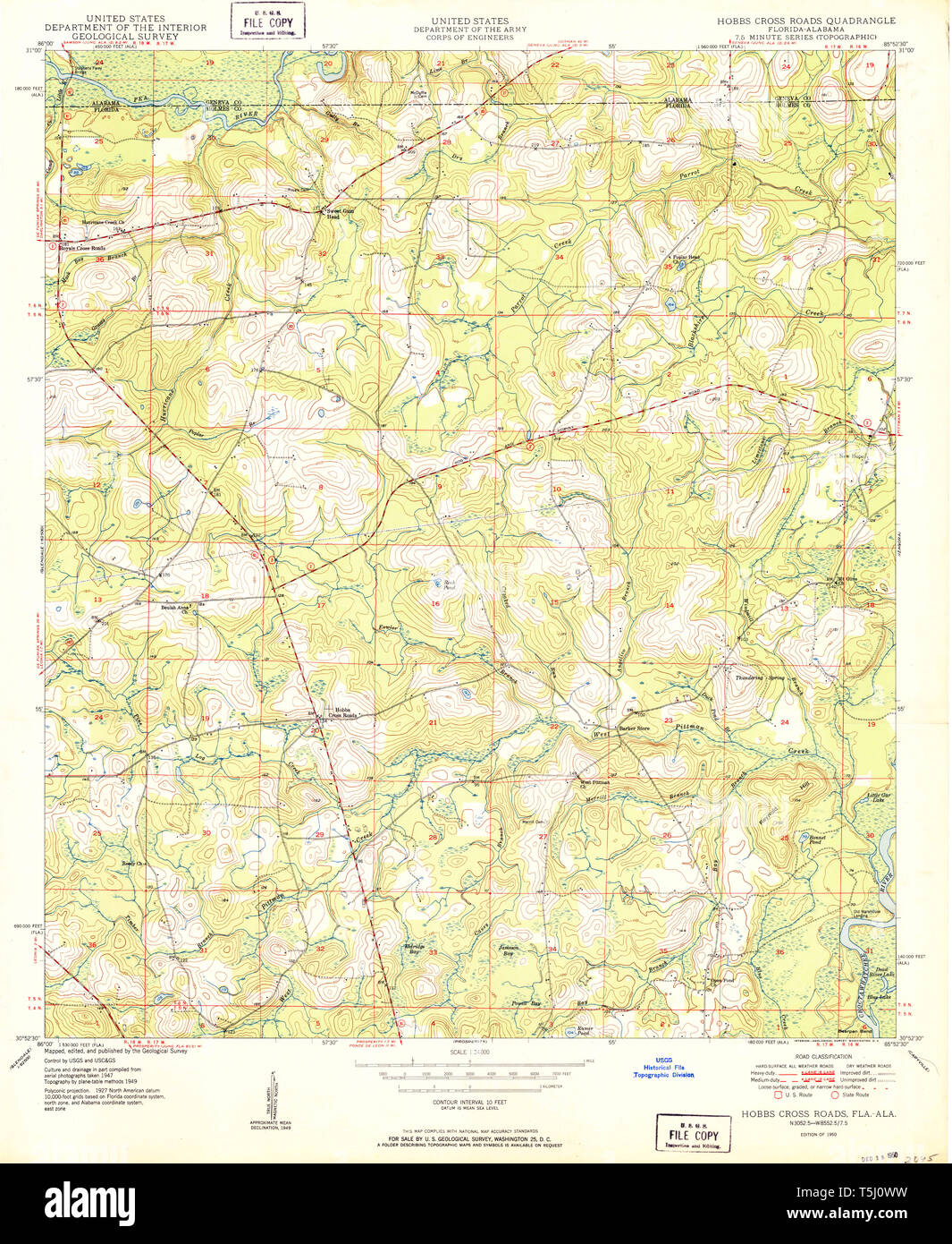 USGS TOPO Map Florida FL Hobbs Cross Roads 346635 1950 24000 Restoration Stock Photohttps://www.alamy.com/image-license-details/?v=1https://www.alamy.com/usgs-topo-map-florida-fl-hobbs-cross-roads-346635-1950-24000-restoration-image244414293.html
RMT5J0WW–USGS TOPO Map Florida FL Hobbs Cross Roads 346635 1950 24000 Restoration
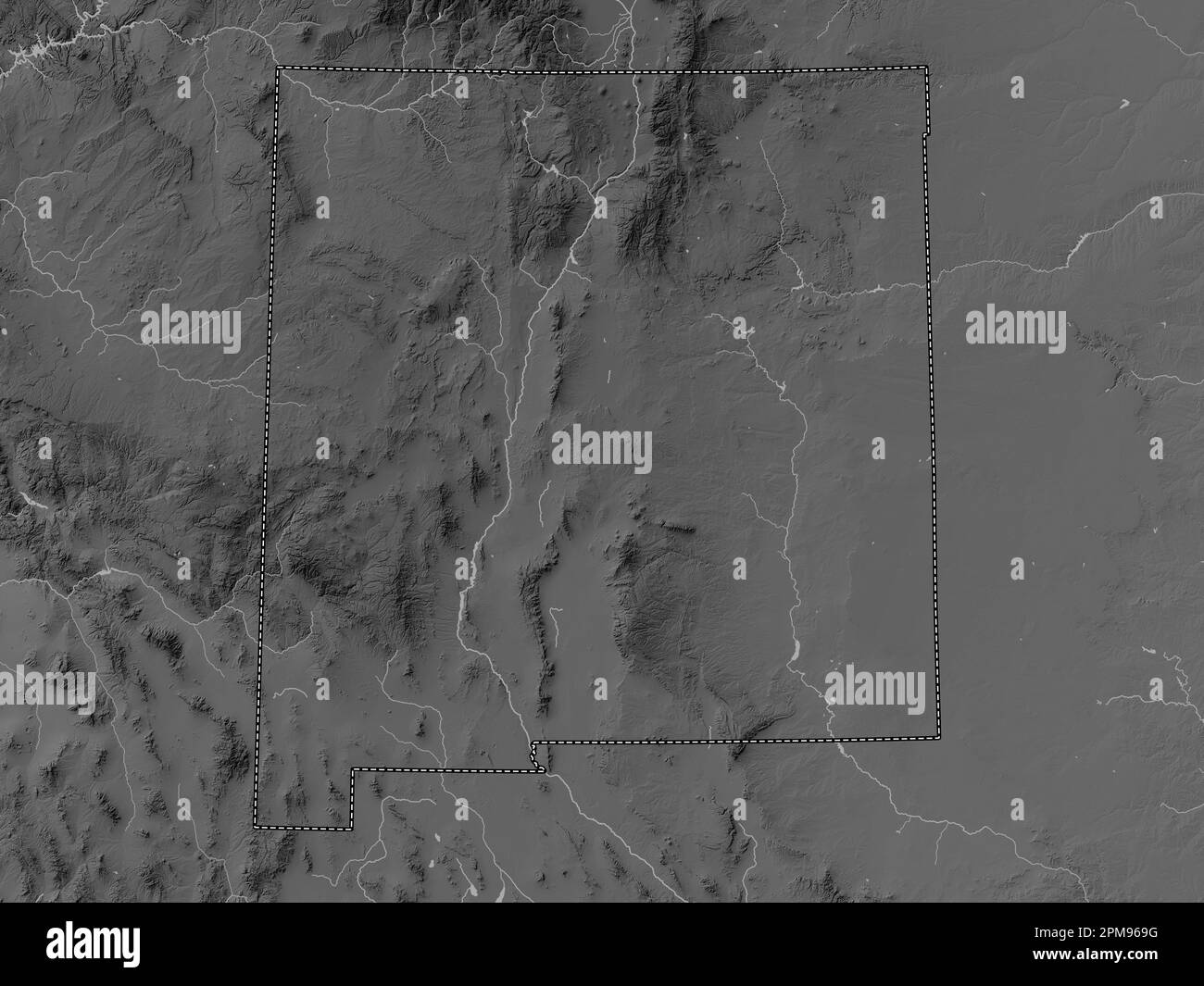 New Mexico, state of United States of America. Grayscale elevation map with lakes and rivers Stock Photohttps://www.alamy.com/image-license-details/?v=1https://www.alamy.com/new-mexico-state-of-united-states-of-america-grayscale-elevation-map-with-lakes-and-rivers-image546017068.html
RF2PM969G–New Mexico, state of United States of America. Grayscale elevation map with lakes and rivers
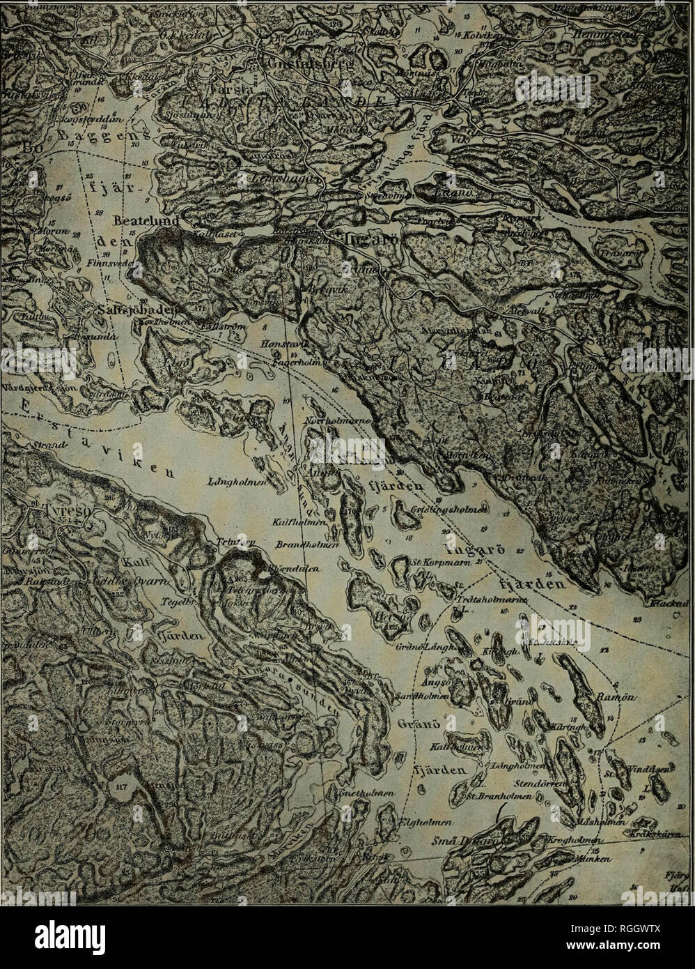 . Bulletin of the Geological Society of America. Geology. 126 W. H. HOBBS REPEATING PATTERNS IN STRUCTURE OF LAND ing by continental glaciers yield, on the contrary, relatively gentle curves. *9^J^^^ ^-^ Figure 2,âTypical Fold Topography Note the curving zones of islands and the parallel water lanes which mark the courses of stronger and weaker rock layers respectively. (From the Vaxholm sheet of the topographic map by the Swedish General Staff.) â which are convex upward instead of concave and which are relatively symmetrical {i, of figure 3).. Please note that these images are extracted from Stock Photohttps://www.alamy.com/image-license-details/?v=1https://www.alamy.com/bulletin-of-the-geological-society-of-america-geology-126-w-h-hobbs-repeating-patterns-in-structure-of-land-ing-by-continental-glaciers-yield-on-the-contrary-relatively-gentle-curves-9j-figure-2typical-fold-topography-note-the-curving-zones-of-islands-and-the-parallel-water-lanes-which-mark-the-courses-of-stronger-and-weaker-rock-layers-respectively-from-the-vaxholm-sheet-of-the-topographic-map-by-the-swedish-general-staff-which-are-convex-upward-instead-of-concave-and-which-are-relatively-symmetrical-i-of-figure-3-please-note-that-these-images-are-extracted-from-image233940810.html
RMRGGWTX–. Bulletin of the Geological Society of America. Geology. 126 W. H. HOBBS REPEATING PATTERNS IN STRUCTURE OF LAND ing by continental glaciers yield, on the contrary, relatively gentle curves. *9^J^^^ ^-^ Figure 2,âTypical Fold Topography Note the curving zones of islands and the parallel water lanes which mark the courses of stronger and weaker rock layers respectively. (From the Vaxholm sheet of the topographic map by the Swedish General Staff.) â which are convex upward instead of concave and which are relatively symmetrical {i, of figure 3).. Please note that these images are extracted from
 C. M. Hobbs and Sons (1922) Stock Photohttps://www.alamy.com/image-license-details/?v=1https://www.alamy.com/stock-photo-c-m-hobbs-and-sons-1922-99602876.html
RMFP18DG–C. M. Hobbs and Sons (1922)
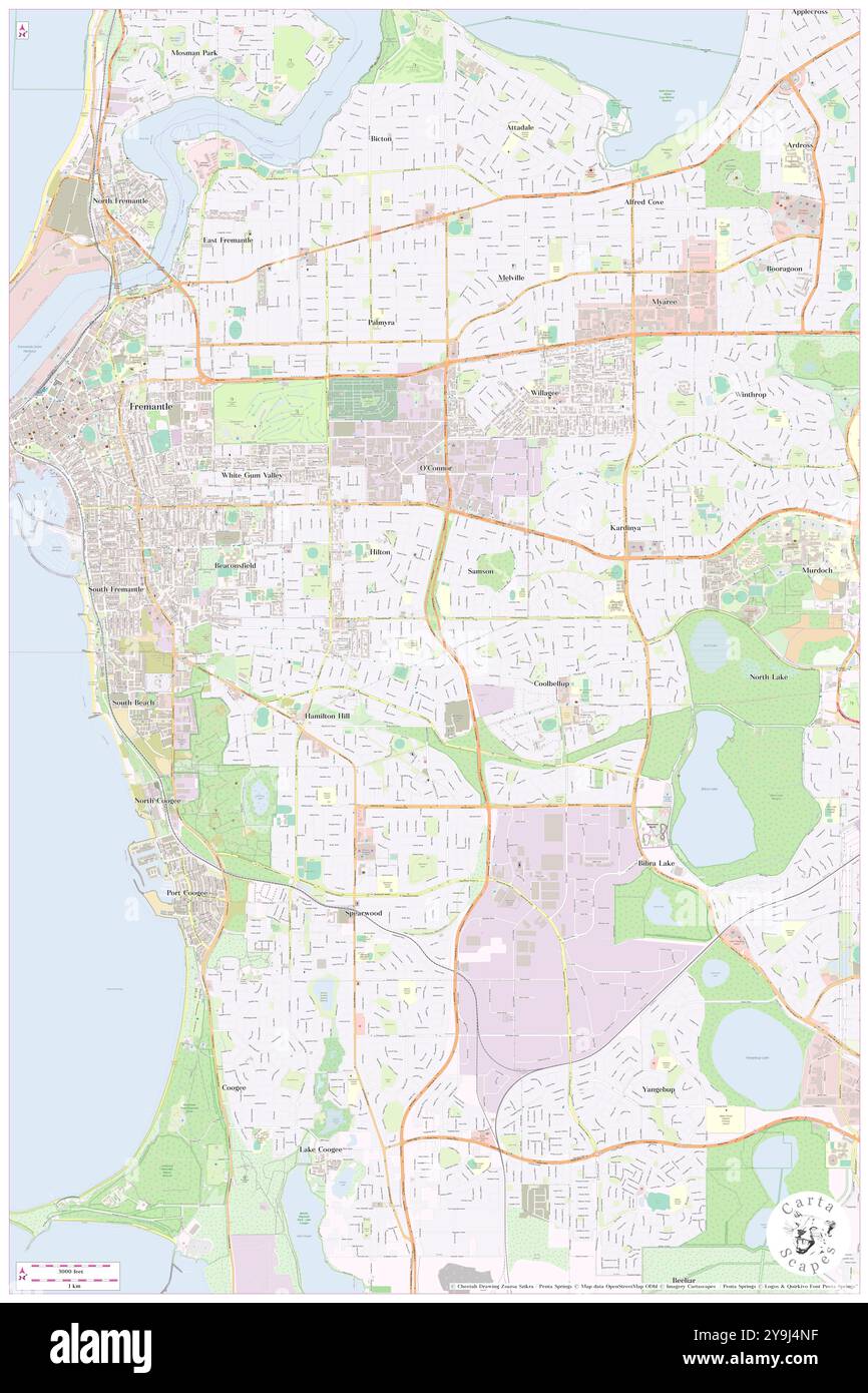 Hobbs Park, , AU, Australia, Western Australia, S 32 4' 41'', N 115 47' 31'', map, Cartascapes Map published in 2024. Explore Cartascapes, a map revealing Earth's diverse landscapes, cultures, and ecosystems. Journey through time and space, discovering the interconnectedness of our planet's past, present, and future. Stock Photohttps://www.alamy.com/image-license-details/?v=1https://www.alamy.com/hobbs-park-au-australia-western-australia-s-32-4-41-n-115-47-31-map-cartascapes-map-published-in-2024-explore-cartascapes-a-map-revealing-earths-diverse-landscapes-cultures-and-ecosystems-journey-through-time-and-space-discovering-the-interconnectedness-of-our-planets-past-present-and-future-image625504027.html
RM2Y9J4NF–Hobbs Park, , AU, Australia, Western Australia, S 32 4' 41'', N 115 47' 31'', map, Cartascapes Map published in 2024. Explore Cartascapes, a map revealing Earth's diverse landscapes, cultures, and ecosystems. Journey through time and space, discovering the interconnectedness of our planet's past, present, and future.
 USGS TOPO Map Florida FL Hobbs Crossroads 346639 1982 24000 Inverted Restoration Stock Photohttps://www.alamy.com/image-license-details/?v=1https://www.alamy.com/usgs-topo-map-florida-fl-hobbs-crossroads-346639-1982-24000-inverted-restoration-image244414317.html
RMT5J0XN–USGS TOPO Map Florida FL Hobbs Crossroads 346639 1982 24000 Inverted Restoration
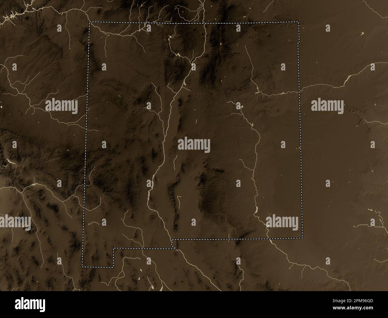 New Mexico, state of United States of America. Elevation map colored in sepia tones with lakes and rivers Stock Photohttps://www.alamy.com/image-license-details/?v=1https://www.alamy.com/new-mexico-state-of-united-states-of-america-elevation-map-colored-in-sepia-tones-with-lakes-and-rivers-image546017261.html
RF2PM96GD–New Mexico, state of United States of America. Elevation map colored in sepia tones with lakes and rivers
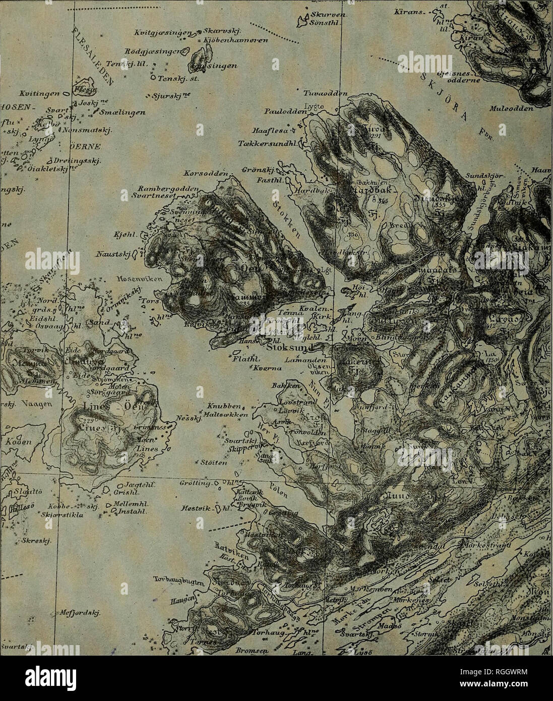 . Bulletin of the Geological Society of America. Geology. 130 W. H. HOBBS REPEATING PATTERNS IN STRUCTURE OF LAND scale subdivision of the entire country, as is well known, was long ago pointed out by Kjernlf, who said :*. Figure 6.—Sulxlivision of the Nortvegian Coast Region The region is subdivided into blocks of a large order of magnitude (5 to 6 kilometers on a side), whicli blocks represent groups of several smaller units. The bounding lines here run northwest to southeast and northeast to southwest. (From the Bjornor sheet of the official topographic map of Norway.) * Th, Kjerulf : Geolo Stock Photohttps://www.alamy.com/image-license-details/?v=1https://www.alamy.com/bulletin-of-the-geological-society-of-america-geology-130-w-h-hobbs-repeating-patterns-in-structure-of-land-scale-subdivision-of-the-entire-country-as-is-well-known-was-long-ago-pointed-out-by-kjernlf-who-said-figure-6sulxlivision-of-the-nortvegian-coast-region-the-region-is-subdivided-into-blocks-of-a-large-order-of-magnitude-5-to-6-kilometers-on-a-side-whicli-blocks-represent-groups-of-several-smaller-units-the-bounding-lines-here-run-northwest-to-southeast-and-northeast-to-southwest-from-the-bjornor-sheet-of-the-official-topographic-map-of-norway-th-kjerulf-geolo-image233940776.html
RMRGGWRM–. Bulletin of the Geological Society of America. Geology. 130 W. H. HOBBS REPEATING PATTERNS IN STRUCTURE OF LAND scale subdivision of the entire country, as is well known, was long ago pointed out by Kjernlf, who said :*. Figure 6.—Sulxlivision of the Nortvegian Coast Region The region is subdivided into blocks of a large order of magnitude (5 to 6 kilometers on a side), whicli blocks represent groups of several smaller units. The bounding lines here run northwest to southeast and northeast to southwest. (From the Bjornor sheet of the official topographic map of Norway.) * Th, Kjerulf : Geolo
 C. M. Hobbs and Sons (1922) Stock Photohttps://www.alamy.com/image-license-details/?v=1https://www.alamy.com/stock-photo-c-m-hobbs-and-sons-1922-99602881.html
RMFP18DN–C. M. Hobbs and Sons (1922)
 Hobbs, Bullitt County, US, United States, Kentucky, N 37 55' 38'', S 85 37' 30'', map, Cartascapes Map published in 2024. Explore Cartascapes, a map revealing Earth's diverse landscapes, cultures, and ecosystems. Journey through time and space, discovering the interconnectedness of our planet's past, present, and future. Stock Photohttps://www.alamy.com/image-license-details/?v=1https://www.alamy.com/hobbs-bullitt-county-us-united-states-kentucky-n-37-55-38-s-85-37-30-map-cartascapes-map-published-in-2024-explore-cartascapes-a-map-revealing-earths-diverse-landscapes-cultures-and-ecosystems-journey-through-time-and-space-discovering-the-interconnectedness-of-our-planets-past-present-and-future-image621210066.html
RM2Y2JFNP–Hobbs, Bullitt County, US, United States, Kentucky, N 37 55' 38'', S 85 37' 30'', map, Cartascapes Map published in 2024. Explore Cartascapes, a map revealing Earth's diverse landscapes, cultures, and ecosystems. Journey through time and space, discovering the interconnectedness of our planet's past, present, and future.
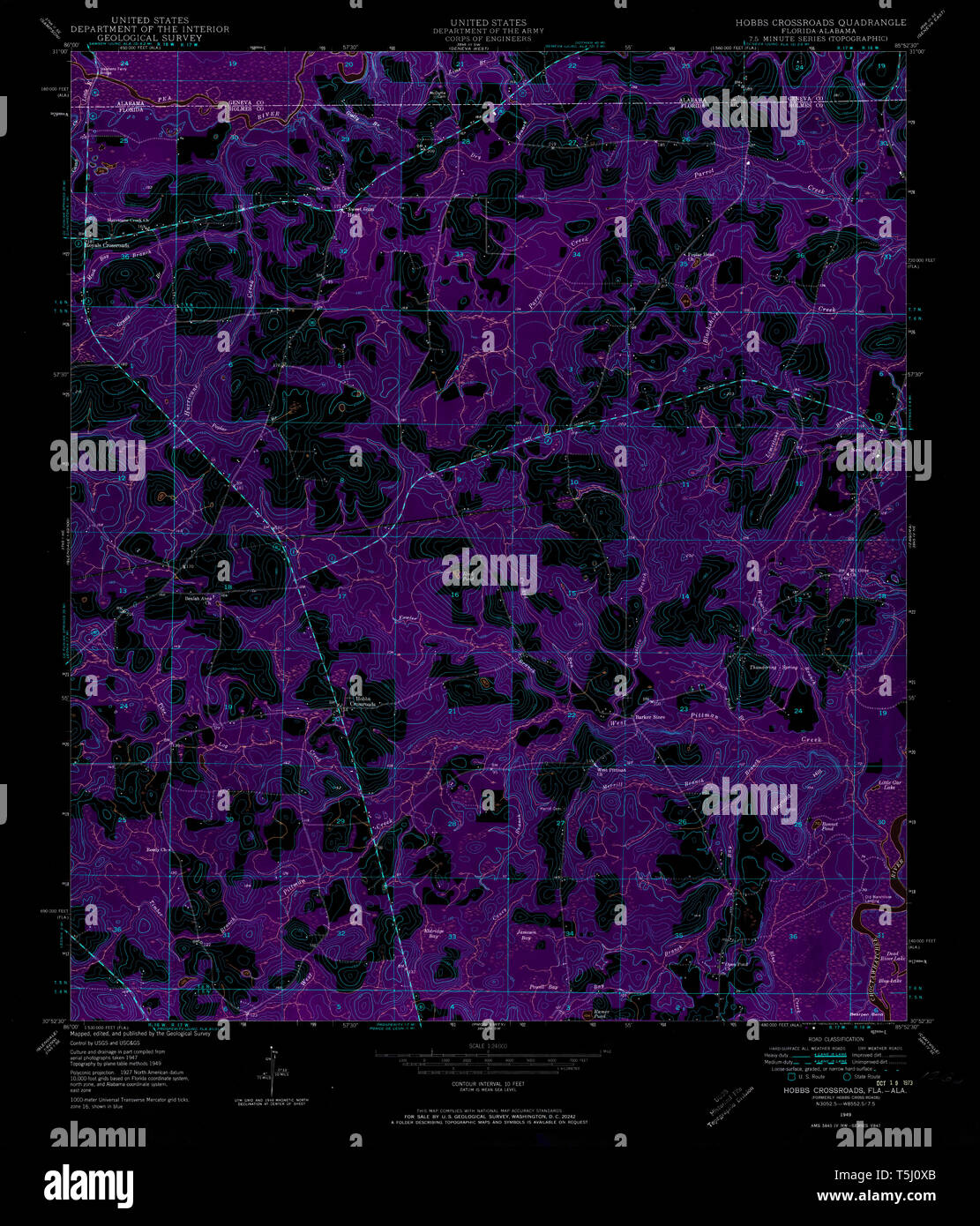 USGS TOPO Map Florida FL Hobbs Crossroads 346638 1949 24000 Inverted Restoration Stock Photohttps://www.alamy.com/image-license-details/?v=1https://www.alamy.com/usgs-topo-map-florida-fl-hobbs-crossroads-346638-1949-24000-inverted-restoration-image244414307.html
RMT5J0XB–USGS TOPO Map Florida FL Hobbs Crossroads 346638 1949 24000 Inverted Restoration
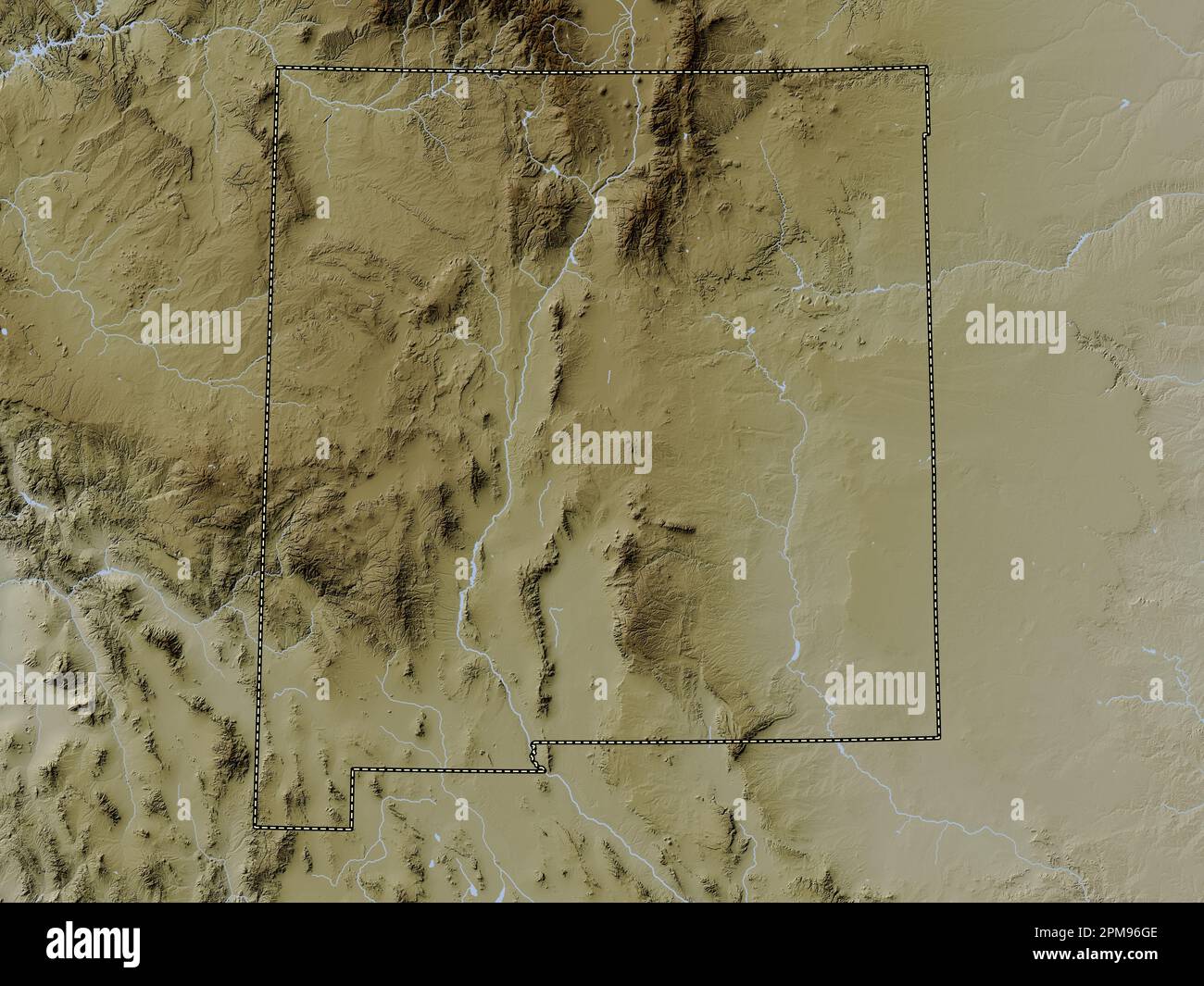 New Mexico, state of United States of America. Elevation map colored in wiki style with lakes and rivers Stock Photohttps://www.alamy.com/image-license-details/?v=1https://www.alamy.com/new-mexico-state-of-united-states-of-america-elevation-map-colored-in-wiki-style-with-lakes-and-rivers-image546017262.html
RF2PM96GE–New Mexico, state of United States of America. Elevation map colored in wiki style with lakes and rivers
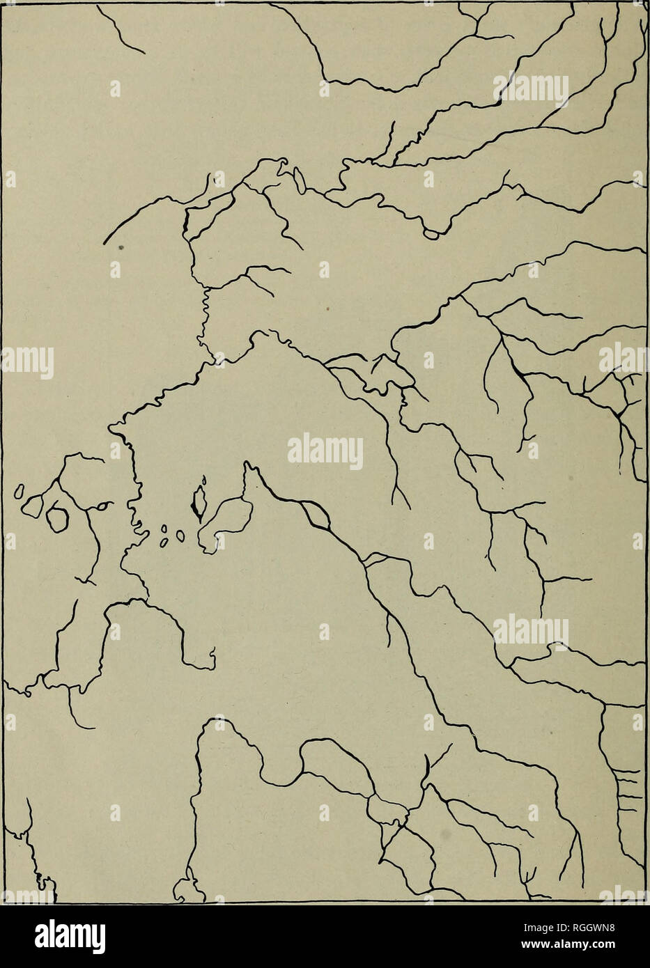 . Bulletin of the Geological Society of America. Geology. 136 W. H. HOBBS REPEATING PATTERNS IN STRUCTURE OF LAND In the semi-arid regions, where likewise the mat of vegetable material. Figure 13.—Drainage Map of the RedfieM Quadrangle, South Dakota Showing control of drainage network by a fracture system. (After U. S. Geological Survey) is lacking, and particularly on elevated plateaus where frost work is likely to be effective, a strong control of the drainage directions is to be looked. Please note that these images are extracted from scanned page images that may have been digitally enhance Stock Photohttps://www.alamy.com/image-license-details/?v=1https://www.alamy.com/bulletin-of-the-geological-society-of-america-geology-136-w-h-hobbs-repeating-patterns-in-structure-of-land-in-the-semi-arid-regions-where-likewise-the-mat-of-vegetable-material-figure-13drainage-map-of-the-redfiem-quadrangle-south-dakota-showing-control-of-drainage-network-by-a-fracture-system-after-u-s-geological-survey-is-lacking-and-particularly-on-elevated-plateaus-where-frost-work-is-likely-to-be-effective-a-strong-control-of-the-drainage-directions-is-to-be-looked-please-note-that-these-images-are-extracted-from-scanned-page-images-that-may-have-been-digitally-enhance-image233940708.html
RMRGGWN8–. Bulletin of the Geological Society of America. Geology. 136 W. H. HOBBS REPEATING PATTERNS IN STRUCTURE OF LAND In the semi-arid regions, where likewise the mat of vegetable material. Figure 13.—Drainage Map of the RedfieM Quadrangle, South Dakota Showing control of drainage network by a fracture system. (After U. S. Geological Survey) is lacking, and particularly on elevated plateaus where frost work is likely to be effective, a strong control of the drainage directions is to be looked. Please note that these images are extracted from scanned page images that may have been digitally enhance
 C. M. Hobbs and Sons (1922) Stock Photohttps://www.alamy.com/image-license-details/?v=1https://www.alamy.com/stock-photo-c-m-hobbs-and-sons-1922-99602880.html
RMFP18DM–C. M. Hobbs and Sons (1922)
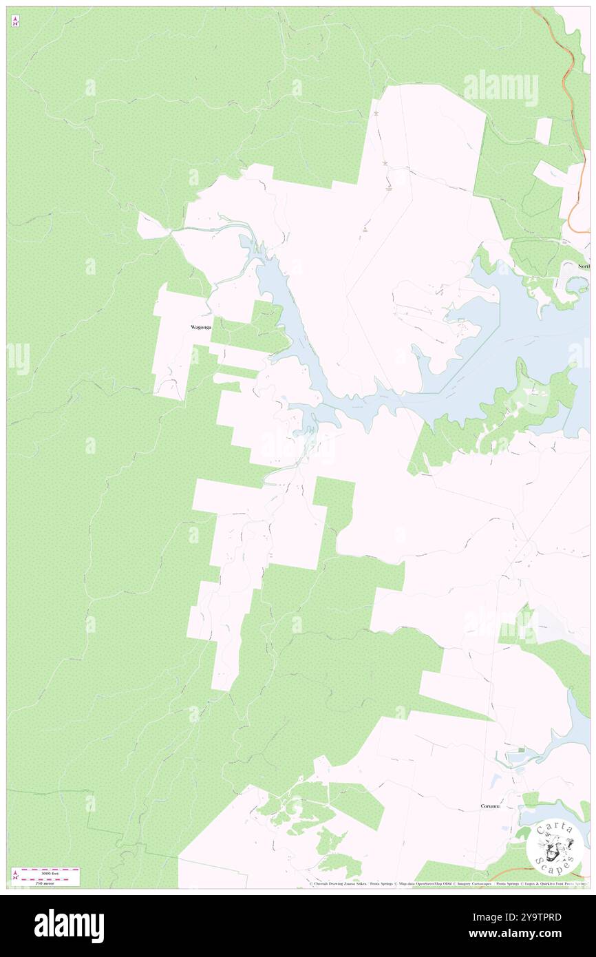 Hobbs Bay, , AU, Australia, New South Wales, S 36 13' 54'', N 150 4' 4'', map, Cartascapes Map published in 2024. Explore Cartascapes, a map revealing Earth's diverse landscapes, cultures, and ecosystems. Journey through time and space, discovering the interconnectedness of our planet's past, present, and future. Stock Photohttps://www.alamy.com/image-license-details/?v=1https://www.alamy.com/hobbs-bay-au-australia-new-south-wales-s-36-13-54-n-150-4-4-map-cartascapes-map-published-in-2024-explore-cartascapes-a-map-revealing-earths-diverse-landscapes-cultures-and-ecosystems-journey-through-time-and-space-discovering-the-interconnectedness-of-our-planets-past-present-and-future-image625649905.html
RM2Y9TPRD–Hobbs Bay, , AU, Australia, New South Wales, S 36 13' 54'', N 150 4' 4'', map, Cartascapes Map published in 2024. Explore Cartascapes, a map revealing Earth's diverse landscapes, cultures, and ecosystems. Journey through time and space, discovering the interconnectedness of our planet's past, present, and future.
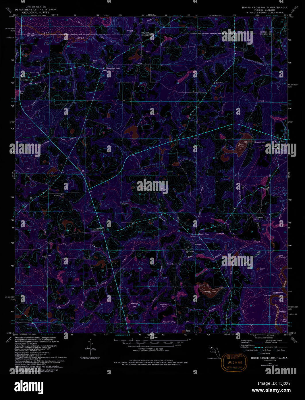 USGS TOPO Map Florida FL Hobbs Crossroads 346637 1982 24000 Inverted Restoration Stock Photohttps://www.alamy.com/image-license-details/?v=1https://www.alamy.com/usgs-topo-map-florida-fl-hobbs-crossroads-346637-1982-24000-inverted-restoration-image244414304.html
RMT5J0X8–USGS TOPO Map Florida FL Hobbs Crossroads 346637 1982 24000 Inverted Restoration
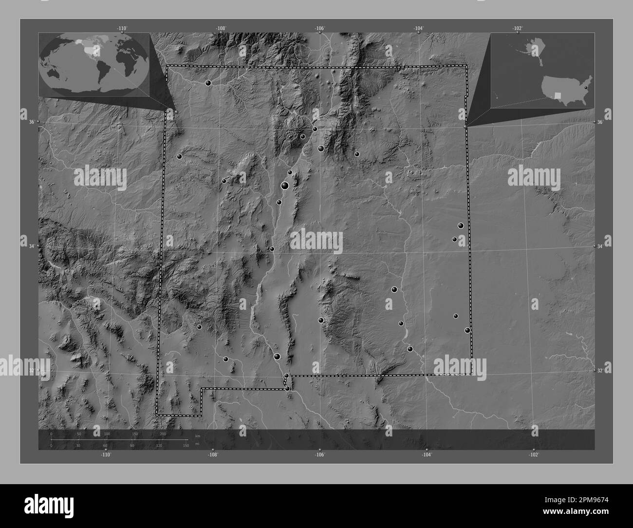 New Mexico, state of United States of America. Bilevel elevation map with lakes and rivers. Locations of major cities of the region. Corner auxiliary Stock Photohttps://www.alamy.com/image-license-details/?v=1https://www.alamy.com/new-mexico-state-of-united-states-of-america-bilevel-elevation-map-with-lakes-and-rivers-locations-of-major-cities-of-the-region-corner-auxiliary-image546017000.html
RF2PM9674–New Mexico, state of United States of America. Bilevel elevation map with lakes and rivers. Locations of major cities of the region. Corner auxiliary
 . Annual report of the Board of Regents of the Smithsonian Institution. Smithsonian Institution; Smithsonian Institution. Archives; Discoveries in science. Smithsonian Report, 1901.—Hobbs Plate I.. GLACIAL MAP OF THE GREAT LAKES REGION. 33vi.ltWss Ar> £,Eagle. O.Oregoi Movama. Diamond Localities K.KoVilsvill. CDowagnC M.Milford. P.Tiv.m C-rX. BBuvlmJton. We are indebted to the University of Chicago Press for the above illustration. Reprinted by permission of D. Appleton & Co.. Please note that these images are extracted from scanned page images that may have been digitally enhanced for Stock Photohttps://www.alamy.com/image-license-details/?v=1https://www.alamy.com/annual-report-of-the-board-of-regents-of-the-smithsonian-institution-smithsonian-institution-smithsonian-institution-archives-discoveries-in-science-smithsonian-report-1901hobbs-plate-i-glacial-map-of-the-great-lakes-region-33viltwss-argt-eagle-ooregoi-movama-diamond-localities-kkovilsvill-cdowagnc-mmilford-ptivm-c-rx-bbuvlmjton-we-are-indebted-to-the-university-of-chicago-press-for-the-above-illustration-reprinted-by-permission-of-d-appleton-amp-co-please-note-that-these-images-are-extracted-from-scanned-page-images-that-may-have-been-digitally-enhanced-for-image236135573.html
RMRM4W99–. Annual report of the Board of Regents of the Smithsonian Institution. Smithsonian Institution; Smithsonian Institution. Archives; Discoveries in science. Smithsonian Report, 1901.—Hobbs Plate I.. GLACIAL MAP OF THE GREAT LAKES REGION. 33vi.ltWss Ar> £,Eagle. O.Oregoi Movama. Diamond Localities K.KoVilsvill. CDowagnC M.Milford. P.Tiv.m C-rX. BBuvlmJton. We are indebted to the University of Chicago Press for the above illustration. Reprinted by permission of D. Appleton & Co.. Please note that these images are extracted from scanned page images that may have been digitally enhanced for
 C. M. Hobbs and Sons (1925) Stock Photohttps://www.alamy.com/image-license-details/?v=1https://www.alamy.com/stock-photo-c-m-hobbs-and-sons-1925-101134113.html
RMFTF1GH–C. M. Hobbs and Sons (1925)
 Hobbs Hill, Cook Shire, AU, Australia, Queensland, S 13 35' 11'', N 143 31' 23'', map, Cartascapes Map published in 2024. Explore Cartascapes, a map revealing Earth's diverse landscapes, cultures, and ecosystems. Journey through time and space, discovering the interconnectedness of our planet's past, present, and future. Stock Photohttps://www.alamy.com/image-license-details/?v=1https://www.alamy.com/hobbs-hill-cook-shire-au-australia-queensland-s-13-35-11-n-143-31-23-map-cartascapes-map-published-in-2024-explore-cartascapes-a-map-revealing-earths-diverse-landscapes-cultures-and-ecosystems-journey-through-time-and-space-discovering-the-interconnectedness-of-our-planets-past-present-and-future-image625495297.html
RM2Y9HNHN–Hobbs Hill, Cook Shire, AU, Australia, Queensland, S 13 35' 11'', N 143 31' 23'', map, Cartascapes Map published in 2024. Explore Cartascapes, a map revealing Earth's diverse landscapes, cultures, and ecosystems. Journey through time and space, discovering the interconnectedness of our planet's past, present, and future.
 USGS TOPO Map Florida FL Hobbs Crossroads 346636 1982 24000 Inverted Restoration Stock Photohttps://www.alamy.com/image-license-details/?v=1https://www.alamy.com/usgs-topo-map-florida-fl-hobbs-crossroads-346636-1982-24000-inverted-restoration-image244414297.html
RMT5J0X1–USGS TOPO Map Florida FL Hobbs Crossroads 346636 1982 24000 Inverted Restoration
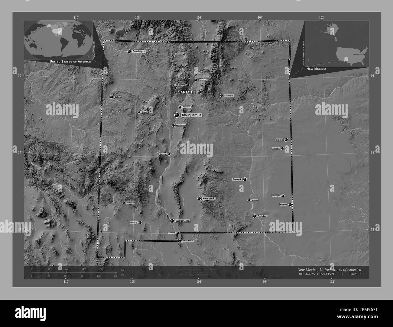 New Mexico, state of United States of America. Bilevel elevation map with lakes and rivers. Locations and names of major cities of the region. Corner Stock Photohttps://www.alamy.com/image-license-details/?v=1https://www.alamy.com/new-mexico-state-of-united-states-of-america-bilevel-elevation-map-with-lakes-and-rivers-locations-and-names-of-major-cities-of-the-region-corner-image546017020.html
RF2PM967T–New Mexico, state of United States of America. Bilevel elevation map with lakes and rivers. Locations and names of major cities of the region. Corner
 . Bulletin of the Geological Society of America. Geology. 132 W. H. HOBBS REPEATING PATTERNS IN STRUCTURE OF LAND N -^ ^ ^ n â <f ^l-L-M-- V N I i'a - - - .VI ''*f&^ K. <^- ' â rf I I â -jtltl -xmu.y-'- S^%-'-ir^- . Figure 7.âKjerulf's Map of the Fracture System of Norway To this map faint dotted lines liave been added, to emphasize the outlines of the larger space intervals which are indicated. Please note that these images are extracted from scanned page images that may have been digitally enhanced for readability - coloration and appearance of these illustration Stock Photohttps://www.alamy.com/image-license-details/?v=1https://www.alamy.com/bulletin-of-the-geological-society-of-america-geology-132-w-h-hobbs-repeating-patterns-in-structure-of-land-n-n-ltf-l-l-m-v-n-i-ia-vi-famp-k-lt-rf-i-i-jtltl-xmuy-s-ir-figure-7kjerulfs-map-of-the-fracture-system-of-norway-to-this-map-faint-dotted-lines-liave-been-added-to-emphasize-the-outlines-of-the-larger-space-intervals-which-are-indicated-please-note-that-these-images-are-extracted-from-scanned-page-images-that-may-have-been-digitally-enhanced-for-readability-coloration-and-appearance-of-these-illustration-image233940764.html
RMRGGWR8–. Bulletin of the Geological Society of America. Geology. 132 W. H. HOBBS REPEATING PATTERNS IN STRUCTURE OF LAND N -^ ^ ^ n â <f ^l-L-M-- V N I i'a - - - .VI ''*f&^ K. <^- ' â rf I I â -jtltl -xmu.y-'- S^%-'-ir^- . Figure 7.âKjerulf's Map of the Fracture System of Norway To this map faint dotted lines liave been added, to emphasize the outlines of the larger space intervals which are indicated. Please note that these images are extracted from scanned page images that may have been digitally enhanced for readability - coloration and appearance of these illustration
 C. M. Hobbs and Sons (1922) Stock Photohttps://www.alamy.com/image-license-details/?v=1https://www.alamy.com/stock-photo-c-m-hobbs-and-sons-1922-99602874.html
RMFP18DE–C. M. Hobbs and Sons (1922)
 Hobbs Bridge, Central Coast, AU, Australia, Tasmania, S 41 15' 35'', N 146 1' 12'', map, Cartascapes Map published in 2024. Explore Cartascapes, a map revealing Earth's diverse landscapes, cultures, and ecosystems. Journey through time and space, discovering the interconnectedness of our planet's past, present, and future. Stock Photohttps://www.alamy.com/image-license-details/?v=1https://www.alamy.com/hobbs-bridge-central-coast-au-australia-tasmania-s-41-15-35-n-146-1-12-map-cartascapes-map-published-in-2024-explore-cartascapes-a-map-revealing-earths-diverse-landscapes-cultures-and-ecosystems-journey-through-time-and-space-discovering-the-interconnectedness-of-our-planets-past-present-and-future-image625469698.html
RM2Y9GGYE–Hobbs Bridge, Central Coast, AU, Australia, Tasmania, S 41 15' 35'', N 146 1' 12'', map, Cartascapes Map published in 2024. Explore Cartascapes, a map revealing Earth's diverse landscapes, cultures, and ecosystems. Journey through time and space, discovering the interconnectedness of our planet's past, present, and future.
 USGS TOPO Map Florida FL Hobbs Cross Roads 346635 1950 24000 Inverted Restoration Stock Photohttps://www.alamy.com/image-license-details/?v=1https://www.alamy.com/usgs-topo-map-florida-fl-hobbs-cross-roads-346635-1950-24000-inverted-restoration-image244414290.html
RMT5J0WP–USGS TOPO Map Florida FL Hobbs Cross Roads 346635 1950 24000 Inverted Restoration
 New Mexico, state of United States of America. Open Street Map. Locations of major cities of the region. Corner auxiliary location maps Stock Photohttps://www.alamy.com/image-license-details/?v=1https://www.alamy.com/new-mexico-state-of-united-states-of-america-open-street-map-locations-of-major-cities-of-the-region-corner-auxiliary-location-maps-image546017119.html
RF2PM96BB–New Mexico, state of United States of America. Open Street Map. Locations of major cities of the region. Corner auxiliary location maps
 USGS TOPO Map Maryland MD Hobbs 20110805 TM Stock Photohttps://www.alamy.com/image-license-details/?v=1https://www.alamy.com/usgs-topo-map-maryland-md-hobbs-20110805-tm-image332163798.html
RM2A8BA8P–USGS TOPO Map Maryland MD Hobbs 20110805 TM
 . Annual report of the Board of Regents of the Smithsonian Institution. Smithsonian Institution; Smithsonian Institution. Archives; Discoveries in science. 548 REPORT OF NATIONAL MUSEUM, 1904. by county maps, though no geological map of the State in its entirety was furnished. A colored section across the State from Greencastle to Terre Haute accompanied the report for 1869. Cox was assisted during the entire or a part of the time b}r Frank H. Bradley, Rufus Haymond, G. M. Levette, B. C. Hobbs, R. B. Warder, W.*W. Borden, M. N. Elrod, John Collett, and E. S. fndiana?ri869-i879. Mclntire, the f Stock Photohttps://www.alamy.com/image-license-details/?v=1https://www.alamy.com/annual-report-of-the-board-of-regents-of-the-smithsonian-institution-smithsonian-institution-smithsonian-institution-archives-discoveries-in-science-548-report-of-national-museum-1904-by-county-maps-though-no-geological-map-of-the-state-in-its-entirety-was-furnished-a-colored-section-across-the-state-from-greencastle-to-terre-haute-accompanied-the-report-for-1869-cox-was-assisted-during-the-entire-or-a-part-of-the-time-br-frank-h-bradley-rufus-haymond-g-m-levette-b-c-hobbs-r-b-warder-ww-borden-m-n-elrod-john-collett-and-e-s-fndianari869-i879-mclntire-the-f-image236102100.html
RMRM3AHT–. Annual report of the Board of Regents of the Smithsonian Institution. Smithsonian Institution; Smithsonian Institution. Archives; Discoveries in science. 548 REPORT OF NATIONAL MUSEUM, 1904. by county maps, though no geological map of the State in its entirety was furnished. A colored section across the State from Greencastle to Terre Haute accompanied the report for 1869. Cox was assisted during the entire or a part of the time b}r Frank H. Bradley, Rufus Haymond, G. M. Levette, B. C. Hobbs, R. B. Warder, W.*W. Borden, M. N. Elrod, John Collett, and E. S. fndiana?ri869-i879. Mclntire, the f
 C. M. Hobbs and Sons (1922) Stock Photohttps://www.alamy.com/image-license-details/?v=1https://www.alamy.com/stock-photo-c-m-hobbs-and-sons-1922-99602883.html
RMFP18DR–C. M. Hobbs and Sons (1922)
 Hobbs Gully, , AU, Australia, New South Wales, S 29 46' 59'', N 150 46' 0'', map, Cartascapes Map published in 2024. Explore Cartascapes, a map revealing Earth's diverse landscapes, cultures, and ecosystems. Journey through time and space, discovering the interconnectedness of our planet's past, present, and future. Stock Photohttps://www.alamy.com/image-license-details/?v=1https://www.alamy.com/hobbs-gully-au-australia-new-south-wales-s-29-46-59-n-150-46-0-map-cartascapes-map-published-in-2024-explore-cartascapes-a-map-revealing-earths-diverse-landscapes-cultures-and-ecosystems-journey-through-time-and-space-discovering-the-interconnectedness-of-our-planets-past-present-and-future-image625832348.html
RM2YA53F8–Hobbs Gully, , AU, Australia, New South Wales, S 29 46' 59'', N 150 46' 0'', map, Cartascapes Map published in 2024. Explore Cartascapes, a map revealing Earth's diverse landscapes, cultures, and ecosystems. Journey through time and space, discovering the interconnectedness of our planet's past, present, and future.
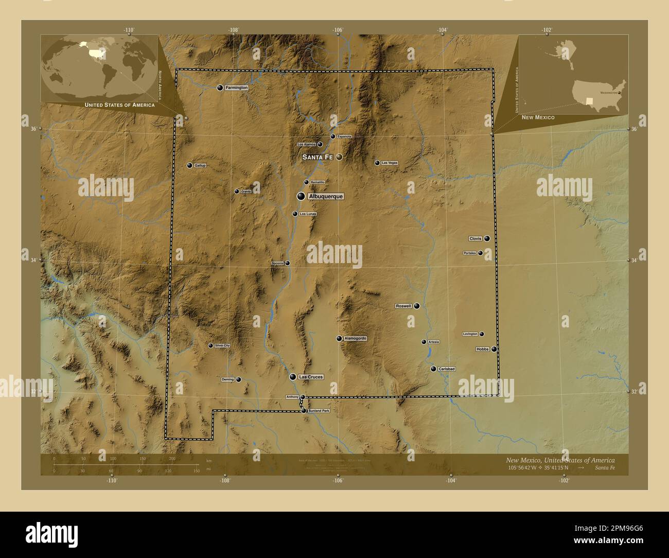 New Mexico, state of United States of America. Colored elevation map with lakes and rivers. Locations and names of major cities of the region. Corner Stock Photohttps://www.alamy.com/image-license-details/?v=1https://www.alamy.com/new-mexico-state-of-united-states-of-america-colored-elevation-map-with-lakes-and-rivers-locations-and-names-of-major-cities-of-the-region-corner-image546017254.html
RF2PM96G6–New Mexico, state of United States of America. Colored elevation map with lakes and rivers. Locations and names of major cities of the region. Corner
 USGS TOPO Map Texas TX Hobbs 20100304 TM Restoration Stock Photohttps://www.alamy.com/image-license-details/?v=1https://www.alamy.com/usgs-topo-map-texas-tx-hobbs-20100304-tm-restoration-image332450347.html
RM2A8TBPK–USGS TOPO Map Texas TX Hobbs 20100304 TM Restoration
 . Bulletin of the Geological Society of America. Geology. 150 W. H. HOBBS REPEATING PATTERNS IN STRUCTURE OF LAND hold for the French Eiver^^ (see figure 26) and Trent River^'' districts in. 7' Figure 25.âDrainage Map of a Part of the District of Nipissing Showing patterned arrangement on northwest-southeast and northeast-southwest lines. (Ontario, 1905) 35 Robert Bell : Report on the geology of the French River district, Ontario. Annual Report of the Geological Survey of Canada, new series, vol. 9, 1896, pp. 120-121. Also Bulletin of the Geological Society of America, vol. 5, 1894, pp. 357-36 Stock Photohttps://www.alamy.com/image-license-details/?v=1https://www.alamy.com/bulletin-of-the-geological-society-of-america-geology-150-w-h-hobbs-repeating-patterns-in-structure-of-land-hold-for-the-french-eiver-see-figure-26-and-trent-river-districts-in-7-figure-25drainage-map-of-a-part-of-the-district-of-nipissing-showing-patterned-arrangement-on-northwest-southeast-and-northeast-southwest-lines-ontario-1905-35-robert-bell-report-on-the-geology-of-the-french-river-district-ontario-annual-report-of-the-geological-survey-of-canada-new-series-vol-9-1896-pp-120-121-also-bulletin-of-the-geological-society-of-america-vol-5-1894-pp-357-36-image233940569.html
RMRGGWG9–. Bulletin of the Geological Society of America. Geology. 150 W. H. HOBBS REPEATING PATTERNS IN STRUCTURE OF LAND hold for the French Eiver^^ (see figure 26) and Trent River^'' districts in. 7' Figure 25.âDrainage Map of a Part of the District of Nipissing Showing patterned arrangement on northwest-southeast and northeast-southwest lines. (Ontario, 1905) 35 Robert Bell : Report on the geology of the French River district, Ontario. Annual Report of the Geological Survey of Canada, new series, vol. 9, 1896, pp. 120-121. Also Bulletin of the Geological Society of America, vol. 5, 1894, pp. 357-36
 C. M. Hobbs and Sons (1916) Stock Photohttps://www.alamy.com/image-license-details/?v=1https://www.alamy.com/stock-photo-c-m-hobbs-and-sons-1916-101134112.html
RMFTF1GG–C. M. Hobbs and Sons (1916)
 Hobbs Well, Menzies, AU, Australia, Western Australia, S 29 29' 0'', N 121 33' 13'', map, Cartascapes Map published in 2024. Explore Cartascapes, a map revealing Earth's diverse landscapes, cultures, and ecosystems. Journey through time and space, discovering the interconnectedness of our planet's past, present, and future. Stock Photohttps://www.alamy.com/image-license-details/?v=1https://www.alamy.com/hobbs-well-menzies-au-australia-western-australia-s-29-29-0-n-121-33-13-map-cartascapes-map-published-in-2024-explore-cartascapes-a-map-revealing-earths-diverse-landscapes-cultures-and-ecosystems-journey-through-time-and-space-discovering-the-interconnectedness-of-our-planets-past-present-and-future-image625666163.html
RM2Y9WFG3–Hobbs Well, Menzies, AU, Australia, Western Australia, S 29 29' 0'', N 121 33' 13'', map, Cartascapes Map published in 2024. Explore Cartascapes, a map revealing Earth's diverse landscapes, cultures, and ecosystems. Journey through time and space, discovering the interconnectedness of our planet's past, present, and future.
 New Mexico, state of United States of America. Grayscale elevation map with lakes and rivers. Locations and names of major cities of the region. Corne Stock Photohttps://www.alamy.com/image-license-details/?v=1https://www.alamy.com/new-mexico-state-of-united-states-of-america-grayscale-elevation-map-with-lakes-and-rivers-locations-and-names-of-major-cities-of-the-region-corne-image546017070.html
RF2PM969J–New Mexico, state of United States of America. Grayscale elevation map with lakes and rivers. Locations and names of major cities of the region. Corne
 USGS TOPO Map Maryland MD Hobbs 256437 1944 24000 Stock Photohttps://www.alamy.com/image-license-details/?v=1https://www.alamy.com/usgs-topo-map-maryland-md-hobbs-256437-1944-24000-image332163765.html
RM2A8BA7H–USGS TOPO Map Maryland MD Hobbs 256437 1944 24000
 . Annual report of the Board of Regents of the Smithsonian Institution. Smithsonian Institution; Smithsonian Institution. Archives; Discoveries in science. Smithsonian Report, 1901.—Hobbs Plate I.. GLACIAL MAP OF THE GREAT LAKES REGION. XiViLtUsa A-r* OLdei- Tlvv I L . Glaov^l Stria Ivt o V a Lrva • Giac-ial Stria.*. Tvac"K. o E X>i.ai-woj-vdb Dlap-voj-id Localities ° '?" t,Eagle O.Ovecjoii K^Kol-vlsvilU O.Dov^aguc M. Milford. P,Tiv.i.« Cvl. B £,i* i-Un^t on. We are indebted to the University of Chicago Press for the above illustration. Reprinted by permission of D. Appleton & Stock Photohttps://www.alamy.com/image-license-details/?v=1https://www.alamy.com/annual-report-of-the-board-of-regents-of-the-smithsonian-institution-smithsonian-institution-smithsonian-institution-archives-discoveries-in-science-smithsonian-report-1901hobbs-plate-i-glacial-map-of-the-great-lakes-region-xiviltusa-a-r-oldei-tlvv-i-l-glaovl-stria-ivt-o-v-a-lrva-giac-ial-stria-tvacquotk-o-e-xgtiai-woj-vdb-dlap-voj-id-localities-quot-teagle-oovecjoii-kkol-vlsvilu-odovaguc-m-milford-ptivi-cvl-b-i-i-unt-on-we-are-indebted-to-the-university-of-chicago-press-for-the-above-illustration-reprinted-by-permission-of-d-appleton-amp-image236136031.html
RMRM4WWK–. Annual report of the Board of Regents of the Smithsonian Institution. Smithsonian Institution; Smithsonian Institution. Archives; Discoveries in science. Smithsonian Report, 1901.—Hobbs Plate I.. GLACIAL MAP OF THE GREAT LAKES REGION. XiViLtUsa A-r* OLdei- Tlvv I L . Glaov^l Stria Ivt o V a Lrva • Giac-ial Stria.*. Tvac"K. o E X>i.ai-woj-vdb Dlap-voj-id Localities ° '?" t,Eagle O.Ovecjoii K^Kol-vlsvilU O.Dov^aguc M. Milford. P,Tiv.i.« Cvl. B £,i* i-Un^t on. We are indebted to the University of Chicago Press for the above illustration. Reprinted by permission of D. Appleton &
 C. M. Hobbs and Sons (1922) Stock Photohttps://www.alamy.com/image-license-details/?v=1https://www.alamy.com/stock-photo-c-m-hobbs-and-sons-1922-98700395.html
RMFMG5A3–C. M. Hobbs and Sons (1922)
 Hobbs, Bell County, US, United States, Texas, N 31 3' 7'', S 97 26' 22'', map, Cartascapes Map published in 2024. Explore Cartascapes, a map revealing Earth's diverse landscapes, cultures, and ecosystems. Journey through time and space, discovering the interconnectedness of our planet's past, present, and future. Stock Photohttps://www.alamy.com/image-license-details/?v=1https://www.alamy.com/hobbs-bell-county-us-united-states-texas-n-31-3-7-s-97-26-22-map-cartascapes-map-published-in-2024-explore-cartascapes-a-map-revealing-earths-diverse-landscapes-cultures-and-ecosystems-journey-through-time-and-space-discovering-the-interconnectedness-of-our-planets-past-present-and-future-image621216348.html
RM2Y2JRP4–Hobbs, Bell County, US, United States, Texas, N 31 3' 7'', S 97 26' 22'', map, Cartascapes Map published in 2024. Explore Cartascapes, a map revealing Earth's diverse landscapes, cultures, and ecosystems. Journey through time and space, discovering the interconnectedness of our planet's past, present, and future.
 New Mexico, state of United States of America. Colored elevation map with lakes and rivers. Locations of major cities of the region. Corner auxiliary Stock Photohttps://www.alamy.com/image-license-details/?v=1https://www.alamy.com/new-mexico-state-of-united-states-of-america-colored-elevation-map-with-lakes-and-rivers-locations-of-major-cities-of-the-region-corner-auxiliary-image546017187.html
RF2PM96DR–New Mexico, state of United States of America. Colored elevation map with lakes and rivers. Locations of major cities of the region. Corner auxiliary
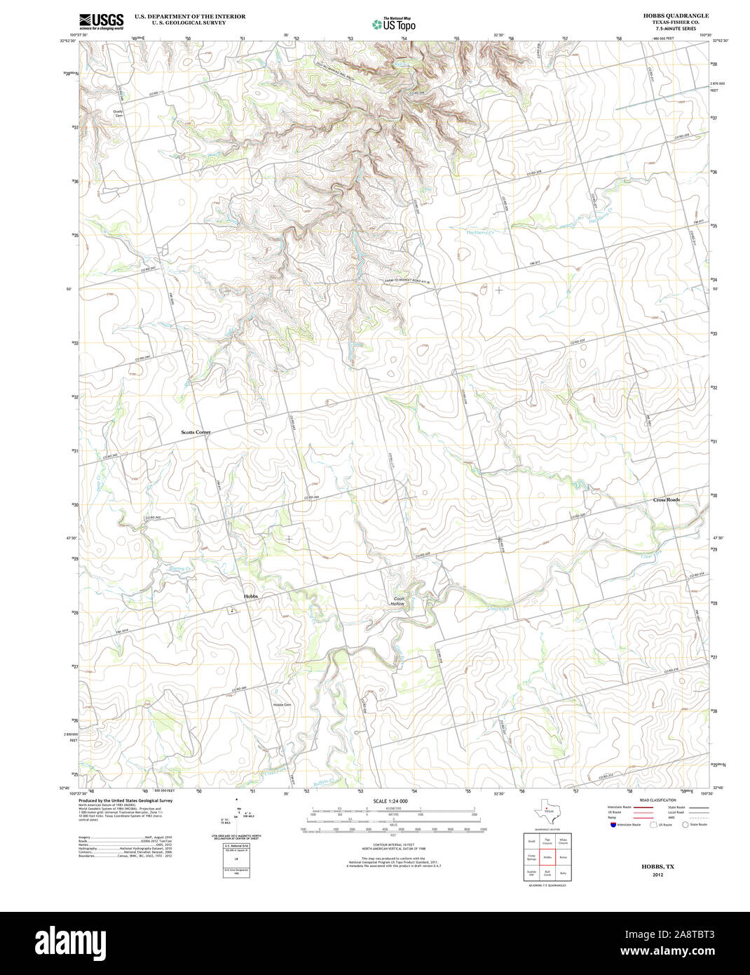 USGS TOPO Map Texas TX Hobbs 20121205 TM Restoration Stock Photohttps://www.alamy.com/image-license-details/?v=1https://www.alamy.com/usgs-topo-map-texas-tx-hobbs-20121205-tm-restoration-image332450387.html
RM2A8TBT3–USGS TOPO Map Texas TX Hobbs 20121205 TM Restoration
 C. M. Hobbs and Sons (1925) Stock Photohttps://www.alamy.com/image-license-details/?v=1https://www.alamy.com/stock-photo-c-m-hobbs-and-sons-1925-101134114.html
RMFTF1GJ–C. M. Hobbs and Sons (1925)
 Hobbs Well, East Pilbara, AU, Australia, Western Australia, S 20 45' 9'', N 120 35' 39'', map, Cartascapes Map published in 2024. Explore Cartascapes, a map revealing Earth's diverse landscapes, cultures, and ecosystems. Journey through time and space, discovering the interconnectedness of our planet's past, present, and future. Stock Photohttps://www.alamy.com/image-license-details/?v=1https://www.alamy.com/hobbs-well-east-pilbara-au-australia-western-australia-s-20-45-9-n-120-35-39-map-cartascapes-map-published-in-2024-explore-cartascapes-a-map-revealing-earths-diverse-landscapes-cultures-and-ecosystems-journey-through-time-and-space-discovering-the-interconnectedness-of-our-planets-past-present-and-future-image625411167.html
RM2Y9DX93–Hobbs Well, East Pilbara, AU, Australia, Western Australia, S 20 45' 9'', N 120 35' 39'', map, Cartascapes Map published in 2024. Explore Cartascapes, a map revealing Earth's diverse landscapes, cultures, and ecosystems. Journey through time and space, discovering the interconnectedness of our planet's past, present, and future.
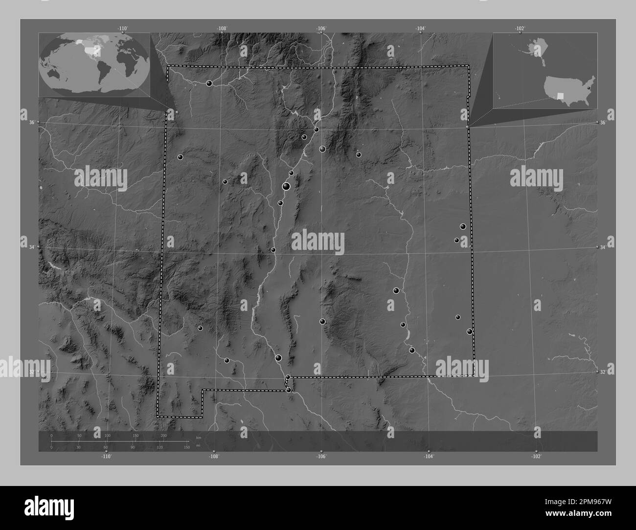 New Mexico, state of United States of America. Grayscale elevation map with lakes and rivers. Locations of major cities of the region. Corner auxiliar Stock Photohttps://www.alamy.com/image-license-details/?v=1https://www.alamy.com/new-mexico-state-of-united-states-of-america-grayscale-elevation-map-with-lakes-and-rivers-locations-of-major-cities-of-the-region-corner-auxiliar-image546017021.html
RF2PM967W–New Mexico, state of United States of America. Grayscale elevation map with lakes and rivers. Locations of major cities of the region. Corner auxiliar
 USGS TOPO Map Maryland MD Hobbs 257112 1944 31680 Stock Photohttps://www.alamy.com/image-license-details/?v=1https://www.alamy.com/usgs-topo-map-maryland-md-hobbs-257112-1944-31680-image332163846.html
RM2A8BAAE–USGS TOPO Map Maryland MD Hobbs 257112 1944 31680
 C. M. Hobbs and Sons - hardy fruits, ornamental trees, evergreens, shrubs, vines, roses, perennials, hedge plants (1918) Stock Photohttps://www.alamy.com/image-license-details/?v=1https://www.alamy.com/stock-photo-c-m-hobbs-and-sons-hardy-fruits-ornamental-trees-evergreens-shrubs-101134115.html
RMFTF1GK–C. M. Hobbs and Sons - hardy fruits, ornamental trees, evergreens, shrubs, vines, roses, perennials, hedge plants (1918)
 Hobbs Island, Madison County, US, United States, Alabama, N 34 32' 13'', S 86 32' 4'', map, Cartascapes Map published in 2024. Explore Cartascapes, a map revealing Earth's diverse landscapes, cultures, and ecosystems. Journey through time and space, discovering the interconnectedness of our planet's past, present, and future. Stock Photohttps://www.alamy.com/image-license-details/?v=1https://www.alamy.com/hobbs-island-madison-county-us-united-states-alabama-n-34-32-13-s-86-32-4-map-cartascapes-map-published-in-2024-explore-cartascapes-a-map-revealing-earths-diverse-landscapes-cultures-and-ecosystems-journey-through-time-and-space-discovering-the-interconnectedness-of-our-planets-past-present-and-future-image621223916.html
RM2Y2K5CC–Hobbs Island, Madison County, US, United States, Alabama, N 34 32' 13'', S 86 32' 4'', map, Cartascapes Map published in 2024. Explore Cartascapes, a map revealing Earth's diverse landscapes, cultures, and ecosystems. Journey through time and space, discovering the interconnectedness of our planet's past, present, and future.
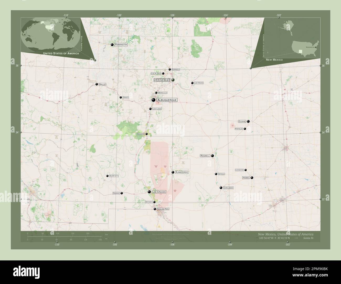 New Mexico, state of United States of America. Open Street Map. Locations and names of major cities of the region. Corner auxiliary location maps Stock Photohttps://www.alamy.com/image-license-details/?v=1https://www.alamy.com/new-mexico-state-of-united-states-of-america-open-street-map-locations-and-names-of-major-cities-of-the-region-corner-auxiliary-location-maps-image546017127.html
RF2PM96BK–New Mexico, state of United States of America. Open Street Map. Locations and names of major cities of the region. Corner auxiliary location maps
 USGS TOPO Map Maryland MD Hobbs 20110805 TM Inverted Stock Photohttps://www.alamy.com/image-license-details/?v=1https://www.alamy.com/usgs-topo-map-maryland-md-hobbs-20110805-tm-inverted-image332163770.html
RM2A8BA7P–USGS TOPO Map Maryland MD Hobbs 20110805 TM Inverted
 C. M. Hobbs and Sons - hardy fruits, ornamental trees, evergreens, shrubs, vines, roses, perennials, hedge plants (1918) Stock Photohttps://www.alamy.com/image-license-details/?v=1https://www.alamy.com/stock-photo-c-m-hobbs-and-sons-hardy-fruits-ornamental-trees-evergreens-shrubs-101134120.html
RMFTF1GT–C. M. Hobbs and Sons - hardy fruits, ornamental trees, evergreens, shrubs, vines, roses, perennials, hedge plants (1918)
 Hobbs Hill, Grundy County, US, United States, Tennessee, N 35 16' 32'', S 85 43' 38'', map, Cartascapes Map published in 2024. Explore Cartascapes, a map revealing Earth's diverse landscapes, cultures, and ecosystems. Journey through time and space, discovering the interconnectedness of our planet's past, present, and future. Stock Photohttps://www.alamy.com/image-license-details/?v=1https://www.alamy.com/hobbs-hill-grundy-county-us-united-states-tennessee-n-35-16-32-s-85-43-38-map-cartascapes-map-published-in-2024-explore-cartascapes-a-map-revealing-earths-diverse-landscapes-cultures-and-ecosystems-journey-through-time-and-space-discovering-the-interconnectedness-of-our-planets-past-present-and-future-image621498983.html
RM2Y33M87–Hobbs Hill, Grundy County, US, United States, Tennessee, N 35 16' 32'', S 85 43' 38'', map, Cartascapes Map published in 2024. Explore Cartascapes, a map revealing Earth's diverse landscapes, cultures, and ecosystems. Journey through time and space, discovering the interconnectedness of our planet's past, present, and future.
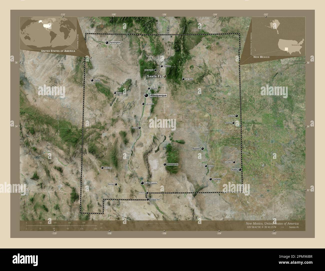 New Mexico, state of United States of America. High resolution satellite map. Locations and names of major cities of the region. Corner auxiliary loca Stock Photohttps://www.alamy.com/image-license-details/?v=1https://www.alamy.com/new-mexico-state-of-united-states-of-america-high-resolution-satellite-map-locations-and-names-of-major-cities-of-the-region-corner-auxiliary-loca-image546017131.html
RF2PM96BR–New Mexico, state of United States of America. High resolution satellite map. Locations and names of major cities of the region. Corner auxiliary loca
