Quick filters:
Map of holland michigan Stock Photos and Images
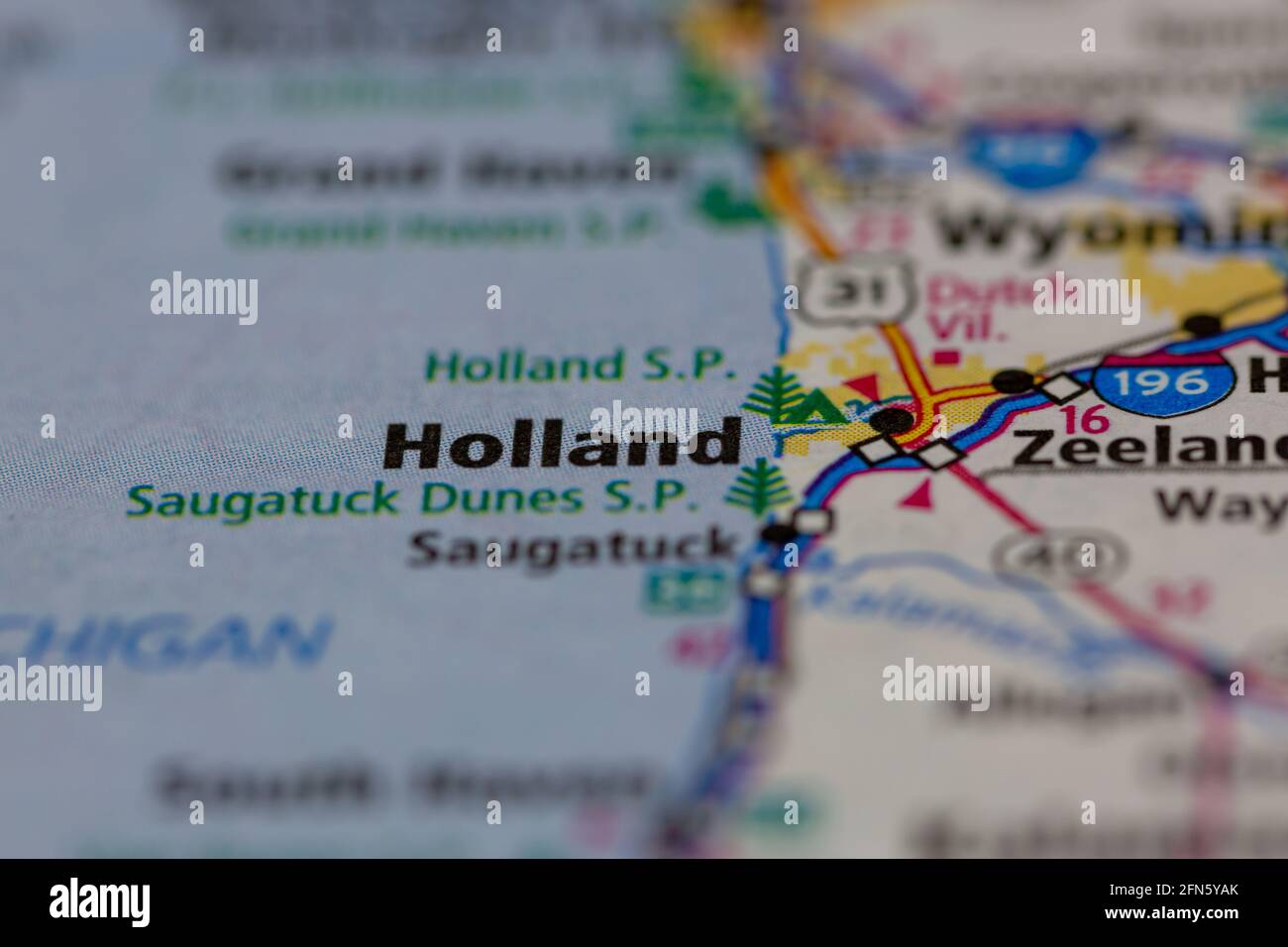 Holland Michigan USA shown on a Geography map or road map Stock Photohttps://www.alamy.com/image-license-details/?v=1https://www.alamy.com/holland-michigan-usa-shown-on-a-geography-map-or-road-map-image426087835.html
RM2FN5YAK–Holland Michigan USA shown on a Geography map or road map
 Holland, Allegan County, US, United States, Michigan, N 42 47' 15'', S 86 6' 32'', map, Cartascapes Map published in 2024. Explore Cartascapes, a map revealing Earth's diverse landscapes, cultures, and ecosystems. Journey through time and space, discovering the interconnectedness of our planet's past, present, and future. Stock Photohttps://www.alamy.com/image-license-details/?v=1https://www.alamy.com/holland-allegan-county-us-united-states-michigan-n-42-47-15-s-86-6-32-map-cartascapes-map-published-in-2024-explore-cartascapes-a-map-revealing-earths-diverse-landscapes-cultures-and-ecosystems-journey-through-time-and-space-discovering-the-interconnectedness-of-our-planets-past-present-and-future-image621154642.html
RM2Y2G12A–Holland, Allegan County, US, United States, Michigan, N 42 47' 15'', S 86 6' 32'', map, Cartascapes Map published in 2024. Explore Cartascapes, a map revealing Earth's diverse landscapes, cultures, and ecosystems. Journey through time and space, discovering the interconnectedness of our planet's past, present, and future.
 Holland pinned on a map of Michigan, USA Stock Photohttps://www.alamy.com/image-license-details/?v=1https://www.alamy.com/stock-photo-holland-pinned-on-a-map-of-michigan-usa-126854722.html
RFHAAMDP–Holland pinned on a map of Michigan, USA
 Sanborn Fire Insurance Map from Holland, Ottawa County, Michigan. Stock Photohttps://www.alamy.com/image-license-details/?v=1https://www.alamy.com/sanborn-fire-insurance-map-from-holland-ottawa-county-michigan-image456426144.html
RM2HEG05M–Sanborn Fire Insurance Map from Holland, Ottawa County, Michigan.
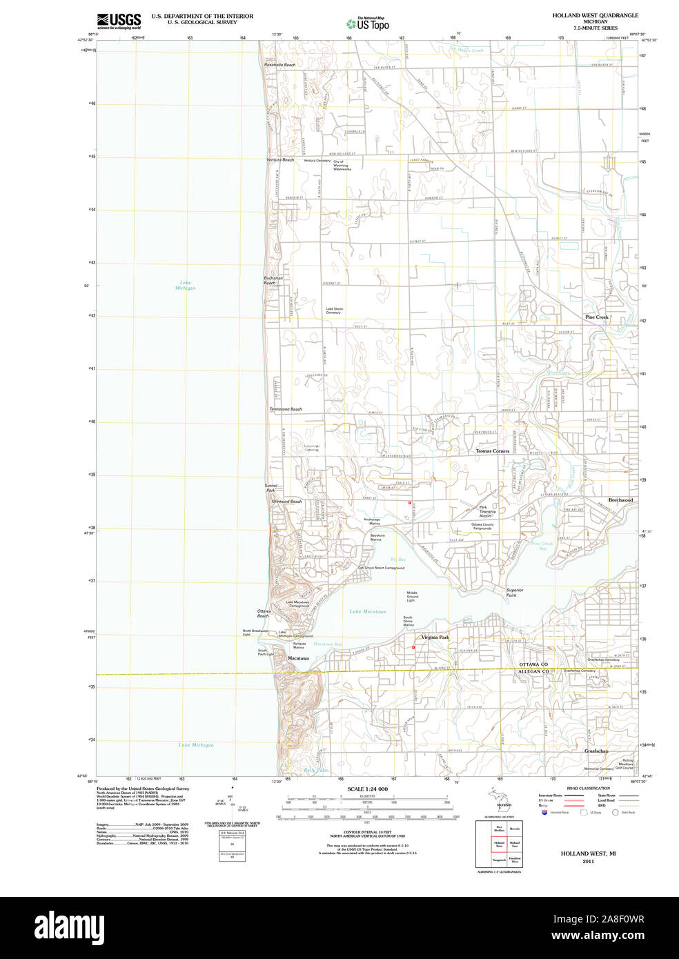 USGS TOPO Map Michigan MI Holland West 20110908 TM Stock Photohttps://www.alamy.com/image-license-details/?v=1https://www.alamy.com/usgs-topo-map-michigan-mi-holland-west-20110908-tm-image332244243.html
RM2A8F0WR–USGS TOPO Map Michigan MI Holland West 20110908 TM
![Image taken from page 21 of 'The State of Michigan: embracing sketches of its history, position, resources and industries. Compiled ... by S. B. McCracken. [With plates and a map.]' Image taken from page 21 of 'The State of Michigan Stock Photo Image taken from page 21 of 'The State of Michigan: embracing sketches of its history, position, resources and industries. Compiled ... by S. B. McCracken. [With plates and a map.]' Image taken from page 21 of 'The State of Michigan Stock Photo](https://c8.alamy.com/comp/HBT7D0/image-taken-from-page-21-of-the-state-of-michigan-embracing-sketches-HBT7D0.jpg) Image taken from page 21 of 'The State of Michigan: embracing sketches of its history, position, resources and industries. Compiled ... by S. B. McCracken. [With plates and a map.]' Image taken from page 21 of 'The State of Michigan Stock Photohttps://www.alamy.com/image-license-details/?v=1https://www.alamy.com/stock-photo-image-taken-from-page-21-of-the-state-of-michigan-embracing-sketches-127766492.html
Image taken from page 21 of 'The State of Michigan: embracing sketches of its history, position, resources and industries. Compiled ... by S. B. McCracken. [With plates and a map.]' Image taken from page 21 of 'The State of Michigan Stock Photohttps://www.alamy.com/image-license-details/?v=1https://www.alamy.com/stock-photo-image-taken-from-page-21-of-the-state-of-michigan-embracing-sketches-127766492.htmlRMHBT7D0–Image taken from page 21 of 'The State of Michigan: embracing sketches of its history, position, resources and industries. Compiled ... by S. B. McCracken. [With plates and a map.]' Image taken from page 21 of 'The State of Michigan
 Allegan County, Michigan (U.S. county, United States of America, USA, U.S., US) map vector illustration, scribble sketch Allegan map Stock Vectorhttps://www.alamy.com/image-license-details/?v=1https://www.alamy.com/allegan-county-michigan-us-county-united-states-of-america-usa-us-us-map-vector-illustration-scribble-sketch-allegan-map-image385312355.html
RF2DATDRF–Allegan County, Michigan (U.S. county, United States of America, USA, U.S., US) map vector illustration, scribble sketch Allegan map
 Holland, Allegan County, US, United States, Michigan, N 42 47' 15'', S 86 6' 32'', map, Cartascapes Map published in 2024. Explore Cartascapes, a map revealing Earth's diverse landscapes, cultures, and ecosystems. Journey through time and space, discovering the interconnectedness of our planet's past, present, and future. Stock Photohttps://www.alamy.com/image-license-details/?v=1https://www.alamy.com/holland-allegan-county-us-united-states-michigan-n-42-47-15-s-86-6-32-map-cartascapes-map-published-in-2024-explore-cartascapes-a-map-revealing-earths-diverse-landscapes-cultures-and-ecosystems-journey-through-time-and-space-discovering-the-interconnectedness-of-our-planets-past-present-and-future-image620740920.html
RM2Y1W5AG–Holland, Allegan County, US, United States, Michigan, N 42 47' 15'', S 86 6' 32'', map, Cartascapes Map published in 2024. Explore Cartascapes, a map revealing Earth's diverse landscapes, cultures, and ecosystems. Journey through time and space, discovering the interconnectedness of our planet's past, present, and future.
 Sanborn Fire Insurance Map from Holland, Ottawa County, Michigan. Stock Photohttps://www.alamy.com/image-license-details/?v=1https://www.alamy.com/sanborn-fire-insurance-map-from-holland-ottawa-county-michigan-image456425980.html
RM2HEFYYT–Sanborn Fire Insurance Map from Holland, Ottawa County, Michigan.
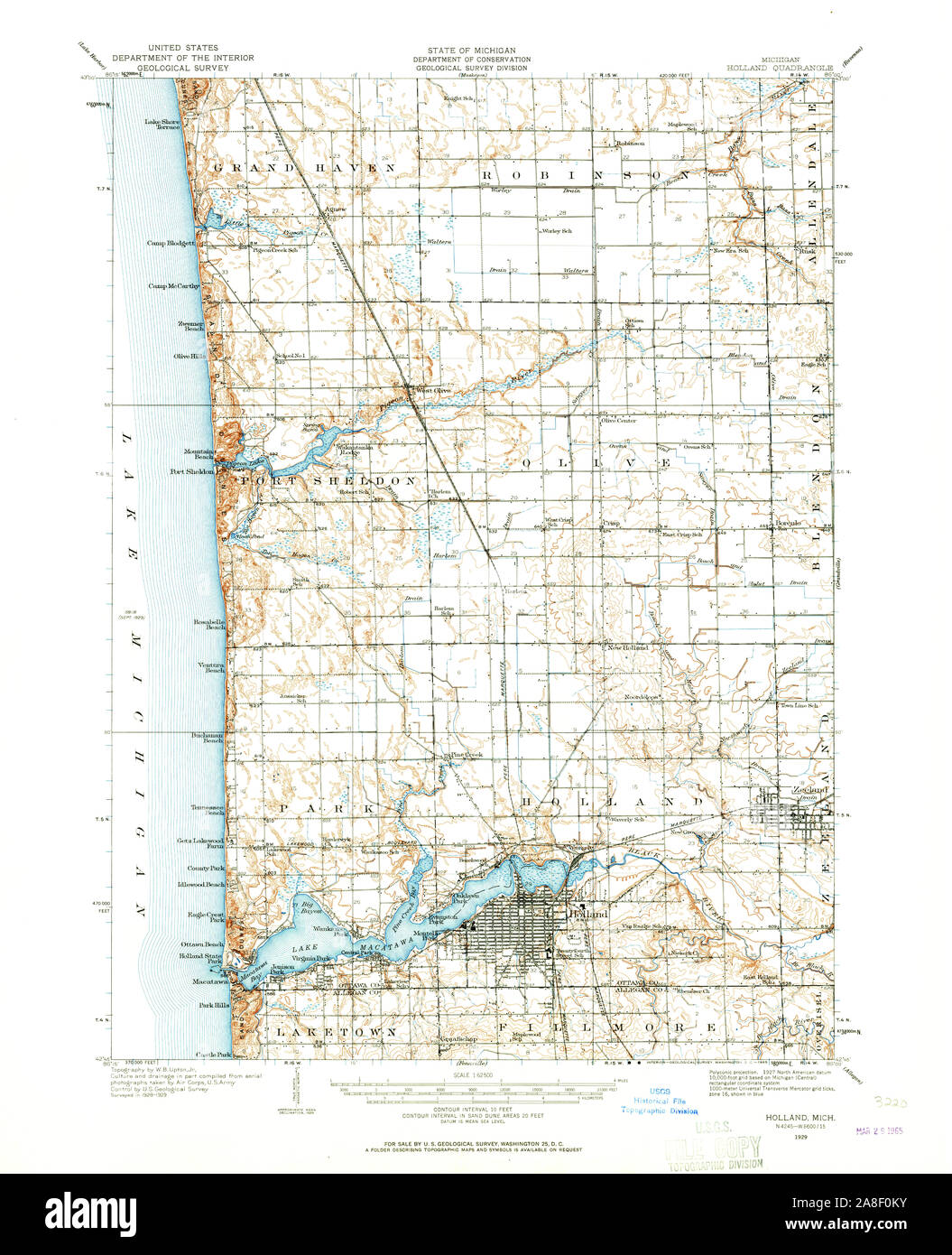 USGS TOPO Map Michigan MI Holland 278202 1929 62500 Stock Photohttps://www.alamy.com/image-license-details/?v=1https://www.alamy.com/usgs-topo-map-michigan-mi-holland-278202-1929-62500-image332244079.html
RM2A8F0KY–USGS TOPO Map Michigan MI Holland 278202 1929 62500
 Allegan County, Michigan (U.S. county, United States of America, USA, U.S., US) map vector illustration, scribble sketch Allegan map Stock Vectorhttps://www.alamy.com/image-license-details/?v=1https://www.alamy.com/allegan-county-michigan-us-county-united-states-of-america-usa-us-us-map-vector-illustration-scribble-sketch-allegan-map-image388449228.html
RF2DFYAXM–Allegan County, Michigan (U.S. county, United States of America, USA, U.S., US) map vector illustration, scribble sketch Allegan map
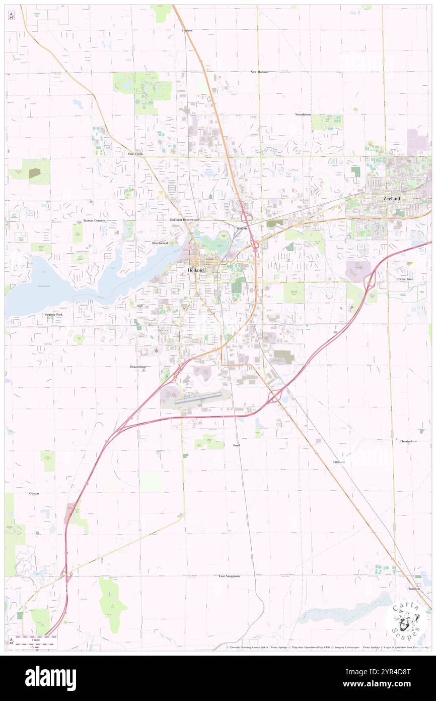 City of Holland, Allegan County, US, United States, Michigan, N 42 46' 3'', S 86 5' 54'', map, Cartascapes Map published in 2024. Explore Cartascapes, a map revealing Earth's diverse landscapes, cultures, and ecosystems. Journey through time and space, discovering the interconnectedness of our planet's past, present, and future. Stock Photohttps://www.alamy.com/image-license-details/?v=1https://www.alamy.com/city-of-holland-allegan-county-us-united-states-michigan-n-42-46-3-s-86-5-54-map-cartascapes-map-published-in-2024-explore-cartascapes-a-map-revealing-earths-diverse-landscapes-cultures-and-ecosystems-journey-through-time-and-space-discovering-the-interconnectedness-of-our-planets-past-present-and-future-image633808584.html
RM2YR4D8T–City of Holland, Allegan County, US, United States, Michigan, N 42 46' 3'', S 86 5' 54'', map, Cartascapes Map published in 2024. Explore Cartascapes, a map revealing Earth's diverse landscapes, cultures, and ecosystems. Journey through time and space, discovering the interconnectedness of our planet's past, present, and future.
 Sanborn Fire Insurance Map from Holland, Ottawa County, Michigan. Stock Photohttps://www.alamy.com/image-license-details/?v=1https://www.alamy.com/sanborn-fire-insurance-map-from-holland-ottawa-county-michigan-image456425964.html
RM2HEFYY8–Sanborn Fire Insurance Map from Holland, Ottawa County, Michigan.
 USGS TOPO Map Michigan MI Holland 278203 1929 62500 Stock Photohttps://www.alamy.com/image-license-details/?v=1https://www.alamy.com/usgs-topo-map-michigan-mi-holland-278203-1929-62500-image332244153.html
RM2A8F0PH–USGS TOPO Map Michigan MI Holland 278203 1929 62500
 Allegan County, Michigan (U.S. county, United States of America, USA, U.S., US) map vector illustration, scribble sketch Allegan map Stock Vectorhttps://www.alamy.com/image-license-details/?v=1https://www.alamy.com/allegan-county-michigan-us-county-united-states-of-america-usa-us-us-map-vector-illustration-scribble-sketch-allegan-map-image372021402.html
RF2CH712J–Allegan County, Michigan (U.S. county, United States of America, USA, U.S., US) map vector illustration, scribble sketch Allegan map
 Township of Holland, Missaukee County, US, United States, Michigan, N 44 12' 18'', S 84 54' 44'', map, Cartascapes Map published in 2024. Explore Cartascapes, a map revealing Earth's diverse landscapes, cultures, and ecosystems. Journey through time and space, discovering the interconnectedness of our planet's past, present, and future. Stock Photohttps://www.alamy.com/image-license-details/?v=1https://www.alamy.com/township-of-holland-missaukee-county-us-united-states-michigan-n-44-12-18-s-84-54-44-map-cartascapes-map-published-in-2024-explore-cartascapes-a-map-revealing-earths-diverse-landscapes-cultures-and-ecosystems-journey-through-time-and-space-discovering-the-interconnectedness-of-our-planets-past-present-and-future-image633786385.html
RM2YR3D01–Township of Holland, Missaukee County, US, United States, Michigan, N 44 12' 18'', S 84 54' 44'', map, Cartascapes Map published in 2024. Explore Cartascapes, a map revealing Earth's diverse landscapes, cultures, and ecosystems. Journey through time and space, discovering the interconnectedness of our planet's past, present, and future.
 Sanborn Fire Insurance Map from Holland, Ottawa County, Michigan. Stock Photohttps://www.alamy.com/image-license-details/?v=1https://www.alamy.com/sanborn-fire-insurance-map-from-holland-ottawa-county-michigan-image456426153.html
RM2HEG061–Sanborn Fire Insurance Map from Holland, Ottawa County, Michigan.
 USGS TOPO Map Michigan MI Holland 278665 1982 100000 Stock Photohttps://www.alamy.com/image-license-details/?v=1https://www.alamy.com/usgs-topo-map-michigan-mi-holland-278665-1982-100000-image332244158.html
RM2A8F0PP–USGS TOPO Map Michigan MI Holland 278665 1982 100000
 Charter Township of Holland, Ottawa County, US, United States, Michigan, N 42 49' 14'', S 86 4' 34'', map, Cartascapes Map published in 2024. Explore Cartascapes, a map revealing Earth's diverse landscapes, cultures, and ecosystems. Journey through time and space, discovering the interconnectedness of our planet's past, present, and future. Stock Photohttps://www.alamy.com/image-license-details/?v=1https://www.alamy.com/charter-township-of-holland-ottawa-county-us-united-states-michigan-n-42-49-14-s-86-4-34-map-cartascapes-map-published-in-2024-explore-cartascapes-a-map-revealing-earths-diverse-landscapes-cultures-and-ecosystems-journey-through-time-and-space-discovering-the-interconnectedness-of-our-planets-past-present-and-future-image633827569.html
RM2YR59EW–Charter Township of Holland, Ottawa County, US, United States, Michigan, N 42 49' 14'', S 86 4' 34'', map, Cartascapes Map published in 2024. Explore Cartascapes, a map revealing Earth's diverse landscapes, cultures, and ecosystems. Journey through time and space, discovering the interconnectedness of our planet's past, present, and future.
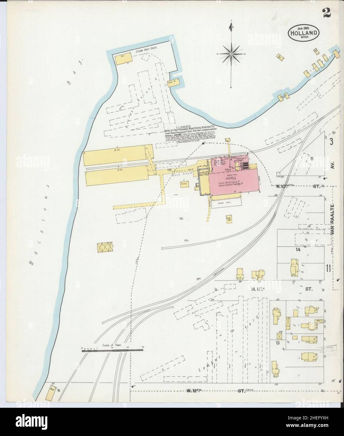 Sanborn Fire Insurance Map from Holland, Ottawa County, Michigan. Stock Photohttps://www.alamy.com/image-license-details/?v=1https://www.alamy.com/sanborn-fire-insurance-map-from-holland-ottawa-county-michigan-image456425945.html
RM2HEFYXH–Sanborn Fire Insurance Map from Holland, Ottawa County, Michigan.
 USGS TOPO Map Michigan MI Holland East 20110908 TM Stock Photohttps://www.alamy.com/image-license-details/?v=1https://www.alamy.com/usgs-topo-map-michigan-mi-holland-east-20110908-tm-image332244260.html
RM2A8F0XC–USGS TOPO Map Michigan MI Holland East 20110908 TM
 New Holland, Ottawa County, US, United States, Michigan, N 42 51' 22'', S 86 4' 44'', map, Cartascapes Map published in 2024. Explore Cartascapes, a map revealing Earth's diverse landscapes, cultures, and ecosystems. Journey through time and space, discovering the interconnectedness of our planet's past, present, and future. Stock Photohttps://www.alamy.com/image-license-details/?v=1https://www.alamy.com/new-holland-ottawa-county-us-united-states-michigan-n-42-51-22-s-86-4-44-map-cartascapes-map-published-in-2024-explore-cartascapes-a-map-revealing-earths-diverse-landscapes-cultures-and-ecosystems-journey-through-time-and-space-discovering-the-interconnectedness-of-our-planets-past-present-and-future-image620854920.html
RM2Y22AP0–New Holland, Ottawa County, US, United States, Michigan, N 42 51' 22'', S 86 4' 44'', map, Cartascapes Map published in 2024. Explore Cartascapes, a map revealing Earth's diverse landscapes, cultures, and ecosystems. Journey through time and space, discovering the interconnectedness of our planet's past, present, and future.
 Sanborn Fire Insurance Map from Holland, Ottawa County, Michigan. Stock Photohttps://www.alamy.com/image-license-details/?v=1https://www.alamy.com/sanborn-fire-insurance-map-from-holland-ottawa-county-michigan-image456426123.html
RM2HEG04Y–Sanborn Fire Insurance Map from Holland, Ottawa County, Michigan.
 USGS TOPO Map Michigan MI Holland 278205 1932 62500 Stock Photohttps://www.alamy.com/image-license-details/?v=1https://www.alamy.com/usgs-topo-map-michigan-mi-holland-278205-1932-62500-image332244163.html
RM2A8F0PY–USGS TOPO Map Michigan MI Holland 278205 1932 62500
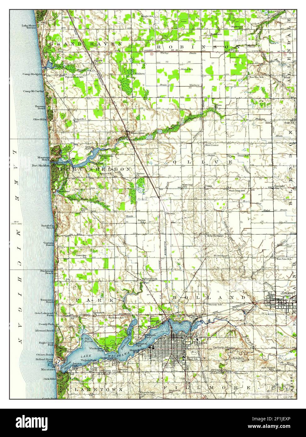 Holland, Michigan, map 1929, 1:62500, United States of America by Timeless Maps, data U.S. Geological Survey Stock Photohttps://www.alamy.com/image-license-details/?v=1https://www.alamy.com/holland-michigan-map-1929-162500-united-states-of-america-by-timeless-maps-data-us-geological-survey-image414070350.html
RM2F1JEXP–Holland, Michigan, map 1929, 1:62500, United States of America by Timeless Maps, data U.S. Geological Survey
 Sanborn Fire Insurance Map from Holland, Ottawa County, Michigan. Stock Photohttps://www.alamy.com/image-license-details/?v=1https://www.alamy.com/sanborn-fire-insurance-map-from-holland-ottawa-county-michigan-image456425977.html
RM2HEFYYN–Sanborn Fire Insurance Map from Holland, Ottawa County, Michigan.
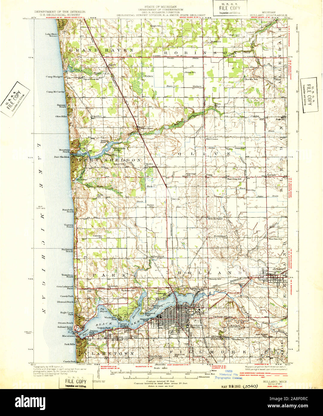 USGS TOPO Map Michigan MI Holland 278204 1932 62500 Stock Photohttps://www.alamy.com/image-license-details/?v=1https://www.alamy.com/usgs-topo-map-michigan-mi-holland-278204-1932-62500-image332244176.html
RM2A8F0RC–USGS TOPO Map Michigan MI Holland 278204 1932 62500
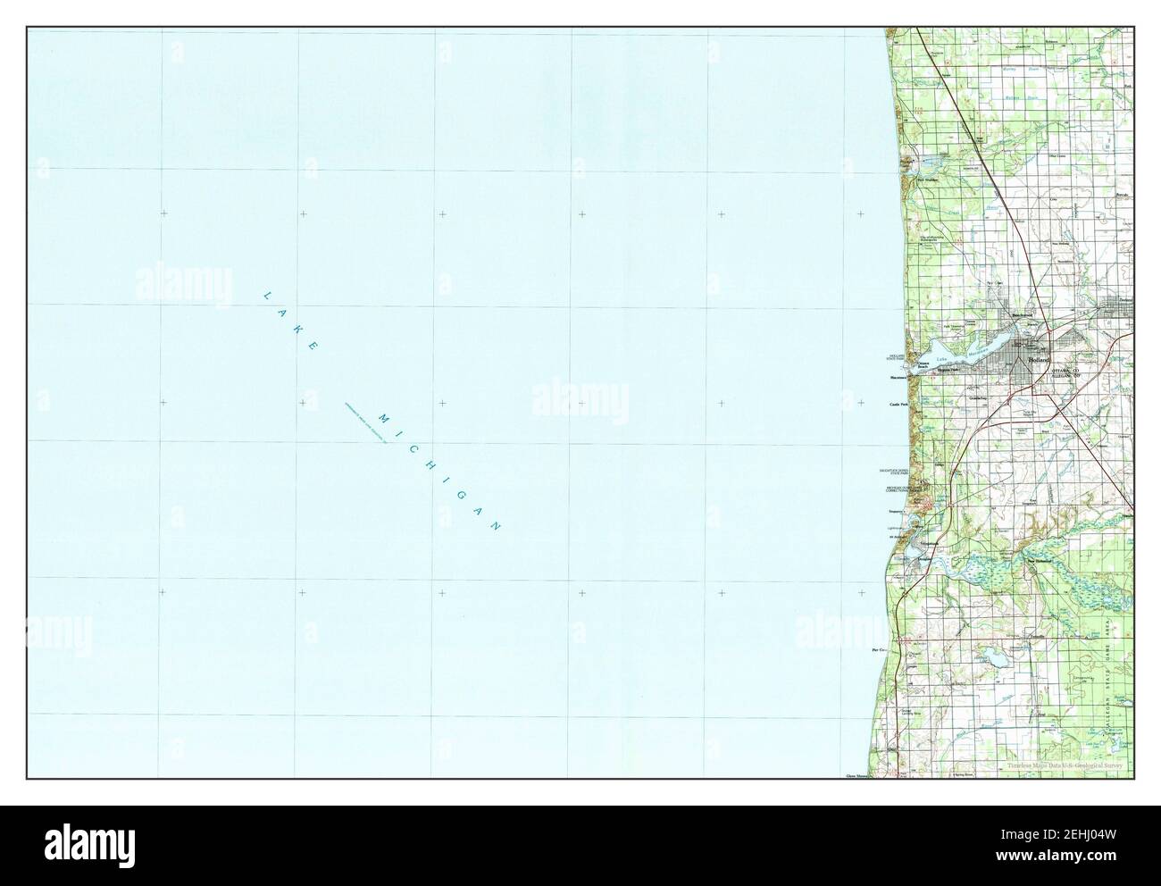 Holland, Michigan, map 1982, 1:100000, United States of America by Timeless Maps, data U.S. Geological Survey Stock Photohttps://www.alamy.com/image-license-details/?v=1https://www.alamy.com/holland-michigan-map-1982-1100000-united-states-of-america-by-timeless-maps-data-us-geological-survey-image406682889.html
RM2EHJ04W–Holland, Michigan, map 1982, 1:100000, United States of America by Timeless Maps, data U.S. Geological Survey
 Sanborn Fire Insurance Map from Holland, Ottawa County, Michigan. Stock Photohttps://www.alamy.com/image-license-details/?v=1https://www.alamy.com/sanborn-fire-insurance-map-from-holland-ottawa-county-michigan-image456425984.html
RM2HEG000–Sanborn Fire Insurance Map from Holland, Ottawa County, Michigan.
 USGS TOPO Map Michigan MI Holland 278204 1932 62500 Inverted Stock Photohttps://www.alamy.com/image-license-details/?v=1https://www.alamy.com/usgs-topo-map-michigan-mi-holland-278204-1932-62500-inverted-image332244159.html
RM2A8F0PR–USGS TOPO Map Michigan MI Holland 278204 1932 62500 Inverted
 Holland, Michigan, map 1932, 1:62500, United States of America by Timeless Maps, data U.S. Geological Survey Stock Photohttps://www.alamy.com/image-license-details/?v=1https://www.alamy.com/holland-michigan-map-1932-162500-united-states-of-america-by-timeless-maps-data-us-geological-survey-image414070407.html
RM2F1JF0R–Holland, Michigan, map 1932, 1:62500, United States of America by Timeless Maps, data U.S. Geological Survey
 Sanborn Fire Insurance Map from Holland, Ottawa County, Michigan. Stock Photohttps://www.alamy.com/image-license-details/?v=1https://www.alamy.com/sanborn-fire-insurance-map-from-holland-ottawa-county-michigan-image456425938.html
RM2HEFYXA–Sanborn Fire Insurance Map from Holland, Ottawa County, Michigan.
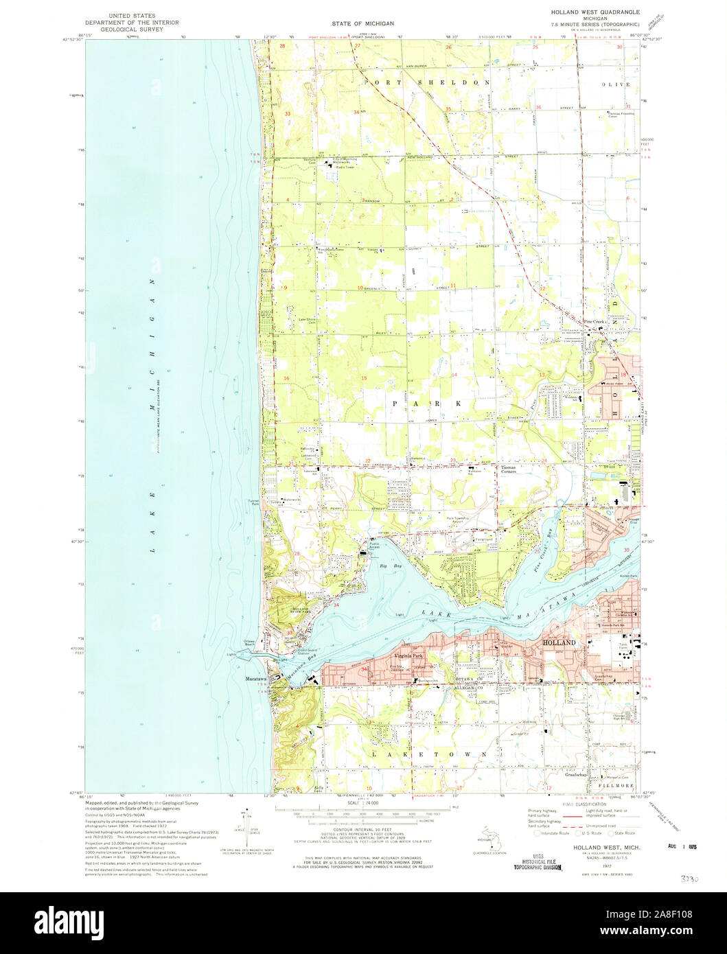 USGS TOPO Map Michigan MI Holland West 276343 1972 24000 Stock Photohttps://www.alamy.com/image-license-details/?v=1https://www.alamy.com/usgs-topo-map-michigan-mi-holland-west-276343-1972-24000-image332244312.html
RM2A8F108–USGS TOPO Map Michigan MI Holland West 276343 1972 24000
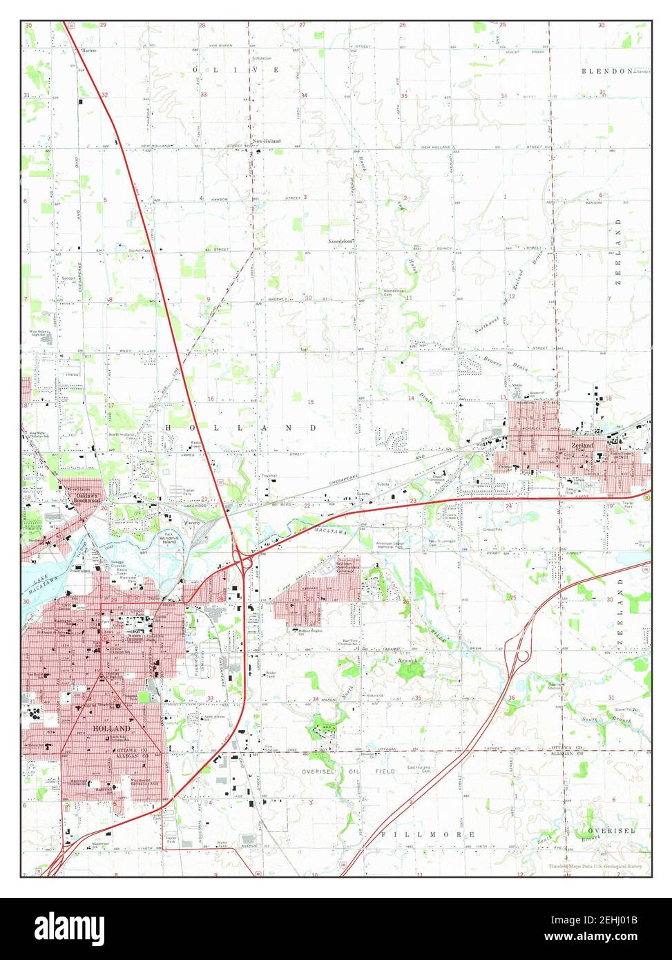 Holland East, Michigan, map 1972, 1:24000, United States of America by Timeless Maps, data U.S. Geological Survey Stock Photohttps://www.alamy.com/image-license-details/?v=1https://www.alamy.com/holland-east-michigan-map-1972-124000-united-states-of-america-by-timeless-maps-data-us-geological-survey-image406682791.html
RM2EHJ01B–Holland East, Michigan, map 1972, 1:24000, United States of America by Timeless Maps, data U.S. Geological Survey
 Sanborn Fire Insurance Map from Holland, Ottawa County, Michigan. Stock Photohttps://www.alamy.com/image-license-details/?v=1https://www.alamy.com/sanborn-fire-insurance-map-from-holland-ottawa-county-michigan-image456425970.html
RM2HEFYYE–Sanborn Fire Insurance Map from Holland, Ottawa County, Michigan.
 USGS TOPO Map Michigan MI Holland 278203 1929 62500 Inverted Stock Photohttps://www.alamy.com/image-license-details/?v=1https://www.alamy.com/usgs-topo-map-michigan-mi-holland-278203-1929-62500-inverted-image332244165.html
RM2A8F0R1–USGS TOPO Map Michigan MI Holland 278203 1929 62500 Inverted
 Holland East, Michigan, map 1972, 1:24000, United States of America by Timeless Maps, data U.S. Geological Survey Stock Photohttps://www.alamy.com/image-license-details/?v=1https://www.alamy.com/holland-east-michigan-map-1972-124000-united-states-of-america-by-timeless-maps-data-us-geological-survey-image406682787.html
RM2EHJ017–Holland East, Michigan, map 1972, 1:24000, United States of America by Timeless Maps, data U.S. Geological Survey
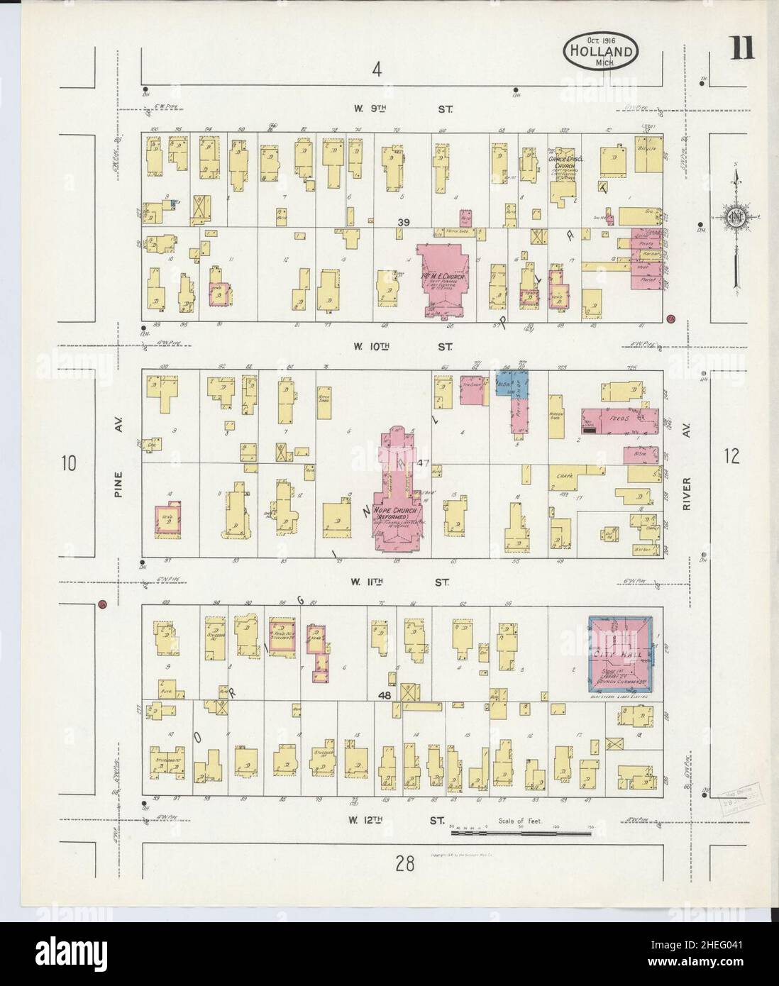 Sanborn Fire Insurance Map from Holland, Ottawa County, Michigan. Stock Photohttps://www.alamy.com/image-license-details/?v=1https://www.alamy.com/sanborn-fire-insurance-map-from-holland-ottawa-county-michigan-image456426097.html
RM2HEG041–Sanborn Fire Insurance Map from Holland, Ottawa County, Michigan.
 USGS TOPO Map Michigan MI Holland 278202 1929 62500 Inverted Stock Photohttps://www.alamy.com/image-license-details/?v=1https://www.alamy.com/usgs-topo-map-michigan-mi-holland-278202-1929-62500-inverted-image332244097.html
RM2A8F0MH–USGS TOPO Map Michigan MI Holland 278202 1929 62500 Inverted
 Sanborn Fire Insurance Map from Holland, Ottawa County, Michigan. Stock Photohttps://www.alamy.com/image-license-details/?v=1https://www.alamy.com/sanborn-fire-insurance-map-from-holland-ottawa-county-michigan-image456426019.html
RM2HEG017–Sanborn Fire Insurance Map from Holland, Ottawa County, Michigan.
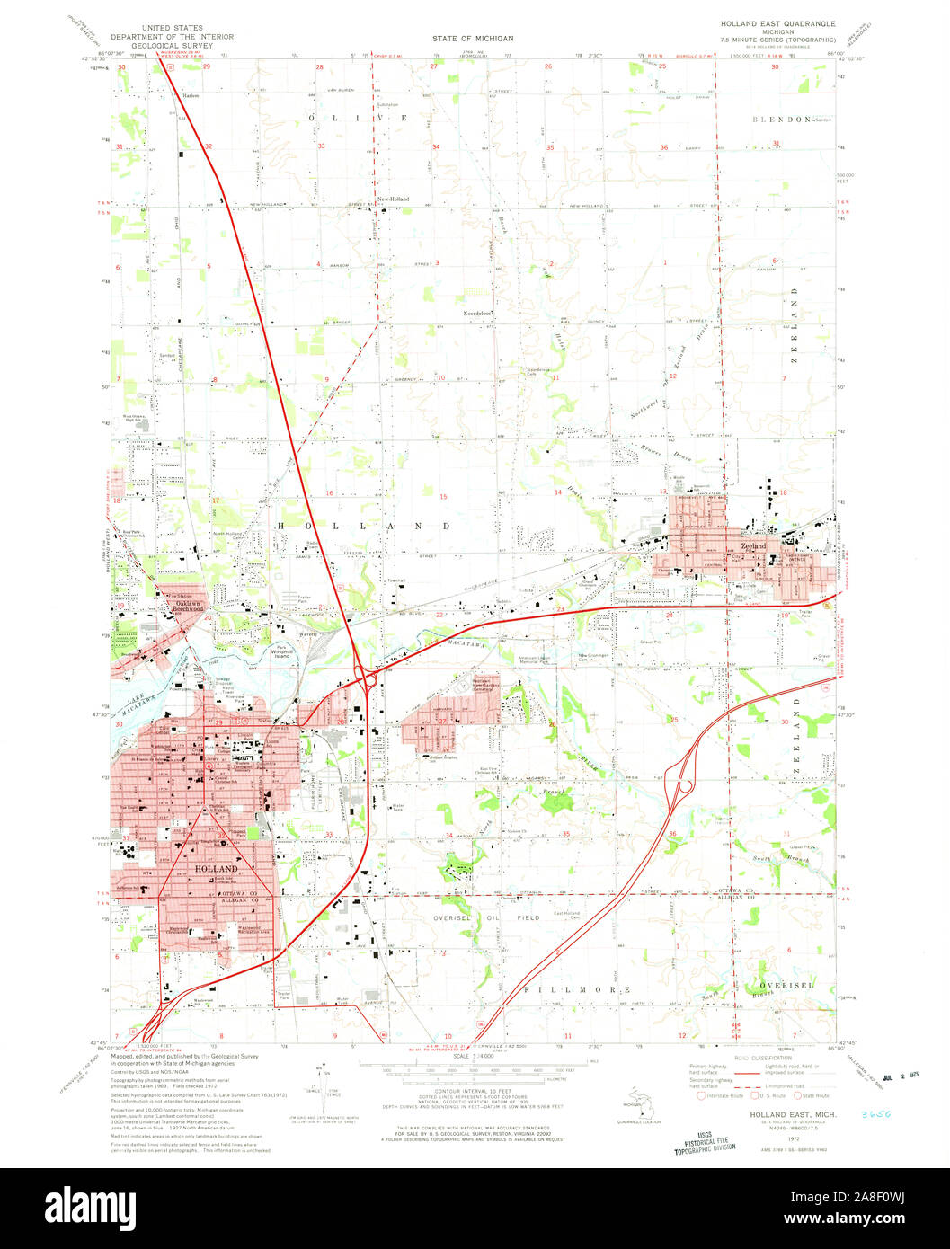 USGS TOPO Map Michigan MI Holland East 276341 1972 24000 Stock Photohttps://www.alamy.com/image-license-details/?v=1https://www.alamy.com/usgs-topo-map-michigan-mi-holland-east-276341-1972-24000-image332244238.html
RM2A8F0WJ–USGS TOPO Map Michigan MI Holland East 276341 1972 24000
 Sanborn Fire Insurance Map from Holland, Ottawa County, Michigan. Stock Photohttps://www.alamy.com/image-license-details/?v=1https://www.alamy.com/sanborn-fire-insurance-map-from-holland-ottawa-county-michigan-image456426046.html
RM2HEG026–Sanborn Fire Insurance Map from Holland, Ottawa County, Michigan.
 USGS TOPO Map Michigan MI Holland 278205 1932 62500 Inverted Stock Photohttps://www.alamy.com/image-license-details/?v=1https://www.alamy.com/usgs-topo-map-michigan-mi-holland-278205-1932-62500-inverted-image332244251.html
RM2A8F0X3–USGS TOPO Map Michigan MI Holland 278205 1932 62500 Inverted
 Sanborn Fire Insurance Map from Holland, Ottawa County, Michigan. Stock Photohttps://www.alamy.com/image-license-details/?v=1https://www.alamy.com/sanborn-fire-insurance-map-from-holland-ottawa-county-michigan-image456426032.html
RM2HEG01M–Sanborn Fire Insurance Map from Holland, Ottawa County, Michigan.
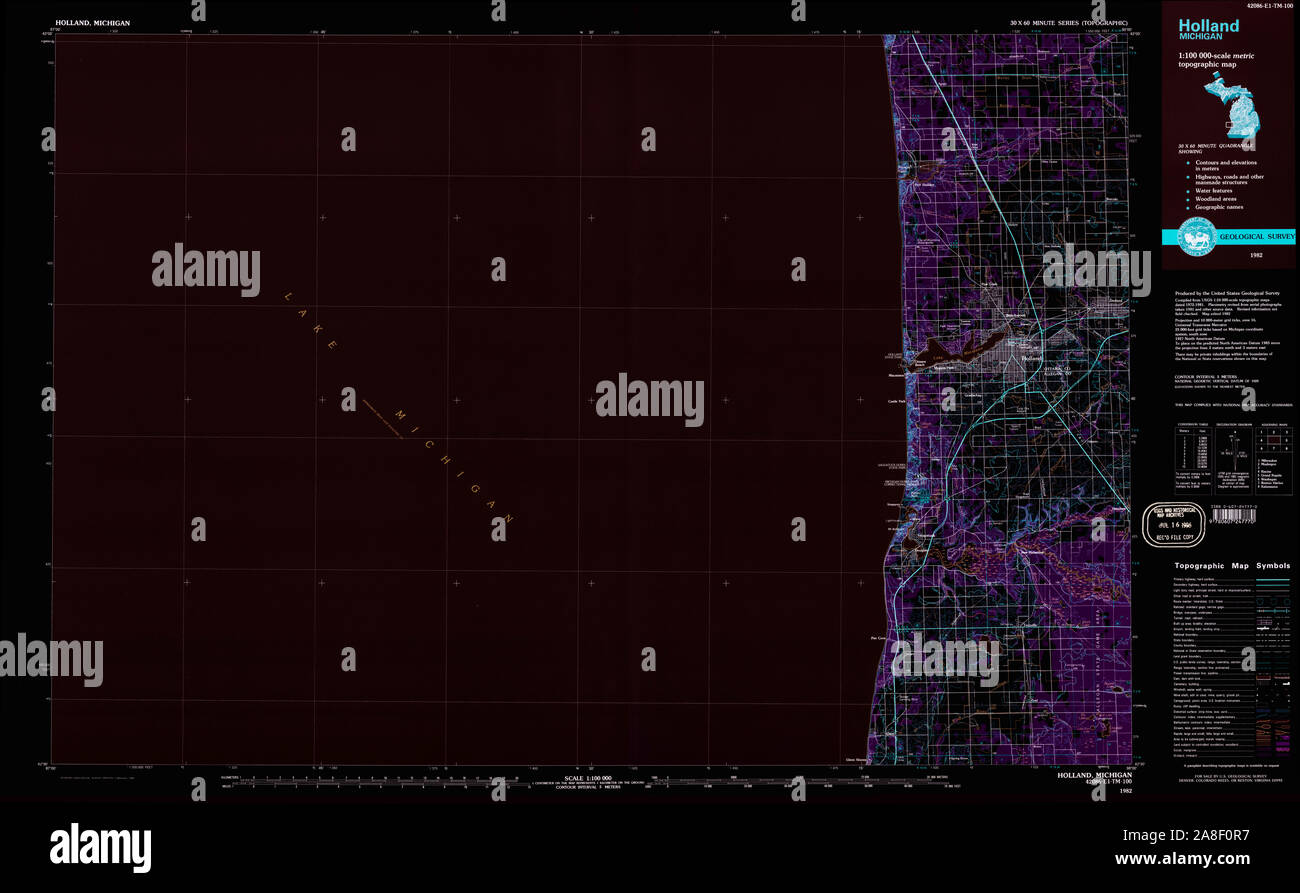 USGS TOPO Map Michigan MI Holland 278665 1982 100000 Inverted Stock Photohttps://www.alamy.com/image-license-details/?v=1https://www.alamy.com/usgs-topo-map-michigan-mi-holland-278665-1982-100000-inverted-image332244171.html
RM2A8F0R7–USGS TOPO Map Michigan MI Holland 278665 1982 100000 Inverted
 Sanborn Fire Insurance Map from Holland, Ottawa County, Michigan. Stock Photohttps://www.alamy.com/image-license-details/?v=1https://www.alamy.com/sanborn-fire-insurance-map-from-holland-ottawa-county-michigan-image456426061.html
RM2HEG02N–Sanborn Fire Insurance Map from Holland, Ottawa County, Michigan.
 USGS TOPO Map Michigan MI Holland East 20110908 TM Inverted Stock Photohttps://www.alamy.com/image-license-details/?v=1https://www.alamy.com/usgs-topo-map-michigan-mi-holland-east-20110908-tm-inverted-image332244164.html
RM2A8F0R0–USGS TOPO Map Michigan MI Holland East 20110908 TM Inverted
 Sanborn Fire Insurance Map from Holland, Ottawa County, Michigan. Stock Photohttps://www.alamy.com/image-license-details/?v=1https://www.alamy.com/sanborn-fire-insurance-map-from-holland-ottawa-county-michigan-image456426138.html
RM2HEG05E–Sanborn Fire Insurance Map from Holland, Ottawa County, Michigan.
 USGS TOPO Map Michigan MI Holland West 20110908 TM Inverted Stock Photohttps://www.alamy.com/image-license-details/?v=1https://www.alamy.com/usgs-topo-map-michigan-mi-holland-west-20110908-tm-inverted-image332244239.html
RM2A8F0WK–USGS TOPO Map Michigan MI Holland West 20110908 TM Inverted
 Sanborn Fire Insurance Map from Holland, Ottawa County, Michigan. Stock Photohttps://www.alamy.com/image-license-details/?v=1https://www.alamy.com/sanborn-fire-insurance-map-from-holland-ottawa-county-michigan-image456426065.html
RM2HEG02W–Sanborn Fire Insurance Map from Holland, Ottawa County, Michigan.
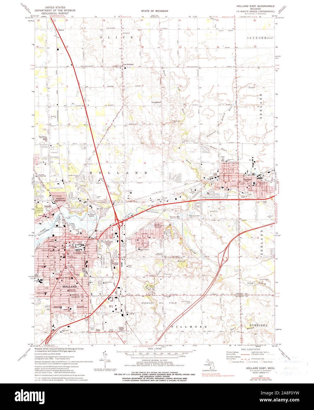 USGS TOPO Map Michigan MI Holland East 276342 1972 24000 Stock Photohttps://www.alamy.com/image-license-details/?v=1https://www.alamy.com/usgs-topo-map-michigan-mi-holland-east-276342-1972-24000-image332244301.html
RM2A8F0YW–USGS TOPO Map Michigan MI Holland East 276342 1972 24000
 Sanborn Fire Insurance Map from Holland, Ottawa County, Michigan. Stock Photohttps://www.alamy.com/image-license-details/?v=1https://www.alamy.com/sanborn-fire-insurance-map-from-holland-ottawa-county-michigan-image456426018.html
RM2HEG016–Sanborn Fire Insurance Map from Holland, Ottawa County, Michigan.
 USGS TOPO Map Michigan MI Holland West 276343 1972 24000 Inverted Stock Photohttps://www.alamy.com/image-license-details/?v=1https://www.alamy.com/usgs-topo-map-michigan-mi-holland-west-276343-1972-24000-inverted-image332244255.html
RM2A8F0X7–USGS TOPO Map Michigan MI Holland West 276343 1972 24000 Inverted
 Sanborn Fire Insurance Map from Holland, Ottawa County, Michigan. Stock Photohttps://www.alamy.com/image-license-details/?v=1https://www.alamy.com/sanborn-fire-insurance-map-from-holland-ottawa-county-michigan-image456426066.html
RM2HEG02X–Sanborn Fire Insurance Map from Holland, Ottawa County, Michigan.
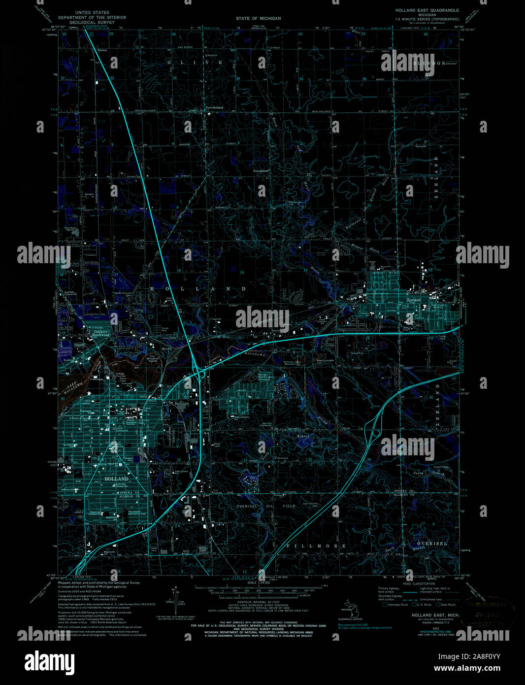 USGS TOPO Map Michigan MI Holland East 276342 1972 24000 Inverted Stock Photohttps://www.alamy.com/image-license-details/?v=1https://www.alamy.com/usgs-topo-map-michigan-mi-holland-east-276342-1972-24000-inverted-image332244303.html
RM2A8F0YY–USGS TOPO Map Michigan MI Holland East 276342 1972 24000 Inverted
 Sanborn Fire Insurance Map from Holland, Ottawa County, Michigan. Stock Photohttps://www.alamy.com/image-license-details/?v=1https://www.alamy.com/sanborn-fire-insurance-map-from-holland-ottawa-county-michigan-image456425973.html
RM2HEFYYH–Sanborn Fire Insurance Map from Holland, Ottawa County, Michigan.
 USGS TOPO Map Michigan MI Holland East 276341 1972 24000 Inverted Stock Photohttps://www.alamy.com/image-license-details/?v=1https://www.alamy.com/usgs-topo-map-michigan-mi-holland-east-276341-1972-24000-inverted-image332244261.html
RM2A8F0XD–USGS TOPO Map Michigan MI Holland East 276341 1972 24000 Inverted
 Sanborn Fire Insurance Map from Holland, Ottawa County, Michigan. Stock Photohttps://www.alamy.com/image-license-details/?v=1https://www.alamy.com/sanborn-fire-insurance-map-from-holland-ottawa-county-michigan-image456426053.html
RM2HEG02D–Sanborn Fire Insurance Map from Holland, Ottawa County, Michigan.
 Sanborn Fire Insurance Map from Holland, Ottawa County, Michigan. Stock Photohttps://www.alamy.com/image-license-details/?v=1https://www.alamy.com/sanborn-fire-insurance-map-from-holland-ottawa-county-michigan-image456426078.html
RM2HEG03A–Sanborn Fire Insurance Map from Holland, Ottawa County, Michigan.
 Sanborn Fire Insurance Map from Holland, Ottawa County, Michigan. Stock Photohttps://www.alamy.com/image-license-details/?v=1https://www.alamy.com/sanborn-fire-insurance-map-from-holland-ottawa-county-michigan-image456426118.html
RM2HEG04P–Sanborn Fire Insurance Map from Holland, Ottawa County, Michigan.
 Sanborn Fire Insurance Map from Holland, Ottawa County, Michigan. Stock Photohttps://www.alamy.com/image-license-details/?v=1https://www.alamy.com/sanborn-fire-insurance-map-from-holland-ottawa-county-michigan-image456426024.html
RM2HEG01C–Sanborn Fire Insurance Map from Holland, Ottawa County, Michigan.
 Sanborn Fire Insurance Map from Holland, Ottawa County, Michigan. Stock Photohttps://www.alamy.com/image-license-details/?v=1https://www.alamy.com/sanborn-fire-insurance-map-from-holland-ottawa-county-michigan-image456426027.html
RM2HEG01F–Sanborn Fire Insurance Map from Holland, Ottawa County, Michigan.
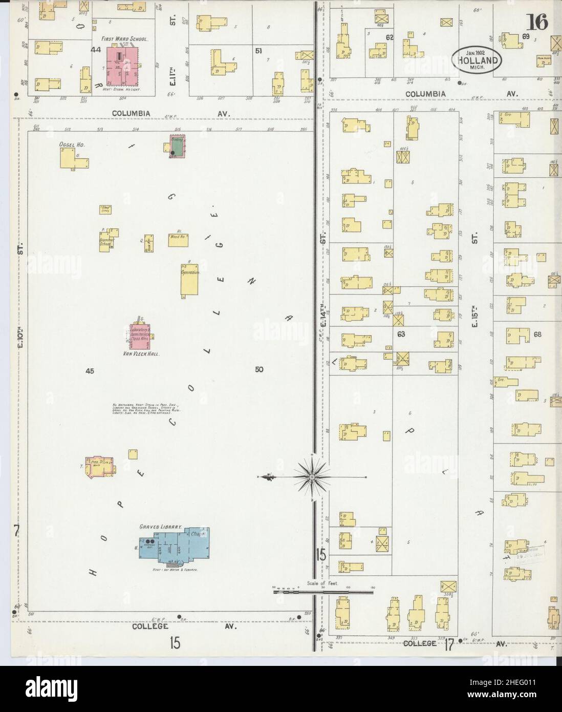 Sanborn Fire Insurance Map from Holland, Ottawa County, Michigan. Stock Photohttps://www.alamy.com/image-license-details/?v=1https://www.alamy.com/sanborn-fire-insurance-map-from-holland-ottawa-county-michigan-image456426013.html
RM2HEG011–Sanborn Fire Insurance Map from Holland, Ottawa County, Michigan.
 Sanborn Fire Insurance Map from Holland, Ottawa County, Michigan. Stock Photohttps://www.alamy.com/image-license-details/?v=1https://www.alamy.com/sanborn-fire-insurance-map-from-holland-ottawa-county-michigan-image456425950.html
RM2HEFYXP–Sanborn Fire Insurance Map from Holland, Ottawa County, Michigan.
 Sanborn Fire Insurance Map from Holland, Ottawa County, Michigan. Stock Photohttps://www.alamy.com/image-license-details/?v=1https://www.alamy.com/sanborn-fire-insurance-map-from-holland-ottawa-county-michigan-image456426076.html
RM2HEG038–Sanborn Fire Insurance Map from Holland, Ottawa County, Michigan.
 Sanborn Fire Insurance Map from Holland, Ottawa County, Michigan. Stock Photohttps://www.alamy.com/image-license-details/?v=1https://www.alamy.com/sanborn-fire-insurance-map-from-holland-ottawa-county-michigan-image456426020.html
RM2HEG018–Sanborn Fire Insurance Map from Holland, Ottawa County, Michigan.
 Sanborn Fire Insurance Map from Holland, Ottawa County, Michigan. Stock Photohttps://www.alamy.com/image-license-details/?v=1https://www.alamy.com/sanborn-fire-insurance-map-from-holland-ottawa-county-michigan-image456426021.html
RM2HEG019–Sanborn Fire Insurance Map from Holland, Ottawa County, Michigan.
 Sanborn Fire Insurance Map from Holland, Ottawa County, Michigan. Stock Photohttps://www.alamy.com/image-license-details/?v=1https://www.alamy.com/sanborn-fire-insurance-map-from-holland-ottawa-county-michigan-image456426025.html
RM2HEG01D–Sanborn Fire Insurance Map from Holland, Ottawa County, Michigan.
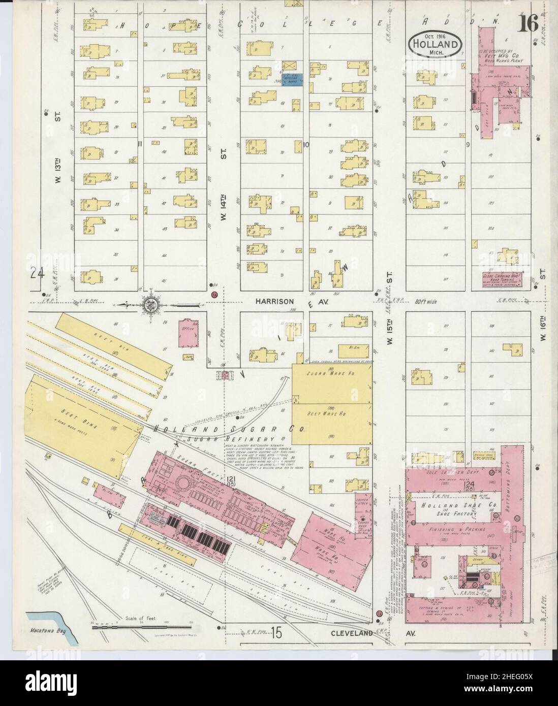 Sanborn Fire Insurance Map from Holland, Ottawa County, Michigan. Stock Photohttps://www.alamy.com/image-license-details/?v=1https://www.alamy.com/sanborn-fire-insurance-map-from-holland-ottawa-county-michigan-image456426150.html
RM2HEG05X–Sanborn Fire Insurance Map from Holland, Ottawa County, Michigan.
 Sanborn Fire Insurance Map from Holland, Ottawa County, Michigan. Stock Photohttps://www.alamy.com/image-license-details/?v=1https://www.alamy.com/sanborn-fire-insurance-map-from-holland-ottawa-county-michigan-image456426109.html
RM2HEG04D–Sanborn Fire Insurance Map from Holland, Ottawa County, Michigan.
 Sanborn Fire Insurance Map from Holland, Ottawa County, Michigan. Stock Photohttps://www.alamy.com/image-license-details/?v=1https://www.alamy.com/sanborn-fire-insurance-map-from-holland-ottawa-county-michigan-image456426017.html
RM2HEG015–Sanborn Fire Insurance Map from Holland, Ottawa County, Michigan.
 Sanborn Fire Insurance Map from Holland, Ottawa County, Michigan. Stock Photohttps://www.alamy.com/image-license-details/?v=1https://www.alamy.com/sanborn-fire-insurance-map-from-holland-ottawa-county-michigan-image456426074.html
RM2HEG036–Sanborn Fire Insurance Map from Holland, Ottawa County, Michigan.
 Sanborn Fire Insurance Map from Holland, Ottawa County, Michigan. Stock Photohttps://www.alamy.com/image-license-details/?v=1https://www.alamy.com/sanborn-fire-insurance-map-from-holland-ottawa-county-michigan-image456426120.html
RM2HEG04T–Sanborn Fire Insurance Map from Holland, Ottawa County, Michigan.
 Sanborn Fire Insurance Map from Holland, Ottawa County, Michigan. Stock Photohttps://www.alamy.com/image-license-details/?v=1https://www.alamy.com/sanborn-fire-insurance-map-from-holland-ottawa-county-michigan-image456425944.html
RM2HEFYXG–Sanborn Fire Insurance Map from Holland, Ottawa County, Michigan.
 Sanborn Fire Insurance Map from Holland, Ottawa County, Michigan. Stock Photohttps://www.alamy.com/image-license-details/?v=1https://www.alamy.com/sanborn-fire-insurance-map-from-holland-ottawa-county-michigan-image456425940.html
RM2HEFYXC–Sanborn Fire Insurance Map from Holland, Ottawa County, Michigan.
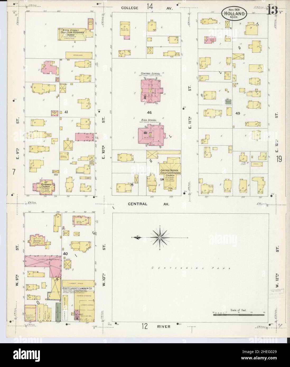 Sanborn Fire Insurance Map from Holland, Ottawa County, Michigan. Stock Photohttps://www.alamy.com/image-license-details/?v=1https://www.alamy.com/sanborn-fire-insurance-map-from-holland-ottawa-county-michigan-image456426049.html
RM2HEG029–Sanborn Fire Insurance Map from Holland, Ottawa County, Michigan.
 Sanborn Fire Insurance Map from Holland, Ottawa County, Michigan. Stock Photohttps://www.alamy.com/image-license-details/?v=1https://www.alamy.com/sanborn-fire-insurance-map-from-holland-ottawa-county-michigan-image456426030.html
RM2HEG01J–Sanborn Fire Insurance Map from Holland, Ottawa County, Michigan.
 Sanborn Fire Insurance Map from Holland, Ottawa County, Michigan. Stock Photohttps://www.alamy.com/image-license-details/?v=1https://www.alamy.com/sanborn-fire-insurance-map-from-holland-ottawa-county-michigan-image456426111.html
RM2HEG04F–Sanborn Fire Insurance Map from Holland, Ottawa County, Michigan.
 Sanborn Fire Insurance Map from Holland, Ottawa County, Michigan. Stock Photohttps://www.alamy.com/image-license-details/?v=1https://www.alamy.com/sanborn-fire-insurance-map-from-holland-ottawa-county-michigan-image456426054.html
RM2HEG02E–Sanborn Fire Insurance Map from Holland, Ottawa County, Michigan.
 Sanborn Fire Insurance Map from Holland, Ottawa County, Michigan. Stock Photohttps://www.alamy.com/image-license-details/?v=1https://www.alamy.com/sanborn-fire-insurance-map-from-holland-ottawa-county-michigan-image456425983.html
RM2HEFYYY–Sanborn Fire Insurance Map from Holland, Ottawa County, Michigan.
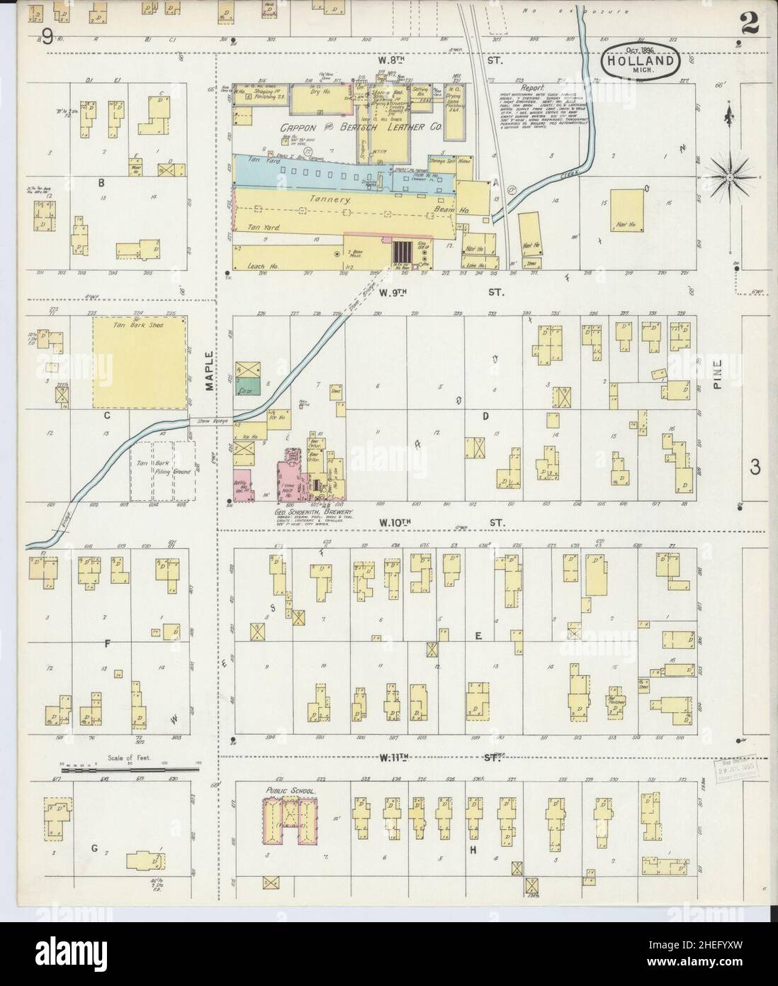 Sanborn Fire Insurance Map from Holland, Ottawa County, Michigan. Stock Photohttps://www.alamy.com/image-license-details/?v=1https://www.alamy.com/sanborn-fire-insurance-map-from-holland-ottawa-county-michigan-image456425953.html
RM2HEFYXW–Sanborn Fire Insurance Map from Holland, Ottawa County, Michigan.
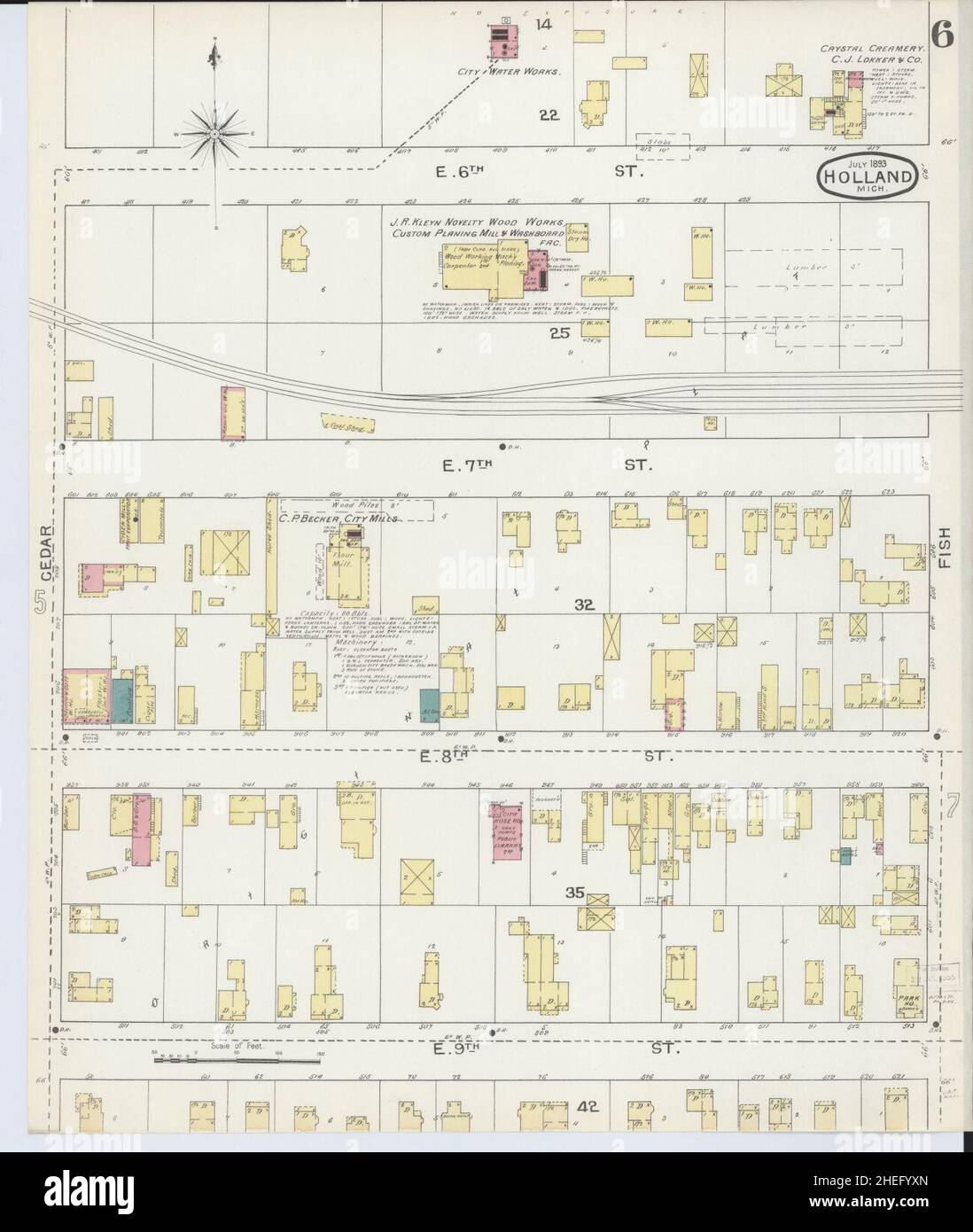 Sanborn Fire Insurance Map from Holland, Ottawa County, Michigan. Stock Photohttps://www.alamy.com/image-license-details/?v=1https://www.alamy.com/sanborn-fire-insurance-map-from-holland-ottawa-county-michigan-image456425949.html
RM2HEFYXN–Sanborn Fire Insurance Map from Holland, Ottawa County, Michigan.
 Sanborn Fire Insurance Map from Holland, Ottawa County, Michigan. Stock Photohttps://www.alamy.com/image-license-details/?v=1https://www.alamy.com/sanborn-fire-insurance-map-from-holland-ottawa-county-michigan-image456425974.html
RM2HEFYYJ–Sanborn Fire Insurance Map from Holland, Ottawa County, Michigan.
 Sanborn Fire Insurance Map from Holland, Ottawa County, Michigan. Stock Photohttps://www.alamy.com/image-license-details/?v=1https://www.alamy.com/sanborn-fire-insurance-map-from-holland-ottawa-county-michigan-image456425943.html
RM2HEFYXF–Sanborn Fire Insurance Map from Holland, Ottawa County, Michigan.
 Sanborn Fire Insurance Map from Holland, Ottawa County, Michigan. Stock Photohttps://www.alamy.com/image-license-details/?v=1https://www.alamy.com/sanborn-fire-insurance-map-from-holland-ottawa-county-michigan-image456426171.html
RM2HEG06K–Sanborn Fire Insurance Map from Holland, Ottawa County, Michigan.
 Sanborn Fire Insurance Map from Holland, Ottawa County, Michigan. Stock Photohttps://www.alamy.com/image-license-details/?v=1https://www.alamy.com/sanborn-fire-insurance-map-from-holland-ottawa-county-michigan-image456425942.html
RM2HEFYXE–Sanborn Fire Insurance Map from Holland, Ottawa County, Michigan.
 Sanborn Fire Insurance Map from Holland, Ottawa County, Michigan. Stock Photohttps://www.alamy.com/image-license-details/?v=1https://www.alamy.com/sanborn-fire-insurance-map-from-holland-ottawa-county-michigan-image456425939.html
RM2HEFYXB–Sanborn Fire Insurance Map from Holland, Ottawa County, Michigan.
 Sanborn Fire Insurance Map from Holland, Ottawa County, Michigan. Stock Photohttps://www.alamy.com/image-license-details/?v=1https://www.alamy.com/sanborn-fire-insurance-map-from-holland-ottawa-county-michigan-image456426060.html
RM2HEG02M–Sanborn Fire Insurance Map from Holland, Ottawa County, Michigan.
 Sanborn Fire Insurance Map from Holland, Ottawa County, Michigan. Stock Photohttps://www.alamy.com/image-license-details/?v=1https://www.alamy.com/sanborn-fire-insurance-map-from-holland-ottawa-county-michigan-image456425961.html
RM2HEFYY5–Sanborn Fire Insurance Map from Holland, Ottawa County, Michigan.
 Sanborn Fire Insurance Map from Holland, Ottawa County, Michigan. Stock Photohttps://www.alamy.com/image-license-details/?v=1https://www.alamy.com/sanborn-fire-insurance-map-from-holland-ottawa-county-michigan-image456426160.html
RM2HEG068–Sanborn Fire Insurance Map from Holland, Ottawa County, Michigan.
 Sanborn Fire Insurance Map from Holland, Ottawa County, Michigan. Stock Photohttps://www.alamy.com/image-license-details/?v=1https://www.alamy.com/sanborn-fire-insurance-map-from-holland-ottawa-county-michigan-image456426102.html
RM2HEG046–Sanborn Fire Insurance Map from Holland, Ottawa County, Michigan.
 Sanborn Fire Insurance Map from Holland, Ottawa County, Michigan. Stock Photohttps://www.alamy.com/image-license-details/?v=1https://www.alamy.com/sanborn-fire-insurance-map-from-holland-ottawa-county-michigan-image456426165.html
RM2HEG06D–Sanborn Fire Insurance Map from Holland, Ottawa County, Michigan.
 Sanborn Fire Insurance Map from Holland, Ottawa County, Michigan. Stock Photohttps://www.alamy.com/image-license-details/?v=1https://www.alamy.com/sanborn-fire-insurance-map-from-holland-ottawa-county-michigan-image456426070.html
RM2HEG032–Sanborn Fire Insurance Map from Holland, Ottawa County, Michigan.
 Sanborn Fire Insurance Map from Holland, Ottawa County, Michigan. Stock Photohttps://www.alamy.com/image-license-details/?v=1https://www.alamy.com/sanborn-fire-insurance-map-from-holland-ottawa-county-michigan-image456426051.html
RM2HEG02B–Sanborn Fire Insurance Map from Holland, Ottawa County, Michigan.
 Sanborn Fire Insurance Map from Holland, Ottawa County, Michigan. Stock Photohttps://www.alamy.com/image-license-details/?v=1https://www.alamy.com/sanborn-fire-insurance-map-from-holland-ottawa-county-michigan-image456425954.html
RM2HEFYXX–Sanborn Fire Insurance Map from Holland, Ottawa County, Michigan.
 Sanborn Fire Insurance Map from Holland, Ottawa County, Michigan. Stock Photohttps://www.alamy.com/image-license-details/?v=1https://www.alamy.com/sanborn-fire-insurance-map-from-holland-ottawa-county-michigan-image456425937.html
RM2HEFYX9–Sanborn Fire Insurance Map from Holland, Ottawa County, Michigan.
 Sanborn Fire Insurance Map from Holland, Ottawa County, Michigan. Stock Photohttps://www.alamy.com/image-license-details/?v=1https://www.alamy.com/sanborn-fire-insurance-map-from-holland-ottawa-county-michigan-image456426028.html
RM2HEG01G–Sanborn Fire Insurance Map from Holland, Ottawa County, Michigan.
 Sanborn Fire Insurance Map from Holland, Ottawa County, Michigan. Stock Photohttps://www.alamy.com/image-license-details/?v=1https://www.alamy.com/sanborn-fire-insurance-map-from-holland-ottawa-county-michigan-image456426112.html
RM2HEG04G–Sanborn Fire Insurance Map from Holland, Ottawa County, Michigan.
 Sanborn Fire Insurance Map from Holland, Ottawa County, Michigan. Stock Photohttps://www.alamy.com/image-license-details/?v=1https://www.alamy.com/sanborn-fire-insurance-map-from-holland-ottawa-county-michigan-image456426068.html
RM2HEG030–Sanborn Fire Insurance Map from Holland, Ottawa County, Michigan.
 Sanborn Fire Insurance Map from Holland, Ottawa County, Michigan. Stock Photohttps://www.alamy.com/image-license-details/?v=1https://www.alamy.com/sanborn-fire-insurance-map-from-holland-ottawa-county-michigan-image456425966.html
RM2HEFYYA–Sanborn Fire Insurance Map from Holland, Ottawa County, Michigan.