Quick filters:
Map of hollister Stock Photos and Images
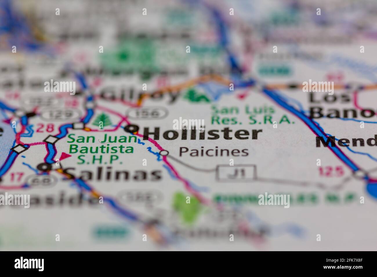 Hollister California USA shown on a Geography map or road map Stock Photohttps://www.alamy.com/image-license-details/?v=1https://www.alamy.com/hollister-california-usa-shown-on-a-geography-map-or-road-map-image424901583.html
RM2FK7X8F–Hollister California USA shown on a Geography map or road map
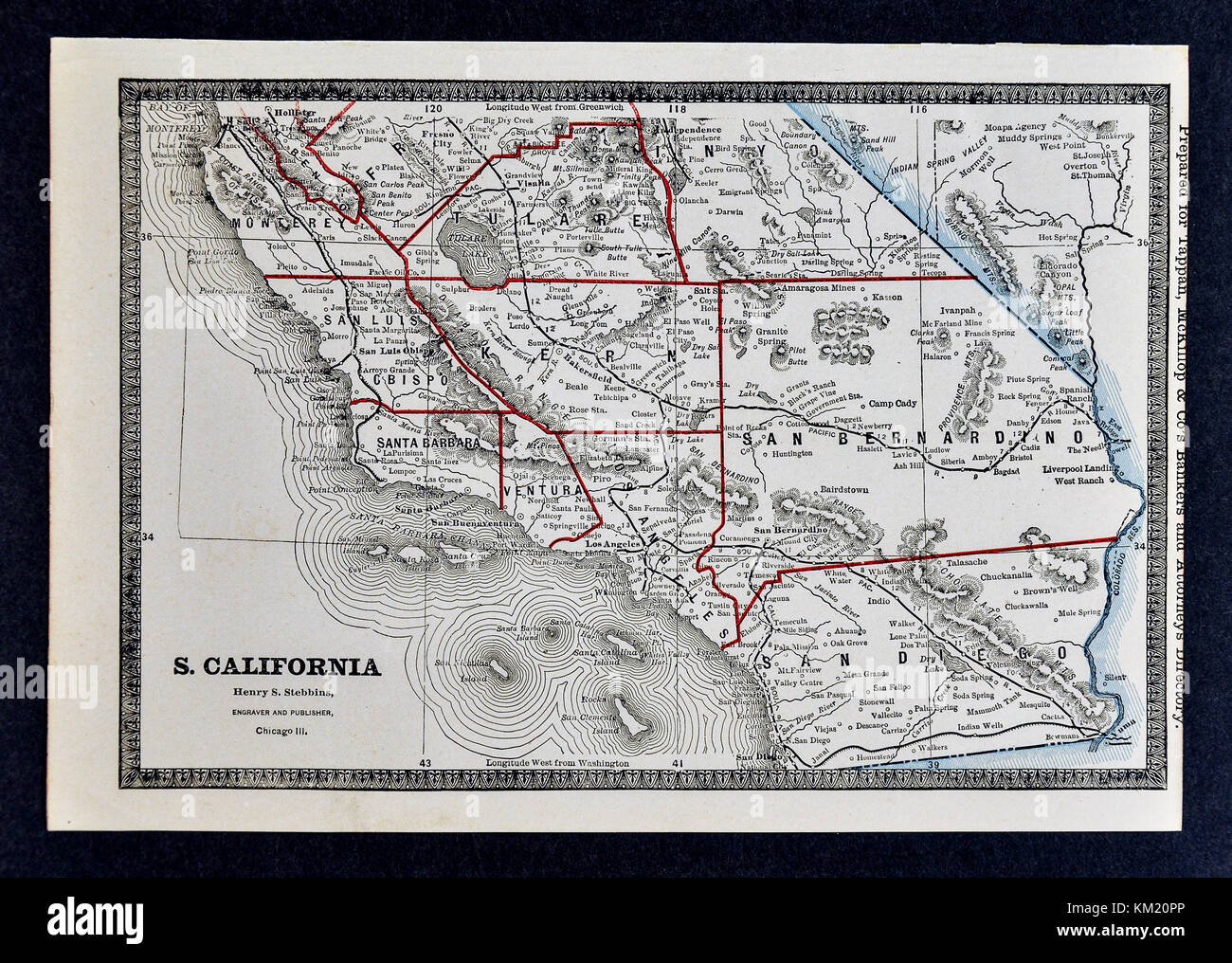 George Cram Antique Map from 1866 Atlas for Attorneys and Bankers: United States - Southern California - Los Angeles San Diego Santa Barbara Stock Photohttps://www.alamy.com/image-license-details/?v=1https://www.alamy.com/stock-image-george-cram-antique-map-from-1866-atlas-for-attorneys-and-bankers-167230974.html
RFKM20PP–George Cram Antique Map from 1866 Atlas for Attorneys and Bankers: United States - Southern California - Los Angeles San Diego Santa Barbara
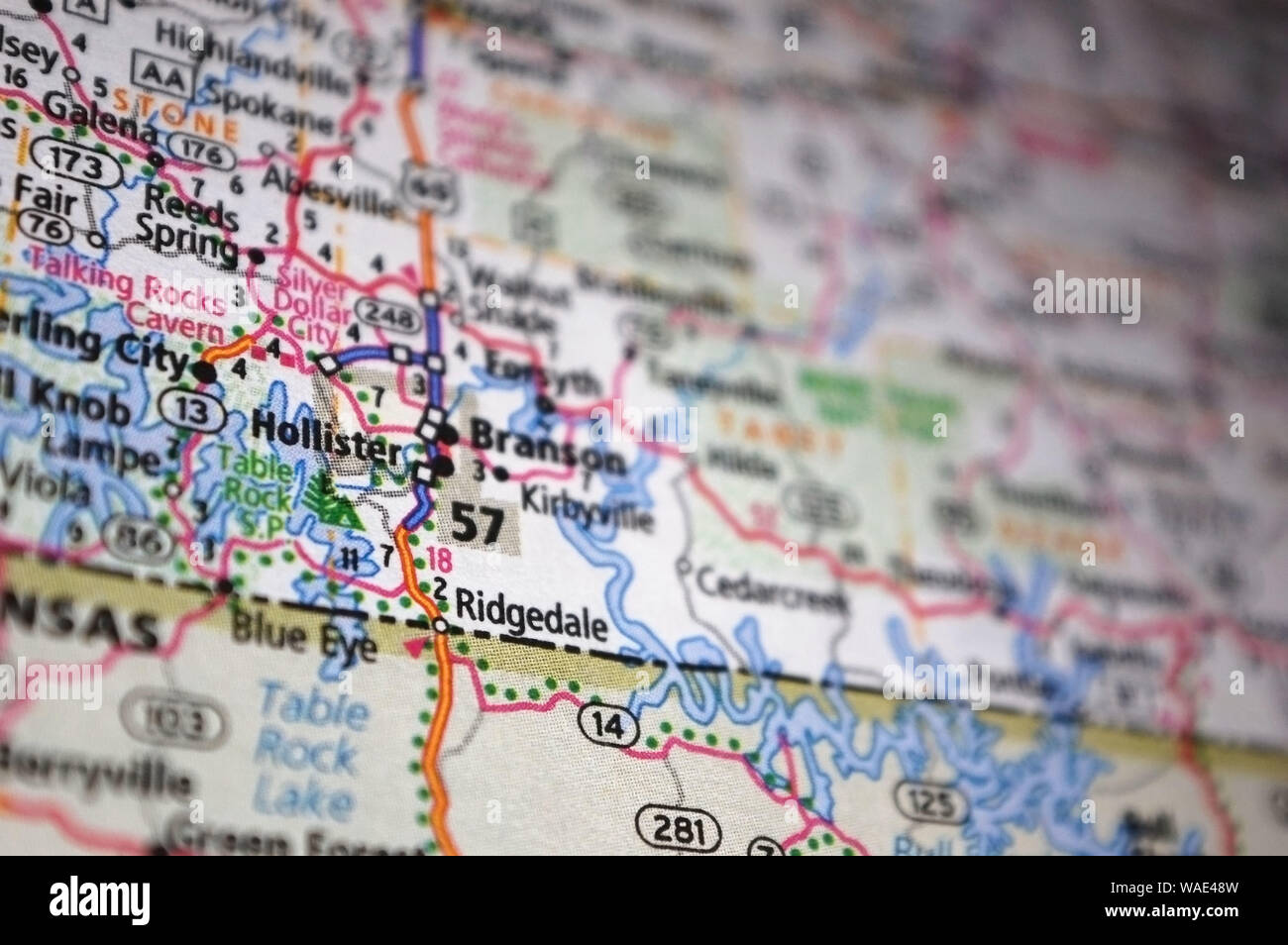 Extreme close-up of Hollister, Missouri in a map. Stock Photohttps://www.alamy.com/image-license-details/?v=1https://www.alamy.com/extreme-close-up-of-hollister-missouri-in-a-map-image264612793.html
RFWAE48W–Extreme close-up of Hollister, Missouri in a map.
 S. Hollister Jackson 3 Stock Photohttps://www.alamy.com/image-license-details/?v=1https://www.alamy.com/stock-photo-s-hollister-jackson-3-140492543.html
RMJ4FYJR–S. Hollister Jackson 3
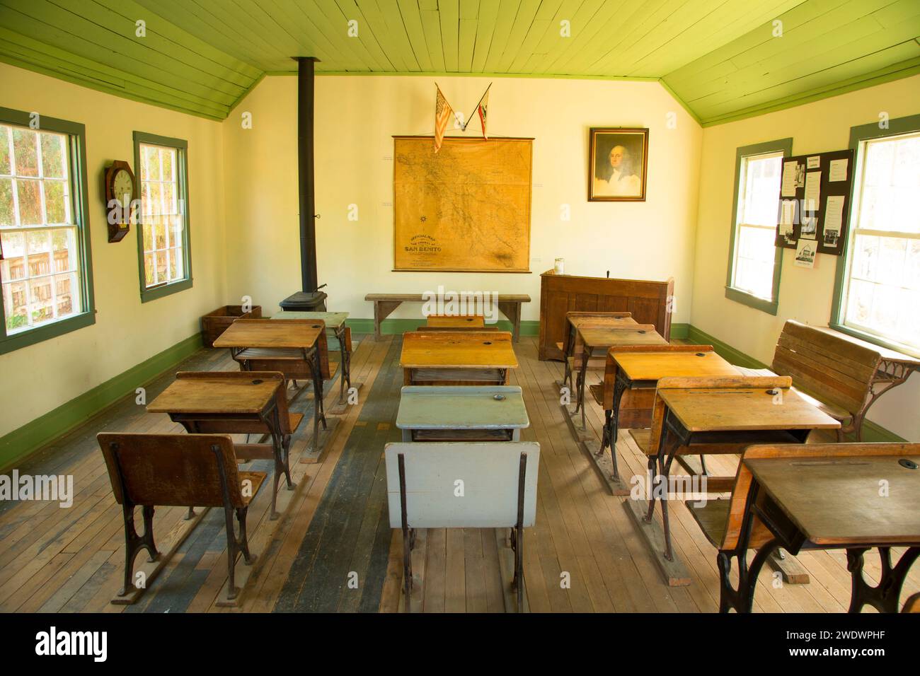 Willow Creek School, San Benito County Historical Park, California Stock Photohttps://www.alamy.com/image-license-details/?v=1https://www.alamy.com/willow-creek-school-san-benito-county-historical-park-california-image593709579.html
RF2WDWPHF–Willow Creek School, San Benito County Historical Park, California
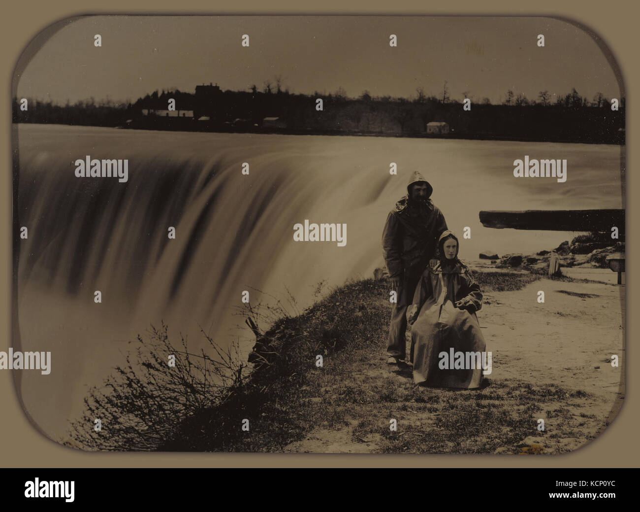 Attributed to Henry Hollister (Canadian, active about 1840 1860) Couple at Niagara Falls in Waterproofs Stock Photohttps://www.alamy.com/image-license-details/?v=1https://www.alamy.com/stock-image-attributed-to-henry-hollister-canadian-active-about-1840-1860-couple-162752896.html
RMKCP0YC–Attributed to Henry Hollister (Canadian, active about 1840 1860) Couple at Niagara Falls in Waterproofs
 Hollister, Bourbon County, US, United States, Kansas, N 37 45' 46'', S 94 50' 8'', map, Cartascapes Map published in 2024. Explore Cartascapes, a map revealing Earth's diverse landscapes, cultures, and ecosystems. Journey through time and space, discovering the interconnectedness of our planet's past, present, and future. Stock Photohttps://www.alamy.com/image-license-details/?v=1https://www.alamy.com/hollister-bourbon-county-us-united-states-kansas-n-37-45-46-s-94-50-8-map-cartascapes-map-published-in-2024-explore-cartascapes-a-map-revealing-earths-diverse-landscapes-cultures-and-ecosystems-journey-through-time-and-space-discovering-the-interconnectedness-of-our-planets-past-present-and-future-image621306787.html
RM2Y2PY43–Hollister, Bourbon County, US, United States, Kansas, N 37 45' 46'', S 94 50' 8'', map, Cartascapes Map published in 2024. Explore Cartascapes, a map revealing Earth's diverse landscapes, cultures, and ecosystems. Journey through time and space, discovering the interconnectedness of our planet's past, present, and future.
![Bergen County, V. 2, Double Page Plate No. 3 [Map bounded by Raymond Ave., Francesco Ave., Hollister Ave., Eliott Pl., Franklin Pl., Anding St., 4th Ave., Passaic River] 1912 - 1913 Stock Photo Bergen County, V. 2, Double Page Plate No. 3 [Map bounded by Raymond Ave., Francesco Ave., Hollister Ave., Eliott Pl., Franklin Pl., Anding St., 4th Ave., Passaic River] 1912 - 1913 Stock Photo](https://c8.alamy.com/comp/2YP2KX2/bergen-county-v-2-double-page-plate-no-3-map-bounded-by-raymond-ave-francesco-ave-hollister-ave-eliott-pl-franklin-pl-anding-st-4th-ave-passaic-river-1912-1913-2YP2KX2.jpg) Bergen County, V. 2, Double Page Plate No. 3 [Map bounded by Raymond Ave., Francesco Ave., Hollister Ave., Eliott Pl., Franklin Pl., Anding St., 4th Ave., Passaic River] 1912 - 1913 Stock Photohttps://www.alamy.com/image-license-details/?v=1https://www.alamy.com/bergen-county-v-2-double-page-plate-no-3-map-bounded-by-raymond-ave-francesco-ave-hollister-ave-eliott-pl-franklin-pl-anding-st-4th-ave-passaic-river-1912-1913-image633155210.html
Bergen County, V. 2, Double Page Plate No. 3 [Map bounded by Raymond Ave., Francesco Ave., Hollister Ave., Eliott Pl., Franklin Pl., Anding St., 4th Ave., Passaic River] 1912 - 1913 Stock Photohttps://www.alamy.com/image-license-details/?v=1https://www.alamy.com/bergen-county-v-2-double-page-plate-no-3-map-bounded-by-raymond-ave-francesco-ave-hollister-ave-eliott-pl-franklin-pl-anding-st-4th-ave-passaic-river-1912-1913-image633155210.htmlRM2YP2KX2–Bergen County, V. 2, Double Page Plate No. 3 [Map bounded by Raymond Ave., Francesco Ave., Hollister Ave., Eliott Pl., Franklin Pl., Anding St., 4th Ave., Passaic River] 1912 - 1913
 USGS TOPO Map California CA Hollister 297716 1921 62500 Restoration Stock Photohttps://www.alamy.com/image-license-details/?v=1https://www.alamy.com/usgs-topo-map-california-ca-hollister-297716-1921-62500-restoration-image243124301.html
RMT3F7EN–USGS TOPO Map California CA Hollister 297716 1921 62500 Restoration
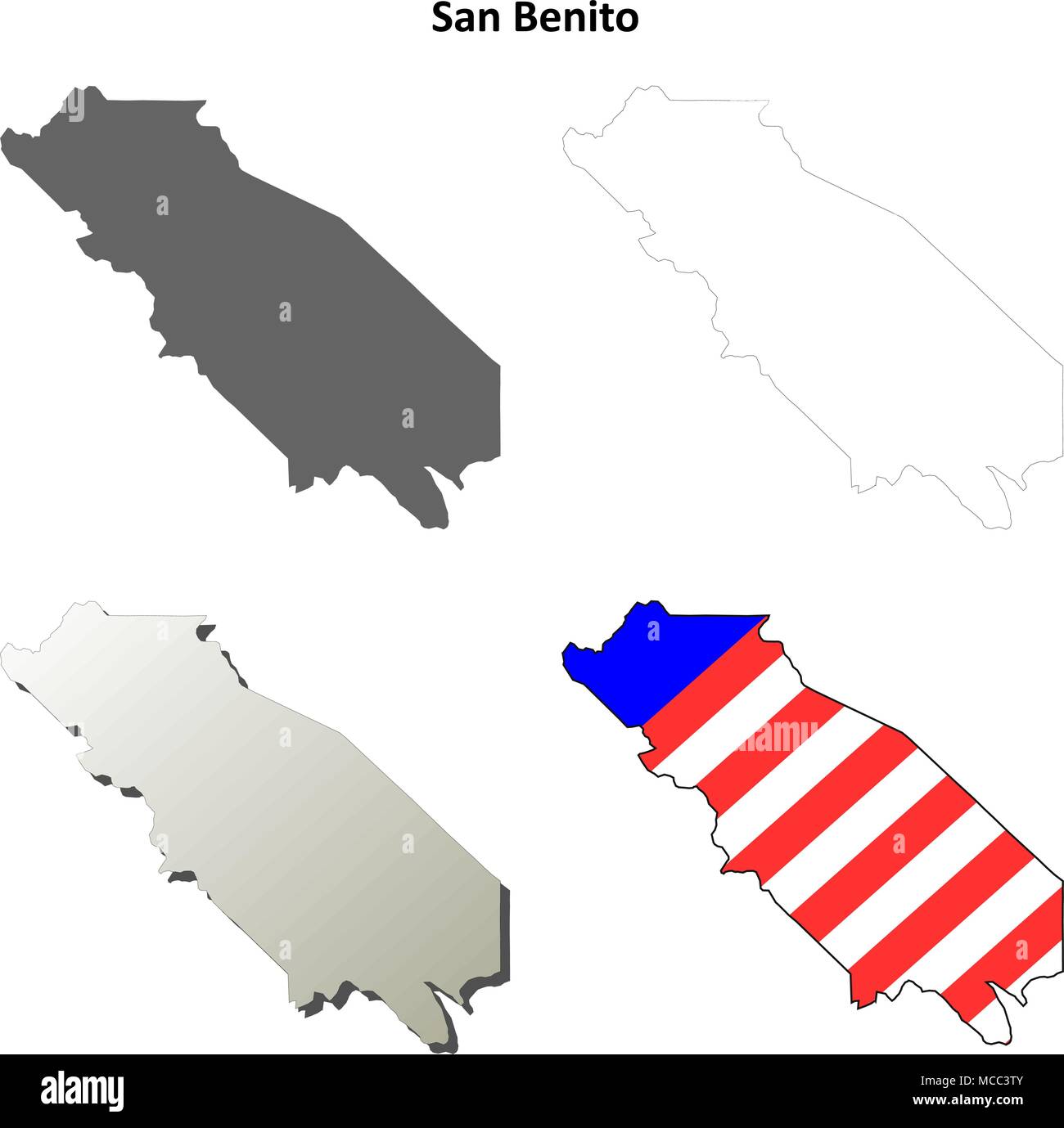 San Benito County, California outline map set Stock Vectorhttps://www.alamy.com/image-license-details/?v=1https://www.alamy.com/san-benito-county-california-outline-map-set-image179746027.html
RFMCC3TY–San Benito County, California outline map set
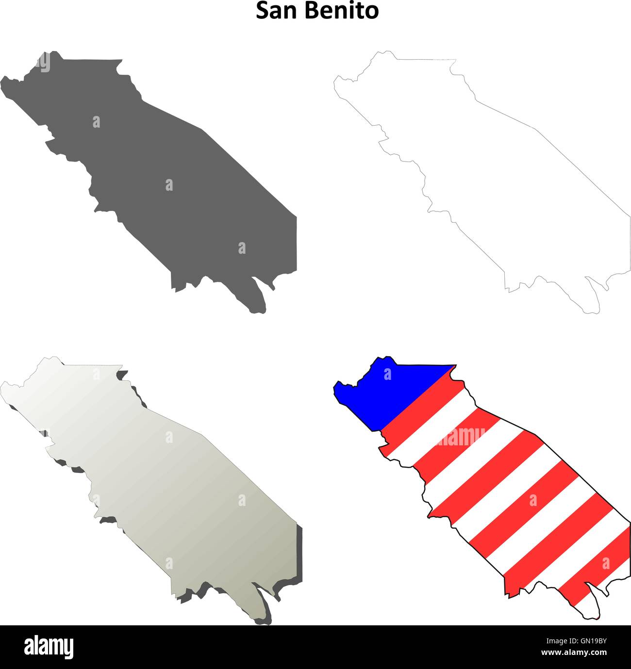 San Benito County, California outline map set Stock Vectorhttps://www.alamy.com/image-license-details/?v=1https://www.alamy.com/stock-photo-san-benito-county-california-outline-map-set-116199327.html
RFGN19BY–San Benito County, California outline map set
 Bergen County, V. 2, Double Page Plate No. 3 Map bounded by Raymond Ave., Francesco Ave., Hollister Ave., Eliott Pl., Franklin Pl., Anding St., 4th Ave., Passaic River Cartographic. Atlases, Maps. 1912 - 1913. Lionel Pincus and Princess Firyal Map Division. Bergen County (N.J.) Stock Photohttps://www.alamy.com/image-license-details/?v=1https://www.alamy.com/bergen-county-v-2-double-page-plate-no-3-map-bounded-by-raymond-ave-francesco-ave-hollister-ave-eliott-pl-franklin-pl-anding-st-4th-ave-passaic-river-cartographic-atlases-maps-1912-1913-lionel-pincus-and-princess-firyal-map-division-bergen-county-nj-image484324061.html
RM2K3XT7W–Bergen County, V. 2, Double Page Plate No. 3 Map bounded by Raymond Ave., Francesco Ave., Hollister Ave., Eliott Pl., Franklin Pl., Anding St., 4th Ave., Passaic River Cartographic. Atlases, Maps. 1912 - 1913. Lionel Pincus and Princess Firyal Map Division. Bergen County (N.J.)
 . P.J. Hannifan & Co.'s new commercial railroad and county map of New Yort State and gazetteer .. . Mason and Builder. All Jobbing Attended to, 814 E. Market Street. JOHN RING, Estimates Given Mason andBuilder. J. H. SMITH, Estimates Given. Jobbing Attended to 903 John Street. HORSESHOERS. Bermingham, M., 4ia e. Market St. Hollister, G. M., 107 W. Church. 245 RAILROAD MAP AND BUSINESS DIRECTORY John Hart,Abraham Clark. Pennsylvania. Robert Morris,Benjamin Rush,Benjamin Franklin,John Morton,George Clymer,James Smith,George Taylor,James Wilson,George Ross. Delaware. Caesar Rodney,George Read, Th Stock Photohttps://www.alamy.com/image-license-details/?v=1https://www.alamy.com/pj-hannifan-cos-new-commercial-railroad-and-county-map-of-new-yort-state-and-gazetteer-mason-and-builder-all-jobbing-attended-to-814-e-market-street-john-ring-estimates-given-mason-andbuilder-j-h-smith-estimates-given-jobbing-attended-to-903-john-street-horseshoers-bermingham-m-4ia-e-market-st-hollister-g-m-107-w-church-245-railroad-map-and-business-directory-john-hartabraham-clark-pennsylvania-robert-morrisbenjamin-rushbenjamin-franklinjohn-mortongeorge-clymerjames-smithgeorge-taylorjames-wilsongeorge-ross-delaware-caesar-rodneygeorge-read-th-image375693474.html
RM2CR68T2–. P.J. Hannifan & Co.'s new commercial railroad and county map of New Yort State and gazetteer .. . Mason and Builder. All Jobbing Attended to, 814 E. Market Street. JOHN RING, Estimates Given Mason andBuilder. J. H. SMITH, Estimates Given. Jobbing Attended to 903 John Street. HORSESHOERS. Bermingham, M., 4ia e. Market St. Hollister, G. M., 107 W. Church. 245 RAILROAD MAP AND BUSINESS DIRECTORY John Hart,Abraham Clark. Pennsylvania. Robert Morris,Benjamin Rush,Benjamin Franklin,John Morton,George Clymer,James Smith,George Taylor,James Wilson,George Ross. Delaware. Caesar Rodney,George Read, Th
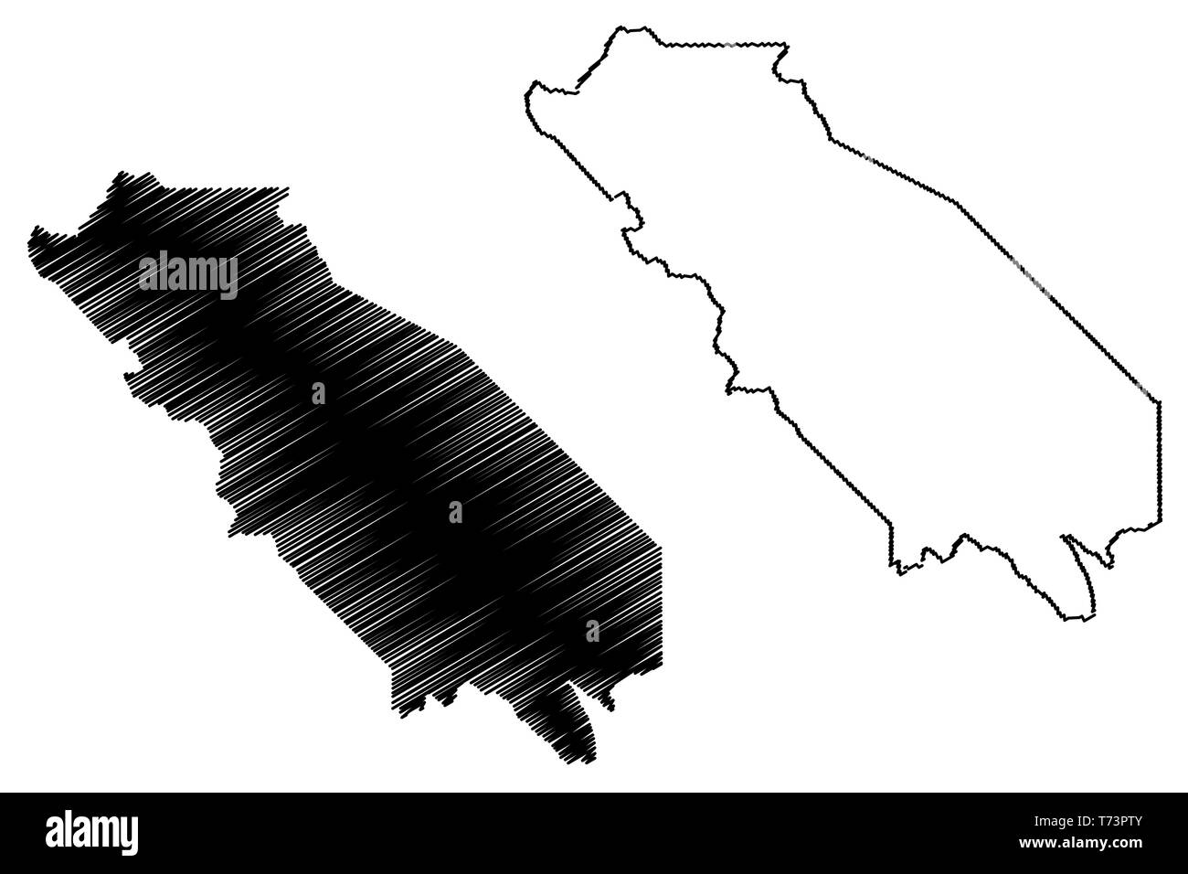 San Benito County, California (Counties in California, United States of America,USA, U.S., US) map vector illustration, scribble sketch San Benito map Stock Vectorhttps://www.alamy.com/image-license-details/?v=1https://www.alamy.com/san-benito-county-california-counties-in-california-united-states-of-americausa-us-us-map-vector-illustration-scribble-sketch-san-benito-map-image245331547.html
RFT73PTY–San Benito County, California (Counties in California, United States of America,USA, U.S., US) map vector illustration, scribble sketch San Benito map
 The Meears Prize Essay Utah: Her attractions and resources. ... Companion essays by ... O. J. Hollister ... and S. A. Kenner Image taken from page 4 of 'The Meears Prize Essay Stock Photohttps://www.alamy.com/image-license-details/?v=1https://www.alamy.com/stock-photo-the-meears-prize-essay-utah-her-attractions-and-resources-companion-130151028.html
RMHFMTY0–The Meears Prize Essay Utah: Her attractions and resources. ... Companion essays by ... O. J. Hollister ... and S. A. Kenner Image taken from page 4 of 'The Meears Prize Essay
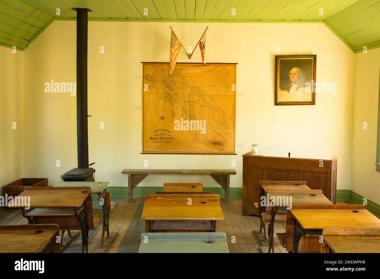 Willow Creek School, San Benito County Historical Park, California Stock Photohttps://www.alamy.com/image-license-details/?v=1https://www.alamy.com/willow-creek-school-san-benito-county-historical-park-california-image593709587.html
RF2WDWPHR–Willow Creek School, San Benito County Historical Park, California
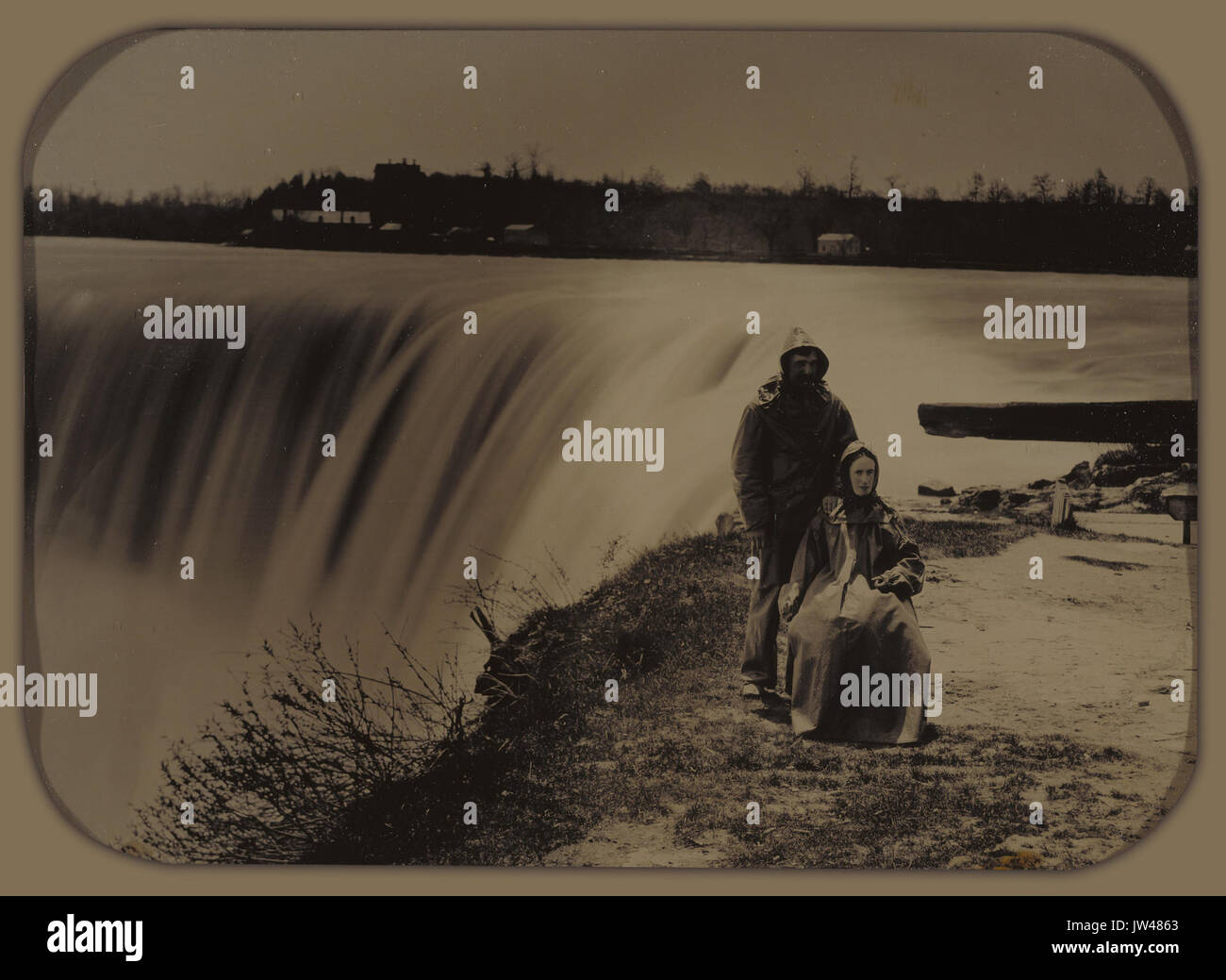 Attributed to Henry Hollister (Canadian, active about 1840 1860) Couple at Niagara Falls in Waterproofs Google Art Project Stock Photohttps://www.alamy.com/image-license-details/?v=1https://www.alamy.com/attributed-to-henry-hollister-canadian-active-about-1840-1860-couple-image153143595.html
RMJW4863–Attributed to Henry Hollister (Canadian, active about 1840 1860) Couple at Niagara Falls in Waterproofs Google Art Project
 Mount Hollister, Exmouth, AU, Australia, Western Australia, S 22 7' 53'', N 114 0' 25'', map, Cartascapes Map published in 2024. Explore Cartascapes, a map revealing Earth's diverse landscapes, cultures, and ecosystems. Journey through time and space, discovering the interconnectedness of our planet's past, present, and future. Stock Photohttps://www.alamy.com/image-license-details/?v=1https://www.alamy.com/mount-hollister-exmouth-au-australia-western-australia-s-22-7-53-n-114-0-25-map-cartascapes-map-published-in-2024-explore-cartascapes-a-map-revealing-earths-diverse-landscapes-cultures-and-ecosystems-journey-through-time-and-space-discovering-the-interconnectedness-of-our-planets-past-present-and-future-image625828384.html
RM2YA4XDM–Mount Hollister, Exmouth, AU, Australia, Western Australia, S 22 7' 53'', N 114 0' 25'', map, Cartascapes Map published in 2024. Explore Cartascapes, a map revealing Earth's diverse landscapes, cultures, and ecosystems. Journey through time and space, discovering the interconnectedness of our planet's past, present, and future.
![Bergen County, V. 2, Double Page Plate No. 5 [Map bounded by Passaic River, Jersey St., Szepes St., Zemplin Ave., 11th St., Garden St., Herman St., Wood St., Hollister Ave., Francisco Ave., Raymond Ave.] 1912 - 1913 Stock Photo Bergen County, V. 2, Double Page Plate No. 5 [Map bounded by Passaic River, Jersey St., Szepes St., Zemplin Ave., 11th St., Garden St., Herman St., Wood St., Hollister Ave., Francisco Ave., Raymond Ave.] 1912 - 1913 Stock Photo](https://c8.alamy.com/comp/2YP2KXR/bergen-county-v-2-double-page-plate-no-5-map-bounded-by-passaic-river-jersey-st-szepes-st-zemplin-ave-11th-st-garden-st-herman-st-wood-st-hollister-ave-francisco-ave-raymond-ave-1912-1913-2YP2KXR.jpg) Bergen County, V. 2, Double Page Plate No. 5 [Map bounded by Passaic River, Jersey St., Szepes St., Zemplin Ave., 11th St., Garden St., Herman St., Wood St., Hollister Ave., Francisco Ave., Raymond Ave.] 1912 - 1913 Stock Photohttps://www.alamy.com/image-license-details/?v=1https://www.alamy.com/bergen-county-v-2-double-page-plate-no-5-map-bounded-by-passaic-river-jersey-st-szepes-st-zemplin-ave-11th-st-garden-st-herman-st-wood-st-hollister-ave-francisco-ave-raymond-ave-1912-1913-image633155231.html
Bergen County, V. 2, Double Page Plate No. 5 [Map bounded by Passaic River, Jersey St., Szepes St., Zemplin Ave., 11th St., Garden St., Herman St., Wood St., Hollister Ave., Francisco Ave., Raymond Ave.] 1912 - 1913 Stock Photohttps://www.alamy.com/image-license-details/?v=1https://www.alamy.com/bergen-county-v-2-double-page-plate-no-5-map-bounded-by-passaic-river-jersey-st-szepes-st-zemplin-ave-11th-st-garden-st-herman-st-wood-st-hollister-ave-francisco-ave-raymond-ave-1912-1913-image633155231.htmlRM2YP2KXR–Bergen County, V. 2, Double Page Plate No. 5 [Map bounded by Passaic River, Jersey St., Szepes St., Zemplin Ave., 11th St., Garden St., Herman St., Wood St., Hollister Ave., Francisco Ave., Raymond Ave.] 1912 - 1913
 USGS TOPO Map California CA Hollister 297722 1955 62500 Restoration Stock Photohttps://www.alamy.com/image-license-details/?v=1https://www.alamy.com/usgs-topo-map-california-ca-hollister-297722-1955-62500-restoration-image243124375.html
RMT3F7HB–USGS TOPO Map California CA Hollister 297722 1955 62500 Restoration
 Bergen County, V. 2, Double Page Plate No. 5 Map bounded by Passaic River, Jersey St., Szepes St., Zemplin Ave., 11th St., Garden St., Herman St., Wood St., Hollister Ave., Francisco Ave., Raymond Ave. Cartographic. Atlases, Maps. 1912 - 1913. Lionel Pincus and Princess Firyal Map Division. Bergen County (N.J.) Stock Photohttps://www.alamy.com/image-license-details/?v=1https://www.alamy.com/bergen-county-v-2-double-page-plate-no-5-map-bounded-by-passaic-river-jersey-st-szepes-st-zemplin-ave-11th-st-garden-st-herman-st-wood-st-hollister-ave-francisco-ave-raymond-ave-cartographic-atlases-maps-1912-1913-lionel-pincus-and-princess-firyal-map-division-bergen-county-nj-image484325635.html
RM2K3XX83–Bergen County, V. 2, Double Page Plate No. 5 Map bounded by Passaic River, Jersey St., Szepes St., Zemplin Ave., 11th St., Garden St., Herman St., Wood St., Hollister Ave., Francisco Ave., Raymond Ave. Cartographic. Atlases, Maps. 1912 - 1913. Lionel Pincus and Princess Firyal Map Division. Bergen County (N.J.)
 . P.J. Hannifan & Co.'s new commercial railroad and county map of New Yort State and gazetteer .. . Calder, J. F., Clothier. WM. COLLINS, HORSESHOEING AND BLACKSMITH INGLame and InterferingHorses a Specialty.Repairing Promptly Done. E. MAIN STREET. Dean, M., Meat Market.Englelert & Burch, Boots & shoes.Getman, E. M., Millinery.Gray, A., Grocer.Grimes & Peltbn, Hardware.Hokes & Son, Florists.Hollister, L. E., Bakery.Hotalling, R., Wines & Liquors.House, H. A., Furniture Dealer. Luce, C.V., Liquors.Newth, N. J., Hardware.Morgan, 1ST. D., Coal, etc.Russell, B. A., Druggist. W. B. ROUSE,. AUCTIONE Stock Photohttps://www.alamy.com/image-license-details/?v=1https://www.alamy.com/pj-hannifan-cos-new-commercial-railroad-and-county-map-of-new-yort-state-and-gazetteer-calder-j-f-clothier-wm-collins-horseshoeing-and-blacksmith-inglame-and-interferinghorses-a-specialtyrepairing-promptly-done-e-main-street-dean-m-meat-marketenglelert-burch-boots-shoesgetman-e-m-millinerygray-a-grocergrimes-peltbn-hardwarehokes-son-floristshollister-l-e-bakeryhotalling-r-wines-liquorshouse-h-a-furniture-dealer-luce-cv-liquorsnewth-n-j-hardwaremorgan-1st-d-coal-etcrussell-b-a-druggist-w-b-rouse-auctione-image375903893.html
RM2CRFW71–. P.J. Hannifan & Co.'s new commercial railroad and county map of New Yort State and gazetteer .. . Calder, J. F., Clothier. WM. COLLINS, HORSESHOEING AND BLACKSMITH INGLame and InterferingHorses a Specialty.Repairing Promptly Done. E. MAIN STREET. Dean, M., Meat Market.Englelert & Burch, Boots & shoes.Getman, E. M., Millinery.Gray, A., Grocer.Grimes & Peltbn, Hardware.Hokes & Son, Florists.Hollister, L. E., Bakery.Hotalling, R., Wines & Liquors.House, H. A., Furniture Dealer. Luce, C.V., Liquors.Newth, N. J., Hardware.Morgan, 1ST. D., Coal, etc.Russell, B. A., Druggist. W. B. ROUSE,. AUCTIONE
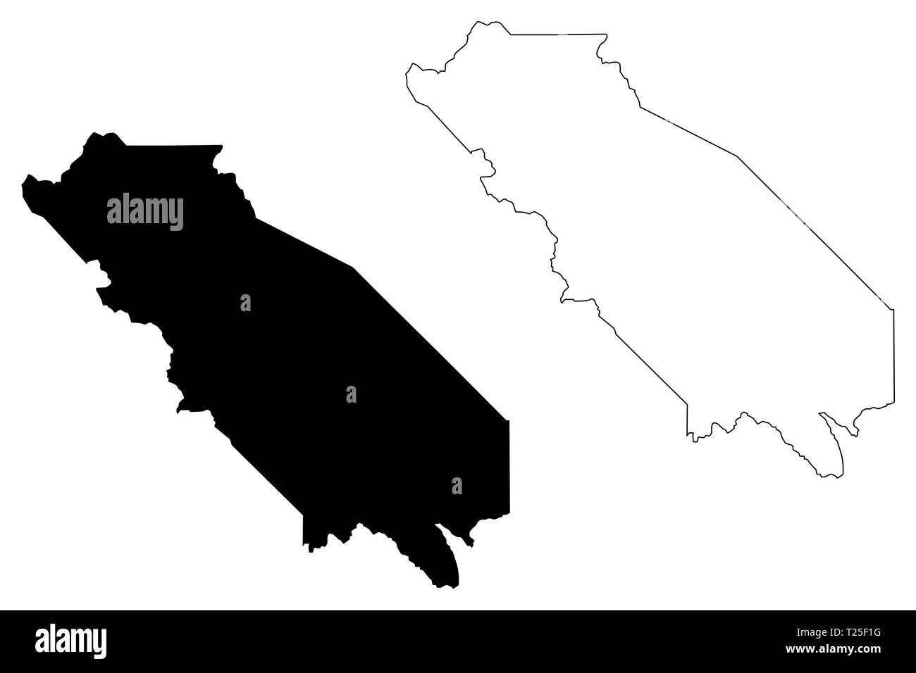 San Benito County, California (Counties in California, United States of America,USA, U.S., US) map vector illustration, scribble sketch San Benito map Stock Vectorhttps://www.alamy.com/image-license-details/?v=1https://www.alamy.com/san-benito-county-california-counties-in-california-united-states-of-americausa-us-us-map-vector-illustration-scribble-sketch-san-benito-map-image242296028.html
RFT25F1G–San Benito County, California (Counties in California, United States of America,USA, U.S., US) map vector illustration, scribble sketch San Benito map
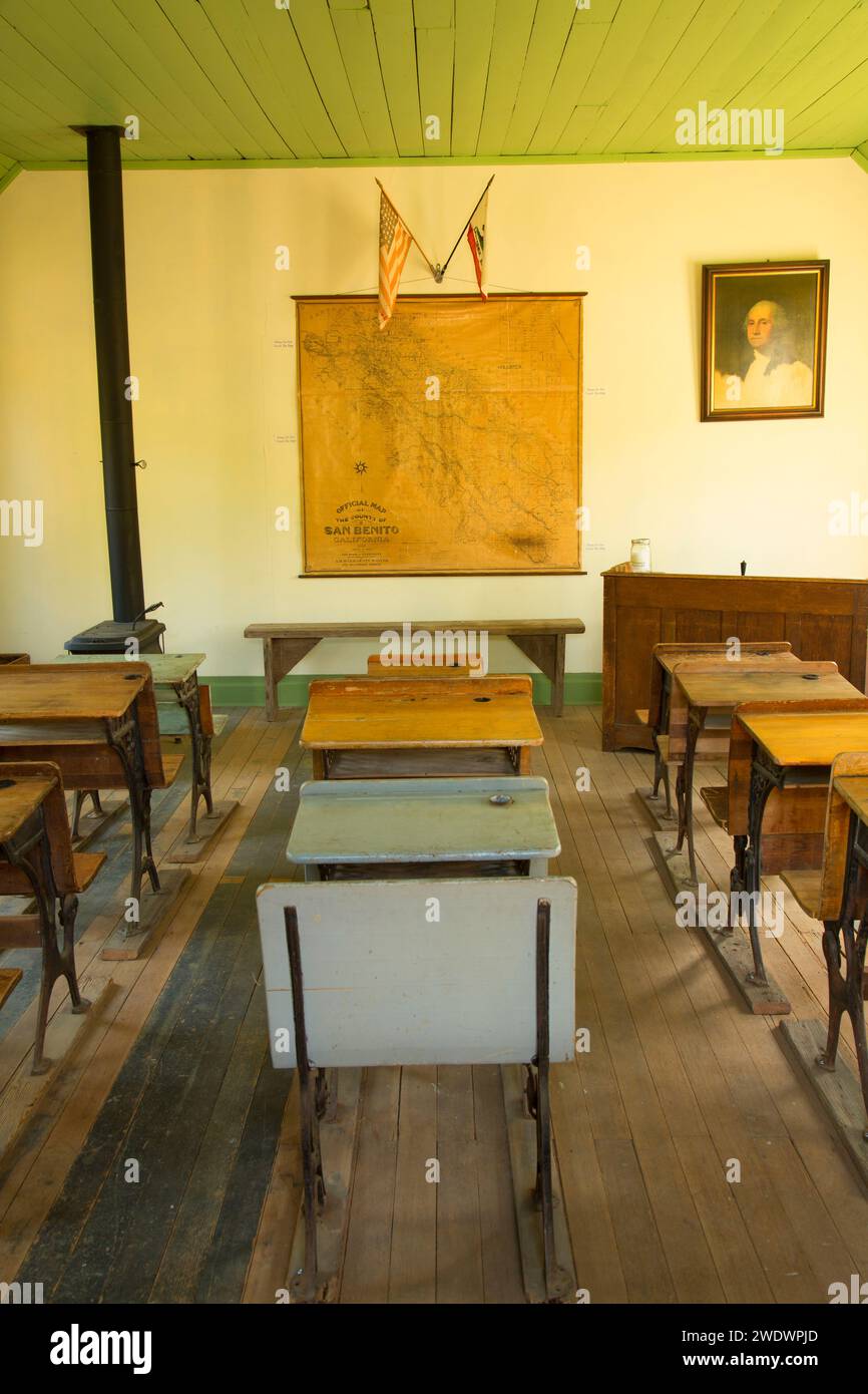 Willow Creek School, San Benito County Historical Park, California Stock Photohttps://www.alamy.com/image-license-details/?v=1https://www.alamy.com/willow-creek-school-san-benito-county-historical-park-california-image593709605.html
RF2WDWPJD–Willow Creek School, San Benito County Historical Park, California
 Hollister, Tillman County, US, United States, Oklahoma, N 34 20' 32'', S 98 52' 15'', map, Cartascapes Map published in 2024. Explore Cartascapes, a map revealing Earth's diverse landscapes, cultures, and ecosystems. Journey through time and space, discovering the interconnectedness of our planet's past, present, and future. Stock Photohttps://www.alamy.com/image-license-details/?v=1https://www.alamy.com/hollister-tillman-county-us-united-states-oklahoma-n-34-20-32-s-98-52-15-map-cartascapes-map-published-in-2024-explore-cartascapes-a-map-revealing-earths-diverse-landscapes-cultures-and-ecosystems-journey-through-time-and-space-discovering-the-interconnectedness-of-our-planets-past-present-and-future-image621297400.html
RM2Y2PF4T–Hollister, Tillman County, US, United States, Oklahoma, N 34 20' 32'', S 98 52' 15'', map, Cartascapes Map published in 2024. Explore Cartascapes, a map revealing Earth's diverse landscapes, cultures, and ecosystems. Journey through time and space, discovering the interconnectedness of our planet's past, present, and future.
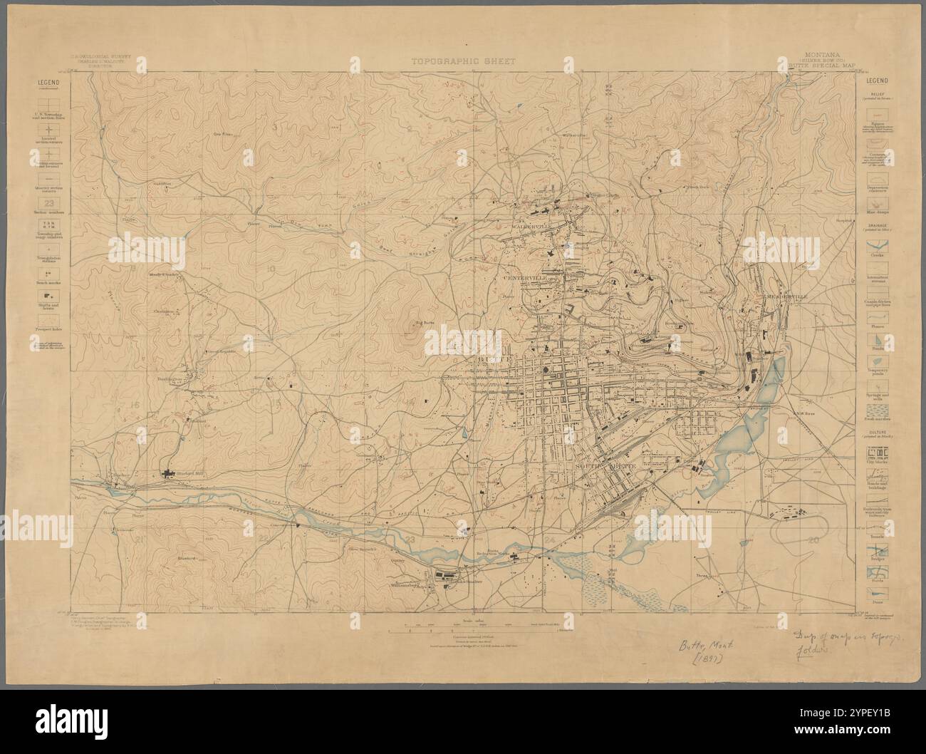 Topographic sheet, Montana (Silver Bow Co.), Butte special map 1897 by Gannett, Henry, 1846-1914 Stock Photohttps://www.alamy.com/image-license-details/?v=1https://www.alamy.com/topographic-sheet-montana-silver-bow-co-butte-special-map-1897-by-gannett-henry-1846-1914-image633424215.html
RM2YPEY1B–Topographic sheet, Montana (Silver Bow Co.), Butte special map 1897 by Gannett, Henry, 1846-1914
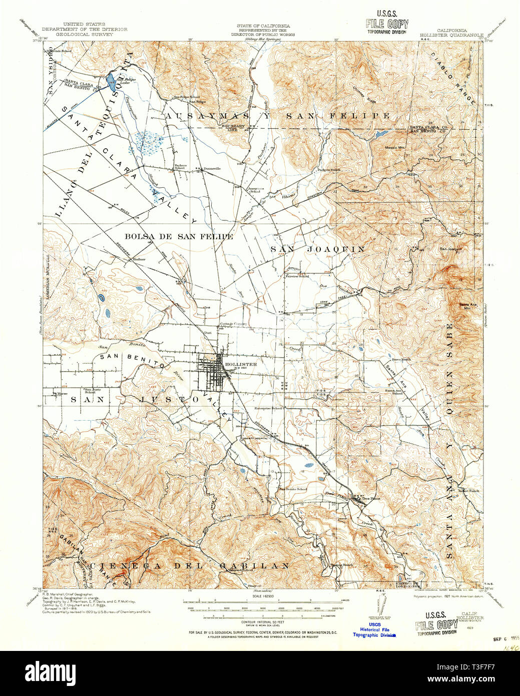 USGS TOPO Map California CA Hollister 297717 1923 62500 Restoration Stock Photohttps://www.alamy.com/image-license-details/?v=1https://www.alamy.com/usgs-topo-map-california-ca-hollister-297717-1923-62500-restoration-image243124315.html
RMT3F7F7–USGS TOPO Map California CA Hollister 297717 1923 62500 Restoration
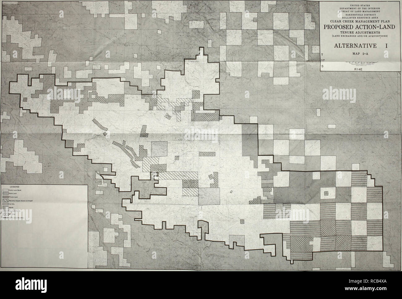 . Draft Clear Creek management plan and environmental assessment. Conservation of natural resources; Wildlife management. R11E R12E R13E UNITED STATES DEPARTMENT OF THE INTERIOR BUREAU OF LAND MANAGEMENT BAKERSFIELD DISTRICT HOLLISTER RESOURCE AREA CLEAR CREEK MANAGEMENT PLAN PROPOSED ACTION-LAND TENURE ADJUSTMENTS LAND EXCHANGES AND/OR ACQUISITIONS) ALTERNATIVE I MAP 2-A. Please note that these images are extracted from scanned page images that may have been digitally enhanced for readability - coloration and appearance of these illustrations may not perfectly resemble the original work.. Uni Stock Photohttps://www.alamy.com/image-license-details/?v=1https://www.alamy.com/draft-clear-creek-management-plan-and-environmental-assessment-conservation-of-natural-resources-wildlife-management-r11e-r12e-r13e-united-states-department-of-the-interior-bureau-of-land-management-bakersfield-district-hollister-resource-area-clear-creek-management-plan-proposed-action-land-tenure-adjustments-land-exchanges-andor-acquisitions-alternative-i-map-2-a-please-note-that-these-images-are-extracted-from-scanned-page-images-that-may-have-been-digitally-enhanced-for-readability-coloration-and-appearance-of-these-illustrations-may-not-perfectly-resemble-the-original-work-uni-image231356002.html
RMRCB4XA–. Draft Clear Creek management plan and environmental assessment. Conservation of natural resources; Wildlife management. R11E R12E R13E UNITED STATES DEPARTMENT OF THE INTERIOR BUREAU OF LAND MANAGEMENT BAKERSFIELD DISTRICT HOLLISTER RESOURCE AREA CLEAR CREEK MANAGEMENT PLAN PROPOSED ACTION-LAND TENURE ADJUSTMENTS LAND EXCHANGES AND/OR ACQUISITIONS) ALTERNATIVE I MAP 2-A. Please note that these images are extracted from scanned page images that may have been digitally enhanced for readability - coloration and appearance of these illustrations may not perfectly resemble the original work.. Uni
 San Benito County, California (Counties in California, United States of America,USA, U.S., US) map vector illustration, scribble sketch San Benito map Stock Vectorhttps://www.alamy.com/image-license-details/?v=1https://www.alamy.com/san-benito-county-california-counties-in-california-united-states-of-americausa-us-us-map-vector-illustration-scribble-sketch-san-benito-map-image247414461.html
RFTAEKJN–San Benito County, California (Counties in California, United States of America,USA, U.S., US) map vector illustration, scribble sketch San Benito map
 Hollister, Tillman County, US, United States, Oklahoma, N 34 20' 32'', S 98 52' 15'', map, Cartascapes Map published in 2024. Explore Cartascapes, a map revealing Earth's diverse landscapes, cultures, and ecosystems. Journey through time and space, discovering the interconnectedness of our planet's past, present, and future. Stock Photohttps://www.alamy.com/image-license-details/?v=1https://www.alamy.com/hollister-tillman-county-us-united-states-oklahoma-n-34-20-32-s-98-52-15-map-cartascapes-map-published-in-2024-explore-cartascapes-a-map-revealing-earths-diverse-landscapes-cultures-and-ecosystems-journey-through-time-and-space-discovering-the-interconnectedness-of-our-planets-past-present-and-future-image621410925.html
RM2Y2YKY9–Hollister, Tillman County, US, United States, Oklahoma, N 34 20' 32'', S 98 52' 15'', map, Cartascapes Map published in 2024. Explore Cartascapes, a map revealing Earth's diverse landscapes, cultures, and ecosystems. Journey through time and space, discovering the interconnectedness of our planet's past, present, and future.
 Land classification map, New York, Mt. Marcy and vicinity 1899 by Walcott, Charles D. (Charles Doolittle), 1850-1927 Stock Photohttps://www.alamy.com/image-license-details/?v=1https://www.alamy.com/land-classification-map-new-york-mt-marcy-and-vicinity-1899-by-walcott-charles-d-charles-doolittle-1850-1927-image633220876.html
RM2YP5KK8–Land classification map, New York, Mt. Marcy and vicinity 1899 by Walcott, Charles D. (Charles Doolittle), 1850-1927
 USGS TOPO Map California CA Hollister 297719 1921 62500 Restoration Stock Photohttps://www.alamy.com/image-license-details/?v=1https://www.alamy.com/usgs-topo-map-california-ca-hollister-297719-1921-62500-restoration-image243124345.html
RMT3F7G9–USGS TOPO Map California CA Hollister 297719 1921 62500 Restoration
 Hollister, Taney County, US, United States, Missouri, N 36 37' 16'', S 93 12' 55'', map, Cartascapes Map published in 2024. Explore Cartascapes, a map revealing Earth's diverse landscapes, cultures, and ecosystems. Journey through time and space, discovering the interconnectedness of our planet's past, present, and future. Stock Photohttps://www.alamy.com/image-license-details/?v=1https://www.alamy.com/hollister-taney-county-us-united-states-missouri-n-36-37-16-s-93-12-55-map-cartascapes-map-published-in-2024-explore-cartascapes-a-map-revealing-earths-diverse-landscapes-cultures-and-ecosystems-journey-through-time-and-space-discovering-the-interconnectedness-of-our-planets-past-present-and-future-image621405073.html
RM2Y2YCE9–Hollister, Taney County, US, United States, Missouri, N 36 37' 16'', S 93 12' 55'', map, Cartascapes Map published in 2024. Explore Cartascapes, a map revealing Earth's diverse landscapes, cultures, and ecosystems. Journey through time and space, discovering the interconnectedness of our planet's past, present, and future.
 USGS TOPO Map California CA Hollister 297718 1921 62500 Restoration Stock Photohttps://www.alamy.com/image-license-details/?v=1https://www.alamy.com/usgs-topo-map-california-ca-hollister-297718-1921-62500-restoration-image243124331.html
RMT3F7FR–USGS TOPO Map California CA Hollister 297718 1921 62500 Restoration
 Hollister, San Benito County, US, United States, California, N 36 51' 8'', S 121 24' 5'', map, Cartascapes Map published in 2024. Explore Cartascapes, a map revealing Earth's diverse landscapes, cultures, and ecosystems. Journey through time and space, discovering the interconnectedness of our planet's past, present, and future. Stock Photohttps://www.alamy.com/image-license-details/?v=1https://www.alamy.com/hollister-san-benito-county-us-united-states-california-n-36-51-8-s-121-24-5-map-cartascapes-map-published-in-2024-explore-cartascapes-a-map-revealing-earths-diverse-landscapes-cultures-and-ecosystems-journey-through-time-and-space-discovering-the-interconnectedness-of-our-planets-past-present-and-future-image621230279.html
RM2Y2KDFK–Hollister, San Benito County, US, United States, California, N 36 51' 8'', S 121 24' 5'', map, Cartascapes Map published in 2024. Explore Cartascapes, a map revealing Earth's diverse landscapes, cultures, and ecosystems. Journey through time and space, discovering the interconnectedness of our planet's past, present, and future.
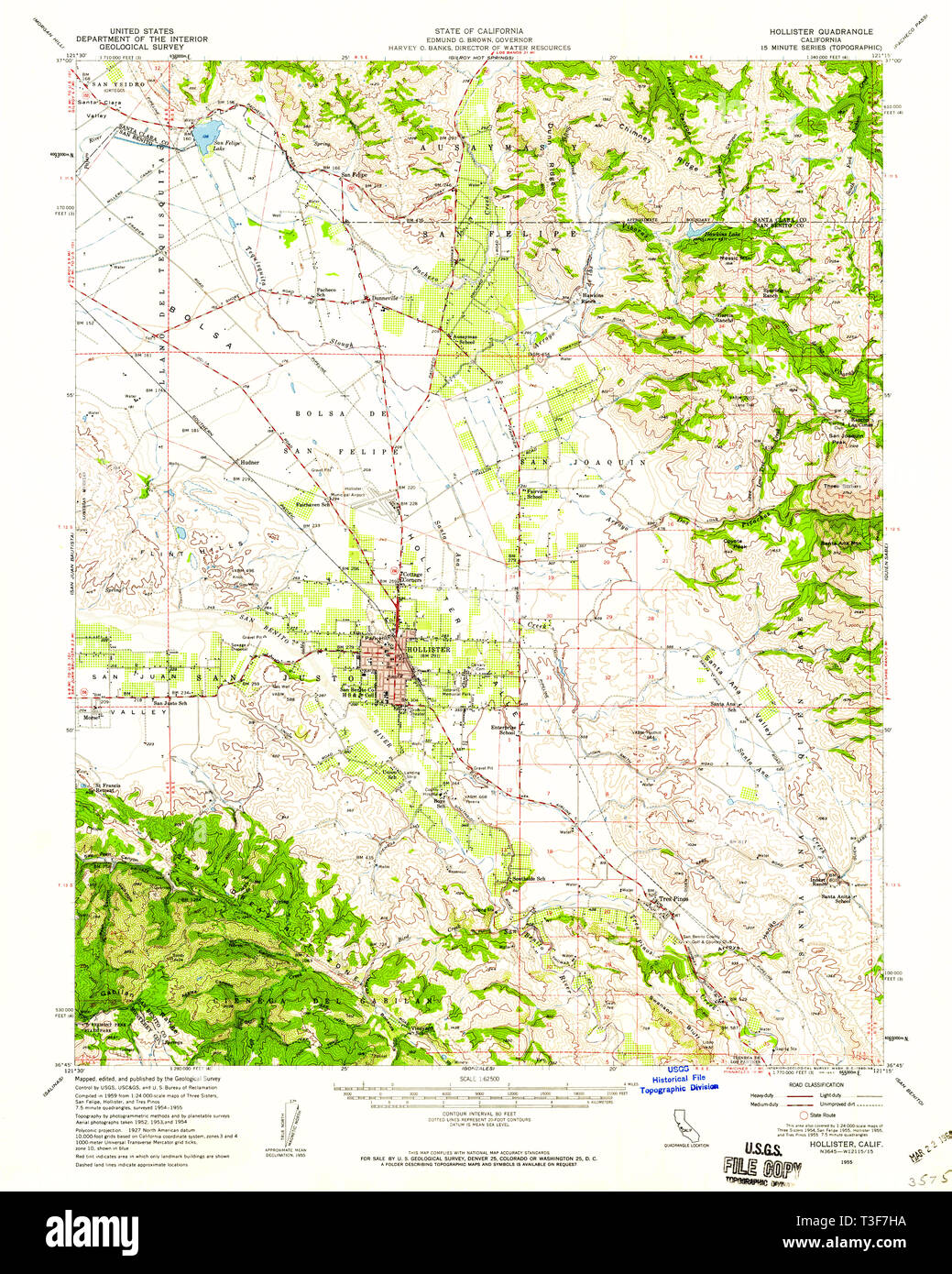 USGS TOPO Map California CA Hollister 297721 1955 62500 Restoration Stock Photohttps://www.alamy.com/image-license-details/?v=1https://www.alamy.com/usgs-topo-map-california-ca-hollister-297721-1955-62500-restoration-image243124374.html
RMT3F7HA–USGS TOPO Map California CA Hollister 297721 1955 62500 Restoration
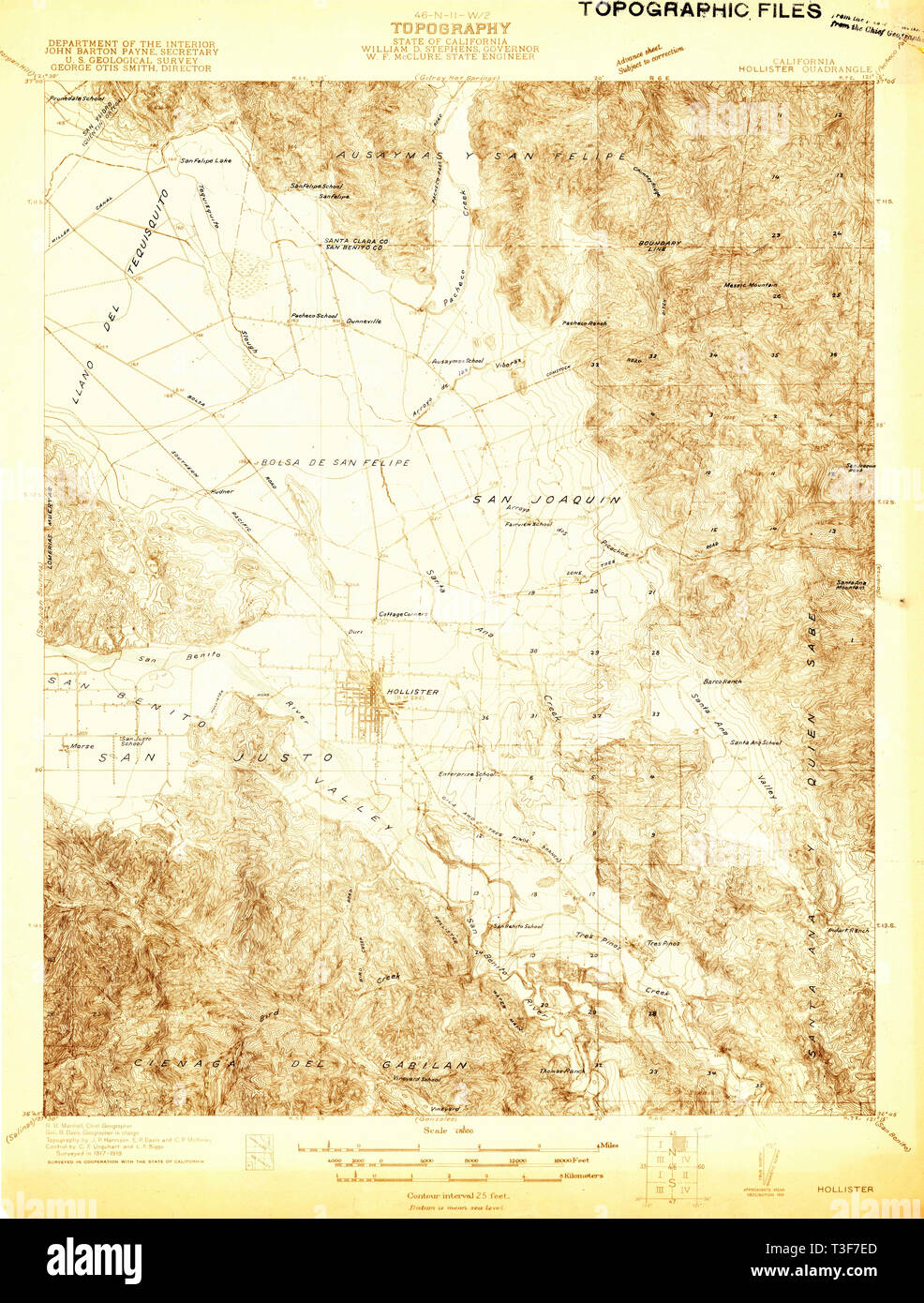 USGS TOPO Map California CA Hollister 296624 1919 48000 Restoration Stock Photohttps://www.alamy.com/image-license-details/?v=1https://www.alamy.com/usgs-topo-map-california-ca-hollister-296624-1919-48000-restoration-image243124293.html
RMT3F7ED–USGS TOPO Map California CA Hollister 296624 1919 48000 Restoration
 USGS TOPO Map California CA Hollister 297716 1921 62500 Inverted Restoration Stock Photohttps://www.alamy.com/image-license-details/?v=1https://www.alamy.com/usgs-topo-map-california-ca-hollister-297716-1921-62500-inverted-restoration-image243124295.html
RMT3F7EF–USGS TOPO Map California CA Hollister 297716 1921 62500 Inverted Restoration
 Hollister, Twin Falls County, US, United States, Idaho, N 42 21' 11'', S 114 34' 30'', map, Cartascapes Map published in 2024. Explore Cartascapes, a map revealing Earth's diverse landscapes, cultures, and ecosystems. Journey through time and space, discovering the interconnectedness of our planet's past, present, and future. Stock Photohttps://www.alamy.com/image-license-details/?v=1https://www.alamy.com/hollister-twin-falls-county-us-united-states-idaho-n-42-21-11-s-114-34-30-map-cartascapes-map-published-in-2024-explore-cartascapes-a-map-revealing-earths-diverse-landscapes-cultures-and-ecosystems-journey-through-time-and-space-discovering-the-interconnectedness-of-our-planets-past-present-and-future-image621280899.html
RM2Y2NP3F–Hollister, Twin Falls County, US, United States, Idaho, N 42 21' 11'', S 114 34' 30'', map, Cartascapes Map published in 2024. Explore Cartascapes, a map revealing Earth's diverse landscapes, cultures, and ecosystems. Journey through time and space, discovering the interconnectedness of our planet's past, present, and future.
 USGS TOPO Map California CA Hollister 297722 1955 62500 Inverted Restoration Stock Photohttps://www.alamy.com/image-license-details/?v=1https://www.alamy.com/usgs-topo-map-california-ca-hollister-297722-1955-62500-inverted-restoration-image243124365.html
RMT3F7H1–USGS TOPO Map California CA Hollister 297722 1955 62500 Inverted Restoration
 Hollister, San Benito County, US, United States, California, N 36 51' 8'', S 121 24' 5'', map, Cartascapes Map published in 2024. Explore Cartascapes, a map revealing Earth's diverse landscapes, cultures, and ecosystems. Journey through time and space, discovering the interconnectedness of our planet's past, present, and future. Stock Photohttps://www.alamy.com/image-license-details/?v=1https://www.alamy.com/hollister-san-benito-county-us-united-states-california-n-36-51-8-s-121-24-5-map-cartascapes-map-published-in-2024-explore-cartascapes-a-map-revealing-earths-diverse-landscapes-cultures-and-ecosystems-journey-through-time-and-space-discovering-the-interconnectedness-of-our-planets-past-present-and-future-image621170394.html
RM2Y2GN4X–Hollister, San Benito County, US, United States, California, N 36 51' 8'', S 121 24' 5'', map, Cartascapes Map published in 2024. Explore Cartascapes, a map revealing Earth's diverse landscapes, cultures, and ecosystems. Journey through time and space, discovering the interconnectedness of our planet's past, present, and future.
 USGS TOPO Map California CA Hollister 297719 1921 62500 Inverted Restoration Stock Photohttps://www.alamy.com/image-license-details/?v=1https://www.alamy.com/usgs-topo-map-california-ca-hollister-297719-1921-62500-inverted-restoration-image243124343.html
RMT3F7G7–USGS TOPO Map California CA Hollister 297719 1921 62500 Inverted Restoration
 Hollister, Twin Falls County, US, United States, Idaho, N 42 21' 11'', S 114 34' 30'', map, Cartascapes Map published in 2024. Explore Cartascapes, a map revealing Earth's diverse landscapes, cultures, and ecosystems. Journey through time and space, discovering the interconnectedness of our planet's past, present, and future. Stock Photohttps://www.alamy.com/image-license-details/?v=1https://www.alamy.com/hollister-twin-falls-county-us-united-states-idaho-n-42-21-11-s-114-34-30-map-cartascapes-map-published-in-2024-explore-cartascapes-a-map-revealing-earths-diverse-landscapes-cultures-and-ecosystems-journey-through-time-and-space-discovering-the-interconnectedness-of-our-planets-past-present-and-future-image621145364.html
RM2Y2FH70–Hollister, Twin Falls County, US, United States, Idaho, N 42 21' 11'', S 114 34' 30'', map, Cartascapes Map published in 2024. Explore Cartascapes, a map revealing Earth's diverse landscapes, cultures, and ecosystems. Journey through time and space, discovering the interconnectedness of our planet's past, present, and future.
 USGS TOPO Map California CA Hollister 297717 1923 62500 Inverted Restoration Stock Photohttps://www.alamy.com/image-license-details/?v=1https://www.alamy.com/usgs-topo-map-california-ca-hollister-297717-1923-62500-inverted-restoration-image243124303.html
RMT3F7ER–USGS TOPO Map California CA Hollister 297717 1923 62500 Inverted Restoration
 Hollister, Athens County, US, United States, Ohio, N 39 30' 20'', S 82 6' 42'', map, Cartascapes Map published in 2024. Explore Cartascapes, a map revealing Earth's diverse landscapes, cultures, and ecosystems. Journey through time and space, discovering the interconnectedness of our planet's past, present, and future. Stock Photohttps://www.alamy.com/image-license-details/?v=1https://www.alamy.com/hollister-athens-county-us-united-states-ohio-n-39-30-20-s-82-6-42-map-cartascapes-map-published-in-2024-explore-cartascapes-a-map-revealing-earths-diverse-landscapes-cultures-and-ecosystems-journey-through-time-and-space-discovering-the-interconnectedness-of-our-planets-past-present-and-future-image620835663.html
RM2Y21E67–Hollister, Athens County, US, United States, Ohio, N 39 30' 20'', S 82 6' 42'', map, Cartascapes Map published in 2024. Explore Cartascapes, a map revealing Earth's diverse landscapes, cultures, and ecosystems. Journey through time and space, discovering the interconnectedness of our planet's past, present, and future.
 USGS TOPO Map California CA Hollister 297718 1921 62500 Inverted Restoration Stock Photohttps://www.alamy.com/image-license-details/?v=1https://www.alamy.com/usgs-topo-map-california-ca-hollister-297718-1921-62500-inverted-restoration-image243124328.html
RMT3F7FM–USGS TOPO Map California CA Hollister 297718 1921 62500 Inverted Restoration
 Hollister, Taney County, US, United States, Missouri, N 36 37' 16'', S 93 12' 55'', map, Cartascapes Map published in 2024. Explore Cartascapes, a map revealing Earth's diverse landscapes, cultures, and ecosystems. Journey through time and space, discovering the interconnectedness of our planet's past, present, and future. Stock Photohttps://www.alamy.com/image-license-details/?v=1https://www.alamy.com/hollister-taney-county-us-united-states-missouri-n-36-37-16-s-93-12-55-map-cartascapes-map-published-in-2024-explore-cartascapes-a-map-revealing-earths-diverse-landscapes-cultures-and-ecosystems-journey-through-time-and-space-discovering-the-interconnectedness-of-our-planets-past-present-and-future-image620848060.html
RM2Y22210–Hollister, Taney County, US, United States, Missouri, N 36 37' 16'', S 93 12' 55'', map, Cartascapes Map published in 2024. Explore Cartascapes, a map revealing Earth's diverse landscapes, cultures, and ecosystems. Journey through time and space, discovering the interconnectedness of our planet's past, present, and future.
 USGS TOPO Map California CA Hollister 297721 1955 62500 Inverted Restoration Stock Photohttps://www.alamy.com/image-license-details/?v=1https://www.alamy.com/usgs-topo-map-california-ca-hollister-297721-1955-62500-inverted-restoration-image243124356.html
RMT3F7GM–USGS TOPO Map California CA Hollister 297721 1955 62500 Inverted Restoration
 USGS TOPO Map California CA Hollister 296624 1919 48000 Inverted Restoration Stock Photohttps://www.alamy.com/image-license-details/?v=1https://www.alamy.com/usgs-topo-map-california-ca-hollister-296624-1919-48000-inverted-restoration-image243124285.html
RMT3F7E5–USGS TOPO Map California CA Hollister 296624 1919 48000 Inverted Restoration
 USGS TOPO Map Idaho ID Hollister 20101115 TM Restoration Stock Photohttps://www.alamy.com/image-license-details/?v=1https://www.alamy.com/usgs-topo-map-idaho-id-hollister-20101115-tm-restoration-image245794618.html
RMT7TWF6–USGS TOPO Map Idaho ID Hollister 20101115 TM Restoration
 Hollister, Putnam County, US, United States, Florida, N 29 37' 21'', S 81 48' 49'', map, Cartascapes Map published in 2024. Explore Cartascapes, a map revealing Earth's diverse landscapes, cultures, and ecosystems. Journey through time and space, discovering the interconnectedness of our planet's past, present, and future. Stock Photohttps://www.alamy.com/image-license-details/?v=1https://www.alamy.com/hollister-putnam-county-us-united-states-florida-n-29-37-21-s-81-48-49-map-cartascapes-map-published-in-2024-explore-cartascapes-a-map-revealing-earths-diverse-landscapes-cultures-and-ecosystems-journey-through-time-and-space-discovering-the-interconnectedness-of-our-planets-past-present-and-future-image620811040.html
RM2Y20APT–Hollister, Putnam County, US, United States, Florida, N 29 37' 21'', S 81 48' 49'', map, Cartascapes Map published in 2024. Explore Cartascapes, a map revealing Earth's diverse landscapes, cultures, and ecosystems. Journey through time and space, discovering the interconnectedness of our planet's past, present, and future.
 USGS TOPO Map Missouri MO Hollister 20120105 TM Restoration Stock Photohttps://www.alamy.com/image-license-details/?v=1https://www.alamy.com/usgs-topo-map-missouri-mo-hollister-20120105-tm-restoration-image333204010.html
RM2AA2N36–USGS TOPO Map Missouri MO Hollister 20120105 TM Restoration
 Hollister, Langlade County, US, United States, Wisconsin, N 45 14' 52'', S 88 47' 29'', map, Cartascapes Map published in 2024. Explore Cartascapes, a map revealing Earth's diverse landscapes, cultures, and ecosystems. Journey through time and space, discovering the interconnectedness of our planet's past, present, and future. Stock Photohttps://www.alamy.com/image-license-details/?v=1https://www.alamy.com/hollister-langlade-county-us-united-states-wisconsin-n-45-14-52-s-88-47-29-map-cartascapes-map-published-in-2024-explore-cartascapes-a-map-revealing-earths-diverse-landscapes-cultures-and-ecosystems-journey-through-time-and-space-discovering-the-interconnectedness-of-our-planets-past-present-and-future-image620849630.html
RM2Y22412–Hollister, Langlade County, US, United States, Wisconsin, N 45 14' 52'', S 88 47' 29'', map, Cartascapes Map published in 2024. Explore Cartascapes, a map revealing Earth's diverse landscapes, cultures, and ecosystems. Journey through time and space, discovering the interconnectedness of our planet's past, present, and future.
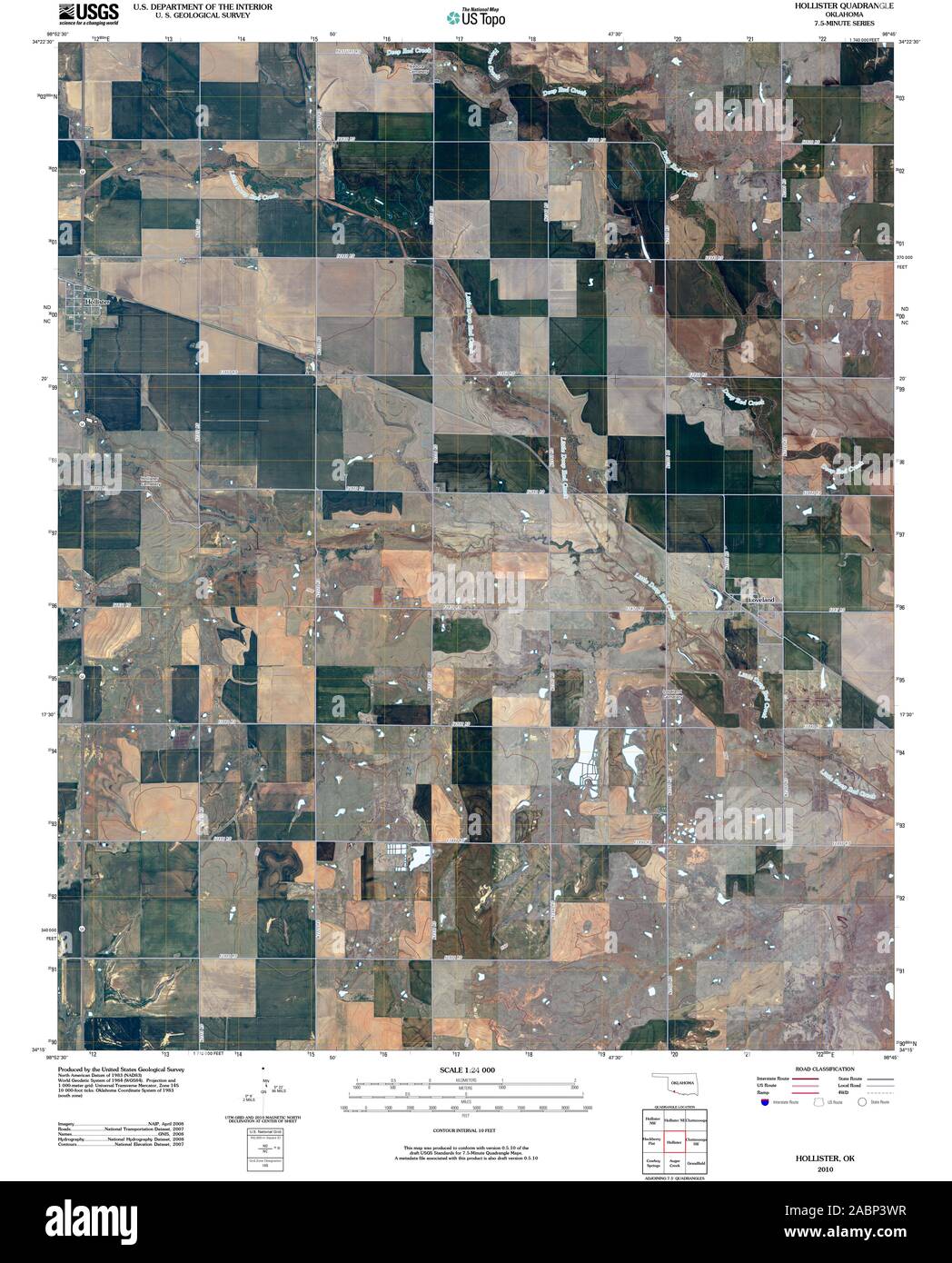 USGS TOPO Map Oklahoma OK Hollister 20100105 TM Restoration Stock Photohttps://www.alamy.com/image-license-details/?v=1https://www.alamy.com/usgs-topo-map-oklahoma-ok-hollister-20100105-tm-restoration-image334244227.html
RM2ABP3WR–USGS TOPO Map Oklahoma OK Hollister 20100105 TM Restoration
 Hollister, Halifax County, US, United States, North Carolina, N 36 15' 21'', S 77 56' 8'', map, Cartascapes Map published in 2024. Explore Cartascapes, a map revealing Earth's diverse landscapes, cultures, and ecosystems. Journey through time and space, discovering the interconnectedness of our planet's past, present, and future. Stock Photohttps://www.alamy.com/image-license-details/?v=1https://www.alamy.com/hollister-halifax-county-us-united-states-north-carolina-n-36-15-21-s-77-56-8-map-cartascapes-map-published-in-2024-explore-cartascapes-a-map-revealing-earths-diverse-landscapes-cultures-and-ecosystems-journey-through-time-and-space-discovering-the-interconnectedness-of-our-planets-past-present-and-future-image620820280.html
RM2Y20PGT–Hollister, Halifax County, US, United States, North Carolina, N 36 15' 21'', S 77 56' 8'', map, Cartascapes Map published in 2024. Explore Cartascapes, a map revealing Earth's diverse landscapes, cultures, and ecosystems. Journey through time and space, discovering the interconnectedness of our planet's past, present, and future.
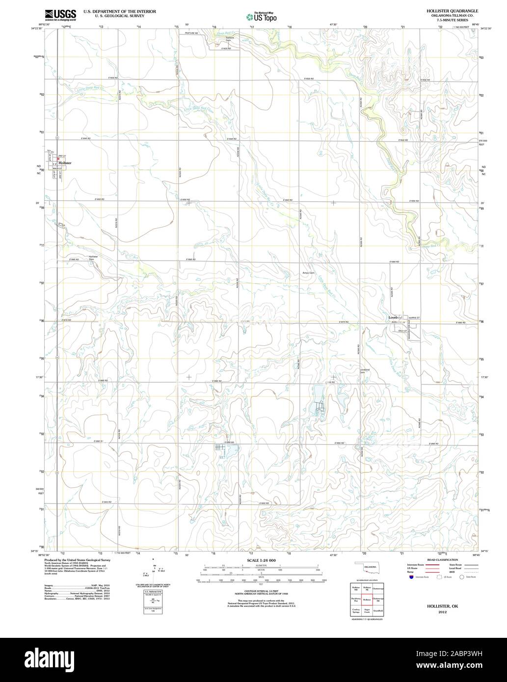 USGS TOPO Map Oklahoma OK Hollister 20121105 TM Restoration Stock Photohttps://www.alamy.com/image-license-details/?v=1https://www.alamy.com/usgs-topo-map-oklahoma-ok-hollister-20121105-tm-restoration-image334244221.html
RM2ABP3WH–USGS TOPO Map Oklahoma OK Hollister 20121105 TM Restoration
 Town of Hollister, Tillman County, US, United States, Oklahoma, N 34 20' 28'', S 98 52' 13'', map, Cartascapes Map published in 2024. Explore Cartascapes, a map revealing Earth's diverse landscapes, cultures, and ecosystems. Journey through time and space, discovering the interconnectedness of our planet's past, present, and future. Stock Photohttps://www.alamy.com/image-license-details/?v=1https://www.alamy.com/town-of-hollister-tillman-county-us-united-states-oklahoma-n-34-20-28-s-98-52-13-map-cartascapes-map-published-in-2024-explore-cartascapes-a-map-revealing-earths-diverse-landscapes-cultures-and-ecosystems-journey-through-time-and-space-discovering-the-interconnectedness-of-our-planets-past-present-and-future-image633835353.html
RM2YR5KCW–Town of Hollister, Tillman County, US, United States, Oklahoma, N 34 20' 28'', S 98 52' 13'', map, Cartascapes Map published in 2024. Explore Cartascapes, a map revealing Earth's diverse landscapes, cultures, and ecosystems. Journey through time and space, discovering the interconnectedness of our planet's past, present, and future.
 USGS TOPO Map Idaho ID Hollister 20101115 TM Inverted Restoration Stock Photohttps://www.alamy.com/image-license-details/?v=1https://www.alamy.com/usgs-topo-map-idaho-id-hollister-20101115-tm-inverted-restoration-image245794617.html
RMT7TWF5–USGS TOPO Map Idaho ID Hollister 20101115 TM Inverted Restoration
 City of Hollister, San Benito County, US, United States, California, N 36 51' 22'', S 121 23' 53'', map, Cartascapes Map published in 2024. Explore Cartascapes, a map revealing Earth's diverse landscapes, cultures, and ecosystems. Journey through time and space, discovering the interconnectedness of our planet's past, present, and future. Stock Photohttps://www.alamy.com/image-license-details/?v=1https://www.alamy.com/city-of-hollister-san-benito-county-us-united-states-california-n-36-51-22-s-121-23-53-map-cartascapes-map-published-in-2024-explore-cartascapes-a-map-revealing-earths-diverse-landscapes-cultures-and-ecosystems-journey-through-time-and-space-discovering-the-interconnectedness-of-our-planets-past-present-and-future-image633788463.html
RM2YR3FJ7–City of Hollister, San Benito County, US, United States, California, N 36 51' 22'', S 121 23' 53'', map, Cartascapes Map published in 2024. Explore Cartascapes, a map revealing Earth's diverse landscapes, cultures, and ecosystems. Journey through time and space, discovering the interconnectedness of our planet's past, present, and future.
 USGS TOPO Map Idaho ID Hollister SW 20101115 TM Restoration Stock Photohttps://www.alamy.com/image-license-details/?v=1https://www.alamy.com/usgs-topo-map-idaho-id-hollister-sw-20101115-tm-restoration-image245794623.html
RMT7TWFB–USGS TOPO Map Idaho ID Hollister SW 20101115 TM Restoration
 City of Hollister, Twin Falls County, US, United States, Idaho, N 42 21' 10'', S 114 35' 1'', map, Cartascapes Map published in 2024. Explore Cartascapes, a map revealing Earth's diverse landscapes, cultures, and ecosystems. Journey through time and space, discovering the interconnectedness of our planet's past, present, and future. Stock Photohttps://www.alamy.com/image-license-details/?v=1https://www.alamy.com/city-of-hollister-twin-falls-county-us-united-states-idaho-n-42-21-10-s-114-35-1-map-cartascapes-map-published-in-2024-explore-cartascapes-a-map-revealing-earths-diverse-landscapes-cultures-and-ecosystems-journey-through-time-and-space-discovering-the-interconnectedness-of-our-planets-past-present-and-future-image633815748.html
RM2YR4PCM–City of Hollister, Twin Falls County, US, United States, Idaho, N 42 21' 10'', S 114 35' 1'', map, Cartascapes Map published in 2024. Explore Cartascapes, a map revealing Earth's diverse landscapes, cultures, and ecosystems. Journey through time and space, discovering the interconnectedness of our planet's past, present, and future.
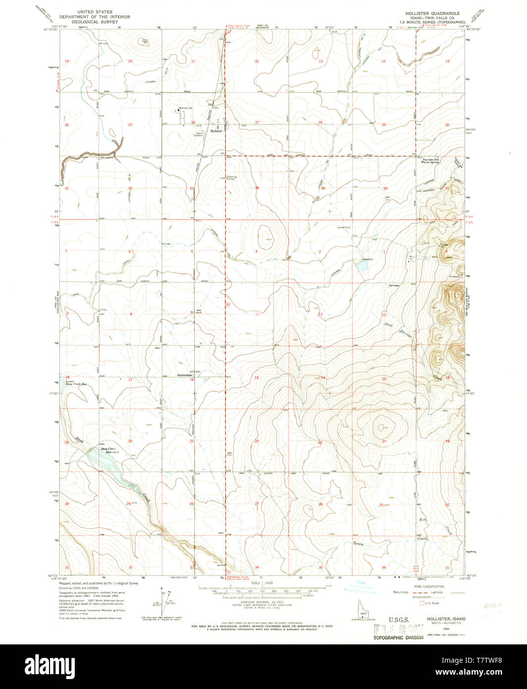 USGS TOPO Map Idaho ID Hollister 236507 1965 24000 Restoration Stock Photohttps://www.alamy.com/image-license-details/?v=1https://www.alamy.com/usgs-topo-map-idaho-id-hollister-236507-1965-24000-restoration-image245794620.html
RMT7TWF8–USGS TOPO Map Idaho ID Hollister 236507 1965 24000 Restoration
 City of Hollister, Taney County, US, United States, Missouri, N 36 36' 17'', S 93 14' 2'', map, Cartascapes Map published in 2024. Explore Cartascapes, a map revealing Earth's diverse landscapes, cultures, and ecosystems. Journey through time and space, discovering the interconnectedness of our planet's past, present, and future. Stock Photohttps://www.alamy.com/image-license-details/?v=1https://www.alamy.com/city-of-hollister-taney-county-us-united-states-missouri-n-36-36-17-s-93-14-2-map-cartascapes-map-published-in-2024-explore-cartascapes-a-map-revealing-earths-diverse-landscapes-cultures-and-ecosystems-journey-through-time-and-space-discovering-the-interconnectedness-of-our-planets-past-present-and-future-image633914376.html
RM2YR9874–City of Hollister, Taney County, US, United States, Missouri, N 36 36' 17'', S 93 14' 2'', map, Cartascapes Map published in 2024. Explore Cartascapes, a map revealing Earth's diverse landscapes, cultures, and ecosystems. Journey through time and space, discovering the interconnectedness of our planet's past, present, and future.
 USGS TOPO Map Oklahoma OK Hollister 20121105 TM Inverted Restoration Stock Photohttps://www.alamy.com/image-license-details/?v=1https://www.alamy.com/usgs-topo-map-oklahoma-ok-hollister-20121105-tm-inverted-restoration-image334244198.html
RM2ABP3TP–USGS TOPO Map Oklahoma OK Hollister 20121105 TM Inverted Restoration
 Hollister, California, map 1923, 1:62500, United States of America by Timeless Maps, data U.S. Geological Survey Stock Photohttps://www.alamy.com/image-license-details/?v=1https://www.alamy.com/hollister-california-map-1923-162500-united-states-of-america-by-timeless-maps-data-us-geological-survey-image414008074.html
RM2F1FKEJ–Hollister, California, map 1923, 1:62500, United States of America by Timeless Maps, data U.S. Geological Survey
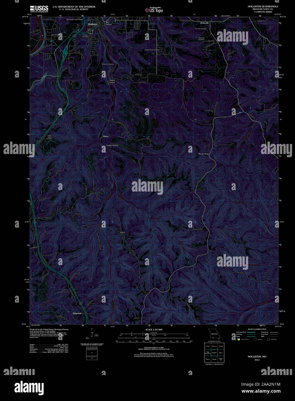 USGS TOPO Map Missouri MO Hollister 20120105 TM Inverted Restoration Stock Photohttps://www.alamy.com/image-license-details/?v=1https://www.alamy.com/usgs-topo-map-missouri-mo-hollister-20120105-tm-inverted-restoration-image333203968.html
RM2AA2N1M–USGS TOPO Map Missouri MO Hollister 20120105 TM Inverted Restoration
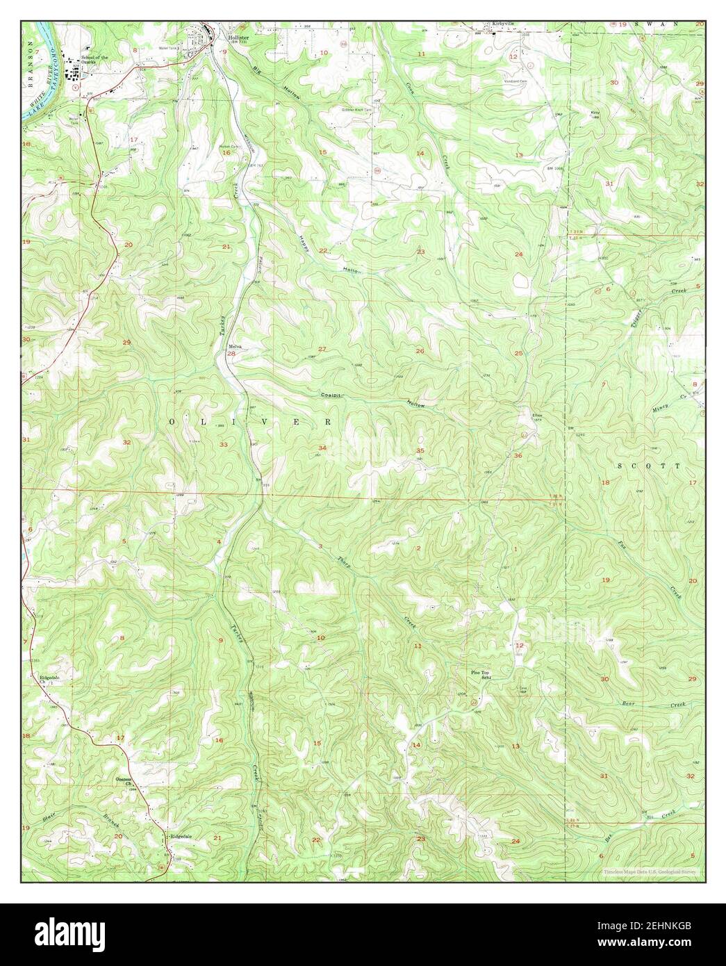 Hollister, Missouri, map 1956, 1:24000, United States of America by Timeless Maps, data U.S. Geological Survey Stock Photohttps://www.alamy.com/image-license-details/?v=1https://www.alamy.com/hollister-missouri-map-1956-124000-united-states-of-america-by-timeless-maps-data-us-geological-survey-image406763963.html
RM2EHNKGB–Hollister, Missouri, map 1956, 1:24000, United States of America by Timeless Maps, data U.S. Geological Survey
 USGS TOPO Map Missouri MO Hollister 322961 1956 24000 Restoration Stock Photohttps://www.alamy.com/image-license-details/?v=1https://www.alamy.com/usgs-topo-map-missouri-mo-hollister-322961-1956-24000-restoration-image333203953.html
RM2AA2N15–USGS TOPO Map Missouri MO Hollister 322961 1956 24000 Restoration
 Hollister, Missouri, map 1956, 1:24000, United States of America by Timeless Maps, data U.S. Geological Survey Stock Photohttps://www.alamy.com/image-license-details/?v=1https://www.alamy.com/hollister-missouri-map-1956-124000-united-states-of-america-by-timeless-maps-data-us-geological-survey-image406763942.html
RM2EHNKFJ–Hollister, Missouri, map 1956, 1:24000, United States of America by Timeless Maps, data U.S. Geological Survey
 USGS TOPO Map Missouri MO Hollister 322964 1989 24000 Restoration Stock Photohttps://www.alamy.com/image-license-details/?v=1https://www.alamy.com/usgs-topo-map-missouri-mo-hollister-322964-1989-24000-restoration-image333204053.html
RM2AA2N4N–USGS TOPO Map Missouri MO Hollister 322964 1989 24000 Restoration
 Hollister, Idaho, map 1965, 1:24000, United States of America by Timeless Maps, data U.S. Geological Survey Stock Photohttps://www.alamy.com/image-license-details/?v=1https://www.alamy.com/hollister-idaho-map-1965-124000-united-states-of-america-by-timeless-maps-data-us-geological-survey-image406350362.html
RM2EH2T0X–Hollister, Idaho, map 1965, 1:24000, United States of America by Timeless Maps, data U.S. Geological Survey
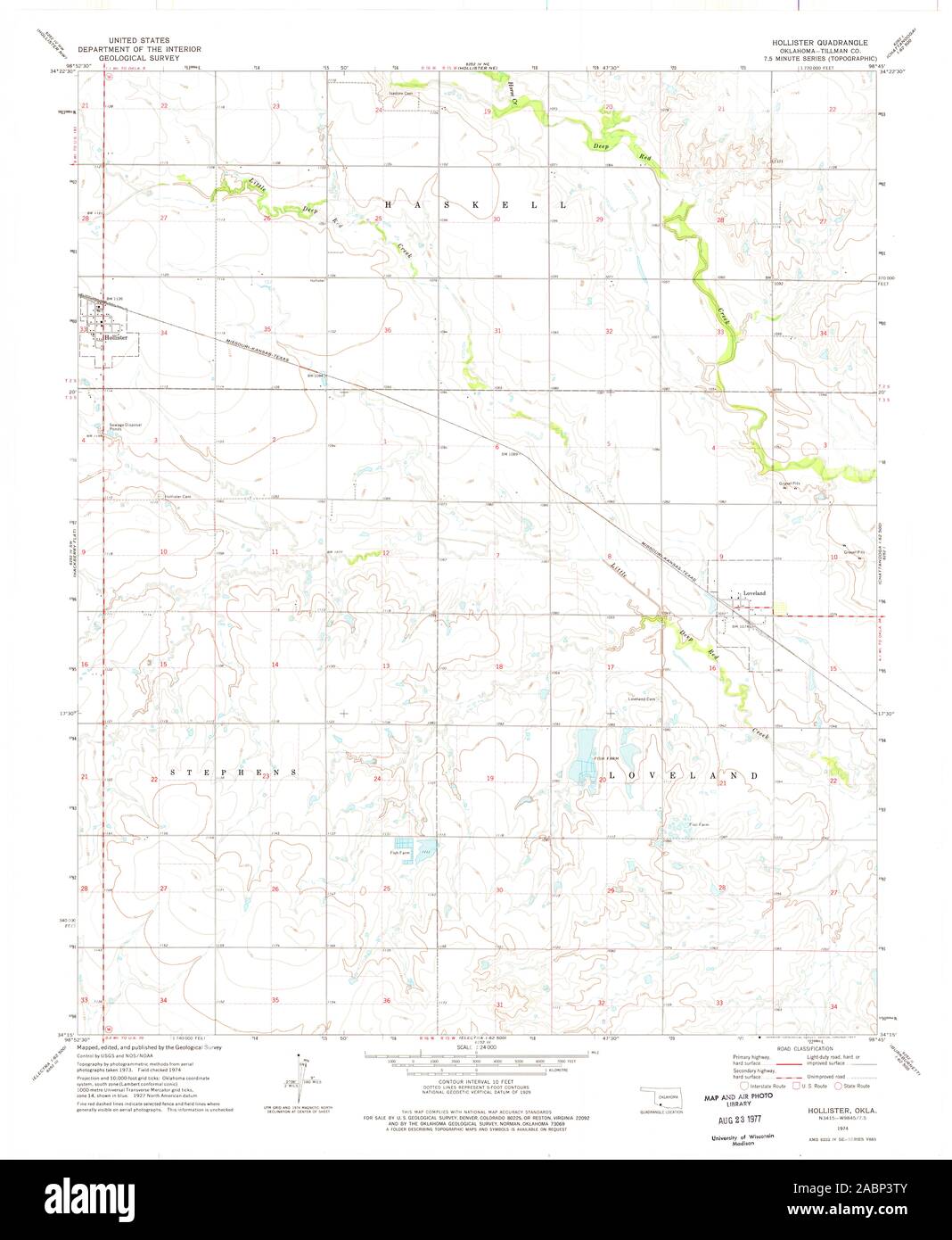 USGS TOPO Map Oklahoma OK Hollister 706062 1974 24000 Restoration Stock Photohttps://www.alamy.com/image-license-details/?v=1https://www.alamy.com/usgs-topo-map-oklahoma-ok-hollister-706062-1974-24000-restoration-image334244203.html
RM2ABP3TY–USGS TOPO Map Oklahoma OK Hollister 706062 1974 24000 Restoration
 Hollister, California, map 1955, 1:24000, United States of America by Timeless Maps, data U.S. Geological Survey Stock Photohttps://www.alamy.com/image-license-details/?v=1https://www.alamy.com/hollister-california-map-1955-124000-united-states-of-america-by-timeless-maps-data-us-geological-survey-image406091406.html
RM2EGK1ME–Hollister, California, map 1955, 1:24000, United States of America by Timeless Maps, data U.S. Geological Survey
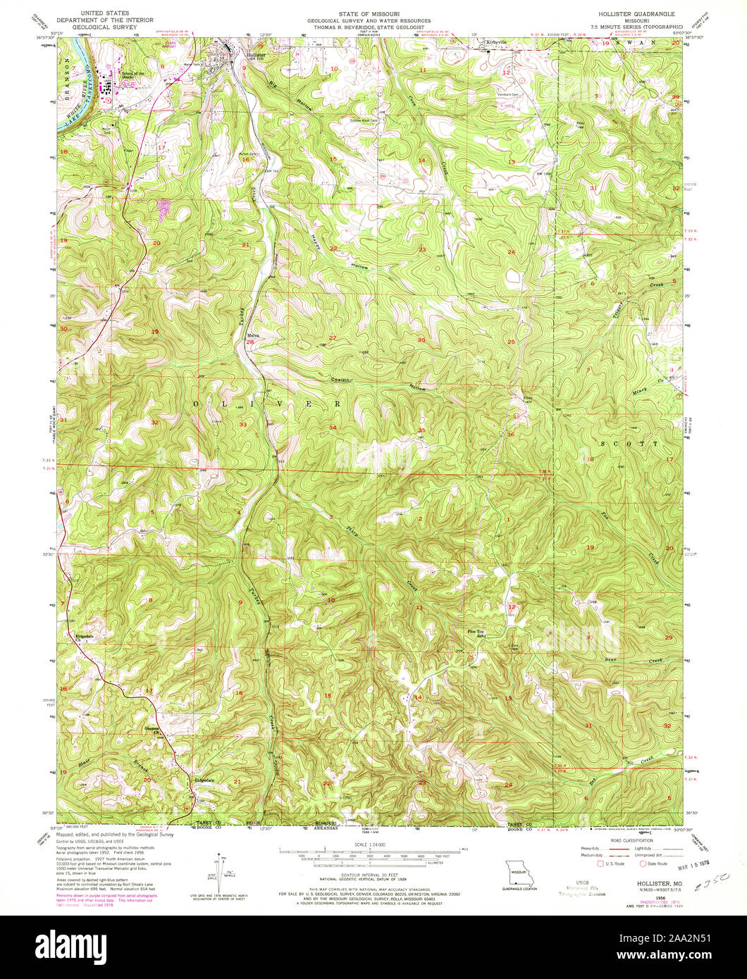 USGS TOPO Map Missouri MO Hollister 322963 1956 24000 Restoration Stock Photohttps://www.alamy.com/image-license-details/?v=1https://www.alamy.com/usgs-topo-map-missouri-mo-hollister-322963-1956-24000-restoration-image333204061.html
RM2AA2N51–USGS TOPO Map Missouri MO Hollister 322963 1956 24000 Restoration
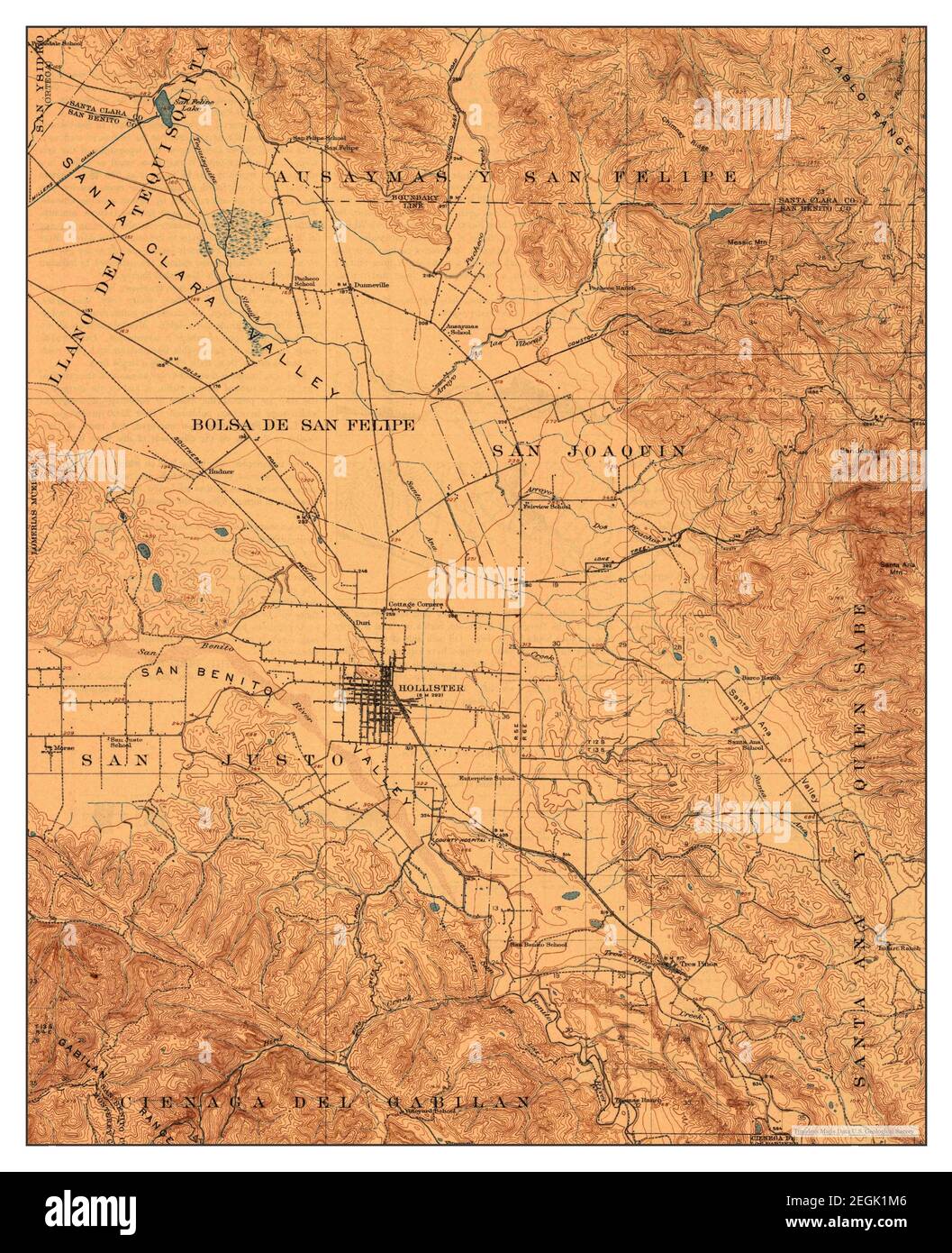 Hollister, California, map 1921, 1:62500, United States of America by Timeless Maps, data U.S. Geological Survey Stock Photohttps://www.alamy.com/image-license-details/?v=1https://www.alamy.com/hollister-california-map-1921-162500-united-states-of-america-by-timeless-maps-data-us-geological-survey-image406091398.html
RM2EGK1M6–Hollister, California, map 1921, 1:62500, United States of America by Timeless Maps, data U.S. Geological Survey
 USGS TOPO Map Oklahoma OK Hollister NE 20121105 TM Restoration Stock Photohttps://www.alamy.com/image-license-details/?v=1https://www.alamy.com/usgs-topo-map-oklahoma-ok-hollister-ne-20121105-tm-restoration-image334244316.html
RM2ABP410–USGS TOPO Map Oklahoma OK Hollister NE 20121105 TM Restoration
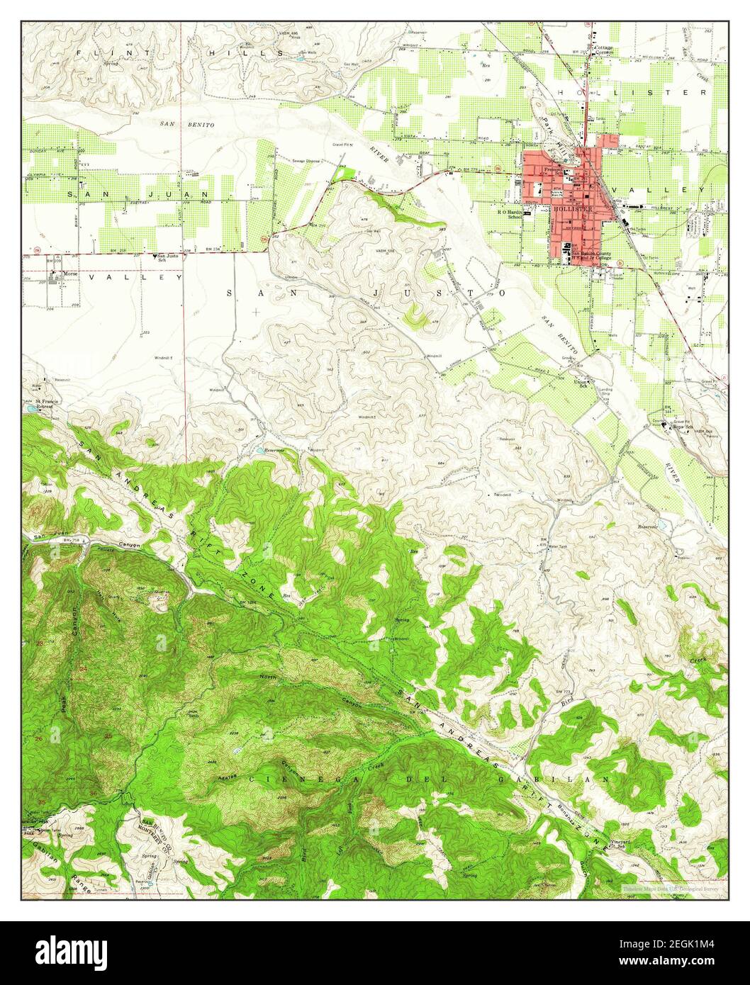 Hollister, California, map 1955, 1:24000, United States of America by Timeless Maps, data U.S. Geological Survey Stock Photohttps://www.alamy.com/image-license-details/?v=1https://www.alamy.com/hollister-california-map-1955-124000-united-states-of-america-by-timeless-maps-data-us-geological-survey-image406091396.html
RM2EGK1M4–Hollister, California, map 1955, 1:24000, United States of America by Timeless Maps, data U.S. Geological Survey
 USGS TOPO Map Oklahoma OK Hollister 20100105 TM Inverted Restoration Stock Photohttps://www.alamy.com/image-license-details/?v=1https://www.alamy.com/usgs-topo-map-oklahoma-ok-hollister-20100105-tm-inverted-restoration-image334244235.html
RM2ABP3X3–USGS TOPO Map Oklahoma OK Hollister 20100105 TM Inverted Restoration
 Hollister, California, map 1955, 1:24000, United States of America by Timeless Maps, data U.S. Geological Survey Stock Photohttps://www.alamy.com/image-license-details/?v=1https://www.alamy.com/hollister-california-map-1955-124000-united-states-of-america-by-timeless-maps-data-us-geological-survey-image406091401.html
RM2EGK1M9–Hollister, California, map 1955, 1:24000, United States of America by Timeless Maps, data U.S. Geological Survey
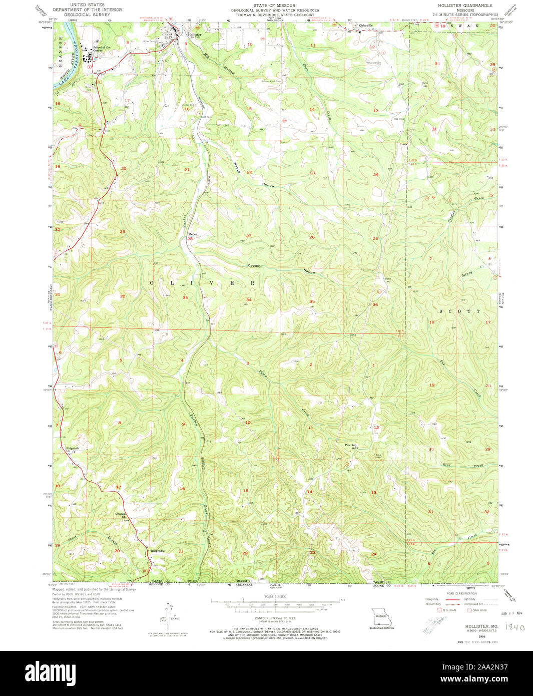 USGS TOPO Map Missouri MO Hollister 322962 1956 24000 Restoration Stock Photohttps://www.alamy.com/image-license-details/?v=1https://www.alamy.com/usgs-topo-map-missouri-mo-hollister-322962-1956-24000-restoration-image333204011.html
RM2AA2N37–USGS TOPO Map Missouri MO Hollister 322962 1956 24000 Restoration
 Hollister, California, map 1940, 1:62500, United States of America by Timeless Maps, data U.S. Geological Survey Stock Photohttps://www.alamy.com/image-license-details/?v=1https://www.alamy.com/hollister-california-map-1940-162500-united-states-of-america-by-timeless-maps-data-us-geological-survey-image406091403.html
RM2EGK1MB–Hollister, California, map 1940, 1:62500, United States of America by Timeless Maps, data U.S. Geological Survey
 USGS TOPO Map Oklahoma OK Hollister NE 20100127 TM Restoration Stock Photohttps://www.alamy.com/image-license-details/?v=1https://www.alamy.com/usgs-topo-map-oklahoma-ok-hollister-ne-20100127-tm-restoration-image334244325.html
RM2ABP419–USGS TOPO Map Oklahoma OK Hollister NE 20100127 TM Restoration
 Hollister, California, map 1955, 1:62500, United States of America by Timeless Maps, data U.S. Geological Survey Stock Photohttps://www.alamy.com/image-license-details/?v=1https://www.alamy.com/hollister-california-map-1955-162500-united-states-of-america-by-timeless-maps-data-us-geological-survey-image414008096.html
RM2F1FKFC–Hollister, California, map 1955, 1:62500, United States of America by Timeless Maps, data U.S. Geological Survey
 USGS TOPO Map North Carolina NC Hollister 20100827 TM Restoration Stock Photohttps://www.alamy.com/image-license-details/?v=1https://www.alamy.com/usgs-topo-map-north-carolina-nc-hollister-20100827-tm-restoration-image336483965.html
RM2AFC4MD–USGS TOPO Map North Carolina NC Hollister 20100827 TM Restoration
 Hollister, California, map 1921, 1:62500, United States of America by Timeless Maps, data U.S. Geological Survey Stock Photohttps://www.alamy.com/image-license-details/?v=1https://www.alamy.com/hollister-california-map-1921-162500-united-states-of-america-by-timeless-maps-data-us-geological-survey-image414008066.html
RM2F1FKEA–Hollister, California, map 1921, 1:62500, United States of America by Timeless Maps, data U.S. Geological Survey
 USGS TOPO Map Oklahoma OK Hollister NW 20100127 TM Restoration Stock Photohttps://www.alamy.com/image-license-details/?v=1https://www.alamy.com/usgs-topo-map-oklahoma-ok-hollister-nw-20100127-tm-restoration-image334244412.html
RM2ABP44C–USGS TOPO Map Oklahoma OK Hollister NW 20100127 TM Restoration
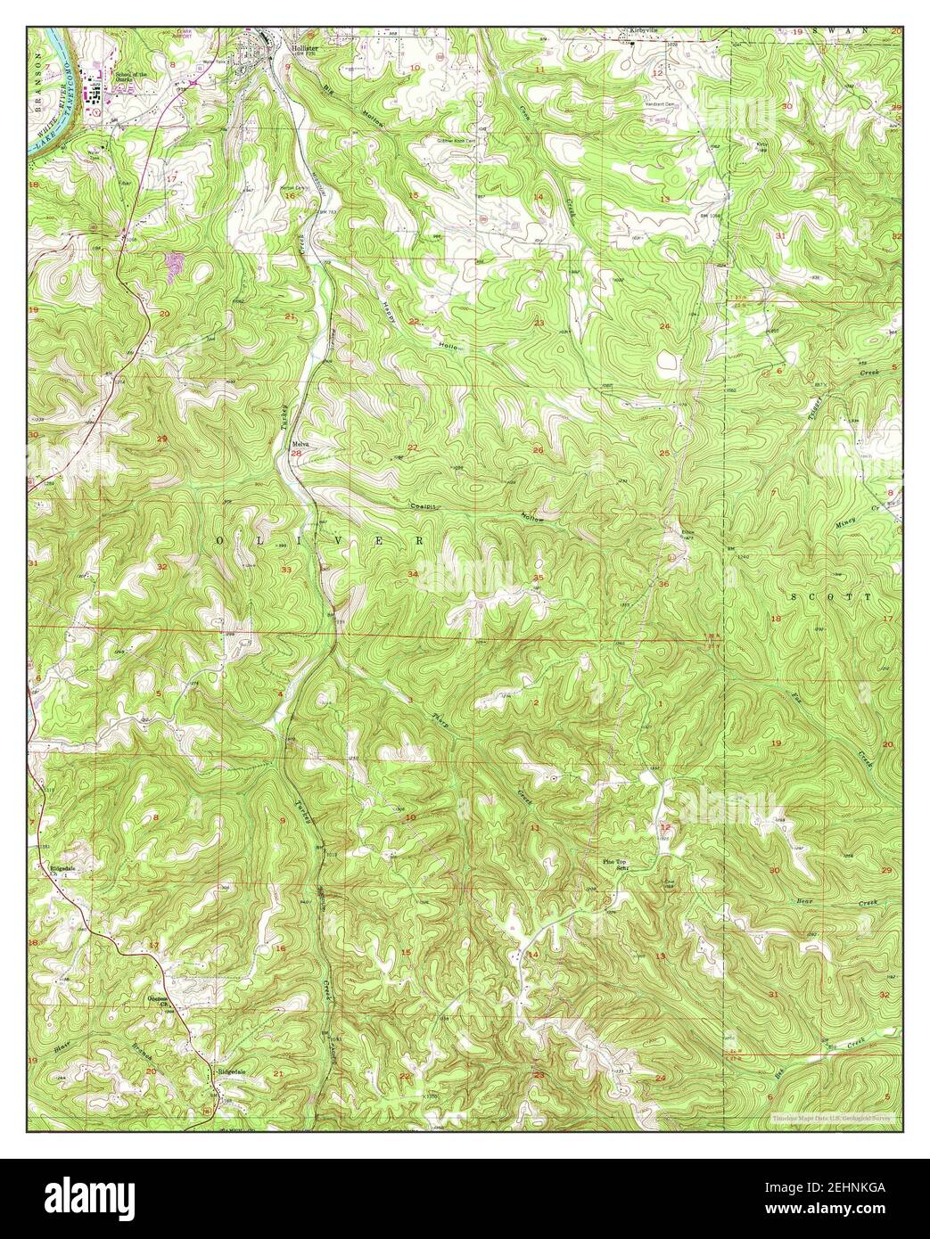 Hollister, Missouri, map 1956, 1:24000, United States of America by Timeless Maps, data U.S. Geological Survey Stock Photohttps://www.alamy.com/image-license-details/?v=1https://www.alamy.com/hollister-missouri-map-1956-124000-united-states-of-america-by-timeless-maps-data-us-geological-survey-image406763962.html
RM2EHNKGA–Hollister, Missouri, map 1956, 1:24000, United States of America by Timeless Maps, data U.S. Geological Survey
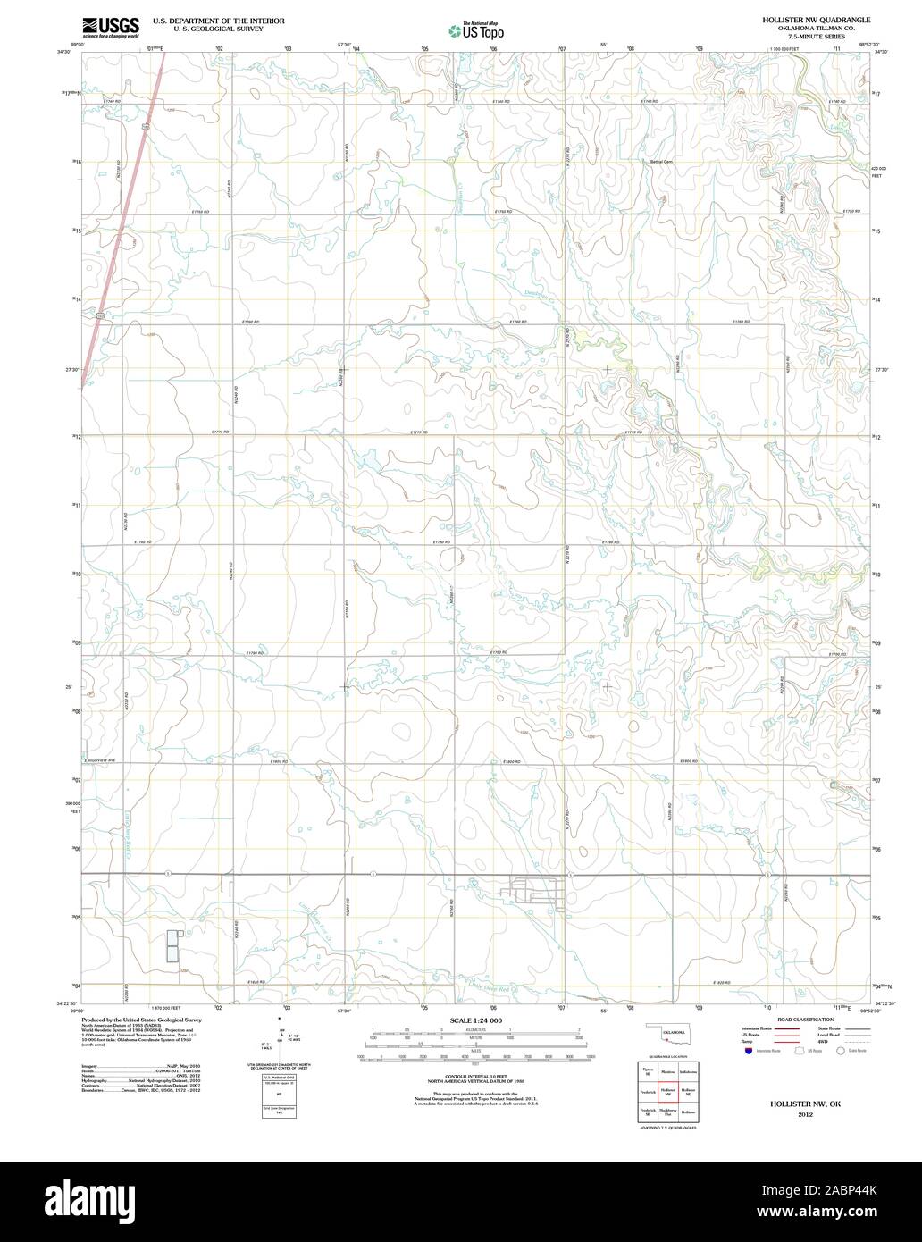 USGS TOPO Map Oklahoma OK Hollister NW 20121105 TM Restoration Stock Photohttps://www.alamy.com/image-license-details/?v=1https://www.alamy.com/usgs-topo-map-oklahoma-ok-hollister-nw-20121105-tm-restoration-image334244419.html
RM2ABP44K–USGS TOPO Map Oklahoma OK Hollister NW 20121105 TM Restoration
 Hollister, California, map 1955, 1:24000, United States of America by Timeless Maps, data U.S. Geological Survey Stock Photohttps://www.alamy.com/image-license-details/?v=1https://www.alamy.com/hollister-california-map-1955-124000-united-states-of-america-by-timeless-maps-data-us-geological-survey-image406091404.html
RM2EGK1MC–Hollister, California, map 1955, 1:24000, United States of America by Timeless Maps, data U.S. Geological Survey
 USGS TOPO Map Idaho ID Hollister SW 236508 1965 24000 Restoration Stock Photohttps://www.alamy.com/image-license-details/?v=1https://www.alamy.com/usgs-topo-map-idaho-id-hollister-sw-236508-1965-24000-restoration-image245794626.html
RMT7TWFE–USGS TOPO Map Idaho ID Hollister SW 236508 1965 24000 Restoration
 Hollister, Oklahoma, map 1974, 1:24000, United States of America by Timeless Maps, data U.S. Geological Survey Stock Photohttps://www.alamy.com/image-license-details/?v=1https://www.alamy.com/hollister-oklahoma-map-1974-124000-united-states-of-america-by-timeless-maps-data-us-geological-survey-image406940682.html
RM2EJ1MYP–Hollister, Oklahoma, map 1974, 1:24000, United States of America by Timeless Maps, data U.S. Geological Survey
 USGS TOPO Map Idaho ID Hollister SW 20101115 TM Inverted Restoration Stock Photohttps://www.alamy.com/image-license-details/?v=1https://www.alamy.com/usgs-topo-map-idaho-id-hollister-sw-20101115-tm-inverted-restoration-image245794621.html
RMT7TWF9–USGS TOPO Map Idaho ID Hollister SW 20101115 TM Inverted Restoration
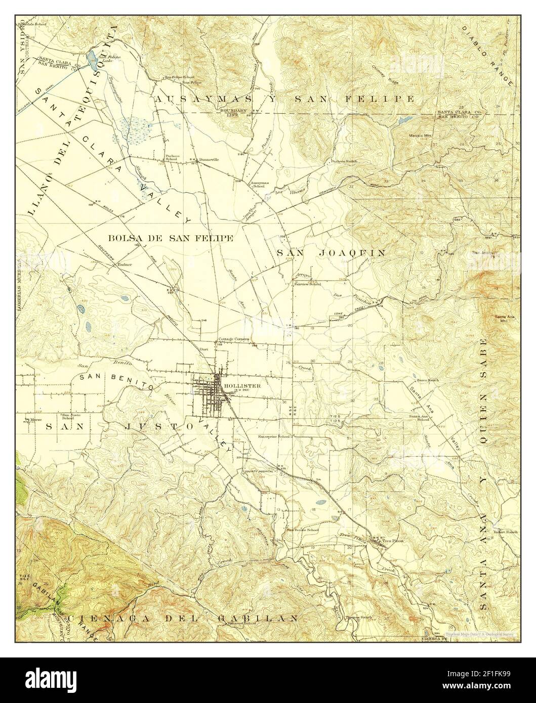 Hollister, California, map 1921, 1:62500, United States of America by Timeless Maps, data U.S. Geological Survey Stock Photohttps://www.alamy.com/image-license-details/?v=1https://www.alamy.com/hollister-california-map-1921-162500-united-states-of-america-by-timeless-maps-data-us-geological-survey-image414007925.html
RM2F1FK99–Hollister, California, map 1921, 1:62500, United States of America by Timeless Maps, data U.S. Geological Survey
 USGS TOPO Map Idaho ID Hollister SW 236509 1979 24000 Restoration Stock Photohttps://www.alamy.com/image-license-details/?v=1https://www.alamy.com/usgs-topo-map-idaho-id-hollister-sw-236509-1979-24000-restoration-image245794628.html
RMT7TWFG–USGS TOPO Map Idaho ID Hollister SW 236509 1979 24000 Restoration
 Hollister, California, map 1995, 1:24000, United States of America by Timeless Maps, data U.S. Geological Survey Stock Photohttps://www.alamy.com/image-license-details/?v=1https://www.alamy.com/hollister-california-map-1995-124000-united-states-of-america-by-timeless-maps-data-us-geological-survey-image406091384.html
RM2EGK1KM–Hollister, California, map 1995, 1:24000, United States of America by Timeless Maps, data U.S. Geological Survey
 USGS TOPO Map Idaho ID Hollister 236507 1965 24000 Inverted Restoration Stock Photohttps://www.alamy.com/image-license-details/?v=1https://www.alamy.com/usgs-topo-map-idaho-id-hollister-236507-1965-24000-inverted-restoration-image245794619.html
RMT7TWF7–USGS TOPO Map Idaho ID Hollister 236507 1965 24000 Inverted Restoration
 Hollister, Missouri, map 1989, 1:24000, United States of America by Timeless Maps, data U.S. Geological Survey Stock Photohttps://www.alamy.com/image-license-details/?v=1https://www.alamy.com/hollister-missouri-map-1989-124000-united-states-of-america-by-timeless-maps-data-us-geological-survey-image406763960.html
RM2EHNKG8–Hollister, Missouri, map 1989, 1:24000, United States of America by Timeless Maps, data U.S. Geological Survey
 USGS TOPO Map Oklahoma OK Hollister NW 20121105 TM Inverted Restoration Stock Photohttps://www.alamy.com/image-license-details/?v=1https://www.alamy.com/usgs-topo-map-oklahoma-ok-hollister-nw-20121105-tm-inverted-restoration-image334244392.html
RM2ABP43M–USGS TOPO Map Oklahoma OK Hollister NW 20121105 TM Inverted Restoration
 Hollister, California, map 1919, 1:48000, United States of America by Timeless Maps, data U.S. Geological Survey Stock Photohttps://www.alamy.com/image-license-details/?v=1https://www.alamy.com/hollister-california-map-1919-148000-united-states-of-america-by-timeless-maps-data-us-geological-survey-image406091399.html
RM2EGK1M7–Hollister, California, map 1919, 1:48000, United States of America by Timeless Maps, data U.S. Geological Survey
 USGS TOPO Map North Carolina NC Hollister 20100827 TM Inverted Restoration Stock Photohttps://www.alamy.com/image-license-details/?v=1https://www.alamy.com/usgs-topo-map-north-carolina-nc-hollister-20100827-tm-inverted-restoration-image336483968.html
RM2AFC4MG–USGS TOPO Map North Carolina NC Hollister 20100827 TM Inverted Restoration