Quick filters:
Map of italy Stock Photos and Images
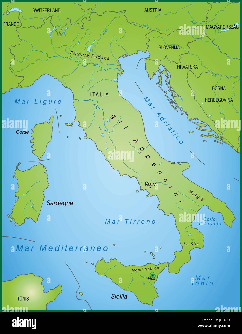 map of italy as an overview map in green Stock Vectorhttps://www.alamy.com/image-license-details/?v=1https://www.alamy.com/stock-photo-map-of-italy-as-an-overview-map-in-green-146910721.html
RFJF0A3D–map of italy as an overview map in green
 Outline map of Italy isolated on white background Stock Photohttps://www.alamy.com/image-license-details/?v=1https://www.alamy.com/stock-photo-outline-map-of-italy-isolated-on-white-background-21834957.html
RMB7EJKW–Outline map of Italy isolated on white background
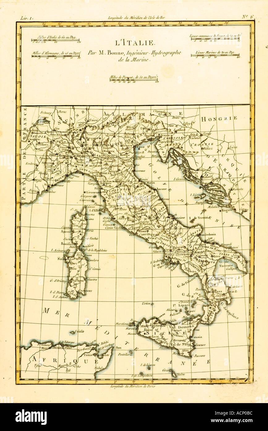 Map of Italy circa 1760 Stock Photohttps://www.alamy.com/image-license-details/?v=1https://www.alamy.com/map-of-italy-circa-1760-image2449595.html
RMACP0BC–Map of Italy circa 1760
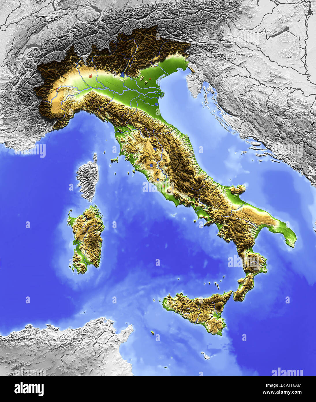 Relief map of Italy Stock Photohttps://www.alamy.com/image-license-details/?v=1https://www.alamy.com/stock-photo-relief-map-of-italy-16299931.html
RFATF6AM–Relief map of Italy
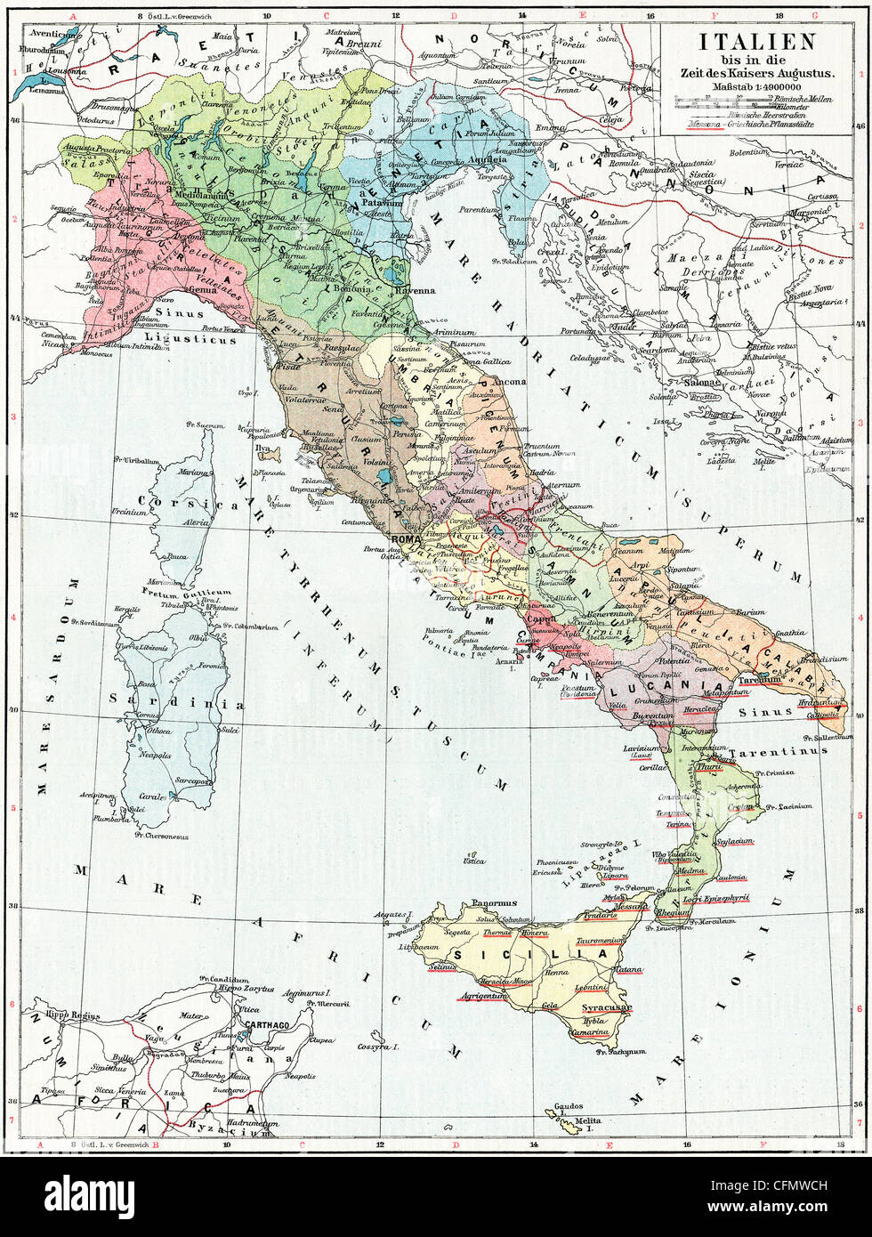 Map of Italy, the time of Emperor Augustus. Stock Photohttps://www.alamy.com/image-license-details/?v=1https://www.alamy.com/stock-photo-map-of-italy-the-time-of-emperor-augustus-44099569.html
RFCFMWCH–Map of Italy, the time of Emperor Augustus.
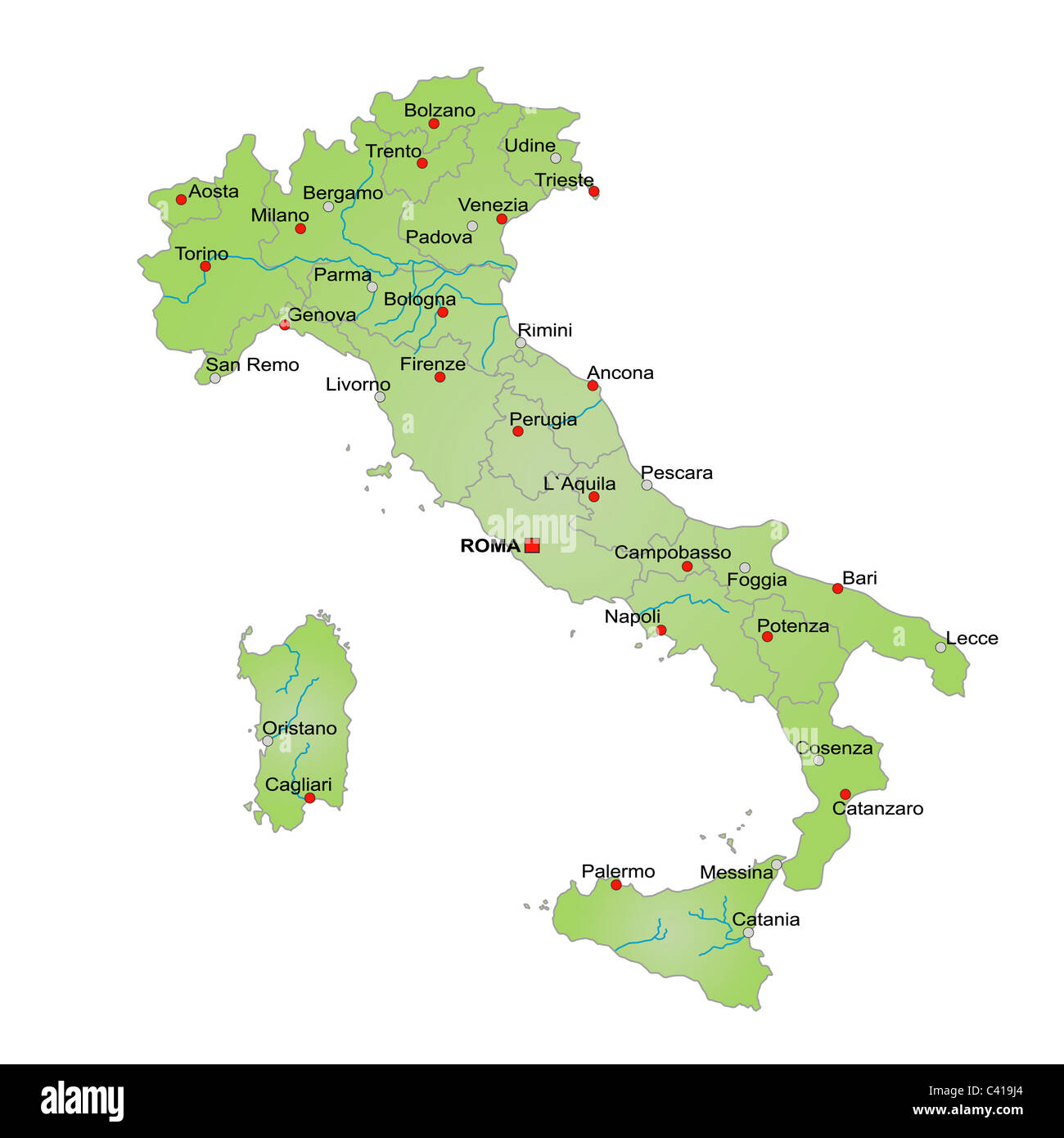 Stylized map of Italy showing various rivers, cities and all provinces. All on white background. Italian caption Stock Photohttps://www.alamy.com/image-license-details/?v=1https://www.alamy.com/stock-photo-stylized-map-of-italy-showing-various-rivers-cities-and-all-provinces-36908876.html
RFC419J4–Stylized map of Italy showing various rivers, cities and all provinces. All on white background. Italian caption
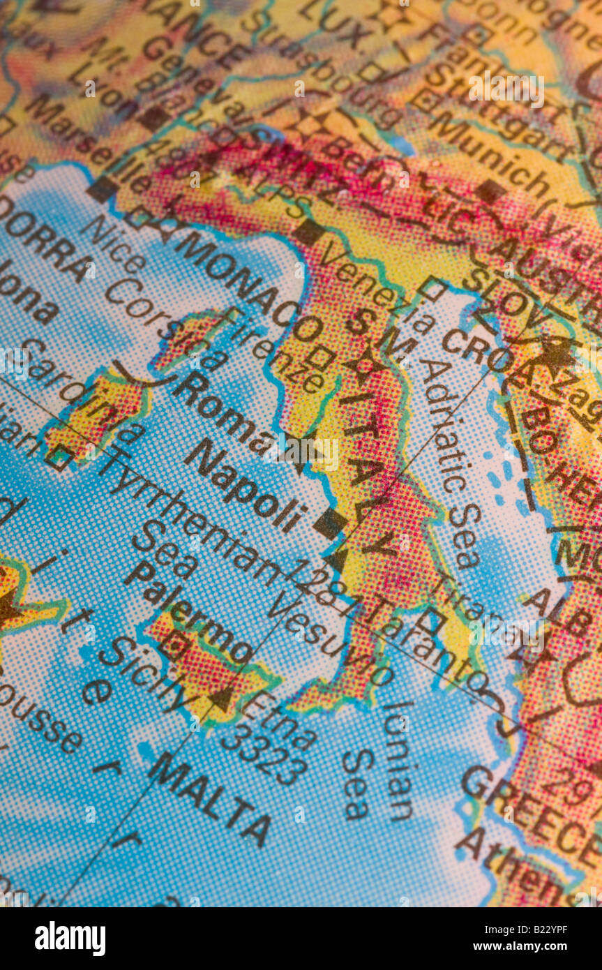 Map of Italy and Mediterranean Sea Stock Photohttps://www.alamy.com/image-license-details/?v=1https://www.alamy.com/stock-photo-map-of-italy-and-mediterranean-sea-18505383.html
RMB22YPF–Map of Italy and Mediterranean Sea
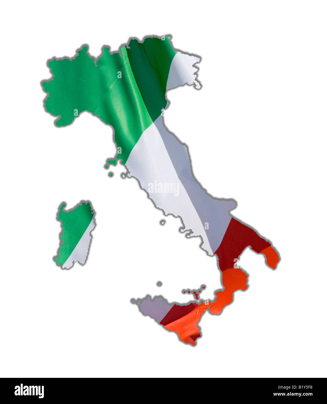 Map Outline of Italy Stock Photohttps://www.alamy.com/image-license-details/?v=1https://www.alamy.com/stock-photo-map-outline-of-italy-18422076.html
RMB1Y5F8–Map Outline of Italy
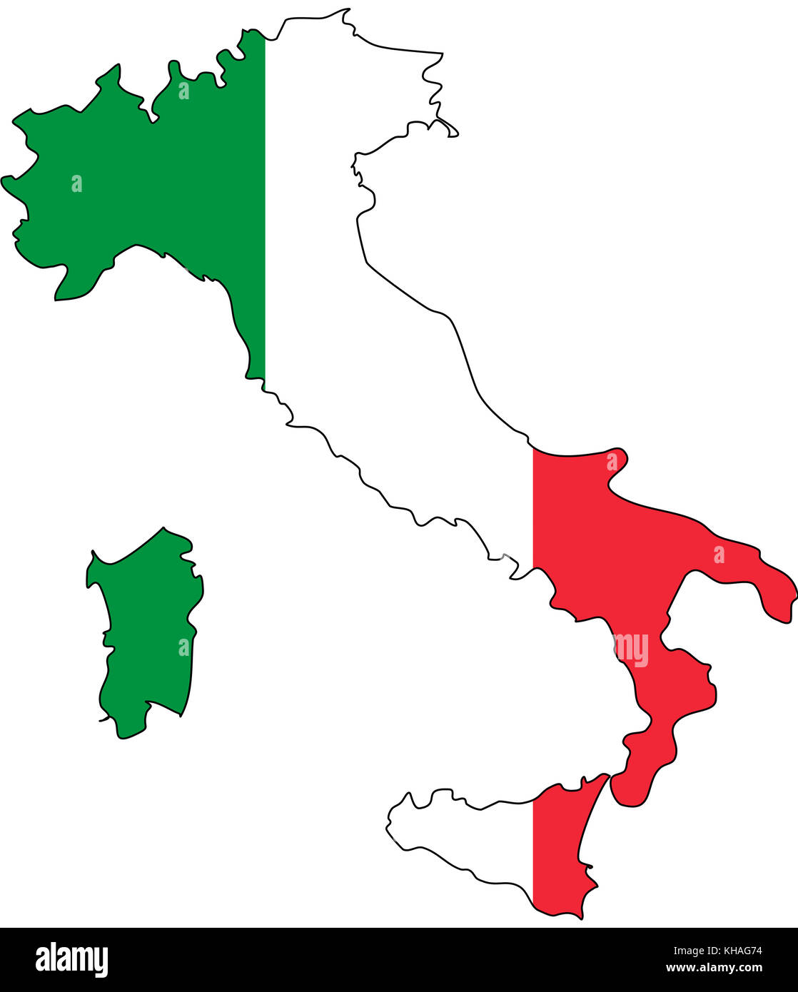 Map of Italy with the colours of the Italian flag Stock Photohttps://www.alamy.com/image-license-details/?v=1https://www.alamy.com/stock-image-map-of-italy-with-the-colours-of-the-italian-flag-165574728.html
RFKHAG74–Map of Italy with the colours of the Italian flag
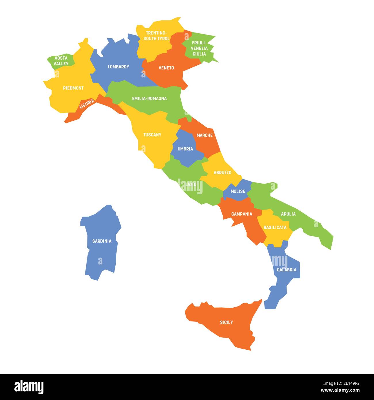 Colorful map of Italy divided into 20 administrative regions. White labels. Simple flat vector illustration. Stock Vectorhttps://www.alamy.com/image-license-details/?v=1https://www.alamy.com/colorful-map-of-italy-divided-into-20-administrative-regions-white-labels-simple-flat-vector-illustration-image396548602.html
RF2E149P2–Colorful map of Italy divided into 20 administrative regions. White labels. Simple flat vector illustration.
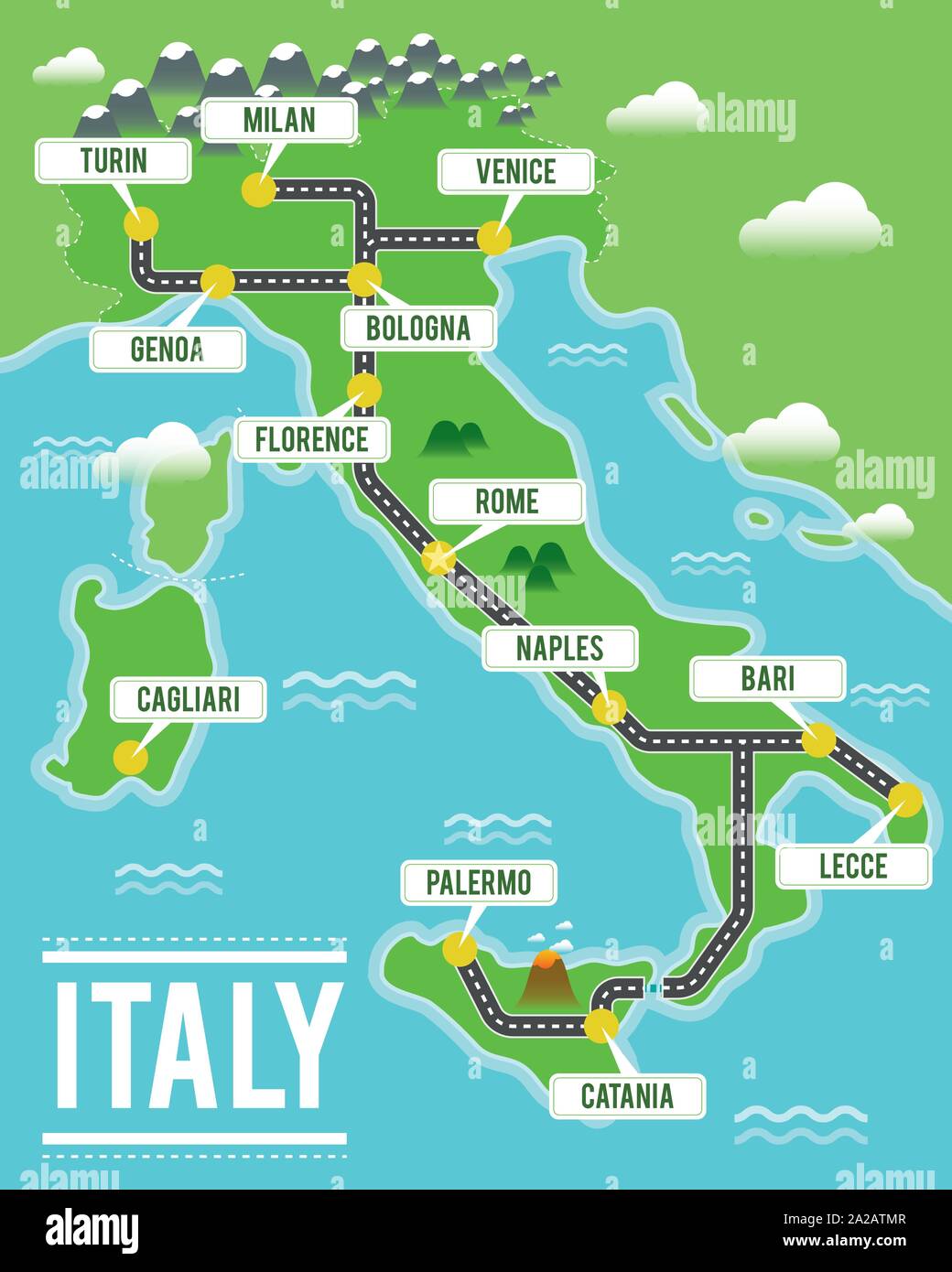 Cartoon vector map of Italy. Travel illustration with italian main cities. Stock Vectorhttps://www.alamy.com/image-license-details/?v=1https://www.alamy.com/cartoon-vector-map-of-italy-travel-illustration-with-italian-main-cities-image328465223.html
RF2A2ATMR–Cartoon vector map of Italy. Travel illustration with italian main cities.
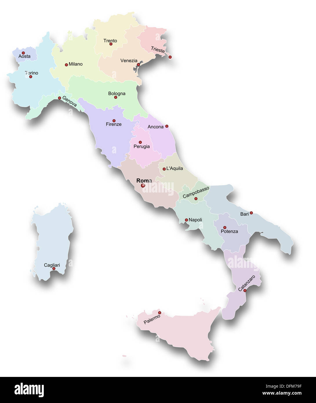 Map of Italy Stock Photohttps://www.alamy.com/image-license-details/?v=1https://www.alamy.com/map-of-italy-image61295739.html
RFDFM79F–Map of Italy
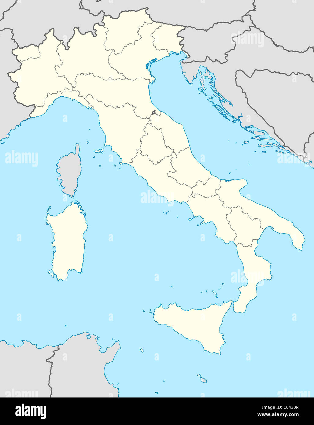 Illustrated map of the country of Italy in Europe. Stock Photohttps://www.alamy.com/image-license-details/?v=1https://www.alamy.com/stock-photo-illustrated-map-of-the-country-of-italy-in-europe-34510919.html
RMC0430R–Illustrated map of the country of Italy in Europe.
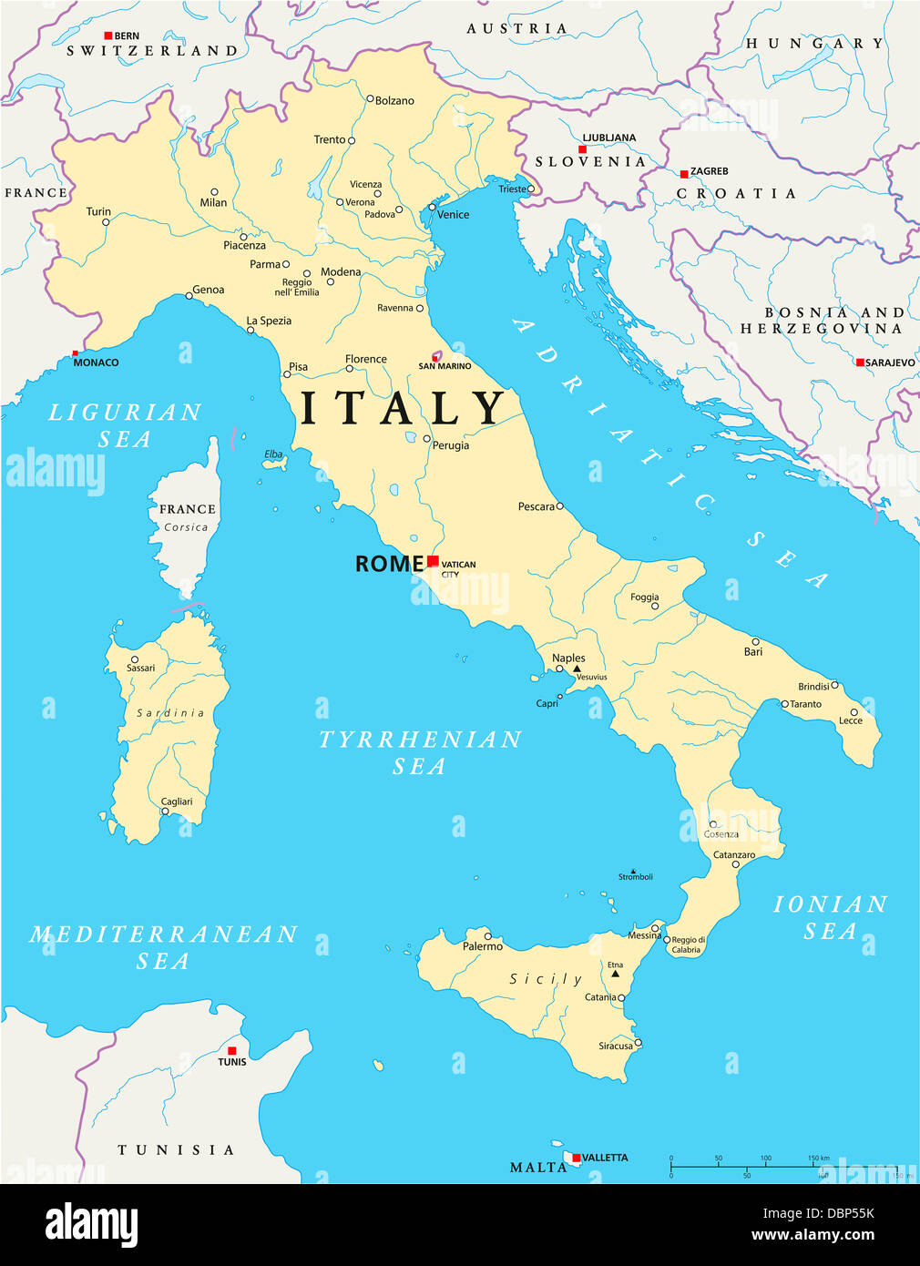 Italy Political Map Stock Photohttps://www.alamy.com/image-license-details/?v=1https://www.alamy.com/stock-photo-italy-political-map-58879343.html
RFDBP55K–Italy Political Map
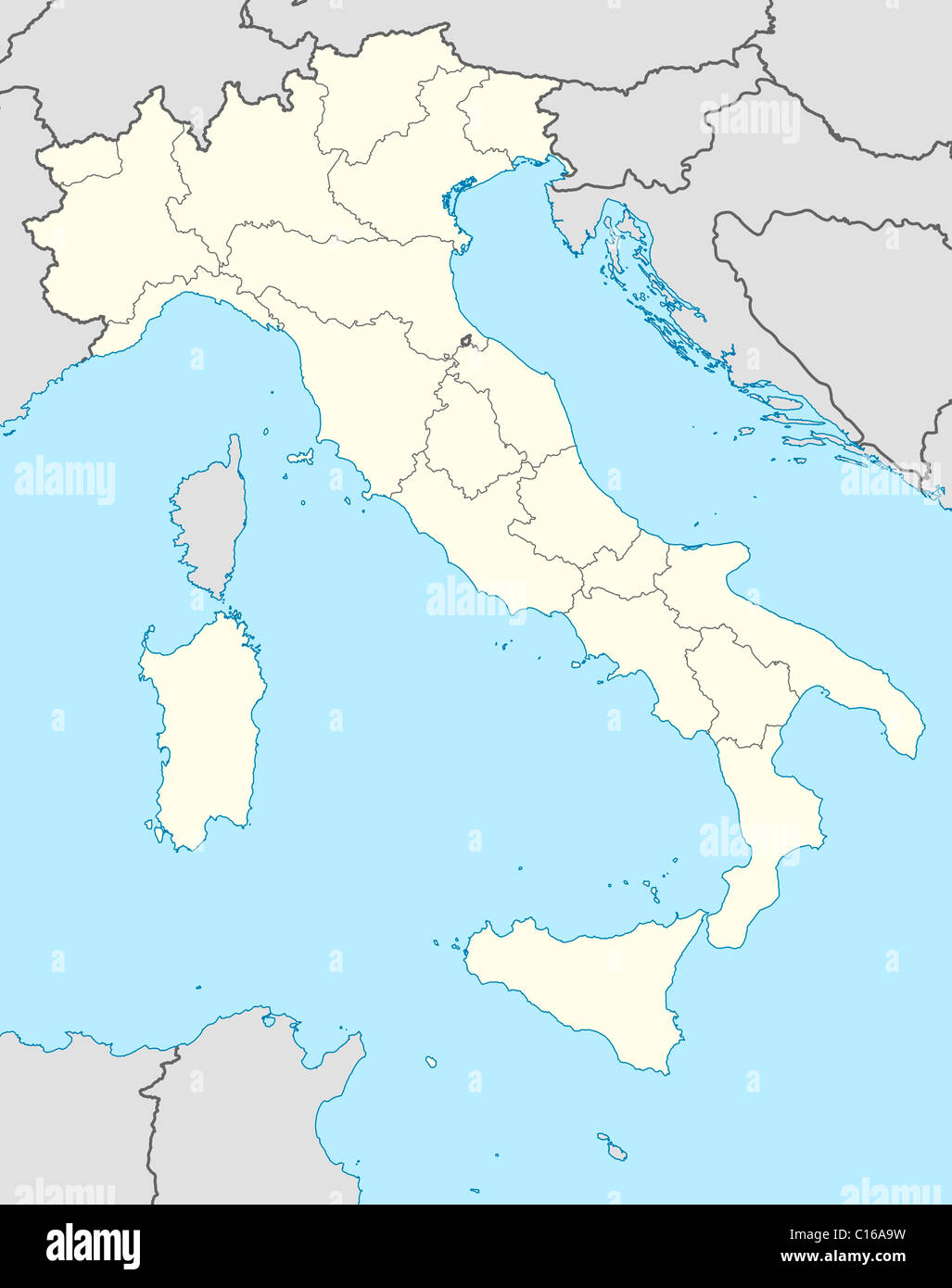 Illustrated map of the country of Italy in Europe. Stock Photohttps://www.alamy.com/image-license-details/?v=1https://www.alamy.com/stock-photo-illustrated-map-of-the-country-of-italy-in-europe-35175221.html
RMC16A9W–Illustrated map of the country of Italy in Europe.
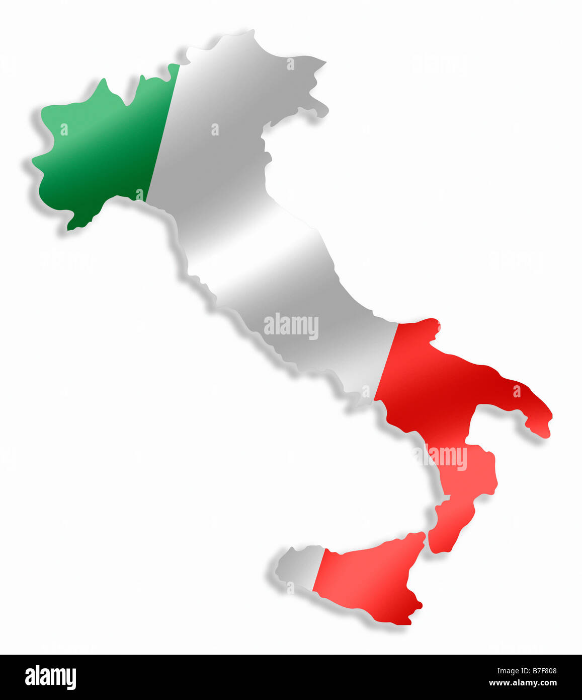 Italy Italian Country Map Outline With National Flag Inside Stock Photohttps://www.alamy.com/image-license-details/?v=1https://www.alamy.com/stock-photo-italy-italian-country-map-outline-with-national-flag-inside-21848520.html
RMB7F808–Italy Italian Country Map Outline With National Flag Inside
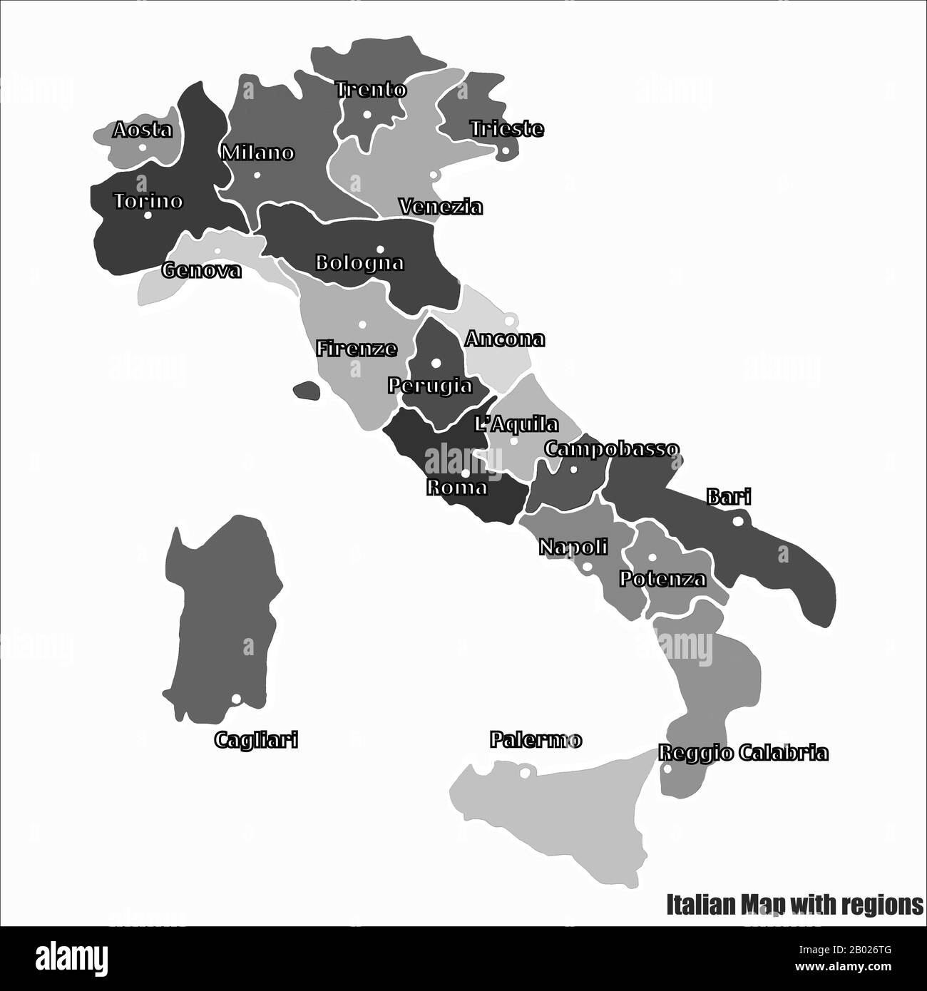 Map of Italy bright graphic illustration. Handmade drawing with map. Italy map with Italian major cities and regions. Bright illustration Stock Photohttps://www.alamy.com/image-license-details/?v=1https://www.alamy.com/map-of-italy-bright-graphic-illustration-handmade-drawing-with-map-italy-map-with-italian-major-cities-and-regions-bright-illustration-image344256656.html
RF2B026TG–Map of Italy bright graphic illustration. Handmade drawing with map. Italy map with Italian major cities and regions. Bright illustration
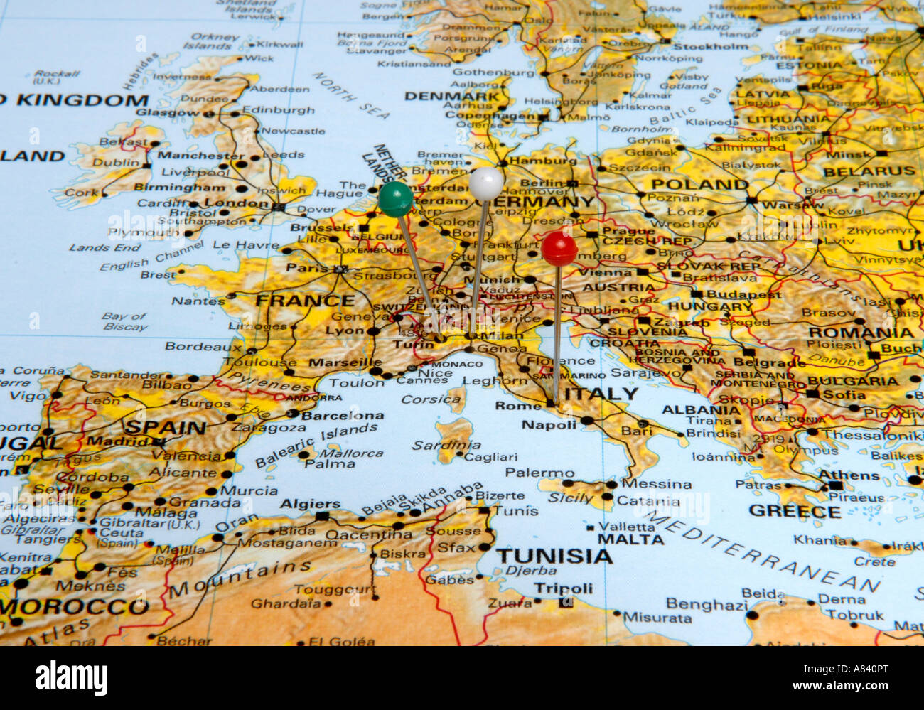 Italy Stock Photohttps://www.alamy.com/image-license-details/?v=1https://www.alamy.com/stock-photo-italy-11979791.html
RFA840PT–Italy
 Political map of Italy with the several regions. Stock Photohttps://www.alamy.com/image-license-details/?v=1https://www.alamy.com/stock-photo-political-map-of-italy-with-the-several-regions-49044141.html
RFCRP48D–Political map of Italy with the several regions.
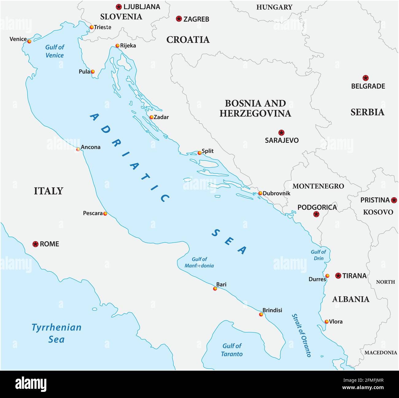 vector map of the adriatic sea with its neighboring countries Stock Vectorhttps://www.alamy.com/image-license-details/?v=1https://www.alamy.com/vector-map-of-the-adriatic-sea-with-its-neighboring-countries-image425685927.html
RF2FMFJMR–vector map of the adriatic sea with its neighboring countries
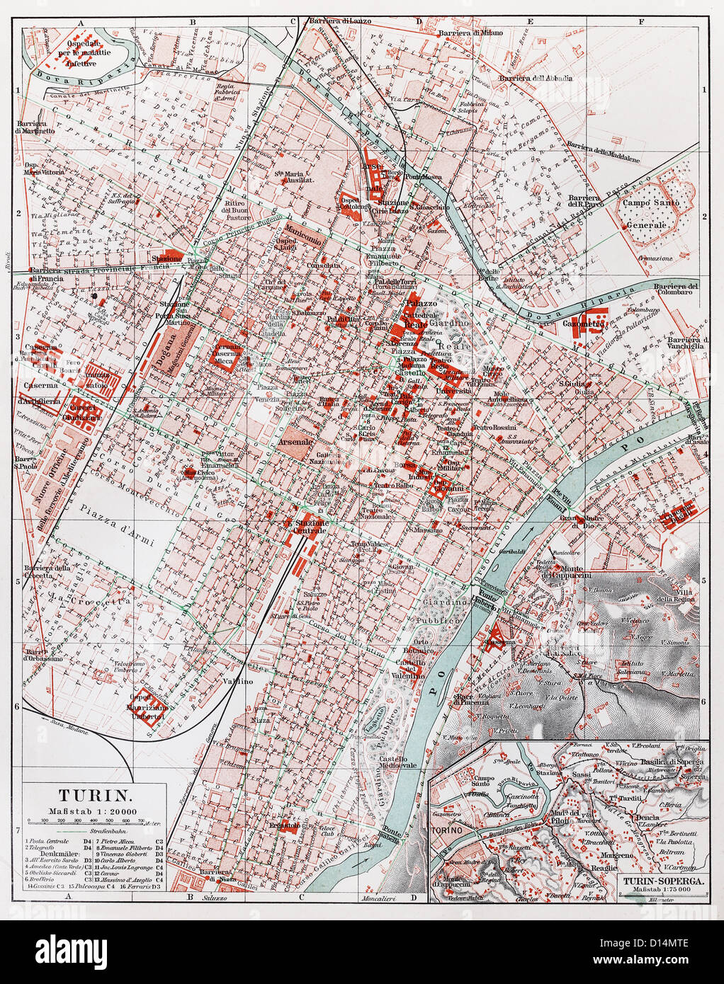 Vintage map of Turin from the end of 19th century Stock Photohttps://www.alamy.com/image-license-details/?v=1https://www.alamy.com/stock-photo-vintage-map-of-turin-from-the-end-of-19th-century-52349934.html
RFD14MTE–Vintage map of Turin from the end of 19th century
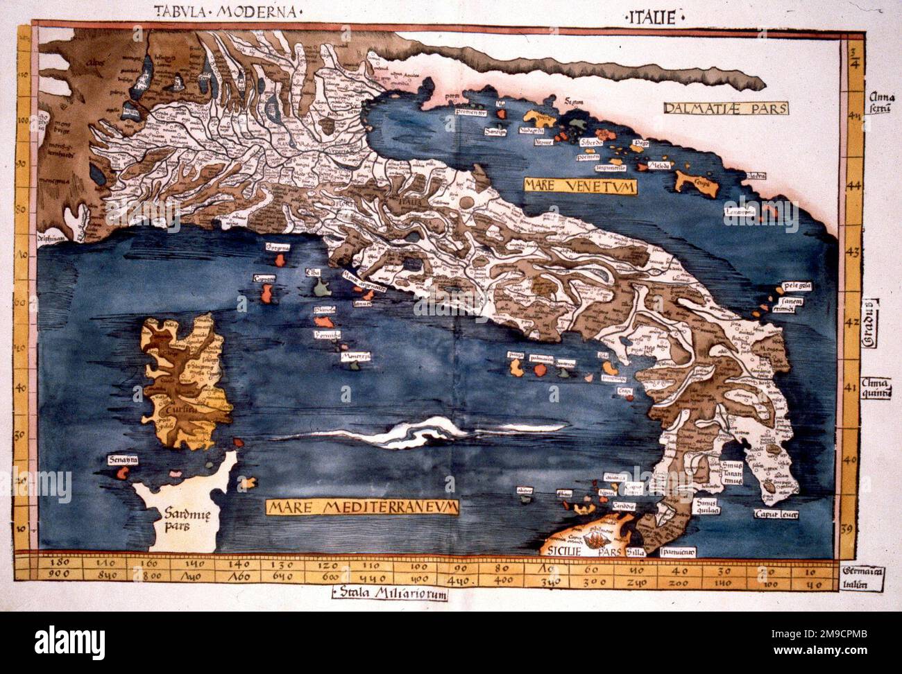
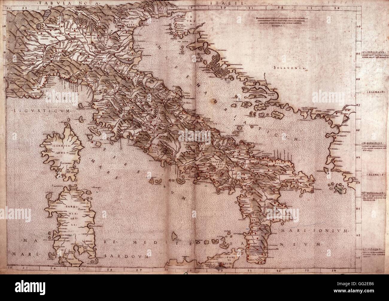 Claudius Ptolemy: Map of Italy 1507 Italy London, British museum Stock Photohttps://www.alamy.com/image-license-details/?v=1https://www.alamy.com/stock-photo-claudius-ptolemy-map-of-italy-1507-italy-london-british-museum-113151898.html
RMGG2EB6–Claudius Ptolemy: Map of Italy 1507 Italy London, British museum
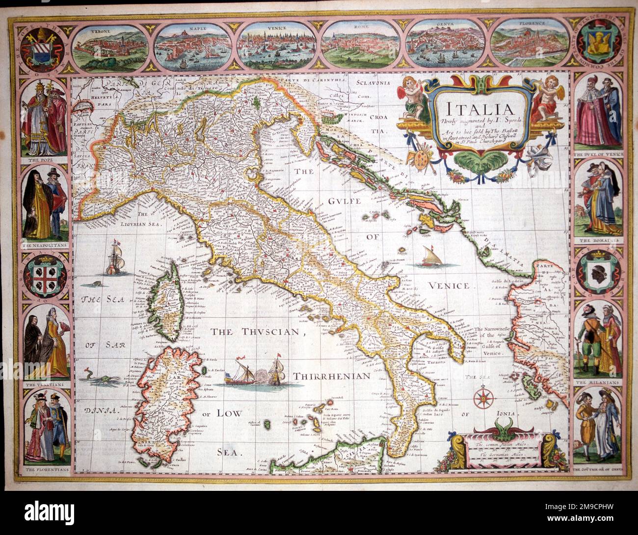 17th century Map of Italy Stock Photohttps://www.alamy.com/image-license-details/?v=1https://www.alamy.com/17th-century-map-of-italy-image504913749.html
RM2M9CPHW–17th century Map of Italy
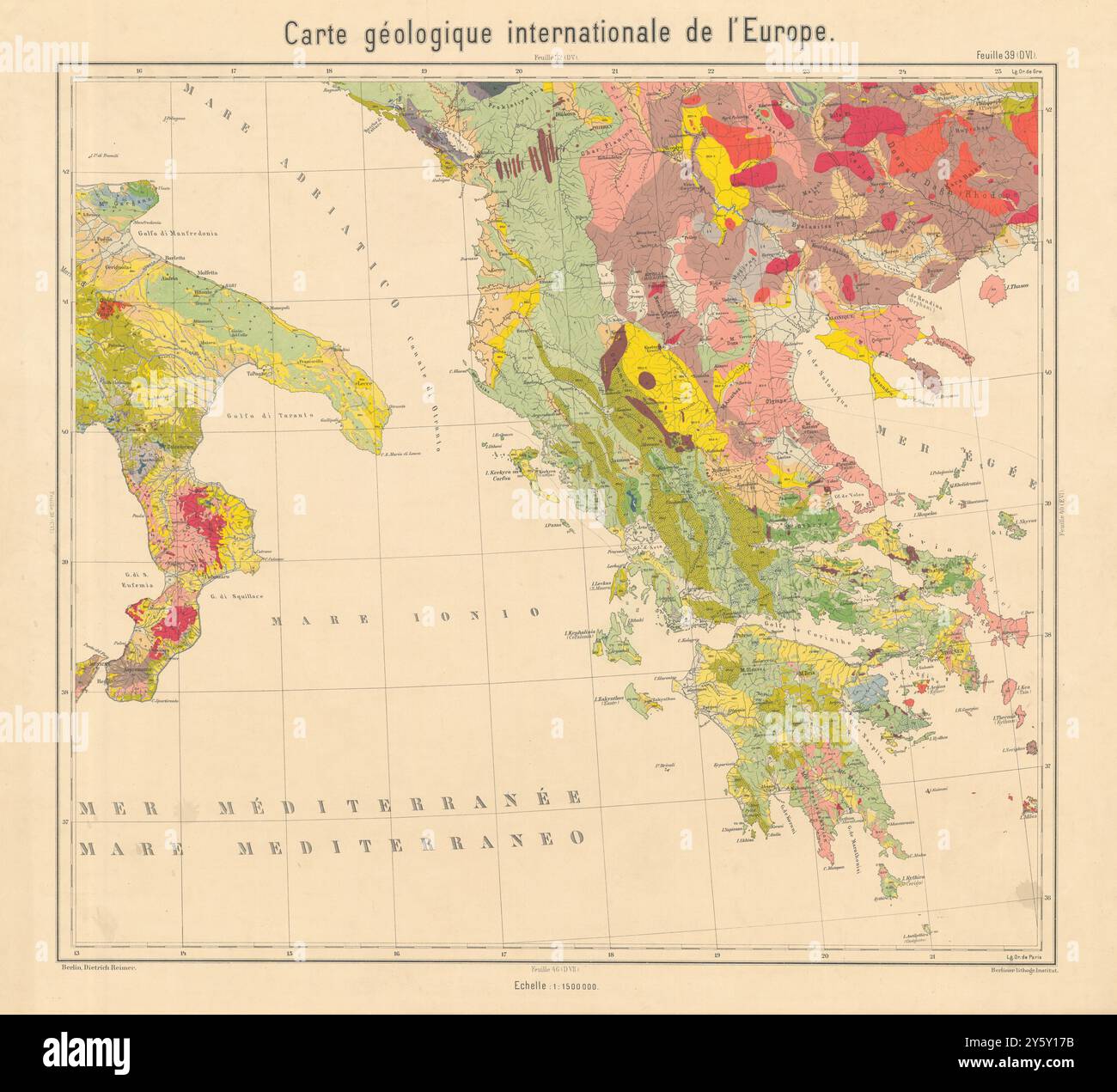 Geological map South Italy, Greece, Albania, North Macedonia. BEYSCHLAG 1898 Stock Photohttps://www.alamy.com/image-license-details/?v=1https://www.alamy.com/geological-map-south-italy-greece-albania-north-macedonia-beyschlag-1898-image623240223.html
RF2Y5Y17B–Geological map South Italy, Greece, Albania, North Macedonia. BEYSCHLAG 1898
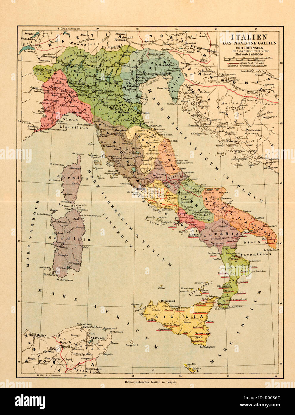 Map of Italy and the Islands in the 1st Century A.D. Stock Photohttps://www.alamy.com/image-license-details/?v=1https://www.alamy.com/map-of-italy-and-the-islands-in-the-1st-century-ad-image224000740.html
RMR0C36C–Map of Italy and the Islands in the 1st Century A.D.
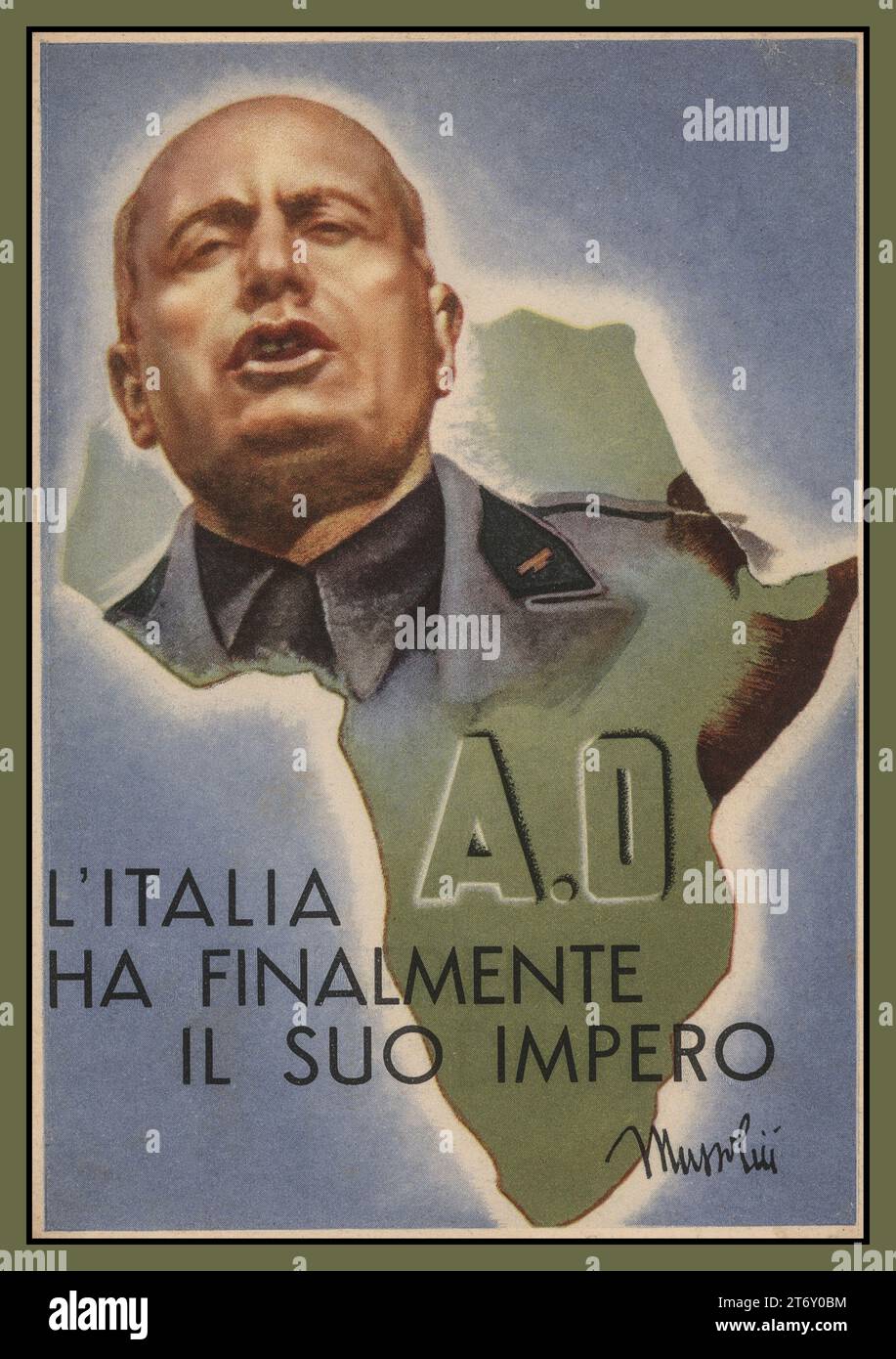 MUSSOLINI Benito Amilcare Andrea Mussolini overlaid on map of Italy, with the caption ' Italy finally has its empire' Vintage Poster Propaganda card. Mussolini was an Italian dictator and journalist who founded and led the National Fascist Party. He led Italy in to World War II and was executed by Italian partisans. Stock Photohttps://www.alamy.com/image-license-details/?v=1https://www.alamy.com/mussolini-benito-amilcare-andrea-mussolini-overlaid-on-map-of-italy-with-the-caption-italy-finally-has-its-empire-vintage-poster-propaganda-card-mussolini-was-an-italian-dictator-and-journalist-who-founded-and-led-the-national-fascist-party-he-led-italy-in-to-world-war-ii-and-was-executed-by-italian-partisans-image572223112.html
RM2T6Y0BM–MUSSOLINI Benito Amilcare Andrea Mussolini overlaid on map of Italy, with the caption ' Italy finally has its empire' Vintage Poster Propaganda card. Mussolini was an Italian dictator and journalist who founded and led the National Fascist Party. He led Italy in to World War II and was executed by Italian partisans.
 map country Stock Photohttps://www.alamy.com/image-license-details/?v=1https://www.alamy.com/stock-photo-map-country-24125646.html
RMBB70E6–map country
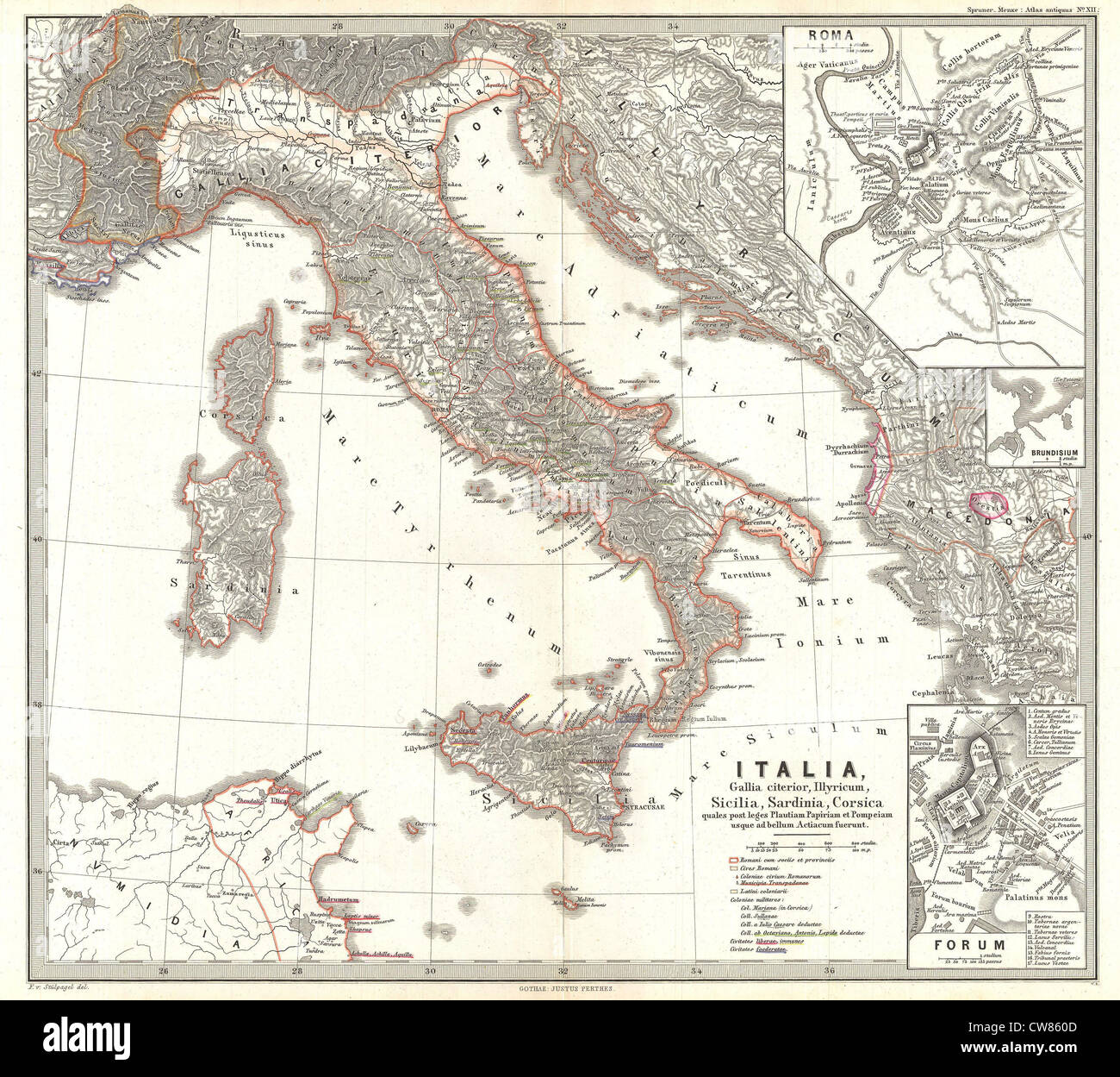 1865 Spruner Map of Italy after the Battle of Actium Stock Photohttps://www.alamy.com/image-license-details/?v=1https://www.alamy.com/stock-photo-1865-spruner-map-of-italy-after-the-battle-of-actium-49967469.html
RMCW860D–1865 Spruner Map of Italy after the Battle of Actium
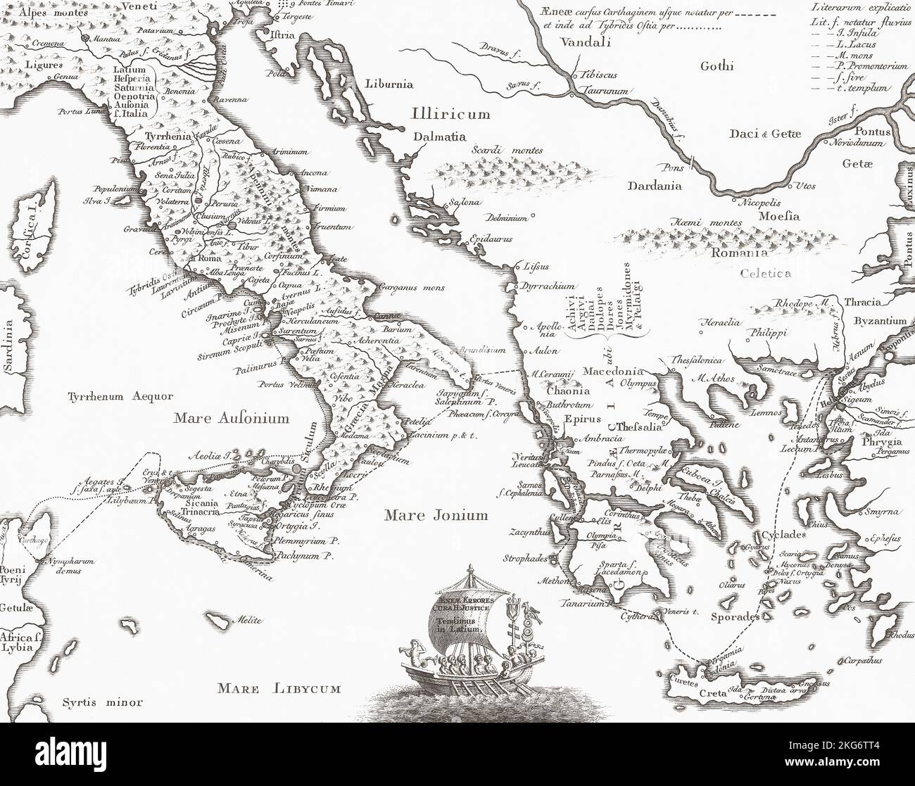 18th century map of Italy and Greece showing major sites of ancient history. Stock Photohttps://www.alamy.com/image-license-details/?v=1https://www.alamy.com/18th-century-map-of-italy-and-greece-showing-major-sites-of-ancient-history-image491876004.html
RM2KG6TT4–18th century map of Italy and Greece showing major sites of ancient history.
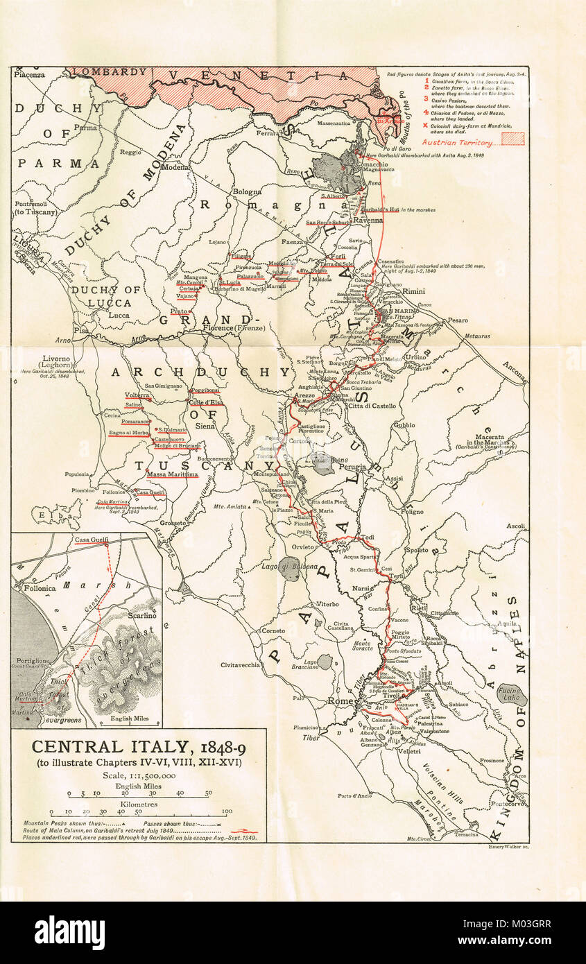 Pre unification map of Italy 1848-49, showing Garibaldi's retreat from Rome Stock Photohttps://www.alamy.com/image-license-details/?v=1https://www.alamy.com/stock-photo-pre-unification-map-of-italy-1848-49-showing-garibaldis-retreat-from-172182747.html
RMM03GRR–Pre unification map of Italy 1848-49, showing Garibaldi's retreat from Rome
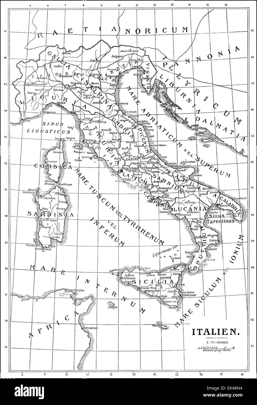 Historical map of Italy, Stock Photohttps://www.alamy.com/image-license-details/?v=1https://www.alamy.com/stock-photo-historical-map-of-italy-80614608.html
RMEK48N4–Historical map of Italy,
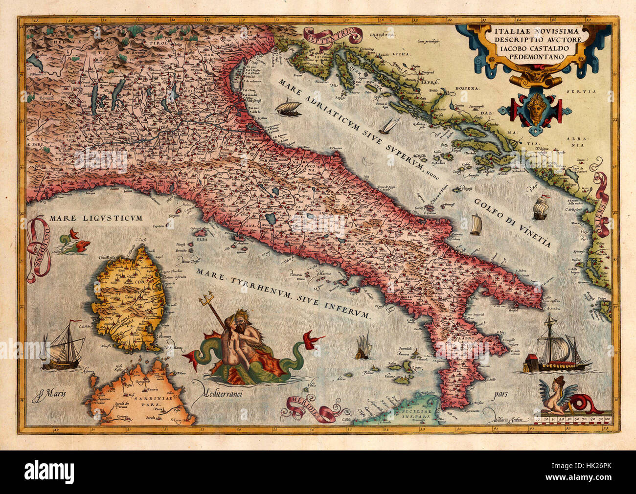 Map Of Italy 1573 Stock Photohttps://www.alamy.com/image-license-details/?v=1https://www.alamy.com/stock-photo-map-of-italy-1573-132200283.html
RFHK26PK–Map Of Italy 1573
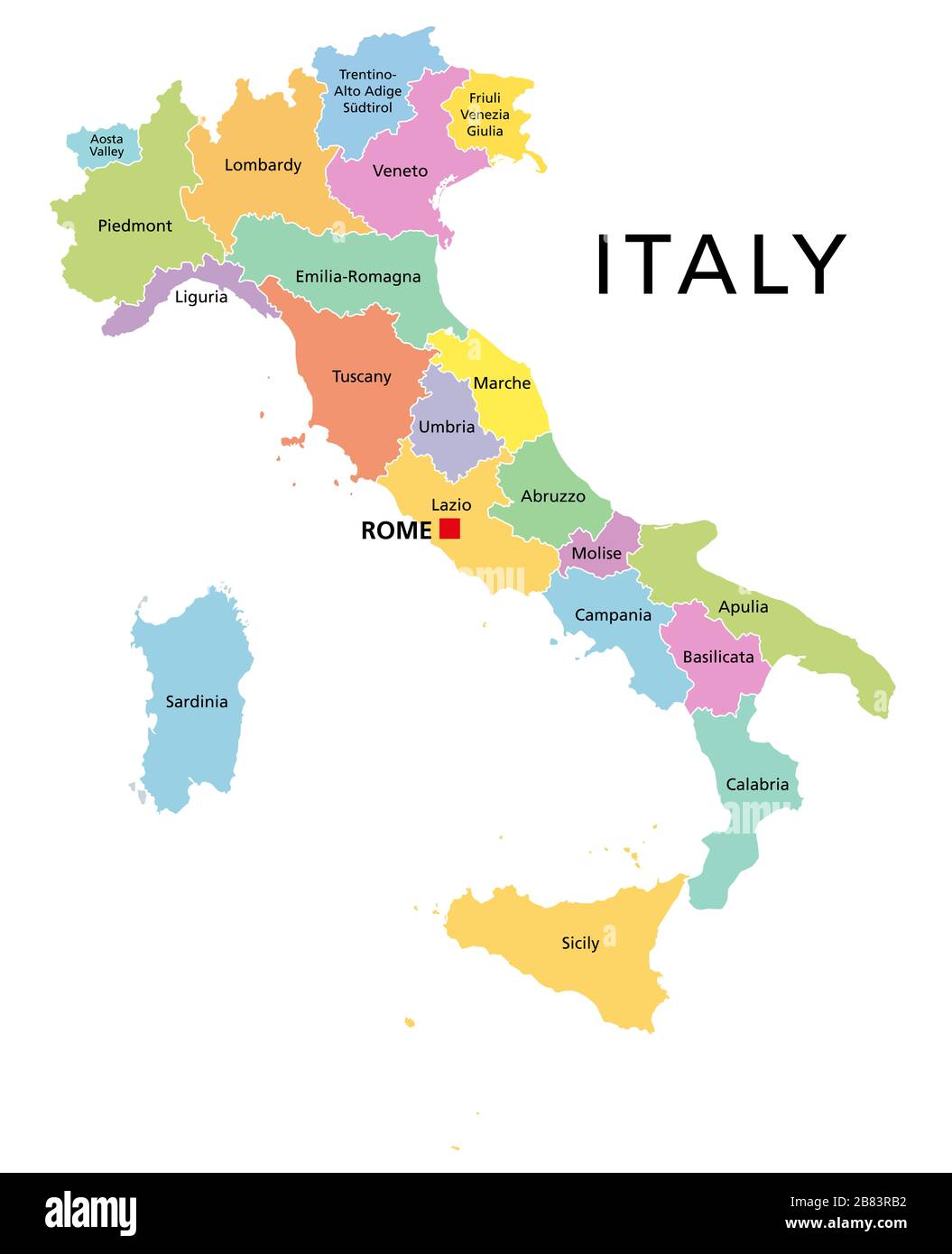 Italy, political map with multicolored administrative divisions. Italian Republic with capital Rome, their 20 regions and borders. English labeling. Stock Photohttps://www.alamy.com/image-license-details/?v=1https://www.alamy.com/italy-political-map-with-multicolored-administrative-divisions-italian-republic-with-capital-rome-their-20-regions-and-borders-english-labeling-image349208806.html
RF2B83RB2–Italy, political map with multicolored administrative divisions. Italian Republic with capital Rome, their 20 regions and borders. English labeling.
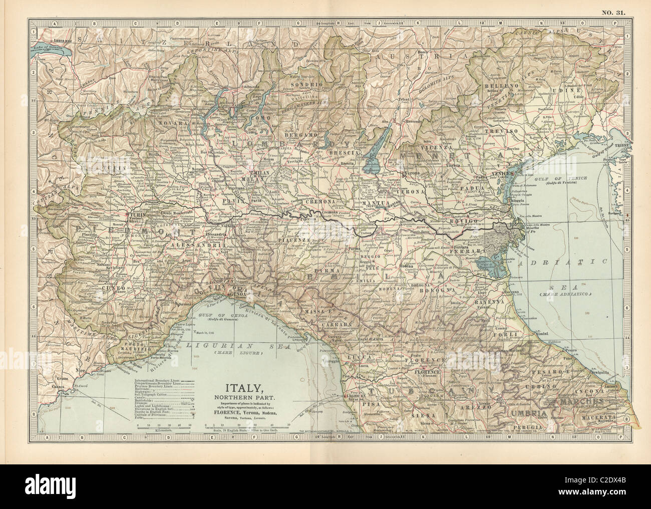 Map of Italy Stock Photohttps://www.alamy.com/image-license-details/?v=1https://www.alamy.com/stock-photo-map-of-italy-35955931.html
RMC2DX4B–Map of Italy
 The 'Spanish Steps' with tourists reading a map. Rome Italy Stock Photohttps://www.alamy.com/image-license-details/?v=1https://www.alamy.com/the-spanish-steps-with-tourists-reading-a-map-rome-italy-image1815620.html
RMAYB445–The 'Spanish Steps' with tourists reading a map. Rome Italy
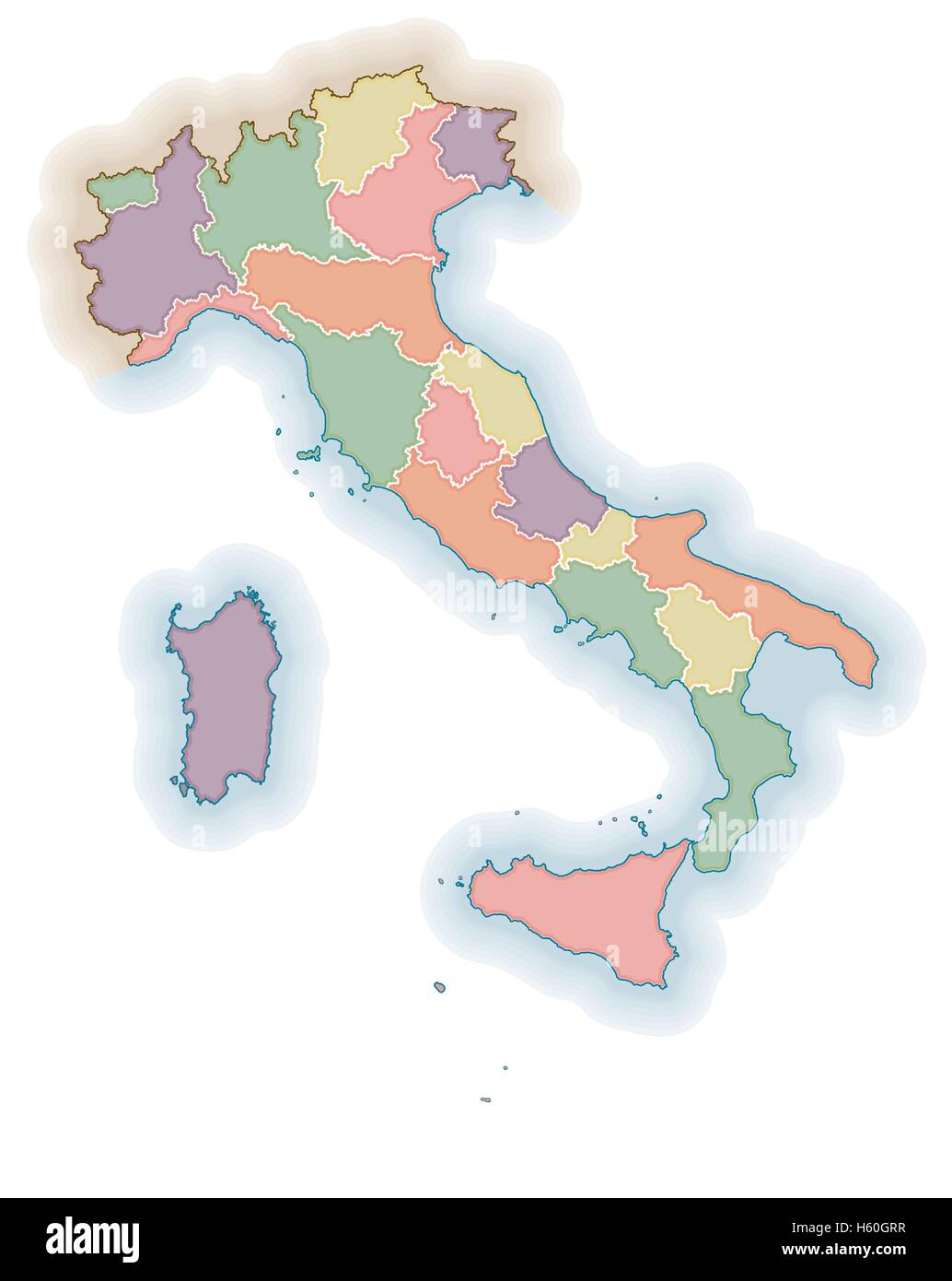 Italian regions borders blank map. Political map of Italy. One layer for each region. Stock Vectorhttps://www.alamy.com/image-license-details/?v=1https://www.alamy.com/stock-photo-italian-regions-borders-blank-map-political-map-of-italy-one-layer-124173723.html
RFH60GRR–Italian regions borders blank map. Political map of Italy. One layer for each region.
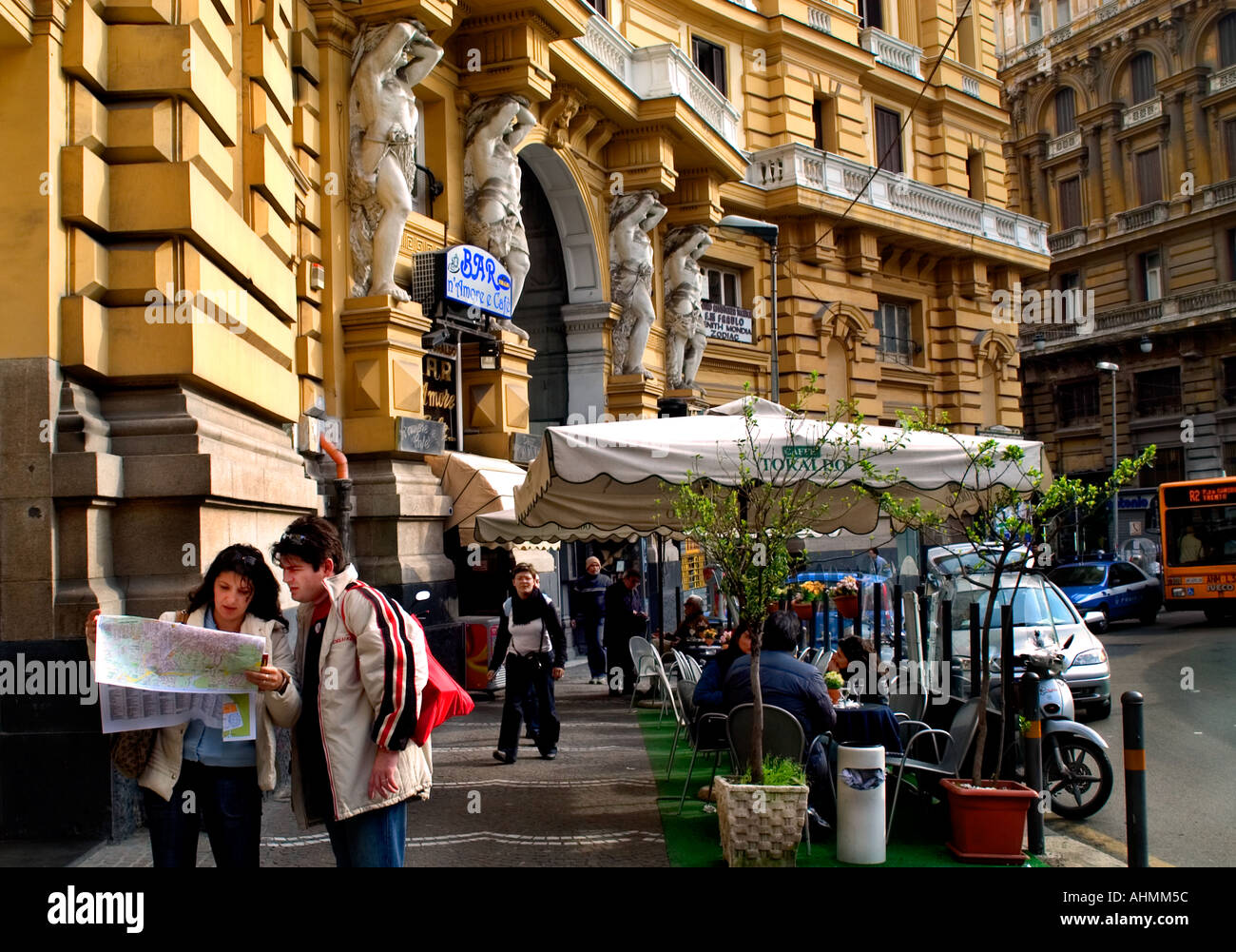 Hotel tourist reading a map Naples Italy Italian town city Stock Photohttps://www.alamy.com/image-license-details/?v=1https://www.alamy.com/hotel-tourist-reading-a-map-naples-italy-italian-town-city-image4736091.html
RMAHMM5C–Hotel tourist reading a map Naples Italy Italian town city
 Political map of Italy with the several regions. Stock Photohttps://www.alamy.com/image-license-details/?v=1https://www.alamy.com/stock-photo-political-map-of-italy-with-the-several-regions-48622273.html
RFCR2X5N–Political map of Italy with the several regions.
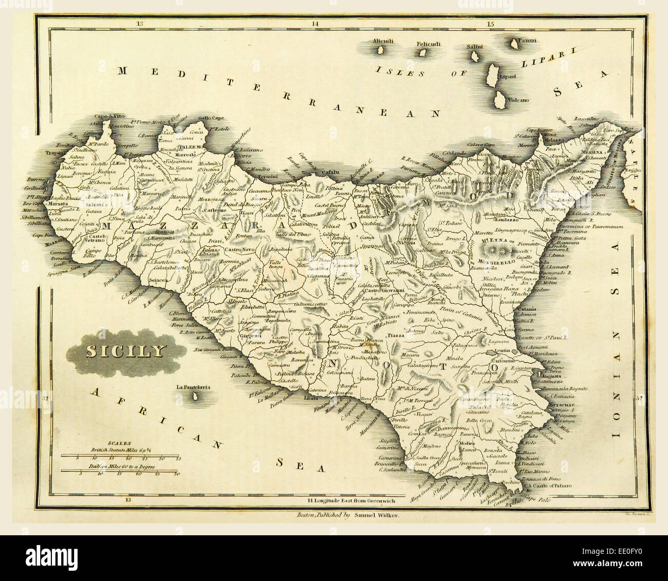 Map Sicily, Italy, 19th century engraving Stock Photohttps://www.alamy.com/image-license-details/?v=1https://www.alamy.com/stock-photo-map-sicily-italy-19th-century-engraving-77459172.html
RMEE0FY0–Map Sicily, Italy, 19th century engraving
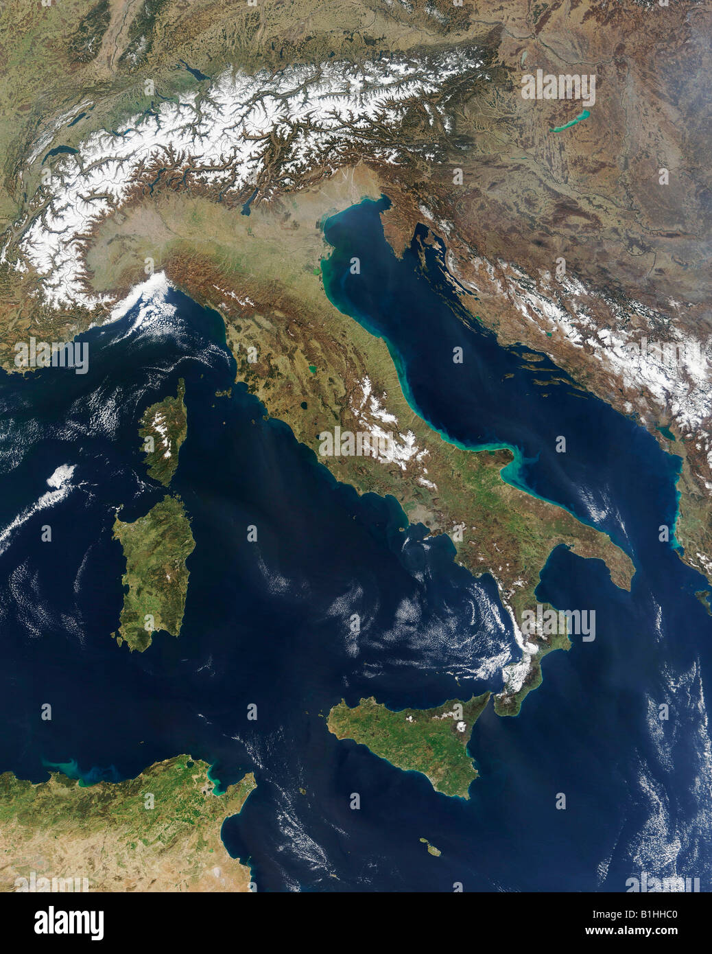 Satellite Image of Italy Including Sardinia Corsica Sicilly and part of North Africa Stock Photohttps://www.alamy.com/image-license-details/?v=1https://www.alamy.com/stock-photo-satellite-image-of-italy-including-sardinia-corsica-sicilly-and-part-18211872.html
RMB1HHC0–Satellite Image of Italy Including Sardinia Corsica Sicilly and part of North Africa
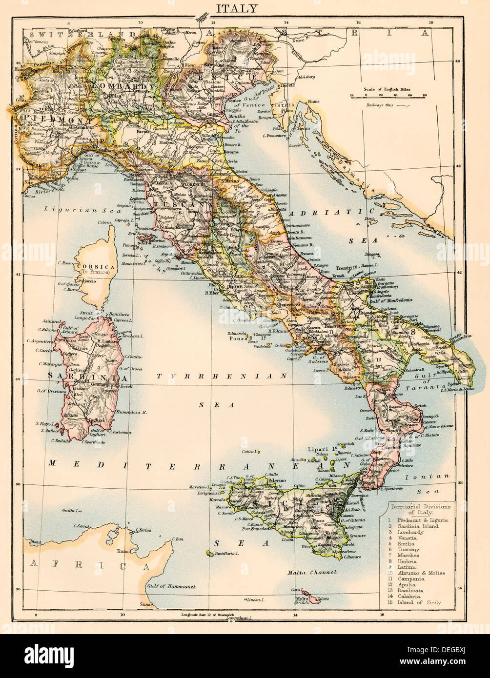 Map of Italy, 1870s. Color lithograph Stock Photohttps://www.alamy.com/image-license-details/?v=1https://www.alamy.com/map-of-italy-1870s-color-lithograph-image60596890.html
RMDEGBXJ–Map of Italy, 1870s. Color lithograph
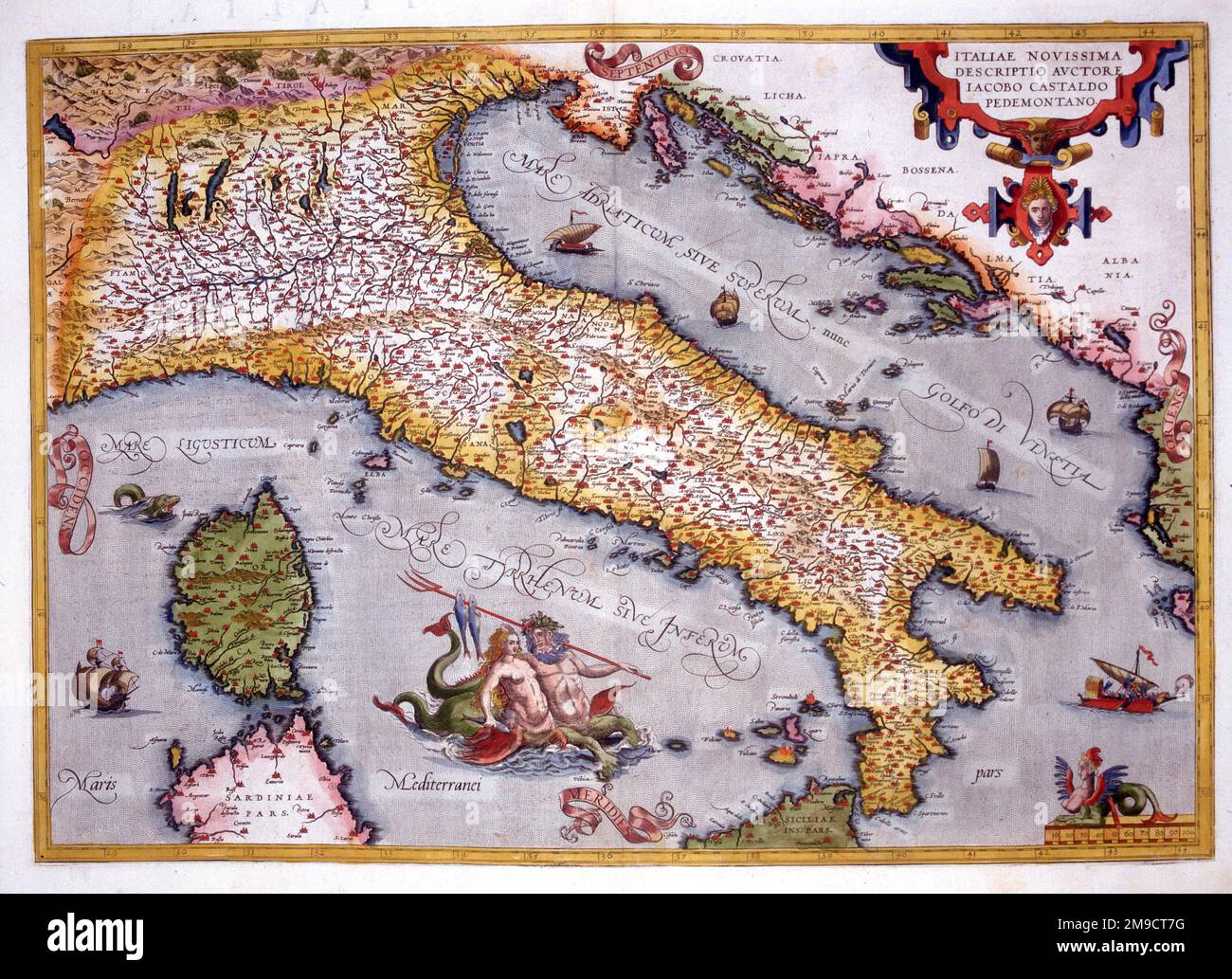 16th century Map of Italy Stock Photohttps://www.alamy.com/image-license-details/?v=1https://www.alamy.com/16th-century-map-of-italy-image504915028.html
RM2M9CT7G–16th century Map of Italy
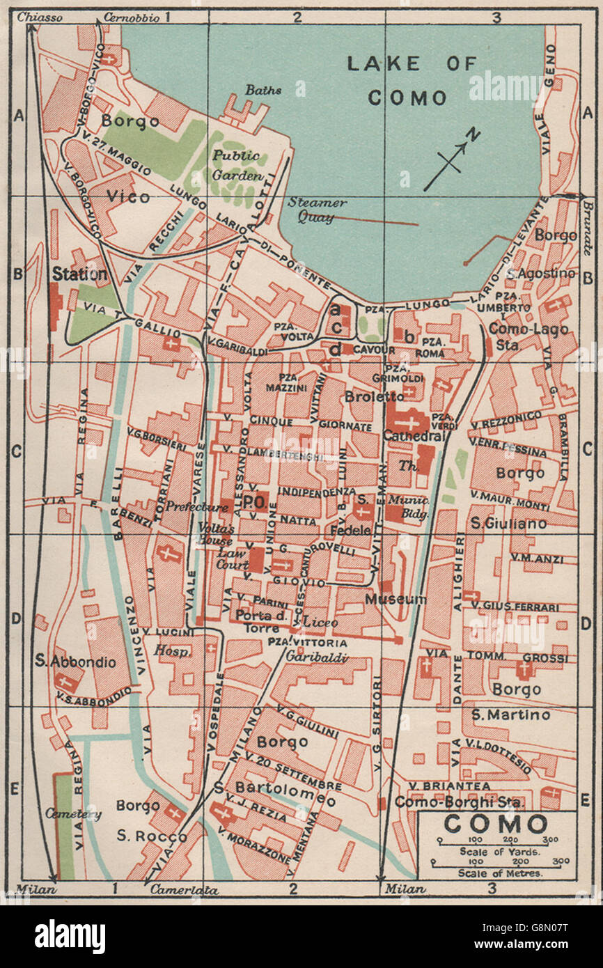 COMO. Vintage town city map plan. Italy, 1930 Stock Photohttps://www.alamy.com/image-license-details/?v=1https://www.alamy.com/stock-photo-como-vintage-town-city-map-plan-italy-1930-108640668.html
RFG8N07T–COMO. Vintage town city map plan. Italy, 1930
 Map of Italy, 1631, by Johannes Blaeu based on a map by Giovanni Antonio Magini (d. 1617). Nova Italia Delineatio, 1631, by J. Blaeu (1598-1673) Stock Photohttps://www.alamy.com/image-license-details/?v=1https://www.alamy.com/stock-photo-map-of-italy-1631-by-johannes-blaeu-based-on-a-map-by-giovanni-antonio-104966853.html
RMG2NJ85–Map of Italy, 1631, by Johannes Blaeu based on a map by Giovanni Antonio Magini (d. 1617). Nova Italia Delineatio, 1631, by J. Blaeu (1598-1673)
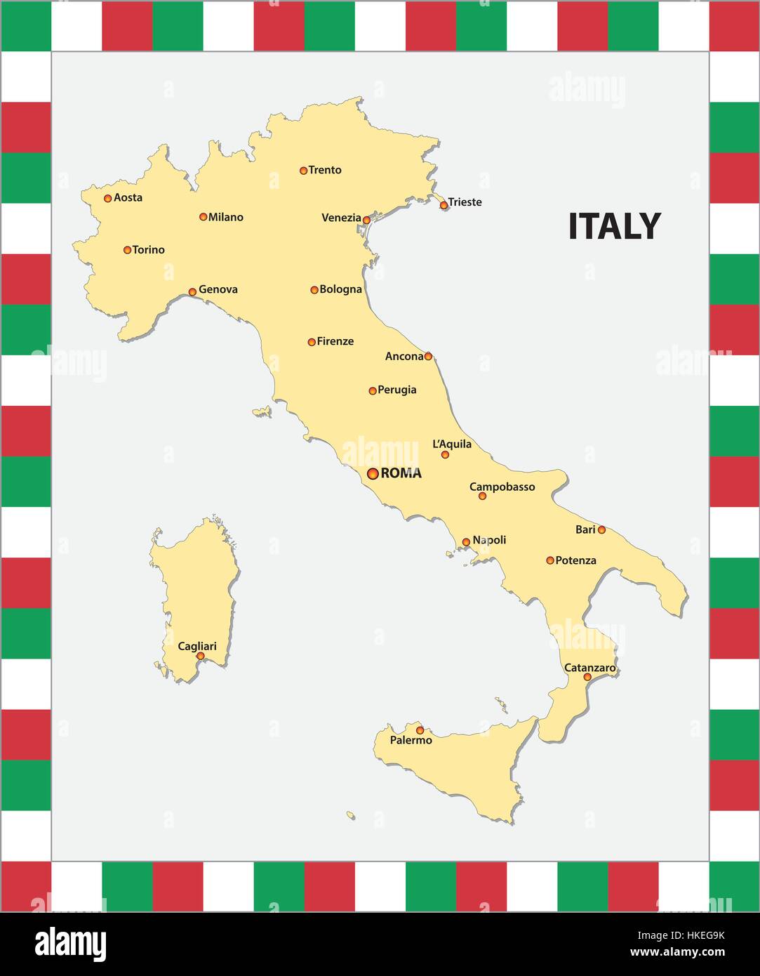 Map of Italy with the main cities and a map in the colors of the state flag Stock Vectorhttps://www.alamy.com/image-license-details/?v=1https://www.alamy.com/stock-photo-map-of-italy-with-the-main-cities-and-a-map-in-the-colors-of-the-state-132471183.html
RFHKEG9K–Map of Italy with the main cities and a map in the colors of the state flag
 Map of Italy 1631 Stock Photohttps://www.alamy.com/image-license-details/?v=1https://www.alamy.com/map-of-italy-1631-image184259792.html
RMMKNN6T–Map of Italy 1631
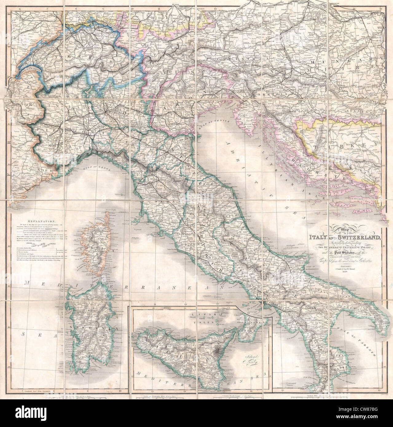 1859 Smith Folding Case Map of Italy and Switzerland Stock Photohttps://www.alamy.com/image-license-details/?v=1https://www.alamy.com/stock-photo-1859-smith-folding-case-map-of-italy-and-switzerland-49968564.html
RMCW87BG–1859 Smith Folding Case Map of Italy and Switzerland
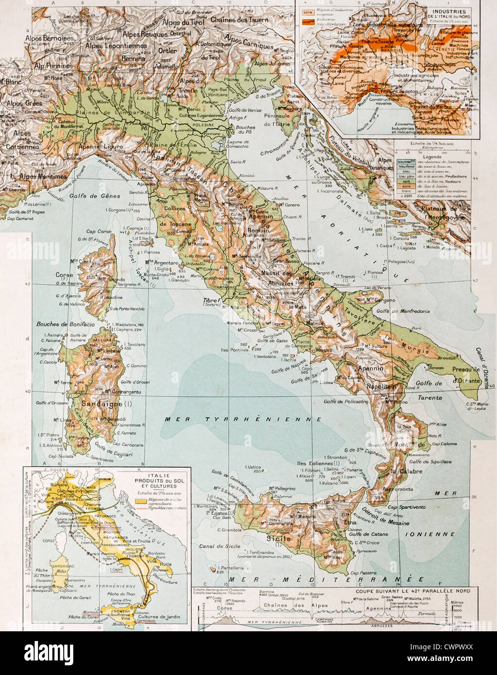 Old physical map of Italy Stock Photohttps://www.alamy.com/image-license-details/?v=1https://www.alamy.com/stock-photo-old-physical-map-of-italy-50290434.html
RFCWPWXX–Old physical map of Italy
 1877 Petermann Mittheilungen Map - North Italy Venice Alps Stock Photohttps://www.alamy.com/image-license-details/?v=1https://www.alamy.com/stock-photo-1877-petermann-mittheilungen-map-north-italy-venice-alps-175618035.html
RFM5M2GK–1877 Petermann Mittheilungen Map - North Italy Venice Alps
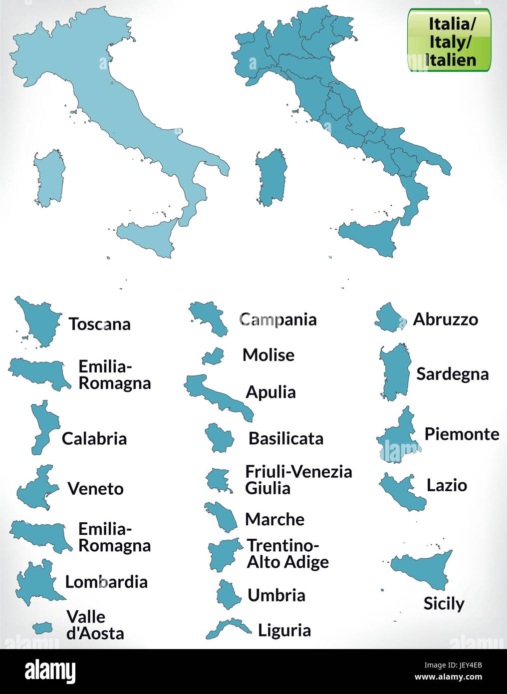 border map of italy with borders in blue Stock Vectorhttps://www.alamy.com/image-license-details/?v=1https://www.alamy.com/stock-photo-border-map-of-italy-with-borders-in-blue-146884371.html
RFJEY4EB–border map of italy with borders in blue
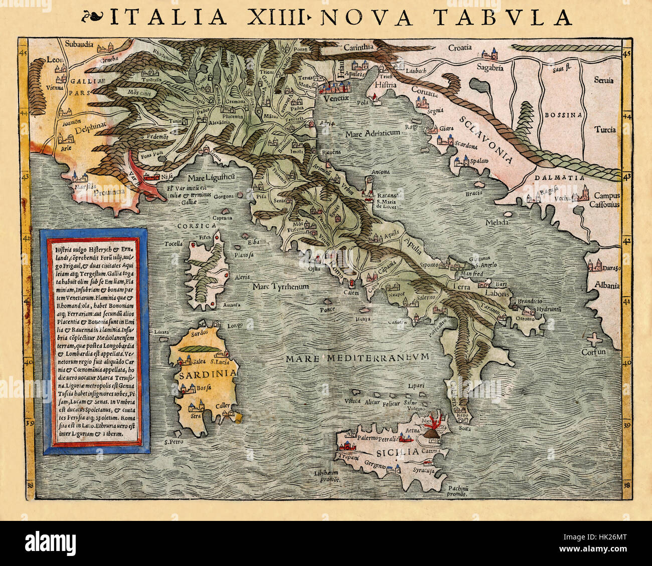 Map Of Italy 1540 Stock Photohttps://www.alamy.com/image-license-details/?v=1https://www.alamy.com/stock-photo-map-of-italy-1540-132200232.html
RFHK26MT–Map Of Italy 1540
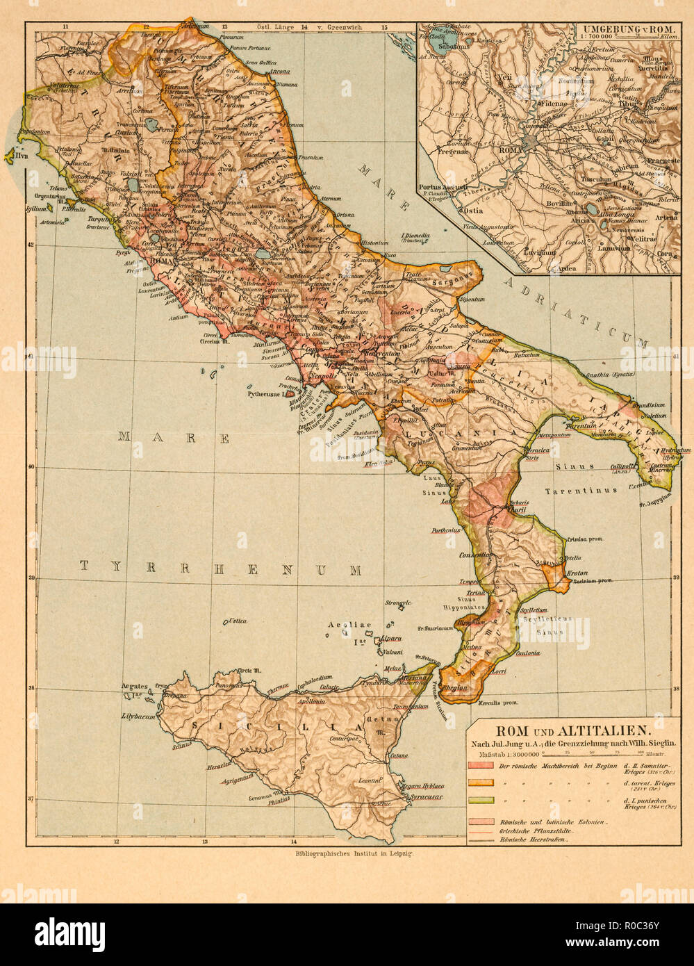 Map of Rome and Old Italy Stock Photohttps://www.alamy.com/image-license-details/?v=1https://www.alamy.com/map-of-rome-and-old-italy-image224000755.html
RMR0C36Y–Map of Rome and Old Italy
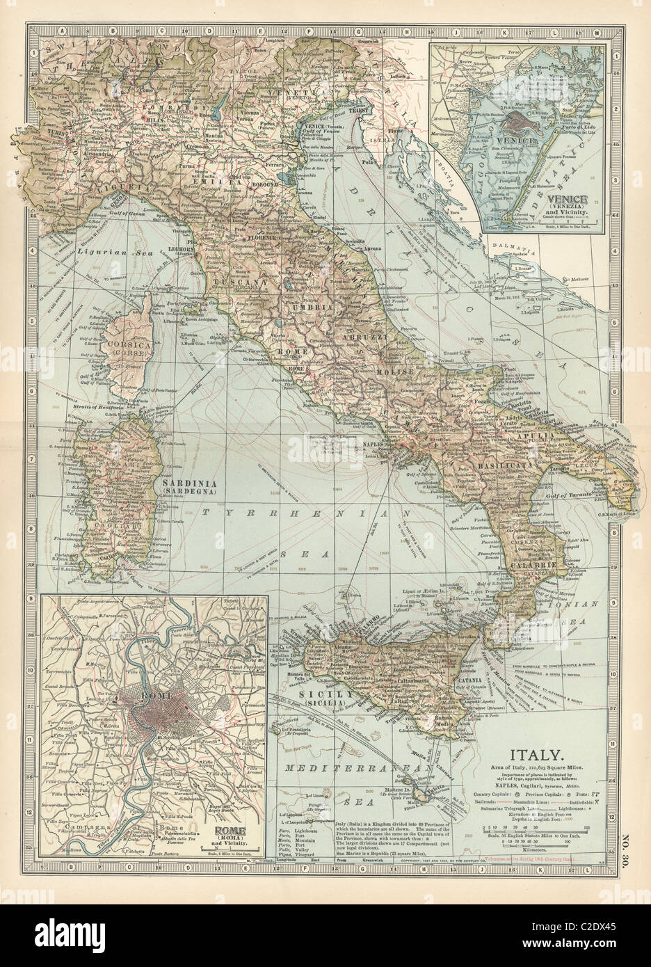 Map of Italy Stock Photohttps://www.alamy.com/image-license-details/?v=1https://www.alamy.com/stock-photo-map-of-italy-35955925.html
RMC2DX45–Map of Italy
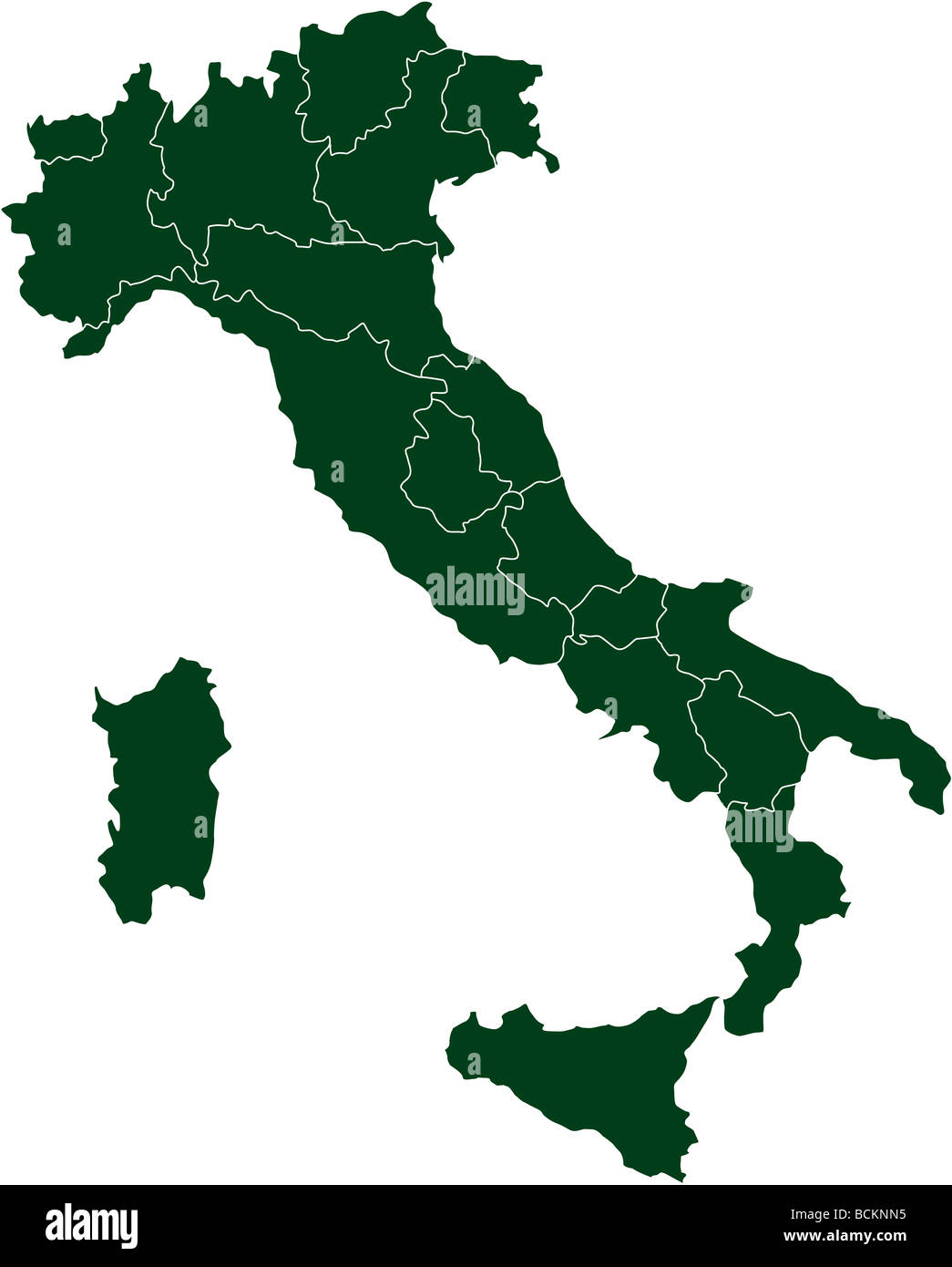 There is a map of Italy country Stock Photohttps://www.alamy.com/image-license-details/?v=1https://www.alamy.com/stock-photo-there-is-a-map-of-italy-country-25020385.html
RFBCKNN5–There is a map of Italy country
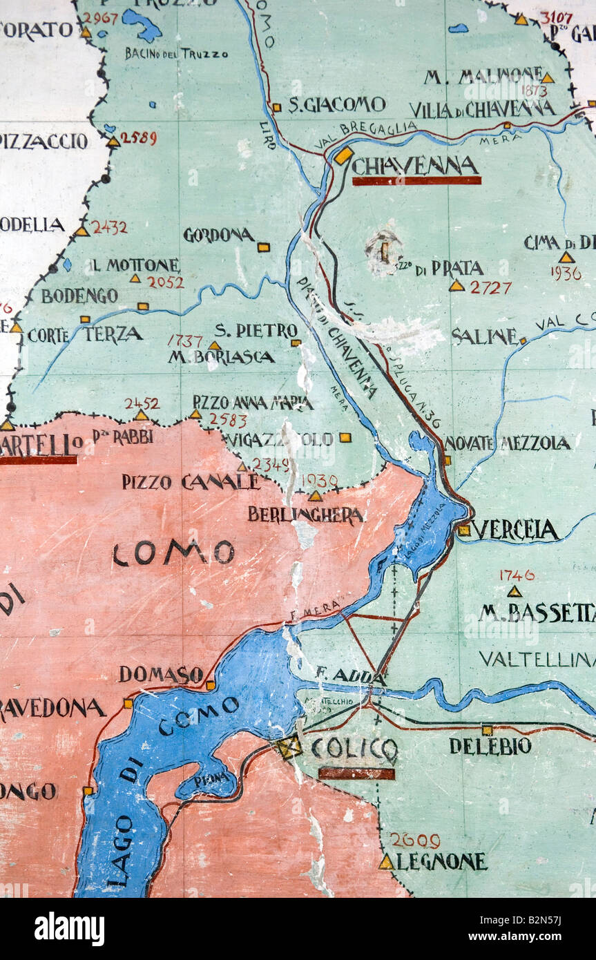 montecchio fort: map, colico, Italy Stock Photohttps://www.alamy.com/image-license-details/?v=1https://www.alamy.com/stock-photo-montecchio-fort-map-colico-italy-18904806.html
RMB2N57J–montecchio fort: map, colico, Italy
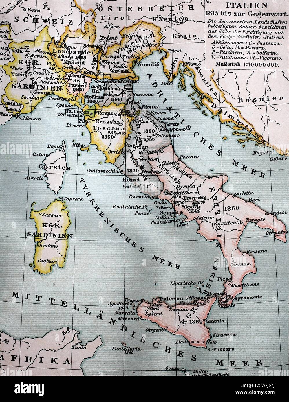 Map of Italy between 1815 and 1885, historical illustration, Italy Stock Photohttps://www.alamy.com/image-license-details/?v=1https://www.alamy.com/map-of-italy-between-1815-and-1885-historical-illustration-italy-image262858166.html
RMW7J67J–Map of Italy between 1815 and 1885, historical illustration, Italy
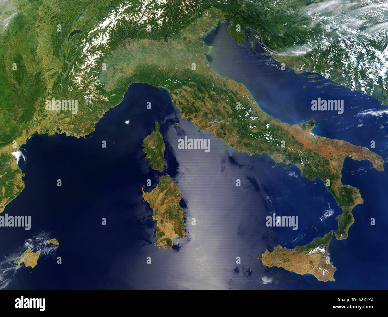 Italy and South east France viewed from space Stock Photohttps://www.alamy.com/image-license-details/?v=1https://www.alamy.com/stock-photo-italy-and-south-east-france-viewed-from-space-12187153.html
RMA8X1XX–Italy and South east France viewed from space
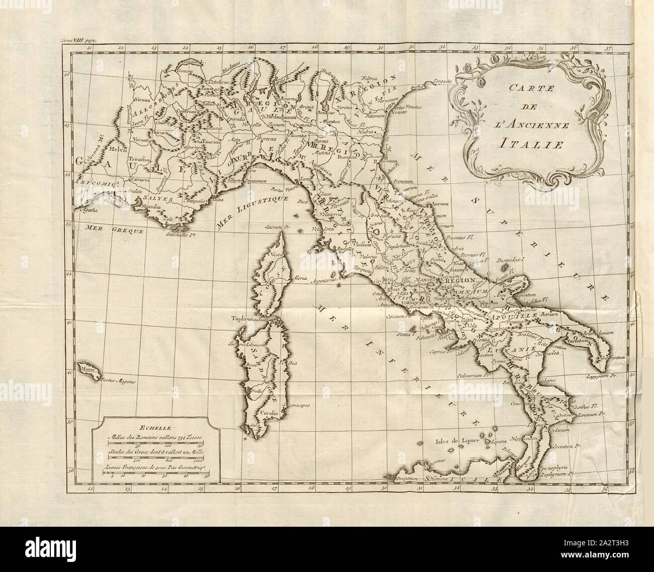 Map of ancient Italy, Map of Italy in ancient times, Fig. 1, Histoire universelle depuis le commencement du monde jusqu'à présent, traduite de l'anglois. T. 8. Amsterdam; Leipzig: chez Arkstée et Merkus, MDCCLXX [1770 Stock Photohttps://www.alamy.com/image-license-details/?v=1https://www.alamy.com/map-of-ancient-italy-map-of-italy-in-ancient-times-fig-1-histoire-universelle-depuis-le-commencement-du-monde-jusqu-prsent-traduite-de-langlois-t-8-amsterdam-leipzig-chez-arkste-et-merkus-mdcclxx-1770-image328755983.html
RM2A2T3H3–Map of ancient Italy, Map of Italy in ancient times, Fig. 1, Histoire universelle depuis le commencement du monde jusqu'à présent, traduite de l'anglois. T. 8. Amsterdam; Leipzig: chez Arkstée et Merkus, MDCCLXX [1770
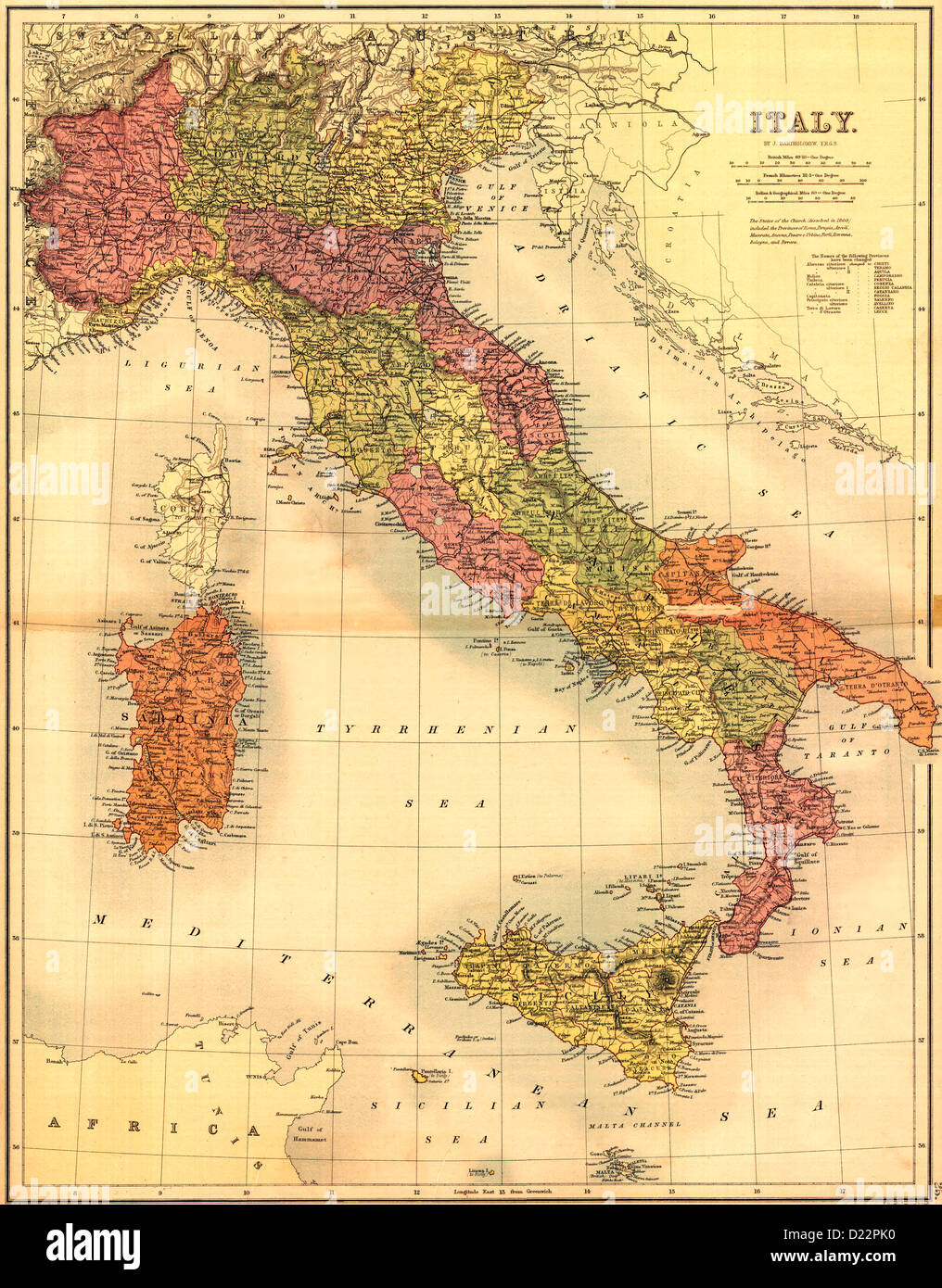 Map of Italy 1890 Stock Photohttps://www.alamy.com/image-license-details/?v=1https://www.alamy.com/stock-photo-map-of-italy-1890-52922100.html
RMD22PK0–Map of Italy 1890
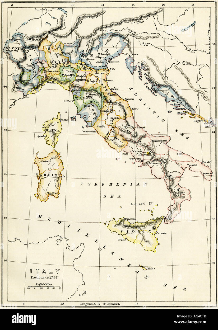 Map of Italy showing political divisions before 1797. Color lithograph Stock Photohttps://www.alamy.com/image-license-details/?v=1https://www.alamy.com/map-of-italy-showing-political-divisions-before-1797-color-lithograph-image8052106.html
RMAG4CTB–Map of Italy showing political divisions before 1797. Color lithograph
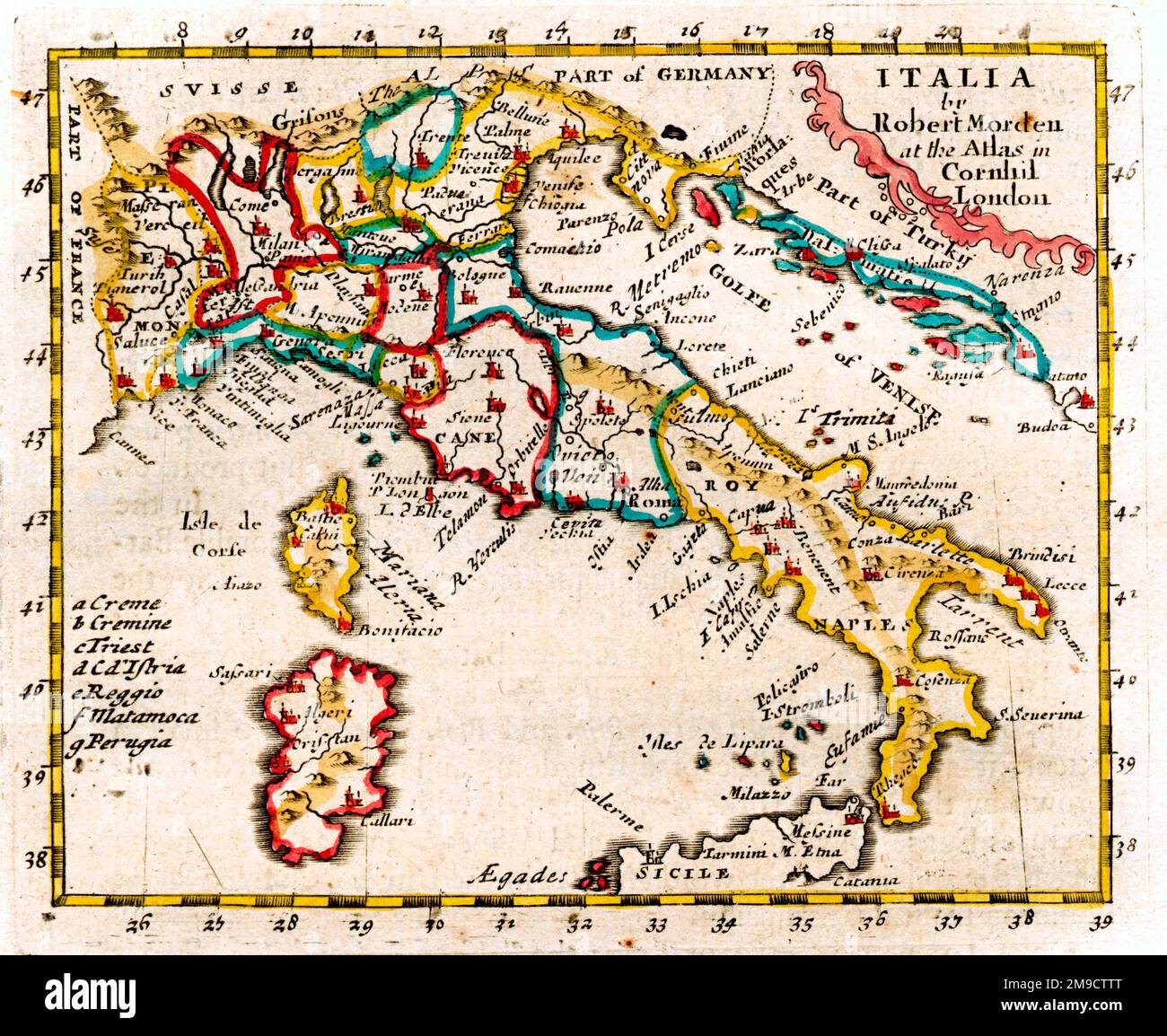 17th century Map of Italy Stock Photohttps://www.alamy.com/image-license-details/?v=1https://www.alamy.com/17th-century-map-of-italy-image504915512.html
RM2M9CTTT–17th century Map of Italy
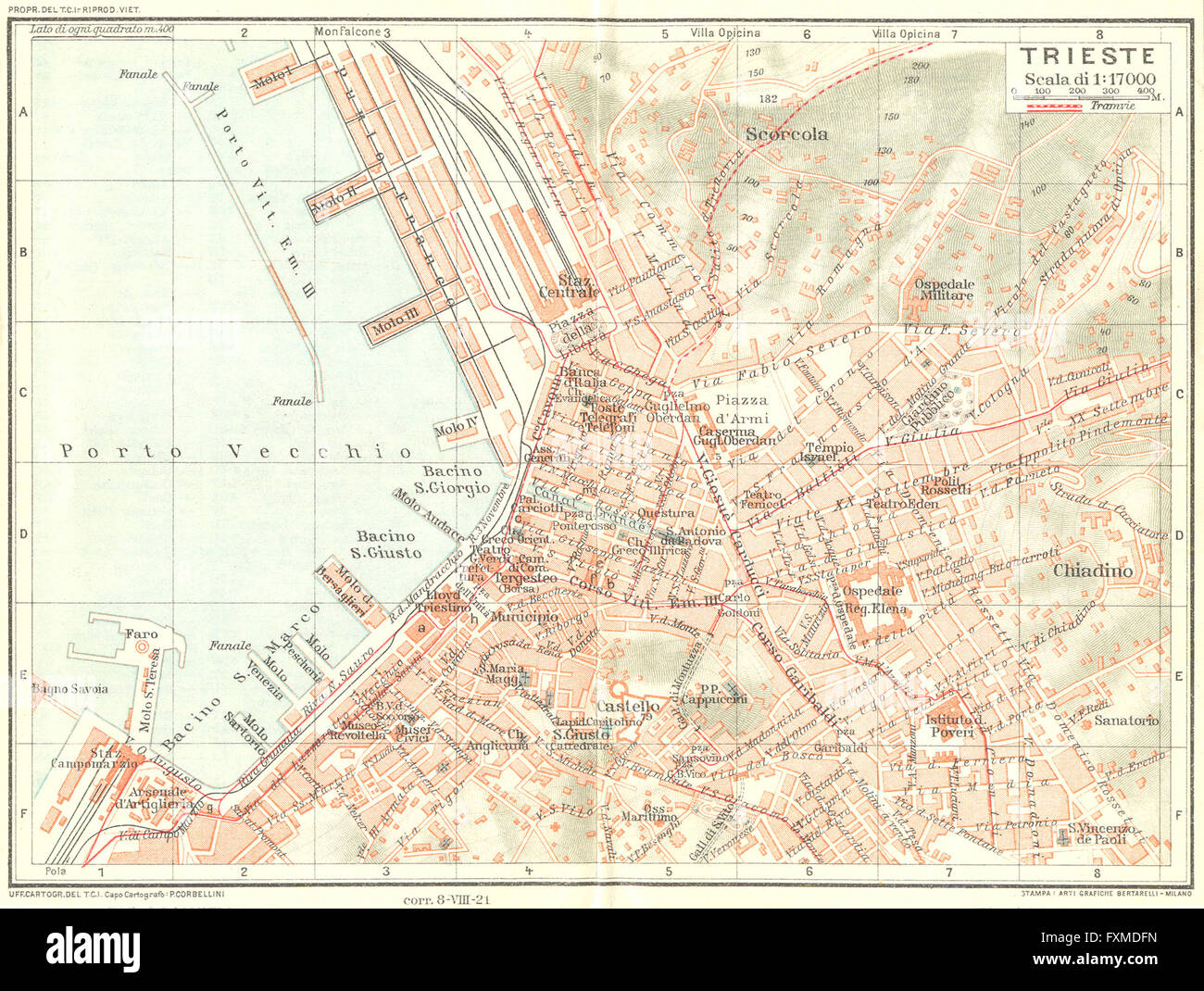 TRIESTE. Vintage town city map plan. Italy, 1927 Stock Photohttps://www.alamy.com/image-license-details/?v=1https://www.alamy.com/stock-photo-trieste-vintage-town-city-map-plan-italy-1927-102482569.html
RFFXMDFN–TRIESTE. Vintage town city map plan. Italy, 1927
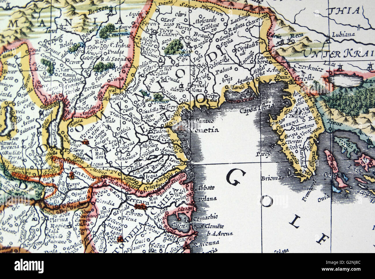 Venetia and Venice (detail) from a map of Italy 1631, by Johannes Blaeu based on a map by Giovanni Antonio Magini (d. 1617). Nova Italia Delineatio, 1631, by J. Blaeu (1598-1673) Stock Photohttps://www.alamy.com/image-license-details/?v=1https://www.alamy.com/stock-photo-venetia-and-venice-detail-from-a-map-of-italy-1631-by-johannes-blaeu-104966860.html
RMG2NJ8C–Venetia and Venice (detail) from a map of Italy 1631, by Johannes Blaeu based on a map by Giovanni Antonio Magini (d. 1617). Nova Italia Delineatio, 1631, by J. Blaeu (1598-1673)
 still life with map of Italy on white arm chair Stock Photohttps://www.alamy.com/image-license-details/?v=1https://www.alamy.com/stock-photo-still-life-with-map-of-italy-on-white-arm-chair-14147801.html
RFAGAD6J–still life with map of Italy on white arm chair
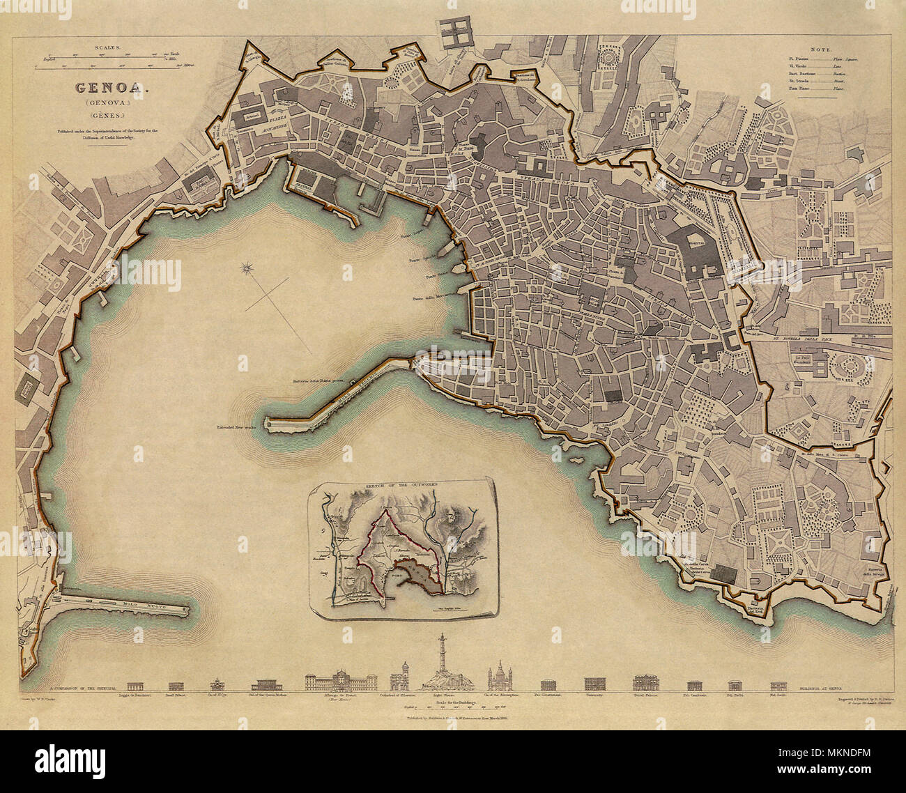 Map of Genoa, Italy 1836 Stock Photohttps://www.alamy.com/image-license-details/?v=1https://www.alamy.com/map-of-genoa-italy-1836-image184253768.html
RMMKNDFM–Map of Genoa, Italy 1836
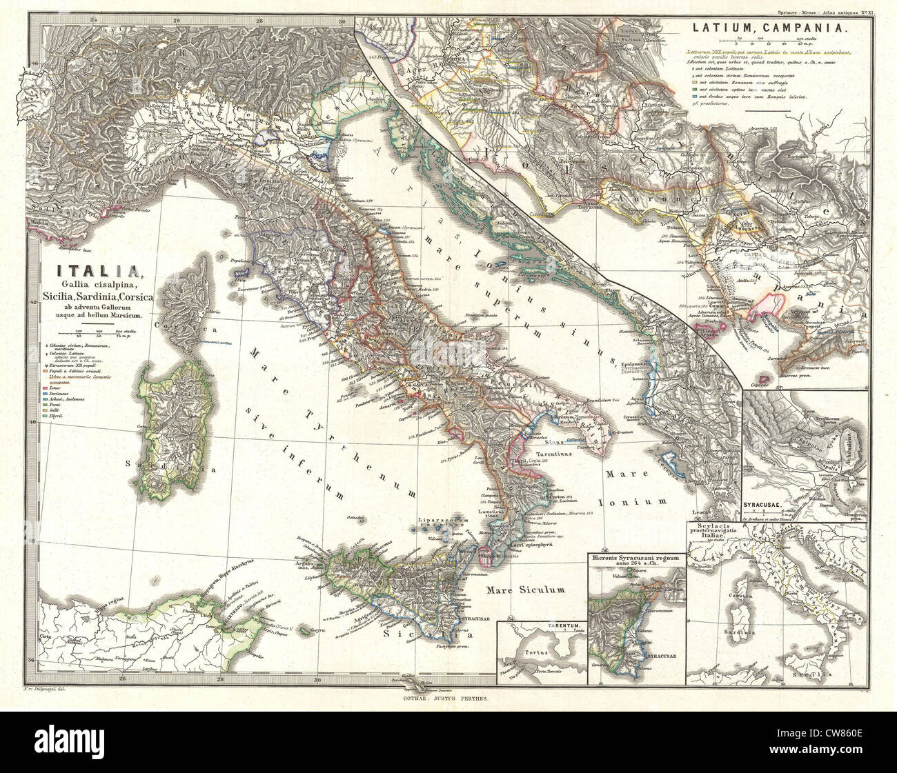 1865 Spruner Map of Italy before the Gauls and the Marsicus War Stock Photohttps://www.alamy.com/image-license-details/?v=1https://www.alamy.com/stock-photo-1865-spruner-map-of-italy-before-the-gauls-and-the-marsicus-war-49967470.html
RMCW860E–1865 Spruner Map of Italy before the Gauls and the Marsicus War
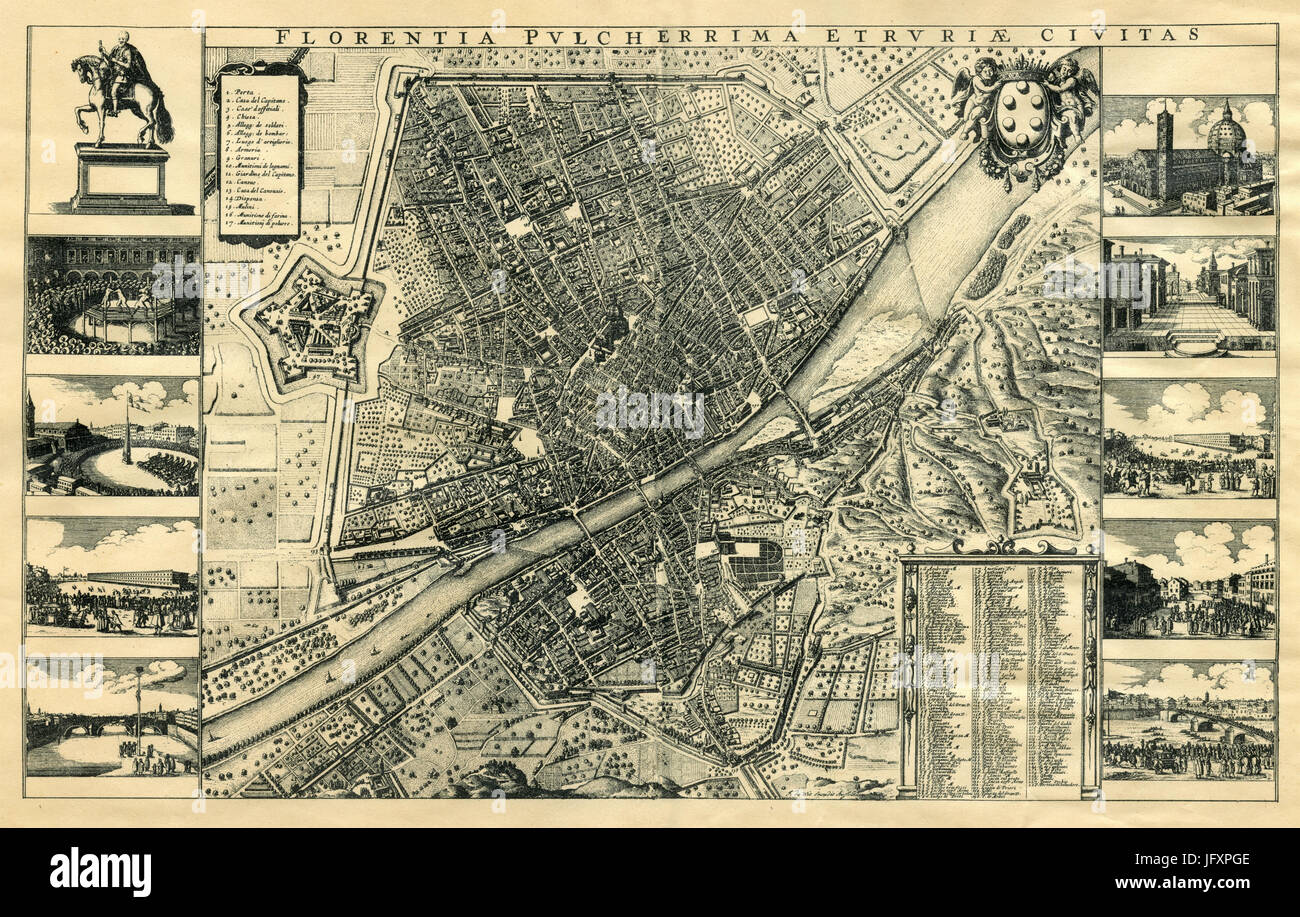 Old map of Florence, Italy Stock Photohttps://www.alamy.com/image-license-details/?v=1https://www.alamy.com/stock-photo-old-map-of-florence-italy-147491246.html
RMJFXPGE–Old map of Florence, Italy
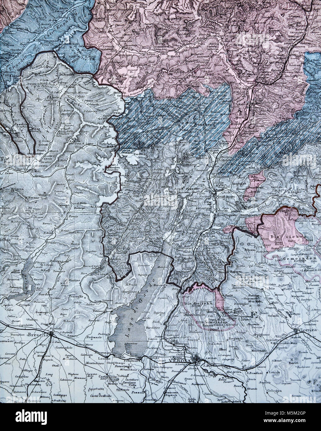 1877 Petermann Mittheilungen Map - North Italy Venice Alps Stock Photohttps://www.alamy.com/image-license-details/?v=1https://www.alamy.com/stock-photo-1877-petermann-mittheilungen-map-north-italy-venice-alps-175618038.html
RFM5M2GP–1877 Petermann Mittheilungen Map - North Italy Venice Alps
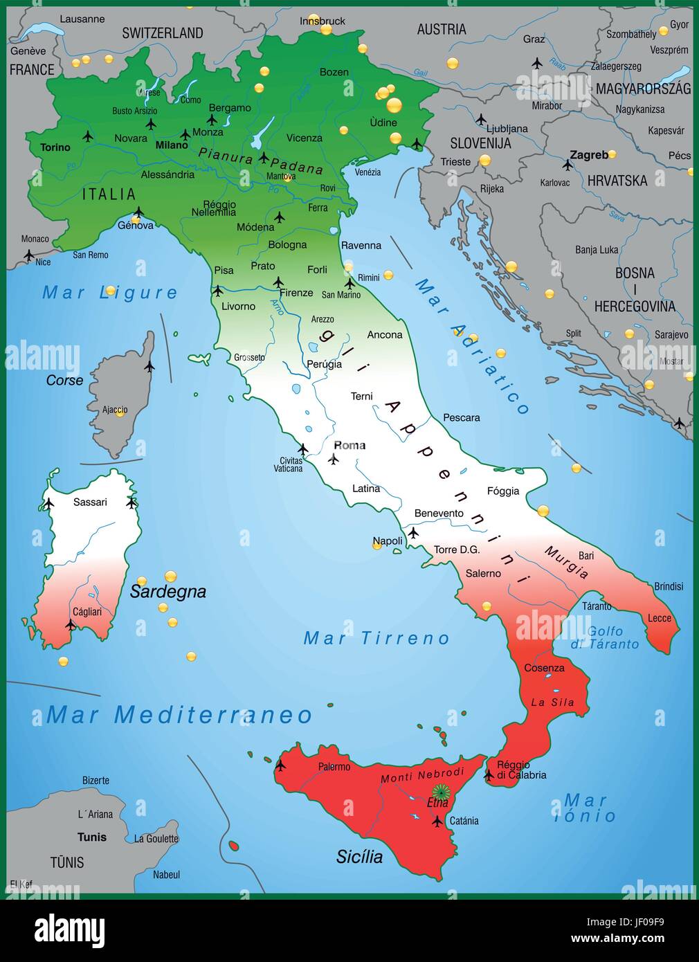 map of italy as an overview map Stock Vectorhttps://www.alamy.com/image-license-details/?v=1https://www.alamy.com/stock-photo-map-of-italy-as-an-overview-map-146910269.html
RFJF09F9–map of italy as an overview map
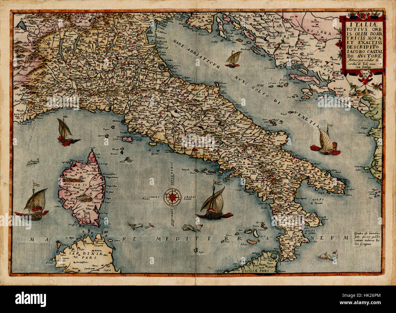 Map Of Italy 1578 Stock Photohttps://www.alamy.com/image-license-details/?v=1https://www.alamy.com/stock-photo-map-of-italy-1578-132200284.html
RFHK26PM–Map Of Italy 1578
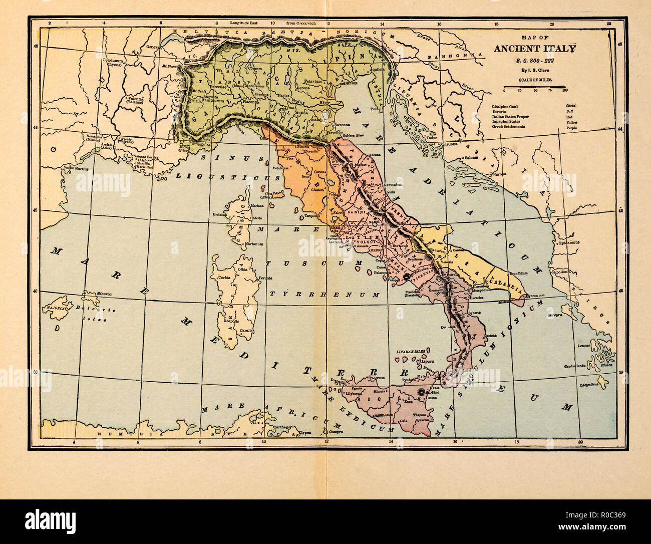 Map of Ancient Italy, B.C. 800-222 Stock Photohttps://www.alamy.com/image-license-details/?v=1https://www.alamy.com/map-of-ancient-italy-bc-800-222-image224000737.html
RMR0C369–Map of Ancient Italy, B.C. 800-222
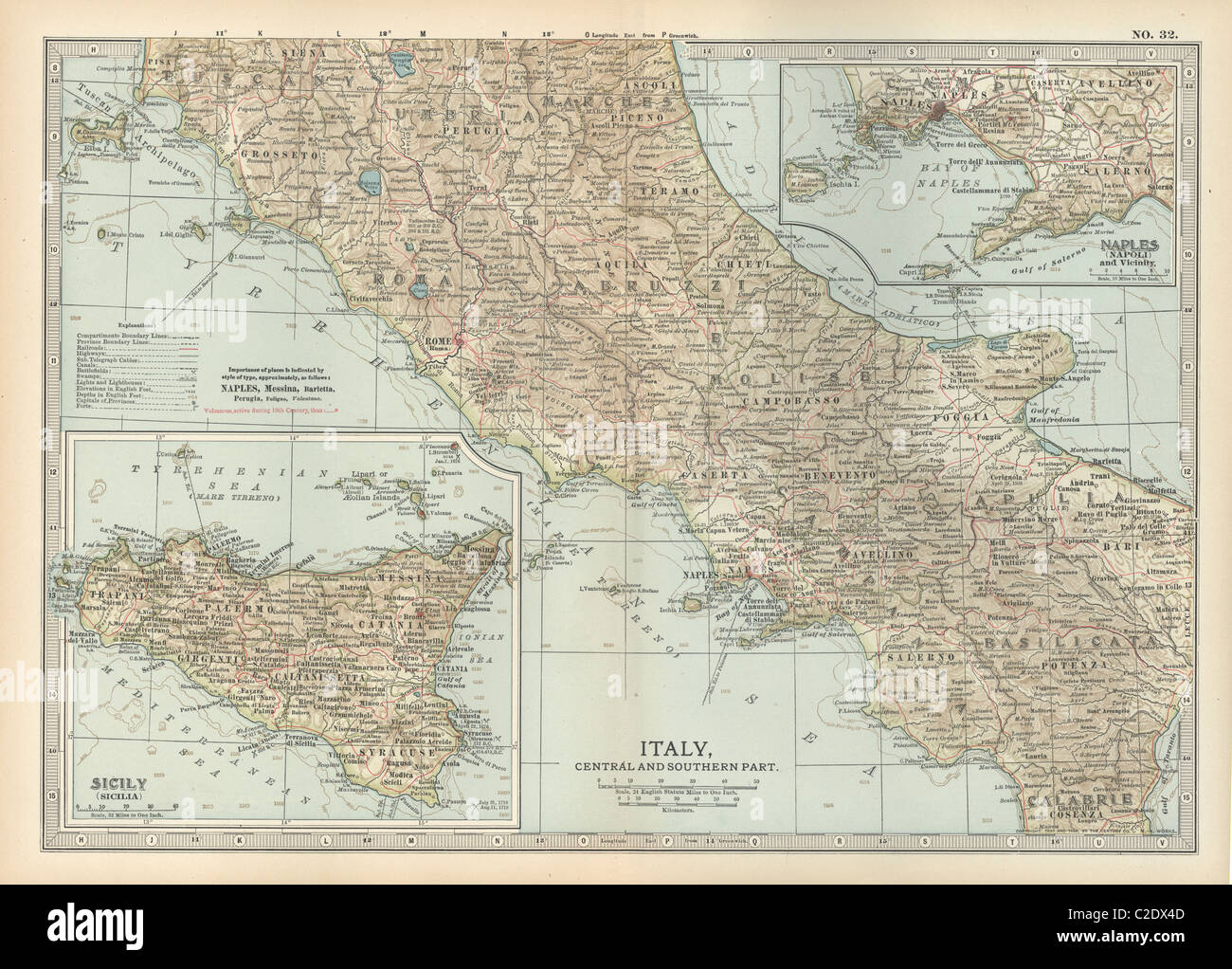 Map of Italy with Sicily and Naples Stock Photohttps://www.alamy.com/image-license-details/?v=1https://www.alamy.com/stock-photo-map-of-italy-with-sicily-and-naples-35955933.html
RMC2DX4D–Map of Italy with Sicily and Naples
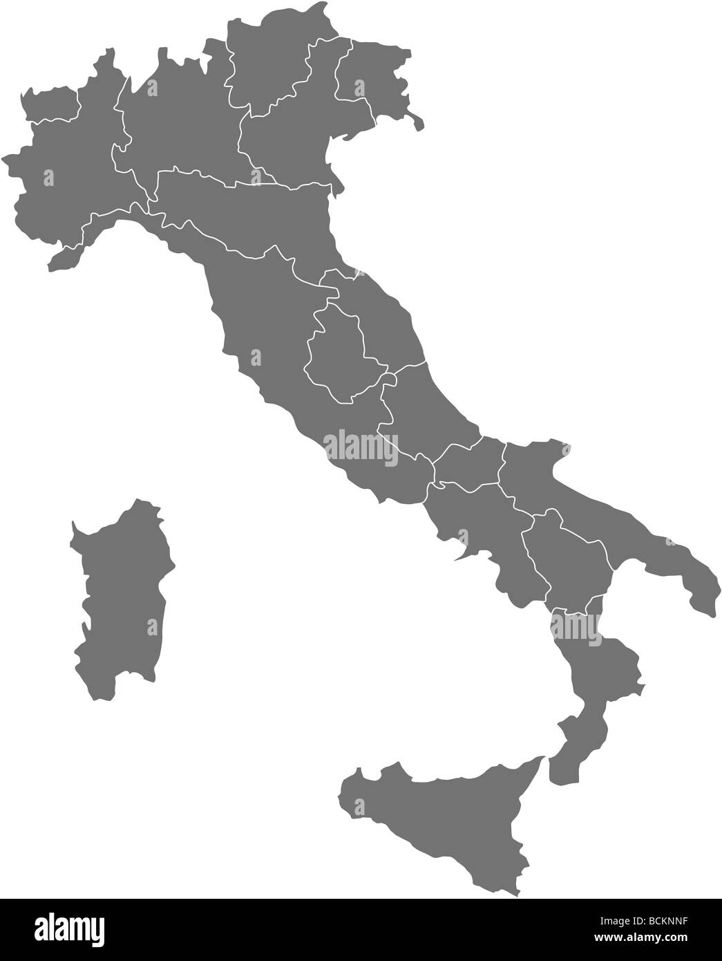 There is a map of Italy country Stock Photohttps://www.alamy.com/image-license-details/?v=1https://www.alamy.com/stock-photo-there-is-a-map-of-italy-country-25020395.html
RFBCKNNF–There is a map of Italy country
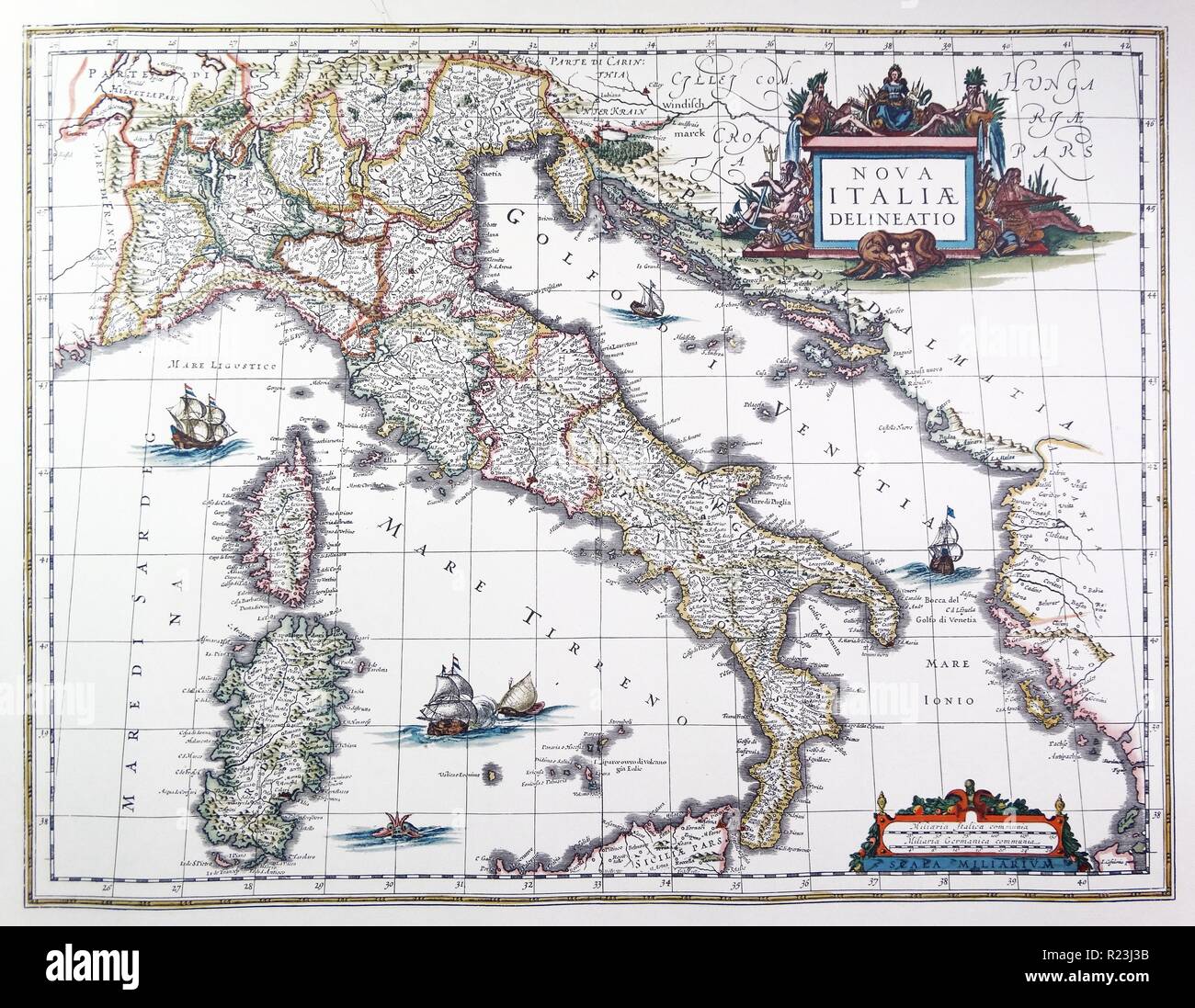 Map of Italy, 1631, by Johannes Blaeu based on a map by Giovanni Antonio Magini (d. 1617). Nova Italia Delineatio, 1631, by J. Blaeu (1598-1673) Stock Photohttps://www.alamy.com/image-license-details/?v=1https://www.alamy.com/map-of-italy-1631-by-johannes-blaeu-based-on-a-map-by-giovanni-antonio-magini-d-1617-nova-italia-delineatio-1631-by-j-blaeu-1598-1673-image225044159.html
RMR23J3B–Map of Italy, 1631, by Johannes Blaeu based on a map by Giovanni Antonio Magini (d. 1617). Nova Italia Delineatio, 1631, by J. Blaeu (1598-1673)
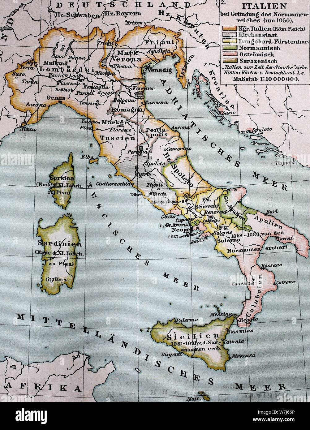 Map of Italy at the foundation of the Norman Empire around 1050, historical illustration, Italy Stock Photohttps://www.alamy.com/image-license-details/?v=1https://www.alamy.com/map-of-italy-at-the-foundation-of-the-norman-empire-around-1050-historical-illustration-italy-image262858142.html
RMW7J66P–Map of Italy at the foundation of the Norman Empire around 1050, historical illustration, Italy
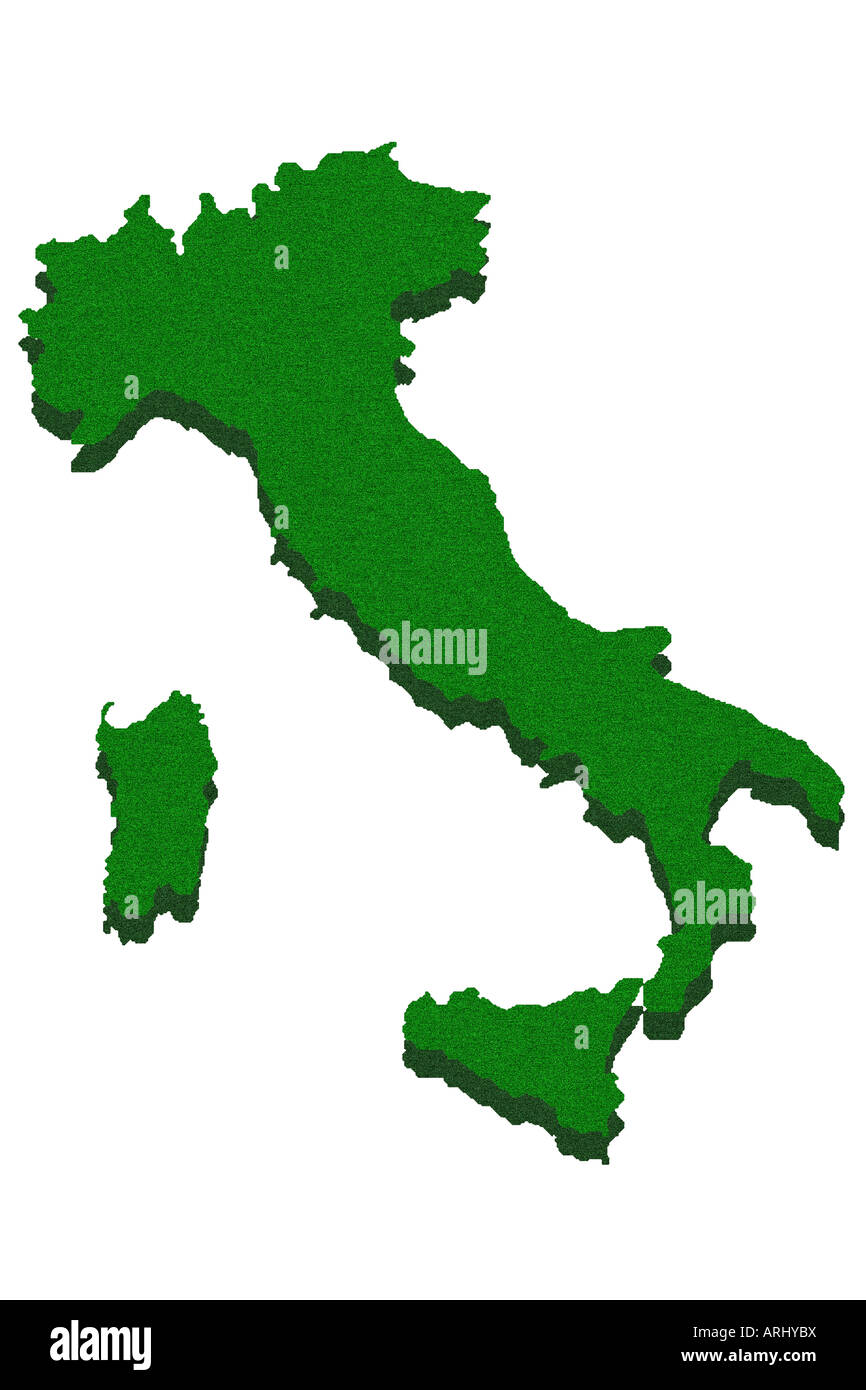 Outline map of Italy Stock Photohttps://www.alamy.com/image-license-details/?v=1https://www.alamy.com/stock-photo-outline-map-of-italy-16062397.html
RFARHYBX–Outline map of Italy
![Gallipoli, Map of Gallipoli (Italy), Fig. 38, p. 182, 1640, Martin Zeiller: Itinerarium Italiae nov-antiquae oder Raiss-Beschreibung durch Italien: darinn nicht allein viel underschiedliche Weg durch das Welschland selbsten [...]. Frankfurt am Mayn: in Verlegung Matthaei Merians, M.DC.XL. [1640 Stock Photo Gallipoli, Map of Gallipoli (Italy), Fig. 38, p. 182, 1640, Martin Zeiller: Itinerarium Italiae nov-antiquae oder Raiss-Beschreibung durch Italien: darinn nicht allein viel underschiedliche Weg durch das Welschland selbsten [...]. Frankfurt am Mayn: in Verlegung Matthaei Merians, M.DC.XL. [1640 Stock Photo](https://c8.alamy.com/comp/2A2TEKB/gallipoli-map-of-gallipoli-italy-fig-38-p-182-1640-martin-zeiller-itinerarium-italiae-nov-antiquae-oder-raiss-beschreibung-durch-italien-darinn-nicht-allein-viel-underschiedliche-weg-durch-das-welschland-selbsten-frankfurt-am-mayn-in-verlegung-matthaei-merians-mdcxl-1640-2A2TEKB.jpg) Gallipoli, Map of Gallipoli (Italy), Fig. 38, p. 182, 1640, Martin Zeiller: Itinerarium Italiae nov-antiquae oder Raiss-Beschreibung durch Italien: darinn nicht allein viel underschiedliche Weg durch das Welschland selbsten [...]. Frankfurt am Mayn: in Verlegung Matthaei Merians, M.DC.XL. [1640 Stock Photohttps://www.alamy.com/image-license-details/?v=1https://www.alamy.com/gallipoli-map-of-gallipoli-italy-fig-38-p-182-1640-martin-zeiller-itinerarium-italiae-nov-antiquae-oder-raiss-beschreibung-durch-italien-darinn-nicht-allein-viel-underschiedliche-weg-durch-das-welschland-selbsten-frankfurt-am-mayn-in-verlegung-matthaei-merians-mdcxl-1640-image328764671.html
Gallipoli, Map of Gallipoli (Italy), Fig. 38, p. 182, 1640, Martin Zeiller: Itinerarium Italiae nov-antiquae oder Raiss-Beschreibung durch Italien: darinn nicht allein viel underschiedliche Weg durch das Welschland selbsten [...]. Frankfurt am Mayn: in Verlegung Matthaei Merians, M.DC.XL. [1640 Stock Photohttps://www.alamy.com/image-license-details/?v=1https://www.alamy.com/gallipoli-map-of-gallipoli-italy-fig-38-p-182-1640-martin-zeiller-itinerarium-italiae-nov-antiquae-oder-raiss-beschreibung-durch-italien-darinn-nicht-allein-viel-underschiedliche-weg-durch-das-welschland-selbsten-frankfurt-am-mayn-in-verlegung-matthaei-merians-mdcxl-1640-image328764671.htmlRM2A2TEKB–Gallipoli, Map of Gallipoli (Italy), Fig. 38, p. 182, 1640, Martin Zeiller: Itinerarium Italiae nov-antiquae oder Raiss-Beschreibung durch Italien: darinn nicht allein viel underschiedliche Weg durch das Welschland selbsten [...]. Frankfurt am Mayn: in Verlegung Matthaei Merians, M.DC.XL. [1640
 Monin Map of Ancient Italy Universal Atlas of Ancient and Modern Geography, circa 1839 Stock Photohttps://www.alamy.com/image-license-details/?v=1https://www.alamy.com/monin-map-of-ancient-italy-universal-atlas-of-ancient-and-modern-geography-circa-1839-image362812160.html
RM2C27EH4–Monin Map of Ancient Italy Universal Atlas of Ancient and Modern Geography, circa 1839
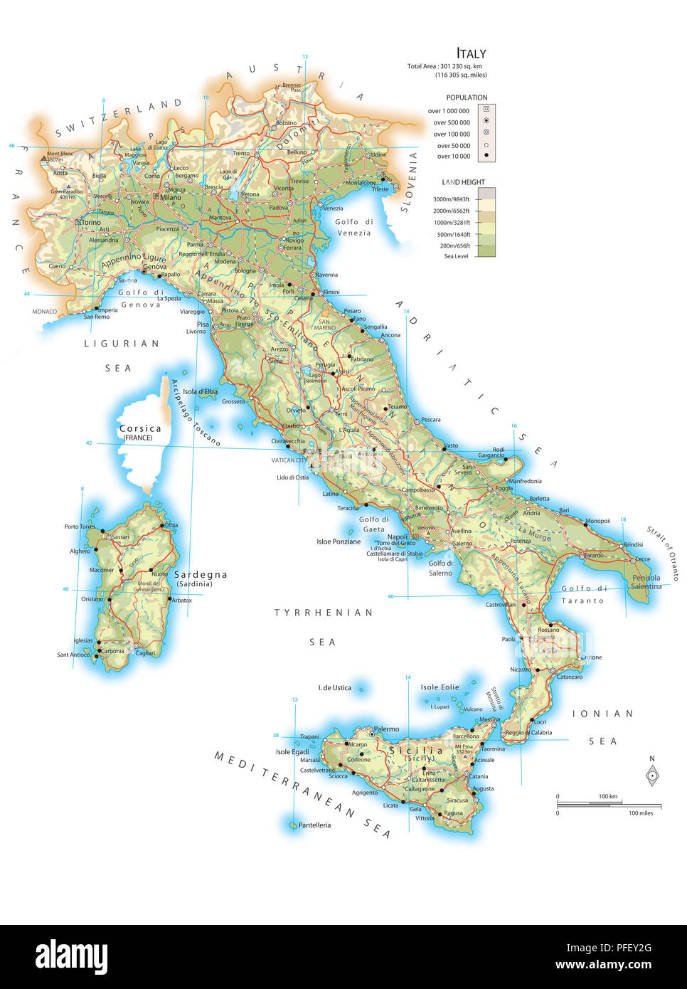 Map of Italy Stock Photohttps://www.alamy.com/image-license-details/?v=1https://www.alamy.com/map-of-italy-image216072824.html
RMPFEY2G–Map of Italy
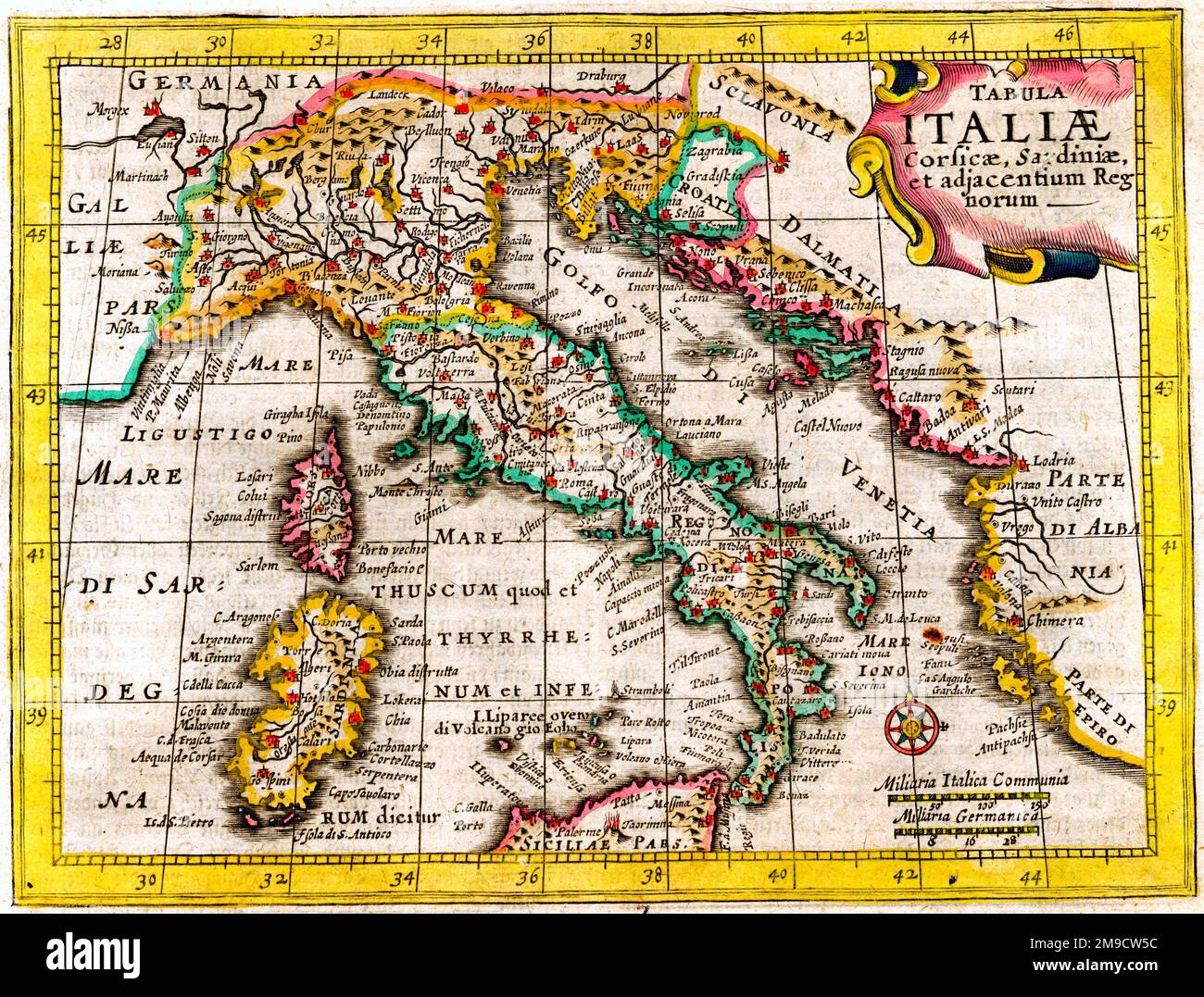 17th century Map of Italy Stock Photohttps://www.alamy.com/image-license-details/?v=1https://www.alamy.com/17th-century-map-of-italy-image504915752.html
RM2M9CW5C–17th century Map of Italy
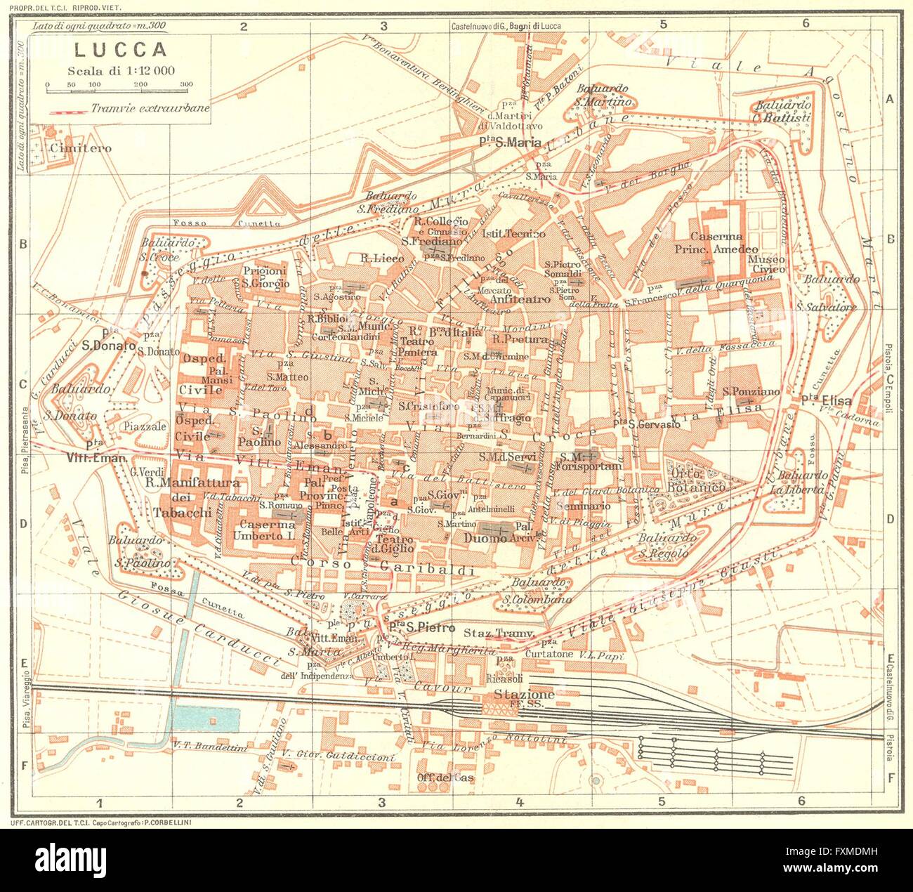 LUCCA. Vintage town city map plan. Italy, 1927 Stock Photohttps://www.alamy.com/image-license-details/?v=1https://www.alamy.com/stock-photo-lucca-vintage-town-city-map-plan-italy-1927-102482705.html
RFFXMDMH–LUCCA. Vintage town city map plan. Italy, 1927
 17th century warship (detail from a map of Italy 1631, by Johannes Blaeu based on a map by Giovanni Antonio Magini (d. 1617). Nova Italia Delineatio, 1631, by J. Blaeu (1598-1673) Stock Photohttps://www.alamy.com/image-license-details/?v=1https://www.alamy.com/stock-photo-17th-century-warship-detail-from-a-map-of-italy-1631-by-johannes-blaeu-104966854.html
RMG2NJ86–17th century warship (detail from a map of Italy 1631, by Johannes Blaeu based on a map by Giovanni Antonio Magini (d. 1617). Nova Italia Delineatio, 1631, by J. Blaeu (1598-1673)
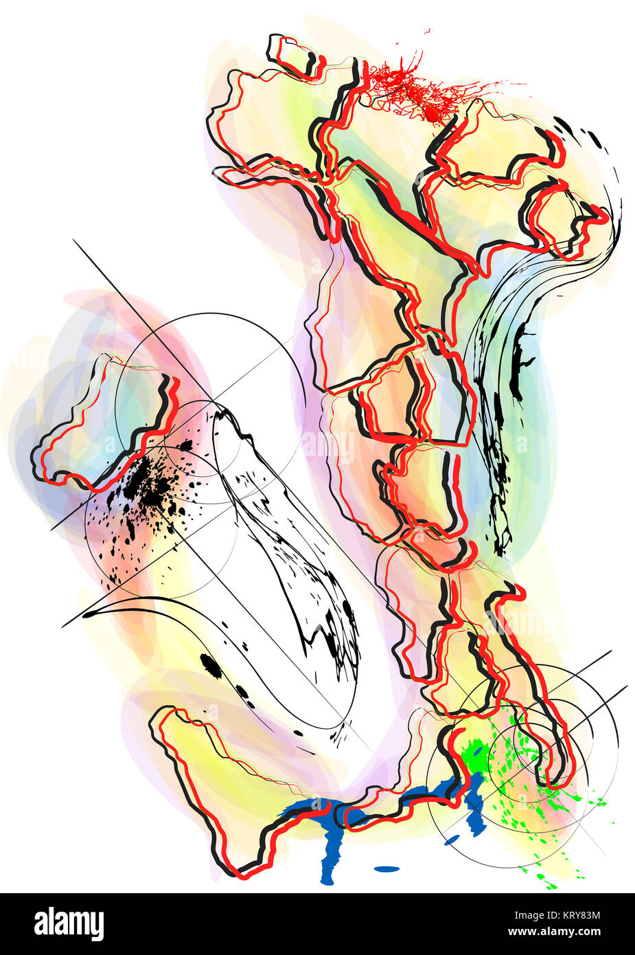 abstract multicolor map of Italy Stock Photohttps://www.alamy.com/image-license-details/?v=1https://www.alamy.com/stock-image-abstract-multicolor-map-of-italy-169629480.html
RFKRY83M–abstract multicolor map of Italy
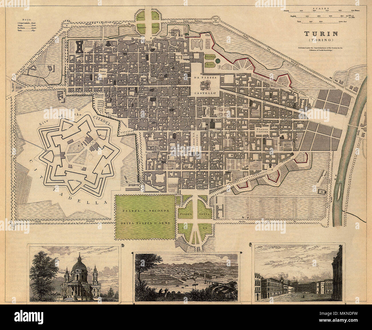 Map of Turin, Italy 1833 Stock Photohttps://www.alamy.com/image-license-details/?v=1https://www.alamy.com/map-of-turin-italy-1833-image184253773.html
RMMKNDFW–Map of Turin, Italy 1833
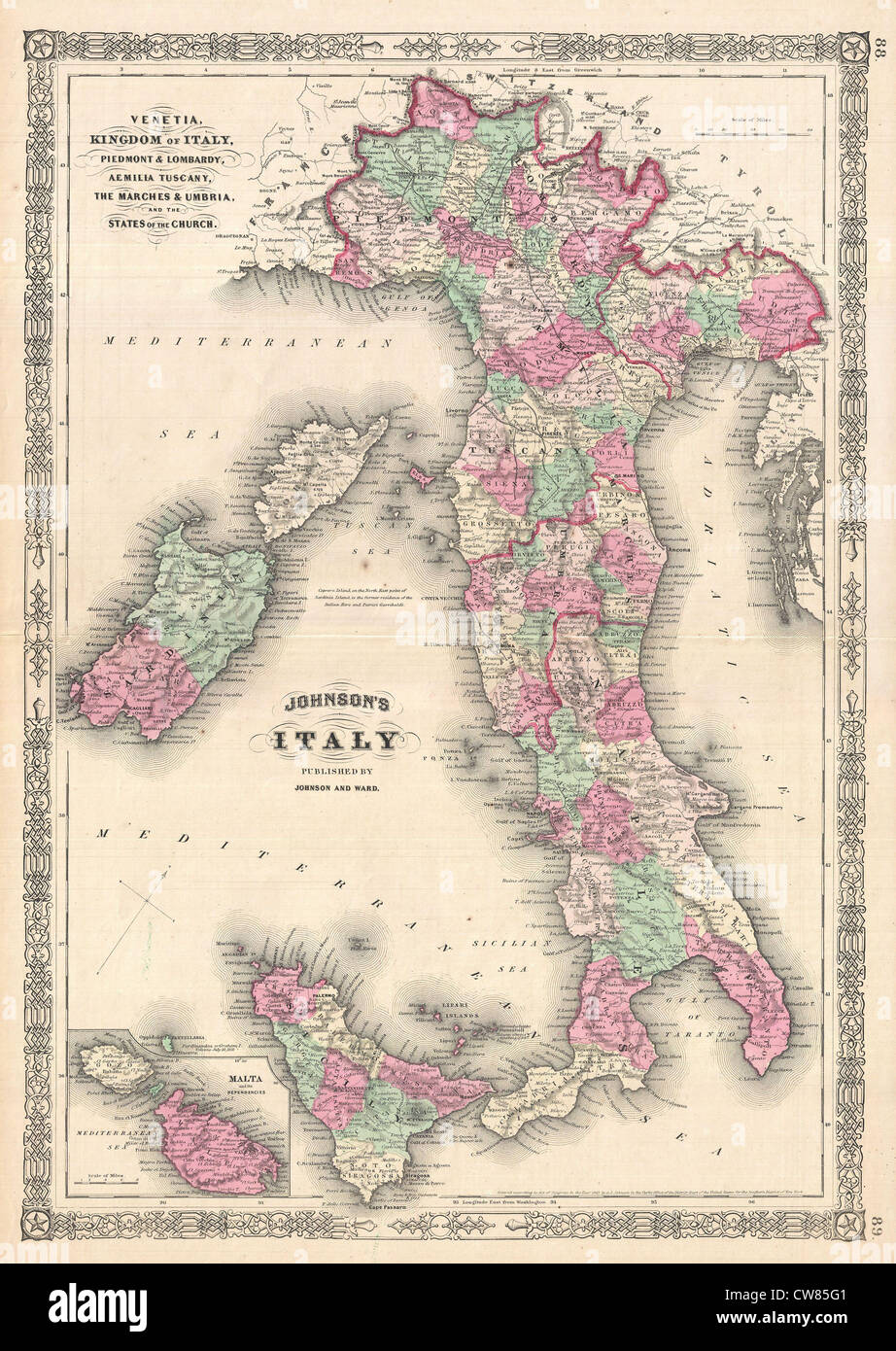 1864 Johnson Map of Italy Stock Photohttps://www.alamy.com/image-license-details/?v=1https://www.alamy.com/stock-photo-1864-johnson-map-of-italy-49967121.html
RMCW85G1–1864 Johnson Map of Italy
 Map of Italy, by Frederik de Wit. 18th century. Stock Photohttps://www.alamy.com/image-license-details/?v=1https://www.alamy.com/map-of-italy-by-frederik-de-wit-18th-century-image565636153.html
RM2RT6XK5–Map of Italy, by Frederik de Wit. 18th century.
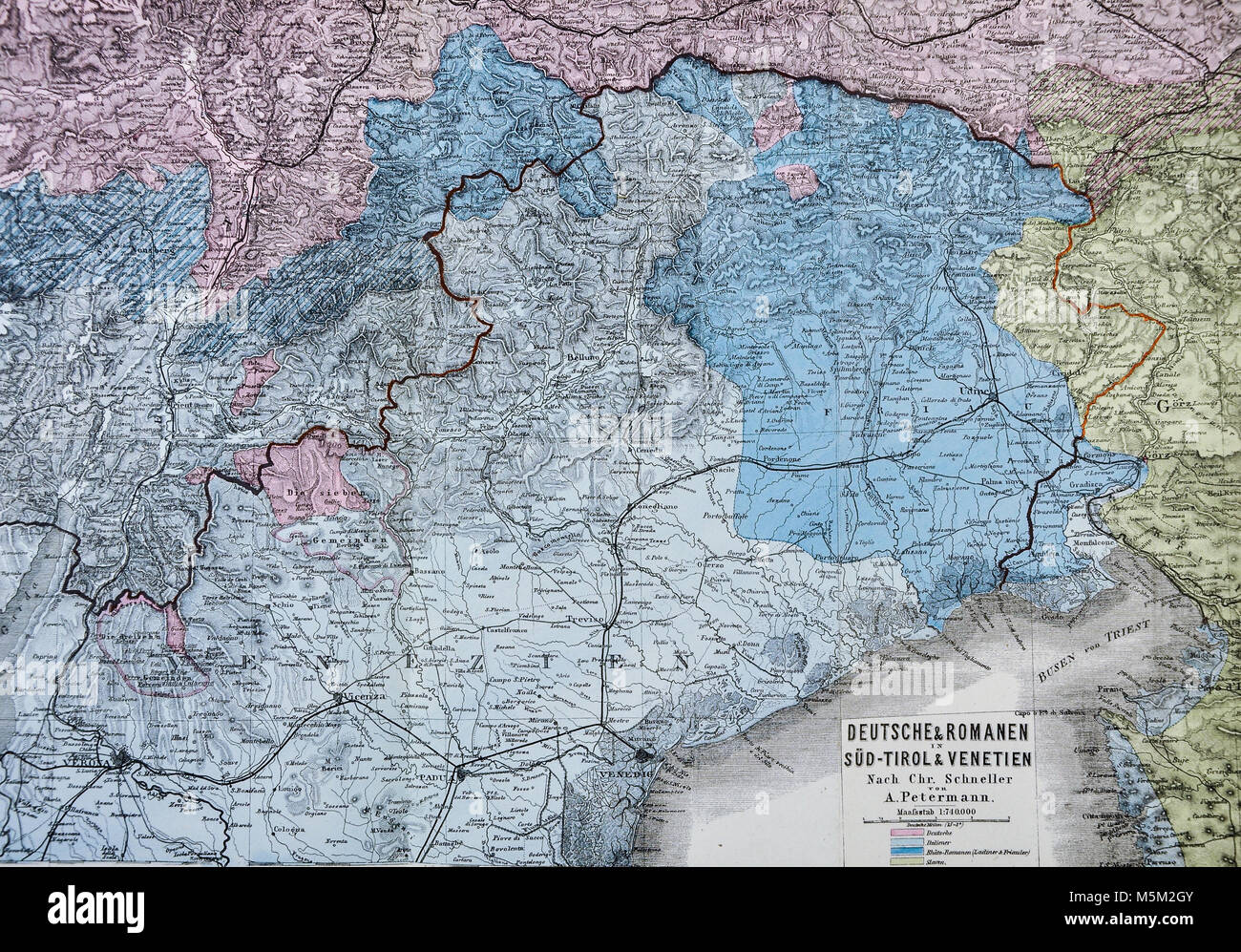 1877 Petermann Mittheilungen Map - North Italy Venice Alps Stock Photohttps://www.alamy.com/image-license-details/?v=1https://www.alamy.com/stock-photo-1877-petermann-mittheilungen-map-north-italy-venice-alps-175618043.html
RFM5M2GY–1877 Petermann Mittheilungen Map - North Italy Venice Alps
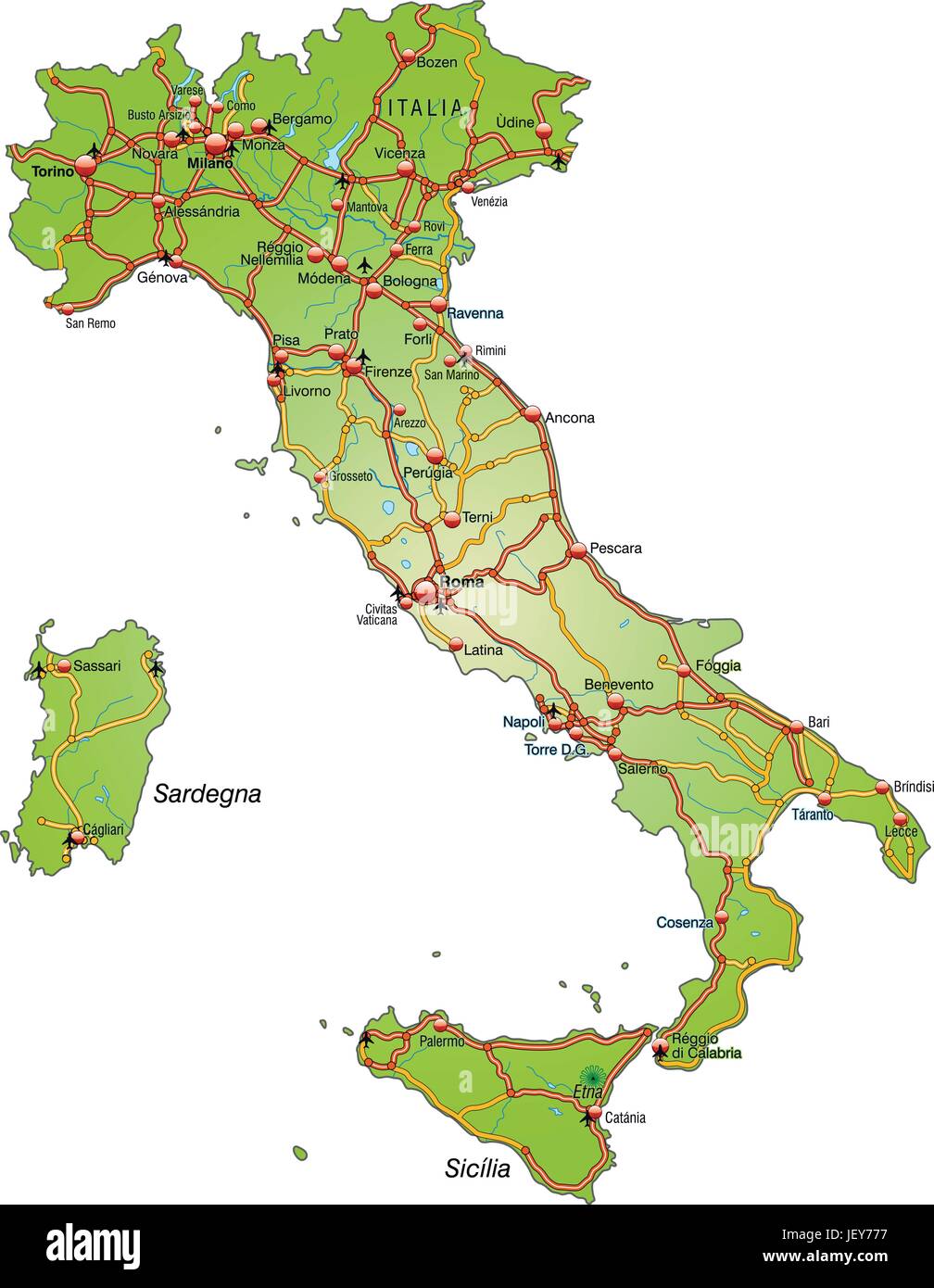 map of italy with transport network Stock Vectorhttps://www.alamy.com/image-license-details/?v=1https://www.alamy.com/stock-photo-map-of-italy-with-transport-network-146886523.html
RFJEY777–map of italy with transport network
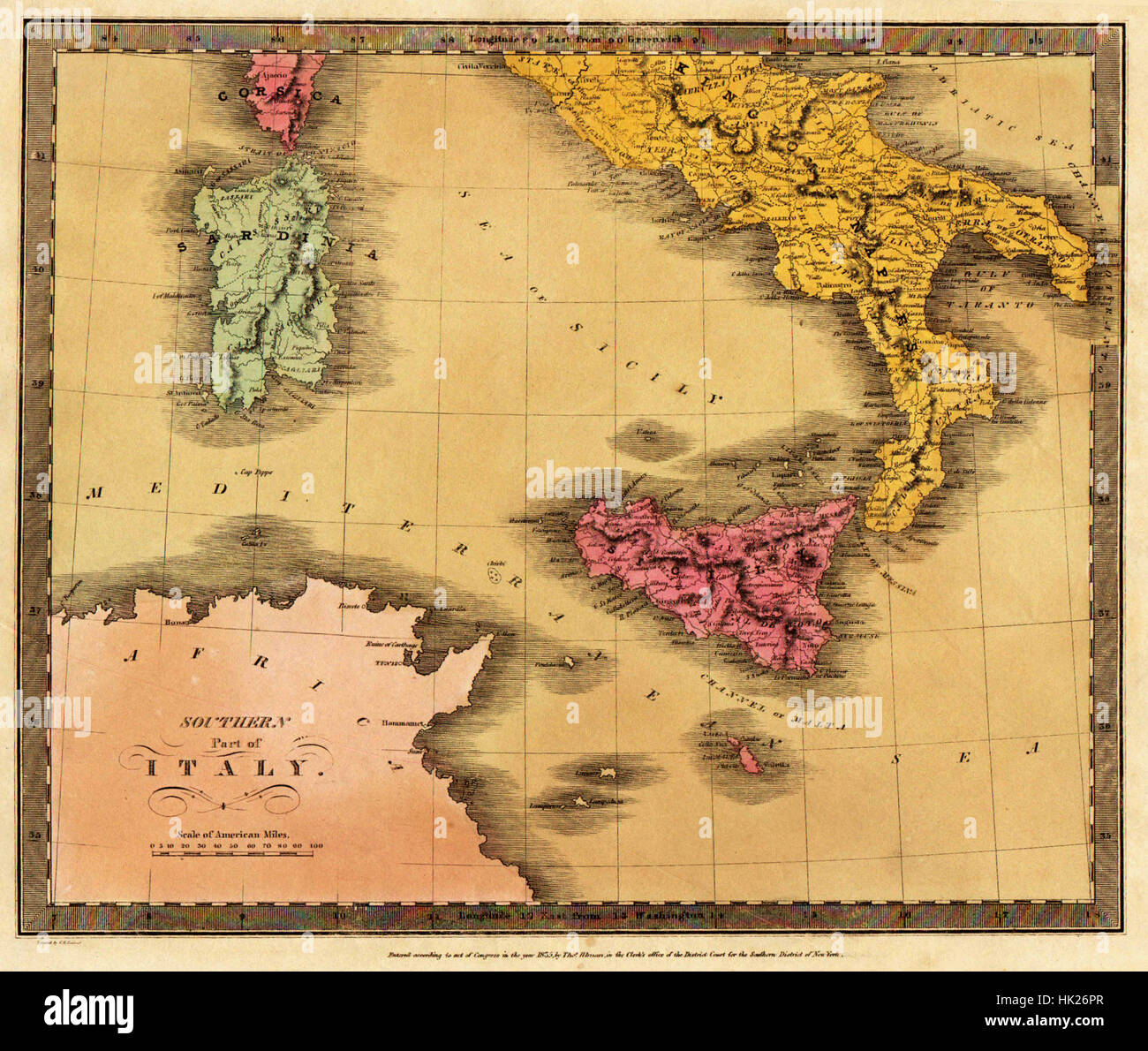 Map Of Italy 1835 Stock Photohttps://www.alamy.com/image-license-details/?v=1https://www.alamy.com/stock-photo-map-of-italy-1835-132200287.html
RFHK26PR–Map Of Italy 1835
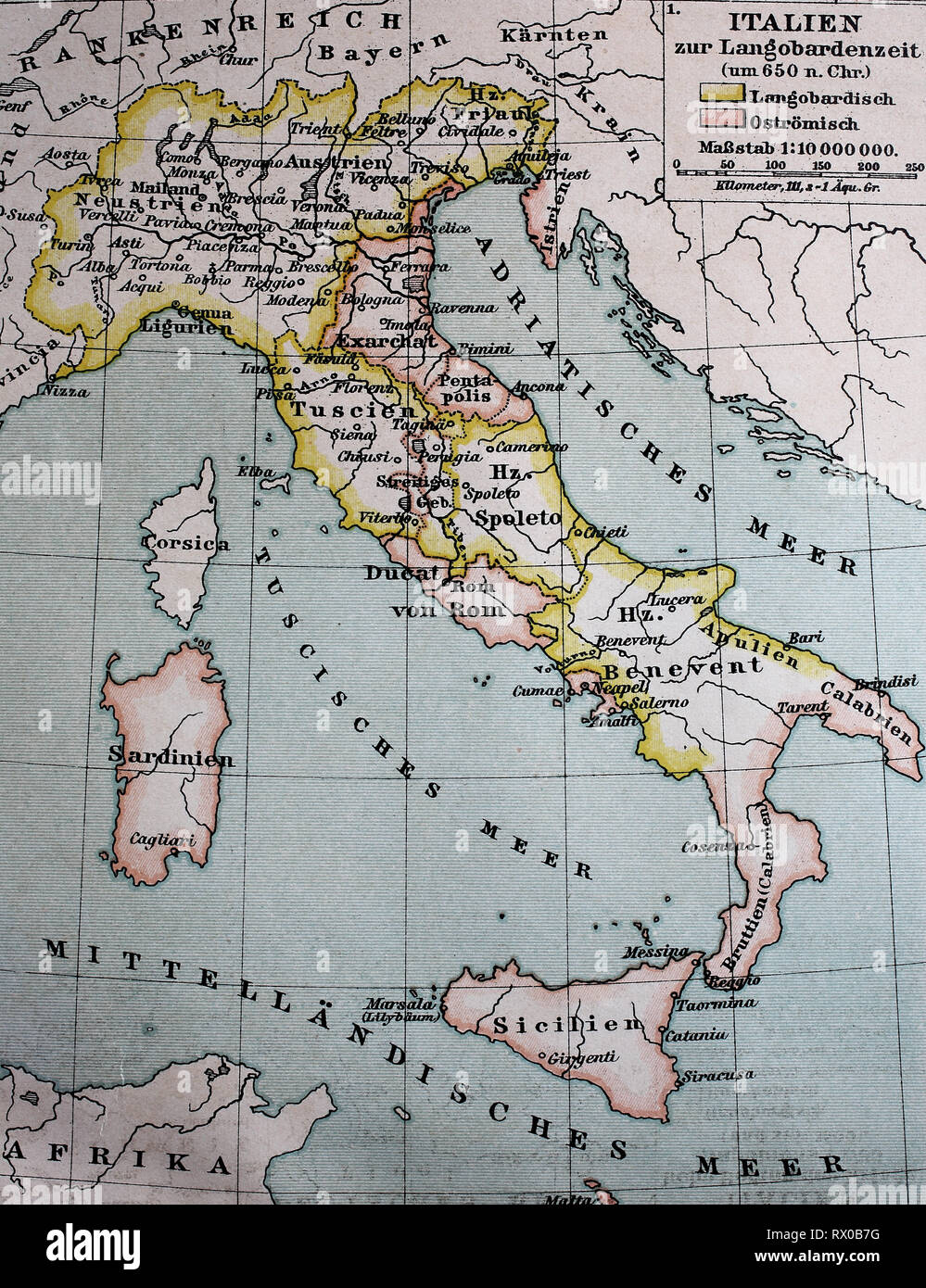 Landkarte von Italien zur Langobardenzeit, ca 650 / Map of Italy at the Longobard period, or Lombards time, about 650 Stock Photohttps://www.alamy.com/image-license-details/?v=1https://www.alamy.com/landkarte-von-italien-zur-langobardenzeit-ca-650-map-of-italy-at-the-longobard-period-or-lombards-time-about-650-image239724676.html
RFRX0B7G–Landkarte von Italien zur Langobardenzeit, ca 650 / Map of Italy at the Longobard period, or Lombards time, about 650
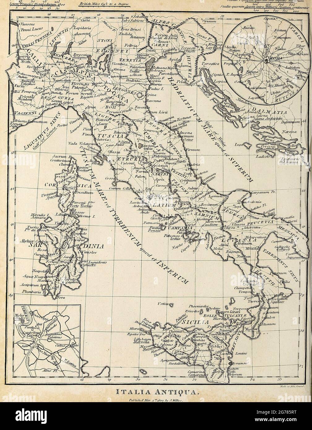 Italia Antiqua Ancient, Historical map of Italy Copperplate engraving From the Encyclopaedia Londinensis or, Universal dictionary of arts, sciences, and literature; Volume VIII; Edited by Wilkes, John. Published in London in 1810. Stock Photohttps://www.alamy.com/image-license-details/?v=1https://www.alamy.com/italia-antiqua-ancient-historical-map-of-italy-copperplate-engraving-from-the-encyclopaedia-londinensis-or-universal-dictionary-of-arts-sciences-and-literature-volume-viii-edited-by-wilkes-john-published-in-london-in-1810-image434741996.html
RM2G785RT–Italia Antiqua Ancient, Historical map of Italy Copperplate engraving From the Encyclopaedia Londinensis or, Universal dictionary of arts, sciences, and literature; Volume VIII; Edited by Wilkes, John. Published in London in 1810.
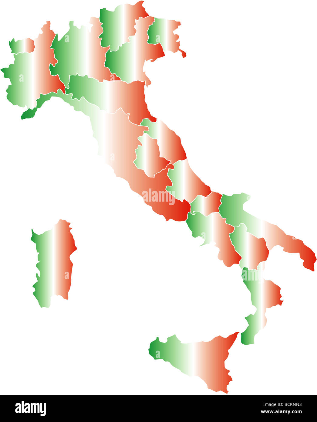 There is a map of Italy country Stock Photohttps://www.alamy.com/image-license-details/?v=1https://www.alamy.com/stock-photo-there-is-a-map-of-italy-country-25020383.html
RFBCKNN3–There is a map of Italy country
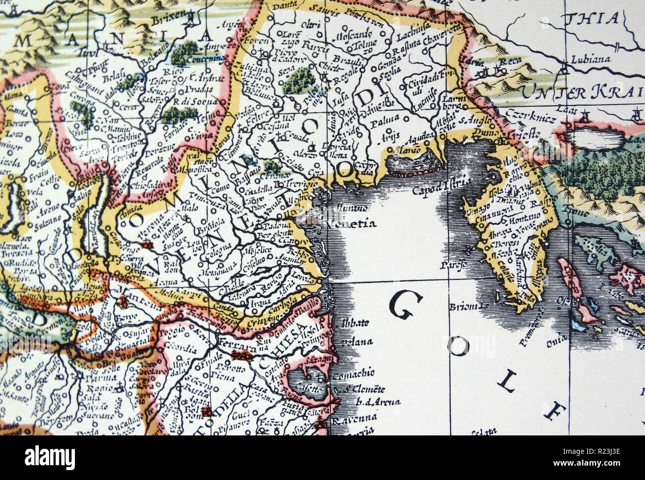 Venetia and Venice (detail) from a map of Italy 1631, by Johannes Blaeu based on a map by Giovanni Antonio Magini (d. 1617). Nova Italia Delineatio, 1631, by J. Blaeu (1598-1673) Stock Photohttps://www.alamy.com/image-license-details/?v=1https://www.alamy.com/venetia-and-venice-detail-from-a-map-of-italy-1631-by-johannes-blaeu-based-on-a-map-by-giovanni-antonio-magini-d-1617-nova-italia-delineatio-1631-by-j-blaeu-1598-1673-image225044162.html
RMR23J3E–Venetia and Venice (detail) from a map of Italy 1631, by Johannes Blaeu based on a map by Giovanni Antonio Magini (d. 1617). Nova Italia Delineatio, 1631, by J. Blaeu (1598-1673)
 Map of Italy in the Longobard Period around 650, 1885, historical illustration, Italy Stock Photohttps://www.alamy.com/image-license-details/?v=1https://www.alamy.com/map-of-italy-in-the-longobard-period-around-650-1885-historical-illustration-italy-image259425169.html
RMW21RCH–Map of Italy in the Longobard Period around 650, 1885, historical illustration, Italy
 European flag map of Italy isolated on white background. Stock Photohttps://www.alamy.com/image-license-details/?v=1https://www.alamy.com/stock-photo-european-flag-map-of-italy-isolated-on-white-background-58147064.html
RMDAGR4T–European flag map of Italy isolated on white background.
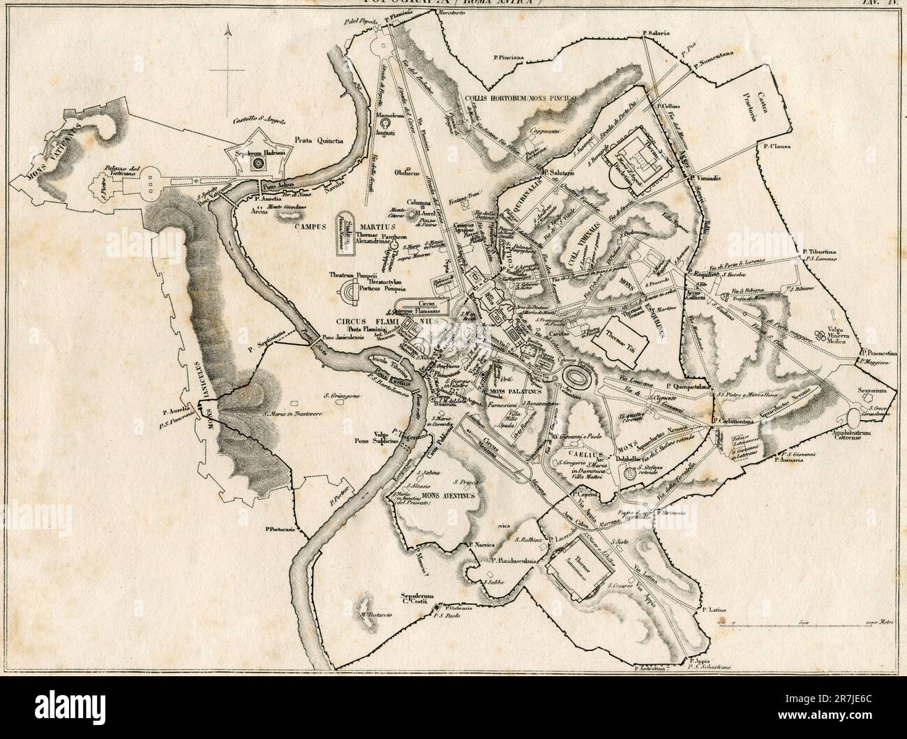 Ancient Rome map, illustration, Italy 1800s Stock Photohttps://www.alamy.com/image-license-details/?v=1https://www.alamy.com/ancient-rome-map-illustration-italy-1800s-image555440660.html
RF2R7JE6C–Ancient Rome map, illustration, Italy 1800s
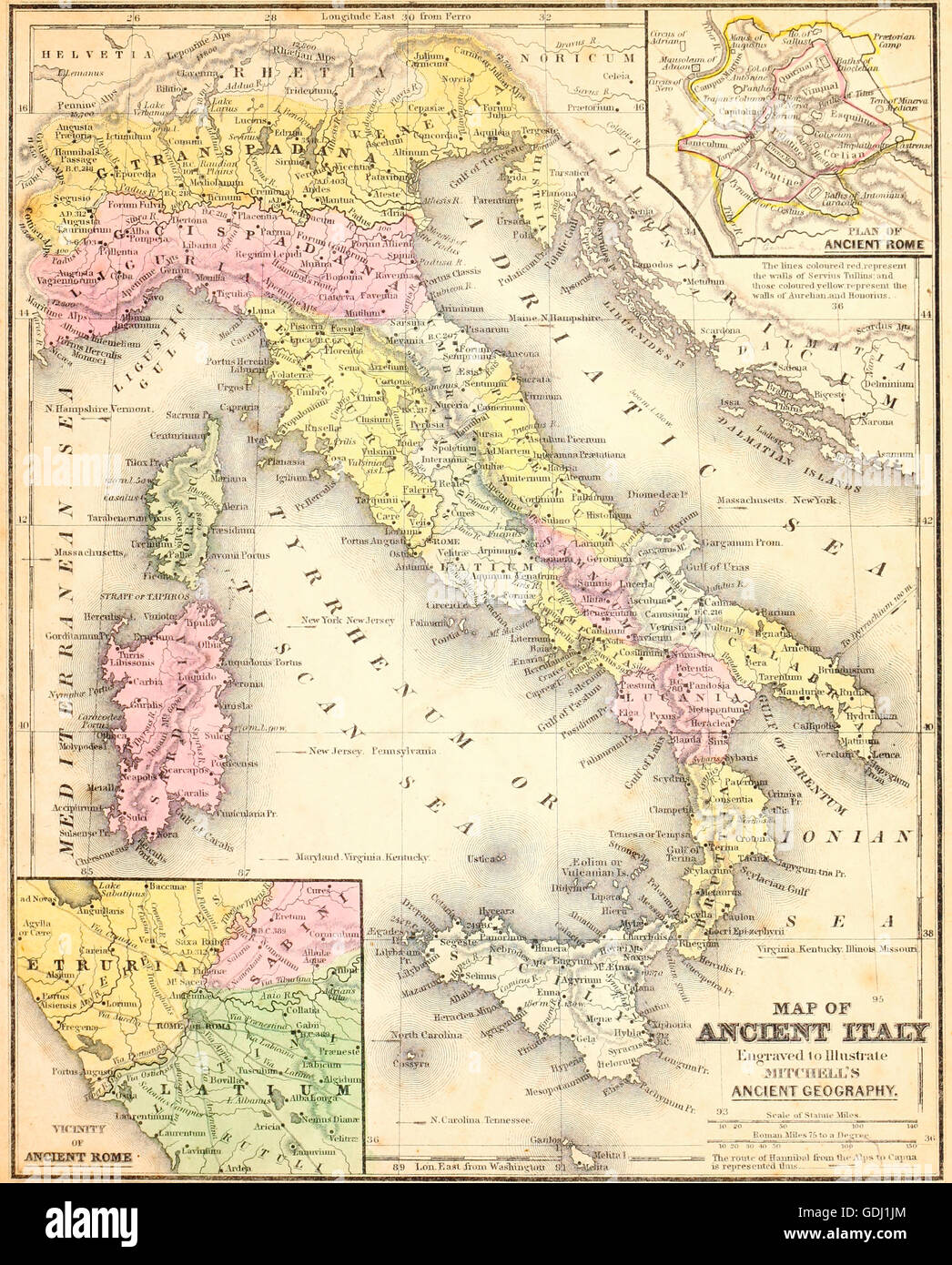 Map of Ancient Italy. Stock Photohttps://www.alamy.com/image-license-details/?v=1https://www.alamy.com/stock-photo-map-of-ancient-italy-111649180.html
RMGDJ1JM–Map of Ancient Italy.
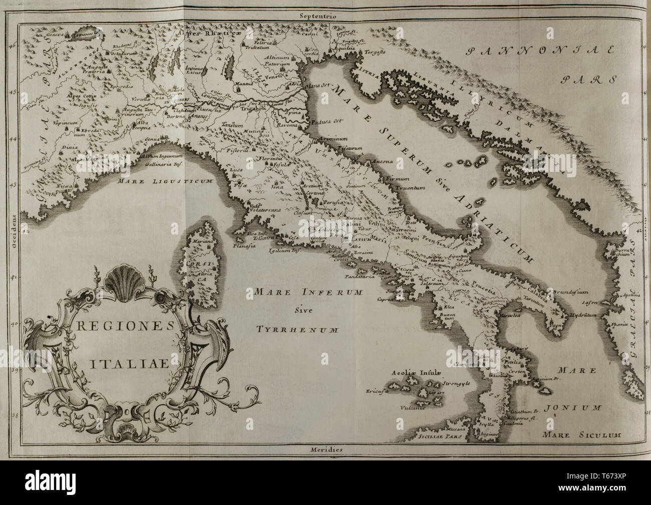 History by Polybius. Volume IV. French edition translated from Greek by Dom Vincent Thuillier. Comments of Military Science enriched with critical and historical notes by M. De Folard. Paris, chez Pierre Gandouin, Julien-Michel Gandouin, Pierre-Francois Giffart and Nicolas-Pierre Armand, 1728. Map of Italy. Stock Photohttps://www.alamy.com/image-license-details/?v=1https://www.alamy.com/history-by-polybius-volume-iv-french-edition-translated-from-greek-by-dom-vincent-thuillier-comments-of-military-science-enriched-with-critical-and-historical-notes-by-m-de-folard-paris-chez-pierre-gandouin-julien-michel-gandouin-pierre-francois-giffart-and-nicolas-pierre-armand-1728-map-of-italy-image244789854.html
RMT673XP–History by Polybius. Volume IV. French edition translated from Greek by Dom Vincent Thuillier. Comments of Military Science enriched with critical and historical notes by M. De Folard. Paris, chez Pierre Gandouin, Julien-Michel Gandouin, Pierre-Francois Giffart and Nicolas-Pierre Armand, 1728. Map of Italy.
