Quick filters:
Map of kalkaska Stock Photos and Images
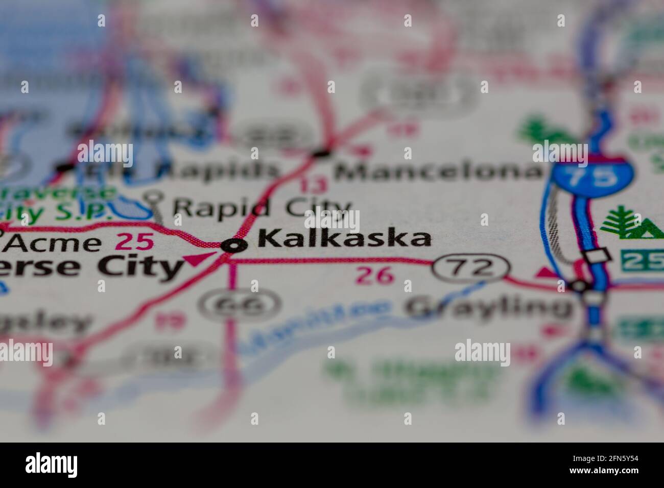 Kalkaska Michigan USA shown on a Geography map or road map Stock Photohttps://www.alamy.com/image-license-details/?v=1https://www.alamy.com/kalkaska-michigan-usa-shown-on-a-geography-map-or-road-map-image426087680.html
RM2FN5Y54–Kalkaska Michigan USA shown on a Geography map or road map
 Cotton, Kalkaska County, US, United States, Michigan, N 44 41' 57'', S 85 3' 12'', map, Cartascapes Map published in 2024. Explore Cartascapes, a map revealing Earth's diverse landscapes, cultures, and ecosystems. Journey through time and space, discovering the interconnectedness of our planet's past, present, and future. Stock Photohttps://www.alamy.com/image-license-details/?v=1https://www.alamy.com/cotton-kalkaska-county-us-united-states-michigan-n-44-41-57-s-85-3-12-map-cartascapes-map-published-in-2024-explore-cartascapes-a-map-revealing-earths-diverse-landscapes-cultures-and-ecosystems-journey-through-time-and-space-discovering-the-interconnectedness-of-our-planets-past-present-and-future-image621308770.html
RM2Y2R1JX–Cotton, Kalkaska County, US, United States, Michigan, N 44 41' 57'', S 85 3' 12'', map, Cartascapes Map published in 2024. Explore Cartascapes, a map revealing Earth's diverse landscapes, cultures, and ecosystems. Journey through time and space, discovering the interconnectedness of our planet's past, present, and future.
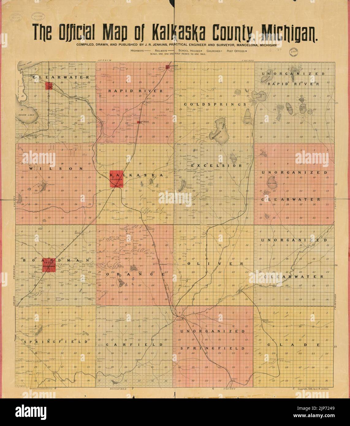 The official map of Kalkaska County, Michigan Stock Photohttps://www.alamy.com/image-license-details/?v=1https://www.alamy.com/the-official-map-of-kalkaska-county-michigan-image478357721.html
RM2JP7249–The official map of Kalkaska County, Michigan
 Map of Kalkaska in Michigan Stock Photohttps://www.alamy.com/image-license-details/?v=1https://www.alamy.com/map-of-kalkaska-in-michigan-image367752120.html
RF2CA8FG8–Map of Kalkaska in Michigan
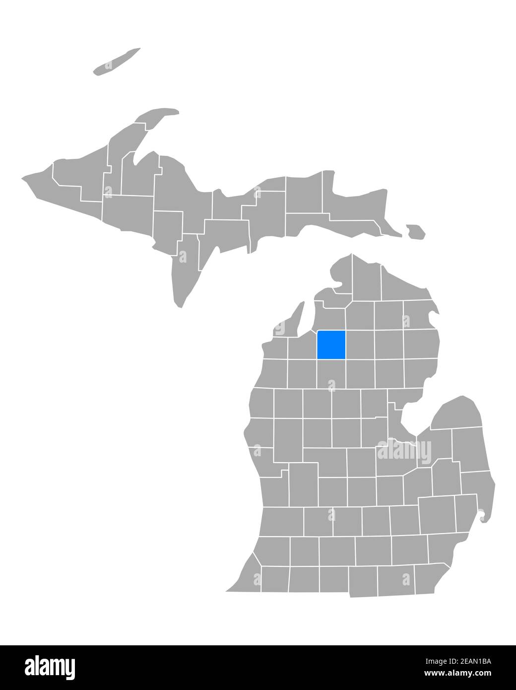 Map of Kalkaska in Michigan Stock Photohttps://www.alamy.com/image-license-details/?v=1https://www.alamy.com/map-of-kalkaska-in-michigan-image402447118.html
RF2EAN1BA–Map of Kalkaska in Michigan
 USGS TOPO Map Michigan MI Kalkaska 20110927 TM Stock Photohttps://www.alamy.com/image-license-details/?v=1https://www.alamy.com/usgs-topo-map-michigan-mi-kalkaska-20110927-tm-image332248100.html
RM2A8F5RG–USGS TOPO Map Michigan MI Kalkaska 20110927 TM
 Kalkaska County (Michigan) outline map set Stock Vectorhttps://www.alamy.com/image-license-details/?v=1https://www.alamy.com/kalkaska-county-michigan-outline-map-set-image621080639.html
RF2Y2CJKB–Kalkaska County (Michigan) outline map set
 Kalkaska, Kalamazoo, Oakland, Oceana, Missaukee and Montmorency County, Michigan (U.S. county, United States of America, USA, U.S., US) map vector ill Stock Vectorhttps://www.alamy.com/image-license-details/?v=1https://www.alamy.com/kalkaska-kalamazoo-oakland-oceana-missaukee-and-montmorency-county-michigan-us-county-united-states-of-america-usa-us-us-map-vector-ill-image376367464.html
RF2CT90F4–Kalkaska, Kalamazoo, Oakland, Oceana, Missaukee and Montmorency County, Michigan (U.S. county, United States of America, USA, U.S., US) map vector ill
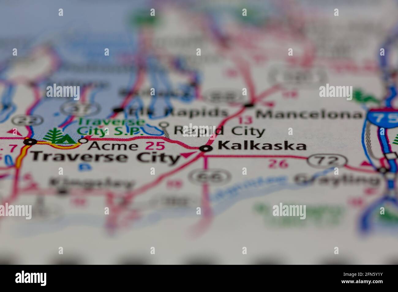 Kalkaska Michigan USA shown on a Geography map or road map Stock Photohttps://www.alamy.com/image-license-details/?v=1https://www.alamy.com/kalkaska-michigan-usa-shown-on-a-geography-map-or-road-map-image426087591.html
RM2FN5Y1Y–Kalkaska Michigan USA shown on a Geography map or road map
 Sharon, Kalkaska County, US, United States, Michigan, N 44 35' 1'', S 85 4' 26'', map, Cartascapes Map published in 2024. Explore Cartascapes, a map revealing Earth's diverse landscapes, cultures, and ecosystems. Journey through time and space, discovering the interconnectedness of our planet's past, present, and future. Stock Photohttps://www.alamy.com/image-license-details/?v=1https://www.alamy.com/sharon-kalkaska-county-us-united-states-michigan-n-44-35-1-s-85-4-26-map-cartascapes-map-published-in-2024-explore-cartascapes-a-map-revealing-earths-diverse-landscapes-cultures-and-ecosystems-journey-through-time-and-space-discovering-the-interconnectedness-of-our-planets-past-present-and-future-image621196493.html
RM2Y2HXD1–Sharon, Kalkaska County, US, United States, Michigan, N 44 35' 1'', S 85 4' 26'', map, Cartascapes Map published in 2024. Explore Cartascapes, a map revealing Earth's diverse landscapes, cultures, and ecosystems. Journey through time and space, discovering the interconnectedness of our planet's past, present, and future.
 Sanborn Fire Insurance Map from Kalkaska, Kalkaska County, Michigan. Stock Photohttps://www.alamy.com/image-license-details/?v=1https://www.alamy.com/sanborn-fire-insurance-map-from-kalkaska-kalkaska-county-michigan-image456429889.html
RM2HEG4YD–Sanborn Fire Insurance Map from Kalkaska, Kalkaska County, Michigan.
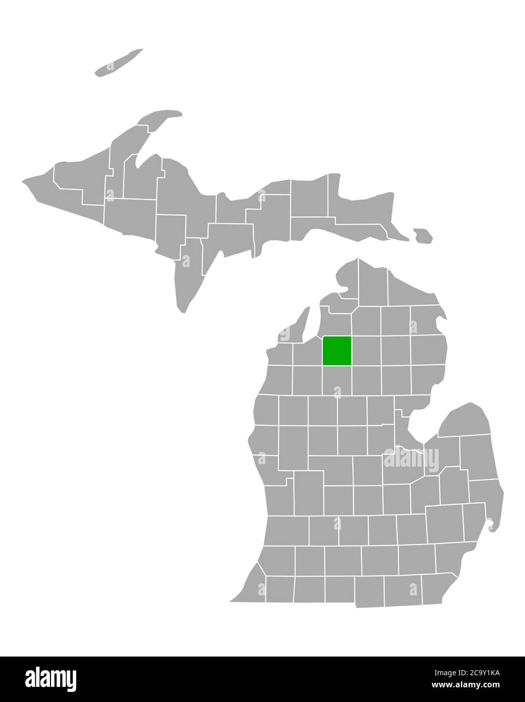 Map of Kalkaska in Michigan Stock Photohttps://www.alamy.com/image-license-details/?v=1https://www.alamy.com/map-of-kalkaska-in-michigan-image367543662.html
RF2C9Y1KA–Map of Kalkaska in Michigan
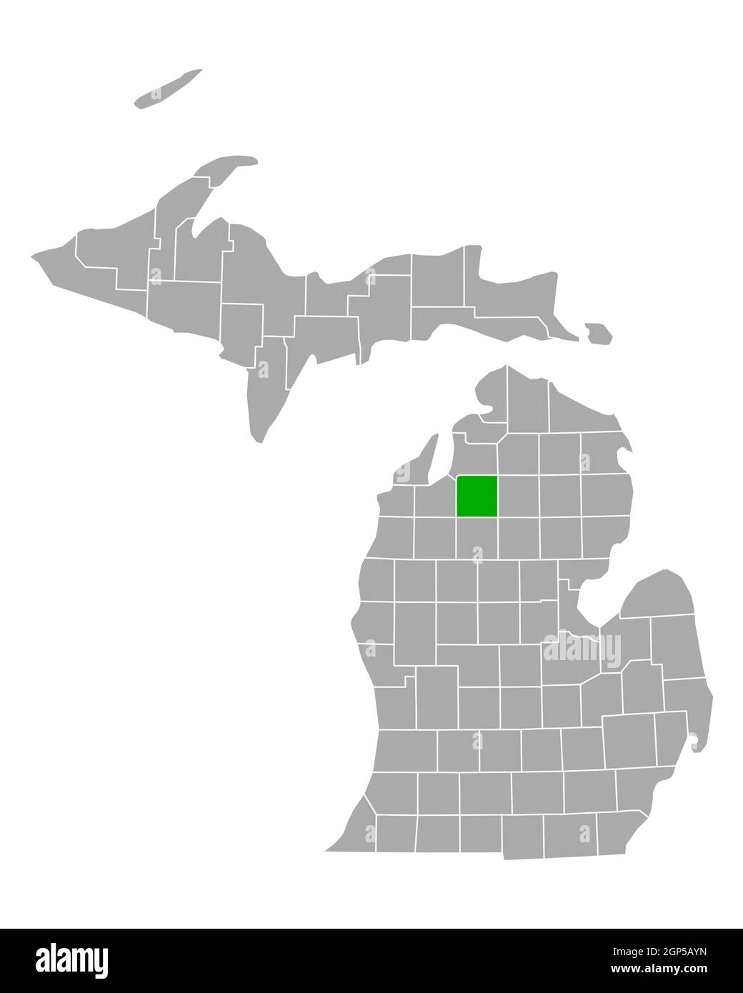 Map of Kalkaska in Michigan Stock Photohttps://www.alamy.com/image-license-details/?v=1https://www.alamy.com/map-of-kalkaska-in-michigan-image443900009.html
RF2GP5AYN–Map of Kalkaska in Michigan
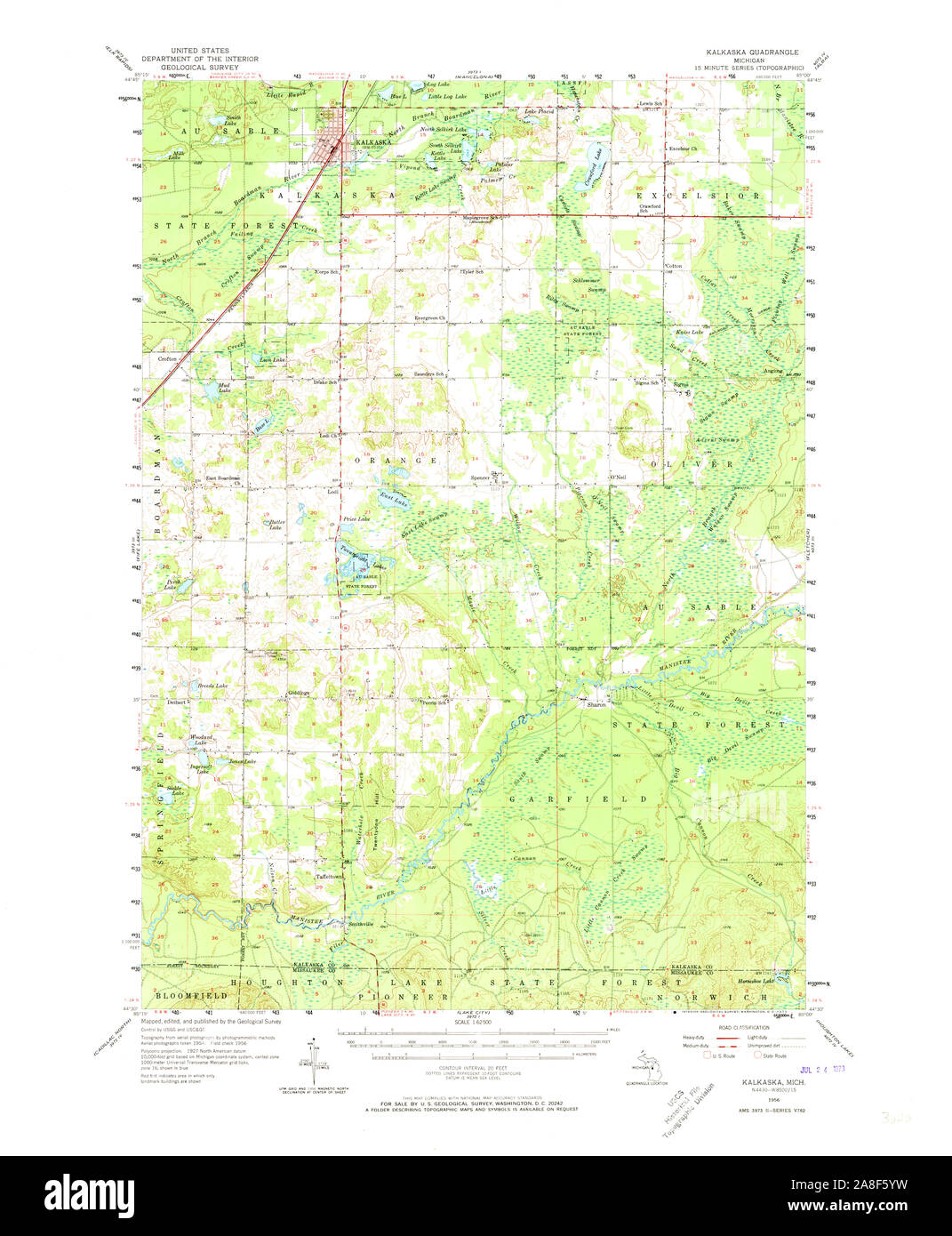 USGS TOPO Map Michigan MI Kalkaska 278248 1956 62500 Stock Photohttps://www.alamy.com/image-license-details/?v=1https://www.alamy.com/usgs-topo-map-michigan-mi-kalkaska-278248-1956-62500-image332248221.html
RM2A8F5YW–USGS TOPO Map Michigan MI Kalkaska 278248 1956 62500
 Kalkaska, Kalamazoo, Oakland, Oceana, Missaukee and Montmorency County, Michigan (U.S. county, United States of America, USA, U.S., US) map vector ill Stock Vectorhttps://www.alamy.com/image-license-details/?v=1https://www.alamy.com/kalkaska-kalamazoo-oakland-oceana-missaukee-and-montmorency-county-michigan-us-county-united-states-of-america-usa-us-us-map-vector-ill-image385414887.html
RF2DB14HB–Kalkaska, Kalamazoo, Oakland, Oceana, Missaukee and Montmorency County, Michigan (U.S. county, United States of America, USA, U.S., US) map vector ill
 Fletcher, Kalkaska County, US, United States, Michigan, N 44 32' 22'', S 84 57' 8'', map, Cartascapes Map published in 2024. Explore Cartascapes, a map revealing Earth's diverse landscapes, cultures, and ecosystems. Journey through time and space, discovering the interconnectedness of our planet's past, present, and future. Stock Photohttps://www.alamy.com/image-license-details/?v=1https://www.alamy.com/fletcher-kalkaska-county-us-united-states-michigan-n-44-32-22-s-84-57-8-map-cartascapes-map-published-in-2024-explore-cartascapes-a-map-revealing-earths-diverse-landscapes-cultures-and-ecosystems-journey-through-time-and-space-discovering-the-interconnectedness-of-our-planets-past-present-and-future-image621467408.html
RM2Y3280G–Fletcher, Kalkaska County, US, United States, Michigan, N 44 32' 22'', S 84 57' 8'', map, Cartascapes Map published in 2024. Explore Cartascapes, a map revealing Earth's diverse landscapes, cultures, and ecosystems. Journey through time and space, discovering the interconnectedness of our planet's past, present, and future.
 Sanborn Fire Insurance Map from Kalkaska, Kalkaska County, Michigan. Stock Photohttps://www.alamy.com/image-license-details/?v=1https://www.alamy.com/sanborn-fire-insurance-map-from-kalkaska-kalkaska-county-michigan-image456429809.html
RM2HEG4TH–Sanborn Fire Insurance Map from Kalkaska, Kalkaska County, Michigan.
 Map of Kalkaska in Michigan Stock Photohttps://www.alamy.com/image-license-details/?v=1https://www.alamy.com/map-of-kalkaska-in-michigan-image368328906.html
RF2CB6R7P–Map of Kalkaska in Michigan
 Map of Kalkaska in Michigan Stock Photohttps://www.alamy.com/image-license-details/?v=1https://www.alamy.com/map-of-kalkaska-in-michigan-image443778240.html
RF2GNYRJT–Map of Kalkaska in Michigan
 USGS TOPO Map Michigan MI Kalkaska 276436 1985 24000 Stock Photohttps://www.alamy.com/image-license-details/?v=1https://www.alamy.com/usgs-topo-map-michigan-mi-kalkaska-276436-1985-24000-image332248234.html
RM2A8F60A–USGS TOPO Map Michigan MI Kalkaska 276436 1985 24000
 Crofton, Kalkaska County, US, United States, Michigan, N 44 40' 24'', S 85 14' 12'', map, Cartascapes Map published in 2024. Explore Cartascapes, a map revealing Earth's diverse landscapes, cultures, and ecosystems. Journey through time and space, discovering the interconnectedness of our planet's past, present, and future. Stock Photohttps://www.alamy.com/image-license-details/?v=1https://www.alamy.com/crofton-kalkaska-county-us-united-states-michigan-n-44-40-24-s-85-14-12-map-cartascapes-map-published-in-2024-explore-cartascapes-a-map-revealing-earths-diverse-landscapes-cultures-and-ecosystems-journey-through-time-and-space-discovering-the-interconnectedness-of-our-planets-past-present-and-future-image621213181.html
RM2Y2JKN1–Crofton, Kalkaska County, US, United States, Michigan, N 44 40' 24'', S 85 14' 12'', map, Cartascapes Map published in 2024. Explore Cartascapes, a map revealing Earth's diverse landscapes, cultures, and ecosystems. Journey through time and space, discovering the interconnectedness of our planet's past, present, and future.
 Sanborn Fire Insurance Map from Kalkaska, Kalkaska County, Michigan. Stock Photohttps://www.alamy.com/image-license-details/?v=1https://www.alamy.com/sanborn-fire-insurance-map-from-kalkaska-kalkaska-county-michigan-image456429815.html
RM2HEG4TR–Sanborn Fire Insurance Map from Kalkaska, Kalkaska County, Michigan.
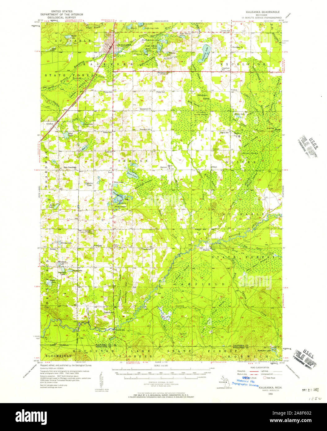 USGS TOPO Map Michigan MI Kalkaska 278250 1956 62500 Stock Photohttps://www.alamy.com/image-license-details/?v=1https://www.alamy.com/usgs-topo-map-michigan-mi-kalkaska-278250-1956-62500-image332248226.html
RM2A8F602–USGS TOPO Map Michigan MI Kalkaska 278250 1956 62500
 Kalkaska, Kalkaska County, US, United States, Michigan, N 44 44' 3'', S 85 10' 33'', map, Cartascapes Map published in 2024. Explore Cartascapes, a map revealing Earth's diverse landscapes, cultures, and ecosystems. Journey through time and space, discovering the interconnectedness of our planet's past, present, and future. Stock Photohttps://www.alamy.com/image-license-details/?v=1https://www.alamy.com/kalkaska-kalkaska-county-us-united-states-michigan-n-44-44-3-s-85-10-33-map-cartascapes-map-published-in-2024-explore-cartascapes-a-map-revealing-earths-diverse-landscapes-cultures-and-ecosystems-journey-through-time-and-space-discovering-the-interconnectedness-of-our-planets-past-present-and-future-image621258346.html
RM2Y2MNA2–Kalkaska, Kalkaska County, US, United States, Michigan, N 44 44' 3'', S 85 10' 33'', map, Cartascapes Map published in 2024. Explore Cartascapes, a map revealing Earth's diverse landscapes, cultures, and ecosystems. Journey through time and space, discovering the interconnectedness of our planet's past, present, and future.
 Sanborn Fire Insurance Map from Kalkaska, Kalkaska County, Michigan. Stock Photohttps://www.alamy.com/image-license-details/?v=1https://www.alamy.com/sanborn-fire-insurance-map-from-kalkaska-kalkaska-county-michigan-image456429798.html
RM2HEG4T6–Sanborn Fire Insurance Map from Kalkaska, Kalkaska County, Michigan.
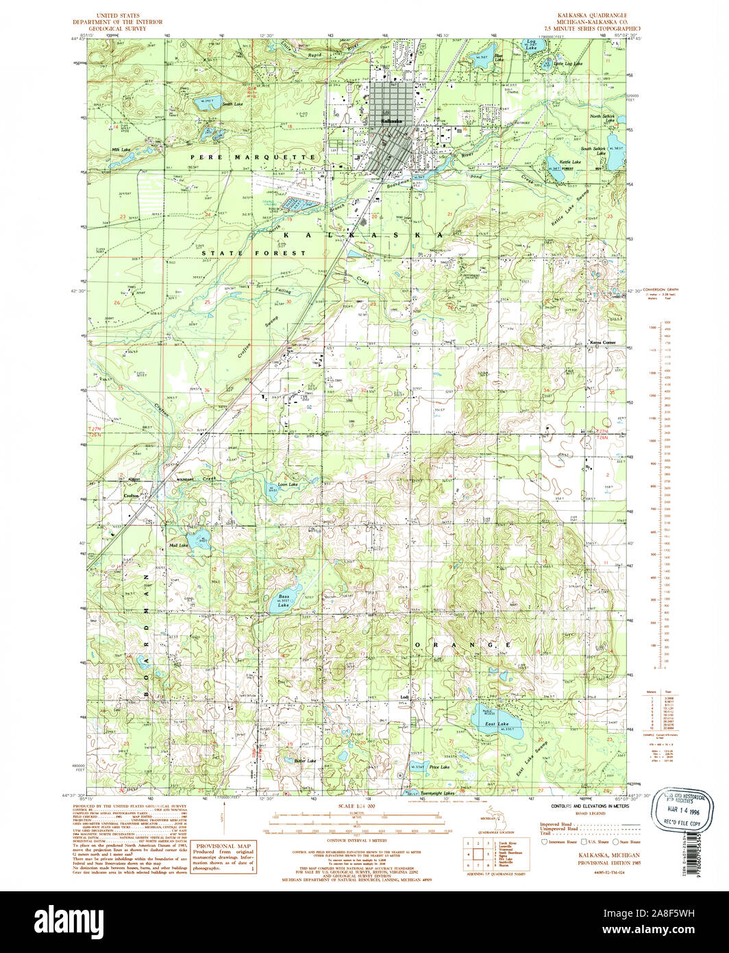 USGS TOPO Map Michigan MI Kalkaska 276435 1985 24000 Stock Photohttps://www.alamy.com/image-license-details/?v=1https://www.alamy.com/usgs-topo-map-michigan-mi-kalkaska-276435-1985-24000-image332248157.html
RM2A8F5WH–USGS TOPO Map Michigan MI Kalkaska 276435 1985 24000
 Angling, Kalkaska County, US, United States, Michigan, N 44 40' 12'', S 85 0' 33'', map, Cartascapes Map published in 2024. Explore Cartascapes, a map revealing Earth's diverse landscapes, cultures, and ecosystems. Journey through time and space, discovering the interconnectedness of our planet's past, present, and future. Stock Photohttps://www.alamy.com/image-license-details/?v=1https://www.alamy.com/angling-kalkaska-county-us-united-states-michigan-n-44-40-12-s-85-0-33-map-cartascapes-map-published-in-2024-explore-cartascapes-a-map-revealing-earths-diverse-landscapes-cultures-and-ecosystems-journey-through-time-and-space-discovering-the-interconnectedness-of-our-planets-past-present-and-future-image621194595.html
RM2Y2HT17–Angling, Kalkaska County, US, United States, Michigan, N 44 40' 12'', S 85 0' 33'', map, Cartascapes Map published in 2024. Explore Cartascapes, a map revealing Earth's diverse landscapes, cultures, and ecosystems. Journey through time and space, discovering the interconnectedness of our planet's past, present, and future.
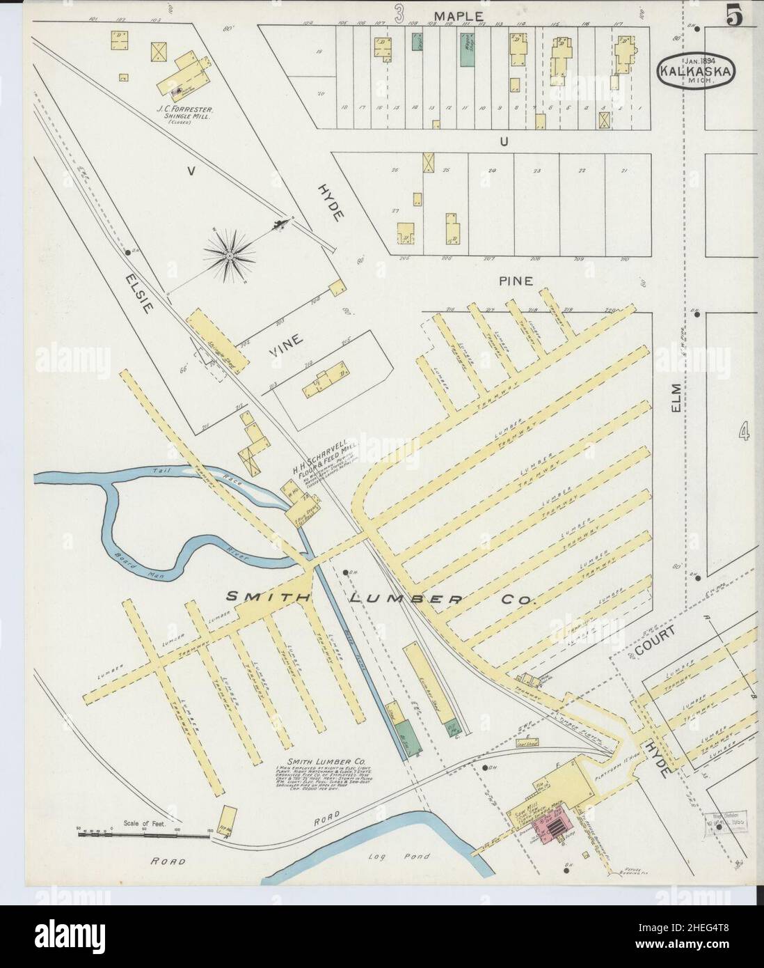 Sanborn Fire Insurance Map from Kalkaska, Kalkaska County, Michigan. Stock Photohttps://www.alamy.com/image-license-details/?v=1https://www.alamy.com/sanborn-fire-insurance-map-from-kalkaska-kalkaska-county-michigan-image456429800.html
RM2HEG4T8–Sanborn Fire Insurance Map from Kalkaska, Kalkaska County, Michigan.
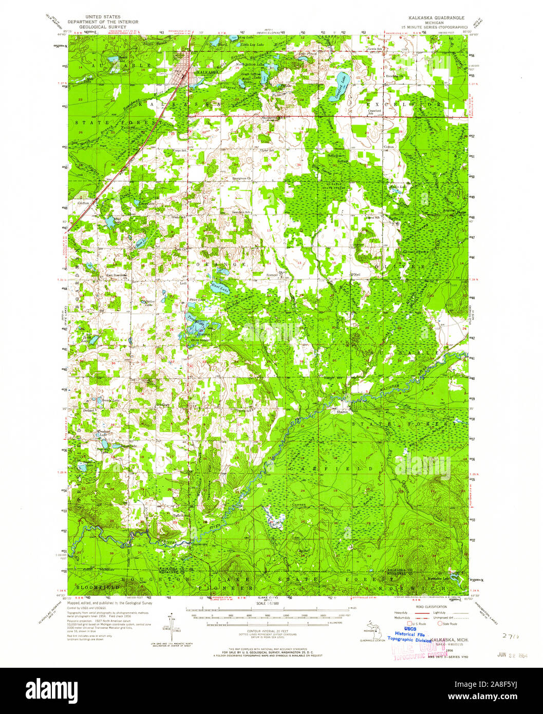 USGS TOPO Map Michigan MI Kalkaska 278249 1956 62500 Stock Photohttps://www.alamy.com/image-license-details/?v=1https://www.alamy.com/usgs-topo-map-michigan-mi-kalkaska-278249-1956-62500-image332248214.html
RM2A8F5YJ–USGS TOPO Map Michigan MI Kalkaska 278249 1956 62500
 McGee, Kalkaska County, US, United States, Michigan, N 44 36' 20'', S 85 10' 29'', map, Cartascapes Map published in 2024. Explore Cartascapes, a map revealing Earth's diverse landscapes, cultures, and ecosystems. Journey through time and space, discovering the interconnectedness of our planet's past, present, and future. Stock Photohttps://www.alamy.com/image-license-details/?v=1https://www.alamy.com/mcgee-kalkaska-county-us-united-states-michigan-n-44-36-20-s-85-10-29-map-cartascapes-map-published-in-2024-explore-cartascapes-a-map-revealing-earths-diverse-landscapes-cultures-and-ecosystems-journey-through-time-and-space-discovering-the-interconnectedness-of-our-planets-past-present-and-future-image621285516.html
RM2Y2P00C–McGee, Kalkaska County, US, United States, Michigan, N 44 36' 20'', S 85 10' 29'', map, Cartascapes Map published in 2024. Explore Cartascapes, a map revealing Earth's diverse landscapes, cultures, and ecosystems. Journey through time and space, discovering the interconnectedness of our planet's past, present, and future.
 Sanborn Fire Insurance Map from Kalkaska, Kalkaska County, Michigan. Stock Photohttps://www.alamy.com/image-license-details/?v=1https://www.alamy.com/sanborn-fire-insurance-map-from-kalkaska-kalkaska-county-michigan-image456429837.html
RM2HEG4WH–Sanborn Fire Insurance Map from Kalkaska, Kalkaska County, Michigan.
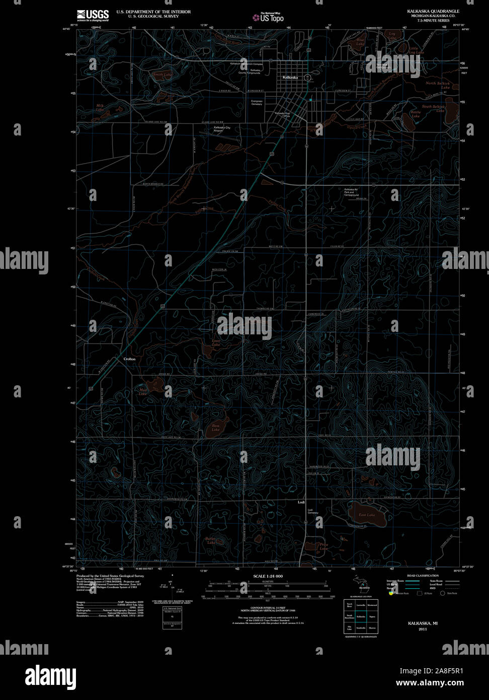 USGS TOPO Map Michigan MI Kalkaska 20110927 TM Inverted Stock Photohttps://www.alamy.com/image-license-details/?v=1https://www.alamy.com/usgs-topo-map-michigan-mi-kalkaska-20110927-tm-inverted-image332248085.html
RM2A8F5R1–USGS TOPO Map Michigan MI Kalkaska 20110927 TM Inverted
 O'Neil, Kalkaska County, US, United States, Michigan, N 44 38' 29'', S 85 4' 26'', map, Cartascapes Map published in 2024. Explore Cartascapes, a map revealing Earth's diverse landscapes, cultures, and ecosystems. Journey through time and space, discovering the interconnectedness of our planet's past, present, and future. Stock Photohttps://www.alamy.com/image-license-details/?v=1https://www.alamy.com/oneil-kalkaska-county-us-united-states-michigan-n-44-38-29-s-85-4-26-map-cartascapes-map-published-in-2024-explore-cartascapes-a-map-revealing-earths-diverse-landscapes-cultures-and-ecosystems-journey-through-time-and-space-discovering-the-interconnectedness-of-our-planets-past-present-and-future-image621207258.html
RM2Y2JC5E–O'Neil, Kalkaska County, US, United States, Michigan, N 44 38' 29'', S 85 4' 26'', map, Cartascapes Map published in 2024. Explore Cartascapes, a map revealing Earth's diverse landscapes, cultures, and ecosystems. Journey through time and space, discovering the interconnectedness of our planet's past, present, and future.
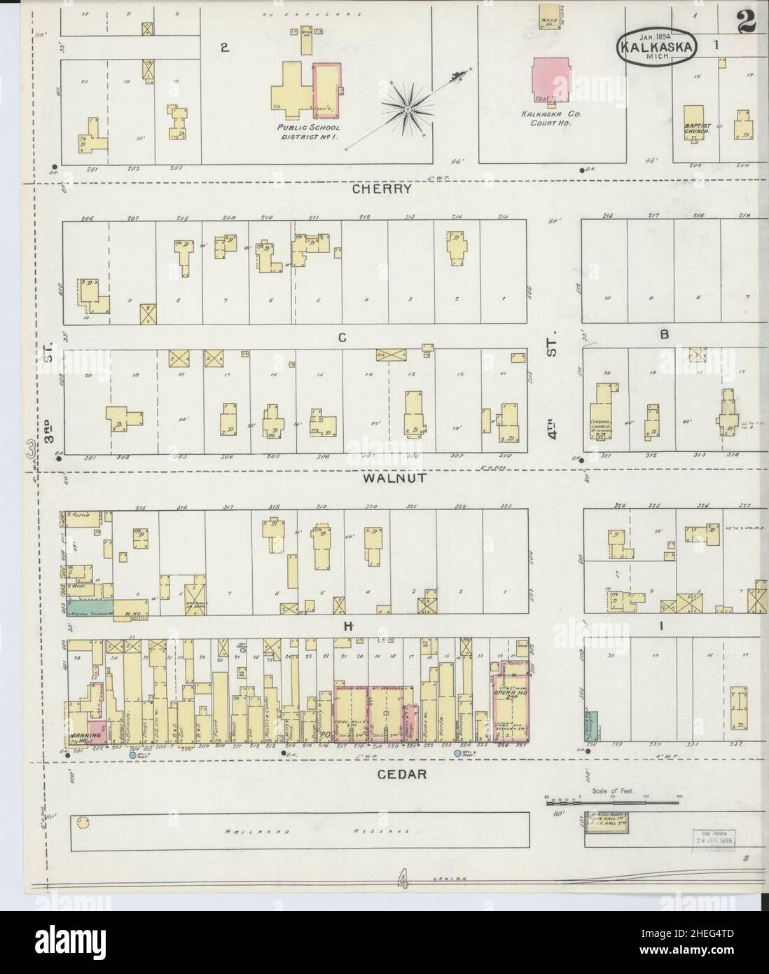 Sanborn Fire Insurance Map from Kalkaska, Kalkaska County, Michigan. Stock Photohttps://www.alamy.com/image-license-details/?v=1https://www.alamy.com/sanborn-fire-insurance-map-from-kalkaska-kalkaska-county-michigan-image456429805.html
RM2HEG4TD–Sanborn Fire Insurance Map from Kalkaska, Kalkaska County, Michigan.
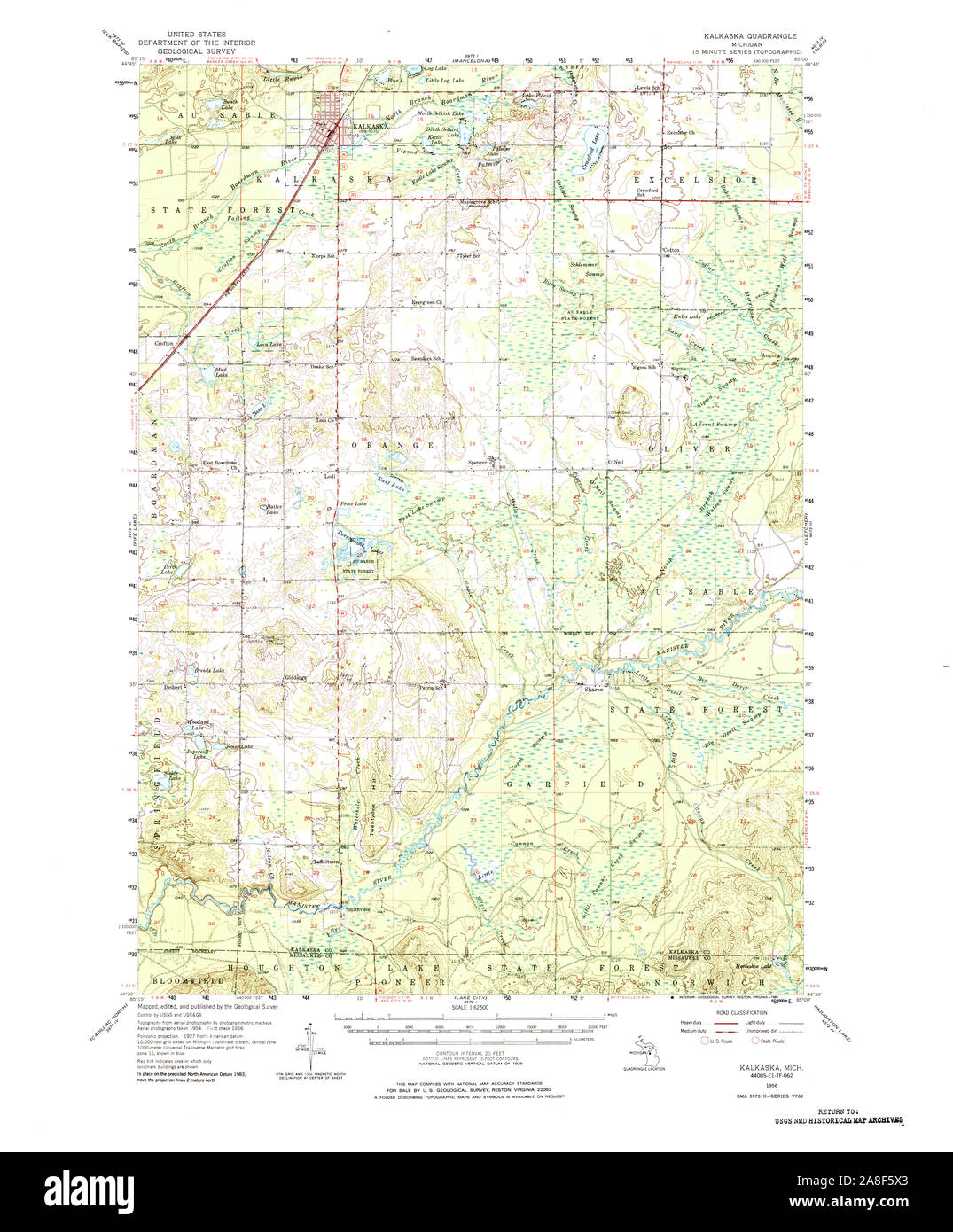 USGS TOPO Map Michigan MI Kalkaska 278247 1956 62500 Stock Photohttps://www.alamy.com/image-license-details/?v=1https://www.alamy.com/usgs-topo-map-michigan-mi-kalkaska-278247-1956-62500-image332248171.html
RM2A8F5X3–USGS TOPO Map Michigan MI Kalkaska 278247 1956 62500
 Houseman, Kalkaska County, US, United States, Michigan, N 44 36' 47'', S 85 18' 30'', map, Cartascapes Map published in 2024. Explore Cartascapes, a map revealing Earth's diverse landscapes, cultures, and ecosystems. Journey through time and space, discovering the interconnectedness of our planet's past, present, and future. Stock Photohttps://www.alamy.com/image-license-details/?v=1https://www.alamy.com/houseman-kalkaska-county-us-united-states-michigan-n-44-36-47-s-85-18-30-map-cartascapes-map-published-in-2024-explore-cartascapes-a-map-revealing-earths-diverse-landscapes-cultures-and-ecosystems-journey-through-time-and-space-discovering-the-interconnectedness-of-our-planets-past-present-and-future-image621195880.html
RM2Y2HWK4–Houseman, Kalkaska County, US, United States, Michigan, N 44 36' 47'', S 85 18' 30'', map, Cartascapes Map published in 2024. Explore Cartascapes, a map revealing Earth's diverse landscapes, cultures, and ecosystems. Journey through time and space, discovering the interconnectedness of our planet's past, present, and future.
 Sanborn Fire Insurance Map from Kalkaska, Kalkaska County, Michigan. Stock Photohttps://www.alamy.com/image-license-details/?v=1https://www.alamy.com/sanborn-fire-insurance-map-from-kalkaska-kalkaska-county-michigan-image456429826.html
RM2HEG4W6–Sanborn Fire Insurance Map from Kalkaska, Kalkaska County, Michigan.
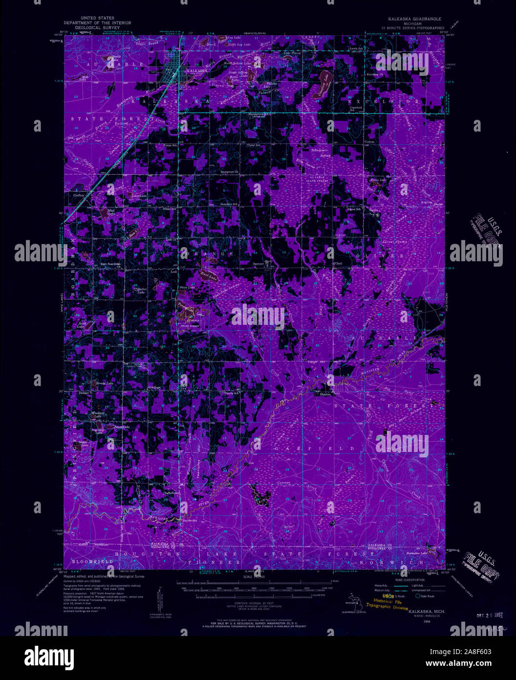 USGS TOPO Map Michigan MI Kalkaska 278250 1956 62500 Inverted Stock Photohttps://www.alamy.com/image-license-details/?v=1https://www.alamy.com/usgs-topo-map-michigan-mi-kalkaska-278250-1956-62500-inverted-image332248227.html
RM2A8F603–USGS TOPO Map Michigan MI Kalkaska 278250 1956 62500 Inverted
 Westwood, Kalkaska County, US, United States, Michigan, N 44 51' 6'', S 85 6' 7'', map, Cartascapes Map published in 2024. Explore Cartascapes, a map revealing Earth's diverse landscapes, cultures, and ecosystems. Journey through time and space, discovering the interconnectedness of our planet's past, present, and future. Stock Photohttps://www.alamy.com/image-license-details/?v=1https://www.alamy.com/westwood-kalkaska-county-us-united-states-michigan-n-44-51-6-s-85-6-7-map-cartascapes-map-published-in-2024-explore-cartascapes-a-map-revealing-earths-diverse-landscapes-cultures-and-ecosystems-journey-through-time-and-space-discovering-the-interconnectedness-of-our-planets-past-present-and-future-image621141814.html
RM2Y2FCM6–Westwood, Kalkaska County, US, United States, Michigan, N 44 51' 6'', S 85 6' 7'', map, Cartascapes Map published in 2024. Explore Cartascapes, a map revealing Earth's diverse landscapes, cultures, and ecosystems. Journey through time and space, discovering the interconnectedness of our planet's past, present, and future.
 Sanborn Fire Insurance Map from Kalkaska, Kalkaska County, Michigan. Stock Photohttps://www.alamy.com/image-license-details/?v=1https://www.alamy.com/sanborn-fire-insurance-map-from-kalkaska-kalkaska-county-michigan-image456429783.html
RM2HEG4RK–Sanborn Fire Insurance Map from Kalkaska, Kalkaska County, Michigan.
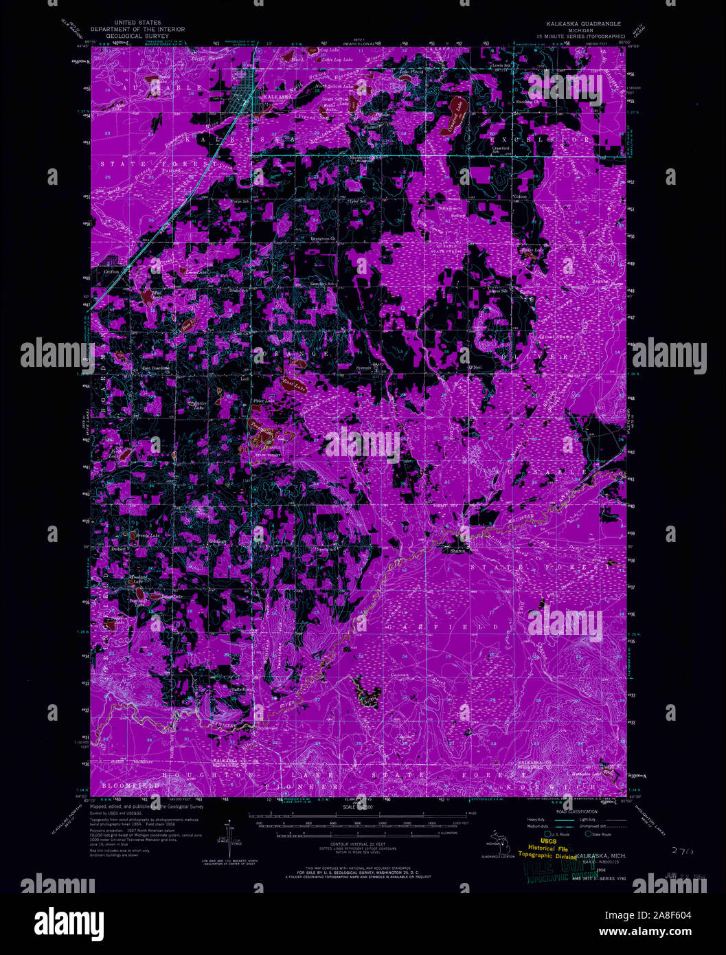 USGS TOPO Map Michigan MI Kalkaska 278249 1956 62500 Inverted Stock Photohttps://www.alamy.com/image-license-details/?v=1https://www.alamy.com/usgs-topo-map-michigan-mi-kalkaska-278249-1956-62500-inverted-image332248228.html
RM2A8F604–USGS TOPO Map Michigan MI Kalkaska 278249 1956 62500 Inverted
 Giddings, Kalkaska County, US, United States, Michigan, N 44 35' 4'', S 85 11' 46'', map, Cartascapes Map published in 2024. Explore Cartascapes, a map revealing Earth's diverse landscapes, cultures, and ecosystems. Journey through time and space, discovering the interconnectedness of our planet's past, present, and future. Stock Photohttps://www.alamy.com/image-license-details/?v=1https://www.alamy.com/giddings-kalkaska-county-us-united-states-michigan-n-44-35-4-s-85-11-46-map-cartascapes-map-published-in-2024-explore-cartascapes-a-map-revealing-earths-diverse-landscapes-cultures-and-ecosystems-journey-through-time-and-space-discovering-the-interconnectedness-of-our-planets-past-present-and-future-image621241677.html
RM2Y2M02N–Giddings, Kalkaska County, US, United States, Michigan, N 44 35' 4'', S 85 11' 46'', map, Cartascapes Map published in 2024. Explore Cartascapes, a map revealing Earth's diverse landscapes, cultures, and ecosystems. Journey through time and space, discovering the interconnectedness of our planet's past, present, and future.
 Sanborn Fire Insurance Map from Kalkaska, Kalkaska County, Michigan. Stock Photohttps://www.alamy.com/image-license-details/?v=1https://www.alamy.com/sanborn-fire-insurance-map-from-kalkaska-kalkaska-county-michigan-image456429825.html
RM2HEG4W5–Sanborn Fire Insurance Map from Kalkaska, Kalkaska County, Michigan.
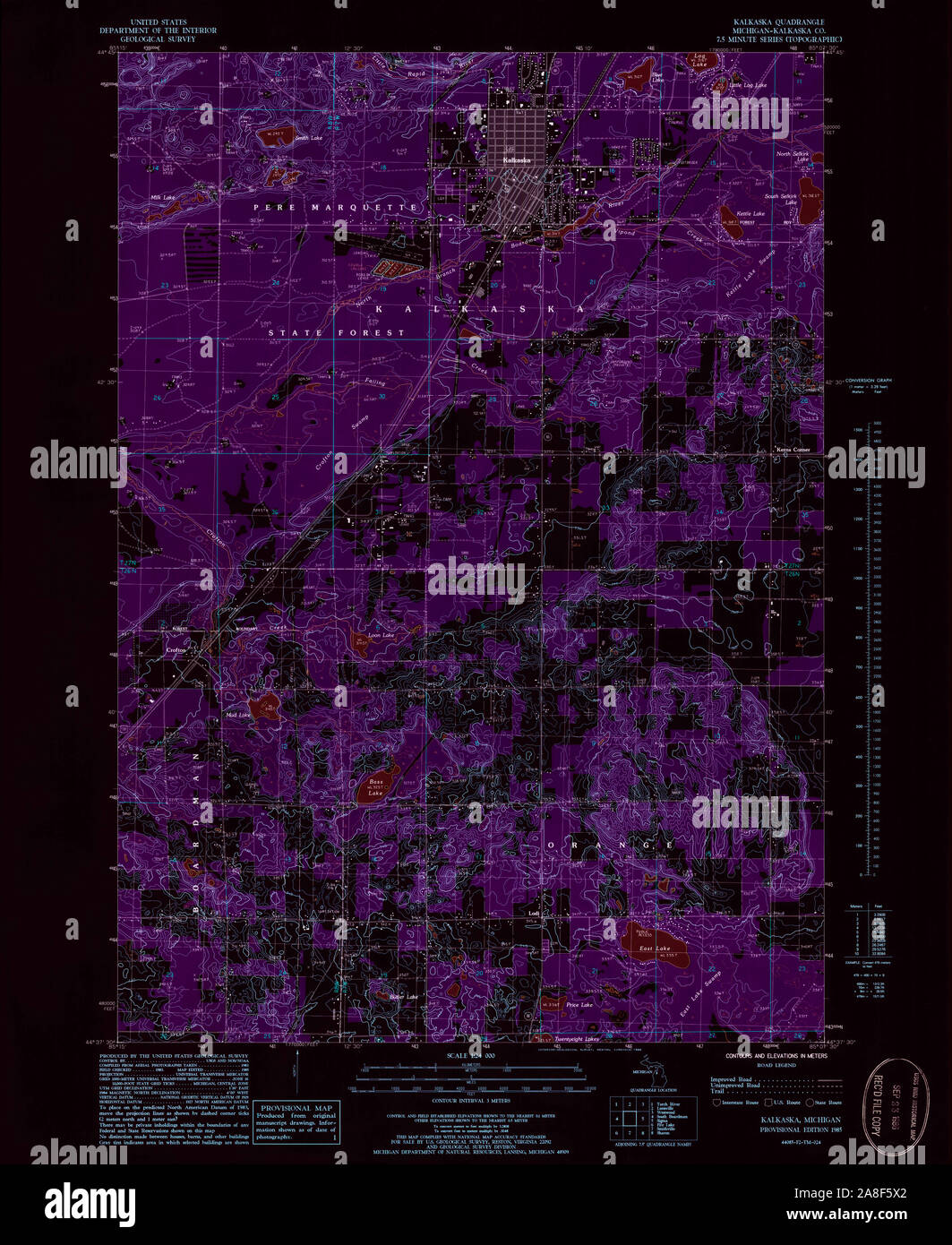 USGS TOPO Map Michigan MI Kalkaska 276436 1985 24000 Inverted Stock Photohttps://www.alamy.com/image-license-details/?v=1https://www.alamy.com/usgs-topo-map-michigan-mi-kalkaska-276436-1985-24000-inverted-image332248170.html
RM2A8F5X2–USGS TOPO Map Michigan MI Kalkaska 276436 1985 24000 Inverted
 Spencer, Kalkaska County, US, United States, Michigan, N 44 38' 29'', S 85 6' 53'', map, Cartascapes Map published in 2024. Explore Cartascapes, a map revealing Earth's diverse landscapes, cultures, and ecosystems. Journey through time and space, discovering the interconnectedness of our planet's past, present, and future. Stock Photohttps://www.alamy.com/image-license-details/?v=1https://www.alamy.com/spencer-kalkaska-county-us-united-states-michigan-n-44-38-29-s-85-6-53-map-cartascapes-map-published-in-2024-explore-cartascapes-a-map-revealing-earths-diverse-landscapes-cultures-and-ecosystems-journey-through-time-and-space-discovering-the-interconnectedness-of-our-planets-past-present-and-future-image621454746.html
RM2Y31KTA–Spencer, Kalkaska County, US, United States, Michigan, N 44 38' 29'', S 85 6' 53'', map, Cartascapes Map published in 2024. Explore Cartascapes, a map revealing Earth's diverse landscapes, cultures, and ecosystems. Journey through time and space, discovering the interconnectedness of our planet's past, present, and future.
 Sanborn Fire Insurance Map from Kalkaska, Kalkaska County, Michigan. Stock Photohttps://www.alamy.com/image-license-details/?v=1https://www.alamy.com/sanborn-fire-insurance-map-from-kalkaska-kalkaska-county-michigan-image456429782.html
RM2HEG4RJ–Sanborn Fire Insurance Map from Kalkaska, Kalkaska County, Michigan.
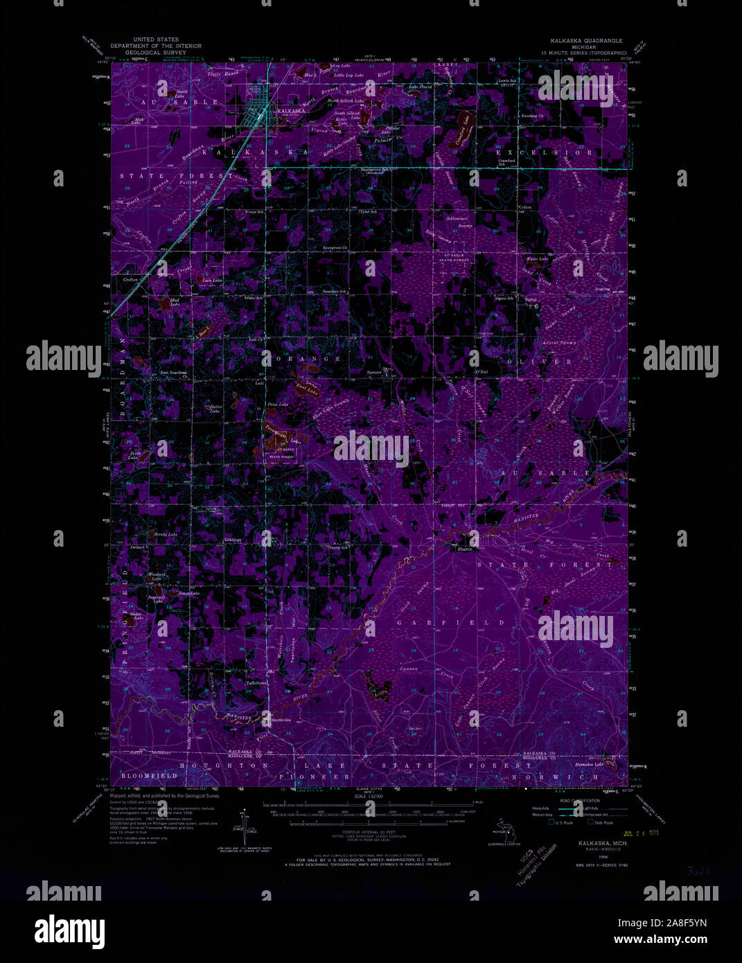 USGS TOPO Map Michigan MI Kalkaska 278248 1956 62500 Inverted Stock Photohttps://www.alamy.com/image-license-details/?v=1https://www.alamy.com/usgs-topo-map-michigan-mi-kalkaska-278248-1956-62500-inverted-image332248217.html
RM2A8F5YN–USGS TOPO Map Michigan MI Kalkaska 278248 1956 62500 Inverted
 Rapid City, Kalkaska County, US, United States, Michigan, N 44 50' 4'', S 85 16' 57'', map, Cartascapes Map published in 2024. Explore Cartascapes, a map revealing Earth's diverse landscapes, cultures, and ecosystems. Journey through time and space, discovering the interconnectedness of our planet's past, present, and future. Stock Photohttps://www.alamy.com/image-license-details/?v=1https://www.alamy.com/rapid-city-kalkaska-county-us-united-states-michigan-n-44-50-4-s-85-16-57-map-cartascapes-map-published-in-2024-explore-cartascapes-a-map-revealing-earths-diverse-landscapes-cultures-and-ecosystems-journey-through-time-and-space-discovering-the-interconnectedness-of-our-planets-past-present-and-future-image621447960.html
RM2Y31B60–Rapid City, Kalkaska County, US, United States, Michigan, N 44 50' 4'', S 85 16' 57'', map, Cartascapes Map published in 2024. Explore Cartascapes, a map revealing Earth's diverse landscapes, cultures, and ecosystems. Journey through time and space, discovering the interconnectedness of our planet's past, present, and future.
 Sanborn Fire Insurance Map from Kalkaska, Kalkaska County, Michigan. Stock Photohttps://www.alamy.com/image-license-details/?v=1https://www.alamy.com/sanborn-fire-insurance-map-from-kalkaska-kalkaska-county-michigan-image456429852.html
RM2HEG4X4–Sanborn Fire Insurance Map from Kalkaska, Kalkaska County, Michigan.
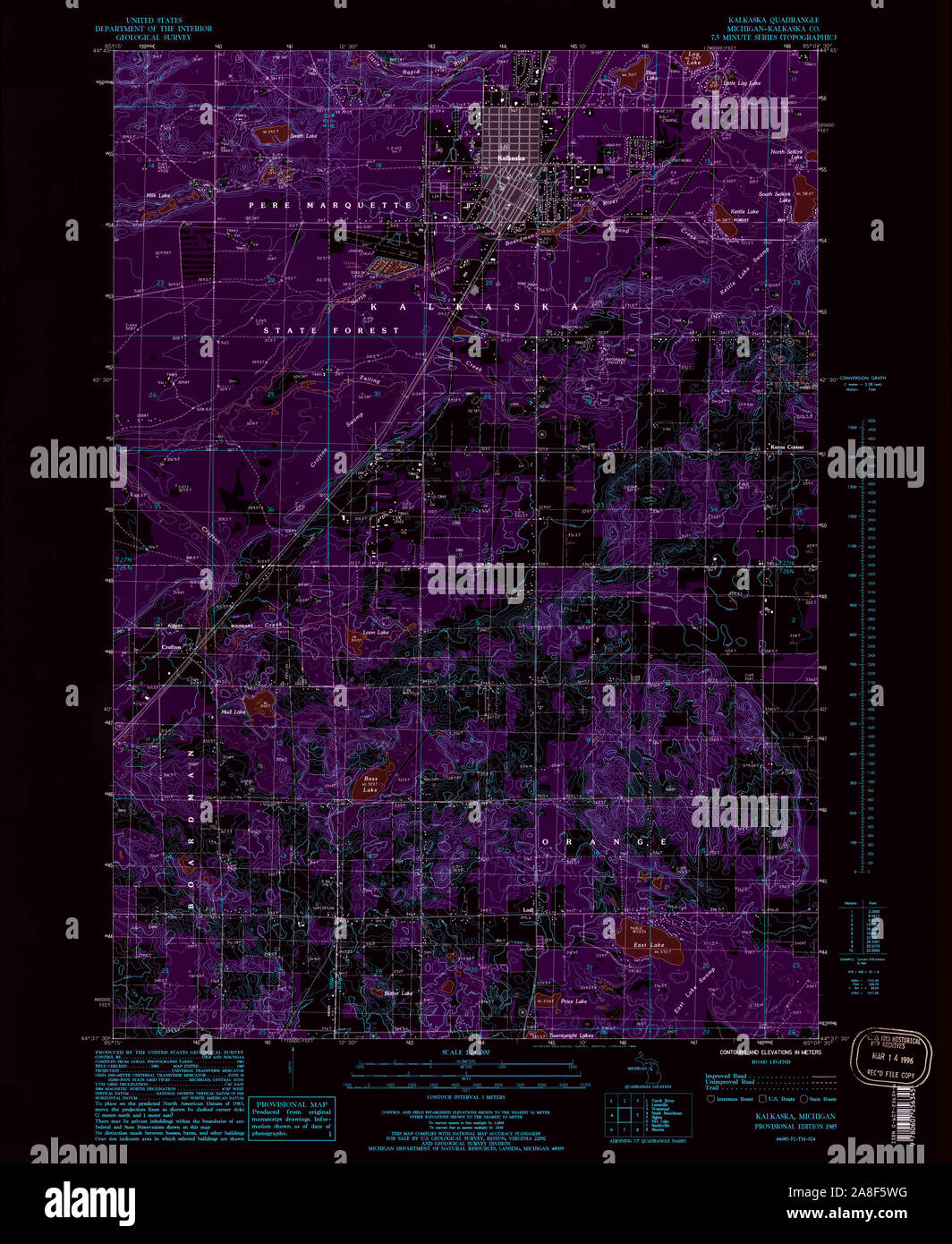 USGS TOPO Map Michigan MI Kalkaska 276435 1985 24000 Inverted Stock Photohttps://www.alamy.com/image-license-details/?v=1https://www.alamy.com/usgs-topo-map-michigan-mi-kalkaska-276435-1985-24000-inverted-image332248156.html
RM2A8F5WG–USGS TOPO Map Michigan MI Kalkaska 276435 1985 24000 Inverted
 Pemberthy Crossing, Kalkaska County, US, United States, Michigan, N 44 37' 58'', S 84 54' 30'', map, Cartascapes Map published in 2024. Explore Cartascapes, a map revealing Earth's diverse landscapes, cultures, and ecosystems. Journey through time and space, discovering the interconnectedness of our planet's past, present, and future. Stock Photohttps://www.alamy.com/image-license-details/?v=1https://www.alamy.com/pemberthy-crossing-kalkaska-county-us-united-states-michigan-n-44-37-58-s-84-54-30-map-cartascapes-map-published-in-2024-explore-cartascapes-a-map-revealing-earths-diverse-landscapes-cultures-and-ecosystems-journey-through-time-and-space-discovering-the-interconnectedness-of-our-planets-past-present-and-future-image621244245.html
RM2Y2M3AD–Pemberthy Crossing, Kalkaska County, US, United States, Michigan, N 44 37' 58'', S 84 54' 30'', map, Cartascapes Map published in 2024. Explore Cartascapes, a map revealing Earth's diverse landscapes, cultures, and ecosystems. Journey through time and space, discovering the interconnectedness of our planet's past, present, and future.
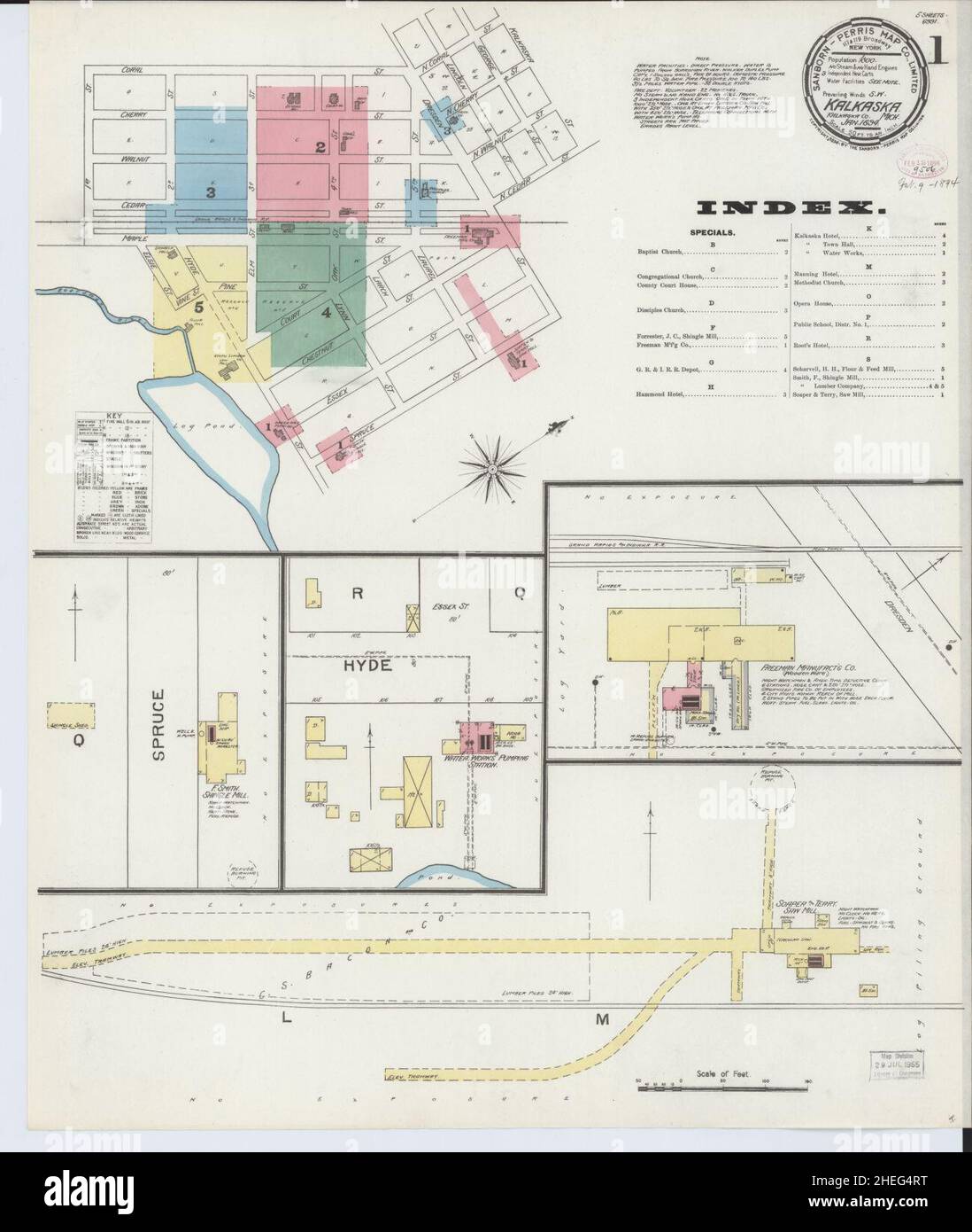 Sanborn Fire Insurance Map from Kalkaska, Kalkaska County, Michigan. Stock Photohttps://www.alamy.com/image-license-details/?v=1https://www.alamy.com/sanborn-fire-insurance-map-from-kalkaska-kalkaska-county-michigan-image456429788.html
RM2HEG4RT–Sanborn Fire Insurance Map from Kalkaska, Kalkaska County, Michigan.
 USGS TOPO Map Michigan MI Kalkaska 278247 1956 62500 Inverted Stock Photohttps://www.alamy.com/image-license-details/?v=1https://www.alamy.com/usgs-topo-map-michigan-mi-kalkaska-278247-1956-62500-inverted-image332248163.html
RM2A8F5WR–USGS TOPO Map Michigan MI Kalkaska 278247 1956 62500 Inverted
 Millers Corners, Kalkaska County, US, United States, Michigan, N 44 35' 3'', S 85 9' 15'', map, Cartascapes Map published in 2024. Explore Cartascapes, a map revealing Earth's diverse landscapes, cultures, and ecosystems. Journey through time and space, discovering the interconnectedness of our planet's past, present, and future. Stock Photohttps://www.alamy.com/image-license-details/?v=1https://www.alamy.com/millers-corners-kalkaska-county-us-united-states-michigan-n-44-35-3-s-85-9-15-map-cartascapes-map-published-in-2024-explore-cartascapes-a-map-revealing-earths-diverse-landscapes-cultures-and-ecosystems-journey-through-time-and-space-discovering-the-interconnectedness-of-our-planets-past-present-and-future-image621449824.html
RM2Y31DGG–Millers Corners, Kalkaska County, US, United States, Michigan, N 44 35' 3'', S 85 9' 15'', map, Cartascapes Map published in 2024. Explore Cartascapes, a map revealing Earth's diverse landscapes, cultures, and ecosystems. Journey through time and space, discovering the interconnectedness of our planet's past, present, and future.
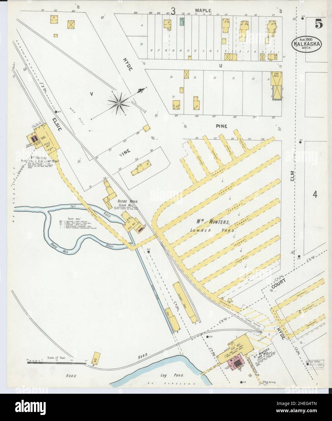 Sanborn Fire Insurance Map from Kalkaska, Kalkaska County, Michigan. Stock Photohttps://www.alamy.com/image-license-details/?v=1https://www.alamy.com/sanborn-fire-insurance-map-from-kalkaska-kalkaska-county-michigan-image456429813.html
RM2HEG4TN–Sanborn Fire Insurance Map from Kalkaska, Kalkaska County, Michigan.
 Leetsville, Kalkaska County, US, United States, Michigan, N 44 47' 36'', S 85 8' 41'', map, Cartascapes Map published in 2024. Explore Cartascapes, a map revealing Earth's diverse landscapes, cultures, and ecosystems. Journey through time and space, discovering the interconnectedness of our planet's past, present, and future. Stock Photohttps://www.alamy.com/image-license-details/?v=1https://www.alamy.com/leetsville-kalkaska-county-us-united-states-michigan-n-44-47-36-s-85-8-41-map-cartascapes-map-published-in-2024-explore-cartascapes-a-map-revealing-earths-diverse-landscapes-cultures-and-ecosystems-journey-through-time-and-space-discovering-the-interconnectedness-of-our-planets-past-present-and-future-image620769563.html
RM2Y1XDWF–Leetsville, Kalkaska County, US, United States, Michigan, N 44 47' 36'', S 85 8' 41'', map, Cartascapes Map published in 2024. Explore Cartascapes, a map revealing Earth's diverse landscapes, cultures, and ecosystems. Journey through time and space, discovering the interconnectedness of our planet's past, present, and future.
 Sanborn Fire Insurance Map from Kalkaska, Kalkaska County, Michigan. Stock Photohttps://www.alamy.com/image-license-details/?v=1https://www.alamy.com/sanborn-fire-insurance-map-from-kalkaska-kalkaska-county-michigan-image456429792.html
RM2HEG4T0–Sanborn Fire Insurance Map from Kalkaska, Kalkaska County, Michigan.
 Lodi, Kalkaska County, US, United States, Michigan, N 44 38' 26'', S 85 10' 31'', map, Cartascapes Map published in 2024. Explore Cartascapes, a map revealing Earth's diverse landscapes, cultures, and ecosystems. Journey through time and space, discovering the interconnectedness of our planet's past, present, and future. Stock Photohttps://www.alamy.com/image-license-details/?v=1https://www.alamy.com/lodi-kalkaska-county-us-united-states-michigan-n-44-38-26-s-85-10-31-map-cartascapes-map-published-in-2024-explore-cartascapes-a-map-revealing-earths-diverse-landscapes-cultures-and-ecosystems-journey-through-time-and-space-discovering-the-interconnectedness-of-our-planets-past-present-and-future-image620800098.html
RM2Y1YTT2–Lodi, Kalkaska County, US, United States, Michigan, N 44 38' 26'', S 85 10' 31'', map, Cartascapes Map published in 2024. Explore Cartascapes, a map revealing Earth's diverse landscapes, cultures, and ecosystems. Journey through time and space, discovering the interconnectedness of our planet's past, present, and future.
 Sanborn Fire Insurance Map from Kalkaska, Kalkaska County, Michigan. Stock Photohttps://www.alamy.com/image-license-details/?v=1https://www.alamy.com/sanborn-fire-insurance-map-from-kalkaska-kalkaska-county-michigan-image456429812.html
RM2HEG4TM–Sanborn Fire Insurance Map from Kalkaska, Kalkaska County, Michigan.
 Sigma, Kalkaska County, US, United States, Michigan, N 44 40' 12'', S 85 3' 12'', map, Cartascapes Map published in 2024. Explore Cartascapes, a map revealing Earth's diverse landscapes, cultures, and ecosystems. Journey through time and space, discovering the interconnectedness of our planet's past, present, and future. Stock Photohttps://www.alamy.com/image-license-details/?v=1https://www.alamy.com/sigma-kalkaska-county-us-united-states-michigan-n-44-40-12-s-85-3-12-map-cartascapes-map-published-in-2024-explore-cartascapes-a-map-revealing-earths-diverse-landscapes-cultures-and-ecosystems-journey-through-time-and-space-discovering-the-interconnectedness-of-our-planets-past-present-and-future-image620766850.html
RM2Y1XACJ–Sigma, Kalkaska County, US, United States, Michigan, N 44 40' 12'', S 85 3' 12'', map, Cartascapes Map published in 2024. Explore Cartascapes, a map revealing Earth's diverse landscapes, cultures, and ecosystems. Journey through time and space, discovering the interconnectedness of our planet's past, present, and future.
 Sanborn Fire Insurance Map from Kalkaska, Kalkaska County, Michigan. Stock Photohttps://www.alamy.com/image-license-details/?v=1https://www.alamy.com/sanborn-fire-insurance-map-from-kalkaska-kalkaska-county-michigan-image456429801.html
RM2HEG4T9–Sanborn Fire Insurance Map from Kalkaska, Kalkaska County, Michigan.
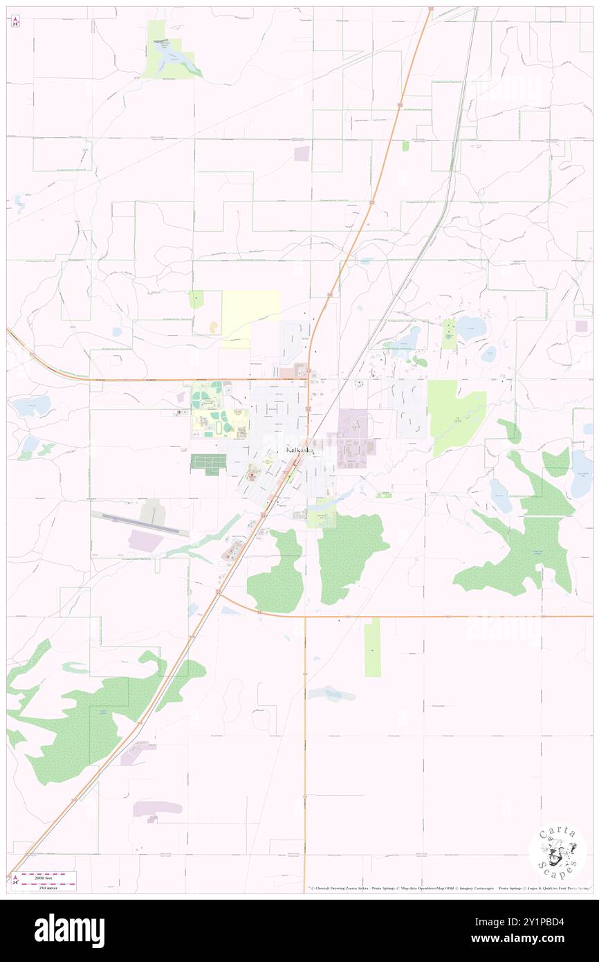 Kalkaska, Kalkaska County, US, United States, Michigan, N 44 44' 3'', S 85 10' 33'', map, Cartascapes Map published in 2024. Explore Cartascapes, a map revealing Earth's diverse landscapes, cultures, and ecosystems. Journey through time and space, discovering the interconnectedness of our planet's past, present, and future. Stock Photohttps://www.alamy.com/image-license-details/?v=1https://www.alamy.com/kalkaska-kalkaska-county-us-united-states-michigan-n-44-44-3-s-85-10-33-map-cartascapes-map-published-in-2024-explore-cartascapes-a-map-revealing-earths-diverse-landscapes-cultures-and-ecosystems-journey-through-time-and-space-discovering-the-interconnectedness-of-our-planets-past-present-and-future-image620679840.html
RM2Y1PBD4–Kalkaska, Kalkaska County, US, United States, Michigan, N 44 44' 3'', S 85 10' 33'', map, Cartascapes Map published in 2024. Explore Cartascapes, a map revealing Earth's diverse landscapes, cultures, and ecosystems. Journey through time and space, discovering the interconnectedness of our planet's past, present, and future.
 Sanborn Fire Insurance Map from Kalkaska, Kalkaska County, Michigan. Stock Photohttps://www.alamy.com/image-license-details/?v=1https://www.alamy.com/sanborn-fire-insurance-map-from-kalkaska-kalkaska-county-michigan-image456429810.html
RM2HEG4TJ–Sanborn Fire Insurance Map from Kalkaska, Kalkaska County, Michigan.
 Taffeltown, Kalkaska County, US, United States, Michigan, N 44 32' 26'', S 85 10' 30'', map, Cartascapes Map published in 2024. Explore Cartascapes, a map revealing Earth's diverse landscapes, cultures, and ecosystems. Journey through time and space, discovering the interconnectedness of our planet's past, present, and future. Stock Photohttps://www.alamy.com/image-license-details/?v=1https://www.alamy.com/taffeltown-kalkaska-county-us-united-states-michigan-n-44-32-26-s-85-10-30-map-cartascapes-map-published-in-2024-explore-cartascapes-a-map-revealing-earths-diverse-landscapes-cultures-and-ecosystems-journey-through-time-and-space-discovering-the-interconnectedness-of-our-planets-past-present-and-future-image620850379.html
RM2Y224YR–Taffeltown, Kalkaska County, US, United States, Michigan, N 44 32' 26'', S 85 10' 30'', map, Cartascapes Map published in 2024. Explore Cartascapes, a map revealing Earth's diverse landscapes, cultures, and ecosystems. Journey through time and space, discovering the interconnectedness of our planet's past, present, and future.
 Sanborn Fire Insurance Map from Kalkaska, Kalkaska County, Michigan. Stock Photohttps://www.alamy.com/image-license-details/?v=1https://www.alamy.com/sanborn-fire-insurance-map-from-kalkaska-kalkaska-county-michigan-image456429793.html
RM2HEG4T1–Sanborn Fire Insurance Map from Kalkaska, Kalkaska County, Michigan.
 Darragh, Kalkaska County, US, United States, Michigan, N 44 46' 18'', S 85 3' 7'', map, Cartascapes Map published in 2024. Explore Cartascapes, a map revealing Earth's diverse landscapes, cultures, and ecosystems. Journey through time and space, discovering the interconnectedness of our planet's past, present, and future. Stock Photohttps://www.alamy.com/image-license-details/?v=1https://www.alamy.com/darragh-kalkaska-county-us-united-states-michigan-n-44-46-18-s-85-3-7-map-cartascapes-map-published-in-2024-explore-cartascapes-a-map-revealing-earths-diverse-landscapes-cultures-and-ecosystems-journey-through-time-and-space-discovering-the-interconnectedness-of-our-planets-past-present-and-future-image620861331.html
RM2Y22JXY–Darragh, Kalkaska County, US, United States, Michigan, N 44 46' 18'', S 85 3' 7'', map, Cartascapes Map published in 2024. Explore Cartascapes, a map revealing Earth's diverse landscapes, cultures, and ecosystems. Journey through time and space, discovering the interconnectedness of our planet's past, present, and future.
 Sanborn Fire Insurance Map from Kalkaska, Kalkaska County, Michigan. Stock Photohttps://www.alamy.com/image-license-details/?v=1https://www.alamy.com/sanborn-fire-insurance-map-from-kalkaska-kalkaska-county-michigan-image456429821.html
RM2HEG4W1–Sanborn Fire Insurance Map from Kalkaska, Kalkaska County, Michigan.
 Deibert, Kalkaska County, US, United States, Michigan, N 44 35' 2'', S 85 13' 57'', map, Cartascapes Map published in 2024. Explore Cartascapes, a map revealing Earth's diverse landscapes, cultures, and ecosystems. Journey through time and space, discovering the interconnectedness of our planet's past, present, and future. Stock Photohttps://www.alamy.com/image-license-details/?v=1https://www.alamy.com/deibert-kalkaska-county-us-united-states-michigan-n-44-35-2-s-85-13-57-map-cartascapes-map-published-in-2024-explore-cartascapes-a-map-revealing-earths-diverse-landscapes-cultures-and-ecosystems-journey-through-time-and-space-discovering-the-interconnectedness-of-our-planets-past-present-and-future-image620859620.html
RM2Y22GNT–Deibert, Kalkaska County, US, United States, Michigan, N 44 35' 2'', S 85 13' 57'', map, Cartascapes Map published in 2024. Explore Cartascapes, a map revealing Earth's diverse landscapes, cultures, and ecosystems. Journey through time and space, discovering the interconnectedness of our planet's past, present, and future.
 Sanborn Fire Insurance Map from Kalkaska, Kalkaska County, Michigan. Stock Photohttps://www.alamy.com/image-license-details/?v=1https://www.alamy.com/sanborn-fire-insurance-map-from-kalkaska-kalkaska-county-michigan-image456429829.html
RM2HEG4W9–Sanborn Fire Insurance Map from Kalkaska, Kalkaska County, Michigan.
 Smithville, Kalkaska County, US, United States, Michigan, N 44 31' 27'', S 85 10' 27'', map, Cartascapes Map published in 2024. Explore Cartascapes, a map revealing Earth's diverse landscapes, cultures, and ecosystems. Journey through time and space, discovering the interconnectedness of our planet's past, present, and future. Stock Photohttps://www.alamy.com/image-license-details/?v=1https://www.alamy.com/smithville-kalkaska-county-us-united-states-michigan-n-44-31-27-s-85-10-27-map-cartascapes-map-published-in-2024-explore-cartascapes-a-map-revealing-earths-diverse-landscapes-cultures-and-ecosystems-journey-through-time-and-space-discovering-the-interconnectedness-of-our-planets-past-present-and-future-image620671333.html
RM2Y1P0H9–Smithville, Kalkaska County, US, United States, Michigan, N 44 31' 27'', S 85 10' 27'', map, Cartascapes Map published in 2024. Explore Cartascapes, a map revealing Earth's diverse landscapes, cultures, and ecosystems. Journey through time and space, discovering the interconnectedness of our planet's past, present, and future.
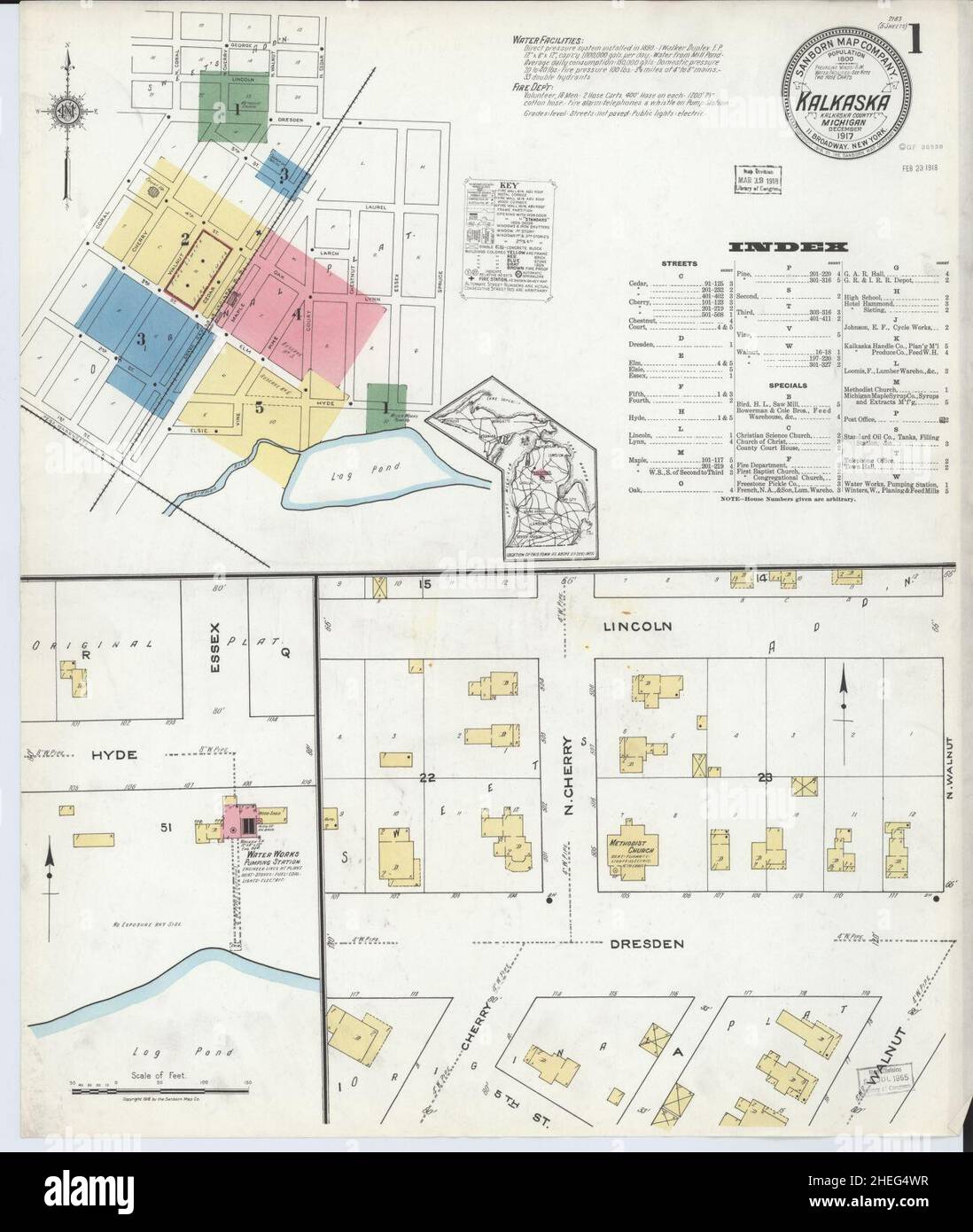 Sanborn Fire Insurance Map from Kalkaska, Kalkaska County, Michigan. Stock Photohttps://www.alamy.com/image-license-details/?v=1https://www.alamy.com/sanborn-fire-insurance-map-from-kalkaska-kalkaska-county-michigan-image456429843.html
RM2HEG4WR–Sanborn Fire Insurance Map from Kalkaska, Kalkaska County, Michigan.
 Kalkaska County, Kalkaska County, US, United States, Michigan, N 44 41' 4'', S 85 5' 24'', map, Cartascapes Map published in 2024. Explore Cartascapes, a map revealing Earth's diverse landscapes, cultures, and ecosystems. Journey through time and space, discovering the interconnectedness of our planet's past, present, and future. Stock Photohttps://www.alamy.com/image-license-details/?v=1https://www.alamy.com/kalkaska-county-kalkaska-county-us-united-states-michigan-n-44-41-4-s-85-5-24-map-cartascapes-map-published-in-2024-explore-cartascapes-a-map-revealing-earths-diverse-landscapes-cultures-and-ecosystems-journey-through-time-and-space-discovering-the-interconnectedness-of-our-planets-past-present-and-future-image633809100.html
RM2YR4DY8–Kalkaska County, Kalkaska County, US, United States, Michigan, N 44 41' 4'', S 85 5' 24'', map, Cartascapes Map published in 2024. Explore Cartascapes, a map revealing Earth's diverse landscapes, cultures, and ecosystems. Journey through time and space, discovering the interconnectedness of our planet's past, present, and future.
 Sanborn Fire Insurance Map from Kalkaska, Kalkaska County, Michigan. Stock Photohttps://www.alamy.com/image-license-details/?v=1https://www.alamy.com/sanborn-fire-insurance-map-from-kalkaska-kalkaska-county-michigan-image456429879.html
RM2HEG4Y3–Sanborn Fire Insurance Map from Kalkaska, Kalkaska County, Michigan.
 Kalkaska County, Kalkaska County, US, United States, Michigan, N 44 41' 4'', S 85 5' 24'', map, Cartascapes Map published in 2024. Explore Cartascapes, a map revealing Earth's diverse landscapes, cultures, and ecosystems. Journey through time and space, discovering the interconnectedness of our planet's past, present, and future. Stock Photohttps://www.alamy.com/image-license-details/?v=1https://www.alamy.com/kalkaska-county-kalkaska-county-us-united-states-michigan-n-44-41-4-s-85-5-24-map-cartascapes-map-published-in-2024-explore-cartascapes-a-map-revealing-earths-diverse-landscapes-cultures-and-ecosystems-journey-through-time-and-space-discovering-the-interconnectedness-of-our-planets-past-present-and-future-image633868344.html
RM2YR75F4–Kalkaska County, Kalkaska County, US, United States, Michigan, N 44 41' 4'', S 85 5' 24'', map, Cartascapes Map published in 2024. Explore Cartascapes, a map revealing Earth's diverse landscapes, cultures, and ecosystems. Journey through time and space, discovering the interconnectedness of our planet's past, present, and future.
 Village of Kalkaska, Kalkaska County, US, United States, Michigan, N 44 43' 56'', S 85 10' 41'', map, Cartascapes Map published in 2024. Explore Cartascapes, a map revealing Earth's diverse landscapes, cultures, and ecosystems. Journey through time and space, discovering the interconnectedness of our planet's past, present, and future. Stock Photohttps://www.alamy.com/image-license-details/?v=1https://www.alamy.com/village-of-kalkaska-kalkaska-county-us-united-states-michigan-n-44-43-56-s-85-10-41-map-cartascapes-map-published-in-2024-explore-cartascapes-a-map-revealing-earths-diverse-landscapes-cultures-and-ecosystems-journey-through-time-and-space-discovering-the-interconnectedness-of-our-planets-past-present-and-future-image633848235.html
RM2YR67TY–Village of Kalkaska, Kalkaska County, US, United States, Michigan, N 44 43' 56'', S 85 10' 41'', map, Cartascapes Map published in 2024. Explore Cartascapes, a map revealing Earth's diverse landscapes, cultures, and ecosystems. Journey through time and space, discovering the interconnectedness of our planet's past, present, and future.
 Township of Blue Lake, Kalkaska County, US, United States, Michigan, N 44 48' 53'', S 84 54' 30'', map, Cartascapes Map published in 2024. Explore Cartascapes, a map revealing Earth's diverse landscapes, cultures, and ecosystems. Journey through time and space, discovering the interconnectedness of our planet's past, present, and future. Stock Photohttps://www.alamy.com/image-license-details/?v=1https://www.alamy.com/township-of-blue-lake-kalkaska-county-us-united-states-michigan-n-44-48-53-s-84-54-30-map-cartascapes-map-published-in-2024-explore-cartascapes-a-map-revealing-earths-diverse-landscapes-cultures-and-ecosystems-journey-through-time-and-space-discovering-the-interconnectedness-of-our-planets-past-present-and-future-image633818725.html
RM2YR4X71–Township of Blue Lake, Kalkaska County, US, United States, Michigan, N 44 48' 53'', S 84 54' 30'', map, Cartascapes Map published in 2024. Explore Cartascapes, a map revealing Earth's diverse landscapes, cultures, and ecosystems. Journey through time and space, discovering the interconnectedness of our planet's past, present, and future.
 Township of Kalkaska, Kalkaska County, US, United States, Michigan, N 44 43' 42'', S 85 12' 48'', map, Cartascapes Map published in 2024. Explore Cartascapes, a map revealing Earth's diverse landscapes, cultures, and ecosystems. Journey through time and space, discovering the interconnectedness of our planet's past, present, and future. Stock Photohttps://www.alamy.com/image-license-details/?v=1https://www.alamy.com/township-of-kalkaska-kalkaska-county-us-united-states-michigan-n-44-43-42-s-85-12-48-map-cartascapes-map-published-in-2024-explore-cartascapes-a-map-revealing-earths-diverse-landscapes-cultures-and-ecosystems-journey-through-time-and-space-discovering-the-interconnectedness-of-our-planets-past-present-and-future-image633842700.html
RM2YR60R8–Township of Kalkaska, Kalkaska County, US, United States, Michigan, N 44 43' 42'', S 85 12' 48'', map, Cartascapes Map published in 2024. Explore Cartascapes, a map revealing Earth's diverse landscapes, cultures, and ecosystems. Journey through time and space, discovering the interconnectedness of our planet's past, present, and future.
 Barker Creek, Kalkaska County, US, United States, Michigan, N 44 46' 49'', S 85 18' 48'', map, Cartascapes Map published in 2024. Explore Cartascapes, a map revealing Earth's diverse landscapes, cultures, and ecosystems. Journey through time and space, discovering the interconnectedness of our planet's past, present, and future. Stock Photohttps://www.alamy.com/image-license-details/?v=1https://www.alamy.com/barker-creek-kalkaska-county-us-united-states-michigan-n-44-46-49-s-85-18-48-map-cartascapes-map-published-in-2024-explore-cartascapes-a-map-revealing-earths-diverse-landscapes-cultures-and-ecosystems-journey-through-time-and-space-discovering-the-interconnectedness-of-our-planets-past-present-and-future-image620843596.html
RM2Y21T9G–Barker Creek, Kalkaska County, US, United States, Michigan, N 44 46' 49'', S 85 18' 48'', map, Cartascapes Map published in 2024. Explore Cartascapes, a map revealing Earth's diverse landscapes, cultures, and ecosystems. Journey through time and space, discovering the interconnectedness of our planet's past, present, and future.
 Township of Boardman, Kalkaska County, US, United States, Michigan, N 44 38' 29'', S 85 16' 18'', map, Cartascapes Map published in 2024. Explore Cartascapes, a map revealing Earth's diverse landscapes, cultures, and ecosystems. Journey through time and space, discovering the interconnectedness of our planet's past, present, and future. Stock Photohttps://www.alamy.com/image-license-details/?v=1https://www.alamy.com/township-of-boardman-kalkaska-county-us-united-states-michigan-n-44-38-29-s-85-16-18-map-cartascapes-map-published-in-2024-explore-cartascapes-a-map-revealing-earths-diverse-landscapes-cultures-and-ecosystems-journey-through-time-and-space-discovering-the-interconnectedness-of-our-planets-past-present-and-future-image633899180.html
RM2YR8GTC–Township of Boardman, Kalkaska County, US, United States, Michigan, N 44 38' 29'', S 85 16' 18'', map, Cartascapes Map published in 2024. Explore Cartascapes, a map revealing Earth's diverse landscapes, cultures, and ecosystems. Journey through time and space, discovering the interconnectedness of our planet's past, present, and future.
 Township of Excelsior, Kalkaska County, US, United States, Michigan, N 44 43' 40'', S 85 1' 56'', map, Cartascapes Map published in 2024. Explore Cartascapes, a map revealing Earth's diverse landscapes, cultures, and ecosystems. Journey through time and space, discovering the interconnectedness of our planet's past, present, and future. Stock Photohttps://www.alamy.com/image-license-details/?v=1https://www.alamy.com/township-of-excelsior-kalkaska-county-us-united-states-michigan-n-44-43-40-s-85-1-56-map-cartascapes-map-published-in-2024-explore-cartascapes-a-map-revealing-earths-diverse-landscapes-cultures-and-ecosystems-journey-through-time-and-space-discovering-the-interconnectedness-of-our-planets-past-present-and-future-image633856855.html
RM2YR6JTR–Township of Excelsior, Kalkaska County, US, United States, Michigan, N 44 43' 40'', S 85 1' 56'', map, Cartascapes Map published in 2024. Explore Cartascapes, a map revealing Earth's diverse landscapes, cultures, and ecosystems. Journey through time and space, discovering the interconnectedness of our planet's past, present, and future.
 Torch River, Kalkaska County, US, United States, Michigan, N 44 51' 3'', S 85 19' 26'', map, Cartascapes Map published in 2024. Explore Cartascapes, a map revealing Earth's diverse landscapes, cultures, and ecosystems. Journey through time and space, discovering the interconnectedness of our planet's past, present, and future. Stock Photohttps://www.alamy.com/image-license-details/?v=1https://www.alamy.com/torch-river-kalkaska-county-us-united-states-michigan-n-44-51-3-s-85-19-26-map-cartascapes-map-published-in-2024-explore-cartascapes-a-map-revealing-earths-diverse-landscapes-cultures-and-ecosystems-journey-through-time-and-space-discovering-the-interconnectedness-of-our-planets-past-present-and-future-image620663062.html
RM2Y1NJ1X–Torch River, Kalkaska County, US, United States, Michigan, N 44 51' 3'', S 85 19' 26'', map, Cartascapes Map published in 2024. Explore Cartascapes, a map revealing Earth's diverse landscapes, cultures, and ecosystems. Journey through time and space, discovering the interconnectedness of our planet's past, present, and future.
 Township of Coldsprings, Kalkaska County, US, United States, Michigan, N 44 48' 54'', S 85 1' 50'', map, Cartascapes Map published in 2024. Explore Cartascapes, a map revealing Earth's diverse landscapes, cultures, and ecosystems. Journey through time and space, discovering the interconnectedness of our planet's past, present, and future. Stock Photohttps://www.alamy.com/image-license-details/?v=1https://www.alamy.com/township-of-coldsprings-kalkaska-county-us-united-states-michigan-n-44-48-54-s-85-1-50-map-cartascapes-map-published-in-2024-explore-cartascapes-a-map-revealing-earths-diverse-landscapes-cultures-and-ecosystems-journey-through-time-and-space-discovering-the-interconnectedness-of-our-planets-past-present-and-future-image633812396.html
RM2YR4J50–Township of Coldsprings, Kalkaska County, US, United States, Michigan, N 44 48' 54'', S 85 1' 50'', map, Cartascapes Map published in 2024. Explore Cartascapes, a map revealing Earth's diverse landscapes, cultures, and ecosystems. Journey through time and space, discovering the interconnectedness of our planet's past, present, and future.
 Township of Rapid River, Kalkaska County, US, United States, Michigan, N 44 48' 55'', S 85 9' 5'', map, Cartascapes Map published in 2024. Explore Cartascapes, a map revealing Earth's diverse landscapes, cultures, and ecosystems. Journey through time and space, discovering the interconnectedness of our planet's past, present, and future. Stock Photohttps://www.alamy.com/image-license-details/?v=1https://www.alamy.com/township-of-rapid-river-kalkaska-county-us-united-states-michigan-n-44-48-55-s-85-9-5-map-cartascapes-map-published-in-2024-explore-cartascapes-a-map-revealing-earths-diverse-landscapes-cultures-and-ecosystems-journey-through-time-and-space-discovering-the-interconnectedness-of-our-planets-past-present-and-future-image633876918.html
RM2YR7GDA–Township of Rapid River, Kalkaska County, US, United States, Michigan, N 44 48' 55'', S 85 9' 5'', map, Cartascapes Map published in 2024. Explore Cartascapes, a map revealing Earth's diverse landscapes, cultures, and ecosystems. Journey through time and space, discovering the interconnectedness of our planet's past, present, and future.
 Township of Clearwater, Kalkaska County, US, United States, Michigan, N 44 48' 52'', S 85 16' 7'', map, Cartascapes Map published in 2024. Explore Cartascapes, a map revealing Earth's diverse landscapes, cultures, and ecosystems. Journey through time and space, discovering the interconnectedness of our planet's past, present, and future. Stock Photohttps://www.alamy.com/image-license-details/?v=1https://www.alamy.com/township-of-clearwater-kalkaska-county-us-united-states-michigan-n-44-48-52-s-85-16-7-map-cartascapes-map-published-in-2024-explore-cartascapes-a-map-revealing-earths-diverse-landscapes-cultures-and-ecosystems-journey-through-time-and-space-discovering-the-interconnectedness-of-our-planets-past-present-and-future-image633849099.html
RM2YR68YR–Township of Clearwater, Kalkaska County, US, United States, Michigan, N 44 48' 52'', S 85 16' 7'', map, Cartascapes Map published in 2024. Explore Cartascapes, a map revealing Earth's diverse landscapes, cultures, and ecosystems. Journey through time and space, discovering the interconnectedness of our planet's past, present, and future.
 Mobile Home Estates, Kalkaska County, US, United States, Michigan, N 44 44' 39'', S 85 10' 49'', map, Cartascapes Map published in 2024. Explore Cartascapes, a map revealing Earth's diverse landscapes, cultures, and ecosystems. Journey through time and space, discovering the interconnectedness of our planet's past, present, and future. Stock Photohttps://www.alamy.com/image-license-details/?v=1https://www.alamy.com/mobile-home-estates-kalkaska-county-us-united-states-michigan-n-44-44-39-s-85-10-49-map-cartascapes-map-published-in-2024-explore-cartascapes-a-map-revealing-earths-diverse-landscapes-cultures-and-ecosystems-journey-through-time-and-space-discovering-the-interconnectedness-of-our-planets-past-present-and-future-image620693787.html
RM2Y1R177–Mobile Home Estates, Kalkaska County, US, United States, Michigan, N 44 44' 39'', S 85 10' 49'', map, Cartascapes Map published in 2024. Explore Cartascapes, a map revealing Earth's diverse landscapes, cultures, and ecosystems. Journey through time and space, discovering the interconnectedness of our planet's past, present, and future.
 Township of Springfield, Kalkaska County, US, United States, Michigan, N 44 33' 17'', S 85 16' 22'', map, Cartascapes Map published in 2024. Explore Cartascapes, a map revealing Earth's diverse landscapes, cultures, and ecosystems. Journey through time and space, discovering the interconnectedness of our planet's past, present, and future. Stock Photohttps://www.alamy.com/image-license-details/?v=1https://www.alamy.com/township-of-springfield-kalkaska-county-us-united-states-michigan-n-44-33-17-s-85-16-22-map-cartascapes-map-published-in-2024-explore-cartascapes-a-map-revealing-earths-diverse-landscapes-cultures-and-ecosystems-journey-through-time-and-space-discovering-the-interconnectedness-of-our-planets-past-present-and-future-image633829646.html
RM2YR5C52–Township of Springfield, Kalkaska County, US, United States, Michigan, N 44 33' 17'', S 85 16' 22'', map, Cartascapes Map published in 2024. Explore Cartascapes, a map revealing Earth's diverse landscapes, cultures, and ecosystems. Journey through time and space, discovering the interconnectedness of our planet's past, present, and future.
 Township of Bear Lake, Kalkaska County, US, United States, Michigan, N 44 41' 3'', S 84 54' 37'', map, Cartascapes Map published in 2024. Explore Cartascapes, a map revealing Earth's diverse landscapes, cultures, and ecosystems. Journey through time and space, discovering the interconnectedness of our planet's past, present, and future. Stock Photohttps://www.alamy.com/image-license-details/?v=1https://www.alamy.com/township-of-bear-lake-kalkaska-county-us-united-states-michigan-n-44-41-3-s-84-54-37-map-cartascapes-map-published-in-2024-explore-cartascapes-a-map-revealing-earths-diverse-landscapes-cultures-and-ecosystems-journey-through-time-and-space-discovering-the-interconnectedness-of-our-planets-past-present-and-future-image633825154.html
RM2YR56CJ–Township of Bear Lake, Kalkaska County, US, United States, Michigan, N 44 41' 3'', S 84 54' 37'', map, Cartascapes Map published in 2024. Explore Cartascapes, a map revealing Earth's diverse landscapes, cultures, and ecosystems. Journey through time and space, discovering the interconnectedness of our planet's past, present, and future.
 Township of Garfield, Kalkaska County, US, United States, Michigan, N 44 33' 14'', S 85 1' 51'', map, Cartascapes Map published in 2024. Explore Cartascapes, a map revealing Earth's diverse landscapes, cultures, and ecosystems. Journey through time and space, discovering the interconnectedness of our planet's past, present, and future. Stock Photohttps://www.alamy.com/image-license-details/?v=1https://www.alamy.com/township-of-garfield-kalkaska-county-us-united-states-michigan-n-44-33-14-s-85-1-51-map-cartascapes-map-published-in-2024-explore-cartascapes-a-map-revealing-earths-diverse-landscapes-cultures-and-ecosystems-journey-through-time-and-space-discovering-the-interconnectedness-of-our-planets-past-present-and-future-image633884875.html
RM2YR7XHF–Township of Garfield, Kalkaska County, US, United States, Michigan, N 44 33' 14'', S 85 1' 51'', map, Cartascapes Map published in 2024. Explore Cartascapes, a map revealing Earth's diverse landscapes, cultures, and ecosystems. Journey through time and space, discovering the interconnectedness of our planet's past, present, and future.
 South Boardman, Kalkaska County, US, United States, Michigan, N 44 38' 29'', S 85 16' 47'', map, Cartascapes Map published in 2024. Explore Cartascapes, a map revealing Earth's diverse landscapes, cultures, and ecosystems. Journey through time and space, discovering the interconnectedness of our planet's past, present, and future. Stock Photohttps://www.alamy.com/image-license-details/?v=1https://www.alamy.com/south-boardman-kalkaska-county-us-united-states-michigan-n-44-38-29-s-85-16-47-map-cartascapes-map-published-in-2024-explore-cartascapes-a-map-revealing-earths-diverse-landscapes-cultures-and-ecosystems-journey-through-time-and-space-discovering-the-interconnectedness-of-our-planets-past-present-and-future-image620786741.html
RM2Y1Y7R1–South Boardman, Kalkaska County, US, United States, Michigan, N 44 38' 29'', S 85 16' 47'', map, Cartascapes Map published in 2024. Explore Cartascapes, a map revealing Earth's diverse landscapes, cultures, and ecosystems. Journey through time and space, discovering the interconnectedness of our planet's past, present, and future.
 Township of Orange, Kalkaska County, US, United States, Michigan, N 44 38' 27'', S 85 9' 9'', map, Cartascapes Map published in 2024. Explore Cartascapes, a map revealing Earth's diverse landscapes, cultures, and ecosystems. Journey through time and space, discovering the interconnectedness of our planet's past, present, and future. Stock Photohttps://www.alamy.com/image-license-details/?v=1https://www.alamy.com/township-of-orange-kalkaska-county-us-united-states-michigan-n-44-38-27-s-85-9-9-map-cartascapes-map-published-in-2024-explore-cartascapes-a-map-revealing-earths-diverse-landscapes-cultures-and-ecosystems-journey-through-time-and-space-discovering-the-interconnectedness-of-our-planets-past-present-and-future-image633865414.html
RM2YR71PE–Township of Orange, Kalkaska County, US, United States, Michigan, N 44 38' 27'', S 85 9' 9'', map, Cartascapes Map published in 2024. Explore Cartascapes, a map revealing Earth's diverse landscapes, cultures, and ecosystems. Journey through time and space, discovering the interconnectedness of our planet's past, present, and future.
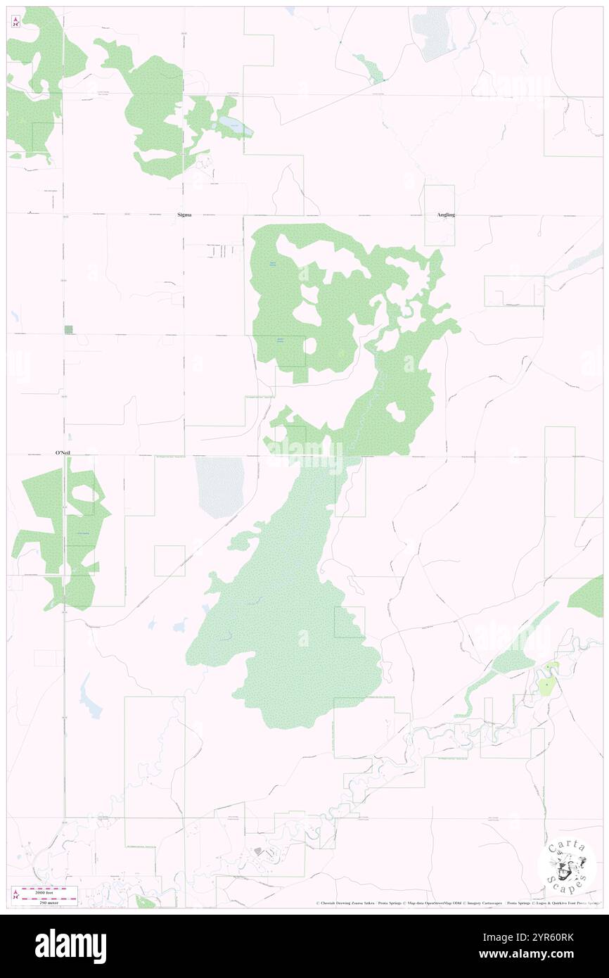 Township of Oliver, Kalkaska County, US, United States, Michigan, N 44 38' 26'', S 85 1' 58'', map, Cartascapes Map published in 2024. Explore Cartascapes, a map revealing Earth's diverse landscapes, cultures, and ecosystems. Journey through time and space, discovering the interconnectedness of our planet's past, present, and future. Stock Photohttps://www.alamy.com/image-license-details/?v=1https://www.alamy.com/township-of-oliver-kalkaska-county-us-united-states-michigan-n-44-38-26-s-85-1-58-map-cartascapes-map-published-in-2024-explore-cartascapes-a-map-revealing-earths-diverse-landscapes-cultures-and-ecosystems-journey-through-time-and-space-discovering-the-interconnectedness-of-our-planets-past-present-and-future-image633842711.html
RM2YR60RK–Township of Oliver, Kalkaska County, US, United States, Michigan, N 44 38' 26'', S 85 1' 58'', map, Cartascapes Map published in 2024. Explore Cartascapes, a map revealing Earth's diverse landscapes, cultures, and ecosystems. Journey through time and space, discovering the interconnectedness of our planet's past, present, and future.
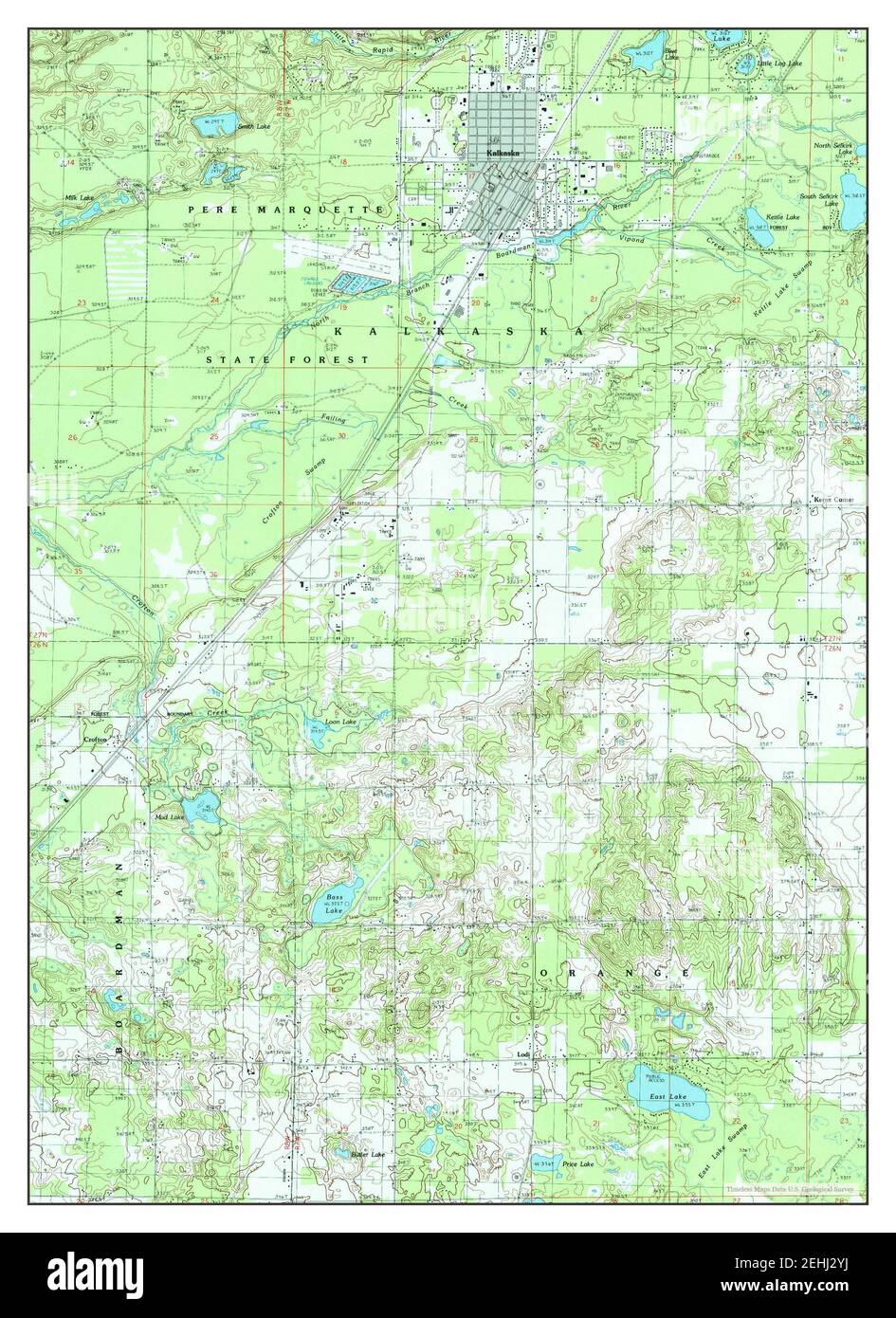 Kalkaska, Michigan, map 1985, 1:24000, United States of America by Timeless Maps, data U.S. Geological Survey Stock Photohttps://www.alamy.com/image-license-details/?v=1https://www.alamy.com/kalkaska-michigan-map-1985-124000-united-states-of-america-by-timeless-maps-data-us-geological-survey-image406685094.html
RM2EHJ2YJ–Kalkaska, Michigan, map 1985, 1:24000, United States of America by Timeless Maps, data U.S. Geological Survey
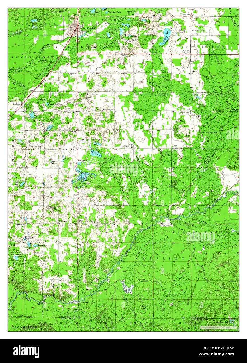 Kalkaska, Michigan, map 1956, 1:62500, United States of America by Timeless Maps, data U.S. Geological Survey Stock Photohttps://www.alamy.com/image-license-details/?v=1https://www.alamy.com/kalkaska-michigan-map-1956-162500-united-states-of-america-by-timeless-maps-data-us-geological-survey-image414070546.html
RM2F1JF5P–Kalkaska, Michigan, map 1956, 1:62500, United States of America by Timeless Maps, data U.S. Geological Survey
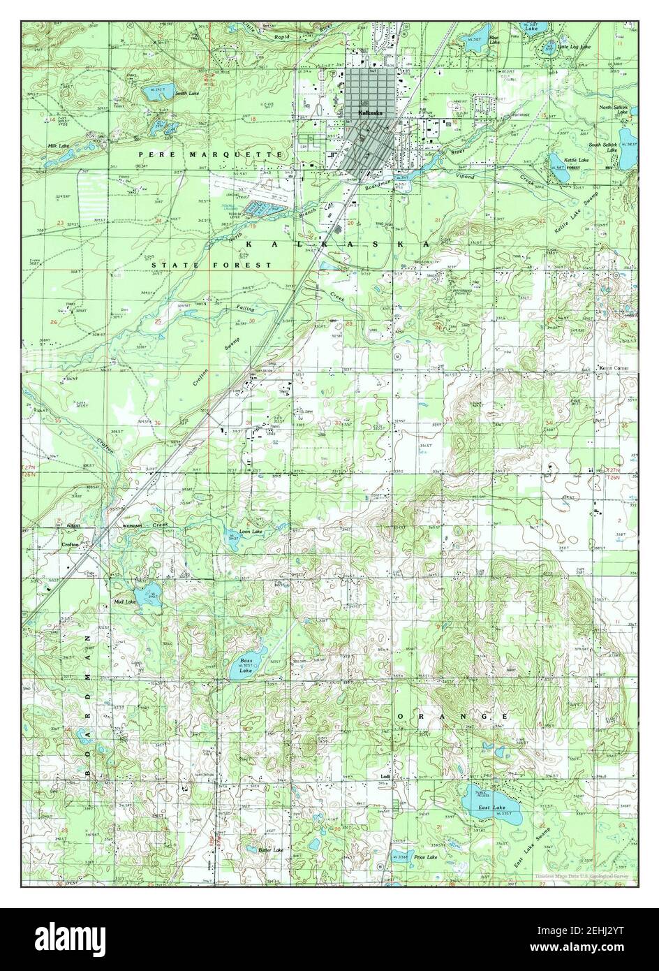 Kalkaska, Michigan, map 1985, 1:24000, United States of America by Timeless Maps, data U.S. Geological Survey Stock Photohttps://www.alamy.com/image-license-details/?v=1https://www.alamy.com/kalkaska-michigan-map-1985-124000-united-states-of-america-by-timeless-maps-data-us-geological-survey-image406685100.html
RM2EHJ2YT–Kalkaska, Michigan, map 1985, 1:24000, United States of America by Timeless Maps, data U.S. Geological Survey
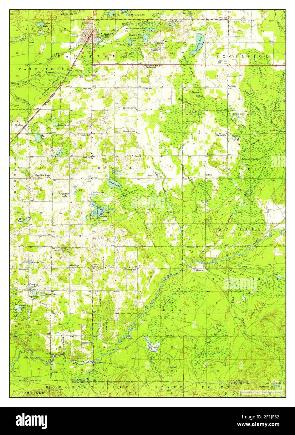 Kalkaska, Michigan, map 1956, 1:62500, United States of America by Timeless Maps, data U.S. Geological Survey Stock Photohttps://www.alamy.com/image-license-details/?v=1https://www.alamy.com/kalkaska-michigan-map-1956-162500-united-states-of-america-by-timeless-maps-data-us-geological-survey-image414070554.html
RM2F1JF62–Kalkaska, Michigan, map 1956, 1:62500, United States of America by Timeless Maps, data U.S. Geological Survey