Map of kanab Black & White Stock Photos
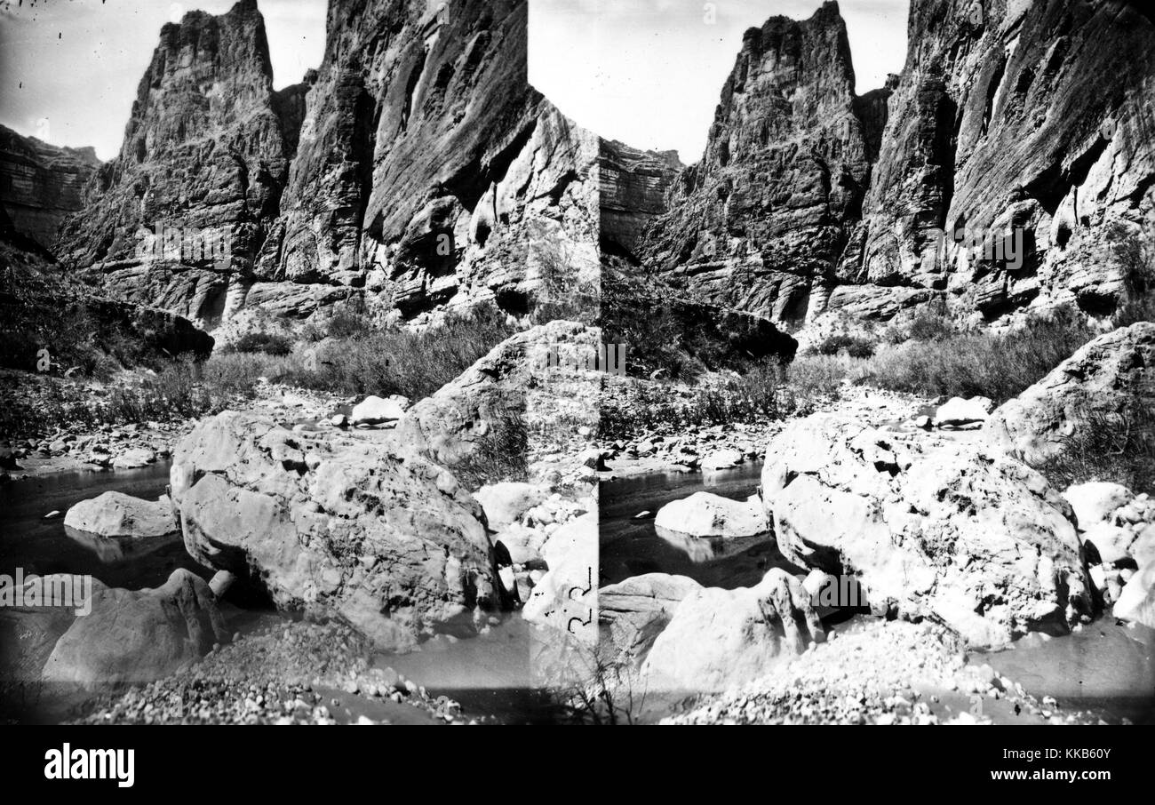 Stereograph of Kanab Canyon as seen from downstream near Pinnacle, Arizona. Image courtesy USGS. 1875. Stock Photohttps://www.alamy.com/image-license-details/?v=1https://www.alamy.com/stock-image-stereograph-of-kanab-canyon-as-seen-from-downstream-near-pinnacle-166817979.html
RMKKB60Y–Stereograph of Kanab Canyon as seen from downstream near Pinnacle, Arizona. Image courtesy USGS. 1875.
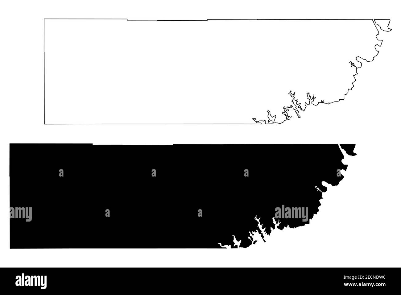 Kane County, State of Utah (U.S. county, United States of America, USA, U.S., US) map vector illustration, scribble sketch Kane map Stock Vectorhttps://www.alamy.com/image-license-details/?v=1https://www.alamy.com/kane-county-state-of-utah-us-county-united-states-of-america-usa-us-us-map-vector-illustration-scribble-sketch-kane-map-image396310348.html
RF2E0NDW0–Kane County, State of Utah (U.S. county, United States of America, USA, U.S., US) map vector illustration, scribble sketch Kane map
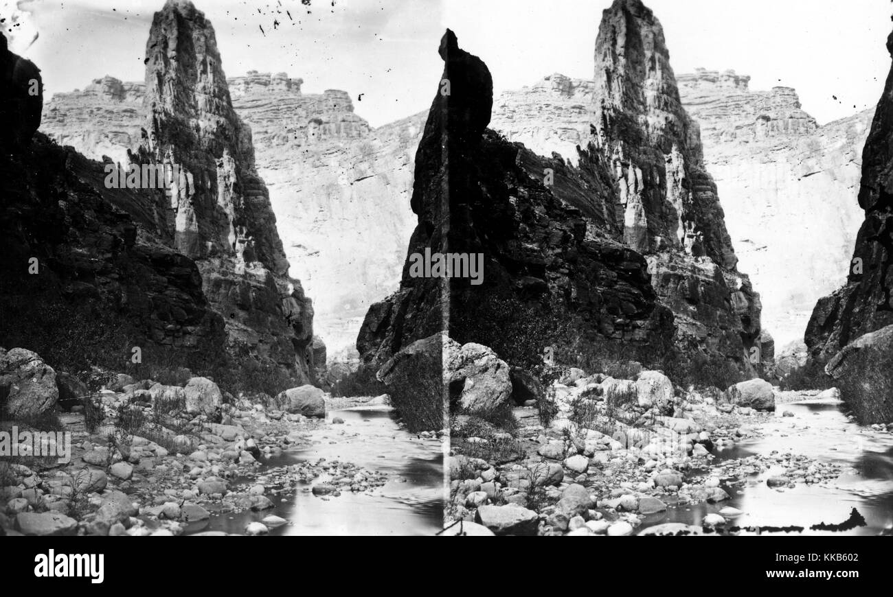 Stereograph of The Pinnacle in Kanab Canyon, Arizona. Image courtesy USGS. 1875. Stock Photohttps://www.alamy.com/image-license-details/?v=1https://www.alamy.com/stock-image-stereograph-of-the-pinnacle-in-kanab-canyon-arizona-image-courtesy-166817954.html
RMKKB602–Stereograph of The Pinnacle in Kanab Canyon, Arizona. Image courtesy USGS. 1875.
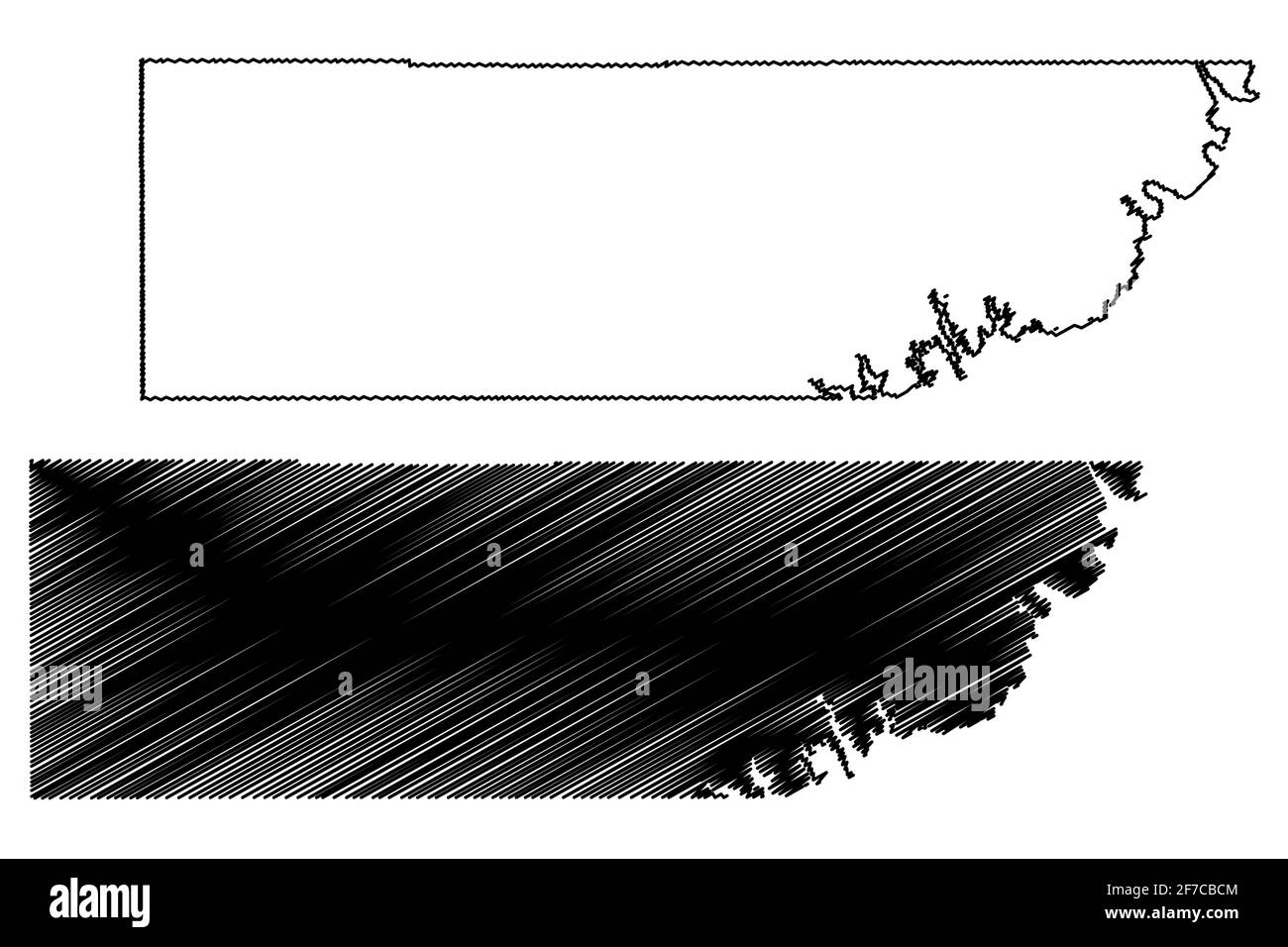 Kane County, State of Utah (U.S. county, United States of America, USA, U.S., US) map vector illustration, scribble sketch Kane map Stock Vectorhttps://www.alamy.com/image-license-details/?v=1https://www.alamy.com/kane-county-state-of-utah-us-county-united-states-of-america-usa-us-us-map-vector-illustration-scribble-sketch-kane-map-image417623828.html
RF2F7CBCM–Kane County, State of Utah (U.S. county, United States of America, USA, U.S., US) map vector illustration, scribble sketch Kane map
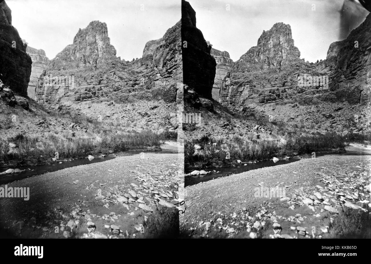 A stereograph of Kanab Canyon near Pinnacle, Arizona, 1875. Image courtesy USGS. Stock Photohttps://www.alamy.com/image-license-details/?v=1https://www.alamy.com/stock-image-a-stereograph-of-kanab-canyon-near-pinnacle-arizona-1875-image-courtesy-166818105.html
RMKKB65D–A stereograph of Kanab Canyon near Pinnacle, Arizona, 1875. Image courtesy USGS.
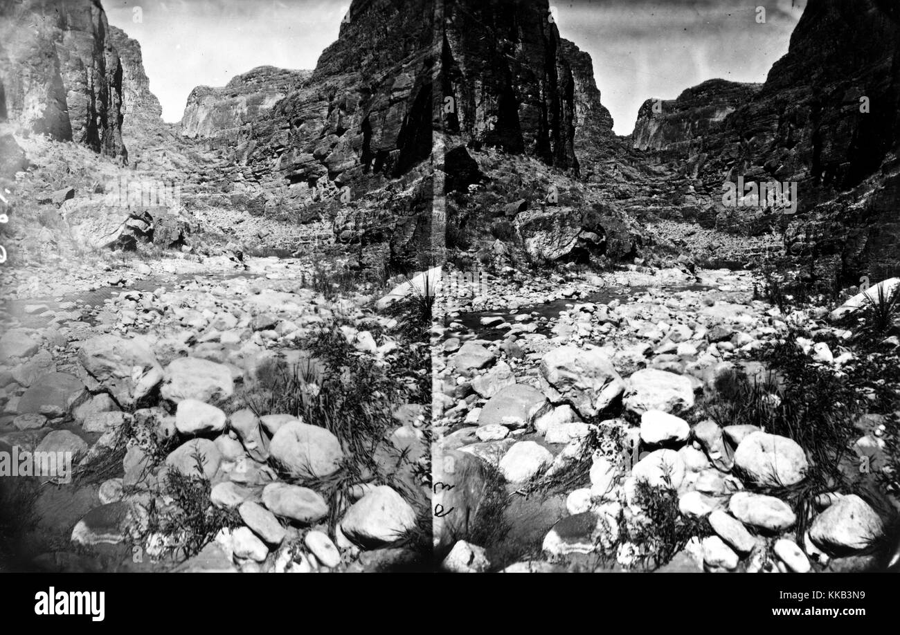 Stereograph of the rocky landscape of Kanab Canyon, Arizona or Utah. Image courtesy USGS. 1875. Stock Photohttps://www.alamy.com/image-license-details/?v=1https://www.alamy.com/stock-image-stereograph-of-the-rocky-landscape-of-kanab-canyon-arizona-or-utah-166816197.html
RMKKB3N9–Stereograph of the rocky landscape of Kanab Canyon, Arizona or Utah. Image courtesy USGS. 1875.
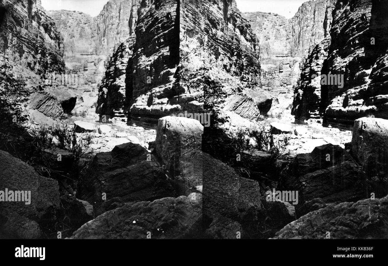 Stereograph of the tall walls of a canyon through which the Kanab Creek runs. Image courtesy USGS. 1875. Stock Photohttps://www.alamy.com/image-license-details/?v=1https://www.alamy.com/stock-image-stereograph-of-the-tall-walls-of-a-canyon-through-which-the-kanab-166815783.html
RMKKB36F–Stereograph of the tall walls of a canyon through which the Kanab Creek runs. Image courtesy USGS. 1875.
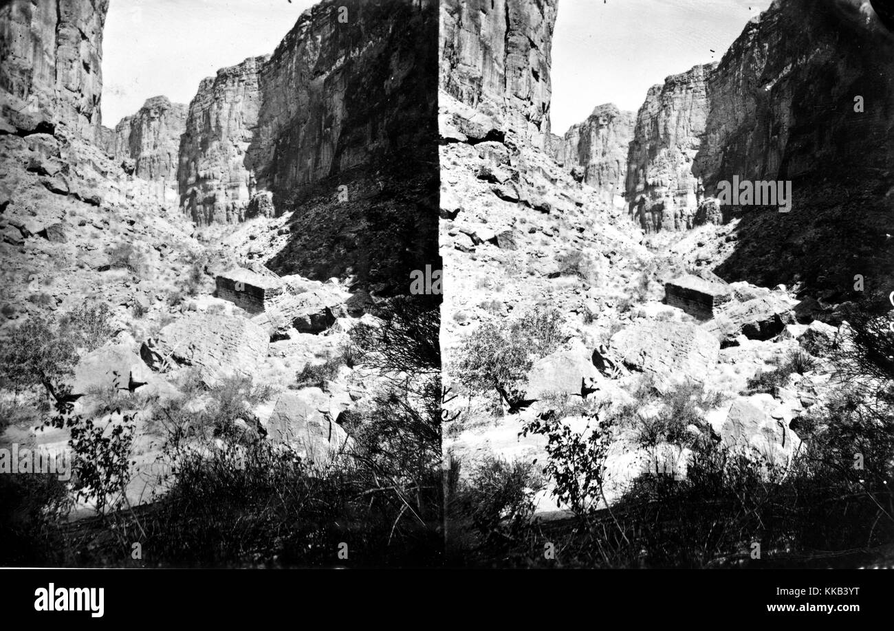 Stereograph of the rocky landscape from within Kanab Canyon, Arizona or Utah. Image courtesy USGS. 1875. Stock Photohttps://www.alamy.com/image-license-details/?v=1https://www.alamy.com/stock-image-stereograph-of-the-rocky-landscape-from-within-kanab-canyon-arizona-166816380.html
RMKKB3YT–Stereograph of the rocky landscape from within Kanab Canyon, Arizona or Utah. Image courtesy USGS. 1875.
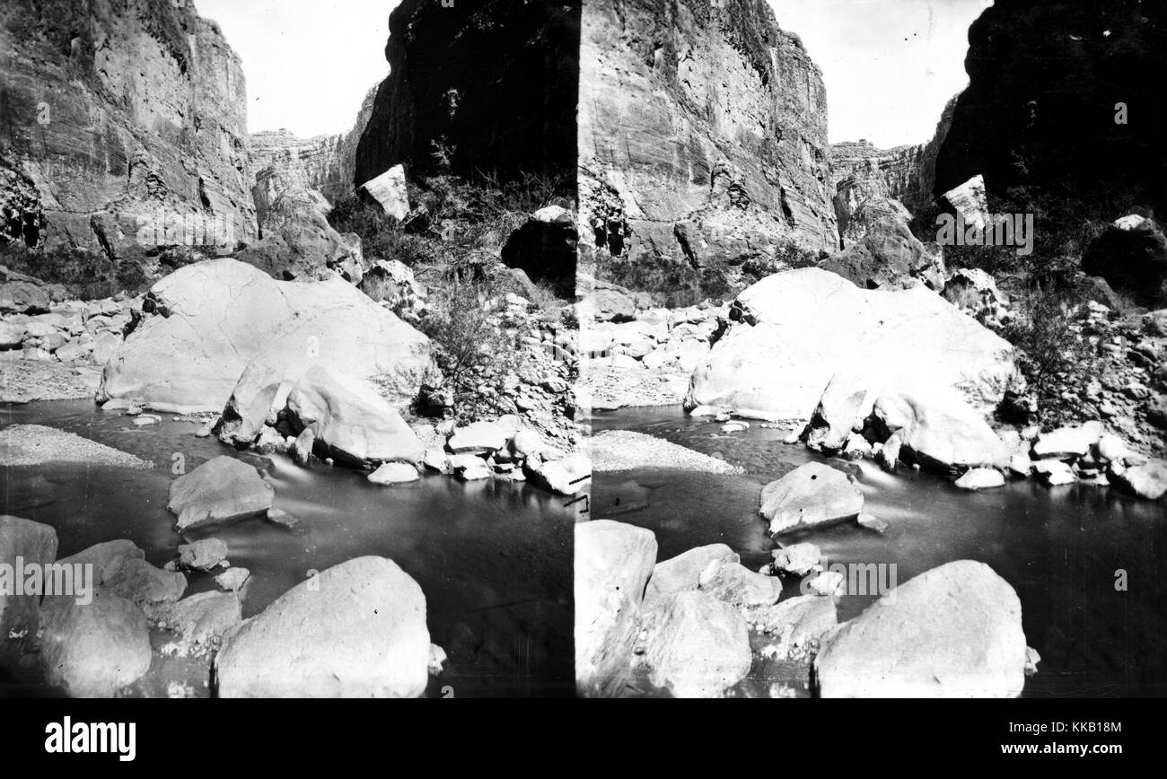 Stereograph of water flowing through the rocky floor of Kanab Canyon, in Arizona or Utah. Image courtesy USGS. 1875. Stock Photohttps://www.alamy.com/image-license-details/?v=1https://www.alamy.com/stock-image-stereograph-of-water-flowing-through-the-rocky-floor-of-kanab-canyon-166814276.html
RMKKB18M–Stereograph of water flowing through the rocky floor of Kanab Canyon, in Arizona or Utah. Image courtesy USGS. 1875.