Quick filters:
Map of kent washington Stock Photos and Images
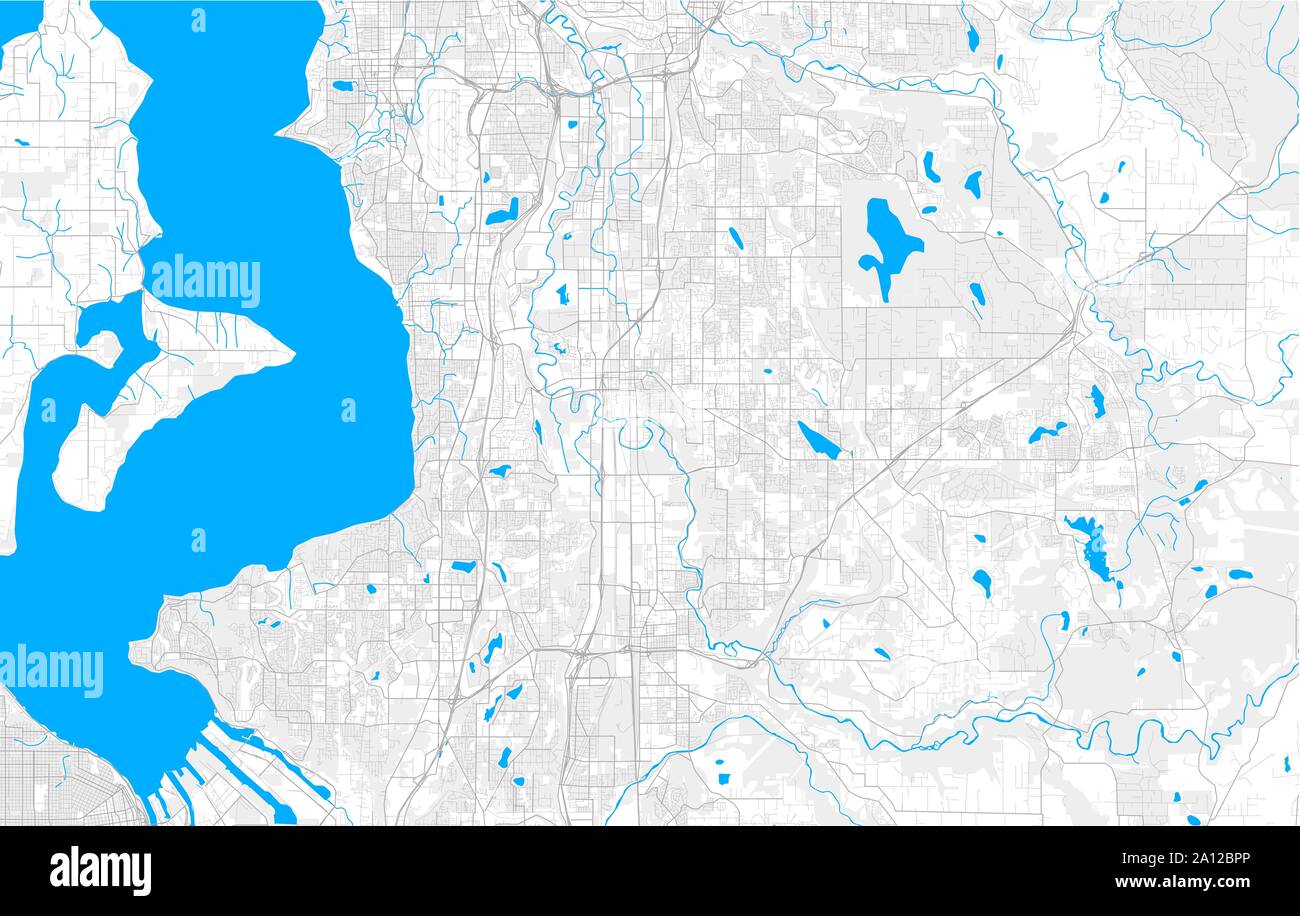 Rich detailed vector area map of Kent, Washington, USA. Map template for home decor. Stock Vectorhttps://www.alamy.com/image-license-details/?v=1https://www.alamy.com/rich-detailed-vector-area-map-of-kent-washington-usa-map-template-for-home-decor-image327664814.html
RF2A12BPP–Rich detailed vector area map of Kent, Washington, USA. Map template for home decor.
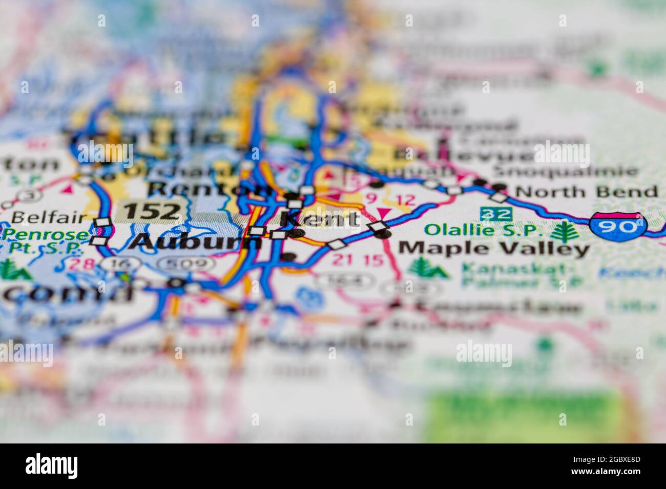 Kent Washington State USA shown on a road map or Geography map Stock Photohttps://www.alamy.com/image-license-details/?v=1https://www.alamy.com/kent-washington-state-usa-shown-on-a-road-map-or-geography-map-image437602381.html
RM2GBXE8D–Kent Washington State USA shown on a road map or Geography map
 Colorful vector map of Kent, Washington, USA. Art Map template for selfprinting wall art in landscape format. Stock Vectorhttps://www.alamy.com/image-license-details/?v=1https://www.alamy.com/colorful-vector-map-of-kent-washington-usa-art-map-template-for-selfprinting-wall-art-in-landscape-format-image355537303.html
RF2BJC3CR–Colorful vector map of Kent, Washington, USA. Art Map template for selfprinting wall art in landscape format.
 Kent, King County, US, United States, Washington, N 47 22' 51'', S 122 14' 5'', map, Cartascapes Map published in 2024. Explore Cartascapes, a map revealing Earth's diverse landscapes, cultures, and ecosystems. Journey through time and space, discovering the interconnectedness of our planet's past, present, and future. Stock Photohttps://www.alamy.com/image-license-details/?v=1https://www.alamy.com/kent-king-county-us-united-states-washington-n-47-22-51-s-122-14-5-map-cartascapes-map-published-in-2024-explore-cartascapes-a-map-revealing-earths-diverse-landscapes-cultures-and-ecosystems-journey-through-time-and-space-discovering-the-interconnectedness-of-our-planets-past-present-and-future-image621299404.html
RM2Y2PHMC–Kent, King County, US, United States, Washington, N 47 22' 51'', S 122 14' 5'', map, Cartascapes Map published in 2024. Explore Cartascapes, a map revealing Earth's diverse landscapes, cultures, and ecosystems. Journey through time and space, discovering the interconnectedness of our planet's past, present, and future.
 Color art map of Kent, Washington, UnitedStates in blues and oranges. The color gradations in Kent map follow a random pattern. Stock Vectorhttps://www.alamy.com/image-license-details/?v=1https://www.alamy.com/color-art-map-of-kent-washington-unitedstates-in-blues-and-oranges-the-color-gradations-in-kent-map-follow-a-random-pattern-image398504586.html
RF2E49CJJ–Color art map of Kent, Washington, UnitedStates in blues and oranges. The color gradations in Kent map follow a random pattern.
 Image 21 of Sanborn Fire Insurance Map from Pawtuxet Valley, Kent and Providence Counties, Rhode Island. Aug 1898. 21 Sheet(s). Includes Anthony, Apponaug, Arctic, Arctic Centre, Centreville, Clyde, Crompton, Fiskville, Harris, Hope Village, Lippitt, Natick, North Centreville, Phenix, Quidnick, River Point, Washington, America, street map with a Nineteenth Century compass Stock Photohttps://www.alamy.com/image-license-details/?v=1https://www.alamy.com/image-21-of-sanborn-fire-insurance-map-from-pawtuxet-valley-kent-and-providence-counties-rhode-island-aug-1898-21-sheets-includes-anthony-apponaug-arctic-arctic-centre-centreville-clyde-crompton-fiskville-harris-hope-village-lippitt-natick-north-centreville-phenix-quidnick-river-point-washington-america-street-map-with-a-nineteenth-century-compass-image344707603.html
RM2B0PP1R–Image 21 of Sanborn Fire Insurance Map from Pawtuxet Valley, Kent and Providence Counties, Rhode Island. Aug 1898. 21 Sheet(s). Includes Anthony, Apponaug, Arctic, Arctic Centre, Centreville, Clyde, Crompton, Fiskville, Harris, Hope Village, Lippitt, Natick, North Centreville, Phenix, Quidnick, River Point, Washington, America, street map with a Nineteenth Century compass
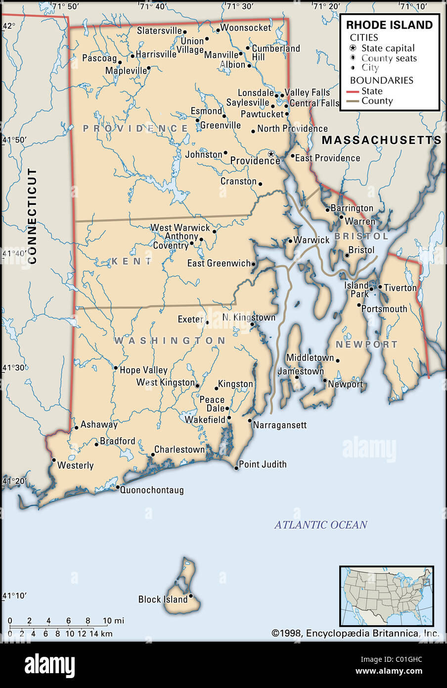 Political map of Rhode Island Stock Photohttps://www.alamy.com/image-license-details/?v=1https://www.alamy.com/stock-photo-political-map-of-rhode-island-34455720.html
RMC01GHC–Political map of Rhode Island
![Brooklyn V. 3, Plate No. 3 [Map bounded by Clinton Ave., Cross, Kent Ave., Washington Ave.] 1884 - 1936 Stock Photo Brooklyn V. 3, Plate No. 3 [Map bounded by Clinton Ave., Cross, Kent Ave., Washington Ave.] 1884 - 1936 Stock Photo](https://c8.alamy.com/comp/2YP942N/brooklyn-v-3-plate-no-3-map-bounded-by-clinton-ave-cross-kent-ave-washington-ave-1884-1936-2YP942N.jpg) Brooklyn V. 3, Plate No. 3 [Map bounded by Clinton Ave., Cross, Kent Ave., Washington Ave.] 1884 - 1936 Stock Photohttps://www.alamy.com/image-license-details/?v=1https://www.alamy.com/brooklyn-v-3-plate-no-3-map-bounded-by-clinton-ave-cross-kent-ave-washington-ave-1884-1936-image633296461.html
Brooklyn V. 3, Plate No. 3 [Map bounded by Clinton Ave., Cross, Kent Ave., Washington Ave.] 1884 - 1936 Stock Photohttps://www.alamy.com/image-license-details/?v=1https://www.alamy.com/brooklyn-v-3-plate-no-3-map-bounded-by-clinton-ave-cross-kent-ave-washington-ave-1884-1936-image633296461.htmlRM2YP942N–Brooklyn V. 3, Plate No. 3 [Map bounded by Clinton Ave., Cross, Kent Ave., Washington Ave.] 1884 - 1936
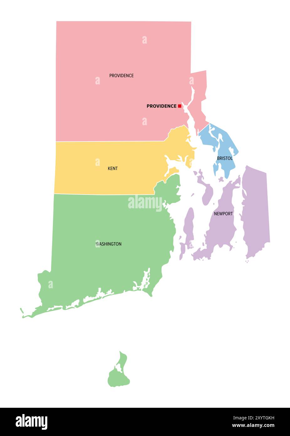 Rhode Island, U.S. state, subdivided into 5 counties, multi colored political map with capital Providence, and borders. Stock Photohttps://www.alamy.com/image-license-details/?v=1https://www.alamy.com/rhode-island-us-state-subdivided-into-5-counties-multi-colored-political-map-with-capital-providence-and-borders-image619498533.html
RF2XYTGKH–Rhode Island, U.S. state, subdivided into 5 counties, multi colored political map with capital Providence, and borders.
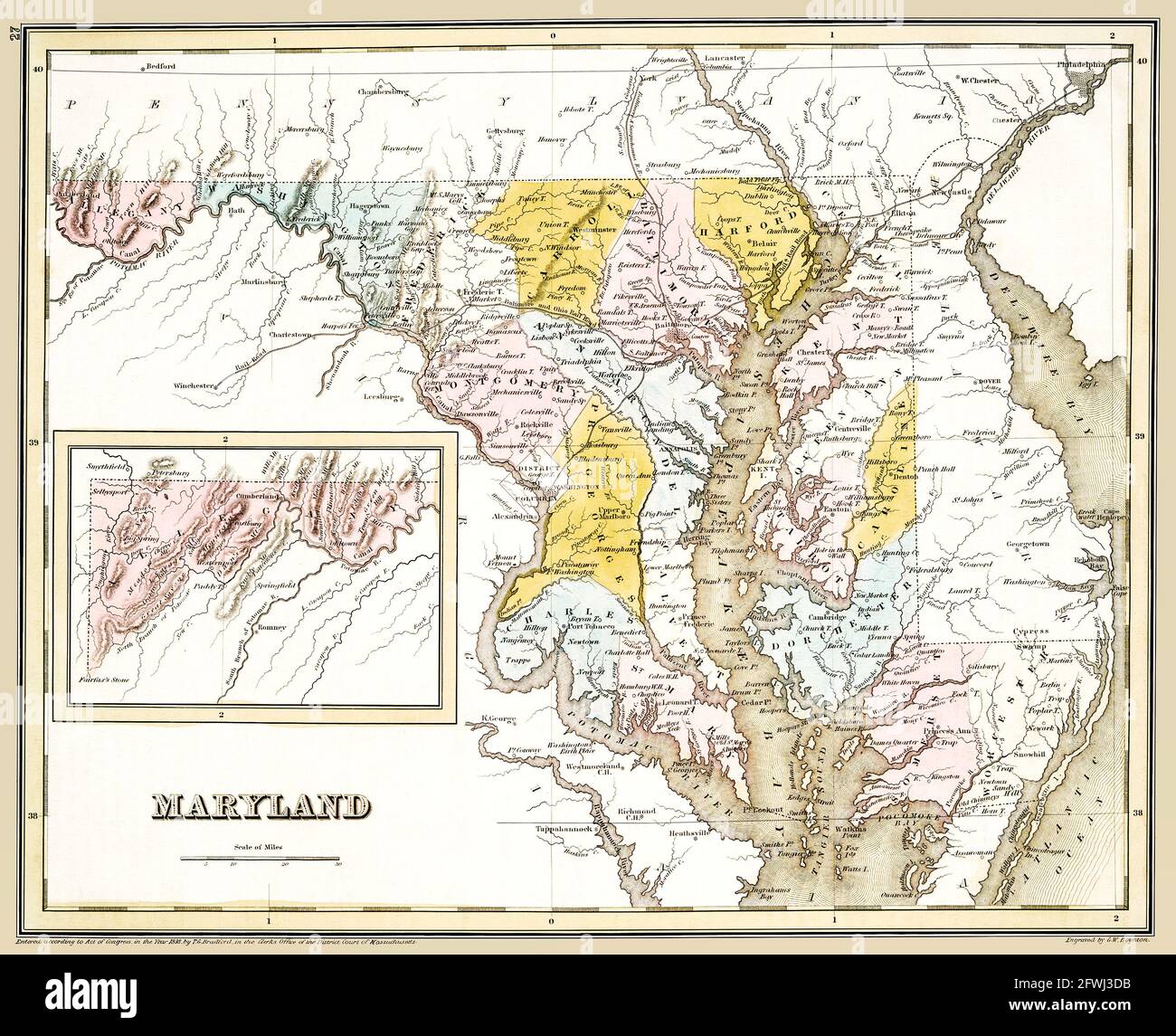 Old map of Maryland showing counties. Published circa 1838. This is a beautifully detailed historic, enhanced, restored reproduction. Stock Photohttps://www.alamy.com/image-license-details/?v=1https://www.alamy.com/old-map-of-maryland-showing-counties-published-circa-1838-this-is-a-beautifully-detailed-historic-enhanced-restored-reproduction-image428813095.html
RF2FWJ3DB–Old map of Maryland showing counties. Published circa 1838. This is a beautifully detailed historic, enhanced, restored reproduction.
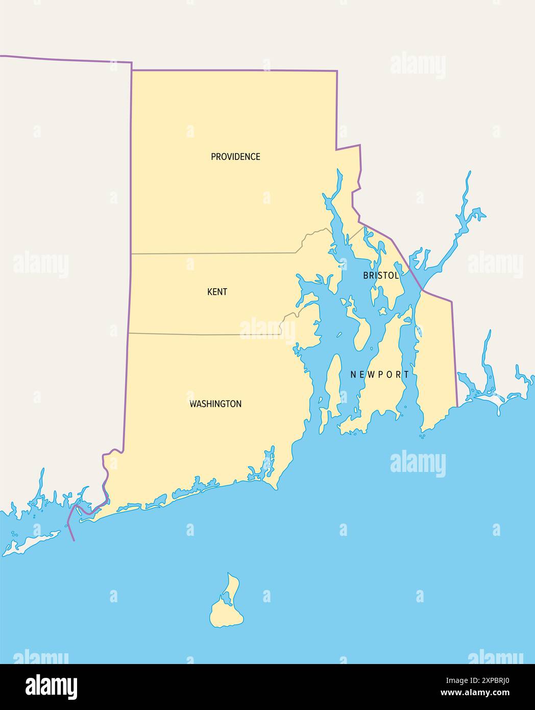 Rhode Island, U.S. state, subdivided into 5 counties, political map with borders and county names. State in the New England region of Northeastern USA. Stock Photohttps://www.alamy.com/image-license-details/?v=1https://www.alamy.com/rhode-island-us-state-subdivided-into-5-counties-political-map-with-borders-and-county-names-state-in-the-new-england-region-of-northeastern-usa-image616145320.html
RF2XPBRJ0–Rhode Island, U.S. state, subdivided into 5 counties, political map with borders and county names. State in the New England region of Northeastern USA.
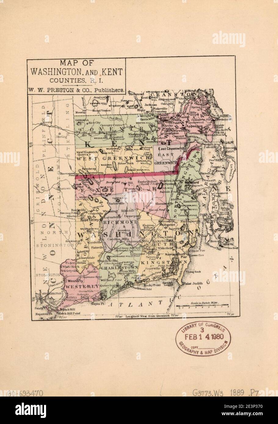 Map of Washington and Kent Counties, R.I. Stock Photohttps://www.alamy.com/image-license-details/?v=1https://www.alamy.com/map-of-washington-and-kent-counties-ri-image398167924.html
RM2E3P370–Map of Washington and Kent Counties, R.I.
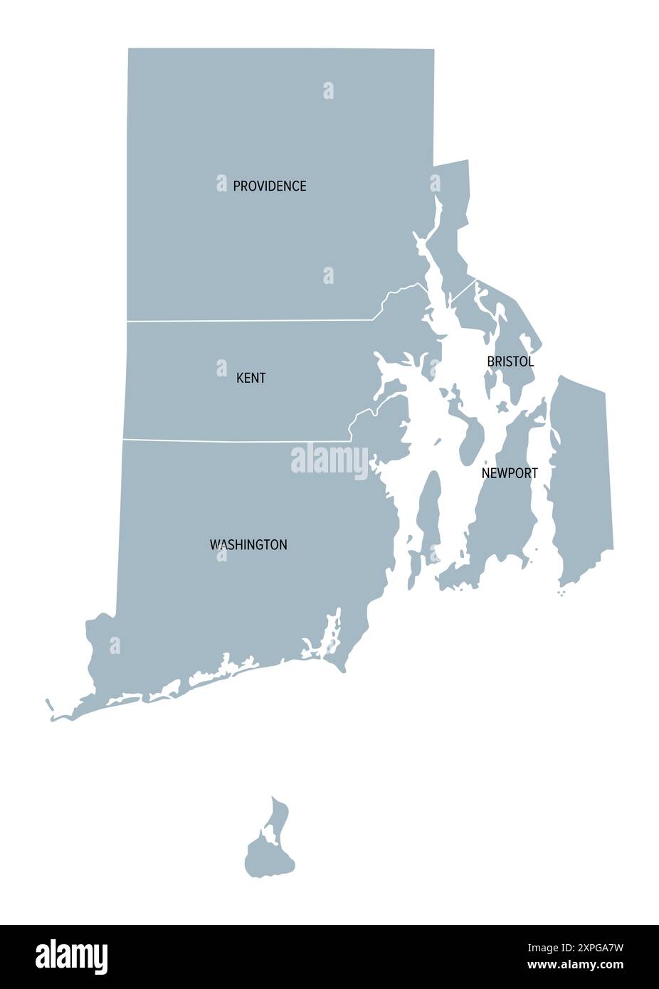 Rhode Island, U.S. state subdivided into 5 counties, gray political map with borders and county names. State in the New England region od the USA. Stock Photohttps://www.alamy.com/image-license-details/?v=1https://www.alamy.com/rhode-island-us-state-subdivided-into-5-counties-gray-political-map-with-borders-and-county-names-state-in-the-new-england-region-od-the-usa-image616244605.html
RF2XPGA7W–Rhode Island, U.S. state subdivided into 5 counties, gray political map with borders and county names. State in the New England region od the USA.
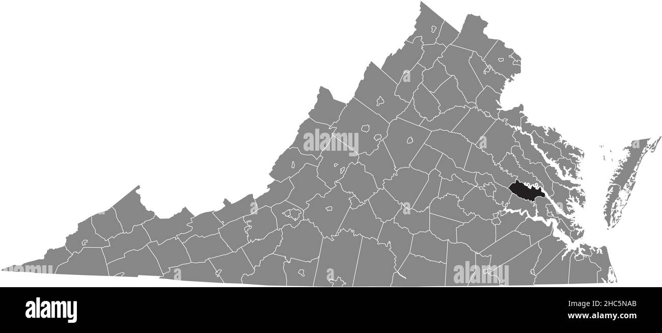 Black highlighted location map of the New Kent inside gray administrative map of the Federal State of Virginia, USA Stock Vectorhttps://www.alamy.com/image-license-details/?v=1https://www.alamy.com/black-highlighted-location-map-of-the-new-kent-inside-gray-administrative-map-of-the-federal-state-of-virginia-usa-image454971955.html
RF2HC5NAB–Black highlighted location map of the New Kent inside gray administrative map of the Federal State of Virginia, USA
 1830 Nathan Hale Map - Rhode Island - Providence Bristol Newport - United States Stock Photohttps://www.alamy.com/image-license-details/?v=1https://www.alamy.com/stock-image-1830-nathan-hale-map-rhode-island-providence-bristol-newport-united-169530345.html
RFKRPNK5–1830 Nathan Hale Map - Rhode Island - Providence Bristol Newport - United States
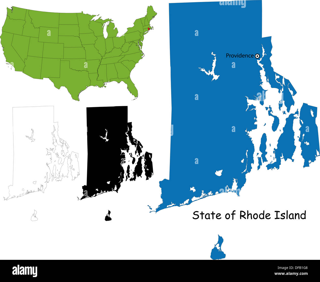 Rhode island map Stock Photohttps://www.alamy.com/image-license-details/?v=1https://www.alamy.com/rhode-island-map-image61093656.html
RFDFB1G8–Rhode island map
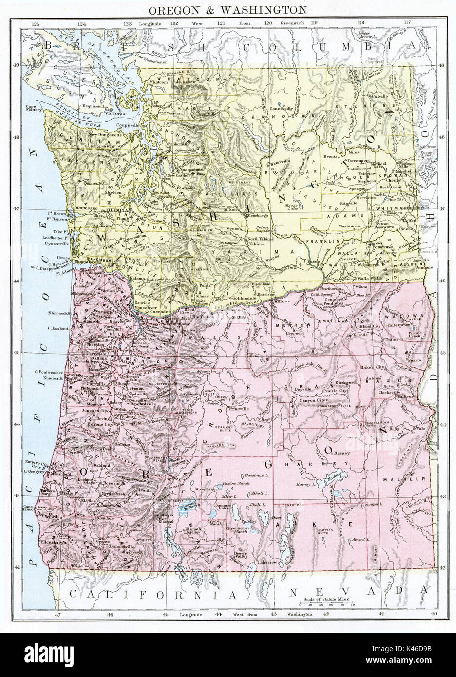 Antique map, circa 1875, Oregon & Washington Stock Photohttps://www.alamy.com/image-license-details/?v=1https://www.alamy.com/antique-map-circa-1875-oregon-washington-image157494103.html
RMK46D9B–Antique map, circa 1875, Oregon & Washington
 Cartographic, Maps. 1884 - 1936. Lionel Pincus and Princess Firyal Map Division. Fire insurance , New York (State), Real property , New York (State), Cities & towns , New York (State) Brooklyn V. 3, Plate No. 3 Map bounded by Clinton Ave., Cross, Kent Ave., Washington Ave. Stock Photohttps://www.alamy.com/image-license-details/?v=1https://www.alamy.com/cartographic-maps-1884-1936-lionel-pincus-and-princess-firyal-map-division-fire-insurance-new-york-state-real-property-new-york-state-cities-towns-new-york-state-brooklyn-v-3-plate-no-3-map-bounded-by-clinton-ave-cross-kent-ave-washington-ave-image483550846.html
RM2K2KJ12–Cartographic, Maps. 1884 - 1936. Lionel Pincus and Princess Firyal Map Division. Fire insurance , New York (State), Real property , New York (State), Cities & towns , New York (State) Brooklyn V. 3, Plate No. 3 Map bounded by Clinton Ave., Cross, Kent Ave., Washington Ave.
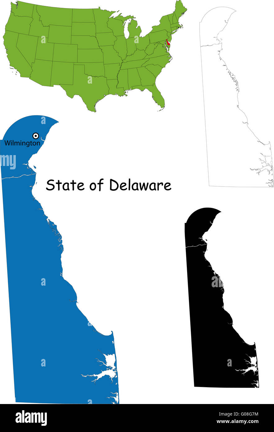 Delaware map Stock Photohttps://www.alamy.com/image-license-details/?v=1https://www.alamy.com/stock-photo-delaware-map-103450584.html
RMG08G7M–Delaware map
 Washington, state of United States of America. Open Street Map Stock Photohttps://www.alamy.com/image-license-details/?v=1https://www.alamy.com/washington-state-of-united-states-of-america-open-street-map-image546023237.html
RF2PM9E5W–Washington, state of United States of America. Open Street Map
 Kent City, Washington (United States cities, United States of America, usa city) map vector illustration, scribble sketch City of Kent map Stock Vectorhttps://www.alamy.com/image-license-details/?v=1https://www.alamy.com/kent-city-washington-united-states-cities-united-states-of-america-usa-city-map-vector-illustration-scribble-sketch-city-of-kent-map-image430407328.html
RF2G06MX8–Kent City, Washington (United States cities, United States of America, usa city) map vector illustration, scribble sketch City of Kent map
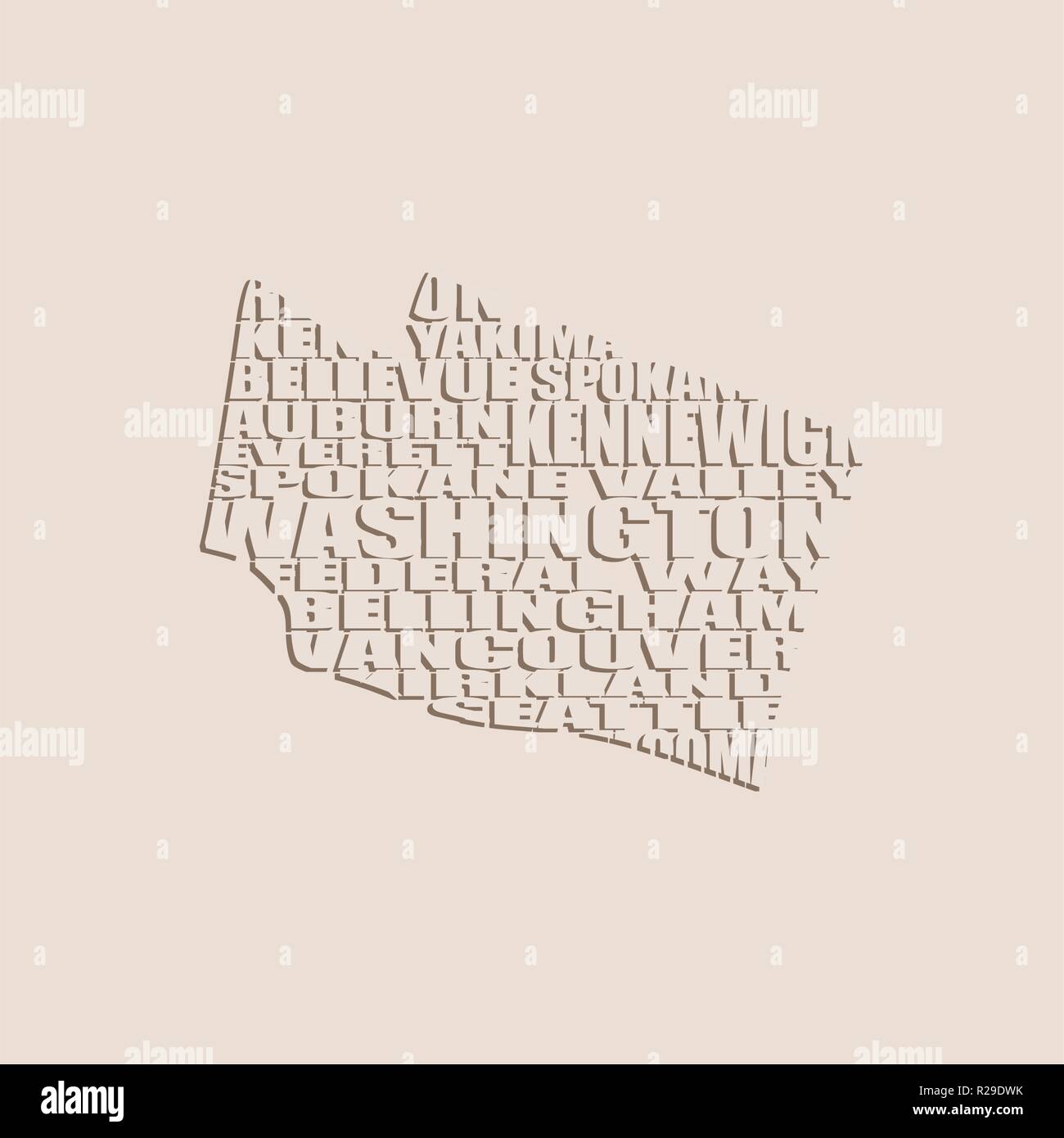 Word cloud map of Washington state Stock Vectorhttps://www.alamy.com/image-license-details/?v=1https://www.alamy.com/word-cloud-map-of-washington-state-image225172575.html
RFR29DWK–Word cloud map of Washington state
 Washington Park, Kent County, US, United States, Maryland, N 39 13' 29'', S 76 5' 7'', map, Cartascapes Map published in 2024. Explore Cartascapes, a map revealing Earth's diverse landscapes, cultures, and ecosystems. Journey through time and space, discovering the interconnectedness of our planet's past, present, and future. Stock Photohttps://www.alamy.com/image-license-details/?v=1https://www.alamy.com/washington-park-kent-county-us-united-states-maryland-n-39-13-29-s-76-5-7-map-cartascapes-map-published-in-2024-explore-cartascapes-a-map-revealing-earths-diverse-landscapes-cultures-and-ecosystems-journey-through-time-and-space-discovering-the-interconnectedness-of-our-planets-past-present-and-future-image621146196.html
RM2Y2FJ8M–Washington Park, Kent County, US, United States, Maryland, N 39 13' 29'', S 76 5' 7'', map, Cartascapes Map published in 2024. Explore Cartascapes, a map revealing Earth's diverse landscapes, cultures, and ecosystems. Journey through time and space, discovering the interconnectedness of our planet's past, present, and future.
 March 4, 2019, Washington, USA. Washington is one of the host cities of FIFA World Cup 2026 which will be held in the USA, Canada and Mexico. Stock Photohttps://www.alamy.com/image-license-details/?v=1https://www.alamy.com/march-4-2019-washington-usa-washington-is-one-of-the-host-cities-of-fifa-world-cup-2026-which-will-be-held-in-the-usa-canada-and-mexico-image242120189.html
RFT1WENH–March 4, 2019, Washington, USA. Washington is one of the host cities of FIFA World Cup 2026 which will be held in the USA, Canada and Mexico.
 Image 5 of Sanborn Fire Insurance Map from Pawtuxet Valley, Kent and Providence Counties, Rhode Island. Aug 1898. 21 Sheet(s). Includes Anthony, Apponaug, Arctic, Arctic Centre, Centreville, Clyde, Crompton, Fiskville, Harris, Hope Village, Lippitt, Natick, North Centreville, Phenix, Quidnick, River Point, Washington, America, street map with a Nineteenth Century compass Stock Photohttps://www.alamy.com/image-license-details/?v=1https://www.alamy.com/image-5-of-sanborn-fire-insurance-map-from-pawtuxet-valley-kent-and-providence-counties-rhode-island-aug-1898-21-sheets-includes-anthony-apponaug-arctic-arctic-centre-centreville-clyde-crompton-fiskville-harris-hope-village-lippitt-natick-north-centreville-phenix-quidnick-river-point-washington-america-street-map-with-a-nineteenth-century-compass-image344707589.html
RM2B0PP19–Image 5 of Sanborn Fire Insurance Map from Pawtuxet Valley, Kent and Providence Counties, Rhode Island. Aug 1898. 21 Sheet(s). Includes Anthony, Apponaug, Arctic, Arctic Centre, Centreville, Clyde, Crompton, Fiskville, Harris, Hope Village, Lippitt, Natick, North Centreville, Phenix, Quidnick, River Point, Washington, America, street map with a Nineteenth Century compass
 Image taken from page 127 of 'Campaigns of the War of 1812-15, against Great Britain, sketched and criticised; with brief biographies of the American engineers' Image taken from page 127 of 'Campaigns of the War Stock Photohttps://www.alamy.com/image-license-details/?v=1https://www.alamy.com/stock-photo-image-taken-from-page-127-of-campaigns-of-the-war-of-1812-15-against-130121381.html
RMHFKF45–Image taken from page 127 of 'Campaigns of the War of 1812-15, against Great Britain, sketched and criticised; with brief biographies of the American engineers' Image taken from page 127 of 'Campaigns of the War
![Brooklyn V. 3, Plate No. 3 [Map bounded by Clinton Ave., Cross St., Kent Ave., Washington Ave.] 1884 - 1936 Stock Photo Brooklyn V. 3, Plate No. 3 [Map bounded by Clinton Ave., Cross St., Kent Ave., Washington Ave.] 1884 - 1936 Stock Photo](https://c8.alamy.com/comp/2YP93YJ/brooklyn-v-3-plate-no-3-map-bounded-by-clinton-ave-cross-st-kent-ave-washington-ave-1884-1936-2YP93YJ.jpg) Brooklyn V. 3, Plate No. 3 [Map bounded by Clinton Ave., Cross St., Kent Ave., Washington Ave.] 1884 - 1936 Stock Photohttps://www.alamy.com/image-license-details/?v=1https://www.alamy.com/brooklyn-v-3-plate-no-3-map-bounded-by-clinton-ave-cross-st-kent-ave-washington-ave-1884-1936-image633296374.html
Brooklyn V. 3, Plate No. 3 [Map bounded by Clinton Ave., Cross St., Kent Ave., Washington Ave.] 1884 - 1936 Stock Photohttps://www.alamy.com/image-license-details/?v=1https://www.alamy.com/brooklyn-v-3-plate-no-3-map-bounded-by-clinton-ave-cross-st-kent-ave-washington-ave-1884-1936-image633296374.htmlRM2YP93YJ–Brooklyn V. 3, Plate No. 3 [Map bounded by Clinton Ave., Cross St., Kent Ave., Washington Ave.] 1884 - 1936
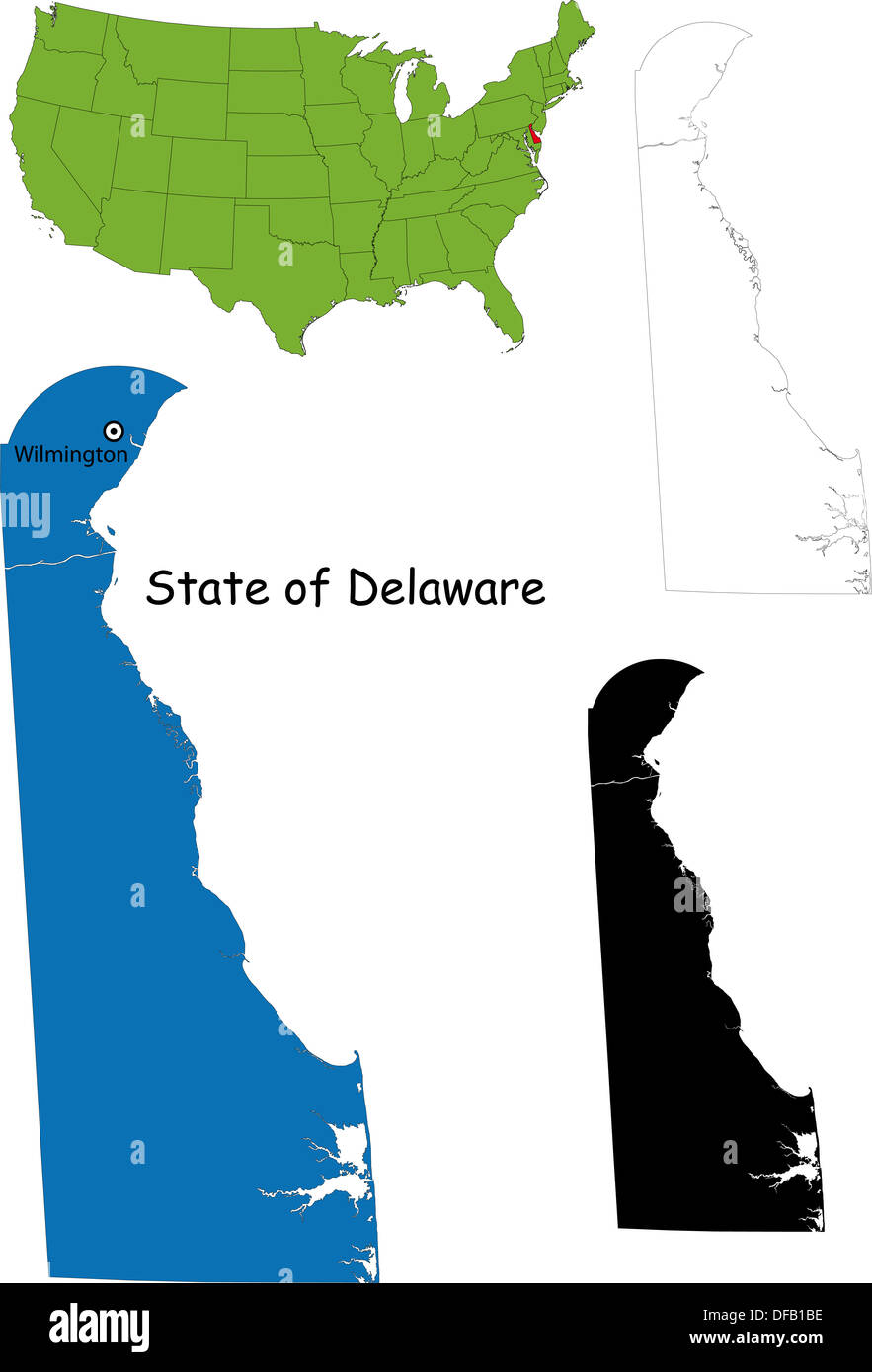 Delaware map Stock Photohttps://www.alamy.com/image-license-details/?v=1https://www.alamy.com/delaware-map-image61093522.html
RFDFB1BE–Delaware map
 Cartographic, Maps. 1884 - 1936. Lionel Pincus and Princess Firyal Map Division. Fire insurance , New York (State), Real property , New York (State), Cities & towns , New York (State) Brooklyn V. 3, Plate No. 3 Map bounded by Clinton Ave., Cross St., Kent Ave., Washington Ave. Stock Photohttps://www.alamy.com/image-license-details/?v=1https://www.alamy.com/cartographic-maps-1884-1936-lionel-pincus-and-princess-firyal-map-division-fire-insurance-new-york-state-real-property-new-york-state-cities-towns-new-york-state-brooklyn-v-3-plate-no-3-map-bounded-by-clinton-ave-cross-st-kent-ave-washington-ave-image483571696.html
RM2K2MGHM–Cartographic, Maps. 1884 - 1936. Lionel Pincus and Princess Firyal Map Division. Fire insurance , New York (State), Real property , New York (State), Cities & towns , New York (State) Brooklyn V. 3, Plate No. 3 Map bounded by Clinton Ave., Cross St., Kent Ave., Washington Ave.
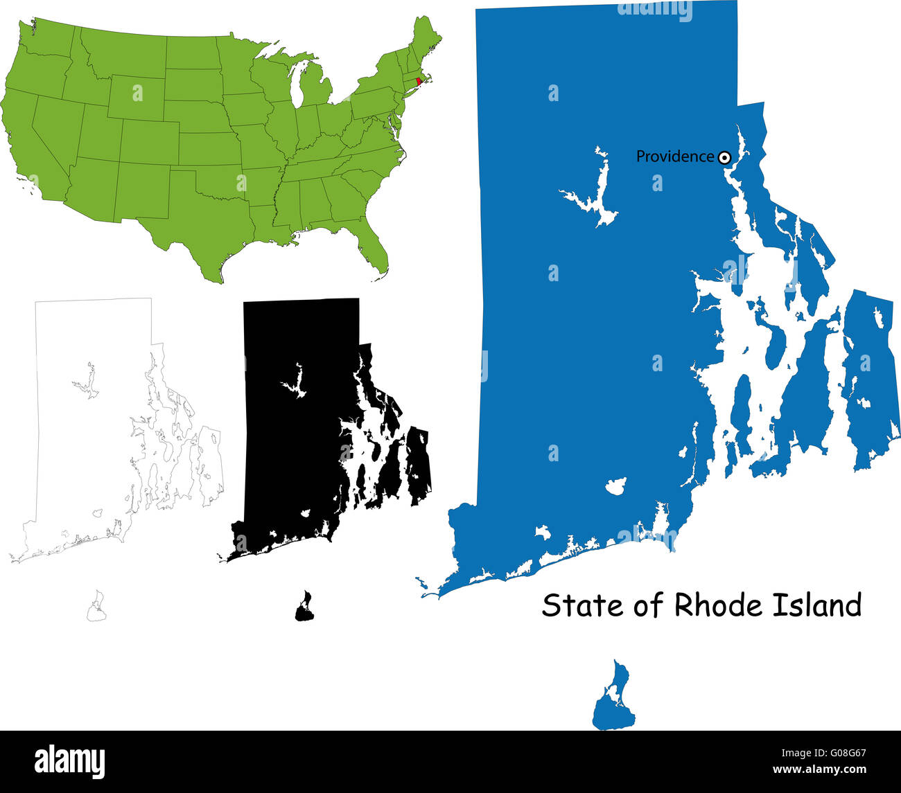 Rhode island map Stock Photohttps://www.alamy.com/image-license-details/?v=1https://www.alamy.com/stock-photo-rhode-island-map-103450543.html
RMG08G67–Rhode island map
 Washington, state of United States of America. High resolution satellite map Stock Photohttps://www.alamy.com/image-license-details/?v=1https://www.alamy.com/washington-state-of-united-states-of-america-high-resolution-satellite-map-image546023318.html
RF2PM9E8P–Washington, state of United States of America. High resolution satellite map
 Kent City, Washington (United States cities, United States of America, usa city) map vector illustration, scribble sketch City of Kent map Stock Vectorhttps://www.alamy.com/image-license-details/?v=1https://www.alamy.com/kent-city-washington-united-states-cities-united-states-of-america-usa-city-map-vector-illustration-scribble-sketch-city-of-kent-map-image417231755.html
RF2F6PFA3–Kent City, Washington (United States cities, United States of America, usa city) map vector illustration, scribble sketch City of Kent map
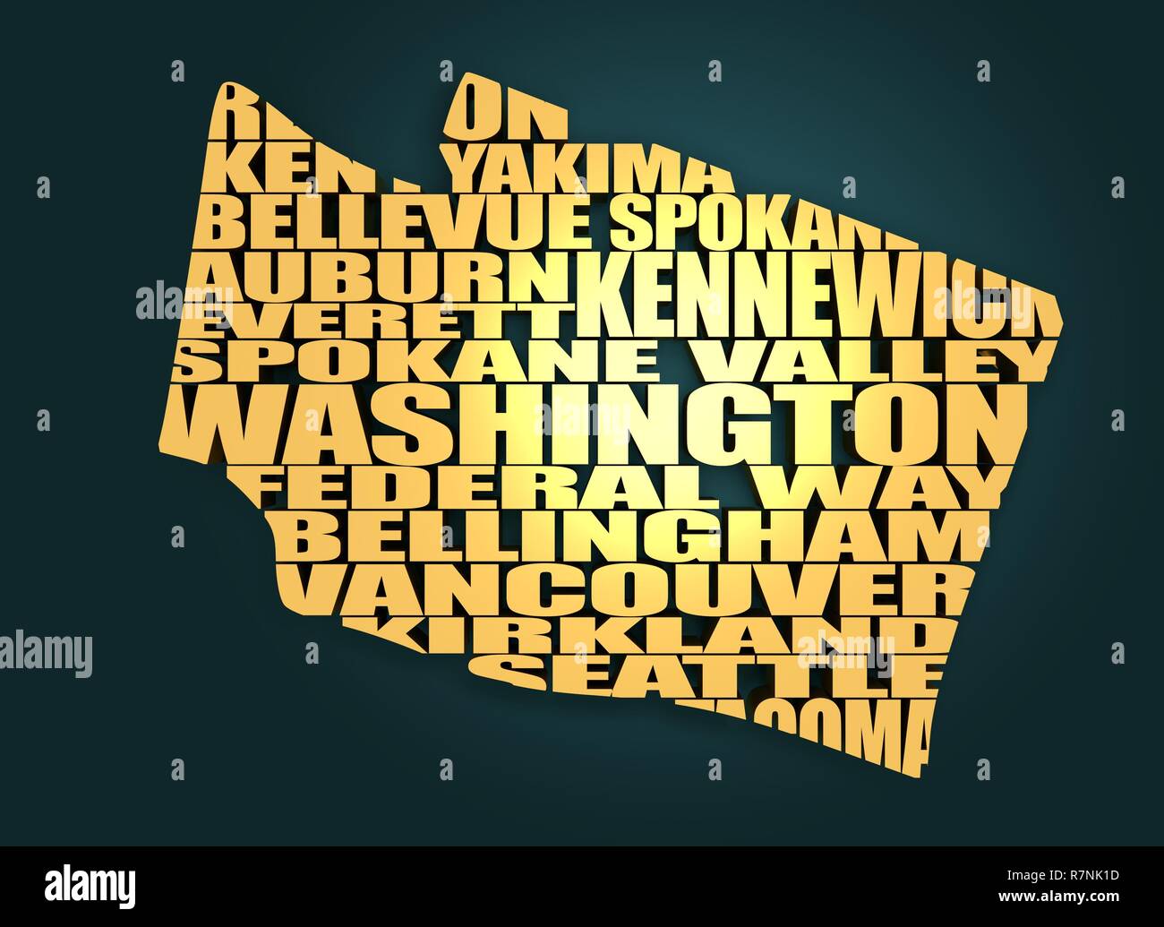 Word cloud map of Washington state Stock Photohttps://www.alamy.com/image-license-details/?v=1https://www.alamy.com/word-cloud-map-of-washington-state-image228513305.html
RFR7NK1D–Word cloud map of Washington state
 Kent Estates, Washington County, US, United States, Maryland, N 39 42' 30'', S 77 46' 7'', map, Cartascapes Map published in 2024. Explore Cartascapes, a map revealing Earth's diverse landscapes, cultures, and ecosystems. Journey through time and space, discovering the interconnectedness of our planet's past, present, and future. Stock Photohttps://www.alamy.com/image-license-details/?v=1https://www.alamy.com/kent-estates-washington-county-us-united-states-maryland-n-39-42-30-s-77-46-7-map-cartascapes-map-published-in-2024-explore-cartascapes-a-map-revealing-earths-diverse-landscapes-cultures-and-ecosystems-journey-through-time-and-space-discovering-the-interconnectedness-of-our-planets-past-present-and-future-image621303938.html
RM2Y2PREA–Kent Estates, Washington County, US, United States, Maryland, N 39 42' 30'', S 77 46' 7'', map, Cartascapes Map published in 2024. Explore Cartascapes, a map revealing Earth's diverse landscapes, cultures, and ecosystems. Journey through time and space, discovering the interconnectedness of our planet's past, present, and future.
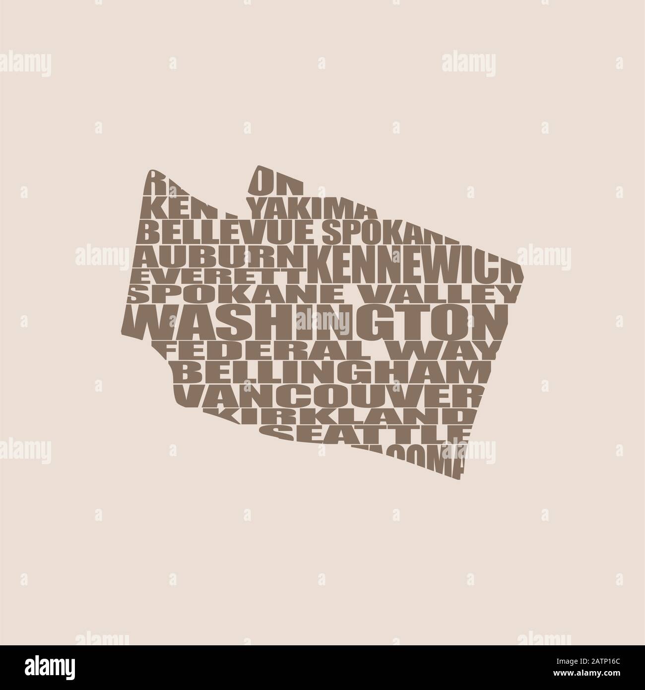 Word cloud map of Washington state Stock Vectorhttps://www.alamy.com/image-license-details/?v=1https://www.alamy.com/word-cloud-map-of-washington-state-image342232644.html
RF2ATP16C–Word cloud map of Washington state
 Image 17 of Sanborn Fire Insurance Map from Pawtuxet Valley, Kent and Providence Counties, Rhode Island. Aug 1898. 21 Sheet(s). Includes Anthony, Apponaug, Arctic, Arctic Centre, Centreville, Clyde, Crompton, Fiskville, Harris, Hope Village, Lippitt, Natick, North Centreville, Phenix, Quidnick, River Point, Washington, America, street map with a Nineteenth Century compass Stock Photohttps://www.alamy.com/image-license-details/?v=1https://www.alamy.com/image-17-of-sanborn-fire-insurance-map-from-pawtuxet-valley-kent-and-providence-counties-rhode-island-aug-1898-21-sheets-includes-anthony-apponaug-arctic-arctic-centre-centreville-clyde-crompton-fiskville-harris-hope-village-lippitt-natick-north-centreville-phenix-quidnick-river-point-washington-america-street-map-with-a-nineteenth-century-compass-image344707600.html
RM2B0PP1M–Image 17 of Sanborn Fire Insurance Map from Pawtuxet Valley, Kent and Providence Counties, Rhode Island. Aug 1898. 21 Sheet(s). Includes Anthony, Apponaug, Arctic, Arctic Centre, Centreville, Clyde, Crompton, Fiskville, Harris, Hope Village, Lippitt, Natick, North Centreville, Phenix, Quidnick, River Point, Washington, America, street map with a Nineteenth Century compass
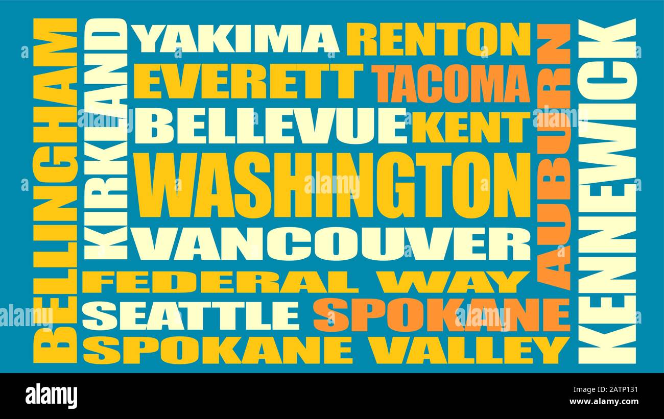 Washington state cities list Stock Vectorhttps://www.alamy.com/image-license-details/?v=1https://www.alamy.com/washington-state-cities-list-image342232549.html
RF2ATP131–Washington state cities list
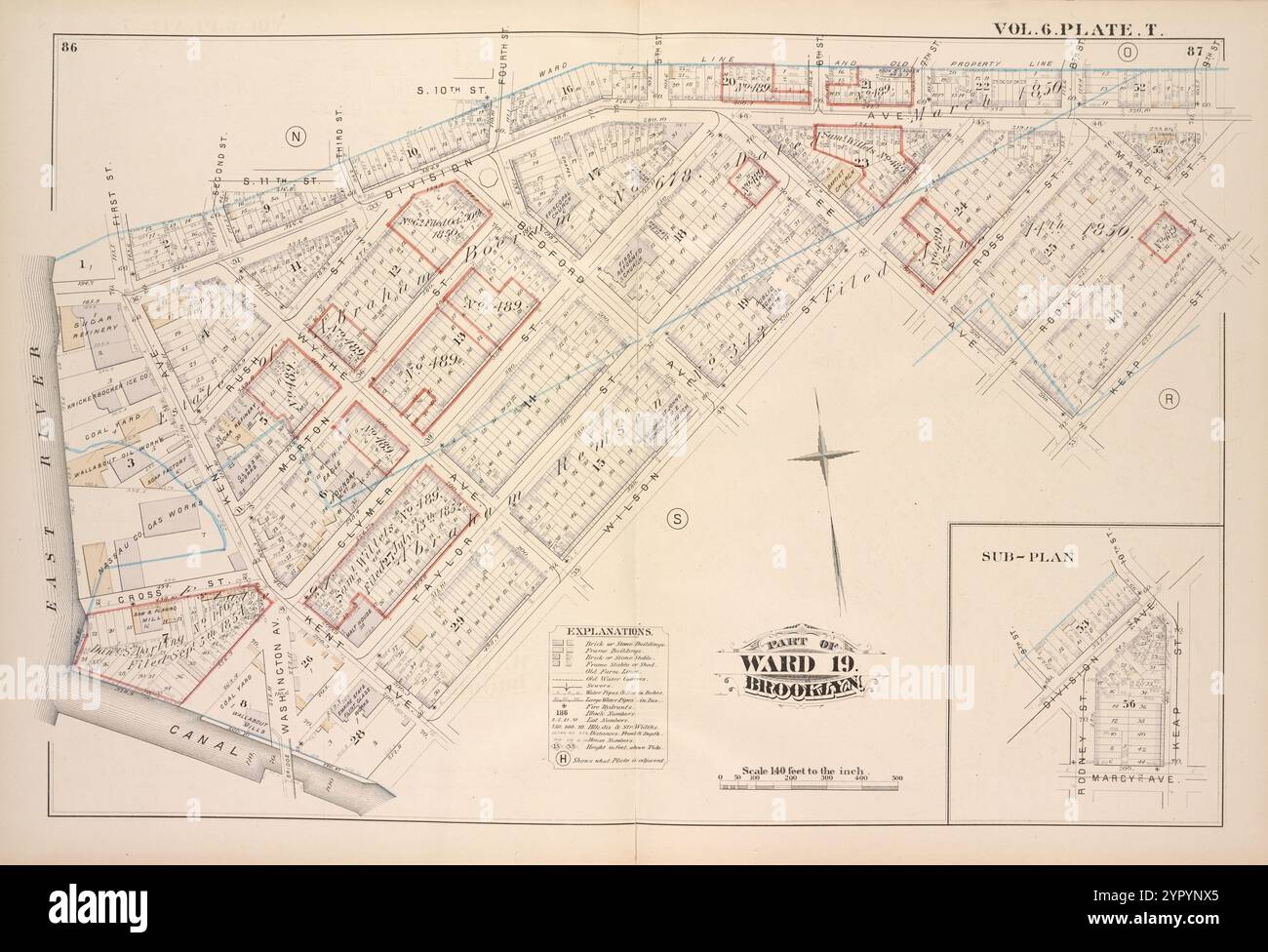 Map bound by First St., Second St., S.11th St., Third St., S.10th St., Fourth St., 5th St., 6th St., 7th St., 8th St., 9th St., Rodney St., Marcy Ave., Keap St., Lee Ave., Wilson St., Canal, East River; Including Division Ave., Rush St., Morton St., Clymer St., Taylor St., Ross St., Kent Ave., Washington Ave., Wythe Ave., Bedford Ave., Vol. 6. Plate, T. 1880 Stock Photohttps://www.alamy.com/image-license-details/?v=1https://www.alamy.com/map-bound-by-first-st-second-st-s11th-st-third-st-s10th-st-fourth-st-5th-st-6th-st-7th-st-8th-st-9th-st-rodney-st-marcy-ave-keap-st-lee-ave-wilson-st-canal-east-river-including-division-ave-rush-st-morton-st-clymer-st-taylor-st-ross-st-kent-ave-washington-ave-wythe-ave-bedford-ave-vol-6-plate-t-1880-image633705581.html
RM2YPYNX5–Map bound by First St., Second St., S.11th St., Third St., S.10th St., Fourth St., 5th St., 6th St., 7th St., 8th St., 9th St., Rodney St., Marcy Ave., Keap St., Lee Ave., Wilson St., Canal, East River; Including Division Ave., Rush St., Morton St., Clymer St., Taylor St., Ross St., Kent Ave., Washington Ave., Wythe Ave., Bedford Ave., Vol. 6. Plate, T. 1880
 Cartographic, Maps. 1898. Lionel Pincus and Princess Firyal Map Division. Brooklyn (New York, N.Y.), Real property , New York (State) , New York Double Page Plate No. 29: Bounded by Washington Avenue, Kent Avenue, Division Avenue, Marcy Avenue, Heyward Street, Lee Avenue, Flushing Avenue, Bedford Avenue and Willoughby Avenue. Part of Wards 7 & 19. Land Map Sections, No. 7 & 8, Volume 1, Brooklyn Borough, New York City. Stock Photohttps://www.alamy.com/image-license-details/?v=1https://www.alamy.com/cartographic-maps-1898-lionel-pincus-and-princess-firyal-map-division-brooklyn-new-york-ny-real-property-new-york-state-new-york-double-page-plate-no-29-bounded-by-washington-avenue-kent-avenue-division-avenue-marcy-avenue-heyward-street-lee-avenue-flushing-avenue-bedford-avenue-and-willoughby-avenue-part-of-wards-7-19-land-map-sections-no-7-8-volume-1-brooklyn-borough-new-york-city-image483724401.html
RM2K2YFBD–Cartographic, Maps. 1898. Lionel Pincus and Princess Firyal Map Division. Brooklyn (New York, N.Y.), Real property , New York (State) , New York Double Page Plate No. 29: Bounded by Washington Avenue, Kent Avenue, Division Avenue, Marcy Avenue, Heyward Street, Lee Avenue, Flushing Avenue, Bedford Avenue and Willoughby Avenue. Part of Wards 7 & 19. Land Map Sections, No. 7 & 8, Volume 1, Brooklyn Borough, New York City.
 Bromley, George Washington. Cartographic, Maps, Atlases, land surveys. 1908. Lionel Pincus and Princess Firyal Map Division. Brooklyn (New York, N.Y.) , Maps Plate 9: Bounded by S. 11th Street, Berry Street, S. 10th Street, Bedford Avenue, S. Ninth Street, Roebling Street, Broadway, Marcy Avenue, S. Fifth Street, Rodney Street, S. Fourth Street, Keap Street, S. Third Street, Hooper Street, S. Second Street, Union Avenue, Broadway, Throop Avenue, Lorimer Street, Harrison Avenue, Flushing Avenue, Washington Avenue & and Kent Avenue Plate 9 Stock Photohttps://www.alamy.com/image-license-details/?v=1https://www.alamy.com/bromley-george-washington-cartographic-maps-atlases-land-surveys-1908-lionel-pincus-and-princess-firyal-map-division-brooklyn-new-york-ny-maps-plate-9-bounded-by-s-11th-street-berry-street-s-10th-street-bedford-avenue-s-ninth-street-roebling-street-broadway-marcy-avenue-s-fifth-street-rodney-street-s-fourth-street-keap-street-s-third-street-hooper-street-s-second-street-union-avenue-broadway-throop-avenue-lorimer-street-harrison-avenue-flushing-avenue-washington-avenue-and-kent-avenue-plate-9-image483579831.html
RM2K2MY07–Bromley, George Washington. Cartographic, Maps, Atlases, land surveys. 1908. Lionel Pincus and Princess Firyal Map Division. Brooklyn (New York, N.Y.) , Maps Plate 9: Bounded by S. 11th Street, Berry Street, S. 10th Street, Bedford Avenue, S. Ninth Street, Roebling Street, Broadway, Marcy Avenue, S. Fifth Street, Rodney Street, S. Fourth Street, Keap Street, S. Third Street, Hooper Street, S. Second Street, Union Avenue, Broadway, Throop Avenue, Lorimer Street, Harrison Avenue, Flushing Avenue, Washington Avenue & and Kent Avenue Plate 9
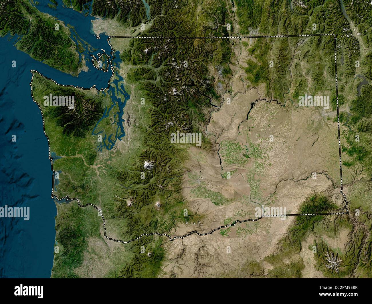 Washington, state of United States of America. Low resolution satellite map Stock Photohttps://www.alamy.com/image-license-details/?v=1https://www.alamy.com/washington-state-of-united-states-of-america-low-resolution-satellite-map-image546023319.html
RF2PM9E8R–Washington, state of United States of America. Low resolution satellite map
 Kent City, Washington (United States cities, United States of America, usa city) map vector illustration, scribble sketch City of Kent map Stock Vectorhttps://www.alamy.com/image-license-details/?v=1https://www.alamy.com/kent-city-washington-united-states-cities-united-states-of-america-usa-city-map-vector-illustration-scribble-sketch-city-of-kent-map-image388327292.html
RF2DFNRBT–Kent City, Washington (United States cities, United States of America, usa city) map vector illustration, scribble sketch City of Kent map
 Washington, Kent County, US, United States, Rhode Island, N 41 41' 18'', S 71 34' 0'', map, Cartascapes Map published in 2024. Explore Cartascapes, a map revealing Earth's diverse landscapes, cultures, and ecosystems. Journey through time and space, discovering the interconnectedness of our planet's past, present, and future. Stock Photohttps://www.alamy.com/image-license-details/?v=1https://www.alamy.com/washington-kent-county-us-united-states-rhode-island-n-41-41-18-s-71-34-0-map-cartascapes-map-published-in-2024-explore-cartascapes-a-map-revealing-earths-diverse-landscapes-cultures-and-ecosystems-journey-through-time-and-space-discovering-the-interconnectedness-of-our-planets-past-present-and-future-image621436435.html
RM2Y30TEB–Washington, Kent County, US, United States, Rhode Island, N 41 41' 18'', S 71 34' 0'', map, Cartascapes Map published in 2024. Explore Cartascapes, a map revealing Earth's diverse landscapes, cultures, and ecosystems. Journey through time and space, discovering the interconnectedness of our planet's past, present, and future.
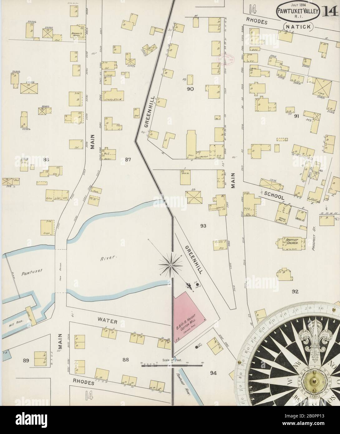 Image 14 of Sanborn Fire Insurance Map from Pawtuxet Valley, Kent and Providence Counties, Rhode Island. May 1894. 14 Sheet(s). Includes Anthony, Apponaug, Arctic, Arctic Centre, Centreville, Clyde, Crompton, Fiskville, Harris, Hope Village, Lippitt, Natick, North Centreville, Phenix, Quidnick, River Point, Washington, America, street map with a Nineteenth Century compass Stock Photohttps://www.alamy.com/image-license-details/?v=1https://www.alamy.com/image-14-of-sanborn-fire-insurance-map-from-pawtuxet-valley-kent-and-providence-counties-rhode-island-may-1894-14-sheets-includes-anthony-apponaug-arctic-arctic-centre-centreville-clyde-crompton-fiskville-harris-hope-village-lippitt-natick-north-centreville-phenix-quidnick-river-point-washington-america-street-map-with-a-nineteenth-century-compass-image344707583.html
RM2B0PP13–Image 14 of Sanborn Fire Insurance Map from Pawtuxet Valley, Kent and Providence Counties, Rhode Island. May 1894. 14 Sheet(s). Includes Anthony, Apponaug, Arctic, Arctic Centre, Centreville, Clyde, Crompton, Fiskville, Harris, Hope Village, Lippitt, Natick, North Centreville, Phenix, Quidnick, River Point, Washington, America, street map with a Nineteenth Century compass
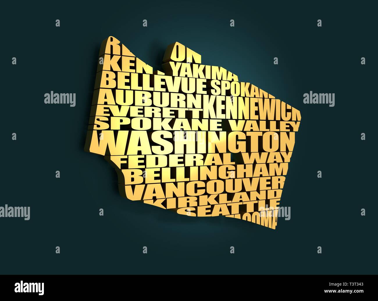 Word cloud map of Washington state. Cities list collage. Golden material. 3D rendering Stock Photohttps://www.alamy.com/image-license-details/?v=1https://www.alamy.com/word-cloud-map-of-washington-state-cities-list-collage-golden-material-3d-rendering-image243318435.html
RFT3T343–Word cloud map of Washington state. Cities list collage. Golden material. 3D rendering
 Bounded by S. 11th Street, Berry Street, S. 10th Street, Bedford Avenue, S. Ninth Street, Roebling Street, Broadway, Marcy Avenue, S. Fifth Street, Rodney Street, S. Fourth Street, Keap Street, S. Third Street, Hooper Street, S. Second Street, Union Avenue, Broadway, Throop Avenue, Lorimer Street, Harrison Avenue, Flushing Avenue, Washington Avenue & and Kent Avenue, Plate 9 1908 by Bromley, George Washington Stock Photohttps://www.alamy.com/image-license-details/?v=1https://www.alamy.com/bounded-by-s-11th-street-berry-street-s-10th-street-bedford-avenue-s-ninth-street-roebling-street-broadway-marcy-avenue-s-fifth-street-rodney-street-s-fourth-street-keap-street-s-third-street-hooper-street-s-second-street-union-avenue-broadway-throop-avenue-lorimer-street-harrison-avenue-flushing-avenue-washington-avenue-and-kent-avenue-plate-9-1908-by-bromley-george-washington-image633720078.html
RM2YR0CBX–Bounded by S. 11th Street, Berry Street, S. 10th Street, Bedford Avenue, S. Ninth Street, Roebling Street, Broadway, Marcy Avenue, S. Fifth Street, Rodney Street, S. Fourth Street, Keap Street, S. Third Street, Hooper Street, S. Second Street, Union Avenue, Broadway, Throop Avenue, Lorimer Street, Harrison Avenue, Flushing Avenue, Washington Avenue & and Kent Avenue, Plate 9 1908 by Bromley, George Washington
 Bromley, George Washington. Cartographic, Maps, Atlases, land surveys. 1908. Lionel Pincus and Princess Firyal Map Division. Brooklyn (New York, N.Y.) , Maps Plate 11: Bounded by Noble St., Manhattan Ave., Calyer St., Diamond St., Norman Ave., Newell St., Driggs Ave., Graham Ave., Bayard St., Union Ave., Roebling Ave., N. Eleventh St., Driggs Ave., N. Ninth St., Bedford Ave., N. Seventh St., Berry St., N. Fifth St., Wythe Ave., N. Third St., Kent Ave. (East River Piers), Franklin St., Quay St. and West St Plate 11 Stock Photohttps://www.alamy.com/image-license-details/?v=1https://www.alamy.com/bromley-george-washington-cartographic-maps-atlases-land-surveys-1908-lionel-pincus-and-princess-firyal-map-division-brooklyn-new-york-ny-maps-plate-11-bounded-by-noble-st-manhattan-ave-calyer-st-diamond-st-norman-ave-newell-st-driggs-ave-graham-ave-bayard-st-union-ave-roebling-ave-n-eleventh-st-driggs-ave-n-ninth-st-bedford-ave-n-seventh-st-berry-st-n-fifth-st-wythe-ave-n-third-st-kent-ave-east-river-piers-franklin-st-quay-st-and-west-st-plate-11-image483580244.html
RM2K2MYF0–Bromley, George Washington. Cartographic, Maps, Atlases, land surveys. 1908. Lionel Pincus and Princess Firyal Map Division. Brooklyn (New York, N.Y.) , Maps Plate 11: Bounded by Noble St., Manhattan Ave., Calyer St., Diamond St., Norman Ave., Newell St., Driggs Ave., Graham Ave., Bayard St., Union Ave., Roebling Ave., N. Eleventh St., Driggs Ave., N. Ninth St., Bedford Ave., N. Seventh St., Berry St., N. Fifth St., Wythe Ave., N. Third St., Kent Ave. (East River Piers), Franklin St., Quay St. and West St Plate 11
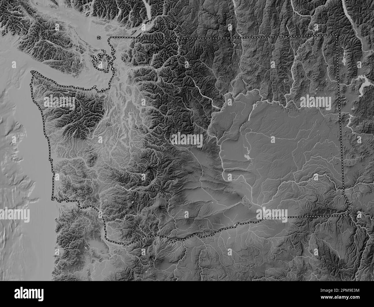 Washington, state of United States of America. Grayscale elevation map with lakes and rivers Stock Photohttps://www.alamy.com/image-license-details/?v=1https://www.alamy.com/washington-state-of-united-states-of-america-grayscale-elevation-map-with-lakes-and-rivers-image546023176.html
RF2PM9E3M–Washington, state of United States of America. Grayscale elevation map with lakes and rivers
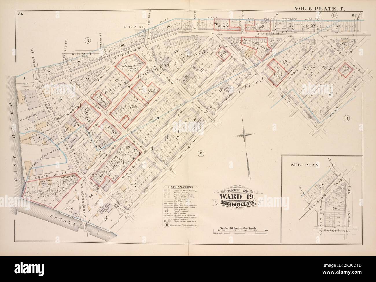 Cartographic, Maps. 1880. Lionel Pincus and Princess Firyal Map Division. Brooklyn (New York, N.Y.), Real property , New York (State) , New York Vol. 6. Plate, T. Map bound by First St., Second St., S.11th St., Third St., S.10th St., Fourth St., 5th St., 6th St., 7th St., 8th St., 9th St., Rodney St., Marcy Ave., Keap St., Lee Ave., Wilson St., Canal, East River; Including Division Ave., Rush St., Morton St., Clymer St., Taylor St., Ross St., Kent Ave., Washington Ave., Wythe Ave., Bedford Ave. Stock Photohttps://www.alamy.com/image-license-details/?v=1https://www.alamy.com/cartographic-maps-1880-lionel-pincus-and-princess-firyal-map-division-brooklyn-new-york-ny-real-property-new-york-state-new-york-vol-6-plate-t-map-bound-by-first-st-second-st-s11th-st-third-st-s10th-st-fourth-st-5th-st-6th-st-7th-st-8th-st-9th-st-rodney-st-marcy-ave-keap-st-lee-ave-wilson-st-canal-east-river-including-division-ave-rush-st-morton-st-clymer-st-taylor-st-ross-st-kent-ave-washington-ave-wythe-ave-bedford-ave-image483745149.html
RM2K30DTD–Cartographic, Maps. 1880. Lionel Pincus and Princess Firyal Map Division. Brooklyn (New York, N.Y.), Real property , New York (State) , New York Vol. 6. Plate, T. Map bound by First St., Second St., S.11th St., Third St., S.10th St., Fourth St., 5th St., 6th St., 7th St., 8th St., 9th St., Rodney St., Marcy Ave., Keap St., Lee Ave., Wilson St., Canal, East River; Including Division Ave., Rush St., Morton St., Clymer St., Taylor St., Ross St., Kent Ave., Washington Ave., Wythe Ave., Bedford Ave.
 Kent, Washington County, US, United States, Washington, D.C., N 38 56' 1'', S 77 6' 12'', map, Cartascapes Map published in 2024. Explore Cartascapes, a map revealing Earth's diverse landscapes, cultures, and ecosystems. Journey through time and space, discovering the interconnectedness of our planet's past, present, and future. Stock Photohttps://www.alamy.com/image-license-details/?v=1https://www.alamy.com/kent-washington-county-us-united-states-washington-dc-n-38-56-1-s-77-6-12-map-cartascapes-map-published-in-2024-explore-cartascapes-a-map-revealing-earths-diverse-landscapes-cultures-and-ecosystems-journey-through-time-and-space-discovering-the-interconnectedness-of-our-planets-past-present-and-future-image621426196.html
RM2Y30BCM–Kent, Washington County, US, United States, Washington, D.C., N 38 56' 1'', S 77 6' 12'', map, Cartascapes Map published in 2024. Explore Cartascapes, a map revealing Earth's diverse landscapes, cultures, and ecosystems. Journey through time and space, discovering the interconnectedness of our planet's past, present, and future.
 Bromley, George Washington. Cartographic, Maps, Atlases, land surveys. 1908. Lionel Pincus and Princess Firyal Map Division. Brooklyn (New York, N.Y.) , Maps Plate 10: Bounded by Metropolitan Ave., Kent Ave., N. Third St., Wythe Ave., N. Fifth St., Berry St., N. Seventh St., Bedford Ave., N. Ninth St., Driggs Ave., N. 10th St., Roebling St., Union Ave., S. Second St., Hooper St., S. Third St., Keap St., S. Fourth St., Rodney St., S. 5th St., Marcy Ave., Broadway, S. Roebling St., S. Ninth St., Bedford Ave., S. Tenth St., Berry St., S. 11th St., Kent Ave. & River St. Plate 10 Stock Photohttps://www.alamy.com/image-license-details/?v=1https://www.alamy.com/bromley-george-washington-cartographic-maps-atlases-land-surveys-1908-lionel-pincus-and-princess-firyal-map-division-brooklyn-new-york-ny-maps-plate-10-bounded-by-metropolitan-ave-kent-ave-n-third-st-wythe-ave-n-fifth-st-berry-st-n-seventh-st-bedford-ave-n-ninth-st-driggs-ave-n-10th-st-roebling-st-union-ave-s-second-st-hooper-st-s-third-st-keap-st-s-fourth-st-rodney-st-s-5th-st-marcy-ave-broadway-s-roebling-st-s-ninth-st-bedford-ave-s-tenth-st-berry-st-s-11th-st-kent-ave-river-st-plate-10-image483579783.html
RM2K2MXXF–Bromley, George Washington. Cartographic, Maps, Atlases, land surveys. 1908. Lionel Pincus and Princess Firyal Map Division. Brooklyn (New York, N.Y.) , Maps Plate 10: Bounded by Metropolitan Ave., Kent Ave., N. Third St., Wythe Ave., N. Fifth St., Berry St., N. Seventh St., Bedford Ave., N. Ninth St., Driggs Ave., N. 10th St., Roebling St., Union Ave., S. Second St., Hooper St., S. Third St., Keap St., S. Fourth St., Rodney St., S. 5th St., Marcy Ave., Broadway, S. Roebling St., S. Ninth St., Bedford Ave., S. Tenth St., Berry St., S. 11th St., Kent Ave. & River St. Plate 10
 Image 13 of Sanborn Fire Insurance Map from Pawtuxet Valley, Kent and Providence Counties, Rhode Island. Aug 1898. 21 Sheet(s). Includes Anthony, Apponaug, Arctic, Arctic Centre, Centreville, Clyde, Crompton, Fiskville, Harris, Hope Village, Lippitt, Natick, North Centreville, Phenix, Quidnick, River Point, Washington, America, street map with a Nineteenth Century compass Stock Photohttps://www.alamy.com/image-license-details/?v=1https://www.alamy.com/image-13-of-sanborn-fire-insurance-map-from-pawtuxet-valley-kent-and-providence-counties-rhode-island-aug-1898-21-sheets-includes-anthony-apponaug-arctic-arctic-centre-centreville-clyde-crompton-fiskville-harris-hope-village-lippitt-natick-north-centreville-phenix-quidnick-river-point-washington-america-street-map-with-a-nineteenth-century-compass-image344707599.html
RM2B0PP1K–Image 13 of Sanborn Fire Insurance Map from Pawtuxet Valley, Kent and Providence Counties, Rhode Island. Aug 1898. 21 Sheet(s). Includes Anthony, Apponaug, Arctic, Arctic Centre, Centreville, Clyde, Crompton, Fiskville, Harris, Hope Village, Lippitt, Natick, North Centreville, Phenix, Quidnick, River Point, Washington, America, street map with a Nineteenth Century compass
 Image relative to USA travel. Washington cities and places names cloud. 3D rendering Stock Photohttps://www.alamy.com/image-license-details/?v=1https://www.alamy.com/image-relative-to-usa-travel-washington-cities-and-places-names-cloud-3d-rendering-image243318976.html
RFT3T3RC–Image relative to USA travel. Washington cities and places names cloud. 3D rendering
 Bounded by Noble St., Manhattan Ave., Calyer St., Diamond St., Norman Ave., Newell St., Driggs Ave., Graham Ave., Bayard St., Union Ave., Roebling Ave., N. Eleventh St., Driggs Ave., N. Ninth St., Bedford Ave., N. Seventh St., Berry St., N. Fifth St., Wythe Ave., N. Third St., Kent Ave. (East River Piers), Franklin St., Quay St. and West St, Plate 11 1908 by Bromley, George Washington Stock Photohttps://www.alamy.com/image-license-details/?v=1https://www.alamy.com/bounded-by-noble-st-manhattan-ave-calyer-st-diamond-st-norman-ave-newell-st-driggs-ave-graham-ave-bayard-st-union-ave-roebling-ave-n-eleventh-st-driggs-ave-n-ninth-st-bedford-ave-n-seventh-st-berry-st-n-fifth-st-wythe-ave-n-third-st-kent-ave-east-river-piers-franklin-st-quay-st-and-west-st-plate-11-1908-by-bromley-george-washington-image633720085.html
RM2YR0CC5–Bounded by Noble St., Manhattan Ave., Calyer St., Diamond St., Norman Ave., Newell St., Driggs Ave., Graham Ave., Bayard St., Union Ave., Roebling Ave., N. Eleventh St., Driggs Ave., N. Ninth St., Bedford Ave., N. Seventh St., Berry St., N. Fifth St., Wythe Ave., N. Third St., Kent Ave. (East River Piers), Franklin St., Quay St. and West St, Plate 11 1908 by Bromley, George Washington
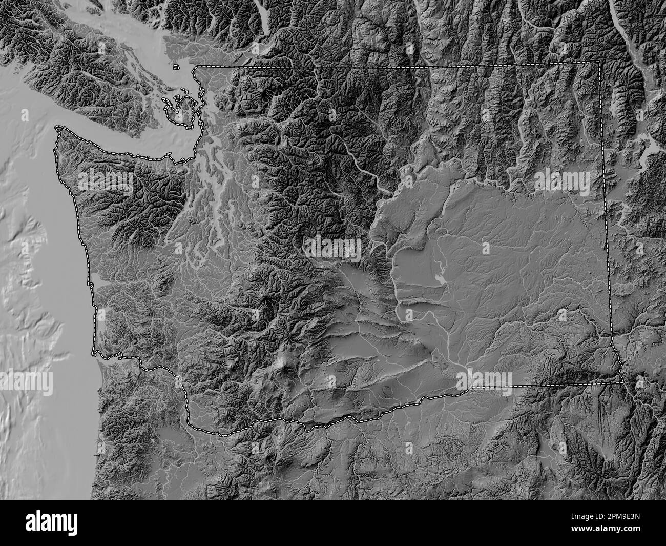 Washington, state of United States of America. Bilevel elevation map with lakes and rivers Stock Photohttps://www.alamy.com/image-license-details/?v=1https://www.alamy.com/washington-state-of-united-states-of-america-bilevel-elevation-map-with-lakes-and-rivers-image546023177.html
RF2PM9E3N–Washington, state of United States of America. Bilevel elevation map with lakes and rivers
 Kent, King County, US, United States, Washington, N 47 22' 51'', S 122 14' 5'', map, Cartascapes Map published in 2024. Explore Cartascapes, a map revealing Earth's diverse landscapes, cultures, and ecosystems. Journey through time and space, discovering the interconnectedness of our planet's past, present, and future. Stock Photohttps://www.alamy.com/image-license-details/?v=1https://www.alamy.com/kent-king-county-us-united-states-washington-n-47-22-51-s-122-14-5-map-cartascapes-map-published-in-2024-explore-cartascapes-a-map-revealing-earths-diverse-landscapes-cultures-and-ecosystems-journey-through-time-and-space-discovering-the-interconnectedness-of-our-planets-past-present-and-future-image620792255.html
RM2Y1YERY–Kent, King County, US, United States, Washington, N 47 22' 51'', S 122 14' 5'', map, Cartascapes Map published in 2024. Explore Cartascapes, a map revealing Earth's diverse landscapes, cultures, and ecosystems. Journey through time and space, discovering the interconnectedness of our planet's past, present, and future.
 Image 20 of Sanborn Fire Insurance Map from Pawtuxet Valley, Kent and Providence Counties, Rhode Island. Aug 1898. 21 Sheet(s). Includes Anthony, Apponaug, Arctic, Arctic Centre, Centreville, Clyde, Crompton, Fiskville, Harris, Hope Village, Lippitt, Natick, North Centreville, Phenix, Quidnick, River Point, Washington, America, street map with a Nineteenth Century compass Stock Photohttps://www.alamy.com/image-license-details/?v=1https://www.alamy.com/image-20-of-sanborn-fire-insurance-map-from-pawtuxet-valley-kent-and-providence-counties-rhode-island-aug-1898-21-sheets-includes-anthony-apponaug-arctic-arctic-centre-centreville-clyde-crompton-fiskville-harris-hope-village-lippitt-natick-north-centreville-phenix-quidnick-river-point-washington-america-street-map-with-a-nineteenth-century-compass-image344707602.html
RM2B0PP1P–Image 20 of Sanborn Fire Insurance Map from Pawtuxet Valley, Kent and Providence Counties, Rhode Island. Aug 1898. 21 Sheet(s). Includes Anthony, Apponaug, Arctic, Arctic Centre, Centreville, Clyde, Crompton, Fiskville, Harris, Hope Village, Lippitt, Natick, North Centreville, Phenix, Quidnick, River Point, Washington, America, street map with a Nineteenth Century compass
 Bounded by Metropolitan Ave., Kent Ave., N. Third St., Wythe Ave., N. Fifth St., Berry St., N. Seventh St., Bedford Ave., N. Ninth St., Driggs Ave., N. 10th St., Roebling St., Union Ave., S. Second St., Hooper St., S. Third St., Keap St., S. Fourth St., Rodney St., S. 5th St., Marcy Ave., Broadway, S. Roebling St., S. Ninth St., Bedford Ave., S. Tenth St., Berry St., S. 11th St., Kent Ave. & River St., Plate 10 1908 by Bromley, George Washington Stock Photohttps://www.alamy.com/image-license-details/?v=1https://www.alamy.com/bounded-by-metropolitan-ave-kent-ave-n-third-st-wythe-ave-n-fifth-st-berry-st-n-seventh-st-bedford-ave-n-ninth-st-driggs-ave-n-10th-st-roebling-st-union-ave-s-second-st-hooper-st-s-third-st-keap-st-s-fourth-st-rodney-st-s-5th-st-marcy-ave-broadway-s-roebling-st-s-ninth-st-bedford-ave-s-tenth-st-berry-st-s-11th-st-kent-ave-river-st-plate-10-1908-by-bromley-george-washington-image633720080.html
RM2YR0CC0–Bounded by Metropolitan Ave., Kent Ave., N. Third St., Wythe Ave., N. Fifth St., Berry St., N. Seventh St., Bedford Ave., N. Ninth St., Driggs Ave., N. 10th St., Roebling St., Union Ave., S. Second St., Hooper St., S. Third St., Keap St., S. Fourth St., Rodney St., S. 5th St., Marcy Ave., Broadway, S. Roebling St., S. Ninth St., Bedford Ave., S. Tenth St., Berry St., S. 11th St., Kent Ave. & River St., Plate 10 1908 by Bromley, George Washington
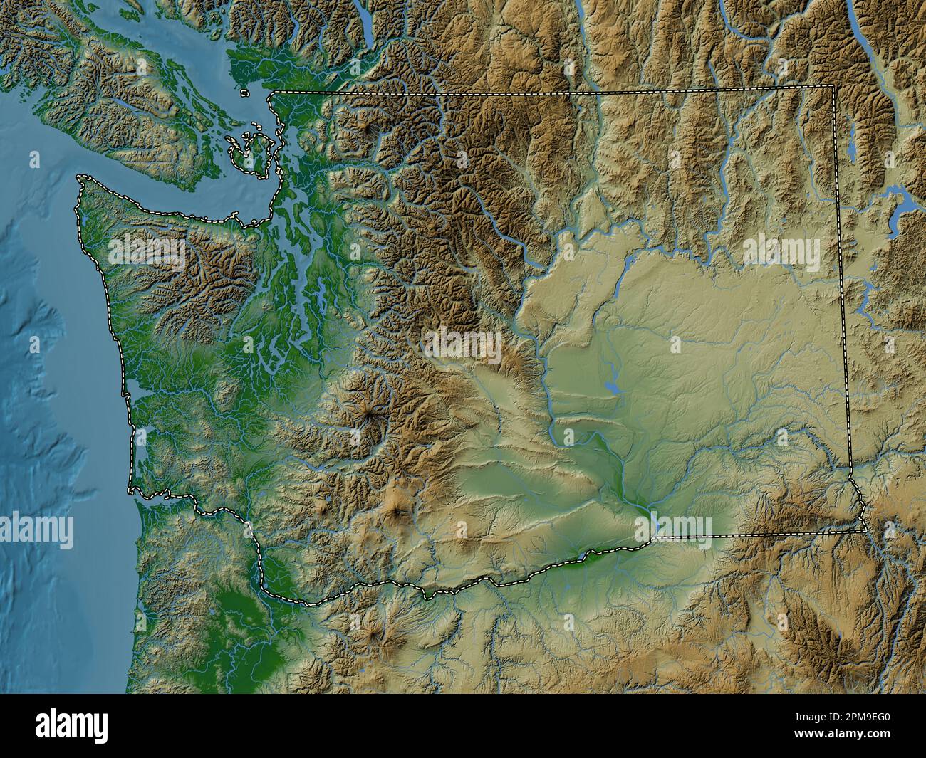 Washington, state of United States of America. Colored elevation map with lakes and rivers Stock Photohttps://www.alamy.com/image-license-details/?v=1https://www.alamy.com/washington-state-of-united-states-of-america-colored-elevation-map-with-lakes-and-rivers-image546023520.html
RF2PM9EG0–Washington, state of United States of America. Colored elevation map with lakes and rivers
 City of Kent, King County, US, United States, Washington, N 47 23' 19'', S 122 12' 46'', map, Cartascapes Map published in 2024. Explore Cartascapes, a map revealing Earth's diverse landscapes, cultures, and ecosystems. Journey through time and space, discovering the interconnectedness of our planet's past, present, and future. Stock Photohttps://www.alamy.com/image-license-details/?v=1https://www.alamy.com/city-of-kent-king-county-us-united-states-washington-n-47-23-19-s-122-12-46-map-cartascapes-map-published-in-2024-explore-cartascapes-a-map-revealing-earths-diverse-landscapes-cultures-and-ecosystems-journey-through-time-and-space-discovering-the-interconnectedness-of-our-planets-past-present-and-future-image633808885.html
RM2YR4DKH–City of Kent, King County, US, United States, Washington, N 47 23' 19'', S 122 12' 46'', map, Cartascapes Map published in 2024. Explore Cartascapes, a map revealing Earth's diverse landscapes, cultures, and ecosystems. Journey through time and space, discovering the interconnectedness of our planet's past, present, and future.
 Image 11 of Sanborn Fire Insurance Map from Pawtuxet Valley, Kent and Providence Counties, Rhode Island. Aug 1898. 21 Sheet(s). Includes Anthony, Apponaug, Arctic, Arctic Centre, Centreville, Clyde, Crompton, Fiskville, Harris, Hope Village, Lippitt, Natick, North Centreville, Phenix, Quidnick, River Point, Washington, America, street map with a Nineteenth Century compass Stock Photohttps://www.alamy.com/image-license-details/?v=1https://www.alamy.com/image-11-of-sanborn-fire-insurance-map-from-pawtuxet-valley-kent-and-providence-counties-rhode-island-aug-1898-21-sheets-includes-anthony-apponaug-arctic-arctic-centre-centreville-clyde-crompton-fiskville-harris-hope-village-lippitt-natick-north-centreville-phenix-quidnick-river-point-washington-america-street-map-with-a-nineteenth-century-compass-image344707597.html
RM2B0PP1H–Image 11 of Sanborn Fire Insurance Map from Pawtuxet Valley, Kent and Providence Counties, Rhode Island. Aug 1898. 21 Sheet(s). Includes Anthony, Apponaug, Arctic, Arctic Centre, Centreville, Clyde, Crompton, Fiskville, Harris, Hope Village, Lippitt, Natick, North Centreville, Phenix, Quidnick, River Point, Washington, America, street map with a Nineteenth Century compass
 Bounded by Washington Avenue, Kent Avenue, Division Avenue, Marcy Avenue, Heyward Street, Lee Avenue, Flushing Avenue, Bedford Avenue and Willoughby Avenue, Double Page Plate No. 29 1898 by Ullitz, Hugo. Stock Photohttps://www.alamy.com/image-license-details/?v=1https://www.alamy.com/bounded-by-washington-avenue-kent-avenue-division-avenue-marcy-avenue-heyward-street-lee-avenue-flushing-avenue-bedford-avenue-and-willoughby-avenue-double-page-plate-no-29-1898-by-ullitz-hugo-image633702370.html
RM2YPYHRE–Bounded by Washington Avenue, Kent Avenue, Division Avenue, Marcy Avenue, Heyward Street, Lee Avenue, Flushing Avenue, Bedford Avenue and Willoughby Avenue, Double Page Plate No. 29 1898 by Ullitz, Hugo.
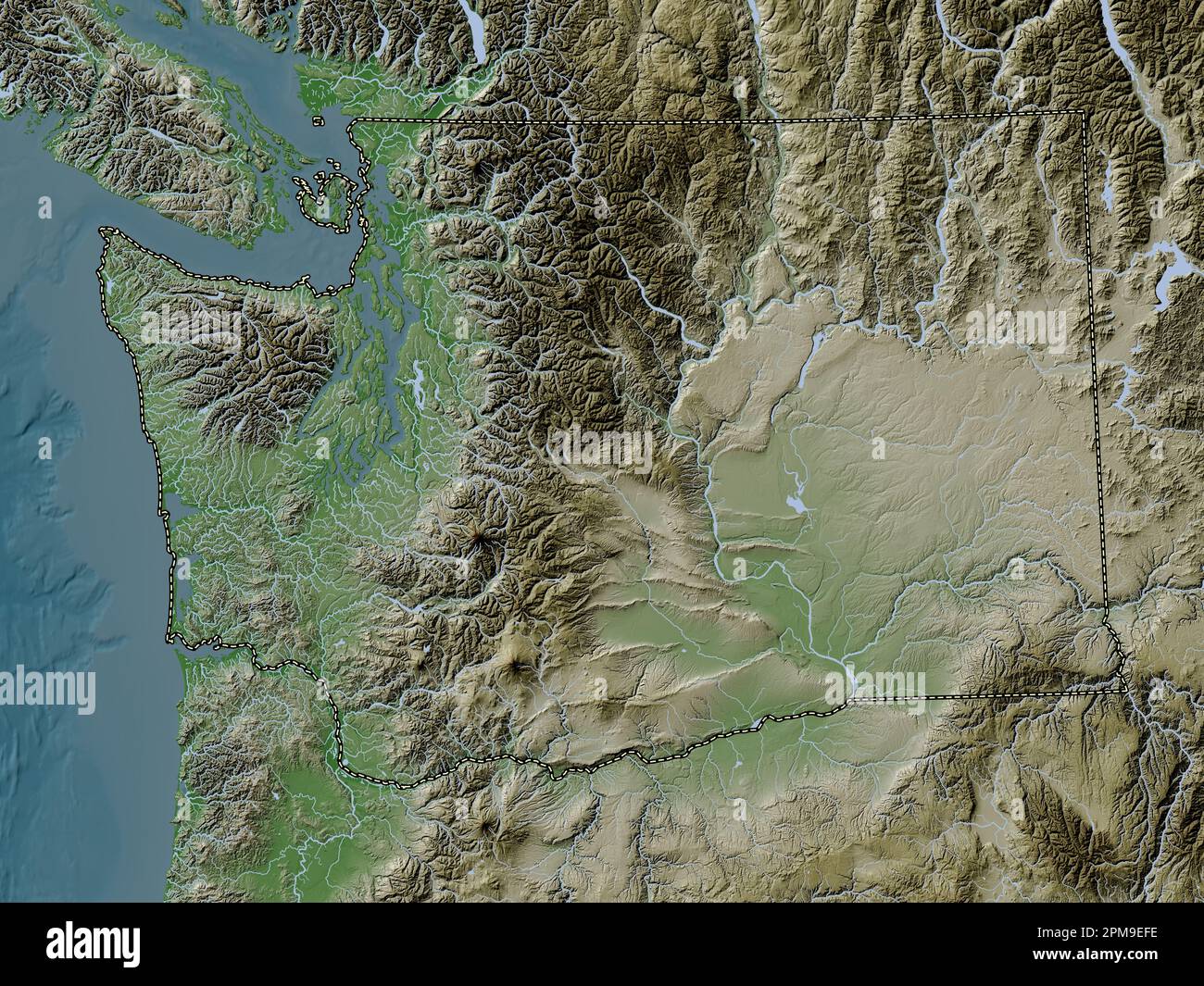 Washington, state of United States of America. Elevation map colored in wiki style with lakes and rivers Stock Photohttps://www.alamy.com/image-license-details/?v=1https://www.alamy.com/washington-state-of-united-states-of-america-elevation-map-colored-in-wiki-style-with-lakes-and-rivers-image546023506.html
RF2PM9EFE–Washington, state of United States of America. Elevation map colored in wiki style with lakes and rivers
 Washington, Kent County, US, United States, Rhode Island, N 41 41' 18'', S 71 34' 0'', map, Cartascapes Map published in 2024. Explore Cartascapes, a map revealing Earth's diverse landscapes, cultures, and ecosystems. Journey through time and space, discovering the interconnectedness of our planet's past, present, and future. Stock Photohttps://www.alamy.com/image-license-details/?v=1https://www.alamy.com/washington-kent-county-us-united-states-rhode-island-n-41-41-18-s-71-34-0-map-cartascapes-map-published-in-2024-explore-cartascapes-a-map-revealing-earths-diverse-landscapes-cultures-and-ecosystems-journey-through-time-and-space-discovering-the-interconnectedness-of-our-planets-past-present-and-future-image620866941.html
RM2Y22X39–Washington, Kent County, US, United States, Rhode Island, N 41 41' 18'', S 71 34' 0'', map, Cartascapes Map published in 2024. Explore Cartascapes, a map revealing Earth's diverse landscapes, cultures, and ecosystems. Journey through time and space, discovering the interconnectedness of our planet's past, present, and future.
 Image 7 of Sanborn Fire Insurance Map from Pawtuxet Valley, Kent and Providence Counties, Rhode Island. Aug 1898. 21 Sheet(s). Includes Anthony, Apponaug, Arctic, Arctic Centre, Centreville, Clyde, Crompton, Fiskville, Harris, Hope Village, Lippitt, Natick, North Centreville, Phenix, Quidnick, River Point, Washington, America, street map with a Nineteenth Century compass Stock Photohttps://www.alamy.com/image-license-details/?v=1https://www.alamy.com/image-7-of-sanborn-fire-insurance-map-from-pawtuxet-valley-kent-and-providence-counties-rhode-island-aug-1898-21-sheets-includes-anthony-apponaug-arctic-arctic-centre-centreville-clyde-crompton-fiskville-harris-hope-village-lippitt-natick-north-centreville-phenix-quidnick-river-point-washington-america-street-map-with-a-nineteenth-century-compass-image344707592.html
RM2B0PP1C–Image 7 of Sanborn Fire Insurance Map from Pawtuxet Valley, Kent and Providence Counties, Rhode Island. Aug 1898. 21 Sheet(s). Includes Anthony, Apponaug, Arctic, Arctic Centre, Centreville, Clyde, Crompton, Fiskville, Harris, Hope Village, Lippitt, Natick, North Centreville, Phenix, Quidnick, River Point, Washington, America, street map with a Nineteenth Century compass
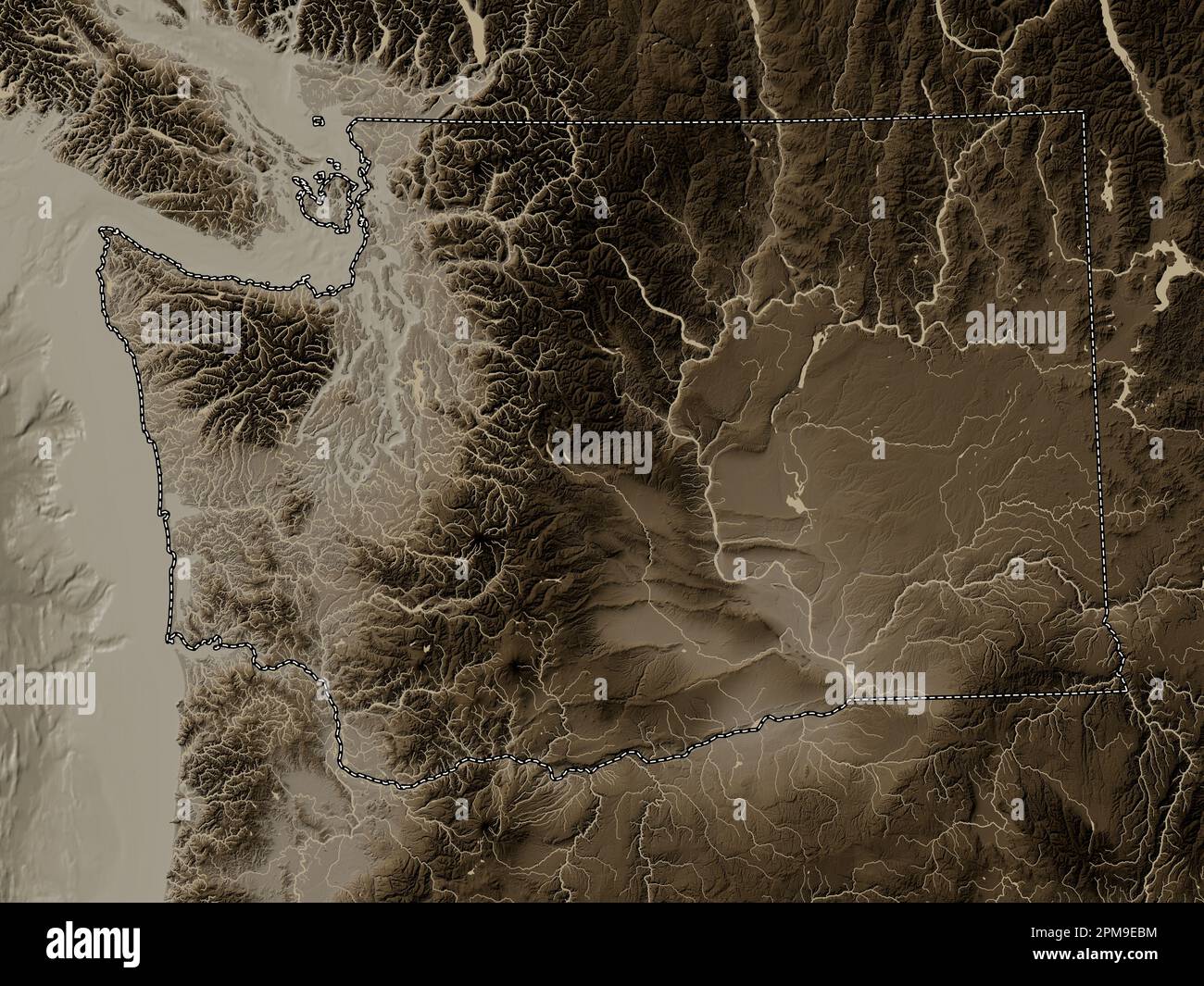 Washington, state of United States of America. Elevation map colored in sepia tones with lakes and rivers Stock Photohttps://www.alamy.com/image-license-details/?v=1https://www.alamy.com/washington-state-of-united-states-of-america-elevation-map-colored-in-sepia-tones-with-lakes-and-rivers-image546023400.html
RF2PM9EBM–Washington, state of United States of America. Elevation map colored in sepia tones with lakes and rivers
 Image 19 of Sanborn Fire Insurance Map from Pawtuxet Valley, Kent and Providence Counties, Rhode Island. Aug 1898. 21 Sheet(s). Includes Anthony, Apponaug, Arctic, Arctic Centre, Centreville, Clyde, Crompton, Fiskville, Harris, Hope Village, Lippitt, Natick, North Centreville, Phenix, Quidnick, River Point, Washington, America, street map with a Nineteenth Century compass Stock Photohttps://www.alamy.com/image-license-details/?v=1https://www.alamy.com/image-19-of-sanborn-fire-insurance-map-from-pawtuxet-valley-kent-and-providence-counties-rhode-island-aug-1898-21-sheets-includes-anthony-apponaug-arctic-arctic-centre-centreville-clyde-crompton-fiskville-harris-hope-village-lippitt-natick-north-centreville-phenix-quidnick-river-point-washington-america-street-map-with-a-nineteenth-century-compass-image344707601.html
RM2B0PP1N–Image 19 of Sanborn Fire Insurance Map from Pawtuxet Valley, Kent and Providence Counties, Rhode Island. Aug 1898. 21 Sheet(s). Includes Anthony, Apponaug, Arctic, Arctic Centre, Centreville, Clyde, Crompton, Fiskville, Harris, Hope Village, Lippitt, Natick, North Centreville, Phenix, Quidnick, River Point, Washington, America, street map with a Nineteenth Century compass
 Washington, state of United States of America. Grayscale elevation map with lakes and rivers. Locations of major cities of the region. Corner auxiliar Stock Photohttps://www.alamy.com/image-license-details/?v=1https://www.alamy.com/washington-state-of-united-states-of-america-grayscale-elevation-map-with-lakes-and-rivers-locations-of-major-cities-of-the-region-corner-auxiliar-image546023172.html
RF2PM9E3G–Washington, state of United States of America. Grayscale elevation map with lakes and rivers. Locations of major cities of the region. Corner auxiliar
 Image 2 of Sanborn Fire Insurance Map from Pawtuxet Valley, Kent and Providence Counties, Rhode Island. May 1894. 14 Sheet(s). Includes Anthony, Apponaug, Arctic, Arctic Centre, Centreville, Clyde, Crompton, Fiskville, Harris, Hope Village, Lippitt, Natick, North Centreville, Phenix, Quidnick, River Point, Washington, America, street map with a Nineteenth Century compass Stock Photohttps://www.alamy.com/image-license-details/?v=1https://www.alamy.com/image-2-of-sanborn-fire-insurance-map-from-pawtuxet-valley-kent-and-providence-counties-rhode-island-may-1894-14-sheets-includes-anthony-apponaug-arctic-arctic-centre-centreville-clyde-crompton-fiskville-harris-hope-village-lippitt-natick-north-centreville-phenix-quidnick-river-point-washington-america-street-map-with-a-nineteenth-century-compass-image344707570.html
RM2B0PP0J–Image 2 of Sanborn Fire Insurance Map from Pawtuxet Valley, Kent and Providence Counties, Rhode Island. May 1894. 14 Sheet(s). Includes Anthony, Apponaug, Arctic, Arctic Centre, Centreville, Clyde, Crompton, Fiskville, Harris, Hope Village, Lippitt, Natick, North Centreville, Phenix, Quidnick, River Point, Washington, America, street map with a Nineteenth Century compass
 Washington, state of United States of America. Bilevel elevation map with lakes and rivers. Locations and names of major cities of the region. Corner Stock Photohttps://www.alamy.com/image-license-details/?v=1https://www.alamy.com/washington-state-of-united-states-of-america-bilevel-elevation-map-with-lakes-and-rivers-locations-and-names-of-major-cities-of-the-region-corner-image546023174.html
RF2PM9E3J–Washington, state of United States of America. Bilevel elevation map with lakes and rivers. Locations and names of major cities of the region. Corner
 Image 9 of Sanborn Fire Insurance Map from Pawtuxet Valley, Kent and Providence Counties, Rhode Island. Aug 1898. 21 Sheet(s). Includes Anthony, Apponaug, Arctic, Arctic Centre, Centreville, Clyde, Crompton, Fiskville, Harris, Hope Village, Lippitt, Natick, North Centreville, Phenix, Quidnick, River Point, Washington, America, street map with a Nineteenth Century compass Stock Photohttps://www.alamy.com/image-license-details/?v=1https://www.alamy.com/image-9-of-sanborn-fire-insurance-map-from-pawtuxet-valley-kent-and-providence-counties-rhode-island-aug-1898-21-sheets-includes-anthony-apponaug-arctic-arctic-centre-centreville-clyde-crompton-fiskville-harris-hope-village-lippitt-natick-north-centreville-phenix-quidnick-river-point-washington-america-street-map-with-a-nineteenth-century-compass-image344707594.html
RM2B0PP1E–Image 9 of Sanborn Fire Insurance Map from Pawtuxet Valley, Kent and Providence Counties, Rhode Island. Aug 1898. 21 Sheet(s). Includes Anthony, Apponaug, Arctic, Arctic Centre, Centreville, Clyde, Crompton, Fiskville, Harris, Hope Village, Lippitt, Natick, North Centreville, Phenix, Quidnick, River Point, Washington, America, street map with a Nineteenth Century compass
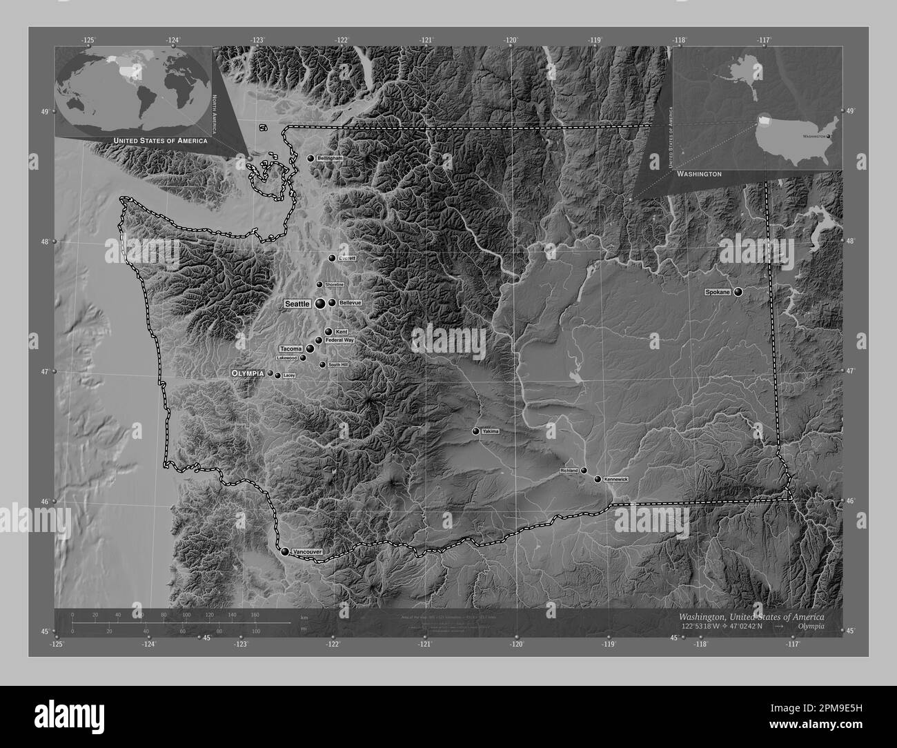 Washington, state of United States of America. Grayscale elevation map with lakes and rivers. Locations and names of major cities of the region. Corne Stock Photohttps://www.alamy.com/image-license-details/?v=1https://www.alamy.com/washington-state-of-united-states-of-america-grayscale-elevation-map-with-lakes-and-rivers-locations-and-names-of-major-cities-of-the-region-corne-image546023229.html
RF2PM9E5H–Washington, state of United States of America. Grayscale elevation map with lakes and rivers. Locations and names of major cities of the region. Corne
 Image 6 of Sanborn Fire Insurance Map from Pawtuxet Valley, Kent and Providence Counties, Rhode Island. Aug 1898. 21 Sheet(s). Includes Anthony, Apponaug, Arctic, Arctic Centre, Centreville, Clyde, Crompton, Fiskville, Harris, Hope Village, Lippitt, Natick, North Centreville, Phenix, Quidnick, River Point, Washington, America, street map with a Nineteenth Century compass Stock Photohttps://www.alamy.com/image-license-details/?v=1https://www.alamy.com/image-6-of-sanborn-fire-insurance-map-from-pawtuxet-valley-kent-and-providence-counties-rhode-island-aug-1898-21-sheets-includes-anthony-apponaug-arctic-arctic-centre-centreville-clyde-crompton-fiskville-harris-hope-village-lippitt-natick-north-centreville-phenix-quidnick-river-point-washington-america-street-map-with-a-nineteenth-century-compass-image344707590.html
RM2B0PP1A–Image 6 of Sanborn Fire Insurance Map from Pawtuxet Valley, Kent and Providence Counties, Rhode Island. Aug 1898. 21 Sheet(s). Includes Anthony, Apponaug, Arctic, Arctic Centre, Centreville, Clyde, Crompton, Fiskville, Harris, Hope Village, Lippitt, Natick, North Centreville, Phenix, Quidnick, River Point, Washington, America, street map with a Nineteenth Century compass
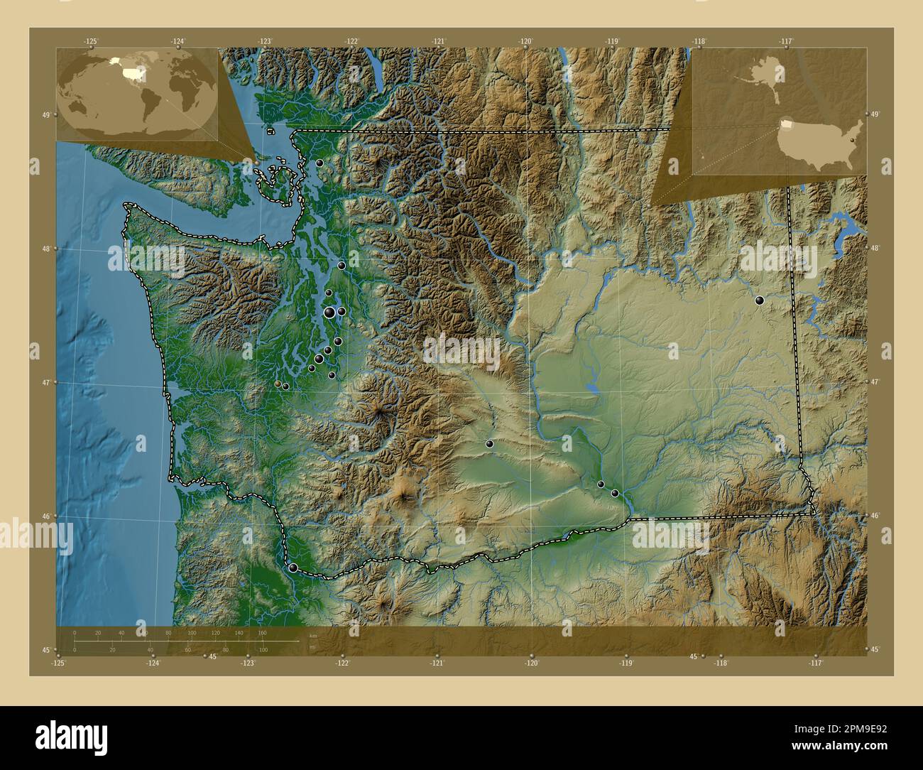 Washington, state of United States of America. Colored elevation map with lakes and rivers. Locations of major cities of the region. Corner auxiliary Stock Photohttps://www.alamy.com/image-license-details/?v=1https://www.alamy.com/washington-state-of-united-states-of-america-colored-elevation-map-with-lakes-and-rivers-locations-of-major-cities-of-the-region-corner-auxiliary-image546023326.html
RF2PM9E92–Washington, state of United States of America. Colored elevation map with lakes and rivers. Locations of major cities of the region. Corner auxiliary
 Image 11 of Sanborn Fire Insurance Map from Pawtuxet Valley, Kent and Providence Counties, Rhode Island. May 1894. 14 Sheet(s). Includes Anthony, Apponaug, Arctic, Arctic Centre, Centreville, Clyde, Crompton, Fiskville, Harris, Hope Village, Lippitt, Natick, North Centreville, Phenix, Quidnick, River Point, Washington, America, street map with a Nineteenth Century compass Stock Photohttps://www.alamy.com/image-license-details/?v=1https://www.alamy.com/image-11-of-sanborn-fire-insurance-map-from-pawtuxet-valley-kent-and-providence-counties-rhode-island-may-1894-14-sheets-includes-anthony-apponaug-arctic-arctic-centre-centreville-clyde-crompton-fiskville-harris-hope-village-lippitt-natick-north-centreville-phenix-quidnick-river-point-washington-america-street-map-with-a-nineteenth-century-compass-image344707580.html
RM2B0PP10–Image 11 of Sanborn Fire Insurance Map from Pawtuxet Valley, Kent and Providence Counties, Rhode Island. May 1894. 14 Sheet(s). Includes Anthony, Apponaug, Arctic, Arctic Centre, Centreville, Clyde, Crompton, Fiskville, Harris, Hope Village, Lippitt, Natick, North Centreville, Phenix, Quidnick, River Point, Washington, America, street map with a Nineteenth Century compass
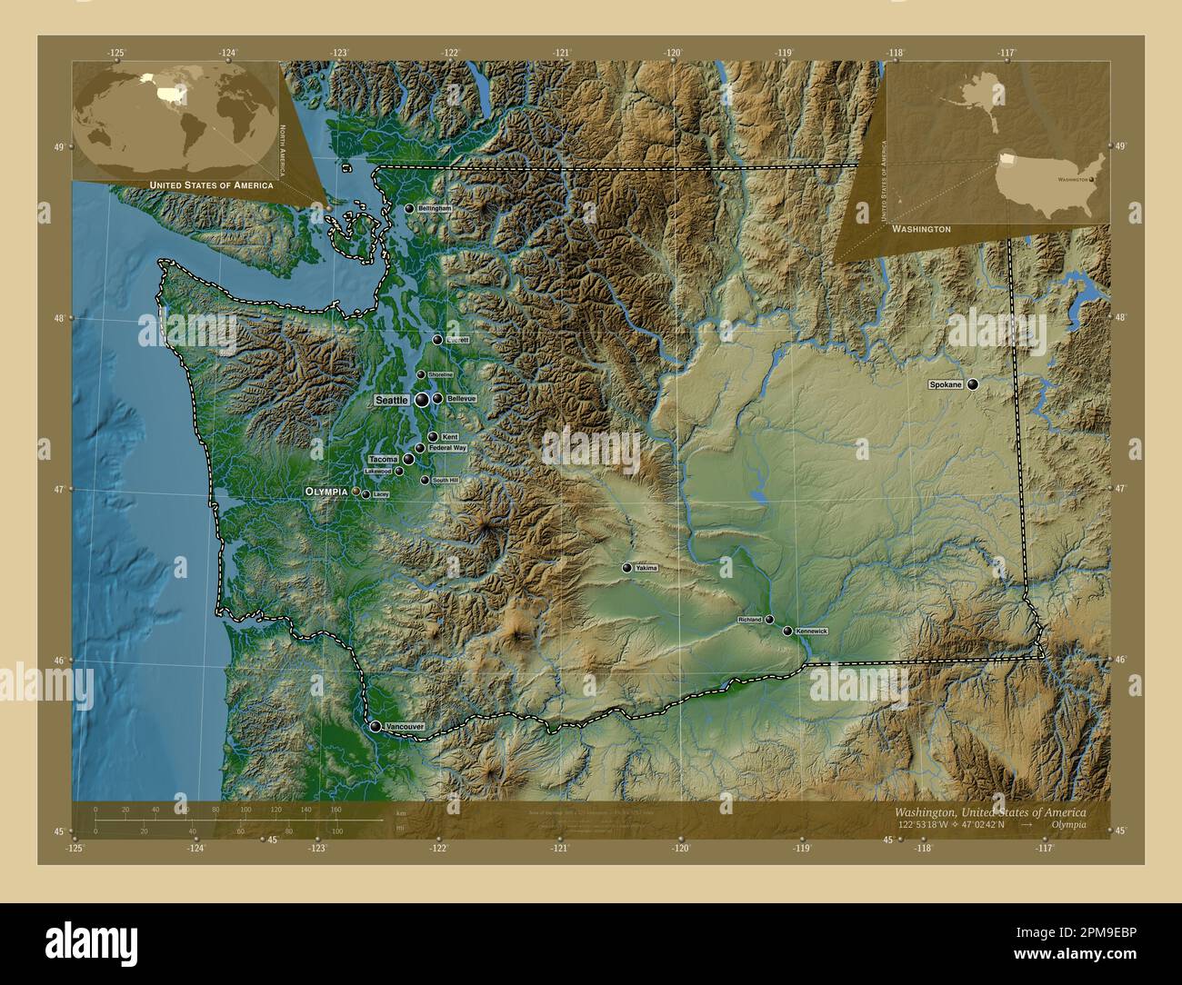 Washington, state of United States of America. Colored elevation map with lakes and rivers. Locations and names of major cities of the region. Corner Stock Photohttps://www.alamy.com/image-license-details/?v=1https://www.alamy.com/washington-state-of-united-states-of-america-colored-elevation-map-with-lakes-and-rivers-locations-and-names-of-major-cities-of-the-region-corner-image546023402.html
RF2PM9EBP–Washington, state of United States of America. Colored elevation map with lakes and rivers. Locations and names of major cities of the region. Corner
 Image 6 of Sanborn Fire Insurance Map from Pawtuxet Valley, Kent and Providence Counties, Rhode Island. May 1894. 14 Sheet(s). Includes Anthony, Apponaug, Arctic, Arctic Centre, Centreville, Clyde, Crompton, Fiskville, Harris, Hope Village, Lippitt, Natick, North Centreville, Phenix, Quidnick, River Point, Washington, America, street map with a Nineteenth Century compass Stock Photohttps://www.alamy.com/image-license-details/?v=1https://www.alamy.com/image-6-of-sanborn-fire-insurance-map-from-pawtuxet-valley-kent-and-providence-counties-rhode-island-may-1894-14-sheets-includes-anthony-apponaug-arctic-arctic-centre-centreville-clyde-crompton-fiskville-harris-hope-village-lippitt-natick-north-centreville-phenix-quidnick-river-point-washington-america-street-map-with-a-nineteenth-century-compass-image344707573.html
RM2B0PP0N–Image 6 of Sanborn Fire Insurance Map from Pawtuxet Valley, Kent and Providence Counties, Rhode Island. May 1894. 14 Sheet(s). Includes Anthony, Apponaug, Arctic, Arctic Centre, Centreville, Clyde, Crompton, Fiskville, Harris, Hope Village, Lippitt, Natick, North Centreville, Phenix, Quidnick, River Point, Washington, America, street map with a Nineteenth Century compass
 Washington, state of United States of America. Bilevel elevation map with lakes and rivers. Locations of major cities of the region. Corner auxiliary Stock Photohttps://www.alamy.com/image-license-details/?v=1https://www.alamy.com/washington-state-of-united-states-of-america-bilevel-elevation-map-with-lakes-and-rivers-locations-of-major-cities-of-the-region-corner-auxiliary-image546023169.html
RF2PM9E3D–Washington, state of United States of America. Bilevel elevation map with lakes and rivers. Locations of major cities of the region. Corner auxiliary
 Image 4 of Sanborn Fire Insurance Map from Pawtuxet Valley, Kent and Providence Counties, Rhode Island. Aug 1898. 21 Sheet(s). Includes Anthony, Apponaug, Arctic, Arctic Centre, Centreville, Clyde, Crompton, Fiskville, Harris, Hope Village, Lippitt, Natick, North Centreville, Phenix, Quidnick, River Point, Washington, America, street map with a Nineteenth Century compass Stock Photohttps://www.alamy.com/image-license-details/?v=1https://www.alamy.com/image-4-of-sanborn-fire-insurance-map-from-pawtuxet-valley-kent-and-providence-counties-rhode-island-aug-1898-21-sheets-includes-anthony-apponaug-arctic-arctic-centre-centreville-clyde-crompton-fiskville-harris-hope-village-lippitt-natick-north-centreville-phenix-quidnick-river-point-washington-america-street-map-with-a-nineteenth-century-compass-image344707588.html
RM2B0PP18–Image 4 of Sanborn Fire Insurance Map from Pawtuxet Valley, Kent and Providence Counties, Rhode Island. Aug 1898. 21 Sheet(s). Includes Anthony, Apponaug, Arctic, Arctic Centre, Centreville, Clyde, Crompton, Fiskville, Harris, Hope Village, Lippitt, Natick, North Centreville, Phenix, Quidnick, River Point, Washington, America, street map with a Nineteenth Century compass
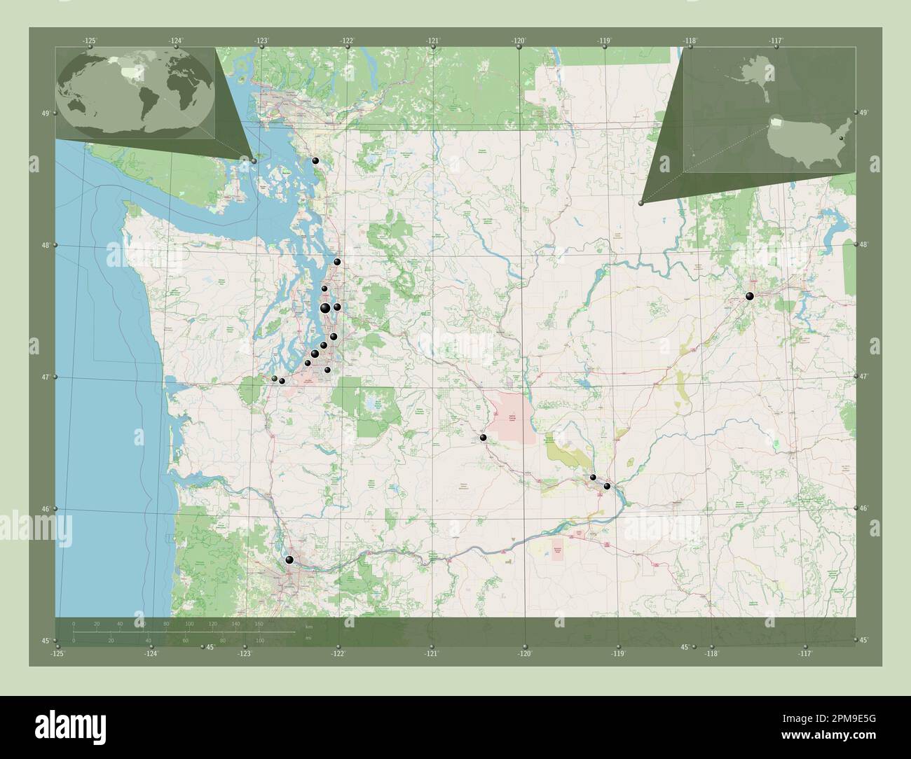 Washington, state of United States of America. Open Street Map. Locations of major cities of the region. Corner auxiliary location maps Stock Photohttps://www.alamy.com/image-license-details/?v=1https://www.alamy.com/washington-state-of-united-states-of-america-open-street-map-locations-of-major-cities-of-the-region-corner-auxiliary-location-maps-image546023228.html
RF2PM9E5G–Washington, state of United States of America. Open Street Map. Locations of major cities of the region. Corner auxiliary location maps
 Image 5 of Sanborn Fire Insurance Map from Pawtuxet Valley, Kent and Providence Counties, Rhode Island. May 1894. 14 Sheet(s). Includes Anthony, Apponaug, Arctic, Arctic Centre, Centreville, Clyde, Crompton, Fiskville, Harris, Hope Village, Lippitt, Natick, North Centreville, Phenix, Quidnick, River Point, Washington, America, street map with a Nineteenth Century compass Stock Photohttps://www.alamy.com/image-license-details/?v=1https://www.alamy.com/image-5-of-sanborn-fire-insurance-map-from-pawtuxet-valley-kent-and-providence-counties-rhode-island-may-1894-14-sheets-includes-anthony-apponaug-arctic-arctic-centre-centreville-clyde-crompton-fiskville-harris-hope-village-lippitt-natick-north-centreville-phenix-quidnick-river-point-washington-america-street-map-with-a-nineteenth-century-compass-image344707574.html
RM2B0PP0P–Image 5 of Sanborn Fire Insurance Map from Pawtuxet Valley, Kent and Providence Counties, Rhode Island. May 1894. 14 Sheet(s). Includes Anthony, Apponaug, Arctic, Arctic Centre, Centreville, Clyde, Crompton, Fiskville, Harris, Hope Village, Lippitt, Natick, North Centreville, Phenix, Quidnick, River Point, Washington, America, street map with a Nineteenth Century compass
 Washington, state of United States of America. High resolution satellite map. Locations of major cities of the region. Corner auxiliary location maps Stock Photohttps://www.alamy.com/image-license-details/?v=1https://www.alamy.com/washington-state-of-united-states-of-america-high-resolution-satellite-map-locations-of-major-cities-of-the-region-corner-auxiliary-location-maps-image546023314.html
RF2PM9E8J–Washington, state of United States of America. High resolution satellite map. Locations of major cities of the region. Corner auxiliary location maps
 Image 1 of Sanborn Fire Insurance Map from Pawtuxet Valley, Kent and Providence Counties, Rhode Island. May 1894. 14 Sheet(s). Includes Anthony, Apponaug, Arctic, Arctic Centre, Centreville, Clyde, Crompton, Fiskville, Harris, Hope Village, Lippitt, Natick, North Centreville, Phenix, Quidnick, River Point, Washington, America, street map with a Nineteenth Century compass Stock Photohttps://www.alamy.com/image-license-details/?v=1https://www.alamy.com/image-1-of-sanborn-fire-insurance-map-from-pawtuxet-valley-kent-and-providence-counties-rhode-island-may-1894-14-sheets-includes-anthony-apponaug-arctic-arctic-centre-centreville-clyde-crompton-fiskville-harris-hope-village-lippitt-natick-north-centreville-phenix-quidnick-river-point-washington-america-street-map-with-a-nineteenth-century-compass-image344707569.html
RM2B0PP0H–Image 1 of Sanborn Fire Insurance Map from Pawtuxet Valley, Kent and Providence Counties, Rhode Island. May 1894. 14 Sheet(s). Includes Anthony, Apponaug, Arctic, Arctic Centre, Centreville, Clyde, Crompton, Fiskville, Harris, Hope Village, Lippitt, Natick, North Centreville, Phenix, Quidnick, River Point, Washington, America, street map with a Nineteenth Century compass
 Washington, state of United States of America. High resolution satellite map. Locations and names of major cities of the region. Corner auxiliary loca Stock Photohttps://www.alamy.com/image-license-details/?v=1https://www.alamy.com/washington-state-of-united-states-of-america-high-resolution-satellite-map-locations-and-names-of-major-cities-of-the-region-corner-auxiliary-loca-image546023239.html
RF2PM9E5Y–Washington, state of United States of America. High resolution satellite map. Locations and names of major cities of the region. Corner auxiliary loca
 Image 12 of Sanborn Fire Insurance Map from Pawtuxet Valley, Kent and Providence Counties, Rhode Island. May 1894. 14 Sheet(s). Includes Anthony, Apponaug, Arctic, Arctic Centre, Centreville, Clyde, Crompton, Fiskville, Harris, Hope Village, Lippitt, Natick, North Centreville, Phenix, Quidnick, River Point, Washington, America, street map with a Nineteenth Century compass Stock Photohttps://www.alamy.com/image-license-details/?v=1https://www.alamy.com/image-12-of-sanborn-fire-insurance-map-from-pawtuxet-valley-kent-and-providence-counties-rhode-island-may-1894-14-sheets-includes-anthony-apponaug-arctic-arctic-centre-centreville-clyde-crompton-fiskville-harris-hope-village-lippitt-natick-north-centreville-phenix-quidnick-river-point-washington-america-street-map-with-a-nineteenth-century-compass-image344707581.html
RM2B0PP11–Image 12 of Sanborn Fire Insurance Map from Pawtuxet Valley, Kent and Providence Counties, Rhode Island. May 1894. 14 Sheet(s). Includes Anthony, Apponaug, Arctic, Arctic Centre, Centreville, Clyde, Crompton, Fiskville, Harris, Hope Village, Lippitt, Natick, North Centreville, Phenix, Quidnick, River Point, Washington, America, street map with a Nineteenth Century compass
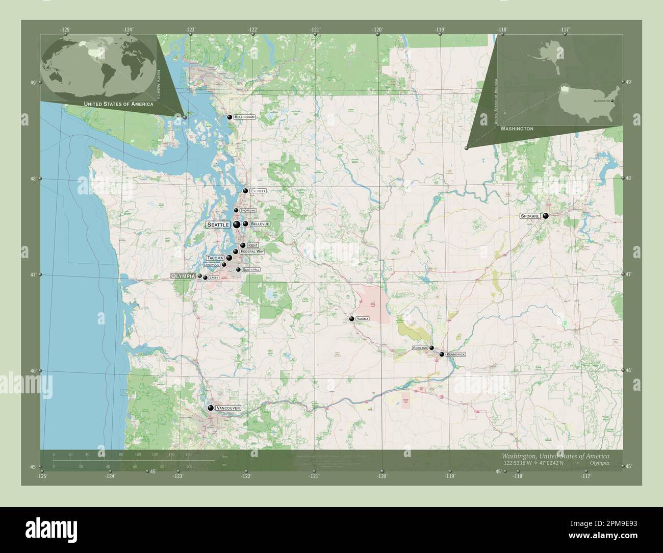 Washington, state of United States of America. Open Street Map. Locations and names of major cities of the region. Corner auxiliary location maps Stock Photohttps://www.alamy.com/image-license-details/?v=1https://www.alamy.com/washington-state-of-united-states-of-america-open-street-map-locations-and-names-of-major-cities-of-the-region-corner-auxiliary-location-maps-image546023327.html
RF2PM9E93–Washington, state of United States of America. Open Street Map. Locations and names of major cities of the region. Corner auxiliary location maps
 Image 3 of Sanborn Fire Insurance Map from Pawtuxet Valley, Kent and Providence Counties, Rhode Island. Aug 1898. 21 Sheet(s). Includes Anthony, Apponaug, Arctic, Arctic Centre, Centreville, Clyde, Crompton, Fiskville, Harris, Hope Village, Lippitt, Natick, North Centreville, Phenix, Quidnick, River Point, Washington, America, street map with a Nineteenth Century compass Stock Photohttps://www.alamy.com/image-license-details/?v=1https://www.alamy.com/image-3-of-sanborn-fire-insurance-map-from-pawtuxet-valley-kent-and-providence-counties-rhode-island-aug-1898-21-sheets-includes-anthony-apponaug-arctic-arctic-centre-centreville-clyde-crompton-fiskville-harris-hope-village-lippitt-natick-north-centreville-phenix-quidnick-river-point-washington-america-street-map-with-a-nineteenth-century-compass-image344707585.html
RM2B0PP15–Image 3 of Sanborn Fire Insurance Map from Pawtuxet Valley, Kent and Providence Counties, Rhode Island. Aug 1898. 21 Sheet(s). Includes Anthony, Apponaug, Arctic, Arctic Centre, Centreville, Clyde, Crompton, Fiskville, Harris, Hope Village, Lippitt, Natick, North Centreville, Phenix, Quidnick, River Point, Washington, America, street map with a Nineteenth Century compass
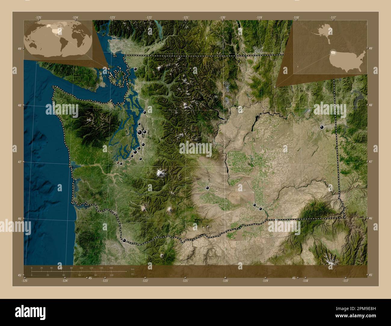 Washington, state of United States of America. Low resolution satellite map. Locations of major cities of the region. Corner auxiliary location maps Stock Photohttps://www.alamy.com/image-license-details/?v=1https://www.alamy.com/washington-state-of-united-states-of-america-low-resolution-satellite-map-locations-of-major-cities-of-the-region-corner-auxiliary-location-maps-image546023313.html
RF2PM9E8H–Washington, state of United States of America. Low resolution satellite map. Locations of major cities of the region. Corner auxiliary location maps
 Image 14 of Sanborn Fire Insurance Map from Pawtuxet Valley, Kent and Providence Counties, Rhode Island. Aug 1898. 21 Sheet(s). Includes Anthony, Apponaug, Arctic, Arctic Centre, Centreville, Clyde, Crompton, Fiskville, Harris, Hope Village, Lippitt, Natick, North Centreville, Phenix, Quidnick, River Point, Washington, America, street map with a Nineteenth Century compass Stock Photohttps://www.alamy.com/image-license-details/?v=1https://www.alamy.com/image-14-of-sanborn-fire-insurance-map-from-pawtuxet-valley-kent-and-providence-counties-rhode-island-aug-1898-21-sheets-includes-anthony-apponaug-arctic-arctic-centre-centreville-clyde-crompton-fiskville-harris-hope-village-lippitt-natick-north-centreville-phenix-quidnick-river-point-washington-america-street-map-with-a-nineteenth-century-compass-image344707598.html
RM2B0PP1J–Image 14 of Sanborn Fire Insurance Map from Pawtuxet Valley, Kent and Providence Counties, Rhode Island. Aug 1898. 21 Sheet(s). Includes Anthony, Apponaug, Arctic, Arctic Centre, Centreville, Clyde, Crompton, Fiskville, Harris, Hope Village, Lippitt, Natick, North Centreville, Phenix, Quidnick, River Point, Washington, America, street map with a Nineteenth Century compass
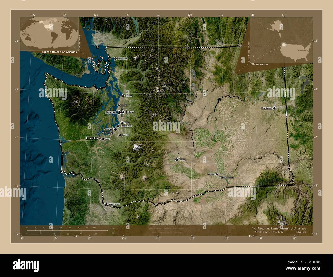 Washington, state of United States of America. Low resolution satellite map. Locations and names of major cities of the region. Corner auxiliary locat Stock Photohttps://www.alamy.com/image-license-details/?v=1https://www.alamy.com/washington-state-of-united-states-of-america-low-resolution-satellite-map-locations-and-names-of-major-cities-of-the-region-corner-auxiliary-locat-image546023315.html
RF2PM9E8K–Washington, state of United States of America. Low resolution satellite map. Locations and names of major cities of the region. Corner auxiliary locat
 Image 8 of Sanborn Fire Insurance Map from Pawtuxet Valley, Kent and Providence Counties, Rhode Island. Aug 1898. 21 Sheet(s). Includes Anthony, Apponaug, Arctic, Arctic Centre, Centreville, Clyde, Crompton, Fiskville, Harris, Hope Village, Lippitt, Natick, North Centreville, Phenix, Quidnick, River Point, Washington, America, street map with a Nineteenth Century compass Stock Photohttps://www.alamy.com/image-license-details/?v=1https://www.alamy.com/image-8-of-sanborn-fire-insurance-map-from-pawtuxet-valley-kent-and-providence-counties-rhode-island-aug-1898-21-sheets-includes-anthony-apponaug-arctic-arctic-centre-centreville-clyde-crompton-fiskville-harris-hope-village-lippitt-natick-north-centreville-phenix-quidnick-river-point-washington-america-street-map-with-a-nineteenth-century-compass-image344707593.html
RM2B0PP1D–Image 8 of Sanborn Fire Insurance Map from Pawtuxet Valley, Kent and Providence Counties, Rhode Island. Aug 1898. 21 Sheet(s). Includes Anthony, Apponaug, Arctic, Arctic Centre, Centreville, Clyde, Crompton, Fiskville, Harris, Hope Village, Lippitt, Natick, North Centreville, Phenix, Quidnick, River Point, Washington, America, street map with a Nineteenth Century compass
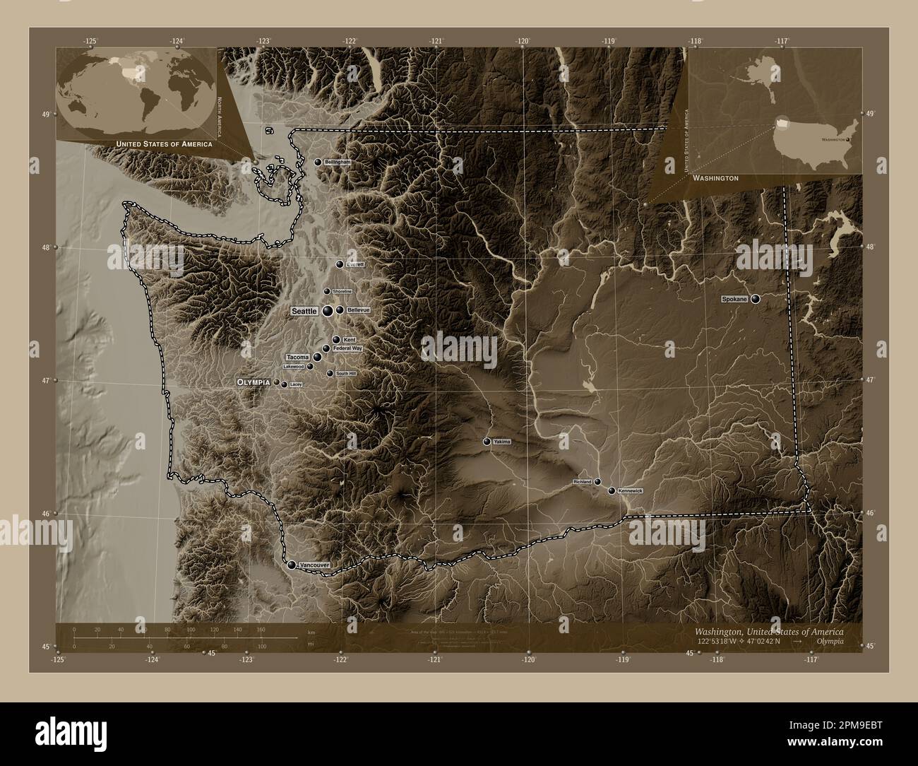 Washington, state of United States of America. Elevation map colored in sepia tones with lakes and rivers. Locations and names of major cities of the Stock Photohttps://www.alamy.com/image-license-details/?v=1https://www.alamy.com/washington-state-of-united-states-of-america-elevation-map-colored-in-sepia-tones-with-lakes-and-rivers-locations-and-names-of-major-cities-of-the-image546023404.html
RF2PM9EBT–Washington, state of United States of America. Elevation map colored in sepia tones with lakes and rivers. Locations and names of major cities of the
 Image 9 of Sanborn Fire Insurance Map from Pawtuxet Valley, Kent and Providence Counties, Rhode Island. May 1894. 14 Sheet(s). Includes Anthony, Apponaug, Arctic, Arctic Centre, Centreville, Clyde, Crompton, Fiskville, Harris, Hope Village, Lippitt, Natick, North Centreville, Phenix, Quidnick, River Point, Washington, America, street map with a Nineteenth Century compass Stock Photohttps://www.alamy.com/image-license-details/?v=1https://www.alamy.com/image-9-of-sanborn-fire-insurance-map-from-pawtuxet-valley-kent-and-providence-counties-rhode-island-may-1894-14-sheets-includes-anthony-apponaug-arctic-arctic-centre-centreville-clyde-crompton-fiskville-harris-hope-village-lippitt-natick-north-centreville-phenix-quidnick-river-point-washington-america-street-map-with-a-nineteenth-century-compass-image344707578.html
RM2B0PP0X–Image 9 of Sanborn Fire Insurance Map from Pawtuxet Valley, Kent and Providence Counties, Rhode Island. May 1894. 14 Sheet(s). Includes Anthony, Apponaug, Arctic, Arctic Centre, Centreville, Clyde, Crompton, Fiskville, Harris, Hope Village, Lippitt, Natick, North Centreville, Phenix, Quidnick, River Point, Washington, America, street map with a Nineteenth Century compass
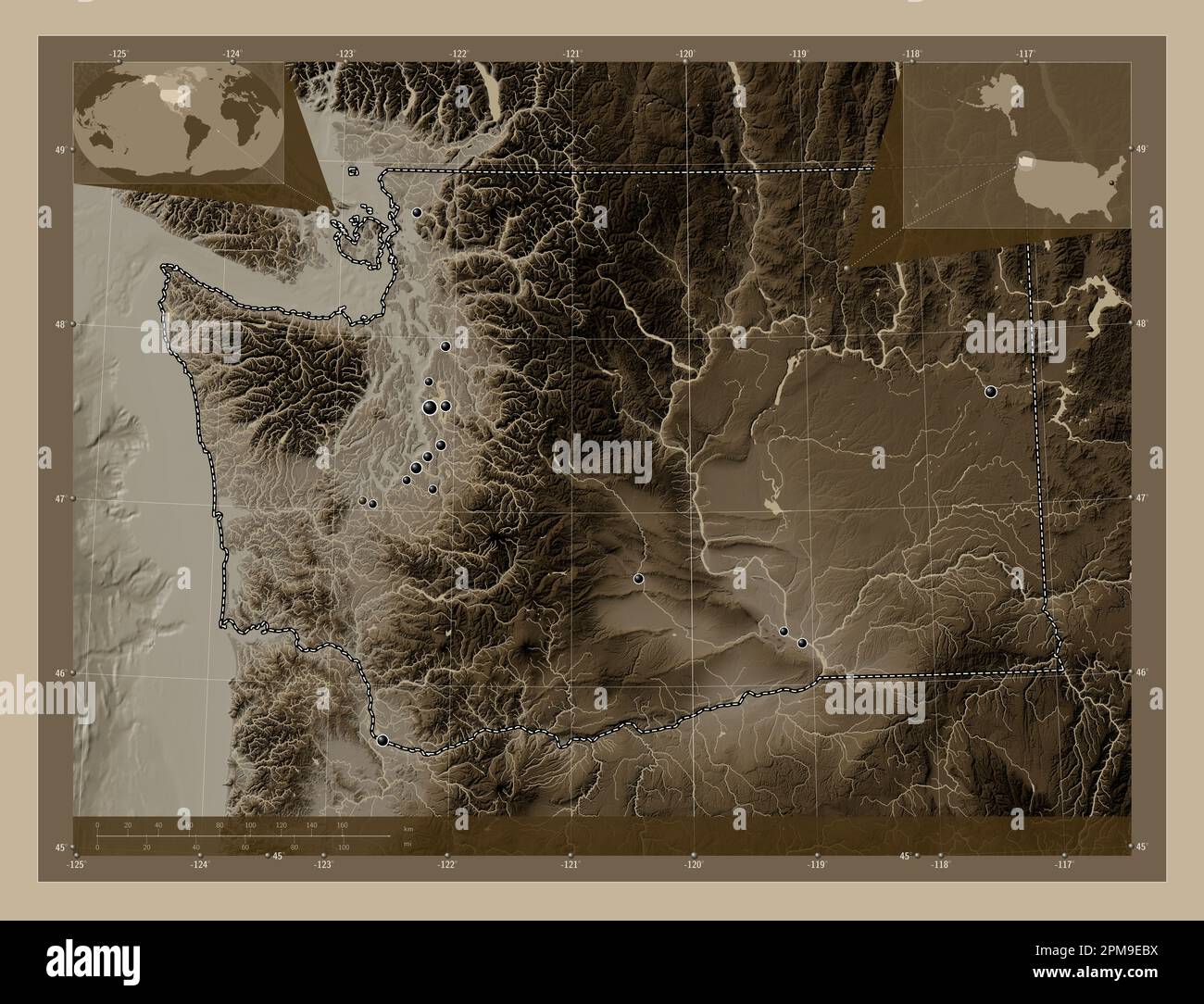 Washington, state of United States of America. Elevation map colored in sepia tones with lakes and rivers. Locations of major cities of the region. Co Stock Photohttps://www.alamy.com/image-license-details/?v=1https://www.alamy.com/washington-state-of-united-states-of-america-elevation-map-colored-in-sepia-tones-with-lakes-and-rivers-locations-of-major-cities-of-the-region-co-image546023406.html
RF2PM9EBX–Washington, state of United States of America. Elevation map colored in sepia tones with lakes and rivers. Locations of major cities of the region. Co
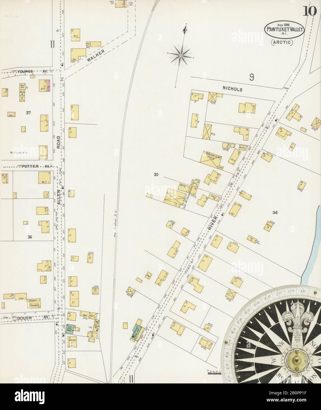 Image 10 of Sanborn Fire Insurance Map from Pawtuxet Valley, Kent and Providence Counties, Rhode Island. Aug 1898. 21 Sheet(s). Includes Anthony, Apponaug, Arctic, Arctic Centre, Centreville, Clyde, Crompton, Fiskville, Harris, Hope Village, Lippitt, Natick, North Centreville, Phenix, Quidnick, River Point, Washington, America, street map with a Nineteenth Century compass Stock Photohttps://www.alamy.com/image-license-details/?v=1https://www.alamy.com/image-10-of-sanborn-fire-insurance-map-from-pawtuxet-valley-kent-and-providence-counties-rhode-island-aug-1898-21-sheets-includes-anthony-apponaug-arctic-arctic-centre-centreville-clyde-crompton-fiskville-harris-hope-village-lippitt-natick-north-centreville-phenix-quidnick-river-point-washington-america-street-map-with-a-nineteenth-century-compass-image344707595.html
RM2B0PP1F–Image 10 of Sanborn Fire Insurance Map from Pawtuxet Valley, Kent and Providence Counties, Rhode Island. Aug 1898. 21 Sheet(s). Includes Anthony, Apponaug, Arctic, Arctic Centre, Centreville, Clyde, Crompton, Fiskville, Harris, Hope Village, Lippitt, Natick, North Centreville, Phenix, Quidnick, River Point, Washington, America, street map with a Nineteenth Century compass
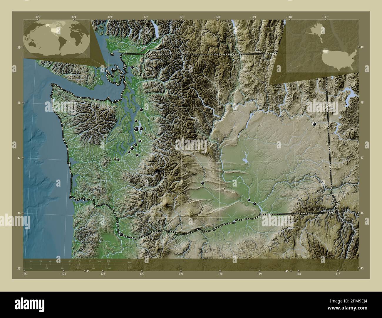 Washington, state of United States of America. Elevation map colored in wiki style with lakes and rivers. Locations of major cities of the region. Cor Stock Photohttps://www.alamy.com/image-license-details/?v=1https://www.alamy.com/washington-state-of-united-states-of-america-elevation-map-colored-in-wiki-style-with-lakes-and-rivers-locations-of-major-cities-of-the-region-cor-image546023580.html
RF2PM9EJ4–Washington, state of United States of America. Elevation map colored in wiki style with lakes and rivers. Locations of major cities of the region. Cor
 Image 1 of Sanborn Fire Insurance Map from Pawtuxet Valley, Kent and Providence Counties, Rhode Island. Aug 1898. 21 Sheet(s). Includes Anthony, Apponaug, Arctic, Arctic Centre, Centreville, Clyde, Crompton, Fiskville, Harris, Hope Village, Lippitt, Natick, North Centreville, Phenix, Quidnick, River Point, Washington, America, street map with a Nineteenth Century compass Stock Photohttps://www.alamy.com/image-license-details/?v=1https://www.alamy.com/image-1-of-sanborn-fire-insurance-map-from-pawtuxet-valley-kent-and-providence-counties-rhode-island-aug-1898-21-sheets-includes-anthony-apponaug-arctic-arctic-centre-centreville-clyde-crompton-fiskville-harris-hope-village-lippitt-natick-north-centreville-phenix-quidnick-river-point-washington-america-street-map-with-a-nineteenth-century-compass-image344707584.html
RM2B0PP14–Image 1 of Sanborn Fire Insurance Map from Pawtuxet Valley, Kent and Providence Counties, Rhode Island. Aug 1898. 21 Sheet(s). Includes Anthony, Apponaug, Arctic, Arctic Centre, Centreville, Clyde, Crompton, Fiskville, Harris, Hope Village, Lippitt, Natick, North Centreville, Phenix, Quidnick, River Point, Washington, America, street map with a Nineteenth Century compass
 Washington, state of United States of America. Elevation map colored in wiki style with lakes and rivers. Locations and names of major cities of the r Stock Photohttps://www.alamy.com/image-license-details/?v=1https://www.alamy.com/washington-state-of-united-states-of-america-elevation-map-colored-in-wiki-style-with-lakes-and-rivers-locations-and-names-of-major-cities-of-the-r-image546023499.html
RF2PM9EF7–Washington, state of United States of America. Elevation map colored in wiki style with lakes and rivers. Locations and names of major cities of the r
 Image 10 of Sanborn Fire Insurance Map from Pawtuxet Valley, Kent and Providence Counties, Rhode Island. May 1894. 14 Sheet(s). Includes Anthony, Apponaug, Arctic, Arctic Centre, Centreville, Clyde, Crompton, Fiskville, Harris, Hope Village, Lippitt, Natick, North Centreville, Phenix, Quidnick, River Point, Washington, America, street map with a Nineteenth Century compass Stock Photohttps://www.alamy.com/image-license-details/?v=1https://www.alamy.com/image-10-of-sanborn-fire-insurance-map-from-pawtuxet-valley-kent-and-providence-counties-rhode-island-may-1894-14-sheets-includes-anthony-apponaug-arctic-arctic-centre-centreville-clyde-crompton-fiskville-harris-hope-village-lippitt-natick-north-centreville-phenix-quidnick-river-point-washington-america-street-map-with-a-nineteenth-century-compass-image344707579.html
RM2B0PP0Y–Image 10 of Sanborn Fire Insurance Map from Pawtuxet Valley, Kent and Providence Counties, Rhode Island. May 1894. 14 Sheet(s). Includes Anthony, Apponaug, Arctic, Arctic Centre, Centreville, Clyde, Crompton, Fiskville, Harris, Hope Village, Lippitt, Natick, North Centreville, Phenix, Quidnick, River Point, Washington, America, street map with a Nineteenth Century compass
 Washington, state of United States of America. Solid color shape Stock Photohttps://www.alamy.com/image-license-details/?v=1https://www.alamy.com/washington-state-of-united-states-of-america-solid-color-shape-image546023324.html
RF2PM9E90–Washington, state of United States of America. Solid color shape