Quick filters:
Map of kilkenny Stock Photos and Images
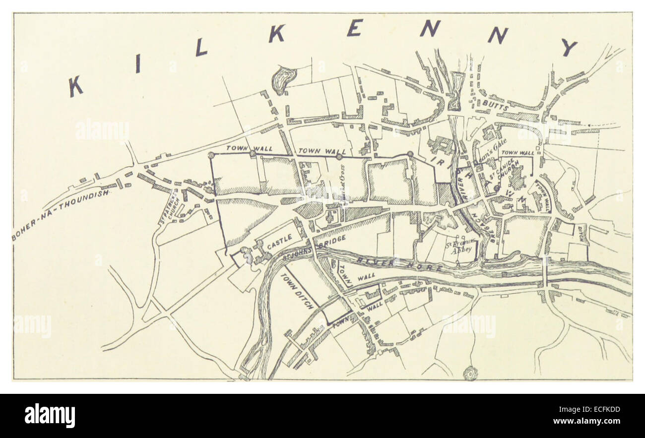 MURPHY(1883) p345 Map of Kilkenny Stock Photohttps://www.alamy.com/image-license-details/?v=1https://www.alamy.com/stock-photo-murphy1883-p345-map-of-kilkenny-76561897.html
RMECFKDD–MURPHY(1883) p345 Map of Kilkenny
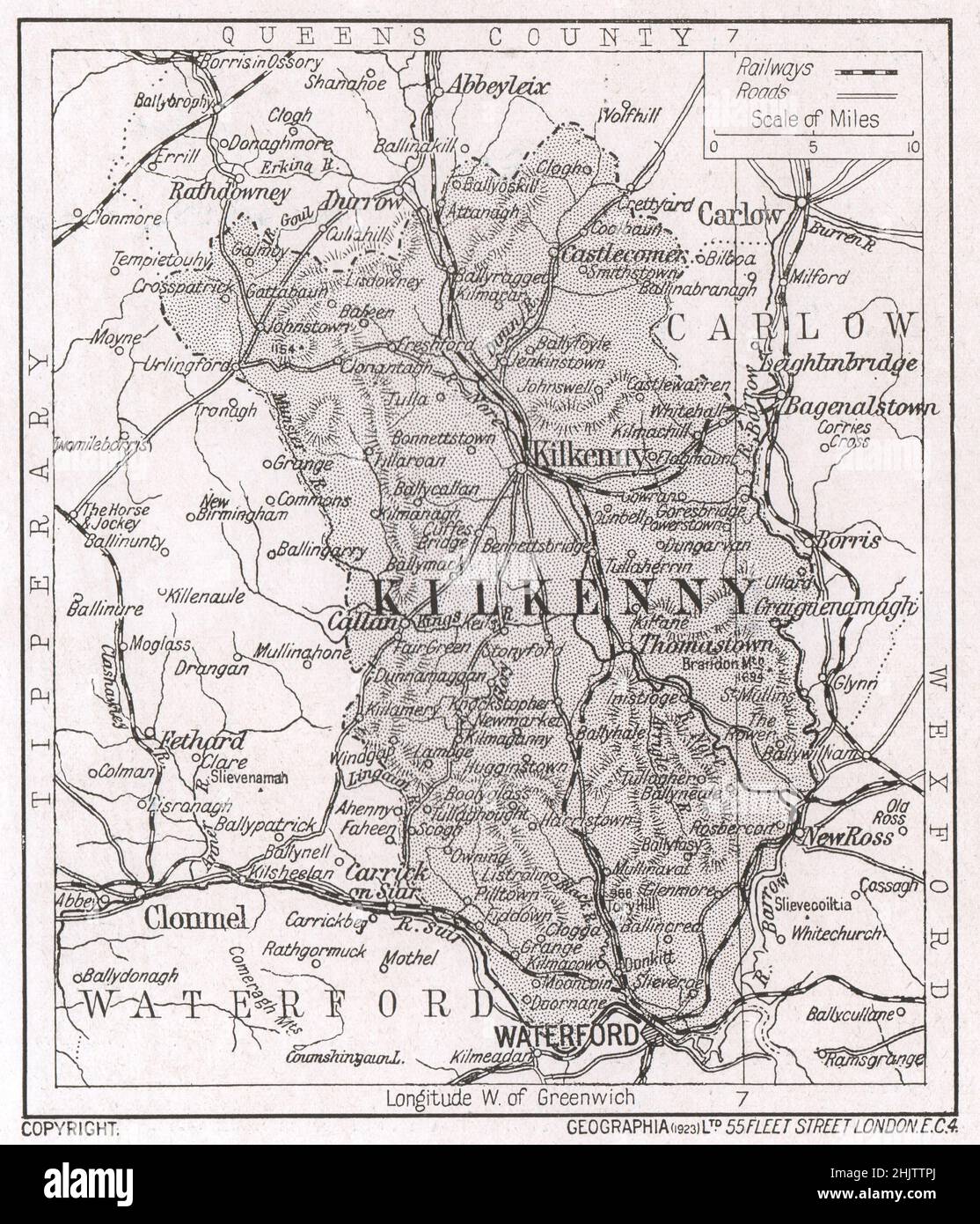 Map of Co. Kilkenny. County Kilkenny (1913) Stock Photohttps://www.alamy.com/image-license-details/?v=1https://www.alamy.com/map-of-co-kilkenny-county-kilkenny-1913-image459079674.html
RF2HJTTPJ–Map of Co. Kilkenny. County Kilkenny (1913)
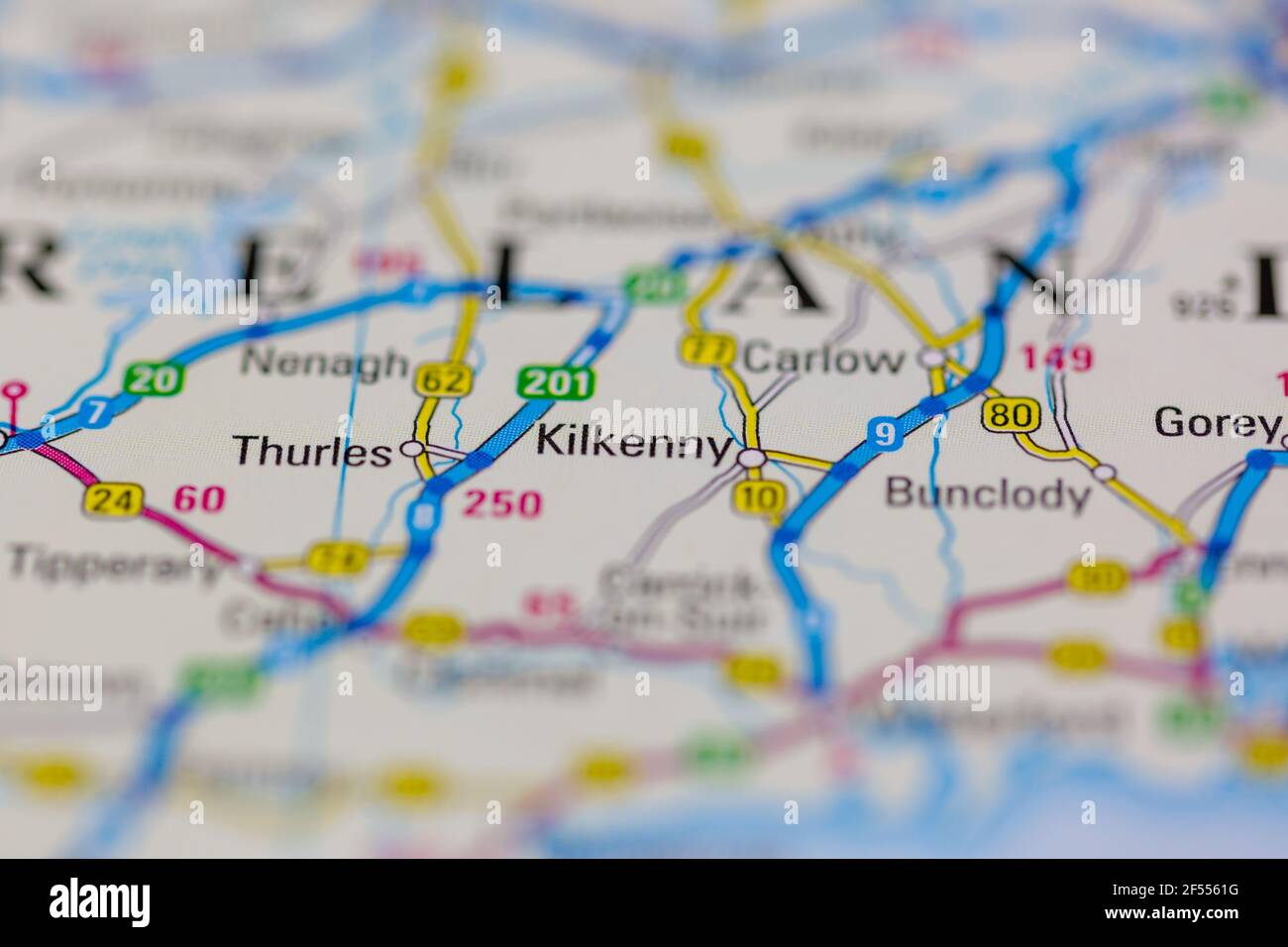 Kilkenny Shown on a Geography map or road map Stock Photohttps://www.alamy.com/image-license-details/?v=1https://www.alamy.com/kilkenny-shown-on-a-geography-map-or-road-map-image416236620.html
RM2F5561G–Kilkenny Shown on a Geography map or road map
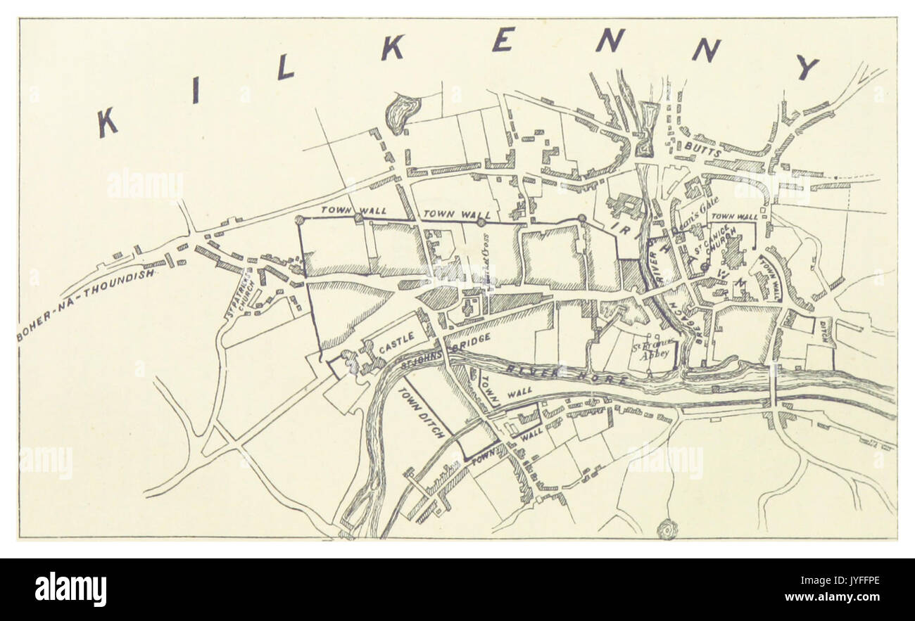 MURPHY(1883) p345 Map of Kilkenny Stock Photohttps://www.alamy.com/image-license-details/?v=1https://www.alamy.com/murphy1883-p345-map-of-kilkenny-image154620326.html
RMJYFFPE–MURPHY(1883) p345 Map of Kilkenny
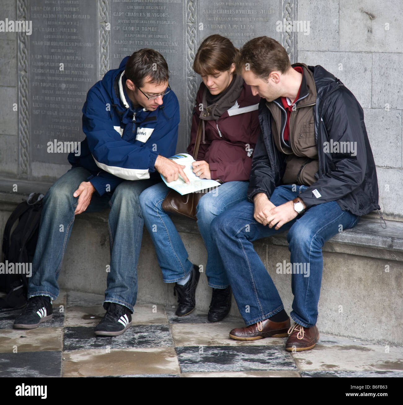 Three tourists reading a map, St Canice's Cathedral, Kilkenny, Ireland Stock Photohttps://www.alamy.com/image-license-details/?v=1https://www.alamy.com/stock-photo-three-tourists-reading-a-map-st-canices-cathedral-kilkenny-ireland-21236379.html
RMB6FB63–Three tourists reading a map, St Canice's Cathedral, Kilkenny, Ireland
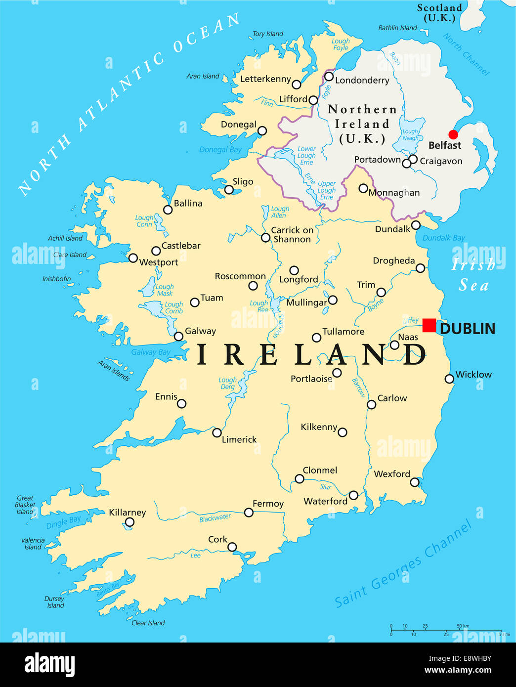 Ireland Political Map with capital Dublin, national borders, important cities, rivers and lakes. English labeling and scaling. Stock Photohttps://www.alamy.com/image-license-details/?v=1https://www.alamy.com/stock-photo-ireland-political-map-with-capital-dublin-national-borders-important-74321183.html
RFE8WHBY–Ireland Political Map with capital Dublin, national borders, important cities, rivers and lakes. English labeling and scaling.
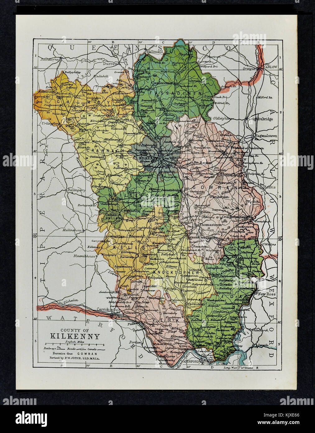 Antique Ireland Map - Kilkenny County - Castlecomer Thomastown Callan Kells Gowran Stock Photohttps://www.alamy.com/image-license-details/?v=1https://www.alamy.com/stock-image-antique-ireland-map-kilkenny-county-castlecomer-thomastown-callan-166539022.html
RFKJXE66–Antique Ireland Map - Kilkenny County - Castlecomer Thomastown Callan Kells Gowran
 Kilkenny, Somerset, AU, Australia, Queensland, S 26 59' 32'', N 152 16' 6'', map, Cartascapes Map published in 2024. Explore Cartascapes, a map revealing Earth's diverse landscapes, cultures, and ecosystems. Journey through time and space, discovering the interconnectedness of our planet's past, present, and future. Stock Photohttps://www.alamy.com/image-license-details/?v=1https://www.alamy.com/kilkenny-somerset-au-australia-queensland-s-26-59-32-n-152-16-6-map-cartascapes-map-published-in-2024-explore-cartascapes-a-map-revealing-earths-diverse-landscapes-cultures-and-ecosystems-journey-through-time-and-space-discovering-the-interconnectedness-of-our-planets-past-present-and-future-image625490229.html
RM2Y9HF4N–Kilkenny, Somerset, AU, Australia, Queensland, S 26 59' 32'', N 152 16' 6'', map, Cartascapes Map published in 2024. Explore Cartascapes, a map revealing Earth's diverse landscapes, cultures, and ecosystems. Journey through time and space, discovering the interconnectedness of our planet's past, present, and future.
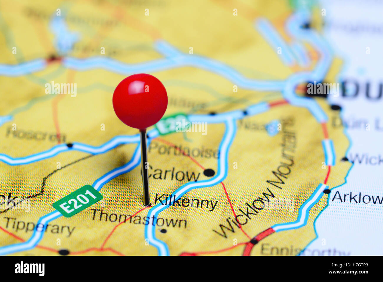 Kilkenny pinned on a map of Ireland Stock Photohttps://www.alamy.com/image-license-details/?v=1https://www.alamy.com/stock-photo-kilkenny-pinned-on-a-map-of-ireland-125145863.html
RFH7GTR3–Kilkenny pinned on a map of Ireland
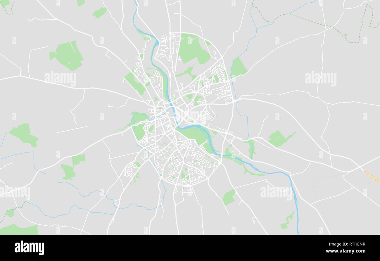 Kilkenny, Ireland downtown street map in classic style colors with all relevant motorways, roads and railways. Stock Vectorhttps://www.alamy.com/image-license-details/?v=1https://www.alamy.com/kilkenny-ireland-downtown-street-map-in-classic-style-colors-with-all-relevant-motorways-roads-and-railways-image238871299.html
RFRTHENR–Kilkenny, Ireland downtown street map in classic style colors with all relevant motorways, roads and railways.
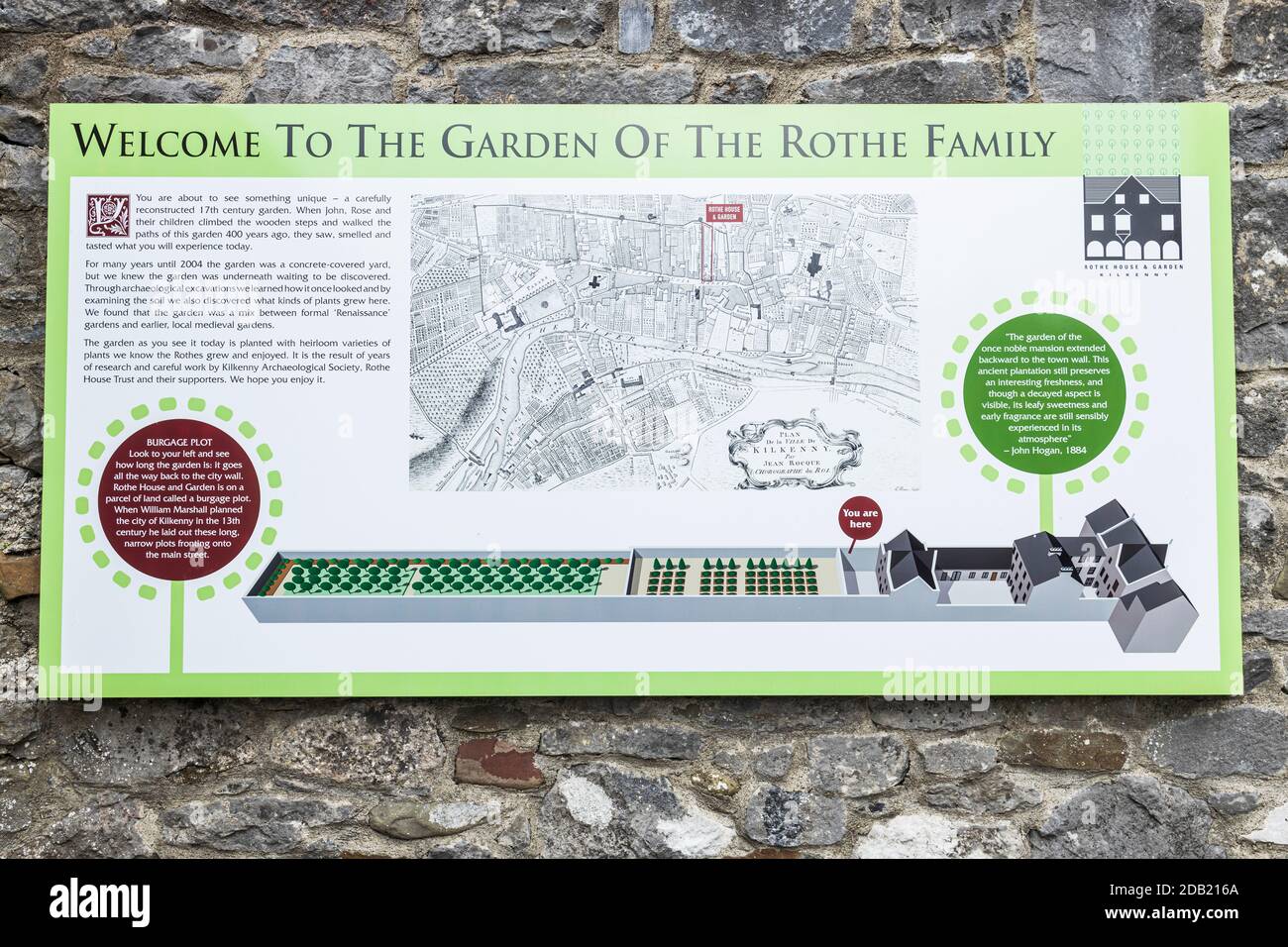 Information panel with map of the garden at Rothe house, Kilkenny, County Kilkenny, Ireland Stock Photohttps://www.alamy.com/image-license-details/?v=1https://www.alamy.com/information-panel-with-map-of-the-garden-at-rothe-house-kilkenny-county-kilkenny-ireland-image385434178.html
RM2DB216A–Information panel with map of the garden at Rothe house, Kilkenny, County Kilkenny, Ireland
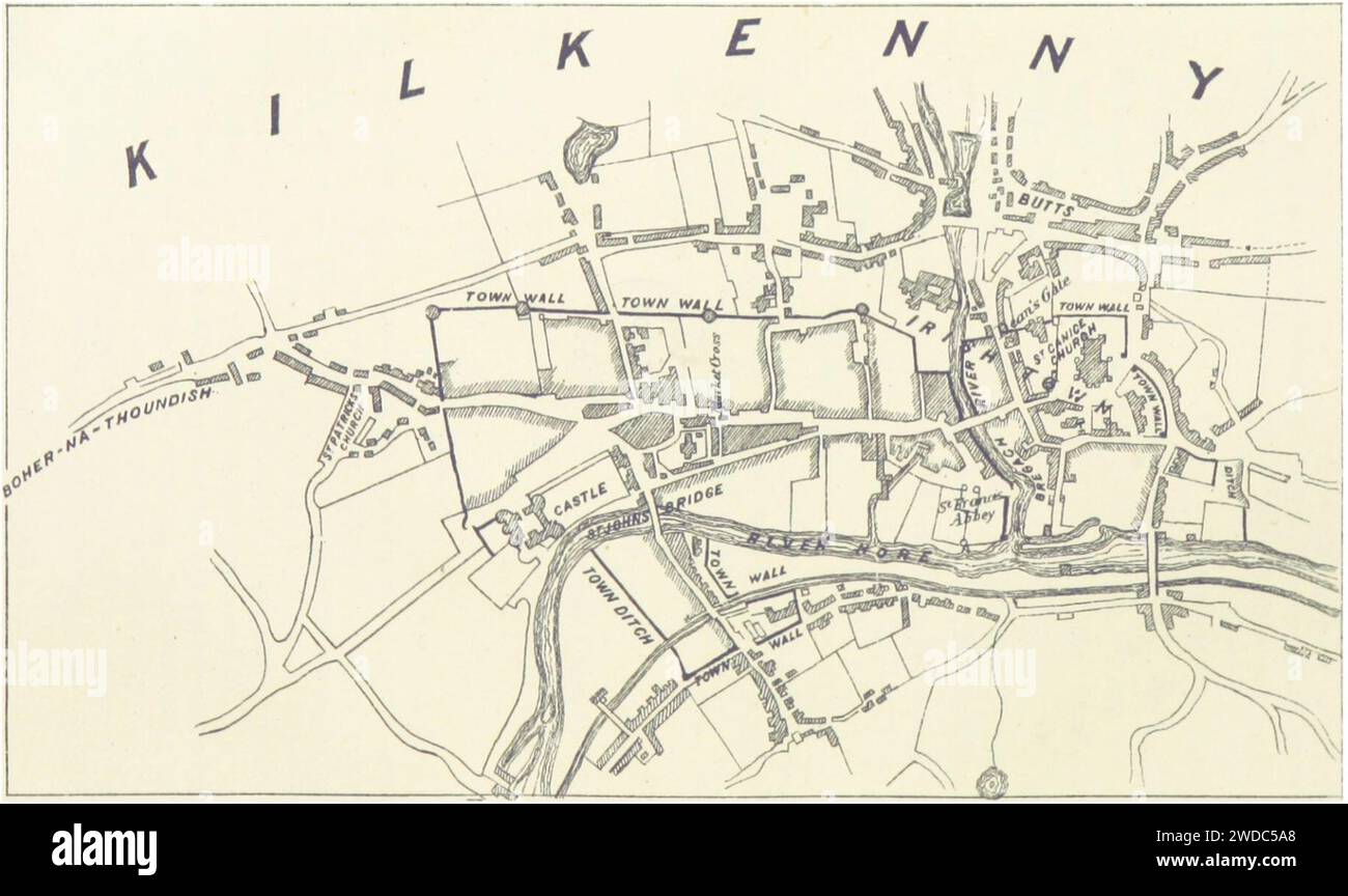 MURPHY(1883) p345 Map of Kilkenny. Stock Photohttps://www.alamy.com/image-license-details/?v=1https://www.alamy.com/murphy1883-p345-map-of-kilkenny-image593410672.html
RM2WDC5A8–MURPHY(1883) p345 Map of Kilkenny.
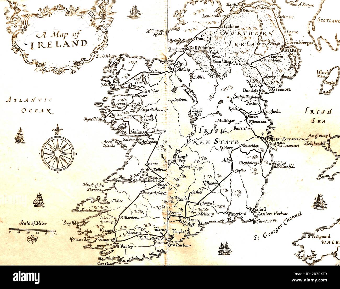 An old map of Ireland 1931. Stock Photohttps://www.alamy.com/image-license-details/?v=1https://www.alamy.com/an-old-map-of-ireland-1931-image555560329.html
RM2R7RXT9–An old map of Ireland 1931.
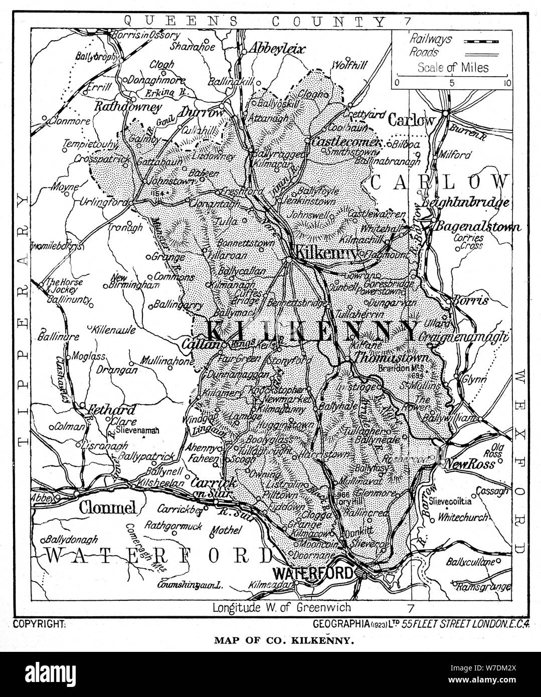 Map of County Kilkenny, Ireland, 1924-1926. Artist: Unknown Stock Photohttps://www.alamy.com/image-license-details/?v=1https://www.alamy.com/map-of-county-kilkenny-ireland-1924-1926-artist-unknown-image262759250.html
RMW7DM2X–Map of County Kilkenny, Ireland, 1924-1926. Artist: Unknown
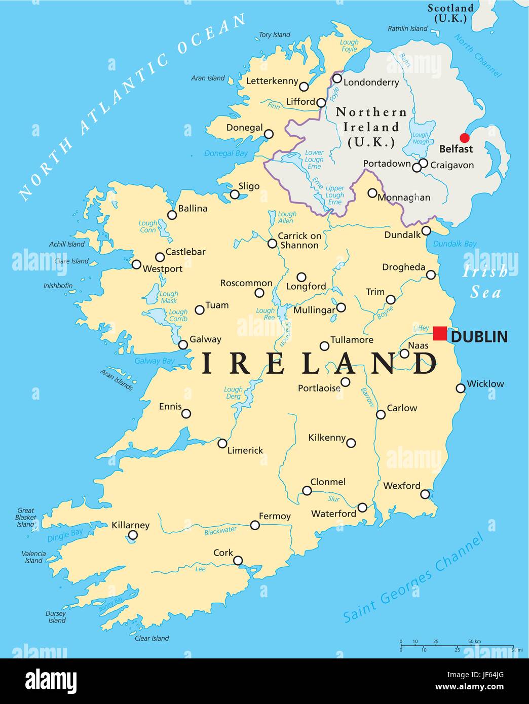 ireland, map, atlas, map of the world, atlantic ocean, salt water, sea, ocean, Stock Vectorhttps://www.alamy.com/image-license-details/?v=1https://www.alamy.com/stock-photo-ireland-map-atlas-map-of-the-world-atlantic-ocean-salt-water-sea-ocean-147038152.html
RFJF64JG–ireland, map, atlas, map of the world, atlantic ocean, salt water, sea, ocean,
![A Survey of the City of Kilkenny Author Rocque, John 54.4. Place of publication: [London] Publisher: [J. Rocque] Date of publication: [1758] Item type: 1 map Medium: copperplate engraving Dimensions: 49.2 x 68.4 cm Former owner: George III, King of Great Britain, 1738-1820 Stock Photo A Survey of the City of Kilkenny Author Rocque, John 54.4. Place of publication: [London] Publisher: [J. Rocque] Date of publication: [1758] Item type: 1 map Medium: copperplate engraving Dimensions: 49.2 x 68.4 cm Former owner: George III, King of Great Britain, 1738-1820 Stock Photo](https://c8.alamy.com/comp/2E9F6HB/a-survey-of-the-city-of-kilkenny-author-rocque-john-544-place-of-publication-london-publisher-j-rocque-date-of-publication-1758-item-type-1-map-medium-copperplate-engraving-dimensions-492-x-684-cm-former-owner-george-iii-king-of-great-britain-1738-1820-2E9F6HB.jpg) A Survey of the City of Kilkenny Author Rocque, John 54.4. Place of publication: [London] Publisher: [J. Rocque] Date of publication: [1758] Item type: 1 map Medium: copperplate engraving Dimensions: 49.2 x 68.4 cm Former owner: George III, King of Great Britain, 1738-1820 Stock Photohttps://www.alamy.com/image-license-details/?v=1https://www.alamy.com/a-survey-of-the-city-of-kilkenny-author-rocque-john-544-place-of-publication-london-publisher-j-rocque-date-of-publication-1758-item-type-1-map-medium-copperplate-engraving-dimensions-492-x-684-cm-former-owner-george-iii-king-of-great-britain-1738-1820-image401704839.html
A Survey of the City of Kilkenny Author Rocque, John 54.4. Place of publication: [London] Publisher: [J. Rocque] Date of publication: [1758] Item type: 1 map Medium: copperplate engraving Dimensions: 49.2 x 68.4 cm Former owner: George III, King of Great Britain, 1738-1820 Stock Photohttps://www.alamy.com/image-license-details/?v=1https://www.alamy.com/a-survey-of-the-city-of-kilkenny-author-rocque-john-544-place-of-publication-london-publisher-j-rocque-date-of-publication-1758-item-type-1-map-medium-copperplate-engraving-dimensions-492-x-684-cm-former-owner-george-iii-king-of-great-britain-1738-1820-image401704839.htmlRM2E9F6HB–A Survey of the City of Kilkenny Author Rocque, John 54.4. Place of publication: [London] Publisher: [J. Rocque] Date of publication: [1758] Item type: 1 map Medium: copperplate engraving Dimensions: 49.2 x 68.4 cm Former owner: George III, King of Great Britain, 1738-1820
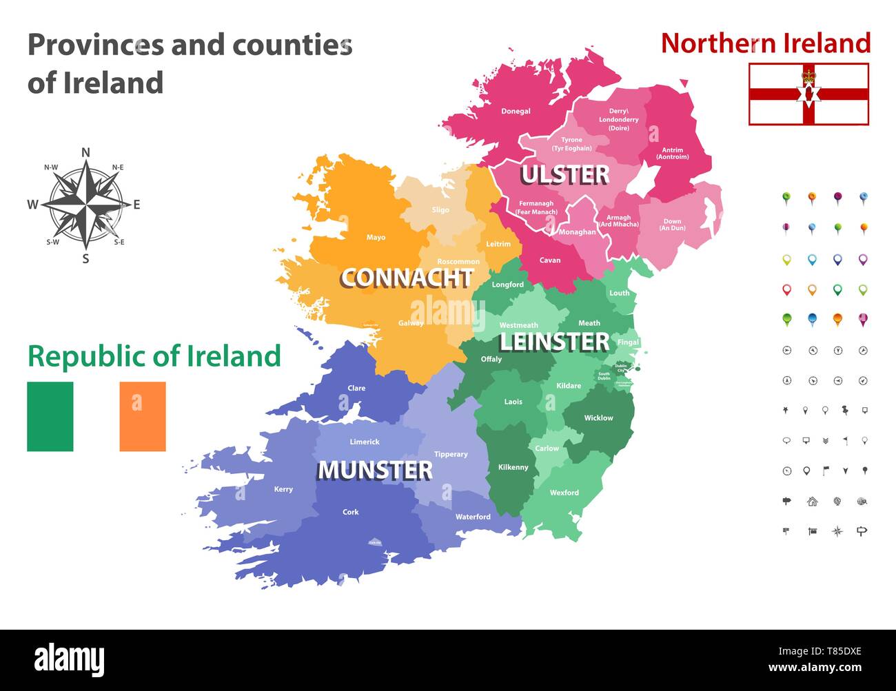 Provinces and counties of Ireland vector map Stock Vectorhttps://www.alamy.com/image-license-details/?v=1https://www.alamy.com/provinces-and-counties-of-ireland-vector-map-image245983094.html
RFT85DXE–Provinces and counties of Ireland vector map
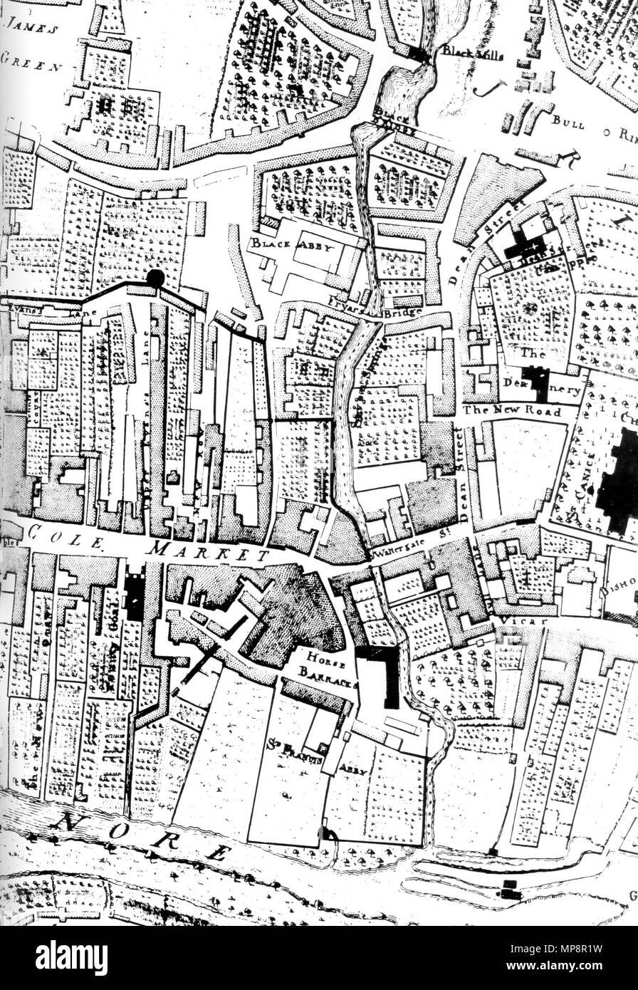 . Plan of Black Abbey and its surroundings from 1758 in Kilkenny, Co. Kilkenny, Ireland. 1758. John Rocque 765 Kilkenny Map Black Abbey John Rocque 1758 Stock Photohttps://www.alamy.com/image-license-details/?v=1https://www.alamy.com/plan-of-black-abbey-and-its-surroundings-from-1758-in-kilkenny-co-kilkenny-ireland-1758-john-rocque-765-kilkenny-map-black-abbey-john-rocque-1758-image185819813.html
RMMP8R1W–. Plan of Black Abbey and its surroundings from 1758 in Kilkenny, Co. Kilkenny, Ireland. 1758. John Rocque 765 Kilkenny Map Black Abbey John Rocque 1758
 Kilkenny county outline map set Stock Vectorhttps://www.alamy.com/image-license-details/?v=1https://www.alamy.com/kilkenny-county-outline-map-set-image620990629.html
RF2Y28FTN–Kilkenny county outline map set
 NEWENHAM(1830) p159 KILKENNY - ABBEY OF JERRPOINT Stock Photohttps://www.alamy.com/image-license-details/?v=1https://www.alamy.com/stock-photo-newenham1830-p159-kilkenny-abbey-of-jerrpoint-76562242.html
RMECFKWP–NEWENHAM(1830) p159 KILKENNY - ABBEY OF JERRPOINT
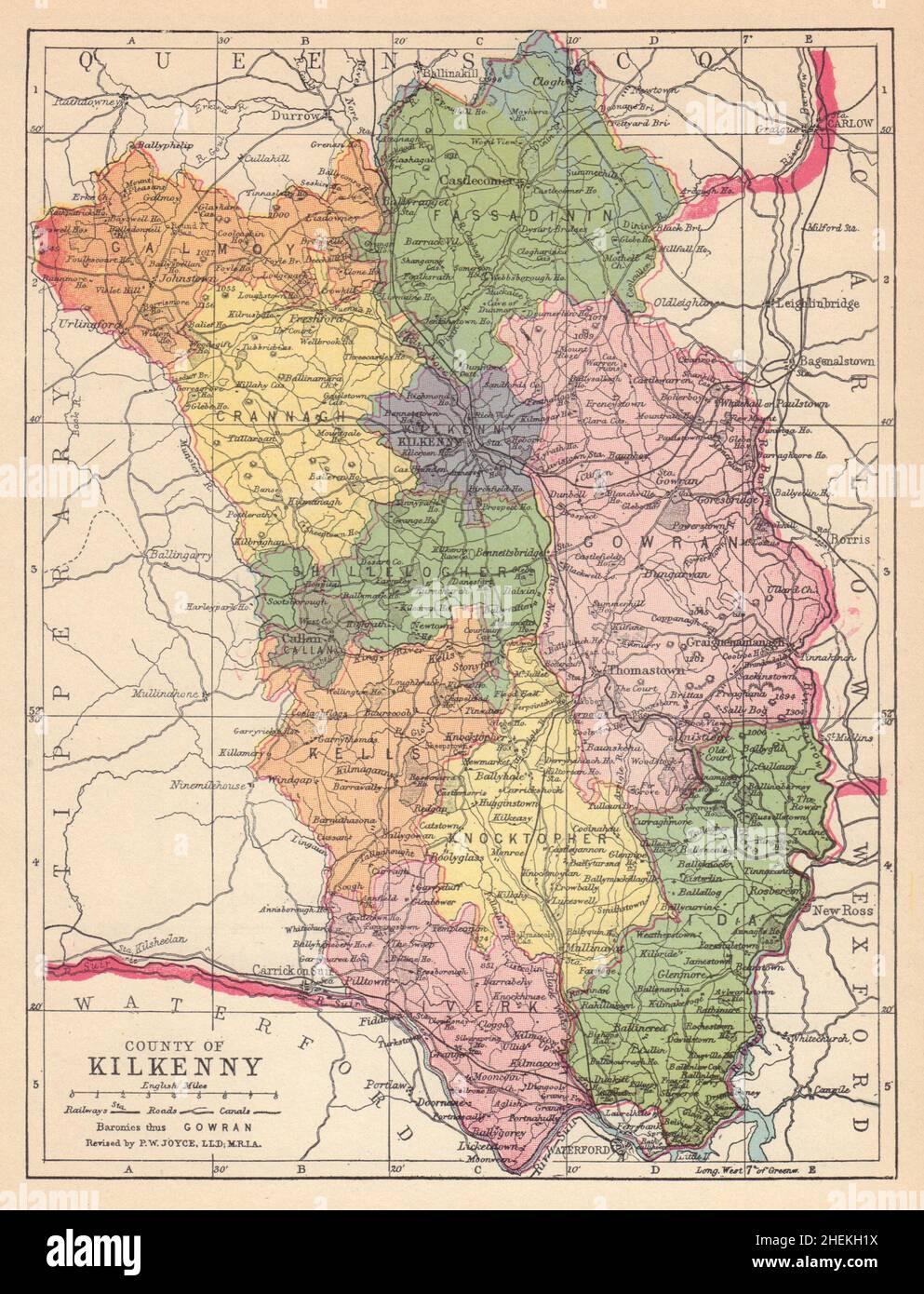 COUNTY KILKENNY antique map. Leinster. Ireland. JOYCE 1905 old Stock Photohttps://www.alamy.com/image-license-details/?v=1https://www.alamy.com/county-kilkenny-antique-map-leinster-ireland-joyce-1905-old-image456505222.html
RF2HEKH1X–COUNTY KILKENNY antique map. Leinster. Ireland. JOYCE 1905 old
 Kilkenny, Ireland pin on map Stock Photohttps://www.alamy.com/image-license-details/?v=1https://www.alamy.com/kilkenny-ireland-pin-on-map-image625181517.html
RF2Y93DB9–Kilkenny, Ireland pin on map
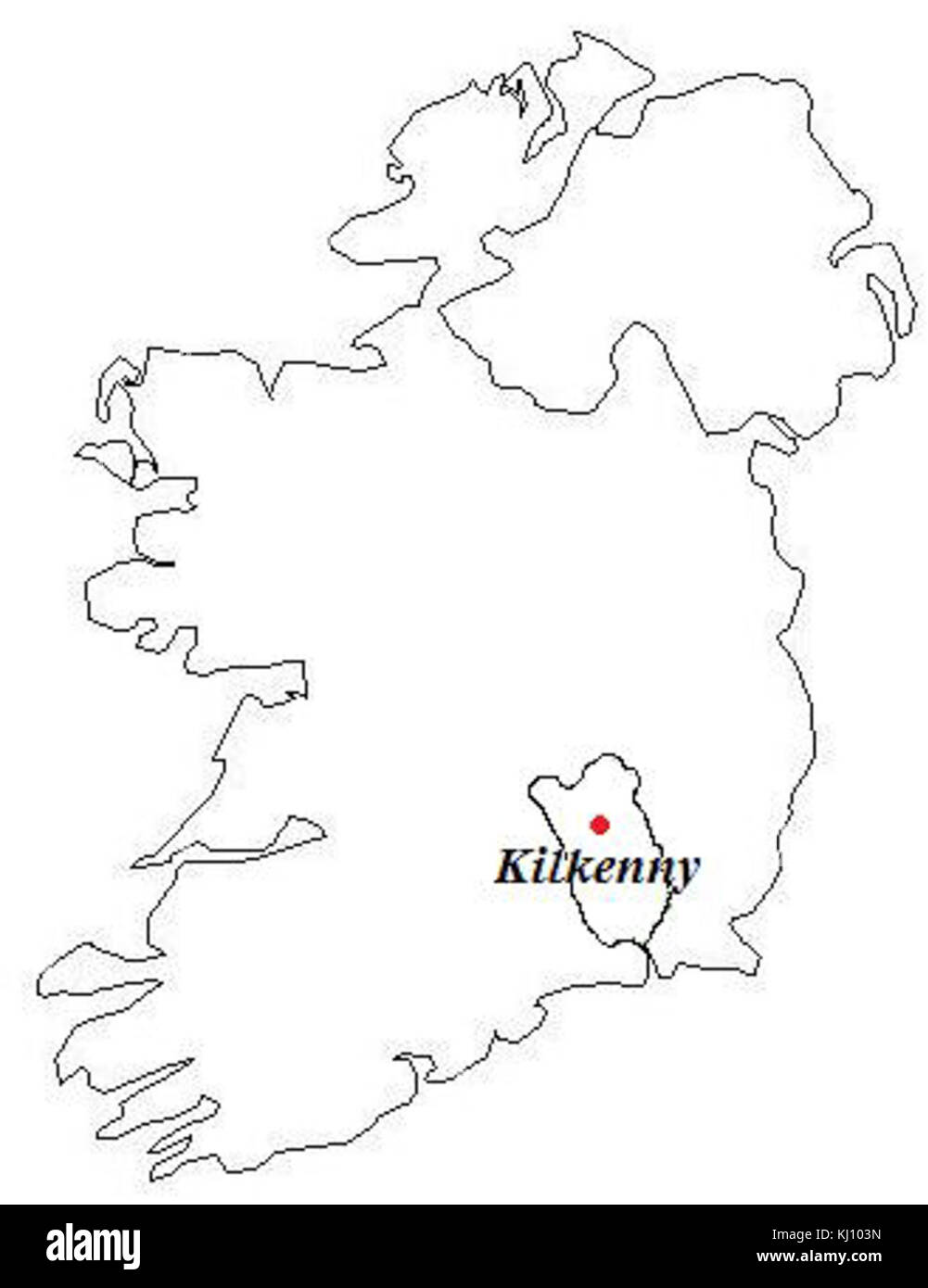 Kilkenny Map Stock Photohttps://www.alamy.com/image-license-details/?v=1https://www.alamy.com/stock-image-kilkenny-map-165979177.html
RMKJ103N–Kilkenny Map
 Three tourists reading a map, St Canice's Cathedral, Kilkenny, Ireland Stock Photohttps://www.alamy.com/image-license-details/?v=1https://www.alamy.com/stock-photo-three-tourists-reading-a-map-st-canices-cathedral-kilkenny-ireland-21233879.html
RMB6F80R–Three tourists reading a map, St Canice's Cathedral, Kilkenny, Ireland
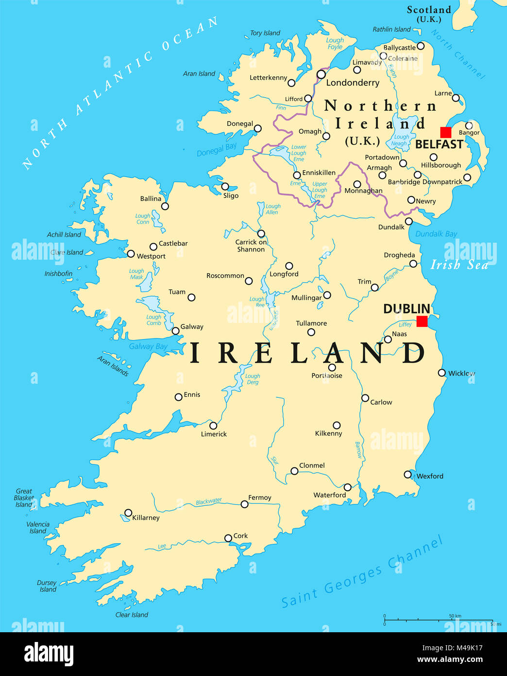 Ireland and Northern Ireland political map with capitals Dublin and Belfast, borders, important cities, rivers and lakes. Island in the North Atlantic Stock Photohttps://www.alamy.com/image-license-details/?v=1https://www.alamy.com/stock-photo-ireland-and-northern-ireland-political-map-with-capitals-dublin-and-174774803.html
RFM49K17–Ireland and Northern Ireland political map with capitals Dublin and Belfast, borders, important cities, rivers and lakes. Island in the North Atlantic
 Kilkenny County Council (Republic of Ireland, Counties of Ireland) map vector illustration, scribble sketch Kilkenny map Stock Vectorhttps://www.alamy.com/image-license-details/?v=1https://www.alamy.com/kilkenny-county-council-republic-of-ireland-counties-of-ireland-map-vector-illustration-scribble-sketch-kilkenny-map-image334357785.html
RF2ABY8ND–Kilkenny County Council (Republic of Ireland, Counties of Ireland) map vector illustration, scribble sketch Kilkenny map
 Kilkenny Creek, , AU, Australia, Western Australia, S 29 3' 56'', N 121 43' 24'', map, Cartascapes Map published in 2024. Explore Cartascapes, a map revealing Earth's diverse landscapes, cultures, and ecosystems. Journey through time and space, discovering the interconnectedness of our planet's past, present, and future. Stock Photohttps://www.alamy.com/image-license-details/?v=1https://www.alamy.com/kilkenny-creek-au-australia-western-australia-s-29-3-56-n-121-43-24-map-cartascapes-map-published-in-2024-explore-cartascapes-a-map-revealing-earths-diverse-landscapes-cultures-and-ecosystems-journey-through-time-and-space-discovering-the-interconnectedness-of-our-planets-past-present-and-future-image625647061.html
RM2Y9TK5W–Kilkenny Creek, , AU, Australia, Western Australia, S 29 3' 56'', N 121 43' 24'', map, Cartascapes Map published in 2024. Explore Cartascapes, a map revealing Earth's diverse landscapes, cultures, and ecosystems. Journey through time and space, discovering the interconnectedness of our planet's past, present, and future.
 . Manual of the geology of Ireland. IV. H. Baity, del.Sagenaria Bailyana (restored), and other Fossils of Kiltorcan, County Kilkenny. GEOLOGTCAL MAP of I R E IL A H 3D ^^ck^^^k by.H.KINATIAN, M.R.I.A. -i—At^A; fmanualofgeologyo00kina Stock Photohttps://www.alamy.com/image-license-details/?v=1https://www.alamy.com/manual-of-the-geology-of-ireland-iv-h-baity-delsagenaria-bailyana-restored-and-other-fossils-of-kiltorcan-county-kilkenny-geologtcal-map-of-i-r-e-il-a-h-3d-ckk-byhkinatian-mria-iata-fmanualofgeologyo00kina-image336970856.html
RM2AG69NC–. Manual of the geology of Ireland. IV. H. Baity, del.Sagenaria Bailyana (restored), and other Fossils of Kiltorcan, County Kilkenny. GEOLOGTCAL MAP of I R E IL A H 3D ^^ck^^^k by.H.KINATIAN, M.R.I.A. -i—At^A; fmanualofgeologyo00kina
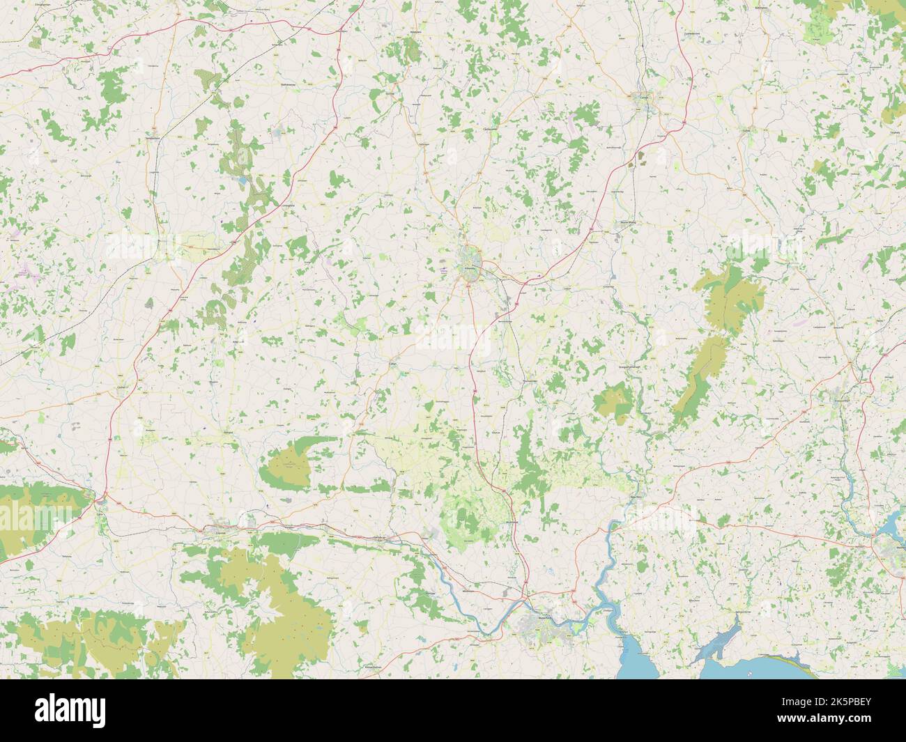 Kilkenny, county of Ireland. Open Street Map Stock Photohttps://www.alamy.com/image-license-details/?v=1https://www.alamy.com/kilkenny-county-of-ireland-open-street-map-image485455571.html
RF2K5PBEY–Kilkenny, county of Ireland. Open Street Map
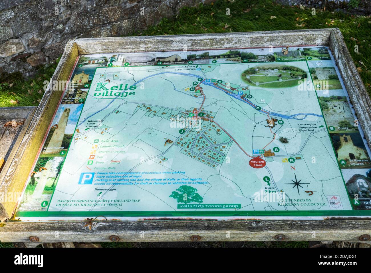 Map and tourist information board at Kells Priory ruins of a fortified Agustine monastary in County Kilkenny, Ireland Stock Photohttps://www.alamy.com/image-license-details/?v=1https://www.alamy.com/map-and-tourist-information-board-at-kells-priory-ruins-of-a-fortified-agustine-monastary-in-county-kilkenny-ireland-image385180433.html
RM2DAJDG1–Map and tourist information board at Kells Priory ruins of a fortified Agustine monastary in County Kilkenny, Ireland
![Image from page 42 of 'Kilkenny City and County Guide and Directory, etc. [With a map.]' . Stock Photo Image from page 42 of 'Kilkenny City and County Guide and Directory, etc. [With a map.]' . Stock Photo](https://c8.alamy.com/comp/PGWKFA/image-from-page-42-of-kilkenny-city-and-county-guide-and-directory-etc-with-a-map-PGWKFA.jpg) Image from page 42 of 'Kilkenny City and County Guide and Directory, etc. [With a map.]' . Stock Photohttps://www.alamy.com/image-license-details/?v=1https://www.alamy.com/image-from-page-42-of-kilkenny-city-and-county-guide-and-directory-etc-with-a-map-image216923038.html
Image from page 42 of 'Kilkenny City and County Guide and Directory, etc. [With a map.]' . Stock Photohttps://www.alamy.com/image-license-details/?v=1https://www.alamy.com/image-from-page-42-of-kilkenny-city-and-county-guide-and-directory-etc-with-a-map-image216923038.htmlRMPGWKFA–Image from page 42 of 'Kilkenny City and County Guide and Directory, etc. [With a map.]' .
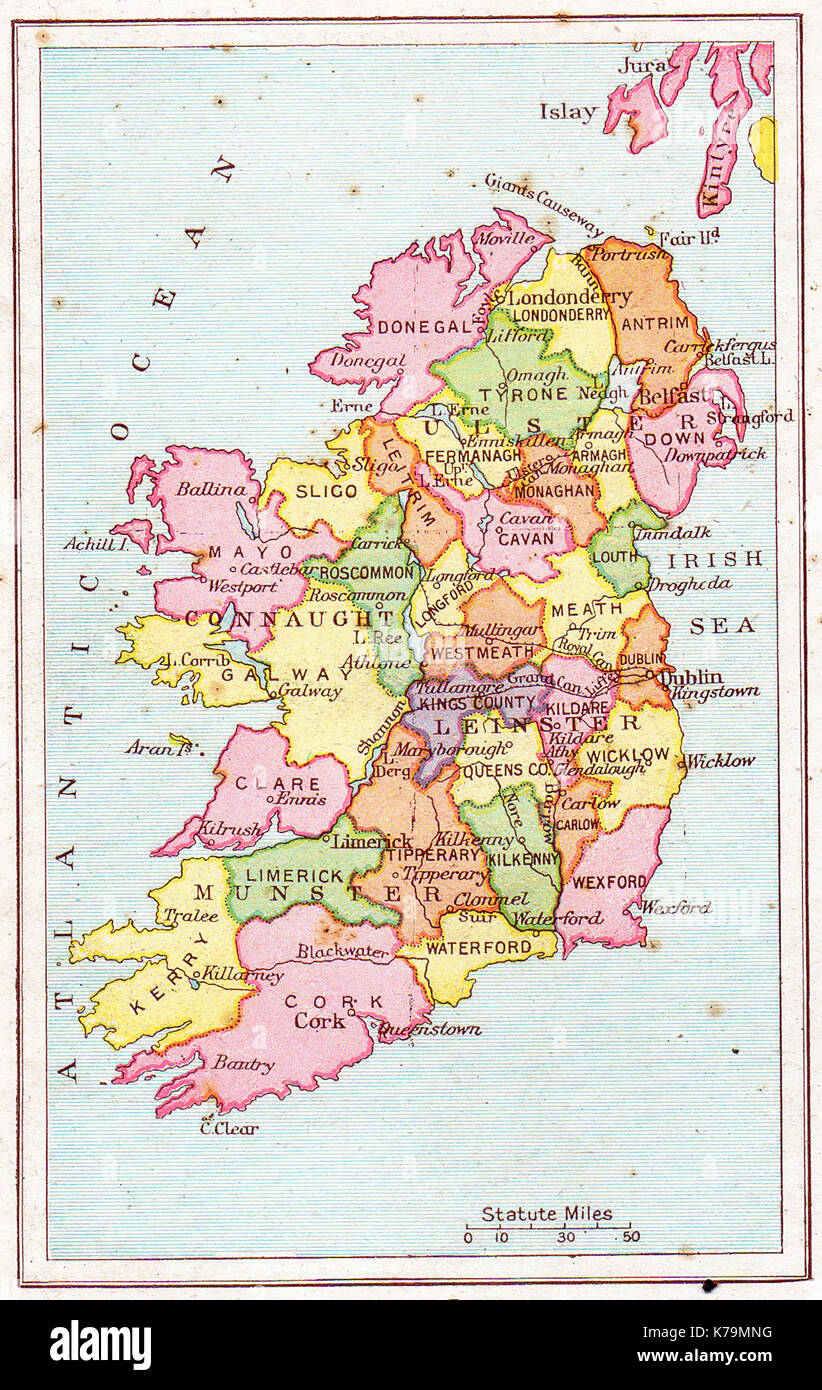 A vintage (1914) map of Ireland Stock Photohttps://www.alamy.com/image-license-details/?v=1https://www.alamy.com/a-vintage-1914-map-of-ireland-image159409756.html
RMK79MNG–A vintage (1914) map of Ireland
 USGS TOPO Map MInnesota MN Kilkenny 20100812 TM Restoration Stock Photohttps://www.alamy.com/image-license-details/?v=1https://www.alamy.com/usgs-topo-map-minnesota-mn-kilkenny-20100812-tm-restoration-image333005580.html
RM2A9NM0C–USGS TOPO Map MInnesota MN Kilkenny 20100812 TM Restoration
 flag, ireland, irish, republic, revolution, map, atlas, map of the world, flag, Stock Photohttps://www.alamy.com/image-license-details/?v=1https://www.alamy.com/stock-photo-flag-ireland-irish-republic-revolution-map-atlas-map-of-the-world-142829942.html
RFJ8AD1A–flag, ireland, irish, republic, revolution, map, atlas, map of the world, flag,
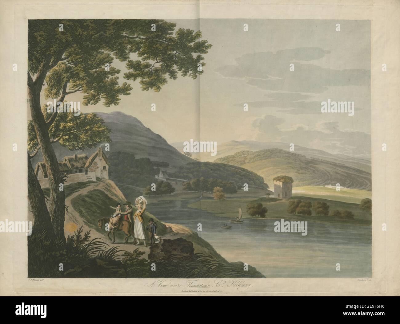 A View near Thomastown, Co Kilkenny. Author Tomkins, Charles 54.6. Place of publication: London Publisher: Published as the Act directs, Date of publication: Jany 1 1803. Item type: 1 print Medium: aquatint and etching with hand-colouring Dimensions: platemark 54 x 70.3 cm, on sheet 56 x 76.3 cm Former owner: George III, King of Great Britain, 1738-1820 Stock Photohttps://www.alamy.com/image-license-details/?v=1https://www.alamy.com/a-view-near-thomastown-co-kilkenny-author-tomkins-charles-546-place-of-publication-london-publisher-published-as-the-act-directs-date-of-publication-jany-1-1803-item-type-1-print-medium-aquatint-and-etching-with-hand-colouring-dimensions-platemark-54-x-703-cm-on-sheet-56-x-763-cm-former-owner-george-iii-king-of-great-britain-1738-1820-image401704834.html
RM2E9F6H6–A View near Thomastown, Co Kilkenny. Author Tomkins, Charles 54.6. Place of publication: London Publisher: Published as the Act directs, Date of publication: Jany 1 1803. Item type: 1 print Medium: aquatint and etching with hand-colouring Dimensions: platemark 54 x 70.3 cm, on sheet 56 x 76.3 cm Former owner: George III, King of Great Britain, 1738-1820
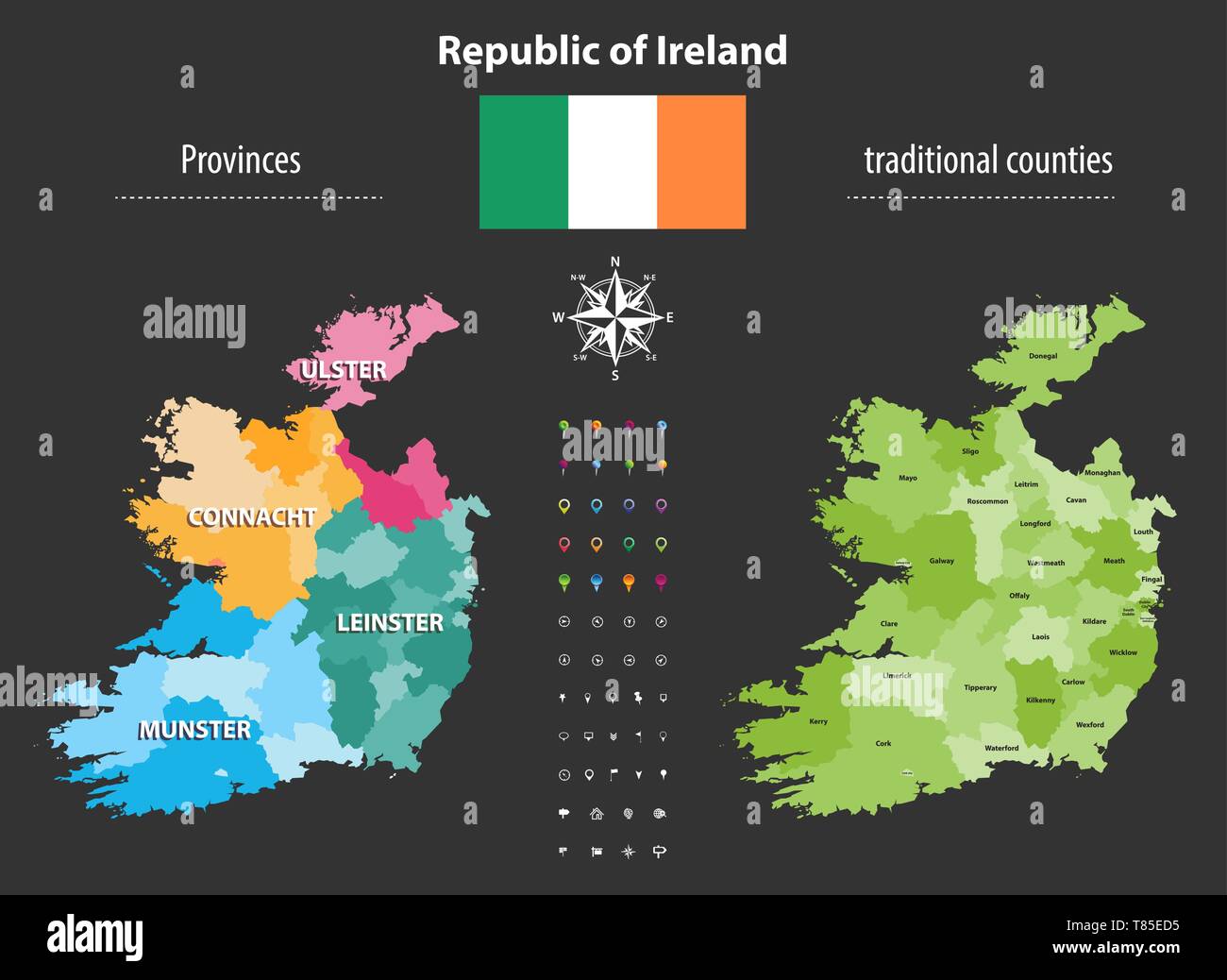 Republic of Ireland provinces and traditional counties vector map Stock Vectorhttps://www.alamy.com/image-license-details/?v=1https://www.alamy.com/republic-of-ireland-provinces-and-traditional-counties-vector-map-image245983505.html
RFT85ED5–Republic of Ireland provinces and traditional counties vector map
 . English: A scarce 1814 map of southern Ireland by John Thomson. Depicts the island from Galway south including Limerick, Munster, Cork, Leister, Kilkenny, and Wexford, among other regions. Bottom right features an engraved view of the “Bank of Ireland”. Southern Part of Ireland.. 1814 (dated). 1814 Thomson Map of Southern Ireland - Geographicus - IrelandSouth-t-1814 Stock Photohttps://www.alamy.com/image-license-details/?v=1https://www.alamy.com/english-a-scarce-1814-map-of-southern-ireland-by-john-thomson-depicts-the-island-from-galway-south-including-limerick-munster-cork-leister-kilkenny-and-wexford-among-other-regions-bottom-right-features-an-engraved-view-of-the-bank-of-ireland-southern-part-of-ireland-1814-dated-1814-thomson-map-of-southern-ireland-geographicus-irelandsouth-t-1814-image184931019.html
RMMMT9B7–. English: A scarce 1814 map of southern Ireland by John Thomson. Depicts the island from Galway south including Limerick, Munster, Cork, Leister, Kilkenny, and Wexford, among other regions. Bottom right features an engraved view of the “Bank of Ireland”. Southern Part of Ireland.. 1814 (dated). 1814 Thomson Map of Southern Ireland - Geographicus - IrelandSouth-t-1814
 NEWENHAM(1830) p163 KILKENNY - ST. CANICE Stock Photohttps://www.alamy.com/image-license-details/?v=1https://www.alamy.com/stock-photo-newenham1830-p163-kilkenny-st-canice-76562250.html
RMECFKX2–NEWENHAM(1830) p163 KILKENNY - ST. CANICE
 IRELAND SOUTH EAST. Wexford Waterford Kilkenny Tipperary. JOHNSTON 1901 map Stock Photohttps://www.alamy.com/image-license-details/?v=1https://www.alamy.com/ireland-south-east-wexford-waterford-kilkenny-tipperary-johnston-1901-map-image401429380.html
RF2E92K7G–IRELAND SOUTH EAST. Wexford Waterford Kilkenny Tipperary. JOHNSTON 1901 map
 Kilkenny Hurler (circa 1923) Stock Photohttps://www.alamy.com/image-license-details/?v=1https://www.alamy.com/stock-photo-kilkenny-hurler-circa-1923-140058712.html
RMJ3T68T–Kilkenny Hurler (circa 1923)
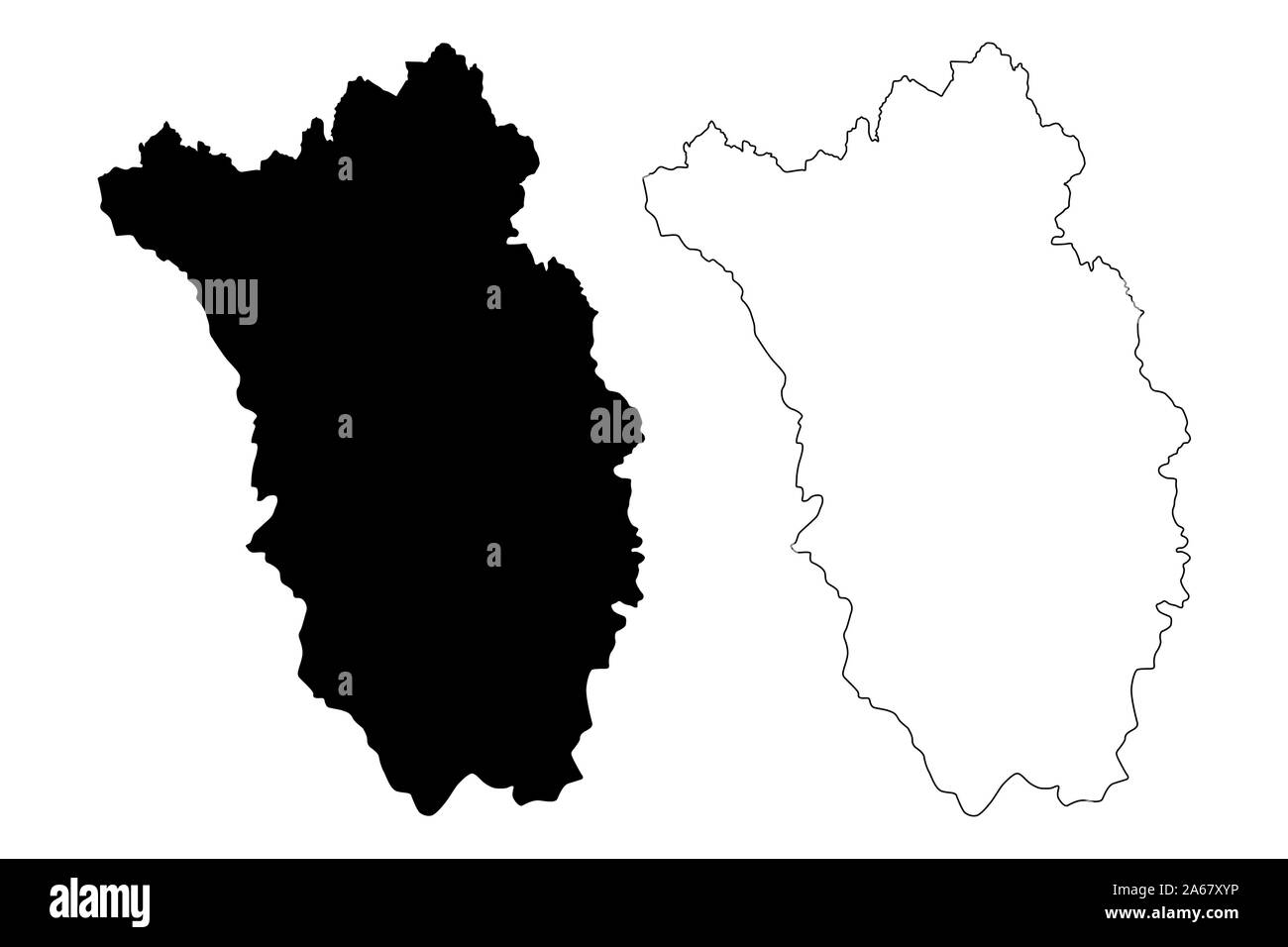 Kilkenny County Council (Republic of Ireland, Counties of Ireland) map vector illustration, scribble sketch Kilkenny map Stock Vectorhttps://www.alamy.com/image-license-details/?v=1https://www.alamy.com/kilkenny-county-council-republic-of-ireland-counties-of-ireland-map-vector-illustration-scribble-sketch-kilkenny-map-image330859754.html
RF2A67XYP–Kilkenny County Council (Republic of Ireland, Counties of Ireland) map vector illustration, scribble sketch Kilkenny map
 Kilkenny Soak, Leonora, AU, Australia, Western Australia, S 29 1' 47'', N 121 47' 29'', map, Cartascapes Map published in 2024. Explore Cartascapes, a map revealing Earth's diverse landscapes, cultures, and ecosystems. Journey through time and space, discovering the interconnectedness of our planet's past, present, and future. Stock Photohttps://www.alamy.com/image-license-details/?v=1https://www.alamy.com/kilkenny-soak-leonora-au-australia-western-australia-s-29-1-47-n-121-47-29-map-cartascapes-map-published-in-2024-explore-cartascapes-a-map-revealing-earths-diverse-landscapes-cultures-and-ecosystems-journey-through-time-and-space-discovering-the-interconnectedness-of-our-planets-past-present-and-future-image625689033.html
RM2Y9XGMW–Kilkenny Soak, Leonora, AU, Australia, Western Australia, S 29 1' 47'', N 121 47' 29'', map, Cartascapes Map published in 2024. Explore Cartascapes, a map revealing Earth's diverse landscapes, cultures, and ecosystems. Journey through time and space, discovering the interconnectedness of our planet's past, present, and future.
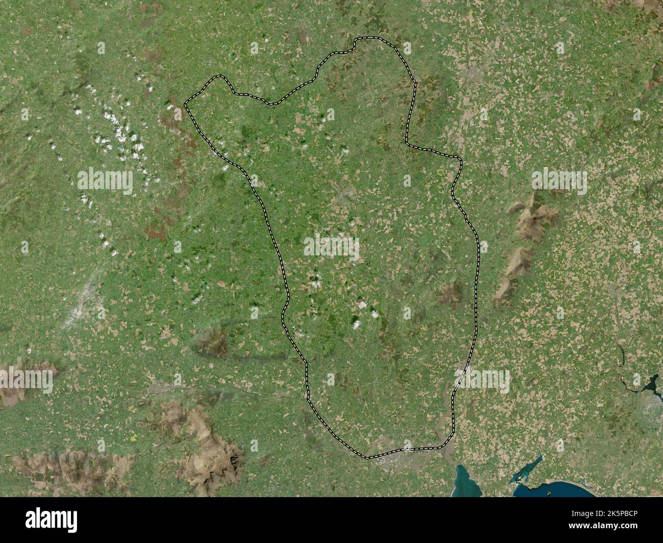 Kilkenny, county of Ireland. Low resolution satellite map Stock Photohttps://www.alamy.com/image-license-details/?v=1https://www.alamy.com/kilkenny-county-of-ireland-low-resolution-satellite-map-image485455510.html
RF2K5PBCP–Kilkenny, county of Ireland. Low resolution satellite map
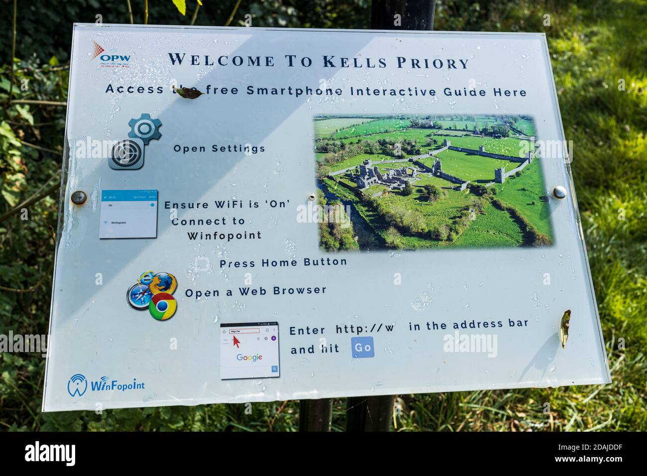 Tourist information sign with QR code at Kells Priory ruins of a fortified Agustine monastary in County Kilkenny, Ireland Stock Photohttps://www.alamy.com/image-license-details/?v=1https://www.alamy.com/tourist-information-sign-with-qr-code-at-kells-priory-ruins-of-a-fortified-agustine-monastary-in-county-kilkenny-ireland-image385180363.html
RM2DAJDDF–Tourist information sign with QR code at Kells Priory ruins of a fortified Agustine monastary in County Kilkenny, Ireland
![Image from page 324 of 'Kilkenny City and County Guide and Directory, etc. [With a map.]' . Stock Photo Image from page 324 of 'Kilkenny City and County Guide and Directory, etc. [With a map.]' . Stock Photo](https://c8.alamy.com/comp/PJGGJY/image-from-page-324-of-kilkenny-city-and-county-guide-and-directory-etc-with-a-map-PJGGJY.jpg) Image from page 324 of 'Kilkenny City and County Guide and Directory, etc. [With a map.]' . Stock Photohttps://www.alamy.com/image-license-details/?v=1https://www.alamy.com/image-from-page-324-of-kilkenny-city-and-county-guide-and-directory-etc-with-a-map-image217952531.html
Image from page 324 of 'Kilkenny City and County Guide and Directory, etc. [With a map.]' . Stock Photohttps://www.alamy.com/image-license-details/?v=1https://www.alamy.com/image-from-page-324-of-kilkenny-city-and-county-guide-and-directory-etc-with-a-map-image217952531.htmlRMPJGGJY–Image from page 324 of 'Kilkenny City and County Guide and Directory, etc. [With a map.]' .
 USGS TOPO Map MInnesota MN Kilkenny 20100812 TM Inverted Restoration Stock Photohttps://www.alamy.com/image-license-details/?v=1https://www.alamy.com/usgs-topo-map-minnesota-mn-kilkenny-20100812-tm-inverted-restoration-image333005581.html
RM2A9NM0D–USGS TOPO Map MInnesota MN Kilkenny 20100812 TM Inverted Restoration
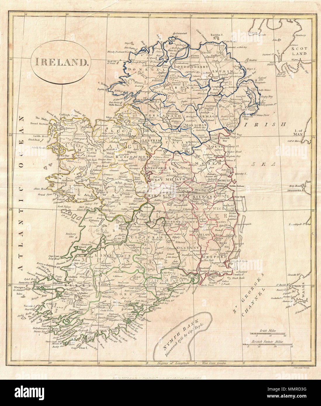 . English: A fine 1799 map of Ireland by the English map publisher Clement Cruttwell. Map shows Ireland's four provinces, which remain the same to this day. In the north is Ulster, Connaught in the west, Leinster in the east, and Munster in the south. Leinster is comprised of Carlow, Dublin, Kildare, Kilkenny, Laois, Longford, Louth, Meath, Offaly, Westmeath, Wexford and Wicklow. Munster is made up of Clare, Cork, Kerry, Limerick, Tipperary and Waterford. In Connaught are Galway, Leitrim, Mayo, Roscommon and Sligo. Antrim, Armagh, Down, Fermanagh, Londonderry, Tyrone, Cavan, Donegal, and Mona Stock Photohttps://www.alamy.com/image-license-details/?v=1https://www.alamy.com/english-a-fine-1799-map-of-ireland-by-the-english-map-publisher-clement-cruttwell-map-shows-irelands-four-provinces-which-remain-the-same-to-this-day-in-the-north-is-ulster-connaught-in-the-west-leinster-in-the-east-and-munster-in-the-south-leinster-is-comprised-of-carlow-dublin-kildare-kilkenny-laois-longford-louth-meath-offaly-westmeath-wexford-and-wicklow-munster-is-made-up-of-clare-cork-kerry-limerick-tipperary-and-waterford-in-connaught-are-galway-leitrim-mayo-roscommon-and-sligo-antrim-armagh-down-fermanagh-londonderry-tyrone-cavan-donegal-and-mona-image184911988.html
RMMMRD3G–. English: A fine 1799 map of Ireland by the English map publisher Clement Cruttwell. Map shows Ireland's four provinces, which remain the same to this day. In the north is Ulster, Connaught in the west, Leinster in the east, and Munster in the south. Leinster is comprised of Carlow, Dublin, Kildare, Kilkenny, Laois, Longford, Louth, Meath, Offaly, Westmeath, Wexford and Wicklow. Munster is made up of Clare, Cork, Kerry, Limerick, Tipperary and Waterford. In Connaught are Galway, Leitrim, Mayo, Roscommon and Sligo. Antrim, Armagh, Down, Fermanagh, Londonderry, Tyrone, Cavan, Donegal, and Mona
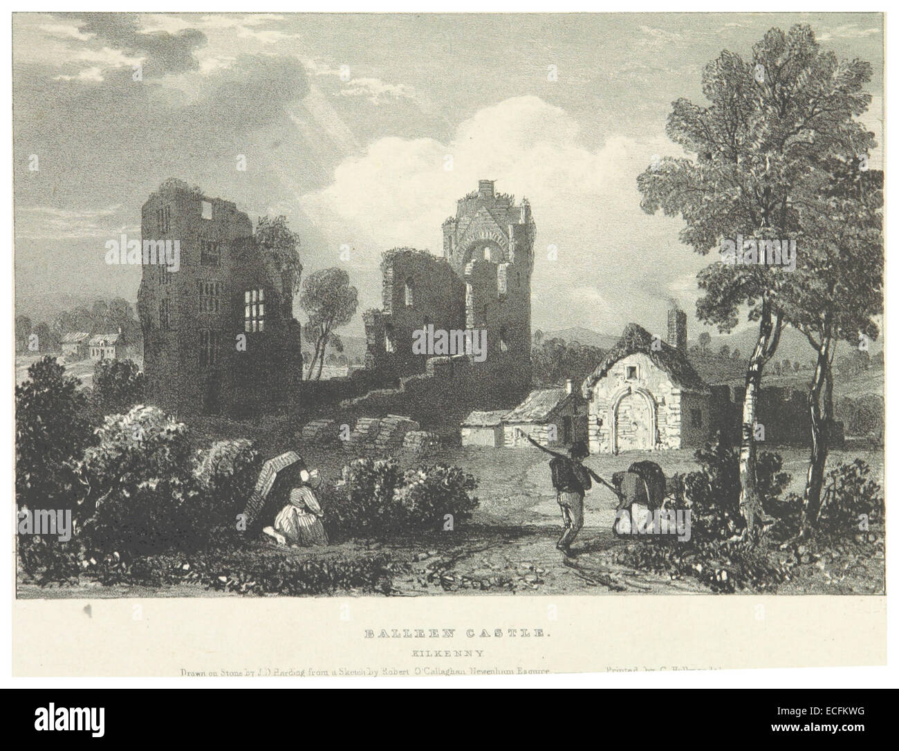 NEWENHAM(1830) p155 KILKENNY - BALLEEN CASTLE Stock Photohttps://www.alamy.com/image-license-details/?v=1https://www.alamy.com/stock-photo-newenham1830-p155-kilkenny-balleen-castle-76562236.html
RMECFKWG–NEWENHAM(1830) p155 KILKENNY - BALLEEN CASTLE
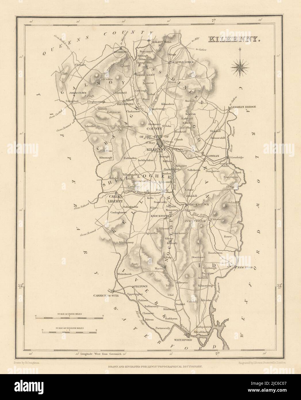 COUNTY KILKENNY antique map for LEWIS by CREIGHTON & DOWER - Ireland 1837 Stock Photohttps://www.alamy.com/image-license-details/?v=1https://www.alamy.com/county-kilkenny-antique-map-for-lewis-by-creighton-dower-ireland-1837-image472196935.html
RF2JC6C07–COUNTY KILKENNY antique map for LEWIS by CREIGHTON & DOWER - Ireland 1837
 Kilkenny Quartette (NYPL Hades-447691-1688743) Stock Photohttps://www.alamy.com/image-license-details/?v=1https://www.alamy.com/stock-photo-kilkenny-quartette-nypl-hades-447691-1688743-148510996.html
RMJHH784–Kilkenny Quartette (NYPL Hades-447691-1688743)
 Kilkenny County Council (Republic of Ireland, Counties of Ireland) map vector illustration, scribble sketch Kilkenny map Stock Vectorhttps://www.alamy.com/image-license-details/?v=1https://www.alamy.com/kilkenny-county-council-republic-of-ireland-counties-of-ireland-map-vector-illustration-scribble-sketch-kilkenny-map-image336265139.html
RF2AF25H7–Kilkenny County Council (Republic of Ireland, Counties of Ireland) map vector illustration, scribble sketch Kilkenny map
 Kilkenny, Charles Sturt, AU, Australia, South Australia, S 34 53' 15'', N 138 33' 0'', map, Cartascapes Map published in 2024. Explore Cartascapes, a map revealing Earth's diverse landscapes, cultures, and ecosystems. Journey through time and space, discovering the interconnectedness of our planet's past, present, and future. Stock Photohttps://www.alamy.com/image-license-details/?v=1https://www.alamy.com/kilkenny-charles-sturt-au-australia-south-australia-s-34-53-15-n-138-33-0-map-cartascapes-map-published-in-2024-explore-cartascapes-a-map-revealing-earths-diverse-landscapes-cultures-and-ecosystems-journey-through-time-and-space-discovering-the-interconnectedness-of-our-planets-past-present-and-future-image625755680.html
RM2YA1HN4–Kilkenny, Charles Sturt, AU, Australia, South Australia, S 34 53' 15'', N 138 33' 0'', map, Cartascapes Map published in 2024. Explore Cartascapes, a map revealing Earth's diverse landscapes, cultures, and ecosystems. Journey through time and space, discovering the interconnectedness of our planet's past, present, and future.
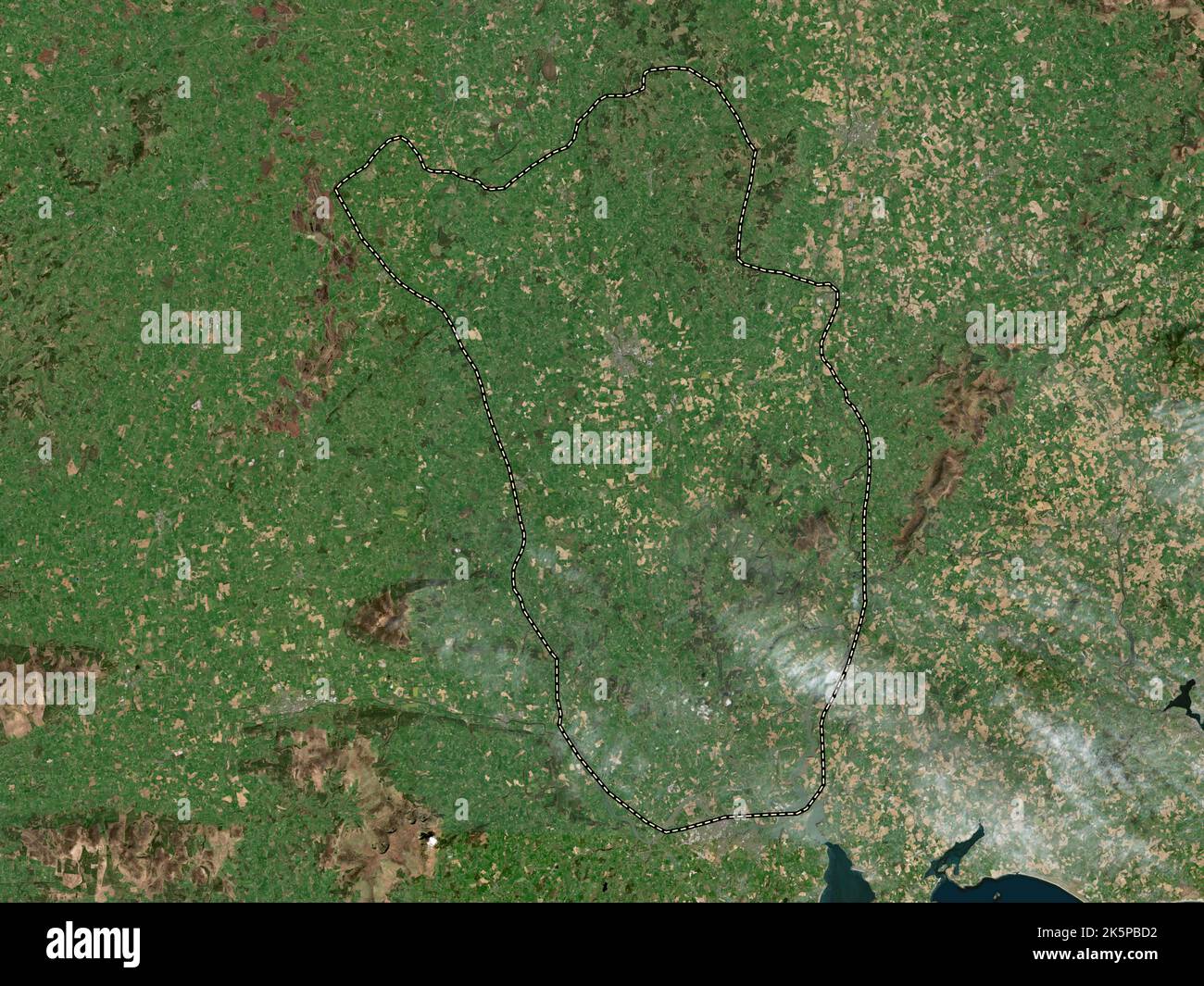 Kilkenny, county of Ireland. High resolution satellite map Stock Photohttps://www.alamy.com/image-license-details/?v=1https://www.alamy.com/kilkenny-county-of-ireland-high-resolution-satellite-map-image485455518.html
RF2K5PBD2–Kilkenny, county of Ireland. High resolution satellite map
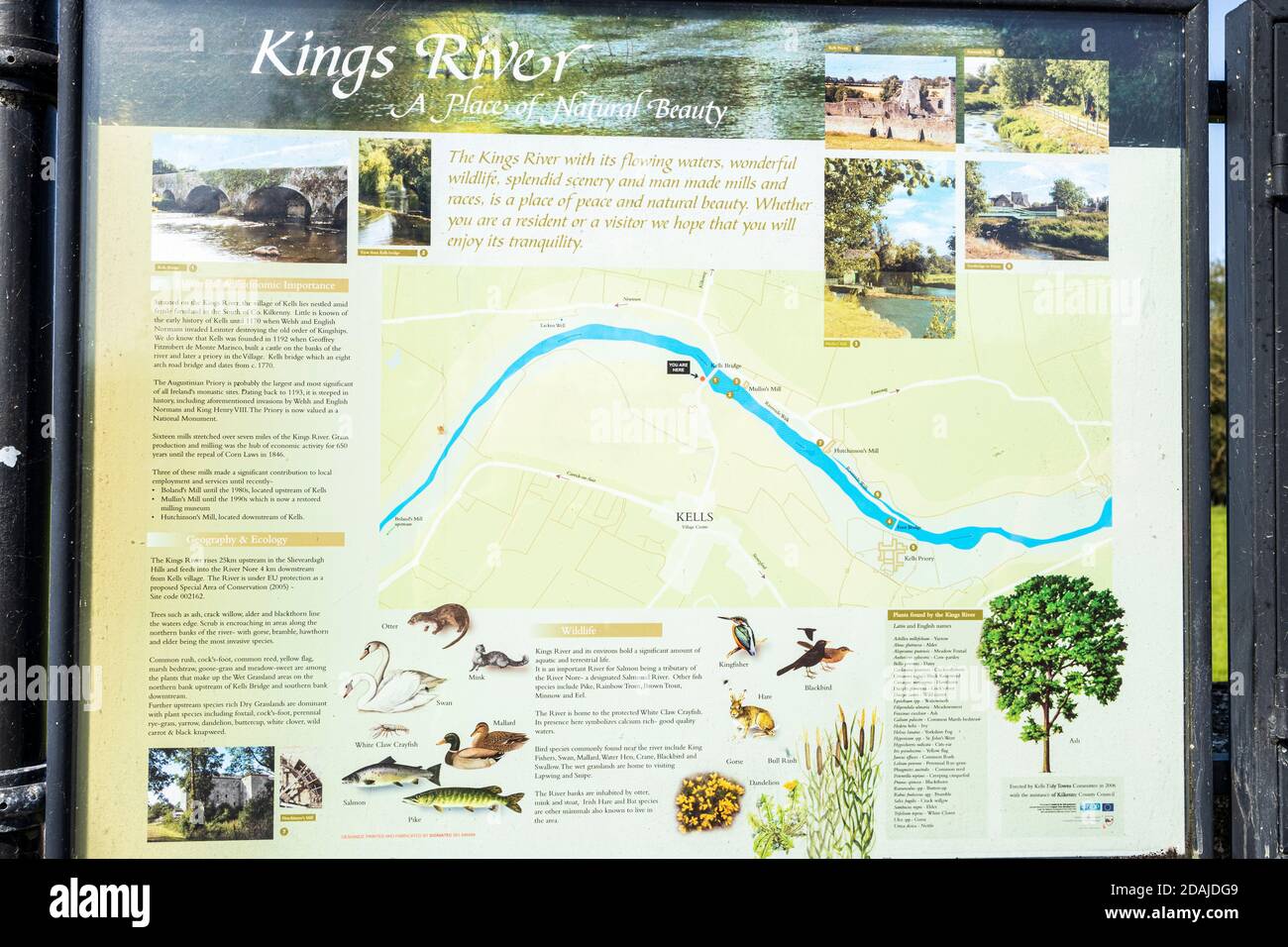 Tourist information sign with info on the natural life and plants to be found along the Kings river in Kells, County Kilkenny, Ireland Stock Photohttps://www.alamy.com/image-license-details/?v=1https://www.alamy.com/tourist-information-sign-with-info-on-the-natural-life-and-plants-to-be-found-along-the-kings-river-in-kells-county-kilkenny-ireland-image385180441.html
RM2DAJDG9–Tourist information sign with info on the natural life and plants to be found along the Kings river in Kells, County Kilkenny, Ireland
![Image from page 334 of 'Kilkenny City and County Guide and Directory, etc. [With a map.]' . Stock Photo Image from page 334 of 'Kilkenny City and County Guide and Directory, etc. [With a map.]' . Stock Photo](https://c8.alamy.com/comp/PJGH8X/image-from-page-334-of-kilkenny-city-and-county-guide-and-directory-etc-with-a-map-PJGH8X.jpg) Image from page 334 of 'Kilkenny City and County Guide and Directory, etc. [With a map.]' . Stock Photohttps://www.alamy.com/image-license-details/?v=1https://www.alamy.com/image-from-page-334-of-kilkenny-city-and-county-guide-and-directory-etc-with-a-map-image217953034.html
Image from page 334 of 'Kilkenny City and County Guide and Directory, etc. [With a map.]' . Stock Photohttps://www.alamy.com/image-license-details/?v=1https://www.alamy.com/image-from-page-334-of-kilkenny-city-and-county-guide-and-directory-etc-with-a-map-image217953034.htmlRMPJGH8X–Image from page 334 of 'Kilkenny City and County Guide and Directory, etc. [With a map.]' .
 USGS TOPO Map MInnesota MN Kilkenny 805693 1966 24000 Restoration Stock Photohttps://www.alamy.com/image-license-details/?v=1https://www.alamy.com/usgs-topo-map-minnesota-mn-kilkenny-805693-1966-24000-restoration-image333005594.html
RM2A9NM0X–USGS TOPO Map MInnesota MN Kilkenny 805693 1966 24000 Restoration
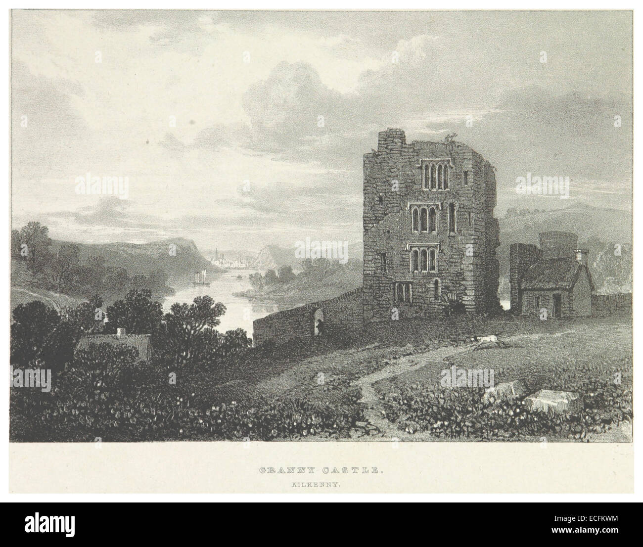 NEWENHAM(1830) p157 KILKENNY - GRANNY CASTLE Stock Photohttps://www.alamy.com/image-license-details/?v=1https://www.alamy.com/stock-photo-newenham1830-p157-kilkenny-granny-castle-76562240.html
RMECFKWM–NEWENHAM(1830) p157 KILKENNY - GRANNY CASTLE
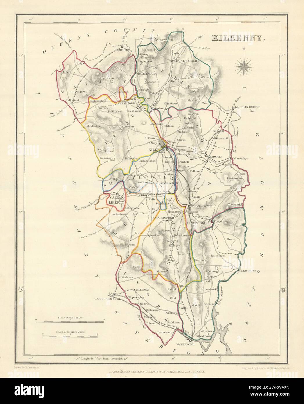 COUNTY KILKENNY antique map for LEWIS by CREIGHTON & DOWER. Ireland 1850 Stock Photohttps://www.alamy.com/image-license-details/?v=1https://www.alamy.com/county-kilkenny-antique-map-for-lewis-by-creighton-dower-ireland-1850-image599842285.html
RF2WRW4XN–COUNTY KILKENNY antique map for LEWIS by CREIGHTON & DOWER. Ireland 1850
 Kilkenny Quartette (NYPL Hades-447691-1153787) Stock Photohttps://www.alamy.com/image-license-details/?v=1https://www.alamy.com/stock-photo-kilkenny-quartette-nypl-hades-447691-1153787-148510993.html
RMJHH781–Kilkenny Quartette (NYPL Hades-447691-1153787)
 Kilkenny, Charles Sturt, AU, Australia, South Australia, S 34 53' 15'', N 138 33' 0'', map, Cartascapes Map published in 2024. Explore Cartascapes, a map revealing Earth's diverse landscapes, cultures, and ecosystems. Journey through time and space, discovering the interconnectedness of our planet's past, present, and future. Stock Photohttps://www.alamy.com/image-license-details/?v=1https://www.alamy.com/kilkenny-charles-sturt-au-australia-south-australia-s-34-53-15-n-138-33-0-map-cartascapes-map-published-in-2024-explore-cartascapes-a-map-revealing-earths-diverse-landscapes-cultures-and-ecosystems-journey-through-time-and-space-discovering-the-interconnectedness-of-our-planets-past-present-and-future-image625807097.html
RM2YA3Y9D–Kilkenny, Charles Sturt, AU, Australia, South Australia, S 34 53' 15'', N 138 33' 0'', map, Cartascapes Map published in 2024. Explore Cartascapes, a map revealing Earth's diverse landscapes, cultures, and ecosystems. Journey through time and space, discovering the interconnectedness of our planet's past, present, and future.
 Kilkenny, county of Ireland. Bilevel elevation map with lakes and rivers Stock Photohttps://www.alamy.com/image-license-details/?v=1https://www.alamy.com/kilkenny-county-of-ireland-bilevel-elevation-map-with-lakes-and-rivers-image485455508.html
RF2K5PBCM–Kilkenny, county of Ireland. Bilevel elevation map with lakes and rivers
![Image from page 32 of 'Kilkenny City and County Guide and Directory, etc. [With a map.]' . Stock Photo Image from page 32 of 'Kilkenny City and County Guide and Directory, etc. [With a map.]' . Stock Photo](https://c8.alamy.com/comp/PJJB0G/image-from-page-32-of-kilkenny-city-and-county-guide-and-directory-etc-with-a-map-PJJB0G.jpg) Image from page 32 of 'Kilkenny City and County Guide and Directory, etc. [With a map.]' . Stock Photohttps://www.alamy.com/image-license-details/?v=1https://www.alamy.com/image-from-page-32-of-kilkenny-city-and-county-guide-and-directory-etc-with-a-map-image217992000.html
Image from page 32 of 'Kilkenny City and County Guide and Directory, etc. [With a map.]' . Stock Photohttps://www.alamy.com/image-license-details/?v=1https://www.alamy.com/image-from-page-32-of-kilkenny-city-and-county-guide-and-directory-etc-with-a-map-image217992000.htmlRMPJJB0G–Image from page 32 of 'Kilkenny City and County Guide and Directory, etc. [With a map.]' .
 USGS TOPO Map MInnesota MN Kilkenny 504947 1966 24000 Restoration Stock Photohttps://www.alamy.com/image-license-details/?v=1https://www.alamy.com/usgs-topo-map-minnesota-mn-kilkenny-504947-1966-24000-restoration-image333005600.html
RM2A9NM14–USGS TOPO Map MInnesota MN Kilkenny 504947 1966 24000 Restoration
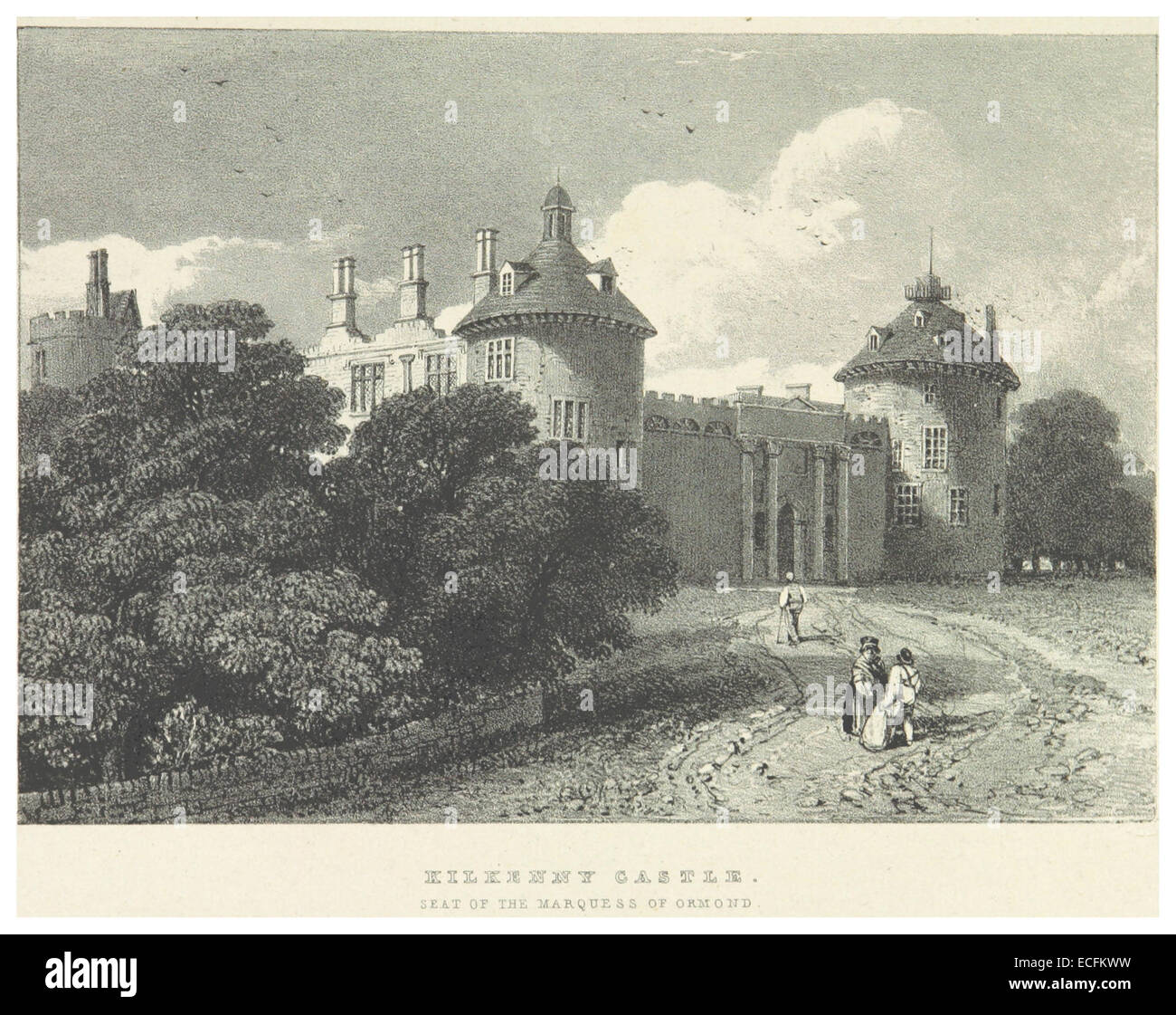 NEWENHAM(1830) p161 KILKENNY CASTLE - SEAT OF THE MARQUESS OF ORMOND Stock Photohttps://www.alamy.com/image-license-details/?v=1https://www.alamy.com/stock-photo-newenham1830-p161-kilkenny-castle-seat-of-the-marquess-of-ormond-76562245.html
RMECFKWW–NEWENHAM(1830) p161 KILKENNY CASTLE - SEAT OF THE MARQUESS OF ORMOND
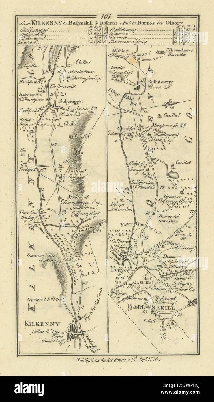 #161 Kilkenny to Ballinakill… Ballyragget Rathdowney. TAYLOR/SKINNER 1778 map Stock Photohttps://www.alamy.com/image-license-details/?v=1https://www.alamy.com/161-kilkenny-to-ballinakill-ballyragget-rathdowney-taylorskinner-1778-map-image538938418.html
RF2P8PNCJ–#161 Kilkenny to Ballinakill… Ballyragget Rathdowney. TAYLOR/SKINNER 1778 map
 Kilkenny Quartette (NYPL Hades-447691-1688745) Stock Photohttps://www.alamy.com/image-license-details/?v=1https://www.alamy.com/stock-photo-kilkenny-quartette-nypl-hades-447691-1688745-148511001.html
RMJHH789–Kilkenny Quartette (NYPL Hades-447691-1688745)
 Kilkenny, Charles Sturt, AU, Australia, South Australia, S 34 52' 44'', N 138 33' 10'', map, Cartascapes Map published in 2024. Explore Cartascapes, a map revealing Earth's diverse landscapes, cultures, and ecosystems. Journey through time and space, discovering the interconnectedness of our planet's past, present, and future. Stock Photohttps://www.alamy.com/image-license-details/?v=1https://www.alamy.com/kilkenny-charles-sturt-au-australia-south-australia-s-34-52-44-n-138-33-10-map-cartascapes-map-published-in-2024-explore-cartascapes-a-map-revealing-earths-diverse-landscapes-cultures-and-ecosystems-journey-through-time-and-space-discovering-the-interconnectedness-of-our-planets-past-present-and-future-image625837229.html
RM2YA59NH–Kilkenny, Charles Sturt, AU, Australia, South Australia, S 34 52' 44'', N 138 33' 10'', map, Cartascapes Map published in 2024. Explore Cartascapes, a map revealing Earth's diverse landscapes, cultures, and ecosystems. Journey through time and space, discovering the interconnectedness of our planet's past, present, and future.
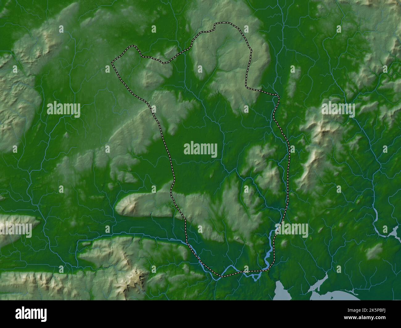 Kilkenny, county of Ireland. Colored elevation map with lakes and rivers Stock Photohttps://www.alamy.com/image-license-details/?v=1https://www.alamy.com/kilkenny-county-of-ireland-colored-elevation-map-with-lakes-and-rivers-image485455590.html
RF2K5PBFJ–Kilkenny, county of Ireland. Colored elevation map with lakes and rivers
![Image from page 330 of 'Kilkenny City and County Guide and Directory, etc. [With a map.]' . Stock Photo Image from page 330 of 'Kilkenny City and County Guide and Directory, etc. [With a map.]' . Stock Photo](https://c8.alamy.com/comp/PG3J9R/image-from-page-330-of-kilkenny-city-and-county-guide-and-directory-etc-with-a-map-PG3J9R.jpg) Image from page 330 of 'Kilkenny City and County Guide and Directory, etc. [With a map.]' . Stock Photohttps://www.alamy.com/image-license-details/?v=1https://www.alamy.com/image-from-page-330-of-kilkenny-city-and-county-guide-and-directory-etc-with-a-map-image216439155.html
Image from page 330 of 'Kilkenny City and County Guide and Directory, etc. [With a map.]' . Stock Photohttps://www.alamy.com/image-license-details/?v=1https://www.alamy.com/image-from-page-330-of-kilkenny-city-and-county-guide-and-directory-etc-with-a-map-image216439155.htmlRMPG3J9R–Image from page 330 of 'Kilkenny City and County Guide and Directory, etc. [With a map.]' .
 USGS TOPO Map MInnesota MN Kilkenny 504947 1966 24000 Inverted Restoration Stock Photohttps://www.alamy.com/image-license-details/?v=1https://www.alamy.com/usgs-topo-map-minnesota-mn-kilkenny-504947-1966-24000-inverted-restoration-image333005597.html
RM2A9NM11–USGS TOPO Map MInnesota MN Kilkenny 504947 1966 24000 Inverted Restoration
 Parliament St Kilkenny 31209662355 o Stock Photohttps://www.alamy.com/image-license-details/?v=1https://www.alamy.com/stock-photo-parliament-st-kilkenny-31209662355-o-147097147.html
RMJF8RWF–Parliament St Kilkenny 31209662355 o
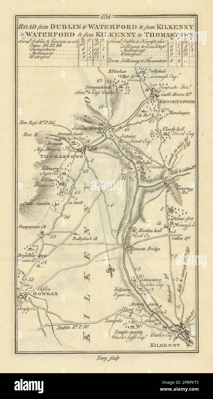 #131 Kilkenny to Thomastown. Knocktopher Gowran. TAYLOR/SKINNER 1778 old map Stock Photohttps://www.alamy.com/image-license-details/?v=1https://www.alamy.com/131-kilkenny-to-thomastown-knocktopher-gowran-taylorskinner-1778-old-map-image538937173.html
RF2P8PKT5–#131 Kilkenny to Thomastown. Knocktopher Gowran. TAYLOR/SKINNER 1778 old map
 Kilkenny Quartette (NYPL Hades-447691-1688744) Stock Photohttps://www.alamy.com/image-license-details/?v=1https://www.alamy.com/stock-photo-kilkenny-quartette-nypl-hades-447691-1688744-148510999.html
RMJHH787–Kilkenny Quartette (NYPL Hades-447691-1688744)
 Kilkenny, Charles Sturt, AU, Australia, South Australia, S 34 52' 44'', N 138 33' 10'', map, Cartascapes Map published in 2024. Explore Cartascapes, a map revealing Earth's diverse landscapes, cultures, and ecosystems. Journey through time and space, discovering the interconnectedness of our planet's past, present, and future. Stock Photohttps://www.alamy.com/image-license-details/?v=1https://www.alamy.com/kilkenny-charles-sturt-au-australia-south-australia-s-34-52-44-n-138-33-10-map-cartascapes-map-published-in-2024-explore-cartascapes-a-map-revealing-earths-diverse-landscapes-cultures-and-ecosystems-journey-through-time-and-space-discovering-the-interconnectedness-of-our-planets-past-present-and-future-image625448073.html
RM2Y9FHB5–Kilkenny, Charles Sturt, AU, Australia, South Australia, S 34 52' 44'', N 138 33' 10'', map, Cartascapes Map published in 2024. Explore Cartascapes, a map revealing Earth's diverse landscapes, cultures, and ecosystems. Journey through time and space, discovering the interconnectedness of our planet's past, present, and future.
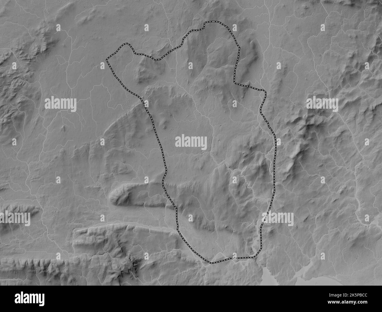 Kilkenny, county of Ireland. Grayscale elevation map with lakes and rivers Stock Photohttps://www.alamy.com/image-license-details/?v=1https://www.alamy.com/kilkenny-county-of-ireland-grayscale-elevation-map-with-lakes-and-rivers-image485455500.html
RF2K5PBCC–Kilkenny, county of Ireland. Grayscale elevation map with lakes and rivers
![Image from page 14 of 'Kilkenny City and County Guide and Directory, etc. [With a map.]' . Stock Photo Image from page 14 of 'Kilkenny City and County Guide and Directory, etc. [With a map.]' . Stock Photo](https://c8.alamy.com/comp/PG0DH8/image-from-page-14-of-kilkenny-city-and-county-guide-and-directory-etc-with-a-map-PG0DH8.jpg) Image from page 14 of 'Kilkenny City and County Guide and Directory, etc. [With a map.]' . Stock Photohttps://www.alamy.com/image-license-details/?v=1https://www.alamy.com/image-from-page-14-of-kilkenny-city-and-county-guide-and-directory-etc-with-a-map-image216369588.html
Image from page 14 of 'Kilkenny City and County Guide and Directory, etc. [With a map.]' . Stock Photohttps://www.alamy.com/image-license-details/?v=1https://www.alamy.com/image-from-page-14-of-kilkenny-city-and-county-guide-and-directory-etc-with-a-map-image216369588.htmlRMPG0DH8–Image from page 14 of 'Kilkenny City and County Guide and Directory, etc. [With a map.]' .
 USGS TOPO Map MInnesota MN Kilkenny 805693 1966 24000 Inverted Restoration Stock Photohttps://www.alamy.com/image-license-details/?v=1https://www.alamy.com/usgs-topo-map-minnesota-mn-kilkenny-805693-1966-24000-inverted-restoration-image333005579.html
RM2A9NM0B–USGS TOPO Map MInnesota MN Kilkenny 805693 1966 24000 Inverted Restoration
 Crusader, XIII Century, Graiguenamanagh, Co Kilkenny 33094226761 o Stock Photohttps://www.alamy.com/image-license-details/?v=1https://www.alamy.com/stock-photo-crusader-xiii-century-graiguenamanagh-co-kilkenny-33094226761-o-147097611.html
RMJF8TE3–Crusader, XIII Century, Graiguenamanagh, Co Kilkenny 33094226761 o
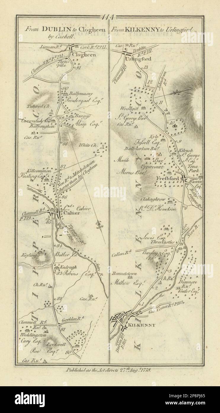 #114 Dublin to Clogheen. Kilkenny to Urlingford. Cahir. TAYLOR/SKINNER 1778 map Stock Photohttps://www.alamy.com/image-license-details/?v=1https://www.alamy.com/114-dublin-to-clogheen-kilkenny-to-urlingford-cahir-taylorskinner-1778-map-image538935885.html
RF2P8PJ65–#114 Dublin to Clogheen. Kilkenny to Urlingford. Cahir. TAYLOR/SKINNER 1778 map
 Kilkenny Quartette (NYPL Hades-447691-1688746) Stock Photohttps://www.alamy.com/image-license-details/?v=1https://www.alamy.com/stock-photo-kilkenny-quartette-nypl-hades-447691-1688746-148511002.html
RMJHH78A–Kilkenny Quartette (NYPL Hades-447691-1688746)
 Mount Kilkenny, Leonora, AU, Australia, Western Australia, S 29 1' 2'', N 121 45' 17'', map, Cartascapes Map published in 2024. Explore Cartascapes, a map revealing Earth's diverse landscapes, cultures, and ecosystems. Journey through time and space, discovering the interconnectedness of our planet's past, present, and future. Stock Photohttps://www.alamy.com/image-license-details/?v=1https://www.alamy.com/mount-kilkenny-leonora-au-australia-western-australia-s-29-1-2-n-121-45-17-map-cartascapes-map-published-in-2024-explore-cartascapes-a-map-revealing-earths-diverse-landscapes-cultures-and-ecosystems-journey-through-time-and-space-discovering-the-interconnectedness-of-our-planets-past-present-and-future-image625442738.html
RM2Y9FAGJ–Mount Kilkenny, Leonora, AU, Australia, Western Australia, S 29 1' 2'', N 121 45' 17'', map, Cartascapes Map published in 2024. Explore Cartascapes, a map revealing Earth's diverse landscapes, cultures, and ecosystems. Journey through time and space, discovering the interconnectedness of our planet's past, present, and future.
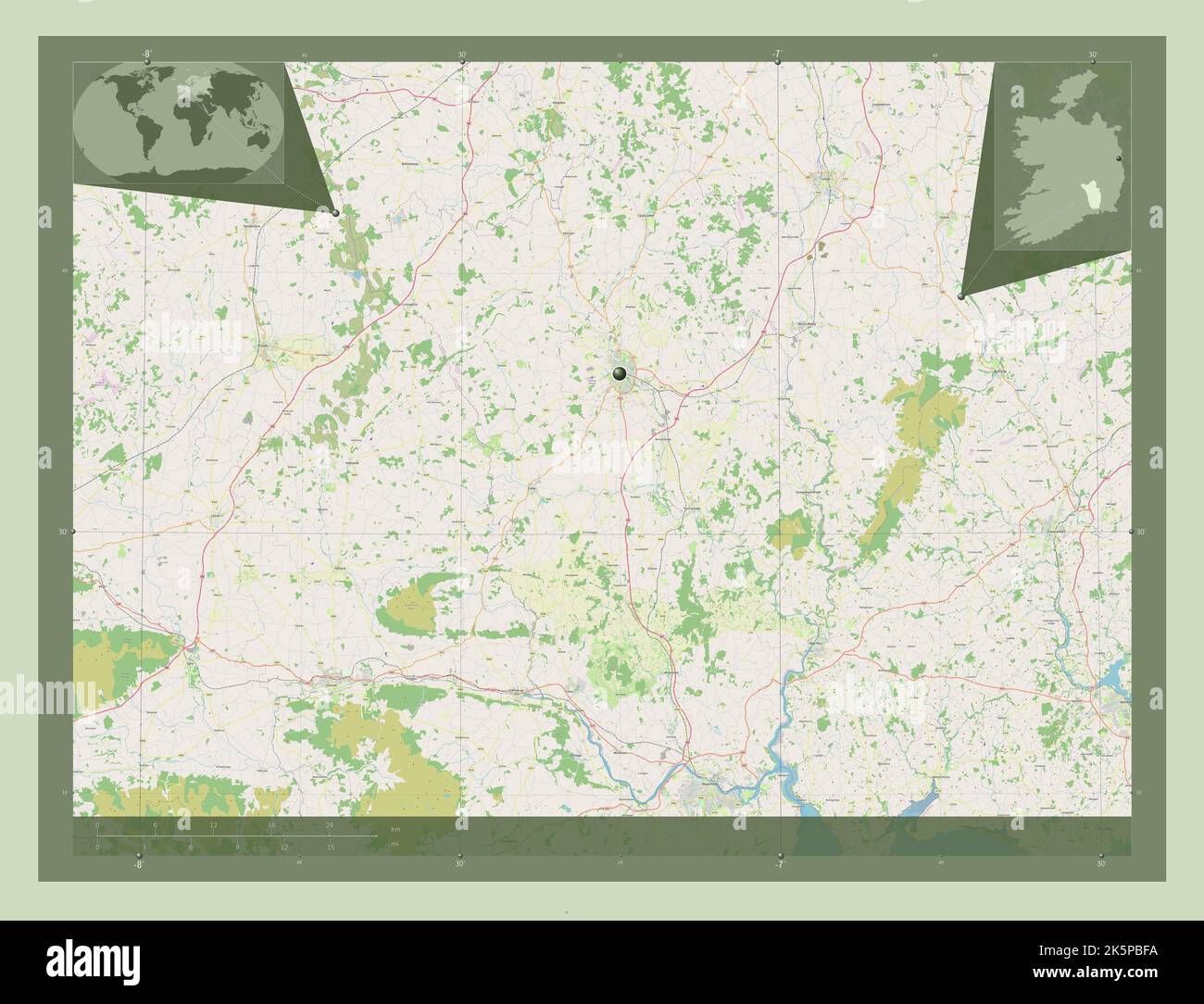 Kilkenny, county of Ireland. Open Street Map. Corner auxiliary location maps Stock Photohttps://www.alamy.com/image-license-details/?v=1https://www.alamy.com/kilkenny-county-of-ireland-open-street-map-corner-auxiliary-location-maps-image485455582.html
RF2K5PBFA–Kilkenny, county of Ireland. Open Street Map. Corner auxiliary location maps
![page 325 of 'Kilkenny City and County Guide and Directory, etc. [With a map.]' . Stock Photo page 325 of 'Kilkenny City and County Guide and Directory, etc. [With a map.]' . Stock Photo](https://c8.alamy.com/comp/PXCA4D/page-325-of-kilkenny-city-and-county-guide-and-directory-etc-with-a-map-PXCA4D.jpg) page 325 of 'Kilkenny City and County Guide and Directory, etc. [With a map.]' . Stock Photohttps://www.alamy.com/image-license-details/?v=1https://www.alamy.com/page-325-of-kilkenny-city-and-county-guide-and-directory-etc-with-a-map-image222776861.html
page 325 of 'Kilkenny City and County Guide and Directory, etc. [With a map.]' . Stock Photohttps://www.alamy.com/image-license-details/?v=1https://www.alamy.com/page-325-of-kilkenny-city-and-county-guide-and-directory-etc-with-a-map-image222776861.htmlRMPXCA4D–page 325 of 'Kilkenny City and County Guide and Directory, etc. [With a map.]' .
 A Parish Church in County Kilkenny (is Templeorum RC Church) 30127021275 o Stock Photohttps://www.alamy.com/image-license-details/?v=1https://www.alamy.com/stock-photo-a-parish-church-in-county-kilkenny-is-templeorum-rc-church-30127021275-147096136.html
RMJF8PHC–A Parish Church in County Kilkenny (is Templeorum RC Church) 30127021275 o
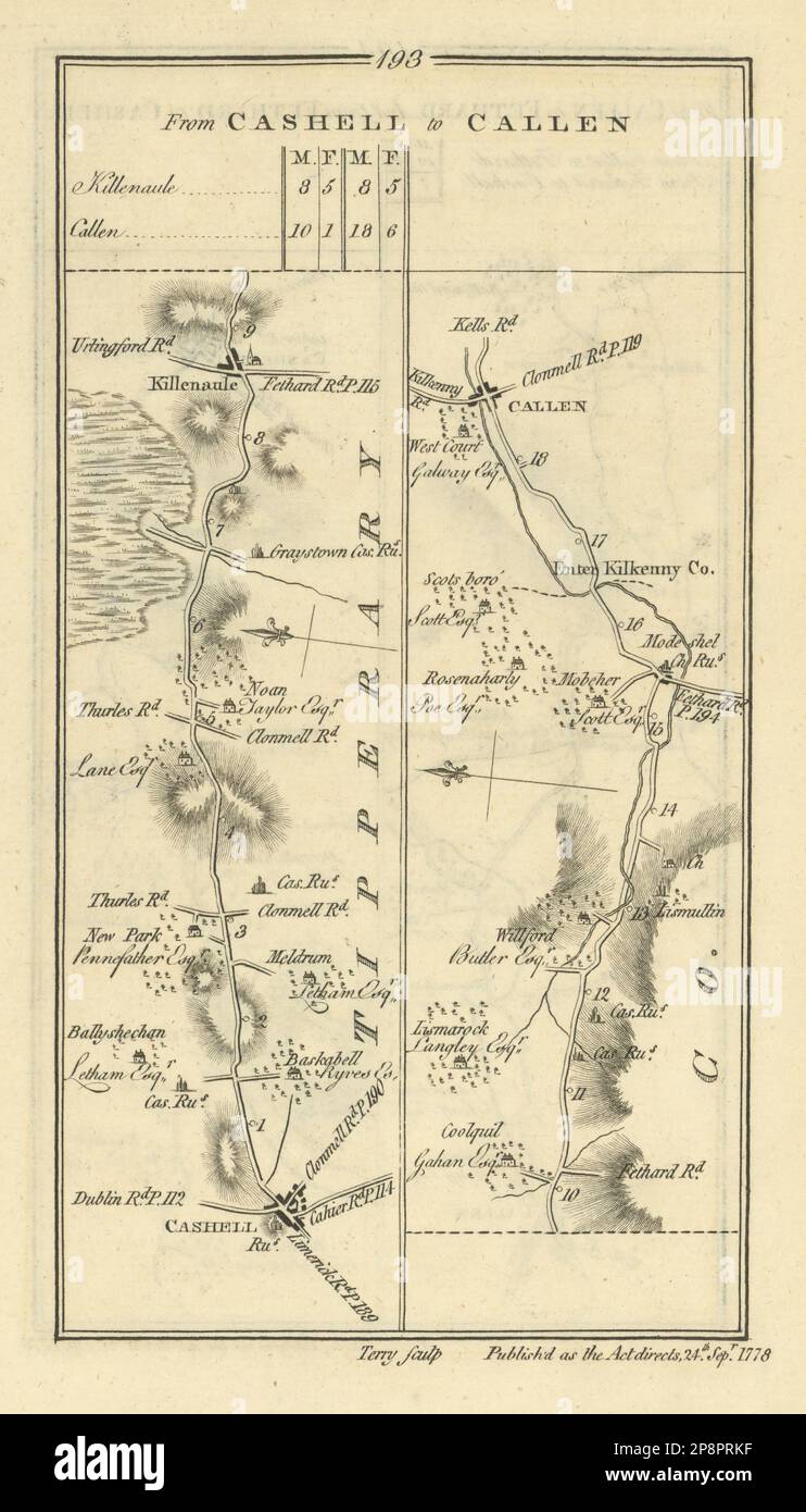 #193 Cashell to Callen. Killenaule Tipperary Kilkenny. TAYLOR/SKINNER 1778 map Stock Photohttps://www.alamy.com/image-license-details/?v=1https://www.alamy.com/193-cashell-to-callen-killenaule-tipperary-kilkenny-taylorskinner-1778-map-image538940179.html
RF2P8PRKF–#193 Cashell to Callen. Killenaule Tipperary Kilkenny. TAYLOR/SKINNER 1778 map
 Kilkenny Quartette (NYPL Hades-447691-1688742) Stock Photohttps://www.alamy.com/image-license-details/?v=1https://www.alamy.com/stock-photo-kilkenny-quartette-nypl-hades-447691-1688742-148510994.html
RMJHH782–Kilkenny Quartette (NYPL Hades-447691-1688742)
 Kilkenny, Le Sueur County, US, United States, Minnesota, N 44 18' 47'', S 93 34' 26'', map, Cartascapes Map published in 2024. Explore Cartascapes, a map revealing Earth's diverse landscapes, cultures, and ecosystems. Journey through time and space, discovering the interconnectedness of our planet's past, present, and future. Stock Photohttps://www.alamy.com/image-license-details/?v=1https://www.alamy.com/kilkenny-le-sueur-county-us-united-states-minnesota-n-44-18-47-s-93-34-26-map-cartascapes-map-published-in-2024-explore-cartascapes-a-map-revealing-earths-diverse-landscapes-cultures-and-ecosystems-journey-through-time-and-space-discovering-the-interconnectedness-of-our-planets-past-present-and-future-image621470730.html
RM2Y32C76–Kilkenny, Le Sueur County, US, United States, Minnesota, N 44 18' 47'', S 93 34' 26'', map, Cartascapes Map published in 2024. Explore Cartascapes, a map revealing Earth's diverse landscapes, cultures, and ecosystems. Journey through time and space, discovering the interconnectedness of our planet's past, present, and future.
 Kilkenny, county of Ireland. Low resolution satellite map. Corner auxiliary location maps Stock Photohttps://www.alamy.com/image-license-details/?v=1https://www.alamy.com/kilkenny-county-of-ireland-low-resolution-satellite-map-corner-auxiliary-location-maps-image485455515.html
RF2K5PBCY–Kilkenny, county of Ireland. Low resolution satellite map. Corner auxiliary location maps
![page 5 of 'Kilkenny City and County Guide and Directory, etc. [With a map.]' . Stock Photo page 5 of 'Kilkenny City and County Guide and Directory, etc. [With a map.]' . Stock Photo](https://c8.alamy.com/comp/PTK2YJ/page-5-of-kilkenny-city-and-county-guide-and-directory-etc-with-a-map-PTK2YJ.jpg) page 5 of 'Kilkenny City and County Guide and Directory, etc. [With a map.]' . Stock Photohttps://www.alamy.com/image-license-details/?v=1https://www.alamy.com/page-5-of-kilkenny-city-and-county-guide-and-directory-etc-with-a-map-image221695590.html
page 5 of 'Kilkenny City and County Guide and Directory, etc. [With a map.]' . Stock Photohttps://www.alamy.com/image-license-details/?v=1https://www.alamy.com/page-5-of-kilkenny-city-and-county-guide-and-directory-etc-with-a-map-image221695590.htmlRMPTK2YJ–page 5 of 'Kilkenny City and County Guide and Directory, etc. [With a map.]' .
 Wolf's Arch, Kilkenny City, Co Kilkenny 32873781352 o Stock Photohttps://www.alamy.com/image-license-details/?v=1https://www.alamy.com/stock-photo-wolfs-arch-kilkenny-city-co-kilkenny-32873781352-o-147097625.html
RMJF8TEH–Wolf's Arch, Kilkenny City, Co Kilkenny 32873781352 o
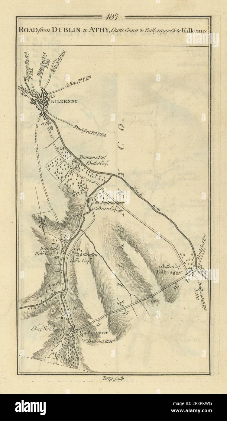 #137 Dublin to Athy, Castlecomer, Ballyragget & Kilkenny TAYLOR/SKINNER 1778 map Stock Photohttps://www.alamy.com/image-license-details/?v=1https://www.alamy.com/137-dublin-to-athy-castlecomer-ballyragget-kilkenny-taylorskinner-1778-map-image538937212.html
RF2P8PKWG–#137 Dublin to Athy, Castlecomer, Ballyragget & Kilkenny TAYLOR/SKINNER 1778 map
 NEWENHAM(1830) p155 KILKENNY BALLEEN CASTLE Stock Photohttps://www.alamy.com/image-license-details/?v=1https://www.alamy.com/newenham1830-p155-kilkenny-balleen-castle-image153752894.html
RMJX41AP–NEWENHAM(1830) p155 KILKENNY BALLEEN CASTLE
 Kilkenny, Tyrrell County, US, United States, North Carolina, N 35 38' 10'', S 76 12' 56'', map, Cartascapes Map published in 2024. Explore Cartascapes, a map revealing Earth's diverse landscapes, cultures, and ecosystems. Journey through time and space, discovering the interconnectedness of our planet's past, present, and future. Stock Photohttps://www.alamy.com/image-license-details/?v=1https://www.alamy.com/kilkenny-tyrrell-county-us-united-states-north-carolina-n-35-38-10-s-76-12-56-map-cartascapes-map-published-in-2024-explore-cartascapes-a-map-revealing-earths-diverse-landscapes-cultures-and-ecosystems-journey-through-time-and-space-discovering-the-interconnectedness-of-our-planets-past-present-and-future-image621199264.html
RM2Y2J200–Kilkenny, Tyrrell County, US, United States, North Carolina, N 35 38' 10'', S 76 12' 56'', map, Cartascapes Map published in 2024. Explore Cartascapes, a map revealing Earth's diverse landscapes, cultures, and ecosystems. Journey through time and space, discovering the interconnectedness of our planet's past, present, and future.
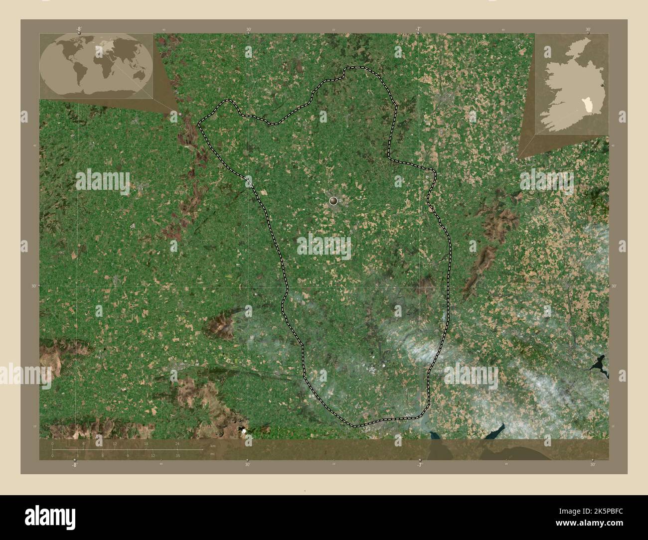 Kilkenny, county of Ireland. High resolution satellite map. Corner auxiliary location maps Stock Photohttps://www.alamy.com/image-license-details/?v=1https://www.alamy.com/kilkenny-county-of-ireland-high-resolution-satellite-map-corner-auxiliary-location-maps-image485455584.html
RF2K5PBFC–Kilkenny, county of Ireland. High resolution satellite map. Corner auxiliary location maps
 Queen Elizabeth's Cup, Kilkenny Cathedral Silver 30364758663 o Stock Photohttps://www.alamy.com/image-license-details/?v=1https://www.alamy.com/stock-photo-queen-elizabeths-cup-kilkenny-cathedral-silver-30364758663-o-147109167.html
RMJF9B6R–Queen Elizabeth's Cup, Kilkenny Cathedral Silver 30364758663 o
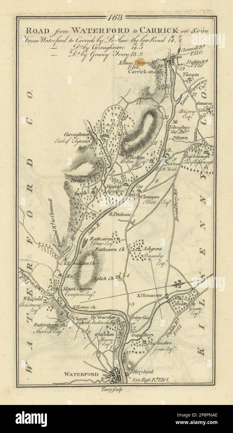 #163 Waterford to Carrick-on-Suir. Kilmacow Kilkenny. TAYLOR/SKINNER 1778 map Stock Photohttps://www.alamy.com/image-license-details/?v=1https://www.alamy.com/163-waterford-to-carrick-on-suir-kilmacow-kilkenny-taylorskinner-1778-map-image538938358.html
RF2P8PNAE–#163 Waterford to Carrick-on-Suir. Kilmacow Kilkenny. TAYLOR/SKINNER 1778 map
 NEWENHAM(1830) p157 KILKENNY GRANNY CASTLE Stock Photohttps://www.alamy.com/image-license-details/?v=1https://www.alamy.com/newenham1830-p157-kilkenny-granny-castle-image153752897.html
RMJX41AW–NEWENHAM(1830) p157 KILKENNY GRANNY CASTLE
 Kilkenny, Le Sueur County, US, United States, Minnesota, N 44 18' 47'', S 93 34' 26'', map, Cartascapes Map published in 2024. Explore Cartascapes, a map revealing Earth's diverse landscapes, cultures, and ecosystems. Journey through time and space, discovering the interconnectedness of our planet's past, present, and future. Stock Photohttps://www.alamy.com/image-license-details/?v=1https://www.alamy.com/kilkenny-le-sueur-county-us-united-states-minnesota-n-44-18-47-s-93-34-26-map-cartascapes-map-published-in-2024-explore-cartascapes-a-map-revealing-earths-diverse-landscapes-cultures-and-ecosystems-journey-through-time-and-space-discovering-the-interconnectedness-of-our-planets-past-present-and-future-image621164129.html
RM2Y2GD55–Kilkenny, Le Sueur County, US, United States, Minnesota, N 44 18' 47'', S 93 34' 26'', map, Cartascapes Map published in 2024. Explore Cartascapes, a map revealing Earth's diverse landscapes, cultures, and ecosystems. Journey through time and space, discovering the interconnectedness of our planet's past, present, and future.
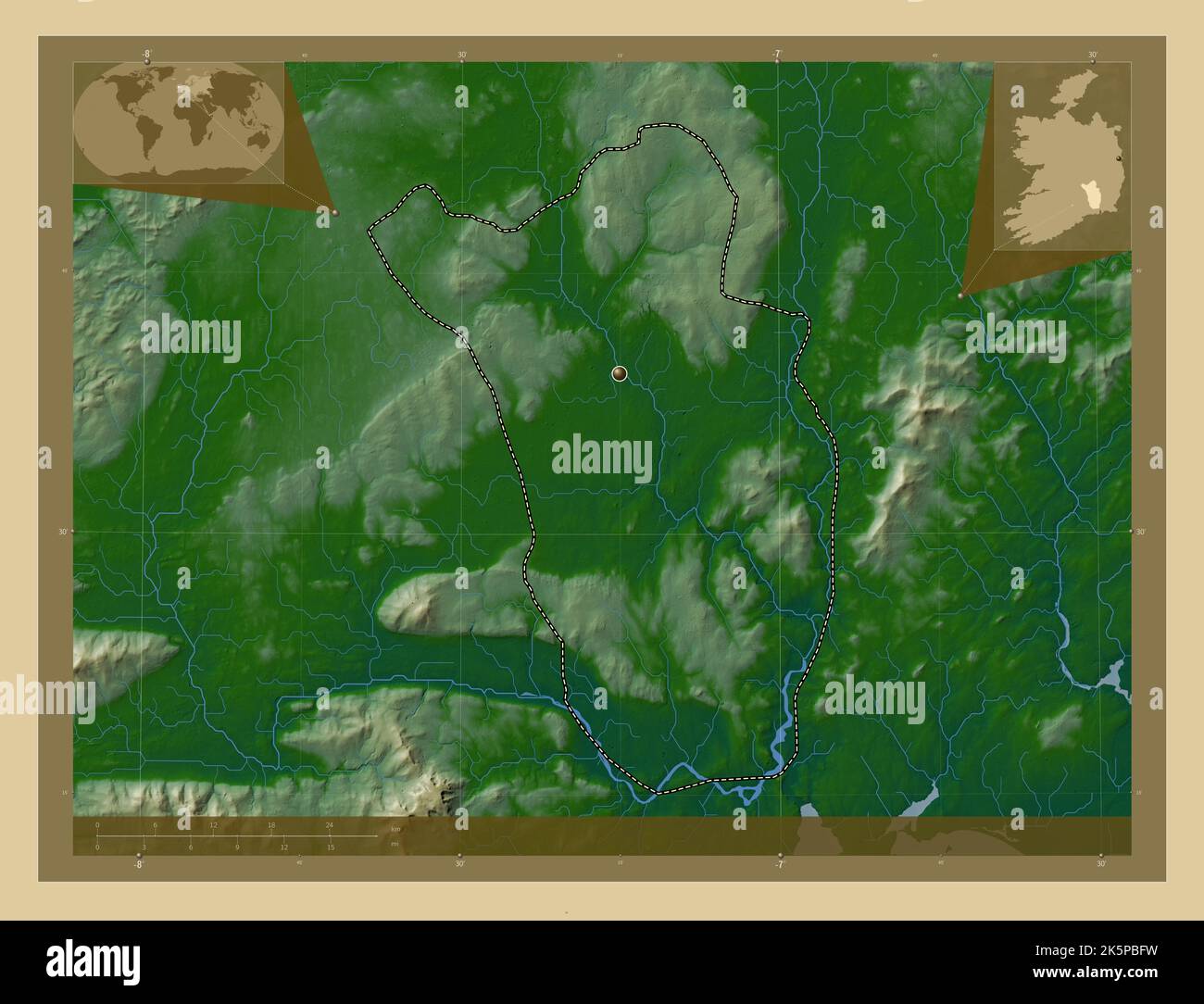 Kilkenny, county of Ireland. Colored elevation map with lakes and rivers. Corner auxiliary location maps Stock Photohttps://www.alamy.com/image-license-details/?v=1https://www.alamy.com/kilkenny-county-of-ireland-colored-elevation-map-with-lakes-and-rivers-corner-auxiliary-location-maps-image485455597.html
RF2K5PBFW–Kilkenny, county of Ireland. Colored elevation map with lakes and rivers. Corner auxiliary location maps
![2 of 'Kilkenny City and County Guide and Directory, etc. [With a map.]' Stock Photo 2 of 'Kilkenny City and County Guide and Directory, etc. [With a map.]' Stock Photo](https://c8.alamy.com/comp/FFPGE6/2-of-kilkenny-city-and-county-guide-and-directory-etc-with-a-map-FFPGE6.jpg) 2 of 'Kilkenny City and County Guide and Directory, etc. [With a map.]' Stock Photohttps://www.alamy.com/image-license-details/?v=1https://www.alamy.com/stock-photo-2-of-kilkenny-city-and-county-guide-and-directory-etc-with-a-map-95767566.html
2 of 'Kilkenny City and County Guide and Directory, etc. [With a map.]' Stock Photohttps://www.alamy.com/image-license-details/?v=1https://www.alamy.com/stock-photo-2-of-kilkenny-city-and-county-guide-and-directory-etc-with-a-map-95767566.htmlRFFFPGE6–2 of 'Kilkenny City and County Guide and Directory, etc. [With a map.]'