Quick filters:
Map of kincardine ontario Stock Photos and Images
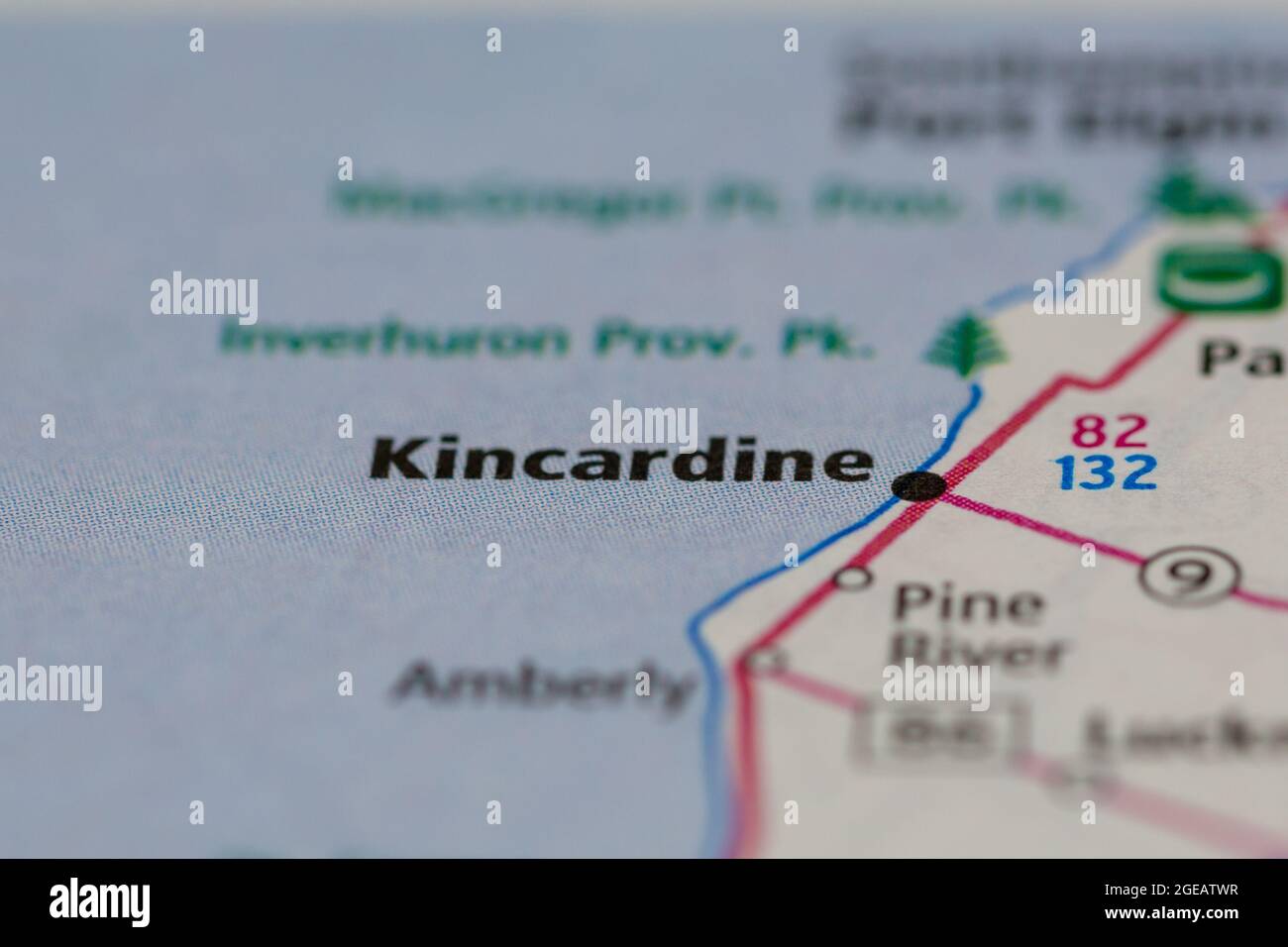
 Kincardine Ontario Canada shown on a road map or Geography map Stock Photohttps://www.alamy.com/image-license-details/?v=1https://www.alamy.com/kincardine-ontario-canada-shown-on-a-road-map-or-geography-map-image439103443.html
RM2GEATWR–Kincardine Ontario Canada shown on a road map or Geography map
 Kincardine, Bruce County, Canada, Ontario, N 44 11' 0'', W 81 37' 59'', map, Timeless Map published in 2021. Travelers, explorers and adventurers like Florence Nightingale, David Livingstone, Ernest Shackleton, Lewis and Clark and Sherlock Holmes relied on maps to plan travels to the world's most remote corners, Timeless Maps is mapping most locations on the globe, showing the achievement of great dreams Stock Photohttps://www.alamy.com/image-license-details/?v=1https://www.alamy.com/kincardine-bruce-county-canada-ontario-n-44-11-0-w-81-37-59-map-timeless-map-published-in-2021-travelers-explorers-and-adventurers-like-florence-nightingale-david-livingstone-ernest-shackleton-lewis-and-clark-and-sherlock-holmes-relied-on-maps-to-plan-travels-to-the-worlds-most-remote-corners-timeless-maps-is-mapping-most-locations-on-the-globe-showing-the-achievement-of-great-dreams-image457869515.html
RM2HGWN6K–Kincardine, Bruce County, Canada, Ontario, N 44 11' 0'', W 81 37' 59'', map, Timeless Map published in 2021. Travelers, explorers and adventurers like Florence Nightingale, David Livingstone, Ernest Shackleton, Lewis and Clark and Sherlock Holmes relied on maps to plan travels to the world's most remote corners, Timeless Maps is mapping most locations on the globe, showing the achievement of great dreams
 Forest physiography; physiography of the United States and principles of soils in relation to forestry . Fig. i88. — Isobasic map of the Algonkian aad Iroquois beaches, showing the broader features ofwarping. Numbers indicate elevations of raised beaches above the sea. (Goldthwait.) .^0-DSOJf ? .^-. ^.-7- i: Fig. 189. — Map of e.tinct Lake Agassiz and other glacial lakes. (UphamU. S. Geol. Surv.) PRAIRIE PLAINS 485 contrast to these features of shore lines of subsidence are the featuresindicating elevation on the shore lines of the eastern side of Lake Huronat Kincardine and Goderich, Ontario Stock Photohttps://www.alamy.com/image-license-details/?v=1https://www.alamy.com/forest-physiography-physiography-of-the-united-states-and-principles-of-soils-in-relation-to-forestry-fig-i88-isobasic-map-of-the-algonkian-aad-iroquois-beaches-showing-the-broader-features-ofwarping-numbers-indicate-elevations-of-raised-beaches-above-the-sea-goldthwait-0-dsojf-7-i-fig-189-map-of-etinct-lake-agassiz-and-other-glacial-lakes-uphamu-s-geol-surv-prairie-plains-485-contrast-to-these-features-of-shore-lines-of-subsidence-are-the-featuresindicating-elevation-on-the-shore-lines-of-the-eastern-side-of-lake-huronat-kincardine-and-goderich-ontario-image343243331.html
RM2AXC2AB–Forest physiography; physiography of the United States and principles of soils in relation to forestry . Fig. i88. — Isobasic map of the Algonkian aad Iroquois beaches, showing the broader features ofwarping. Numbers indicate elevations of raised beaches above the sea. (Goldthwait.) .^0-DSOJf ? .^-. ^.-7- i: Fig. 189. — Map of e.tinct Lake Agassiz and other glacial lakes. (UphamU. S. Geol. Surv.) PRAIRIE PLAINS 485 contrast to these features of shore lines of subsidence are the featuresindicating elevation on the shore lines of the eastern side of Lake Huronat Kincardine and Goderich, Ontario