Quick filters:
Map of lacey Stock Photos and Images
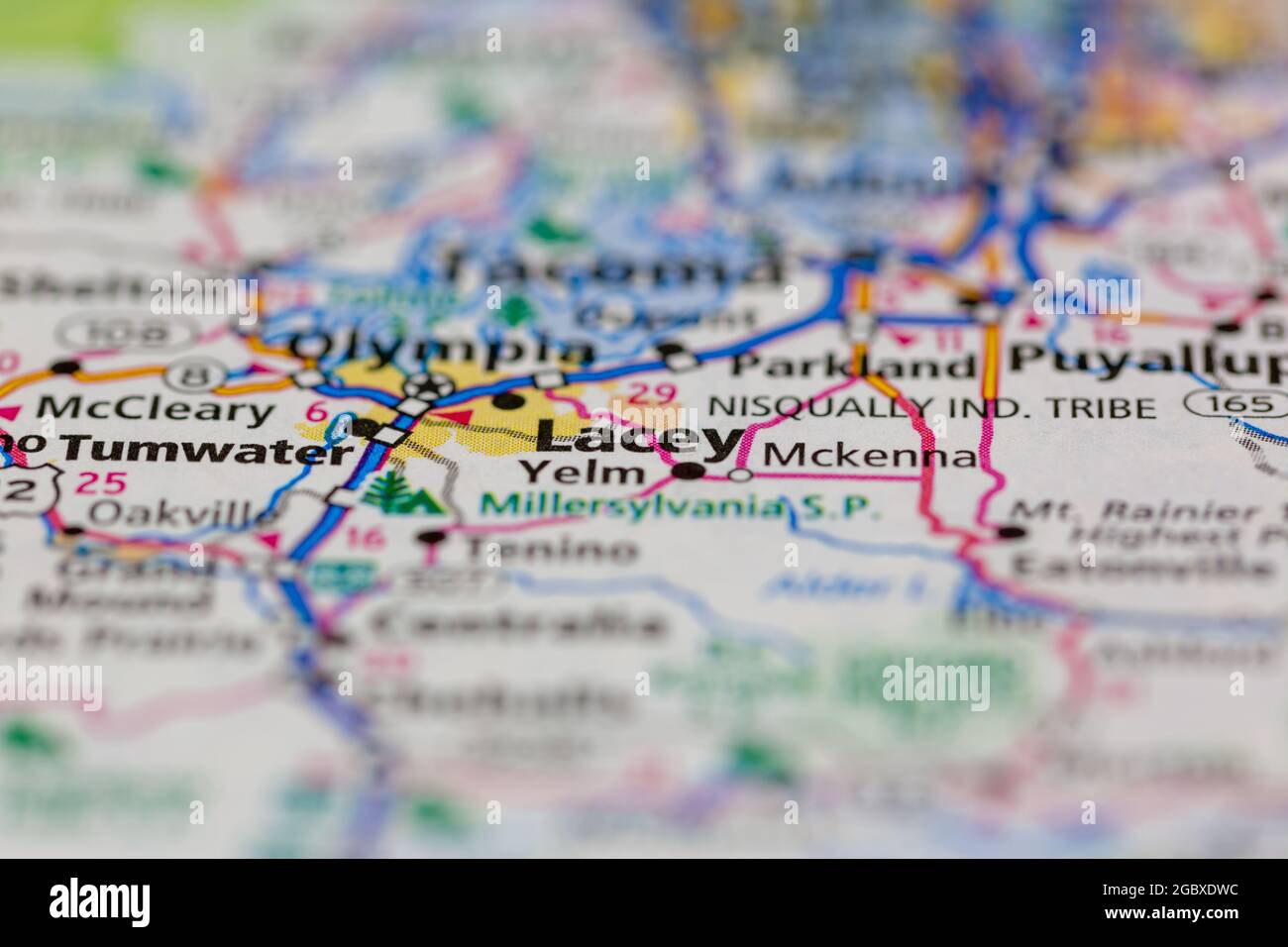 Lacey Washington State USA shown on a road map or Geography map Stock Photohttps://www.alamy.com/image-license-details/?v=1https://www.alamy.com/lacey-washington-state-usa-shown-on-a-road-map-or-geography-map-image437602072.html
RM2GBXDWC–Lacey Washington State USA shown on a road map or Geography map
 Lacey Island, , AU, Australia, Queensland, S 10 36' 42'', N 142 36' 36'', map, Cartascapes Map published in 2024. Explore Cartascapes, a map revealing Earth's diverse landscapes, cultures, and ecosystems. Journey through time and space, discovering the interconnectedness of our planet's past, present, and future. Stock Photohttps://www.alamy.com/image-license-details/?v=1https://www.alamy.com/lacey-island-au-australia-queensland-s-10-36-42-n-142-36-36-map-cartascapes-map-published-in-2024-explore-cartascapes-a-map-revealing-earths-diverse-landscapes-cultures-and-ecosystems-journey-through-time-and-space-discovering-the-interconnectedness-of-our-planets-past-present-and-future-image625525387.html
RM2Y9K40B–Lacey Island, , AU, Australia, Queensland, S 10 36' 42'', N 142 36' 36'', map, Cartascapes Map published in 2024. Explore Cartascapes, a map revealing Earth's diverse landscapes, cultures, and ecosystems. Journey through time and space, discovering the interconnectedness of our planet's past, present, and future.
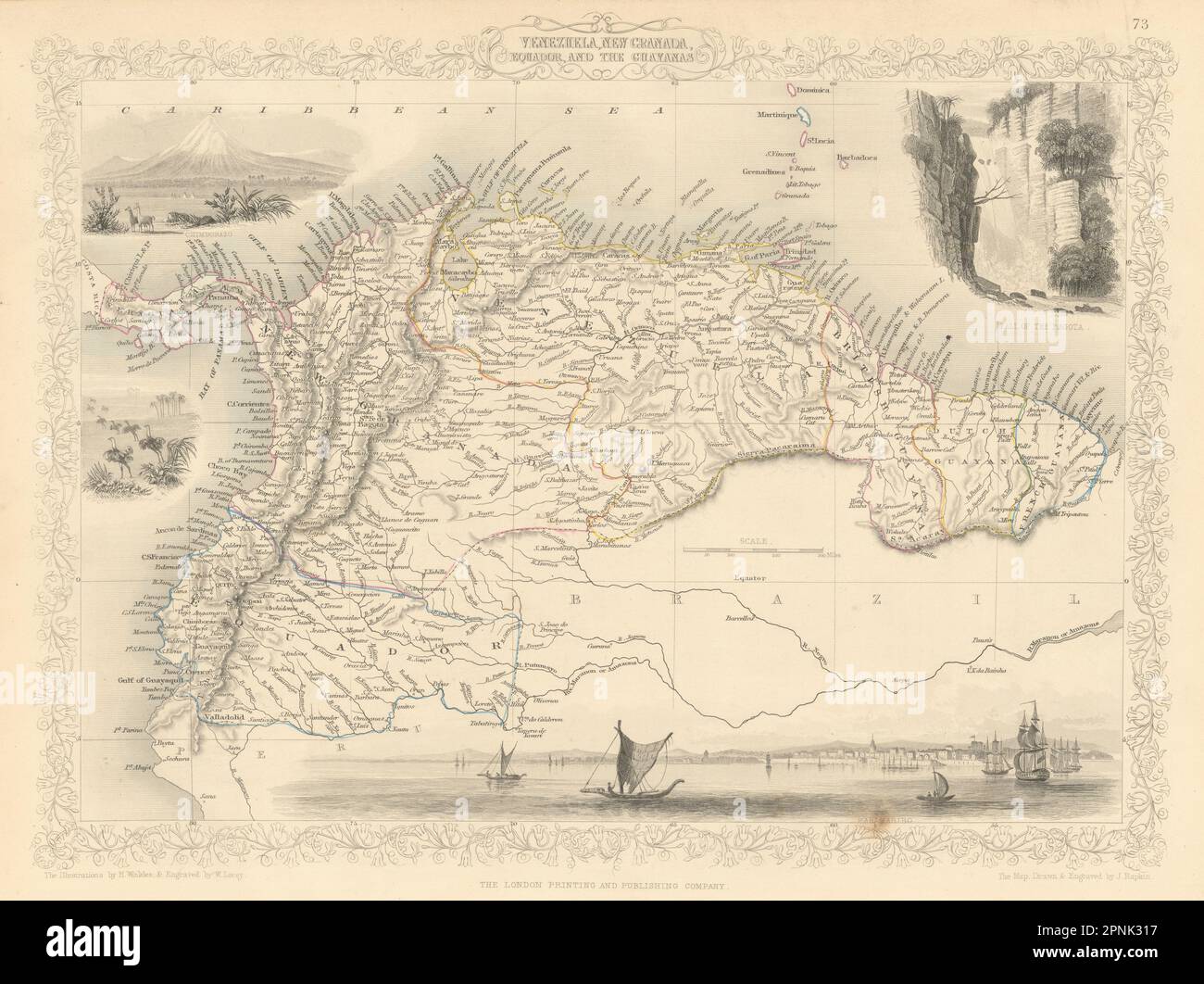 VENEZUELA, NEW GRANADA, EQUADOR & THE GUYANAS. Ecuador. RAPKIN/TALLIS 1851 map Stock Photohttps://www.alamy.com/image-license-details/?v=1https://www.alamy.com/venezuela-new-granada-equador-the-guyanas-ecuador-rapkintallis-1851-map-image546848659.html
RF2PNK317–VENEZUELA, NEW GRANADA, EQUADOR & THE GUYANAS. Ecuador. RAPKIN/TALLIS 1851 map
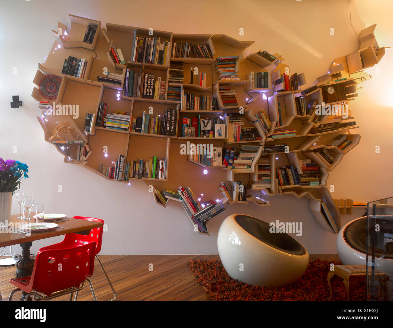 Wimbledon Village House, London. Map of USA shelves hanging on wall. Stock Photohttps://www.alamy.com/image-license-details/?v=1https://www.alamy.com/stock-photo-wimbledon-village-house-london-map-of-usa-shelves-hanging-on-wall-104196810.html
RMG1EG2J–Wimbledon Village House, London. Map of USA shelves hanging on wall.
 Die Cast Model Car Truck on Local Area Road Map Stock Photohttps://www.alamy.com/image-license-details/?v=1https://www.alamy.com/stock-photo-die-cast-model-car-truck-on-local-area-road-map-29103239.html
RMBK9NDB–Die Cast Model Car Truck on Local Area Road Map
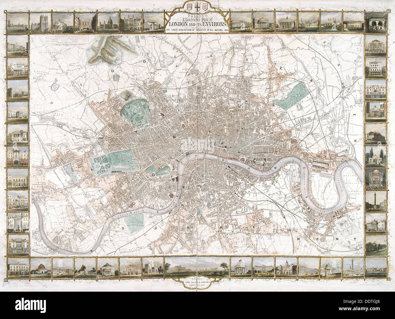 Map of London, 1851. Artist: H Lacey Stock Photohttps://www.alamy.com/image-license-details/?v=1https://www.alamy.com/map-of-london-1851-artist-h-lacey-image60161536.html
RMDDTGJ8–Map of London, 1851. Artist: H Lacey
 Pointing at a map of the grounds of Polesden Lacey Edwardian Estate open to the public near Dorking Surrey England UK Stock Photohttps://www.alamy.com/image-license-details/?v=1https://www.alamy.com/pointing-at-a-map-of-the-grounds-of-polesden-lacey-edwardian-estate-open-to-the-public-near-dorking-surrey-england-uk-image473282103.html
RM2JDYT47–Pointing at a map of the grounds of Polesden Lacey Edwardian Estate open to the public near Dorking Surrey England UK
 Francis Lacey Stock Photohttps://www.alamy.com/image-license-details/?v=1https://www.alamy.com/stock-photo-francis-lacey-139896451.html
RMJ3GR9R–Francis Lacey
 The operations round Kut-al-amara. 1816. Bird's eye view of the operations round Kut-al-amara (Mesopotamia). 18 March 1916. Pen-and-ink. British school. Originally published/produced in 1816. . Source: WD 1246,. Language: English. Author: Rybot, Norman Victor Lacey. Stock Photohttps://www.alamy.com/image-license-details/?v=1https://www.alamy.com/the-operations-round-kut-al-amara-1816-birds-eye-view-of-the-operations-round-kut-al-amara-mesopotamia-18-march-1916-pen-and-ink-british-school-originally-publishedproduced-in-1816-source-wd-1246-language-english-author-rybot-norman-victor-lacey-image231443447.html
RMRCF4DB–The operations round Kut-al-amara. 1816. Bird's eye view of the operations round Kut-al-amara (Mesopotamia). 18 March 1916. Pen-and-ink. British school. Originally published/produced in 1816. . Source: WD 1246,. Language: English. Author: Rybot, Norman Victor Lacey.
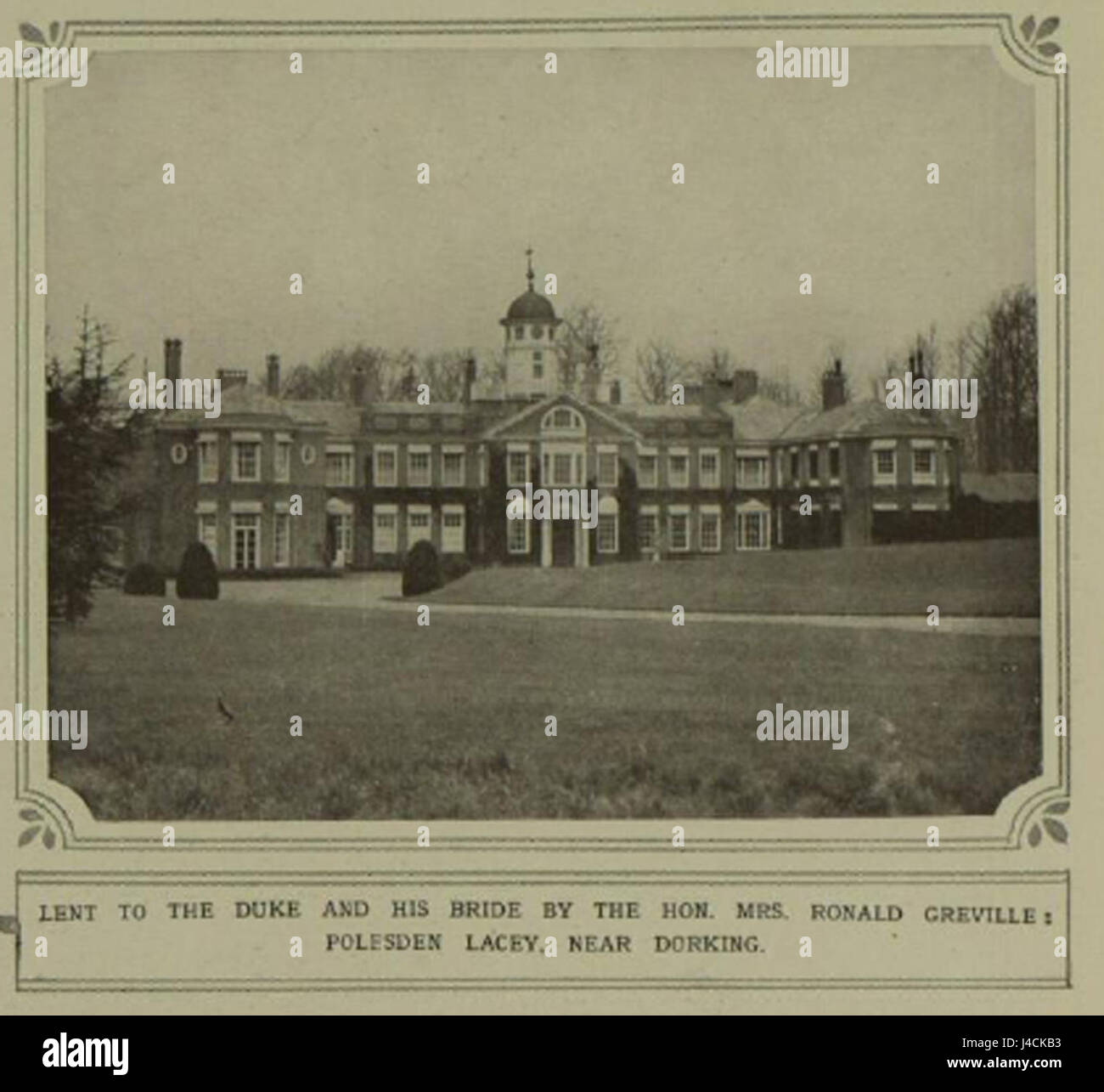 Polesden Lacey 1923 Stock Photohttps://www.alamy.com/image-license-details/?v=1https://www.alamy.com/stock-photo-polesden-lacey-1923-140420199.html
RMJ4CKB3–Polesden Lacey 1923
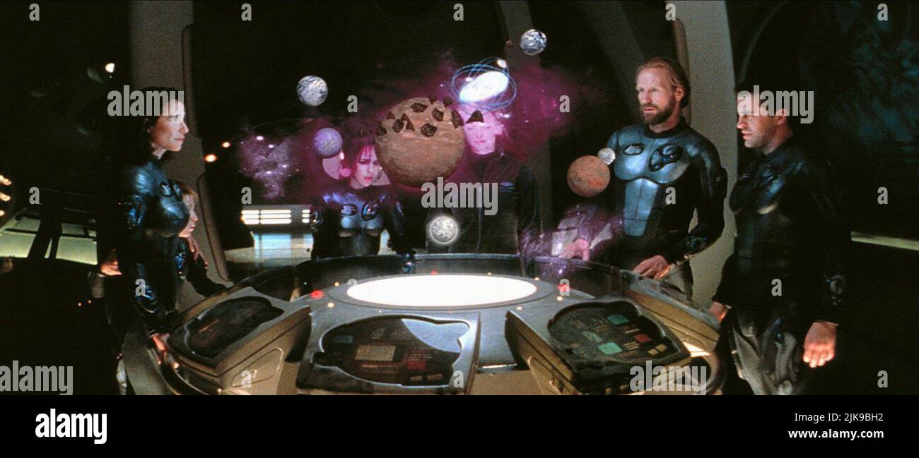 Mimi Rogers, Lacey Chabert, Heather Graham, Matt Le Blanc Film: Lost In Space (USA 1998) Characters: Dr. Maureen Robinson,Penny Robinson,Dr. Judy Robinson, Director: Stephen Hopkins 03 April 1998 **WARNING** This Photograph is for editorial use only and is the copyright of NEW LINE CINEMA and/or the Photographer assigned by the Film or Production Company and can only be reproduced by publications in conjunction with the promotion of the above Film. A Mandatory Credit To NEW LINE CINEMA is required. The Photographer should also be credited when known. No commercial use can be granted without Stock Photohttps://www.alamy.com/image-license-details/?v=1https://www.alamy.com/mimi-rogers-lacey-chabert-heather-graham-matt-le-blanc-film-lost-in-space-usa-1998-characters-dr-maureen-robinsonpenny-robinsondr-judy-robinson-director-stephen-hopkins-03-april-1998-warning-this-photograph-is-for-editorial-use-only-and-is-the-copyright-of-new-line-cinema-andor-the-photographer-assigned-by-the-film-or-production-company-and-can-only-be-reproduced-by-publications-in-conjunction-with-the-promotion-of-the-above-film-a-mandatory-credit-to-new-line-cinema-is-required-the-photographer-should-also-be-credited-when-known-no-commercial-use-can-be-granted-without-image476565070.html
RM2JK9BH2–Mimi Rogers, Lacey Chabert, Heather Graham, Matt Le Blanc Film: Lost In Space (USA 1998) Characters: Dr. Maureen Robinson,Penny Robinson,Dr. Judy Robinson, Director: Stephen Hopkins 03 April 1998 **WARNING** This Photograph is for editorial use only and is the copyright of NEW LINE CINEMA and/or the Photographer assigned by the Film or Production Company and can only be reproduced by publications in conjunction with the promotion of the above Film. A Mandatory Credit To NEW LINE CINEMA is required. The Photographer should also be credited when known. No commercial use can be granted without
 Wimbledon Village House, London. Close view of USA map of shelves hanging on white wall. Partial view of modern living room. Stock Photohttps://www.alamy.com/image-license-details/?v=1https://www.alamy.com/stock-photo-wimbledon-village-house-london-close-view-of-usa-map-of-shelves-hanging-104196811.html
RMG1EG2K–Wimbledon Village House, London. Close view of USA map of shelves hanging on white wall. Partial view of modern living room.
 Washington, state of United States of America. Open Street Map Stock Photohttps://www.alamy.com/image-license-details/?v=1https://www.alamy.com/washington-state-of-united-states-of-america-open-street-map-image546023237.html
RF2PM9E5W–Washington, state of United States of America. Open Street Map
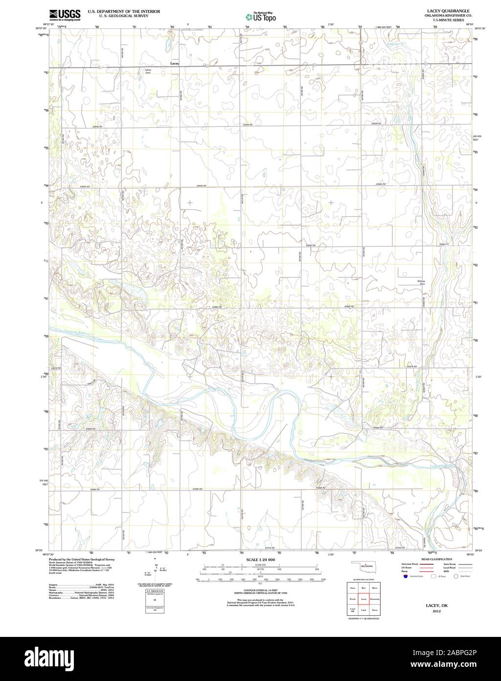 USGS TOPO Map Oklahoma OK Lacey 20121030 TM Restoration Stock Photohttps://www.alamy.com/image-license-details/?v=1https://www.alamy.com/usgs-topo-map-oklahoma-ok-lacey-20121030-tm-restoration-image334253774.html
RM2ABPG2P–USGS TOPO Map Oklahoma OK Lacey 20121030 TM Restoration
 . Canadian forest industries January-June 1917. Lumbering; Forests and forestry; Forest products; Wood-pulp industry; Wood-using industries. May 15, 1917 CANADA LUMBERMAN AND WOODWORKER 57 Ik EXPERIENCE : RESOURCES : PRECISION ff^hat Is a Lacey Reportf It is science applied to the measurement of timber "values to produce a statistical photo- graphy so to speak, of a tract of tim- ber. When desirable, it includes a detailed contour map accurate enough to plan logging operations upon, and always includes a mass of intelligent commentary on all conditions of inter- est to an investing or log Stock Photohttps://www.alamy.com/image-license-details/?v=1https://www.alamy.com/canadian-forest-industries-january-june-1917-lumbering-forests-and-forestry-forest-products-wood-pulp-industry-wood-using-industries-may-15-1917-canada-lumberman-and-woodworker-57-ik-experience-resources-precision-ffhat-is-a-lacey-reportf-it-is-science-applied-to-the-measurement-of-timber-quotvalues-to-produce-a-statistical-photo-graphy-so-to-speak-of-a-tract-of-tim-ber-when-desirable-it-includes-a-detailed-contour-map-accurate-enough-to-plan-logging-operations-upon-and-always-includes-a-mass-of-intelligent-commentary-on-all-conditions-of-inter-est-to-an-investing-or-log-image233551485.html
RMRFY58D–. Canadian forest industries January-June 1917. Lumbering; Forests and forestry; Forest products; Wood-pulp industry; Wood-using industries. May 15, 1917 CANADA LUMBERMAN AND WOODWORKER 57 Ik EXPERIENCE : RESOURCES : PRECISION ff^hat Is a Lacey Reportf It is science applied to the measurement of timber "values to produce a statistical photo- graphy so to speak, of a tract of tim- ber. When desirable, it includes a detailed contour map accurate enough to plan logging operations upon, and always includes a mass of intelligent commentary on all conditions of inter- est to an investing or log
![Image taken from page 243 of '[Mansfield Park: a novel.]' Image taken from page 243 of '[Mansfield Park a novel]' Stock Photo Image taken from page 243 of '[Mansfield Park: a novel.]' Image taken from page 243 of '[Mansfield Park a novel]' Stock Photo](https://c8.alamy.com/comp/HFK2H8/image-taken-from-page-243-of-mansfield-park-a-novel-image-taken-from-HFK2H8.jpg) Image taken from page 243 of '[Mansfield Park: a novel.]' Image taken from page 243 of '[Mansfield Park a novel]' Stock Photohttps://www.alamy.com/image-license-details/?v=1https://www.alamy.com/stock-photo-image-taken-from-page-243-of-mansfield-park-a-novel-image-taken-from-130111556.html
Image taken from page 243 of '[Mansfield Park: a novel.]' Image taken from page 243 of '[Mansfield Park a novel]' Stock Photohttps://www.alamy.com/image-license-details/?v=1https://www.alamy.com/stock-photo-image-taken-from-page-243-of-mansfield-park-a-novel-image-taken-from-130111556.htmlRMHFK2H8–Image taken from page 243 of '[Mansfield Park: a novel.]' Image taken from page 243 of '[Mansfield Park a novel]'
 Lacey, Kingfisher County, US, United States, Oklahoma, N 36 6' 58'', S 98 5' 10'', map, Cartascapes Map published in 2024. Explore Cartascapes, a map revealing Earth's diverse landscapes, cultures, and ecosystems. Journey through time and space, discovering the interconnectedness of our planet's past, present, and future. Stock Photohttps://www.alamy.com/image-license-details/?v=1https://www.alamy.com/lacey-kingfisher-county-us-united-states-oklahoma-n-36-6-58-s-98-5-10-map-cartascapes-map-published-in-2024-explore-cartascapes-a-map-revealing-earths-diverse-landscapes-cultures-and-ecosystems-journey-through-time-and-space-discovering-the-interconnectedness-of-our-planets-past-present-and-future-image621247380.html
RM2Y2M7AC–Lacey, Kingfisher County, US, United States, Oklahoma, N 36 6' 58'', S 98 5' 10'', map, Cartascapes Map published in 2024. Explore Cartascapes, a map revealing Earth's diverse landscapes, cultures, and ecosystems. Journey through time and space, discovering the interconnectedness of our planet's past, present, and future.
 VENEZUELA, NEW GRANADA, EQUADOR & THE GUYANAS': Ecuador.TALLIS/RAPKIN, 1851 map Stock Photohttps://www.alamy.com/image-license-details/?v=1https://www.alamy.com/stock-photo-venezuela-new-granada-equador-the-guyanas-ecuadortallisrapkin-1851-93001163.html
RFFB8FX3–VENEZUELA, NEW GRANADA, EQUADOR & THE GUYANAS': Ecuador.TALLIS/RAPKIN, 1851 map
 Arbour Polesden Lacey 1923 Stock Photohttps://www.alamy.com/image-license-details/?v=1https://www.alamy.com/stock-photo-arbour-polesden-lacey-1923-139478640.html
RMJ2WPC0–Arbour Polesden Lacey 1923
 Washington, state of United States of America. High resolution satellite map Stock Photohttps://www.alamy.com/image-license-details/?v=1https://www.alamy.com/washington-state-of-united-states-of-america-high-resolution-satellite-map-image546023318.html
RF2PM9E8P–Washington, state of United States of America. High resolution satellite map
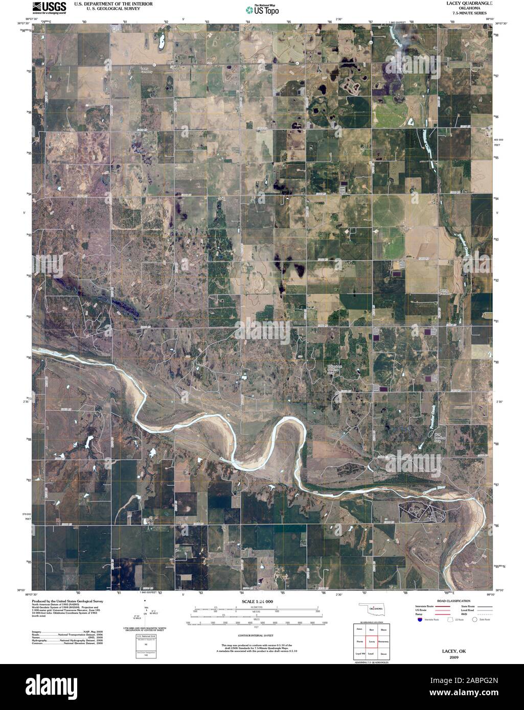 USGS TOPO Map Oklahoma OK Lacey 20091230 TM Restoration Stock Photohttps://www.alamy.com/image-license-details/?v=1https://www.alamy.com/usgs-topo-map-oklahoma-ok-lacey-20091230-tm-restoration-image334253773.html
RM2ABPG2N–USGS TOPO Map Oklahoma OK Lacey 20091230 TM Restoration
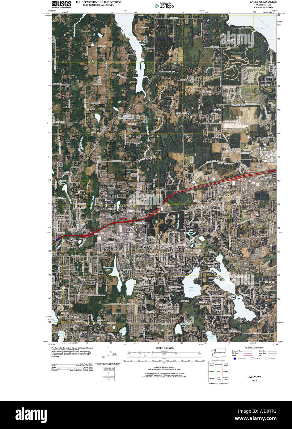 USGS Topo Map Washington State WA Lacey 20110504 TM Restoration Stock Photohttps://www.alamy.com/image-license-details/?v=1https://www.alamy.com/usgs-topo-map-washington-state-wa-lacey-20110504-tm-restoration-image266341098.html
RMWD8TP2–USGS Topo Map Washington State WA Lacey 20110504 TM Restoration
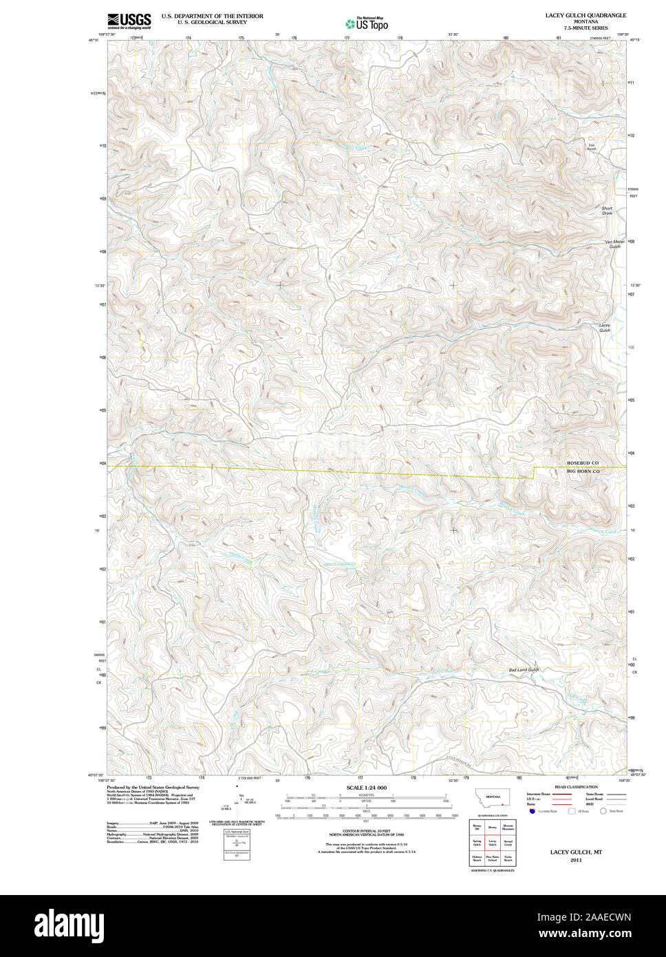 USGS TOPO Map Montana MT Lacey Gulch 20110523 TM Restoration Stock Photohttps://www.alamy.com/image-license-details/?v=1https://www.alamy.com/usgs-topo-map-montana-mt-lacey-gulch-20110523-tm-restoration-image333461009.html
RM2AAECWN–USGS TOPO Map Montana MT Lacey Gulch 20110523 TM Restoration
 Lacey, Magoffin County, US, United States, Kentucky, N 37 51' 35'', S 83 1' 53'', map, Cartascapes Map published in 2024. Explore Cartascapes, a map revealing Earth's diverse landscapes, cultures, and ecosystems. Journey through time and space, discovering the interconnectedness of our planet's past, present, and future. Stock Photohttps://www.alamy.com/image-license-details/?v=1https://www.alamy.com/lacey-magoffin-county-us-united-states-kentucky-n-37-51-35-s-83-1-53-map-cartascapes-map-published-in-2024-explore-cartascapes-a-map-revealing-earths-diverse-landscapes-cultures-and-ecosystems-journey-through-time-and-space-discovering-the-interconnectedness-of-our-planets-past-present-and-future-image621441989.html
RM2Y313GN–Lacey, Magoffin County, US, United States, Kentucky, N 37 51' 35'', S 83 1' 53'', map, Cartascapes Map published in 2024. Explore Cartascapes, a map revealing Earth's diverse landscapes, cultures, and ecosystems. Journey through time and space, discovering the interconnectedness of our planet's past, present, and future.
 BRAZIL: Uruguay as part of Brazil. Rio de Janeiro view TALLIS/RAPKIN, 1851 map Stock Photohttps://www.alamy.com/image-license-details/?v=1https://www.alamy.com/stock-photo-brazil-uruguay-as-part-of-brazil-rio-de-janeiro-view-tallisrapkin-93001784.html
RFFB8GM8–BRAZIL: Uruguay as part of Brazil. Rio de Janeiro view TALLIS/RAPKIN, 1851 map
 The Library Polesden Lacey 1923 Stock Photohttps://www.alamy.com/image-license-details/?v=1https://www.alamy.com/stock-photo-the-library-polesden-lacey-1923-140647522.html
RMJ4R19P–The Library Polesden Lacey 1923
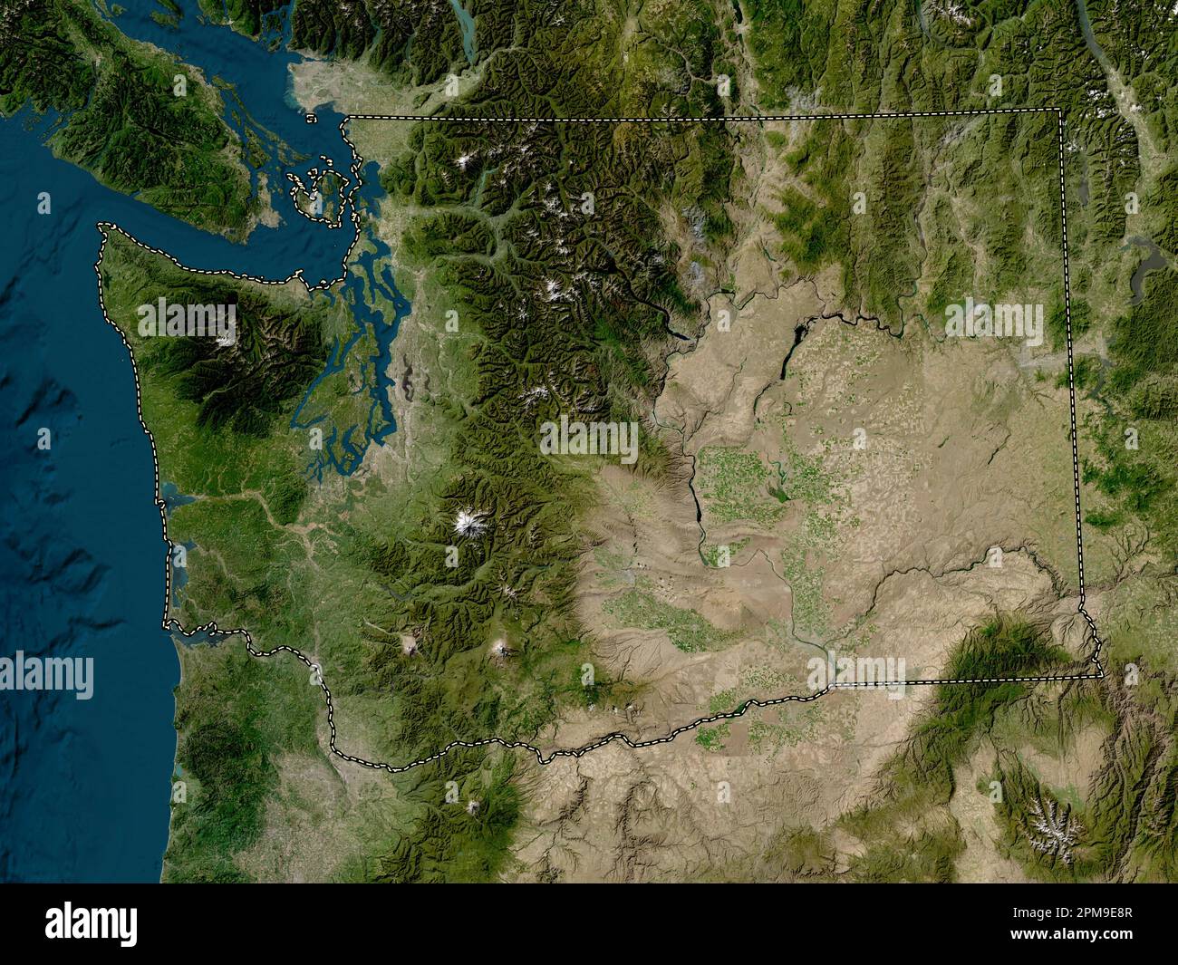 Washington, state of United States of America. Low resolution satellite map Stock Photohttps://www.alamy.com/image-license-details/?v=1https://www.alamy.com/washington-state-of-united-states-of-america-low-resolution-satellite-map-image546023319.html
RF2PM9E8R–Washington, state of United States of America. Low resolution satellite map
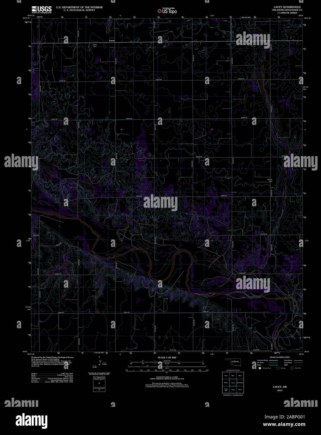 USGS TOPO Map Oklahoma OK Lacey 20121030 TM Inverted Restoration Stock Photohttps://www.alamy.com/image-license-details/?v=1https://www.alamy.com/usgs-topo-map-oklahoma-ok-lacey-20121030-tm-inverted-restoration-image334253697.html
RM2ABPG01–USGS TOPO Map Oklahoma OK Lacey 20121030 TM Inverted Restoration
 Lacey, Thurston County, US, United States, Washington, N 47 2' 3'', S 122 49' 23'', map, Cartascapes Map published in 2024. Explore Cartascapes, a map revealing Earth's diverse landscapes, cultures, and ecosystems. Journey through time and space, discovering the interconnectedness of our planet's past, present, and future. Stock Photohttps://www.alamy.com/image-license-details/?v=1https://www.alamy.com/lacey-thurston-county-us-united-states-washington-n-47-2-3-s-122-49-23-map-cartascapes-map-published-in-2024-explore-cartascapes-a-map-revealing-earths-diverse-landscapes-cultures-and-ecosystems-journey-through-time-and-space-discovering-the-interconnectedness-of-our-planets-past-present-and-future-image621388126.html
RM2Y2XJW2–Lacey, Thurston County, US, United States, Washington, N 47 2' 3'', S 122 49' 23'', map, Cartascapes Map published in 2024. Explore Cartascapes, a map revealing Earth's diverse landscapes, cultures, and ecosystems. Journey through time and space, discovering the interconnectedness of our planet's past, present, and future.
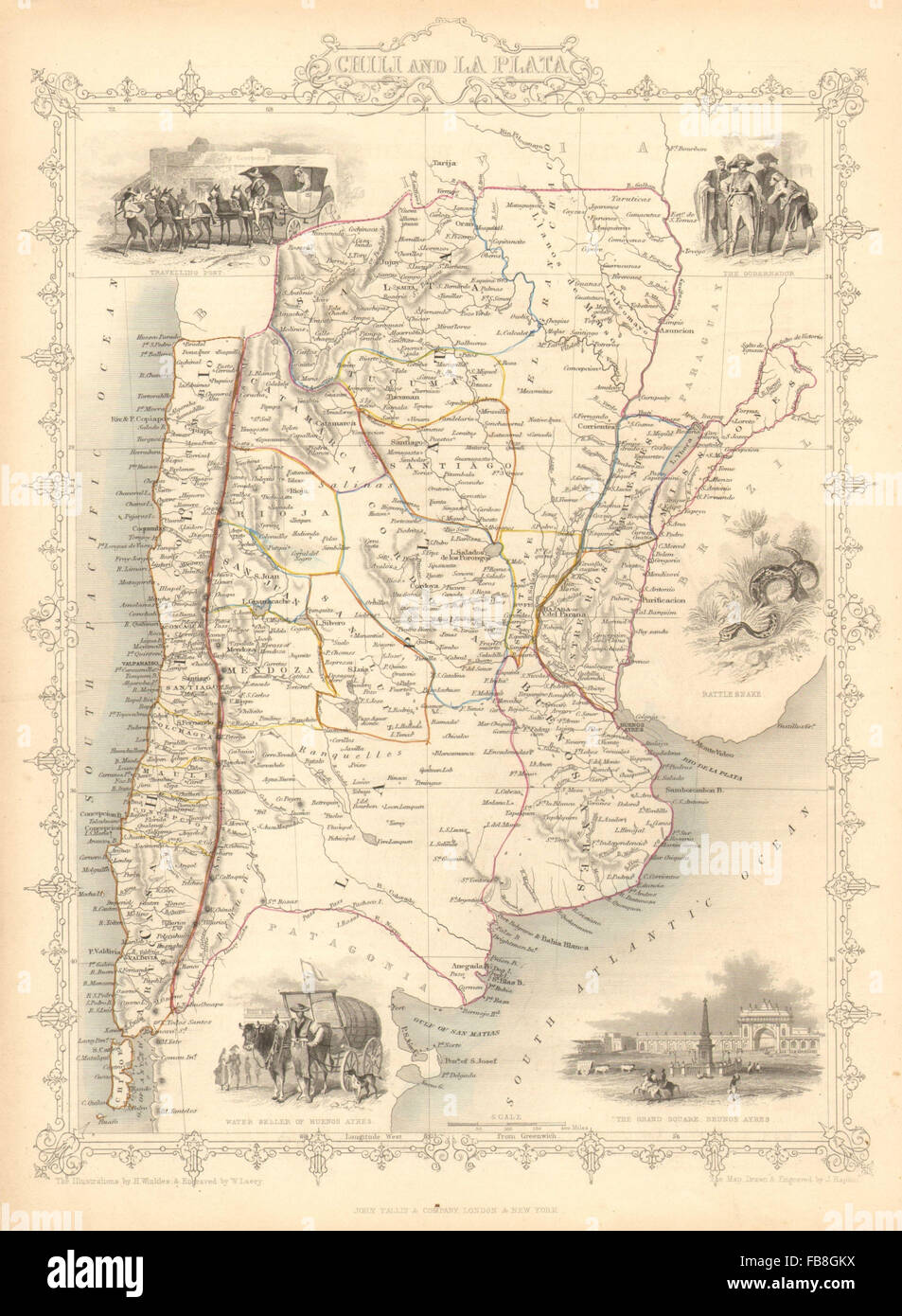 'CHILI AND LA PLATA': Central Chile & Argentina. TALLIS/RAPKIN, 1851 old map Stock Photohttps://www.alamy.com/image-license-details/?v=1https://www.alamy.com/stock-photo-chili-and-la-plata-central-chile-argentina-tallisrapkin-1851-old-map-93001774.html
RFFB8GKX–'CHILI AND LA PLATA': Central Chile & Argentina. TALLIS/RAPKIN, 1851 old map
 Pergola Polesden Lacey 1923 Stock Photohttps://www.alamy.com/image-license-details/?v=1https://www.alamy.com/stock-photo-pergola-polesden-lacey-1923-140420200.html
RMJ4CKB4–Pergola Polesden Lacey 1923
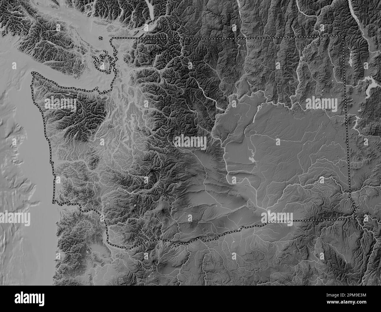 Washington, state of United States of America. Grayscale elevation map with lakes and rivers Stock Photohttps://www.alamy.com/image-license-details/?v=1https://www.alamy.com/washington-state-of-united-states-of-america-grayscale-elevation-map-with-lakes-and-rivers-image546023176.html
RF2PM9E3M–Washington, state of United States of America. Grayscale elevation map with lakes and rivers
 USGS TOPO Map Oklahoma OK Lacey 20091230 TM Inverted Restoration Stock Photohttps://www.alamy.com/image-license-details/?v=1https://www.alamy.com/usgs-topo-map-oklahoma-ok-lacey-20091230-tm-inverted-restoration-image334253688.html
RM2ABPFYM–USGS TOPO Map Oklahoma OK Lacey 20091230 TM Inverted Restoration
 Lacey, Drew County, US, United States, Arkansas, N 33 27' 18'', S 91 50' 48'', map, Cartascapes Map published in 2024. Explore Cartascapes, a map revealing Earth's diverse landscapes, cultures, and ecosystems. Journey through time and space, discovering the interconnectedness of our planet's past, present, and future. Stock Photohttps://www.alamy.com/image-license-details/?v=1https://www.alamy.com/lacey-drew-county-us-united-states-arkansas-n-33-27-18-s-91-50-48-map-cartascapes-map-published-in-2024-explore-cartascapes-a-map-revealing-earths-diverse-landscapes-cultures-and-ecosystems-journey-through-time-and-space-discovering-the-interconnectedness-of-our-planets-past-present-and-future-image621179586.html
RM2Y2H4W6–Lacey, Drew County, US, United States, Arkansas, N 33 27' 18'', S 91 50' 48'', map, Cartascapes Map published in 2024. Explore Cartascapes, a map revealing Earth's diverse landscapes, cultures, and ecosystems. Journey through time and space, discovering the interconnectedness of our planet's past, present, and future.
 'NATAL & KAFFRARIA': Eastern Cape. Durban. South Africa TALLIS/RAPKIN, 1851 map Stock Photohttps://www.alamy.com/image-license-details/?v=1https://www.alamy.com/stock-photo-natal-kaffraria-eastern-cape-durban-south-africa-tallisrapkin-1851-93001126.html
RFFB8FTP–'NATAL & KAFFRARIA': Eastern Cape. Durban. South Africa TALLIS/RAPKIN, 1851 map
 Gateway to The Terrace, Polesden Lacey 1923 Stock Photohttps://www.alamy.com/image-license-details/?v=1https://www.alamy.com/stock-photo-gateway-to-the-terrace-polesden-lacey-1923-139896365.html
RMJ3GR6N–Gateway to The Terrace, Polesden Lacey 1923
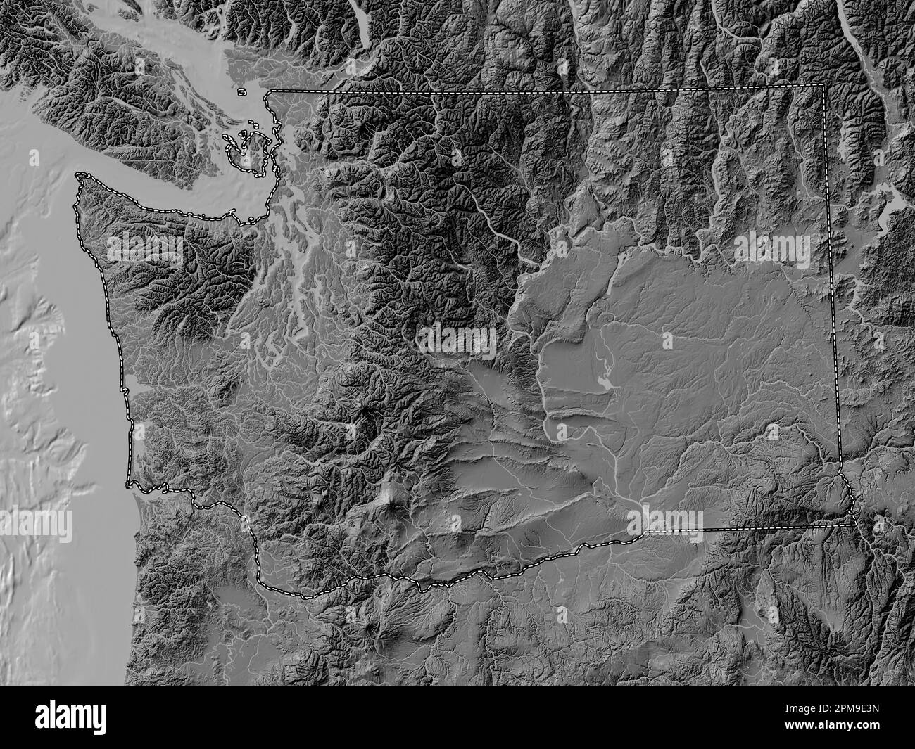 Washington, state of United States of America. Bilevel elevation map with lakes and rivers Stock Photohttps://www.alamy.com/image-license-details/?v=1https://www.alamy.com/washington-state-of-united-states-of-america-bilevel-elevation-map-with-lakes-and-rivers-image546023177.html
RF2PM9E3N–Washington, state of United States of America. Bilevel elevation map with lakes and rivers
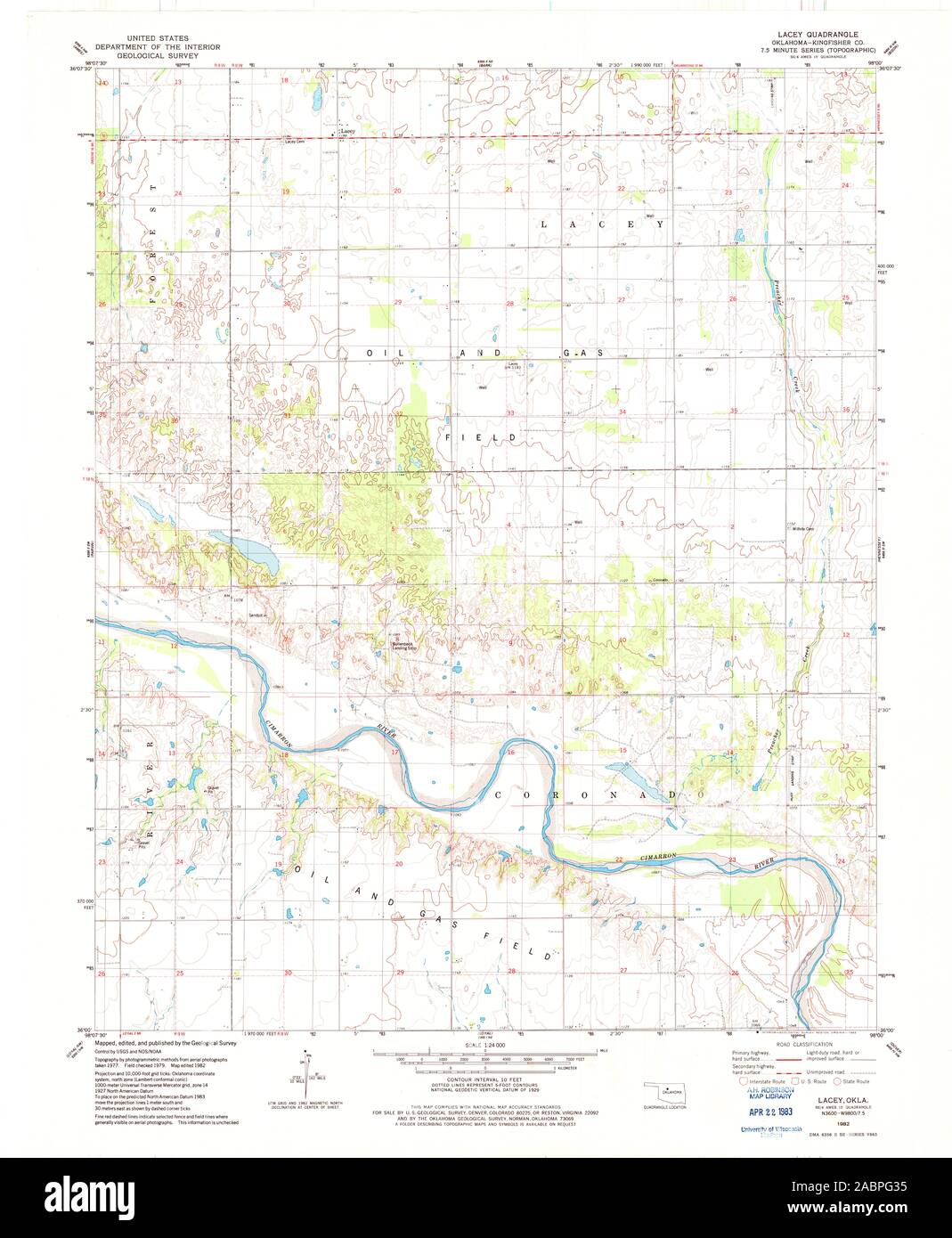 USGS TOPO Map Oklahoma OK Lacey 706182 1982 24000 Restoration Stock Photohttps://www.alamy.com/image-license-details/?v=1https://www.alamy.com/usgs-topo-map-oklahoma-ok-lacey-706182-1982-24000-restoration-image334253785.html
RM2ABPG35–USGS TOPO Map Oklahoma OK Lacey 706182 1982 24000 Restoration
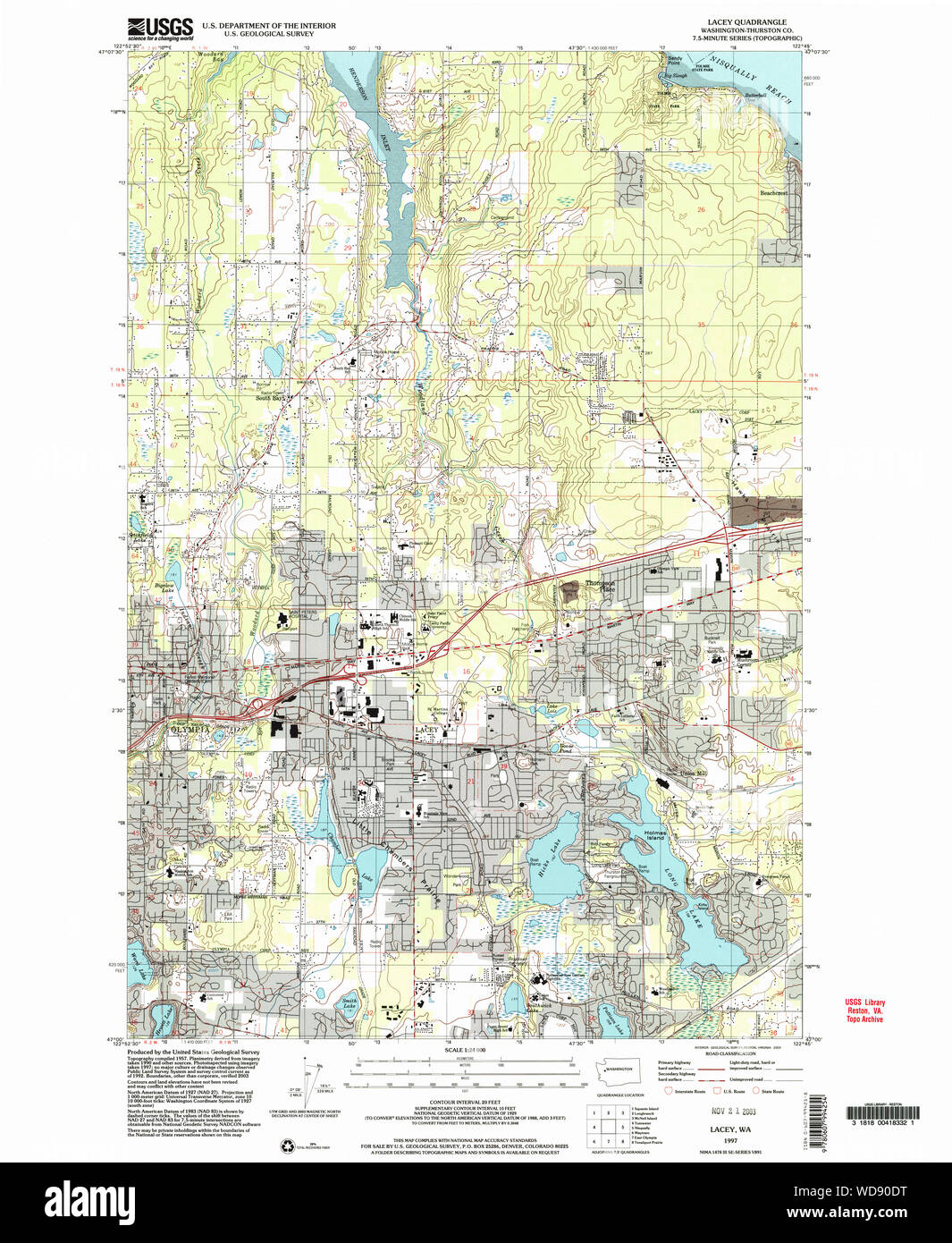 USGS Topo Map Washington State WA Lacey 241852 1997 24000 Restoration Stock Photohttps://www.alamy.com/image-license-details/?v=1https://www.alamy.com/usgs-topo-map-washington-state-wa-lacey-241852-1997-24000-restoration-image266344004.html
RMWD90DT–USGS Topo Map Washington State WA Lacey 241852 1997 24000 Restoration
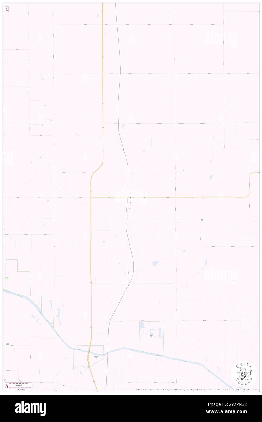 Lacey, Mahaska County, US, United States, Iowa, N 41 24' 3'', S 92 38' 24'', map, Cartascapes Map published in 2024. Explore Cartascapes, a map revealing Earth's diverse landscapes, cultures, and ecosystems. Journey through time and space, discovering the interconnectedness of our planet's past, present, and future. Stock Photohttps://www.alamy.com/image-license-details/?v=1https://www.alamy.com/lacey-mahaska-county-us-united-states-iowa-n-41-24-3-s-92-38-24-map-cartascapes-map-published-in-2024-explore-cartascapes-a-map-revealing-earths-diverse-landscapes-cultures-and-ecosystems-journey-through-time-and-space-discovering-the-interconnectedness-of-our-planets-past-present-and-future-image621302054.html
RM2Y2PN32–Lacey, Mahaska County, US, United States, Iowa, N 41 24' 3'', S 92 38' 24'', map, Cartascapes Map published in 2024. Explore Cartascapes, a map revealing Earth's diverse landscapes, cultures, and ecosystems. Journey through time and space, discovering the interconnectedness of our planet's past, present, and future.
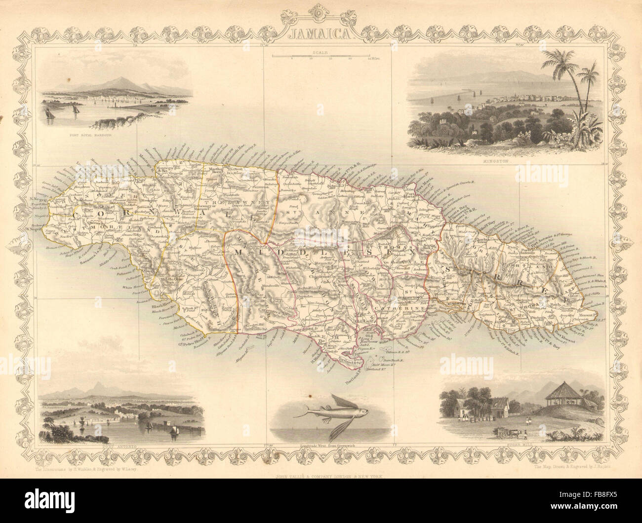 JAMAICA: Counties/parishes. Sugar Mill & Kingston views. TALLIS/RAPKIN, 1851 map Stock Photohttps://www.alamy.com/image-license-details/?v=1https://www.alamy.com/stock-photo-jamaica-countiesparishes-sugar-mill-kingston-views-tallisrapkin-1851-93001165.html
RFFB8FX5–JAMAICA: Counties/parishes. Sugar Mill & Kingston views. TALLIS/RAPKIN, 1851 map
 Drawing Room Polesden Lacey 1923 Stock Photohttps://www.alamy.com/image-license-details/?v=1https://www.alamy.com/stock-photo-drawing-room-polesden-lacey-1923-139814055.html
RMJ3D273–Drawing Room Polesden Lacey 1923
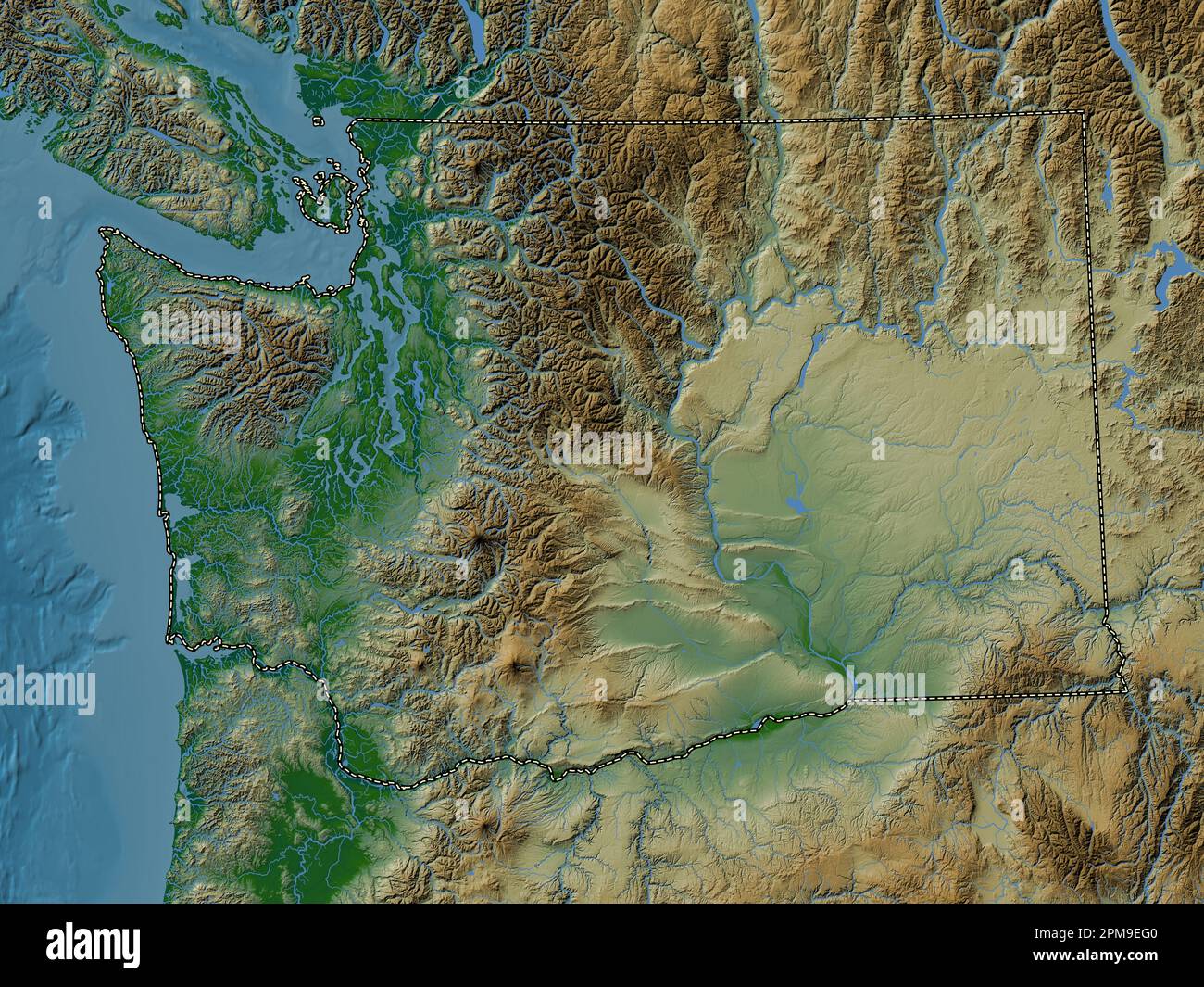 Washington, state of United States of America. Colored elevation map with lakes and rivers Stock Photohttps://www.alamy.com/image-license-details/?v=1https://www.alamy.com/washington-state-of-united-states-of-america-colored-elevation-map-with-lakes-and-rivers-image546023520.html
RF2PM9EG0–Washington, state of United States of America. Colored elevation map with lakes and rivers
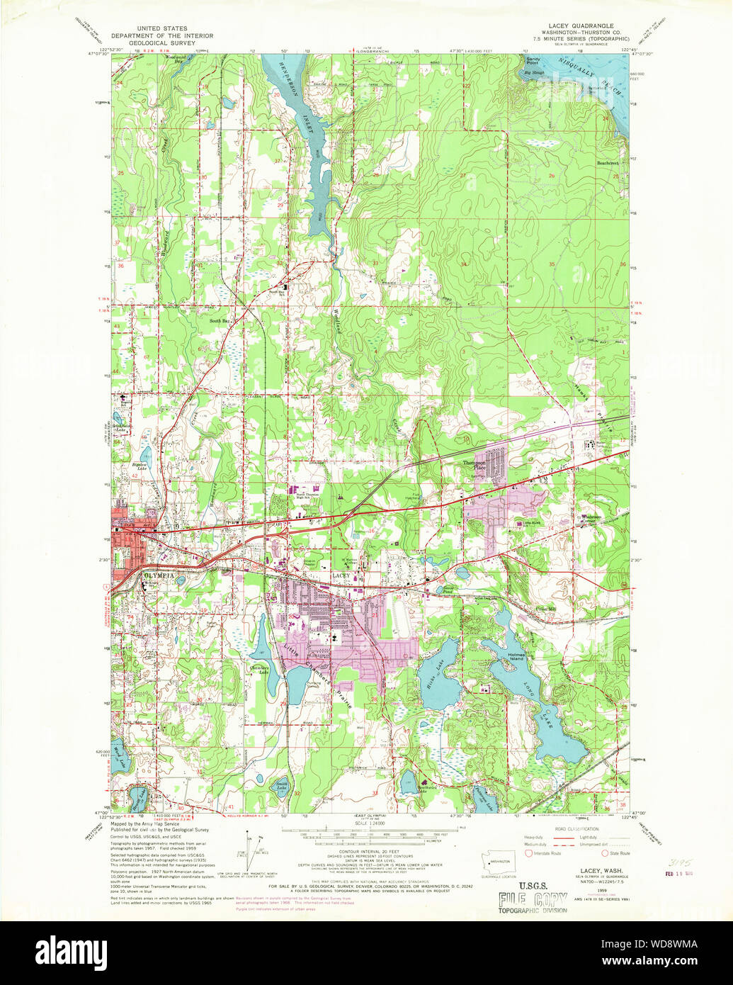 USGS Topo Map Washington State WA Lacey 241847 1959 24000 Restoration Stock Photohttps://www.alamy.com/image-license-details/?v=1https://www.alamy.com/usgs-topo-map-washington-state-wa-lacey-241847-1959-24000-restoration-image266341834.html
RMWD8WMA–USGS Topo Map Washington State WA Lacey 241847 1959 24000 Restoration
 Lacey, Thurston County, US, United States, Washington, N 47 2' 3'', S 122 49' 23'', map, Cartascapes Map published in 2024. Explore Cartascapes, a map revealing Earth's diverse landscapes, cultures, and ecosystems. Journey through time and space, discovering the interconnectedness of our planet's past, present, and future. Stock Photohttps://www.alamy.com/image-license-details/?v=1https://www.alamy.com/lacey-thurston-county-us-united-states-washington-n-47-2-3-s-122-49-23-map-cartascapes-map-published-in-2024-explore-cartascapes-a-map-revealing-earths-diverse-landscapes-cultures-and-ecosystems-journey-through-time-and-space-discovering-the-interconnectedness-of-our-planets-past-present-and-future-image621193518.html
RM2Y2HPJP–Lacey, Thurston County, US, United States, Washington, N 47 2' 3'', S 122 49' 23'', map, Cartascapes Map published in 2024. Explore Cartascapes, a map revealing Earth's diverse landscapes, cultures, and ecosystems. Journey through time and space, discovering the interconnectedness of our planet's past, present, and future.
 WESTERN AUSTRALIA,SWAN RIVER:Helpman Gregory Gray routes.TALLIS/RAPKIN, 1851 map Stock Photohttps://www.alamy.com/image-license-details/?v=1https://www.alamy.com/stock-photo-western-australiaswan-riverhelpman-gregory-gray-routestallisrapkin-93001097.html
RFFB8FRN–WESTERN AUSTRALIA,SWAN RIVER:Helpman Gregory Gray routes.TALLIS/RAPKIN, 1851 map
 Kings Bedroom Polesden Lacey 1923 Stock Photohttps://www.alamy.com/image-license-details/?v=1https://www.alamy.com/stock-photo-kings-bedroom-polesden-lacey-1923-140059303.html
RMJ3T71Y–Kings Bedroom Polesden Lacey 1923
 Bernice Lacey Stock Photohttps://www.alamy.com/image-license-details/?v=1https://www.alamy.com/stock-image-bernice-lacey-162784523.html
RMKCRD8Y–Bernice Lacey
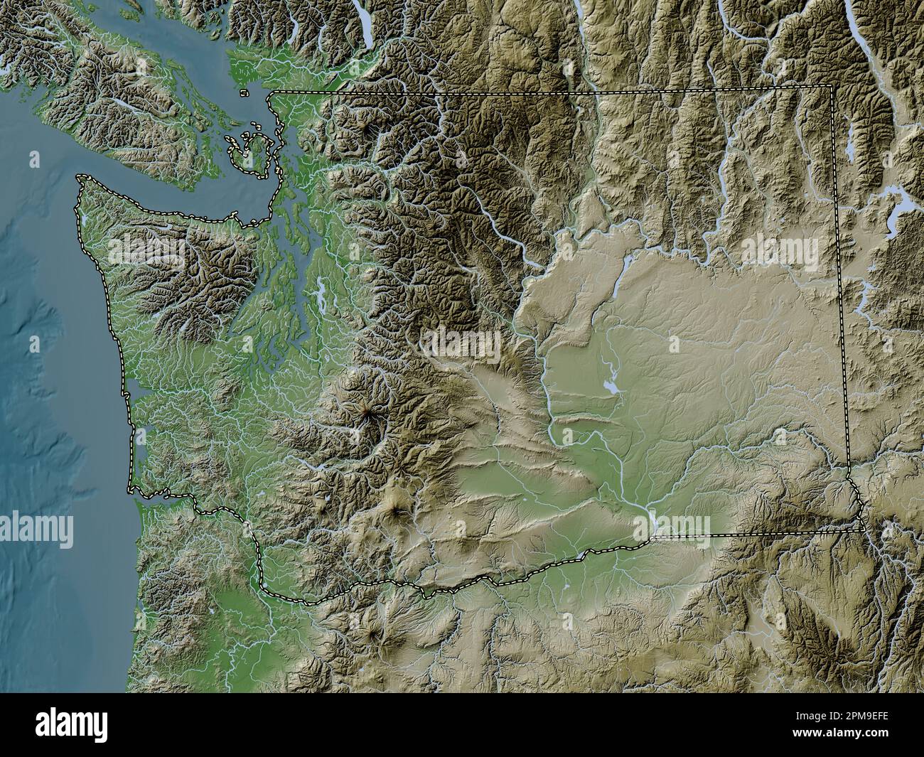 Washington, state of United States of America. Elevation map colored in wiki style with lakes and rivers Stock Photohttps://www.alamy.com/image-license-details/?v=1https://www.alamy.com/washington-state-of-united-states-of-america-elevation-map-colored-in-wiki-style-with-lakes-and-rivers-image546023506.html
RF2PM9EFE–Washington, state of United States of America. Elevation map colored in wiki style with lakes and rivers
 Charles John De Lacey London Bridge (1884) Stock Photohttps://www.alamy.com/image-license-details/?v=1https://www.alamy.com/stock-image-charles-john-de-lacey-london-bridge-1884-162189803.html
RMKBTAMY–Charles John De Lacey London Bridge (1884)
 Charles John De Lacey Hammersmith Bridge, London Stock Photohttps://www.alamy.com/image-license-details/?v=1https://www.alamy.com/stock-image-charles-john-de-lacey-hammersmith-bridge-london-162167158.html
RMKBR9T6–Charles John De Lacey Hammersmith Bridge, London
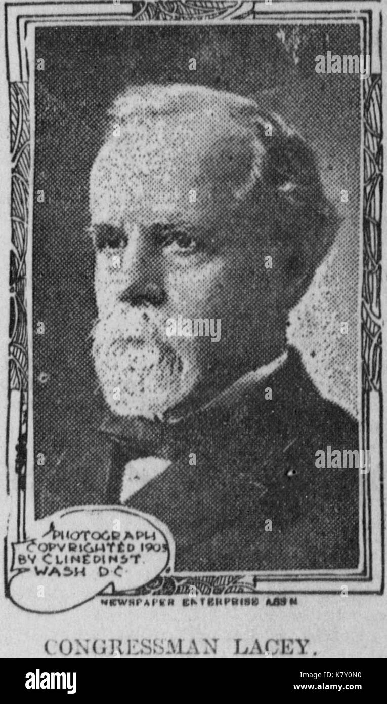 John Fletcher Lacey Stock Photohttps://www.alamy.com/image-license-details/?v=1https://www.alamy.com/john-fletcher-lacey-image159789196.html
RMK7Y0N0–John Fletcher Lacey
 Kirkbridge, J. Bellevue. To John Lacey (NYPL b11868620-5376880) Stock Photohttps://www.alamy.com/image-license-details/?v=1https://www.alamy.com/stock-photo-kirkbridge-j-bellevue-to-john-lacey-nypl-b11868620-5376880-148490387.html
RMJHG903–Kirkbridge, J. Bellevue. To John Lacey (NYPL b11868620-5376880)
 Edith Lacey Park, , AU, Australia, New South Wales, S 34 31' 54'', N 150 52' 4'', map, Cartascapes Map published in 2024. Explore Cartascapes, a map revealing Earth's diverse landscapes, cultures, and ecosystems. Journey through time and space, discovering the interconnectedness of our planet's past, present, and future. Stock Photohttps://www.alamy.com/image-license-details/?v=1https://www.alamy.com/edith-lacey-park-au-australia-new-south-wales-s-34-31-54-n-150-52-4-map-cartascapes-map-published-in-2024-explore-cartascapes-a-map-revealing-earths-diverse-landscapes-cultures-and-ecosystems-journey-through-time-and-space-discovering-the-interconnectedness-of-our-planets-past-present-and-future-image625697835.html
RM2Y9XYY7–Edith Lacey Park, , AU, Australia, New South Wales, S 34 31' 54'', N 150 52' 4'', map, Cartascapes Map published in 2024. Explore Cartascapes, a map revealing Earth's diverse landscapes, cultures, and ecosystems. Journey through time and space, discovering the interconnectedness of our planet's past, present, and future.
 FALKLAND ISLANDS & PATAGONIA: Cape Horn.Tierra del Fuego.TALLIS/RAPKIN, 1851 map Stock Photohttps://www.alamy.com/image-license-details/?v=1https://www.alamy.com/stock-photo-falkland-islands-patagonia-cape-horntierra-del-fuegotallisrapkin-1851-93001778.html
RFFB8GM2–FALKLAND ISLANDS & PATAGONIA: Cape Horn.Tierra del Fuego.TALLIS/RAPKIN, 1851 map
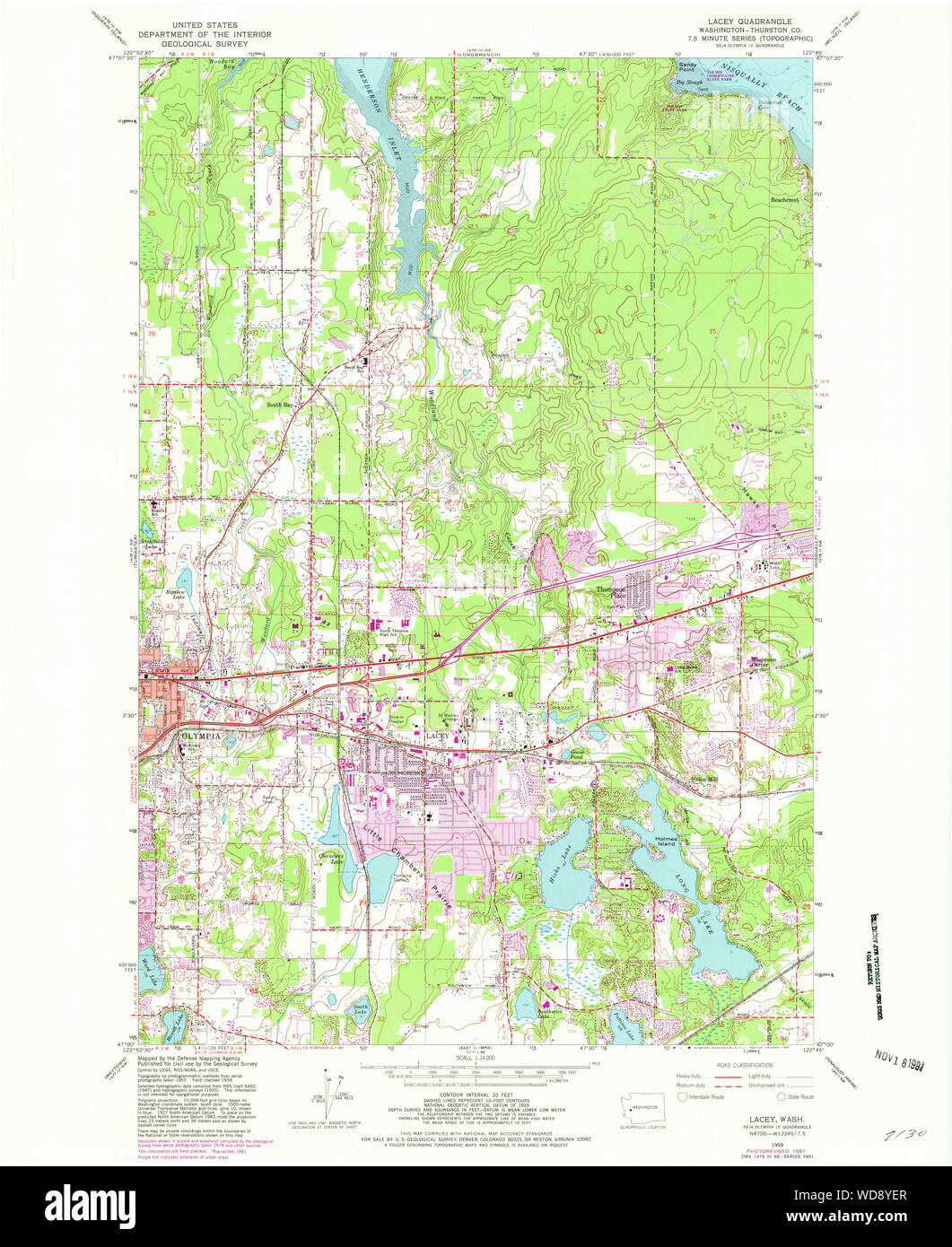 USGS Topo Map Washington State WA Lacey 241850 1959 24000 Restoration Stock Photohttps://www.alamy.com/image-license-details/?v=1https://www.alamy.com/usgs-topo-map-washington-state-wa-lacey-241850-1959-24000-restoration-image266343247.html
RMWD8YER–USGS Topo Map Washington State WA Lacey 241850 1959 24000 Restoration
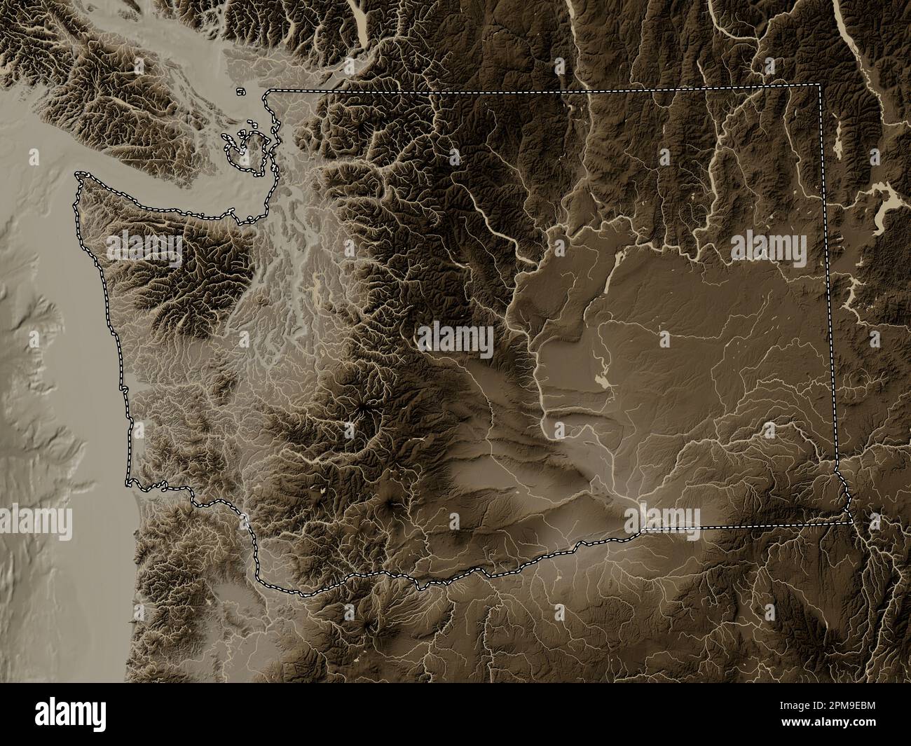 Washington, state of United States of America. Elevation map colored in sepia tones with lakes and rivers Stock Photohttps://www.alamy.com/image-license-details/?v=1https://www.alamy.com/washington-state-of-united-states-of-america-elevation-map-colored-in-sepia-tones-with-lakes-and-rivers-image546023400.html
RF2PM9EBM–Washington, state of United States of America. Elevation map colored in sepia tones with lakes and rivers
 Kirkbridge, J. Bellevue. To John Lacey (NYPL b11868620-5376879) Stock Photohttps://www.alamy.com/image-license-details/?v=1https://www.alamy.com/stock-photo-kirkbridge-j-bellevue-to-john-lacey-nypl-b11868620-5376879-148490386.html
RMJHG902–Kirkbridge, J. Bellevue. To John Lacey (NYPL b11868620-5376879)
 Lacey Forest, Arlington County, US, United States, Virginia, N 38 52' 58'', S 77 7' 44'', map, Cartascapes Map published in 2024. Explore Cartascapes, a map revealing Earth's diverse landscapes, cultures, and ecosystems. Journey through time and space, discovering the interconnectedness of our planet's past, present, and future. Stock Photohttps://www.alamy.com/image-license-details/?v=1https://www.alamy.com/lacey-forest-arlington-county-us-united-states-virginia-n-38-52-58-s-77-7-44-map-cartascapes-map-published-in-2024-explore-cartascapes-a-map-revealing-earths-diverse-landscapes-cultures-and-ecosystems-journey-through-time-and-space-discovering-the-interconnectedness-of-our-planets-past-present-and-future-image621436875.html
RM2Y30W23–Lacey Forest, Arlington County, US, United States, Virginia, N 38 52' 58'', S 77 7' 44'', map, Cartascapes Map published in 2024. Explore Cartascapes, a map revealing Earth's diverse landscapes, cultures, and ecosystems. Journey through time and space, discovering the interconnectedness of our planet's past, present, and future.
 VENEZUELA, NEW GRANADA, EQUADOR & THE GUYANAS. Ecuador. RAPKIN/TALLIS 1851 map Stock Photohttps://www.alamy.com/image-license-details/?v=1https://www.alamy.com/venezuela-new-granada-equador-the-guyanas-ecuador-rapkintallis-1851-map-image242572485.html
RFT2J3K1–VENEZUELA, NEW GRANADA, EQUADOR & THE GUYANAS. Ecuador. RAPKIN/TALLIS 1851 map
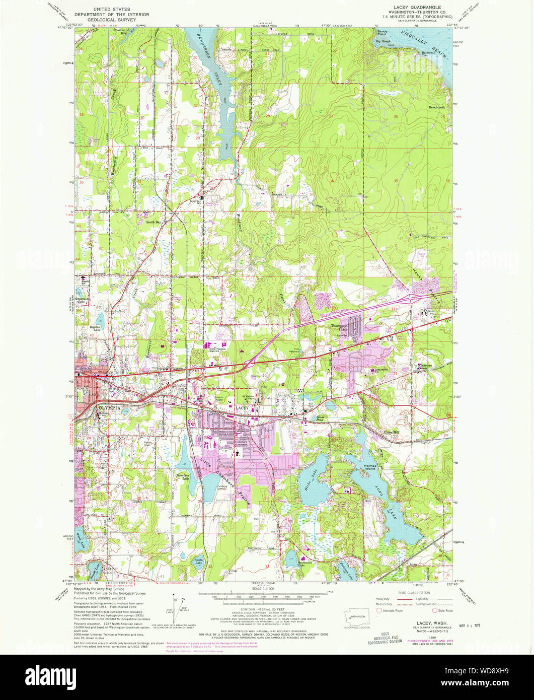 USGS Topo Map Washington State WA Lacey 241848 1959 24000 Restoration Stock Photohttps://www.alamy.com/image-license-details/?v=1https://www.alamy.com/usgs-topo-map-washington-state-wa-lacey-241848-1959-24000-restoration-image266342533.html
RMWD8XH9–USGS Topo Map Washington State WA Lacey 241848 1959 24000 Restoration
 'NATAL & KAFFRARIA'. Eastern Cape. Durban. South Africa TALLIS/RAPKIN 1849 map Stock Photohttps://www.alamy.com/image-license-details/?v=1https://www.alamy.com/natal-kaffraria-eastern-cape-durban-south-africa-tallisrapkin-1849-map-image242555637.html
RFT2HA59–'NATAL & KAFFRARIA'. Eastern Cape. Durban. South Africa TALLIS/RAPKIN 1849 map
 Washington, state of United States of America. Grayscale elevation map with lakes and rivers. Locations of major cities of the region. Corner auxiliar Stock Photohttps://www.alamy.com/image-license-details/?v=1https://www.alamy.com/washington-state-of-united-states-of-america-grayscale-elevation-map-with-lakes-and-rivers-locations-of-major-cities-of-the-region-corner-auxiliar-image546023172.html
RF2PM9E3G–Washington, state of United States of America. Grayscale elevation map with lakes and rivers. Locations of major cities of the region. Corner auxiliar
 Lacey, John. New Mills. To John Lille (NYPL b11868620-5376882) Stock Photohttps://www.alamy.com/image-license-details/?v=1https://www.alamy.com/stock-photo-lacey-john-new-mills-to-john-lille-nypl-b11868620-5376882-148490390.html
RMJHG906–Lacey, John. New Mills. To John Lille (NYPL b11868620-5376882)
 Lacey Park, Bucks County, US, United States, Pennsylvania, N 40 11' 10'', S 75 5' 18'', map, Cartascapes Map published in 2024. Explore Cartascapes, a map revealing Earth's diverse landscapes, cultures, and ecosystems. Journey through time and space, discovering the interconnectedness of our planet's past, present, and future. Stock Photohttps://www.alamy.com/image-license-details/?v=1https://www.alamy.com/lacey-park-bucks-county-us-united-states-pennsylvania-n-40-11-10-s-75-5-18-map-cartascapes-map-published-in-2024-explore-cartascapes-a-map-revealing-earths-diverse-landscapes-cultures-and-ecosystems-journey-through-time-and-space-discovering-the-interconnectedness-of-our-planets-past-present-and-future-image621404439.html
RM2Y2YBKK–Lacey Park, Bucks County, US, United States, Pennsylvania, N 40 11' 10'', S 75 5' 18'', map, Cartascapes Map published in 2024. Explore Cartascapes, a map revealing Earth's diverse landscapes, cultures, and ecosystems. Journey through time and space, discovering the interconnectedness of our planet's past, present, and future.
 USGS Topo Map Washington State WA Lacey 241846 1959 24000 Restoration Stock Photohttps://www.alamy.com/image-license-details/?v=1https://www.alamy.com/usgs-topo-map-washington-state-wa-lacey-241846-1959-24000-restoration-image266341490.html
RMWD8W82–USGS Topo Map Washington State WA Lacey 241846 1959 24000 Restoration
 WESTERN AUSTRALIA, SWAN RIVER. Perth vignette. Counties.TALLIS/RAPKIN, 1849 map Stock Photohttps://www.alamy.com/image-license-details/?v=1https://www.alamy.com/stock-photo-western-australia-swan-river-perth-vignette-countiestallisrapkin-1849-102758669.html
RFFY51MD–WESTERN AUSTRALIA, SWAN RIVER. Perth vignette. Counties.TALLIS/RAPKIN, 1849 map
 'CHILI AND LA PLATA'. Central Chile & Argentina. TALLIS/RAPKIN c1851 old map Stock Photohttps://www.alamy.com/image-license-details/?v=1https://www.alamy.com/stock-photo-chili-and-la-plata-central-chile-argentina-tallisrapkin-c1851-old-139122526.html
RFJ29G5J–'CHILI AND LA PLATA'. Central Chile & Argentina. TALLIS/RAPKIN c1851 old map
 Washington, state of United States of America. Bilevel elevation map with lakes and rivers. Locations and names of major cities of the region. Corner Stock Photohttps://www.alamy.com/image-license-details/?v=1https://www.alamy.com/washington-state-of-united-states-of-america-bilevel-elevation-map-with-lakes-and-rivers-locations-and-names-of-major-cities-of-the-region-corner-image546023174.html
RF2PM9E3J–Washington, state of United States of America. Bilevel elevation map with lakes and rivers. Locations and names of major cities of the region. Corner
 Lacey, John. New Mills. To John Lille (NYPL b11868620-5376881) Stock Photohttps://www.alamy.com/image-license-details/?v=1https://www.alamy.com/stock-photo-lacey-john-new-mills-to-john-lille-nypl-b11868620-5376881-148490389.html
RMJHG905–Lacey, John. New Mills. To John Lille (NYPL b11868620-5376881)
 Lacey Spring, Rockingham County, US, United States, Virginia, N 38 32' 28'', S 78 45' 59'', map, Cartascapes Map published in 2024. Explore Cartascapes, a map revealing Earth's diverse landscapes, cultures, and ecosystems. Journey through time and space, discovering the interconnectedness of our planet's past, present, and future. Stock Photohttps://www.alamy.com/image-license-details/?v=1https://www.alamy.com/lacey-spring-rockingham-county-us-united-states-virginia-n-38-32-28-s-78-45-59-map-cartascapes-map-published-in-2024-explore-cartascapes-a-map-revealing-earths-diverse-landscapes-cultures-and-ecosystems-journey-through-time-and-space-discovering-the-interconnectedness-of-our-planets-past-present-and-future-image621380164.html
RM2Y2X8MM–Lacey Spring, Rockingham County, US, United States, Virginia, N 38 32' 28'', S 78 45' 59'', map, Cartascapes Map published in 2024. Explore Cartascapes, a map revealing Earth's diverse landscapes, cultures, and ecosystems. Journey through time and space, discovering the interconnectedness of our planet's past, present, and future.
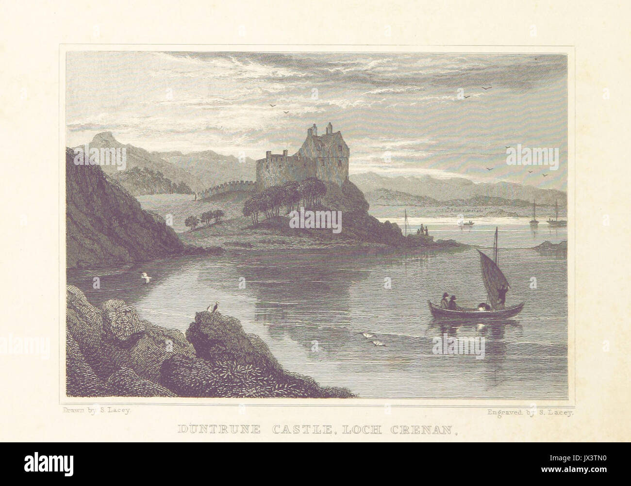 MA(1829) p 352 Duntrune Castle, Loch Crenan Samuel Lacey Stock Photohttps://www.alamy.com/image-license-details/?v=1https://www.alamy.com/ma1829-p-352-duntrune-castle-loch-crenan-samuel-lacey-image153749260.html
RMJX3TN0–MA(1829) p 352 Duntrune Castle, Loch Crenan Samuel Lacey
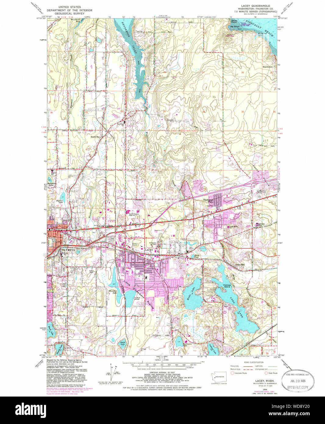 USGS Topo Map Washington State WA Lacey 241849 1959 24000 Restoration Stock Photohttps://www.alamy.com/image-license-details/?v=1https://www.alamy.com/usgs-topo-map-washington-state-wa-lacey-241849-1959-24000-restoration-image266342888.html
RMWD8Y20–USGS Topo Map Washington State WA Lacey 241849 1959 24000 Restoration
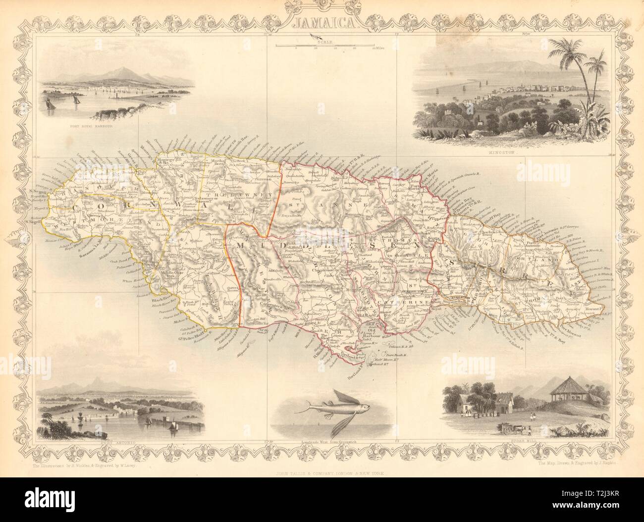 JAMAICA. Counties/parishes. Sugar Mill & Kingston views. RAPKIN/TALLIS 1851 map Stock Photohttps://www.alamy.com/image-license-details/?v=1https://www.alamy.com/jamaica-countiesparishes-sugar-mill-kingston-views-rapkintallis-1851-map-image242572507.html
RFT2J3KR–JAMAICA. Counties/parishes. Sugar Mill & Kingston views. RAPKIN/TALLIS 1851 map
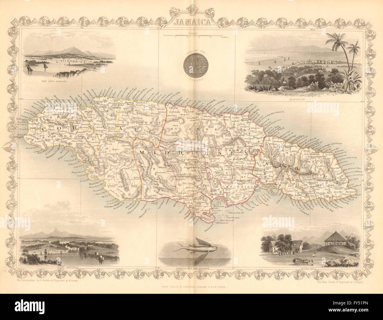 JAMAICA. Counties/parishes. Sugar Mill & Kingston views. TALLIS/RAPKIN, 1849 map Stock Photohttps://www.alamy.com/image-license-details/?v=1https://www.alamy.com/stock-photo-jamaica-countiesparishes-sugar-mill-kingston-views-tallisrapkin-1849-102758733.html
RFFY51PN–JAMAICA. Counties/parishes. Sugar Mill & Kingston views. TALLIS/RAPKIN, 1849 map
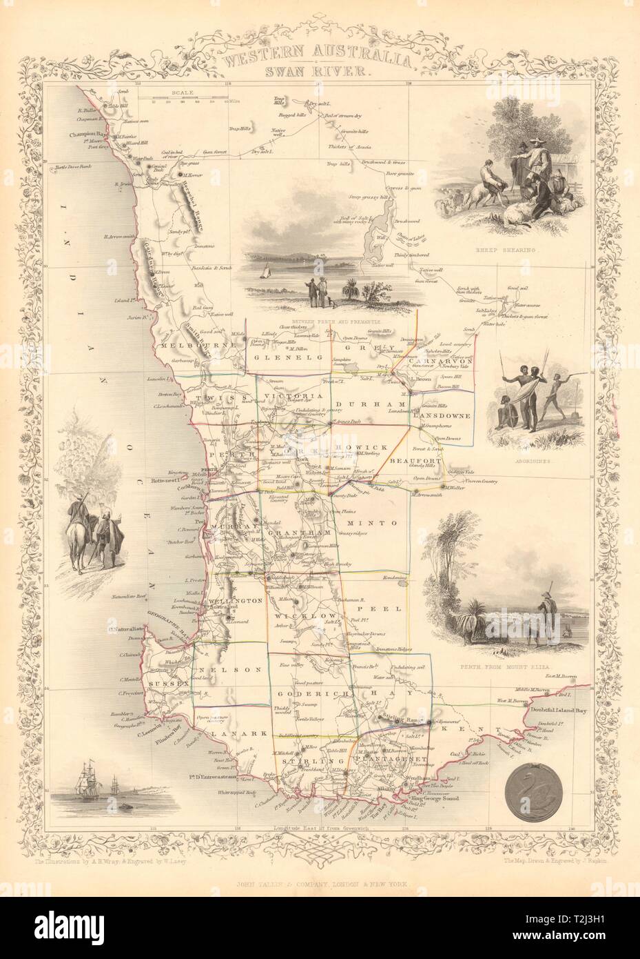 WESTERN AUSTRALIA,SWAN RIVER.Helpman Gregory Gray routes. RAPKIN/TALLIS 1851 map Stock Photohttps://www.alamy.com/image-license-details/?v=1https://www.alamy.com/western-australiaswan-riverhelpman-gregory-gray-routes-rapkintallis-1851-map-image242572429.html
RFT2J3H1–WESTERN AUSTRALIA,SWAN RIVER.Helpman Gregory Gray routes. RAPKIN/TALLIS 1851 map
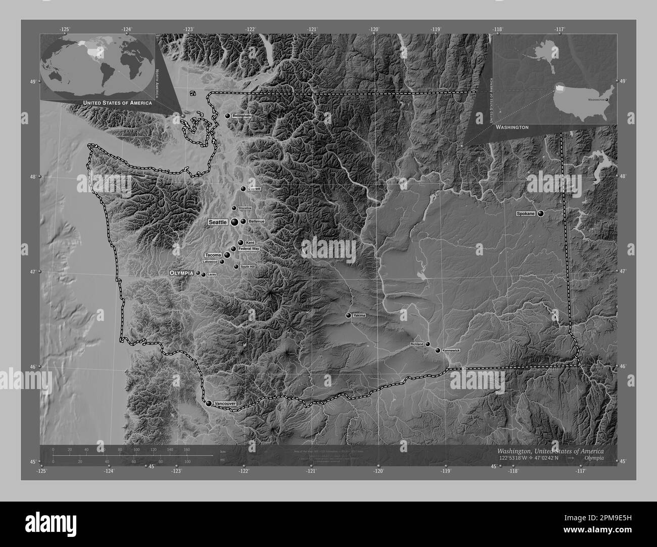 Washington, state of United States of America. Grayscale elevation map with lakes and rivers. Locations and names of major cities of the region. Corne Stock Photohttps://www.alamy.com/image-license-details/?v=1https://www.alamy.com/washington-state-of-united-states-of-america-grayscale-elevation-map-with-lakes-and-rivers-locations-and-names-of-major-cities-of-the-region-corne-image546023229.html
RF2PM9E5H–Washington, state of United States of America. Grayscale elevation map with lakes and rivers. Locations and names of major cities of the region. Corne
 Wirra Lacey, Mount Barker, AU, Australia, South Australia, S 35 7' 55'', N 138 50' 50'', map, Cartascapes Map published in 2024. Explore Cartascapes, a map revealing Earth's diverse landscapes, cultures, and ecosystems. Journey through time and space, discovering the interconnectedness of our planet's past, present, and future. Stock Photohttps://www.alamy.com/image-license-details/?v=1https://www.alamy.com/wirra-lacey-mount-barker-au-australia-south-australia-s-35-7-55-n-138-50-50-map-cartascapes-map-published-in-2024-explore-cartascapes-a-map-revealing-earths-diverse-landscapes-cultures-and-ecosystems-journey-through-time-and-space-discovering-the-interconnectedness-of-our-planets-past-present-and-future-image625521920.html
RM2Y9JYGG–Wirra Lacey, Mount Barker, AU, Australia, South Australia, S 35 7' 55'', N 138 50' 50'', map, Cartascapes Map published in 2024. Explore Cartascapes, a map revealing Earth's diverse landscapes, cultures, and ecosystems. Journey through time and space, discovering the interconnectedness of our planet's past, present, and future.
 USGS Topo Map Washington State WA Lacey 241851 1959 24000 Restoration Stock Photohttps://www.alamy.com/image-license-details/?v=1https://www.alamy.com/usgs-topo-map-washington-state-wa-lacey-241851-1959-24000-restoration-image266343639.html
RMWD900R–USGS Topo Map Washington State WA Lacey 241851 1959 24000 Restoration
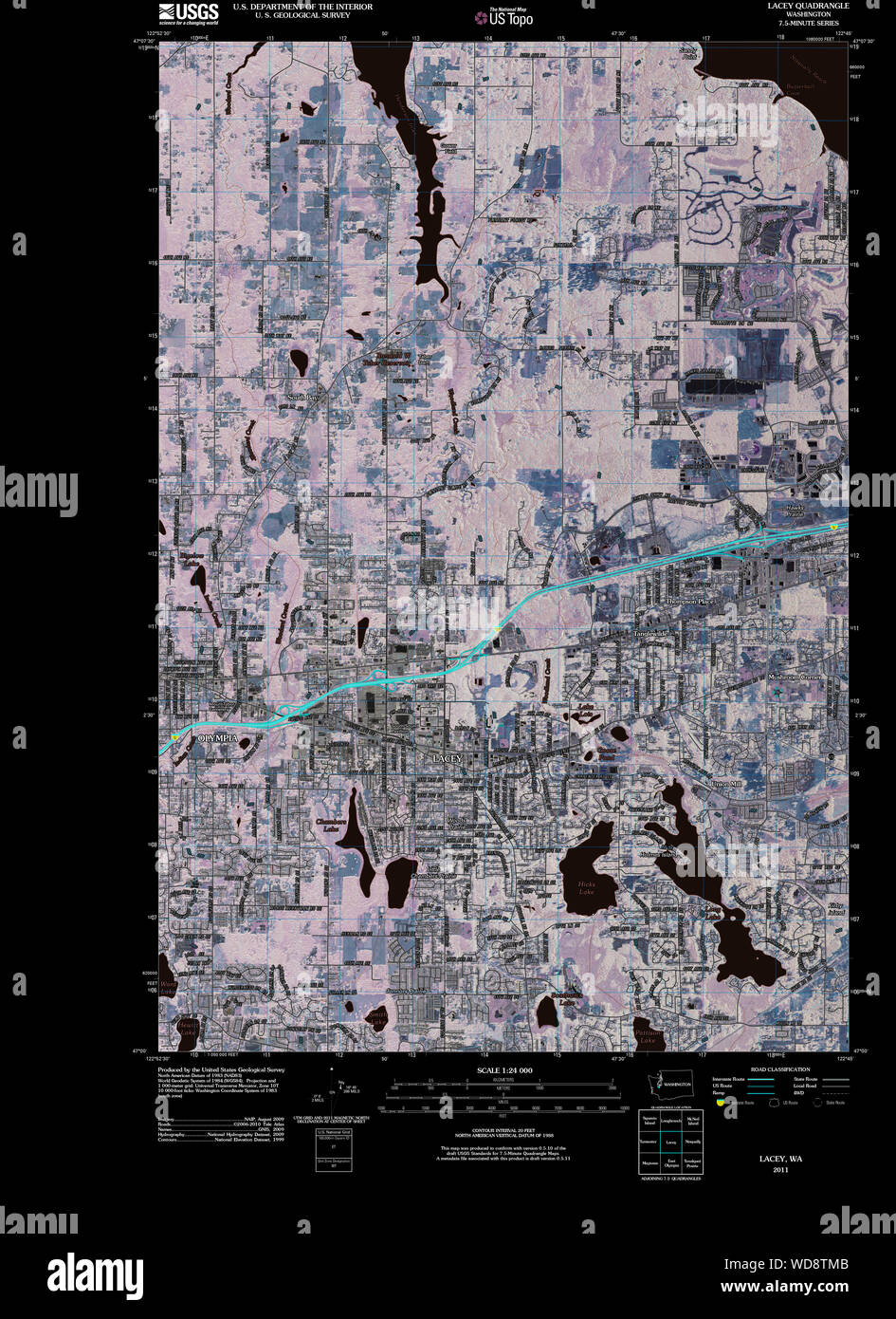 USGS Topo Map Washington State WA Lacey 20110504 TM Inverted Restoration Stock Photohttps://www.alamy.com/image-license-details/?v=1https://www.alamy.com/usgs-topo-map-washington-state-wa-lacey-20110504-tm-inverted-restoration-image266341051.html
RMWD8TMB–USGS Topo Map Washington State WA Lacey 20110504 TM Inverted Restoration
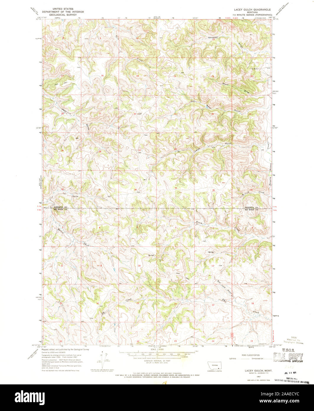 USGS TOPO Map Montana MT Lacey Gulch 264846 1967 24000 Restoration Stock Photohttps://www.alamy.com/image-license-details/?v=1https://www.alamy.com/usgs-topo-map-montana-mt-lacey-gulch-264846-1967-24000-restoration-image333461056.html
RM2AAECYC–USGS TOPO Map Montana MT Lacey Gulch 264846 1967 24000 Restoration
 WESTERN AUSTRALIA,SWAN RIVER.Helpman Gregory Gray routes.TALLIS/RAPKIN c1851 map Stock Photohttps://www.alamy.com/image-license-details/?v=1https://www.alamy.com/stock-photo-western-australiaswan-riverhelpman-gregory-gray-routestallisrapkin-139122514.html
RFJ29G56–WESTERN AUSTRALIA,SWAN RIVER.Helpman Gregory Gray routes.TALLIS/RAPKIN c1851 map
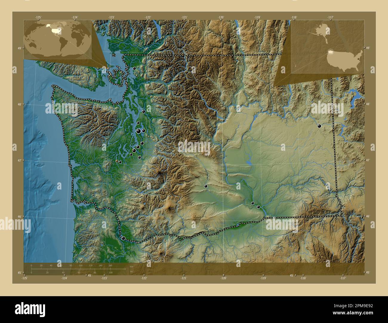 Washington, state of United States of America. Colored elevation map with lakes and rivers. Locations of major cities of the region. Corner auxiliary Stock Photohttps://www.alamy.com/image-license-details/?v=1https://www.alamy.com/washington-state-of-united-states-of-america-colored-elevation-map-with-lakes-and-rivers-locations-of-major-cities-of-the-region-corner-auxiliary-image546023326.html
RF2PM9E92–Washington, state of United States of America. Colored elevation map with lakes and rivers. Locations of major cities of the region. Corner auxiliary
 Lacey Green, Montréal, Canada, Quebec, N 45 27' 50'', W 73 51' 32'', map, Timeless Map published in 2021. Travelers, explorers and adventurers like Florence Nightingale, David Livingstone, Ernest Shackleton, Lewis and Clark and Sherlock Holmes relied on maps to plan travels to the world's most remote corners, Timeless Maps is mapping most locations on the globe, showing the achievement of great dreams Stock Photohttps://www.alamy.com/image-license-details/?v=1https://www.alamy.com/lacey-green-montral-canada-quebec-n-45-27-50-w-73-51-32-map-timeless-map-published-in-2021-travelers-explorers-and-adventurers-like-florence-nightingale-david-livingstone-ernest-shackleton-lewis-and-clark-and-sherlock-holmes-relied-on-maps-to-plan-travels-to-the-worlds-most-remote-corners-timeless-maps-is-mapping-most-locations-on-the-globe-showing-the-achievement-of-great-dreams-image457870105.html
RM2HGWNYN–Lacey Green, Montréal, Canada, Quebec, N 45 27' 50'', W 73 51' 32'', map, Timeless Map published in 2021. Travelers, explorers and adventurers like Florence Nightingale, David Livingstone, Ernest Shackleton, Lewis and Clark and Sherlock Holmes relied on maps to plan travels to the world's most remote corners, Timeless Maps is mapping most locations on the globe, showing the achievement of great dreams
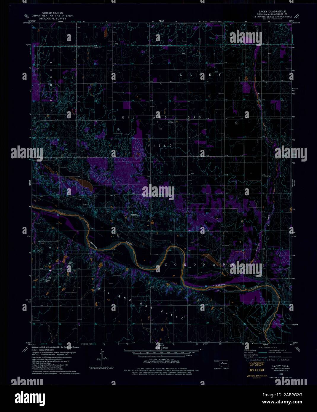 USGS TOPO Map Oklahoma OK Lacey 706182 1982 24000 Inverted Restoration Stock Photohttps://www.alamy.com/image-license-details/?v=1https://www.alamy.com/usgs-topo-map-oklahoma-ok-lacey-706182-1982-24000-inverted-restoration-image334253768.html
RM2ABPG2G–USGS TOPO Map Oklahoma OK Lacey 706182 1982 24000 Inverted Restoration
 BRAZIL. Uruguay as part of Brazil. Rio de Janeiro view TALLIS & RAPKIN 1851 map Stock Photohttps://www.alamy.com/image-license-details/?v=1https://www.alamy.com/brazil-uruguay-as-part-of-brazil-rio-de-janeiro-view-tallis-rapkin-1851-map-image242572496.html
RFT2J3KC–BRAZIL. Uruguay as part of Brazil. Rio de Janeiro view TALLIS & RAPKIN 1851 map
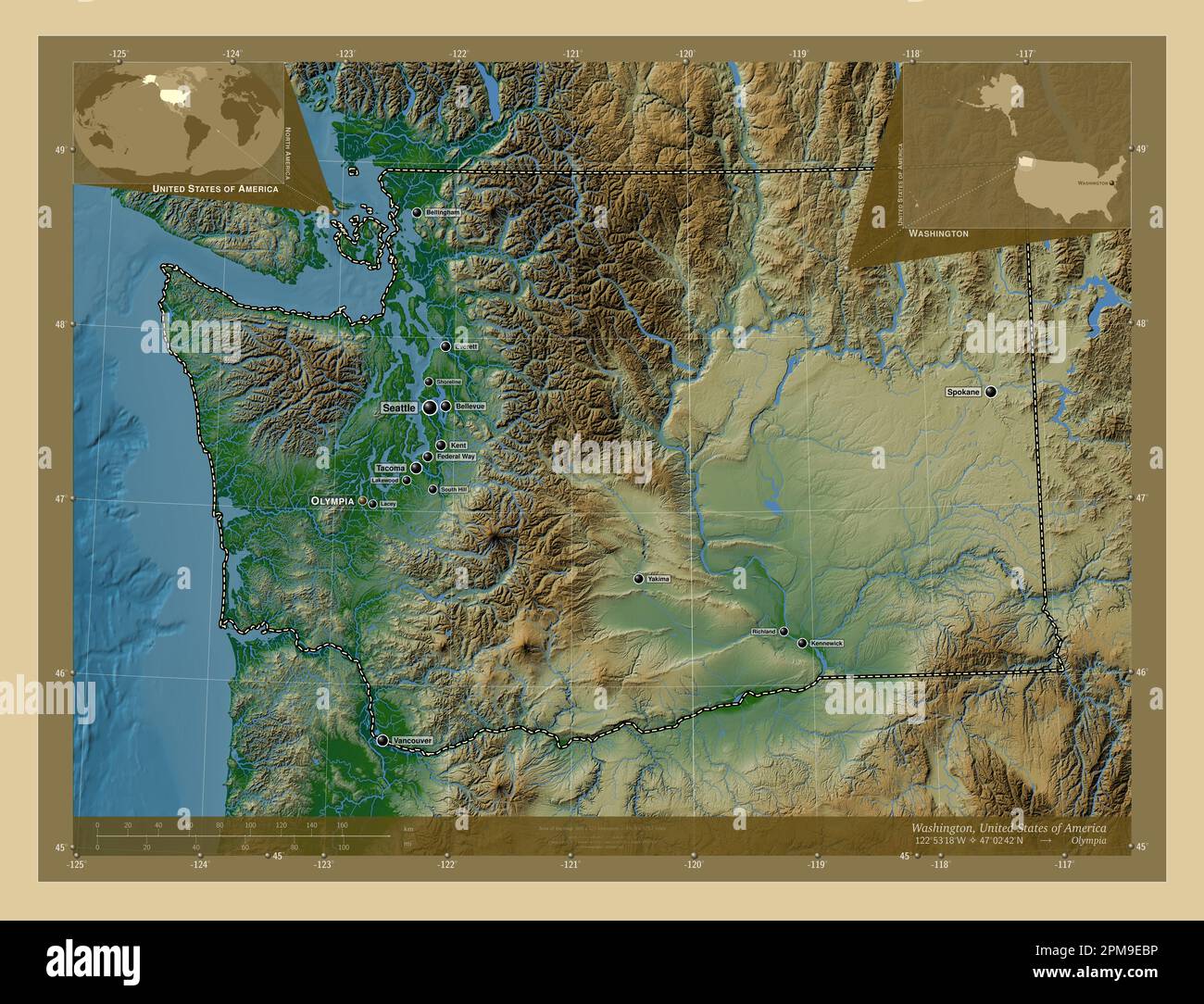 Washington, state of United States of America. Colored elevation map with lakes and rivers. Locations and names of major cities of the region. Corner Stock Photohttps://www.alamy.com/image-license-details/?v=1https://www.alamy.com/washington-state-of-united-states-of-america-colored-elevation-map-with-lakes-and-rivers-locations-and-names-of-major-cities-of-the-region-corner-image546023402.html
RF2PM9EBP–Washington, state of United States of America. Colored elevation map with lakes and rivers. Locations and names of major cities of the region. Corner
 Lacey Green, Buckinghamshire, United Kingdom, England, N 51 41' 27'', W 0 48' 24'', map, Timeless Map published in 2021. Travelers, explorers and adventurers like Florence Nightingale, David Livingstone, Ernest Shackleton, Lewis and Clark and Sherlock Holmes relied on maps to plan travels to the world's most remote corners, Timeless Maps is mapping most locations on the globe, showing the achievement of great dreams Stock Photohttps://www.alamy.com/image-license-details/?v=1https://www.alamy.com/lacey-green-buckinghamshire-united-kingdom-england-n-51-41-27-w-0-48-24-map-timeless-map-published-in-2021-travelers-explorers-and-adventurers-like-florence-nightingale-david-livingstone-ernest-shackleton-lewis-and-clark-and-sherlock-holmes-relied-on-maps-to-plan-travels-to-the-worlds-most-remote-corners-timeless-maps-is-mapping-most-locations-on-the-globe-showing-the-achievement-of-great-dreams-image439411471.html
RM2GETWPR–Lacey Green, Buckinghamshire, United Kingdom, England, N 51 41' 27'', W 0 48' 24'', map, Timeless Map published in 2021. Travelers, explorers and adventurers like Florence Nightingale, David Livingstone, Ernest Shackleton, Lewis and Clark and Sherlock Holmes relied on maps to plan travels to the world's most remote corners, Timeless Maps is mapping most locations on the globe, showing the achievement of great dreams
 USGS TOPO Map Montana MT Lacey Gulch 20110523 TM Inverted Restoration Stock Photohttps://www.alamy.com/image-license-details/?v=1https://www.alamy.com/usgs-topo-map-montana-mt-lacey-gulch-20110523-tm-inverted-restoration-image333461039.html
RM2AAECXR–USGS TOPO Map Montana MT Lacey Gulch 20110523 TM Inverted Restoration
 USGS Topo Map Washington State WA Lacey 241848 1959 24000 Inverted Restoration Stock Photohttps://www.alamy.com/image-license-details/?v=1https://www.alamy.com/usgs-topo-map-washington-state-wa-lacey-241848-1959-24000-inverted-restoration-image266342187.html
RMWD8X4Y–USGS Topo Map Washington State WA Lacey 241848 1959 24000 Inverted Restoration
 CHILI AND LA PLATA. Central Chile & Argentina. TALLIS & RAPKIN 1851 old map Stock Photohttps://www.alamy.com/image-license-details/?v=1https://www.alamy.com/chili-and-la-plata-central-chile-argentina-tallis-rapkin-1851-old-map-image242572492.html
RFT2J3K8–CHILI AND LA PLATA. Central Chile & Argentina. TALLIS & RAPKIN 1851 old map
 Washington, state of United States of America. Bilevel elevation map with lakes and rivers. Locations of major cities of the region. Corner auxiliary Stock Photohttps://www.alamy.com/image-license-details/?v=1https://www.alamy.com/washington-state-of-united-states-of-america-bilevel-elevation-map-with-lakes-and-rivers-locations-of-major-cities-of-the-region-corner-auxiliary-image546023169.html
RF2PM9E3D–Washington, state of United States of America. Bilevel elevation map with lakes and rivers. Locations of major cities of the region. Corner auxiliary
 Lacey, Barry County, US, United States, Michigan, N 42 29' 35'', S 85 11' 27'', map, Cartascapes Map published in 2024. Explore Cartascapes, a map revealing Earth's diverse landscapes, cultures, and ecosystems. Journey through time and space, discovering the interconnectedness of our planet's past, present, and future. Stock Photohttps://www.alamy.com/image-license-details/?v=1https://www.alamy.com/lacey-barry-county-us-united-states-michigan-n-42-29-35-s-85-11-27-map-cartascapes-map-published-in-2024-explore-cartascapes-a-map-revealing-earths-diverse-landscapes-cultures-and-ecosystems-journey-through-time-and-space-discovering-the-interconnectedness-of-our-planets-past-present-and-future-image620688238.html
RM2Y1PP52–Lacey, Barry County, US, United States, Michigan, N 42 29' 35'', S 85 11' 27'', map, Cartascapes Map published in 2024. Explore Cartascapes, a map revealing Earth's diverse landscapes, cultures, and ecosystems. Journey through time and space, discovering the interconnectedness of our planet's past, present, and future.
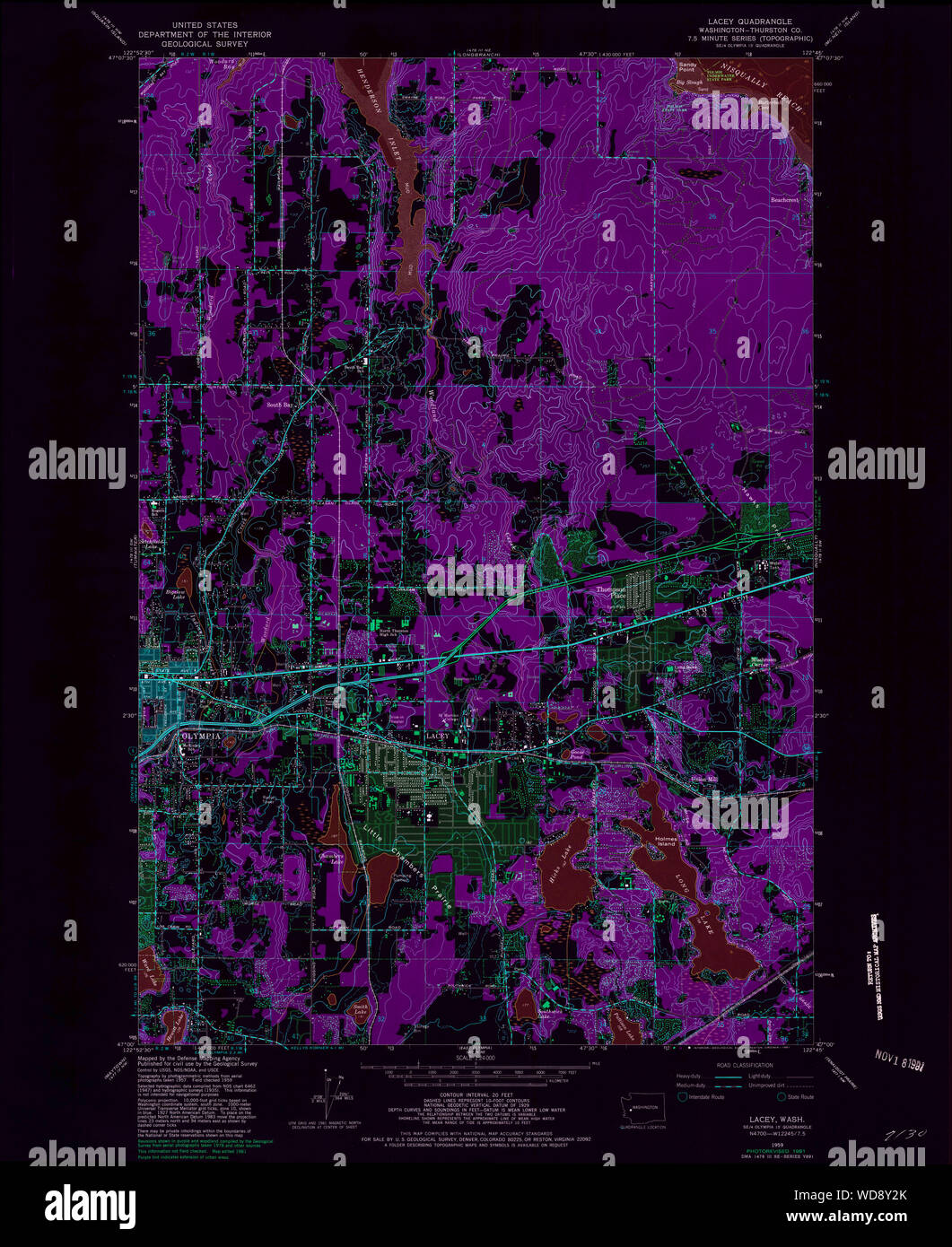 USGS Topo Map Washington State WA Lacey 241850 1959 24000 Inverted Restoration Stock Photohttps://www.alamy.com/image-license-details/?v=1https://www.alamy.com/usgs-topo-map-washington-state-wa-lacey-241850-1959-24000-inverted-restoration-image266342907.html
RMWD8Y2K–USGS Topo Map Washington State WA Lacey 241850 1959 24000 Inverted Restoration
 FALKLAND ISLANDS & PATAGONIA. Cape Horn.Tierra del Fuego. RAPKIN/TALLIS 1851 map Stock Photohttps://www.alamy.com/image-license-details/?v=1https://www.alamy.com/falkland-islands-patagonia-cape-horntierra-del-fuego-rapkintallis-1851-map-image242572494.html
RFT2J3KA–FALKLAND ISLANDS & PATAGONIA. Cape Horn.Tierra del Fuego. RAPKIN/TALLIS 1851 map
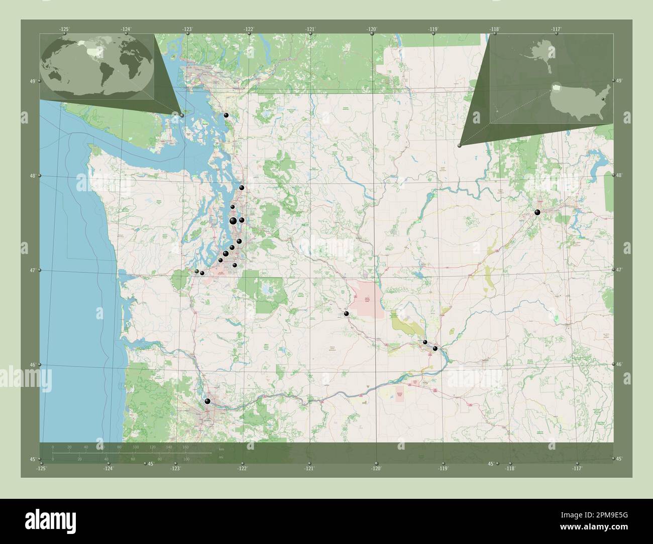 Washington, state of United States of America. Open Street Map. Locations of major cities of the region. Corner auxiliary location maps Stock Photohttps://www.alamy.com/image-license-details/?v=1https://www.alamy.com/washington-state-of-united-states-of-america-open-street-map-locations-of-major-cities-of-the-region-corner-auxiliary-location-maps-image546023228.html
RF2PM9E5G–Washington, state of United States of America. Open Street Map. Locations of major cities of the region. Corner auxiliary location maps
 Lacey Green, Buckinghamshire, GB, United Kingdom, England, N 51 42' 1'', S 0 48' 32'', map, Cartascapes Map published in 2024. Explore Cartascapes, a map revealing Earth's diverse landscapes, cultures, and ecosystems. Journey through time and space, discovering the interconnectedness of our planet's past, present, and future. Stock Photohttps://www.alamy.com/image-license-details/?v=1https://www.alamy.com/lacey-green-buckinghamshire-gb-united-kingdom-england-n-51-42-1-s-0-48-32-map-cartascapes-map-published-in-2024-explore-cartascapes-a-map-revealing-earths-diverse-landscapes-cultures-and-ecosystems-journey-through-time-and-space-discovering-the-interconnectedness-of-our-planets-past-present-and-future-image604247561.html
RM2X31RX1–Lacey Green, Buckinghamshire, GB, United Kingdom, England, N 51 42' 1'', S 0 48' 32'', map, Cartascapes Map published in 2024. Explore Cartascapes, a map revealing Earth's diverse landscapes, cultures, and ecosystems. Journey through time and space, discovering the interconnectedness of our planet's past, present, and future.
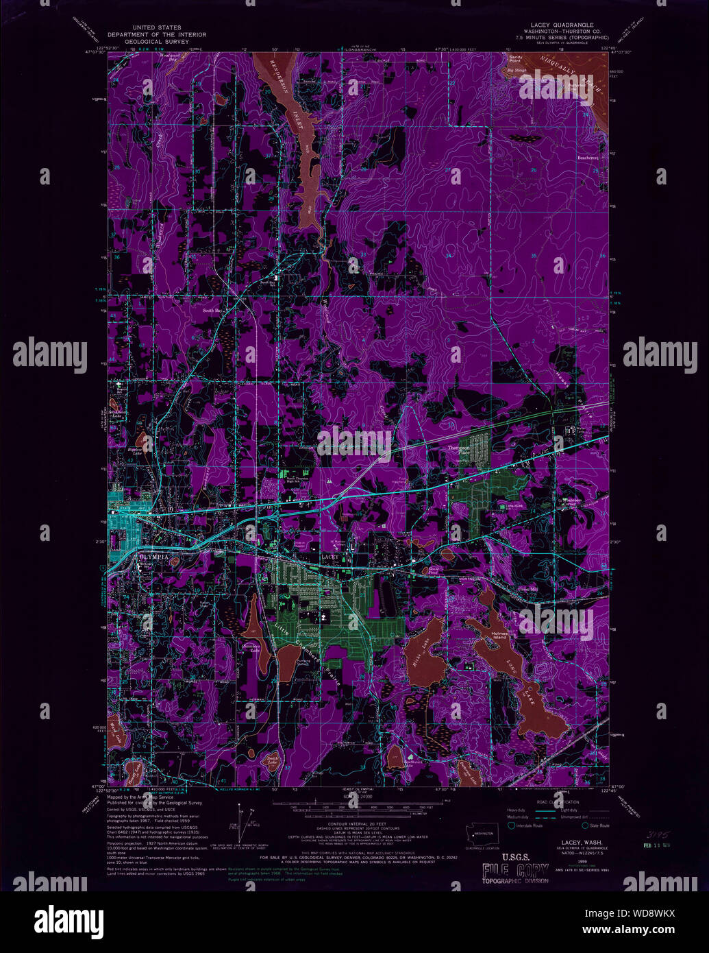 USGS Topo Map Washington State WA Lacey 241847 1959 24000 Inverted Restoration Stock Photohttps://www.alamy.com/image-license-details/?v=1https://www.alamy.com/usgs-topo-map-washington-state-wa-lacey-241847-1959-24000-inverted-restoration-image266341822.html
RMWD8WKX–USGS Topo Map Washington State WA Lacey 241847 1959 24000 Inverted Restoration
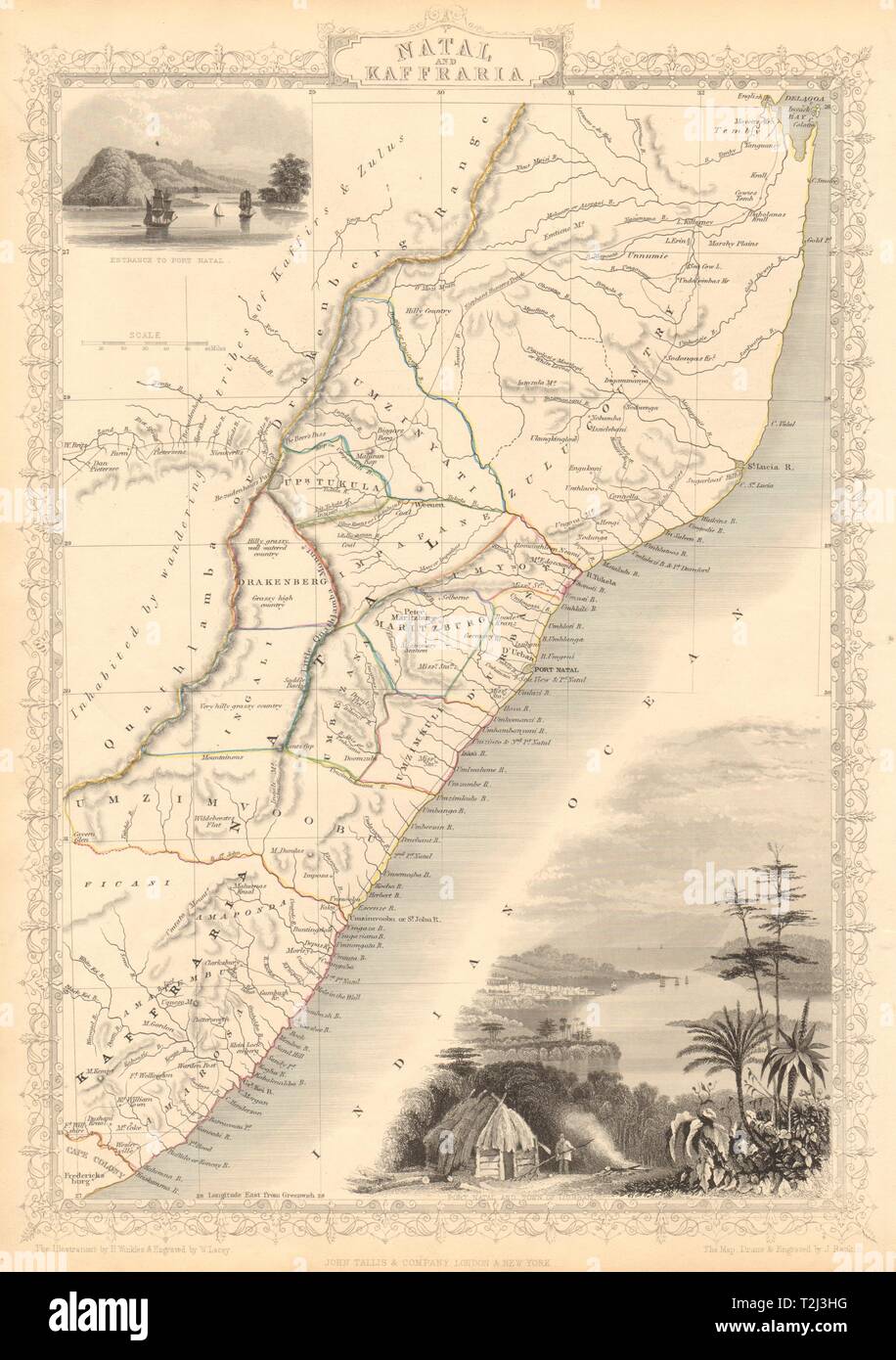 NATAL & KAFFRARIA. Eastern Cape. Durban. South Africa TALLIS & RAPKIN 1851 map Stock Photohttps://www.alamy.com/image-license-details/?v=1https://www.alamy.com/natal-kaffraria-eastern-cape-durban-south-africa-tallis-rapkin-1851-map-image242572444.html
RFT2J3HG–NATAL & KAFFRARIA. Eastern Cape. Durban. South Africa TALLIS & RAPKIN 1851 map
 Washington, state of United States of America. High resolution satellite map. Locations of major cities of the region. Corner auxiliary location maps Stock Photohttps://www.alamy.com/image-license-details/?v=1https://www.alamy.com/washington-state-of-united-states-of-america-high-resolution-satellite-map-locations-of-major-cities-of-the-region-corner-auxiliary-location-maps-image546023314.html
RF2PM9E8J–Washington, state of United States of America. High resolution satellite map. Locations of major cities of the region. Corner auxiliary location maps