Quick filters:
Map of laclede Stock Photos and Images
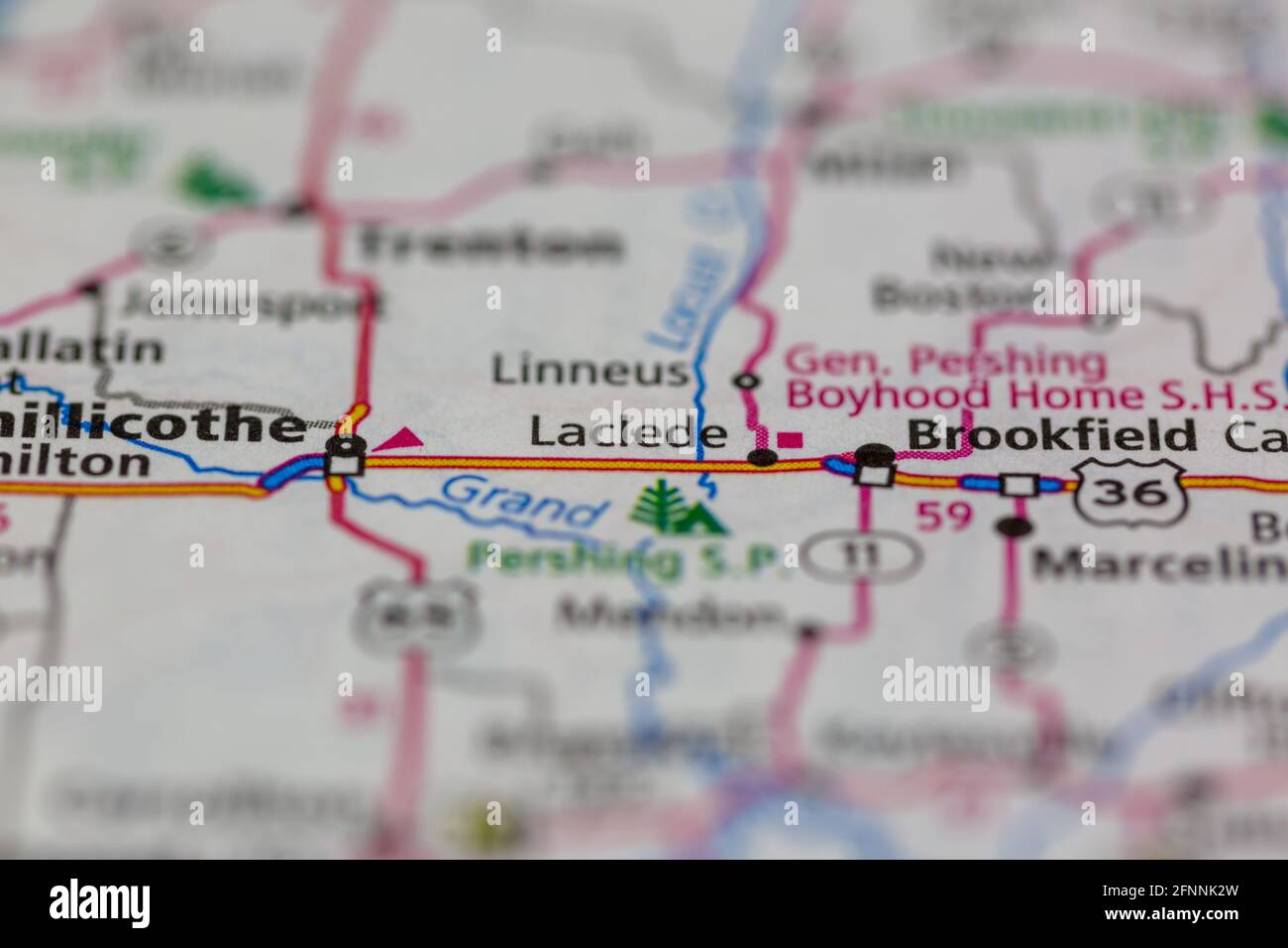 Laclede Missouri USA shown on a Geography map or road map Stock Photohttps://www.alamy.com/image-license-details/?v=1https://www.alamy.com/laclede-missouri-usa-shown-on-a-geography-map-or-road-map-image426432577.html
RM2FNNK2W–Laclede Missouri USA shown on a Geography map or road map
 Glassware Set Owned by Pierre Laclede Stock Photohttps://www.alamy.com/image-license-details/?v=1https://www.alamy.com/stock-image-glassware-set-owned-by-pierre-laclede-162737356.html
RMKCN94C–Glassware Set Owned by Pierre Laclede
 Nebo, Laclede County, US, United States, Missouri, N 37 34' 16'', S 92 20' 6'', map, Cartascapes Map published in 2024. Explore Cartascapes, a map revealing Earth's diverse landscapes, cultures, and ecosystems. Journey through time and space, discovering the interconnectedness of our planet's past, present, and future. Stock Photohttps://www.alamy.com/image-license-details/?v=1https://www.alamy.com/nebo-laclede-county-us-united-states-missouri-n-37-34-16-s-92-20-6-map-cartascapes-map-published-in-2024-explore-cartascapes-a-map-revealing-earths-diverse-landscapes-cultures-and-ecosystems-journey-through-time-and-space-discovering-the-interconnectedness-of-our-planets-past-present-and-future-image621454005.html
RM2Y31JWW–Nebo, Laclede County, US, United States, Missouri, N 37 34' 16'', S 92 20' 6'', map, Cartascapes Map published in 2024. Explore Cartascapes, a map revealing Earth's diverse landscapes, cultures, and ecosystems. Journey through time and space, discovering the interconnectedness of our planet's past, present, and future.
 Educational Museum Lantern Slides Greeks Laclede Stock Photohttps://www.alamy.com/image-license-details/?v=1https://www.alamy.com/stock-image-educational-museum-lantern-slides-greeks-laclede-162756419.html
RMKCP5D7–Educational Museum Lantern Slides Greeks Laclede
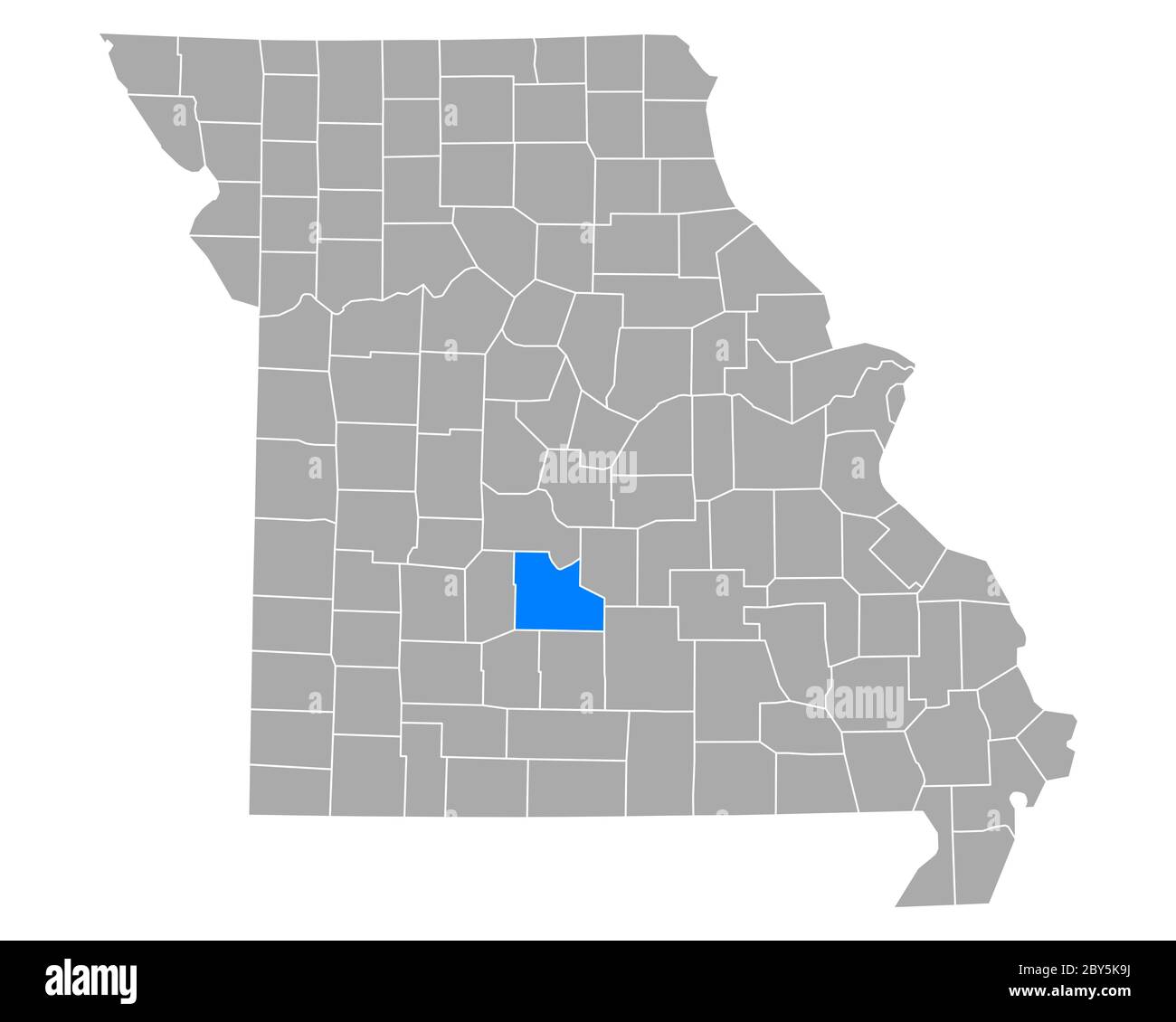 Map of Laclede in Missouri Stock Photohttps://www.alamy.com/image-license-details/?v=1https://www.alamy.com/map-of-laclede-in-missouri-image360927998.html
RF2BY5K9J–Map of Laclede in Missouri
 Educational Museum Lantern Slides Different Nationalities Laclede School Stock Photohttps://www.alamy.com/image-license-details/?v=1https://www.alamy.com/stock-image-educational-museum-lantern-slides-different-nationalities-laclede-162787282.html
RMKCRGRE–Educational Museum Lantern Slides Different Nationalities Laclede School
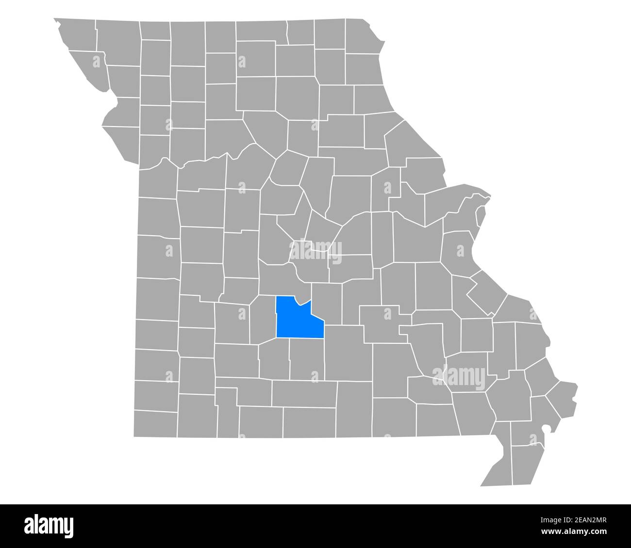 Map of Laclede in Missouri Stock Photohttps://www.alamy.com/image-license-details/?v=1https://www.alamy.com/map-of-laclede-in-missouri-image402448167.html
RF2EAN2MR–Map of Laclede in Missouri
 Fire Helmet worn by James Luthy of Laclede Fire Co. No. 10 Stock Photohttps://www.alamy.com/image-license-details/?v=1https://www.alamy.com/stock-image-fire-helmet-worn-by-james-luthy-of-laclede-fire-co-no-10-162768797.html
RMKCPN79–Fire Helmet worn by James Luthy of Laclede Fire Co. No. 10
 USGS TOPO Map Kansas KS Laclede 20100104 TM Restoration Stock Photohttps://www.alamy.com/image-license-details/?v=1https://www.alamy.com/usgs-topo-map-kansas-ks-laclede-20100104-tm-restoration-image260226759.html
RMW3A9TR–USGS TOPO Map Kansas KS Laclede 20100104 TM Restoration
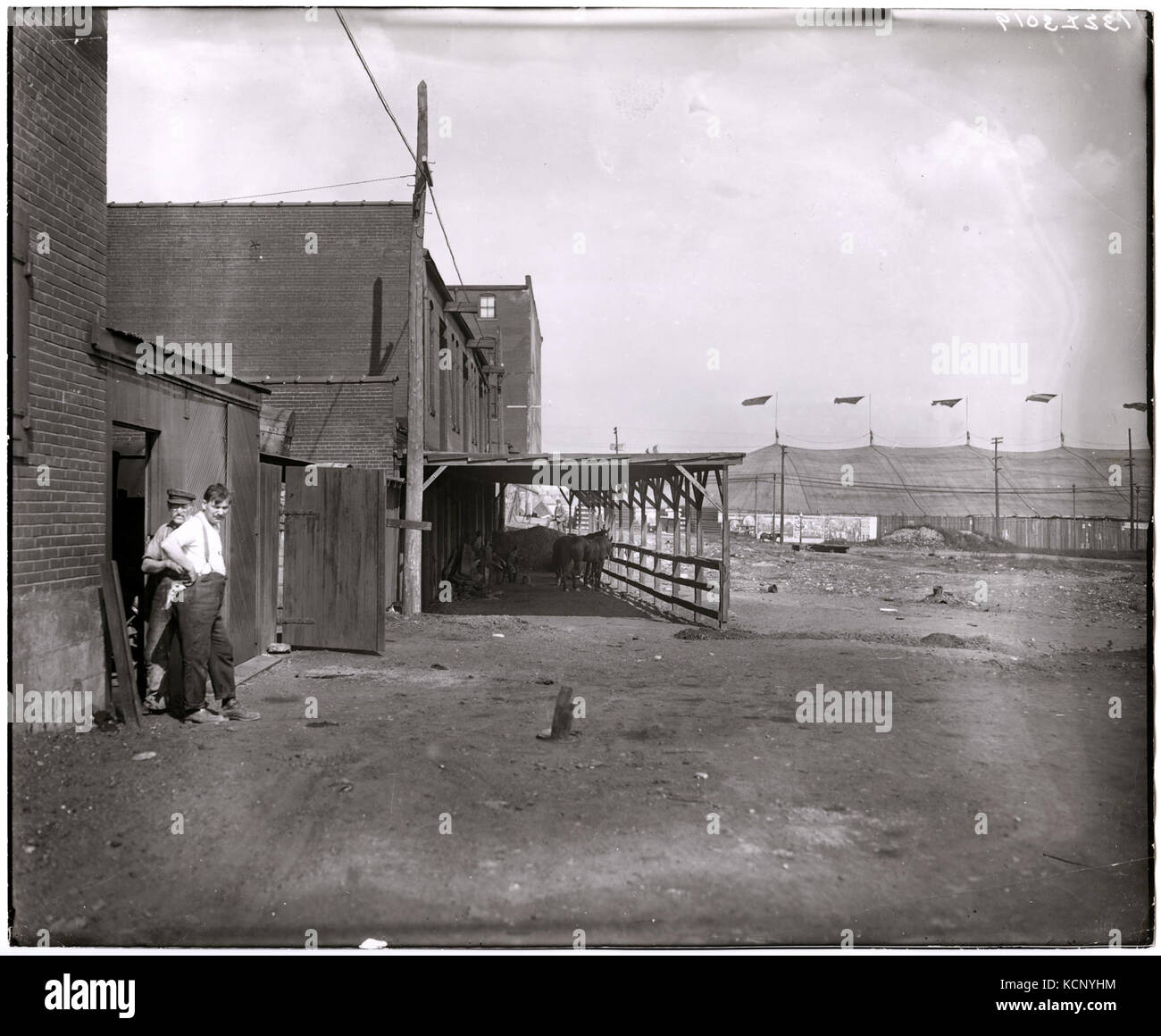 Commercial buildings or stables in front of the Barnum and Bailey circus tent at Grand and Laclede Stock Photohttps://www.alamy.com/image-license-details/?v=1https://www.alamy.com/stock-image-commercial-buildings-or-stables-in-front-of-the-barnum-and-bailey-162751840.html
RMKCNYHM–Commercial buildings or stables in front of the Barnum and Bailey circus tent at Grand and Laclede
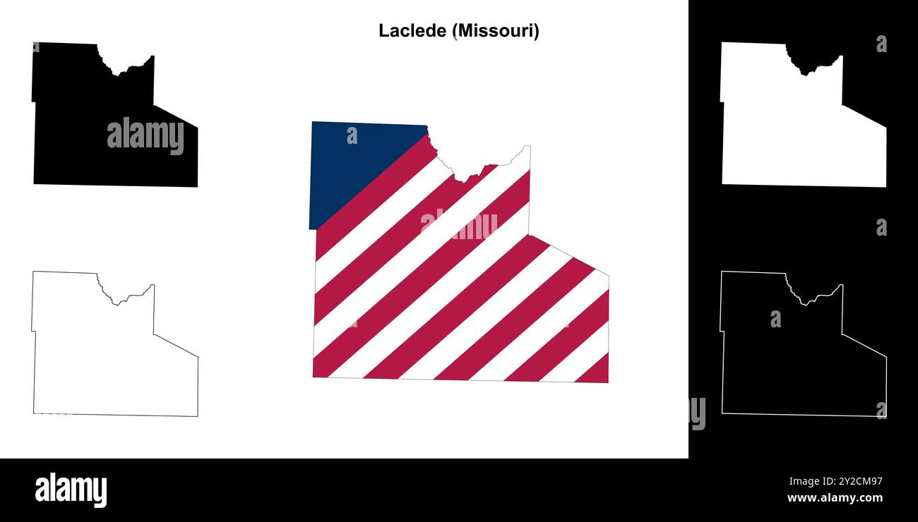 Laclede County (Missouri) outline map set Stock Vectorhttps://www.alamy.com/image-license-details/?v=1https://www.alamy.com/laclede-county-missouri-outline-map-set-image621081923.html
RF2Y2CM97–Laclede County (Missouri) outline map set
 Pierre Laclede Liguest Stock Photohttps://www.alamy.com/image-license-details/?v=1https://www.alamy.com/stock-photo-pierre-laclede-liguest-140363013.html
RMJ4A2CN–Pierre Laclede Liguest
 Laclede County, Missouri (U.S. county, United States of America, USA, U.S., US) map vector illustration, scribble sketch Laclede map Stock Vectorhttps://www.alamy.com/image-license-details/?v=1https://www.alamy.com/laclede-county-missouri-us-county-united-states-of-america-usa-us-us-map-vector-illustration-scribble-sketch-laclede-map-image386739521.html
RF2DD5E5N–Laclede County, Missouri (U.S. county, United States of America, USA, U.S., US) map vector illustration, scribble sketch Laclede map
 Laclede Missouri USA shown on a Geography map or road map Stock Photohttps://www.alamy.com/image-license-details/?v=1https://www.alamy.com/laclede-missouri-usa-shown-on-a-geography-map-or-road-map-image426432618.html
RM2FNNK4A–Laclede Missouri USA shown on a Geography map or road map
 Garnsey, Laclede County, US, United States, Missouri, N 37 49' 25'', S 92 27' 25'', map, Cartascapes Map published in 2024. Explore Cartascapes, a map revealing Earth's diverse landscapes, cultures, and ecosystems. Journey through time and space, discovering the interconnectedness of our planet's past, present, and future. Stock Photohttps://www.alamy.com/image-license-details/?v=1https://www.alamy.com/garnsey-laclede-county-us-united-states-missouri-n-37-49-25-s-92-27-25-map-cartascapes-map-published-in-2024-explore-cartascapes-a-map-revealing-earths-diverse-landscapes-cultures-and-ecosystems-journey-through-time-and-space-discovering-the-interconnectedness-of-our-planets-past-present-and-future-image621427699.html
RM2Y30DAB–Garnsey, Laclede County, US, United States, Missouri, N 37 49' 25'', S 92 27' 25'', map, Cartascapes Map published in 2024. Explore Cartascapes, a map revealing Earth's diverse landscapes, cultures, and ecosystems. Journey through time and space, discovering the interconnectedness of our planet's past, present, and future.
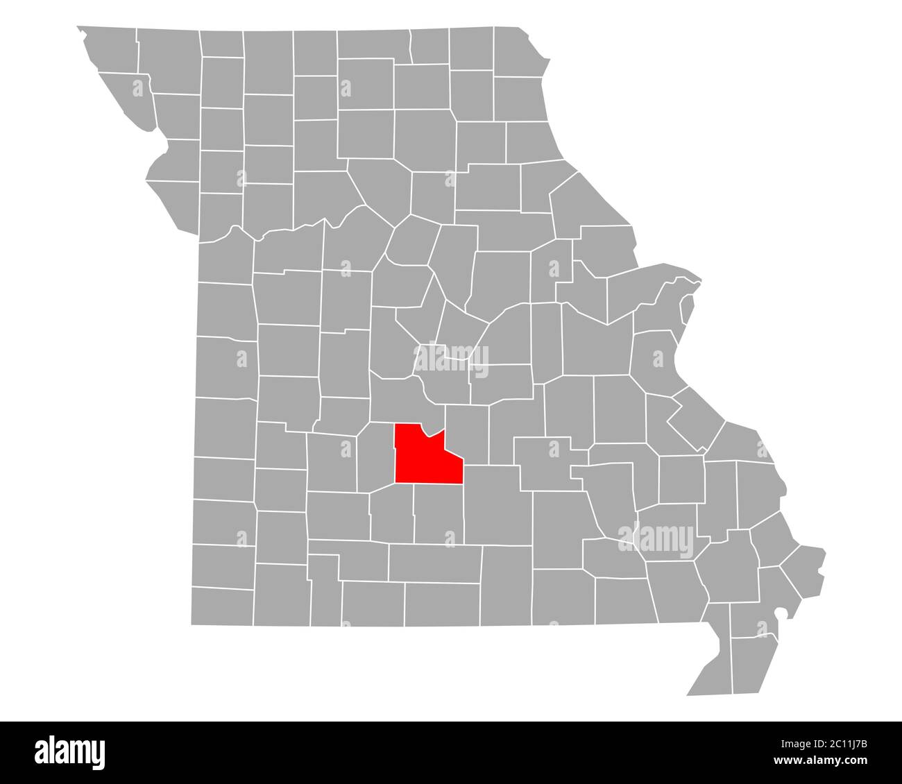 Map of Laclede in Missouri Stock Photohttps://www.alamy.com/image-license-details/?v=1https://www.alamy.com/map-of-laclede-in-missouri-image362068655.html
RF2C11J7B–Map of Laclede in Missouri
 Map of Laclede in Missouri Stock Photohttps://www.alamy.com/image-license-details/?v=1https://www.alamy.com/map-of-laclede-in-missouri-image385815556.html
RF2DBKBK0–Map of Laclede in Missouri
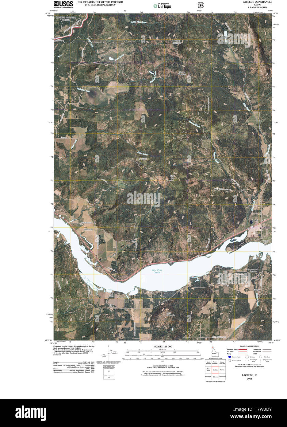 USGS TOPO Map Idaho ID Laclede 20110125 TM Restoration Stock Photohttps://www.alamy.com/image-license-details/?v=1https://www.alamy.com/usgs-topo-map-idaho-id-laclede-20110125-tm-restoration-image245799287.html
RMT7W3DY–USGS TOPO Map Idaho ID Laclede 20110125 TM Restoration
 Laclede County, Missouri (U.S. county, United States of America, USA, U.S., US) map vector illustration, scribble sketch Laclede map Stock Vectorhttps://www.alamy.com/image-license-details/?v=1https://www.alamy.com/laclede-county-missouri-us-county-united-states-of-america-usa-us-us-map-vector-illustration-scribble-sketch-laclede-map-image397447265.html
RF2E2H815–Laclede County, Missouri (U.S. county, United States of America, USA, U.S., US) map vector illustration, scribble sketch Laclede map
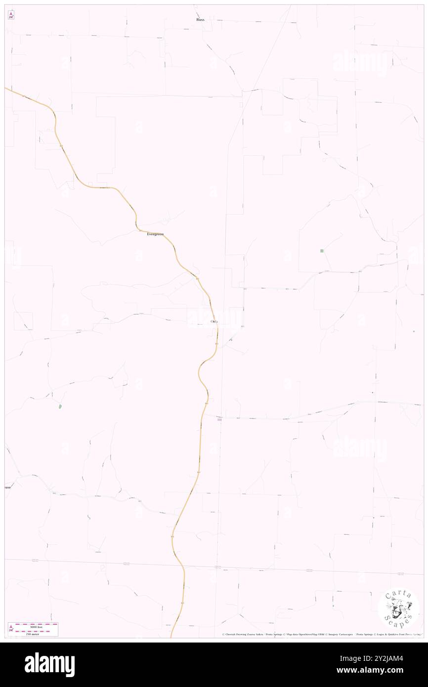 Orla, Laclede County, US, United States, Missouri, N 37 31' 35'', S 92 34' 57'', map, Cartascapes Map published in 2024. Explore Cartascapes, a map revealing Earth's diverse landscapes, cultures, and ecosystems. Journey through time and space, discovering the interconnectedness of our planet's past, present, and future. Stock Photohttps://www.alamy.com/image-license-details/?v=1https://www.alamy.com/orla-laclede-county-us-united-states-missouri-n-37-31-35-s-92-34-57-map-cartascapes-map-published-in-2024-explore-cartascapes-a-map-revealing-earths-diverse-landscapes-cultures-and-ecosystems-journey-through-time-and-space-discovering-the-interconnectedness-of-our-planets-past-present-and-future-image621206100.html
RM2Y2JAM4–Orla, Laclede County, US, United States, Missouri, N 37 31' 35'', S 92 34' 57'', map, Cartascapes Map published in 2024. Explore Cartascapes, a map revealing Earth's diverse landscapes, cultures, and ecosystems. Journey through time and space, discovering the interconnectedness of our planet's past, present, and future.
 Map of Laclede in Missouri Stock Photohttps://www.alamy.com/image-license-details/?v=1https://www.alamy.com/map-of-laclede-in-missouri-image361469130.html
RF2C029FP–Map of Laclede in Missouri
 Map of Laclede in Missouri Stock Photohttps://www.alamy.com/image-license-details/?v=1https://www.alamy.com/map-of-laclede-in-missouri-image443794785.html
RF2GP0GNN–Map of Laclede in Missouri
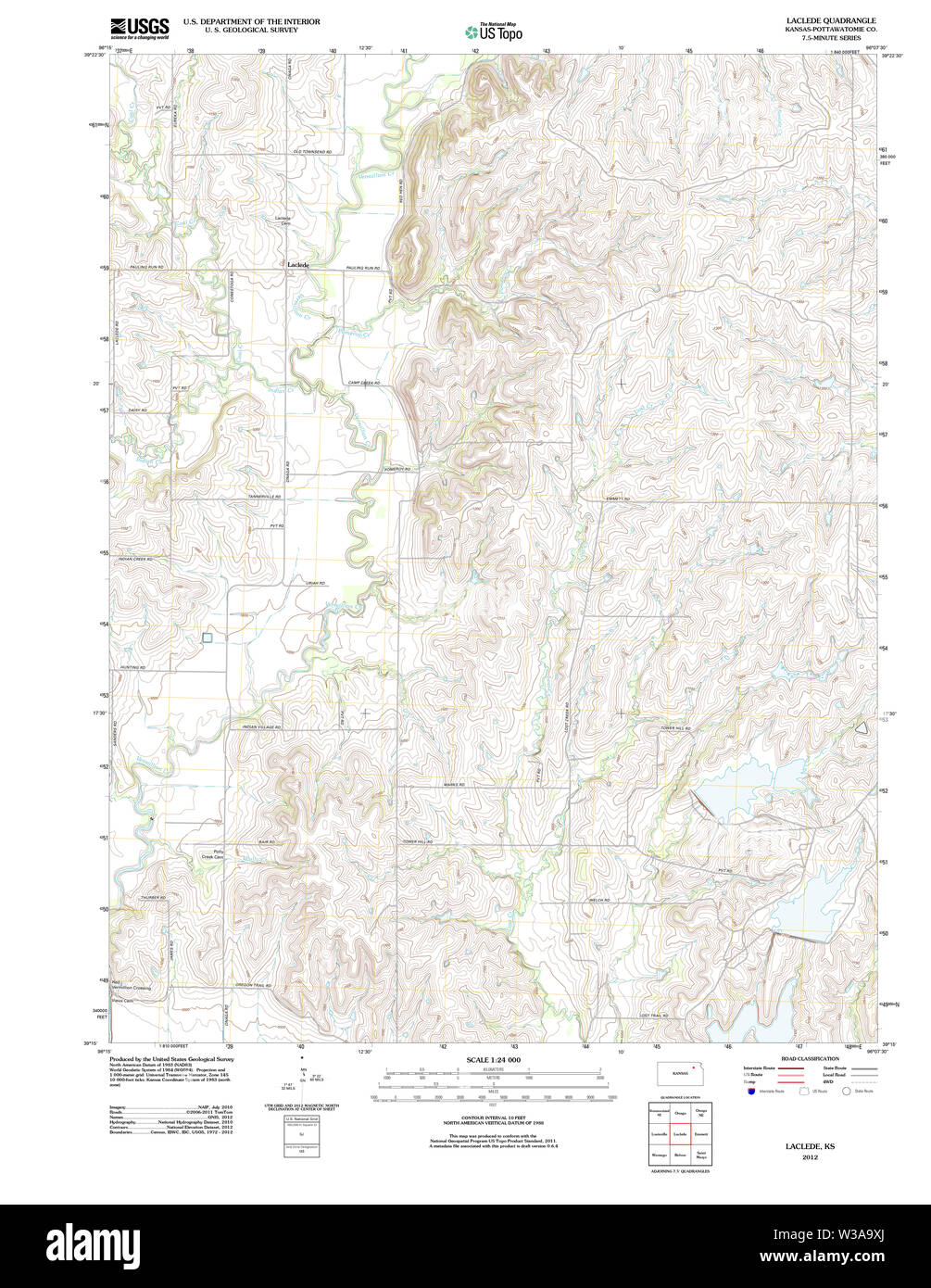 USGS TOPO Map Kansas KS Laclede 20120906 TM Restoration Stock Photohttps://www.alamy.com/image-license-details/?v=1https://www.alamy.com/usgs-topo-map-kansas-ks-laclede-20120906-tm-restoration-image260226810.html
RMW3A9XJ–USGS TOPO Map Kansas KS Laclede 20120906 TM Restoration
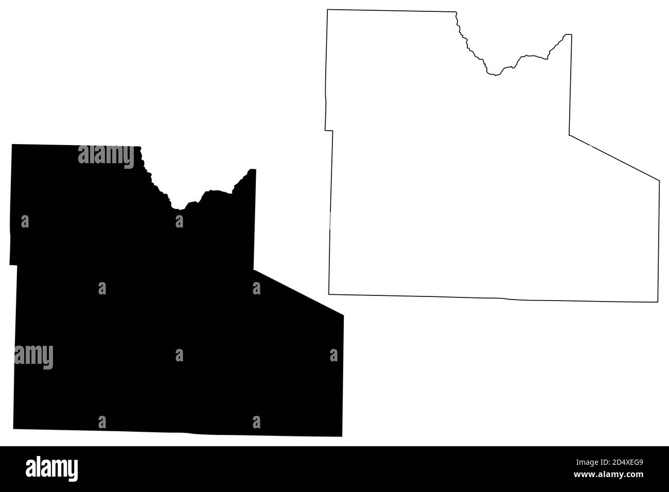 Laclede County, Missouri (U.S. county, United States of America, USA, U.S., US) map vector illustration, scribble sketch Laclede map Stock Vectorhttps://www.alamy.com/image-license-details/?v=1https://www.alamy.com/laclede-county-missouri-us-county-united-states-of-america-usa-us-us-map-vector-illustration-scribble-sketch-laclede-map-image381668905.html
RF2D4XEG9–Laclede County, Missouri (U.S. county, United States of America, USA, U.S., US) map vector illustration, scribble sketch Laclede map
 Drynob, Laclede County, US, United States, Missouri, N 37 38' 30'', S 92 27' 1'', map, Cartascapes Map published in 2024. Explore Cartascapes, a map revealing Earth's diverse landscapes, cultures, and ecosystems. Journey through time and space, discovering the interconnectedness of our planet's past, present, and future. Stock Photohttps://www.alamy.com/image-license-details/?v=1https://www.alamy.com/drynob-laclede-county-us-united-states-missouri-n-37-38-30-s-92-27-1-map-cartascapes-map-published-in-2024-explore-cartascapes-a-map-revealing-earths-diverse-landscapes-cultures-and-ecosystems-journey-through-time-and-space-discovering-the-interconnectedness-of-our-planets-past-present-and-future-image621335526.html
RM2Y2T7PE–Drynob, Laclede County, US, United States, Missouri, N 37 38' 30'', S 92 27' 1'', map, Cartascapes Map published in 2024. Explore Cartascapes, a map revealing Earth's diverse landscapes, cultures, and ecosystems. Journey through time and space, discovering the interconnectedness of our planet's past, present, and future.
 USGS TOPO Map Missouri MO Laclede 20120117 TM Restoration Stock Photohttps://www.alamy.com/image-license-details/?v=1https://www.alamy.com/usgs-topo-map-missouri-mo-laclede-20120117-tm-restoration-image333218961.html
RM2AA3C55–USGS TOPO Map Missouri MO Laclede 20120117 TM Restoration
 Laclede, Pottawatomie County, US, United States, Kansas, N 39 20' 49'', S 96 13' 15'', map, Cartascapes Map published in 2024. Explore Cartascapes, a map revealing Earth's diverse landscapes, cultures, and ecosystems. Journey through time and space, discovering the interconnectedness of our planet's past, present, and future. Stock Photohttps://www.alamy.com/image-license-details/?v=1https://www.alamy.com/laclede-pottawatomie-county-us-united-states-kansas-n-39-20-49-s-96-13-15-map-cartascapes-map-published-in-2024-explore-cartascapes-a-map-revealing-earths-diverse-landscapes-cultures-and-ecosystems-journey-through-time-and-space-discovering-the-interconnectedness-of-our-planets-past-present-and-future-image621460895.html
RM2Y31YKY–Laclede, Pottawatomie County, US, United States, Kansas, N 39 20' 49'', S 96 13' 15'', map, Cartascapes Map published in 2024. Explore Cartascapes, a map revealing Earth's diverse landscapes, cultures, and ecosystems. Journey through time and space, discovering the interconnectedness of our planet's past, present, and future.
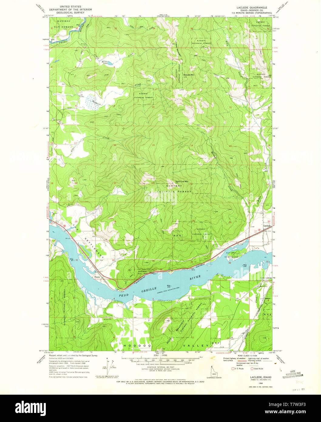 USGS TOPO Map Idaho ID Laclede 236798 1968 24000 Restoration Stock Photohttps://www.alamy.com/image-license-details/?v=1https://www.alamy.com/usgs-topo-map-idaho-id-laclede-236798-1968-24000-restoration-image245799319.html
RMT7W3F3–USGS TOPO Map Idaho ID Laclede 236798 1968 24000 Restoration
 Pease, Laclede County, US, United States, Missouri, N 37 29' 41'', S 92 37' 57'', map, Cartascapes Map published in 2024. Explore Cartascapes, a map revealing Earth's diverse landscapes, cultures, and ecosystems. Journey through time and space, discovering the interconnectedness of our planet's past, present, and future. Stock Photohttps://www.alamy.com/image-license-details/?v=1https://www.alamy.com/pease-laclede-county-us-united-states-missouri-n-37-29-41-s-92-37-57-map-cartascapes-map-published-in-2024-explore-cartascapes-a-map-revealing-earths-diverse-landscapes-cultures-and-ecosystems-journey-through-time-and-space-discovering-the-interconnectedness-of-our-planets-past-present-and-future-image621336771.html
RM2Y2T9AY–Pease, Laclede County, US, United States, Missouri, N 37 29' 41'', S 92 37' 57'', map, Cartascapes Map published in 2024. Explore Cartascapes, a map revealing Earth's diverse landscapes, cultures, and ecosystems. Journey through time and space, discovering the interconnectedness of our planet's past, present, and future.
 USGS TOPO Map Kansas KS Laclede 801829 1964 24000 Restoration Stock Photohttps://www.alamy.com/image-license-details/?v=1https://www.alamy.com/usgs-topo-map-kansas-ks-laclede-801829-1964-24000-restoration-image260226915.html
RMW3AA2B–USGS TOPO Map Kansas KS Laclede 801829 1964 24000 Restoration
 Competition, Laclede County, US, United States, Missouri, N 37 29' 1'', S 92 25' 44'', map, Cartascapes Map published in 2024. Explore Cartascapes, a map revealing Earth's diverse landscapes, cultures, and ecosystems. Journey through time and space, discovering the interconnectedness of our planet's past, present, and future. Stock Photohttps://www.alamy.com/image-license-details/?v=1https://www.alamy.com/competition-laclede-county-us-united-states-missouri-n-37-29-1-s-92-25-44-map-cartascapes-map-published-in-2024-explore-cartascapes-a-map-revealing-earths-diverse-landscapes-cultures-and-ecosystems-journey-through-time-and-space-discovering-the-interconnectedness-of-our-planets-past-present-and-future-image621439146.html
RM2Y30YY6–Competition, Laclede County, US, United States, Missouri, N 37 29' 1'', S 92 25' 44'', map, Cartascapes Map published in 2024. Explore Cartascapes, a map revealing Earth's diverse landscapes, cultures, and ecosystems. Journey through time and space, discovering the interconnectedness of our planet's past, present, and future.
 USGS TOPO Map Kansas KS Laclede 20100104 TM Inverted Restoration Stock Photohttps://www.alamy.com/image-license-details/?v=1https://www.alamy.com/usgs-topo-map-kansas-ks-laclede-20100104-tm-inverted-restoration-image260226737.html
RMW3A9T1–USGS TOPO Map Kansas KS Laclede 20100104 TM Inverted Restoration
 Eldridge, Laclede County, US, United States, Missouri, N 37 49' 47'', S 92 44' 56'', map, Cartascapes Map published in 2024. Explore Cartascapes, a map revealing Earth's diverse landscapes, cultures, and ecosystems. Journey through time and space, discovering the interconnectedness of our planet's past, present, and future. Stock Photohttps://www.alamy.com/image-license-details/?v=1https://www.alamy.com/eldridge-laclede-county-us-united-states-missouri-n-37-49-47-s-92-44-56-map-cartascapes-map-published-in-2024-explore-cartascapes-a-map-revealing-earths-diverse-landscapes-cultures-and-ecosystems-journey-through-time-and-space-discovering-the-interconnectedness-of-our-planets-past-present-and-future-image621235415.html
RM2Y2KM33–Eldridge, Laclede County, US, United States, Missouri, N 37 49' 47'', S 92 44' 56'', map, Cartascapes Map published in 2024. Explore Cartascapes, a map revealing Earth's diverse landscapes, cultures, and ecosystems. Journey through time and space, discovering the interconnectedness of our planet's past, present, and future.
 USGS TOPO Map Kansas KS Laclede 511755 1964 24000 Restoration Stock Photohttps://www.alamy.com/image-license-details/?v=1https://www.alamy.com/usgs-topo-map-kansas-ks-laclede-511755-1964-24000-restoration-image260226848.html
RMW3AA00–USGS TOPO Map Kansas KS Laclede 511755 1964 24000 Restoration
 Russell, Laclede County, US, United States, Missouri, N 37 43' 0'', S 92 38' 8'', map, Cartascapes Map published in 2024. Explore Cartascapes, a map revealing Earth's diverse landscapes, cultures, and ecosystems. Journey through time and space, discovering the interconnectedness of our planet's past, present, and future. Stock Photohttps://www.alamy.com/image-license-details/?v=1https://www.alamy.com/russell-laclede-county-us-united-states-missouri-n-37-43-0-s-92-38-8-map-cartascapes-map-published-in-2024-explore-cartascapes-a-map-revealing-earths-diverse-landscapes-cultures-and-ecosystems-journey-through-time-and-space-discovering-the-interconnectedness-of-our-planets-past-present-and-future-image621255568.html
RM2Y2MHPT–Russell, Laclede County, US, United States, Missouri, N 37 43' 0'', S 92 38' 8'', map, Cartascapes Map published in 2024. Explore Cartascapes, a map revealing Earth's diverse landscapes, cultures, and ecosystems. Journey through time and space, discovering the interconnectedness of our planet's past, present, and future.
 USGS TOPO Map Idaho ID Laclede 236796 1996 24000 Restoration Stock Photohttps://www.alamy.com/image-license-details/?v=1https://www.alamy.com/usgs-topo-map-idaho-id-laclede-236796-1996-24000-restoration-image245799314.html
RMT7W3EX–USGS TOPO Map Idaho ID Laclede 236796 1996 24000 Restoration
 Lynchburg, Laclede County, US, United States, Missouri, N 37 29' 35'', S 92 17' 39'', map, Cartascapes Map published in 2024. Explore Cartascapes, a map revealing Earth's diverse landscapes, cultures, and ecosystems. Journey through time and space, discovering the interconnectedness of our planet's past, present, and future. Stock Photohttps://www.alamy.com/image-license-details/?v=1https://www.alamy.com/lynchburg-laclede-county-us-united-states-missouri-n-37-29-35-s-92-17-39-map-cartascapes-map-published-in-2024-explore-cartascapes-a-map-revealing-earths-diverse-landscapes-cultures-and-ecosystems-journey-through-time-and-space-discovering-the-interconnectedness-of-our-planets-past-present-and-future-image621306657.html
RM2Y2PXYD–Lynchburg, Laclede County, US, United States, Missouri, N 37 29' 35'', S 92 17' 39'', map, Cartascapes Map published in 2024. Explore Cartascapes, a map revealing Earth's diverse landscapes, cultures, and ecosystems. Journey through time and space, discovering the interconnectedness of our planet's past, present, and future.
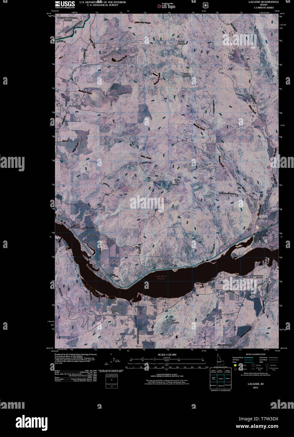 USGS TOPO Map Idaho ID Laclede 20110125 TM Inverted Restoration Stock Photohttps://www.alamy.com/image-license-details/?v=1https://www.alamy.com/usgs-topo-map-idaho-id-laclede-20110125-tm-inverted-restoration-image245799286.html
RMT7W3DX–USGS TOPO Map Idaho ID Laclede 20110125 TM Inverted Restoration
 Dove, Laclede County, US, United States, Missouri, N 37 47' 27'', S 92 40' 57'', map, Cartascapes Map published in 2024. Explore Cartascapes, a map revealing Earth's diverse landscapes, cultures, and ecosystems. Journey through time and space, discovering the interconnectedness of our planet's past, present, and future. Stock Photohttps://www.alamy.com/image-license-details/?v=1https://www.alamy.com/dove-laclede-county-us-united-states-missouri-n-37-47-27-s-92-40-57-map-cartascapes-map-published-in-2024-explore-cartascapes-a-map-revealing-earths-diverse-landscapes-cultures-and-ecosystems-journey-through-time-and-space-discovering-the-interconnectedness-of-our-planets-past-present-and-future-image621432571.html
RM2Y30KGB–Dove, Laclede County, US, United States, Missouri, N 37 47' 27'', S 92 40' 57'', map, Cartascapes Map published in 2024. Explore Cartascapes, a map revealing Earth's diverse landscapes, cultures, and ecosystems. Journey through time and space, discovering the interconnectedness of our planet's past, present, and future.
 USGS TOPO Map Kansas KS Laclede 20120906 TM Inverted Restoration Stock Photohttps://www.alamy.com/image-license-details/?v=1https://www.alamy.com/usgs-topo-map-kansas-ks-laclede-20120906-tm-inverted-restoration-image260226761.html
RMW3A9TW–USGS TOPO Map Kansas KS Laclede 20120906 TM Inverted Restoration
 Lebanon, Laclede County, US, United States, Missouri, N 37 40' 50'', S 92 39' 49'', map, Cartascapes Map published in 2024. Explore Cartascapes, a map revealing Earth's diverse landscapes, cultures, and ecosystems. Journey through time and space, discovering the interconnectedness of our planet's past, present, and future. Stock Photohttps://www.alamy.com/image-license-details/?v=1https://www.alamy.com/lebanon-laclede-county-us-united-states-missouri-n-37-40-50-s-92-39-49-map-cartascapes-map-published-in-2024-explore-cartascapes-a-map-revealing-earths-diverse-landscapes-cultures-and-ecosystems-journey-through-time-and-space-discovering-the-interconnectedness-of-our-planets-past-present-and-future-image621395795.html
RM2Y2Y0JY–Lebanon, Laclede County, US, United States, Missouri, N 37 40' 50'', S 92 39' 49'', map, Cartascapes Map published in 2024. Explore Cartascapes, a map revealing Earth's diverse landscapes, cultures, and ecosystems. Journey through time and space, discovering the interconnectedness of our planet's past, present, and future.
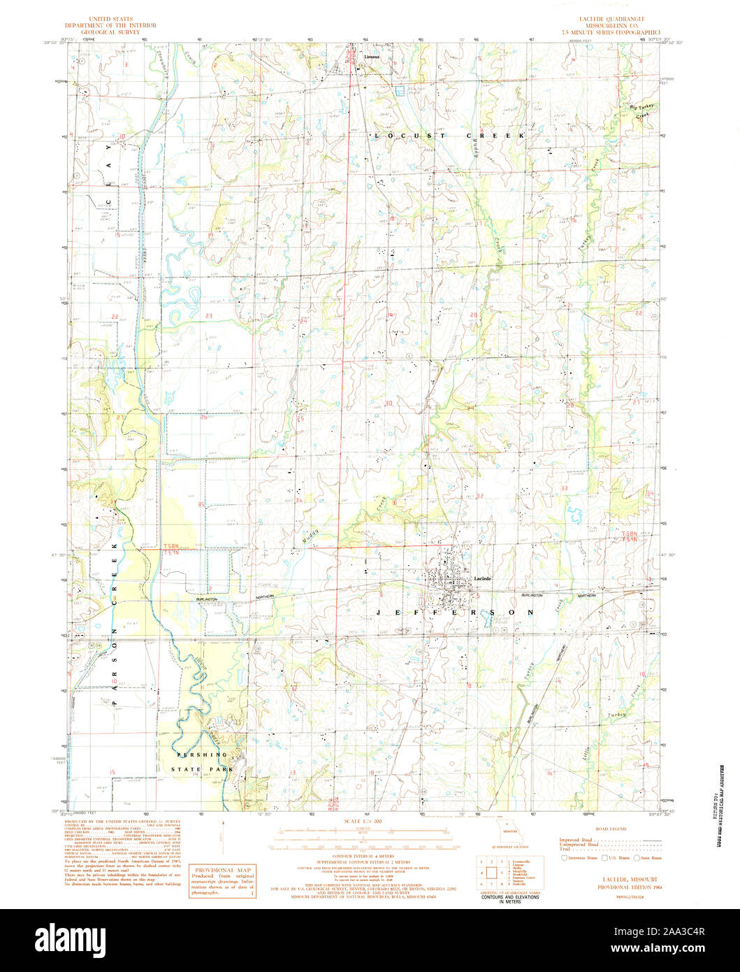 USGS TOPO Map Missouri MO Laclede 323197 1984 24000 Restoration Stock Photohttps://www.alamy.com/image-license-details/?v=1https://www.alamy.com/usgs-topo-map-missouri-mo-laclede-323197-1984-24000-restoration-image333218951.html
RM2AA3C4R–USGS TOPO Map Missouri MO Laclede 323197 1984 24000 Restoration
 Bidwell, Laclede County, US, United States, Missouri, N 37 52' 18'', S 92 42' 34'', map, Cartascapes Map published in 2024. Explore Cartascapes, a map revealing Earth's diverse landscapes, cultures, and ecosystems. Journey through time and space, discovering the interconnectedness of our planet's past, present, and future. Stock Photohttps://www.alamy.com/image-license-details/?v=1https://www.alamy.com/bidwell-laclede-county-us-united-states-missouri-n-37-52-18-s-92-42-34-map-cartascapes-map-published-in-2024-explore-cartascapes-a-map-revealing-earths-diverse-landscapes-cultures-and-ecosystems-journey-through-time-and-space-discovering-the-interconnectedness-of-our-planets-past-present-and-future-image621429009.html
RM2Y30F15–Bidwell, Laclede County, US, United States, Missouri, N 37 52' 18'', S 92 42' 34'', map, Cartascapes Map published in 2024. Explore Cartascapes, a map revealing Earth's diverse landscapes, cultures, and ecosystems. Journey through time and space, discovering the interconnectedness of our planet's past, present, and future.
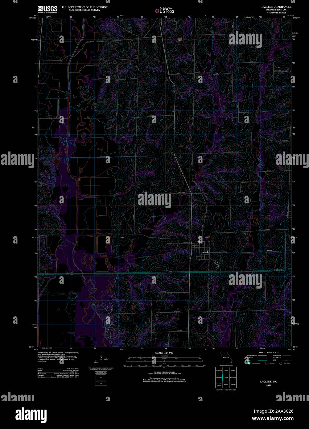 USGS TOPO Map Missouri MO Laclede 20120117 TM Inverted Restoration Stock Photohttps://www.alamy.com/image-license-details/?v=1https://www.alamy.com/usgs-topo-map-missouri-mo-laclede-20120117-tm-inverted-restoration-image333218878.html
RM2AA3C26–USGS TOPO Map Missouri MO Laclede 20120117 TM Inverted Restoration
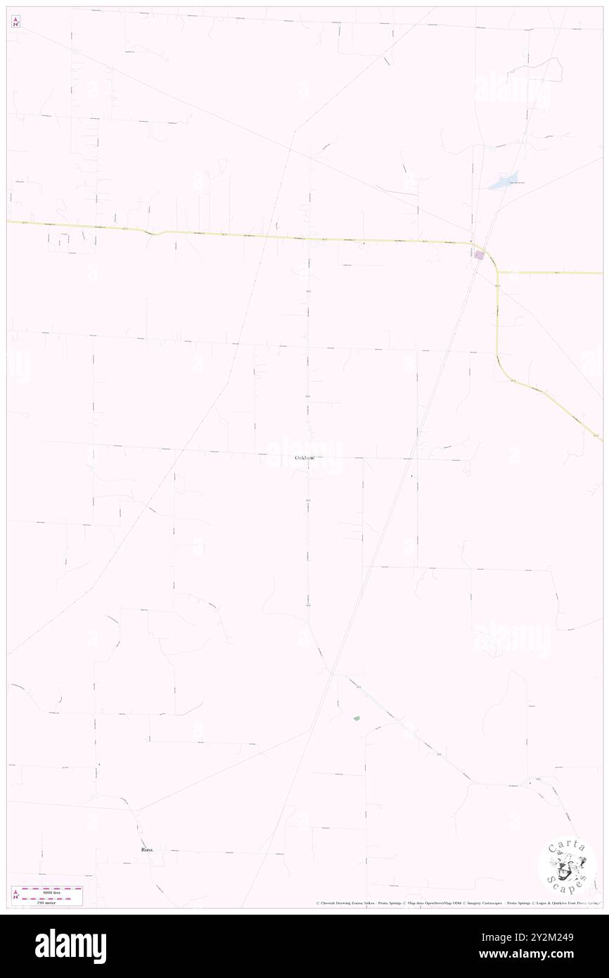 Oakland, Laclede County, US, United States, Missouri, N 37 38' 11'', S 92 33' 33'', map, Cartascapes Map published in 2024. Explore Cartascapes, a map revealing Earth's diverse landscapes, cultures, and ecosystems. Journey through time and space, discovering the interconnectedness of our planet's past, present, and future. Stock Photohttps://www.alamy.com/image-license-details/?v=1https://www.alamy.com/oakland-laclede-county-us-united-states-missouri-n-37-38-11-s-92-33-33-map-cartascapes-map-published-in-2024-explore-cartascapes-a-map-revealing-earths-diverse-landscapes-cultures-and-ecosystems-journey-through-time-and-space-discovering-the-interconnectedness-of-our-planets-past-present-and-future-image621243289.html
RM2Y2M249–Oakland, Laclede County, US, United States, Missouri, N 37 38' 11'', S 92 33' 33'', map, Cartascapes Map published in 2024. Explore Cartascapes, a map revealing Earth's diverse landscapes, cultures, and ecosystems. Journey through time and space, discovering the interconnectedness of our planet's past, present, and future.
 USGS TOPO Map Kansas KS Laclede 511755 1964 24000 Inverted Restoration Stock Photohttps://www.alamy.com/image-license-details/?v=1https://www.alamy.com/usgs-topo-map-kansas-ks-laclede-511755-1964-24000-inverted-restoration-image260226833.html
RMW3A9YD–USGS TOPO Map Kansas KS Laclede 511755 1964 24000 Inverted Restoration
 Prosperine, Laclede County, US, United States, Missouri, N 37 47' 34'', S 92 45' 58'', map, Cartascapes Map published in 2024. Explore Cartascapes, a map revealing Earth's diverse landscapes, cultures, and ecosystems. Journey through time and space, discovering the interconnectedness of our planet's past, present, and future. Stock Photohttps://www.alamy.com/image-license-details/?v=1https://www.alamy.com/prosperine-laclede-county-us-united-states-missouri-n-37-47-34-s-92-45-58-map-cartascapes-map-published-in-2024-explore-cartascapes-a-map-revealing-earths-diverse-landscapes-cultures-and-ecosystems-journey-through-time-and-space-discovering-the-interconnectedness-of-our-planets-past-present-and-future-image621372423.html
RM2Y2WXT7–Prosperine, Laclede County, US, United States, Missouri, N 37 47' 34'', S 92 45' 58'', map, Cartascapes Map published in 2024. Explore Cartascapes, a map revealing Earth's diverse landscapes, cultures, and ecosystems. Journey through time and space, discovering the interconnectedness of our planet's past, present, and future.
 USGS TOPO Map Kansas KS Laclede 801829 1964 24000 Inverted Restoration Stock Photohttps://www.alamy.com/image-license-details/?v=1https://www.alamy.com/usgs-topo-map-kansas-ks-laclede-801829-1964-24000-inverted-restoration-image260226900.html
RMW3AA1T–USGS TOPO Map Kansas KS Laclede 801829 1964 24000 Inverted Restoration
 Laclede, Linn County, US, United States, Missouri, N 39 47' 8'', S 93 9' 59'', map, Cartascapes Map published in 2024. Explore Cartascapes, a map revealing Earth's diverse landscapes, cultures, and ecosystems. Journey through time and space, discovering the interconnectedness of our planet's past, present, and future. Stock Photohttps://www.alamy.com/image-license-details/?v=1https://www.alamy.com/laclede-linn-county-us-united-states-missouri-n-39-47-8-s-93-9-59-map-cartascapes-map-published-in-2024-explore-cartascapes-a-map-revealing-earths-diverse-landscapes-cultures-and-ecosystems-journey-through-time-and-space-discovering-the-interconnectedness-of-our-planets-past-present-and-future-image621219152.html
RM2Y2JYA8–Laclede, Linn County, US, United States, Missouri, N 39 47' 8'', S 93 9' 59'', map, Cartascapes Map published in 2024. Explore Cartascapes, a map revealing Earth's diverse landscapes, cultures, and ecosystems. Journey through time and space, discovering the interconnectedness of our planet's past, present, and future.
 USGS TOPO Map Idaho ID Laclede 236796 1996 24000 Inverted Restoration Stock Photohttps://www.alamy.com/image-license-details/?v=1https://www.alamy.com/usgs-topo-map-idaho-id-laclede-236796-1996-24000-inverted-restoration-image245799308.html
RMT7W3EM–USGS TOPO Map Idaho ID Laclede 236796 1996 24000 Inverted Restoration
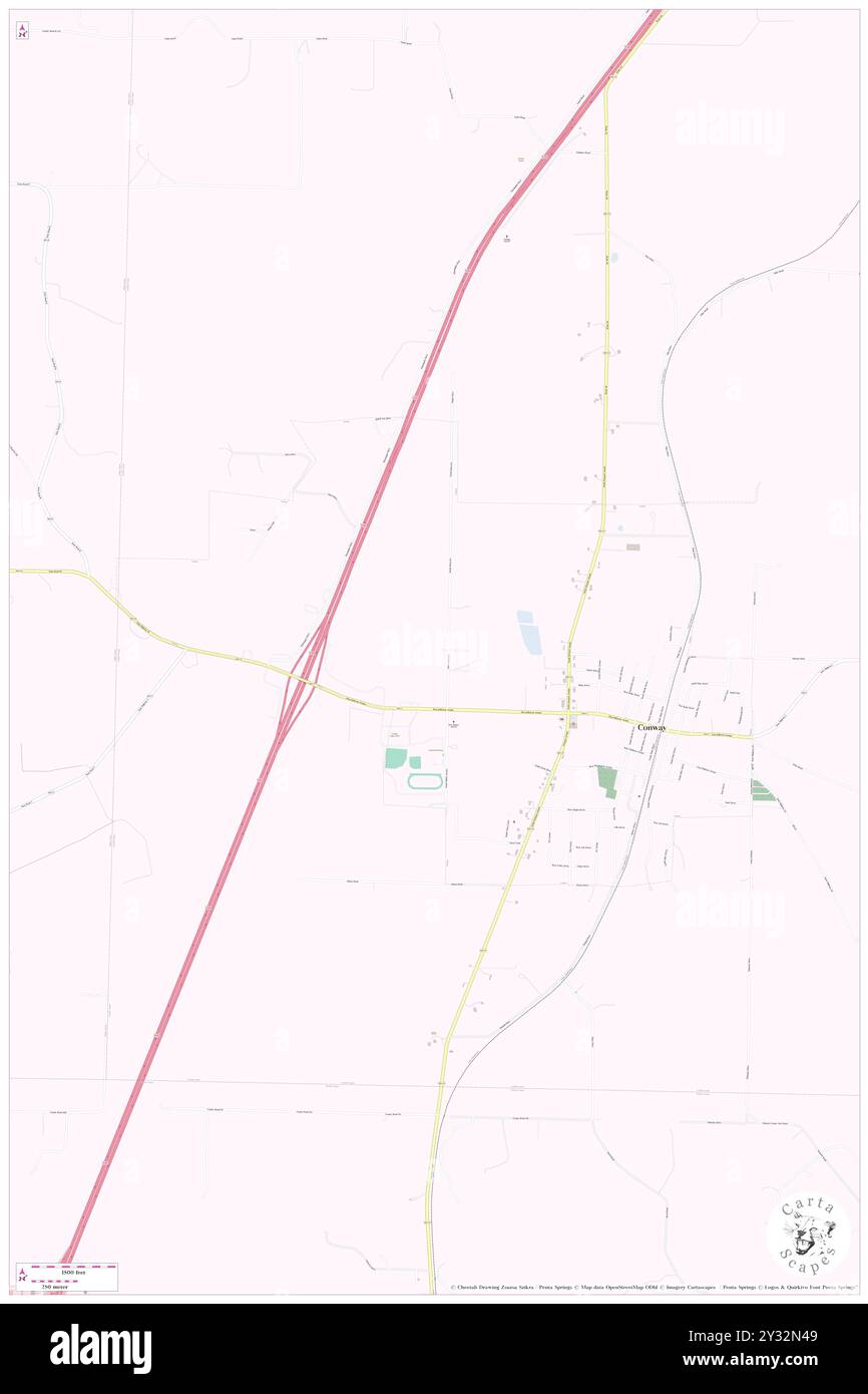 Conway, Laclede County, US, United States, Missouri, N 37 30' 7'', S 92 49' 15'', map, Cartascapes Map published in 2024. Explore Cartascapes, a map revealing Earth's diverse landscapes, cultures, and ecosystems. Journey through time and space, discovering the interconnectedness of our planet's past, present, and future. Stock Photohttps://www.alamy.com/image-license-details/?v=1https://www.alamy.com/conway-laclede-county-us-united-states-missouri-n-37-30-7-s-92-49-15-map-cartascapes-map-published-in-2024-explore-cartascapes-a-map-revealing-earths-diverse-landscapes-cultures-and-ecosystems-journey-through-time-and-space-discovering-the-interconnectedness-of-our-planets-past-present-and-future-image621477705.html
RM2Y32N49–Conway, Laclede County, US, United States, Missouri, N 37 30' 7'', S 92 49' 15'', map, Cartascapes Map published in 2024. Explore Cartascapes, a map revealing Earth's diverse landscapes, cultures, and ecosystems. Journey through time and space, discovering the interconnectedness of our planet's past, present, and future.
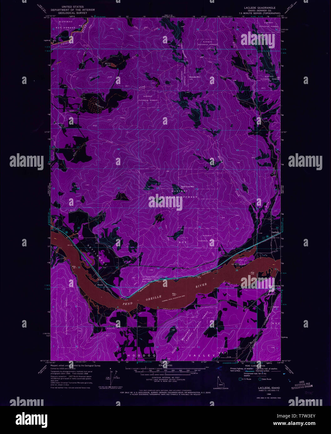 USGS TOPO Map Idaho ID Laclede 236798 1968 24000 Inverted Restoration Stock Photohttps://www.alamy.com/image-license-details/?v=1https://www.alamy.com/usgs-topo-map-idaho-id-laclede-236798-1968-24000-inverted-restoration-image245799315.html
RMT7W3EY–USGS TOPO Map Idaho ID Laclede 236798 1968 24000 Inverted Restoration
 Grace, Laclede County, US, United States, Missouri, N 37 51' 27'', S 92 44' 40'', map, Cartascapes Map published in 2024. Explore Cartascapes, a map revealing Earth's diverse landscapes, cultures, and ecosystems. Journey through time and space, discovering the interconnectedness of our planet's past, present, and future. Stock Photohttps://www.alamy.com/image-license-details/?v=1https://www.alamy.com/grace-laclede-county-us-united-states-missouri-n-37-51-27-s-92-44-40-map-cartascapes-map-published-in-2024-explore-cartascapes-a-map-revealing-earths-diverse-landscapes-cultures-and-ecosystems-journey-through-time-and-space-discovering-the-interconnectedness-of-our-planets-past-present-and-future-image621333104.html
RM2Y2T4M0–Grace, Laclede County, US, United States, Missouri, N 37 51' 27'', S 92 44' 40'', map, Cartascapes Map published in 2024. Explore Cartascapes, a map revealing Earth's diverse landscapes, cultures, and ecosystems. Journey through time and space, discovering the interconnectedness of our planet's past, present, and future.
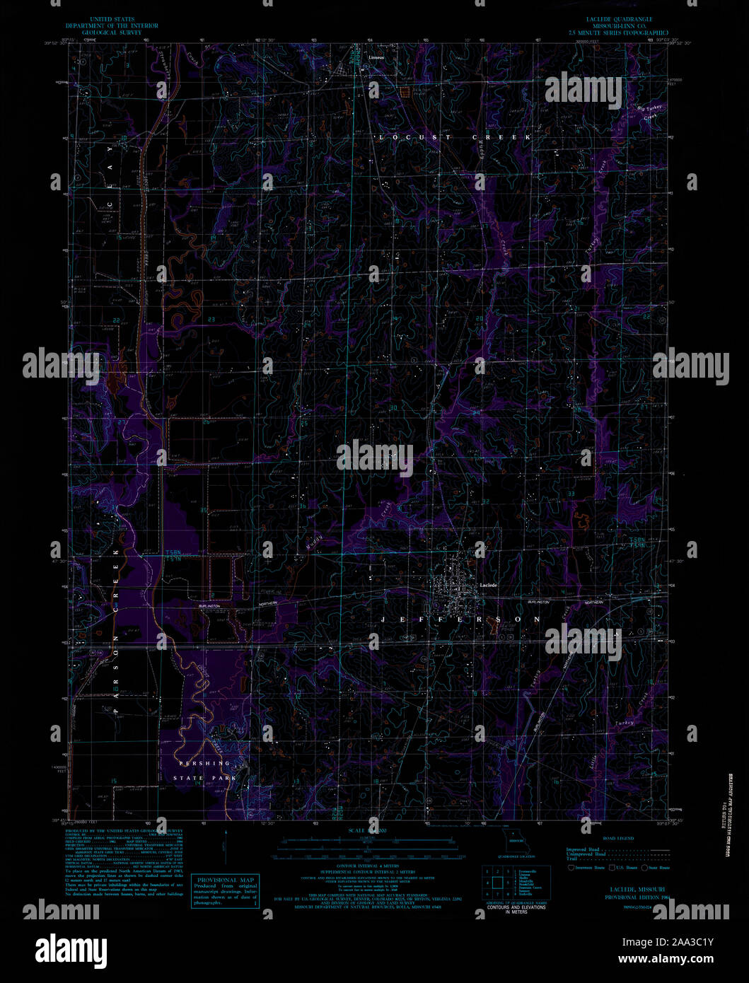 USGS TOPO Map Missouri MO Laclede 323197 1984 24000 Inverted Restoration Stock Photohttps://www.alamy.com/image-license-details/?v=1https://www.alamy.com/usgs-topo-map-missouri-mo-laclede-323197-1984-24000-inverted-restoration-image333218871.html
RM2AA3C1Y–USGS TOPO Map Missouri MO Laclede 323197 1984 24000 Inverted Restoration
 Russ, Laclede County, US, United States, Missouri, N 37 35' 2'', S 92 35' 9'', map, Cartascapes Map published in 2024. Explore Cartascapes, a map revealing Earth's diverse landscapes, cultures, and ecosystems. Journey through time and space, discovering the interconnectedness of our planet's past, present, and future. Stock Photohttps://www.alamy.com/image-license-details/?v=1https://www.alamy.com/russ-laclede-county-us-united-states-missouri-n-37-35-2-s-92-35-9-map-cartascapes-map-published-in-2024-explore-cartascapes-a-map-revealing-earths-diverse-landscapes-cultures-and-ecosystems-journey-through-time-and-space-discovering-the-interconnectedness-of-our-planets-past-present-and-future-image621230628.html
RM2Y2KE04–Russ, Laclede County, US, United States, Missouri, N 37 35' 2'', S 92 35' 9'', map, Cartascapes Map published in 2024. Explore Cartascapes, a map revealing Earth's diverse landscapes, cultures, and ecosystems. Journey through time and space, discovering the interconnectedness of our planet's past, present, and future.
 Agnes, Laclede County, US, United States, Missouri, N 37 30' 44'', S 92 29' 54'', map, Cartascapes Map published in 2024. Explore Cartascapes, a map revealing Earth's diverse landscapes, cultures, and ecosystems. Journey through time and space, discovering the interconnectedness of our planet's past, present, and future. Stock Photohttps://www.alamy.com/image-license-details/?v=1https://www.alamy.com/agnes-laclede-county-us-united-states-missouri-n-37-30-44-s-92-29-54-map-cartascapes-map-published-in-2024-explore-cartascapes-a-map-revealing-earths-diverse-landscapes-cultures-and-ecosystems-journey-through-time-and-space-discovering-the-interconnectedness-of-our-planets-past-present-and-future-image621180196.html
RM2Y2H5K0–Agnes, Laclede County, US, United States, Missouri, N 37 30' 44'', S 92 29' 54'', map, Cartascapes Map published in 2024. Explore Cartascapes, a map revealing Earth's diverse landscapes, cultures, and ecosystems. Journey through time and space, discovering the interconnectedness of our planet's past, present, and future.
 Phillipsburg, Laclede County, US, United States, Missouri, N 37 33' 14'', S 92 47' 5'', map, Cartascapes Map published in 2024. Explore Cartascapes, a map revealing Earth's diverse landscapes, cultures, and ecosystems. Journey through time and space, discovering the interconnectedness of our planet's past, present, and future. Stock Photohttps://www.alamy.com/image-license-details/?v=1https://www.alamy.com/phillipsburg-laclede-county-us-united-states-missouri-n-37-33-14-s-92-47-5-map-cartascapes-map-published-in-2024-explore-cartascapes-a-map-revealing-earths-diverse-landscapes-cultures-and-ecosystems-journey-through-time-and-space-discovering-the-interconnectedness-of-our-planets-past-present-and-future-image621142832.html
RM2Y2FE0G–Phillipsburg, Laclede County, US, United States, Missouri, N 37 33' 14'', S 92 47' 5'', map, Cartascapes Map published in 2024. Explore Cartascapes, a map revealing Earth's diverse landscapes, cultures, and ecosystems. Journey through time and space, discovering the interconnectedness of our planet's past, present, and future.
 Lebanon, Laclede County, US, United States, Missouri, N 37 40' 50'', S 92 39' 49'', map, Cartascapes Map published in 2024. Explore Cartascapes, a map revealing Earth's diverse landscapes, cultures, and ecosystems. Journey through time and space, discovering the interconnectedness of our planet's past, present, and future. Stock Photohttps://www.alamy.com/image-license-details/?v=1https://www.alamy.com/lebanon-laclede-county-us-united-states-missouri-n-37-40-50-s-92-39-49-map-cartascapes-map-published-in-2024-explore-cartascapes-a-map-revealing-earths-diverse-landscapes-cultures-and-ecosystems-journey-through-time-and-space-discovering-the-interconnectedness-of-our-planets-past-present-and-future-image621494284.html
RM2Y33E8C–Lebanon, Laclede County, US, United States, Missouri, N 37 40' 50'', S 92 39' 49'', map, Cartascapes Map published in 2024. Explore Cartascapes, a map revealing Earth's diverse landscapes, cultures, and ecosystems. Journey through time and space, discovering the interconnectedness of our planet's past, present, and future.
 Ira, Laclede County, US, United States, Missouri, N 37 52' 22'', S 92 50' 58'', map, Cartascapes Map published in 2024. Explore Cartascapes, a map revealing Earth's diverse landscapes, cultures, and ecosystems. Journey through time and space, discovering the interconnectedness of our planet's past, present, and future. Stock Photohttps://www.alamy.com/image-license-details/?v=1https://www.alamy.com/ira-laclede-county-us-united-states-missouri-n-37-52-22-s-92-50-58-map-cartascapes-map-published-in-2024-explore-cartascapes-a-map-revealing-earths-diverse-landscapes-cultures-and-ecosystems-journey-through-time-and-space-discovering-the-interconnectedness-of-our-planets-past-present-and-future-image621228509.html
RM2Y2KB8D–Ira, Laclede County, US, United States, Missouri, N 37 52' 22'', S 92 50' 58'', map, Cartascapes Map published in 2024. Explore Cartascapes, a map revealing Earth's diverse landscapes, cultures, and ecosystems. Journey through time and space, discovering the interconnectedness of our planet's past, present, and future.
 Conway, Laclede County, US, United States, Missouri, N 37 30' 7'', S 92 49' 15'', map, Cartascapes Map published in 2024. Explore Cartascapes, a map revealing Earth's diverse landscapes, cultures, and ecosystems. Journey through time and space, discovering the interconnectedness of our planet's past, present, and future. Stock Photohttps://www.alamy.com/image-license-details/?v=1https://www.alamy.com/conway-laclede-county-us-united-states-missouri-n-37-30-7-s-92-49-15-map-cartascapes-map-published-in-2024-explore-cartascapes-a-map-revealing-earths-diverse-landscapes-cultures-and-ecosystems-journey-through-time-and-space-discovering-the-interconnectedness-of-our-planets-past-present-and-future-image621289215.html
RM2Y2P4MF–Conway, Laclede County, US, United States, Missouri, N 37 30' 7'', S 92 49' 15'', map, Cartascapes Map published in 2024. Explore Cartascapes, a map revealing Earth's diverse landscapes, cultures, and ecosystems. Journey through time and space, discovering the interconnectedness of our planet's past, present, and future.
 Southard, Laclede County, US, United States, Missouri, N 37 32' 21'', S 92 20' 15'', map, Cartascapes Map published in 2024. Explore Cartascapes, a map revealing Earth's diverse landscapes, cultures, and ecosystems. Journey through time and space, discovering the interconnectedness of our planet's past, present, and future. Stock Photohttps://www.alamy.com/image-license-details/?v=1https://www.alamy.com/southard-laclede-county-us-united-states-missouri-n-37-32-21-s-92-20-15-map-cartascapes-map-published-in-2024-explore-cartascapes-a-map-revealing-earths-diverse-landscapes-cultures-and-ecosystems-journey-through-time-and-space-discovering-the-interconnectedness-of-our-planets-past-present-and-future-image621384105.html
RM2Y2XDND–Southard, Laclede County, US, United States, Missouri, N 37 32' 21'', S 92 20' 15'', map, Cartascapes Map published in 2024. Explore Cartascapes, a map revealing Earth's diverse landscapes, cultures, and ecosystems. Journey through time and space, discovering the interconnectedness of our planet's past, present, and future.
 Laclede, Bonner County, US, United States, Idaho, N 48 10' 12'', S 116 45' 21'', map, Cartascapes Map published in 2024. Explore Cartascapes, a map revealing Earth's diverse landscapes, cultures, and ecosystems. Journey through time and space, discovering the interconnectedness of our planet's past, present, and future. Stock Photohttps://www.alamy.com/image-license-details/?v=1https://www.alamy.com/laclede-bonner-county-us-united-states-idaho-n-48-10-12-s-116-45-21-map-cartascapes-map-published-in-2024-explore-cartascapes-a-map-revealing-earths-diverse-landscapes-cultures-and-ecosystems-journey-through-time-and-space-discovering-the-interconnectedness-of-our-planets-past-present-and-future-image621446469.html
RM2Y3198N–Laclede, Bonner County, US, United States, Idaho, N 48 10' 12'', S 116 45' 21'', map, Cartascapes Map published in 2024. Explore Cartascapes, a map revealing Earth's diverse landscapes, cultures, and ecosystems. Journey through time and space, discovering the interconnectedness of our planet's past, present, and future.
 Caffeyville, Laclede County, US, United States, Missouri, N 37 36' 7'', S 92 42' 44'', map, Cartascapes Map published in 2024. Explore Cartascapes, a map revealing Earth's diverse landscapes, cultures, and ecosystems. Journey through time and space, discovering the interconnectedness of our planet's past, present, and future. Stock Photohttps://www.alamy.com/image-license-details/?v=1https://www.alamy.com/caffeyville-laclede-county-us-united-states-missouri-n-37-36-7-s-92-42-44-map-cartascapes-map-published-in-2024-explore-cartascapes-a-map-revealing-earths-diverse-landscapes-cultures-and-ecosystems-journey-through-time-and-space-discovering-the-interconnectedness-of-our-planets-past-present-and-future-image621401284.html
RM2Y2Y7K0–Caffeyville, Laclede County, US, United States, Missouri, N 37 36' 7'', S 92 42' 44'', map, Cartascapes Map published in 2024. Explore Cartascapes, a map revealing Earth's diverse landscapes, cultures, and ecosystems. Journey through time and space, discovering the interconnectedness of our planet's past, present, and future.
 Evergreen, Laclede County, US, United States, Missouri, N 37 32' 35'', S 92 35' 48'', map, Cartascapes Map published in 2024. Explore Cartascapes, a map revealing Earth's diverse landscapes, cultures, and ecosystems. Journey through time and space, discovering the interconnectedness of our planet's past, present, and future. Stock Photohttps://www.alamy.com/image-license-details/?v=1https://www.alamy.com/evergreen-laclede-county-us-united-states-missouri-n-37-32-35-s-92-35-48-map-cartascapes-map-published-in-2024-explore-cartascapes-a-map-revealing-earths-diverse-landscapes-cultures-and-ecosystems-journey-through-time-and-space-discovering-the-interconnectedness-of-our-planets-past-present-and-future-image621212928.html
RM2Y2JKC0–Evergreen, Laclede County, US, United States, Missouri, N 37 32' 35'', S 92 35' 48'', map, Cartascapes Map published in 2024. Explore Cartascapes, a map revealing Earth's diverse landscapes, cultures, and ecosystems. Journey through time and space, discovering the interconnectedness of our planet's past, present, and future.
 Adam Ford, Laclede County, US, United States, Missouri, N 37 37' 42'', S 92 19' 43'', map, Cartascapes Map published in 2024. Explore Cartascapes, a map revealing Earth's diverse landscapes, cultures, and ecosystems. Journey through time and space, discovering the interconnectedness of our planet's past, present, and future. Stock Photohttps://www.alamy.com/image-license-details/?v=1https://www.alamy.com/adam-ford-laclede-county-us-united-states-missouri-n-37-37-42-s-92-19-43-map-cartascapes-map-published-in-2024-explore-cartascapes-a-map-revealing-earths-diverse-landscapes-cultures-and-ecosystems-journey-through-time-and-space-discovering-the-interconnectedness-of-our-planets-past-present-and-future-image621258804.html
RM2Y2MNXC–Adam Ford, Laclede County, US, United States, Missouri, N 37 37' 42'', S 92 19' 43'', map, Cartascapes Map published in 2024. Explore Cartascapes, a map revealing Earth's diverse landscapes, cultures, and ecosystems. Journey through time and space, discovering the interconnectedness of our planet's past, present, and future.
 Huben (historical), Laclede County, US, United States, Missouri, N 37 35' 14'', S 92 45' 5'', map, Cartascapes Map published in 2024. Explore Cartascapes, a map revealing Earth's diverse landscapes, cultures, and ecosystems. Journey through time and space, discovering the interconnectedness of our planet's past, present, and future. Stock Photohttps://www.alamy.com/image-license-details/?v=1https://www.alamy.com/huben-historical-laclede-county-us-united-states-missouri-n-37-35-14-s-92-45-5-map-cartascapes-map-published-in-2024-explore-cartascapes-a-map-revealing-earths-diverse-landscapes-cultures-and-ecosystems-journey-through-time-and-space-discovering-the-interconnectedness-of-our-planets-past-present-and-future-image621422568.html
RM2Y306R4–Huben (historical), Laclede County, US, United States, Missouri, N 37 35' 14'', S 92 45' 5'', map, Cartascapes Map published in 2024. Explore Cartascapes, a map revealing Earth's diverse landscapes, cultures, and ecosystems. Journey through time and space, discovering the interconnectedness of our planet's past, present, and future.
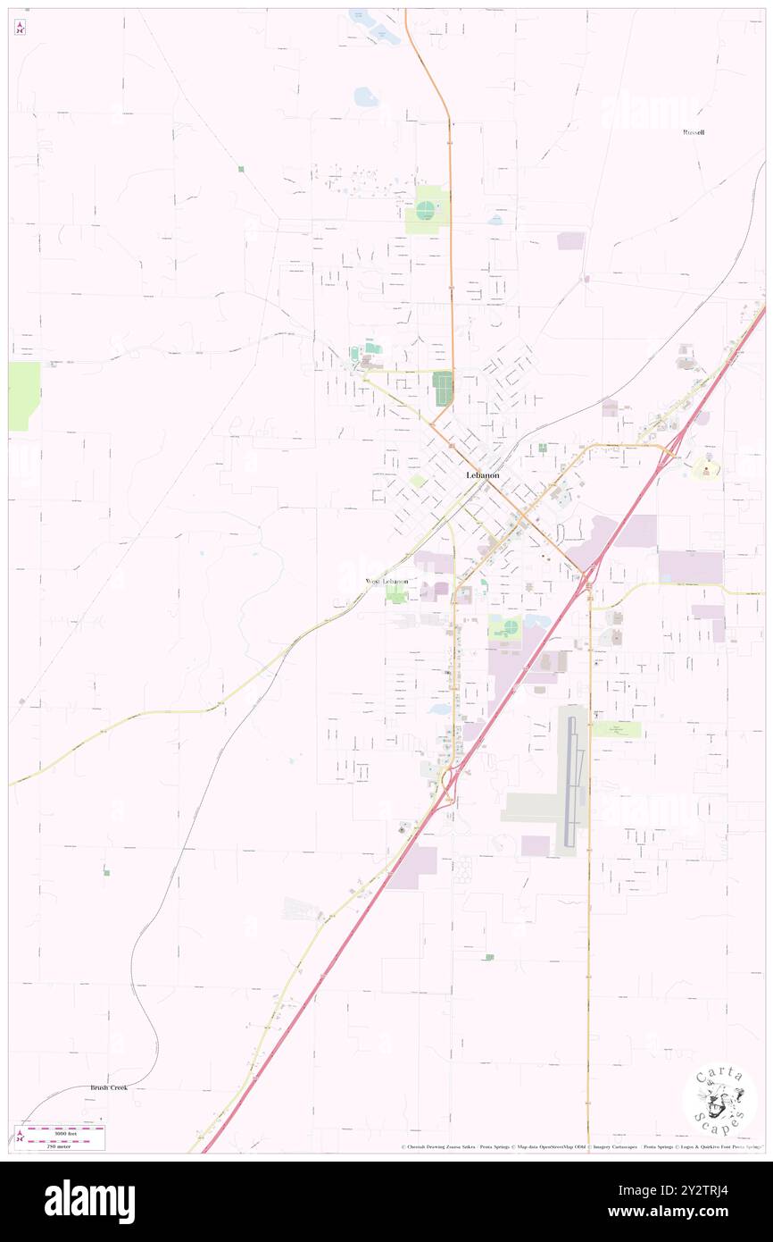 West Lebanon, Laclede County, US, United States, Missouri, N 37 40' 10'', S 92 40' 35'', map, Cartascapes Map published in 2024. Explore Cartascapes, a map revealing Earth's diverse landscapes, cultures, and ecosystems. Journey through time and space, discovering the interconnectedness of our planet's past, present, and future. Stock Photohttps://www.alamy.com/image-license-details/?v=1https://www.alamy.com/west-lebanon-laclede-county-us-united-states-missouri-n-37-40-10-s-92-40-35-map-cartascapes-map-published-in-2024-explore-cartascapes-a-map-revealing-earths-diverse-landscapes-cultures-and-ecosystems-journey-through-time-and-space-discovering-the-interconnectedness-of-our-planets-past-present-and-future-image621347948.html
RM2Y2TRJ4–West Lebanon, Laclede County, US, United States, Missouri, N 37 40' 10'', S 92 40' 35'', map, Cartascapes Map published in 2024. Explore Cartascapes, a map revealing Earth's diverse landscapes, cultures, and ecosystems. Journey through time and space, discovering the interconnectedness of our planet's past, present, and future.
 Clark Ford, Laclede County, US, United States, Missouri, N 37 31' 17'', S 92 23' 28'', map, Cartascapes Map published in 2024. Explore Cartascapes, a map revealing Earth's diverse landscapes, cultures, and ecosystems. Journey through time and space, discovering the interconnectedness of our planet's past, present, and future. Stock Photohttps://www.alamy.com/image-license-details/?v=1https://www.alamy.com/clark-ford-laclede-county-us-united-states-missouri-n-37-31-17-s-92-23-28-map-cartascapes-map-published-in-2024-explore-cartascapes-a-map-revealing-earths-diverse-landscapes-cultures-and-ecosystems-journey-through-time-and-space-discovering-the-interconnectedness-of-our-planets-past-present-and-future-image621477712.html
RM2Y32N4G–Clark Ford, Laclede County, US, United States, Missouri, N 37 31' 17'', S 92 23' 28'', map, Cartascapes Map published in 2024. Explore Cartascapes, a map revealing Earth's diverse landscapes, cultures, and ecosystems. Journey through time and space, discovering the interconnectedness of our planet's past, present, and future.
 Saint Annie, Laclede County, US, United States, Missouri, N 37 34' 19'', S 92 16' 26'', map, Cartascapes Map published in 2024. Explore Cartascapes, a map revealing Earth's diverse landscapes, cultures, and ecosystems. Journey through time and space, discovering the interconnectedness of our planet's past, present, and future. Stock Photohttps://www.alamy.com/image-license-details/?v=1https://www.alamy.com/saint-annie-laclede-county-us-united-states-missouri-n-37-34-19-s-92-16-26-map-cartascapes-map-published-in-2024-explore-cartascapes-a-map-revealing-earths-diverse-landscapes-cultures-and-ecosystems-journey-through-time-and-space-discovering-the-interconnectedness-of-our-planets-past-present-and-future-image621180884.html
RM2Y2H6FG–Saint Annie, Laclede County, US, United States, Missouri, N 37 34' 19'', S 92 16' 26'', map, Cartascapes Map published in 2024. Explore Cartascapes, a map revealing Earth's diverse landscapes, cultures, and ecosystems. Journey through time and space, discovering the interconnectedness of our planet's past, present, and future.
 Casey Ford, Laclede County, US, United States, Missouri, N 37 35' 39'', S 92 21' 35'', map, Cartascapes Map published in 2024. Explore Cartascapes, a map revealing Earth's diverse landscapes, cultures, and ecosystems. Journey through time and space, discovering the interconnectedness of our planet's past, present, and future. Stock Photohttps://www.alamy.com/image-license-details/?v=1https://www.alamy.com/casey-ford-laclede-county-us-united-states-missouri-n-37-35-39-s-92-21-35-map-cartascapes-map-published-in-2024-explore-cartascapes-a-map-revealing-earths-diverse-landscapes-cultures-and-ecosystems-journey-through-time-and-space-discovering-the-interconnectedness-of-our-planets-past-present-and-future-image621268021.html
RM2Y2N5KH–Casey Ford, Laclede County, US, United States, Missouri, N 37 35' 39'', S 92 21' 35'', map, Cartascapes Map published in 2024. Explore Cartascapes, a map revealing Earth's diverse landscapes, cultures, and ecosystems. Journey through time and space, discovering the interconnectedness of our planet's past, present, and future.
 Bennett Springs, Laclede County, US, United States, Missouri, N 37 43' 37'', S 92 51' 20'', map, Cartascapes Map published in 2024. Explore Cartascapes, a map revealing Earth's diverse landscapes, cultures, and ecosystems. Journey through time and space, discovering the interconnectedness of our planet's past, present, and future. Stock Photohttps://www.alamy.com/image-license-details/?v=1https://www.alamy.com/bennett-springs-laclede-county-us-united-states-missouri-n-37-43-37-s-92-51-20-map-cartascapes-map-published-in-2024-explore-cartascapes-a-map-revealing-earths-diverse-landscapes-cultures-and-ecosystems-journey-through-time-and-space-discovering-the-interconnectedness-of-our-planets-past-present-and-future-image621144616.html
RM2Y2FG88–Bennett Springs, Laclede County, US, United States, Missouri, N 37 43' 37'', S 92 51' 20'', map, Cartascapes Map published in 2024. Explore Cartascapes, a map revealing Earth's diverse landscapes, cultures, and ecosystems. Journey through time and space, discovering the interconnectedness of our planet's past, present, and future.
 Gilbertson Ford (historical), Laclede County, US, United States, Missouri, N 37 47' 28'', S 92 50' 26'', map, Cartascapes Map published in 2024. Explore Cartascapes, a map revealing Earth's diverse landscapes, cultures, and ecosystems. Journey through time and space, discovering the interconnectedness of our planet's past, present, and future. Stock Photohttps://www.alamy.com/image-license-details/?v=1https://www.alamy.com/gilbertson-ford-historical-laclede-county-us-united-states-missouri-n-37-47-28-s-92-50-26-map-cartascapes-map-published-in-2024-explore-cartascapes-a-map-revealing-earths-diverse-landscapes-cultures-and-ecosystems-journey-through-time-and-space-discovering-the-interconnectedness-of-our-planets-past-present-and-future-image621399203.html
RM2Y2Y50K–Gilbertson Ford (historical), Laclede County, US, United States, Missouri, N 37 47' 28'', S 92 50' 26'', map, Cartascapes Map published in 2024. Explore Cartascapes, a map revealing Earth's diverse landscapes, cultures, and ecosystems. Journey through time and space, discovering the interconnectedness of our planet's past, present, and future.
 Smith Ford (historical), Laclede County, US, United States, Missouri, N 37 49' 56'', S 92 50' 53'', map, Cartascapes Map published in 2024. Explore Cartascapes, a map revealing Earth's diverse landscapes, cultures, and ecosystems. Journey through time and space, discovering the interconnectedness of our planet's past, present, and future. Stock Photohttps://www.alamy.com/image-license-details/?v=1https://www.alamy.com/smith-ford-historical-laclede-county-us-united-states-missouri-n-37-49-56-s-92-50-53-map-cartascapes-map-published-in-2024-explore-cartascapes-a-map-revealing-earths-diverse-landscapes-cultures-and-ecosystems-journey-through-time-and-space-discovering-the-interconnectedness-of-our-planets-past-present-and-future-image621399740.html
RM2Y2Y5KT–Smith Ford (historical), Laclede County, US, United States, Missouri, N 37 49' 56'', S 92 50' 53'', map, Cartascapes Map published in 2024. Explore Cartascapes, a map revealing Earth's diverse landscapes, cultures, and ecosystems. Journey through time and space, discovering the interconnectedness of our planet's past, present, and future.
 Tom Hollow Ford (historical), Laclede County, US, United States, Missouri, N 37 50' 46'', S 92 51' 5'', map, Cartascapes Map published in 2024. Explore Cartascapes, a map revealing Earth's diverse landscapes, cultures, and ecosystems. Journey through time and space, discovering the interconnectedness of our planet's past, present, and future. Stock Photohttps://www.alamy.com/image-license-details/?v=1https://www.alamy.com/tom-hollow-ford-historical-laclede-county-us-united-states-missouri-n-37-50-46-s-92-51-5-map-cartascapes-map-published-in-2024-explore-cartascapes-a-map-revealing-earths-diverse-landscapes-cultures-and-ecosystems-journey-through-time-and-space-discovering-the-interconnectedness-of-our-planets-past-present-and-future-image621206218.html
RM2Y2JATA–Tom Hollow Ford (historical), Laclede County, US, United States, Missouri, N 37 50' 46'', S 92 51' 5'', map, Cartascapes Map published in 2024. Explore Cartascapes, a map revealing Earth's diverse landscapes, cultures, and ecosystems. Journey through time and space, discovering the interconnectedness of our planet's past, present, and future.
 Evergreen, Laclede County, US, United States, Missouri, N 37 32' 35'', S 92 35' 48'', map, Cartascapes Map published in 2024. Explore Cartascapes, a map revealing Earth's diverse landscapes, cultures, and ecosystems. Journey through time and space, discovering the interconnectedness of our planet's past, present, and future. Stock Photohttps://www.alamy.com/image-license-details/?v=1https://www.alamy.com/evergreen-laclede-county-us-united-states-missouri-n-37-32-35-s-92-35-48-map-cartascapes-map-published-in-2024-explore-cartascapes-a-map-revealing-earths-diverse-landscapes-cultures-and-ecosystems-journey-through-time-and-space-discovering-the-interconnectedness-of-our-planets-past-present-and-future-image620682544.html
RM2Y1PEWM–Evergreen, Laclede County, US, United States, Missouri, N 37 32' 35'', S 92 35' 48'', map, Cartascapes Map published in 2024. Explore Cartascapes, a map revealing Earth's diverse landscapes, cultures, and ecosystems. Journey through time and space, discovering the interconnectedness of our planet's past, present, and future.
 Jacksonville, Laclede County, US, United States, Missouri, N 37 33' 30'', S 92 25' 21'', map, Cartascapes Map published in 2024. Explore Cartascapes, a map revealing Earth's diverse landscapes, cultures, and ecosystems. Journey through time and space, discovering the interconnectedness of our planet's past, present, and future. Stock Photohttps://www.alamy.com/image-license-details/?v=1https://www.alamy.com/jacksonville-laclede-county-us-united-states-missouri-n-37-33-30-s-92-25-21-map-cartascapes-map-published-in-2024-explore-cartascapes-a-map-revealing-earths-diverse-landscapes-cultures-and-ecosystems-journey-through-time-and-space-discovering-the-interconnectedness-of-our-planets-past-present-and-future-image620692847.html
RM2Y1R01K–Jacksonville, Laclede County, US, United States, Missouri, N 37 33' 30'', S 92 25' 21'', map, Cartascapes Map published in 2024. Explore Cartascapes, a map revealing Earth's diverse landscapes, cultures, and ecosystems. Journey through time and space, discovering the interconnectedness of our planet's past, present, and future.
 Winnipeg, Laclede County, US, United States, Missouri, N 37 36' 16'', S 92 18' 7'', map, Cartascapes Map published in 2024. Explore Cartascapes, a map revealing Earth's diverse landscapes, cultures, and ecosystems. Journey through time and space, discovering the interconnectedness of our planet's past, present, and future. Stock Photohttps://www.alamy.com/image-license-details/?v=1https://www.alamy.com/winnipeg-laclede-county-us-united-states-missouri-n-37-36-16-s-92-18-7-map-cartascapes-map-published-in-2024-explore-cartascapes-a-map-revealing-earths-diverse-landscapes-cultures-and-ecosystems-journey-through-time-and-space-discovering-the-interconnectedness-of-our-planets-past-present-and-future-image620796311.html
RM2Y1YM0R–Winnipeg, Laclede County, US, United States, Missouri, N 37 36' 16'', S 92 18' 7'', map, Cartascapes Map published in 2024. Explore Cartascapes, a map revealing Earth's diverse landscapes, cultures, and ecosystems. Journey through time and space, discovering the interconnectedness of our planet's past, present, and future.
 Drew, Laclede County, US, United States, Missouri, N 37 32' 53'', S 92 28' 5'', map, Cartascapes Map published in 2024. Explore Cartascapes, a map revealing Earth's diverse landscapes, cultures, and ecosystems. Journey through time and space, discovering the interconnectedness of our planet's past, present, and future. Stock Photohttps://www.alamy.com/image-license-details/?v=1https://www.alamy.com/drew-laclede-county-us-united-states-missouri-n-37-32-53-s-92-28-5-map-cartascapes-map-published-in-2024-explore-cartascapes-a-map-revealing-earths-diverse-landscapes-cultures-and-ecosystems-journey-through-time-and-space-discovering-the-interconnectedness-of-our-planets-past-present-and-future-image620827382.html
RM2Y213JE–Drew, Laclede County, US, United States, Missouri, N 37 32' 53'', S 92 28' 5'', map, Cartascapes Map published in 2024. Explore Cartascapes, a map revealing Earth's diverse landscapes, cultures, and ecosystems. Journey through time and space, discovering the interconnectedness of our planet's past, present, and future.
 Phillipsburg, Laclede County, US, United States, Missouri, N 37 33' 14'', S 92 47' 5'', map, Cartascapes Map published in 2024. Explore Cartascapes, a map revealing Earth's diverse landscapes, cultures, and ecosystems. Journey through time and space, discovering the interconnectedness of our planet's past, present, and future. Stock Photohttps://www.alamy.com/image-license-details/?v=1https://www.alamy.com/phillipsburg-laclede-county-us-united-states-missouri-n-37-33-14-s-92-47-5-map-cartascapes-map-published-in-2024-explore-cartascapes-a-map-revealing-earths-diverse-landscapes-cultures-and-ecosystems-journey-through-time-and-space-discovering-the-interconnectedness-of-our-planets-past-present-and-future-image620790022.html
RM2Y1YC06–Phillipsburg, Laclede County, US, United States, Missouri, N 37 33' 14'', S 92 47' 5'', map, Cartascapes Map published in 2024. Explore Cartascapes, a map revealing Earth's diverse landscapes, cultures, and ecosystems. Journey through time and space, discovering the interconnectedness of our planet's past, present, and future.
 Case, Laclede County, US, United States, Missouri, N 37 50' 38'', S 92 45' 49'', map, Cartascapes Map published in 2024. Explore Cartascapes, a map revealing Earth's diverse landscapes, cultures, and ecosystems. Journey through time and space, discovering the interconnectedness of our planet's past, present, and future. Stock Photohttps://www.alamy.com/image-license-details/?v=1https://www.alamy.com/case-laclede-county-us-united-states-missouri-n-37-50-38-s-92-45-49-map-cartascapes-map-published-in-2024-explore-cartascapes-a-map-revealing-earths-diverse-landscapes-cultures-and-ecosystems-journey-through-time-and-space-discovering-the-interconnectedness-of-our-planets-past-present-and-future-image620828951.html
RM2Y215JF–Case, Laclede County, US, United States, Missouri, N 37 50' 38'', S 92 45' 49'', map, Cartascapes Map published in 2024. Explore Cartascapes, a map revealing Earth's diverse landscapes, cultures, and ecosystems. Journey through time and space, discovering the interconnectedness of our planet's past, present, and future.
 Lyons, Laclede County, US, United States, Missouri, N 37 33' 57'', S 92 29' 40'', map, Cartascapes Map published in 2024. Explore Cartascapes, a map revealing Earth's diverse landscapes, cultures, and ecosystems. Journey through time and space, discovering the interconnectedness of our planet's past, present, and future. Stock Photohttps://www.alamy.com/image-license-details/?v=1https://www.alamy.com/lyons-laclede-county-us-united-states-missouri-n-37-33-57-s-92-29-40-map-cartascapes-map-published-in-2024-explore-cartascapes-a-map-revealing-earths-diverse-landscapes-cultures-and-ecosystems-journey-through-time-and-space-discovering-the-interconnectedness-of-our-planets-past-present-and-future-image620846957.html
RM2Y220HH–Lyons, Laclede County, US, United States, Missouri, N 37 33' 57'', S 92 29' 40'', map, Cartascapes Map published in 2024. Explore Cartascapes, a map revealing Earth's diverse landscapes, cultures, and ecosystems. Journey through time and space, discovering the interconnectedness of our planet's past, present, and future.
 Origanna, Laclede County, US, United States, Missouri, N 37 28' 42'', S 92 30' 41'', map, Cartascapes Map published in 2024. Explore Cartascapes, a map revealing Earth's diverse landscapes, cultures, and ecosystems. Journey through time and space, discovering the interconnectedness of our planet's past, present, and future. Stock Photohttps://www.alamy.com/image-license-details/?v=1https://www.alamy.com/origanna-laclede-county-us-united-states-missouri-n-37-28-42-s-92-30-41-map-cartascapes-map-published-in-2024-explore-cartascapes-a-map-revealing-earths-diverse-landscapes-cultures-and-ecosystems-journey-through-time-and-space-discovering-the-interconnectedness-of-our-planets-past-present-and-future-image620838113.html
RM2Y21H9N–Origanna, Laclede County, US, United States, Missouri, N 37 28' 42'', S 92 30' 41'', map, Cartascapes Map published in 2024. Explore Cartascapes, a map revealing Earth's diverse landscapes, cultures, and ecosystems. Journey through time and space, discovering the interconnectedness of our planet's past, present, and future.
 Brownfield, Laclede County, US, United States, Missouri, N 37 40' 1'', S 92 20' 41'', map, Cartascapes Map published in 2024. Explore Cartascapes, a map revealing Earth's diverse landscapes, cultures, and ecosystems. Journey through time and space, discovering the interconnectedness of our planet's past, present, and future. Stock Photohttps://www.alamy.com/image-license-details/?v=1https://www.alamy.com/brownfield-laclede-county-us-united-states-missouri-n-37-40-1-s-92-20-41-map-cartascapes-map-published-in-2024-explore-cartascapes-a-map-revealing-earths-diverse-landscapes-cultures-and-ecosystems-journey-through-time-and-space-discovering-the-interconnectedness-of-our-planets-past-present-and-future-image620704352.html
RM2Y1REMG–Brownfield, Laclede County, US, United States, Missouri, N 37 40' 1'', S 92 20' 41'', map, Cartascapes Map published in 2024. Explore Cartascapes, a map revealing Earth's diverse landscapes, cultures, and ecosystems. Journey through time and space, discovering the interconnectedness of our planet's past, present, and future.
 Morgan, Laclede County, US, United States, Missouri, N 37 30' 37'', S 92 40' 35'', map, Cartascapes Map published in 2024. Explore Cartascapes, a map revealing Earth's diverse landscapes, cultures, and ecosystems. Journey through time and space, discovering the interconnectedness of our planet's past, present, and future. Stock Photohttps://www.alamy.com/image-license-details/?v=1https://www.alamy.com/morgan-laclede-county-us-united-states-missouri-n-37-30-37-s-92-40-35-map-cartascapes-map-published-in-2024-explore-cartascapes-a-map-revealing-earths-diverse-landscapes-cultures-and-ecosystems-journey-through-time-and-space-discovering-the-interconnectedness-of-our-planets-past-present-and-future-image620846018.html
RM2Y21YC2–Morgan, Laclede County, US, United States, Missouri, N 37 30' 37'', S 92 40' 35'', map, Cartascapes Map published in 2024. Explore Cartascapes, a map revealing Earth's diverse landscapes, cultures, and ecosystems. Journey through time and space, discovering the interconnectedness of our planet's past, present, and future.
 Hazelgreen, Laclede County, US, United States, Missouri, N 37 46' 3'', S 92 25' 38'', map, Cartascapes Map published in 2024. Explore Cartascapes, a map revealing Earth's diverse landscapes, cultures, and ecosystems. Journey through time and space, discovering the interconnectedness of our planet's past, present, and future. Stock Photohttps://www.alamy.com/image-license-details/?v=1https://www.alamy.com/hazelgreen-laclede-county-us-united-states-missouri-n-37-46-3-s-92-25-38-map-cartascapes-map-published-in-2024-explore-cartascapes-a-map-revealing-earths-diverse-landscapes-cultures-and-ecosystems-journey-through-time-and-space-discovering-the-interconnectedness-of-our-planets-past-present-and-future-image620706421.html
RM2Y1RHAD–Hazelgreen, Laclede County, US, United States, Missouri, N 37 46' 3'', S 92 25' 38'', map, Cartascapes Map published in 2024. Explore Cartascapes, a map revealing Earth's diverse landscapes, cultures, and ecosystems. Journey through time and space, discovering the interconnectedness of our planet's past, present, and future.
 Abo, Laclede County, US, United States, Missouri, N 37 41' 52'', S 92 27' 54'', map, Cartascapes Map published in 2024. Explore Cartascapes, a map revealing Earth's diverse landscapes, cultures, and ecosystems. Journey through time and space, discovering the interconnectedness of our planet's past, present, and future. Stock Photohttps://www.alamy.com/image-license-details/?v=1https://www.alamy.com/abo-laclede-county-us-united-states-missouri-n-37-41-52-s-92-27-54-map-cartascapes-map-published-in-2024-explore-cartascapes-a-map-revealing-earths-diverse-landscapes-cultures-and-ecosystems-journey-through-time-and-space-discovering-the-interconnectedness-of-our-planets-past-present-and-future-image620813888.html
RM2Y20ECG–Abo, Laclede County, US, United States, Missouri, N 37 41' 52'', S 92 27' 54'', map, Cartascapes Map published in 2024. Explore Cartascapes, a map revealing Earth's diverse landscapes, cultures, and ecosystems. Journey through time and space, discovering the interconnectedness of our planet's past, present, and future.
 Laclede, Linn County, US, United States, Missouri, N 39 47' 8'', S 93 9' 59'', map, Cartascapes Map published in 2024. Explore Cartascapes, a map revealing Earth's diverse landscapes, cultures, and ecosystems. Journey through time and space, discovering the interconnectedness of our planet's past, present, and future. Stock Photohttps://www.alamy.com/image-license-details/?v=1https://www.alamy.com/laclede-linn-county-us-united-states-missouri-n-39-47-8-s-93-9-59-map-cartascapes-map-published-in-2024-explore-cartascapes-a-map-revealing-earths-diverse-landscapes-cultures-and-ecosystems-journey-through-time-and-space-discovering-the-interconnectedness-of-our-planets-past-present-and-future-image620735927.html
RM2Y1TY07–Laclede, Linn County, US, United States, Missouri, N 39 47' 8'', S 93 9' 59'', map, Cartascapes Map published in 2024. Explore Cartascapes, a map revealing Earth's diverse landscapes, cultures, and ecosystems. Journey through time and space, discovering the interconnectedness of our planet's past, present, and future.
 Falcon, Laclede County, US, United States, Missouri, N 37 36' 18'', S 92 22' 43'', map, Cartascapes Map published in 2024. Explore Cartascapes, a map revealing Earth's diverse landscapes, cultures, and ecosystems. Journey through time and space, discovering the interconnectedness of our planet's past, present, and future. Stock Photohttps://www.alamy.com/image-license-details/?v=1https://www.alamy.com/falcon-laclede-county-us-united-states-missouri-n-37-36-18-s-92-22-43-map-cartascapes-map-published-in-2024-explore-cartascapes-a-map-revealing-earths-diverse-landscapes-cultures-and-ecosystems-journey-through-time-and-space-discovering-the-interconnectedness-of-our-planets-past-present-and-future-image620643560.html
RM2Y1MN5C–Falcon, Laclede County, US, United States, Missouri, N 37 36' 18'', S 92 22' 43'', map, Cartascapes Map published in 2024. Explore Cartascapes, a map revealing Earth's diverse landscapes, cultures, and ecosystems. Journey through time and space, discovering the interconnectedness of our planet's past, present, and future.
 Delmar, Laclede County, US, United States, Missouri, N 37 46' 57'', S 92 33' 0'', map, Cartascapes Map published in 2024. Explore Cartascapes, a map revealing Earth's diverse landscapes, cultures, and ecosystems. Journey through time and space, discovering the interconnectedness of our planet's past, present, and future. Stock Photohttps://www.alamy.com/image-license-details/?v=1https://www.alamy.com/delmar-laclede-county-us-united-states-missouri-n-37-46-57-s-92-33-0-map-cartascapes-map-published-in-2024-explore-cartascapes-a-map-revealing-earths-diverse-landscapes-cultures-and-ecosystems-journey-through-time-and-space-discovering-the-interconnectedness-of-our-planets-past-present-and-future-image620808371.html
RM2Y207BF–Delmar, Laclede County, US, United States, Missouri, N 37 46' 57'', S 92 33' 0'', map, Cartascapes Map published in 2024. Explore Cartascapes, a map revealing Earth's diverse landscapes, cultures, and ecosystems. Journey through time and space, discovering the interconnectedness of our planet's past, present, and future.
 Sleeper, Laclede County, US, United States, Missouri, N 37 45' 38'', S 92 35' 34'', map, Cartascapes Map published in 2024. Explore Cartascapes, a map revealing Earth's diverse landscapes, cultures, and ecosystems. Journey through time and space, discovering the interconnectedness of our planet's past, present, and future. Stock Photohttps://www.alamy.com/image-license-details/?v=1https://www.alamy.com/sleeper-laclede-county-us-united-states-missouri-n-37-45-38-s-92-35-34-map-cartascapes-map-published-in-2024-explore-cartascapes-a-map-revealing-earths-diverse-landscapes-cultures-and-ecosystems-journey-through-time-and-space-discovering-the-interconnectedness-of-our-planets-past-present-and-future-image620866915.html
RM2Y22X2B–Sleeper, Laclede County, US, United States, Missouri, N 37 45' 38'', S 92 35' 34'', map, Cartascapes Map published in 2024. Explore Cartascapes, a map revealing Earth's diverse landscapes, cultures, and ecosystems. Journey through time and space, discovering the interconnectedness of our planet's past, present, and future.
 Laclede County, Laclede County, US, United States, Missouri, N 37 39' 29'', S 92 35' 25'', map, Cartascapes Map published in 2024. Explore Cartascapes, a map revealing Earth's diverse landscapes, cultures, and ecosystems. Journey through time and space, discovering the interconnectedness of our planet's past, present, and future. Stock Photohttps://www.alamy.com/image-license-details/?v=1https://www.alamy.com/laclede-county-laclede-county-us-united-states-missouri-n-37-39-29-s-92-35-25-map-cartascapes-map-published-in-2024-explore-cartascapes-a-map-revealing-earths-diverse-landscapes-cultures-and-ecosystems-journey-through-time-and-space-discovering-the-interconnectedness-of-our-planets-past-present-and-future-image633861318.html
RM2YR6TG6–Laclede County, Laclede County, US, United States, Missouri, N 37 39' 29'', S 92 35' 25'', map, Cartascapes Map published in 2024. Explore Cartascapes, a map revealing Earth's diverse landscapes, cultures, and ecosystems. Journey through time and space, discovering the interconnectedness of our planet's past, present, and future.
 Laclede County, Laclede County, US, United States, Missouri, N 37 39' 29'', S 92 35' 25'', map, Cartascapes Map published in 2024. Explore Cartascapes, a map revealing Earth's diverse landscapes, cultures, and ecosystems. Journey through time and space, discovering the interconnectedness of our planet's past, present, and future. Stock Photohttps://www.alamy.com/image-license-details/?v=1https://www.alamy.com/laclede-county-laclede-county-us-united-states-missouri-n-37-39-29-s-92-35-25-map-cartascapes-map-published-in-2024-explore-cartascapes-a-map-revealing-earths-diverse-landscapes-cultures-and-ecosystems-journey-through-time-and-space-discovering-the-interconnectedness-of-our-planets-past-present-and-future-image633807685.html
RM2YR4C4N–Laclede County, Laclede County, US, United States, Missouri, N 37 39' 29'', S 92 35' 25'', map, Cartascapes Map published in 2024. Explore Cartascapes, a map revealing Earth's diverse landscapes, cultures, and ecosystems. Journey through time and space, discovering the interconnectedness of our planet's past, present, and future.
 Township of Spring Hollow, Laclede County, US, United States, Missouri, N 37 42' 18'', S 92 46' 2'', map, Cartascapes Map published in 2024. Explore Cartascapes, a map revealing Earth's diverse landscapes, cultures, and ecosystems. Journey through time and space, discovering the interconnectedness of our planet's past, present, and future. Stock Photohttps://www.alamy.com/image-license-details/?v=1https://www.alamy.com/township-of-spring-hollow-laclede-county-us-united-states-missouri-n-37-42-18-s-92-46-2-map-cartascapes-map-published-in-2024-explore-cartascapes-a-map-revealing-earths-diverse-landscapes-cultures-and-ecosystems-journey-through-time-and-space-discovering-the-interconnectedness-of-our-planets-past-present-and-future-image633901045.html
RM2YR8K71–Township of Spring Hollow, Laclede County, US, United States, Missouri, N 37 42' 18'', S 92 46' 2'', map, Cartascapes Map published in 2024. Explore Cartascapes, a map revealing Earth's diverse landscapes, cultures, and ecosystems. Journey through time and space, discovering the interconnectedness of our planet's past, present, and future.
 Township of Phillipsburg, Laclede County, US, United States, Missouri, N 37 34' 34'', S 92 45' 58'', map, Cartascapes Map published in 2024. Explore Cartascapes, a map revealing Earth's diverse landscapes, cultures, and ecosystems. Journey through time and space, discovering the interconnectedness of our planet's past, present, and future. Stock Photohttps://www.alamy.com/image-license-details/?v=1https://www.alamy.com/township-of-phillipsburg-laclede-county-us-united-states-missouri-n-37-34-34-s-92-45-58-map-cartascapes-map-published-in-2024-explore-cartascapes-a-map-revealing-earths-diverse-landscapes-cultures-and-ecosystems-journey-through-time-and-space-discovering-the-interconnectedness-of-our-planets-past-present-and-future-image633847114.html
RM2YR66CX–Township of Phillipsburg, Laclede County, US, United States, Missouri, N 37 34' 34'', S 92 45' 58'', map, Cartascapes Map published in 2024. Explore Cartascapes, a map revealing Earth's diverse landscapes, cultures, and ecosystems. Journey through time and space, discovering the interconnectedness of our planet's past, present, and future.
 Township of Eldridge, Laclede County, US, United States, Missouri, N 37 50' 36'', S 92 46' 48'', map, Cartascapes Map published in 2024. Explore Cartascapes, a map revealing Earth's diverse landscapes, cultures, and ecosystems. Journey through time and space, discovering the interconnectedness of our planet's past, present, and future. Stock Photohttps://www.alamy.com/image-license-details/?v=1https://www.alamy.com/township-of-eldridge-laclede-county-us-united-states-missouri-n-37-50-36-s-92-46-48-map-cartascapes-map-published-in-2024-explore-cartascapes-a-map-revealing-earths-diverse-landscapes-cultures-and-ecosystems-journey-through-time-and-space-discovering-the-interconnectedness-of-our-planets-past-present-and-future-image633887050.html
RM2YR81B6–Township of Eldridge, Laclede County, US, United States, Missouri, N 37 50' 36'', S 92 46' 48'', map, Cartascapes Map published in 2024. Explore Cartascapes, a map revealing Earth's diverse landscapes, cultures, and ecosystems. Journey through time and space, discovering the interconnectedness of our planet's past, present, and future.
 Township of Hooker (historical), Laclede County, US, United States, Missouri, N 37 46' 0'', S 92 46' 30'', map, Cartascapes Map published in 2024. Explore Cartascapes, a map revealing Earth's diverse landscapes, cultures, and ecosystems. Journey through time and space, discovering the interconnectedness of our planet's past, present, and future. Stock Photohttps://www.alamy.com/image-license-details/?v=1https://www.alamy.com/township-of-hooker-historical-laclede-county-us-united-states-missouri-n-37-46-0-s-92-46-30-map-cartascapes-map-published-in-2024-explore-cartascapes-a-map-revealing-earths-diverse-landscapes-cultures-and-ecosystems-journey-through-time-and-space-discovering-the-interconnectedness-of-our-planets-past-present-and-future-image633904311.html
RM2YR8RBK–Township of Hooker (historical), Laclede County, US, United States, Missouri, N 37 46' 0'', S 92 46' 30'', map, Cartascapes Map published in 2024. Explore Cartascapes, a map revealing Earth's diverse landscapes, cultures, and ecosystems. Journey through time and space, discovering the interconnectedness of our planet's past, present, and future.
 Village of Evergreen, Laclede County, US, United States, Missouri, N 37 32' 54'', S 92 35' 45'', map, Cartascapes Map published in 2024. Explore Cartascapes, a map revealing Earth's diverse landscapes, cultures, and ecosystems. Journey through time and space, discovering the interconnectedness of our planet's past, present, and future. Stock Photohttps://www.alamy.com/image-license-details/?v=1https://www.alamy.com/village-of-evergreen-laclede-county-us-united-states-missouri-n-37-32-54-s-92-35-45-map-cartascapes-map-published-in-2024-explore-cartascapes-a-map-revealing-earths-diverse-landscapes-cultures-and-ecosystems-journey-through-time-and-space-discovering-the-interconnectedness-of-our-planets-past-present-and-future-image633777722.html
RM2YR31XJ–Village of Evergreen, Laclede County, US, United States, Missouri, N 37 32' 54'', S 92 35' 45'', map, Cartascapes Map published in 2024. Explore Cartascapes, a map revealing Earth's diverse landscapes, cultures, and ecosystems. Journey through time and space, discovering the interconnectedness of our planet's past, present, and future.
 Atchley (historical), Laclede County, US, United States, Missouri, N 37 44' 12'', S 92 42' 23'', map, Cartascapes Map published in 2024. Explore Cartascapes, a map revealing Earth's diverse landscapes, cultures, and ecosystems. Journey through time and space, discovering the interconnectedness of our planet's past, present, and future. Stock Photohttps://www.alamy.com/image-license-details/?v=1https://www.alamy.com/atchley-historical-laclede-county-us-united-states-missouri-n-37-44-12-s-92-42-23-map-cartascapes-map-published-in-2024-explore-cartascapes-a-map-revealing-earths-diverse-landscapes-cultures-and-ecosystems-journey-through-time-and-space-discovering-the-interconnectedness-of-our-planets-past-present-and-future-image620644230.html
RM2Y1MP1A–Atchley (historical), Laclede County, US, United States, Missouri, N 37 44' 12'', S 92 42' 23'', map, Cartascapes Map published in 2024. Explore Cartascapes, a map revealing Earth's diverse landscapes, cultures, and ecosystems. Journey through time and space, discovering the interconnectedness of our planet's past, present, and future.
 Township of May/Smith, Laclede County, US, United States, Missouri, N 37 46' 22'', S 92 28' 42'', map, Cartascapes Map published in 2024. Explore Cartascapes, a map revealing Earth's diverse landscapes, cultures, and ecosystems. Journey through time and space, discovering the interconnectedness of our planet's past, present, and future. Stock Photohttps://www.alamy.com/image-license-details/?v=1https://www.alamy.com/township-of-maysmith-laclede-county-us-united-states-missouri-n-37-46-22-s-92-28-42-map-cartascapes-map-published-in-2024-explore-cartascapes-a-map-revealing-earths-diverse-landscapes-cultures-and-ecosystems-journey-through-time-and-space-discovering-the-interconnectedness-of-our-planets-past-present-and-future-image633829675.html
RM2YR5C63–Township of May/Smith, Laclede County, US, United States, Missouri, N 37 46' 22'', S 92 28' 42'', map, Cartascapes Map published in 2024. Explore Cartascapes, a map revealing Earth's diverse landscapes, cultures, and ecosystems. Journey through time and space, discovering the interconnectedness of our planet's past, present, and future.
 Township of Franklin, Laclede County, US, United States, Missouri, N 37 31' 44'', S 92 29' 12'', map, Cartascapes Map published in 2024. Explore Cartascapes, a map revealing Earth's diverse landscapes, cultures, and ecosystems. Journey through time and space, discovering the interconnectedness of our planet's past, present, and future. Stock Photohttps://www.alamy.com/image-license-details/?v=1https://www.alamy.com/township-of-franklin-laclede-county-us-united-states-missouri-n-37-31-44-s-92-29-12-map-cartascapes-map-published-in-2024-explore-cartascapes-a-map-revealing-earths-diverse-landscapes-cultures-and-ecosystems-journey-through-time-and-space-discovering-the-interconnectedness-of-our-planets-past-present-and-future-image633851490.html
RM2YR6C16–Township of Franklin, Laclede County, US, United States, Missouri, N 37 31' 44'', S 92 29' 12'', map, Cartascapes Map published in 2024. Explore Cartascapes, a map revealing Earth's diverse landscapes, cultures, and ecosystems. Journey through time and space, discovering the interconnectedness of our planet's past, present, and future.