Map of laconia new hampshire Stock Photos and Images
(68)See map of laconia new hampshire stock video clipsQuick filters:
Map of laconia new hampshire Stock Photos and Images
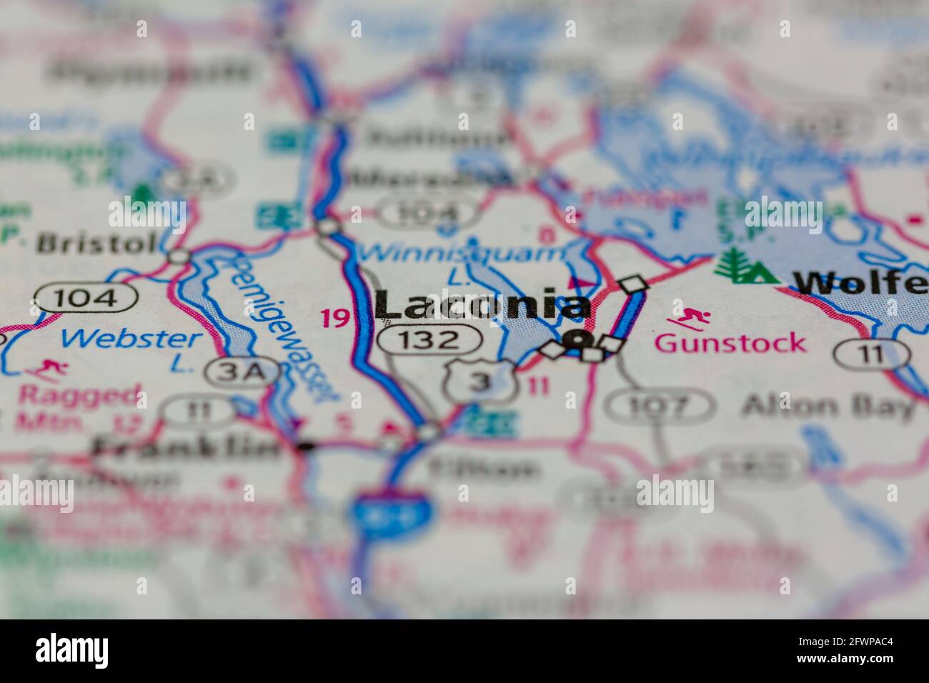 Laconia New Hampshire USA shown on a Geography map or Road map Stock Photohttps://www.alamy.com/image-license-details/?v=1https://www.alamy.com/laconia-new-hampshire-usa-shown-on-a-geography-map-or-road-map-image428906356.html
RM2FWPAC4–Laconia New Hampshire USA shown on a Geography map or Road map
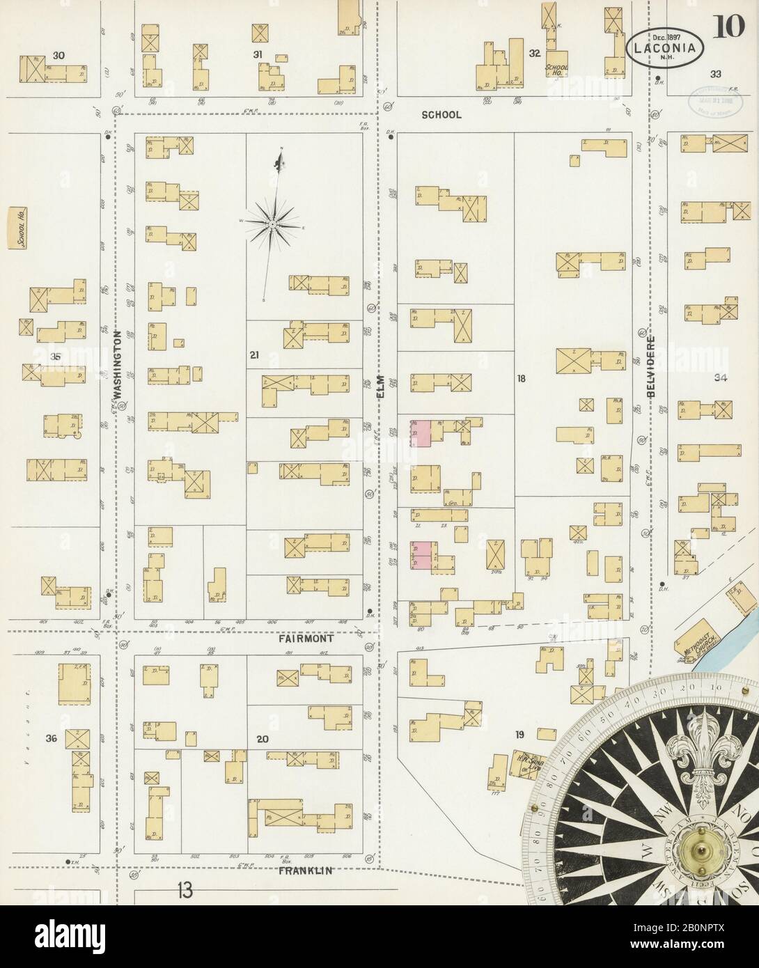 Image 10 of Sanborn Fire Insurance Map from Laconia, Belknap County, New Hampshire. Dec 1897. 13 Sheet(s), America, street map with a Nineteenth Century compass Stock Photohttps://www.alamy.com/image-license-details/?v=1https://www.alamy.com/image-10-of-sanborn-fire-insurance-map-from-laconia-belknap-county-new-hampshire-dec-1897-13-sheets-america-street-map-with-a-nineteenth-century-compass-image344686298.html
RM2B0NPTX–Image 10 of Sanborn Fire Insurance Map from Laconia, Belknap County, New Hampshire. Dec 1897. 13 Sheet(s), America, street map with a Nineteenth Century compass
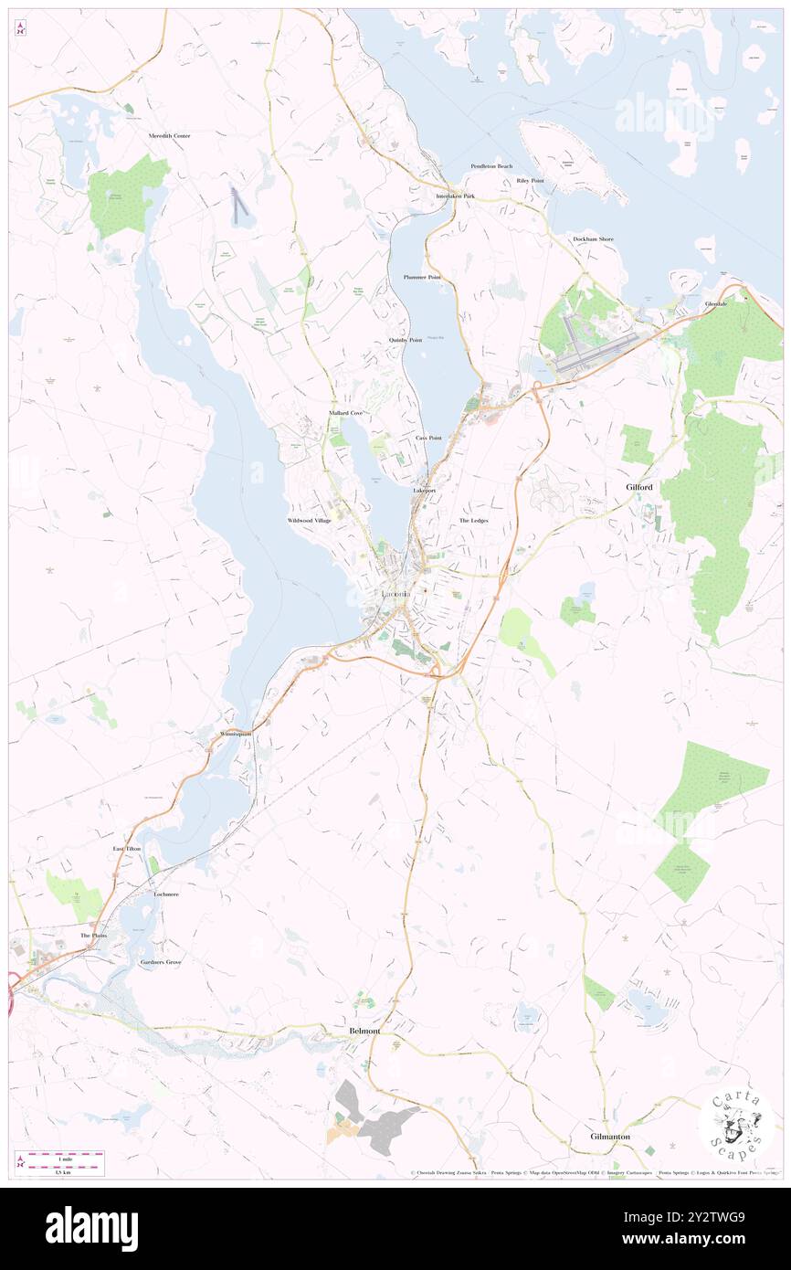 Laconia, Belknap County, US, United States, New Hampshire, N 43 31' 40'', S 71 28' 13'', map, Cartascapes Map published in 2024. Explore Cartascapes, a map revealing Earth's diverse landscapes, cultures, and ecosystems. Journey through time and space, discovering the interconnectedness of our planet's past, present, and future. Stock Photohttps://www.alamy.com/image-license-details/?v=1https://www.alamy.com/laconia-belknap-county-us-united-states-new-hampshire-n-43-31-40-s-71-28-13-map-cartascapes-map-published-in-2024-explore-cartascapes-a-map-revealing-earths-diverse-landscapes-cultures-and-ecosystems-journey-through-time-and-space-discovering-the-interconnectedness-of-our-planets-past-present-and-future-image621349465.html
RM2Y2TWG9–Laconia, Belknap County, US, United States, New Hampshire, N 43 31' 40'', S 71 28' 13'', map, Cartascapes Map published in 2024. Explore Cartascapes, a map revealing Earth's diverse landscapes, cultures, and ecosystems. Journey through time and space, discovering the interconnectedness of our planet's past, present, and future.
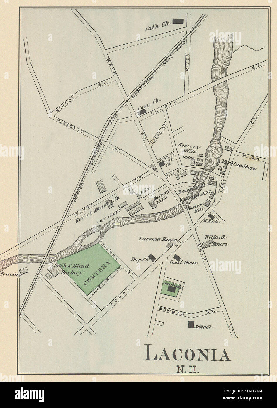 Map of Lacona. 1877 Stock Photohttps://www.alamy.com/image-license-details/?v=1https://www.alamy.com/map-of-lacona-1877-image184440512.html
RMMM1YN4–Map of Lacona. 1877
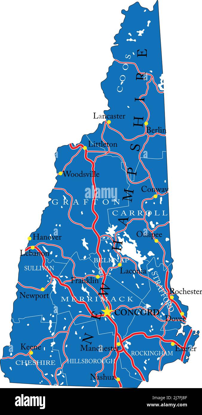 Detailed map of New Hampshire state,in vector format,with county borders,roads and major cities. Stock Vectorhttps://www.alamy.com/image-license-details/?v=1https://www.alamy.com/detailed-map-of-new-hampshire-statein-vector-formatwith-county-bordersroads-and-major-cities-image469326159.html
RF2J7FJ8F–Detailed map of New Hampshire state,in vector format,with county borders,roads and major cities.
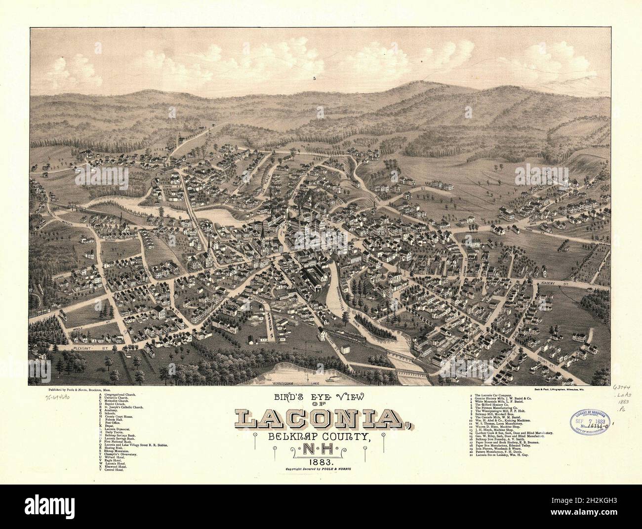 Laconia, New Hampshire map shows bird's eye view of the town in 1883 Stock Photohttps://www.alamy.com/image-license-details/?v=1https://www.alamy.com/laconia-new-hampshire-map-shows-birds-eye-view-of-the-town-in-1883-image449128991.html
RF2H2KGH3–Laconia, New Hampshire map shows bird's eye view of the town in 1883
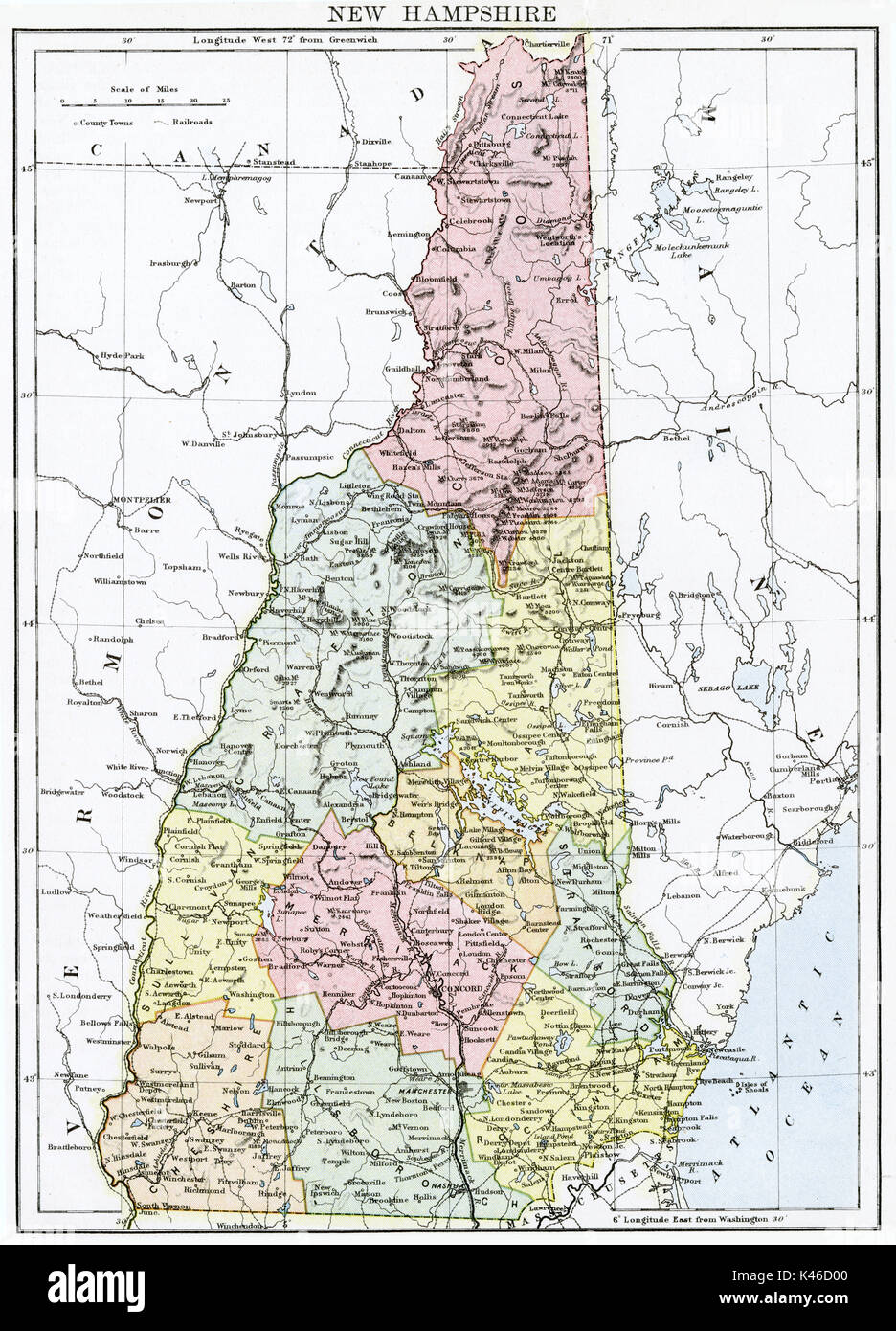 Antique map, circa 1875, of New Hampshire Stock Photohttps://www.alamy.com/image-license-details/?v=1https://www.alamy.com/antique-map-circa-1875-of-new-hampshire-image157493840.html
RMK46D00–Antique map, circa 1875, of New Hampshire
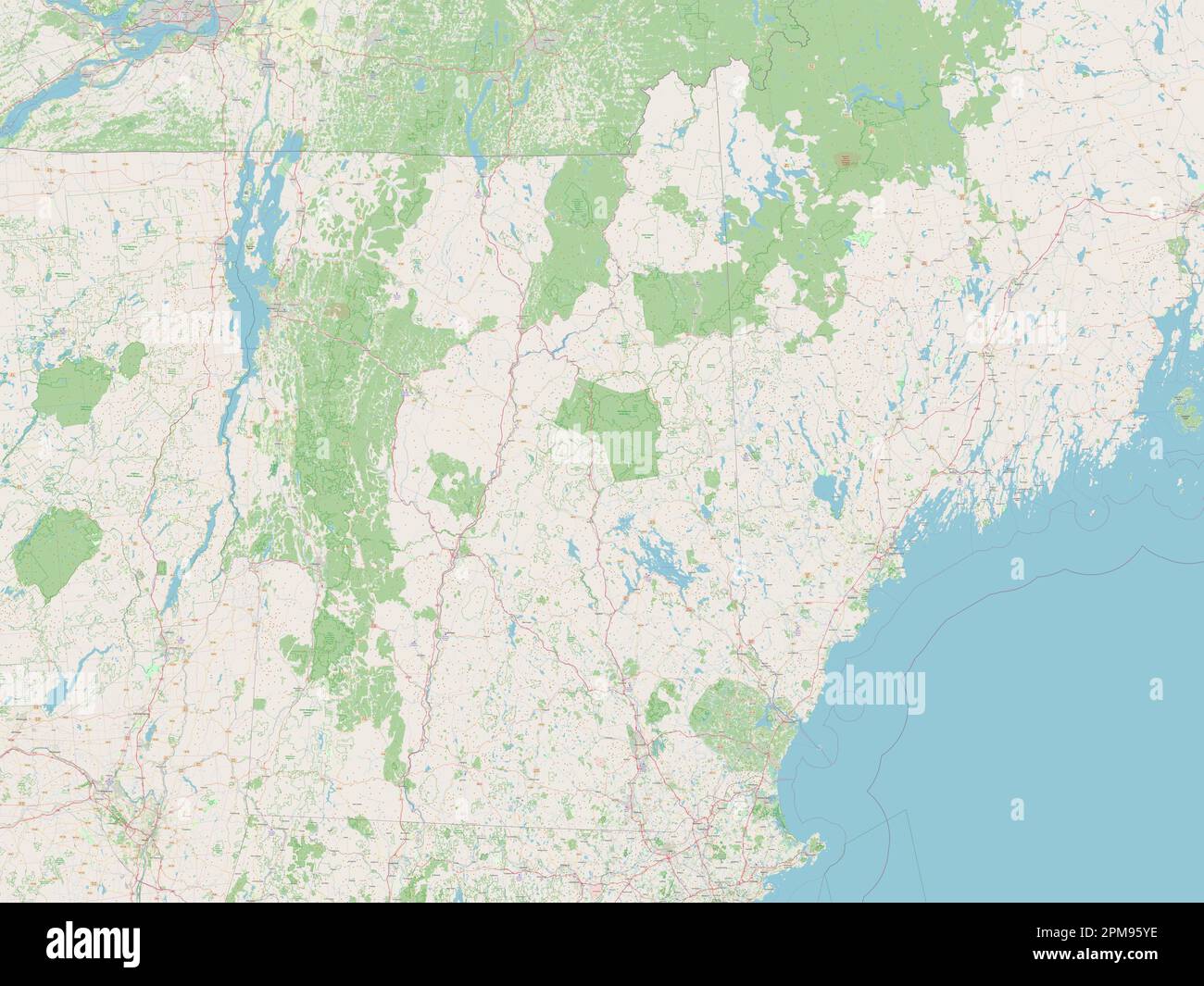 New Hampshire, state of United States of America. Open Street Map Stock Photohttps://www.alamy.com/image-license-details/?v=1https://www.alamy.com/new-hampshire-state-of-united-states-of-america-open-street-map-image546016786.html
RF2PM95YE–New Hampshire, state of United States of America. Open Street Map
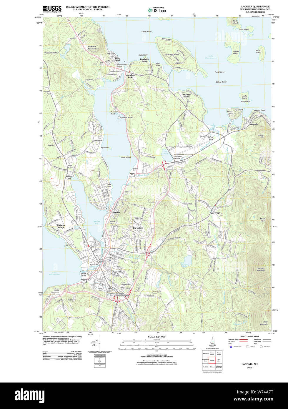 USGS TOPO Map New Hampshire NH Laconia 20120608 TM Restoration Stock Photohttps://www.alamy.com/image-license-details/?v=1https://www.alamy.com/usgs-topo-map-new-hampshire-nh-laconia-20120608-tm-restoration-image262553980.html
RMW74A7T–USGS TOPO Map New Hampshire NH Laconia 20120608 TM Restoration
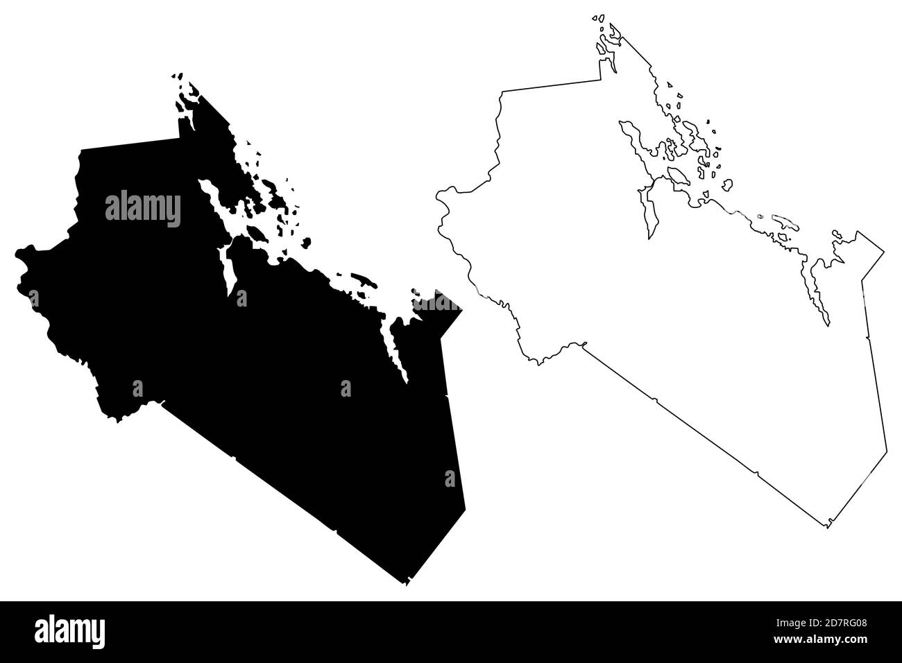 Belknap County, New Hampshire (U.S. county, United States of America, USA, U.S., US) map vector illustration, scribble sketch Belknap map Stock Vectorhttps://www.alamy.com/image-license-details/?v=1https://www.alamy.com/belknap-county-new-hampshire-us-county-united-states-of-america-usa-us-us-map-vector-illustration-scribble-sketch-belknap-map-image383448136.html
RF2D7RG08–Belknap County, New Hampshire (U.S. county, United States of America, USA, U.S., US) map vector illustration, scribble sketch Belknap map
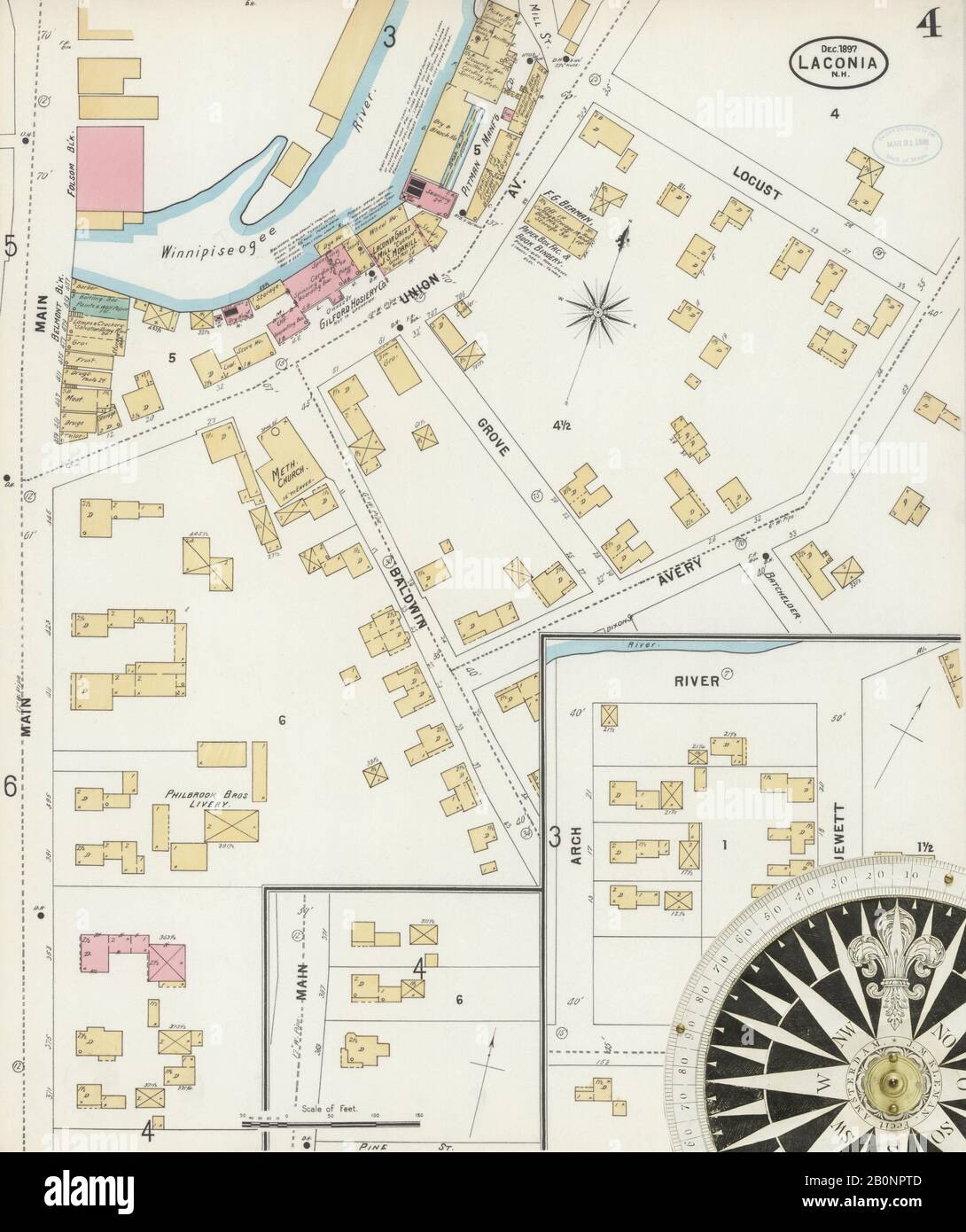 Image 4 of Sanborn Fire Insurance Map from Laconia, Belknap County, New Hampshire. Dec 1897. 13 Sheet(s), America, street map with a Nineteenth Century compass Stock Photohttps://www.alamy.com/image-license-details/?v=1https://www.alamy.com/image-4-of-sanborn-fire-insurance-map-from-laconia-belknap-county-new-hampshire-dec-1897-13-sheets-america-street-map-with-a-nineteenth-century-compass-image344686285.html
RM2B0NPTD–Image 4 of Sanborn Fire Insurance Map from Laconia, Belknap County, New Hampshire. Dec 1897. 13 Sheet(s), America, street map with a Nineteenth Century compass
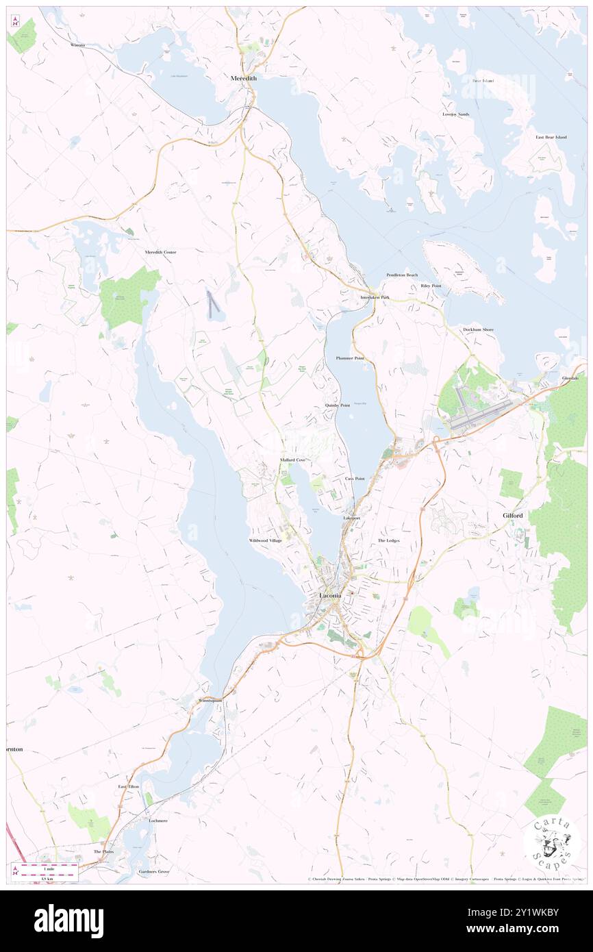 Laconia, Belknap County, US, United States, New Hampshire, N 43 31' 40'', S 71 28' 13'', map, Cartascapes Map published in 2024. Explore Cartascapes, a map revealing Earth's diverse landscapes, cultures, and ecosystems. Journey through time and space, discovering the interconnectedness of our planet's past, present, and future. Stock Photohttps://www.alamy.com/image-license-details/?v=1https://www.alamy.com/laconia-belknap-county-us-united-states-new-hampshire-n-43-31-40-s-71-28-13-map-cartascapes-map-published-in-2024-explore-cartascapes-a-map-revealing-earths-diverse-landscapes-cultures-and-ecosystems-journey-through-time-and-space-discovering-the-interconnectedness-of-our-planets-past-present-and-future-image620751935.html
RM2Y1WKBY–Laconia, Belknap County, US, United States, New Hampshire, N 43 31' 40'', S 71 28' 13'', map, Cartascapes Map published in 2024. Explore Cartascapes, a map revealing Earth's diverse landscapes, cultures, and ecosystems. Journey through time and space, discovering the interconnectedness of our planet's past, present, and future.
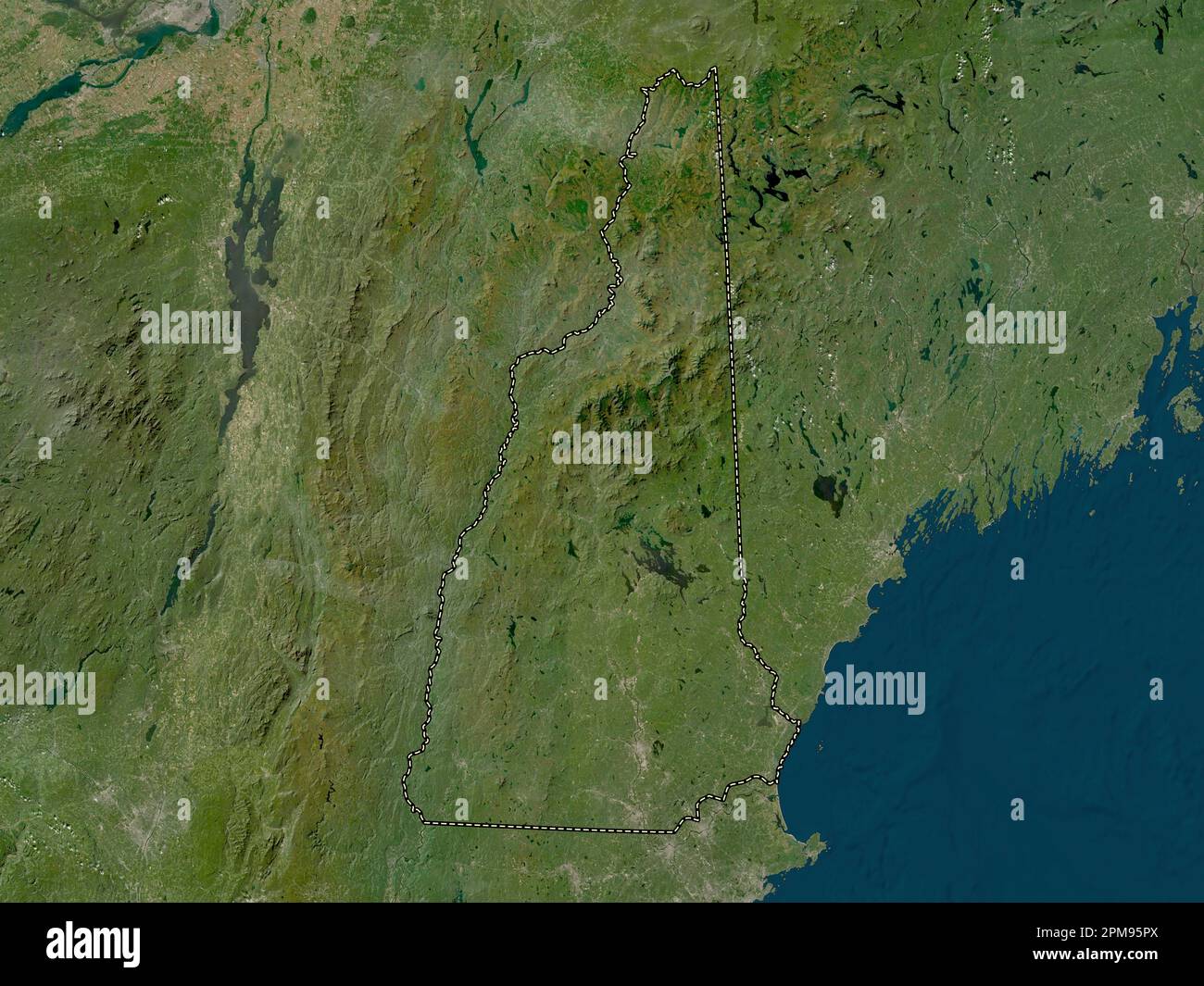 New Hampshire, state of United States of America. Low resolution satellite map Stock Photohttps://www.alamy.com/image-license-details/?v=1https://www.alamy.com/new-hampshire-state-of-united-states-of-america-low-resolution-satellite-map-image546016658.html
RF2PM95PX–New Hampshire, state of United States of America. Low resolution satellite map
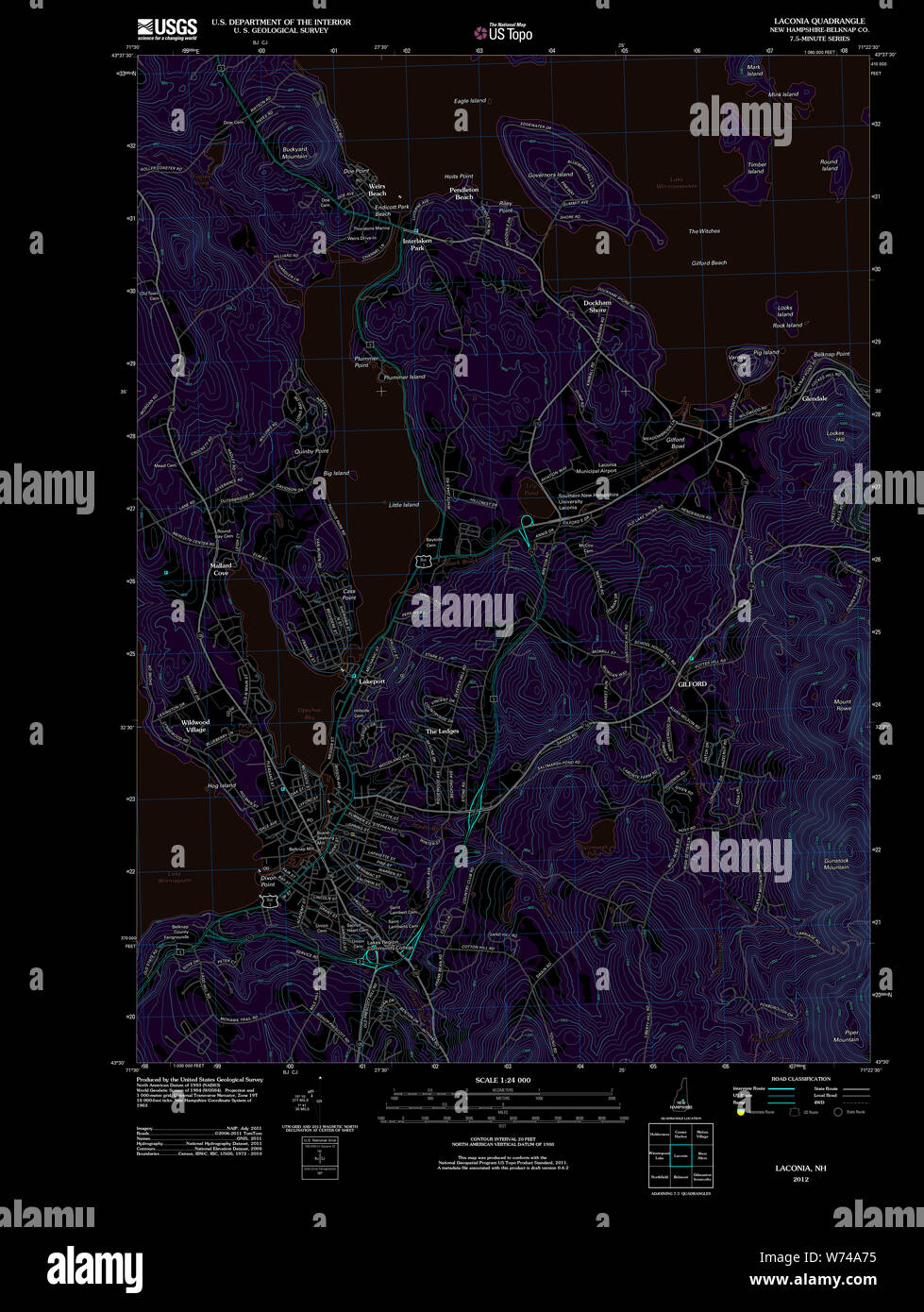 USGS TOPO Map New Hampshire NH Laconia 20120608 TM Inverted Restoration Stock Photohttps://www.alamy.com/image-license-details/?v=1https://www.alamy.com/usgs-topo-map-new-hampshire-nh-laconia-20120608-tm-inverted-restoration-image262553961.html
RMW74A75–USGS TOPO Map New Hampshire NH Laconia 20120608 TM Inverted Restoration
 Belknap County, New Hampshire (U.S. county, United States of America, USA, U.S., US) map vector illustration, scribble sketch Belknap map Stock Vectorhttps://www.alamy.com/image-license-details/?v=1https://www.alamy.com/belknap-county-new-hampshire-us-county-united-states-of-america-usa-us-us-map-vector-illustration-scribble-sketch-belknap-map-image388137815.html
RF2DFD5MR–Belknap County, New Hampshire (U.S. county, United States of America, USA, U.S., US) map vector illustration, scribble sketch Belknap map
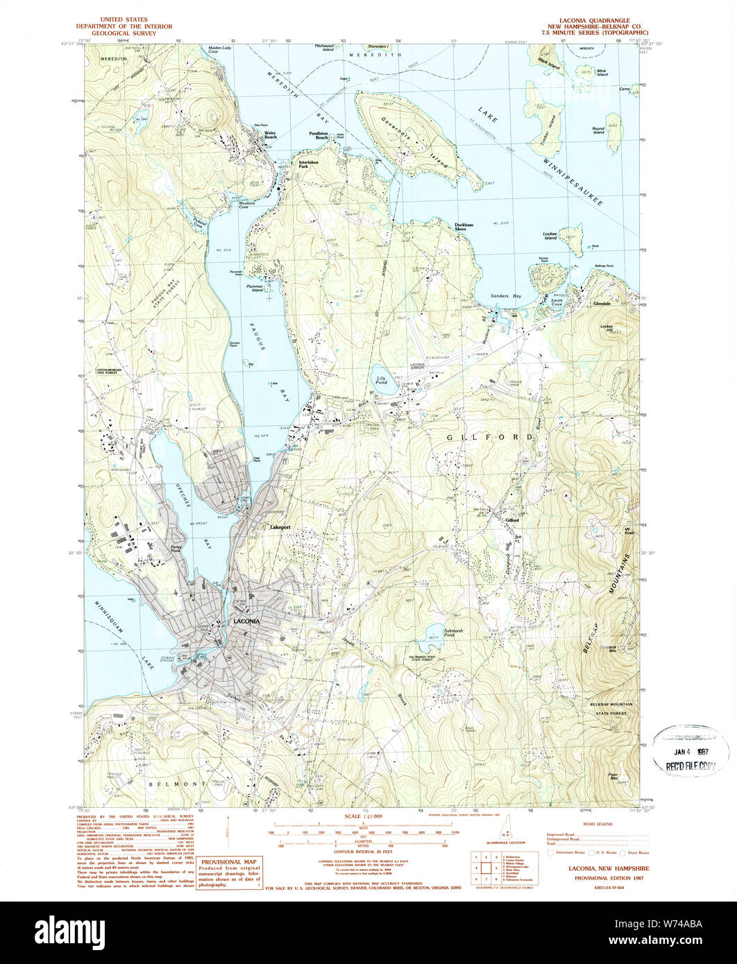 USGS TOPO Map New Hampshire NH Laconia 329617 1987 24000 Restoration Stock Photohttps://www.alamy.com/image-license-details/?v=1https://www.alamy.com/usgs-topo-map-new-hampshire-nh-laconia-329617-1987-24000-restoration-image262554078.html
RMW74ABA–USGS TOPO Map New Hampshire NH Laconia 329617 1987 24000 Restoration
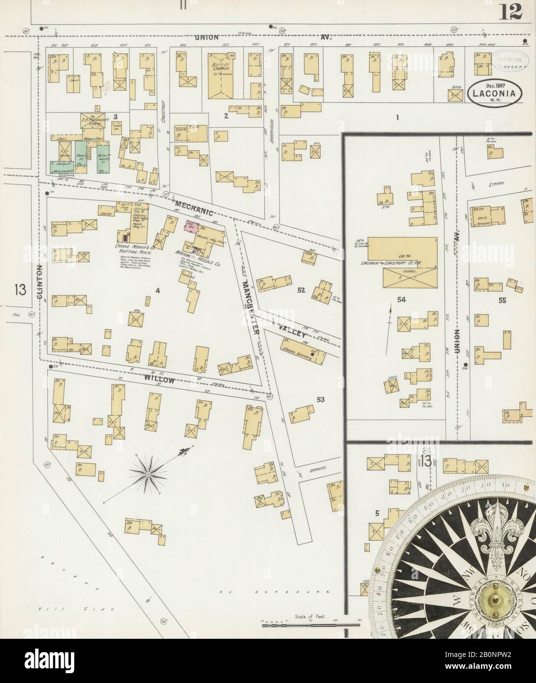 Image 12 of Sanborn Fire Insurance Map from Laconia, Belknap County, New Hampshire. Dec 1897. 13 Sheet(s), America, street map with a Nineteenth Century compass Stock Photohttps://www.alamy.com/image-license-details/?v=1https://www.alamy.com/image-12-of-sanborn-fire-insurance-map-from-laconia-belknap-county-new-hampshire-dec-1897-13-sheets-america-street-map-with-a-nineteenth-century-compass-image344686302.html
RM2B0NPW2–Image 12 of Sanborn Fire Insurance Map from Laconia, Belknap County, New Hampshire. Dec 1897. 13 Sheet(s), America, street map with a Nineteenth Century compass
 City of Laconia, Belknap County, US, United States, New Hampshire, N 43 34' 21'', S 71 28' 39'', map, Cartascapes Map published in 2024. Explore Cartascapes, a map revealing Earth's diverse landscapes, cultures, and ecosystems. Journey through time and space, discovering the interconnectedness of our planet's past, present, and future. Stock Photohttps://www.alamy.com/image-license-details/?v=1https://www.alamy.com/city-of-laconia-belknap-county-us-united-states-new-hampshire-n-43-34-21-s-71-28-39-map-cartascapes-map-published-in-2024-explore-cartascapes-a-map-revealing-earths-diverse-landscapes-cultures-and-ecosystems-journey-through-time-and-space-discovering-the-interconnectedness-of-our-planets-past-present-and-future-image633903606.html
RM2YR8PEE–City of Laconia, Belknap County, US, United States, New Hampshire, N 43 34' 21'', S 71 28' 39'', map, Cartascapes Map published in 2024. Explore Cartascapes, a map revealing Earth's diverse landscapes, cultures, and ecosystems. Journey through time and space, discovering the interconnectedness of our planet's past, present, and future.
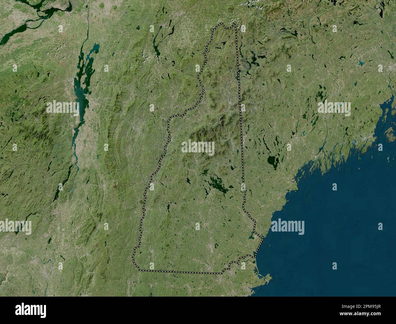 New Hampshire, state of United States of America. High resolution satellite map Stock Photohttps://www.alamy.com/image-license-details/?v=1https://www.alamy.com/new-hampshire-state-of-united-states-of-america-high-resolution-satellite-map-image546016543.html
RF2PM95JR–New Hampshire, state of United States of America. High resolution satellite map
 Belknap County, New Hampshire (U.S. county, United States of America, USA, U.S., US) map vector illustration, scribble sketch Belknap map Stock Vectorhttps://www.alamy.com/image-license-details/?v=1https://www.alamy.com/belknap-county-new-hampshire-us-county-united-states-of-america-usa-us-us-map-vector-illustration-scribble-sketch-belknap-map-image398488955.html
RF2E48MMB–Belknap County, New Hampshire (U.S. county, United States of America, USA, U.S., US) map vector illustration, scribble sketch Belknap map
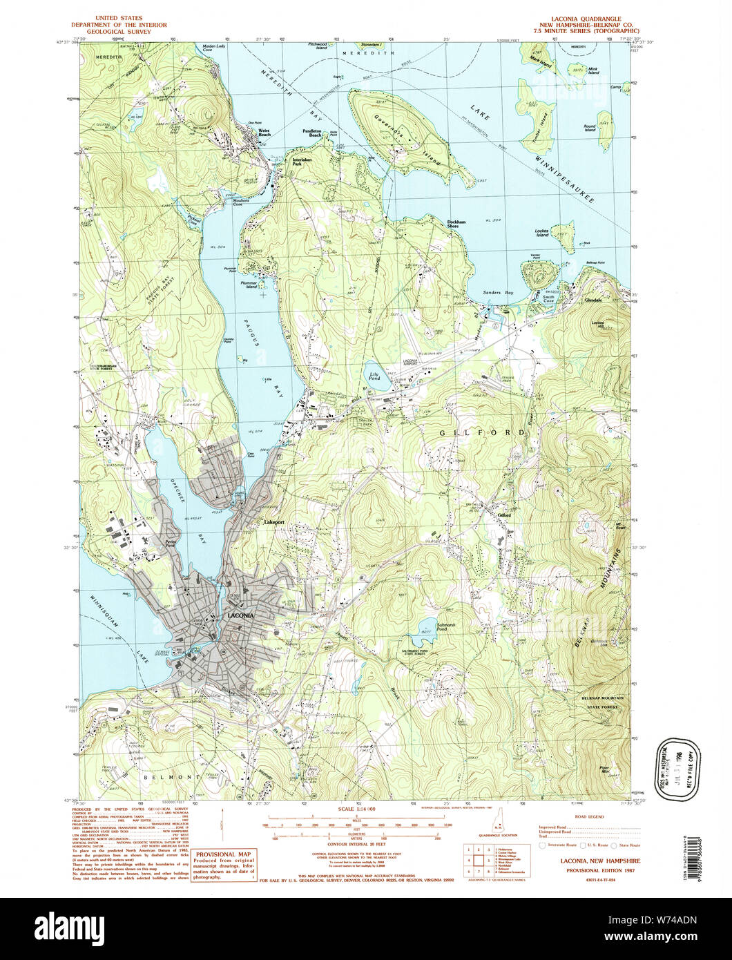 USGS TOPO Map New Hampshire NH Laconia 329618 1987 24000 Restoration Stock Photohttps://www.alamy.com/image-license-details/?v=1https://www.alamy.com/usgs-topo-map-new-hampshire-nh-laconia-329618-1987-24000-restoration-image262554145.html
RMW74ADN–USGS TOPO Map New Hampshire NH Laconia 329618 1987 24000 Restoration
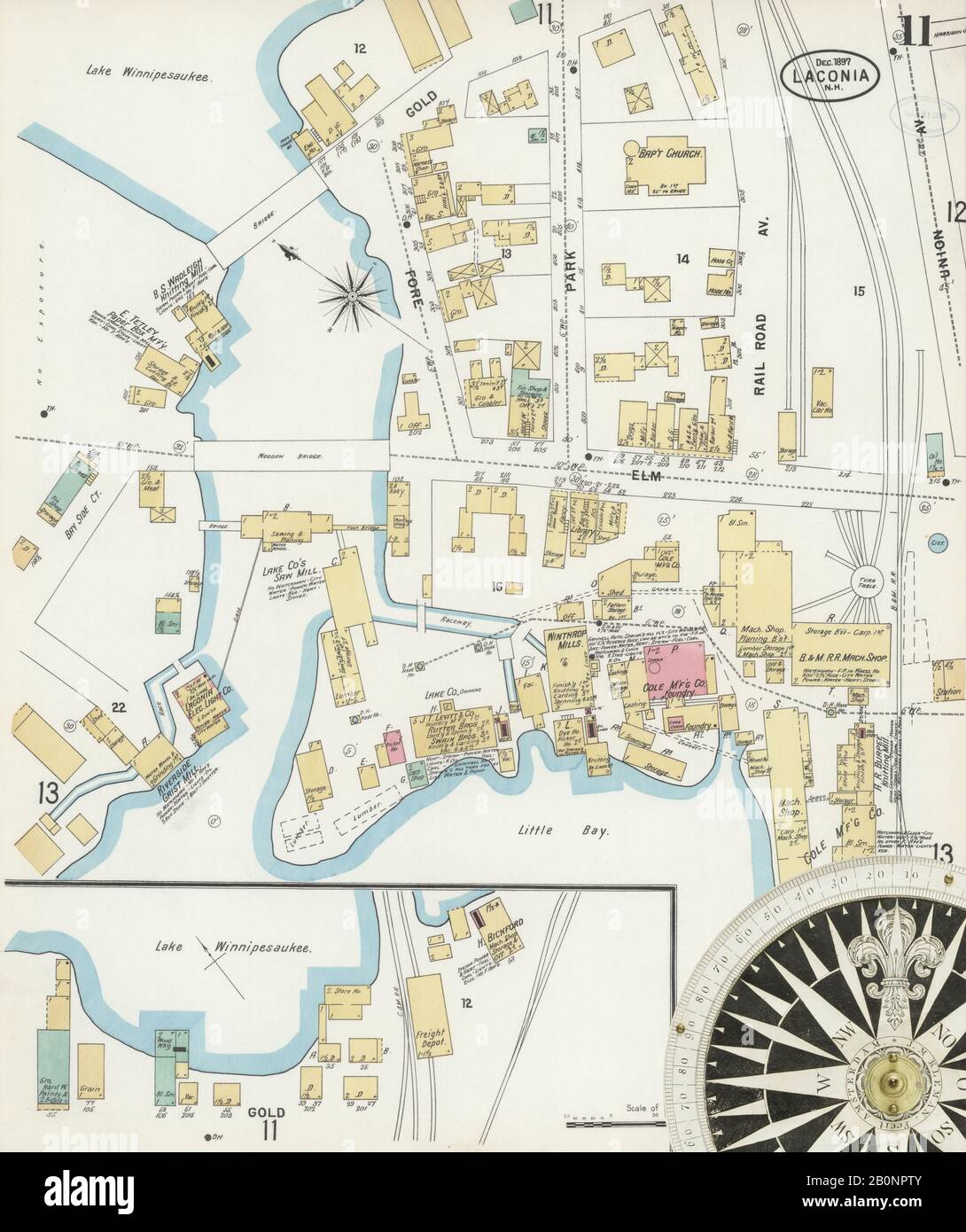 Image 11 of Sanborn Fire Insurance Map from Laconia, Belknap County, New Hampshire. Dec 1897. 13 Sheet(s), America, street map with a Nineteenth Century compass Stock Photohttps://www.alamy.com/image-license-details/?v=1https://www.alamy.com/image-11-of-sanborn-fire-insurance-map-from-laconia-belknap-county-new-hampshire-dec-1897-13-sheets-america-street-map-with-a-nineteenth-century-compass-image344686299.html
RM2B0NPTY–Image 11 of Sanborn Fire Insurance Map from Laconia, Belknap County, New Hampshire. Dec 1897. 13 Sheet(s), America, street map with a Nineteenth Century compass
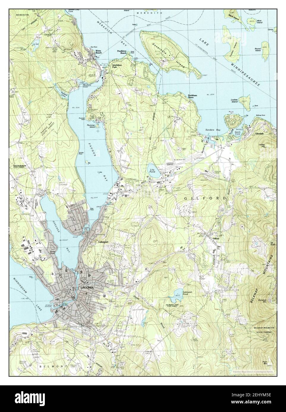 Laconia, New Hampshire, map 1987, 1:24000, United States of America by Timeless Maps, data U.S. Geological Survey Stock Photohttps://www.alamy.com/image-license-details/?v=1https://www.alamy.com/laconia-new-hampshire-map-1987-124000-united-states-of-america-by-timeless-maps-data-us-geological-survey-image406896154.html
RM2EHYM5E–Laconia, New Hampshire, map 1987, 1:24000, United States of America by Timeless Maps, data U.S. Geological Survey
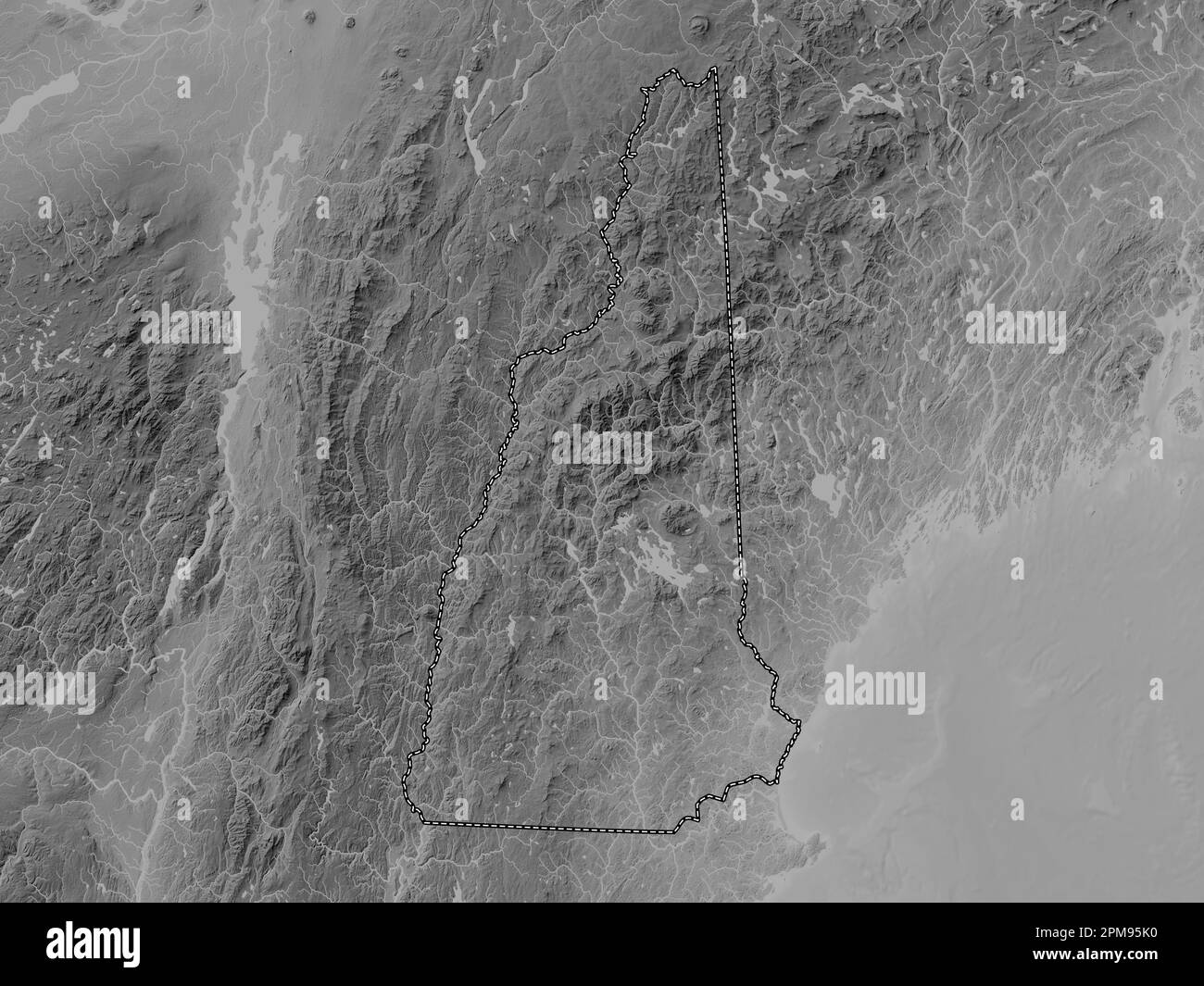 New Hampshire, state of United States of America. Grayscale elevation map with lakes and rivers Stock Photohttps://www.alamy.com/image-license-details/?v=1https://www.alamy.com/new-hampshire-state-of-united-states-of-america-grayscale-elevation-map-with-lakes-and-rivers-image546016548.html
RF2PM95K0–New Hampshire, state of United States of America. Grayscale elevation map with lakes and rivers
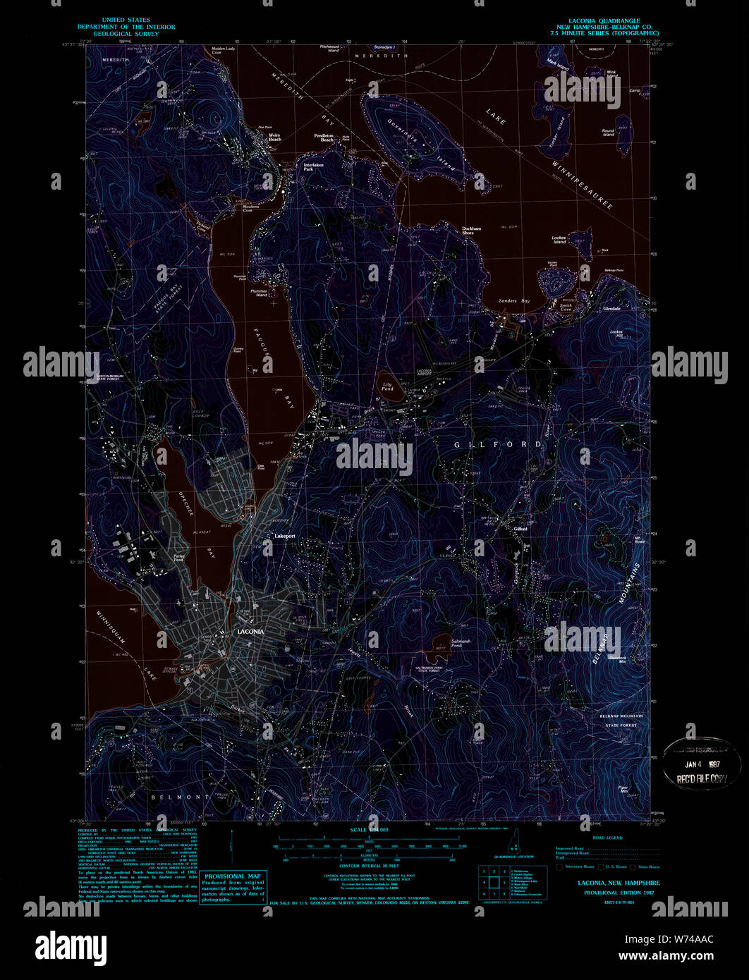 USGS TOPO Map New Hampshire NH Laconia 329617 1987 24000 Inverted Restoration Stock Photohttps://www.alamy.com/image-license-details/?v=1https://www.alamy.com/usgs-topo-map-new-hampshire-nh-laconia-329617-1987-24000-inverted-restoration-image262554052.html
RMW74AAC–USGS TOPO Map New Hampshire NH Laconia 329617 1987 24000 Inverted Restoration
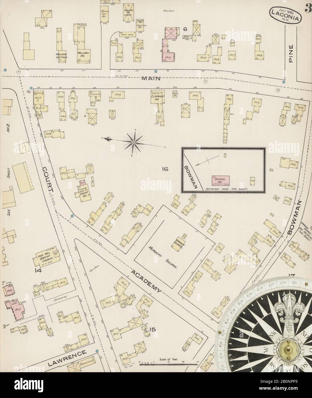 Image 3 of Sanborn Fire Insurance Map from Laconia, Belknap County, New Hampshire. Jul 1885. 3 Sheet(s), America, street map with a Nineteenth Century compass Stock Photohttps://www.alamy.com/image-license-details/?v=1https://www.alamy.com/image-3-of-sanborn-fire-insurance-map-from-laconia-belknap-county-new-hampshire-jul-1885-3-sheets-america-street-map-with-a-nineteenth-century-compass-image344686219.html
RM2B0NPP3–Image 3 of Sanborn Fire Insurance Map from Laconia, Belknap County, New Hampshire. Jul 1885. 3 Sheet(s), America, street map with a Nineteenth Century compass
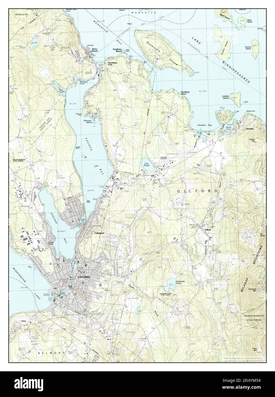 Laconia, New Hampshire, map 1987, 1:24000, United States of America by Timeless Maps, data U.S. Geological Survey Stock Photohttps://www.alamy.com/image-license-details/?v=1https://www.alamy.com/laconia-new-hampshire-map-1987-124000-united-states-of-america-by-timeless-maps-data-us-geological-survey-image406896144.html
RM2EHYM54–Laconia, New Hampshire, map 1987, 1:24000, United States of America by Timeless Maps, data U.S. Geological Survey
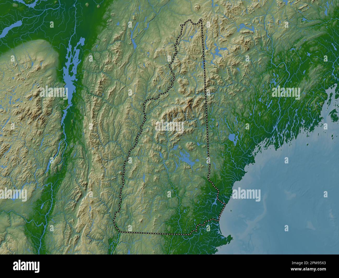 New Hampshire, state of United States of America. Colored elevation map with lakes and rivers Stock Photohttps://www.alamy.com/image-license-details/?v=1https://www.alamy.com/new-hampshire-state-of-united-states-of-america-colored-elevation-map-with-lakes-and-rivers-image546016747.html
RF2PM95X3–New Hampshire, state of United States of America. Colored elevation map with lakes and rivers
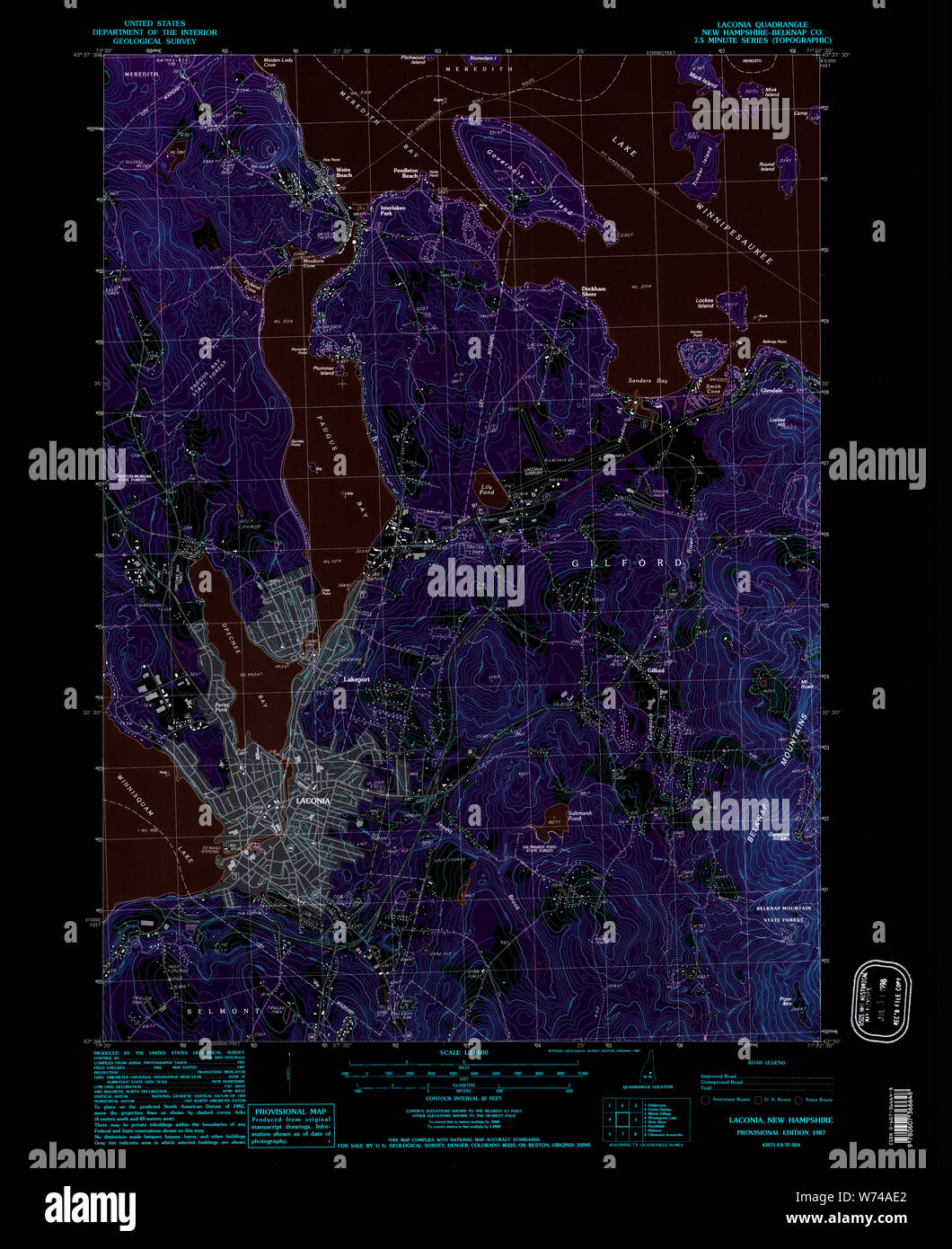 USGS TOPO Map New Hampshire NH Laconia 329618 1987 24000 Inverted Restoration Stock Photohttps://www.alamy.com/image-license-details/?v=1https://www.alamy.com/usgs-topo-map-new-hampshire-nh-laconia-329618-1987-24000-inverted-restoration-image262554154.html
RMW74AE2–USGS TOPO Map New Hampshire NH Laconia 329618 1987 24000 Inverted Restoration
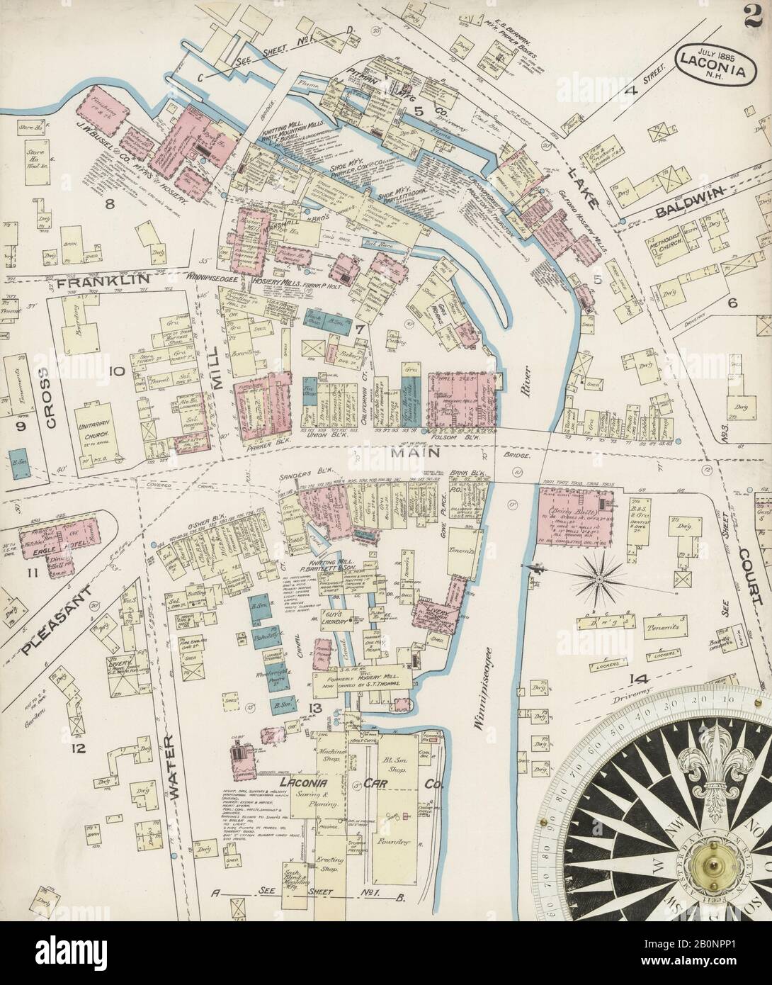 Image 2 of Sanborn Fire Insurance Map from Laconia, Belknap County, New Hampshire. Jul 1885. 3 Sheet(s), America, street map with a Nineteenth Century compass Stock Photohttps://www.alamy.com/image-license-details/?v=1https://www.alamy.com/image-2-of-sanborn-fire-insurance-map-from-laconia-belknap-county-new-hampshire-jul-1885-3-sheets-america-street-map-with-a-nineteenth-century-compass-image344686217.html
RM2B0NPP1–Image 2 of Sanborn Fire Insurance Map from Laconia, Belknap County, New Hampshire. Jul 1885. 3 Sheet(s), America, street map with a Nineteenth Century compass
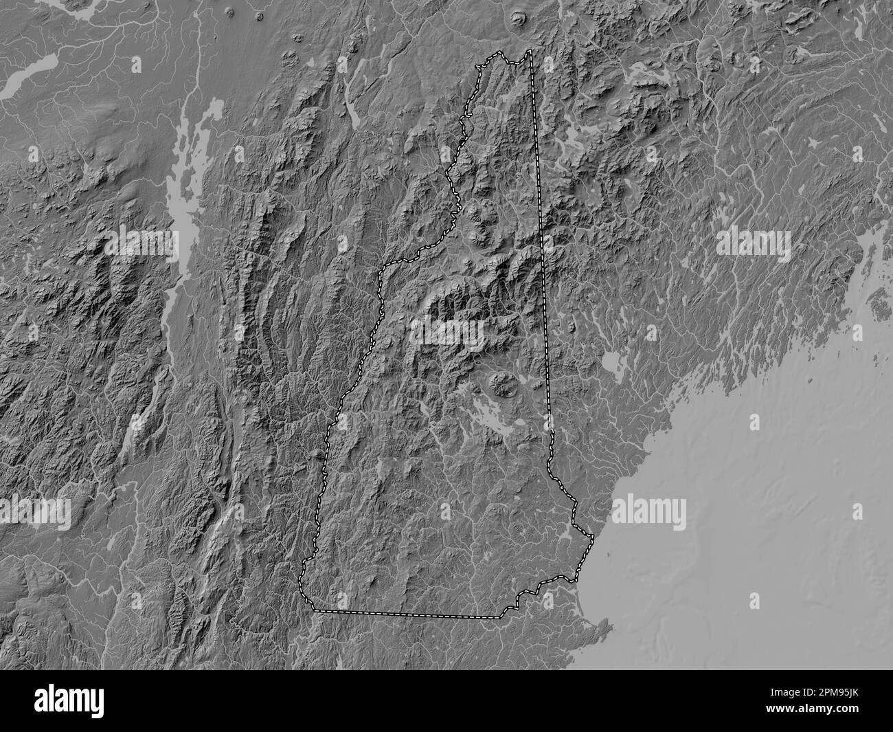 New Hampshire, state of United States of America. Bilevel elevation map with lakes and rivers Stock Photohttps://www.alamy.com/image-license-details/?v=1https://www.alamy.com/new-hampshire-state-of-united-states-of-america-bilevel-elevation-map-with-lakes-and-rivers-image546016539.html
RF2PM95JK–New Hampshire, state of United States of America. Bilevel elevation map with lakes and rivers
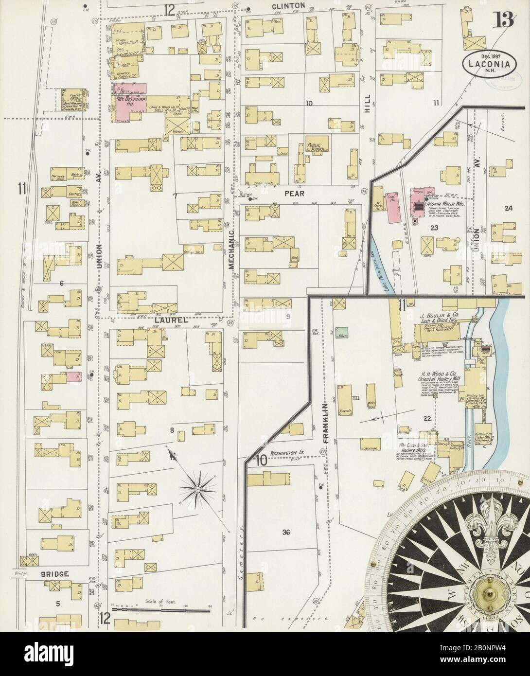 Image 13 of Sanborn Fire Insurance Map from Laconia, Belknap County, New Hampshire. Dec 1897. 13 Sheet(s), America, street map with a Nineteenth Century compass Stock Photohttps://www.alamy.com/image-license-details/?v=1https://www.alamy.com/image-13-of-sanborn-fire-insurance-map-from-laconia-belknap-county-new-hampshire-dec-1897-13-sheets-america-street-map-with-a-nineteenth-century-compass-image344686304.html
RM2B0NPW4–Image 13 of Sanborn Fire Insurance Map from Laconia, Belknap County, New Hampshire. Dec 1897. 13 Sheet(s), America, street map with a Nineteenth Century compass
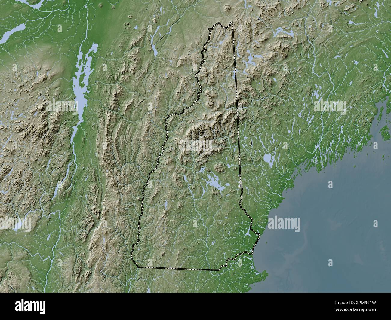 New Hampshire, state of United States of America. Elevation map colored in wiki style with lakes and rivers Stock Photohttps://www.alamy.com/image-license-details/?v=1https://www.alamy.com/new-hampshire-state-of-united-states-of-america-elevation-map-colored-in-wiki-style-with-lakes-and-rivers-image546016853.html
RF2PM961W–New Hampshire, state of United States of America. Elevation map colored in wiki style with lakes and rivers
 Image 5 of Sanborn Fire Insurance Map from Laconia, Belknap County, New Hampshire. Jan 1892. 6 Sheet(s), America, street map with a Nineteenth Century compass Stock Photohttps://www.alamy.com/image-license-details/?v=1https://www.alamy.com/image-5-of-sanborn-fire-insurance-map-from-laconia-belknap-county-new-hampshire-jan-1892-6-sheets-america-street-map-with-a-nineteenth-century-compass-image344686229.html
RM2B0NPPD–Image 5 of Sanborn Fire Insurance Map from Laconia, Belknap County, New Hampshire. Jan 1892. 6 Sheet(s), America, street map with a Nineteenth Century compass
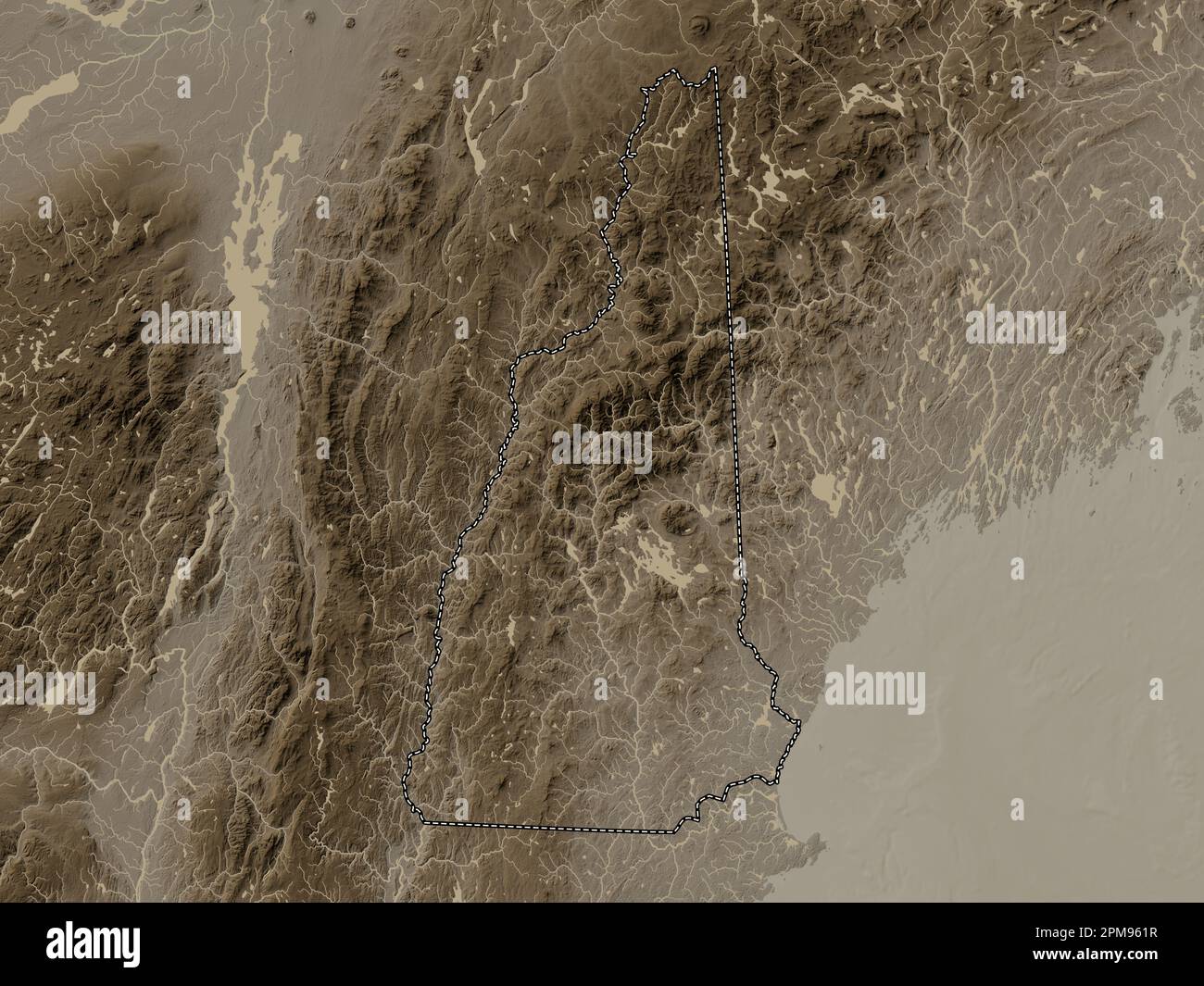 New Hampshire, state of United States of America. Elevation map colored in sepia tones with lakes and rivers Stock Photohttps://www.alamy.com/image-license-details/?v=1https://www.alamy.com/new-hampshire-state-of-united-states-of-america-elevation-map-colored-in-sepia-tones-with-lakes-and-rivers-image546016851.html
RF2PM961R–New Hampshire, state of United States of America. Elevation map colored in sepia tones with lakes and rivers
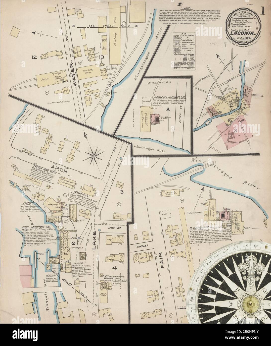 Image 1 of Sanborn Fire Insurance Map from Laconia, Belknap County, New Hampshire. Jul 1885. 3 Sheet(s), America, street map with a Nineteenth Century compass Stock Photohttps://www.alamy.com/image-license-details/?v=1https://www.alamy.com/image-1-of-sanborn-fire-insurance-map-from-laconia-belknap-county-new-hampshire-jul-1885-3-sheets-america-street-map-with-a-nineteenth-century-compass-image344686215.html
RM2B0NPNY–Image 1 of Sanborn Fire Insurance Map from Laconia, Belknap County, New Hampshire. Jul 1885. 3 Sheet(s), America, street map with a Nineteenth Century compass
 New Hampshire, state of United States of America. Bilevel elevation map with lakes and rivers. Locations and names of major cities of the region. Corn Stock Photohttps://www.alamy.com/image-license-details/?v=1https://www.alamy.com/new-hampshire-state-of-united-states-of-america-bilevel-elevation-map-with-lakes-and-rivers-locations-and-names-of-major-cities-of-the-region-corn-image546016552.html
RF2PM95K4–New Hampshire, state of United States of America. Bilevel elevation map with lakes and rivers. Locations and names of major cities of the region. Corn
 Image 9 of Sanborn Fire Insurance Map from Laconia, Belknap County, New Hampshire. Dec 1897. 13 Sheet(s), America, street map with a Nineteenth Century compass Stock Photohttps://www.alamy.com/image-license-details/?v=1https://www.alamy.com/image-9-of-sanborn-fire-insurance-map-from-laconia-belknap-county-new-hampshire-dec-1897-13-sheets-america-street-map-with-a-nineteenth-century-compass-image344686296.html
RM2B0NPTT–Image 9 of Sanborn Fire Insurance Map from Laconia, Belknap County, New Hampshire. Dec 1897. 13 Sheet(s), America, street map with a Nineteenth Century compass
 New Hampshire, state of United States of America. Open Street Map. Locations of major cities of the region. Corner auxiliary location maps Stock Photohttps://www.alamy.com/image-license-details/?v=1https://www.alamy.com/new-hampshire-state-of-united-states-of-america-open-street-map-locations-of-major-cities-of-the-region-corner-auxiliary-location-maps-image546016653.html
RF2PM95PN–New Hampshire, state of United States of America. Open Street Map. Locations of major cities of the region. Corner auxiliary location maps
 Image 6 of Sanborn Fire Insurance Map from Laconia, Belknap County, New Hampshire. Jan 1892. 6 Sheet(s), America, street map with a Nineteenth Century compass Stock Photohttps://www.alamy.com/image-license-details/?v=1https://www.alamy.com/image-6-of-sanborn-fire-insurance-map-from-laconia-belknap-county-new-hampshire-jan-1892-6-sheets-america-street-map-with-a-nineteenth-century-compass-image344686250.html
RM2B0NPR6–Image 6 of Sanborn Fire Insurance Map from Laconia, Belknap County, New Hampshire. Jan 1892. 6 Sheet(s), America, street map with a Nineteenth Century compass
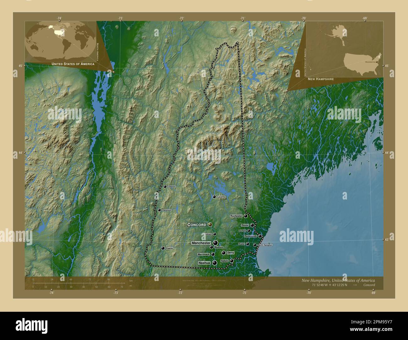 New Hampshire, state of United States of America. Colored elevation map with lakes and rivers. Locations and names of major cities of the region. Corn Stock Photohttps://www.alamy.com/image-license-details/?v=1https://www.alamy.com/new-hampshire-state-of-united-states-of-america-colored-elevation-map-with-lakes-and-rivers-locations-and-names-of-major-cities-of-the-region-corn-image546016779.html
RF2PM95Y7–New Hampshire, state of United States of America. Colored elevation map with lakes and rivers. Locations and names of major cities of the region. Corn
 Image 3 of Sanborn Fire Insurance Map from Laconia, Belknap County, New Hampshire. Jan 1892. 6 Sheet(s), America, street map with a Nineteenth Century compass Stock Photohttps://www.alamy.com/image-license-details/?v=1https://www.alamy.com/image-3-of-sanborn-fire-insurance-map-from-laconia-belknap-county-new-hampshire-jan-1892-6-sheets-america-street-map-with-a-nineteenth-century-compass-image344686225.html
RM2B0NPP9–Image 3 of Sanborn Fire Insurance Map from Laconia, Belknap County, New Hampshire. Jan 1892. 6 Sheet(s), America, street map with a Nineteenth Century compass
 New Hampshire, state of United States of America. Grayscale elevation map with lakes and rivers. Locations and names of major cities of the region. Co Stock Photohttps://www.alamy.com/image-license-details/?v=1https://www.alamy.com/new-hampshire-state-of-united-states-of-america-grayscale-elevation-map-with-lakes-and-rivers-locations-and-names-of-major-cities-of-the-region-co-image546016537.html
RF2PM95JH–New Hampshire, state of United States of America. Grayscale elevation map with lakes and rivers. Locations and names of major cities of the region. Co
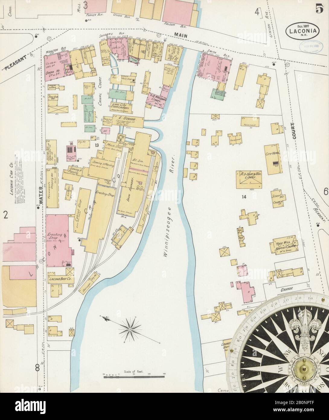 Image 5 of Sanborn Fire Insurance Map from Laconia, Belknap County, New Hampshire. Dec 1897. 13 Sheet(s), America, street map with a Nineteenth Century compass Stock Photohttps://www.alamy.com/image-license-details/?v=1https://www.alamy.com/image-5-of-sanborn-fire-insurance-map-from-laconia-belknap-county-new-hampshire-dec-1897-13-sheets-america-street-map-with-a-nineteenth-century-compass-image344686287.html
RM2B0NPTF–Image 5 of Sanborn Fire Insurance Map from Laconia, Belknap County, New Hampshire. Dec 1897. 13 Sheet(s), America, street map with a Nineteenth Century compass
 New Hampshire, state of United States of America. Bilevel elevation map with lakes and rivers. Locations of major cities of the region. Corner auxilia Stock Photohttps://www.alamy.com/image-license-details/?v=1https://www.alamy.com/new-hampshire-state-of-united-states-of-america-bilevel-elevation-map-with-lakes-and-rivers-locations-of-major-cities-of-the-region-corner-auxilia-image546016449.html
RF2PM95FD–New Hampshire, state of United States of America. Bilevel elevation map with lakes and rivers. Locations of major cities of the region. Corner auxilia
 Image 1 of Sanborn Fire Insurance Map from Laconia, Belknap County, New Hampshire. Dec 1897. 13 Sheet(s), America, street map with a Nineteenth Century compass Stock Photohttps://www.alamy.com/image-license-details/?v=1https://www.alamy.com/image-1-of-sanborn-fire-insurance-map-from-laconia-belknap-county-new-hampshire-dec-1897-13-sheets-america-street-map-with-a-nineteenth-century-compass-image344686278.html
RM2B0NPT6–Image 1 of Sanborn Fire Insurance Map from Laconia, Belknap County, New Hampshire. Dec 1897. 13 Sheet(s), America, street map with a Nineteenth Century compass
 New Hampshire, state of United States of America. Grayscale elevation map with lakes and rivers. Locations of major cities of the region. Corner auxil Stock Photohttps://www.alamy.com/image-license-details/?v=1https://www.alamy.com/new-hampshire-state-of-united-states-of-america-grayscale-elevation-map-with-lakes-and-rivers-locations-of-major-cities-of-the-region-corner-auxil-image546016538.html
RF2PM95JJ–New Hampshire, state of United States of America. Grayscale elevation map with lakes and rivers. Locations of major cities of the region. Corner auxil
 Image 8 of Sanborn Fire Insurance Map from Laconia, Belknap County, New Hampshire. Dec 1897. 13 Sheet(s), America, street map with a Nineteenth Century compass Stock Photohttps://www.alamy.com/image-license-details/?v=1https://www.alamy.com/image-8-of-sanborn-fire-insurance-map-from-laconia-belknap-county-new-hampshire-dec-1897-13-sheets-america-street-map-with-a-nineteenth-century-compass-image344686293.html
RM2B0NPTN–Image 8 of Sanborn Fire Insurance Map from Laconia, Belknap County, New Hampshire. Dec 1897. 13 Sheet(s), America, street map with a Nineteenth Century compass
 New Hampshire, state of United States of America. Colored elevation map with lakes and rivers. Locations of major cities of the region. Corner auxilia Stock Photohttps://www.alamy.com/image-license-details/?v=1https://www.alamy.com/new-hampshire-state-of-united-states-of-america-colored-elevation-map-with-lakes-and-rivers-locations-of-major-cities-of-the-region-corner-auxilia-image546016655.html
RF2PM95PR–New Hampshire, state of United States of America. Colored elevation map with lakes and rivers. Locations of major cities of the region. Corner auxilia
 Image 3 of Sanborn Fire Insurance Map from Laconia, Belknap County, New Hampshire. Dec 1897. 13 Sheet(s), America, street map with a Nineteenth Century compass Stock Photohttps://www.alamy.com/image-license-details/?v=1https://www.alamy.com/image-3-of-sanborn-fire-insurance-map-from-laconia-belknap-county-new-hampshire-dec-1897-13-sheets-america-street-map-with-a-nineteenth-century-compass-image344686283.html
RM2B0NPTB–Image 3 of Sanborn Fire Insurance Map from Laconia, Belknap County, New Hampshire. Dec 1897. 13 Sheet(s), America, street map with a Nineteenth Century compass
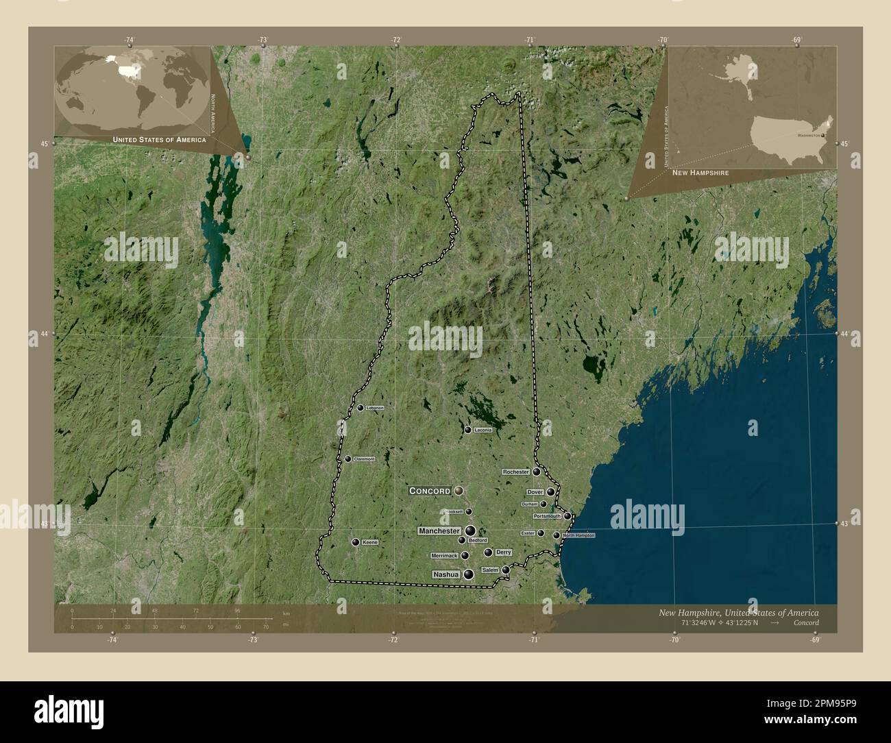 New Hampshire, state of United States of America. High resolution satellite map. Locations and names of major cities of the region. Corner auxiliary l Stock Photohttps://www.alamy.com/image-license-details/?v=1https://www.alamy.com/new-hampshire-state-of-united-states-of-america-high-resolution-satellite-map-locations-and-names-of-major-cities-of-the-region-corner-auxiliary-l-image546016641.html
RF2PM95P9–New Hampshire, state of United States of America. High resolution satellite map. Locations and names of major cities of the region. Corner auxiliary l
 Image 6 of Sanborn Fire Insurance Map from Laconia, Belknap County, New Hampshire. Dec 1897. 13 Sheet(s), America, street map with a Nineteenth Century compass Stock Photohttps://www.alamy.com/image-license-details/?v=1https://www.alamy.com/image-6-of-sanborn-fire-insurance-map-from-laconia-belknap-county-new-hampshire-dec-1897-13-sheets-america-street-map-with-a-nineteenth-century-compass-image344686289.html
RM2B0NPTH–Image 6 of Sanborn Fire Insurance Map from Laconia, Belknap County, New Hampshire. Dec 1897. 13 Sheet(s), America, street map with a Nineteenth Century compass
 New Hampshire, state of United States of America. Elevation map colored in wiki style with lakes and rivers. Locations of major cities of the region. Stock Photohttps://www.alamy.com/image-license-details/?v=1https://www.alamy.com/new-hampshire-state-of-united-states-of-america-elevation-map-colored-in-wiki-style-with-lakes-and-rivers-locations-of-major-cities-of-the-region-image546016841.html
RF2PM961D–New Hampshire, state of United States of America. Elevation map colored in wiki style with lakes and rivers. Locations of major cities of the region.
 Image 7 of Sanborn Fire Insurance Map from Laconia, Belknap County, New Hampshire. Dec 1897. 13 Sheet(s), America, street map with a Nineteenth Century compass Stock Photohttps://www.alamy.com/image-license-details/?v=1https://www.alamy.com/image-7-of-sanborn-fire-insurance-map-from-laconia-belknap-county-new-hampshire-dec-1897-13-sheets-america-street-map-with-a-nineteenth-century-compass-image344686291.html
RM2B0NPTK–Image 7 of Sanborn Fire Insurance Map from Laconia, Belknap County, New Hampshire. Dec 1897. 13 Sheet(s), America, street map with a Nineteenth Century compass
 New Hampshire, state of United States of America. Open Street Map. Locations and names of major cities of the region. Corner auxiliary location maps Stock Photohttps://www.alamy.com/image-license-details/?v=1https://www.alamy.com/new-hampshire-state-of-united-states-of-america-open-street-map-locations-and-names-of-major-cities-of-the-region-corner-auxiliary-location-maps-image546016650.html
RF2PM95PJ–New Hampshire, state of United States of America. Open Street Map. Locations and names of major cities of the region. Corner auxiliary location maps
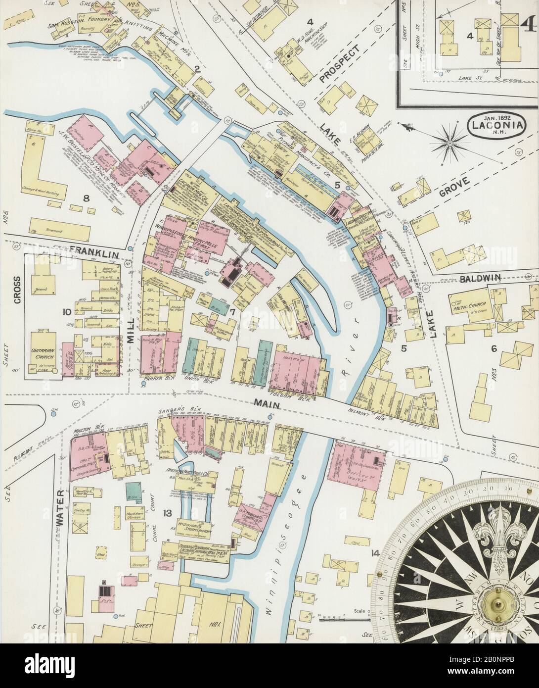 Image 4 of Sanborn Fire Insurance Map from Laconia, Belknap County, New Hampshire. Jan 1892. 6 Sheet(s), America, street map with a Nineteenth Century compass Stock Photohttps://www.alamy.com/image-license-details/?v=1https://www.alamy.com/image-4-of-sanborn-fire-insurance-map-from-laconia-belknap-county-new-hampshire-jan-1892-6-sheets-america-street-map-with-a-nineteenth-century-compass-image344686227.html
RM2B0NPPB–Image 4 of Sanborn Fire Insurance Map from Laconia, Belknap County, New Hampshire. Jan 1892. 6 Sheet(s), America, street map with a Nineteenth Century compass
 New Hampshire, state of United States of America. Low resolution satellite map. Locations and names of major cities of the region. Corner auxiliary lo Stock Photohttps://www.alamy.com/image-license-details/?v=1https://www.alamy.com/new-hampshire-state-of-united-states-of-america-low-resolution-satellite-map-locations-and-names-of-major-cities-of-the-region-corner-auxiliary-lo-image546016773.html
RF2PM95Y1–New Hampshire, state of United States of America. Low resolution satellite map. Locations and names of major cities of the region. Corner auxiliary lo
 Image 2 of Sanborn Fire Insurance Map from Laconia, Belknap County, New Hampshire. Jan 1892. 6 Sheet(s), America, street map with a Nineteenth Century compass Stock Photohttps://www.alamy.com/image-license-details/?v=1https://www.alamy.com/image-2-of-sanborn-fire-insurance-map-from-laconia-belknap-county-new-hampshire-jan-1892-6-sheets-america-street-map-with-a-nineteenth-century-compass-image344686223.html
RM2B0NPP7–Image 2 of Sanborn Fire Insurance Map from Laconia, Belknap County, New Hampshire. Jan 1892. 6 Sheet(s), America, street map with a Nineteenth Century compass
 New Hampshire, state of United States of America. Low resolution satellite map. Locations of major cities of the region. Corner auxiliary location map Stock Photohttps://www.alamy.com/image-license-details/?v=1https://www.alamy.com/new-hampshire-state-of-united-states-of-america-low-resolution-satellite-map-locations-of-major-cities-of-the-region-corner-auxiliary-location-map-image546016769.html
RF2PM95XW–New Hampshire, state of United States of America. Low resolution satellite map. Locations of major cities of the region. Corner auxiliary location map
 Image 1 of Sanborn Fire Insurance Map from Laconia, Belknap County, New Hampshire. Jan 1892. 6 Sheet(s), America, street map with a Nineteenth Century compass Stock Photohttps://www.alamy.com/image-license-details/?v=1https://www.alamy.com/image-1-of-sanborn-fire-insurance-map-from-laconia-belknap-county-new-hampshire-jan-1892-6-sheets-america-street-map-with-a-nineteenth-century-compass-image344686221.html
RM2B0NPP5–Image 1 of Sanborn Fire Insurance Map from Laconia, Belknap County, New Hampshire. Jan 1892. 6 Sheet(s), America, street map with a Nineteenth Century compass
 Image 2 of Sanborn Fire Insurance Map from Laconia, Belknap County, New Hampshire. Dec 1897. 13 Sheet(s), America, street map with a Nineteenth Century compass Stock Photohttps://www.alamy.com/image-license-details/?v=1https://www.alamy.com/image-2-of-sanborn-fire-insurance-map-from-laconia-belknap-county-new-hampshire-dec-1897-13-sheets-america-street-map-with-a-nineteenth-century-compass-image344686279.html
RM2B0NPT7–Image 2 of Sanborn Fire Insurance Map from Laconia, Belknap County, New Hampshire. Dec 1897. 13 Sheet(s), America, street map with a Nineteenth Century compass
 New Hampshire, state of United States of America. Elevation map colored in sepia tones with lakes and rivers. Locations of major cities of the region. Stock Photohttps://www.alamy.com/image-license-details/?v=1https://www.alamy.com/new-hampshire-state-of-united-states-of-america-elevation-map-colored-in-sepia-tones-with-lakes-and-rivers-locations-of-major-cities-of-the-region-image546016846.html
RF2PM961J–New Hampshire, state of United States of America. Elevation map colored in sepia tones with lakes and rivers. Locations of major cities of the region.
 New Hampshire, state of United States of America. High resolution satellite map. Locations of major cities of the region. Corner auxiliary location ma Stock Photohttps://www.alamy.com/image-license-details/?v=1https://www.alamy.com/new-hampshire-state-of-united-states-of-america-high-resolution-satellite-map-locations-of-major-cities-of-the-region-corner-auxiliary-location-ma-image546016790.html
RF2PM95YJ–New Hampshire, state of United States of America. High resolution satellite map. Locations of major cities of the region. Corner auxiliary location ma
 New Hampshire, state of United States of America. Elevation map colored in wiki style with lakes and rivers. Locations and names of major cities of th Stock Photohttps://www.alamy.com/image-license-details/?v=1https://www.alamy.com/new-hampshire-state-of-united-states-of-america-elevation-map-colored-in-wiki-style-with-lakes-and-rivers-locations-and-names-of-major-cities-of-th-image546016897.html
RF2PM963D–New Hampshire, state of United States of America. Elevation map colored in wiki style with lakes and rivers. Locations and names of major cities of th
 New Hampshire, state of United States of America. Elevation map colored in sepia tones with lakes and rivers. Locations and names of major cities of t Stock Photohttps://www.alamy.com/image-license-details/?v=1https://www.alamy.com/new-hampshire-state-of-united-states-of-america-elevation-map-colored-in-sepia-tones-with-lakes-and-rivers-locations-and-names-of-major-cities-of-t-image546016852.html
RF2PM961T–New Hampshire, state of United States of America. Elevation map colored in sepia tones with lakes and rivers. Locations and names of major cities of t
 New Hampshire, state of United States of America. Solid color shape Stock Photohttps://www.alamy.com/image-license-details/?v=1https://www.alamy.com/new-hampshire-state-of-united-states-of-america-solid-color-shape-image546016732.html
RF2PM95WG–New Hampshire, state of United States of America. Solid color shape
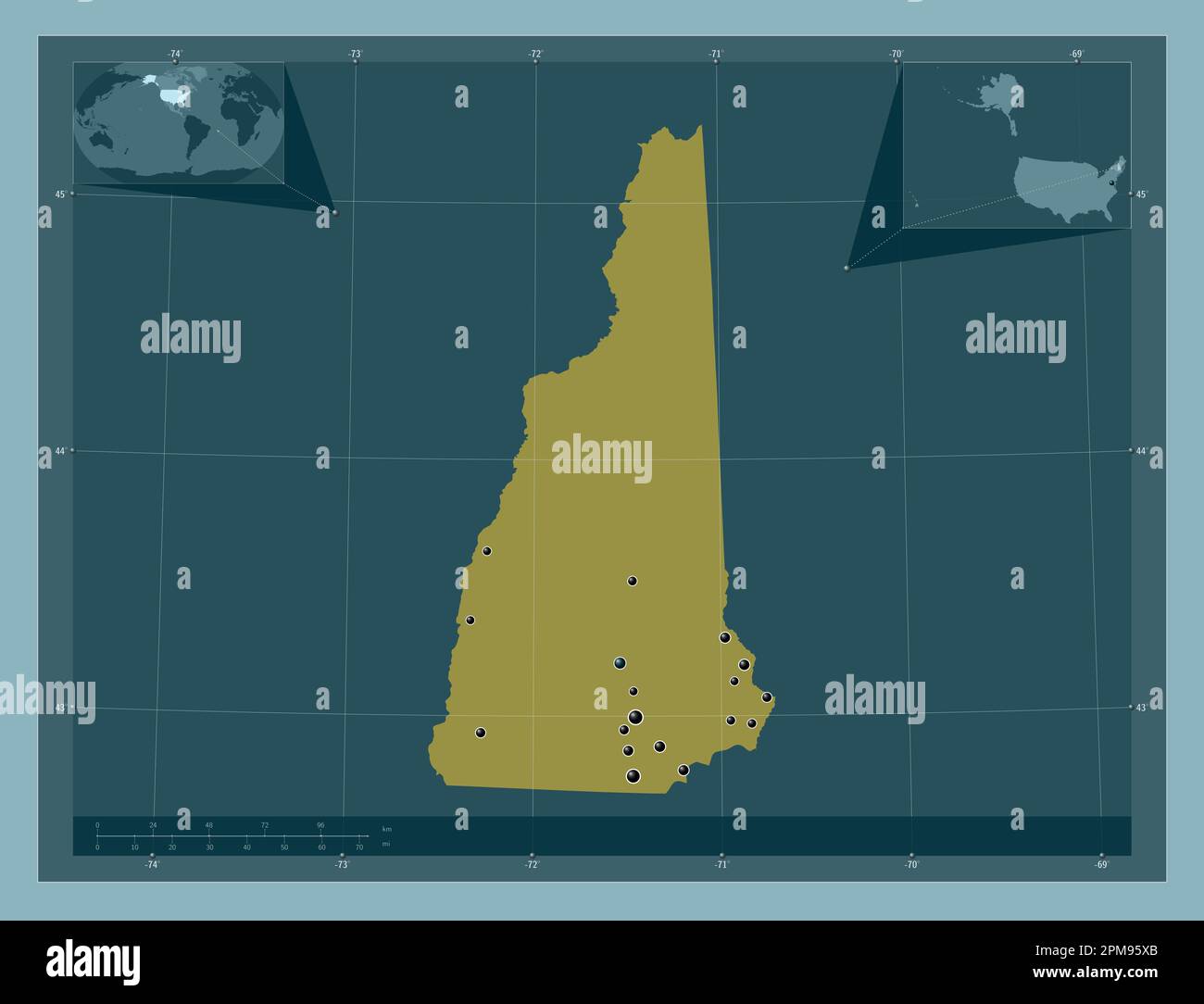 New Hampshire, state of United States of America. Solid color shape. Locations of major cities of the region. Corner auxiliary location maps Stock Photohttps://www.alamy.com/image-license-details/?v=1https://www.alamy.com/new-hampshire-state-of-united-states-of-america-solid-color-shape-locations-of-major-cities-of-the-region-corner-auxiliary-location-maps-image546016755.html
RF2PM95XB–New Hampshire, state of United States of America. Solid color shape. Locations of major cities of the region. Corner auxiliary location maps
 New Hampshire, state of United States of America. Solid color shape. Locations and names of major cities of the region. Corner auxiliary location maps Stock Photohttps://www.alamy.com/image-license-details/?v=1https://www.alamy.com/new-hampshire-state-of-united-states-of-america-solid-color-shape-locations-and-names-of-major-cities-of-the-region-corner-auxiliary-location-maps-image546016770.html
RF2PM95XX–New Hampshire, state of United States of America. Solid color shape. Locations and names of major cities of the region. Corner auxiliary location maps