Quick filters:
Map of lake providence Stock Photos and Images
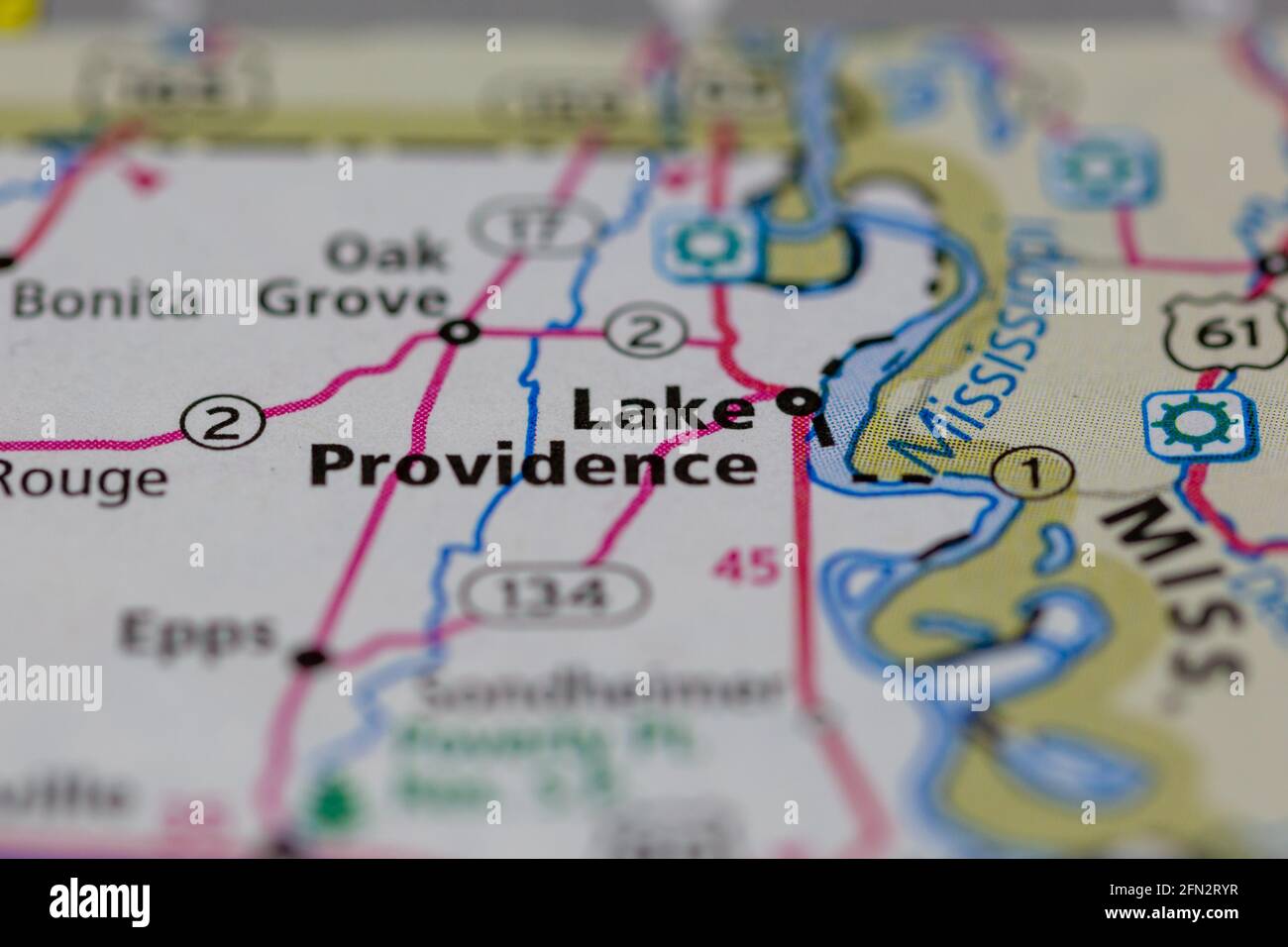 Lake Providence Louisiana USA Shown on a Geography map or road map Stock Photohttps://www.alamy.com/image-license-details/?v=1https://www.alamy.com/lake-providence-louisiana-usa-shown-on-a-geography-map-or-road-map-image426019323.html
RM2FN2RYR–Lake Providence Louisiana USA Shown on a Geography map or road map
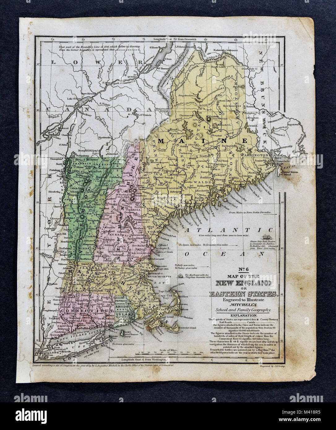 1839 Mitchell Map - United States Stock Photohttps://www.alamy.com/image-license-details/?v=1https://www.alamy.com/stock-photo-1839-mitchell-map-united-states-174591177.html
RFM418R5–1839 Mitchell Map - United States
 Silver Lake, Providence County, US, United States, Rhode Island, N 41 48' 50'', S 71 27' 29'', map, Cartascapes Map published in 2024. Explore Cartascapes, a map revealing Earth's diverse landscapes, cultures, and ecosystems. Journey through time and space, discovering the interconnectedness of our planet's past, present, and future. Stock Photohttps://www.alamy.com/image-license-details/?v=1https://www.alamy.com/silver-lake-providence-county-us-united-states-rhode-island-n-41-48-50-s-71-27-29-map-cartascapes-map-published-in-2024-explore-cartascapes-a-map-revealing-earths-diverse-landscapes-cultures-and-ecosystems-journey-through-time-and-space-discovering-the-interconnectedness-of-our-planets-past-present-and-future-image621219793.html
RM2Y2K055–Silver Lake, Providence County, US, United States, Rhode Island, N 41 48' 50'', S 71 27' 29'', map, Cartascapes Map published in 2024. Explore Cartascapes, a map revealing Earth's diverse landscapes, cultures, and ecosystems. Journey through time and space, discovering the interconnectedness of our planet's past, present, and future.
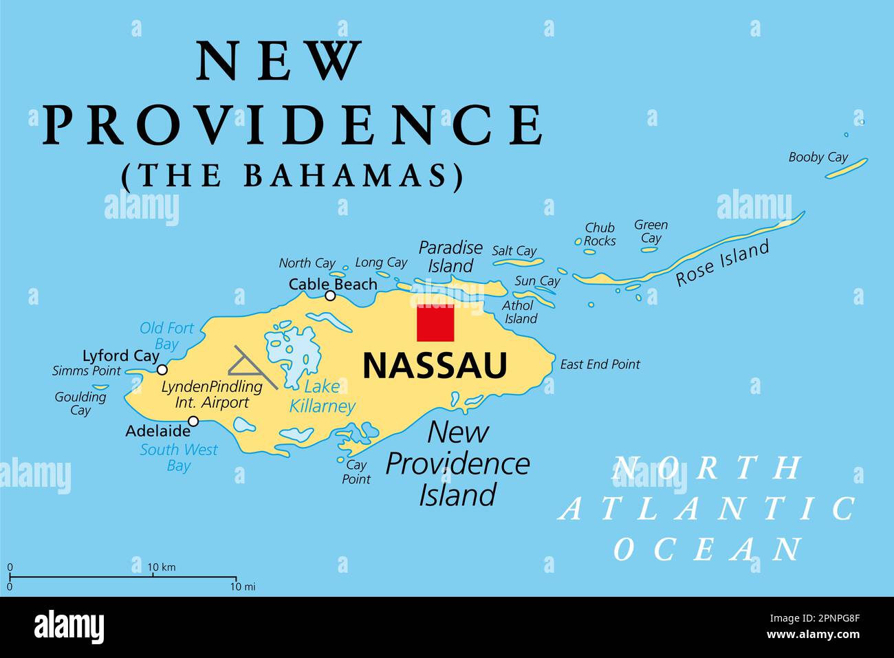 New Providence Island, political map, with Nassau, the capital of The Bahamas, an island country within the West Indies in the North Atlantic. Stock Photohttps://www.alamy.com/image-license-details/?v=1https://www.alamy.com/new-providence-island-political-map-with-nassau-the-capital-of-the-bahamas-an-island-country-within-the-west-indies-in-the-north-atlantic-image546924911.html
RF2PNPG8F–New Providence Island, political map, with Nassau, the capital of The Bahamas, an island country within the West Indies in the North Atlantic.
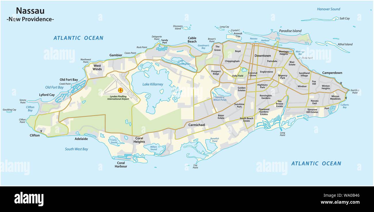 Map of Nassau capital of the Bahamas on the island of New Providence Stock Vectorhttps://www.alamy.com/image-license-details/?v=1https://www.alamy.com/map-of-nassau-capital-of-the-bahamas-on-the-island-of-new-providence-image264310822.html
RFWA0B46–Map of Nassau capital of the Bahamas on the island of New Providence
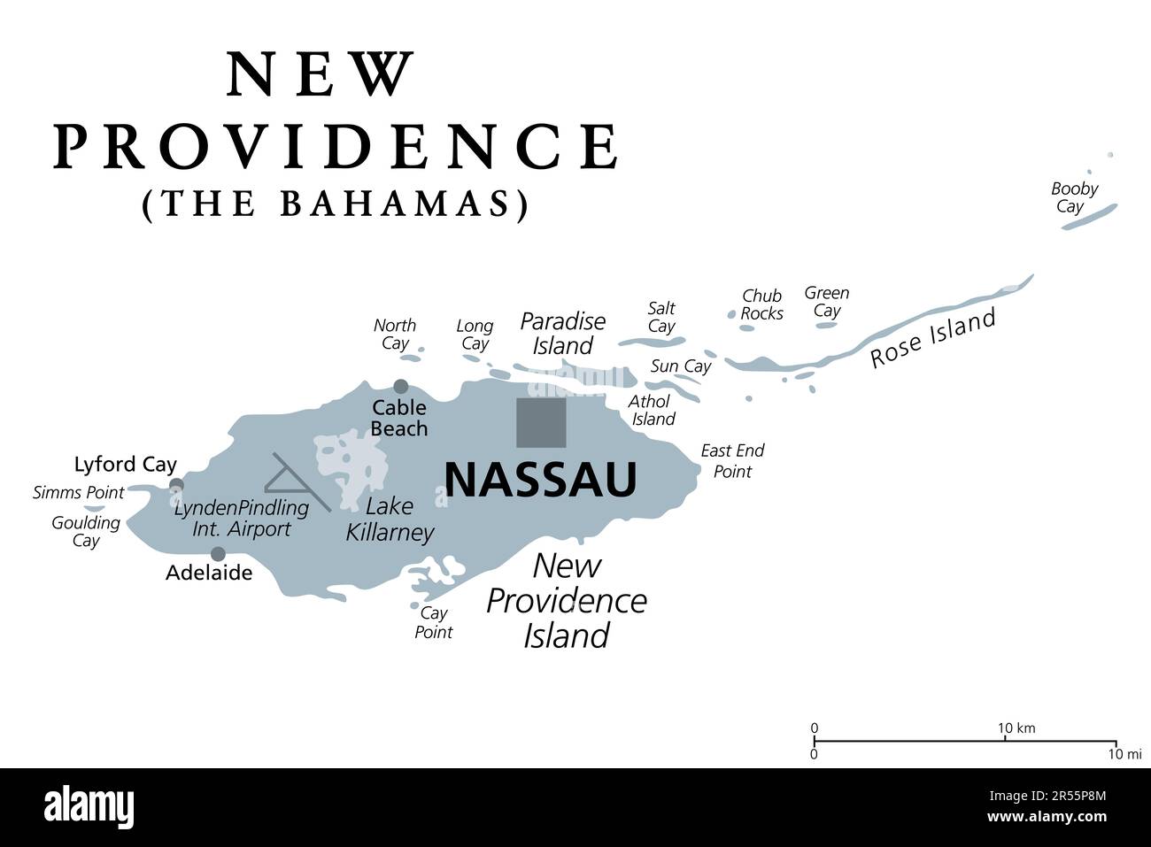 New Providence Island, gray political map, with Nassau, capital of The Bahamas, an island country within the West Indies in the North Atlantic. Stock Photohttps://www.alamy.com/image-license-details/?v=1https://www.alamy.com/new-providence-island-gray-political-map-with-nassau-capital-of-the-bahamas-an-island-country-within-the-west-indies-in-the-north-atlantic-image553932308.html
RF2R55P8M–New Providence Island, gray political map, with Nassau, capital of The Bahamas, an island country within the West Indies in the North Atlantic.
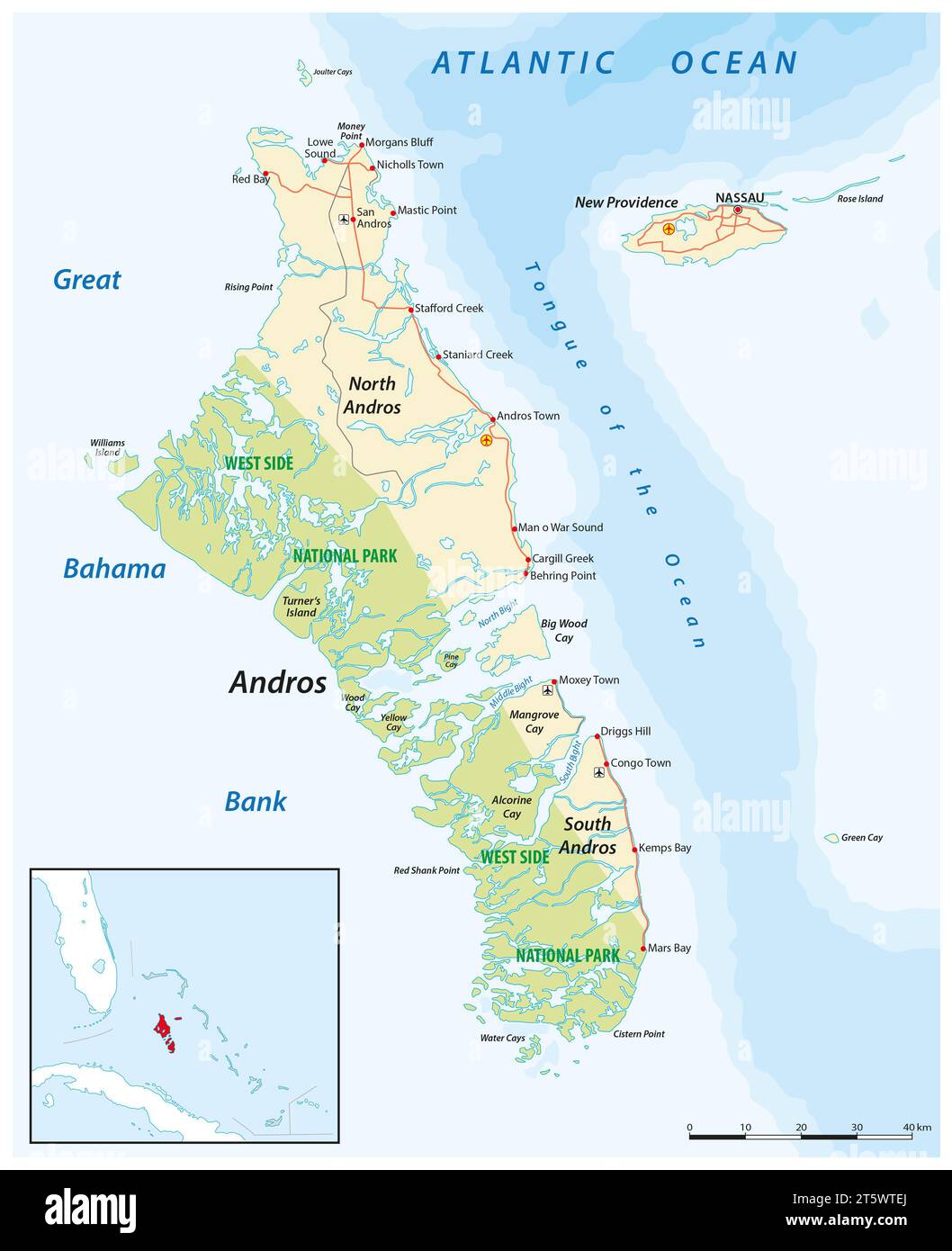 Vector map of Andros Island and New Providence, Bahamas Stock Photohttps://www.alamy.com/image-license-details/?v=1https://www.alamy.com/vector-map-of-andros-island-and-new-providence-bahamas-image571583450.html
RF2T5WTEJ–Vector map of Andros Island and New Providence, Bahamas
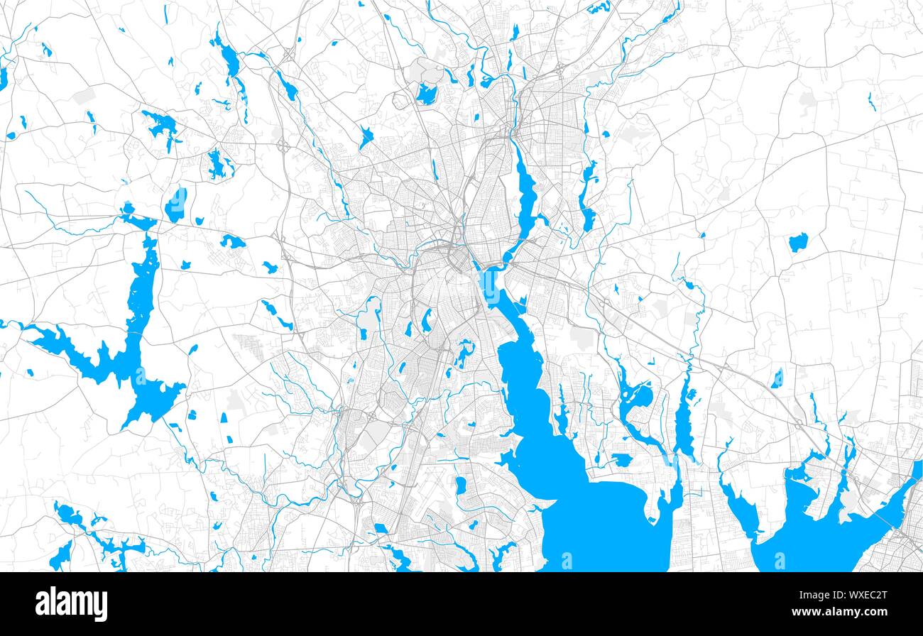 Rich detailed vector area map of Providence, Rhode Island, USA. Map template for home decor. Stock Vectorhttps://www.alamy.com/image-license-details/?v=1https://www.alamy.com/rich-detailed-vector-area-map-of-providence-rhode-island-usa-map-template-for-home-decor-image274453392.html
RFWXEC2T–Rich detailed vector area map of Providence, Rhode Island, USA. Map template for home decor.
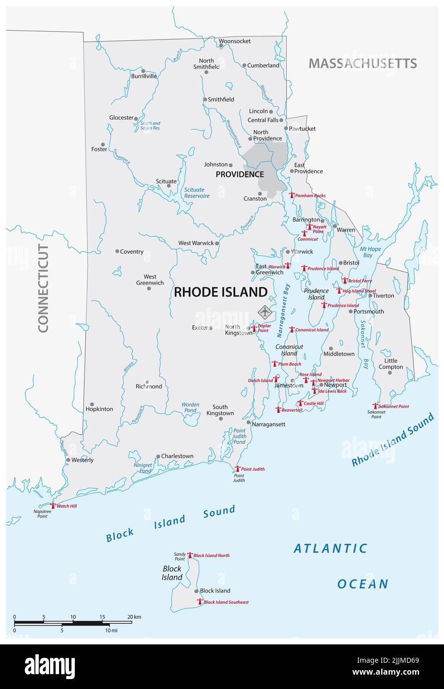 Lighthouse Vector Map of Rhode Island, United States Stock Photohttps://www.alamy.com/image-license-details/?v=1https://www.alamy.com/lighthouse-vector-map-of-rhode-island-united-states-image476193153.html
RF2JJMD69–Lighthouse Vector Map of Rhode Island, United States
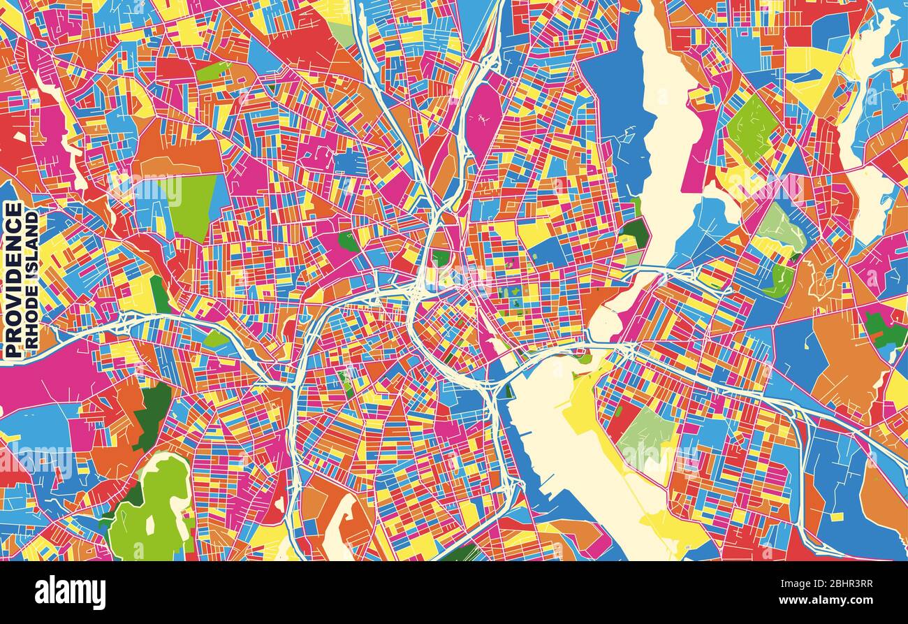 Colorful vector map of Providence, Rhode Island, USA. Art Map template for selfprinting wall art in landscape format. Stock Vectorhttps://www.alamy.com/image-license-details/?v=1https://www.alamy.com/colorful-vector-map-of-providence-rhode-island-usa-art-map-template-for-selfprinting-wall-art-in-landscape-format-image355164427.html
RF2BHR3RR–Colorful vector map of Providence, Rhode Island, USA. Art Map template for selfprinting wall art in landscape format.
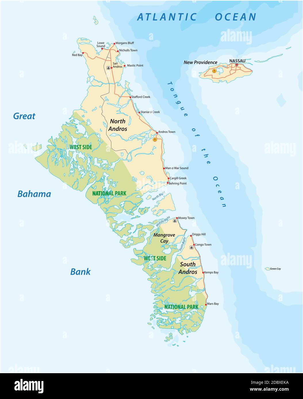 Vector map of Andros Island and New Providence, Bahamas Stock Vectorhttps://www.alamy.com/image-license-details/?v=1https://www.alamy.com/vector-map-of-andros-island-and-new-providence-bahamas-image385971582.html
RF2DBXEKA–Vector map of Andros Island and New Providence, Bahamas
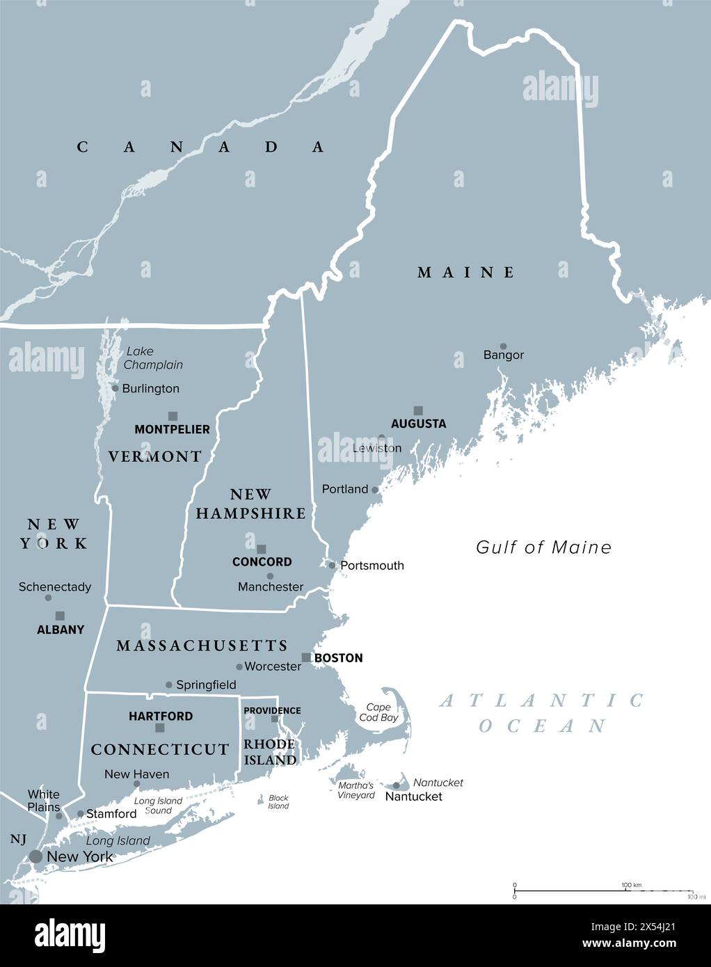 New England, a region of the United States, gray political map. Maine, Vermont, New Hampshire, Massachusetts, Rhode Island and Connecticut. Stock Photohttps://www.alamy.com/image-license-details/?v=1https://www.alamy.com/new-england-a-region-of-the-united-states-gray-political-map-maine-vermont-new-hampshire-massachusetts-rhode-island-and-connecticut-image605538137.html
RF2X54J21–New England, a region of the United States, gray political map. Maine, Vermont, New Hampshire, Massachusetts, Rhode Island and Connecticut.
 0071 Railroad Maps Map of the route surveyed from the Mississippi at Lake Providence in Louisiana to the great bend of Red river at Fulton in Inverted Rebuild and Repair Stock Photohttps://www.alamy.com/image-license-details/?v=1https://www.alamy.com/0071-railroad-maps-map-of-the-route-surveyed-from-the-mississippi-at-lake-providence-in-louisiana-to-the-great-bend-of-red-river-at-fulton-in-inverted-rebuild-and-repair-image262011811.html
RMW67JMK–0071 Railroad Maps Map of the route surveyed from the Mississippi at Lake Providence in Louisiana to the great bend of Red river at Fulton in Inverted Rebuild and Repair
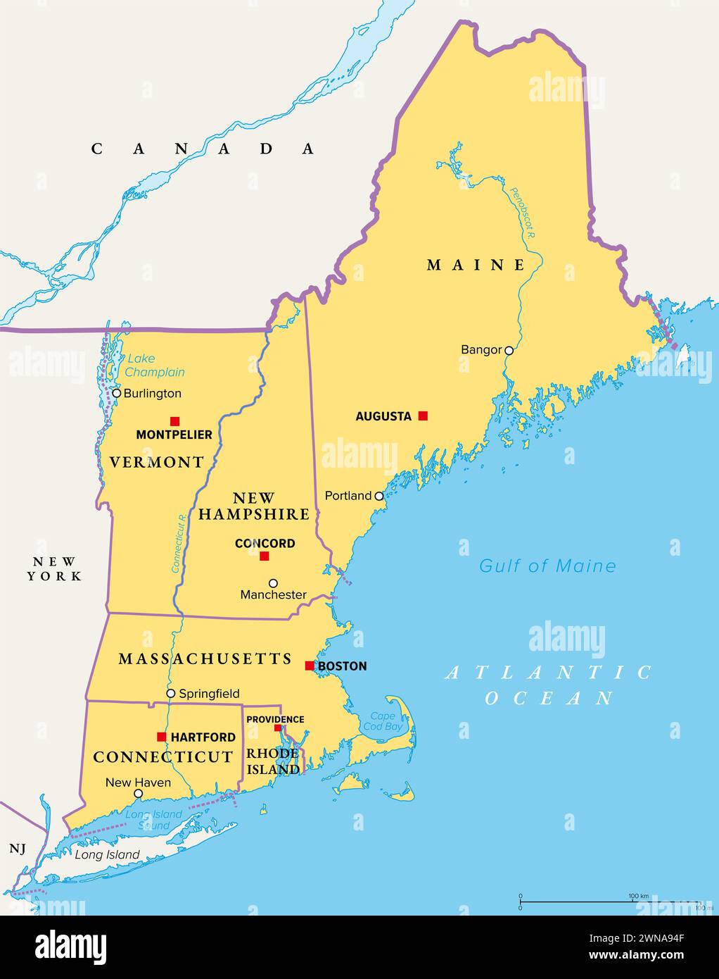 New England, a region of the United States, political map. Maine, Vermont, New Hampshire, Massachusetts, Rhode Island and Connecticut with Capitals. Stock Photohttps://www.alamy.com/image-license-details/?v=1https://www.alamy.com/new-england-a-region-of-the-united-states-political-map-maine-vermont-new-hampshire-massachusetts-rhode-island-and-connecticut-with-capitals-image598286991.html
RF2WNA94F–New England, a region of the United States, political map. Maine, Vermont, New Hampshire, Massachusetts, Rhode Island and Connecticut with Capitals.
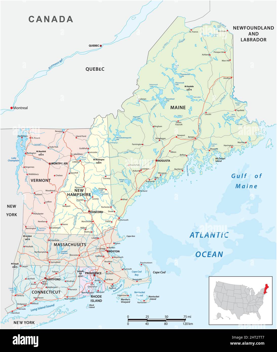 vector road map of the six new england states, united states Stock Vectorhttps://www.alamy.com/image-license-details/?v=1https://www.alamy.com/vector-road-map-of-the-six-new-england-states-united-states-image462284711.html
RF2HT2TT7–vector road map of the six new england states, united states
 Map of the route surveyed from the Mississippi at Lake Providence in Louisiana to the great bend of Red river at Fulton in Arkansas Stock Photohttps://www.alamy.com/image-license-details/?v=1https://www.alamy.com/map-of-the-route-surveyed-from-the-mississippi-at-lake-providence-in-louisiana-to-the-great-bend-of-red-river-at-fulton-in-arkansas-image398170182.html
RM2E3P63J–Map of the route surveyed from the Mississippi at Lake Providence in Louisiana to the great bend of Red river at Fulton in Arkansas
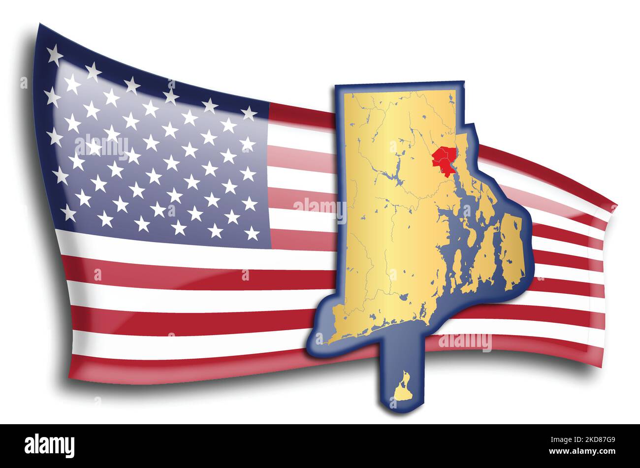 U.S. states - map of Rhode Island against an American flag. Rivers and lakes are shown on the map. American Flag and State Map can be used separately Stock Vectorhttps://www.alamy.com/image-license-details/?v=1https://www.alamy.com/us-states-map-of-rhode-island-against-an-american-flag-rivers-and-lakes-are-shown-on-the-map-american-flag-and-state-map-can-be-used-separately-image490062393.html
RF2KD87G9–U.S. states - map of Rhode Island against an American flag. Rivers and lakes are shown on the map. American Flag and State Map can be used separately
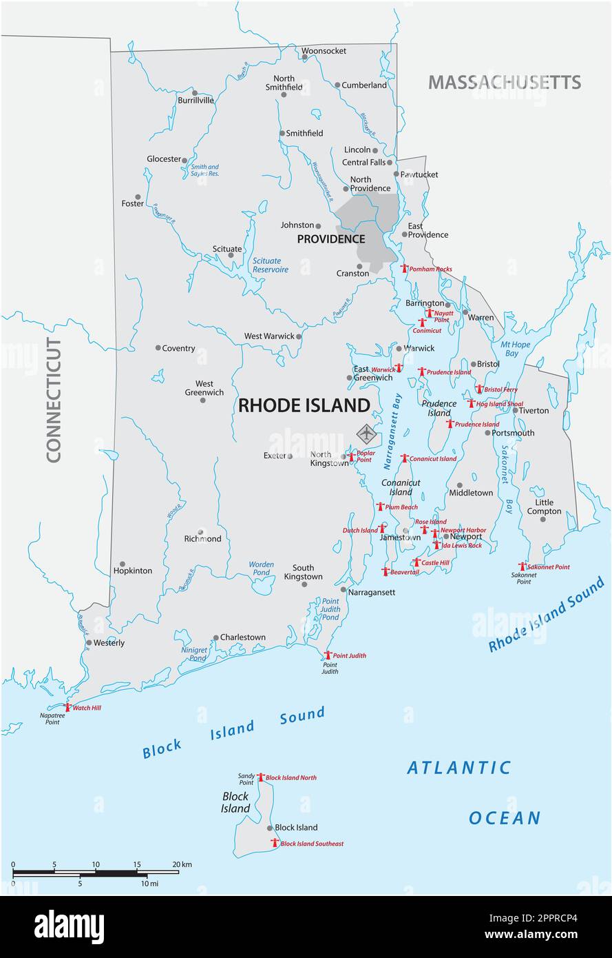 Lighthouse Vector Map of Rhode Island, United States Stock Vectorhttps://www.alamy.com/image-license-details/?v=1https://www.alamy.com/lighthouse-vector-map-of-rhode-island-united-states-image547558764.html
RF2PPRCP4–Lighthouse Vector Map of Rhode Island, United States
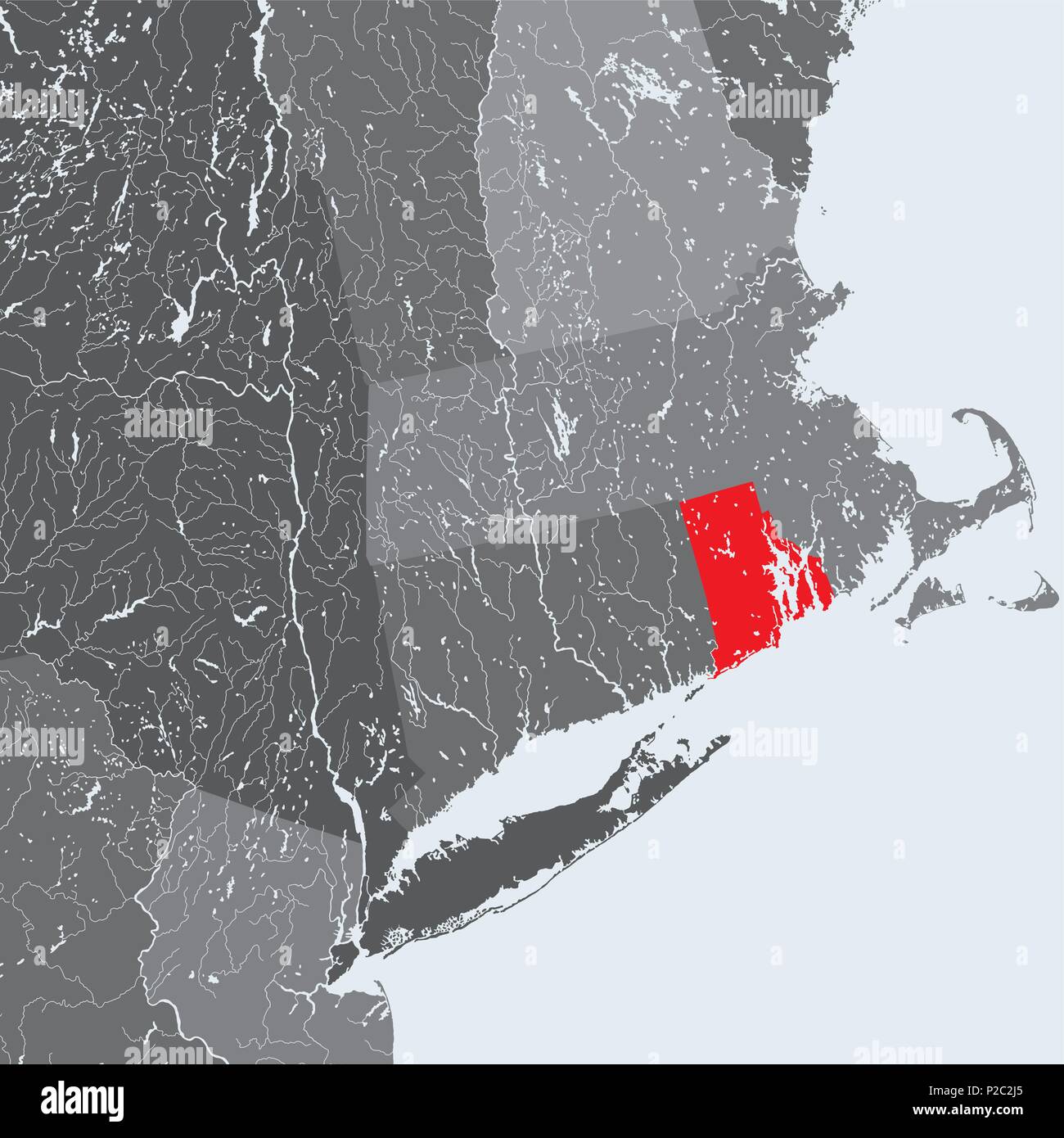 U.S. states - Northeastern United States - Rhode Island - hand made map. Rivers and lakes are shown. Please look at my other images of cartographic se Stock Vectorhttps://www.alamy.com/image-license-details/?v=1https://www.alamy.com/us-states-northeastern-united-states-rhode-island-hand-made-map-rivers-and-lakes-are-shown-please-look-at-my-other-images-of-cartographic-se-image208019229.html
RFP2C2J5–U.S. states - Northeastern United States - Rhode Island - hand made map. Rivers and lakes are shown. Please look at my other images of cartographic se
 East Carroll County, Louisiana (U.S. county, United States of America, USA, U.S., US) map vector illustration, scribble sketch East Carroll Parish map Stock Vectorhttps://www.alamy.com/image-license-details/?v=1https://www.alamy.com/east-carroll-county-louisiana-us-county-united-states-of-america-usa-us-us-map-vector-illustration-scribble-sketch-east-carroll-parish-map-image384490623.html
RF2D9F1KY–East Carroll County, Louisiana (U.S. county, United States of America, USA, U.S., US) map vector illustration, scribble sketch East Carroll Parish map
 1839 Mitchell Map - New England - Massachusetts Rhode Island Vermont Connecticut New Hampshire Maine - United States Stock Photohttps://www.alamy.com/image-license-details/?v=1https://www.alamy.com/stock-photo-1839-mitchell-map-new-england-massachusetts-rhode-island-vermont-connecticut-174591179.html
RFM418R7–1839 Mitchell Map - New England - Massachusetts Rhode Island Vermont Connecticut New Hampshire Maine - United States
 Wallum Lake (historical), Providence County, US, United States, Rhode Island, N 41 59' 57'', S 71 45' 38'', map, Cartascapes Map published in 2024. Explore Cartascapes, a map revealing Earth's diverse landscapes, cultures, and ecosystems. Journey through time and space, discovering the interconnectedness of our planet's past, present, and future. Stock Photohttps://www.alamy.com/image-license-details/?v=1https://www.alamy.com/wallum-lake-historical-providence-county-us-united-states-rhode-island-n-41-59-57-s-71-45-38-map-cartascapes-map-published-in-2024-explore-cartascapes-a-map-revealing-earths-diverse-landscapes-cultures-and-ecosystems-journey-through-time-and-space-discovering-the-interconnectedness-of-our-planets-past-present-and-future-image621497195.html
RM2Y33J0B–Wallum Lake (historical), Providence County, US, United States, Rhode Island, N 41 59' 57'', S 71 45' 38'', map, Cartascapes Map published in 2024. Explore Cartascapes, a map revealing Earth's diverse landscapes, cultures, and ecosystems. Journey through time and space, discovering the interconnectedness of our planet's past, present, and future.
 0071 Railroad Maps Map of the route surveyed from the Mississippi at Lake Providence in Louisiana to the great bend of Red river at Fulton in Arkansas Rebuild and Repair Stock Photohttps://www.alamy.com/image-license-details/?v=1https://www.alamy.com/0071-railroad-maps-map-of-the-route-surveyed-from-the-mississippi-at-lake-providence-in-louisiana-to-the-great-bend-of-red-river-at-fulton-in-arkansas-rebuild-and-repair-image262011854.html
RMW67JP6–0071 Railroad Maps Map of the route surveyed from the Mississippi at Lake Providence in Louisiana to the great bend of Red river at Fulton in Arkansas Rebuild and Repair
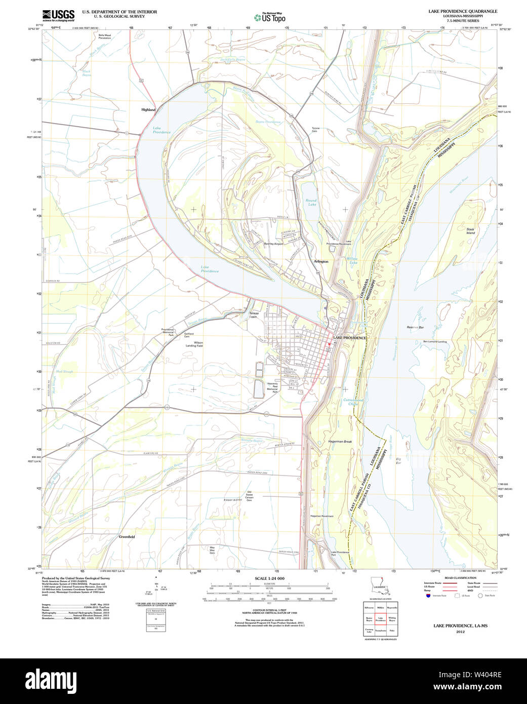 USGS TOPO Map Louisiana LA Lake Providence 20120404 TM Stock Photohttps://www.alamy.com/image-license-details/?v=1https://www.alamy.com/usgs-topo-map-louisiana-la-lake-providence-20120404-tm-image260617938.html
RMW404RE–USGS TOPO Map Louisiana LA Lake Providence 20120404 TM
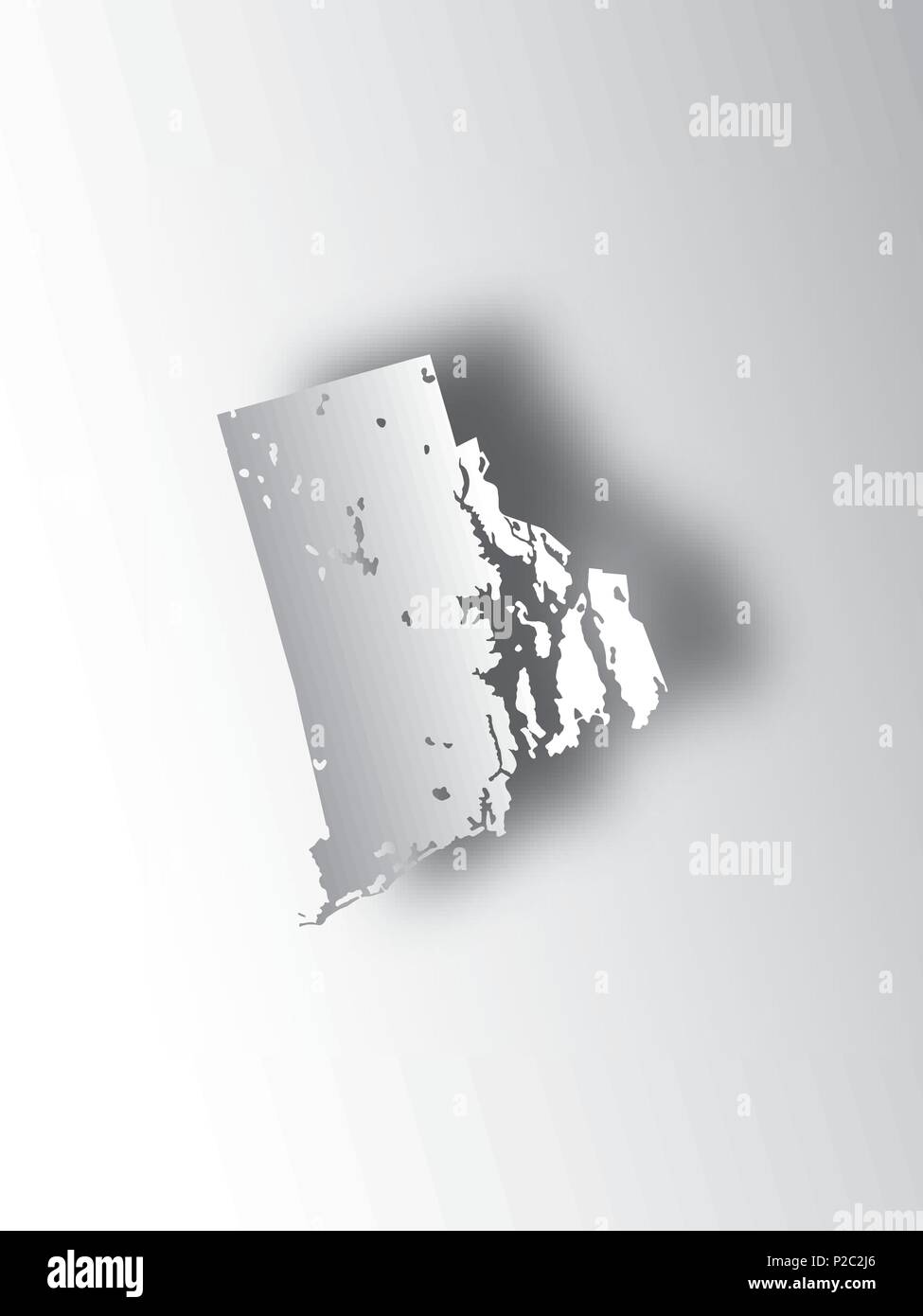 U.S. states - map of Rhode Island with paper cut effect. Hand made. Rivers and lakes are shown. Please look at my other images of cartographic series Stock Vectorhttps://www.alamy.com/image-license-details/?v=1https://www.alamy.com/us-states-map-of-rhode-island-with-paper-cut-effect-hand-made-rivers-and-lakes-are-shown-please-look-at-my-other-images-of-cartographic-series-image208019230.html
RFP2C2J6–U.S. states - map of Rhode Island with paper cut effect. Hand made. Rivers and lakes are shown. Please look at my other images of cartographic series
 East Carroll County, Louisiana (U.S. county, United States of America, USA, U.S., US) map vector illustration, scribble sketch East Carroll Parish map Stock Vectorhttps://www.alamy.com/image-license-details/?v=1https://www.alamy.com/east-carroll-county-louisiana-us-county-united-states-of-america-usa-us-us-map-vector-illustration-scribble-sketch-east-carroll-parish-map-image370561989.html
RF2CETFGN–East Carroll County, Louisiana (U.S. county, United States of America, USA, U.S., US) map vector illustration, scribble sketch East Carroll Parish map
 Lake Providence, East Carroll Parish, US, United States, Louisiana, N 32 48' 17'', S 91 10' 15'', map, Cartascapes Map published in 2024. Explore Cartascapes, a map revealing Earth's diverse landscapes, cultures, and ecosystems. Journey through time and space, discovering the interconnectedness of our planet's past, present, and future. Stock Photohttps://www.alamy.com/image-license-details/?v=1https://www.alamy.com/lake-providence-east-carroll-parish-us-united-states-louisiana-n-32-48-17-s-91-10-15-map-cartascapes-map-published-in-2024-explore-cartascapes-a-map-revealing-earths-diverse-landscapes-cultures-and-ecosystems-journey-through-time-and-space-discovering-the-interconnectedness-of-our-planets-past-present-and-future-image620854838.html
RM2Y22AK2–Lake Providence, East Carroll Parish, US, United States, Louisiana, N 32 48' 17'', S 91 10' 15'', map, Cartascapes Map published in 2024. Explore Cartascapes, a map revealing Earth's diverse landscapes, cultures, and ecosystems. Journey through time and space, discovering the interconnectedness of our planet's past, present, and future.
 USGS TOPO Map Louisiana LA Lake Providence 333908 1911 31680 Stock Photohttps://www.alamy.com/image-license-details/?v=1https://www.alamy.com/usgs-topo-map-louisiana-la-lake-providence-333908-1911-31680-image260618179.html
RMW40543–USGS TOPO Map Louisiana LA Lake Providence 333908 1911 31680
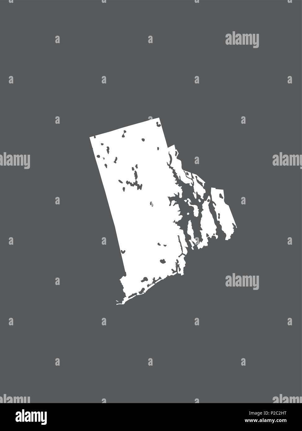 U.S. states - map of Rhode Island. Hand made. Rivers and lakes are shown. Please look at my other images of cartographic series - they are all very de Stock Vectorhttps://www.alamy.com/image-license-details/?v=1https://www.alamy.com/us-states-map-of-rhode-island-hand-made-rivers-and-lakes-are-shown-please-look-at-my-other-images-of-cartographic-series-they-are-all-very-de-image208019220.html
RFP2C2HT–U.S. states - map of Rhode Island. Hand made. Rivers and lakes are shown. Please look at my other images of cartographic series - they are all very de
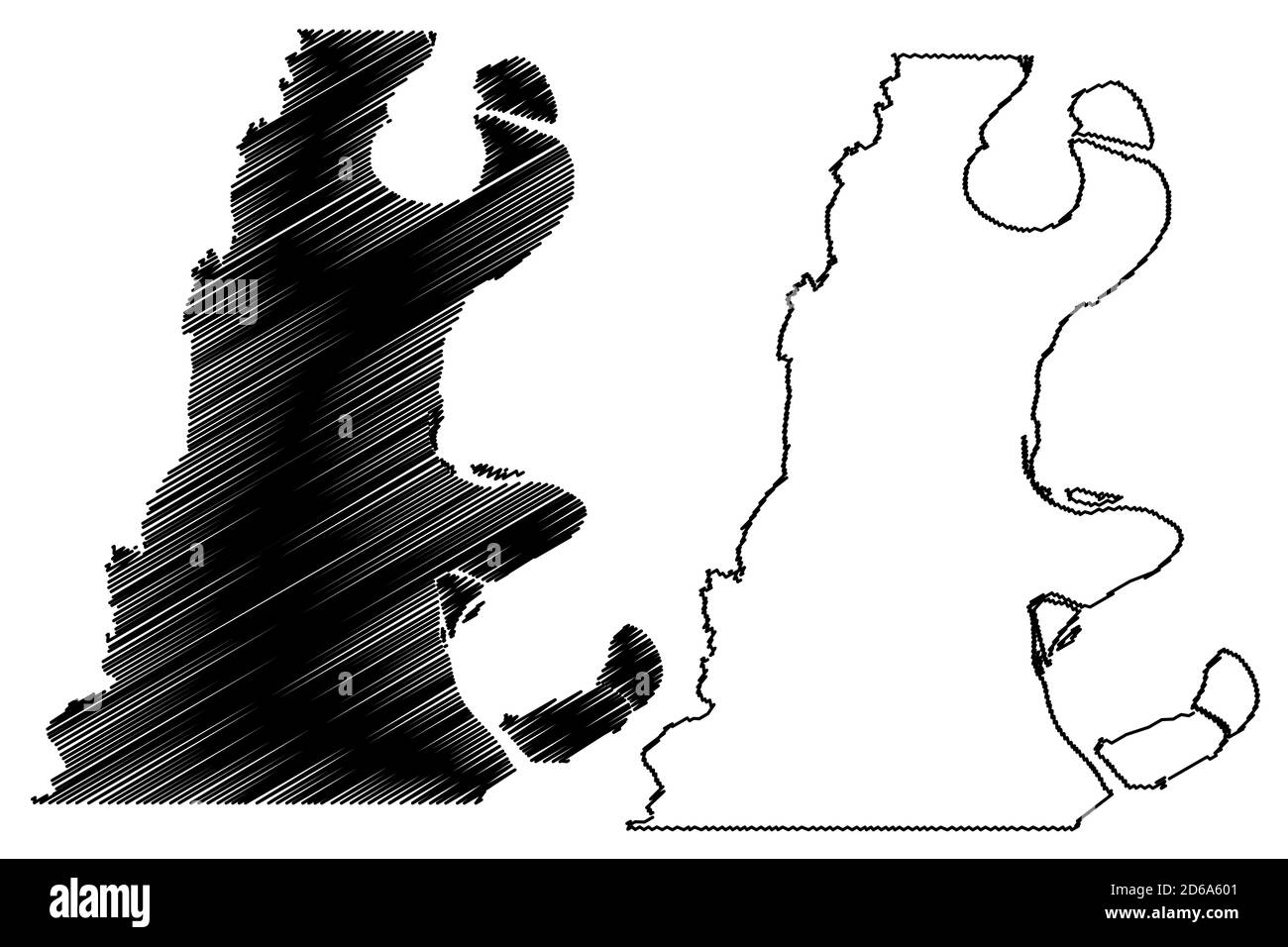 East Carroll County, Louisiana (U.S. county, United States of America, USA, U.S., US) map vector illustration, scribble sketch East Carroll Parish map Stock Vectorhttps://www.alamy.com/image-license-details/?v=1https://www.alamy.com/east-carroll-county-louisiana-us-county-united-states-of-america-usa-us-us-map-vector-illustration-scribble-sketch-east-carroll-parish-map-image382540257.html
RF2D6A601–East Carroll County, Louisiana (U.S. county, United States of America, USA, U.S., US) map vector illustration, scribble sketch East Carroll Parish map
 Lake Providence, East Carroll Parish, US, United States, Louisiana, N 32 48' 17'', S 91 10' 15'', map, Cartascapes Map published in 2024. Explore Cartascapes, a map revealing Earth's diverse landscapes, cultures, and ecosystems. Journey through time and space, discovering the interconnectedness of our planet's past, present, and future. Stock Photohttps://www.alamy.com/image-license-details/?v=1https://www.alamy.com/lake-providence-east-carroll-parish-us-united-states-louisiana-n-32-48-17-s-91-10-15-map-cartascapes-map-published-in-2024-explore-cartascapes-a-map-revealing-earths-diverse-landscapes-cultures-and-ecosystems-journey-through-time-and-space-discovering-the-interconnectedness-of-our-planets-past-present-and-future-image620845021.html
RM2Y21X4D–Lake Providence, East Carroll Parish, US, United States, Louisiana, N 32 48' 17'', S 91 10' 15'', map, Cartascapes Map published in 2024. Explore Cartascapes, a map revealing Earth's diverse landscapes, cultures, and ecosystems. Journey through time and space, discovering the interconnectedness of our planet's past, present, and future.
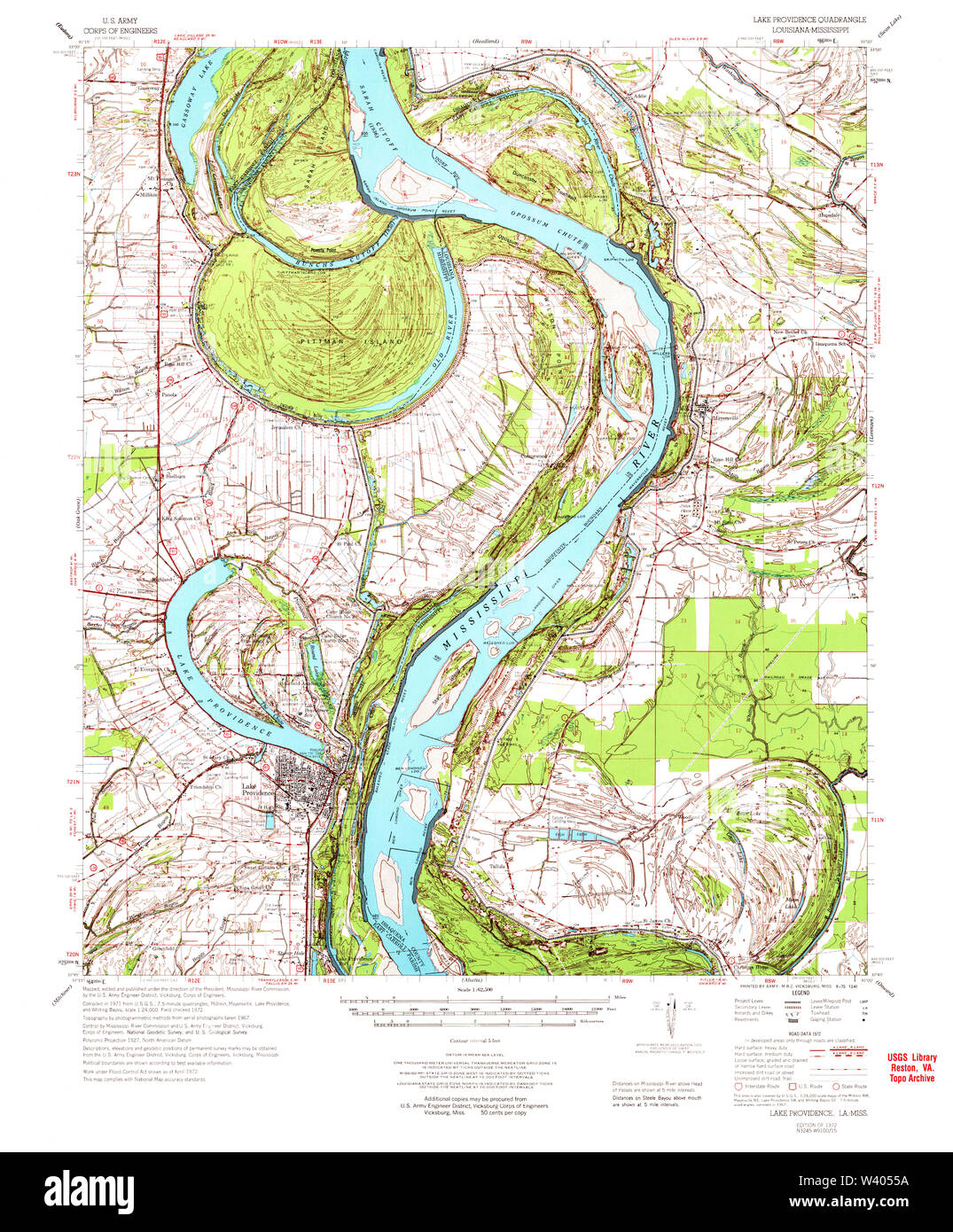 USGS TOPO Map Louisiana LA Lake Providence 334739 1972 62500 Stock Photohttps://www.alamy.com/image-license-details/?v=1https://www.alamy.com/usgs-topo-map-louisiana-la-lake-providence-334739-1972-62500-image260618214.html
RMW4055A–USGS TOPO Map Louisiana LA Lake Providence 334739 1972 62500
 Town of Lake Providence, East Carroll Parish, US, United States, Louisiana, N 32 47' 58'', S 91 10' 29'', map, Cartascapes Map published in 2024. Explore Cartascapes, a map revealing Earth's diverse landscapes, cultures, and ecosystems. Journey through time and space, discovering the interconnectedness of our planet's past, present, and future. Stock Photohttps://www.alamy.com/image-license-details/?v=1https://www.alamy.com/town-of-lake-providence-east-carroll-parish-us-united-states-louisiana-n-32-47-58-s-91-10-29-map-cartascapes-map-published-in-2024-explore-cartascapes-a-map-revealing-earths-diverse-landscapes-cultures-and-ecosystems-journey-through-time-and-space-discovering-the-interconnectedness-of-our-planets-past-present-and-future-image633842268.html
RM2YR607T–Town of Lake Providence, East Carroll Parish, US, United States, Louisiana, N 32 47' 58'', S 91 10' 29'', map, Cartascapes Map published in 2024. Explore Cartascapes, a map revealing Earth's diverse landscapes, cultures, and ecosystems. Journey through time and space, discovering the interconnectedness of our planet's past, present, and future.
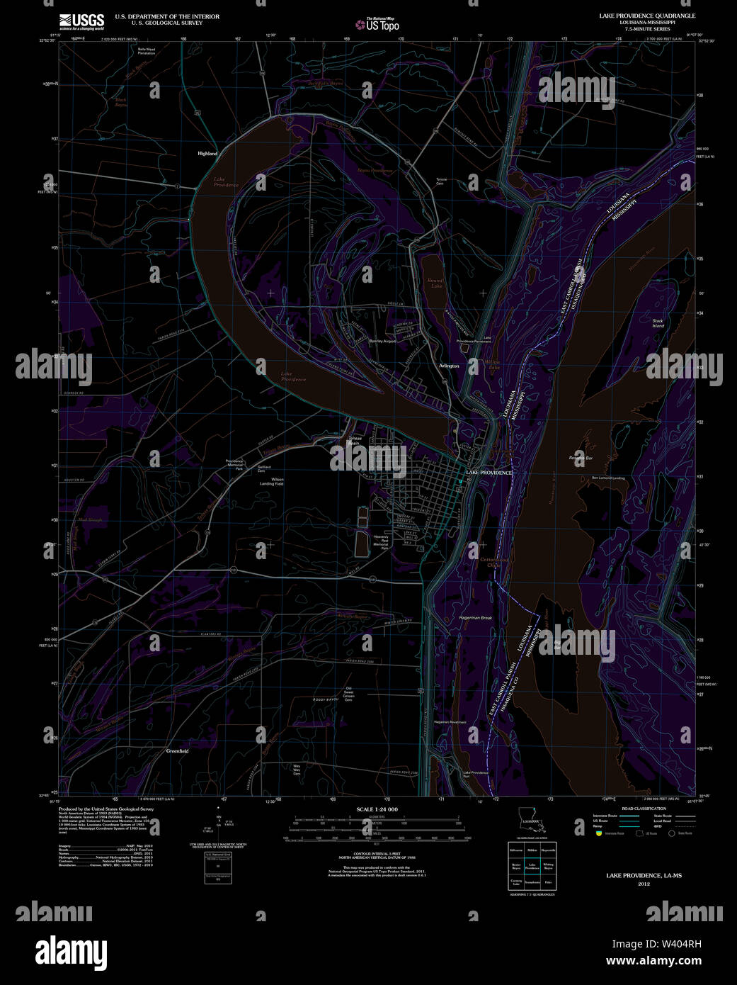 USGS TOPO Map Louisiana LA Lake Providence 20120404 TM Inverted Stock Photohttps://www.alamy.com/image-license-details/?v=1https://www.alamy.com/usgs-topo-map-louisiana-la-lake-providence-20120404-tm-inverted-image260617941.html
RMW404RH–USGS TOPO Map Louisiana LA Lake Providence 20120404 TM Inverted
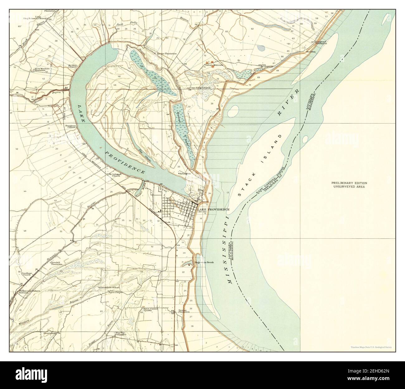 Lake Providence, Louisiana, map 1909, 1:24000, United States of America by Timeless Maps, data U.S. Geological Survey Stock Photohttps://www.alamy.com/image-license-details/?v=1https://www.alamy.com/lake-providence-louisiana-map-1909-124000-united-states-of-america-by-timeless-maps-data-us-geological-survey-image406577773.html
RM2EHD62N–Lake Providence, Louisiana, map 1909, 1:24000, United States of America by Timeless Maps, data U.S. Geological Survey
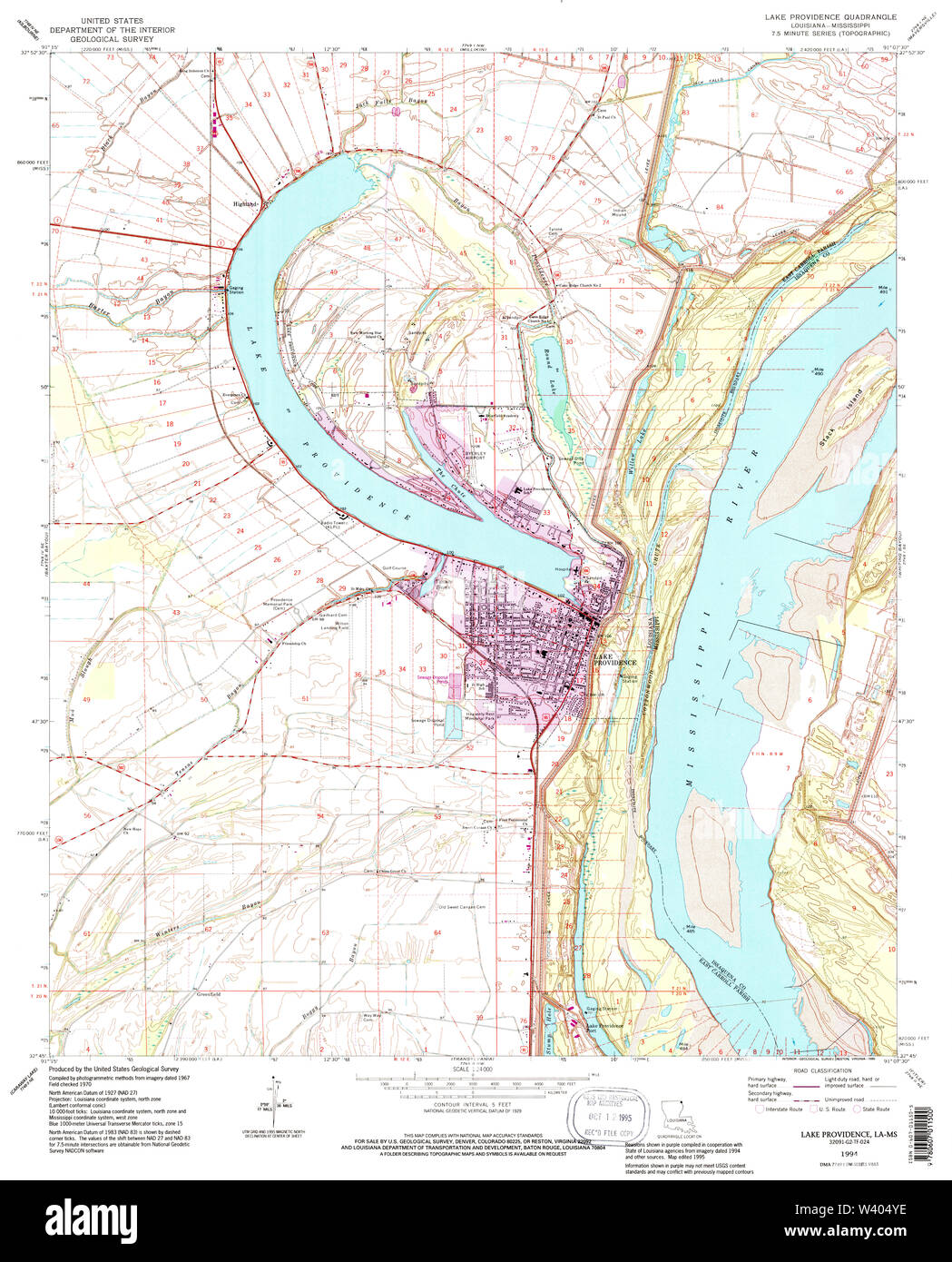 USGS TOPO Map Louisiana LA Lake Providence 332511 1994 24000 Stock Photohttps://www.alamy.com/image-license-details/?v=1https://www.alamy.com/usgs-topo-map-louisiana-la-lake-providence-332511-1994-24000-image260618050.html
RMW404YE–USGS TOPO Map Louisiana LA Lake Providence 332511 1994 24000
 Lake Providence, Louisiana, map 1970, 1:24000, United States of America by Timeless Maps, data U.S. Geological Survey Stock Photohttps://www.alamy.com/image-license-details/?v=1https://www.alamy.com/lake-providence-louisiana-map-1970-124000-united-states-of-america-by-timeless-maps-data-us-geological-survey-image406577777.html
RM2EHD62W–Lake Providence, Louisiana, map 1970, 1:24000, United States of America by Timeless Maps, data U.S. Geological Survey
 USGS TOPO Map Louisiana LA Lake Providence 333907 1911 31680 Stock Photohttps://www.alamy.com/image-license-details/?v=1https://www.alamy.com/usgs-topo-map-louisiana-la-lake-providence-333907-1911-31680-image260618097.html
RMW40515–USGS TOPO Map Louisiana LA Lake Providence 333907 1911 31680
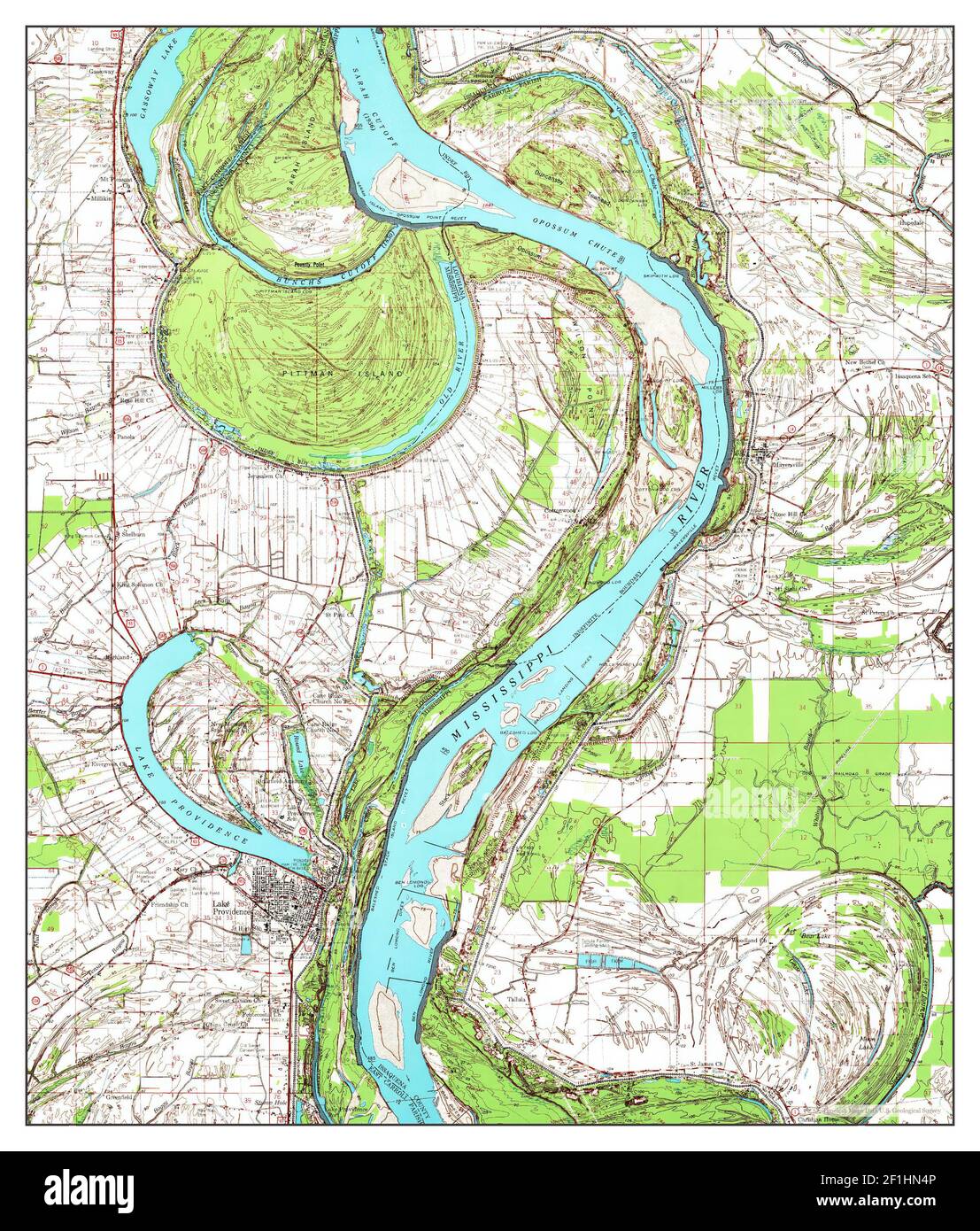 Lake Providence, Louisiana, map 1972, 1:62500, United States of America by Timeless Maps, data U.S. Geological Survey Stock Photohttps://www.alamy.com/image-license-details/?v=1https://www.alamy.com/lake-providence-louisiana-map-1972-162500-united-states-of-america-by-timeless-maps-data-us-geological-survey-image414053270.html
RM2F1HN4P–Lake Providence, Louisiana, map 1972, 1:62500, United States of America by Timeless Maps, data U.S. Geological Survey
 USGS TOPO Map Louisiana LA Lake Providence 332508 1909 24000 Stock Photohttps://www.alamy.com/image-license-details/?v=1https://www.alamy.com/usgs-topo-map-louisiana-la-lake-providence-332508-1909-24000-image260617966.html
RMW404TE–USGS TOPO Map Louisiana LA Lake Providence 332508 1909 24000
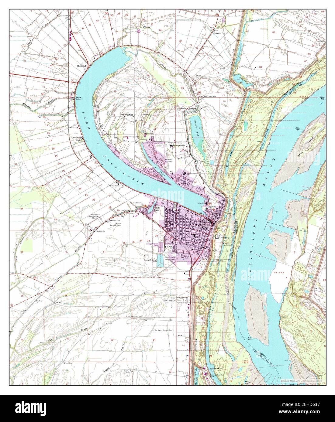 Lake Providence, Louisiana, map 1994, 1:24000, United States of America by Timeless Maps, data U.S. Geological Survey Stock Photohttps://www.alamy.com/image-license-details/?v=1https://www.alamy.com/lake-providence-louisiana-map-1994-124000-united-states-of-america-by-timeless-maps-data-us-geological-survey-image406577787.html
RM2EHD637–Lake Providence, Louisiana, map 1994, 1:24000, United States of America by Timeless Maps, data U.S. Geological Survey
 USGS TOPO Map Louisiana LA Lake Providence 332512 1909 24000 Stock Photohttps://www.alamy.com/image-license-details/?v=1https://www.alamy.com/usgs-topo-map-louisiana-la-lake-providence-332512-1909-24000-image260618099.html
RMW40517–USGS TOPO Map Louisiana LA Lake Providence 332512 1909 24000
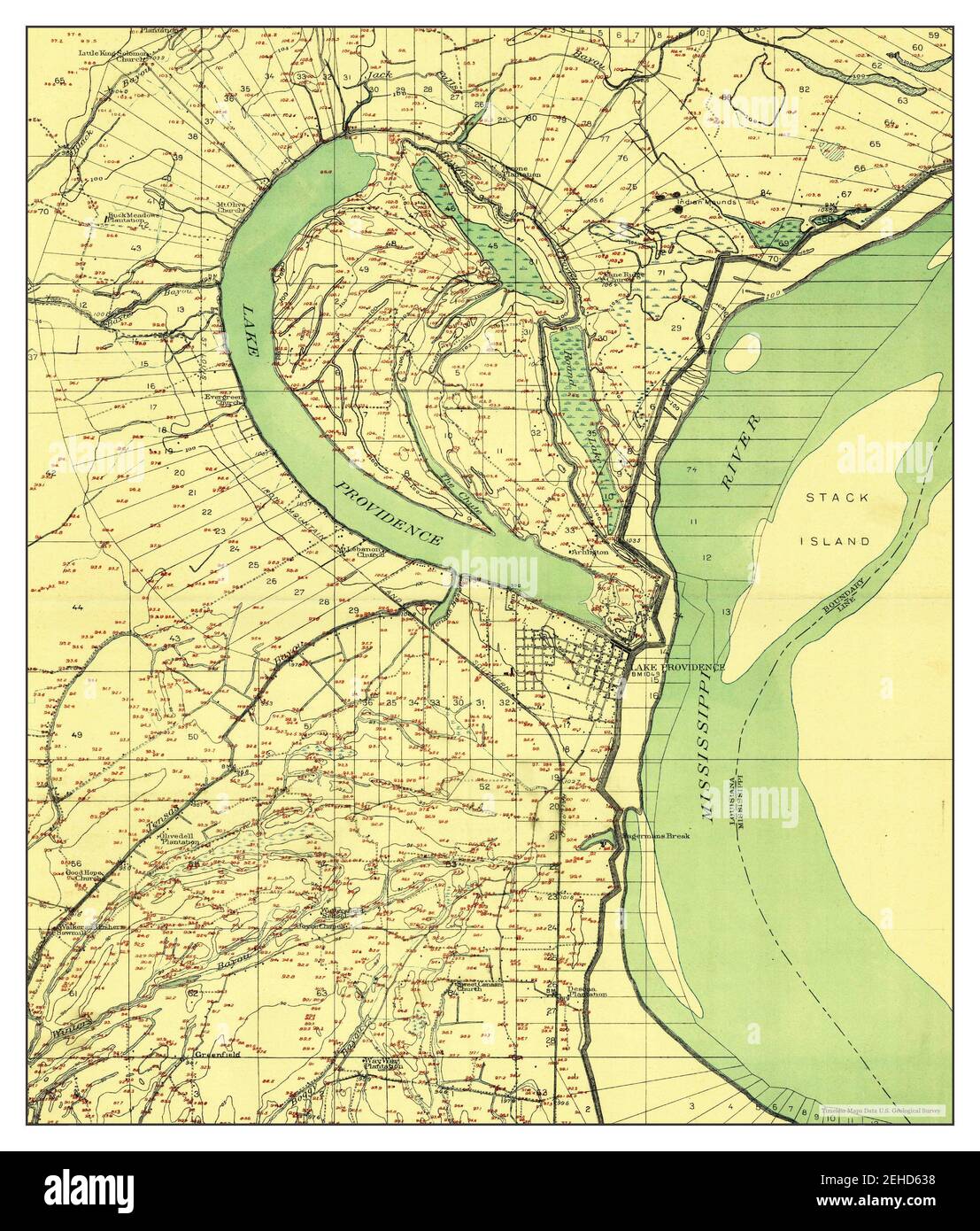 Lake Providence, Louisiana, map 1909, 1:24000, United States of America by Timeless Maps, data U.S. Geological Survey Stock Photohttps://www.alamy.com/image-license-details/?v=1https://www.alamy.com/lake-providence-louisiana-map-1909-124000-united-states-of-america-by-timeless-maps-data-us-geological-survey-image406577788.html
RM2EHD638–Lake Providence, Louisiana, map 1909, 1:24000, United States of America by Timeless Maps, data U.S. Geological Survey
 USGS TOPO Map Louisiana LA Lake Providence 332509 1970 24000 Stock Photohttps://www.alamy.com/image-license-details/?v=1https://www.alamy.com/usgs-topo-map-louisiana-la-lake-providence-332509-1970-24000-image260618029.html
RMW404XN–USGS TOPO Map Louisiana LA Lake Providence 332509 1970 24000
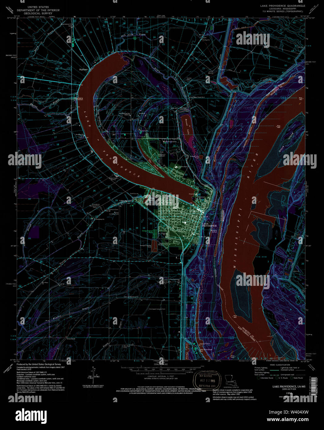 USGS TOPO Map Louisiana LA Lake Providence 332511 1994 24000 Inverted Stock Photohttps://www.alamy.com/image-license-details/?v=1https://www.alamy.com/usgs-topo-map-louisiana-la-lake-providence-332511-1994-24000-inverted-image260618033.html
RMW404XW–USGS TOPO Map Louisiana LA Lake Providence 332511 1994 24000 Inverted
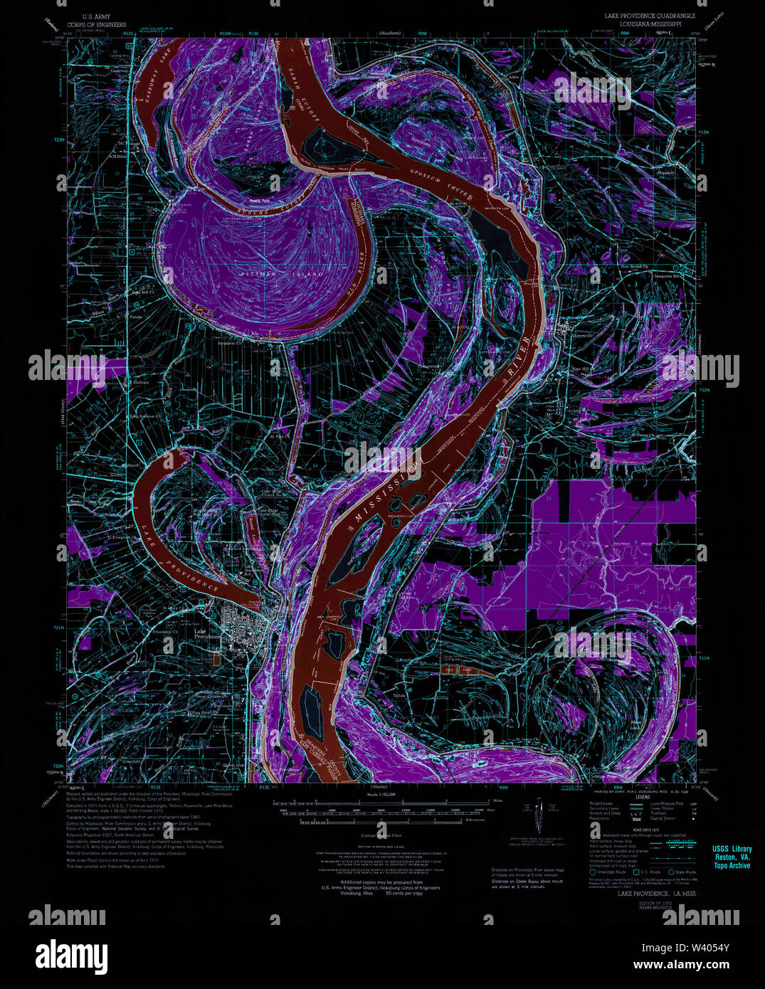 USGS TOPO Map Louisiana LA Lake Providence 334739 1972 62500 Inverted Stock Photohttps://www.alamy.com/image-license-details/?v=1https://www.alamy.com/usgs-topo-map-louisiana-la-lake-providence-334739-1972-62500-inverted-image260618203.html
RMW4054Y–USGS TOPO Map Louisiana LA Lake Providence 334739 1972 62500 Inverted
 USGS TOPO Map Louisiana LA Lake Providence 332508 1909 24000 Inverted Stock Photohttps://www.alamy.com/image-license-details/?v=1https://www.alamy.com/usgs-topo-map-louisiana-la-lake-providence-332508-1909-24000-inverted-image260617980.html
RMW404W0–USGS TOPO Map Louisiana LA Lake Providence 332508 1909 24000 Inverted
 USGS TOPO Map Louisiana LA Lake Providence 333907 1911 31680 Inverted Stock Photohttps://www.alamy.com/image-license-details/?v=1https://www.alamy.com/usgs-topo-map-louisiana-la-lake-providence-333907-1911-31680-inverted-image260618103.html
RMW4051B–USGS TOPO Map Louisiana LA Lake Providence 333907 1911 31680 Inverted
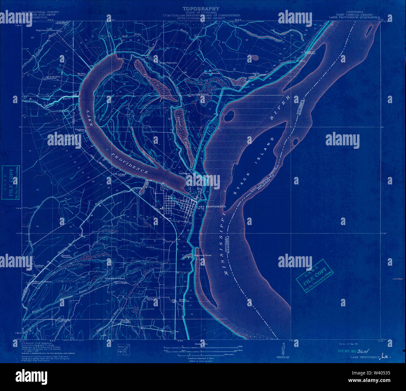 USGS TOPO Map Louisiana LA Lake Providence 333908 1911 31680 Inverted Stock Photohttps://www.alamy.com/image-license-details/?v=1https://www.alamy.com/usgs-topo-map-louisiana-la-lake-providence-333908-1911-31680-inverted-image260618153.html
RMW40535–USGS TOPO Map Louisiana LA Lake Providence 333908 1911 31680 Inverted
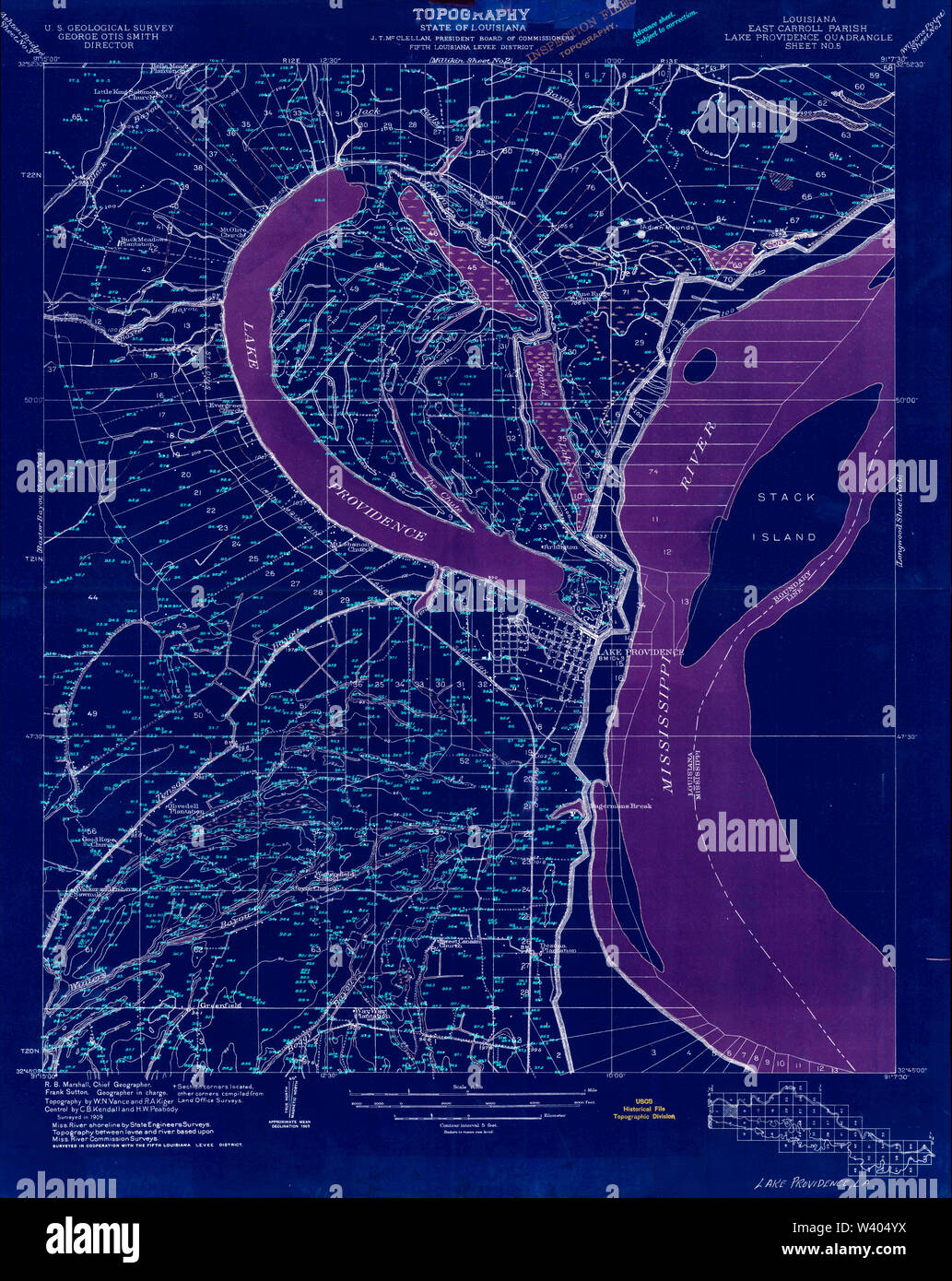 USGS TOPO Map Louisiana LA Lake Providence 332512 1909 24000 Inverted Stock Photohttps://www.alamy.com/image-license-details/?v=1https://www.alamy.com/usgs-topo-map-louisiana-la-lake-providence-332512-1909-24000-inverted-image260618062.html
RMW404YX–USGS TOPO Map Louisiana LA Lake Providence 332512 1909 24000 Inverted
 USGS TOPO Map Louisiana LA Lake Providence 332509 1970 24000 Inverted Stock Photohttps://www.alamy.com/image-license-details/?v=1https://www.alamy.com/usgs-topo-map-louisiana-la-lake-providence-332509-1970-24000-inverted-image260617991.html
RMW404WB–USGS TOPO Map Louisiana LA Lake Providence 332509 1970 24000 Inverted