Quick filters:
Map of lampung Stock Photos and Images
 Pin on Map Bandar Lampung City, which is the provincial capital and largest city in Lampung province, Indonesia Stock Photohttps://www.alamy.com/image-license-details/?v=1https://www.alamy.com/pin-on-map-bandar-lampung-city-which-is-the-provincial-capital-and-largest-city-in-lampung-province-indonesia-image611111572.html
RF2XE6F18–Pin on Map Bandar Lampung City, which is the provincial capital and largest city in Lampung province, Indonesia
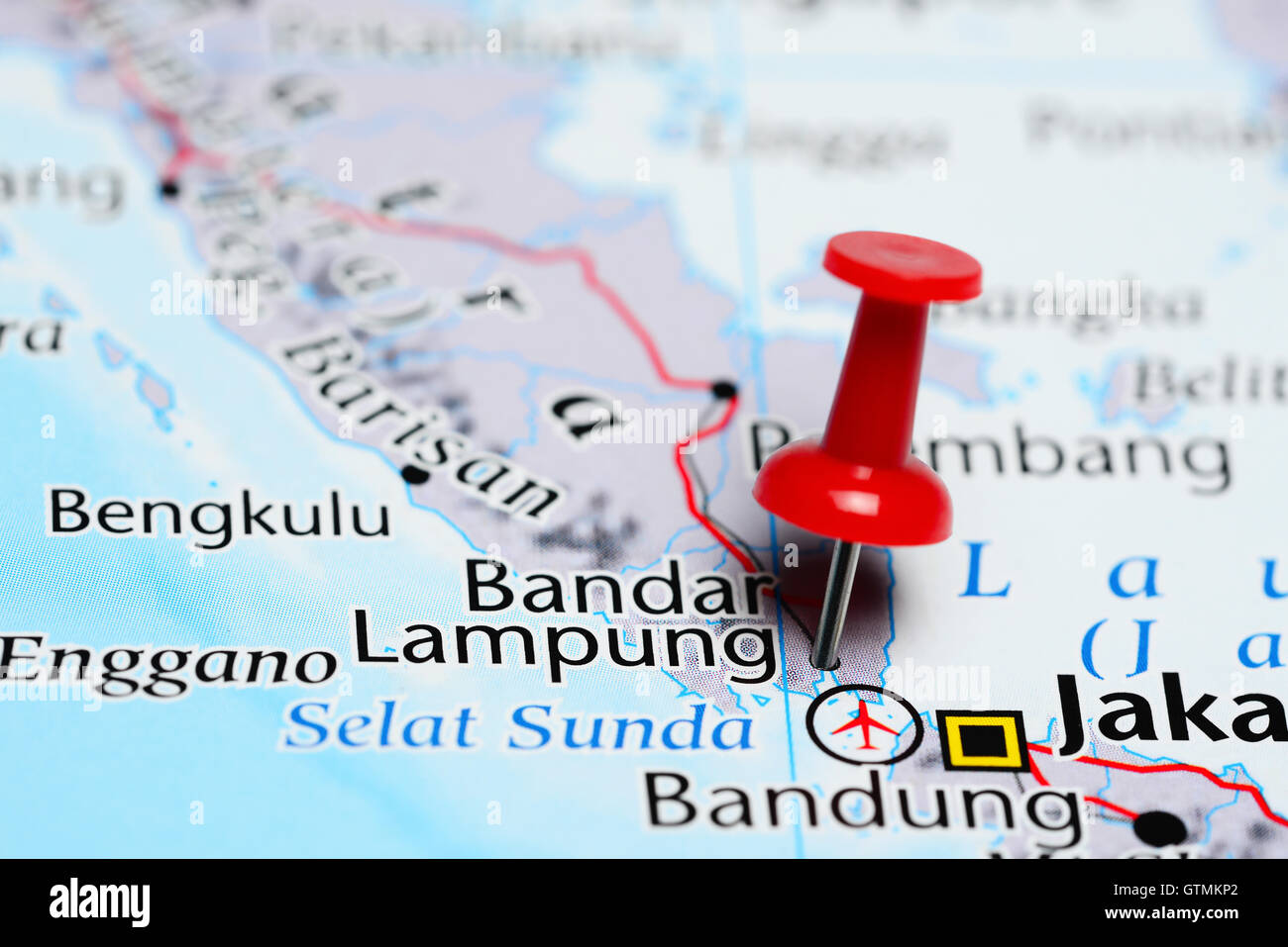 Bandar Lampung pinned on a map of Indonesia Stock Photohttps://www.alamy.com/image-license-details/?v=1https://www.alamy.com/stock-photo-bandar-lampung-pinned-on-a-map-of-indonesia-118468506.html
RFGTMKP2–Bandar Lampung pinned on a map of Indonesia
 Close up to a Bandar Lampung city with a red pin needle into Indonesia country political map Stock Photohttps://www.alamy.com/image-license-details/?v=1https://www.alamy.com/close-up-to-a-bandar-lampung-city-with-a-red-pin-needle-into-indonesia-country-political-map-image618585582.html
RF2XXB066–Close up to a Bandar Lampung city with a red pin needle into Indonesia country political map
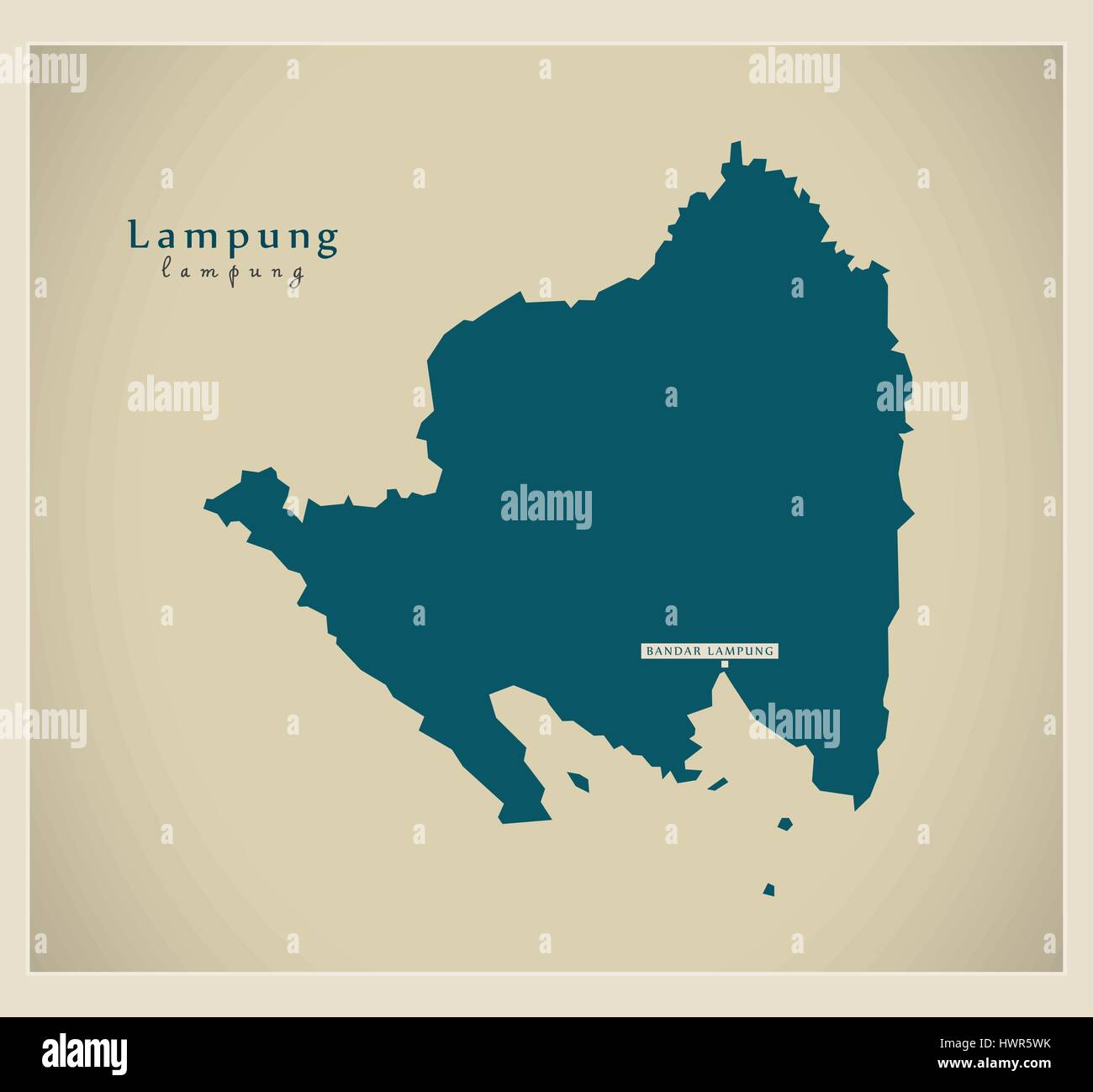 Modern Map - Lampung ID Stock Vectorhttps://www.alamy.com/image-license-details/?v=1https://www.alamy.com/stock-photo-modern-map-lampung-id-136348511.html
RFHWR5WK–Modern Map - Lampung ID
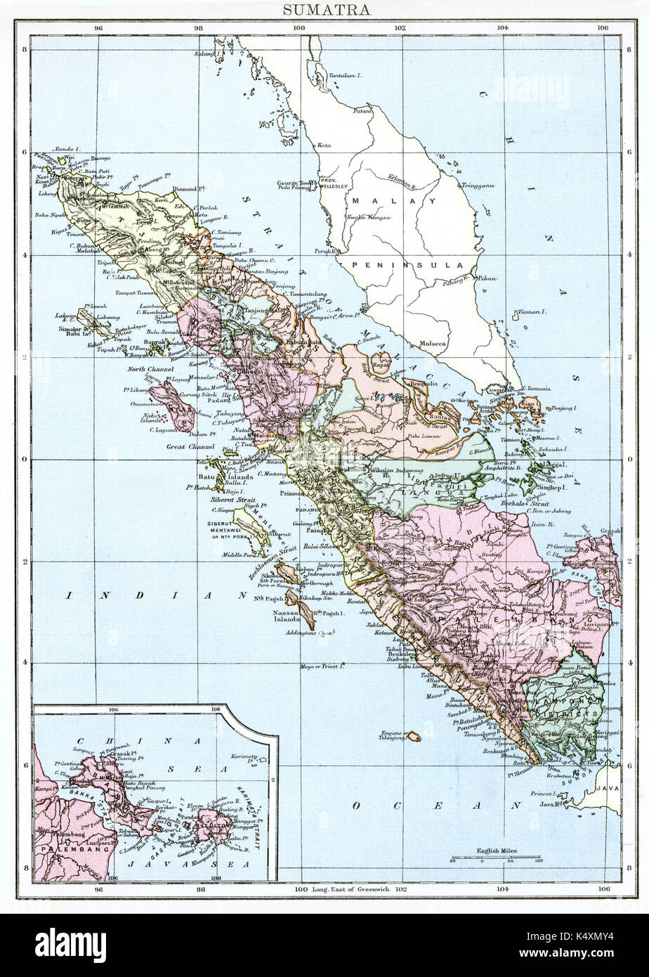 Antique map, circa 1875, of Sumatra Stock Photohttps://www.alamy.com/image-license-details/?v=1https://www.alamy.com/antique-map-circa-1875-of-sumatra-image157939128.html
RMK4XMY4–Antique map, circa 1875, of Sumatra
 Palepai, Paminggir people, Indonesia, Sumatra, Lampung, the Kaliande Peninsula, 19th century AD, cotton Textile Museum, George Washington University DSC09490 Stock Photohttps://www.alamy.com/image-license-details/?v=1https://www.alamy.com/palepai-paminggir-people-indonesia-sumatra-lampung-the-kaliande-peninsula-image153769247.html
RMJX4P6R–Palepai, Paminggir people, Indonesia, Sumatra, Lampung, the Kaliande Peninsula, 19th century AD, cotton Textile Museum, George Washington University DSC09490
 English: Map of Lampung Residency, 1916 . 1916 240 Lampung Residency 1916 Stock Photohttps://www.alamy.com/image-license-details/?v=1https://www.alamy.com/english-map-of-lampung-residency-1916-1916-240-lampung-residency-1916-image211322407.html
RMP7PFTR–English: Map of Lampung Residency, 1916 . 1916 240 Lampung Residency 1916
 pringsewu, Lampung 10 October 2024 selective focus waving the BRICS fabric texture flag. original flag, 3d illustration Stock Photohttps://www.alamy.com/image-license-details/?v=1https://www.alamy.com/pringsewu-lampung-10-october-2024-selective-focus-waving-the-brics-fabric-texture-flag-original-flag-3d-illustration-image625204214.html
RF2Y94E9X–pringsewu, Lampung 10 October 2024 selective focus waving the BRICS fabric texture flag. original flag, 3d illustration
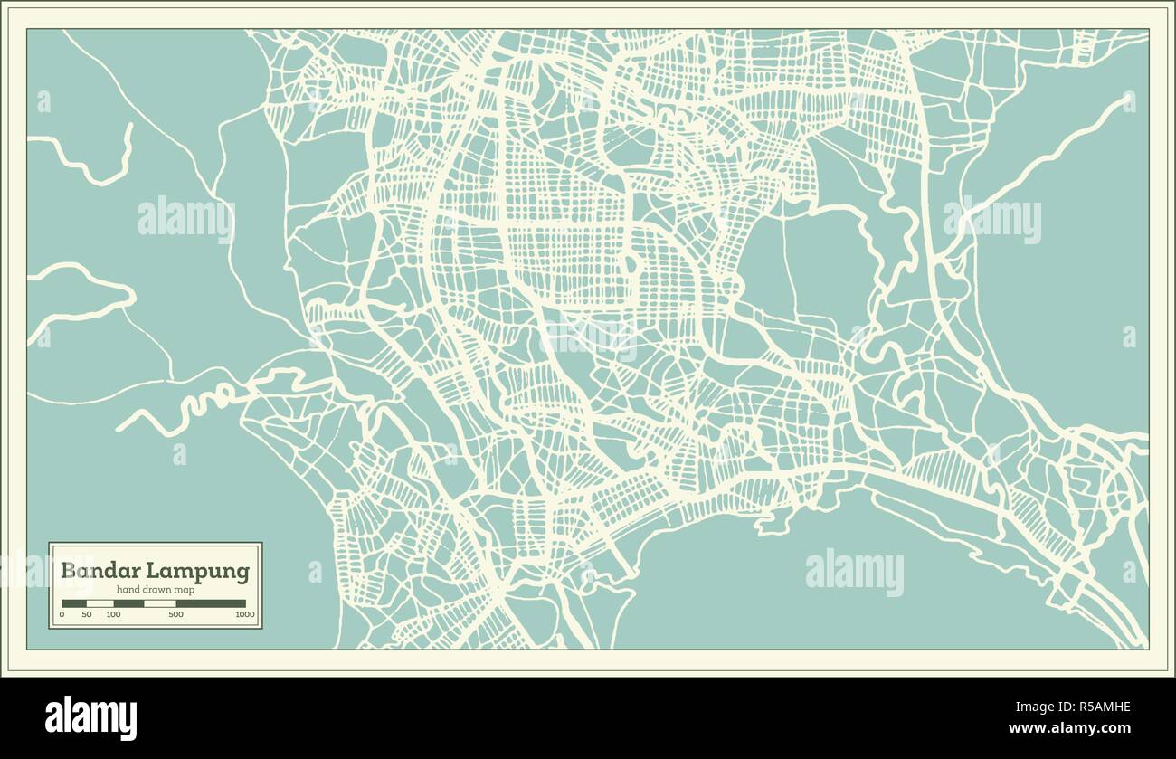 Bandar Lampung Indonesia City Map in Retro Style. Outline Map. Vector Illustration. Stock Vectorhttps://www.alamy.com/image-license-details/?v=1https://www.alamy.com/bandar-lampung-indonesia-city-map-in-retro-style-outline-map-vector-illustration-image227043754.html
RFR5AMHE–Bandar Lampung Indonesia City Map in Retro Style. Outline Map. Vector Illustration.
 Lampung province map of Indonesia in front of a white background Stock Photohttps://www.alamy.com/image-license-details/?v=1https://www.alamy.com/lampung-province-map-of-indonesia-in-front-of-a-white-background-image223586111.html
RFPYN6A7–Lampung province map of Indonesia in front of a white background
 Printable street map of Metro, Province Lampung, Indonesia. Map template for business use. Stock Vectorhttps://www.alamy.com/image-license-details/?v=1https://www.alamy.com/printable-street-map-of-metro-province-lampung-indonesia-map-template-for-business-use-image330144704.html
RF2A53AX8–Printable street map of Metro, Province Lampung, Indonesia. Map template for business use.
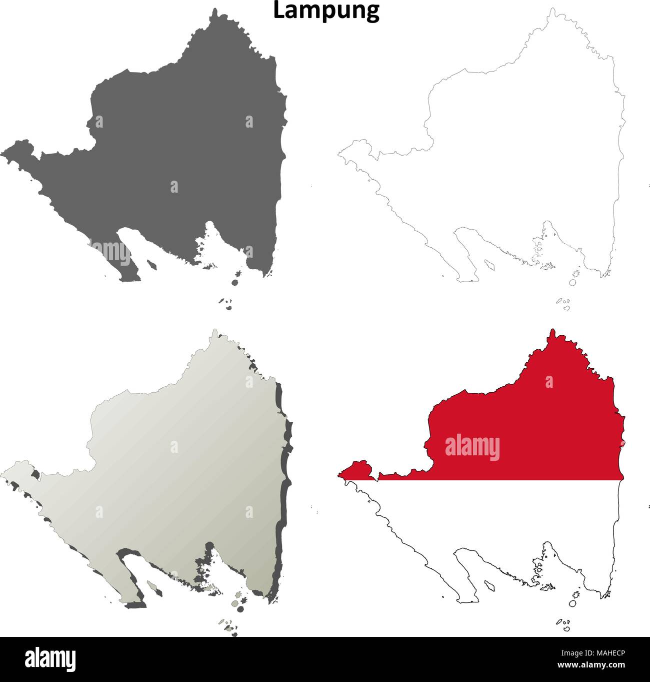 Lampung blank outline map set Stock Vectorhttps://www.alamy.com/image-license-details/?v=1https://www.alamy.com/lampung-blank-outline-map-set-image178634758.html
RFMAHECP–Lampung blank outline map set
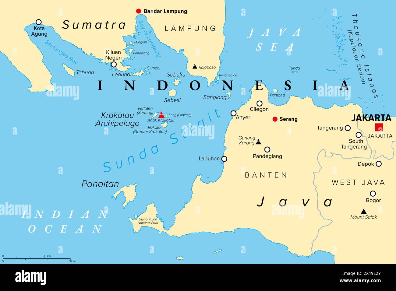 Sunda Strait, Indonesia, political map. Strait between the Indonesian islands Java and Sumatra, connecting Java Sea with the Indian Ocean. Stock Photohttps://www.alamy.com/image-license-details/?v=1https://www.alamy.com/sunda-strait-indonesia-political-map-strait-between-the-indonesian-islands-java-and-sumatra-connecting-java-sea-with-the-indian-ocean-image605030131.html
RF2X49E2Y–Sunda Strait, Indonesia, political map. Strait between the Indonesian islands Java and Sumatra, connecting Java Sea with the Indian Ocean.
 Bandar Lampung Indonesia City Map in Retro Style in Golden Color. Outline Map. Vector Illustration. Stock Vectorhttps://www.alamy.com/image-license-details/?v=1https://www.alamy.com/bandar-lampung-indonesia-city-map-in-retro-style-in-golden-color-outline-map-vector-illustration-image398121382.html
RF2E3KYTP–Bandar Lampung Indonesia City Map in Retro Style in Golden Color. Outline Map. Vector Illustration.
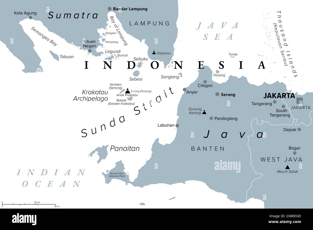 Sunda Strait, Indonesia, gray political map. Strait between Indonesian islands Java and Sumatra, connecting Java Sea with the Indian Ocean. Stock Photohttps://www.alamy.com/image-license-details/?v=1https://www.alamy.com/sunda-strait-indonesia-gray-political-map-strait-between-indonesian-islands-java-and-sumatra-connecting-java-sea-with-the-indian-ocean-image607796461.html
RF2X8REGD–Sunda Strait, Indonesia, gray political map. Strait between Indonesian islands Java and Sumatra, connecting Java Sea with the Indian Ocean.
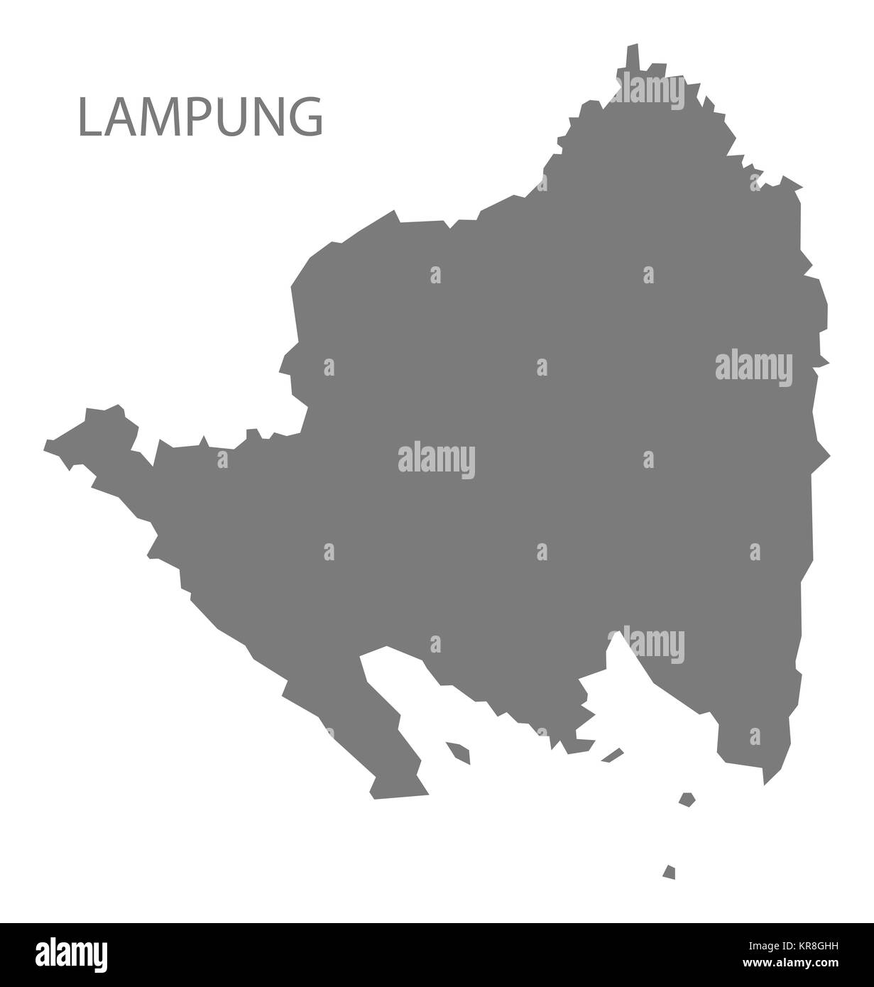 Lampung Indonesia Map grey Stock Photohttps://www.alamy.com/image-license-details/?v=1https://www.alamy.com/stock-image-lampung-indonesia-map-grey-169219053.html
RFKR8GHH–Lampung Indonesia Map grey
 Symbol Map of the Province Lampung (Indonesia). Abstract map showing the state/province with a pattern of overlapping colorful squares like candies Stock Vectorhttps://www.alamy.com/image-license-details/?v=1https://www.alamy.com/symbol-map-of-the-province-lampung-indonesia-abstract-map-showing-the-stateprovince-with-a-pattern-of-overlapping-colorful-squares-like-candies-image611833382.html
RF2XFBBM6–Symbol Map of the Province Lampung (Indonesia). Abstract map showing the state/province with a pattern of overlapping colorful squares like candies
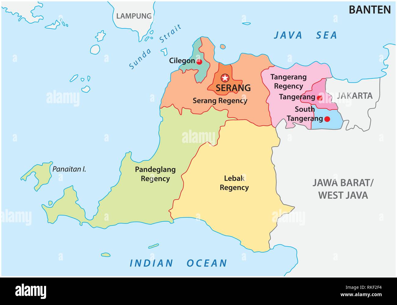 Banten administrative and political vector map, Indonesia Stock Vectorhttps://www.alamy.com/image-license-details/?v=1https://www.alamy.com/banten-administrative-and-political-vector-map-indonesia-image235744520.html
RFRKF2F4–Banten administrative and political vector map, Indonesia
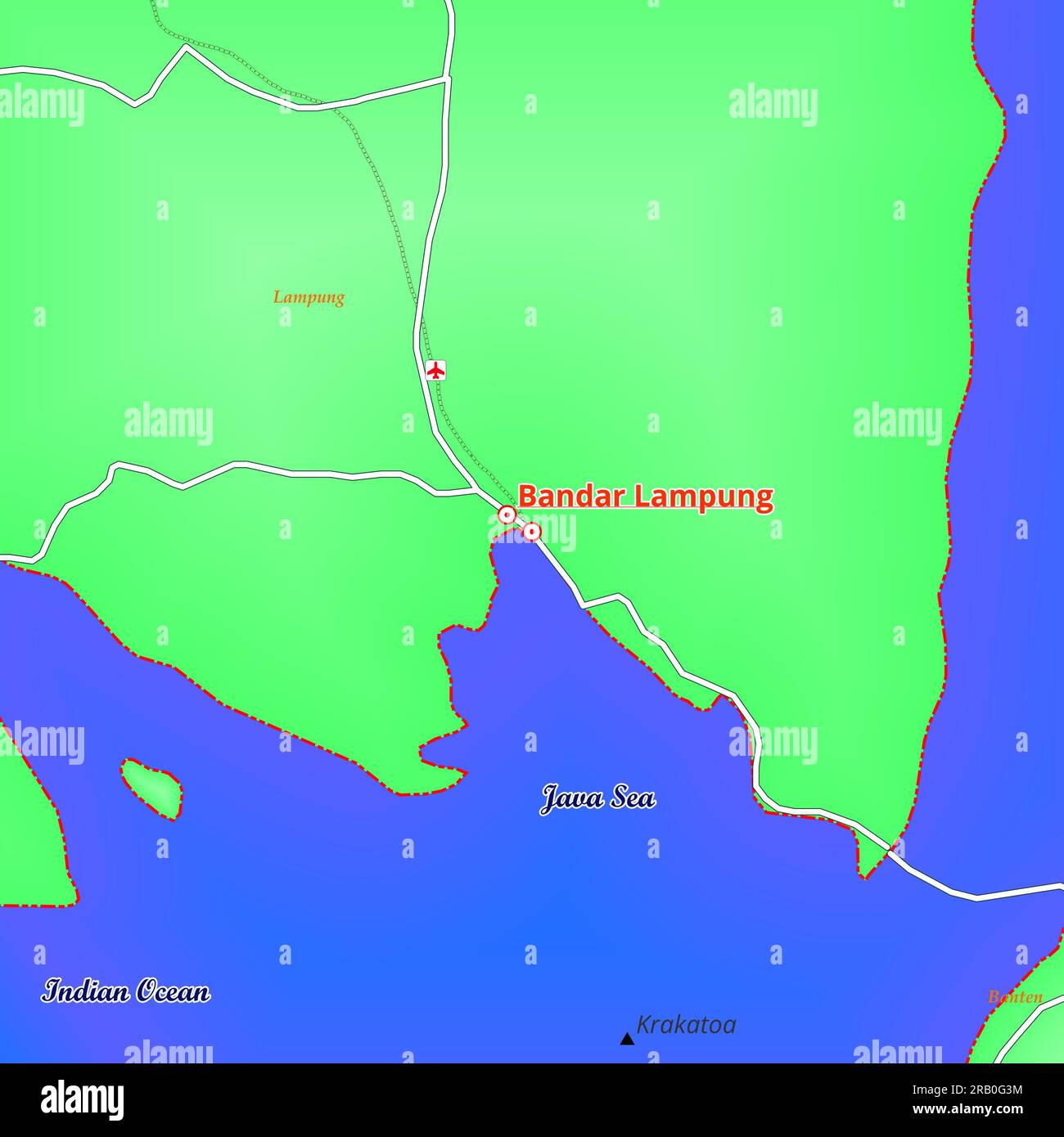 Map of Bandar Lampung City in Indonesia Stock Photohttps://www.alamy.com/image-license-details/?v=1https://www.alamy.com/map-of-bandar-lampung-city-in-indonesia-image557505640.html
RF2RB0G3M–Map of Bandar Lampung City in Indonesia
 Map of Kalianda, is the capital of South Lampung Regency, Lampung province, Indonesia Stock Photohttps://www.alamy.com/image-license-details/?v=1https://www.alamy.com/map-of-kalianda-is-the-capital-of-south-lampung-regency-lampung-province-indonesia-image611109527.html
RF2XE6CC7–Map of Kalianda, is the capital of South Lampung Regency, Lampung province, Indonesia
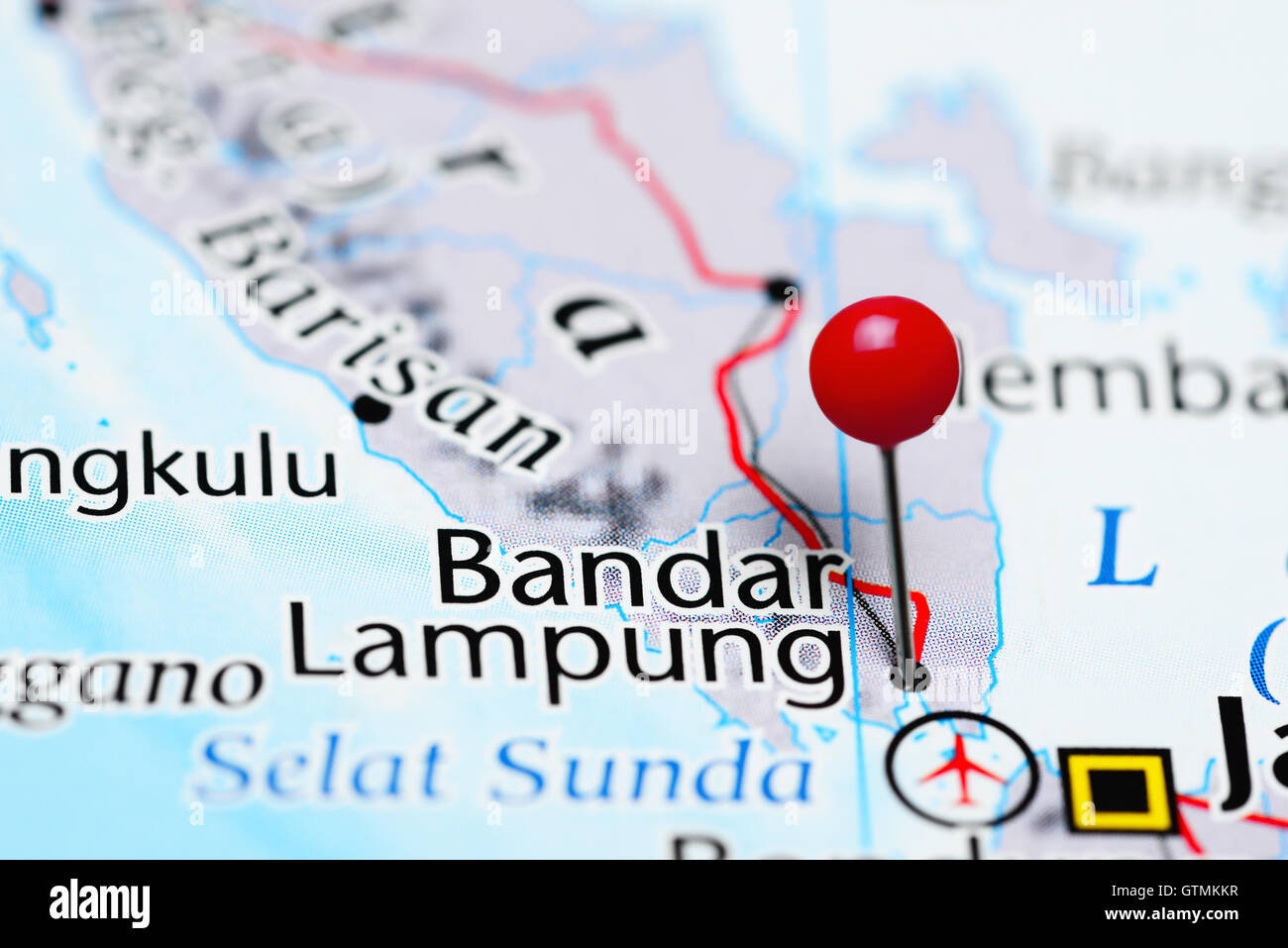 Bandar Lampung pinned on a map of Indonesia Stock Photohttps://www.alamy.com/image-license-details/?v=1https://www.alamy.com/stock-photo-bandar-lampung-pinned-on-a-map-of-indonesia-118468443.html
RFGTMKKR–Bandar Lampung pinned on a map of Indonesia
 Landmark Pringsewu in the middle of rice fields. Welcome monument to Pringsewu Regency Stock Photohttps://www.alamy.com/image-license-details/?v=1https://www.alamy.com/landmark-pringsewu-in-the-middle-of-rice-fields-welcome-monument-to-pringsewu-regency-image591045900.html
RF2W9GD24–Landmark Pringsewu in the middle of rice fields. Welcome monument to Pringsewu Regency
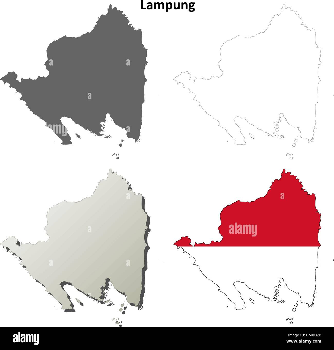 Lampung blank outline map set Stock Vectorhttps://www.alamy.com/image-license-details/?v=1https://www.alamy.com/stock-photo-lampung-blank-outline-map-set-116070483.html
RFGMRD2B–Lampung blank outline map set
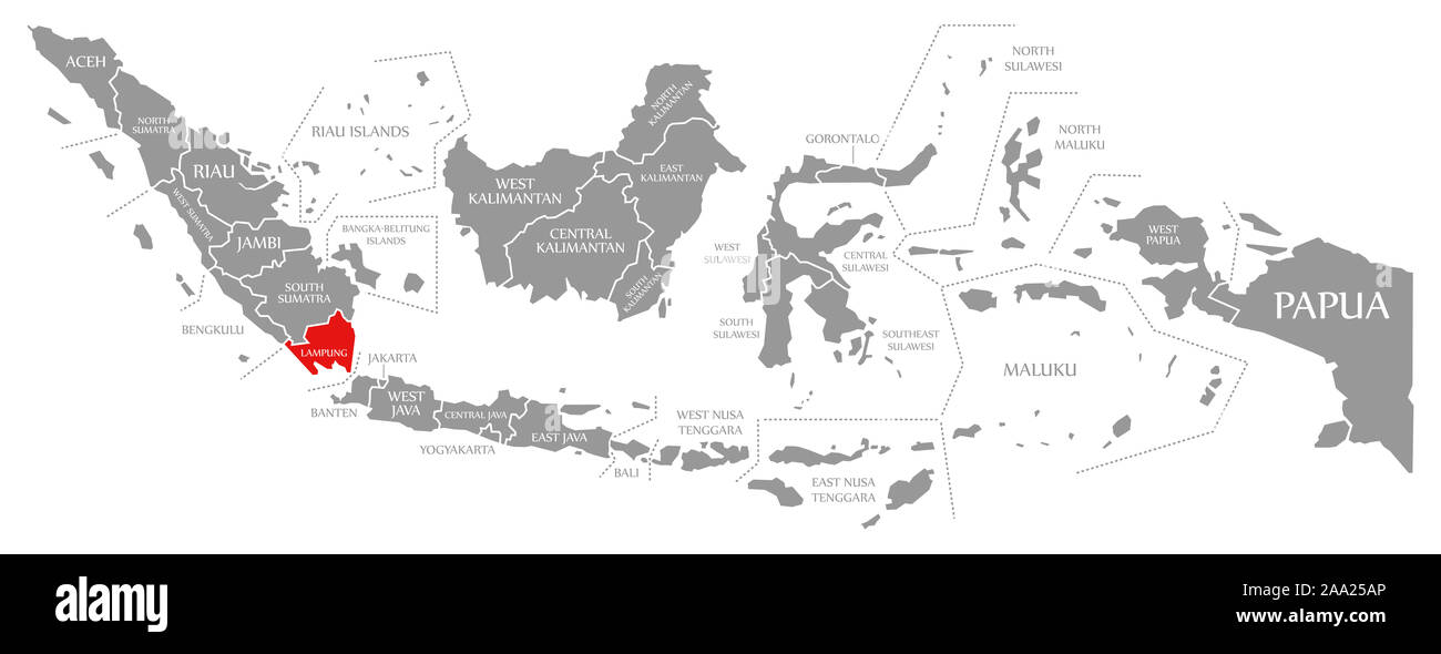 Lampung red highlighted in map of Indonesia Stock Photohttps://www.alamy.com/image-license-details/?v=1https://www.alamy.com/lampung-red-highlighted-in-map-of-indonesia-image333191678.html
RF2AA25AP–Lampung red highlighted in map of Indonesia
 Palepai, Paminggir people, Indonesia, Sumatra, Lampung, the Kaliande Peninsula, 19th century AD, cotton Textile Museum, George Washington University DSC09490 Stock Photohttps://www.alamy.com/image-license-details/?v=1https://www.alamy.com/palepai-paminggir-people-indonesia-sumatra-lampung-the-kaliande-peninsula-image153146180.html
RMJW4BEC–Palepai, Paminggir people, Indonesia, Sumatra, Lampung, the Kaliande Peninsula, 19th century AD, cotton Textile Museum, George Washington University DSC09490
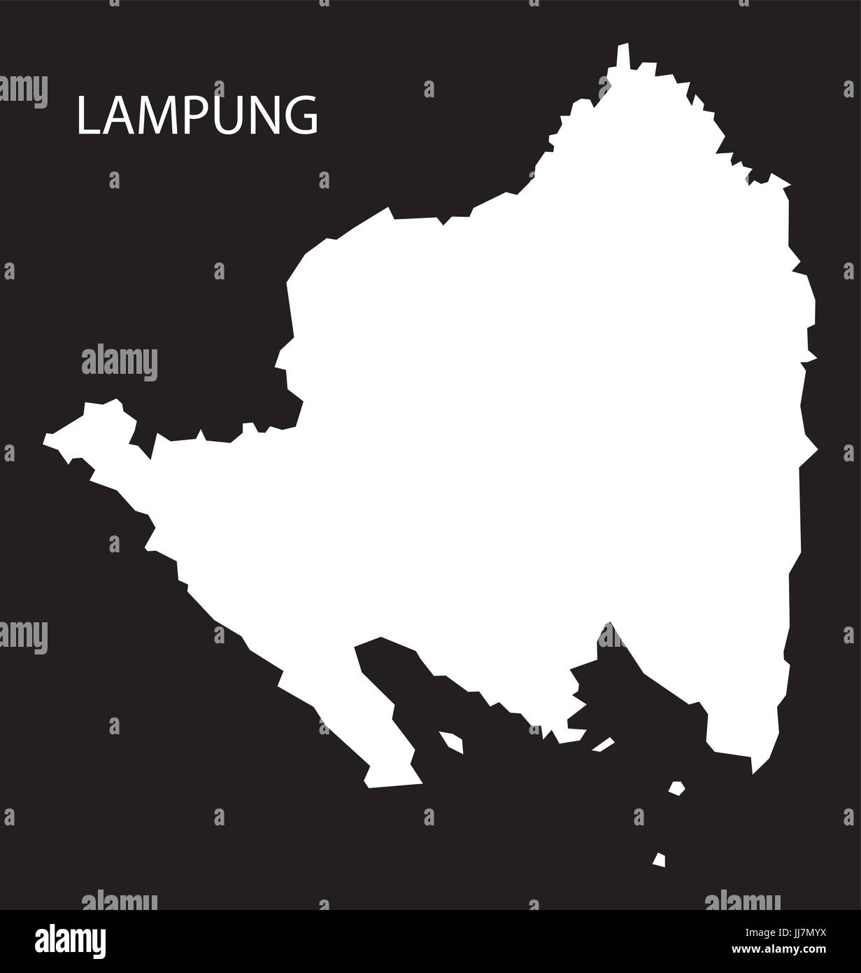 Lampung Indonesia map black inverted silhouette illustration shape Stock Vectorhttps://www.alamy.com/image-license-details/?v=1https://www.alamy.com/stock-photo-lampung-indonesia-map-black-inverted-silhouette-illustration-shape-148916878.html
RFJJ7MYX–Lampung Indonesia map black inverted silhouette illustration shape
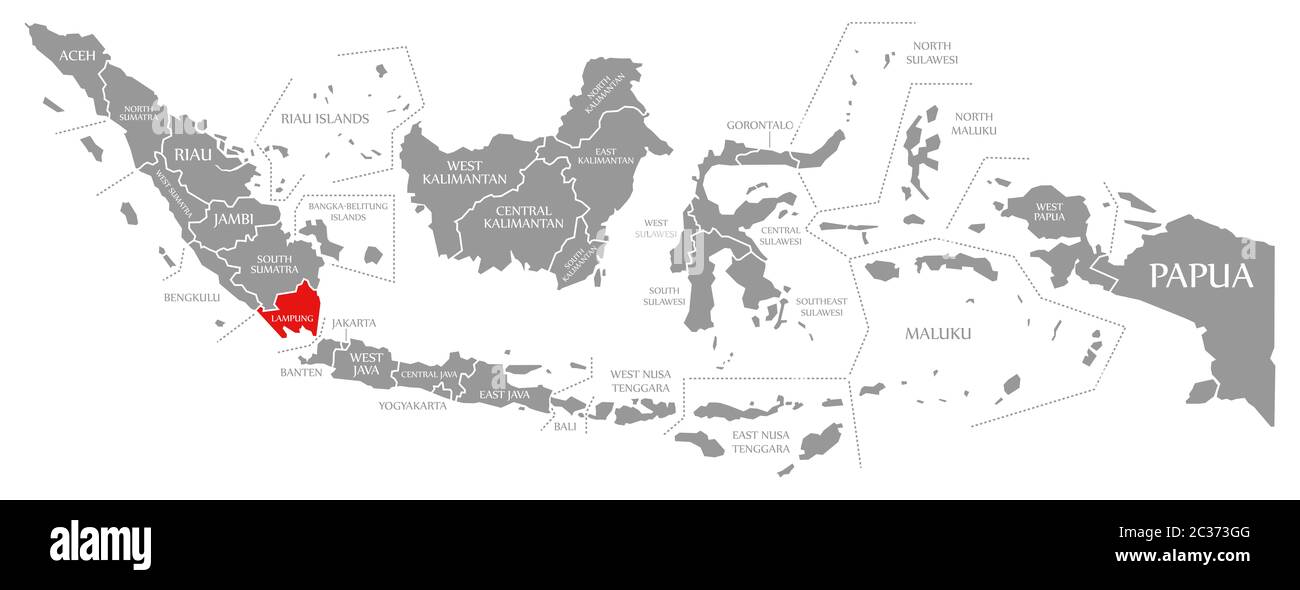 Lampung red highlighted in map of Indonesia Stock Photohttps://www.alamy.com/image-license-details/?v=1https://www.alamy.com/lampung-red-highlighted-in-map-of-indonesia-image363418176.html
RF2C373GG–Lampung red highlighted in map of Indonesia
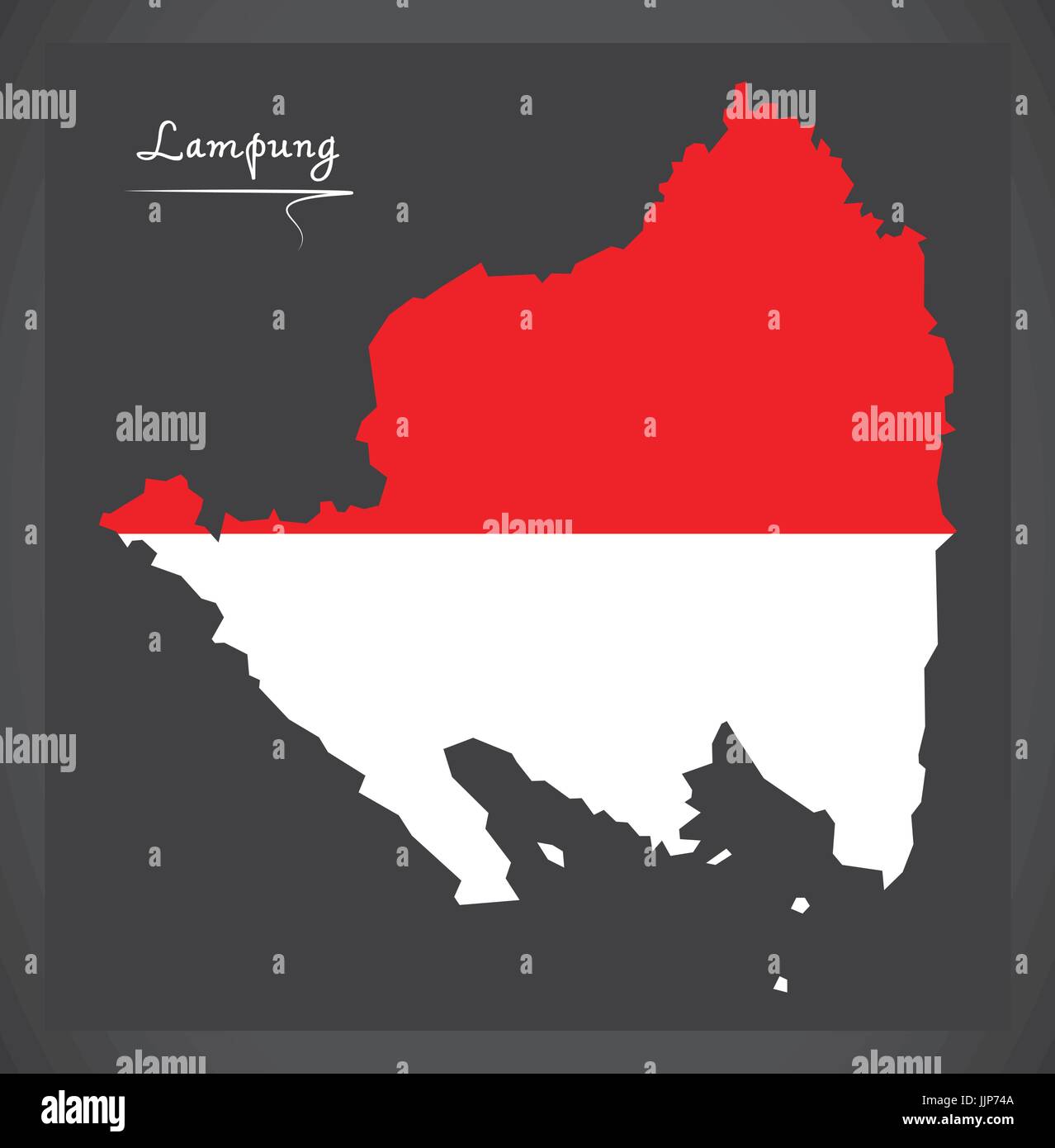 Lampung Indonesia map with Indonesian national flag illustration Stock Vectorhttps://www.alamy.com/image-license-details/?v=1https://www.alamy.com/stock-photo-lampung-indonesia-map-with-indonesian-national-flag-illustration-149235306.html
RFJJP74A–Lampung Indonesia map with Indonesian national flag illustration
 Lampung Indonesia map black inverted silhouette illustration shape Stock Photohttps://www.alamy.com/image-license-details/?v=1https://www.alamy.com/lampung-indonesia-map-black-inverted-silhouette-illustration-shape-image227153934.html
RFR5FN4E–Lampung Indonesia map black inverted silhouette illustration shape
 Printable street map of Bandar Lampung, Province Lampung, Indonesia. Map template for business use. Stock Vectorhttps://www.alamy.com/image-license-details/?v=1https://www.alamy.com/printable-street-map-of-bandar-lampung-province-lampung-indonesia-map-template-for-business-use-image330136903.html
RF2A530YK–Printable street map of Bandar Lampung, Province Lampung, Indonesia. Map template for business use.
 Lampung Indonesia map with Indonesian national flag illustration Stock Photohttps://www.alamy.com/image-license-details/?v=1https://www.alamy.com/lampung-indonesia-map-with-indonesian-national-flag-illustration-image227172800.html
RFR5GH68–Lampung Indonesia map with Indonesian national flag illustration
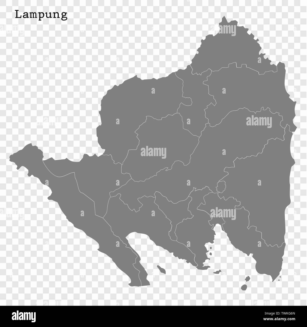 High Quality map of Lampung is a province of Indonesia Stock Vectorhttps://www.alamy.com/image-license-details/?v=1https://www.alamy.com/high-quality-map-of-lampung-is-a-province-of-indonesia-image256741373.html
RFTWKG6N–High Quality map of Lampung is a province of Indonesia
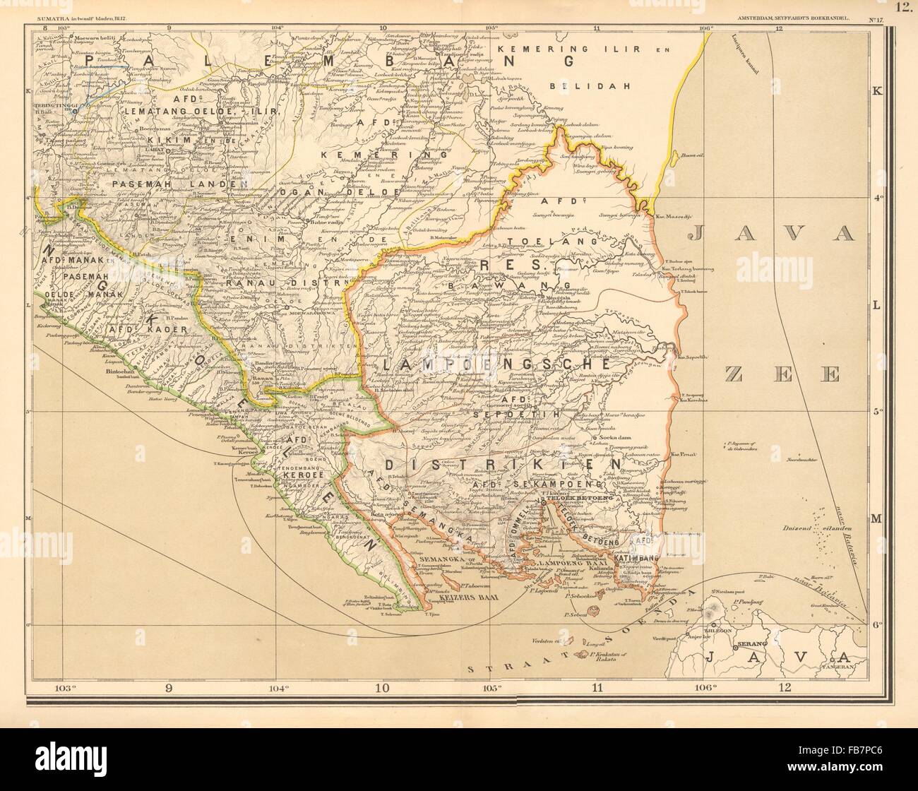 DUTCH EAST INDIES: Indonesia: SUMATRA. Lampung Bengkulu. DORNSEIFFEN, 1892 map Stock Photohttps://www.alamy.com/image-license-details/?v=1https://www.alamy.com/stock-photo-dutch-east-indies-indonesia-sumatra-lampung-bengkulu-dornseiffen-1892-92984310.html
RFFB7PC6–DUTCH EAST INDIES: Indonesia: SUMATRA. Lampung Bengkulu. DORNSEIFFEN, 1892 map
 Bandar Lampung Indonesia City Map in Black and White Color. Outline Map. Vector Illustration. Stock Vectorhttps://www.alamy.com/image-license-details/?v=1https://www.alamy.com/bandar-lampung-indonesia-city-map-in-black-and-white-color-outline-map-vector-illustration-image328150251.html
RF2A1TEYR–Bandar Lampung Indonesia City Map in Black and White Color. Outline Map. Vector Illustration.
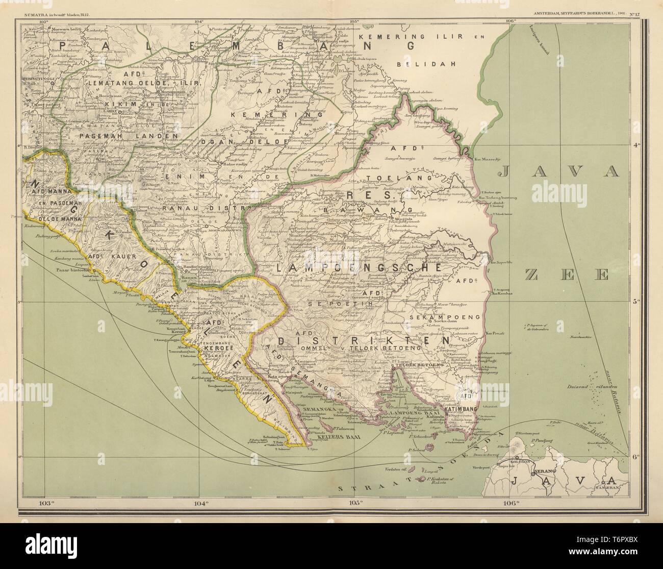 DUTCH EAST INDIES Indonesia SUMATRA Lampung Bengkulu DORNSEIFFEN 1902 old map Stock Photohttps://www.alamy.com/image-license-details/?v=1https://www.alamy.com/dutch-east-indies-indonesia-sumatra-lampung-bengkulu-dornseiffen-1902-old-map-image245136750.html
RFT6PXBX–DUTCH EAST INDIES Indonesia SUMATRA Lampung Bengkulu DORNSEIFFEN 1902 old map
 Symbol Map of the Province Lampung (Indonesia) showing the state/province with a pattern of black circles Stock Vectorhttps://www.alamy.com/image-license-details/?v=1https://www.alamy.com/symbol-map-of-the-province-lampung-indonesia-showing-the-stateprovince-with-a-pattern-of-black-circles-image612956831.html
RF2XH6GKB–Symbol Map of the Province Lampung (Indonesia) showing the state/province with a pattern of black circles
 Lampung (Subdivisions of Indonesia, Provinces of Indonesia) map vector illustration, scribble sketch Lampung map Stock Vectorhttps://www.alamy.com/image-license-details/?v=1https://www.alamy.com/lampung-subdivisions-of-indonesia-provinces-of-indonesia-map-vector-illustration-scribble-sketch-lampung-map-image228792187.html
RFR86ANF–Lampung (Subdivisions of Indonesia, Provinces of Indonesia) map vector illustration, scribble sketch Lampung map
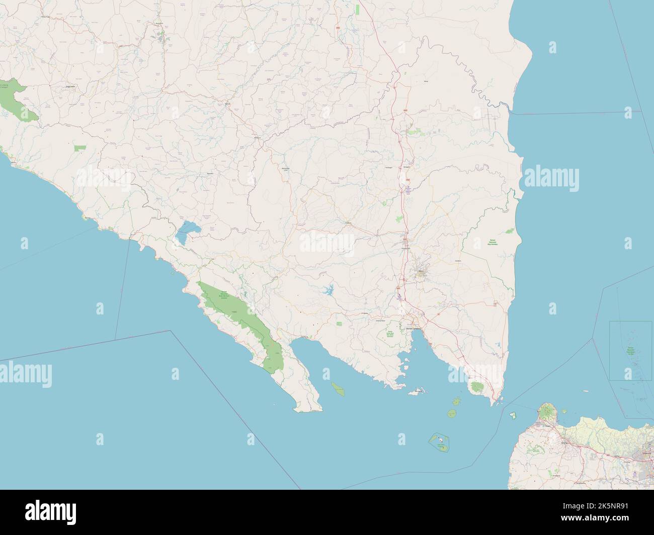 Lampung, province of Indonesia. Open Street Map Stock Photohttps://www.alamy.com/image-license-details/?v=1https://www.alamy.com/lampung-province-of-indonesia-open-street-map-image485442861.html
RF2K5NR91–Lampung, province of Indonesia. Open Street Map
 Map of Kotabumi, is the district capital in North Lampung Regency, Lampung Province, Indonesia Stock Photohttps://www.alamy.com/image-license-details/?v=1https://www.alamy.com/map-of-kotabumi-is-the-district-capital-in-north-lampung-regency-lampung-province-indonesia-image611109218.html
RF2XE6C16–Map of Kotabumi, is the district capital in North Lampung Regency, Lampung Province, Indonesia
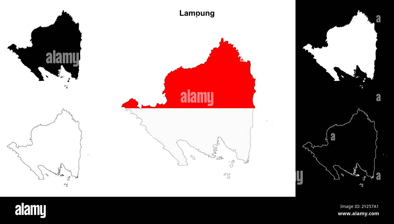 Lampung province outline map set Stock Vectorhttps://www.alamy.com/image-license-details/?v=1https://www.alamy.com/lampung-province-outline-map-set-image620918089.html
RF2Y257A1–Lampung province outline map set
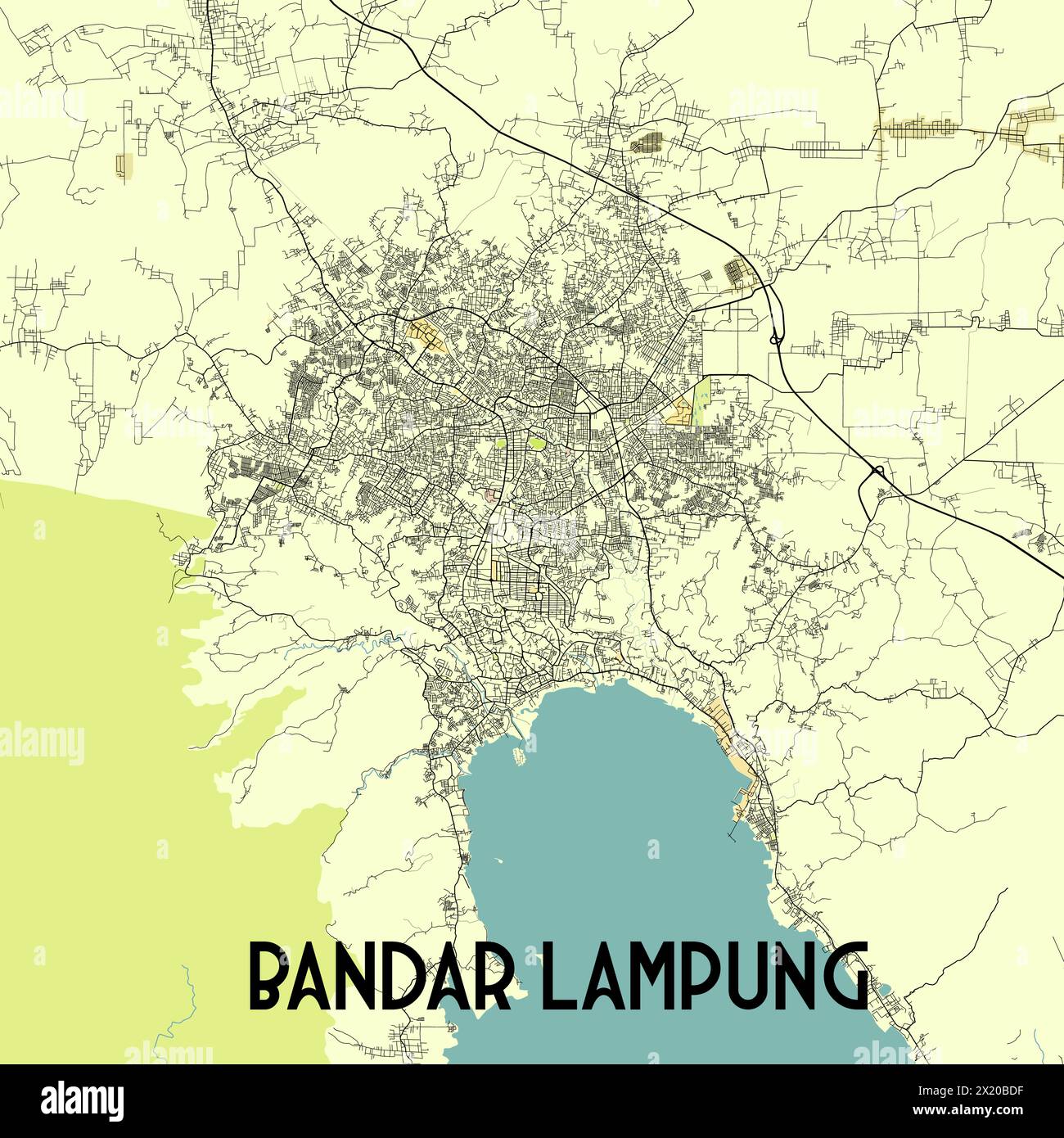 Bandar Lampung Indonesia map poster art Stock Vectorhttps://www.alamy.com/image-license-details/?v=1https://www.alamy.com/bandar-lampung-indonesia-map-poster-art-image603601195.html
RF2X20BDF–Bandar Lampung Indonesia map poster art
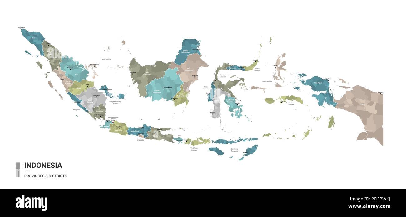 Indonesia higt detailed map with subdivisions. Administrative map of Indonesia with districts and cities name, colored by states and administrative di Stock Vectorhttps://www.alamy.com/image-license-details/?v=1https://www.alamy.com/indonesia-higt-detailed-map-with-subdivisions-administrative-map-of-indonesia-with-districts-and-cities-name-colored-by-states-and-administrative-di-image388109558.html
RF2DFBWKJ–Indonesia higt detailed map with subdivisions. Administrative map of Indonesia with districts and cities name, colored by states and administrative di
 3D Illustration of a waving Indonesia city flag of Bandar Lampung Stock Photohttps://www.alamy.com/image-license-details/?v=1https://www.alamy.com/3d-illustration-of-a-waving-indonesia-city-flag-of-bandar-lampung-image557094594.html
RF2RA9RRE–3D Illustration of a waving Indonesia city flag of Bandar Lampung
 Tapis (hip wrapper), Paminggir people, Indonesia, Sumatra, Lampung, the Kaliande Peninsula, 19th century AD, cotton Textile Museum, George Washington University DSC09496 Stock Photohttps://www.alamy.com/image-license-details/?v=1https://www.alamy.com/tapis-hip-wrapper-paminggir-people-indonesia-sumatra-lampung-the-kaliande-image153146181.html
RMJW4BED–Tapis (hip wrapper), Paminggir people, Indonesia, Sumatra, Lampung, the Kaliande Peninsula, 19th century AD, cotton Textile Museum, George Washington University DSC09496
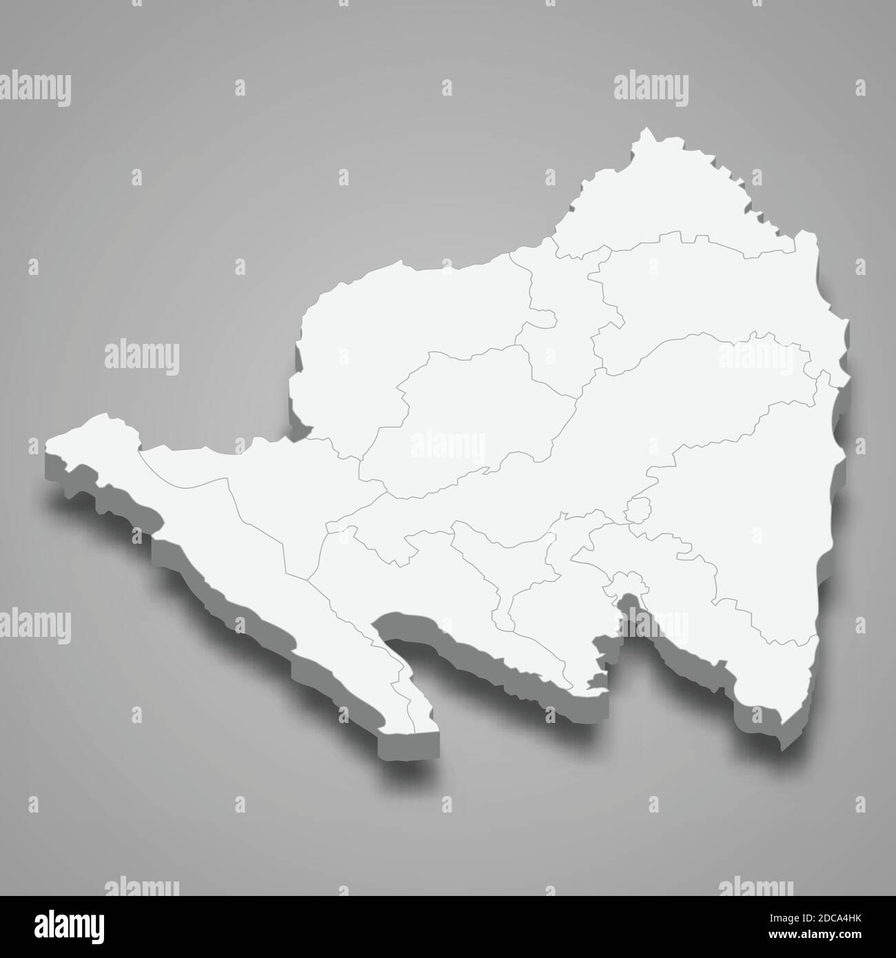 3d isometric map of Lampung is a province of Indonesia, vector illustration Stock Vectorhttps://www.alamy.com/image-license-details/?v=1https://www.alamy.com/3d-isometric-map-of-lampung-is-a-province-of-indonesia-vector-illustration-image386227119.html
RF2DCA4HK–3d isometric map of Lampung is a province of Indonesia, vector illustration
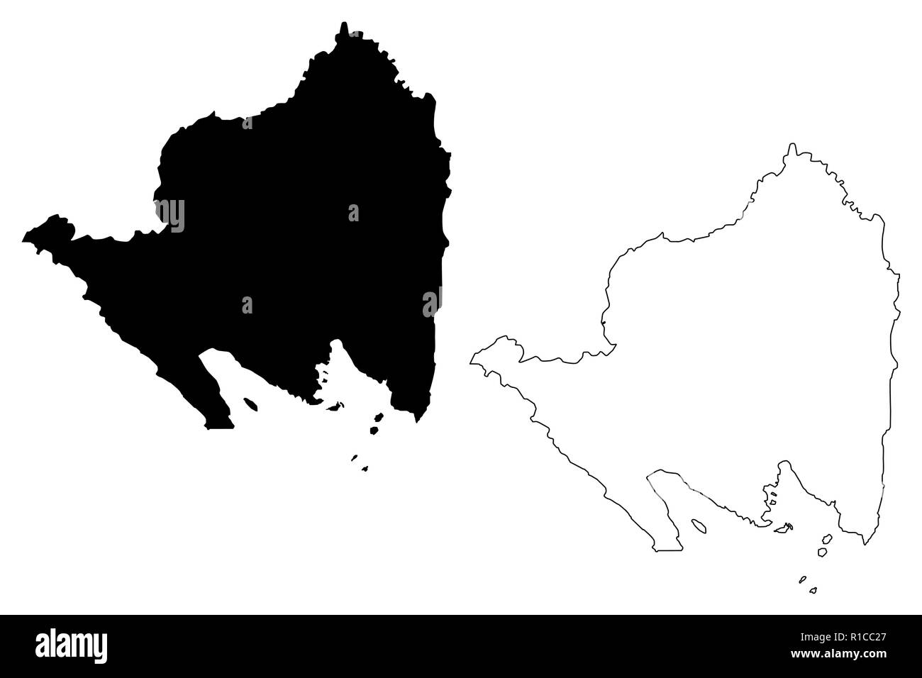 Lampung (Subdivisions of Indonesia, Provinces of Indonesia) map vector illustration, scribble sketch Lampung map Stock Vectorhttps://www.alamy.com/image-license-details/?v=1https://www.alamy.com/lampung-subdivisions-of-indonesia-provinces-of-indonesia-map-vector-illustration-scribble-sketch-lampung-map-image224622335.html
RFR1CC27–Lampung (Subdivisions of Indonesia, Provinces of Indonesia) map vector illustration, scribble sketch Lampung map
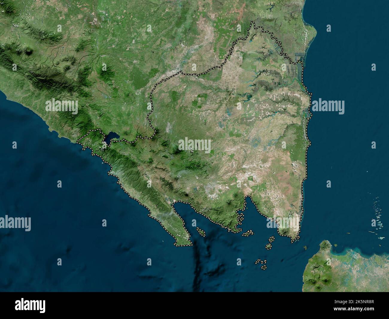 Lampung, province of Indonesia. High resolution satellite map Stock Photohttps://www.alamy.com/image-license-details/?v=1https://www.alamy.com/lampung-province-of-indonesia-high-resolution-satellite-map-image485442855.html
RF2K5NR8R–Lampung, province of Indonesia. High resolution satellite map
 Map of Kotabumi, is the district capital in North Lampung Regency, Lampung Province, Indonesia Stock Photohttps://www.alamy.com/image-license-details/?v=1https://www.alamy.com/map-of-kotabumi-is-the-district-capital-in-north-lampung-regency-lampung-province-indonesia-image611109980.html
RF2XE6D0C–Map of Kotabumi, is the district capital in North Lampung Regency, Lampung Province, Indonesia
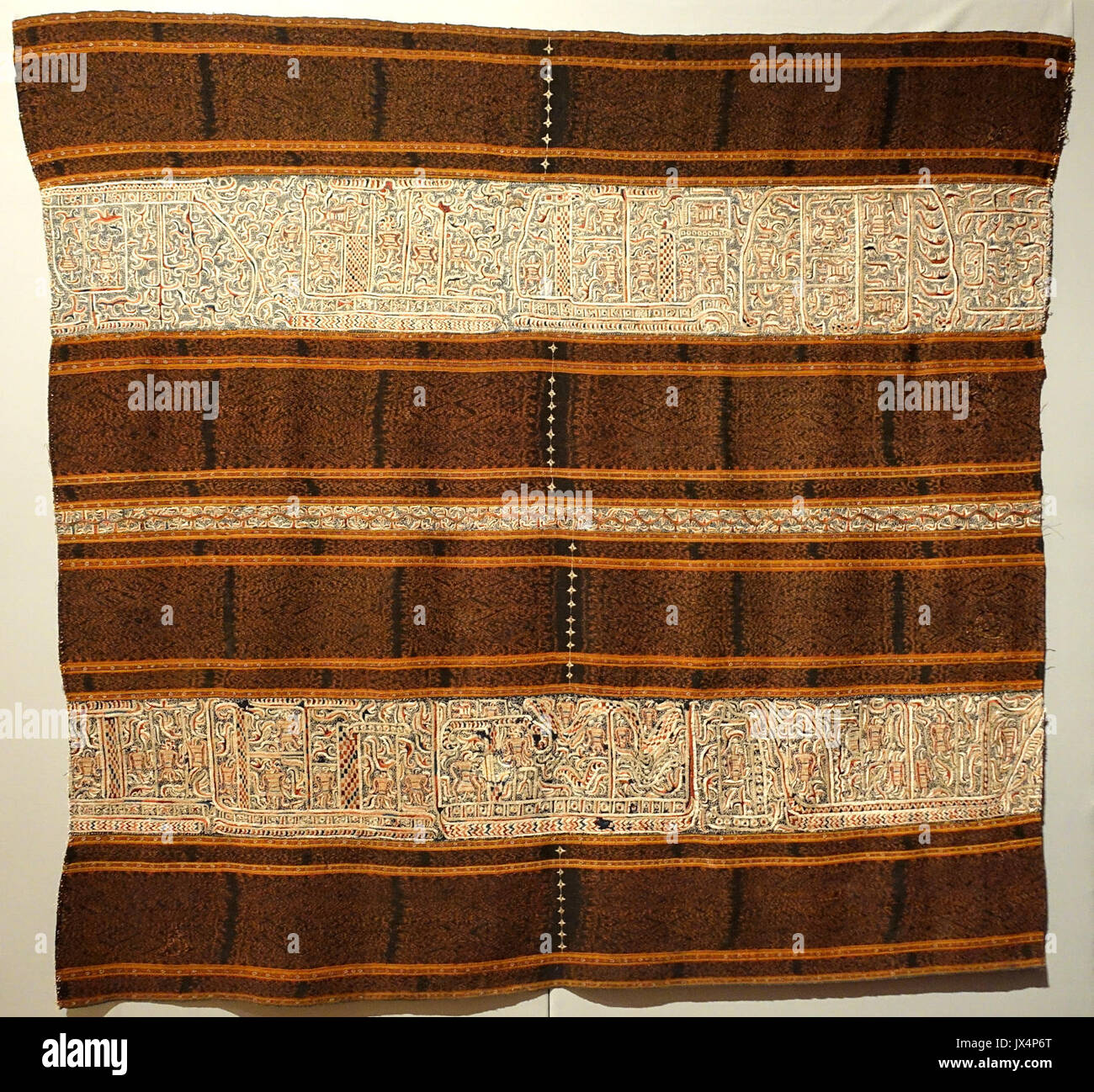 Tapis (hip wrapper), Paminggir people, Indonesia, Sumatra, Lampung, the Kaliande Peninsula, 19th century AD, cotton Textile Museum, George Washington University DSC09496 Stock Photohttps://www.alamy.com/image-license-details/?v=1https://www.alamy.com/tapis-hip-wrapper-paminggir-people-indonesia-sumatra-lampung-the-kaliande-image153769248.html
RMJX4P6T–Tapis (hip wrapper), Paminggir people, Indonesia, Sumatra, Lampung, the Kaliande Peninsula, 19th century AD, cotton Textile Museum, George Washington University DSC09496
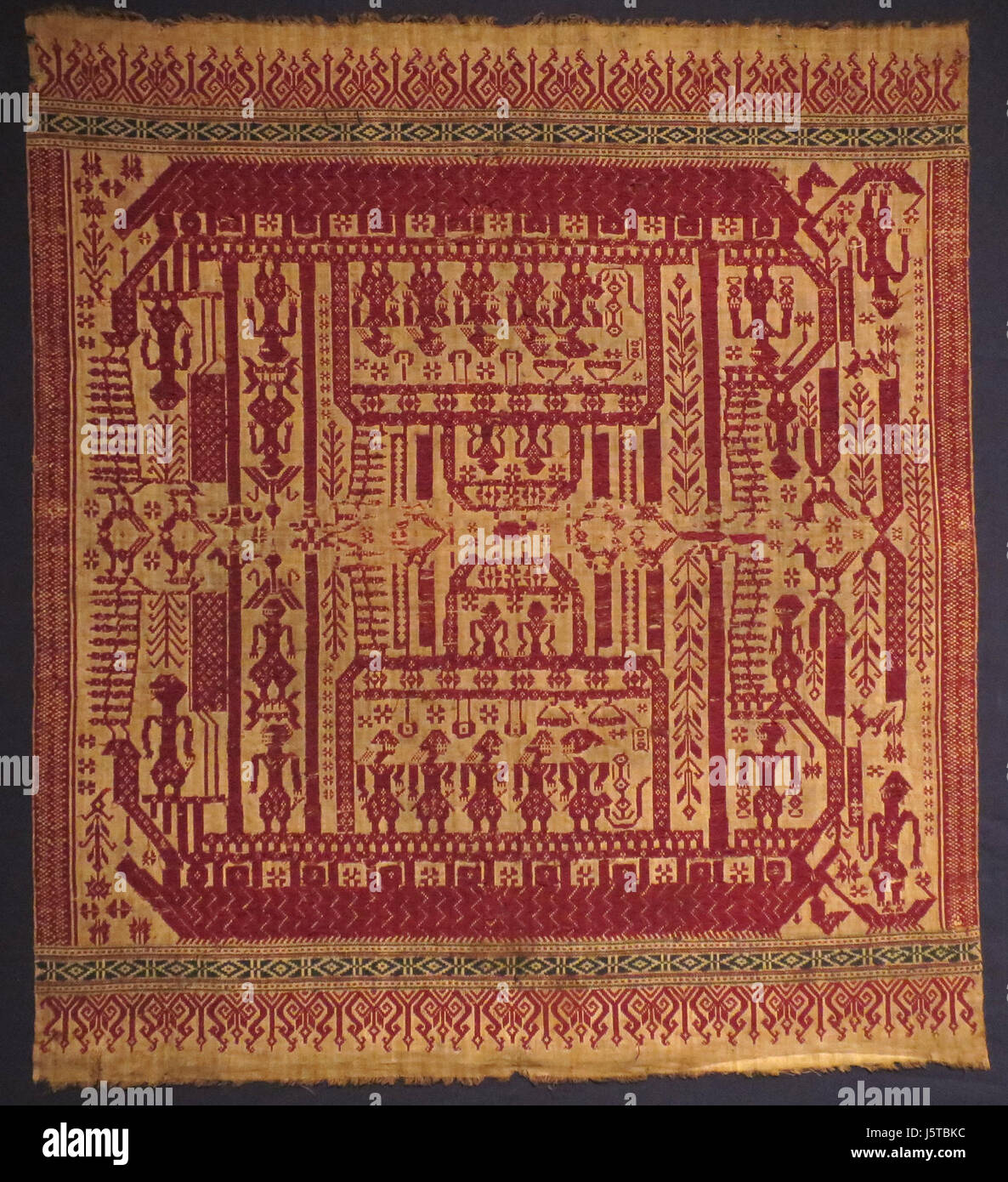 'Tampan' (ship cloth) from Lampung, Sumatra, Indonesia, 19th century, Honolulu Museum of Art, 9744.1 Stock Photohttps://www.alamy.com/image-license-details/?v=1https://www.alamy.com/stock-photo-tampan-ship-cloth-from-lampung-sumatra-indonesia-19th-century-honolulu-141292240.html
RMJ5TBKC–'Tampan' (ship cloth) from Lampung, Sumatra, Indonesia, 19th century, Honolulu Museum of Art, 9744.1
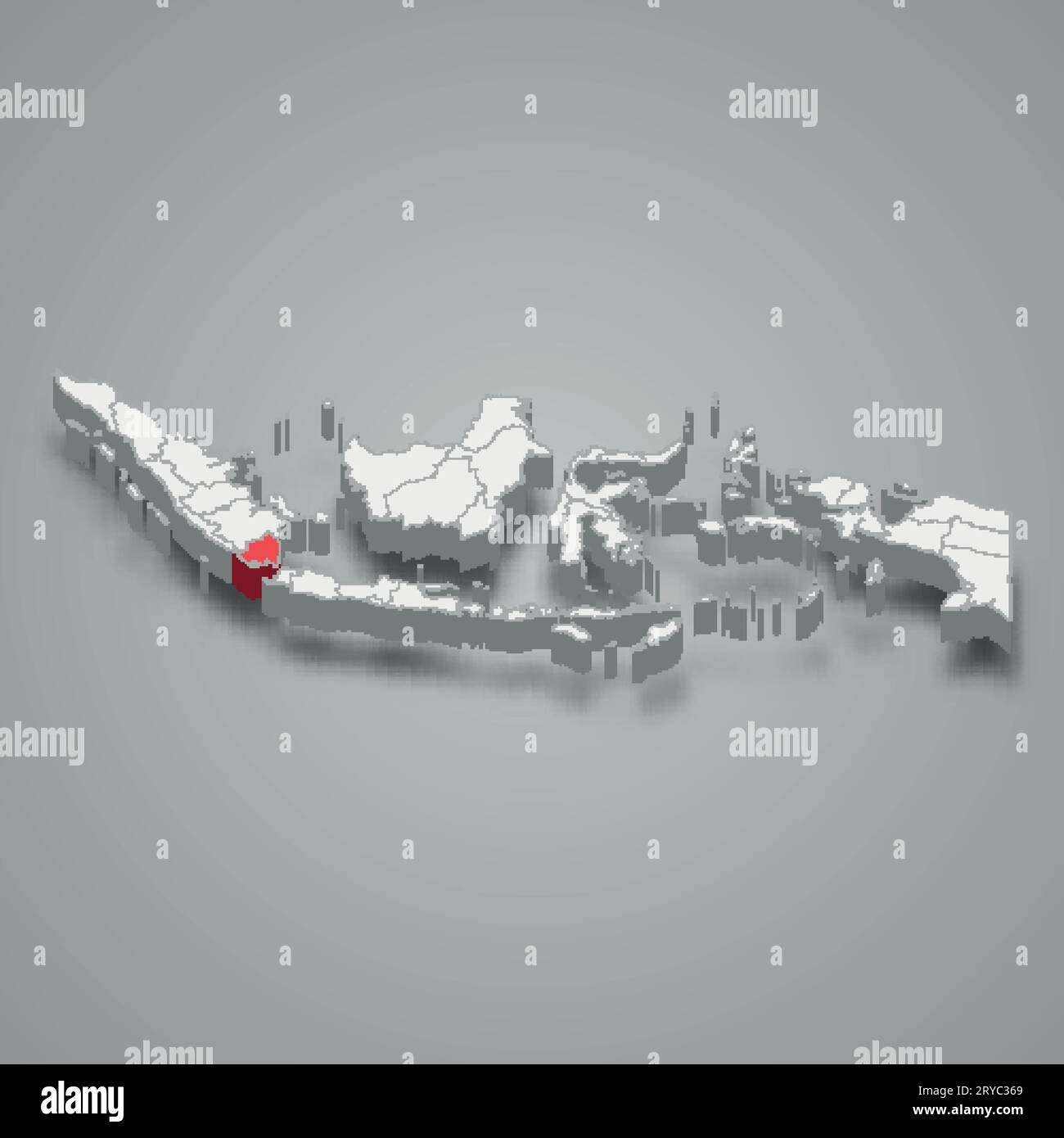 Lampung province location Indonesia 3d isometric map Stock Vectorhttps://www.alamy.com/image-license-details/?v=1https://www.alamy.com/lampung-province-location-indonesia-3d-isometric-map-image567593441.html
RF2RYC369–Lampung province location Indonesia 3d isometric map
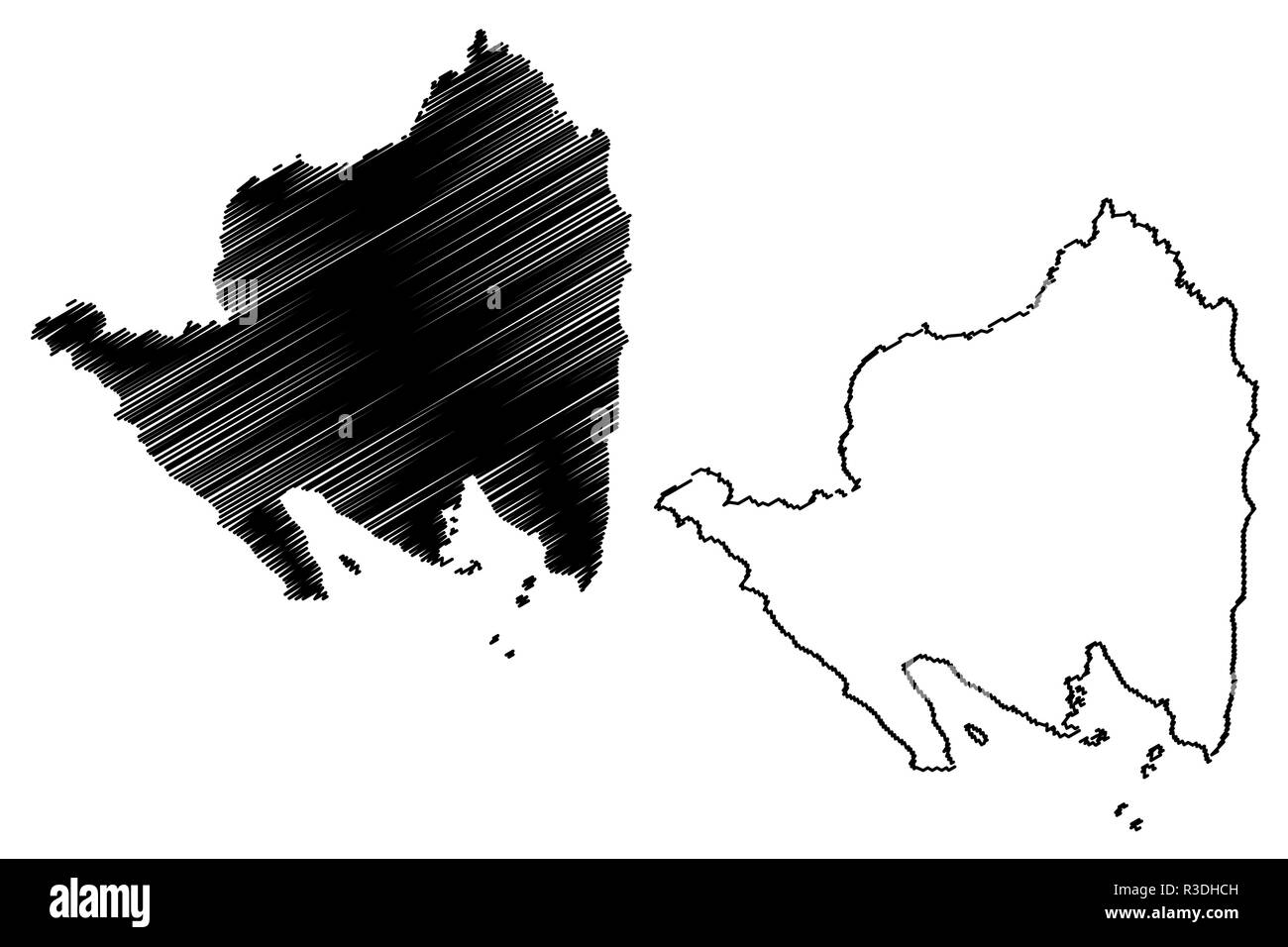 Lampung (Subdivisions of Indonesia, Provinces of Indonesia) map vector illustration, scribble sketch Lampung map Stock Vectorhttps://www.alamy.com/image-license-details/?v=1https://www.alamy.com/lampung-subdivisions-of-indonesia-provinces-of-indonesia-map-vector-illustration-scribble-sketch-lampung-map-image225877809.html
RFR3DHCH–Lampung (Subdivisions of Indonesia, Provinces of Indonesia) map vector illustration, scribble sketch Lampung map
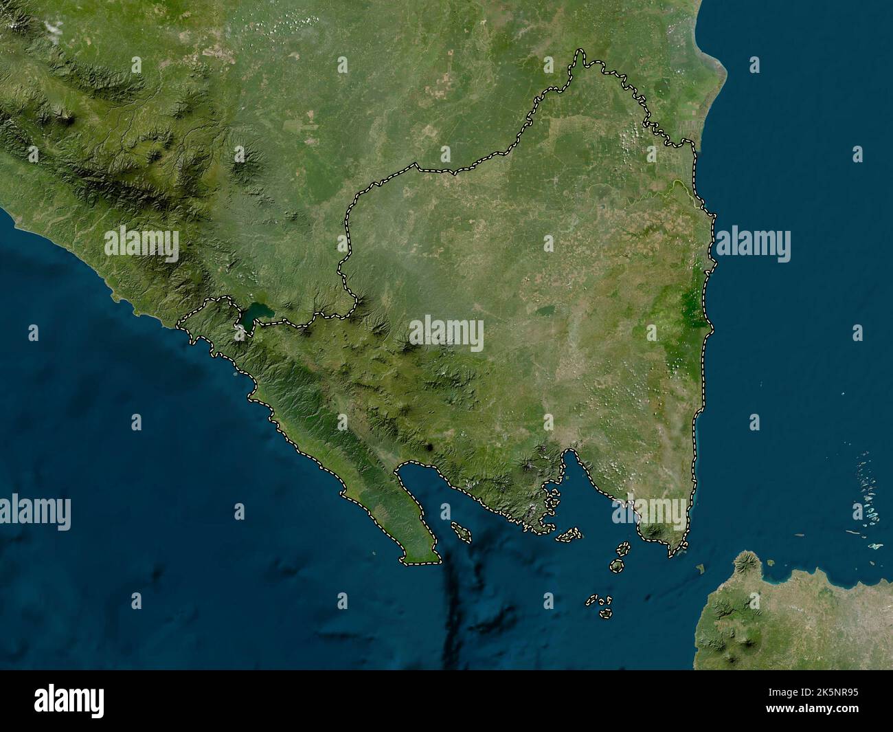 Lampung, province of Indonesia. Low resolution satellite map Stock Photohttps://www.alamy.com/image-license-details/?v=1https://www.alamy.com/lampung-province-of-indonesia-low-resolution-satellite-map-image485442865.html
RF2K5NR95–Lampung, province of Indonesia. Low resolution satellite map
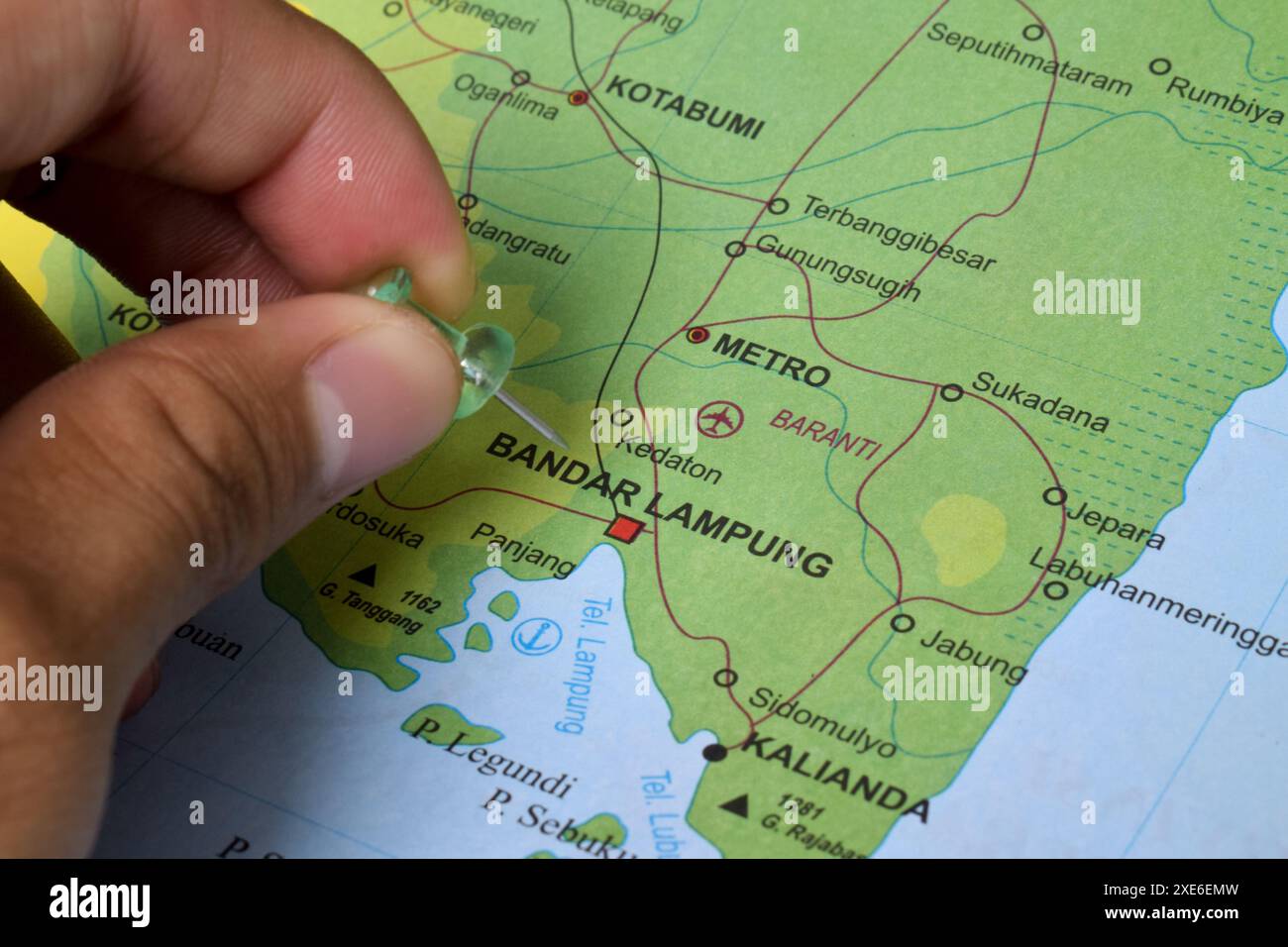 Map of Bandar Lampung City, which is the provincial capital and largest city in Lampung province, Indonesia Stock Photohttps://www.alamy.com/image-license-details/?v=1https://www.alamy.com/map-of-bandar-lampung-city-which-is-the-provincial-capital-and-largest-city-in-lampung-province-indonesia-image611111337.html
RF2XE6EMW–Map of Bandar Lampung City, which is the provincial capital and largest city in Lampung province, Indonesia
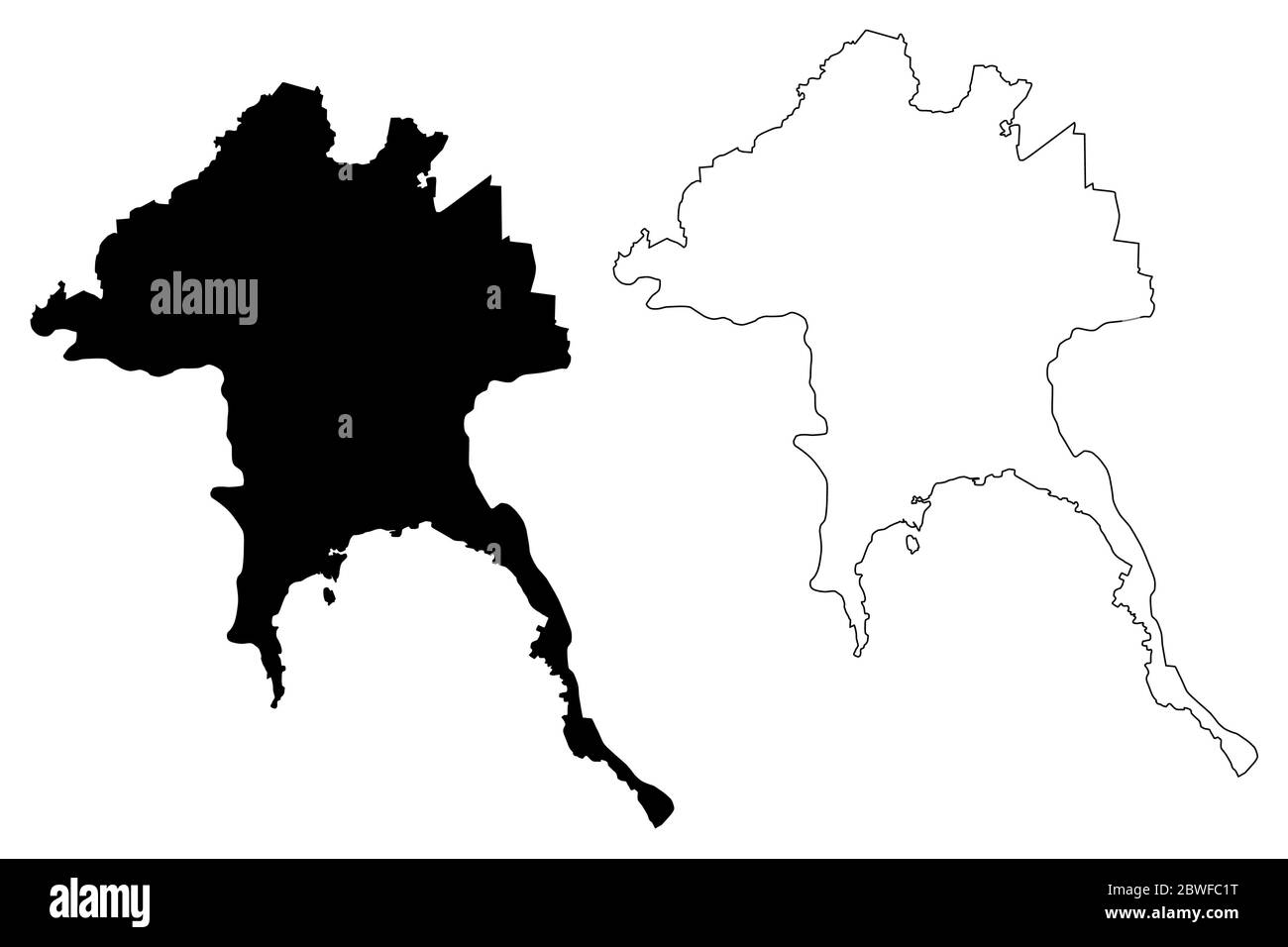 Bandar Lampung City (Republic of Indonesia, Sumatra island) map vector illustration, scribble sketch City of Bandar Lampung map Stock Vectorhttps://www.alamy.com/image-license-details/?v=1https://www.alamy.com/bandar-lampung-city-republic-of-indonesia-sumatra-island-map-vector-illustration-scribble-sketch-city-of-bandar-lampung-map-image359912500.html
RF2BWFC1T–Bandar Lampung City (Republic of Indonesia, Sumatra island) map vector illustration, scribble sketch City of Bandar Lampung map
 'Tampan' (ship cloth) from Lampung, Sumatra, Indonesia, 19th century, cotton with supplementary weft, Honolulu Academy of Arts Stock Photohttps://www.alamy.com/image-license-details/?v=1https://www.alamy.com/stock-photo-tampan-ship-cloth-from-lampung-sumatra-indonesia-19th-century-cotton-141291170.html
RMJ5TA96–'Tampan' (ship cloth) from Lampung, Sumatra, Indonesia, 19th century, cotton with supplementary weft, Honolulu Academy of Arts
 Lampung, province of Indonesia. Grayscale elevation map with lakes and rivers Stock Photohttps://www.alamy.com/image-license-details/?v=1https://www.alamy.com/lampung-province-of-indonesia-grayscale-elevation-map-with-lakes-and-rivers-image485442778.html
RF2K5NR62–Lampung, province of Indonesia. Grayscale elevation map with lakes and rivers
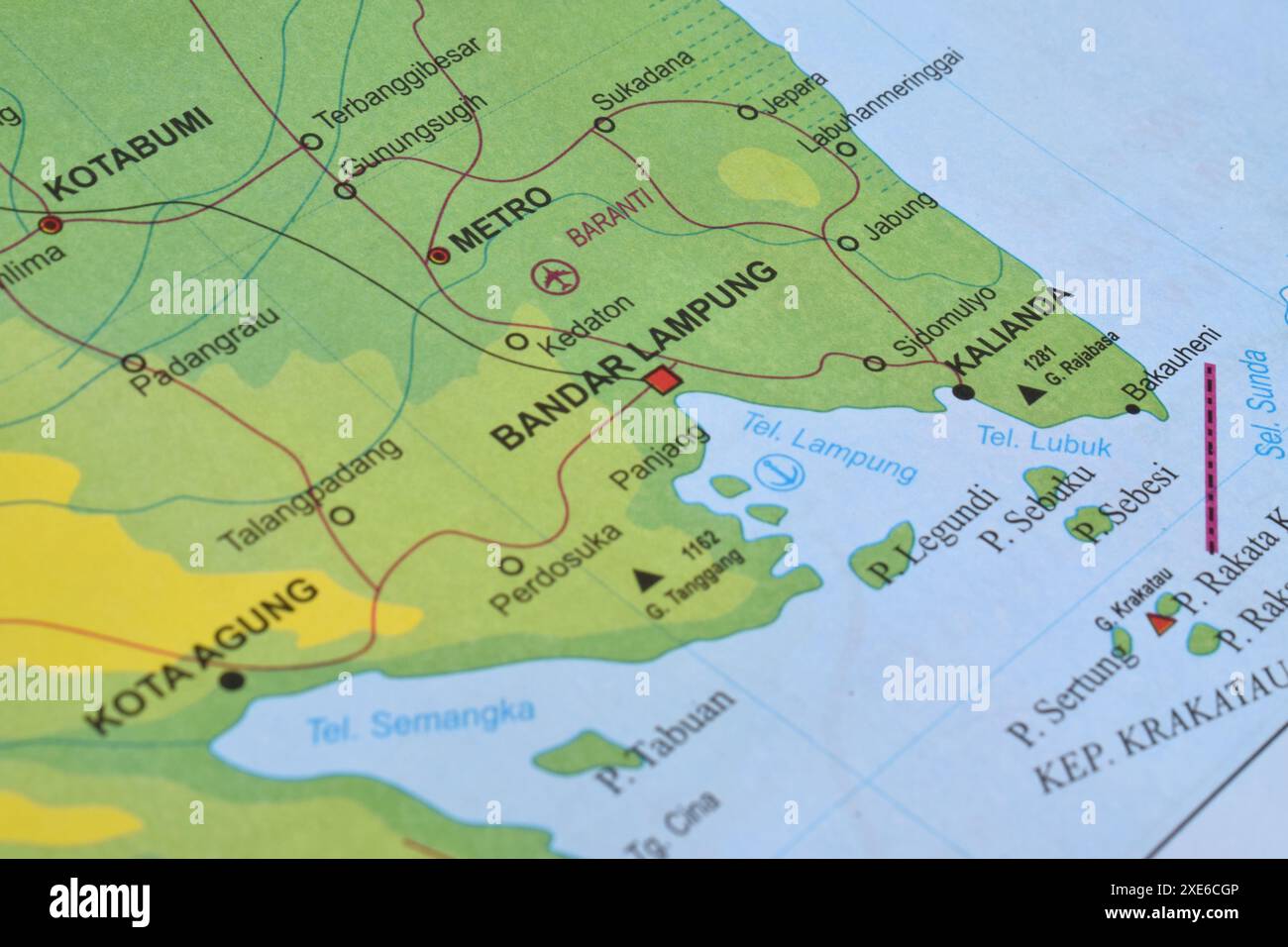 Map of Bandar Lampung City, which is the provincial capital and largest city in Lampung province, Indonesia Stock Photohttps://www.alamy.com/image-license-details/?v=1https://www.alamy.com/map-of-bandar-lampung-city-which-is-the-provincial-capital-and-largest-city-in-lampung-province-indonesia-image611109654.html
RF2XE6CGP–Map of Bandar Lampung City, which is the provincial capital and largest city in Lampung province, Indonesia
 Bandar Lampung City (Republic of Indonesia, Sumatra island) map vector illustration, scribble sketch City of Bandar Lampung map Stock Vectorhttps://www.alamy.com/image-license-details/?v=1https://www.alamy.com/bandar-lampung-city-republic-of-indonesia-sumatra-island-map-vector-illustration-scribble-sketch-city-of-bandar-lampung-map-image370850227.html
RF2CF9K6Y–Bandar Lampung City (Republic of Indonesia, Sumatra island) map vector illustration, scribble sketch City of Bandar Lampung map
 Lampung, province of Indonesia. Bilevel elevation map with lakes and rivers Stock Photohttps://www.alamy.com/image-license-details/?v=1https://www.alamy.com/lampung-province-of-indonesia-bilevel-elevation-map-with-lakes-and-rivers-image485442793.html
RF2K5NR6H–Lampung, province of Indonesia. Bilevel elevation map with lakes and rivers
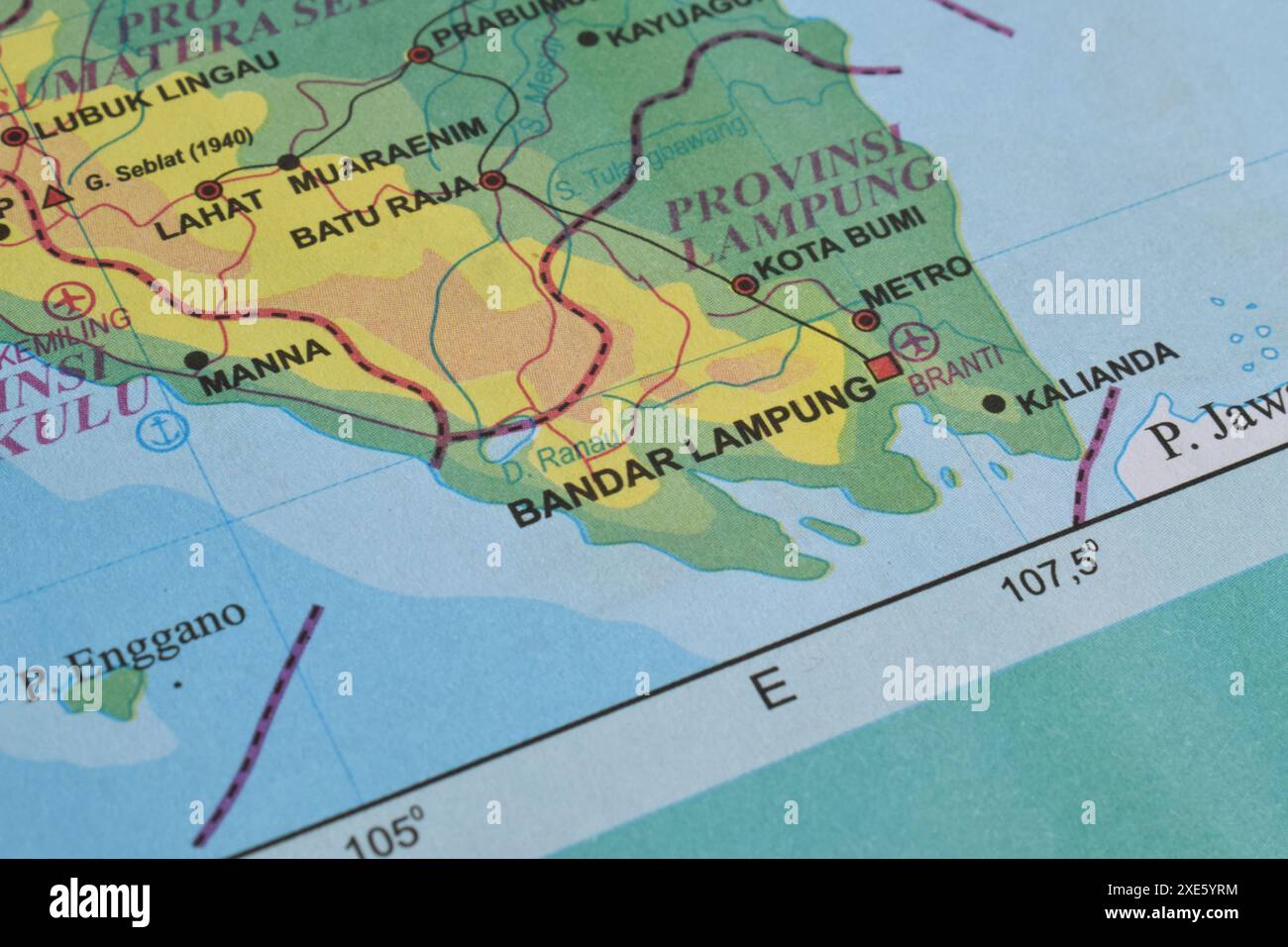 Map of Bandar Lampung City, which is the provincial capital and largest city in Lampung province, Indonesia Stock Photohttps://www.alamy.com/image-license-details/?v=1https://www.alamy.com/map-of-bandar-lampung-city-which-is-the-provincial-capital-and-largest-city-in-lampung-province-indonesia-image611099656.html
RF2XE5YRM–Map of Bandar Lampung City, which is the provincial capital and largest city in Lampung province, Indonesia
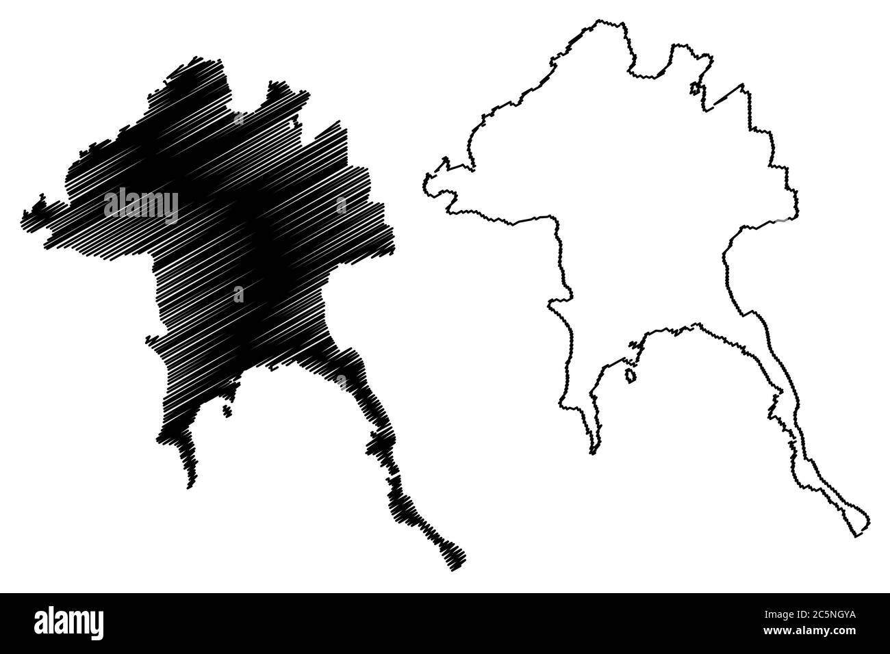 Bandar Lampung City (Republic of Indonesia, Sumatra island) map vector illustration, scribble sketch City of Bandar Lampung map Stock Vectorhttps://www.alamy.com/image-license-details/?v=1https://www.alamy.com/bandar-lampung-city-republic-of-indonesia-sumatra-island-map-vector-illustration-scribble-sketch-city-of-bandar-lampung-map-image364965310.html
RF2C5NGYA–Bandar Lampung City (Republic of Indonesia, Sumatra island) map vector illustration, scribble sketch City of Bandar Lampung map
 Lampung, province of Indonesia. Colored elevation map with lakes and rivers Stock Photohttps://www.alamy.com/image-license-details/?v=1https://www.alamy.com/lampung-province-of-indonesia-colored-elevation-map-with-lakes-and-rivers-image485442868.html
RF2K5NR98–Lampung, province of Indonesia. Colored elevation map with lakes and rivers
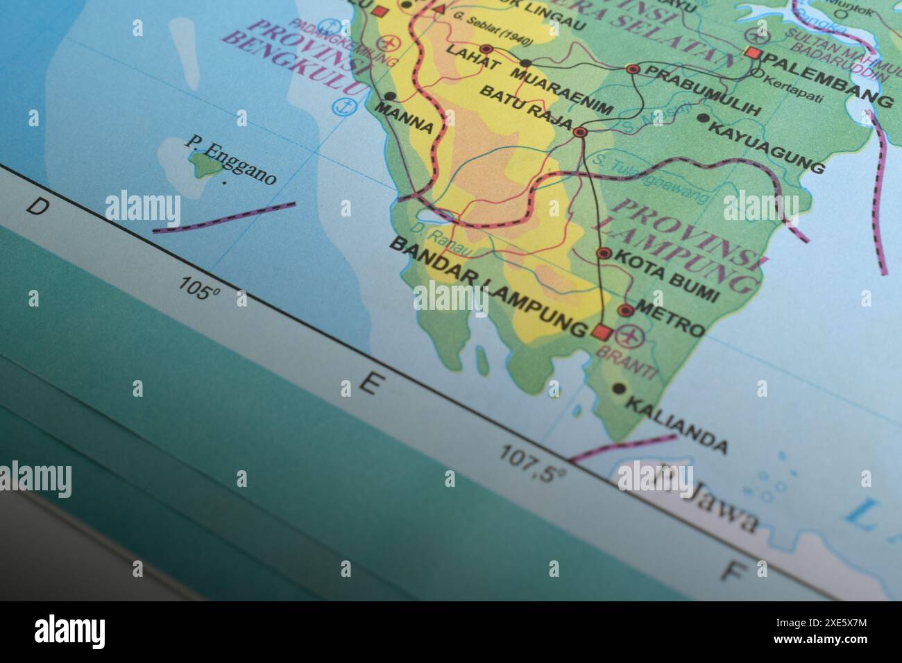 Map of Bandar Lampung City, which is the provincial capital and largest city in Lampung province, Indonesia Stock Photohttps://www.alamy.com/image-license-details/?v=1https://www.alamy.com/map-of-bandar-lampung-city-which-is-the-provincial-capital-and-largest-city-in-lampung-province-indonesia-image611098424.html
RF2XE5X7M–Map of Bandar Lampung City, which is the provincial capital and largest city in Lampung province, Indonesia
 Lampung (Subdivisions of Indonesia, Provinces of Indonesia) map is designed cannabis leaf green and black, Lampung map made of marijuana (marihuana,TH Stock Vectorhttps://www.alamy.com/image-license-details/?v=1https://www.alamy.com/lampung-subdivisions-of-indonesia-provinces-of-indonesia-map-is-designed-cannabis-leaf-green-and-black-lampung-map-made-of-marijuana-marihuanath-image263301633.html
RFW8ABWN–Lampung (Subdivisions of Indonesia, Provinces of Indonesia) map is designed cannabis leaf green and black, Lampung map made of marijuana (marihuana,TH
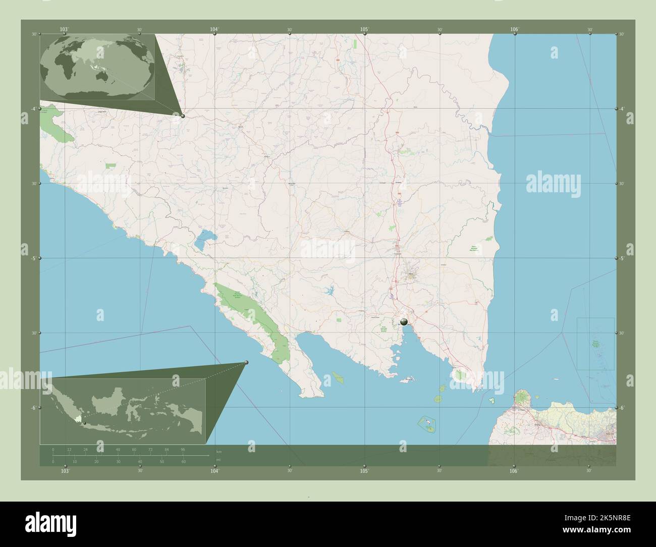 Lampung, province of Indonesia. Open Street Map. Corner auxiliary location maps Stock Photohttps://www.alamy.com/image-license-details/?v=1https://www.alamy.com/lampung-province-of-indonesia-open-street-map-corner-auxiliary-location-maps-image485442846.html
RF2K5NR8E–Lampung, province of Indonesia. Open Street Map. Corner auxiliary location maps
 Finger Pointing to Map of Bandar Lampung City, which is the provincial capital and largest city in Lampung province, Indonesia Stock Photohttps://www.alamy.com/image-license-details/?v=1https://www.alamy.com/finger-pointing-to-map-of-bandar-lampung-city-which-is-the-provincial-capital-and-largest-city-in-lampung-province-indonesia-image611111564.html
RF2XE6F10–Finger Pointing to Map of Bandar Lampung City, which is the provincial capital and largest city in Lampung province, Indonesia
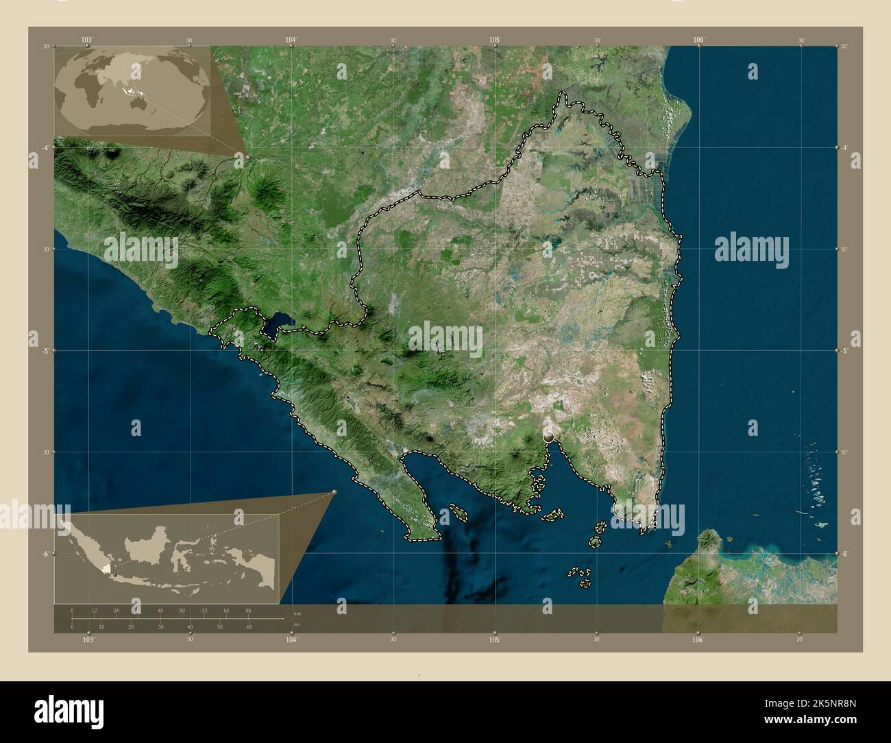 Lampung, province of Indonesia. High resolution satellite map. Corner auxiliary location maps Stock Photohttps://www.alamy.com/image-license-details/?v=1https://www.alamy.com/lampung-province-of-indonesia-high-resolution-satellite-map-corner-auxiliary-location-maps-image485442853.html
RF2K5NR8N–Lampung, province of Indonesia. High resolution satellite map. Corner auxiliary location maps
 Finger Pointing to Map of Bandar Lampung City, which is the provincial capital and largest city in Lampung province, Indonesia Stock Photohttps://www.alamy.com/image-license-details/?v=1https://www.alamy.com/finger-pointing-to-map-of-bandar-lampung-city-which-is-the-provincial-capital-and-largest-city-in-lampung-province-indonesia-image611111485.html
RF2XE6EX5–Finger Pointing to Map of Bandar Lampung City, which is the provincial capital and largest city in Lampung province, Indonesia
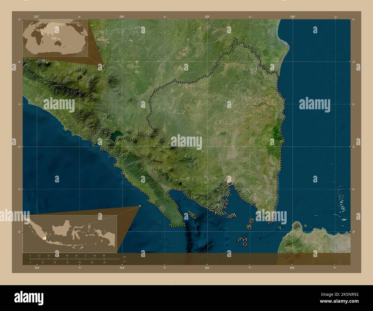 Lampung, province of Indonesia. Low resolution satellite map. Corner auxiliary location maps Stock Photohttps://www.alamy.com/image-license-details/?v=1https://www.alamy.com/lampung-province-of-indonesia-low-resolution-satellite-map-corner-auxiliary-location-maps-image485442862.html
RF2K5NR92–Lampung, province of Indonesia. Low resolution satellite map. Corner auxiliary location maps
 Metro City Map, is a city in Lampung Province, Indonesia Stock Photohttps://www.alamy.com/image-license-details/?v=1https://www.alamy.com/metro-city-map-is-a-city-in-lampung-province-indonesia-image611110283.html
RF2XE6DB7–Metro City Map, is a city in Lampung Province, Indonesia
 Lampung, province of Indonesia. Grayscale elevation map with lakes and rivers. Corner auxiliary location maps Stock Photohttps://www.alamy.com/image-license-details/?v=1https://www.alamy.com/lampung-province-of-indonesia-grayscale-elevation-map-with-lakes-and-rivers-corner-auxiliary-location-maps-image485442794.html
RF2K5NR6J–Lampung, province of Indonesia. Grayscale elevation map with lakes and rivers. Corner auxiliary location maps
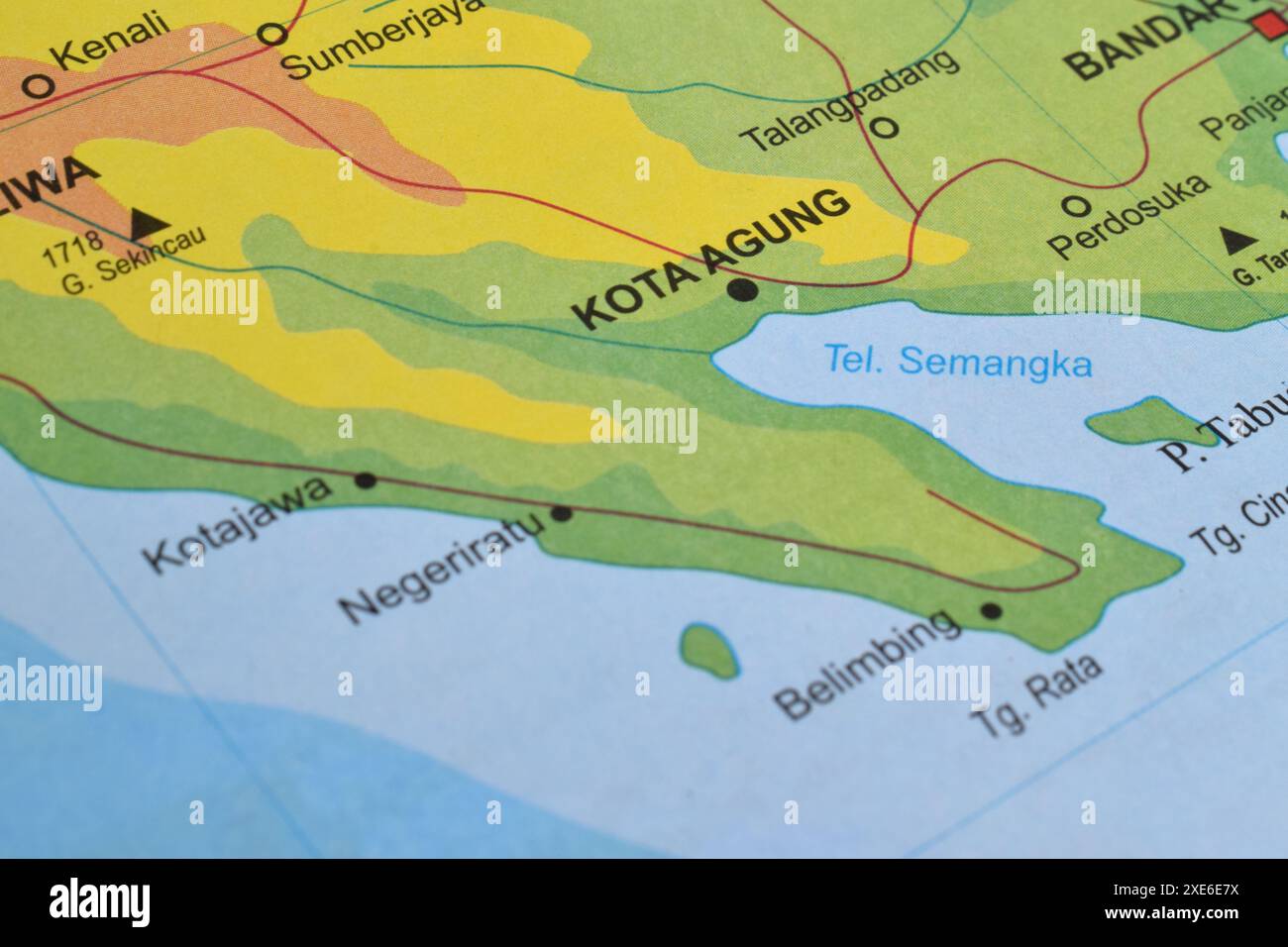 Map of Kota Agung, located in Tanggamus Regency, Lampung Province, Indonesia Stock Photohttps://www.alamy.com/image-license-details/?v=1https://www.alamy.com/map-of-kota-agung-located-in-tanggamus-regency-lampung-province-indonesia-image611110974.html
RF2XE6E7X–Map of Kota Agung, located in Tanggamus Regency, Lampung Province, Indonesia
 Lampung, province of Indonesia. Bilevel elevation map with lakes and rivers. Corner auxiliary location maps Stock Photohttps://www.alamy.com/image-license-details/?v=1https://www.alamy.com/lampung-province-of-indonesia-bilevel-elevation-map-with-lakes-and-rivers-corner-auxiliary-location-maps-image485442759.html
RF2K5NR5B–Lampung, province of Indonesia. Bilevel elevation map with lakes and rivers. Corner auxiliary location maps
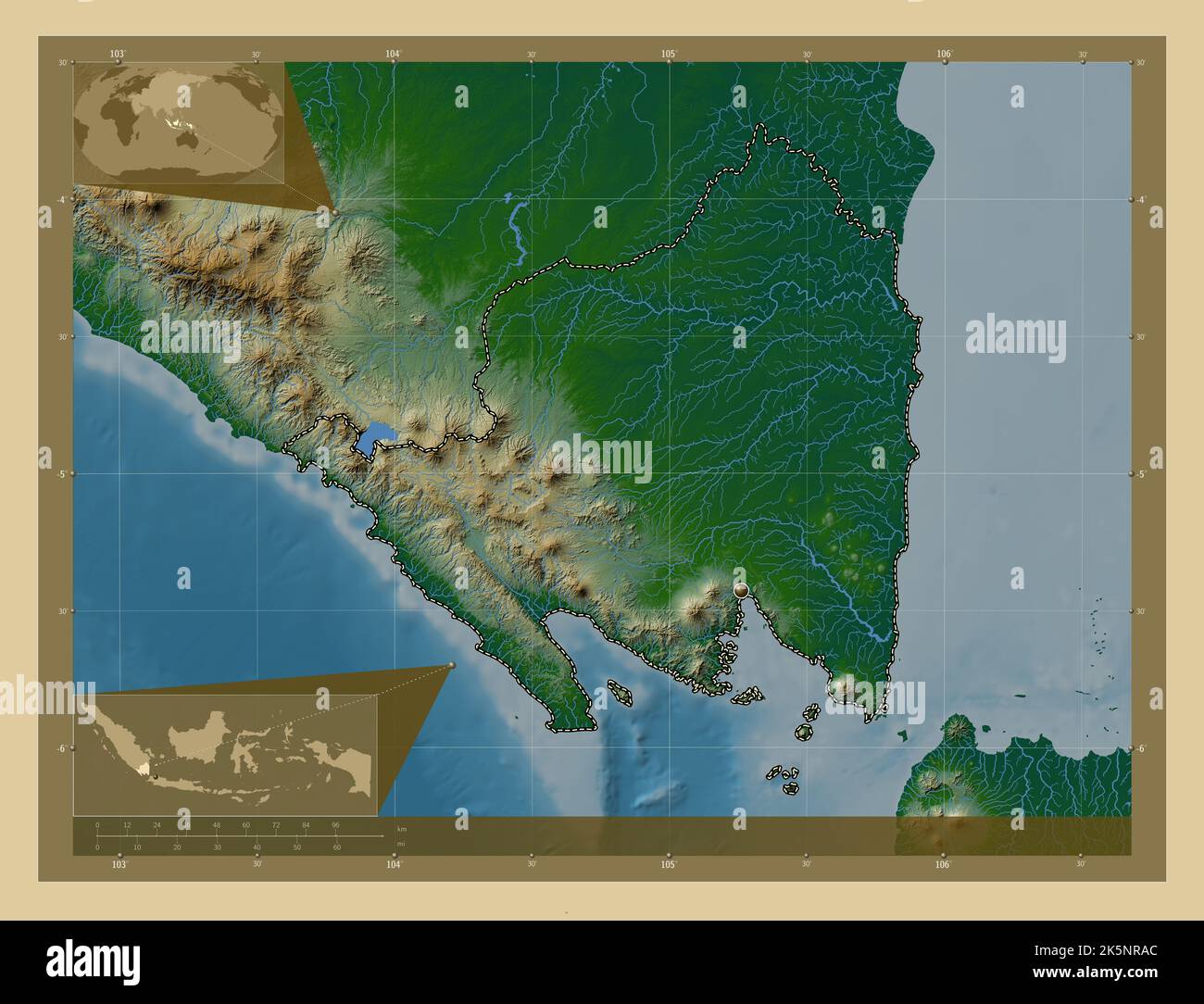 Lampung, province of Indonesia. Colored elevation map with lakes and rivers. Corner auxiliary location maps Stock Photohttps://www.alamy.com/image-license-details/?v=1https://www.alamy.com/lampung-province-of-indonesia-colored-elevation-map-with-lakes-and-rivers-corner-auxiliary-location-maps-image485442900.html
RF2K5NRAC–Lampung, province of Indonesia. Colored elevation map with lakes and rivers. Corner auxiliary location maps
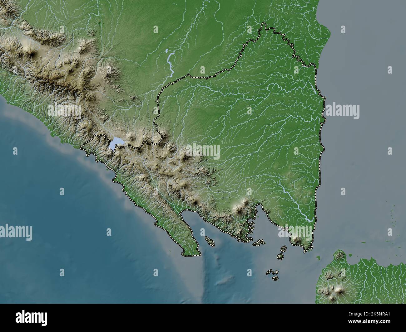 Lampung, province of Indonesia. Elevation map colored in wiki style with lakes and rivers Stock Photohttps://www.alamy.com/image-license-details/?v=1https://www.alamy.com/lampung-province-of-indonesia-elevation-map-colored-in-wiki-style-with-lakes-and-rivers-image485442889.html
RF2K5NRA1–Lampung, province of Indonesia. Elevation map colored in wiki style with lakes and rivers
 Lampung, province of Indonesia. Elevation map colored in sepia tones with lakes and rivers Stock Photohttps://www.alamy.com/image-license-details/?v=1https://www.alamy.com/lampung-province-of-indonesia-elevation-map-colored-in-sepia-tones-with-lakes-and-rivers-image485442911.html
RF2K5NRAR–Lampung, province of Indonesia. Elevation map colored in sepia tones with lakes and rivers
 Shape of Lampung, province of Indonesia, with its capital isolated on white background. Bilevel elevation map. 3D rendering Stock Photohttps://www.alamy.com/image-license-details/?v=1https://www.alamy.com/shape-of-lampung-province-of-indonesia-with-its-capital-isolated-on-white-background-bilevel-elevation-map-3d-rendering-image368482292.html
RF2CBDPWT–Shape of Lampung, province of Indonesia, with its capital isolated on white background. Bilevel elevation map. 3D rendering
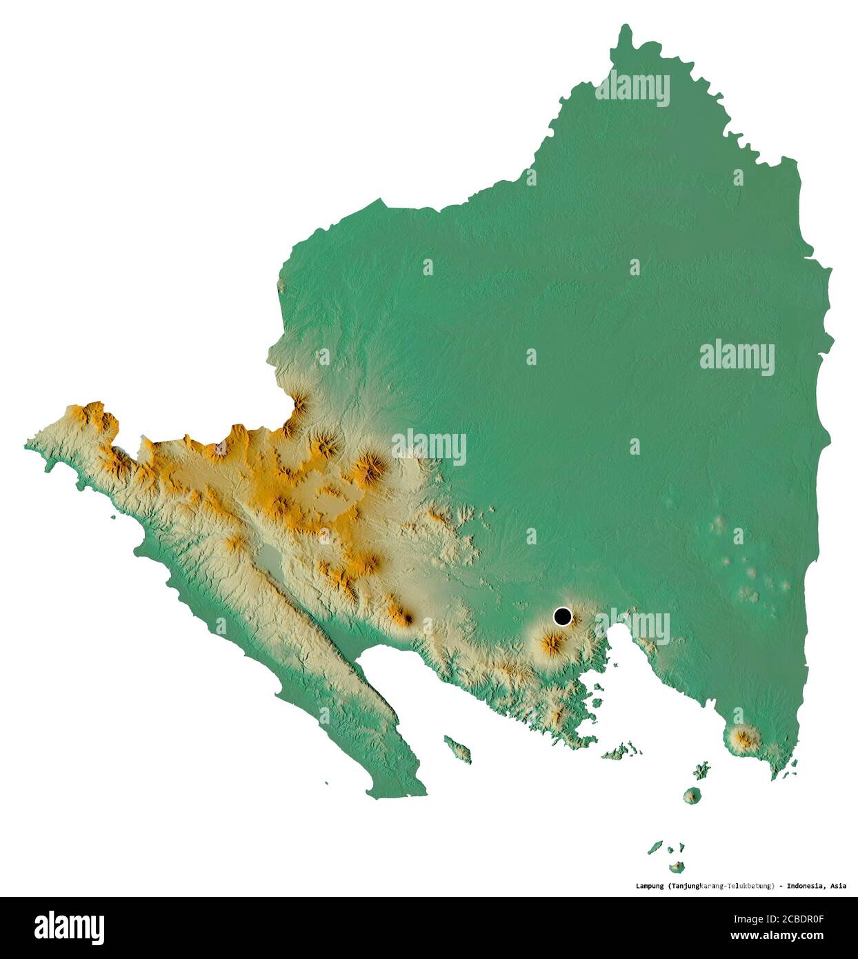 Shape of Lampung, province of Indonesia, with its capital isolated on white background. Topographic relief map. 3D rendering Stock Photohttps://www.alamy.com/image-license-details/?v=1https://www.alamy.com/shape-of-lampung-province-of-indonesia-with-its-capital-isolated-on-white-background-topographic-relief-map-3d-rendering-image368482367.html
RF2CBDR0F–Shape of Lampung, province of Indonesia, with its capital isolated on white background. Topographic relief map. 3D rendering
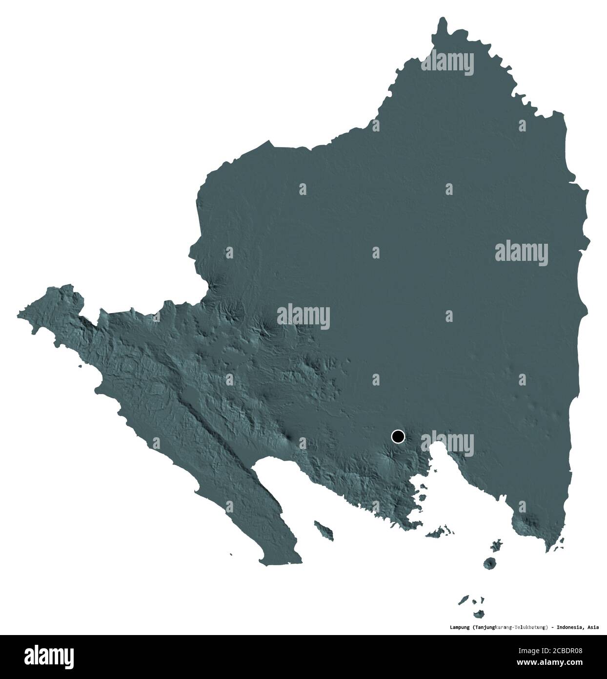 Shape of Lampung, province of Indonesia, with its capital isolated on white background. Colored elevation map. 3D rendering Stock Photohttps://www.alamy.com/image-license-details/?v=1https://www.alamy.com/shape-of-lampung-province-of-indonesia-with-its-capital-isolated-on-white-background-colored-elevation-map-3d-rendering-image368482360.html
RF2CBDR08–Shape of Lampung, province of Indonesia, with its capital isolated on white background. Colored elevation map. 3D rendering
 Lampung, province of Indonesia. Elevation map colored in sepia tones with lakes and rivers. Corner auxiliary location maps Stock Photohttps://www.alamy.com/image-license-details/?v=1https://www.alamy.com/lampung-province-of-indonesia-elevation-map-colored-in-sepia-tones-with-lakes-and-rivers-corner-auxiliary-location-maps-image485442885.html
RF2K5NR9W–Lampung, province of Indonesia. Elevation map colored in sepia tones with lakes and rivers. Corner auxiliary location maps
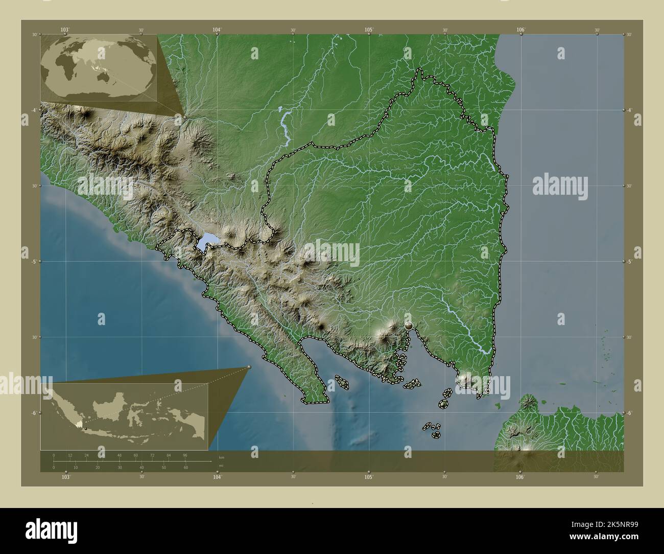 Lampung, province of Indonesia. Elevation map colored in wiki style with lakes and rivers. Corner auxiliary location maps Stock Photohttps://www.alamy.com/image-license-details/?v=1https://www.alamy.com/lampung-province-of-indonesia-elevation-map-colored-in-wiki-style-with-lakes-and-rivers-corner-auxiliary-location-maps-image485442869.html
RF2K5NR99–Lampung, province of Indonesia. Elevation map colored in wiki style with lakes and rivers. Corner auxiliary location maps
 Lampung, province of Indonesia. Open Street Map. Locations of major cities of the region. Corner auxiliary location maps Stock Photohttps://www.alamy.com/image-license-details/?v=1https://www.alamy.com/lampung-province-of-indonesia-open-street-map-locations-of-major-cities-of-the-region-corner-auxiliary-location-maps-image485442843.html
RF2K5NR8B–Lampung, province of Indonesia. Open Street Map. Locations of major cities of the region. Corner auxiliary location maps
 Lampung, province of Indonesia. Grayscaled map with lakes and rivers. Shape outlined against its country area. 3D rendering Stock Photohttps://www.alamy.com/image-license-details/?v=1https://www.alamy.com/lampung-province-of-indonesia-grayscaled-map-with-lakes-and-rivers-shape-outlined-against-its-country-area-3d-rendering-image364214915.html
RF2C4FBRF–Lampung, province of Indonesia. Grayscaled map with lakes and rivers. Shape outlined against its country area. 3D rendering
 Lampung, province of Indonesia. High resolution satellite map. Locations of major cities of the region. Corner auxiliary location maps Stock Photohttps://www.alamy.com/image-license-details/?v=1https://www.alamy.com/lampung-province-of-indonesia-high-resolution-satellite-map-locations-of-major-cities-of-the-region-corner-auxiliary-location-maps-image485442863.html
RF2K5NR93–Lampung, province of Indonesia. High resolution satellite map. Locations of major cities of the region. Corner auxiliary location maps
 Lampung, province of Indonesia. Low resolution satellite map. Locations of major cities of the region. Corner auxiliary location maps Stock Photohttps://www.alamy.com/image-license-details/?v=1https://www.alamy.com/lampung-province-of-indonesia-low-resolution-satellite-map-locations-of-major-cities-of-the-region-corner-auxiliary-location-maps-image485442866.html
RF2K5NR96–Lampung, province of Indonesia. Low resolution satellite map. Locations of major cities of the region. Corner auxiliary location maps
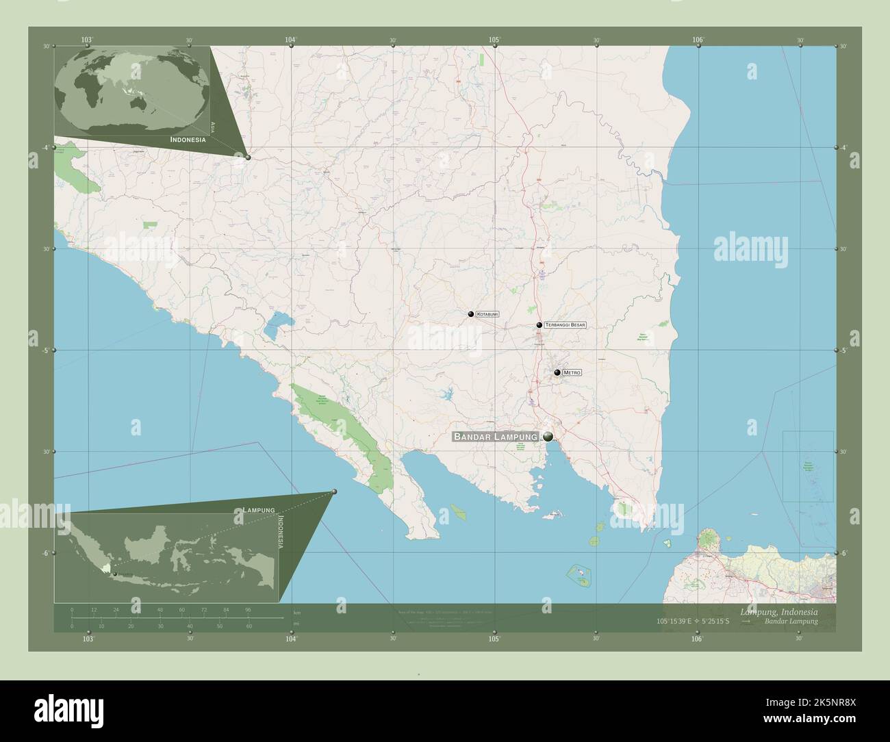 Lampung, province of Indonesia. Open Street Map. Locations and names of major cities of the region. Corner auxiliary location maps Stock Photohttps://www.alamy.com/image-license-details/?v=1https://www.alamy.com/lampung-province-of-indonesia-open-street-map-locations-and-names-of-major-cities-of-the-region-corner-auxiliary-location-maps-image485442858.html
RF2K5NR8X–Lampung, province of Indonesia. Open Street Map. Locations and names of major cities of the region. Corner auxiliary location maps
 Shape of Lampung, province of Indonesia, with its capital isolated on a solid color background. Bilevel elevation map. 3D rendering Stock Photohttps://www.alamy.com/image-license-details/?v=1https://www.alamy.com/shape-of-lampung-province-of-indonesia-with-its-capital-isolated-on-a-solid-color-background-bilevel-elevation-map-3d-rendering-image368482288.html
RF2CBDPWM–Shape of Lampung, province of Indonesia, with its capital isolated on a solid color background. Bilevel elevation map. 3D rendering
 Shape of Lampung, province of Indonesia, with its capital isolated on a solid color background. Colored elevation map. 3D rendering Stock Photohttps://www.alamy.com/image-license-details/?v=1https://www.alamy.com/shape-of-lampung-province-of-indonesia-with-its-capital-isolated-on-a-solid-color-background-colored-elevation-map-3d-rendering-image368482345.html
RF2CBDPYN–Shape of Lampung, province of Indonesia, with its capital isolated on a solid color background. Colored elevation map. 3D rendering
 Shape of Lampung, province of Indonesia, with its capital isolated on a solid color background. Topographic relief map. 3D rendering Stock Photohttps://www.alamy.com/image-license-details/?v=1https://www.alamy.com/shape-of-lampung-province-of-indonesia-with-its-capital-isolated-on-a-solid-color-background-topographic-relief-map-3d-rendering-image368482387.html
RF2CBDR17–Shape of Lampung, province of Indonesia, with its capital isolated on a solid color background. Topographic relief map. 3D rendering
 Zoom in on Lampung (province of Indonesia) outlined. Oblique perspective. Bilevel elevation map with surface waters. 3D rendering Stock Photohttps://www.alamy.com/image-license-details/?v=1https://www.alamy.com/zoom-in-on-lampung-province-of-indonesia-outlined-oblique-perspective-bilevel-elevation-map-with-surface-waters-3d-rendering-image364318361.html
RF2C4M3P1–Zoom in on Lampung (province of Indonesia) outlined. Oblique perspective. Bilevel elevation map with surface waters. 3D rendering
 Zoom in on Lampung (province of Indonesia) outlined. Oblique perspective. Topographic relief map with surface waters. 3D rendering Stock Photohttps://www.alamy.com/image-license-details/?v=1https://www.alamy.com/zoom-in-on-lampung-province-of-indonesia-outlined-oblique-perspective-topographic-relief-map-with-surface-waters-3d-rendering-image364318371.html
RF2C4M3PB–Zoom in on Lampung (province of Indonesia) outlined. Oblique perspective. Topographic relief map with surface waters. 3D rendering
 Lampung, province of Indonesia. Grayscale elevation map with lakes and rivers. Locations of major cities of the region. Corner auxiliary location maps Stock Photohttps://www.alamy.com/image-license-details/?v=1https://www.alamy.com/lampung-province-of-indonesia-grayscale-elevation-map-with-lakes-and-rivers-locations-of-major-cities-of-the-region-corner-auxiliary-location-maps-image485442788.html
RF2K5NR6C–Lampung, province of Indonesia. Grayscale elevation map with lakes and rivers. Locations of major cities of the region. Corner auxiliary location maps
 Lampung, province of Indonesia. Low resolution satellite map. Locations and names of major cities of the region. Corner auxiliary location maps Stock Photohttps://www.alamy.com/image-license-details/?v=1https://www.alamy.com/lampung-province-of-indonesia-low-resolution-satellite-map-locations-and-names-of-major-cities-of-the-region-corner-auxiliary-location-maps-image485442849.html
RF2K5NR8H–Lampung, province of Indonesia. Low resolution satellite map. Locations and names of major cities of the region. Corner auxiliary location maps
 Lampung, province of Indonesia. Bilevel elevation map with lakes and rivers. Locations of major cities of the region. Corner auxiliary location maps Stock Photohttps://www.alamy.com/image-license-details/?v=1https://www.alamy.com/lampung-province-of-indonesia-bilevel-elevation-map-with-lakes-and-rivers-locations-of-major-cities-of-the-region-corner-auxiliary-location-maps-image485442758.html
RF2K5NR5A–Lampung, province of Indonesia. Bilevel elevation map with lakes and rivers. Locations of major cities of the region. Corner auxiliary location maps
 Lampung, province of Indonesia. Colored elevation map with lakes and rivers. Locations of major cities of the region. Corner auxiliary location maps Stock Photohttps://www.alamy.com/image-license-details/?v=1https://www.alamy.com/lampung-province-of-indonesia-colored-elevation-map-with-lakes-and-rivers-locations-of-major-cities-of-the-region-corner-auxiliary-location-maps-image485442870.html
RF2K5NR9A–Lampung, province of Indonesia. Colored elevation map with lakes and rivers. Locations of major cities of the region. Corner auxiliary location maps
 Lampung, province of Indonesia. Bilevel elevation map with lakes and rivers. Locations and names of major cities of the region. Corner auxiliary locat Stock Photohttps://www.alamy.com/image-license-details/?v=1https://www.alamy.com/lampung-province-of-indonesia-bilevel-elevation-map-with-lakes-and-rivers-locations-and-names-of-major-cities-of-the-region-corner-auxiliary-locat-image485442800.html
RF2K5NR6T–Lampung, province of Indonesia. Bilevel elevation map with lakes and rivers. Locations and names of major cities of the region. Corner auxiliary locat
 Lampung, province of Indonesia. Grayscale elevation map with lakes and rivers. Locations and names of major cities of the region. Corner auxiliary loc Stock Photohttps://www.alamy.com/image-license-details/?v=1https://www.alamy.com/lampung-province-of-indonesia-grayscale-elevation-map-with-lakes-and-rivers-locations-and-names-of-major-cities-of-the-region-corner-auxiliary-loc-image485442776.html
RF2K5NR60–Lampung, province of Indonesia. Grayscale elevation map with lakes and rivers. Locations and names of major cities of the region. Corner auxiliary loc
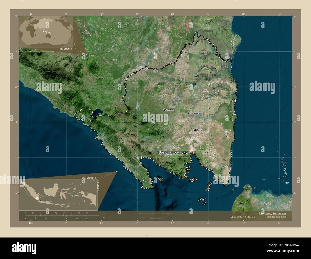 Lampung, province of Indonesia. High resolution satellite map. Locations and names of major cities of the region. Corner auxiliary location maps Stock Photohttps://www.alamy.com/image-license-details/?v=1https://www.alamy.com/lampung-province-of-indonesia-high-resolution-satellite-map-locations-and-names-of-major-cities-of-the-region-corner-auxiliary-location-maps-image485442786.html
RF2K5NR6A–Lampung, province of Indonesia. High resolution satellite map. Locations and names of major cities of the region. Corner auxiliary location maps
 Lampung, province of Indonesia. Colored elevation map with lakes and rivers. Locations and names of major cities of the region. Corner auxiliary locat Stock Photohttps://www.alamy.com/image-license-details/?v=1https://www.alamy.com/lampung-province-of-indonesia-colored-elevation-map-with-lakes-and-rivers-locations-and-names-of-major-cities-of-the-region-corner-auxiliary-locat-image485442867.html
RF2K5NR97–Lampung, province of Indonesia. Colored elevation map with lakes and rivers. Locations and names of major cities of the region. Corner auxiliary locat