Quick filters:
Map of lapeer michigan Stock Photos and Images
 Lapeer Michigan USA shown on a Geography map or road map Stock Photohttps://www.alamy.com/image-license-details/?v=1https://www.alamy.com/lapeer-michigan-usa-shown-on-a-geography-map-or-road-map-image426089496.html
RM2FN61E0–Lapeer Michigan USA shown on a Geography map or road map
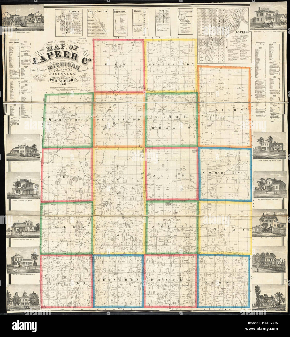 Map of Lapeer Co., Michigan (13405941793) Stock Photohttps://www.alamy.com/image-license-details/?v=1https://www.alamy.com/stock-image-map-of-lapeer-co-michigan-13405941793-163237686.html
RMKDG39A–Map of Lapeer Co., Michigan (13405941793)
 Hadley, Lapeer County, US, United States, Michigan, N 42 57' 16'', S 83 24' 11'', map, Cartascapes Map published in 2024. Explore Cartascapes, a map revealing Earth's diverse landscapes, cultures, and ecosystems. Journey through time and space, discovering the interconnectedness of our planet's past, present, and future. Stock Photohttps://www.alamy.com/image-license-details/?v=1https://www.alamy.com/hadley-lapeer-county-us-united-states-michigan-n-42-57-16-s-83-24-11-map-cartascapes-map-published-in-2024-explore-cartascapes-a-map-revealing-earths-diverse-landscapes-cultures-and-ecosystems-journey-through-time-and-space-discovering-the-interconnectedness-of-our-planets-past-present-and-future-image621278796.html
RM2Y2NKCC–Hadley, Lapeer County, US, United States, Michigan, N 42 57' 16'', S 83 24' 11'', map, Cartascapes Map published in 2024. Explore Cartascapes, a map revealing Earth's diverse landscapes, cultures, and ecosystems. Journey through time and space, discovering the interconnectedness of our planet's past, present, and future.
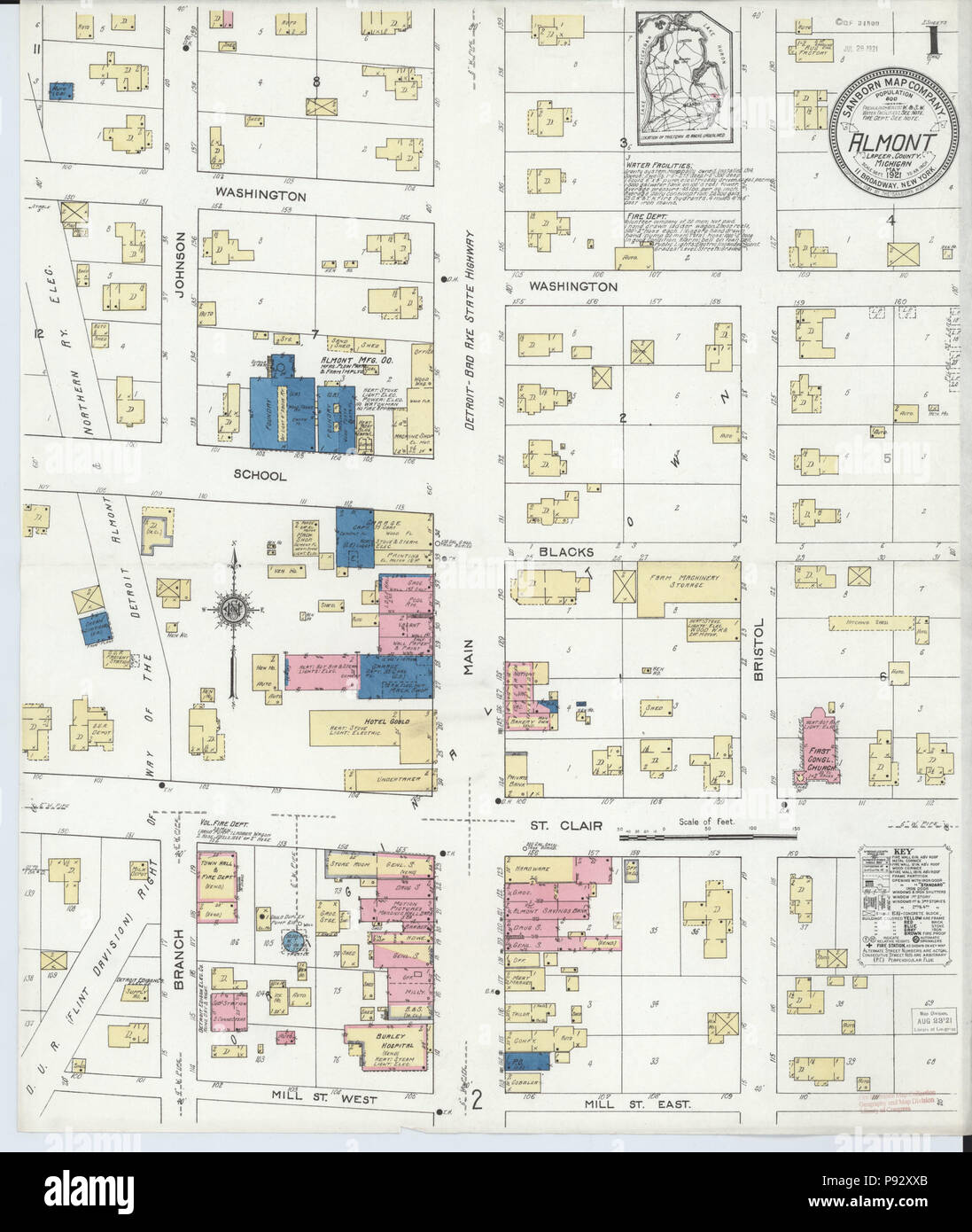 490 Sanborn Fire Insurance Map from Almont, Lapeer County, Michigan. LOC sanborn03906 001-1 Stock Photohttps://www.alamy.com/image-license-details/?v=1https://www.alamy.com/490-sanborn-fire-insurance-map-from-almont-lapeer-county-michigan-loc-sanborn03906-001-1-image212121347.html
RMP92XXB–490 Sanborn Fire Insurance Map from Almont, Lapeer County, Michigan. LOC sanborn03906 001-1
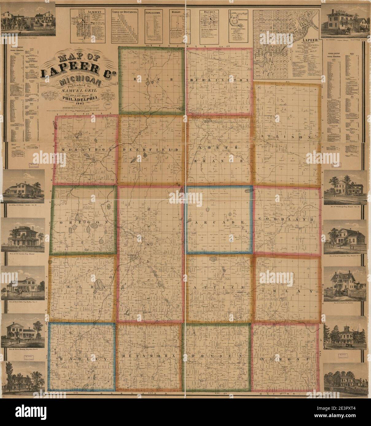 Map of Lapeer Co., Michigan Stock Photohttps://www.alamy.com/image-license-details/?v=1https://www.alamy.com/map-of-lapeer-co-michigan-image398186436.html
RM2E3PXT4–Map of Lapeer Co., Michigan
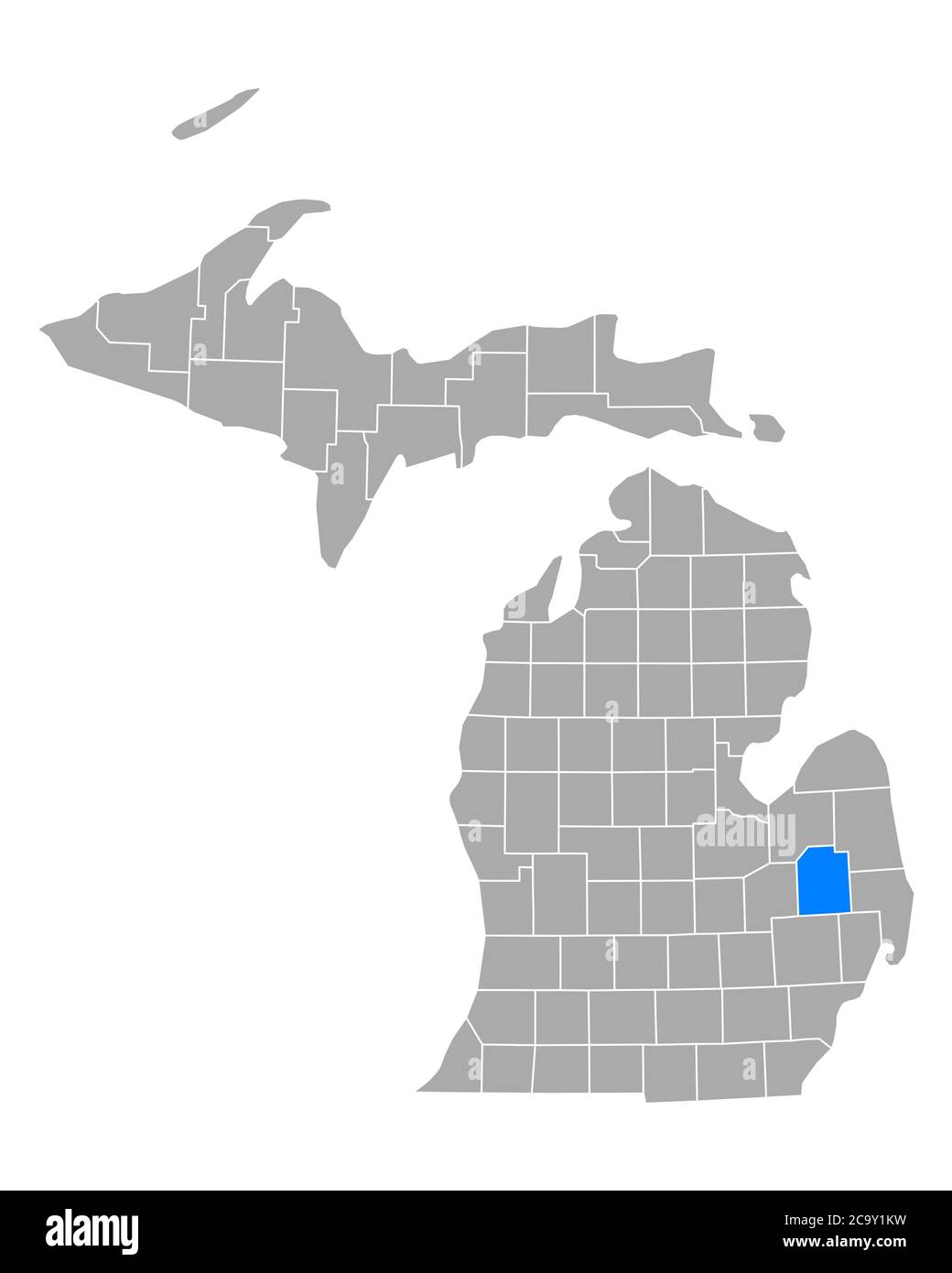 Map of Lapeer in Michigan Stock Photohttps://www.alamy.com/image-license-details/?v=1https://www.alamy.com/map-of-lapeer-in-michigan-image367543677.html
RF2C9Y1KW–Map of Lapeer in Michigan
 Map of Lapeer in Michigan Stock Photohttps://www.alamy.com/image-license-details/?v=1https://www.alamy.com/map-of-lapeer-in-michigan-image402448121.html
RF2EAN2K5–Map of Lapeer in Michigan
 USGS TOPO Map Michigan MI Lapeer 20111018 TM Stock Photohttps://www.alamy.com/image-license-details/?v=1https://www.alamy.com/usgs-topo-map-michigan-mi-lapeer-20111018-tm-image332252155.html
RM2A8FB0B–USGS TOPO Map Michigan MI Lapeer 20111018 TM
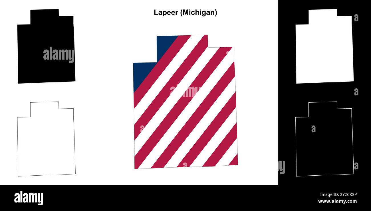 Lapeer County (Michigan) outline map set Stock Vectorhttps://www.alamy.com/image-license-details/?v=1https://www.alamy.com/lapeer-county-michigan-outline-map-set-image621081126.html
RF2Y2CK8P–Lapeer County (Michigan) outline map set
 Lapeer County, Michigan (U.S. county, United States of America, USA, U.S., US) map vector illustration, scribble sketch Lapeer map Stock Vectorhttps://www.alamy.com/image-license-details/?v=1https://www.alamy.com/lapeer-county-michigan-us-county-united-states-of-america-usa-us-us-map-vector-illustration-scribble-sketch-lapeer-map-image385415376.html
RF2DB156T–Lapeer County, Michigan (U.S. county, United States of America, USA, U.S., US) map vector illustration, scribble sketch Lapeer map
 Clifford, Lapeer County, US, United States, Michigan, N 43 18' 53'', S 83 10' 44'', map, Cartascapes Map published in 2024. Explore Cartascapes, a map revealing Earth's diverse landscapes, cultures, and ecosystems. Journey through time and space, discovering the interconnectedness of our planet's past, present, and future. Stock Photohttps://www.alamy.com/image-license-details/?v=1https://www.alamy.com/clifford-lapeer-county-us-united-states-michigan-n-43-18-53-s-83-10-44-map-cartascapes-map-published-in-2024-explore-cartascapes-a-map-revealing-earths-diverse-landscapes-cultures-and-ecosystems-journey-through-time-and-space-discovering-the-interconnectedness-of-our-planets-past-present-and-future-image621414036.html
RM2Y2YRXC–Clifford, Lapeer County, US, United States, Michigan, N 43 18' 53'', S 83 10' 44'', map, Cartascapes Map published in 2024. Explore Cartascapes, a map revealing Earth's diverse landscapes, cultures, and ecosystems. Journey through time and space, discovering the interconnectedness of our planet's past, present, and future.
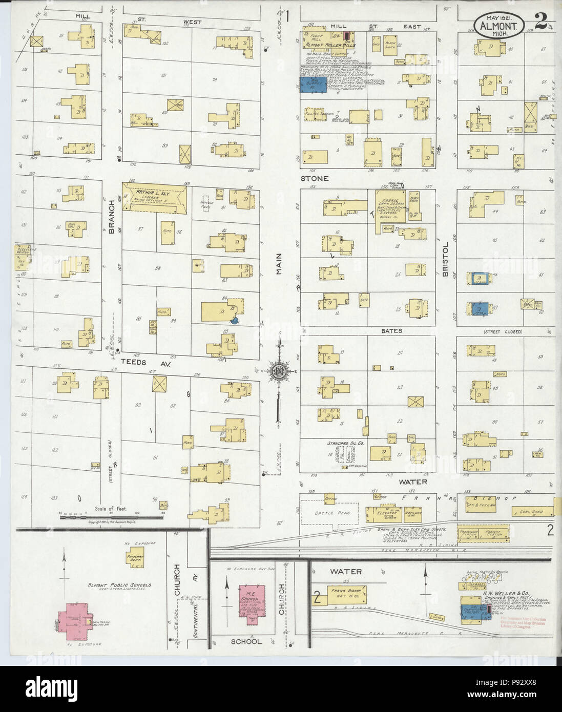 490 Sanborn Fire Insurance Map from Almont, Lapeer County, Michigan. LOC sanborn03906 001-2 Stock Photohttps://www.alamy.com/image-license-details/?v=1https://www.alamy.com/490-sanborn-fire-insurance-map-from-almont-lapeer-county-michigan-loc-sanborn03906-001-2-image212121344.html
RMP92XX8–490 Sanborn Fire Insurance Map from Almont, Lapeer County, Michigan. LOC sanborn03906 001-2
 Map of Saginaw and Tuscola, with part of Genesee, Lapeer, Huron, Midland counties, Michigan Stock Photohttps://www.alamy.com/image-license-details/?v=1https://www.alamy.com/map-of-saginaw-and-tuscola-with-part-of-genesee-lapeer-huron-midland-counties-michigan-image398178924.html
RM2E3PH7T–Map of Saginaw and Tuscola, with part of Genesee, Lapeer, Huron, Midland counties, Michigan
 Map of Lapeer in Michigan Stock Photohttps://www.alamy.com/image-license-details/?v=1https://www.alamy.com/map-of-lapeer-in-michigan-image368328941.html
RF2CB6R91–Map of Lapeer in Michigan
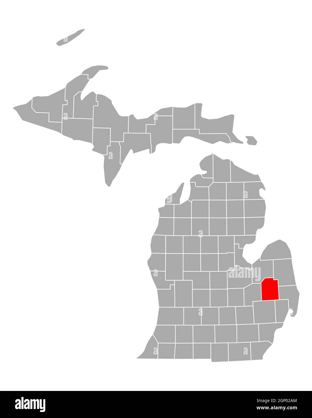 Map of Lapeer in Michigan Stock Photohttps://www.alamy.com/image-license-details/?v=1https://www.alamy.com/map-of-lapeer-in-michigan-image443783500.html
RF2GP02AM–Map of Lapeer in Michigan
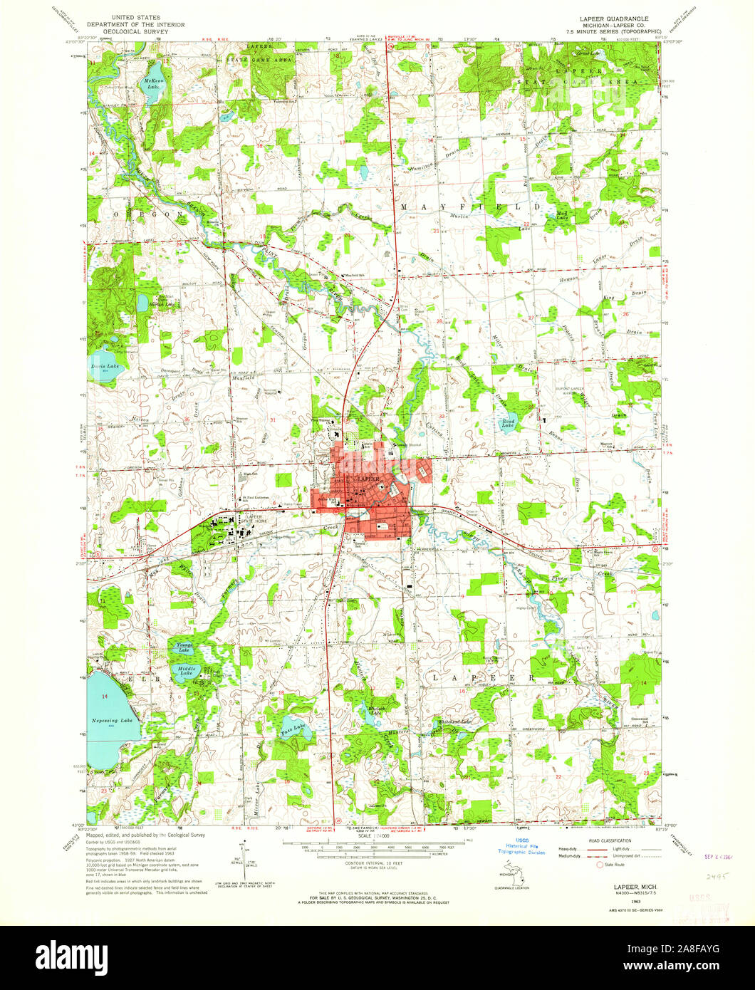 USGS TOPO Map Michigan MI Lapeer 276518 1963 24000 Stock Photohttps://www.alamy.com/image-license-details/?v=1https://www.alamy.com/usgs-topo-map-michigan-mi-lapeer-276518-1963-24000-image332252132.html
RM2A8FAYG–USGS TOPO Map Michigan MI Lapeer 276518 1963 24000
 Lapeer County, Michigan (U.S. county, United States of America, USA, U.S., US) map vector illustration, scribble sketch Lapeer map Stock Vectorhttps://www.alamy.com/image-license-details/?v=1https://www.alamy.com/lapeer-county-michigan-us-county-united-states-of-america-usa-us-us-map-vector-illustration-scribble-sketch-lapeer-map-image388685204.html
RF2DGA3XC–Lapeer County, Michigan (U.S. county, United States of America, USA, U.S., US) map vector illustration, scribble sketch Lapeer map
 Lapeer, Lapeer County, US, United States, Michigan, N 43 3' 5'', S 83 19' 7'', map, Cartascapes Map published in 2024. Explore Cartascapes, a map revealing Earth's diverse landscapes, cultures, and ecosystems. Journey through time and space, discovering the interconnectedness of our planet's past, present, and future. Stock Photohttps://www.alamy.com/image-license-details/?v=1https://www.alamy.com/lapeer-lapeer-county-us-united-states-michigan-n-43-3-5-s-83-19-7-map-cartascapes-map-published-in-2024-explore-cartascapes-a-map-revealing-earths-diverse-landscapes-cultures-and-ecosystems-journey-through-time-and-space-discovering-the-interconnectedness-of-our-planets-past-present-and-future-image621252795.html
RM2Y2ME7R–Lapeer, Lapeer County, US, United States, Michigan, N 43 3' 5'', S 83 19' 7'', map, Cartascapes Map published in 2024. Explore Cartascapes, a map revealing Earth's diverse landscapes, cultures, and ecosystems. Journey through time and space, discovering the interconnectedness of our planet's past, present, and future.
 Sanborn Fire Insurance Map from Lapeer, Lapeer County, Michigan. Stock Photohttps://www.alamy.com/image-license-details/?v=1https://www.alamy.com/sanborn-fire-insurance-map-from-lapeer-lapeer-county-michigan-image456431027.html
RM2HEG6C3–Sanborn Fire Insurance Map from Lapeer, Lapeer County, Michigan.
 Map of Lapeer in Michigan Stock Photohttps://www.alamy.com/image-license-details/?v=1https://www.alamy.com/map-of-lapeer-in-michigan-image367752146.html
RF2CA8FH6–Map of Lapeer in Michigan
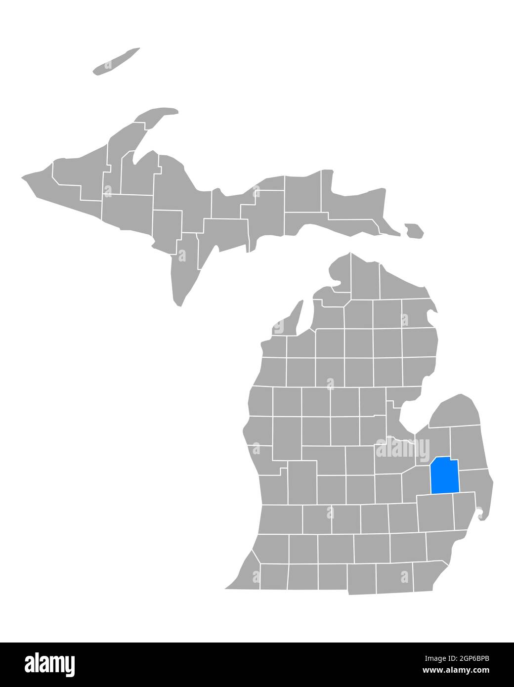 Map of Lapeer in Michigan Stock Photohttps://www.alamy.com/image-license-details/?v=1https://www.alamy.com/map-of-lapeer-in-michigan-image443922595.html
RF2GP6BPB–Map of Lapeer in Michigan
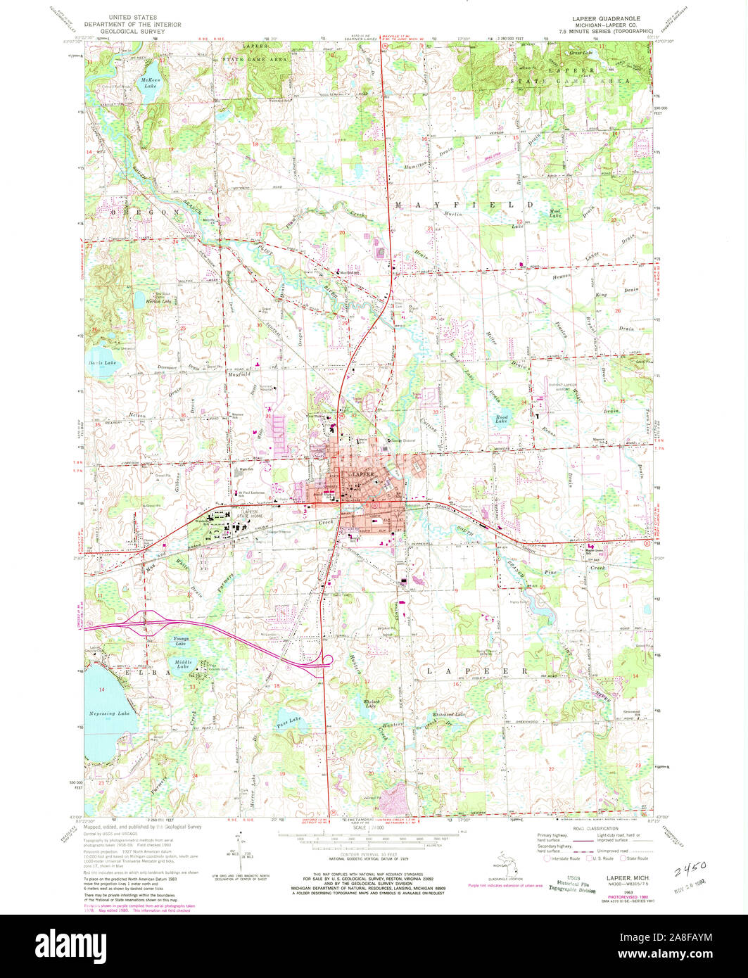 USGS TOPO Map Michigan MI Lapeer 276519 1963 24000 Stock Photohttps://www.alamy.com/image-license-details/?v=1https://www.alamy.com/usgs-topo-map-michigan-mi-lapeer-276519-1963-24000-image332252136.html
RM2A8FAYM–USGS TOPO Map Michigan MI Lapeer 276519 1963 24000
 Lapeer County, Michigan (U.S. county, United States of America, USA, U.S., US) map vector illustration, scribble sketch Lapeer map Stock Vectorhttps://www.alamy.com/image-license-details/?v=1https://www.alamy.com/lapeer-county-michigan-us-county-united-states-of-america-usa-us-us-map-vector-illustration-scribble-sketch-lapeer-map-image373122343.html
RF2CK159Y–Lapeer County, Michigan (U.S. county, United States of America, USA, U.S., US) map vector illustration, scribble sketch Lapeer map
 Columbiaville, Lapeer County, US, United States, Michigan, N 43 9' 24'', S 83 24' 37'', map, Cartascapes Map published in 2024. Explore Cartascapes, a map revealing Earth's diverse landscapes, cultures, and ecosystems. Journey through time and space, discovering the interconnectedness of our planet's past, present, and future. Stock Photohttps://www.alamy.com/image-license-details/?v=1https://www.alamy.com/columbiaville-lapeer-county-us-united-states-michigan-n-43-9-24-s-83-24-37-map-cartascapes-map-published-in-2024-explore-cartascapes-a-map-revealing-earths-diverse-landscapes-cultures-and-ecosystems-journey-through-time-and-space-discovering-the-interconnectedness-of-our-planets-past-present-and-future-image621394801.html
RM2Y2XYBD–Columbiaville, Lapeer County, US, United States, Michigan, N 43 9' 24'', S 83 24' 37'', map, Cartascapes Map published in 2024. Explore Cartascapes, a map revealing Earth's diverse landscapes, cultures, and ecosystems. Journey through time and space, discovering the interconnectedness of our planet's past, present, and future.
 Sanborn Fire Insurance Map from Columbiaville, Lapeer County, Michigan. Stock Photohttps://www.alamy.com/image-license-details/?v=1https://www.alamy.com/sanborn-fire-insurance-map-from-columbiaville-lapeer-county-michigan-image456343840.html
RM2HEC768–Sanborn Fire Insurance Map from Columbiaville, Lapeer County, Michigan.
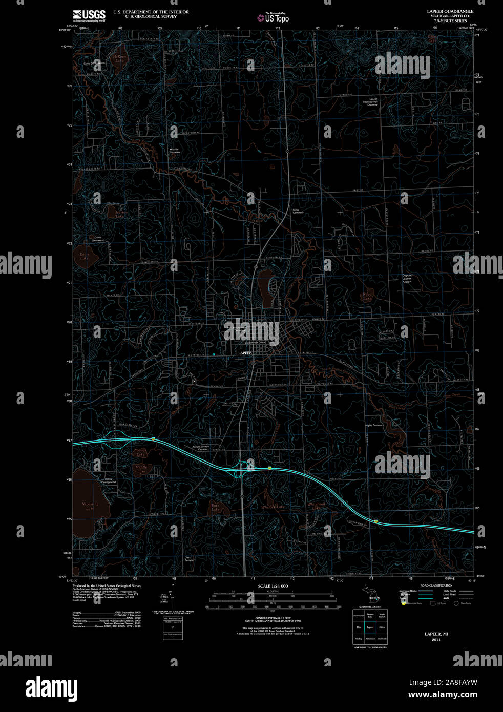 USGS TOPO Map Michigan MI Lapeer 20111018 TM Inverted Stock Photohttps://www.alamy.com/image-license-details/?v=1https://www.alamy.com/usgs-topo-map-michigan-mi-lapeer-20111018-tm-inverted-image332252141.html
RM2A8FAYW–USGS TOPO Map Michigan MI Lapeer 20111018 TM Inverted
 Silverwood, Lapeer County, US, United States, Michigan, N 43 19' 24'', S 83 14' 52'', map, Cartascapes Map published in 2024. Explore Cartascapes, a map revealing Earth's diverse landscapes, cultures, and ecosystems. Journey through time and space, discovering the interconnectedness of our planet's past, present, and future. Stock Photohttps://www.alamy.com/image-license-details/?v=1https://www.alamy.com/silverwood-lapeer-county-us-united-states-michigan-n-43-19-24-s-83-14-52-map-cartascapes-map-published-in-2024-explore-cartascapes-a-map-revealing-earths-diverse-landscapes-cultures-and-ecosystems-journey-through-time-and-space-discovering-the-interconnectedness-of-our-planets-past-present-and-future-image621209799.html
RM2Y2JFC7–Silverwood, Lapeer County, US, United States, Michigan, N 43 19' 24'', S 83 14' 52'', map, Cartascapes Map published in 2024. Explore Cartascapes, a map revealing Earth's diverse landscapes, cultures, and ecosystems. Journey through time and space, discovering the interconnectedness of our planet's past, present, and future.
 Sanborn Fire Insurance Map from Lapeer, Lapeer County, Michigan. Stock Photohttps://www.alamy.com/image-license-details/?v=1https://www.alamy.com/sanborn-fire-insurance-map-from-lapeer-lapeer-county-michigan-image456431036.html
RM2HEG6CC–Sanborn Fire Insurance Map from Lapeer, Lapeer County, Michigan.
 USGS TOPO Map Michigan MI Lapeer 276518 1963 24000 Inverted Stock Photohttps://www.alamy.com/image-license-details/?v=1https://www.alamy.com/usgs-topo-map-michigan-mi-lapeer-276518-1963-24000-inverted-image332252148.html
RM2A8FB04–USGS TOPO Map Michigan MI Lapeer 276518 1963 24000 Inverted
 Lapeer, Lapeer County, US, United States, Michigan, N 43 3' 5'', S 83 19' 7'', map, Cartascapes Map published in 2024. Explore Cartascapes, a map revealing Earth's diverse landscapes, cultures, and ecosystems. Journey through time and space, discovering the interconnectedness of our planet's past, present, and future. Stock Photohttps://www.alamy.com/image-license-details/?v=1https://www.alamy.com/lapeer-lapeer-county-us-united-states-michigan-n-43-3-5-s-83-19-7-map-cartascapes-map-published-in-2024-explore-cartascapes-a-map-revealing-earths-diverse-landscapes-cultures-and-ecosystems-journey-through-time-and-space-discovering-the-interconnectedness-of-our-planets-past-present-and-future-image621207346.html
RM2Y2JC8J–Lapeer, Lapeer County, US, United States, Michigan, N 43 3' 5'', S 83 19' 7'', map, Cartascapes Map published in 2024. Explore Cartascapes, a map revealing Earth's diverse landscapes, cultures, and ecosystems. Journey through time and space, discovering the interconnectedness of our planet's past, present, and future.
 Sanborn Fire Insurance Map from Lapeer, Lapeer County, Michigan. Stock Photohttps://www.alamy.com/image-license-details/?v=1https://www.alamy.com/sanborn-fire-insurance-map-from-lapeer-lapeer-county-michigan-image456430990.html
RM2HEG6AP–Sanborn Fire Insurance Map from Lapeer, Lapeer County, Michigan.
 USGS TOPO Map Michigan MI Lapeer 276519 1963 24000 Inverted Stock Photohttps://www.alamy.com/image-license-details/?v=1https://www.alamy.com/usgs-topo-map-michigan-mi-lapeer-276519-1963-24000-inverted-image332252165.html
RM2A8FB0N–USGS TOPO Map Michigan MI Lapeer 276519 1963 24000 Inverted
 Almont, Lapeer County, US, United States, Michigan, N 42 55' 14'', S 83 2' 41'', map, Cartascapes Map published in 2024. Explore Cartascapes, a map revealing Earth's diverse landscapes, cultures, and ecosystems. Journey through time and space, discovering the interconnectedness of our planet's past, present, and future. Stock Photohttps://www.alamy.com/image-license-details/?v=1https://www.alamy.com/almont-lapeer-county-us-united-states-michigan-n-42-55-14-s-83-2-41-map-cartascapes-map-published-in-2024-explore-cartascapes-a-map-revealing-earths-diverse-landscapes-cultures-and-ecosystems-journey-through-time-and-space-discovering-the-interconnectedness-of-our-planets-past-present-and-future-image621222443.html
RM2Y2K3FR–Almont, Lapeer County, US, United States, Michigan, N 42 55' 14'', S 83 2' 41'', map, Cartascapes Map published in 2024. Explore Cartascapes, a map revealing Earth's diverse landscapes, cultures, and ecosystems. Journey through time and space, discovering the interconnectedness of our planet's past, present, and future.
 Sanborn Fire Insurance Map from Lapeer, Lapeer County, Michigan. Stock Photohttps://www.alamy.com/image-license-details/?v=1https://www.alamy.com/sanborn-fire-insurance-map-from-lapeer-lapeer-county-michigan-image456430985.html
RM2HEG6AH–Sanborn Fire Insurance Map from Lapeer, Lapeer County, Michigan.
 Columbiaville, Lapeer County, US, United States, Michigan, N 43 9' 24'', S 83 24' 37'', map, Cartascapes Map published in 2024. Explore Cartascapes, a map revealing Earth's diverse landscapes, cultures, and ecosystems. Journey through time and space, discovering the interconnectedness of our planet's past, present, and future. Stock Photohttps://www.alamy.com/image-license-details/?v=1https://www.alamy.com/columbiaville-lapeer-county-us-united-states-michigan-n-43-9-24-s-83-24-37-map-cartascapes-map-published-in-2024-explore-cartascapes-a-map-revealing-earths-diverse-landscapes-cultures-and-ecosystems-journey-through-time-and-space-discovering-the-interconnectedness-of-our-planets-past-present-and-future-image621373559.html
RM2Y2X08R–Columbiaville, Lapeer County, US, United States, Michigan, N 43 9' 24'', S 83 24' 37'', map, Cartascapes Map published in 2024. Explore Cartascapes, a map revealing Earth's diverse landscapes, cultures, and ecosystems. Journey through time and space, discovering the interconnectedness of our planet's past, present, and future.
 Sanborn Fire Insurance Map from Lapeer, Lapeer County, Michigan. Stock Photohttps://www.alamy.com/image-license-details/?v=1https://www.alamy.com/sanborn-fire-insurance-map-from-lapeer-lapeer-county-michigan-image456431049.html
RM2HEG6CW–Sanborn Fire Insurance Map from Lapeer, Lapeer County, Michigan.
 Dryden, Lapeer County, US, United States, Michigan, N 42 56' 46'', S 83 7' 25'', map, Cartascapes Map published in 2024. Explore Cartascapes, a map revealing Earth's diverse landscapes, cultures, and ecosystems. Journey through time and space, discovering the interconnectedness of our planet's past, present, and future. Stock Photohttps://www.alamy.com/image-license-details/?v=1https://www.alamy.com/dryden-lapeer-county-us-united-states-michigan-n-42-56-46-s-83-7-25-map-cartascapes-map-published-in-2024-explore-cartascapes-a-map-revealing-earths-diverse-landscapes-cultures-and-ecosystems-journey-through-time-and-space-discovering-the-interconnectedness-of-our-planets-past-present-and-future-image621316822.html
RM2Y2RBXE–Dryden, Lapeer County, US, United States, Michigan, N 42 56' 46'', S 83 7' 25'', map, Cartascapes Map published in 2024. Explore Cartascapes, a map revealing Earth's diverse landscapes, cultures, and ecosystems. Journey through time and space, discovering the interconnectedness of our planet's past, present, and future.
 Sanborn Fire Insurance Map from Lapeer, Lapeer County, Michigan. Stock Photohttps://www.alamy.com/image-license-details/?v=1https://www.alamy.com/sanborn-fire-insurance-map-from-lapeer-lapeer-county-michigan-image456431020.html
RM2HEG6BT–Sanborn Fire Insurance Map from Lapeer, Lapeer County, Michigan.
 Lum, Lapeer County, US, United States, Michigan, N 43 5' 58'', S 83 9' 3'', map, Cartascapes Map published in 2024. Explore Cartascapes, a map revealing Earth's diverse landscapes, cultures, and ecosystems. Journey through time and space, discovering the interconnectedness of our planet's past, present, and future. Stock Photohttps://www.alamy.com/image-license-details/?v=1https://www.alamy.com/lum-lapeer-county-us-united-states-michigan-n-43-5-58-s-83-9-3-map-cartascapes-map-published-in-2024-explore-cartascapes-a-map-revealing-earths-diverse-landscapes-cultures-and-ecosystems-journey-through-time-and-space-discovering-the-interconnectedness-of-our-planets-past-present-and-future-image621456989.html
RM2Y31PMD–Lum, Lapeer County, US, United States, Michigan, N 43 5' 58'', S 83 9' 3'', map, Cartascapes Map published in 2024. Explore Cartascapes, a map revealing Earth's diverse landscapes, cultures, and ecosystems. Journey through time and space, discovering the interconnectedness of our planet's past, present, and future.
 Sanborn Fire Insurance Map from Lapeer, Lapeer County, Michigan. Stock Photohttps://www.alamy.com/image-license-details/?v=1https://www.alamy.com/sanborn-fire-insurance-map-from-lapeer-lapeer-county-michigan-image456431081.html
RM2HEG6E1–Sanborn Fire Insurance Map from Lapeer, Lapeer County, Michigan.
 Dryden, Lapeer County, US, United States, Michigan, N 42 56' 46'', S 83 7' 25'', map, Cartascapes Map published in 2024. Explore Cartascapes, a map revealing Earth's diverse landscapes, cultures, and ecosystems. Journey through time and space, discovering the interconnectedness of our planet's past, present, and future. Stock Photohttps://www.alamy.com/image-license-details/?v=1https://www.alamy.com/dryden-lapeer-county-us-united-states-michigan-n-42-56-46-s-83-7-25-map-cartascapes-map-published-in-2024-explore-cartascapes-a-map-revealing-earths-diverse-landscapes-cultures-and-ecosystems-journey-through-time-and-space-discovering-the-interconnectedness-of-our-planets-past-present-and-future-image621219149.html
RM2Y2JYA5–Dryden, Lapeer County, US, United States, Michigan, N 42 56' 46'', S 83 7' 25'', map, Cartascapes Map published in 2024. Explore Cartascapes, a map revealing Earth's diverse landscapes, cultures, and ecosystems. Journey through time and space, discovering the interconnectedness of our planet's past, present, and future.
 Sanborn Fire Insurance Map from Lapeer, Lapeer County, Michigan. Stock Photohttps://www.alamy.com/image-license-details/?v=1https://www.alamy.com/sanborn-fire-insurance-map-from-lapeer-lapeer-county-michigan-image456431080.html
RM2HEG6E0–Sanborn Fire Insurance Map from Lapeer, Lapeer County, Michigan.
 Attica, Lapeer County, US, United States, Michigan, N 43 1' 49'', S 83 9' 57'', map, Cartascapes Map published in 2024. Explore Cartascapes, a map revealing Earth's diverse landscapes, cultures, and ecosystems. Journey through time and space, discovering the interconnectedness of our planet's past, present, and future. Stock Photohttps://www.alamy.com/image-license-details/?v=1https://www.alamy.com/attica-lapeer-county-us-united-states-michigan-n-43-1-49-s-83-9-57-map-cartascapes-map-published-in-2024-explore-cartascapes-a-map-revealing-earths-diverse-landscapes-cultures-and-ecosystems-journey-through-time-and-space-discovering-the-interconnectedness-of-our-planets-past-present-and-future-image621231853.html
RM2Y2KFFW–Attica, Lapeer County, US, United States, Michigan, N 43 1' 49'', S 83 9' 57'', map, Cartascapes Map published in 2024. Explore Cartascapes, a map revealing Earth's diverse landscapes, cultures, and ecosystems. Journey through time and space, discovering the interconnectedness of our planet's past, present, and future.
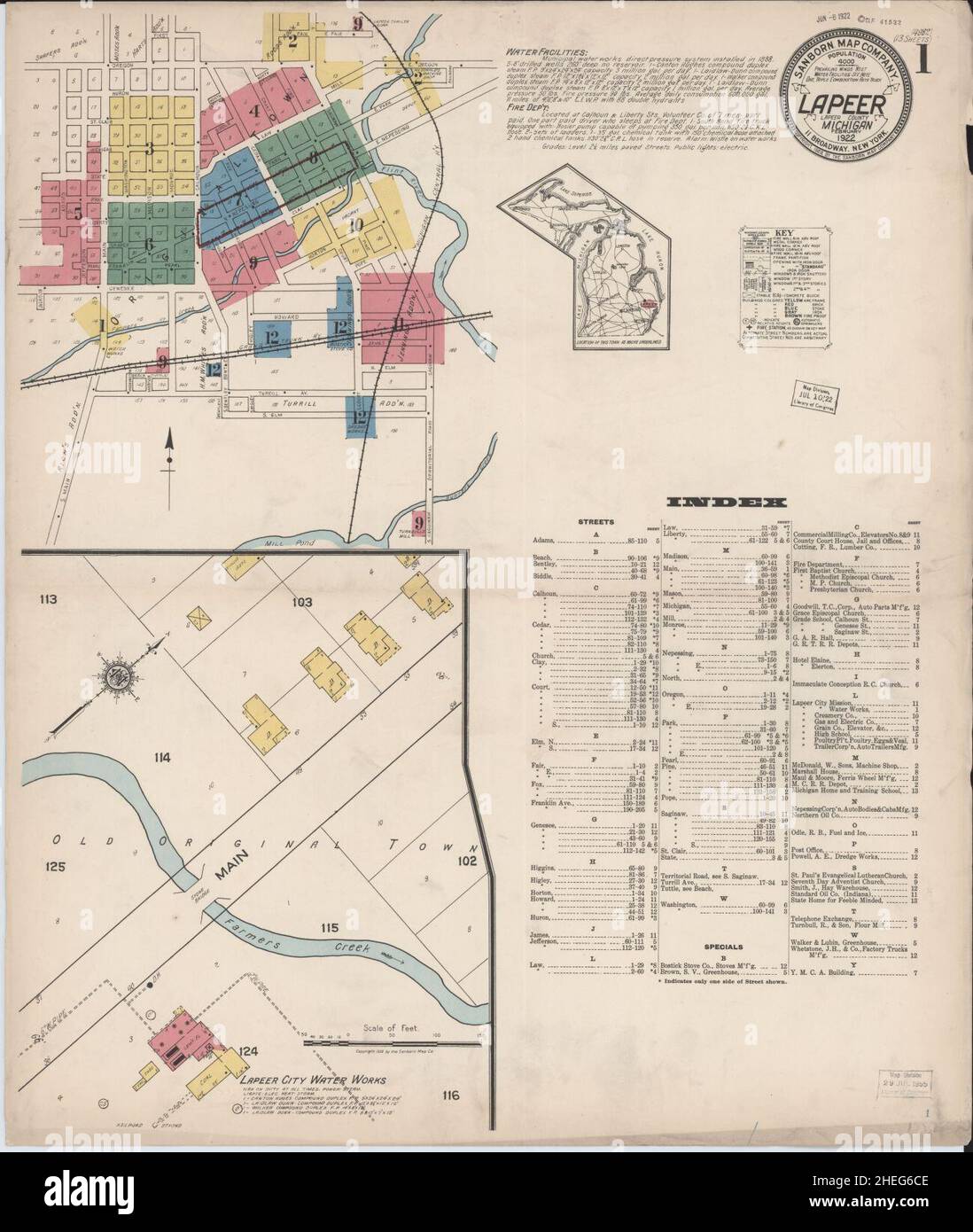 Sanborn Fire Insurance Map from Lapeer, Lapeer County, Michigan. Stock Photohttps://www.alamy.com/image-license-details/?v=1https://www.alamy.com/sanborn-fire-insurance-map-from-lapeer-lapeer-county-michigan-image456431038.html
RM2HEG6CE–Sanborn Fire Insurance Map from Lapeer, Lapeer County, Michigan.
 Burnside, Lapeer County, US, United States, Michigan, N 43 12' 38'', S 83 4' 37'', map, Cartascapes Map published in 2024. Explore Cartascapes, a map revealing Earth's diverse landscapes, cultures, and ecosystems. Journey through time and space, discovering the interconnectedness of our planet's past, present, and future. Stock Photohttps://www.alamy.com/image-license-details/?v=1https://www.alamy.com/burnside-lapeer-county-us-united-states-michigan-n-43-12-38-s-83-4-37-map-cartascapes-map-published-in-2024-explore-cartascapes-a-map-revealing-earths-diverse-landscapes-cultures-and-ecosystems-journey-through-time-and-space-discovering-the-interconnectedness-of-our-planets-past-present-and-future-image621327278.html
RM2Y2RW7X–Burnside, Lapeer County, US, United States, Michigan, N 43 12' 38'', S 83 4' 37'', map, Cartascapes Map published in 2024. Explore Cartascapes, a map revealing Earth's diverse landscapes, cultures, and ecosystems. Journey through time and space, discovering the interconnectedness of our planet's past, present, and future.
 Sanborn Fire Insurance Map from Lapeer, Lapeer County, Michigan. Stock Photohttps://www.alamy.com/image-license-details/?v=1https://www.alamy.com/sanborn-fire-insurance-map-from-lapeer-lapeer-county-michigan-image456431025.html
RM2HEG6C1–Sanborn Fire Insurance Map from Lapeer, Lapeer County, Michigan.
 Metamora, Lapeer County, US, United States, Michigan, N 42 56' 29'', S 83 17' 20'', map, Cartascapes Map published in 2024. Explore Cartascapes, a map revealing Earth's diverse landscapes, cultures, and ecosystems. Journey through time and space, discovering the interconnectedness of our planet's past, present, and future. Stock Photohttps://www.alamy.com/image-license-details/?v=1https://www.alamy.com/metamora-lapeer-county-us-united-states-michigan-n-42-56-29-s-83-17-20-map-cartascapes-map-published-in-2024-explore-cartascapes-a-map-revealing-earths-diverse-landscapes-cultures-and-ecosystems-journey-through-time-and-space-discovering-the-interconnectedness-of-our-planets-past-present-and-future-image621323981.html
RM2Y2RN25–Metamora, Lapeer County, US, United States, Michigan, N 42 56' 29'', S 83 17' 20'', map, Cartascapes Map published in 2024. Explore Cartascapes, a map revealing Earth's diverse landscapes, cultures, and ecosystems. Journey through time and space, discovering the interconnectedness of our planet's past, present, and future.
 Sanborn Fire Insurance Map from Lapeer, Lapeer County, Michigan. Stock Photohttps://www.alamy.com/image-license-details/?v=1https://www.alamy.com/sanborn-fire-insurance-map-from-lapeer-lapeer-county-michigan-image456431032.html
RM2HEG6C8–Sanborn Fire Insurance Map from Lapeer, Lapeer County, Michigan.
 Otter Lake, Lapeer County, US, United States, Michigan, N 43 12' 48'', S 83 27' 15'', map, Cartascapes Map published in 2024. Explore Cartascapes, a map revealing Earth's diverse landscapes, cultures, and ecosystems. Journey through time and space, discovering the interconnectedness of our planet's past, present, and future. Stock Photohttps://www.alamy.com/image-license-details/?v=1https://www.alamy.com/otter-lake-lapeer-county-us-united-states-michigan-n-43-12-48-s-83-27-15-map-cartascapes-map-published-in-2024-explore-cartascapes-a-map-revealing-earths-diverse-landscapes-cultures-and-ecosystems-journey-through-time-and-space-discovering-the-interconnectedness-of-our-planets-past-present-and-future-image621404103.html
RM2Y2YB7K–Otter Lake, Lapeer County, US, United States, Michigan, N 43 12' 48'', S 83 27' 15'', map, Cartascapes Map published in 2024. Explore Cartascapes, a map revealing Earth's diverse landscapes, cultures, and ecosystems. Journey through time and space, discovering the interconnectedness of our planet's past, present, and future.
 Sanborn Fire Insurance Map from Lapeer, Lapeer County, Michigan. Stock Photohttps://www.alamy.com/image-license-details/?v=1https://www.alamy.com/sanborn-fire-insurance-map-from-lapeer-lapeer-county-michigan-image456430988.html
RM2HEG6AM–Sanborn Fire Insurance Map from Lapeer, Lapeer County, Michigan.
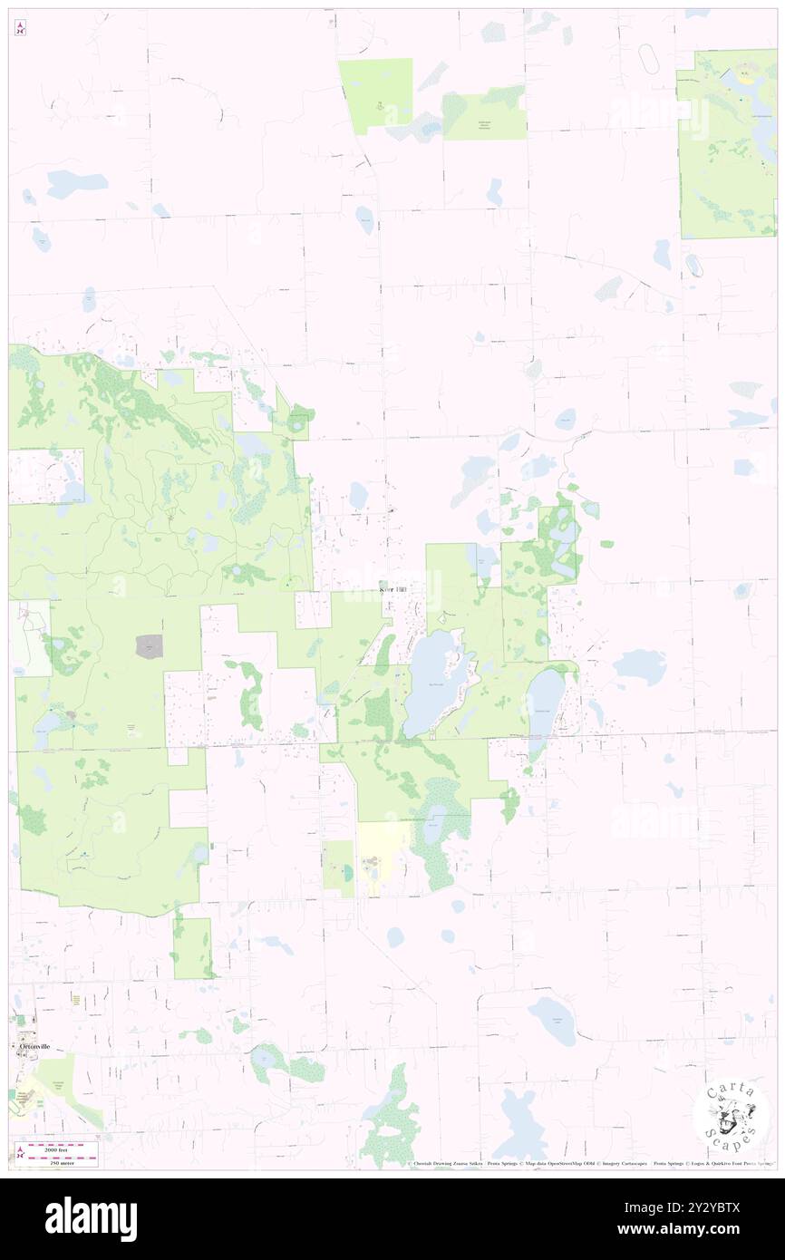 Kerr Hill, Lapeer County, US, United States, Michigan, N 42 53' 46'', S 83 23' 45'', map, Cartascapes Map published in 2024. Explore Cartascapes, a map revealing Earth's diverse landscapes, cultures, and ecosystems. Journey through time and space, discovering the interconnectedness of our planet's past, present, and future. Stock Photohttps://www.alamy.com/image-license-details/?v=1https://www.alamy.com/kerr-hill-lapeer-county-us-united-states-michigan-n-42-53-46-s-83-23-45-map-cartascapes-map-published-in-2024-explore-cartascapes-a-map-revealing-earths-diverse-landscapes-cultures-and-ecosystems-journey-through-time-and-space-discovering-the-interconnectedness-of-our-planets-past-present-and-future-image621404586.html
RM2Y2YBTX–Kerr Hill, Lapeer County, US, United States, Michigan, N 42 53' 46'', S 83 23' 45'', map, Cartascapes Map published in 2024. Explore Cartascapes, a map revealing Earth's diverse landscapes, cultures, and ecosystems. Journey through time and space, discovering the interconnectedness of our planet's past, present, and future.
 Sanborn Fire Insurance Map from Lapeer, Lapeer County, Michigan. Stock Photohttps://www.alamy.com/image-license-details/?v=1https://www.alamy.com/sanborn-fire-insurance-map-from-lapeer-lapeer-county-michigan-image456431052.html
RM2HEG6D0–Sanborn Fire Insurance Map from Lapeer, Lapeer County, Michigan.
 Farmers Creek, Lapeer County, US, United States, Michigan, N 42 57' 46'', S 83 20' 23'', map, Cartascapes Map published in 2024. Explore Cartascapes, a map revealing Earth's diverse landscapes, cultures, and ecosystems. Journey through time and space, discovering the interconnectedness of our planet's past, present, and future. Stock Photohttps://www.alamy.com/image-license-details/?v=1https://www.alamy.com/farmers-creek-lapeer-county-us-united-states-michigan-n-42-57-46-s-83-20-23-map-cartascapes-map-published-in-2024-explore-cartascapes-a-map-revealing-earths-diverse-landscapes-cultures-and-ecosystems-journey-through-time-and-space-discovering-the-interconnectedness-of-our-planets-past-present-and-future-image621482031.html
RM2Y32XJR–Farmers Creek, Lapeer County, US, United States, Michigan, N 42 57' 46'', S 83 20' 23'', map, Cartascapes Map published in 2024. Explore Cartascapes, a map revealing Earth's diverse landscapes, cultures, and ecosystems. Journey through time and space, discovering the interconnectedness of our planet's past, present, and future.
 Sanborn Fire Insurance Map from Lapeer, Lapeer County, Michigan. Stock Photohttps://www.alamy.com/image-license-details/?v=1https://www.alamy.com/sanborn-fire-insurance-map-from-lapeer-lapeer-county-michigan-image456431066.html
RM2HEG6DE–Sanborn Fire Insurance Map from Lapeer, Lapeer County, Michigan.
 Imlay City, Lapeer County, US, United States, Michigan, N 43 1' 29'', S 83 4' 39'', map, Cartascapes Map published in 2024. Explore Cartascapes, a map revealing Earth's diverse landscapes, cultures, and ecosystems. Journey through time and space, discovering the interconnectedness of our planet's past, present, and future. Stock Photohttps://www.alamy.com/image-license-details/?v=1https://www.alamy.com/imlay-city-lapeer-county-us-united-states-michigan-n-43-1-29-s-83-4-39-map-cartascapes-map-published-in-2024-explore-cartascapes-a-map-revealing-earths-diverse-landscapes-cultures-and-ecosystems-journey-through-time-and-space-discovering-the-interconnectedness-of-our-planets-past-present-and-future-image621204470.html
RM2Y2J8HX–Imlay City, Lapeer County, US, United States, Michigan, N 43 1' 29'', S 83 4' 39'', map, Cartascapes Map published in 2024. Explore Cartascapes, a map revealing Earth's diverse landscapes, cultures, and ecosystems. Journey through time and space, discovering the interconnectedness of our planet's past, present, and future.
 Sanborn Fire Insurance Map from Lapeer, Lapeer County, Michigan. Stock Photohttps://www.alamy.com/image-license-details/?v=1https://www.alamy.com/sanborn-fire-insurance-map-from-lapeer-lapeer-county-michigan-image456431021.html
RM2HEG6BW–Sanborn Fire Insurance Map from Lapeer, Lapeer County, Michigan.
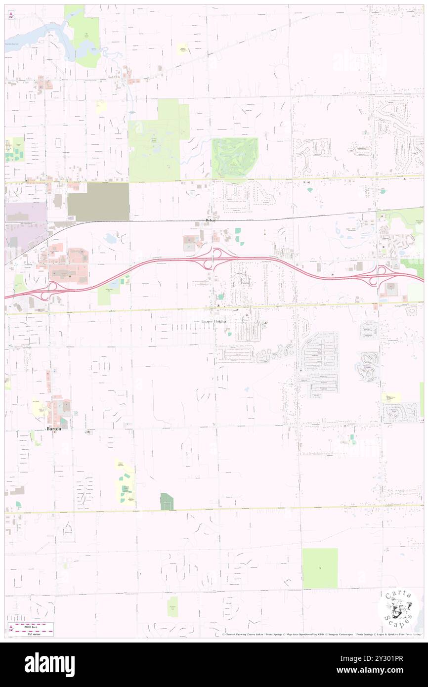 Lapeer Heights, Genesee County, US, United States, Michigan, N 43 0' 31'', S 83 35' 41'', map, Cartascapes Map published in 2024. Explore Cartascapes, a map revealing Earth's diverse landscapes, cultures, and ecosystems. Journey through time and space, discovering the interconnectedness of our planet's past, present, and future. Stock Photohttps://www.alamy.com/image-license-details/?v=1https://www.alamy.com/lapeer-heights-genesee-county-us-united-states-michigan-n-43-0-31-s-83-35-41-map-cartascapes-map-published-in-2024-explore-cartascapes-a-map-revealing-earths-diverse-landscapes-cultures-and-ecosystems-journey-through-time-and-space-discovering-the-interconnectedness-of-our-planets-past-present-and-future-image621418639.html
RM2Y301PR–Lapeer Heights, Genesee County, US, United States, Michigan, N 43 0' 31'', S 83 35' 41'', map, Cartascapes Map published in 2024. Explore Cartascapes, a map revealing Earth's diverse landscapes, cultures, and ecosystems. Journey through time and space, discovering the interconnectedness of our planet's past, present, and future.
 Sanborn Fire Insurance Map from Almont, Lapeer County, Michigan. Stock Photohttps://www.alamy.com/image-license-details/?v=1https://www.alamy.com/sanborn-fire-insurance-map-from-almont-lapeer-county-michigan-image456290285.html
RM2HE9PWH–Sanborn Fire Insurance Map from Almont, Lapeer County, Michigan.
 Five Lakes, Lapeer County, US, United States, Michigan, N 43 8' 34'', S 83 13' 54'', map, Cartascapes Map published in 2024. Explore Cartascapes, a map revealing Earth's diverse landscapes, cultures, and ecosystems. Journey through time and space, discovering the interconnectedness of our planet's past, present, and future. Stock Photohttps://www.alamy.com/image-license-details/?v=1https://www.alamy.com/five-lakes-lapeer-county-us-united-states-michigan-n-43-8-34-s-83-13-54-map-cartascapes-map-published-in-2024-explore-cartascapes-a-map-revealing-earths-diverse-landscapes-cultures-and-ecosystems-journey-through-time-and-space-discovering-the-interconnectedness-of-our-planets-past-present-and-future-image621410718.html
RM2Y2YKKX–Five Lakes, Lapeer County, US, United States, Michigan, N 43 8' 34'', S 83 13' 54'', map, Cartascapes Map published in 2024. Explore Cartascapes, a map revealing Earth's diverse landscapes, cultures, and ecosystems. Journey through time and space, discovering the interconnectedness of our planet's past, present, and future.
 Sanborn Fire Insurance Map from Lapeer, Lapeer County, Michigan. Stock Photohttps://www.alamy.com/image-license-details/?v=1https://www.alamy.com/sanborn-fire-insurance-map-from-lapeer-lapeer-county-michigan-image456431022.html
RM2HEG6BX–Sanborn Fire Insurance Map from Lapeer, Lapeer County, Michigan.
 Kings Mill, Lapeer County, US, United States, Michigan, N 43 8' 32'', S 83 10' 21'', map, Cartascapes Map published in 2024. Explore Cartascapes, a map revealing Earth's diverse landscapes, cultures, and ecosystems. Journey through time and space, discovering the interconnectedness of our planet's past, present, and future. Stock Photohttps://www.alamy.com/image-license-details/?v=1https://www.alamy.com/kings-mill-lapeer-county-us-united-states-michigan-n-43-8-32-s-83-10-21-map-cartascapes-map-published-in-2024-explore-cartascapes-a-map-revealing-earths-diverse-landscapes-cultures-and-ecosystems-journey-through-time-and-space-discovering-the-interconnectedness-of-our-planets-past-present-and-future-image621171672.html
RM2Y2GPPG–Kings Mill, Lapeer County, US, United States, Michigan, N 43 8' 32'', S 83 10' 21'', map, Cartascapes Map published in 2024. Explore Cartascapes, a map revealing Earth's diverse landscapes, cultures, and ecosystems. Journey through time and space, discovering the interconnectedness of our planet's past, present, and future.
 Sanborn Fire Insurance Map from Almont, Lapeer County, Michigan. Stock Photohttps://www.alamy.com/image-license-details/?v=1https://www.alamy.com/sanborn-fire-insurance-map-from-almont-lapeer-county-michigan-image456290288.html
RM2HE9PWM–Sanborn Fire Insurance Map from Almont, Lapeer County, Michigan.
 Imlay City, Lapeer County, US, United States, Michigan, N 43 1' 29'', S 83 4' 39'', map, Cartascapes Map published in 2024. Explore Cartascapes, a map revealing Earth's diverse landscapes, cultures, and ecosystems. Journey through time and space, discovering the interconnectedness of our planet's past, present, and future. Stock Photohttps://www.alamy.com/image-license-details/?v=1https://www.alamy.com/imlay-city-lapeer-county-us-united-states-michigan-n-43-1-29-s-83-4-39-map-cartascapes-map-published-in-2024-explore-cartascapes-a-map-revealing-earths-diverse-landscapes-cultures-and-ecosystems-journey-through-time-and-space-discovering-the-interconnectedness-of-our-planets-past-present-and-future-image621245235.html
RM2Y2M4HR–Imlay City, Lapeer County, US, United States, Michigan, N 43 1' 29'', S 83 4' 39'', map, Cartascapes Map published in 2024. Explore Cartascapes, a map revealing Earth's diverse landscapes, cultures, and ecosystems. Journey through time and space, discovering the interconnectedness of our planet's past, present, and future.
 Sanborn Fire Insurance Map from Lapeer, Lapeer County, Michigan. Stock Photohttps://www.alamy.com/image-license-details/?v=1https://www.alamy.com/sanborn-fire-insurance-map-from-lapeer-lapeer-county-michigan-image456431047.html
RM2HEG6CR–Sanborn Fire Insurance Map from Lapeer, Lapeer County, Michigan.
 Watertower Travel Trailer Park, Lapeer County, US, United States, Michigan, N 43 3' 55'', S 83 19' 5'', map, Cartascapes Map published in 2024. Explore Cartascapes, a map revealing Earth's diverse landscapes, cultures, and ecosystems. Journey through time and space, discovering the interconnectedness of our planet's past, present, and future. Stock Photohttps://www.alamy.com/image-license-details/?v=1https://www.alamy.com/watertower-travel-trailer-park-lapeer-county-us-united-states-michigan-n-43-3-55-s-83-19-5-map-cartascapes-map-published-in-2024-explore-cartascapes-a-map-revealing-earths-diverse-landscapes-cultures-and-ecosystems-journey-through-time-and-space-discovering-the-interconnectedness-of-our-planets-past-present-and-future-image621198417.html
RM2Y2J0WN–Watertower Travel Trailer Park, Lapeer County, US, United States, Michigan, N 43 3' 55'', S 83 19' 5'', map, Cartascapes Map published in 2024. Explore Cartascapes, a map revealing Earth's diverse landscapes, cultures, and ecosystems. Journey through time and space, discovering the interconnectedness of our planet's past, present, and future.
 Sanborn Fire Insurance Map from Lapeer, Lapeer County, Michigan. Stock Photohttps://www.alamy.com/image-license-details/?v=1https://www.alamy.com/sanborn-fire-insurance-map-from-lapeer-lapeer-county-michigan-image456431077.html
RM2HEG6DW–Sanborn Fire Insurance Map from Lapeer, Lapeer County, Michigan.
 Barnes Lake-Millers Lake, Lapeer County, US, United States, Michigan, N 43 10' 46'', S 83 18' 44'', map, Cartascapes Map published in 2024. Explore Cartascapes, a map revealing Earth's diverse landscapes, cultures, and ecosystems. Journey through time and space, discovering the interconnectedness of our planet's past, present, and future. Stock Photohttps://www.alamy.com/image-license-details/?v=1https://www.alamy.com/barnes-lake-millers-lake-lapeer-county-us-united-states-michigan-n-43-10-46-s-83-18-44-map-cartascapes-map-published-in-2024-explore-cartascapes-a-map-revealing-earths-diverse-landscapes-cultures-and-ecosystems-journey-through-time-and-space-discovering-the-interconnectedness-of-our-planets-past-present-and-future-image621154480.html
RM2Y2G0TG–Barnes Lake-Millers Lake, Lapeer County, US, United States, Michigan, N 43 10' 46'', S 83 18' 44'', map, Cartascapes Map published in 2024. Explore Cartascapes, a map revealing Earth's diverse landscapes, cultures, and ecosystems. Journey through time and space, discovering the interconnectedness of our planet's past, present, and future.
 Sanborn Fire Insurance Map from Lapeer, Lapeer County, Michigan. Stock Photohttps://www.alamy.com/image-license-details/?v=1https://www.alamy.com/sanborn-fire-insurance-map-from-lapeer-lapeer-county-michigan-image456431003.html
RM2HEG6B7–Sanborn Fire Insurance Map from Lapeer, Lapeer County, Michigan.
 Sandhill Mobile Home Estates, Lapeer County, US, United States, Michigan, N 43 3' 43'', S 83 11' 8'', map, Cartascapes Map published in 2024. Explore Cartascapes, a map revealing Earth's diverse landscapes, cultures, and ecosystems. Journey through time and space, discovering the interconnectedness of our planet's past, present, and future. Stock Photohttps://www.alamy.com/image-license-details/?v=1https://www.alamy.com/sandhill-mobile-home-estates-lapeer-county-us-united-states-michigan-n-43-3-43-s-83-11-8-map-cartascapes-map-published-in-2024-explore-cartascapes-a-map-revealing-earths-diverse-landscapes-cultures-and-ecosystems-journey-through-time-and-space-discovering-the-interconnectedness-of-our-planets-past-present-and-future-image621249841.html
RM2Y2MAE9–Sandhill Mobile Home Estates, Lapeer County, US, United States, Michigan, N 43 3' 43'', S 83 11' 8'', map, Cartascapes Map published in 2024. Explore Cartascapes, a map revealing Earth's diverse landscapes, cultures, and ecosystems. Journey through time and space, discovering the interconnectedness of our planet's past, present, and future.
 Sanborn Fire Insurance Map from Columbiaville, Lapeer County, Michigan. Stock Photohttps://www.alamy.com/image-license-details/?v=1https://www.alamy.com/sanborn-fire-insurance-map-from-columbiaville-lapeer-county-michigan-image456343720.html
RM2HEC720–Sanborn Fire Insurance Map from Columbiaville, Lapeer County, Michigan.
 Crestview Manor Mobile Home Park, Lapeer County, US, United States, Michigan, N 43 4' 0'', S 83 18' 45'', map, Cartascapes Map published in 2024. Explore Cartascapes, a map revealing Earth's diverse landscapes, cultures, and ecosystems. Journey through time and space, discovering the interconnectedness of our planet's past, present, and future. Stock Photohttps://www.alamy.com/image-license-details/?v=1https://www.alamy.com/crestview-manor-mobile-home-park-lapeer-county-us-united-states-michigan-n-43-4-0-s-83-18-45-map-cartascapes-map-published-in-2024-explore-cartascapes-a-map-revealing-earths-diverse-landscapes-cultures-and-ecosystems-journey-through-time-and-space-discovering-the-interconnectedness-of-our-planets-past-present-and-future-image621150399.html
RM2Y2FRJR–Crestview Manor Mobile Home Park, Lapeer County, US, United States, Michigan, N 43 4' 0'', S 83 18' 45'', map, Cartascapes Map published in 2024. Explore Cartascapes, a map revealing Earth's diverse landscapes, cultures, and ecosystems. Journey through time and space, discovering the interconnectedness of our planet's past, present, and future.
 Sanborn Fire Insurance Map from Columbiaville, Lapeer County, Michigan. Stock Photohttps://www.alamy.com/image-license-details/?v=1https://www.alamy.com/sanborn-fire-insurance-map-from-columbiaville-lapeer-county-michigan-image456343747.html
RM2HEC72Y–Sanborn Fire Insurance Map from Columbiaville, Lapeer County, Michigan.
 Ideal Villa Mobile Home Park, Lapeer County, US, United States, Michigan, N 42 56' 43'', S 83 18' 48'', map, Cartascapes Map published in 2024. Explore Cartascapes, a map revealing Earth's diverse landscapes, cultures, and ecosystems. Journey through time and space, discovering the interconnectedness of our planet's past, present, and future. Stock Photohttps://www.alamy.com/image-license-details/?v=1https://www.alamy.com/ideal-villa-mobile-home-park-lapeer-county-us-united-states-michigan-n-42-56-43-s-83-18-48-map-cartascapes-map-published-in-2024-explore-cartascapes-a-map-revealing-earths-diverse-landscapes-cultures-and-ecosystems-journey-through-time-and-space-discovering-the-interconnectedness-of-our-planets-past-present-and-future-image621216815.html
RM2Y2JTAR–Ideal Villa Mobile Home Park, Lapeer County, US, United States, Michigan, N 42 56' 43'', S 83 18' 48'', map, Cartascapes Map published in 2024. Explore Cartascapes, a map revealing Earth's diverse landscapes, cultures, and ecosystems. Journey through time and space, discovering the interconnectedness of our planet's past, present, and future.
 Sanborn Fire Insurance Map from Lapeer, Lapeer County, Michigan. Stock Photohttps://www.alamy.com/image-license-details/?v=1https://www.alamy.com/sanborn-fire-insurance-map-from-lapeer-lapeer-county-michigan-image456430987.html
RM2HEG6AK–Sanborn Fire Insurance Map from Lapeer, Lapeer County, Michigan.
 North Branch Meadows Mobile Home Park, Lapeer County, US, United States, Michigan, N 43 13' 54'', S 83 11' 7'', map, Cartascapes Map published in 2024. Explore Cartascapes, a map revealing Earth's diverse landscapes, cultures, and ecosystems. Journey through time and space, discovering the interconnectedness of our planet's past, present, and future. Stock Photohttps://www.alamy.com/image-license-details/?v=1https://www.alamy.com/north-branch-meadows-mobile-home-park-lapeer-county-us-united-states-michigan-n-43-13-54-s-83-11-7-map-cartascapes-map-published-in-2024-explore-cartascapes-a-map-revealing-earths-diverse-landscapes-cultures-and-ecosystems-journey-through-time-and-space-discovering-the-interconnectedness-of-our-planets-past-present-and-future-image621350322.html
RM2Y2TXJX–North Branch Meadows Mobile Home Park, Lapeer County, US, United States, Michigan, N 43 13' 54'', S 83 11' 7'', map, Cartascapes Map published in 2024. Explore Cartascapes, a map revealing Earth's diverse landscapes, cultures, and ecosystems. Journey through time and space, discovering the interconnectedness of our planet's past, present, and future.
 Sanborn Fire Insurance Map from Lapeer, Lapeer County, Michigan. Stock Photohttps://www.alamy.com/image-license-details/?v=1https://www.alamy.com/sanborn-fire-insurance-map-from-lapeer-lapeer-county-michigan-image456431013.html
RM2HEG6BH–Sanborn Fire Insurance Map from Lapeer, Lapeer County, Michigan.
 Chateau Pines Lake Mobile Home Park, Lapeer County, US, United States, Michigan, N 43 4' 40'', S 83 18' 20'', map, Cartascapes Map published in 2024. Explore Cartascapes, a map revealing Earth's diverse landscapes, cultures, and ecosystems. Journey through time and space, discovering the interconnectedness of our planet's past, present, and future. Stock Photohttps://www.alamy.com/image-license-details/?v=1https://www.alamy.com/chateau-pines-lake-mobile-home-park-lapeer-county-us-united-states-michigan-n-43-4-40-s-83-18-20-map-cartascapes-map-published-in-2024-explore-cartascapes-a-map-revealing-earths-diverse-landscapes-cultures-and-ecosystems-journey-through-time-and-space-discovering-the-interconnectedness-of-our-planets-past-present-and-future-image621459237.html
RM2Y31WGN–Chateau Pines Lake Mobile Home Park, Lapeer County, US, United States, Michigan, N 43 4' 40'', S 83 18' 20'', map, Cartascapes Map published in 2024. Explore Cartascapes, a map revealing Earth's diverse landscapes, cultures, and ecosystems. Journey through time and space, discovering the interconnectedness of our planet's past, present, and future.
 Sanborn Fire Insurance Map from Lapeer, Lapeer County, Michigan. Stock Photohttps://www.alamy.com/image-license-details/?v=1https://www.alamy.com/sanborn-fire-insurance-map-from-lapeer-lapeer-county-michigan-image456431002.html
RM2HEG6B6–Sanborn Fire Insurance Map from Lapeer, Lapeer County, Michigan.
 Elba, Lapeer County, US, United States, Michigan, N 43 2' 11'', S 83 26' 23'', map, Cartascapes Map published in 2024. Explore Cartascapes, a map revealing Earth's diverse landscapes, cultures, and ecosystems. Journey through time and space, discovering the interconnectedness of our planet's past, present, and future. Stock Photohttps://www.alamy.com/image-license-details/?v=1https://www.alamy.com/elba-lapeer-county-us-united-states-michigan-n-43-2-11-s-83-26-23-map-cartascapes-map-published-in-2024-explore-cartascapes-a-map-revealing-earths-diverse-landscapes-cultures-and-ecosystems-journey-through-time-and-space-discovering-the-interconnectedness-of-our-planets-past-present-and-future-image620833316.html
RM2Y21B6C–Elba, Lapeer County, US, United States, Michigan, N 43 2' 11'', S 83 26' 23'', map, Cartascapes Map published in 2024. Explore Cartascapes, a map revealing Earth's diverse landscapes, cultures, and ecosystems. Journey through time and space, discovering the interconnectedness of our planet's past, present, and future.
 Sanborn Fire Insurance Map from Lapeer, Lapeer County, Michigan. Stock Photohttps://www.alamy.com/image-license-details/?v=1https://www.alamy.com/sanborn-fire-insurance-map-from-lapeer-lapeer-county-michigan-image456431009.html
RM2HEG6BD–Sanborn Fire Insurance Map from Lapeer, Lapeer County, Michigan.
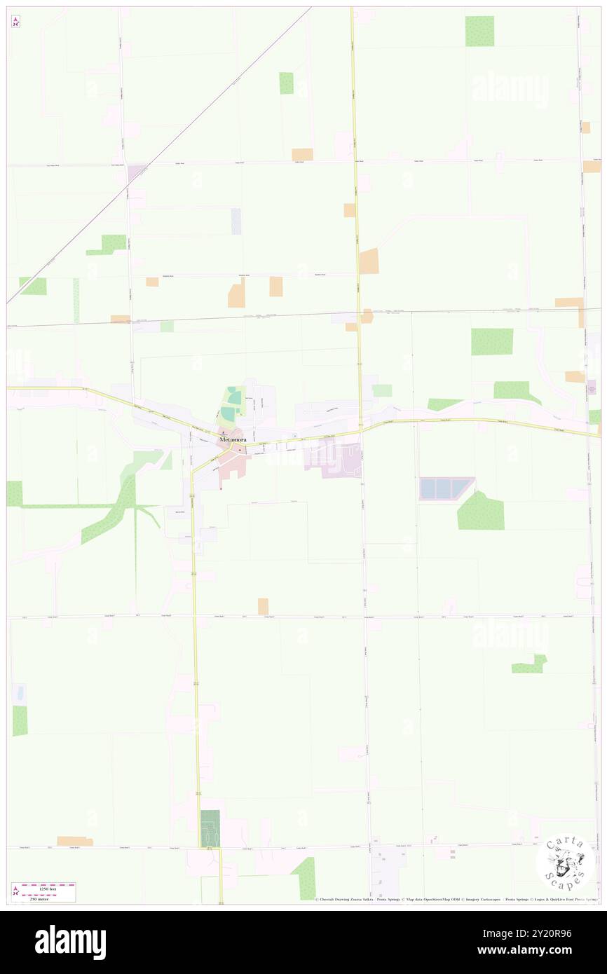 Metamora, Lapeer County, US, United States, Michigan, N 42 56' 29'', S 83 17' 20'', map, Cartascapes Map published in 2024. Explore Cartascapes, a map revealing Earth's diverse landscapes, cultures, and ecosystems. Journey through time and space, discovering the interconnectedness of our planet's past, present, and future. Stock Photohttps://www.alamy.com/image-license-details/?v=1https://www.alamy.com/metamora-lapeer-county-us-united-states-michigan-n-42-56-29-s-83-17-20-map-cartascapes-map-published-in-2024-explore-cartascapes-a-map-revealing-earths-diverse-landscapes-cultures-and-ecosystems-journey-through-time-and-space-discovering-the-interconnectedness-of-our-planets-past-present-and-future-image620820850.html
RM2Y20R96–Metamora, Lapeer County, US, United States, Michigan, N 42 56' 29'', S 83 17' 20'', map, Cartascapes Map published in 2024. Explore Cartascapes, a map revealing Earth's diverse landscapes, cultures, and ecosystems. Journey through time and space, discovering the interconnectedness of our planet's past, present, and future.
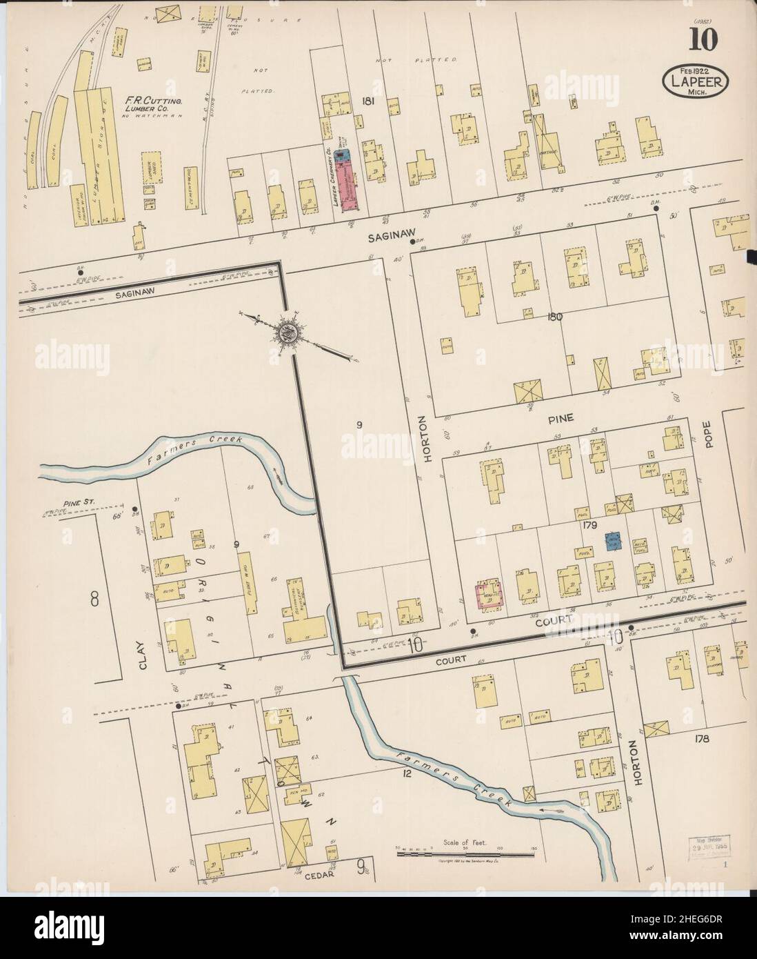 Sanborn Fire Insurance Map from Lapeer, Lapeer County, Michigan. Stock Photohttps://www.alamy.com/image-license-details/?v=1https://www.alamy.com/sanborn-fire-insurance-map-from-lapeer-lapeer-county-michigan-image456431075.html
RM2HEG6DR–Sanborn Fire Insurance Map from Lapeer, Lapeer County, Michigan.
 Goodland, Lapeer County, US, United States, Michigan, N 43 5' 41'', S 83 4' 20'', map, Cartascapes Map published in 2024. Explore Cartascapes, a map revealing Earth's diverse landscapes, cultures, and ecosystems. Journey through time and space, discovering the interconnectedness of our planet's past, present, and future. Stock Photohttps://www.alamy.com/image-license-details/?v=1https://www.alamy.com/goodland-lapeer-county-us-united-states-michigan-n-43-5-41-s-83-4-20-map-cartascapes-map-published-in-2024-explore-cartascapes-a-map-revealing-earths-diverse-landscapes-cultures-and-ecosystems-journey-through-time-and-space-discovering-the-interconnectedness-of-our-planets-past-present-and-future-image620709285.html
RM2Y1RN0N–Goodland, Lapeer County, US, United States, Michigan, N 43 5' 41'', S 83 4' 20'', map, Cartascapes Map published in 2024. Explore Cartascapes, a map revealing Earth's diverse landscapes, cultures, and ecosystems. Journey through time and space, discovering the interconnectedness of our planet's past, present, and future.
 Sanborn Fire Insurance Map from Lapeer, Lapeer County, Michigan. Stock Photohttps://www.alamy.com/image-license-details/?v=1https://www.alamy.com/sanborn-fire-insurance-map-from-lapeer-lapeer-county-michigan-image456431078.html
RM2HEG6DX–Sanborn Fire Insurance Map from Lapeer, Lapeer County, Michigan.
 Clifford, Lapeer County, US, United States, Michigan, N 43 18' 53'', S 83 10' 44'', map, Cartascapes Map published in 2024. Explore Cartascapes, a map revealing Earth's diverse landscapes, cultures, and ecosystems. Journey through time and space, discovering the interconnectedness of our planet's past, present, and future. Stock Photohttps://www.alamy.com/image-license-details/?v=1https://www.alamy.com/clifford-lapeer-county-us-united-states-michigan-n-43-18-53-s-83-10-44-map-cartascapes-map-published-in-2024-explore-cartascapes-a-map-revealing-earths-diverse-landscapes-cultures-and-ecosystems-journey-through-time-and-space-discovering-the-interconnectedness-of-our-planets-past-present-and-future-image620816427.html
RM2Y20HK7–Clifford, Lapeer County, US, United States, Michigan, N 43 18' 53'', S 83 10' 44'', map, Cartascapes Map published in 2024. Explore Cartascapes, a map revealing Earth's diverse landscapes, cultures, and ecosystems. Journey through time and space, discovering the interconnectedness of our planet's past, present, and future.
 Sanborn Fire Insurance Map from Lapeer, Lapeer County, Michigan. Stock Photohttps://www.alamy.com/image-license-details/?v=1https://www.alamy.com/sanborn-fire-insurance-map-from-lapeer-lapeer-county-michigan-image456431050.html
RM2HEG6CX–Sanborn Fire Insurance Map from Lapeer, Lapeer County, Michigan.
 Almont, Lapeer County, US, United States, Michigan, N 42 55' 14'', S 83 2' 41'', map, Cartascapes Map published in 2024. Explore Cartascapes, a map revealing Earth's diverse landscapes, cultures, and ecosystems. Journey through time and space, discovering the interconnectedness of our planet's past, present, and future. Stock Photohttps://www.alamy.com/image-license-details/?v=1https://www.alamy.com/almont-lapeer-county-us-united-states-michigan-n-42-55-14-s-83-2-41-map-cartascapes-map-published-in-2024-explore-cartascapes-a-map-revealing-earths-diverse-landscapes-cultures-and-ecosystems-journey-through-time-and-space-discovering-the-interconnectedness-of-our-planets-past-present-and-future-image620783278.html
RM2Y1Y3BA–Almont, Lapeer County, US, United States, Michigan, N 42 55' 14'', S 83 2' 41'', map, Cartascapes Map published in 2024. Explore Cartascapes, a map revealing Earth's diverse landscapes, cultures, and ecosystems. Journey through time and space, discovering the interconnectedness of our planet's past, present, and future.
 Sanborn Fire Insurance Map from Lapeer, Lapeer County, Michigan. Stock Photohttps://www.alamy.com/image-license-details/?v=1https://www.alamy.com/sanborn-fire-insurance-map-from-lapeer-lapeer-county-michigan-image456431059.html
RM2HEG6D7–Sanborn Fire Insurance Map from Lapeer, Lapeer County, Michigan.
 Thornville, Lapeer County, US, United States, Michigan, N 42 56' 33'', S 83 13' 25'', map, Cartascapes Map published in 2024. Explore Cartascapes, a map revealing Earth's diverse landscapes, cultures, and ecosystems. Journey through time and space, discovering the interconnectedness of our planet's past, present, and future. Stock Photohttps://www.alamy.com/image-license-details/?v=1https://www.alamy.com/thornville-lapeer-county-us-united-states-michigan-n-42-56-33-s-83-13-25-map-cartascapes-map-published-in-2024-explore-cartascapes-a-map-revealing-earths-diverse-landscapes-cultures-and-ecosystems-journey-through-time-and-space-discovering-the-interconnectedness-of-our-planets-past-present-and-future-image620791401.html
RM2Y1YDND–Thornville, Lapeer County, US, United States, Michigan, N 42 56' 33'', S 83 13' 25'', map, Cartascapes Map published in 2024. Explore Cartascapes, a map revealing Earth's diverse landscapes, cultures, and ecosystems. Journey through time and space, discovering the interconnectedness of our planet's past, present, and future.
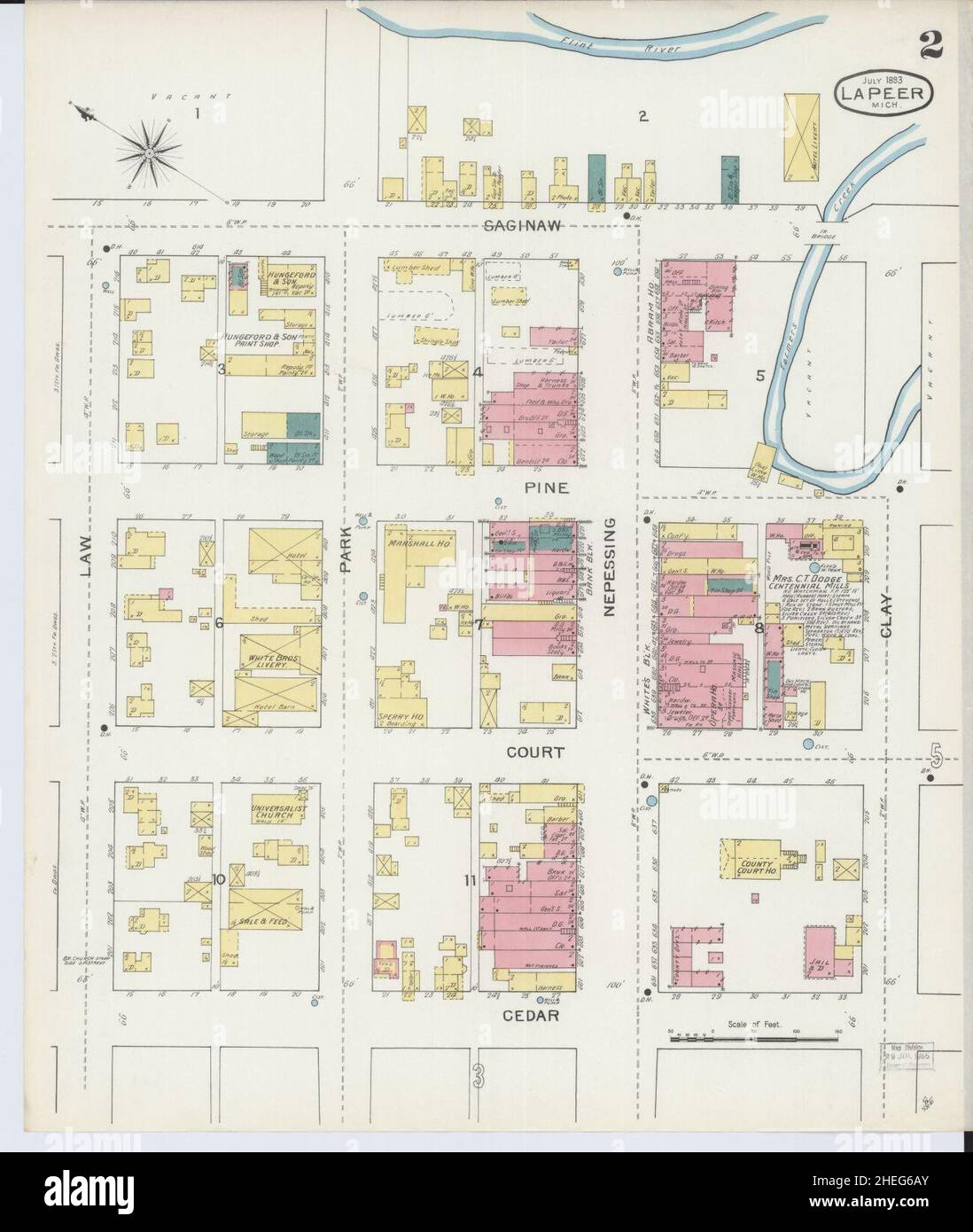 Sanborn Fire Insurance Map from Lapeer, Lapeer County, Michigan. Stock Photohttps://www.alamy.com/image-license-details/?v=1https://www.alamy.com/sanborn-fire-insurance-map-from-lapeer-lapeer-county-michigan-image456430995.html
RM2HEG6AY–Sanborn Fire Insurance Map from Lapeer, Lapeer County, Michigan.
 Hunters Creek, Lapeer County, US, United States, Michigan, N 42 59' 8'', S 83 17' 37'', map, Cartascapes Map published in 2024. Explore Cartascapes, a map revealing Earth's diverse landscapes, cultures, and ecosystems. Journey through time and space, discovering the interconnectedness of our planet's past, present, and future. Stock Photohttps://www.alamy.com/image-license-details/?v=1https://www.alamy.com/hunters-creek-lapeer-county-us-united-states-michigan-n-42-59-8-s-83-17-37-map-cartascapes-map-published-in-2024-explore-cartascapes-a-map-revealing-earths-diverse-landscapes-cultures-and-ecosystems-journey-through-time-and-space-discovering-the-interconnectedness-of-our-planets-past-present-and-future-image620722594.html
RM2Y1TA02–Hunters Creek, Lapeer County, US, United States, Michigan, N 42 59' 8'', S 83 17' 37'', map, Cartascapes Map published in 2024. Explore Cartascapes, a map revealing Earth's diverse landscapes, cultures, and ecosystems. Journey through time and space, discovering the interconnectedness of our planet's past, present, and future.
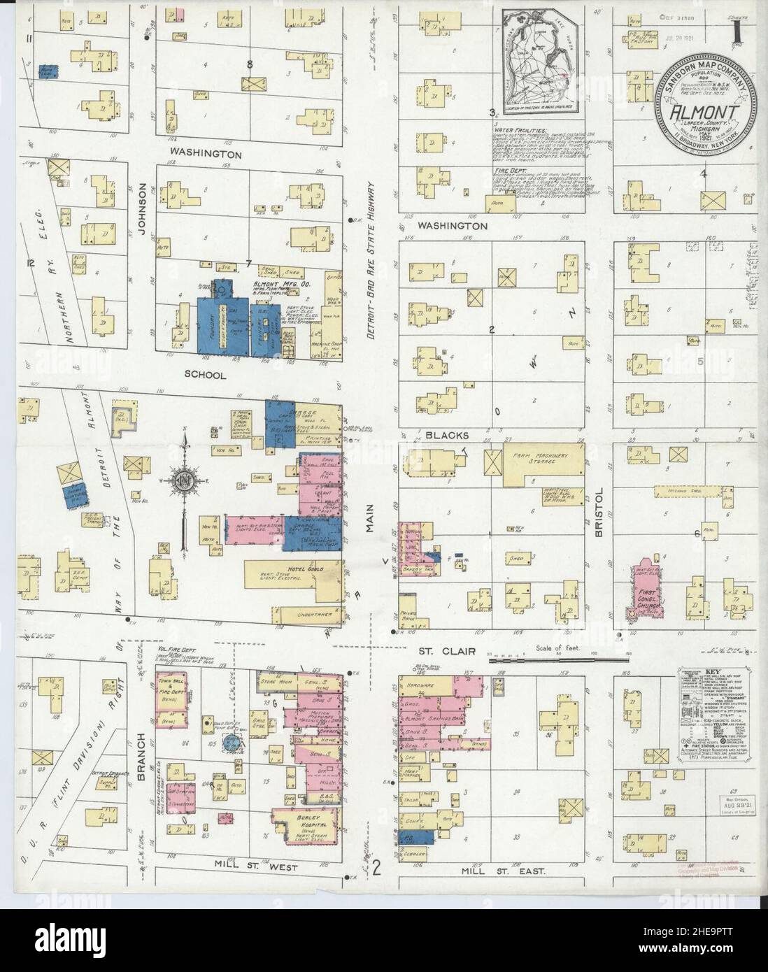 Sanborn Fire Insurance Map from Almont, Lapeer County, Michigan. Stock Photohttps://www.alamy.com/image-license-details/?v=1https://www.alamy.com/sanborn-fire-insurance-map-from-almont-lapeer-county-michigan-image456290264.html
RM2HE9PTT–Sanborn Fire Insurance Map from Almont, Lapeer County, Michigan.
 Otter Lake, Lapeer County, US, United States, Michigan, N 43 12' 48'', S 83 27' 15'', map, Cartascapes Map published in 2024. Explore Cartascapes, a map revealing Earth's diverse landscapes, cultures, and ecosystems. Journey through time and space, discovering the interconnectedness of our planet's past, present, and future. Stock Photohttps://www.alamy.com/image-license-details/?v=1https://www.alamy.com/otter-lake-lapeer-county-us-united-states-michigan-n-43-12-48-s-83-27-15-map-cartascapes-map-published-in-2024-explore-cartascapes-a-map-revealing-earths-diverse-landscapes-cultures-and-ecosystems-journey-through-time-and-space-discovering-the-interconnectedness-of-our-planets-past-present-and-future-image620788998.html
RM2Y1YAKJ–Otter Lake, Lapeer County, US, United States, Michigan, N 43 12' 48'', S 83 27' 15'', map, Cartascapes Map published in 2024. Explore Cartascapes, a map revealing Earth's diverse landscapes, cultures, and ecosystems. Journey through time and space, discovering the interconnectedness of our planet's past, present, and future.
 Sanborn Fire Insurance Map from Lapeer, Lapeer County, Michigan. Stock Photohttps://www.alamy.com/image-license-details/?v=1https://www.alamy.com/sanborn-fire-insurance-map-from-lapeer-lapeer-county-michigan-image456430986.html
RM2HEG6AJ–Sanborn Fire Insurance Map from Lapeer, Lapeer County, Michigan.
 North Branch, Lapeer County, US, United States, Michigan, N 43 13' 46'', S 83 11' 47'', map, Cartascapes Map published in 2024. Explore Cartascapes, a map revealing Earth's diverse landscapes, cultures, and ecosystems. Journey through time and space, discovering the interconnectedness of our planet's past, present, and future. Stock Photohttps://www.alamy.com/image-license-details/?v=1https://www.alamy.com/north-branch-lapeer-county-us-united-states-michigan-n-43-13-46-s-83-11-47-map-cartascapes-map-published-in-2024-explore-cartascapes-a-map-revealing-earths-diverse-landscapes-cultures-and-ecosystems-journey-through-time-and-space-discovering-the-interconnectedness-of-our-planets-past-present-and-future-image620881886.html
RM2Y23H52–North Branch, Lapeer County, US, United States, Michigan, N 43 13' 46'', S 83 11' 47'', map, Cartascapes Map published in 2024. Explore Cartascapes, a map revealing Earth's diverse landscapes, cultures, and ecosystems. Journey through time and space, discovering the interconnectedness of our planet's past, present, and future.
 Sanborn Fire Insurance Map from Lapeer, Lapeer County, Michigan. Stock Photohttps://www.alamy.com/image-license-details/?v=1https://www.alamy.com/sanborn-fire-insurance-map-from-lapeer-lapeer-county-michigan-image456431008.html
RM2HEG6BC–Sanborn Fire Insurance Map from Lapeer, Lapeer County, Michigan.
 North Branch, Lapeer County, US, United States, Michigan, N 43 13' 46'', S 83 11' 47'', map, Cartascapes Map published in 2024. Explore Cartascapes, a map revealing Earth's diverse landscapes, cultures, and ecosystems. Journey through time and space, discovering the interconnectedness of our planet's past, present, and future. Stock Photohttps://www.alamy.com/image-license-details/?v=1https://www.alamy.com/north-branch-lapeer-county-us-united-states-michigan-n-43-13-46-s-83-11-47-map-cartascapes-map-published-in-2024-explore-cartascapes-a-map-revealing-earths-diverse-landscapes-cultures-and-ecosystems-journey-through-time-and-space-discovering-the-interconnectedness-of-our-planets-past-present-and-future-image620757118.html
RM2Y1WX12–North Branch, Lapeer County, US, United States, Michigan, N 43 13' 46'', S 83 11' 47'', map, Cartascapes Map published in 2024. Explore Cartascapes, a map revealing Earth's diverse landscapes, cultures, and ecosystems. Journey through time and space, discovering the interconnectedness of our planet's past, present, and future.
 Sanborn Fire Insurance Map from Lapeer, Lapeer County, Michigan. Stock Photohttps://www.alamy.com/image-license-details/?v=1https://www.alamy.com/sanborn-fire-insurance-map-from-lapeer-lapeer-county-michigan-image456431069.html
RM2HEG6DH–Sanborn Fire Insurance Map from Lapeer, Lapeer County, Michigan.
 Barnes Lake-Millers Lake, Lapeer County, US, United States, Michigan, N 43 10' 46'', S 83 18' 44'', map, Cartascapes Map published in 2024. Explore Cartascapes, a map revealing Earth's diverse landscapes, cultures, and ecosystems. Journey through time and space, discovering the interconnectedness of our planet's past, present, and future. Stock Photohttps://www.alamy.com/image-license-details/?v=1https://www.alamy.com/barnes-lake-millers-lake-lapeer-county-us-united-states-michigan-n-43-10-46-s-83-18-44-map-cartascapes-map-published-in-2024-explore-cartascapes-a-map-revealing-earths-diverse-landscapes-cultures-and-ecosystems-journey-through-time-and-space-discovering-the-interconnectedness-of-our-planets-past-present-and-future-image620858857.html
RM2Y22FPH–Barnes Lake-Millers Lake, Lapeer County, US, United States, Michigan, N 43 10' 46'', S 83 18' 44'', map, Cartascapes Map published in 2024. Explore Cartascapes, a map revealing Earth's diverse landscapes, cultures, and ecosystems. Journey through time and space, discovering the interconnectedness of our planet's past, present, and future.
 Sanborn Fire Insurance Map from Lapeer, Lapeer County, Michigan. Stock Photohttps://www.alamy.com/image-license-details/?v=1https://www.alamy.com/sanborn-fire-insurance-map-from-lapeer-lapeer-county-michigan-image456431005.html
RM2HEG6B9–Sanborn Fire Insurance Map from Lapeer, Lapeer County, Michigan.