Quick filters:
Map of lima peru Stock Photos and Images
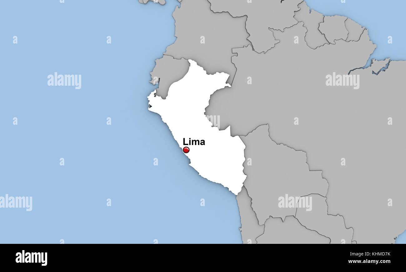 Abstract 3d render of map of Peru highlighted in white color and location of the capital Lima marked with red pin Stock Photohttps://www.alamy.com/image-license-details/?v=1https://www.alamy.com/stock-image-abstract-3d-render-of-map-of-peru-highlighted-in-white-color-and-location-165791911.html
RFKHMD7K–Abstract 3d render of map of Peru highlighted in white color and location of the capital Lima marked with red pin
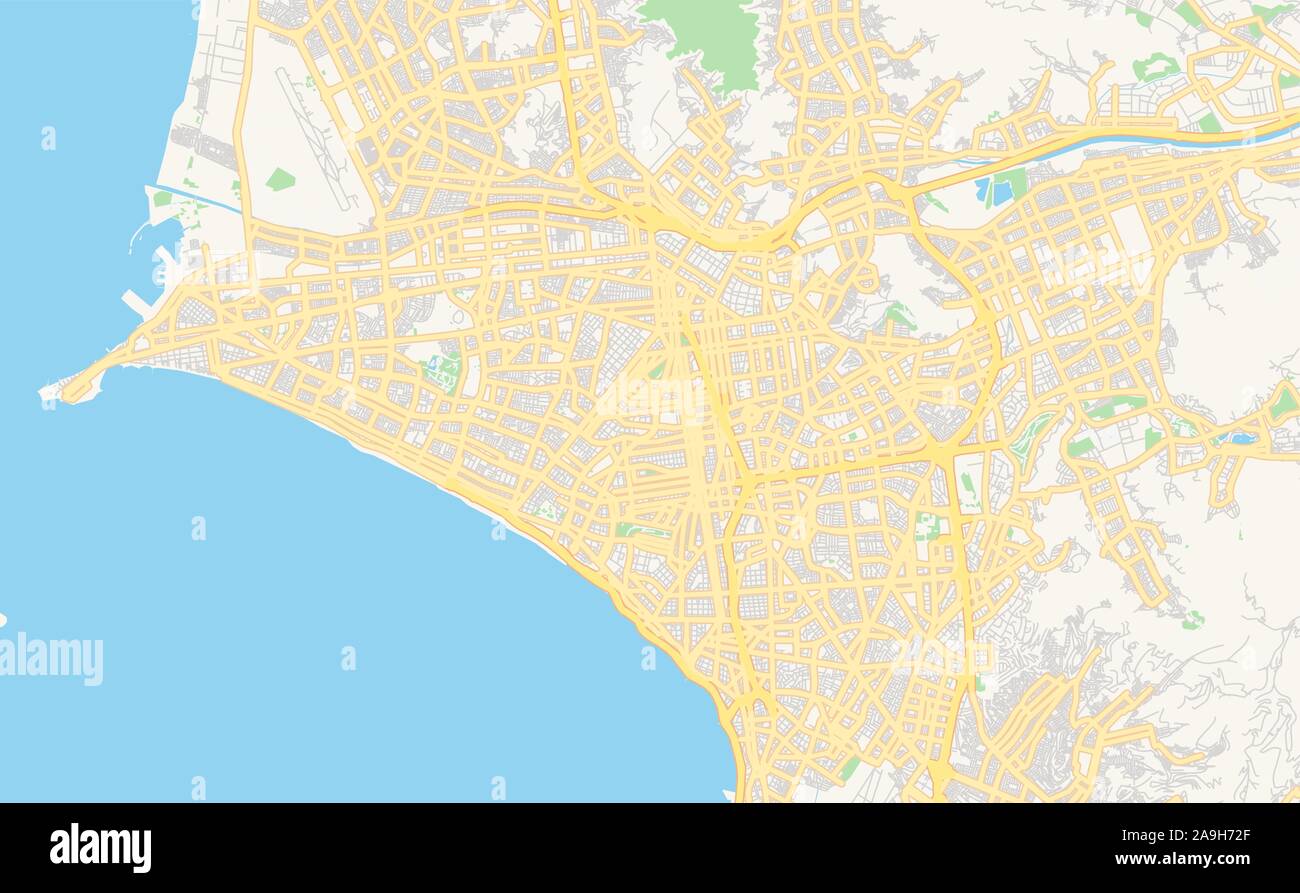 Printable street map of Lima, Peru. Map template for business use. Stock Vectorhttps://www.alamy.com/image-license-details/?v=1https://www.alamy.com/printable-street-map-of-lima-peru-map-template-for-business-use-image332907639.html
RF2A9H72F–Printable street map of Lima, Peru. Map template for business use.
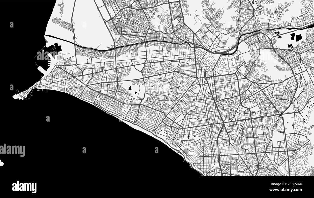 Vector map of Lima city. Urban grayscale poster. Road map image with metropolitan city area view. Stock Vectorhttps://www.alamy.com/image-license-details/?v=1https://www.alamy.com/vector-map-of-lima-city-urban-grayscale-poster-road-map-image-with-metropolitan-city-area-view-image487218674.html
RF2K8JMAX–Vector map of Lima city. Urban grayscale poster. Road map image with metropolitan city area view.
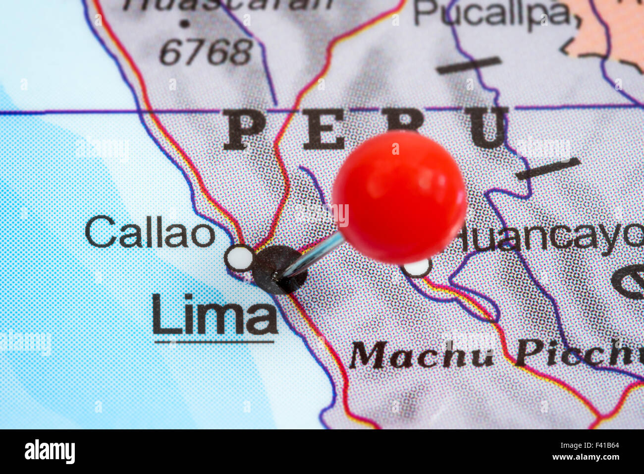 Close-up of a red pushpin in a map of Lima, Peru. Stock Photohttps://www.alamy.com/image-license-details/?v=1https://www.alamy.com/stock-photo-close-up-of-a-red-pushpin-in-a-map-of-lima-peru-88541212.html
RFF41B64–Close-up of a red pushpin in a map of Lima, Peru.
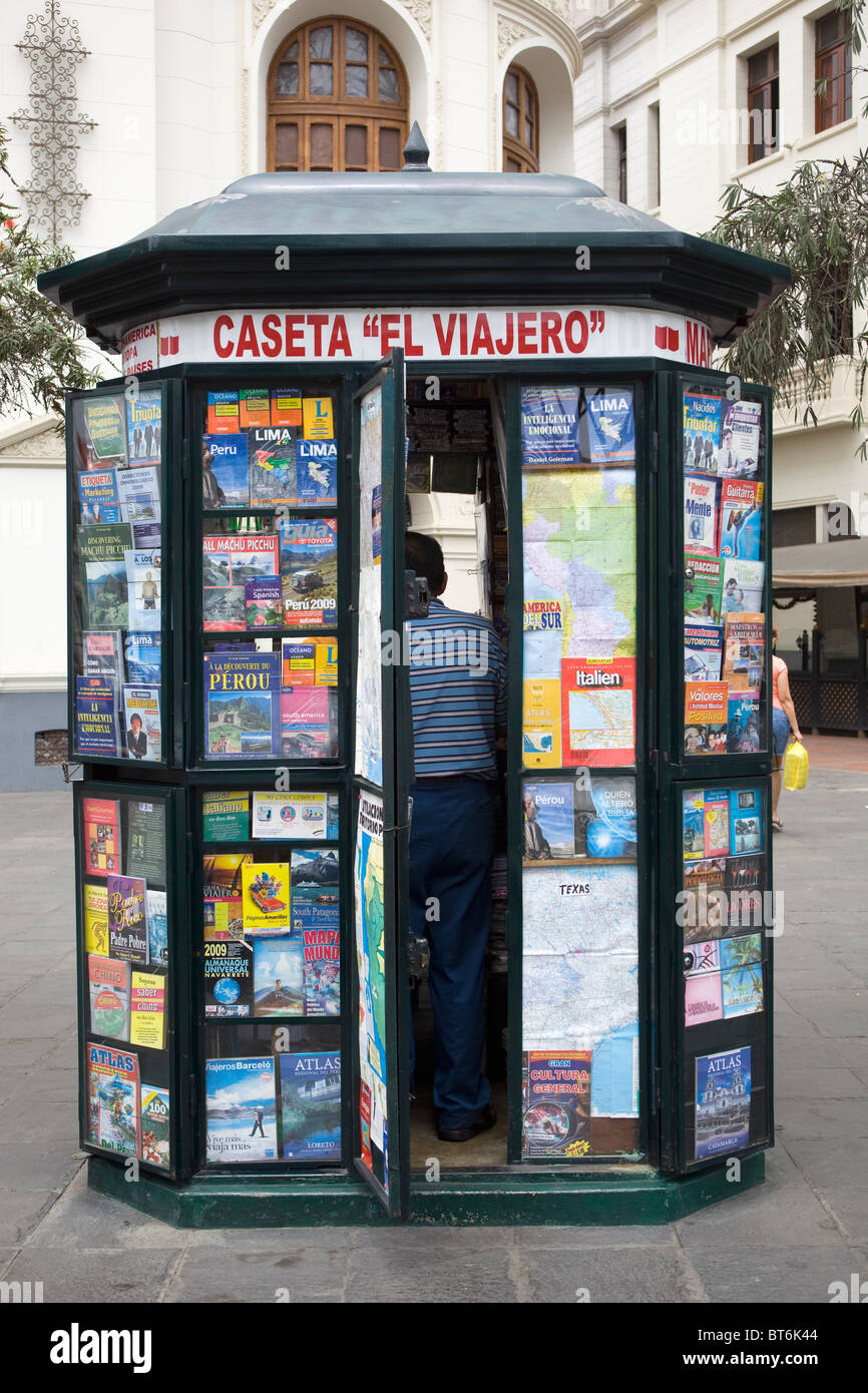 Map Kiosk Lima Peru Stock Photohttps://www.alamy.com/image-license-details/?v=1https://www.alamy.com/stock-photo-map-kiosk-lima-peru-32108836.html
RMBT6K44–Map Kiosk Lima Peru
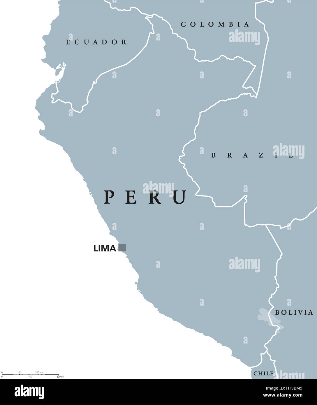 Peru political map with capital Lima, national borders and neighbors. Republic and country in western South America. Stock Photohttps://www.alamy.com/image-license-details/?v=1https://www.alamy.com/stock-photo-peru-political-map-with-capital-lima-national-borders-and-neighbors-135431077.html
RFHT9BM5–Peru political map with capital Lima, national borders and neighbors. Republic and country in western South America.
 Lima Peru Map grey Stock Vectorhttps://www.alamy.com/image-license-details/?v=1https://www.alamy.com/stock-photo-lima-peru-map-grey-124986671.html
RFH79HNK–Lima Peru Map grey
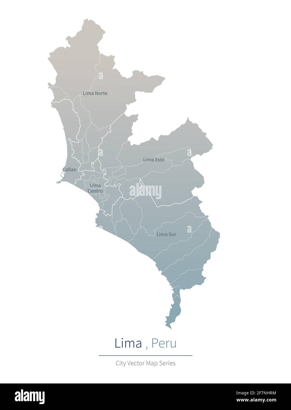 Lima Map. vector map of major city in the Peru. Stock Vectorhttps://www.alamy.com/image-license-details/?v=1https://www.alamy.com/lima-map-vector-map-of-major-city-in-the-peru-image417826408.html
RF2F7NHRM–Lima Map. vector map of major city in the Peru.
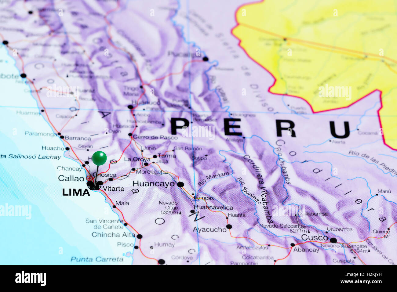 Lima pinned on a map of Peru Stock Photohttps://www.alamy.com/image-license-details/?v=1https://www.alamy.com/stock-photo-lima-pinned-on-a-map-of-peru-122133861.html
RFH2KJYH–Lima pinned on a map of Peru
 Lima map, satellite view, Peru Stock Photohttps://www.alamy.com/image-license-details/?v=1https://www.alamy.com/stock-photo-lima-map-satellite-view-peru-104219411.html
RFG1FGWR–Lima map, satellite view, Peru
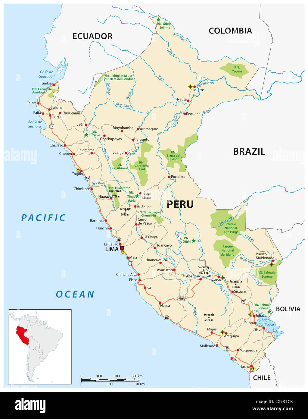 Peru road and national park map Stock Photohttps://www.alamy.com/image-license-details/?v=1https://www.alamy.com/peru-road-and-national-park-map-image607979811.html
RF2X93TCK–Peru road and national park map
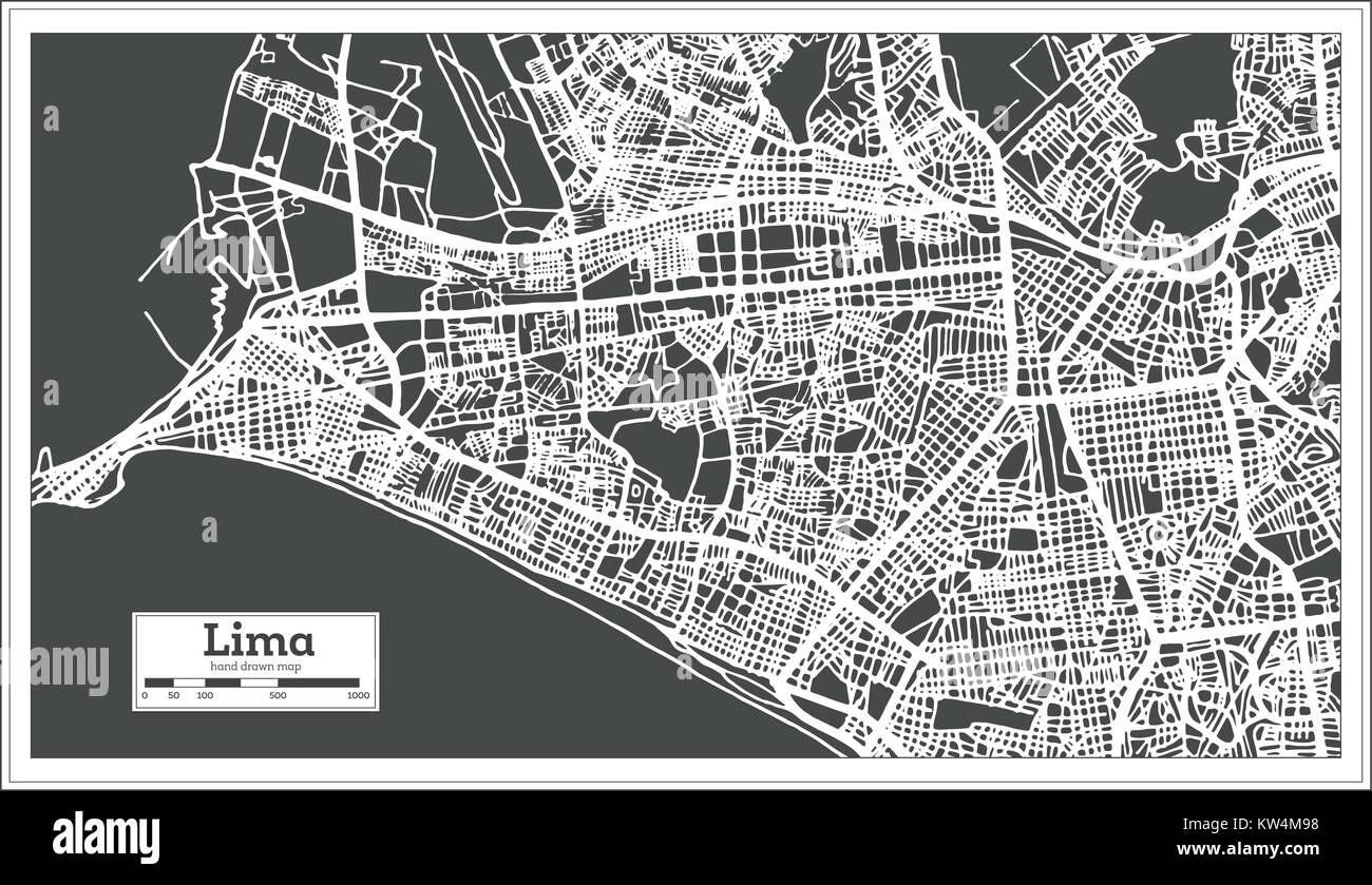 Lima Peru City Map in Retro Style. Vector Illustration. Outline Map. Stock Vectorhttps://www.alamy.com/image-license-details/?v=1https://www.alamy.com/stock-photo-lima-peru-city-map-in-retro-style-vector-illustration-outline-map-170363460.html
RFKW4M98–Lima Peru City Map in Retro Style. Vector Illustration. Outline Map.
 Lima Peru,Barranco District,Calle Centenario,B Barranco Bed & Breakfast,hotel,budget lodging,front desk check in reception reservation reservations re Stock Photohttps://www.alamy.com/image-license-details/?v=1https://www.alamy.com/stock-photo-lima-perubarranco-districtcalle-centenariob-barranco-bed-breakfasthotelbudget-47203659.html
RMCMP8MY–Lima Peru,Barranco District,Calle Centenario,B Barranco Bed & Breakfast,hotel,budget lodging,front desk check in reception reservation reservations re
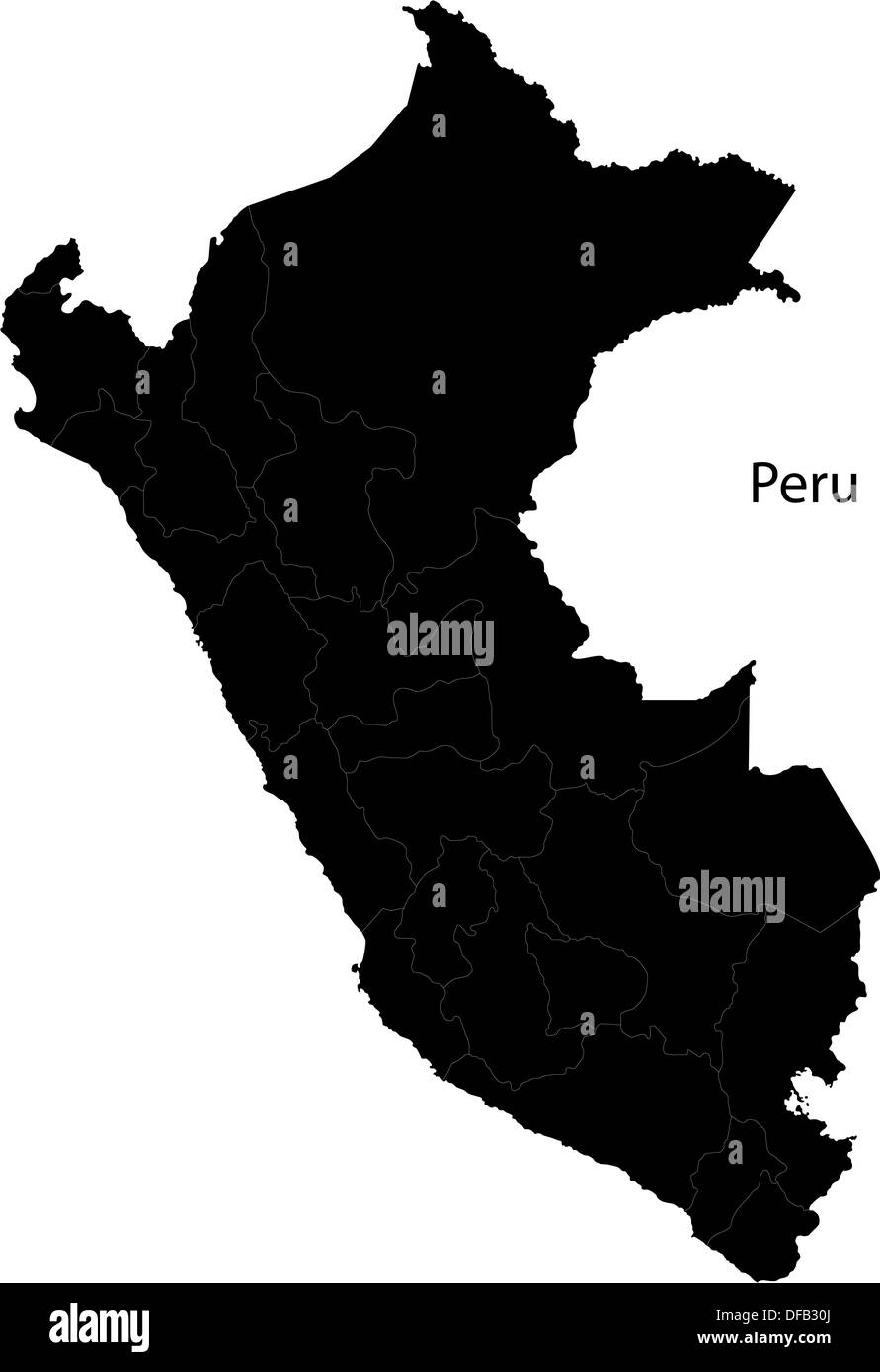 Black Peru map Stock Photohttps://www.alamy.com/image-license-details/?v=1https://www.alamy.com/black-peru-map-image61094786.html
RFDFB30J–Black Peru map
 Blue tack on map of South America with magnifying glass looking in on Lima, the capitol of Peru Stock Photohttps://www.alamy.com/image-license-details/?v=1https://www.alamy.com/stock-photo-blue-tack-on-map-of-south-america-with-magnifying-glass-looking-in-78951192.html
RFEGCF1C–Blue tack on map of South America with magnifying glass looking in on Lima, the capitol of Peru
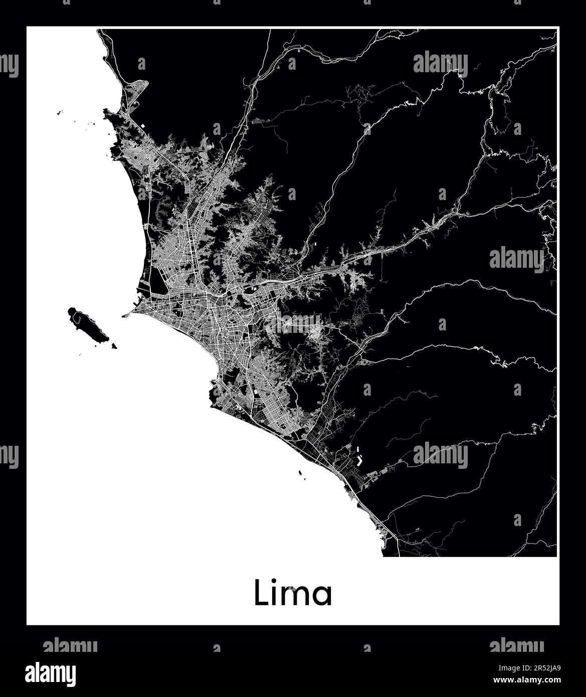 Minimal city map of Lima (Peru South America) Stock Vectorhttps://www.alamy.com/image-license-details/?v=1https://www.alamy.com/minimal-city-map-of-lima-peru-south-america-image553863361.html
RF2R52JA9–Minimal city map of Lima (Peru South America)
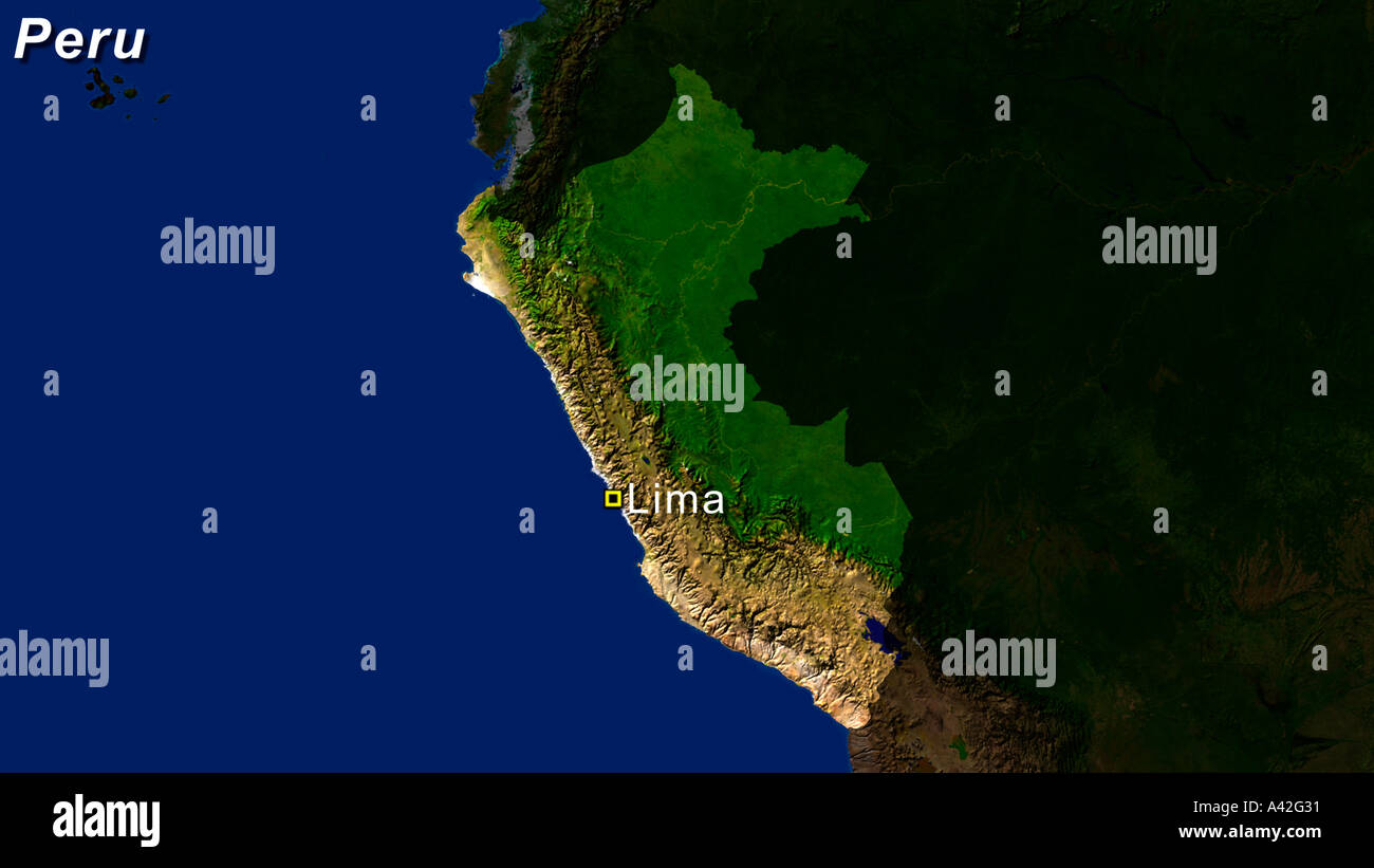 Satellite Image Of Peru With Lima Highlighted Stock Photohttps://www.alamy.com/image-license-details/?v=1https://www.alamy.com/satellite-image-of-peru-with-lima-highlighted-image3561520.html
RFA42G31–Satellite Image Of Peru With Lima Highlighted
 Lima, Peru city visualization illustrative concept on display screen through magnifying glass Stock Photohttps://www.alamy.com/image-license-details/?v=1https://www.alamy.com/lima-peru-city-visualization-illustrative-concept-on-display-screen-through-magnifying-glass-image366030925.html
RF2C7E451–Lima, Peru city visualization illustrative concept on display screen through magnifying glass
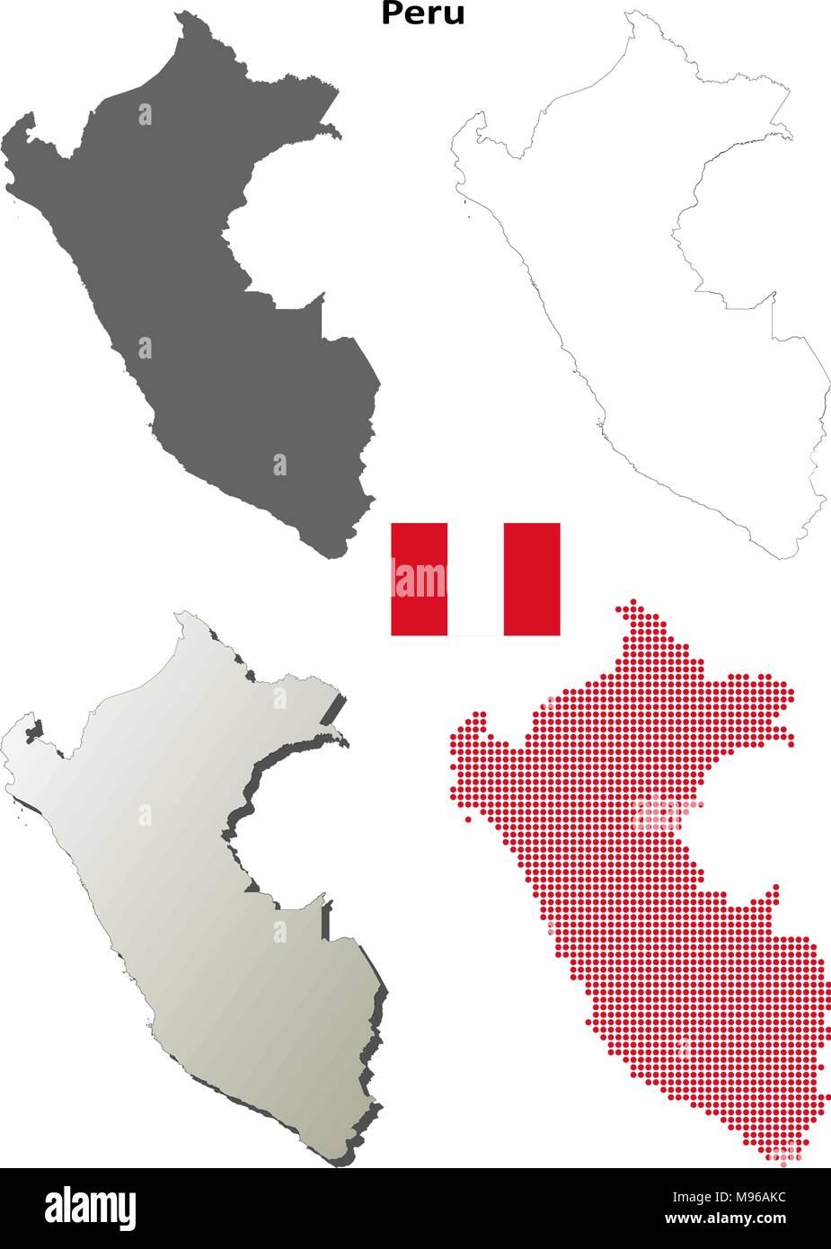 Peru outline map set Stock Vectorhttps://www.alamy.com/image-license-details/?v=1https://www.alamy.com/peru-outline-map-set-image177775680.html
RFM96AKC–Peru outline map set
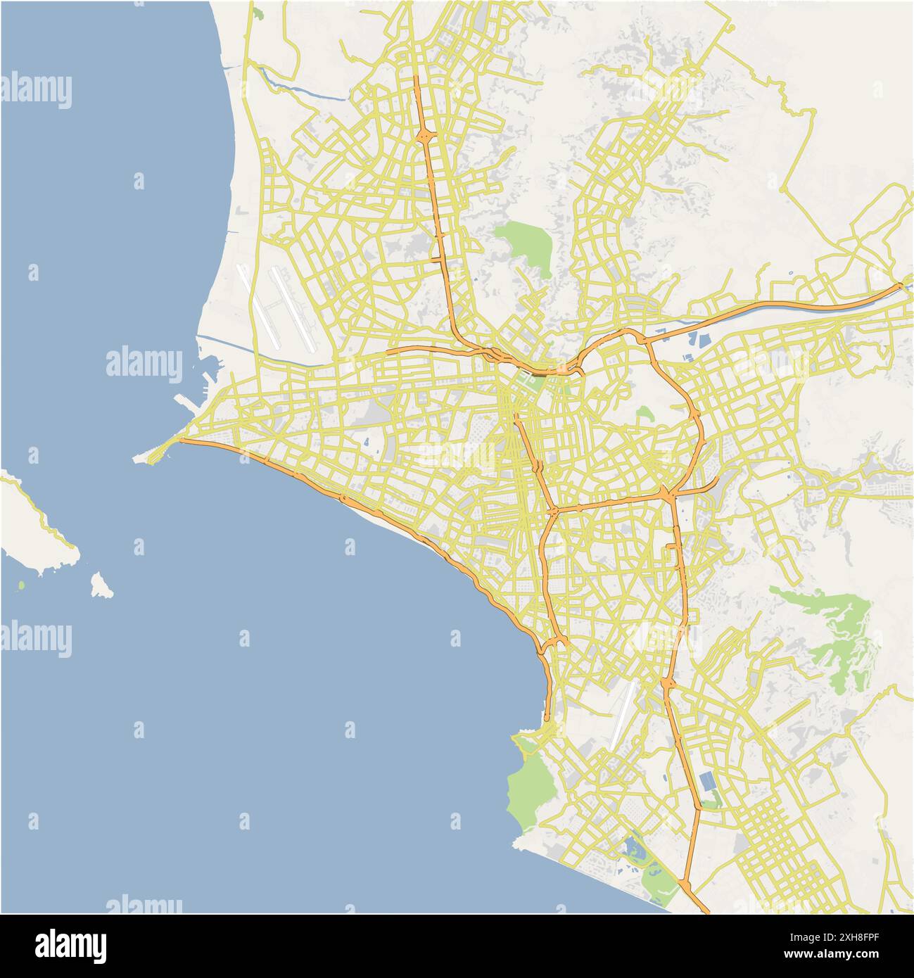 Road map of Lima in Peru. Contains layered vector with roads water, parks, etc. Stock Vectorhttps://www.alamy.com/image-license-details/?v=1https://www.alamy.com/road-map-of-lima-in-peru-contains-layered-vector-with-roads-water-parks-etc-image613000039.html
RF2XH8FPF–Road map of Lima in Peru. Contains layered vector with roads water, parks, etc.
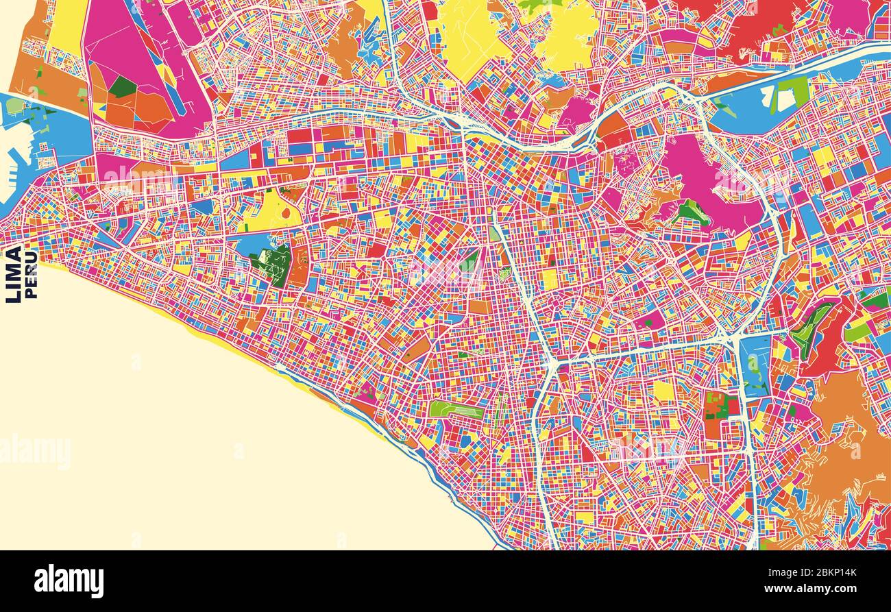 Colorful vector map of Lima, Peru. Art Map template for selfprinting wall art in landscape format. Stock Vectorhttps://www.alamy.com/image-license-details/?v=1https://www.alamy.com/colorful-vector-map-of-lima-peru-art-map-template-for-selfprinting-wall-art-in-landscape-format-image356369683.html
RF2BKP14K–Colorful vector map of Lima, Peru. Art Map template for selfprinting wall art in landscape format.
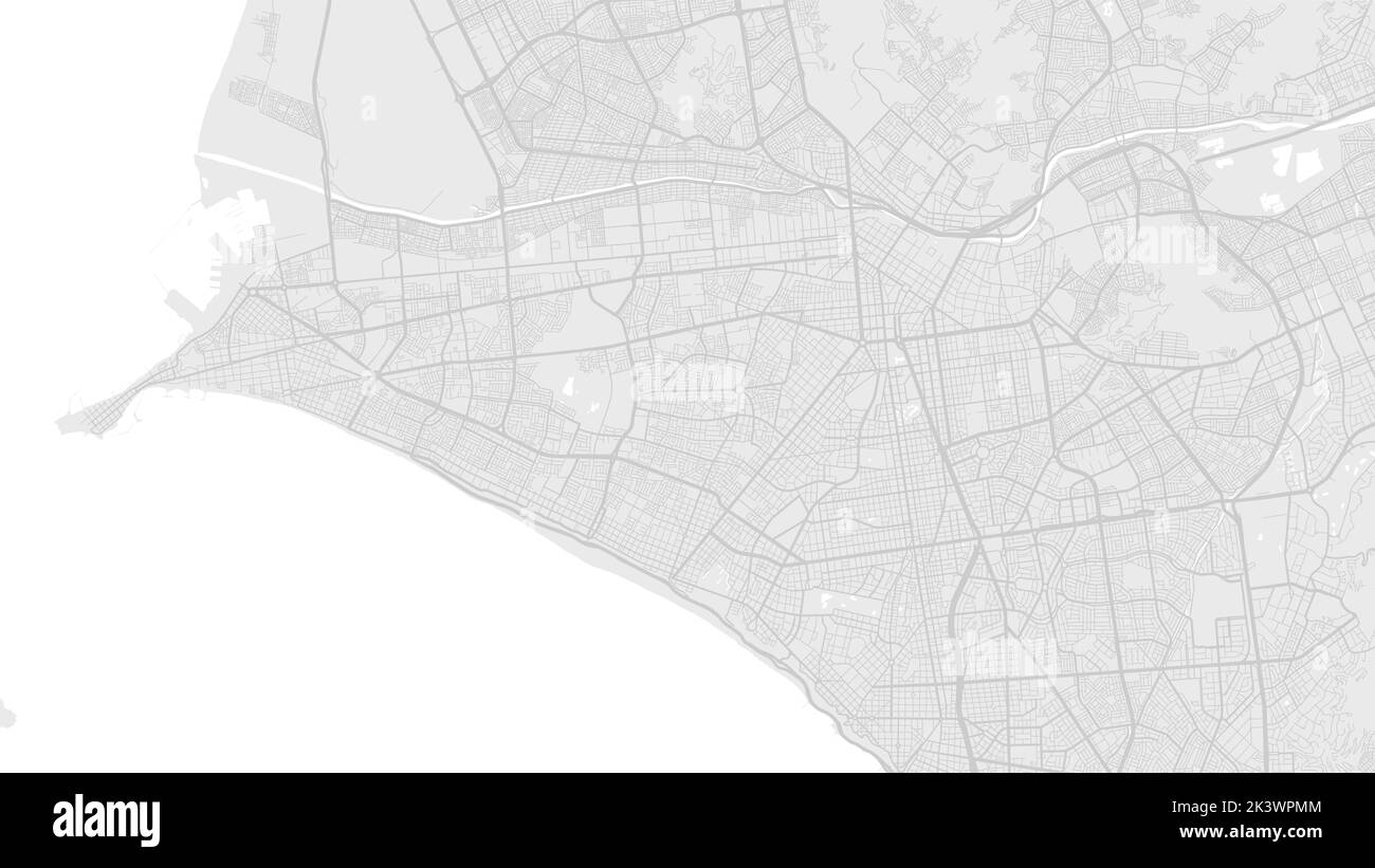 White and light grey Lima city area vector background map, roads and water illustration. Widescreen proportion, digital flat design roadmap. Stock Vectorhttps://www.alamy.com/image-license-details/?v=1https://www.alamy.com/white-and-light-grey-lima-city-area-vector-background-map-roads-and-water-illustration-widescreen-proportion-digital-flat-design-roadmap-image484300900.html
RF2K3WPMM–White and light grey Lima city area vector background map, roads and water illustration. Widescreen proportion, digital flat design roadmap.
 Cuzco fabric in rainbow colors, Peru map Machu picchu Stock Photohttps://www.alamy.com/image-license-details/?v=1https://www.alamy.com/cuzco-fabric-in-rainbow-colors-peru-map-machu-picchu-image274644690.html
RFWXR42X–Cuzco fabric in rainbow colors, Peru map Machu picchu
 Caseta 'El Viajero' Map Kiosk Lima Peru Stock Photohttps://www.alamy.com/image-license-details/?v=1https://www.alamy.com/stock-photo-caseta-el-viajero-map-kiosk-lima-peru-31755619.html
RMBRJGH7–Caseta 'El Viajero' Map Kiosk Lima Peru
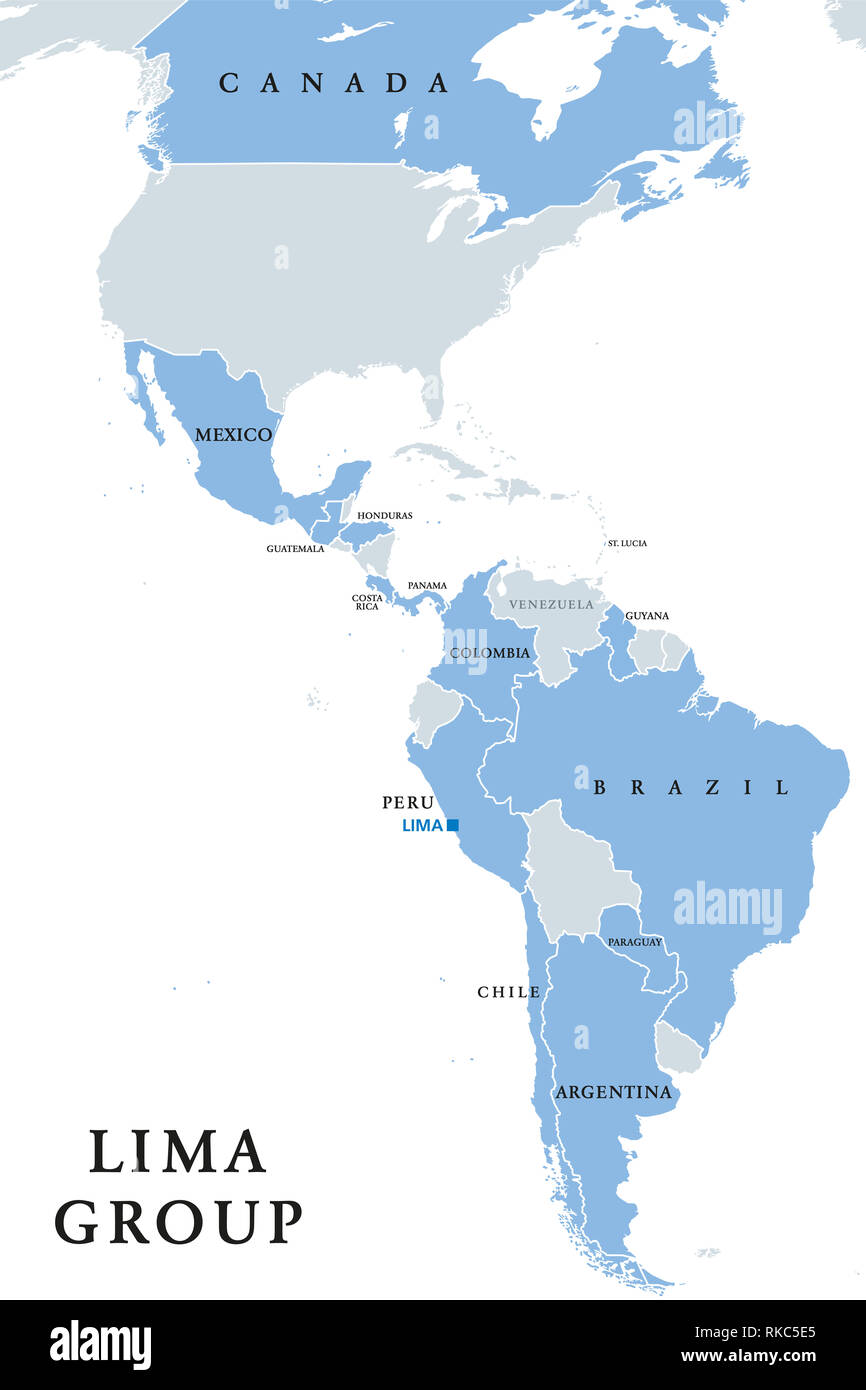 Lima Group, multilateral body, political map. Twelve countries signed a declaration to establish a peaceful exit to the crisis in Venezuela. Stock Photohttps://www.alamy.com/image-license-details/?v=1https://www.alamy.com/lima-group-multilateral-body-political-map-twelve-countries-signed-a-declaration-to-establish-a-peaceful-exit-to-the-crisis-in-venezuela-image235680989.html
RFRKC5E5–Lima Group, multilateral body, political map. Twelve countries signed a declaration to establish a peaceful exit to the crisis in Venezuela.
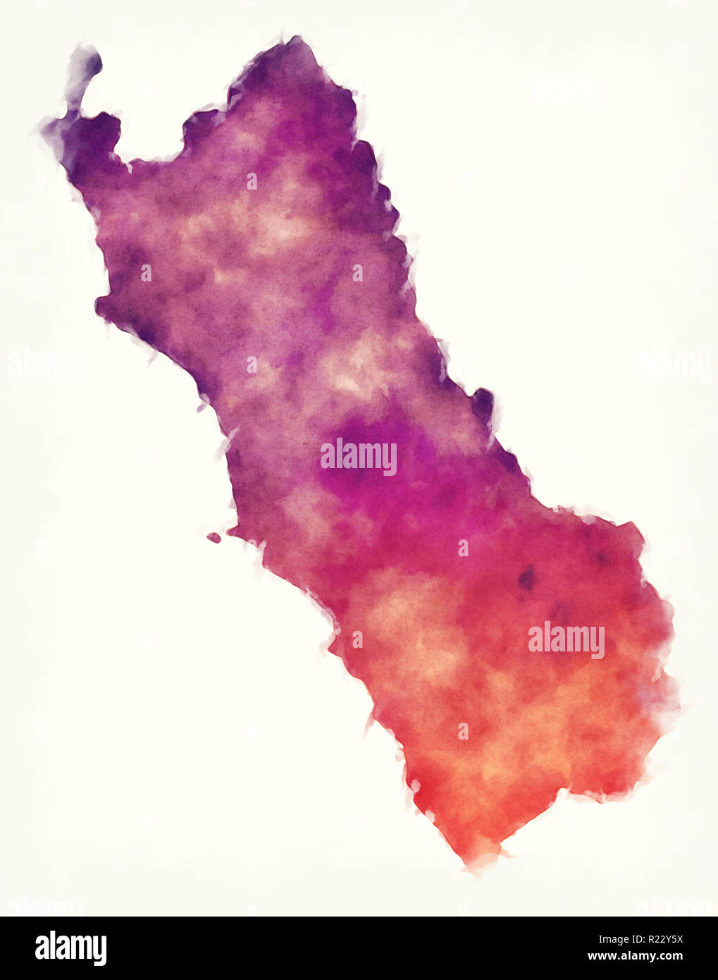 Lima region watercolor map of Peru in front of a white background Stock Photohttps://www.alamy.com/image-license-details/?v=1https://www.alamy.com/lima-region-watercolor-map-of-peru-in-front-of-a-white-background-image225029334.html
RFR22Y5X–Lima region watercolor map of Peru in front of a white background
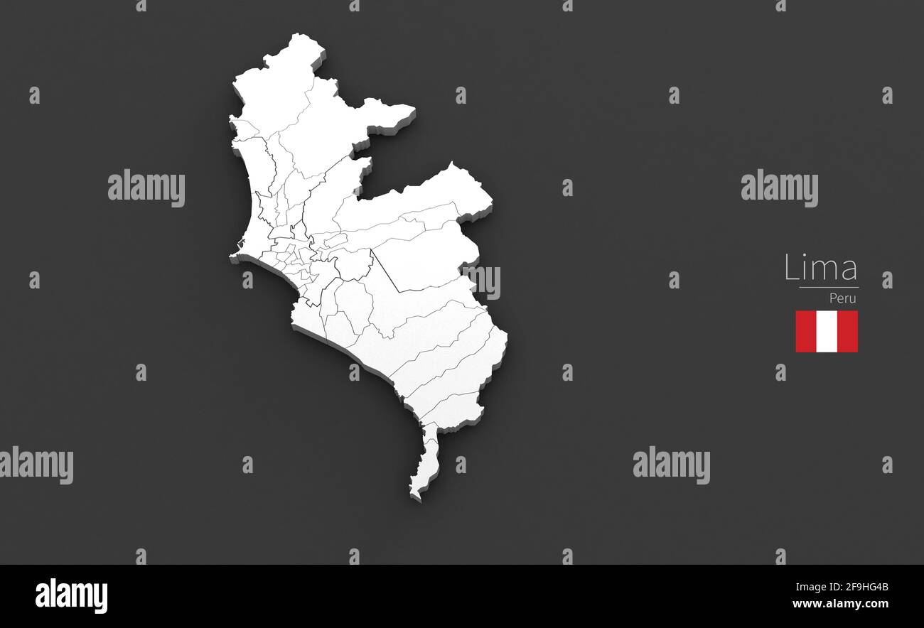 Lima City Map. 3D Map Series of Cities in peru. Stock Photohttps://www.alamy.com/image-license-details/?v=1https://www.alamy.com/lima-city-map-3d-map-series-of-cities-in-peru-image418966587.html
RF2F9HG4B–Lima City Map. 3D Map Series of Cities in peru.
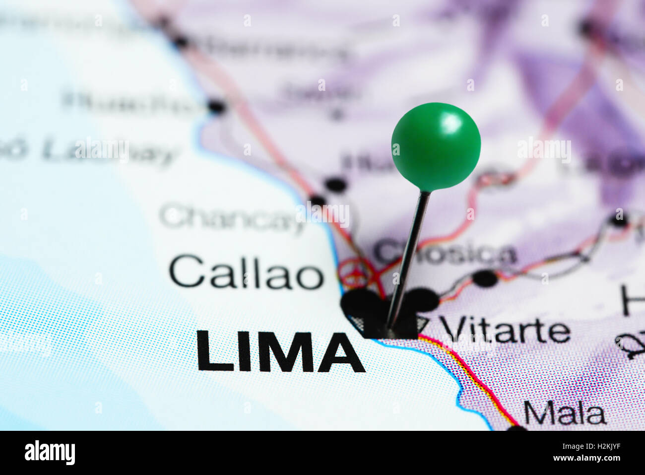 Lima pinned on a map of Peru Stock Photohttps://www.alamy.com/image-license-details/?v=1https://www.alamy.com/stock-photo-lima-pinned-on-a-map-of-peru-122133859.html
RFH2KJYF–Lima pinned on a map of Peru
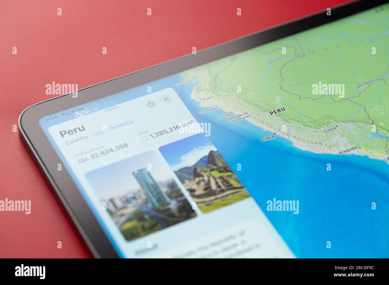 New York, USA - July 6, 2023: Peru country info on apple maps ipad macro close up view Stock Photohttps://www.alamy.com/image-license-details/?v=1https://www.alamy.com/new-york-usa-july-6-2023-peru-country-info-on-apple-maps-ipad-macro-close-up-view-image558476224.html
RF2RCGP3C–New York, USA - July 6, 2023: Peru country info on apple maps ipad macro close up view
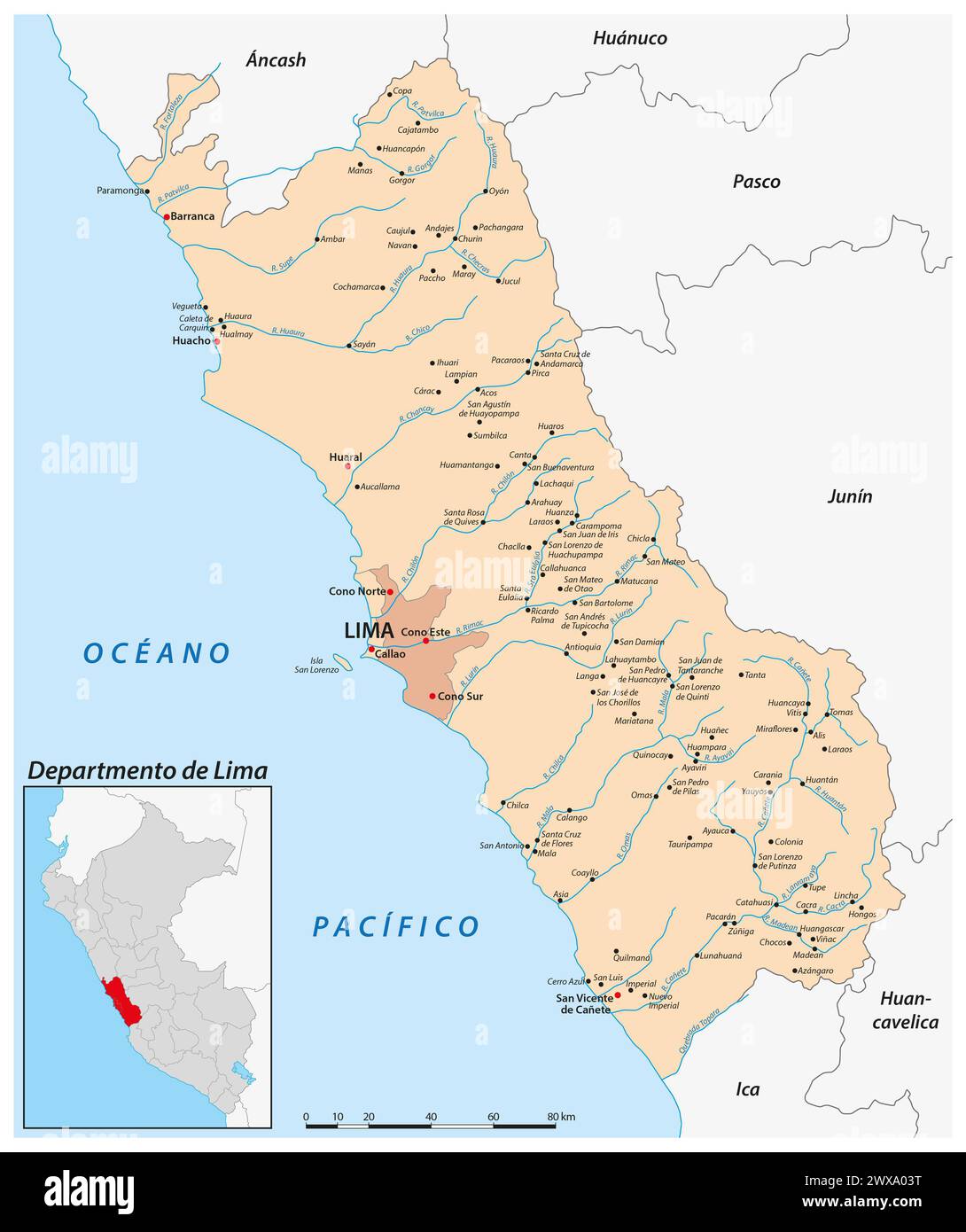 Vector map of the Peruvian region of Lima Stock Photohttps://www.alamy.com/image-license-details/?v=1https://www.alamy.com/vector-map-of-the-peruvian-region-of-lima-image601353196.html
RF2WXA03T–Vector map of the Peruvian region of Lima
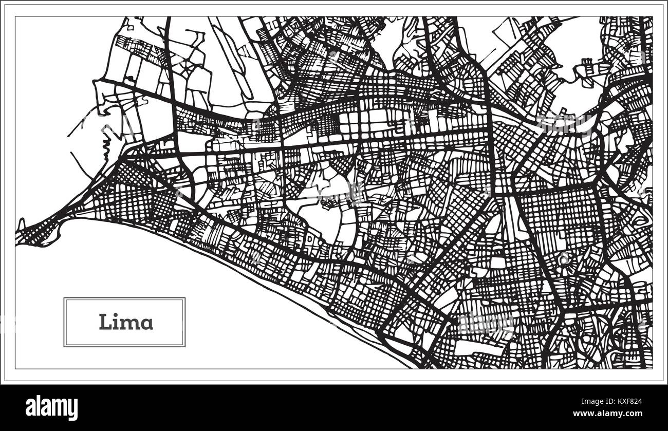 Lima Peru City Map in Black and White Color. Vector Illustration. Outline Map. Stock Vectorhttps://www.alamy.com/image-license-details/?v=1https://www.alamy.com/stock-photo-lima-peru-city-map-in-black-and-white-color-vector-illustration-outline-171209980.html
RFKXF824–Lima Peru City Map in Black and White Color. Vector Illustration. Outline Map.
 Lima Peru,Miraflores,Malecon de la Reserva,Parque Salazar,urban park,oceanfront,tourist information,kiosk,Hispanic woman female women,brochure brochur Stock Photohttps://www.alamy.com/image-license-details/?v=1https://www.alamy.com/stock-photo-lima-perumirafloresmalecon-de-la-reservaparque-salazarurban-parkoceanfronttourist-47205634.html
RMCMPB7E–Lima Peru,Miraflores,Malecon de la Reserva,Parque Salazar,urban park,oceanfront,tourist information,kiosk,Hispanic woman female women,brochure brochur
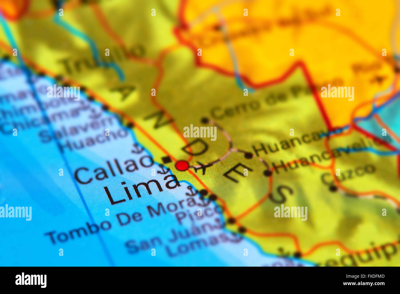 Lima, the Capital of Peru on the World Map Stock Photohttps://www.alamy.com/image-license-details/?v=1https://www.alamy.com/stock-photo-lima-the-capital-of-peru-on-the-world-map-102330605.html
RFFXDFMD–Lima, the Capital of Peru on the World Map
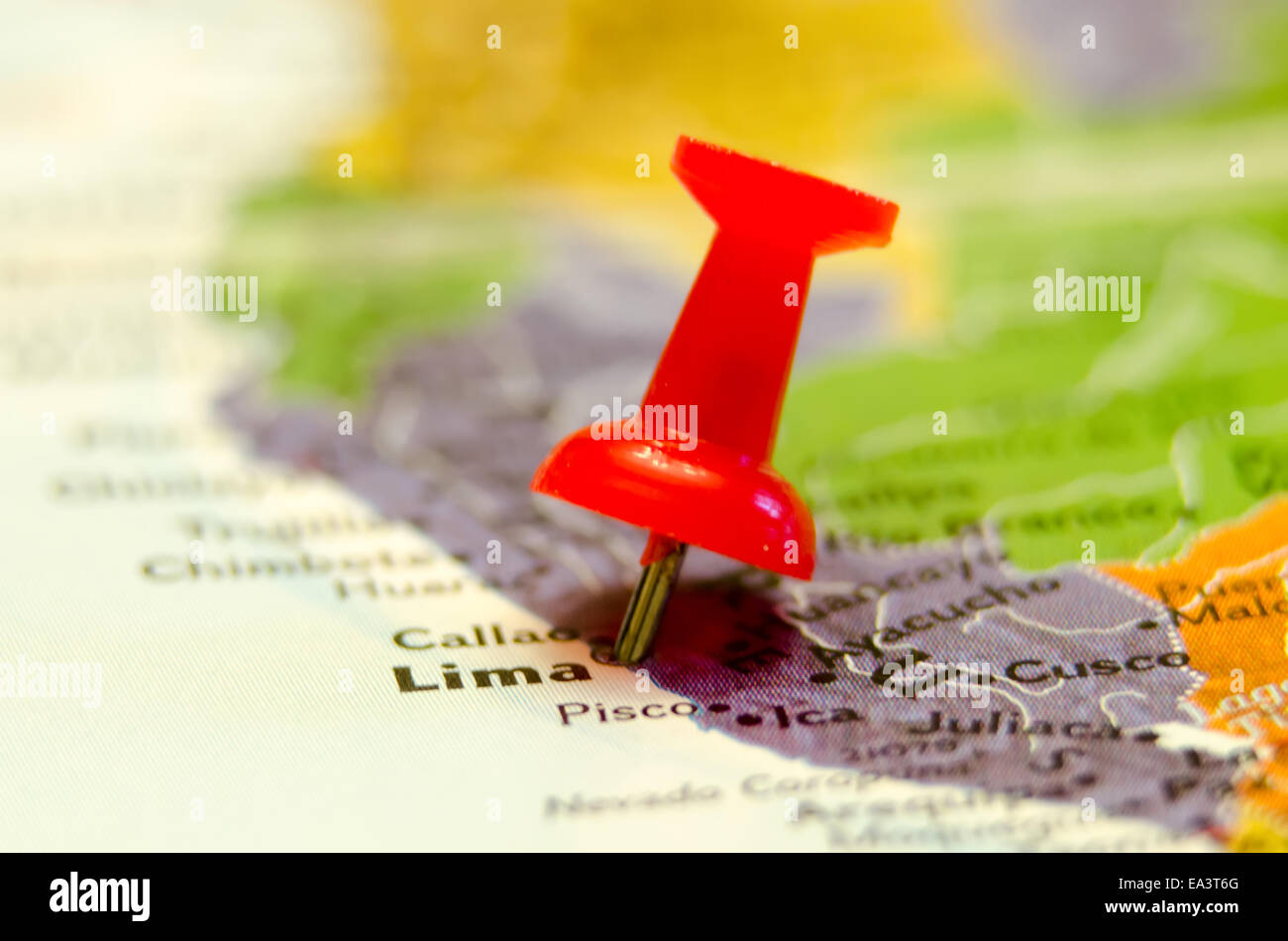 lima city peru pin on the map Stock Photohttps://www.alamy.com/image-license-details/?v=1https://www.alamy.com/stock-photo-lima-city-peru-pin-on-the-map-75072888.html
RFEA3T6G–lima city peru pin on the map
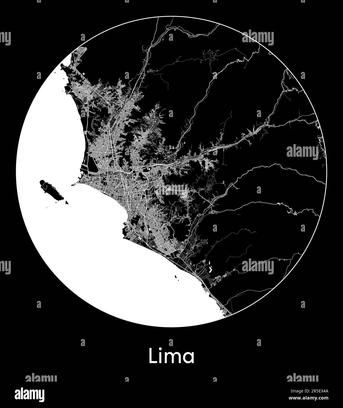 City Map Lima Peru South America vector illustration Stock Vectorhttps://www.alamy.com/image-license-details/?v=1https://www.alamy.com/city-map-lima-peru-south-america-vector-illustration-image554132890.html
RF2R5EX4A–City Map Lima Peru South America vector illustration
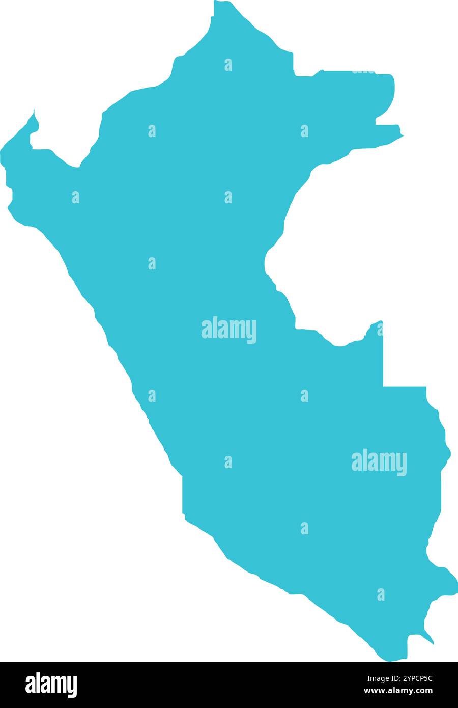 Peru MAP in Blue, Country Border, Peru Map, Border line of Peru, Geographic Map Stock Vectorhttps://www.alamy.com/image-license-details/?v=1https://www.alamy.com/peru-map-in-blue-country-border-peru-map-border-line-of-peru-geographic-map-image633376504.html
RF2YPCP5C–Peru MAP in Blue, Country Border, Peru Map, Border line of Peru, Geographic Map
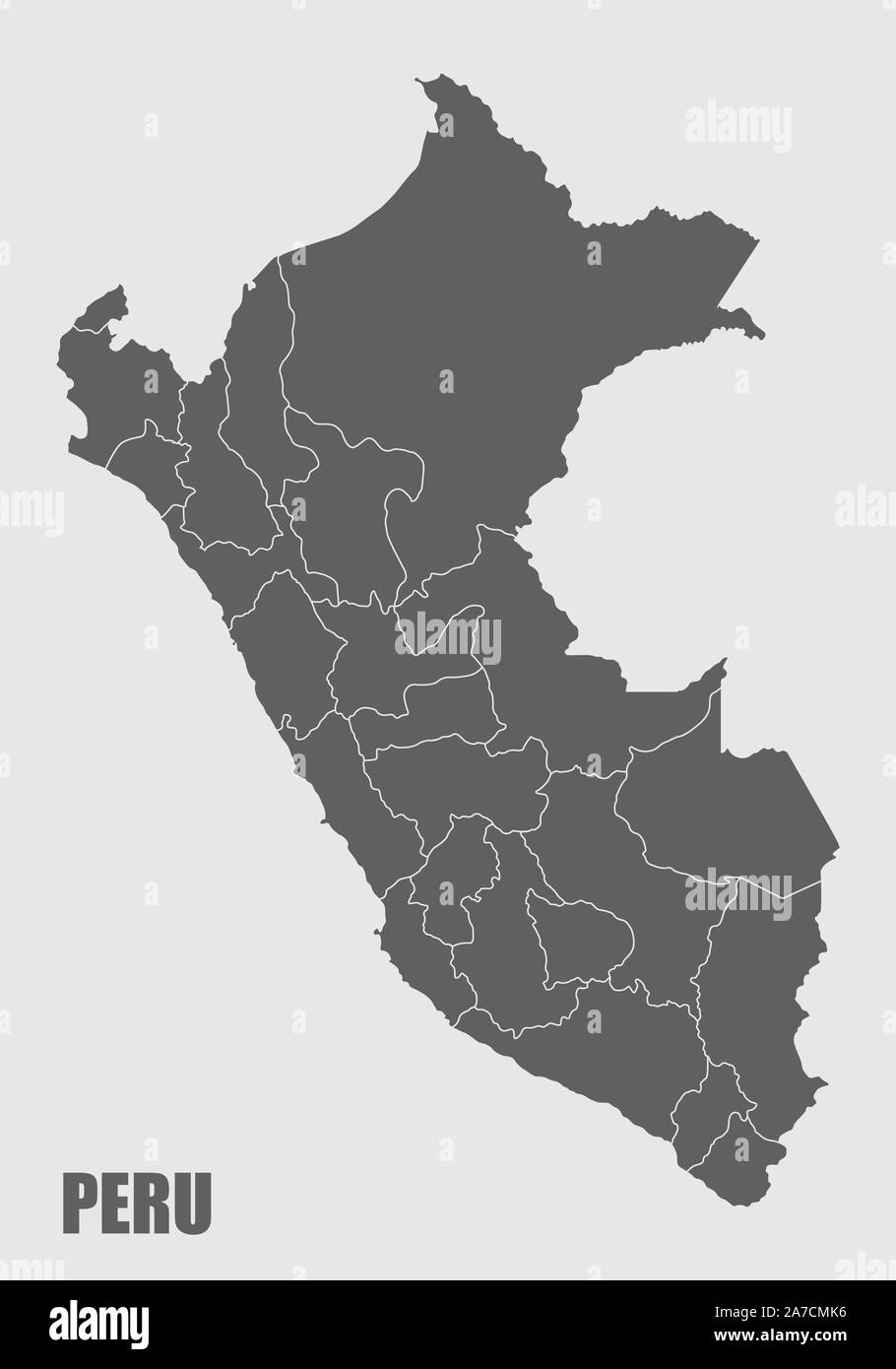 Peru regions map Stock Vectorhttps://www.alamy.com/image-license-details/?v=1https://www.alamy.com/peru-regions-map-image331579226.html
RF2A7CMK6–Peru regions map
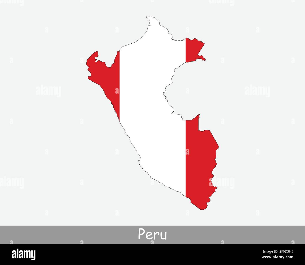 Peru Flag Map. Map of the Republic of Peru with the Peruvian national flag isolated on a white background. Vector Illustration. Stock Vectorhttps://www.alamy.com/image-license-details/?v=1https://www.alamy.com/peru-flag-map-map-of-the-republic-of-peru-with-the-peruvian-national-flag-isolated-on-a-white-background-vector-illustration-image417024977.html
RF2F6D3H5–Peru Flag Map. Map of the Republic of Peru with the Peruvian national flag isolated on a white background. Vector Illustration.
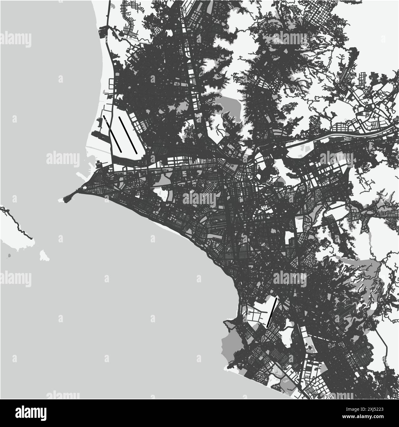 Map of Lima in Peru in grayscale. Contains layered vector with roads water, parks, etc. Stock Vectorhttps://www.alamy.com/image-license-details/?v=1https://www.alamy.com/map-of-lima-in-peru-in-grayscale-contains-layered-vector-with-roads-water-parks-etc-image613538075.html
RF2XJ5223–Map of Lima in Peru in grayscale. Contains layered vector with roads water, parks, etc.
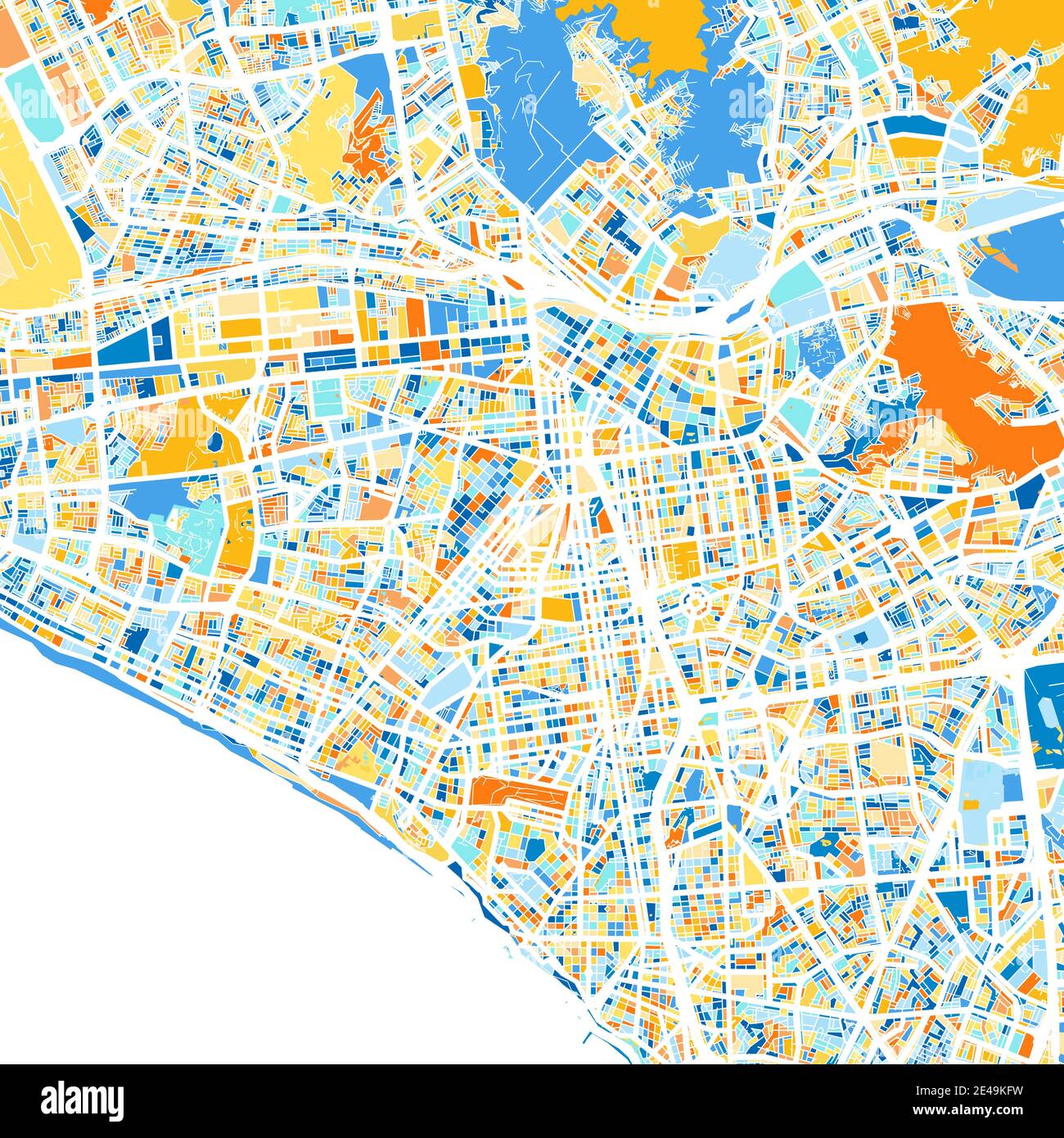 Color art map of Lima, Peru, Peru in blues and oranges. The color gradations in Lima map follow a random pattern. Stock Vectorhttps://www.alamy.com/image-license-details/?v=1https://www.alamy.com/color-art-map-of-lima-peru-peru-in-blues-and-oranges-the-color-gradations-in-lima-map-follow-a-random-pattern-image398509997.html
RF2E49KFW–Color art map of Lima, Peru, Peru in blues and oranges. The color gradations in Lima map follow a random pattern.
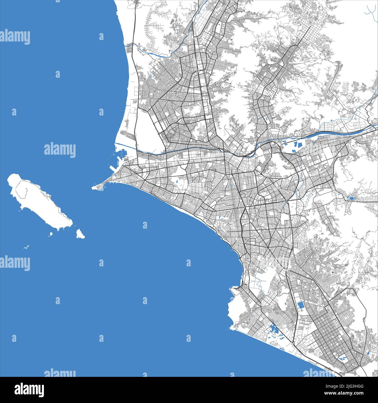 Lima vector map. Detailed map of Lima city administrative area. Cityscape panorama. Royalty free vector illustration. Road map with highways, rivers. Stock Vectorhttps://www.alamy.com/image-license-details/?v=1https://www.alamy.com/lima-vector-map-detailed-map-of-lima-city-administrative-area-cityscape-panorama-royalty-free-vector-illustration-road-map-with-highways-rivers-image474594080.html
RF2JG3HGG–Lima vector map. Detailed map of Lima city administrative area. Cityscape panorama. Royalty free vector illustration. Road map with highways, rivers.
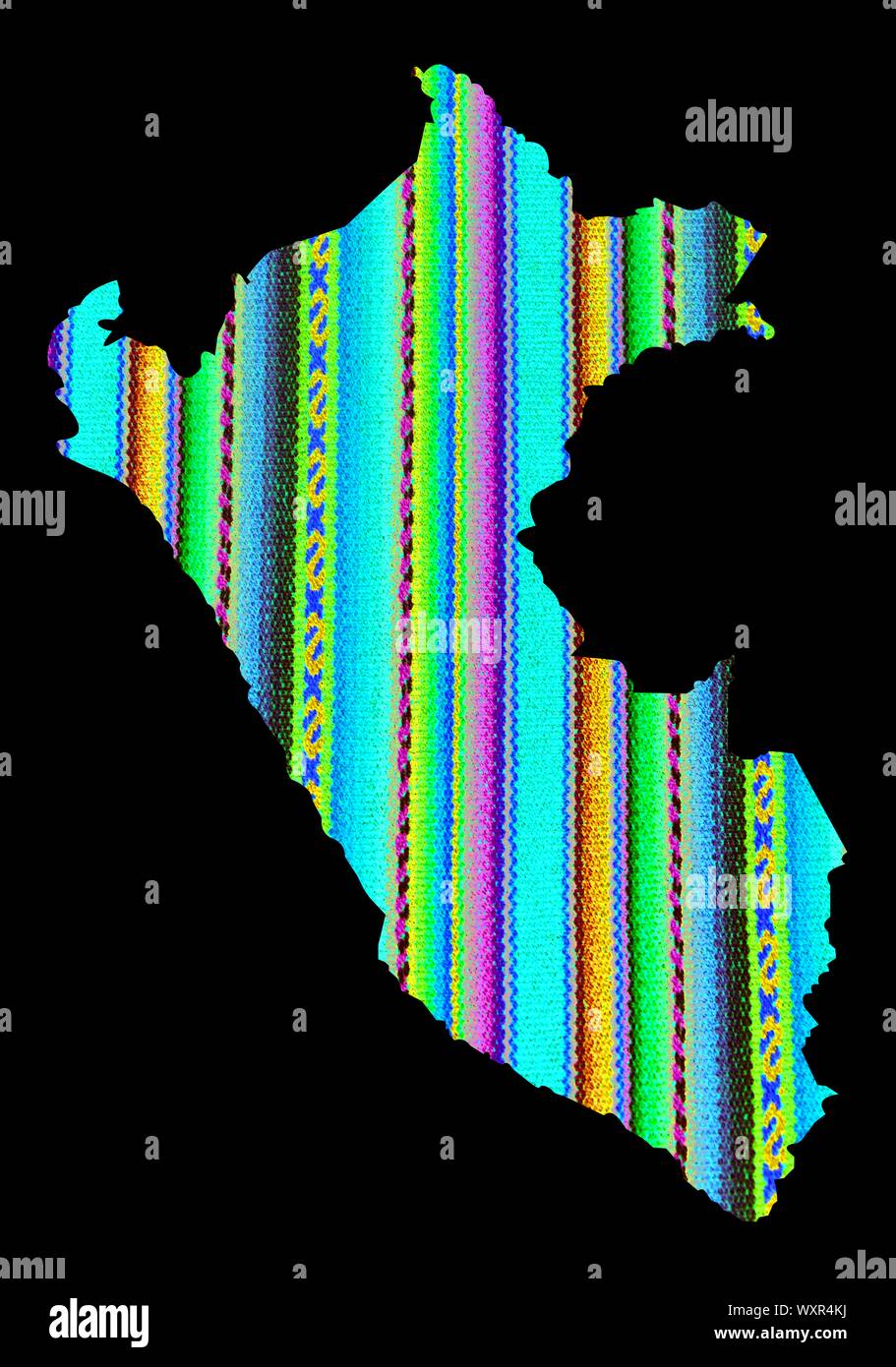 Cuzco fabric in rainbow colors, Peru map Machu picchu Stock Photohttps://www.alamy.com/image-license-details/?v=1https://www.alamy.com/cuzco-fabric-in-rainbow-colors-peru-map-machu-picchu-image274645158.html
RFWXR4KJ–Cuzco fabric in rainbow colors, Peru map Machu picchu
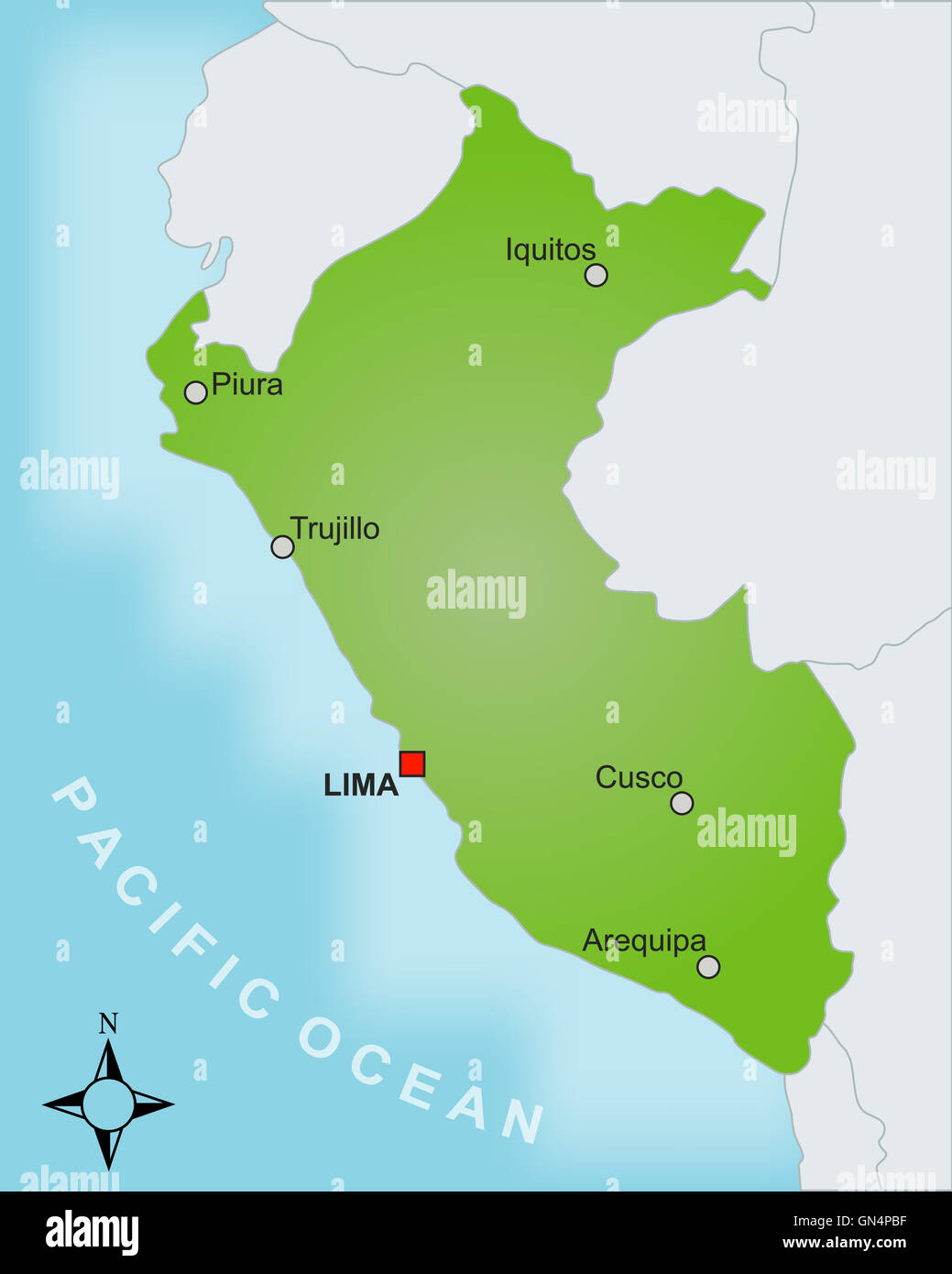 Map Peru Stock Photohttps://www.alamy.com/image-license-details/?v=1https://www.alamy.com/stock-photo-map-peru-116275363.html
RFGN4PBF–Map Peru
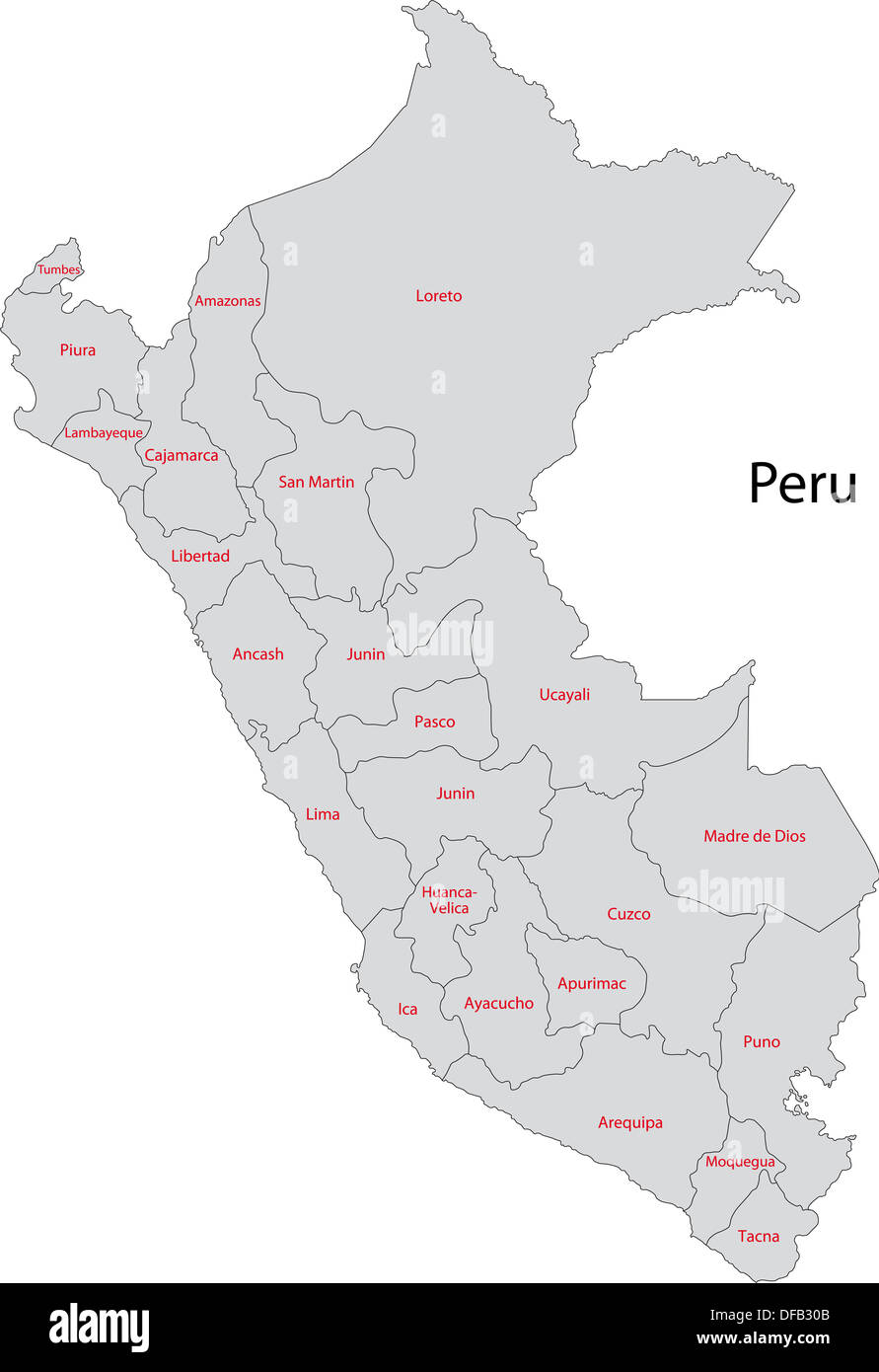 Grey Peru map Stock Photohttps://www.alamy.com/image-license-details/?v=1https://www.alamy.com/grey-peru-map-image61094779.html
RFDFB30B–Grey Peru map
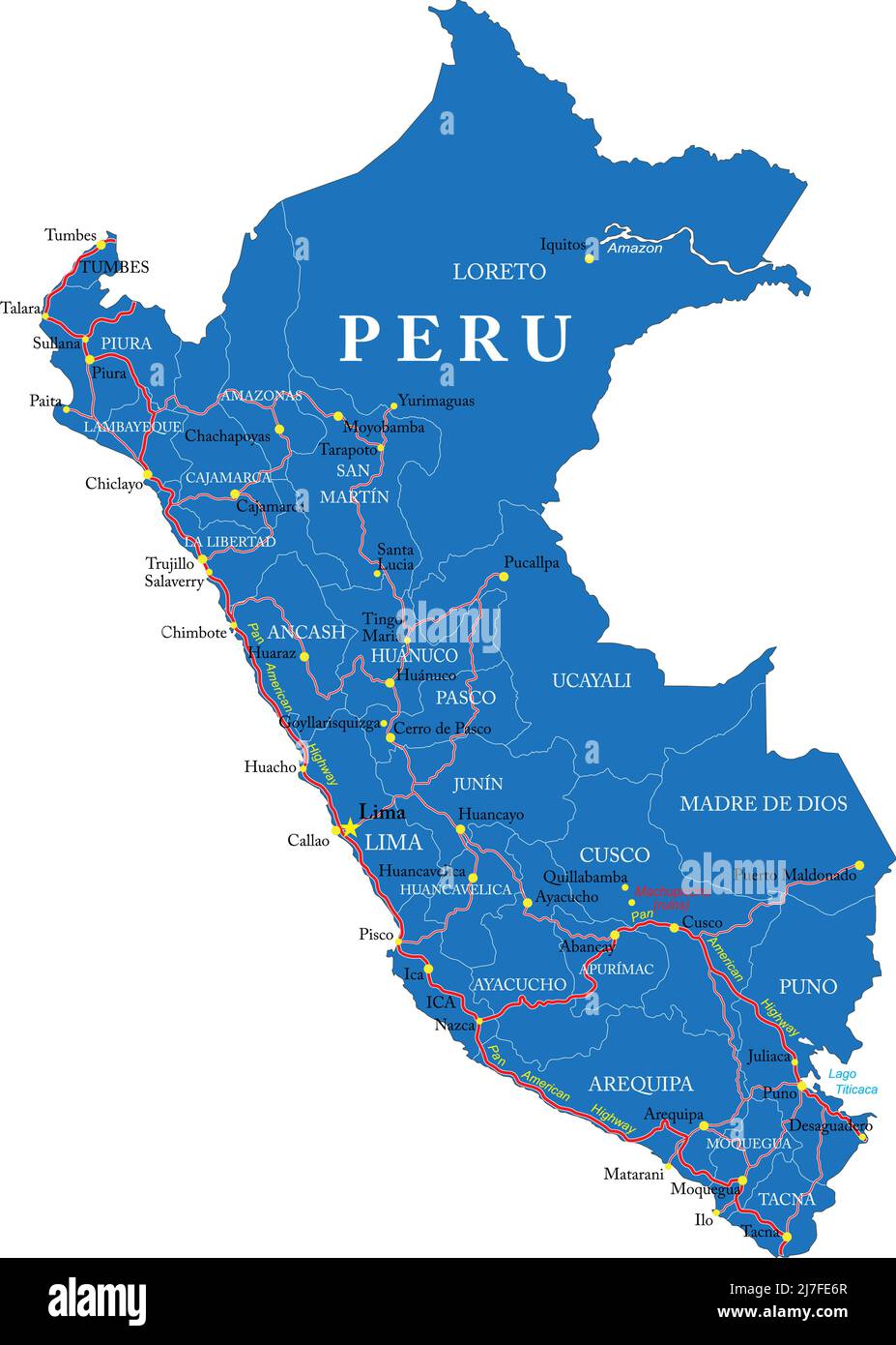 Highly detailed vector map of Peru with administrative regions, main cities and roads. Stock Vectorhttps://www.alamy.com/image-license-details/?v=1https://www.alamy.com/highly-detailed-vector-map-of-peru-with-administrative-regions-main-cities-and-roads-image469322975.html
RF2J7FE6R–Highly detailed vector map of Peru with administrative regions, main cities and roads.
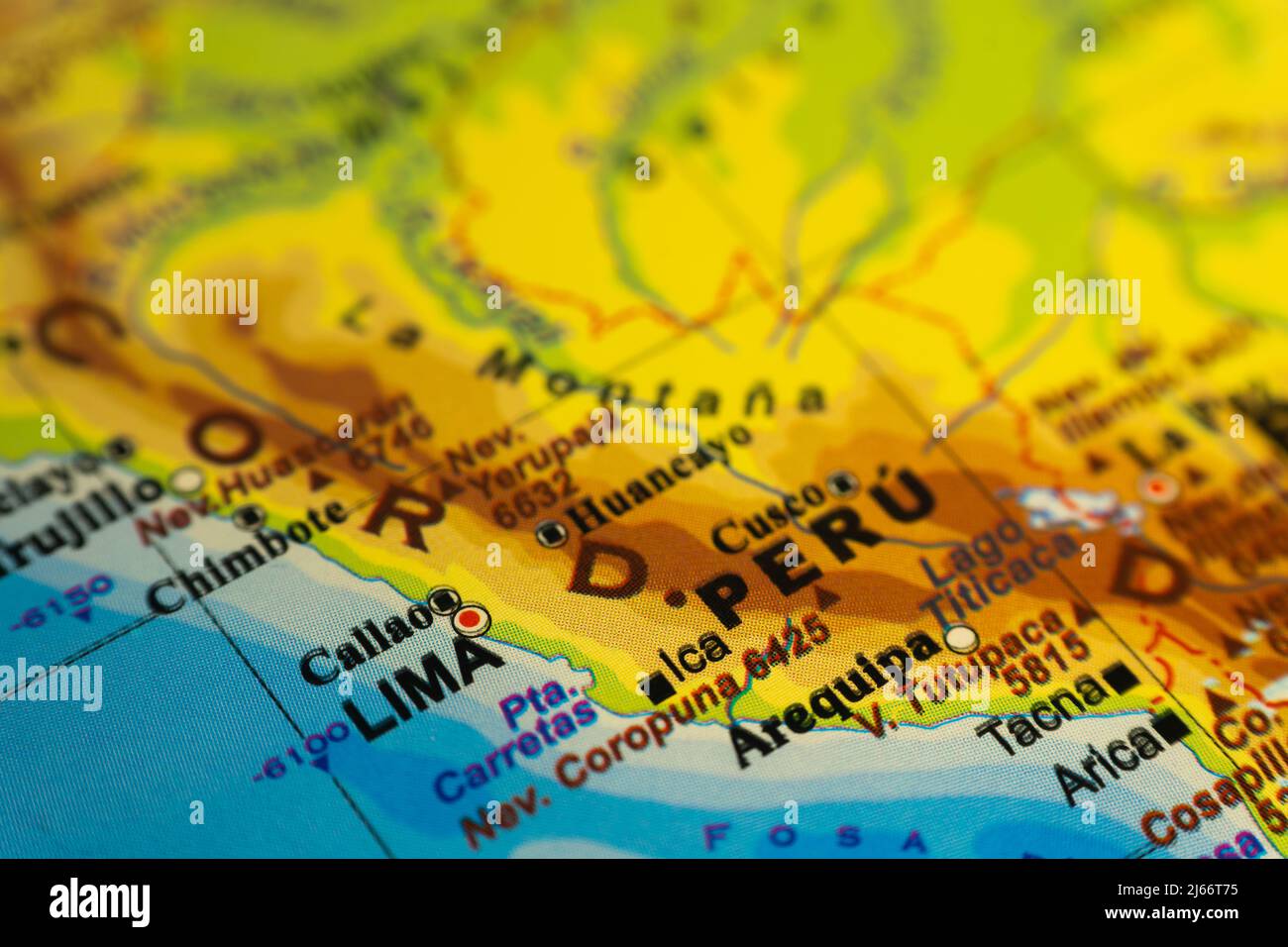 Orographic map of Peru, with references in Spanish. Concept of cartography, travel, tourism, geography. Differential focus Stock Photohttps://www.alamy.com/image-license-details/?v=1https://www.alamy.com/orographic-map-of-peru-with-references-in-spanish-concept-of-cartography-travel-tourism-geography-differential-focus-image468518601.html
RF2J66T75–Orographic map of Peru, with references in Spanish. Concept of cartography, travel, tourism, geography. Differential focus
 Glasses on a map - Lima Stock Photohttps://www.alamy.com/image-license-details/?v=1https://www.alamy.com/stock-photo-glasses-on-a-map-lima-88991026.html
RFF4NTXX–Glasses on a map - Lima
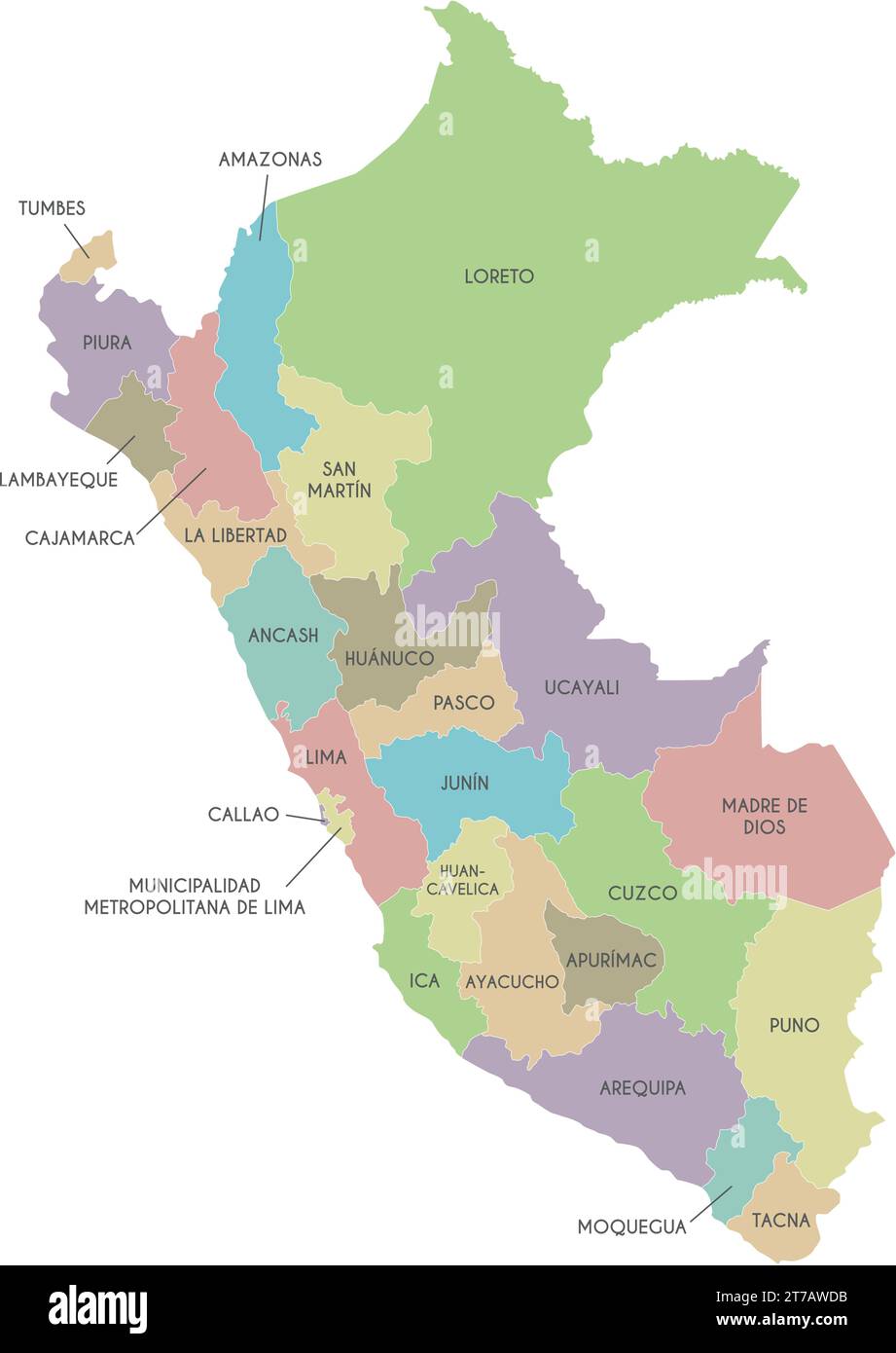 Vector map of Peru with departments, provinces and administrative divisions. Editable and clearly labeled layers. Stock Vectorhttps://www.alamy.com/image-license-details/?v=1https://www.alamy.com/vector-map-of-peru-with-departments-provinces-and-administrative-divisions-editable-and-clearly-labeled-layers-image572484231.html
RF2T7AWDB–Vector map of Peru with departments, provinces and administrative divisions. Editable and clearly labeled layers.
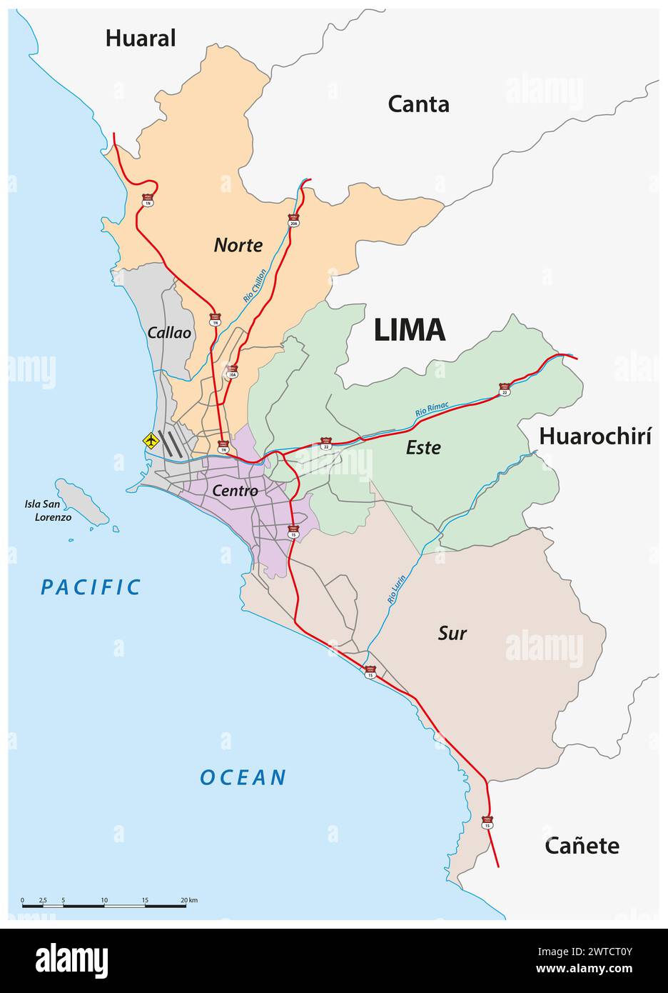 Administrative and road map of the Peruvian capital Lima Stock Photohttps://www.alamy.com/image-license-details/?v=1https://www.alamy.com/administrative-and-road-map-of-the-peruvian-capital-lima-image600186523.html
RF2WTCT0Y–Administrative and road map of the Peruvian capital Lima
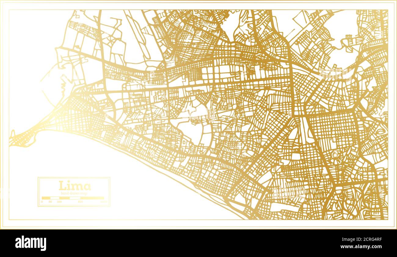 Lima Peru City Map in Retro Style in Golden Color. Outline Map. Vector Illustration. Stock Vectorhttps://www.alamy.com/image-license-details/?v=1https://www.alamy.com/lima-peru-city-map-in-retro-style-in-golden-color-outline-map-vector-illustration-image375909843.html
RF2CRG4RF–Lima Peru City Map in Retro Style in Golden Color. Outline Map. Vector Illustration.
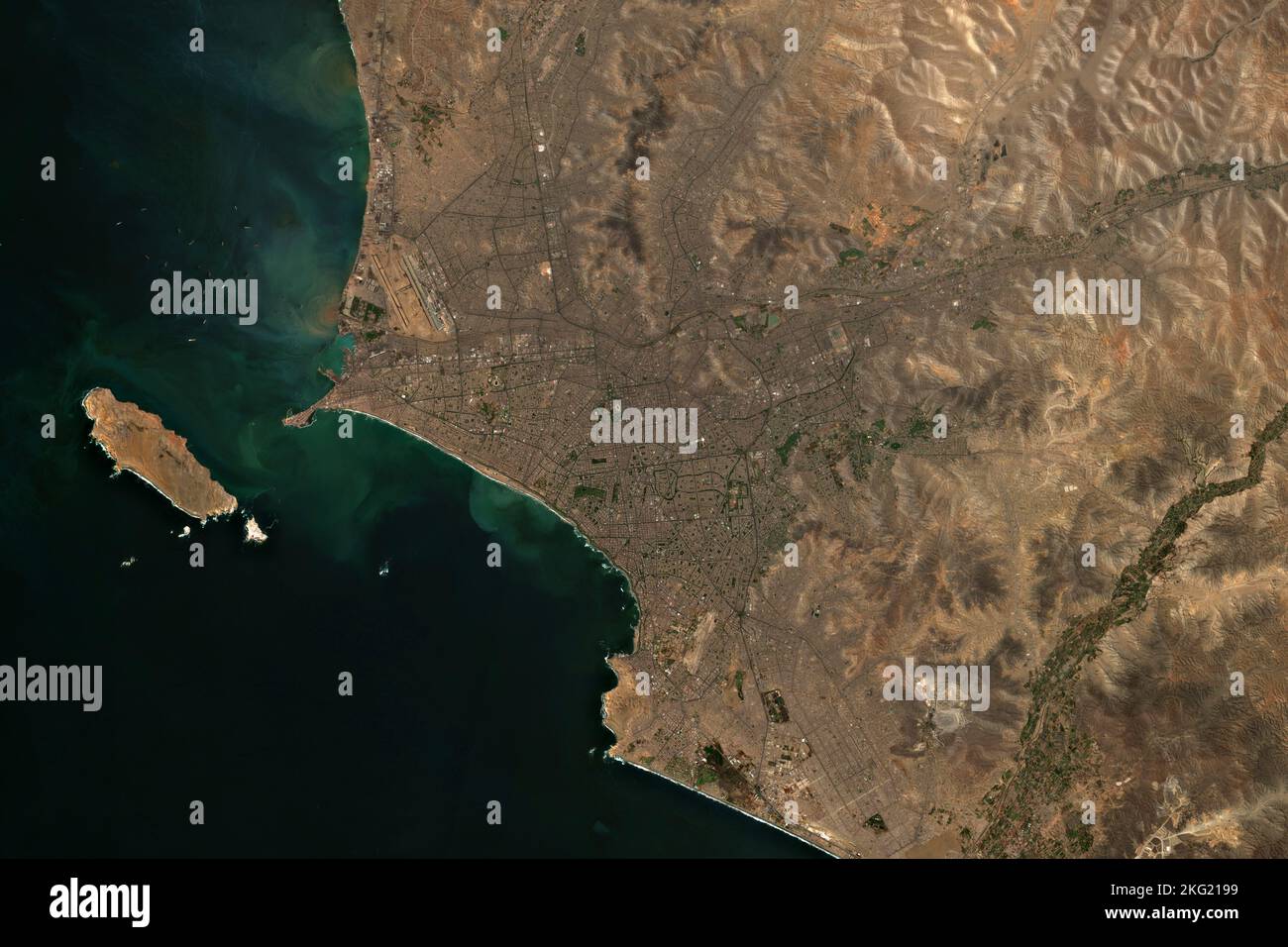 High resolution satellite image of Lima, the capital of Peru - contains modified Copernicus Sentinel Data (2022) Stock Photohttps://www.alamy.com/image-license-details/?v=1https://www.alamy.com/high-resolution-satellite-image-of-lima-the-capital-of-peru-contains-modified-copernicus-sentinel-data-2022-image491769749.html
RF2KG2199–High resolution satellite image of Lima, the capital of Peru - contains modified Copernicus Sentinel Data (2022)
 Peru map dotted vector background. Illustration for technology design or infographics. Isolated on white background. Travel vector illustration Stock Vectorhttps://www.alamy.com/image-license-details/?v=1https://www.alamy.com/peru-map-dotted-vector-background-illustration-for-technology-design-or-infographics-isolated-on-white-background-travel-vector-illustration-image350693218.html
RF2BAFCNP–Peru map dotted vector background. Illustration for technology design or infographics. Isolated on white background. Travel vector illustration
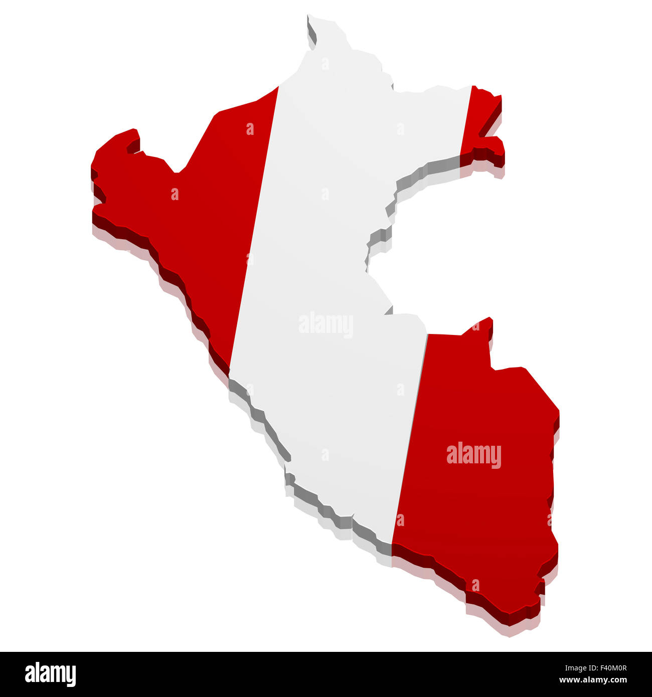 Map Peru Stock Photohttps://www.alamy.com/image-license-details/?v=1https://www.alamy.com/stock-photo-map-peru-88526167.html
RFF40M0R–Map Peru
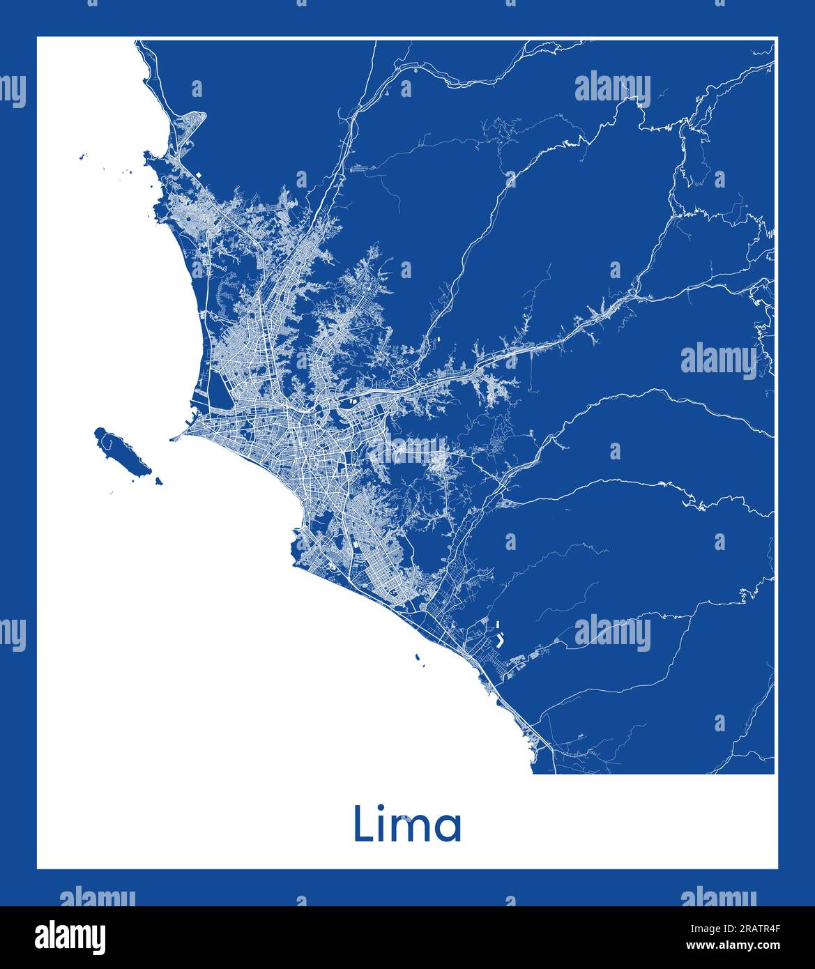 Lima Peru South America City map blue print vector illustration Stock Vectorhttps://www.alamy.com/image-license-details/?v=1https://www.alamy.com/lima-peru-south-america-city-map-blue-print-vector-illustration-image557423343.html
RF2RATR4F–Lima Peru South America City map blue print vector illustration
 Macro shot of a map showing the city of Lima the capital of Peru Stock Photohttps://www.alamy.com/image-license-details/?v=1https://www.alamy.com/stock-photo-macro-shot-of-a-map-showing-the-city-of-lima-the-capital-of-peru-84847757.html
RFEX1451–Macro shot of a map showing the city of Lima the capital of Peru
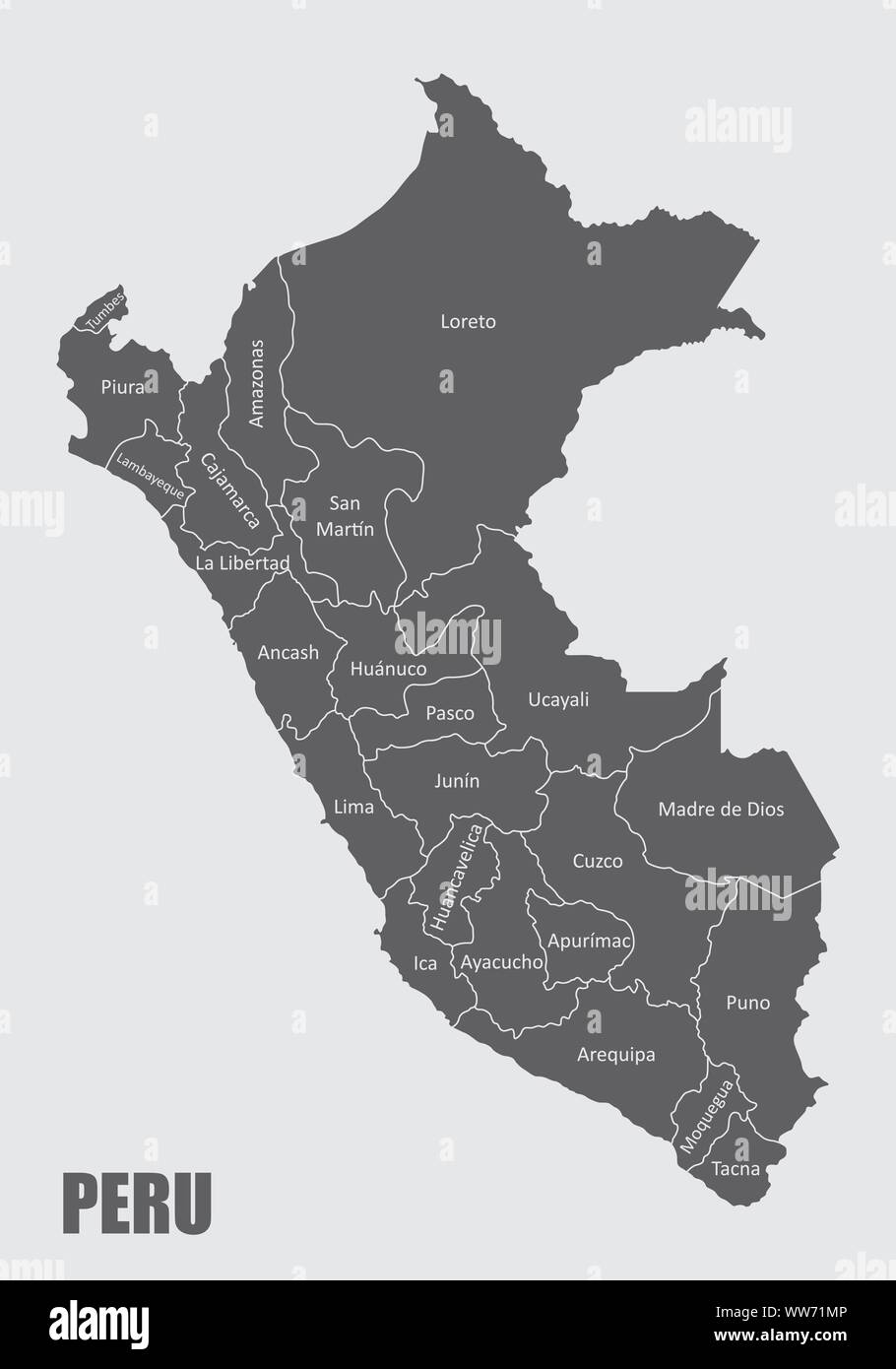 Peru regions map Stock Vectorhttps://www.alamy.com/image-license-details/?v=1https://www.alamy.com/peru-regions-map-image273676950.html
RFWW71MP–Peru regions map
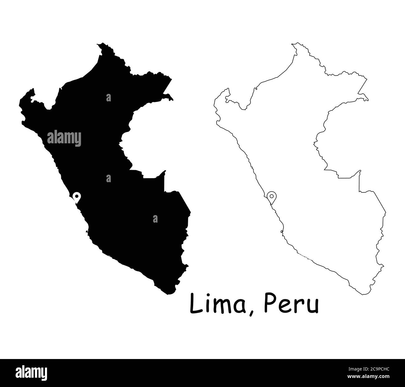 Lima, Peru. Detailed Country Map with Location Pin on Capital City. Black silhouette and outline maps isolated on white background. EPS Vector Stock Vectorhttps://www.alamy.com/image-license-details/?v=1https://www.alamy.com/lima-peru-detailed-country-map-with-location-pin-on-capital-city-black-silhouette-and-outline-maps-isolated-on-white-background-eps-vector-image367442472.html
RF2C9PCHC–Lima, Peru. Detailed Country Map with Location Pin on Capital City. Black silhouette and outline maps isolated on white background. EPS Vector
 Map of Lima in Peru in blue. Contains layered vector with roads water, parks, etc. Stock Vectorhttps://www.alamy.com/image-license-details/?v=1https://www.alamy.com/map-of-lima-in-peru-in-blue-contains-layered-vector-with-roads-water-parks-etc-image612735105.html
RF2XGTDTH–Map of Lima in Peru in blue. Contains layered vector with roads water, parks, etc.
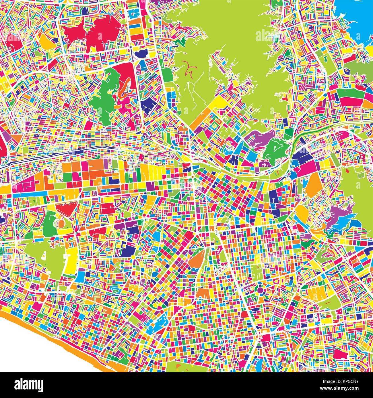 Lima, Lima District, Peru, colorful vector map. White streets, railways and water. Bright colored landmark shapes. Art print pattern. Stock Vectorhttps://www.alamy.com/image-license-details/?v=1https://www.alamy.com/stock-image-lima-lima-district-peru-colorful-vector-map-white-streets-railways-168776981.html
RFKPGCN9–Lima, Lima District, Peru, colorful vector map. White streets, railways and water. Bright colored landmark shapes. Art print pattern.
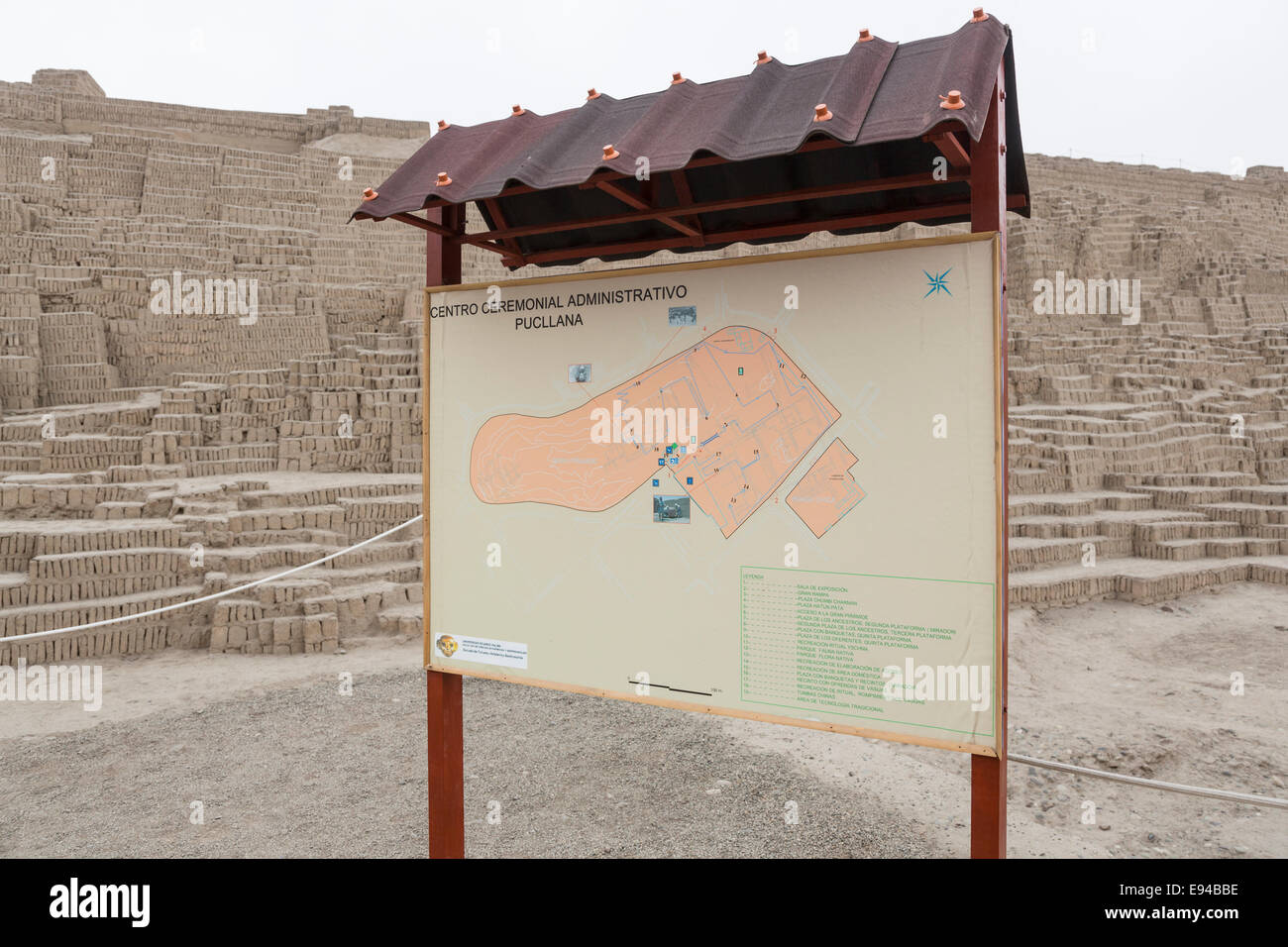 Map at the entrance to the pre-Inca adobe brick Lima Culture pyramid at Huaca Pucllana or Huaca Juliana, Miraflores, Lima, Peru Stock Photohttps://www.alamy.com/image-license-details/?v=1https://www.alamy.com/stock-photo-map-at-the-entrance-to-the-pre-inca-adobe-brick-lima-culture-pyramid-74470130.html
RME94BBE–Map at the entrance to the pre-Inca adobe brick Lima Culture pyramid at Huaca Pucllana or Huaca Juliana, Miraflores, Lima, Peru
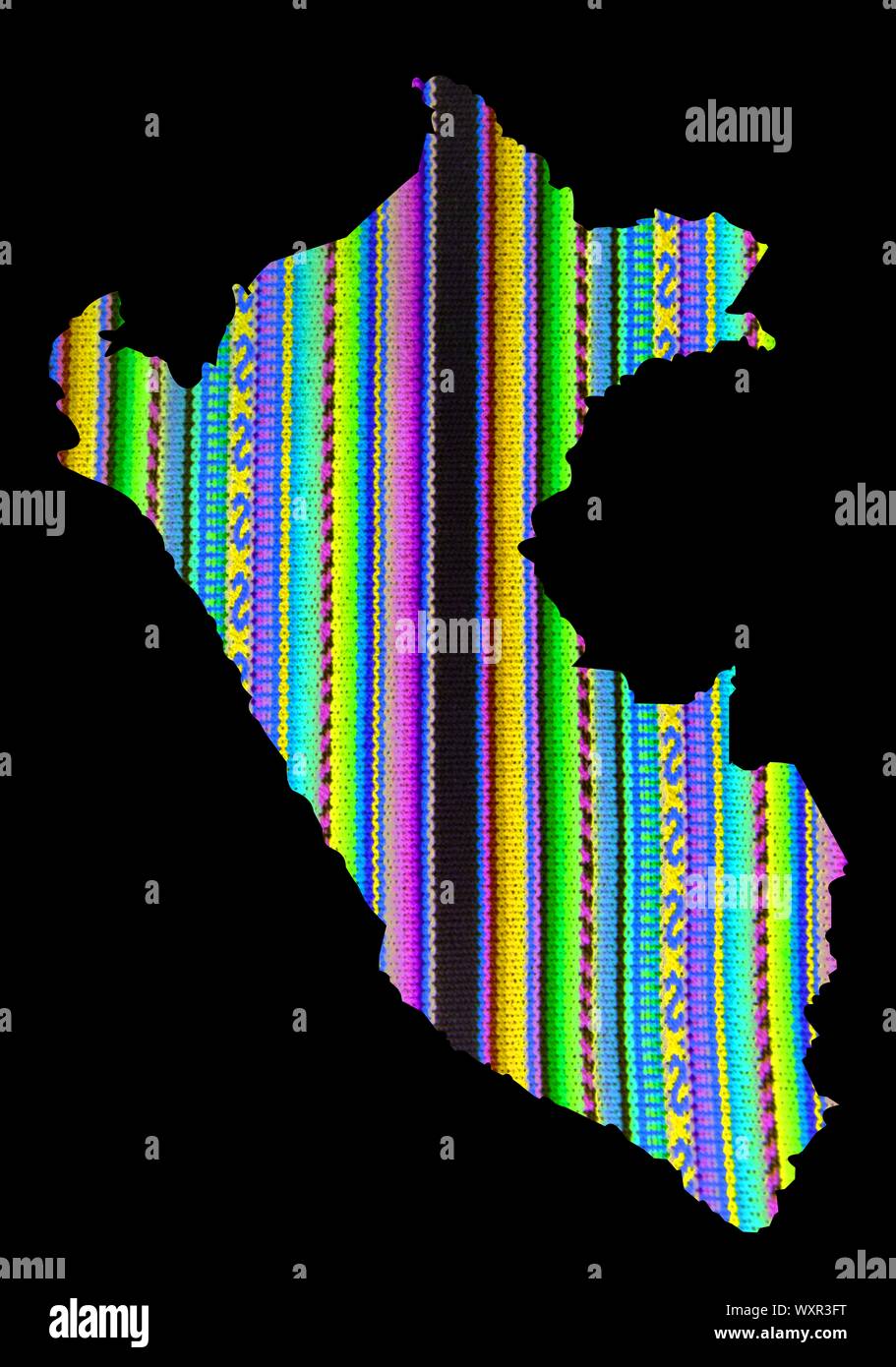 Cuzco fabric in rainbow colors, Peru map Machu picchu Stock Photohttps://www.alamy.com/image-license-details/?v=1https://www.alamy.com/cuzco-fabric-in-rainbow-colors-peru-map-machu-picchu-image274644268.html
RFWXR3FT–Cuzco fabric in rainbow colors, Peru map Machu picchu
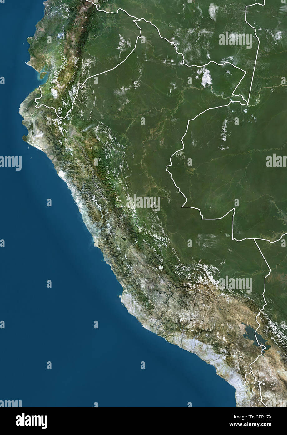 Satellite view of Peru (with country boundaries). This image was compiled from data acquired by Landsat satellites. Stock Photohttps://www.alamy.com/image-license-details/?v=1https://www.alamy.com/stock-photo-satellite-view-of-peru-with-country-boundaries-this-image-was-compiled-112373294.html
RMGER17X–Satellite view of Peru (with country boundaries). This image was compiled from data acquired by Landsat satellites.
RF2Y4EE77–Peru map icon illustration design
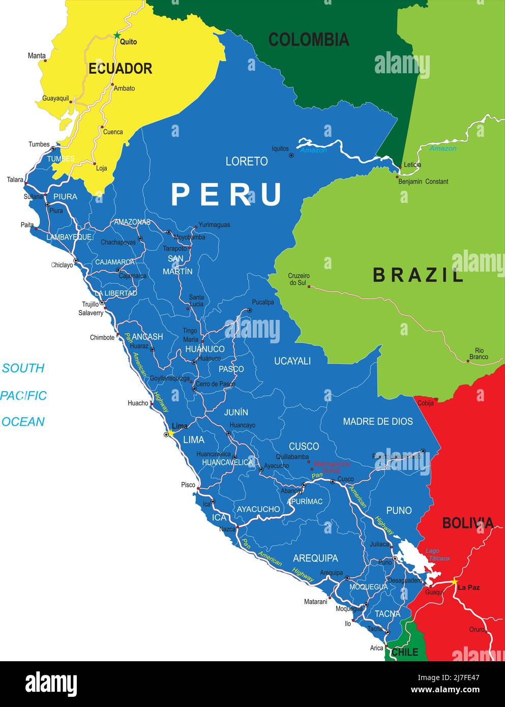 Peru highly detailed vector map with administrative regions, main cities and roads. Stock Vectorhttps://www.alamy.com/image-license-details/?v=1https://www.alamy.com/peru-highly-detailed-vector-map-with-administrative-regions-main-cities-and-roads-image469322903.html
RF2J7FE47–Peru highly detailed vector map with administrative regions, main cities and roads.
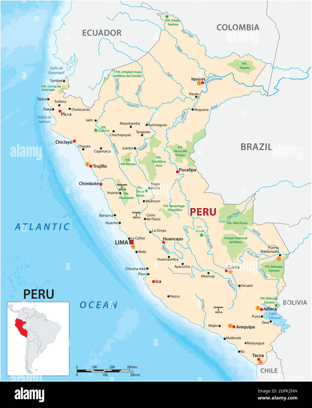 vector map of the South American state of Peru Stock Vectorhttps://www.alamy.com/image-license-details/?v=1https://www.alamy.com/vector-map-of-the-south-american-state-of-peru-image444200897.html
RF2GPK2NN–vector map of the South American state of Peru
 Glasses on a map - Lima Stock Photohttps://www.alamy.com/image-license-details/?v=1https://www.alamy.com/stock-photo-glasses-on-a-map-lima-88990997.html
RFF4NTWW–Glasses on a map - Lima
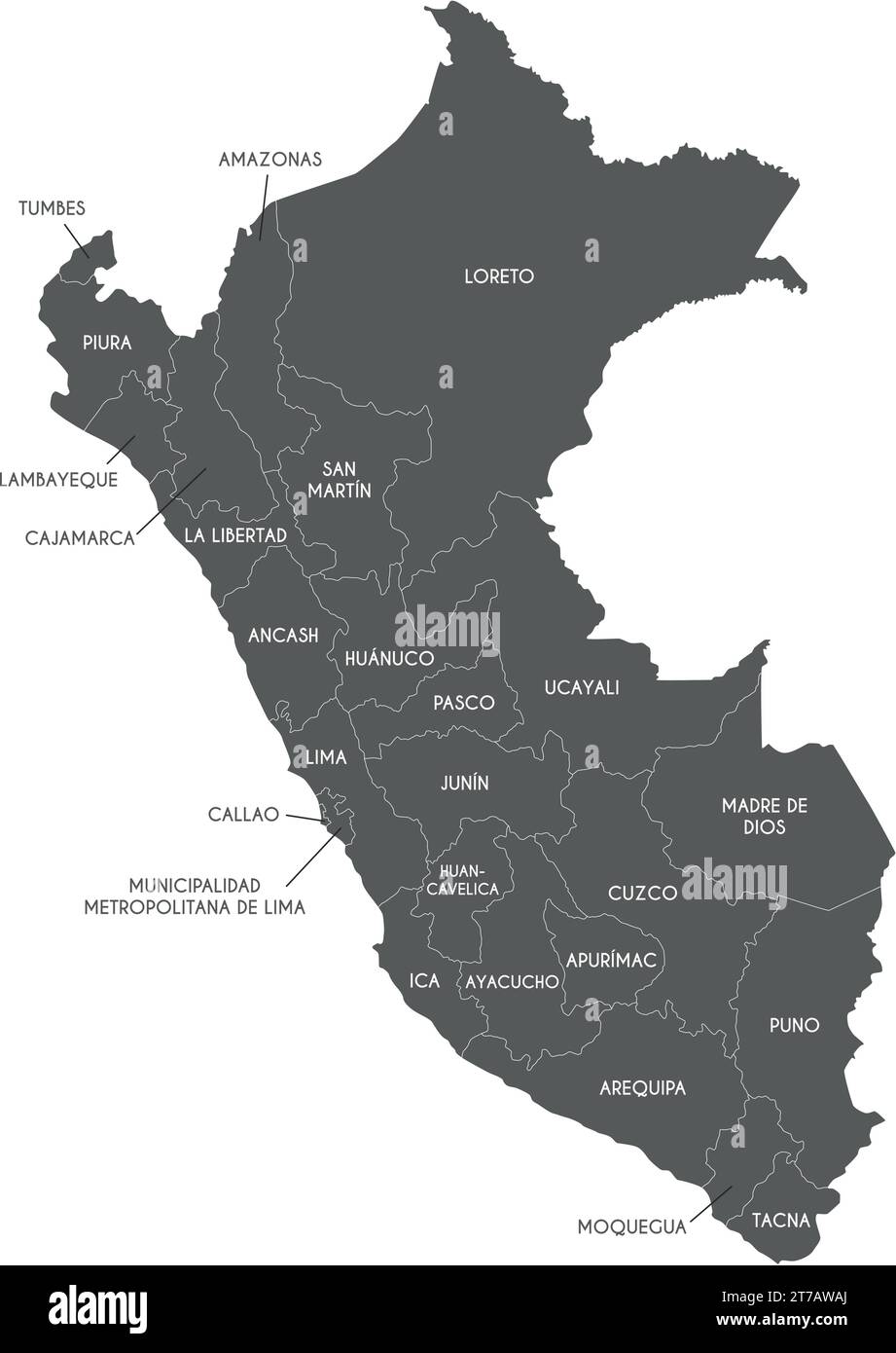 Vector map of Peru with departments, provinces and administrative divisions. Editable and clearly labeled layers. Stock Vectorhttps://www.alamy.com/image-license-details/?v=1https://www.alamy.com/vector-map-of-peru-with-departments-provinces-and-administrative-divisions-editable-and-clearly-labeled-layers-image572484154.html
RF2T7AWAJ–Vector map of Peru with departments, provinces and administrative divisions. Editable and clearly labeled layers.
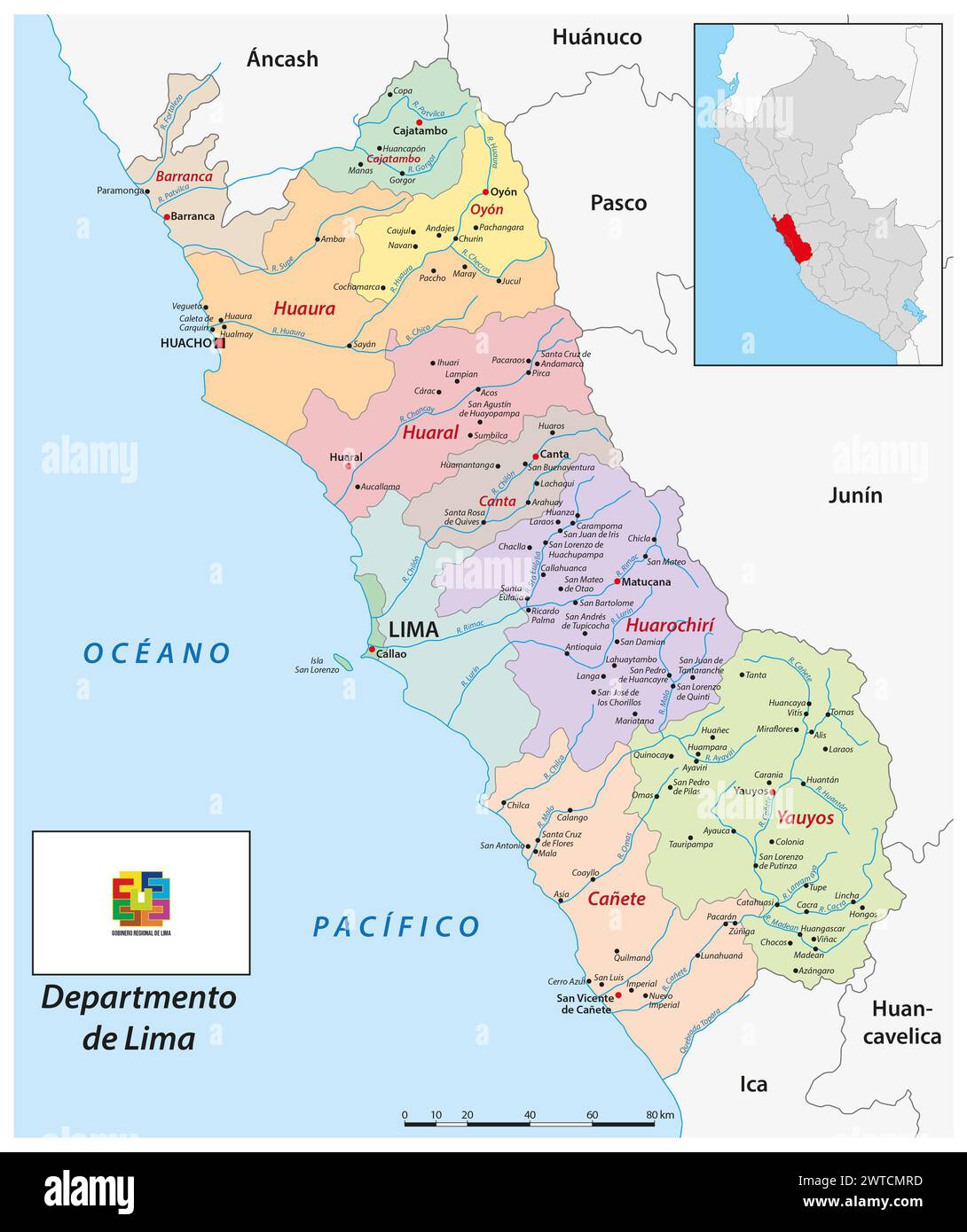 Administrtive vector map of the Peruvian region Lima Stock Photohttps://www.alamy.com/image-license-details/?v=1https://www.alamy.com/administrtive-vector-map-of-the-peruvian-region-lima-image600184017.html
RF2WTCMRD–Administrtive vector map of the Peruvian region Lima
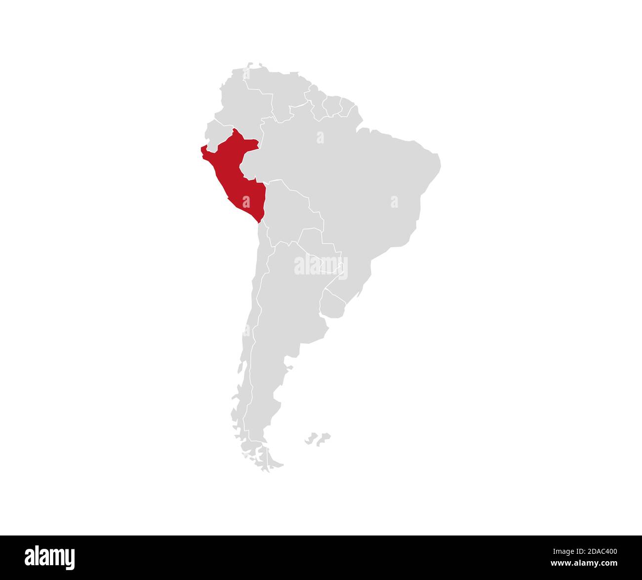 Peru on South America map vector. Vector illustration. Stock Vectorhttps://www.alamy.com/image-license-details/?v=1https://www.alamy.com/peru-on-south-america-map-vector-vector-illustration-image385041216.html
RF2DAC400–Peru on South America map vector. Vector illustration.
 Peru Magnified Map and Flag, Peru Enlargement Maps, Vector Art Stock Vectorhttps://www.alamy.com/image-license-details/?v=1https://www.alamy.com/peru-magnified-map-and-flag-peru-enlargement-maps-vector-art-image623317482.html
RF2Y62FPJ–Peru Magnified Map and Flag, Peru Enlargement Maps, Vector Art
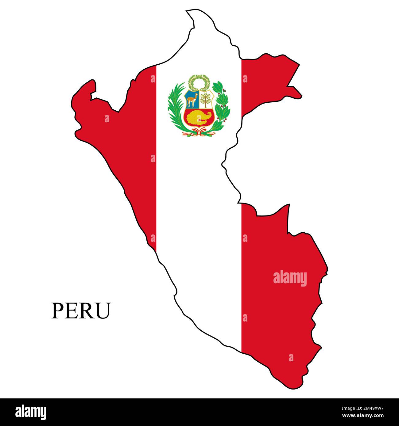 Peru map vector illustration. Global economy. Famous country. South America. Latin America. America. Stock Vectorhttps://www.alamy.com/image-license-details/?v=1https://www.alamy.com/peru-map-vector-illustration-global-economy-famous-country-south-america-latin-america-america-image501777955.html
RF2M49XW7–Peru map vector illustration. Global economy. Famous country. South America. Latin America. America.
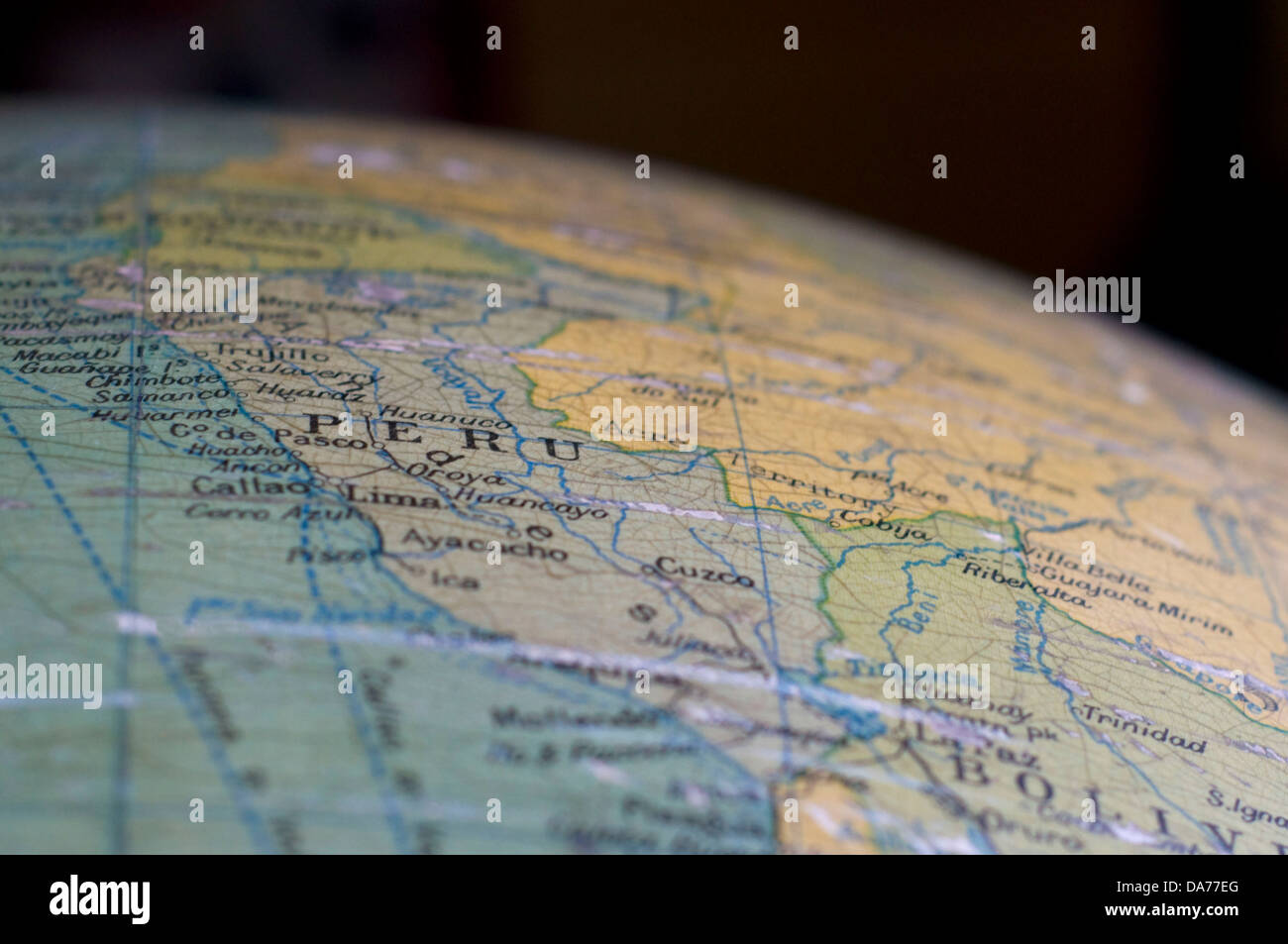 A map of Peru, displayed on an antique globe. Stock Photohttps://www.alamy.com/image-license-details/?v=1https://www.alamy.com/stock-photo-a-map-of-peru-displayed-on-an-antique-globe-57937224.html
RFDA77EG–A map of Peru, displayed on an antique globe.
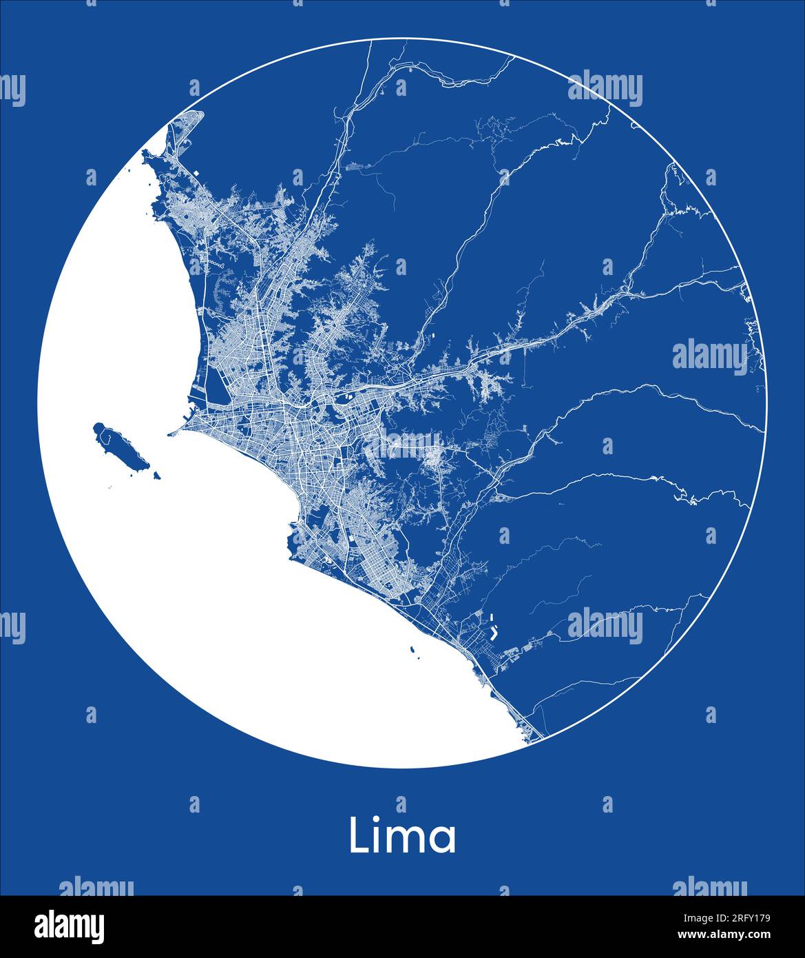 City Map Lima Peru South America blue print round Circle vector illustration Stock Vectorhttps://www.alamy.com/image-license-details/?v=1https://www.alamy.com/city-map-lima-peru-south-america-blue-print-round-circle-vector-illustration-image560545309.html
RF2RFY179–City Map Lima Peru South America blue print round Circle vector illustration
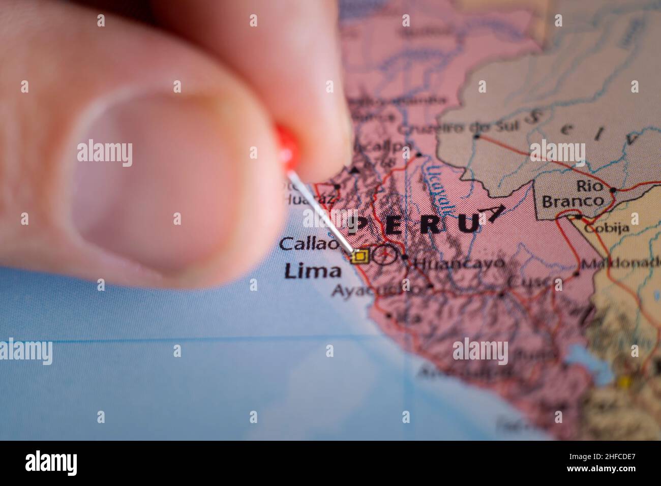 Peru pin on a world map. Peru travel destination planning pinned Stock Photohttps://www.alamy.com/image-license-details/?v=1https://www.alamy.com/peru-pin-on-a-world-map-peru-travel-destination-planning-pinned-image456963423.html
RF2HFCDE7–Peru pin on a world map. Peru travel destination planning pinned
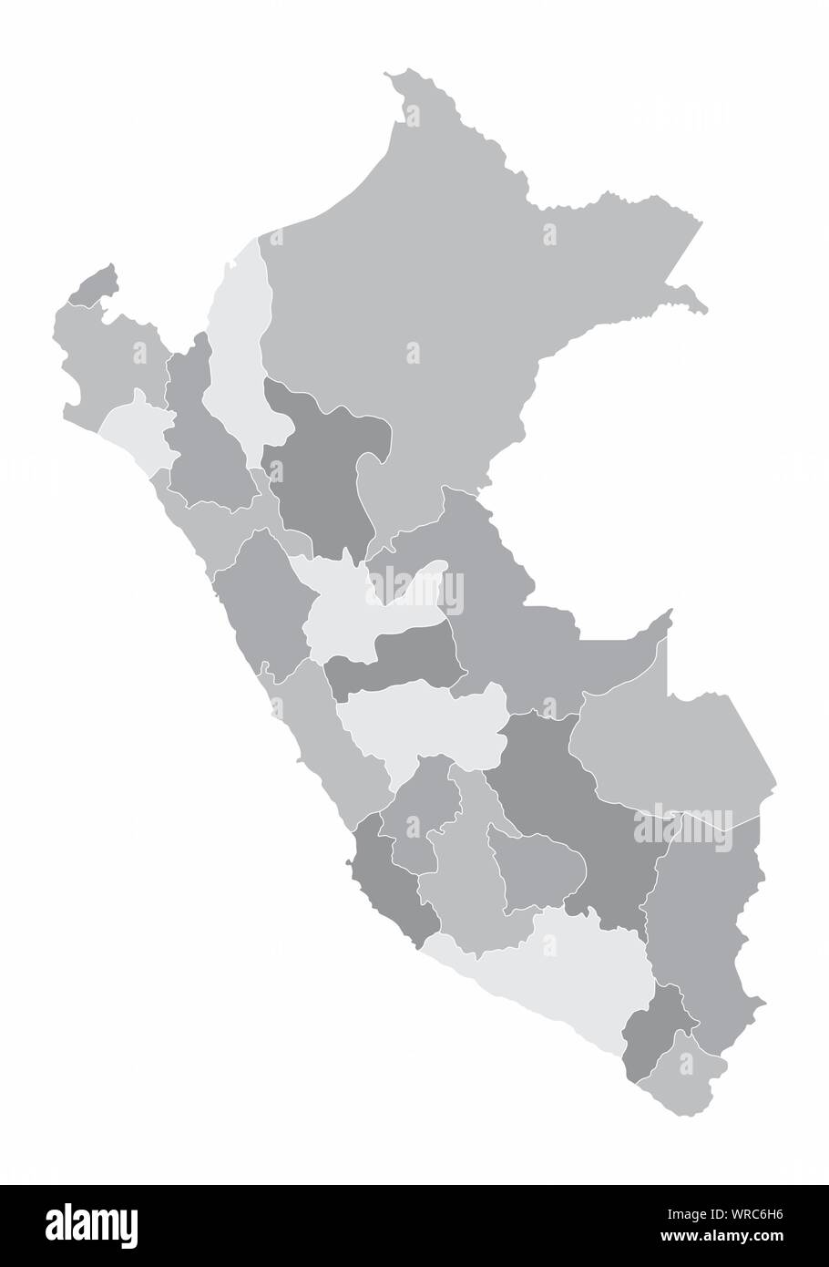 Peru regions map Stock Vectorhttps://www.alamy.com/image-license-details/?v=1https://www.alamy.com/peru-regions-map-image272561218.html
RFWRC6H6–Peru regions map
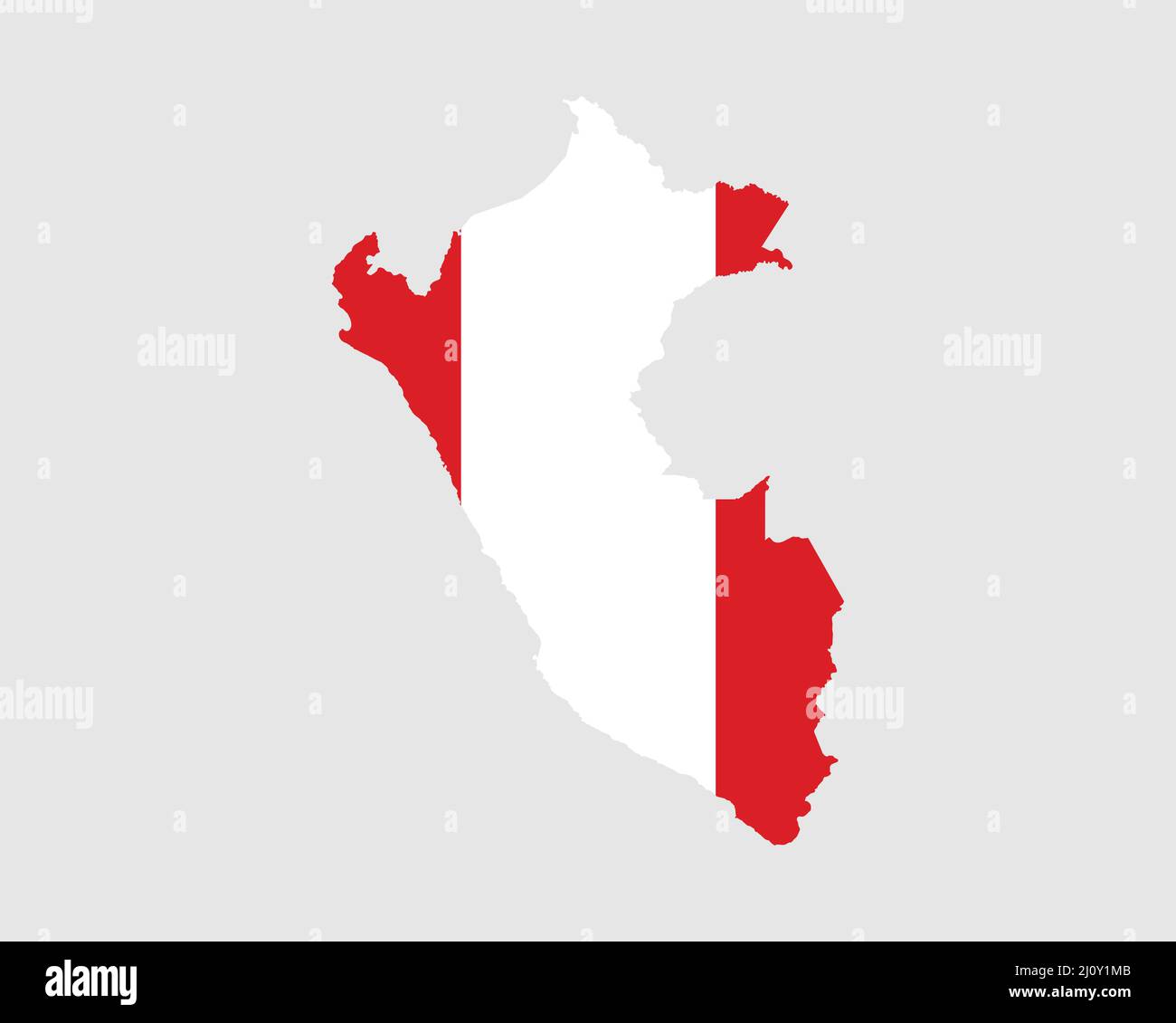 Peru Flag Map. Map of the Republic of Peru with the Peruvian country banner. Vector Illustration. Stock Vectorhttps://www.alamy.com/image-license-details/?v=1https://www.alamy.com/peru-flag-map-map-of-the-republic-of-peru-with-the-peruvian-country-banner-vector-illustration-image465273995.html
RF2J0Y1MB–Peru Flag Map. Map of the Republic of Peru with the Peruvian country banner. Vector Illustration.
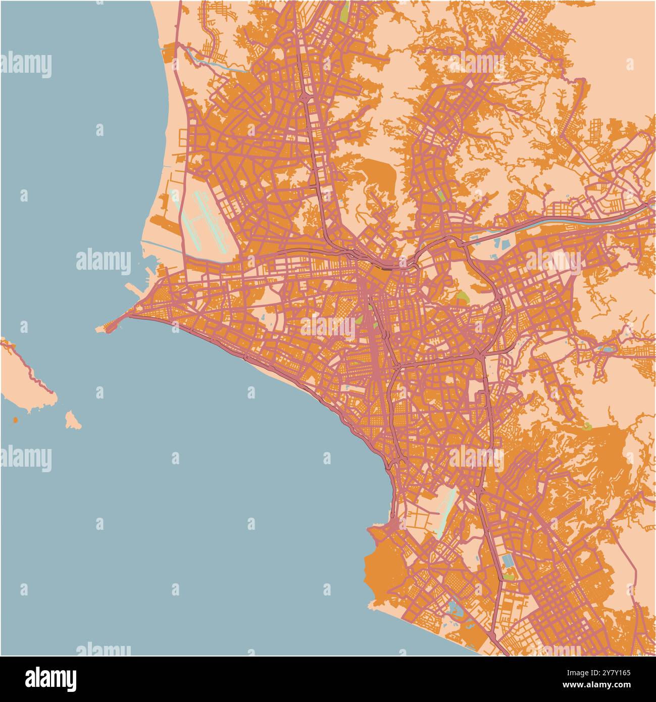 Map of Lima in Peru in a sandy theme. Contains layered vector with roads water, parks, etc. Stock Vectorhttps://www.alamy.com/image-license-details/?v=1https://www.alamy.com/map-of-lima-in-peru-in-a-sandy-theme-contains-layered-vector-with-roads-water-parks-etc-image624469501.html
RF2Y7Y165–Map of Lima in Peru in a sandy theme. Contains layered vector with roads water, parks, etc.
 Lima, Baseball MLB Stadium, outline vector map. The baseball statium map was drawn with white areas and lines for main roads, side roads. Stock Vectorhttps://www.alamy.com/image-license-details/?v=1https://www.alamy.com/lima-baseball-mlb-stadium-outline-vector-map-the-baseball-statium-map-was-drawn-with-white-areas-and-lines-for-main-roads-side-roads-image460058086.html
RF2HMDCNX–Lima, Baseball MLB Stadium, outline vector map. The baseball statium map was drawn with white areas and lines for main roads, side roads.
 Map of Peru like a cute machine with buttons, panels and levers. Isolated. White background. Stock Vectorhttps://www.alamy.com/image-license-details/?v=1https://www.alamy.com/map-of-peru-like-a-cute-machine-with-buttons-panels-and-levers-isolated-white-background-image433081356.html
RF2G4GFK8–Map of Peru like a cute machine with buttons, panels and levers. Isolated. White background.
 Cuzco fabric in rainbow colors, Peru map Machu picchu Stock Photohttps://www.alamy.com/image-license-details/?v=1https://www.alamy.com/cuzco-fabric-in-rainbow-colors-peru-map-machu-picchu-image274645099.html
RFWXR4HF–Cuzco fabric in rainbow colors, Peru map Machu picchu
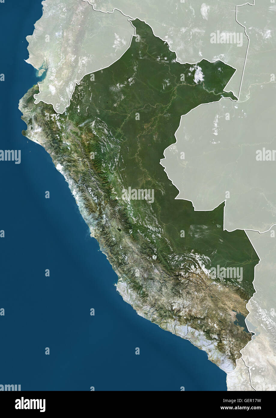 Satellite view of Peru (with country boundaries and mask). This image was compiled from data acquired by Landsat satellites. Stock Photohttps://www.alamy.com/image-license-details/?v=1https://www.alamy.com/stock-photo-satellite-view-of-peru-with-country-boundaries-and-mask-this-image-112373293.html
RMGER17W–Satellite view of Peru (with country boundaries and mask). This image was compiled from data acquired by Landsat satellites.
RF2Y4EE95–Peru map icon illustration design
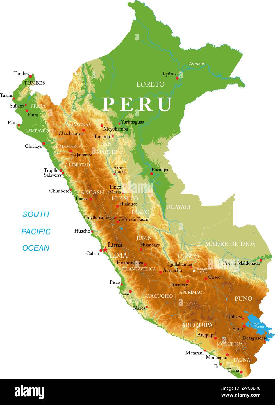 Highly detailed physical map of the Peru,in vector format,with all the relief forms,regions and big cities. Stock Vectorhttps://www.alamy.com/image-license-details/?v=1https://www.alamy.com/highly-detailed-physical-map-of-the-peruin-vector-formatwith-all-the-relief-formsregions-and-big-cities-image595062140.html
RF2WG3BR8–Highly detailed physical map of the Peru,in vector format,with all the relief forms,regions and big cities.
 Peru Map on retro poster with long shadow. Vintage sign easy to edit, manipulate, resize or colorize. Stock Vectorhttps://www.alamy.com/image-license-details/?v=1https://www.alamy.com/peru-map-on-retro-poster-with-long-shadow-vintage-sign-easy-to-edit-manipulate-resize-or-colorize-image470963206.html
RF2JA66AE–Peru Map on retro poster with long shadow. Vintage sign easy to edit, manipulate, resize or colorize.
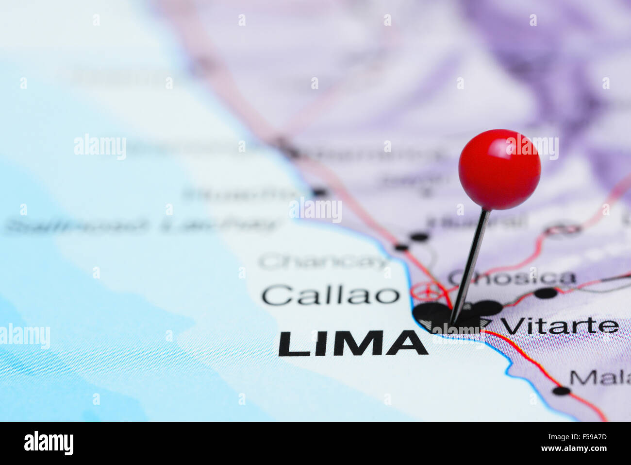 Lima pinned on a map of America Stock Photohttps://www.alamy.com/image-license-details/?v=1https://www.alamy.com/stock-photo-lima-pinned-on-a-map-of-america-89330737.html
RFF59A7D–Lima pinned on a map of America
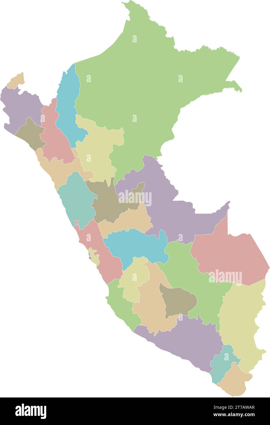 Vector blank map of Peru with departments, provinces and administrative divisions. Editable and clearly labeled layers. Stock Vectorhttps://www.alamy.com/image-license-details/?v=1https://www.alamy.com/vector-blank-map-of-peru-with-departments-provinces-and-administrative-divisions-editable-and-clearly-labeled-layers-image572484159.html
RF2T7AWAR–Vector blank map of Peru with departments, provinces and administrative divisions. Editable and clearly labeled layers.
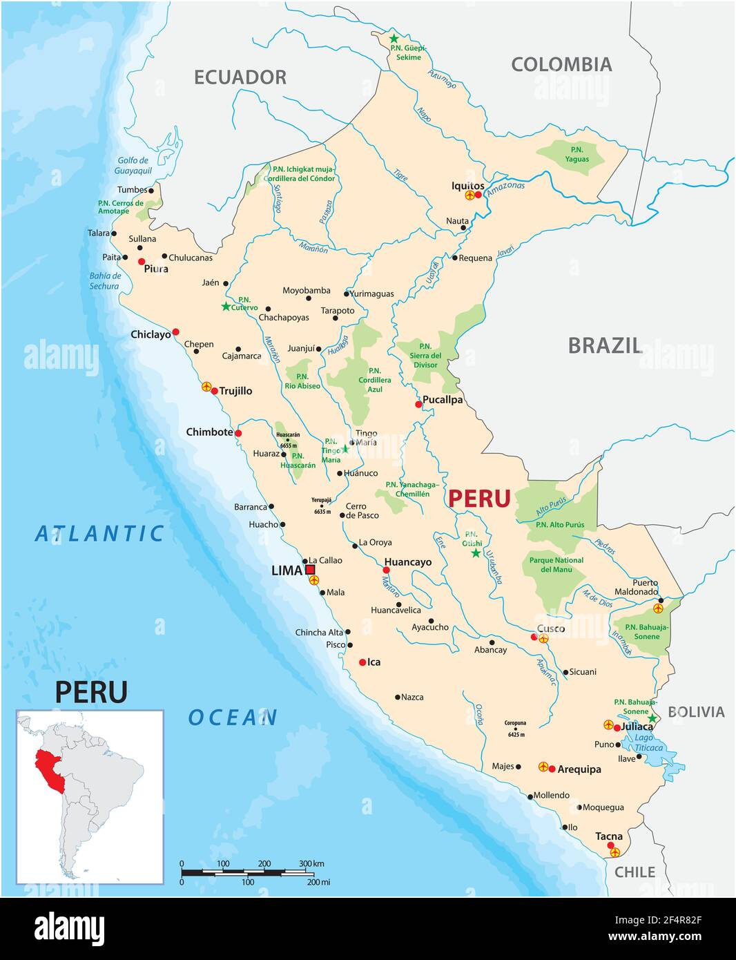 vector map of the South American state of Peru Stock Vectorhttps://www.alamy.com/image-license-details/?v=1https://www.alamy.com/vector-map-of-the-south-american-state-of-peru-image416018695.html
RF2F4R82F–vector map of the South American state of Peru
 LIMA, PERU - SEPTEMBER 13, 2011: Unidentified people asking for information at the tourist information on September 13, 2011 at Parque Kennedy Stock Photohttps://www.alamy.com/image-license-details/?v=1https://www.alamy.com/lima-peru-september-13-2011-unidentified-people-asking-for-information-at-the-tourist-information-on-september-13-2011-at-parque-kennedy-image274313570.html
RFWX81N6–LIMA, PERU - SEPTEMBER 13, 2011: Unidentified people asking for information at the tourist information on September 13, 2011 at Parque Kennedy
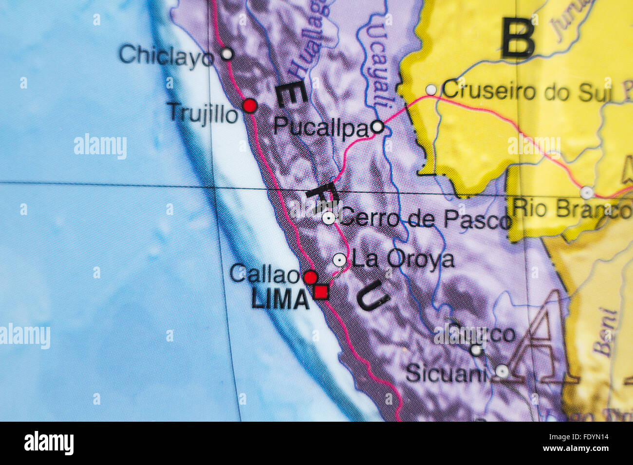 Photo of a map of Republic of Peru and the capital Lima . Stock Photohttps://www.alamy.com/image-license-details/?v=1https://www.alamy.com/stock-photo-photo-of-a-map-of-republic-of-peru-and-the-capital-lima-94651568.html
RFFDYN14–Photo of a map of Republic of Peru and the capital Lima .
 Globe Map decoration displayed at La Punta in Lima Stock Photohttps://www.alamy.com/image-license-details/?v=1https://www.alamy.com/stock-photo-globe-map-decoration-displayed-at-la-punta-in-lima-149263213.html
RFJJREN1–Globe Map decoration displayed at La Punta in Lima
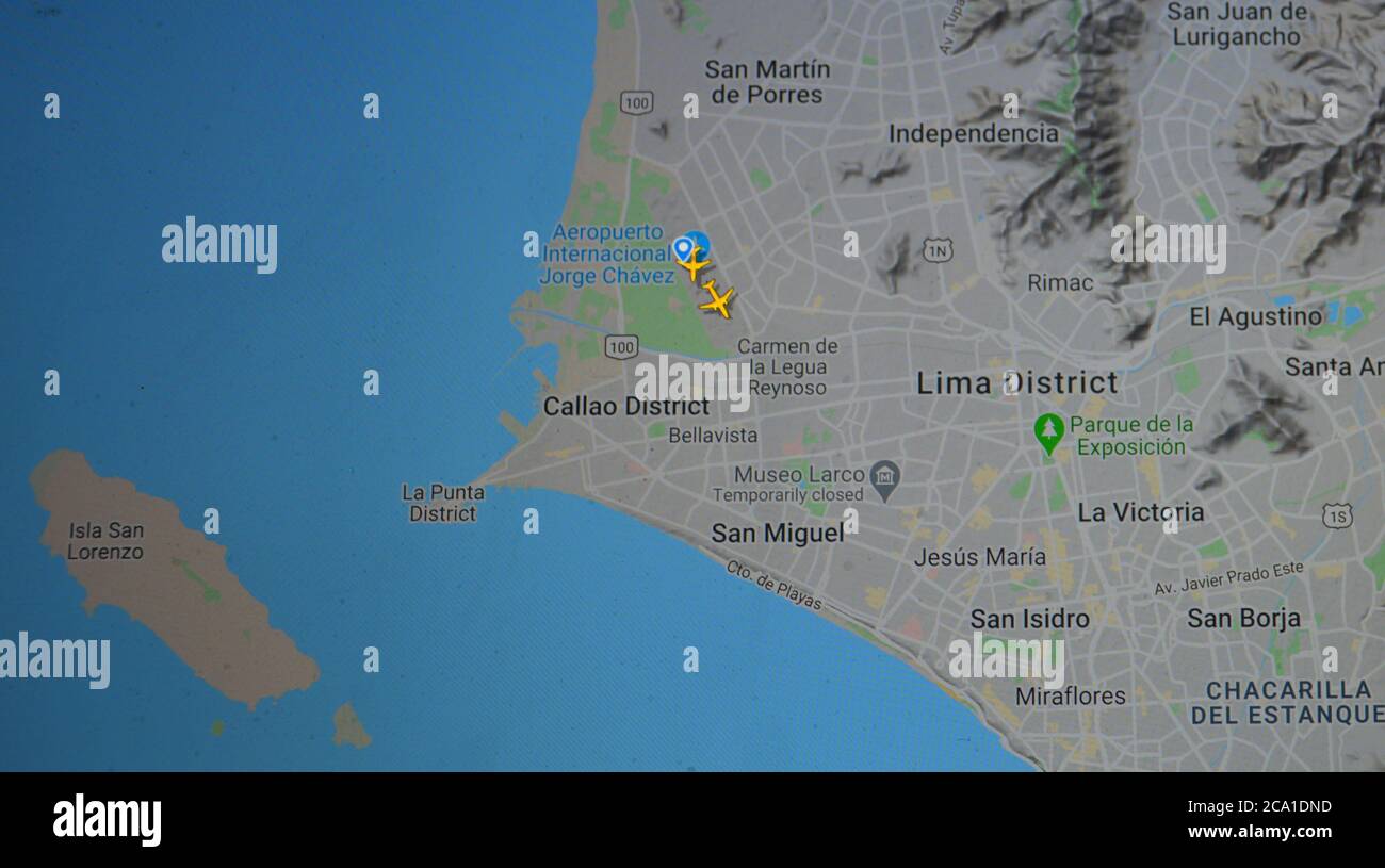 air traffic over Lima aera (03 august 2020, UTC 20;17), on Internet with Flightradar 24 site, during the Coronavirus Pandemic period Stock Photohttps://www.alamy.com/image-license-details/?v=1https://www.alamy.com/air-traffic-over-lima-aera-03-august-2020-utc-2017-on-internet-with-flightradar-24-site-during-the-coronavirus-pandemic-period-image367597033.html
RM2CA1DND–air traffic over Lima aera (03 august 2020, UTC 20;17), on Internet with Flightradar 24 site, during the Coronavirus Pandemic period
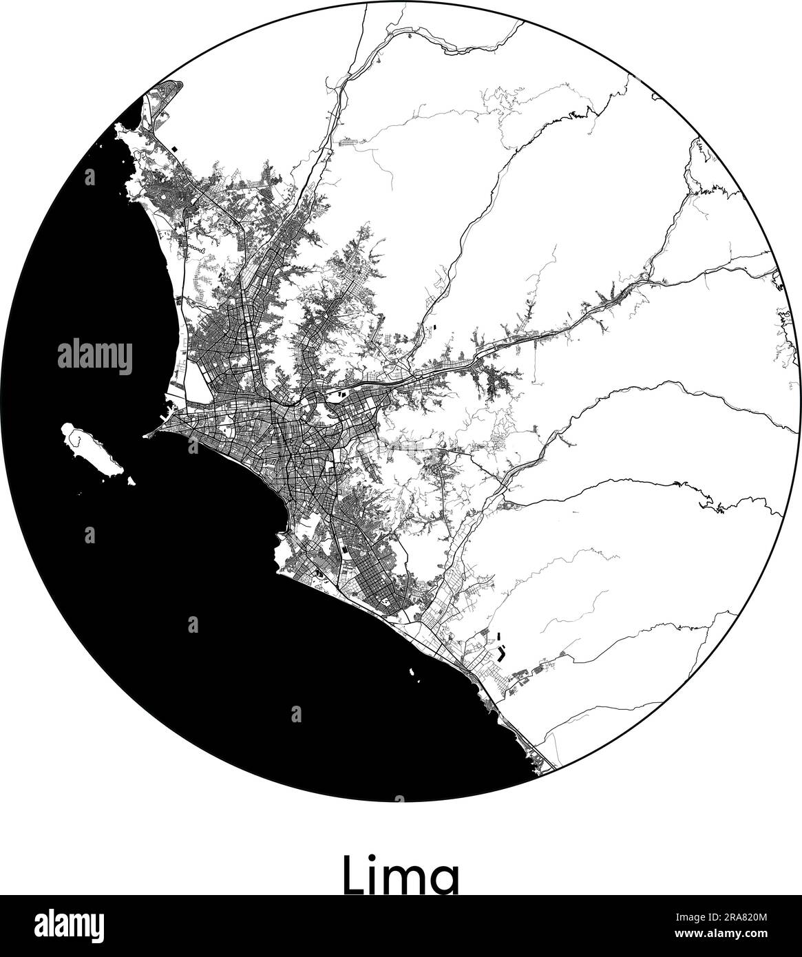 City Map Lima Peru South America vector illustration black white Stock Vectorhttps://www.alamy.com/image-license-details/?v=1https://www.alamy.com/city-map-lima-peru-south-america-vector-illustration-black-white-image557055540.html
RF2RA820M–City Map Lima Peru South America vector illustration black white
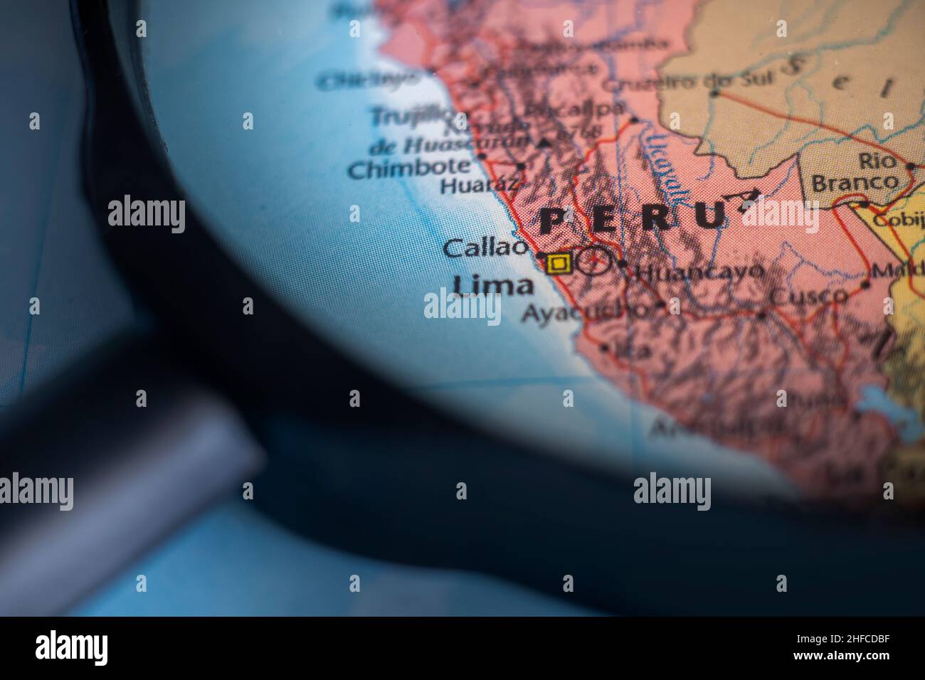 Peru on a world map through magnifying glass. Peru travel destination planning pinned Stock Photohttps://www.alamy.com/image-license-details/?v=1https://www.alamy.com/peru-on-a-world-map-through-magnifying-glass-peru-travel-destination-planning-pinned-image456963347.html
RF2HFCDBF–Peru on a world map through magnifying glass. Peru travel destination planning pinned
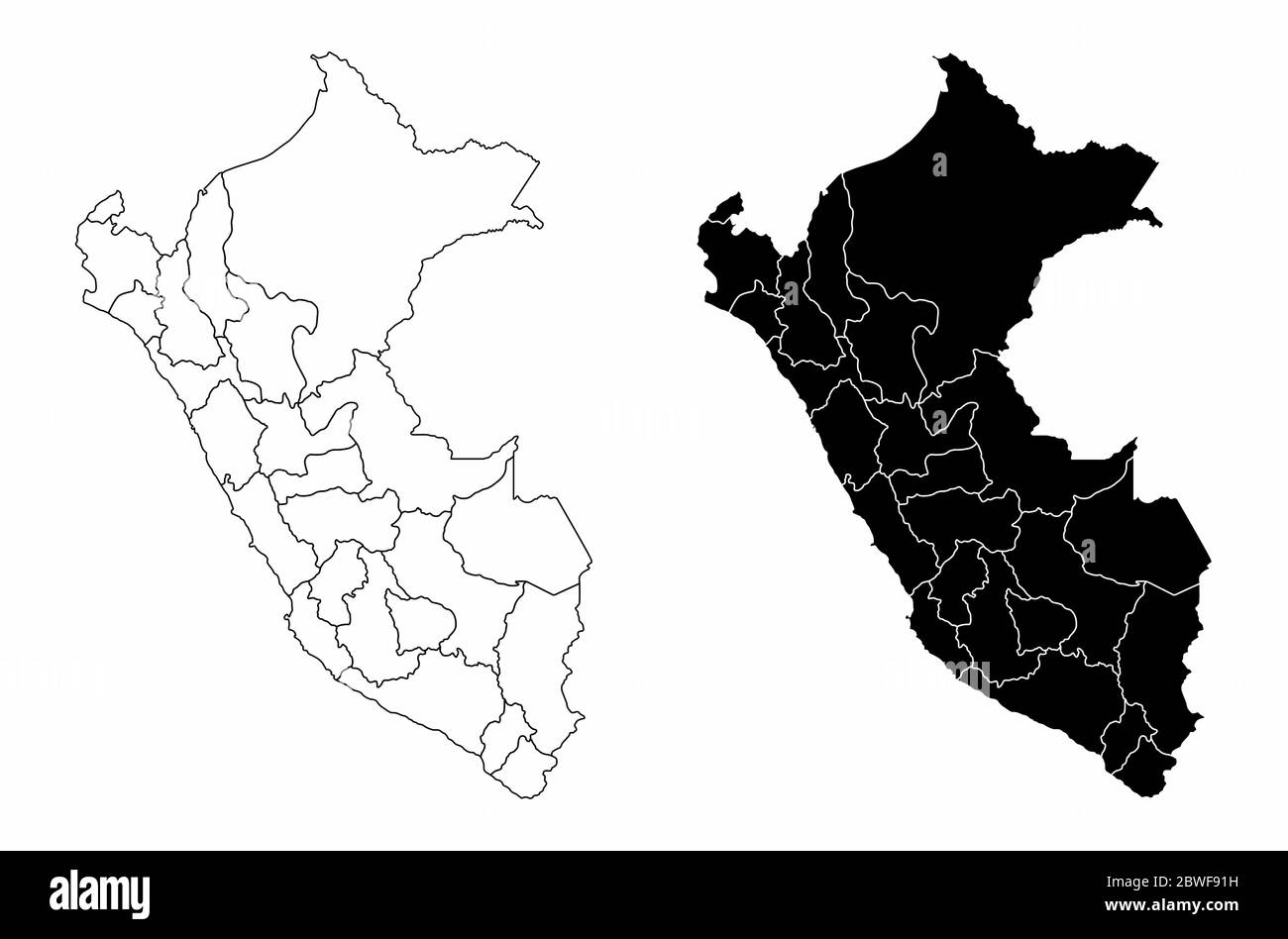 Peru regions map Stock Vectorhttps://www.alamy.com/image-license-details/?v=1https://www.alamy.com/peru-regions-map-image359910141.html
RF2BWF91H–Peru regions map
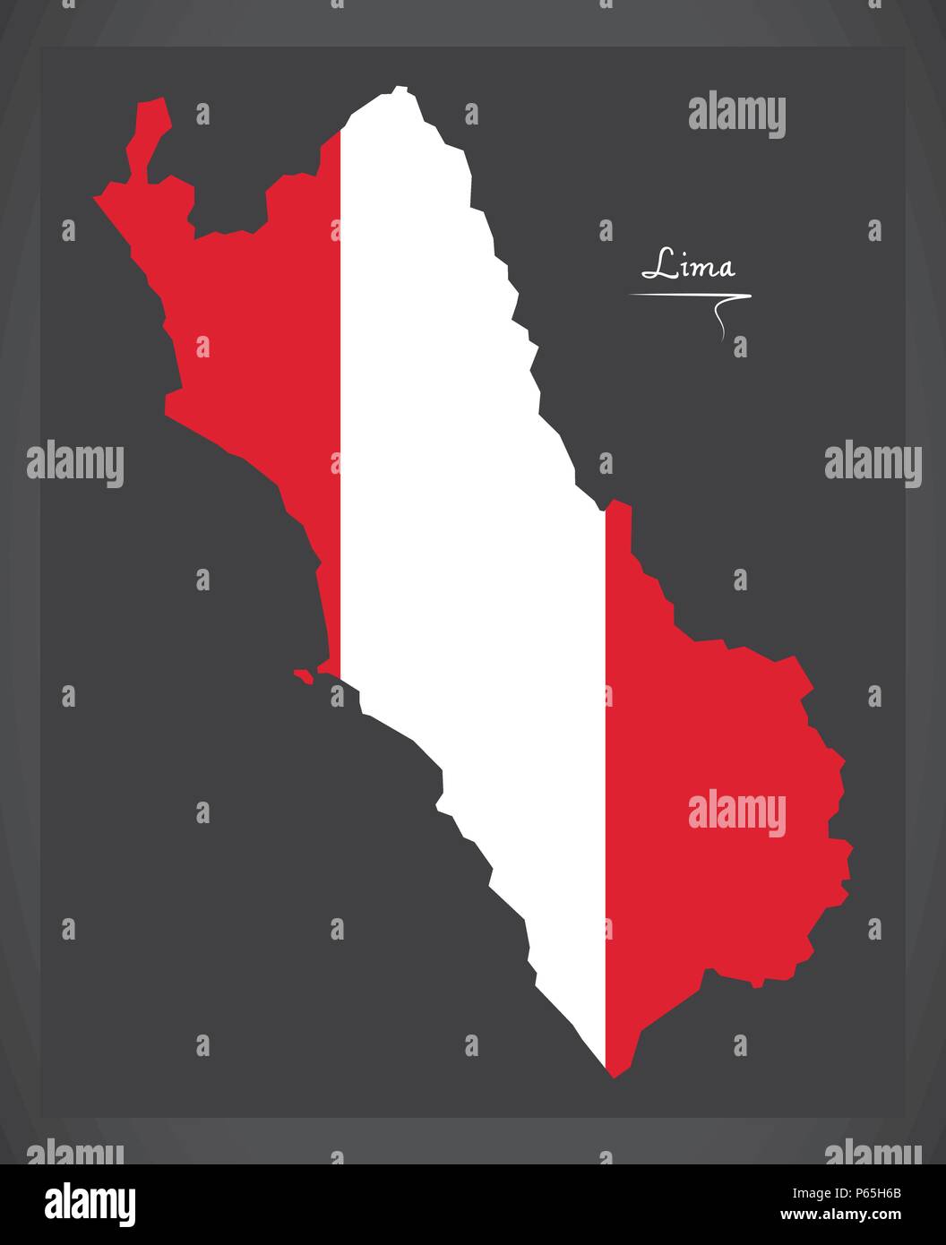 Lima map with Peruvian national flag illustration Stock Vectorhttps://www.alamy.com/image-license-details/?v=1https://www.alamy.com/lima-map-with-peruvian-national-flag-illustration-image210335619.html
RFP65H6B–Lima map with Peruvian national flag illustration
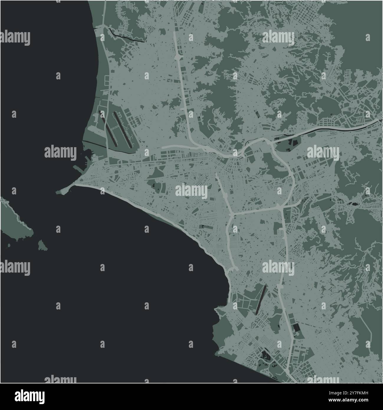 Map of Lima in Peru in a smooth dark style. Contains layered vector with roads water, parks, etc. Stock Vectorhttps://www.alamy.com/image-license-details/?v=1https://www.alamy.com/map-of-lima-in-peru-in-a-smooth-dark-style-contains-layered-vector-with-roads-water-parks-etc-image624220593.html
RF2Y7FKMH–Map of Lima in Peru in a smooth dark style. Contains layered vector with roads water, parks, etc.
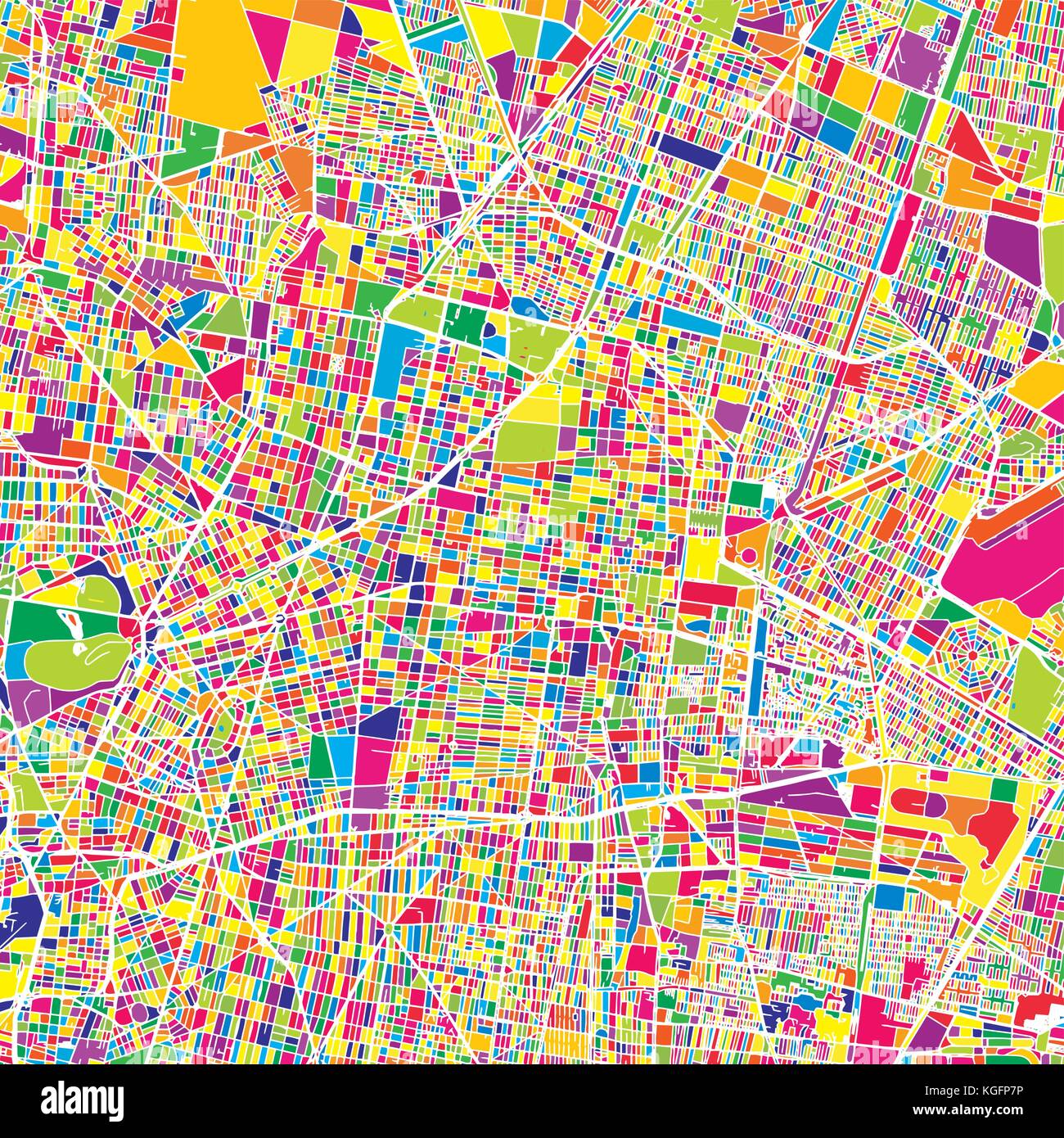 Mexico City, Mexico, colorful vector map. White streets, railways and water. Bright colored landmark shapes. Art print pattern. Stock Vectorhttps://www.alamy.com/image-license-details/?v=1https://www.alamy.com/stock-image-mexico-city-mexico-colorful-vector-map-white-streets-railways-and-165074554.html
RFKGFP7P–Mexico City, Mexico, colorful vector map. White streets, railways and water. Bright colored landmark shapes. Art print pattern.
 Many device media (tablet, pc, cellphone, laptop, smart tv) with the map and flag of Peru. Stock Vectorhttps://www.alamy.com/image-license-details/?v=1https://www.alamy.com/many-device-media-tablet-pc-cellphone-laptop-smart-tv-with-the-map-and-flag-of-peru-image432789458.html
RF2G437AA–Many device media (tablet, pc, cellphone, laptop, smart tv) with the map and flag of Peru.

