Quick filters:
Map of linkoping Stock Photos and Images
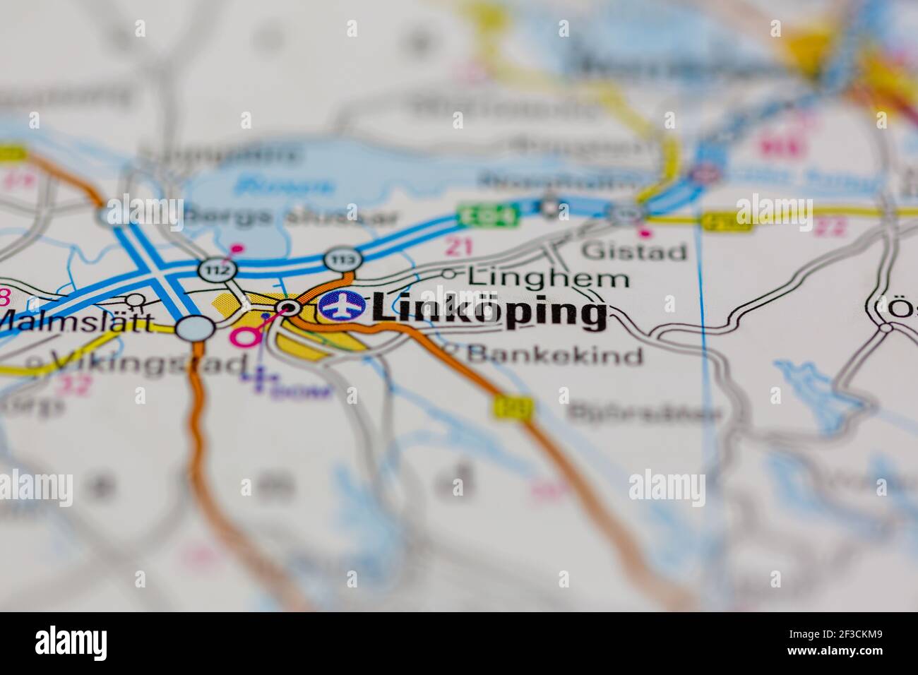 Linkoping Shown on a geography map or road map Stock Photohttps://www.alamy.com/image-license-details/?v=1https://www.alamy.com/linkoping-shown-on-a-geography-map-or-road-map-image415171689.html
RM2F3CKM9–Linkoping Shown on a geography map or road map
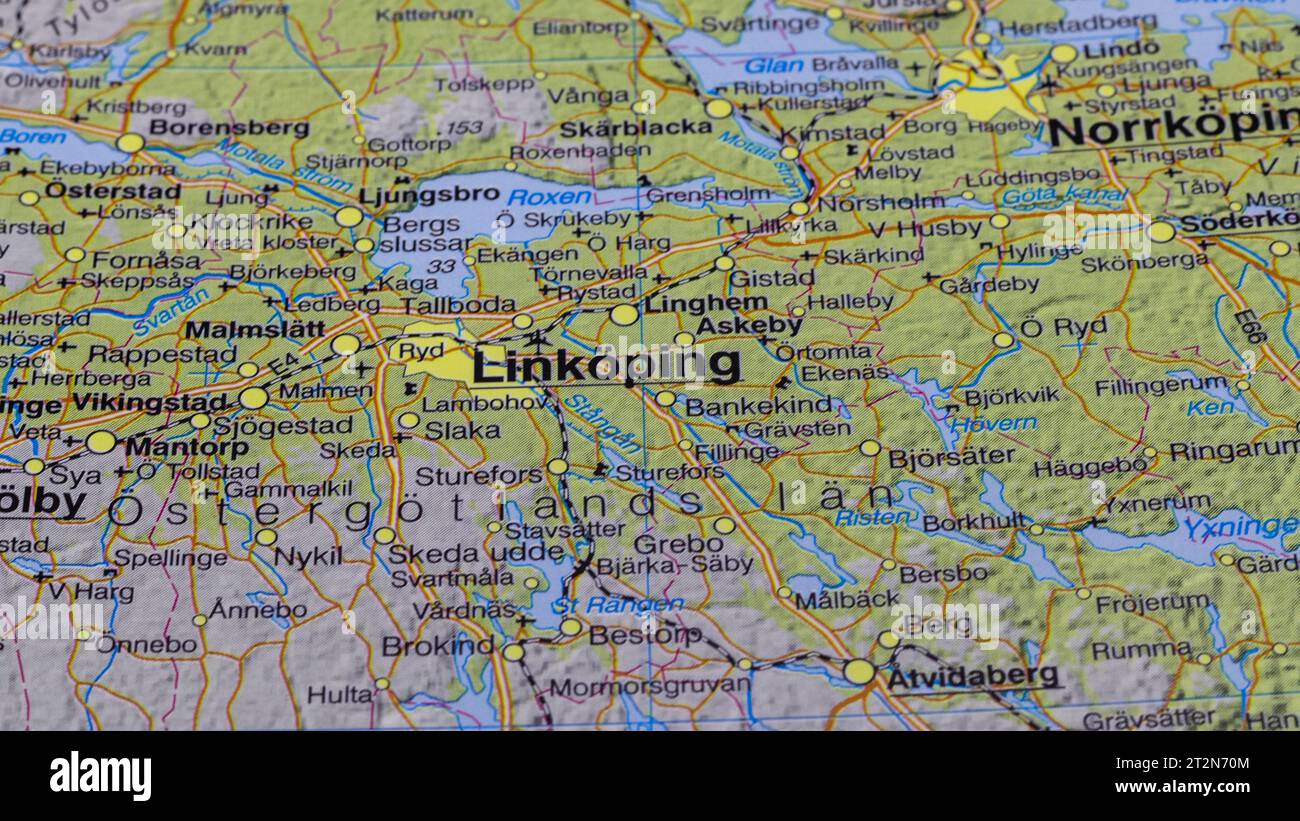 map of linköping Stock Photohttps://www.alamy.com/image-license-details/?v=1https://www.alamy.com/map-of-linkping-image569637956.html
RF2T2N70M–map of linköping
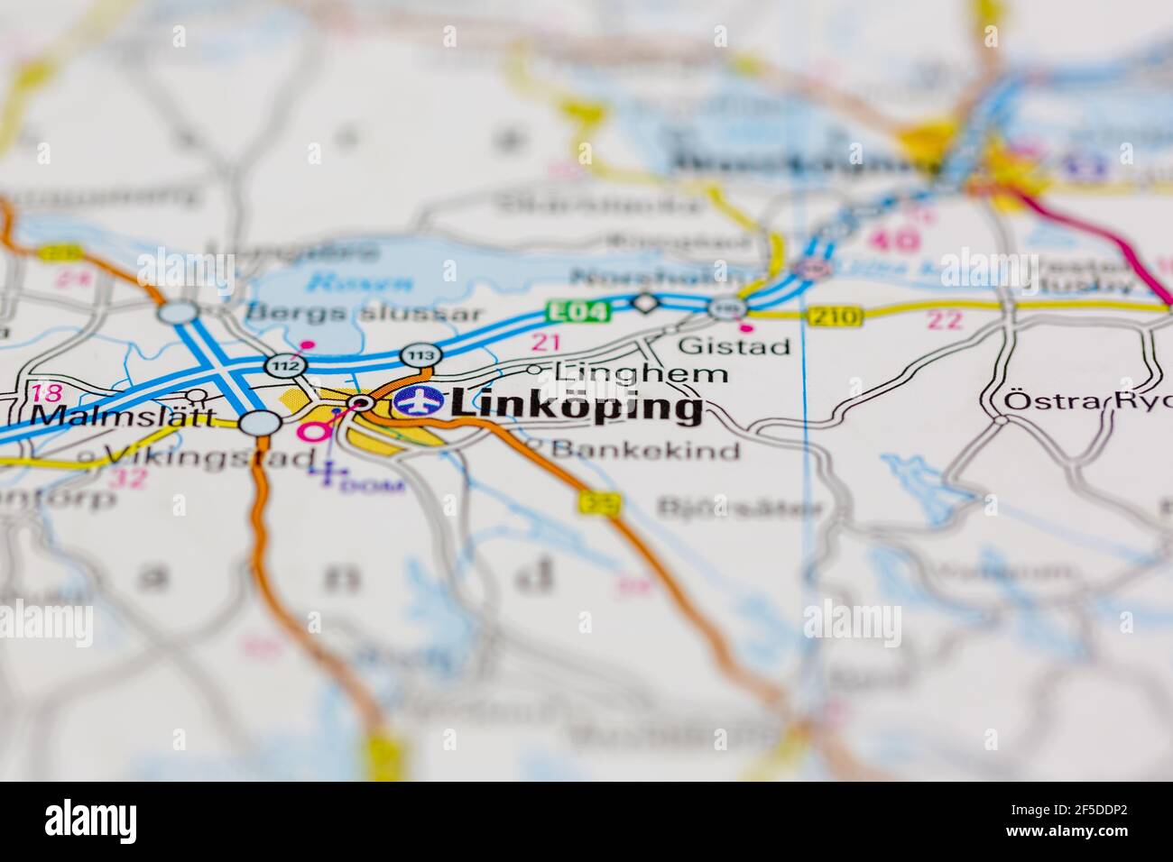 Linkoping and surrounding areas Shown on a Geography map or road map Stock Photohttps://www.alamy.com/image-license-details/?v=1https://www.alamy.com/linkoping-and-surrounding-areas-shown-on-a-geography-map-or-road-map-image416418298.html
RM2F5DDP2–Linkoping and surrounding areas Shown on a Geography map or road map
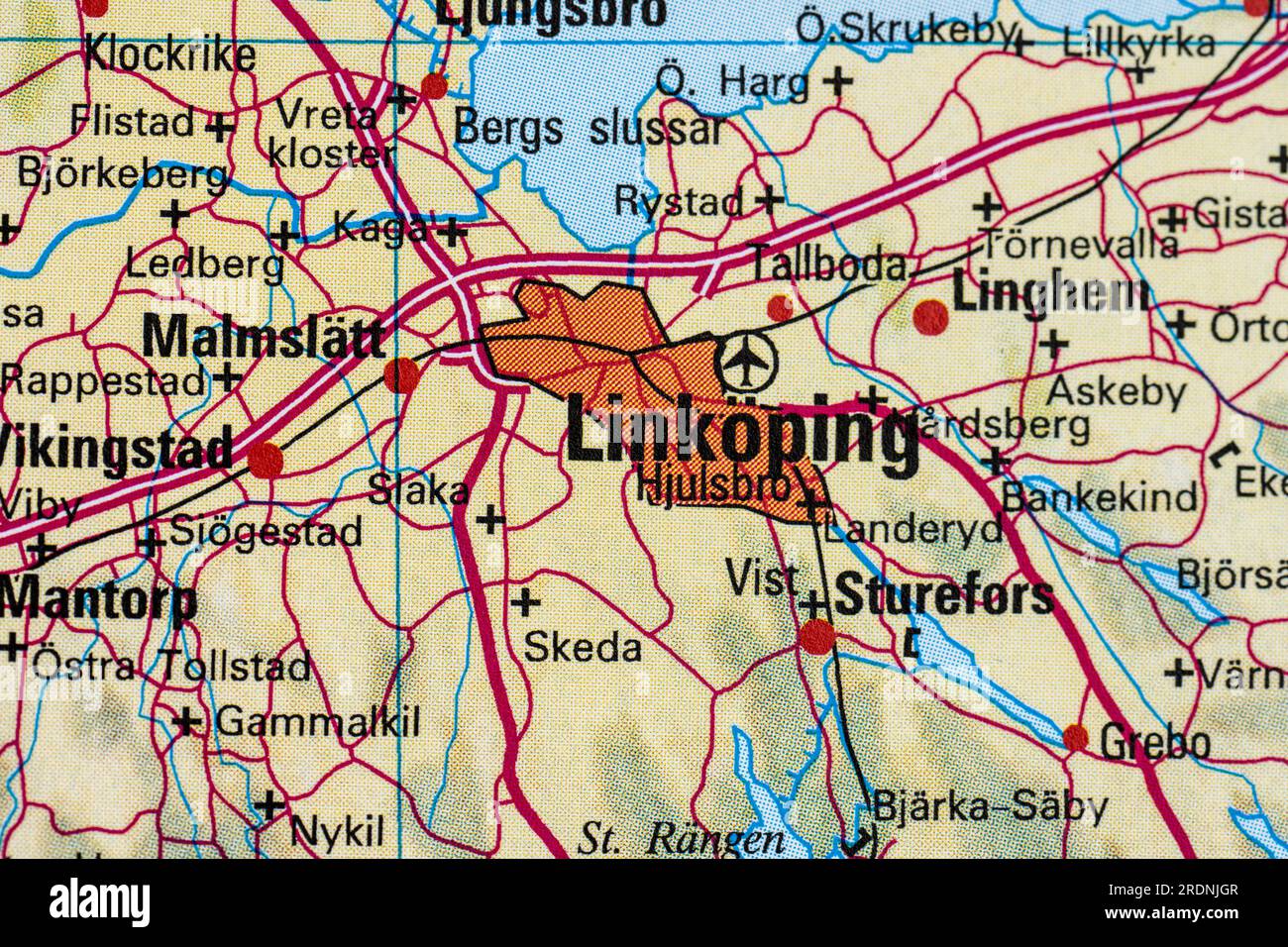 Atlas map of Linköping and Hjulsbro Stock Photohttps://www.alamy.com/image-license-details/?v=1https://www.alamy.com/atlas-map-of-linkping-and-hjulsbro-image559197879.html
RF2RDNJGR–Atlas map of Linköping and Hjulsbro
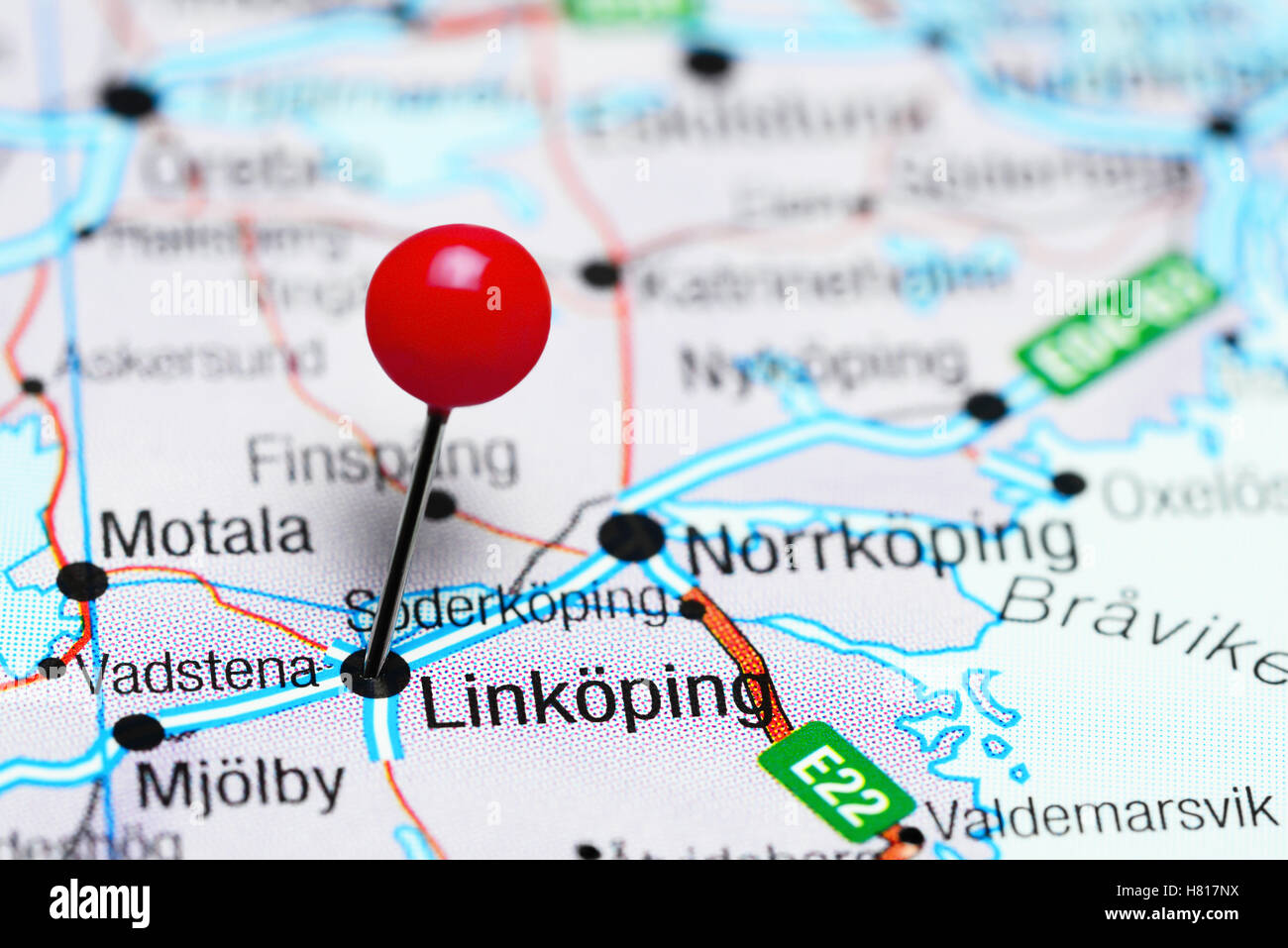 Linkoping pinned on a map of Sweden Stock Photohttps://www.alamy.com/image-license-details/?v=1https://www.alamy.com/stock-photo-linkoping-pinned-on-a-map-of-sweden-125417878.html
RFH817NX–Linkoping pinned on a map of Sweden
 Gothenburg, Sweden - February 20 2022: Map of Linköping in Sweden Stock Photohttps://www.alamy.com/image-license-details/?v=1https://www.alamy.com/gothenburg-sweden-february-20-2022-map-of-linkping-in-sweden-image548364372.html
RF2PT449T–Gothenburg, Sweden - February 20 2022: Map of Linköping in Sweden
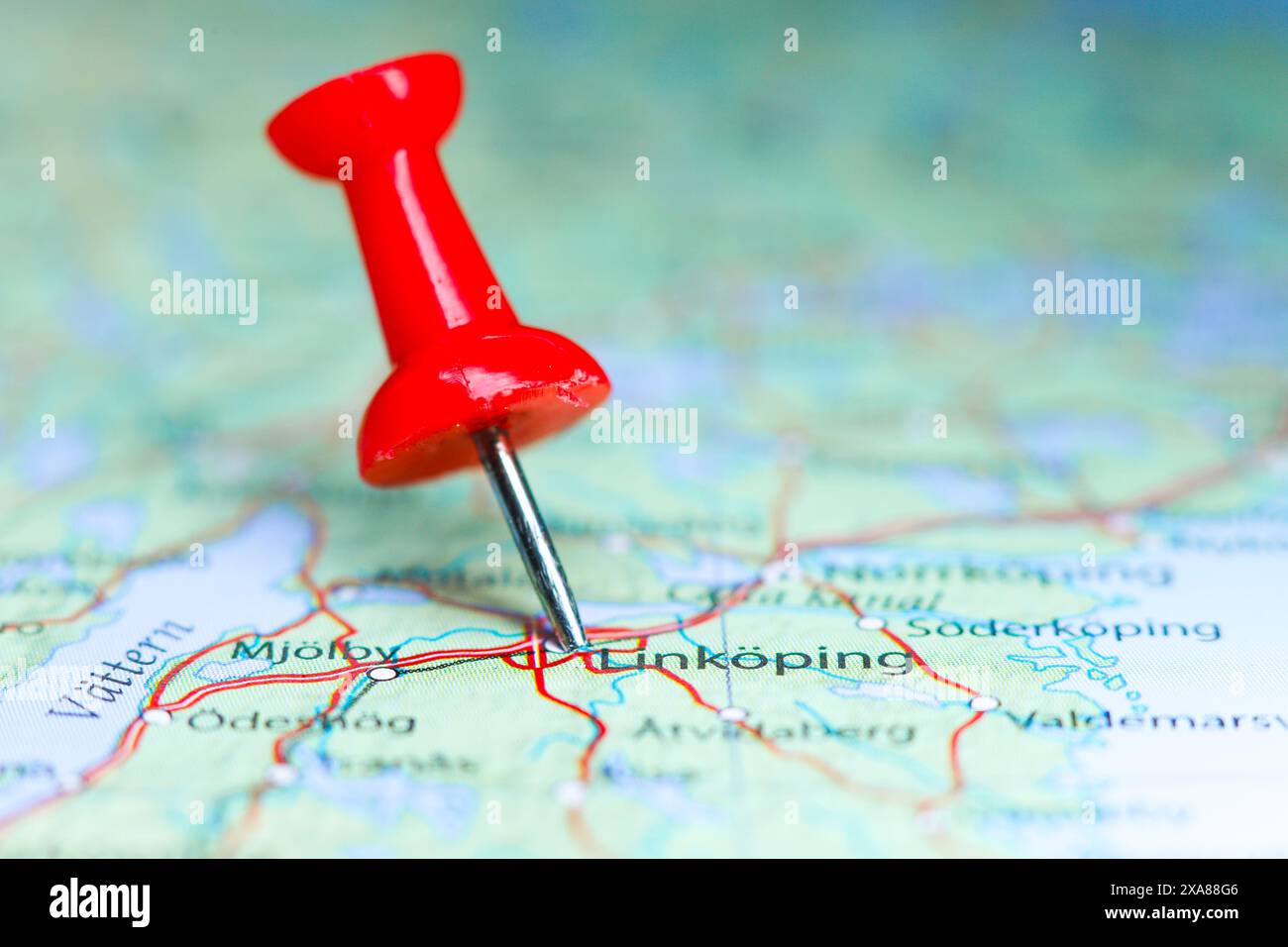 Linkoping, Sweden pin on map Stock Photohttps://www.alamy.com/image-license-details/?v=1https://www.alamy.com/linkoping-sweden-pin-on-map-image608691782.html
RF2XA88G6–Linkoping, Sweden pin on map
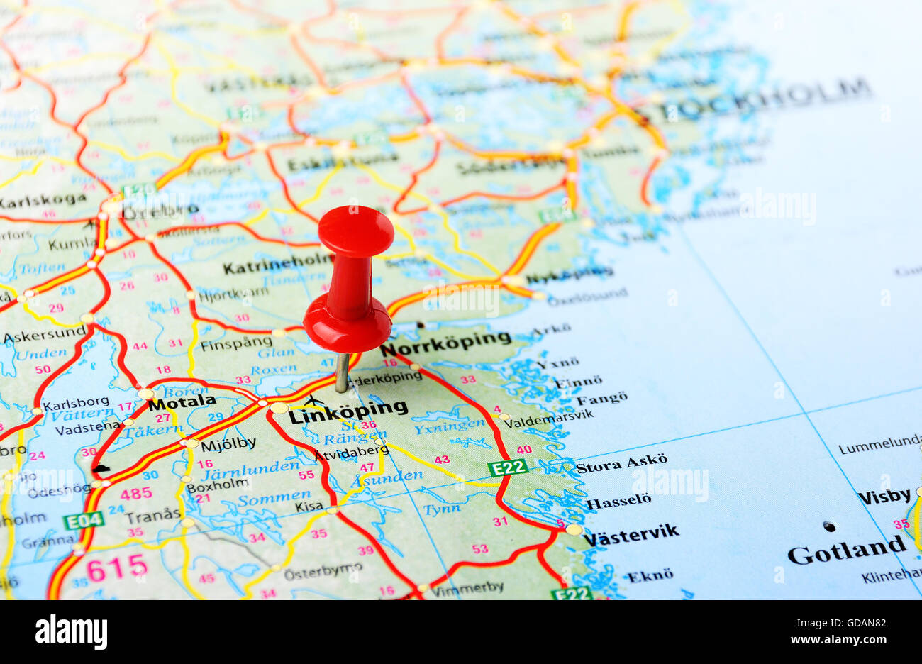 Close up of Linkoping ,Sweden map with red pin - Travel concept Stock Photohttps://www.alamy.com/image-license-details/?v=1https://www.alamy.com/stock-photo-close-up-of-linkoping-sweden-map-with-red-pin-travel-concept-111488946.html
RFGDAN82–Close up of Linkoping ,Sweden map with red pin - Travel concept
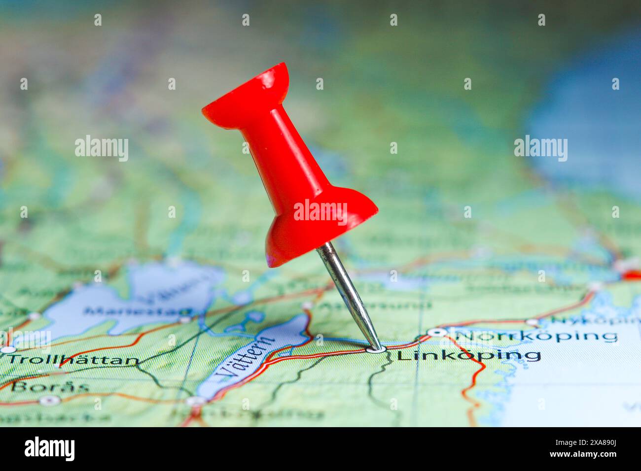 Linkoping, Sweden pin on map Stock Photohttps://www.alamy.com/image-license-details/?v=1https://www.alamy.com/linkoping-sweden-pin-on-map-image608692130.html
RF2XA890J–Linkoping, Sweden pin on map
 World map with digital signs about time differences at Fenomenmagasinet in Old town, Linköping. Stock Photohttps://www.alamy.com/image-license-details/?v=1https://www.alamy.com/world-map-with-digital-signs-about-time-differences-at-fenomenmagasinet-in-old-town-linkping-image440427088.html
RM2GGF56T–World map with digital signs about time differences at Fenomenmagasinet in Old town, Linköping.
 Generalstabskartan södra 45 Linköping 1914 Stock Photohttps://www.alamy.com/image-license-details/?v=1https://www.alamy.com/stock-photo-generalstabskartan-sdra-45-linkping-1914-147552278.html
RMJG1GC6–Generalstabskartan södra 45 Linköping 1914
 LINKÖPING, SWEDEN- 24 SEPTEMBER 2014: European map with the city of Amserdam in the center Stock Photohttps://www.alamy.com/image-license-details/?v=1https://www.alamy.com/linkping-sweden-24-september-2014-european-map-with-the-city-of-amserdam-in-the-center-image401564638.html
RM2E98RP6–LINKÖPING, SWEDEN- 24 SEPTEMBER 2014: European map with the city of Amserdam in the center
 Suecia 3-004 3B Linköping Stock Photohttps://www.alamy.com/image-license-details/?v=1https://www.alamy.com/stock-photo-suecia-3-004-3b-linkping-147681472.html
RMJG7D68–Suecia 3-004 3B Linköping
 Gothenburg, Sweden - February 20 2022: Map of Linköping in Sweden Stock Photohttps://www.alamy.com/image-license-details/?v=1https://www.alamy.com/gothenburg-sweden-february-20-2022-map-of-linkping-in-sweden-image564380852.html
RF2RP5NF0–Gothenburg, Sweden - February 20 2022: Map of Linköping in Sweden
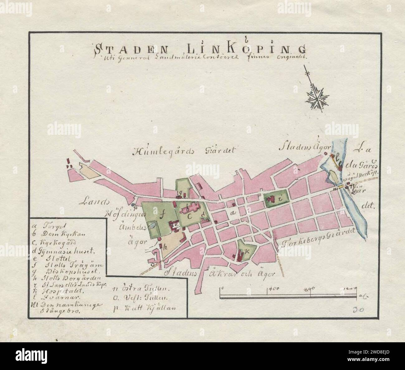 18th century map of Linköping, Sweden. Stock Photohttps://www.alamy.com/image-license-details/?v=1https://www.alamy.com/18th-century-map-of-linkping-sweden-image593330149.html
RM2WD8EJD–18th century map of Linköping, Sweden.
 Linköping, Linköpings Kommun, Sweden, Östergötland, N 58 24' 39'', E 15 37' 17'', map, Timeless Map published in 2021. Travelers, explorers and adventurers like Florence Nightingale, David Livingstone, Ernest Shackleton, Lewis and Clark and Sherlock Holmes relied on maps to plan travels to the world's most remote corners, Timeless Maps is mapping most locations on the globe, showing the achievement of great dreams. Stock Photohttps://www.alamy.com/image-license-details/?v=1https://www.alamy.com/linkping-linkpings-kommun-sweden-stergtland-n-58-24-39-e-15-37-17-map-timeless-map-published-in-2021-travelers-explorers-and-adventurers-like-florence-nightingale-david-livingstone-ernest-shackleton-lewis-and-clark-and-sherlock-holmes-relied-on-maps-to-plan-travels-to-the-worlds-most-remote-corners-timeless-maps-is-mapping-most-locations-on-the-globe-showing-the-achievement-of-great-dreams-image458032597.html
RM2HH5571–Linköping, Linköpings Kommun, Sweden, Östergötland, N 58 24' 39'', E 15 37' 17'', map, Timeless Map published in 2021. Travelers, explorers and adventurers like Florence Nightingale, David Livingstone, Ernest Shackleton, Lewis and Clark and Sherlock Holmes relied on maps to plan travels to the world's most remote corners, Timeless Maps is mapping most locations on the globe, showing the achievement of great dreams.
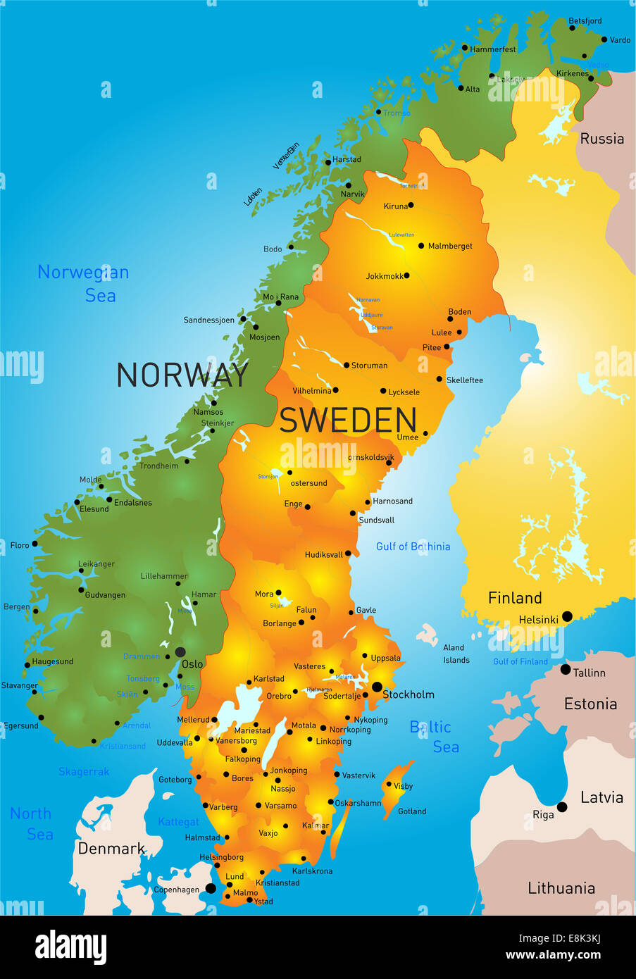 Sweden Stock Photohttps://www.alamy.com/image-license-details/?v=1https://www.alamy.com/stock-photo-sweden-74178710.html
RFE8K3KJ–Sweden
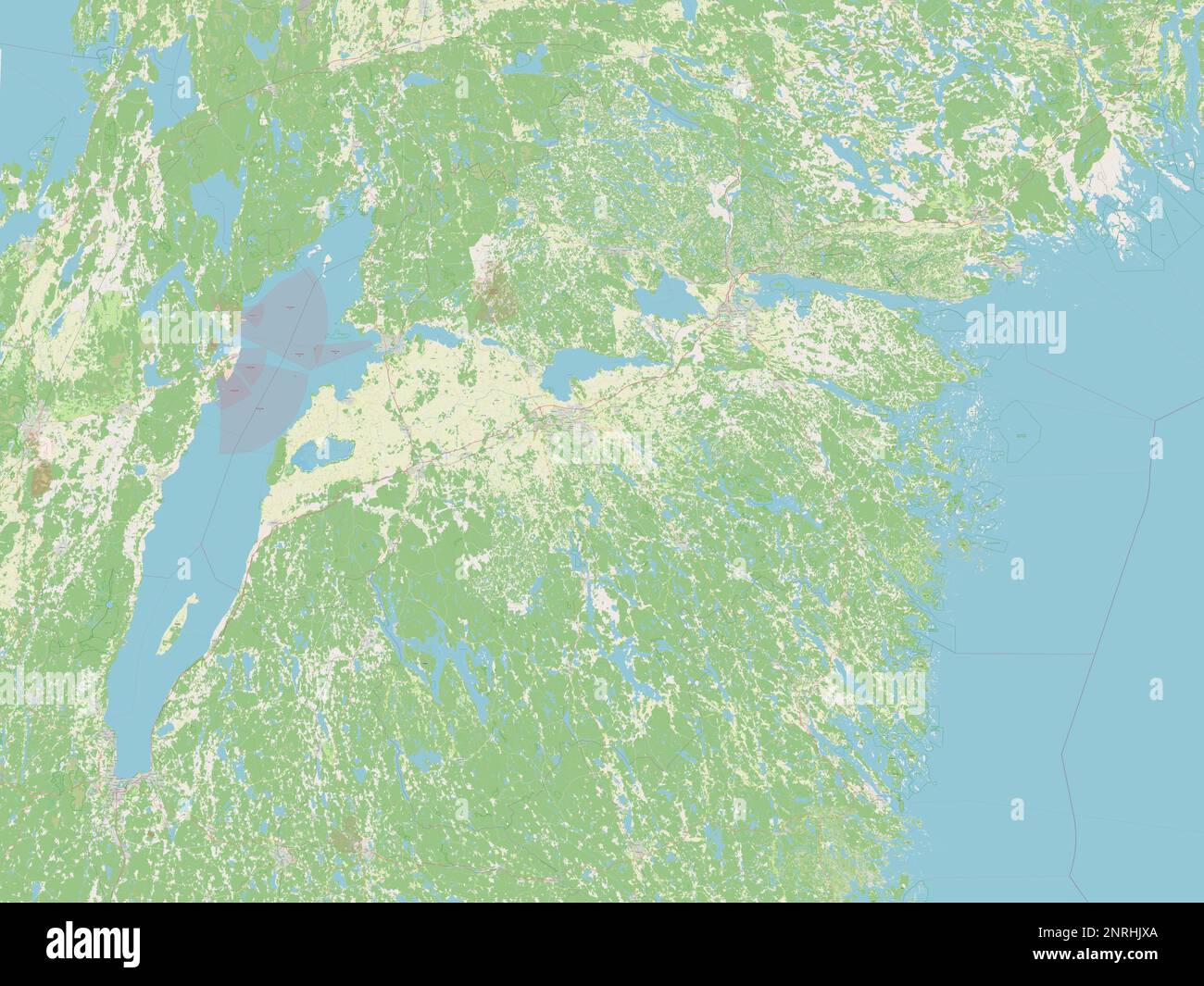 Ostergotland, county of Sweden. Open Street Map Stock Photohttps://www.alamy.com/image-license-details/?v=1https://www.alamy.com/ostergotland-county-of-sweden-open-street-map-image530836162.html
RF2NRHJXA–Ostergotland, county of Sweden. Open Street Map
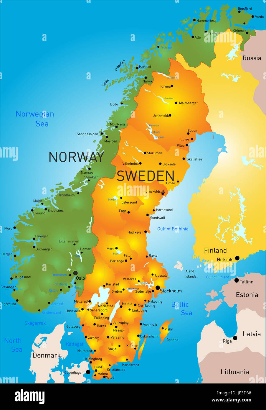 Vector color map of Sweden country Stock Photohttps://www.alamy.com/image-license-details/?v=1https://www.alamy.com/stock-photo-vector-color-map-of-sweden-country-146364268.html
RFJE3D38–Vector color map of Sweden country
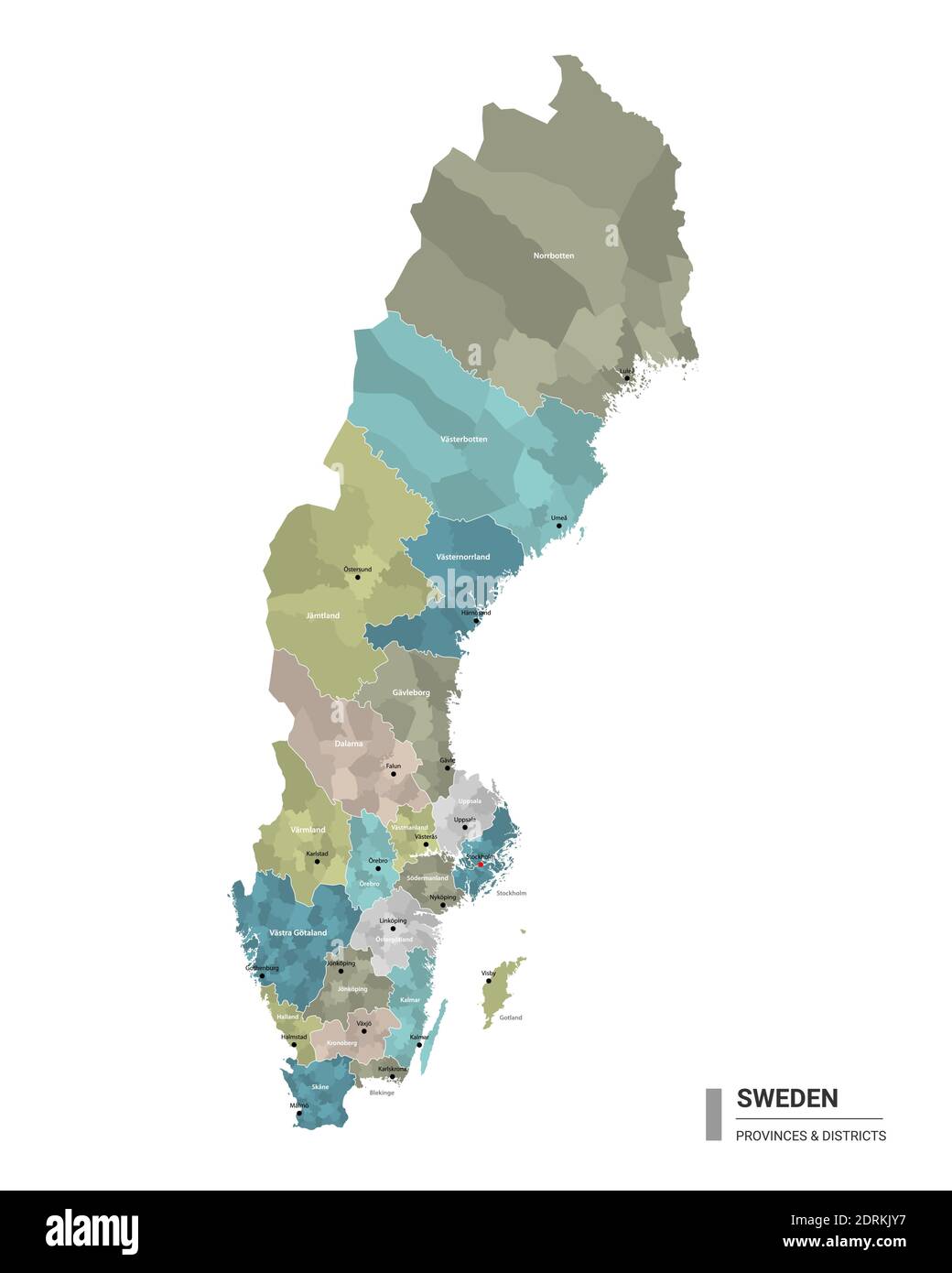 Sweden higt detailed map with subdivisions. Administrative map of Sweden with districts and cities name, colored by states and administrative district Stock Vectorhttps://www.alamy.com/image-license-details/?v=1https://www.alamy.com/sweden-higt-detailed-map-with-subdivisions-administrative-map-of-sweden-with-districts-and-cities-name-colored-by-states-and-administrative-district-image393197147.html
RF2DRKJY7–Sweden higt detailed map with subdivisions. Administrative map of Sweden with districts and cities name, colored by states and administrative district
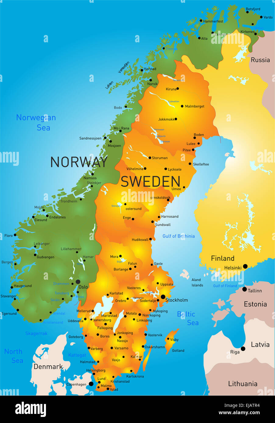 Sweden Stock Photohttps://www.alamy.com/image-license-details/?v=1https://www.alamy.com/stock-photo-sweden-80144264.html
RFEJATR4–Sweden
 Image taken from page 348 of 'One Year in Sweden; including a visit to the Isle of Götland ... Map and illustrations' Image taken from page 348 of 'One Yea Stock Photohttps://www.alamy.com/image-license-details/?v=1https://www.alamy.com/stock-photo-image-taken-from-page-348-of-one-year-in-sweden-including-a-visit-132305845.html
RMHK71CN–Image taken from page 348 of 'One Year in Sweden; including a visit to the Isle of Götland ... Map and illustrations' Image taken from page 348 of 'One Yea
 Ostergotland County (Counties of Sweden, Kingdom of Sweden) map vector illustration, scribble sketch Östergötland map Stock Vectorhttps://www.alamy.com/image-license-details/?v=1https://www.alamy.com/ostergotland-county-counties-of-sweden-kingdom-of-sweden-map-vector-illustration-scribble-sketch-stergtland-map-image271892466.html
RFWP9NH6–Ostergotland County (Counties of Sweden, Kingdom of Sweden) map vector illustration, scribble sketch Östergötland map
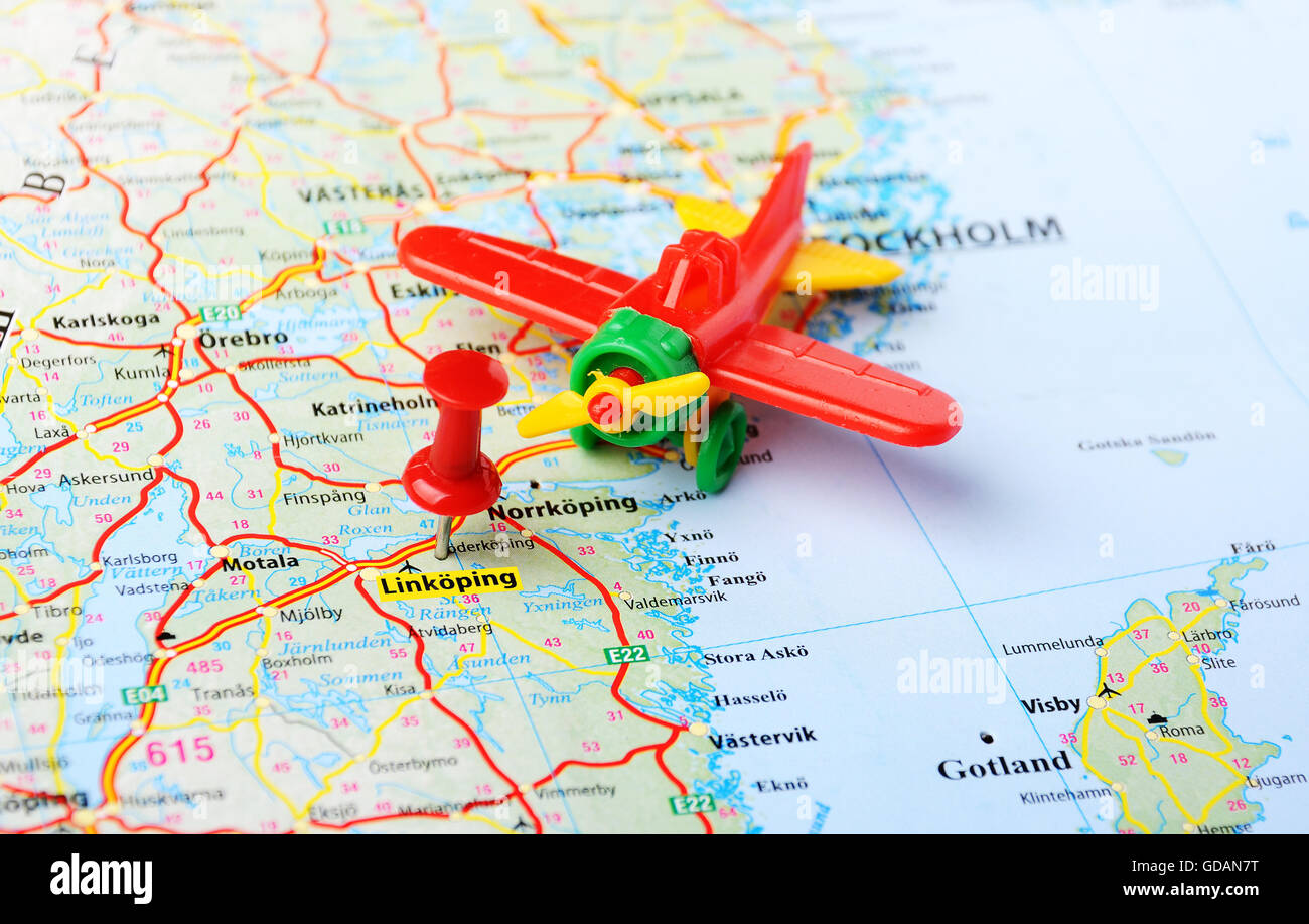 Close up of Linkoping ,Sweden map with red pin and airplane toy - Travel concept Stock Photohttps://www.alamy.com/image-license-details/?v=1https://www.alamy.com/stock-photo-close-up-of-linkoping-sweden-map-with-red-pin-and-airplane-toy-travel-111488940.html
RFGDAN7T–Close up of Linkoping ,Sweden map with red pin and airplane toy - Travel concept
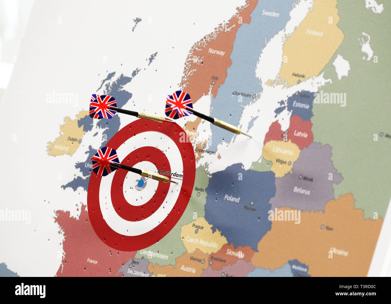 LINKÖPING 2014 European map with the city of Amserdam in the center Photo Jeppe Gustafsson Stock Photohttps://www.alamy.com/image-license-details/?v=1https://www.alamy.com/linkping-2014-european-map-with-the-city-of-amserdam-in-the-center-photo-jeppe-gustafsson-image243304220.html
RMT3RD0C–LINKÖPING 2014 European map with the city of Amserdam in the center Photo Jeppe Gustafsson
 Suecia 3-005 ; Linköping Templum Chathedrale Stock Photohttps://www.alamy.com/image-license-details/?v=1https://www.alamy.com/stock-photo-suecia-3-005-linkping-templum-chathedrale-147681473.html
RMJG7D69–Suecia 3-005 ; Linköping Templum Chathedrale
 Nice autumn colors and along the Stångån / Kinda canal in the city of Linköping, Sweden. Stock Photohttps://www.alamy.com/image-license-details/?v=1https://www.alamy.com/nice-autumn-colors-and-along-the-stngn-kinda-canal-in-the-city-of-linkping-sweden-image447967392.html
RM2H0PJYC–Nice autumn colors and along the Stångån / Kinda canal in the city of Linköping, Sweden.
 Hospitalskyrkan Linköping Sweden Stock Photohttps://www.alamy.com/image-license-details/?v=1https://www.alamy.com/stock-photo-hospitalskyrkan-linkping-sweden-147598121.html
RMJG3JWD–Hospitalskyrkan Linköping Sweden
 Ostergotland, county of Sweden. Low resolution satellite map Stock Photohttps://www.alamy.com/image-license-details/?v=1https://www.alamy.com/ostergotland-county-of-sweden-low-resolution-satellite-map-image530836204.html
RF2NRHJYT–Ostergotland, county of Sweden. Low resolution satellite map
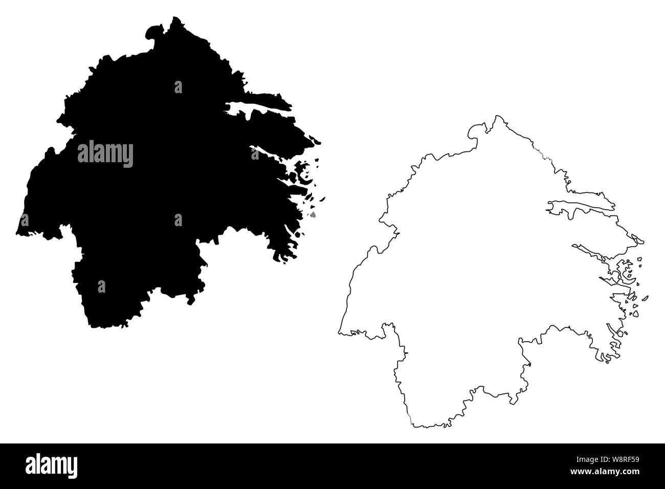 Ostergotland County (Counties of Sweden, Kingdom of Sweden) map vector illustration, scribble sketch Östergötland map Stock Vectorhttps://www.alamy.com/image-license-details/?v=1https://www.alamy.com/ostergotland-county-counties-of-sweden-kingdom-of-sweden-map-vector-illustration-scribble-sketch-stergtland-map-image263589573.html
RFW8RF59–Ostergotland County (Counties of Sweden, Kingdom of Sweden) map vector illustration, scribble sketch Östergötland map
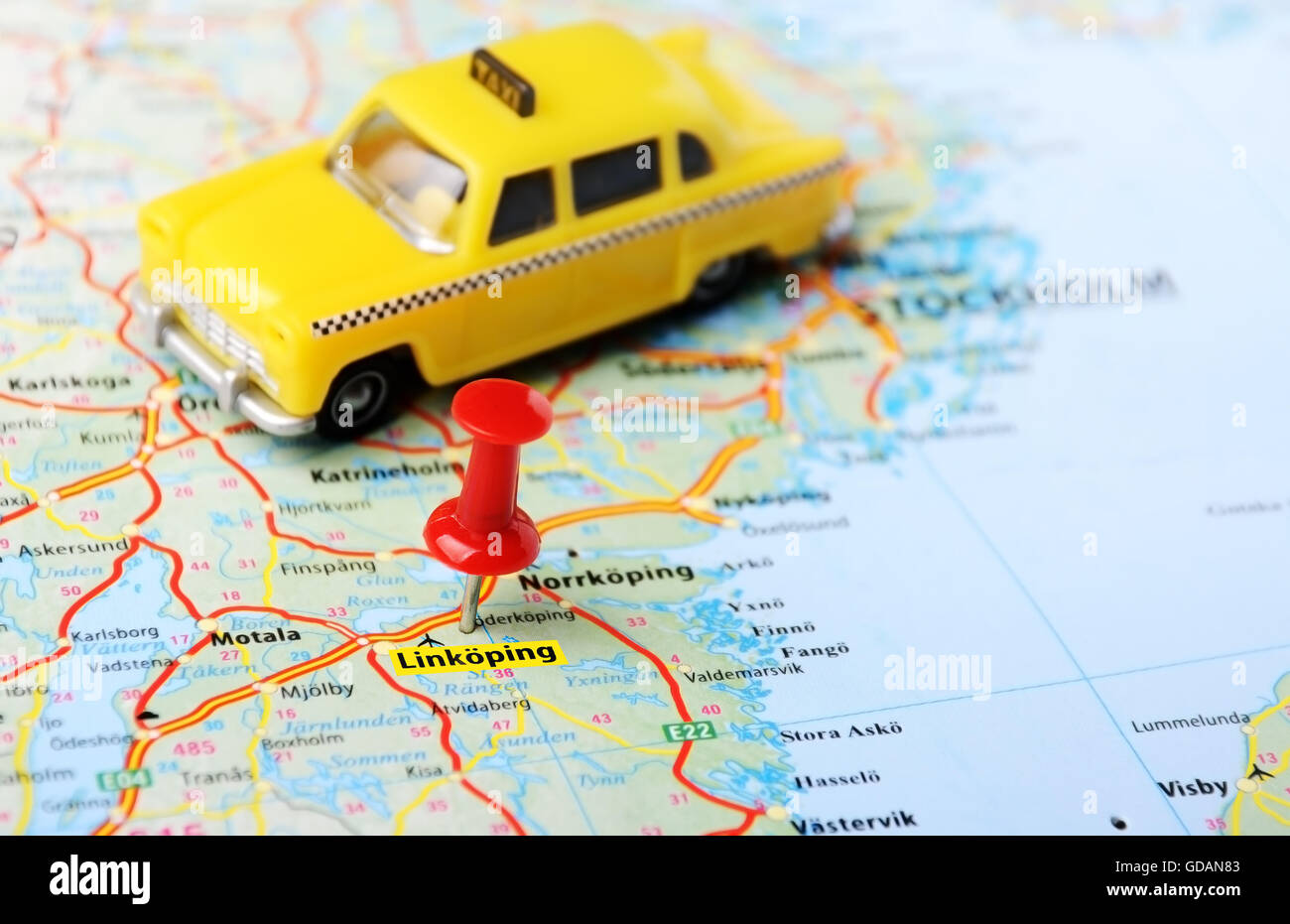 Close up of Linkoping ,Sweden map with red pin and a taxi car - Travel concept Stock Photohttps://www.alamy.com/image-license-details/?v=1https://www.alamy.com/stock-photo-close-up-of-linkoping-sweden-map-with-red-pin-and-a-taxi-car-travel-111488947.html
RFGDAN83–Close up of Linkoping ,Sweden map with red pin and a taxi car - Travel concept
 Nice autumn colors and along the Stångån / Kinda canal in the city of Linköping, Sweden. Stock Photohttps://www.alamy.com/image-license-details/?v=1https://www.alamy.com/nice-autumn-colors-and-along-the-stngn-kinda-canal-in-the-city-of-linkping-sweden-image447967377.html
RM2H0PJXW–Nice autumn colors and along the Stångån / Kinda canal in the city of Linköping, Sweden.
 Cohrs Linköping 1928 Stock Photohttps://www.alamy.com/image-license-details/?v=1https://www.alamy.com/stock-photo-cohrs-linkping-1928-147474363.html
RMJFX11F–Cohrs Linköping 1928
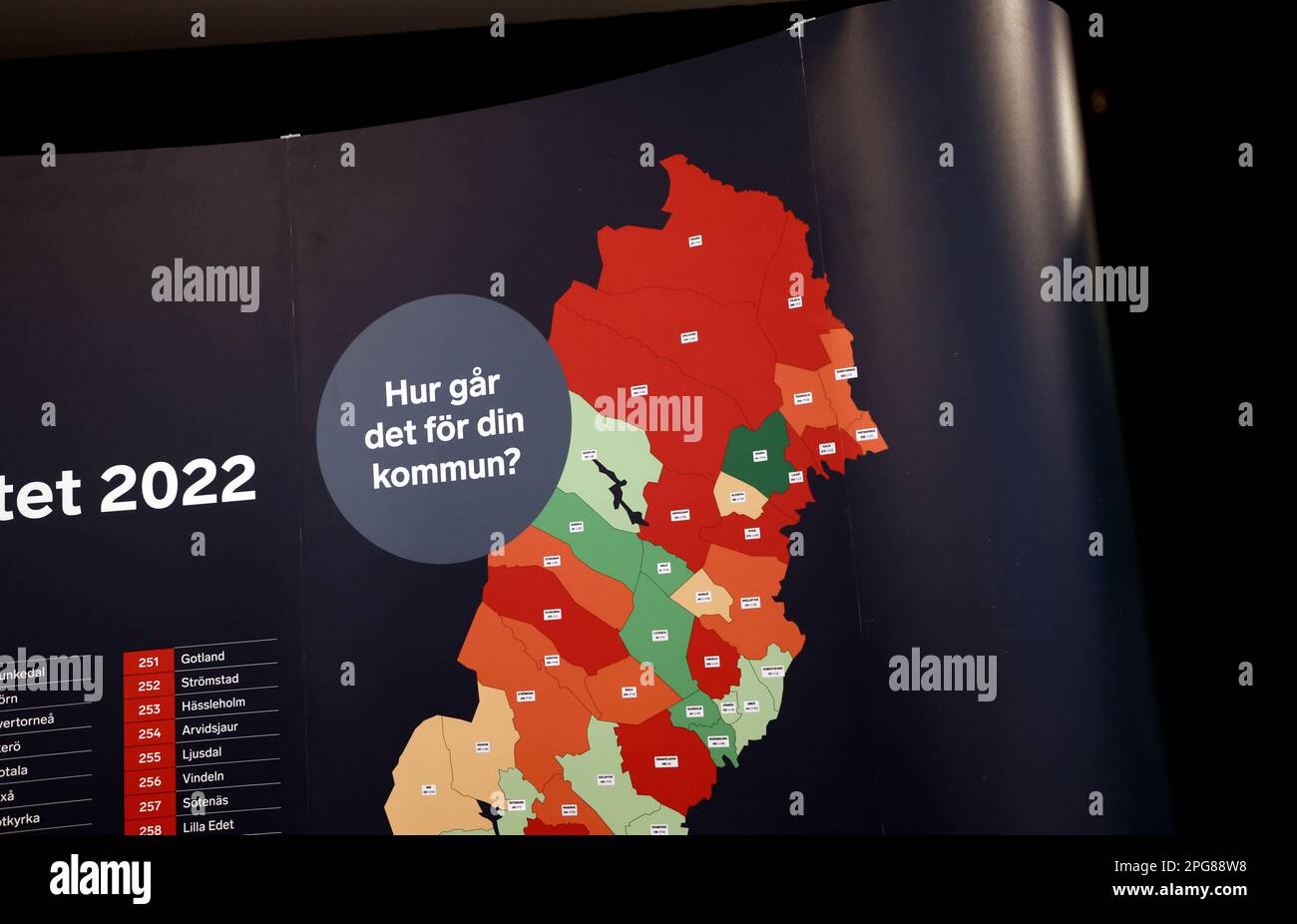 Signs and symbols, part of a Swedish map with the text 'How is it going for your municipality?'. Stock Photohttps://www.alamy.com/image-license-details/?v=1https://www.alamy.com/signs-and-symbols-part-of-a-swedish-map-with-the-text-how-is-it-going-for-your-municipality-image543538500.html
RM2PG88W8–Signs and symbols, part of a Swedish map with the text 'How is it going for your municipality?'.
 The Swedish Championship week (In swedish: SM-veckan) during Saturday in Linköping, Sweden. In the picture: City Orienteering (In swedish: Orientering sprintstafett) in the center of Linköping. Stock Photohttps://www.alamy.com/image-license-details/?v=1https://www.alamy.com/the-swedish-championship-week-in-swedish-sm-veckan-during-saturday-in-linkping-sweden-in-the-picture-city-orienteering-in-swedish-orientering-sprintstafett-in-the-center-of-linkping-image474360717.html
RM2JFMYX5–The Swedish Championship week (In swedish: SM-veckan) during Saturday in Linköping, Sweden. In the picture: City Orienteering (In swedish: Orientering sprintstafett) in the center of Linköping.
 Ostergotland, county of Sweden. High resolution satellite map Stock Photohttps://www.alamy.com/image-license-details/?v=1https://www.alamy.com/ostergotland-county-of-sweden-high-resolution-satellite-map-image530836185.html
RF2NRHJY5–Ostergotland, county of Sweden. High resolution satellite map
 Ostergotland County (Counties of Sweden, Kingdom of Sweden) map vector illustration, scribble sketch Östergötland map Stock Vectorhttps://www.alamy.com/image-license-details/?v=1https://www.alamy.com/ostergotland-county-counties-of-sweden-kingdom-of-sweden-map-vector-illustration-scribble-sketch-stergtland-map-image274370186.html
RFWXAHY6–Ostergotland County (Counties of Sweden, Kingdom of Sweden) map vector illustration, scribble sketch Östergötland map
 Cohrs atlas över Sverige 0025 Hälsingborg Örebro Linköping Stock Photohttps://www.alamy.com/image-license-details/?v=1https://www.alamy.com/stock-photo-cohrs-atlas-ver-sverige-0025-hlsingborg-rebro-linkping-147474358.html
RMJFX11A–Cohrs atlas över Sverige 0025 Hälsingborg Örebro Linköping
 The Swedish Championship week (In swedish: SM-veckan) during Saturday in Linköping, Sweden. In the picture: City Orienteering (In swedish: Orientering sprintstafett) in the center of Linköping. Stock Photohttps://www.alamy.com/image-license-details/?v=1https://www.alamy.com/the-swedish-championship-week-in-swedish-sm-veckan-during-saturday-in-linkping-sweden-in-the-picture-city-orienteering-in-swedish-orientering-sprintstafett-in-the-center-of-linkping-image474360726.html
RM2JFMYXE–The Swedish Championship week (In swedish: SM-veckan) during Saturday in Linköping, Sweden. In the picture: City Orienteering (In swedish: Orientering sprintstafett) in the center of Linköping.
 Ostergotland, county of Sweden. Grayscale elevation map with lakes and rivers Stock Photohttps://www.alamy.com/image-license-details/?v=1https://www.alamy.com/ostergotland-county-of-sweden-grayscale-elevation-map-with-lakes-and-rivers-image530836145.html
RF2NRHJWN–Ostergotland, county of Sweden. Grayscale elevation map with lakes and rivers
 The Swedish Championship week (In swedish: SM-veckan) during Saturday in Linköping, Sweden. In the picture: City Orienteering (In swedish: Orientering sprintstafett) in the center of Linköping. Stock Photohttps://www.alamy.com/image-license-details/?v=1https://www.alamy.com/the-swedish-championship-week-in-swedish-sm-veckan-during-saturday-in-linkping-sweden-in-the-picture-city-orienteering-in-swedish-orientering-sprintstafett-in-the-center-of-linkping-image474360730.html
RM2JFMYXJ–The Swedish Championship week (In swedish: SM-veckan) during Saturday in Linköping, Sweden. In the picture: City Orienteering (In swedish: Orientering sprintstafett) in the center of Linköping.
 Ostergotland, county of Sweden. Bilevel elevation map with lakes and rivers Stock Photohttps://www.alamy.com/image-license-details/?v=1https://www.alamy.com/ostergotland-county-of-sweden-bilevel-elevation-map-with-lakes-and-rivers-image530836092.html
RF2NRHJRT–Ostergotland, county of Sweden. Bilevel elevation map with lakes and rivers
 The Swedish Championship week (In swedish: SM-veckan) during Saturday in Linköping, Sweden. In the picture: City Orienteering (In swedish: Orientering sprintstafett) in the center of Linköping. Stock Photohttps://www.alamy.com/image-license-details/?v=1https://www.alamy.com/the-swedish-championship-week-in-swedish-sm-veckan-during-saturday-in-linkping-sweden-in-the-picture-city-orienteering-in-swedish-orientering-sprintstafett-in-the-center-of-linkping-image474360732.html
RM2JFMYXM–The Swedish Championship week (In swedish: SM-veckan) during Saturday in Linköping, Sweden. In the picture: City Orienteering (In swedish: Orientering sprintstafett) in the center of Linköping.
 Ostergotland, county of Sweden. Colored elevation map with lakes and rivers Stock Photohttps://www.alamy.com/image-license-details/?v=1https://www.alamy.com/ostergotland-county-of-sweden-colored-elevation-map-with-lakes-and-rivers-image530836158.html
RF2NRHJX6–Ostergotland, county of Sweden. Colored elevation map with lakes and rivers
 The Swedish Championship week (In swedish: SM-veckan) during Saturday in Linköping, Sweden. In the picture: City Orienteering (In swedish: Orientering sprintstafett) in the center of Linköping. Stock Photohttps://www.alamy.com/image-license-details/?v=1https://www.alamy.com/the-swedish-championship-week-in-swedish-sm-veckan-during-saturday-in-linkping-sweden-in-the-picture-city-orienteering-in-swedish-orientering-sprintstafett-in-the-center-of-linkping-image474360729.html
RM2JFMYXH–The Swedish Championship week (In swedish: SM-veckan) during Saturday in Linköping, Sweden. In the picture: City Orienteering (In swedish: Orientering sprintstafett) in the center of Linköping.
 Ostergotland, county of Sweden. Open Street Map. Corner auxiliary location maps Stock Photohttps://www.alamy.com/image-license-details/?v=1https://www.alamy.com/ostergotland-county-of-sweden-open-street-map-corner-auxiliary-location-maps-image528542439.html
RF2NKW57K–Ostergotland, county of Sweden. Open Street Map. Corner auxiliary location maps
 The Swedish Championship week (In swedish: SM-veckan) during Saturday in Linköping, Sweden. In the picture: City Orienteering (In swedish: Orientering sprintstafett) in the center of Linköping. Stock Photohttps://www.alamy.com/image-license-details/?v=1https://www.alamy.com/the-swedish-championship-week-in-swedish-sm-veckan-during-saturday-in-linkping-sweden-in-the-picture-city-orienteering-in-swedish-orientering-sprintstafett-in-the-center-of-linkping-image474360714.html
RM2JFMYX2–The Swedish Championship week (In swedish: SM-veckan) during Saturday in Linköping, Sweden. In the picture: City Orienteering (In swedish: Orientering sprintstafett) in the center of Linköping.
 Ostergotland, county of Sweden. High resolution satellite map. Corner auxiliary location maps Stock Photohttps://www.alamy.com/image-license-details/?v=1https://www.alamy.com/ostergotland-county-of-sweden-high-resolution-satellite-map-corner-auxiliary-location-maps-image528542437.html
RF2NKW57H–Ostergotland, county of Sweden. High resolution satellite map. Corner auxiliary location maps
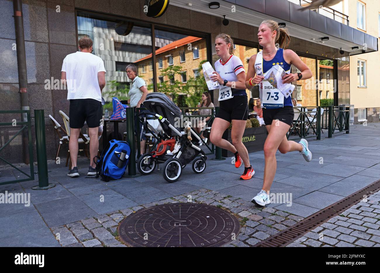 The Swedish Championship week (In swedish: SM-veckan) during Saturday in Linköping, Sweden. In the picture: City Orienteering (In swedish: Orientering sprintstafett) in the center of Linköping. Stock Photohttps://www.alamy.com/image-license-details/?v=1https://www.alamy.com/the-swedish-championship-week-in-swedish-sm-veckan-during-saturday-in-linkping-sweden-in-the-picture-city-orienteering-in-swedish-orientering-sprintstafett-in-the-center-of-linkping-image474360724.html
RM2JFMYXC–The Swedish Championship week (In swedish: SM-veckan) during Saturday in Linköping, Sweden. In the picture: City Orienteering (In swedish: Orientering sprintstafett) in the center of Linköping.
 Ostergotland, county of Sweden. Low resolution satellite map. Corner auxiliary location maps Stock Photohttps://www.alamy.com/image-license-details/?v=1https://www.alamy.com/ostergotland-county-of-sweden-low-resolution-satellite-map-corner-auxiliary-location-maps-image528542444.html
RF2NKW57T–Ostergotland, county of Sweden. Low resolution satellite map. Corner auxiliary location maps
 Introductory class, with many nationalities, at a school in Linköping. Stock Photohttps://www.alamy.com/image-license-details/?v=1https://www.alamy.com/introductory-class-with-many-nationalities-at-a-school-in-linkping-image432096582.html
RM2G2YKGP–Introductory class, with many nationalities, at a school in Linköping.
 An old VW bus from Volkswagen. Stock Photohttps://www.alamy.com/image-license-details/?v=1https://www.alamy.com/an-old-vw-bus-from-volkswagen-image438852470.html
RM2GDYCPE–An old VW bus from Volkswagen.
 Ostergotland, county of Sweden. Bilevel elevation map with lakes and rivers. Corner auxiliary location maps Stock Photohttps://www.alamy.com/image-license-details/?v=1https://www.alamy.com/ostergotland-county-of-sweden-bilevel-elevation-map-with-lakes-and-rivers-corner-auxiliary-location-maps-image528542434.html
RF2NKW57E–Ostergotland, county of Sweden. Bilevel elevation map with lakes and rivers. Corner auxiliary location maps
 An old VW bus from Volkswagen. Stock Photohttps://www.alamy.com/image-license-details/?v=1https://www.alamy.com/an-old-vw-bus-from-volkswagen-image438852447.html
RM2GDYCNK–An old VW bus from Volkswagen.
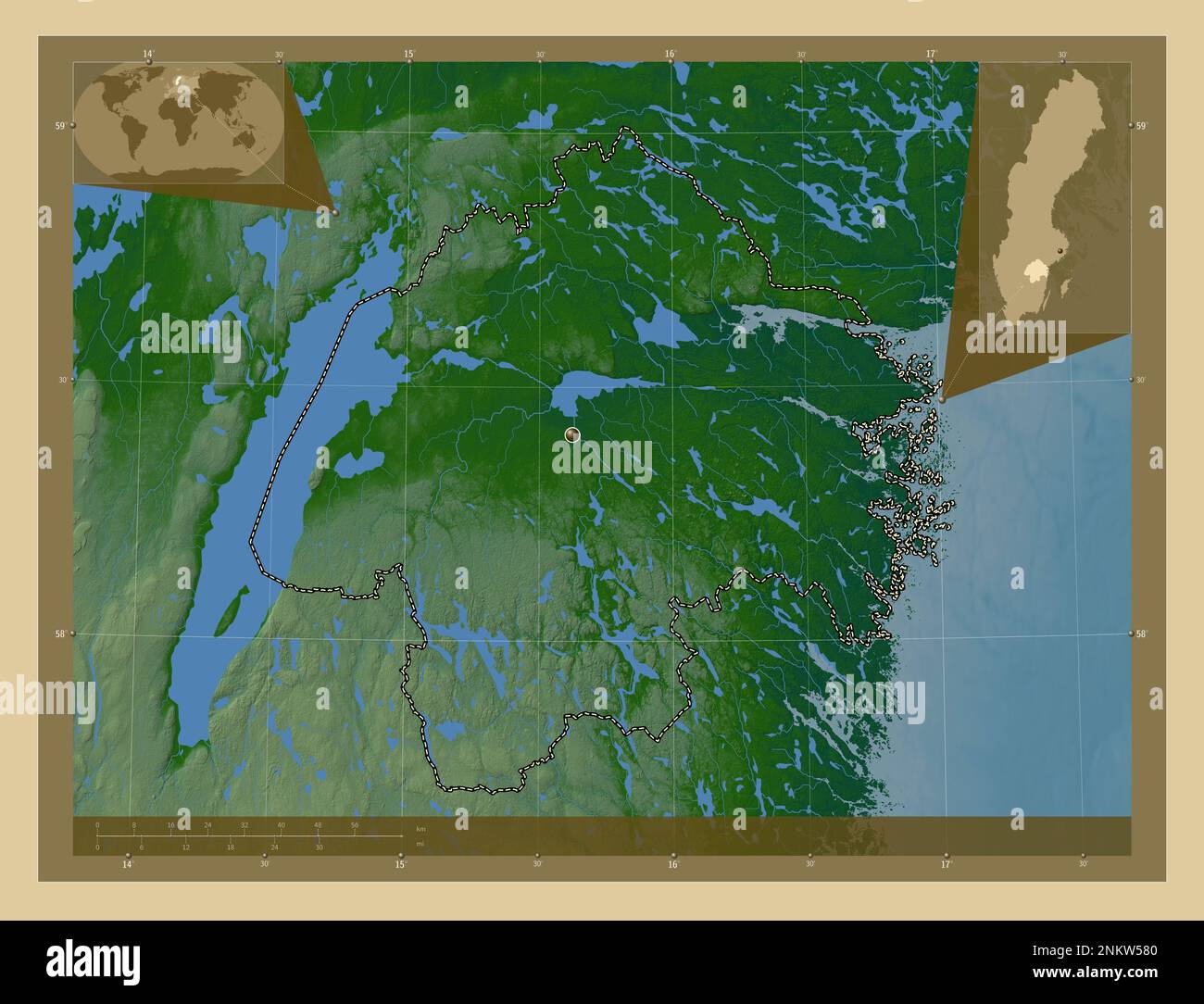 Ostergotland, county of Sweden. Colored elevation map with lakes and rivers. Corner auxiliary location maps Stock Photohttps://www.alamy.com/image-license-details/?v=1https://www.alamy.com/ostergotland-county-of-sweden-colored-elevation-map-with-lakes-and-rivers-corner-auxiliary-location-maps-image528542448.html
RF2NKW580–Ostergotland, county of Sweden. Colored elevation map with lakes and rivers. Corner auxiliary location maps
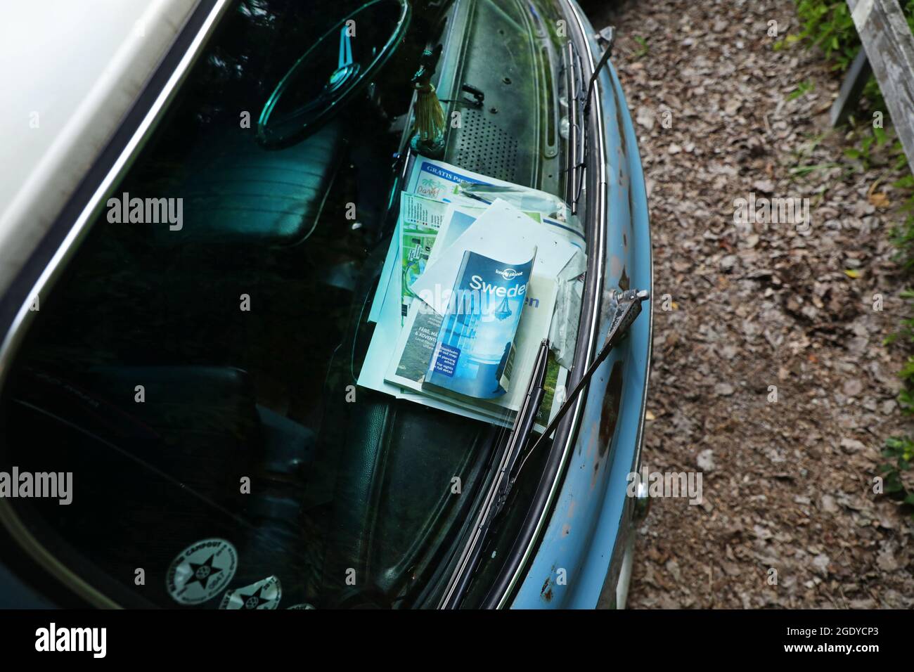 An old VW bus from Volkswagen. Stock Photohttps://www.alamy.com/image-license-details/?v=1https://www.alamy.com/an-old-vw-bus-from-volkswagen-image438852459.html
RM2GDYCP3–An old VW bus from Volkswagen.
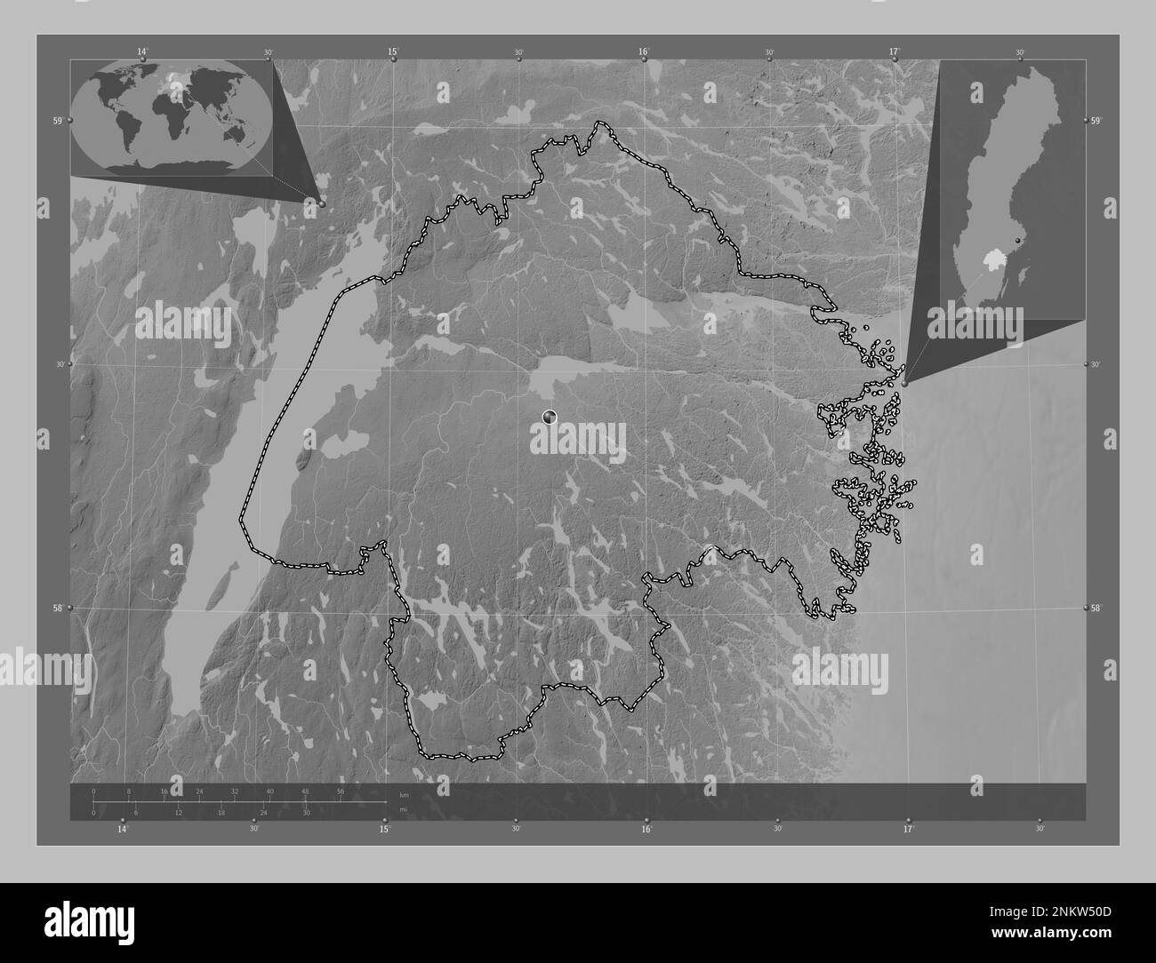 Ostergotland, county of Sweden. Grayscale elevation map with lakes and rivers. Corner auxiliary location maps Stock Photohttps://www.alamy.com/image-license-details/?v=1https://www.alamy.com/ostergotland-county-of-sweden-grayscale-elevation-map-with-lakes-and-rivers-corner-auxiliary-location-maps-image528542237.html
RF2NKW50D–Ostergotland, county of Sweden. Grayscale elevation map with lakes and rivers. Corner auxiliary location maps
 Ostergotland, county of Sweden. Elevation map colored in wiki style with lakes and rivers Stock Photohttps://www.alamy.com/image-license-details/?v=1https://www.alamy.com/ostergotland-county-of-sweden-elevation-map-colored-in-wiki-style-with-lakes-and-rivers-image530836199.html
RF2NRHJYK–Ostergotland, county of Sweden. Elevation map colored in wiki style with lakes and rivers
 Ostergotland, county of Sweden. Elevation map colored in sepia tones with lakes and rivers Stock Photohttps://www.alamy.com/image-license-details/?v=1https://www.alamy.com/ostergotland-county-of-sweden-elevation-map-colored-in-sepia-tones-with-lakes-and-rivers-image530836219.html
RF2NRHK0B–Ostergotland, county of Sweden. Elevation map colored in sepia tones with lakes and rivers
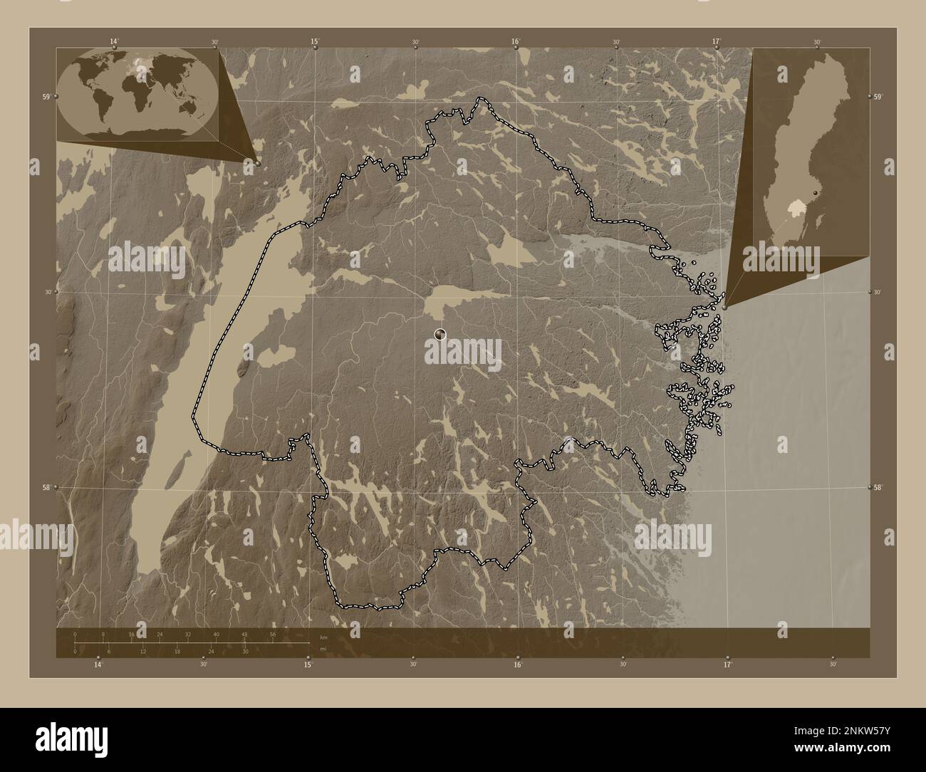 Ostergotland, county of Sweden. Elevation map colored in sepia tones with lakes and rivers. Corner auxiliary location maps Stock Photohttps://www.alamy.com/image-license-details/?v=1https://www.alamy.com/ostergotland-county-of-sweden-elevation-map-colored-in-sepia-tones-with-lakes-and-rivers-corner-auxiliary-location-maps-image528542447.html
RF2NKW57Y–Ostergotland, county of Sweden. Elevation map colored in sepia tones with lakes and rivers. Corner auxiliary location maps
 Ostergotland, county of Sweden. Elevation map colored in wiki style with lakes and rivers. Corner auxiliary location maps Stock Photohttps://www.alamy.com/image-license-details/?v=1https://www.alamy.com/ostergotland-county-of-sweden-elevation-map-colored-in-wiki-style-with-lakes-and-rivers-corner-auxiliary-location-maps-image528542464.html
RF2NKW58G–Ostergotland, county of Sweden. Elevation map colored in wiki style with lakes and rivers. Corner auxiliary location maps
 Ostergotland, county of Sweden. Open Street Map. Locations of major cities of the region. Corner auxiliary location maps Stock Photohttps://www.alamy.com/image-license-details/?v=1https://www.alamy.com/ostergotland-county-of-sweden-open-street-map-locations-of-major-cities-of-the-region-corner-auxiliary-location-maps-image528542441.html
RF2NKW57N–Ostergotland, county of Sweden. Open Street Map. Locations of major cities of the region. Corner auxiliary location maps
 Ostergotland, county of Sweden. High resolution satellite map. Locations of major cities of the region. Corner auxiliary location maps Stock Photohttps://www.alamy.com/image-license-details/?v=1https://www.alamy.com/ostergotland-county-of-sweden-high-resolution-satellite-map-locations-of-major-cities-of-the-region-corner-auxiliary-location-maps-image528542436.html
RF2NKW57G–Ostergotland, county of Sweden. High resolution satellite map. Locations of major cities of the region. Corner auxiliary location maps
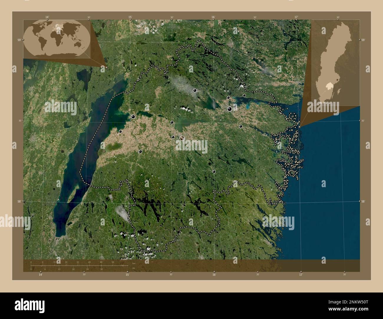 Ostergotland, county of Sweden. Low resolution satellite map. Locations of major cities of the region. Corner auxiliary location maps Stock Photohttps://www.alamy.com/image-license-details/?v=1https://www.alamy.com/ostergotland-county-of-sweden-low-resolution-satellite-map-locations-of-major-cities-of-the-region-corner-auxiliary-location-maps-image528542248.html
RF2NKW50T–Ostergotland, county of Sweden. Low resolution satellite map. Locations of major cities of the region. Corner auxiliary location maps
 Ostergotland, county of Sweden. Open Street Map. Locations and names of major cities of the region. Corner auxiliary location maps Stock Photohttps://www.alamy.com/image-license-details/?v=1https://www.alamy.com/ostergotland-county-of-sweden-open-street-map-locations-and-names-of-major-cities-of-the-region-corner-auxiliary-location-maps-image528542442.html
RF2NKW57P–Ostergotland, county of Sweden. Open Street Map. Locations and names of major cities of the region. Corner auxiliary location maps
 Ostergotland, county of Sweden. Grayscale elevation map with lakes and rivers. Locations and names of major cities of the region. Corner auxiliary loc Stock Photohttps://www.alamy.com/image-license-details/?v=1https://www.alamy.com/ostergotland-county-of-sweden-grayscale-elevation-map-with-lakes-and-rivers-locations-and-names-of-major-cities-of-the-region-corner-auxiliary-loc-image528542240.html
RF2NKW50G–Ostergotland, county of Sweden. Grayscale elevation map with lakes and rivers. Locations and names of major cities of the region. Corner auxiliary loc
 Ostergotland, county of Sweden. Bilevel elevation map with lakes and rivers. Locations of major cities of the region. Corner auxiliary location maps Stock Photohttps://www.alamy.com/image-license-details/?v=1https://www.alamy.com/ostergotland-county-of-sweden-bilevel-elevation-map-with-lakes-and-rivers-locations-of-major-cities-of-the-region-corner-auxiliary-location-maps-image528542247.html
RF2NKW50R–Ostergotland, county of Sweden. Bilevel elevation map with lakes and rivers. Locations of major cities of the region. Corner auxiliary location maps
 Ostergotland, county of Sweden. Low resolution satellite map. Locations and names of major cities of the region. Corner auxiliary location maps Stock Photohttps://www.alamy.com/image-license-details/?v=1https://www.alamy.com/ostergotland-county-of-sweden-low-resolution-satellite-map-locations-and-names-of-major-cities-of-the-region-corner-auxiliary-location-maps-image528542451.html
RF2NKW583–Ostergotland, county of Sweden. Low resolution satellite map. Locations and names of major cities of the region. Corner auxiliary location maps
 Ostergotland, county of Sweden. High resolution satellite map. Locations and names of major cities of the region. Corner auxiliary location maps Stock Photohttps://www.alamy.com/image-license-details/?v=1https://www.alamy.com/ostergotland-county-of-sweden-high-resolution-satellite-map-locations-and-names-of-major-cities-of-the-region-corner-auxiliary-location-maps-image528542438.html
RF2NKW57J–Ostergotland, county of Sweden. High resolution satellite map. Locations and names of major cities of the region. Corner auxiliary location maps
 Ostergotland, county of Sweden. Colored elevation map with lakes and rivers. Locations of major cities of the region. Corner auxiliary location maps Stock Photohttps://www.alamy.com/image-license-details/?v=1https://www.alamy.com/ostergotland-county-of-sweden-colored-elevation-map-with-lakes-and-rivers-locations-of-major-cities-of-the-region-corner-auxiliary-location-maps-image528542446.html
RF2NKW57X–Ostergotland, county of Sweden. Colored elevation map with lakes and rivers. Locations of major cities of the region. Corner auxiliary location maps
 Ostergotland, county of Sweden. Bilevel elevation map with lakes and rivers. Locations and names of major cities of the region. Corner auxiliary locat Stock Photohttps://www.alamy.com/image-license-details/?v=1https://www.alamy.com/ostergotland-county-of-sweden-bilevel-elevation-map-with-lakes-and-rivers-locations-and-names-of-major-cities-of-the-region-corner-auxiliary-locat-image528542236.html
RF2NKW50C–Ostergotland, county of Sweden. Bilevel elevation map with lakes and rivers. Locations and names of major cities of the region. Corner auxiliary locat
 Ostergotland, county of Sweden. Colored elevation map with lakes and rivers. Locations and names of major cities of the region. Corner auxiliary locat Stock Photohttps://www.alamy.com/image-license-details/?v=1https://www.alamy.com/ostergotland-county-of-sweden-colored-elevation-map-with-lakes-and-rivers-locations-and-names-of-major-cities-of-the-region-corner-auxiliary-locat-image528542440.html
RF2NKW57M–Ostergotland, county of Sweden. Colored elevation map with lakes and rivers. Locations and names of major cities of the region. Corner auxiliary locat
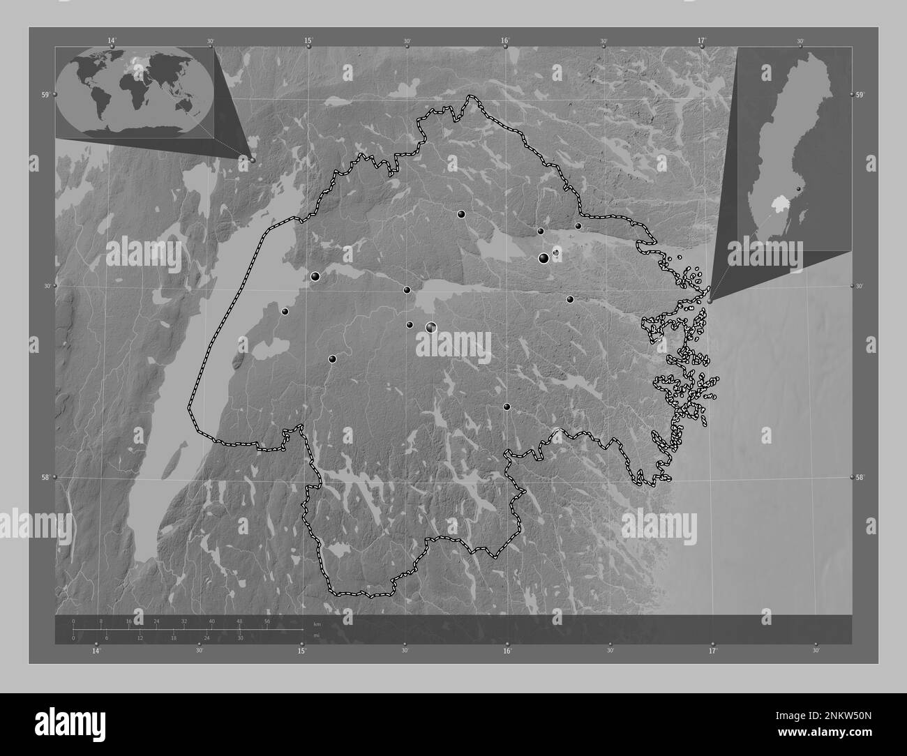 Ostergotland, county of Sweden. Grayscale elevation map with lakes and rivers. Locations of major cities of the region. Corner auxiliary location maps Stock Photohttps://www.alamy.com/image-license-details/?v=1https://www.alamy.com/ostergotland-county-of-sweden-grayscale-elevation-map-with-lakes-and-rivers-locations-of-major-cities-of-the-region-corner-auxiliary-location-maps-image528542245.html
RF2NKW50N–Ostergotland, county of Sweden. Grayscale elevation map with lakes and rivers. Locations of major cities of the region. Corner auxiliary location maps
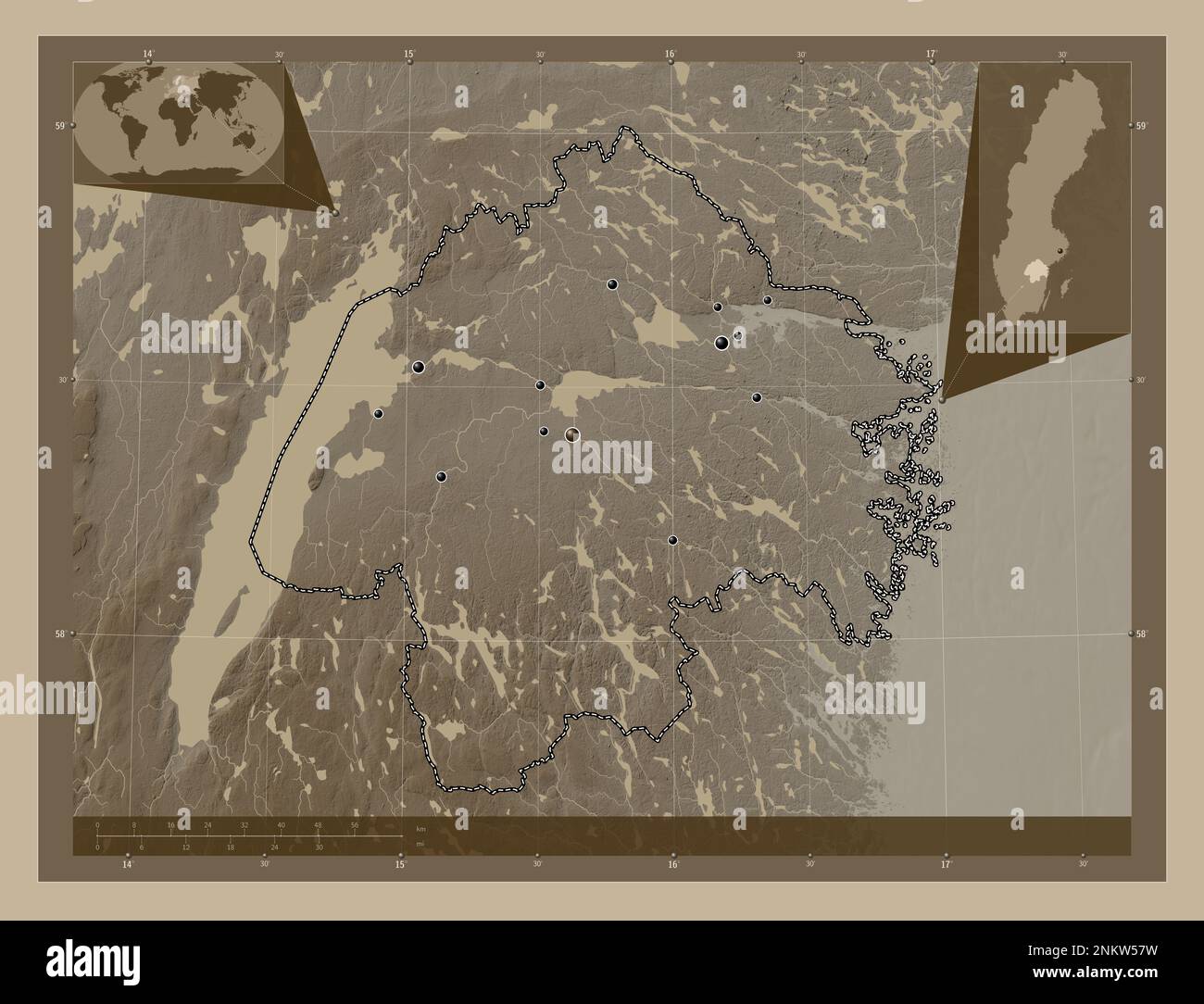 Ostergotland, county of Sweden. Elevation map colored in sepia tones with lakes and rivers. Locations of major cities of the region. Corner auxiliary Stock Photohttps://www.alamy.com/image-license-details/?v=1https://www.alamy.com/ostergotland-county-of-sweden-elevation-map-colored-in-sepia-tones-with-lakes-and-rivers-locations-of-major-cities-of-the-region-corner-auxiliary-image528542445.html
RF2NKW57W–Ostergotland, county of Sweden. Elevation map colored in sepia tones with lakes and rivers. Locations of major cities of the region. Corner auxiliary
 Ostergotland, county of Sweden. Elevation map colored in sepia tones with lakes and rivers. Locations and names of major cities of the region. Corner Stock Photohttps://www.alamy.com/image-license-details/?v=1https://www.alamy.com/ostergotland-county-of-sweden-elevation-map-colored-in-sepia-tones-with-lakes-and-rivers-locations-and-names-of-major-cities-of-the-region-corner-image528542452.html
RF2NKW584–Ostergotland, county of Sweden. Elevation map colored in sepia tones with lakes and rivers. Locations and names of major cities of the region. Corner
 Ostergotland, county of Sweden. Elevation map colored in wiki style with lakes and rivers. Locations and names of major cities of the region. Corner a Stock Photohttps://www.alamy.com/image-license-details/?v=1https://www.alamy.com/ostergotland-county-of-sweden-elevation-map-colored-in-wiki-style-with-lakes-and-rivers-locations-and-names-of-major-cities-of-the-region-corner-a-image528542494.html
RF2NKW59J–Ostergotland, county of Sweden. Elevation map colored in wiki style with lakes and rivers. Locations and names of major cities of the region. Corner a
 Ostergotland, county of Sweden. Elevation map colored in wiki style with lakes and rivers. Locations of major cities of the region. Corner auxiliary l Stock Photohttps://www.alamy.com/image-license-details/?v=1https://www.alamy.com/ostergotland-county-of-sweden-elevation-map-colored-in-wiki-style-with-lakes-and-rivers-locations-of-major-cities-of-the-region-corner-auxiliary-l-image528542456.html
RF2NKW588–Ostergotland, county of Sweden. Elevation map colored in wiki style with lakes and rivers. Locations of major cities of the region. Corner auxiliary l
 Ostergotland, county of Sweden. Diagram showing the location of the region on larger-scale maps. Composition of vector frames and PNG shapes on a soli Stock Photohttps://www.alamy.com/image-license-details/?v=1https://www.alamy.com/ostergotland-county-of-sweden-diagram-showing-the-location-of-the-region-on-larger-scale-maps-composition-of-vector-frames-and-png-shapes-on-a-soli-image528542244.html
RF2NKW50M–Ostergotland, county of Sweden. Diagram showing the location of the region on larger-scale maps. Composition of vector frames and PNG shapes on a soli
 Ostergotland, county of Sweden. Solid color shape. Corner auxiliary location maps Stock Photohttps://www.alamy.com/image-license-details/?v=1https://www.alamy.com/ostergotland-county-of-sweden-solid-color-shape-corner-auxiliary-location-maps-image528542455.html
RF2NKW587–Ostergotland, county of Sweden. Solid color shape. Corner auxiliary location maps
 Ostergotland, county of Sweden. Solid color shape. Locations of major cities of the region. Corner auxiliary location maps Stock Photohttps://www.alamy.com/image-license-details/?v=1https://www.alamy.com/ostergotland-county-of-sweden-solid-color-shape-locations-of-major-cities-of-the-region-corner-auxiliary-location-maps-image528542454.html
RF2NKW586–Ostergotland, county of Sweden. Solid color shape. Locations of major cities of the region. Corner auxiliary location maps
 Ostergotland, county of Sweden. Solid color shape. Locations and names of major cities of the region. Corner auxiliary location maps Stock Photohttps://www.alamy.com/image-license-details/?v=1https://www.alamy.com/ostergotland-county-of-sweden-solid-color-shape-locations-and-names-of-major-cities-of-the-region-corner-auxiliary-location-maps-image528542450.html
RF2NKW582–Ostergotland, county of Sweden. Solid color shape. Locations and names of major cities of the region. Corner auxiliary location maps
 Ostergotland, county of Sweden. Solid color shape Stock Photohttps://www.alamy.com/image-license-details/?v=1https://www.alamy.com/ostergotland-county-of-sweden-solid-color-shape-image530836154.html
RF2NRHJX2–Ostergotland, county of Sweden. Solid color shape
 Ostergotland, county of Sweden. Sentinel-2 satellite imagery. Shape isolated on black. Description, location of the capital. Contains modified Coperni Stock Photohttps://www.alamy.com/image-license-details/?v=1https://www.alamy.com/ostergotland-county-of-sweden-sentinel-2-satellite-imagery-shape-isolated-on-black-description-location-of-the-capital-contains-modified-coperni-image415998219.html
RF2F4P9Y7–Ostergotland, county of Sweden. Sentinel-2 satellite imagery. Shape isolated on black. Description, location of the capital. Contains modified Coperni
 Ostergotland, county of Sweden. Sentinel-2 satellite imagery. Shape isolated on white. Description, location of the capital. Contains modified Coperni Stock Photohttps://www.alamy.com/image-license-details/?v=1https://www.alamy.com/ostergotland-county-of-sweden-sentinel-2-satellite-imagery-shape-isolated-on-white-description-location-of-the-capital-contains-modified-coperni-image415998170.html
RF2F4P9WE–Ostergotland, county of Sweden. Sentinel-2 satellite imagery. Shape isolated on white. Description, location of the capital. Contains modified Coperni
 Ostergotland, county of Sweden. Sentinel-2 satellite imagery. Shape isolated on solid background with informative overlays. Contains modified Copernic Stock Photohttps://www.alamy.com/image-license-details/?v=1https://www.alamy.com/ostergotland-county-of-sweden-sentinel-2-satellite-imagery-shape-isolated-on-solid-background-with-informative-overlays-contains-modified-copernic-image384566558.html
RF2D9JEFX–Ostergotland, county of Sweden. Sentinel-2 satellite imagery. Shape isolated on solid background with informative overlays. Contains modified Copernic