Quick filters:
Map of livorno Stock Photos and Images
 1852 Depot de la Marine Nautical Chart or Map of Livorno, Tuscany, Italy Stock Photohttps://www.alamy.com/image-license-details/?v=1https://www.alamy.com/stock-photo-1852-depot-de-la-marine-nautical-chart-or-map-of-livorno-tuscany-italy-49968049.html
RMCW86N5–1852 Depot de la Marine Nautical Chart or Map of Livorno, Tuscany, Italy
 Old map of the city of Livorno, Italy 1920s Stock Photohttps://www.alamy.com/image-license-details/?v=1https://www.alamy.com/old-map-of-the-city-of-livorno-italy-1920s-image341640116.html
RM2ARR1CM–Old map of the city of Livorno, Italy 1920s
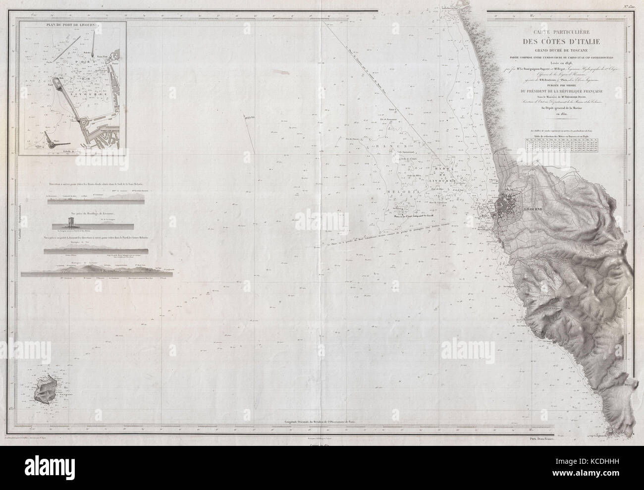 1852, Depot de la Marine Nautical Chart or Map of Livorno, Tuscany, Italy Stock Photohttps://www.alamy.com/image-license-details/?v=1https://www.alamy.com/stock-image-1852-depot-de-la-marine-nautical-chart-or-map-of-livorno-tuscany-italy-162568381.html
RMKCDHHH–1852, Depot de la Marine Nautical Chart or Map of Livorno, Tuscany, Italy
 1852 Depot de la Marine Nautical Chart or Map of Livorno, Tuscany, Italy - Geographicus - Livourne-depotdelamarine-1852 Stock Photohttps://www.alamy.com/image-license-details/?v=1https://www.alamy.com/stock-photo-1852-depot-de-la-marine-nautical-chart-or-map-of-livorno-tuscany-italy-139468557.html
RMJ2W9FW–1852 Depot de la Marine Nautical Chart or Map of Livorno, Tuscany, Italy - Geographicus - Livourne-depotdelamarine-1852
 Livourne. Plan of the Port and Roadstead of Livorno. Italy. ROUX 1804 old map Stock Photohttps://www.alamy.com/image-license-details/?v=1https://www.alamy.com/livourne-plan-of-the-port-and-roadstead-of-livorno-italy-roux-1804-old-map-image385036963.html
RF2DABXG3–Livourne. Plan of the Port and Roadstead of Livorno. Italy. ROUX 1804 old map
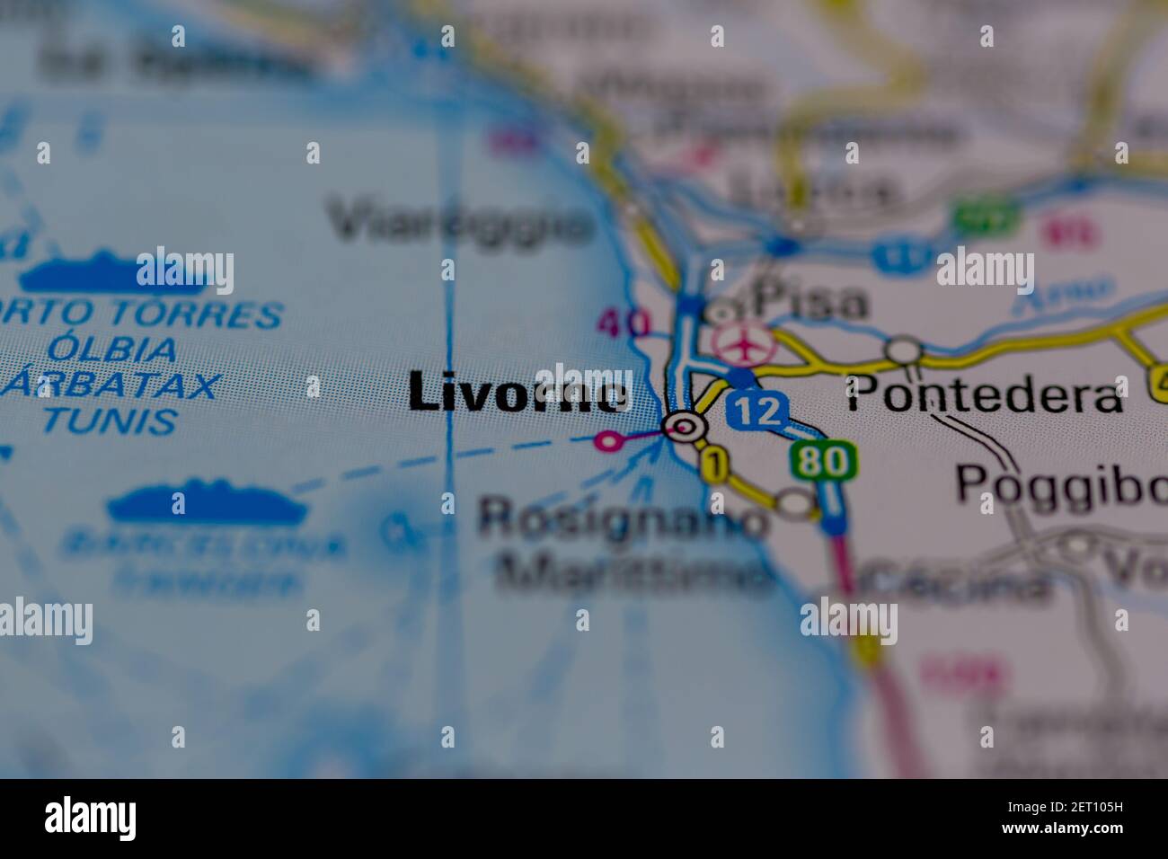 Livorno Shown on a road map or Geography map Stock Photohttps://www.alamy.com/image-license-details/?v=1https://www.alamy.com/livorno-shown-on-a-road-map-or-geography-map-image410612317.html
RM2ET105H–Livorno Shown on a road map or Geography map
 1874 Antique German Encyclopedia Atlas Print: Florence Livorno Ancona Modena Town Plans of North and Central Italy. Stock Photohttps://www.alamy.com/image-license-details/?v=1https://www.alamy.com/stock-photo-1874-antique-german-encyclopedia-atlas-print-florence-livorno-ancona-143688657.html
RFJ9NG9N–1874 Antique German Encyclopedia Atlas Print: Florence Livorno Ancona Modena Town Plans of North and Central Italy.
 8 1852 Depot de la Marine Nautical Chart or Map of Livorno, Tuscany, Italy - Geographicus - Livourne-depotdelamarine-1852 Stock Photohttps://www.alamy.com/image-license-details/?v=1https://www.alamy.com/8-1852-depot-de-la-marine-nautical-chart-or-map-of-livorno-tuscany-italy-geographicus-livourne-depotdelamarine-1852-image214210288.html
RMPCE3BC–8 1852 Depot de la Marine Nautical Chart or Map of Livorno, Tuscany, Italy - Geographicus - Livourne-depotdelamarine-1852
 1852 Depot de la Marine Nautical Chart or Map of Livorno, Tuscany, Italy - Geographicus - Livourne-depotdelamarine-1852. Stock Photohttps://www.alamy.com/image-license-details/?v=1https://www.alamy.com/1852-depot-de-la-marine-nautical-chart-or-map-of-livorno-tuscany-italy-geographicus-livourne-depotdelamarine-1852-image210025217.html
RMP5KD8H–1852 Depot de la Marine Nautical Chart or Map of Livorno, Tuscany, Italy - Geographicus - Livourne-depotdelamarine-1852.
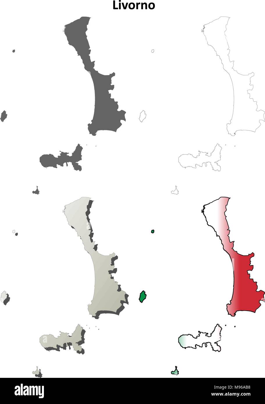 Livorno blank detailed outline map set Stock Vectorhttps://www.alamy.com/image-license-details/?v=1https://www.alamy.com/livorno-blank-detailed-outline-map-set-image177775452.html
RFM96AB8–Livorno blank detailed outline map set
 Livorno Italy City Map in Retro Style. Outline Map. Vector Illustration. Stock Vectorhttps://www.alamy.com/image-license-details/?v=1https://www.alamy.com/livorno-italy-city-map-in-retro-style-outline-map-vector-illustration-image366269191.html
RF2C7W02F–Livorno Italy City Map in Retro Style. Outline Map. Vector Illustration.
 Arrighi, Provincia di Livorno, IT, Italy, Tuscany, N 42 46' 12'', N 10 23' 18'', map, Cartascapes Map published in 2024. Explore Cartascapes, a map revealing Earth's diverse landscapes, cultures, and ecosystems. Journey through time and space, discovering the interconnectedness of our planet's past, present, and future. Stock Photohttps://www.alamy.com/image-license-details/?v=1https://www.alamy.com/arrighi-provincia-di-livorno-it-italy-tuscany-n-42-46-12-n-10-23-18-map-cartascapes-map-published-in-2024-explore-cartascapes-a-map-revealing-earths-diverse-landscapes-cultures-and-ecosystems-journey-through-time-and-space-discovering-the-interconnectedness-of-our-planets-past-present-and-future-image614471625.html
RM2XKKGR5–Arrighi, Provincia di Livorno, IT, Italy, Tuscany, N 42 46' 12'', N 10 23' 18'', map, Cartascapes Map published in 2024. Explore Cartascapes, a map revealing Earth's diverse landscapes, cultures, and ecosystems. Journey through time and space, discovering the interconnectedness of our planet's past, present, and future.
 Livorno pinned on a map of Italy Stock Photohttps://www.alamy.com/image-license-details/?v=1https://www.alamy.com/stock-photo-livorno-pinned-on-a-map-of-italy-125192202.html
RFH7JYX2–Livorno pinned on a map of Italy
 Ancient map of Livorno, Italy (image from Guida Italia Centrale Touring Club Italiano, 1923 edition) Stock Photohttps://www.alamy.com/image-license-details/?v=1https://www.alamy.com/ancient-map-of-livorno-italy-image-from-guida-italia-centrale-touring-club-italiano-1923-edition-image426224995.html
RF2FNC697–Ancient map of Livorno, Italy (image from Guida Italia Centrale Touring Club Italiano, 1923 edition)
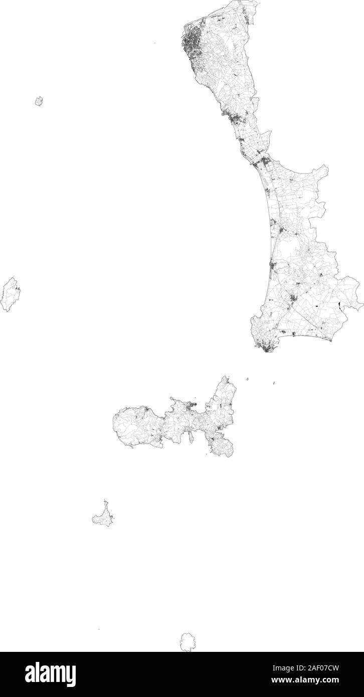 Satellite map of province of Livorno, towns and roads, buildings and connecting roads of surrounding areas. Tuscany, Italy. Map roads, ring roads Stock Vectorhttps://www.alamy.com/image-license-details/?v=1https://www.alamy.com/satellite-map-of-province-of-livorno-towns-and-roads-buildings-and-connecting-roads-of-surrounding-areas-tuscany-italy-map-roads-ring-roads-image336222681.html
RF2AF07CW–Satellite map of province of Livorno, towns and roads, buildings and connecting roads of surrounding areas. Tuscany, Italy. Map roads, ring roads
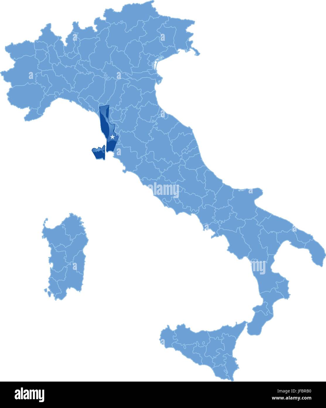 Map of Italy, Livorno Stock Vectorhttps://www.alamy.com/image-license-details/?v=1https://www.alamy.com/stock-photo-map-of-italy-livorno-147162596.html
RFJFBRB0–Map of Italy, Livorno
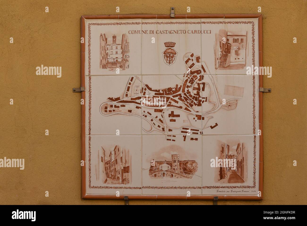 Close-up of a town map painted on ceramic tiles hunged on a building in the old town of Castagneto Carducci, Livorno, Tuscany, Italy Stock Photohttps://www.alamy.com/image-license-details/?v=1https://www.alamy.com/close-up-of-a-town-map-painted-on-ceramic-tiles-hunged-on-a-building-in-the-old-town-of-castagneto-carducci-livorno-tuscany-italy-image443511539.html
RM2GNFKDR–Close-up of a town map painted on ceramic tiles hunged on a building in the old town of Castagneto Carducci, Livorno, Tuscany, Italy
 Fortress map of Livorno with the Haven, Gommarus Wouters, After Cornelis Meijer, 1696 print Numbered at the top right: 41. paper etching fortified city. maps of cities Livorno Stock Photohttps://www.alamy.com/image-license-details/?v=1https://www.alamy.com/fortress-map-of-livorno-with-the-haven-gommarus-wouters-after-cornelis-meijer-1696-print-numbered-at-the-top-right-41-paper-etching-fortified-city-maps-of-cities-livorno-image594217574.html
RM2WEMXG6–Fortress map of Livorno with the Haven, Gommarus Wouters, After Cornelis Meijer, 1696 print Numbered at the top right: 41. paper etching fortified city. maps of cities Livorno
 Black and white urban map of livorno Stock Photohttps://www.alamy.com/image-license-details/?v=1https://www.alamy.com/black-and-white-urban-map-of-livorno-image480358554.html
RF2JWE66J–Black and white urban map of livorno
 1852 Depot de la Marine Nautical Chart or Map of Livorno, Tuscany, Italy Geographicus Livourne depotdelamarine 1852 Stock Photohttps://www.alamy.com/image-license-details/?v=1https://www.alamy.com/stock-photo-1852-depot-de-la-marine-nautical-chart-or-map-of-livorno-tuscany-italy-132409405.html
RMHKBNF9–1852 Depot de la Marine Nautical Chart or Map of Livorno, Tuscany, Italy Geographicus Livourne depotdelamarine 1852
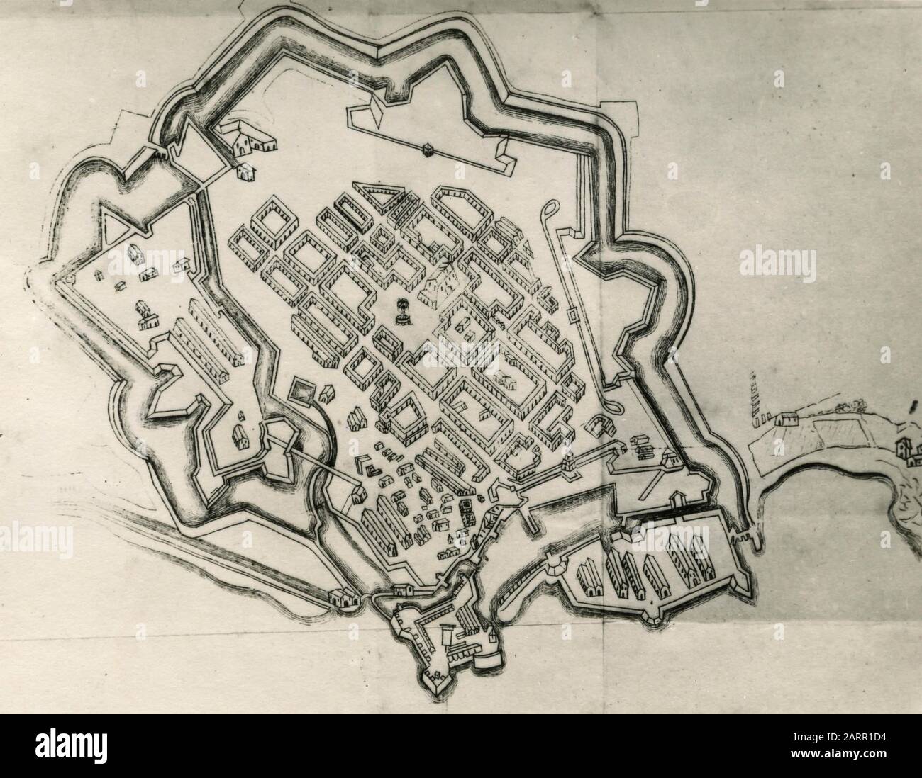 Old map of the city of Livorno, Italy 1920s Stock Photohttps://www.alamy.com/image-license-details/?v=1https://www.alamy.com/old-map-of-the-city-of-livorno-italy-1920s-image341640128.html
RM2ARR1D4–Old map of the city of Livorno, Italy 1920s
 Fortress map of Livorno with the harbour, Pianta della Cittá, e Porto di Livorno (title on object), numbered top right: 41 Stock Photohttps://www.alamy.com/image-license-details/?v=1https://www.alamy.com/fortress-map-of-livorno-with-the-harbour-pianta-della-citt-e-porto-di-livorno-title-on-object-numbered-top-right-41-image606664676.html
RM2X6YXYG–Fortress map of Livorno with the harbour, Pianta della Cittá, e Porto di Livorno (title on object), numbered top right: 41
 Pisa And Livorno, Italy, True Colour Satellite Image. True colour satellite image of the cities of Pisa and Livorno, Tuscany, It Stock Photohttps://www.alamy.com/image-license-details/?v=1https://www.alamy.com/stock-photo-pisa-and-livorno-italy-true-colour-satellite-image-true-colour-satellite-71606885.html
RME4DY8N–Pisa And Livorno, Italy, True Colour Satellite Image. True colour satellite image of the cities of Pisa and Livorno, Tuscany, It
 ITALY: Livorno, 1945 vintage map Stock Photohttps://www.alamy.com/image-license-details/?v=1https://www.alamy.com/stock-photo-italy-livorno-1945-vintage-map-103772969.html
RFG0R7DD–ITALY: Livorno, 1945 vintage map
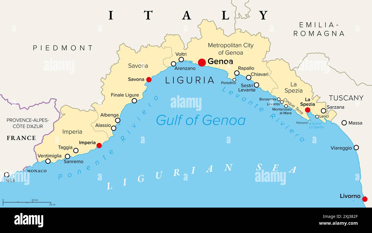 Liguria and the Italian Riviera, the Ligurian Riviera, political map. Region of north-western Italy, with capital Genoa. Stock Photohttps://www.alamy.com/image-license-details/?v=1https://www.alamy.com/liguria-and-the-italian-riviera-the-ligurian-riviera-political-map-region-of-north-western-italy-with-capital-genoa-image613498887.html
RF2XJ382F–Liguria and the Italian Riviera, the Ligurian Riviera, political map. Region of north-western Italy, with capital Genoa.
 Symbol Map of the Province Livorno (Italy) showing the state with black, crossing lines like Mikado Sticks or a spider web Stock Vectorhttps://www.alamy.com/image-license-details/?v=1https://www.alamy.com/symbol-map-of-the-province-livorno-italy-showing-the-state-with-black-crossing-lines-like-mikado-sticks-or-a-spider-web-image616045698.html
RF2XP78G2–Symbol Map of the Province Livorno (Italy) showing the state with black, crossing lines like Mikado Sticks or a spider web
 . Nederlands: Deze kaart van Livorno werd in 1640 door Joan Blaeu (1598-1673) en Cornelius Blaeu (1610-1642) gepubliceerd in het derde deel van hun Atlas Novus. De kaart werd door Blaeu gekopieerd naar een voorbeeld uit het kaartboek Italia van de Italiaanse kartograaf Giovanni Antonio Magini (1555-1617). English: This map of Livorno was published in 1640 by Joan Blaeu (1598-1673) and Cornelius Blaeu (1610-1642) in the third volume of the Atlas Novus. Blaeu copied the map after an example in the map book Italia by the Italian cartographer Giovanni Antonio Magini (1555-1617). TERRA DI LAVORNO Stock Photohttps://www.alamy.com/image-license-details/?v=1https://www.alamy.com/nederlands-deze-kaart-van-livorno-werd-in-1640-door-joan-blaeu-1598-1673-en-cornelius-blaeu-1610-1642-gepubliceerd-in-het-derde-deel-van-hun-atlas-novus-de-kaart-werd-door-blaeu-gekopieerd-naar-een-voorbeeld-uit-het-kaartboek-italia-van-de-italiaanse-kartograaf-giovanni-antonio-magini-1555-1617-english-this-map-of-livorno-was-published-in-1640-by-joan-blaeu-1598-1673-and-cornelius-blaeu-1610-1642-in-the-third-volume-of-the-atlas-novus-blaeu-copied-the-map-after-an-example-in-the-map-book-italia-by-the-italian-cartographer-giovanni-antonio-magini-1555-1617-terra-di-lavorno-image184777860.html
RMMMHA18–. Nederlands: Deze kaart van Livorno werd in 1640 door Joan Blaeu (1598-1673) en Cornelius Blaeu (1610-1642) gepubliceerd in het derde deel van hun Atlas Novus. De kaart werd door Blaeu gekopieerd naar een voorbeeld uit het kaartboek Italia van de Italiaanse kartograaf Giovanni Antonio Magini (1555-1617). English: This map of Livorno was published in 1640 by Joan Blaeu (1598-1673) and Cornelius Blaeu (1610-1642) in the third volume of the Atlas Novus. Blaeu copied the map after an example in the map book Italia by the Italian cartographer Giovanni Antonio Magini (1555-1617). TERRA DI LAVORNO
 Livorno map 17th Century Stock Photohttps://www.alamy.com/image-license-details/?v=1https://www.alamy.com/stock-photo-livorno-map-17th-century-140213913.html
RMJ4387N–Livorno map 17th Century
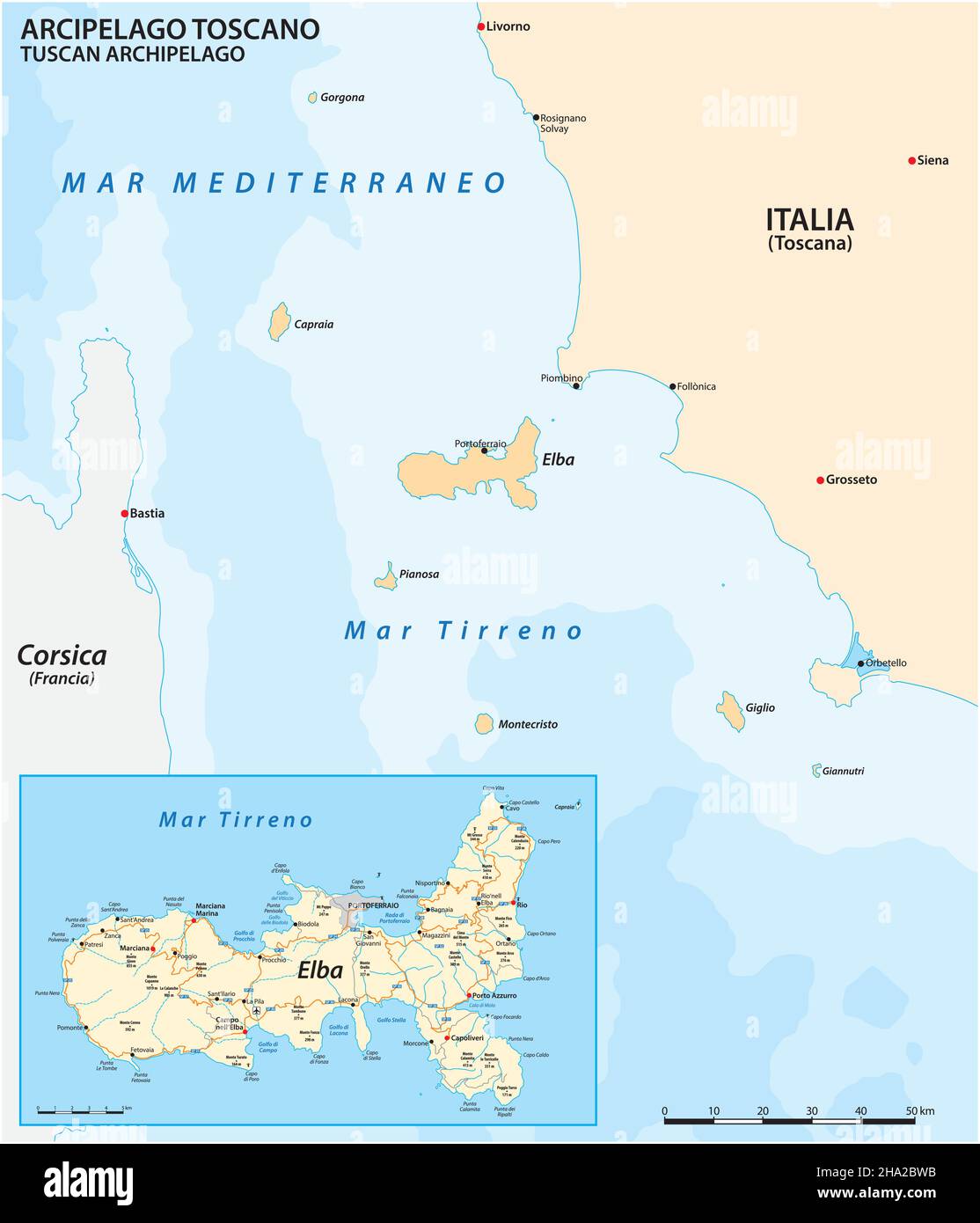 Map of Elba Island and the Tuscan Archipelago, Italy Stock Vectorhttps://www.alamy.com/image-license-details/?v=1https://www.alamy.com/map-of-elba-island-and-the-tuscan-archipelago-italy-image453669367.html
RF2HA2BWB–Map of Elba Island and the Tuscan Archipelago, Italy
 Livorno Italy City Map in golden Colors in Retro Style. Outline Map. Vector Illustration. Stock Vectorhttps://www.alamy.com/image-license-details/?v=1https://www.alamy.com/livorno-italy-city-map-in-golden-colors-in-retro-style-outline-map-vector-illustration-image630169383.html
RF2YH6KDB–Livorno Italy City Map in golden Colors in Retro Style. Outline Map. Vector Illustration.
 Capoliveri, Provincia di Livorno, IT, Italy, Tuscany, N 42 44' 36'', N 10 22' 44'', map, Cartascapes Map published in 2024. Explore Cartascapes, a map revealing Earth's diverse landscapes, cultures, and ecosystems. Journey through time and space, discovering the interconnectedness of our planet's past, present, and future. Stock Photohttps://www.alamy.com/image-license-details/?v=1https://www.alamy.com/capoliveri-provincia-di-livorno-it-italy-tuscany-n-42-44-36-n-10-22-44-map-cartascapes-map-published-in-2024-explore-cartascapes-a-map-revealing-earths-diverse-landscapes-cultures-and-ecosystems-journey-through-time-and-space-discovering-the-interconnectedness-of-our-planets-past-present-and-future-image614461730.html
RM2XKK45P–Capoliveri, Provincia di Livorno, IT, Italy, Tuscany, N 42 44' 36'', N 10 22' 44'', map, Cartascapes Map published in 2024. Explore Cartascapes, a map revealing Earth's diverse landscapes, cultures, and ecosystems. Journey through time and space, discovering the interconnectedness of our planet's past, present, and future.
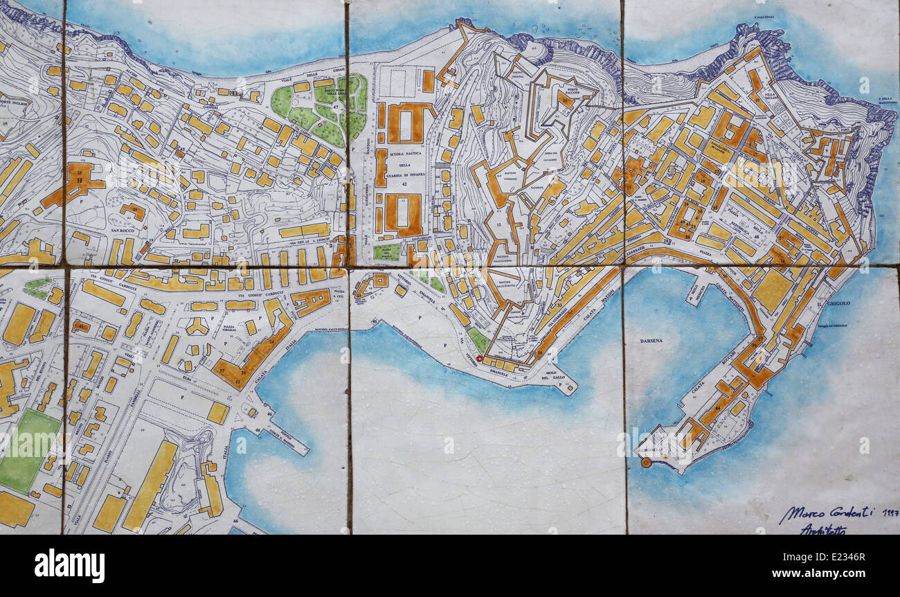 Map of Portoferraio, Italy Stock Photohttps://www.alamy.com/image-license-details/?v=1https://www.alamy.com/stock-photo-map-of-portoferraio-italy-70139967.html
RFE2346R–Map of Portoferraio, Italy
 Italy, Tuscany, Provincia di Livorno, Join the Crew, Sailing Italy: Elba, look up the map Stock Photohttps://www.alamy.com/image-license-details/?v=1https://www.alamy.com/stock-photo-italy-tuscany-provincia-di-livorno-join-the-crew-sailing-italy-elba-139189351.html
RMJ2CHC7–Italy, Tuscany, Provincia di Livorno, Join the Crew, Sailing Italy: Elba, look up the map
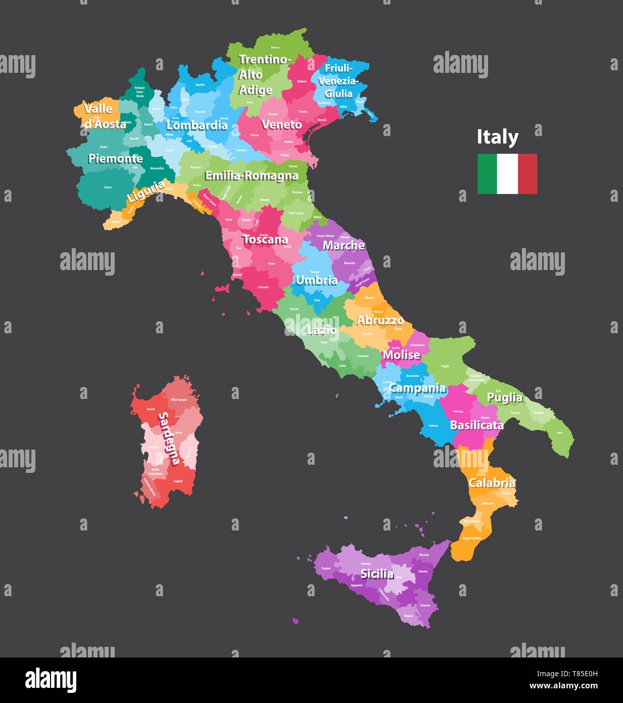 vector Italy high detailed map colored by regions Stock Vectorhttps://www.alamy.com/image-license-details/?v=1https://www.alamy.com/vector-italy-high-detailed-map-colored-by-regions-image245983153.html
RFT85E0H–vector Italy high detailed map colored by regions
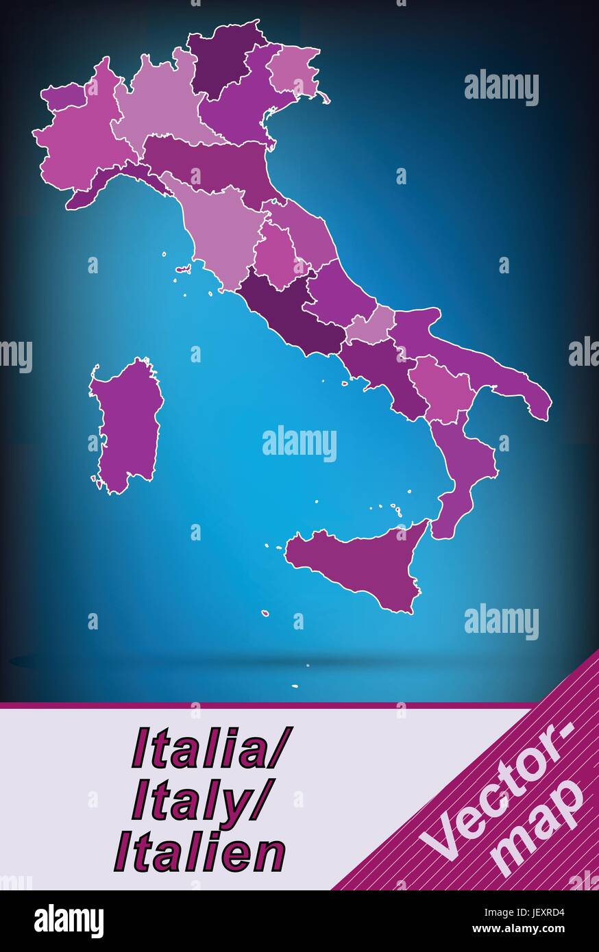 border map of italy with borders in violet Stock Vectorhttps://www.alamy.com/image-license-details/?v=1https://www.alamy.com/stock-photo-border-map-of-italy-with-borders-in-violet-146877280.html
RFJEXRD4–border map of italy with borders in violet
 Livorno map 17th Century. Stock Photohttps://www.alamy.com/image-license-details/?v=1https://www.alamy.com/livorno-map-17th-century-image396450367.html
RM2E0YTDK–Livorno map 17th Century.
 Map of Livorno, ca. 1693-1696, 1693 - 1696 print Map of the reinforcements for the Italian city of Livorno. Part of the seventh part (1696) of the print work in which the eight parts of Les Forces de l'Europe are published between 1693-1697. The printed work consists of 175 plates with plans (from Sébastien Le Prestre, Seigneur de Vauban) of renowned strong cities and fortresses in the Nine Years War. Title and inscriptions in French. print maker: Francepublisher: Paris paper etching maps of cities. fortress Livorno Stock Photohttps://www.alamy.com/image-license-details/?v=1https://www.alamy.com/map-of-livorno-ca-1693-1696-1693-1696-print-map-of-the-reinforcements-for-the-italian-city-of-livorno-part-of-the-seventh-part-1696-of-the-print-work-in-which-the-eight-parts-of-les-forces-de-leurope-are-published-between-1693-1697-the-printed-work-consists-of-175-plates-with-plans-from-sbastien-le-prestre-seigneur-de-vauban-of-renowned-strong-cities-and-fortresses-in-the-nine-years-war-title-and-inscriptions-in-french-print-maker-francepublisher-paris-paper-etching-maps-of-cities-fortress-livorno-image595206289.html
RM2WG9YKD–Map of Livorno, ca. 1693-1696, 1693 - 1696 print Map of the reinforcements for the Italian city of Livorno. Part of the seventh part (1696) of the print work in which the eight parts of Les Forces de l'Europe are published between 1693-1697. The printed work consists of 175 plates with plans (from Sébastien Le Prestre, Seigneur de Vauban) of renowned strong cities and fortresses in the Nine Years War. Title and inscriptions in French. print maker: Francepublisher: Paris paper etching maps of cities. fortress Livorno
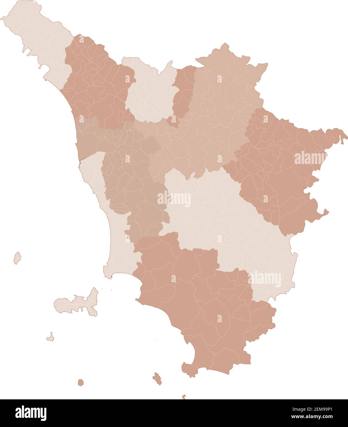 Tuscany map, division by provinces and municipalities. Closed and perfectly editable polygons, polygon fill and color paths editable at will. Levels. Stock Vectorhttps://www.alamy.com/image-license-details/?v=1https://www.alamy.com/tuscany-map-division-by-provinces-and-municipalities-closed-and-perfectly-editable-polygons-polygon-fill-and-color-paths-editable-at-will-levels-image408336825.html
RF2EM99P1–Tuscany map, division by provinces and municipalities. Closed and perfectly editable polygons, polygon fill and color paths editable at will. Levels.
 1852 Depot de la Marine Nautical Chart or Map of Livorno, Tuscany, Italy Geographicus Livourne depotdelamarine 1852 Stock Photohttps://www.alamy.com/image-license-details/?v=1https://www.alamy.com/stock-photo-1852-depot-de-la-marine-nautical-chart-or-map-of-livorno-tuscany-italy-136441881.html
RMHWYD09–1852 Depot de la Marine Nautical Chart or Map of Livorno, Tuscany, Italy Geographicus Livourne depotdelamarine 1852
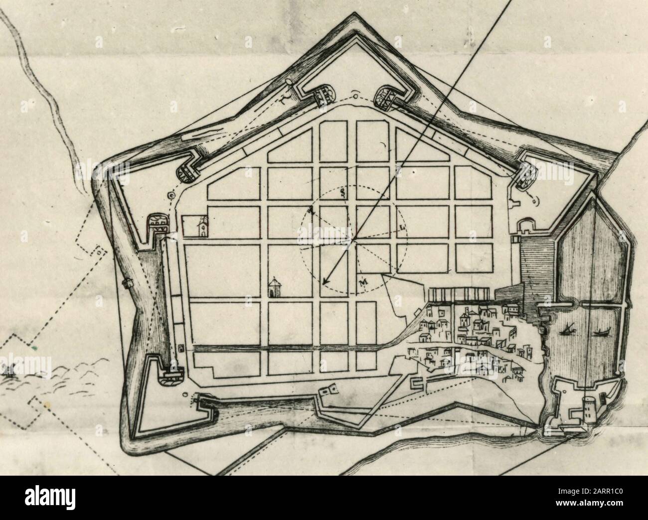 Old map of the city of Livorno, Italy 1920s Stock Photohttps://www.alamy.com/image-license-details/?v=1https://www.alamy.com/old-map-of-the-city-of-livorno-italy-1920s-image341640096.html
RM2ARR1C0–Old map of the city of Livorno, Italy 1920s
 Close up of Livorno , Italy map with red pin - Travel concept Stock Photohttps://www.alamy.com/image-license-details/?v=1https://www.alamy.com/stock-photo-close-up-of-livorno-italy-map-with-red-pin-travel-concept-111492388.html
RFGDAWK0–Close up of Livorno , Italy map with red pin - Travel concept
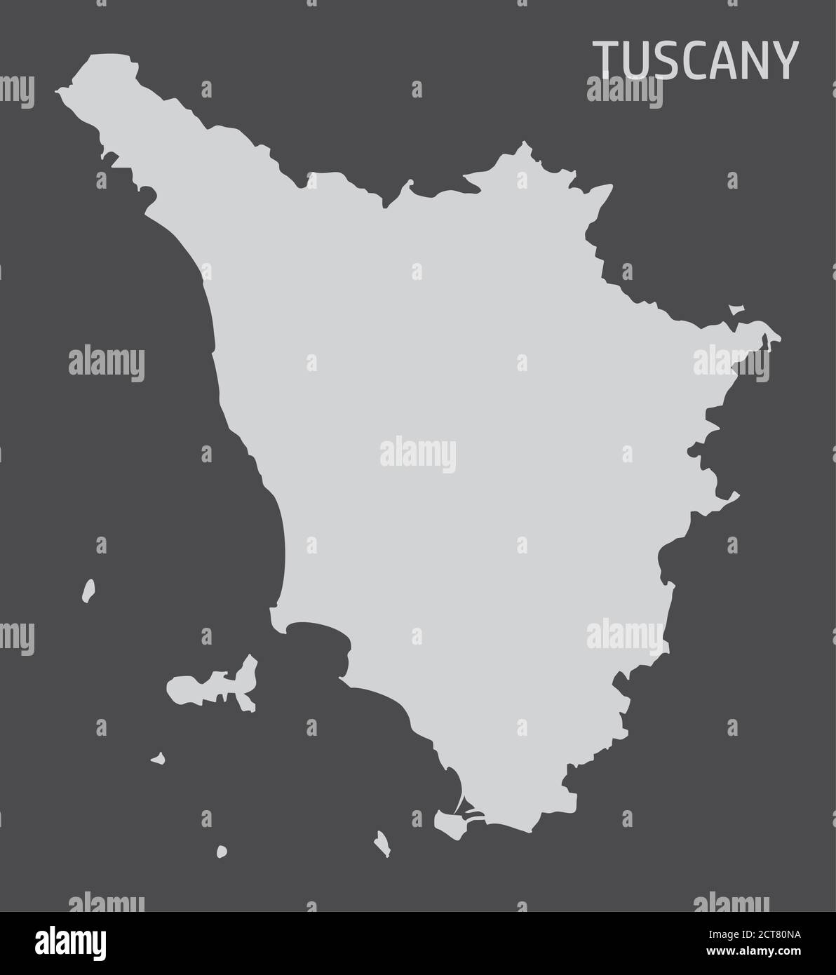 Tuscany region map Stock Vectorhttps://www.alamy.com/image-license-details/?v=1https://www.alamy.com/tuscany-region-map-image376345686.html
RF2CT80NA–Tuscany region map
 ITALY: Livorno Leghorn, 1913 antique map Stock Photohttps://www.alamy.com/image-license-details/?v=1https://www.alamy.com/stock-photo-italy-livorno-leghorn-1913-antique-map-103743443.html
RFG0NWPY–ITALY: Livorno Leghorn, 1913 antique map
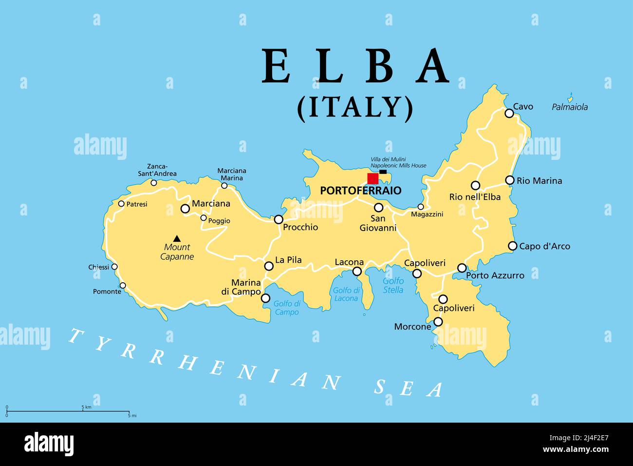 Elba, political map, Mediterranean island in Tuscany, Italy, with capital Portoferraio. Site of the first exile of Napoleon. Stock Photohttps://www.alamy.com/image-license-details/?v=1https://www.alamy.com/elba-political-map-mediterranean-island-in-tuscany-italy-with-capital-portoferraio-site-of-the-first-exile-of-napoleon-image467469807.html
RF2J4F2E7–Elba, political map, Mediterranean island in Tuscany, Italy, with capital Portoferraio. Site of the first exile of Napoleon.
 Livorno blank detailed outline map set Stock Vectorhttps://www.alamy.com/image-license-details/?v=1https://www.alamy.com/stock-photo-livorno-blank-detailed-outline-map-set-116140538.html
RFGMXJCA–Livorno blank detailed outline map set
 394 Map of the port of Livorno View of the city's castle - Roux Joseph - 1804 Stock Photohttps://www.alamy.com/image-license-details/?v=1https://www.alamy.com/394-map-of-the-port-of-livorno-view-of-the-citys-castle-roux-joseph-1804-image213947617.html
RMPC24A9–394 Map of the port of Livorno View of the city's castle - Roux Joseph - 1804
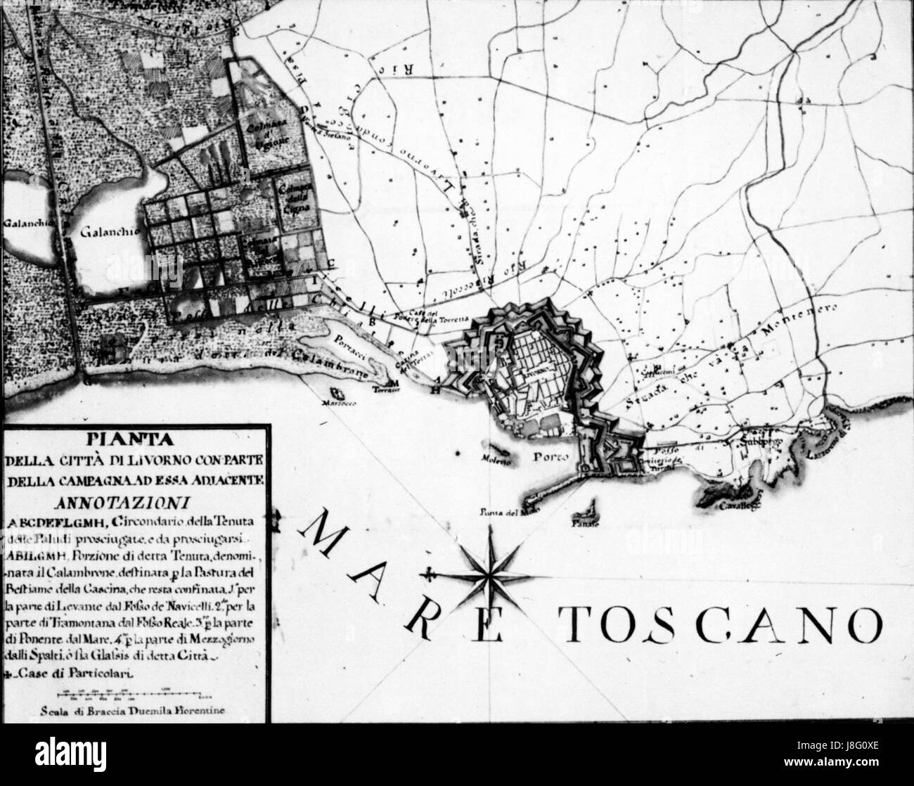 Livorno map of the town (1770) 01 Stock Photohttps://www.alamy.com/image-license-details/?v=1https://www.alamy.com/stock-photo-livorno-map-of-the-town-1770-01-142952166.html
RMJ8G0XE–Livorno map of the town (1770) 01
 1852, Depot de la Marine Nautical Chart or Map of Livorno, Tuscany, Italy. Reimagined by Gibon. Classic art with a reimagined Stock Photohttps://www.alamy.com/image-license-details/?v=1https://www.alamy.com/1852-depot-de-la-marine-nautical-chart-or-map-of-livorno-tuscany-italy-reimagined-by-gibon-classic-art-with-a-reimagined-image230087974.html
RFRA9BFJ–1852, Depot de la Marine Nautical Chart or Map of Livorno, Tuscany, Italy. Reimagined by Gibon. Classic art with a reimagined
 Livorno Italy City Map in Black and White Color in Retro Style. Outline Map. Vector Illustration. Stock Vectorhttps://www.alamy.com/image-license-details/?v=1https://www.alamy.com/livorno-italy-city-map-in-black-and-white-color-in-retro-style-outline-map-vector-illustration-image386192217.html
RF2DC8G35–Livorno Italy City Map in Black and White Color in Retro Style. Outline Map. Vector Illustration.
 Stazione Livorno A.N., IT, Italy, Tuscany, N 43 31' 59'', N 10 18' 0'', map, Cartascapes Map published in 2024. Explore Cartascapes, a map revealing Earth's diverse landscapes, cultures, and ecosystems. Journey through time and space, discovering the interconnectedness of our planet's past, present, and future. Stock Photohttps://www.alamy.com/image-license-details/?v=1https://www.alamy.com/stazione-livorno-an-it-italy-tuscany-n-43-31-59-n-10-18-0-map-cartascapes-map-published-in-2024-explore-cartascapes-a-map-revealing-earths-diverse-landscapes-cultures-and-ecosystems-journey-through-time-and-space-discovering-the-interconnectedness-of-our-planets-past-present-and-future-image614504543.html
RM2XKN2PR–Stazione Livorno A.N., IT, Italy, Tuscany, N 43 31' 59'', N 10 18' 0'', map, Cartascapes Map published in 2024. Explore Cartascapes, a map revealing Earth's diverse landscapes, cultures, and ecosystems. Journey through time and space, discovering the interconnectedness of our planet's past, present, and future.
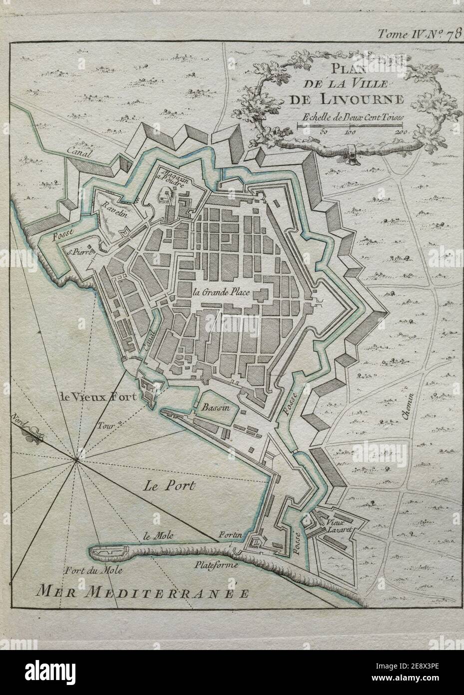 PLANO DE LA CIUDAD DE LIVORNO. Location: MUSEO NAVAL / MINISTERIO DE MARINA. MADRID. SPAIN. Stock Photohttps://www.alamy.com/image-license-details/?v=1https://www.alamy.com/plano-de-la-ciudad-de-livorno-location-museo-naval-ministerio-de-marina-madrid-spain-image401329446.html
RM2E8X3PE–PLANO DE LA CIUDAD DE LIVORNO. Location: MUSEO NAVAL / MINISTERIO DE MARINA. MADRID. SPAIN.
 Italy, Tuscany, Provincia di Livorno, Join the Crew, Sailing Italy: Elba, The Sea Map of Elba Stock Photohttps://www.alamy.com/image-license-details/?v=1https://www.alamy.com/stock-photo-italy-tuscany-provincia-di-livorno-join-the-crew-sailing-italy-elba-139189391.html
RMJ2CHDK–Italy, Tuscany, Provincia di Livorno, Join the Crew, Sailing Italy: Elba, The Sea Map of Elba
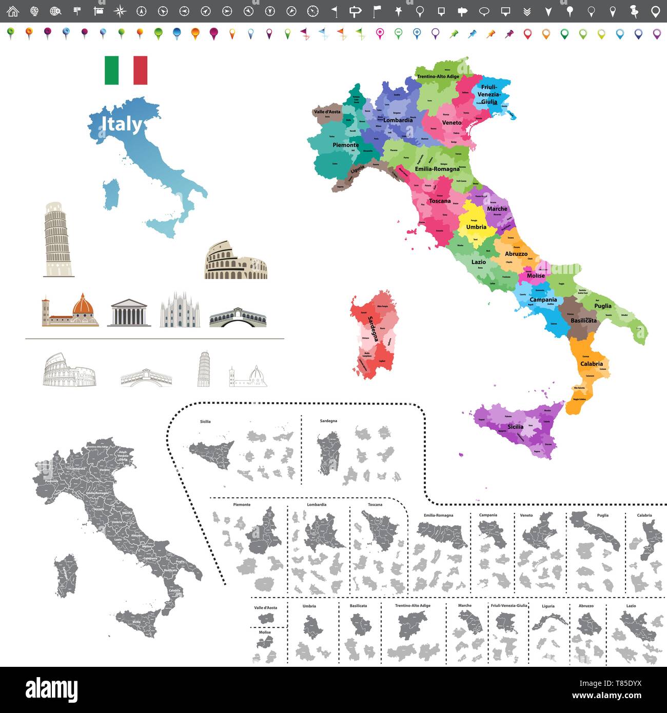 vector Italy high detailed map colored by regions Stock Vectorhttps://www.alamy.com/image-license-details/?v=1https://www.alamy.com/vector-italy-high-detailed-map-colored-by-regions-image245983134.html
RFT85DYX–vector Italy high detailed map colored by regions
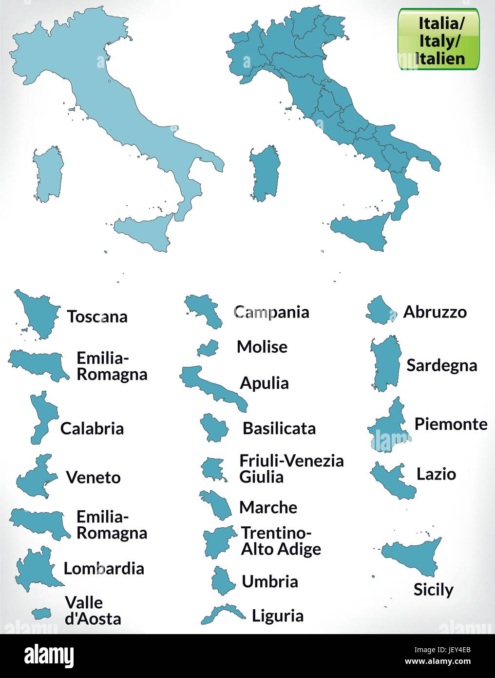 border map of italy with borders in blue Stock Vectorhttps://www.alamy.com/image-license-details/?v=1https://www.alamy.com/stock-photo-border-map-of-italy-with-borders-in-blue-146884371.html
RFJEY4EB–border map of italy with borders in blue
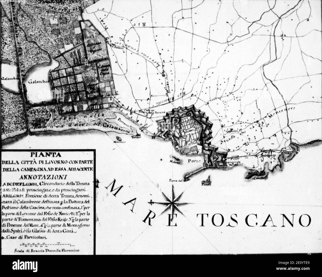 Livorno map of the town (1770) 01. Stock Photohttps://www.alamy.com/image-license-details/?v=1https://www.alamy.com/livorno-map-of-the-town-1770-01-image396450385.html
RM2E0YTE9–Livorno map of the town (1770) 01.
 Map of Livorno, 1726, 1726 print Map of the reinforcements for the Italian city of Livorno. Plate no. 385 in part XVI of the print work: Les Forces de l'Europe, Asie, Afrique et Amerique ... Comme Aussi Les Cartes des Côtes de France et d'Espagne from 1726, this second part with 271 by hand numbered Plates of renowned strong cities and fortresses in the context of the Spanish War of Succession 1701-1713. For the most part, these records have been copied to the anonymous French records of renowned strong cities and forces: in Les Forces de l'Europe and in: Le Theater de la Guerre, Dans Les Pays Stock Photohttps://www.alamy.com/image-license-details/?v=1https://www.alamy.com/map-of-livorno-1726-1726-print-map-of-the-reinforcements-for-the-italian-city-of-livorno-plate-no-385-in-part-xvi-of-the-print-work-les-forces-de-leurope-asie-afrique-et-amerique-comme-aussi-les-cartes-des-ctes-de-france-et-despagne-from-1726-this-second-part-with-271-by-hand-numbered-plates-of-renowned-strong-cities-and-fortresses-in-the-context-of-the-spanish-war-of-succession-1701-1713-for-the-most-part-these-records-have-been-copied-to-the-anonymous-french-records-of-renowned-strong-cities-and-forces-in-les-forces-de-leurope-and-in-le-theater-de-la-guerre-dans-les-pays-image595200873.html
RM2WG9MP1–Map of Livorno, 1726, 1726 print Map of the reinforcements for the Italian city of Livorno. Plate no. 385 in part XVI of the print work: Les Forces de l'Europe, Asie, Afrique et Amerique ... Comme Aussi Les Cartes des Côtes de France et d'Espagne from 1726, this second part with 271 by hand numbered Plates of renowned strong cities and fortresses in the context of the Spanish War of Succession 1701-1713. For the most part, these records have been copied to the anonymous French records of renowned strong cities and forces: in Les Forces de l'Europe and in: Le Theater de la Guerre, Dans Les Pays
 Historic buildings, sign at port, announcing Portoferraio as the city of Cosimo (di Medici) and Napoleon (Bonaparte), Island of Elba, Tuscany, Italy. Stock Photohttps://www.alamy.com/image-license-details/?v=1https://www.alamy.com/historic-buildings-sign-at-port-announcing-portoferraio-as-the-city-of-cosimo-di-medici-and-napoleon-bonaparte-island-of-elba-tuscany-italy-image472419469.html
RM2JCGFRW–Historic buildings, sign at port, announcing Portoferraio as the city of Cosimo (di Medici) and Napoleon (Bonaparte), Island of Elba, Tuscany, Italy.
 Map of the port of Livorno View of the city's castle Roux Joseph 1804 Stock Photohttps://www.alamy.com/image-license-details/?v=1https://www.alamy.com/stock-photo-map-of-the-port-of-livorno-view-of-the-citys-castle-roux-joseph-1804-132511197.html
RMHKGBAN–Map of the port of Livorno View of the city's castle Roux Joseph 1804
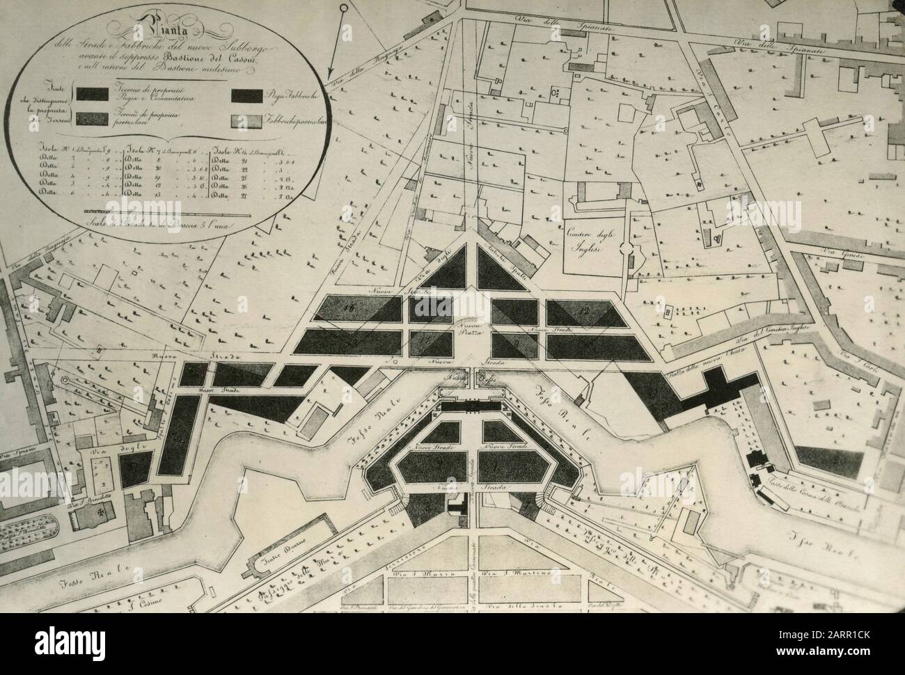 Old map of the city of Livorno, Italy 1920s Stock Photohttps://www.alamy.com/image-license-details/?v=1https://www.alamy.com/old-map-of-the-city-of-livorno-italy-1920s-image341640115.html
RM2ARR1CK–Old map of the city of Livorno, Italy 1920s
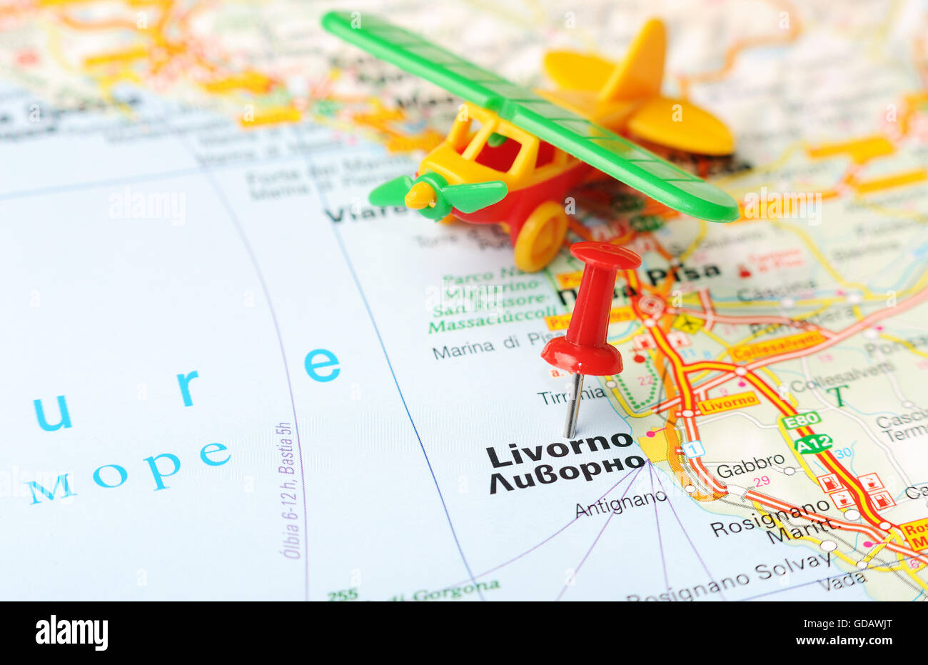 Close up of Livorno , Italy map with red pin and airplane - Travel concept Stock Photohttps://www.alamy.com/image-license-details/?v=1https://www.alamy.com/stock-photo-close-up-of-livorno-italy-map-with-red-pin-and-airplane-travel-concept-111492384.html
RFGDAWJT–Close up of Livorno , Italy map with red pin and airplane - Travel concept
 Livorno city travel and tourism destination concept. Italy flag and Livorno city on map. Italy travel concept map background. Tickets Planes and fligh Stock Photohttps://www.alamy.com/image-license-details/?v=1https://www.alamy.com/livorno-city-travel-and-tourism-destination-concept-italy-flag-and-livorno-city-on-map-italy-travel-concept-map-background-tickets-planes-and-fligh-image226462539.html
RFR4C77R–Livorno city travel and tourism destination concept. Italy flag and Livorno city on map. Italy travel concept map background. Tickets Planes and fligh
 ITALY. Livorno Leghorn 1888 old antique vintage map plan chart Stock Photohttps://www.alamy.com/image-license-details/?v=1https://www.alamy.com/italy-livorno-leghorn-1888-old-antique-vintage-map-plan-chart-image185136501.html
RFMN5KDW–ITALY. Livorno Leghorn 1888 old antique vintage map plan chart
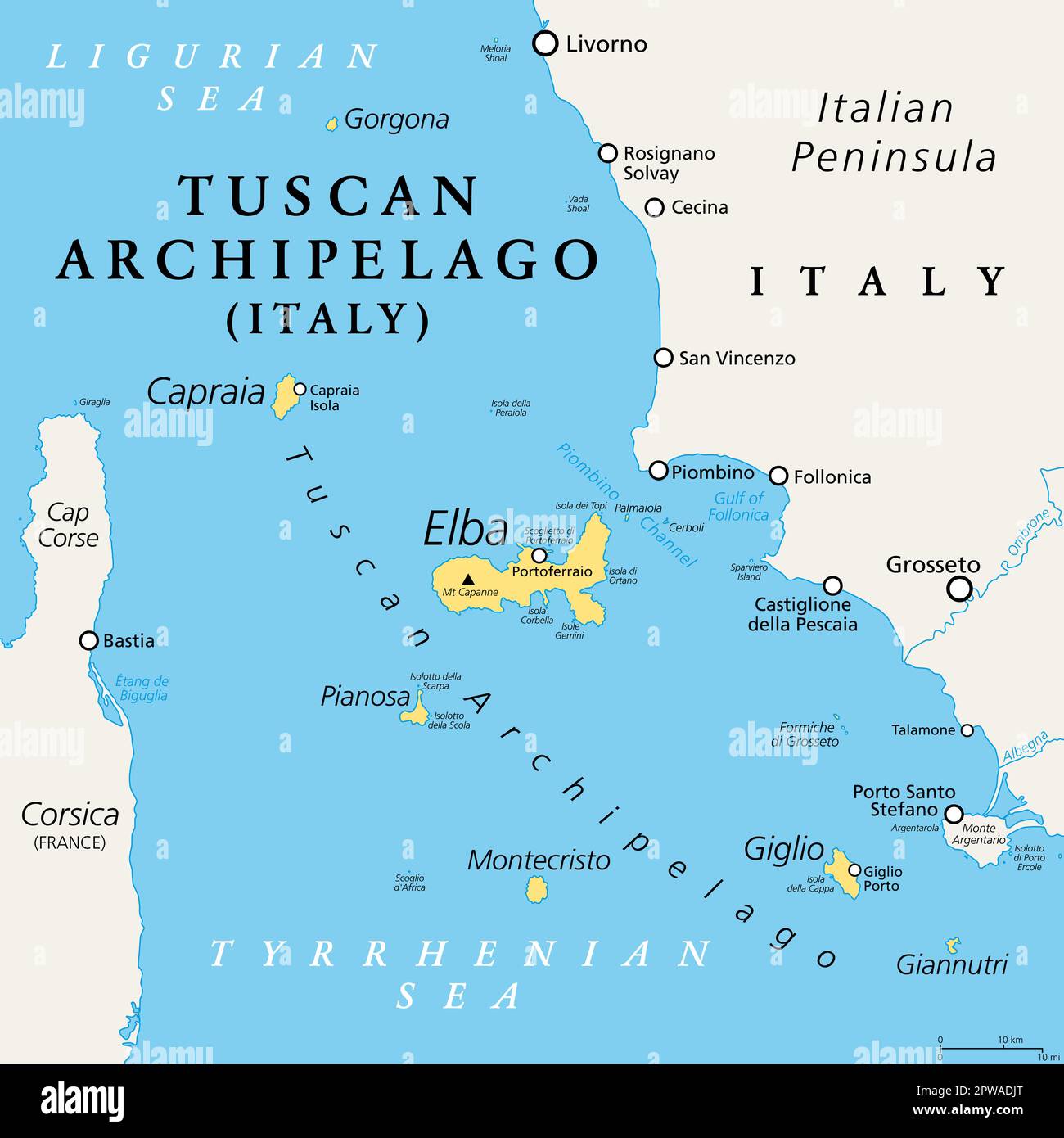 Tuscan Archipelago, Italy, political map. Chain of islands between Ligurian and Tyrrhenian Sea, west of Tuscany, between Corsica and Italian Peninsula. Stock Photohttps://www.alamy.com/image-license-details/?v=1https://www.alamy.com/tuscan-archipelago-italy-political-map-chain-of-islands-between-ligurian-and-tyrrhenian-sea-west-of-tuscany-between-corsica-and-italian-peninsula-image549118048.html
RF2PWADJT–Tuscan Archipelago, Italy, political map. Chain of islands between Ligurian and Tyrrhenian Sea, west of Tuscany, between Corsica and Italian Peninsula.
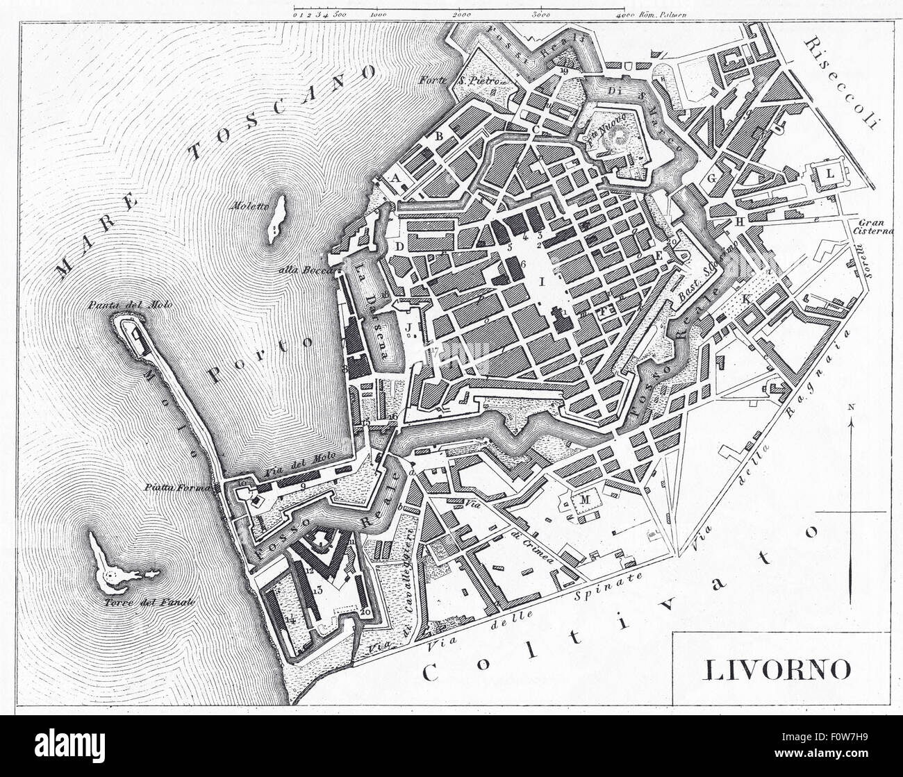 Engraving: Livorno, Italy Stock Photohttps://www.alamy.com/image-license-details/?v=1https://www.alamy.com/stock-photo-engraving-livorno-italy-86606613.html
RMF0W7H9–Engraving: Livorno, Italy
 167 Map of the port of Livorno View of the city's castle - Roux Joseph - 1804 Stock Photohttps://www.alamy.com/image-license-details/?v=1https://www.alamy.com/167-map-of-the-port-of-livorno-view-of-the-citys-castle-roux-joseph-1804-image212876287.html
RMPA99TF–167 Map of the port of Livorno View of the city's castle - Roux Joseph - 1804
 Livorno map of the town (1849) by Guesdon 01 Stock Photohttps://www.alamy.com/image-license-details/?v=1https://www.alamy.com/stock-photo-livorno-map-of-the-town-1849-by-guesdon-01-142962333.html
RMJ8GDWH–Livorno map of the town (1849) by Guesdon 01
 Map of Portoferraio, Italy Stock Photohttps://www.alamy.com/image-license-details/?v=1https://www.alamy.com/map-of-portoferraio-italy-image448508280.html
RM2H1K8TT–Map of Portoferraio, Italy
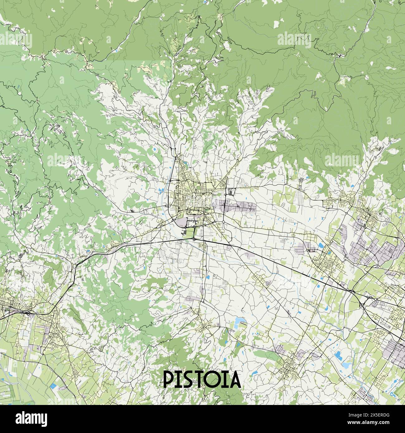 Pistoia Italy map poster art Stock Vectorhttps://www.alamy.com/image-license-details/?v=1https://www.alamy.com/pistoia-italy-map-poster-art-image605761900.html
RF2X5ERDG–Pistoia Italy map poster art
 Casone, Provincia di Livorno, IT, Italy, Tuscany, N 43 11' 13'', N 10 33' 38'', map, Cartascapes Map published in 2024. Explore Cartascapes, a map revealing Earth's diverse landscapes, cultures, and ecosystems. Journey through time and space, discovering the interconnectedness of our planet's past, present, and future. Stock Photohttps://www.alamy.com/image-license-details/?v=1https://www.alamy.com/casone-provincia-di-livorno-it-italy-tuscany-n-43-11-13-n-10-33-38-map-cartascapes-map-published-in-2024-explore-cartascapes-a-map-revealing-earths-diverse-landscapes-cultures-and-ecosystems-journey-through-time-and-space-discovering-the-interconnectedness-of-our-planets-past-present-and-future-image614476350.html
RM2XKKPRX–Casone, Provincia di Livorno, IT, Italy, Tuscany, N 43 11' 13'', N 10 33' 38'', map, Cartascapes Map published in 2024. Explore Cartascapes, a map revealing Earth's diverse landscapes, cultures, and ecosystems. Journey through time and space, discovering the interconnectedness of our planet's past, present, and future.
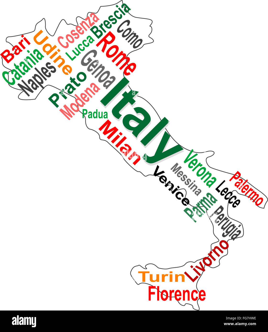 Italy map and words cloud with larger cities Stock Photohttps://www.alamy.com/image-license-details/?v=1https://www.alamy.com/stock-photo-italy-map-and-words-cloud-with-larger-cities-96054042.html
RFFG7HWE–Italy map and words cloud with larger cities
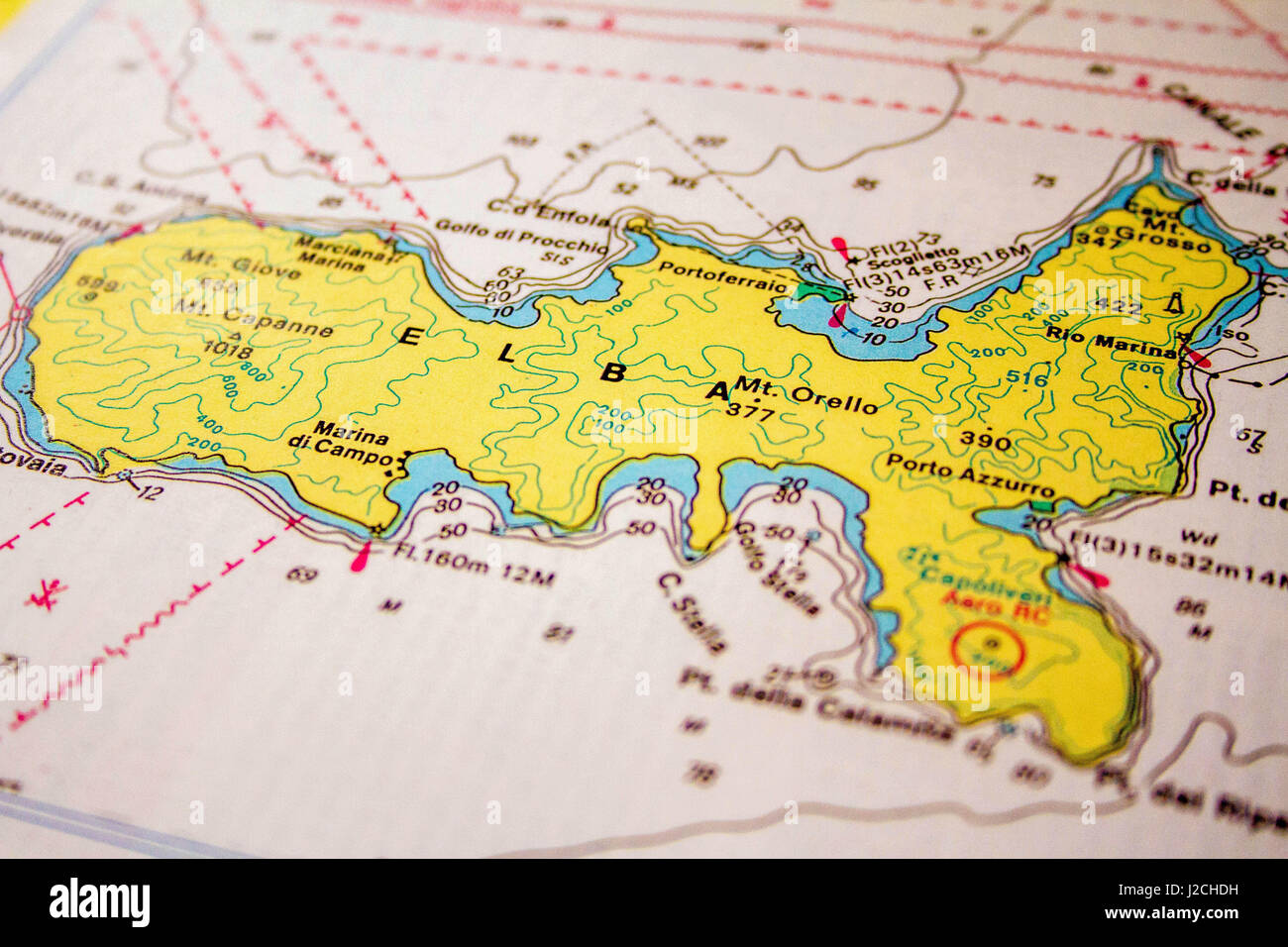 Italy, Tuscany, Provincia di Livorno, Join the Crew, Sailing Italy: Elba, The Sea Map of Elba Stock Photohttps://www.alamy.com/image-license-details/?v=1https://www.alamy.com/stock-photo-italy-tuscany-provincia-di-livorno-join-the-crew-sailing-italy-elba-139189389.html
RMJ2CHDH–Italy, Tuscany, Provincia di Livorno, Join the Crew, Sailing Italy: Elba, The Sea Map of Elba
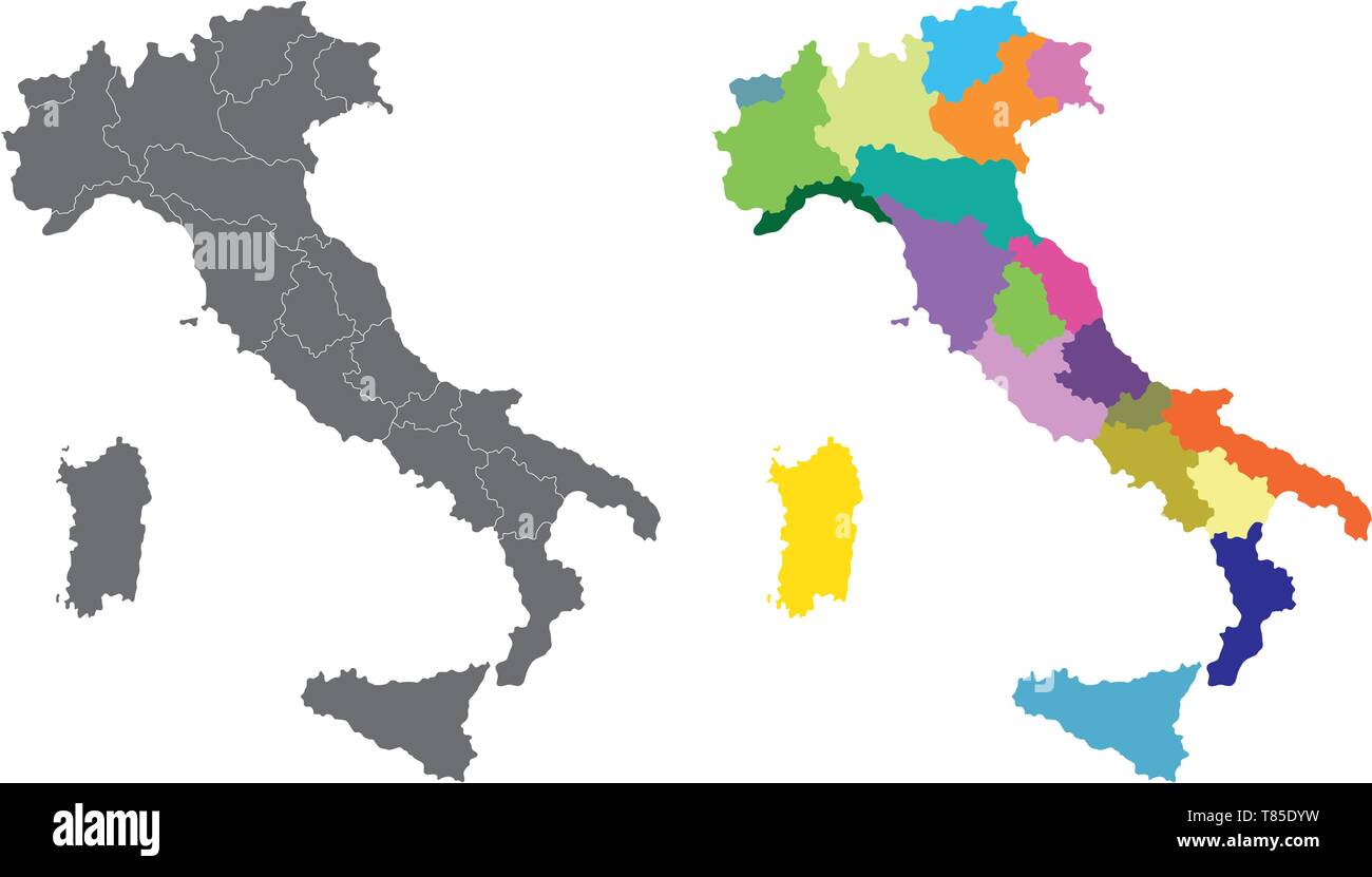 vector Italy high detailed map colored by regions Stock Vectorhttps://www.alamy.com/image-license-details/?v=1https://www.alamy.com/vector-italy-high-detailed-map-colored-by-regions-image245983133.html
RFT85DYW–vector Italy high detailed map colored by regions
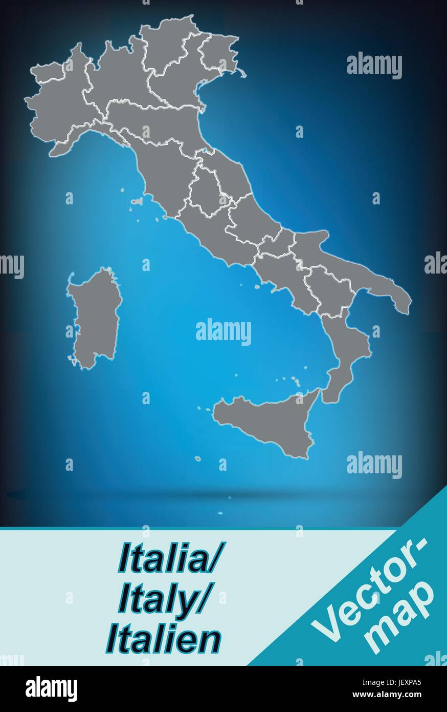 card, atlas, map of the world, map, model, design, project, concept, plan, Stock Vectorhttps://www.alamy.com/image-license-details/?v=1https://www.alamy.com/stock-photo-card-atlas-map-of-the-world-map-model-design-project-concept-plan-146876413.html
RFJEXPA5–card, atlas, map of the world, map, model, design, project, concept, plan,
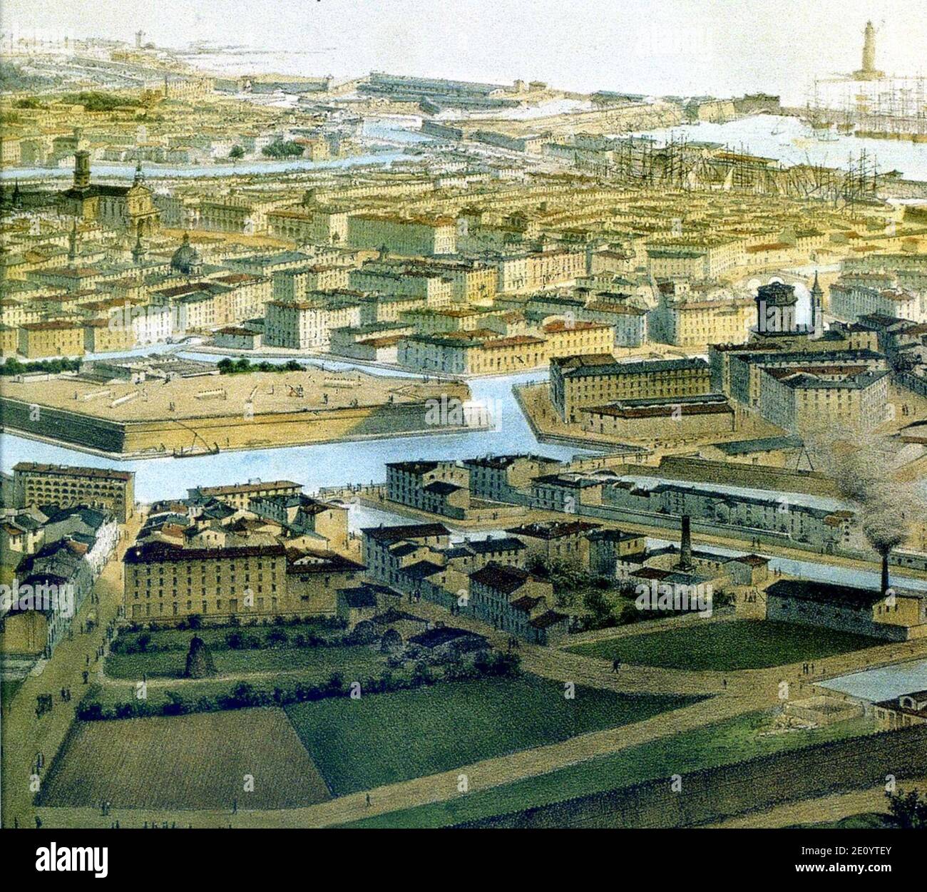 Livorno map of the town (1849) by Guesdon 01. Stock Photohttps://www.alamy.com/image-license-details/?v=1https://www.alamy.com/livorno-map-of-the-town-1849-by-guesdon-01-image396450403.html
RM2E0YTEY–Livorno map of the town (1849) by Guesdon 01.
 Map of Livorno, ca. 1702, 1702 - 1703 print Map of the reinforcements for the Italian city of Livorno. Plate no. 192 In the printed work consisting of a total of 276 numbered plates of renowned strong cities and fortresses in the context of the Spanish Succession War. For the most part these records have been copied to the anonymous French records: in Les Forces de l'Europe and in: Le Theater de la Guerre, Dans Les Pays-Bas, both originally published by Nicolas de Fer in Paris (1693-1697) in the framework of the nine -year war. Title and inscriptions in the album in French. print maker: Northe Stock Photohttps://www.alamy.com/image-license-details/?v=1https://www.alamy.com/map-of-livorno-ca-1702-1702-1703-print-map-of-the-reinforcements-for-the-italian-city-of-livorno-plate-no-192-in-the-printed-work-consisting-of-a-total-of-276-numbered-plates-of-renowned-strong-cities-and-fortresses-in-the-context-of-the-spanish-succession-war-for-the-most-part-these-records-have-been-copied-to-the-anonymous-french-records-in-les-forces-de-leurope-and-in-le-theater-de-la-guerre-dans-les-pays-bas-both-originally-published-by-nicolas-de-fer-in-paris-1693-1697-in-the-framework-of-the-nine-year-war-title-and-inscriptions-in-the-album-in-french-print-maker-northe-image595201182.html
RM2WG9N52–Map of Livorno, ca. 1702, 1702 - 1703 print Map of the reinforcements for the Italian city of Livorno. Plate no. 192 In the printed work consisting of a total of 276 numbered plates of renowned strong cities and fortresses in the context of the Spanish Succession War. For the most part these records have been copied to the anonymous French records: in Les Forces de l'Europe and in: Le Theater de la Guerre, Dans Les Pays-Bas, both originally published by Nicolas de Fer in Paris (1693-1697) in the framework of the nine -year war. Title and inscriptions in the album in French. print maker: Northe
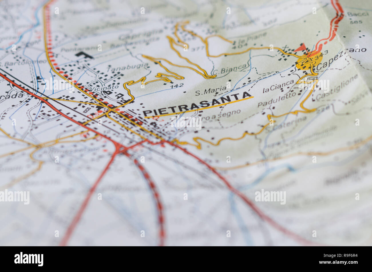 Detailed map of an Italian town located in Tuscany. Get on the highway in Italy. Vertical view. Stock Photohttps://www.alamy.com/image-license-details/?v=1https://www.alamy.com/detailed-map-of-an-italian-town-located-in-tuscany-get-on-the-highway-in-italy-vertical-view-image229601320.html
RFR9F6R4–Detailed map of an Italian town located in Tuscany. Get on the highway in Italy. Vertical view.
 Map of the bay and port of Portoferraio near Livorno Roux Joseph 1804 Stock Photohttps://www.alamy.com/image-license-details/?v=1https://www.alamy.com/stock-photo-map-of-the-bay-and-port-of-portoferraio-near-livorno-roux-joseph-1804-132511191.html
RMHKGBAF–Map of the bay and port of Portoferraio near Livorno Roux Joseph 1804
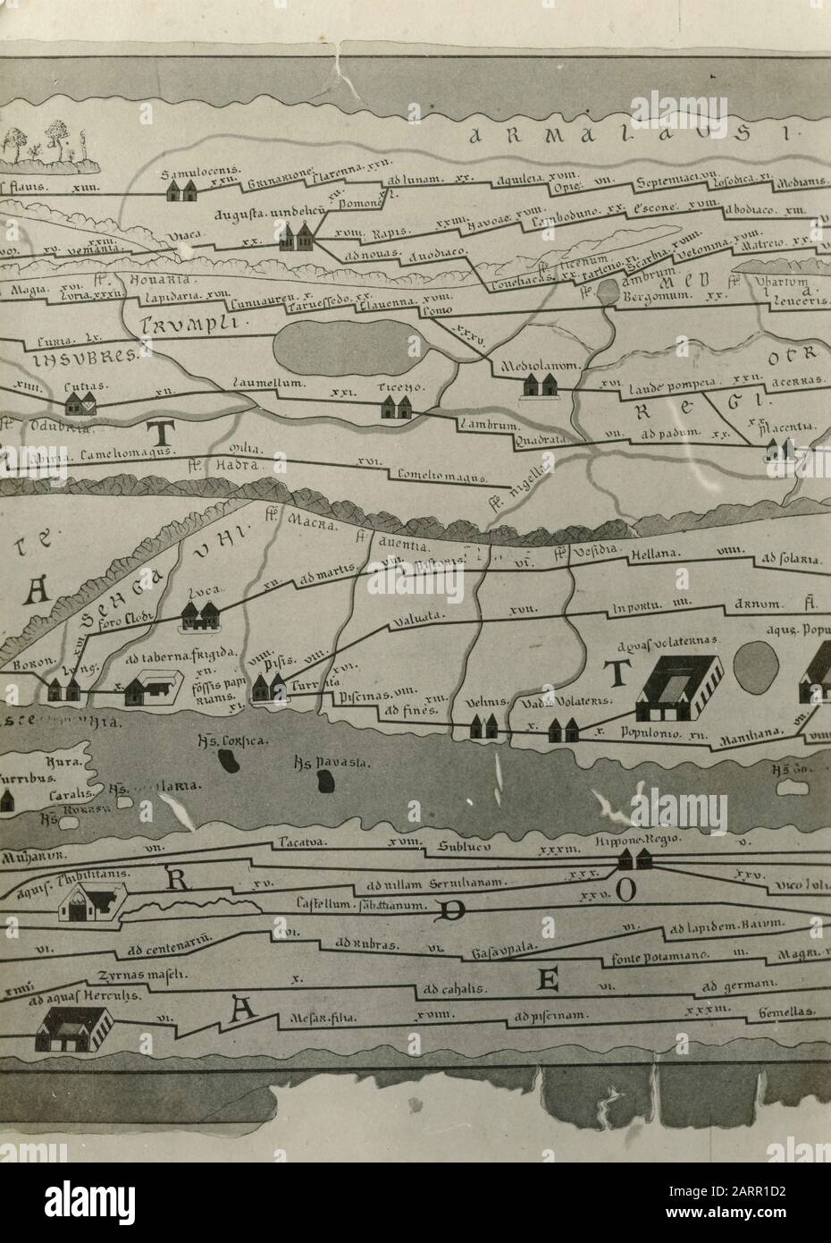 Old map of the city of Livorno, Italy 1920s Stock Photohttps://www.alamy.com/image-license-details/?v=1https://www.alamy.com/old-map-of-the-city-of-livorno-italy-1920s-image341640126.html
RM2ARR1D2–Old map of the city of Livorno, Italy 1920s
 Close up of Livorno , Italy map with red pin and a taxi - Travel concept Stock Photohttps://www.alamy.com/image-license-details/?v=1https://www.alamy.com/stock-photo-close-up-of-livorno-italy-map-with-red-pin-and-a-taxi-travel-concept-111492385.html
RFGDAWJW–Close up of Livorno , Italy map with red pin and a taxi - Travel concept
 Livorno city travel and tourism destination concept. Italy flag and Livorno city on map. Italy travel concept map background. Tickets Planes and fligh Stock Photohttps://www.alamy.com/image-license-details/?v=1https://www.alamy.com/livorno-city-travel-and-tourism-destination-concept-italy-flag-and-livorno-city-on-map-italy-travel-concept-map-background-tickets-planes-and-fligh-image226462538.html
RFR4C77P–Livorno city travel and tourism destination concept. Italy flag and Livorno city on map. Italy travel concept map background. Tickets Planes and fligh
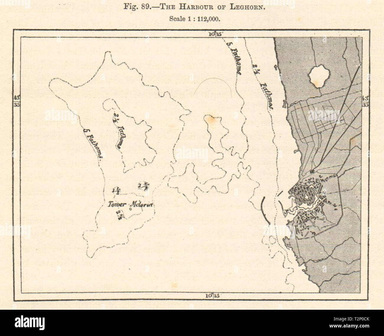 The Harbour of Leghorn. Livorno, Italy. Sketch map 1885 old antique chart Stock Photohttps://www.alamy.com/image-license-details/?v=1https://www.alamy.com/the-harbour-of-leghorn-livorno-italy-sketch-map-1885-old-antique-chart-image242657763.html
RFT2P0CK–The Harbour of Leghorn. Livorno, Italy. Sketch map 1885 old antique chart
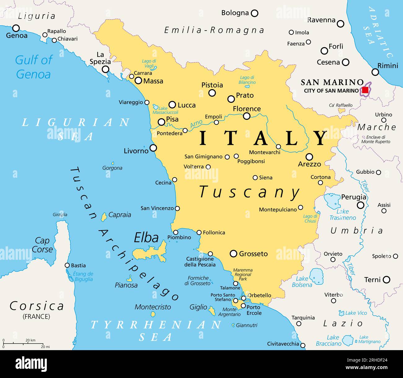 Tuscany, region in central Italy, political map with many popular tourist spots like Florence, Castiglione della Pescaia, Pisa, Grosseto and Siena. Stock Photohttps://www.alamy.com/image-license-details/?v=1https://www.alamy.com/tuscany-region-in-central-italy-political-map-with-many-popular-tourist-spots-like-florence-castiglione-della-pescaia-pisa-grosseto-and-siena-image561478124.html
RF2RHDF24–Tuscany, region in central Italy, political map with many popular tourist spots like Florence, Castiglione della Pescaia, Pisa, Grosseto and Siena.
 U.S. Army Cpl. Aaron Layne, left, and Spc. Danny Ith, both with the 511th Military Police Platoon, plot waypoints on a map while participating in a land navigation challenge during the Best Warrior Competition at Camp Darby in Livorno, Italy, March 6, 2013. (U.S. Army photo by Elena Baladelli/Released) Best Warrior Competition 2013 130307-A-II094-025 Stock Photohttps://www.alamy.com/image-license-details/?v=1https://www.alamy.com/stock-photo-us-army-cpl-aaron-layne-left-and-spc-danny-ith-both-with-the-511th-129522803.html
RMHEM7JB–U.S. Army Cpl. Aaron Layne, left, and Spc. Danny Ith, both with the 511th Military Police Platoon, plot waypoints on a map while participating in a land navigation challenge during the Best Warrior Competition at Camp Darby in Livorno, Italy, March 6, 2013. (U.S. Army photo by Elena Baladelli/Released) Best Warrior Competition 2013 130307-A-II094-025
 394 Map of the bay and port of Portoferraio near Livorno - Roux Joseph - 1804 Stock Photohttps://www.alamy.com/image-license-details/?v=1https://www.alamy.com/394-map-of-the-bay-and-port-of-portoferraio-near-livorno-roux-joseph-1804-image213947541.html
RMPC247H–394 Map of the bay and port of Portoferraio near Livorno - Roux Joseph - 1804
 Livorno map of the town (1749) by Warren Atlas 01 Stock Photohttps://www.alamy.com/image-license-details/?v=1https://www.alamy.com/stock-photo-livorno-map-of-the-town-1749-by-warren-atlas-01-142952164.html
RMJ8G0XC–Livorno map of the town (1749) by Warren Atlas 01
 Livorno City (Italian Republic, Italy, Tuscany) map vector illustration, scribble sketch City of Leghorn map Stock Vectorhttps://www.alamy.com/image-license-details/?v=1https://www.alamy.com/livorno-city-italian-republic-italy-tuscany-map-vector-illustration-scribble-sketch-city-of-leghorn-map-image354951682.html
RF2BHDCDP–Livorno City (Italian Republic, Italy, Tuscany) map vector illustration, scribble sketch City of Leghorn map
 geography / travel, Italy, Castagneto Carducci, view, picture postcard, postmarked 1980, Additional-Rights-Clearences-Not Available Stock Photohttps://www.alamy.com/image-license-details/?v=1https://www.alamy.com/stock-photo-geography-travel-italy-castagneto-carducci-view-picture-postcard-postmarked-86172778.html
RMF05E76–geography / travel, Italy, Castagneto Carducci, view, picture postcard, postmarked 1980, Additional-Rights-Clearences-Not Available
 Suvereto, Provincia di Livorno, IT, Italy, Tuscany, N 43 4' 36'', N 10 40' 38'', map, Cartascapes Map published in 2024. Explore Cartascapes, a map revealing Earth's diverse landscapes, cultures, and ecosystems. Journey through time and space, discovering the interconnectedness of our planet's past, present, and future. Stock Photohttps://www.alamy.com/image-license-details/?v=1https://www.alamy.com/suvereto-provincia-di-livorno-it-italy-tuscany-n-43-4-36-n-10-40-38-map-cartascapes-map-published-in-2024-explore-cartascapes-a-map-revealing-earths-diverse-landscapes-cultures-and-ecosystems-journey-through-time-and-space-discovering-the-interconnectedness-of-our-planets-past-present-and-future-image614434422.html
RM2XKHWAE–Suvereto, Provincia di Livorno, IT, Italy, Tuscany, N 43 4' 36'', N 10 40' 38'', map, Cartascapes Map published in 2024. Explore Cartascapes, a map revealing Earth's diverse landscapes, cultures, and ecosystems. Journey through time and space, discovering the interconnectedness of our planet's past, present, and future.
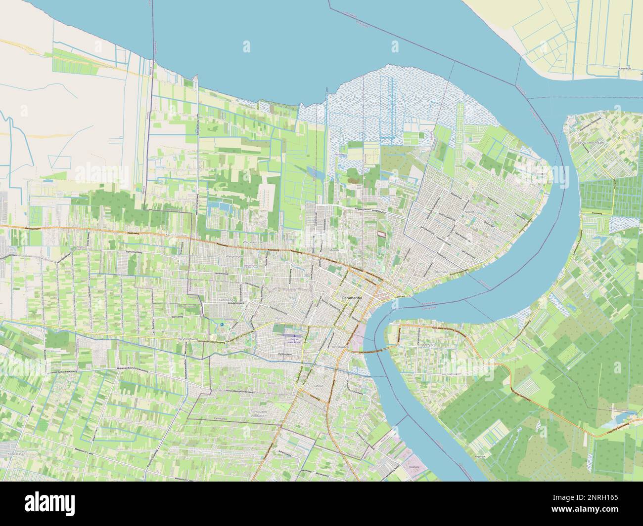 Paramaribo, district of Suriname. Open Street Map Stock Photohttps://www.alamy.com/image-license-details/?v=1https://www.alamy.com/paramaribo-district-of-suriname-open-street-map-image530822269.html
RF2NRH165–Paramaribo, district of Suriname. Open Street Map
 Text 2023 Calm blue sea color background Stock Vectorhttps://www.alamy.com/image-license-details/?v=1https://www.alamy.com/text-2023-calm-blue-sea-color-background-image469006387.html
RF2J712C3–Text 2023 Calm blue sea color background
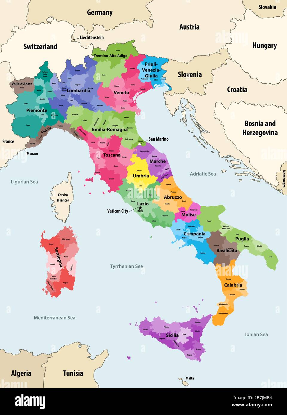 Italy provinces colored by regions vector map with neighbouring countries and territories Stock Vectorhttps://www.alamy.com/image-license-details/?v=1https://www.alamy.com/italy-provinces-colored-by-regions-vector-map-with-neighbouring-countries-and-territories-image348921080.html
RF2B7JMB4–Italy provinces colored by regions vector map with neighbouring countries and territories
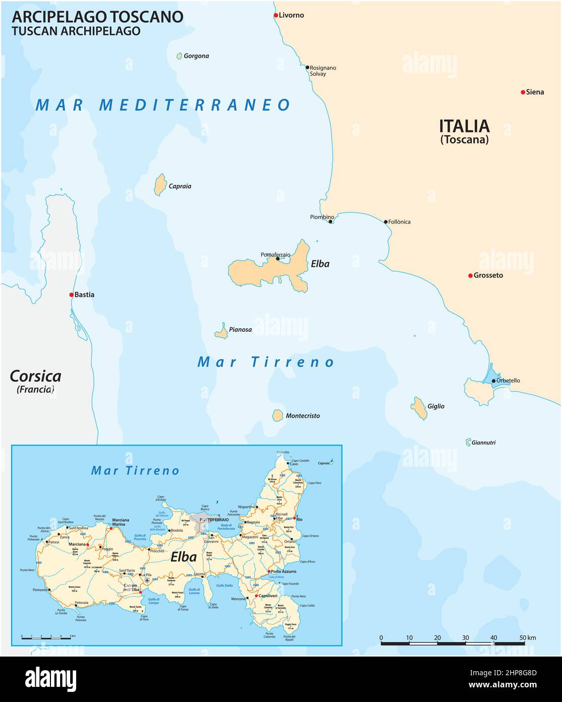 Map of Elba Island and the Tuscan Archipelago, Italy Stock Vectorhttps://www.alamy.com/image-license-details/?v=1https://www.alamy.com/map-of-elba-island-and-the-tuscan-archipelago-italy-image461180397.html
RF2HP8G8D–Map of Elba Island and the Tuscan Archipelago, Italy
 Livorno map of the town (1609) by Bernardino Poccetti 01. Stock Photohttps://www.alamy.com/image-license-details/?v=1https://www.alamy.com/livorno-map-of-the-town-1609-by-bernardino-poccetti-01-image396450371.html
RM2E0YTDR–Livorno map of the town (1609) by Bernardino Poccetti 01.
![Pianta della CittaÃÄ, e Porto di Livorno fatta sotto gli Auspici di S,, A,, R,, Ferdinando III,, Principe R,, d'Ungh,, e di Boemia Arciduca d'Aust,, Gran Duca di Toscana, &c,, &c,, &c, Author Piemontesi, Antonio, called il Baseggio 80.12. Place of publication: [Livorno] Publisher: [Antonio Piemontesi] Date of publication: [around 1793] Item type: 1 map Medium: etching, with brown ink Dimensions: 50.7 x 66.7 cm Former owner: George III, King of Great Britain, 1738-1820 Stock Photo Pianta della CittaÃÄ, e Porto di Livorno fatta sotto gli Auspici di S,, A,, R,, Ferdinando III,, Principe R,, d'Ungh,, e di Boemia Arciduca d'Aust,, Gran Duca di Toscana, &c,, &c,, &c, Author Piemontesi, Antonio, called il Baseggio 80.12. Place of publication: [Livorno] Publisher: [Antonio Piemontesi] Date of publication: [around 1793] Item type: 1 map Medium: etching, with brown ink Dimensions: 50.7 x 66.7 cm Former owner: George III, King of Great Britain, 1738-1820 Stock Photo](https://c8.alamy.com/comp/2E9FMCJ/pianta-della-citta-e-porto-di-livorno-fatta-sotto-gli-auspici-di-s-a-r-ferdinando-iii-principe-r-dungh-e-di-boemia-arciduca-daust-gran-duca-di-toscana-c-c-c-author-piemontesi-antonio-called-il-baseggio-8012-place-of-publication-livorno-publisher-antonio-piemontesi-date-of-publication-around-1793-item-type-1-map-medium-etching-with-brown-ink-dimensions-507-x-667-cm-former-owner-george-iii-king-of-great-britain-1738-1820-2E9FMCJ.jpg) Pianta della CittaÃÄ, e Porto di Livorno fatta sotto gli Auspici di S,, A,, R,, Ferdinando III,, Principe R,, d'Ungh,, e di Boemia Arciduca d'Aust,, Gran Duca di Toscana, &c,, &c,, &c, Author Piemontesi, Antonio, called il Baseggio 80.12. Place of publication: [Livorno] Publisher: [Antonio Piemontesi] Date of publication: [around 1793] Item type: 1 map Medium: etching, with brown ink Dimensions: 50.7 x 66.7 cm Former owner: George III, King of Great Britain, 1738-1820 Stock Photohttps://www.alamy.com/image-license-details/?v=1https://www.alamy.com/pianta-della-citta-e-porto-di-livorno-fatta-sotto-gli-auspici-di-s-a-r-ferdinando-iii-principe-r-dungh-e-di-boemia-arciduca-daust-gran-duca-di-toscana-c-c-c-author-piemontesi-antonio-called-il-baseggio-8012-place-of-publication-livorno-publisher-antonio-piemontesi-date-of-publication-around-1793-item-type-1-map-medium-etching-with-brown-ink-dimensions-507-x-667-cm-former-owner-george-iii-king-of-great-britain-1738-1820-image401715682.html
Pianta della CittaÃÄ, e Porto di Livorno fatta sotto gli Auspici di S,, A,, R,, Ferdinando III,, Principe R,, d'Ungh,, e di Boemia Arciduca d'Aust,, Gran Duca di Toscana, &c,, &c,, &c, Author Piemontesi, Antonio, called il Baseggio 80.12. Place of publication: [Livorno] Publisher: [Antonio Piemontesi] Date of publication: [around 1793] Item type: 1 map Medium: etching, with brown ink Dimensions: 50.7 x 66.7 cm Former owner: George III, King of Great Britain, 1738-1820 Stock Photohttps://www.alamy.com/image-license-details/?v=1https://www.alamy.com/pianta-della-citta-e-porto-di-livorno-fatta-sotto-gli-auspici-di-s-a-r-ferdinando-iii-principe-r-dungh-e-di-boemia-arciduca-daust-gran-duca-di-toscana-c-c-c-author-piemontesi-antonio-called-il-baseggio-8012-place-of-publication-livorno-publisher-antonio-piemontesi-date-of-publication-around-1793-item-type-1-map-medium-etching-with-brown-ink-dimensions-507-x-667-cm-former-owner-george-iii-king-of-great-britain-1738-1820-image401715682.htmlRM2E9FMCJ–Pianta della CittaÃÄ, e Porto di Livorno fatta sotto gli Auspici di S,, A,, R,, Ferdinando III,, Principe R,, d'Ungh,, e di Boemia Arciduca d'Aust,, Gran Duca di Toscana, &c,, &c,, &c, Author Piemontesi, Antonio, called il Baseggio 80.12. Place of publication: [Livorno] Publisher: [Antonio Piemontesi] Date of publication: [around 1793] Item type: 1 map Medium: etching, with brown ink Dimensions: 50.7 x 66.7 cm Former owner: George III, King of Great Britain, 1738-1820
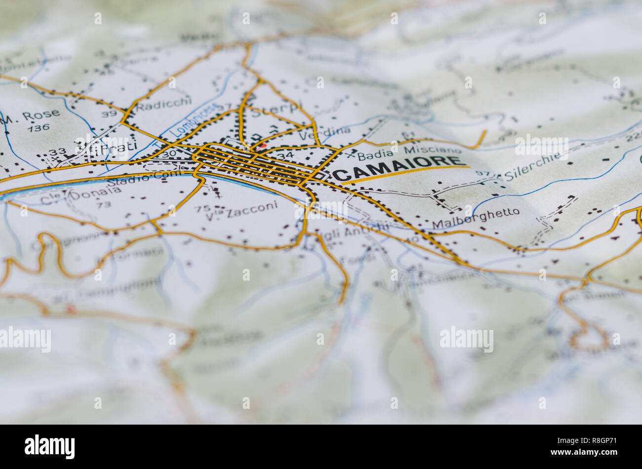 Detailed map of an Italian town located in Tuscany. Get on the highway in Italy. Vertical view. Stock Photohttps://www.alamy.com/image-license-details/?v=1https://www.alamy.com/detailed-map-of-an-italian-town-located-in-tuscany-get-on-the-highway-in-italy-vertical-view-image229020709.html
RFR8GP71–Detailed map of an Italian town located in Tuscany. Get on the highway in Italy. Vertical view.
 117 of 'Annali di Livorno dalla sua origine sino all'anno di Gesù Cristo 1840. Colle notizie riguardanti i luoghi più notevo Stock Photohttps://www.alamy.com/image-license-details/?v=1https://www.alamy.com/stock-photo-117-of-annali-di-livorno-dalla-sua-origine-sino-allanno-di-gesu-cristo-95711849.html
RFFFM1C9–117 of 'Annali di Livorno dalla sua origine sino all'anno di Gesù Cristo 1840. Colle notizie riguardanti i luoghi più notevo
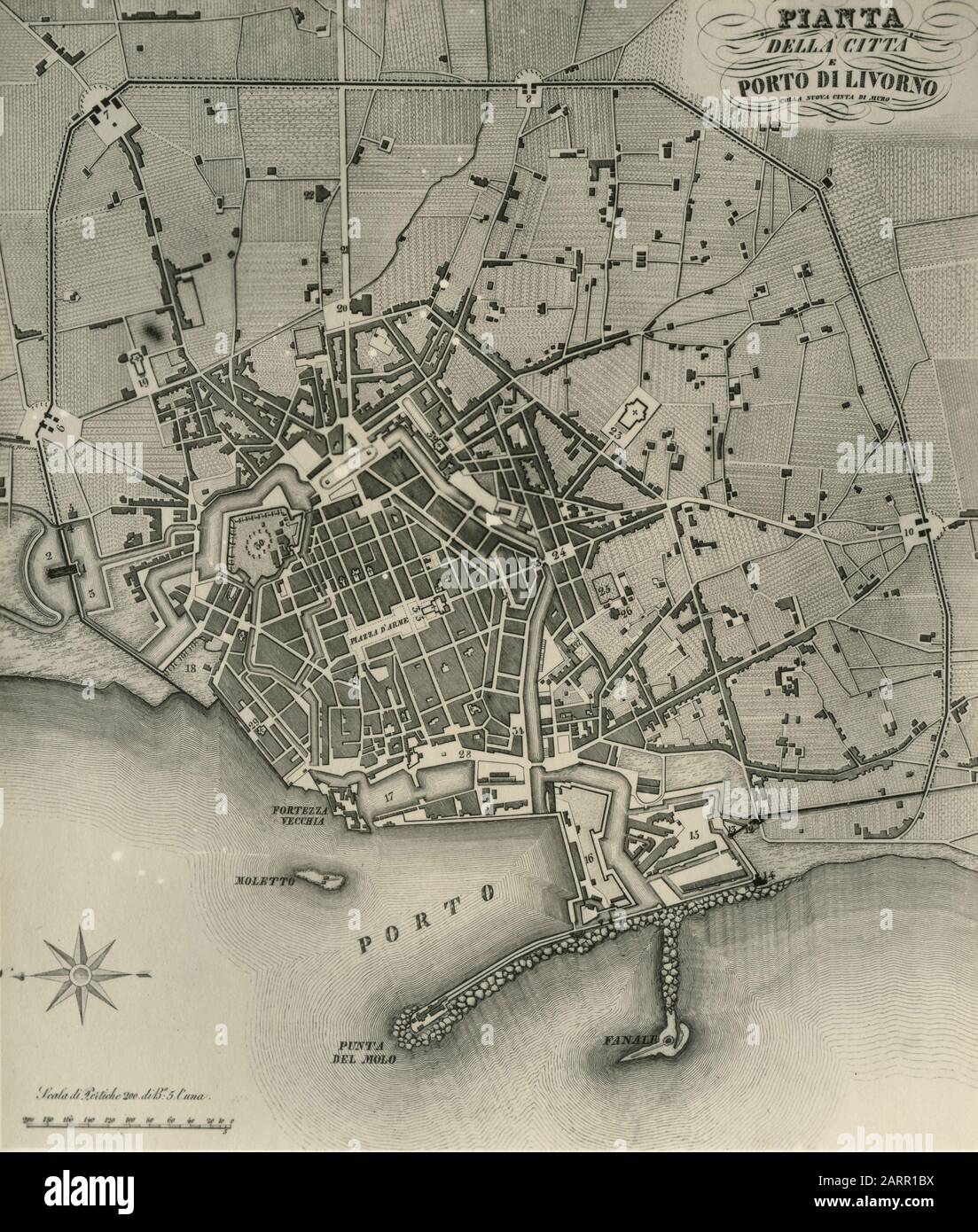 Old map of the city of Livorno, Italy 1920s Stock Photohttps://www.alamy.com/image-license-details/?v=1https://www.alamy.com/old-map-of-the-city-of-livorno-italy-1920s-image341640094.html
RM2ARR1BX–Old map of the city of Livorno, Italy 1920s
 Map of Italy where Livorno province is pulled out, isolated on white background Stock Vectorhttps://www.alamy.com/image-license-details/?v=1https://www.alamy.com/stock-photo-map-of-italy-where-livorno-province-is-pulled-out-isolated-on-white-104367347.html
RFG1P9H7–Map of Italy where Livorno province is pulled out, isolated on white background
 Livorno city travel and tourism destination concept. Italy flag and Livorno city on map. Italy travel concept map background. Tickets Planes and fligh Stock Photohttps://www.alamy.com/image-license-details/?v=1https://www.alamy.com/livorno-city-travel-and-tourism-destination-concept-italy-flag-and-livorno-city-on-map-italy-travel-concept-map-background-tickets-planes-and-fligh-image226462536.html
RFR4C77M–Livorno city travel and tourism destination concept. Italy flag and Livorno city on map. Italy travel concept map background. Tickets Planes and fligh
 Sketch map of the French & Italian Riviera. Toulon - Livorno. Côte d'Azur 1907 Stock Photohttps://www.alamy.com/image-license-details/?v=1https://www.alamy.com/stock-photo-sketch-map-of-the-french-italian-riviera-toulon-livorno-cte-dazur-114692945.html
RFGJGM0H–Sketch map of the French & Italian Riviera. Toulon - Livorno. Côte d'Azur 1907