Quick filters:
Map of logansport Stock Photos and Images
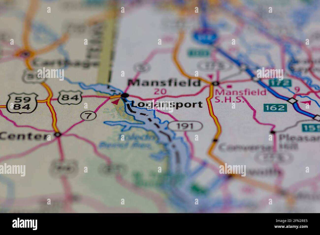 Logansport Louisiana USA Shown on a Geography map or road map Stock Photohttps://www.alamy.com/image-license-details/?v=1https://www.alamy.com/logansport-louisiana-usa-shown-on-a-geography-map-or-road-map-image426018941.html
RM2FN2RE5–Logansport Louisiana USA Shown on a Geography map or road map
 Logansport pinned on a map of Indiana, USA Stock Photohttps://www.alamy.com/image-license-details/?v=1https://www.alamy.com/stock-photo-logansport-pinned-on-a-map-of-indiana-usa-125812689.html
RFH8K7A9–Logansport pinned on a map of Indiana, USA
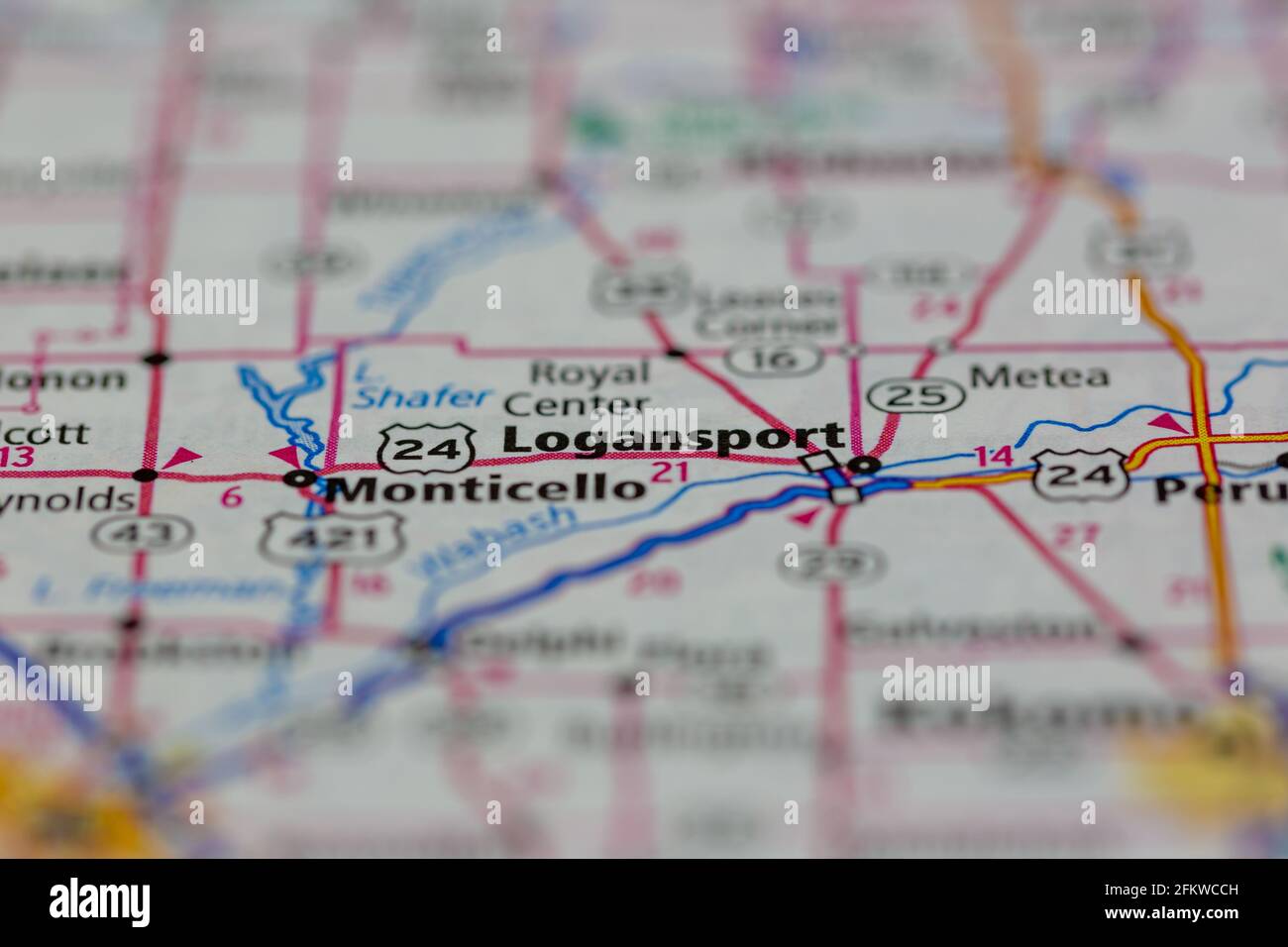 logansport Indiana USA shown on a geography map or road map Stock Photohttps://www.alamy.com/image-license-details/?v=1https://www.alamy.com/logansport-indiana-usa-shown-on-a-geography-map-or-road-map-image425285857.html
RM2FKWCCH–logansport Indiana USA shown on a geography map or road map
 Logansport, Boone County, US, United States, Iowa, N 42 4' 2'', S 93 56' 48'', map, Cartascapes Map published in 2024. Explore Cartascapes, a map revealing Earth's diverse landscapes, cultures, and ecosystems. Journey through time and space, discovering the interconnectedness of our planet's past, present, and future. Stock Photohttps://www.alamy.com/image-license-details/?v=1https://www.alamy.com/logansport-boone-county-us-united-states-iowa-n-42-4-2-s-93-56-48-map-cartascapes-map-published-in-2024-explore-cartascapes-a-map-revealing-earths-diverse-landscapes-cultures-and-ecosystems-journey-through-time-and-space-discovering-the-interconnectedness-of-our-planets-past-present-and-future-image621238535.html
RM2Y2KT2F–Logansport, Boone County, US, United States, Iowa, N 42 4' 2'', S 93 56' 48'', map, Cartascapes Map published in 2024. Explore Cartascapes, a map revealing Earth's diverse landscapes, cultures, and ecosystems. Journey through time and space, discovering the interconnectedness of our planet's past, present, and future.
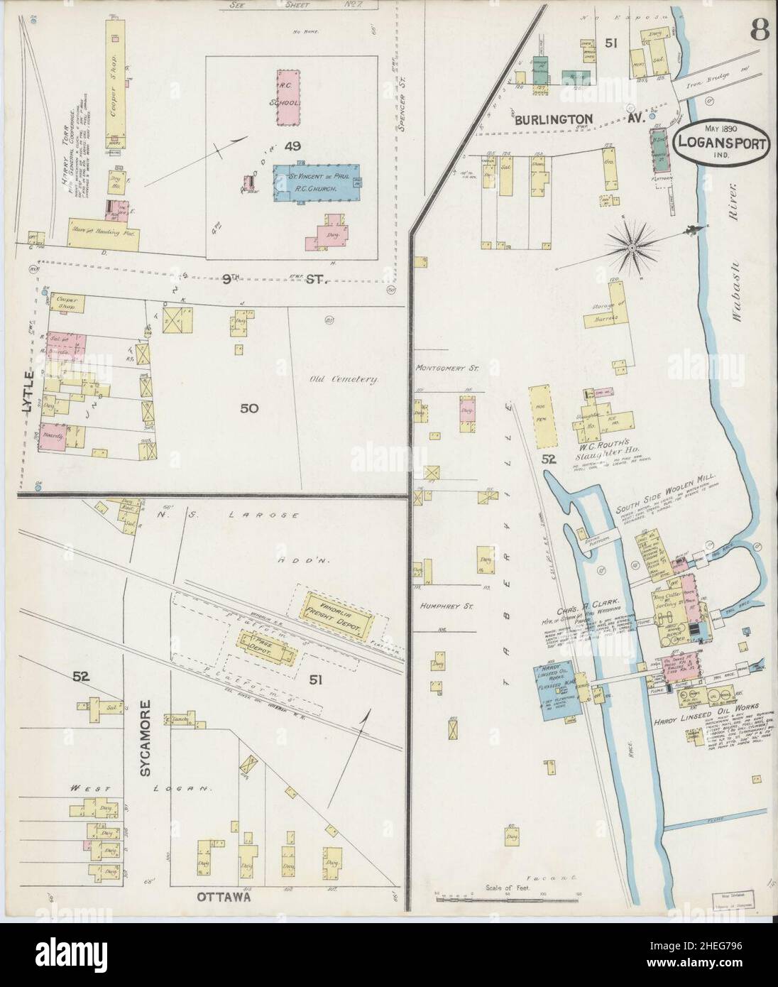 Sanborn Fire Insurance Map from Logansport, Cass County, Indiana. Stock Photohttps://www.alamy.com/image-license-details/?v=1https://www.alamy.com/sanborn-fire-insurance-map-from-logansport-cass-county-indiana-image456431730.html
RM2HEG796–Sanborn Fire Insurance Map from Logansport, Cass County, Indiana.
 0290 Railroad Maps Rail road map accompanying the report an d exhibit of the Logansport Northern Indiana Railroad showing its connections and the through route from St Louis to New York of which this road forms Inverted Stock Photohttps://www.alamy.com/image-license-details/?v=1https://www.alamy.com/0290-railroad-maps-rail-road-map-accompanying-the-report-an-d-exhibit-of-the-logansport-northern-indiana-railroad-showing-its-connections-and-the-through-route-from-st-louis-to-new-york-of-which-this-road-forms-inverted-image262043882.html
RMW693J2–0290 Railroad Maps Rail road map accompanying the report an d exhibit of the Logansport Northern Indiana Railroad showing its connections and the through route from St Louis to New York of which this road forms Inverted
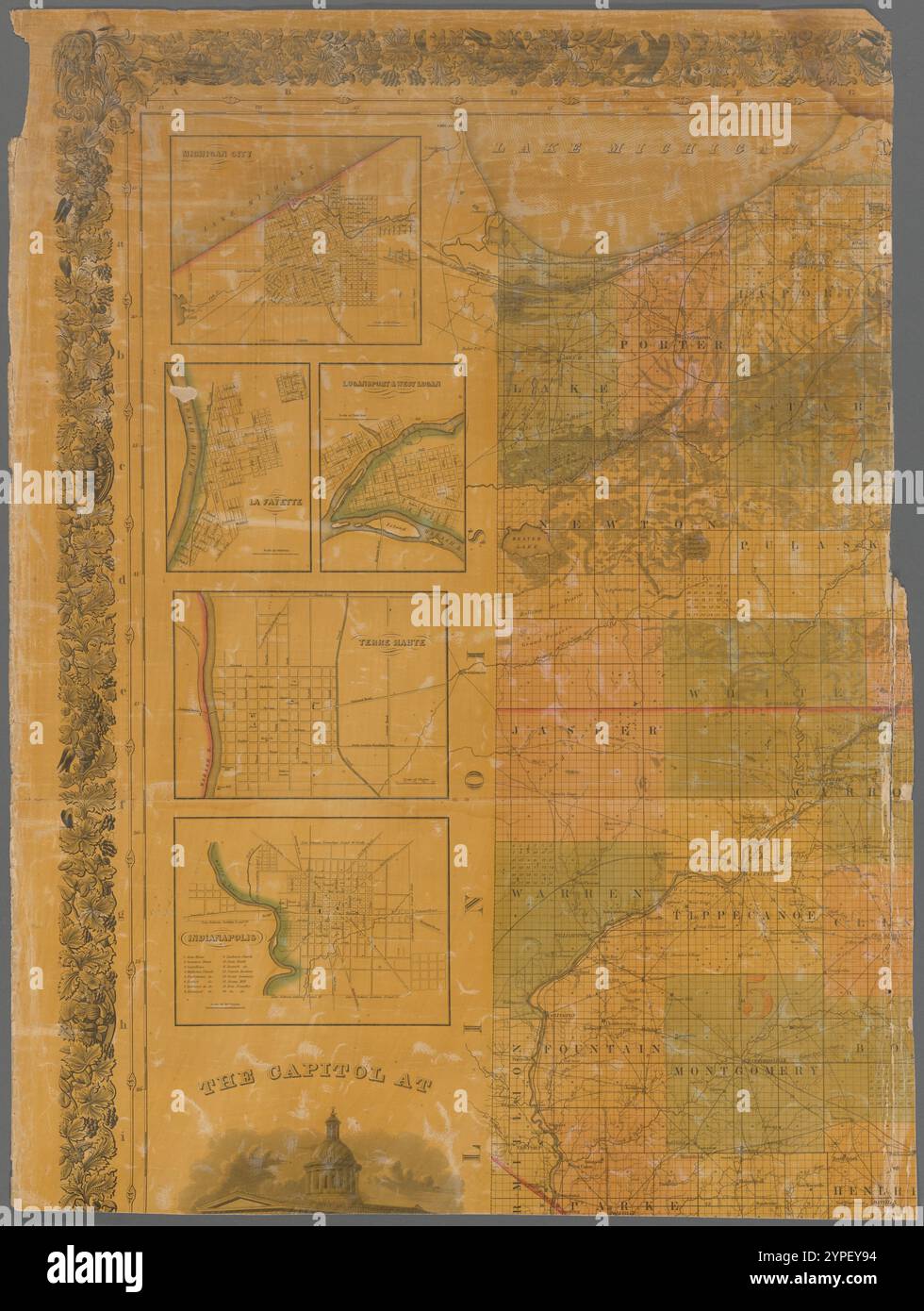 Map of the state of Indiana 1838 by Stiles, Sherman & Smith Stock Photohttps://www.alamy.com/image-license-details/?v=1https://www.alamy.com/map-of-the-state-of-indiana-1838-by-stiles-sherman-smith-image633424432.html
RM2YPEY94–Map of the state of Indiana 1838 by Stiles, Sherman & Smith
 US IN(1891) p241 LOGANSPORT, SOLDIERS' MONUMENT Stock Photohttps://www.alamy.com/image-license-details/?v=1https://www.alamy.com/us-in1891-p241-logansport-soldiers-monument-image154605456.html
RMJYETRC–US IN(1891) p241 LOGANSPORT, SOLDIERS' MONUMENT
![. Polk Logansport, Indiana, city directory. OA^.. .« -4 (/s2/.;y.. k-v ^T-5riJ5n-!Jliili5Il-flj3u^l3;U3L-rLe3v^j f fll^D) ESIG M IM Q B^tf 1. FJelief =Line.« Map £. Wood j MAPS, DIAGRAMS, FINE SCRIPT, [ FAC-SIMILE OF PENMANSHIP, j | AND BANK CHECK WORK, j | PRODUCED IN ELECTROTYPE PLATES FOR LETTER PRESS PRINTING BY THE f RELIEF LINK PROCESS. I SEND PHOTOGRAPHS OR COPIES FOR ESTIMATES. | S- E. Cor. Fifth, and Main Sts.„ CZJtfCISffaTATI, O- J7iiiiiiii(iiiiiiiiiiiiiiiiiiiiii>rS WOOD ENGRAVING |]V M C GHANI1I FR ,3 Washington street. 1 ? * XJ *-* »*x «-*» I-L.»1, IM>IANAroi/rS,JNl> Stock Photo . Polk Logansport, Indiana, city directory. OA^.. .« -4 (/s2/.;y.. k-v ^T-5riJ5n-!Jliili5Il-flj3u^l3;U3L-rLe3v^j f fll^D) ESIG M IM Q B^tf 1. FJelief =Line.« Map £. Wood j MAPS, DIAGRAMS, FINE SCRIPT, [ FAC-SIMILE OF PENMANSHIP, j | AND BANK CHECK WORK, j | PRODUCED IN ELECTROTYPE PLATES FOR LETTER PRESS PRINTING BY THE f RELIEF LINK PROCESS. I SEND PHOTOGRAPHS OR COPIES FOR ESTIMATES. | S- E. Cor. Fifth, and Main Sts.„ CZJtfCISffaTATI, O- J7iiiiiiii(iiiiiiiiiiiiiiiiiiiiii>rS WOOD ENGRAVING |]V M C GHANI1I FR ,3 Washington street. 1 ? * XJ *-* »*x «-*» I-L.»1, IM>IANAroi/rS,JNl> Stock Photo](https://c8.alamy.com/comp/2AGBNW7/polk-logansport-indiana-city-directory-oa-4-s2y-k-v-t-5rij5n-!jliili5il-flj3ul3u3l-rle3vj-f-flld-esig-m-im-q-btf-1-fjelief-=line-map-wood-j-maps-diagrams-fine-script-fac-simile-of-penmanship-j-and-bank-check-work-j-produced-in-electrotype-plates-for-letter-press-printing-by-the-f-relief-link-process-i-send-photographs-or-copies-for-estimates-s-e-cor-fifth-and-main-sts-czjtfcisffatati-o-j7iiiiiiiiiiiiiiiiiiiiiiiiiiiiiigtrs-wood-engraving-v-m-c-ghani1i-fr-3-washington-street-1-xj-x-i-l1-imgtianaroirsjnlgt-2AGBNW7.jpg) . Polk Logansport, Indiana, city directory. OA^.. .« -4 (/s2/.;y.. k-v ^T-5riJ5n-!Jliili5Il-flj3u^l3;U3L-rLe3v^j f fll^D) ESIG M IM Q B^tf 1. FJelief =Line.« Map £. Wood j MAPS, DIAGRAMS, FINE SCRIPT, [ FAC-SIMILE OF PENMANSHIP, j | AND BANK CHECK WORK, j | PRODUCED IN ELECTROTYPE PLATES FOR LETTER PRESS PRINTING BY THE f RELIEF LINK PROCESS. I SEND PHOTOGRAPHS OR COPIES FOR ESTIMATES. | S- E. Cor. Fifth, and Main Sts.„ CZJtfCISffaTATI, O- J7iiiiiiii(iiiiiiiiiiiiiiiiiiiiii>rS WOOD ENGRAVING |]V M C GHANI1I FR ,3 Washington street. 1 ? * XJ *-* »*x «-*» I-L.»1, IM>IANAroi/rS,JNl> Stock Photohttps://www.alamy.com/image-license-details/?v=1https://www.alamy.com/polk-logansport-indiana-city-directory-oa-4-s2y-k-v-t-5rij5n-!jliili5il-flj3ul3u3l-rle3vj-f-flld-esig-m-im-q-btf-1-fjelief-=line-map-wood-j-maps-diagrams-fine-script-fac-simile-of-penmanship-j-and-bank-check-work-j-produced-in-electrotype-plates-for-letter-press-printing-by-the-f-relief-link-process-i-send-photographs-or-copies-for-estimates-s-e-cor-fifth-and-main-sts-czjtfcisffatati-o-j7iiiiiiiiiiiiiiiiiiiiiiiiiiiiiigtrs-wood-engraving-v-m-c-ghani1i-fr-3-washington-street-1-xj-x-i-l1-imgtianaroirsjnlgt-image337090131.html
. Polk Logansport, Indiana, city directory. OA^.. .« -4 (/s2/.;y.. k-v ^T-5riJ5n-!Jliili5Il-flj3u^l3;U3L-rLe3v^j f fll^D) ESIG M IM Q B^tf 1. FJelief =Line.« Map £. Wood j MAPS, DIAGRAMS, FINE SCRIPT, [ FAC-SIMILE OF PENMANSHIP, j | AND BANK CHECK WORK, j | PRODUCED IN ELECTROTYPE PLATES FOR LETTER PRESS PRINTING BY THE f RELIEF LINK PROCESS. I SEND PHOTOGRAPHS OR COPIES FOR ESTIMATES. | S- E. Cor. Fifth, and Main Sts.„ CZJtfCISffaTATI, O- J7iiiiiiii(iiiiiiiiiiiiiiiiiiiiii>rS WOOD ENGRAVING |]V M C GHANI1I FR ,3 Washington street. 1 ? * XJ *-* »*x «-*» I-L.»1, IM>IANAroi/rS,JNl> Stock Photohttps://www.alamy.com/image-license-details/?v=1https://www.alamy.com/polk-logansport-indiana-city-directory-oa-4-s2y-k-v-t-5rij5n-!jliili5il-flj3ul3u3l-rle3vj-f-flld-esig-m-im-q-btf-1-fjelief-=line-map-wood-j-maps-diagrams-fine-script-fac-simile-of-penmanship-j-and-bank-check-work-j-produced-in-electrotype-plates-for-letter-press-printing-by-the-f-relief-link-process-i-send-photographs-or-copies-for-estimates-s-e-cor-fifth-and-main-sts-czjtfcisffatati-o-j7iiiiiiiiiiiiiiiiiiiiiiiiiiiiiigtrs-wood-engraving-v-m-c-ghani1i-fr-3-washington-street-1-xj-x-i-l1-imgtianaroirsjnlgt-image337090131.htmlRM2AGBNW7–. Polk Logansport, Indiana, city directory. OA^.. .« -4 (/s2/.;y.. k-v ^T-5riJ5n-!Jliili5Il-flj3u^l3;U3L-rLe3v^j f fll^D) ESIG M IM Q B^tf 1. FJelief =Line.« Map £. Wood j MAPS, DIAGRAMS, FINE SCRIPT, [ FAC-SIMILE OF PENMANSHIP, j | AND BANK CHECK WORK, j | PRODUCED IN ELECTROTYPE PLATES FOR LETTER PRESS PRINTING BY THE f RELIEF LINK PROCESS. I SEND PHOTOGRAPHS OR COPIES FOR ESTIMATES. | S- E. Cor. Fifth, and Main Sts.„ CZJtfCISffaTATI, O- J7iiiiiiii(iiiiiiiiiiiiiiiiiiiiii>rS WOOD ENGRAVING |]V M C GHANI1I FR ,3 Washington street. 1 ? * XJ *-* »*x «-*» I-L.»1, IM>IANAroi/rS,JNl>
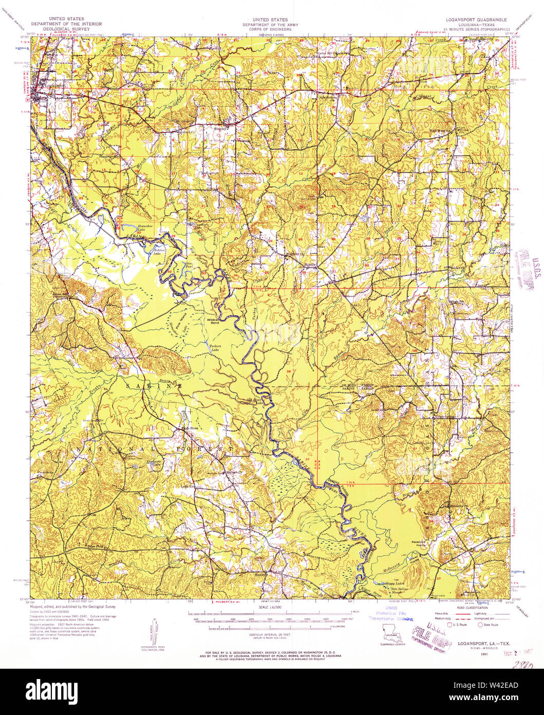 USGS TOPO Map Louisiana LA Logansport 334761 1956 62500 Stock Photohttps://www.alamy.com/image-license-details/?v=1https://www.alamy.com/usgs-topo-map-louisiana-la-logansport-334761-1956-62500-image260669317.html
RMW42EAD–USGS TOPO Map Louisiana LA Logansport 334761 1956 62500
 US-IN(1891) p241 LOGANSPORT, SOLDIERS' MONUMENT Stock Photohttps://www.alamy.com/image-license-details/?v=1https://www.alamy.com/stock-photo-us-in1891-p241-logansport-soldiers-monument-73667381.html
RME7RRDW–US-IN(1891) p241 LOGANSPORT, SOLDIERS' MONUMENT
 Cass County, Indiana (U.S. county, United States of America, USA, U.S., US) map vector illustration, scribble sketch Cass map Stock Vectorhttps://www.alamy.com/image-license-details/?v=1https://www.alamy.com/cass-county-indiana-us-county-united-states-of-america-usa-us-us-map-vector-illustration-scribble-sketch-cass-map-image367797531.html
RF2CAAHE3–Cass County, Indiana (U.S. county, United States of America, USA, U.S., US) map vector illustration, scribble sketch Cass map
 Logansport, Cass County, US, United States, Indiana, N 40 45' 16'', S 86 21' 24'', map, Cartascapes Map published in 2024. Explore Cartascapes, a map revealing Earth's diverse landscapes, cultures, and ecosystems. Journey through time and space, discovering the interconnectedness of our planet's past, present, and future. Stock Photohttps://www.alamy.com/image-license-details/?v=1https://www.alamy.com/logansport-cass-county-us-united-states-indiana-n-40-45-16-s-86-21-24-map-cartascapes-map-published-in-2024-explore-cartascapes-a-map-revealing-earths-diverse-landscapes-cultures-and-ecosystems-journey-through-time-and-space-discovering-the-interconnectedness-of-our-planets-past-present-and-future-image621475383.html
RM2Y32J5B–Logansport, Cass County, US, United States, Indiana, N 40 45' 16'', S 86 21' 24'', map, Cartascapes Map published in 2024. Explore Cartascapes, a map revealing Earth's diverse landscapes, cultures, and ecosystems. Journey through time and space, discovering the interconnectedness of our planet's past, present, and future.
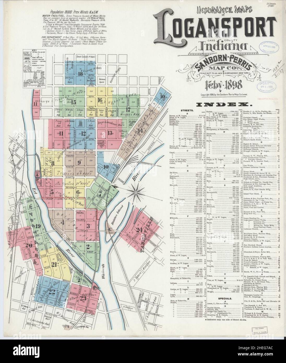 Sanborn Fire Insurance Map from Logansport, Cass County, Indiana. Stock Photohttps://www.alamy.com/image-license-details/?v=1https://www.alamy.com/sanborn-fire-insurance-map-from-logansport-cass-county-indiana-image456431764.html
RM2HEG7AC–Sanborn Fire Insurance Map from Logansport, Cass County, Indiana.
 . The Street railway journal . pany. The principal bridge structuresare over the Wabash River at Logansport and also at Peru,over the White River at Broadripple and at Noblesville, and older portions of the system,namely, those east of El-wood, are supplied overhigh - tension transmissionlines operating at 15,000volts. The new part, or In-dianapolis Northern, is sup-plied over three-phase trans-mission lines operating at30,000 volts. The map showsboth high and low-tensionfeeders. From the powerstation at Anderson to Koko-mo are duplicate three-phasetransmission lines. On thebalance of the Indi Stock Photohttps://www.alamy.com/image-license-details/?v=1https://www.alamy.com/the-street-railway-journal-pany-the-principal-bridge-structuresare-over-the-wabash-river-at-logansport-and-also-at-peruover-the-white-river-at-broadripple-and-at-noblesville-and-older-portions-of-the-systemnamely-those-east-of-el-wood-are-supplied-overhigh-tension-transmissionlines-operating-at-15000volts-the-new-part-or-in-dianapolis-northern-is-sup-plied-over-three-phase-trans-mission-lines-operating-at30000-volts-the-map-showsboth-high-and-low-tensionfeeders-from-the-powerstation-at-anderson-to-koko-mo-are-duplicate-three-phasetransmission-lines-on-thebalance-of-the-indi-image371742567.html
RM2CGP9C7–. The Street railway journal . pany. The principal bridge structuresare over the Wabash River at Logansport and also at Peru,over the White River at Broadripple and at Noblesville, and older portions of the system,namely, those east of El-wood, are supplied overhigh - tension transmissionlines operating at 15,000volts. The new part, or In-dianapolis Northern, is sup-plied over three-phase trans-mission lines operating at30,000 volts. The map showsboth high and low-tensionfeeders. From the powerstation at Anderson to Koko-mo are duplicate three-phasetransmission lines. On thebalance of the Indi
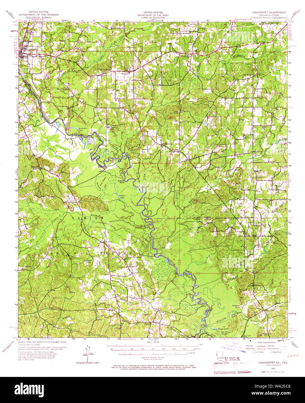 USGS TOPO Map Louisiana LA Logansport 334762 1956 62500 Stock Photohttps://www.alamy.com/image-license-details/?v=1https://www.alamy.com/usgs-topo-map-louisiana-la-logansport-334762-1956-62500-image260669368.html
RMW42EC8–USGS TOPO Map Louisiana LA Logansport 334762 1956 62500
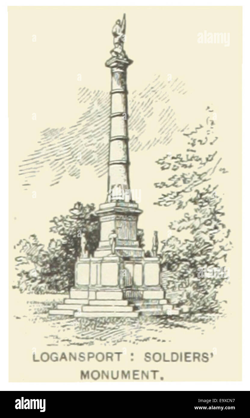 US-IN(1891) p241 LOGANSPORT, SOLDIERS' MONUMENT Stock Photohttps://www.alamy.com/image-license-details/?v=1https://www.alamy.com/stock-photo-us-in1891-p241-logansport-soldiers-monument-74954131.html
RME9XCN7–US-IN(1891) p241 LOGANSPORT, SOLDIERS' MONUMENT
 Cass County, Indiana (U.S. county, United States of America, USA, U.S., US) map vector illustration, scribble sketch Cass map Stock Vectorhttps://www.alamy.com/image-license-details/?v=1https://www.alamy.com/cass-county-indiana-us-county-united-states-of-america-usa-us-us-map-vector-illustration-scribble-sketch-cass-map-image376693517.html
RF2CTRTBW–Cass County, Indiana (U.S. county, United States of America, USA, U.S., US) map vector illustration, scribble sketch Cass map
 Logansport, Cass County, US, United States, Indiana, N 40 45' 16'', S 86 21' 24'', map, Cartascapes Map published in 2024. Explore Cartascapes, a map revealing Earth's diverse landscapes, cultures, and ecosystems. Journey through time and space, discovering the interconnectedness of our planet's past, present, and future. Stock Photohttps://www.alamy.com/image-license-details/?v=1https://www.alamy.com/logansport-cass-county-us-united-states-indiana-n-40-45-16-s-86-21-24-map-cartascapes-map-published-in-2024-explore-cartascapes-a-map-revealing-earths-diverse-landscapes-cultures-and-ecosystems-journey-through-time-and-space-discovering-the-interconnectedness-of-our-planets-past-present-and-future-image621379496.html
RM2Y2X7TT–Logansport, Cass County, US, United States, Indiana, N 40 45' 16'', S 86 21' 24'', map, Cartascapes Map published in 2024. Explore Cartascapes, a map revealing Earth's diverse landscapes, cultures, and ecosystems. Journey through time and space, discovering the interconnectedness of our planet's past, present, and future.
 Sanborn Fire Insurance Map from Logansport, Cass County, Indiana. Stock Photohttps://www.alamy.com/image-license-details/?v=1https://www.alamy.com/sanborn-fire-insurance-map-from-logansport-cass-county-indiana-image456431749.html
RM2HEG79W–Sanborn Fire Insurance Map from Logansport, Cass County, Indiana.
 . The Street railway journal . FIG. 1—MAP OF THE INDIANA UNION TRACTION SYSTEM Company, has completed about 110 miles of new interurbanroad. The standard forms of construction used on these latest The Indiana Union Traction Companys system as it nowstands is shown by the accompanying map, Fig. 1. The new,or Indianapolis Northern, lines extend from Indianapolis toKokomo, from Kokomo to Logansport, from Kokomo to Peru,and from Tipton to Elwood. The new lines aggregate nomiles in length. The older interurban lines of the IndianaUnion Traction system aggregate 101 miles, and the city lines50 miles Stock Photohttps://www.alamy.com/image-license-details/?v=1https://www.alamy.com/the-street-railway-journal-fig-1map-of-the-indiana-union-traction-system-company-has-completed-about-110-miles-of-new-interurbanroad-the-standard-forms-of-construction-used-on-these-latest-the-indiana-union-traction-companys-system-as-it-nowstands-is-shown-by-the-accompanying-map-fig-1-the-newor-indianapolis-northern-lines-extend-from-indianapolis-tokokomo-from-kokomo-to-logansport-from-kokomo-to-peruand-from-tipton-to-elwood-the-new-lines-aggregate-nomiles-in-length-the-older-interurban-lines-of-the-indianaunion-traction-system-aggregate-101-miles-and-the-city-lines50-miles-image371742683.html
RM2CGP9GB–. The Street railway journal . FIG. 1—MAP OF THE INDIANA UNION TRACTION SYSTEM Company, has completed about 110 miles of new interurbanroad. The standard forms of construction used on these latest The Indiana Union Traction Companys system as it nowstands is shown by the accompanying map, Fig. 1. The new,or Indianapolis Northern, lines extend from Indianapolis toKokomo, from Kokomo to Logansport, from Kokomo to Peru,and from Tipton to Elwood. The new lines aggregate nomiles in length. The older interurban lines of the IndianaUnion Traction system aggregate 101 miles, and the city lines50 miles
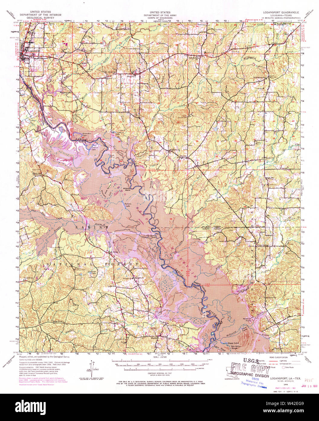 USGS TOPO Map Louisiana LA Logansport 334764 1956 62500 Stock Photohttps://www.alamy.com/image-license-details/?v=1https://www.alamy.com/usgs-topo-map-louisiana-la-logansport-334764-1956-62500-image260669481.html
RMW42EG9–USGS TOPO Map Louisiana LA Logansport 334764 1956 62500
 US-IN(1891) p241 LOGANSPORT, SOLDIERS' MONUMENT Stock Photohttps://www.alamy.com/image-license-details/?v=1https://www.alamy.com/stock-photo-us-in1891-p241-logansport-soldiers-monument-75192419.html
RMEA98KF–US-IN(1891) p241 LOGANSPORT, SOLDIERS' MONUMENT
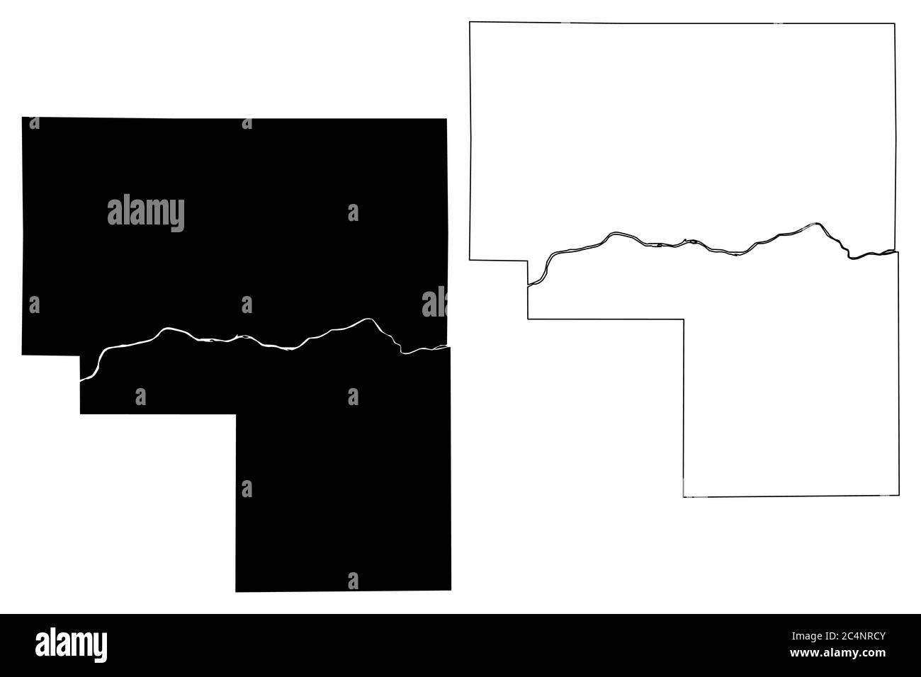 Cass County, Indiana (U.S. county, United States of America, USA, U.S., US) map vector illustration, scribble sketch Cass map Stock Vectorhttps://www.alamy.com/image-license-details/?v=1https://www.alamy.com/cass-county-indiana-us-county-united-states-of-america-usa-us-us-map-vector-illustration-scribble-sketch-cass-map-image364355739.html
RF2C4NRCY–Cass County, Indiana (U.S. county, United States of America, USA, U.S., US) map vector illustration, scribble sketch Cass map
 Logansport (historical), Hamilton County, US, United States, Illinois, N 38 6' 21'', S 88 25' 24'', map, Cartascapes Map published in 2024. Explore Cartascapes, a map revealing Earth's diverse landscapes, cultures, and ecosystems. Journey through time and space, discovering the interconnectedness of our planet's past, present, and future. Stock Photohttps://www.alamy.com/image-license-details/?v=1https://www.alamy.com/logansport-historical-hamilton-county-us-united-states-illinois-n-38-6-21-s-88-25-24-map-cartascapes-map-published-in-2024-explore-cartascapes-a-map-revealing-earths-diverse-landscapes-cultures-and-ecosystems-journey-through-time-and-space-discovering-the-interconnectedness-of-our-planets-past-present-and-future-image621468023.html
RM2Y328PF–Logansport (historical), Hamilton County, US, United States, Illinois, N 38 6' 21'', S 88 25' 24'', map, Cartascapes Map published in 2024. Explore Cartascapes, a map revealing Earth's diverse landscapes, cultures, and ecosystems. Journey through time and space, discovering the interconnectedness of our planet's past, present, and future.
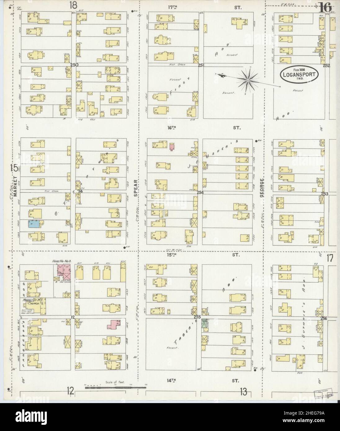 Sanborn Fire Insurance Map from Logansport, Cass County, Indiana. Stock Photohttps://www.alamy.com/image-license-details/?v=1https://www.alamy.com/sanborn-fire-insurance-map-from-logansport-cass-county-indiana-image456431734.html
RM2HEG79A–Sanborn Fire Insurance Map from Logansport, Cass County, Indiana.
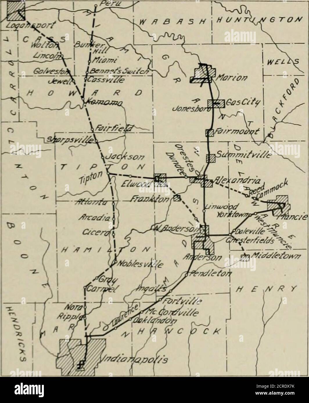 . The street railway review . tion Co., whoseroute is shown on the accompanying map. The new line startsfrom the northern boundary of Indianapolis, where it forms ajunction with the Union Traction Co. of Indiana, and runs in ageneral northerly direction, passing through Carniel. Noblesville,Tipton, Kokomo and a number of intermediate towns. At Kokomothe line branches, one line running nearly due north to Peru andthe other branch running northwest to Logansport. A short branchalso runs from Tipton to Eiwood. making connection with the linesof the Union Traction Co. of Indiana at the latter city Stock Photohttps://www.alamy.com/image-license-details/?v=1https://www.alamy.com/the-street-railway-review-tion-co-whoseroute-is-shown-on-the-accompanying-map-the-new-line-startsfrom-the-northern-boundary-of-indianapolis-where-it-forms-ajunction-with-the-union-traction-co-of-indiana-and-runs-in-ageneral-northerly-direction-passing-through-carniel-noblesvilletipton-kokomo-and-a-number-of-intermediate-towns-at-kokomothe-line-branches-one-line-running-nearly-due-north-to-peru-andthe-other-branch-running-northwest-to-logansport-a-short-branchalso-runs-from-tipton-to-eiwood-making-connection-with-the-linesof-the-union-traction-co-of-indiana-at-the-latter-city-image375860791.html
RM2CRDX7K–. The street railway review . tion Co., whoseroute is shown on the accompanying map. The new line startsfrom the northern boundary of Indianapolis, where it forms ajunction with the Union Traction Co. of Indiana, and runs in ageneral northerly direction, passing through Carniel. Noblesville,Tipton, Kokomo and a number of intermediate towns. At Kokomothe line branches, one line running nearly due north to Peru andthe other branch running northwest to Logansport. A short branchalso runs from Tipton to Eiwood. making connection with the linesof the Union Traction Co. of Indiana at the latter city
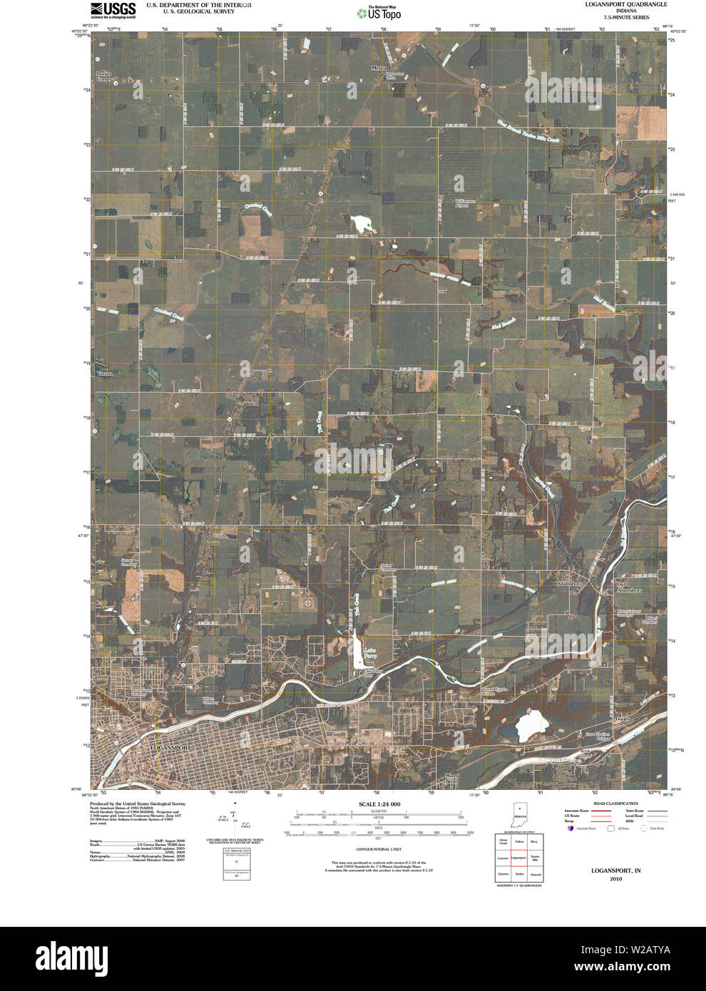 USGS TOPO Map Indiana IN Logansport 20100526 TM Restoration Stock Photohttps://www.alamy.com/image-license-details/?v=1https://www.alamy.com/usgs-topo-map-indiana-in-logansport-20100526-tm-restoration-image259623934.html
RMW2ATYA–USGS TOPO Map Indiana IN Logansport 20100526 TM Restoration
 Diary of Mr (Charles) Ingersoll during Civil war 1861-65 - found in Cass Co. Historical Society Museum, Logansport, Ind. (1900) Stock Photohttps://www.alamy.com/image-license-details/?v=1https://www.alamy.com/stock-photo-diary-of-mr-charles-ingersoll-during-civil-war-1861-65-found-in-cass-114471227.html
RMGJ6H63–Diary of Mr (Charles) Ingersoll during Civil war 1861-65 - found in Cass Co. Historical Society Museum, Logansport, Ind. (1900)
 Logansport, De Soto Parish, US, United States, Louisiana, N 31 58' 31'', S 93 59' 52'', map, Cartascapes Map published in 2024. Explore Cartascapes, a map revealing Earth's diverse landscapes, cultures, and ecosystems. Journey through time and space, discovering the interconnectedness of our planet's past, present, and future. Stock Photohttps://www.alamy.com/image-license-details/?v=1https://www.alamy.com/logansport-de-soto-parish-us-united-states-louisiana-n-31-58-31-s-93-59-52-map-cartascapes-map-published-in-2024-explore-cartascapes-a-map-revealing-earths-diverse-landscapes-cultures-and-ecosystems-journey-through-time-and-space-discovering-the-interconnectedness-of-our-planets-past-present-and-future-image621217287.html
RM2Y2JTYK–Logansport, De Soto Parish, US, United States, Louisiana, N 31 58' 31'', S 93 59' 52'', map, Cartascapes Map published in 2024. Explore Cartascapes, a map revealing Earth's diverse landscapes, cultures, and ecosystems. Journey through time and space, discovering the interconnectedness of our planet's past, present, and future.
 Sanborn Fire Insurance Map from Logansport, Cass County, Indiana. Stock Photohttps://www.alamy.com/image-license-details/?v=1https://www.alamy.com/sanborn-fire-insurance-map-from-logansport-cass-county-indiana-image456431729.html
RM2HEG795–Sanborn Fire Insurance Map from Logansport, Cass County, Indiana.
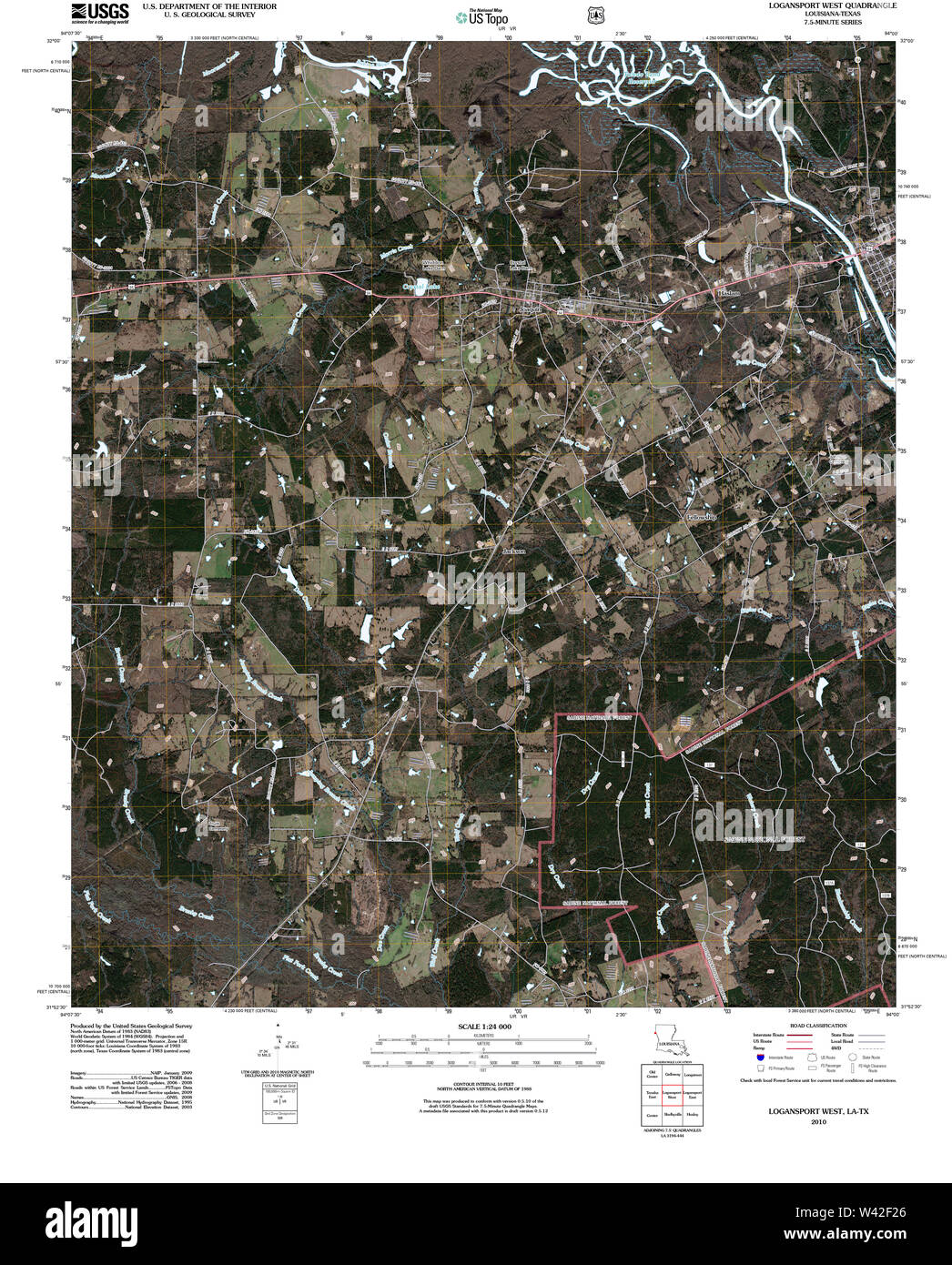 USGS TOPO Map Louisiana LA Logansport West 20101008 TM Stock Photohttps://www.alamy.com/image-license-details/?v=1https://www.alamy.com/usgs-topo-map-louisiana-la-logansport-west-20101008-tm-image260669870.html
RMW42F26–USGS TOPO Map Louisiana LA Logansport West 20101008 TM
 Diary of Mr (Charles) Ingersoll during Civil war 1861-65 - found in Cass Co. Historical Society Museum, Logansport, Ind. (1900) Stock Photohttps://www.alamy.com/image-license-details/?v=1https://www.alamy.com/stock-photo-diary-of-mr-charles-ingersoll-during-civil-war-1861-65-found-in-cass-114471173.html
RMGJ6H45–Diary of Mr (Charles) Ingersoll during Civil war 1861-65 - found in Cass Co. Historical Society Museum, Logansport, Ind. (1900)
 Logansport, Butler County, US, United States, Kentucky, N 37 17' 6'', S 86 46' 4'', map, Cartascapes Map published in 2024. Explore Cartascapes, a map revealing Earth's diverse landscapes, cultures, and ecosystems. Journey through time and space, discovering the interconnectedness of our planet's past, present, and future. Stock Photohttps://www.alamy.com/image-license-details/?v=1https://www.alamy.com/logansport-butler-county-us-united-states-kentucky-n-37-17-6-s-86-46-4-map-cartascapes-map-published-in-2024-explore-cartascapes-a-map-revealing-earths-diverse-landscapes-cultures-and-ecosystems-journey-through-time-and-space-discovering-the-interconnectedness-of-our-planets-past-present-and-future-image620860648.html
RM2Y22J2G–Logansport, Butler County, US, United States, Kentucky, N 37 17' 6'', S 86 46' 4'', map, Cartascapes Map published in 2024. Explore Cartascapes, a map revealing Earth's diverse landscapes, cultures, and ecosystems. Journey through time and space, discovering the interconnectedness of our planet's past, present, and future.
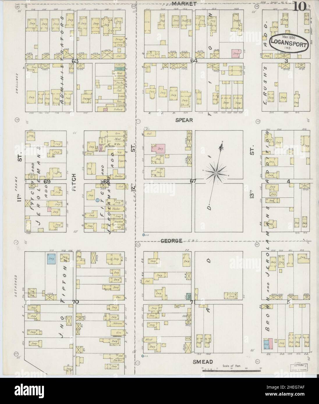 Sanborn Fire Insurance Map from Logansport, Cass County, Indiana. Stock Photohttps://www.alamy.com/image-license-details/?v=1https://www.alamy.com/sanborn-fire-insurance-map-from-logansport-cass-county-indiana-image456431767.html
RM2HEG7AF–Sanborn Fire Insurance Map from Logansport, Cass County, Indiana.
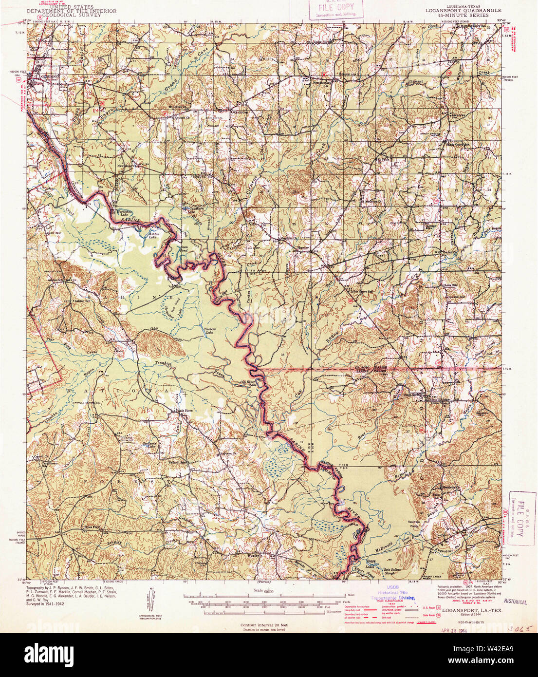 USGS TOPO Map Louisiana LA Logansport 334760 1944 62500 Stock Photohttps://www.alamy.com/image-license-details/?v=1https://www.alamy.com/usgs-topo-map-louisiana-la-logansport-334760-1944-62500-image260669313.html
RMW42EA9–USGS TOPO Map Louisiana LA Logansport 334760 1944 62500
 Diary of Mr (Charles) Ingersoll during Civil war 1861-65 - found in Cass Co. Historical Society Museum, Logansport, Ind. (1900) Stock Photohttps://www.alamy.com/image-license-details/?v=1https://www.alamy.com/stock-photo-diary-of-mr-charles-ingersoll-during-civil-war-1861-65-found-in-cass-114607221.html
RMGJCPK1–Diary of Mr (Charles) Ingersoll during Civil war 1861-65 - found in Cass Co. Historical Society Museum, Logansport, Ind. (1900)
 Logansport, Marion County, US, United States, West Virginia, N 39 31' 9'', S 80 24' 49'', map, Cartascapes Map published in 2024. Explore Cartascapes, a map revealing Earth's diverse landscapes, cultures, and ecosystems. Journey through time and space, discovering the interconnectedness of our planet's past, present, and future. Stock Photohttps://www.alamy.com/image-license-details/?v=1https://www.alamy.com/logansport-marion-county-us-united-states-west-virginia-n-39-31-9-s-80-24-49-map-cartascapes-map-published-in-2024-explore-cartascapes-a-map-revealing-earths-diverse-landscapes-cultures-and-ecosystems-journey-through-time-and-space-discovering-the-interconnectedness-of-our-planets-past-present-and-future-image620888522.html
RM2Y23WJ2–Logansport, Marion County, US, United States, West Virginia, N 39 31' 9'', S 80 24' 49'', map, Cartascapes Map published in 2024. Explore Cartascapes, a map revealing Earth's diverse landscapes, cultures, and ecosystems. Journey through time and space, discovering the interconnectedness of our planet's past, present, and future.
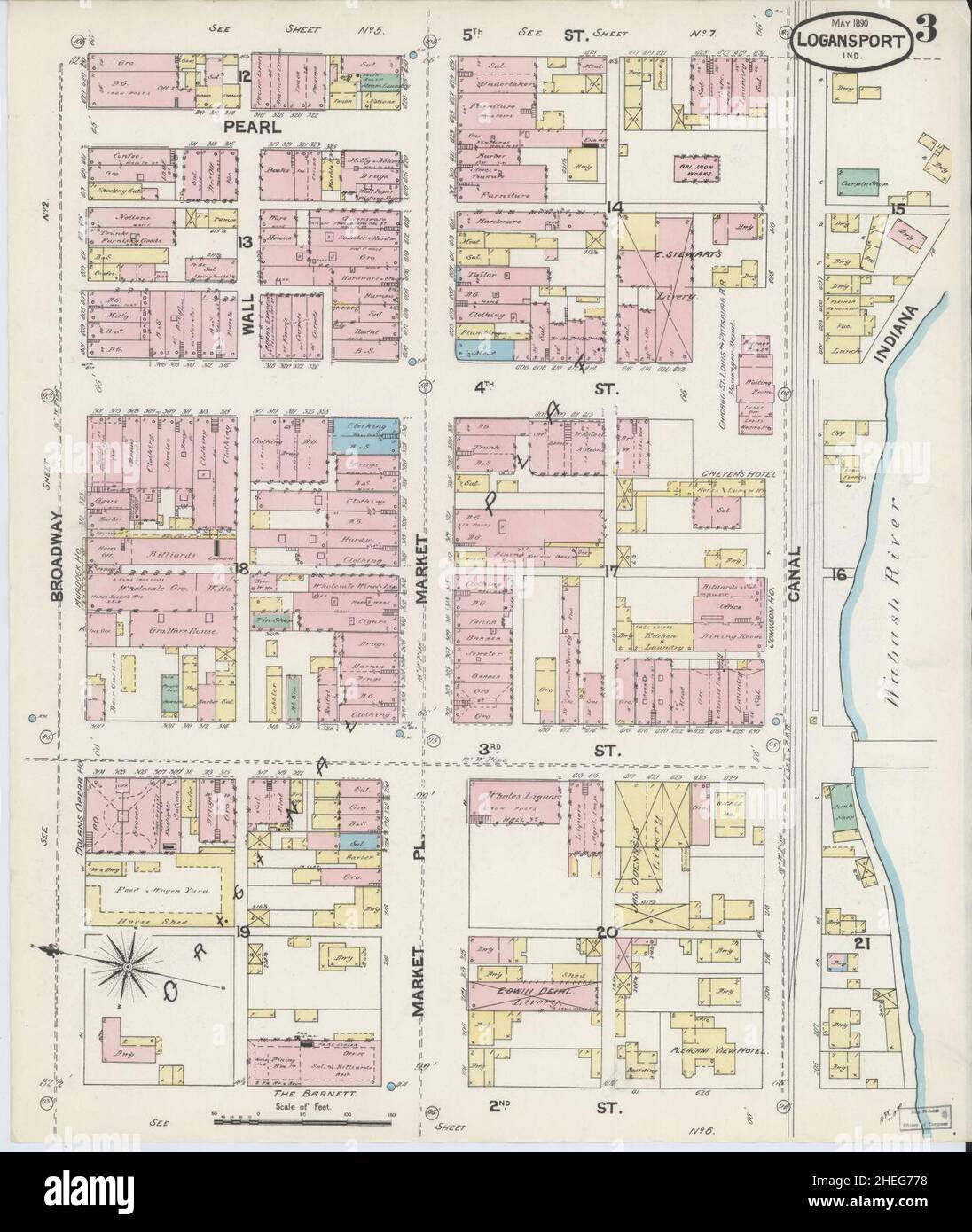 Sanborn Fire Insurance Map from Logansport, Cass County, Indiana. Stock Photohttps://www.alamy.com/image-license-details/?v=1https://www.alamy.com/sanborn-fire-insurance-map-from-logansport-cass-county-indiana-image456431676.html
RM2HEG778–Sanborn Fire Insurance Map from Logansport, Cass County, Indiana.
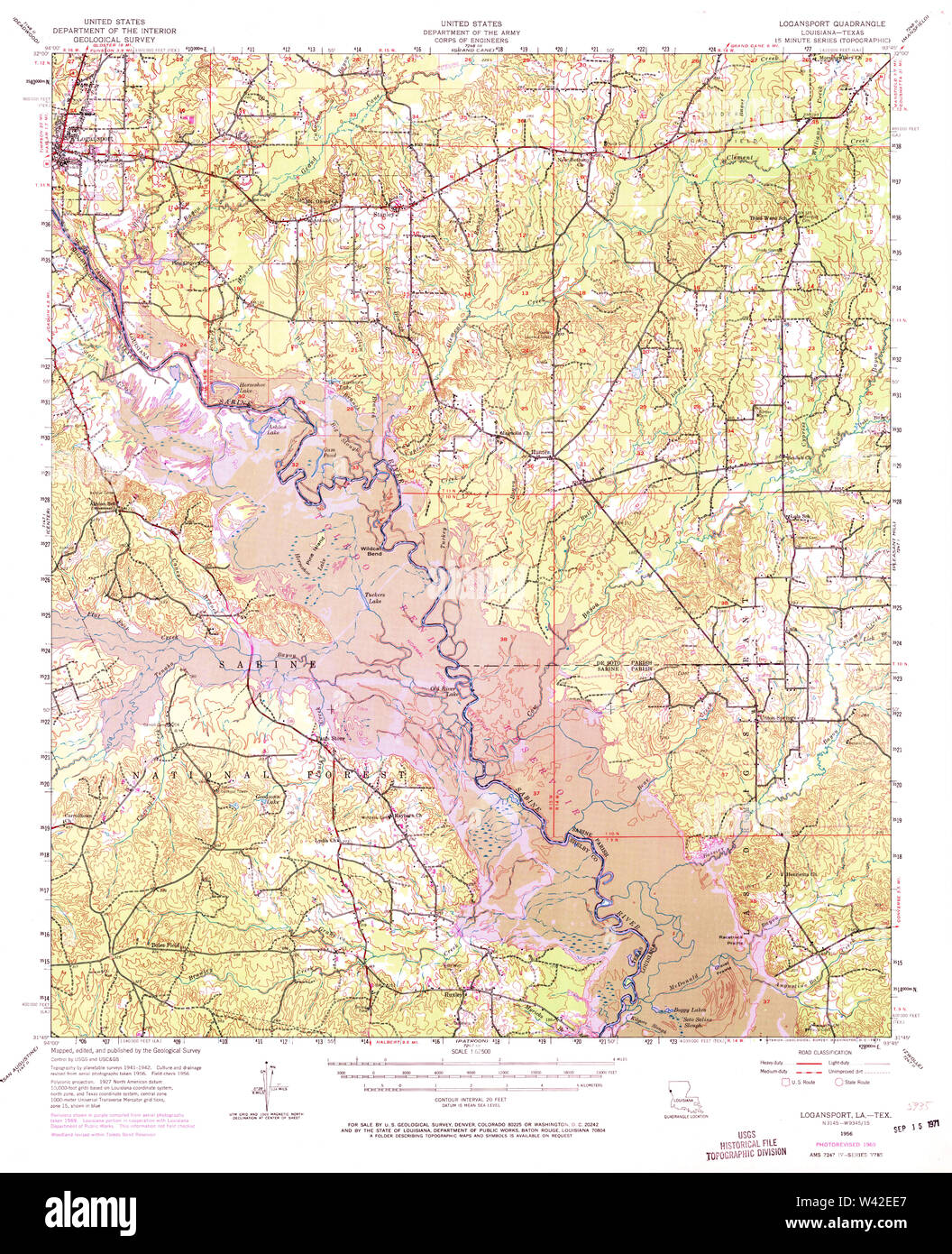 USGS TOPO Map Louisiana LA Logansport 334763 1956 62500 Stock Photohttps://www.alamy.com/image-license-details/?v=1https://www.alamy.com/usgs-topo-map-louisiana-la-logansport-334763-1956-62500-image260669423.html
RMW42EE7–USGS TOPO Map Louisiana LA Logansport 334763 1956 62500
 Diary of Mr (Charles) Ingersoll during Civil war 1861-65 - found in Cass Co. Historical Society Museum, Logansport, Ind. (1900) Stock Photohttps://www.alamy.com/image-license-details/?v=1https://www.alamy.com/stock-photo-diary-of-mr-charles-ingersoll-during-civil-war-1861-65-found-in-cass-114471154.html
RMGJ6H3E–Diary of Mr (Charles) Ingersoll during Civil war 1861-65 - found in Cass Co. Historical Society Museum, Logansport, Ind. (1900)
 Logansport, De Soto Parish, US, United States, Louisiana, N 31 58' 31'', S 93 59' 52'', map, Cartascapes Map published in 2024. Explore Cartascapes, a map revealing Earth's diverse landscapes, cultures, and ecosystems. Journey through time and space, discovering the interconnectedness of our planet's past, present, and future. Stock Photohttps://www.alamy.com/image-license-details/?v=1https://www.alamy.com/logansport-de-soto-parish-us-united-states-louisiana-n-31-58-31-s-93-59-52-map-cartascapes-map-published-in-2024-explore-cartascapes-a-map-revealing-earths-diverse-landscapes-cultures-and-ecosystems-journey-through-time-and-space-discovering-the-interconnectedness-of-our-planets-past-present-and-future-image620878222.html
RM2Y23CE6–Logansport, De Soto Parish, US, United States, Louisiana, N 31 58' 31'', S 93 59' 52'', map, Cartascapes Map published in 2024. Explore Cartascapes, a map revealing Earth's diverse landscapes, cultures, and ecosystems. Journey through time and space, discovering the interconnectedness of our planet's past, present, and future.
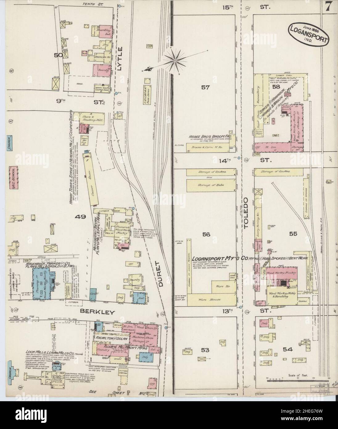 Sanborn Fire Insurance Map from Logansport, Cass County, Indiana. Stock Photohttps://www.alamy.com/image-license-details/?v=1https://www.alamy.com/sanborn-fire-insurance-map-from-logansport-cass-county-indiana-image456431665.html
RM2HEG76W–Sanborn Fire Insurance Map from Logansport, Cass County, Indiana.
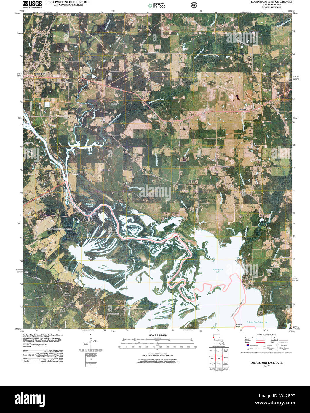 USGS TOPO Map Louisiana LA Logansport East 20101006 TM Stock Photohttps://www.alamy.com/image-license-details/?v=1https://www.alamy.com/usgs-topo-map-louisiana-la-logansport-east-20101006-tm-image260669664.html
RMW42EPT–USGS TOPO Map Louisiana LA Logansport East 20101006 TM
 Town of Logansport, De Soto Parish, US, United States, Louisiana, N 31 58' 31'', S 93 59' 36'', map, Cartascapes Map published in 2024. Explore Cartascapes, a map revealing Earth's diverse landscapes, cultures, and ecosystems. Journey through time and space, discovering the interconnectedness of our planet's past, present, and future. Stock Photohttps://www.alamy.com/image-license-details/?v=1https://www.alamy.com/town-of-logansport-de-soto-parish-us-united-states-louisiana-n-31-58-31-s-93-59-36-map-cartascapes-map-published-in-2024-explore-cartascapes-a-map-revealing-earths-diverse-landscapes-cultures-and-ecosystems-journey-through-time-and-space-discovering-the-interconnectedness-of-our-planets-past-present-and-future-image633883545.html
RM2YR7TX1–Town of Logansport, De Soto Parish, US, United States, Louisiana, N 31 58' 31'', S 93 59' 36'', map, Cartascapes Map published in 2024. Explore Cartascapes, a map revealing Earth's diverse landscapes, cultures, and ecosystems. Journey through time and space, discovering the interconnectedness of our planet's past, present, and future.
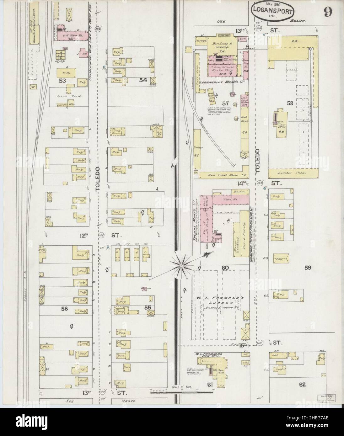 Sanborn Fire Insurance Map from Logansport, Cass County, Indiana. Stock Photohttps://www.alamy.com/image-license-details/?v=1https://www.alamy.com/sanborn-fire-insurance-map-from-logansport-cass-county-indiana-image456431766.html
RM2HEG7AE–Sanborn Fire Insurance Map from Logansport, Cass County, Indiana.
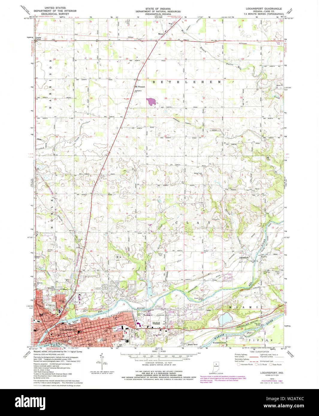 USGS TOPO Map Indiana IN Logansport 156053 1972 24000 Restoration Stock Photohttps://www.alamy.com/image-license-details/?v=1https://www.alamy.com/usgs-topo-map-indiana-in-logansport-156053-1972-24000-restoration-image259623712.html
RMW2ATKC–USGS TOPO Map Indiana IN Logansport 156053 1972 24000 Restoration
 City of Logansport, Cass County, US, United States, Indiana, N 40 45' 0'', S 86 21' 21'', map, Cartascapes Map published in 2024. Explore Cartascapes, a map revealing Earth's diverse landscapes, cultures, and ecosystems. Journey through time and space, discovering the interconnectedness of our planet's past, present, and future. Stock Photohttps://www.alamy.com/image-license-details/?v=1https://www.alamy.com/city-of-logansport-cass-county-us-united-states-indiana-n-40-45-0-s-86-21-21-map-cartascapes-map-published-in-2024-explore-cartascapes-a-map-revealing-earths-diverse-landscapes-cultures-and-ecosystems-journey-through-time-and-space-discovering-the-interconnectedness-of-our-planets-past-present-and-future-image633782576.html
RM2YR3840–City of Logansport, Cass County, US, United States, Indiana, N 40 45' 0'', S 86 21' 21'', map, Cartascapes Map published in 2024. Explore Cartascapes, a map revealing Earth's diverse landscapes, cultures, and ecosystems. Journey through time and space, discovering the interconnectedness of our planet's past, present, and future.
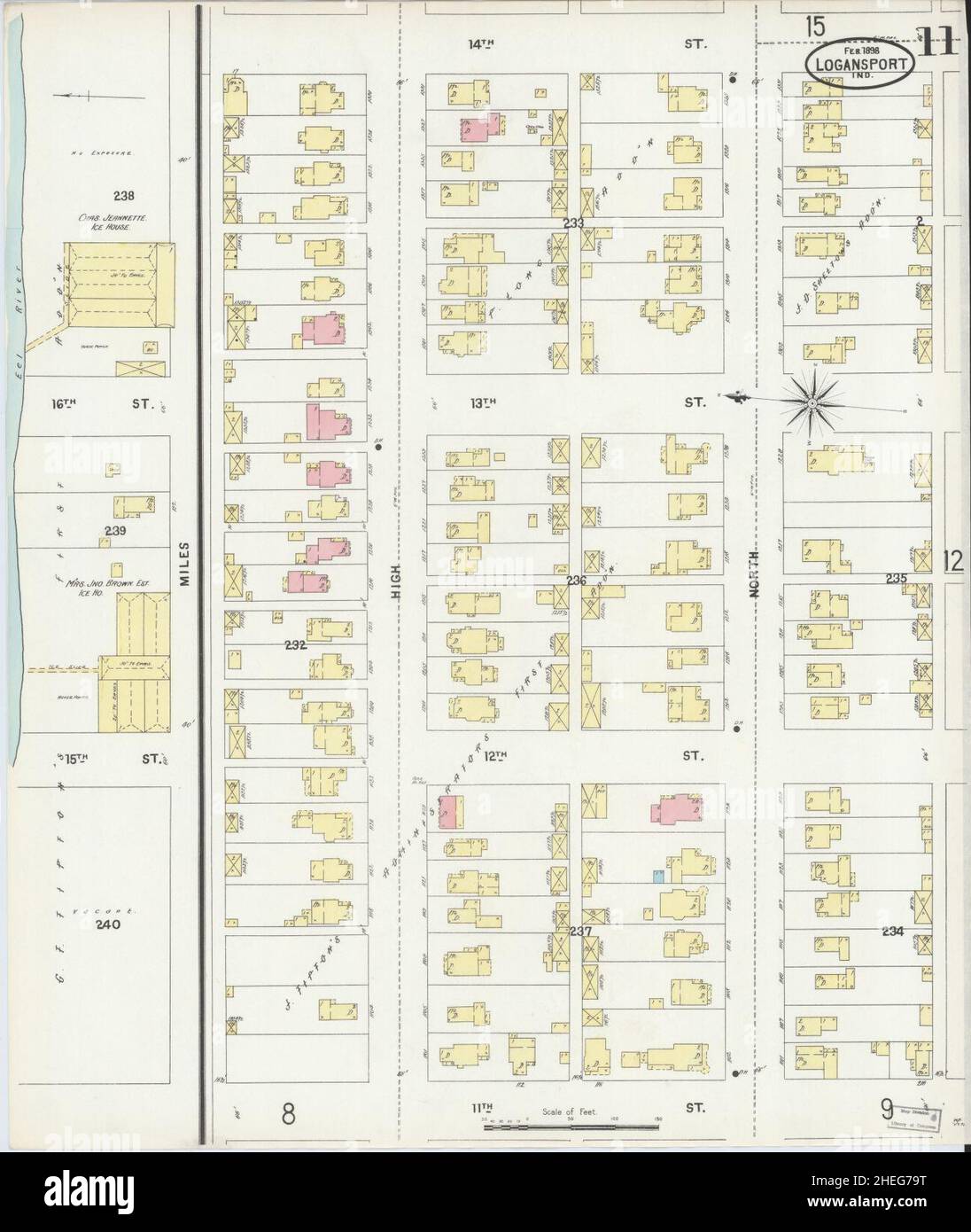 Sanborn Fire Insurance Map from Logansport, Cass County, Indiana. Stock Photohttps://www.alamy.com/image-license-details/?v=1https://www.alamy.com/sanborn-fire-insurance-map-from-logansport-cass-county-indiana-image456431748.html
RM2HEG79T–Sanborn Fire Insurance Map from Logansport, Cass County, Indiana.
 USGS TOPO Map Louisiana LA Logansport East 332622 1984 24000 Stock Photohttps://www.alamy.com/image-license-details/?v=1https://www.alamy.com/usgs-topo-map-louisiana-la-logansport-east-332622-1984-24000-image260669709.html
RMW42ETD–USGS TOPO Map Louisiana LA Logansport East 332622 1984 24000
 Township of Logansport, Logan County, US, United States, Kansas, N 38 52' 24'', S 101 3' 56'', map, Cartascapes Map published in 2024. Explore Cartascapes, a map revealing Earth's diverse landscapes, cultures, and ecosystems. Journey through time and space, discovering the interconnectedness of our planet's past, present, and future. Stock Photohttps://www.alamy.com/image-license-details/?v=1https://www.alamy.com/township-of-logansport-logan-county-us-united-states-kansas-n-38-52-24-s-101-3-56-map-cartascapes-map-published-in-2024-explore-cartascapes-a-map-revealing-earths-diverse-landscapes-cultures-and-ecosystems-journey-through-time-and-space-discovering-the-interconnectedness-of-our-planets-past-present-and-future-image633793968.html
RM2YR3PJT–Township of Logansport, Logan County, US, United States, Kansas, N 38 52' 24'', S 101 3' 56'', map, Cartascapes Map published in 2024. Explore Cartascapes, a map revealing Earth's diverse landscapes, cultures, and ecosystems. Journey through time and space, discovering the interconnectedness of our planet's past, present, and future.
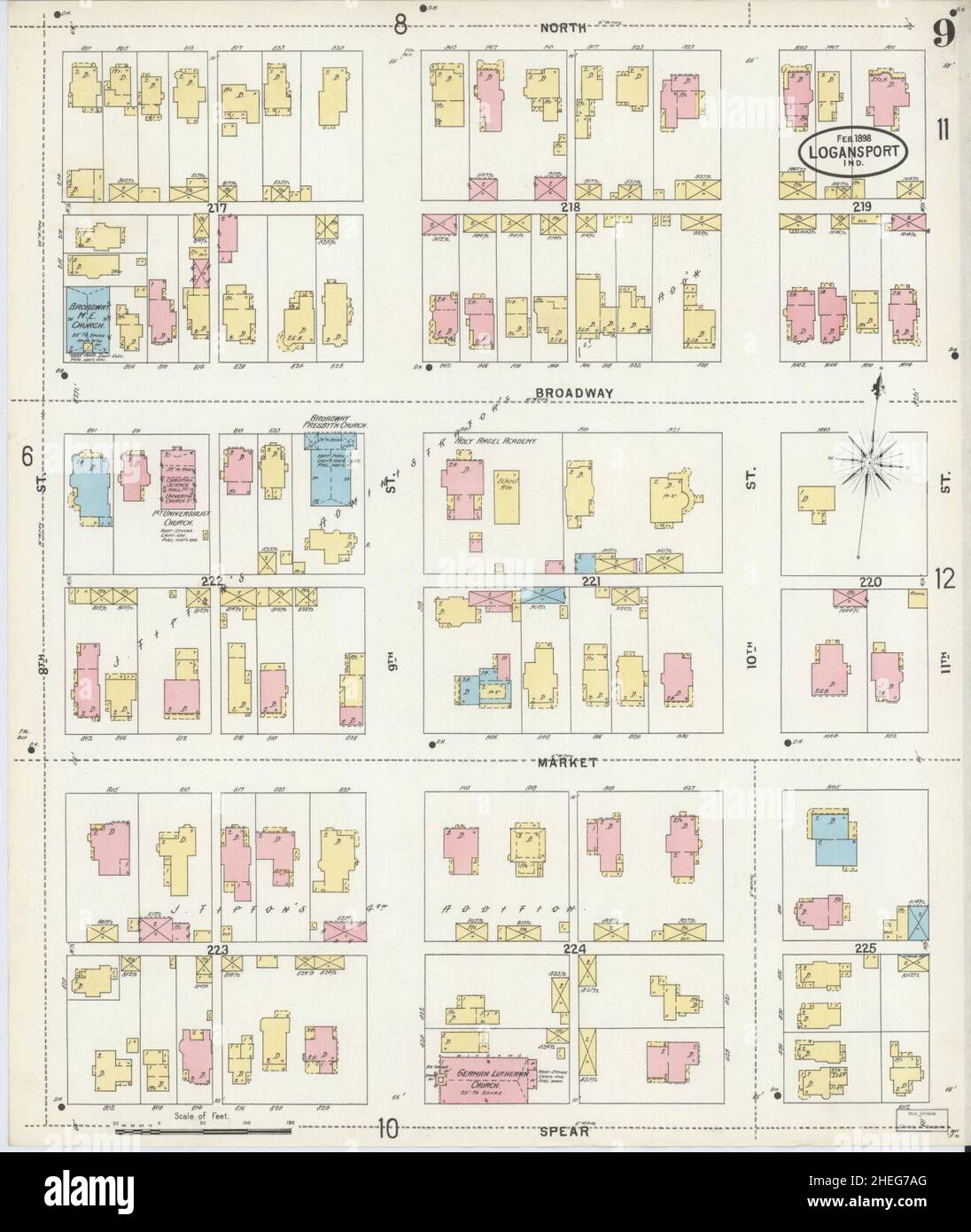 Sanborn Fire Insurance Map from Logansport, Cass County, Indiana. Stock Photohttps://www.alamy.com/image-license-details/?v=1https://www.alamy.com/sanborn-fire-insurance-map-from-logansport-cass-county-indiana-image456431768.html
RM2HEG7AG–Sanborn Fire Insurance Map from Logansport, Cass County, Indiana.
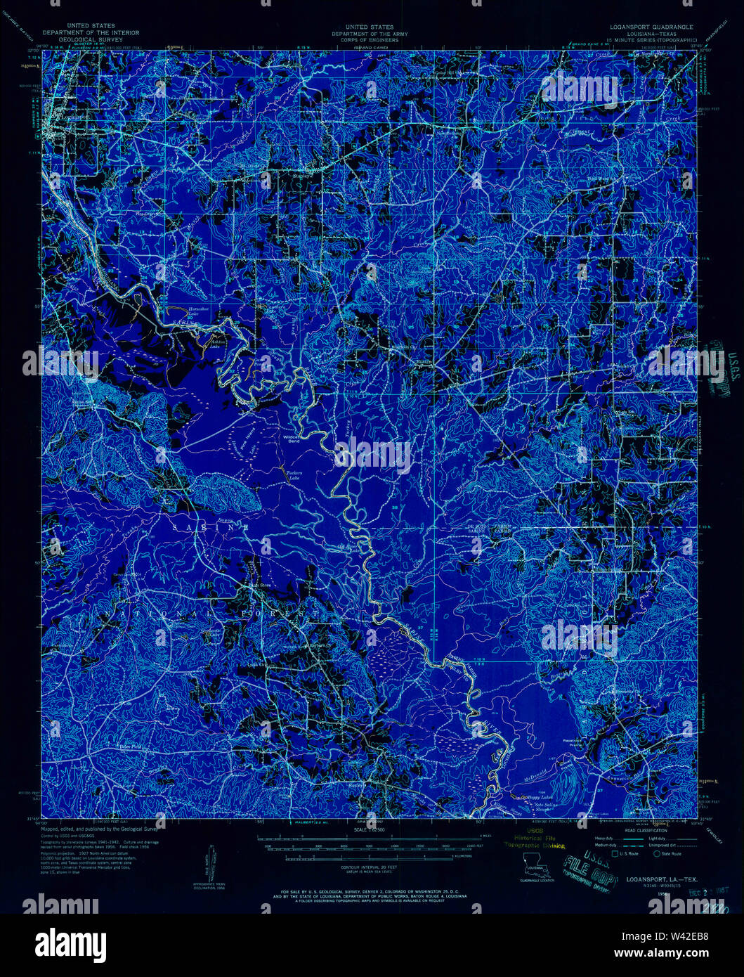 USGS TOPO Map Louisiana LA Logansport 334761 1956 62500 Inverted Stock Photohttps://www.alamy.com/image-license-details/?v=1https://www.alamy.com/usgs-topo-map-louisiana-la-logansport-334761-1956-62500-inverted-image260669340.html
RMW42EB8–USGS TOPO Map Louisiana LA Logansport 334761 1956 62500 Inverted
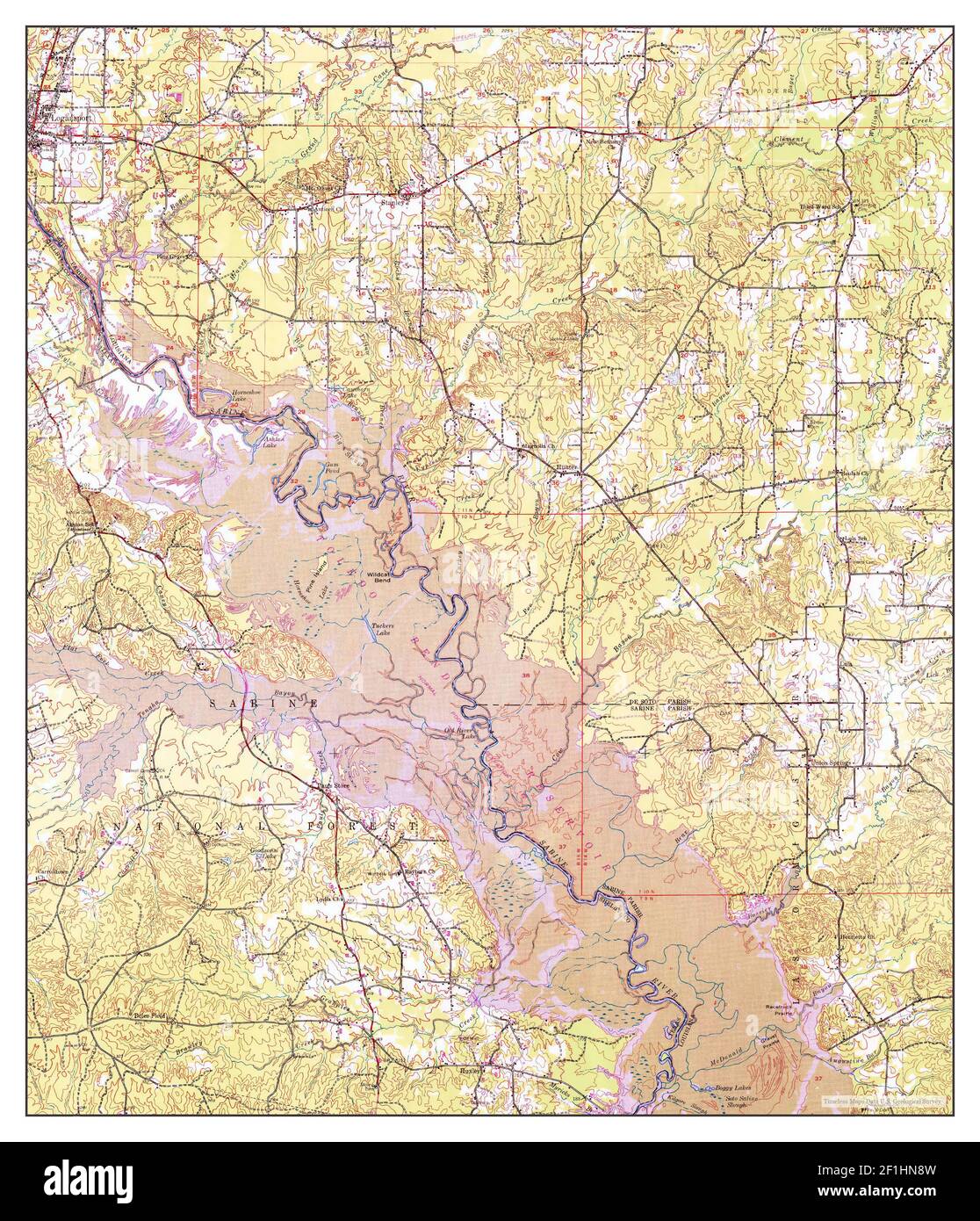 Logansport, Louisiana, map 1956, 1:62500, United States of America by Timeless Maps, data U.S. Geological Survey Stock Photohttps://www.alamy.com/image-license-details/?v=1https://www.alamy.com/logansport-louisiana-map-1956-162500-united-states-of-america-by-timeless-maps-data-us-geological-survey-image414053385.html
RM2F1HN8W–Logansport, Louisiana, map 1956, 1:62500, United States of America by Timeless Maps, data U.S. Geological Survey
 Sanborn Fire Insurance Map from Logansport, Cass County, Indiana. Stock Photohttps://www.alamy.com/image-license-details/?v=1https://www.alamy.com/sanborn-fire-insurance-map-from-logansport-cass-county-indiana-image456431753.html
RM2HEG7A1–Sanborn Fire Insurance Map from Logansport, Cass County, Indiana.
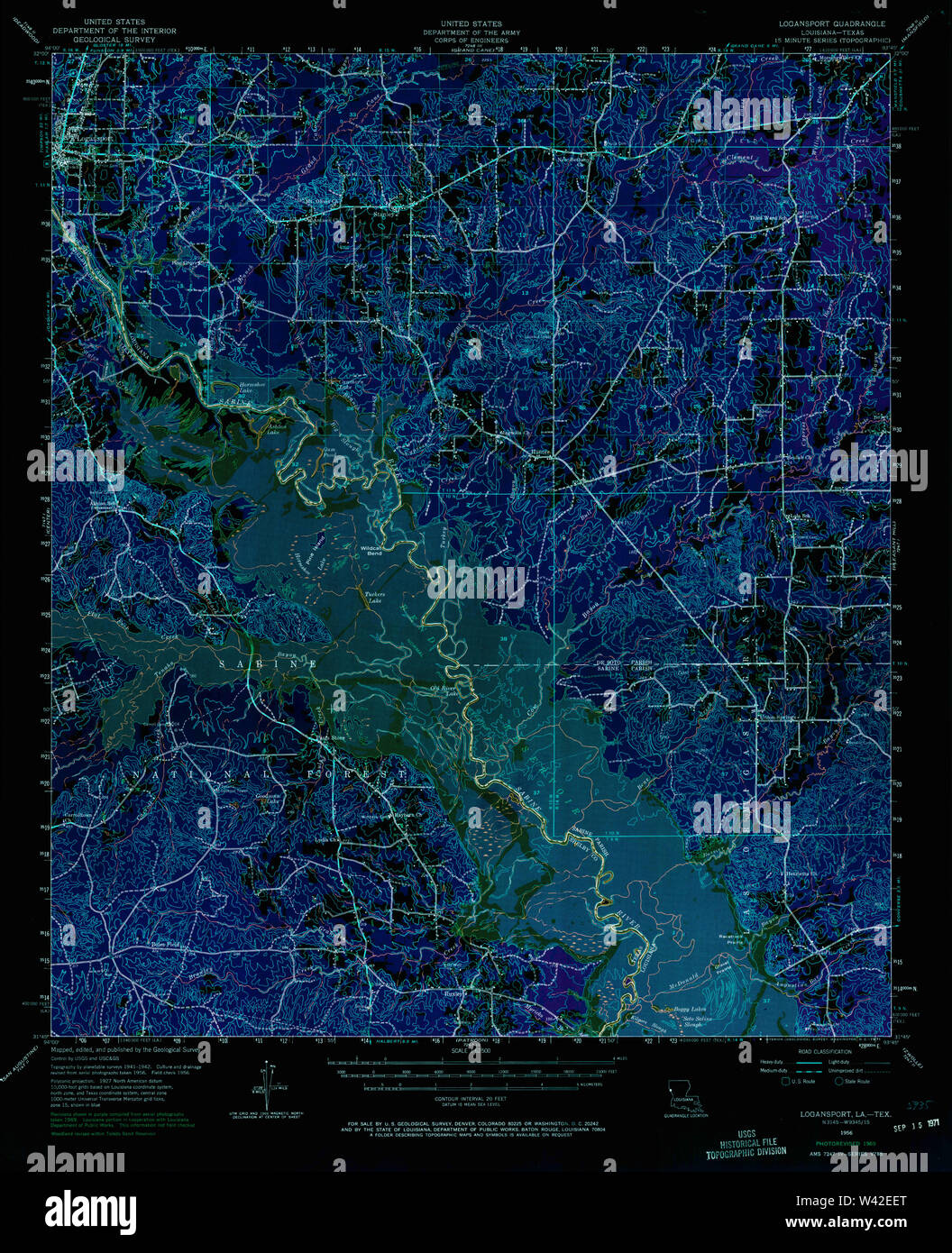 USGS TOPO Map Louisiana LA Logansport 334763 1956 62500 Inverted Stock Photohttps://www.alamy.com/image-license-details/?v=1https://www.alamy.com/usgs-topo-map-louisiana-la-logansport-334763-1956-62500-inverted-image260669440.html
RMW42EET–USGS TOPO Map Louisiana LA Logansport 334763 1956 62500 Inverted
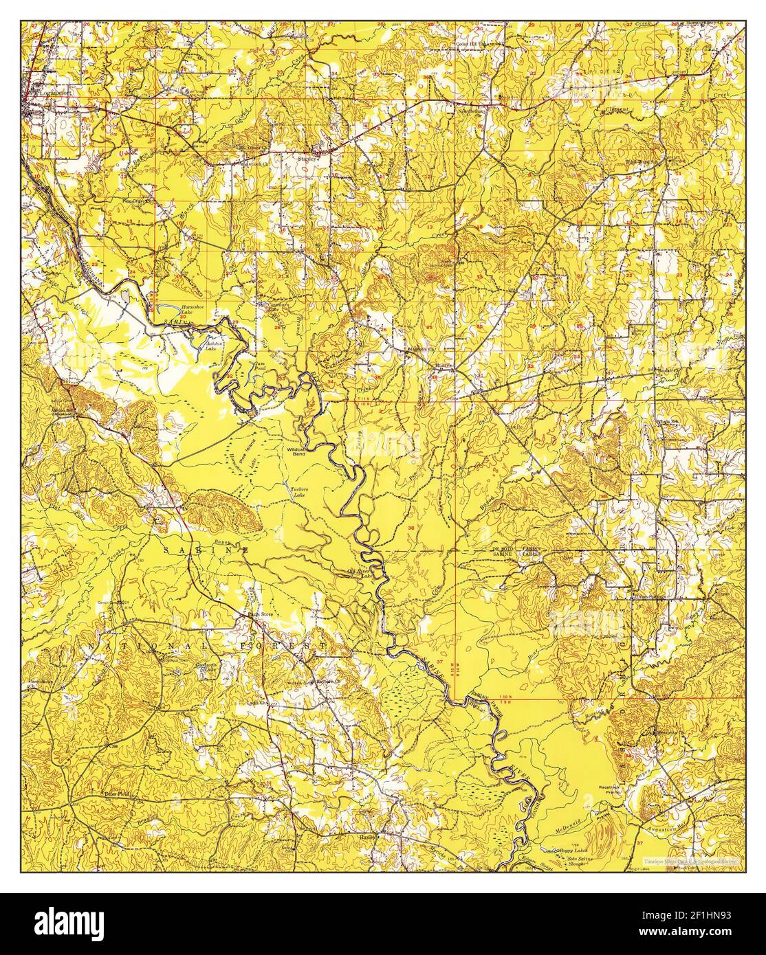 Logansport, Louisiana, map 1956, 1:62500, United States of America by Timeless Maps, data U.S. Geological Survey Stock Photohttps://www.alamy.com/image-license-details/?v=1https://www.alamy.com/logansport-louisiana-map-1956-162500-united-states-of-america-by-timeless-maps-data-us-geological-survey-image414053391.html
RM2F1HN93–Logansport, Louisiana, map 1956, 1:62500, United States of America by Timeless Maps, data U.S. Geological Survey
 Sanborn Fire Insurance Map from Logansport, Cass County, Indiana. Stock Photohttps://www.alamy.com/image-license-details/?v=1https://www.alamy.com/sanborn-fire-insurance-map-from-logansport-cass-county-indiana-image456431744.html
RM2HEG79M–Sanborn Fire Insurance Map from Logansport, Cass County, Indiana.
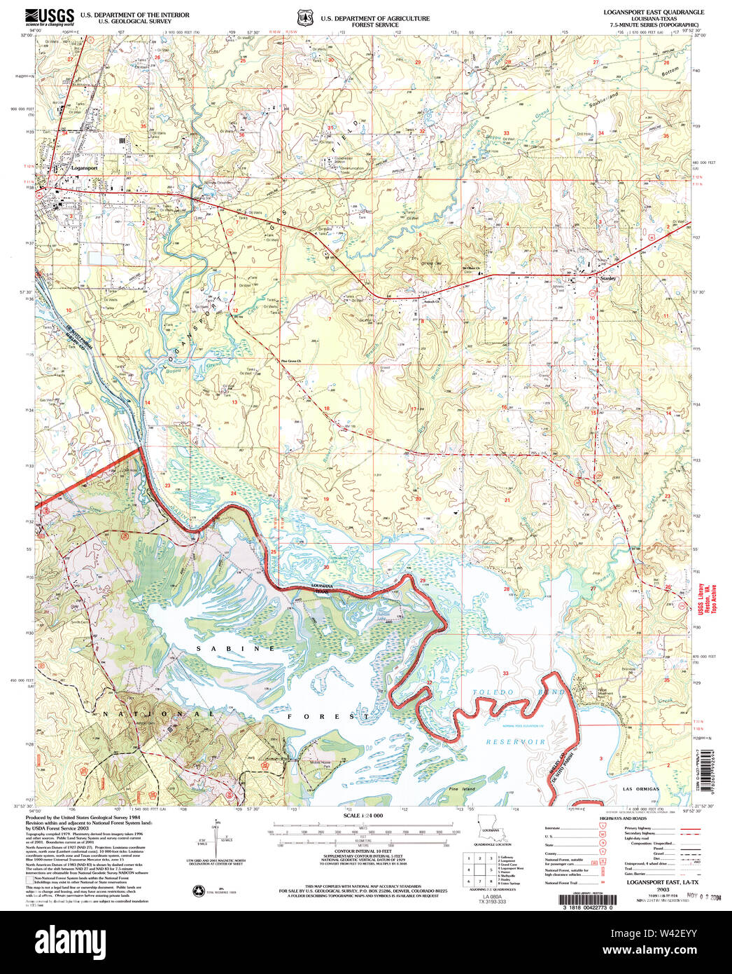 USGS TOPO Map Louisiana LA Logansport East 332623 2003 24000 Stock Photohttps://www.alamy.com/image-license-details/?v=1https://www.alamy.com/usgs-topo-map-louisiana-la-logansport-east-332623-2003-24000-image260669807.html
RMW42EYY–USGS TOPO Map Louisiana LA Logansport East 332623 2003 24000
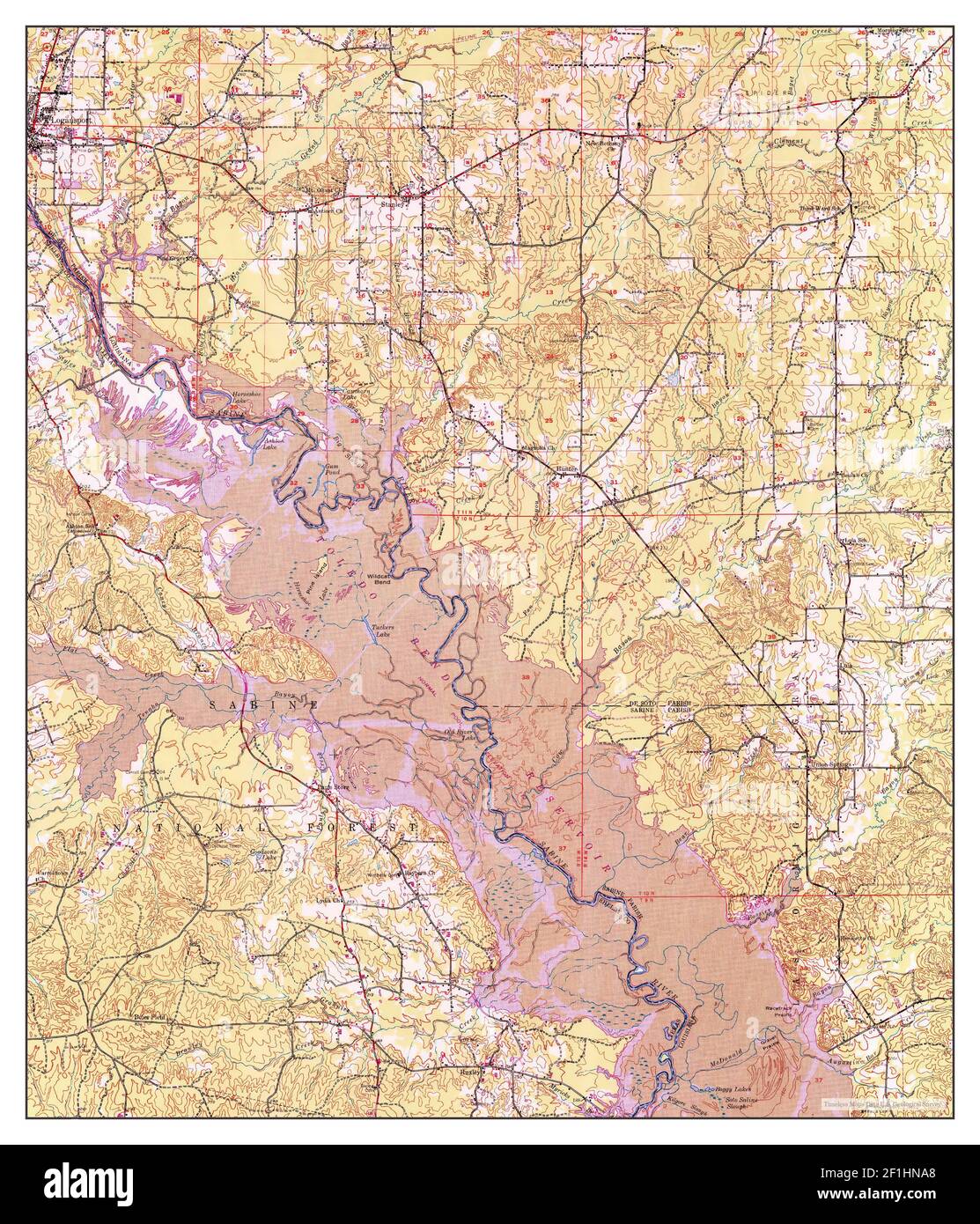 Logansport, Louisiana, map 1956, 1:62500, United States of America by Timeless Maps, data U.S. Geological Survey Stock Photohttps://www.alamy.com/image-license-details/?v=1https://www.alamy.com/logansport-louisiana-map-1956-162500-united-states-of-america-by-timeless-maps-data-us-geological-survey-image414053424.html
RM2F1HNA8–Logansport, Louisiana, map 1956, 1:62500, United States of America by Timeless Maps, data U.S. Geological Survey
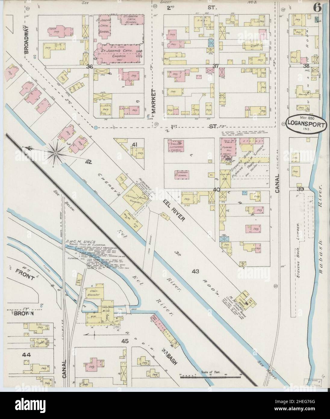 Sanborn Fire Insurance Map from Logansport, Cass County, Indiana. Stock Photohttps://www.alamy.com/image-license-details/?v=1https://www.alamy.com/sanborn-fire-insurance-map-from-logansport-cass-county-indiana-image456431656.html
RM2HEG76G–Sanborn Fire Insurance Map from Logansport, Cass County, Indiana.
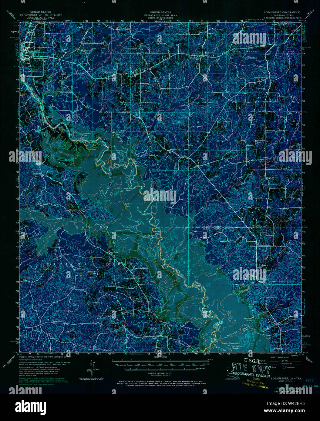 USGS TOPO Map Louisiana LA Logansport 334764 1956 62500 Inverted Stock Photohttps://www.alamy.com/image-license-details/?v=1https://www.alamy.com/usgs-topo-map-louisiana-la-logansport-334764-1956-62500-inverted-image260669505.html
RMW42EH5–USGS TOPO Map Louisiana LA Logansport 334764 1956 62500 Inverted
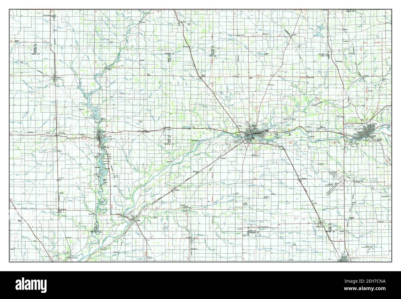 Logansport, Indiana, map 1985, 1:100000, United States of America by Timeless Maps, data U.S. Geological Survey Stock Photohttps://www.alamy.com/image-license-details/?v=1https://www.alamy.com/logansport-indiana-map-1985-1100000-united-states-of-america-by-timeless-maps-data-us-geological-survey-image406451286.html
RM2EH7CNA–Logansport, Indiana, map 1985, 1:100000, United States of America by Timeless Maps, data U.S. Geological Survey
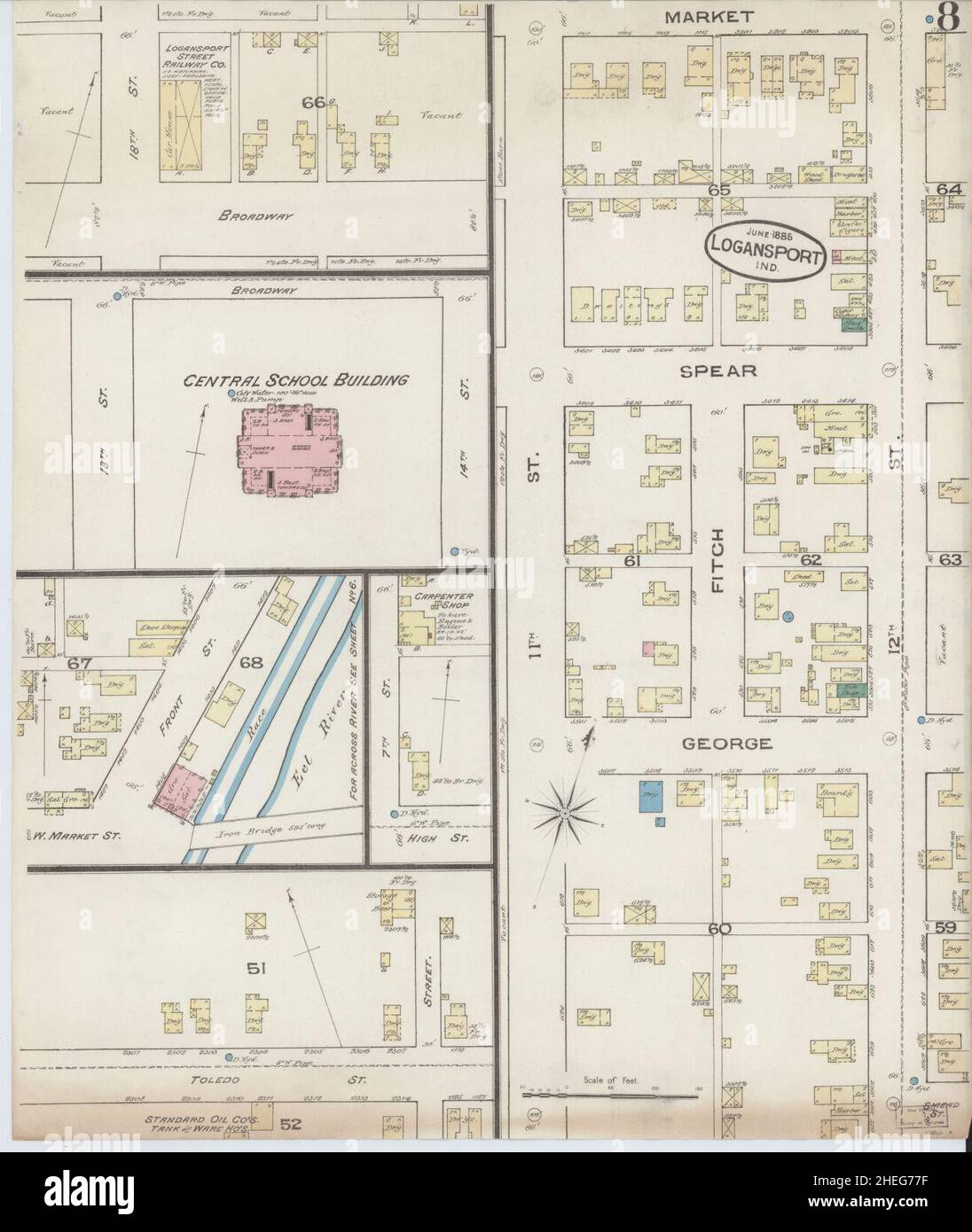 Sanborn Fire Insurance Map from Logansport, Cass County, Indiana. Stock Photohttps://www.alamy.com/image-license-details/?v=1https://www.alamy.com/sanborn-fire-insurance-map-from-logansport-cass-county-indiana-image456431683.html
RM2HEG77F–Sanborn Fire Insurance Map from Logansport, Cass County, Indiana.
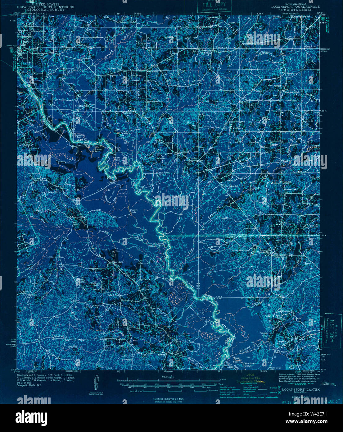 USGS TOPO Map Louisiana LA Logansport 334760 1944 62500 Inverted Stock Photohttps://www.alamy.com/image-license-details/?v=1https://www.alamy.com/usgs-topo-map-louisiana-la-logansport-334760-1944-62500-inverted-image260669237.html
RMW42E7H–USGS TOPO Map Louisiana LA Logansport 334760 1944 62500 Inverted
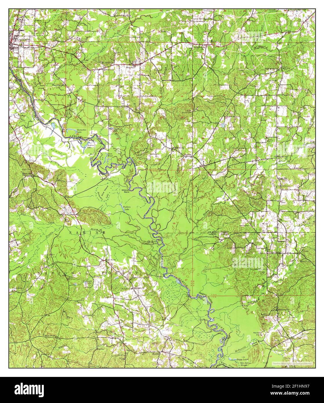 Logansport, Louisiana, map 1956, 1:62500, United States of America by Timeless Maps, data U.S. Geological Survey Stock Photohttps://www.alamy.com/image-license-details/?v=1https://www.alamy.com/logansport-louisiana-map-1956-162500-united-states-of-america-by-timeless-maps-data-us-geological-survey-image414053395.html
RM2F1HN97–Logansport, Louisiana, map 1956, 1:62500, United States of America by Timeless Maps, data U.S. Geological Survey
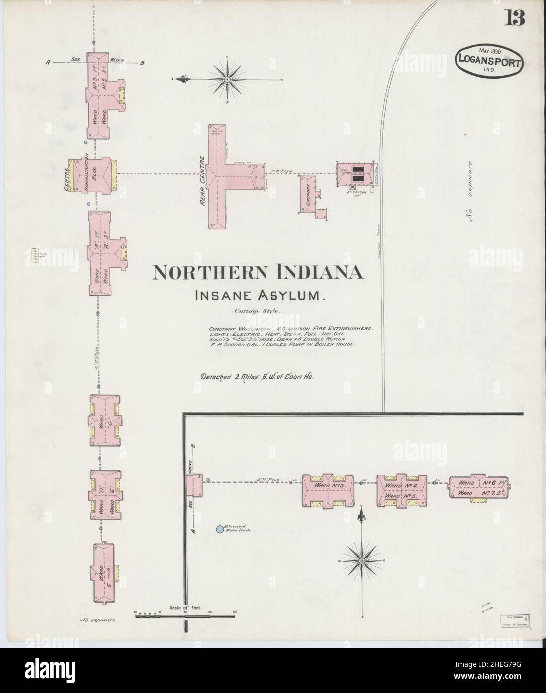 Sanborn Fire Insurance Map from Logansport, Cass County, Indiana. Stock Photohttps://www.alamy.com/image-license-details/?v=1https://www.alamy.com/sanborn-fire-insurance-map-from-logansport-cass-county-indiana-image456431740.html
RM2HEG79G–Sanborn Fire Insurance Map from Logansport, Cass County, Indiana.
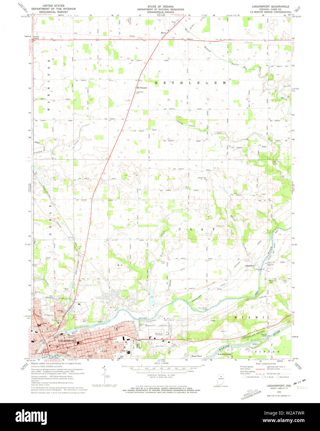 USGS TOPO Map Indiana IN Logansport 157088 1972 24000 Restoration Stock Photohttps://www.alamy.com/image-license-details/?v=1https://www.alamy.com/usgs-topo-map-indiana-in-logansport-157088-1972-24000-restoration-image259623891.html
RMW2ATWR–USGS TOPO Map Indiana IN Logansport 157088 1972 24000 Restoration
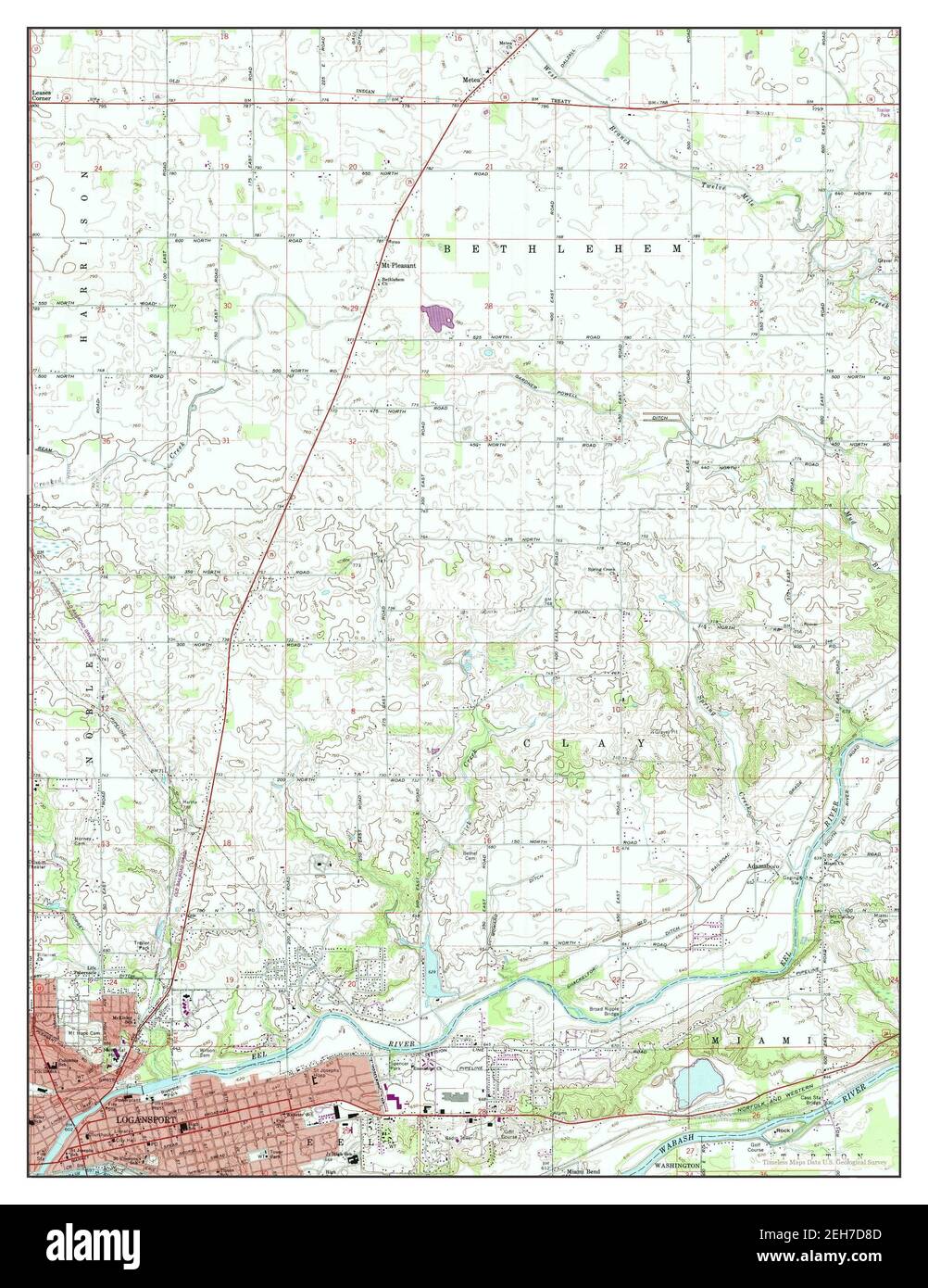 Logansport, Indiana, map 1972, 1:24000, United States of America by Timeless Maps, data U.S. Geological Survey Stock Photohttps://www.alamy.com/image-license-details/?v=1https://www.alamy.com/logansport-indiana-map-1972-124000-united-states-of-america-by-timeless-maps-data-us-geological-survey-image406451709.html
RM2EH7D8D–Logansport, Indiana, map 1972, 1:24000, United States of America by Timeless Maps, data U.S. Geological Survey
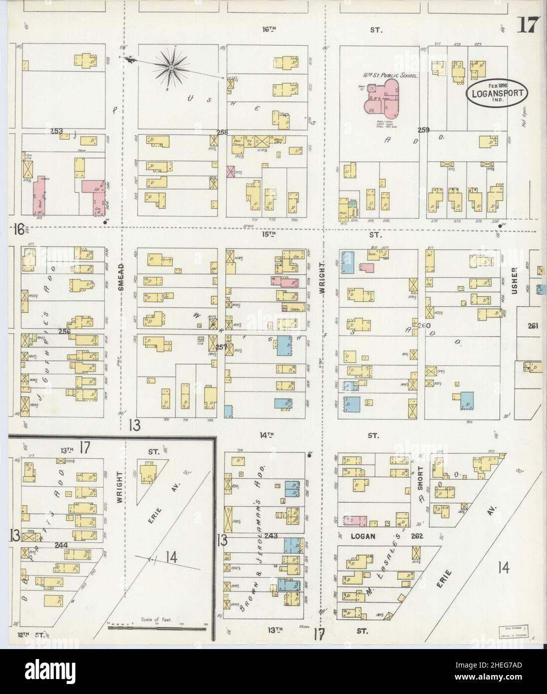 Sanborn Fire Insurance Map from Logansport, Cass County, Indiana. Stock Photohttps://www.alamy.com/image-license-details/?v=1https://www.alamy.com/sanborn-fire-insurance-map-from-logansport-cass-county-indiana-image456431765.html
RM2HEG7AD–Sanborn Fire Insurance Map from Logansport, Cass County, Indiana.
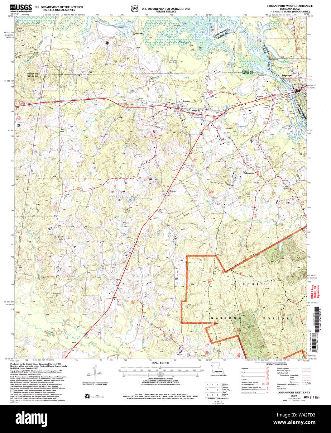 USGS TOPO Map Louisiana LA Logansport West 332625 2003 24000 Stock Photohttps://www.alamy.com/image-license-details/?v=1https://www.alamy.com/usgs-topo-map-louisiana-la-logansport-west-332625-2003-24000-image260670175.html
RMW42FD3–USGS TOPO Map Louisiana LA Logansport West 332625 2003 24000
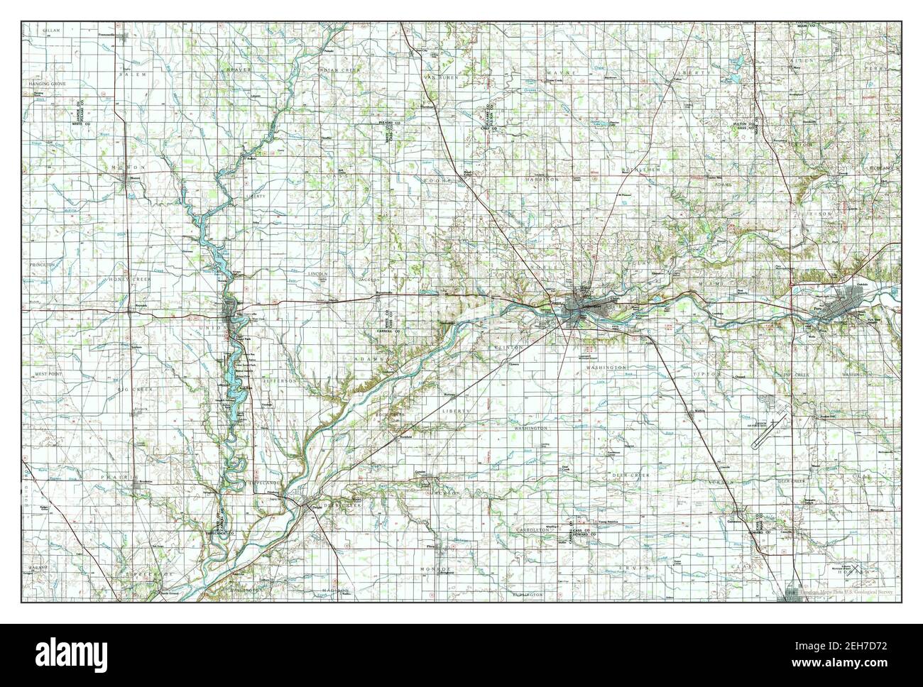 Logansport, Indiana, map 1985, 1:100000, United States of America by Timeless Maps, data U.S. Geological Survey Stock Photohttps://www.alamy.com/image-license-details/?v=1https://www.alamy.com/logansport-indiana-map-1985-1100000-united-states-of-america-by-timeless-maps-data-us-geological-survey-image406451670.html
RM2EH7D72–Logansport, Indiana, map 1985, 1:100000, United States of America by Timeless Maps, data U.S. Geological Survey
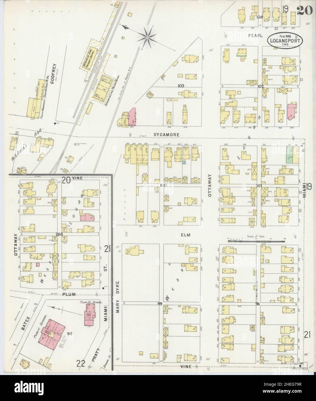 Sanborn Fire Insurance Map from Logansport, Cass County, Indiana. Stock Photohttps://www.alamy.com/image-license-details/?v=1https://www.alamy.com/sanborn-fire-insurance-map-from-logansport-cass-county-indiana-image456431747.html
RM2HEG79R–Sanborn Fire Insurance Map from Logansport, Cass County, Indiana.
 USGS TOPO Map Louisiana LA Logansport West 20101008 TM Inverted Stock Photohttps://www.alamy.com/image-license-details/?v=1https://www.alamy.com/usgs-topo-map-louisiana-la-logansport-west-20101008-tm-inverted-image260669877.html
RMW42F2D–USGS TOPO Map Louisiana LA Logansport West 20101008 TM Inverted
 Logansport, Louisiana, map 1944, 1:62500, United States of America by Timeless Maps, data U.S. Geological Survey Stock Photohttps://www.alamy.com/image-license-details/?v=1https://www.alamy.com/logansport-louisiana-map-1944-162500-united-states-of-america-by-timeless-maps-data-us-geological-survey-image414053381.html
RM2F1HN8N–Logansport, Louisiana, map 1944, 1:62500, United States of America by Timeless Maps, data U.S. Geological Survey
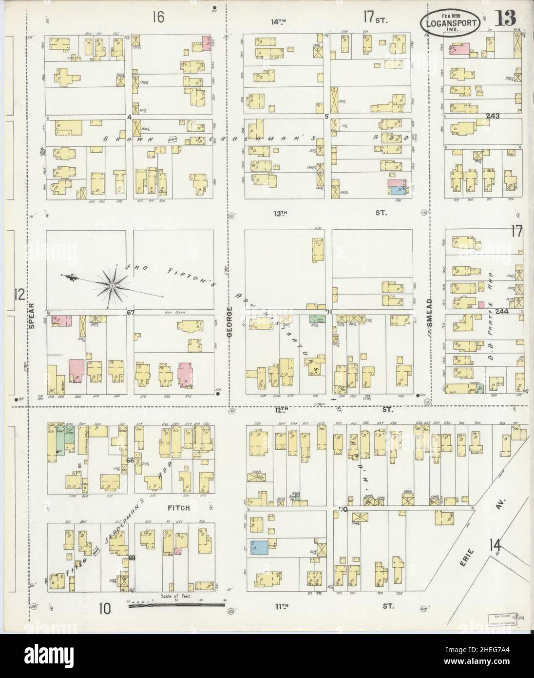 Sanborn Fire Insurance Map from Logansport, Cass County, Indiana. Stock Photohttps://www.alamy.com/image-license-details/?v=1https://www.alamy.com/sanborn-fire-insurance-map-from-logansport-cass-county-indiana-image456431756.html
RM2HEG7A4–Sanborn Fire Insurance Map from Logansport, Cass County, Indiana.
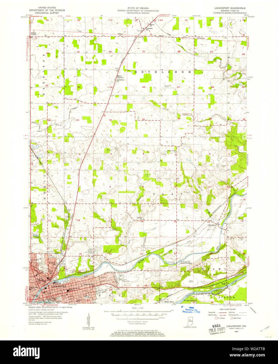 USGS TOPO Map Indiana IN Logansport 157087 1955 24000 Restoration Stock Photohttps://www.alamy.com/image-license-details/?v=1https://www.alamy.com/usgs-topo-map-indiana-in-logansport-157087-1955-24000-restoration-image259623851.html
RMW2ATTB–USGS TOPO Map Indiana IN Logansport 157087 1955 24000 Restoration
 Logansport, Indiana, map 1955, 1:24000, United States of America by Timeless Maps, data U.S. Geological Survey Stock Photohttps://www.alamy.com/image-license-details/?v=1https://www.alamy.com/logansport-indiana-map-1955-124000-united-states-of-america-by-timeless-maps-data-us-geological-survey-image406451711.html
RM2EH7D8F–Logansport, Indiana, map 1955, 1:24000, United States of America by Timeless Maps, data U.S. Geological Survey
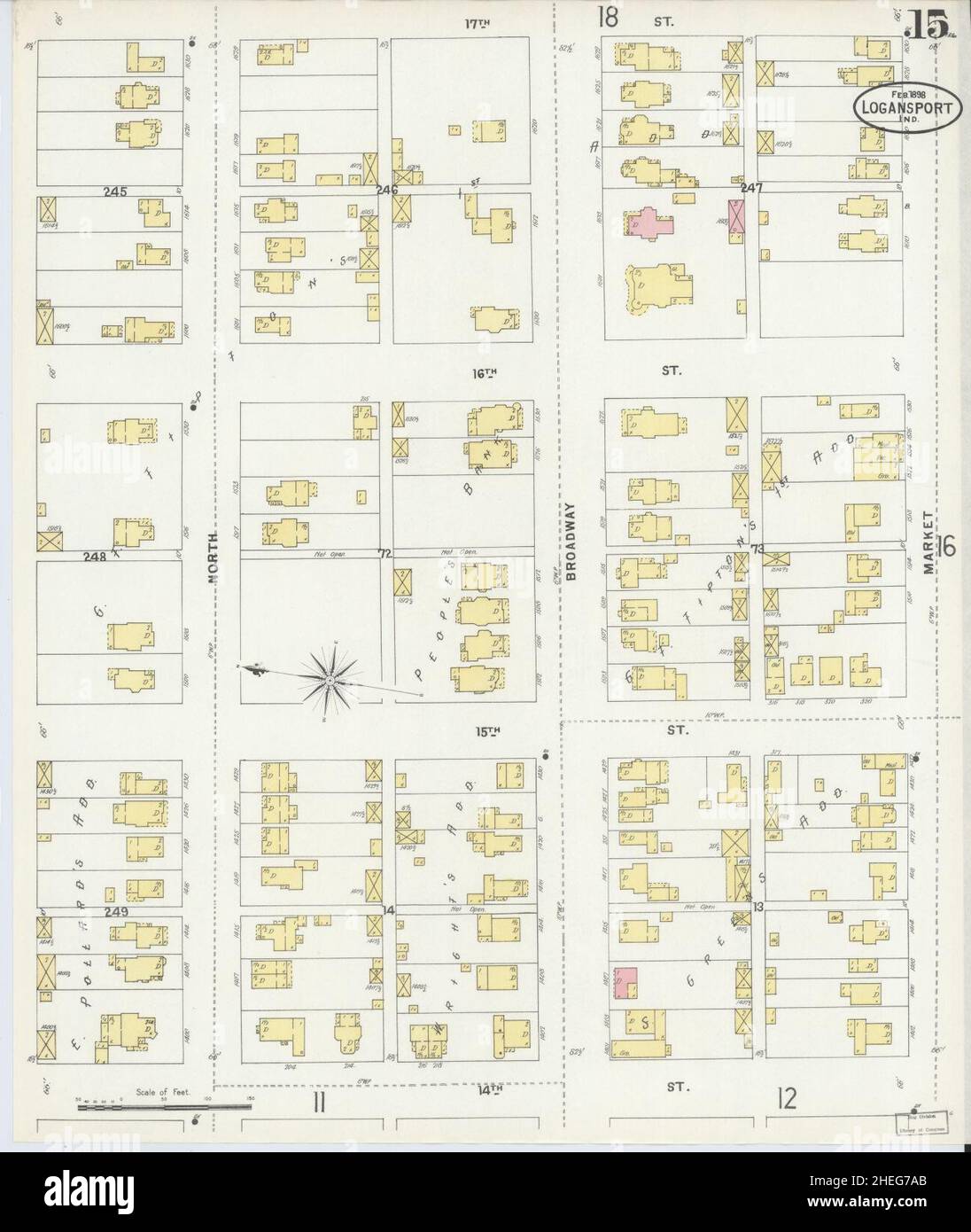 Sanborn Fire Insurance Map from Logansport, Cass County, Indiana. Stock Photohttps://www.alamy.com/image-license-details/?v=1https://www.alamy.com/sanborn-fire-insurance-map-from-logansport-cass-county-indiana-image456431763.html
RM2HEG7AB–Sanborn Fire Insurance Map from Logansport, Cass County, Indiana.
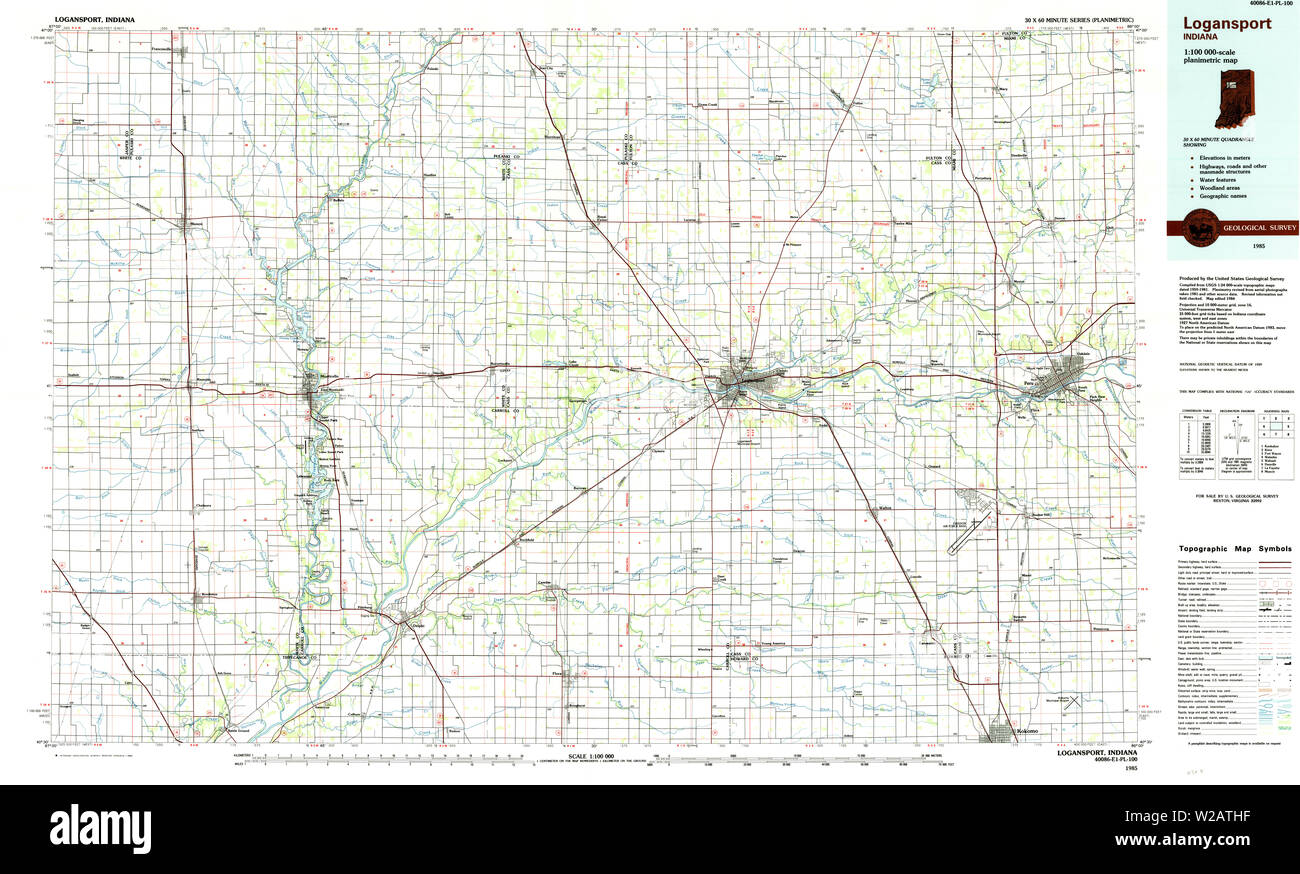 USGS TOPO Map Indiana IN Logansport 156052 1985 100000 Restoration Stock Photohttps://www.alamy.com/image-license-details/?v=1https://www.alamy.com/usgs-topo-map-indiana-in-logansport-156052-1985-100000-restoration-image259623659.html
RMW2ATHF–USGS TOPO Map Indiana IN Logansport 156052 1985 100000 Restoration
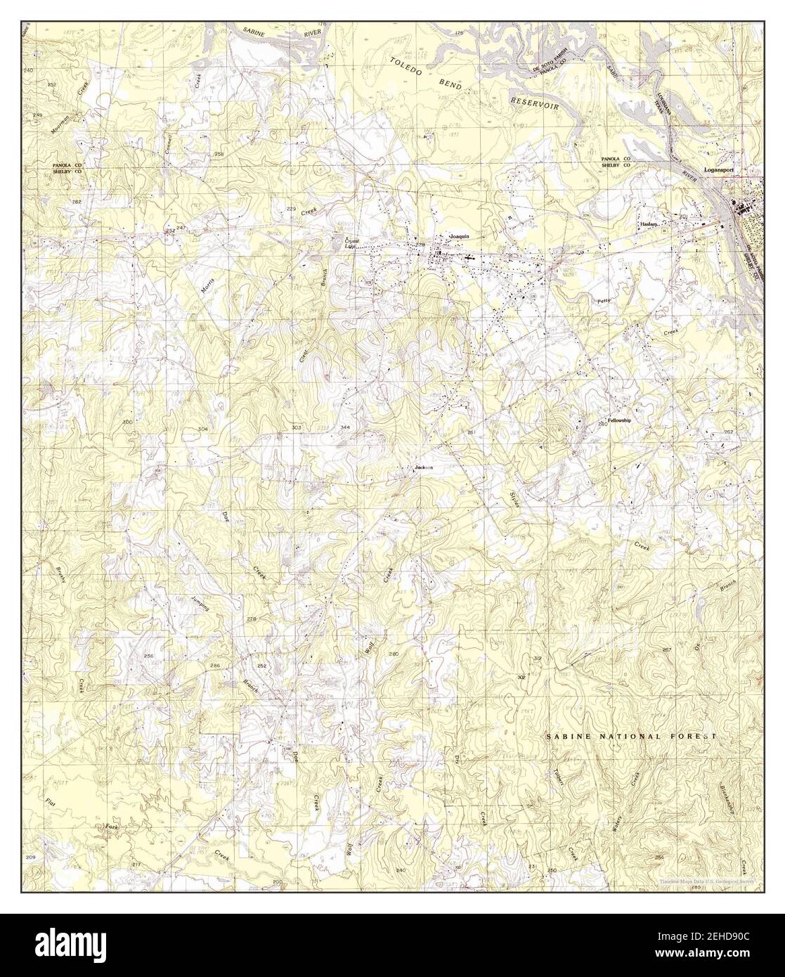 Logansport West, Louisiana, map 1984, 1:24000, United States of America by Timeless Maps, data U.S. Geological Survey Stock Photohttps://www.alamy.com/image-license-details/?v=1https://www.alamy.com/logansport-west-louisiana-map-1984-124000-united-states-of-america-by-timeless-maps-data-us-geological-survey-image406580060.html
RM2EHD90C–Logansport West, Louisiana, map 1984, 1:24000, United States of America by Timeless Maps, data U.S. Geological Survey
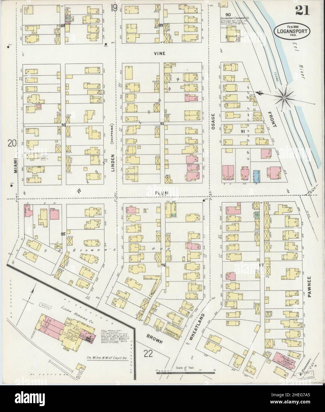 Sanborn Fire Insurance Map from Logansport, Cass County, Indiana. Stock Photohttps://www.alamy.com/image-license-details/?v=1https://www.alamy.com/sanborn-fire-insurance-map-from-logansport-cass-county-indiana-image456431757.html
RM2HEG7A5–Sanborn Fire Insurance Map from Logansport, Cass County, Indiana.
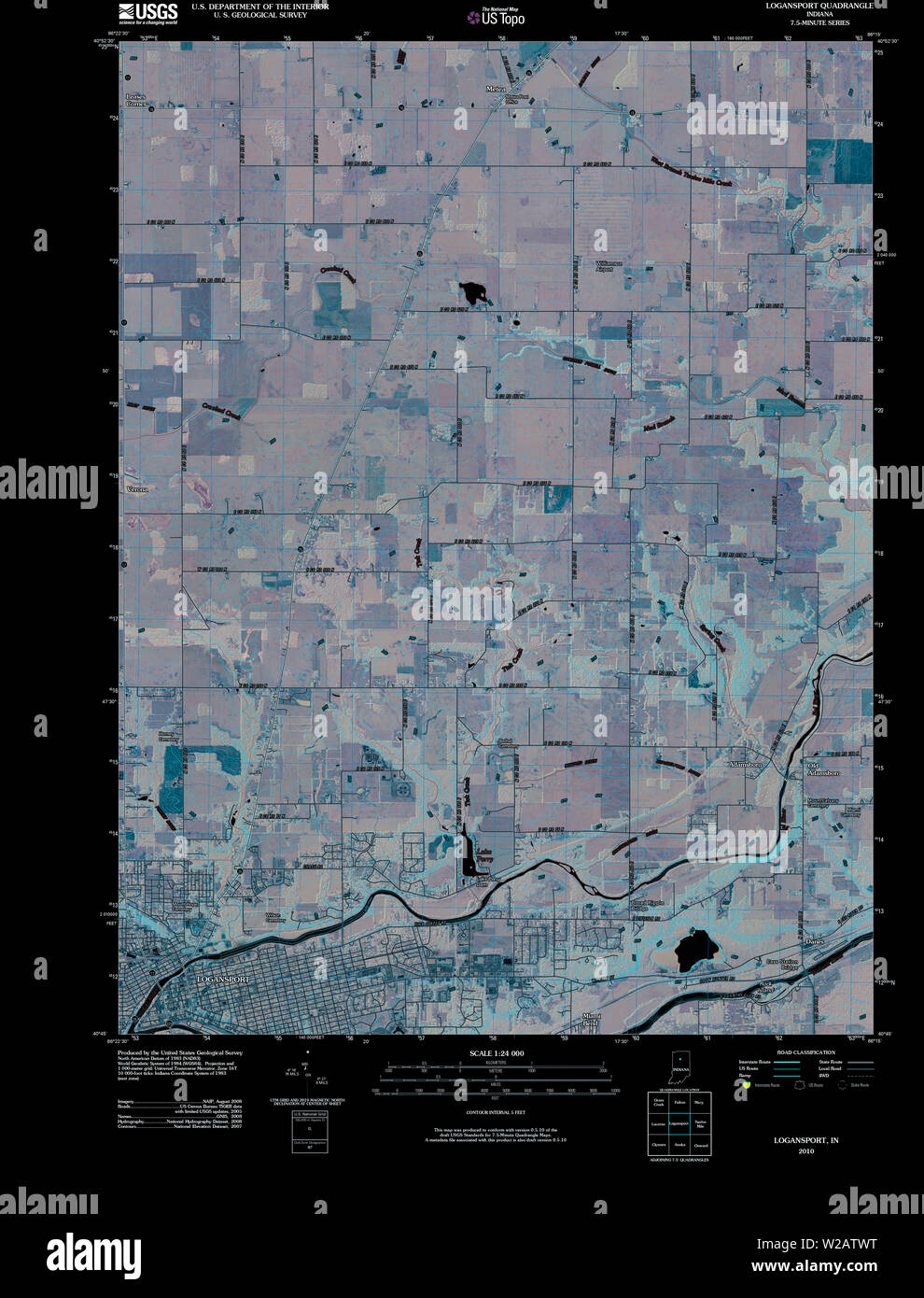 USGS TOPO Map Indiana IN Logansport 20100526 TM Inverted Restoration Stock Photohttps://www.alamy.com/image-license-details/?v=1https://www.alamy.com/usgs-topo-map-indiana-in-logansport-20100526-tm-inverted-restoration-image259623892.html
RMW2ATWT–USGS TOPO Map Indiana IN Logansport 20100526 TM Inverted Restoration
 Logansport East, Louisiana, map 2003, 1:24000, United States of America by Timeless Maps, data U.S. Geological Survey Stock Photohttps://www.alamy.com/image-license-details/?v=1https://www.alamy.com/logansport-east-louisiana-map-2003-124000-united-states-of-america-by-timeless-maps-data-us-geological-survey-image406580064.html
RM2EHD90G–Logansport East, Louisiana, map 2003, 1:24000, United States of America by Timeless Maps, data U.S. Geological Survey
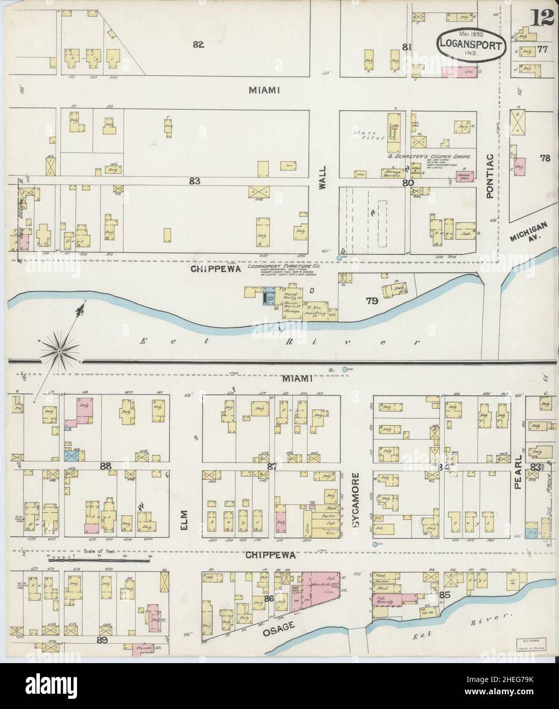 Sanborn Fire Insurance Map from Logansport, Cass County, Indiana. Stock Photohttps://www.alamy.com/image-license-details/?v=1https://www.alamy.com/sanborn-fire-insurance-map-from-logansport-cass-county-indiana-image456431743.html
RM2HEG79K–Sanborn Fire Insurance Map from Logansport, Cass County, Indiana.
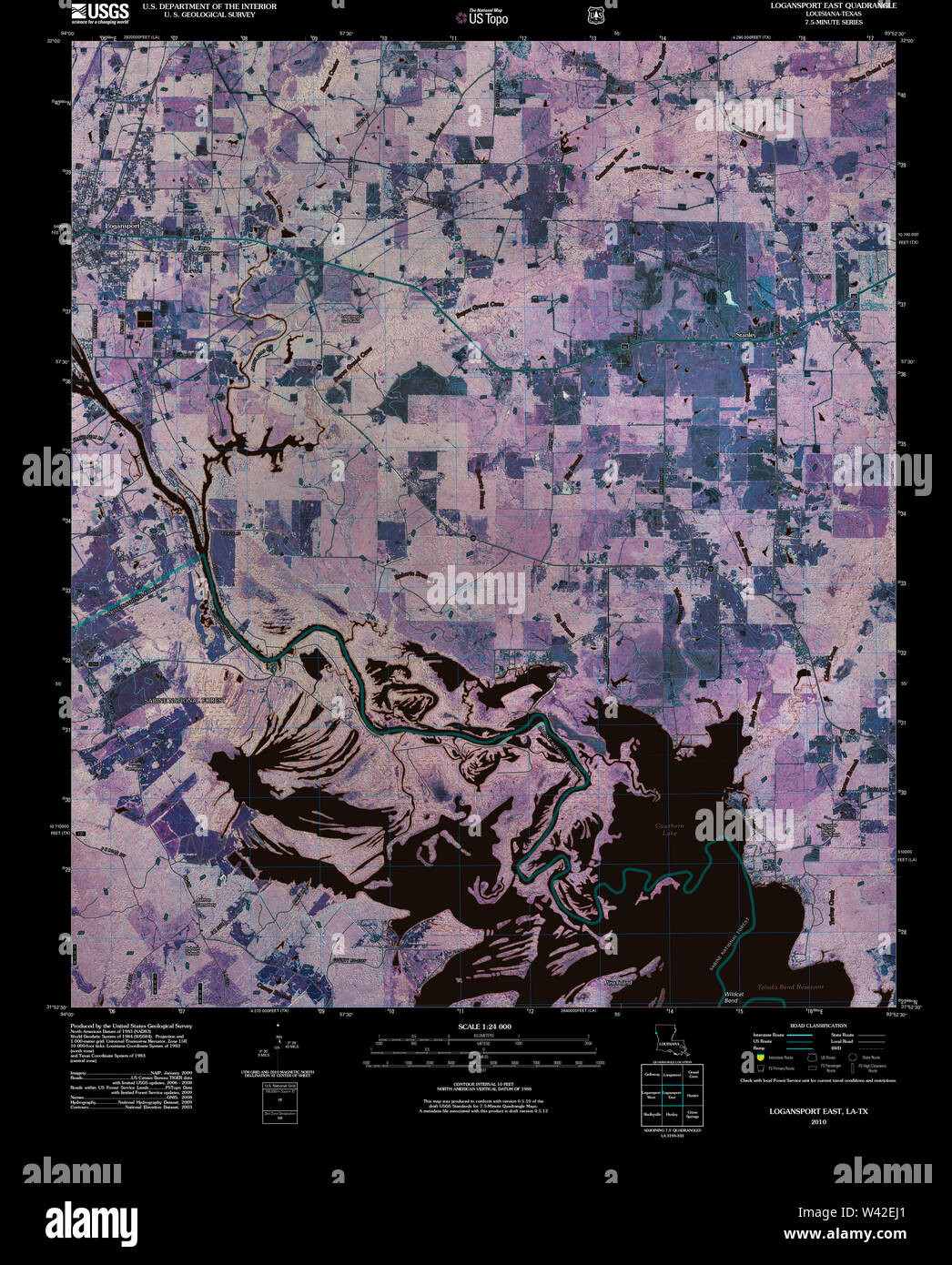 USGS TOPO Map Louisiana LA Logansport East 20101006 TM Inverted Stock Photohttps://www.alamy.com/image-license-details/?v=1https://www.alamy.com/usgs-topo-map-louisiana-la-logansport-east-20101006-tm-inverted-image260669529.html
RMW42EJ1–USGS TOPO Map Louisiana LA Logansport East 20101006 TM Inverted
 Logansport East, Louisiana, map 1984, 1:24000, United States of America by Timeless Maps, data U.S. Geological Survey Stock Photohttps://www.alamy.com/image-license-details/?v=1https://www.alamy.com/logansport-east-louisiana-map-1984-124000-united-states-of-america-by-timeless-maps-data-us-geological-survey-image406580053.html
RM2EHD905–Logansport East, Louisiana, map 1984, 1:24000, United States of America by Timeless Maps, data U.S. Geological Survey
 Sanborn Fire Insurance Map from Logansport, Cass County, Indiana. Stock Photohttps://www.alamy.com/image-license-details/?v=1https://www.alamy.com/sanborn-fire-insurance-map-from-logansport-cass-county-indiana-image456431754.html
RM2HEG7A2–Sanborn Fire Insurance Map from Logansport, Cass County, Indiana.
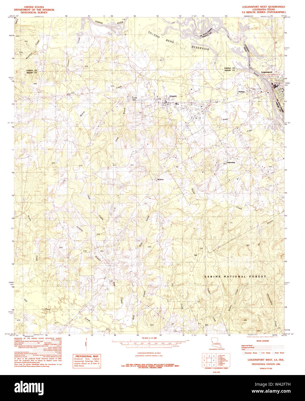 USGS TOPO Map Louisiana LA Logansport West 332624 1984 24000 Stock Photohttps://www.alamy.com/image-license-details/?v=1https://www.alamy.com/usgs-topo-map-louisiana-la-logansport-west-332624-1984-24000-image260670021.html
RMW42F7H–USGS TOPO Map Louisiana LA Logansport West 332624 1984 24000
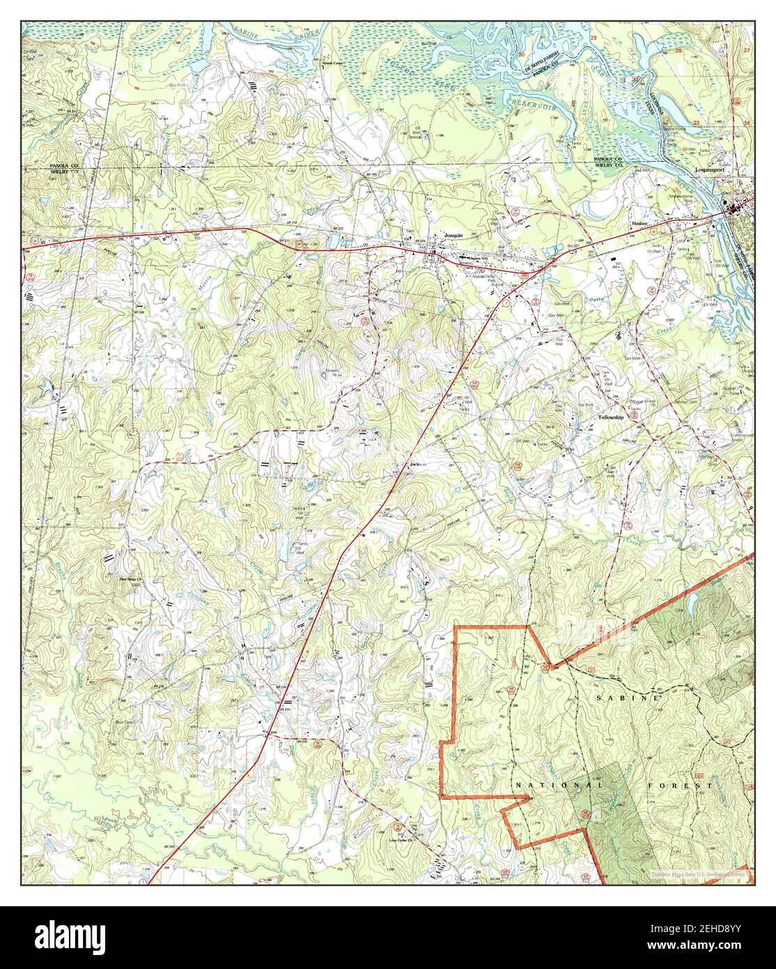 Logansport West, Louisiana, map 2003, 1:24000, United States of America by Timeless Maps, data U.S. Geological Survey Stock Photohttps://www.alamy.com/image-license-details/?v=1https://www.alamy.com/logansport-west-louisiana-map-2003-124000-united-states-of-america-by-timeless-maps-data-us-geological-survey-image406580047.html
RM2EHD8YY–Logansport West, Louisiana, map 2003, 1:24000, United States of America by Timeless Maps, data U.S. Geological Survey
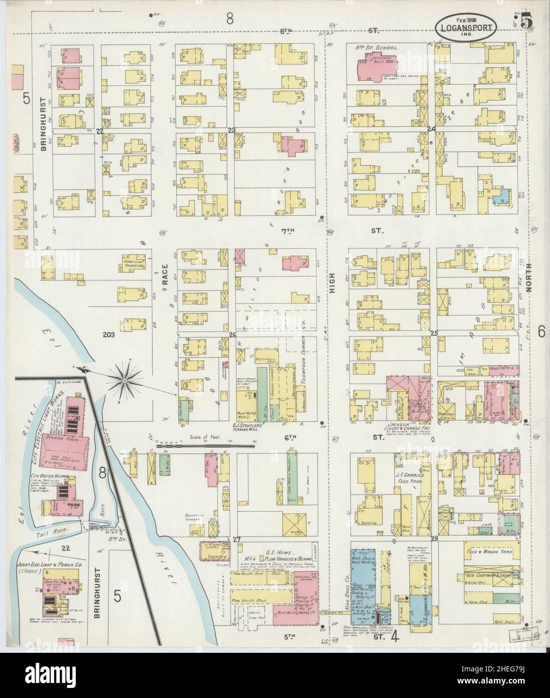 Sanborn Fire Insurance Map from Logansport, Cass County, Indiana. Stock Photohttps://www.alamy.com/image-license-details/?v=1https://www.alamy.com/sanborn-fire-insurance-map-from-logansport-cass-county-indiana-image456431742.html
RM2HEG79J–Sanborn Fire Insurance Map from Logansport, Cass County, Indiana.
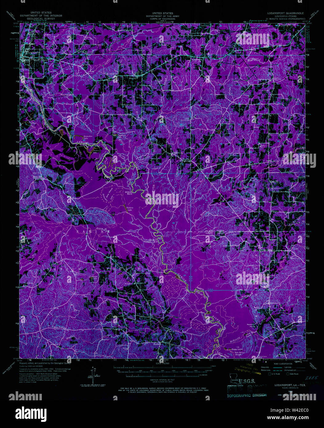 USGS TOPO Map Louisiana LA Logansport 334762 1956 62500 Inverted Stock Photohttps://www.alamy.com/image-license-details/?v=1https://www.alamy.com/usgs-topo-map-louisiana-la-logansport-334762-1956-62500-inverted-image260669360.html
RMW42EC0–USGS TOPO Map Louisiana LA Logansport 334762 1956 62500 Inverted
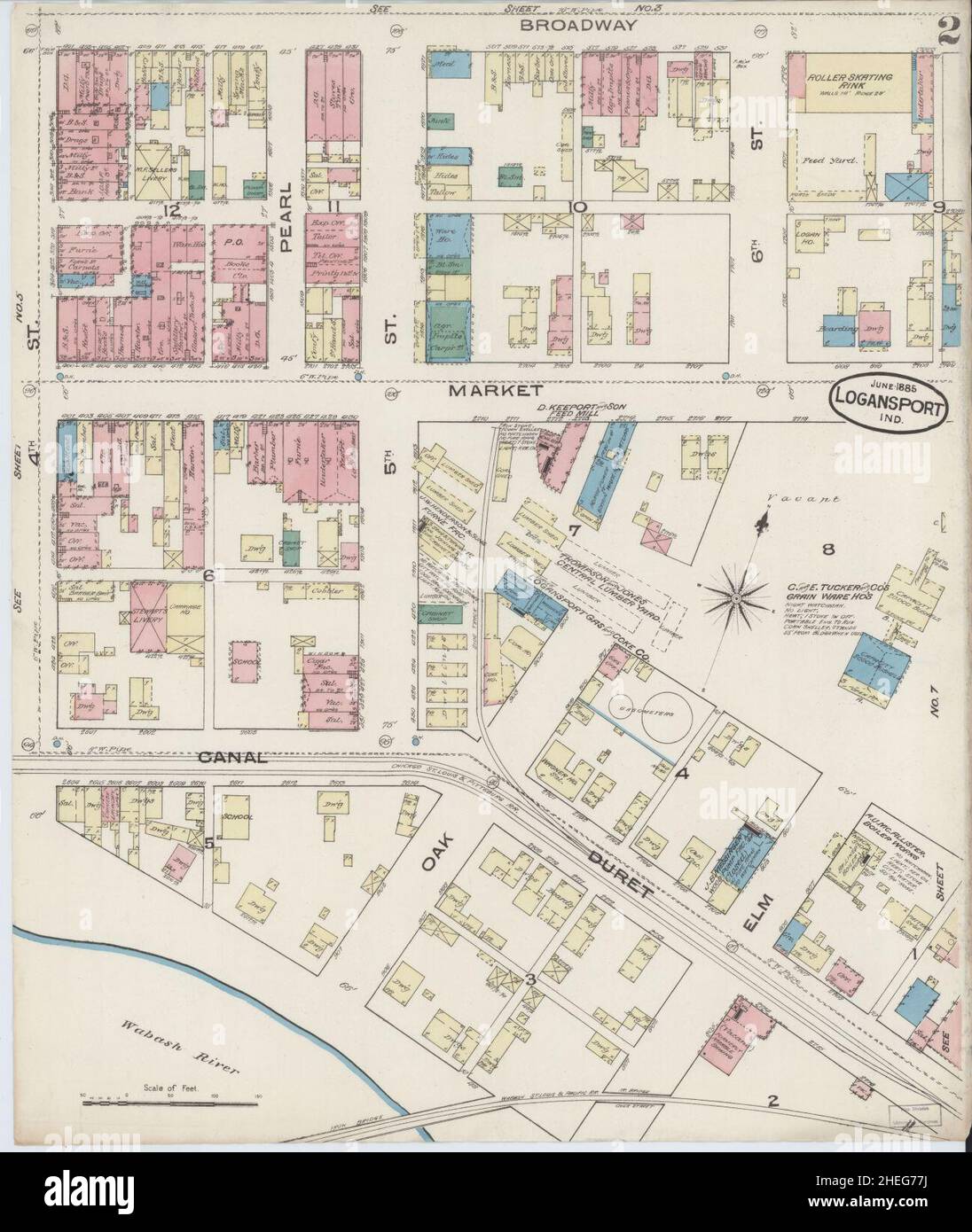 Sanborn Fire Insurance Map from Logansport, Cass County, Indiana. Stock Photohttps://www.alamy.com/image-license-details/?v=1https://www.alamy.com/sanborn-fire-insurance-map-from-logansport-cass-county-indiana-image456431686.html
RM2HEG77J–Sanborn Fire Insurance Map from Logansport, Cass County, Indiana.
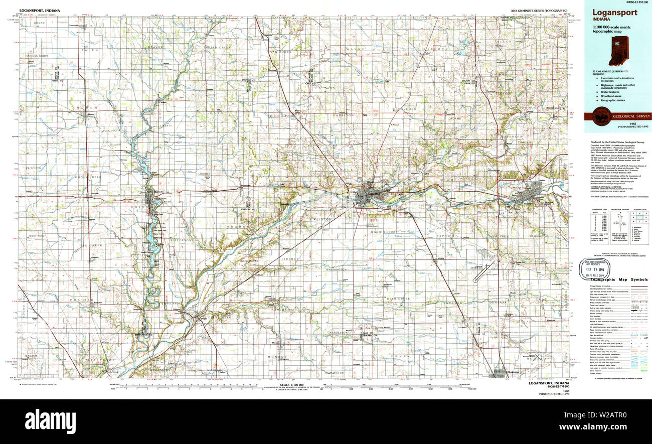 USGS TOPO Map Indiana IN Logansport 156055 1985 100000 Restoration Stock Photohttps://www.alamy.com/image-license-details/?v=1https://www.alamy.com/usgs-topo-map-indiana-in-logansport-156055-1985-100000-restoration-image259623812.html
RMW2ATR0–USGS TOPO Map Indiana IN Logansport 156055 1985 100000 Restoration
 Sanborn Fire Insurance Map from Logansport, Cass County, Indiana. Stock Photohttps://www.alamy.com/image-license-details/?v=1https://www.alamy.com/sanborn-fire-insurance-map-from-logansport-cass-county-indiana-image456431697.html
RM2HEG781–Sanborn Fire Insurance Map from Logansport, Cass County, Indiana.
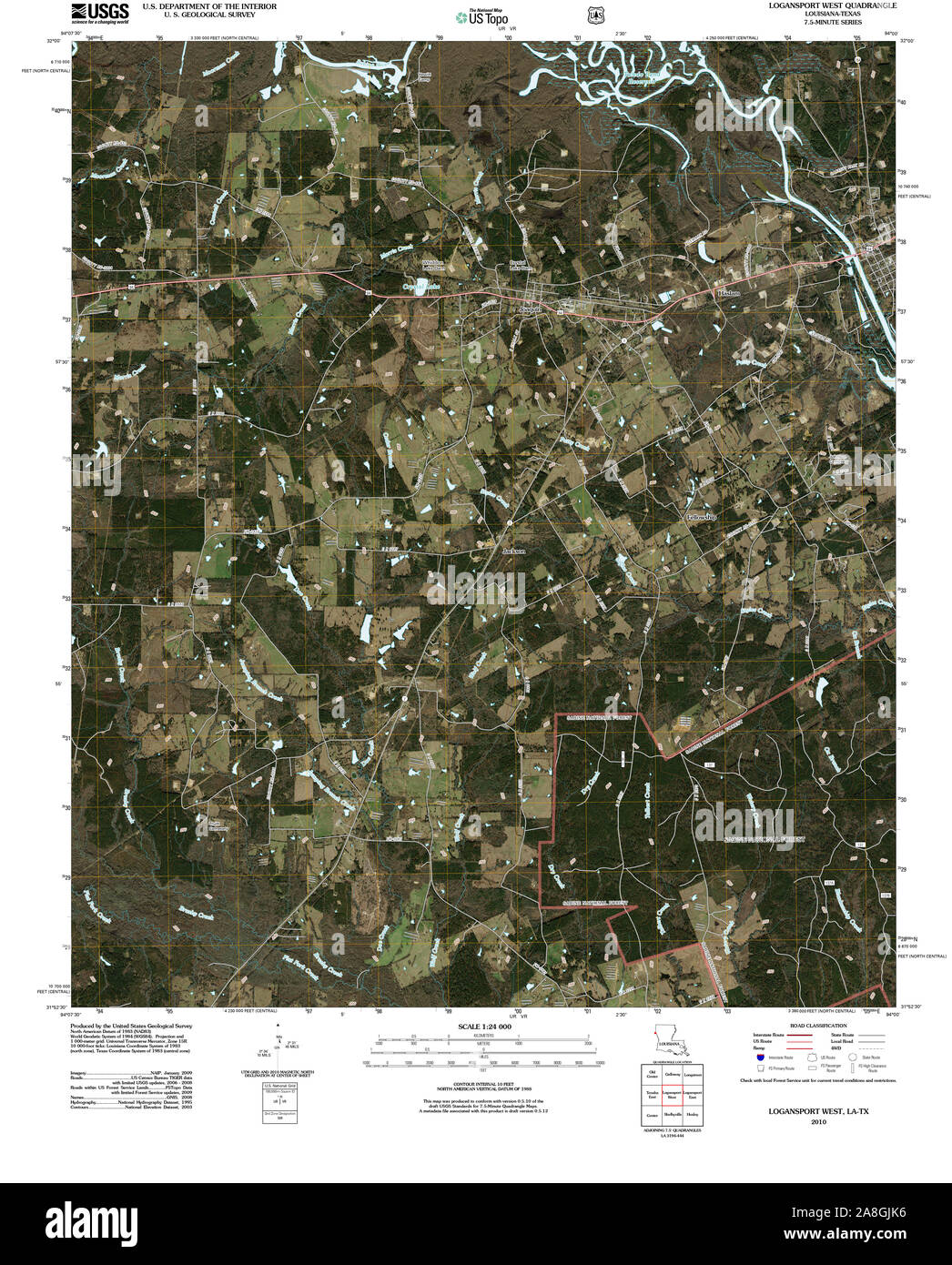 USGS TOPO Map Texas LA Logansport West 20101008 TM Restoration Stock Photohttps://www.alamy.com/image-license-details/?v=1https://www.alamy.com/usgs-topo-map-texas-la-logansport-west-20101008-tm-restoration-image332280122.html
RM2A8GJK6–USGS TOPO Map Texas LA Logansport West 20101008 TM Restoration
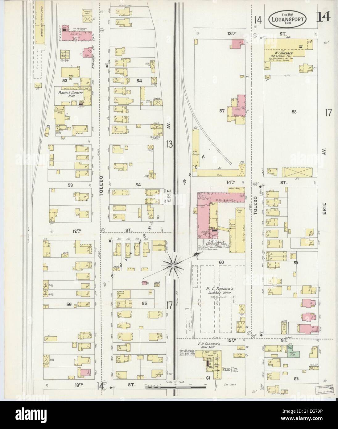 Sanborn Fire Insurance Map from Logansport, Cass County, Indiana. Stock Photohttps://www.alamy.com/image-license-details/?v=1https://www.alamy.com/sanborn-fire-insurance-map-from-logansport-cass-county-indiana-image456431746.html
RM2HEG79P–Sanborn Fire Insurance Map from Logansport, Cass County, Indiana.
 USGS TOPO Map Texas LA Logansport 334764 1956 62500 Restoration Stock Photohttps://www.alamy.com/image-license-details/?v=1https://www.alamy.com/usgs-topo-map-texas-la-logansport-334764-1956-62500-restoration-image332280088.html
RM2A8GJJ0–USGS TOPO Map Texas LA Logansport 334764 1956 62500 Restoration
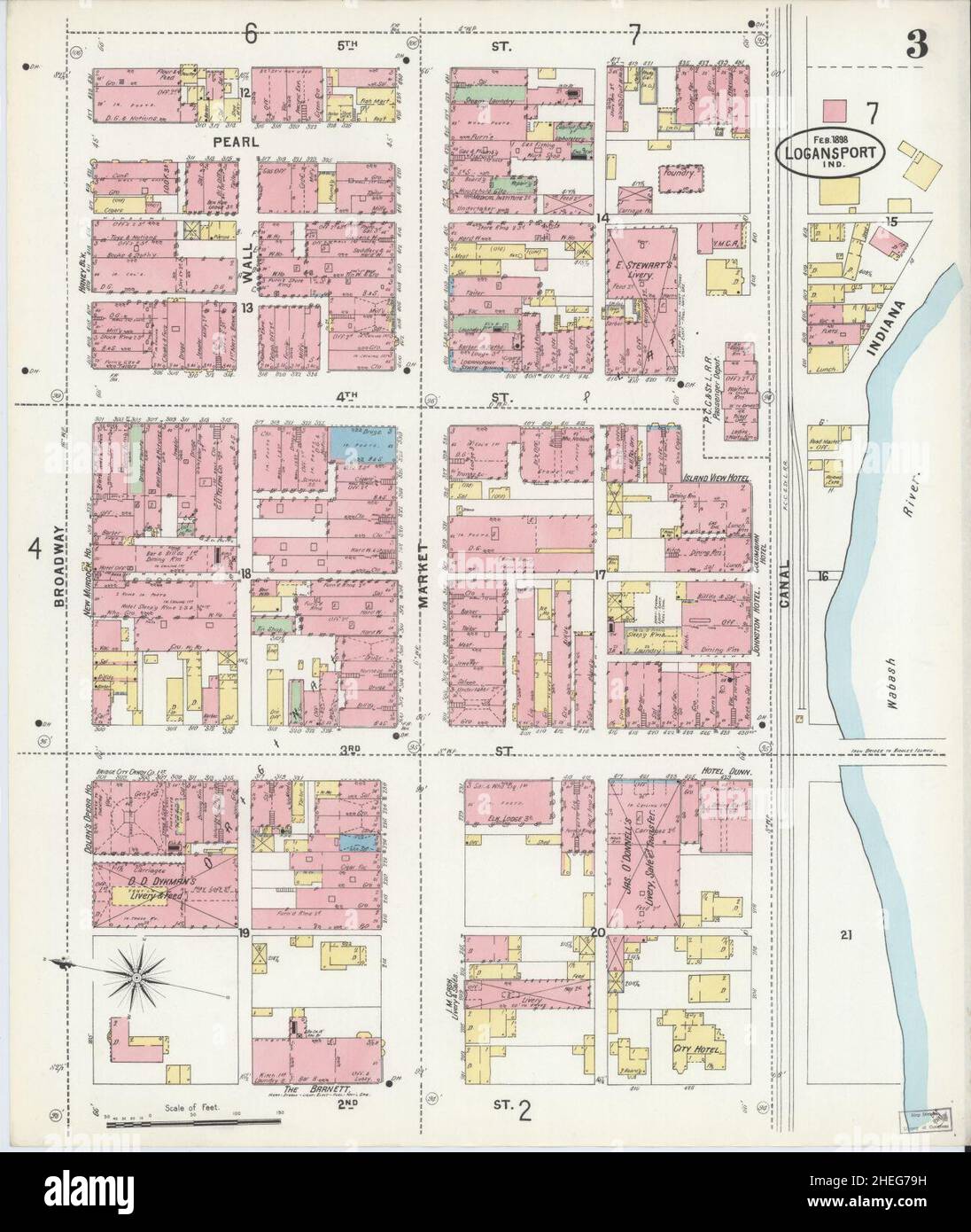 Sanborn Fire Insurance Map from Logansport, Cass County, Indiana. Stock Photohttps://www.alamy.com/image-license-details/?v=1https://www.alamy.com/sanborn-fire-insurance-map-from-logansport-cass-county-indiana-image456431741.html
RM2HEG79H–Sanborn Fire Insurance Map from Logansport, Cass County, Indiana.
 USGS TOPO Map Texas LA Logansport 334761 1956 62500 Restoration Stock Photohttps://www.alamy.com/image-license-details/?v=1https://www.alamy.com/usgs-topo-map-texas-la-logansport-334761-1956-62500-restoration-image332280077.html
RM2A8GJHH–USGS TOPO Map Texas LA Logansport 334761 1956 62500 Restoration