Quick filters:
Map of lone jack Stock Photos and Images
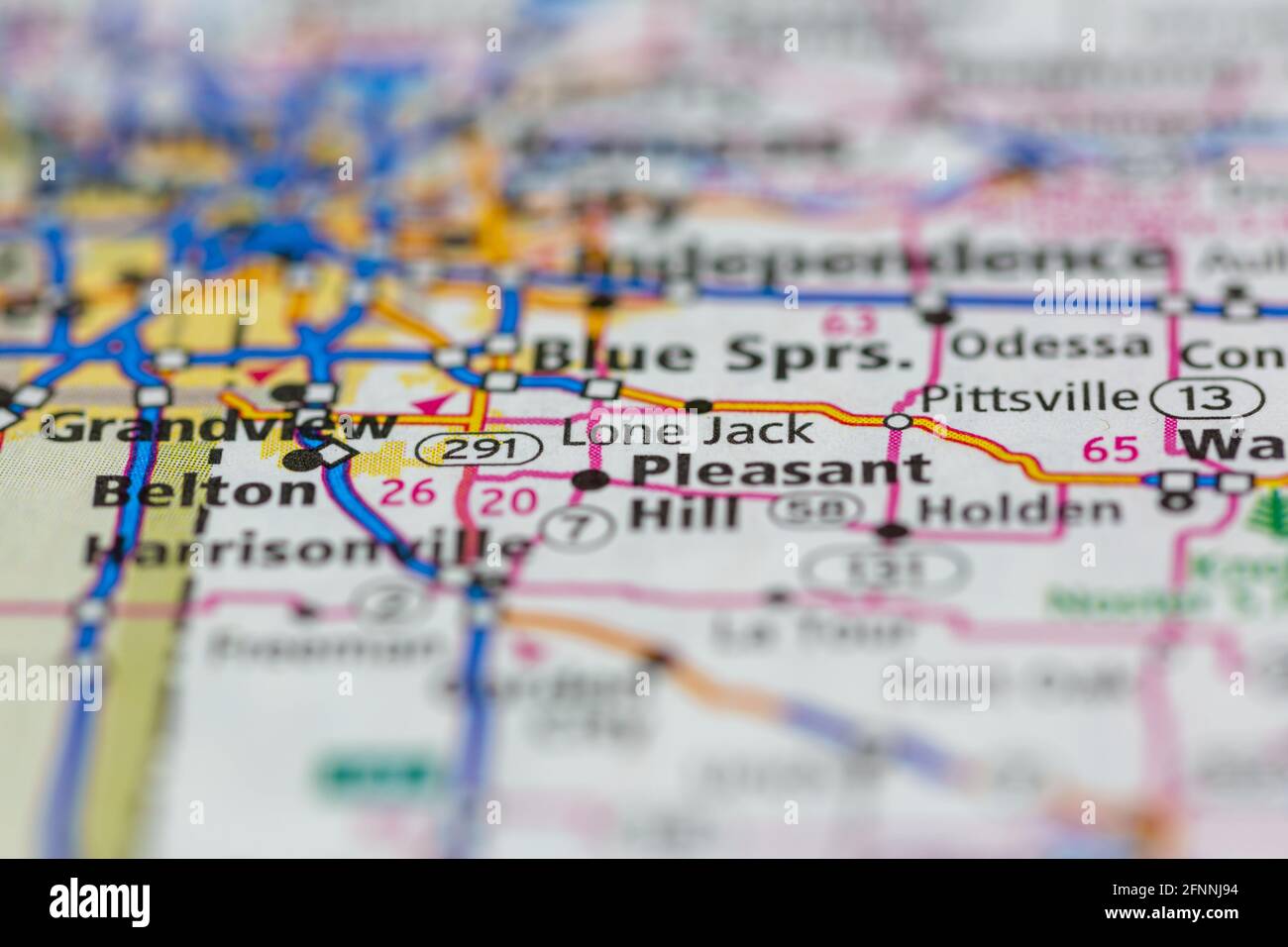
 Lone Jack Missouri USA shown on a Geography map or road map Stock Photohttps://www.alamy.com/image-license-details/?v=1https://www.alamy.com/lone-jack-missouri-usa-shown-on-a-geography-map-or-road-map-image426431968.html
RM2FNNJ94–Lone Jack Missouri USA shown on a Geography map or road map
 Lone Jack, Jackson County, US, United States, Missouri, N 38 52' 15'', S 94 10' 25'', map, Cartascapes Map published in 2024. Explore Cartascapes, a map revealing Earth's diverse landscapes, cultures, and ecosystems. Journey through time and space, discovering the interconnectedness of our planet's past, present, and future. Stock Photohttps://www.alamy.com/image-license-details/?v=1https://www.alamy.com/lone-jack-jackson-county-us-united-states-missouri-n-38-52-15-s-94-10-25-map-cartascapes-map-published-in-2024-explore-cartascapes-a-map-revealing-earths-diverse-landscapes-cultures-and-ecosystems-journey-through-time-and-space-discovering-the-interconnectedness-of-our-planets-past-present-and-future-image621271308.html
RM2Y2N9W0–Lone Jack, Jackson County, US, United States, Missouri, N 38 52' 15'', S 94 10' 25'', map, Cartascapes Map published in 2024. Explore Cartascapes, a map revealing Earth's diverse landscapes, cultures, and ecosystems. Journey through time and space, discovering the interconnectedness of our planet's past, present, and future.
 Red and Blue map pin flags Stock Photohttps://www.alamy.com/image-license-details/?v=1https://www.alamy.com/stock-photo-red-and-blue-map-pin-flags-29024820.html
RFBK65CM–Red and Blue map pin flags
 Lone Jack, Jackson County, US, United States, Missouri, N 38 52' 15'', S 94 10' 25'', map, Cartascapes Map published in 2024. Explore Cartascapes, a map revealing Earth's diverse landscapes, cultures, and ecosystems. Journey through time and space, discovering the interconnectedness of our planet's past, present, and future. Stock Photohttps://www.alamy.com/image-license-details/?v=1https://www.alamy.com/lone-jack-jackson-county-us-united-states-missouri-n-38-52-15-s-94-10-25-map-cartascapes-map-published-in-2024-explore-cartascapes-a-map-revealing-earths-diverse-landscapes-cultures-and-ecosystems-journey-through-time-and-space-discovering-the-interconnectedness-of-our-planets-past-present-and-future-image620754131.html
RM2Y1WP6B–Lone Jack, Jackson County, US, United States, Missouri, N 38 52' 15'', S 94 10' 25'', map, Cartascapes Map published in 2024. Explore Cartascapes, a map revealing Earth's diverse landscapes, cultures, and ecosystems. Journey through time and space, discovering the interconnectedness of our planet's past, present, and future.
 Red map pin flag among white map pin flags Stock Photohttps://www.alamy.com/image-license-details/?v=1https://www.alamy.com/stock-photo-red-map-pin-flag-among-white-map-pin-flags-29028556.html
RFBK6A64–Red map pin flag among white map pin flags
 City of Lone Jack, Jackson County, US, United States, Missouri, N 38 52' 21'', S 94 10' 26'', map, Cartascapes Map published in 2024. Explore Cartascapes, a map revealing Earth's diverse landscapes, cultures, and ecosystems. Journey through time and space, discovering the interconnectedness of our planet's past, present, and future. Stock Photohttps://www.alamy.com/image-license-details/?v=1https://www.alamy.com/city-of-lone-jack-jackson-county-us-united-states-missouri-n-38-52-21-s-94-10-26-map-cartascapes-map-published-in-2024-explore-cartascapes-a-map-revealing-earths-diverse-landscapes-cultures-and-ecosystems-journey-through-time-and-space-discovering-the-interconnectedness-of-our-planets-past-present-and-future-image633805474.html
RM2YR499P–City of Lone Jack, Jackson County, US, United States, Missouri, N 38 52' 21'', S 94 10' 26'', map, Cartascapes Map published in 2024. Explore Cartascapes, a map revealing Earth's diverse landscapes, cultures, and ecosystems. Journey through time and space, discovering the interconnectedness of our planet's past, present, and future.