Quick filters:
Map of luray virginia Stock Photos and Images
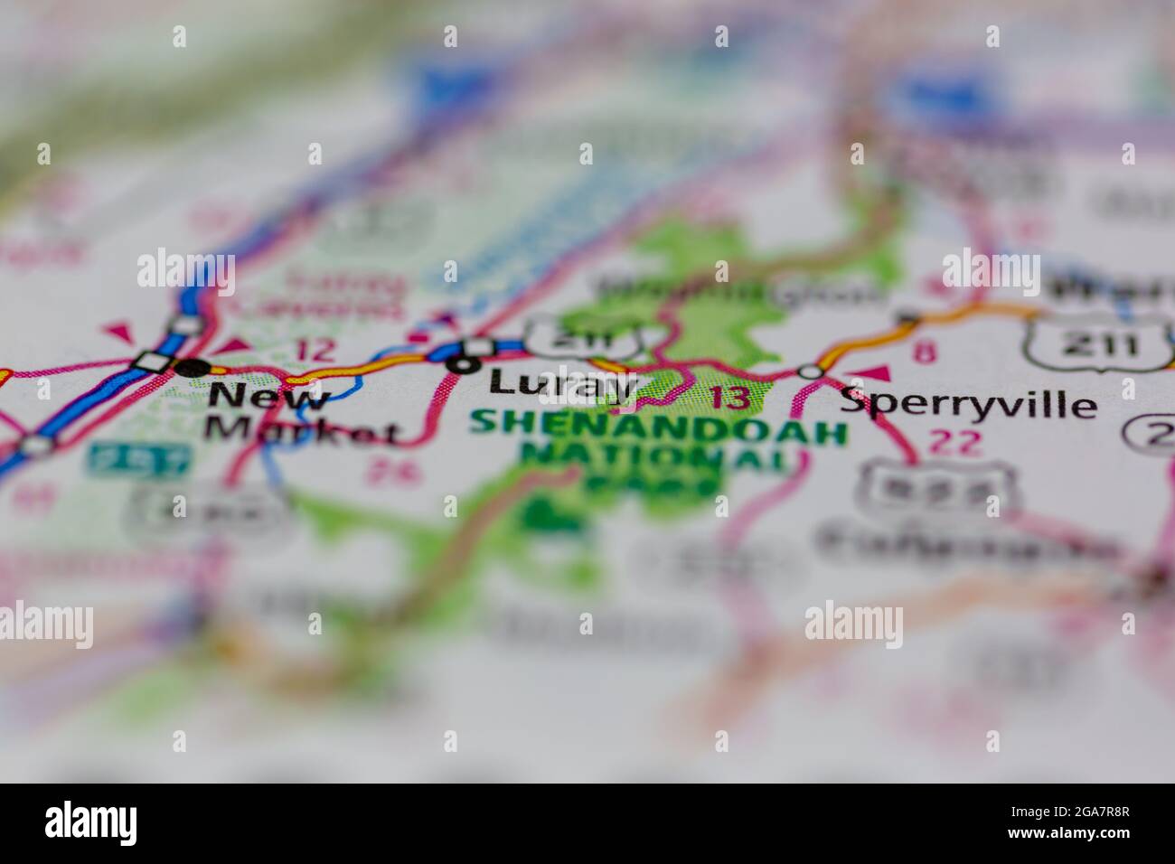 Luray Virginia shown on a road map or Geography map Stock Photohttps://www.alamy.com/image-license-details/?v=1https://www.alamy.com/luray-virginia-shown-on-a-road-map-or-geography-map-image436577703.html
RM2GA7R8R–Luray Virginia shown on a road map or Geography map
 Luray, Page County, US, United States, Virginia, N 38 39' 55'', S 78 27' 34'', map, Cartascapes Map published in 2024. Explore Cartascapes, a map revealing Earth's diverse landscapes, cultures, and ecosystems. Journey through time and space, discovering the interconnectedness of our planet's past, present, and future. Stock Photohttps://www.alamy.com/image-license-details/?v=1https://www.alamy.com/luray-page-county-us-united-states-virginia-n-38-39-55-s-78-27-34-map-cartascapes-map-published-in-2024-explore-cartascapes-a-map-revealing-earths-diverse-landscapes-cultures-and-ecosystems-journey-through-time-and-space-discovering-the-interconnectedness-of-our-planets-past-present-and-future-image621281776.html
RM2Y2NR6T–Luray, Page County, US, United States, Virginia, N 38 39' 55'', S 78 27' 34'', map, Cartascapes Map published in 2024. Explore Cartascapes, a map revealing Earth's diverse landscapes, cultures, and ecosystems. Journey through time and space, discovering the interconnectedness of our planet's past, present, and future.
 Map of the Shenandoah Valley route via Luray Caverns, Natural Bridge & the Grottos. The Shenandoah Valley R.R. Norfolk & Western R.R. and East Tennessee, Virginia & Georgia System and their Stock Photohttps://www.alamy.com/image-license-details/?v=1https://www.alamy.com/map-of-the-shenandoah-valley-route-via-luray-caverns-natural-bridge-the-grottos-the-shenandoah-valley-rr-norfolk-western-rr-and-east-tennessee-virginia-georgia-system-and-their-image398169980.html
RM2E3P5TC–Map of the Shenandoah Valley route via Luray Caverns, Natural Bridge & the Grottos. The Shenandoah Valley R.R. Norfolk & Western R.R. and East Tennessee, Virginia & Georgia System and their
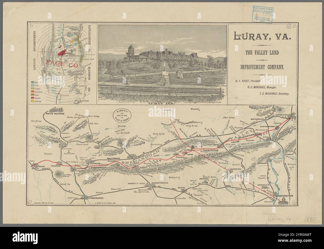 Lee's map of the Valley of Virginia 1890 by Lee, Alex. Y. Stock Photohttps://www.alamy.com/image-license-details/?v=1https://www.alamy.com/lees-map-of-the-valley-of-virginia-1890-by-lee-alex-y-image633718760.html
RM2YR0AMT–Lee's map of the Valley of Virginia 1890 by Lee, Alex. Y.
 Page County, Commonwealth of Virginia (U.S. county, United States of America, USA, U.S., US) map vector illustration, scribble sketch Page map Stock Vectorhttps://www.alamy.com/image-license-details/?v=1https://www.alamy.com/page-county-commonwealth-of-virginia-us-county-united-states-of-america-usa-us-us-map-vector-illustration-scribble-sketch-page-map-image397495999.html
RF2E2KE5K–Page County, Commonwealth of Virginia (U.S. county, United States of America, USA, U.S., US) map vector illustration, scribble sketch Page map
 Image taken from page 376 of 'Journal of a Tour in the United States, Canada and Mexico ... Illustrated' Image taken from page 376 of 'Journal of a Tour Stock Photohttps://www.alamy.com/image-license-details/?v=1https://www.alamy.com/stock-photo-image-taken-from-page-376-of-journal-of-a-tour-in-the-united-states-127700356.html
RMHBN730–Image taken from page 376 of 'Journal of a Tour in the United States, Canada and Mexico ... Illustrated' Image taken from page 376 of 'Journal of a Tour
 Luray, Page County, US, United States, Virginia, N 38 39' 55'', S 78 27' 34'', map, Cartascapes Map published in 2024. Explore Cartascapes, a map revealing Earth's diverse landscapes, cultures, and ecosystems. Journey through time and space, discovering the interconnectedness of our planet's past, present, and future. Stock Photohttps://www.alamy.com/image-license-details/?v=1https://www.alamy.com/luray-page-county-us-united-states-virginia-n-38-39-55-s-78-27-34-map-cartascapes-map-published-in-2024-explore-cartascapes-a-map-revealing-earths-diverse-landscapes-cultures-and-ecosystems-journey-through-time-and-space-discovering-the-interconnectedness-of-our-planets-past-present-and-future-image621157464.html
RM2Y2G4K4–Luray, Page County, US, United States, Virginia, N 38 39' 55'', S 78 27' 34'', map, Cartascapes Map published in 2024. Explore Cartascapes, a map revealing Earth's diverse landscapes, cultures, and ecosystems. Journey through time and space, discovering the interconnectedness of our planet's past, present, and future.
 Sanborn Fire Insurance Map from Luray, Page County, Virginia. Stock Photohttps://www.alamy.com/image-license-details/?v=1https://www.alamy.com/sanborn-fire-insurance-map-from-luray-page-county-virginia-image456433230.html
RM2HEG96P–Sanborn Fire Insurance Map from Luray, Page County, Virginia.
 Page County, Commonwealth of Virginia (U.S. county, United States of America, USA, U.S., US) map vector illustration, scribble sketch Page map Stock Vectorhttps://www.alamy.com/image-license-details/?v=1https://www.alamy.com/page-county-commonwealth-of-virginia-us-county-united-states-of-america-usa-us-us-map-vector-illustration-scribble-sketch-page-map-image431840564.html
RF2G2G118–Page County, Commonwealth of Virginia (U.S. county, United States of America, USA, U.S., US) map vector illustration, scribble sketch Page map
 Report of a visit to the Luray Cavern, in Page County, Virginia, under the auspices of the Smithsonian institution, July 13 and 14, 1880 (1881) Stock Photohttps://www.alamy.com/image-license-details/?v=1https://www.alamy.com/stock-photo-report-of-a-visit-to-the-luray-cavern-in-page-county-virginia-under-100447835.html
RMFRBP6K–Report of a visit to the Luray Cavern, in Page County, Virginia, under the auspices of the Smithsonian institution, July 13 and 14, 1880 (1881)
 Town of Luray, Page County, US, United States, Virginia, N 38 39' 55'', S 78 27' 16'', map, Cartascapes Map published in 2024. Explore Cartascapes, a map revealing Earth's diverse landscapes, cultures, and ecosystems. Journey through time and space, discovering the interconnectedness of our planet's past, present, and future. Stock Photohttps://www.alamy.com/image-license-details/?v=1https://www.alamy.com/town-of-luray-page-county-us-united-states-virginia-n-38-39-55-s-78-27-16-map-cartascapes-map-published-in-2024-explore-cartascapes-a-map-revealing-earths-diverse-landscapes-cultures-and-ecosystems-journey-through-time-and-space-discovering-the-interconnectedness-of-our-planets-past-present-and-future-image633799969.html
RM2YR4295–Town of Luray, Page County, US, United States, Virginia, N 38 39' 55'', S 78 27' 16'', map, Cartascapes Map published in 2024. Explore Cartascapes, a map revealing Earth's diverse landscapes, cultures, and ecosystems. Journey through time and space, discovering the interconnectedness of our planet's past, present, and future.
 Sanborn Fire Insurance Map from Luray, Page County, Virginia. Stock Photohttps://www.alamy.com/image-license-details/?v=1https://www.alamy.com/sanborn-fire-insurance-map-from-luray-page-county-virginia-image456433222.html
RM2HEG96E–Sanborn Fire Insurance Map from Luray, Page County, Virginia.
 Page County, Commonwealth of Virginia (U.S. county, United States of America, USA, U.S., US) map vector illustration, scribble sketch Page map Stock Vectorhttps://www.alamy.com/image-license-details/?v=1https://www.alamy.com/page-county-commonwealth-of-virginia-us-county-united-states-of-america-usa-us-us-map-vector-illustration-scribble-sketch-page-map-image418480795.html
RF2F8RCEK–Page County, Commonwealth of Virginia (U.S. county, United States of America, USA, U.S., US) map vector illustration, scribble sketch Page map
 Report of a visit to the Luray Cavern, in Page County, Virginia, under the auspices of the Smithsonian institution, July 13 and 14, 1880 (1881) Stock Photohttps://www.alamy.com/image-license-details/?v=1https://www.alamy.com/stock-photo-report-of-a-visit-to-the-luray-cavern-in-page-county-virginia-under-100448174.html
RMFRBPJP–Report of a visit to the Luray Cavern, in Page County, Virginia, under the auspices of the Smithsonian institution, July 13 and 14, 1880 (1881)
 District 2, East Luray, Page County, US, United States, Virginia, N 38 40' 44'', S 78 22' 51'', map, Cartascapes Map published in 2024. Explore Cartascapes, a map revealing Earth's diverse landscapes, cultures, and ecosystems. Journey through time and space, discovering the interconnectedness of our planet's past, present, and future. Stock Photohttps://www.alamy.com/image-license-details/?v=1https://www.alamy.com/district-2-east-luray-page-county-us-united-states-virginia-n-38-40-44-s-78-22-51-map-cartascapes-map-published-in-2024-explore-cartascapes-a-map-revealing-earths-diverse-landscapes-cultures-and-ecosystems-journey-through-time-and-space-discovering-the-interconnectedness-of-our-planets-past-present-and-future-image633799412.html
RM2YR41H8–District 2, East Luray, Page County, US, United States, Virginia, N 38 40' 44'', S 78 22' 51'', map, Cartascapes Map published in 2024. Explore Cartascapes, a map revealing Earth's diverse landscapes, cultures, and ecosystems. Journey through time and space, discovering the interconnectedness of our planet's past, present, and future.
 Sanborn Fire Insurance Map from Luray, Page County, Virginia. Stock Photohttps://www.alamy.com/image-license-details/?v=1https://www.alamy.com/sanborn-fire-insurance-map-from-luray-page-county-virginia-image456433185.html
RM2HEG955–Sanborn Fire Insurance Map from Luray, Page County, Virginia.
 District 1, West Luray, Page County, US, United States, Virginia, N 38 44' 24'', S 78 24' 57'', map, Cartascapes Map published in 2024. Explore Cartascapes, a map revealing Earth's diverse landscapes, cultures, and ecosystems. Journey through time and space, discovering the interconnectedness of our planet's past, present, and future. Stock Photohttps://www.alamy.com/image-license-details/?v=1https://www.alamy.com/district-1-west-luray-page-county-us-united-states-virginia-n-38-44-24-s-78-24-57-map-cartascapes-map-published-in-2024-explore-cartascapes-a-map-revealing-earths-diverse-landscapes-cultures-and-ecosystems-journey-through-time-and-space-discovering-the-interconnectedness-of-our-planets-past-present-and-future-image633775471.html
RM2YR2Y27–District 1, West Luray, Page County, US, United States, Virginia, N 38 44' 24'', S 78 24' 57'', map, Cartascapes Map published in 2024. Explore Cartascapes, a map revealing Earth's diverse landscapes, cultures, and ecosystems. Journey through time and space, discovering the interconnectedness of our planet's past, present, and future.
 Sanborn Fire Insurance Map from Luray, Page County, Virginia. Stock Photohttps://www.alamy.com/image-license-details/?v=1https://www.alamy.com/sanborn-fire-insurance-map-from-luray-page-county-virginia-image456433261.html
RM2HEG97W–Sanborn Fire Insurance Map from Luray, Page County, Virginia.
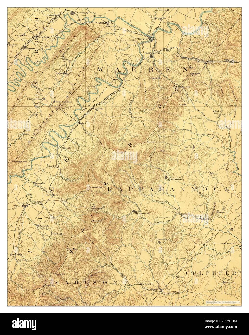 Luray, Virginia, map 1893, 1:125000, United States of America by Timeless Maps, data U.S. Geological Survey Stock Photohttps://www.alamy.com/image-license-details/?v=1https://www.alamy.com/luray-virginia-map-1893-1125000-united-states-of-america-by-timeless-maps-data-us-geological-survey-image414266880.html
RM2F1YDHM–Luray, Virginia, map 1893, 1:125000, United States of America by Timeless Maps, data U.S. Geological Survey
 Sanborn Fire Insurance Map from Luray, Page County, Virginia. Stock Photohttps://www.alamy.com/image-license-details/?v=1https://www.alamy.com/sanborn-fire-insurance-map-from-luray-page-county-virginia-image456433242.html
RM2HEG976–Sanborn Fire Insurance Map from Luray, Page County, Virginia.
 Luray, Virginia, map 1994, 1:24000, United States of America by Timeless Maps, data U.S. Geological Survey Stock Photohttps://www.alamy.com/image-license-details/?v=1https://www.alamy.com/luray-virginia-map-1994-124000-united-states-of-america-by-timeless-maps-data-us-geological-survey-image407011302.html
RM2EJ4Y1X–Luray, Virginia, map 1994, 1:24000, United States of America by Timeless Maps, data U.S. Geological Survey
 Sanborn Fire Insurance Map from Luray, Page County, Virginia. Stock Photohttps://www.alamy.com/image-license-details/?v=1https://www.alamy.com/sanborn-fire-insurance-map-from-luray-page-county-virginia-image456433214.html
RM2HEG966–Sanborn Fire Insurance Map from Luray, Page County, Virginia.
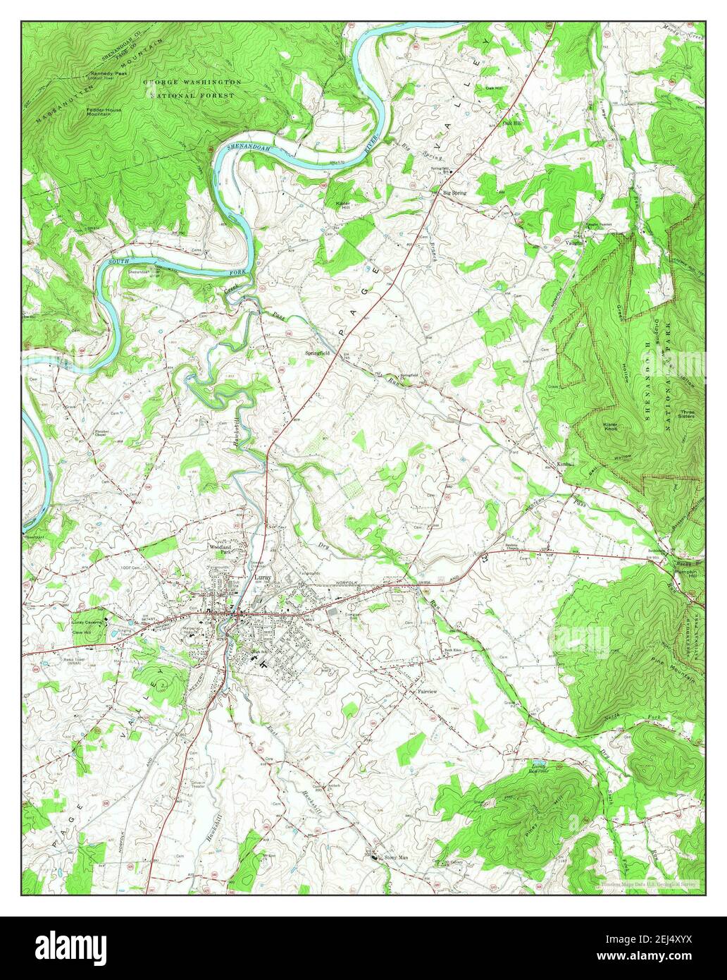 Luray, Virginia, map 1965, 1:24000, United States of America by Timeless Maps, data U.S. Geological Survey Stock Photohttps://www.alamy.com/image-license-details/?v=1https://www.alamy.com/luray-virginia-map-1965-124000-united-states-of-america-by-timeless-maps-data-us-geological-survey-image407011246.html
RM2EJ4XYX–Luray, Virginia, map 1965, 1:24000, United States of America by Timeless Maps, data U.S. Geological Survey
 Sanborn Fire Insurance Map from Luray, Page County, Virginia. Stock Photohttps://www.alamy.com/image-license-details/?v=1https://www.alamy.com/sanborn-fire-insurance-map-from-luray-page-county-virginia-image456433192.html
RM2HEG95C–Sanborn Fire Insurance Map from Luray, Page County, Virginia.
 Luray, Virginia, map 1972, 1:24000, United States of America by Timeless Maps, data U.S. Geological Survey Stock Photohttps://www.alamy.com/image-license-details/?v=1https://www.alamy.com/luray-virginia-map-1972-124000-united-states-of-america-by-timeless-maps-data-us-geological-survey-image407011243.html
RM2EJ4XYR–Luray, Virginia, map 1972, 1:24000, United States of America by Timeless Maps, data U.S. Geological Survey
 Sanborn Fire Insurance Map from Luray, Page County, Virginia. Stock Photohttps://www.alamy.com/image-license-details/?v=1https://www.alamy.com/sanborn-fire-insurance-map-from-luray-page-county-virginia-image456433228.html
RM2HEG96M–Sanborn Fire Insurance Map from Luray, Page County, Virginia.
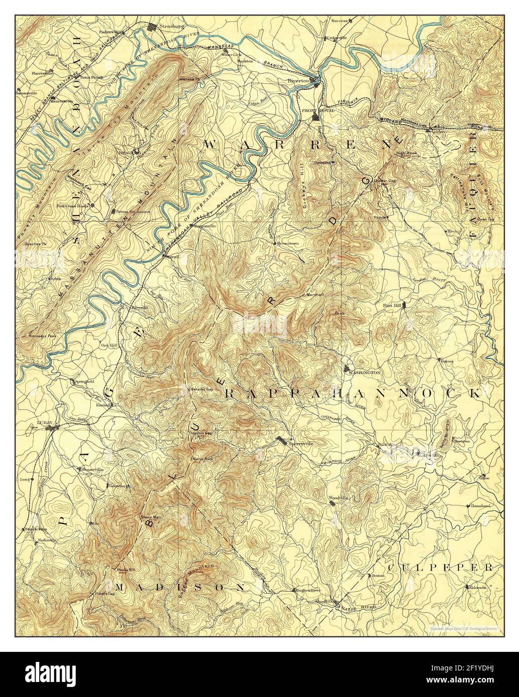 Luray, Virginia, map 1905, 1:125000, United States of America by Timeless Maps, data U.S. Geological Survey Stock Photohttps://www.alamy.com/image-license-details/?v=1https://www.alamy.com/luray-virginia-map-1905-1125000-united-states-of-america-by-timeless-maps-data-us-geological-survey-image414266878.html
RM2F1YDHJ–Luray, Virginia, map 1905, 1:125000, United States of America by Timeless Maps, data U.S. Geological Survey
 Sanborn Fire Insurance Map from Luray, Page County, Virginia. Stock Photohttps://www.alamy.com/image-license-details/?v=1https://www.alamy.com/sanborn-fire-insurance-map-from-luray-page-county-virginia-image456433194.html
RM2HEG95E–Sanborn Fire Insurance Map from Luray, Page County, Virginia.
 Luray, Virginia, map 1905, 1:125000, United States of America by Timeless Maps, data U.S. Geological Survey Stock Photohttps://www.alamy.com/image-license-details/?v=1https://www.alamy.com/luray-virginia-map-1905-1125000-united-states-of-america-by-timeless-maps-data-us-geological-survey-image414266882.html
RM2F1YDHP–Luray, Virginia, map 1905, 1:125000, United States of America by Timeless Maps, data U.S. Geological Survey
 Sanborn Fire Insurance Map from Luray, Page County, Virginia. Stock Photohttps://www.alamy.com/image-license-details/?v=1https://www.alamy.com/sanborn-fire-insurance-map-from-luray-page-county-virginia-image456433224.html
RM2HEG96G–Sanborn Fire Insurance Map from Luray, Page County, Virginia.
 Luray, Virginia, map 1965, 1:24000, United States of America by Timeless Maps, data U.S. Geological Survey Stock Photohttps://www.alamy.com/image-license-details/?v=1https://www.alamy.com/luray-virginia-map-1965-124000-united-states-of-america-by-timeless-maps-data-us-geological-survey-image407011239.html
RM2EJ4XYK–Luray, Virginia, map 1965, 1:24000, United States of America by Timeless Maps, data U.S. Geological Survey
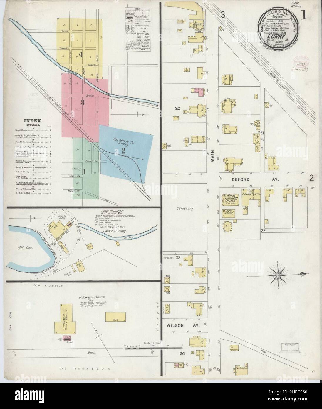 Sanborn Fire Insurance Map from Luray, Page County, Virginia. Stock Photohttps://www.alamy.com/image-license-details/?v=1https://www.alamy.com/sanborn-fire-insurance-map-from-luray-page-county-virginia-image456433208.html
RM2HEG960–Sanborn Fire Insurance Map from Luray, Page County, Virginia.
 Luray, Virginia, map 1905, 1:125000, United States of America by Timeless Maps, data U.S. Geological Survey Stock Photohttps://www.alamy.com/image-license-details/?v=1https://www.alamy.com/luray-virginia-map-1905-1125000-united-states-of-america-by-timeless-maps-data-us-geological-survey-image414266883.html
RM2F1YDHR–Luray, Virginia, map 1905, 1:125000, United States of America by Timeless Maps, data U.S. Geological Survey
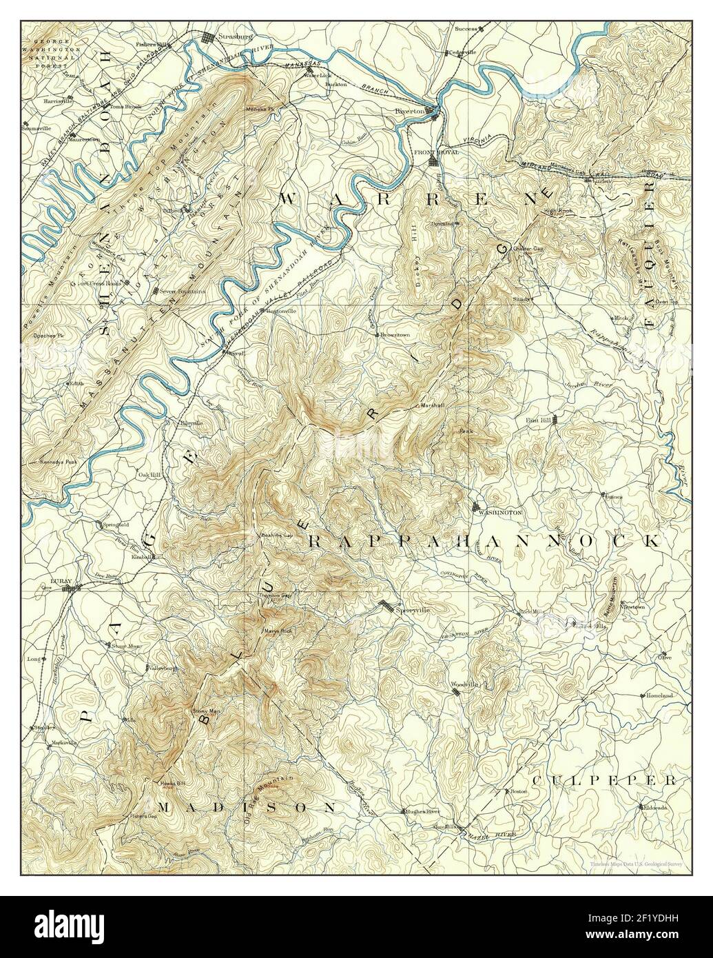 Luray, Virginia, map 1905, 1:125000, United States of America by Timeless Maps, data U.S. Geological Survey Stock Photohttps://www.alamy.com/image-license-details/?v=1https://www.alamy.com/luray-virginia-map-1905-1125000-united-states-of-america-by-timeless-maps-data-us-geological-survey-image414266877.html
RM2F1YDHH–Luray, Virginia, map 1905, 1:125000, United States of America by Timeless Maps, data U.S. Geological Survey
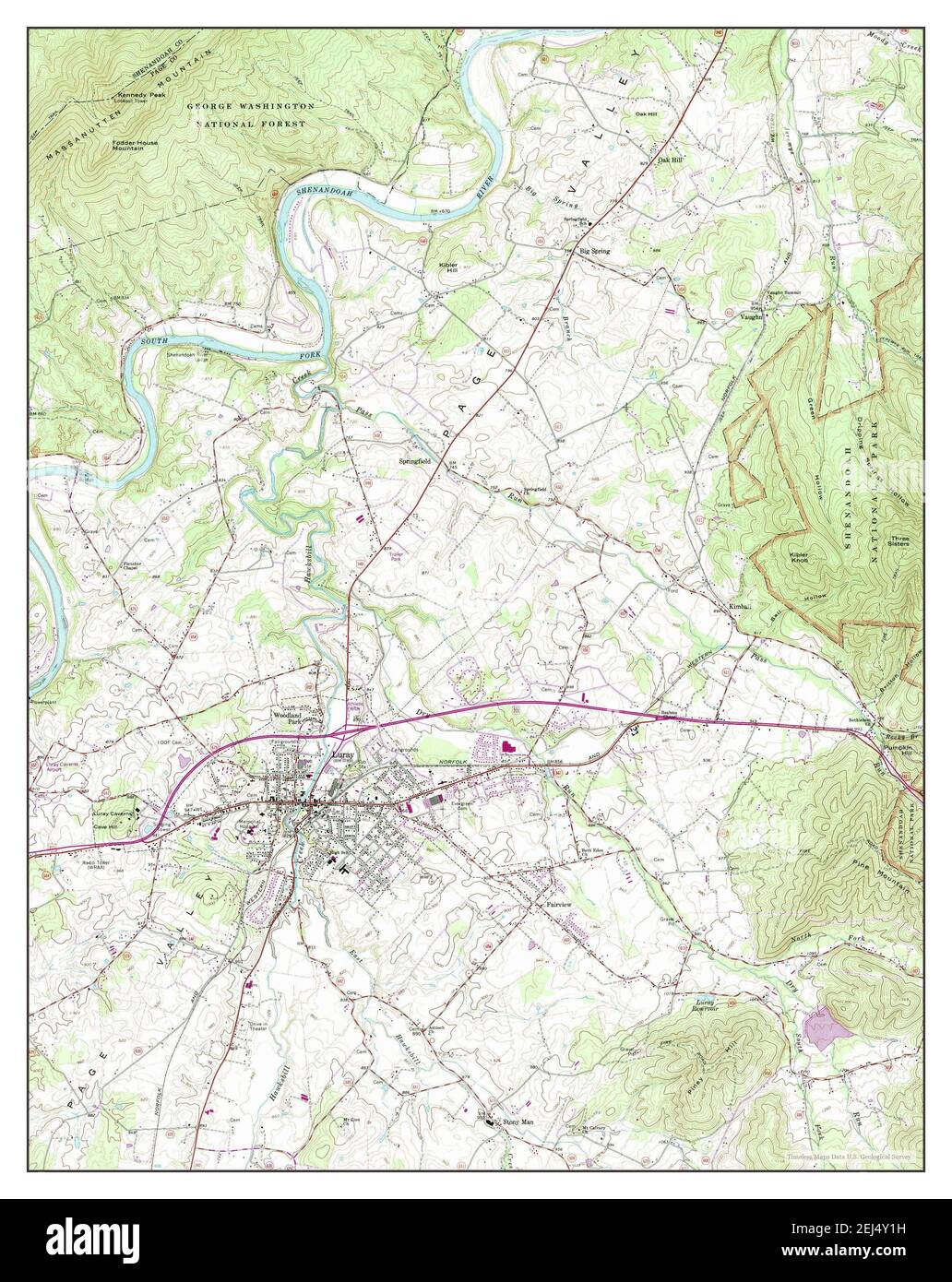 Luray, Virginia, map 1965, 1:24000, United States of America by Timeless Maps, data U.S. Geological Survey Stock Photohttps://www.alamy.com/image-license-details/?v=1https://www.alamy.com/luray-virginia-map-1965-124000-united-states-of-america-by-timeless-maps-data-us-geological-survey-image407011293.html
RM2EJ4Y1H–Luray, Virginia, map 1965, 1:24000, United States of America by Timeless Maps, data U.S. Geological Survey