Quick filters:
Map of manzanita Stock Photos and Images
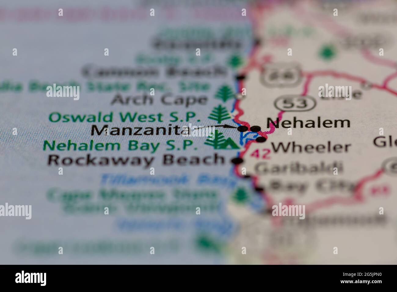 Manzanita Oregon USA shown on a Geography map or road map Stock Photohttps://www.alamy.com/image-license-details/?v=1https://www.alamy.com/manzanita-oregon-usa-shown-on-a-geography-map-or-road-map-image433745452.html
RM2G5JPN0–Manzanita Oregon USA shown on a Geography map or road map
 2015-365-245 Eye of Manzanita (20918006699) Stock Photohttps://www.alamy.com/image-license-details/?v=1https://www.alamy.com/stock-photo-2015-365-245-eye-of-manzanita-20918006699-148474536.html
RMJHFGP0–2015-365-245 Eye of Manzanita (20918006699)
 Manzanita, Kitsap County, US, United States, Washington, N 47 40' 34'', S 122 33' 34'', map, Cartascapes Map published in 2024. Explore Cartascapes, a map revealing Earth's diverse landscapes, cultures, and ecosystems. Journey through time and space, discovering the interconnectedness of our planet's past, present, and future. Stock Photohttps://www.alamy.com/image-license-details/?v=1https://www.alamy.com/manzanita-kitsap-county-us-united-states-washington-n-47-40-34-s-122-33-34-map-cartascapes-map-published-in-2024-explore-cartascapes-a-map-revealing-earths-diverse-landscapes-cultures-and-ecosystems-journey-through-time-and-space-discovering-the-interconnectedness-of-our-planets-past-present-and-future-image621465304.html
RM2Y3259C–Manzanita, Kitsap County, US, United States, Washington, N 47 40' 34'', S 122 33' 34'', map, Cartascapes Map published in 2024. Explore Cartascapes, a map revealing Earth's diverse landscapes, cultures, and ecosystems. Journey through time and space, discovering the interconnectedness of our planet's past, present, and future.
 USGS TOPO Map California CA Manzanita Lake 298105 1956 62500 Restoration Stock Photohttps://www.alamy.com/image-license-details/?v=1https://www.alamy.com/usgs-topo-map-california-ca-manzanita-lake-298105-1956-62500-restoration-image243179106.html
RMT3HNC2–USGS TOPO Map California CA Manzanita Lake 298105 1956 62500 Restoration
 Manzanita, Marin County, US, United States, California, N 37 52' 53'', S 122 31' 2'', map, Cartascapes Map published in 2024. Explore Cartascapes, a map revealing Earth's diverse landscapes, cultures, and ecosystems. Journey through time and space, discovering the interconnectedness of our planet's past, present, and future. Stock Photohttps://www.alamy.com/image-license-details/?v=1https://www.alamy.com/manzanita-marin-county-us-united-states-california-n-37-52-53-s-122-31-2-map-cartascapes-map-published-in-2024-explore-cartascapes-a-map-revealing-earths-diverse-landscapes-cultures-and-ecosystems-journey-through-time-and-space-discovering-the-interconnectedness-of-our-planets-past-present-and-future-image621329475.html
RM2Y2T02B–Manzanita, Marin County, US, United States, California, N 37 52' 53'', S 122 31' 2'', map, Cartascapes Map published in 2024. Explore Cartascapes, a map revealing Earth's diverse landscapes, cultures, and ecosystems. Journey through time and space, discovering the interconnectedness of our planet's past, present, and future.
 USGS TOPO Map California CA Manzanita Lake 298106 1956 62500 Restoration Stock Photohttps://www.alamy.com/image-license-details/?v=1https://www.alamy.com/usgs-topo-map-california-ca-manzanita-lake-298106-1956-62500-restoration-image243179124.html
RMT3HNCM–USGS TOPO Map California CA Manzanita Lake 298106 1956 62500 Restoration
 Manzanita, Tillamook County, US, United States, Oregon, N 45 43' 6'', S 123 56' 6'', map, Cartascapes Map published in 2024. Explore Cartascapes, a map revealing Earth's diverse landscapes, cultures, and ecosystems. Journey through time and space, discovering the interconnectedness of our planet's past, present, and future. Stock Photohttps://www.alamy.com/image-license-details/?v=1https://www.alamy.com/manzanita-tillamook-county-us-united-states-oregon-n-45-43-6-s-123-56-6-map-cartascapes-map-published-in-2024-explore-cartascapes-a-map-revealing-earths-diverse-landscapes-cultures-and-ecosystems-journey-through-time-and-space-discovering-the-interconnectedness-of-our-planets-past-present-and-future-image621431899.html
RM2Y30JMB–Manzanita, Tillamook County, US, United States, Oregon, N 45 43' 6'', S 123 56' 6'', map, Cartascapes Map published in 2024. Explore Cartascapes, a map revealing Earth's diverse landscapes, cultures, and ecosystems. Journey through time and space, discovering the interconnectedness of our planet's past, present, and future.
 USGS TOPO Map California CA Manzanita Lake 298107 1956 62500 Restoration Stock Photohttps://www.alamy.com/image-license-details/?v=1https://www.alamy.com/usgs-topo-map-california-ca-manzanita-lake-298107-1956-62500-restoration-image243179132.html
RMT3HND0–USGS TOPO Map California CA Manzanita Lake 298107 1956 62500 Restoration
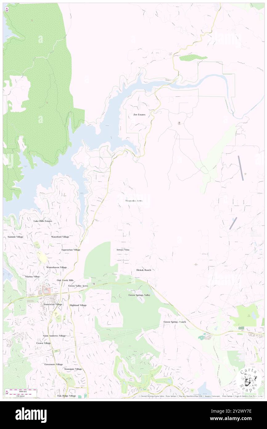 Manzanita Acres, El Dorado County, US, United States, California, N 38 44' 16'', S 121 3' 1'', map, Cartascapes Map published in 2024. Explore Cartascapes, a map revealing Earth's diverse landscapes, cultures, and ecosystems. Journey through time and space, discovering the interconnectedness of our planet's past, present, and future. Stock Photohttps://www.alamy.com/image-license-details/?v=1https://www.alamy.com/manzanita-acres-el-dorado-county-us-united-states-california-n-38-44-16-s-121-3-1-map-cartascapes-map-published-in-2024-explore-cartascapes-a-map-revealing-earths-diverse-landscapes-cultures-and-ecosystems-journey-through-time-and-space-discovering-the-interconnectedness-of-our-planets-past-present-and-future-image621372738.html
RM2Y2WY7E–Manzanita Acres, El Dorado County, US, United States, California, N 38 44' 16'', S 121 3' 1'', map, Cartascapes Map published in 2024. Explore Cartascapes, a map revealing Earth's diverse landscapes, cultures, and ecosystems. Journey through time and space, discovering the interconnectedness of our planet's past, present, and future.
 USGS TOPO Map California CA Manzanita Lake 298106 1956 62500 Inverted Restoration Stock Photohttps://www.alamy.com/image-license-details/?v=1https://www.alamy.com/usgs-topo-map-california-ca-manzanita-lake-298106-1956-62500-inverted-restoration-image243179115.html
RMT3HNCB–USGS TOPO Map California CA Manzanita Lake 298106 1956 62500 Inverted Restoration
 Manzanita, King County, US, United States, Washington, N 47 21' 2'', S 122 28' 24'', map, Cartascapes Map published in 2024. Explore Cartascapes, a map revealing Earth's diverse landscapes, cultures, and ecosystems. Journey through time and space, discovering the interconnectedness of our planet's past, present, and future. Stock Photohttps://www.alamy.com/image-license-details/?v=1https://www.alamy.com/manzanita-king-county-us-united-states-washington-n-47-21-2-s-122-28-24-map-cartascapes-map-published-in-2024-explore-cartascapes-a-map-revealing-earths-diverse-landscapes-cultures-and-ecosystems-journey-through-time-and-space-discovering-the-interconnectedness-of-our-planets-past-present-and-future-image620806697.html
RM2Y2057N–Manzanita, King County, US, United States, Washington, N 47 21' 2'', S 122 28' 24'', map, Cartascapes Map published in 2024. Explore Cartascapes, a map revealing Earth's diverse landscapes, cultures, and ecosystems. Journey through time and space, discovering the interconnectedness of our planet's past, present, and future.
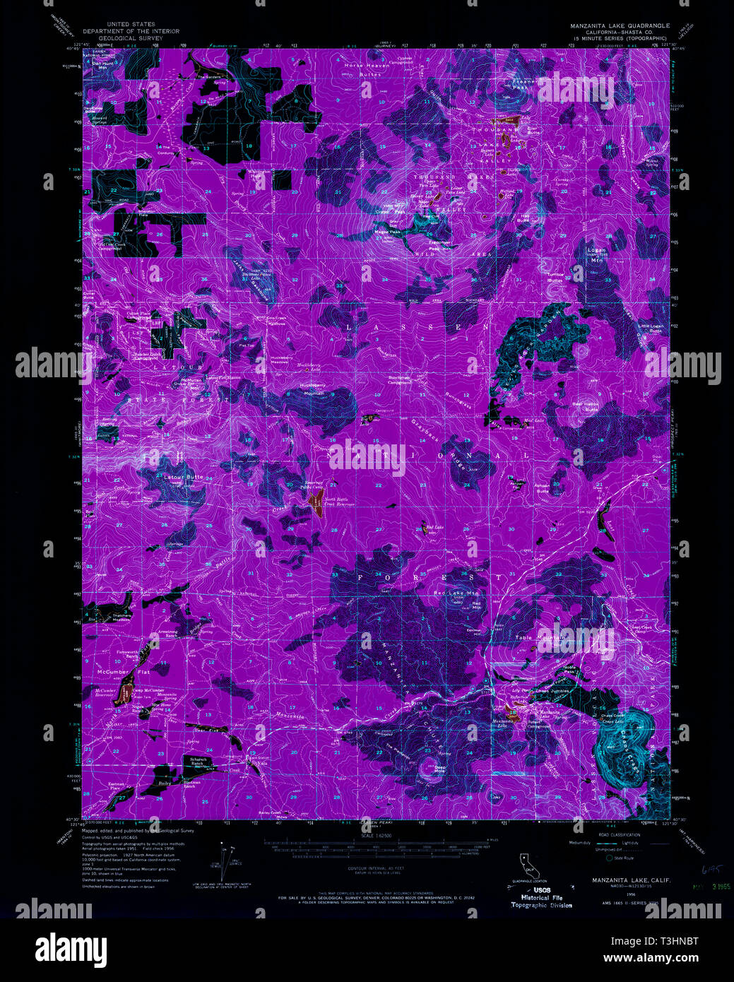 USGS TOPO Map California CA Manzanita Lake 298105 1956 62500 Inverted Restoration Stock Photohttps://www.alamy.com/image-license-details/?v=1https://www.alamy.com/usgs-topo-map-california-ca-manzanita-lake-298105-1956-62500-inverted-restoration-image243179100.html
RMT3HNBT–USGS TOPO Map California CA Manzanita Lake 298105 1956 62500 Inverted Restoration
 Manzanita, Tillamook County, US, United States, Oregon, N 45 43' 6'', S 123 56' 6'', map, Cartascapes Map published in 2024. Explore Cartascapes, a map revealing Earth's diverse landscapes, cultures, and ecosystems. Journey through time and space, discovering the interconnectedness of our planet's past, present, and future. Stock Photohttps://www.alamy.com/image-license-details/?v=1https://www.alamy.com/manzanita-tillamook-county-us-united-states-oregon-n-45-43-6-s-123-56-6-map-cartascapes-map-published-in-2024-explore-cartascapes-a-map-revealing-earths-diverse-landscapes-cultures-and-ecosystems-journey-through-time-and-space-discovering-the-interconnectedness-of-our-planets-past-present-and-future-image620886763.html
RM2Y23RB7–Manzanita, Tillamook County, US, United States, Oregon, N 45 43' 6'', S 123 56' 6'', map, Cartascapes Map published in 2024. Explore Cartascapes, a map revealing Earth's diverse landscapes, cultures, and ecosystems. Journey through time and space, discovering the interconnectedness of our planet's past, present, and future.
 USGS TOPO Map California CA Manzanita Lake 298107 1956 62500 Inverted Restoration Stock Photohttps://www.alamy.com/image-license-details/?v=1https://www.alamy.com/usgs-topo-map-california-ca-manzanita-lake-298107-1956-62500-inverted-restoration-image243179121.html
RMT3HNCH–USGS TOPO Map California CA Manzanita Lake 298107 1956 62500 Inverted Restoration
 Manzanita, San Diego County, US, United States, California, N 32 40' 8'', S 116 17' 23'', map, Cartascapes Map published in 2024. Explore Cartascapes, a map revealing Earth's diverse landscapes, cultures, and ecosystems. Journey through time and space, discovering the interconnectedness of our planet's past, present, and future. Stock Photohttps://www.alamy.com/image-license-details/?v=1https://www.alamy.com/manzanita-san-diego-county-us-united-states-california-n-32-40-8-s-116-17-23-map-cartascapes-map-published-in-2024-explore-cartascapes-a-map-revealing-earths-diverse-landscapes-cultures-and-ecosystems-journey-through-time-and-space-discovering-the-interconnectedness-of-our-planets-past-present-and-future-image620720427.html
RM2Y1T76K–Manzanita, San Diego County, US, United States, California, N 32 40' 8'', S 116 17' 23'', map, Cartascapes Map published in 2024. Explore Cartascapes, a map revealing Earth's diverse landscapes, cultures, and ecosystems. Journey through time and space, discovering the interconnectedness of our planet's past, present, and future.
 City of Manzanita, Tillamook County, US, United States, Oregon, N 45 42' 59'', S 123 56' 6'', map, Cartascapes Map published in 2024. Explore Cartascapes, a map revealing Earth's diverse landscapes, cultures, and ecosystems. Journey through time and space, discovering the interconnectedness of our planet's past, present, and future. Stock Photohttps://www.alamy.com/image-license-details/?v=1https://www.alamy.com/city-of-manzanita-tillamook-county-us-united-states-oregon-n-45-42-59-s-123-56-6-map-cartascapes-map-published-in-2024-explore-cartascapes-a-map-revealing-earths-diverse-landscapes-cultures-and-ecosystems-journey-through-time-and-space-discovering-the-interconnectedness-of-our-planets-past-present-and-future-image633877418.html
RM2YR7H36–City of Manzanita, Tillamook County, US, United States, Oregon, N 45 42' 59'', S 123 56' 6'', map, Cartascapes Map published in 2024. Explore Cartascapes, a map revealing Earth's diverse landscapes, cultures, and ecosystems. Journey through time and space, discovering the interconnectedness of our planet's past, present, and future.
 Manzanita Lake, Shasta County, US, United States, California, N 40 32' 7'', S 121 33' 38'', map, Cartascapes Map published in 2024. Explore Cartascapes, a map revealing Earth's diverse landscapes, cultures, and ecosystems. Journey through time and space, discovering the interconnectedness of our planet's past, present, and future. Stock Photohttps://www.alamy.com/image-license-details/?v=1https://www.alamy.com/manzanita-lake-shasta-county-us-united-states-california-n-40-32-7-s-121-33-38-map-cartascapes-map-published-in-2024-explore-cartascapes-a-map-revealing-earths-diverse-landscapes-cultures-and-ecosystems-journey-through-time-and-space-discovering-the-interconnectedness-of-our-planets-past-present-and-future-image620836529.html
RM2Y21F95–Manzanita Lake, Shasta County, US, United States, California, N 40 32' 7'', S 121 33' 38'', map, Cartascapes Map published in 2024. Explore Cartascapes, a map revealing Earth's diverse landscapes, cultures, and ecosystems. Journey through time and space, discovering the interconnectedness of our planet's past, present, and future.
 Manzanita Reservation, San Diego County, US, United States, California, N 32 45' 16'', S 116 20' 46'', map, Cartascapes Map published in 2024. Explore Cartascapes, a map revealing Earth's diverse landscapes, cultures, and ecosystems. Journey through time and space, discovering the interconnectedness of our planet's past, present, and future. Stock Photohttps://www.alamy.com/image-license-details/?v=1https://www.alamy.com/manzanita-reservation-san-diego-county-us-united-states-california-n-32-45-16-s-116-20-46-map-cartascapes-map-published-in-2024-explore-cartascapes-a-map-revealing-earths-diverse-landscapes-cultures-and-ecosystems-journey-through-time-and-space-discovering-the-interconnectedness-of-our-planets-past-present-and-future-image633793078.html
RM2YR3NF2–Manzanita Reservation, San Diego County, US, United States, California, N 32 45' 16'', S 116 20' 46'', map, Cartascapes Map published in 2024. Explore Cartascapes, a map revealing Earth's diverse landscapes, cultures, and ecosystems. Journey through time and space, discovering the interconnectedness of our planet's past, present, and future.
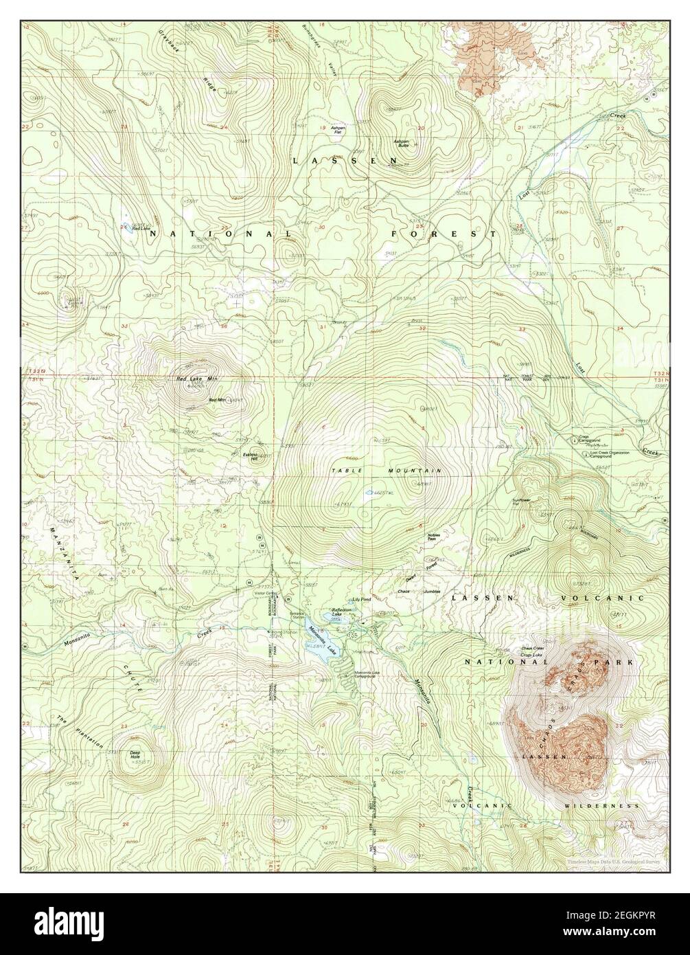 Manzanita Lake, California, map 1985, 1:24000, United States of America by Timeless Maps, data U.S. Geological Survey Stock Photohttps://www.alamy.com/image-license-details/?v=1https://www.alamy.com/manzanita-lake-california-map-1985-124000-united-states-of-america-by-timeless-maps-data-us-geological-survey-image406108075.html
RM2EGKPYR–Manzanita Lake, California, map 1985, 1:24000, United States of America by Timeless Maps, data U.S. Geological Survey
 Manzanita Lake, California, map 1995, 1:24000, United States of America by Timeless Maps, data U.S. Geological Survey Stock Photohttps://www.alamy.com/image-license-details/?v=1https://www.alamy.com/manzanita-lake-california-map-1995-124000-united-states-of-america-by-timeless-maps-data-us-geological-survey-image406107745.html
RM2EGKPG1–Manzanita Lake, California, map 1995, 1:24000, United States of America by Timeless Maps, data U.S. Geological Survey
 Manzanita Lake, California, map 1985, 1:24000, United States of America by Timeless Maps, data U.S. Geological Survey Stock Photohttps://www.alamy.com/image-license-details/?v=1https://www.alamy.com/manzanita-lake-california-map-1985-124000-united-states-of-america-by-timeless-maps-data-us-geological-survey-image406108063.html
RM2EGKPYB–Manzanita Lake, California, map 1985, 1:24000, United States of America by Timeless Maps, data U.S. Geological Survey
 Manzanita Lake, California, map 1956, 1:62500, United States of America by Timeless Maps, data U.S. Geological Survey Stock Photohttps://www.alamy.com/image-license-details/?v=1https://www.alamy.com/manzanita-lake-california-map-1956-162500-united-states-of-america-by-timeless-maps-data-us-geological-survey-image414011411.html
RM2F1FRNR–Manzanita Lake, California, map 1956, 1:62500, United States of America by Timeless Maps, data U.S. Geological Survey
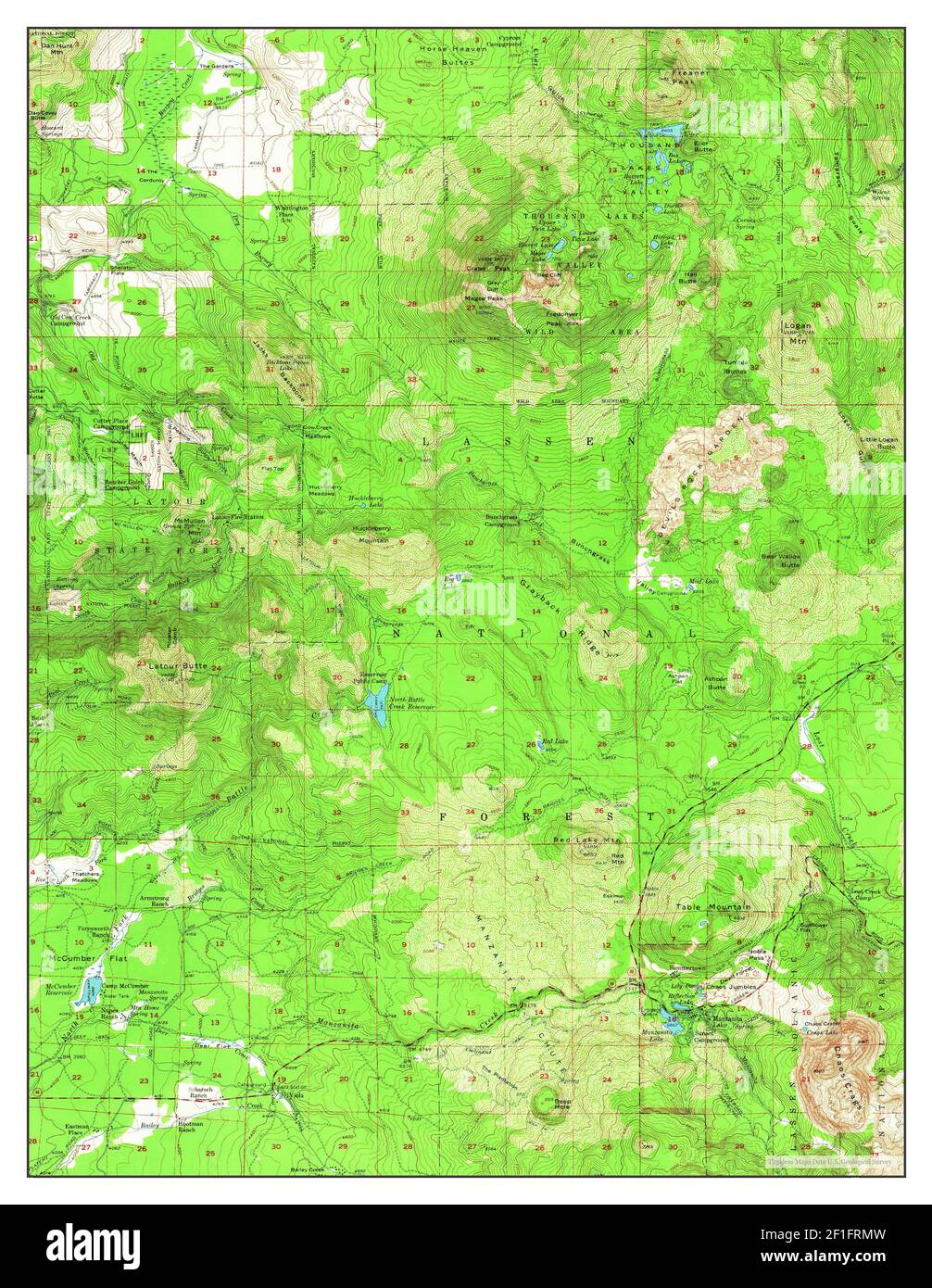 Manzanita Lake, California, map 1956, 1:62500, United States of America by Timeless Maps, data U.S. Geological Survey Stock Photohttps://www.alamy.com/image-license-details/?v=1https://www.alamy.com/manzanita-lake-california-map-1956-162500-united-states-of-america-by-timeless-maps-data-us-geological-survey-image414011385.html
RM2F1FRMW–Manzanita Lake, California, map 1956, 1:62500, United States of America by Timeless Maps, data U.S. Geological Survey
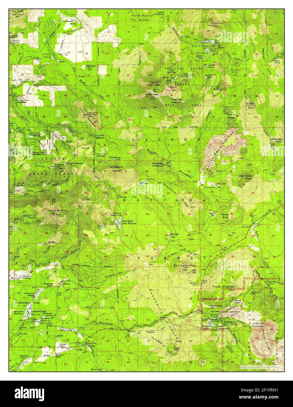 Manzanita Lake, California, map 1956, 1:62500, United States of America by Timeless Maps, data U.S. Geological Survey Stock Photohttps://www.alamy.com/image-license-details/?v=1https://www.alamy.com/manzanita-lake-california-map-1956-162500-united-states-of-america-by-timeless-maps-data-us-geological-survey-image414011389.html
RM2F1FRN1–Manzanita Lake, California, map 1956, 1:62500, United States of America by Timeless Maps, data U.S. Geological Survey