Quick filters:
Map of maryville Stock Photos and Images
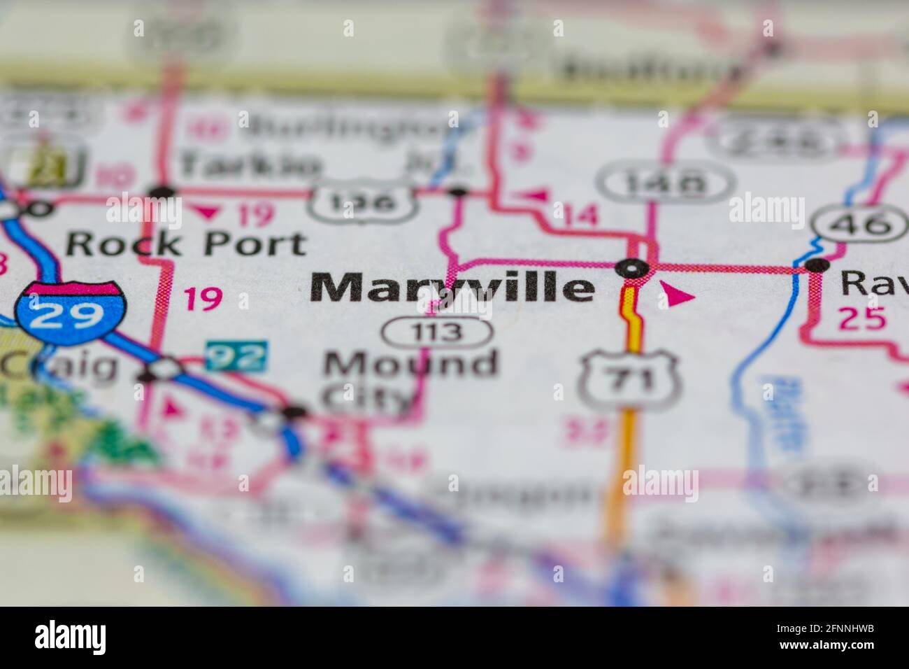 Maryville Missouri USA shown on a Geography map or road map Stock Photohttps://www.alamy.com/image-license-details/?v=1https://www.alamy.com/maryville-missouri-usa-shown-on-a-geography-map-or-road-map-image426431639.html
RM2FNNHWB–Maryville Missouri USA shown on a Geography map or road map
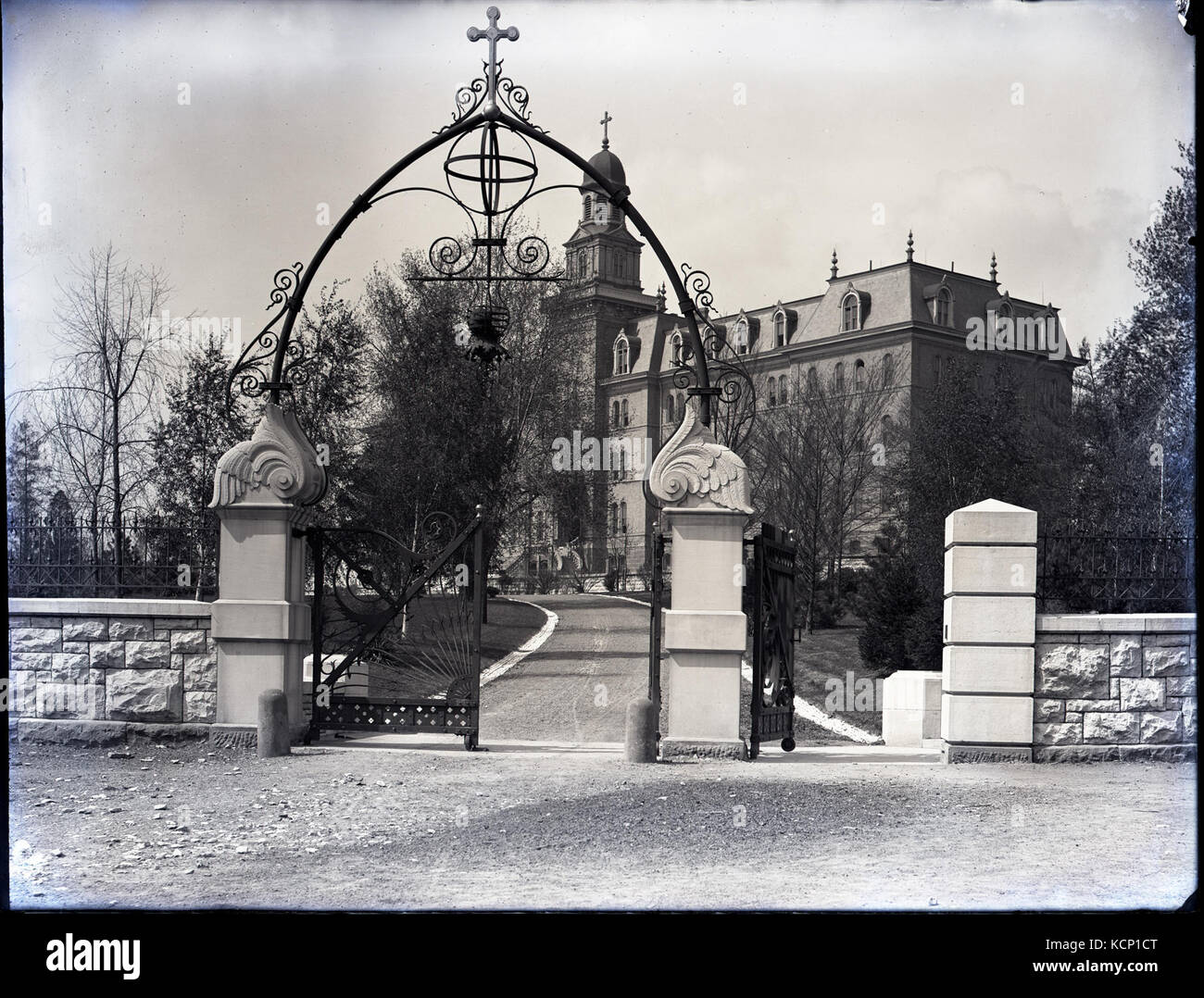 Entrance gates at Maryville, located at the corner of Meramec Street and Nebraska Avenue Stock Photohttps://www.alamy.com/image-license-details/?v=1https://www.alamy.com/stock-image-entrance-gates-at-maryville-located-at-the-corner-of-meramec-street-162753272.html
RMKCP1CT–Entrance gates at Maryville, located at the corner of Meramec Street and Nebraska Avenue
 official flag of Maryville, Tennessee untied states of America at cloudy sky background on sunset, panoramic view. USA travel and patriot concept. cop Stock Photohttps://www.alamy.com/image-license-details/?v=1https://www.alamy.com/official-flag-of-maryville-tennessee-untied-states-of-america-at-cloudy-sky-background-on-sunset-panoramic-view-usa-travel-and-patriot-concept-cop-image499872801.html
RF2M174T1–official flag of Maryville, Tennessee untied states of America at cloudy sky background on sunset, panoramic view. USA travel and patriot concept. cop
 Brick building on the Maryville campus, located at the corner of Meramec Street and Nebraska Avenue Stock Photohttps://www.alamy.com/image-license-details/?v=1https://www.alamy.com/stock-image-brick-building-on-the-maryville-campus-located-at-the-corner-of-meramec-162752970.html
RMKCP122–Brick building on the Maryville campus, located at the corner of Meramec Street and Nebraska Avenue
 Top view of retro flag of Maryville, Tennessee, untied states of America with grunge texture. USA patriot and travel concept. no flagpole. Plane desig Stock Photohttps://www.alamy.com/image-license-details/?v=1https://www.alamy.com/top-view-of-retro-flag-of-maryville-tennessee-untied-states-of-america-with-grunge-texture-usa-patriot-and-travel-concept-no-flagpole-plane-desig-image455052862.html
RF2HC9CFX–Top view of retro flag of Maryville, Tennessee, untied states of America with grunge texture. USA patriot and travel concept. no flagpole. Plane desig
 Maryville pinned on a map of Missouri, USA Stock Photohttps://www.alamy.com/image-license-details/?v=1https://www.alamy.com/stock-photo-maryville-pinned-on-a-map-of-missouri-usa-127351699.html
RFHB5AAY–Maryville pinned on a map of Missouri, USA
 Maryville, Barkly, AU, Australia, Northern Territory, S 18 27' 9'', N 133 51' 32'', map, Cartascapes Map published in 2024. Explore Cartascapes, a map revealing Earth's diverse landscapes, cultures, and ecosystems. Journey through time and space, discovering the interconnectedness of our planet's past, present, and future. Stock Photohttps://www.alamy.com/image-license-details/?v=1https://www.alamy.com/maryville-barkly-au-australia-northern-territory-s-18-27-9-n-133-51-32-map-cartascapes-map-published-in-2024-explore-cartascapes-a-map-revealing-earths-diverse-landscapes-cultures-and-ecosystems-journey-through-time-and-space-discovering-the-interconnectedness-of-our-planets-past-present-and-future-image625473504.html
RM2Y9GNRC–Maryville, Barkly, AU, Australia, Northern Territory, S 18 27' 9'', N 133 51' 32'', map, Cartascapes Map published in 2024. Explore Cartascapes, a map revealing Earth's diverse landscapes, cultures, and ecosystems. Journey through time and space, discovering the interconnectedness of our planet's past, present, and future.
 2017 Solar Eclipse Totality across Tennessee State cities map color illustration Stock Vectorhttps://www.alamy.com/image-license-details/?v=1https://www.alamy.com/2017-solar-eclipse-totality-across-tennessee-state-cities-map-color-illustration-image183066390.html
RFMHRB1A–2017 Solar Eclipse Totality across Tennessee State cities map color illustration
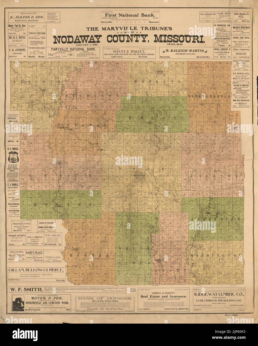 The Maryville Tribune's map of Nodaway County, Missouri. Stock Photohttps://www.alamy.com/image-license-details/?v=1https://www.alamy.com/the-maryville-tribunes-map-of-nodaway-county-missouri-image478334615.html
RM2JP60K3–The Maryville Tribune's map of Nodaway County, Missouri.
 official flag of Maryville, Tennessee untied states of America at cloudy sky background on sunset, panoramic view. USA travel and patriot concept. cop Stock Photohttps://www.alamy.com/image-license-details/?v=1https://www.alamy.com/official-flag-of-maryville-tennessee-untied-states-of-america-at-cloudy-sky-background-on-sunset-panoramic-view-usa-travel-and-patriot-concept-cop-image486895926.html
RF2K840M6–official flag of Maryville, Tennessee untied states of America at cloudy sky background on sunset, panoramic view. USA travel and patriot concept. cop
 USGS TOPO Map Tennessee TN Maryville 20100504 TM Restoration Stock Photohttps://www.alamy.com/image-license-details/?v=1https://www.alamy.com/usgs-topo-map-tennessee-tn-maryville-20100504-tm-restoration-image335597553.html
RM2ADYP2W–USGS TOPO Map Tennessee TN Maryville 20100504 TM Restoration
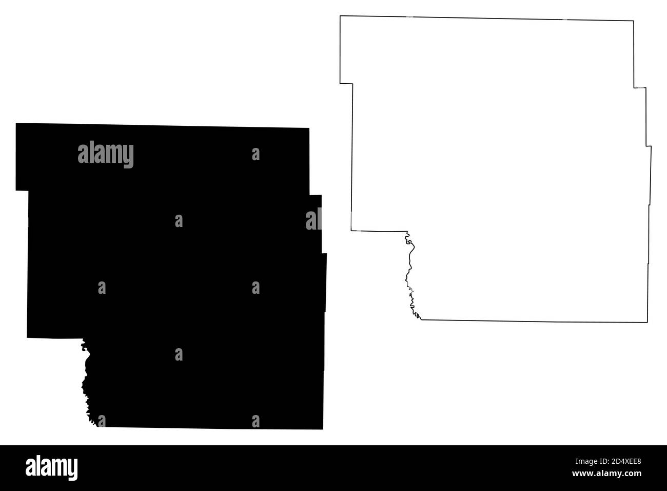 Nodaway County, Missouri (U.S. county, United States of America, USA, U.S., US) map vector illustration, scribble sketch Nodaway map Stock Vectorhttps://www.alamy.com/image-license-details/?v=1https://www.alamy.com/nodaway-county-missouri-us-county-united-states-of-america-usa-us-us-map-vector-illustration-scribble-sketch-nodaway-map-image381668848.html
RF2D4XEE8–Nodaway County, Missouri (U.S. county, United States of America, USA, U.S., US) map vector illustration, scribble sketch Nodaway map
 Maryville, Gingin, AU, Australia, Western Australia, S 31 18' 26'', N 115 41' 35'', map, Cartascapes Map published in 2024. Explore Cartascapes, a map revealing Earth's diverse landscapes, cultures, and ecosystems. Journey through time and space, discovering the interconnectedness of our planet's past, present, and future. Stock Photohttps://www.alamy.com/image-license-details/?v=1https://www.alamy.com/maryville-gingin-au-australia-western-australia-s-31-18-26-n-115-41-35-map-cartascapes-map-published-in-2024-explore-cartascapes-a-map-revealing-earths-diverse-landscapes-cultures-and-ecosystems-journey-through-time-and-space-discovering-the-interconnectedness-of-our-planets-past-present-and-future-image625404944.html
RM2Y9DJAT–Maryville, Gingin, AU, Australia, Western Australia, S 31 18' 26'', N 115 41' 35'', map, Cartascapes Map published in 2024. Explore Cartascapes, a map revealing Earth's diverse landscapes, cultures, and ecosystems. Journey through time and space, discovering the interconnectedness of our planet's past, present, and future.
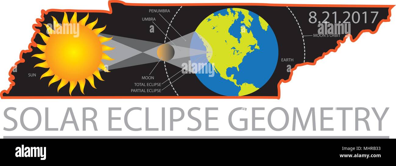 2017 Solar Eclipse Totality Geometry across Tennessee State cities map color illustration Stock Vectorhttps://www.alamy.com/image-license-details/?v=1https://www.alamy.com/2017-solar-eclipse-totality-geometry-across-tennessee-state-cities-map-color-illustration-image183066439.html
RFMHRB33–2017 Solar Eclipse Totality Geometry across Tennessee State cities map color illustration
 Top view of flag Maryville, Tennessee, untied states of America. USA patriot and travel concept. no flagpole. Plane design, layout. Flag background Stock Photohttps://www.alamy.com/image-license-details/?v=1https://www.alamy.com/top-view-of-flag-maryville-tennessee-untied-states-of-america-usa-patriot-and-travel-concept-no-flagpole-plane-design-layout-flag-background-image462592833.html
RF2HTGWTH–Top view of flag Maryville, Tennessee, untied states of America. USA patriot and travel concept. no flagpole. Plane design, layout. Flag background
 USGS TOPO Map Tennessee TN Maryville 149080 1953 24000 Restoration Stock Photohttps://www.alamy.com/image-license-details/?v=1https://www.alamy.com/usgs-topo-map-tennessee-tn-maryville-149080-1953-24000-restoration-image335597412.html
RM2ADYNWT–USGS TOPO Map Tennessee TN Maryville 149080 1953 24000 Restoration
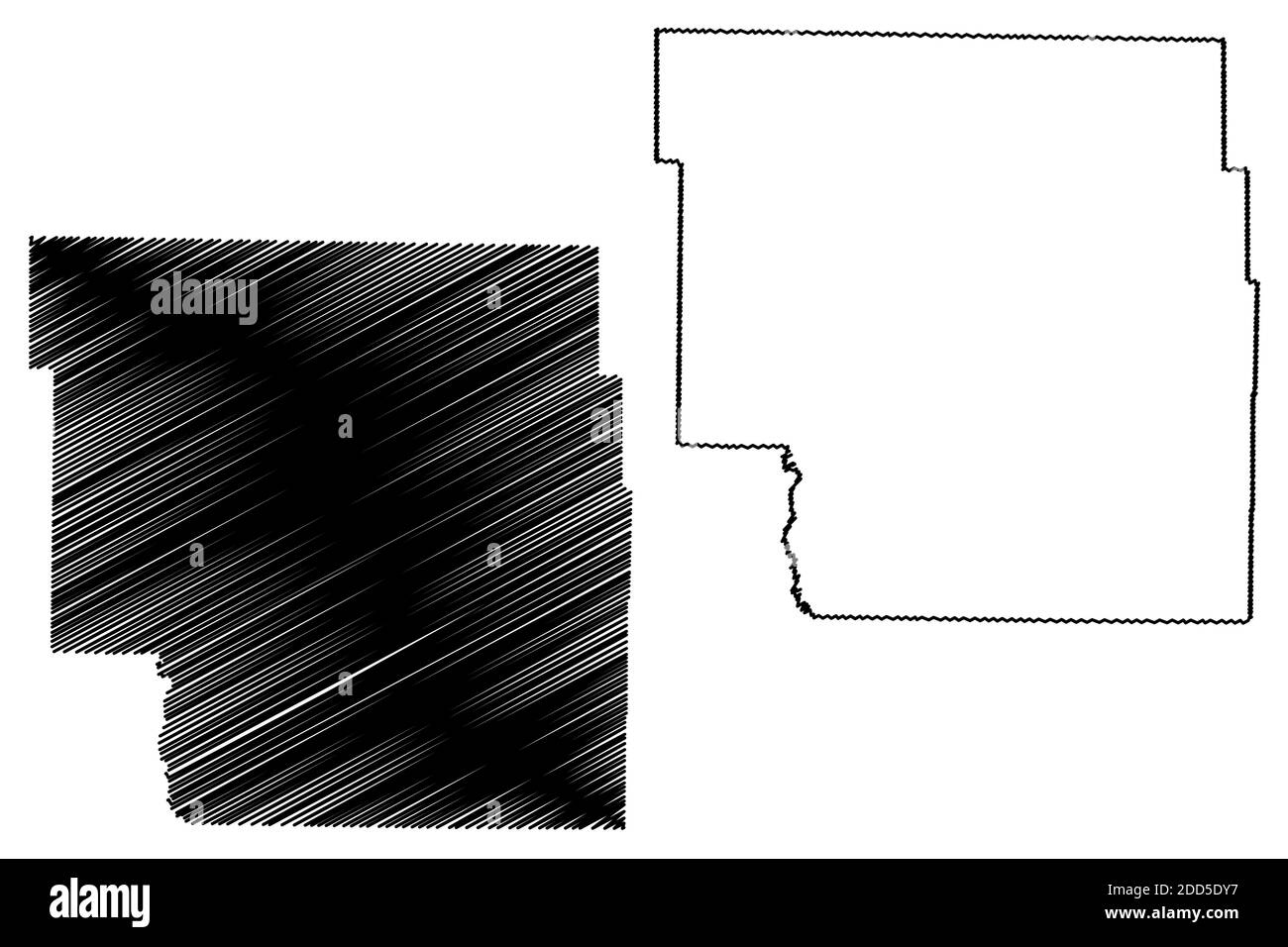 Nodaway County, Missouri (U.S. county, United States of America, USA, U.S., US) map vector illustration, scribble sketch Nodaway map Stock Vectorhttps://www.alamy.com/image-license-details/?v=1https://www.alamy.com/nodaway-county-missouri-us-county-united-states-of-america-usa-us-us-map-vector-illustration-scribble-sketch-nodaway-map-image386739339.html
RF2DD5DY7–Nodaway County, Missouri (U.S. county, United States of America, USA, U.S., US) map vector illustration, scribble sketch Nodaway map
 Maryville, Blount County, US, United States, Tennessee, N 35 45' 23'', S 83 58' 13'', map, Cartascapes Map published in 2024. Explore Cartascapes, a map revealing Earth's diverse landscapes, cultures, and ecosystems. Journey through time and space, discovering the interconnectedness of our planet's past, present, and future. Stock Photohttps://www.alamy.com/image-license-details/?v=1https://www.alamy.com/maryville-blount-county-us-united-states-tennessee-n-35-45-23-s-83-58-13-map-cartascapes-map-published-in-2024-explore-cartascapes-a-map-revealing-earths-diverse-landscapes-cultures-and-ecosystems-journey-through-time-and-space-discovering-the-interconnectedness-of-our-planets-past-present-and-future-image621249811.html
RM2Y2MAD7–Maryville, Blount County, US, United States, Tennessee, N 35 45' 23'', S 83 58' 13'', map, Cartascapes Map published in 2024. Explore Cartascapes, a map revealing Earth's diverse landscapes, cultures, and ecosystems. Journey through time and space, discovering the interconnectedness of our planet's past, present, and future.
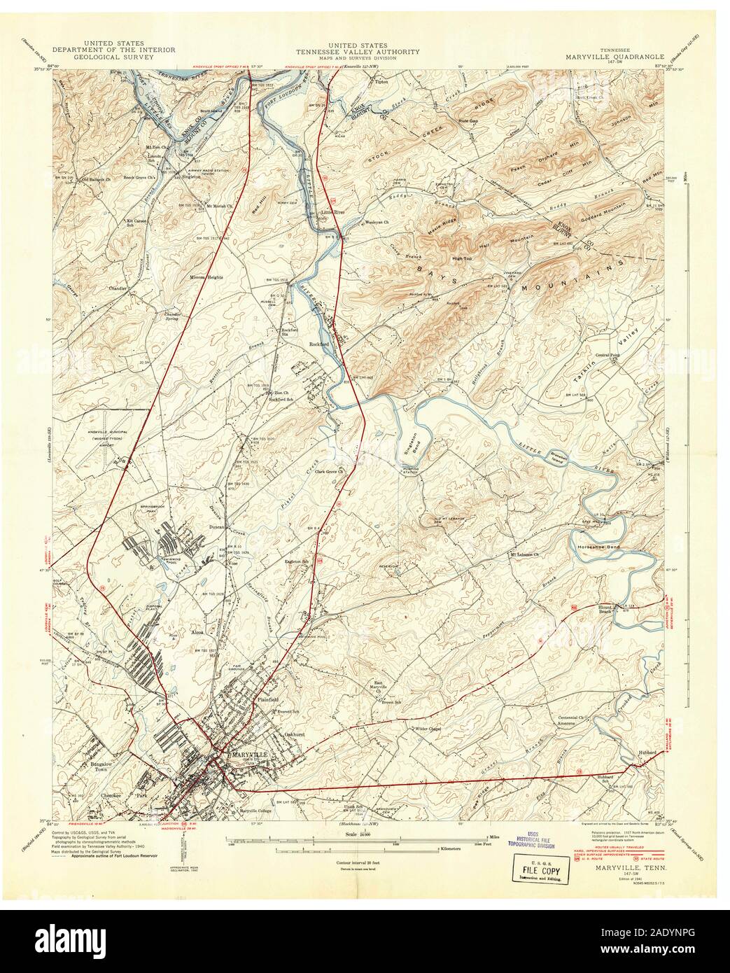 USGS TOPO Map Tennessee TN Maryville 149079 1941 24000 Restoration Stock Photohttps://www.alamy.com/image-license-details/?v=1https://www.alamy.com/usgs-topo-map-tennessee-tn-maryville-149079-1941-24000-restoration-image335597320.html
RM2ADYNPG–USGS TOPO Map Tennessee TN Maryville 149079 1941 24000 Restoration
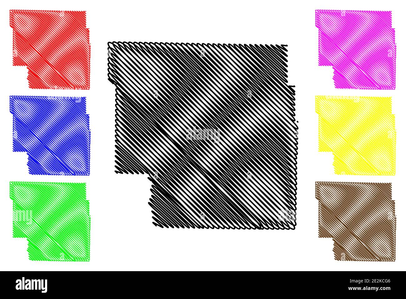 Nodaway County, Missouri (U.S. county, United States of America, USA, U.S., US) map vector illustration, scribble sketch Nodaway map Stock Vectorhttps://www.alamy.com/image-license-details/?v=1https://www.alamy.com/nodaway-county-missouri-us-county-united-states-of-america-usa-us-us-map-vector-illustration-scribble-sketch-nodaway-map-image397494726.html
RF2E2KCG6–Nodaway County, Missouri (U.S. county, United States of America, USA, U.S., US) map vector illustration, scribble sketch Nodaway map
 Maryville, Cabonne, AU, Australia, New South Wales, S 33 18' 41'', N 148 39' 26'', map, Cartascapes Map published in 2024. Explore Cartascapes, a map revealing Earth's diverse landscapes, cultures, and ecosystems. Journey through time and space, discovering the interconnectedness of our planet's past, present, and future. Stock Photohttps://www.alamy.com/image-license-details/?v=1https://www.alamy.com/maryville-cabonne-au-australia-new-south-wales-s-33-18-41-n-148-39-26-map-cartascapes-map-published-in-2024-explore-cartascapes-a-map-revealing-earths-diverse-landscapes-cultures-and-ecosystems-journey-through-time-and-space-discovering-the-interconnectedness-of-our-planets-past-present-and-future-image625808813.html
RM2YA41EN–Maryville, Cabonne, AU, Australia, New South Wales, S 33 18' 41'', N 148 39' 26'', map, Cartascapes Map published in 2024. Explore Cartascapes, a map revealing Earth's diverse landscapes, cultures, and ecosystems. Journey through time and space, discovering the interconnectedness of our planet's past, present, and future.
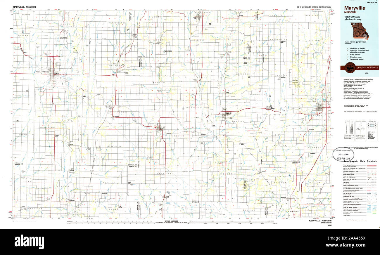 USGS TOPO Map Missouri MO Maryville 325380 1986 100000 Restoration Stock Photohttps://www.alamy.com/image-license-details/?v=1https://www.alamy.com/usgs-topo-map-missouri-mo-maryville-325380-1986-100000-restoration-image333235446.html
RM2AA455X–USGS TOPO Map Missouri MO Maryville 325380 1986 100000 Restoration
 Blount County, State of Tennessee (U.S. county, United States of America, USA, U.S., US) map vector illustration, scribble sketch Blount map Stock Vectorhttps://www.alamy.com/image-license-details/?v=1https://www.alamy.com/blount-county-state-of-tennessee-us-county-united-states-of-america-usa-us-us-map-vector-illustration-scribble-sketch-blount-map-image428762637.html
RF2FWFR39–Blount County, State of Tennessee (U.S. county, United States of America, USA, U.S., US) map vector illustration, scribble sketch Blount map
 Maryville, Madison County, US, United States, Illinois, N 38 43' 25'', S 89 57' 21'', map, Cartascapes Map published in 2024. Explore Cartascapes, a map revealing Earth's diverse landscapes, cultures, and ecosystems. Journey through time and space, discovering the interconnectedness of our planet's past, present, and future. Stock Photohttps://www.alamy.com/image-license-details/?v=1https://www.alamy.com/maryville-madison-county-us-united-states-illinois-n-38-43-25-s-89-57-21-map-cartascapes-map-published-in-2024-explore-cartascapes-a-map-revealing-earths-diverse-landscapes-cultures-and-ecosystems-journey-through-time-and-space-discovering-the-interconnectedness-of-our-planets-past-present-and-future-image621257852.html
RM2Y2MMMC–Maryville, Madison County, US, United States, Illinois, N 38 43' 25'', S 89 57' 21'', map, Cartascapes Map published in 2024. Explore Cartascapes, a map revealing Earth's diverse landscapes, cultures, and ecosystems. Journey through time and space, discovering the interconnectedness of our planet's past, present, and future.
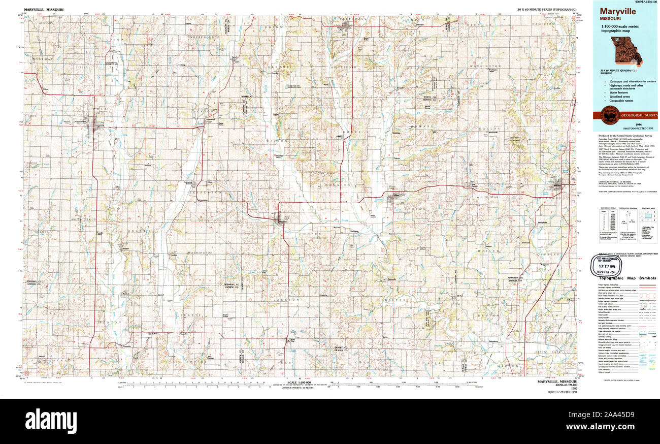 USGS TOPO Map Missouri MO Maryville 325381 1986 100000 Restoration Stock Photohttps://www.alamy.com/image-license-details/?v=1https://www.alamy.com/usgs-topo-map-missouri-mo-maryville-325381-1986-100000-restoration-image333235653.html
RM2AA45D9–USGS TOPO Map Missouri MO Maryville 325381 1986 100000 Restoration
 Blount County, State of Tennessee (U.S. county, United States of America, USA, U.S., US) map vector illustration, scribble sketch Blount map Stock Vectorhttps://www.alamy.com/image-license-details/?v=1https://www.alamy.com/blount-county-state-of-tennessee-us-county-united-states-of-america-usa-us-us-map-vector-illustration-scribble-sketch-blount-map-image416239241.html
RF2F559B5–Blount County, State of Tennessee (U.S. county, United States of America, USA, U.S., US) map vector illustration, scribble sketch Blount map
 Maryville, Newcastle, AU, Australia, New South Wales, S 32 54' 40'', N 151 45' 19'', map, Cartascapes Map published in 2024. Explore Cartascapes, a map revealing Earth's diverse landscapes, cultures, and ecosystems. Journey through time and space, discovering the interconnectedness of our planet's past, present, and future. Stock Photohttps://www.alamy.com/image-license-details/?v=1https://www.alamy.com/maryville-newcastle-au-australia-new-south-wales-s-32-54-40-n-151-45-19-map-cartascapes-map-published-in-2024-explore-cartascapes-a-map-revealing-earths-diverse-landscapes-cultures-and-ecosystems-journey-through-time-and-space-discovering-the-interconnectedness-of-our-planets-past-present-and-future-image625437428.html
RM2Y9F3R0–Maryville, Newcastle, AU, Australia, New South Wales, S 32 54' 40'', N 151 45' 19'', map, Cartascapes Map published in 2024. Explore Cartascapes, a map revealing Earth's diverse landscapes, cultures, and ecosystems. Journey through time and space, discovering the interconnectedness of our planet's past, present, and future.
 USGS TOPO Map Tennessee TN Maryville 149083 1979 24000 Restoration Stock Photohttps://www.alamy.com/image-license-details/?v=1https://www.alamy.com/usgs-topo-map-tennessee-tn-maryville-149083-1979-24000-restoration-image335597451.html
RM2ADYNY7–USGS TOPO Map Tennessee TN Maryville 149083 1979 24000 Restoration
 Blount County, State of Tennessee (U.S. county, United States of America, USA, U.S., US) map vector illustration, scribble sketch Blount map Stock Vectorhttps://www.alamy.com/image-license-details/?v=1https://www.alamy.com/blount-county-state-of-tennessee-us-county-united-states-of-america-usa-us-us-map-vector-illustration-scribble-sketch-blount-map-image391415741.html
RF2DMPENH–Blount County, State of Tennessee (U.S. county, United States of America, USA, U.S., US) map vector illustration, scribble sketch Blount map
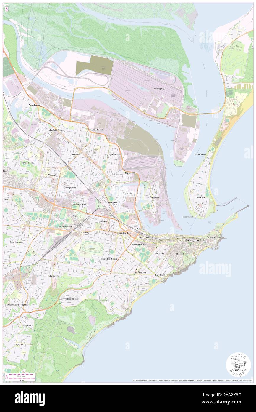 Maryville, Newcastle, AU, Australia, New South Wales, S 32 54' 40'', N 151 45' 19'', map, Cartascapes Map published in 2024. Explore Cartascapes, a map revealing Earth's diverse landscapes, cultures, and ecosystems. Journey through time and space, discovering the interconnectedness of our planet's past, present, and future. Stock Photohttps://www.alamy.com/image-license-details/?v=1https://www.alamy.com/maryville-newcastle-au-australia-new-south-wales-s-32-54-40-n-151-45-19-map-cartascapes-map-published-in-2024-explore-cartascapes-a-map-revealing-earths-diverse-landscapes-cultures-and-ecosystems-journey-through-time-and-space-discovering-the-interconnectedness-of-our-planets-past-present-and-future-image625778848.html
RM2YA2K8G–Maryville, Newcastle, AU, Australia, New South Wales, S 32 54' 40'', N 151 45' 19'', map, Cartascapes Map published in 2024. Explore Cartascapes, a map revealing Earth's diverse landscapes, cultures, and ecosystems. Journey through time and space, discovering the interconnectedness of our planet's past, present, and future.
 USGS TOPO Map Tennessee TN Maryville 149077 1935 24000 Restoration Stock Photohttps://www.alamy.com/image-license-details/?v=1https://www.alamy.com/usgs-topo-map-tennessee-tn-maryville-149077-1935-24000-restoration-image335597252.html
RM2ADYNM4–USGS TOPO Map Tennessee TN Maryville 149077 1935 24000 Restoration
 Maryville, Nodaway County, US, United States, Missouri, N 40 20' 45'', S 94 52' 20'', map, Cartascapes Map published in 2024. Explore Cartascapes, a map revealing Earth's diverse landscapes, cultures, and ecosystems. Journey through time and space, discovering the interconnectedness of our planet's past, present, and future. Stock Photohttps://www.alamy.com/image-license-details/?v=1https://www.alamy.com/maryville-nodaway-county-us-united-states-missouri-n-40-20-45-s-94-52-20-map-cartascapes-map-published-in-2024-explore-cartascapes-a-map-revealing-earths-diverse-landscapes-cultures-and-ecosystems-journey-through-time-and-space-discovering-the-interconnectedness-of-our-planets-past-present-and-future-image621221280.html
RM2Y2K228–Maryville, Nodaway County, US, United States, Missouri, N 40 20' 45'', S 94 52' 20'', map, Cartascapes Map published in 2024. Explore Cartascapes, a map revealing Earth's diverse landscapes, cultures, and ecosystems. Journey through time and space, discovering the interconnectedness of our planet's past, present, and future.
 USGS TOPO Map Missouri MO Maryville East 20111222 TM Restoration Stock Photohttps://www.alamy.com/image-license-details/?v=1https://www.alamy.com/usgs-topo-map-missouri-mo-maryville-east-20111222-tm-restoration-image333235561.html
RM2AA45A1–USGS TOPO Map Missouri MO Maryville East 20111222 TM Restoration
 Maryville, Madison County, US, United States, Illinois, N 38 43' 25'', S 89 57' 21'', map, Cartascapes Map published in 2024. Explore Cartascapes, a map revealing Earth's diverse landscapes, cultures, and ecosystems. Journey through time and space, discovering the interconnectedness of our planet's past, present, and future. Stock Photohttps://www.alamy.com/image-license-details/?v=1https://www.alamy.com/maryville-madison-county-us-united-states-illinois-n-38-43-25-s-89-57-21-map-cartascapes-map-published-in-2024-explore-cartascapes-a-map-revealing-earths-diverse-landscapes-cultures-and-ecosystems-journey-through-time-and-space-discovering-the-interconnectedness-of-our-planets-past-present-and-future-image621165754.html
RM2Y2GF76–Maryville, Madison County, US, United States, Illinois, N 38 43' 25'', S 89 57' 21'', map, Cartascapes Map published in 2024. Explore Cartascapes, a map revealing Earth's diverse landscapes, cultures, and ecosystems. Journey through time and space, discovering the interconnectedness of our planet's past, present, and future.
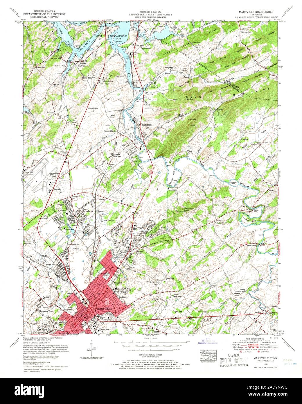 USGS TOPO Map Tennessee TN Maryville 149081 1953 24000 Restoration Stock Photohttps://www.alamy.com/image-license-details/?v=1https://www.alamy.com/usgs-topo-map-tennessee-tn-maryville-149081-1953-24000-restoration-image335597404.html
RM2ADYNWG–USGS TOPO Map Tennessee TN Maryville 149081 1953 24000 Restoration
 Maryville, Georgetown County, US, United States, South Carolina, N 33 20' 33'', S 79 17' 48'', map, Cartascapes Map published in 2024. Explore Cartascapes, a map revealing Earth's diverse landscapes, cultures, and ecosystems. Journey through time and space, discovering the interconnectedness of our planet's past, present, and future. Stock Photohttps://www.alamy.com/image-license-details/?v=1https://www.alamy.com/maryville-georgetown-county-us-united-states-south-carolina-n-33-20-33-s-79-17-48-map-cartascapes-map-published-in-2024-explore-cartascapes-a-map-revealing-earths-diverse-landscapes-cultures-and-ecosystems-journey-through-time-and-space-discovering-the-interconnectedness-of-our-planets-past-present-and-future-image621144847.html
RM2Y2FGGF–Maryville, Georgetown County, US, United States, South Carolina, N 33 20' 33'', S 79 17' 48'', map, Cartascapes Map published in 2024. Explore Cartascapes, a map revealing Earth's diverse landscapes, cultures, and ecosystems. Journey through time and space, discovering the interconnectedness of our planet's past, present, and future.
 USGS TOPO Map Missouri MO Maryville West 20111222 TM Restoration Stock Photohttps://www.alamy.com/image-license-details/?v=1https://www.alamy.com/usgs-topo-map-missouri-mo-maryville-west-20111222-tm-restoration-image333235746.html
RM2AA45GJ–USGS TOPO Map Missouri MO Maryville West 20111222 TM Restoration
 West Maryville, Blount County, US, United States, Tennessee, N 35 45' 23'', S 83 58' 44'', map, Cartascapes Map published in 2024. Explore Cartascapes, a map revealing Earth's diverse landscapes, cultures, and ecosystems. Journey through time and space, discovering the interconnectedness of our planet's past, present, and future. Stock Photohttps://www.alamy.com/image-license-details/?v=1https://www.alamy.com/west-maryville-blount-county-us-united-states-tennessee-n-35-45-23-s-83-58-44-map-cartascapes-map-published-in-2024-explore-cartascapes-a-map-revealing-earths-diverse-landscapes-cultures-and-ecosystems-journey-through-time-and-space-discovering-the-interconnectedness-of-our-planets-past-present-and-future-image621411687.html
RM2Y2YMXF–West Maryville, Blount County, US, United States, Tennessee, N 35 45' 23'', S 83 58' 44'', map, Cartascapes Map published in 2024. Explore Cartascapes, a map revealing Earth's diverse landscapes, cultures, and ecosystems. Journey through time and space, discovering the interconnectedness of our planet's past, present, and future.
 USGS TOPO Map Tennessee TN Maryville 20100504 TM Inverted Restoration Stock Photohttps://www.alamy.com/image-license-details/?v=1https://www.alamy.com/usgs-topo-map-tennessee-tn-maryville-20100504-tm-inverted-restoration-image335597502.html
RM2ADYP12–USGS TOPO Map Tennessee TN Maryville 20100504 TM Inverted Restoration
 Maryville, Fayette County, US, United States, Iowa, N 42 41' 15'', S 91 38' 43'', map, Cartascapes Map published in 2024. Explore Cartascapes, a map revealing Earth's diverse landscapes, cultures, and ecosystems. Journey through time and space, discovering the interconnectedness of our planet's past, present, and future. Stock Photohttps://www.alamy.com/image-license-details/?v=1https://www.alamy.com/maryville-fayette-county-us-united-states-iowa-n-42-41-15-s-91-38-43-map-cartascapes-map-published-in-2024-explore-cartascapes-a-map-revealing-earths-diverse-landscapes-cultures-and-ecosystems-journey-through-time-and-space-discovering-the-interconnectedness-of-our-planets-past-present-and-future-image620728998.html
RM2Y1TJ4P–Maryville, Fayette County, US, United States, Iowa, N 42 41' 15'', S 91 38' 43'', map, Cartascapes Map published in 2024. Explore Cartascapes, a map revealing Earth's diverse landscapes, cultures, and ecosystems. Journey through time and space, discovering the interconnectedness of our planet's past, present, and future.
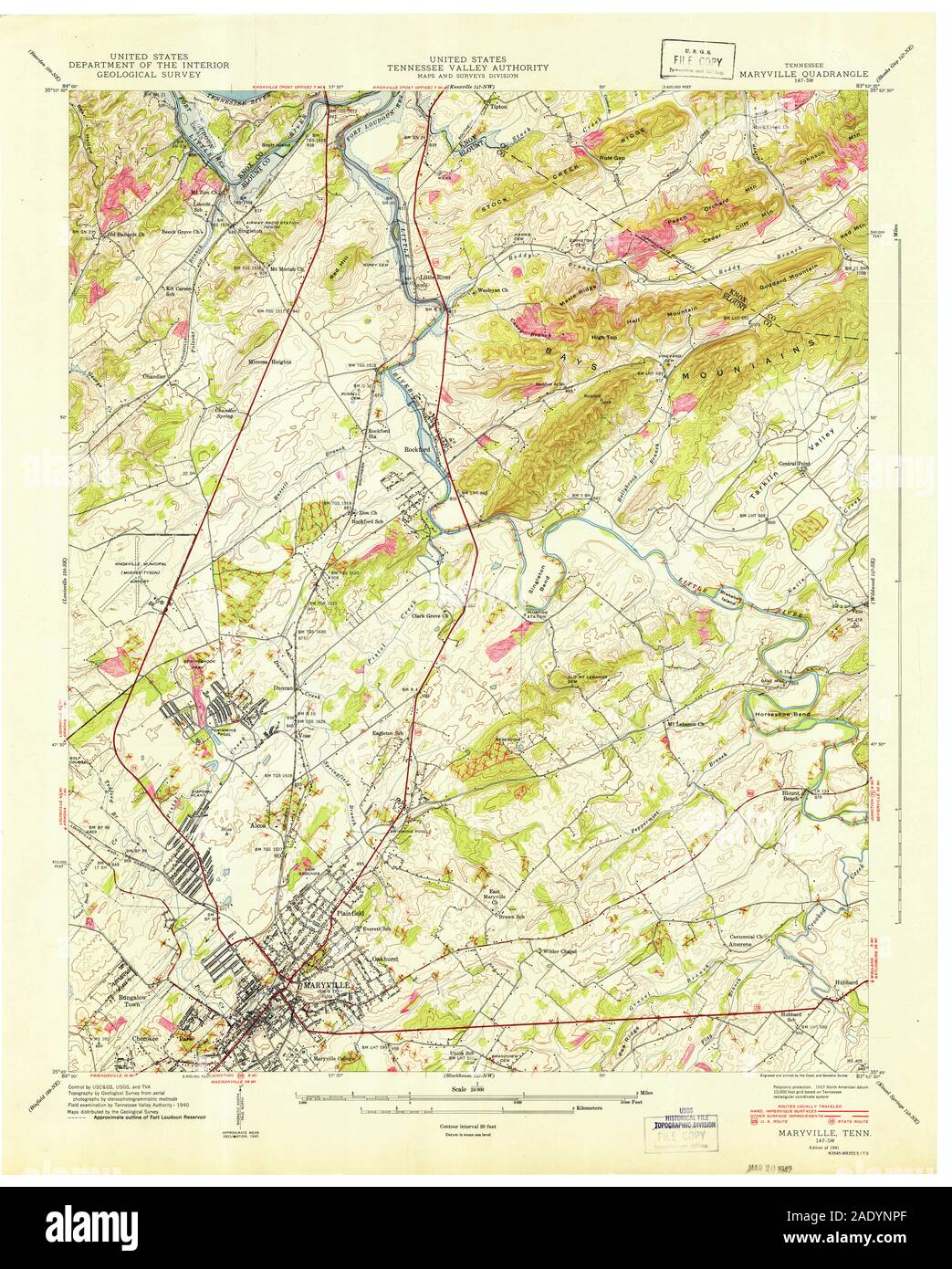 USGS TOPO Map Tennessee TN Maryville 149078 1941 24000 Restoration Stock Photohttps://www.alamy.com/image-license-details/?v=1https://www.alamy.com/usgs-topo-map-tennessee-tn-maryville-149078-1941-24000-restoration-image335597319.html
RM2ADYNPF–USGS TOPO Map Tennessee TN Maryville 149078 1941 24000 Restoration
 Maryville, Etowah County, US, United States, Alabama, N 34 5' 46'', S 86 5' 25'', map, Cartascapes Map published in 2024. Explore Cartascapes, a map revealing Earth's diverse landscapes, cultures, and ecosystems. Journey through time and space, discovering the interconnectedness of our planet's past, present, and future. Stock Photohttps://www.alamy.com/image-license-details/?v=1https://www.alamy.com/maryville-etowah-county-us-united-states-alabama-n-34-5-46-s-86-5-25-map-cartascapes-map-published-in-2024-explore-cartascapes-a-map-revealing-earths-diverse-landscapes-cultures-and-ecosystems-journey-through-time-and-space-discovering-the-interconnectedness-of-our-planets-past-present-and-future-image620783694.html
RM2Y1Y3X6–Maryville, Etowah County, US, United States, Alabama, N 34 5' 46'', S 86 5' 25'', map, Cartascapes Map published in 2024. Explore Cartascapes, a map revealing Earth's diverse landscapes, cultures, and ecosystems. Journey through time and space, discovering the interconnectedness of our planet's past, present, and future.
 USGS TOPO Map Tennessee TN Maryville 149084 1979 24000 Restoration Stock Photohttps://www.alamy.com/image-license-details/?v=1https://www.alamy.com/usgs-topo-map-tennessee-tn-maryville-149084-1979-24000-restoration-image335597486.html
RM2ADYP0E–USGS TOPO Map Tennessee TN Maryville 149084 1979 24000 Restoration
 Maryville, Nodaway County, US, United States, Missouri, N 40 20' 45'', S 94 52' 20'', map, Cartascapes Map published in 2024. Explore Cartascapes, a map revealing Earth's diverse landscapes, cultures, and ecosystems. Journey through time and space, discovering the interconnectedness of our planet's past, present, and future. Stock Photohttps://www.alamy.com/image-license-details/?v=1https://www.alamy.com/maryville-nodaway-county-us-united-states-missouri-n-40-20-45-s-94-52-20-map-cartascapes-map-published-in-2024-explore-cartascapes-a-map-revealing-earths-diverse-landscapes-cultures-and-ecosystems-journey-through-time-and-space-discovering-the-interconnectedness-of-our-planets-past-present-and-future-image620773143.html
RM2Y1XJDB–Maryville, Nodaway County, US, United States, Missouri, N 40 20' 45'', S 94 52' 20'', map, Cartascapes Map published in 2024. Explore Cartascapes, a map revealing Earth's diverse landscapes, cultures, and ecosystems. Journey through time and space, discovering the interconnectedness of our planet's past, present, and future.
 USGS TOPO Map Tennessee TN Maryville 149082 1966 24000 Restoration Stock Photohttps://www.alamy.com/image-license-details/?v=1https://www.alamy.com/usgs-topo-map-tennessee-tn-maryville-149082-1966-24000-restoration-image335597410.html
RM2ADYNWP–USGS TOPO Map Tennessee TN Maryville 149082 1966 24000 Restoration
 Maryville, Blount County, US, United States, Tennessee, N 35 45' 23'', S 83 58' 13'', map, Cartascapes Map published in 2024. Explore Cartascapes, a map revealing Earth's diverse landscapes, cultures, and ecosystems. Journey through time and space, discovering the interconnectedness of our planet's past, present, and future. Stock Photohttps://www.alamy.com/image-license-details/?v=1https://www.alamy.com/maryville-blount-county-us-united-states-tennessee-n-35-45-23-s-83-58-13-map-cartascapes-map-published-in-2024-explore-cartascapes-a-map-revealing-earths-diverse-landscapes-cultures-and-ecosystems-journey-through-time-and-space-discovering-the-interconnectedness-of-our-planets-past-present-and-future-image620771657.html
RM2Y1XGG9–Maryville, Blount County, US, United States, Tennessee, N 35 45' 23'', S 83 58' 13'', map, Cartascapes Map published in 2024. Explore Cartascapes, a map revealing Earth's diverse landscapes, cultures, and ecosystems. Journey through time and space, discovering the interconnectedness of our planet's past, present, and future.
 USGS TOPO Map Missouri MO Maryville 325380 1986 100000 Inverted Restoration Stock Photohttps://www.alamy.com/image-license-details/?v=1https://www.alamy.com/usgs-topo-map-missouri-mo-maryville-325380-1986-100000-inverted-restoration-image333235440.html
RM2AA455M–USGS TOPO Map Missouri MO Maryville 325380 1986 100000 Inverted Restoration
 City of Maryville, Blount County, US, United States, Tennessee, N 35 44' 48'', S 83 58' 44'', map, Cartascapes Map published in 2024. Explore Cartascapes, a map revealing Earth's diverse landscapes, cultures, and ecosystems. Journey through time and space, discovering the interconnectedness of our planet's past, present, and future. Stock Photohttps://www.alamy.com/image-license-details/?v=1https://www.alamy.com/city-of-maryville-blount-county-us-united-states-tennessee-n-35-44-48-s-83-58-44-map-cartascapes-map-published-in-2024-explore-cartascapes-a-map-revealing-earths-diverse-landscapes-cultures-and-ecosystems-journey-through-time-and-space-discovering-the-interconnectedness-of-our-planets-past-present-and-future-image633798578.html
RM2YR40FE–City of Maryville, Blount County, US, United States, Tennessee, N 35 44' 48'', S 83 58' 44'', map, Cartascapes Map published in 2024. Explore Cartascapes, a map revealing Earth's diverse landscapes, cultures, and ecosystems. Journey through time and space, discovering the interconnectedness of our planet's past, present, and future.
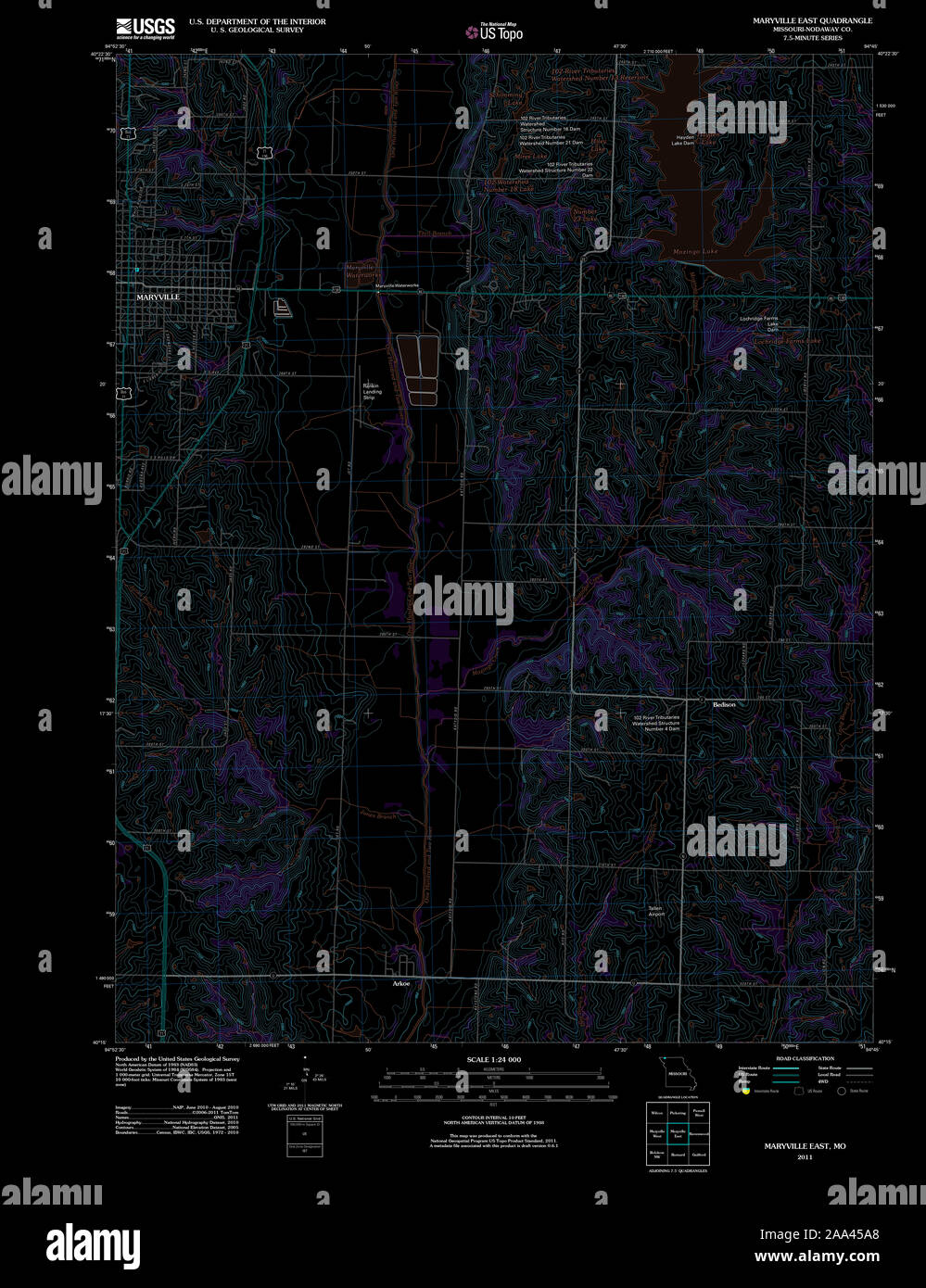 USGS TOPO Map Missouri MO Maryville East 20111222 TM Inverted Restoration Stock Photohttps://www.alamy.com/image-license-details/?v=1https://www.alamy.com/usgs-topo-map-missouri-mo-maryville-east-20111222-tm-inverted-restoration-image333235568.html
RM2AA45A8–USGS TOPO Map Missouri MO Maryville East 20111222 TM Inverted Restoration
 City of Maryville, Nodaway County, US, United States, Missouri, N 40 20' 37'', S 94 52' 13'', map, Cartascapes Map published in 2024. Explore Cartascapes, a map revealing Earth's diverse landscapes, cultures, and ecosystems. Journey through time and space, discovering the interconnectedness of our planet's past, present, and future. Stock Photohttps://www.alamy.com/image-license-details/?v=1https://www.alamy.com/city-of-maryville-nodaway-county-us-united-states-missouri-n-40-20-37-s-94-52-13-map-cartascapes-map-published-in-2024-explore-cartascapes-a-map-revealing-earths-diverse-landscapes-cultures-and-ecosystems-journey-through-time-and-space-discovering-the-interconnectedness-of-our-planets-past-present-and-future-image633788293.html
RM2YR3FC5–City of Maryville, Nodaway County, US, United States, Missouri, N 40 20' 37'', S 94 52' 13'', map, Cartascapes Map published in 2024. Explore Cartascapes, a map revealing Earth's diverse landscapes, cultures, and ecosystems. Journey through time and space, discovering the interconnectedness of our planet's past, present, and future.
 USGS TOPO Map Tennessee TN Maryville 149082 1966 24000 Inverted Restoration Stock Photohttps://www.alamy.com/image-license-details/?v=1https://www.alamy.com/usgs-topo-map-tennessee-tn-maryville-149082-1966-24000-inverted-restoration-image335597450.html
RM2ADYNY6–USGS TOPO Map Tennessee TN Maryville 149082 1966 24000 Inverted Restoration
 Maryville/Alcoa, Blount County, US, United States, Tennessee, N 35 45' 40'', S 83 59' 8'', map, Cartascapes Map published in 2024. Explore Cartascapes, a map revealing Earth's diverse landscapes, cultures, and ecosystems. Journey through time and space, discovering the interconnectedness of our planet's past, present, and future. Stock Photohttps://www.alamy.com/image-license-details/?v=1https://www.alamy.com/maryvillealcoa-blount-county-us-united-states-tennessee-n-35-45-40-s-83-59-8-map-cartascapes-map-published-in-2024-explore-cartascapes-a-map-revealing-earths-diverse-landscapes-cultures-and-ecosystems-journey-through-time-and-space-discovering-the-interconnectedness-of-our-planets-past-present-and-future-image633810536.html
RM2YR4FPG–Maryville/Alcoa, Blount County, US, United States, Tennessee, N 35 45' 40'', S 83 59' 8'', map, Cartascapes Map published in 2024. Explore Cartascapes, a map revealing Earth's diverse landscapes, cultures, and ecosystems. Journey through time and space, discovering the interconnectedness of our planet's past, present, and future.
 USGS TOPO Map Tennessee TN Maryville 149081 1953 24000 Inverted Restoration Stock Photohttps://www.alamy.com/image-license-details/?v=1https://www.alamy.com/usgs-topo-map-tennessee-tn-maryville-149081-1953-24000-inverted-restoration-image335597405.html
RM2ADYNWH–USGS TOPO Map Tennessee TN Maryville 149081 1953 24000 Inverted Restoration
 Maryville, Spartanburg County, US, United States, South Carolina, N 34 54' 59'', S 81 45' 24'', map, Cartascapes Map published in 2024. Explore Cartascapes, a map revealing Earth's diverse landscapes, cultures, and ecosystems. Journey through time and space, discovering the interconnectedness of our planet's past, present, and future. Stock Photohttps://www.alamy.com/image-license-details/?v=1https://www.alamy.com/maryville-spartanburg-county-us-united-states-south-carolina-n-34-54-59-s-81-45-24-map-cartascapes-map-published-in-2024-explore-cartascapes-a-map-revealing-earths-diverse-landscapes-cultures-and-ecosystems-journey-through-time-and-space-discovering-the-interconnectedness-of-our-planets-past-present-and-future-image620894530.html
RM2Y2458J–Maryville, Spartanburg County, US, United States, South Carolina, N 34 54' 59'', S 81 45' 24'', map, Cartascapes Map published in 2024. Explore Cartascapes, a map revealing Earth's diverse landscapes, cultures, and ecosystems. Journey through time and space, discovering the interconnectedness of our planet's past, present, and future.
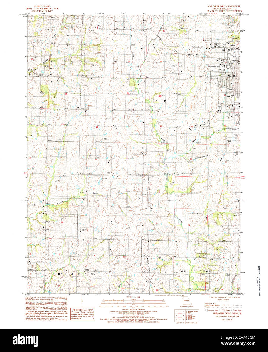 USGS TOPO Map Missouri MO Maryville West 323422 1984 24000 Restoration Stock Photohttps://www.alamy.com/image-license-details/?v=1https://www.alamy.com/usgs-topo-map-missouri-mo-maryville-west-323422-1984-24000-restoration-image333235748.html
RM2AA45GM–USGS TOPO Map Missouri MO Maryville West 323422 1984 24000 Restoration
 Township of Maryville, Rolette County, US, United States, North Dakota, N 48 45' 42'', S 99 43' 22'', map, Cartascapes Map published in 2024. Explore Cartascapes, a map revealing Earth's diverse landscapes, cultures, and ecosystems. Journey through time and space, discovering the interconnectedness of our planet's past, present, and future. Stock Photohttps://www.alamy.com/image-license-details/?v=1https://www.alamy.com/township-of-maryville-rolette-county-us-united-states-north-dakota-n-48-45-42-s-99-43-22-map-cartascapes-map-published-in-2024-explore-cartascapes-a-map-revealing-earths-diverse-landscapes-cultures-and-ecosystems-journey-through-time-and-space-discovering-the-interconnectedness-of-our-planets-past-present-and-future-image633901979.html
RM2YR8MCB–Township of Maryville, Rolette County, US, United States, North Dakota, N 48 45' 42'', S 99 43' 22'', map, Cartascapes Map published in 2024. Explore Cartascapes, a map revealing Earth's diverse landscapes, cultures, and ecosystems. Journey through time and space, discovering the interconnectedness of our planet's past, present, and future.
 USGS TOPO Map Tennessee TN Maryville 149078 1941 24000 Inverted Restoration Stock Photohttps://www.alamy.com/image-license-details/?v=1https://www.alamy.com/usgs-topo-map-tennessee-tn-maryville-149078-1941-24000-inverted-restoration-image335597256.html
RM2ADYNM8–USGS TOPO Map Tennessee TN Maryville 149078 1941 24000 Inverted Restoration
 Village of Maryville, Madison County, US, United States, Illinois, N 38 43' 34'', S 89 57' 51'', map, Cartascapes Map published in 2024. Explore Cartascapes, a map revealing Earth's diverse landscapes, cultures, and ecosystems. Journey through time and space, discovering the interconnectedness of our planet's past, present, and future. Stock Photohttps://www.alamy.com/image-license-details/?v=1https://www.alamy.com/village-of-maryville-madison-county-us-united-states-illinois-n-38-43-34-s-89-57-51-map-cartascapes-map-published-in-2024-explore-cartascapes-a-map-revealing-earths-diverse-landscapes-cultures-and-ecosystems-journey-through-time-and-space-discovering-the-interconnectedness-of-our-planets-past-present-and-future-image633822598.html
RM2YR535A–Village of Maryville, Madison County, US, United States, Illinois, N 38 43' 34'', S 89 57' 51'', map, Cartascapes Map published in 2024. Explore Cartascapes, a map revealing Earth's diverse landscapes, cultures, and ecosystems. Journey through time and space, discovering the interconnectedness of our planet's past, present, and future.
 USGS TOPO Map Tennessee TN Maryville 149083 1979 24000 Inverted Restoration Stock Photohttps://www.alamy.com/image-license-details/?v=1https://www.alamy.com/usgs-topo-map-tennessee-tn-maryville-149083-1979-24000-inverted-restoration-image335597462.html
RM2ADYNYJ–USGS TOPO Map Tennessee TN Maryville 149083 1979 24000 Inverted Restoration
 Maryville, Charleston County, US, United States, South Carolina, N 32 47' 32'', S 79 59' 42'', map, Cartascapes Map published in 2024. Explore Cartascapes, a map revealing Earth's diverse landscapes, cultures, and ecosystems. Journey through time and space, discovering the interconnectedness of our planet's past, present, and future. Stock Photohttps://www.alamy.com/image-license-details/?v=1https://www.alamy.com/maryville-charleston-county-us-united-states-south-carolina-n-32-47-32-s-79-59-42-map-cartascapes-map-published-in-2024-explore-cartascapes-a-map-revealing-earths-diverse-landscapes-cultures-and-ecosystems-journey-through-time-and-space-discovering-the-interconnectedness-of-our-planets-past-present-and-future-image620737540.html
RM2Y1W11T–Maryville, Charleston County, US, United States, South Carolina, N 32 47' 32'', S 79 59' 42'', map, Cartascapes Map published in 2024. Explore Cartascapes, a map revealing Earth's diverse landscapes, cultures, and ecosystems. Journey through time and space, discovering the interconnectedness of our planet's past, present, and future.
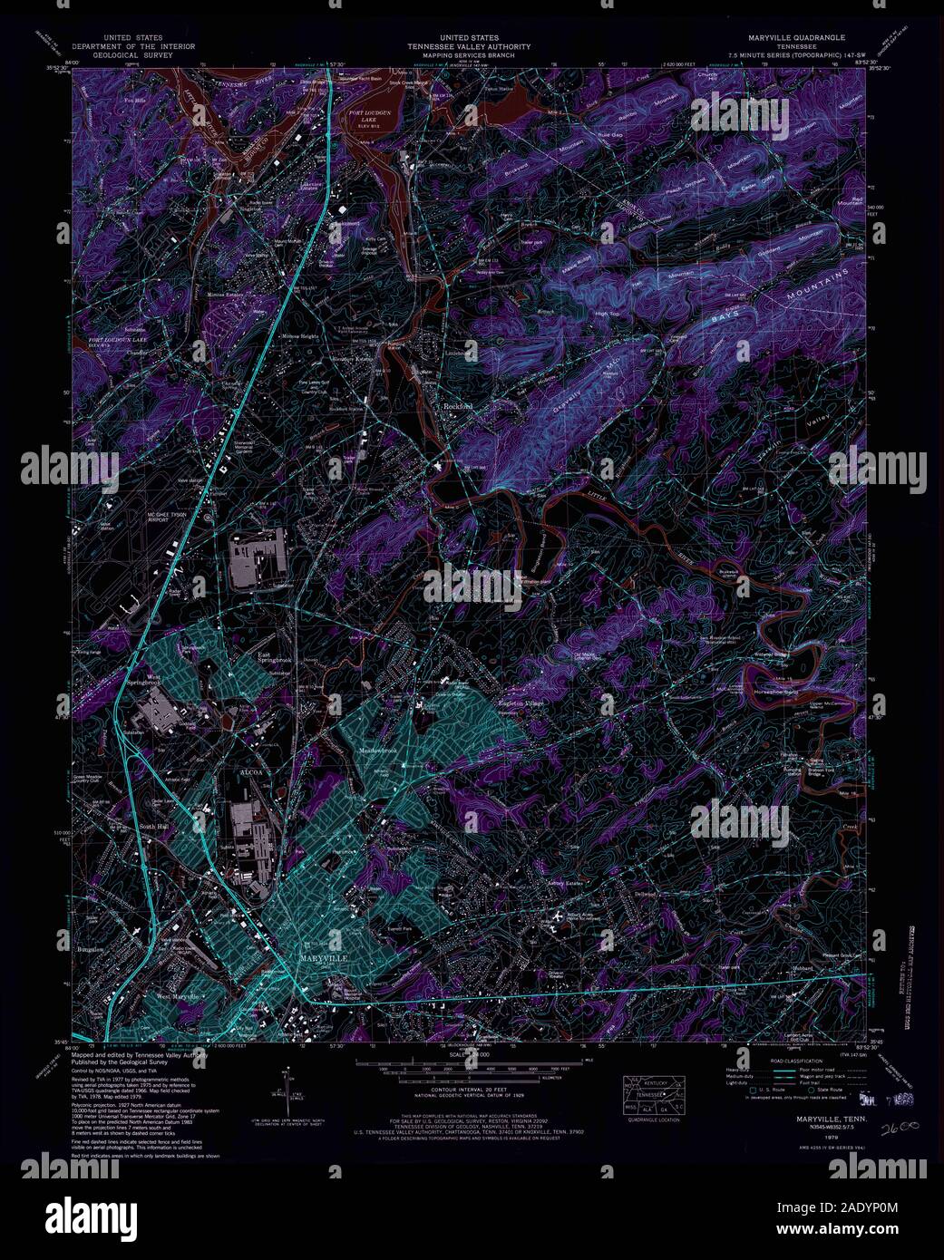 USGS TOPO Map Tennessee TN Maryville 149084 1979 24000 Inverted Restoration Stock Photohttps://www.alamy.com/image-license-details/?v=1https://www.alamy.com/usgs-topo-map-tennessee-tn-maryville-149084-1979-24000-inverted-restoration-image335597492.html
RM2ADYP0M–USGS TOPO Map Tennessee TN Maryville 149084 1979 24000 Inverted Restoration
 Sandy Springs / South Maryville, Blount County, US, United States, Tennessee, N 35 44' 26'', S 83 58' 1'', map, Cartascapes Map published in 2024. Explore Cartascapes, a map revealing Earth's diverse landscapes, cultures, and ecosystems. Journey through time and space, discovering the interconnectedness of our planet's past, present, and future. Stock Photohttps://www.alamy.com/image-license-details/?v=1https://www.alamy.com/sandy-springs-south-maryville-blount-county-us-united-states-tennessee-n-35-44-26-s-83-58-1-map-cartascapes-map-published-in-2024-explore-cartascapes-a-map-revealing-earths-diverse-landscapes-cultures-and-ecosystems-journey-through-time-and-space-discovering-the-interconnectedness-of-our-planets-past-present-and-future-image620815598.html
RM2Y20GHJ–Sandy Springs / South Maryville, Blount County, US, United States, Tennessee, N 35 44' 26'', S 83 58' 1'', map, Cartascapes Map published in 2024. Explore Cartascapes, a map revealing Earth's diverse landscapes, cultures, and ecosystems. Journey through time and space, discovering the interconnectedness of our planet's past, present, and future.
 USGS TOPO Map Tennessee TN Maryville 149079 1941 24000 Inverted Restoration Stock Photohttps://www.alamy.com/image-license-details/?v=1https://www.alamy.com/usgs-topo-map-tennessee-tn-maryville-149079-1941-24000-inverted-restoration-image335597331.html
RM2ADYNPY–USGS TOPO Map Tennessee TN Maryville 149079 1941 24000 Inverted Restoration
 Maryville / Central Blount County District 5, Blount County, US, United States, Tennessee, N 35 44' 0'', S 83 58' 29'', map, Cartascapes Map published in 2024. Explore Cartascapes, a map revealing Earth's diverse landscapes, cultures, and ecosystems. Journey through time and space, discovering the interconnectedness of our planet's past, present, and future. Stock Photohttps://www.alamy.com/image-license-details/?v=1https://www.alamy.com/maryville-central-blount-county-district-5-blount-county-us-united-states-tennessee-n-35-44-0-s-83-58-29-map-cartascapes-map-published-in-2024-explore-cartascapes-a-map-revealing-earths-diverse-landscapes-cultures-and-ecosystems-journey-through-time-and-space-discovering-the-interconnectedness-of-our-planets-past-present-and-future-image633794767.html
RM2YR3RKB–Maryville / Central Blount County District 5, Blount County, US, United States, Tennessee, N 35 44' 0'', S 83 58' 29'', map, Cartascapes Map published in 2024. Explore Cartascapes, a map revealing Earth's diverse landscapes, cultures, and ecosystems. Journey through time and space, discovering the interconnectedness of our planet's past, present, and future.
 USGS TOPO Map Missouri MO Maryville East 323421 1985 24000 Restoration Stock Photohttps://www.alamy.com/image-license-details/?v=1https://www.alamy.com/usgs-topo-map-missouri-mo-maryville-east-323421-1985-24000-restoration-image333235645.html
RM2AA45D1–USGS TOPO Map Missouri MO Maryville East 323421 1985 24000 Restoration
 Maryville, Canada, Saskatchewan, N 53 3' 0'', W 104 25' 3'', map, Timeless Map published in 2021. Travelers, explorers and adventurers like Florence Nightingale, David Livingstone, Ernest Shackleton, Lewis and Clark and Sherlock Holmes relied on maps to plan travels to the world's most remote corners, Timeless Maps is mapping most locations on the globe, showing the achievement of great dreams Stock Photohttps://www.alamy.com/image-license-details/?v=1https://www.alamy.com/maryville-canada-saskatchewan-n-53-3-0-w-104-25-3-map-timeless-map-published-in-2021-travelers-explorers-and-adventurers-like-florence-nightingale-david-livingstone-ernest-shackleton-lewis-and-clark-and-sherlock-holmes-relied-on-maps-to-plan-travels-to-the-worlds-most-remote-corners-timeless-maps-is-mapping-most-locations-on-the-globe-showing-the-achievement-of-great-dreams-image457873497.html
RM2HGWX8W–Maryville, Canada, Saskatchewan, N 53 3' 0'', W 104 25' 3'', map, Timeless Map published in 2021. Travelers, explorers and adventurers like Florence Nightingale, David Livingstone, Ernest Shackleton, Lewis and Clark and Sherlock Holmes relied on maps to plan travels to the world's most remote corners, Timeless Maps is mapping most locations on the globe, showing the achievement of great dreams
 USGS TOPO Map Tennessee TN Maryville 149080 1953 24000 Inverted Restoration Stock Photohttps://www.alamy.com/image-license-details/?v=1https://www.alamy.com/usgs-topo-map-tennessee-tn-maryville-149080-1953-24000-inverted-restoration-image335597329.html
RM2ADYNPW–USGS TOPO Map Tennessee TN Maryville 149080 1953 24000 Inverted Restoration
 Maryville, Canada, Nova Scotia, N 45 56' 0'', W 61 30' 54'', map, Timeless Map published in 2021. Travelers, explorers and adventurers like Florence Nightingale, David Livingstone, Ernest Shackleton, Lewis and Clark and Sherlock Holmes relied on maps to plan travels to the world's most remote corners, Timeless Maps is mapping most locations on the globe, showing the achievement of great dreams Stock Photohttps://www.alamy.com/image-license-details/?v=1https://www.alamy.com/maryville-canada-nova-scotia-n-45-56-0-w-61-30-54-map-timeless-map-published-in-2021-travelers-explorers-and-adventurers-like-florence-nightingale-david-livingstone-ernest-shackleton-lewis-and-clark-and-sherlock-holmes-relied-on-maps-to-plan-travels-to-the-worlds-most-remote-corners-timeless-maps-is-mapping-most-locations-on-the-globe-showing-the-achievement-of-great-dreams-image457873465.html
RM2HGWX7N–Maryville, Canada, Nova Scotia, N 45 56' 0'', W 61 30' 54'', map, Timeless Map published in 2021. Travelers, explorers and adventurers like Florence Nightingale, David Livingstone, Ernest Shackleton, Lewis and Clark and Sherlock Holmes relied on maps to plan travels to the world's most remote corners, Timeless Maps is mapping most locations on the globe, showing the achievement of great dreams
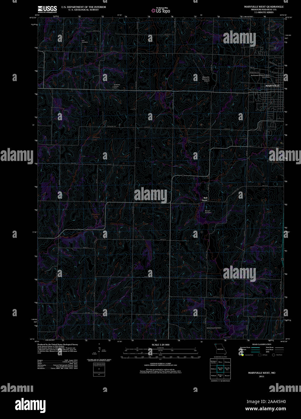 USGS TOPO Map Missouri MO Maryville West 20111222 TM Inverted Restoration Stock Photohttps://www.alamy.com/image-license-details/?v=1https://www.alamy.com/usgs-topo-map-missouri-mo-maryville-west-20111222-tm-inverted-restoration-image333235756.html
RM2AA45H0–USGS TOPO Map Missouri MO Maryville West 20111222 TM Inverted Restoration
 Maryville, Newcastle, Australia, New South Wales, S 32 54' 40'', E 151 45' 19'', map, Timeless Map published in 2021. Travelers, explorers and adventurers like Florence Nightingale, David Livingstone, Ernest Shackleton, Lewis and Clark and Sherlock Holmes relied on maps to plan travels to the world's most remote corners, Timeless Maps is mapping most locations on the globe, showing the achievement of great dreams Stock Photohttps://www.alamy.com/image-license-details/?v=1https://www.alamy.com/maryville-newcastle-australia-new-south-wales-s-32-54-40-e-151-45-19-map-timeless-map-published-in-2021-travelers-explorers-and-adventurers-like-florence-nightingale-david-livingstone-ernest-shackleton-lewis-and-clark-and-sherlock-holmes-relied-on-maps-to-plan-travels-to-the-worlds-most-remote-corners-timeless-maps-is-mapping-most-locations-on-the-globe-showing-the-achievement-of-great-dreams-image457821620.html
RM2HGRG44–Maryville, Newcastle, Australia, New South Wales, S 32 54' 40'', E 151 45' 19'', map, Timeless Map published in 2021. Travelers, explorers and adventurers like Florence Nightingale, David Livingstone, Ernest Shackleton, Lewis and Clark and Sherlock Holmes relied on maps to plan travels to the world's most remote corners, Timeless Maps is mapping most locations on the globe, showing the achievement of great dreams
 USGS TOPO Map Tennessee TN Maryville 149077 1935 24000 Inverted Restoration Stock Photohttps://www.alamy.com/image-license-details/?v=1https://www.alamy.com/usgs-topo-map-tennessee-tn-maryville-149077-1935-24000-inverted-restoration-image335597217.html
RM2ADYNJW–USGS TOPO Map Tennessee TN Maryville 149077 1935 24000 Inverted Restoration
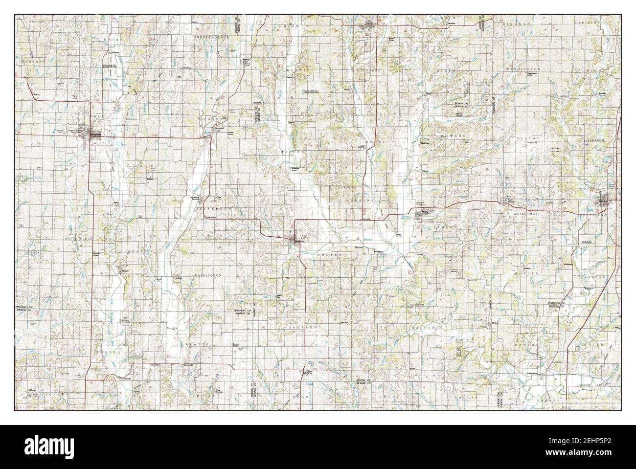 Maryville, Missouri, map 1986, 1:100000, United States of America by Timeless Maps, data U.S. Geological Survey Stock Photohttps://www.alamy.com/image-license-details/?v=1https://www.alamy.com/maryville-missouri-map-1986-1100000-united-states-of-america-by-timeless-maps-data-us-geological-survey-image406775098.html
RM2EHP5P2–Maryville, Missouri, map 1986, 1:100000, United States of America by Timeless Maps, data U.S. Geological Survey
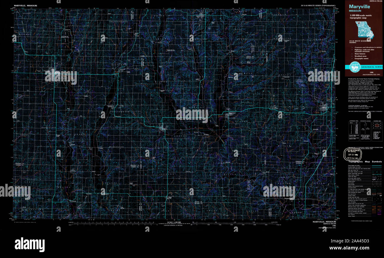 USGS TOPO Map Missouri MO Maryville 325381 1986 100000 Inverted Restoration Stock Photohttps://www.alamy.com/image-license-details/?v=1https://www.alamy.com/usgs-topo-map-missouri-mo-maryville-325381-1986-100000-inverted-restoration-image333235647.html
RM2AA45D3–USGS TOPO Map Missouri MO Maryville 325381 1986 100000 Inverted Restoration
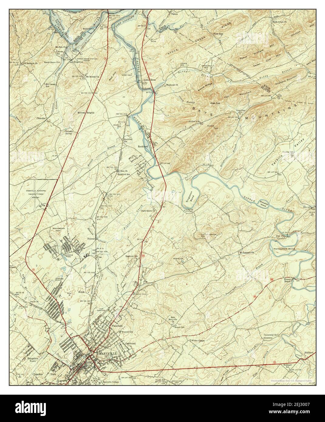 Maryville, Tennessee, map 1941, 1:24000, United States of America by Timeless Maps, data U.S. Geological Survey Stock Photohttps://www.alamy.com/image-license-details/?v=1https://www.alamy.com/maryville-tennessee-map-1941-124000-united-states-of-america-by-timeless-maps-data-us-geological-survey-image406968135.html
RM2EJ3007–Maryville, Tennessee, map 1941, 1:24000, United States of America by Timeless Maps, data U.S. Geological Survey
 USGS TOPO Map Missouri MO Maryville East 323421 1985 24000 Inverted Restoration Stock Photohttps://www.alamy.com/image-license-details/?v=1https://www.alamy.com/usgs-topo-map-missouri-mo-maryville-east-323421-1985-24000-inverted-restoration-image333235644.html
RM2AA45D0–USGS TOPO Map Missouri MO Maryville East 323421 1985 24000 Inverted Restoration
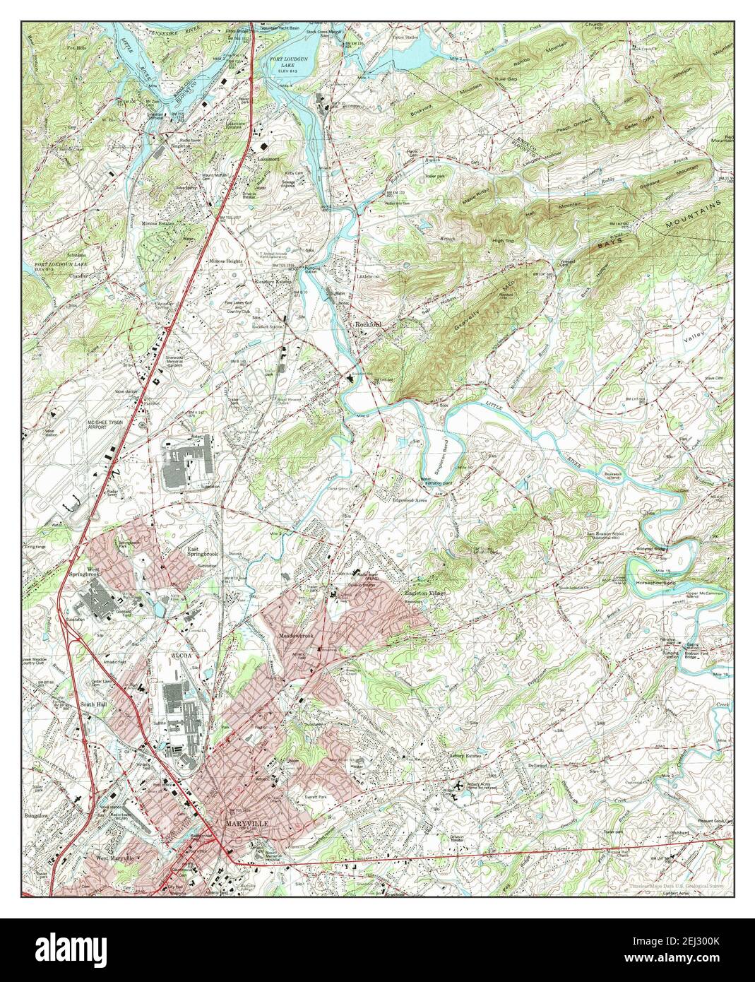 Maryville, Tennessee, map 1979, 1:24000, United States of America by Timeless Maps, data U.S. Geological Survey Stock Photohttps://www.alamy.com/image-license-details/?v=1https://www.alamy.com/maryville-tennessee-map-1979-124000-united-states-of-america-by-timeless-maps-data-us-geological-survey-image406968147.html
RM2EJ300K–Maryville, Tennessee, map 1979, 1:24000, United States of America by Timeless Maps, data U.S. Geological Survey
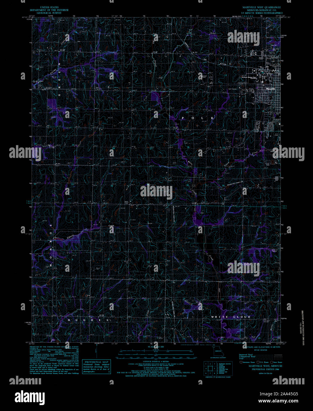 USGS TOPO Map Missouri MO Maryville West 323422 1984 24000 Inverted Restoration Stock Photohttps://www.alamy.com/image-license-details/?v=1https://www.alamy.com/usgs-topo-map-missouri-mo-maryville-west-323422-1984-24000-inverted-restoration-image333235733.html
RM2AA45G5–USGS TOPO Map Missouri MO Maryville West 323422 1984 24000 Inverted Restoration
 Maryville, Missouri, map 1943, 1:62500, United States of America by Timeless Maps, data U.S. Geological Survey Stock Photohttps://www.alamy.com/image-license-details/?v=1https://www.alamy.com/maryville-missouri-map-1943-162500-united-states-of-america-by-timeless-maps-data-us-geological-survey-image406775097.html
RM2EHP5P1–Maryville, Missouri, map 1943, 1:62500, United States of America by Timeless Maps, data U.S. Geological Survey
 Maryville, Tennessee, map 1935, 1:24000, United States of America by Timeless Maps, data U.S. Geological Survey Stock Photohttps://www.alamy.com/image-license-details/?v=1https://www.alamy.com/maryville-tennessee-map-1935-124000-united-states-of-america-by-timeless-maps-data-us-geological-survey-image406968104.html
RM2EJ2YY4–Maryville, Tennessee, map 1935, 1:24000, United States of America by Timeless Maps, data U.S. Geological Survey
 Maryville, Tennessee, map 1953, 1:24000, United States of America by Timeless Maps, data U.S. Geological Survey Stock Photohttps://www.alamy.com/image-license-details/?v=1https://www.alamy.com/maryville-tennessee-map-1953-124000-united-states-of-america-by-timeless-maps-data-us-geological-survey-image406968142.html
RM2EJ300E–Maryville, Tennessee, map 1953, 1:24000, United States of America by Timeless Maps, data U.S. Geological Survey
 Maryville, Tennessee, map 1966, 1:24000, United States of America by Timeless Maps, data U.S. Geological Survey Stock Photohttps://www.alamy.com/image-license-details/?v=1https://www.alamy.com/maryville-tennessee-map-1966-124000-united-states-of-america-by-timeless-maps-data-us-geological-survey-image406968152.html
RM2EJ300T–Maryville, Tennessee, map 1966, 1:24000, United States of America by Timeless Maps, data U.S. Geological Survey
 Maryville, Missouri, map 1943, 1:62500, United States of America by Timeless Maps, data U.S. Geological Survey Stock Photohttps://www.alamy.com/image-license-details/?v=1https://www.alamy.com/maryville-missouri-map-1943-162500-united-states-of-america-by-timeless-maps-data-us-geological-survey-image406775074.html
RM2EHP5N6–Maryville, Missouri, map 1943, 1:62500, United States of America by Timeless Maps, data U.S. Geological Survey
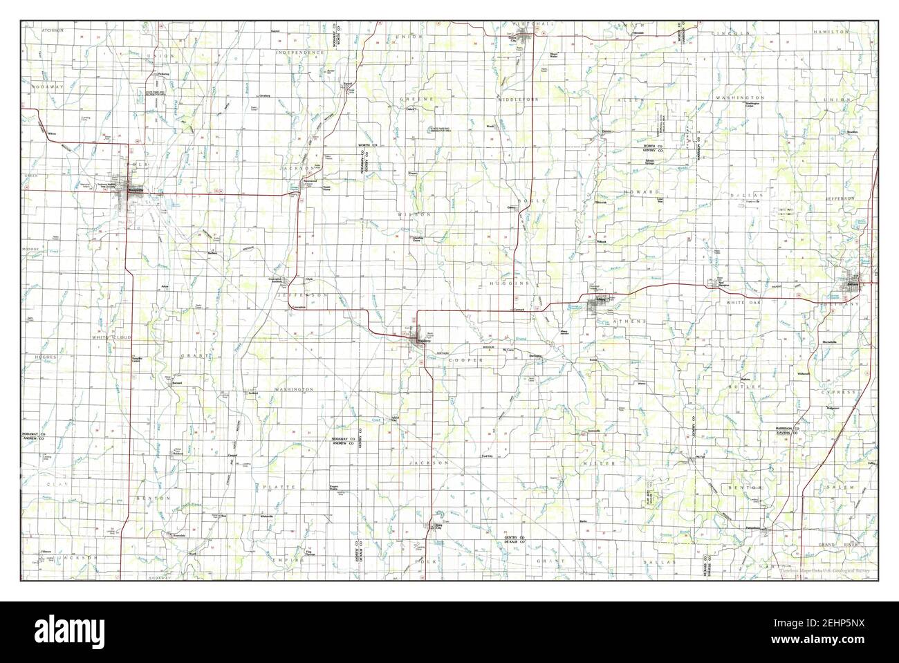 Maryville, Missouri, map 1986, 1:100000, United States of America by Timeless Maps, data U.S. Geological Survey Stock Photohttps://www.alamy.com/image-license-details/?v=1https://www.alamy.com/maryville-missouri-map-1986-1100000-united-states-of-america-by-timeless-maps-data-us-geological-survey-image406775094.html
RM2EHP5NX–Maryville, Missouri, map 1986, 1:100000, United States of America by Timeless Maps, data U.S. Geological Survey
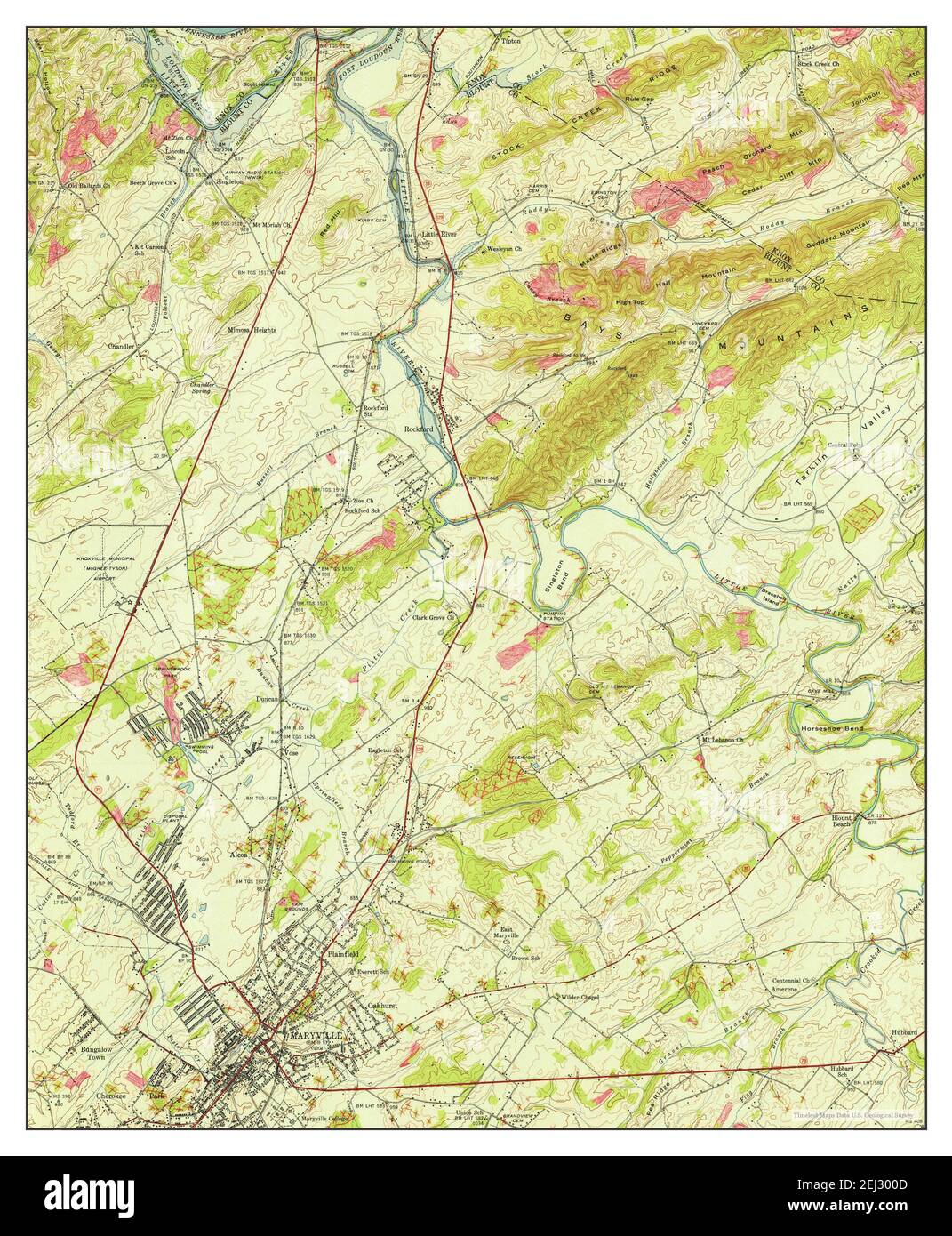 Maryville, Tennessee, map 1941, 1:24000, United States of America by Timeless Maps, data U.S. Geological Survey Stock Photohttps://www.alamy.com/image-license-details/?v=1https://www.alamy.com/maryville-tennessee-map-1941-124000-united-states-of-america-by-timeless-maps-data-us-geological-survey-image406968141.html
RM2EJ300D–Maryville, Tennessee, map 1941, 1:24000, United States of America by Timeless Maps, data U.S. Geological Survey
 Maryville, Tennessee, map 1953, 1:24000, United States of America by Timeless Maps, data U.S. Geological Survey Stock Photohttps://www.alamy.com/image-license-details/?v=1https://www.alamy.com/maryville-tennessee-map-1953-124000-united-states-of-america-by-timeless-maps-data-us-geological-survey-image406968144.html
RM2EJ300G–Maryville, Tennessee, map 1953, 1:24000, United States of America by Timeless Maps, data U.S. Geological Survey
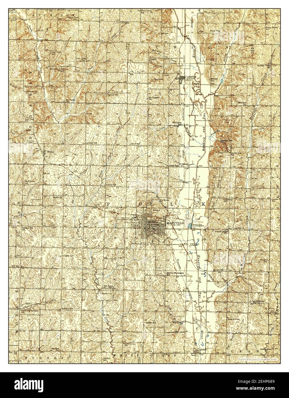 Maryville, Missouri, map 1943, 1:62500, United States of America by Timeless Maps, data U.S. Geological Survey Stock Photohttps://www.alamy.com/image-license-details/?v=1https://www.alamy.com/maryville-missouri-map-1943-162500-united-states-of-america-by-timeless-maps-data-us-geological-survey-image406775497.html
RM2EHP689–Maryville, Missouri, map 1943, 1:62500, United States of America by Timeless Maps, data U.S. Geological Survey
 Maryville, Tennessee, map 1979, 1:24000, United States of America by Timeless Maps, data U.S. Geological Survey Stock Photohttps://www.alamy.com/image-license-details/?v=1https://www.alamy.com/maryville-tennessee-map-1979-124000-united-states-of-america-by-timeless-maps-data-us-geological-survey-image406968139.html
RM2EJ300B–Maryville, Tennessee, map 1979, 1:24000, United States of America by Timeless Maps, data U.S. Geological Survey
 Maryville West, Missouri, map 1984, 1:24000, United States of America by Timeless Maps, data U.S. Geological Survey Stock Photohttps://www.alamy.com/image-license-details/?v=1https://www.alamy.com/maryville-west-missouri-map-1984-124000-united-states-of-america-by-timeless-maps-data-us-geological-survey-image406775082.html
RM2EHP5NE–Maryville West, Missouri, map 1984, 1:24000, United States of America by Timeless Maps, data U.S. Geological Survey
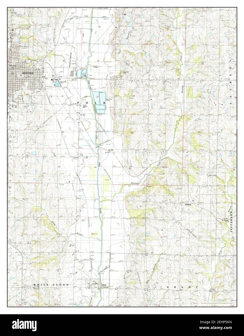 Maryville East, Missouri, map 1985, 1:24000, United States of America by Timeless Maps, data U.S. Geological Survey Stock Photohttps://www.alamy.com/image-license-details/?v=1https://www.alamy.com/maryville-east-missouri-map-1985-124000-united-states-of-america-by-timeless-maps-data-us-geological-survey-image406775033.html
RM2EHP5KN–Maryville East, Missouri, map 1985, 1:24000, United States of America by Timeless Maps, data U.S. Geological Survey