Map of montreal Black & White Stock Photos
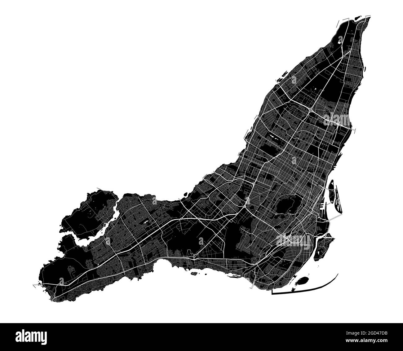 Montreal map. Detailed vector map of Montreal city administrative area. Cityscape poster metropolitan aria view. Black land with white streets, roads Stock Vectorhttps://www.alamy.com/image-license-details/?v=1https://www.alamy.com/montreal-map-detailed-vector-map-of-montreal-city-administrative-area-cityscape-poster-metropolitan-aria-view-black-land-with-white-streets-roads-image438343399.html
RF2GD47DB–Montreal map. Detailed vector map of Montreal city administrative area. Cityscape poster metropolitan aria view. Black land with white streets, roads
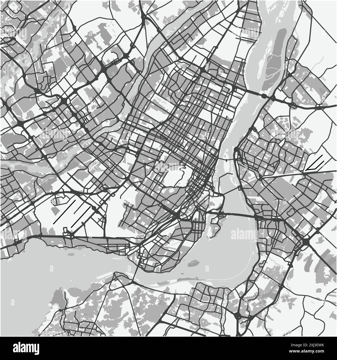 Map of Montreal in Canada in grayscale. Contains layered vector with roads water, parks, etc. Stock Vectorhttps://www.alamy.com/image-license-details/?v=1https://www.alamy.com/map-of-montreal-in-canada-in-grayscale-contains-layered-vector-with-roads-water-parks-etc-image613504099.html
RF2XJ3EMK–Map of Montreal in Canada in grayscale. Contains layered vector with roads water, parks, etc.
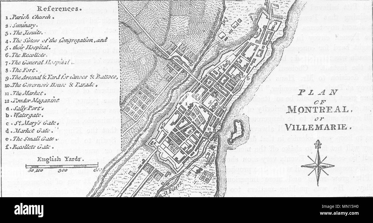 CANADA. Plan of Montreal c1880 old antique vintage map chart Stock Photohttps://www.alamy.com/image-license-details/?v=1https://www.alamy.com/canada-plan-of-montreal-c1880-old-antique-vintage-map-chart-image185037804.html
RFMN15H0–CANADA. Plan of Montreal c1880 old antique vintage map chart
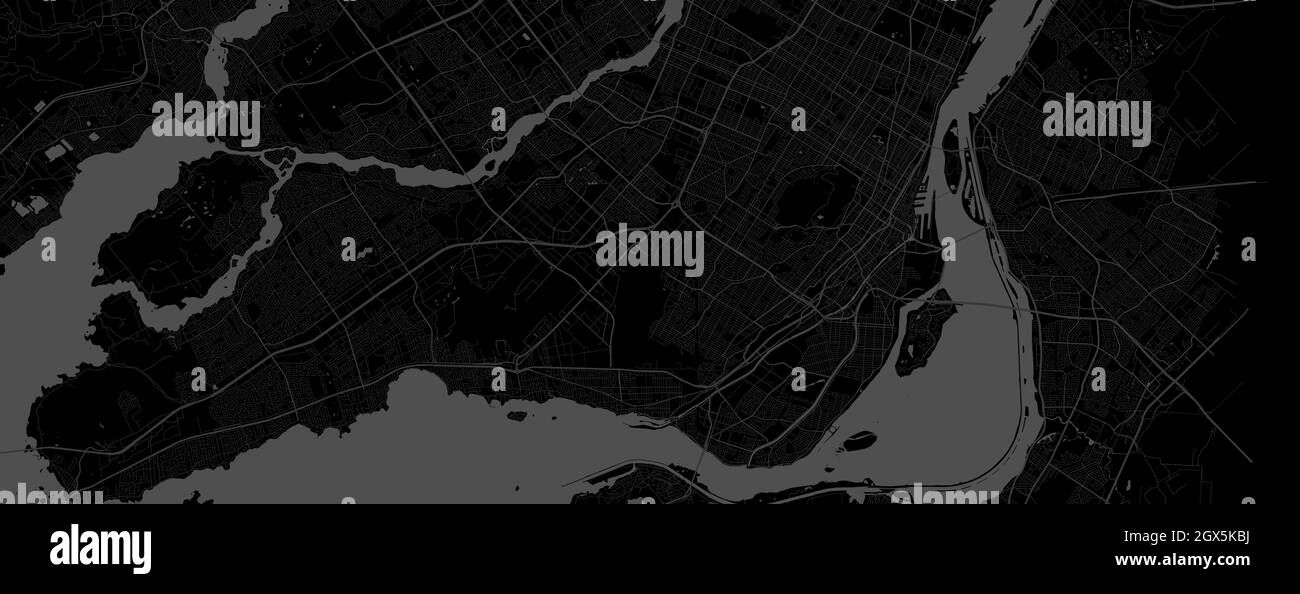 Dark black Montreal city area horizontal vector background map, streets and water cartography illustration. Widescreen proportion, digital flat design Stock Vectorhttps://www.alamy.com/image-license-details/?v=1https://www.alamy.com/dark-black-montreal-city-area-horizontal-vector-background-map-streets-and-water-cartography-illustration-widescreen-proportion-digital-flat-design-image446365238.html
RF2GX5KBJ–Dark black Montreal city area horizontal vector background map, streets and water cartography illustration. Widescreen proportion, digital flat design
 CANADA: Montreal, Canada; City of Montreal from Mount Royal, 1907 antique map Stock Photohttps://www.alamy.com/image-license-details/?v=1https://www.alamy.com/stock-photo-canada-montreal-canada-city-of-montreal-from-mount-royal-1907-antique-105601886.html
RFG3PG7X–CANADA: Montreal, Canada; City of Montreal from Mount Royal, 1907 antique map
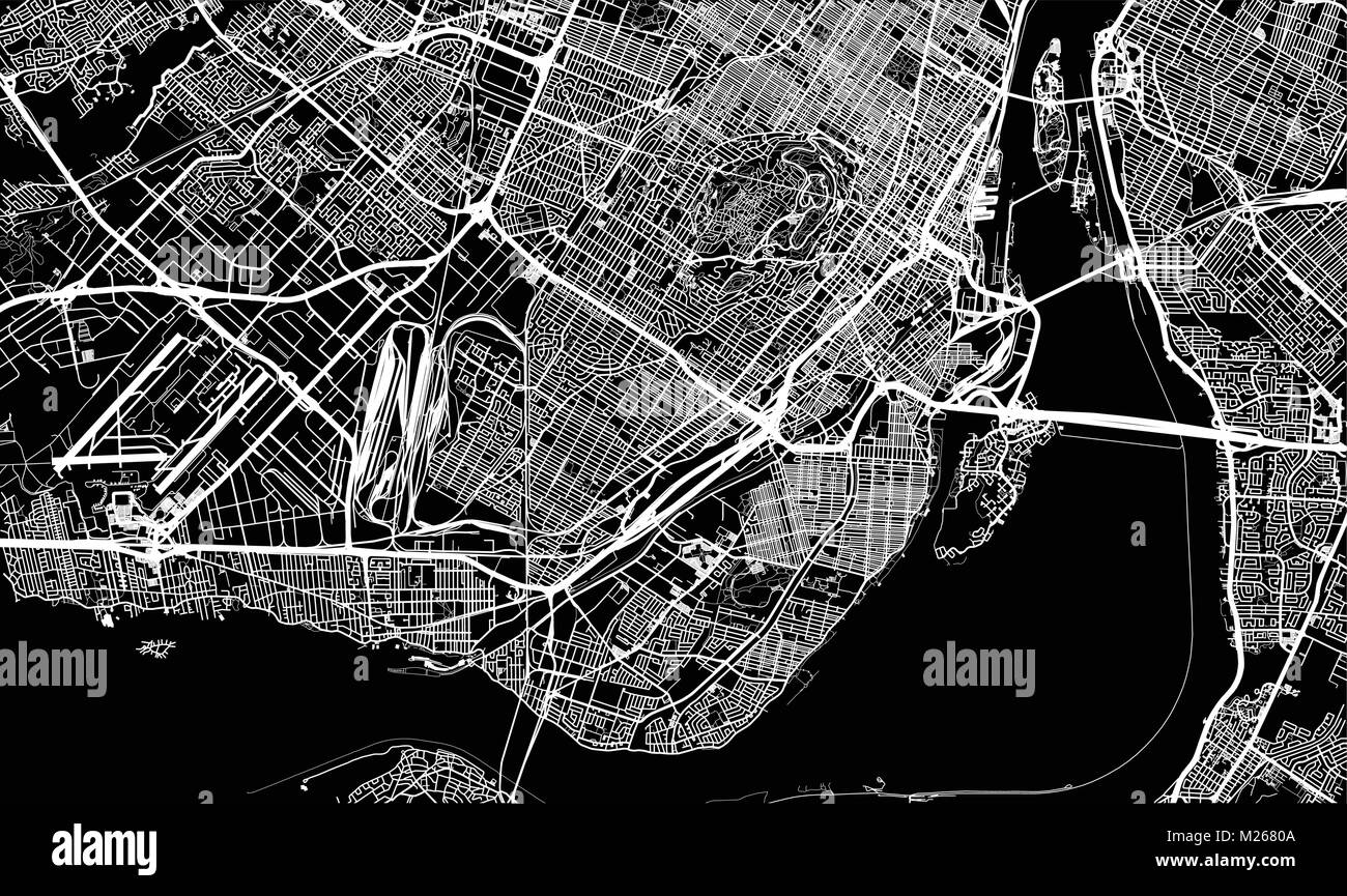 Urban vector city map of Montreal, Canada Stock Vectorhttps://www.alamy.com/image-license-details/?v=1https://www.alamy.com/stock-photo-urban-vector-city-map-of-montreal-canada-173470986.html
RFM2680A–Urban vector city map of Montreal, Canada
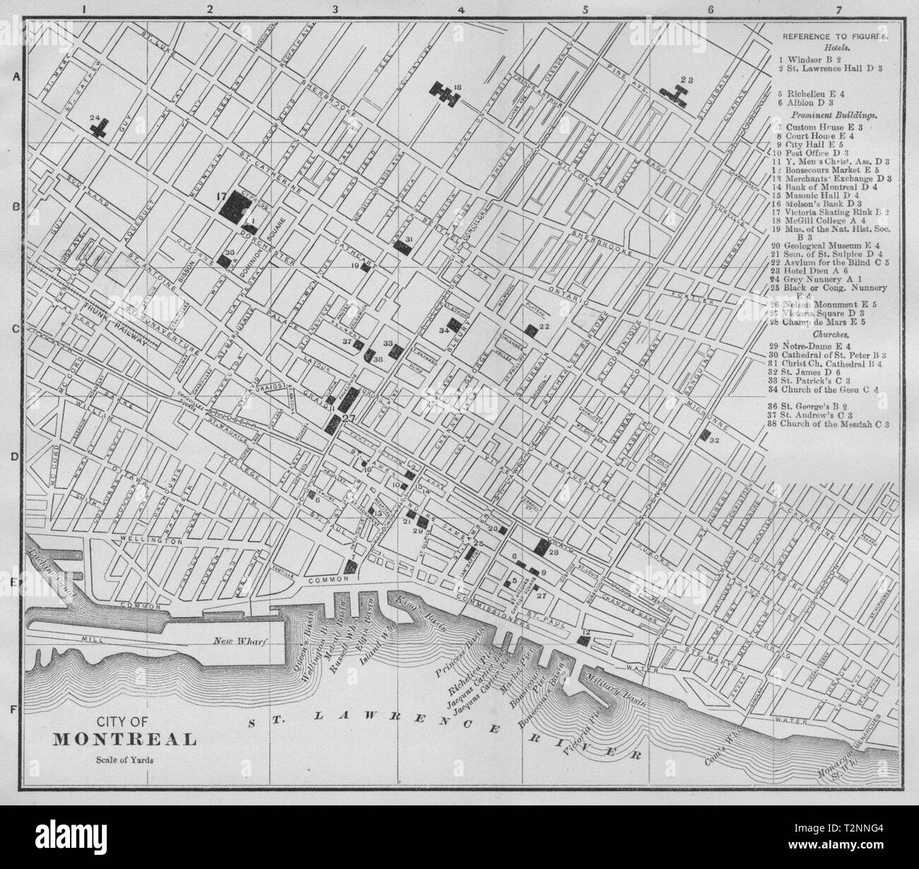 MONTRÉAL MONTREAL, QUEBEC QUÉBEC. Antique city plan 1893 old map Stock Photohttps://www.alamy.com/image-license-details/?v=1https://www.alamy.com/montral-montreal-quebec-qubec-antique-city-plan-1893-old-map-image242652372.html
RFT2NNG4–MONTRÉAL MONTREAL, QUEBEC QUÉBEC. Antique city plan 1893 old map
 Montreal, Baseball MLB Stadium, outline vector map. The baseball statium map was drawn with white areas and lines for main roads, side roads. Stock Vectorhttps://www.alamy.com/image-license-details/?v=1https://www.alamy.com/montreal-baseball-mlb-stadium-outline-vector-map-the-baseball-statium-map-was-drawn-with-white-areas-and-lines-for-main-roads-side-roads-image460058714.html
RF2HMDDGA–Montreal, Baseball MLB Stadium, outline vector map. The baseball statium map was drawn with white areas and lines for main roads, side roads.
 MONTREAL CANADA NY NH VT: Lake Champlain Hudson St Lawrence Ontario, 1851 map Stock Photohttps://www.alamy.com/image-license-details/?v=1https://www.alamy.com/stock-photo-montreal-canada-ny-nh-vt-lake-champlain-hudson-st-lawrence-ontario-105867228.html
RFG46JMC–MONTREAL CANADA NY NH VT: Lake Champlain Hudson St Lawrence Ontario, 1851 map
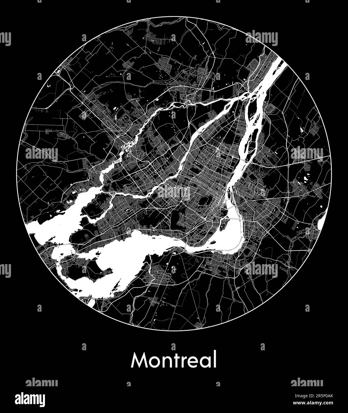 City Map Montreal Canada North America vector illustration Stock Vectorhttps://www.alamy.com/image-license-details/?v=1https://www.alamy.com/city-map-montreal-canada-north-america-vector-illustration-image554134635.html
RF2R5F0AK–City Map Montreal Canada North America vector illustration
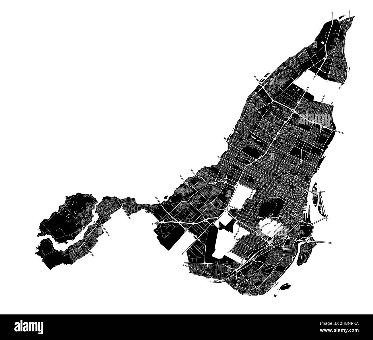 Montreal, Canada, high resolution vector map with city boundaries, and editable paths. The city map was drawn with white areas and lines for main road Stock Vectorhttps://www.alamy.com/image-license-details/?v=1https://www.alamy.com/montreal-canada-high-resolution-vector-map-with-city-boundaries-and-editable-paths-the-city-map-was-drawn-with-white-areas-and-lines-for-main-road-image454710350.html
RF2HBNRKA–Montreal, Canada, high resolution vector map with city boundaries, and editable paths. The city map was drawn with white areas and lines for main road
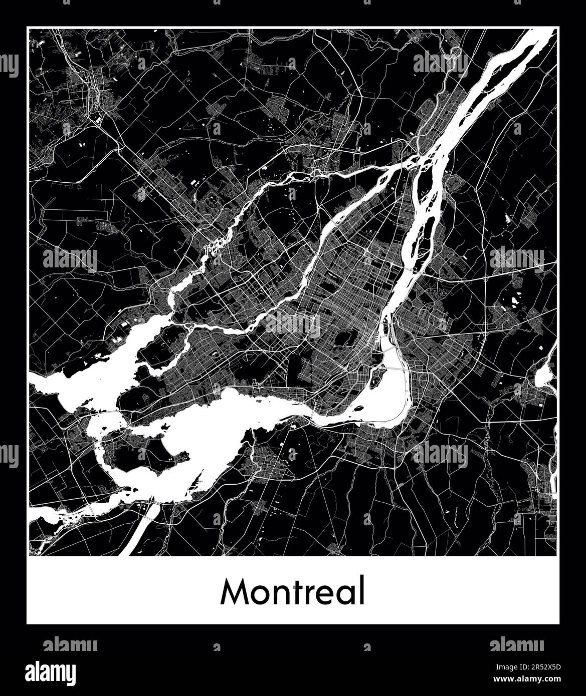 Minimal city map of Montreal (Canada North America) Stock Vectorhttps://www.alamy.com/image-license-details/?v=1https://www.alamy.com/minimal-city-map-of-montreal-canada-north-america-image553869497.html
RF2R52X5D–Minimal city map of Montreal (Canada North America)
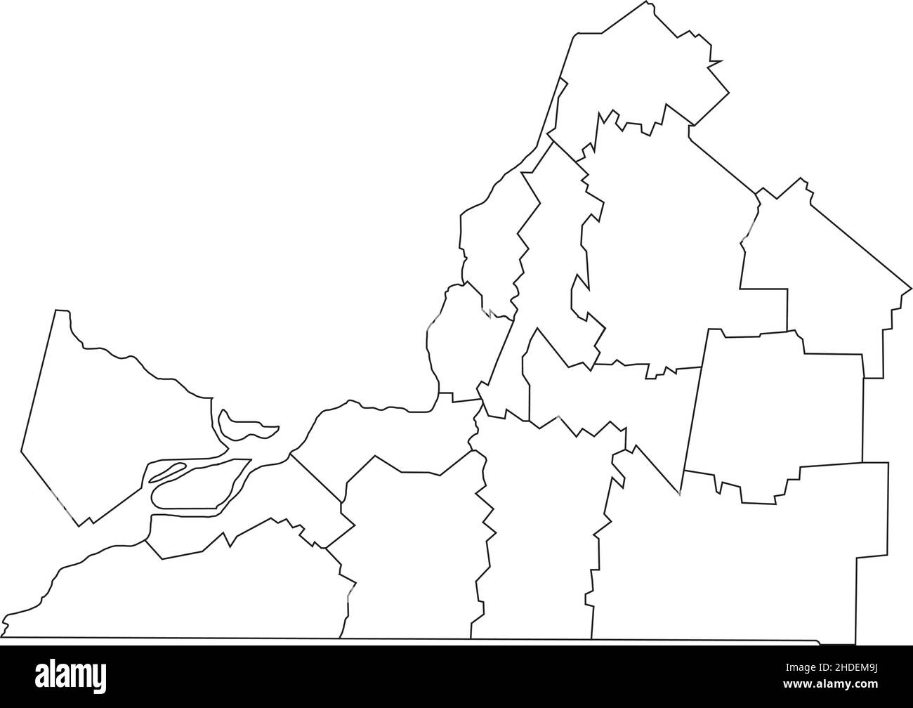 White flat blank vector administrative map of MONTÉRÉGIE, QUEBEC, CANADA with black border lines of its municipalities Stock Vectorhttps://www.alamy.com/image-license-details/?v=1https://www.alamy.com/white-flat-blank-vector-administrative-map-of-montrgie-quebec-canada-with-black-border-lines-of-its-municipalities-image455783374.html
RF2HDEM9J–White flat blank vector administrative map of MONTÉRÉGIE, QUEBEC, CANADA with black border lines of its municipalities
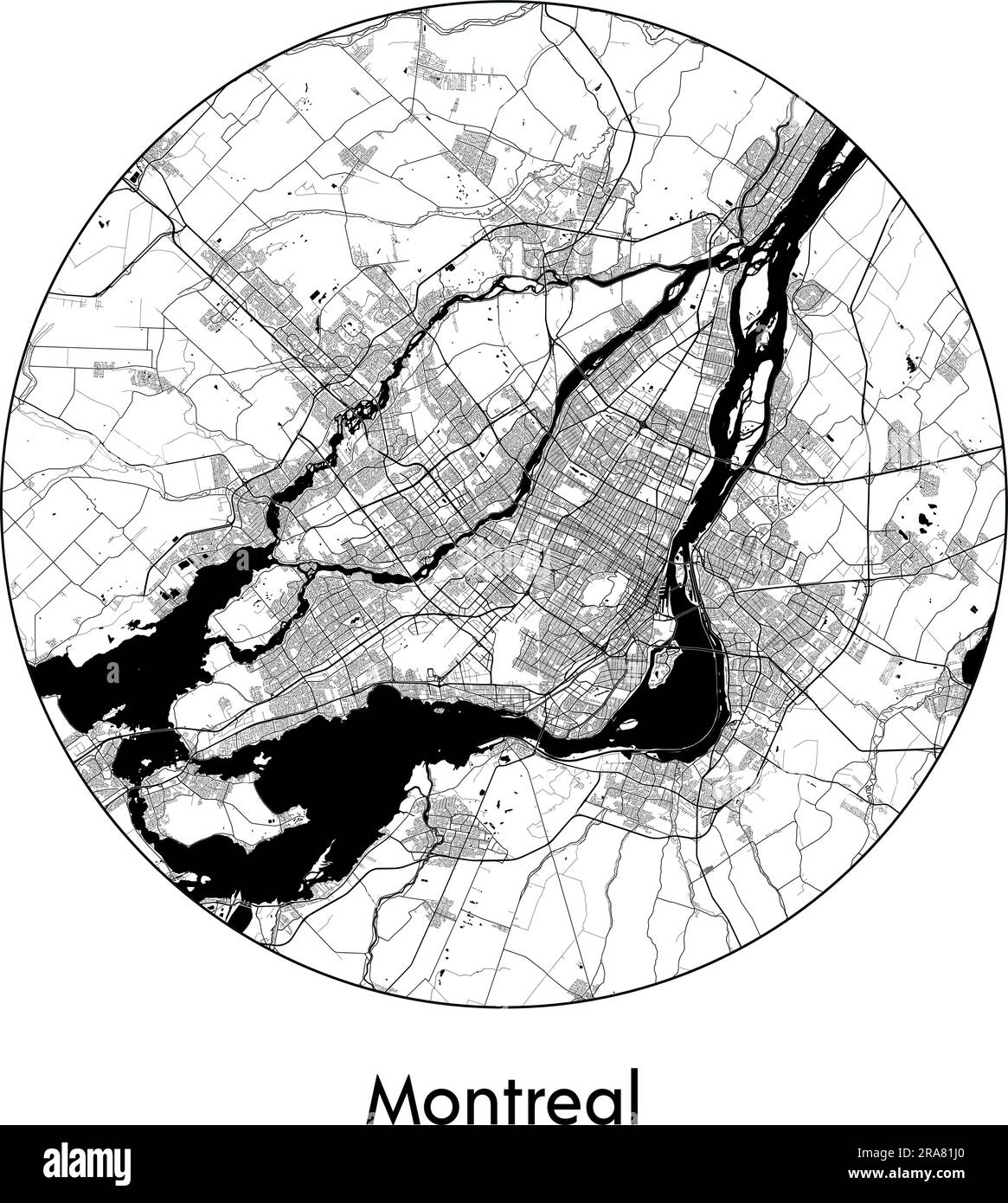 City Map Montreal Canada North America vector illustration black white Stock Vectorhttps://www.alamy.com/image-license-details/?v=1https://www.alamy.com/city-map-montreal-canada-north-america-vector-illustration-black-white-image557055240.html
RF2RA81J0–City Map Montreal Canada North America vector illustration black white
 geography / travel, Canada, Montreal, schematic image, copper engraving from 'Navigationi e viaggi' by Ramusio, Venice, 1565, Stock Photohttps://www.alamy.com/image-license-details/?v=1https://www.alamy.com/stock-photo-geography-travel-canada-montreal-schematic-image-copper-engraving-28127832.html
RMBHN99C–geography / travel, Canada, Montreal, schematic image, copper engraving from 'Navigationi e viaggi' by Ramusio, Venice, 1565,
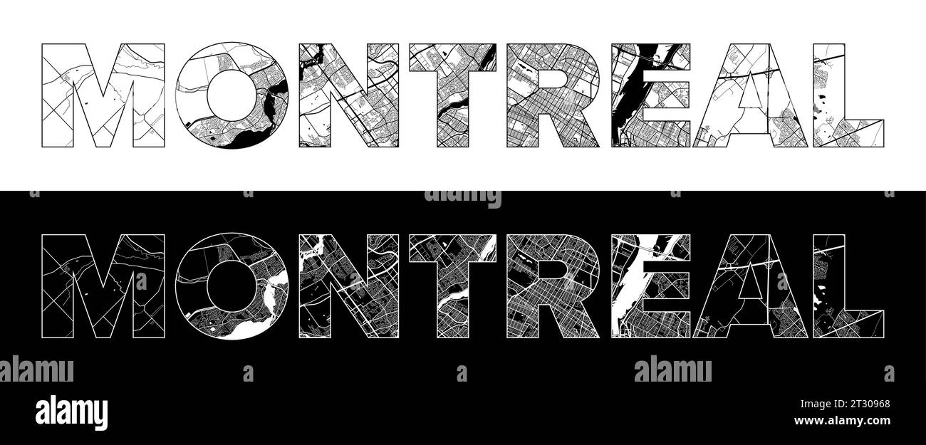 Montreal City Name (Canada, North America) with black white city map illustration vector Stock Vectorhttps://www.alamy.com/image-license-details/?v=1https://www.alamy.com/montreal-city-name-canada-north-america-with-black-white-city-map-illustration-vector-image569793344.html
RF2T30968–Montreal City Name (Canada, North America) with black white city map illustration vector
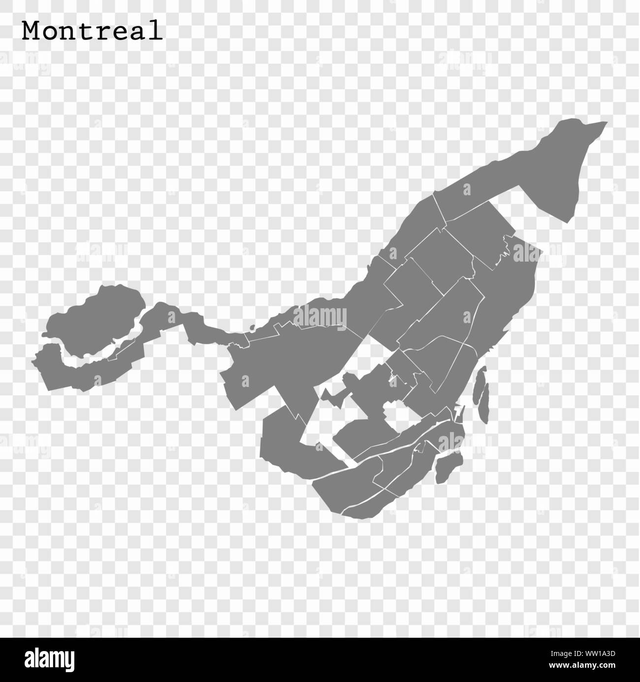 High quality Map Montreal City. vector illustration Stock Vectorhttps://www.alamy.com/image-license-details/?v=1https://www.alamy.com/high-quality-map-montreal-city-vector-illustration-image273551809.html
RFWW1A3D–High quality Map Montreal City. vector illustration
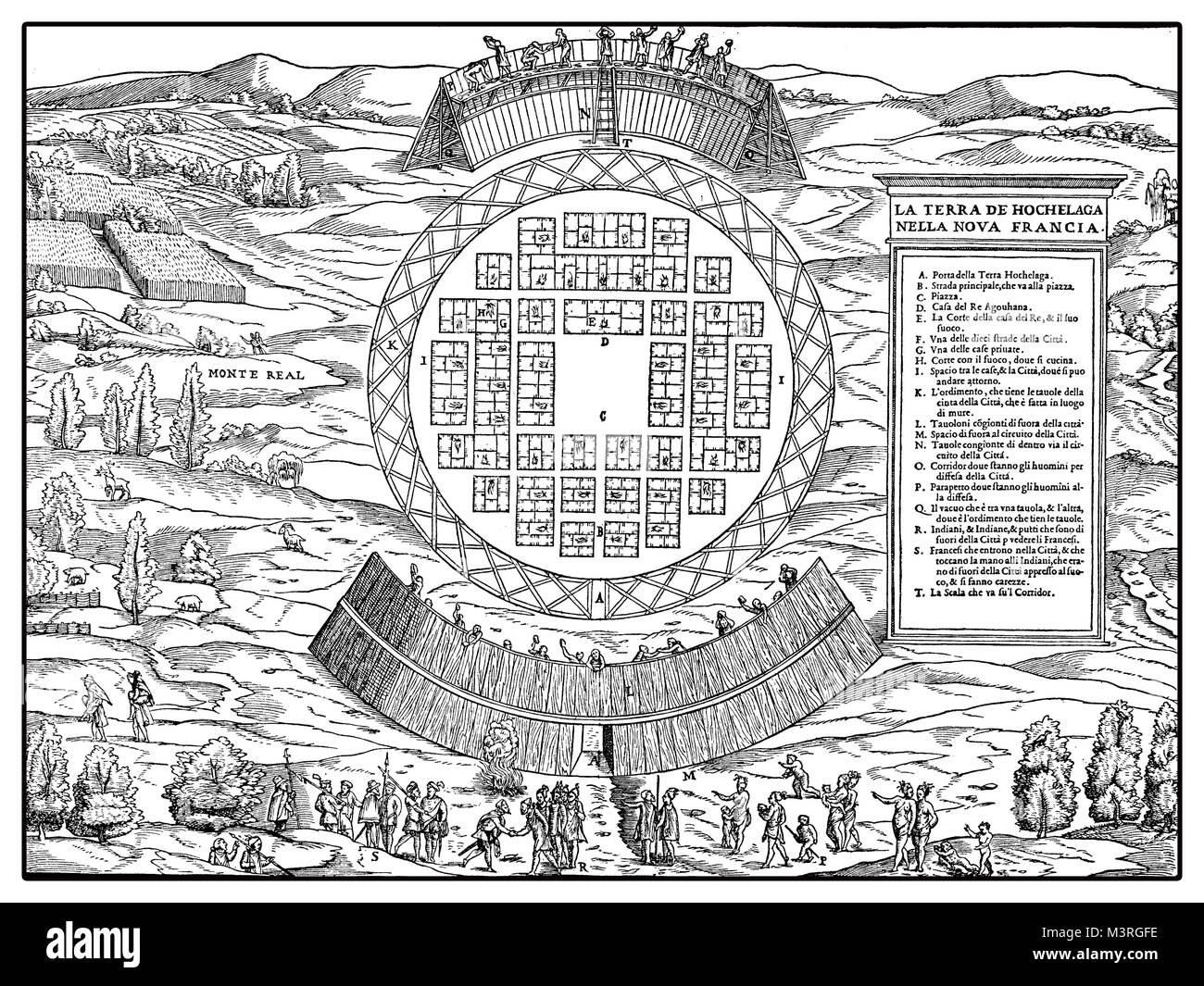 Canada exploration in XVI century, the French explorer Jacques Cartier and his men welcomed at the entrance of the indigenous village of Hochelaga, Venetian map of year 1565 Stock Photohttps://www.alamy.com/image-license-details/?v=1https://www.alamy.com/stock-photo-canada-exploration-in-xvi-century-the-french-explorer-jacques-cartier-174465522.html
RFM3RGFE–Canada exploration in XVI century, the French explorer Jacques Cartier and his men welcomed at the entrance of the indigenous village of Hochelaga, Venetian map of year 1565
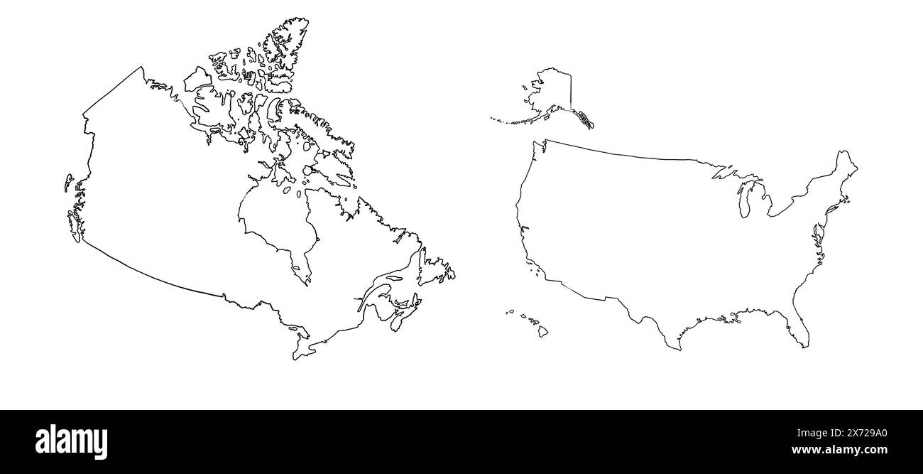 Contour drawing of USA and Canada. Map illustration of big countries. Stock Photohttps://www.alamy.com/image-license-details/?v=1https://www.alamy.com/contour-drawing-of-usa-and-canada-map-illustration-of-big-countries-image606716712.html
RF2X729A0–Contour drawing of USA and Canada. Map illustration of big countries.
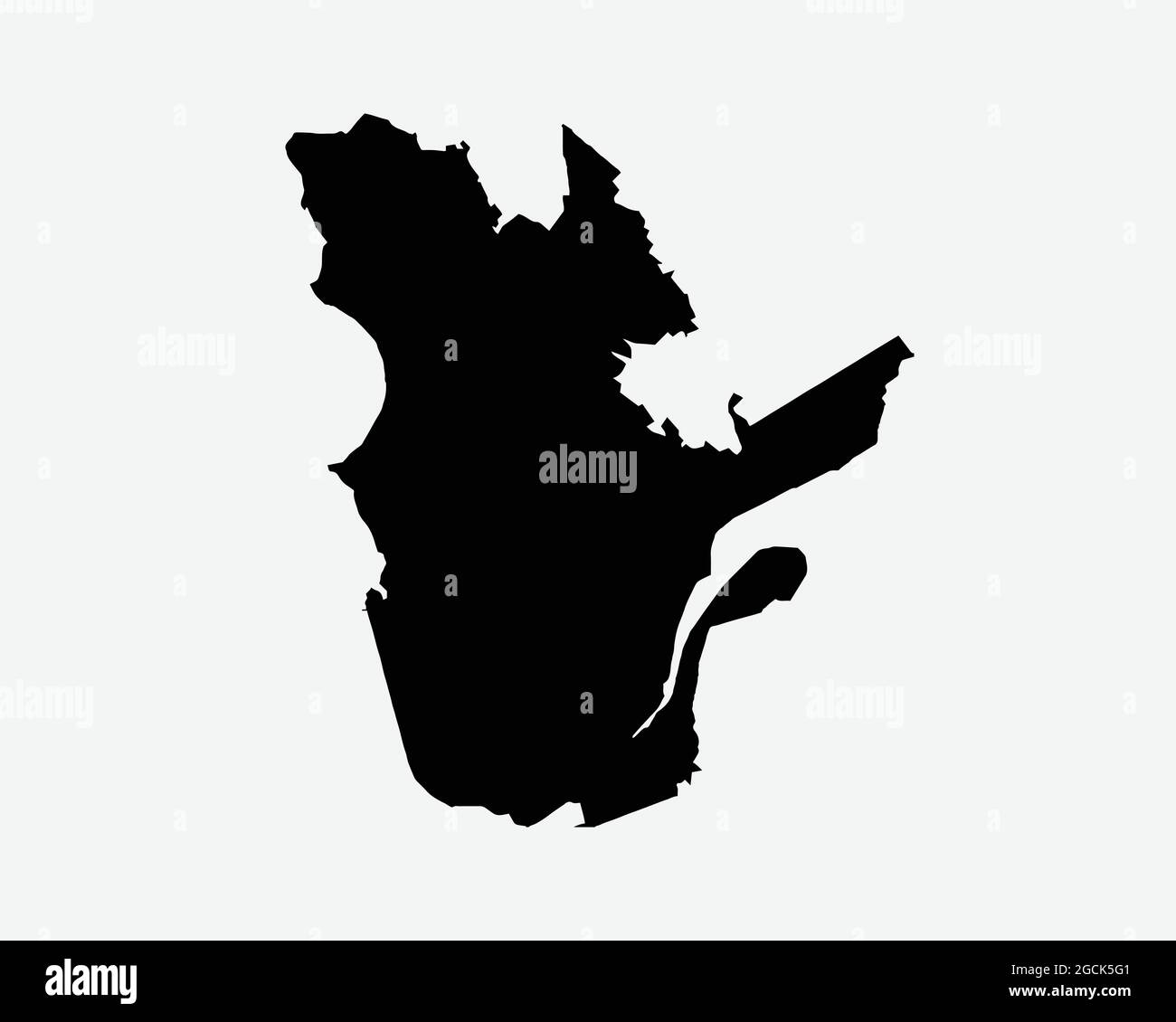 Quebec Canada Map Black Silhouette. QC, Canadian Province Shape Geography Atlas Border Boundary. Black Map Isolated on a White Background. EPS Vector Stock Vectorhttps://www.alamy.com/image-license-details/?v=1https://www.alamy.com/quebec-canada-map-black-silhouette-qc-canadian-province-shape-geography-atlas-border-boundary-black-map-isolated-on-a-white-background-eps-vector-image438056529.html
RF2GCK5G1–Quebec Canada Map Black Silhouette. QC, Canadian Province Shape Geography Atlas Border Boundary. Black Map Isolated on a White Background. EPS Vector
 Carte de Montreal 1702 Stock Photohttps://www.alamy.com/image-license-details/?v=1https://www.alamy.com/carte-de-montreal-1702-image159023748.html
RMK6M4BG–Carte de Montreal 1702
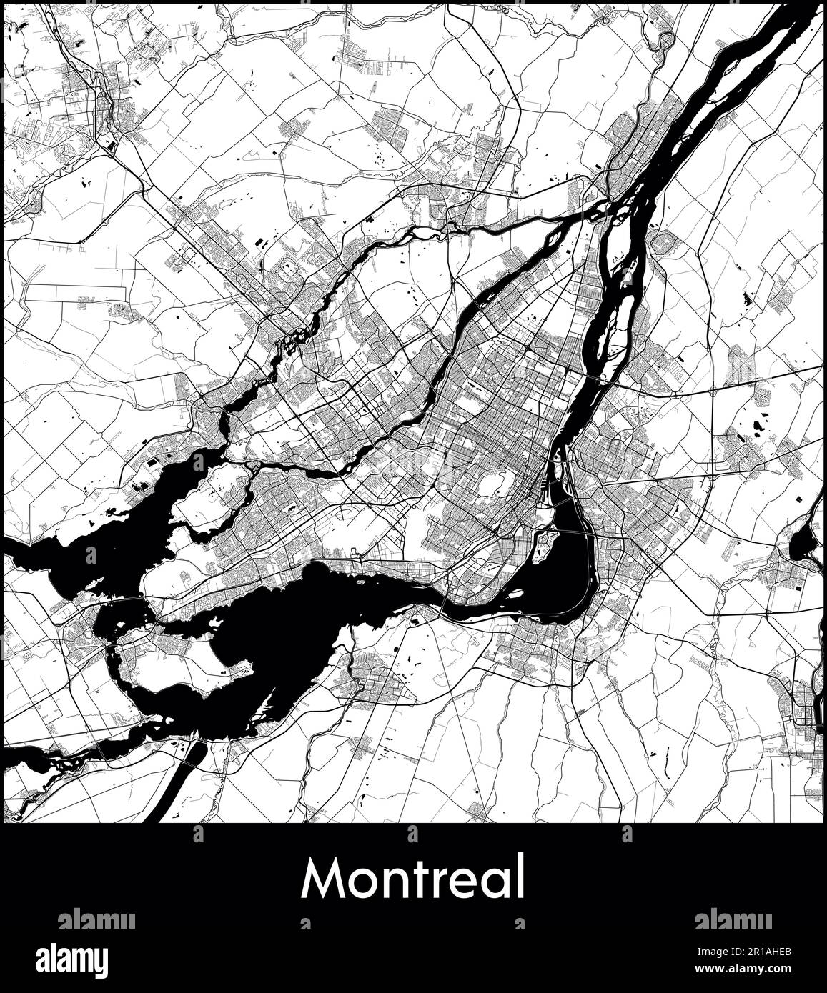 City Map North America Canada Montreal vector illustration Stock Vectorhttps://www.alamy.com/image-license-details/?v=1https://www.alamy.com/city-map-north-america-canada-montreal-vector-illustration-image551579683.html
RF2R1AHEB–City Map North America Canada Montreal vector illustration
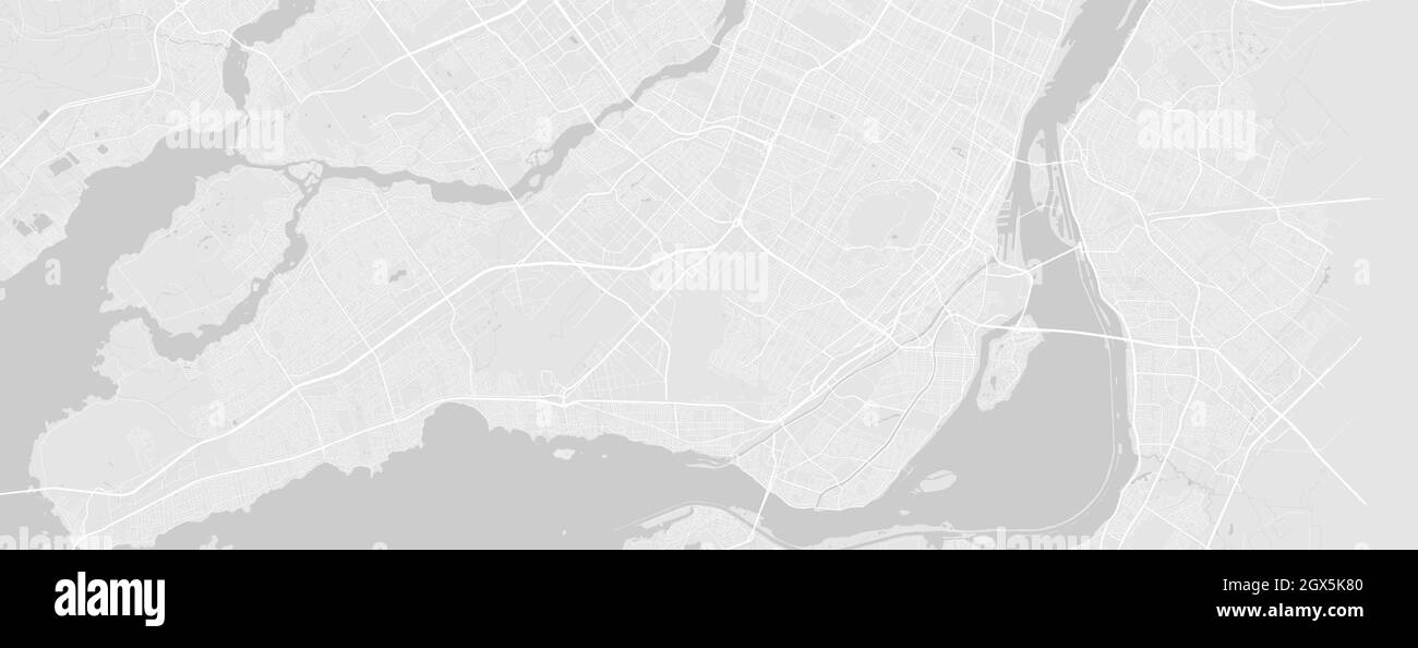 White and light grey Montreal city area vector horizontal background map, streets and water cartography illustration. Widescreen proportion, digital f Stock Vectorhttps://www.alamy.com/image-license-details/?v=1https://www.alamy.com/white-and-light-grey-montreal-city-area-vector-horizontal-background-map-streets-and-water-cartography-illustration-widescreen-proportion-digital-f-image446365136.html
RF2GX5K80–White and light grey Montreal city area vector horizontal background map, streets and water cartography illustration. Widescreen proportion, digital f
 holidays vacations Stock Photohttps://www.alamy.com/image-license-details/?v=1https://www.alamy.com/stock-photo-holidays-vacations-131438827.html
RFHHRFFR–holidays vacations
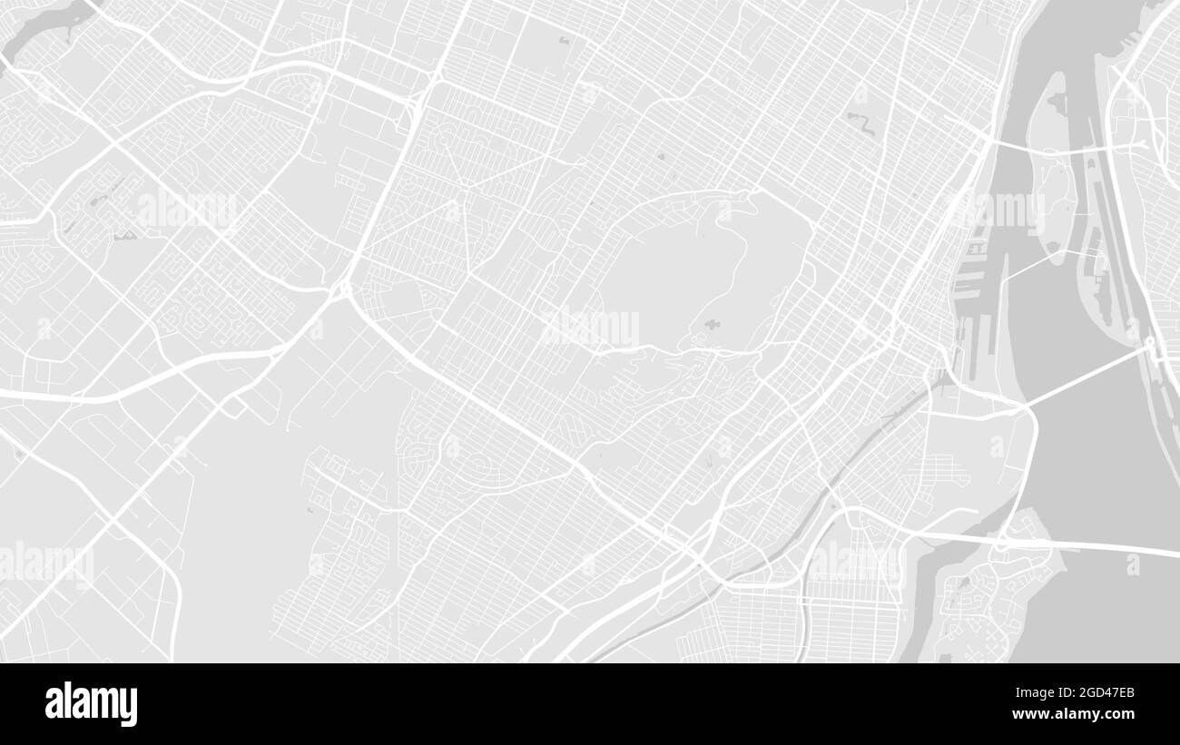 White and light grey Montreal City area vector background map, streets and water cartography illustration. Widescreen proportion, digital flat design Stock Vectorhttps://www.alamy.com/image-license-details/?v=1https://www.alamy.com/white-and-light-grey-montreal-city-area-vector-background-map-streets-and-water-cartography-illustration-widescreen-proportion-digital-flat-design-image438343427.html
RF2GD47EB–White and light grey Montreal City area vector background map, streets and water cartography illustration. Widescreen proportion, digital flat design
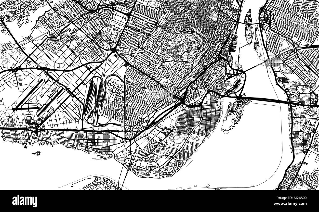 Urban vector city map of Montreal, Canada Stock Vectorhttps://www.alamy.com/image-license-details/?v=1https://www.alamy.com/stock-photo-urban-vector-city-map-of-montreal-canada-173470976.html
RFM26800–Urban vector city map of Montreal, Canada
 SMALL1867 p069 Montreal Harbour(gr) Stock Photohttps://www.alamy.com/image-license-details/?v=1https://www.alamy.com/stock-photo-small1867-p069-montreal-harbourgr-74227051.html
RME8N9A3–SMALL1867 p069 Montreal Harbour(gr)
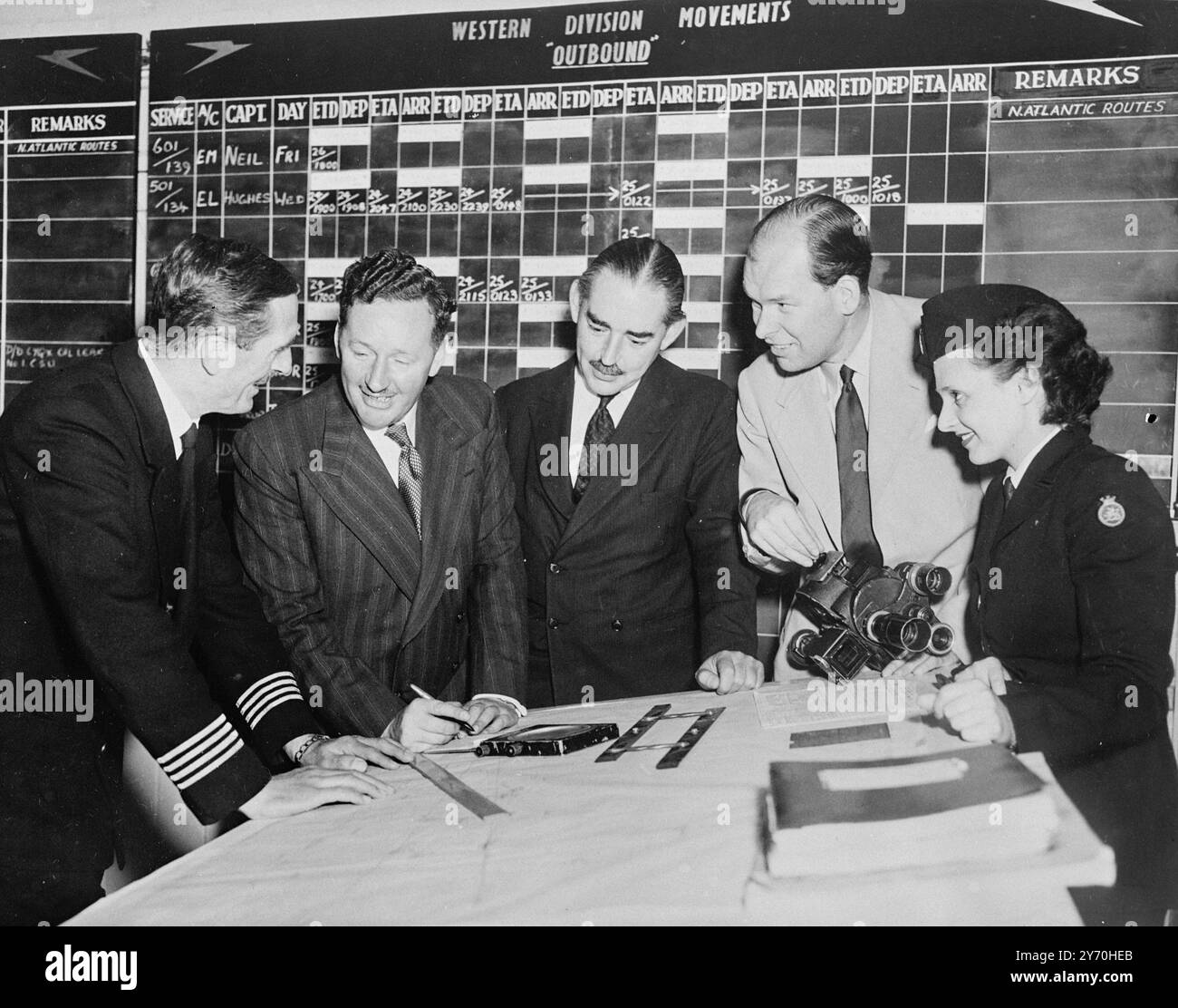 EIGHT -DAY TOUR - ROUND THE WORLD . Though he won't circle the globe as speedily as his voice , Wynford Vaughan Thomas , British Broadcasting Corporation Commentator , will do the next best - he will fly round the world in eight days by normal Commonwealth air transport lines . Accompanied by television cameraman Charles de Jaeger , he starts from London Airport on September 19 to Sydney on the B.O.A.C.- Quanta's service . from there they cross the pacific by British Commonwealth Pacific Airlines to Vancouver , Canada will be spanned by Trans- Canada Airlines and at Montreal the pair pick Stock Photohttps://www.alamy.com/image-license-details/?v=1https://www.alamy.com/eight-day-tour-round-the-world-though-he-wont-circle-the-globe-as-speedily-as-his-voice-wynford-vaughan-thomas-british-broadcasting-corporation-commentator-will-do-the-next-best-he-will-fly-round-the-world-in-eight-days-by-normal-commonwealth-air-transport-lines-accompanied-by-television-cameraman-charles-de-jaeger-he-starts-from-london-airport-on-september-19-to-sydney-on-the-boac-quantas-service-from-there-they-cross-the-pacific-by-british-commonwealth-pacific-airlines-to-vancouver-canada-will-be-spanned-by-trans-canada-airlines-and-at-montreal-the-pair-pick-image623889571.html
RM2Y70HEB–EIGHT -DAY TOUR - ROUND THE WORLD . Though he won't circle the globe as speedily as his voice , Wynford Vaughan Thomas , British Broadcasting Corporation Commentator , will do the next best - he will fly round the world in eight days by normal Commonwealth air transport lines . Accompanied by television cameraman Charles de Jaeger , he starts from London Airport on September 19 to Sydney on the B.O.A.C.- Quanta's service . from there they cross the pacific by British Commonwealth Pacific Airlines to Vancouver , Canada will be spanned by Trans- Canada Airlines and at Montreal the pair pick
 . Preliminary report, Chicago Railway Terminal Commission . MAP OP MONTREAL.90. MAP OF BOSTON. 91 Stock Photohttps://www.alamy.com/image-license-details/?v=1https://www.alamy.com/preliminary-report-chicago-railway-terminal-commission-map-op-montreal90-map-of-boston-91-image375752147.html
RM2CR8YKF–. Preliminary report, Chicago Railway Terminal Commission . MAP OP MONTREAL.90. MAP OF BOSTON. 91
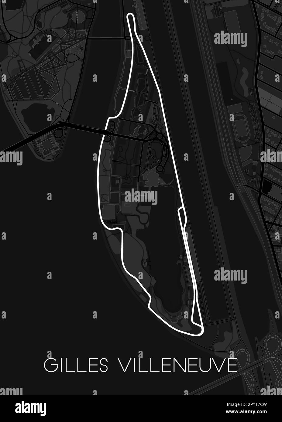 Circuit Gilles Villeneuve Montreal, Quebec, Canada Stock Vectorhttps://www.alamy.com/image-license-details/?v=1https://www.alamy.com/circuit-gilles-villeneuve-montreal-quebec-canada-image550649817.html
RF2PYT7CW–Circuit Gilles Villeneuve Montreal, Quebec, Canada
RF2WH5W1X–Icon for montreal,canada
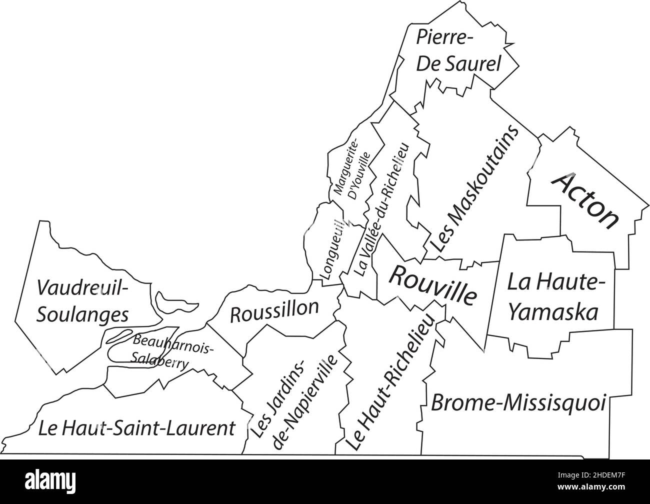 White flat vector administrative map of MONTÉRÉGIE, QUEBEC, CANADA with black border lines and name tags of its municipalities Stock Vectorhttps://www.alamy.com/image-license-details/?v=1https://www.alamy.com/white-flat-vector-administrative-map-of-montrgie-quebec-canada-with-black-border-lines-and-name-tags-of-its-municipalities-image455783315.html
RF2HDEM7F–White flat vector administrative map of MONTÉRÉGIE, QUEBEC, CANADA with black border lines and name tags of its municipalities
RFMPK9R6–Montreal silhouette skyline. Canada - Montreal vector city, canadian linear architecture, buildings. Montreal travel illustration, outline landmarks. Canada flat icon, canadian line banner
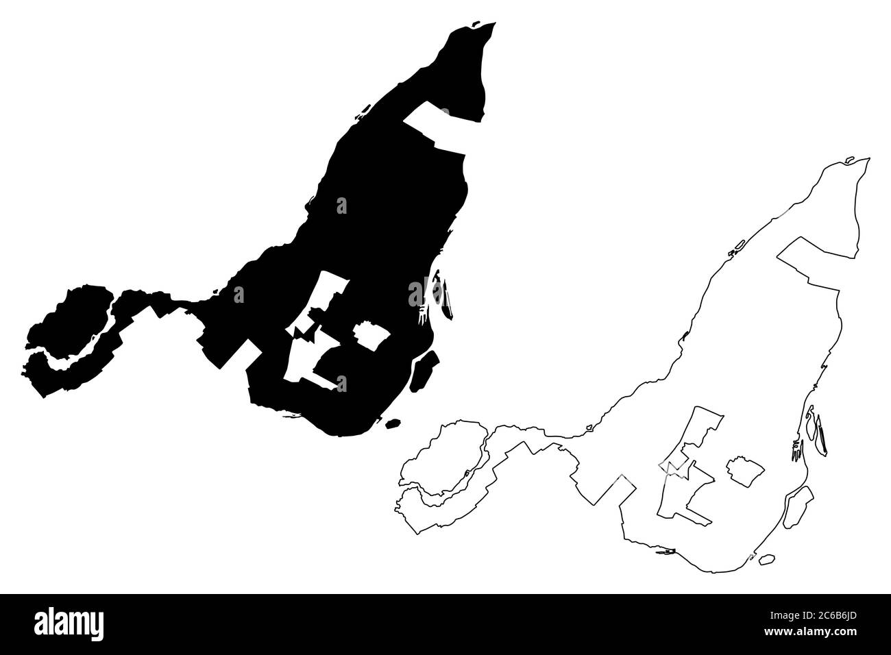 Montreal City (Canada, Quebec Province) map vector illustration, scribble sketch City of Montreal map Stock Vectorhttps://www.alamy.com/image-license-details/?v=1https://www.alamy.com/montreal-city-canada-quebec-province-map-vector-illustration-scribble-sketch-city-of-montreal-map-image365352357.html
RF2C6B6JD–Montreal City (Canada, Quebec Province) map vector illustration, scribble sketch City of Montreal map
 The address map of Gay, sculptor of the eighteenth century, vintage engraved illustration. Magasin Pittoresque 1877. Stock Photohttps://www.alamy.com/image-license-details/?v=1https://www.alamy.com/the-address-map-of-gay-sculptor-of-the-eighteenth-century-vintage-engraved-illustration-magasin-pittoresque-1877-image363163407.html
RF2C2REHK–The address map of Gay, sculptor of the eighteenth century, vintage engraved illustration. Magasin Pittoresque 1877.
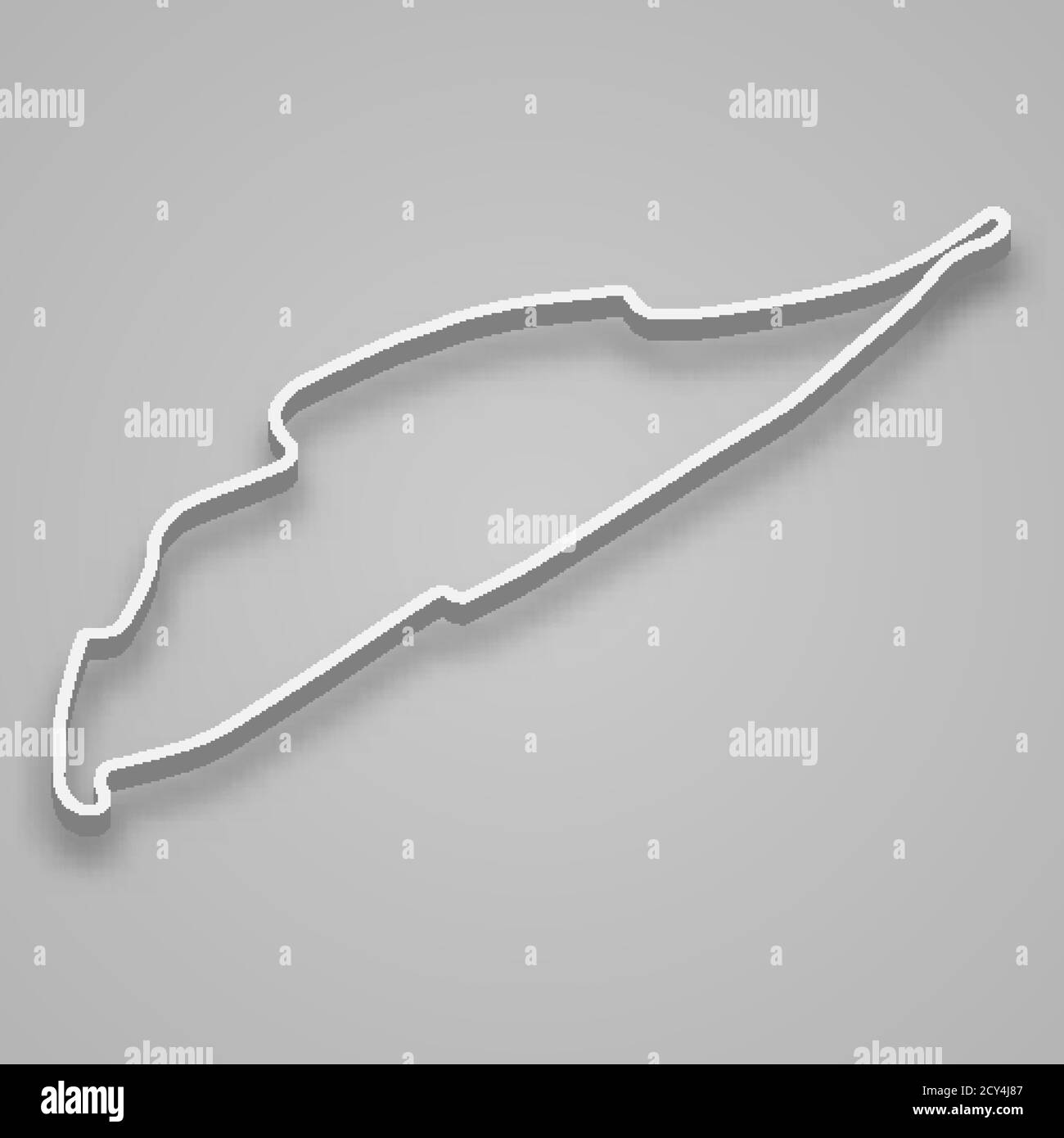 Montreal Circuit for motorsport and autosport. Canada Grand prix race track. Stock Vectorhttps://www.alamy.com/image-license-details/?v=1https://www.alamy.com/montreal-circuit-for-motorsport-and-autosport-canada-grand-prix-race-track-image378115591.html
RF2CY4J87–Montreal Circuit for motorsport and autosport. Canada Grand prix race track.
 Made in Canada - word with continuous one line. Minimalist drawing of phrase illustration. Canada country - continuous one line illustration. Stock Vectorhttps://www.alamy.com/image-license-details/?v=1https://www.alamy.com/made-in-canada-word-with-continuous-one-line-minimalist-drawing-of-phrase-illustration-canada-country-continuous-one-line-illustration-image545072602.html
RF2PJP5JJ–Made in Canada - word with continuous one line. Minimalist drawing of phrase illustration. Canada country - continuous one line illustration.
 Black silhouette of USA and Canada. Illustration. Stock Photohttps://www.alamy.com/image-license-details/?v=1https://www.alamy.com/black-silhouette-of-usa-and-canada-illustration-image606716948.html
RF2X729JC–Black silhouette of USA and Canada. Illustration.
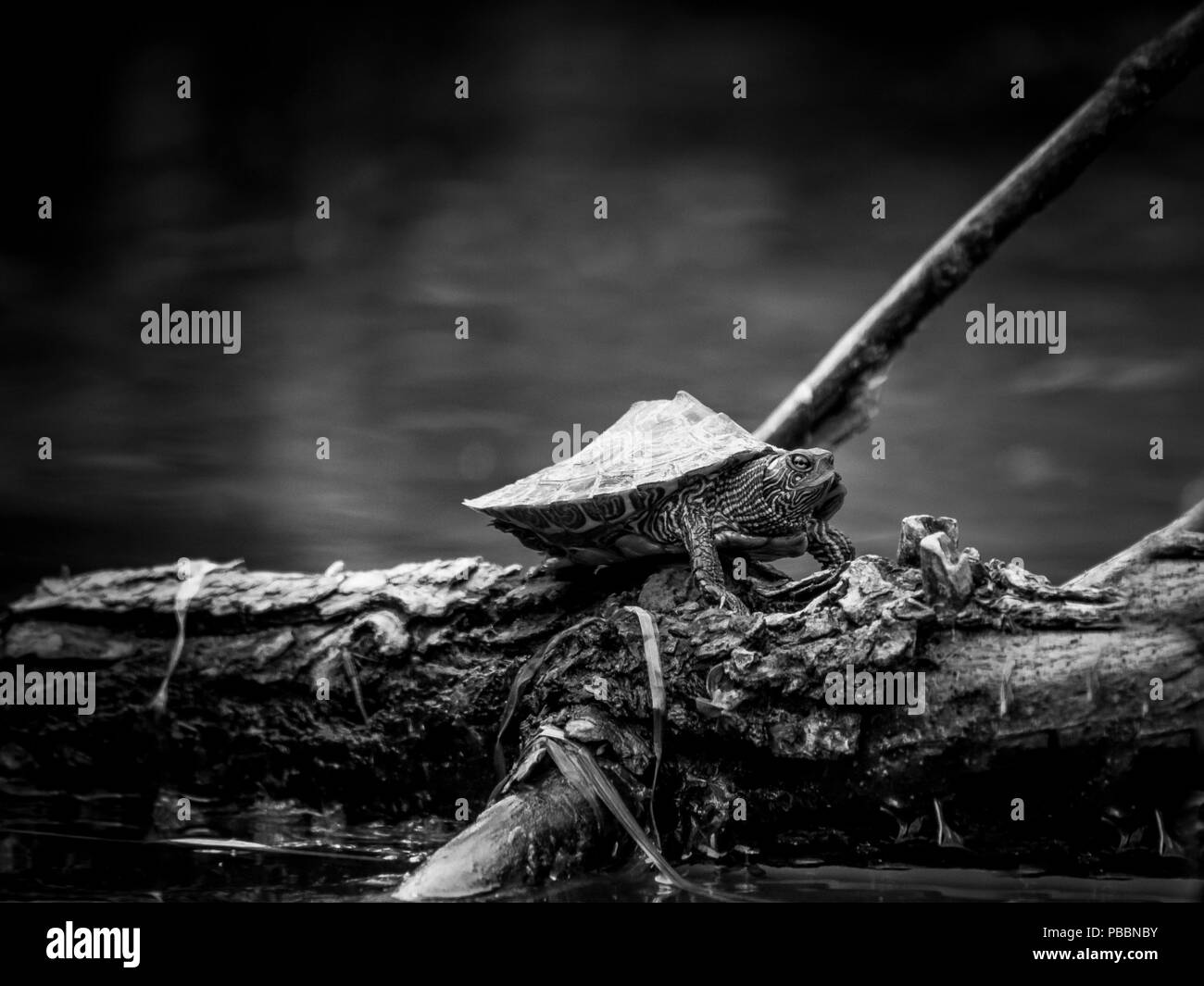 Small Northern map turtle on wood Stock Photohttps://www.alamy.com/image-license-details/?v=1https://www.alamy.com/small-northern-map-turtle-on-wood-image213543903.html
RMPBBNBY–Small Northern map turtle on wood
 Montreal 1647 Stock Photohttps://www.alamy.com/image-license-details/?v=1https://www.alamy.com/stock-photo-montreal-1647-140276640.html
RMJ46480–Montreal 1647
RF2HF6DWK–Racetrack icons set outline vector. Track map. Grand prix
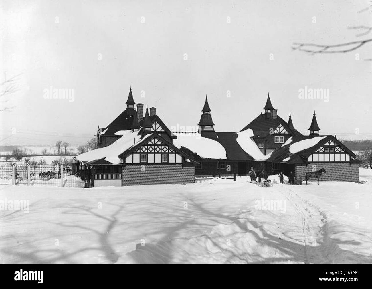 Montreal Hunt Kennels Stock Photohttps://www.alamy.com/image-license-details/?v=1https://www.alamy.com/stock-photo-montreal-hunt-kennels-140280639.html
RMJ469AR–Montreal Hunt Kennels
 SMALL1867 p069 Montreal Harbour(gr) Stock Photohttps://www.alamy.com/image-license-details/?v=1https://www.alamy.com/stock-photo-small1867-p069-montreal-harbourgr-76866651.html
RMED1G5F–SMALL1867 p069 Montreal Harbour(gr)
 . Preliminary report, Chicago Railway Terminal Commission . MAP OP TORONTO.89. MAP OP MONTREAL.90 Stock Photohttps://www.alamy.com/image-license-details/?v=1https://www.alamy.com/preliminary-report-chicago-railway-terminal-commission-map-op-toronto89-map-op-montreal90-image375752579.html
RM2CR906Y–. Preliminary report, Chicago Railway Terminal Commission . MAP OP TORONTO.89. MAP OP MONTREAL.90
RF2WNTFNR–Icon for montreal,canada
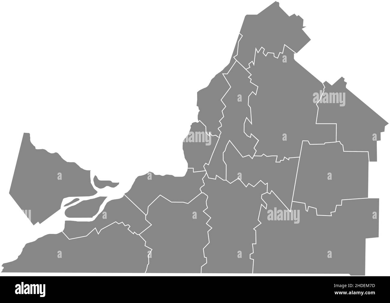 Gray flat blank vector administrative map of the municipalities of MONTÉRÉGIE, QUEBEC, CANADA with white border lines of its municipalities Stock Vectorhttps://www.alamy.com/image-license-details/?v=1https://www.alamy.com/gray-flat-blank-vector-administrative-map-of-the-municipalities-of-montrgie-quebec-canada-with-white-border-lines-of-its-municipalities-image455783313.html
RF2HDEM7D–Gray flat blank vector administrative map of the municipalities of MONTÉRÉGIE, QUEBEC, CANADA with white border lines of its municipalities
RF2JMXRMX–Canada, Ottawa city skyline isolated vector illustration, icons
 Montreal City (Canada, Quebec Province) map vector illustration, scribble sketch City of Montreal map Stock Vectorhttps://www.alamy.com/image-license-details/?v=1https://www.alamy.com/montreal-city-canada-quebec-province-map-vector-illustration-scribble-sketch-city-of-montreal-map-image368694878.html
RF2CBRE26–Montreal City (Canada, Quebec Province) map vector illustration, scribble sketch City of Montreal map
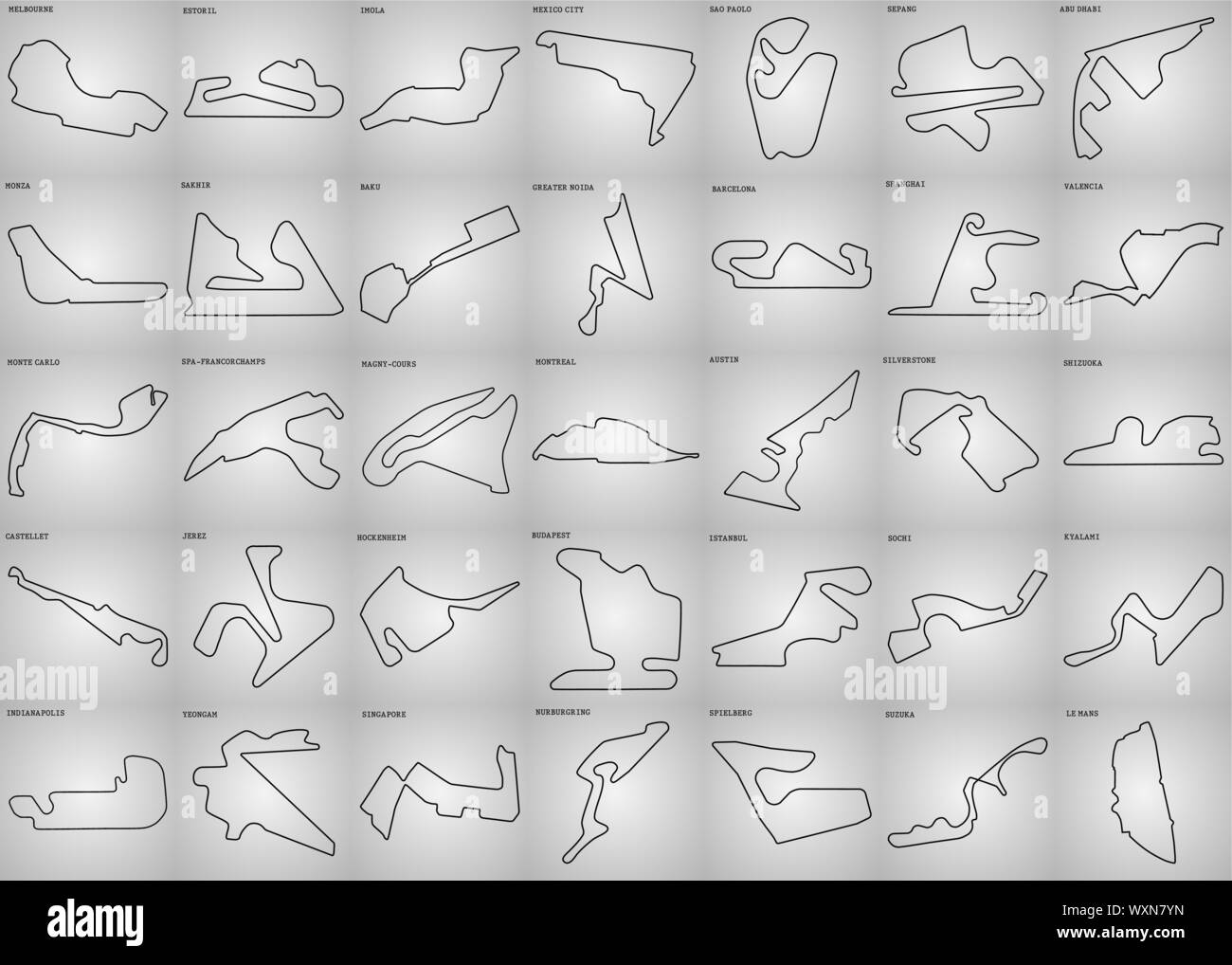 set of grand prix race track. circuit for motorsport and autosport. Vector illustration Stock Vectorhttps://www.alamy.com/image-license-details/?v=1https://www.alamy.com/set-of-grand-prix-race-track-circuit-for-motorsport-and-autosport-vector-illustration-image274603833.html
RFWXN7YN–set of grand prix race track. circuit for motorsport and autosport. Vector illustration
 Hello Canada - word with continuous one line. Minimalist drawing of phrase illustration. Canada country - continuous one line illustration. Stock Vectorhttps://www.alamy.com/image-license-details/?v=1https://www.alamy.com/hello-canada-word-with-continuous-one-line-minimalist-drawing-of-phrase-illustration-canada-country-continuous-one-line-illustration-image538579561.html
RF2P86BM9–Hello Canada - word with continuous one line. Minimalist drawing of phrase illustration. Canada country - continuous one line illustration.
 Small Northern map turtle on wood Stock Photohttps://www.alamy.com/image-license-details/?v=1https://www.alamy.com/small-northern-map-turtle-on-wood-image213543909.html
RMPBBNC5–Small Northern map turtle on wood
RF2PEED0K–100 motorsport icons set. Outline illustration of 100 motorsport icons vector set isolated on white background
 Kildonan Hall Montreal Stock Photohttps://www.alamy.com/image-license-details/?v=1https://www.alamy.com/stock-photo-kildonan-hall-montreal-140471718.html
RMJ4F132–Kildonan Hall Montreal
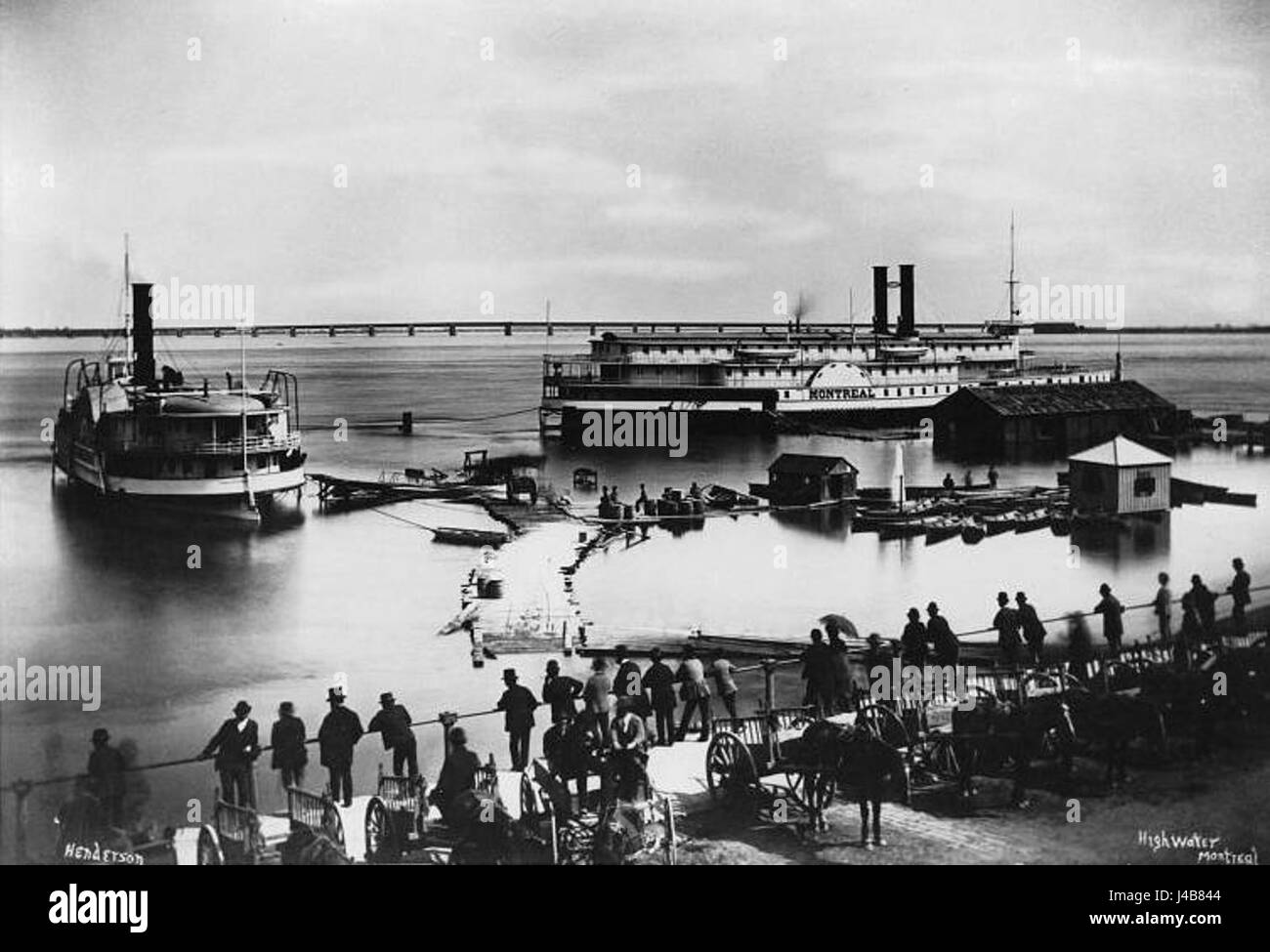 Port Montreal 1870 Stock Photohttps://www.alamy.com/image-license-details/?v=1https://www.alamy.com/stock-photo-port-montreal-1870-140389428.html
RMJ4B844–Port Montreal 1870
 . The Canadian railway problem . SoDTR Afkicah Railway SriTBii The railways of South Africa are remarkablywell distributed, but there is no duplication of trunklines between any important chain of cities. As inIndia, many of the feeder and branch lines are APPENDIX 253 economically built, narrow gange roads. See de-scription of the origin of the Cape railways undergovernment ownership. Queaet^. •— c.r.K. The above map of the railway situation betweenToronto, Ottawa, and Montreal illustrates the pri-vate ownership conception of national service. Threeparallel competing lines between these citie Stock Photohttps://www.alamy.com/image-license-details/?v=1https://www.alamy.com/the-canadian-railway-problem-sodtr-afkicah-railway-sritbii-the-railways-of-south-africa-are-remarkablywell-distributed-but-there-is-no-duplication-of-trunklines-between-any-important-chain-of-cities-as-inindia-many-of-the-feeder-and-branch-lines-are-appendix-253-economically-built-narrow-gange-roads-see-de-scription-of-the-origin-of-the-cape-railways-undergovernment-ownership-queaet-crk-the-above-map-of-the-railway-situation-betweentoronto-ottawa-and-montreal-illustrates-the-pri-vate-ownership-conception-of-national-service-threeparallel-competing-lines-between-these-citie-image371943171.html
RM2CH3D8K–. The Canadian railway problem . SoDTR Afkicah Railway SriTBii The railways of South Africa are remarkablywell distributed, but there is no duplication of trunklines between any important chain of cities. As inIndia, many of the feeder and branch lines are APPENDIX 253 economically built, narrow gange roads. See de-scription of the origin of the Cape railways undergovernment ownership. Queaet^. •— c.r.K. The above map of the railway situation betweenToronto, Ottawa, and Montreal illustrates the pri-vate ownership conception of national service. Threeparallel competing lines between these citie
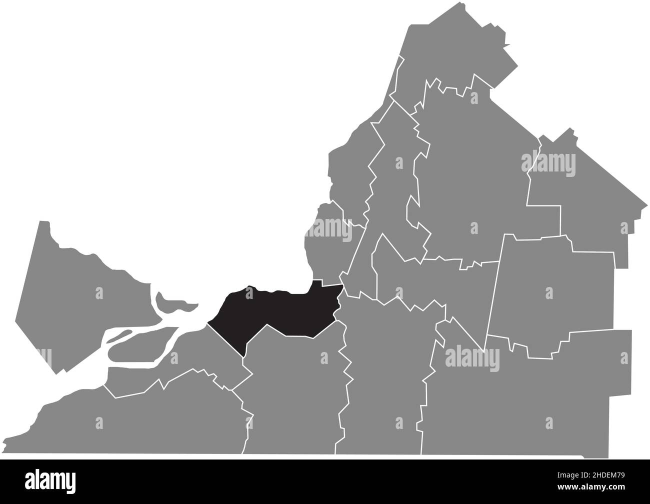 Black flat blank highlighted location map of the ROUSSILLON Regional County Municipality inside gray administrative map of Montérégie, Quebec, Canada Stock Vectorhttps://www.alamy.com/image-license-details/?v=1https://www.alamy.com/black-flat-blank-highlighted-location-map-of-the-roussillon-regional-county-municipality-inside-gray-administrative-map-of-montrgie-quebec-canada-image455783309.html
RF2HDEM79–Black flat blank highlighted location map of the ROUSSILLON Regional County Municipality inside gray administrative map of Montérégie, Quebec, Canada
RF2JMXFXE–Canada, Mississauga city skyline isolated vector illustration, icons
 Montreal Administrative region (Canada, Quebec Province, North America) map vector illustration, scribble sketch Ville de Montréal map Stock Vectorhttps://www.alamy.com/image-license-details/?v=1https://www.alamy.com/montreal-administrative-region-canada-quebec-province-north-america-map-vector-illustration-scribble-sketch-ville-de-montral-map-image603722262.html
RF2X25WWA–Montreal Administrative region (Canada, Quebec Province, North America) map vector illustration, scribble sketch Ville de Montréal map
 Welcome to Canada - word with continuous one line. Minimalist drawing of phrase illustration. Canada country - continuous one line illustration. Stock Vectorhttps://www.alamy.com/image-license-details/?v=1https://www.alamy.com/welcome-to-canada-word-with-continuous-one-line-minimalist-drawing-of-phrase-illustration-canada-country-continuous-one-line-illustration-image545748943.html
RF2PKW09K–Welcome to Canada - word with continuous one line. Minimalist drawing of phrase illustration. Canada country - continuous one line illustration.
 Montreal Hunt Breakfast Stock Photohttps://www.alamy.com/image-license-details/?v=1https://www.alamy.com/stock-photo-montreal-hunt-breakfast-140318455.html
RMJ481HB–Montreal Hunt Breakfast
 . The true story of George Washington : called the father of his country. YOUNG WASHINGTON AT BARBADOES. 44 HOW THE SURVEYOR BECAME A SOLDIER. the Western part of America on a line running from Mont-real to New Orleans. To enable them to hold and occupythis country, the Frenchmen had built a chain of sixty forts.If you look on the map and pick out the cities of Montreal,Ogdensburg, Detroit, Toledo, Fort Wayne, Vincennes, Natchez and New Orleans,which have grown upwhere once certain ofthese French forts stood,you can see what a vasttract of country Francesaid she owned and wasready to defend, i Stock Photohttps://www.alamy.com/image-license-details/?v=1https://www.alamy.com/the-true-story-of-george-washington-called-the-father-of-his-country-young-washington-at-barbadoes-44-how-the-surveyor-became-a-soldier-the-western-part-of-america-on-a-line-running-from-mont-real-to-new-orleans-to-enable-them-to-hold-and-occupythis-country-the-frenchmen-had-built-a-chain-of-sixty-fortsif-you-look-on-the-map-and-pick-out-the-cities-of-montrealogdensburg-detroit-toledo-fort-wayne-vincennes-natchez-and-new-orleanswhich-have-grown-upwhere-once-certain-ofthese-french-forts-stoodyou-can-see-what-a-vasttract-of-country-francesaid-she-owned-and-wasready-to-defend-i-image370616946.html
RM2CEY1KE–. The true story of George Washington : called the father of his country. YOUNG WASHINGTON AT BARBADOES. 44 HOW THE SURVEYOR BECAME A SOLDIER. the Western part of America on a line running from Mont-real to New Orleans. To enable them to hold and occupythis country, the Frenchmen had built a chain of sixty forts.If you look on the map and pick out the cities of Montreal,Ogdensburg, Detroit, Toledo, Fort Wayne, Vincennes, Natchez and New Orleans,which have grown upwhere once certain ofthese French forts stood,you can see what a vasttract of country Francesaid she owned and wasready to defend, i
 Black flat blank highlighted location map of the MARGUERITE-D'YOUVILLE Regional County Municipality inside gray administrative map of Montérégie, Queb Stock Vectorhttps://www.alamy.com/image-license-details/?v=1https://www.alamy.com/black-flat-blank-highlighted-location-map-of-the-marguerite-dyouville-regional-county-municipality-inside-gray-administrative-map-of-montrgie-queb-image455783312.html
RF2HDEM7C–Black flat blank highlighted location map of the MARGUERITE-D'YOUVILLE Regional County Municipality inside gray administrative map of Montérégie, Queb
RF2JMXJ3T–Canada, Regina city skyline isolated vector illustration, icons
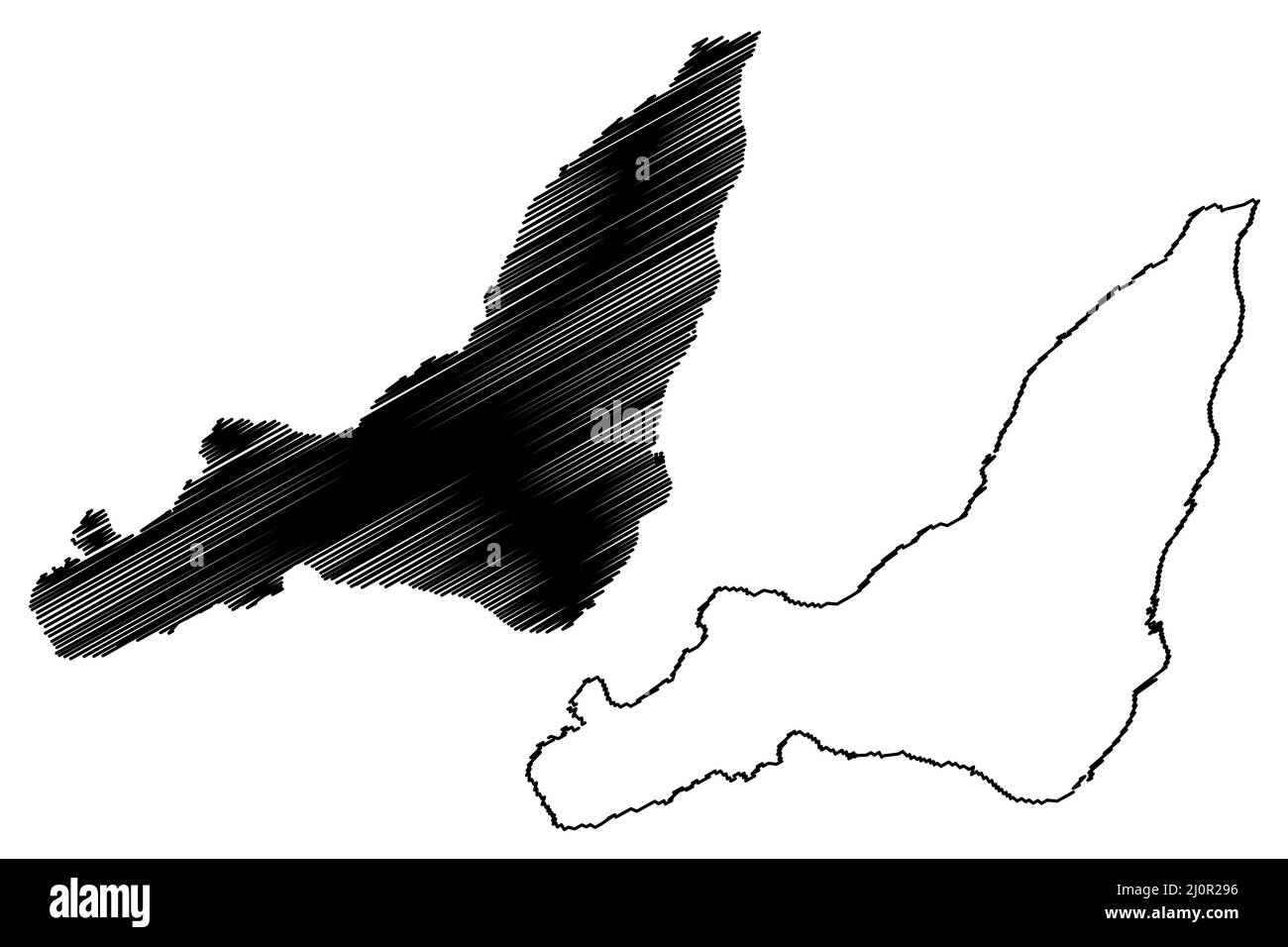 Montreal island (Canada, Quebec Province, North America, Hochelaga Archipelago) map vector illustration, scribble sketch Montreal map Stock Vectorhttps://www.alamy.com/image-license-details/?v=1https://www.alamy.com/montreal-island-canada-quebec-province-north-america-hochelaga-archipelago-map-vector-illustration-scribble-sketch-montreal-map-image465186658.html
RF2J0R296–Montreal island (Canada, Quebec Province, North America, Hochelaga Archipelago) map vector illustration, scribble sketch Montreal map
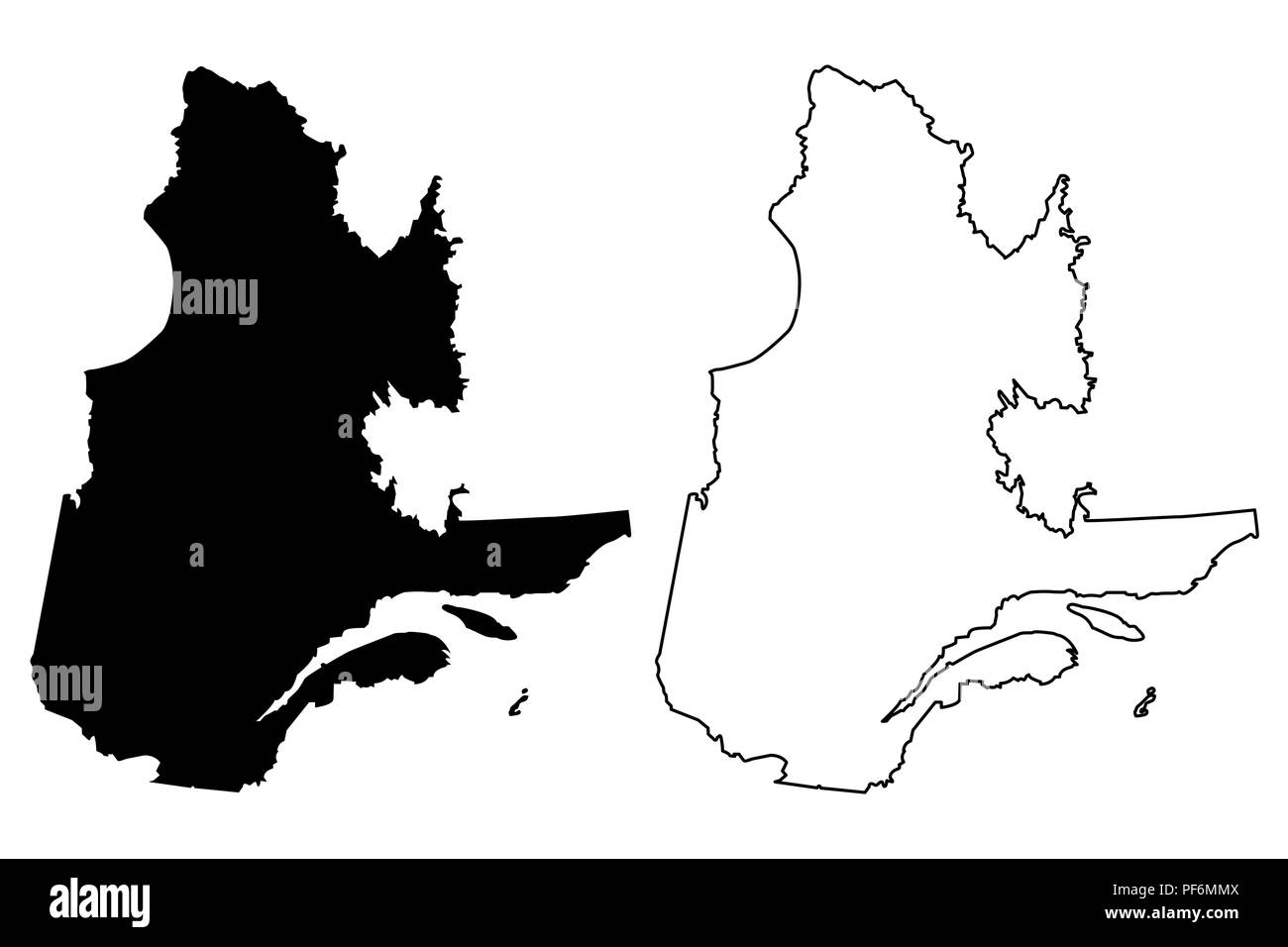 Quebec (provinces and territories of Canada) map vector illustration, scribble sketch Quebec map Stock Vectorhttps://www.alamy.com/image-license-details/?v=1https://www.alamy.com/quebec-provinces-and-territories-of-canada-map-vector-illustration-scribble-sketch-quebec-map-image215892234.html
RFPF6MMX–Quebec (provinces and territories of Canada) map vector illustration, scribble sketch Quebec map
 Canada silhouette one line continuous drawing. Canada country silhouette continuous one line illustration. Vector minimalist linear illustration. Stock Vectorhttps://www.alamy.com/image-license-details/?v=1https://www.alamy.com/canada-silhouette-one-line-continuous-drawing-canada-country-silhouette-continuous-one-line-illustration-vector-minimalist-linear-illustration-image507241477.html
RF2MD6RK1–Canada silhouette one line continuous drawing. Canada country silhouette continuous one line illustration. Vector minimalist linear illustration.
 Tramway Montreal 1893 Stock Photohttps://www.alamy.com/image-license-details/?v=1https://www.alamy.com/stock-photo-tramway-montreal-1893-140700246.html
RMJ4WCGP–Tramway Montreal 1893
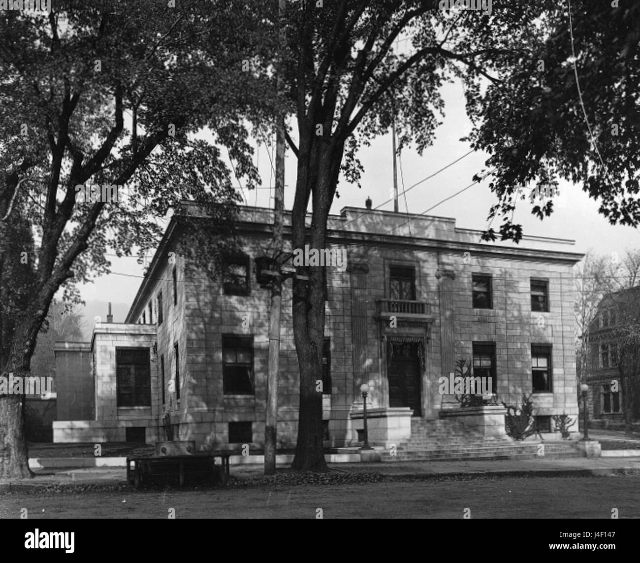 Mount Royal Club Montreal Stock Photohttps://www.alamy.com/image-license-details/?v=1https://www.alamy.com/stock-photo-mount-royal-club-montreal-140471751.html
RMJ4F147–Mount Royal Club Montreal
 . Americana ... including scarce and precious books, manuscripts and engravings from the collections of Emperor Maximilian of Mexico and Charles Et. Brasseur de Bourbourg, the library of Edward Salomon, late governor of the state of Wisconsin, and other important collections . binet. — Supple-ment du medaUlier de Canada. Montreal 1888. Rel. en 1 vol. in-8.Avec grand nombre de grav. dem. toile. M. 30.— 1114 — MedaUier du Canada. Avec 1881 gravures de medailles. 2. ed.Montreal 1892. gr. m-8. cart. M. 36.— Exemplaire du c^ldbre nutnismate F. Ulex, augments de beaucoup de notesms. 1115 — Catalogue Stock Photohttps://www.alamy.com/image-license-details/?v=1https://www.alamy.com/americana-including-scarce-and-precious-books-manuscripts-and-engravings-from-the-collections-of-emperor-maximilian-of-mexico-and-charles-et-brasseur-de-bourbourg-the-library-of-edward-salomon-late-governor-of-the-state-of-wisconsin-and-other-important-collections-binet-supple-ment-du-medaulier-de-canada-montreal-1888-rel-en-1-vol-in-8avec-grand-nombre-de-grav-dem-toile-m-30-1114-medauier-du-canada-avec-1881-gravures-de-medailles-2-edmontreal-1892-gr-m-8-cart-m-36-exemplaire-du-cldbre-nutnismate-f-ulex-augments-de-beaucoup-de-notesms-1115-catalogue-image372389167.html
RM2CHRP53–. Americana ... including scarce and precious books, manuscripts and engravings from the collections of Emperor Maximilian of Mexico and Charles Et. Brasseur de Bourbourg, the library of Edward Salomon, late governor of the state of Wisconsin, and other important collections . binet. — Supple-ment du medaUlier de Canada. Montreal 1888. Rel. en 1 vol. in-8.Avec grand nombre de grav. dem. toile. M. 30.— 1114 — MedaUier du Canada. Avec 1881 gravures de medailles. 2. ed.Montreal 1892. gr. m-8. cart. M. 36.— Exemplaire du c^ldbre nutnismate F. Ulex, augments de beaucoup de notesms. 1115 — Catalogue
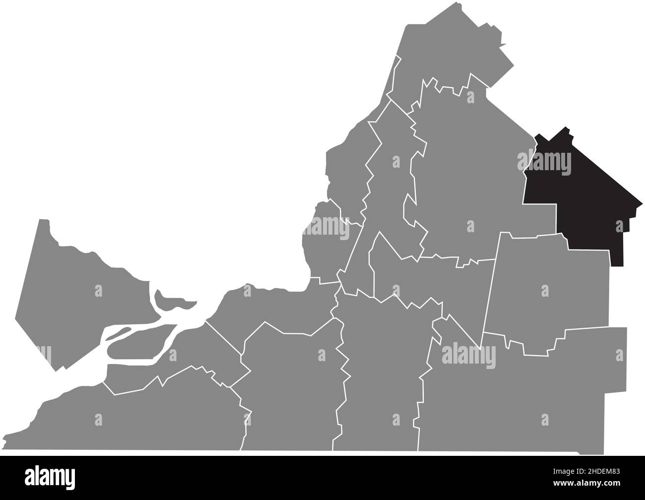 Black flat blank highlighted location map of the AAA Regional County Municipality inside gray administrative map of Montérégie, Quebec, Canada Stock Vectorhttps://www.alamy.com/image-license-details/?v=1https://www.alamy.com/black-flat-blank-highlighted-location-map-of-the-aaa-regional-county-municipality-inside-gray-administrative-map-of-montrgie-quebec-canada-image455783331.html
RF2HDEM83–Black flat blank highlighted location map of the AAA Regional County Municipality inside gray administrative map of Montérégie, Quebec, Canada
RF2JMXFXP–Canada, Halifax city skyline isolated vector illustration, icons
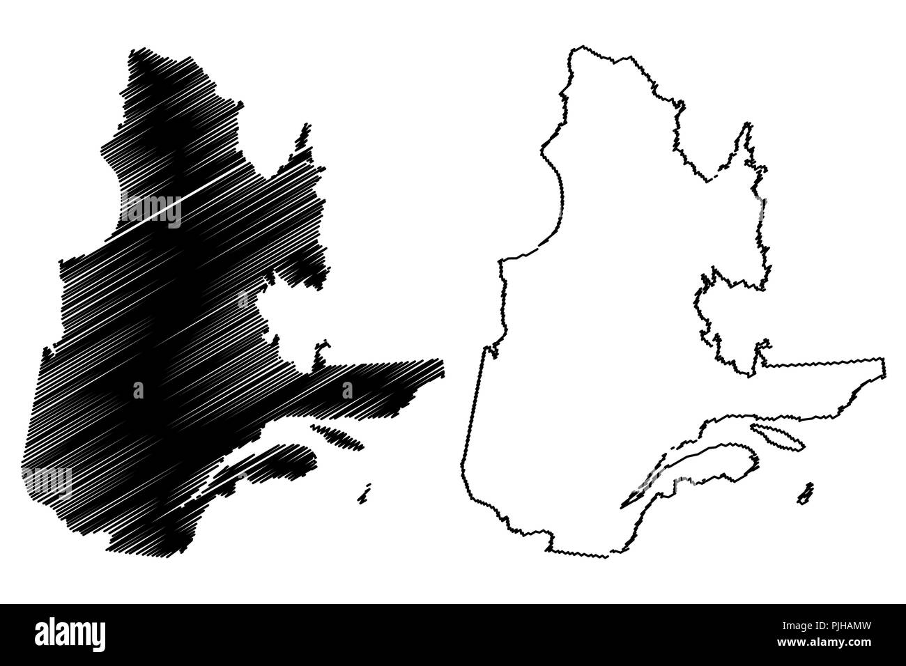 Quebec (provinces and territories of Canada) map vector illustration, scribble sketch Quebec map Stock Vectorhttps://www.alamy.com/image-license-details/?v=1https://www.alamy.com/quebec-provinces-and-territories-of-canada-map-vector-illustration-scribble-sketch-quebec-map-image217969833.html
RFPJHAMW–Quebec (provinces and territories of Canada) map vector illustration, scribble sketch Quebec map
 Canada - word with continuous one line. Minimalist drawing of phrase illustration. Canada country - continuous one line illustration. Stock Vectorhttps://www.alamy.com/image-license-details/?v=1https://www.alamy.com/canada-word-with-continuous-one-line-minimalist-drawing-of-phrase-illustration-canada-country-continuous-one-line-illustration-image534146442.html
RF2P10D6J–Canada - word with continuous one line. Minimalist drawing of phrase illustration. Canada country - continuous one line illustration.
 Gare Dalhousie Montreal 1880 Stock Photohttps://www.alamy.com/image-license-details/?v=1https://www.alamy.com/stock-photo-gare-dalhousie-montreal-1880-139860646.html
RMJ3F5K2–Gare Dalhousie Montreal 1880
 Montreal Lacrosse Club 1867 Stock Photohttps://www.alamy.com/image-license-details/?v=1https://www.alamy.com/stock-photo-montreal-lacrosse-club-1867-142880993.html
RMJ8CP4H–Montreal Lacrosse Club 1867
![. Report of the fifty-fourth meeting of the British Association for the Advancement of Science [microform] : held at Montreal in August and September 1884. Congresses and conventions; Science; Congrès et conférences; Sciences. f'lW 230 RErORT—1H84. map of Northern Norway (' Gcologisk Kart over dot Nordlij,'e Norgc ') on the Hiimo Hcalo, was publiHhod in 1879 by T. Dahll. There is no reguUir publication of menioirs and pnpors of tho snrvoy ; but they appear in ' Nyt niagazin for naturvidi'nskab,' and in other journalH, transaetions, and Univereity treatises. The collection niiido by the survey Stock Photo . Report of the fifty-fourth meeting of the British Association for the Advancement of Science [microform] : held at Montreal in August and September 1884. Congresses and conventions; Science; Congrès et conférences; Sciences. f'lW 230 RErORT—1H84. map of Northern Norway (' Gcologisk Kart over dot Nordlij,'e Norgc ') on the Hiimo Hcalo, was publiHhod in 1879 by T. Dahll. There is no reguUir publication of menioirs and pnpors of tho snrvoy ; but they appear in ' Nyt niagazin for naturvidi'nskab,' and in other journalH, transaetions, and Univereity treatises. The collection niiido by the survey Stock Photo](https://c8.alamy.com/comp/RJ6JF2/report-of-the-fifty-fourth-meeting-of-the-british-association-for-the-advancement-of-science-microform-held-at-montreal-in-august-and-september-1884-congresses-and-conventions-science-congrs-et-confrences-sciences-flw-230-rerort1h84-map-of-northern-norway-gcologisk-kart-over-dot-nordlije-norgc-on-the-hiimo-hcalo-was-publihhod-in-1879-by-t-dahll-there-is-no-reguuir-publication-of-menioirs-and-pnpors-of-tho-snrvoy-but-they-appear-in-nyt-niagazin-for-naturvidinskab-and-in-other-journalh-transaetions-and-univereity-treatises-the-collection-niiido-by-the-survey-RJ6JF2.jpg) . Report of the fifty-fourth meeting of the British Association for the Advancement of Science [microform] : held at Montreal in August and September 1884. Congresses and conventions; Science; Congrès et conférences; Sciences. f'lW 230 RErORT—1H84. map of Northern Norway (' Gcologisk Kart over dot Nordlij,'e Norgc ') on the Hiimo Hcalo, was publiHhod in 1879 by T. Dahll. There is no reguUir publication of menioirs and pnpors of tho snrvoy ; but they appear in ' Nyt niagazin for naturvidi'nskab,' and in other journalH, transaetions, and Univereity treatises. The collection niiido by the survey Stock Photohttps://www.alamy.com/image-license-details/?v=1https://www.alamy.com/report-of-the-fifty-fourth-meeting-of-the-british-association-for-the-advancement-of-science-microform-held-at-montreal-in-august-and-september-1884-congresses-and-conventions-science-congrs-et-confrences-sciences-flw-230-rerort1h84-map-of-northern-norway-gcologisk-kart-over-dot-nordlije-norgc-on-the-hiimo-hcalo-was-publihhod-in-1879-by-t-dahll-there-is-no-reguuir-publication-of-menioirs-and-pnpors-of-tho-snrvoy-but-they-appear-in-nyt-niagazin-for-naturvidinskab-and-in-other-journalh-transaetions-and-univereity-treatises-the-collection-niiido-by-the-survey-image234944838.html
. Report of the fifty-fourth meeting of the British Association for the Advancement of Science [microform] : held at Montreal in August and September 1884. Congresses and conventions; Science; Congrès et conférences; Sciences. f'lW 230 RErORT—1H84. map of Northern Norway (' Gcologisk Kart over dot Nordlij,'e Norgc ') on the Hiimo Hcalo, was publiHhod in 1879 by T. Dahll. There is no reguUir publication of menioirs and pnpors of tho snrvoy ; but they appear in ' Nyt niagazin for naturvidi'nskab,' and in other journalH, transaetions, and Univereity treatises. The collection niiido by the survey Stock Photohttps://www.alamy.com/image-license-details/?v=1https://www.alamy.com/report-of-the-fifty-fourth-meeting-of-the-british-association-for-the-advancement-of-science-microform-held-at-montreal-in-august-and-september-1884-congresses-and-conventions-science-congrs-et-confrences-sciences-flw-230-rerort1h84-map-of-northern-norway-gcologisk-kart-over-dot-nordlije-norgc-on-the-hiimo-hcalo-was-publihhod-in-1879-by-t-dahll-there-is-no-reguuir-publication-of-menioirs-and-pnpors-of-tho-snrvoy-but-they-appear-in-nyt-niagazin-for-naturvidinskab-and-in-other-journalh-transaetions-and-univereity-treatises-the-collection-niiido-by-the-survey-image234944838.htmlRMRJ6JF2–. Report of the fifty-fourth meeting of the British Association for the Advancement of Science [microform] : held at Montreal in August and September 1884. Congresses and conventions; Science; Congrès et conférences; Sciences. f'lW 230 RErORT—1H84. map of Northern Norway (' Gcologisk Kart over dot Nordlij,'e Norgc ') on the Hiimo Hcalo, was publiHhod in 1879 by T. Dahll. There is no reguUir publication of menioirs and pnpors of tho snrvoy ; but they appear in ' Nyt niagazin for naturvidi'nskab,' and in other journalH, transaetions, and Univereity treatises. The collection niiido by the survey
 Black flat blank highlighted location map of the VAUDREUIL-SOULANGES Regional County Municipality inside gray administrative map of Montérégie, Quebec Stock Vectorhttps://www.alamy.com/image-license-details/?v=1https://www.alamy.com/black-flat-blank-highlighted-location-map-of-the-vaudreuil-soulanges-regional-county-municipality-inside-gray-administrative-map-of-montrgie-quebec-image455783417.html
RF2HDEMB5–Black flat blank highlighted location map of the VAUDREUIL-SOULANGES Regional County Municipality inside gray administrative map of Montérégie, Quebec
RF2JMXFJ6–Canada, Brampton city skyline isolated vector illustration, icons
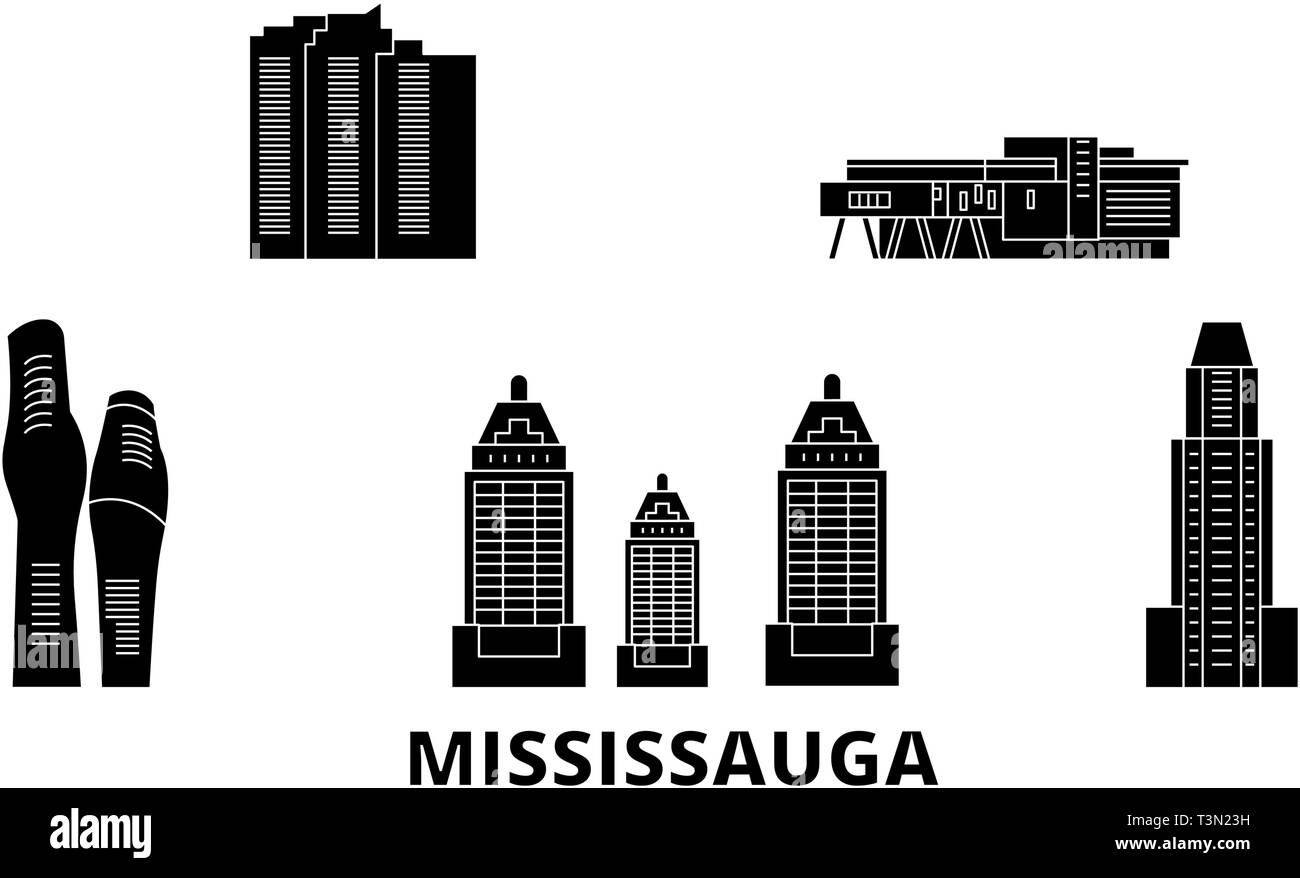 Canada, Mississauga flat travel skyline set. Canada, Mississauga black city vector illustration, symbol, travel sights, landmarks. Stock Vectorhttps://www.alamy.com/image-license-details/?v=1https://www.alamy.com/canada-mississauga-flat-travel-skyline-set-canada-mississauga-black-city-vector-illustration-symbol-travel-sights-landmarks-image243251781.html
RFT3N23H–Canada, Mississauga flat travel skyline set. Canada, Mississauga black city vector illustration, symbol, travel sights, landmarks.
 Canada - word with country silhouette one line. Minimalist drawing of phrase illustration. Canada country silhouette continuous one line illustration. Stock Vectorhttps://www.alamy.com/image-license-details/?v=1https://www.alamy.com/canada-word-with-country-silhouette-one-line-minimalist-drawing-of-phrase-illustration-canada-country-silhouette-continuous-one-line-illustration-image510266817.html
RF2MJ4JEW–Canada - word with country silhouette one line. Minimalist drawing of phrase illustration. Canada country silhouette continuous one line illustration.
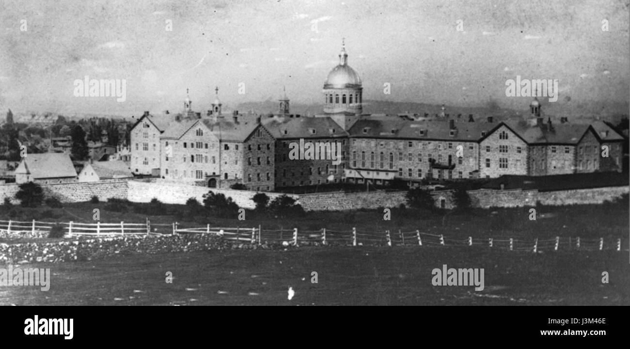 Hotel Dieu Montreal 1865 Stock Photohttps://www.alamy.com/image-license-details/?v=1https://www.alamy.com/stock-photo-hotel-dieu-montreal-1865-139969270.html
RMJ3M46E–Hotel Dieu Montreal 1865
![. Report of the fifty-fourth meeting of the British Association for the Advancement of Science [microform] : held at Montreal in August and September 1884. Congresses and conventions; Science; Congrès et conférences; Sciences. :^if'' I • li 228 UEPORT—1884. by the publication of Greonough's ' Geological Map of Kiigland and Wales' (1811^-20), a Hurvoy was commencod by Dufrt'noy and RHo do Beaumont, under the direction of Jlrocliant do Villiors. From 1822 to 1825 the surveyors were studying field geology iji Kiigland. In 1825 tlio work was commenced in France, Do Beaumont taking the cast, Dufrci Stock Photo . Report of the fifty-fourth meeting of the British Association for the Advancement of Science [microform] : held at Montreal in August and September 1884. Congresses and conventions; Science; Congrès et conférences; Sciences. :^if'' I • li 228 UEPORT—1884. by the publication of Greonough's ' Geological Map of Kiigland and Wales' (1811^-20), a Hurvoy was commencod by Dufrt'noy and RHo do Beaumont, under the direction of Jlrocliant do Villiors. From 1822 to 1825 the surveyors were studying field geology iji Kiigland. In 1825 tlio work was commenced in France, Do Beaumont taking the cast, Dufrci Stock Photo](https://c8.alamy.com/comp/RJ6JFH/report-of-the-fifty-fourth-meeting-of-the-british-association-for-the-advancement-of-science-microform-held-at-montreal-in-august-and-september-1884-congresses-and-conventions-science-congrs-et-confrences-sciences-if-i-li-228-ueport1884-by-the-publication-of-greonoughs-geological-map-of-kiigland-and-wales-1811-20-a-hurvoy-was-commencod-by-dufrtnoy-and-rho-do-beaumont-under-the-direction-of-jlrocliant-do-villiors-from-1822-to-1825-the-surveyors-were-studying-field-geology-iji-kiigland-in-1825-tlio-work-was-commenced-in-france-do-beaumont-taking-the-cast-dufrci-RJ6JFH.jpg) . Report of the fifty-fourth meeting of the British Association for the Advancement of Science [microform] : held at Montreal in August and September 1884. Congresses and conventions; Science; Congrès et conférences; Sciences. :^if'' I • li 228 UEPORT—1884. by the publication of Greonough's ' Geological Map of Kiigland and Wales' (1811^-20), a Hurvoy was commencod by Dufrt'noy and RHo do Beaumont, under the direction of Jlrocliant do Villiors. From 1822 to 1825 the surveyors were studying field geology iji Kiigland. In 1825 tlio work was commenced in France, Do Beaumont taking the cast, Dufrci Stock Photohttps://www.alamy.com/image-license-details/?v=1https://www.alamy.com/report-of-the-fifty-fourth-meeting-of-the-british-association-for-the-advancement-of-science-microform-held-at-montreal-in-august-and-september-1884-congresses-and-conventions-science-congrs-et-confrences-sciences-if-i-li-228-ueport1884-by-the-publication-of-greonoughs-geological-map-of-kiigland-and-wales-1811-20-a-hurvoy-was-commencod-by-dufrtnoy-and-rho-do-beaumont-under-the-direction-of-jlrocliant-do-villiors-from-1822-to-1825-the-surveyors-were-studying-field-geology-iji-kiigland-in-1825-tlio-work-was-commenced-in-france-do-beaumont-taking-the-cast-dufrci-image234944853.html
. Report of the fifty-fourth meeting of the British Association for the Advancement of Science [microform] : held at Montreal in August and September 1884. Congresses and conventions; Science; Congrès et conférences; Sciences. :^if'' I • li 228 UEPORT—1884. by the publication of Greonough's ' Geological Map of Kiigland and Wales' (1811^-20), a Hurvoy was commencod by Dufrt'noy and RHo do Beaumont, under the direction of Jlrocliant do Villiors. From 1822 to 1825 the surveyors were studying field geology iji Kiigland. In 1825 tlio work was commenced in France, Do Beaumont taking the cast, Dufrci Stock Photohttps://www.alamy.com/image-license-details/?v=1https://www.alamy.com/report-of-the-fifty-fourth-meeting-of-the-british-association-for-the-advancement-of-science-microform-held-at-montreal-in-august-and-september-1884-congresses-and-conventions-science-congrs-et-confrences-sciences-if-i-li-228-ueport1884-by-the-publication-of-greonoughs-geological-map-of-kiigland-and-wales-1811-20-a-hurvoy-was-commencod-by-dufrtnoy-and-rho-do-beaumont-under-the-direction-of-jlrocliant-do-villiors-from-1822-to-1825-the-surveyors-were-studying-field-geology-iji-kiigland-in-1825-tlio-work-was-commenced-in-france-do-beaumont-taking-the-cast-dufrci-image234944853.htmlRMRJ6JFH–. Report of the fifty-fourth meeting of the British Association for the Advancement of Science [microform] : held at Montreal in August and September 1884. Congresses and conventions; Science; Congrès et conférences; Sciences. :^if'' I • li 228 UEPORT—1884. by the publication of Greonough's ' Geological Map of Kiigland and Wales' (1811^-20), a Hurvoy was commencod by Dufrt'noy and RHo do Beaumont, under the direction of Jlrocliant do Villiors. From 1822 to 1825 the surveyors were studying field geology iji Kiigland. In 1825 tlio work was commenced in France, Do Beaumont taking the cast, Dufrci
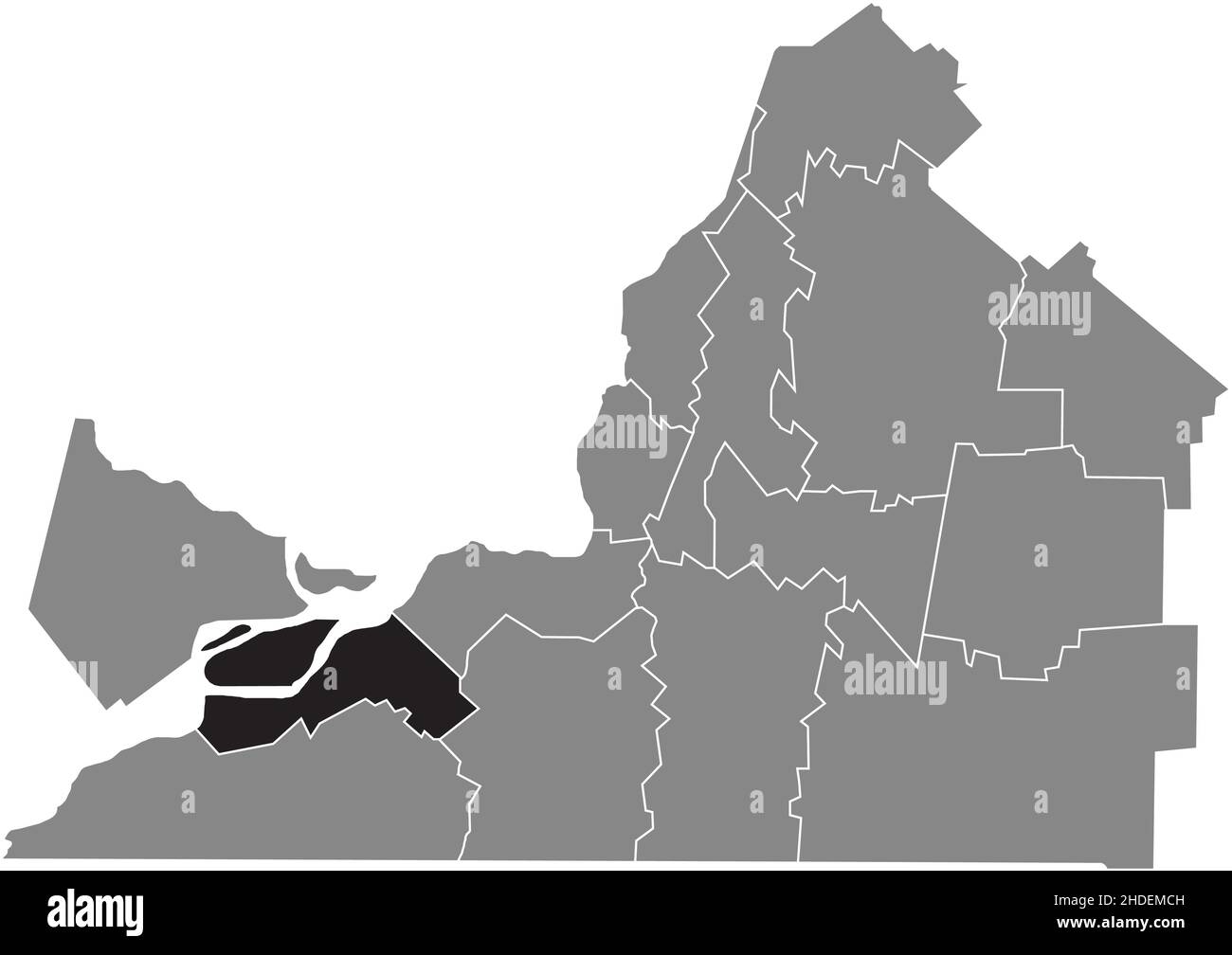 Black flat blank highlighted location map of the BEAUHARNOIS-SALABERRY Regional County Municipality inside gray administrative map of Montérégie, Queb Stock Vectorhttps://www.alamy.com/image-license-details/?v=1https://www.alamy.com/black-flat-blank-highlighted-location-map-of-the-beauharnois-salaberry-regional-county-municipality-inside-gray-administrative-map-of-montrgie-queb-image455783457.html
RF2HDEMCH–Black flat blank highlighted location map of the BEAUHARNOIS-SALABERRY Regional County Municipality inside gray administrative map of Montérégie, Queb
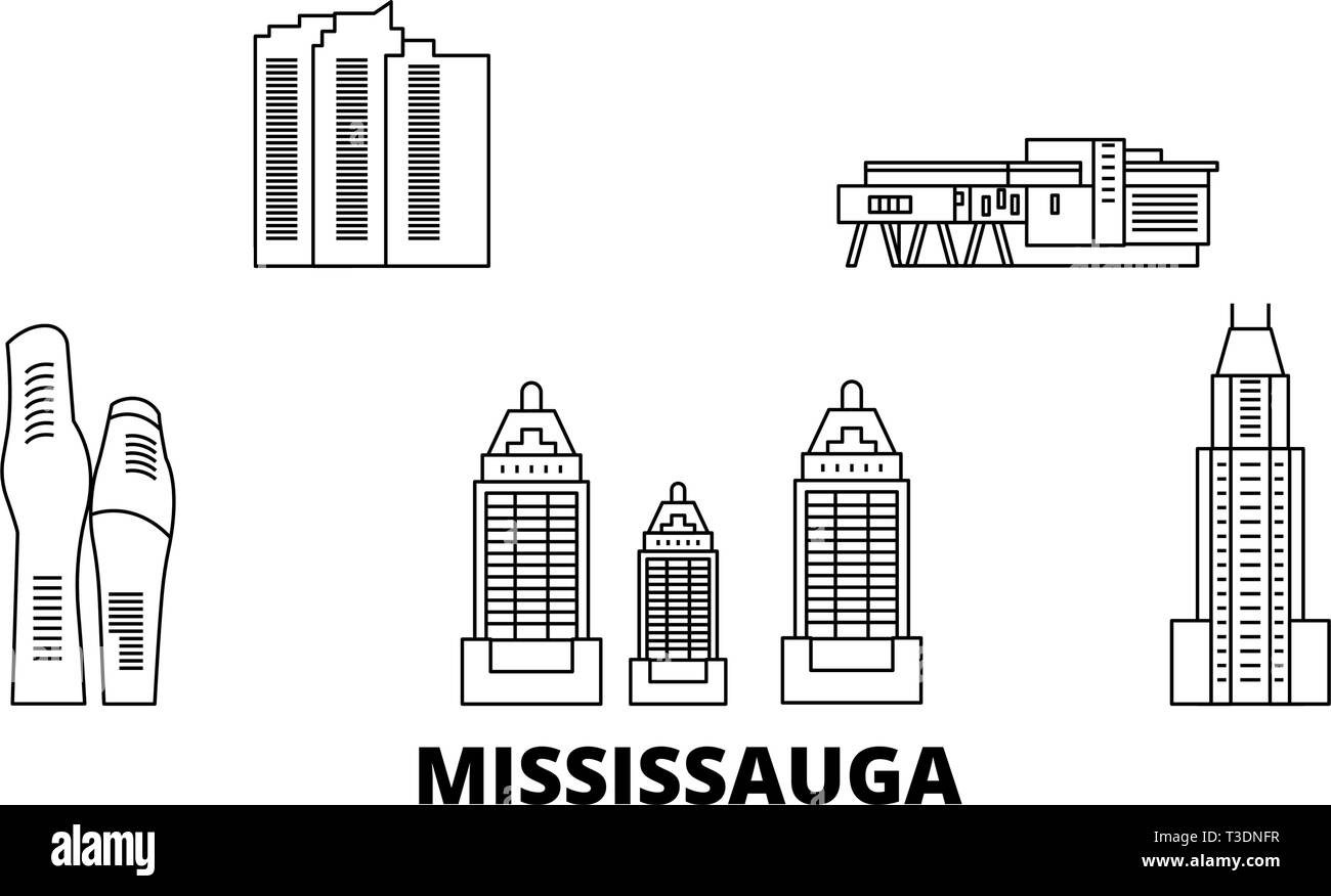 Canada, Mississauga line travel skyline set. Canada, Mississauga outline city vector illustration, symbol, travel sights, landmarks. Stock Vectorhttps://www.alamy.com/image-license-details/?v=1https://www.alamy.com/canada-mississauga-line-travel-skyline-set-canada-mississauga-outline-city-vector-illustration-symbol-travel-sights-landmarks-image243091403.html
RFT3DNFR–Canada, Mississauga line travel skyline set. Canada, Mississauga outline city vector illustration, symbol, travel sights, landmarks.
 Montreal Hockey Club 1885 Stock Photohttps://www.alamy.com/image-license-details/?v=1https://www.alamy.com/stock-photo-montreal-hockey-club-1885-140318391.html
RMJ481F3–Montreal Hockey Club 1885
![. Report of the fifty-fourth meeting of the British Association for the Advancement of Science [microform] : held at Montreal in August and September 1884. Congresses and conventions; Science; Congrès et conférences; Sciences. TRAN.'!ACTIONS OF SKC TION (f. 897 lOptMl til map.-* Ill"'' matii>ii> ucli Willis |)us watur- B.Sr. anil solid I lings and | ,vage may oxidised a^o farms I >, report of tration is solid us:m1-J Tlio ofTt'cfiial means of dcnlinj,' with this refuse is to Inirn it complctfly, ropiilnriy, and H|)('i'dily. 'I'lif towns of iJcrbv, liteds, Itoltun, niucklturn, Hii Stock Photo . Report of the fifty-fourth meeting of the British Association for the Advancement of Science [microform] : held at Montreal in August and September 1884. Congresses and conventions; Science; Congrès et conférences; Sciences. TRAN.'!ACTIONS OF SKC TION (f. 897 lOptMl til map.-* Ill"'' matii>ii> ucli Willis |)us watur- B.Sr. anil solid I lings and | ,vage may oxidised a^o farms I >, report of tration is solid us:m1-J Tlio ofTt'cfiial means of dcnlinj,' with this refuse is to Inirn it complctfly, ropiilnriy, and H|)('i'dily. 'I'lif towns of iJcrbv, liteds, Itoltun, niucklturn, Hii Stock Photo](https://c8.alamy.com/comp/RJ5EM4/report-of-the-fifty-fourth-meeting-of-the-british-association-for-the-advancement-of-science-microform-held-at-montreal-in-august-and-september-1884-congresses-and-conventions-science-congrs-et-confrences-sciences-tran!actions-of-skc-tion-f-897-loptml-til-map-illquot-matiigtiigt-ucli-willis-us-watur-bsr-anil-solid-i-lings-and-vage-may-oxidised-ao-farms-i-gt-report-of-tration-is-solid-usm1-j-tlio-ofttcfiial-means-of-dcnlinj-with-this-refuse-is-to-inirn-it-complctfly-ropiilnriy-and-hidily-ilif-towns-of-ijcrbv-liteds-itoltun-niucklturn-hii-RJ5EM4.jpg) . Report of the fifty-fourth meeting of the British Association for the Advancement of Science [microform] : held at Montreal in August and September 1884. Congresses and conventions; Science; Congrès et conférences; Sciences. TRAN.'!ACTIONS OF SKC TION (f. 897 lOptMl til map.-* Ill"'' matii>ii> ucli Willis |)us watur- B.Sr. anil solid I lings and | ,vage may oxidised a^o farms I >, report of tration is solid us:m1-J Tlio ofTt'cfiial means of dcnlinj,' with this refuse is to Inirn it complctfly, ropiilnriy, and H|)('i'dily. 'I'lif towns of iJcrbv, liteds, Itoltun, niucklturn, Hii Stock Photohttps://www.alamy.com/image-license-details/?v=1https://www.alamy.com/report-of-the-fifty-fourth-meeting-of-the-british-association-for-the-advancement-of-science-microform-held-at-montreal-in-august-and-september-1884-congresses-and-conventions-science-congrs-et-confrences-sciences-tran!actions-of-skc-tion-f-897-loptml-til-map-illquot-matiigtiigt-ucli-willis-us-watur-bsr-anil-solid-i-lings-and-vage-may-oxidised-ao-farms-i-gt-report-of-tration-is-solid-usm1-j-tlio-ofttcfiial-means-of-dcnlinj-with-this-refuse-is-to-inirn-it-complctfly-ropiilnriy-and-hidily-ilif-towns-of-ijcrbv-liteds-itoltun-niucklturn-hii-image234919892.html
. Report of the fifty-fourth meeting of the British Association for the Advancement of Science [microform] : held at Montreal in August and September 1884. Congresses and conventions; Science; Congrès et conférences; Sciences. TRAN.'!ACTIONS OF SKC TION (f. 897 lOptMl til map.-* Ill"'' matii>ii> ucli Willis |)us watur- B.Sr. anil solid I lings and | ,vage may oxidised a^o farms I >, report of tration is solid us:m1-J Tlio ofTt'cfiial means of dcnlinj,' with this refuse is to Inirn it complctfly, ropiilnriy, and H|)('i'dily. 'I'lif towns of iJcrbv, liteds, Itoltun, niucklturn, Hii Stock Photohttps://www.alamy.com/image-license-details/?v=1https://www.alamy.com/report-of-the-fifty-fourth-meeting-of-the-british-association-for-the-advancement-of-science-microform-held-at-montreal-in-august-and-september-1884-congresses-and-conventions-science-congrs-et-confrences-sciences-tran!actions-of-skc-tion-f-897-loptml-til-map-illquot-matiigtiigt-ucli-willis-us-watur-bsr-anil-solid-i-lings-and-vage-may-oxidised-ao-farms-i-gt-report-of-tration-is-solid-usm1-j-tlio-ofttcfiial-means-of-dcnlinj-with-this-refuse-is-to-inirn-it-complctfly-ropiilnriy-and-hidily-ilif-towns-of-ijcrbv-liteds-itoltun-niucklturn-hii-image234919892.htmlRMRJ5EM4–. Report of the fifty-fourth meeting of the British Association for the Advancement of Science [microform] : held at Montreal in August and September 1884. Congresses and conventions; Science; Congrès et conférences; Sciences. TRAN.'!ACTIONS OF SKC TION (f. 897 lOptMl til map.-* Ill"'' matii>ii> ucli Willis |)us watur- B.Sr. anil solid I lings and | ,vage may oxidised a^o farms I >, report of tration is solid us:m1-J Tlio ofTt'cfiial means of dcnlinj,' with this refuse is to Inirn it complctfly, ropiilnriy, and H|)('i'dily. 'I'lif towns of iJcrbv, liteds, Itoltun, niucklturn, Hii
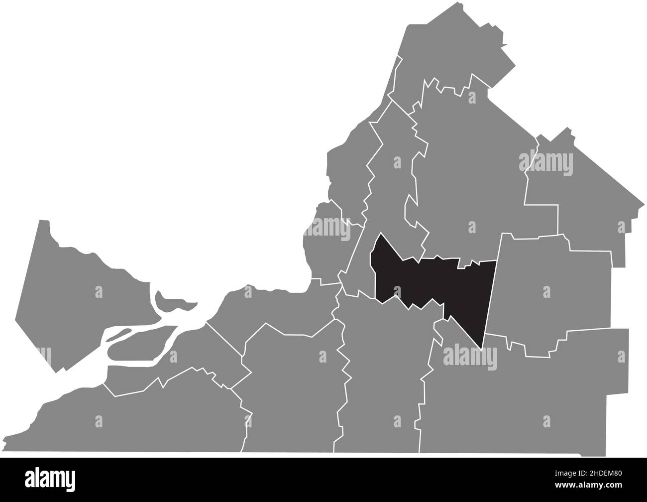 Black flat blank highlighted location map of the ROUVILLE Regional County Municipality inside gray administrative map of Montérégie, Quebec, Canada Stock Vectorhttps://www.alamy.com/image-license-details/?v=1https://www.alamy.com/black-flat-blank-highlighted-location-map-of-the-rouville-regional-county-municipality-inside-gray-administrative-map-of-montrgie-quebec-canada-image455783328.html
RF2HDEM80–Black flat blank highlighted location map of the ROUVILLE Regional County Municipality inside gray administrative map of Montérégie, Quebec, Canada
 Montreal General Hospital 1913 Stock Photohttps://www.alamy.com/image-license-details/?v=1https://www.alamy.com/stock-photo-montreal-general-hospital-1913-140318425.html
RMJ481G9–Montreal General Hospital 1913
![. Catalogue of the library and museum of the Natural History Society of Montreal [microform]. Natural History Society of Montreal; Natural History Society of Montreal; Natural history; Sciences naturelles. "â¢mmmm â *â "'- -**⢠- i^.â..^1. 36 BoiK'htittc'H Map of C"nna<la. ('hurt of Niirrii<ranm'tt Miiy, ISIJ?.âCaj't. WiuNwortli, U. S.N. Curti' (1(^ Im Loiii.siiiiKj el <lii CoiirH ilii ISIiHsiMsi|)i,17l8.âl*uri». Curti- (1(1 Lii Nouvclli! I'Vaiico, I71H.âI'uriH. Carto dort fitatM-Unis, 1812.âI'nris. Maj) of Mexico anil Provinces. Map of .Soiitli America, (to accoinpan Stock Photo . Catalogue of the library and museum of the Natural History Society of Montreal [microform]. Natural History Society of Montreal; Natural History Society of Montreal; Natural history; Sciences naturelles. "â¢mmmm â *â "'- -**⢠- i^.â..^1. 36 BoiK'htittc'H Map of C"nna<la. ('hurt of Niirrii<ranm'tt Miiy, ISIJ?.âCaj't. WiuNwortli, U. S.N. Curti' (1(^ Im Loiii.siiiiKj el <lii CoiirH ilii ISIiHsiMsi|)i,17l8.âl*uri». Curti- (1(1 Lii Nouvclli! I'Vaiico, I71H.âI'uriH. Carto dort fitatM-Unis, 1812.âI'nris. Maj) of Mexico anil Provinces. Map of .Soiitli America, (to accoinpan Stock Photo](https://c8.alamy.com/comp/RJ0142/catalogue-of-the-library-and-museum-of-the-natural-history-society-of-montreal-microform-natural-history-society-of-montreal-natural-history-society-of-montreal-natural-history-sciences-naturelles-quotmmmm-quot-i1-36-boikhtittch-map-of-cquotnnaltla-hurt-of-niirriiltranmtt-miiy-isijcajt-wiunwortli-u-sn-curti-1-im-loiiisiiiikj-el-ltlii-coiirh-ilii-isiihsimsii17l8luri-curti-11-lii-nouvclli!-ivaiico-i71hiurih-carto-dort-fitatm-unis-1812inris-maj-of-mexico-anil-provinces-map-of-soiitli-america-to-accoinpan-RJ0142.jpg) . Catalogue of the library and museum of the Natural History Society of Montreal [microform]. Natural History Society of Montreal; Natural History Society of Montreal; Natural history; Sciences naturelles. "â¢mmmm â *â "'- -**⢠- i^.â..^1. 36 BoiK'htittc'H Map of C"nna<la. ('hurt of Niirrii<ranm'tt Miiy, ISIJ?.âCaj't. WiuNwortli, U. S.N. Curti' (1(^ Im Loiii.siiiiKj el <lii CoiirH ilii ISIiHsiMsi|)i,17l8.âl*uri». Curti- (1(1 Lii Nouvclli! I'Vaiico, I71H.âI'uriH. Carto dort fitatM-Unis, 1812.âI'nris. Maj) of Mexico anil Provinces. Map of .Soiitli America, (to accoinpan Stock Photohttps://www.alamy.com/image-license-details/?v=1https://www.alamy.com/catalogue-of-the-library-and-museum-of-the-natural-history-society-of-montreal-microform-natural-history-society-of-montreal-natural-history-society-of-montreal-natural-history-sciences-naturelles-quotmmmm-quot-i1-36-boikhtittch-map-of-cquotnnaltla-hurt-of-niirriiltranmtt-miiy-isijcajt-wiunwortli-u-sn-curti-1-im-loiiisiiiikj-el-ltlii-coiirh-ilii-isiihsimsii17l8luri-curti-11-lii-nouvclli!-ivaiico-i71hiurih-carto-dort-fitatm-unis-1812inris-maj-of-mexico-anil-provinces-map-of-soiitli-america-to-accoinpan-image234799490.html
. Catalogue of the library and museum of the Natural History Society of Montreal [microform]. Natural History Society of Montreal; Natural History Society of Montreal; Natural history; Sciences naturelles. "â¢mmmm â *â "'- -**⢠- i^.â..^1. 36 BoiK'htittc'H Map of C"nna<la. ('hurt of Niirrii<ranm'tt Miiy, ISIJ?.âCaj't. WiuNwortli, U. S.N. Curti' (1(^ Im Loiii.siiiiKj el <lii CoiirH ilii ISIiHsiMsi|)i,17l8.âl*uri». Curti- (1(1 Lii Nouvclli! I'Vaiico, I71H.âI'uriH. Carto dort fitatM-Unis, 1812.âI'nris. Maj) of Mexico anil Provinces. Map of .Soiitli America, (to accoinpan Stock Photohttps://www.alamy.com/image-license-details/?v=1https://www.alamy.com/catalogue-of-the-library-and-museum-of-the-natural-history-society-of-montreal-microform-natural-history-society-of-montreal-natural-history-society-of-montreal-natural-history-sciences-naturelles-quotmmmm-quot-i1-36-boikhtittch-map-of-cquotnnaltla-hurt-of-niirriiltranmtt-miiy-isijcajt-wiunwortli-u-sn-curti-1-im-loiiisiiiikj-el-ltlii-coiirh-ilii-isiihsimsii17l8luri-curti-11-lii-nouvclli!-ivaiico-i71hiurih-carto-dort-fitatm-unis-1812inris-maj-of-mexico-anil-provinces-map-of-soiitli-america-to-accoinpan-image234799490.htmlRMRJ0142–. Catalogue of the library and museum of the Natural History Society of Montreal [microform]. Natural History Society of Montreal; Natural History Society of Montreal; Natural history; Sciences naturelles. "â¢mmmm â *â "'- -**⢠- i^.â..^1. 36 BoiK'htittc'H Map of C"nna<la. ('hurt of Niirrii<ranm'tt Miiy, ISIJ?.âCaj't. WiuNwortli, U. S.N. Curti' (1(^ Im Loiii.siiiiKj el <lii CoiirH ilii ISIiHsiMsi|)i,17l8.âl*uri». Curti- (1(1 Lii Nouvclli! I'Vaiico, I71H.âI'uriH. Carto dort fitatM-Unis, 1812.âI'nris. Maj) of Mexico anil Provinces. Map of .Soiitli America, (to accoinpan
 Black flat blank highlighted location map of the BROME-MISSISQUOI Regional County Municipality inside gray administrative map of Montérégie, Quebec, C Stock Vectorhttps://www.alamy.com/image-license-details/?v=1https://www.alamy.com/black-flat-blank-highlighted-location-map-of-the-brome-missisquoi-regional-county-municipality-inside-gray-administrative-map-of-montrgie-quebec-c-image455783263.html
RF2HDEM5K–Black flat blank highlighted location map of the BROME-MISSISQUOI Regional County Municipality inside gray administrative map of Montérégie, Quebec, C
 Montreal Hunt at Manoir Rouville Campbell Stock Photohttps://www.alamy.com/image-license-details/?v=1https://www.alamy.com/stock-photo-montreal-hunt-at-manoir-rouville-campbell-140318301.html
RMJ481BW–Montreal Hunt at Manoir Rouville Campbell
![. Catalogue of the library and museum of the Natural History Society of Montreal [microform]. Natural History Society of Montreal; Natural History Society of Montreal; Natural history; Sciences naturelles. "â¢mmmm â *â "'- -**⢠- i^.â..^1. 36 BoiK'htittc'H Map of C"nna<la. ('hurt of Niirrii<ranm'tt Miiy, ISIJ?.âCaj't. WiuNwortli, U. S.N. Curti' (1(^ Im Loiii.siiiiKj el <lii CoiirH ilii ISIiHsiMsi|)i,17l8.âl*uri». Curti- (1(1 Lii Nouvclli! I'Vaiico, I71H.âI'uriH. Carto dort fitatM-Unis, 1812.âI'nris. Maj) of Mexico anil Provinces. Map of .Soiitli America, (to accoinpan Stock Photo . Catalogue of the library and museum of the Natural History Society of Montreal [microform]. Natural History Society of Montreal; Natural History Society of Montreal; Natural history; Sciences naturelles. "â¢mmmm â *â "'- -**⢠- i^.â..^1. 36 BoiK'htittc'H Map of C"nna<la. ('hurt of Niirrii<ranm'tt Miiy, ISIJ?.âCaj't. WiuNwortli, U. S.N. Curti' (1(^ Im Loiii.siiiiKj el <lii CoiirH ilii ISIiHsiMsi|)i,17l8.âl*uri». Curti- (1(1 Lii Nouvclli! I'Vaiico, I71H.âI'uriH. Carto dort fitatM-Unis, 1812.âI'nris. Maj) of Mexico anil Provinces. Map of .Soiitli America, (to accoinpan Stock Photo](https://c8.alamy.com/comp/RJ014A/catalogue-of-the-library-and-museum-of-the-natural-history-society-of-montreal-microform-natural-history-society-of-montreal-natural-history-society-of-montreal-natural-history-sciences-naturelles-quotmmmm-quot-i1-36-boikhtittch-map-of-cquotnnaltla-hurt-of-niirriiltranmtt-miiy-isijcajt-wiunwortli-u-sn-curti-1-im-loiiisiiiikj-el-ltlii-coiirh-ilii-isiihsimsii17l8luri-curti-11-lii-nouvclli!-ivaiico-i71hiurih-carto-dort-fitatm-unis-1812inris-maj-of-mexico-anil-provinces-map-of-soiitli-america-to-accoinpan-RJ014A.jpg) . Catalogue of the library and museum of the Natural History Society of Montreal [microform]. Natural History Society of Montreal; Natural History Society of Montreal; Natural history; Sciences naturelles. "â¢mmmm â *â "'- -**⢠- i^.â..^1. 36 BoiK'htittc'H Map of C"nna<la. ('hurt of Niirrii<ranm'tt Miiy, ISIJ?.âCaj't. WiuNwortli, U. S.N. Curti' (1(^ Im Loiii.siiiiKj el <lii CoiirH ilii ISIiHsiMsi|)i,17l8.âl*uri». Curti- (1(1 Lii Nouvclli! I'Vaiico, I71H.âI'uriH. Carto dort fitatM-Unis, 1812.âI'nris. Maj) of Mexico anil Provinces. Map of .Soiitli America, (to accoinpan Stock Photohttps://www.alamy.com/image-license-details/?v=1https://www.alamy.com/catalogue-of-the-library-and-museum-of-the-natural-history-society-of-montreal-microform-natural-history-society-of-montreal-natural-history-society-of-montreal-natural-history-sciences-naturelles-quotmmmm-quot-i1-36-boikhtittch-map-of-cquotnnaltla-hurt-of-niirriiltranmtt-miiy-isijcajt-wiunwortli-u-sn-curti-1-im-loiiisiiiikj-el-ltlii-coiirh-ilii-isiihsimsii17l8luri-curti-11-lii-nouvclli!-ivaiico-i71hiurih-carto-dort-fitatm-unis-1812inris-maj-of-mexico-anil-provinces-map-of-soiitli-america-to-accoinpan-image234799498.html
. Catalogue of the library and museum of the Natural History Society of Montreal [microform]. Natural History Society of Montreal; Natural History Society of Montreal; Natural history; Sciences naturelles. "â¢mmmm â *â "'- -**⢠- i^.â..^1. 36 BoiK'htittc'H Map of C"nna<la. ('hurt of Niirrii<ranm'tt Miiy, ISIJ?.âCaj't. WiuNwortli, U. S.N. Curti' (1(^ Im Loiii.siiiiKj el <lii CoiirH ilii ISIiHsiMsi|)i,17l8.âl*uri». Curti- (1(1 Lii Nouvclli! I'Vaiico, I71H.âI'uriH. Carto dort fitatM-Unis, 1812.âI'nris. Maj) of Mexico anil Provinces. Map of .Soiitli America, (to accoinpan Stock Photohttps://www.alamy.com/image-license-details/?v=1https://www.alamy.com/catalogue-of-the-library-and-museum-of-the-natural-history-society-of-montreal-microform-natural-history-society-of-montreal-natural-history-society-of-montreal-natural-history-sciences-naturelles-quotmmmm-quot-i1-36-boikhtittch-map-of-cquotnnaltla-hurt-of-niirriiltranmtt-miiy-isijcajt-wiunwortli-u-sn-curti-1-im-loiiisiiiikj-el-ltlii-coiirh-ilii-isiihsimsii17l8luri-curti-11-lii-nouvclli!-ivaiico-i71hiurih-carto-dort-fitatm-unis-1812inris-maj-of-mexico-anil-provinces-map-of-soiitli-america-to-accoinpan-image234799498.htmlRMRJ014A–. Catalogue of the library and museum of the Natural History Society of Montreal [microform]. Natural History Society of Montreal; Natural History Society of Montreal; Natural history; Sciences naturelles. "â¢mmmm â *â "'- -**⢠- i^.â..^1. 36 BoiK'htittc'H Map of C"nna<la. ('hurt of Niirrii<ranm'tt Miiy, ISIJ?.âCaj't. WiuNwortli, U. S.N. Curti' (1(^ Im Loiii.siiiiKj el <lii CoiirH ilii ISIiHsiMsi|)i,17l8.âl*uri». Curti- (1(1 Lii Nouvclli! I'Vaiico, I71H.âI'uriH. Carto dort fitatM-Unis, 1812.âI'nris. Maj) of Mexico anil Provinces. Map of .Soiitli America, (to accoinpan
 Black flat blank highlighted location map of the LES JARDINS-DE-NAPIERVILLE Regional County Municipality inside gray administrative map of Montérégie, Stock Vectorhttps://www.alamy.com/image-license-details/?v=1https://www.alamy.com/black-flat-blank-highlighted-location-map-of-the-les-jardins-de-napierville-regional-county-municipality-inside-gray-administrative-map-of-montrgie-image455783337.html
RF2HDEM89–Black flat blank highlighted location map of the LES JARDINS-DE-NAPIERVILLE Regional County Municipality inside gray administrative map of Montérégie,
 Monklands Villa Maria Montreal 1870 Stock Photohttps://www.alamy.com/image-license-details/?v=1https://www.alamy.com/stock-photo-monklands-villa-maria-montreal-1870-142889568.html
RMJ8D52T–Monklands Villa Maria Montreal 1870
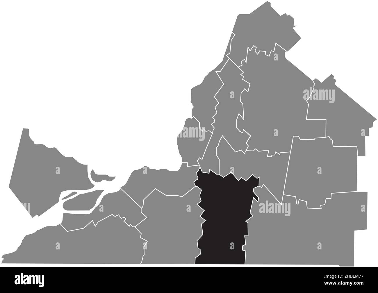 Black flat blank highlighted location map of the LE HAUT-RICHELIEU Regional County Municipality inside gray administrative map of Montérégie, Quebec, Stock Vectorhttps://www.alamy.com/image-license-details/?v=1https://www.alamy.com/black-flat-blank-highlighted-location-map-of-the-le-haut-richelieu-regional-county-municipality-inside-gray-administrative-map-of-montrgie-quebec-image455783307.html
RF2HDEM77–Black flat blank highlighted location map of the LE HAUT-RICHELIEU Regional County Municipality inside gray administrative map of Montérégie, Quebec,
 Montreal and Mount Royal, Canada, 1893 Stock Photohttps://www.alamy.com/image-license-details/?v=1https://www.alamy.com/stock-photo-montreal-and-mount-royal-canada-1893-140295555.html
RMJ470BF–Montreal and Mount Royal, Canada, 1893
 Black flat blank highlighted location map of the LE HAUT-SAINT-LAURENT Regional County Municipality inside gray administrative map of Montérégie, Queb Stock Vectorhttps://www.alamy.com/image-license-details/?v=1https://www.alamy.com/black-flat-blank-highlighted-location-map-of-the-le-haut-saint-laurent-regional-county-municipality-inside-gray-administrative-map-of-montrgie-queb-image455783318.html
RF2HDEM7J–Black flat blank highlighted location map of the LE HAUT-SAINT-LAURENT Regional County Municipality inside gray administrative map of Montérégie, Queb
 Conseil municipal de Montreal 1885 Stock Photohttps://www.alamy.com/image-license-details/?v=1https://www.alamy.com/stock-photo-conseil-municipal-de-montreal-1885-142519877.html
RMJ7T9FH–Conseil municipal de Montreal 1885
 Black flat blank highlighted location map of the PIERRE-DE SAUREL Regional County Municipality inside gray administrative map of Montérégie, Quebec, C Stock Vectorhttps://www.alamy.com/image-license-details/?v=1https://www.alamy.com/black-flat-blank-highlighted-location-map-of-the-pierre-de-saurel-regional-county-municipality-inside-gray-administrative-map-of-montrgie-quebec-c-image455783378.html
RF2HDEM9P–Black flat blank highlighted location map of the PIERRE-DE SAUREL Regional County Municipality inside gray administrative map of Montérégie, Quebec, C
