Map of monument oregon Stock Photos and Images
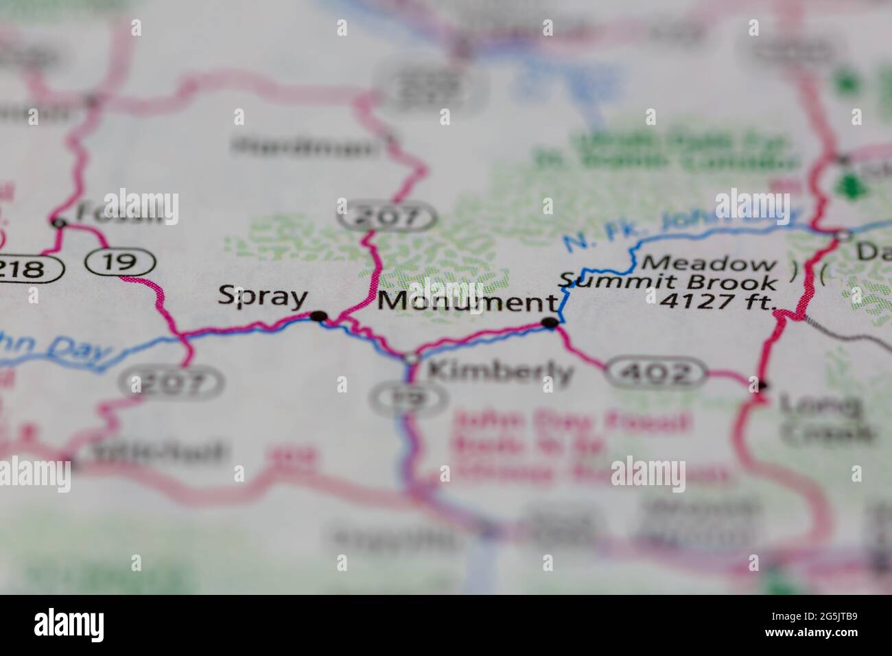 Monument Oregon USA shown on a Geography map or road map Stock Photohttps://www.alamy.com/image-license-details/?v=1https://www.alamy.com/monument-oregon-usa-shown-on-a-geography-map-or-road-map-image433746749.html
RM2G5JTB9–Monument Oregon USA shown on a Geography map or road map
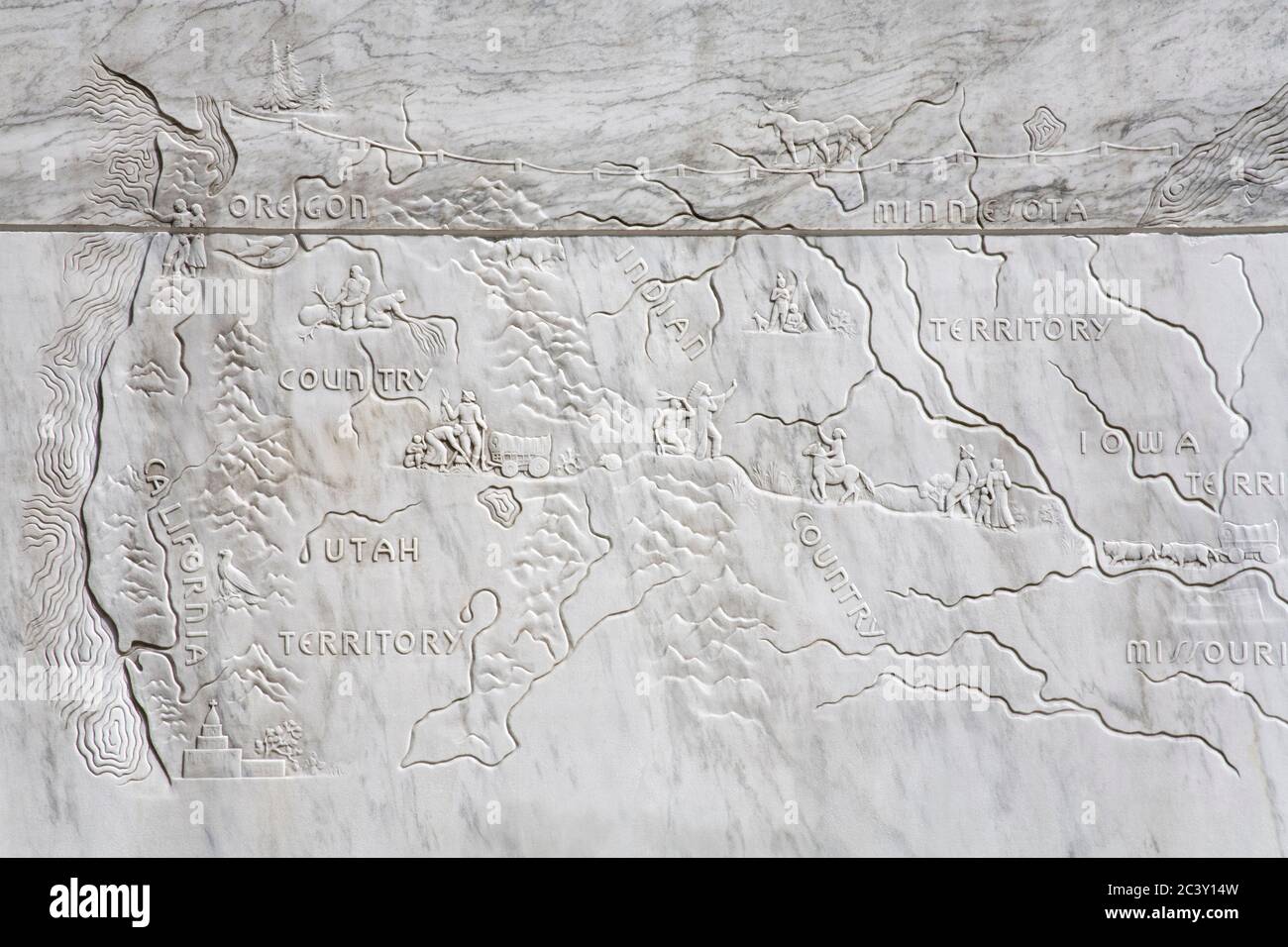 Map on the Frontier monument, Oregon State Capitol building in Salem Stock Photohttps://www.alamy.com/image-license-details/?v=1https://www.alamy.com/map-on-the-frontier-monument-oregon-state-capitol-building-in-salem-image363855321.html
RM2C3Y14W–Map on the Frontier monument, Oregon State Capitol building in Salem
 Korean War map, Korean War Memorial, Town Center Park, Wilsonville, Oregon Stock Photohttps://www.alamy.com/image-license-details/?v=1https://www.alamy.com/stock-photo-korean-war-map-korean-war-memorial-town-center-park-wilsonville-oregon-70259526.html
RFE28GMP–Korean War map, Korean War Memorial, Town Center Park, Wilsonville, Oregon
 Monument, Grant County, US, United States, Oregon, N 44 49' 9'', S 119 25' 15'', map, Cartascapes Map published in 2024. Explore Cartascapes, a map revealing Earth's diverse landscapes, cultures, and ecosystems. Journey through time and space, discovering the interconnectedness of our planet's past, present, and future. Stock Photohttps://www.alamy.com/image-license-details/?v=1https://www.alamy.com/monument-grant-county-us-united-states-oregon-n-44-49-9-s-119-25-15-map-cartascapes-map-published-in-2024-explore-cartascapes-a-map-revealing-earths-diverse-landscapes-cultures-and-ecosystems-journey-through-time-and-space-discovering-the-interconnectedness-of-our-planets-past-present-and-future-image621434189.html
RM2Y30NJ5–Monument, Grant County, US, United States, Oregon, N 44 49' 9'', S 119 25' 15'', map, Cartascapes Map published in 2024. Explore Cartascapes, a map revealing Earth's diverse landscapes, cultures, and ecosystems. Journey through time and space, discovering the interconnectedness of our planet's past, present, and future.
 Portland Oregon City Skyline Panorama in State Map Grunge Texture Background Color Illustration Stock Photohttps://www.alamy.com/image-license-details/?v=1https://www.alamy.com/stock-photo-portland-oregon-city-skyline-panorama-in-state-map-grunge-texture-95612886.html
RFFFFF5X–Portland Oregon City Skyline Panorama in State Map Grunge Texture Background Color Illustration
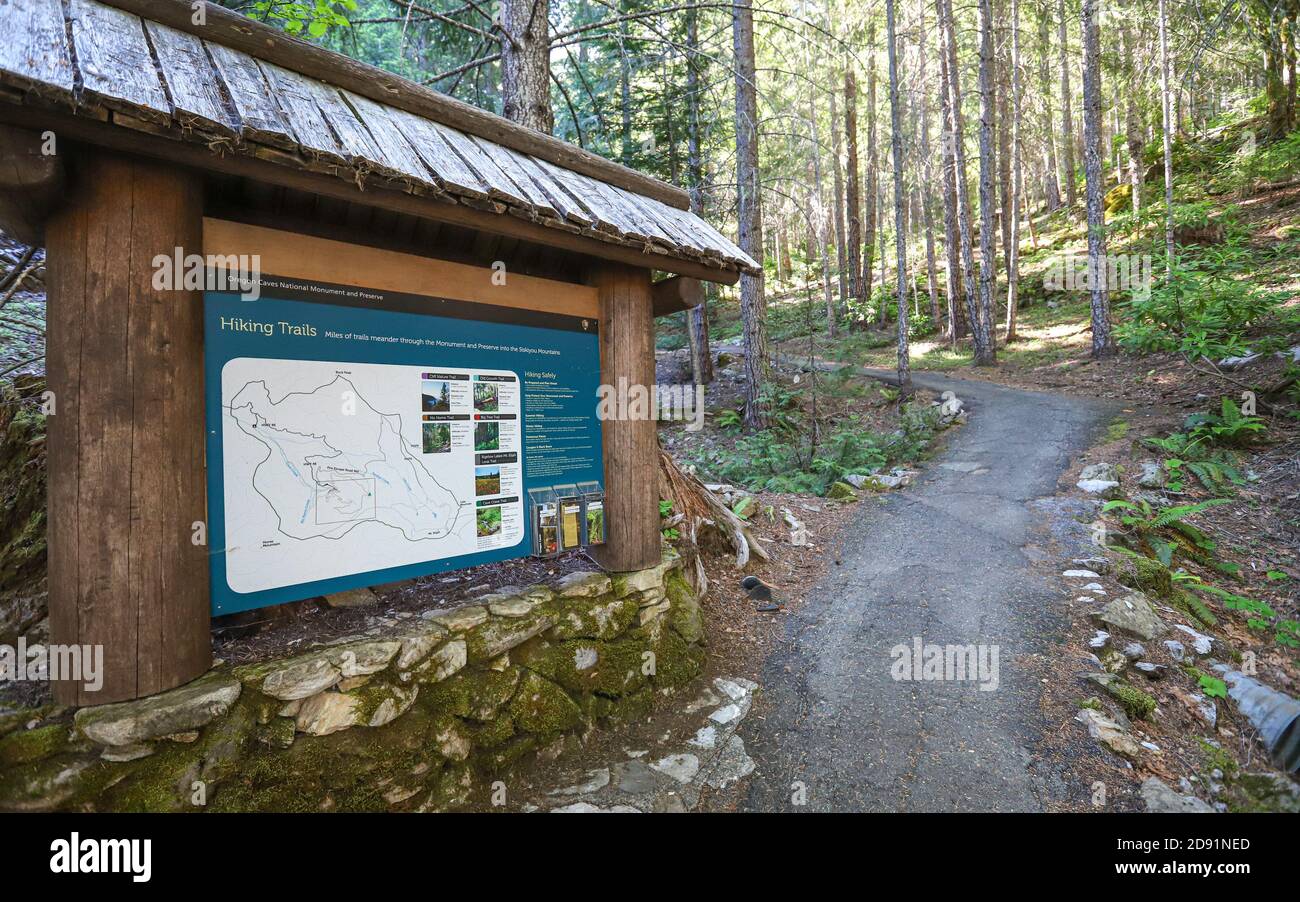 CAVE JUNCTION, OREGON, UNITED STATES - Sep 30, 2019: A map and interpretive sign at the trailhead for hiking paths at Oregon Caves National Monument. Stock Photohttps://www.alamy.com/image-license-details/?v=1https://www.alamy.com/cave-junction-oregon-united-states-sep-30-2019-a-map-and-interpretive-sign-at-the-trailhead-for-hiking-paths-at-oregon-caves-national-monument-image384198821.html
RF2D91NED–CAVE JUNCTION, OREGON, UNITED STATES - Sep 30, 2019: A map and interpretive sign at the trailhead for hiking paths at Oregon Caves National Monument.
 Portland Oregon City Skyline with Mount Hood Hawthorne Bridge in Map Outline Color Illustration Stock Photohttps://www.alamy.com/image-license-details/?v=1https://www.alamy.com/stock-photo-portland-oregon-city-skyline-with-mount-hood-hawthorne-bridge-in-map-86191593.html
RFF06A75–Portland Oregon City Skyline with Mount Hood Hawthorne Bridge in Map Outline Color Illustration
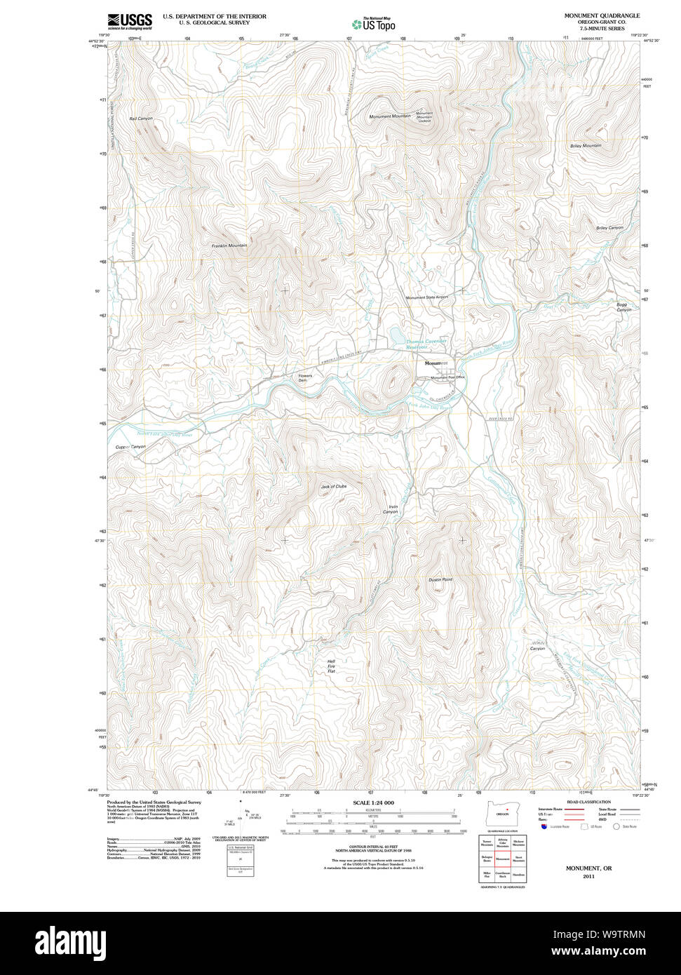 USGS Topo Map Oregon Monument 20110822 TM Restoration Stock Photohttps://www.alamy.com/image-license-details/?v=1https://www.alamy.com/usgs-topo-map-oregon-monument-20110822-tm-restoration-image264232885.html
RMW9TRMN–USGS Topo Map Oregon Monument 20110822 TM Restoration
 Oregon Cityscape in Map Grunge Background Illustration Stock Photohttps://www.alamy.com/image-license-details/?v=1https://www.alamy.com/oregon-cityscape-in-map-grunge-background-illustration-image227452367.html
RFR619PR–Oregon Cityscape in Map Grunge Background Illustration
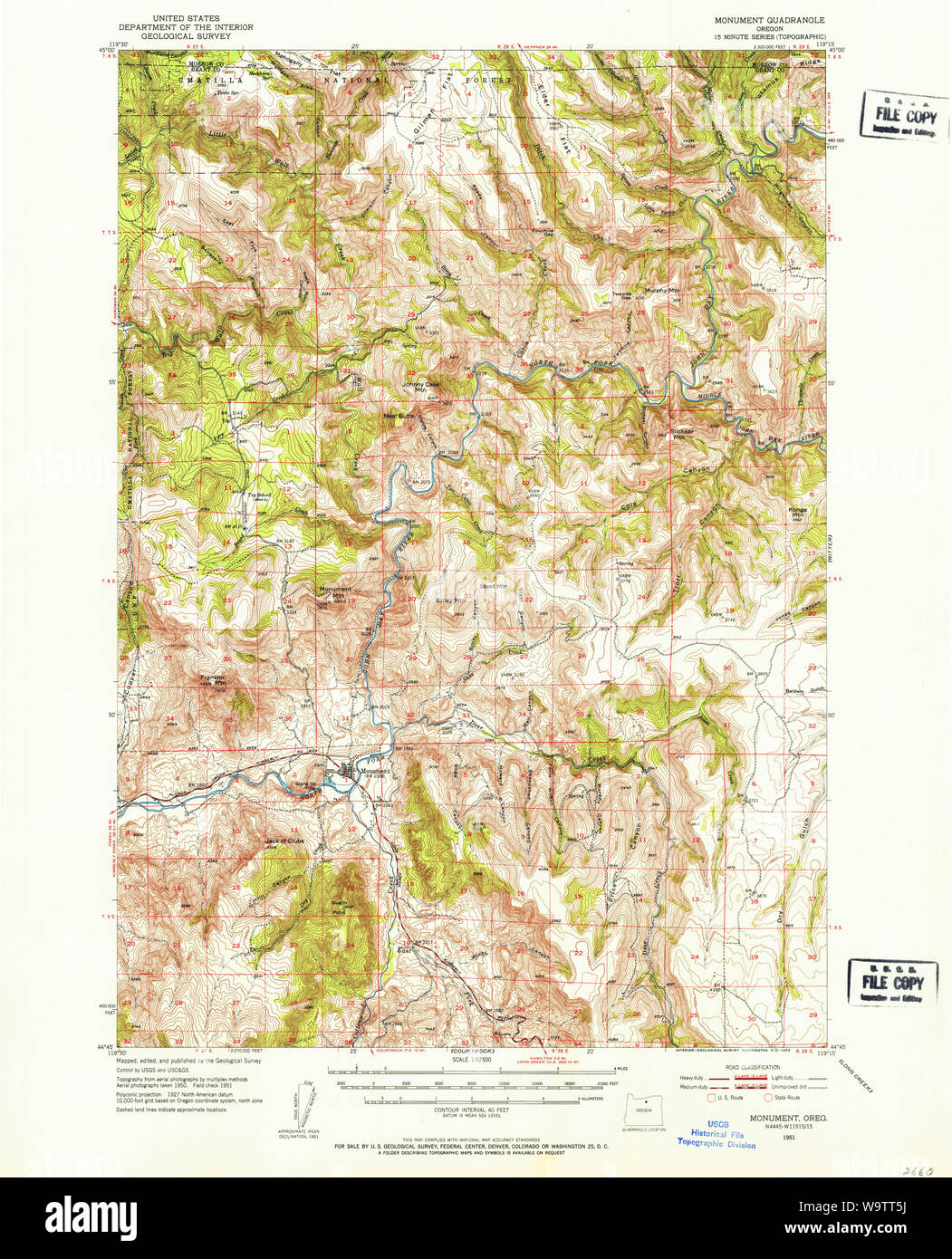 USGS Topo Map Oregon Monument 282732 1951 62500 Restoration Stock Photohttps://www.alamy.com/image-license-details/?v=1https://www.alamy.com/usgs-topo-map-oregon-monument-282732-1951-62500-restoration-image264233246.html
RMW9TT5J–USGS Topo Map Oregon Monument 282732 1951 62500 Restoration
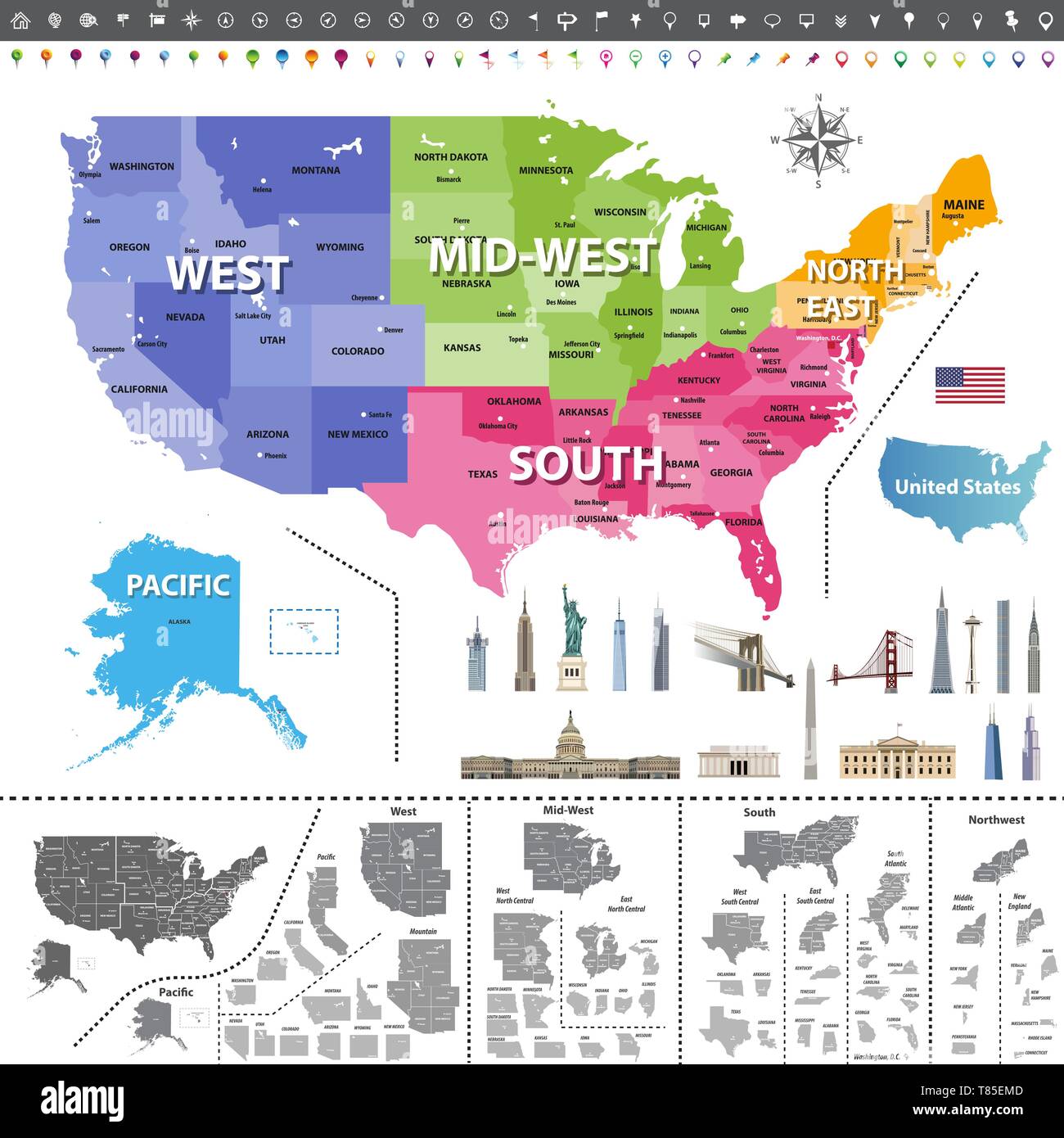 United States of America map colored by regions Stock Vectorhttps://www.alamy.com/image-license-details/?v=1https://www.alamy.com/united-states-of-america-map-colored-by-regions-image245983709.html
RFT85EMD–United States of America map colored by regions
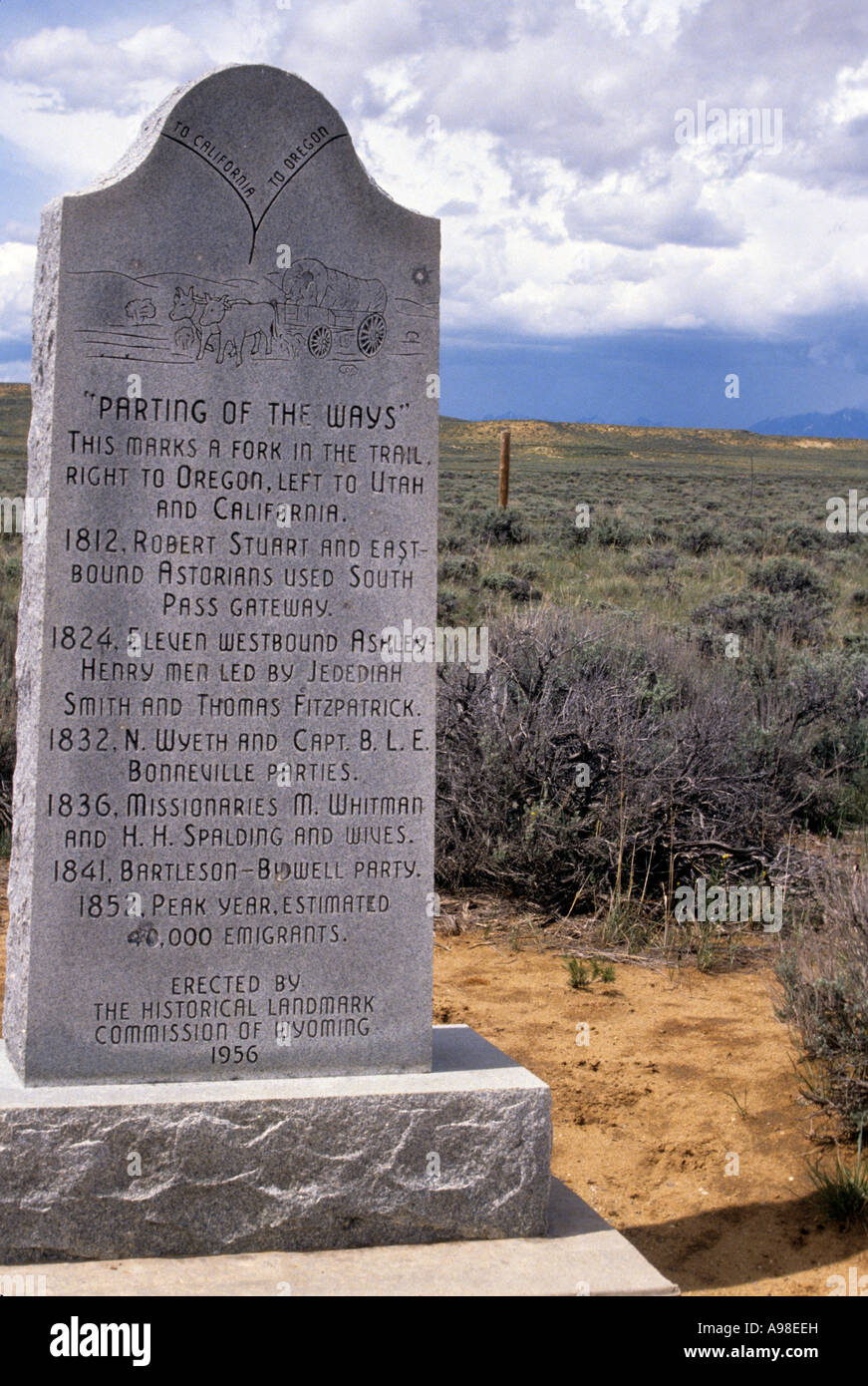 EMIGRANTS ON THE OREGON TRAIL MADE A CRUCIAL DECISION HERE. HIGHWAY 28, WYOMING. Stock Photohttps://www.alamy.com/image-license-details/?v=1https://www.alamy.com/stock-photo-emigrants-on-the-oregon-trail-made-a-crucial-decision-here-highway-12285448.html
RFA98EEH–EMIGRANTS ON THE OREGON TRAIL MADE A CRUCIAL DECISION HERE. HIGHWAY 28, WYOMING.
RFPFWFER–Oregon Vector Map, Night View. Compass Icon, Map Navigation Elements. Pennant Flag of the United States. Vector Flag of Oregon. Various Industries, Economic Geography Icons.
 08266-Portland, Ore.-1906-Soldiers Monument and County Court House-Brück & Sohn Kunstverlag Stock Photohttps://www.alamy.com/image-license-details/?v=1https://www.alamy.com/stock-photo-08266-portland-ore-1906-soldiers-monument-and-county-court-house-brck-147376867.html
RMJFNGKF–08266-Portland, Ore.-1906-Soldiers Monument and County Court House-Brück & Sohn Kunstverlag
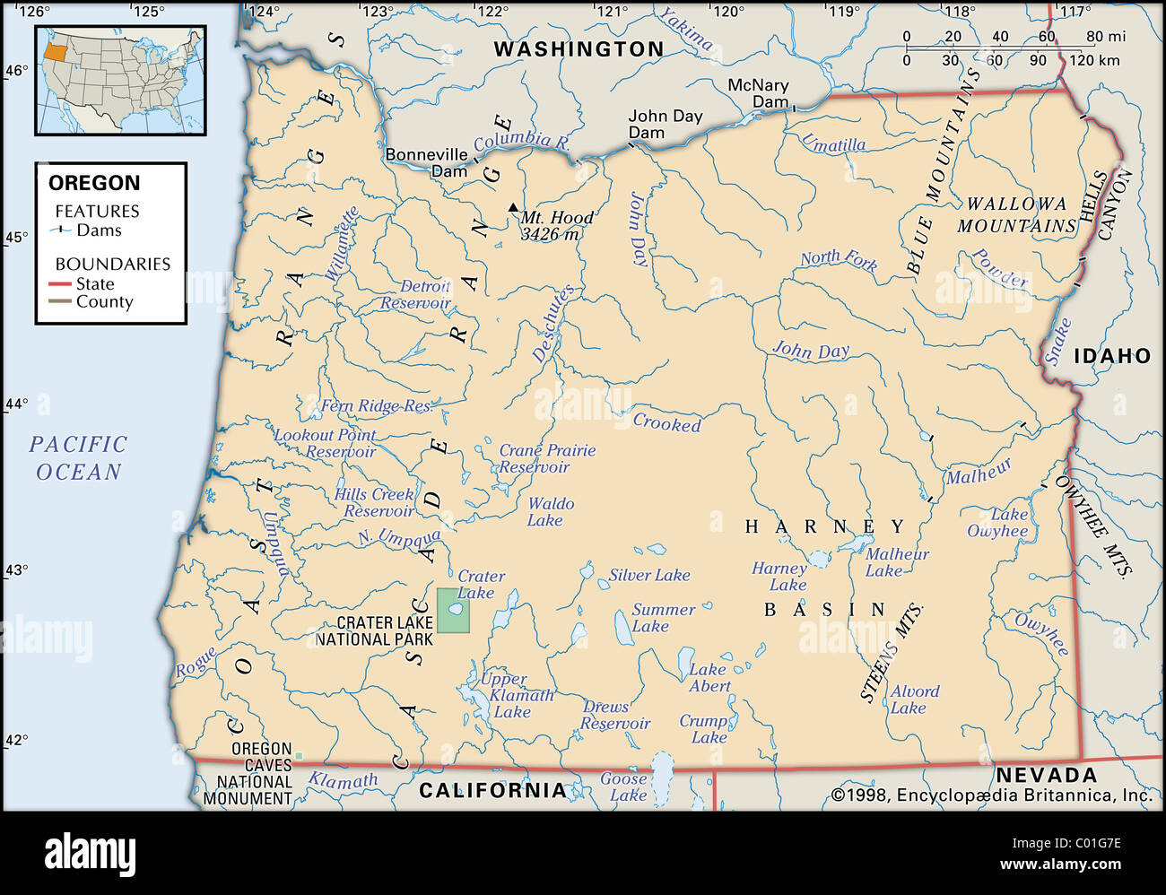 Physical map of Oregon Stock Photohttps://www.alamy.com/image-license-details/?v=1https://www.alamy.com/stock-photo-physical-map-of-oregon-34455442.html
RMC01G7E–Physical map of Oregon
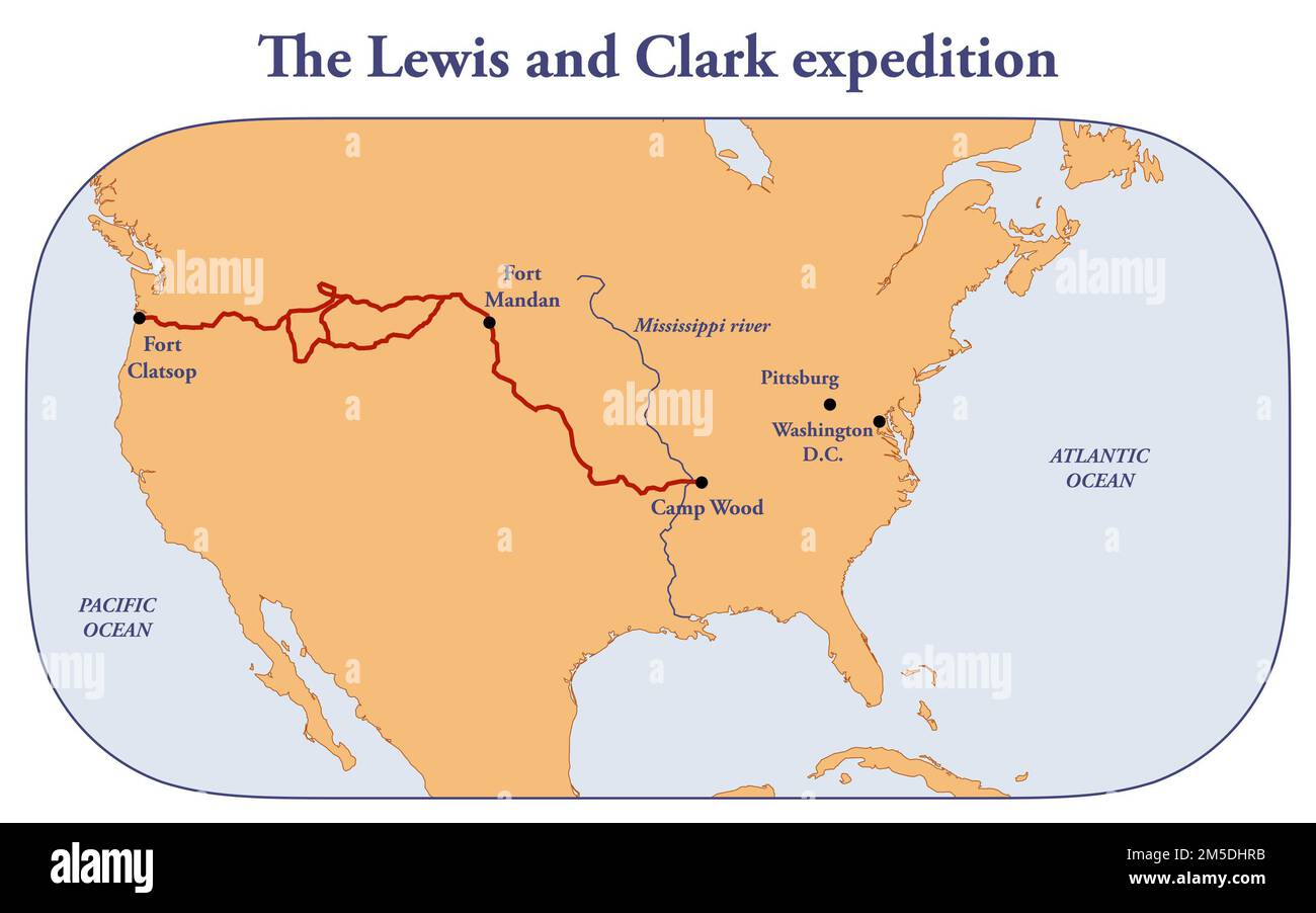 The route of Lewis and Clark expedition Stock Photohttps://www.alamy.com/image-license-details/?v=1https://www.alamy.com/the-route-of-lewis-and-clark-expedition-image502473311.html
RF2M5DHRB–The route of Lewis and Clark expedition
 Image taken from page 132 of 'Over the Range to the Golden Gate. A complete tourist's guide to Colorado, New Mexico, Utah, Nevada, California, Oregon, Puget Sound and the Great North-West' Image taken from page 132 of 'Over the Range to Stock Photohttps://www.alamy.com/image-license-details/?v=1https://www.alamy.com/stock-photo-image-taken-from-page-132-of-over-the-range-to-the-golden-gate-a-complete-127771093.html
RMHBTD99–Image taken from page 132 of 'Over the Range to the Golden Gate. A complete tourist's guide to Colorado, New Mexico, Utah, Nevada, California, Oregon, Puget Sound and the Great North-West' Image taken from page 132 of 'Over the Range to
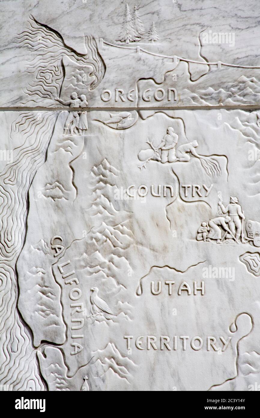 Map on the Frontier monument, Oregon State Capitol building in Salem Stock Photohttps://www.alamy.com/image-license-details/?v=1https://www.alamy.com/map-on-the-frontier-monument-oregon-state-capitol-building-in-salem-image363855323.html
RM2C3Y14Y–Map on the Frontier monument, Oregon State Capitol building in Salem
 Korean War map, Korean War Memorial, Town Center Park, Wilsonville, Oregon Stock Photohttps://www.alamy.com/image-license-details/?v=1https://www.alamy.com/stock-photo-korean-war-map-korean-war-memorial-town-center-park-wilsonville-oregon-70259527.html
RFE28GMR–Korean War map, Korean War Memorial, Town Center Park, Wilsonville, Oregon
 Monument, Grant County, US, United States, Oregon, N 44 49' 9'', S 119 25' 15'', map, Cartascapes Map published in 2024. Explore Cartascapes, a map revealing Earth's diverse landscapes, cultures, and ecosystems. Journey through time and space, discovering the interconnectedness of our planet's past, present, and future. Stock Photohttps://www.alamy.com/image-license-details/?v=1https://www.alamy.com/monument-grant-county-us-united-states-oregon-n-44-49-9-s-119-25-15-map-cartascapes-map-published-in-2024-explore-cartascapes-a-map-revealing-earths-diverse-landscapes-cultures-and-ecosystems-journey-through-time-and-space-discovering-the-interconnectedness-of-our-planets-past-present-and-future-image621167512.html
RM2Y2GHE0–Monument, Grant County, US, United States, Oregon, N 44 49' 9'', S 119 25' 15'', map, Cartascapes Map published in 2024. Explore Cartascapes, a map revealing Earth's diverse landscapes, cultures, and ecosystems. Journey through time and space, discovering the interconnectedness of our planet's past, present, and future.
 Portland Oregon City Skyline with Mount Hood Hawthorne Bridge in Map Outline Color Illustration Stock Vectorhttps://www.alamy.com/image-license-details/?v=1https://www.alamy.com/stock-photo-portland-oregon-city-skyline-with-mount-hood-hawthorne-bridge-in-map-148281420.html
RFJH6PD0–Portland Oregon City Skyline with Mount Hood Hawthorne Bridge in Map Outline Color Illustration
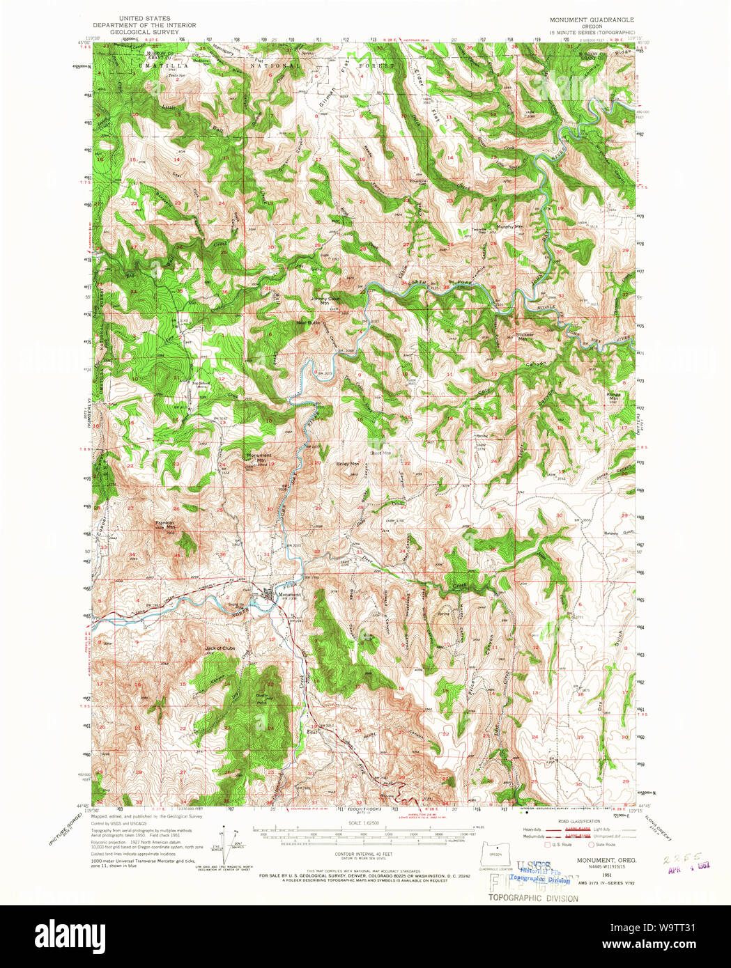 USGS Topo Map Oregon Monument 282731 1951 62500 Restoration Stock Photohttps://www.alamy.com/image-license-details/?v=1https://www.alamy.com/usgs-topo-map-oregon-monument-282731-1951-62500-restoration-image264233173.html
RMW9TT31–USGS Topo Map Oregon Monument 282731 1951 62500 Restoration
RMPHBK1C–Oregon Map, Night View. Compass Icon, Map Navigation Elements. Pennant Flag of the United States. Flag of Oregon. Various Industries, Economic Geograp
 08 8-Portland, Ore.-1906-Soldiers Monument and Graves, River View Cemetary-Brück & Sohn Kunstverlag Stock Photohttps://www.alamy.com/image-license-details/?v=1https://www.alamy.com/stock-photo-08-8-portland-ore-1906-soldiers-monument-and-graves-river-view-cemetary-147376884.html
RMJFNGM4–08 8-Portland, Ore.-1906-Soldiers Monument and Graves, River View Cemetary-Brück & Sohn Kunstverlag
 City of Monument, Grant County, US, United States, Oregon, N 44 49' 14'', S 119 25' 15'', map, Cartascapes Map published in 2024. Explore Cartascapes, a map revealing Earth's diverse landscapes, cultures, and ecosystems. Journey through time and space, discovering the interconnectedness of our planet's past, present, and future. Stock Photohttps://www.alamy.com/image-license-details/?v=1https://www.alamy.com/city-of-monument-grant-county-us-united-states-oregon-n-44-49-14-s-119-25-15-map-cartascapes-map-published-in-2024-explore-cartascapes-a-map-revealing-earths-diverse-landscapes-cultures-and-ecosystems-journey-through-time-and-space-discovering-the-interconnectedness-of-our-planets-past-present-and-future-image633792790.html
RM2YR3N4P–City of Monument, Grant County, US, United States, Oregon, N 44 49' 14'', S 119 25' 15'', map, Cartascapes Map published in 2024. Explore Cartascapes, a map revealing Earth's diverse landscapes, cultures, and ecosystems. Journey through time and space, discovering the interconnectedness of our planet's past, present, and future.
 USGS Topo Map Oregon Monument 282730 1951 62500 Restoration Stock Photohttps://www.alamy.com/image-license-details/?v=1https://www.alamy.com/usgs-topo-map-oregon-monument-282730-1951-62500-restoration-image264233114.html
RMW9TT0X–USGS Topo Map Oregon Monument 282730 1951 62500 Restoration
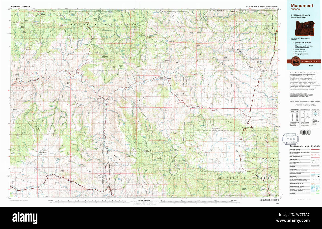 USGS Topo Map Oregon Monument 283104 1980 100000 Restoration Stock Photohttps://www.alamy.com/image-license-details/?v=1https://www.alamy.com/usgs-topo-map-oregon-monument-283104-1980-100000-restoration-image264233375.html
RMW9TTA7–USGS Topo Map Oregon Monument 283104 1980 100000 Restoration
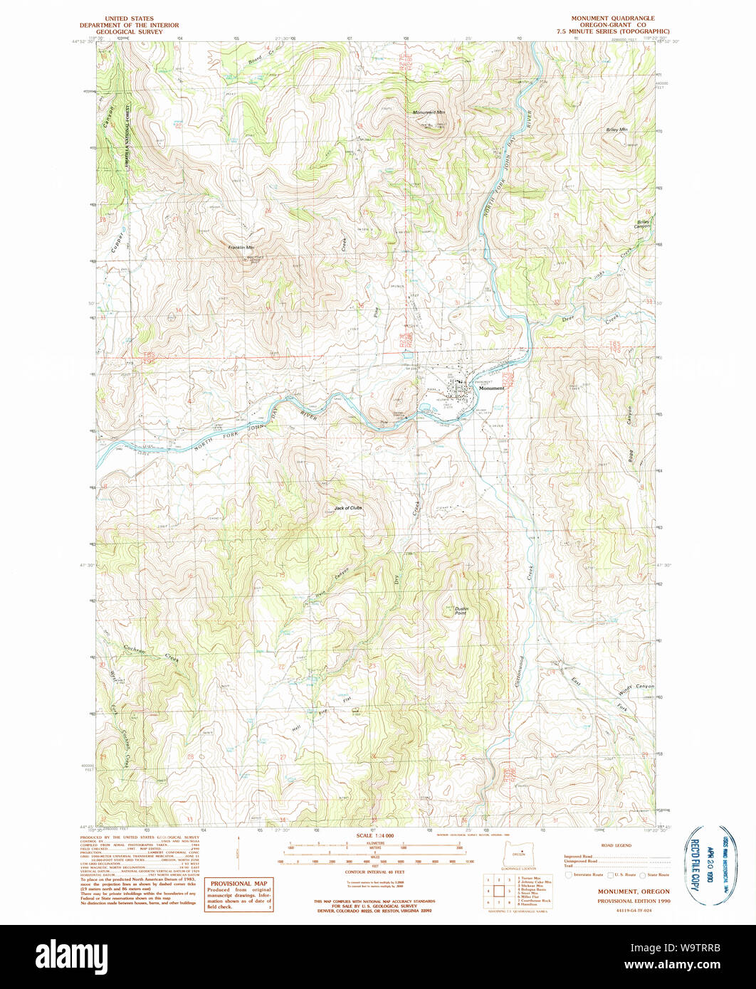 USGS Topo Map Oregon Monument 280783 1990 24000 Restoration Stock Photohttps://www.alamy.com/image-license-details/?v=1https://www.alamy.com/usgs-topo-map-oregon-monument-280783-1990-24000-restoration-image264232959.html
RMW9TRRB–USGS Topo Map Oregon Monument 280783 1990 24000 Restoration
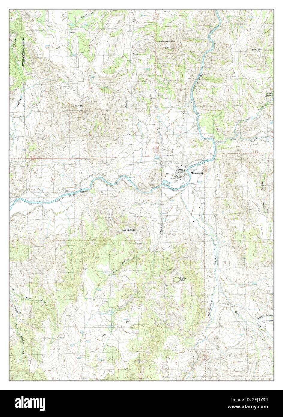 Monument, Oregon, map 1990, 1:24000, United States of America by Timeless Maps, data U.S. Geological Survey Stock Photohttps://www.alamy.com/image-license-details/?v=1https://www.alamy.com/monument-oregon-map-1990-124000-united-states-of-america-by-timeless-maps-data-us-geological-survey-image406945499.html
RM2EJ1Y3R–Monument, Oregon, map 1990, 1:24000, United States of America by Timeless Maps, data U.S. Geological Survey
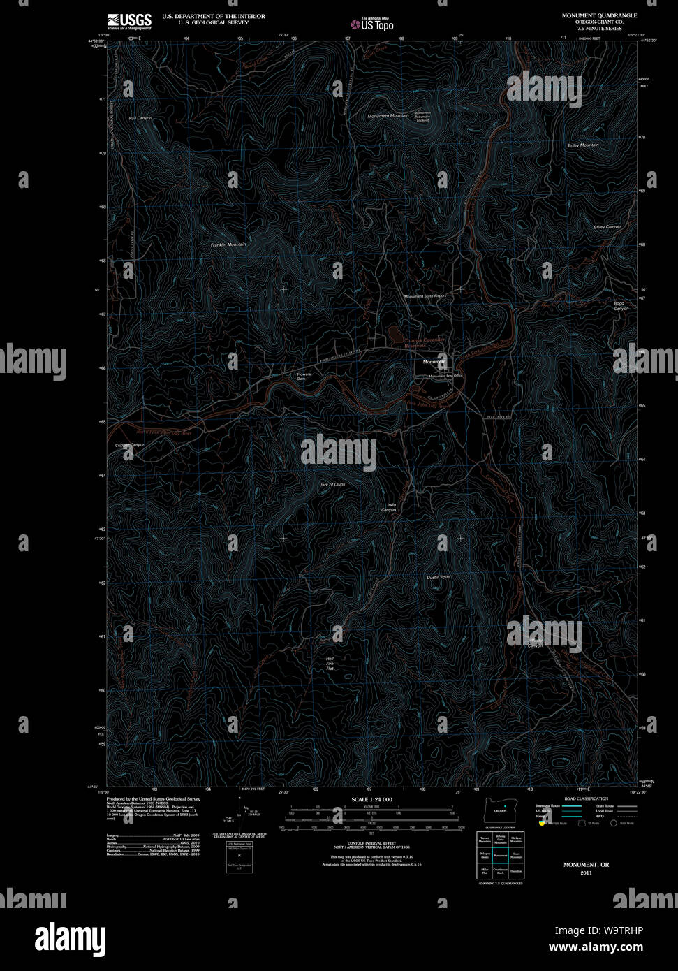 USGS Topo Map Oregon Monument 20110822 TM Inverted Restoration Stock Photohttps://www.alamy.com/image-license-details/?v=1https://www.alamy.com/usgs-topo-map-oregon-monument-20110822-tm-inverted-restoration-image264232802.html
RMW9TRHP–USGS Topo Map Oregon Monument 20110822 TM Inverted Restoration
 Monument, Oregon, map 1951, 1:62500, United States of America by Timeless Maps, data U.S. Geological Survey Stock Photohttps://www.alamy.com/image-license-details/?v=1https://www.alamy.com/monument-oregon-map-1951-162500-united-states-of-america-by-timeless-maps-data-us-geological-survey-image414182728.html
RM2F1RJ88–Monument, Oregon, map 1951, 1:62500, United States of America by Timeless Maps, data U.S. Geological Survey
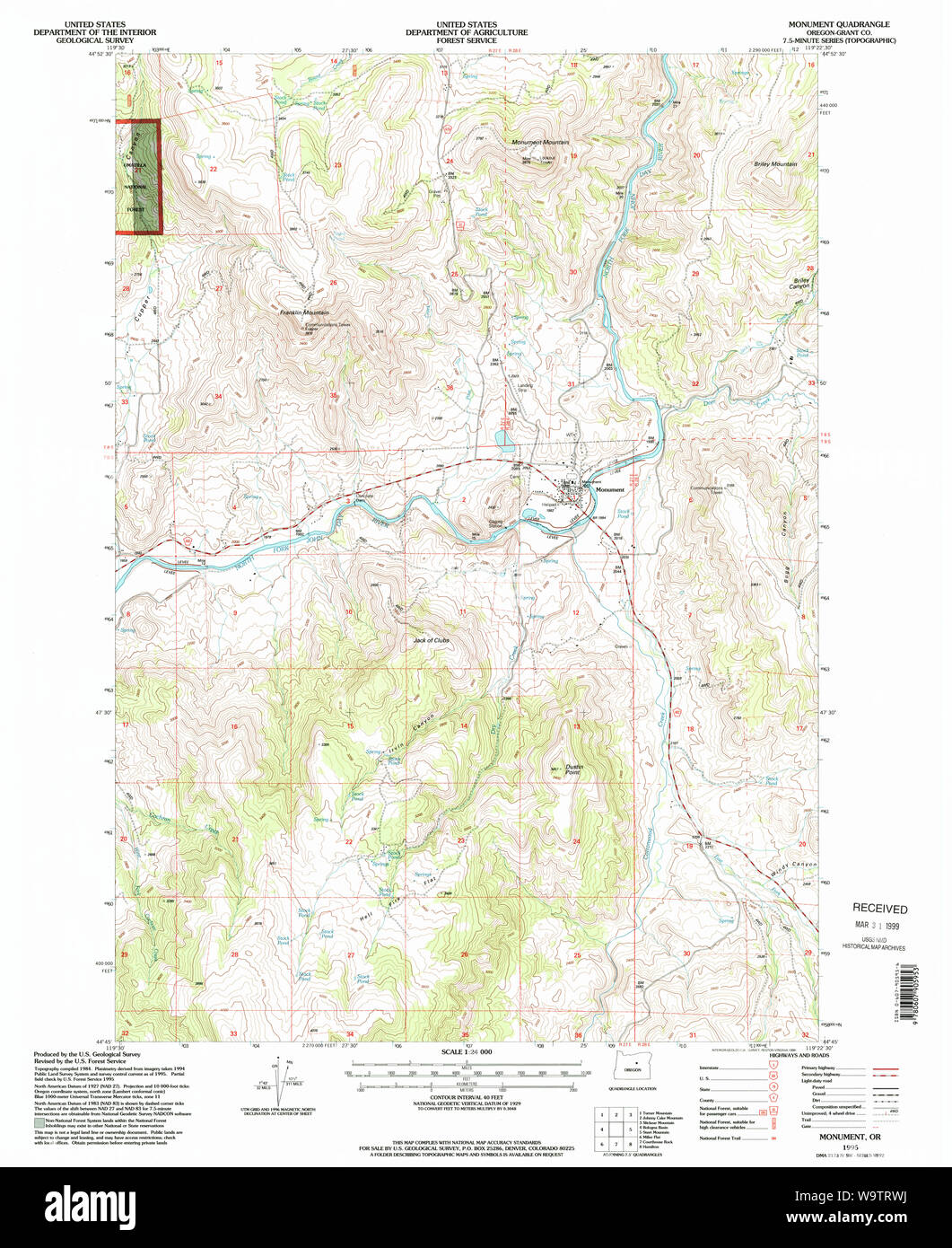 USGS Topo Map Oregon Monument 280784 1995 24000 Restoration Stock Photohttps://www.alamy.com/image-license-details/?v=1https://www.alamy.com/usgs-topo-map-oregon-monument-280784-1995-24000-restoration-image264233022.html
RMW9TRWJ–USGS Topo Map Oregon Monument 280784 1995 24000 Restoration
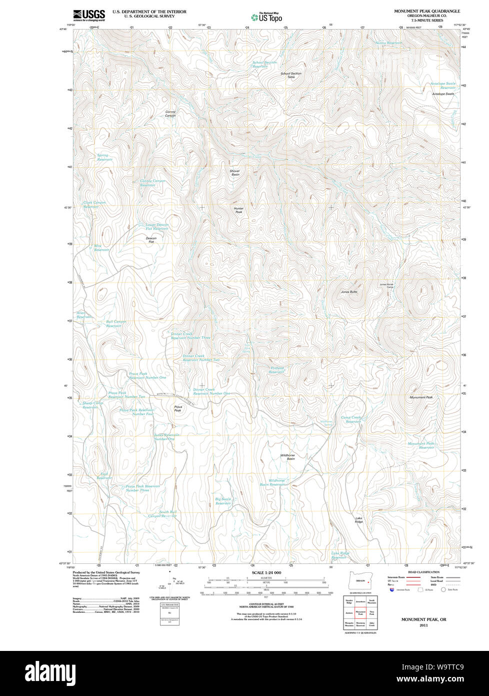 USGS Topo Map Oregon Monument Peak 20110819 TM Restoration Stock Photohttps://www.alamy.com/image-license-details/?v=1https://www.alamy.com/usgs-topo-map-oregon-monument-peak-20110819-tm-restoration-image264233433.html
RMW9TTC9–USGS Topo Map Oregon Monument Peak 20110819 TM Restoration
 USGS Topo Map Oregon Monument 282731 1951 62500 Inverted Restoration Stock Photohttps://www.alamy.com/image-license-details/?v=1https://www.alamy.com/usgs-topo-map-oregon-monument-282731-1951-62500-inverted-restoration-image264233100.html
RMW9TT0C–USGS Topo Map Oregon Monument 282731 1951 62500 Inverted Restoration
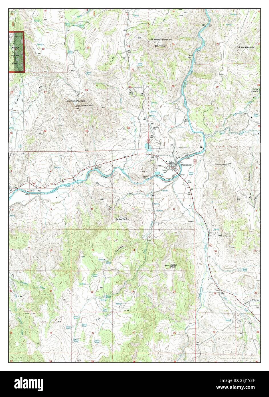 Monument, Oregon, map 1995, 1:24000, United States of America by Timeless Maps, data U.S. Geological Survey Stock Photohttps://www.alamy.com/image-license-details/?v=1https://www.alamy.com/monument-oregon-map-1995-124000-united-states-of-america-by-timeless-maps-data-us-geological-survey-image406945491.html
RM2EJ1Y3F–Monument, Oregon, map 1995, 1:24000, United States of America by Timeless Maps, data U.S. Geological Survey
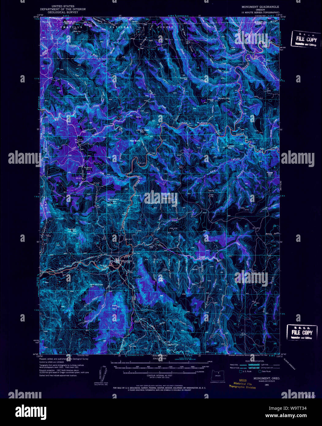 USGS Topo Map Oregon Monument 282732 1951 62500 Inverted Restoration Stock Photohttps://www.alamy.com/image-license-details/?v=1https://www.alamy.com/usgs-topo-map-oregon-monument-282732-1951-62500-inverted-restoration-image264233176.html
RMW9TT34–USGS Topo Map Oregon Monument 282732 1951 62500 Inverted Restoration
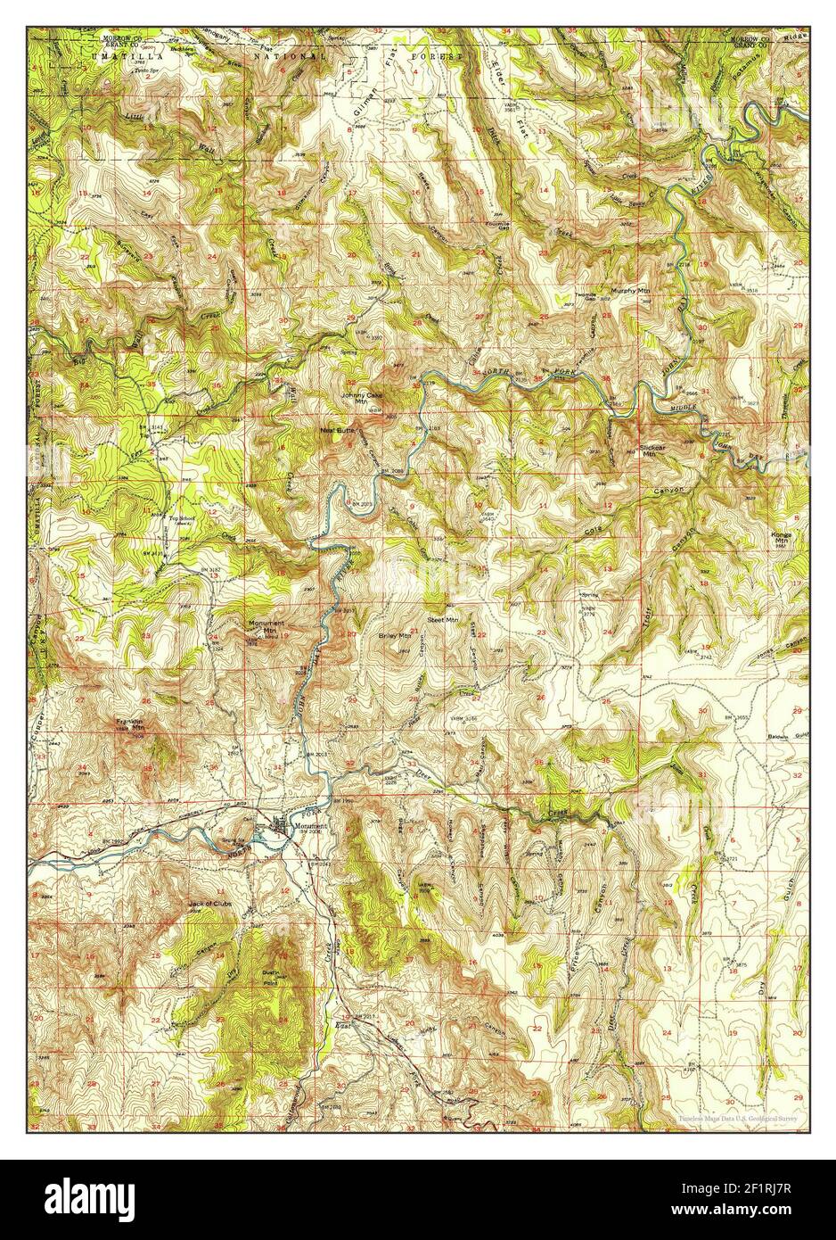 Monument, Oregon, map 1951, 1:62500, United States of America by Timeless Maps, data U.S. Geological Survey Stock Photohttps://www.alamy.com/image-license-details/?v=1https://www.alamy.com/monument-oregon-map-1951-162500-united-states-of-america-by-timeless-maps-data-us-geological-survey-image414182715.html
RM2F1RJ7R–Monument, Oregon, map 1951, 1:62500, United States of America by Timeless Maps, data U.S. Geological Survey
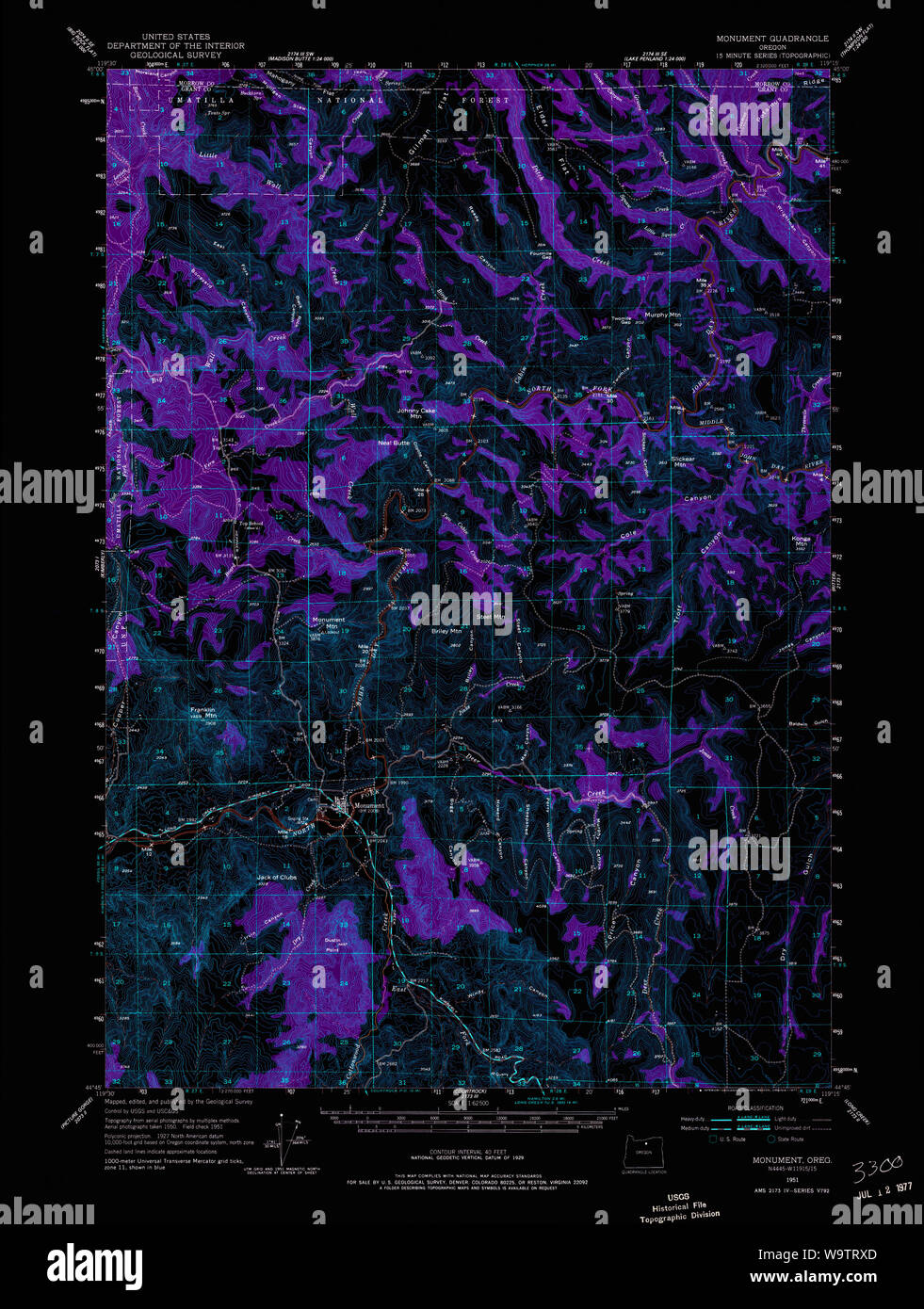 USGS Topo Map Oregon Monument 282730 1951 62500 Inverted Restoration Stock Photohttps://www.alamy.com/image-license-details/?v=1https://www.alamy.com/usgs-topo-map-oregon-monument-282730-1951-62500-inverted-restoration-image264233045.html
RMW9TRXD–USGS Topo Map Oregon Monument 282730 1951 62500 Inverted Restoration
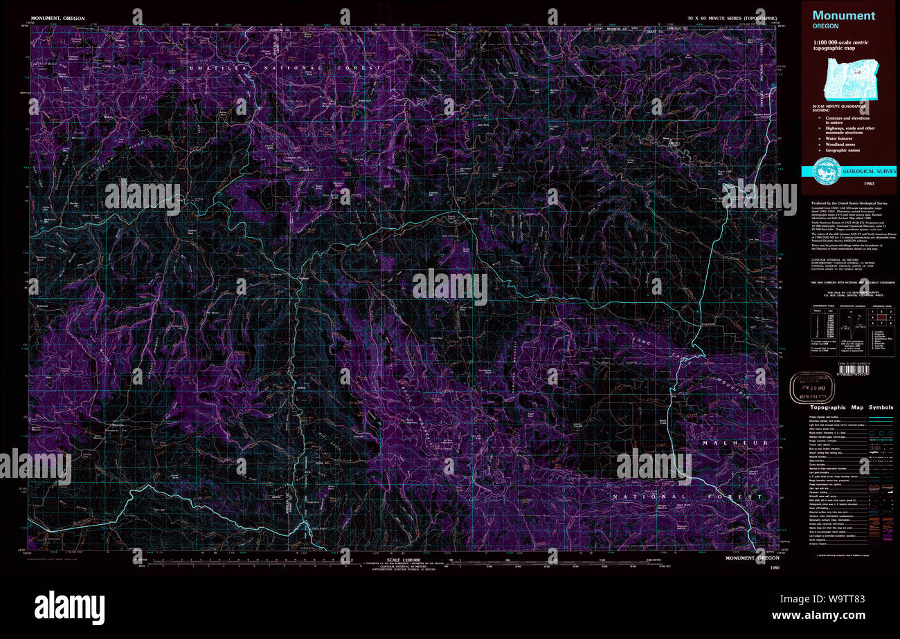 USGS Topo Map Oregon Monument 283104 1980 100000 Inverted Restoration Stock Photohttps://www.alamy.com/image-license-details/?v=1https://www.alamy.com/usgs-topo-map-oregon-monument-283104-1980-100000-inverted-restoration-image264233315.html
RMW9TT83–USGS Topo Map Oregon Monument 283104 1980 100000 Inverted Restoration
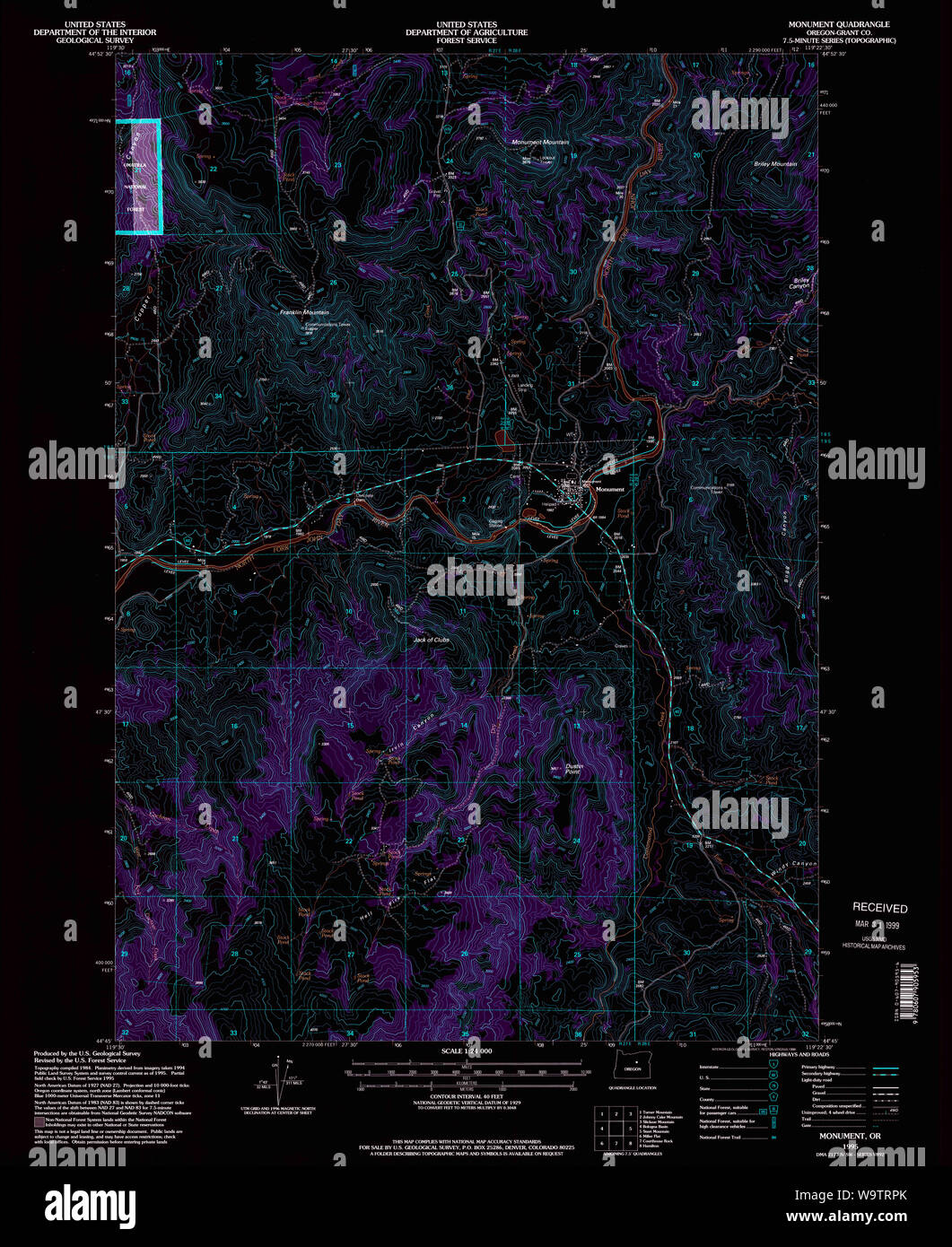 USGS Topo Map Oregon Monument 280784 1995 24000 Inverted Restoration Stock Photohttps://www.alamy.com/image-license-details/?v=1https://www.alamy.com/usgs-topo-map-oregon-monument-280784-1995-24000-inverted-restoration-image264232939.html
RMW9TRPK–USGS Topo Map Oregon Monument 280784 1995 24000 Inverted Restoration
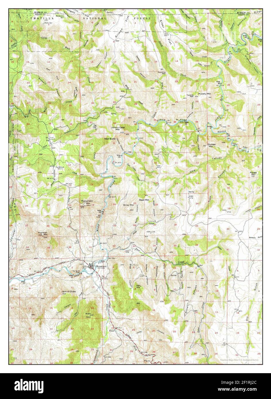 Monument, Oregon, map 1951, 1:62500, United States of America by Timeless Maps, data U.S. Geological Survey Stock Photohttps://www.alamy.com/image-license-details/?v=1https://www.alamy.com/monument-oregon-map-1951-162500-united-states-of-america-by-timeless-maps-data-us-geological-survey-image414182564.html
RM2F1RJ2C–Monument, Oregon, map 1951, 1:62500, United States of America by Timeless Maps, data U.S. Geological Survey
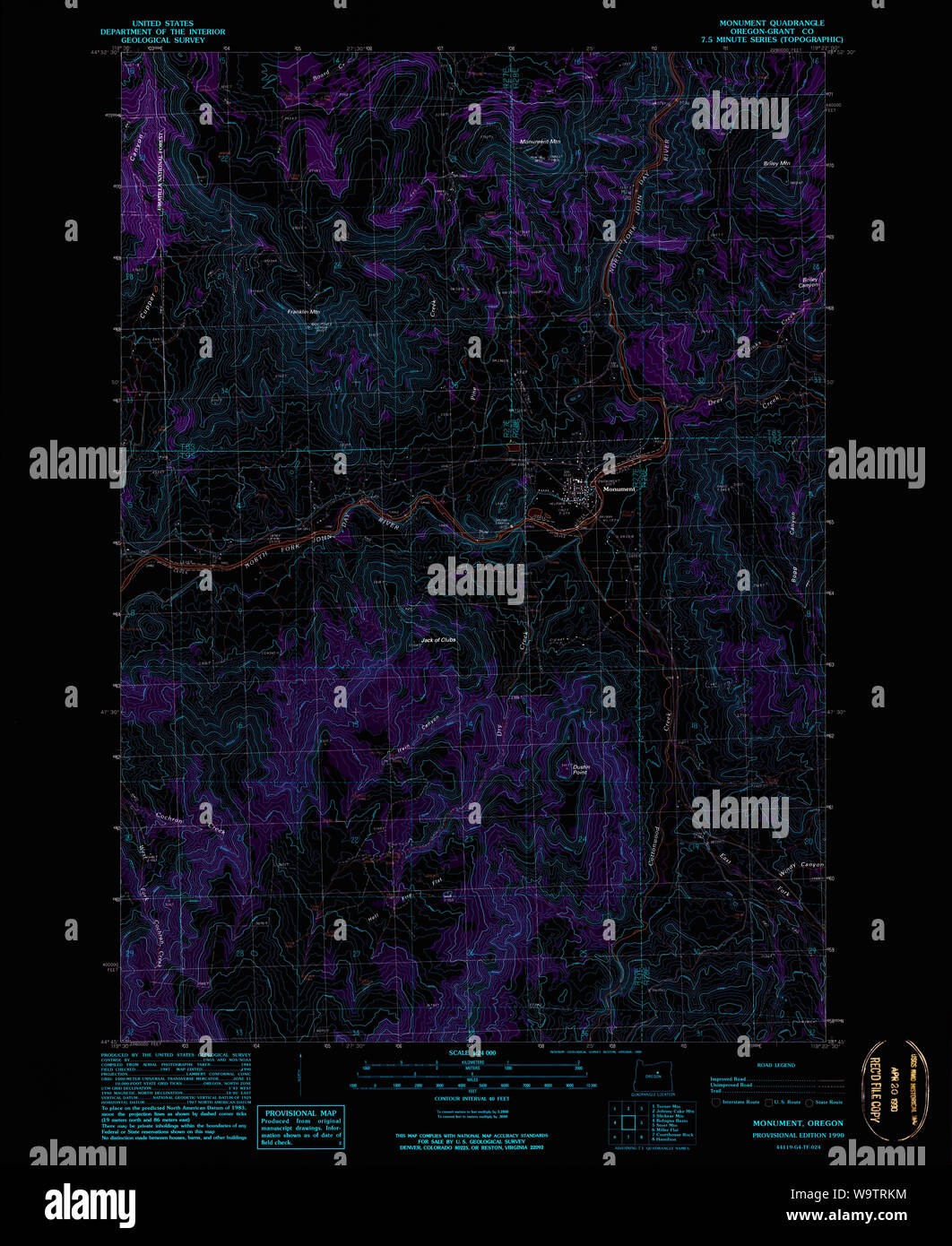 USGS Topo Map Oregon Monument 280783 1990 24000 Inverted Restoration Stock Photohttps://www.alamy.com/image-license-details/?v=1https://www.alamy.com/usgs-topo-map-oregon-monument-280783-1990-24000-inverted-restoration-image264232856.html
RMW9TRKM–USGS Topo Map Oregon Monument 280783 1990 24000 Inverted Restoration
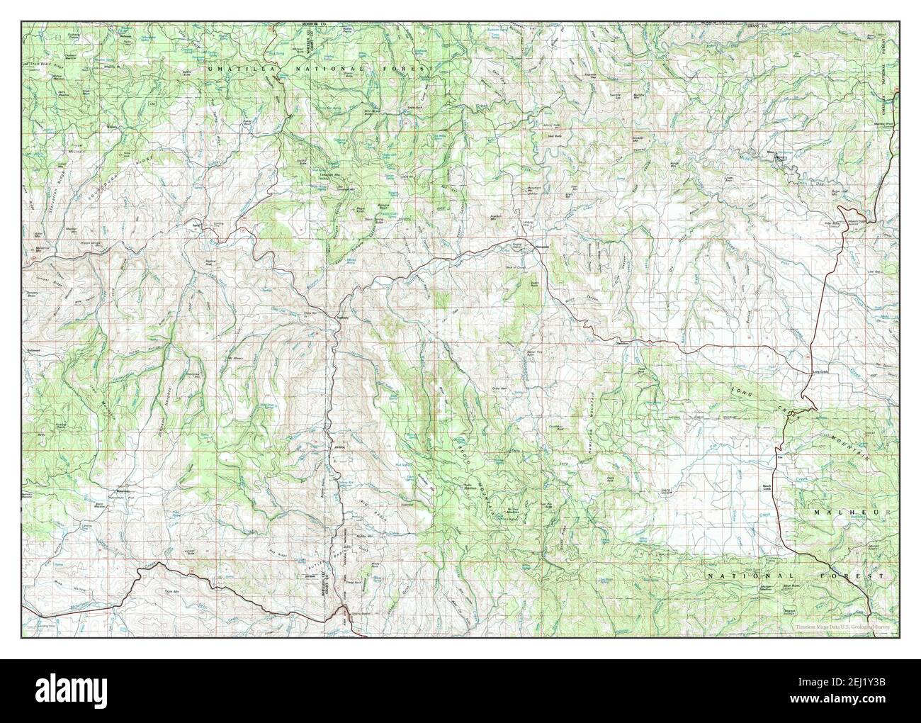 Monument, Oregon, map 1980, 1:100000, United States of America by Timeless Maps, data U.S. Geological Survey Stock Photohttps://www.alamy.com/image-license-details/?v=1https://www.alamy.com/monument-oregon-map-1980-1100000-united-states-of-america-by-timeless-maps-data-us-geological-survey-image406945487.html
RM2EJ1Y3B–Monument, Oregon, map 1980, 1:100000, United States of America by Timeless Maps, data U.S. Geological Survey
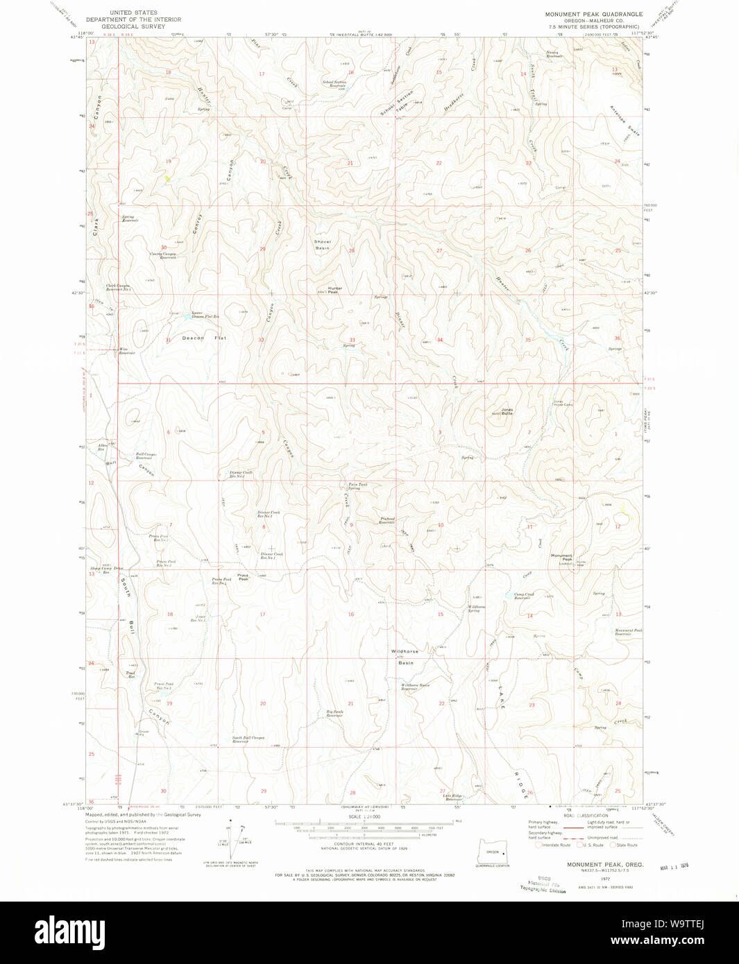 USGS Topo Map Oregon Monument Peak 280782 1972 24000 Restoration Stock Photohttps://www.alamy.com/image-license-details/?v=1https://www.alamy.com/usgs-topo-map-oregon-monument-peak-280782-1972-24000-restoration-image264233498.html
RMW9TTEJ–USGS Topo Map Oregon Monument Peak 280782 1972 24000 Restoration
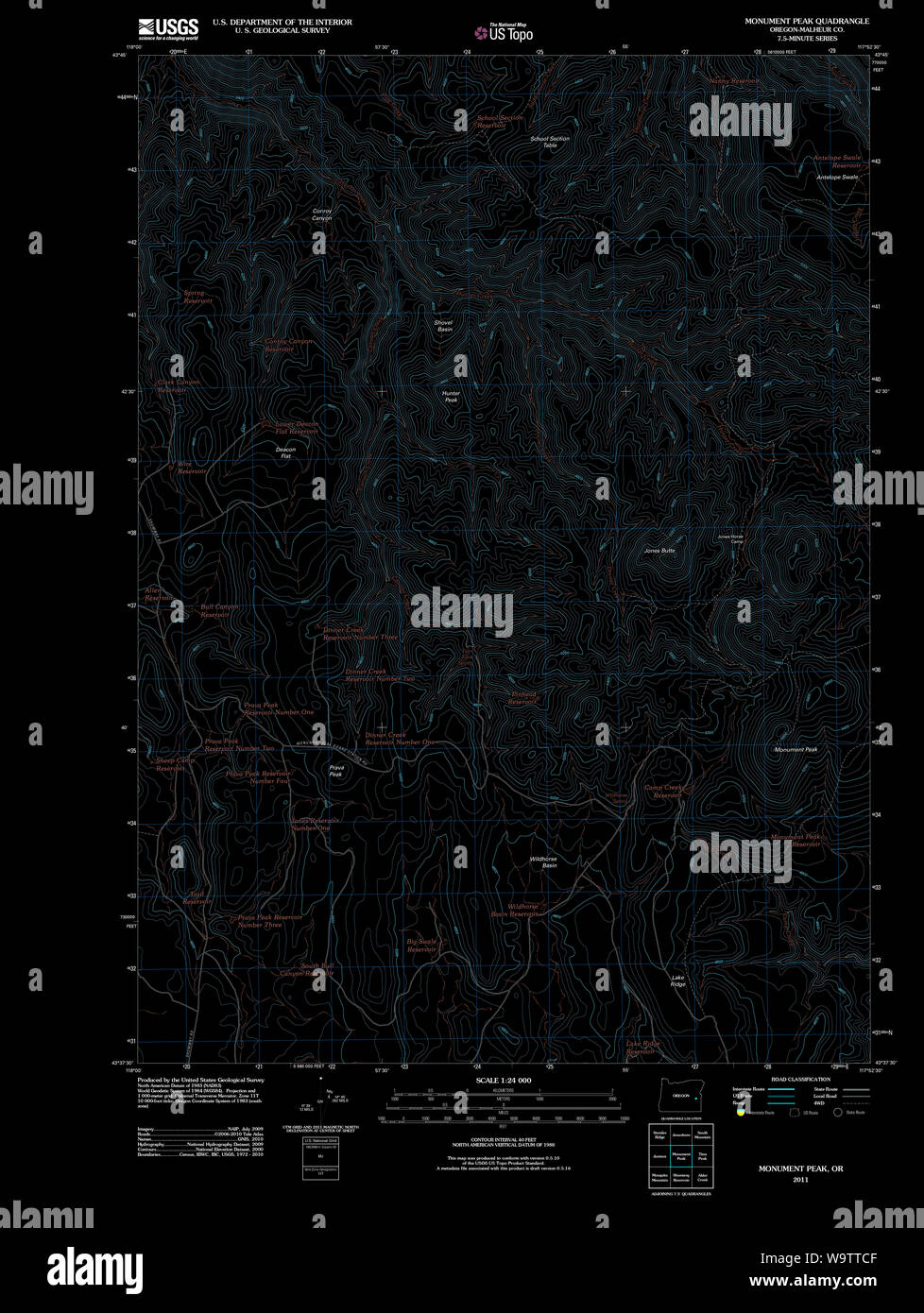 USGS Topo Map Oregon Monument Peak 20110819 TM Inverted Restoration Stock Photohttps://www.alamy.com/image-license-details/?v=1https://www.alamy.com/usgs-topo-map-oregon-monument-peak-20110819-tm-inverted-restoration-image264233439.html
RMW9TTCF–USGS Topo Map Oregon Monument Peak 20110819 TM Inverted Restoration
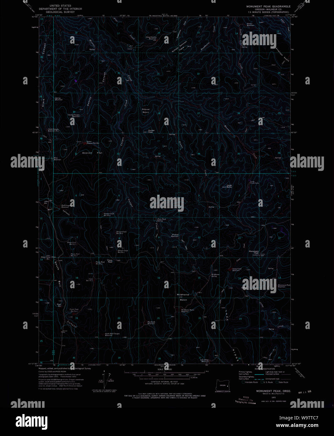 USGS Topo Map Oregon Monument Peak 280782 1972 24000 Inverted Restoration Stock Photohttps://www.alamy.com/image-license-details/?v=1https://www.alamy.com/usgs-topo-map-oregon-monument-peak-280782-1972-24000-inverted-restoration-image264233431.html
RMW9TTC7–USGS Topo Map Oregon Monument Peak 280782 1972 24000 Inverted Restoration