Map of moore oklahoma Stock Photos and Images
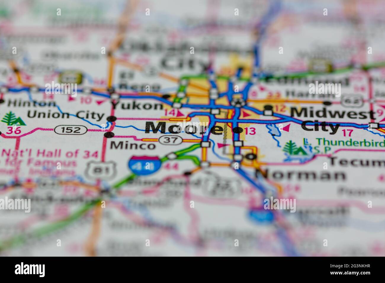 Moore Oklahoma USA shown on a Geography map or road map Stock Photohttps://www.alamy.com/image-license-details/?v=1https://www.alamy.com/moore-oklahoma-usa-shown-on-a-geography-map-or-road-map-image432579555.html
RM2G3NKHR–Moore Oklahoma USA shown on a Geography map or road map
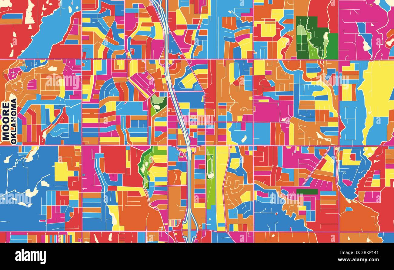 Colorful vector map of Moore, Oklahoma, USA. Art Map template for selfprinting wall art in landscape format. Stock Vectorhttps://www.alamy.com/image-license-details/?v=1https://www.alamy.com/colorful-vector-map-of-moore-oklahoma-usa-art-map-template-for-selfprinting-wall-art-in-landscape-format-image356369665.html
RF2BKP141–Colorful vector map of Moore, Oklahoma, USA. Art Map template for selfprinting wall art in landscape format.
 Moore, Cleveland County, US, United States, Oklahoma, N 35 20' 22'', S 97 29' 12'', map, Cartascapes Map published in 2024. Explore Cartascapes, a map revealing Earth's diverse landscapes, cultures, and ecosystems. Journey through time and space, discovering the interconnectedness of our planet's past, present, and future. Stock Photohttps://www.alamy.com/image-license-details/?v=1https://www.alamy.com/moore-cleveland-county-us-united-states-oklahoma-n-35-20-22-s-97-29-12-map-cartascapes-map-published-in-2024-explore-cartascapes-a-map-revealing-earths-diverse-landscapes-cultures-and-ecosystems-journey-through-time-and-space-discovering-the-interconnectedness-of-our-planets-past-present-and-future-image621463992.html
RM2Y323JG–Moore, Cleveland County, US, United States, Oklahoma, N 35 20' 22'', S 97 29' 12'', map, Cartascapes Map published in 2024. Explore Cartascapes, a map revealing Earth's diverse landscapes, cultures, and ecosystems. Journey through time and space, discovering the interconnectedness of our planet's past, present, and future.
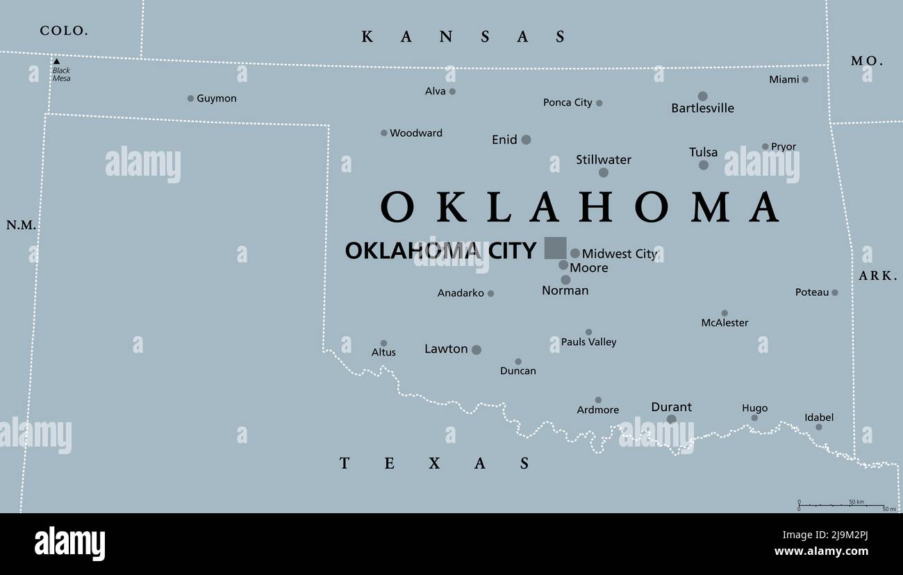 Oklahoma, OK, gray political map, with capital Oklahoma City and the most important cities. US State in the South Central region Stock Photohttps://www.alamy.com/image-license-details/?v=1https://www.alamy.com/oklahoma-ok-gray-political-map-with-capital-oklahoma-city-and-the-most-important-cities-us-state-in-the-south-central-region-image470653082.html
RF2J9M2PJ–Oklahoma, OK, gray political map, with capital Oklahoma City and the most important cities. US State in the South Central region
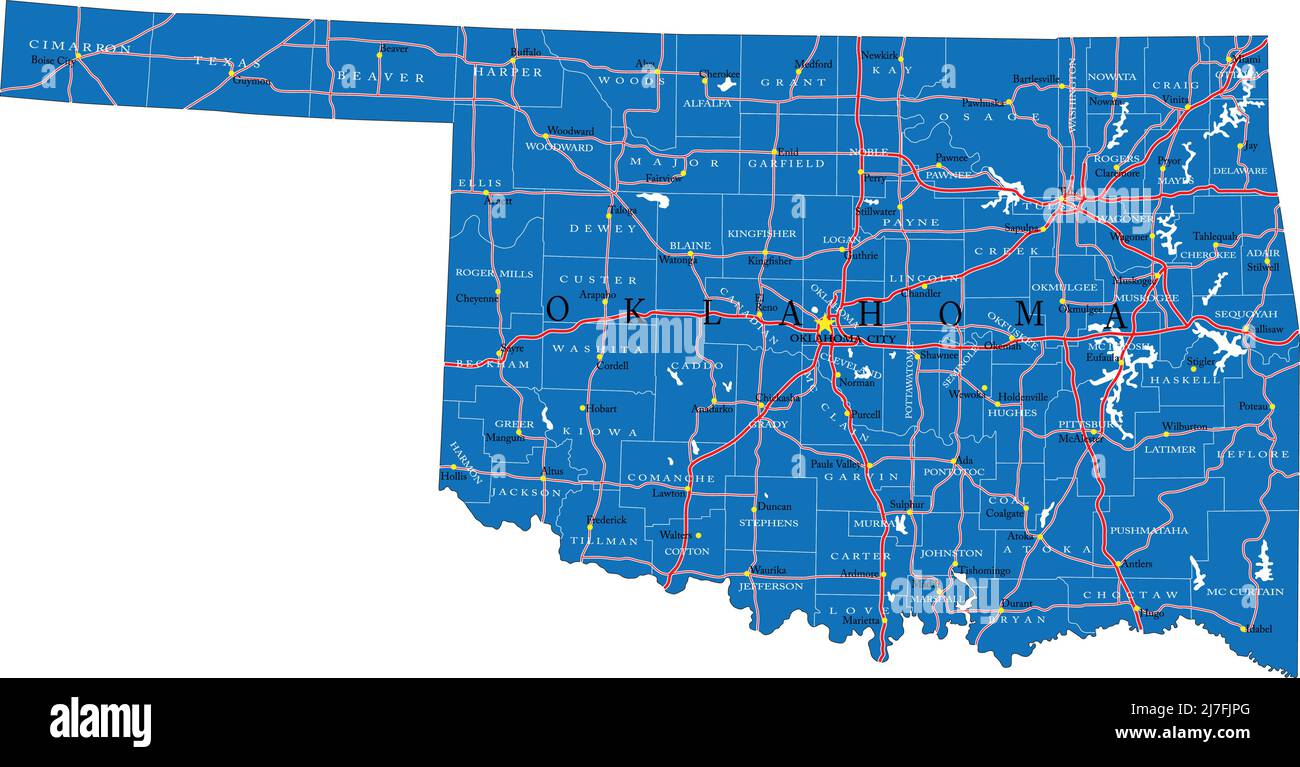 Detailed map of Oklahoma state,in vector format,with county borders,roads and major cities. Stock Vectorhttps://www.alamy.com/image-license-details/?v=1https://www.alamy.com/detailed-map-of-oklahoma-statein-vector-formatwith-county-bordersroads-and-major-cities-image469326552.html
RF2J7FJPG–Detailed map of Oklahoma state,in vector format,with county borders,roads and major cities.
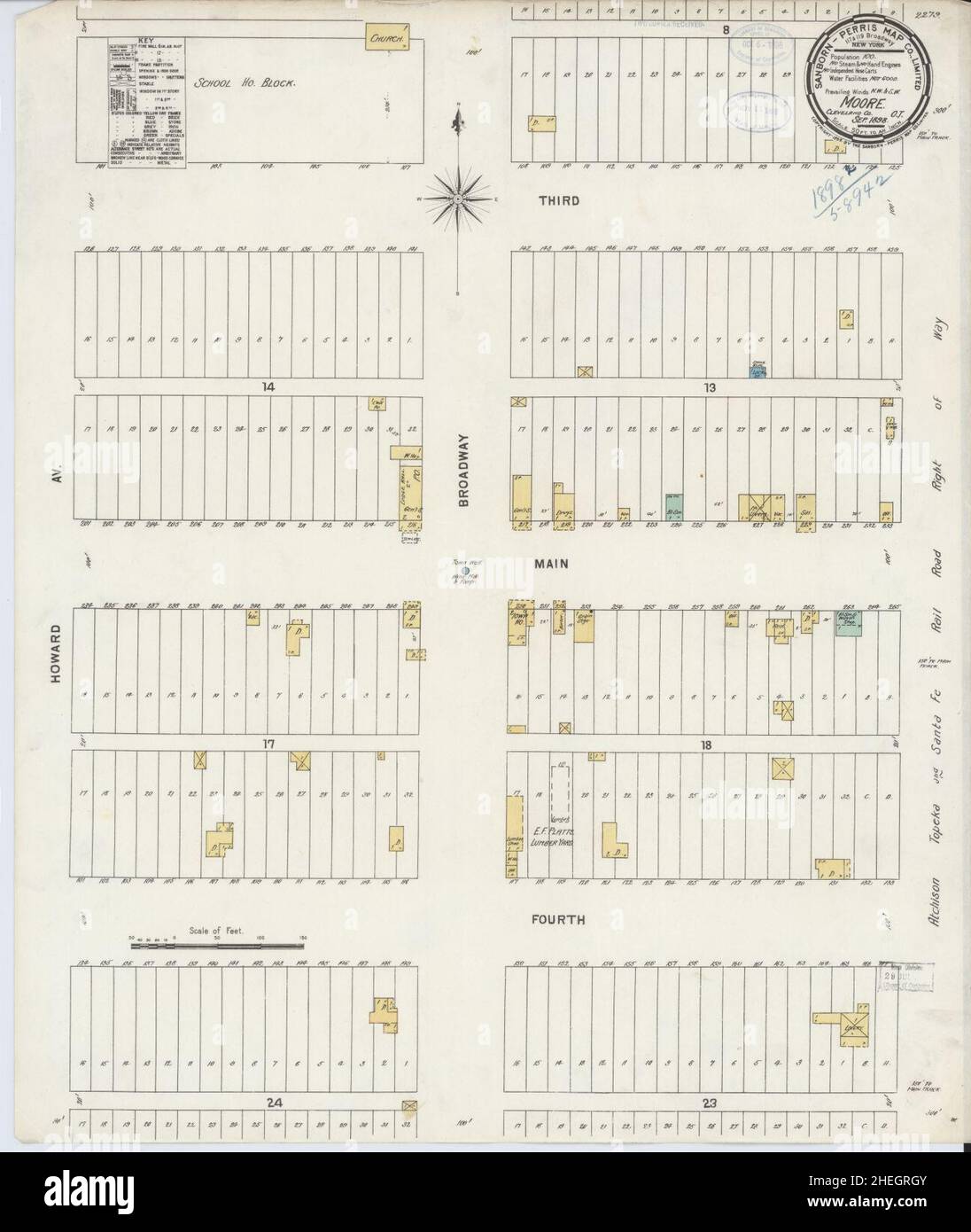 Sanborn Fire Insurance Map from Moore, Cleveland County, Oklahoma. Stock Photohttps://www.alamy.com/image-license-details/?v=1https://www.alamy.com/sanborn-fire-insurance-map-from-moore-cleveland-county-oklahoma-image456444491.html
RM2HEGRGY–Sanborn Fire Insurance Map from Moore, Cleveland County, Oklahoma.
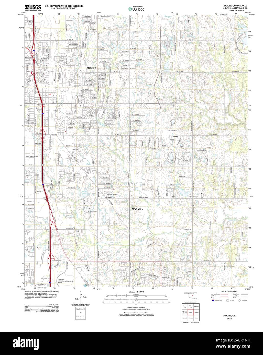 USGS TOPO Map Oklahoma OK Moore 20121211 TM Restoration Stock Photohttps://www.alamy.com/image-license-details/?v=1https://www.alamy.com/usgs-topo-map-oklahoma-ok-moore-20121211-tm-restoration-image334264493.html
RM2ABR1NH–USGS TOPO Map Oklahoma OK Moore 20121211 TM Restoration
 Moore, Cleveland County, US, United States, Oklahoma, N 35 20' 22'', S 97 29' 12'', map, Cartascapes Map published in 2024. Explore Cartascapes, a map revealing Earth's diverse landscapes, cultures, and ecosystems. Journey through time and space, discovering the interconnectedness of our planet's past, present, and future. Stock Photohttps://www.alamy.com/image-license-details/?v=1https://www.alamy.com/moore-cleveland-county-us-united-states-oklahoma-n-35-20-22-s-97-29-12-map-cartascapes-map-published-in-2024-explore-cartascapes-a-map-revealing-earths-diverse-landscapes-cultures-and-ecosystems-journey-through-time-and-space-discovering-the-interconnectedness-of-our-planets-past-present-and-future-image620758537.html
RM2Y1WYRN–Moore, Cleveland County, US, United States, Oklahoma, N 35 20' 22'', S 97 29' 12'', map, Cartascapes Map published in 2024. Explore Cartascapes, a map revealing Earth's diverse landscapes, cultures, and ecosystems. Journey through time and space, discovering the interconnectedness of our planet's past, present, and future.
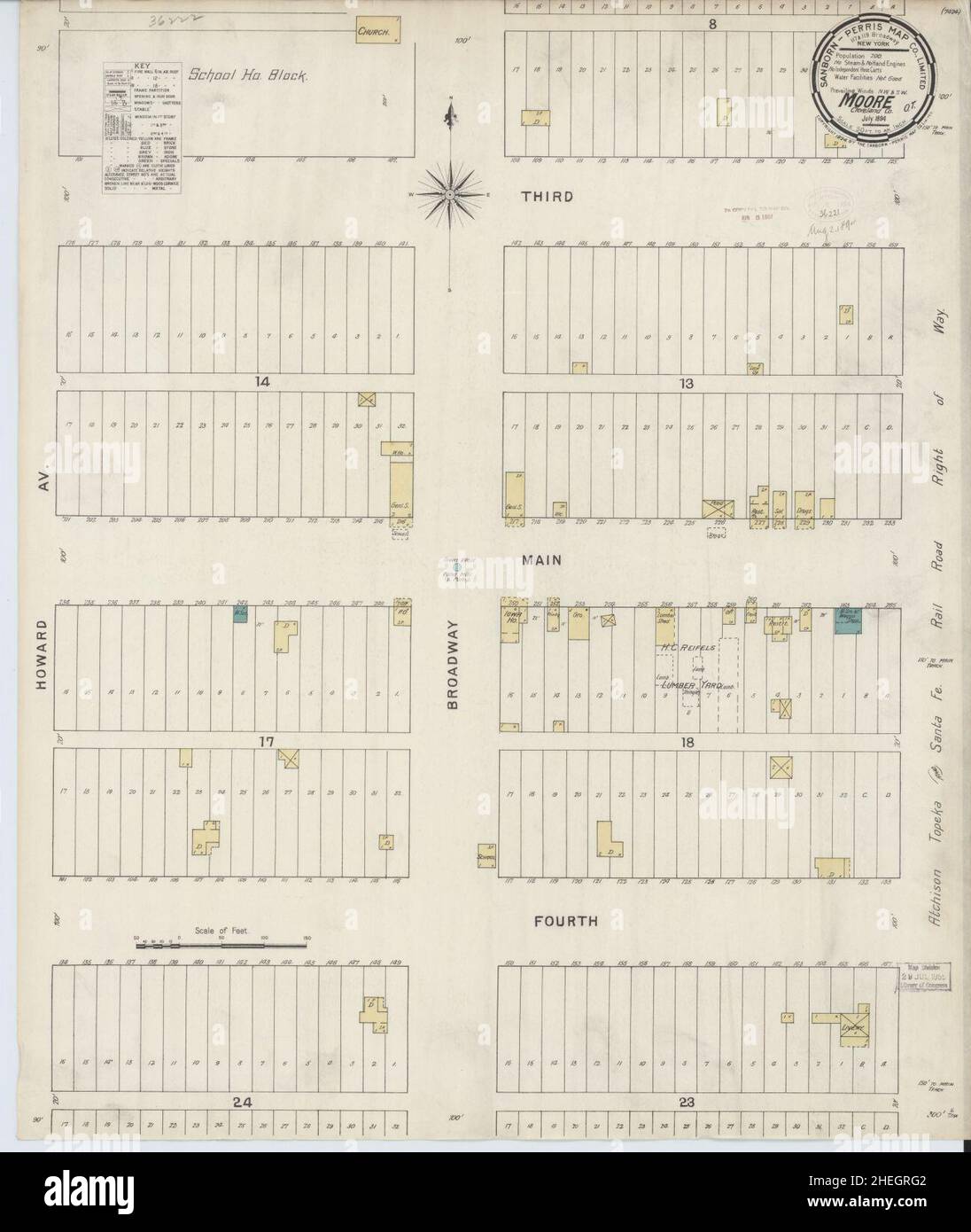 Sanborn Fire Insurance Map from Moore, Cleveland County, Oklahoma. Stock Photohttps://www.alamy.com/image-license-details/?v=1https://www.alamy.com/sanborn-fire-insurance-map-from-moore-cleveland-county-oklahoma-image456444466.html
RM2HEGRG2–Sanborn Fire Insurance Map from Moore, Cleveland County, Oklahoma.
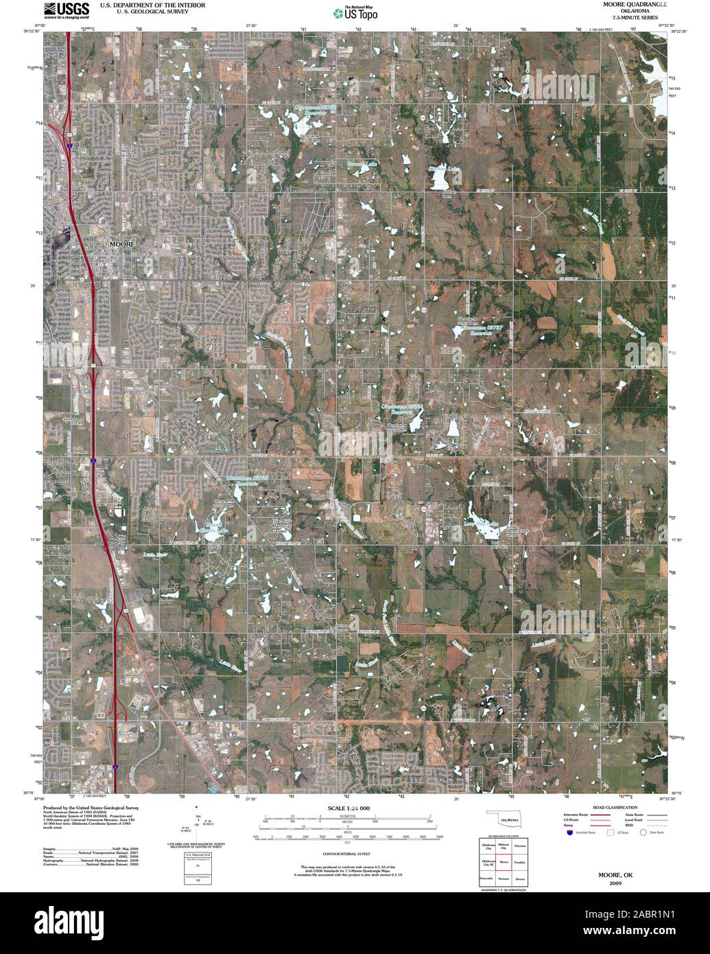 USGS TOPO Map Oklahoma OK Moore 20091230 TM Restoration Stock Photohttps://www.alamy.com/image-license-details/?v=1https://www.alamy.com/usgs-topo-map-oklahoma-ok-moore-20091230-tm-restoration-image334264477.html
RM2ABR1N1–USGS TOPO Map Oklahoma OK Moore 20091230 TM Restoration
 City of Moore, Cleveland County, US, United States, Oklahoma, N 35 19' 45'', S 97 28' 32'', map, Cartascapes Map published in 2024. Explore Cartascapes, a map revealing Earth's diverse landscapes, cultures, and ecosystems. Journey through time and space, discovering the interconnectedness of our planet's past, present, and future. Stock Photohttps://www.alamy.com/image-license-details/?v=1https://www.alamy.com/city-of-moore-cleveland-county-us-united-states-oklahoma-n-35-19-45-s-97-28-32-map-cartascapes-map-published-in-2024-explore-cartascapes-a-map-revealing-earths-diverse-landscapes-cultures-and-ecosystems-journey-through-time-and-space-discovering-the-interconnectedness-of-our-planets-past-present-and-future-image633832354.html
RM2YR5FHP–City of Moore, Cleveland County, US, United States, Oklahoma, N 35 19' 45'', S 97 28' 32'', map, Cartascapes Map published in 2024. Explore Cartascapes, a map revealing Earth's diverse landscapes, cultures, and ecosystems. Journey through time and space, discovering the interconnectedness of our planet's past, present, and future.
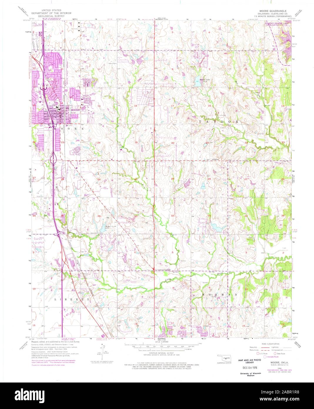 USGS TOPO Map Oklahoma OK Moore 706393 1956 24000 Restoration Stock Photohttps://www.alamy.com/image-license-details/?v=1https://www.alamy.com/usgs-topo-map-oklahoma-ok-moore-706393-1956-24000-restoration-image334264540.html
RM2ABR1R8–USGS TOPO Map Oklahoma OK Moore 706393 1956 24000 Restoration
 Township of Moore, Pottawatomie County, US, United States, Oklahoma, N 35 7' 50'', S 96 54' 41'', map, Cartascapes Map published in 2024. Explore Cartascapes, a map revealing Earth's diverse landscapes, cultures, and ecosystems. Journey through time and space, discovering the interconnectedness of our planet's past, present, and future. Stock Photohttps://www.alamy.com/image-license-details/?v=1https://www.alamy.com/township-of-moore-pottawatomie-county-us-united-states-oklahoma-n-35-7-50-s-96-54-41-map-cartascapes-map-published-in-2024-explore-cartascapes-a-map-revealing-earths-diverse-landscapes-cultures-and-ecosystems-journey-through-time-and-space-discovering-the-interconnectedness-of-our-planets-past-present-and-future-image633900685.html
RM2YR8JP5–Township of Moore, Pottawatomie County, US, United States, Oklahoma, N 35 7' 50'', S 96 54' 41'', map, Cartascapes Map published in 2024. Explore Cartascapes, a map revealing Earth's diverse landscapes, cultures, and ecosystems. Journey through time and space, discovering the interconnectedness of our planet's past, present, and future.
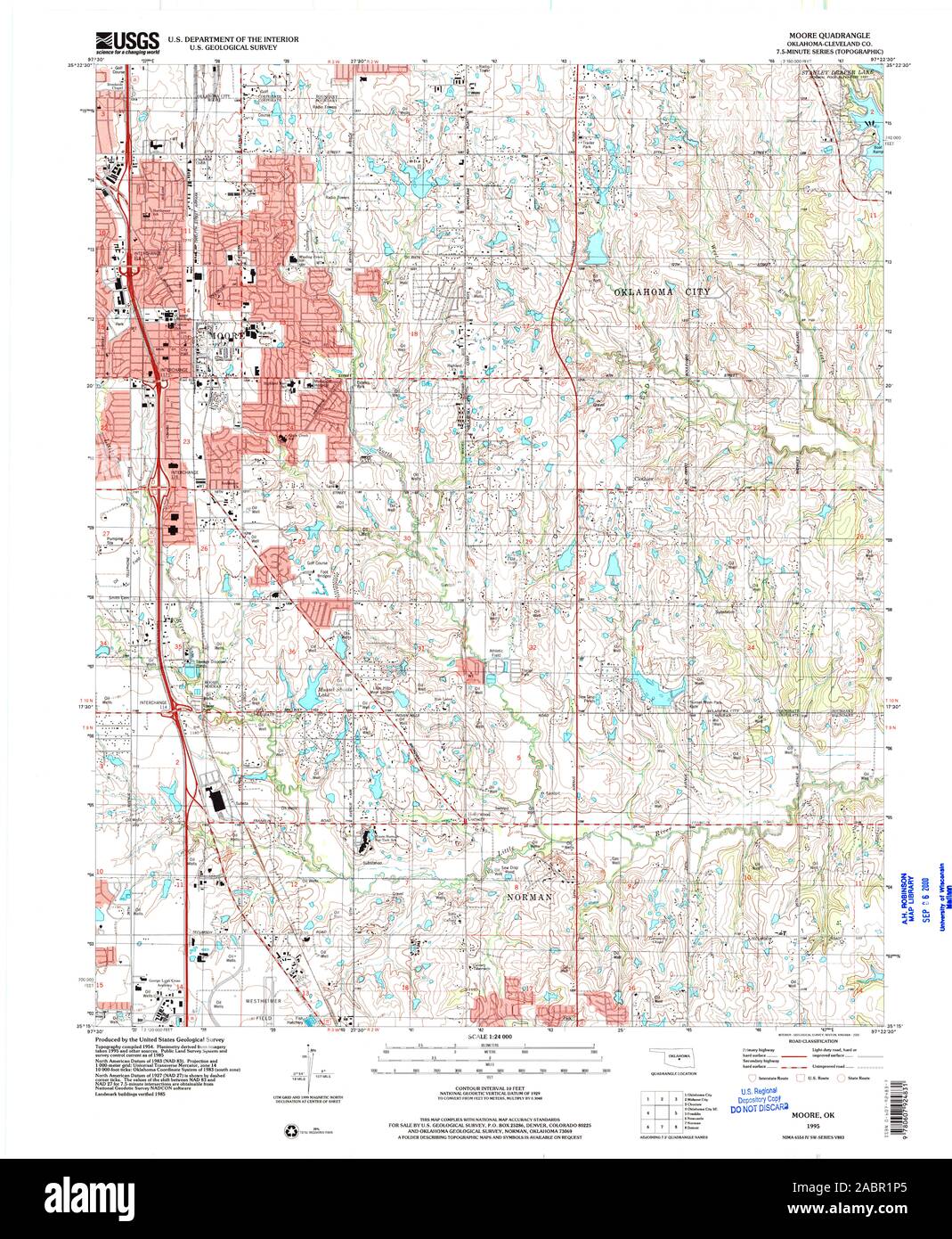 USGS TOPO Map Oklahoma OK Moore 706391 1995 24000 Restoration Stock Photohttps://www.alamy.com/image-license-details/?v=1https://www.alamy.com/usgs-topo-map-oklahoma-ok-moore-706391-1995-24000-restoration-image334264509.html
RM2ABR1P5–USGS TOPO Map Oklahoma OK Moore 706391 1995 24000 Restoration
 Township of Moore, Muskogee County, US, United States, Oklahoma, N 35 47' 30'', S 95 42' 30'', map, Cartascapes Map published in 2024. Explore Cartascapes, a map revealing Earth's diverse landscapes, cultures, and ecosystems. Journey through time and space, discovering the interconnectedness of our planet's past, present, and future. Stock Photohttps://www.alamy.com/image-license-details/?v=1https://www.alamy.com/township-of-moore-muskogee-county-us-united-states-oklahoma-n-35-47-30-s-95-42-30-map-cartascapes-map-published-in-2024-explore-cartascapes-a-map-revealing-earths-diverse-landscapes-cultures-and-ecosystems-journey-through-time-and-space-discovering-the-interconnectedness-of-our-planets-past-present-and-future-image633865076.html
RM2YR71AC–Township of Moore, Muskogee County, US, United States, Oklahoma, N 35 47' 30'', S 95 42' 30'', map, Cartascapes Map published in 2024. Explore Cartascapes, a map revealing Earth's diverse landscapes, cultures, and ecosystems. Journey through time and space, discovering the interconnectedness of our planet's past, present, and future.
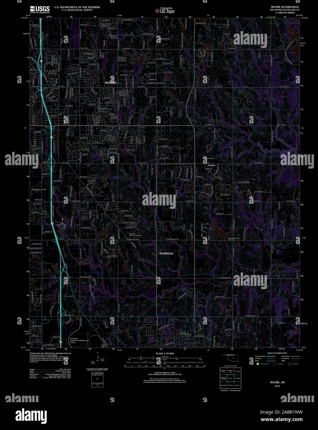 USGS TOPO Map Oklahoma OK Moore 20121211 TM Inverted Restoration Stock Photohttps://www.alamy.com/image-license-details/?v=1https://www.alamy.com/usgs-topo-map-oklahoma-ok-moore-20121211-tm-inverted-restoration-image334264501.html
RM2ABR1NW–USGS TOPO Map Oklahoma OK Moore 20121211 TM Inverted Restoration
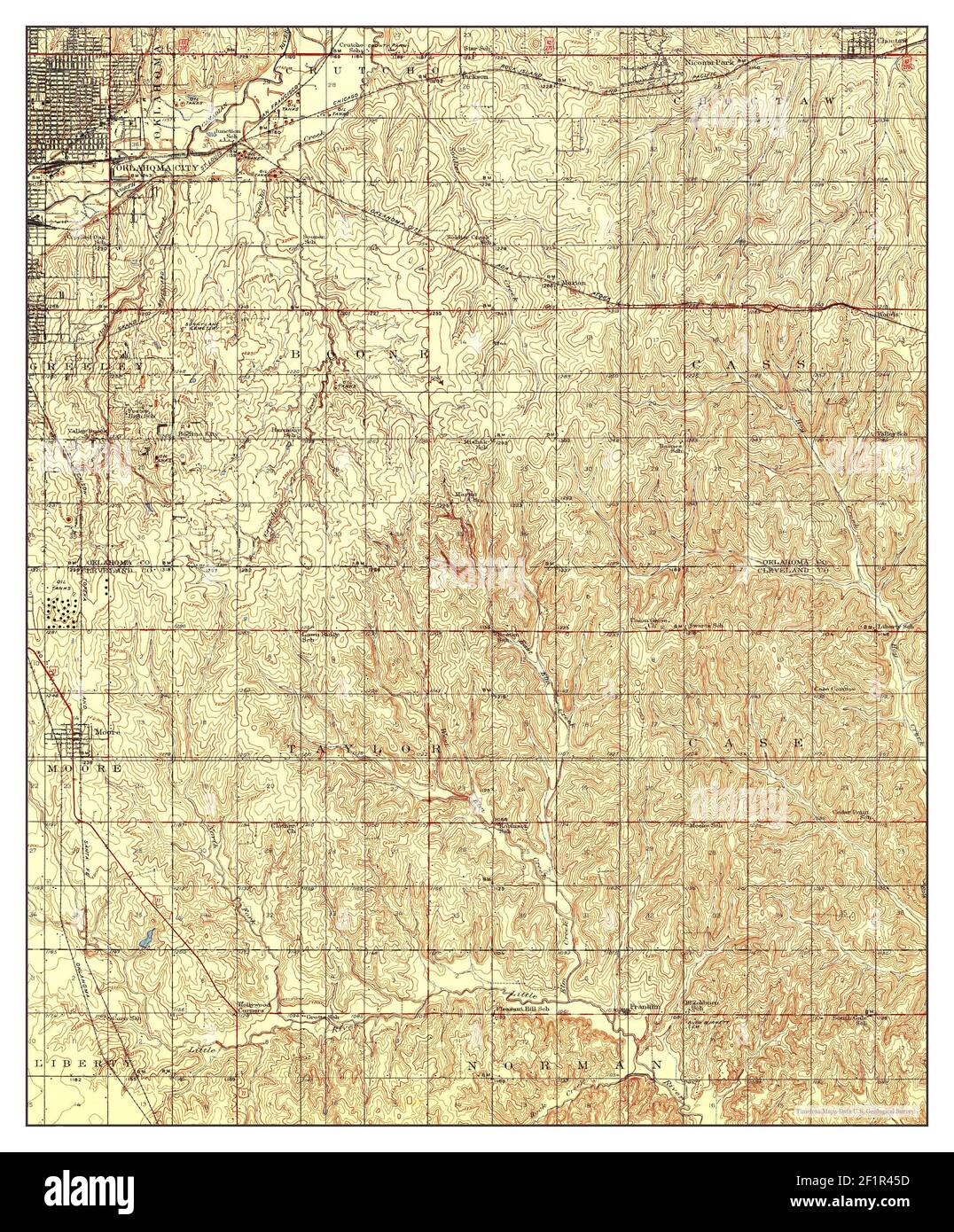 Moore, Oklahoma, map 1938, 1:62500, United States of America by Timeless Maps, data U.S. Geological Survey Stock Photohttps://www.alamy.com/image-license-details/?v=1https://www.alamy.com/moore-oklahoma-map-1938-162500-united-states-of-america-by-timeless-maps-data-us-geological-survey-image414171673.html
RM2F1R45D–Moore, Oklahoma, map 1938, 1:62500, United States of America by Timeless Maps, data U.S. Geological Survey
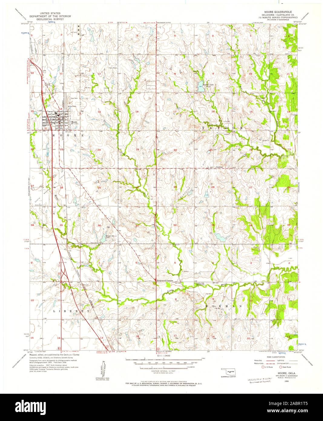 USGS TOPO Map Oklahoma OK Moore 706395 1956 24000 Restoration Stock Photohttps://www.alamy.com/image-license-details/?v=1https://www.alamy.com/usgs-topo-map-oklahoma-ok-moore-706395-1956-24000-restoration-image334264565.html
RM2ABR1T5–USGS TOPO Map Oklahoma OK Moore 706395 1956 24000 Restoration
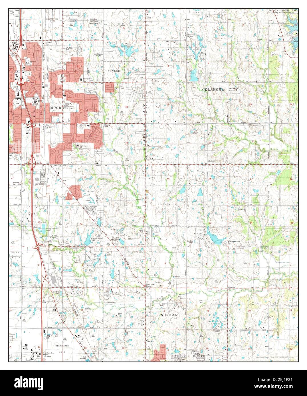 Moore, Oklahoma, map 1986, 1:24000, United States of America by Timeless Maps, data U.S. Geological Survey Stock Photohttps://www.alamy.com/image-license-details/?v=1https://www.alamy.com/moore-oklahoma-map-1986-124000-united-states-of-america-by-timeless-maps-data-us-geological-survey-image406941529.html
RM2EJ1P21–Moore, Oklahoma, map 1986, 1:24000, United States of America by Timeless Maps, data U.S. Geological Survey
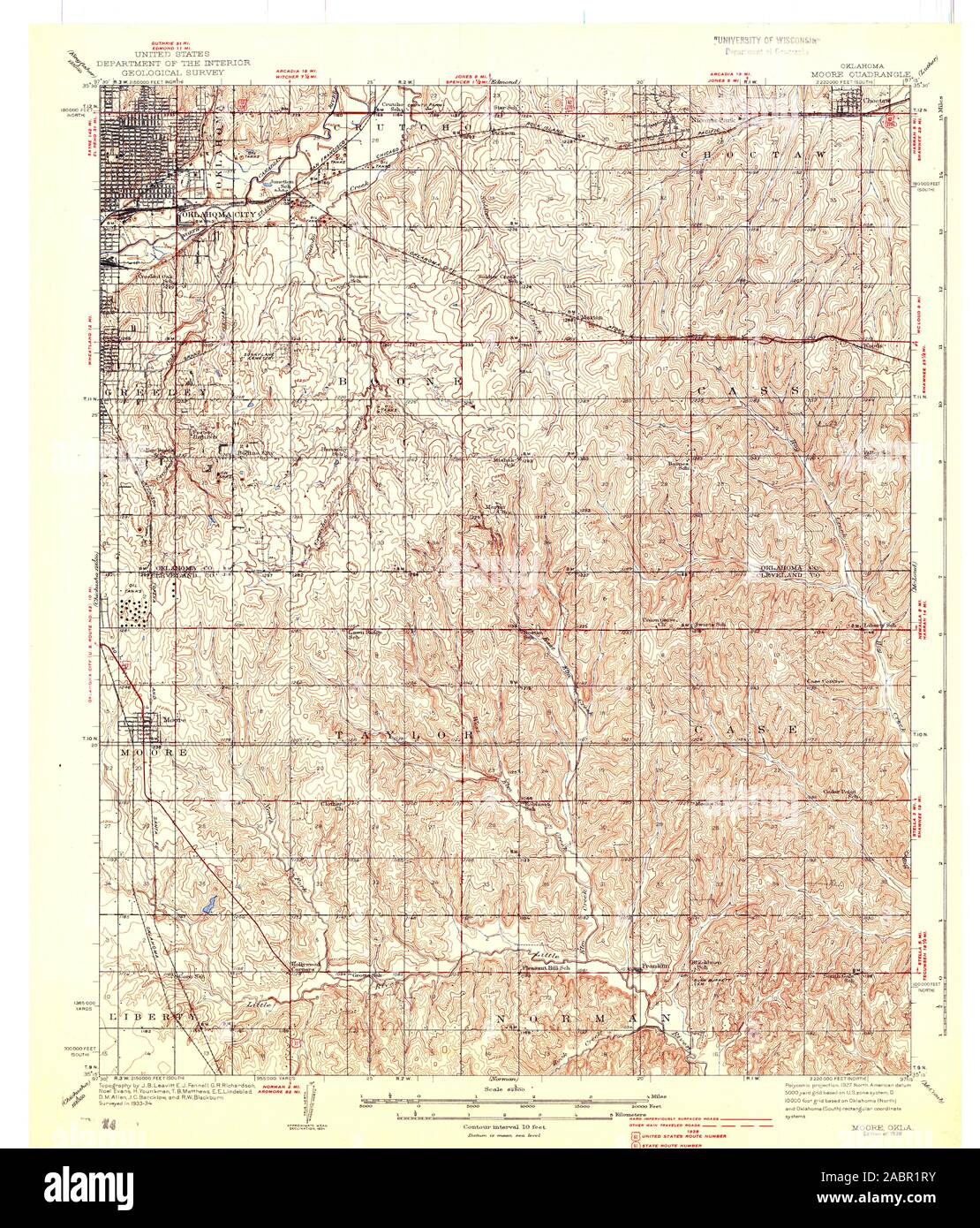 USGS TOPO Map Oklahoma OK Moore 706396 1938 62500 Restoration Stock Photohttps://www.alamy.com/image-license-details/?v=1https://www.alamy.com/usgs-topo-map-oklahoma-ok-moore-706396-1938-62500-restoration-image334264559.html
RM2ABR1RY–USGS TOPO Map Oklahoma OK Moore 706396 1938 62500 Restoration
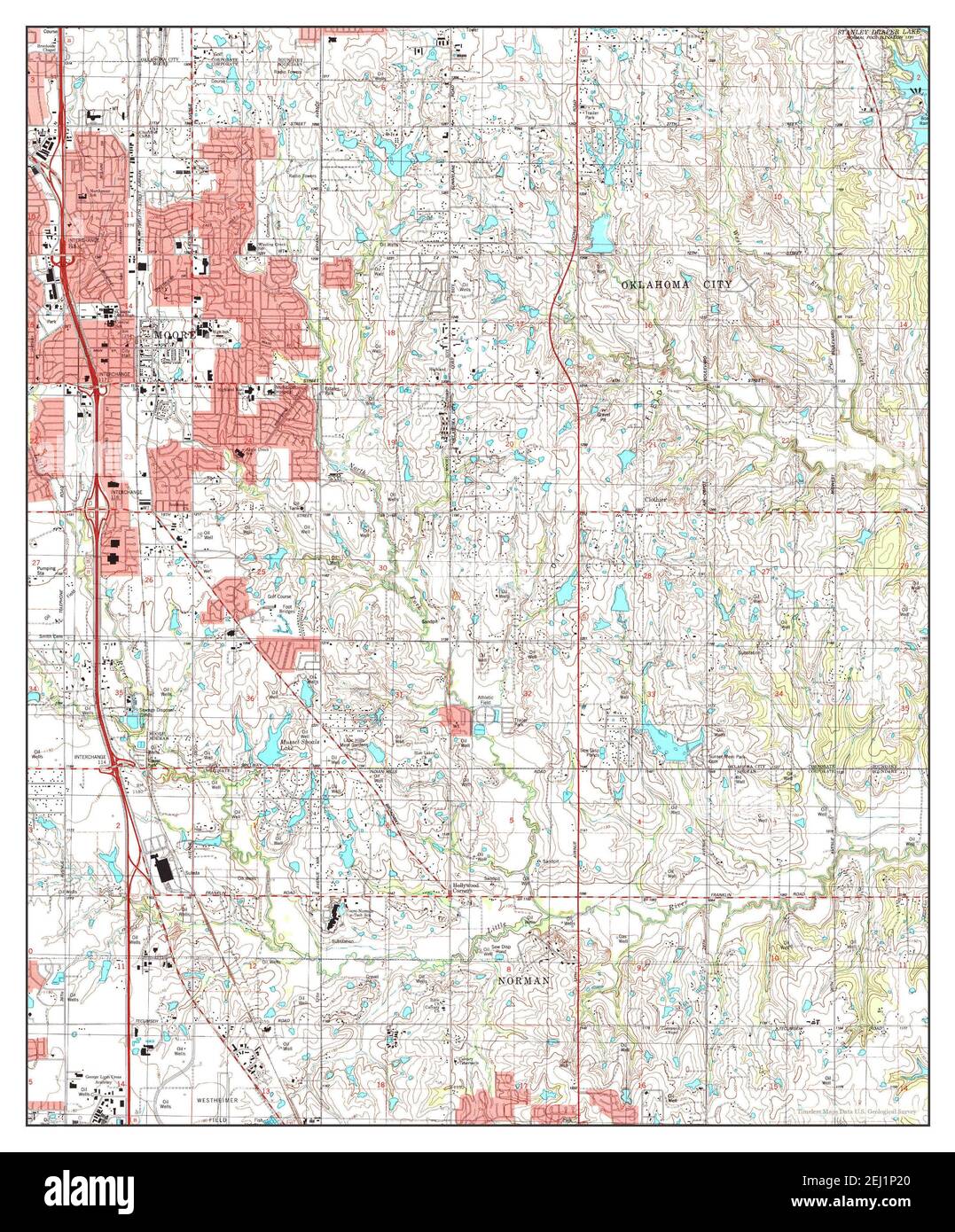 Moore, Oklahoma, map 1995, 1:24000, United States of America by Timeless Maps, data U.S. Geological Survey Stock Photohttps://www.alamy.com/image-license-details/?v=1https://www.alamy.com/moore-oklahoma-map-1995-124000-united-states-of-america-by-timeless-maps-data-us-geological-survey-image406941528.html
RM2EJ1P20–Moore, Oklahoma, map 1995, 1:24000, United States of America by Timeless Maps, data U.S. Geological Survey
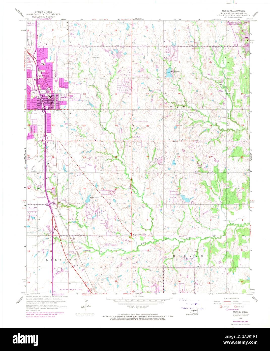 USGS TOPO Map Oklahoma OK Moore 706394 1956 24000 Restoration Stock Photohttps://www.alamy.com/image-license-details/?v=1https://www.alamy.com/usgs-topo-map-oklahoma-ok-moore-706394-1956-24000-restoration-image334264533.html
RM2ABR1R1–USGS TOPO Map Oklahoma OK Moore 706394 1956 24000 Restoration
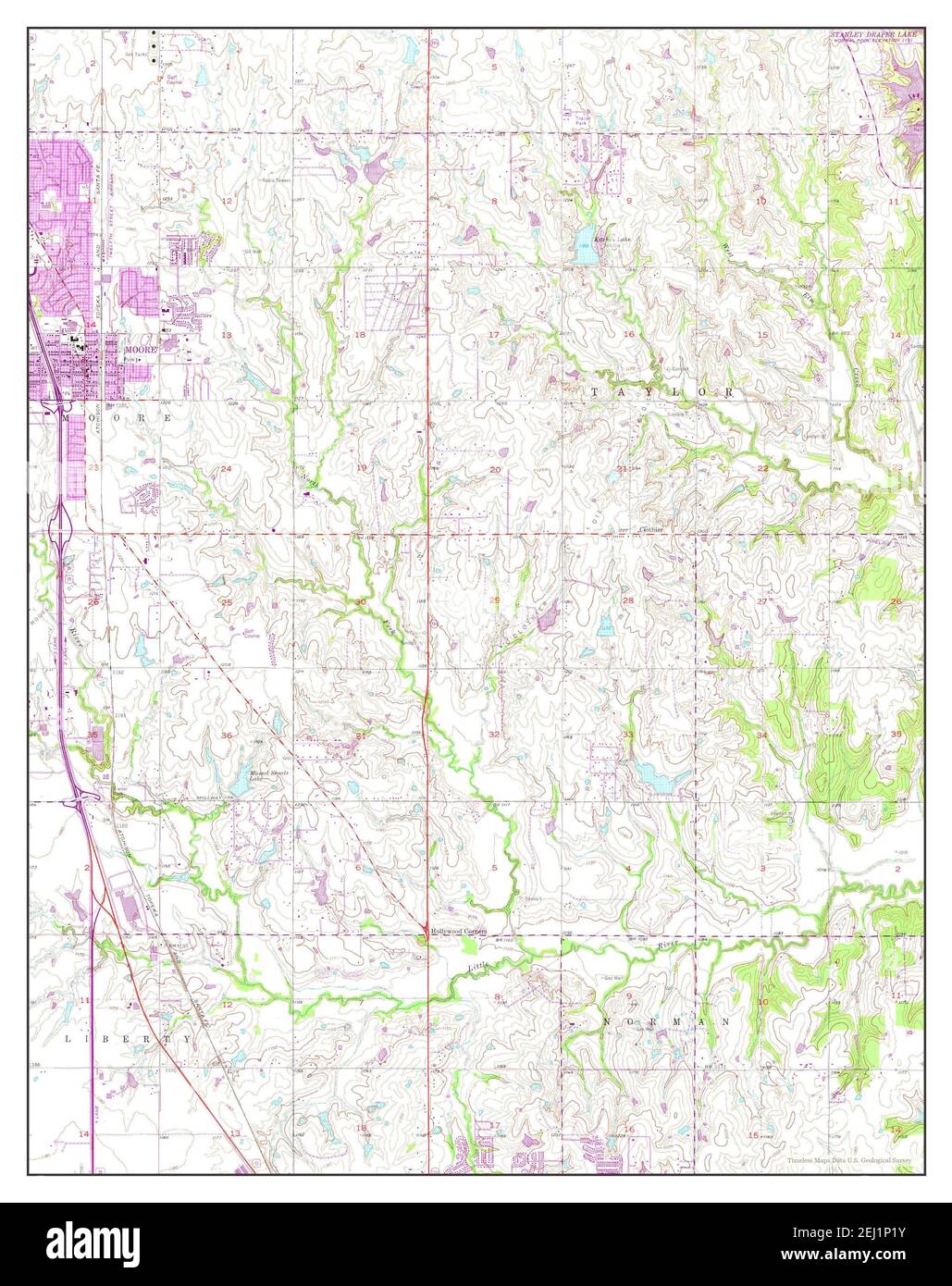 Moore, Oklahoma, map 1956, 1:24000, United States of America by Timeless Maps, data U.S. Geological Survey Stock Photohttps://www.alamy.com/image-license-details/?v=1https://www.alamy.com/moore-oklahoma-map-1956-124000-united-states-of-america-by-timeless-maps-data-us-geological-survey-image406941527.html
RM2EJ1P1Y–Moore, Oklahoma, map 1956, 1:24000, United States of America by Timeless Maps, data U.S. Geological Survey
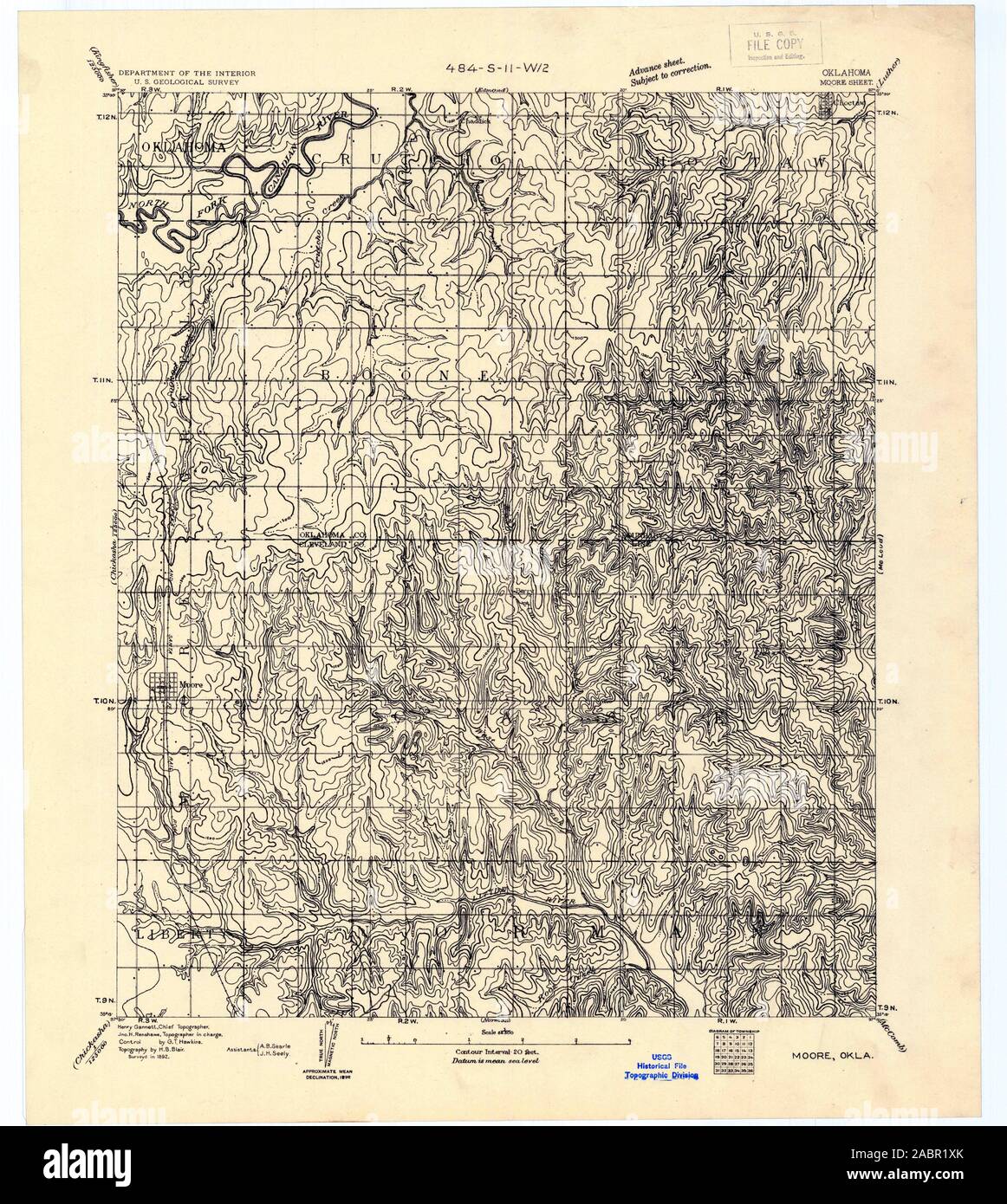 USGS TOPO Map Oklahoma OK Moore 802545 1892 62500 Restoration Stock Photohttps://www.alamy.com/image-license-details/?v=1https://www.alamy.com/usgs-topo-map-oklahoma-ok-moore-802545-1892-62500-restoration-image334264635.html
RM2ABR1XK–USGS TOPO Map Oklahoma OK Moore 802545 1892 62500 Restoration
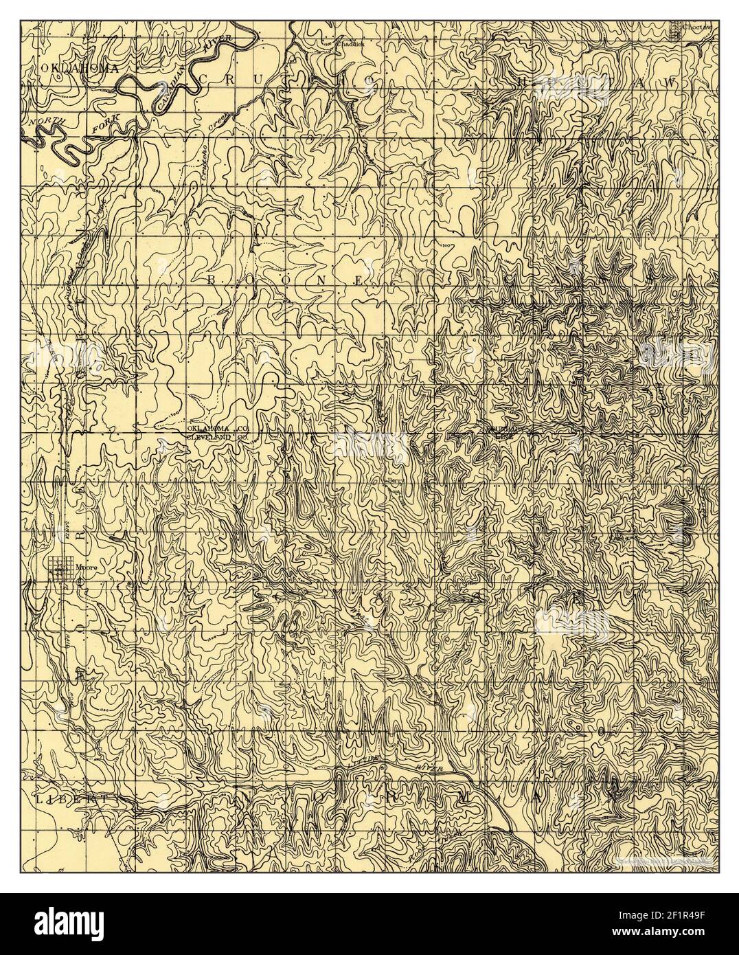 Moore, Oklahoma, map 1892, 1:62500, United States of America by Timeless Maps, data U.S. Geological Survey Stock Photohttps://www.alamy.com/image-license-details/?v=1https://www.alamy.com/moore-oklahoma-map-1892-162500-united-states-of-america-by-timeless-maps-data-us-geological-survey-image414171787.html
RM2F1R49F–Moore, Oklahoma, map 1892, 1:62500, United States of America by Timeless Maps, data U.S. Geological Survey
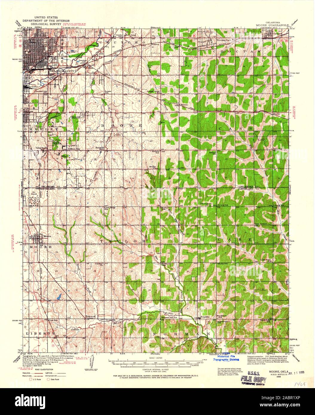 USGS TOPO Map Oklahoma OK Moore 800942 1934 62500 Restoration Stock Photohttps://www.alamy.com/image-license-details/?v=1https://www.alamy.com/usgs-topo-map-oklahoma-ok-moore-800942-1934-62500-restoration-image334264638.html
RM2ABR1XP–USGS TOPO Map Oklahoma OK Moore 800942 1934 62500 Restoration
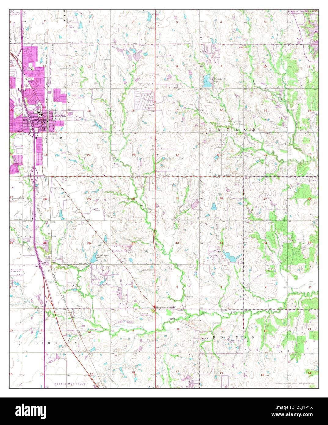 Moore, Oklahoma, map 1956, 1:24000, United States of America by Timeless Maps, data U.S. Geological Survey Stock Photohttps://www.alamy.com/image-license-details/?v=1https://www.alamy.com/moore-oklahoma-map-1956-124000-united-states-of-america-by-timeless-maps-data-us-geological-survey-image406941526.html
RM2EJ1P1X–Moore, Oklahoma, map 1956, 1:24000, United States of America by Timeless Maps, data U.S. Geological Survey
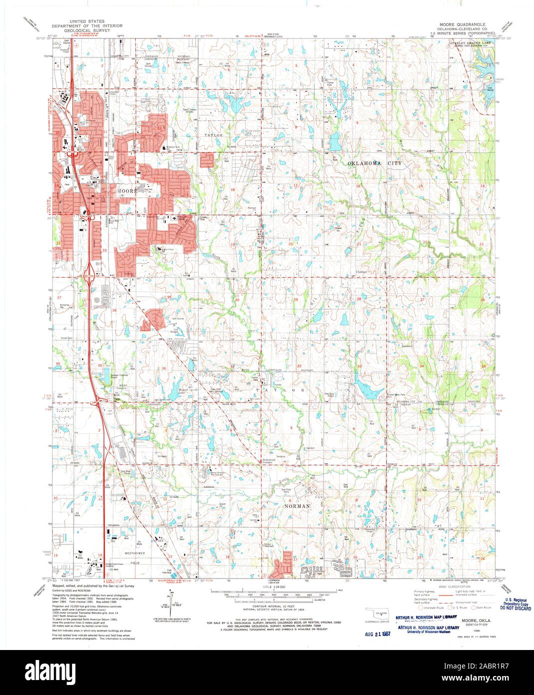 USGS TOPO Map Oklahoma OK Moore 706392 1986 24000 Restoration Stock Photohttps://www.alamy.com/image-license-details/?v=1https://www.alamy.com/usgs-topo-map-oklahoma-ok-moore-706392-1986-24000-restoration-image334264539.html
RM2ABR1R7–USGS TOPO Map Oklahoma OK Moore 706392 1986 24000 Restoration
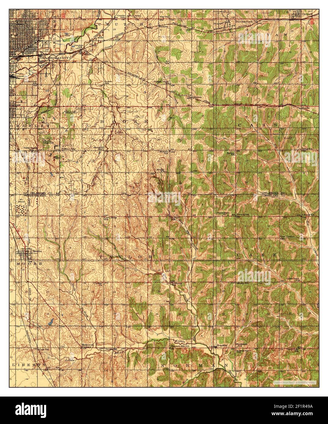 Moore, Oklahoma, map 1938, 1:62500, United States of America by Timeless Maps, data U.S. Geological Survey Stock Photohttps://www.alamy.com/image-license-details/?v=1https://www.alamy.com/moore-oklahoma-map-1938-162500-united-states-of-america-by-timeless-maps-data-us-geological-survey-image414171782.html
RM2F1R49A–Moore, Oklahoma, map 1938, 1:62500, United States of America by Timeless Maps, data U.S. Geological Survey
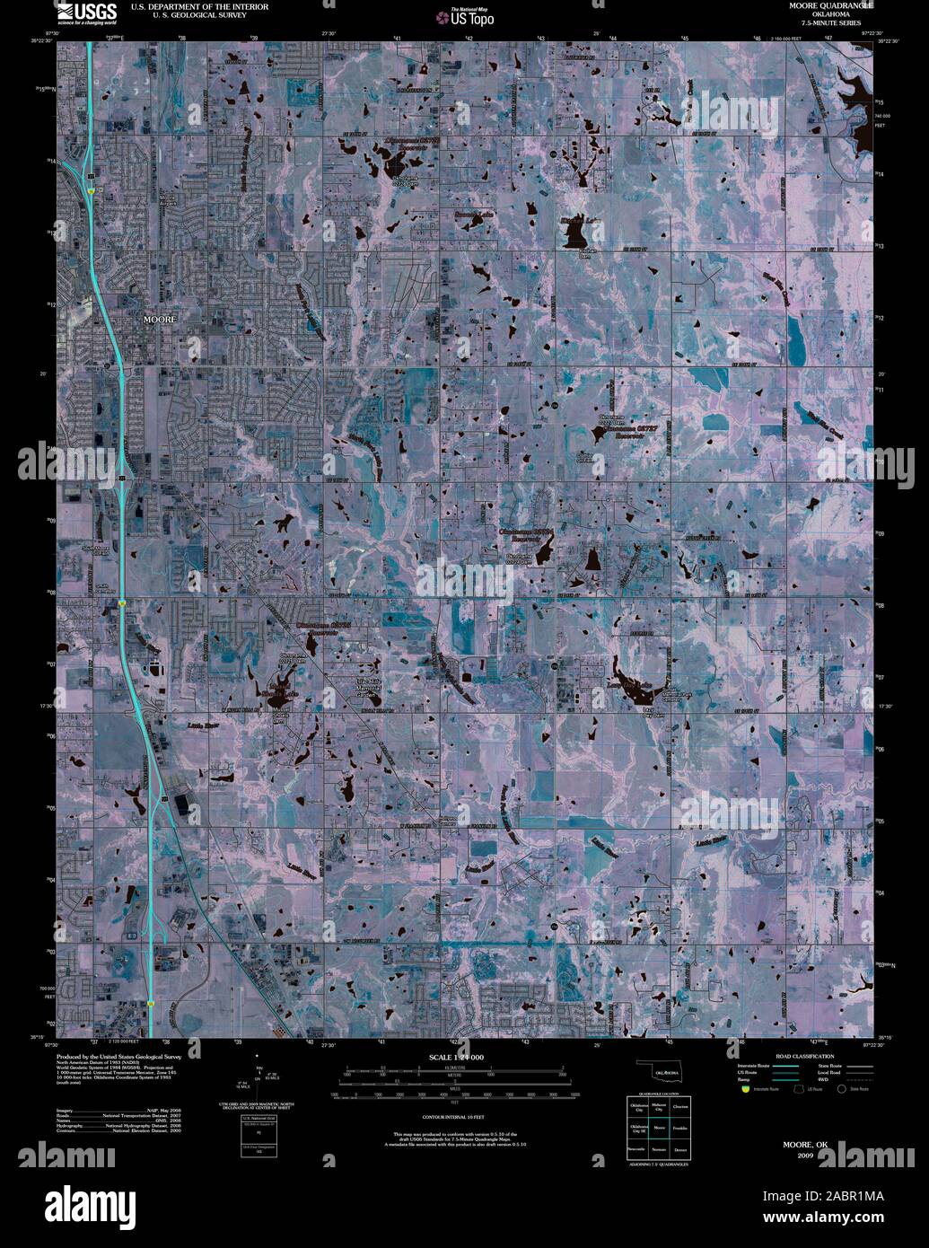 USGS TOPO Map Oklahoma OK Moore 20091230 TM Inverted Restoration Stock Photohttps://www.alamy.com/image-license-details/?v=1https://www.alamy.com/usgs-topo-map-oklahoma-ok-moore-20091230-tm-inverted-restoration-image334264458.html
RM2ABR1MA–USGS TOPO Map Oklahoma OK Moore 20091230 TM Inverted Restoration
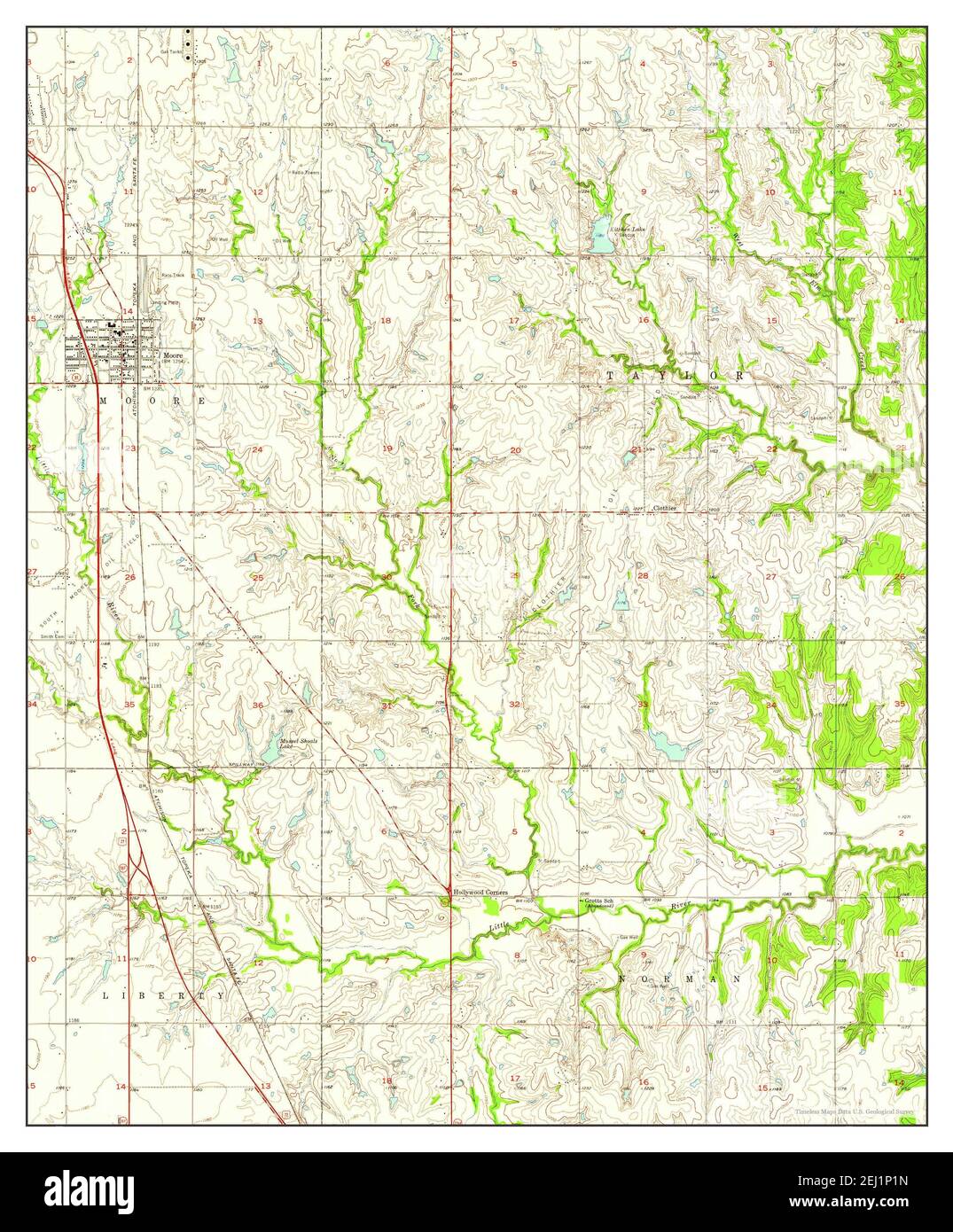 Moore, Oklahoma, map 1956, 1:24000, United States of America by Timeless Maps, data U.S. Geological Survey Stock Photohttps://www.alamy.com/image-license-details/?v=1https://www.alamy.com/moore-oklahoma-map-1956-124000-united-states-of-america-by-timeless-maps-data-us-geological-survey-image406941521.html
RM2EJ1P1N–Moore, Oklahoma, map 1956, 1:24000, United States of America by Timeless Maps, data U.S. Geological Survey
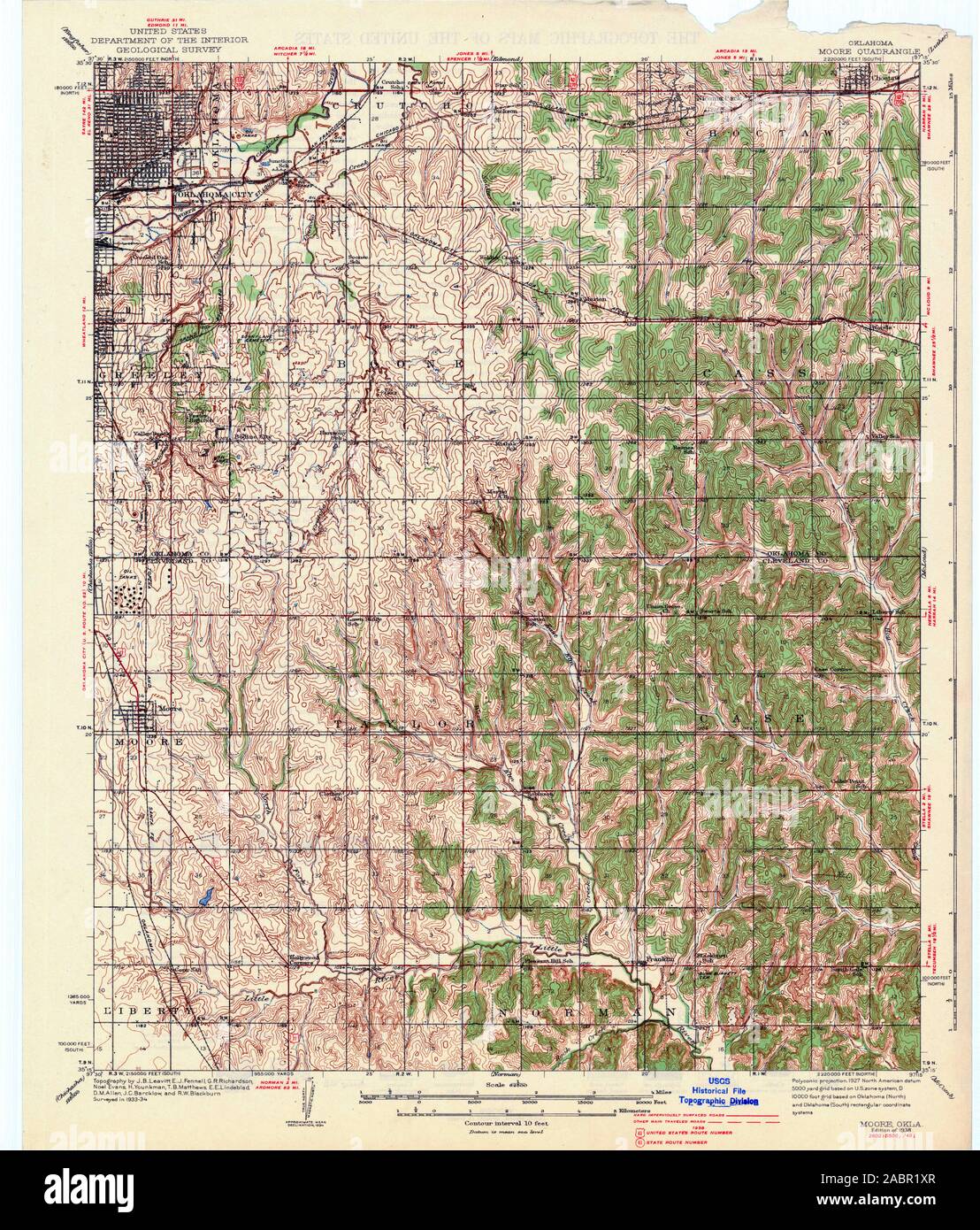 USGS TOPO Map Oklahoma OK Moore 802337 1938 62500 Restoration Stock Photohttps://www.alamy.com/image-license-details/?v=1https://www.alamy.com/usgs-topo-map-oklahoma-ok-moore-802337-1938-62500-restoration-image334264639.html
RM2ABR1XR–USGS TOPO Map Oklahoma OK Moore 802337 1938 62500 Restoration
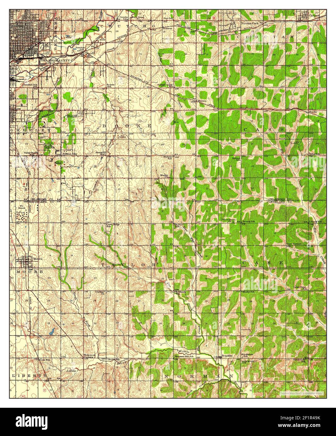 Moore, Oklahoma, map 1934, 1:62500, United States of America by Timeless Maps, data U.S. Geological Survey Stock Photohttps://www.alamy.com/image-license-details/?v=1https://www.alamy.com/moore-oklahoma-map-1934-162500-united-states-of-america-by-timeless-maps-data-us-geological-survey-image414171791.html
RM2F1R49K–Moore, Oklahoma, map 1934, 1:62500, United States of America by Timeless Maps, data U.S. Geological Survey
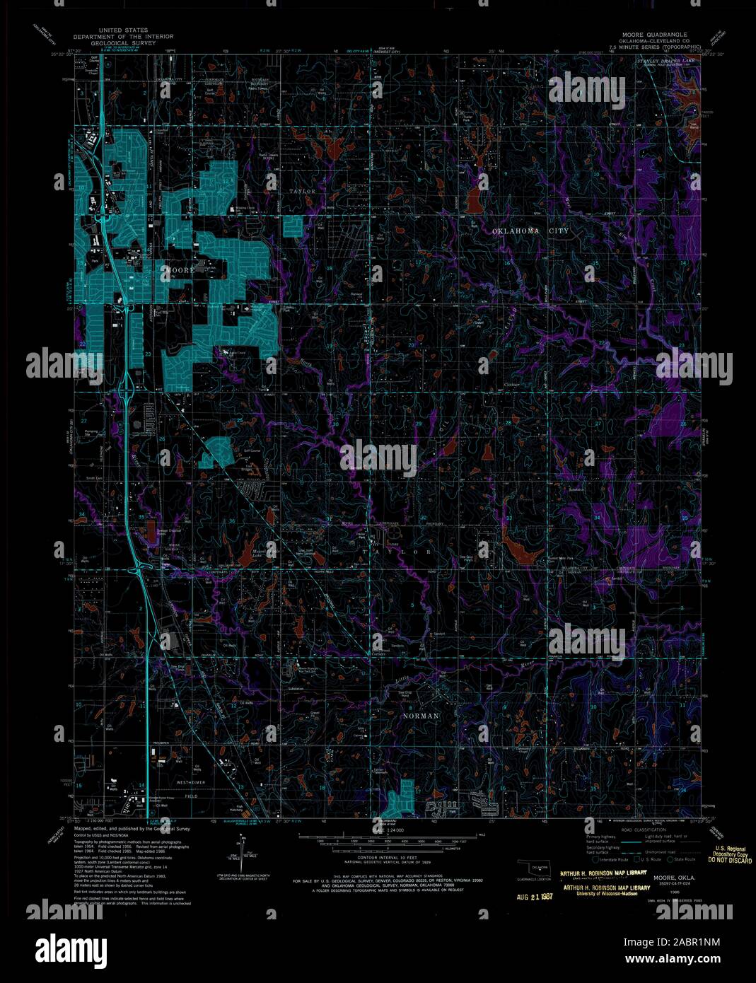 USGS TOPO Map Oklahoma OK Moore 706392 1986 24000 Inverted Restoration Stock Photohttps://www.alamy.com/image-license-details/?v=1https://www.alamy.com/usgs-topo-map-oklahoma-ok-moore-706392-1986-24000-inverted-restoration-image334264496.html
RM2ABR1NM–USGS TOPO Map Oklahoma OK Moore 706392 1986 24000 Inverted Restoration
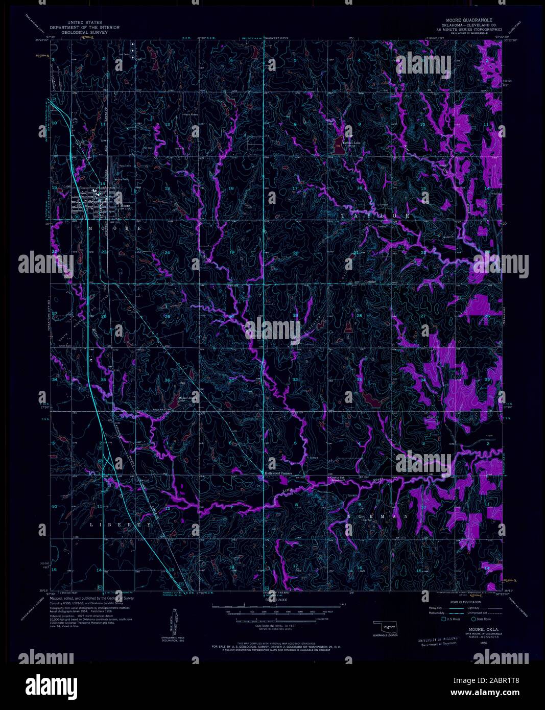 USGS TOPO Map Oklahoma OK Moore 706395 1956 24000 Inverted Restoration Stock Photohttps://www.alamy.com/image-license-details/?v=1https://www.alamy.com/usgs-topo-map-oklahoma-ok-moore-706395-1956-24000-inverted-restoration-image334264568.html
RM2ABR1T8–USGS TOPO Map Oklahoma OK Moore 706395 1956 24000 Inverted Restoration
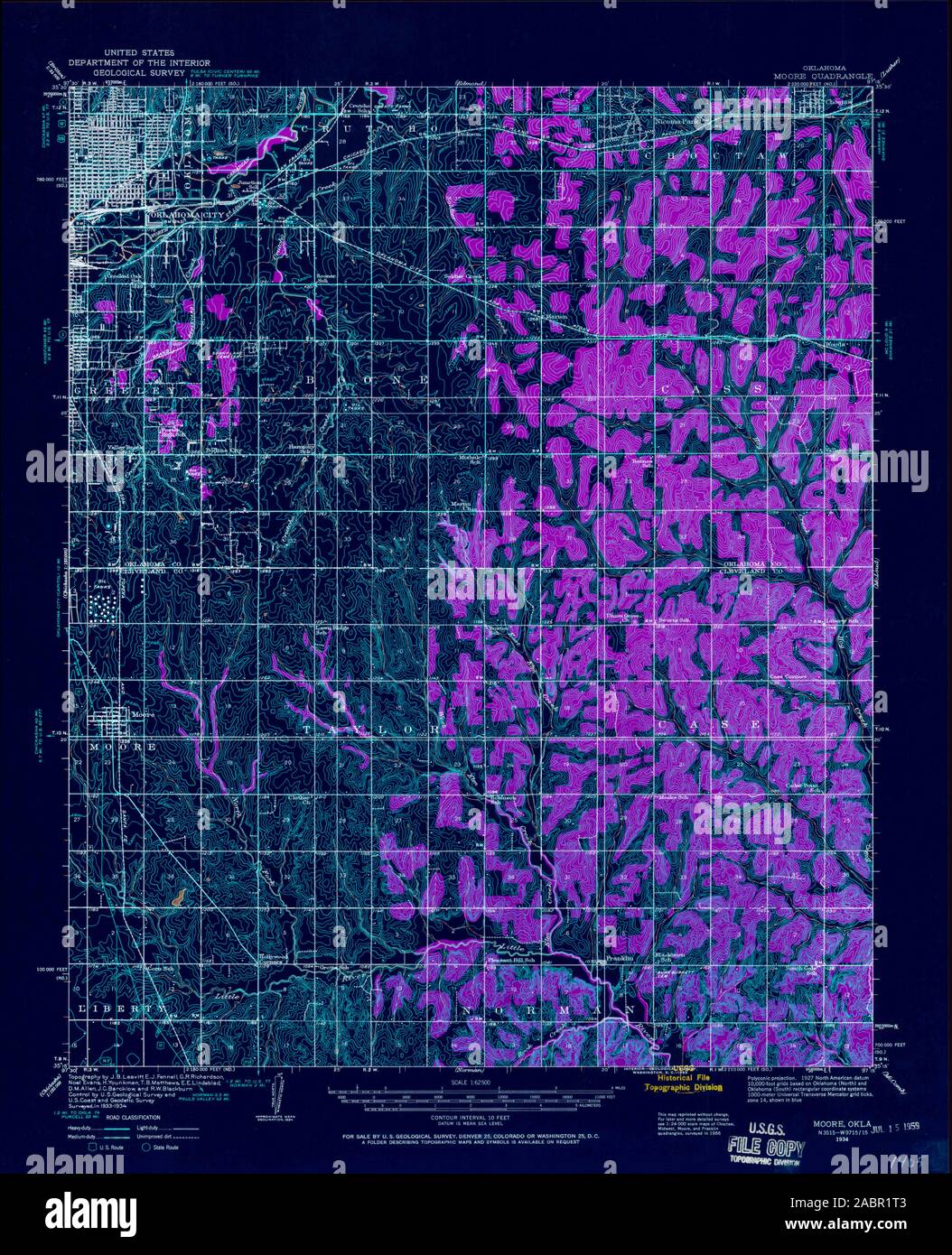 USGS TOPO Map Oklahoma OK Moore 800942 1934 62500 Inverted Restoration Stock Photohttps://www.alamy.com/image-license-details/?v=1https://www.alamy.com/usgs-topo-map-oklahoma-ok-moore-800942-1934-62500-inverted-restoration-image334264563.html
RM2ABR1T3–USGS TOPO Map Oklahoma OK Moore 800942 1934 62500 Inverted Restoration
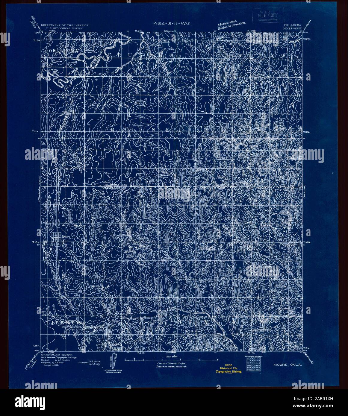 USGS TOPO Map Oklahoma OK Moore 802545 1892 62500 Inverted Restoration Stock Photohttps://www.alamy.com/image-license-details/?v=1https://www.alamy.com/usgs-topo-map-oklahoma-ok-moore-802545-1892-62500-inverted-restoration-image334264633.html
RM2ABR1XH–USGS TOPO Map Oklahoma OK Moore 802545 1892 62500 Inverted Restoration
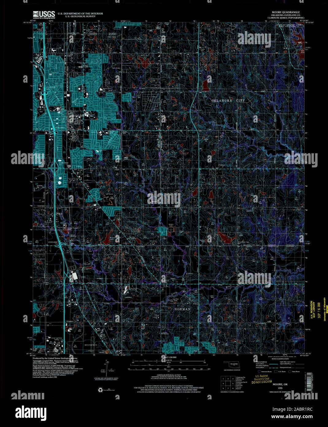 USGS TOPO Map Oklahoma OK Moore 706391 1995 24000 Inverted Restoration Stock Photohttps://www.alamy.com/image-license-details/?v=1https://www.alamy.com/usgs-topo-map-oklahoma-ok-moore-706391-1995-24000-inverted-restoration-image334264544.html
RM2ABR1RC–USGS TOPO Map Oklahoma OK Moore 706391 1995 24000 Inverted Restoration
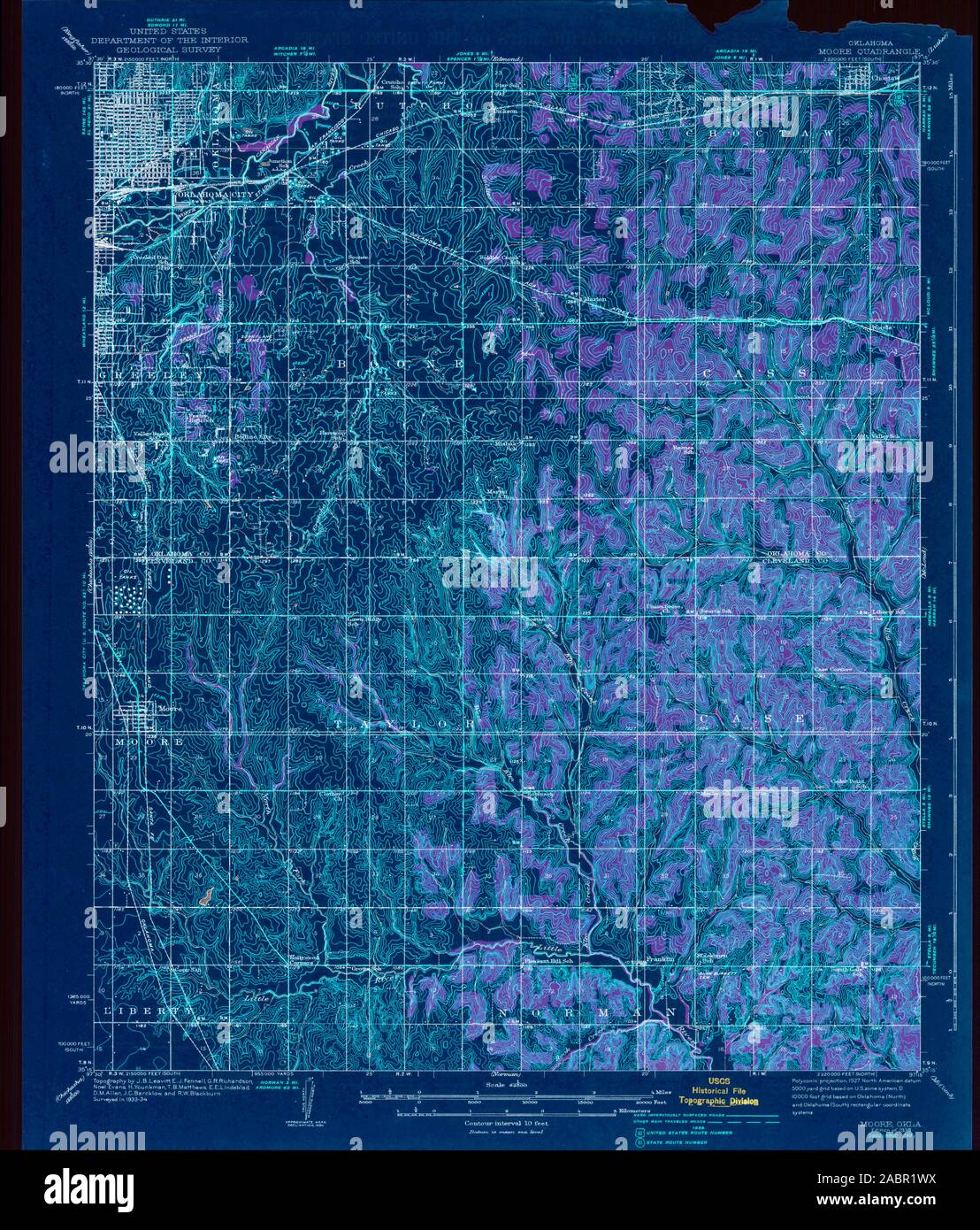 USGS TOPO Map Oklahoma OK Moore 802337 1938 62500 Inverted Restoration Stock Photohttps://www.alamy.com/image-license-details/?v=1https://www.alamy.com/usgs-topo-map-oklahoma-ok-moore-802337-1938-62500-inverted-restoration-image334264614.html
RM2ABR1WX–USGS TOPO Map Oklahoma OK Moore 802337 1938 62500 Inverted Restoration
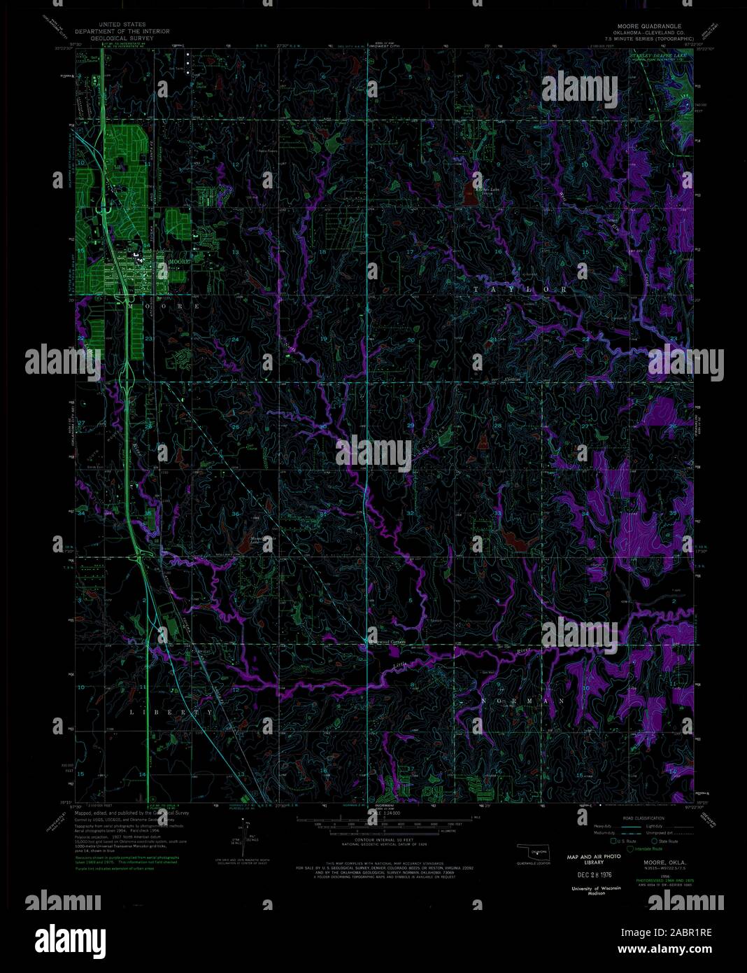 USGS TOPO Map Oklahoma OK Moore 706393 1956 24000 Inverted Restoration Stock Photohttps://www.alamy.com/image-license-details/?v=1https://www.alamy.com/usgs-topo-map-oklahoma-ok-moore-706393-1956-24000-inverted-restoration-image334264546.html
RM2ABR1RE–USGS TOPO Map Oklahoma OK Moore 706393 1956 24000 Inverted Restoration
 USGS TOPO Map Oklahoma OK Moore 706394 1956 24000 Inverted Restoration Stock Photohttps://www.alamy.com/image-license-details/?v=1https://www.alamy.com/usgs-topo-map-oklahoma-ok-moore-706394-1956-24000-inverted-restoration-image334264542.html
RM2ABR1RA–USGS TOPO Map Oklahoma OK Moore 706394 1956 24000 Inverted Restoration
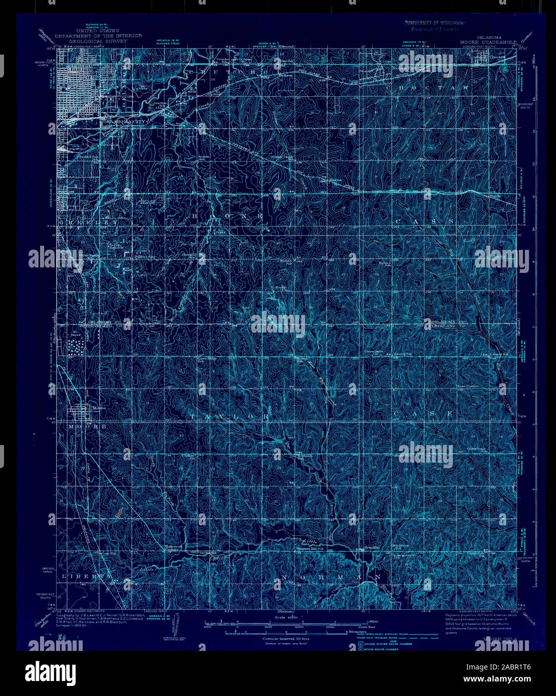 USGS TOPO Map Oklahoma OK Moore 706396 1938 62500 Inverted Restoration Stock Photohttps://www.alamy.com/image-license-details/?v=1https://www.alamy.com/usgs-topo-map-oklahoma-ok-moore-706396-1938-62500-inverted-restoration-image334264566.html
RM2ABR1T6–USGS TOPO Map Oklahoma OK Moore 706396 1938 62500 Inverted Restoration