Quick filters:
Map of morton Stock Photos and Images
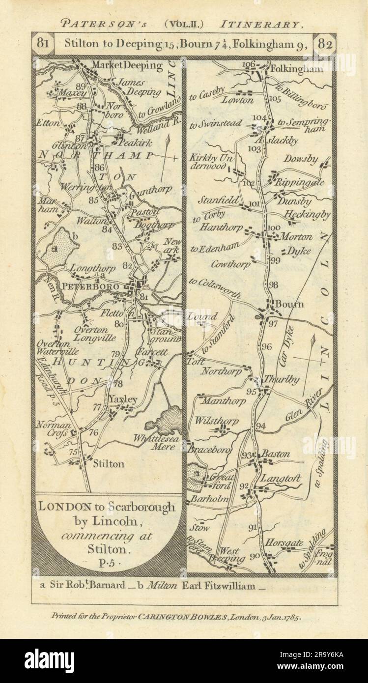 Yaxley-Peterborough-Thurlby-Morton-Folkingham road strip map PATERSON 1785 Stock Photohttps://www.alamy.com/image-license-details/?v=1https://www.alamy.com/yaxley-peterborough-thurlby-morton-folkingham-road-strip-map-paterson-1785-image556861630.html
RF2R9Y6KA–Yaxley-Peterborough-Thurlby-Morton-Folkingham road strip map PATERSON 1785
 Map of Morton in Kansas Stock Photohttps://www.alamy.com/image-license-details/?v=1https://www.alamy.com/map-of-morton-in-kansas-image402474711.html
RF2EAP8GR–Map of Morton in Kansas
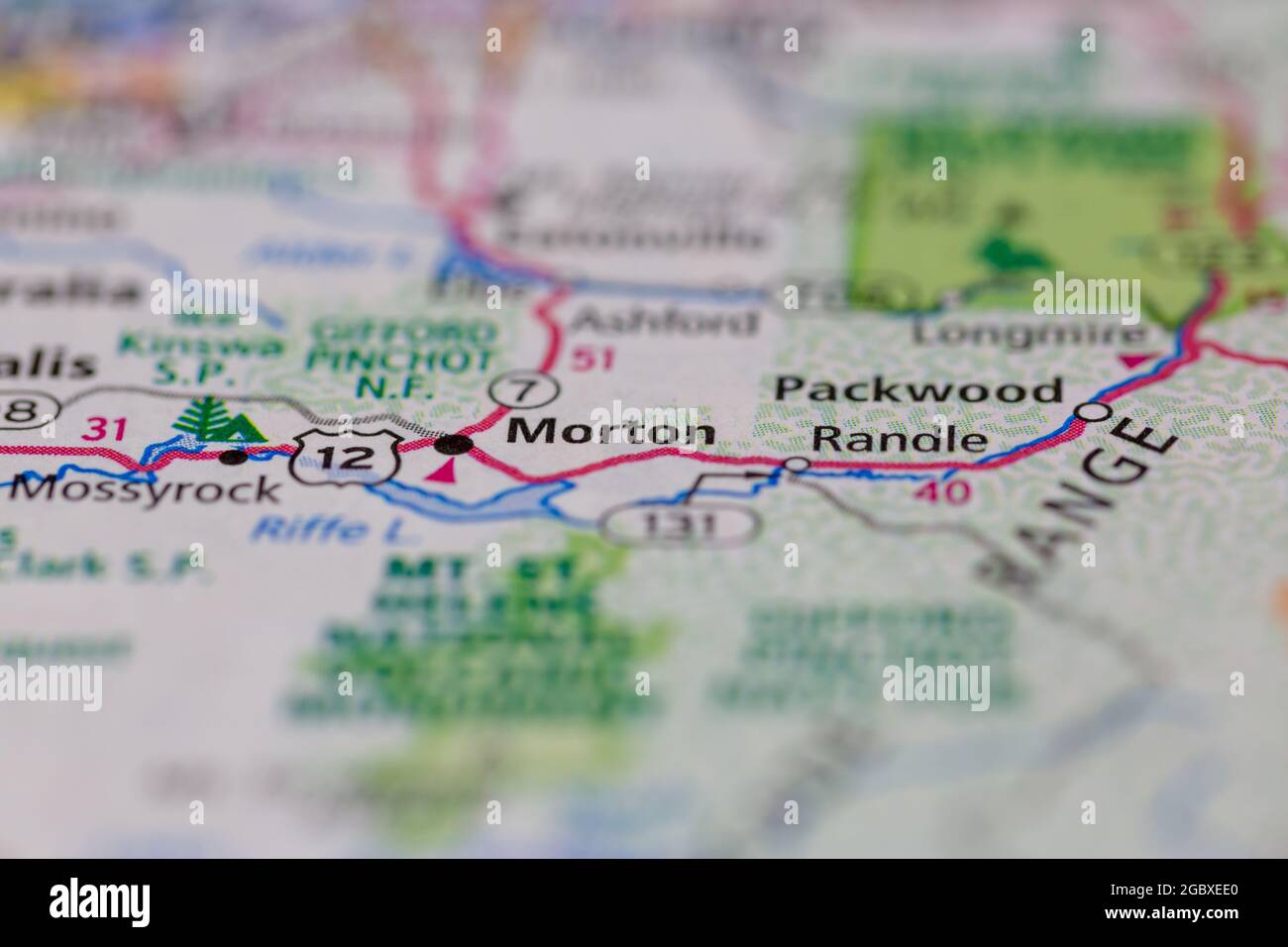 Morton Washington State USA shown on a road map or Geography map Stock Photohttps://www.alamy.com/image-license-details/?v=1https://www.alamy.com/morton-washington-state-usa-shown-on-a-road-map-or-geography-map-image437602536.html
RM2GBXEE0–Morton Washington State USA shown on a road map or Geography map
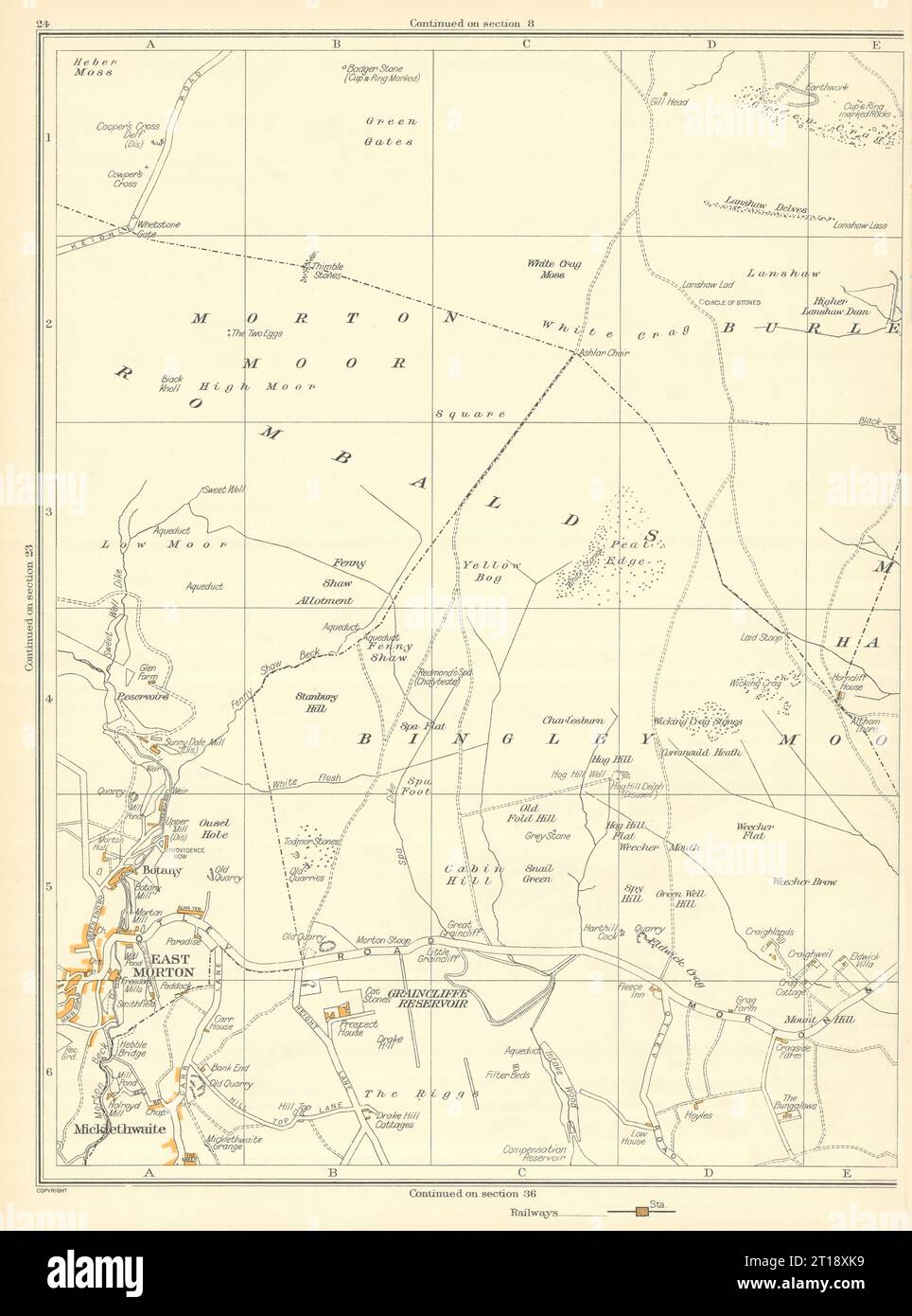 YORKSHIRE East Morton Bingley Rombalds Micklethwaite Green Gates Botany 1935 map Stock Photohttps://www.alamy.com/image-license-details/?v=1https://www.alamy.com/yorkshire-east-morton-bingley-rombalds-micklethwaite-green-gates-botany-1935-map-image568753341.html
RF2T18XK9–YORKSHIRE East Morton Bingley Rombalds Micklethwaite Green Gates Botany 1935 map
 Actress Samantha Morton arrives at a Medical Aid for Palestinians (MAP) benefit evening for Gaza, held at the Grosvenor House Hotel in central London. Stock Photohttps://www.alamy.com/image-license-details/?v=1https://www.alamy.com/stock-photo-actress-samantha-morton-arrives-at-a-medical-aid-for-palestinians-110316275.html
RMGBD9EY–Actress Samantha Morton arrives at a Medical Aid for Palestinians (MAP) benefit evening for Gaza, held at the Grosvenor House Hotel in central London.
 Morton Plains, Buloke, AU, Australia, Victoria, S 36 4' 59'', N 142 54' 0'', map, Cartascapes Map published in 2024. Explore Cartascapes, a map revealing Earth's diverse landscapes, cultures, and ecosystems. Journey through time and space, discovering the interconnectedness of our planet's past, present, and future. Stock Photohttps://www.alamy.com/image-license-details/?v=1https://www.alamy.com/morton-plains-buloke-au-australia-victoria-s-36-4-59-n-142-54-0-map-cartascapes-map-published-in-2024-explore-cartascapes-a-map-revealing-earths-diverse-landscapes-cultures-and-ecosystems-journey-through-time-and-space-discovering-the-interconnectedness-of-our-planets-past-present-and-future-image625564565.html
RM2Y9MWYH–Morton Plains, Buloke, AU, Australia, Victoria, S 36 4' 59'', N 142 54' 0'', map, Cartascapes Map published in 2024. Explore Cartascapes, a map revealing Earth's diverse landscapes, cultures, and ecosystems. Journey through time and space, discovering the interconnectedness of our planet's past, present, and future.
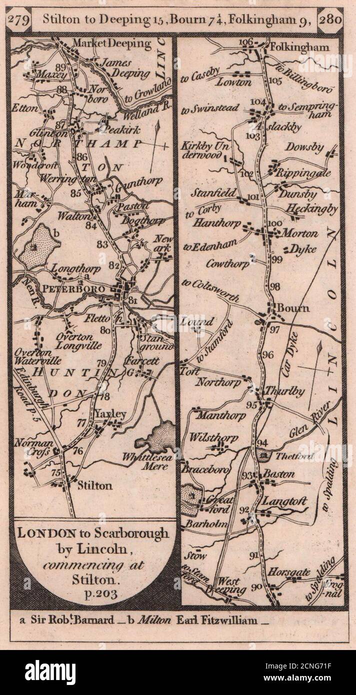 Yaxley-Peterborough-Thurlby-Morton-Folkingham road strip map PATERSON 1803 Stock Photohttps://www.alamy.com/image-license-details/?v=1https://www.alamy.com/yaxley-peterborough-thurlby-morton-folkingham-road-strip-map-paterson-1803-image374682267.html
RF2CNG71F–Yaxley-Peterborough-Thurlby-Morton-Folkingham road strip map PATERSON 1803
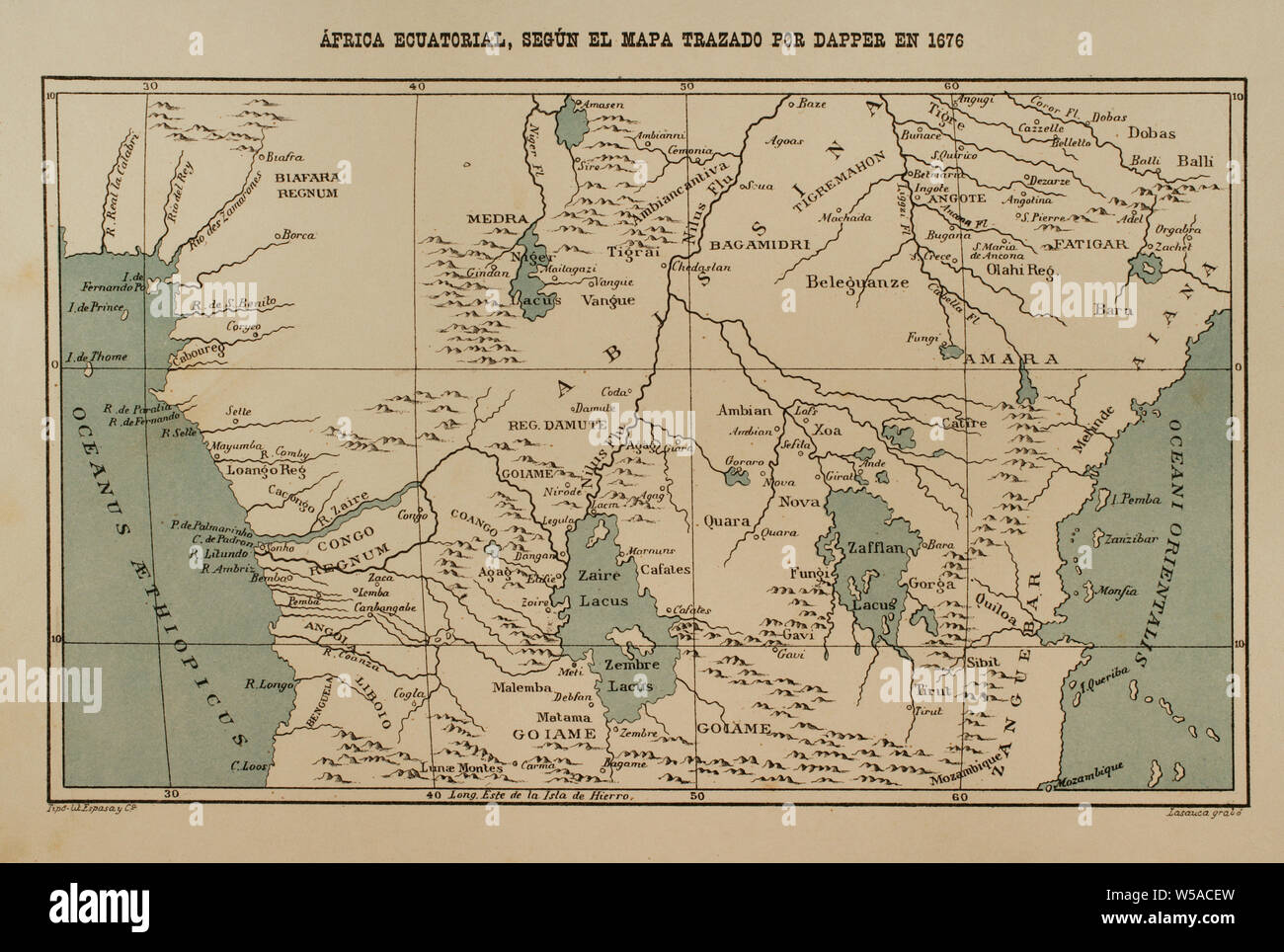 Equatorial Africa according to the map drawn by Dapper in 1616. Africa inexplorada, el Continente Misterioso by Henry Morton Stanley, c. 1887. Stock Photohttps://www.alamy.com/image-license-details/?v=1https://www.alamy.com/equatorial-africa-according-to-the-map-drawn-by-dapper-in-1616-africa-inexplorada-el-continente-misterioso-by-henry-morton-stanley-c-1887-image261458145.html
RMW5ACEW–Equatorial Africa according to the map drawn by Dapper in 1616. Africa inexplorada, el Continente Misterioso by Henry Morton Stanley, c. 1887.
 KEIGHLEY Aireworth Rivock The Height Riddlesden Sandbeds Stockbridge 1935 map Stock Photohttps://www.alamy.com/image-license-details/?v=1https://www.alamy.com/keighley-aireworth-rivock-the-height-riddlesden-sandbeds-stockbridge-1935-map-image568753339.html
RF2T18XK7–KEIGHLEY Aireworth Rivock The Height Riddlesden Sandbeds Stockbridge 1935 map
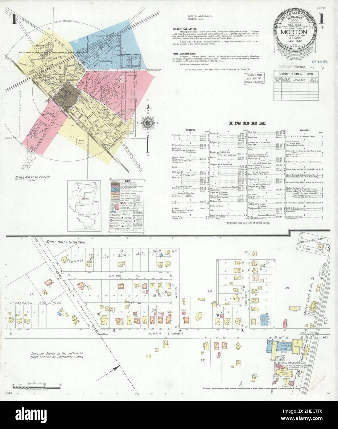 Sanborn Fire Insurance Map from Morton, Tazewell County, Illinois. Stock Photohttps://www.alamy.com/image-license-details/?v=1https://www.alamy.com/sanborn-fire-insurance-map-from-morton-tazewell-county-illinois-image456445226.html
RM2HEGTF6–Sanborn Fire Insurance Map from Morton, Tazewell County, Illinois.
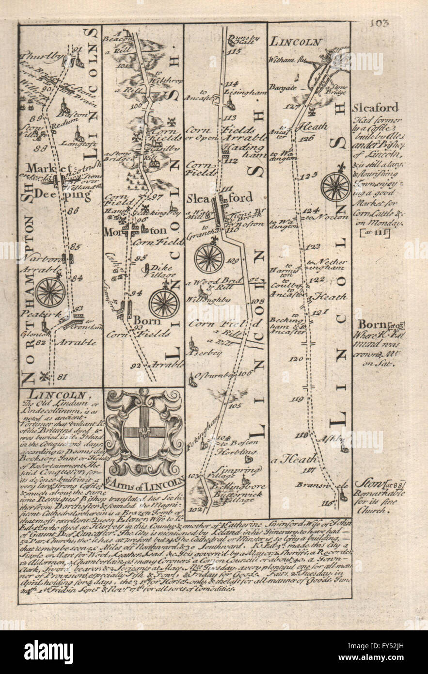 Market Deeping-Thurlby-Morton-Sleaford-Lincoln road map by OWEN & BOWEN 1753 Stock Photohttps://www.alamy.com/image-license-details/?v=1https://www.alamy.com/stock-photo-market-deeping-thurlby-morton-sleaford-lincoln-road-map-by-owen-bowen-102759401.html
RFFY52JH–Market Deeping-Thurlby-Morton-Sleaford-Lincoln road map by OWEN & BOWEN 1753
![Plate 16 [Map bounded by Hudson River, Morton St., Varick St., Vestry St.] 1893 by Robinson, E. (Elisha) Stock Photo Plate 16 [Map bounded by Hudson River, Morton St., Varick St., Vestry St.] 1893 by Robinson, E. (Elisha) Stock Photo](https://c8.alamy.com/comp/2YRCBAH/plate-16-map-bounded-by-hudson-river-morton-st-varick-st-vestry-st-1893-by-robinson-e-elisha-2YRCBAH.jpg) Plate 16 [Map bounded by Hudson River, Morton St., Varick St., Vestry St.] 1893 by Robinson, E. (Elisha) Stock Photohttps://www.alamy.com/image-license-details/?v=1https://www.alamy.com/plate-16-map-bounded-by-hudson-river-morton-st-varick-st-vestry-st-1893-by-robinson-e-elisha-image633982681.html
Plate 16 [Map bounded by Hudson River, Morton St., Varick St., Vestry St.] 1893 by Robinson, E. (Elisha) Stock Photohttps://www.alamy.com/image-license-details/?v=1https://www.alamy.com/plate-16-map-bounded-by-hudson-river-morton-st-varick-st-vestry-st-1893-by-robinson-e-elisha-image633982681.htmlRM2YRCBAH–Plate 16 [Map bounded by Hudson River, Morton St., Varick St., Vestry St.] 1893 by Robinson, E. (Elisha)
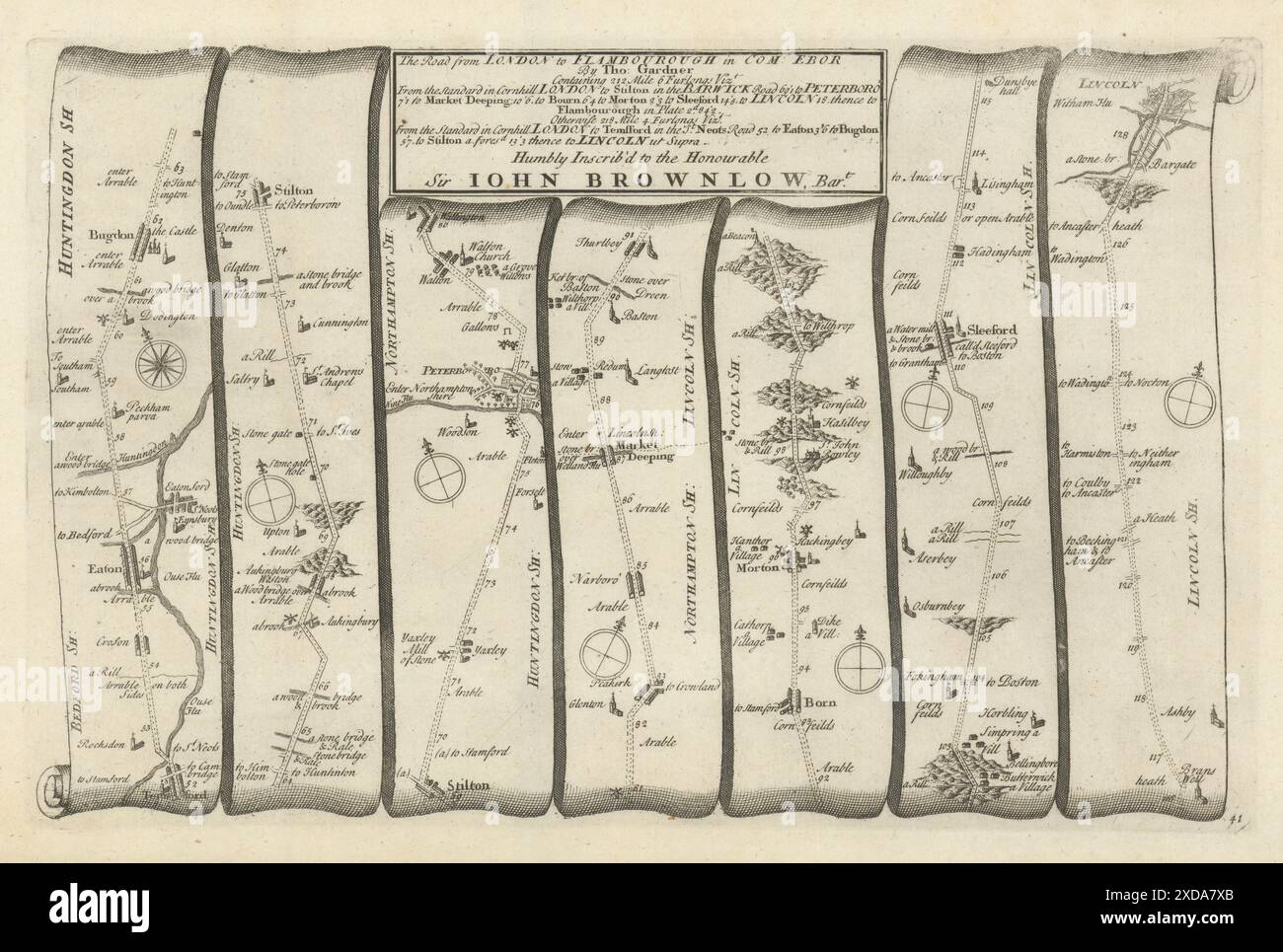 Stilton - Peterborough - Sleaford - Lincoln. GARDNER road map #41 1719 old Stock Photohttps://www.alamy.com/image-license-details/?v=1https://www.alamy.com/stilton-peterborough-sleaford-lincoln-gardner-road-map-41-1719-old-image610579155.html
RF2XDA7XB–Stilton - Peterborough - Sleaford - Lincoln. GARDNER road map #41 1719 old
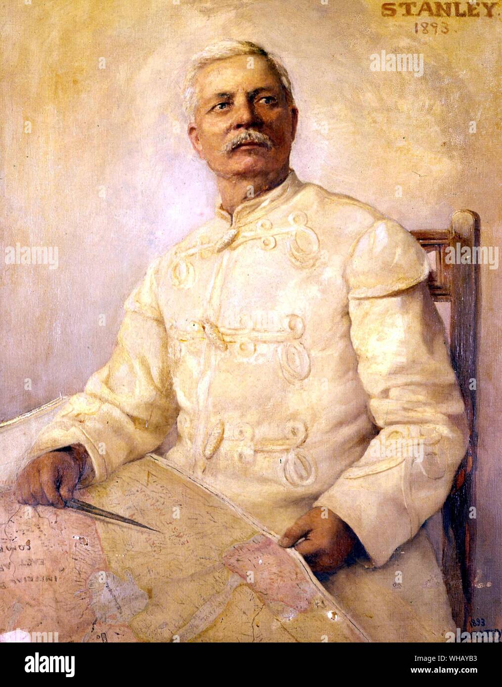 Sir Henry Morton Stanley in the uniform of the Belgian Free State. Painting by Lady Dorothy Stanley (1893). Sir Henry Morton Stanley (1841-1904) was a 19th century, Welsh-born, United States journalist and explorer famous for his exploration of Africa and his search for David Livingstone. The African Adventure - A History of Africa's Explorers by Timothy Severin, page 258. Stock Photohttps://www.alamy.com/image-license-details/?v=1https://www.alamy.com/sir-henry-morton-stanley-in-the-uniform-of-the-belgian-free-state-painting-by-lady-dorothy-stanley-1893-sir-henry-morton-stanley-1841-1904-was-a-19th-century-welsh-born-united-states-journalist-and-explorer-famous-for-his-exploration-of-africa-and-his-search-for-david-livingstone-the-african-adventure-a-history-of-africas-explorers-by-timothy-severin-page-258-image268845671.html
RMWHAYB3–Sir Henry Morton Stanley in the uniform of the Belgian Free State. Painting by Lady Dorothy Stanley (1893). Sir Henry Morton Stanley (1841-1904) was a 19th century, Welsh-born, United States journalist and explorer famous for his exploration of Africa and his search for David Livingstone. The African Adventure - A History of Africa's Explorers by Timothy Severin, page 258.
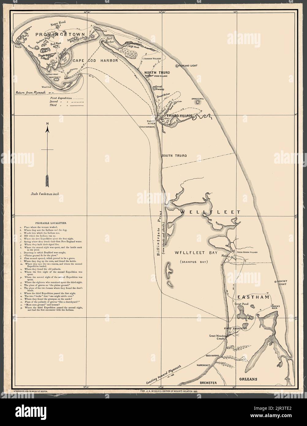 Restored, enhanced, reproduction of a map of Cape Cod form 1865 that was intended to accompany an account of the Mayflower interactions with the indigenous people of the area. Left side of this document is a table labeled 'Probable Localities.' It lists the locations of key events in the account of the Mayflower pilgrims' exploration of Cape Cod. Stock Photohttps://www.alamy.com/image-license-details/?v=1https://www.alamy.com/restored-enhanced-reproduction-of-a-map-of-cape-cod-form-1865-that-was-intended-to-accompany-an-account-of-the-mayflower-interactions-with-the-indigenous-people-of-the-area-left-side-of-this-document-is-a-table-labeled-probable-localities-it-lists-the-locations-of-key-events-in-the-account-of-the-mayflower-pilgrims-exploration-of-cape-cod-image478902090.html
RM2JR3TE2–Restored, enhanced, reproduction of a map of Cape Cod form 1865 that was intended to accompany an account of the Mayflower interactions with the indigenous people of the area. Left side of this document is a table labeled 'Probable Localities.' It lists the locations of key events in the account of the Mayflower pilgrims' exploration of Cape Cod.
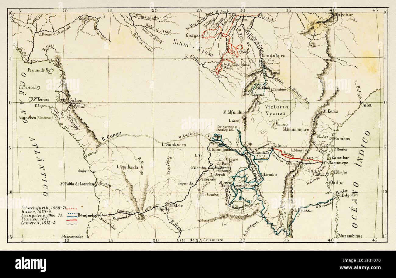 Map showing the journeys of the explorers Georg August Schweinfurth, Samuel Baker, David Livingstone, Henry Morton Stanley and Verney Lovett Cameron in Africa, 1866–1875. Old 19th century color lithography illustration Stock Photohttps://www.alamy.com/image-license-details/?v=1https://www.alamy.com/map-showing-the-journeys-of-the-explorers-georg-august-schweinfurth-samuel-baker-david-livingstone-henry-morton-stanley-and-verney-lovett-cameron-in-africa-18661875-old-19th-century-color-lithography-illustration-image415222276.html
RM2F3F070–Map showing the journeys of the explorers Georg August Schweinfurth, Samuel Baker, David Livingstone, Henry Morton Stanley and Verney Lovett Cameron in Africa, 1866–1875. Old 19th century color lithography illustration
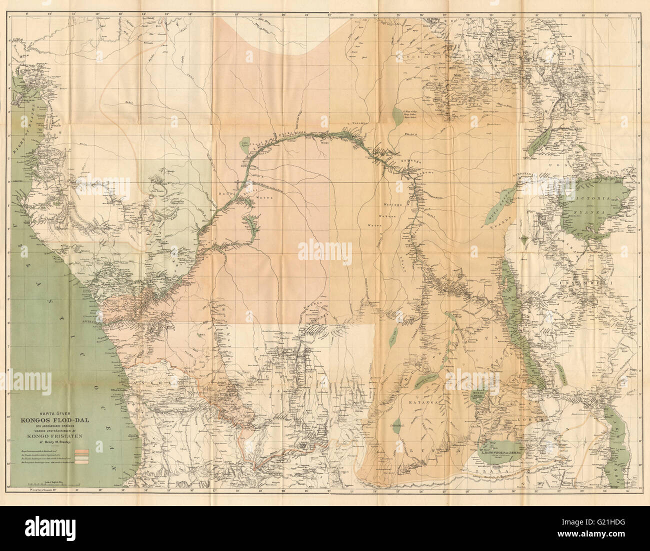 Congo Free State & river valley. Central Africa. HENRY MORTON STANLEY, 1885 map Stock Photohttps://www.alamy.com/image-license-details/?v=1https://www.alamy.com/stock-photo-congo-free-state-river-valley-central-africa-henry-morton-stanley-104527180.html
RFG21HDG–Congo Free State & river valley. Central Africa. HENRY MORTON STANLEY, 1885 map
 Stanley's Journey Itinerary Map. Africa. Emin Pasha Relief Expedition 1886-1889 by Henry Morton Stanley (1841 - 1904) Old 19th century engraving from Le Tour du Monde 1890 Stock Photohttps://www.alamy.com/image-license-details/?v=1https://www.alamy.com/stanleys-journey-itinerary-map-africa-emin-pasha-relief-expedition-1886-1889-by-henry-morton-stanley-1841-1904-old-19th-century-engraving-from-le-tour-du-monde-1890-image594243064.html
RM2WEP32G–Stanley's Journey Itinerary Map. Africa. Emin Pasha Relief Expedition 1886-1889 by Henry Morton Stanley (1841 - 1904) Old 19th century engraving from Le Tour du Monde 1890
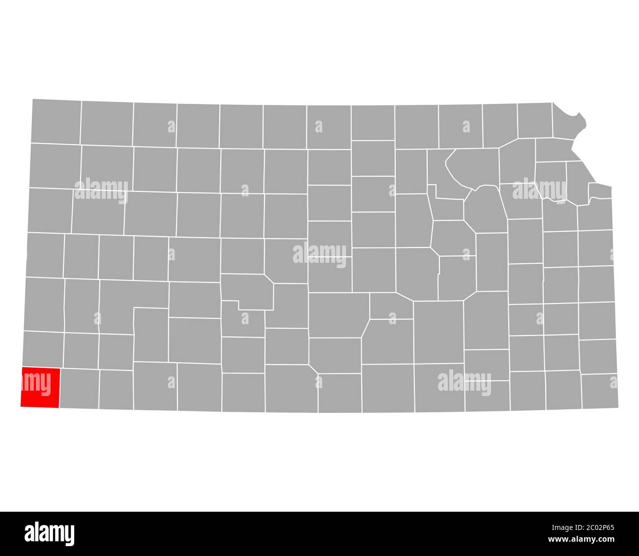 Map of Morton in Kansas Stock Photohttps://www.alamy.com/image-license-details/?v=1https://www.alamy.com/map-of-morton-in-kansas-image361479053.html
RF2C02P65–Map of Morton in Kansas
 Inside The Morton Arboretum Visitor's Center, Lisle, Illinois Stock Photohttps://www.alamy.com/image-license-details/?v=1https://www.alamy.com/stock-photo-inside-the-morton-arboretum-visitors-center-lisle-illinois-19880282.html
RMB49HE2–Inside The Morton Arboretum Visitor's Center, Lisle, Illinois
 Map of Morton in Kansas Stock Photohttps://www.alamy.com/image-license-details/?v=1https://www.alamy.com/map-of-morton-in-kansas-image443788193.html
RF2GP08A9–Map of Morton in Kansas
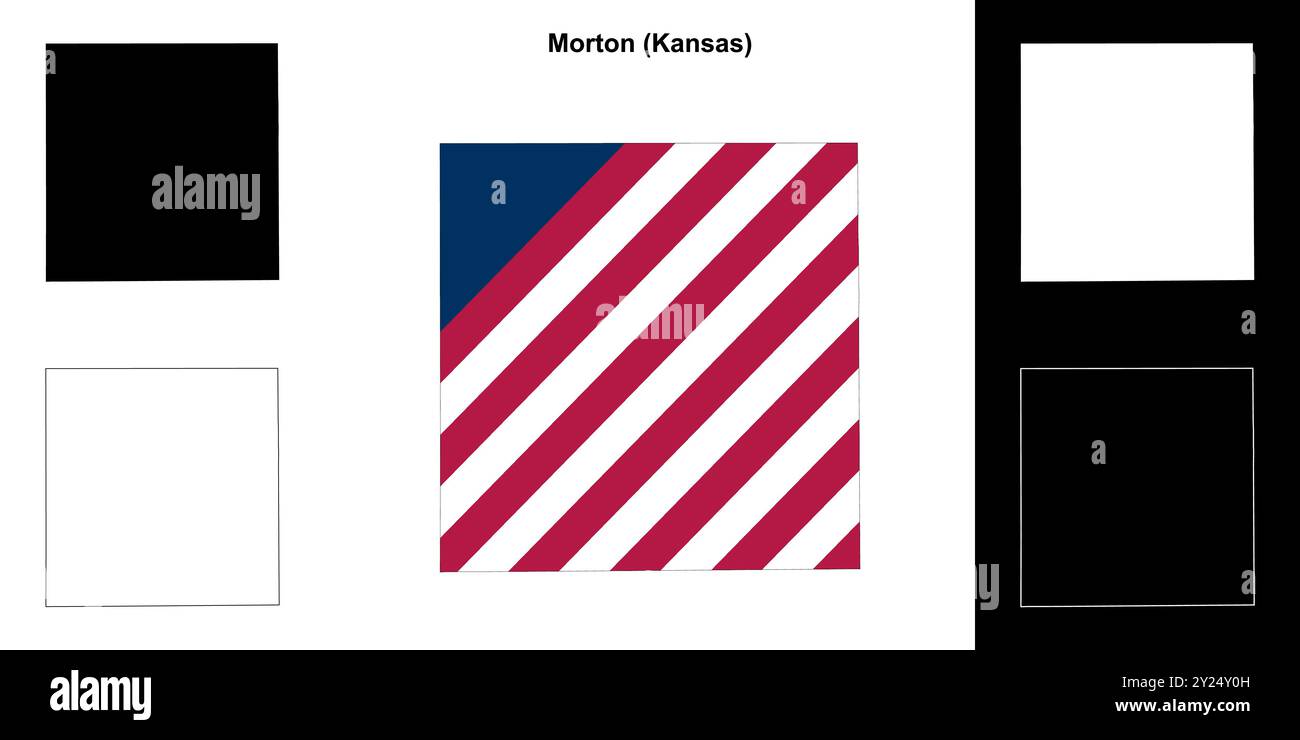 Morton County (Kansas) outline map set Stock Vectorhttps://www.alamy.com/image-license-details/?v=1https://www.alamy.com/morton-county-kansas-outline-map-set-image620911553.html
RF2Y24Y0H–Morton County (Kansas) outline map set
 Pilsley and Morton grey ward map of North East Derbyshire district in East Midlands England UK Stock Vectorhttps://www.alamy.com/image-license-details/?v=1https://www.alamy.com/pilsley-and-morton-grey-ward-map-of-north-east-derbyshire-district-in-east-midlands-england-uk-image270015649.html
RFWK87M1–Pilsley and Morton grey ward map of North East Derbyshire district in East Midlands England UK
 Tallis London Street View #30 Bishopsgate Street (#2 Centre South) 1838 map Stock Photohttps://www.alamy.com/image-license-details/?v=1https://www.alamy.com/tallis-london-street-view-30-bishopsgate-street-2-centre-south-1838-map-image623210322.html
RF2Y5WK3E–Tallis London Street View #30 Bishopsgate Street (#2 Centre South) 1838 map
 Morton Plains, Buloke, AU, Australia, Victoria, S 36 4' 59'', N 142 54' 0'', map, Cartascapes Map published in 2024. Explore Cartascapes, a map revealing Earth's diverse landscapes, cultures, and ecosystems. Journey through time and space, discovering the interconnectedness of our planet's past, present, and future. Stock Photohttps://www.alamy.com/image-license-details/?v=1https://www.alamy.com/morton-plains-buloke-au-australia-victoria-s-36-4-59-n-142-54-0-map-cartascapes-map-published-in-2024-explore-cartascapes-a-map-revealing-earths-diverse-landscapes-cultures-and-ecosystems-journey-through-time-and-space-discovering-the-interconnectedness-of-our-planets-past-present-and-future-image625637759.html
RM2Y9T79K–Morton Plains, Buloke, AU, Australia, Victoria, S 36 4' 59'', N 142 54' 0'', map, Cartascapes Map published in 2024. Explore Cartascapes, a map revealing Earth's diverse landscapes, cultures, and ecosystems. Journey through time and space, discovering the interconnectedness of our planet's past, present, and future.
 Africa Ecuatorial, según el mapa trazado por Dapper en 1616. Africa Inexplorada, El Continente Misterioso, por Henry Morton Stanley, h. 1887. Biblioteca Histórico Militar de Barcelona, Cataluña, España. Stock Photohttps://www.alamy.com/image-license-details/?v=1https://www.alamy.com/africa-ecuatorial-segn-el-mapa-trazado-por-dapper-en-1616-africa-inexplorada-el-continente-misterioso-por-henry-morton-stanley-h-1887-biblioteca-histrico-militar-de-barcelona-catalua-espaa-image228846649.html
RMR88T6H–Africa Ecuatorial, según el mapa trazado por Dapper en 1616. Africa Inexplorada, El Continente Misterioso, por Henry Morton Stanley, h. 1887. Biblioteca Histórico Militar de Barcelona, Cataluña, España.
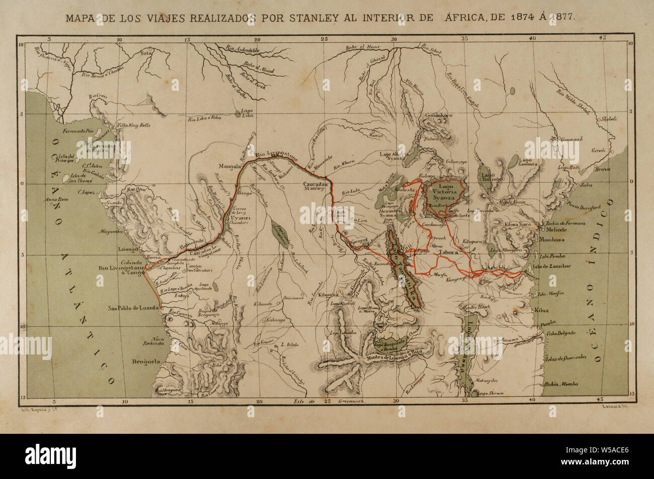 Exploration and mapping of the Congo River (1874-1877). Henry Morton Stanley. He traveled central Africa exploring Lake Victoria and Lake Tanganyka navigating the Congo River. Africa inexplorada, el Continente Misterioso by Henry Morton Stanley, c. 1887. Stock Photohttps://www.alamy.com/image-license-details/?v=1https://www.alamy.com/exploration-and-mapping-of-the-congo-river-1874-1877-henry-morton-stanley-he-traveled-central-africa-exploring-lake-victoria-and-lake-tanganyka-navigating-the-congo-river-africa-inexplorada-el-continente-misterioso-by-henry-morton-stanley-c-1887-image261458126.html
RMW5ACE6–Exploration and mapping of the Congo River (1874-1877). Henry Morton Stanley. He traveled central Africa exploring Lake Victoria and Lake Tanganyka navigating the Congo River. Africa inexplorada, el Continente Misterioso by Henry Morton Stanley, c. 1887.
 US-IN(1891) p236 INDIANAPOLIS, MORTON MONUMENT Stock Photohttps://www.alamy.com/image-license-details/?v=1https://www.alamy.com/stock-photo-us-in1891-p236-indianapolis-morton-monument-73667035.html
RME7RR1F–US-IN(1891) p236 INDIANAPOLIS, MORTON MONUMENT
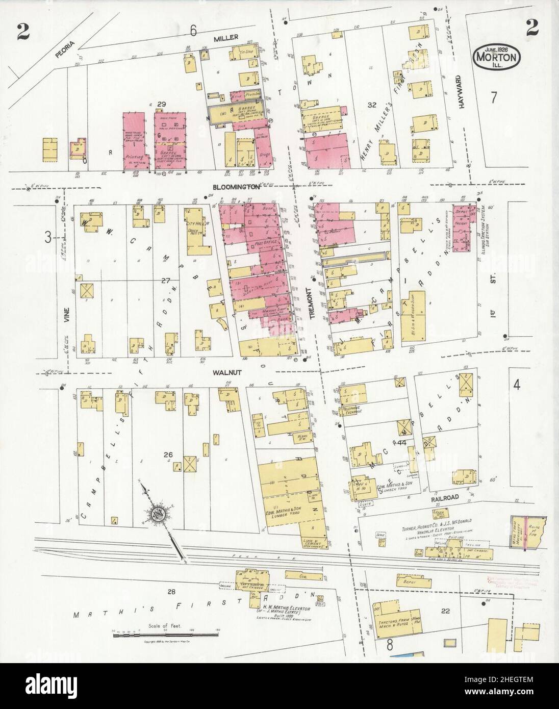 Sanborn Fire Insurance Map from Morton, Tazewell County, Illinois. Stock Photohttps://www.alamy.com/image-license-details/?v=1https://www.alamy.com/sanborn-fire-insurance-map-from-morton-tazewell-county-illinois-image456445212.html
RM2HEGTEM–Sanborn Fire Insurance Map from Morton, Tazewell County, Illinois.
 History of Africa. 19th century. Map of the Stanley Lake. Engraving. El Congo y la Creación del Estado Independiente de este nombre. Historia de los Trabajos y Exploraciones Verificados (The Congo and the Founding of its Free State. A Story of Work and Exploration), by Henry M. Stanley. Edited in Barcelona, ca.1890. Spain. Stock Photohttps://www.alamy.com/image-license-details/?v=1https://www.alamy.com/history-of-africa-19th-century-map-of-the-stanley-lake-engraving-el-congo-y-la-creacin-del-estado-independiente-de-este-nombre-historia-de-los-trabajos-y-exploraciones-verificados-the-congo-and-the-founding-of-its-free-state-a-story-of-work-and-exploration-by-henry-m-stanley-edited-in-barcelona-ca1890-spain-image425404927.html
RM2FM2T93–History of Africa. 19th century. Map of the Stanley Lake. Engraving. El Congo y la Creación del Estado Independiente de este nombre. Historia de los Trabajos y Exploraciones Verificados (The Congo and the Founding of its Free State. A Story of Work and Exploration), by Henry M. Stanley. Edited in Barcelona, ca.1890. Spain.
![Manhattan, V. 3, Plate No. 2 [Map bounded by West St., Christopher St., Hudson St., Morton St.] 1884 - 1936 Stock Photo Manhattan, V. 3, Plate No. 2 [Map bounded by West St., Christopher St., Hudson St., Morton St.] 1884 - 1936 Stock Photo](https://c8.alamy.com/comp/2YPEMNW/manhattan-v-3-plate-no-2-map-bounded-by-west-st-christopher-st-hudson-st-morton-st-1884-1936-2YPEMNW.jpg) Manhattan, V. 3, Plate No. 2 [Map bounded by West St., Christopher St., Hudson St., Morton St.] 1884 - 1936 Stock Photohttps://www.alamy.com/image-license-details/?v=1https://www.alamy.com/manhattan-v-3-plate-no-2-map-bounded-by-west-st-christopher-st-hudson-st-morton-st-1884-1936-image633419301.html
Manhattan, V. 3, Plate No. 2 [Map bounded by West St., Christopher St., Hudson St., Morton St.] 1884 - 1936 Stock Photohttps://www.alamy.com/image-license-details/?v=1https://www.alamy.com/manhattan-v-3-plate-no-2-map-bounded-by-west-st-christopher-st-hudson-st-morton-st-1884-1936-image633419301.htmlRM2YPEMNW–Manhattan, V. 3, Plate No. 2 [Map bounded by West St., Christopher St., Hudson St., Morton St.] 1884 - 1936
 John Morton Stock Photohttps://www.alamy.com/image-license-details/?v=1https://www.alamy.com/stock-photo-john-morton-140057005.html
RMJ3T43W–John Morton
 Cartographic, Maps. 1893. Lionel Pincus and Princess Firyal Map Division. New York (N.Y.) Plate 16 Map bounded by Hudson River, Morton St., Varick St., Vestry St. Stock Photohttps://www.alamy.com/image-license-details/?v=1https://www.alamy.com/cartographic-maps-1893-lionel-pincus-and-princess-firyal-map-division-new-york-ny-plate-16-map-bounded-by-hudson-river-morton-st-varick-st-vestry-st-image483737534.html
RM2K3044E–Cartographic, Maps. 1893. Lionel Pincus and Princess Firyal Map Division. New York (N.Y.) Plate 16 Map bounded by Hudson River, Morton St., Varick St., Vestry St.
 Morton Betts Stock Photohttps://www.alamy.com/image-license-details/?v=1https://www.alamy.com/stock-photo-morton-betts-140277070.html
RMJ464RA–Morton Betts
 Fitzroy Falls and Yarrunga Valley, Morton National Park, Southern Highlands, New South Wales, Australia Stock Photohttps://www.alamy.com/image-license-details/?v=1https://www.alamy.com/fitzroy-falls-and-yarrunga-valley-morton-national-park-southern-highlands-image2793263.html
RMAKNF30–Fitzroy Falls and Yarrunga Valley, Morton National Park, Southern Highlands, New South Wales, Australia
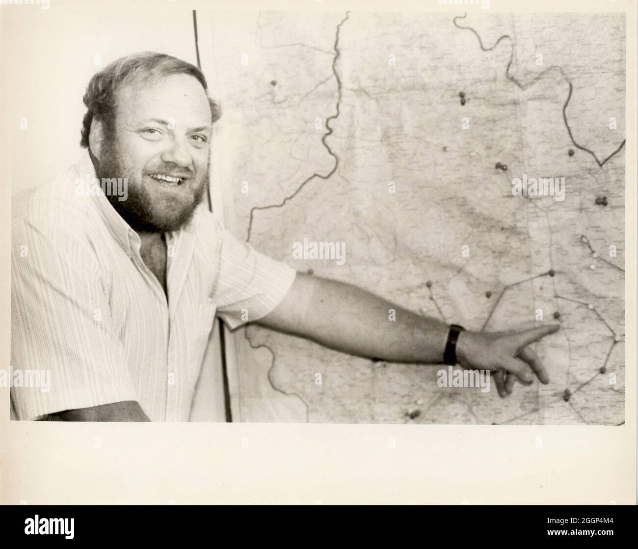 A man pointing at a map. Stock Photohttps://www.alamy.com/image-license-details/?v=1https://www.alamy.com/a-man-pointing-at-a-map-image440580340.html
RM2GGP4M4–A man pointing at a map.
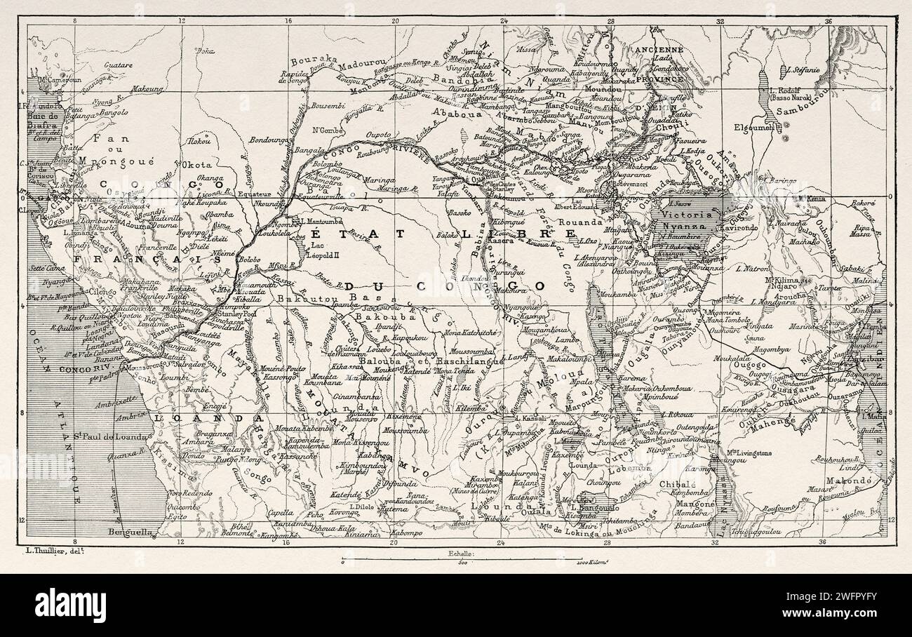 Stanley's Journey Itinerary Map. Africa. Emin Pasha Relief Expedition 1886-1889 by Henry Morton Stanley (1841 - 1904) Old 19th century engraving from Le Tour du Monde 1890 Stock Photohttps://www.alamy.com/image-license-details/?v=1https://www.alamy.com/stanleys-journey-itinerary-map-africa-emin-pasha-relief-expedition-1886-1889-by-henry-morton-stanley-1841-1904-old-19th-century-engraving-from-le-tour-du-monde-1890-image594876911.html
RM2WFPYFY–Stanley's Journey Itinerary Map. Africa. Emin Pasha Relief Expedition 1886-1889 by Henry Morton Stanley (1841 - 1904) Old 19th century engraving from Le Tour du Monde 1890
 Map of Morton in Kansas Stock Photohttps://www.alamy.com/image-license-details/?v=1https://www.alamy.com/map-of-morton-in-kansas-image363188089.html
RF2C2TJ35–Map of Morton in Kansas
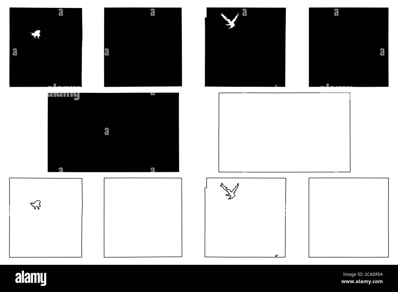 Harvey, Montgomery, Morton, Miami and Marshall County, Kansas (U.S. county, United States of America, USA, U.S., US) map vector illustration, scribble Stock Vectorhttps://www.alamy.com/image-license-details/?v=1https://www.alamy.com/harvey-montgomery-morton-miami-and-marshall-county-kansas-us-county-united-states-of-america-usa-us-us-map-vector-illustration-scribble-image367861428.html
RF2CADF04–Harvey, Montgomery, Morton, Miami and Marshall County, Kansas (U.S. county, United States of America, USA, U.S., US) map vector illustration, scribble
 Map of Morton in Kansas Stock Photohttps://www.alamy.com/image-license-details/?v=1https://www.alamy.com/map-of-morton-in-kansas-image443752941.html
RF2GNXKB9–Map of Morton in Kansas
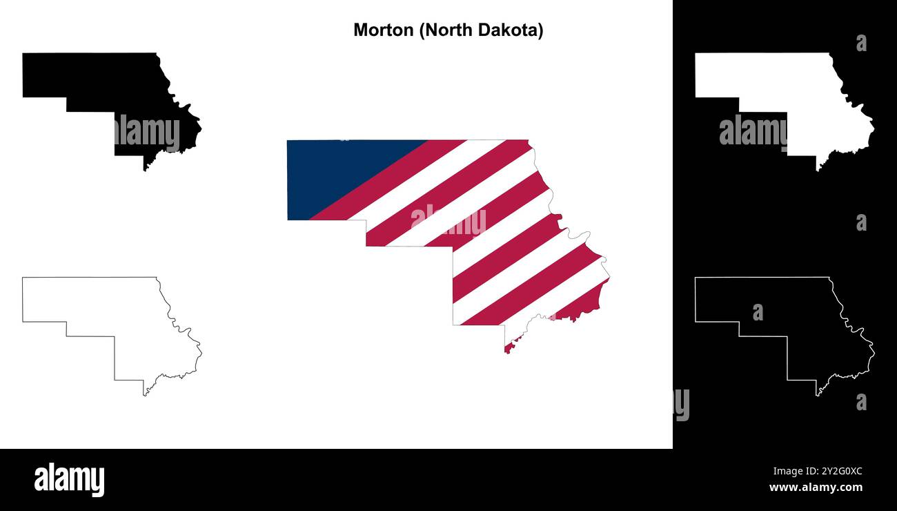 Morton County (North Dakota) outline map set Stock Vectorhttps://www.alamy.com/image-license-details/?v=1https://www.alamy.com/morton-county-north-dakota-outline-map-set-image621154532.html
RF2Y2G0XC–Morton County (North Dakota) outline map set
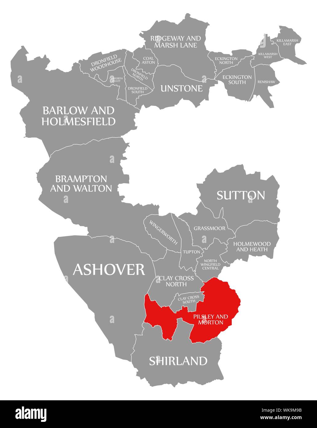 Pilsley and Morton red highlighted in map of North East Derbyshire district in East Midlands England UK Stock Photohttps://www.alamy.com/image-license-details/?v=1https://www.alamy.com/pilsley-and-morton-red-highlighted-in-map-of-north-east-derbyshire-district-in-east-midlands-england-uk-image270047495.html
RFWK9M9B–Pilsley and Morton red highlighted in map of North East Derbyshire district in East Midlands England UK
 Tallis London Street View #30 Bishopsgate Street (#2 Centre South) 1838 map Stock Photohttps://www.alamy.com/image-license-details/?v=1https://www.alamy.com/tallis-london-street-view-30-bishopsgate-street-2-centre-south-1838-map-image622803041.html
RF2Y573HN–Tallis London Street View #30 Bishopsgate Street (#2 Centre South) 1838 map
 Morton Plains, Buloke, AU, Australia, Victoria, S 36 5' 9'', N 142 53' 13'', map, Cartascapes Map published in 2024. Explore Cartascapes, a map revealing Earth's diverse landscapes, cultures, and ecosystems. Journey through time and space, discovering the interconnectedness of our planet's past, present, and future. Stock Photohttps://www.alamy.com/image-license-details/?v=1https://www.alamy.com/morton-plains-buloke-au-australia-victoria-s-36-5-9-n-142-53-13-map-cartascapes-map-published-in-2024-explore-cartascapes-a-map-revealing-earths-diverse-landscapes-cultures-and-ecosystems-journey-through-time-and-space-discovering-the-interconnectedness-of-our-planets-past-present-and-future-image625363586.html
RM2Y9BNHP–Morton Plains, Buloke, AU, Australia, Victoria, S 36 5' 9'', N 142 53' 13'', map, Cartascapes Map published in 2024. Explore Cartascapes, a map revealing Earth's diverse landscapes, cultures, and ecosystems. Journey through time and space, discovering the interconnectedness of our planet's past, present, and future.
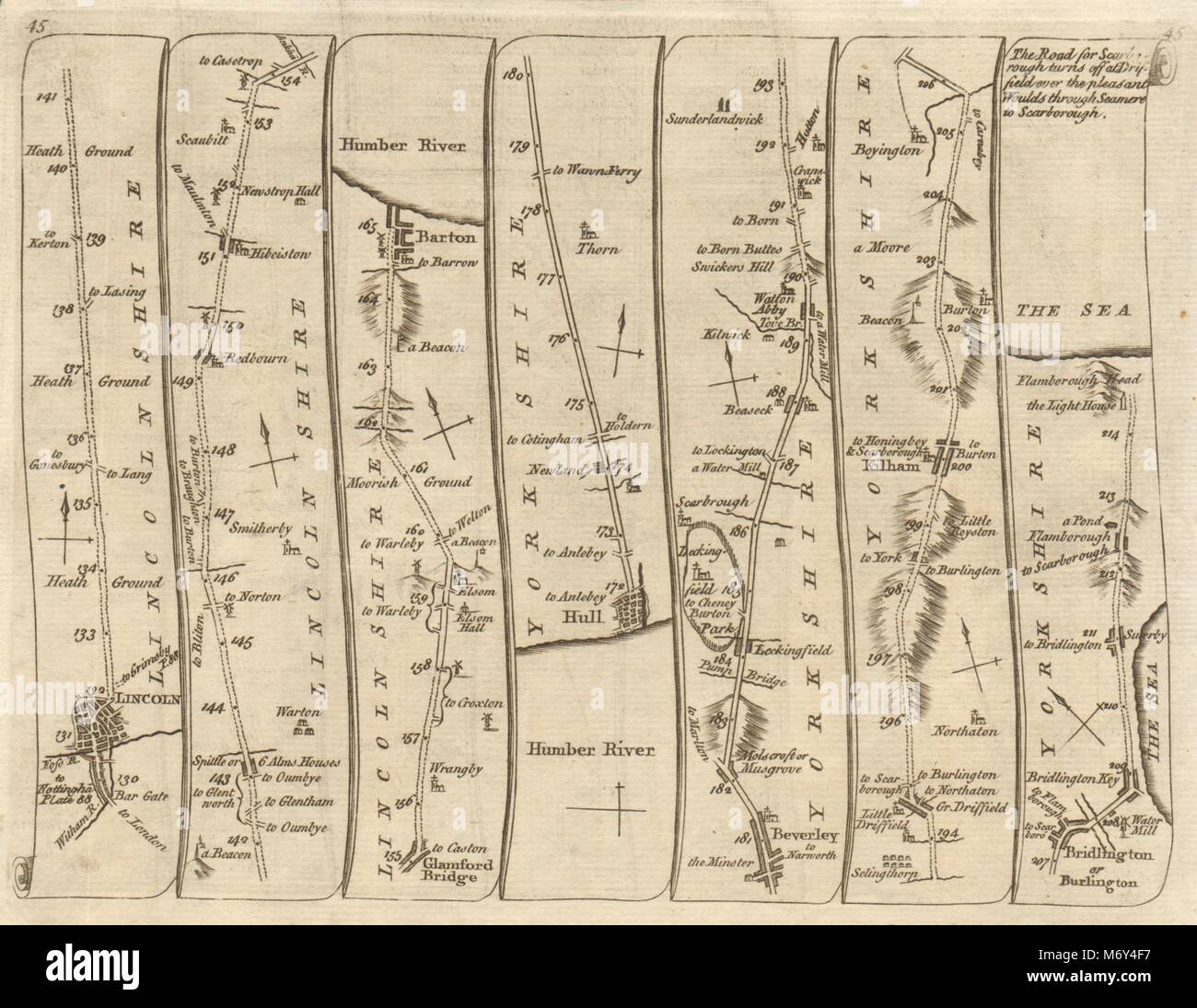 Lincoln Hull Beverley Scarborough Bridlington Flamborough KITCHIN road map 1767 Stock Photohttps://www.alamy.com/image-license-details/?v=1https://www.alamy.com/stock-photo-lincoln-hull-beverley-scarborough-bridlington-flamborough-kitchin-176387883.html
RFM6Y4F7–Lincoln Hull Beverley Scarborough Bridlington Flamborough KITCHIN road map 1767
 Mapa de los viajes realizados por Henry Morton Stanley (1841-1904) al interior de Africa de 187 a 1877. Africa Inexplorada, El Continente Misterioso, por Henry Morton Stanley, h. 1887. Biblioteca Histórico Militar de Barcelona, Cataluña, España. Stock Photohttps://www.alamy.com/image-license-details/?v=1https://www.alamy.com/mapa-de-los-viajes-realizados-por-henry-morton-stanley-1841-1904-al-interior-de-africa-de-187-a-1877-africa-inexplorada-el-continente-misterioso-por-henry-morton-stanley-h-1887-biblioteca-histrico-militar-de-barcelona-catalua-espaa-image228846660.html
RMR88T70–Mapa de los viajes realizados por Henry Morton Stanley (1841-1904) al interior de Africa de 187 a 1877. Africa Inexplorada, El Continente Misterioso, por Henry Morton Stanley, h. 1887. Biblioteca Histórico Militar de Barcelona, Cataluña, España.
 US-PA(1891) p737 PHILADELPHIA, MORTON McMICHAEL MONUMENT Stock Photohttps://www.alamy.com/image-license-details/?v=1https://www.alamy.com/stock-photo-us-pa1891-p737-philadelphia-morton-mcmichael-monument-73673488.html
RME7T380–US-PA(1891) p737 PHILADELPHIA, MORTON McMICHAEL MONUMENT
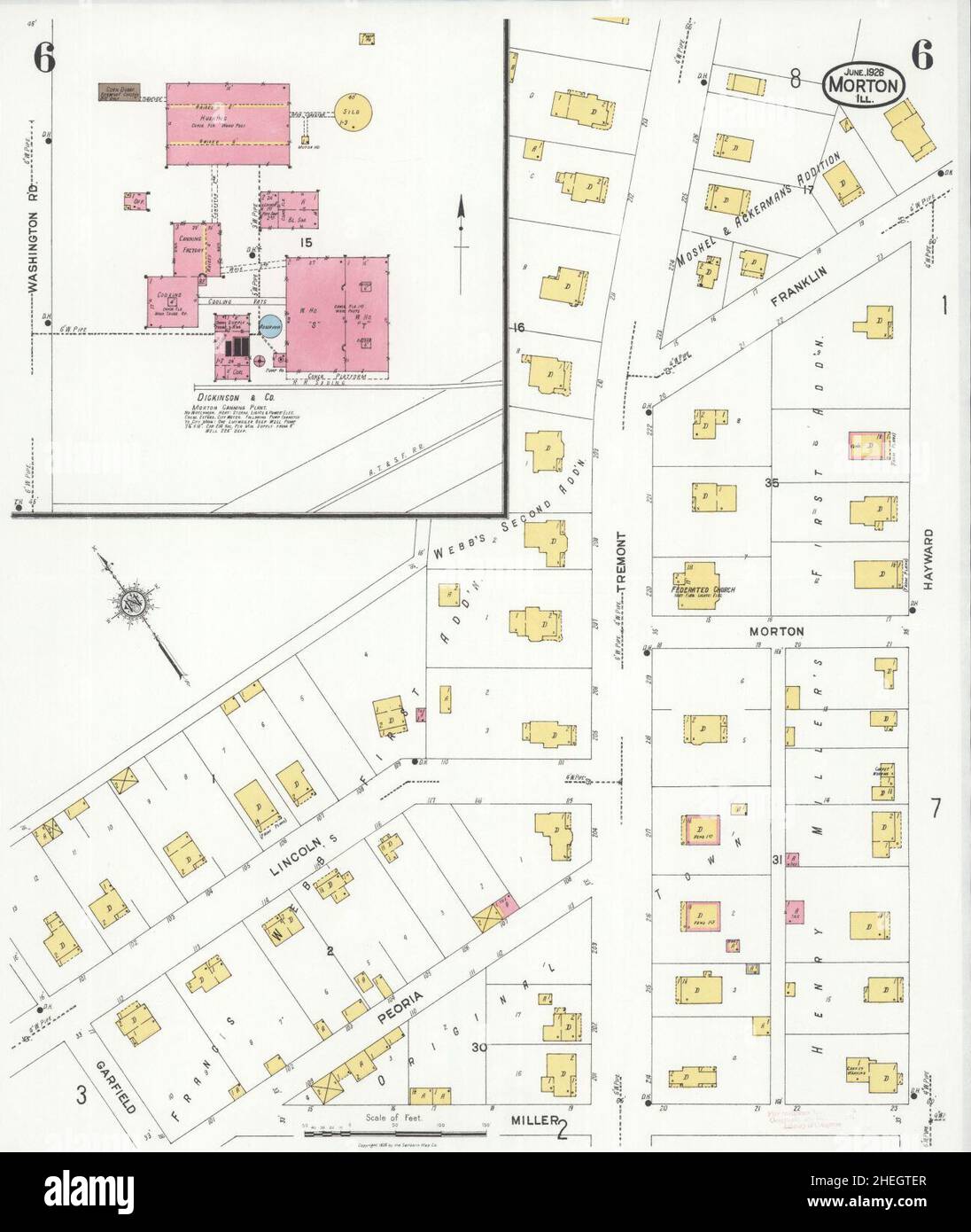 Sanborn Fire Insurance Map from Morton, Tazewell County, Illinois. Stock Photohttps://www.alamy.com/image-license-details/?v=1https://www.alamy.com/sanborn-fire-insurance-map-from-morton-tazewell-county-illinois-image456445215.html
RM2HEGTER–Sanborn Fire Insurance Map from Morton, Tazewell County, Illinois.
 Official American textile directory; containing reports of all the textile manufacturing establishments in the United States and Canada, together with the yarn trade index .. Comp annually by the Textile world journal . Clearfield St;Map A; Sq. 71; Dyers of All Kinds ofYarn; capacity, 25,000 lbs. per day; steam;firm, buyers. Brown, Charles E., 313 15 Race St.; (SWoven Silk Labels for the Hat Trade; 6looms; sell direct; buy taffeta silk. Brown, C. M, & Co; Coaquanock Mills; (W69th St. and Haverford Ave.; Map C; Sq.61; West Phila.; J. Morton Brown, supt.;Woolen Goods; 6 sets; 120 looms; steam;dy Stock Photohttps://www.alamy.com/image-license-details/?v=1https://www.alamy.com/official-american-textile-directory-containing-reports-of-all-the-textile-manufacturing-establishments-in-the-united-states-and-canada-together-with-the-yarn-trade-index-comp-annually-by-the-textile-world-journal-clearfield-stmap-a-sq-71-dyers-of-all-kinds-ofyarn-capacity-25000-lbs-per-day-steamfirm-buyers-brown-charles-e-313-15-race-st-swoven-silk-labels-for-the-hat-trade-6looms-sell-direct-buy-taffeta-silk-brown-c-m-co-coaquanock-mills-w69th-st-and-haverford-ave-map-c-sq61-west-phila-j-morton-brown-suptwoolen-goods-6-sets-120-looms-steamdy-image338369693.html
RM2AJE1YW–Official American textile directory; containing reports of all the textile manufacturing establishments in the United States and Canada, together with the yarn trade index .. Comp annually by the Textile world journal . Clearfield St;Map A; Sq. 71; Dyers of All Kinds ofYarn; capacity, 25,000 lbs. per day; steam;firm, buyers. Brown, Charles E., 313 15 Race St.; (SWoven Silk Labels for the Hat Trade; 6looms; sell direct; buy taffeta silk. Brown, C. M, & Co; Coaquanock Mills; (W69th St. and Haverford Ave.; Map C; Sq.61; West Phila.; J. Morton Brown, supt.;Woolen Goods; 6 sets; 120 looms; steam;dy
![Manhattan, V. 3, Plate No. 3 [Map bounded by Hudson St., Morton St., Bedford St., W. Houston St.] 1884 - 1936 Stock Photo Manhattan, V. 3, Plate No. 3 [Map bounded by Hudson St., Morton St., Bedford St., W. Houston St.] 1884 - 1936 Stock Photo](https://c8.alamy.com/comp/2YPEMNY/manhattan-v-3-plate-no-3-map-bounded-by-hudson-st-morton-st-bedford-st-w-houston-st-1884-1936-2YPEMNY.jpg) Manhattan, V. 3, Plate No. 3 [Map bounded by Hudson St., Morton St., Bedford St., W. Houston St.] 1884 - 1936 Stock Photohttps://www.alamy.com/image-license-details/?v=1https://www.alamy.com/manhattan-v-3-plate-no-3-map-bounded-by-hudson-st-morton-st-bedford-st-w-houston-st-1884-1936-image633419303.html
Manhattan, V. 3, Plate No. 3 [Map bounded by Hudson St., Morton St., Bedford St., W. Houston St.] 1884 - 1936 Stock Photohttps://www.alamy.com/image-license-details/?v=1https://www.alamy.com/manhattan-v-3-plate-no-3-map-bounded-by-hudson-st-morton-st-bedford-st-w-houston-st-1884-1936-image633419303.htmlRM2YPEMNY–Manhattan, V. 3, Plate No. 3 [Map bounded by Hudson St., Morton St., Bedford St., W. Houston St.] 1884 - 1936
 ''Grands itineraires africains; L'Ouest Africain', 1914. From "Grande Geographie Bong Illustree", 1914. Stock Photohttps://www.alamy.com/image-license-details/?v=1https://www.alamy.com/grands-itineraires-africains-louest-africain-1914-from-quotgrande-geographie-bong-illustreequot-1914-image534083213.html
RM2P0WGGD–''Grands itineraires africains; L'Ouest Africain', 1914. From "Grande Geographie Bong Illustree", 1914.
![[Plan of lots for sale on Morton and Milk Streets, Boston] , Real property, Massachusetts, Boston, Maps, Landowners, Massachusetts, Boston, Maps, Boston Mass., Maps Norman B. Leventhal Map Center Collection Stock Photo [Plan of lots for sale on Morton and Milk Streets, Boston] , Real property, Massachusetts, Boston, Maps, Landowners, Massachusetts, Boston, Maps, Boston Mass., Maps Norman B. Leventhal Map Center Collection Stock Photo](https://c8.alamy.com/comp/2M3MDHN/plan-of-lots-for-sale-on-morton-and-milk-streets-boston-real-property-massachusetts-boston-maps-landowners-massachusetts-boston-maps-boston-mass-maps-norman-b-leventhal-map-center-collection-2M3MDHN.jpg) [Plan of lots for sale on Morton and Milk Streets, Boston] , Real property, Massachusetts, Boston, Maps, Landowners, Massachusetts, Boston, Maps, Boston Mass., Maps Norman B. Leventhal Map Center Collection Stock Photohttps://www.alamy.com/image-license-details/?v=1https://www.alamy.com/plan-of-lots-for-sale-on-morton-and-milk-streets-boston-real-property-massachusetts-boston-maps-landowners-massachusetts-boston-maps-boston-mass-maps-norman-b-leventhal-map-center-collection-image501394369.html
[Plan of lots for sale on Morton and Milk Streets, Boston] , Real property, Massachusetts, Boston, Maps, Landowners, Massachusetts, Boston, Maps, Boston Mass., Maps Norman B. Leventhal Map Center Collection Stock Photohttps://www.alamy.com/image-license-details/?v=1https://www.alamy.com/plan-of-lots-for-sale-on-morton-and-milk-streets-boston-real-property-massachusetts-boston-maps-landowners-massachusetts-boston-maps-boston-mass-maps-norman-b-leventhal-map-center-collection-image501394369.htmlRM2M3MDHN–[Plan of lots for sale on Morton and Milk Streets, Boston] , Real property, Massachusetts, Boston, Maps, Landowners, Massachusetts, Boston, Maps, Boston Mass., Maps Norman B. Leventhal Map Center Collection
 Thomas Morton Stock Photohttps://www.alamy.com/image-license-details/?v=1https://www.alamy.com/stock-photo-thomas-morton-140696571.html
RMJ4W7WF–Thomas Morton
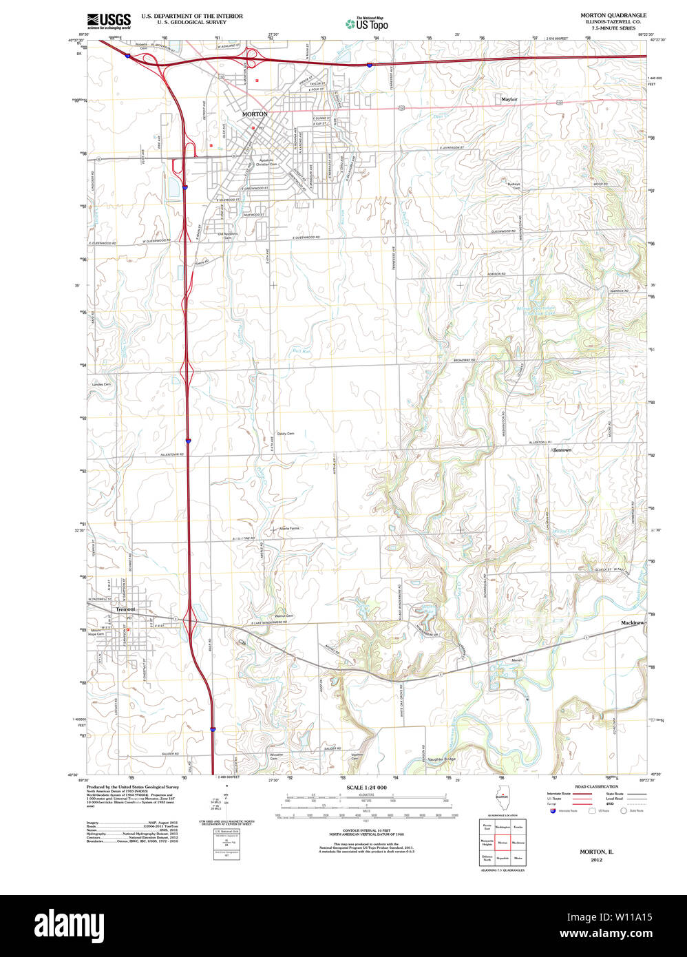 USGS TOPO Map Illinois IL Morton 20120809 TM Restoration Stock Photohttps://www.alamy.com/image-license-details/?v=1https://www.alamy.com/usgs-topo-map-illinois-il-morton-20120809-tm-restoration-image258800001.html
RMW11A15–USGS TOPO Map Illinois IL Morton 20120809 TM Restoration
 A woman placing her hand on a map. Stock Photohttps://www.alamy.com/image-license-details/?v=1https://www.alamy.com/a-woman-placing-her-hand-on-a-map-image440580572.html
RM2GGP50C–A woman placing her hand on a map.
 Map of Camp Fort Bodo. Africa. Emin Pasha Relief Expedition 1886-1889 by Henry Morton Stanley (1841 - 1904) Old 19th century engraving from Le Tour du Monde 1890 Stock Photohttps://www.alamy.com/image-license-details/?v=1https://www.alamy.com/map-of-camp-fort-bodo-africa-emin-pasha-relief-expedition-1886-1889-by-henry-morton-stanley-1841-1904-old-19th-century-engraving-from-le-tour-du-monde-1890-image594876950.html
RM2WFPYHA–Map of Camp Fort Bodo. Africa. Emin Pasha Relief Expedition 1886-1889 by Henry Morton Stanley (1841 - 1904) Old 19th century engraving from Le Tour du Monde 1890
 Map of Morton in Kansas Stock Photohttps://www.alamy.com/image-license-details/?v=1https://www.alamy.com/map-of-morton-in-kansas-image362069163.html
RF2C11JWF–Map of Morton in Kansas
 Harvey, Montgomery, Morton, Miami and Marshall County, Kansas (U.S. county, United States of America, USA, U.S., US) map vector illustration, scribble Stock Vectorhttps://www.alamy.com/image-license-details/?v=1https://www.alamy.com/harvey-montgomery-morton-miami-and-marshall-county-kansas-us-county-united-states-of-america-usa-us-us-map-vector-illustration-scribble-image381458869.html
RF2D4GXK1–Harvey, Montgomery, Morton, Miami and Marshall County, Kansas (U.S. county, United States of America, USA, U.S., US) map vector illustration, scribble
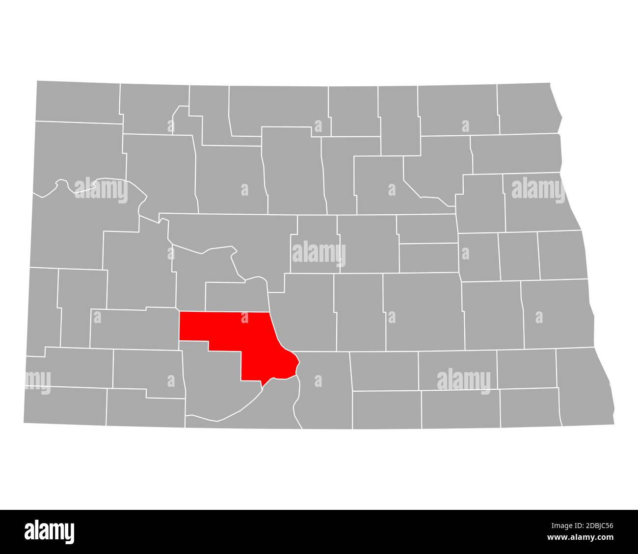 Map of Morton in North Dakota Stock Photohttps://www.alamy.com/image-license-details/?v=1https://www.alamy.com/map-of-morton-in-north-dakota-image385794002.html
RF2DBJC56–Map of Morton in North Dakota
 Benefit dinner for Gaza Stock Photohttps://www.alamy.com/image-license-details/?v=1https://www.alamy.com/stock-photo-benefit-dinner-for-gaza-110316276.html
RMGBD9F0–Benefit dinner for Gaza
 Map and flag of New South Wales on a wooden background. Stock Photohttps://www.alamy.com/image-license-details/?v=1https://www.alamy.com/map-and-flag-of-new-south-wales-on-a-wooden-background-image357692296.html
RF2BNX84T–Map and flag of New South Wales on a wooden background.
 Morton Plains, Buloke, AU, Australia, Victoria, S 36 5' 9'', N 142 53' 13'', map, Cartascapes Map published in 2024. Explore Cartascapes, a map revealing Earth's diverse landscapes, cultures, and ecosystems. Journey through time and space, discovering the interconnectedness of our planet's past, present, and future. Stock Photohttps://www.alamy.com/image-license-details/?v=1https://www.alamy.com/morton-plains-buloke-au-australia-victoria-s-36-5-9-n-142-53-13-map-cartascapes-map-published-in-2024-explore-cartascapes-a-map-revealing-earths-diverse-landscapes-cultures-and-ecosystems-journey-through-time-and-space-discovering-the-interconnectedness-of-our-planets-past-present-and-future-image625420875.html
RM2Y9EAKR–Morton Plains, Buloke, AU, Australia, Victoria, S 36 5' 9'', N 142 53' 13'', map, Cartascapes Map published in 2024. Explore Cartascapes, a map revealing Earth's diverse landscapes, cultures, and ecosystems. Journey through time and space, discovering the interconnectedness of our planet's past, present, and future.
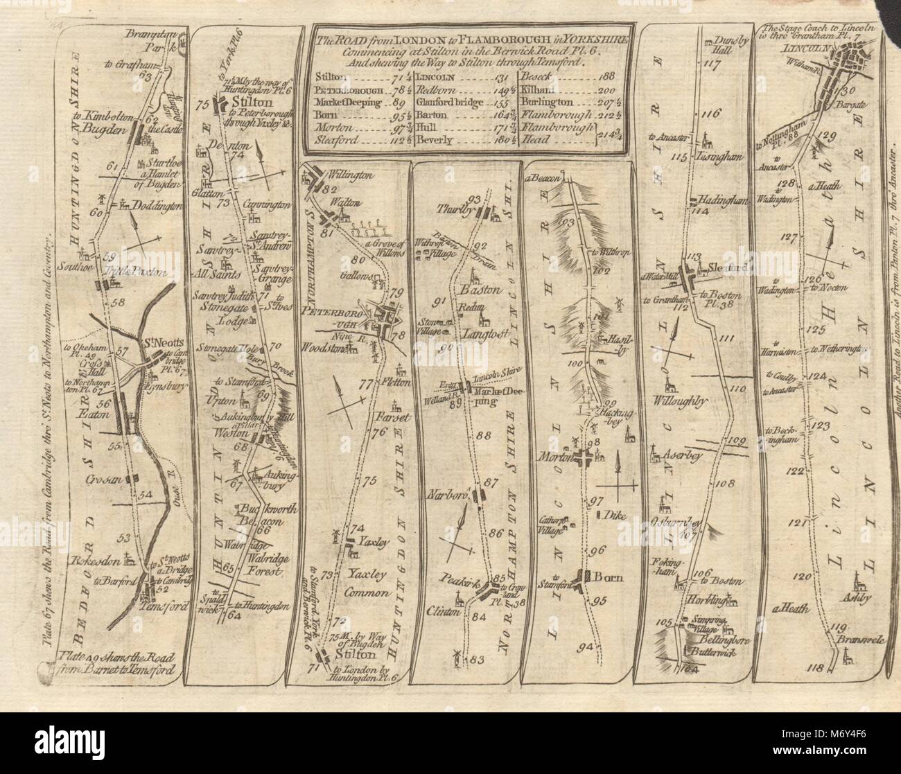 Tempsford St Neots Yaxley Peterborough Sleaford Lincoln. KITCHIN road map 1767 Stock Photohttps://www.alamy.com/image-license-details/?v=1https://www.alamy.com/stock-photo-tempsford-st-neots-yaxley-peterborough-sleaford-lincoln-kitchin-road-176387882.html
RFM6Y4F6–Tempsford St Neots Yaxley Peterborough Sleaford Lincoln. KITCHIN road map 1767
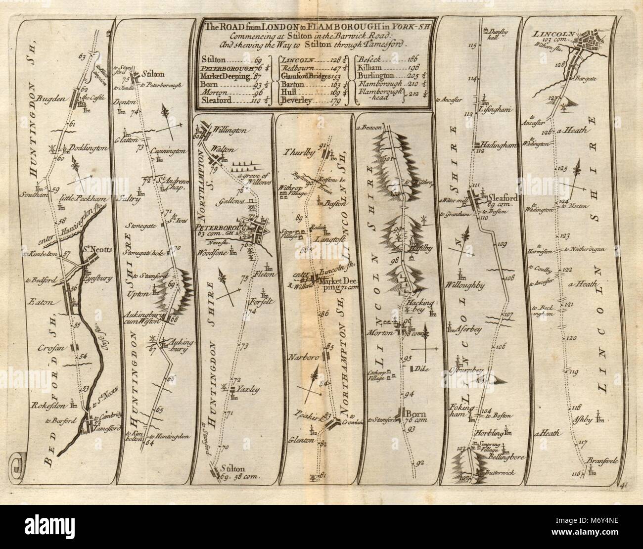 Tempsford St Neots Yaxley Peterborough Sleaford Lincoln SENEX #41 road map 1719 Stock Photohttps://www.alamy.com/image-license-details/?v=1https://www.alamy.com/stock-photo-tempsford-st-neots-yaxley-peterborough-sleaford-lincoln-senex-41-road-176388058.html
RFM6Y4NE–Tempsford St Neots Yaxley Peterborough Sleaford Lincoln SENEX #41 road map 1719
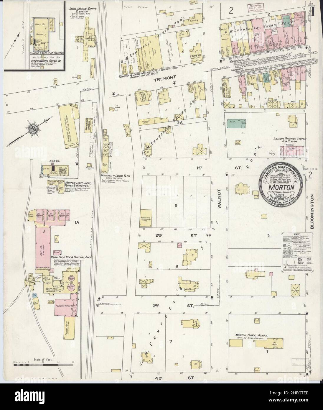 Sanborn Fire Insurance Map from Morton, Tazewell County, Illinois. Stock Photohttps://www.alamy.com/image-license-details/?v=1https://www.alamy.com/sanborn-fire-insurance-map-from-morton-tazewell-county-illinois-image456445214.html
RM2HEGTEP–Sanborn Fire Insurance Map from Morton, Tazewell County, Illinois.
 US-IN(1891) p236 INDIANAPOLIS, MORTON MONUMENT Stock Photohttps://www.alamy.com/image-license-details/?v=1https://www.alamy.com/stock-photo-us-in1891-p236-indianapolis-morton-monument-75592139.html
RMEAYEF7–US-IN(1891) p236 INDIANAPOLIS, MORTON MONUMENT
![Manhattan, V. 3, Plate No. 4 [Map bounded by Hudson St., Christopher St., W. 4th St., Morton St.] 1884 - 1936 Stock Photo Manhattan, V. 3, Plate No. 4 [Map bounded by Hudson St., Christopher St., W. 4th St., Morton St.] 1884 - 1936 Stock Photo](https://c8.alamy.com/comp/2YPEMP1/manhattan-v-3-plate-no-4-map-bounded-by-hudson-st-christopher-st-w-4th-st-morton-st-1884-1936-2YPEMP1.jpg) Manhattan, V. 3, Plate No. 4 [Map bounded by Hudson St., Christopher St., W. 4th St., Morton St.] 1884 - 1936 Stock Photohttps://www.alamy.com/image-license-details/?v=1https://www.alamy.com/manhattan-v-3-plate-no-4-map-bounded-by-hudson-st-christopher-st-w-4th-st-morton-st-1884-1936-image633419305.html
Manhattan, V. 3, Plate No. 4 [Map bounded by Hudson St., Christopher St., W. 4th St., Morton St.] 1884 - 1936 Stock Photohttps://www.alamy.com/image-license-details/?v=1https://www.alamy.com/manhattan-v-3-plate-no-4-map-bounded-by-hudson-st-christopher-st-w-4th-st-morton-st-1884-1936-image633419305.htmlRM2YPEMP1–Manhattan, V. 3, Plate No. 4 [Map bounded by Hudson St., Christopher St., W. 4th St., Morton St.] 1884 - 1936
 Huebinger's map and guide for Omaha-Denver transcontinental route; . OMAHA-DENVERGOOD ROAD ASSOCIATION ^ OFFICERS J. E. Davis, President Sutton, Nebr. W. A. Taylor, Treasurer Hastings, Nebr. Geo. E. Parisoe, Secretary Minden, Nebr. EXECUTIVE COMMITTEE Dr. J. M. Prime Oxford, Nebr. Frank Hacker Friend, Nebr. G. E. Parisoe Minden, Nebr. W. A. Taylor Hastings, Nebr. J. E. Davis Sutton, Nebr VICE PRESIDENTS J. V. Beghtol Hastings, Nebr. S. A. Searle Omaha, Nebr. 0. C. Morton Nebraska City, Nebr. Charles Stuart Lincoln, Nebr. F. Hacker Friend, Nebr. W. P. Wallace Exeter, Nebr. G. Phillips Harvard Stock Photohttps://www.alamy.com/image-license-details/?v=1https://www.alamy.com/huebingers-map-and-guide-for-omaha-denver-transcontinental-route-omaha-denvergood-road-association-officers-j-e-davis-president-sutton-nebr-w-a-taylor-treasurer-hastings-nebr-geo-e-parisoe-secretary-minden-nebr-executive-committee-dr-j-m-prime-oxford-nebr-frank-hacker-friend-nebr-g-e-parisoe-minden-nebr-w-a-taylor-hastings-nebr-j-e-davis-sutton-nebr-vice-presidents-j-v-beghtol-hastings-nebr-s-a-searle-omaha-nebr-0-c-morton-nebraska-city-nebr-charles-stuart-lincoln-nebr-f-hacker-friend-nebr-w-p-wallace-exeter-nebr-g-phillips-harvard-image340018103.html
RM2AN54FK–Huebinger's map and guide for Omaha-Denver transcontinental route; . OMAHA-DENVERGOOD ROAD ASSOCIATION ^ OFFICERS J. E. Davis, President Sutton, Nebr. W. A. Taylor, Treasurer Hastings, Nebr. Geo. E. Parisoe, Secretary Minden, Nebr. EXECUTIVE COMMITTEE Dr. J. M. Prime Oxford, Nebr. Frank Hacker Friend, Nebr. G. E. Parisoe Minden, Nebr. W. A. Taylor Hastings, Nebr. J. E. Davis Sutton, Nebr VICE PRESIDENTS J. V. Beghtol Hastings, Nebr. S. A. Searle Omaha, Nebr. 0. C. Morton Nebraska City, Nebr. Charles Stuart Lincoln, Nebr. F. Hacker Friend, Nebr. W. P. Wallace Exeter, Nebr. G. Phillips Harvard
 A map of the world. Manuscript schoolgirl map in ink and watercolor. Includes decorative floral sprays and scrolls. Map drawn on the back of a lithographic portrait of Levi P. Morton, presented by the New York Mail & Express and published by the Manhattan Art Co.... , World Stock Photohttps://www.alamy.com/image-license-details/?v=1https://www.alamy.com/a-map-of-the-world-manuscript-schoolgirl-map-in-ink-and-watercolor-includes-decorative-floral-sprays-and-scrolls-map-drawn-on-the-back-of-a-lithographic-portrait-of-levi-p-morton-presented-by-the-new-york-mail-express-and-published-by-the-manhattan-art-co-world-image502738529.html
RM2M5WM3D–A map of the world. Manuscript schoolgirl map in ink and watercolor. Includes decorative floral sprays and scrolls. Map drawn on the back of a lithographic portrait of Levi P. Morton, presented by the New York Mail & Express and published by the Manhattan Art Co.... , World
 WTG Morton Stock Photohttps://www.alamy.com/image-license-details/?v=1https://www.alamy.com/stock-photo-wtg-morton-140704567.html
RMJ4WJ33–WTG Morton
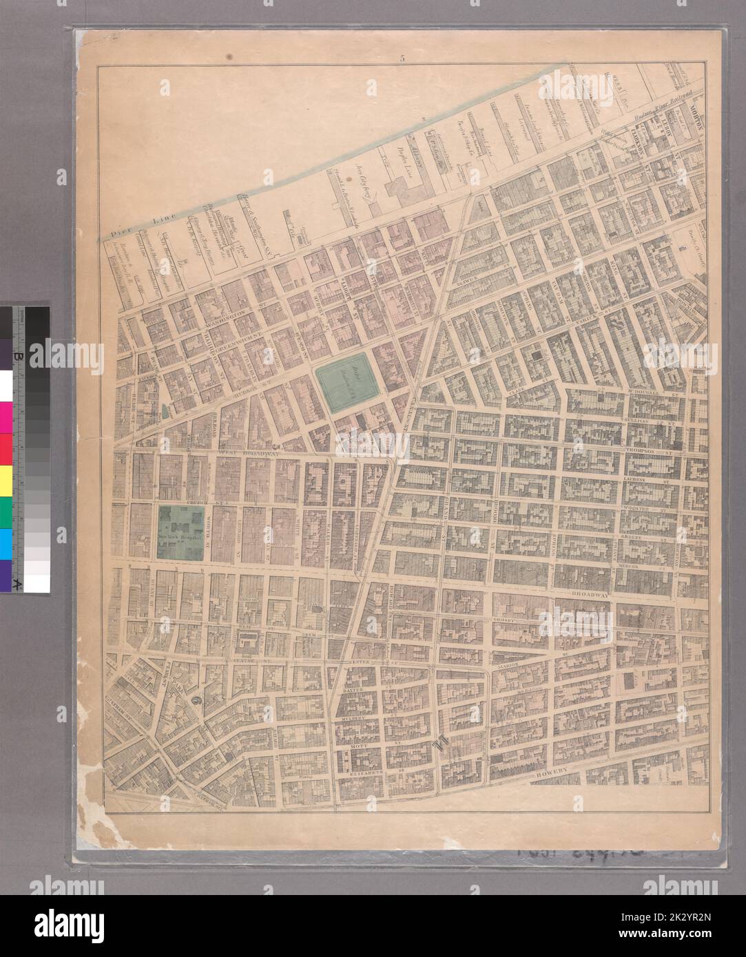 Cartographic, Maps. 1867. Lionel Pincus and Princess Firyal Map Division Sheet 5:Bounded by Morton Street, Washington Street, Leroy Street, Hudson Street, Clarkson Street, Varick Street, Houston Street, Bowery Street, Chatham Square, Chatham Street, Reade Street and Washington Street. Stock Photohttps://www.alamy.com/image-license-details/?v=1https://www.alamy.com/cartographic-maps-1867-lionel-pincus-and-princess-firyal-map-division-sheet-5bounded-by-morton-street-washington-street-leroy-street-hudson-street-clarkson-street-varick-street-houston-street-bowery-street-chatham-square-chatham-street-reade-street-and-washington-street-image483730429.html
RM2K2YR2N–Cartographic, Maps. 1867. Lionel Pincus and Princess Firyal Map Division Sheet 5:Bounded by Morton Street, Washington Street, Leroy Street, Hudson Street, Clarkson Street, Varick Street, Houston Street, Bowery Street, Chatham Square, Chatham Street, Reade Street and Washington Street.
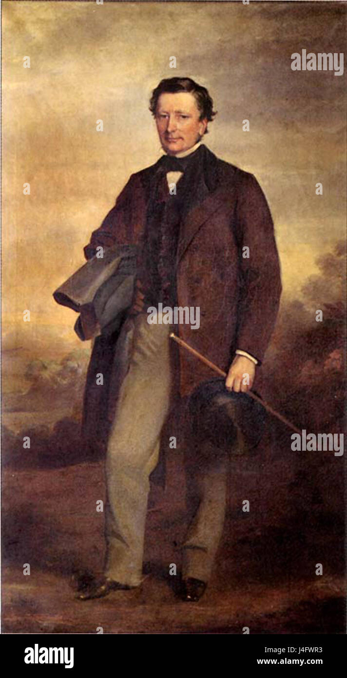 Samuel Morton Peto Stock Photohttps://www.alamy.com/image-license-details/?v=1https://www.alamy.com/stock-photo-samuel-morton-peto-140491095.html
RMJ4FWR3–Samuel Morton Peto
 Map of Camp Fort Bodo. Africa. Emin Pasha Relief Expedition 1886-1889 by Henry Morton Stanley (1841 - 1904) Old 19th century engraving from Le Tour du Monde 1890 Stock Photohttps://www.alamy.com/image-license-details/?v=1https://www.alamy.com/map-of-camp-fort-bodo-africa-emin-pasha-relief-expedition-1886-1889-by-henry-morton-stanley-1841-1904-old-19th-century-engraving-from-le-tour-du-monde-1890-image594243151.html
RM2WEP35K–Map of Camp Fort Bodo. Africa. Emin Pasha Relief Expedition 1886-1889 by Henry Morton Stanley (1841 - 1904) Old 19th century engraving from Le Tour du Monde 1890
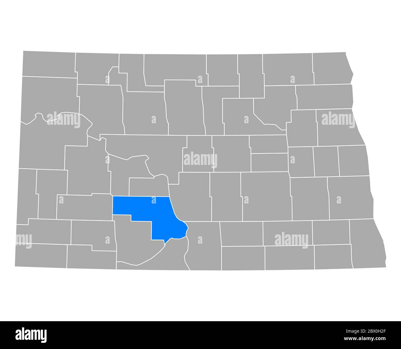 Map of Morton in North Dakota Stock Photohttps://www.alamy.com/image-license-details/?v=1https://www.alamy.com/map-of-morton-in-north-dakota-image360201815.html
RF2BX0H2F–Map of Morton in North Dakota
 Morton Prince (1916) Stock Photohttps://www.alamy.com/image-license-details/?v=1https://www.alamy.com/stock-photo-morton-prince-1916-140287260.html
RMJ46HR8–Morton Prince (1916)
 Map of Morton in North Dakota Stock Photohttps://www.alamy.com/image-license-details/?v=1https://www.alamy.com/map-of-morton-in-north-dakota-image385770195.html
RF2DBH9PY–Map of Morton in North Dakota
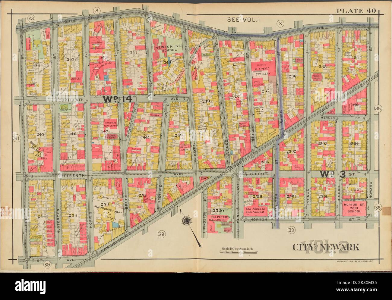 Newark, V. 2, Double Page Plate No. 40 Map bounded by South Ave., Howard St., Morton St., Springfield Ave., 16th Ave., Bergen St. Cartographic. Atlases, Maps. 1911-12. Lionel Pincus and Princess Firyal Map Division. Newark (N.J.) Stock Photohttps://www.alamy.com/image-license-details/?v=1https://www.alamy.com/newark-v-2-double-page-plate-no-40-map-bounded-by-south-ave-howard-st-morton-st-springfield-ave-16th-ave-bergen-st-cartographic-atlases-maps-1911-12-lionel-pincus-and-princess-firyal-map-division-newark-nj-image484320793.html
RM2K3XM35–Newark, V. 2, Double Page Plate No. 40 Map bounded by South Ave., Howard St., Morton St., Springfield Ave., 16th Ave., Bergen St. Cartographic. Atlases, Maps. 1911-12. Lionel Pincus and Princess Firyal Map Division. Newark (N.J.)
 Morton County, North Dakota State (U.S. county, United States of America, USA, U.S., US) map vector illustration, scribble sketch Morton map Stock Vectorhttps://www.alamy.com/image-license-details/?v=1https://www.alamy.com/morton-county-north-dakota-state-us-county-united-states-of-america-usa-us-us-map-vector-illustration-scribble-sketch-morton-map-image385246196.html
RF2DANDCM–Morton County, North Dakota State (U.S. county, United States of America, USA, U.S., US) map vector illustration, scribble sketch Morton map
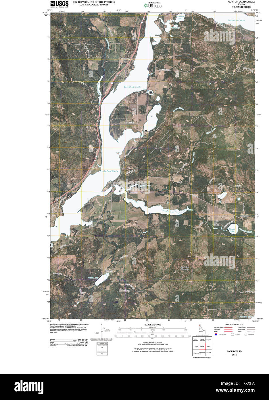 USGS TOPO Map Idaho ID Morton 20110119 TM Restoration Stock Photohttps://www.alamy.com/image-license-details/?v=1https://www.alamy.com/usgs-topo-map-idaho-id-morton-20110119-tm-restoration-image245839310.html
RMT7XXFA–USGS TOPO Map Idaho ID Morton 20110119 TM Restoration
 Morton Creek, , AU, Australia, Northern Territory, S 17 26' 59'', N 129 13' 59'', map, Cartascapes Map published in 2024. Explore Cartascapes, a map revealing Earth's diverse landscapes, cultures, and ecosystems. Journey through time and space, discovering the interconnectedness of our planet's past, present, and future. Stock Photohttps://www.alamy.com/image-license-details/?v=1https://www.alamy.com/morton-creek-au-australia-northern-territory-s-17-26-59-n-129-13-59-map-cartascapes-map-published-in-2024-explore-cartascapes-a-map-revealing-earths-diverse-landscapes-cultures-and-ecosystems-journey-through-time-and-space-discovering-the-interconnectedness-of-our-planets-past-present-and-future-image625633600.html
RM2Y9T214–Morton Creek, , AU, Australia, Northern Territory, S 17 26' 59'', N 129 13' 59'', map, Cartascapes Map published in 2024. Explore Cartascapes, a map revealing Earth's diverse landscapes, cultures, and ecosystems. Journey through time and space, discovering the interconnectedness of our planet's past, present, and future.
 Benefit dinner for Gaza Stock Photohttps://www.alamy.com/image-license-details/?v=1https://www.alamy.com/stock-photo-benefit-dinner-for-gaza-110316335.html
RMGBD9H3–Benefit dinner for Gaza
 Sanborn Fire Insurance Map from Morton, Tazewell County, Illinois. Stock Photohttps://www.alamy.com/image-license-details/?v=1https://www.alamy.com/sanborn-fire-insurance-map-from-morton-tazewell-county-illinois-image456445197.html
RM2HEGTE5–Sanborn Fire Insurance Map from Morton, Tazewell County, Illinois.
 US-IN(1891) p236 INDIANAPOLIS, MORTON MONUMENT Stock Photohttps://www.alamy.com/image-license-details/?v=1https://www.alamy.com/stock-photo-us-in1891-p236-indianapolis-morton-monument-74954085.html
RME9XCKH–US-IN(1891) p236 INDIANAPOLIS, MORTON MONUMENT
![Manhattan, V. 3, Plate No. 1 [Map bounded by West St., Morton St., Hudson St., W. Houston St.] 1884 - 1936 Stock Photo Manhattan, V. 3, Plate No. 1 [Map bounded by West St., Morton St., Hudson St., W. Houston St.] 1884 - 1936 Stock Photo](https://c8.alamy.com/comp/2YPEMNE/manhattan-v-3-plate-no-1-map-bounded-by-west-st-morton-st-hudson-st-w-houston-st-1884-1936-2YPEMNE.jpg) Manhattan, V. 3, Plate No. 1 [Map bounded by West St., Morton St., Hudson St., W. Houston St.] 1884 - 1936 Stock Photohttps://www.alamy.com/image-license-details/?v=1https://www.alamy.com/manhattan-v-3-plate-no-1-map-bounded-by-west-st-morton-st-hudson-st-w-houston-st-1884-1936-image633419290.html
Manhattan, V. 3, Plate No. 1 [Map bounded by West St., Morton St., Hudson St., W. Houston St.] 1884 - 1936 Stock Photohttps://www.alamy.com/image-license-details/?v=1https://www.alamy.com/manhattan-v-3-plate-no-1-map-bounded-by-west-st-morton-st-hudson-st-w-houston-st-1884-1936-image633419290.htmlRM2YPEMNE–Manhattan, V. 3, Plate No. 1 [Map bounded by West St., Morton St., Hudson St., W. Houston St.] 1884 - 1936
 . The Chamber of commerce handbook for San Francisco, historical and descriptive; a guide for visitors .. . JUNIPERO SERKA, FATHER OF THE CALIFORNIA MISSIONS. THE CHAMBER OF COMMERCE HANDBOOK FOiH SAN FRANCISCO Historical and Descriptive A GUIDE FOR VISITORS Published by the San Francisco Chamber of Commerce under diredlion of the Publicity Committee Written and Compiled by FRANK MORTON TODD SAN FRANCISCO1914 I-1 Copyright 1914 by theSan Francisco Chamber of Commerce M 14 1914 / CI.A3G157J CONTENTS Page MAP OF SAN FRANCISCO Inside of Back Cover Showing parks, car lines and different points of Stock Photohttps://www.alamy.com/image-license-details/?v=1https://www.alamy.com/the-chamber-of-commerce-handbook-for-san-francisco-historical-and-descriptive-a-guide-for-visitors-junipero-serka-father-of-the-california-missions-the-chamber-of-commerce-handbook-foih-san-francisco-historical-and-descriptive-a-guide-for-visitors-published-by-the-san-francisco-chamber-of-commerce-under-diredlion-of-the-publicity-committee-written-and-compiled-by-frank-morton-todd-san-francisco1914-i-1-copyright-1914-by-thesan-francisco-chamber-of-commerce-m-14-1914-cia3g157j-contents-page-map-of-san-francisco-inside-of-back-cover-showing-parks-car-lines-and-different-points-of-image369627085.html
RM2CD9Y39–. The Chamber of commerce handbook for San Francisco, historical and descriptive; a guide for visitors .. . JUNIPERO SERKA, FATHER OF THE CALIFORNIA MISSIONS. THE CHAMBER OF COMMERCE HANDBOOK FOiH SAN FRANCISCO Historical and Descriptive A GUIDE FOR VISITORS Published by the San Francisco Chamber of Commerce under diredlion of the Publicity Committee Written and Compiled by FRANK MORTON TODD SAN FRANCISCO1914 I-1 Copyright 1914 by theSan Francisco Chamber of Commerce M 14 1914 / CI.A3G157J CONTENTS Page MAP OF SAN FRANCISCO Inside of Back Cover Showing parks, car lines and different points of
 Map of the route from the Stairs to Ougarroua. Africa. Emin Pasha Relief Expedition 1886-1889 by Henry Morton Stanley (1841 - 1904) Old 19th century engraving from Le Tour du Monde 1890 Stock Photohttps://www.alamy.com/image-license-details/?v=1https://www.alamy.com/map-of-the-route-from-the-stairs-to-ougarroua-africa-emin-pasha-relief-expedition-1886-1889-by-henry-morton-stanley-1841-1904-old-19th-century-engraving-from-le-tour-du-monde-1890-image594243152.html
RM2WEP35M–Map of the route from the Stairs to Ougarroua. Africa. Emin Pasha Relief Expedition 1886-1889 by Henry Morton Stanley (1841 - 1904) Old 19th century engraving from Le Tour du Monde 1890
 Map of Morton in North Dakota Stock Photohttps://www.alamy.com/image-license-details/?v=1https://www.alamy.com/map-of-morton-in-north-dakota-image360382648.html
RF2BX8RMT–Map of Morton in North Dakota
 Thomas Corsan Morton Stock Photohttps://www.alamy.com/image-license-details/?v=1https://www.alamy.com/stock-photo-thomas-corsan-morton-140694548.html
RMJ4W598–Thomas Corsan Morton
 Map of Morton in North Dakota Stock Photohttps://www.alamy.com/image-license-details/?v=1https://www.alamy.com/map-of-morton-in-north-dakota-image385773849.html
RF2DBHEDD–Map of Morton in North Dakota
 Newark, V. 2, Double Page Plate No. 39 Map bounded by Morton St., Howard St., Barclay St., Spruce St., 18th Ave., Bergen St., Springfield Ave. Cartographic. Atlases, Maps. 1911-12. Lionel Pincus and Princess Firyal Map Division. Newark (N.J.) Stock Photohttps://www.alamy.com/image-license-details/?v=1https://www.alamy.com/newark-v-2-double-page-plate-no-39-map-bounded-by-morton-st-howard-st-barclay-st-spruce-st-18th-ave-bergen-st-springfield-ave-cartographic-atlases-maps-1911-12-lionel-pincus-and-princess-firyal-map-division-newark-nj-image484323894.html
RM2K3XT1X–Newark, V. 2, Double Page Plate No. 39 Map bounded by Morton St., Howard St., Barclay St., Spruce St., 18th Ave., Bergen St., Springfield Ave. Cartographic. Atlases, Maps. 1911-12. Lionel Pincus and Princess Firyal Map Division. Newark (N.J.)
 Morton County, North Dakota State (U.S. county, United States of America, USA, U.S., US) map vector illustration, scribble sketch Morton map Stock Vectorhttps://www.alamy.com/image-license-details/?v=1https://www.alamy.com/morton-county-north-dakota-state-us-county-united-states-of-america-usa-us-us-map-vector-illustration-scribble-sketch-morton-map-image408285943.html
RF2EM70TR–Morton County, North Dakota State (U.S. county, United States of America, USA, U.S., US) map vector illustration, scribble sketch Morton map
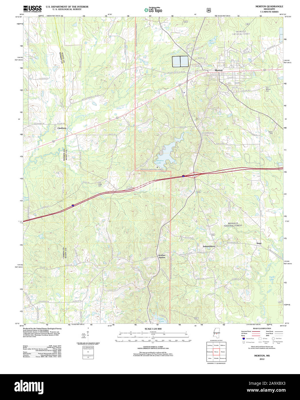 USGS TOPO Map Mississippi MS Morton 20120424 TM Restoration Stock Photohttps://www.alamy.com/image-license-details/?v=1https://www.alamy.com/usgs-topo-map-mississippi-ms-morton-20120424-tm-restoration-image333109003.html
RM2A9XBX3–USGS TOPO Map Mississippi MS Morton 20120424 TM Restoration
 Morton, Vienne, FR, France, Nouvelle-Aquitaine, N 47 6' 30'', S 0 1' 23'', map, Cartascapes Map published in 2024. Explore Cartascapes, a map revealing Earth's diverse landscapes, cultures, and ecosystems. Journey through time and space, discovering the interconnectedness of our planet's past, present, and future. Stock Photohttps://www.alamy.com/image-license-details/?v=1https://www.alamy.com/morton-vienne-fr-france-nouvelle-aquitaine-n-47-6-30-s-0-1-23-map-cartascapes-map-published-in-2024-explore-cartascapes-a-map-revealing-earths-diverse-landscapes-cultures-and-ecosystems-journey-through-time-and-space-discovering-the-interconnectedness-of-our-planets-past-present-and-future-image614292521.html
RM2XKBCAH–Morton, Vienne, FR, France, Nouvelle-Aquitaine, N 47 6' 30'', S 0 1' 23'', map, Cartascapes Map published in 2024. Explore Cartascapes, a map revealing Earth's diverse landscapes, cultures, and ecosystems. Journey through time and space, discovering the interconnectedness of our planet's past, present, and future.
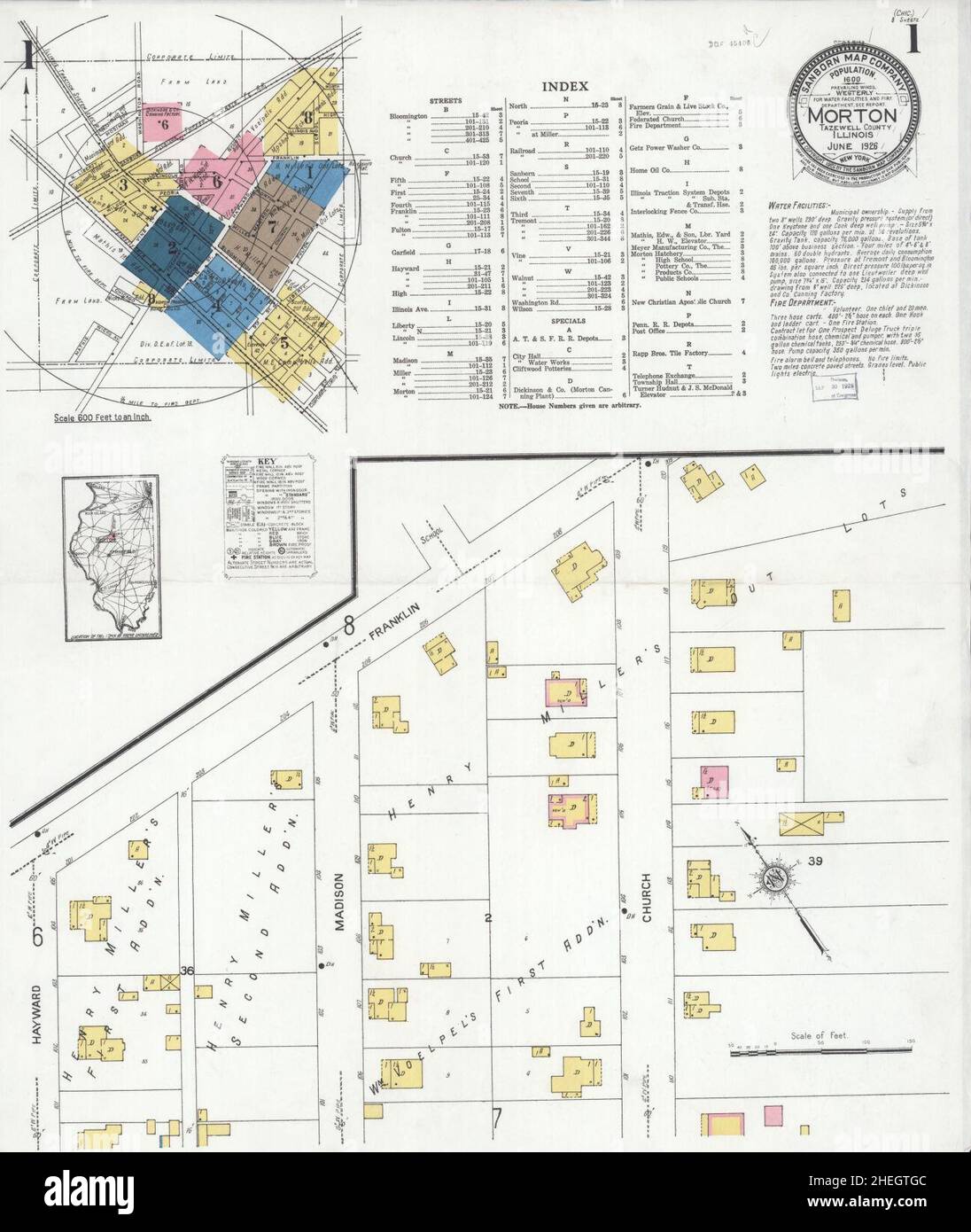 Sanborn Fire Insurance Map from Morton, Tazewell County, Illinois. Stock Photohttps://www.alamy.com/image-license-details/?v=1https://www.alamy.com/sanborn-fire-insurance-map-from-morton-tazewell-county-illinois-image456445260.html
RM2HEGTGC–Sanborn Fire Insurance Map from Morton, Tazewell County, Illinois.
 US-PA(1891) p737 PHILADELPHIA, MORTON McMICHAEL MONUMENT Stock Photohttps://www.alamy.com/image-license-details/?v=1https://www.alamy.com/stock-photo-us-pa1891-p737-philadelphia-morton-mcmichael-monument-75600205.html
RMEAYTR9–US-PA(1891) p737 PHILADELPHIA, MORTON McMICHAEL MONUMENT
![Monroe County, Double Page Plate No. 23 [Map of village of Spencerport, N. Hamlin, Hamlin Station, Hamlin Center, Morton, Kendall Mills, E. Hamlin] 1902 Stock Photo Monroe County, Double Page Plate No. 23 [Map of village of Spencerport, N. Hamlin, Hamlin Station, Hamlin Center, Morton, Kendall Mills, E. Hamlin] 1902 Stock Photo](https://c8.alamy.com/comp/2YPEE6X/monroe-county-double-page-plate-no-23-map-of-village-of-spencerport-n-hamlin-hamlin-station-hamlin-center-morton-kendall-mills-e-hamlin-1902-2YPEE6X.jpg) Monroe County, Double Page Plate No. 23 [Map of village of Spencerport, N. Hamlin, Hamlin Station, Hamlin Center, Morton, Kendall Mills, E. Hamlin] 1902 Stock Photohttps://www.alamy.com/image-license-details/?v=1https://www.alamy.com/monroe-county-double-page-plate-no-23-map-of-village-of-spencerport-n-hamlin-hamlin-station-hamlin-center-morton-kendall-mills-e-hamlin-1902-image633414178.html
Monroe County, Double Page Plate No. 23 [Map of village of Spencerport, N. Hamlin, Hamlin Station, Hamlin Center, Morton, Kendall Mills, E. Hamlin] 1902 Stock Photohttps://www.alamy.com/image-license-details/?v=1https://www.alamy.com/monroe-county-double-page-plate-no-23-map-of-village-of-spencerport-n-hamlin-hamlin-station-hamlin-center-morton-kendall-mills-e-hamlin-1902-image633414178.htmlRM2YPEE6X–Monroe County, Double Page Plate No. 23 [Map of village of Spencerport, N. Hamlin, Hamlin Station, Hamlin Center, Morton, Kendall Mills, E. Hamlin] 1902
 . P.J. Hannifan & Co.'s new commercial railroad and county map of New Yort State and gazetteer .. . Mason and Builder. All Jobbing Attended to, 814 E. Market Street. JOHN RING, Estimates Given Mason andBuilder. J. H. SMITH, Estimates Given. Jobbing Attended to 903 John Street. HORSESHOERS. Bermingham, M., 4ia e. Market St. Hollister, G. M., 107 W. Church. 245 RAILROAD MAP AND BUSINESS DIRECTORY John Hart,Abraham Clark. Pennsylvania. Robert Morris,Benjamin Rush,Benjamin Franklin,John Morton,George Clymer,James Smith,George Taylor,James Wilson,George Ross. Delaware. Caesar Rodney,George Read, Th Stock Photohttps://www.alamy.com/image-license-details/?v=1https://www.alamy.com/pj-hannifan-cos-new-commercial-railroad-and-county-map-of-new-yort-state-and-gazetteer-mason-and-builder-all-jobbing-attended-to-814-e-market-street-john-ring-estimates-given-mason-andbuilder-j-h-smith-estimates-given-jobbing-attended-to-903-john-street-horseshoers-bermingham-m-4ia-e-market-st-hollister-g-m-107-w-church-245-railroad-map-and-business-directory-john-hartabraham-clark-pennsylvania-robert-morrisbenjamin-rushbenjamin-franklinjohn-mortongeorge-clymerjames-smithgeorge-taylorjames-wilsongeorge-ross-delaware-caesar-rodneygeorge-read-th-image375693474.html
RM2CR68T2–. P.J. Hannifan & Co.'s new commercial railroad and county map of New Yort State and gazetteer .. . Mason and Builder. All Jobbing Attended to, 814 E. Market Street. JOHN RING, Estimates Given Mason andBuilder. J. H. SMITH, Estimates Given. Jobbing Attended to 903 John Street. HORSESHOERS. Bermingham, M., 4ia e. Market St. Hollister, G. M., 107 W. Church. 245 RAILROAD MAP AND BUSINESS DIRECTORY John Hart,Abraham Clark. Pennsylvania. Robert Morris,Benjamin Rush,Benjamin Franklin,John Morton,George Clymer,James Smith,George Taylor,James Wilson,George Ross. Delaware. Caesar Rodney,George Read, Th
 Map of the route from the Stairs to Ougarroua. Africa. Emin Pasha Relief Expedition 1886-1889 by Henry Morton Stanley (1841 - 1904) Old 19th century engraving from Le Tour du Monde 1890 Stock Photohttps://www.alamy.com/image-license-details/?v=1https://www.alamy.com/map-of-the-route-from-the-stairs-to-ougarroua-africa-emin-pasha-relief-expedition-1886-1889-by-henry-morton-stanley-1841-1904-old-19th-century-engraving-from-le-tour-du-monde-1890-image594876975.html
RM2WFPYJ7–Map of the route from the Stairs to Ougarroua. Africa. Emin Pasha Relief Expedition 1886-1889 by Henry Morton Stanley (1841 - 1904) Old 19th century engraving from Le Tour du Monde 1890
 Map of Morton in North Dakota Stock Photohttps://www.alamy.com/image-license-details/?v=1https://www.alamy.com/map-of-morton-in-north-dakota-image360928273.html
RF2BY5KKD–Map of Morton in North Dakota
 Itinerary map of Stanley's voyage from Lake Victoria to Zanzibar. Africa. Emin Pasha Relief Expedition 1886-1889 by Henry Morton Stanley (1841 - 1904) Old 19th century engraving from Le Tour du Monde 1890 Stock Photohttps://www.alamy.com/image-license-details/?v=1https://www.alamy.com/itinerary-map-of-stanleys-voyage-from-lake-victoria-to-zanzibar-africa-emin-pasha-relief-expedition-1886-1889-by-henry-morton-stanley-1841-1904-old-19th-century-engraving-from-le-tour-du-monde-1890-image594243217.html
RM2WEP381–Itinerary map of Stanley's voyage from Lake Victoria to Zanzibar. Africa. Emin Pasha Relief Expedition 1886-1889 by Henry Morton Stanley (1841 - 1904) Old 19th century engraving from Le Tour du Monde 1890