Map of mound city missouri Stock Photos and Images
(28)See map of mound city missouri stock video clipsQuick filters:
Map of mound city missouri Stock Photos and Images
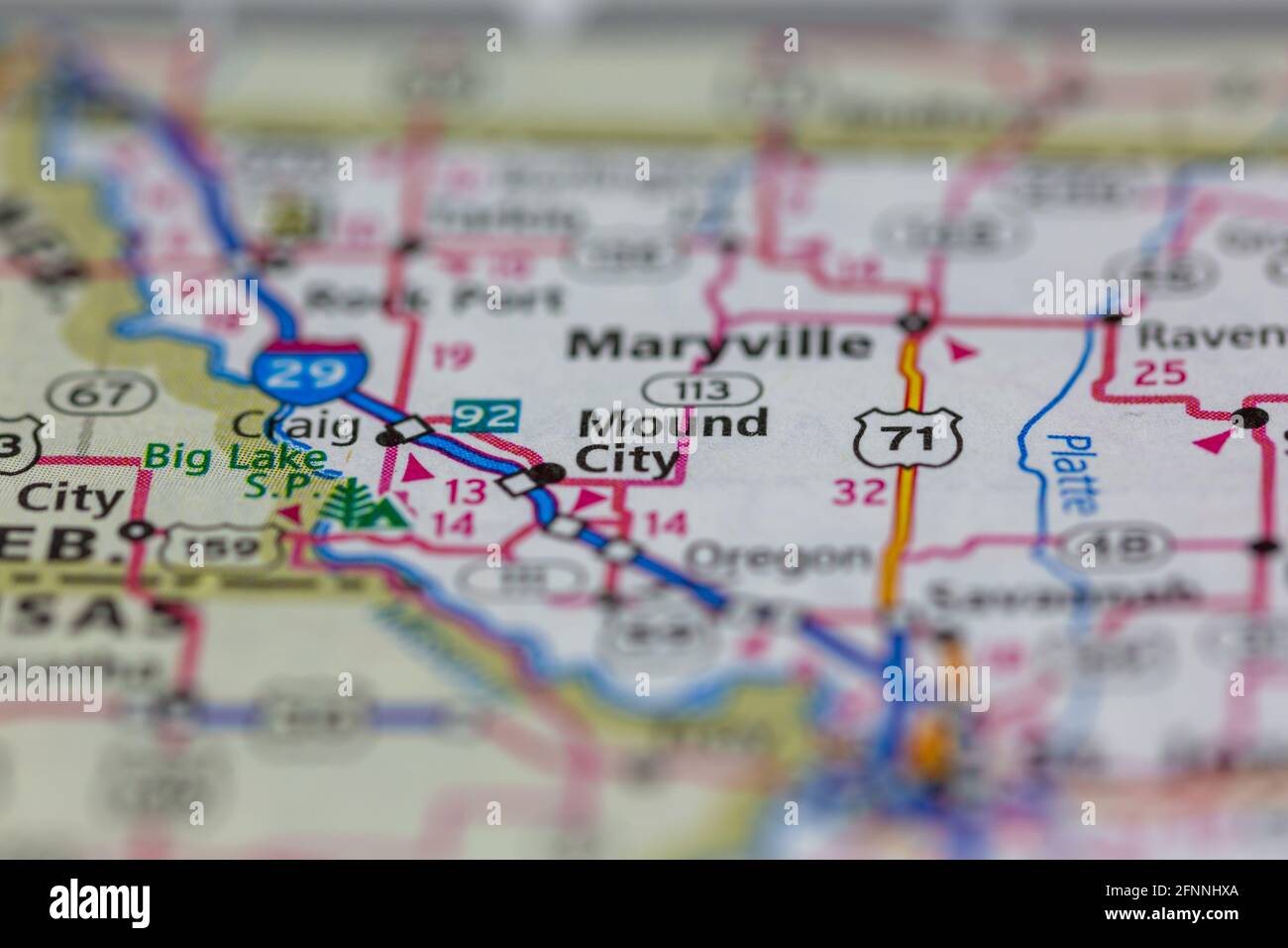 Mound City Missouri USA shown on a Geography map or road map Stock Photohttps://www.alamy.com/image-license-details/?v=1https://www.alamy.com/mound-city-missouri-usa-shown-on-a-geography-map-or-road-map-image426431666.html
RM2FNNHXA–Mound City Missouri USA shown on a Geography map or road map
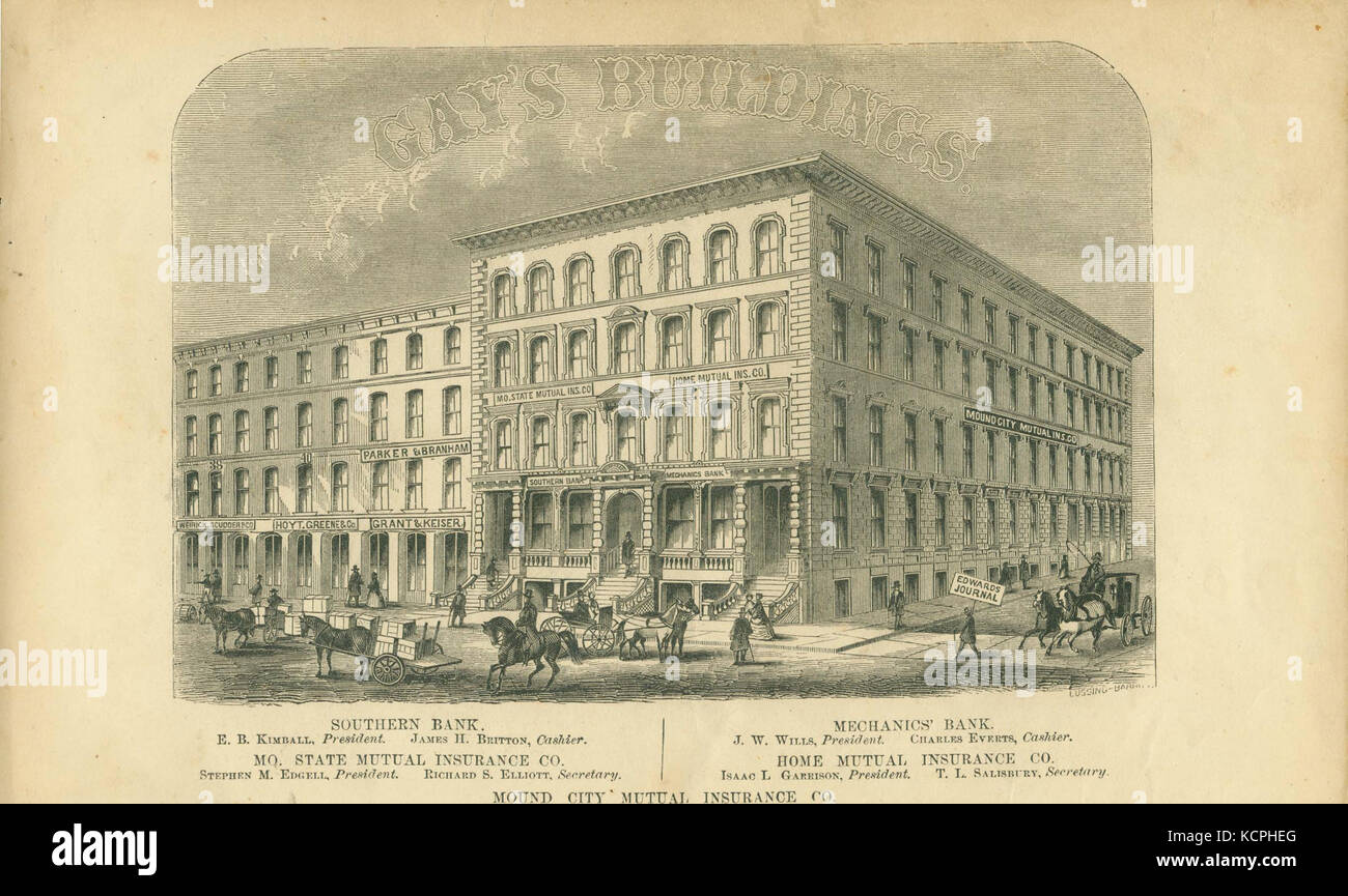 Gay's Buildings Southern Bank, Missouri State Mutual Insurance Company, Mound City Mutual Insurance Company, Mechanics' Bank, and Home Mutual Insurance Company, northeast corner of Second and Pine Streets Stock Photohttps://www.alamy.com/image-license-details/?v=1https://www.alamy.com/stock-image-gays-buildings-southern-bank-missouri-state-mutual-insurance-company-162765864.html
RMKCPHEG–Gay's Buildings Southern Bank, Missouri State Mutual Insurance Company, Mound City Mutual Insurance Company, Mechanics' Bank, and Home Mutual Insurance Company, northeast corner of Second and Pine Streets
 Mound City, Holt County, US, United States, Missouri, N 40 7' 51'', S 95 13' 53'', map, Cartascapes Map published in 2024. Explore Cartascapes, a map revealing Earth's diverse landscapes, cultures, and ecosystems. Journey through time and space, discovering the interconnectedness of our planet's past, present, and future. Stock Photohttps://www.alamy.com/image-license-details/?v=1https://www.alamy.com/mound-city-holt-county-us-united-states-missouri-n-40-7-51-s-95-13-53-map-cartascapes-map-published-in-2024-explore-cartascapes-a-map-revealing-earths-diverse-landscapes-cultures-and-ecosystems-journey-through-time-and-space-discovering-the-interconnectedness-of-our-planets-past-present-and-future-image621434097.html
RM2Y30NEW–Mound City, Holt County, US, United States, Missouri, N 40 7' 51'', S 95 13' 53'', map, Cartascapes Map published in 2024. Explore Cartascapes, a map revealing Earth's diverse landscapes, cultures, and ecosystems. Journey through time and space, discovering the interconnectedness of our planet's past, present, and future.
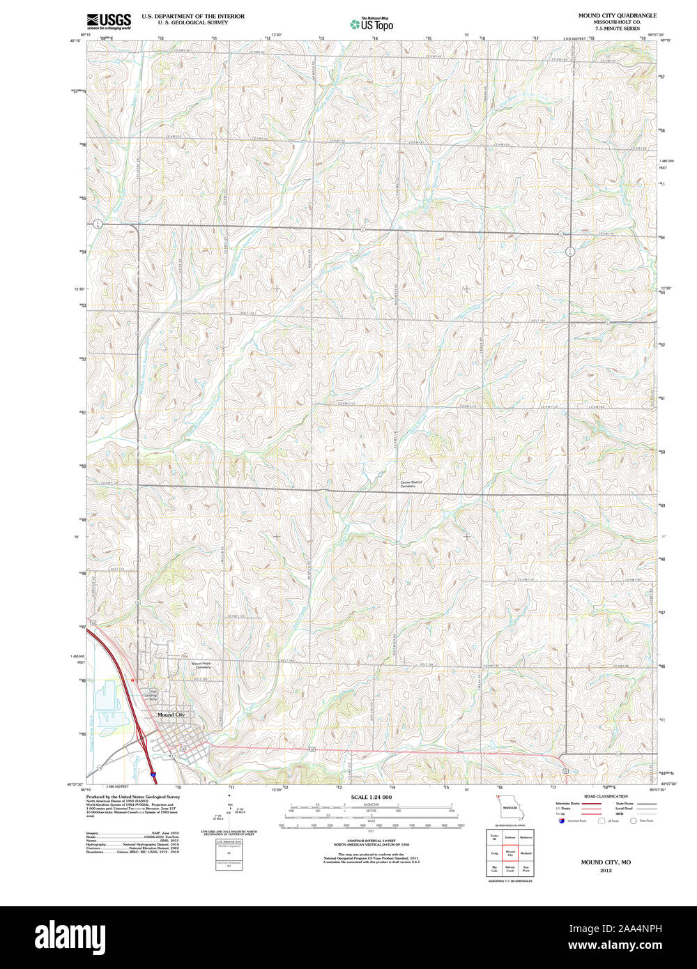 USGS TOPO Map Missouri MO Mound City 20120109 TM Restoration Stock Photohttps://www.alamy.com/image-license-details/?v=1https://www.alamy.com/usgs-topo-map-missouri-mo-mound-city-20120109-tm-restoration-image333248457.html
RM2AA4NPH–USGS TOPO Map Missouri MO Mound City 20120109 TM Restoration
 City of Mound City, Holt County, US, United States, Missouri, N 40 8' 11'', S 95 14' 2'', map, Cartascapes Map published in 2024. Explore Cartascapes, a map revealing Earth's diverse landscapes, cultures, and ecosystems. Journey through time and space, discovering the interconnectedness of our planet's past, present, and future. Stock Photohttps://www.alamy.com/image-license-details/?v=1https://www.alamy.com/city-of-mound-city-holt-county-us-united-states-missouri-n-40-8-11-s-95-14-2-map-cartascapes-map-published-in-2024-explore-cartascapes-a-map-revealing-earths-diverse-landscapes-cultures-and-ecosystems-journey-through-time-and-space-discovering-the-interconnectedness-of-our-planets-past-present-and-future-image633786747.html
RM2YR3DCY–City of Mound City, Holt County, US, United States, Missouri, N 40 8' 11'', S 95 14' 2'', map, Cartascapes Map published in 2024. Explore Cartascapes, a map revealing Earth's diverse landscapes, cultures, and ecosystems. Journey through time and space, discovering the interconnectedness of our planet's past, present, and future.
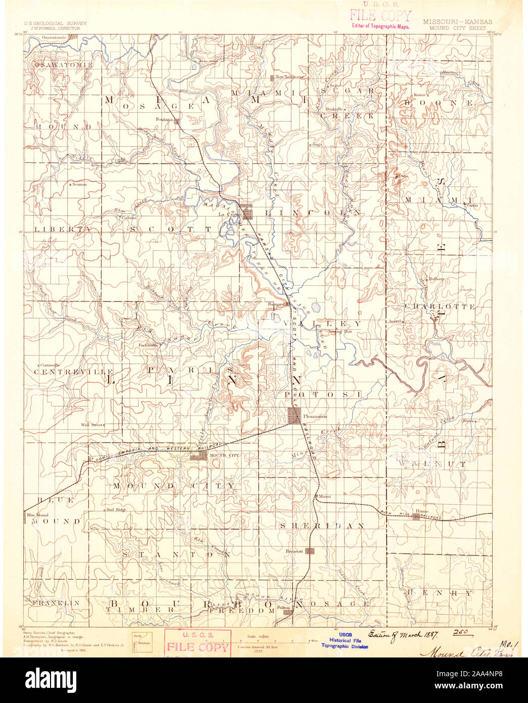 USGS TOPO Map Missouri MO Mound City 325523 1887 125000 Restoration Stock Photohttps://www.alamy.com/image-license-details/?v=1https://www.alamy.com/usgs-topo-map-missouri-mo-mound-city-325523-1887-125000-restoration-image333248448.html
RM2AA4NP8–USGS TOPO Map Missouri MO Mound City 325523 1887 125000 Restoration
 Mound City, Holt County, US, United States, Missouri, N 40 7' 51'', S 95 13' 53'', map, Cartascapes Map published in 2024. Explore Cartascapes, a map revealing Earth's diverse landscapes, cultures, and ecosystems. Journey through time and space, discovering the interconnectedness of our planet's past, present, and future. Stock Photohttps://www.alamy.com/image-license-details/?v=1https://www.alamy.com/mound-city-holt-county-us-united-states-missouri-n-40-7-51-s-95-13-53-map-cartascapes-map-published-in-2024-explore-cartascapes-a-map-revealing-earths-diverse-landscapes-cultures-and-ecosystems-journey-through-time-and-space-discovering-the-interconnectedness-of-our-planets-past-present-and-future-image620651153.html
RM2Y1N2TH–Mound City, Holt County, US, United States, Missouri, N 40 7' 51'', S 95 13' 53'', map, Cartascapes Map published in 2024. Explore Cartascapes, a map revealing Earth's diverse landscapes, cultures, and ecosystems. Journey through time and space, discovering the interconnectedness of our planet's past, present, and future.
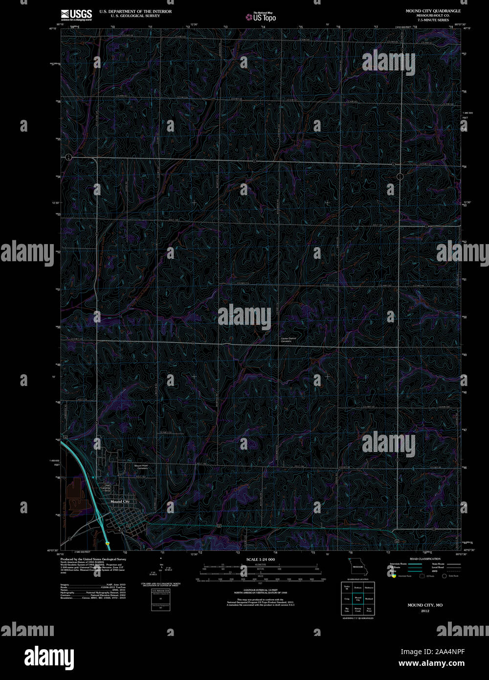 USGS TOPO Map Missouri MO Mound City 20120109 TM Inverted Restoration Stock Photohttps://www.alamy.com/image-license-details/?v=1https://www.alamy.com/usgs-topo-map-missouri-mo-mound-city-20120109-tm-inverted-restoration-image333248455.html
RM2AA4NPF–USGS TOPO Map Missouri MO Mound City 20120109 TM Inverted Restoration
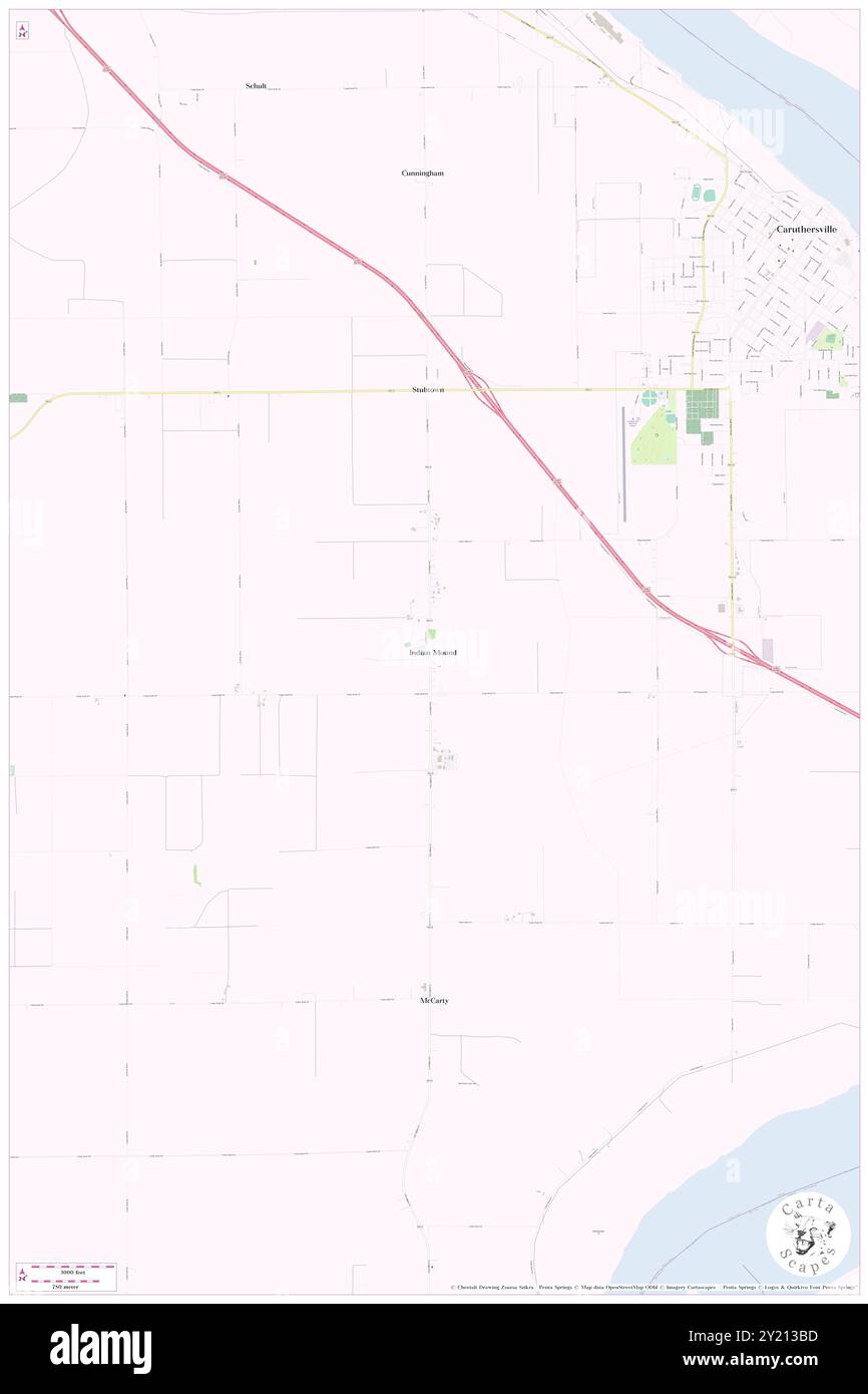 Indian Mound, Pemiscot County, US, United States, Missouri, N 36 9' 4'', S 89 41' 56'', map, Cartascapes Map published in 2024. Explore Cartascapes, a map revealing Earth's diverse landscapes, cultures, and ecosystems. Journey through time and space, discovering the interconnectedness of our planet's past, present, and future. Stock Photohttps://www.alamy.com/image-license-details/?v=1https://www.alamy.com/indian-mound-pemiscot-county-us-united-states-missouri-n-36-9-4-s-89-41-56-map-cartascapes-map-published-in-2024-explore-cartascapes-a-map-revealing-earths-diverse-landscapes-cultures-and-ecosystems-journey-through-time-and-space-discovering-the-interconnectedness-of-our-planets-past-present-and-future-image620827185.html
RM2Y213BD–Indian Mound, Pemiscot County, US, United States, Missouri, N 36 9' 4'', S 89 41' 56'', map, Cartascapes Map published in 2024. Explore Cartascapes, a map revealing Earth's diverse landscapes, cultures, and ecosystems. Journey through time and space, discovering the interconnectedness of our planet's past, present, and future.
 USGS TOPO Map Missouri MO Mound City 325526 1893 125000 Restoration Stock Photohttps://www.alamy.com/image-license-details/?v=1https://www.alamy.com/usgs-topo-map-missouri-mo-mound-city-325526-1893-125000-restoration-image333248562.html
RM2AA4NXA–USGS TOPO Map Missouri MO Mound City 325526 1893 125000 Restoration
 Township of Mound, Bates County, US, United States, Missouri, N 38 21' 3'', S 94 20' 46'', map, Cartascapes Map published in 2024. Explore Cartascapes, a map revealing Earth's diverse landscapes, cultures, and ecosystems. Journey through time and space, discovering the interconnectedness of our planet's past, present, and future. Stock Photohttps://www.alamy.com/image-license-details/?v=1https://www.alamy.com/township-of-mound-bates-county-us-united-states-missouri-n-38-21-3-s-94-20-46-map-cartascapes-map-published-in-2024-explore-cartascapes-a-map-revealing-earths-diverse-landscapes-cultures-and-ecosystems-journey-through-time-and-space-discovering-the-interconnectedness-of-our-planets-past-present-and-future-image633871294.html
RM2YR798E–Township of Mound, Bates County, US, United States, Missouri, N 38 21' 3'', S 94 20' 46'', map, Cartascapes Map published in 2024. Explore Cartascapes, a map revealing Earth's diverse landscapes, cultures, and ecosystems. Journey through time and space, discovering the interconnectedness of our planet's past, present, and future.
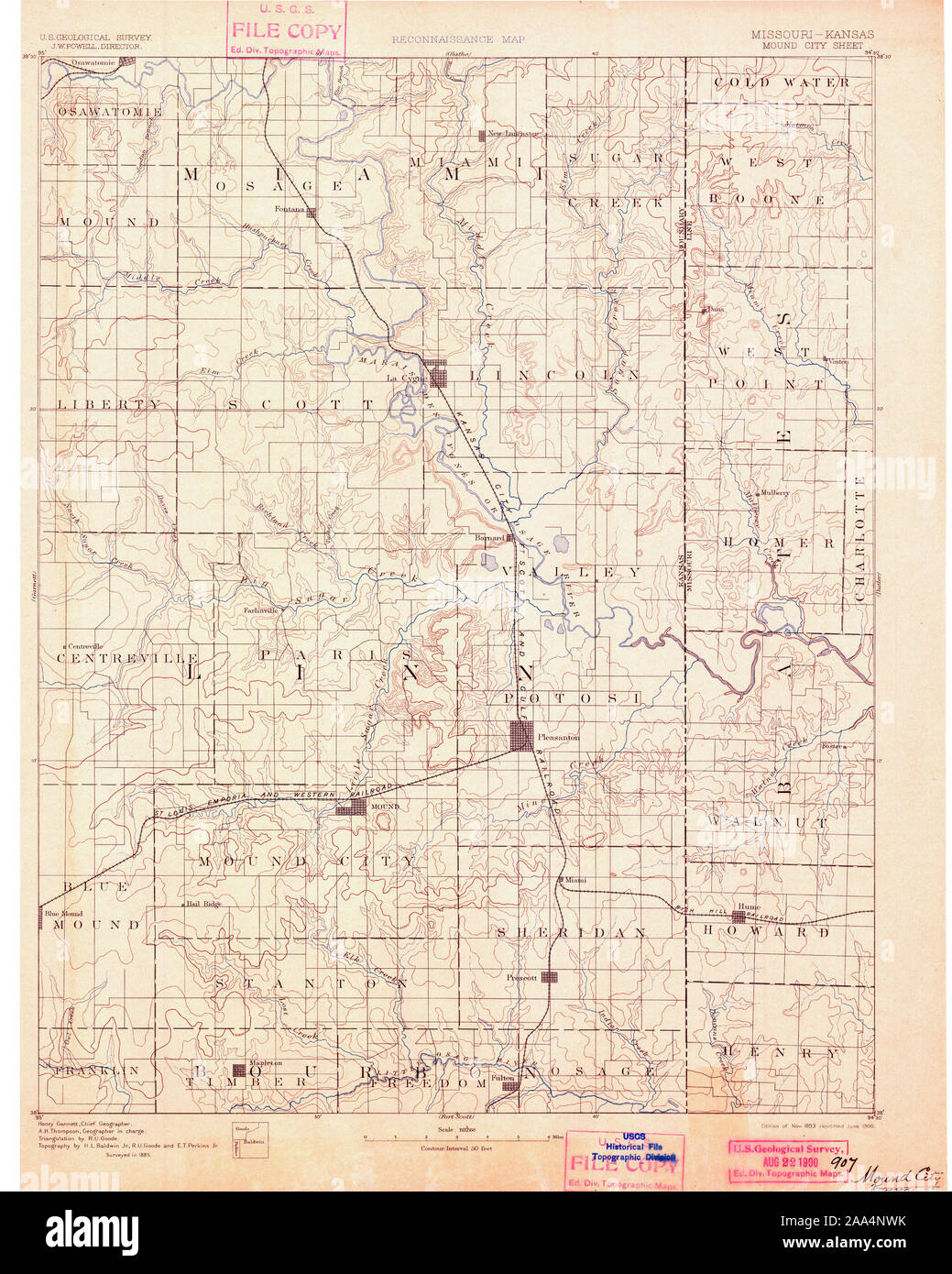 USGS TOPO Map Missouri MO Mound City 325525 1893 125000 Restoration Stock Photohttps://www.alamy.com/image-license-details/?v=1https://www.alamy.com/usgs-topo-map-missouri-mo-mound-city-325525-1893-125000-restoration-image333248543.html
RM2AA4NWK–USGS TOPO Map Missouri MO Mound City 325525 1893 125000 Restoration
 Township of Stokes Mound, Carroll County, US, United States, Missouri, N 39 34' 17'', S 93 28' 39'', map, Cartascapes Map published in 2024. Explore Cartascapes, a map revealing Earth's diverse landscapes, cultures, and ecosystems. Journey through time and space, discovering the interconnectedness of our planet's past, present, and future. Stock Photohttps://www.alamy.com/image-license-details/?v=1https://www.alamy.com/township-of-stokes-mound-carroll-county-us-united-states-missouri-n-39-34-17-s-93-28-39-map-cartascapes-map-published-in-2024-explore-cartascapes-a-map-revealing-earths-diverse-landscapes-cultures-and-ecosystems-journey-through-time-and-space-discovering-the-interconnectedness-of-our-planets-past-present-and-future-image633805293.html
RM2YR4939–Township of Stokes Mound, Carroll County, US, United States, Missouri, N 39 34' 17'', S 93 28' 39'', map, Cartascapes Map published in 2024. Explore Cartascapes, a map revealing Earth's diverse landscapes, cultures, and ecosystems. Journey through time and space, discovering the interconnectedness of our planet's past, present, and future.
 USGS TOPO Map Missouri MO Mound City 325527 1893 125000 Restoration Stock Photohttps://www.alamy.com/image-license-details/?v=1https://www.alamy.com/usgs-topo-map-missouri-mo-mound-city-325527-1893-125000-restoration-image333248695.html
RM2AA4P33–USGS TOPO Map Missouri MO Mound City 325527 1893 125000 Restoration
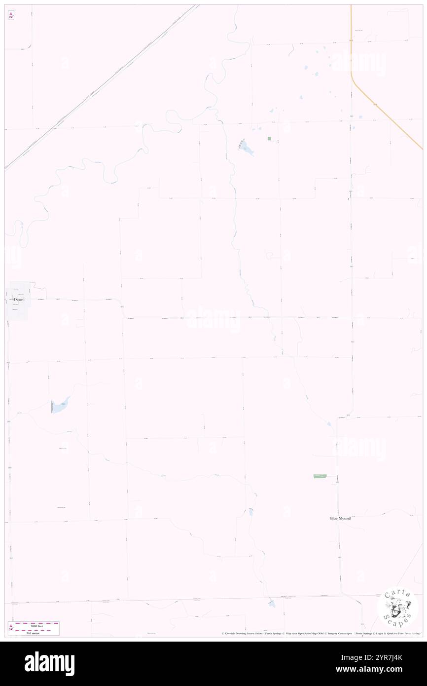 Township of Blue Mound, Livingston County, US, United States, Missouri, N 39 39' 51'', S 93 35' 18'', map, Cartascapes Map published in 2024. Explore Cartascapes, a map revealing Earth's diverse landscapes, cultures, and ecosystems. Journey through time and space, discovering the interconnectedness of our planet's past, present, and future. Stock Photohttps://www.alamy.com/image-license-details/?v=1https://www.alamy.com/township-of-blue-mound-livingston-county-us-united-states-missouri-n-39-39-51-s-93-35-18-map-cartascapes-map-published-in-2024-explore-cartascapes-a-map-revealing-earths-diverse-landscapes-cultures-and-ecosystems-journey-through-time-and-space-discovering-the-interconnectedness-of-our-planets-past-present-and-future-image633878243.html
RM2YR7J4K–Township of Blue Mound, Livingston County, US, United States, Missouri, N 39 39' 51'', S 93 35' 18'', map, Cartascapes Map published in 2024. Explore Cartascapes, a map revealing Earth's diverse landscapes, cultures, and ecosystems. Journey through time and space, discovering the interconnectedness of our planet's past, present, and future.
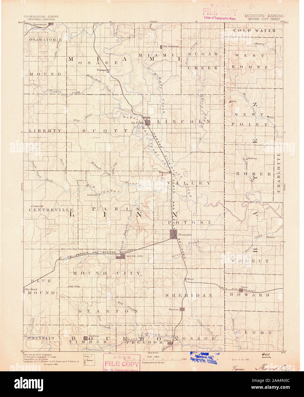 USGS TOPO Map Missouri MO Mound City 325524 1893 125000 Restoration Stock Photohttps://www.alamy.com/image-license-details/?v=1https://www.alamy.com/usgs-topo-map-missouri-mo-mound-city-325524-1893-125000-restoration-image333248564.html
RM2AA4NXC–USGS TOPO Map Missouri MO Mound City 325524 1893 125000 Restoration
 Township of Blue Mound, Vernon County, US, United States, Missouri, N 37 59' 25'', S 94 13' 41'', map, Cartascapes Map published in 2024. Explore Cartascapes, a map revealing Earth's diverse landscapes, cultures, and ecosystems. Journey through time and space, discovering the interconnectedness of our planet's past, present, and future. Stock Photohttps://www.alamy.com/image-license-details/?v=1https://www.alamy.com/township-of-blue-mound-vernon-county-us-united-states-missouri-n-37-59-25-s-94-13-41-map-cartascapes-map-published-in-2024-explore-cartascapes-a-map-revealing-earths-diverse-landscapes-cultures-and-ecosystems-journey-through-time-and-space-discovering-the-interconnectedness-of-our-planets-past-present-and-future-image633872057.html
RM2YR7A7N–Township of Blue Mound, Vernon County, US, United States, Missouri, N 37 59' 25'', S 94 13' 41'', map, Cartascapes Map published in 2024. Explore Cartascapes, a map revealing Earth's diverse landscapes, cultures, and ecosystems. Journey through time and space, discovering the interconnectedness of our planet's past, present, and future.
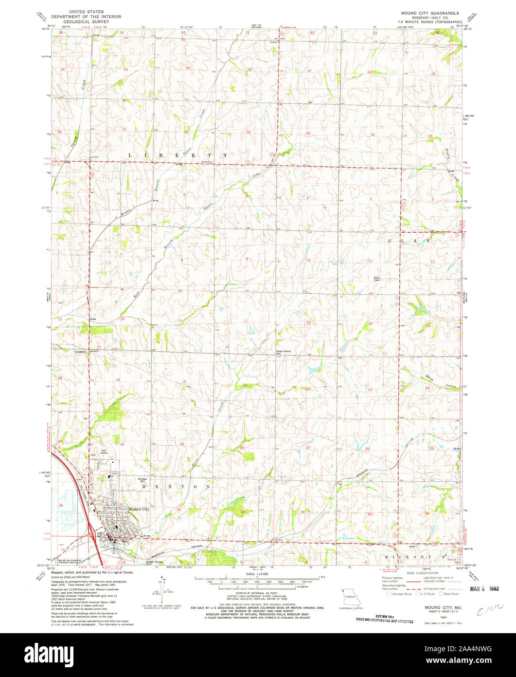 USGS TOPO Map Missouri MO Mound City 323572 1981 24000 Restoration Stock Photohttps://www.alamy.com/image-license-details/?v=1https://www.alamy.com/usgs-topo-map-missouri-mo-mound-city-323572-1981-24000-restoration-image333248540.html
RM2AA4NWG–USGS TOPO Map Missouri MO Mound City 323572 1981 24000 Restoration
 Green Mound Ridge, Christian County, US, United States, Missouri, N 36 53' 32'', S 93 15' 2'', map, Cartascapes Map published in 2024. Explore Cartascapes, a map revealing Earth's diverse landscapes, cultures, and ecosystems. Journey through time and space, discovering the interconnectedness of our planet's past, present, and future. Stock Photohttps://www.alamy.com/image-license-details/?v=1https://www.alamy.com/green-mound-ridge-christian-county-us-united-states-missouri-n-36-53-32-s-93-15-2-map-cartascapes-map-published-in-2024-explore-cartascapes-a-map-revealing-earths-diverse-landscapes-cultures-and-ecosystems-journey-through-time-and-space-discovering-the-interconnectedness-of-our-planets-past-present-and-future-image620900632.html
RM2Y24D2G–Green Mound Ridge, Christian County, US, United States, Missouri, N 36 53' 32'', S 93 15' 2'', map, Cartascapes Map published in 2024. Explore Cartascapes, a map revealing Earth's diverse landscapes, cultures, and ecosystems. Journey through time and space, discovering the interconnectedness of our planet's past, present, and future.
 USGS TOPO Map Missouri MO Mound City 325523 1887 125000 Inverted Restoration Stock Photohttps://www.alamy.com/image-license-details/?v=1https://www.alamy.com/usgs-topo-map-missouri-mo-mound-city-325523-1887-125000-inverted-restoration-image333248469.html
RM2AA4NR1–USGS TOPO Map Missouri MO Mound City 325523 1887 125000 Inverted Restoration
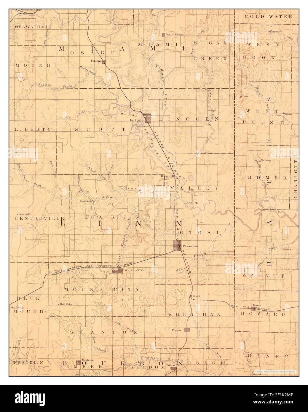 Mound City, Missouri, map 1893, 1:125000, United States of America by Timeless Maps, data U.S. Geological Survey Stock Photohttps://www.alamy.com/image-license-details/?v=1https://www.alamy.com/mound-city-missouri-map-1893-1125000-united-states-of-america-by-timeless-maps-data-us-geological-survey-image414082726.html
RM2F1K2MP–Mound City, Missouri, map 1893, 1:125000, United States of America by Timeless Maps, data U.S. Geological Survey
 USGS TOPO Map Missouri MO Mound City 325527 1893 125000 Inverted Restoration Stock Photohttps://www.alamy.com/image-license-details/?v=1https://www.alamy.com/usgs-topo-map-missouri-mo-mound-city-325527-1893-125000-inverted-restoration-image333248568.html
RM2AA4NXG–USGS TOPO Map Missouri MO Mound City 325527 1893 125000 Inverted Restoration
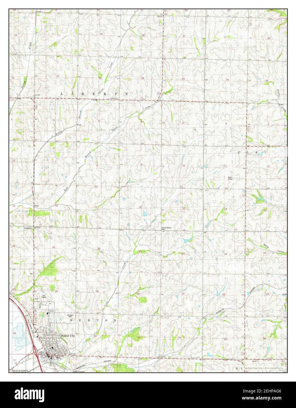 Mound City, Missouri, map 1981, 1:24000, United States of America by Timeless Maps, data U.S. Geological Survey Stock Photohttps://www.alamy.com/image-license-details/?v=1https://www.alamy.com/mound-city-missouri-map-1981-124000-united-states-of-america-by-timeless-maps-data-us-geological-survey-image406778854.html
RM2EHPAG6–Mound City, Missouri, map 1981, 1:24000, United States of America by Timeless Maps, data U.S. Geological Survey
 USGS TOPO Map Missouri MO Mound City 325526 1893 125000 Inverted Restoration Stock Photohttps://www.alamy.com/image-license-details/?v=1https://www.alamy.com/usgs-topo-map-missouri-mo-mound-city-325526-1893-125000-inverted-restoration-image333248551.html
RM2AA4NWY–USGS TOPO Map Missouri MO Mound City 325526 1893 125000 Inverted Restoration
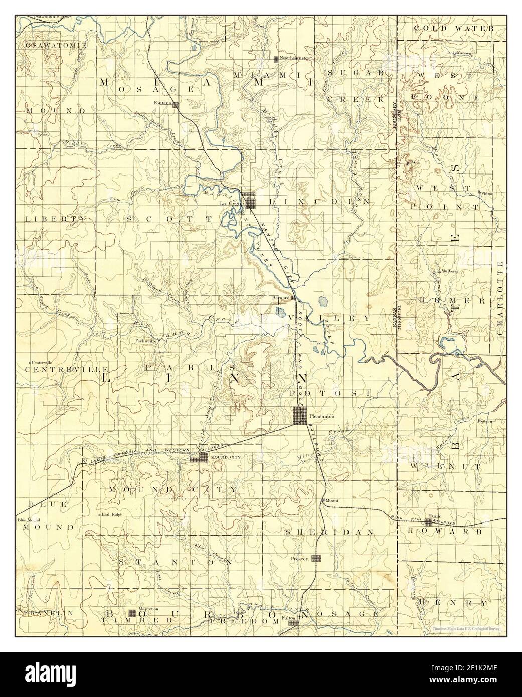 Mound City, Missouri, map 1893, 1:125000, United States of America by Timeless Maps, data U.S. Geological Survey Stock Photohttps://www.alamy.com/image-license-details/?v=1https://www.alamy.com/mound-city-missouri-map-1893-1125000-united-states-of-america-by-timeless-maps-data-us-geological-survey-image414082719.html
RM2F1K2MF–Mound City, Missouri, map 1893, 1:125000, United States of America by Timeless Maps, data U.S. Geological Survey
 USGS TOPO Map Missouri MO Mound City 323572 1981 24000 Inverted Restoration Stock Photohttps://www.alamy.com/image-license-details/?v=1https://www.alamy.com/usgs-topo-map-missouri-mo-mound-city-323572-1981-24000-inverted-restoration-image333248437.html
RM2AA4NNW–USGS TOPO Map Missouri MO Mound City 323572 1981 24000 Inverted Restoration
 USGS TOPO Map Missouri MO Mound City 325524 1893 125000 Inverted Restoration Stock Photohttps://www.alamy.com/image-license-details/?v=1https://www.alamy.com/usgs-topo-map-missouri-mo-mound-city-325524-1893-125000-inverted-restoration-image333248546.html
RM2AA4NWP–USGS TOPO Map Missouri MO Mound City 325524 1893 125000 Inverted Restoration
 USGS TOPO Map Missouri MO Mound City 325525 1893 125000 Inverted Restoration Stock Photohttps://www.alamy.com/image-license-details/?v=1https://www.alamy.com/usgs-topo-map-missouri-mo-mound-city-325525-1893-125000-inverted-restoration-image333248544.html
RM2AA4NWM–USGS TOPO Map Missouri MO Mound City 325525 1893 125000 Inverted Restoration