Map of new jersey Black & White Stock Photos
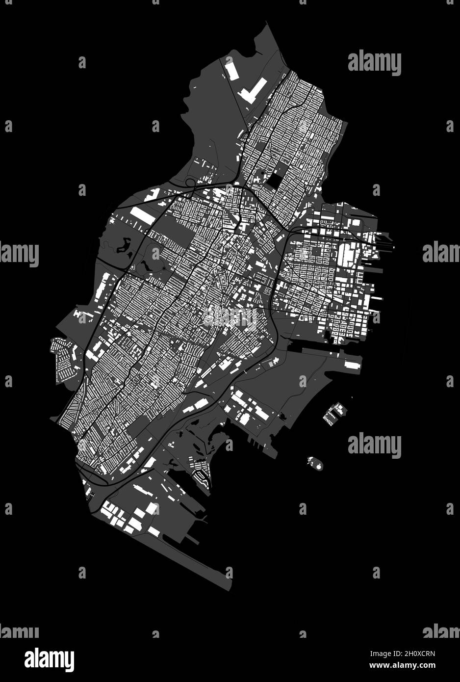 Jersey map. Detailed vector map of Jersey city administrative area. Cityscape poster metropolitan aria view. Black land with white buildings, water, f Stock Vectorhttps://www.alamy.com/image-license-details/?v=1https://www.alamy.com/jersey-map-detailed-vector-map-of-jersey-city-administrative-area-cityscape-poster-metropolitan-aria-view-black-land-with-white-buildings-water-f-image448050393.html
RF2H0XCRN–Jersey map. Detailed vector map of Jersey city administrative area. Cityscape poster metropolitan aria view. Black land with white buildings, water, f
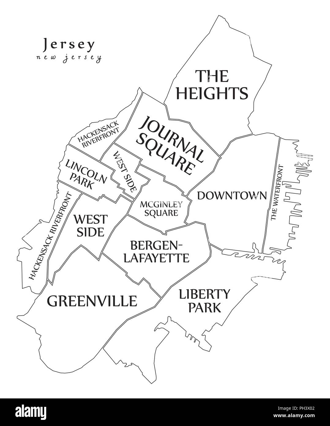 Modern City Map - Jersey New Jersey city of the USA with neighborhoods and titles outline map Stock Vectorhttps://www.alamy.com/image-license-details/?v=1https://www.alamy.com/modern-city-map-jersey-new-jersey-city-of-the-usa-with-neighborhoods-and-titles-outline-map-image217059810.html
RFPH3X02–Modern City Map - Jersey New Jersey city of the USA with neighborhoods and titles outline map
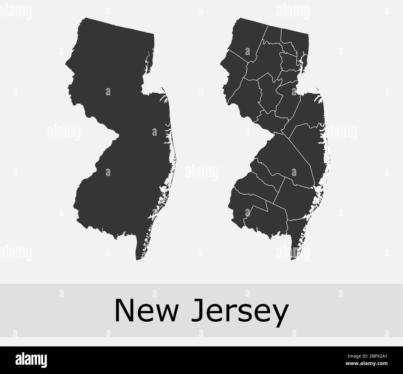 New Jersey maps vector outline counties, townships, regions, municipalities, departments, borders Stock Vectorhttps://www.alamy.com/image-license-details/?v=1https://www.alamy.com/new-jersey-maps-vector-outline-counties-townships-regions-municipalities-departments-borders-image358302393.html
RF2BPX2A1–New Jersey maps vector outline counties, townships, regions, municipalities, departments, borders
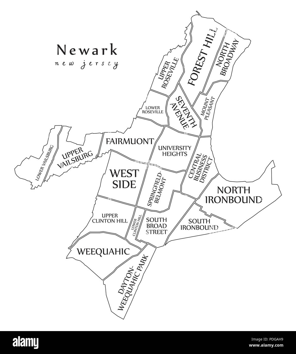 Modern City Map - Newark New Jersey city of the USA with neighborhoods and titles outline map Stock Vectorhttps://www.alamy.com/image-license-details/?v=1https://www.alamy.com/modern-city-map-newark-new-jersey-city-of-the-usa-with-neighborhoods-and-titles-outline-map-image214874501.html
RFPDGAH9–Modern City Map - Newark New Jersey city of the USA with neighborhoods and titles outline map
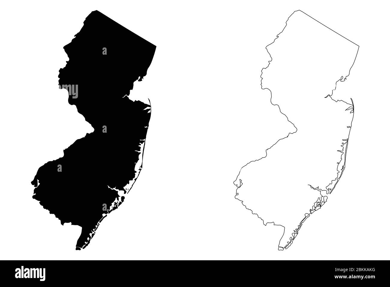 New Jersey NJ state Maps. Black silhouette and outline isolated on a white background. EPS Vector Stock Vectorhttps://www.alamy.com/image-license-details/?v=1https://www.alamy.com/new-jersey-nj-state-maps-black-silhouette-and-outline-isolated-on-a-white-background-eps-vector-image356311300.html
RF2BKKAKG–New Jersey NJ state Maps. Black silhouette and outline isolated on a white background. EPS Vector
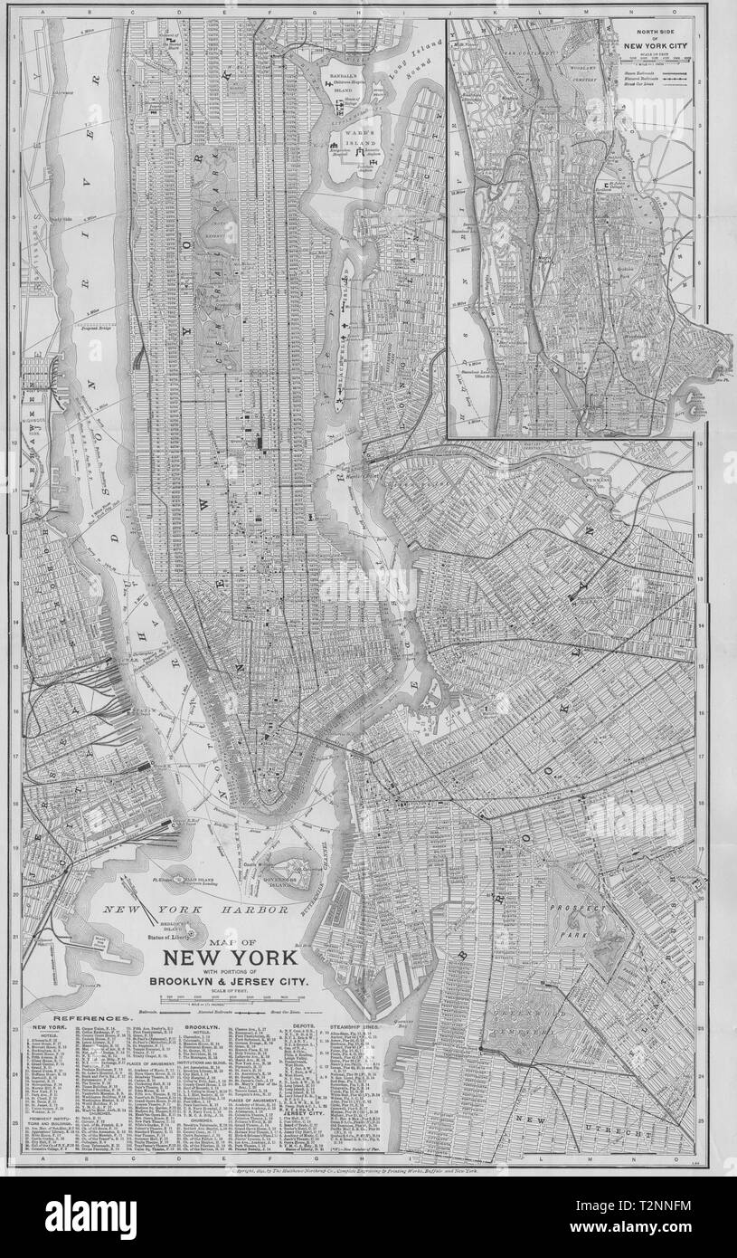 NEW YORK CITY PLAN. Showing Manhattan Brooklyn Jersey Plan 1893 old map Stock Photohttps://www.alamy.com/image-license-details/?v=1https://www.alamy.com/new-york-city-plan-showing-manhattan-brooklyn-jersey-plan-1893-old-map-image242652360.html
RFT2NNFM–NEW YORK CITY PLAN. Showing Manhattan Brooklyn Jersey Plan 1893 old map
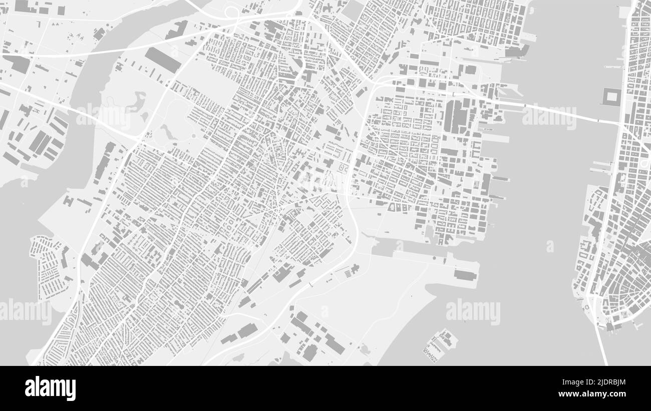 White and light grey Jersey City area vector background map, streets and water cartography illustration. Widescreen proportion, digital flat design st Stock Vectorhttps://www.alamy.com/image-license-details/?v=1https://www.alamy.com/white-and-light-grey-jersey-city-area-vector-background-map-streets-and-water-cartography-illustration-widescreen-proportion-digital-flat-design-st-image473184508.html
RF2JDRBJM–White and light grey Jersey City area vector background map, streets and water cartography illustration. Widescreen proportion, digital flat design st
 Jersey Map grey Stock Photohttps://www.alamy.com/image-license-details/?v=1https://www.alamy.com/stock-image-jersey-map-grey-169140519.html
RFKR50CR–Jersey Map grey
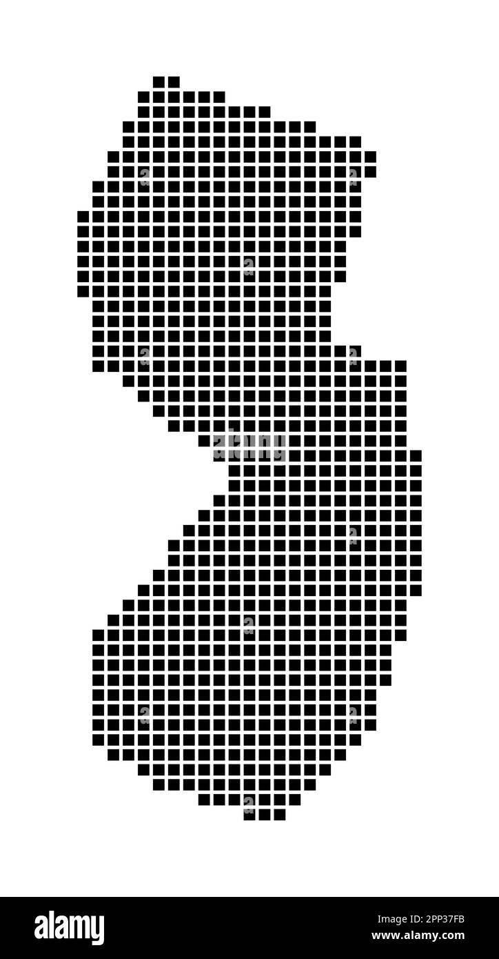 New Jersey map. Map of New Jersey in dotted style. Borders of the us state filled with rectangles for your design. Vector illustration. Stock Vectorhttps://www.alamy.com/image-license-details/?v=1https://www.alamy.com/new-jersey-map-map-of-new-jersey-in-dotted-style-borders-of-the-us-state-filled-with-rectangles-for-your-design-vector-illustration-image547115615.html
RF2PP37FB–New Jersey map. Map of New Jersey in dotted style. Borders of the us state filled with rectangles for your design. Vector illustration.
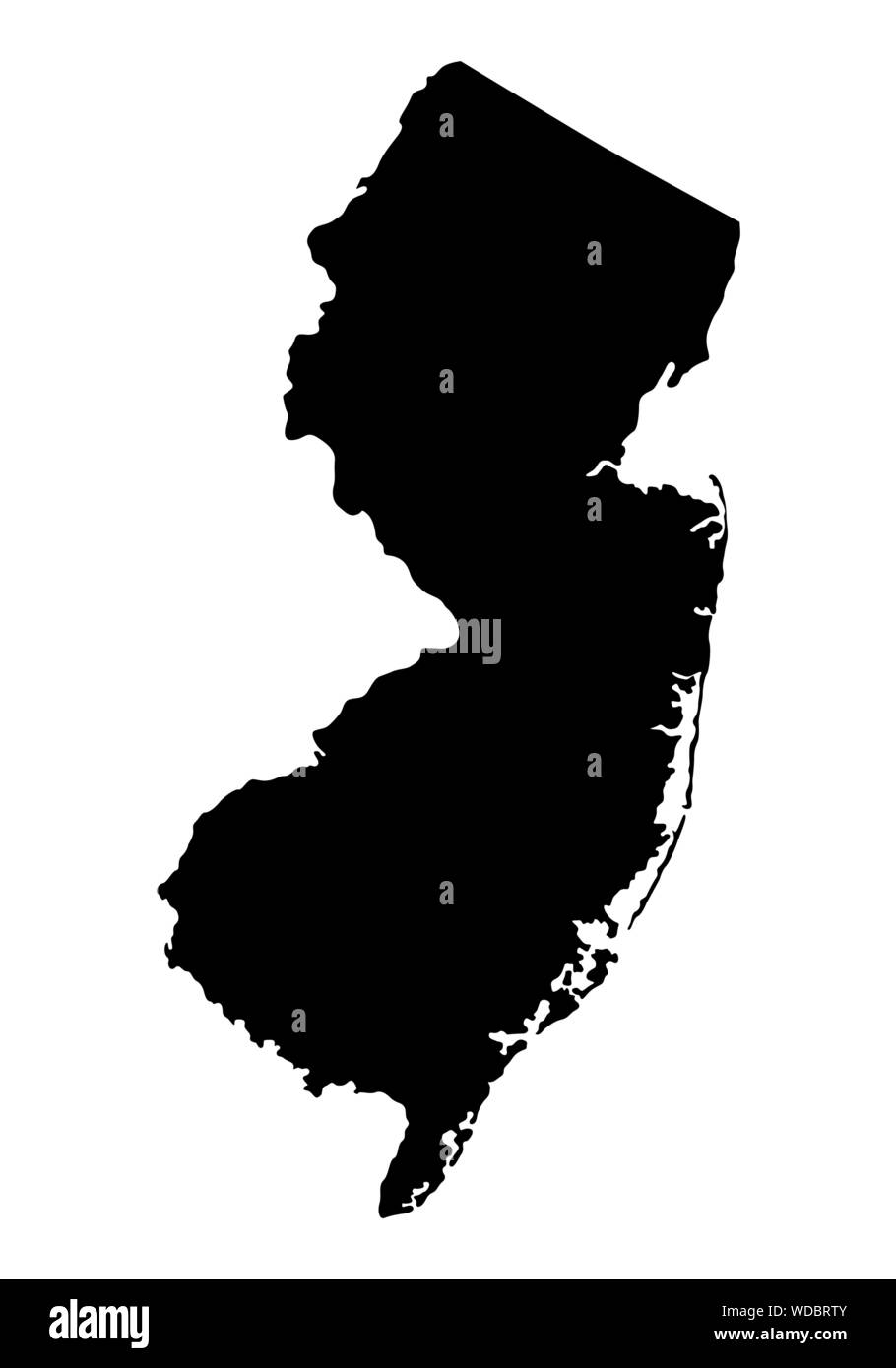 New Jersey silhouette map Stock Vectorhttps://www.alamy.com/image-license-details/?v=1https://www.alamy.com/new-jersey-silhouette-map-image266406251.html
RFWDBRTY–New Jersey silhouette map
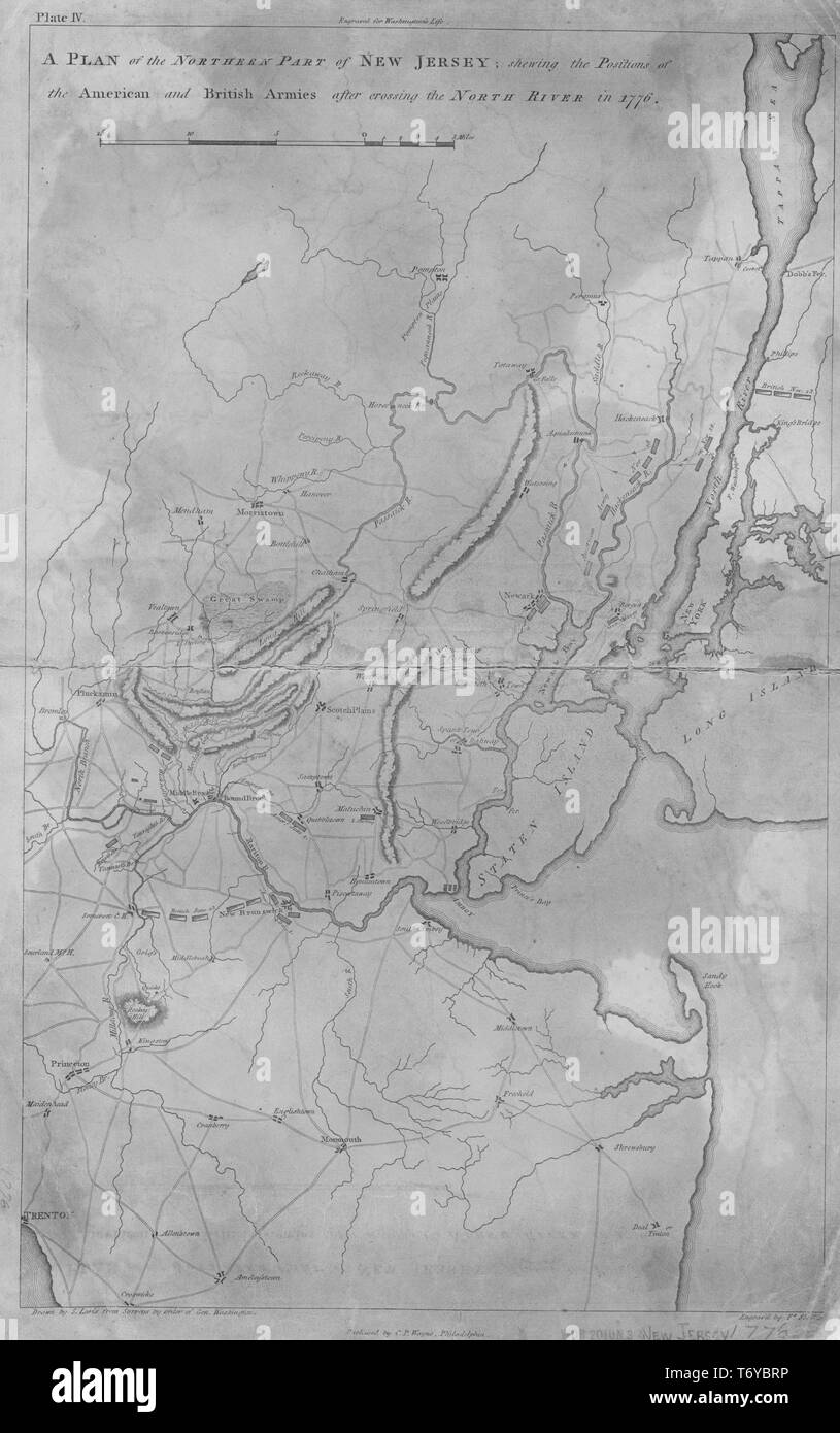 Engraved map of the northern part of New Jersey, showing the positions of the American and British armies after crossing the North River in 1776, 1807. From the New York Public Library. () Stock Photohttps://www.alamy.com/image-license-details/?v=1https://www.alamy.com/engraved-map-of-the-northern-part-of-new-jersey-showing-the-positions-of-the-american-and-british-armies-after-crossing-the-north-river-in-1776-1807-from-the-new-york-public-library-image245235082.html
RMT6YBRP–Engraved map of the northern part of New Jersey, showing the positions of the American and British armies after crossing the North River in 1776, 1807. From the New York Public Library. ()
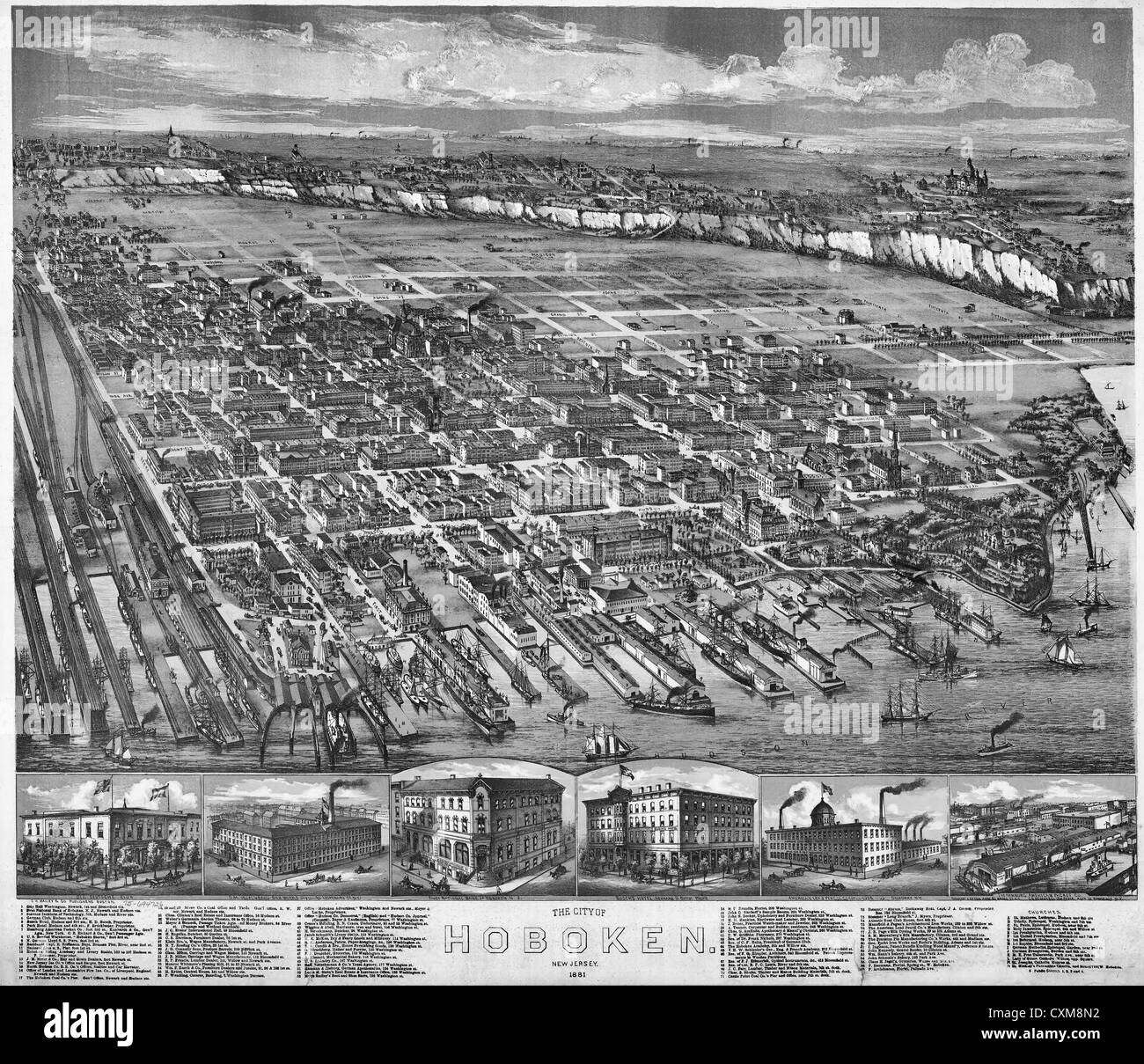 Map of The city of Hoboken, New Jersey, 1881. Stock Photohttps://www.alamy.com/image-license-details/?v=1https://www.alamy.com/stock-photo-map-of-the-city-of-hoboken-new-jersey-1881-50847694.html
RMCXM8N2–Map of The city of Hoboken, New Jersey, 1881.
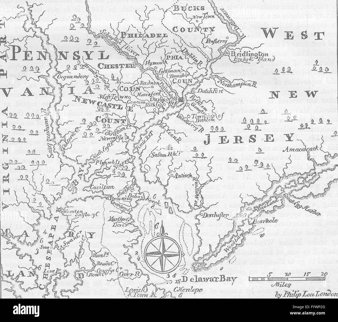 PENNSYLVANIA: & West New Jersey, c1880 antique map Stock Photohttps://www.alamy.com/image-license-details/?v=1https://www.alamy.com/stock-photo-pennsylvania-west-new-jersey-c1880-antique-map-103213672.html
RFFYWP2G–PENNSYLVANIA: & West New Jersey, c1880 antique map
RF2T59XBP–New Jersey state map silhouette icon
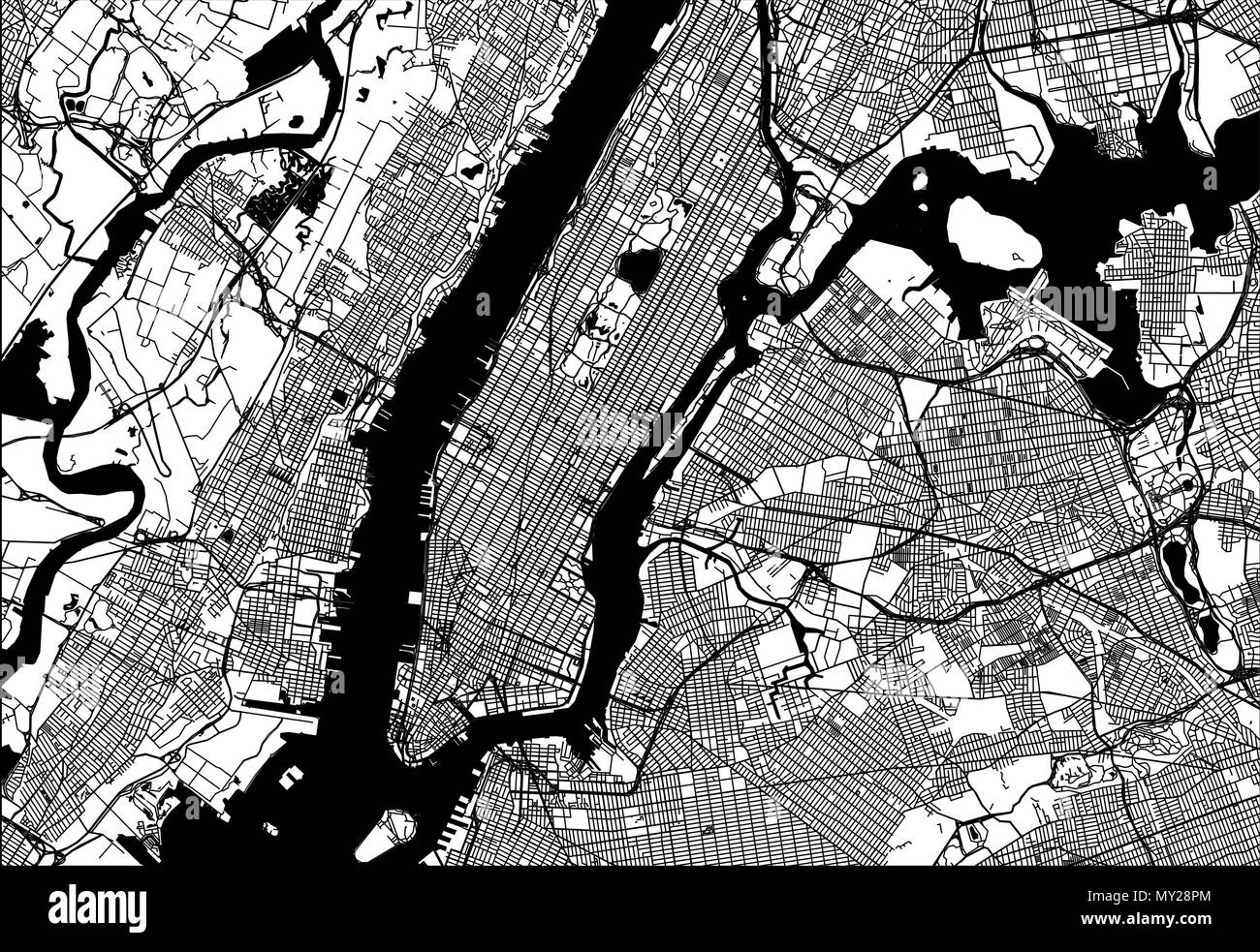 Map of Manhattan with parts of the Bronx, Queens, Brooklyn and Jersey City. Very detailled version without bridges and names. Stock Vectorhttps://www.alamy.com/image-license-details/?v=1https://www.alamy.com/map-of-manhattan-with-parts-of-the-bronx-queens-brooklyn-and-jersey-city-very-detailled-version-without-bridges-and-names-image188750204.html
RFMY28PM–Map of Manhattan with parts of the Bronx, Queens, Brooklyn and Jersey City. Very detailled version without bridges and names.
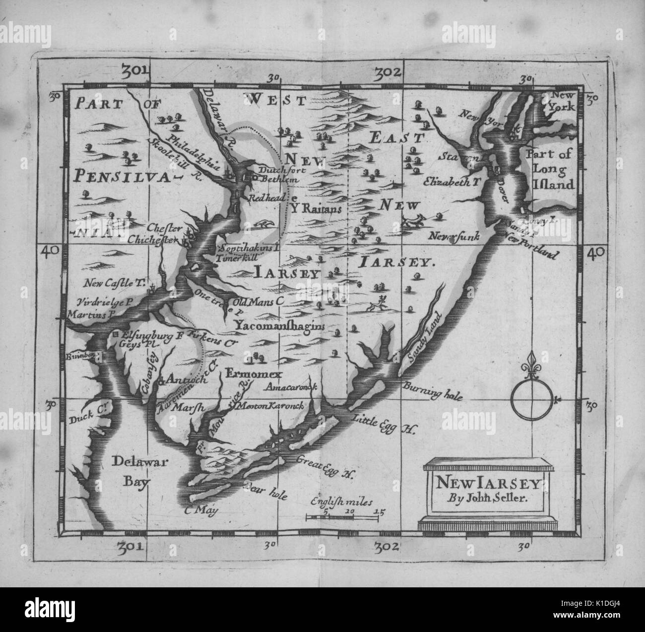 Early map of the State of New Jersey and parts of Pennsylvania, 1703. From the New York Public Library. Stock Photohttps://www.alamy.com/image-license-details/?v=1https://www.alamy.com/early-map-of-the-state-of-new-jersey-and-parts-of-pennsylvania-1703-image155806396.html
RMK1DGJ4–Early map of the State of New Jersey and parts of Pennsylvania, 1703. From the New York Public Library.
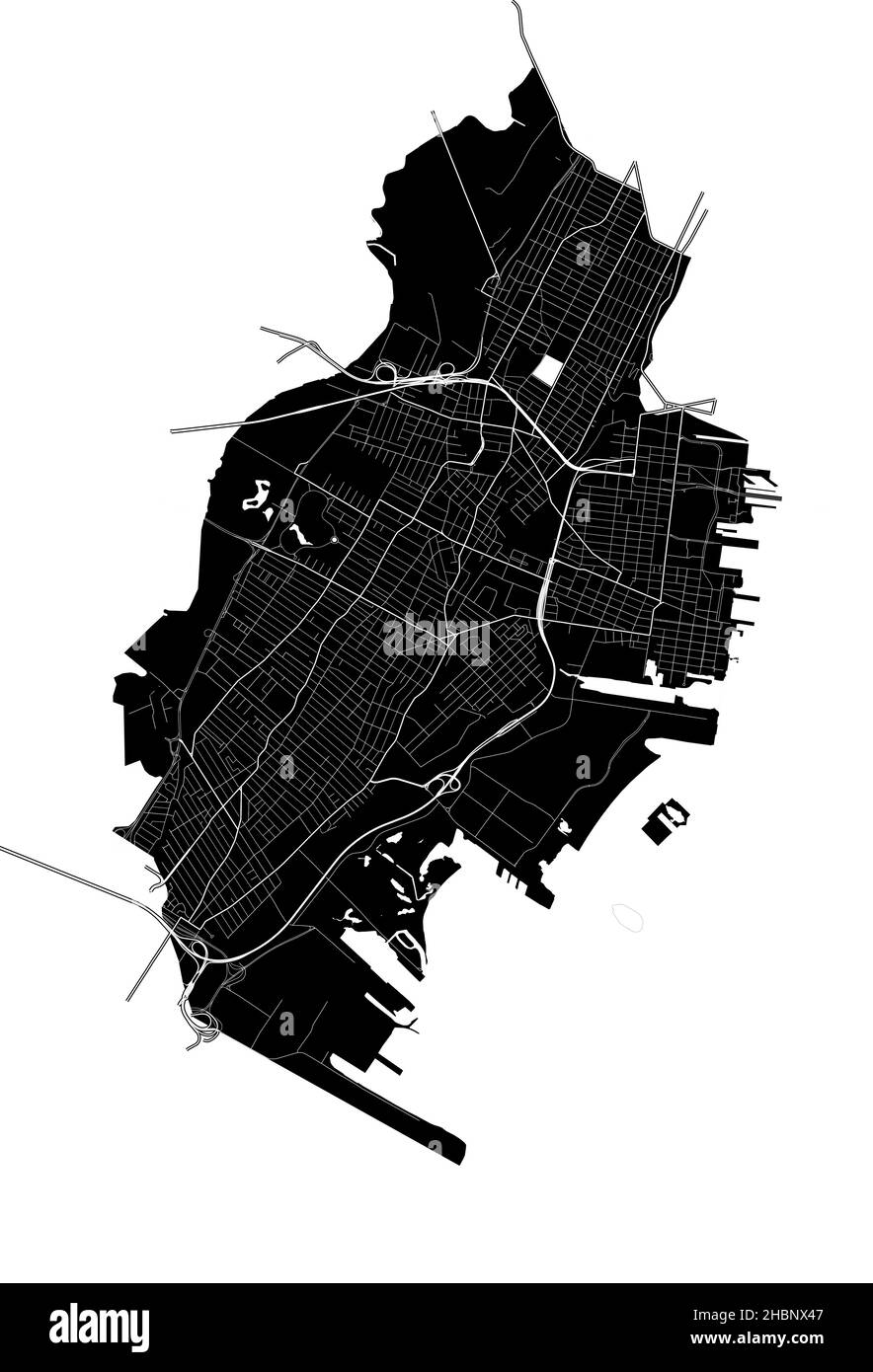 Jersey City, New Jersey, United States, high resolution vector map with city boundaries, and editable paths. The city map was drawn with white areas a Stock Vectorhttps://www.alamy.com/image-license-details/?v=1https://www.alamy.com/jersey-city-new-jersey-united-states-high-resolution-vector-map-with-city-boundaries-and-editable-paths-the-city-map-was-drawn-with-white-areas-a-image454712279.html
RF2HBNX47–Jersey City, New Jersey, United States, high resolution vector map with city boundaries, and editable paths. The city map was drawn with white areas a
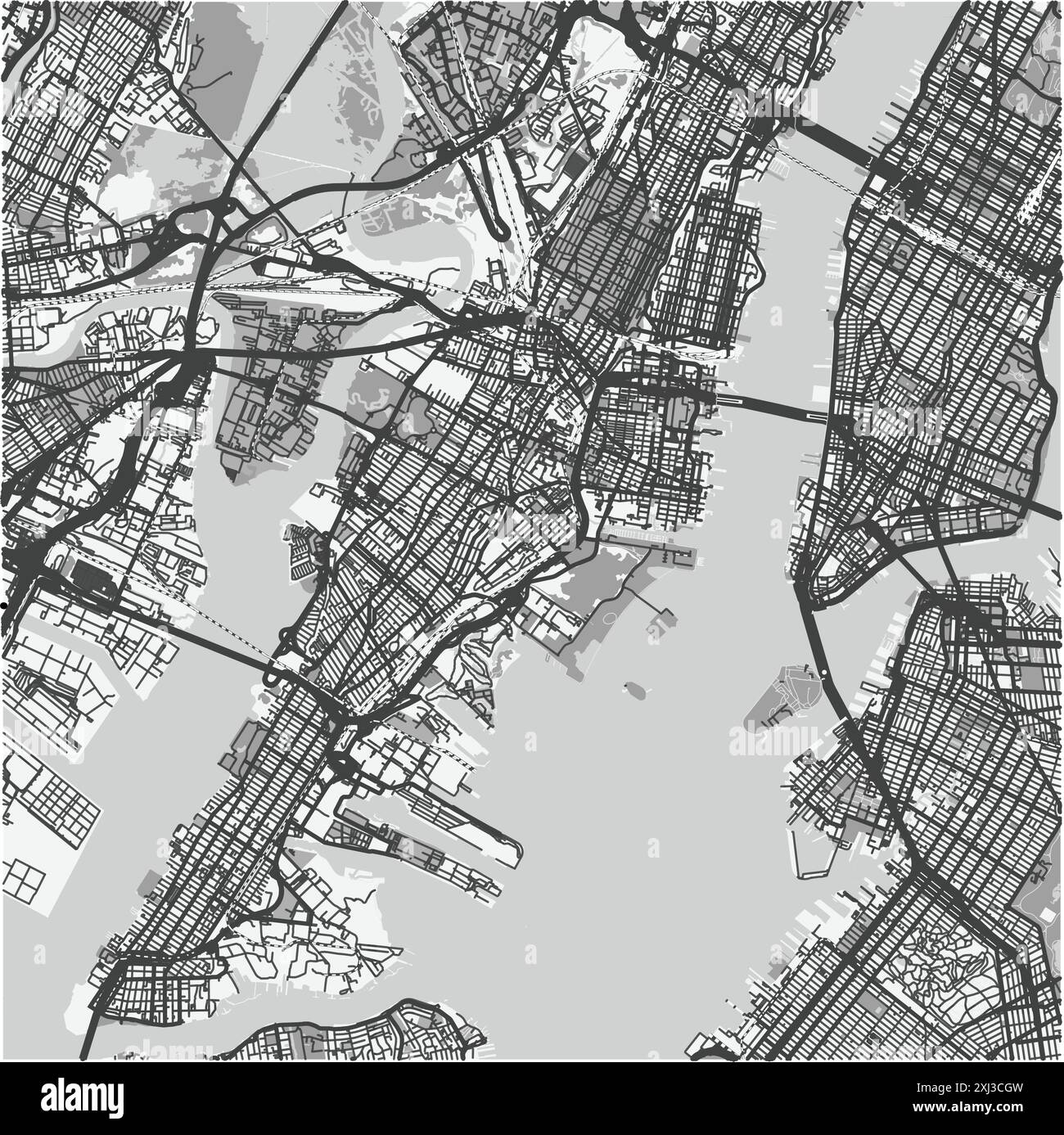 Map of Jersey City in New Jersey in grayscale. Contains layered vector with roads water, parks, etc. Stock Vectorhttps://www.alamy.com/image-license-details/?v=1https://www.alamy.com/map-of-jersey-city-in-new-jersey-in-grayscale-contains-layered-vector-with-roads-water-parks-etc-image613502425.html
RF2XJ3CGW–Map of Jersey City in New Jersey in grayscale. Contains layered vector with roads water, parks, etc.
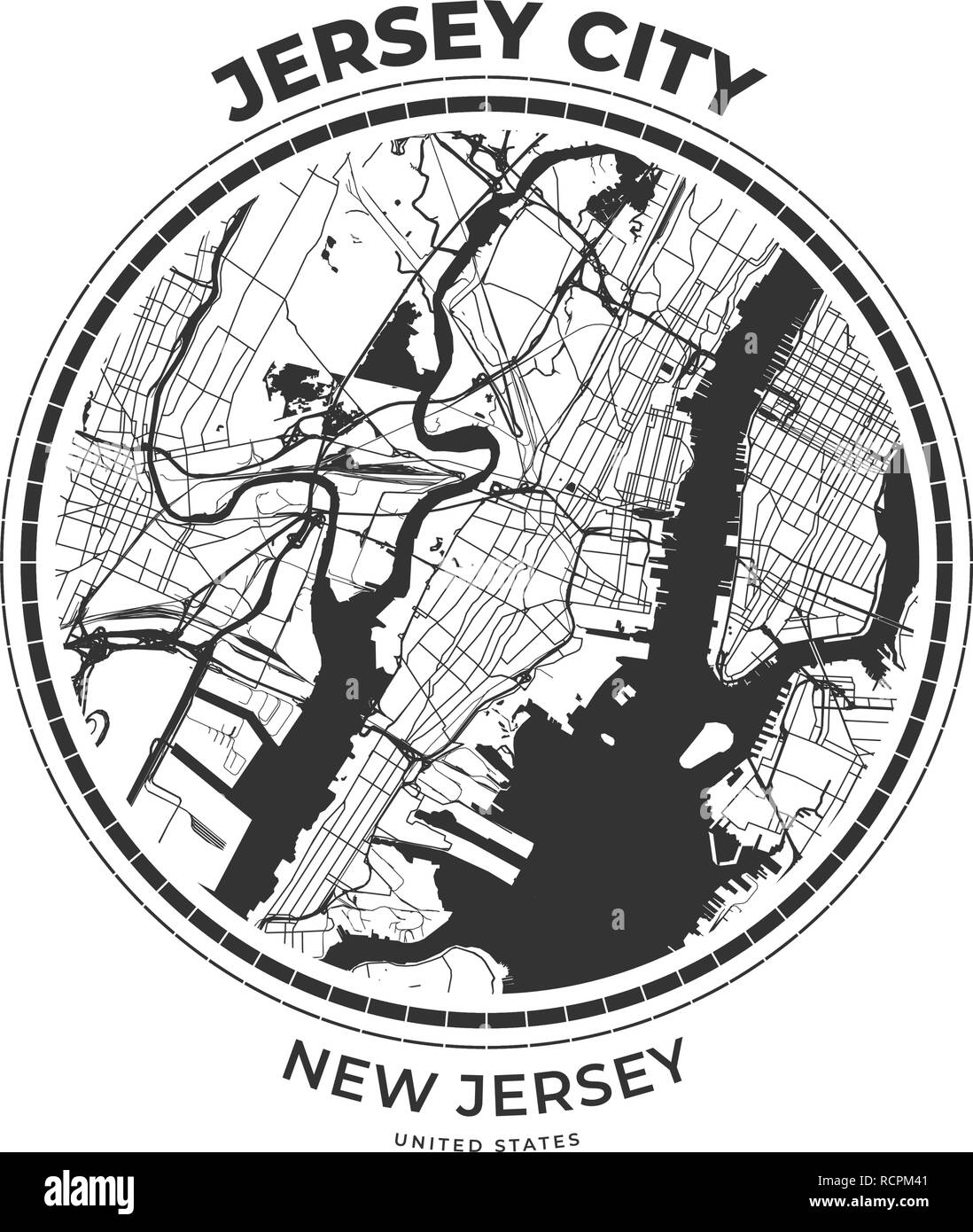 T-shirt map badge of Jersey City, New Jersey. Tee shirt print typography label badge emblem. Vector illustration Stock Vectorhttps://www.alamy.com/image-license-details/?v=1https://www.alamy.com/t-shirt-map-badge-of-jersey-city-new-jersey-tee-shirt-print-typography-label-badge-emblem-vector-illustration-image231609393.html
RFRCPM41–T-shirt map badge of Jersey City, New Jersey. Tee shirt print typography label badge emblem. Vector illustration
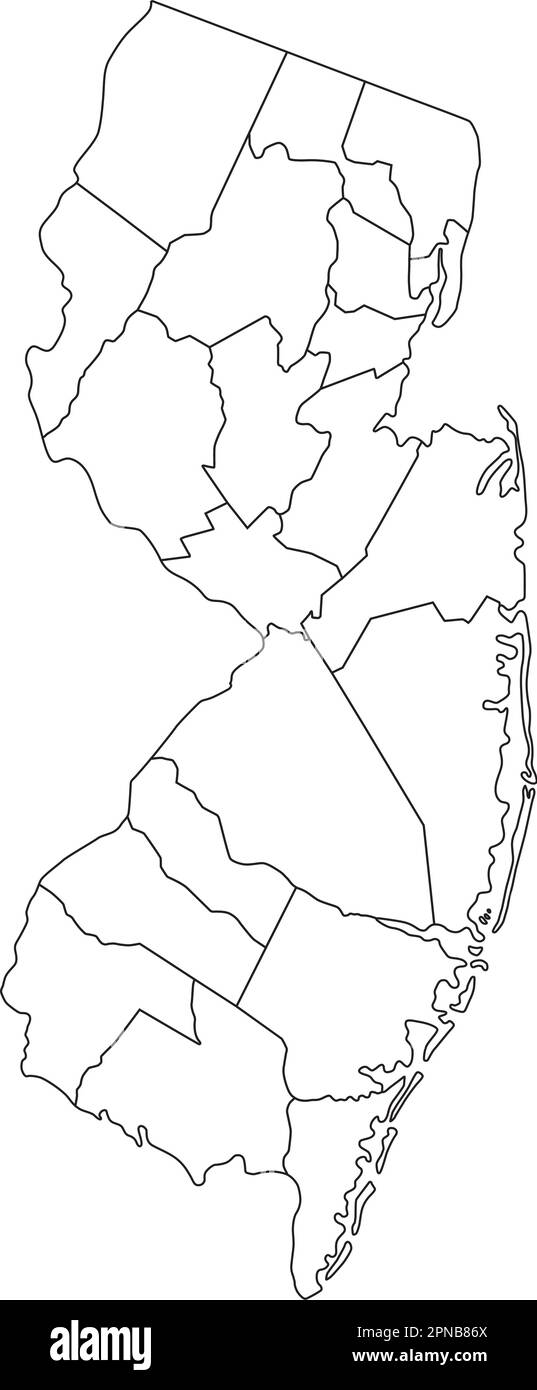 Highly Detailed New Jersey Blind Map. Stock Vectorhttps://www.alamy.com/image-license-details/?v=1https://www.alamy.com/highly-detailed-new-jersey-blind-map-image546677122.html
RF2PNB86X–Highly Detailed New Jersey Blind Map.
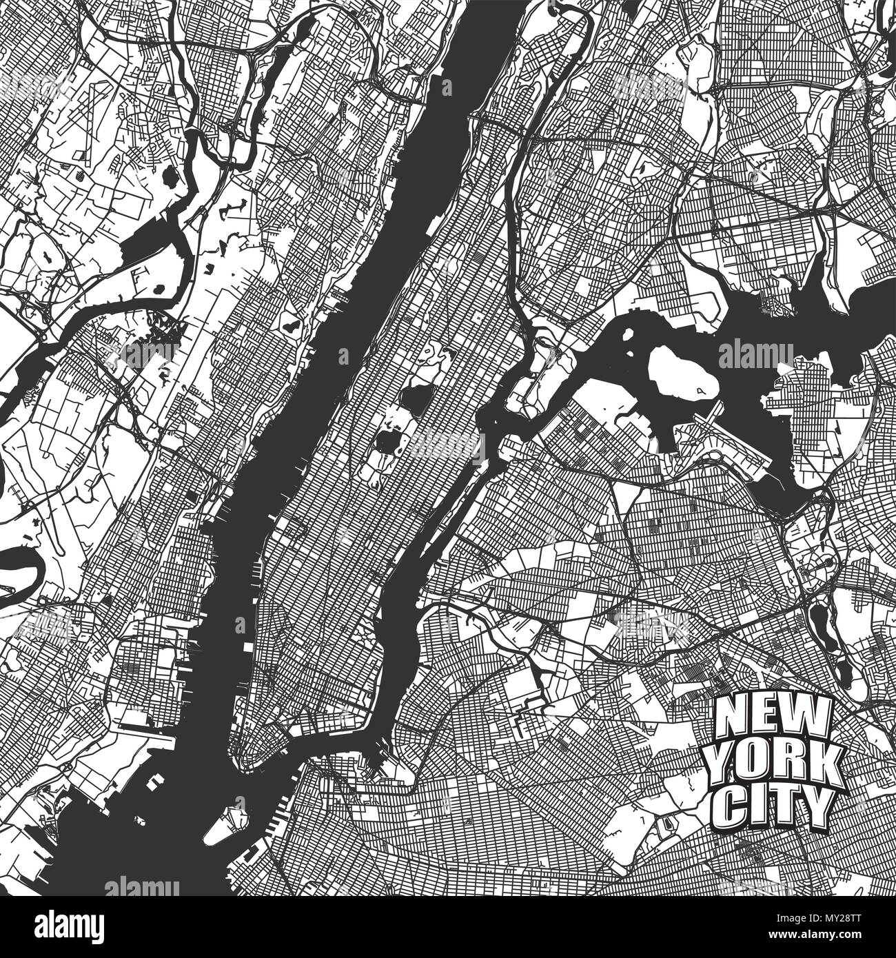 New York City vector map. Very detailled version without bridges and names. NYC logo grouped seperatly. Stock Vectorhttps://www.alamy.com/image-license-details/?v=1https://www.alamy.com/new-york-city-vector-map-very-detailled-version-without-bridges-and-names-nyc-logo-grouped-seperatly-image188750264.html
RFMY28TT–New York City vector map. Very detailled version without bridges and names. NYC logo grouped seperatly.
 A vector illustration of New Jersey state map typography Stock Vectorhttps://www.alamy.com/image-license-details/?v=1https://www.alamy.com/a-vector-illustration-of-new-jersey-state-map-typography-image477294693.html
RF2JMEJ71–A vector illustration of New Jersey state map typography
 Sheffield Downtown Vector Map Monochrome Artprint, Outline Version for Infographic Background, Black Streets and Waterways Stock Vectorhttps://www.alamy.com/image-license-details/?v=1https://www.alamy.com/stock-photo-sheffield-downtown-vector-map-monochrome-artprint-outline-version-173940086.html
RFM2YJ9X–Sheffield Downtown Vector Map Monochrome Artprint, Outline Version for Infographic Background, Black Streets and Waterways
 Map of the state of New Jersey - USA Stock Photohttps://www.alamy.com/image-license-details/?v=1https://www.alamy.com/stock-photo-map-of-the-state-of-new-jersey-usa-53606790.html
RFD36006–Map of the state of New Jersey - USA
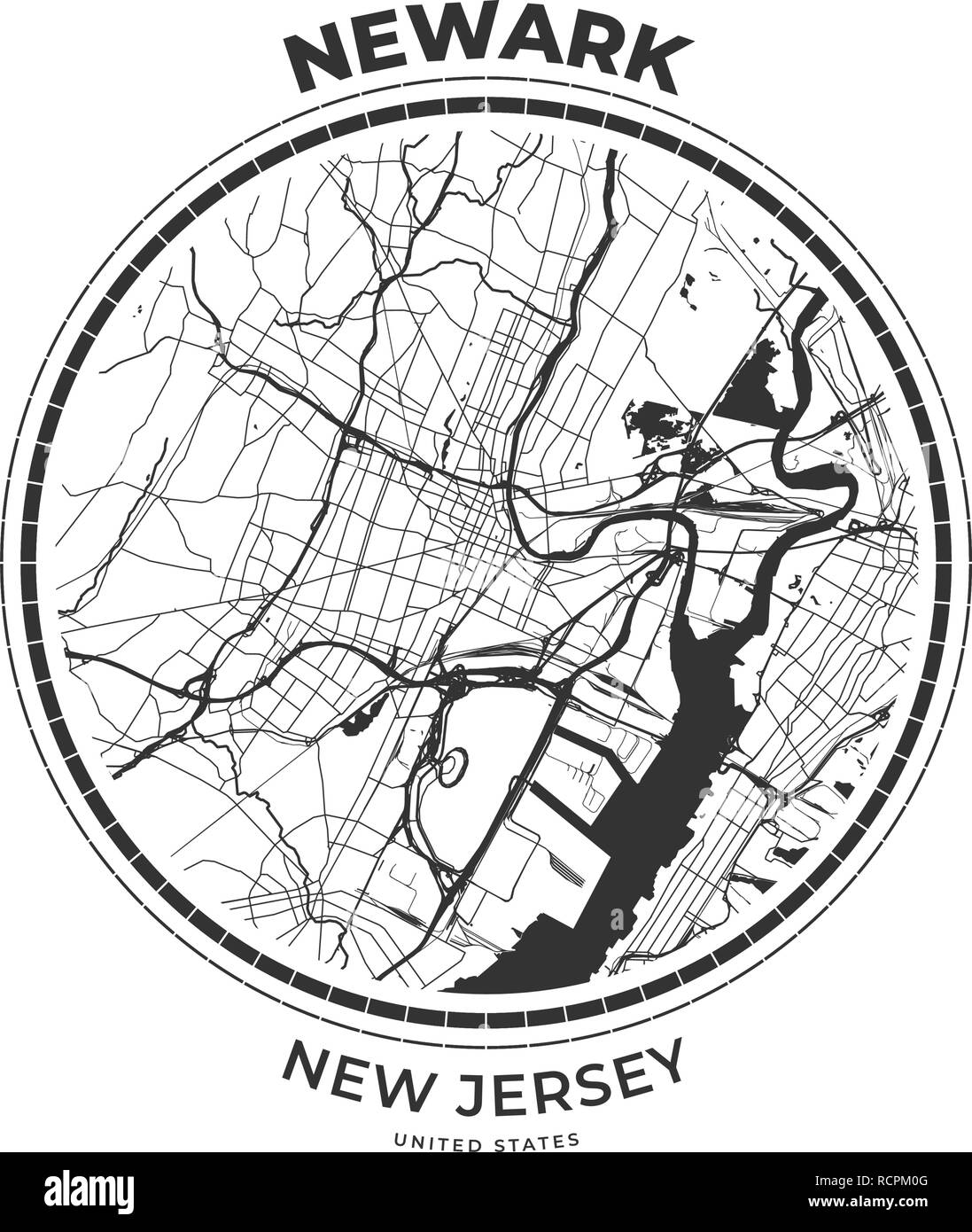 T-shirt map badge of Newark, New Jersey. Tee shirt print typography label badge emblem. Vector illustration Stock Vectorhttps://www.alamy.com/image-license-details/?v=1https://www.alamy.com/t-shirt-map-badge-of-newark-new-jersey-tee-shirt-print-typography-label-badge-emblem-vector-illustration-image231609296.html
RFRCPM0G–T-shirt map badge of Newark, New Jersey. Tee shirt print typography label badge emblem. Vector illustration
 Map of England and Wales, 1850. From the New York Public Library. Stock Photohttps://www.alamy.com/image-license-details/?v=1https://www.alamy.com/stock-photo-map-of-england-and-wales-1850-from-the-new-york-public-library-170364114.html
RMKW4N4J–Map of England and Wales, 1850. From the New York Public Library.
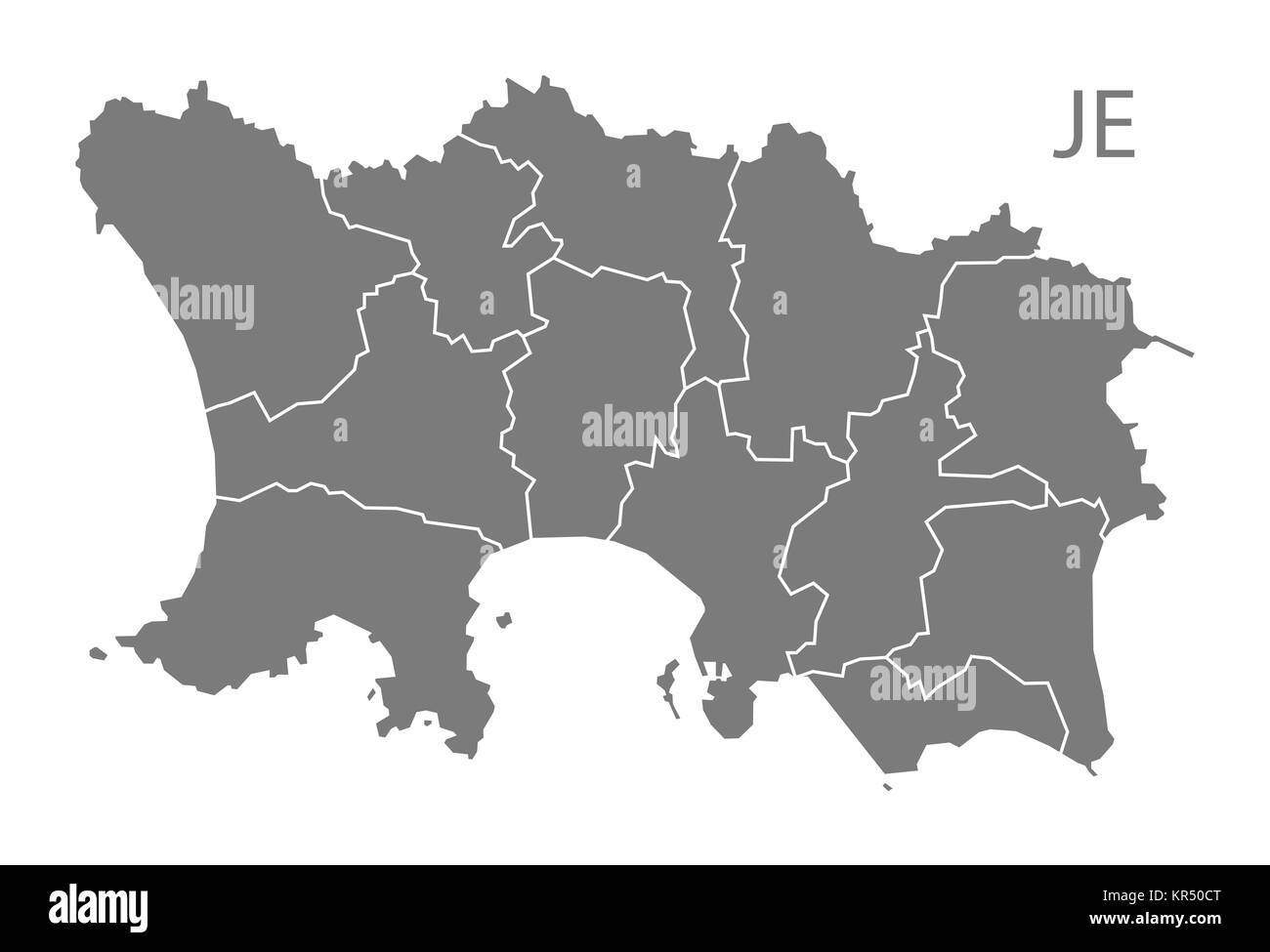 Jersey with parishes Map grey Stock Photohttps://www.alamy.com/image-license-details/?v=1https://www.alamy.com/stock-image-jersey-with-parishes-map-grey-169140520.html
RFKR50CT–Jersey with parishes Map grey
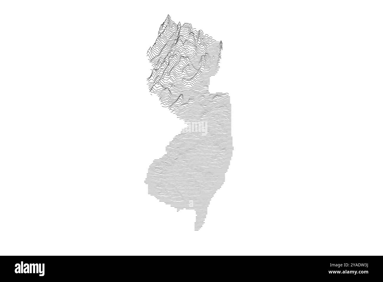 New Jersey ridgeline map showcasing diverse topography from coastal plains to Appalachian highlands Stock Vectorhttps://www.alamy.com/image-license-details/?v=1https://www.alamy.com/new-jersey-ridgeline-map-showcasing-diverse-topography-from-coastal-plains-to-appalachian-highlands-image626024886.html
RF2YADW3J–New Jersey ridgeline map showcasing diverse topography from coastal plains to Appalachian highlands
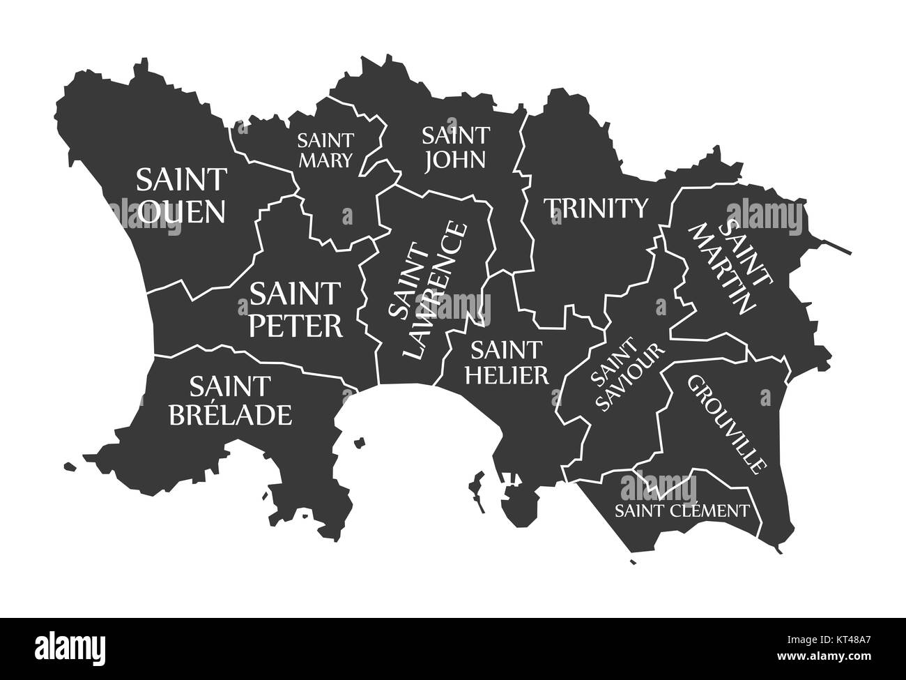 Jersey Island Map labelled black illustration Stock Photohttps://www.alamy.com/image-license-details/?v=1https://www.alamy.com/stock-image-jersey-island-map-labelled-black-illustration-169739423.html
RFKT48A7–Jersey Island Map labelled black illustration
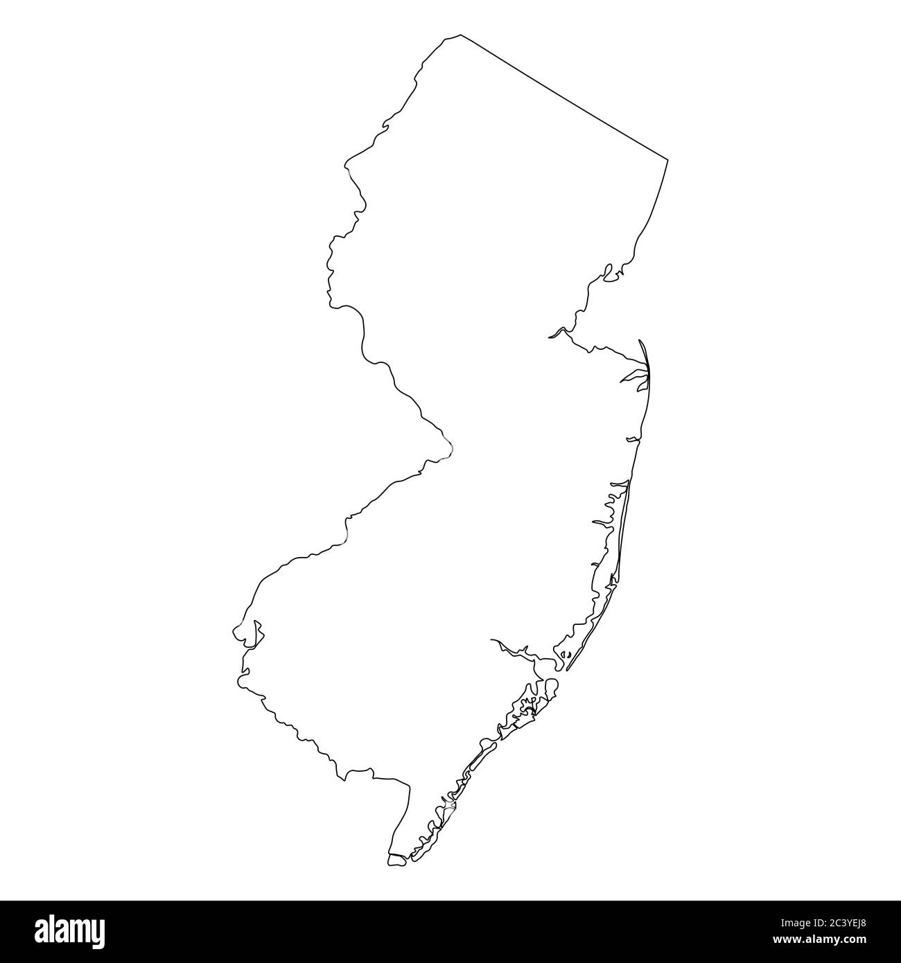 New Jersey NJ state Maps. Black outline map isolated on a white background. EPS Vector Stock Vectorhttps://www.alamy.com/image-license-details/?v=1https://www.alamy.com/new-jersey-nj-state-maps-black-outline-map-isolated-on-a-white-background-eps-vector-image363865888.html
RF2C3YEJ8–New Jersey NJ state Maps. Black outline map isolated on a white background. EPS Vector
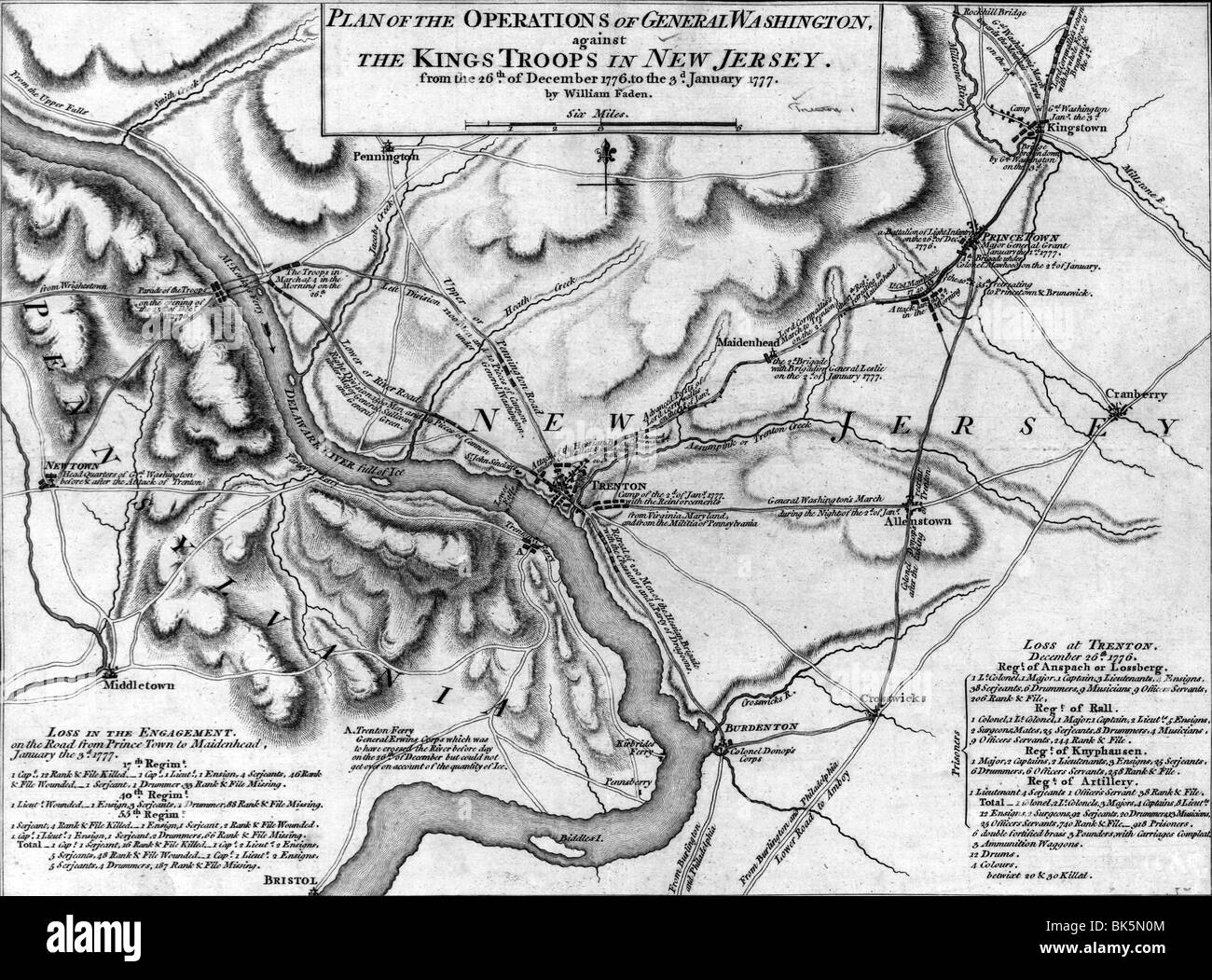 Map of operations of General Washington, against the Kings troops in New Jersey, from the December 26, 1776 to January 3rd, 1777 Stock Photohttps://www.alamy.com/image-license-details/?v=1https://www.alamy.com/stock-photo-map-of-operations-of-general-washington-against-the-kings-troops-in-29015076.html
RMBK5N0M–Map of operations of General Washington, against the Kings troops in New Jersey, from the December 26, 1776 to January 3rd, 1777
 map of new jersey Stock Photohttps://www.alamy.com/image-license-details/?v=1https://www.alamy.com/stock-photo-map-of-new-jersey-131292736.html
RFHHGW68–map of new jersey
 map of the U.S. state of New Jersey Stock Vectorhttps://www.alamy.com/image-license-details/?v=1https://www.alamy.com/stock-photo-map-of-the-us-state-of-new-jersey-176233004.html
RFM6M2YT–map of the U.S. state of New Jersey
 Map of New Jersey on weathered wood Stock Photohttps://www.alamy.com/image-license-details/?v=1https://www.alamy.com/map-of-new-jersey-on-weathered-wood-image634539666.html
RF2YT9NPX–Map of New Jersey on weathered wood
 map of the U.S. state of New Jersey Stock Vectorhttps://www.alamy.com/image-license-details/?v=1https://www.alamy.com/stock-photo-map-of-the-us-state-of-new-jersey-177599686.html
RFM8XA5X–map of the U.S. state of New Jersey
 map of new jersey Stock Photohttps://www.alamy.com/image-license-details/?v=1https://www.alamy.com/stock-image-map-of-new-jersey-168720604.html
RFKPDTRT–map of new jersey
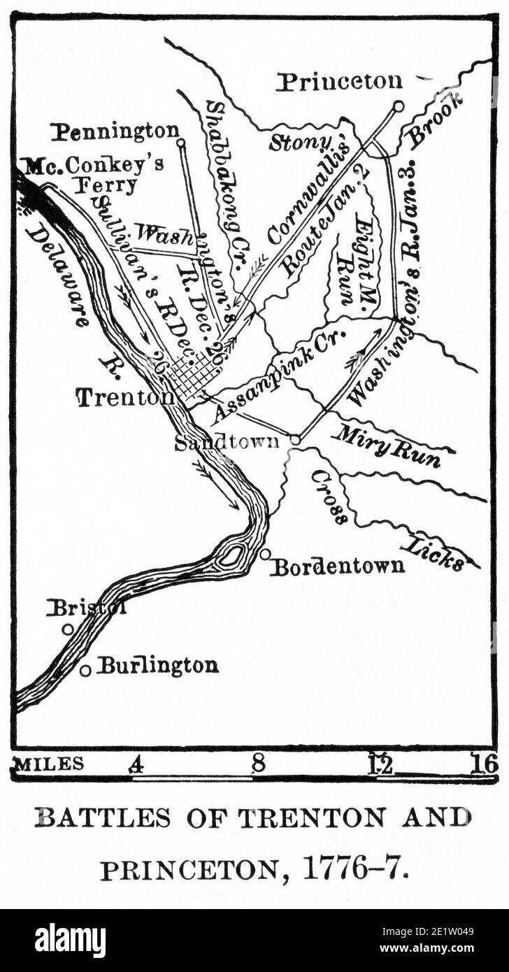 Battles of Trenton and Princeton, 1776-7, Map Illustration, Ridpath's History of the World, Volume III, by John Clark Ridpath, LL. D., Merrill & Baker Publishers, New York, 1897 Stock Photohttps://www.alamy.com/image-license-details/?v=1https://www.alamy.com/battles-of-trenton-and-princeton-1776-7-map-illustration-ridpaths-history-of-the-world-volume-iii-by-john-clark-ridpath-ll-d-merrill-baker-publishers-new-york-1897-image397002041.html
RM2E1W049–Battles of Trenton and Princeton, 1776-7, Map Illustration, Ridpath's History of the World, Volume III, by John Clark Ridpath, LL. D., Merrill & Baker Publishers, New York, 1897
 map of new jersey Stock Photohttps://www.alamy.com/image-license-details/?v=1https://www.alamy.com/map-of-new-jersey-image227999005.html
RFR6X71H–map of new jersey
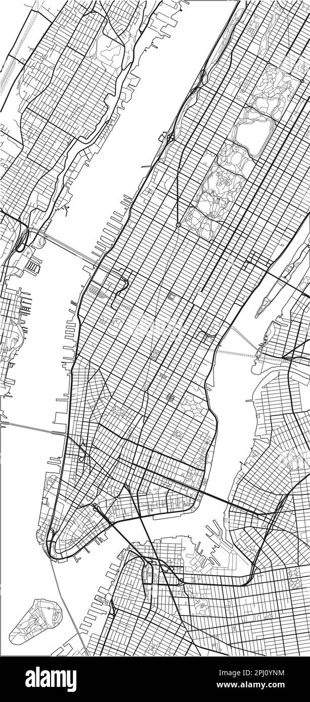 Black and white vector city map of New York with well organized separated layers. Stock Vectorhttps://www.alamy.com/image-license-details/?v=1https://www.alamy.com/black-and-white-vector-city-map-of-new-york-with-well-organized-separated-layers-image544606992.html
RF2PJ0YNM–Black and white vector city map of New York with well organized separated layers.
 map of new jersey Stock Photohttps://www.alamy.com/image-license-details/?v=1https://www.alamy.com/map-of-new-jersey-image227917180.html
RFR6PEK8–map of new jersey
 New Jersey outline symbol. US state map. Vector illustration Stock Vectorhttps://www.alamy.com/image-license-details/?v=1https://www.alamy.com/new-jersey-outline-symbol-us-state-map-vector-illustration-image558911386.html
RF2RD8H4X–New Jersey outline symbol. US state map. Vector illustration
 map of new jersey Stock Photohttps://www.alamy.com/image-license-details/?v=1https://www.alamy.com/map-of-new-jersey-image227890969.html
RFR6N975–map of new jersey
 Map of The United States of America (USA) State of New Jersey - Illustration on White Background. Stock Photohttps://www.alamy.com/image-license-details/?v=1https://www.alamy.com/map-of-the-united-states-of-america-usa-state-of-new-jersey-illustration-on-white-background-image247464023.html
RFTAGXTR–Map of The United States of America (USA) State of New Jersey - Illustration on White Background.
 map of new jersey Stock Photohttps://www.alamy.com/image-license-details/?v=1https://www.alamy.com/map-of-new-jersey-image227243048.html
RFR5KPR4–map of new jersey
RF2G9NN5X–Biometric Map Of New Jersey Filled with Fingerprint Pattern icon logo design Vector illustration
 Contour map of the state of New Jersey, USA. Vector graphic illustration on a transparent background with black region borders Stock Vectorhttps://www.alamy.com/image-license-details/?v=1https://www.alamy.com/contour-map-of-the-state-of-new-jersey-usa-vector-graphic-illustration-on-a-transparent-background-with-black-region-borders-image631343979.html
RF2YK45K7–Contour map of the state of New Jersey, USA. Vector graphic illustration on a transparent background with black region borders
 Detailed contour map of New Jersey state, showcasing its diverse topography from coastal plains to highlands Stock Vectorhttps://www.alamy.com/image-license-details/?v=1https://www.alamy.com/detailed-contour-map-of-new-jersey-state-showcasing-its-diverse-topography-from-coastal-plains-to-highlands-image626025419.html
RF2YADWPK–Detailed contour map of New Jersey state, showcasing its diverse topography from coastal plains to highlands
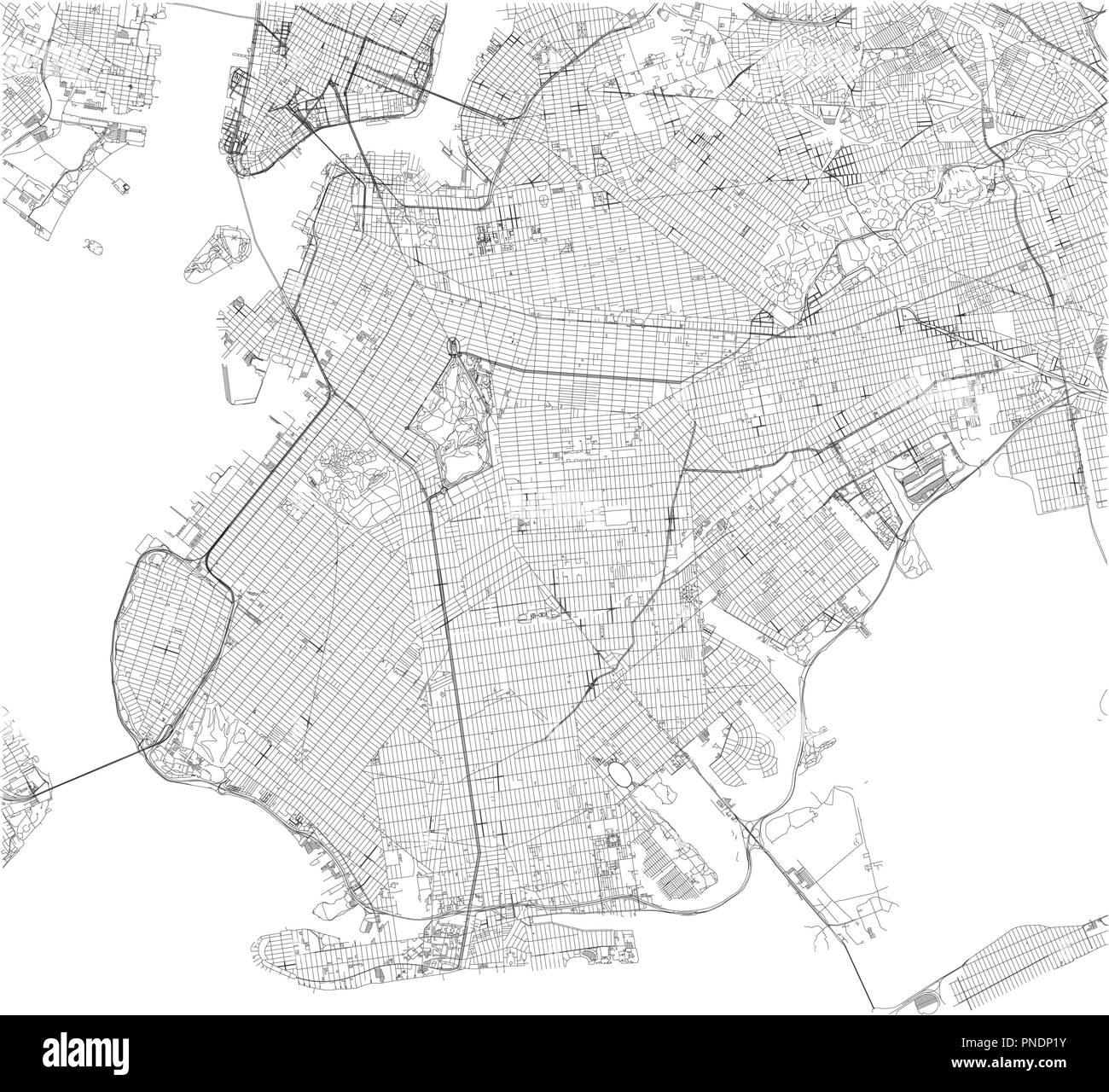 Brooklyn map, New York city, streets and district. City map. Usa Stock Vectorhttps://www.alamy.com/image-license-details/?v=1https://www.alamy.com/brooklyn-map-new-york-city-streets-and-district-city-map-usa-image219734871.html
RFPNDP1Y–Brooklyn map, New York city, streets and district. City map. Usa
 New Jersey NJ state Maps. Black silhouette solid map isolated on a white background. EPS Vector Stock Vectorhttps://www.alamy.com/image-license-details/?v=1https://www.alamy.com/new-jersey-nj-state-maps-black-silhouette-solid-map-isolated-on-a-white-background-eps-vector-image363865825.html
RF2C3YEG1–New Jersey NJ state Maps. Black silhouette solid map isolated on a white background. EPS Vector
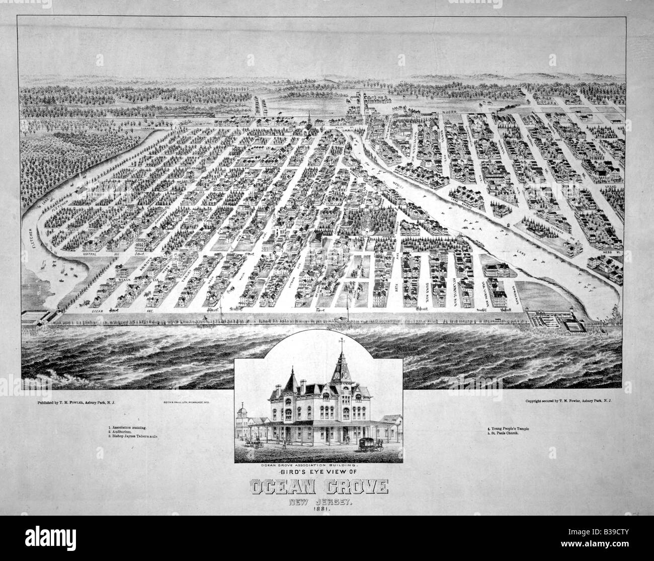 Birds eye view of Ocean Grove, New Jersey USA 1881 Stock Photohttps://www.alamy.com/image-license-details/?v=1https://www.alamy.com/stock-photo-birds-eye-view-of-ocean-grove-new-jersey-usa-1881-19262011.html
RMB39CTY–Birds eye view of Ocean Grove, New Jersey USA 1881
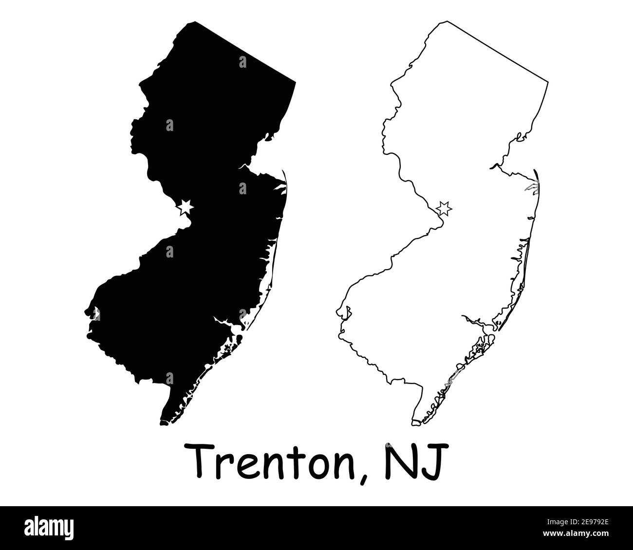 New Jersey NJ state Map USA with Capital City Star at Trenton. Black silhouette and outline isolated on a white background. EPS Vector Stock Vectorhttps://www.alamy.com/image-license-details/?v=1https://www.alamy.com/new-jersey-nj-state-map-usa-with-capital-city-star-at-trenton-black-silhouette-and-outline-isolated-on-a-white-background-eps-vector-image401531158.html
RF2E9792E–New Jersey NJ state Map USA with Capital City Star at Trenton. Black silhouette and outline isolated on a white background. EPS Vector
 PENNSYLVANIA NEW JERSEY: USCGS triangulation Long Island to Blue Ridge, 1881 map Stock Photohttps://www.alamy.com/image-license-details/?v=1https://www.alamy.com/stock-photo-pennsylvania-new-jersey-uscgs-triangulation-long-island-to-blue-ridge-105793131.html
RFG43863–PENNSYLVANIA NEW JERSEY: USCGS triangulation Long Island to Blue Ridge, 1881 map
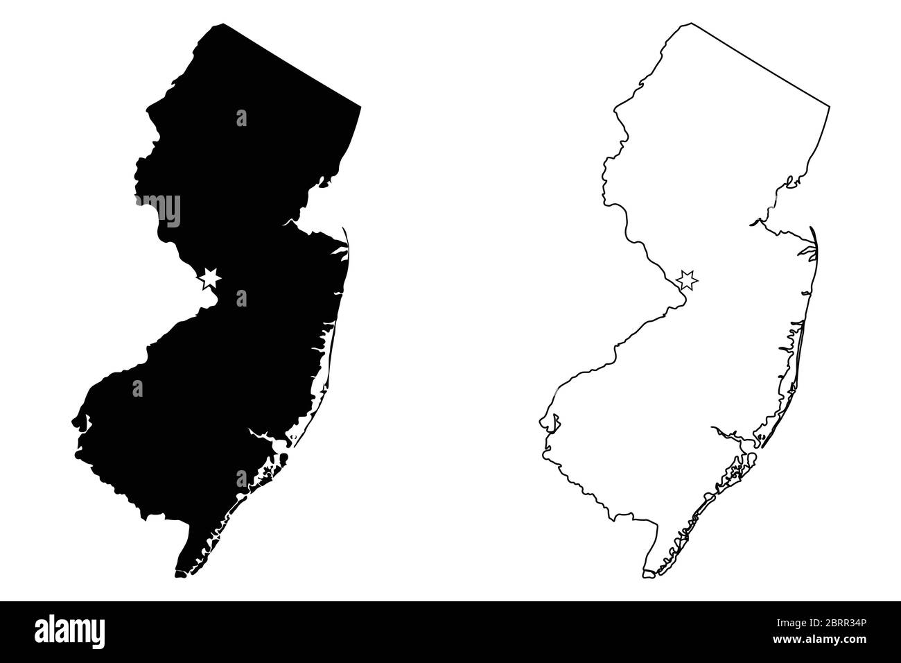 New Jersey NJ state Map USA with Capital City Star at Trenton. Black silhouette and outline isolated on a white background. EPS Vector Stock Vectorhttps://www.alamy.com/image-license-details/?v=1https://www.alamy.com/new-jersey-nj-state-map-usa-with-capital-city-star-at-trenton-black-silhouette-and-outline-isolated-on-a-white-background-eps-vector-image358851830.html
RF2BRR34P–New Jersey NJ state Map USA with Capital City Star at Trenton. Black silhouette and outline isolated on a white background. EPS Vector
RF2J4P46Y–New Jersey map vector icon on white background
 New Jersey US Map. NJ USA State Map. Black and White New Jerseyan State Border Boundary Line Outline Geography Territory Shape Vector Illustration EPS Stock Vectorhttps://www.alamy.com/image-license-details/?v=1https://www.alamy.com/new-jersey-us-map-nj-usa-state-map-black-and-white-new-jerseyan-state-border-boundary-line-outline-geography-territory-shape-vector-illustration-eps-image477283287.html
RF2JME3KK–New Jersey US Map. NJ USA State Map. Black and White New Jerseyan State Border Boundary Line Outline Geography Territory Shape Vector Illustration EPS
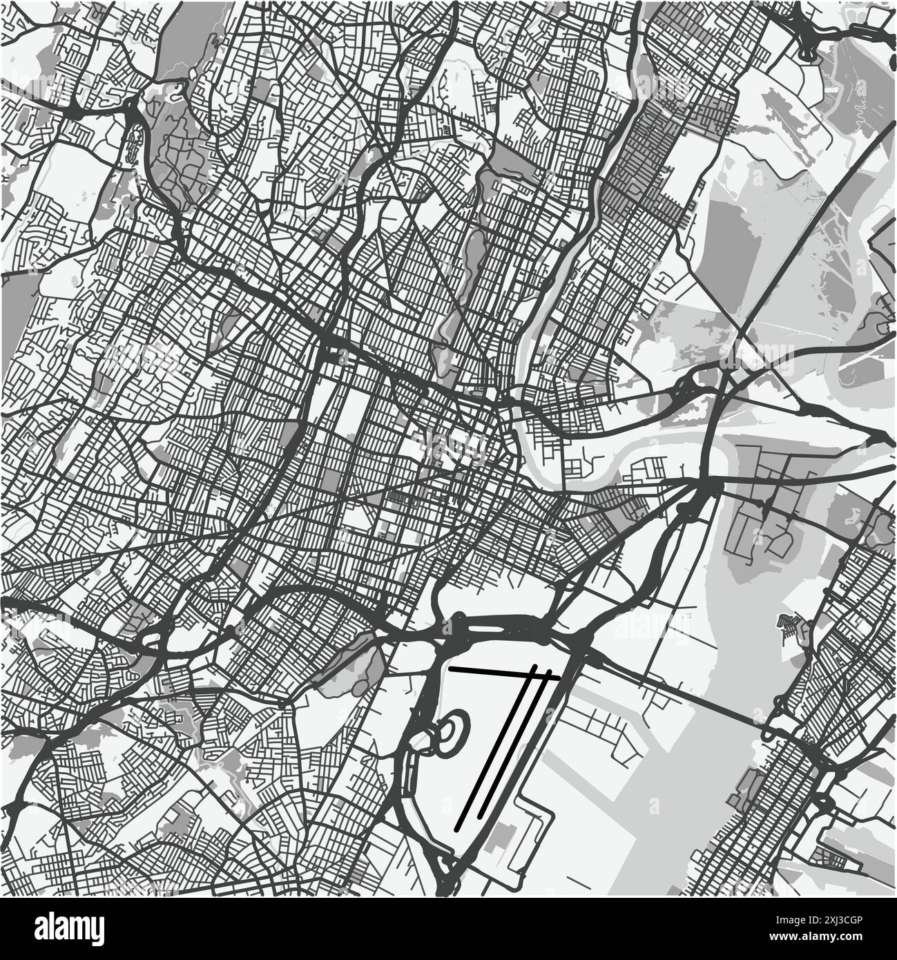 Map of Newark in New Jersey in grayscale. Contains layered vector with roads water, parks, etc. Stock Vectorhttps://www.alamy.com/image-license-details/?v=1https://www.alamy.com/map-of-newark-in-new-jersey-in-grayscale-contains-layered-vector-with-roads-water-parks-etc-image613502422.html
RF2XJ3CGP–Map of Newark in New Jersey in grayscale. Contains layered vector with roads water, parks, etc.
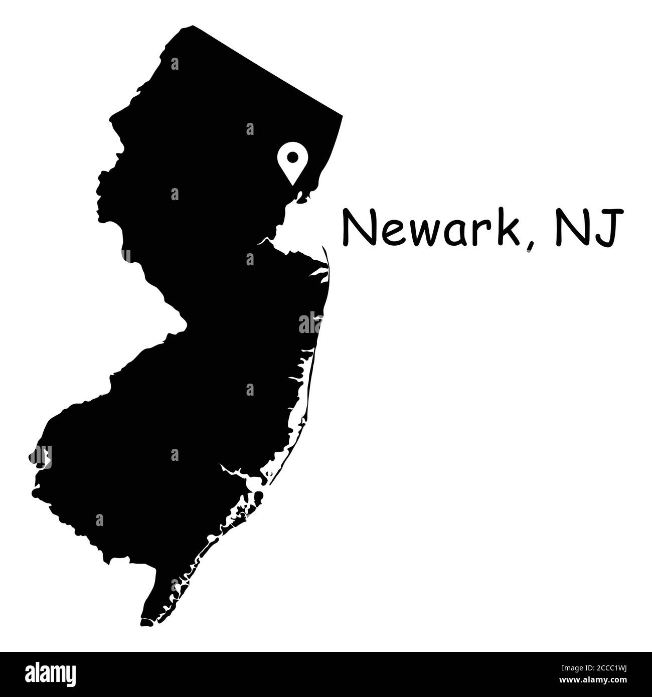 Newark on New Jersey State Map. Detailed NJ State Map with Location Pin on Newark City. Black silhouette vector map isolated on white background. Stock Vectorhttps://www.alamy.com/image-license-details/?v=1https://www.alamy.com/newark-on-new-jersey-state-map-detailed-nj-state-map-with-location-pin-on-newark-city-black-silhouette-vector-map-isolated-on-white-background-image369058526.html
RF2CCC1WJ–Newark on New Jersey State Map. Detailed NJ State Map with Location Pin on Newark City. Black silhouette vector map isolated on white background.
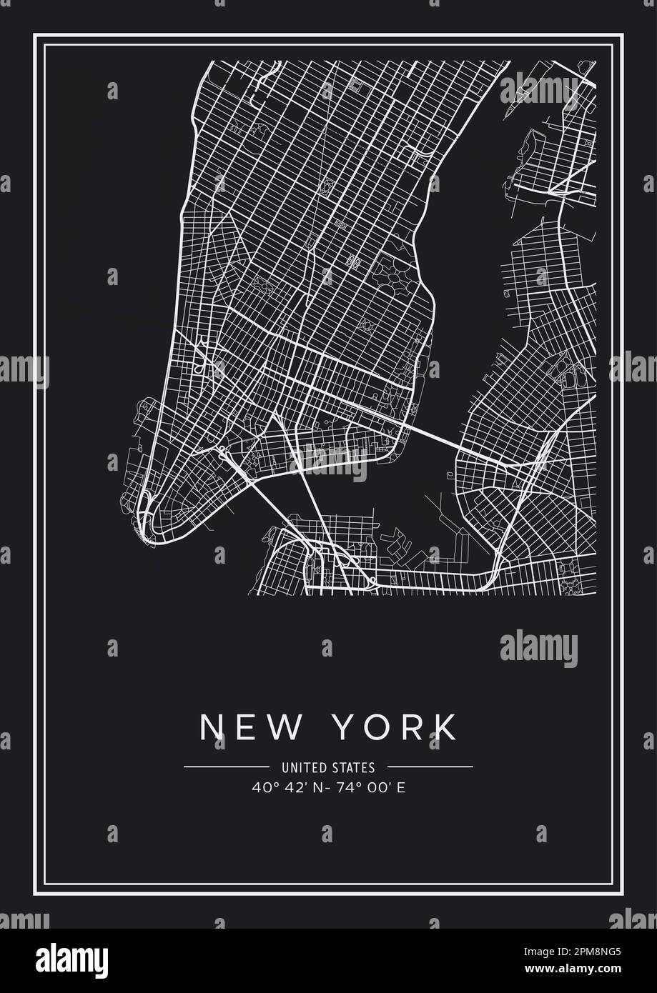 Black and white printable New York city map, poster design, vector illistration. Stock Vectorhttps://www.alamy.com/image-license-details/?v=1https://www.alamy.com/black-and-white-printable-new-york-city-map-poster-design-vector-illistration-image546007061.html
RF2PM8NG5–Black and white printable New York city map, poster design, vector illistration.
 New Jersey simple logo. State map outline - smooth simplified US state shape map vector. Stock Vectorhttps://www.alamy.com/image-license-details/?v=1https://www.alamy.com/new-jersey-simple-logo-state-map-outline-smooth-simplified-us-state-shape-map-vector-image235949860.html
RFRKTCCM–New Jersey simple logo. State map outline - smooth simplified US state shape map vector.
 map of new jersey 2018 Stock Photohttps://www.alamy.com/image-license-details/?v=1https://www.alamy.com/map-of-new-jersey-2018-image227837657.html
RFR6JW75–map of new jersey 2018
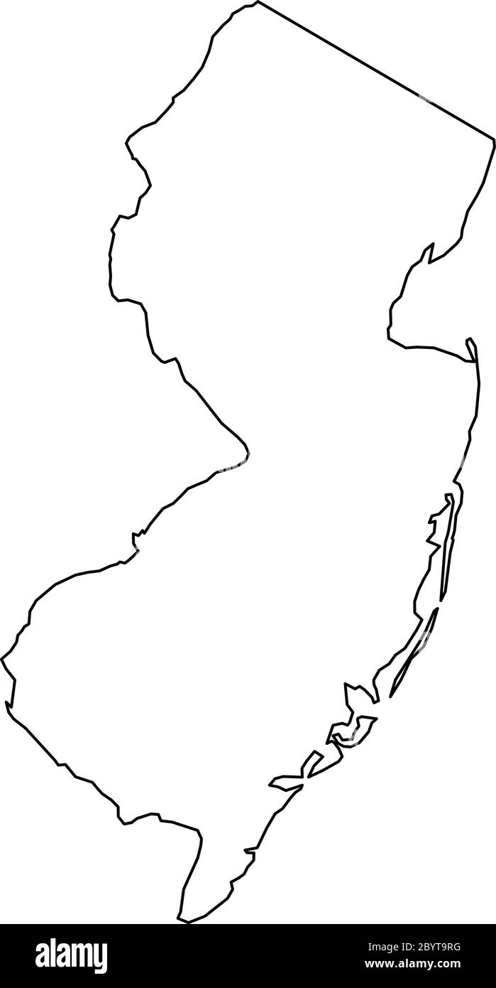 New Jersey, state of USA - solid black outline map of country area. Simple flat vector illustration. Stock Vectorhttps://www.alamy.com/image-license-details/?v=1https://www.alamy.com/new-jersey-state-of-usa-solid-black-outline-map-of-country-area-simple-flat-vector-illustration-image361337636.html
RF2BYT9RG–New Jersey, state of USA - solid black outline map of country area. Simple flat vector illustration.
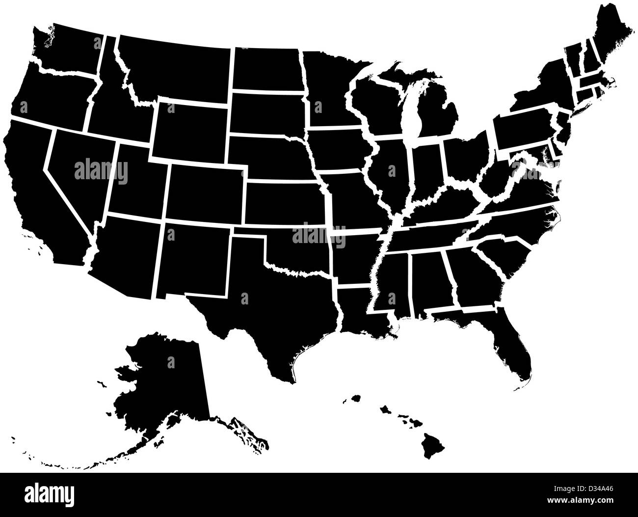 Very detailed map of all fifty states Stock Photohttps://www.alamy.com/image-license-details/?v=1https://www.alamy.com/stock-photo-very-detailed-map-of-all-fifty-states-53570838.html
RFD34A46–Very detailed map of all fifty states
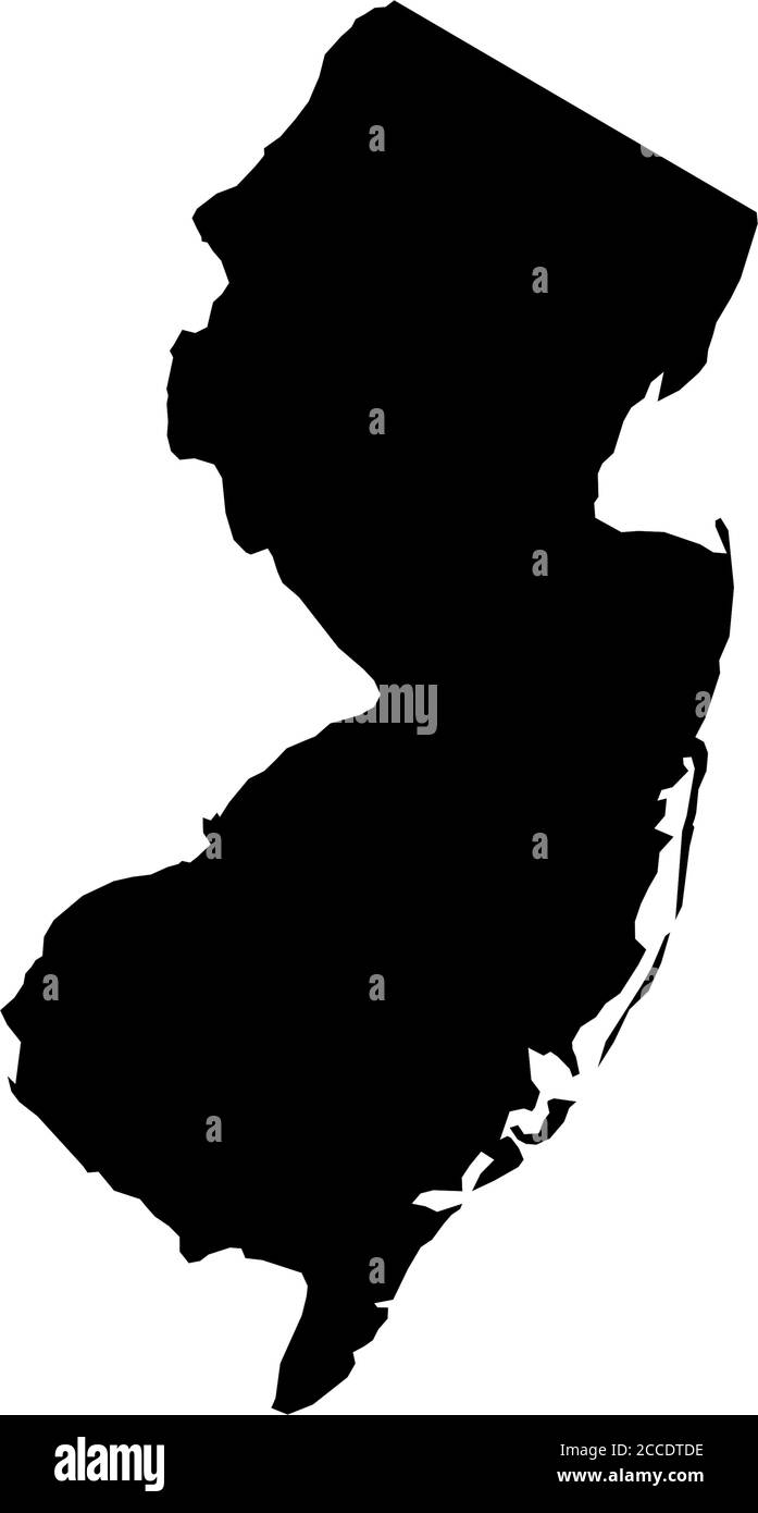 New Jersey, state of USA - solid black silhouette map of country area. Simple flat vector illustration. Stock Vectorhttps://www.alamy.com/image-license-details/?v=1https://www.alamy.com/new-jersey-state-of-usa-solid-black-silhouette-map-of-country-area-simple-flat-vector-illustration-image369098170.html
RF2CCDTDE–New Jersey, state of USA - solid black silhouette map of country area. Simple flat vector illustration.
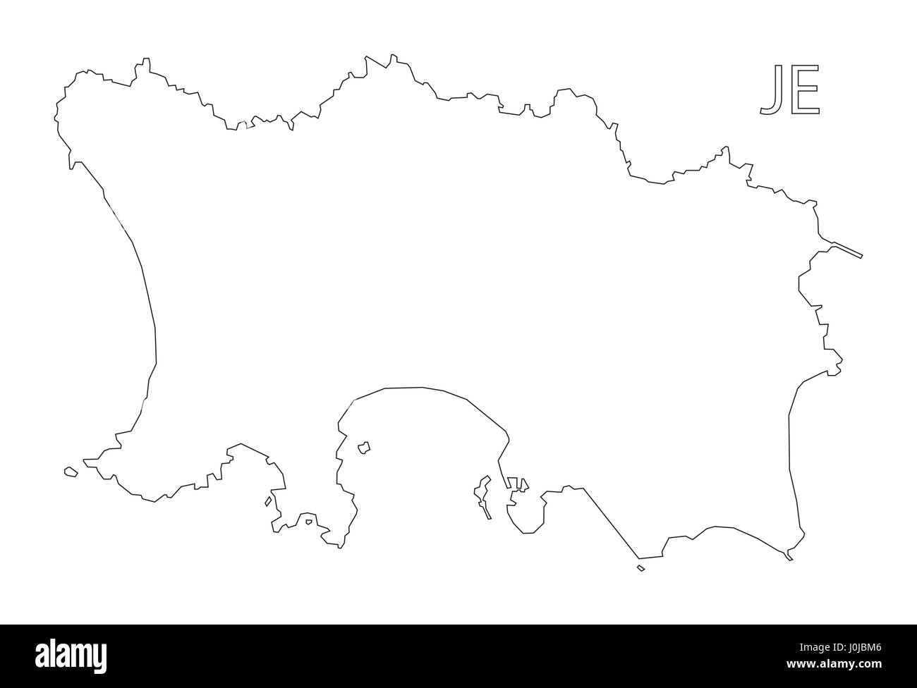 Jersey outline silhouette map illustration Stock Vectorhttps://www.alamy.com/image-license-details/?v=1https://www.alamy.com/stock-photo-jersey-outline-silhouette-map-illustration-138087270.html
RFJ0JBM6–Jersey outline silhouette map illustration
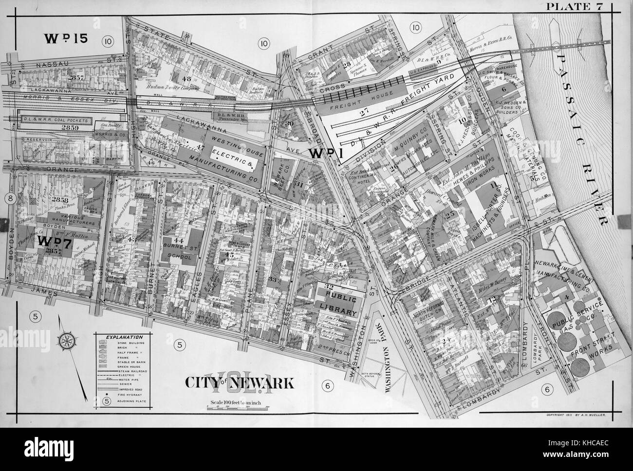 A double page print of a map, features color coding to provide information about buildings and infrastructure, Newark, New Jersey, 1911. From the New York Public Library. Stock Photohttps://www.alamy.com/image-license-details/?v=1https://www.alamy.com/stock-image-a-double-page-print-of-a-map-features-color-coding-to-provide-information-165614132.html
RMKHCAEC–A double page print of a map, features color coding to provide information about buildings and infrastructure, Newark, New Jersey, 1911. From the New York Public Library.
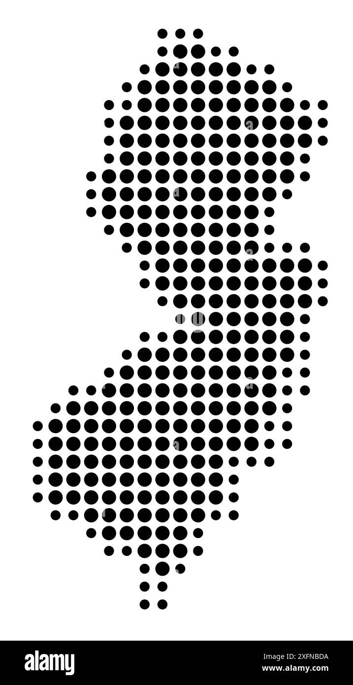 Symbol Map of the State New Jersey (United States of America) showing the state with a pattern of black circles Stock Vectorhttps://www.alamy.com/image-license-details/?v=1https://www.alamy.com/symbol-map-of-the-state-new-jersey-united-states-of-america-showing-the-state-with-a-pattern-of-black-circles-image612052710.html
RF2XFNBDA–Symbol Map of the State New Jersey (United States of America) showing the state with a pattern of black circles
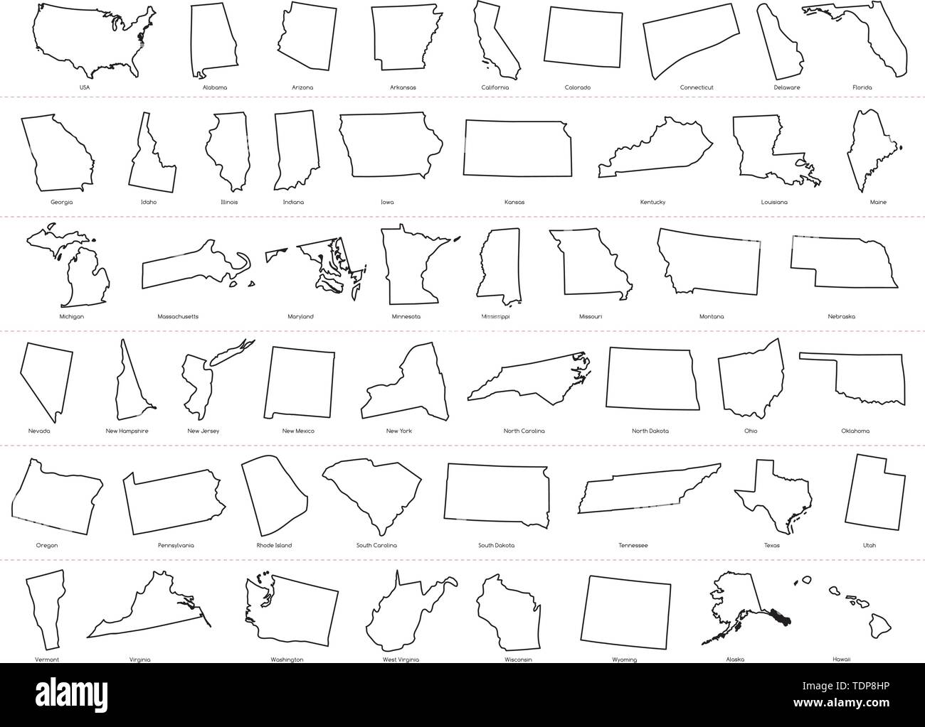 Map of The United States of America (USA) Divided States Maps Outline Illustration on White Background. Stock Vectorhttps://www.alamy.com/image-license-details/?v=1https://www.alamy.com/map-of-the-united-states-of-america-usa-divided-states-maps-outline-illustration-on-white-background-image249425394.html
RFTDP8HP–Map of The United States of America (USA) Divided States Maps Outline Illustration on White Background.
 USA map outline vector with scales of miles and kilometers in gray background Stock Vectorhttps://www.alamy.com/image-license-details/?v=1https://www.alamy.com/stock-photo-usa-map-outline-vector-with-scales-of-miles-and-kilometers-in-gray-104376752.html
RFG1PNH4–USA map outline vector with scales of miles and kilometers in gray background
 Map of the residence & park grounds, near Bordentown, New Jersey of the late Joseph Napoleon Bonaparte, ex-king of Spain. 1847 Stock Photohttps://www.alamy.com/image-license-details/?v=1https://www.alamy.com/stock-photo-map-of-the-residence-park-grounds-near-bordentown-new-jersey-of-the-49650479.html
RMCTNNKB–Map of the residence & park grounds, near Bordentown, New Jersey of the late Joseph Napoleon Bonaparte, ex-king of Spain. 1847
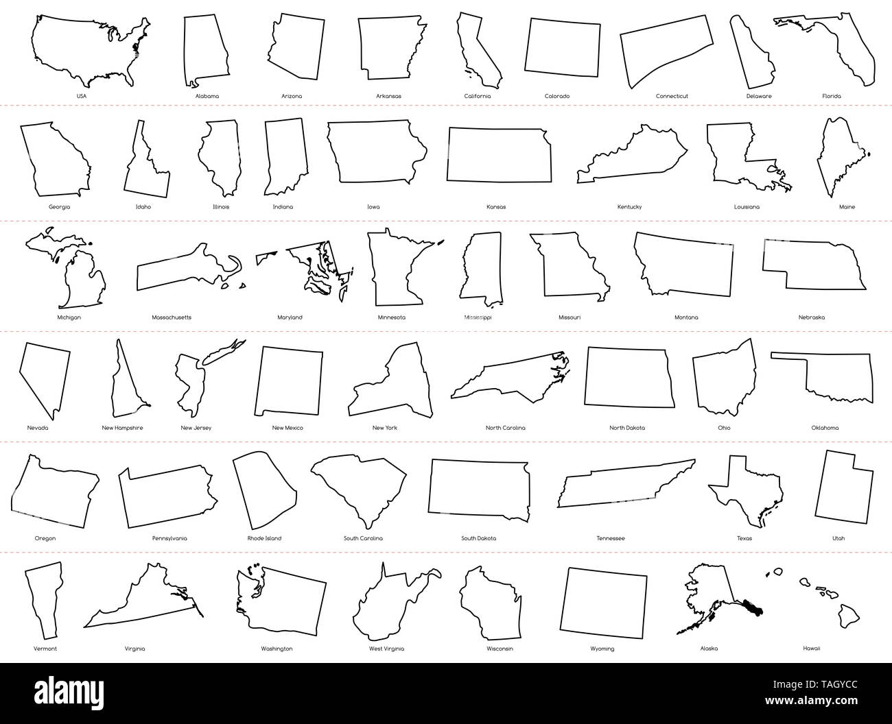 Map of The United States of America (USA) Divided States Maps Outline Illustration on White Background Stock Photohttps://www.alamy.com/image-license-details/?v=1https://www.alamy.com/map-of-the-united-states-of-america-usa-divided-states-maps-outline-illustration-on-white-background-image247464460.html
RFTAGYCC–Map of The United States of America (USA) Divided States Maps Outline Illustration on White Background
 USCGS Coast survey: NEW JERSEY Delaware Bay. Philadelphia New York NYC, 1881 map Stock Photohttps://www.alamy.com/image-license-details/?v=1https://www.alamy.com/stock-photo-uscgs-coast-survey-new-jersey-delaware-bay-philadelphia-new-york-nyc-105793070.html
RFG4383X–USCGS Coast survey: NEW JERSEY Delaware Bay. Philadelphia New York NYC, 1881 map
 Flat style map of State of New Jersey, USA. New Jersey outline. Vector illustration Stock Vectorhttps://www.alamy.com/image-license-details/?v=1https://www.alamy.com/flat-style-map-of-state-of-new-jersey-usa-new-jersey-outline-vector-illustration-image472686067.html
RF2JD0KW7–Flat style map of State of New Jersey, USA. New Jersey outline. Vector illustration
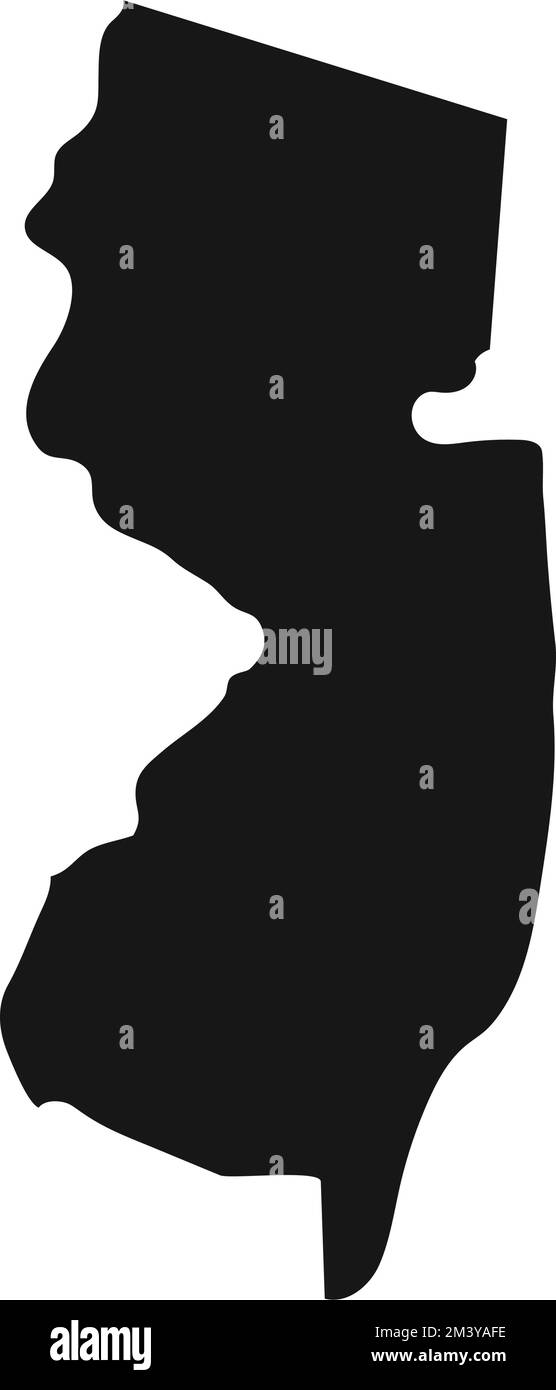 Simplified black silhouette of New Jersey state border. Stock Vectorhttps://www.alamy.com/image-license-details/?v=1https://www.alamy.com/simplified-black-silhouette-of-new-jersey-state-border-image501545618.html
RF2M3YAFE–Simplified black silhouette of New Jersey state border.
 Silhouette map of a selection of the states of America Stock Photohttps://www.alamy.com/image-license-details/?v=1https://www.alamy.com/stock-photo-silhouette-map-of-a-selection-of-the-states-of-america-88164703.html
RFF3C6YB–Silhouette map of a selection of the states of America
RF2TAGJW2–Jersey map silhouette from black square pixels. Vector illustration.
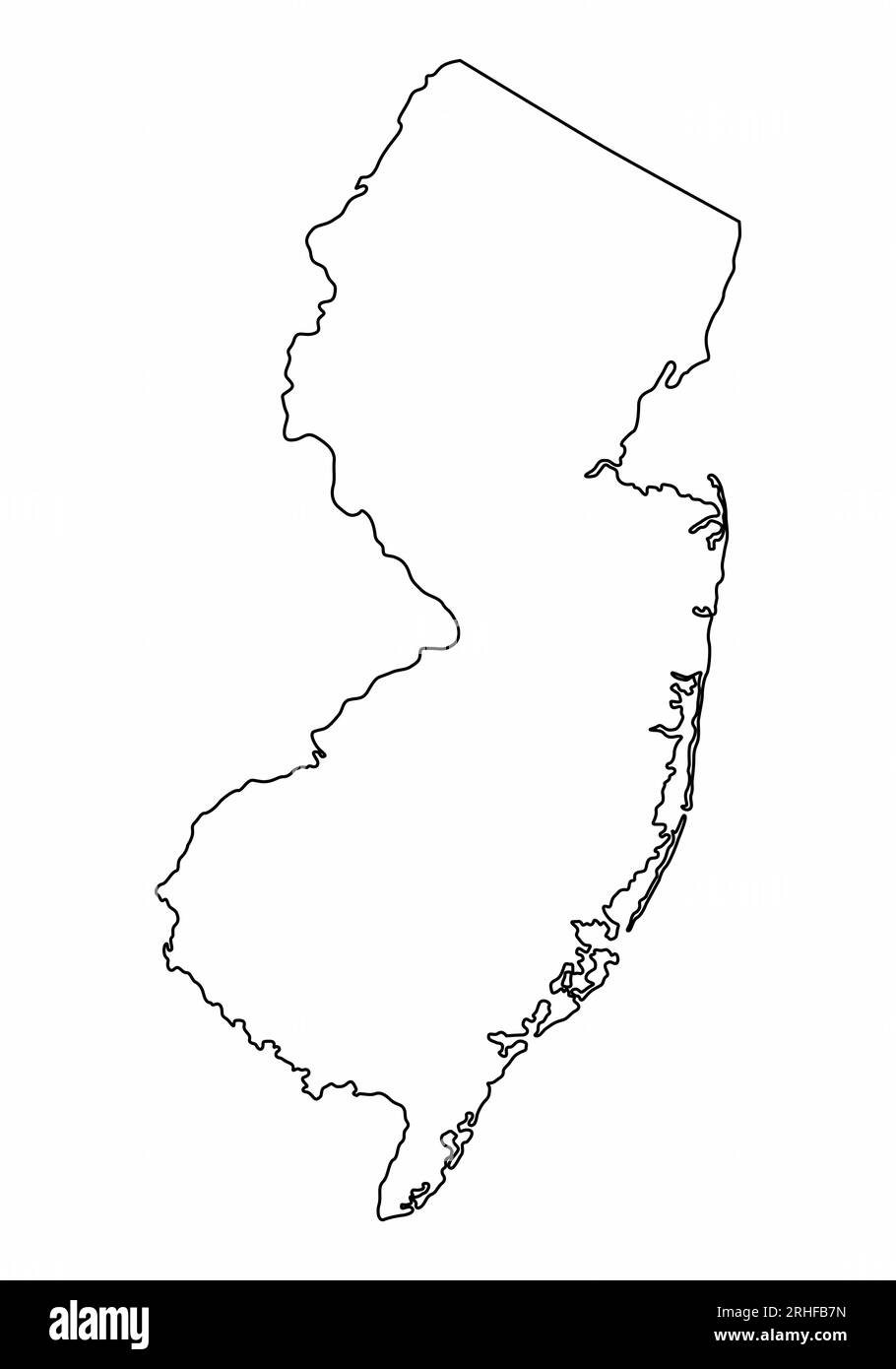 New Jersey map outline isolated on white background Stock Vectorhttps://www.alamy.com/image-license-details/?v=1https://www.alamy.com/new-jersey-map-outline-isolated-on-white-background-image561519049.html
RF2RHFB7N–New Jersey map outline isolated on white background
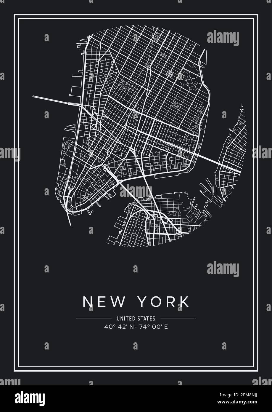 Black and white printable New York city map, poster design, vector illistration. Stock Vectorhttps://www.alamy.com/image-license-details/?v=1https://www.alamy.com/black-and-white-printable-new-york-city-map-poster-design-vector-illistration-image546007130.html
RF2PM8NJJ–Black and white printable New York city map, poster design, vector illistration.
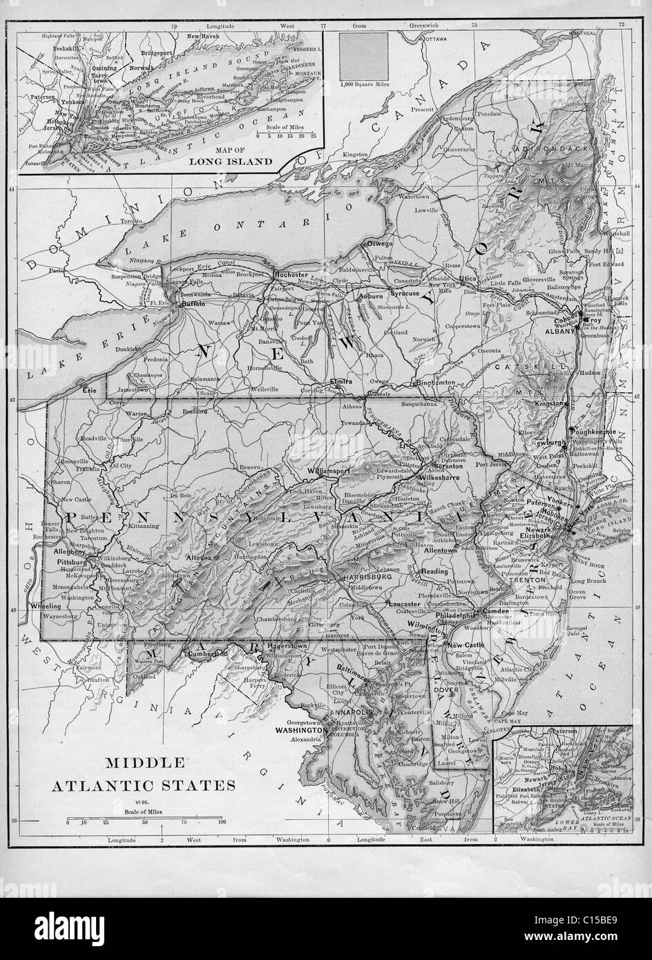 Old map of Mid-Atlantic states from original geography textbook, 1884 Stock Photohttps://www.alamy.com/image-license-details/?v=1https://www.alamy.com/stock-photo-old-map-of-mid-atlantic-states-from-original-geography-textbook-1884-35154177.html
RMC15BE9–Old map of Mid-Atlantic states from original geography textbook, 1884
 USA geographic map isolated on white background. Flat, vector illustration Stock Vectorhttps://www.alamy.com/image-license-details/?v=1https://www.alamy.com/usa-geographic-map-isolated-on-white-background-flat-vector-illustration-image345013098.html
RF2B18KMA–USA geographic map isolated on white background. Flat, vector illustration
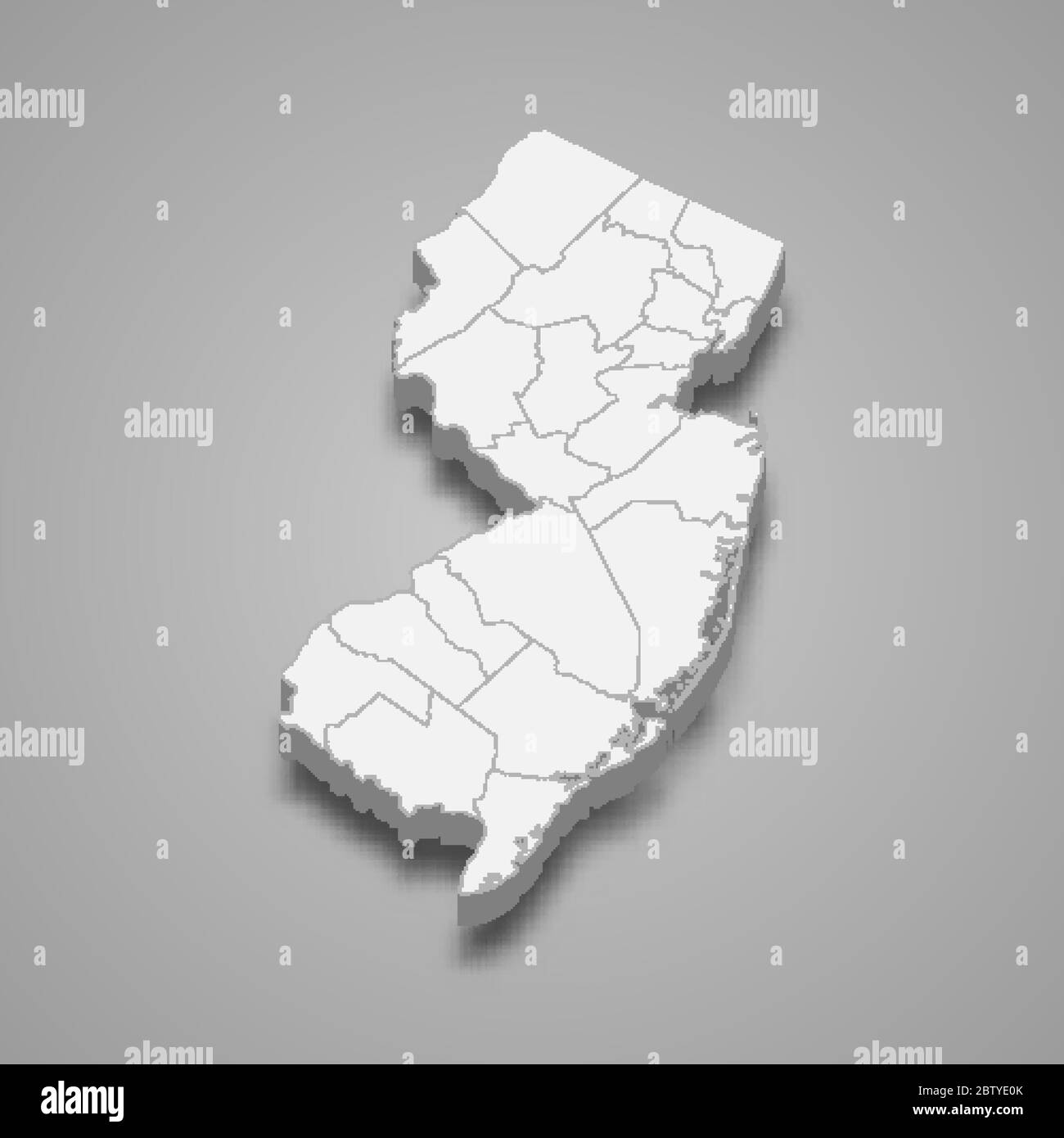 3d map of New Jersey is a state of United States Stock Vectorhttps://www.alamy.com/image-license-details/?v=1https://www.alamy.com/3d-map-of-new-jersey-is-a-state-of-united-states-image359562803.html
RF2BTYE0K–3d map of New Jersey is a state of United States
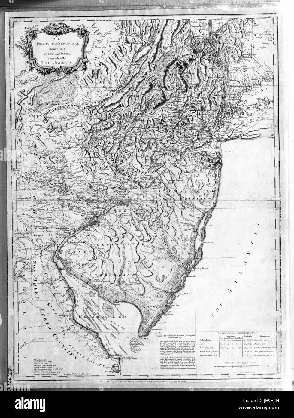 The Province of New Jersey, divided into East and West, commonly called the Jerseys (NYPL b13866430-ps map 206) Stock Photohttps://www.alamy.com/image-license-details/?v=1https://www.alamy.com/stock-photo-the-province-of-new-jersey-divided-into-east-and-west-commonly-called-148343065.html
RMJH9H2H–The Province of New Jersey, divided into East and West, commonly called the Jerseys (NYPL b13866430-ps map 206)
 New Jersey state of United States of America, USA. Simplified thick black outline map. Simple flat vector illustration Stock Vectorhttps://www.alamy.com/image-license-details/?v=1https://www.alamy.com/new-jersey-state-of-united-states-of-america-usa-simplified-thick-black-outline-map-simple-flat-vector-illustration-image491460517.html
RF2KFFXW9–New Jersey state of United States of America, USA. Simplified thick black outline map. Simple flat vector illustration
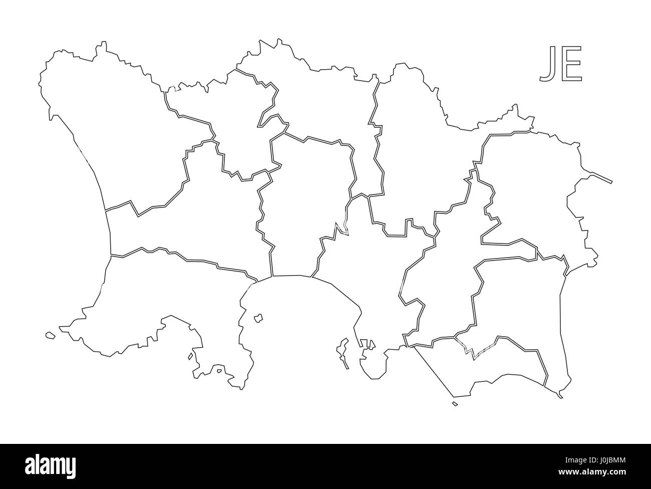 Jersey outline silhouette map illustration with parishes Stock Vectorhttps://www.alamy.com/image-license-details/?v=1https://www.alamy.com/stock-photo-jersey-outline-silhouette-map-illustration-with-parishes-138087284.html
RFJ0JBMM–Jersey outline silhouette map illustration with parishes
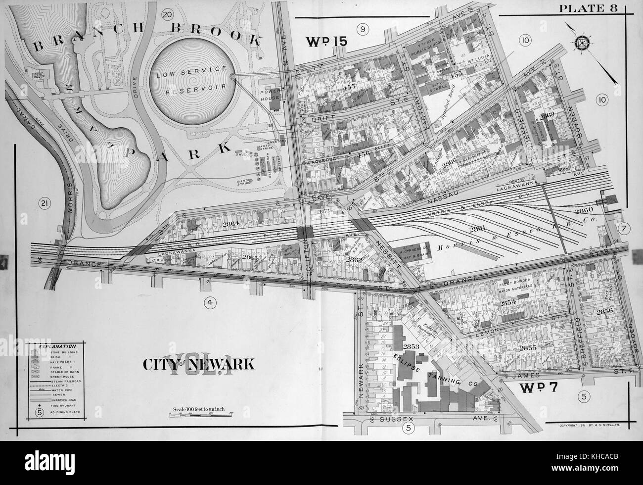 A double page print of a map, features color coding to provide information about buildings and infrastructure, Newark, New Jersey, 1911. From the New York Public Library. Stock Photohttps://www.alamy.com/image-license-details/?v=1https://www.alamy.com/stock-image-a-double-page-print-of-a-map-features-color-coding-to-provide-information-165614075.html
RMKHCACB–A double page print of a map, features color coding to provide information about buildings and infrastructure, Newark, New Jersey, 1911. From the New York Public Library.
 Symbol Map of the State New Jersey (United States of America) showing the state with a pattern of randomly distributed black circles of different size Stock Vectorhttps://www.alamy.com/image-license-details/?v=1https://www.alamy.com/symbol-map-of-the-state-new-jersey-united-states-of-america-showing-the-state-with-a-pattern-of-randomly-distributed-black-circles-of-different-size-image621546199.html
RF2Y35TEF–Symbol Map of the State New Jersey (United States of America) showing the state with a pattern of randomly distributed black circles of different size
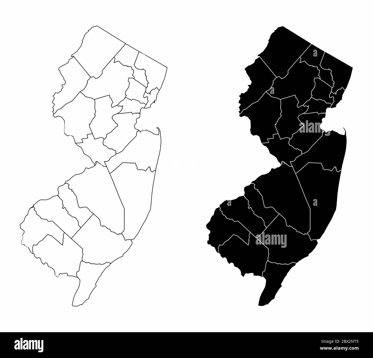 New Jersey county maps Stock Vectorhttps://www.alamy.com/image-license-details/?v=1https://www.alamy.com/new-jersey-county-maps-image360249461.html
RF2BX2NT5–New Jersey county maps
RF2F66MCB–Vector isolated simplified illustration icon with black map's silhouette of State of New Jersey (USA). White background
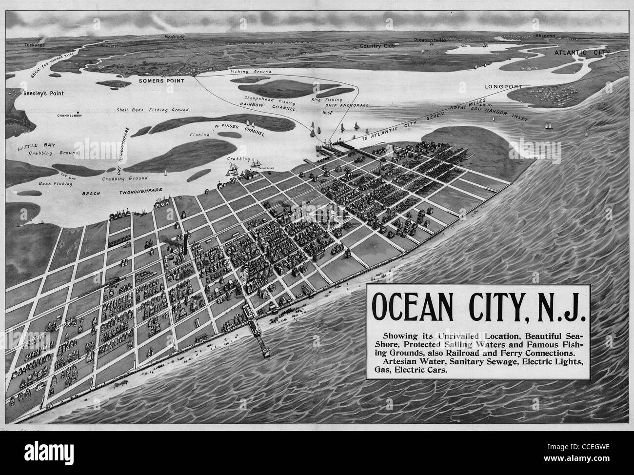 Ocean City, N.J. showing its unrivaled location, beautiful sea-shore, protected sailing waters, and famous fishing grounds 1903 Stock Photohttps://www.alamy.com/image-license-details/?v=1https://www.alamy.com/stock-photo-ocean-city-nj-showing-its-unrivaled-location-beautiful-sea-shore-protected-42117194.html
RMCCEGWE–Ocean City, N.J. showing its unrivaled location, beautiful sea-shore, protected sailing waters, and famous fishing grounds 1903
 Map of New Jersey Stock Photohttps://www.alamy.com/image-license-details/?v=1https://www.alamy.com/stock-photo-map-of-new-jersey-56265050.html
RFD7F2J2–Map of New Jersey
 New Jersey State 3D Map Stock Photohttps://www.alamy.com/image-license-details/?v=1https://www.alamy.com/new-jersey-state-3d-map-image483644243.html
RF2K2RW4K–New Jersey State 3D Map
 Map of New Jersey, a state of United States. Stock Photohttps://www.alamy.com/image-license-details/?v=1https://www.alamy.com/stock-photo-map-of-new-jersey-a-state-of-united-states-49374050.html
RFCT952X–Map of New Jersey, a state of United States.
 USA states contours, black against white background. From Alabama to Missouri alphabetically Stock Photohttps://www.alamy.com/image-license-details/?v=1https://www.alamy.com/stock-photo-usa-states-contours-black-against-white-background-from-alabama-to-18142795.html
RFB1ED8Y–USA states contours, black against white background. From Alabama to Missouri alphabetically
 Hand sketched NEW JERSEY text. 3D vintage, retro lettering for poster, sticker, flyer, header, card, clothing, wear. Stock Vectorhttps://www.alamy.com/image-license-details/?v=1https://www.alamy.com/hand-sketched-new-jersey-text-3d-vintage-retro-lettering-for-poster-sticker-flyer-header-card-clothing-wear-image415604503.html
RF2F44BNY–Hand sketched NEW JERSEY text. 3D vintage, retro lettering for poster, sticker, flyer, header, card, clothing, wear.
 Jersey map silhouette from black pattern mosaic structure of squares. Vector illustration. Stock Vectorhttps://www.alamy.com/image-license-details/?v=1https://www.alamy.com/jersey-map-silhouette-from-black-pattern-mosaic-structure-of-squares-vector-illustration-image574454432.html
RF2TAGJDM–Jersey map silhouette from black pattern mosaic structure of squares. Vector illustration.
RF2PF5PC7–New Jersey icon. Us state map on dark background. Stylish New Jersey map with us state name. Vector illustration.
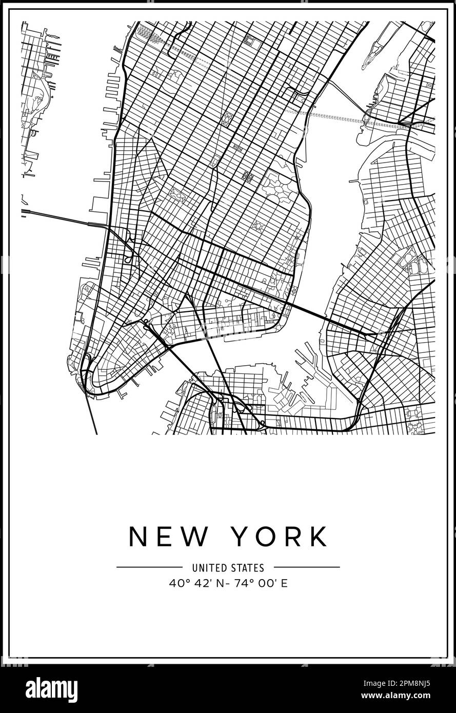 Black and white printable New York city map, poster design, vector illistration. Stock Vectorhttps://www.alamy.com/image-license-details/?v=1https://www.alamy.com/black-and-white-printable-new-york-city-map-poster-design-vector-illistration-image546007117.html
RF2PM8NJ5–Black and white printable New York city map, poster design, vector illistration.
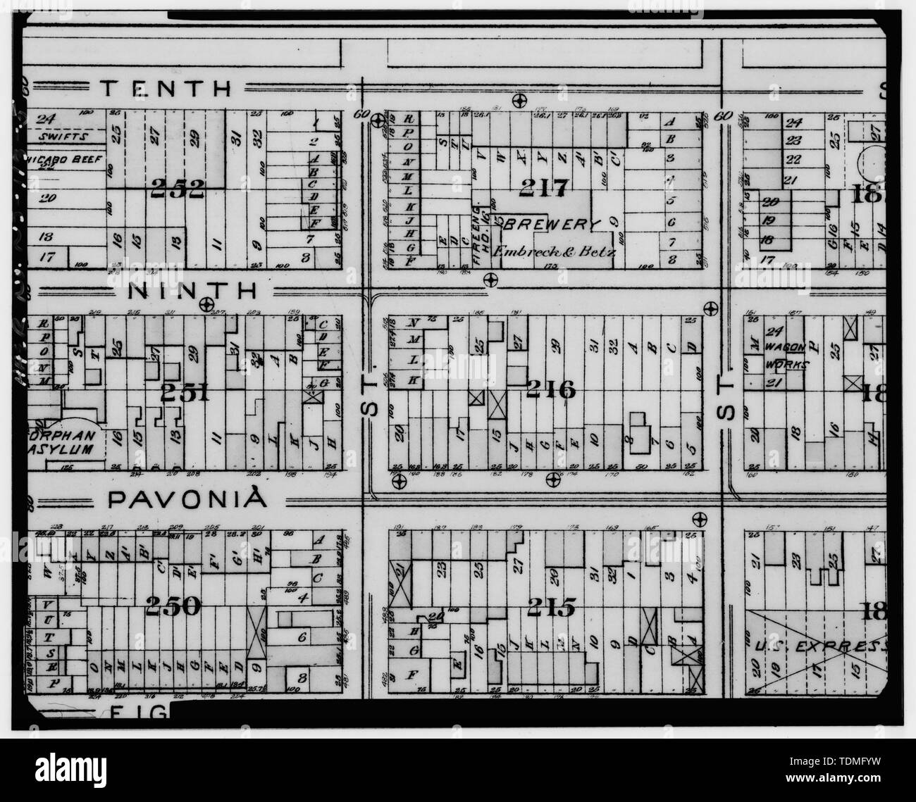 PHOTOCOPY OF MAP, L. D. FOWLER, GEORGE W. AND WALTER BROMLEY, ATLAS OF JERSEY CITY, NEW JERSEY. G. W. BROMLEY AND COMPANY, PHILADELPHIA, PENNSYLVANIA, 1887. - Lembeck and Betz Eagle Brewery, 164-190 Ninth Street, 515-519 Luis Munez Marin Boulevard, Jersey City, Hudson County, NJ Stock Photohttps://www.alamy.com/image-license-details/?v=1https://www.alamy.com/photocopy-of-map-l-d-fowler-george-w-and-walter-bromley-atlas-of-jersey-city-new-jersey-g-w-bromley-and-company-philadelphia-pennsylvania-1887-lembeck-and-betz-eagle-brewery-164-190-ninth-street-515-519-luis-munez-marin-boulevard-jersey-city-hudson-county-nj-image249387261.html
RMTDMFYW–PHOTOCOPY OF MAP, L. D. FOWLER, GEORGE W. AND WALTER BROMLEY, ATLAS OF JERSEY CITY, NEW JERSEY. G. W. BROMLEY AND COMPANY, PHILADELPHIA, PENNSYLVANIA, 1887. - Lembeck and Betz Eagle Brewery, 164-190 Ninth Street, 515-519 Luis Munez Marin Boulevard, Jersey City, Hudson County, NJ
 N/A. English: Map of Pennsylvania and 'West New Jersey' published in 1698 by Philip Lea in London. 1698. Philip Lea 20 1698PhilipLeaPANJmap Stock Photohttps://www.alamy.com/image-license-details/?v=1https://www.alamy.com/na-english-map-of-pennsylvania-and-west-new-jersey-published-in-1698-by-philip-lea-in-london-1698-philip-lea-20-1698philipleapanjmap-image209988455.html
RMP5HPBK–N/A. English: Map of Pennsylvania and 'West New Jersey' published in 1698 by Philip Lea in London. 1698. Philip Lea 20 1698PhilipLeaPANJmap
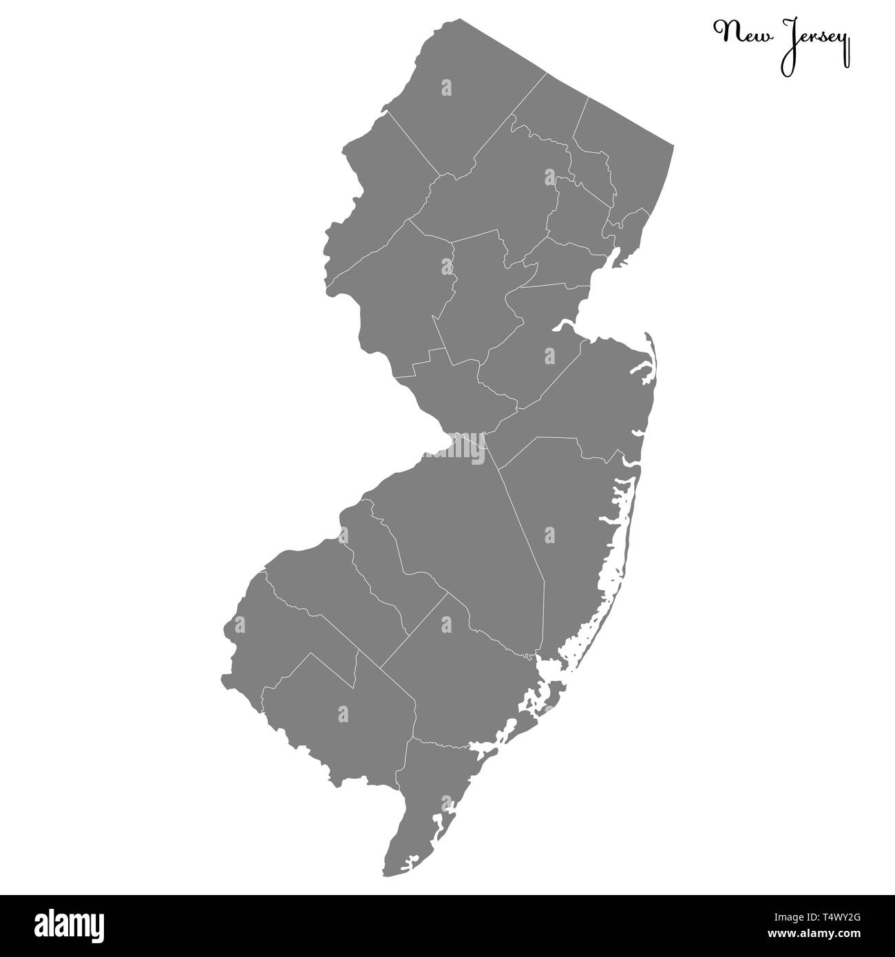 High Quality map of New Jersey is a state of United States with borders of the counties Stock Vectorhttps://www.alamy.com/image-license-details/?v=1https://www.alamy.com/high-quality-map-of-new-jersey-is-a-state-of-united-states-with-borders-of-the-counties-image243973816.html
RFT4WY2G–High Quality map of New Jersey is a state of United States with borders of the counties
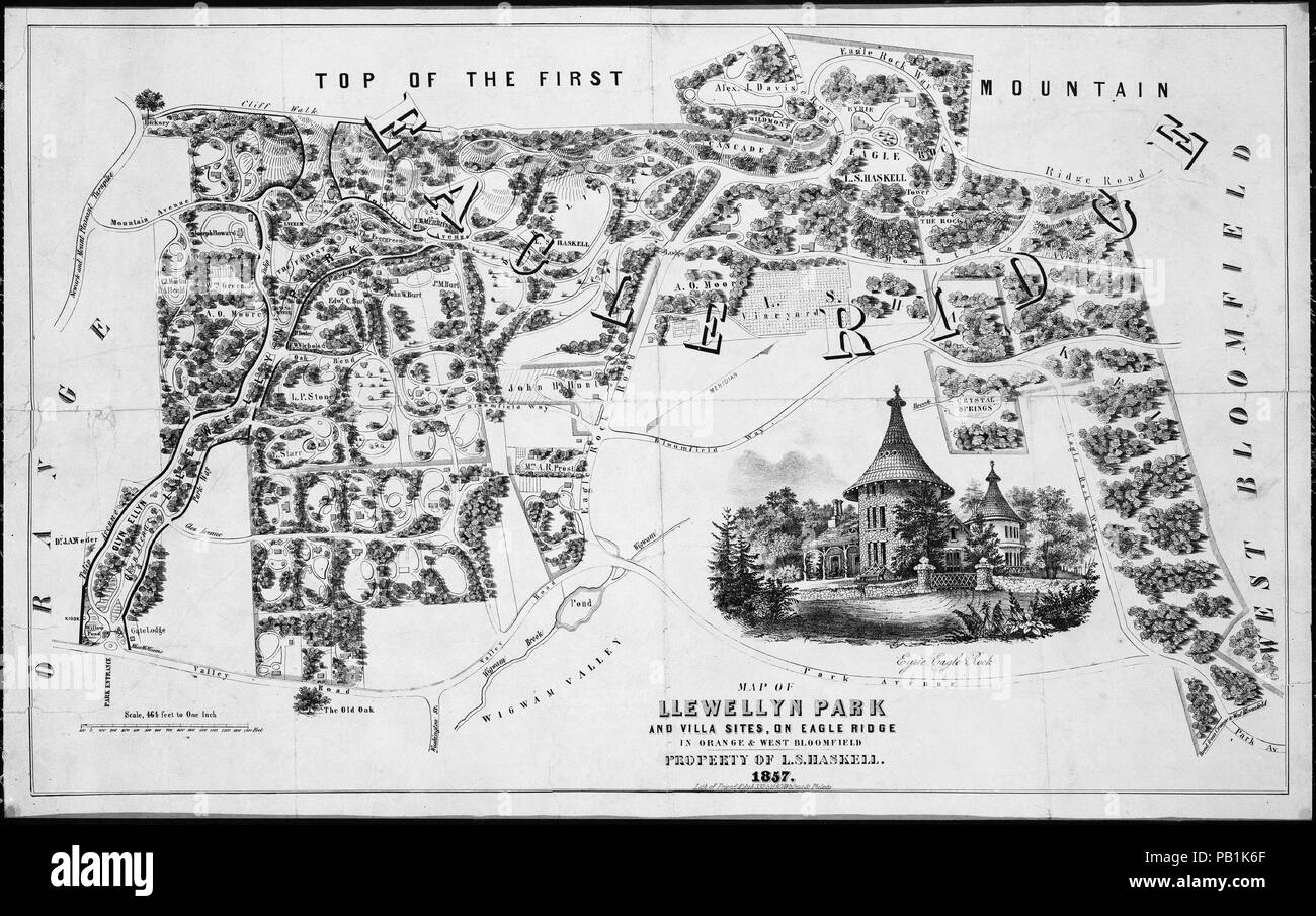 Map of Llewellyn Park and Villa Sites, on Eagle Ridge in Orange & West Bloomfield. Artist: After Alexander Jackson Davis (American, New York 1803-1892 West Orange, New Jersey). Dimensions: image: 14 7/16 x 23 7/16 in. (36.7 x 59.6 cm) sheet: 16 1/16 x 24 7/16 in. (40.8 x 62 cm). Publisher: Friend & Aub (Philadelphia, Pennsylvania). Date: 1857. Museum: Metropolitan Museum of Art, New York, USA. Stock Photohttps://www.alamy.com/image-license-details/?v=1https://www.alamy.com/map-of-llewellyn-park-and-villa-sites-on-eagle-ridge-in-orange-west-bloomfield-artist-after-alexander-jackson-davis-american-new-york-1803-1892-west-orange-new-jersey-dimensions-image-14-716-x-23-716-in-367-x-596-cm-sheet-16-116-x-24-716-in-408-x-62-cm-publisher-friend-aub-philadelphia-pennsylvania-date-1857-museum-metropolitan-museum-of-art-new-york-usa-image213322663.html
RMPB1K6F–Map of Llewellyn Park and Villa Sites, on Eagle Ridge in Orange & West Bloomfield. Artist: After Alexander Jackson Davis (American, New York 1803-1892 West Orange, New Jersey). Dimensions: image: 14 7/16 x 23 7/16 in. (36.7 x 59.6 cm) sheet: 16 1/16 x 24 7/16 in. (40.8 x 62 cm). Publisher: Friend & Aub (Philadelphia, Pennsylvania). Date: 1857. Museum: Metropolitan Museum of Art, New York, USA.