Map of new zealand with roads Stock Photos and Images
(51)See map of new zealand with roads stock video clipsQuick filters:
Map of new zealand with roads Stock Photos and Images
 A NZ New Zealand Post driver, complete with New Zealand map tattoo, sorts parcel in her van in the town of Themes, New Zealand Stock Photohttps://www.alamy.com/image-license-details/?v=1https://www.alamy.com/a-nz-new-zealand-post-driver-complete-with-new-zealand-map-tattoo-sorts-parcel-in-her-van-in-the-town-of-themes-new-zealand-image617748447.html
RM2XW0TCF–A NZ New Zealand Post driver, complete with New Zealand map tattoo, sorts parcel in her van in the town of Themes, New Zealand
 the historic timaru lighthouse in timaru in south canterbury on the south island of new zealand Stock Photohttps://www.alamy.com/image-license-details/?v=1https://www.alamy.com/the-historic-timaru-lighthouse-in-timaru-in-south-canterbury-on-the-south-island-of-new-zealand-image596088663.html
RF2WHP54R–the historic timaru lighthouse in timaru in south canterbury on the south island of new zealand
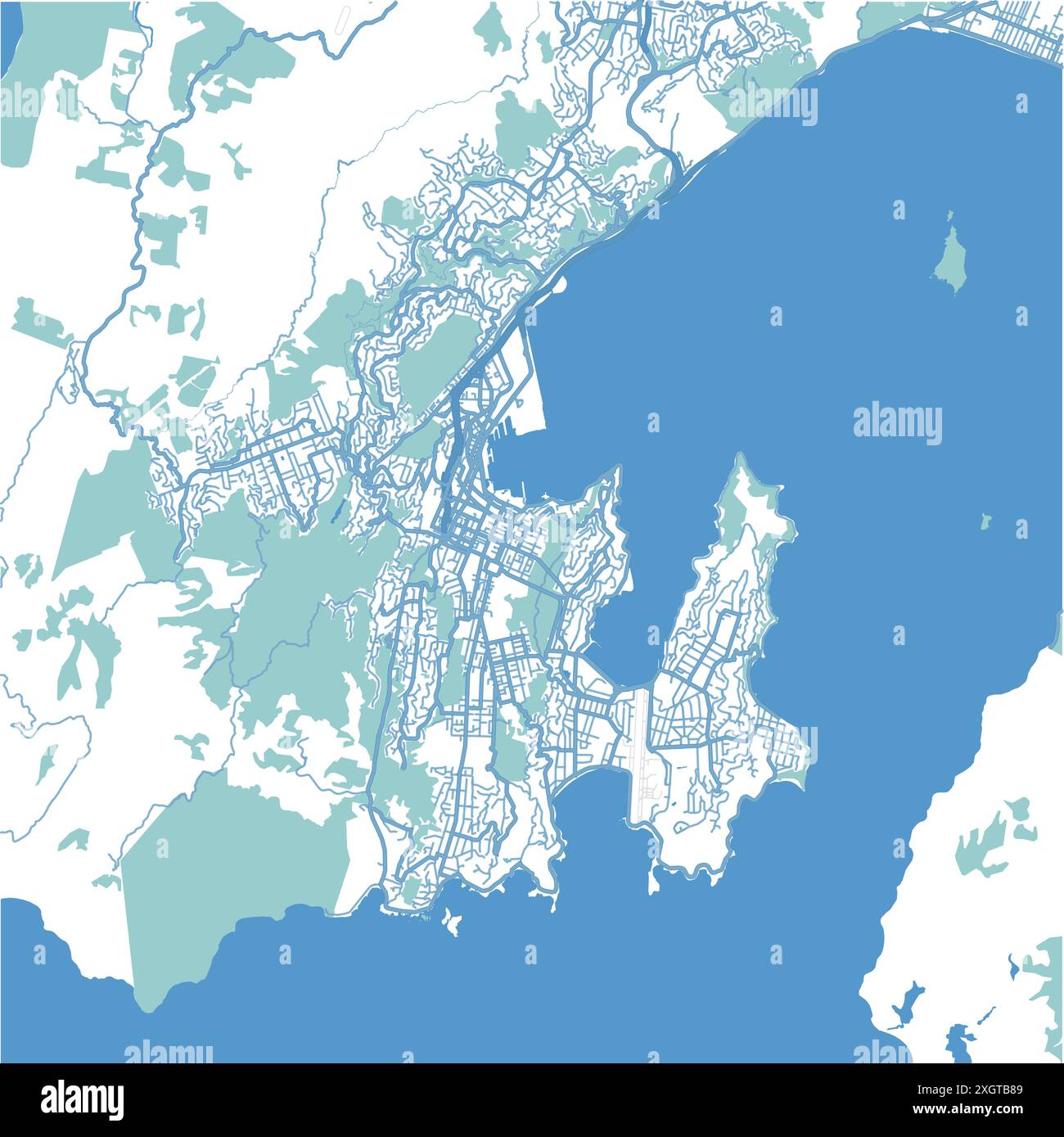 Map of Wellington in New Zealand in blue. Contains layered vector with roads water, parks, etc. Stock Vectorhttps://www.alamy.com/image-license-details/?v=1https://www.alamy.com/map-of-wellington-in-new-zealand-in-blue-contains-layered-vector-with-roads-water-parks-etc-image612733081.html
RF2XGTB89–Map of Wellington in New Zealand in blue. Contains layered vector with roads water, parks, etc.
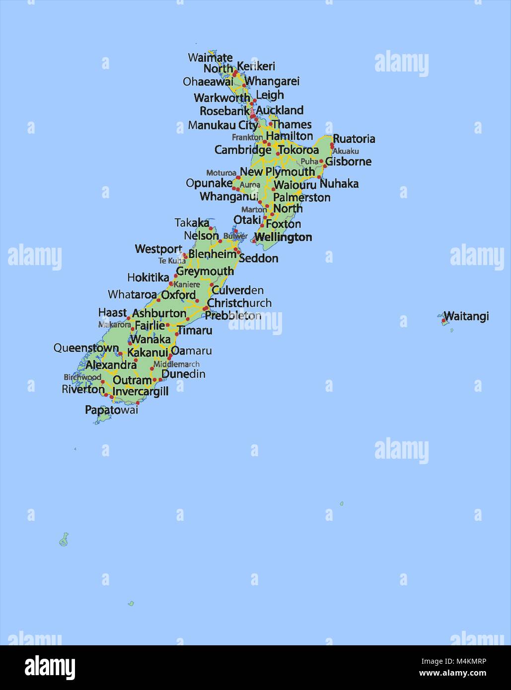 Map of New Zealand. Shows country borders, urban areas, place names and roads. Labels in English where possible. Projection: Spherical Mercator. Stock Vectorhttps://www.alamy.com/image-license-details/?v=1https://www.alamy.com/stock-photo-map-of-new-zealand-shows-country-borders-urban-areas-place-names-and-174995738.html
RFM4KMRP–Map of New Zealand. Shows country borders, urban areas, place names and roads. Labels in English where possible. Projection: Spherical Mercator.
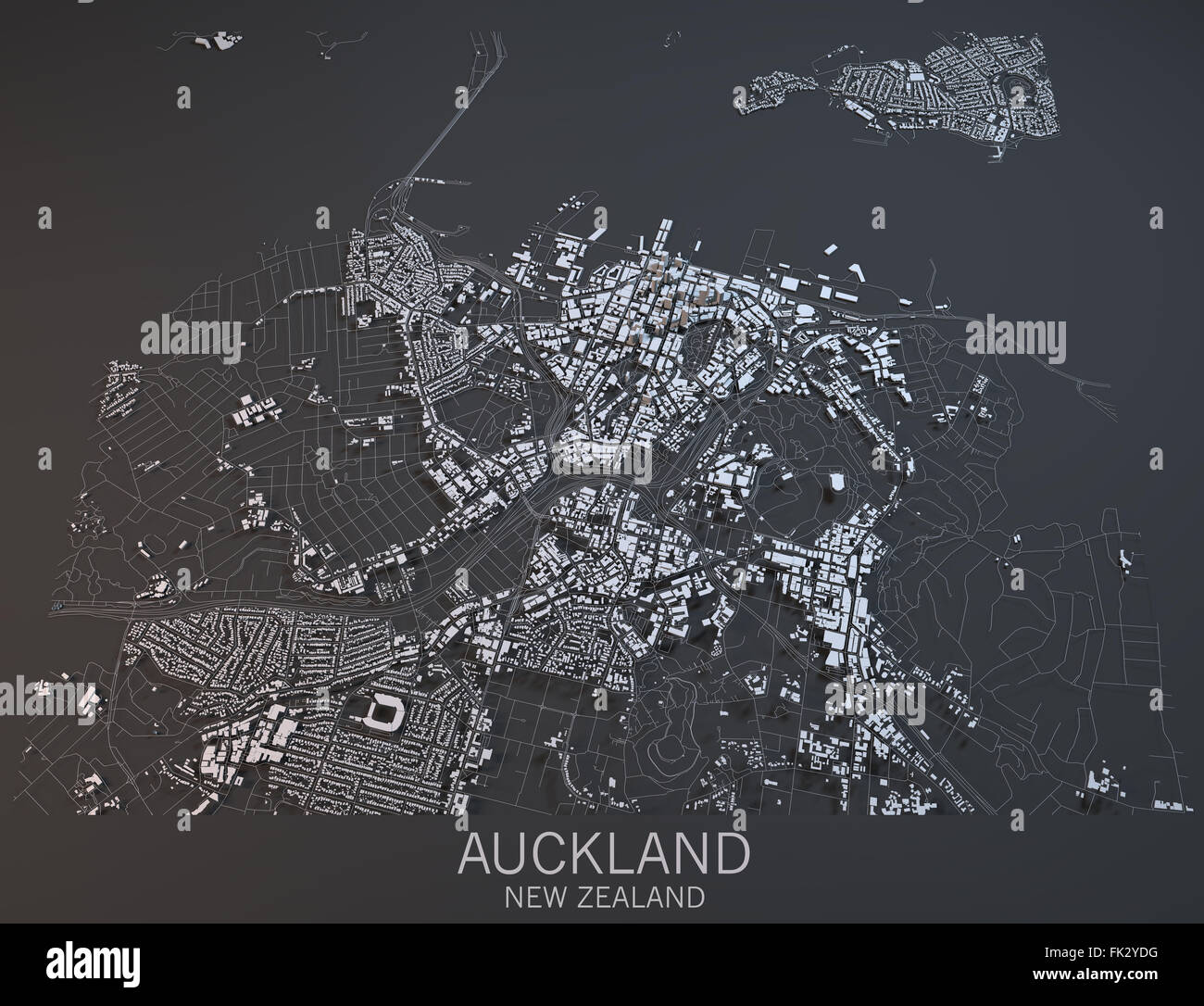 Auckland map, satellite view, New Zealand Stock Photohttps://www.alamy.com/image-license-details/?v=1https://www.alamy.com/stock-photo-auckland-map-satellite-view-new-zealand-97795756.html
RFFK2YDG–Auckland map, satellite view, New Zealand
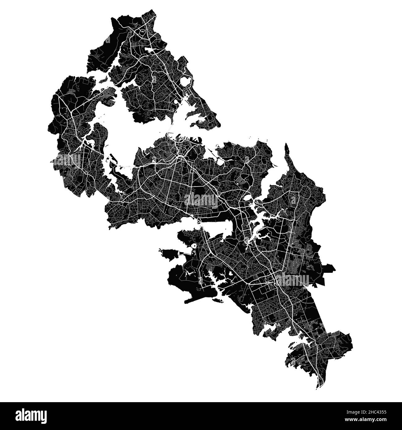 Auckland map. Detailed vector map of Auckland city administrative area. Cityscape poster metropolitan aria view. Black land with white streets, roads Stock Vectorhttps://www.alamy.com/image-license-details/?v=1https://www.alamy.com/auckland-map-detailed-vector-map-of-auckland-city-administrative-area-cityscape-poster-metropolitan-aria-view-black-land-with-white-streets-roads-image454935745.html
RF2HC4355–Auckland map. Detailed vector map of Auckland city administrative area. Cityscape poster metropolitan aria view. Black land with white streets, roads
 roads of New Zealand Stock Vectorhttps://www.alamy.com/image-license-details/?v=1https://www.alamy.com/roads-of-new-zealand-image64494930.html
RFDMWYXA–roads of New Zealand
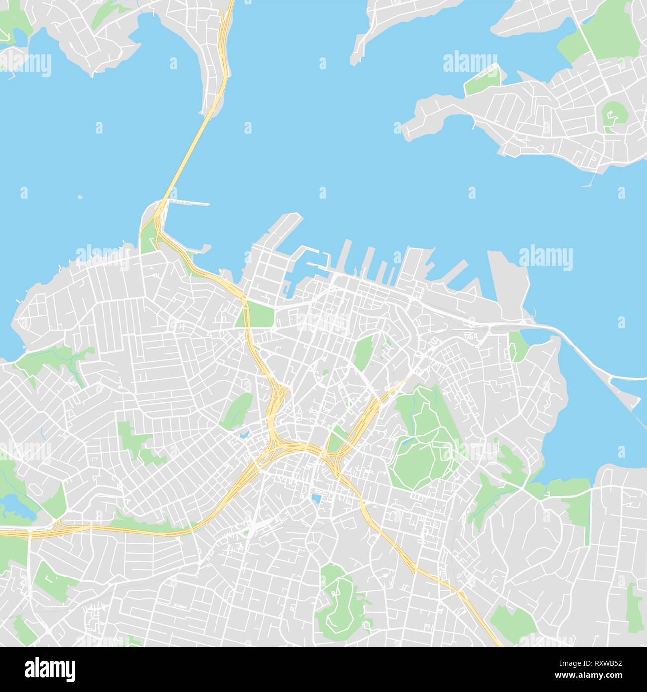 Downtown vector map of Auckland, New Zealand. This printable map of Auckland contains lines and classic colored shapes for land mass, parks, water, ma Stock Vectorhttps://www.alamy.com/image-license-details/?v=1https://www.alamy.com/downtown-vector-map-of-auckland-new-zealand-this-printable-map-of-auckland-contains-lines-and-classic-colored-shapes-for-land-mass-parks-water-ma-image240273406.html
RFRXWB52–Downtown vector map of Auckland, New Zealand. This printable map of Auckland contains lines and classic colored shapes for land mass, parks, water, ma
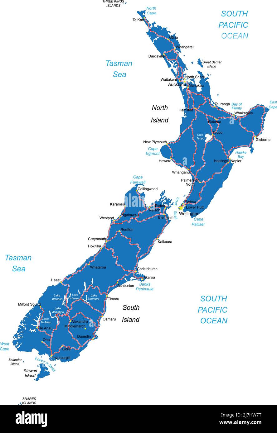 Vector map of New Zealand with state borders,main cities and roads. Stock Vectorhttps://www.alamy.com/image-license-details/?v=1https://www.alamy.com/vector-map-of-new-zealand-with-state-bordersmain-cities-and-roads-image469375532.html
RF2J7HW7T–Vector map of New Zealand with state borders,main cities and roads.
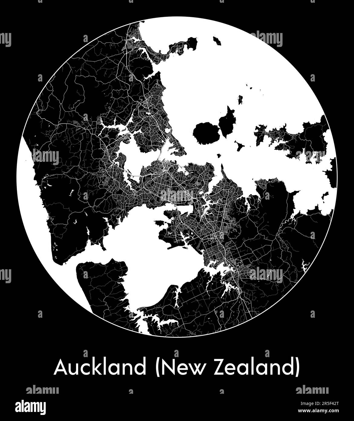 City Map Auckland (New Zealand) New Zealand Oceania vector illustration Stock Vectorhttps://www.alamy.com/image-license-details/?v=1https://www.alamy.com/city-map-auckland-new-zealand-new-zealand-oceania-vector-illustration-image554137552.html
RF2R5F42T–City Map Auckland (New Zealand) New Zealand Oceania vector illustration
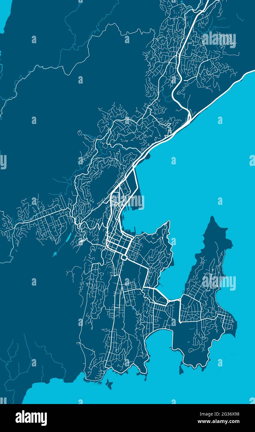 Detailed map of Wellington city administrative area. Royalty free vector illustration. Cityscape panorama. Decorative graphic tourist map of Wellingto Stock Vectorhttps://www.alamy.com/image-license-details/?v=1https://www.alamy.com/detailed-map-of-wellington-city-administrative-area-royalty-free-vector-illustration-cityscape-panorama-decorative-graphic-tourist-map-of-wellingto-image432255524.html
RF2G36X98–Detailed map of Wellington city administrative area. Royalty free vector illustration. Cityscape panorama. Decorative graphic tourist map of Wellingto
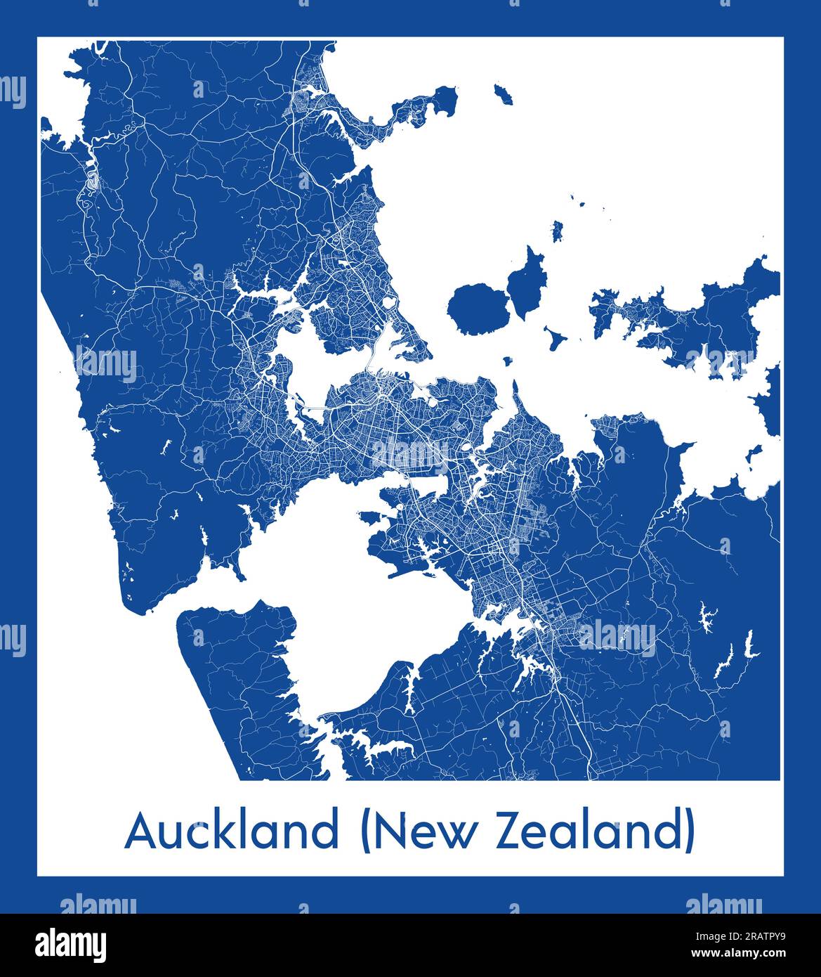 Auckland New Zealand New Zealand Oceania City map blue print vector illustration Stock Vectorhttps://www.alamy.com/image-license-details/?v=1https://www.alamy.com/auckland-new-zealand-new-zealand-oceania-city-map-blue-print-vector-illustration-image557423197.html
RF2RATPY9–Auckland New Zealand New Zealand Oceania City map blue print vector illustration
 Vintage WWI Map. Anzac Topographic map of Gallipoli Peninsula, Turkey, showing ANZAC and Turkish posts, trenches, tracks and roads, and approximate landing places. Area covered from north of Bauchops Hill, to Wine Glass Ridge, from the Agean Sea to East of Hill . 1916 Stock Photohttps://www.alamy.com/image-license-details/?v=1https://www.alamy.com/vintage-wwi-map-anzac-topographic-map-of-gallipoli-peninsula-turkey-showing-anzac-and-turkish-posts-trenches-tracks-and-roads-and-approximate-landing-places-area-covered-from-north-of-bauchops-hill-to-wine-glass-ridge-from-the-agean-sea-to-east-of-hill-1916-image601101619.html
RM2WWXF6Y–Vintage WWI Map. Anzac Topographic map of Gallipoli Peninsula, Turkey, showing ANZAC and Turkish posts, trenches, tracks and roads, and approximate landing places. Area covered from north of Bauchops Hill, to Wine Glass Ridge, from the Agean Sea to East of Hill . 1916
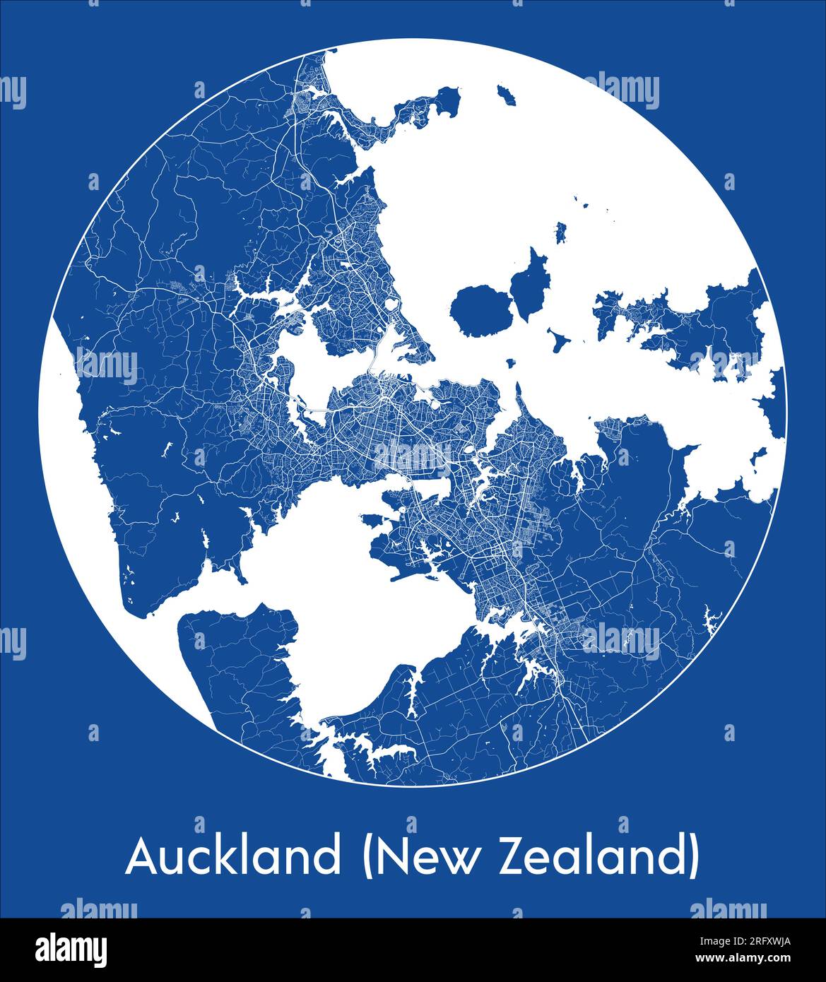 City Map Auckland New Zealand New Zealand Oceania blue print round Circle vector illustration Stock Vectorhttps://www.alamy.com/image-license-details/?v=1https://www.alamy.com/city-map-auckland-new-zealand-new-zealand-oceania-blue-print-round-circle-vector-illustration-image560542482.html
RF2RFXWJA–City Map Auckland New Zealand New Zealand Oceania blue print round Circle vector illustration
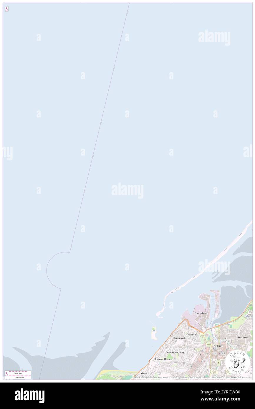 Nelson Roads, , NZ, New Zealand, , S 41 13' 27'', N 173 14' 49'', map, Cartascapes Map published in 2024. Explore Cartascapes, a map revealing Earth's diverse landscapes, cultures, and ecosystems. Journey through time and space, discovering the interconnectedness of our planet's past, present, and future. Stock Photohttps://www.alamy.com/image-license-details/?v=1https://www.alamy.com/nelson-roads-nz-new-zealand-s-41-13-27-n-173-14-49-map-cartascapes-map-published-in-2024-explore-cartascapes-a-map-revealing-earths-diverse-landscapes-cultures-and-ecosystems-journey-through-time-and-space-discovering-the-interconnectedness-of-our-planets-past-present-and-future-image634081476.html
RM2YRGWB0–Nelson Roads, , NZ, New Zealand, , S 41 13' 27'', N 173 14' 49'', map, Cartascapes Map published in 2024. Explore Cartascapes, a map revealing Earth's diverse landscapes, cultures, and ecosystems. Journey through time and space, discovering the interconnectedness of our planet's past, present, and future.
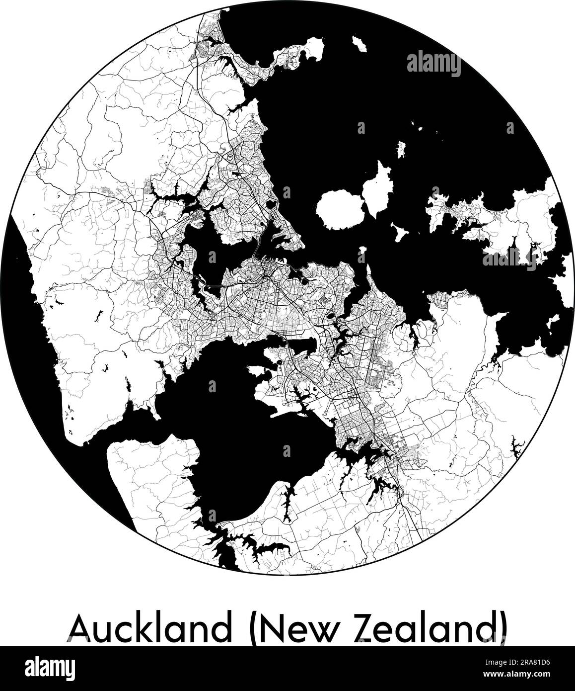 City Map Auckland (New Zealand) New Zealand Oceania vector illustration black white Stock Vectorhttps://www.alamy.com/image-license-details/?v=1https://www.alamy.com/city-map-auckland-new-zealand-new-zealand-oceania-vector-illustration-black-white-image557055106.html
RF2RA81D6–City Map Auckland (New Zealand) New Zealand Oceania vector illustration black white
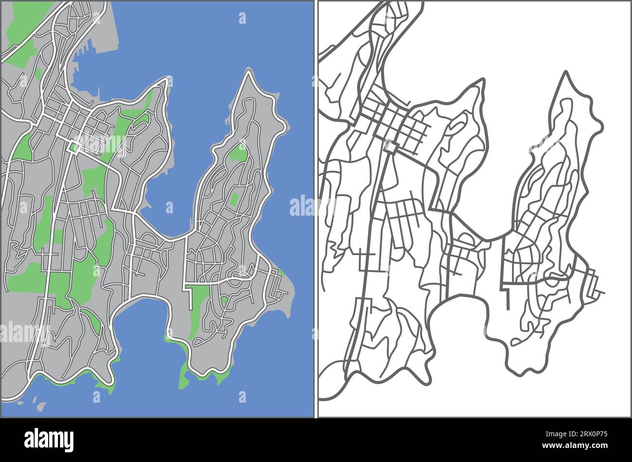 Layered editable vector streetmap of Wellington,New Zealand,which contains lines and colored shapes for lands,roads and parks. Stock Vectorhttps://www.alamy.com/image-license-details/?v=1https://www.alamy.com/layered-editable-vector-streetmap-of-wellingtonnew-zealandwhich-contains-lines-and-colored-shapes-for-landsroads-and-parks-image566730281.html
RF2RX0P75–Layered editable vector streetmap of Wellington,New Zealand,which contains lines and colored shapes for lands,roads and parks.
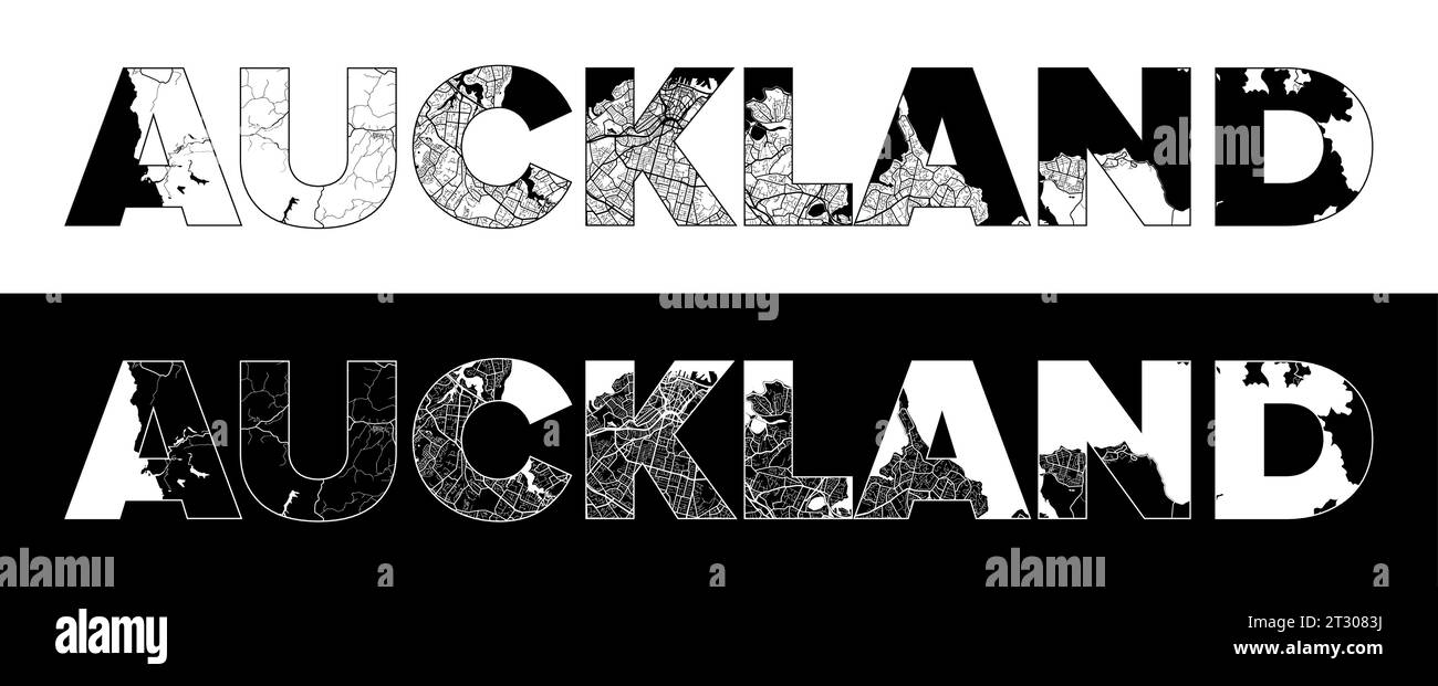 Auckland New Zealand City Name (New Zealand, Oceania) with black white city map illustration vector Stock Vectorhttps://www.alamy.com/image-license-details/?v=1https://www.alamy.com/auckland-new-zealand-city-name-new-zealand-oceania-with-black-white-city-map-illustration-vector-image569792486.html
RF2T3083J–Auckland New Zealand City Name (New Zealand, Oceania) with black white city map illustration vector
 A vintage geographical map from the mid 20th century showing New Zealand. Stock Photohttps://www.alamy.com/image-license-details/?v=1https://www.alamy.com/a-vintage-geographical-map-from-the-mid-20th-century-showing-new-zealand-image633074197.html
RF2YNY0GN–A vintage geographical map from the mid 20th century showing New Zealand.
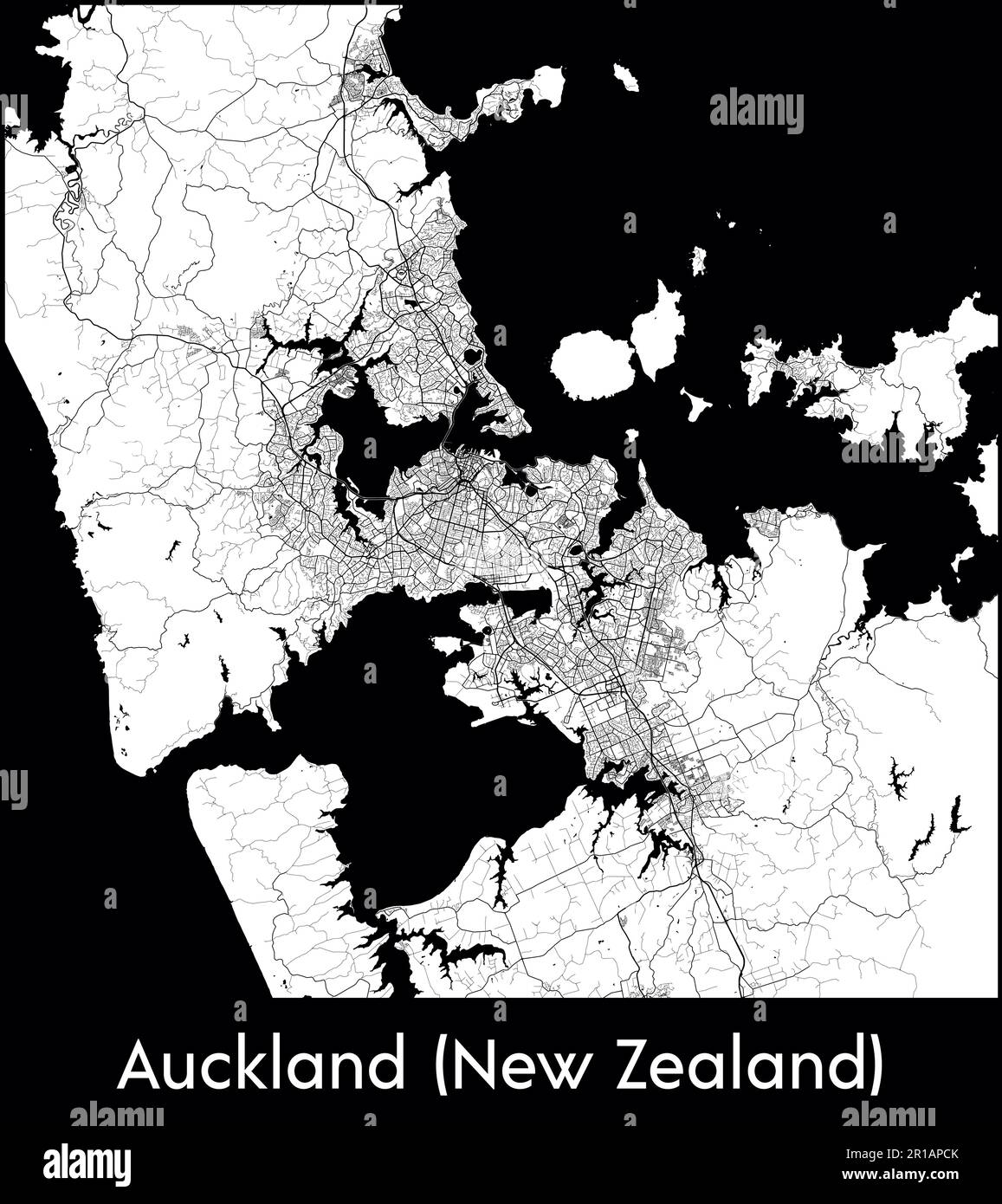 City Map Oceania New Zealand Auckland (New Zealand) vector illustration Stock Vectorhttps://www.alamy.com/image-license-details/?v=1https://www.alamy.com/city-map-oceania-new-zealand-auckland-new-zealand-vector-illustration-image551583555.html
RF2R1APCK–City Map Oceania New Zealand Auckland (New Zealand) vector illustration
 the historic timaru lighthouse in timaru in south canterbury on the south island of new zealand Stock Photohttps://www.alamy.com/image-license-details/?v=1https://www.alamy.com/the-historic-timaru-lighthouse-in-timaru-in-south-canterbury-on-the-south-island-of-new-zealand-image573609386.html
RF2T964HE–the historic timaru lighthouse in timaru in south canterbury on the south island of new zealand
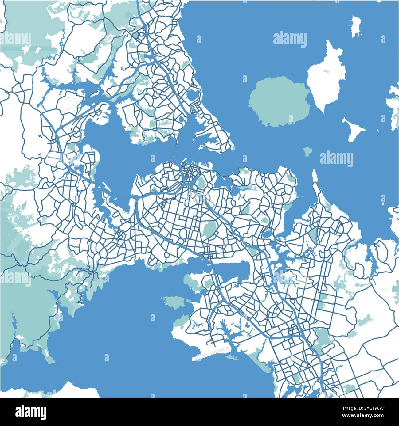 Map of Auckland in New Zealand in blue. Contains layered vector with roads water, parks, etc. Stock Vectorhttps://www.alamy.com/image-license-details/?v=1https://www.alamy.com/map-of-auckland-in-new-zealand-in-blue-contains-layered-vector-with-roads-water-parks-etc-image612731473.html
RF2XGT96W–Map of Auckland in New Zealand in blue. Contains layered vector with roads water, parks, etc.
 Minimal city map of Auckland (New Zealand) (New Zealand Oceania) Stock Vectorhttps://www.alamy.com/image-license-details/?v=1https://www.alamy.com/minimal-city-map-of-auckland-new-zealand-new-zealand-oceania-image553871799.html
RF2R5313K–Minimal city map of Auckland (New Zealand) (New Zealand Oceania)
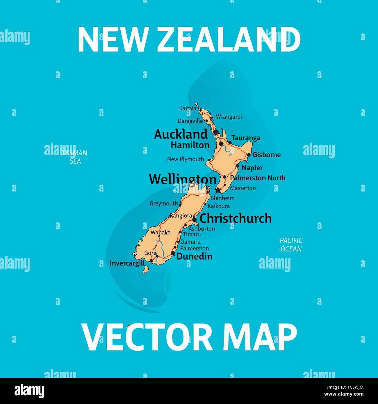 NZ map. Vector map of New Zealand with cities, rivers and roads on separate layers. Stock Vectorhttps://www.alamy.com/image-license-details/?v=1https://www.alamy.com/nz-map-vector-map-of-new-zealand-with-cities-rivers-and-roads-on-separate-layers-image248472860.html
RFTC6WJM–NZ map. Vector map of New Zealand with cities, rivers and roads on separate layers.
 vector map of Tauranga New Zealand Stock Vectorhttps://www.alamy.com/image-license-details/?v=1https://www.alamy.com/vector-map-of-tauranga-new-zealand-image483850277.html
RF2K357Y1–vector map of Tauranga New Zealand
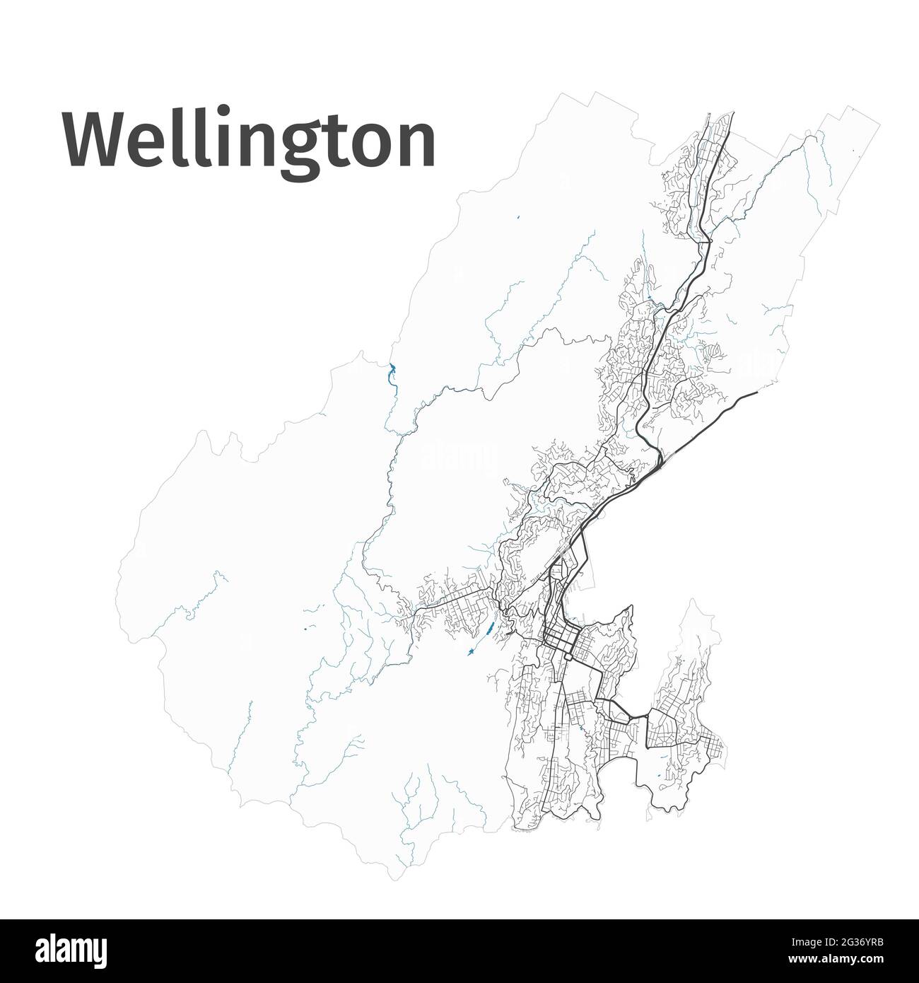 Wellington map. Detailed map of Wellington city administrative area. Cityscape panorama. Royalty free vector illustration. Outline map with highways, Stock Vectorhttps://www.alamy.com/image-license-details/?v=1https://www.alamy.com/wellington-map-detailed-map-of-wellington-city-administrative-area-cityscape-panorama-royalty-free-vector-illustration-outline-map-with-highways-image432256703.html
RF2G36YRB–Wellington map. Detailed map of Wellington city administrative area. Cityscape panorama. Royalty free vector illustration. Outline map with highways,
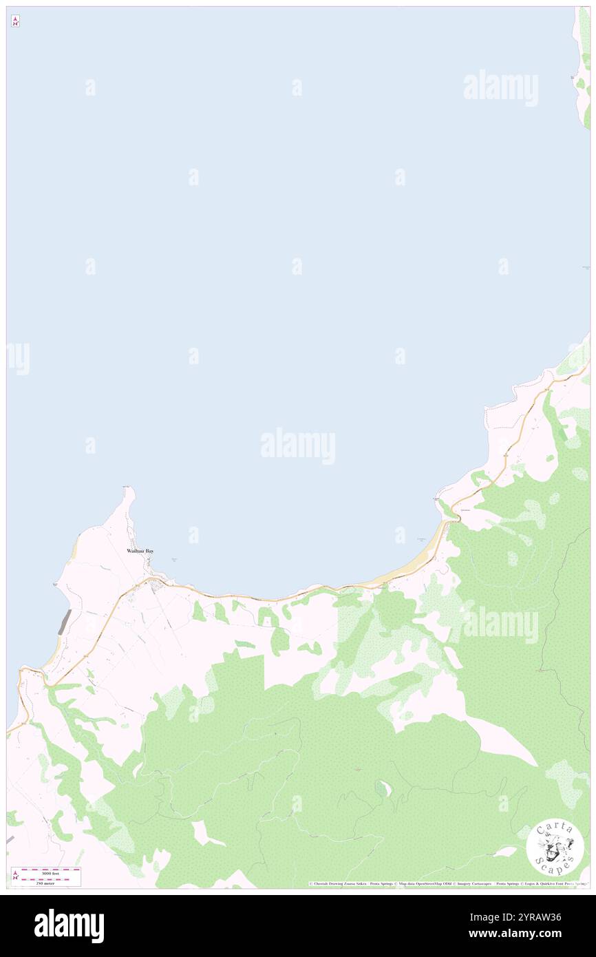 Whangaparaoa Roads, , NZ, New Zealand, , S 37 36' 0'', N 177 55' 59'', map, Cartascapes Map published in 2024. Explore Cartascapes, a map revealing Earth's diverse landscapes, cultures, and ecosystems. Journey through time and space, discovering the interconnectedness of our planet's past, present, and future. Stock Photohttps://www.alamy.com/image-license-details/?v=1https://www.alamy.com/whangaparaoa-roads-nz-new-zealand-s-37-36-0-n-177-55-59-map-cartascapes-map-published-in-2024-explore-cartascapes-a-map-revealing-earths-diverse-landscapes-cultures-and-ecosystems-journey-through-time-and-space-discovering-the-interconnectedness-of-our-planets-past-present-and-future-image633949546.html
RM2YRAW36–Whangaparaoa Roads, , NZ, New Zealand, , S 37 36' 0'', N 177 55' 59'', map, Cartascapes Map published in 2024. Explore Cartascapes, a map revealing Earth's diverse landscapes, cultures, and ecosystems. Journey through time and space, discovering the interconnectedness of our planet's past, present, and future.
 Layered editable vector streetmap of Auckland,New Zealand,which contains lines and colored shapes for lands,roads,rivers and parks. Stock Vectorhttps://www.alamy.com/image-license-details/?v=1https://www.alamy.com/layered-editable-vector-streetmap-of-aucklandnew-zealandwhich-contains-lines-and-colored-shapes-for-landsroadsrivers-and-parks-image566730020.html
RF2RX0NWT–Layered editable vector streetmap of Auckland,New Zealand,which contains lines and colored shapes for lands,roads,rivers and parks.
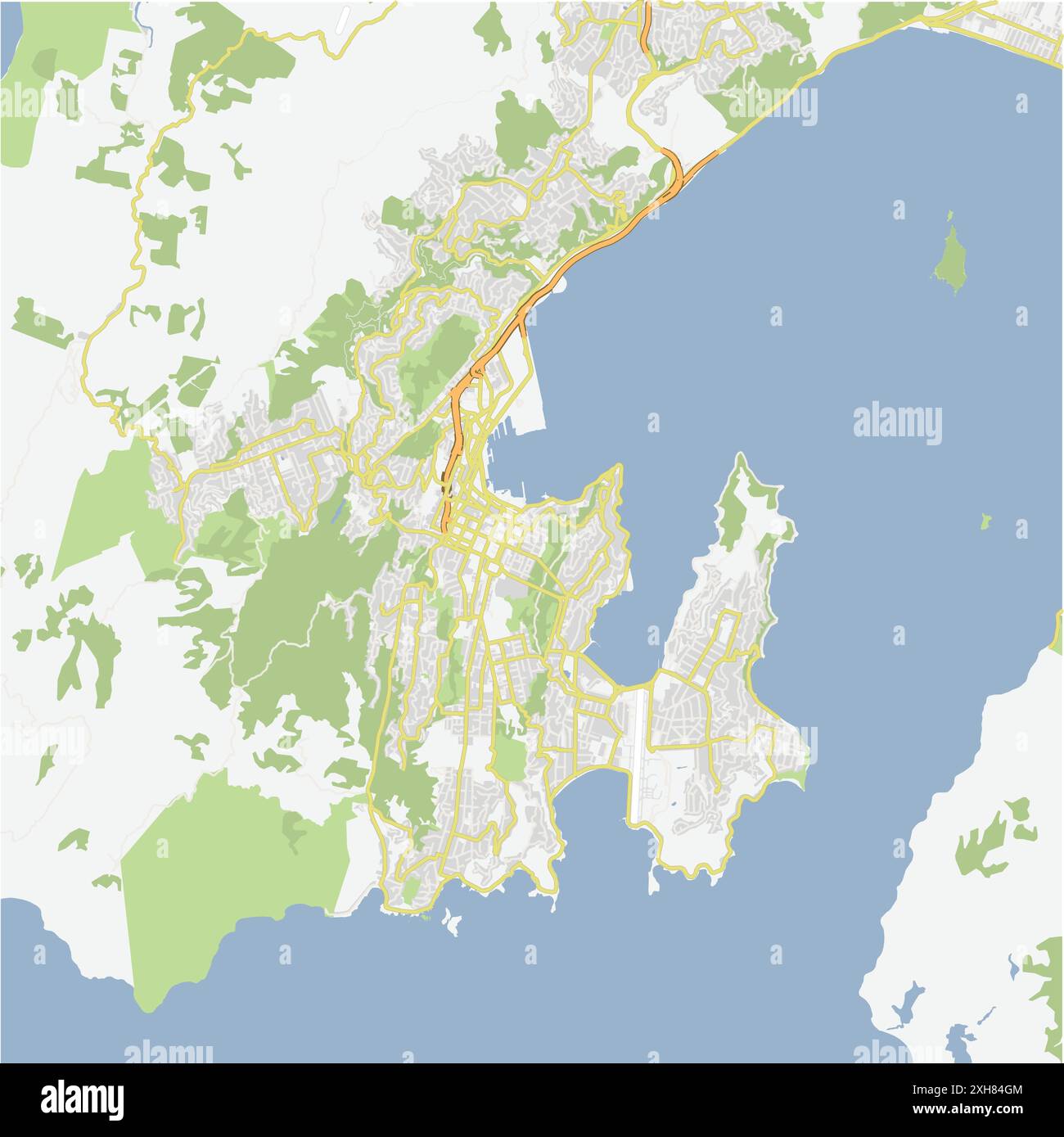 Road map of Wellington in New Zealand. Contains layered vector with roads water, parks, etc. Stock Vectorhttps://www.alamy.com/image-license-details/?v=1https://www.alamy.com/road-map-of-wellington-in-new-zealand-contains-layered-vector-with-roads-water-parks-etc-image612991252.html
RF2XH84GM–Road map of Wellington in New Zealand. Contains layered vector with roads water, parks, etc.
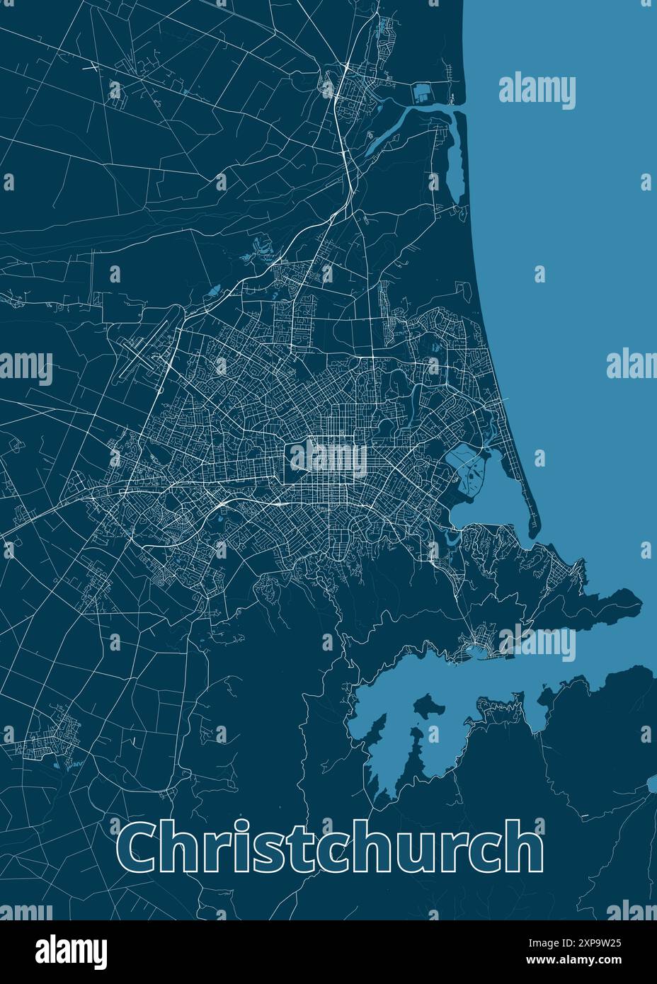 Christchurch, New Zealand artistic blueprint map poster art Stock Vectorhttps://www.alamy.com/image-license-details/?v=1https://www.alamy.com/christchurch-new-zealand-artistic-blueprint-map-poster-art-image616102541.html
RF2XP9W25–Christchurch, New Zealand artistic blueprint map poster art
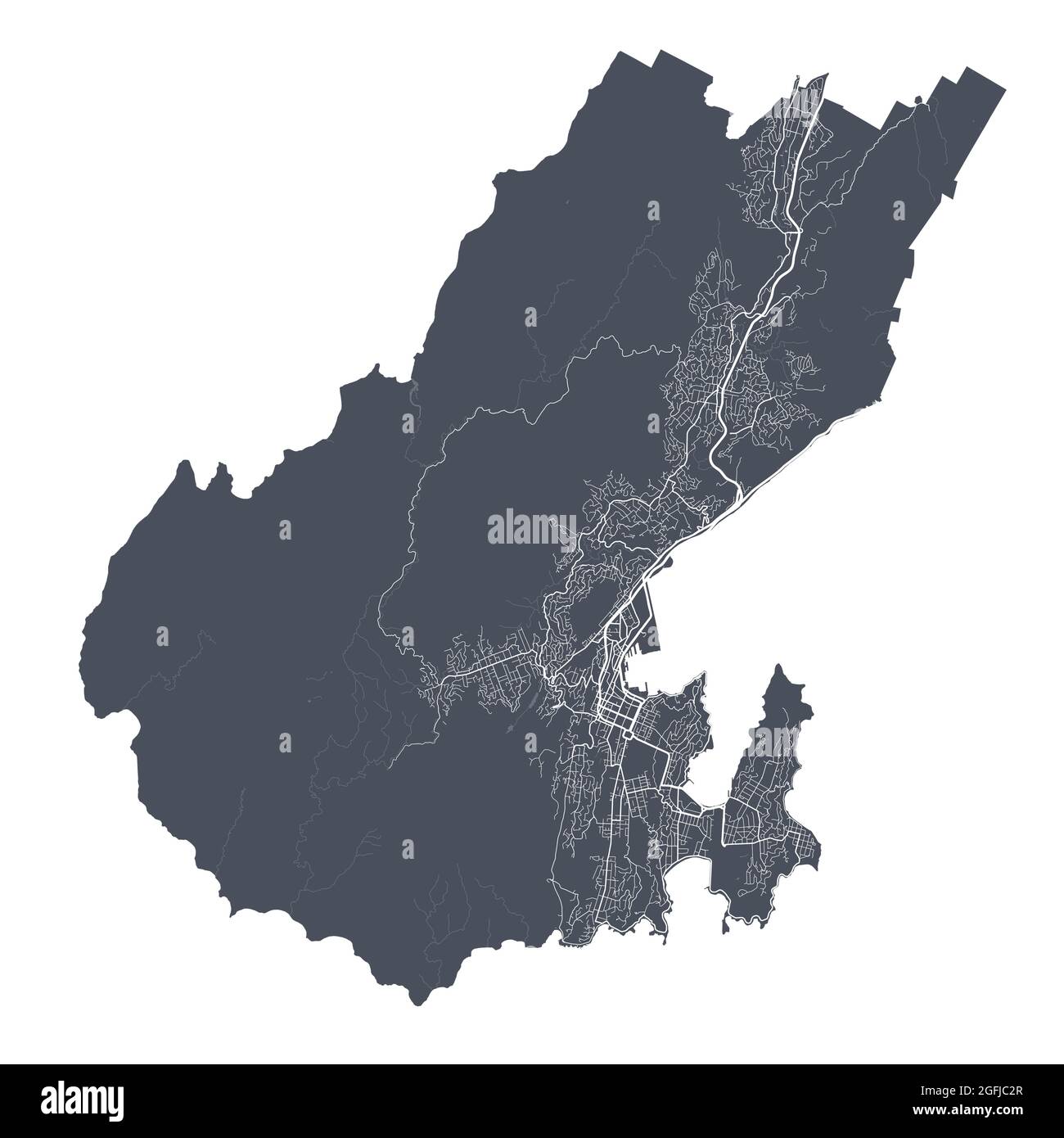 Wellington map. Detailed vector map of Wellington city administrative area. Cityscape poster metropolitan aria view. Black land with white streets, ro Stock Vectorhttps://www.alamy.com/image-license-details/?v=1https://www.alamy.com/wellington-map-detailed-vector-map-of-wellington-city-administrative-area-cityscape-poster-metropolitan-aria-view-black-land-with-white-streets-ro-image439883663.html
RF2GFJC2R–Wellington map. Detailed vector map of Wellington city administrative area. Cityscape poster metropolitan aria view. Black land with white streets, ro
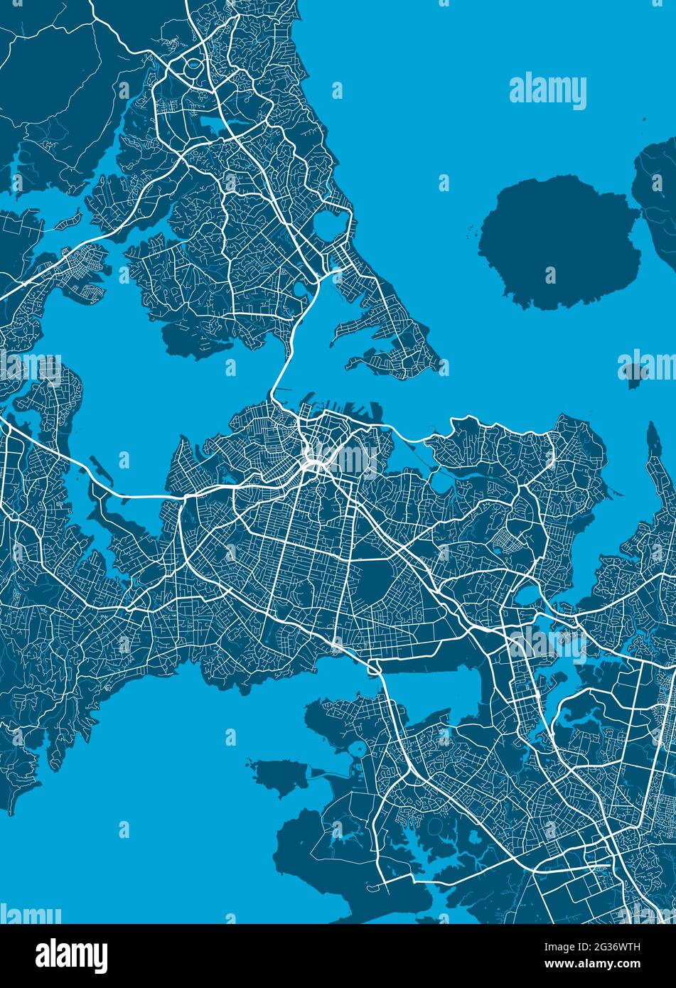 Detailed map of Auckland city administrative area. Royalty free vector illustration. Cityscape panorama. Decorative graphic tourist map of Auckland te Stock Vectorhttps://www.alamy.com/image-license-details/?v=1https://www.alamy.com/detailed-map-of-auckland-city-administrative-area-royalty-free-vector-illustration-cityscape-panorama-decorative-graphic-tourist-map-of-auckland-te-image432255169.html
RF2G36WTH–Detailed map of Auckland city administrative area. Royalty free vector illustration. Cityscape panorama. Decorative graphic tourist map of Auckland te
 Maunganui Roads, , NZ, New Zealand, , S 37 38' 39'', N 176 10' 50'', map, Cartascapes Map published in 2024. Explore Cartascapes, a map revealing Earth's diverse landscapes, cultures, and ecosystems. Journey through time and space, discovering the interconnectedness of our planet's past, present, and future. Stock Photohttps://www.alamy.com/image-license-details/?v=1https://www.alamy.com/maunganui-roads-nz-new-zealand-s-37-38-39-n-176-10-50-map-cartascapes-map-published-in-2024-explore-cartascapes-a-map-revealing-earths-diverse-landscapes-cultures-and-ecosystems-journey-through-time-and-space-discovering-the-interconnectedness-of-our-planets-past-present-and-future-image633981853.html
RM2YRCA91–Maunganui Roads, , NZ, New Zealand, , S 37 38' 39'', N 176 10' 50'', map, Cartascapes Map published in 2024. Explore Cartascapes, a map revealing Earth's diverse landscapes, cultures, and ecosystems. Journey through time and space, discovering the interconnectedness of our planet's past, present, and future.
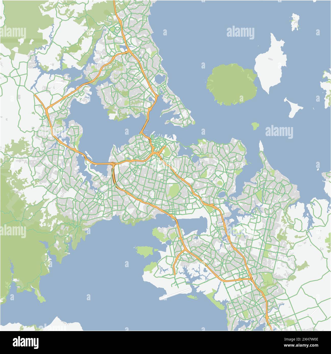 Road map of Auckland in New Zealand. Contains layered vector with roads water, parks, etc. Stock Vectorhttps://www.alamy.com/image-license-details/?v=1https://www.alamy.com/road-map-of-auckland-in-new-zealand-contains-layered-vector-with-roads-water-parks-etc-image612985310.html
RF2XH7W0E–Road map of Auckland in New Zealand. Contains layered vector with roads water, parks, etc.
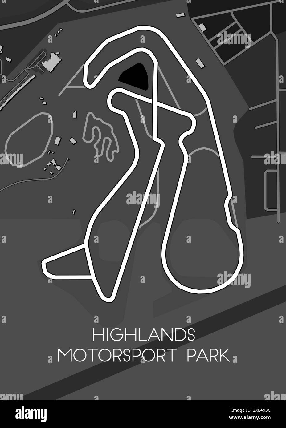 Highlands Motorsport Park, New Zealand race track map poster Stock Vectorhttps://www.alamy.com/image-license-details/?v=1https://www.alamy.com/highlands-motorsport-park-new-zealand-race-track-map-poster-image611063024.html
RF2XE493C–Highlands Motorsport Park, New Zealand race track map poster
 Taranaki Roads, , NZ, New Zealand, , S 39 0' 0'', N 174 0' 0'', map, Cartascapes Map published in 2024. Explore Cartascapes, a map revealing Earth's diverse landscapes, cultures, and ecosystems. Journey through time and space, discovering the interconnectedness of our planet's past, present, and future. Stock Photohttps://www.alamy.com/image-license-details/?v=1https://www.alamy.com/taranaki-roads-nz-new-zealand-s-39-0-0-n-174-0-0-map-cartascapes-map-published-in-2024-explore-cartascapes-a-map-revealing-earths-diverse-landscapes-cultures-and-ecosystems-journey-through-time-and-space-discovering-the-interconnectedness-of-our-planets-past-present-and-future-image633972378.html
RM2YRBX6J–Taranaki Roads, , NZ, New Zealand, , S 39 0' 0'', N 174 0' 0'', map, Cartascapes Map published in 2024. Explore Cartascapes, a map revealing Earth's diverse landscapes, cultures, and ecosystems. Journey through time and space, discovering the interconnectedness of our planet's past, present, and future.
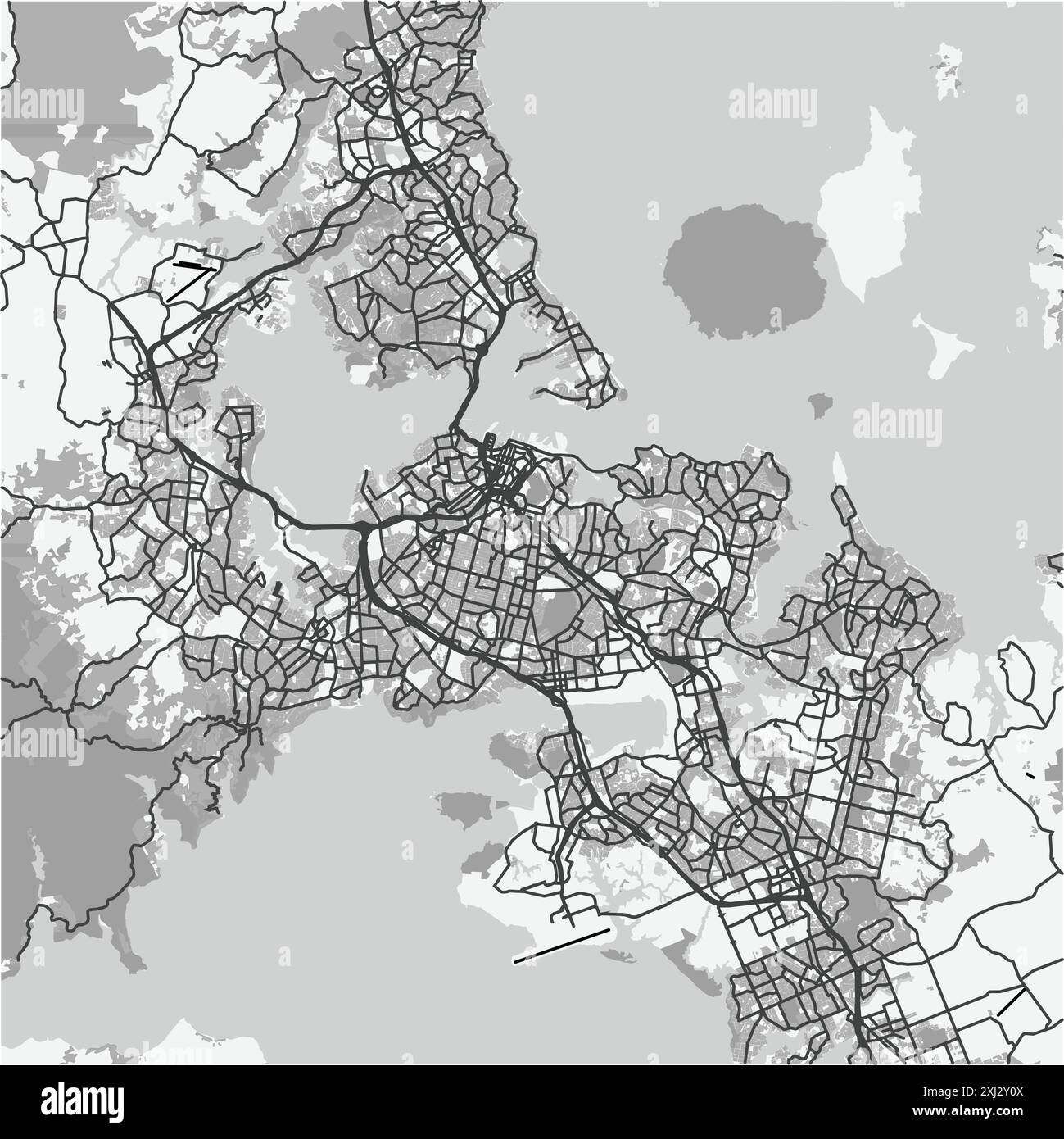 Map of Auckland in New Zealand in grayscale. Contains layered vector with roads water, parks, etc. Stock Vectorhttps://www.alamy.com/image-license-details/?v=1https://www.alamy.com/map-of-auckland-in-new-zealand-in-grayscale-contains-layered-vector-with-roads-water-parks-etc-image613491786.html
RF2XJ2Y0X–Map of Auckland in New Zealand in grayscale. Contains layered vector with roads water, parks, etc.
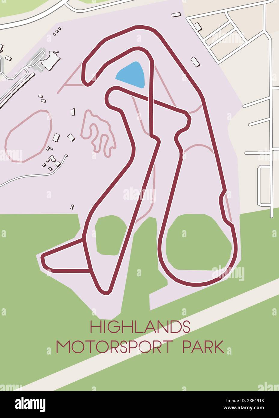 Highlands Motorsport Park, New Zealand race track map poster Stock Vectorhttps://www.alamy.com/image-license-details/?v=1https://www.alamy.com/highlands-motorsport-park-new-zealand-race-track-map-poster-image611062964.html
RF2XE4918–Highlands Motorsport Park, New Zealand race track map poster
 Howells Roads, , NZ, New Zealand, , S 46 22' 0'', N 168 1' 0'', map, Cartascapes Map published in 2024. Explore Cartascapes, a map revealing Earth's diverse landscapes, cultures, and ecosystems. Journey through time and space, discovering the interconnectedness of our planet's past, present, and future. Stock Photohttps://www.alamy.com/image-license-details/?v=1https://www.alamy.com/howells-roads-nz-new-zealand-s-46-22-0-n-168-1-0-map-cartascapes-map-published-in-2024-explore-cartascapes-a-map-revealing-earths-diverse-landscapes-cultures-and-ecosystems-journey-through-time-and-space-discovering-the-interconnectedness-of-our-planets-past-present-and-future-image634080248.html
RM2YRGRR4–Howells Roads, , NZ, New Zealand, , S 46 22' 0'', N 168 1' 0'', map, Cartascapes Map published in 2024. Explore Cartascapes, a map revealing Earth's diverse landscapes, cultures, and ecosystems. Journey through time and space, discovering the interconnectedness of our planet's past, present, and future.
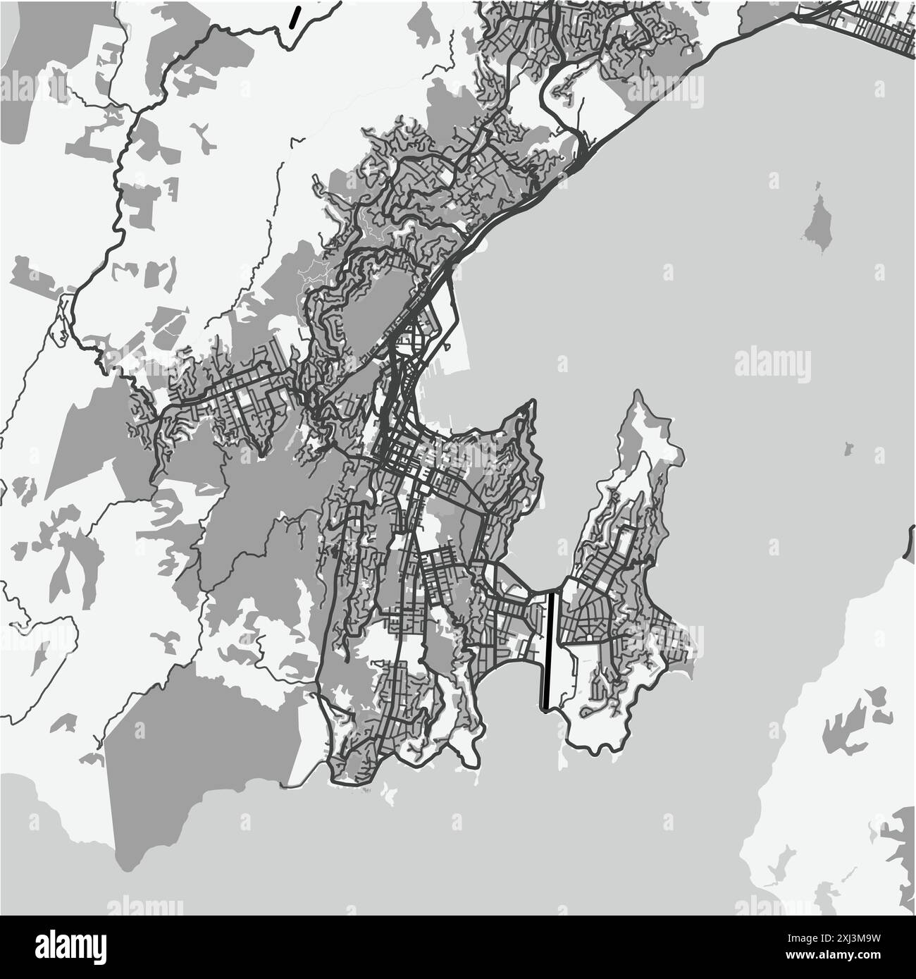 Map of Wellington in New Zealand in grayscale. Contains layered vector with roads water, parks, etc. Stock Vectorhttps://www.alamy.com/image-license-details/?v=1https://www.alamy.com/map-of-wellington-in-new-zealand-in-grayscale-contains-layered-vector-with-roads-water-parks-etc-image613508501.html
RF2XJ3M9W–Map of Wellington in New Zealand in grayscale. Contains layered vector with roads water, parks, etc.
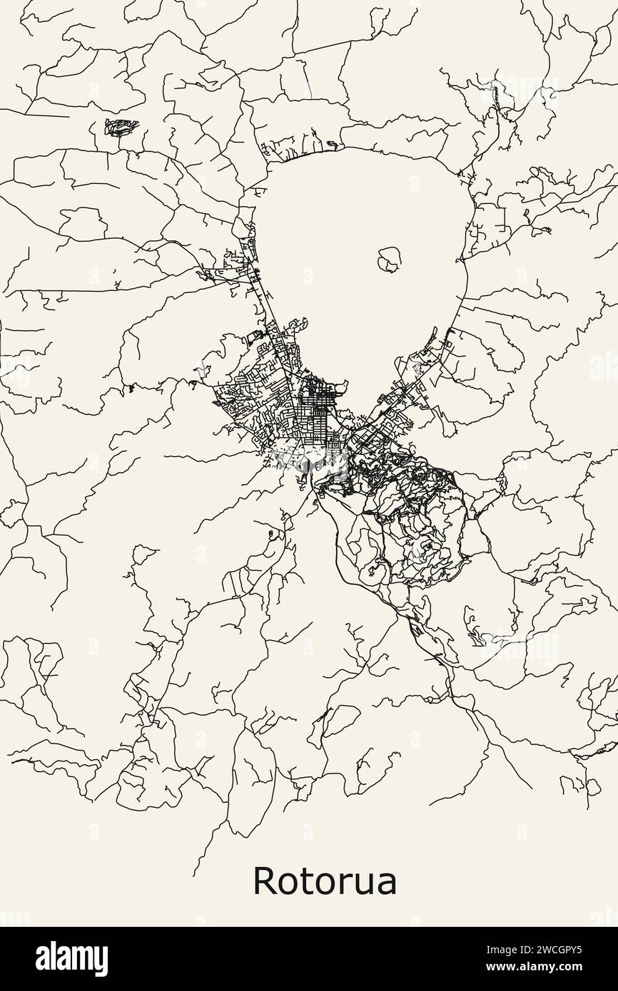 City Road Map OF Rotorua, New Zealand Stock Vectorhttps://www.alamy.com/image-license-details/?v=1https://www.alamy.com/city-road-map-of-rotorua-new-zealand-image592897625.html
RF2WCGPY5–City Road Map OF Rotorua, New Zealand
 Napier Roads, , NZ, New Zealand, , S 39 28' 11'', N 176 55' 23'', map, Cartascapes Map published in 2024. Explore Cartascapes, a map revealing Earth's diverse landscapes, cultures, and ecosystems. Journey through time and space, discovering the interconnectedness of our planet's past, present, and future. Stock Photohttps://www.alamy.com/image-license-details/?v=1https://www.alamy.com/napier-roads-nz-new-zealand-s-39-28-11-n-176-55-23-map-cartascapes-map-published-in-2024-explore-cartascapes-a-map-revealing-earths-diverse-landscapes-cultures-and-ecosystems-journey-through-time-and-space-discovering-the-interconnectedness-of-our-planets-past-present-and-future-image633988120.html
RM2YRCJ8T–Napier Roads, , NZ, New Zealand, , S 39 28' 11'', N 176 55' 23'', map, Cartascapes Map published in 2024. Explore Cartascapes, a map revealing Earth's diverse landscapes, cultures, and ecosystems. Journey through time and space, discovering the interconnectedness of our planet's past, present, and future.
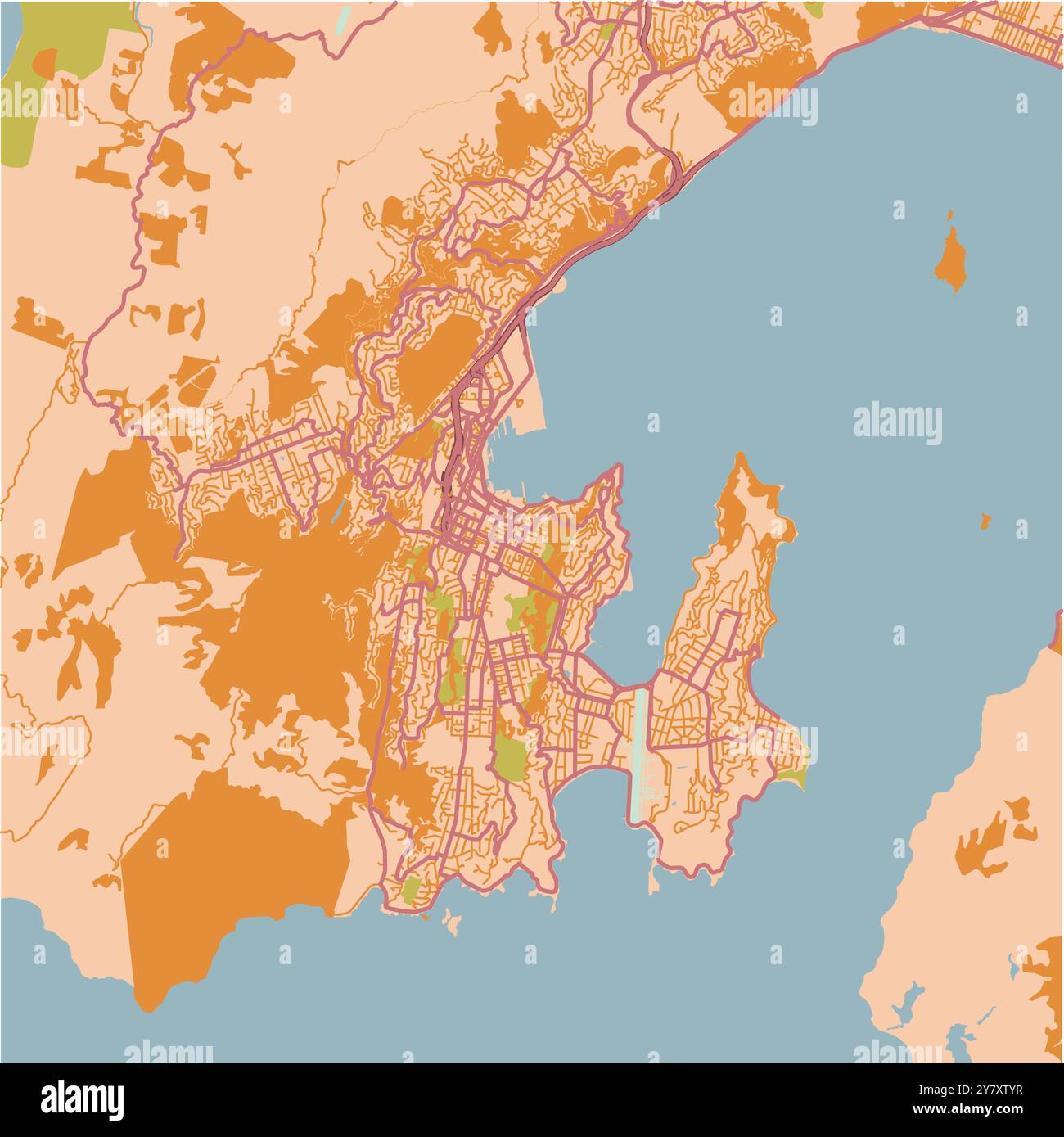 Map of Wellington in New Zealand in a sandy theme. Contains layered vector with roads water, parks, etc. Stock Vectorhttps://www.alamy.com/image-license-details/?v=1https://www.alamy.com/map-of-wellington-in-new-zealand-in-a-sandy-theme-contains-layered-vector-with-roads-water-parks-etc-image624466187.html
RF2Y7XTYR–Map of Wellington in New Zealand in a sandy theme. Contains layered vector with roads water, parks, etc.
 Five Roads, , NZ, New Zealand, Southland, S 46 8' 18'', N 168 12' 0'', map, Cartascapes Map published in 2024. Explore Cartascapes, a map revealing Earth's diverse landscapes, cultures, and ecosystems. Journey through time and space, discovering the interconnectedness of our planet's past, present, and future. Stock Photohttps://www.alamy.com/image-license-details/?v=1https://www.alamy.com/five-roads-nz-new-zealand-southland-s-46-8-18-n-168-12-0-map-cartascapes-map-published-in-2024-explore-cartascapes-a-map-revealing-earths-diverse-landscapes-cultures-and-ecosystems-journey-through-time-and-space-discovering-the-interconnectedness-of-our-planets-past-present-and-future-image634081507.html
RM2YRGWC3–Five Roads, , NZ, New Zealand, Southland, S 46 8' 18'', N 168 12' 0'', map, Cartascapes Map published in 2024. Explore Cartascapes, a map revealing Earth's diverse landscapes, cultures, and ecosystems. Journey through time and space, discovering the interconnectedness of our planet's past, present, and future.
 Map of Auckland in New Zealand in a sandy theme. Contains layered vector with roads water, parks, etc. Stock Vectorhttps://www.alamy.com/image-license-details/?v=1https://www.alamy.com/map-of-auckland-in-new-zealand-in-a-sandy-theme-contains-layered-vector-with-roads-water-parks-etc-image624465333.html
RF2Y7XRW9–Map of Auckland in New Zealand in a sandy theme. Contains layered vector with roads water, parks, etc.
 Rangitoto Roads, , NZ, New Zealand, Nelson, S 40 45' 29'', N 173 57' 36'', map, Cartascapes Map published in 2024. Explore Cartascapes, a map revealing Earth's diverse landscapes, cultures, and ecosystems. Journey through time and space, discovering the interconnectedness of our planet's past, present, and future. Stock Photohttps://www.alamy.com/image-license-details/?v=1https://www.alamy.com/rangitoto-roads-nz-new-zealand-nelson-s-40-45-29-n-173-57-36-map-cartascapes-map-published-in-2024-explore-cartascapes-a-map-revealing-earths-diverse-landscapes-cultures-and-ecosystems-journey-through-time-and-space-discovering-the-interconnectedness-of-our-planets-past-present-and-future-image634053269.html
RM2YRFHBH–Rangitoto Roads, , NZ, New Zealand, Nelson, S 40 45' 29'', N 173 57' 36'', map, Cartascapes Map published in 2024. Explore Cartascapes, a map revealing Earth's diverse landscapes, cultures, and ecosystems. Journey through time and space, discovering the interconnectedness of our planet's past, present, and future.
 Map of Wellington in New Zealand in a smooth dark style. Contains layered vector with roads water, parks, etc. Stock Vectorhttps://www.alamy.com/image-license-details/?v=1https://www.alamy.com/map-of-wellington-in-new-zealand-in-a-smooth-dark-style-contains-layered-vector-with-roads-water-parks-etc-image624214495.html
RF2Y7FBXR–Map of Wellington in New Zealand in a smooth dark style. Contains layered vector with roads water, parks, etc.
 Five Cross Roads, , NZ, New Zealand, Canterbury, S 44 17' 54'', N 171 12' 36'', map, Cartascapes Map published in 2024. Explore Cartascapes, a map revealing Earth's diverse landscapes, cultures, and ecosystems. Journey through time and space, discovering the interconnectedness of our planet's past, present, and future. Stock Photohttps://www.alamy.com/image-license-details/?v=1https://www.alamy.com/five-cross-roads-nz-new-zealand-canterbury-s-44-17-54-n-171-12-36-map-cartascapes-map-published-in-2024-explore-cartascapes-a-map-revealing-earths-diverse-landscapes-cultures-and-ecosystems-journey-through-time-and-space-discovering-the-interconnectedness-of-our-planets-past-present-and-future-image634069361.html
RM2YRG9X9–Five Cross Roads, , NZ, New Zealand, Canterbury, S 44 17' 54'', N 171 12' 36'', map, Cartascapes Map published in 2024. Explore Cartascapes, a map revealing Earth's diverse landscapes, cultures, and ecosystems. Journey through time and space, discovering the interconnectedness of our planet's past, present, and future.
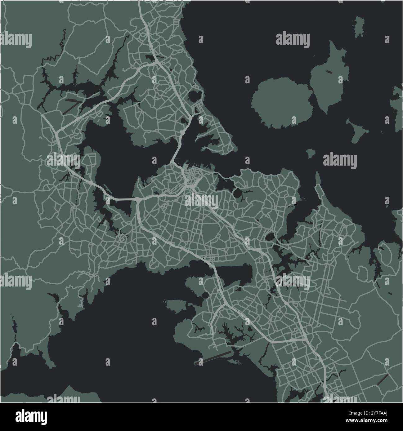 Map of Auckland in New Zealand in a smooth dark style. Contains layered vector with roads water, parks, etc. Stock Vectorhttps://www.alamy.com/image-license-details/?v=1https://www.alamy.com/map-of-auckland-in-new-zealand-in-a-smooth-dark-style-contains-layered-vector-with-roads-water-parks-etc-image624213258.html
RF2Y7FAAJ–Map of Auckland in New Zealand in a smooth dark style. Contains layered vector with roads water, parks, etc.
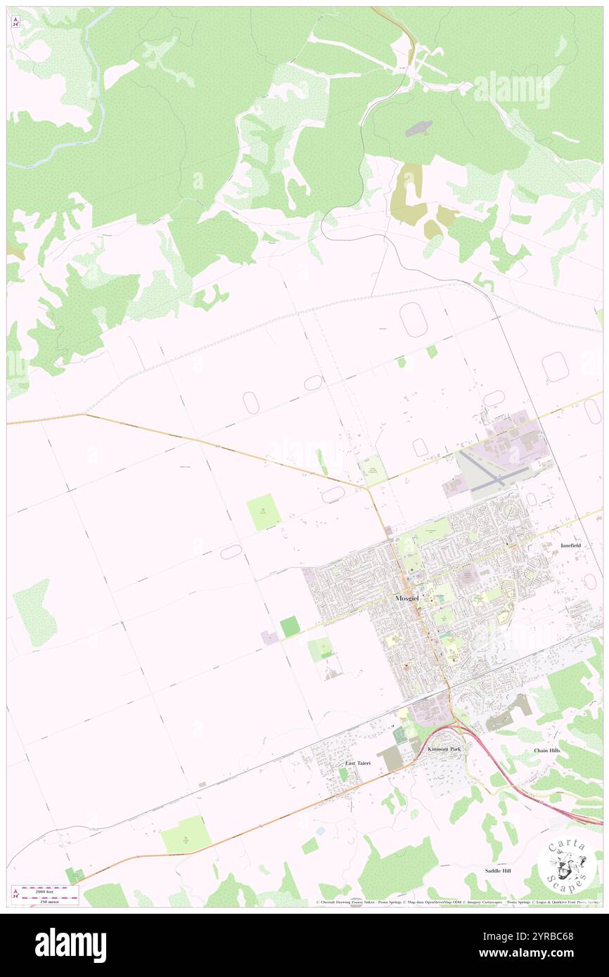 Five Roads, Dunedin City, NZ, New Zealand, Otago, S 45 51' 30'', N 170 19' 48'', map, Cartascapes Map published in 2024. Explore Cartascapes, a map revealing Earth's diverse landscapes, cultures, and ecosystems. Journey through time and space, discovering the interconnectedness of our planet's past, present, and future. Stock Photohttps://www.alamy.com/image-license-details/?v=1https://www.alamy.com/five-roads-dunedin-city-nz-new-zealand-otago-s-45-51-30-n-170-19-48-map-cartascapes-map-published-in-2024-explore-cartascapes-a-map-revealing-earths-diverse-landscapes-cultures-and-ecosystems-journey-through-time-and-space-discovering-the-interconnectedness-of-our-planets-past-present-and-future-image633961392.html
RM2YRBC68–Five Roads, Dunedin City, NZ, New Zealand, Otago, S 45 51' 30'', N 170 19' 48'', map, Cartascapes Map published in 2024. Explore Cartascapes, a map revealing Earth's diverse landscapes, cultures, and ecosystems. Journey through time and space, discovering the interconnectedness of our planet's past, present, and future.
 Cross Roads, Timaru District, NZ, New Zealand, Canterbury, S 44 14' 18'', N 171 18' 36'', map, Cartascapes Map published in 2024. Explore Cartascapes, a map revealing Earth's diverse landscapes, cultures, and ecosystems. Journey through time and space, discovering the interconnectedness of our planet's past, present, and future. Stock Photohttps://www.alamy.com/image-license-details/?v=1https://www.alamy.com/cross-roads-timaru-district-nz-new-zealand-canterbury-s-44-14-18-n-171-18-36-map-cartascapes-map-published-in-2024-explore-cartascapes-a-map-revealing-earths-diverse-landscapes-cultures-and-ecosystems-journey-through-time-and-space-discovering-the-interconnectedness-of-our-planets-past-present-and-future-image634047056.html
RM2YRF9DM–Cross Roads, Timaru District, NZ, New Zealand, Canterbury, S 44 14' 18'', N 171 18' 36'', map, Cartascapes Map published in 2024. Explore Cartascapes, a map revealing Earth's diverse landscapes, cultures, and ecosystems. Journey through time and space, discovering the interconnectedness of our planet's past, present, and future.