Quick filters:
Map of oakland oregon Stock Photos and Images
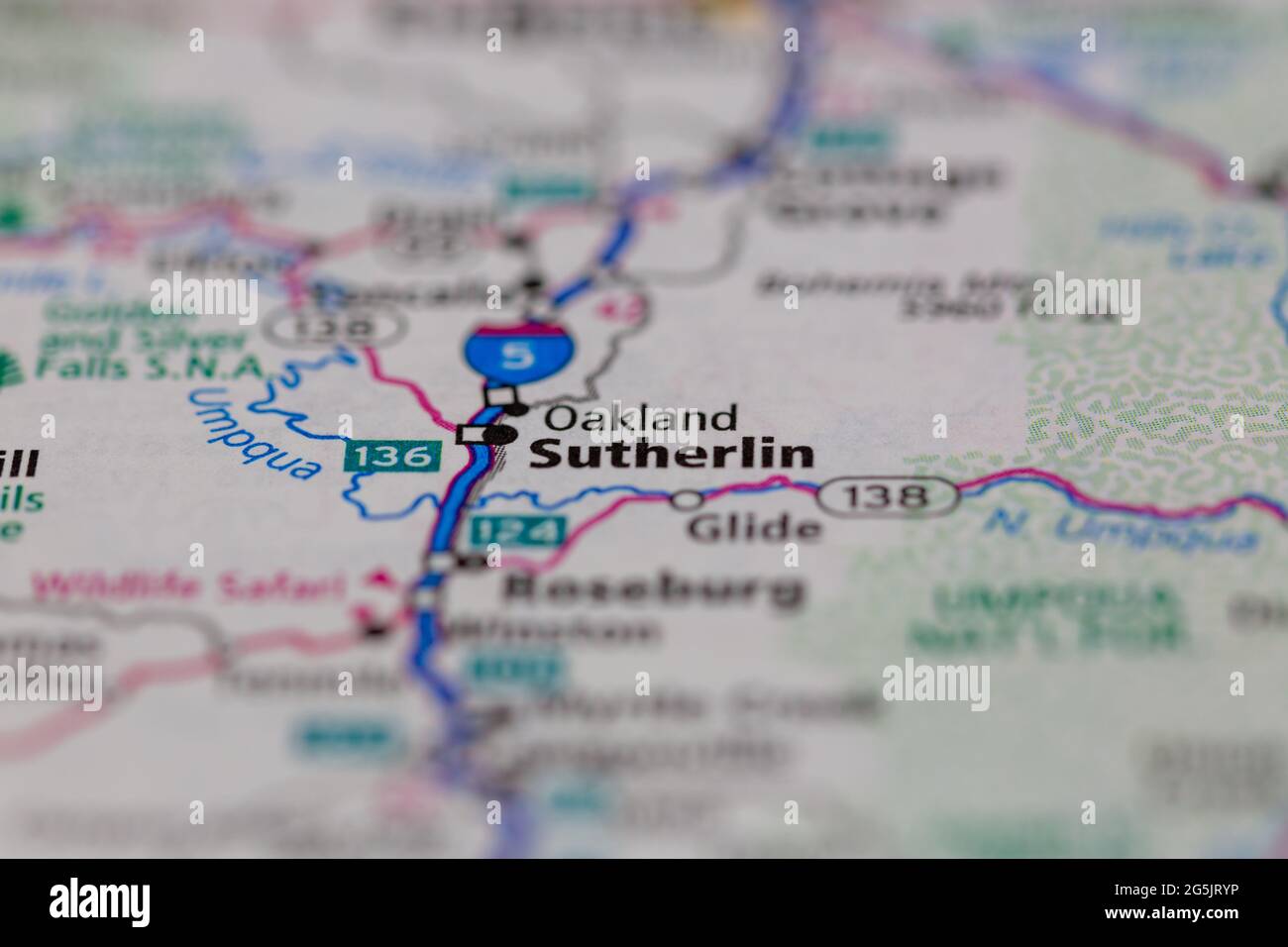 Oakland Oregon USA shown on a Geography map or road map Stock Photohttps://www.alamy.com/image-license-details/?v=1https://www.alamy.com/oakland-oregon-usa-shown-on-a-geography-map-or-road-map-image433746426.html
RM2G5JRYP–Oakland Oregon USA shown on a Geography map or road map
 Oakland, Douglas County, US, United States, Oregon, N 43 25' 19'', S 123 17' 54'', map, Cartascapes Map published in 2024. Explore Cartascapes, a map revealing Earth's diverse landscapes, cultures, and ecosystems. Journey through time and space, discovering the interconnectedness of our planet's past, present, and future. Stock Photohttps://www.alamy.com/image-license-details/?v=1https://www.alamy.com/oakland-douglas-county-us-united-states-oregon-n-43-25-19-s-123-17-54-map-cartascapes-map-published-in-2024-explore-cartascapes-a-map-revealing-earths-diverse-landscapes-cultures-and-ecosystems-journey-through-time-and-space-discovering-the-interconnectedness-of-our-planets-past-present-and-future-image621214945.html
RM2Y2JP01–Oakland, Douglas County, US, United States, Oregon, N 43 25' 19'', S 123 17' 54'', map, Cartascapes Map published in 2024. Explore Cartascapes, a map revealing Earth's diverse landscapes, cultures, and ecosystems. Journey through time and space, discovering the interconnectedness of our planet's past, present, and future.
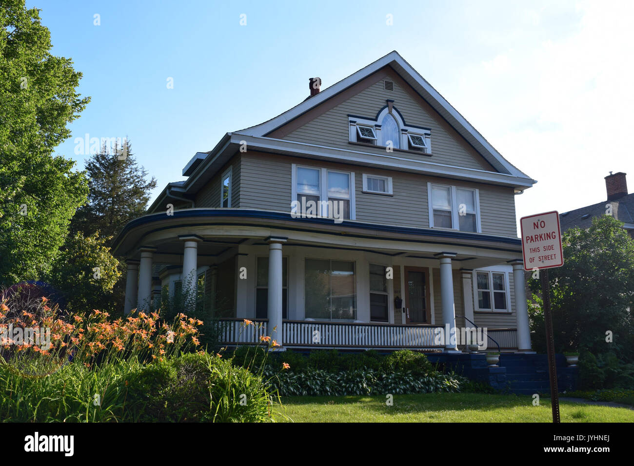 803 Oregon Street, Oakland Dousman Historic District, Green Bay, WI Stock Photohttps://www.alamy.com/image-license-details/?v=1https://www.alamy.com/803-oregon-street-oakland-dousman-historic-district-green-bay-wi-image154668714.html
RMJYHNEJ–803 Oregon Street, Oakland Dousman Historic District, Green Bay, WI
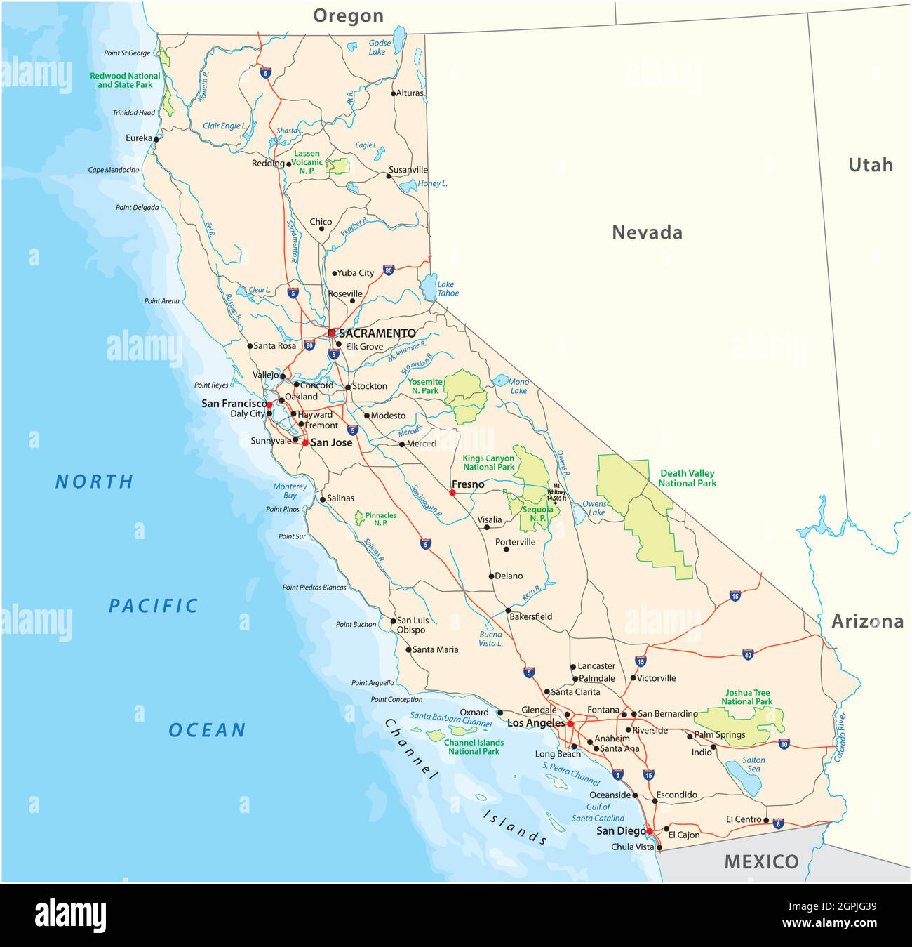 road and national park vector map of the US state of California Stock Vectorhttps://www.alamy.com/image-license-details/?v=1https://www.alamy.com/road-and-national-park-vector-map-of-the-us-state-of-california-image444189405.html
RF2GPJG39–road and national park vector map of the US state of California
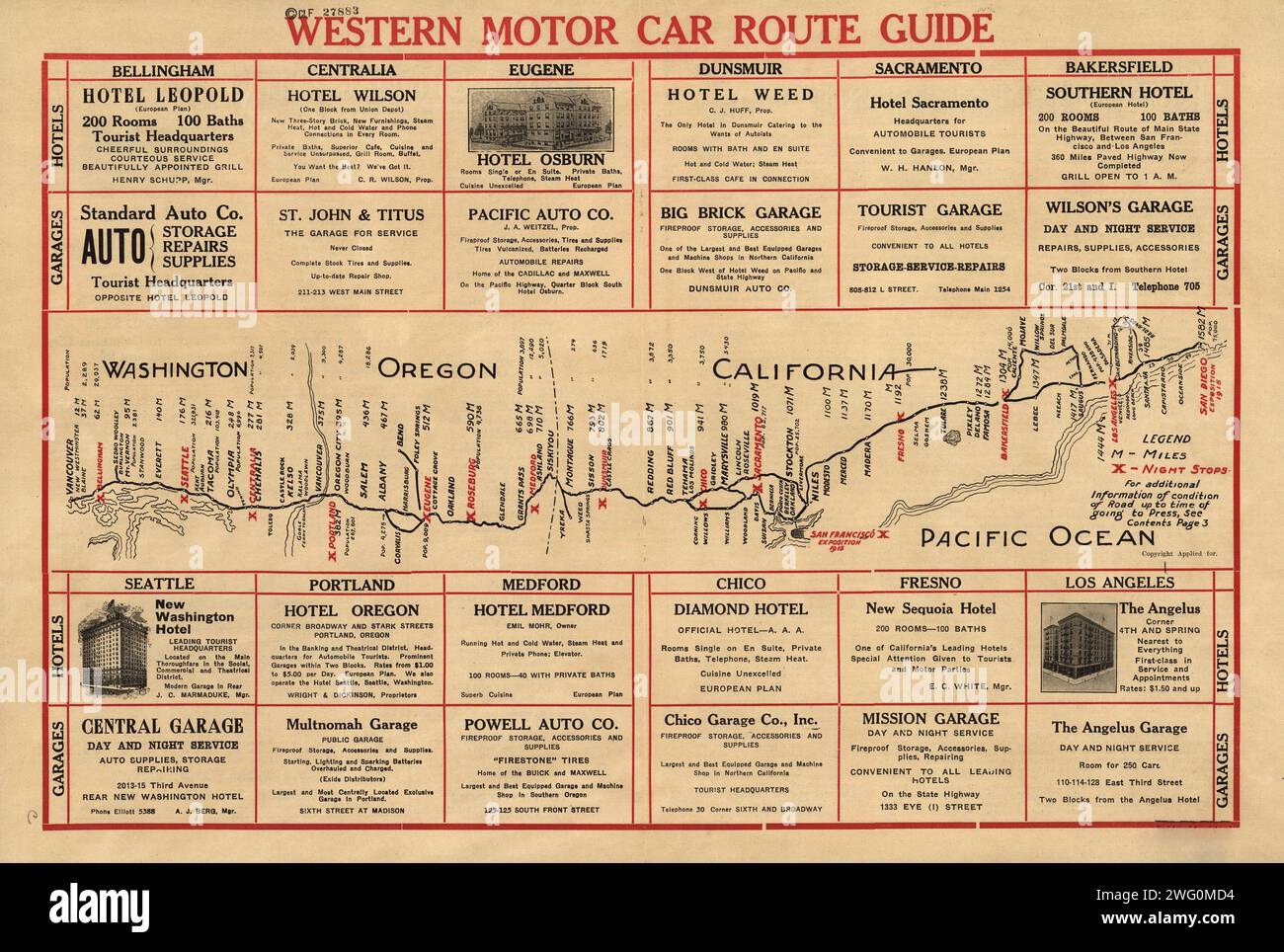 Western motor car route guide, (1915?). This automobile guide shows the main highway route between Vancouver, Canada, and San Diego, California, circa 1915. The map lists the distance in miles from Vancouver to cities along the way, and highlights in red lettering the major intermediate stops, such as Seattle, Portland, San Francisco (Oakland), Bakersfield, and Los Angeles. Major civic expositions occurring in San Francisco and San Diego in 1915, which stimulated significant motor travel that year, are noted in red as well. Parts of the route include the Pacific Highway as well as follow segme Stock Photohttps://www.alamy.com/image-license-details/?v=1https://www.alamy.com/western-motor-car-route-guide-1915-this-automobile-guide-shows-the-main-highway-route-between-vancouver-canada-and-san-diego-california-circa-1915-the-map-lists-the-distance-in-miles-from-vancouver-to-cities-along-the-way-and-highlights-in-red-lettering-the-major-intermediate-stops-such-as-seattle-portland-san-francisco-oakland-bakersfield-and-los-angeles-major-civic-expositions-occurring-in-san-francisco-and-san-diego-in-1915-which-stimulated-significant-motor-travel-that-year-are-noted-in-red-as-well-parts-of-the-route-include-the-pacific-highway-as-well-as-follow-segme-image595003056.html
RM2WG0MD4–Western motor car route guide, (1915?). This automobile guide shows the main highway route between Vancouver, Canada, and San Diego, California, circa 1915. The map lists the distance in miles from Vancouver to cities along the way, and highlights in red lettering the major intermediate stops, such as Seattle, Portland, San Francisco (Oakland), Bakersfield, and Los Angeles. Major civic expositions occurring in San Francisco and San Diego in 1915, which stimulated significant motor travel that year, are noted in red as well. Parts of the route include the Pacific Highway as well as follow segme
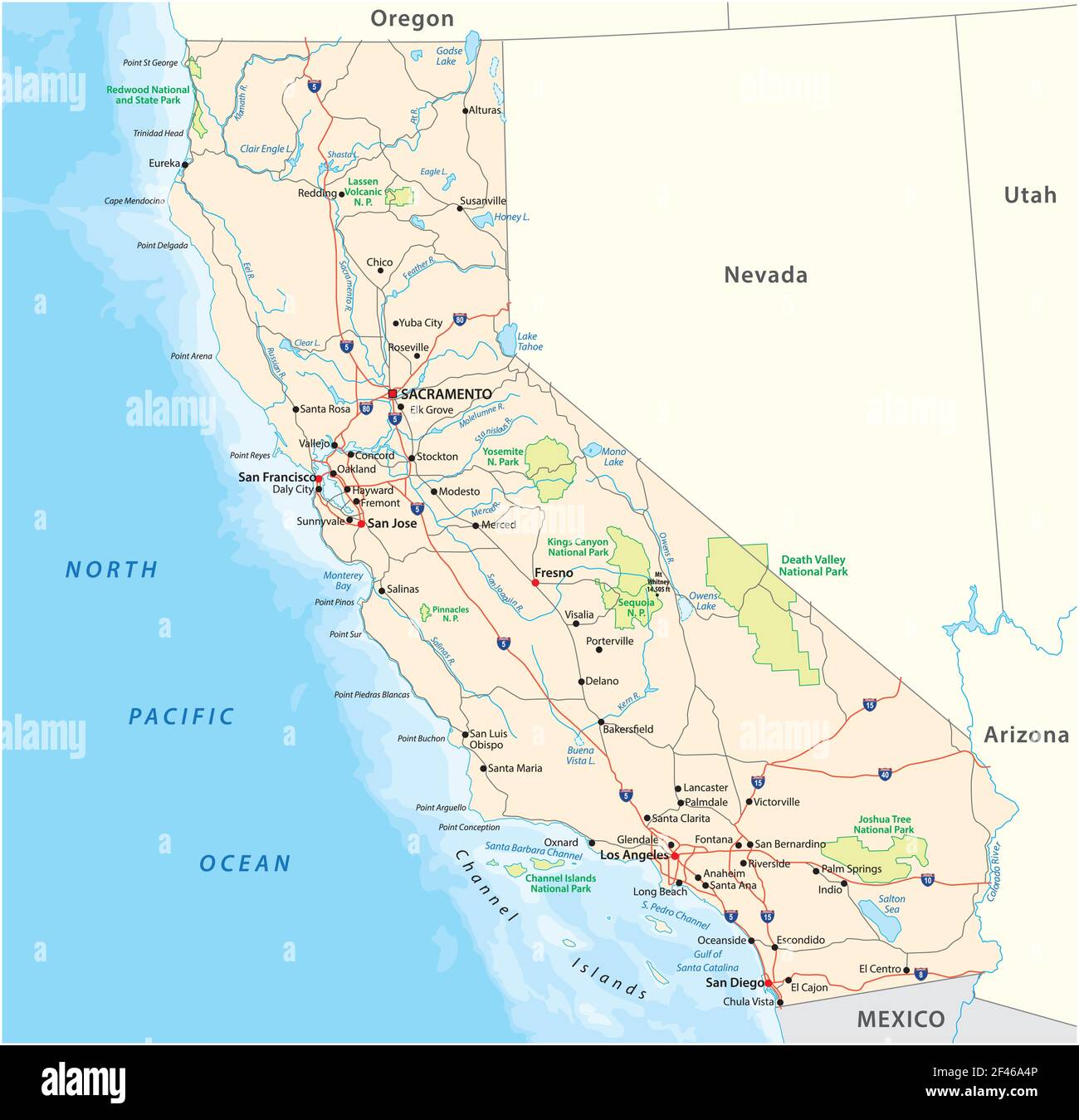 roads and national park vector map of the US state of California Stock Vectorhttps://www.alamy.com/image-license-details/?v=1https://www.alamy.com/roads-and-national-park-vector-map-of-the-us-state-of-california-image415647142.html
RF2F46A4P–roads and national park vector map of the US state of California
 49867 Untreated Oregon fir ile in Southerland Pacific Oakland Mole Deeper penetration by Limnoria Stock Photohttps://www.alamy.com/image-license-details/?v=1https://www.alamy.com/stock-photo-49867-untreated-oregon-fir-ile-in-southerland-pacific-oakland-mole-115077183.html
RMGK663B–49867 Untreated Oregon fir ile in Southerland Pacific Oakland Mole Deeper penetration by Limnoria
 Oakland, Douglas County, US, United States, Oregon, N 43 25' 19'', S 123 17' 54'', map, Cartascapes Map published in 2024. Explore Cartascapes, a map revealing Earth's diverse landscapes, cultures, and ecosystems. Journey through time and space, discovering the interconnectedness of our planet's past, present, and future. Stock Photohttps://www.alamy.com/image-license-details/?v=1https://www.alamy.com/oakland-douglas-county-us-united-states-oregon-n-43-25-19-s-123-17-54-map-cartascapes-map-published-in-2024-explore-cartascapes-a-map-revealing-earths-diverse-landscapes-cultures-and-ecosystems-journey-through-time-and-space-discovering-the-interconnectedness-of-our-planets-past-present-and-future-image621307894.html
RM2Y2R0FJ–Oakland, Douglas County, US, United States, Oregon, N 43 25' 19'', S 123 17' 54'', map, Cartascapes Map published in 2024. Explore Cartascapes, a map revealing Earth's diverse landscapes, cultures, and ecosystems. Journey through time and space, discovering the interconnectedness of our planet's past, present, and future.
 49866 Untreated Oregon fir fender pile one month, July, 1920, in Municipal Quay, Oakland Estuary Initial attack of Limnoria Stock Photohttps://www.alamy.com/image-license-details/?v=1https://www.alamy.com/stock-photo-49866-untreated-oregon-fir-fender-pile-one-month-july-1920-in-municipal-115077181.html
RMGK6639–49866 Untreated Oregon fir fender pile one month, July, 1920, in Municipal Quay, Oakland Estuary Initial attack of Limnoria
 City of Oakland, Douglas County, US, United States, Oregon, N 43 25' 24'', S 123 17' 48'', map, Cartascapes Map published in 2024. Explore Cartascapes, a map revealing Earth's diverse landscapes, cultures, and ecosystems. Journey through time and space, discovering the interconnectedness of our planet's past, present, and future. Stock Photohttps://www.alamy.com/image-license-details/?v=1https://www.alamy.com/city-of-oakland-douglas-county-us-united-states-oregon-n-43-25-24-s-123-17-48-map-cartascapes-map-published-in-2024-explore-cartascapes-a-map-revealing-earths-diverse-landscapes-cultures-and-ecosystems-journey-through-time-and-space-discovering-the-interconnectedness-of-our-planets-past-present-and-future-image633847754.html
RM2YR677P–City of Oakland, Douglas County, US, United States, Oregon, N 43 25' 24'', S 123 17' 48'', map, Cartascapes Map published in 2024. Explore Cartascapes, a map revealing Earth's diverse landscapes, cultures, and ecosystems. Journey through time and space, discovering the interconnectedness of our planet's past, present, and future.
 49868 Untreated Oregon fir fender pile, Oakland Municipal Quay, driven 1913, removed 1920 Limnoria attack uncovering Xylotrya tubes Stock Photohttps://www.alamy.com/image-license-details/?v=1https://www.alamy.com/stock-photo-49868-untreated-oregon-fir-fender-pile-oakland-municipal-quay-driven-115077184.html
RMGK663C–49868 Untreated Oregon fir fender pile, Oakland Municipal Quay, driven 1913, removed 1920 Limnoria attack uncovering Xylotrya tubes