Map of ogdensburg new york Stock Photos and Images
(109)See map of ogdensburg new york stock video clipsQuick filters:
Map of ogdensburg new york Stock Photos and Images
 Ogdensburg New York USA Shown on a Geography map or road map Stock Photohttps://www.alamy.com/image-license-details/?v=1https://www.alamy.com/ogdensburg-new-york-usa-shown-on-a-geography-map-or-road-map-image429052856.html
RM2FX1188–Ogdensburg New York USA Shown on a Geography map or road map
 Image 7 of Sanborn Fire Insurance Map from Ogdensburg, St. Lawrence County, New York. Apr 1892. 16 Sheet(s), America, street map with a Nineteenth Century compass Stock Photohttps://www.alamy.com/image-license-details/?v=1https://www.alamy.com/image-7-of-sanborn-fire-insurance-map-from-ogdensburg-st-lawrence-county-new-york-apr-1892-16-sheets-america-street-map-with-a-nineteenth-century-compass-image344694313.html
RM2B0P535–Image 7 of Sanborn Fire Insurance Map from Ogdensburg, St. Lawrence County, New York. Apr 1892. 16 Sheet(s), America, street map with a Nineteenth Century compass
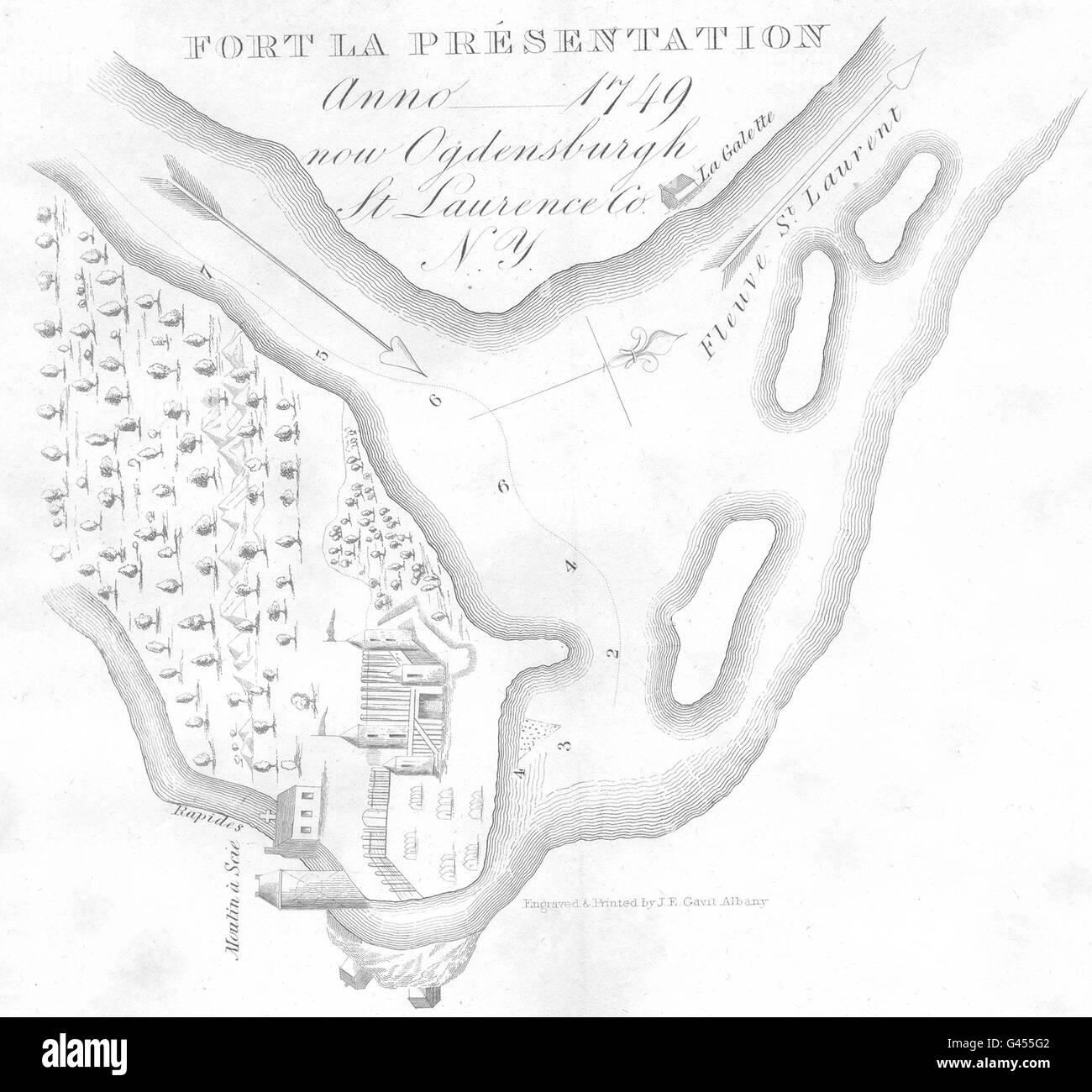 NEW YORK STATE: Ogdensburg, St Lawrence County. Fort Présentation, 1849 map Stock Photohttps://www.alamy.com/image-license-details/?v=1https://www.alamy.com/stock-photo-new-york-state-ogdensburg-st-lawrence-county-fort-prsentation-1849-105834962.html
RFG455G2–NEW YORK STATE: Ogdensburg, St Lawrence County. Fort Présentation, 1849 map
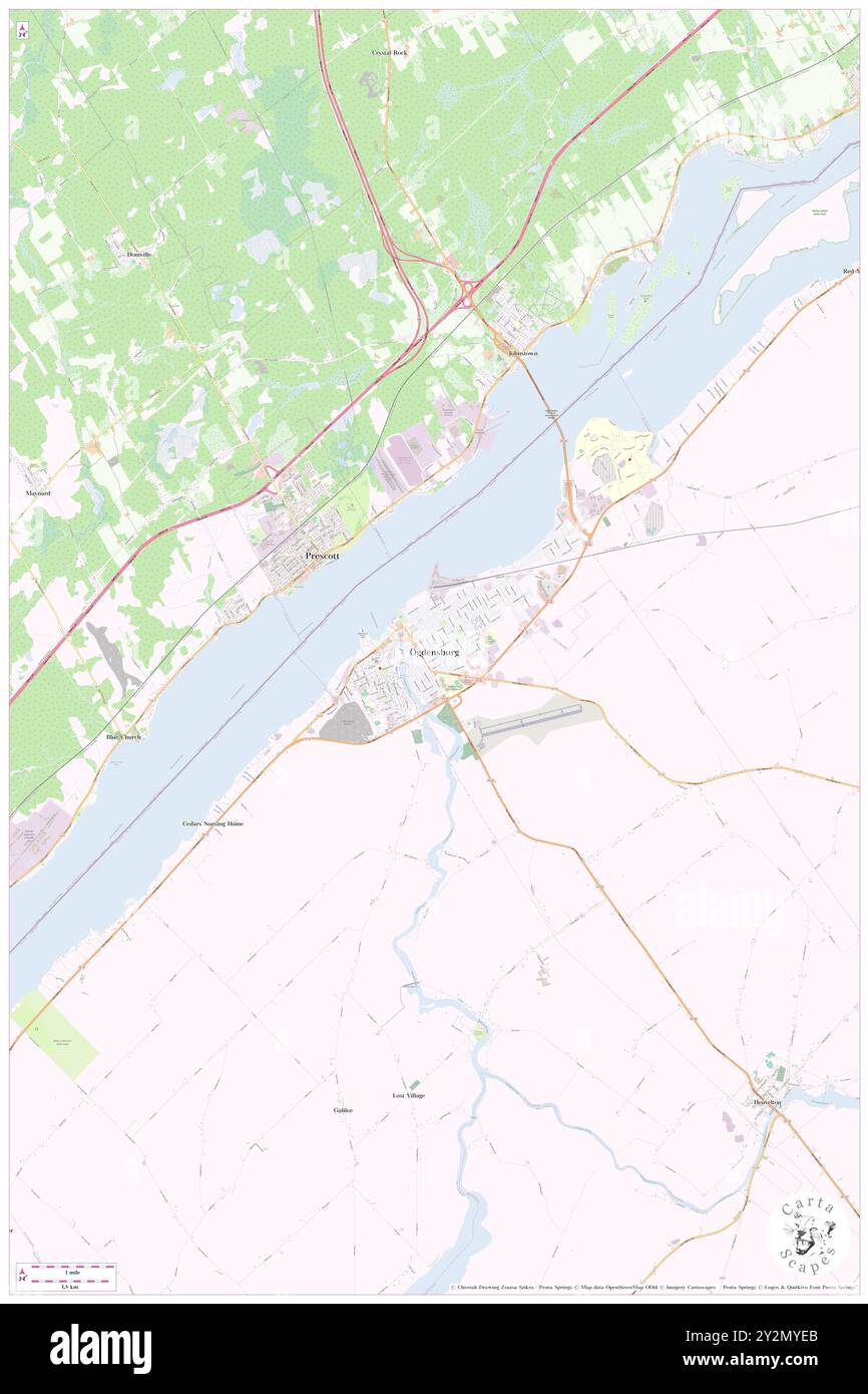 Ogdensburg, St. Lawrence County, US, United States, New York, N 44 41' 39'', S 75 29' 10'', map, Cartascapes Map published in 2024. Explore Cartascapes, a map revealing Earth's diverse landscapes, cultures, and ecosystems. Journey through time and space, discovering the interconnectedness of our planet's past, present, and future. Stock Photohttps://www.alamy.com/image-license-details/?v=1https://www.alamy.com/ogdensburg-st-lawrence-county-us-united-states-new-york-n-44-41-39-s-75-29-10-map-cartascapes-map-published-in-2024-explore-cartascapes-a-map-revealing-earths-diverse-landscapes-cultures-and-ecosystems-journey-through-time-and-space-discovering-the-interconnectedness-of-our-planets-past-present-and-future-image621263171.html
RM2Y2MYEB–Ogdensburg, St. Lawrence County, US, United States, New York, N 44 41' 39'', S 75 29' 10'', map, Cartascapes Map published in 2024. Explore Cartascapes, a map revealing Earth's diverse landscapes, cultures, and ecosystems. Journey through time and space, discovering the interconnectedness of our planet's past, present, and future.
 Fire mark for Star Fire Insurance Company in Ogdensburg, New York Stock Photohttps://www.alamy.com/image-license-details/?v=1https://www.alamy.com/stock-image-fire-mark-for-star-fire-insurance-company-in-ogdensburg-new-york-162749906.html
RMKCNW4J–Fire mark for Star Fire Insurance Company in Ogdensburg, New York
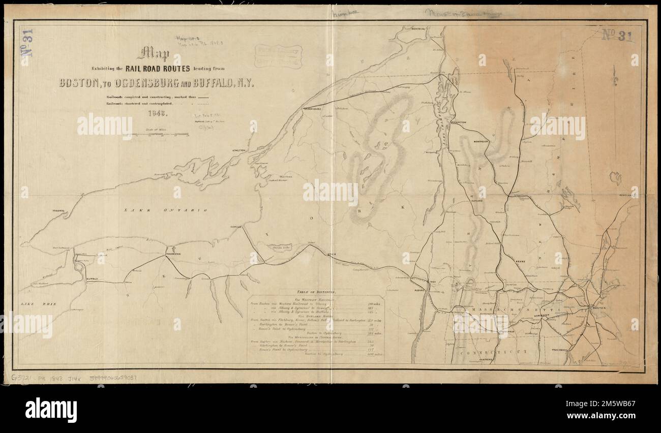 Map exhibiting the rail road routes leading from Boston, to Ogdensburg and Buffalo, N.Y. Shows completed and proposed railroad lines. Relief shown by hachures. Includes table of distances.... , New England ,area New York Stock Photohttps://www.alamy.com/image-license-details/?v=1https://www.alamy.com/map-exhibiting-the-rail-road-routes-leading-from-boston-to-ogdensburg-and-buffalo-ny-shows-completed-and-proposed-railroad-lines-relief-shown-by-hachures-includes-table-of-distances-new-england-area-new-york-image502731551.html
RM2M5WB67–Map exhibiting the rail road routes leading from Boston, to Ogdensburg and Buffalo, N.Y. Shows completed and proposed railroad lines. Relief shown by hachures. Includes table of distances.... , New England ,area New York
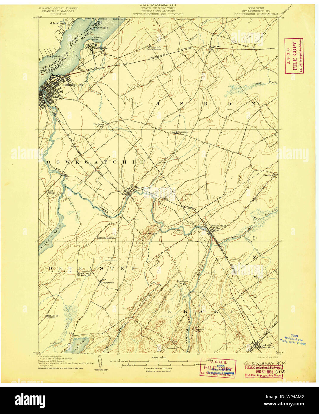 New York NY Ogdensburg 148026 1905 62500 Restoration Stock Photohttps://www.alamy.com/image-license-details/?v=1https://www.alamy.com/new-york-ny-ogdensburg-148026-1905-62500-restoration-image271774162.html
RMWP4AM2–New York NY Ogdensburg 148026 1905 62500 Restoration
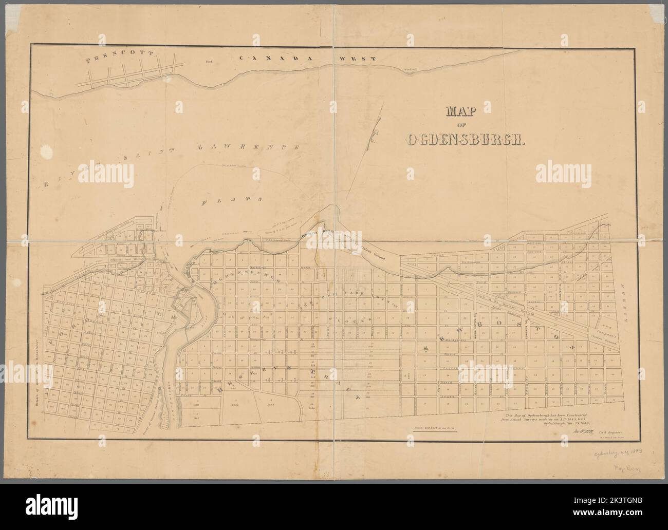 Map of Ogdensburgh Cartographic. Maps, Bathymetric maps, Cadastral maps. 1849. Lionel Pincus and Princess Firyal Map Division. Landowners , New York (State) , Ogdensburg, Real property , New York (State) , Ogdensburg, Ogdensburg (N.Y.) Stock Photohttps://www.alamy.com/image-license-details/?v=1https://www.alamy.com/map-of-ogdensburgh-cartographic-maps-bathymetric-maps-cadastral-maps-1849-lionel-pincus-and-princess-firyal-map-division-landowners-new-york-state-ogdensburg-real-property-new-york-state-ogdensburg-ogdensburg-ny-image484274263.html
RM2K3TGNB–Map of Ogdensburgh Cartographic. Maps, Bathymetric maps, Cadastral maps. 1849. Lionel Pincus and Princess Firyal Map Division. Landowners , New York (State) , Ogdensburg, Real property , New York (State) , Ogdensburg, Ogdensburg (N.Y.)
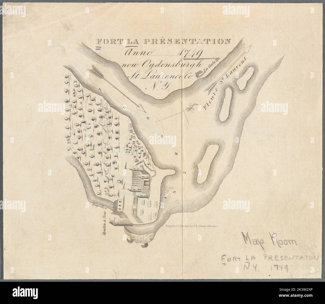 Fort la Présentation anno 1749: now Ogdensburgh, St. Laurence Co., N.Y Cartographic. Maps. 1850. Lionel Pincus and Princess Firyal Map Division. Fortification , New York (State) , Ogdensburg, Ogdensburg (N.Y.) Stock Photohttps://www.alamy.com/image-license-details/?v=1https://www.alamy.com/fort-la-prsentation-anno-1749-now-ogdensburgh-st-laurence-co-ny-cartographic-maps-1850-lionel-pincus-and-princess-firyal-map-division-fortification-new-york-state-ogdensburg-ogdensburg-ny-image484285390.html
RM2K3W2XP–Fort la Présentation anno 1749: now Ogdensburgh, St. Laurence Co., N.Y Cartographic. Maps. 1850. Lionel Pincus and Princess Firyal Map Division. Fortification , New York (State) , Ogdensburg, Ogdensburg (N.Y.)
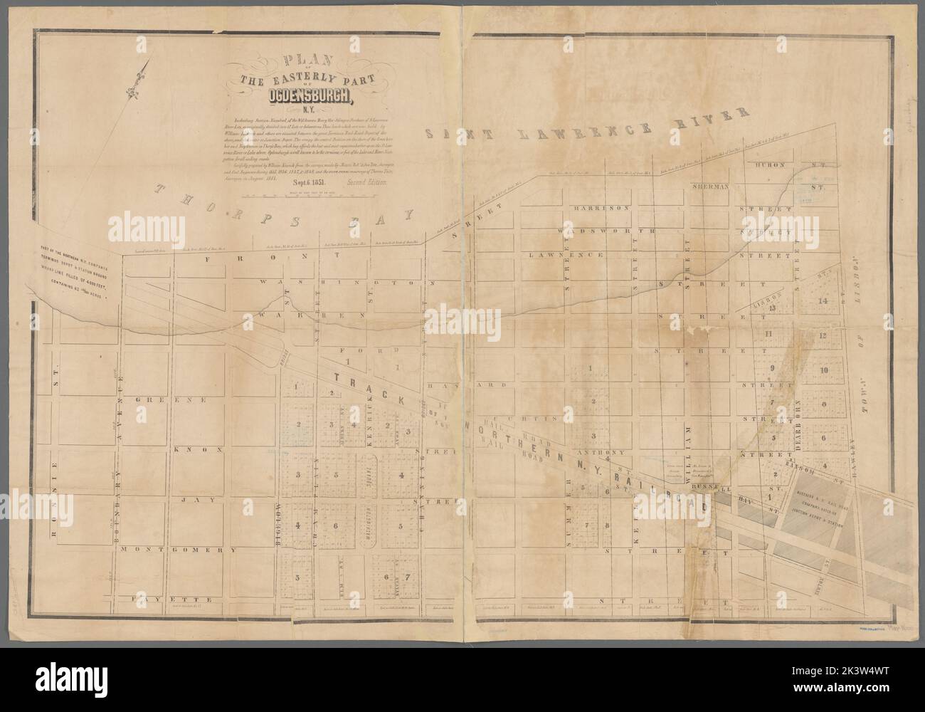 Plan of the easterly part of Ogdensburgh, N.Y. Cartographic. Maps, Cadastral maps. 1851. Lionel Pincus and Princess Firyal Map Division. Landowners , New York (State) , Ogdensburg, Real property , New York (State) , Ogdensburg, Ogdensburg (N.Y.) Stock Photohttps://www.alamy.com/image-license-details/?v=1https://www.alamy.com/plan-of-the-easterly-part-of-ogdensburgh-ny-cartographic-maps-cadastral-maps-1851-lionel-pincus-and-princess-firyal-map-division-landowners-new-york-state-ogdensburg-real-property-new-york-state-ogdensburg-ogdensburg-ny-image484286932.html
RM2K3W4WT–Plan of the easterly part of Ogdensburgh, N.Y. Cartographic. Maps, Cadastral maps. 1851. Lionel Pincus and Princess Firyal Map Division. Landowners , New York (State) , Ogdensburg, Real property , New York (State) , Ogdensburg, Ogdensburg (N.Y.)
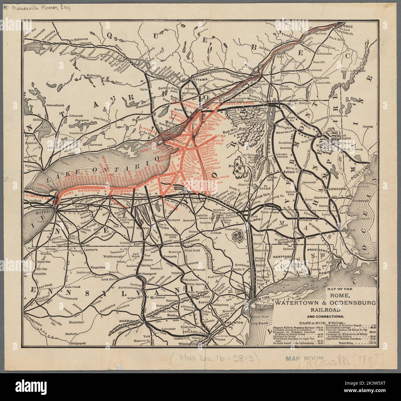 Map of the Rome, Watertown and Ogdensburg Railroad and connections Cartographic. Maps. 1890. Lionel Pincus and Princess Firyal Map Division. Rome, Watertown & Ogdensburg Railroad Company, Railroads , New York (State), Railroads , Northeastern States, Railroads, New York (State), Northeastern States Stock Photohttps://www.alamy.com/image-license-details/?v=1https://www.alamy.com/map-of-the-rome-watertown-and-ogdensburg-railroad-and-connections-cartographic-maps-1890-lionel-pincus-and-princess-firyal-map-division-rome-watertown-ogdensburg-railroad-company-railroads-new-york-state-railroads-northeastern-states-railroads-new-york-state-northeastern-states-image484287744.html
RM2K3W5XT–Map of the Rome, Watertown and Ogdensburg Railroad and connections Cartographic. Maps. 1890. Lionel Pincus and Princess Firyal Map Division. Rome, Watertown & Ogdensburg Railroad Company, Railroads , New York (State), Railroads , Northeastern States, Railroads, New York (State), Northeastern States
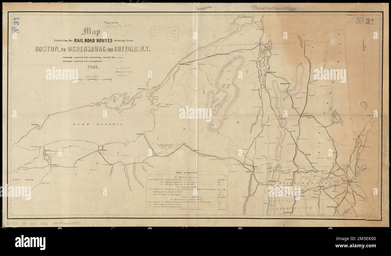 Map exhibiting the rail road routes leading from Boston, to Ogdensburg and Buffalo, N.Y , Railroads, New York State, Maps, Railroads, New England, Maps, New York State, Maps, New England, Maps Norman B. Leventhal Map Center Collection Stock Photohttps://www.alamy.com/image-license-details/?v=1https://www.alamy.com/map-exhibiting-the-rail-road-routes-leading-from-boston-to-ogdensburg-and-buffalo-ny-railroads-new-york-state-maps-railroads-new-england-maps-new-york-state-maps-new-england-maps-norman-b-leventhal-map-center-collection-image501266864.html
RM2M3EK00–Map exhibiting the rail road routes leading from Boston, to Ogdensburg and Buffalo, N.Y , Railroads, New York State, Maps, Railroads, New England, Maps, New York State, Maps, New England, Maps Norman B. Leventhal Map Center Collection
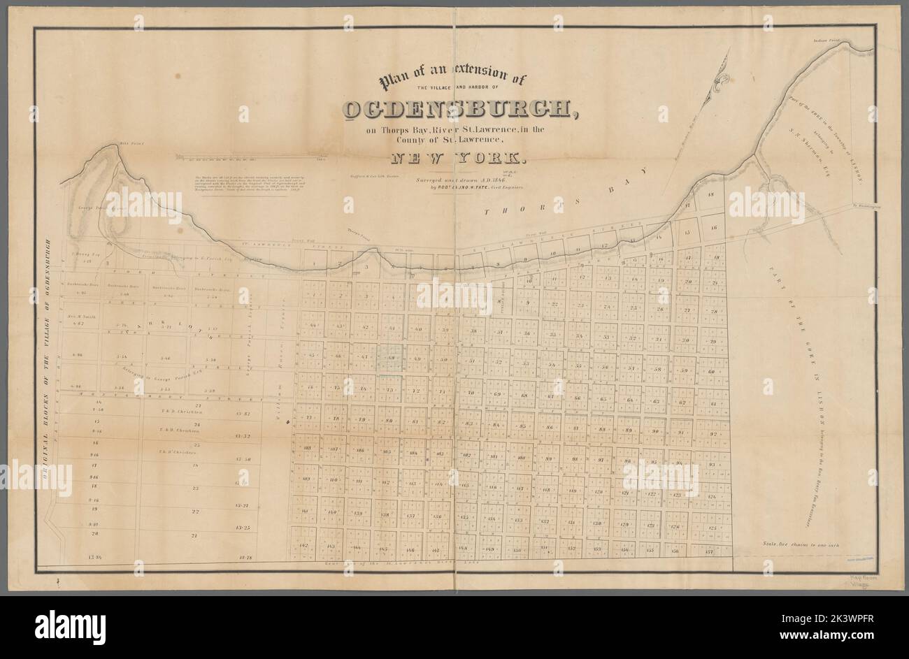 Plan of an extension of the village and harbor of Ogdensburgh: on Thorps Bay, River St. Lawrence, in the county of St. Lawrence, New York Plan of an extension of the village and harbor of Ogdensburgh, New York Cartographic. Maps, Cadastral maps. 1846. Lionel Pincus and Princess Firyal Map Division. Harbors , New York (State) , Ogdensburg, Landowners , New York (State) , Ogdensburg, Real property , New York (State) , Ogdensburg, Ogdensburg (N.Y.) Stock Photohttps://www.alamy.com/image-license-details/?v=1https://www.alamy.com/plan-of-an-extension-of-the-village-and-harbor-of-ogdensburgh-on-thorps-bay-river-st-lawrence-in-the-county-of-st-lawrence-new-york-plan-of-an-extension-of-the-village-and-harbor-of-ogdensburgh-new-york-cartographic-maps-cadastral-maps-1846-lionel-pincus-and-princess-firyal-map-division-harbors-new-york-state-ogdensburg-landowners-new-york-state-ogdensburg-real-property-new-york-state-ogdensburg-ogdensburg-ny-image484300763.html
RM2K3WPFR–Plan of an extension of the village and harbor of Ogdensburgh: on Thorps Bay, River St. Lawrence, in the county of St. Lawrence, New York Plan of an extension of the village and harbor of Ogdensburgh, New York Cartographic. Maps, Cadastral maps. 1846. Lionel Pincus and Princess Firyal Map Division. Harbors , New York (State) , Ogdensburg, Landowners , New York (State) , Ogdensburg, Real property , New York (State) , Ogdensburg, Ogdensburg (N.Y.)
 Image 3 of Sanborn Fire Insurance Map from Ogdensburg, St. Lawrence County, New York. Sep 1884. 11 Sheet(s), America, street map with a Nineteenth Century compass Stock Photohttps://www.alamy.com/image-license-details/?v=1https://www.alamy.com/image-3-of-sanborn-fire-insurance-map-from-ogdensburg-st-lawrence-county-new-york-sep-1884-11-sheets-america-street-map-with-a-nineteenth-century-compass-image344694279.html
RM2B0P51Y–Image 3 of Sanborn Fire Insurance Map from Ogdensburg, St. Lawrence County, New York. Sep 1884. 11 Sheet(s), America, street map with a Nineteenth Century compass
 Ogdensburg, New York, map 1905, 1:62500, United States of America by Timeless Maps, data U.S. Geological Survey Stock Photohttps://www.alamy.com/image-license-details/?v=1https://www.alamy.com/ogdensburg-new-york-map-1905-162500-united-states-of-america-by-timeless-maps-data-us-geological-survey-image414141049.html
RM2F1NN3N–Ogdensburg, New York, map 1905, 1:62500, United States of America by Timeless Maps, data U.S. Geological Survey
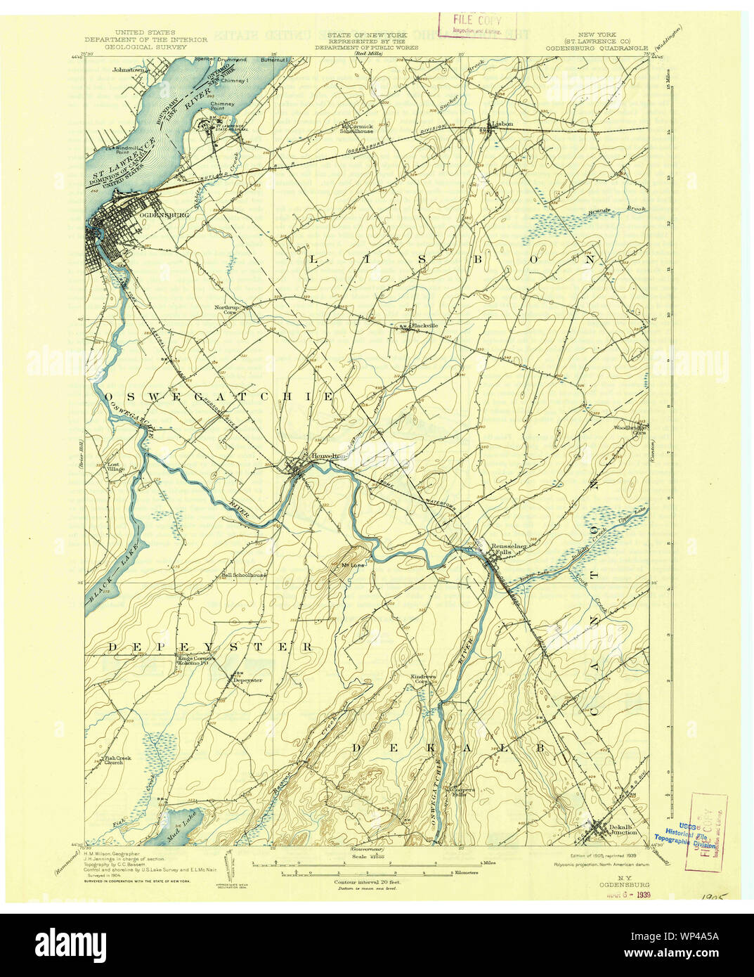 New York NY Ogdensburg 128861 1905 62500 Restoration Stock Photohttps://www.alamy.com/image-license-details/?v=1https://www.alamy.com/new-york-ny-ogdensburg-128861-1905-62500-restoration-image271773750.html
RMWP4A5A–New York NY Ogdensburg 128861 1905 62500 Restoration
 Image 4 of Sanborn Fire Insurance Map from Ogdensburg, St. Lawrence County, New York. Sep 1898. 21 Sheet(s), America, street map with a Nineteenth Century compass Stock Photohttps://www.alamy.com/image-license-details/?v=1https://www.alamy.com/image-4-of-sanborn-fire-insurance-map-from-ogdensburg-st-lawrence-county-new-york-sep-1898-21-sheets-america-street-map-with-a-nineteenth-century-compass-image344694345.html
RM2B0P549–Image 4 of Sanborn Fire Insurance Map from Ogdensburg, St. Lawrence County, New York. Sep 1898. 21 Sheet(s), America, street map with a Nineteenth Century compass
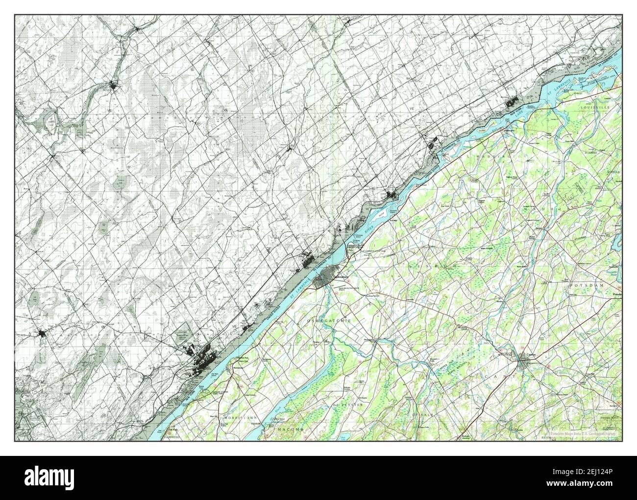 Ogdensburg, New York, map 1985, 1:100000, United States of America by Timeless Maps, data U.S. Geological Survey Stock Photohttps://www.alamy.com/image-license-details/?v=1https://www.alamy.com/ogdensburg-new-york-map-1985-1100000-united-states-of-america-by-timeless-maps-data-us-geological-survey-image406925926.html
RM2EJ124P–Ogdensburg, New York, map 1985, 1:100000, United States of America by Timeless Maps, data U.S. Geological Survey
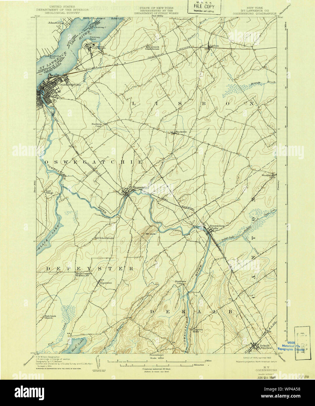 New York NY Ogdensburg 128862 1905 62500 Restoration Stock Photohttps://www.alamy.com/image-license-details/?v=1https://www.alamy.com/new-york-ny-ogdensburg-128862-1905-62500-restoration-image271773748.html
RMWP4A58–New York NY Ogdensburg 128862 1905 62500 Restoration
 Image 11 of Sanborn Fire Insurance Map from Ogdensburg, St. Lawrence County, New York. Apr 1892. 16 Sheet(s), America, street map with a Nineteenth Century compass Stock Photohttps://www.alamy.com/image-license-details/?v=1https://www.alamy.com/image-11-of-sanborn-fire-insurance-map-from-ogdensburg-st-lawrence-county-new-york-apr-1892-16-sheets-america-street-map-with-a-nineteenth-century-compass-image344694326.html
RM2B0P53J–Image 11 of Sanborn Fire Insurance Map from Ogdensburg, St. Lawrence County, New York. Apr 1892. 16 Sheet(s), America, street map with a Nineteenth Century compass
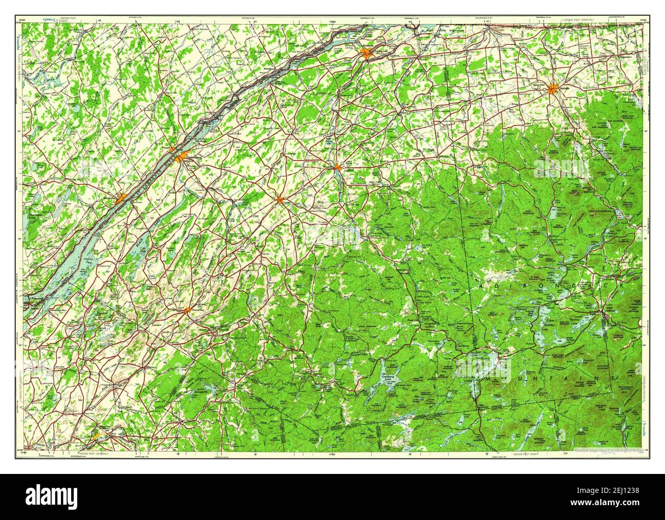 Ogdensburg, New York, map 1961, 1:250000, United States of America by Timeless Maps, data U.S. Geological Survey Stock Photohttps://www.alamy.com/image-license-details/?v=1https://www.alamy.com/ogdensburg-new-york-map-1961-1250000-united-states-of-america-by-timeless-maps-data-us-geological-survey-image406925884.html
RM2EJ1238–Ogdensburg, New York, map 1961, 1:250000, United States of America by Timeless Maps, data U.S. Geological Survey
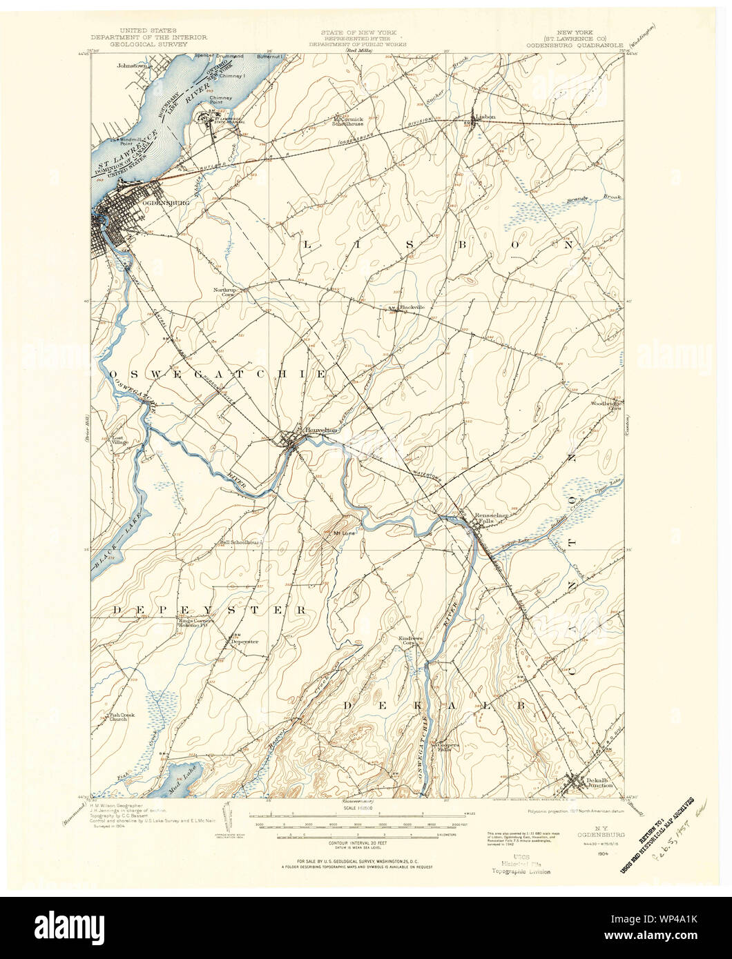 New York NY Ogdensburg 128860 1904 62500 Restoration Stock Photohttps://www.alamy.com/image-license-details/?v=1https://www.alamy.com/new-york-ny-ogdensburg-128860-1904-62500-restoration-image271773647.html
RMWP4A1K–New York NY Ogdensburg 128860 1904 62500 Restoration
 Image 10 of Sanborn Fire Insurance Map from Ogdensburg, St. Lawrence County, New York. Sep 1898. 21 Sheet(s), America, street map with a Nineteenth Century compass Stock Photohttps://www.alamy.com/image-license-details/?v=1https://www.alamy.com/image-10-of-sanborn-fire-insurance-map-from-ogdensburg-st-lawrence-county-new-york-sep-1898-21-sheets-america-street-map-with-a-nineteenth-century-compass-image344694361.html
RM2B0P54W–Image 10 of Sanborn Fire Insurance Map from Ogdensburg, St. Lawrence County, New York. Sep 1898. 21 Sheet(s), America, street map with a Nineteenth Century compass
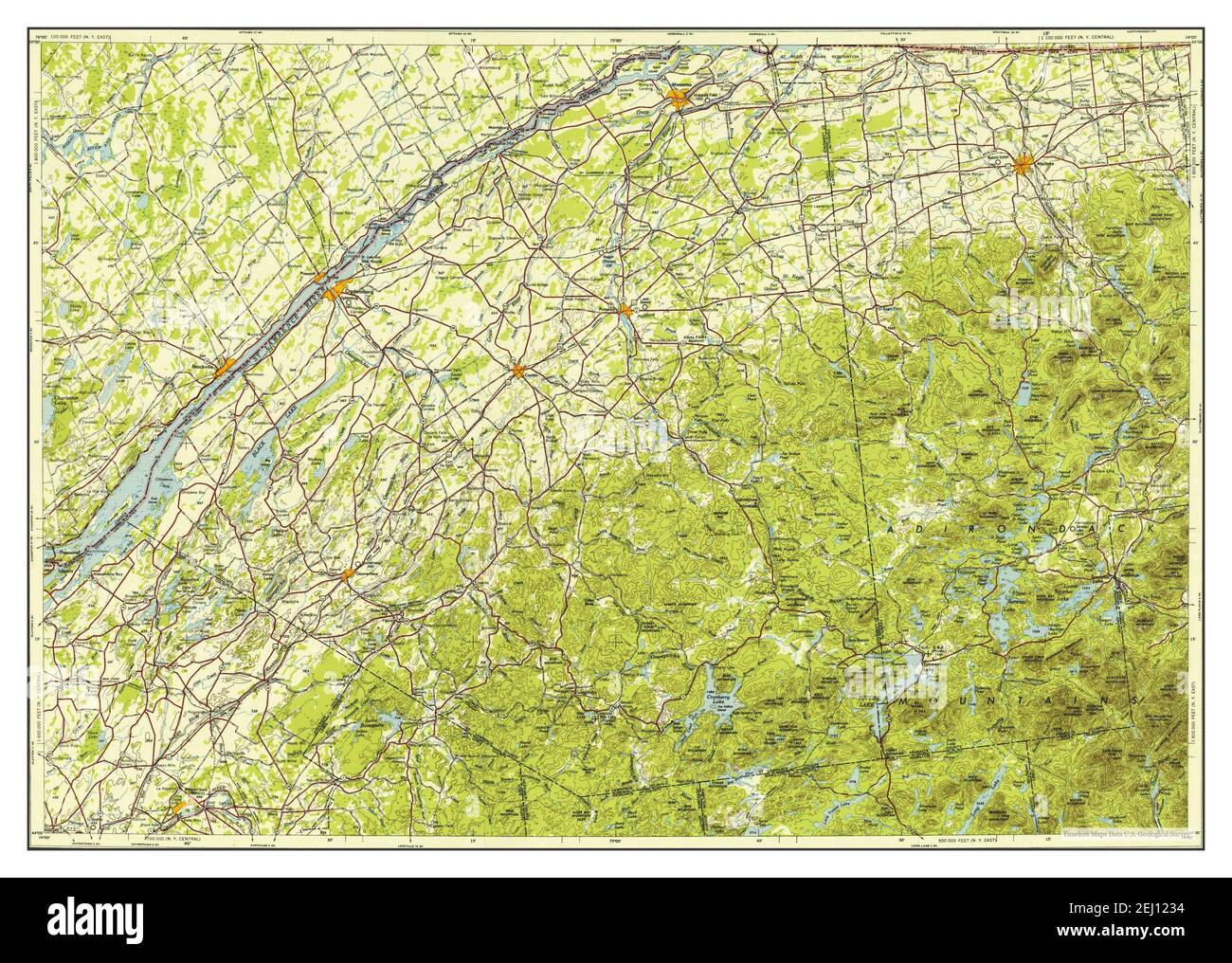 Ogdensburg, New York, map 1953, 1:250000, United States of America by Timeless Maps, data U.S. Geological Survey Stock Photohttps://www.alamy.com/image-license-details/?v=1https://www.alamy.com/ogdensburg-new-york-map-1953-1250000-united-states-of-america-by-timeless-maps-data-us-geological-survey-image406925880.html
RM2EJ1234–Ogdensburg, New York, map 1953, 1:250000, United States of America by Timeless Maps, data U.S. Geological Survey
 New York NY Ogdensburg 148028 1905 62500 Restoration Stock Photohttps://www.alamy.com/image-license-details/?v=1https://www.alamy.com/new-york-ny-ogdensburg-148028-1905-62500-restoration-image271774249.html
RMWP4AR5–New York NY Ogdensburg 148028 1905 62500 Restoration
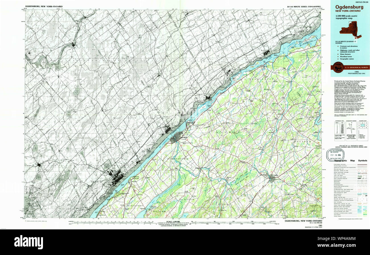 New York NY Ogdensburg 137477 1985 100000 Restoration Stock Photohttps://www.alamy.com/image-license-details/?v=1https://www.alamy.com/new-york-ny-ogdensburg-137477-1985-100000-restoration-image271774180.html
RMWP4AMM–New York NY Ogdensburg 137477 1985 100000 Restoration
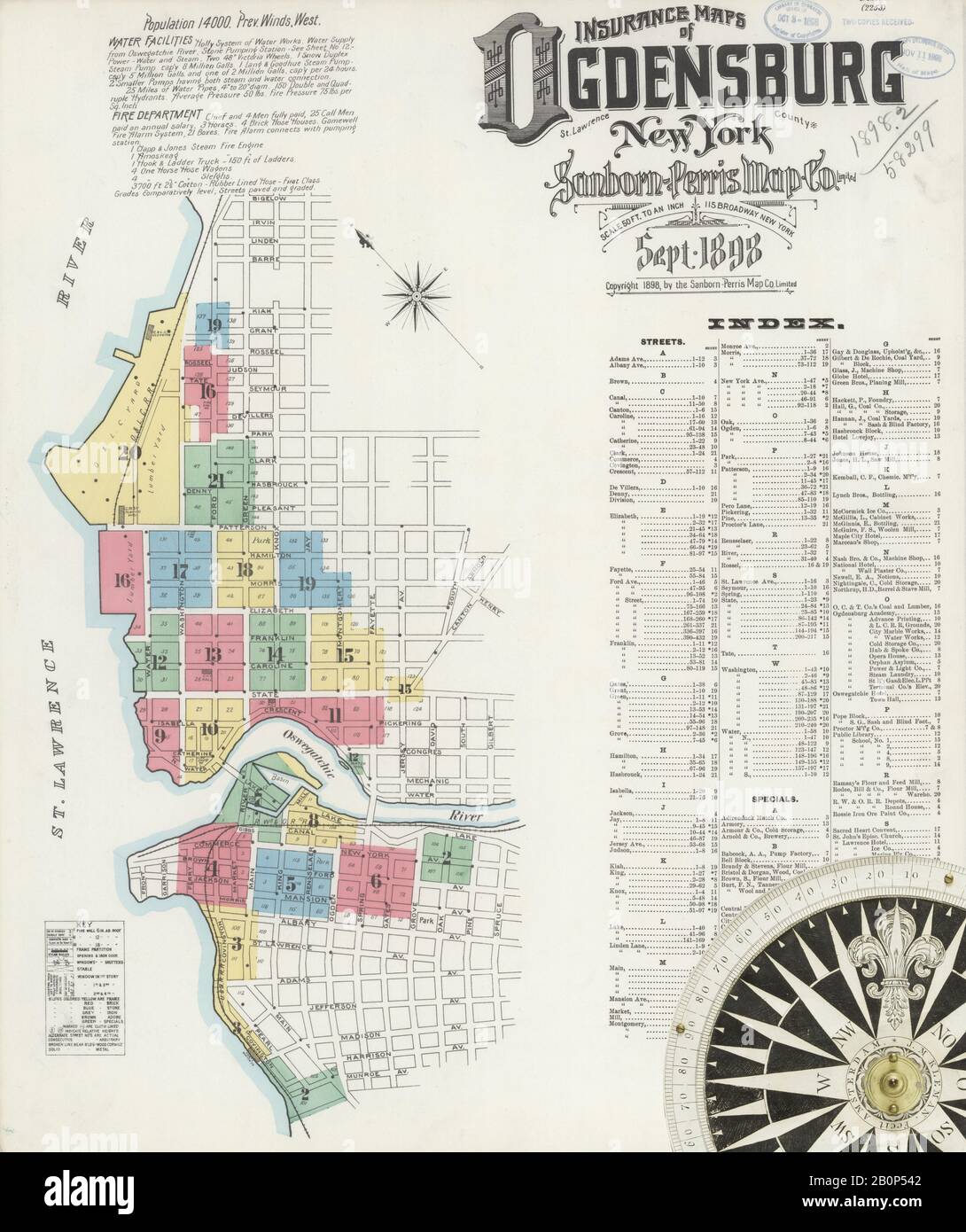 Image 1 of Sanborn Fire Insurance Map from Ogdensburg, St. Lawrence County, New York. Sep 1898. 21 Sheet(s), America, street map with a Nineteenth Century compass Stock Photohttps://www.alamy.com/image-license-details/?v=1https://www.alamy.com/image-1-of-sanborn-fire-insurance-map-from-ogdensburg-st-lawrence-county-new-york-sep-1898-21-sheets-america-street-map-with-a-nineteenth-century-compass-image344694338.html
RM2B0P542–Image 1 of Sanborn Fire Insurance Map from Ogdensburg, St. Lawrence County, New York. Sep 1898. 21 Sheet(s), America, street map with a Nineteenth Century compass
 Ogdensburg, New York, map 1905, 1:62500, United States of America by Timeless Maps, data U.S. Geological Survey Stock Photohttps://www.alamy.com/image-license-details/?v=1https://www.alamy.com/ogdensburg-new-york-map-1905-162500-united-states-of-america-by-timeless-maps-data-us-geological-survey-image414140985.html
RM2F1NN1D–Ogdensburg, New York, map 1905, 1:62500, United States of America by Timeless Maps, data U.S. Geological Survey
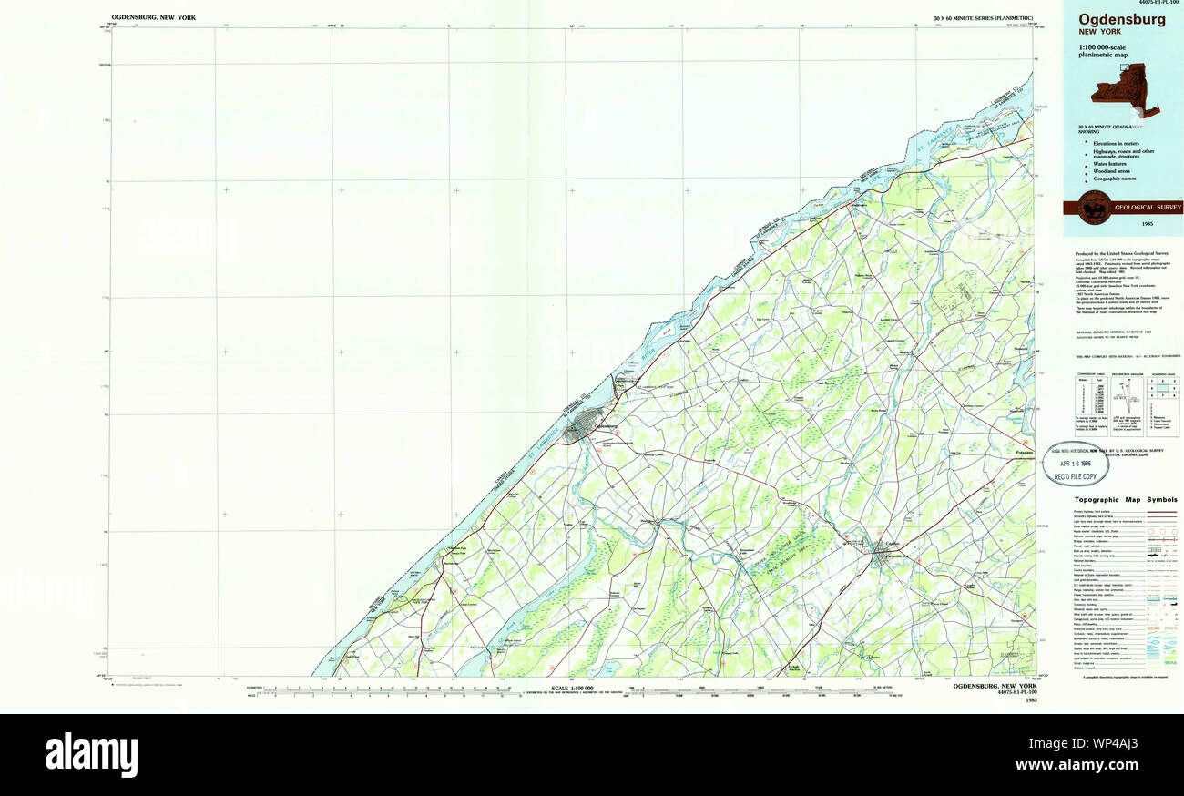 New York NY Ogdensburg 137475 1985 100000 Restoration Stock Photohttps://www.alamy.com/image-license-details/?v=1https://www.alamy.com/new-york-ny-ogdensburg-137475-1985-100000-restoration-image271774107.html
RMWP4AJ3–New York NY Ogdensburg 137475 1985 100000 Restoration
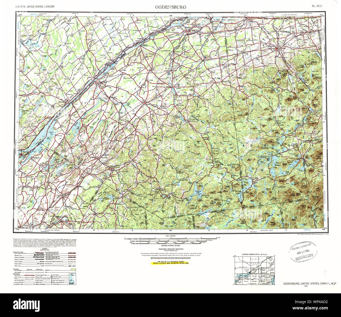 New York NY Ogdensburg 128865 1948 250000 Restoration Stock Photohttps://www.alamy.com/image-license-details/?v=1https://www.alamy.com/new-york-ny-ogdensburg-128865-1948-250000-restoration-image271773966.html
RMWP4AD2–New York NY Ogdensburg 128865 1948 250000 Restoration
 Image 20 of Sanborn Fire Insurance Map from Ogdensburg, St. Lawrence County, New York. Sep 1898. 21 Sheet(s), America, street map with a Nineteenth Century compass Stock Photohttps://www.alamy.com/image-license-details/?v=1https://www.alamy.com/image-20-of-sanborn-fire-insurance-map-from-ogdensburg-st-lawrence-county-new-york-sep-1898-21-sheets-america-street-map-with-a-nineteenth-century-compass-image344694374.html
RM2B0P55A–Image 20 of Sanborn Fire Insurance Map from Ogdensburg, St. Lawrence County, New York. Sep 1898. 21 Sheet(s), America, street map with a Nineteenth Century compass
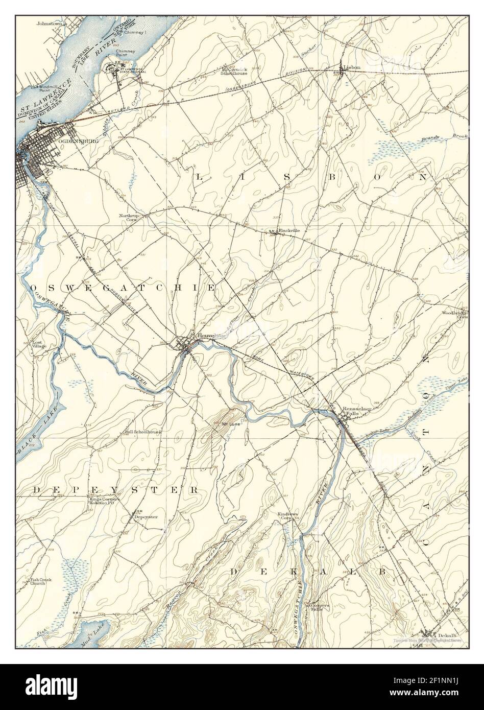 Ogdensburg, New York, map 1904, 1:62500, United States of America by Timeless Maps, data U.S. Geological Survey Stock Photohttps://www.alamy.com/image-license-details/?v=1https://www.alamy.com/ogdensburg-new-york-map-1904-162500-united-states-of-america-by-timeless-maps-data-us-geological-survey-image414140990.html
RM2F1NN1J–Ogdensburg, New York, map 1904, 1:62500, United States of America by Timeless Maps, data U.S. Geological Survey
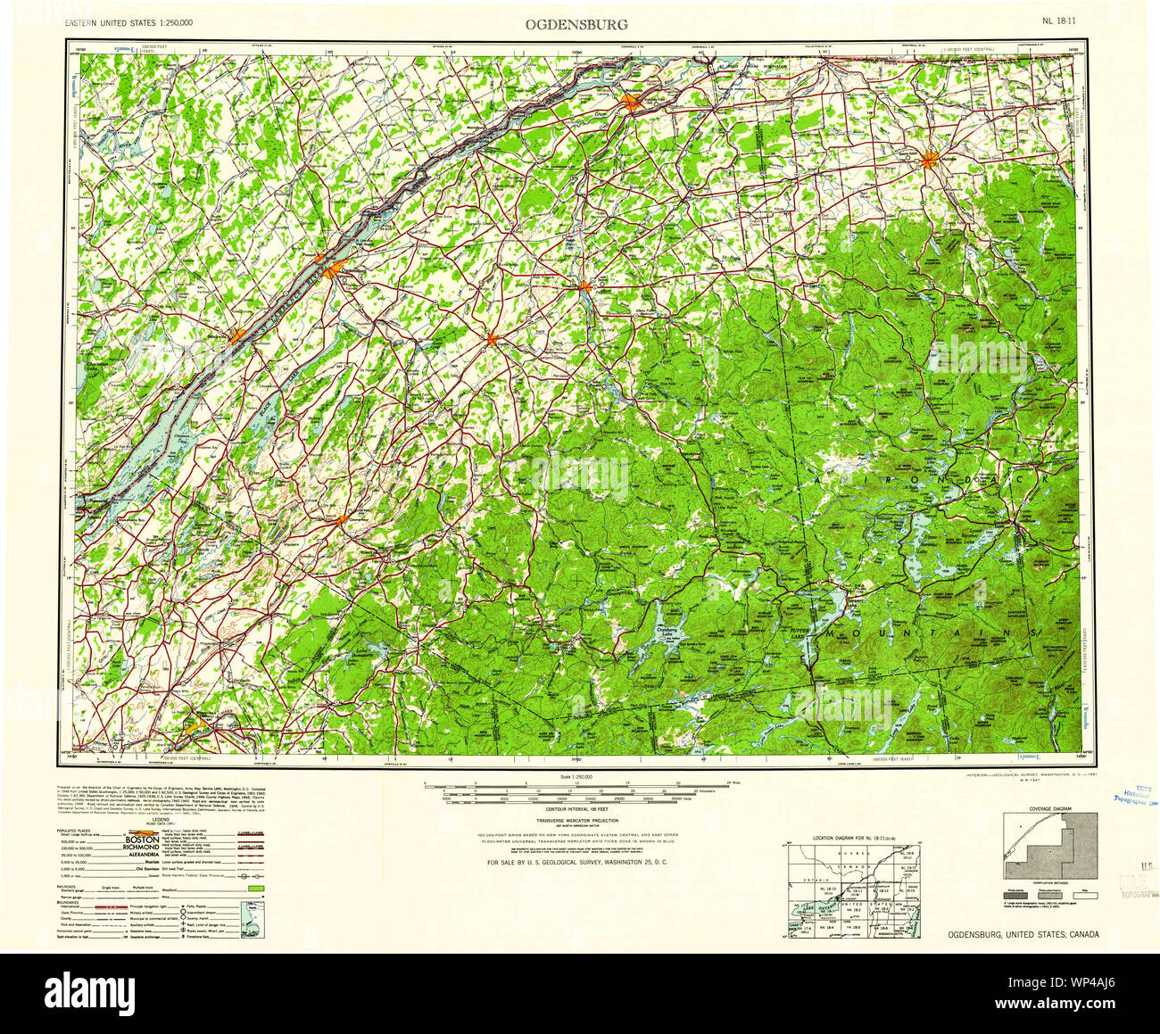 New York NY Ogdensburg 128867 1961 250000 Restoration Stock Photohttps://www.alamy.com/image-license-details/?v=1https://www.alamy.com/new-york-ny-ogdensburg-128867-1961-250000-restoration-image271774110.html
RMWP4AJ6–New York NY Ogdensburg 128867 1961 250000 Restoration
 Image 10 of Sanborn Fire Insurance Map from Ogdensburg, St. Lawrence County, New York. Apr 1892. 16 Sheet(s), America, street map with a Nineteenth Century compass Stock Photohttps://www.alamy.com/image-license-details/?v=1https://www.alamy.com/image-10-of-sanborn-fire-insurance-map-from-ogdensburg-st-lawrence-county-new-york-apr-1892-16-sheets-america-street-map-with-a-nineteenth-century-compass-image344694321.html
RM2B0P53D–Image 10 of Sanborn Fire Insurance Map from Ogdensburg, St. Lawrence County, New York. Apr 1892. 16 Sheet(s), America, street map with a Nineteenth Century compass
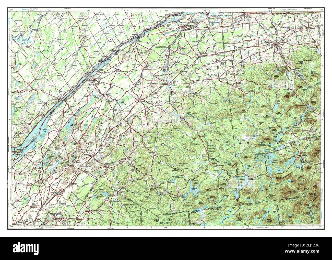 Ogdensburg, New York, map 1948, 1:250000, United States of America by Timeless Maps, data U.S. Geological Survey Stock Photohttps://www.alamy.com/image-license-details/?v=1https://www.alamy.com/ogdensburg-new-york-map-1948-1250000-united-states-of-america-by-timeless-maps-data-us-geological-survey-image406925882.html
RM2EJ1236–Ogdensburg, New York, map 1948, 1:250000, United States of America by Timeless Maps, data U.S. Geological Survey
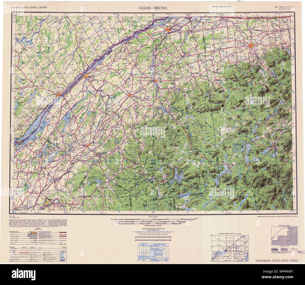 New York NY Ogdensburg 707503 1951 250000 Restoration Stock Photohttps://www.alamy.com/image-license-details/?v=1https://www.alamy.com/new-york-ny-ogdensburg-707503-1951-250000-restoration-image271774324.html
RMWP4AWT–New York NY Ogdensburg 707503 1951 250000 Restoration
 Image 6 of Sanborn Fire Insurance Map from Ogdensburg, St. Lawrence County, New York. Apr 1892. 16 Sheet(s), America, street map with a Nineteenth Century compass Stock Photohttps://www.alamy.com/image-license-details/?v=1https://www.alamy.com/image-6-of-sanborn-fire-insurance-map-from-ogdensburg-st-lawrence-county-new-york-apr-1892-16-sheets-america-street-map-with-a-nineteenth-century-compass-image344694310.html
RM2B0P532–Image 6 of Sanborn Fire Insurance Map from Ogdensburg, St. Lawrence County, New York. Apr 1892. 16 Sheet(s), America, street map with a Nineteenth Century compass
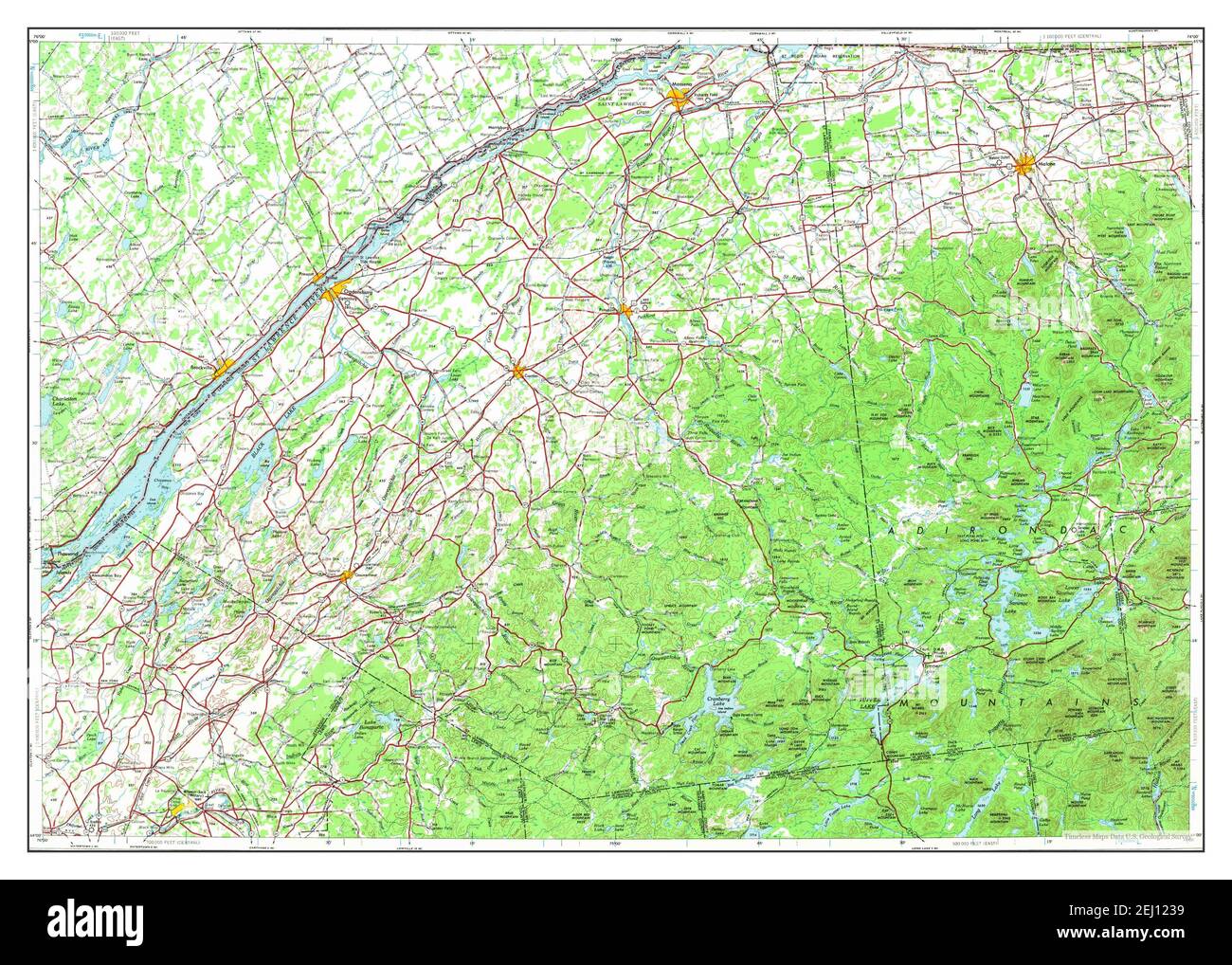 Ogdensburg, New York, map 1948, 1:250000, United States of America by Timeless Maps, data U.S. Geological Survey Stock Photohttps://www.alamy.com/image-license-details/?v=1https://www.alamy.com/ogdensburg-new-york-map-1948-1250000-united-states-of-america-by-timeless-maps-data-us-geological-survey-image406925885.html
RM2EJ1239–Ogdensburg, New York, map 1948, 1:250000, United States of America by Timeless Maps, data U.S. Geological Survey
 New York NY Ogdensburg 128864 1948 250000 Restoration Stock Photohttps://www.alamy.com/image-license-details/?v=1https://www.alamy.com/new-york-ny-ogdensburg-128864-1948-250000-restoration-image271773830.html
RMWP4A86–New York NY Ogdensburg 128864 1948 250000 Restoration
 Image 15 of Sanborn Fire Insurance Map from Ogdensburg, St. Lawrence County, New York. Apr 1892. 16 Sheet(s), America, street map with a Nineteenth Century compass Stock Photohttps://www.alamy.com/image-license-details/?v=1https://www.alamy.com/image-15-of-sanborn-fire-insurance-map-from-ogdensburg-st-lawrence-county-new-york-apr-1892-16-sheets-america-street-map-with-a-nineteenth-century-compass-image344694336.html
RM2B0P540–Image 15 of Sanborn Fire Insurance Map from Ogdensburg, St. Lawrence County, New York. Apr 1892. 16 Sheet(s), America, street map with a Nineteenth Century compass
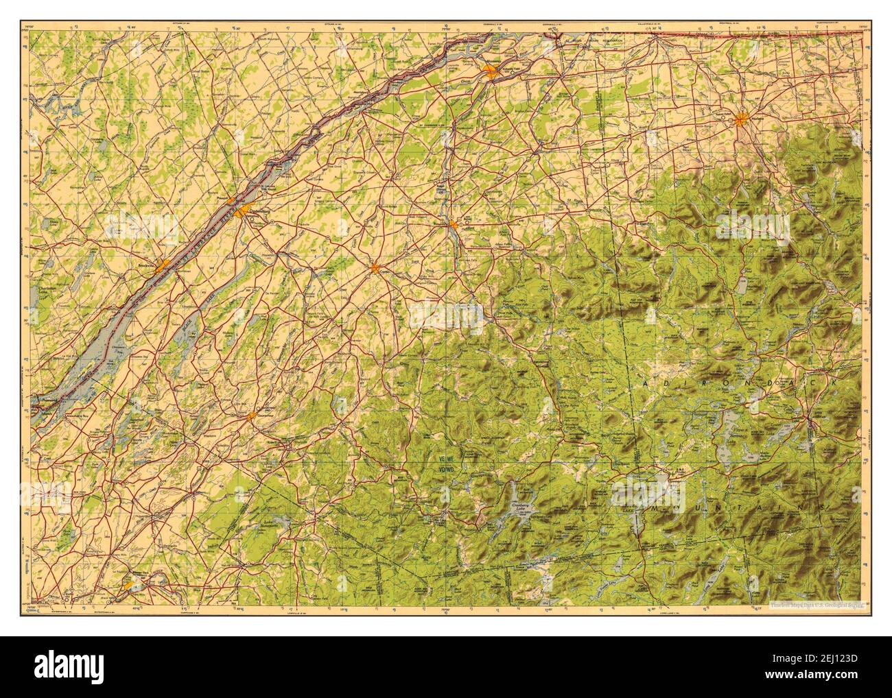 Ogdensburg, New York, map 1951, 1:250000, United States of America by Timeless Maps, data U.S. Geological Survey Stock Photohttps://www.alamy.com/image-license-details/?v=1https://www.alamy.com/ogdensburg-new-york-map-1951-1250000-united-states-of-america-by-timeless-maps-data-us-geological-survey-image406925889.html
RM2EJ123D–Ogdensburg, New York, map 1951, 1:250000, United States of America by Timeless Maps, data U.S. Geological Survey
 New York NY Ogdensburg 128866 1953 250000 Restoration Stock Photohttps://www.alamy.com/image-license-details/?v=1https://www.alamy.com/new-york-ny-ogdensburg-128866-1953-250000-restoration-image271774018.html
RMWP4AEX–New York NY Ogdensburg 128866 1953 250000 Restoration
 New York NY Ogdensburg West 20110510 TM Restoration Stock Photohttps://www.alamy.com/image-license-details/?v=1https://www.alamy.com/new-york-ny-ogdensburg-west-20110510-tm-restoration-image271774578.html
RMWP4B6X–New York NY Ogdensburg West 20110510 TM Restoration
 Image 4 of Sanborn Fire Insurance Map from Ogdensburg, St. Lawrence County, New York. Apr 1892. 16 Sheet(s), America, street map with a Nineteenth Century compass Stock Photohttps://www.alamy.com/image-license-details/?v=1https://www.alamy.com/image-4-of-sanborn-fire-insurance-map-from-ogdensburg-st-lawrence-county-new-york-apr-1892-16-sheets-america-street-map-with-a-nineteenth-century-compass-image344694305.html
RM2B0P52W–Image 4 of Sanborn Fire Insurance Map from Ogdensburg, St. Lawrence County, New York. Apr 1892. 16 Sheet(s), America, street map with a Nineteenth Century compass
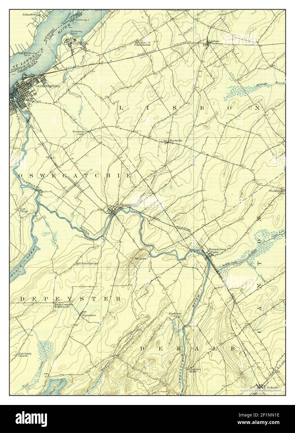 Ogdensburg, New York, map 1905, 1:62500, United States of America by Timeless Maps, data U.S. Geological Survey Stock Photohttps://www.alamy.com/image-license-details/?v=1https://www.alamy.com/ogdensburg-new-york-map-1905-162500-united-states-of-america-by-timeless-maps-data-us-geological-survey-image414140986.html
RM2F1NN1E–Ogdensburg, New York, map 1905, 1:62500, United States of America by Timeless Maps, data U.S. Geological Survey
 New York NY Ogdensburg East 20110510 TM Restoration Stock Photohttps://www.alamy.com/image-license-details/?v=1https://www.alamy.com/new-york-ny-ogdensburg-east-20110510-tm-restoration-image271774453.html
RMWP4B2D–New York NY Ogdensburg East 20110510 TM Restoration
 New York NY Ogdensburg 128860 1904 62500 Inverted Restoration Stock Photohttps://www.alamy.com/image-license-details/?v=1https://www.alamy.com/new-york-ny-ogdensburg-128860-1904-62500-inverted-restoration-image271773651.html
RMWP4A1R–New York NY Ogdensburg 128860 1904 62500 Inverted Restoration
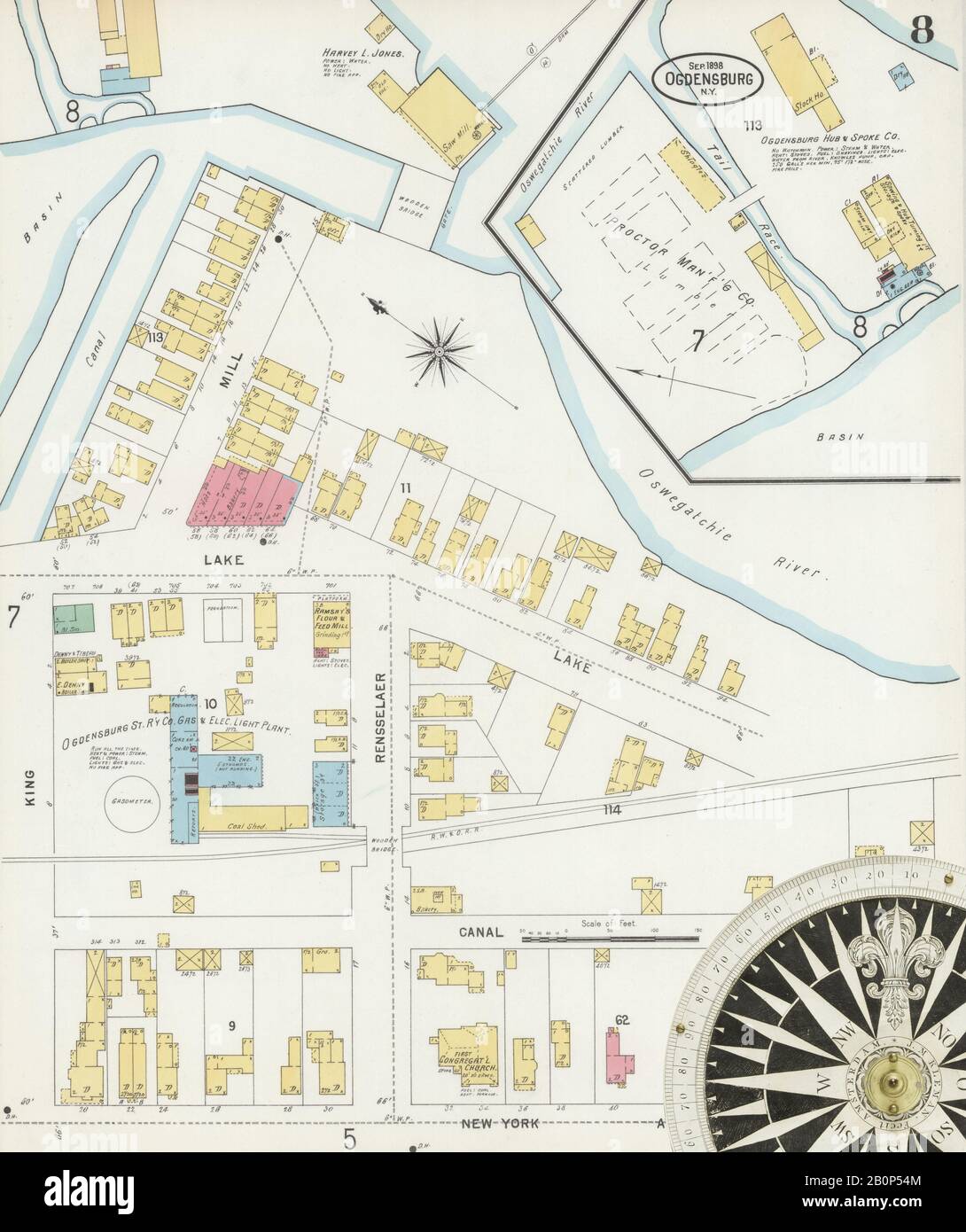 Image 8 of Sanborn Fire Insurance Map from Ogdensburg, St. Lawrence County, New York. Sep 1898. 21 Sheet(s), America, street map with a Nineteenth Century compass Stock Photohttps://www.alamy.com/image-license-details/?v=1https://www.alamy.com/image-8-of-sanborn-fire-insurance-map-from-ogdensburg-st-lawrence-county-new-york-sep-1898-21-sheets-america-street-map-with-a-nineteenth-century-compass-image344694356.html
RM2B0P54M–Image 8 of Sanborn Fire Insurance Map from Ogdensburg, St. Lawrence County, New York. Sep 1898. 21 Sheet(s), America, street map with a Nineteenth Century compass
 Ogdensburg, New York, map 1905, 1:62500, United States of America by Timeless Maps, data U.S. Geological Survey Stock Photohttps://www.alamy.com/image-license-details/?v=1https://www.alamy.com/ogdensburg-new-york-map-1905-162500-united-states-of-america-by-timeless-maps-data-us-geological-survey-image414141030.html
RM2F1NN32–Ogdensburg, New York, map 1905, 1:62500, United States of America by Timeless Maps, data U.S. Geological Survey
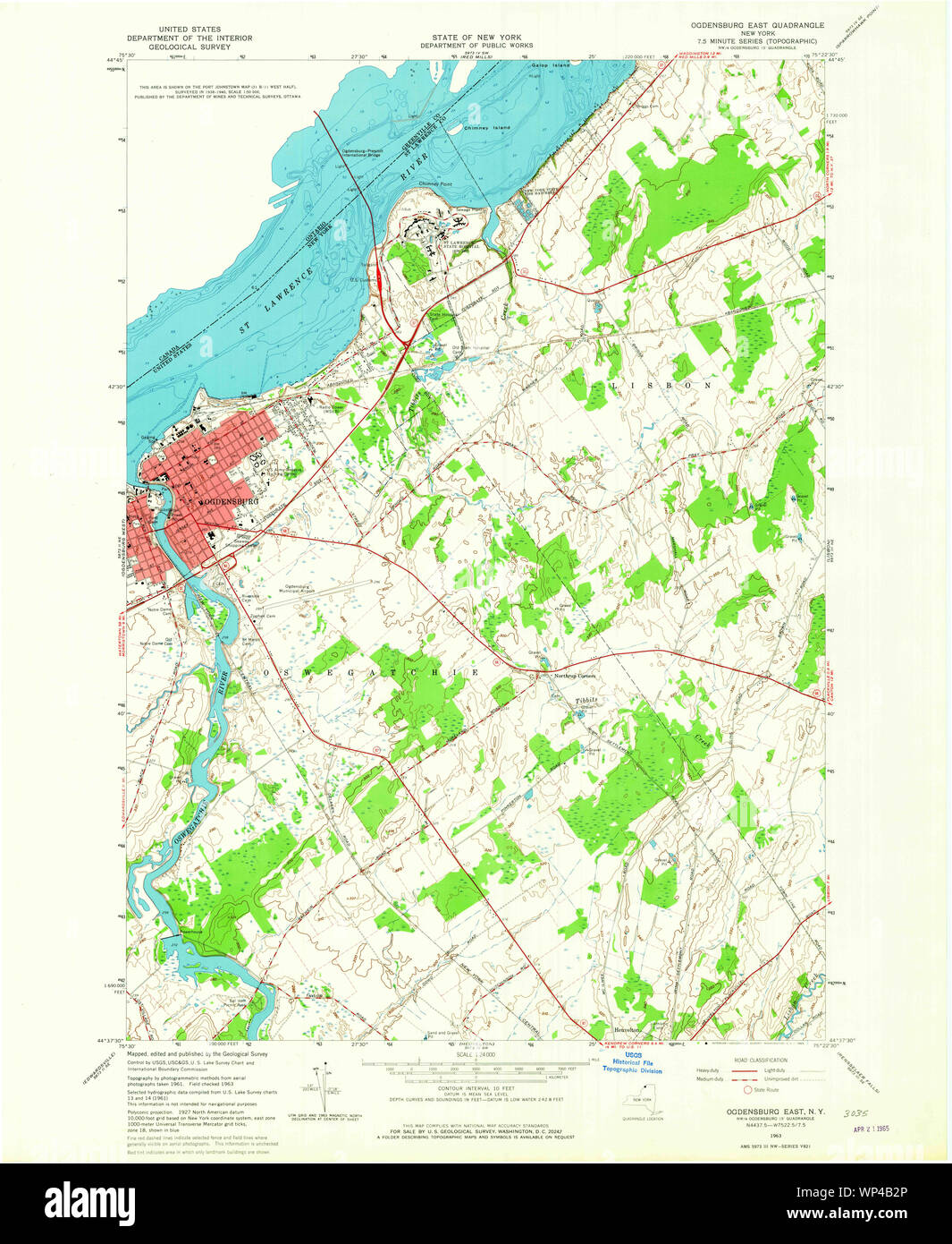 New York NY Ogdensburg East 128855 1963 24000 Restoration Stock Photohttps://www.alamy.com/image-license-details/?v=1https://www.alamy.com/new-york-ny-ogdensburg-east-128855-1963-24000-restoration-image271774462.html
RMWP4B2P–New York NY Ogdensburg East 128855 1963 24000 Restoration
 Image 6 of Sanborn Fire Insurance Map from Ogdensburg, St. Lawrence County, New York. Sep 1898. 21 Sheet(s), America, street map with a Nineteenth Century compass Stock Photohttps://www.alamy.com/image-license-details/?v=1https://www.alamy.com/image-6-of-sanborn-fire-insurance-map-from-ogdensburg-st-lawrence-county-new-york-sep-1898-21-sheets-america-street-map-with-a-nineteenth-century-compass-image344694350.html
RM2B0P54E–Image 6 of Sanborn Fire Insurance Map from Ogdensburg, St. Lawrence County, New York. Sep 1898. 21 Sheet(s), America, street map with a Nineteenth Century compass
 Ogdensburg East, New York, map 1963, 1:24000, United States of America by Timeless Maps, data U.S. Geological Survey Stock Photohttps://www.alamy.com/image-license-details/?v=1https://www.alamy.com/ogdensburg-east-new-york-map-1963-124000-united-states-of-america-by-timeless-maps-data-us-geological-survey-image406925886.html
RM2EJ123A–Ogdensburg East, New York, map 1963, 1:24000, United States of America by Timeless Maps, data U.S. Geological Survey
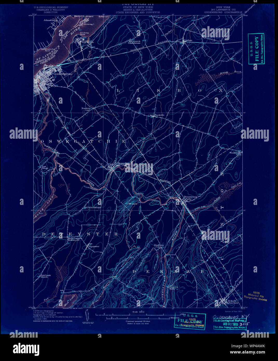 New York NY Ogdensburg 148026 1905 62500 Inverted Restoration Stock Photohttps://www.alamy.com/image-license-details/?v=1https://www.alamy.com/new-york-ny-ogdensburg-148026-1905-62500-inverted-restoration-image271774179.html
RMWP4AMK–New York NY Ogdensburg 148026 1905 62500 Inverted Restoration
 Image 17 of Sanborn Fire Insurance Map from Ogdensburg, St. Lawrence County, New York. Sep 1898. 21 Sheet(s), America, street map with a Nineteenth Century compass Stock Photohttps://www.alamy.com/image-license-details/?v=1https://www.alamy.com/image-17-of-sanborn-fire-insurance-map-from-ogdensburg-st-lawrence-county-new-york-sep-1898-21-sheets-america-street-map-with-a-nineteenth-century-compass-image344694369.html
RM2B0P555–Image 17 of Sanborn Fire Insurance Map from Ogdensburg, St. Lawrence County, New York. Sep 1898. 21 Sheet(s), America, street map with a Nineteenth Century compass
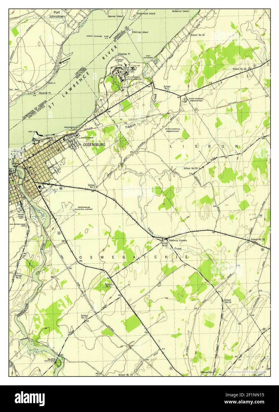 Ogdensburg East, New York, map 1943, 1:31680, United States of America by Timeless Maps, data U.S. Geological Survey Stock Photohttps://www.alamy.com/image-license-details/?v=1https://www.alamy.com/ogdensburg-east-new-york-map-1943-131680-united-states-of-america-by-timeless-maps-data-us-geological-survey-image414140977.html
RM2F1NN15–Ogdensburg East, New York, map 1943, 1:31680, United States of America by Timeless Maps, data U.S. Geological Survey
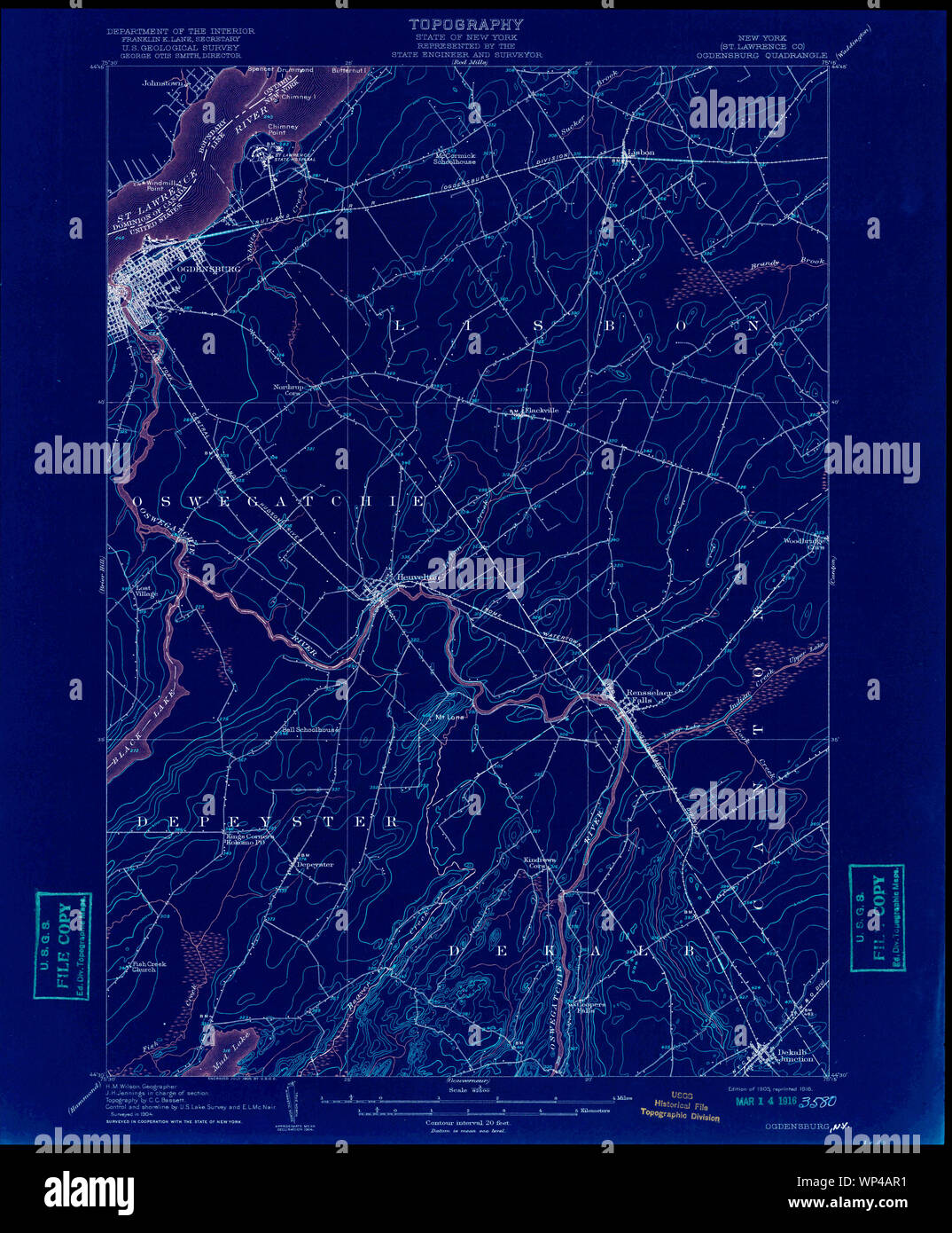 New York NY Ogdensburg 148028 1905 62500 Inverted Restoration Stock Photohttps://www.alamy.com/image-license-details/?v=1https://www.alamy.com/new-york-ny-ogdensburg-148028-1905-62500-inverted-restoration-image271774245.html
RMWP4AR1–New York NY Ogdensburg 148028 1905 62500 Inverted Restoration
 Image 11 of Sanborn Fire Insurance Map from Ogdensburg, St. Lawrence County, New York. Sep 1898. 21 Sheet(s), America, street map with a Nineteenth Century compass Stock Photohttps://www.alamy.com/image-license-details/?v=1https://www.alamy.com/image-11-of-sanborn-fire-insurance-map-from-ogdensburg-st-lawrence-county-new-york-sep-1898-21-sheets-america-street-map-with-a-nineteenth-century-compass-image344694364.html
RM2B0P550–Image 11 of Sanborn Fire Insurance Map from Ogdensburg, St. Lawrence County, New York. Sep 1898. 21 Sheet(s), America, street map with a Nineteenth Century compass
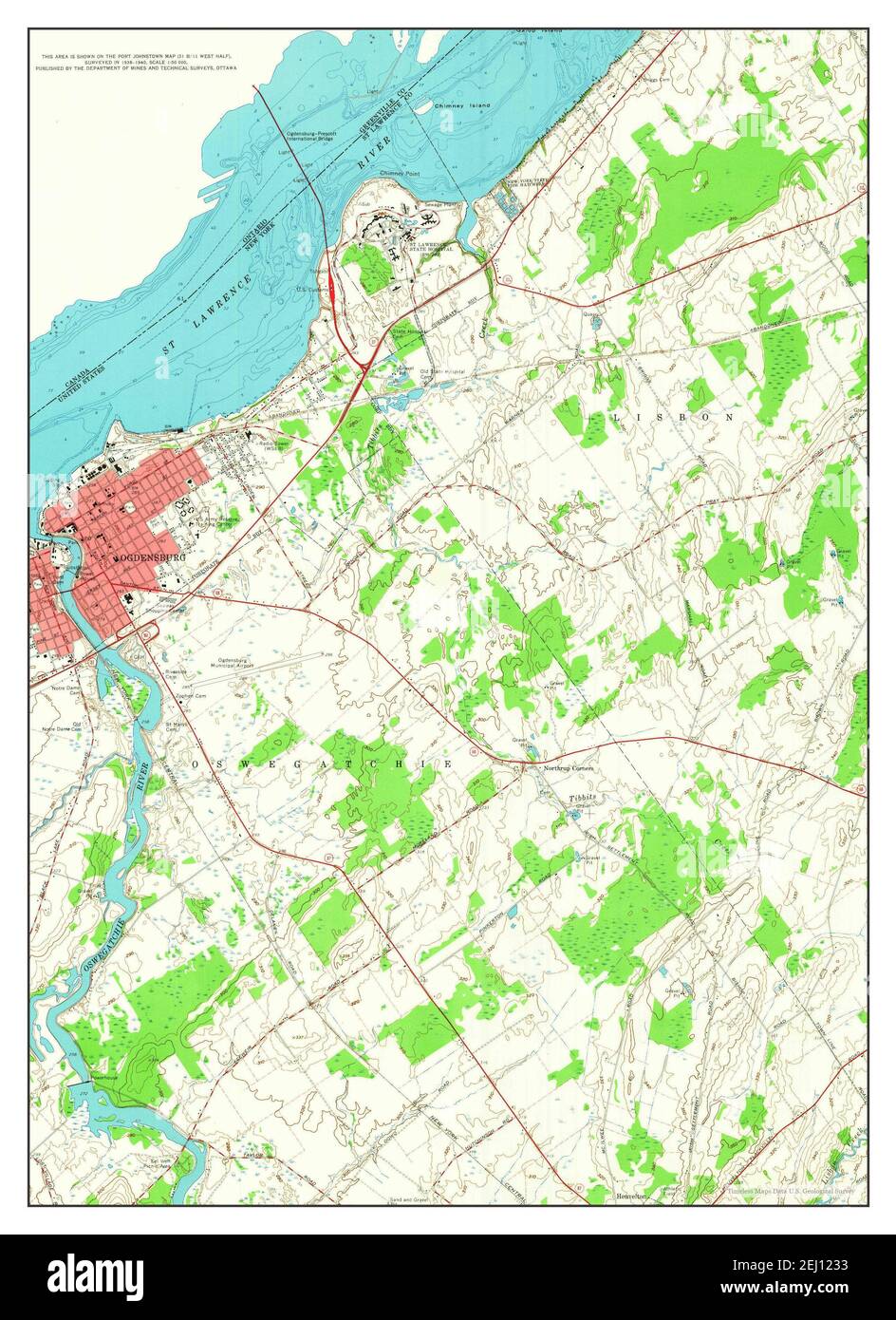 Ogdensburg East, New York, map 1963, 1:24000, United States of America by Timeless Maps, data U.S. Geological Survey Stock Photohttps://www.alamy.com/image-license-details/?v=1https://www.alamy.com/ogdensburg-east-new-york-map-1963-124000-united-states-of-america-by-timeless-maps-data-us-geological-survey-image406925879.html
RM2EJ1233–Ogdensburg East, New York, map 1963, 1:24000, United States of America by Timeless Maps, data U.S. Geological Survey
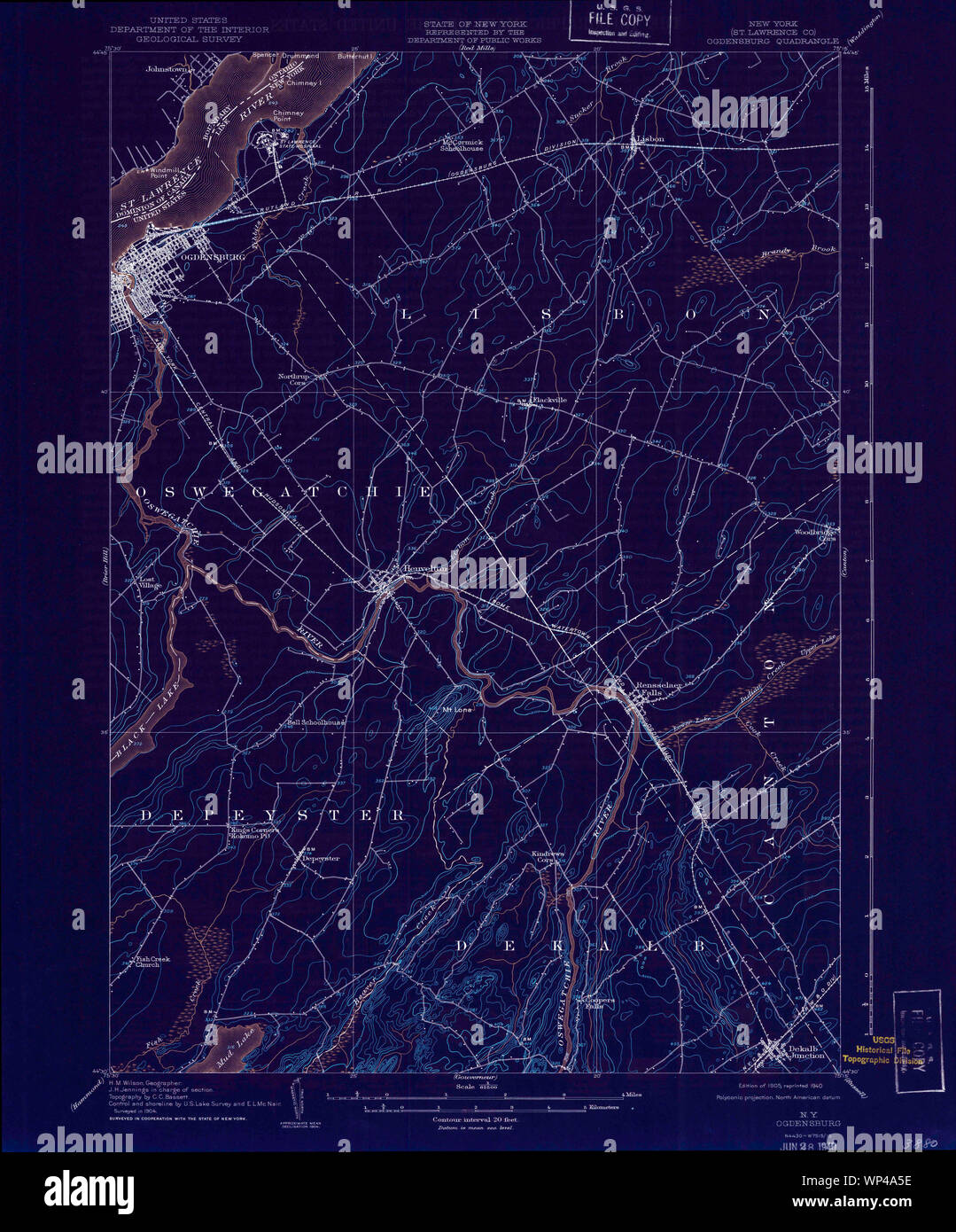 New York NY Ogdensburg 128862 1905 62500 Inverted Restoration Stock Photohttps://www.alamy.com/image-license-details/?v=1https://www.alamy.com/new-york-ny-ogdensburg-128862-1905-62500-inverted-restoration-image271773754.html
RMWP4A5E–New York NY Ogdensburg 128862 1905 62500 Inverted Restoration
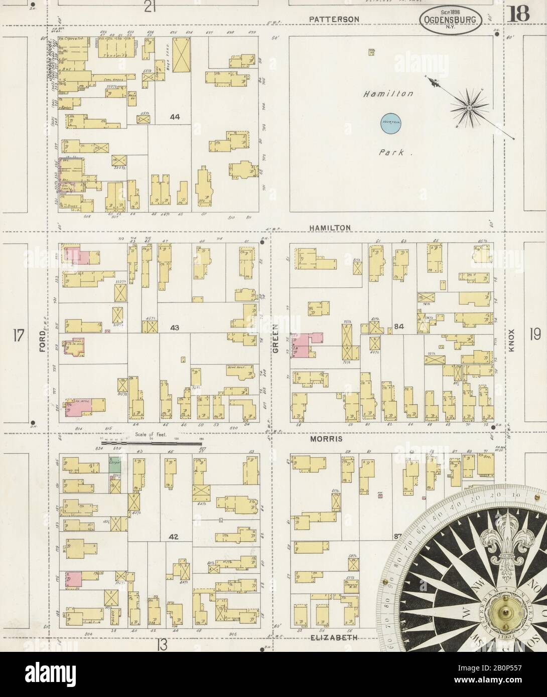 Image 18 of Sanborn Fire Insurance Map from Ogdensburg, St. Lawrence County, New York. Sep 1898. 21 Sheet(s), America, street map with a Nineteenth Century compass Stock Photohttps://www.alamy.com/image-license-details/?v=1https://www.alamy.com/image-18-of-sanborn-fire-insurance-map-from-ogdensburg-st-lawrence-county-new-york-sep-1898-21-sheets-america-street-map-with-a-nineteenth-century-compass-image344694371.html
RM2B0P557–Image 18 of Sanborn Fire Insurance Map from Ogdensburg, St. Lawrence County, New York. Sep 1898. 21 Sheet(s), America, street map with a Nineteenth Century compass
 New York NY Ogdensburg East 128854 1963 24000 Restoration Stock Photohttps://www.alamy.com/image-license-details/?v=1https://www.alamy.com/new-york-ny-ogdensburg-east-128854-1963-24000-restoration-image271774395.html
RMWP4B0B–New York NY Ogdensburg East 128854 1963 24000 Restoration
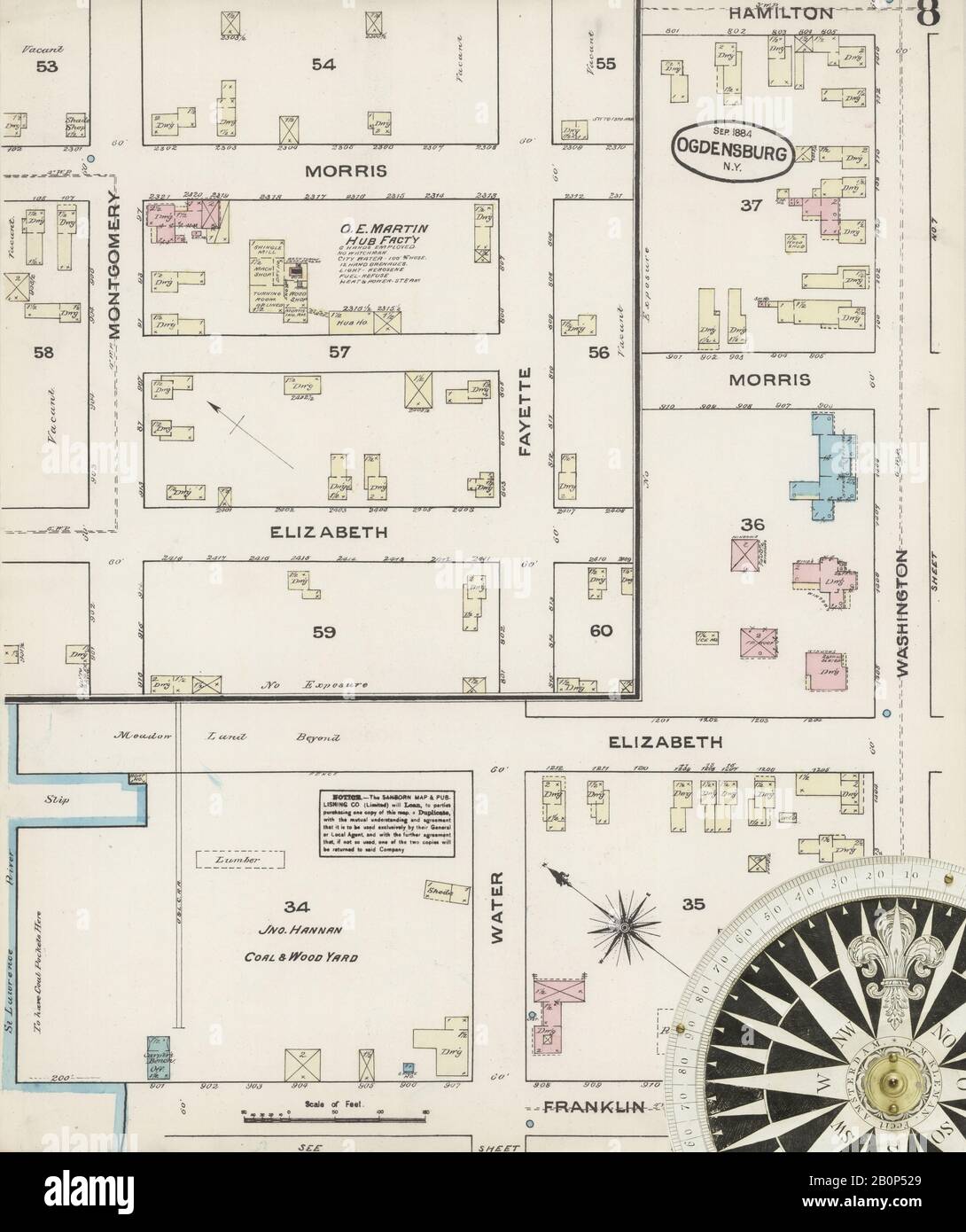 Image 8 of Sanborn Fire Insurance Map from Ogdensburg, St. Lawrence County, New York. Sep 1884. 11 Sheet(s), America, street map with a Nineteenth Century compass Stock Photohttps://www.alamy.com/image-license-details/?v=1https://www.alamy.com/image-8-of-sanborn-fire-insurance-map-from-ogdensburg-st-lawrence-county-new-york-sep-1884-11-sheets-america-street-map-with-a-nineteenth-century-compass-image344694289.html
RM2B0P529–Image 8 of Sanborn Fire Insurance Map from Ogdensburg, St. Lawrence County, New York. Sep 1884. 11 Sheet(s), America, street map with a Nineteenth Century compass
 New York NY Ogdensburg 128861 1905 62500 Inverted Restoration Stock Photohttps://www.alamy.com/image-license-details/?v=1https://www.alamy.com/new-york-ny-ogdensburg-128861-1905-62500-inverted-restoration-image271773756.html
RMWP4A5G–New York NY Ogdensburg 128861 1905 62500 Inverted Restoration
 Image 5 of Sanborn Fire Insurance Map from Ogdensburg, St. Lawrence County, New York. Sep 1898. 21 Sheet(s), America, street map with a Nineteenth Century compass Stock Photohttps://www.alamy.com/image-license-details/?v=1https://www.alamy.com/image-5-of-sanborn-fire-insurance-map-from-ogdensburg-st-lawrence-county-new-york-sep-1898-21-sheets-america-street-map-with-a-nineteenth-century-compass-image344694348.html
RM2B0P54C–Image 5 of Sanborn Fire Insurance Map from Ogdensburg, St. Lawrence County, New York. Sep 1898. 21 Sheet(s), America, street map with a Nineteenth Century compass
 New York NY Ogdensburg West 128858 1963 24000 Restoration Stock Photohttps://www.alamy.com/image-license-details/?v=1https://www.alamy.com/new-york-ny-ogdensburg-west-128858-1963-24000-restoration-image271774521.html
RMWP4B4W–New York NY Ogdensburg West 128858 1963 24000 Restoration
 Image 19 of Sanborn Fire Insurance Map from Ogdensburg, St. Lawrence County, New York. Sep 1898. 21 Sheet(s), America, street map with a Nineteenth Century compass Stock Photohttps://www.alamy.com/image-license-details/?v=1https://www.alamy.com/image-19-of-sanborn-fire-insurance-map-from-ogdensburg-st-lawrence-county-new-york-sep-1898-21-sheets-america-street-map-with-a-nineteenth-century-compass-image344694373.html
RM2B0P559–Image 19 of Sanborn Fire Insurance Map from Ogdensburg, St. Lawrence County, New York. Sep 1898. 21 Sheet(s), America, street map with a Nineteenth Century compass
 New York NY Ogdensburg West 128857 1963 24000 Restoration Stock Photohttps://www.alamy.com/image-license-details/?v=1https://www.alamy.com/new-york-ny-ogdensburg-west-128857-1963-24000-restoration-image271774514.html
RMWP4B4J–New York NY Ogdensburg West 128857 1963 24000 Restoration
 New York NY Ogdensburg East 128852 1943 31680 Restoration Stock Photohttps://www.alamy.com/image-license-details/?v=1https://www.alamy.com/new-york-ny-ogdensburg-east-128852-1943-31680-restoration-image271774316.html
RMWP4AWG–New York NY Ogdensburg East 128852 1943 31680 Restoration
 Image 9 of Sanborn Fire Insurance Map from Ogdensburg, St. Lawrence County, New York. Sep 1898. 21 Sheet(s), America, street map with a Nineteenth Century compass Stock Photohttps://www.alamy.com/image-license-details/?v=1https://www.alamy.com/image-9-of-sanborn-fire-insurance-map-from-ogdensburg-st-lawrence-county-new-york-sep-1898-21-sheets-america-street-map-with-a-nineteenth-century-compass-image344694359.html
RM2B0P54R–Image 9 of Sanborn Fire Insurance Map from Ogdensburg, St. Lawrence County, New York. Sep 1898. 21 Sheet(s), America, street map with a Nineteenth Century compass
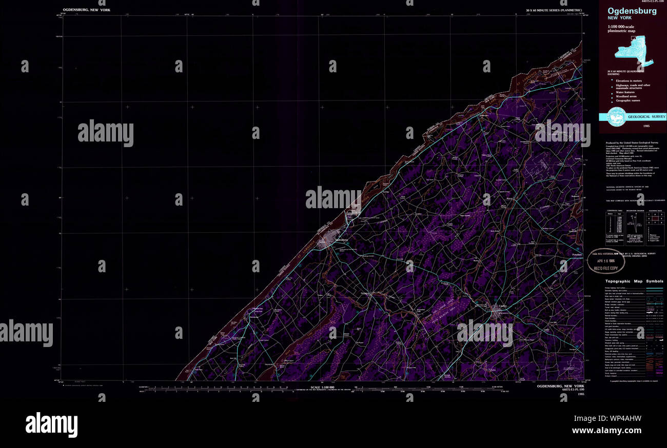 New York NY Ogdensburg 137475 1985 100000 Inverted Restoration Stock Photohttps://www.alamy.com/image-license-details/?v=1https://www.alamy.com/new-york-ny-ogdensburg-137475-1985-100000-inverted-restoration-image271774101.html
RMWP4AHW–New York NY Ogdensburg 137475 1985 100000 Inverted Restoration
 Image 21 of Sanborn Fire Insurance Map from Ogdensburg, St. Lawrence County, New York. Sep 1898. 21 Sheet(s), America, street map with a Nineteenth Century compass Stock Photohttps://www.alamy.com/image-license-details/?v=1https://www.alamy.com/image-21-of-sanborn-fire-insurance-map-from-ogdensburg-st-lawrence-county-new-york-sep-1898-21-sheets-america-street-map-with-a-nineteenth-century-compass-image344694377.html
RM2B0P55D–Image 21 of Sanborn Fire Insurance Map from Ogdensburg, St. Lawrence County, New York. Sep 1898. 21 Sheet(s), America, street map with a Nineteenth Century compass
 New York NY Ogdensburg West 128856 1943 31680 Restoration Stock Photohttps://www.alamy.com/image-license-details/?v=1https://www.alamy.com/new-york-ny-ogdensburg-west-128856-1943-31680-restoration-image271774520.html
RMWP4B4T–New York NY Ogdensburg West 128856 1943 31680 Restoration
 Image 7 of Sanborn Fire Insurance Map from Ogdensburg, St. Lawrence County, New York. Sep 1884. 11 Sheet(s), America, street map with a Nineteenth Century compass Stock Photohttps://www.alamy.com/image-license-details/?v=1https://www.alamy.com/image-7-of-sanborn-fire-insurance-map-from-ogdensburg-st-lawrence-county-new-york-sep-1884-11-sheets-america-street-map-with-a-nineteenth-century-compass-image344694288.html
RM2B0P528–Image 7 of Sanborn Fire Insurance Map from Ogdensburg, St. Lawrence County, New York. Sep 1884. 11 Sheet(s), America, street map with a Nineteenth Century compass
 New York NY Ogdensburg 137477 1985 100000 Inverted Restoration Stock Photohttps://www.alamy.com/image-license-details/?v=1https://www.alamy.com/new-york-ny-ogdensburg-137477-1985-100000-inverted-restoration-image271774204.html
RMWP4ANG–New York NY Ogdensburg 137477 1985 100000 Inverted Restoration
 New York NY Ogdensburg 128866 1953 250000 Inverted Restoration Stock Photohttps://www.alamy.com/image-license-details/?v=1https://www.alamy.com/new-york-ny-ogdensburg-128866-1953-250000-inverted-restoration-image271773973.html
RMWP4AD9–New York NY Ogdensburg 128866 1953 250000 Inverted Restoration
 Image 9 of Sanborn Fire Insurance Map from Ogdensburg, St. Lawrence County, New York. Sep 1884. 11 Sheet(s), America, street map with a Nineteenth Century compass Stock Photohttps://www.alamy.com/image-license-details/?v=1https://www.alamy.com/image-9-of-sanborn-fire-insurance-map-from-ogdensburg-st-lawrence-county-new-york-sep-1884-11-sheets-america-street-map-with-a-nineteenth-century-compass-image344694291.html
RM2B0P52B–Image 9 of Sanborn Fire Insurance Map from Ogdensburg, St. Lawrence County, New York. Sep 1884. 11 Sheet(s), America, street map with a Nineteenth Century compass
 New York NY Ogdensburg 128865 1948 250000 Inverted Restoration Stock Photohttps://www.alamy.com/image-license-details/?v=1https://www.alamy.com/new-york-ny-ogdensburg-128865-1948-250000-inverted-restoration-image271773890.html
RMWP4AAA–New York NY Ogdensburg 128865 1948 250000 Inverted Restoration
 Image 7 of Sanborn Fire Insurance Map from Ogdensburg, St. Lawrence County, New York. Sep 1898. 21 Sheet(s), America, street map with a Nineteenth Century compass Stock Photohttps://www.alamy.com/image-license-details/?v=1https://www.alamy.com/image-7-of-sanborn-fire-insurance-map-from-ogdensburg-st-lawrence-county-new-york-sep-1898-21-sheets-america-street-map-with-a-nineteenth-century-compass-image344694353.html
RM2B0P54H–Image 7 of Sanborn Fire Insurance Map from Ogdensburg, St. Lawrence County, New York. Sep 1898. 21 Sheet(s), America, street map with a Nineteenth Century compass
 New York NY Ogdensburg 128867 1961 250000 Inverted Restoration Stock Photohttps://www.alamy.com/image-license-details/?v=1https://www.alamy.com/new-york-ny-ogdensburg-128867-1961-250000-inverted-restoration-image271774021.html
RMWP4AF1–New York NY Ogdensburg 128867 1961 250000 Inverted Restoration
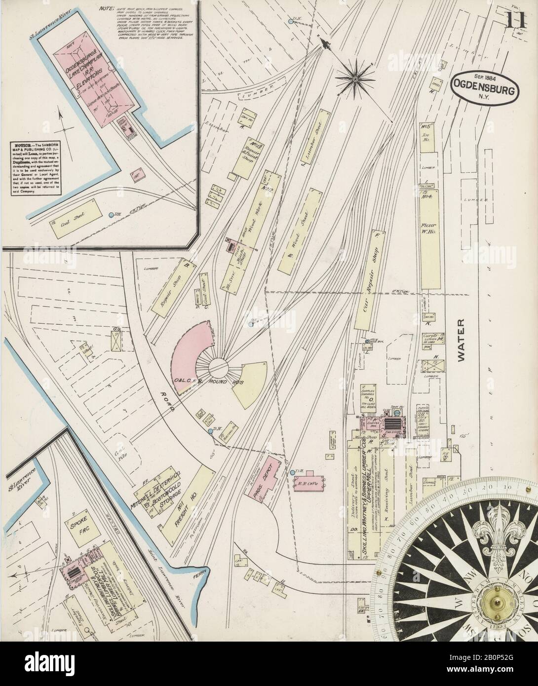 Image 11 of Sanborn Fire Insurance Map from Ogdensburg, St. Lawrence County, New York. Sep 1884. 11 Sheet(s), America, street map with a Nineteenth Century compass Stock Photohttps://www.alamy.com/image-license-details/?v=1https://www.alamy.com/image-11-of-sanborn-fire-insurance-map-from-ogdensburg-st-lawrence-county-new-york-sep-1884-11-sheets-america-street-map-with-a-nineteenth-century-compass-image344694296.html
RM2B0P52G–Image 11 of Sanborn Fire Insurance Map from Ogdensburg, St. Lawrence County, New York. Sep 1884. 11 Sheet(s), America, street map with a Nineteenth Century compass
 New York NY Ogdensburg 128864 1948 250000 Inverted Restoration Stock Photohttps://www.alamy.com/image-license-details/?v=1https://www.alamy.com/new-york-ny-ogdensburg-128864-1948-250000-inverted-restoration-image271773837.html
RMWP4A8D–New York NY Ogdensburg 128864 1948 250000 Inverted Restoration
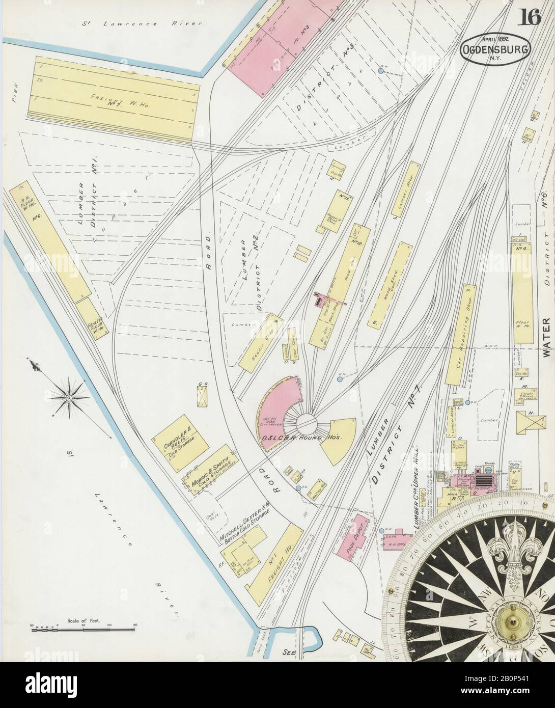 Image 16 of Sanborn Fire Insurance Map from Ogdensburg, St. Lawrence County, New York. Apr 1892. 16 Sheet(s), America, street map with a Nineteenth Century compass Stock Photohttps://www.alamy.com/image-license-details/?v=1https://www.alamy.com/image-16-of-sanborn-fire-insurance-map-from-ogdensburg-st-lawrence-county-new-york-apr-1892-16-sheets-america-street-map-with-a-nineteenth-century-compass-image344694337.html
RM2B0P541–Image 16 of Sanborn Fire Insurance Map from Ogdensburg, St. Lawrence County, New York. Apr 1892. 16 Sheet(s), America, street map with a Nineteenth Century compass
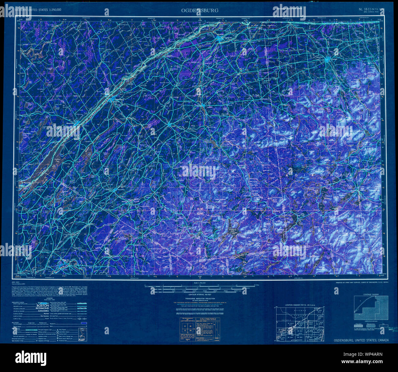 New York NY Ogdensburg 707503 1951 250000 Inverted Restoration Stock Photohttps://www.alamy.com/image-license-details/?v=1https://www.alamy.com/new-york-ny-ogdensburg-707503-1951-250000-inverted-restoration-image271774265.html
RMWP4ARN–New York NY Ogdensburg 707503 1951 250000 Inverted Restoration
 Image 10 of Sanborn Fire Insurance Map from Ogdensburg, St. Lawrence County, New York. Sep 1884. 11 Sheet(s), America, street map with a Nineteenth Century compass Stock Photohttps://www.alamy.com/image-license-details/?v=1https://www.alamy.com/image-10-of-sanborn-fire-insurance-map-from-ogdensburg-st-lawrence-county-new-york-sep-1884-11-sheets-america-street-map-with-a-nineteenth-century-compass-image344694294.html
RM2B0P52E–Image 10 of Sanborn Fire Insurance Map from Ogdensburg, St. Lawrence County, New York. Sep 1884. 11 Sheet(s), America, street map with a Nineteenth Century compass
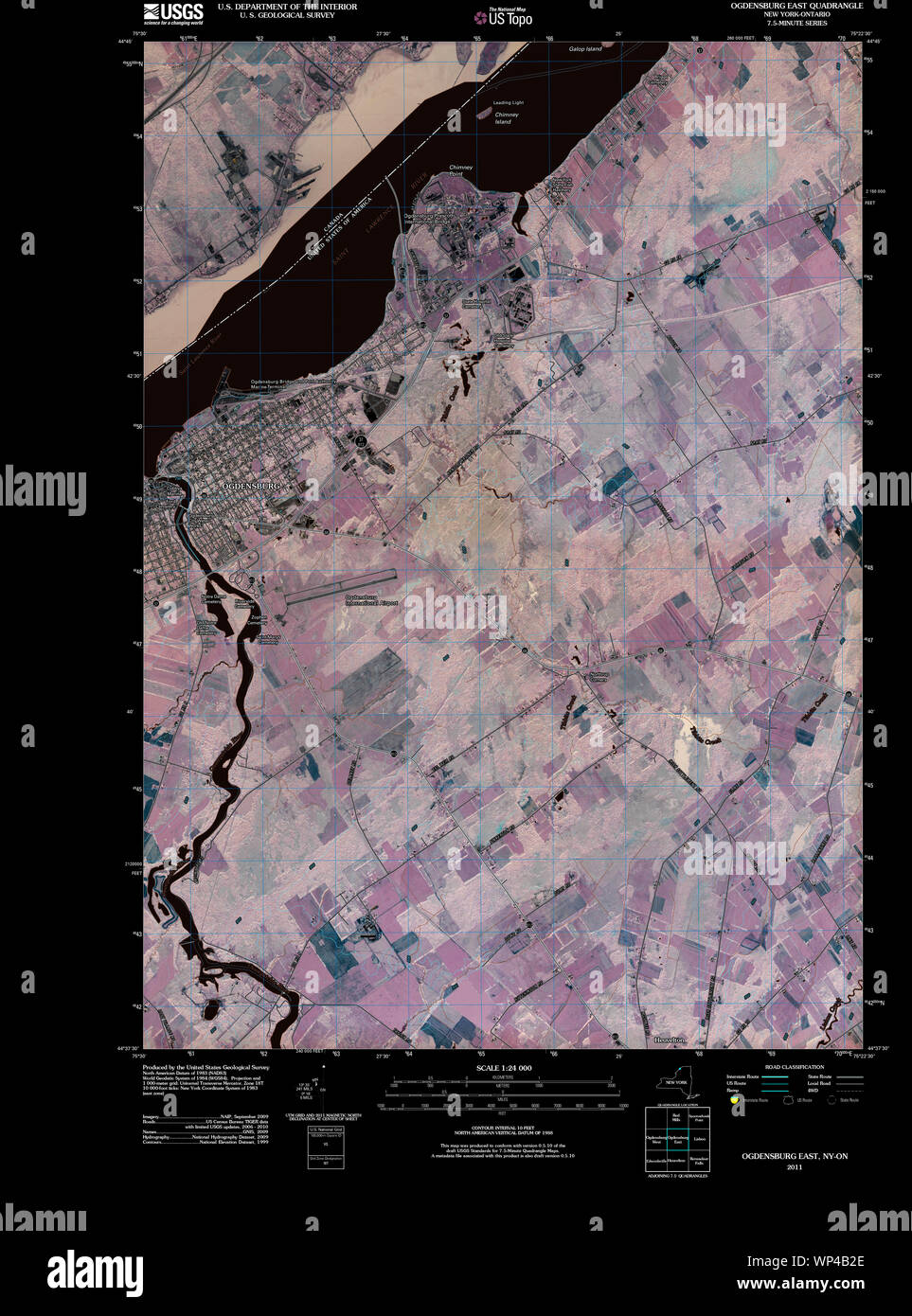 New York NY Ogdensburg East 20110510 TM Inverted Restoration Stock Photohttps://www.alamy.com/image-license-details/?v=1https://www.alamy.com/new-york-ny-ogdensburg-east-20110510-tm-inverted-restoration-image271774454.html
RMWP4B2E–New York NY Ogdensburg East 20110510 TM Inverted Restoration
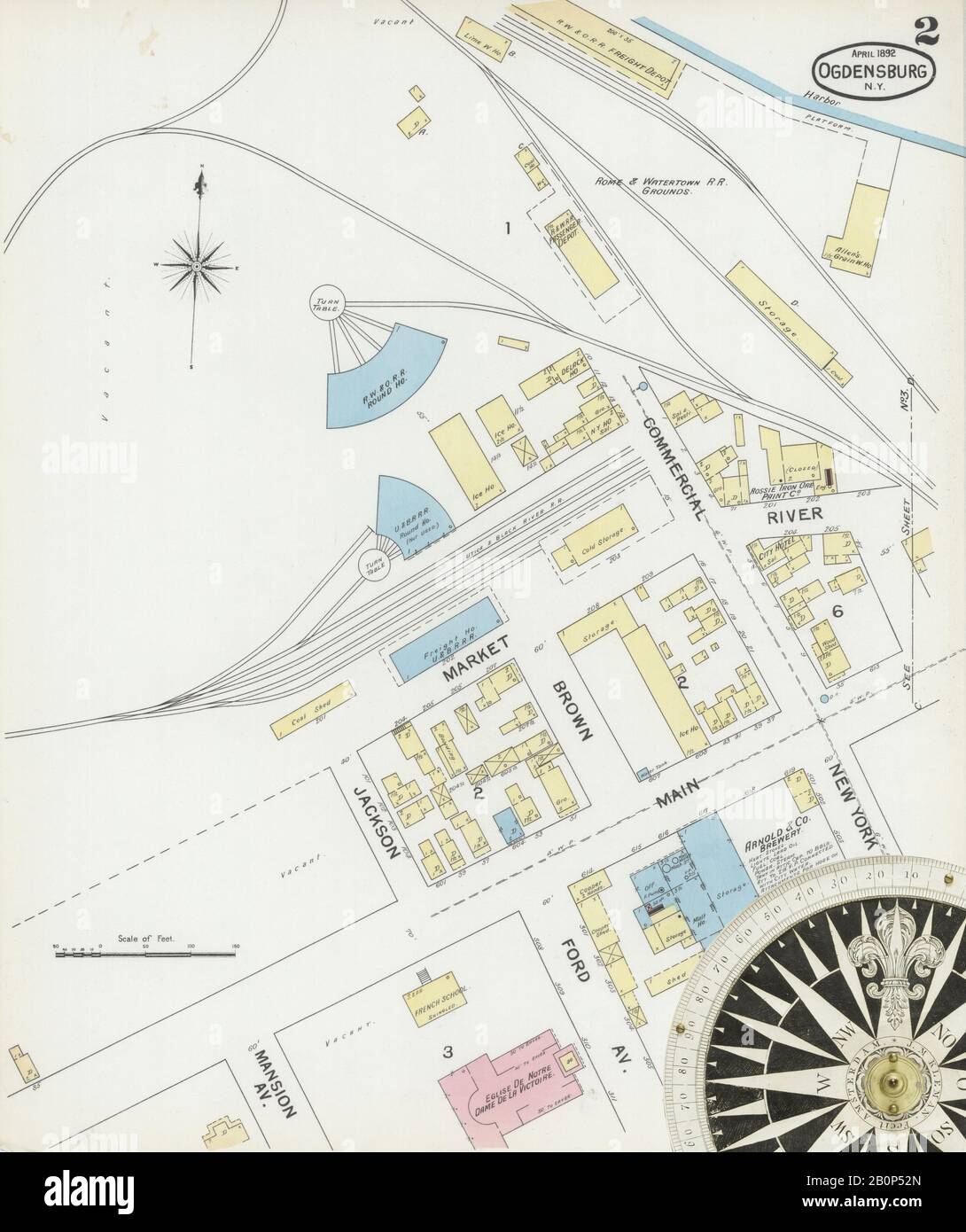 Image 2 of Sanborn Fire Insurance Map from Ogdensburg, St. Lawrence County, New York. Apr 1892. 16 Sheet(s), America, street map with a Nineteenth Century compass Stock Photohttps://www.alamy.com/image-license-details/?v=1https://www.alamy.com/image-2-of-sanborn-fire-insurance-map-from-ogdensburg-st-lawrence-county-new-york-apr-1892-16-sheets-america-street-map-with-a-nineteenth-century-compass-image344694301.html
RM2B0P52N–Image 2 of Sanborn Fire Insurance Map from Ogdensburg, St. Lawrence County, New York. Apr 1892. 16 Sheet(s), America, street map with a Nineteenth Century compass
 New York NY Ogdensburg West 20110510 TM Inverted Restoration Stock Photohttps://www.alamy.com/image-license-details/?v=1https://www.alamy.com/new-york-ny-ogdensburg-west-20110510-tm-inverted-restoration-image271774572.html
RMWP4B6M–New York NY Ogdensburg West 20110510 TM Inverted Restoration
 New York NY Ogdensburg East 128855 1963 24000 Inverted Restoration Stock Photohttps://www.alamy.com/image-license-details/?v=1https://www.alamy.com/new-york-ny-ogdensburg-east-128855-1963-24000-inverted-restoration-image271774411.html
RMWP4B0Y–New York NY Ogdensburg East 128855 1963 24000 Inverted Restoration
 Image 4 of Sanborn Fire Insurance Map from Ogdensburg, St. Lawrence County, New York. Sep 1884. 11 Sheet(s), America, street map with a Nineteenth Century compass Stock Photohttps://www.alamy.com/image-license-details/?v=1https://www.alamy.com/image-4-of-sanborn-fire-insurance-map-from-ogdensburg-st-lawrence-county-new-york-sep-1884-11-sheets-america-street-map-with-a-nineteenth-century-compass-image344694280.html
RM2B0P520–Image 4 of Sanborn Fire Insurance Map from Ogdensburg, St. Lawrence County, New York. Sep 1884. 11 Sheet(s), America, street map with a Nineteenth Century compass
 New York NY Ogdensburg West 128857 1963 24000 Inverted Restoration Stock Photohttps://www.alamy.com/image-license-details/?v=1https://www.alamy.com/new-york-ny-ogdensburg-west-128857-1963-24000-inverted-restoration-image271774534.html
RMWP4B5A–New York NY Ogdensburg West 128857 1963 24000 Inverted Restoration
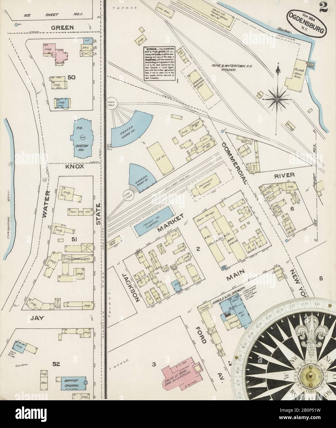 Image 2 of Sanborn Fire Insurance Map from Ogdensburg, St. Lawrence County, New York. Sep 1884. 11 Sheet(s), America, street map with a Nineteenth Century compass Stock Photohttps://www.alamy.com/image-license-details/?v=1https://www.alamy.com/image-2-of-sanborn-fire-insurance-map-from-ogdensburg-st-lawrence-county-new-york-sep-1884-11-sheets-america-street-map-with-a-nineteenth-century-compass-image344694277.html
RM2B0P51W–Image 2 of Sanborn Fire Insurance Map from Ogdensburg, St. Lawrence County, New York. Sep 1884. 11 Sheet(s), America, street map with a Nineteenth Century compass
 New York NY Ogdensburg West 128858 1963 24000 Inverted Restoration Stock Photohttps://www.alamy.com/image-license-details/?v=1https://www.alamy.com/new-york-ny-ogdensburg-west-128858-1963-24000-inverted-restoration-image271774530.html
RMWP4B56–New York NY Ogdensburg West 128858 1963 24000 Inverted Restoration
 Image 1 of Sanborn Fire Insurance Map from Ogdensburg, St. Lawrence County, New York. Sep 1884. 11 Sheet(s), America, street map with a Nineteenth Century compass Stock Photohttps://www.alamy.com/image-license-details/?v=1https://www.alamy.com/image-1-of-sanborn-fire-insurance-map-from-ogdensburg-st-lawrence-county-new-york-sep-1884-11-sheets-america-street-map-with-a-nineteenth-century-compass-image344694274.html
RM2B0P51P–Image 1 of Sanborn Fire Insurance Map from Ogdensburg, St. Lawrence County, New York. Sep 1884. 11 Sheet(s), America, street map with a Nineteenth Century compass
 New York NY Ogdensburg East 128854 1963 24000 Inverted Restoration Stock Photohttps://www.alamy.com/image-license-details/?v=1https://www.alamy.com/new-york-ny-ogdensburg-east-128854-1963-24000-inverted-restoration-image271774413.html
RMWP4B11–New York NY Ogdensburg East 128854 1963 24000 Inverted Restoration
 New York NY Ogdensburg West 128856 1943 31680 Inverted Restoration Stock Photohttps://www.alamy.com/image-license-details/?v=1https://www.alamy.com/new-york-ny-ogdensburg-west-128856-1943-31680-inverted-restoration-image271774451.html
RMWP4B2B–New York NY Ogdensburg West 128856 1943 31680 Inverted Restoration
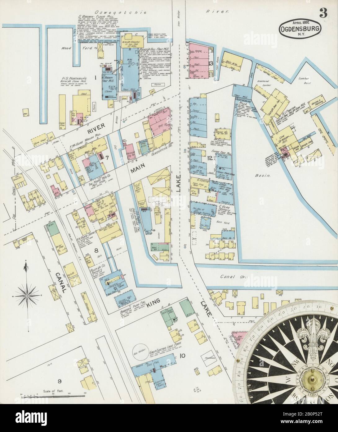 Image 3 of Sanborn Fire Insurance Map from Ogdensburg, St. Lawrence County, New York. Apr 1892. 16 Sheet(s), America, street map with a Nineteenth Century compass Stock Photohttps://www.alamy.com/image-license-details/?v=1https://www.alamy.com/image-3-of-sanborn-fire-insurance-map-from-ogdensburg-st-lawrence-county-new-york-apr-1892-16-sheets-america-street-map-with-a-nineteenth-century-compass-image344694304.html
RM2B0P52T–Image 3 of Sanborn Fire Insurance Map from Ogdensburg, St. Lawrence County, New York. Apr 1892. 16 Sheet(s), America, street map with a Nineteenth Century compass
 New York NY Ogdensburg East 128852 1943 31680 Inverted Restoration Stock Photohttps://www.alamy.com/image-license-details/?v=1https://www.alamy.com/new-york-ny-ogdensburg-east-128852-1943-31680-inverted-restoration-image271774315.html
RMWP4AWF–New York NY Ogdensburg East 128852 1943 31680 Inverted Restoration
 Image 6 of Sanborn Fire Insurance Map from Ogdensburg, St. Lawrence County, New York. Sep 1884. 11 Sheet(s), America, street map with a Nineteenth Century compass Stock Photohttps://www.alamy.com/image-license-details/?v=1https://www.alamy.com/image-6-of-sanborn-fire-insurance-map-from-ogdensburg-st-lawrence-county-new-york-sep-1884-11-sheets-america-street-map-with-a-nineteenth-century-compass-image344694285.html
RM2B0P525–Image 6 of Sanborn Fire Insurance Map from Ogdensburg, St. Lawrence County, New York. Sep 1884. 11 Sheet(s), America, street map with a Nineteenth Century compass
 Image 9 of Sanborn Fire Insurance Map from Ogdensburg, St. Lawrence County, New York. Apr 1892. 16 Sheet(s), America, street map with a Nineteenth Century compass Stock Photohttps://www.alamy.com/image-license-details/?v=1https://www.alamy.com/image-9-of-sanborn-fire-insurance-map-from-ogdensburg-st-lawrence-county-new-york-apr-1892-16-sheets-america-street-map-with-a-nineteenth-century-compass-image344694316.html
RM2B0P538–Image 9 of Sanborn Fire Insurance Map from Ogdensburg, St. Lawrence County, New York. Apr 1892. 16 Sheet(s), America, street map with a Nineteenth Century compass
 Image 8 of Sanborn Fire Insurance Map from Ogdensburg, St. Lawrence County, New York. Apr 1892. 16 Sheet(s), America, street map with a Nineteenth Century compass Stock Photohttps://www.alamy.com/image-license-details/?v=1https://www.alamy.com/image-8-of-sanborn-fire-insurance-map-from-ogdensburg-st-lawrence-county-new-york-apr-1892-16-sheets-america-street-map-with-a-nineteenth-century-compass-image344694315.html
RM2B0P537–Image 8 of Sanborn Fire Insurance Map from Ogdensburg, St. Lawrence County, New York. Apr 1892. 16 Sheet(s), America, street map with a Nineteenth Century compass