Quick filters:
Map of oil city Stock Photos and Images
 Image 10 of Sanborn Fire Insurance Map from Oil City, Venango County, Pennsylvania. Jun 1891. 13 Sheet(s), America, street map with a Nineteenth Century compass Stock Photohttps://www.alamy.com/image-license-details/?v=1https://www.alamy.com/image-10-of-sanborn-fire-insurance-map-from-oil-city-venango-county-pennsylvania-jun-1891-13-sheets-america-street-map-with-a-nineteenth-century-compass-image344703786.html
RM2B0PH5E–Image 10 of Sanborn Fire Insurance Map from Oil City, Venango County, Pennsylvania. Jun 1891. 13 Sheet(s), America, street map with a Nineteenth Century compass
 Oil City Pennsylvania USA shown on a Geography map or Road map Stock Photohttps://www.alamy.com/image-license-details/?v=1https://www.alamy.com/oil-city-pennsylvania-usa-shown-on-a-geography-map-or-road-map-image433856092.html
RM2G5RRTC–Oil City Pennsylvania USA shown on a Geography map or Road map
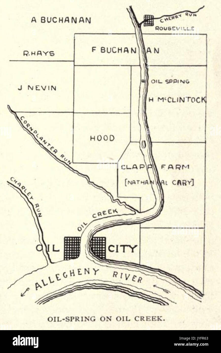 McLaurin(1902) pic.013 Map of Oil City Stock Photohttps://www.alamy.com/image-license-details/?v=1https://www.alamy.com/mclaurin1902-pic013-map-of-oil-city-image154626139.html
RMJYFR63–McLaurin(1902) pic.013 Map of Oil City
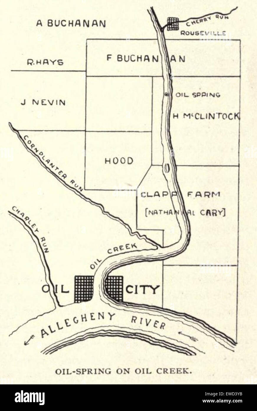 McLaurin(1902) pic.013 Map of Oil City Stock Photohttps://www.alamy.com/image-license-details/?v=1https://www.alamy.com/stock-photo-mclaurin1902-pic013-map-of-oil-city-84496367.html
RMEWD3YB–McLaurin(1902) pic.013 Map of Oil City
 Dallas, Texas, Usa, True Colour Satellite Image. Dallas, Texas, USA. True colour satellite image of Dallas, taken on 16 April 20 Stock Photohttps://www.alamy.com/image-license-details/?v=1https://www.alamy.com/stock-photo-dallas-texas-usa-true-colour-satellite-image-dallas-texas-usa-true-71604958.html
RME4DTRX–Dallas, Texas, Usa, True Colour Satellite Image. Dallas, Texas, USA. True colour satellite image of Dallas, taken on 16 April 20
 Oil City, Chariton County, US, United States, Missouri, N 39 20' 40'', S 92 50' 57'', map, Cartascapes Map published in 2024. Explore Cartascapes, a map revealing Earth's diverse landscapes, cultures, and ecosystems. Journey through time and space, discovering the interconnectedness of our planet's past, present, and future. Stock Photohttps://www.alamy.com/image-license-details/?v=1https://www.alamy.com/oil-city-chariton-county-us-united-states-missouri-n-39-20-40-s-92-50-57-map-cartascapes-map-published-in-2024-explore-cartascapes-a-map-revealing-earths-diverse-landscapes-cultures-and-ecosystems-journey-through-time-and-space-discovering-the-interconnectedness-of-our-planets-past-present-and-future-image621170105.html
RM2Y2GMPH–Oil City, Chariton County, US, United States, Missouri, N 39 20' 40'', S 92 50' 57'', map, Cartascapes Map published in 2024. Explore Cartascapes, a map revealing Earth's diverse landscapes, cultures, and ecosystems. Journey through time and space, discovering the interconnectedness of our planet's past, present, and future.
 Aerial view Oil City, Pennsylvania from 1896 Stock Photohttps://www.alamy.com/image-license-details/?v=1https://www.alamy.com/stock-photo-aerial-view-oil-city-pennsylvania-from-1896-20159981.html
RMB4PA79–Aerial view Oil City, Pennsylvania from 1896
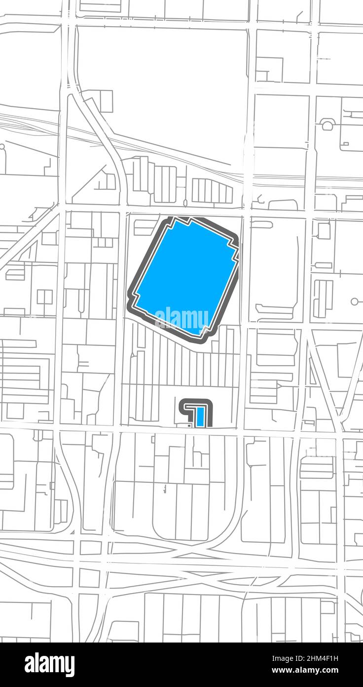 Indianapolis, American Football NHL Stadium, outline vector map. The football statium map was drawn with white areas and lines for main roads, side ro Stock Vectorhttps://www.alamy.com/image-license-details/?v=1https://www.alamy.com/indianapolis-american-football-nhl-stadium-outline-vector-map-the-football-statium-map-was-drawn-with-white-areas-and-lines-for-main-roads-side-ro-image459862301.html
RF2HM4F1H–Indianapolis, American Football NHL Stadium, outline vector map. The football statium map was drawn with white areas and lines for main roads, side ro
![Queens V. 3, Plate No. 52 [Map of Alden, Sampson and sons Oil Cloths, bounded by Mt. Olivet Cemetery] 1884 - 1936 Stock Photo Queens V. 3, Plate No. 52 [Map of Alden, Sampson and sons Oil Cloths, bounded by Mt. Olivet Cemetery] 1884 - 1936 Stock Photo](https://c8.alamy.com/comp/2YT4DYE/queens-v-3-plate-no-52-map-of-alden-sampson-and-sons-oil-cloths-bounded-by-mt-olivet-cemetery-1884-1936-2YT4DYE.jpg) Queens V. 3, Plate No. 52 [Map of Alden, Sampson and sons Oil Cloths, bounded by Mt. Olivet Cemetery] 1884 - 1936 Stock Photohttps://www.alamy.com/image-license-details/?v=1https://www.alamy.com/queens-v-3-plate-no-52-map-of-alden-sampson-and-sons-oil-cloths-bounded-by-mt-olivet-cemetery-1884-1936-image634423762.html
Queens V. 3, Plate No. 52 [Map of Alden, Sampson and sons Oil Cloths, bounded by Mt. Olivet Cemetery] 1884 - 1936 Stock Photohttps://www.alamy.com/image-license-details/?v=1https://www.alamy.com/queens-v-3-plate-no-52-map-of-alden-sampson-and-sons-oil-cloths-bounded-by-mt-olivet-cemetery-1884-1936-image634423762.htmlRM2YT4DYE–Queens V. 3, Plate No. 52 [Map of Alden, Sampson and sons Oil Cloths, bounded by Mt. Olivet Cemetery] 1884 - 1936
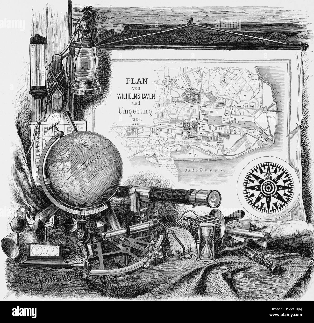 Wilhelmshaven, Lower Saxony, North Sea, symbol, emblem, city map, globe, oil lamp, telescope, sextant, egg timer, Germany, historical illustration Stock Photohttps://www.alamy.com/image-license-details/?v=1https://www.alamy.com/wilhelmshaven-lower-saxony-north-sea-symbol-emblem-city-map-globe-oil-lamp-telescope-sextant-egg-timer-germany-historical-illustration-image599918666.html
RM2WT0JAJ–Wilhelmshaven, Lower Saxony, North Sea, symbol, emblem, city map, globe, oil lamp, telescope, sextant, egg timer, Germany, historical illustration
 Satellite map of Dubai, United Arab Emirates, city streets. Palaces, buildings. 3d rendering. Palm Islands. Palm Jumeirah. Street map and city center Stock Photohttps://www.alamy.com/image-license-details/?v=1https://www.alamy.com/satellite-map-of-dubai-united-arab-emirates-city-streets-palaces-buildings-3d-rendering-palm-islands-palm-jumeirah-street-map-and-city-center-image453383748.html
RF2H9HBGM–Satellite map of Dubai, United Arab Emirates, city streets. Palaces, buildings. 3d rendering. Palm Islands. Palm Jumeirah. Street map and city center
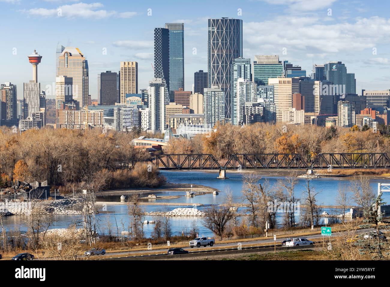 Calgary downtown skyline overlooking the Bow river and train bridge with popular tourist attractions along Harvey Passage. Stock Photohttps://www.alamy.com/image-license-details/?v=1https://www.alamy.com/calgary-downtown-skyline-overlooking-the-bow-river-and-train-bridge-with-popular-tourist-attractions-along-harvey-passage-image635068220.html
RF2YW5RYT–Calgary downtown skyline overlooking the Bow river and train bridge with popular tourist attractions along Harvey Passage.
 Fuel station refuel location. Gas nozzle and red pinpoint on city map background. Oil petrol diesel refill and filling position concept. 3d illustrati Stock Photohttps://www.alamy.com/image-license-details/?v=1https://www.alamy.com/fuel-station-refuel-location-gas-nozzle-and-red-pinpoint-on-city-map-background-oil-petrol-diesel-refill-and-filling-position-concept-3d-illustrati-image398626760.html
RF2E4F0E0–Fuel station refuel location. Gas nozzle and red pinpoint on city map background. Oil petrol diesel refill and filling position concept. 3d illustrati
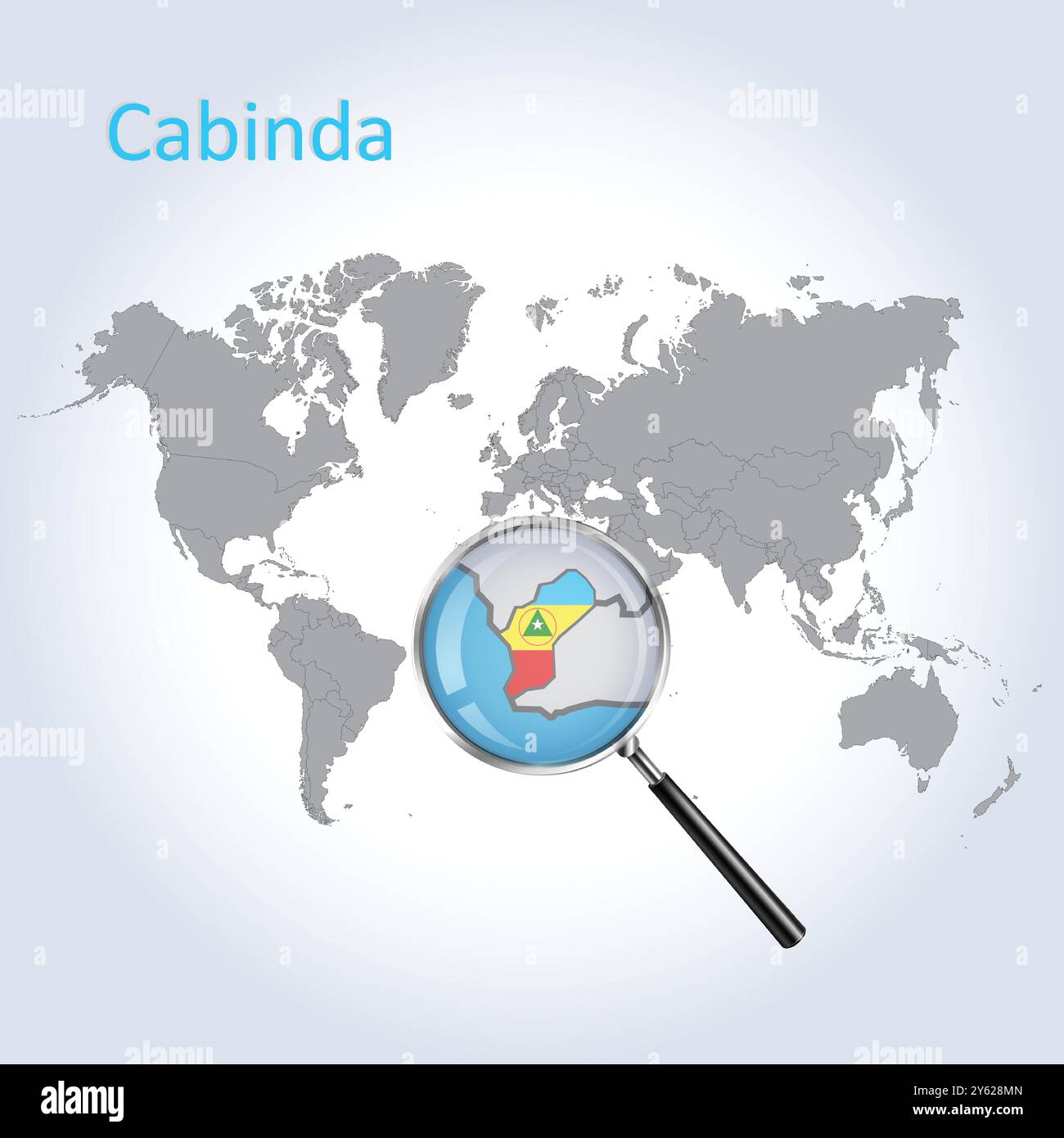 Cabinda Magnified Map and Flag, Cabinda Enlargement Maps, Vector Art Stock Vectorhttps://www.alamy.com/image-license-details/?v=1https://www.alamy.com/cabinda-magnified-map-and-flag-cabinda-enlargement-maps-vector-art-image623311941.html
RF2Y628MN–Cabinda Magnified Map and Flag, Cabinda Enlargement Maps, Vector Art
 Map pin from car parts on city map. Location of car repair service or garage concept. 3d illustration. Stock Photohttps://www.alamy.com/image-license-details/?v=1https://www.alamy.com/map-pin-from-car-parts-on-city-map-location-of-car-repair-service-or-garage-concept-3d-illustration-image472337035.html
RF2JCCPKR–Map pin from car parts on city map. Location of car repair service or garage concept. 3d illustration.
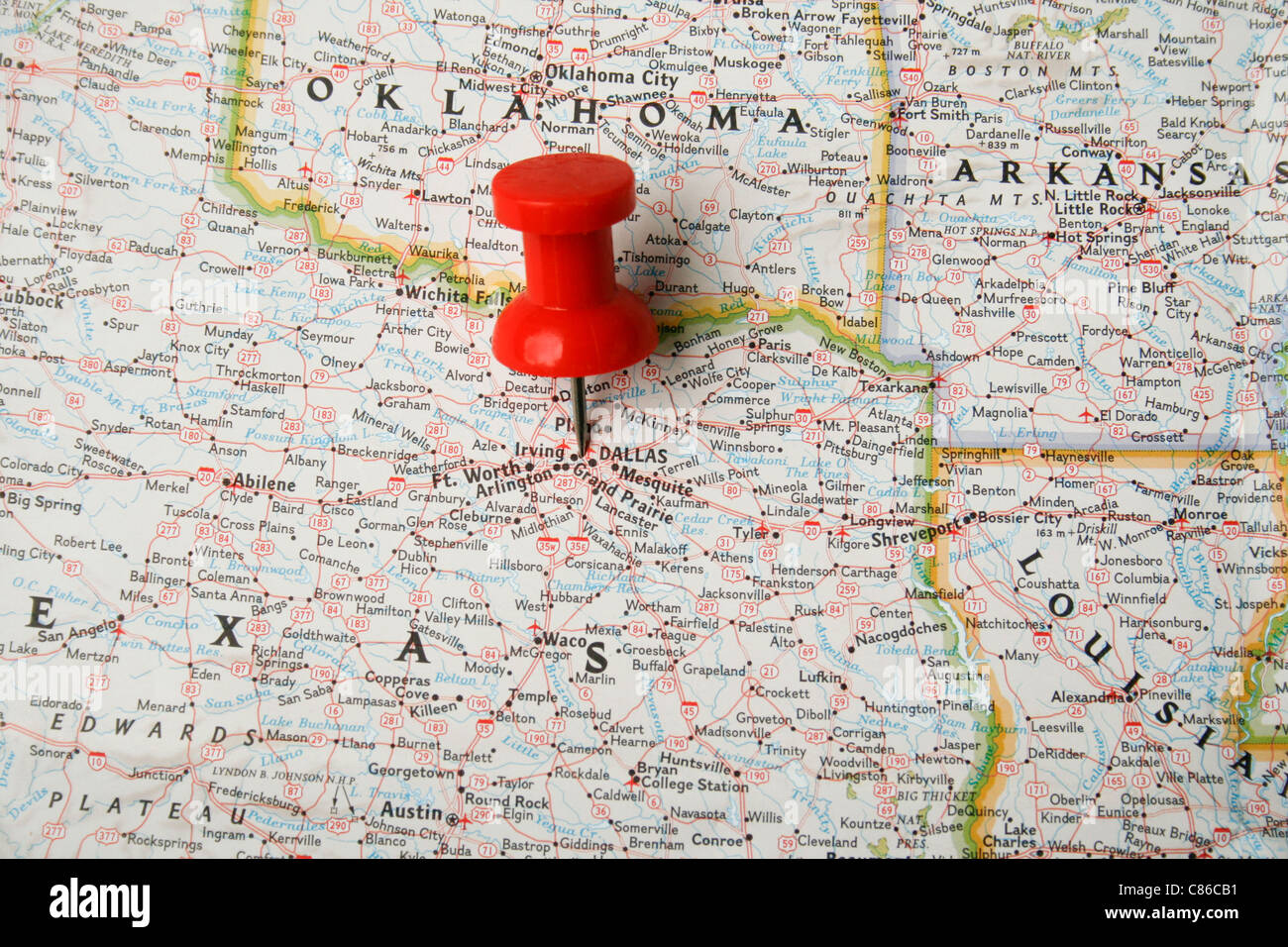 Red pin on map of USA pointing at Dallas, Texas Stock Photohttps://www.alamy.com/image-license-details/?v=1https://www.alamy.com/stock-photo-red-pin-on-map-of-usa-pointing-at-dallas-texas-39479413.html
RMC86CB1–Red pin on map of USA pointing at Dallas, Texas
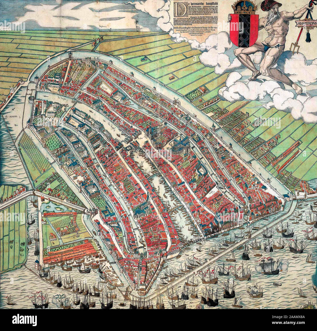 Bird's eye view of Amsterdam - A bird's eye view of Amsterdam looking south. This is the city before the construction of the semi-circular ring of canals. It is bordered by the IJ, the Singel in the west, and the Kloveniersburgwal/Gelderse Kade in the east. The waterway in the middle (connecting the Dam with the IJ) is known as the Damrak. Ships were unloaded on the west bank of the Damrak, indicated on the map as ‘Opt Waeter’ (on the water). Woodcut by Cornelis Anthonisz. made in 1544 after an oil painting of his own making from 1538. This version is a reprint, published by Ian Iansz. around Stock Photohttps://www.alamy.com/image-license-details/?v=1https://www.alamy.com/birds-eye-view-of-amsterdam-a-birds-eye-view-of-amsterdam-looking-south-this-is-the-city-before-the-construction-of-the-semi-circular-ring-of-canals-it-is-bordered-by-the-ij-the-singel-in-the-west-and-the-kloveniersburgwalgelderse-kade-in-the-east-the-waterway-in-the-middle-connecting-the-dam-with-the-ij-is-known-as-the-damrak-ships-were-unloaded-on-the-west-bank-of-the-damrak-indicated-on-the-map-as-opt-waeter-on-the-water-woodcut-by-cornelis-anthonisz-made-in-1544-after-an-oil-painting-of-his-own-making-from-1538-this-version-is-a-reprint-published-by-ian-iansz-around-image333603210.html
RM2AAMX8A–Bird's eye view of Amsterdam - A bird's eye view of Amsterdam looking south. This is the city before the construction of the semi-circular ring of canals. It is bordered by the IJ, the Singel in the west, and the Kloveniersburgwal/Gelderse Kade in the east. The waterway in the middle (connecting the Dam with the IJ) is known as the Damrak. Ships were unloaded on the west bank of the Damrak, indicated on the map as ‘Opt Waeter’ (on the water). Woodcut by Cornelis Anthonisz. made in 1544 after an oil painting of his own making from 1538. This version is a reprint, published by Ian Iansz. around
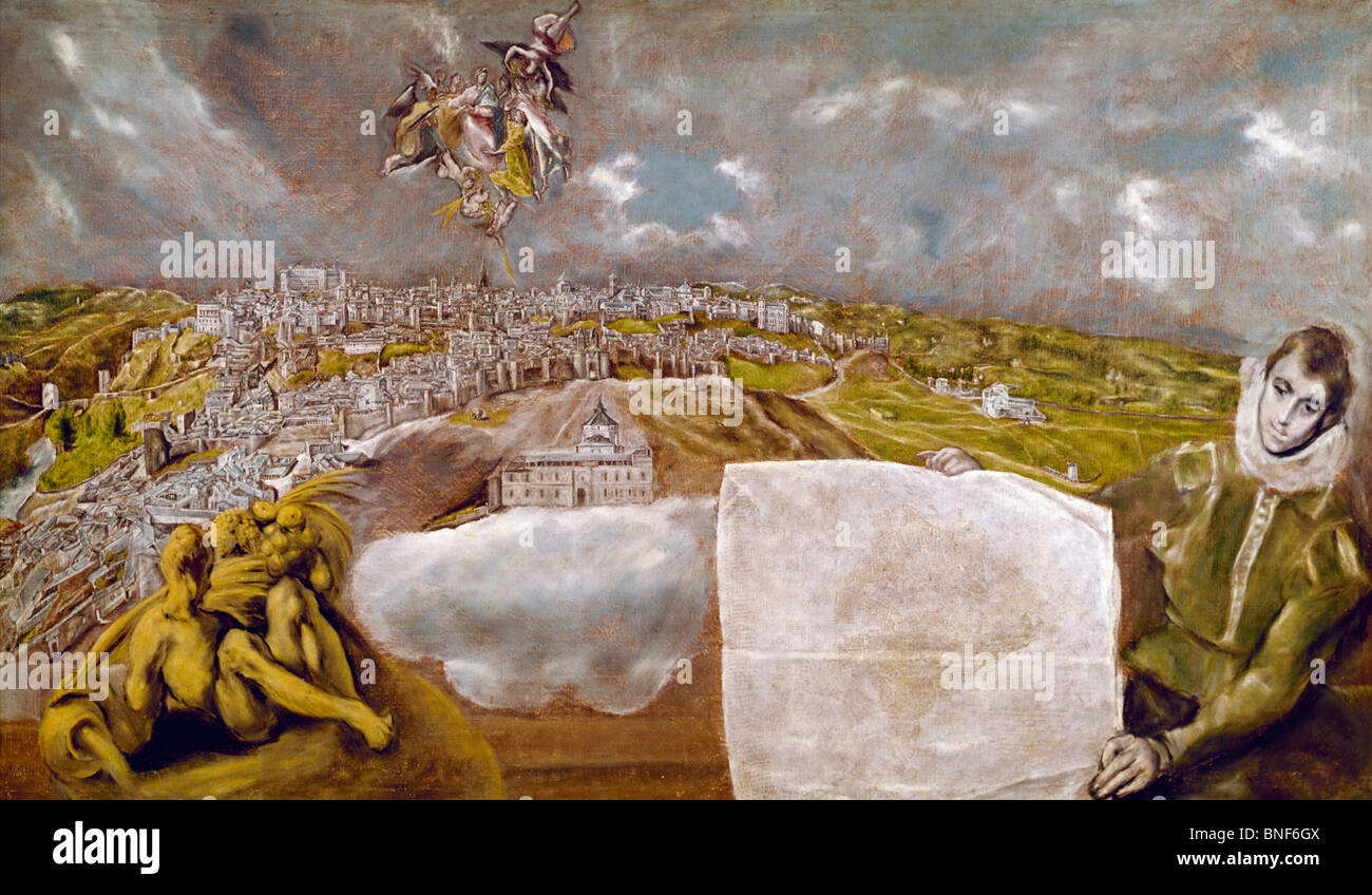 View of Toledo, by El Greco, oil on canvas, 1595, 1541-1614, USA, New York, Metropolitan Museum of Art Stock Photohttps://www.alamy.com/image-license-details/?v=1https://www.alamy.com/stock-photo-view-of-toledo-by-el-greco-oil-on-canvas-1595-1541-1614-usa-new-york-30452602.html
RMBNF6GX–View of Toledo, by El Greco, oil on canvas, 1595, 1541-1614, USA, New York, Metropolitan Museum of Art
 Creative map of Cuwait. Political map. Capital of Cuwait. World Countries maps with borders. Glass isometric Series. Set Stock Photohttps://www.alamy.com/image-license-details/?v=1https://www.alamy.com/creative-map-of-cuwait-political-map-capital-of-cuwait-world-countries-maps-with-borders-glass-isometric-series-set-image566523730.html
RF2RWKAPA–Creative map of Cuwait. Political map. Capital of Cuwait. World Countries maps with borders. Glass isometric Series. Set
 Image 6 of Sanborn Fire Insurance Map from Oil City, Venango County, Pennsylvania. Jun 1891. 13 Sheet(s), America, street map with a Nineteenth Century compass Stock Photohttps://www.alamy.com/image-license-details/?v=1https://www.alamy.com/image-6-of-sanborn-fire-insurance-map-from-oil-city-venango-county-pennsylvania-jun-1891-13-sheets-america-street-map-with-a-nineteenth-century-compass-image344703776.html
RM2B0PH54–Image 6 of Sanborn Fire Insurance Map from Oil City, Venango County, Pennsylvania. Jun 1891. 13 Sheet(s), America, street map with a Nineteenth Century compass
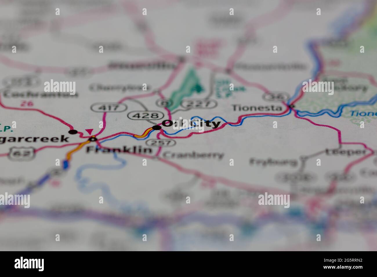 Oil City Pennsylvania USA shown on a Geography map or Road map Stock Photohttps://www.alamy.com/image-license-details/?v=1https://www.alamy.com/oil-city-pennsylvania-usa-shown-on-a-geography-map-or-road-map-image433855998.html
RM2G5RRN2–Oil City Pennsylvania USA shown on a Geography map or Road map
 McLaurin(1902) pic.087 Map of the Oil Creek between Titusville and Oil City Stock Photohttps://www.alamy.com/image-license-details/?v=1https://www.alamy.com/mclaurin1902-pic087-map-of-the-oil-creek-between-titusville-and-oil-image154626173.html
RMJYFR79–McLaurin(1902) pic.087 Map of the Oil Creek between Titusville and Oil City
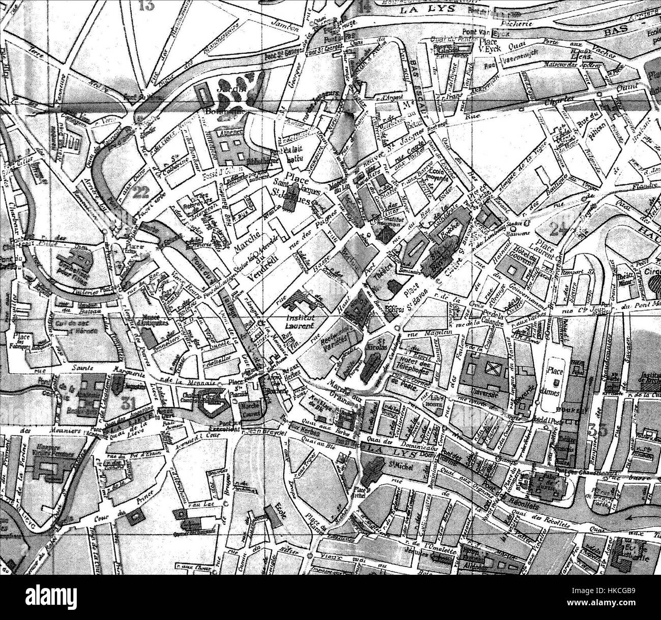 Map of Ghent, city centre, by Hoste Stock Photohttps://www.alamy.com/image-license-details/?v=1https://www.alamy.com/stock-photo-map-of-ghent-city-centre-by-hoste-132427325.html
RMHKCGB9–Map of Ghent, city centre, by Hoste
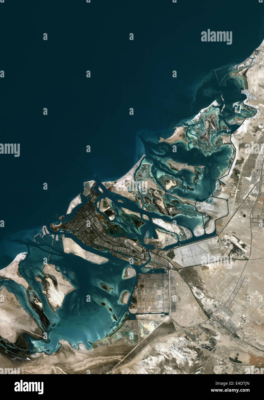 Abu Dhabi, United Arab Emirates, True Colour Satellite Image. Abu Dhabi, United Arab Emirates. True colour satellite image of Ab Stock Photohttps://www.alamy.com/image-license-details/?v=1https://www.alamy.com/stock-photo-abu-dhabi-united-arab-emirates-true-colour-satellite-image-abu-dhabi-71604813.html
RME4DTJN–Abu Dhabi, United Arab Emirates, True Colour Satellite Image. Abu Dhabi, United Arab Emirates. True colour satellite image of Ab
 Oil City, Yazoo County, US, United States, Mississippi, N 32 41' 28'', S 90 26' 2'', map, Cartascapes Map published in 2024. Explore Cartascapes, a map revealing Earth's diverse landscapes, cultures, and ecosystems. Journey through time and space, discovering the interconnectedness of our planet's past, present, and future. Stock Photohttps://www.alamy.com/image-license-details/?v=1https://www.alamy.com/oil-city-yazoo-county-us-united-states-mississippi-n-32-41-28-s-90-26-2-map-cartascapes-map-published-in-2024-explore-cartascapes-a-map-revealing-earths-diverse-landscapes-cultures-and-ecosystems-journey-through-time-and-space-discovering-the-interconnectedness-of-our-planets-past-present-and-future-image621357896.html
RM2Y2W89C–Oil City, Yazoo County, US, United States, Mississippi, N 32 41' 28'', S 90 26' 2'', map, Cartascapes Map published in 2024. Explore Cartascapes, a map revealing Earth's diverse landscapes, cultures, and ecosystems. Journey through time and space, discovering the interconnectedness of our planet's past, present, and future.
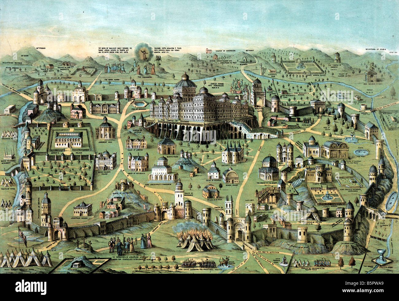 ancient Map of the city of Jerusalem with Solomon's Temple Stock Photohttps://www.alamy.com/image-license-details/?v=1https://www.alamy.com/stock-photo-ancient-map-of-the-city-of-jerusalem-with-solomons-temple-20786481.html
RMB5PWA9–ancient Map of the city of Jerusalem with Solomon's Temple
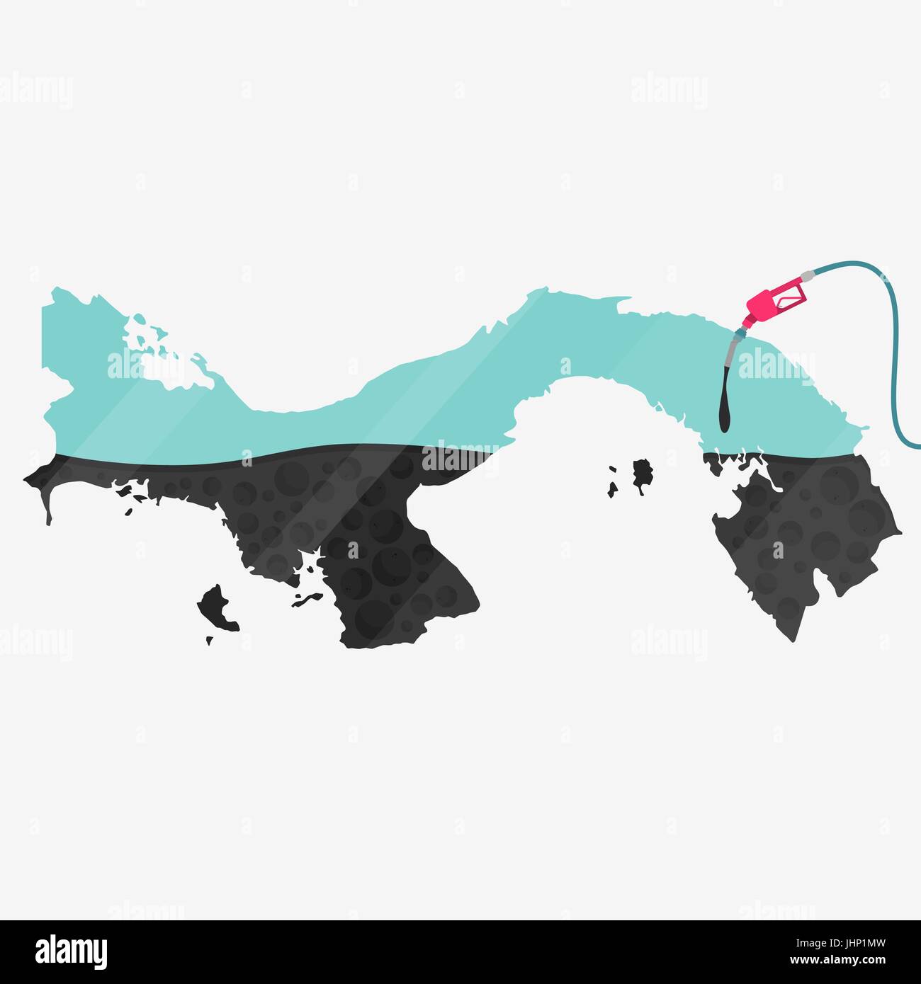 Map of Panama being fueled by oil. Gas pump fueled map. On the map there is glass reflection. Conceptual. Oil producing or importing countries. Stock Vectorhttps://www.alamy.com/image-license-details/?v=1https://www.alamy.com/stock-photo-map-of-panama-being-fueled-by-oil-gas-pump-fueled-map-on-the-map-there-148616409.html
RFJHP1MW–Map of Panama being fueled by oil. Gas pump fueled map. On the map there is glass reflection. Conceptual. Oil producing or importing countries.
![G. V. S. Quackenbush Dry Goods Carpet & Oil Cloth Warehouse. ; Rensselaer Iron Works. ; City of Troy [cont.] 1869 by Barton, William (fl. 1869) Stock Photo G. V. S. Quackenbush Dry Goods Carpet & Oil Cloth Warehouse. ; Rensselaer Iron Works. ; City of Troy [cont.] 1869 by Barton, William (fl. 1869) Stock Photo](https://c8.alamy.com/comp/2YPEBM5/g-v-s-quackenbush-dry-goods-carpet-oil-cloth-warehouse-rensselaer-iron-works-city-of-troy-cont-1869-by-barton-william-fl-1869-2YPEBM5.jpg) G. V. S. Quackenbush Dry Goods Carpet & Oil Cloth Warehouse. ; Rensselaer Iron Works. ; City of Troy [cont.] 1869 by Barton, William (fl. 1869) Stock Photohttps://www.alamy.com/image-license-details/?v=1https://www.alamy.com/g-v-s-quackenbush-dry-goods-carpet-oil-cloth-warehouse-rensselaer-iron-works-city-of-troy-cont-1869-by-barton-william-fl-1869-image633412197.html
G. V. S. Quackenbush Dry Goods Carpet & Oil Cloth Warehouse. ; Rensselaer Iron Works. ; City of Troy [cont.] 1869 by Barton, William (fl. 1869) Stock Photohttps://www.alamy.com/image-license-details/?v=1https://www.alamy.com/g-v-s-quackenbush-dry-goods-carpet-oil-cloth-warehouse-rensselaer-iron-works-city-of-troy-cont-1869-by-barton-william-fl-1869-image633412197.htmlRM2YPEBM5–G. V. S. Quackenbush Dry Goods Carpet & Oil Cloth Warehouse. ; Rensselaer Iron Works. ; City of Troy [cont.] 1869 by Barton, William (fl. 1869)
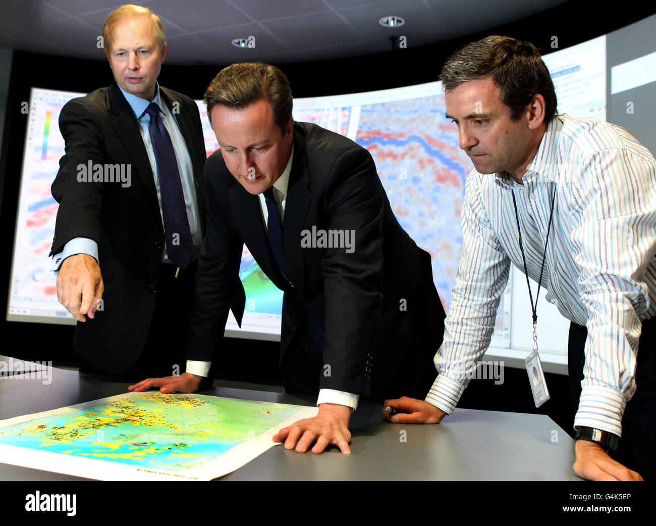 Prime Minister David Cameron (centre) BP Chief Executive Bob Dudley (left) and Simon Richardson (right) Clair Reservoir Team Leader as they view an exploration map at BP North Sea Headquarters in Aberdeen. Stock Photohttps://www.alamy.com/image-license-details/?v=1https://www.alamy.com/stock-photo-prime-minister-david-cameron-centre-bp-chief-executive-bob-dudley-106142254.html
RMG4K5EP–Prime Minister David Cameron (centre) BP Chief Executive Bob Dudley (left) and Simon Richardson (right) Clair Reservoir Team Leader as they view an exploration map at BP North Sea Headquarters in Aberdeen.
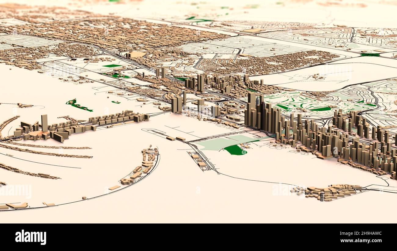 Satellite map of Dubai, United Arab Emirates, city streets. Palaces, buildings. 3d rendering. Palm Islands. Palm Jumeirah. Street map and city center Stock Photohttps://www.alamy.com/image-license-details/?v=1https://www.alamy.com/satellite-map-of-dubai-united-arab-emirates-city-streets-palaces-buildings-3d-rendering-palm-islands-palm-jumeirah-street-map-and-city-center-image453383208.html
RF2H9HAWC–Satellite map of Dubai, United Arab Emirates, city streets. Palaces, buildings. 3d rendering. Palm Islands. Palm Jumeirah. Street map and city center
 A model of an industrial oil distribution, storage refinery at the Caspian sea. At Atameken Map of Kazakhstan miniature park in Astana, Kazakhstan. Stock Photohttps://www.alamy.com/image-license-details/?v=1https://www.alamy.com/a-model-of-an-industrial-oil-distribution-storage-refinery-at-the-caspian-sea-at-atameken-map-of-kazakhstan-miniature-park-in-astana-kazakhstan-image484361912.html
RM2K40GFM–A model of an industrial oil distribution, storage refinery at the Caspian sea. At Atameken Map of Kazakhstan miniature park in Astana, Kazakhstan.
 Fuel station refuel location. Red marker and gas nozzle on a city map, gray blue background. Oil petrol diesel refill and filling position concept. 3d Stock Photohttps://www.alamy.com/image-license-details/?v=1https://www.alamy.com/fuel-station-refuel-location-red-marker-and-gas-nozzle-on-a-city-map-gray-blue-background-oil-petrol-diesel-refill-and-filling-position-concept-3d-image398626759.html
RF2E4F0DY–Fuel station refuel location. Red marker and gas nozzle on a city map, gray blue background. Oil petrol diesel refill and filling position concept. 3d
 Travel to UAE, famous landmark and culture symbols, stickers set. Tower buildings and mosque of Dubai city, Muslim people and camel, map and flag of United Arab Emirates cartoon vector illustration Stock Vectorhttps://www.alamy.com/image-license-details/?v=1https://www.alamy.com/travel-to-uae-famous-landmark-and-culture-symbols-stickers-set-tower-buildings-and-mosque-of-dubai-city-muslim-people-and-camel-map-and-flag-of-united-arab-emirates-cartoon-vector-illustration-image616046365.html
RF2XP79BW–Travel to UAE, famous landmark and culture symbols, stickers set. Tower buildings and mosque of Dubai city, Muslim people and camel, map and flag of United Arab Emirates cartoon vector illustration
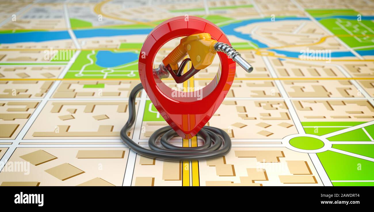 Gas station point location. Gasoline pistol pump fuel nozzle on city map. 3d illustration Stock Photohttps://www.alamy.com/image-license-details/?v=1https://www.alamy.com/gas-station-point-location-gasoline-pistol-pump-fuel-nozzle-on-city-map-3d-illustration-image342667476.html
RF2AWDRT4–Gas station point location. Gasoline pistol pump fuel nozzle on city map. 3d illustration
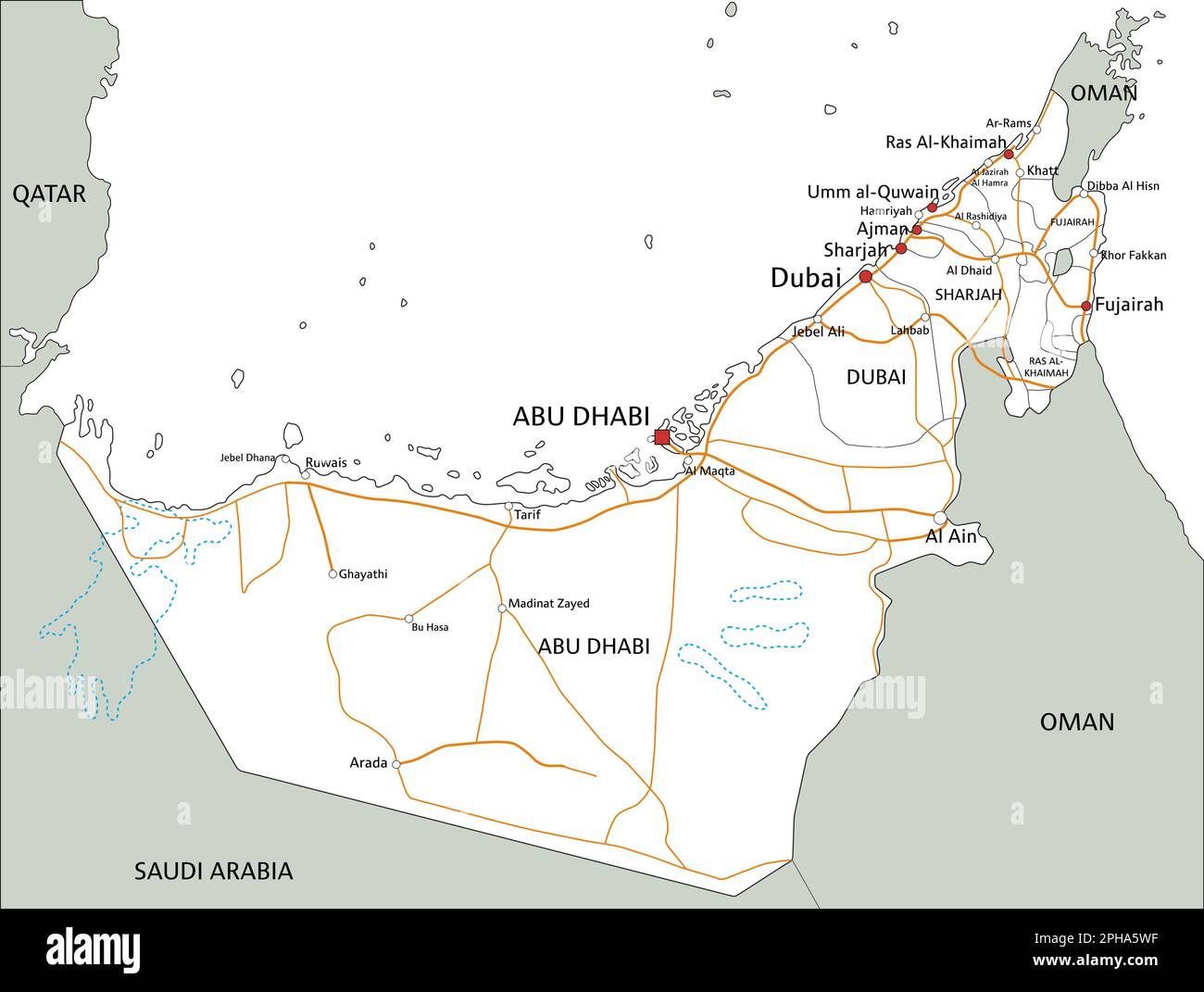 High detailed United Arab Emirates road map with labeling. Stock Vectorhttps://www.alamy.com/image-license-details/?v=1https://www.alamy.com/high-detailed-united-arab-emirates-road-map-with-labeling-image544194715.html
RF2PHA5WF–High detailed United Arab Emirates road map with labeling.
 Olive perfumed Salmon over yellow potato and olive oil emulsion, Cuzco, Peru. Stock Photohttps://www.alamy.com/image-license-details/?v=1https://www.alamy.com/olive-perfumed-salmon-over-yellow-potato-and-olive-oil-emulsion-cuzco-image63245678.html
RMDJW2E6–Olive perfumed Salmon over yellow potato and olive oil emulsion, Cuzco, Peru.
 Map of Sorong City, is the capital of the province of Southwest Papua, Indonesia. This city is known as the Oil City Stock Photohttps://www.alamy.com/image-license-details/?v=1https://www.alamy.com/map-of-sorong-city-is-the-capital-of-the-province-of-southwest-papua-indonesia-this-city-is-known-as-the-oil-city-image611096919.html
RF2XE5T9Y–Map of Sorong City, is the capital of the province of Southwest Papua, Indonesia. This city is known as the Oil City
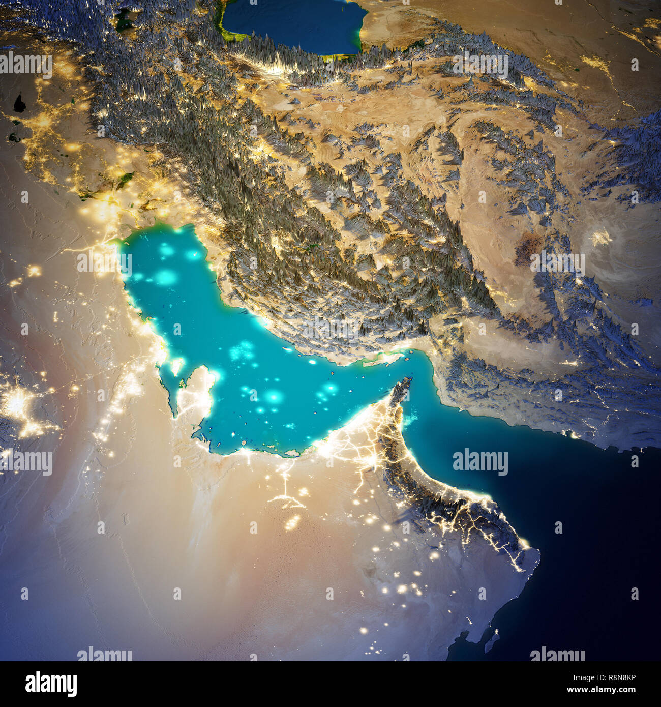 Middle East map Stock Photohttps://www.alamy.com/image-license-details/?v=1https://www.alamy.com/middle-east-map-image229119850.html
RFR8N8KP–Middle East map
 Image 9 of Sanborn Fire Insurance Map from Oil City, Venango County, Pennsylvania. Apr 1895. 19 Sheet(s), America, street map with a Nineteenth Century compass Stock Photohttps://www.alamy.com/image-license-details/?v=1https://www.alamy.com/image-9-of-sanborn-fire-insurance-map-from-oil-city-venango-county-pennsylvania-apr-1895-19-sheets-america-street-map-with-a-nineteenth-century-compass-image344703809.html
RM2B0PH69–Image 9 of Sanborn Fire Insurance Map from Oil City, Venango County, Pennsylvania. Apr 1895. 19 Sheet(s), America, street map with a Nineteenth Century compass
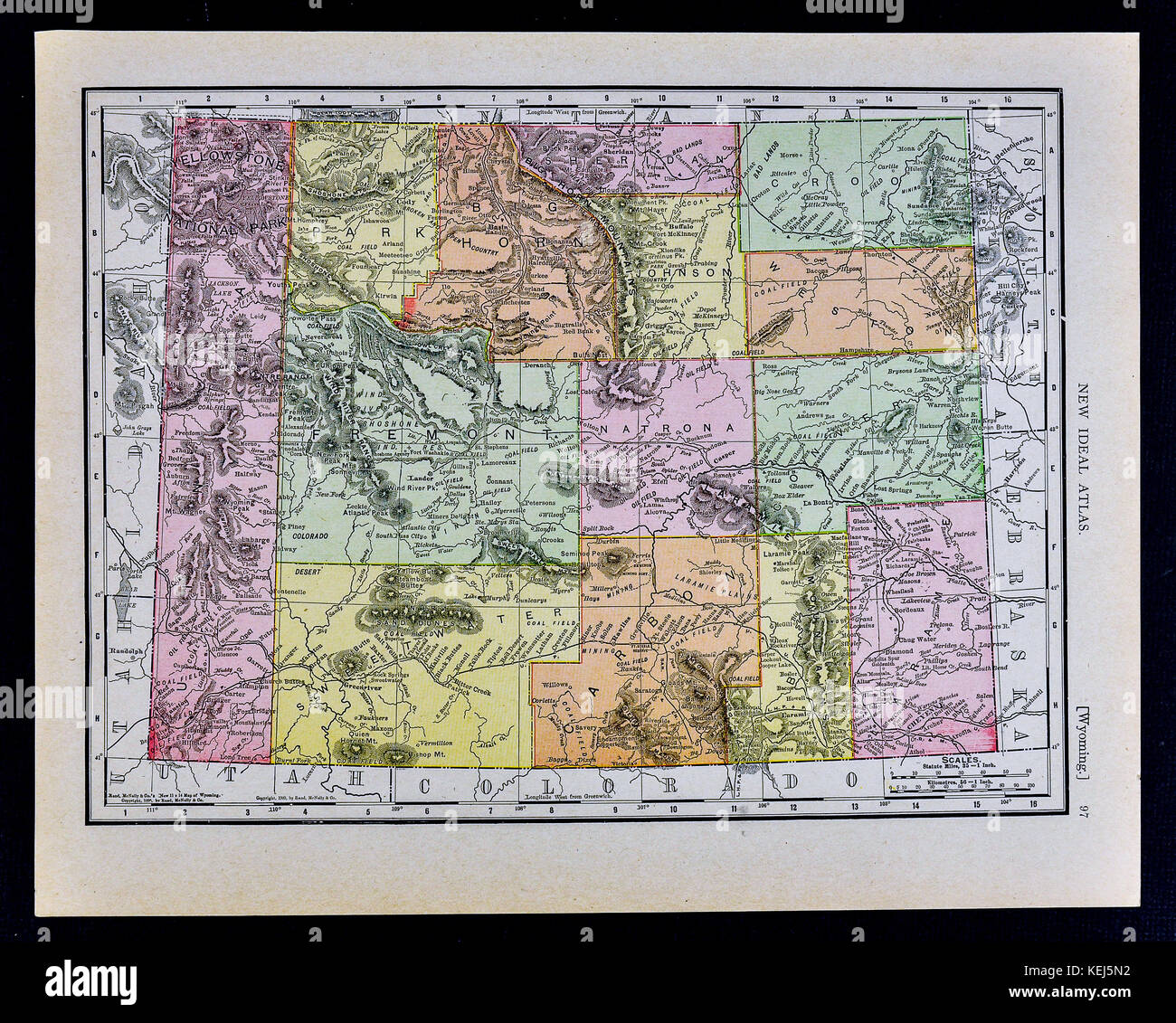 1911 McNally Map - Wyoming - Yellowstone National Park Cheyenne Douglas Stock Photohttps://www.alamy.com/image-license-details/?v=1https://www.alamy.com/stock-image-1911-mcnally-map-wyoming-yellowstone-national-park-cheyenne-douglas-163898142.html
RFKEJ5N2–1911 McNally Map - Wyoming - Yellowstone National Park Cheyenne Douglas
 George H. Bernasconi Meeting of the City of Birmingham Pharmaceuticals 1888 oil Stock Photohttps://www.alamy.com/image-license-details/?v=1https://www.alamy.com/stock-photo-george-h-bernasconi-meeting-of-the-city-of-birmingham-pharmaceuticals-140472134.html
RMJ4F1HX–George H. Bernasconi Meeting of the City of Birmingham Pharmaceuticals 1888 oil
 Old city map of Ghent, 1930 Stock Photohttps://www.alamy.com/image-license-details/?v=1https://www.alamy.com/stock-photo-old-city-map-of-ghent-1930-132428436.html
RMHKCHR0–Old city map of Ghent, 1930
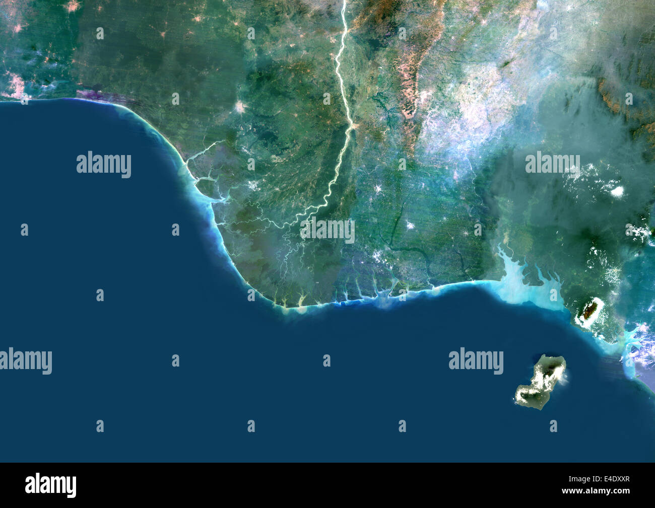 Niger River Delta, Nigeria, True Colour Satellite Image. True colour satellite image of the Niger River Delta in Nigeria, Africa Stock Photohttps://www.alamy.com/image-license-details/?v=1https://www.alamy.com/stock-photo-niger-river-delta-nigeria-true-colour-satellite-image-true-colour-71606607.html
RME4DXXR–Niger River Delta, Nigeria, True Colour Satellite Image. True colour satellite image of the Niger River Delta in Nigeria, Africa
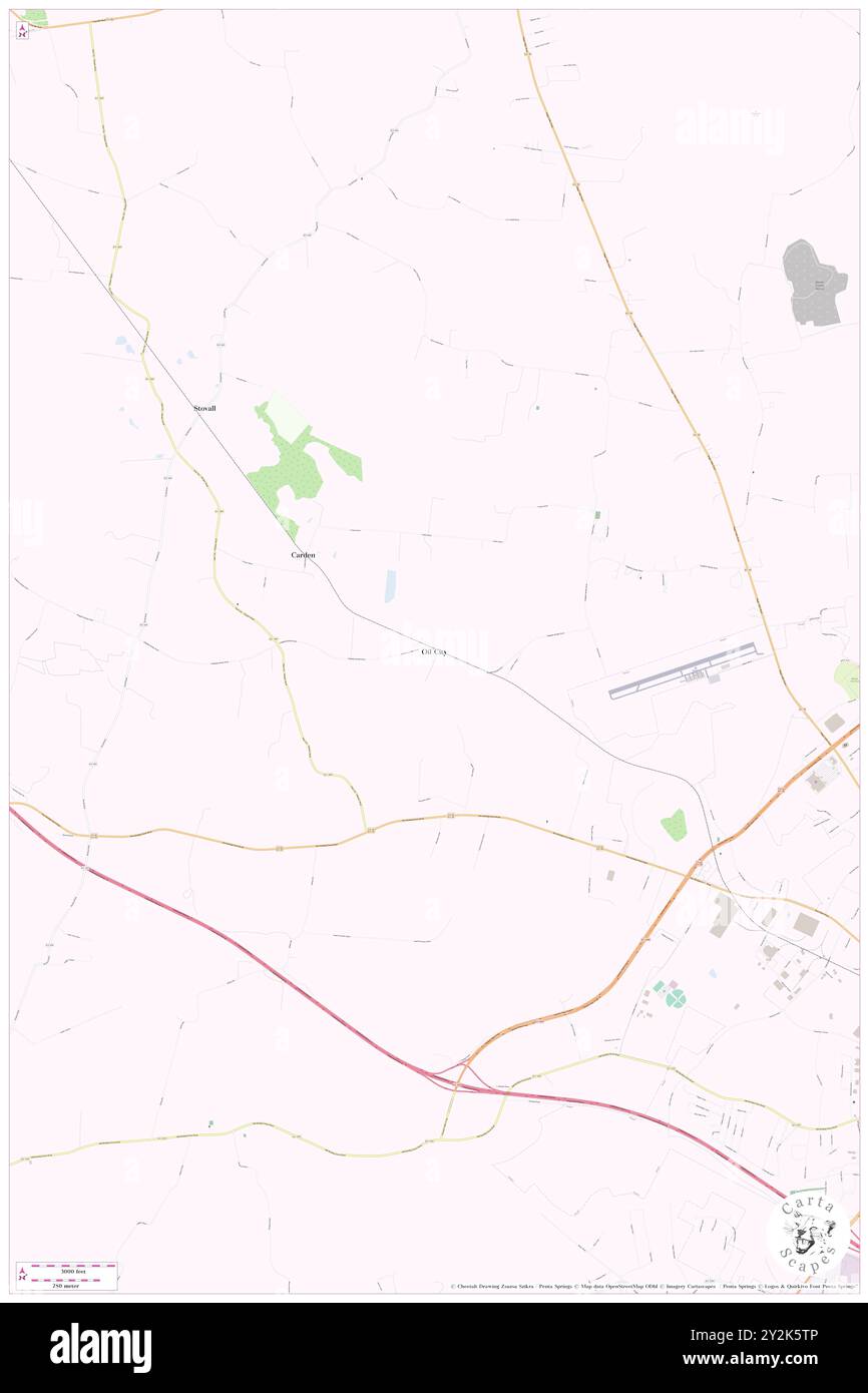 Oil City, Barren County, US, United States, Kentucky, N 37 2' 0'', S 85 58' 58'', map, Cartascapes Map published in 2024. Explore Cartascapes, a map revealing Earth's diverse landscapes, cultures, and ecosystems. Journey through time and space, discovering the interconnectedness of our planet's past, present, and future. Stock Photohttps://www.alamy.com/image-license-details/?v=1https://www.alamy.com/oil-city-barren-county-us-united-states-kentucky-n-37-2-0-s-85-58-58-map-cartascapes-map-published-in-2024-explore-cartascapes-a-map-revealing-earths-diverse-landscapes-cultures-and-ecosystems-journey-through-time-and-space-discovering-the-interconnectedness-of-our-planets-past-present-and-future-image621224262.html
RM2Y2K5TP–Oil City, Barren County, US, United States, Kentucky, N 37 2' 0'', S 85 58' 58'', map, Cartascapes Map published in 2024. Explore Cartascapes, a map revealing Earth's diverse landscapes, cultures, and ecosystems. Journey through time and space, discovering the interconnectedness of our planet's past, present, and future.
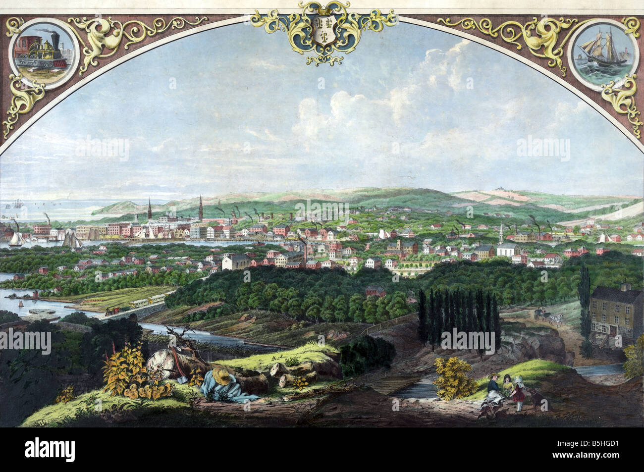 View of Bridgeport Connecticut Stock Photohttps://www.alamy.com/image-license-details/?v=1https://www.alamy.com/stock-photo-view-of-bridgeport-connecticut-20669741.html
RMB5HGD1–View of Bridgeport Connecticut
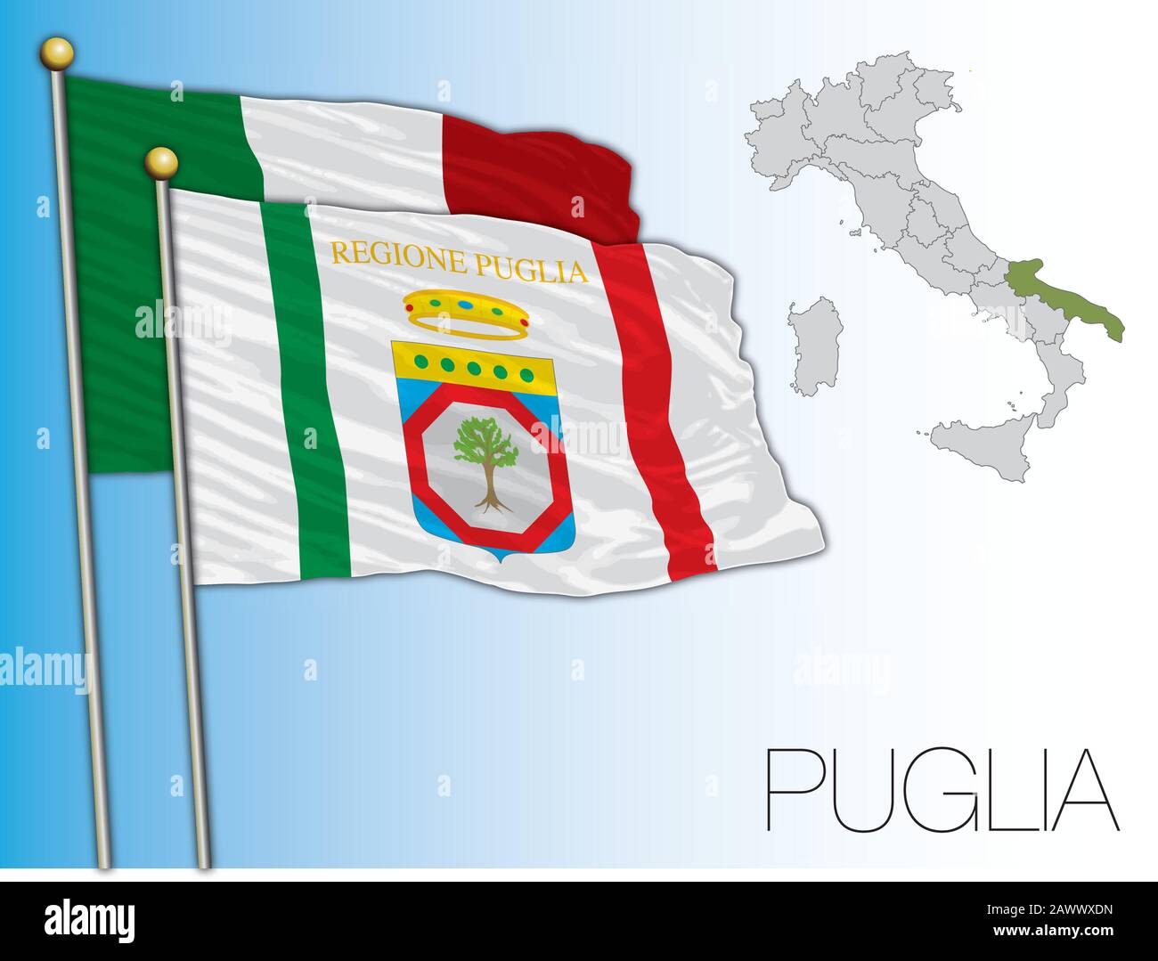 Puglia official regional flag and map, Italy, vector illustration Stock Vectorhttps://www.alamy.com/image-license-details/?v=1https://www.alamy.com/puglia-official-regional-flag-and-map-italy-vector-illustration-image342932961.html
RF2AWWXDN–Puglia official regional flag and map, Italy, vector illustration
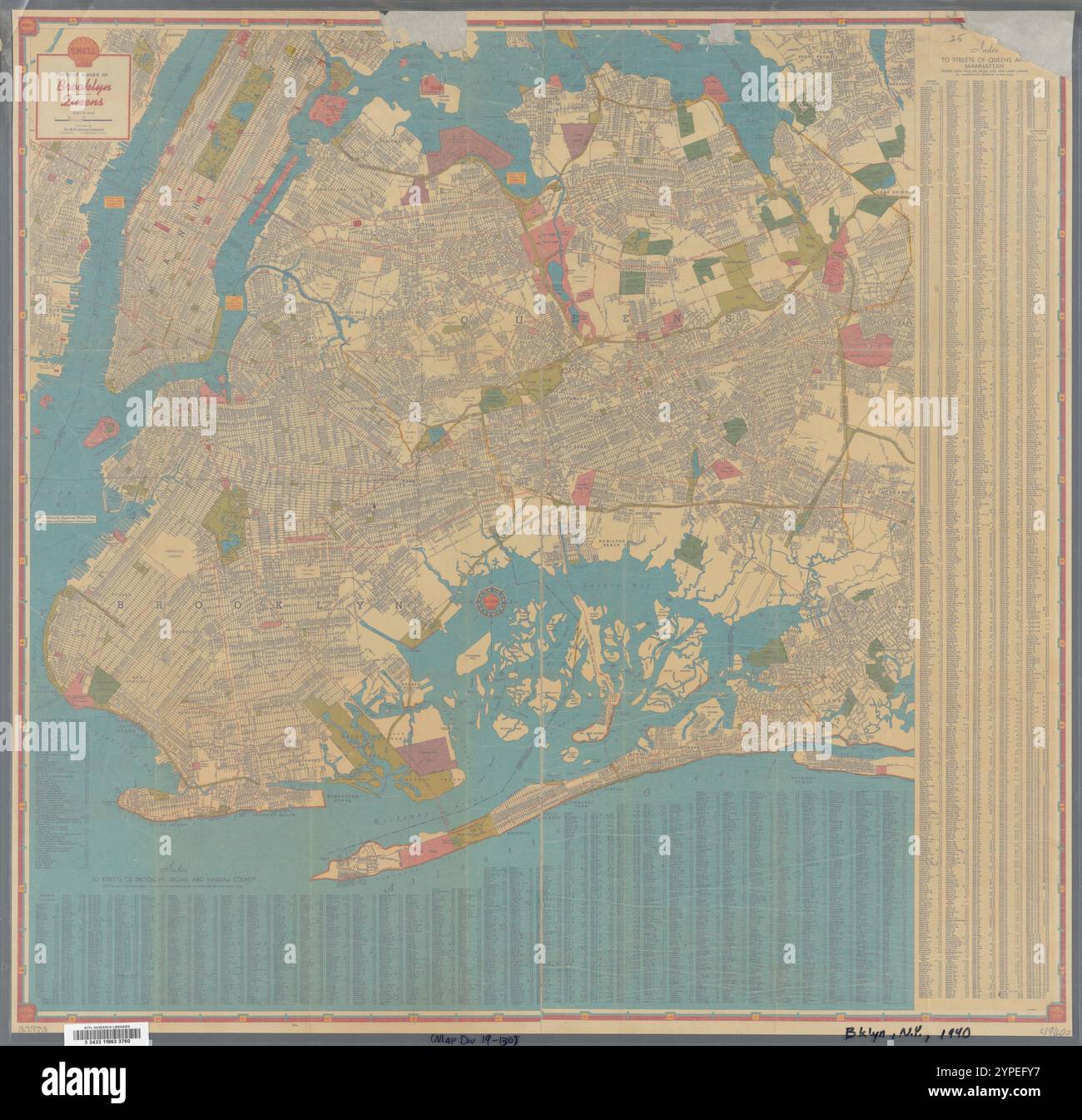 Shell street guide of Brooklyn - Queens 1940 by Shell Oil Company Stock Photohttps://www.alamy.com/image-license-details/?v=1https://www.alamy.com/shell-street-guide-of-brooklyn-queens-1940-by-shell-oil-company-image633415531.html
RM2YPEFY7–Shell street guide of Brooklyn - Queens 1940 by Shell Oil Company
 Map of the city of Udine, mid 17th century. Museum: Civici Musei e Gallerie di Storia e Arte, Udine. Author: Heintz, Joseph, the Younger. Stock Photohttps://www.alamy.com/image-license-details/?v=1https://www.alamy.com/map-of-the-city-of-udine-mid-17th-century-museum-civici-musei-e-gallerie-di-storia-e-arte-udine-author-heintz-joseph-the-younger-image369021114.html
RM2CCAA5E–Map of the city of Udine, mid 17th century. Museum: Civici Musei e Gallerie di Storia e Arte, Udine. Author: Heintz, Joseph, the Younger.
 Satellite map of Dubai, United Arab Emirates, city streets. Palaces, buildings. 3d rendering. Palm Islands. Palm Jumeirah. Street map and city center Stock Photohttps://www.alamy.com/image-license-details/?v=1https://www.alamy.com/satellite-map-of-dubai-united-arab-emirates-city-streets-palaces-buildings-3d-rendering-palm-islands-palm-jumeirah-street-map-and-city-center-image453382012.html
RF2H9H9AM–Satellite map of Dubai, United Arab Emirates, city streets. Palaces, buildings. 3d rendering. Palm Islands. Palm Jumeirah. Street map and city center
 A model of an industrial oil distribution, storage refinery at the Caspian sea. At Atameken Map of Kazakhstan miniature park in Astana, Kazakhstan. Stock Photohttps://www.alamy.com/image-license-details/?v=1https://www.alamy.com/a-model-of-an-industrial-oil-distribution-storage-refinery-at-the-caspian-sea-at-atameken-map-of-kazakhstan-miniature-park-in-astana-kazakhstan-image484361971.html
RM2K40GHR–A model of an industrial oil distribution, storage refinery at the Caspian sea. At Atameken Map of Kazakhstan miniature park in Astana, Kazakhstan.
 Fuel station refuel location. Red marker and gas nozzle on a map, computer laptop background. Oil petrol diesel refill and filling position concept. 3 Stock Photohttps://www.alamy.com/image-license-details/?v=1https://www.alamy.com/fuel-station-refuel-location-red-marker-and-gas-nozzle-on-a-map-computer-laptop-background-oil-petrol-diesel-refill-and-filling-position-concept-3-image398626767.html
RF2E4F0E7–Fuel station refuel location. Red marker and gas nozzle on a map, computer laptop background. Oil petrol diesel refill and filling position concept. 3
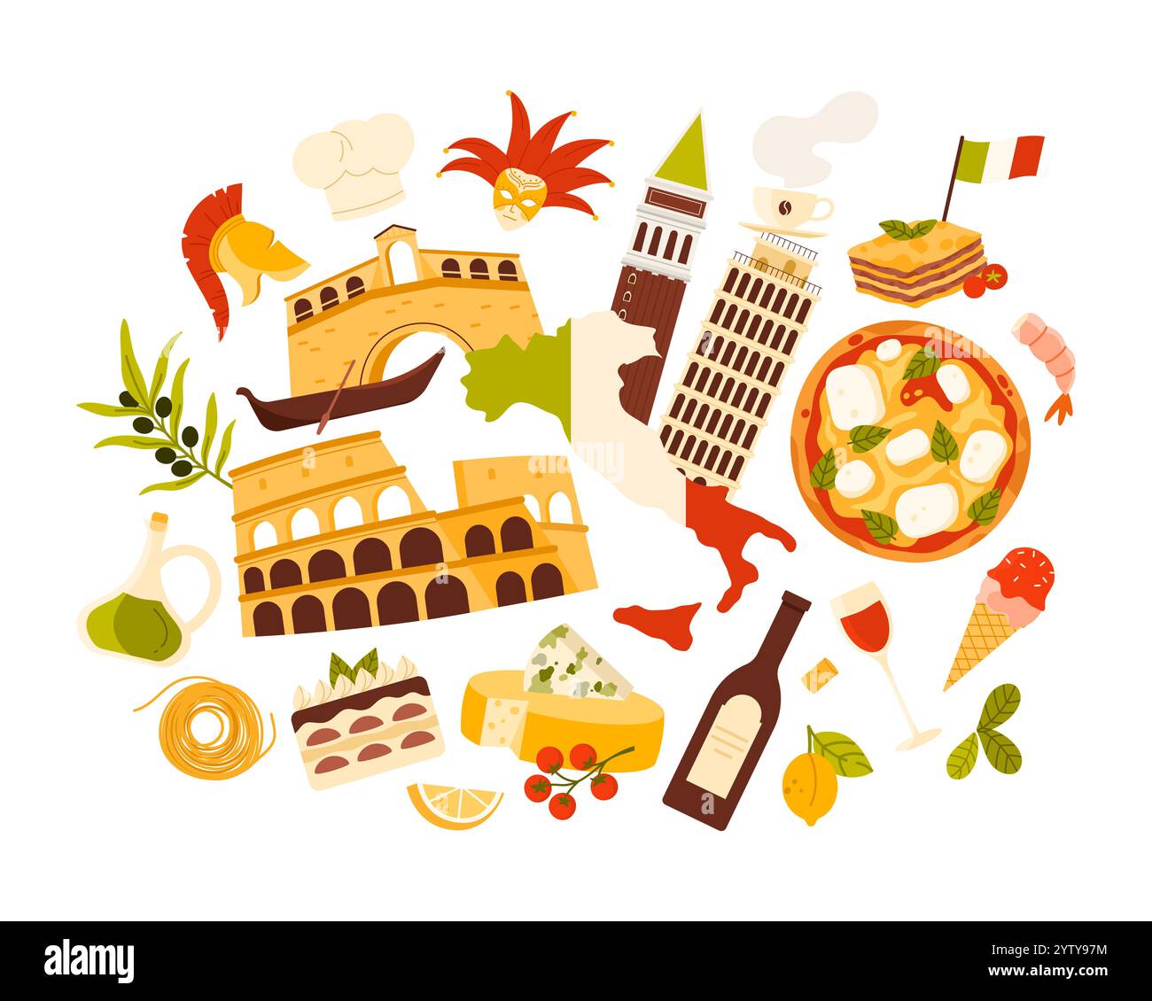 Travel to Italy, Italian culture and food, landmark in infographic collage. Country famous elements of tourism, flag pattern on map, Pisa and Colosseum, pizza and olive oil cartoon vector illustration Stock Vectorhttps://www.alamy.com/image-license-details/?v=1https://www.alamy.com/travel-to-italy-italian-culture-and-food-landmark-in-infographic-collage-country-famous-elements-of-tourism-flag-pattern-on-map-pisa-and-colosseum-pizza-and-olive-oil-cartoon-vector-illustration-image634924968.html
RF2YTY97M–Travel to Italy, Italian culture and food, landmark in infographic collage. Country famous elements of tourism, flag pattern on map, Pisa and Colosseum, pizza and olive oil cartoon vector illustration
 Kuwait, the way we looked at it in 1949. Stock Photohttps://www.alamy.com/image-license-details/?v=1https://www.alamy.com/stock-photo-kuwait-the-way-we-looked-at-it-in-1949-26981563.html
RMBFW377–Kuwait, the way we looked at it in 1949.
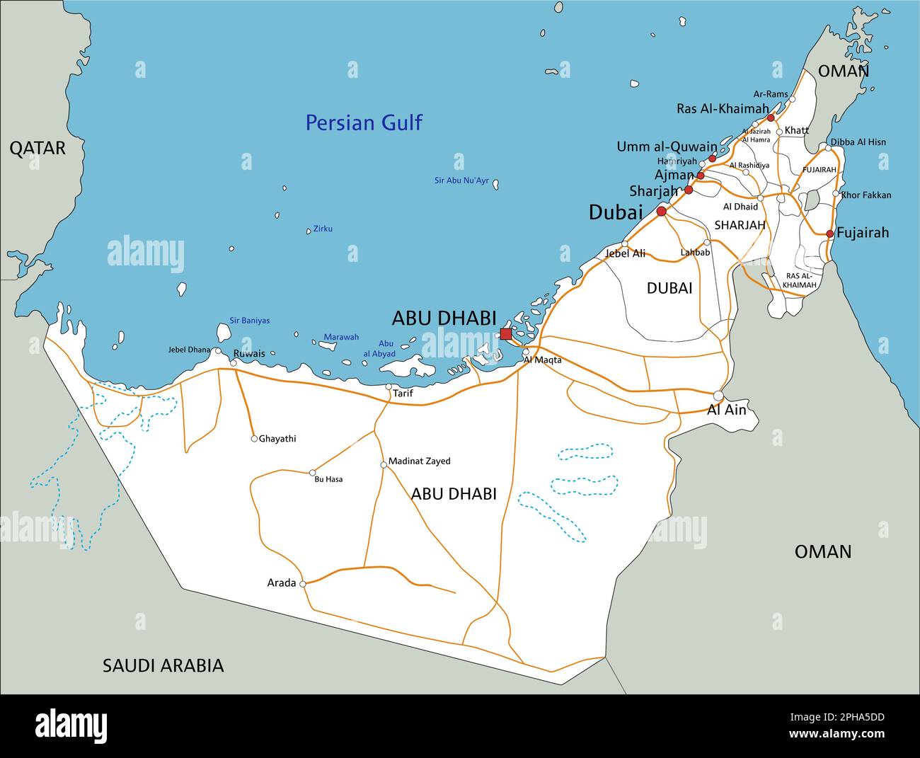 High detailed United Arab Emirates road map with labeling. Stock Vectorhttps://www.alamy.com/image-license-details/?v=1https://www.alamy.com/high-detailed-united-arab-emirates-road-map-with-labeling-image544194377.html
RF2PHA5DD–High detailed United Arab Emirates road map with labeling.
 Power, nuclear and energy industry, refinery plants set vector illustration. Cartoon factory buildings and manufacturing structures with warehouses and pipelines isolated on white. Manufacture concept Stock Vectorhttps://www.alamy.com/image-license-details/?v=1https://www.alamy.com/power-nuclear-and-energy-industry-refinery-plants-set-vector-illustration-cartoon-factory-buildings-and-manufacturing-structures-with-warehouses-and-pipelines-isolated-on-white-manufacture-concept-image475421723.html
RF2JHD977–Power, nuclear and energy industry, refinery plants set vector illustration. Cartoon factory buildings and manufacturing structures with warehouses and pipelines isolated on white. Manufacture concept
 Pipes seamless pattern. Maze of pipelines. Boiler room texture. Plumbing vector illustration. Flat design seamless background. Stock Vectorhttps://www.alamy.com/image-license-details/?v=1https://www.alamy.com/pipes-seamless-pattern-maze-of-pipelines-boiler-room-texture-plumbing-vector-illustration-flat-design-seamless-background-image241072371.html
RFT05P7F–Pipes seamless pattern. Maze of pipelines. Boiler room texture. Plumbing vector illustration. Flat design seamless background.
 Cost of fuel calculation concept. Gas pump nozzle, gasoline canister amd calculator on city map. 3d illustration Stock Photohttps://www.alamy.com/image-license-details/?v=1https://www.alamy.com/cost-of-fuel-calculation-concept-gas-pump-nozzle-gasoline-canister-amd-calculator-on-city-map-3d-illustration-image529404709.html
RF2NN8D31–Cost of fuel calculation concept. Gas pump nozzle, gasoline canister amd calculator on city map. 3d illustration
 Image 1 of Sanborn Fire Insurance Map from Oil City, Venango County, Pennsylvania. Feb 1886. 5 Sheet(s), America, street map with a Nineteenth Century compass Stock Photohttps://www.alamy.com/image-license-details/?v=1https://www.alamy.com/image-1-of-sanborn-fire-insurance-map-from-oil-city-venango-county-pennsylvania-feb-1886-5-sheets-america-street-map-with-a-nineteenth-century-compass-image344703760.html
RM2B0PH4G–Image 1 of Sanborn Fire Insurance Map from Oil City, Venango County, Pennsylvania. Feb 1886. 5 Sheet(s), America, street map with a Nineteenth Century compass
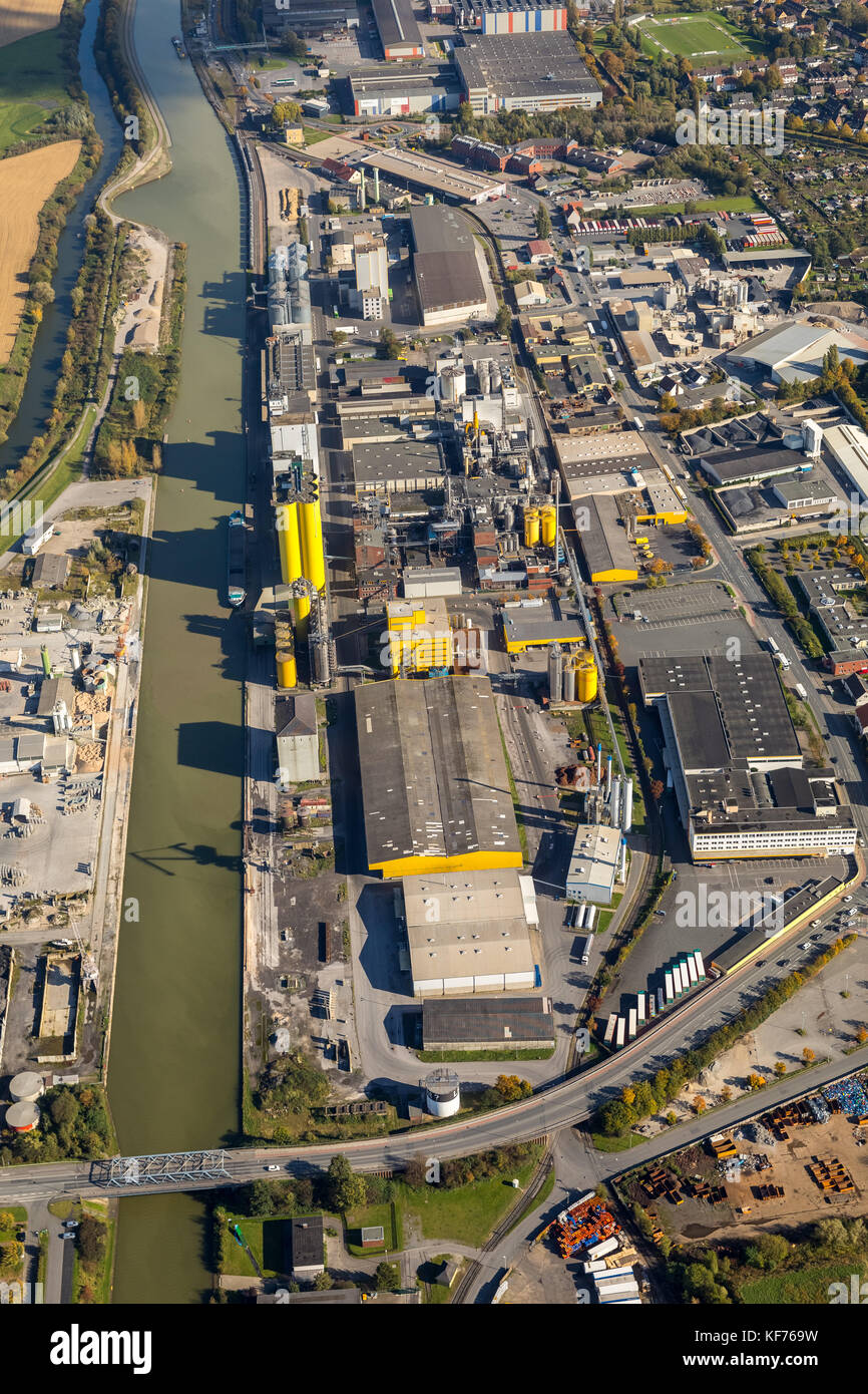 Harbor Hamm, Center, Harbor Road, Datteln-Hamm canal, Speicherstraße, Broelio, HeLi NET Telekommunikation GmbH & Co. KG, oil mill Brökelmann, Hamm, Ru Stock Photohttps://www.alamy.com/image-license-details/?v=1https://www.alamy.com/stock-image-harbor-hamm-center-harbor-road-datteln-hamm-canal-speicherstrae-broelio-164271797.html
RMKF769W–Harbor Hamm, Center, Harbor Road, Datteln-Hamm canal, Speicherstraße, Broelio, HeLi NET Telekommunikation GmbH & Co. KG, oil mill Brökelmann, Hamm, Ru
 Landscape with animals, Gysbert Gillisz Hondecoeter, 1647, oil on wood Villa Vauban Luxembourg City DSC06505 Stock Photohttps://www.alamy.com/image-license-details/?v=1https://www.alamy.com/stock-photo-landscape-with-animals-gysbert-gillisz-hondecoeter-1647-oil-on-wood-142950081.html
RMJ8FX81–Landscape with animals, Gysbert Gillisz Hondecoeter, 1647, oil on wood Villa Vauban Luxembourg City DSC06505
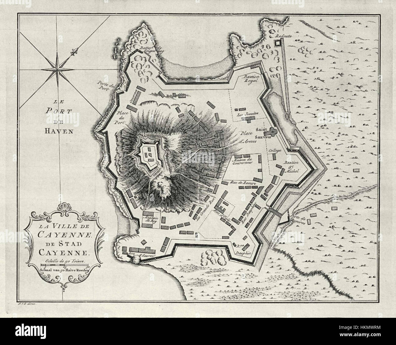 AMH-8030-KB Map of the city of Cayenne Stock Photohttps://www.alamy.com/image-license-details/?v=1https://www.alamy.com/stock-photo-amh-8030-kb-map-of-the-city-of-cayenne-132610344.html
RMHKMWRM–AMH-8030-KB Map of the city of Cayenne
 Jan Wagenaar (1709-76) Stadshistorieschrijver van Amsterdam, SK-A-329 Portrait of Jan Wagenaar (1709-76), author of Amsterdam city history. Sitting, full-length, with a letter in his right hand on a table Where: letters, documents, and books are an inkstand. On a chair and on the floor more books. On the wall hangs the map of Amsterdam by Cornelis Anthonisz. Manufacturer : painter: Tibout Judge Dated: 1761 Physical characteristics: oil on canvas material: oil canvas Dimensions: h 82 cm. B × 68 cm. Stock Photohttps://www.alamy.com/image-license-details/?v=1https://www.alamy.com/jan-wagenaar-1709-76-stadshistorieschrijver-van-amsterdam-sk-a-329-portrait-of-jan-wagenaar-1709-76-author-of-amsterdam-city-history-sitting-full-length-with-a-letter-in-his-right-hand-on-a-table-where-letters-documents-and-books-are-an-inkstand-on-a-chair-and-on-the-floor-more-books-on-the-wall-hangs-the-map-of-amsterdam-by-cornelis-anthonisz-manufacturer-painter-tibout-judge-dated-1761-physical-characteristics-oil-on-canvas-material-oil-canvas-dimensions-h-82-cm-b-68-cm-image348460327.html
RM2B6WMKK–Jan Wagenaar (1709-76) Stadshistorieschrijver van Amsterdam, SK-A-329 Portrait of Jan Wagenaar (1709-76), author of Amsterdam city history. Sitting, full-length, with a letter in his right hand on a table Where: letters, documents, and books are an inkstand. On a chair and on the floor more books. On the wall hangs the map of Amsterdam by Cornelis Anthonisz. Manufacturer : painter: Tibout Judge Dated: 1761 Physical characteristics: oil on canvas material: oil canvas Dimensions: h 82 cm. B × 68 cm.
 Oil City, Cambria County, US, United States, Pennsylvania, N 40 24' 8'', S 78 38' 24'', map, Cartascapes Map published in 2024. Explore Cartascapes, a map revealing Earth's diverse landscapes, cultures, and ecosystems. Journey through time and space, discovering the interconnectedness of our planet's past, present, and future. Stock Photohttps://www.alamy.com/image-license-details/?v=1https://www.alamy.com/oil-city-cambria-county-us-united-states-pennsylvania-n-40-24-8-s-78-38-24-map-cartascapes-map-published-in-2024-explore-cartascapes-a-map-revealing-earths-diverse-landscapes-cultures-and-ecosystems-journey-through-time-and-space-discovering-the-interconnectedness-of-our-planets-past-present-and-future-image621448395.html
RM2Y31BNF–Oil City, Cambria County, US, United States, Pennsylvania, N 40 24' 8'', S 78 38' 24'', map, Cartascapes Map published in 2024. Explore Cartascapes, a map revealing Earth's diverse landscapes, cultures, and ecosystems. Journey through time and space, discovering the interconnectedness of our planet's past, present, and future.
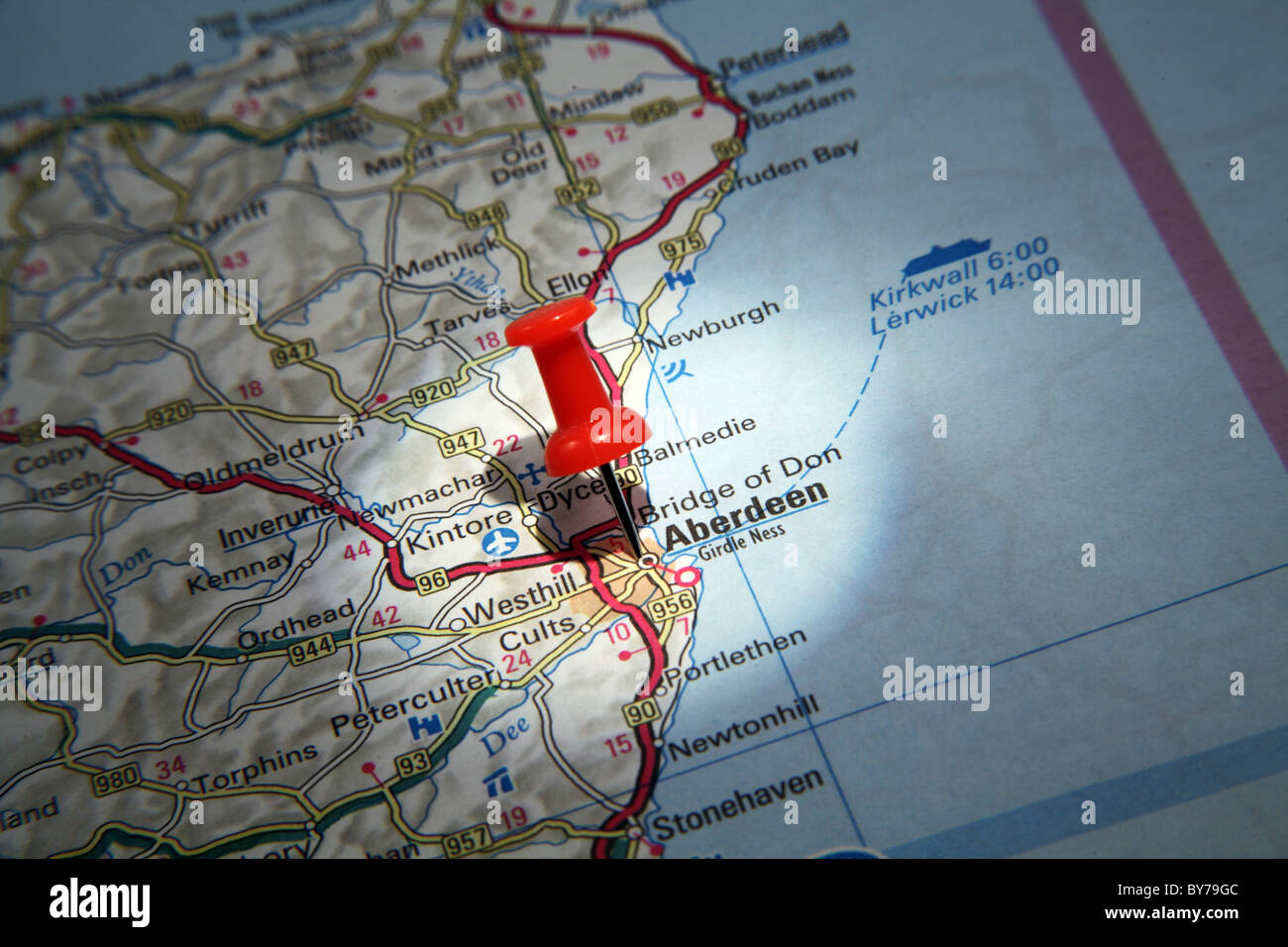 Map Pin pointing to Aberdeen, Scotland on a road map Stock Photohttps://www.alamy.com/image-license-details/?v=1https://www.alamy.com/stock-photo-map-pin-pointing-to-aberdeen-scotland-on-a-road-map-33967260.html
RMBY79GC–Map Pin pointing to Aberdeen, Scotland on a road map
 1932 aerial map of Greater Los Angeles, the wonder city of America. Stock Photohttps://www.alamy.com/image-license-details/?v=1https://www.alamy.com/stock-photo-1932-aerial-map-of-greater-los-angeles-the-wonder-city-of-america-50010789.html
RMCWA57H–1932 aerial map of Greater Los Angeles, the wonder city of America.
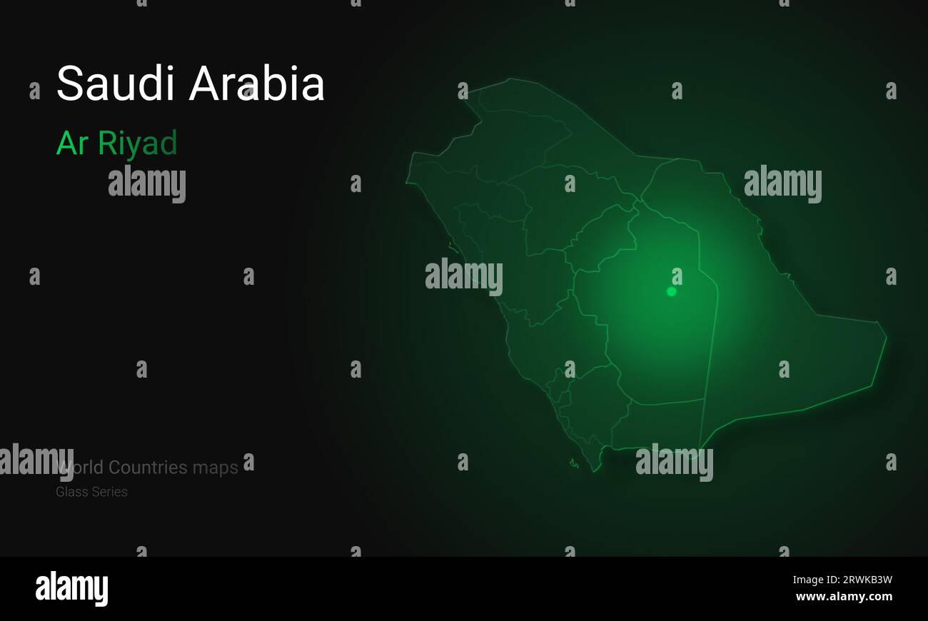 Creative map of Saudi Arabia. Political map. Ar Riyad. Riyadh. Capital of Saudi Arabia. World Countries maps Glass Series Stock Photohttps://www.alamy.com/image-license-details/?v=1https://www.alamy.com/creative-map-of-saudi-arabia-political-map-ar-riyad-riyadh-capital-of-saudi-arabia-world-countries-maps-glass-series-image566523997.html
RF2RWKB3W–Creative map of Saudi Arabia. Political map. Ar Riyad. Riyadh. Capital of Saudi Arabia. World Countries maps Glass Series
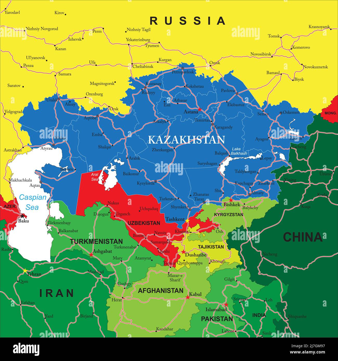 Kazakhstan political map Stock Vectorhttps://www.alamy.com/image-license-details/?v=1https://www.alamy.com/kazakhstan-political-map-image469349699.html
RF2J7GM97–Kazakhstan political map
 Satellite map of Dubai, United Arab Emirates, city streets. Palaces, buildings. 3d rendering. Palm Islands. Palm Jumeirah. Street map and city center Stock Photohttps://www.alamy.com/image-license-details/?v=1https://www.alamy.com/satellite-map-of-dubai-united-arab-emirates-city-streets-palaces-buildings-3d-rendering-palm-islands-palm-jumeirah-street-map-and-city-center-image453387891.html
RF2H9HGTK–Satellite map of Dubai, United Arab Emirates, city streets. Palaces, buildings. 3d rendering. Palm Islands. Palm Jumeirah. Street map and city center
 A model of an industrial oil distribution, storage refinery at the Caspian sea. At Atameken Map of Kazakhstan miniature park in Astana, Kazakhstan. Stock Photohttps://www.alamy.com/image-license-details/?v=1https://www.alamy.com/a-model-of-an-industrial-oil-distribution-storage-refinery-at-the-caspian-sea-at-atameken-map-of-kazakhstan-miniature-park-in-astana-kazakhstan-image484361978.html
RM2K40GJ2–A model of an industrial oil distribution, storage refinery at the Caspian sea. At Atameken Map of Kazakhstan miniature park in Astana, Kazakhstan.
 Fuel station refuel location, mobile phone app. Map pointer and gas nozzle on a smartphone, gray background. Oil petrol diesel refill and filling posi Stock Photohttps://www.alamy.com/image-license-details/?v=1https://www.alamy.com/fuel-station-refuel-location-mobile-phone-app-map-pointer-and-gas-nozzle-on-a-smartphone-gray-background-oil-petrol-diesel-refill-and-filling-posi-image398626758.html
RF2E4F0DX–Fuel station refuel location, mobile phone app. Map pointer and gas nozzle on a smartphone, gray background. Oil petrol diesel refill and filling posi
RF2JGXG63–Gas station map icon .
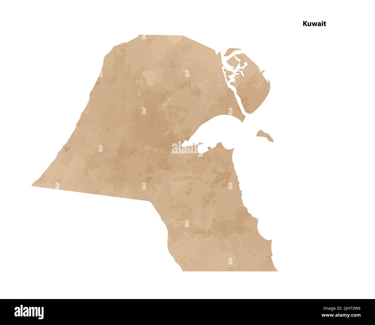 Old vintage paper textured map of Kuwait Country - Vector illustration Stock Vectorhttps://www.alamy.com/image-license-details/?v=1https://www.alamy.com/old-vintage-paper-textured-map-of-kuwait-country-vector-illustration-image475285810.html
RF2JH73W6–Old vintage paper textured map of Kuwait Country - Vector illustration
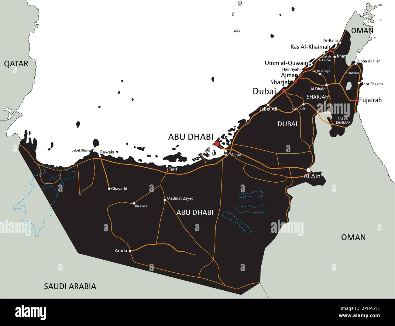 High detailed United Arab Emirates road map with labeling. Stock Vectorhttps://www.alamy.com/image-license-details/?v=1https://www.alamy.com/high-detailed-united-arab-emirates-road-map-with-labeling-image544194042.html
RF2PHA51E–High detailed United Arab Emirates road map with labeling.
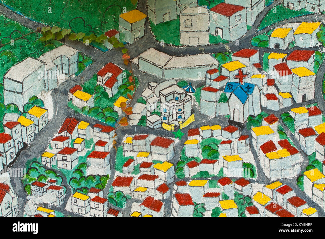 Painting map with roads and church Stock Photohttps://www.alamy.com/image-license-details/?v=1https://www.alamy.com/stock-photo-painting-map-with-roads-and-church-51340907.html
RFCYENRR–Painting map with roads and church
 Surveyor’s plot map of Smithman Park, later renamed Monarch Park in Oil City. Stock Photohttps://www.alamy.com/image-license-details/?v=1https://www.alamy.com/surveyors-plot-map-of-smithman-park-later-renamed-monarch-park-in-oil-city-image458675056.html
RM2HJ6CM0–Surveyor’s plot map of Smithman Park, later renamed Monarch Park in Oil City.
 Sinclair Oil Co., 600 5th Ave., New York City. Map room. Gottscho-Schleisner Collection Stock Photohttps://www.alamy.com/image-license-details/?v=1https://www.alamy.com/sinclair-oil-co-600-5th-ave-new-york-city-map-room-gottscho-schleisner-collection-image610765127.html
RM2XDJN47–Sinclair Oil Co., 600 5th Ave., New York City. Map room. Gottscho-Schleisner Collection
 Image 13 of Sanborn Fire Insurance Map from Oil City, Venango County, Pennsylvania. Jun 1891. 13 Sheet(s), America, street map with a Nineteenth Century compass Stock Photohttps://www.alamy.com/image-license-details/?v=1https://www.alamy.com/image-13-of-sanborn-fire-insurance-map-from-oil-city-venango-county-pennsylvania-jun-1891-13-sheets-america-street-map-with-a-nineteenth-century-compass-image344703792.html
RM2B0PH5M–Image 13 of Sanborn Fire Insurance Map from Oil City, Venango County, Pennsylvania. Jun 1891. 13 Sheet(s), America, street map with a Nineteenth Century compass
 Harbor Hamm, Center, Harbor Road, Datteln-Hamm canal, Speicherstraße, Broelio, HeLi NET Telekommunikation GmbH & Co. KG, oil mill Brökelmann, Hamm, Ru Stock Photohttps://www.alamy.com/image-license-details/?v=1https://www.alamy.com/stock-image-harbor-hamm-center-harbor-road-datteln-hamm-canal-speicherstrae-broelio-164271798.html
RMKF769X–Harbor Hamm, Center, Harbor Road, Datteln-Hamm canal, Speicherstraße, Broelio, HeLi NET Telekommunikation GmbH & Co. KG, oil mill Brökelmann, Hamm, Ru
 Half length portrait of a man, JHA, oil on copper Villa Vauban Luxembourg City DSC06484 Stock Photohttps://www.alamy.com/image-license-details/?v=1https://www.alamy.com/stock-photo-half-length-portrait-of-a-man-jha-oil-on-copper-villa-vauban-luxembourg-142950079.html
RMJ8FX7Y–Half length portrait of a man, JHA, oil on copper Villa Vauban Luxembourg City DSC06484
 AMH-6414-NA Map of the city of Hangchou Stock Photohttps://www.alamy.com/image-license-details/?v=1https://www.alamy.com/stock-photo-amh-6414-na-map-of-the-city-of-hangchou-132611999.html
RMHKMYXR–AMH-6414-NA Map of the city of Hangchou
 200922 -- QINGDAO, Sept. 22, 2020 -- A staff member displays the first-day cover of the 2020 East Asia Marine Expo in Qingdao, east China s Shandong Province, Sept. 22, 2020. The 2020 East Asia Marine Expo opened Tuesday in Qingdao, a coastal city of east China s Shandong Province, convening more than 770 companies and institutes from over 70 countries and regions. More than 50,000 different exhibits ranging from ocean engineering, offshore oil and gas exploration, seabed exploration, deep-sea aquaculture and scientific research equipment, to scientific achievements in marine surveying and map Stock Photohttps://www.alamy.com/image-license-details/?v=1https://www.alamy.com/200922-qingdao-sept-22-2020-a-staff-member-displays-the-first-day-cover-of-the-2020-east-asia-marine-expo-in-qingdao-east-china-s-shandong-province-sept-22-2020-the-2020-east-asia-marine-expo-opened-tuesday-in-qingdao-a-coastal-city-of-east-china-s-shandong-province-convening-more-than-770-companies-and-institutes-from-over-70-countries-and-regions-more-than-50000-different-exhibits-ranging-from-ocean-engineering-offshore-oil-and-gas-exploration-seabed-exploration-deep-sea-aquaculture-and-scientific-research-equipment-to-scientific-achievements-in-marine-surveying-and-map-image564907735.html
RM2RR1NG7–200922 -- QINGDAO, Sept. 22, 2020 -- A staff member displays the first-day cover of the 2020 East Asia Marine Expo in Qingdao, east China s Shandong Province, Sept. 22, 2020. The 2020 East Asia Marine Expo opened Tuesday in Qingdao, a coastal city of east China s Shandong Province, convening more than 770 companies and institutes from over 70 countries and regions. More than 50,000 different exhibits ranging from ocean engineering, offshore oil and gas exploration, seabed exploration, deep-sea aquaculture and scientific research equipment, to scientific achievements in marine surveying and map
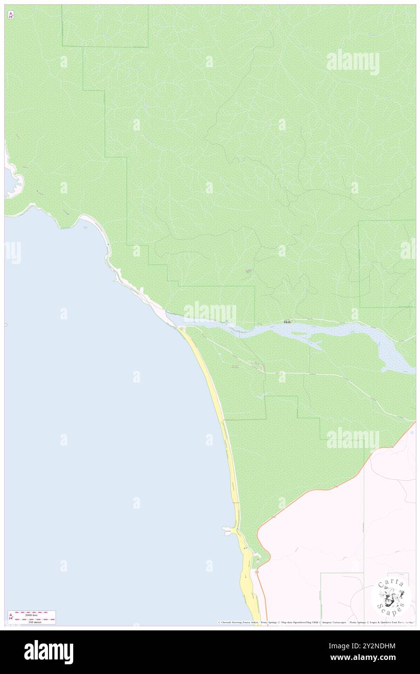 Oil City, Jefferson County, US, United States, Washington, N 47 45' 1'', S 124 25' 31'', map, Cartascapes Map published in 2024. Explore Cartascapes, a map revealing Earth's diverse landscapes, cultures, and ecosystems. Journey through time and space, discovering the interconnectedness of our planet's past, present, and future. Stock Photohttps://www.alamy.com/image-license-details/?v=1https://www.alamy.com/oil-city-jefferson-county-us-united-states-washington-n-47-45-1-s-124-25-31-map-cartascapes-map-published-in-2024-explore-cartascapes-a-map-revealing-earths-diverse-landscapes-cultures-and-ecosystems-journey-through-time-and-space-discovering-the-interconnectedness-of-our-planets-past-present-and-future-image621274240.html
RM2Y2NDHM–Oil City, Jefferson County, US, United States, Washington, N 47 45' 1'', S 124 25' 31'', map, Cartascapes Map published in 2024. Explore Cartascapes, a map revealing Earth's diverse landscapes, cultures, and ecosystems. Journey through time and space, discovering the interconnectedness of our planet's past, present, and future.
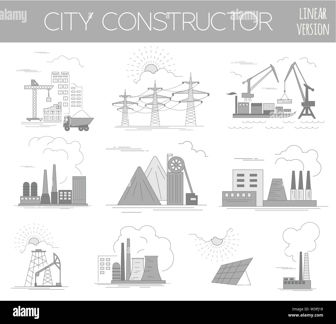 Great city map creator. House constructor. Infrastructure, industrial, transport. Outline version. Make your perfect city. Vector illustration Stock Vectorhttps://www.alamy.com/image-license-details/?v=1https://www.alamy.com/great-city-map-creator-house-constructor-infrastructure-industrial-transport-outline-version-make-your-perfect-city-vector-illustration-image260496580.html
RFW3PJ18–Great city map creator. House constructor. Infrastructure, industrial, transport. Outline version. Make your perfect city. Vector illustration
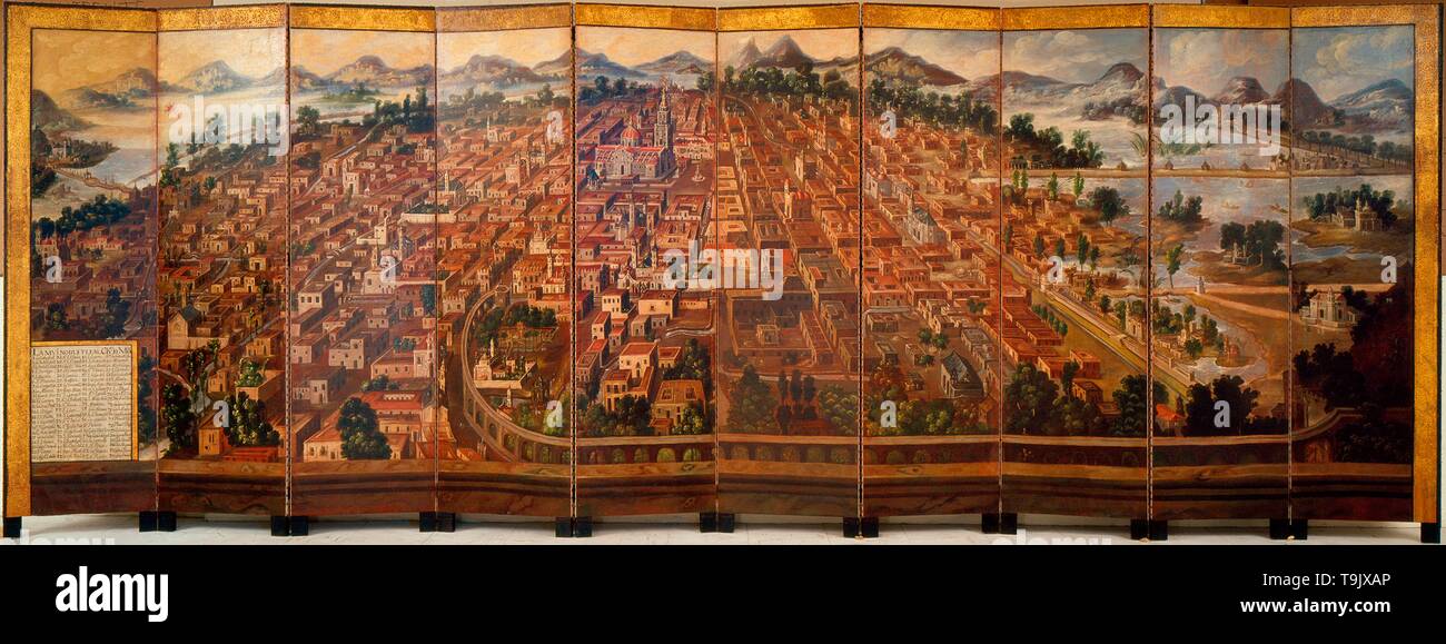 The City of Mexico. Museum: Museo Nacional de Historia, Chapultepec. Author: Diego Correa. Stock Photohttps://www.alamy.com/image-license-details/?v=1https://www.alamy.com/the-city-of-mexico-museum-museo-nacional-de-historia-chapultepec-author-diego-correa-image246892878.html
RMT9JXAP–The City of Mexico. Museum: Museo Nacional de Historia, Chapultepec. Author: Diego Correa.
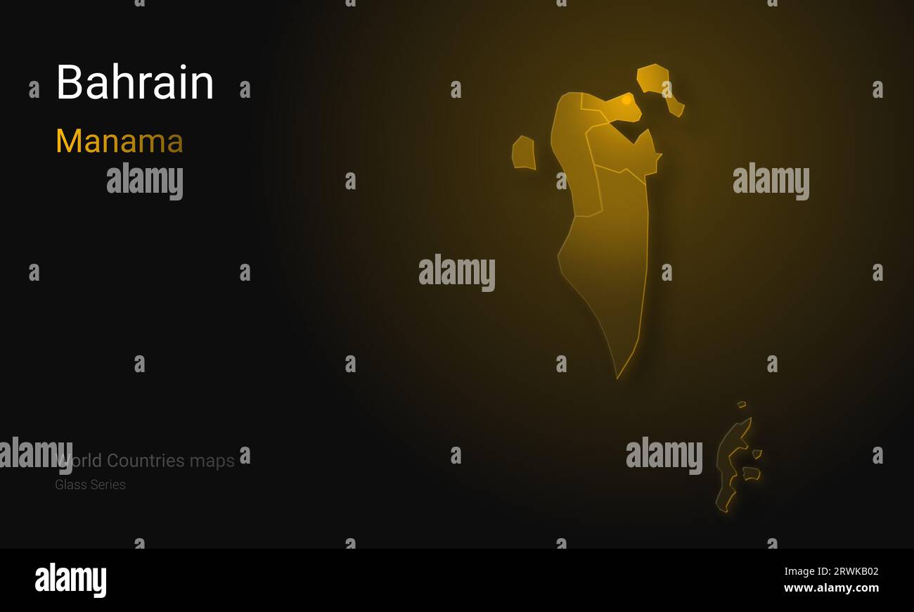 Creative map of Bahrain. Political map. Manama. Capital of Qatar. World Countries maps with borders. Glass Series. Arabian Peninsula. Kingdom of Bahra Stock Photohttps://www.alamy.com/image-license-details/?v=1https://www.alamy.com/creative-map-of-bahrain-political-map-manama-capital-of-qatar-world-countries-maps-with-borders-glass-series-arabian-peninsula-kingdom-of-bahra-image566523890.html
RF2RWKB02–Creative map of Bahrain. Political map. Manama. Capital of Qatar. World Countries maps with borders. Glass Series. Arabian Peninsula. Kingdom of Bahra
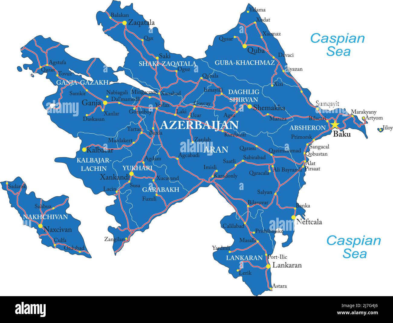 Highly detailed vector map of Azerbaijan with administrative regions,main cities and roads. Stock Vectorhttps://www.alamy.com/image-license-details/?v=1https://www.alamy.com/highly-detailed-vector-map-of-azerbaijan-with-administrative-regionsmain-cities-and-roads-image469337406.html
RF2J7G4J6–Highly detailed vector map of Azerbaijan with administrative regions,main cities and roads.
 Satellite map of Dubai, United Arab Emirates, city streets. Palaces, buildings. 3d rendering. Palm Islands. Palm Jumeirah. Street map and city center Stock Photohttps://www.alamy.com/image-license-details/?v=1https://www.alamy.com/satellite-map-of-dubai-united-arab-emirates-city-streets-palaces-buildings-3d-rendering-palm-islands-palm-jumeirah-street-map-and-city-center-image453371475.html
RF2H9GRXB–Satellite map of Dubai, United Arab Emirates, city streets. Palaces, buildings. 3d rendering. Palm Islands. Palm Jumeirah. Street map and city center
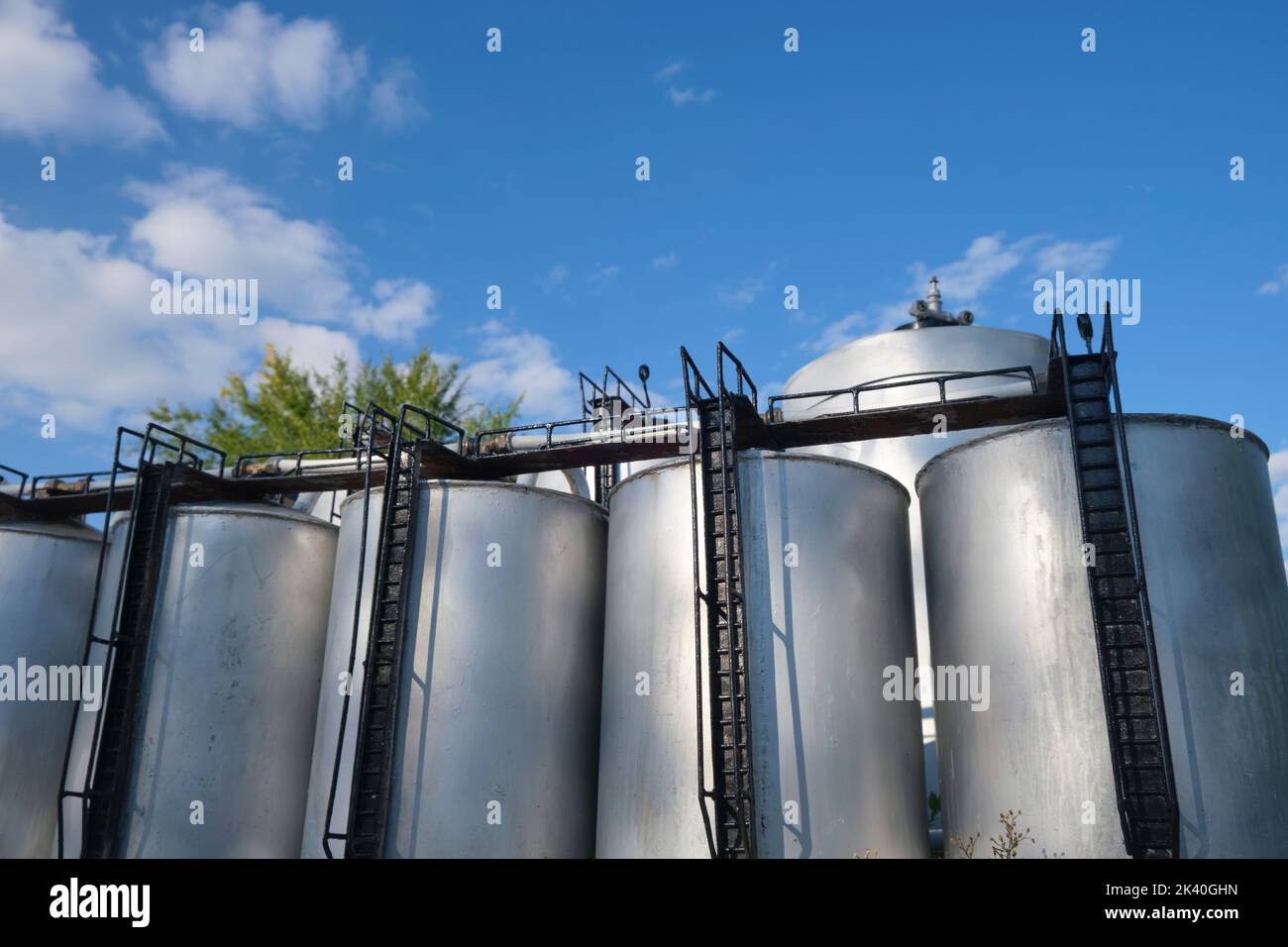 A model of an industrial oil distribution, storage refinery at the Caspian sea. At Atameken Map of Kazakhstan miniature park in Astana, Kazakhstan. Stock Photohttps://www.alamy.com/image-license-details/?v=1https://www.alamy.com/a-model-of-an-industrial-oil-distribution-storage-refinery-at-the-caspian-sea-at-atameken-map-of-kazakhstan-miniature-park-in-astana-kazakhstan-image484361969.html
RM2K40GHN–A model of an industrial oil distribution, storage refinery at the Caspian sea. At Atameken Map of Kazakhstan miniature park in Astana, Kazakhstan.
 Models of oil rigs on a scale relief map of Guatemala in Guatemala City Stock Photohttps://www.alamy.com/image-license-details/?v=1https://www.alamy.com/stock-photo-models-of-oil-rigs-on-a-scale-relief-map-of-guatemala-in-guatemala-30368514.html
RMBNBB9P–Models of oil rigs on a scale relief map of Guatemala in Guatemala City
 oil painting - Italian street, colorful summer watercolour Stock Photohttps://www.alamy.com/image-license-details/?v=1https://www.alamy.com/oil-painting-italian-street-colorful-summer-watercolour-image465843863.html
RF2J1W0GR–oil painting - Italian street, colorful summer watercolour
 An Oil tanker docked at one of the refineries in Benicia California Stock Photohttps://www.alamy.com/image-license-details/?v=1https://www.alamy.com/stock-photo-an-oil-tanker-docked-at-one-of-the-refineries-in-benicia-california-103065767.html
RMFYK1C7–An Oil tanker docked at one of the refineries in Benicia California
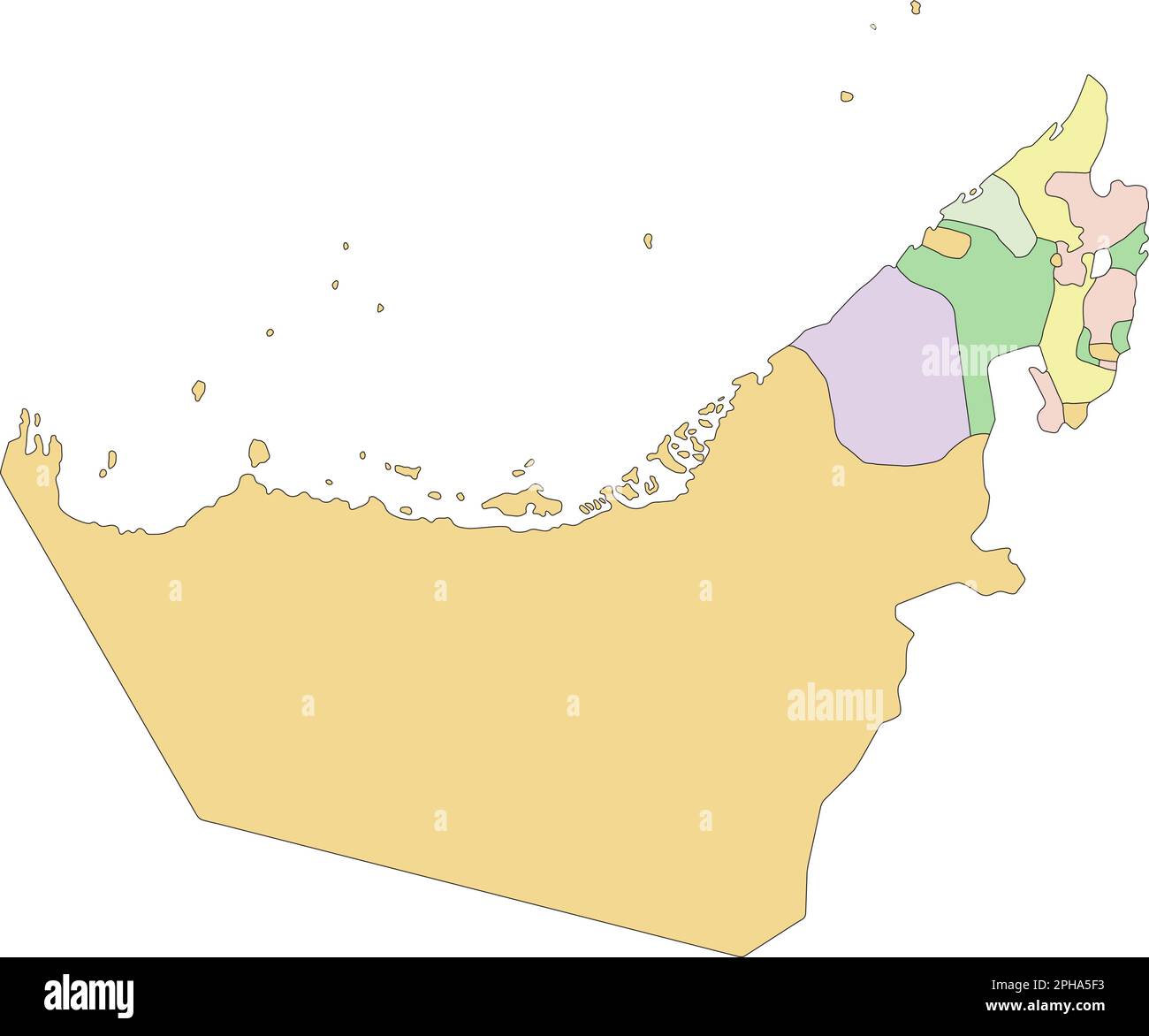 United Arab Emirates - Highly detailed editable political map. Stock Vectorhttps://www.alamy.com/image-license-details/?v=1https://www.alamy.com/united-arab-emirates-highly-detailed-editable-political-map-image544194423.html
RF2PHA5F3–United Arab Emirates - Highly detailed editable political map.
 Panoramic view of Palestine with Jerusalem City, 1833. Artist: Anonymous Stock Photohttps://www.alamy.com/image-license-details/?v=1https://www.alamy.com/panoramic-view-of-palestine-with-jerusalem-city-1833-artist-anonymous-image60406326.html
RMDE7MTP–Panoramic view of Palestine with Jerusalem City, 1833. Artist: Anonymous
 The Cornplanters Reserve, Venango County, Penn'a. : owned by the United Petroleum Farms Association 1864 Stock Photohttps://www.alamy.com/image-license-details/?v=1https://www.alamy.com/the-cornplanters-reserve-venango-county-penna-owned-by-the-united-petroleum-farms-association-1864-image633424561.html
RM2YPEYDN–The Cornplanters Reserve, Venango County, Penn'a. : owned by the United Petroleum Farms Association 1864
 G. V. S. Quackenbush Dry Goods Carpet & Oil Cloth Warehouse. ; Rensselaer Iron Works. ; City of Troy cont. Cartographic. Atlases, Maps. 1869. Lionel Pincus and Princess Firyal Map Division. Troy (N.Y.) Stock Photohttps://www.alamy.com/image-license-details/?v=1https://www.alamy.com/g-v-s-quackenbush-dry-goods-carpet-oil-cloth-warehouse-rensselaer-iron-works-city-of-troy-cont-cartographic-atlases-maps-1869-lionel-pincus-and-princess-firyal-map-division-troy-ny-image484373762.html
RM2K413JX–G. V. S. Quackenbush Dry Goods Carpet & Oil Cloth Warehouse. ; Rensselaer Iron Works. ; City of Troy cont. Cartographic. Atlases, Maps. 1869. Lionel Pincus and Princess Firyal Map Division. Troy (N.Y.)
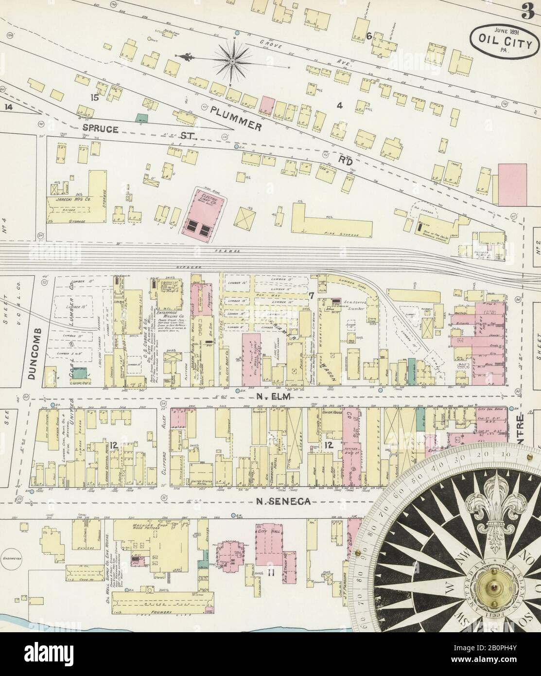 Image 3 of Sanborn Fire Insurance Map from Oil City, Venango County, Pennsylvania. Jun 1891. 13 Sheet(s), America, street map with a Nineteenth Century compass Stock Photohttps://www.alamy.com/image-license-details/?v=1https://www.alamy.com/image-3-of-sanborn-fire-insurance-map-from-oil-city-venango-county-pennsylvania-jun-1891-13-sheets-america-street-map-with-a-nineteenth-century-compass-image344703771.html
RM2B0PH4Y–Image 3 of Sanborn Fire Insurance Map from Oil City, Venango County, Pennsylvania. Jun 1891. 13 Sheet(s), America, street map with a Nineteenth Century compass
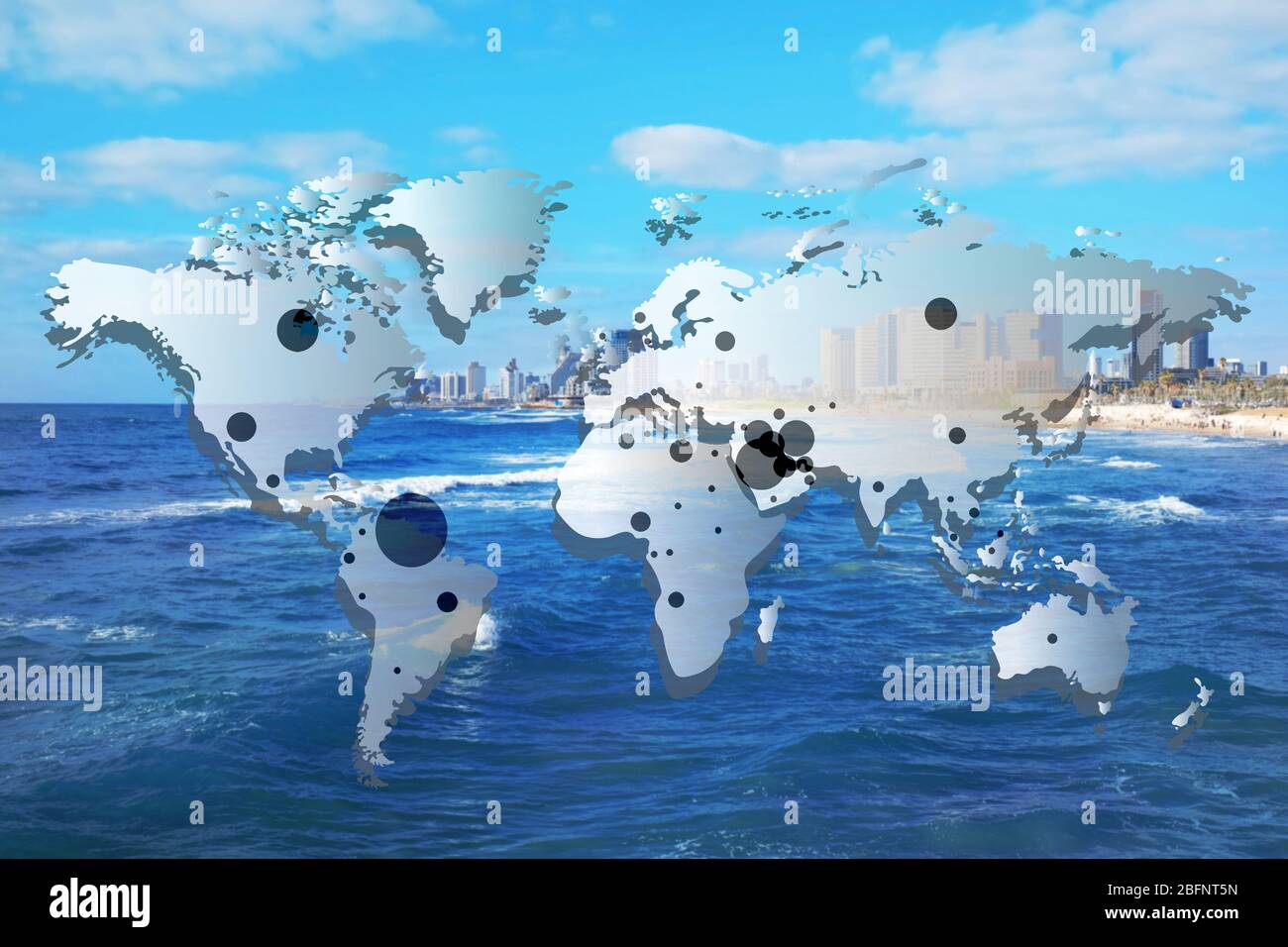 World map with oil extraction areas on city skyline background Stock Photohttps://www.alamy.com/image-license-details/?v=1https://www.alamy.com/world-map-with-oil-extraction-areas-on-city-skyline-background-image353907169.html
RF2BFNT5N–World map with oil extraction areas on city skyline background
 Half length portrait of a man, JHA, oil on copper Villa Vauban Luxembourg City DSC06488 Stock Photohttps://www.alamy.com/image-license-details/?v=1https://www.alamy.com/stock-photo-half-length-portrait-of-a-man-jha-oil-on-copper-villa-vauban-luxembourg-142950080.html
RMJ8FX80–Half length portrait of a man, JHA, oil on copper Villa Vauban Luxembourg City DSC06488
