Quick filters:
Map of opelousas Stock Photos and Images
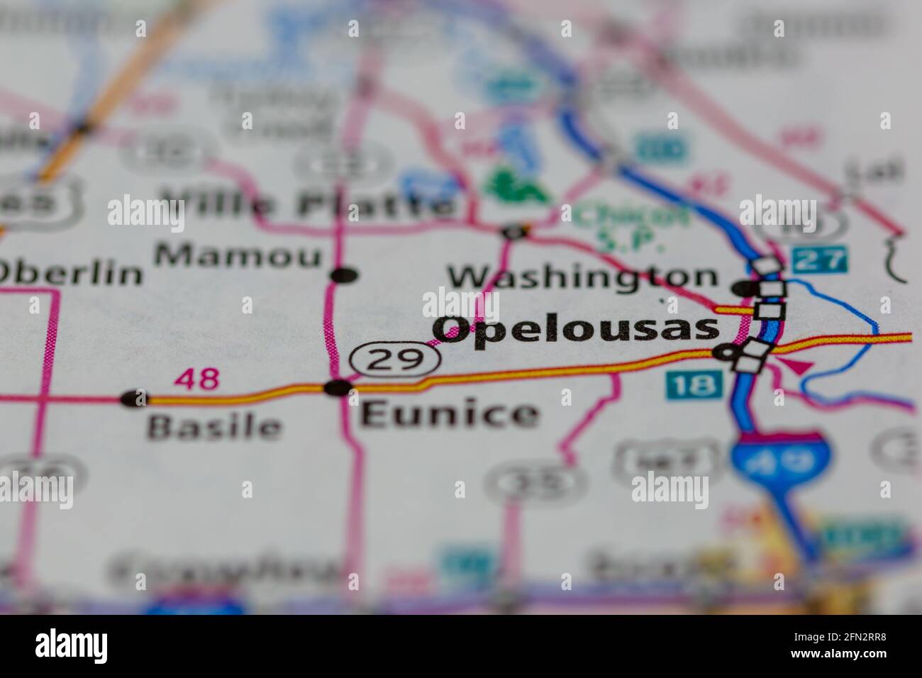 Opelousas Louisiana USA Shown on a Geography map or road map Stock Photohttps://www.alamy.com/image-license-details/?v=1https://www.alamy.com/opelousas-louisiana-usa-shown-on-a-geography-map-or-road-map-image426019196.html
RM2FN2RR8–Opelousas Louisiana USA Shown on a Geography map or road map
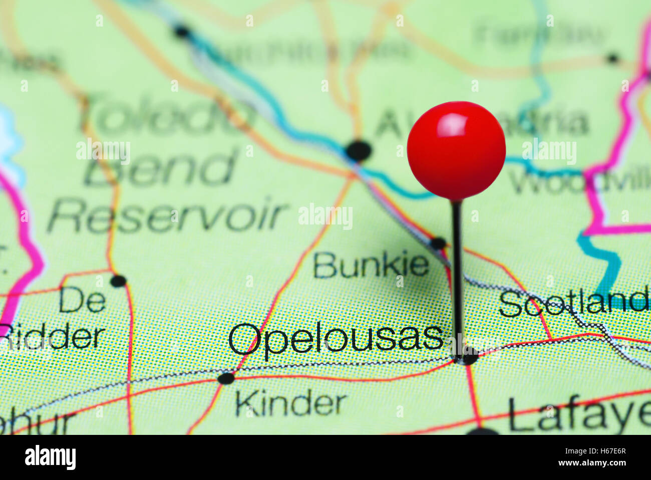 Opelousas pinned on a map of Louisiana, USA Stock Photohttps://www.alamy.com/image-license-details/?v=1https://www.alamy.com/stock-photo-opelousas-pinned-on-a-map-of-louisiana-usa-124325343.html
RFH67E6R–Opelousas pinned on a map of Louisiana, USA
 Opelousas, Saint Landry Parish, US, United States, Louisiana, N 30 32' 0'', S 92 4' 53'', map, Cartascapes Map published in 2024. Explore Cartascapes, a map revealing Earth's diverse landscapes, cultures, and ecosystems. Journey through time and space, discovering the interconnectedness of our planet's past, present, and future. Stock Photohttps://www.alamy.com/image-license-details/?v=1https://www.alamy.com/opelousas-saint-landry-parish-us-united-states-louisiana-n-30-32-0-s-92-4-53-map-cartascapes-map-published-in-2024-explore-cartascapes-a-map-revealing-earths-diverse-landscapes-cultures-and-ecosystems-journey-through-time-and-space-discovering-the-interconnectedness-of-our-planets-past-present-and-future-image621294028.html
RM2Y2PATC–Opelousas, Saint Landry Parish, US, United States, Louisiana, N 30 32' 0'', S 92 4' 53'', map, Cartascapes Map published in 2024. Explore Cartascapes, a map revealing Earth's diverse landscapes, cultures, and ecosystems. Journey through time and space, discovering the interconnectedness of our planet's past, present, and future.
 Map exhibiting the fixed location of the main trunk of the New-Orleans, Opelousas & Great Western Railroad of Louisiana : together with its proposed branches, connections and extensions in Louisiana, Arkansas & Texas ; also its connecting steamship routes from Berwicks Bay to ports in the Gulf of Mexico, together with the advantages in point of directness & diminished distance to the Pacific Coast, New Orleans, La., January 24th, 1859 1859 by New Orleans, Opelousas, and Great Western Railroad Company Stock Photohttps://www.alamy.com/image-license-details/?v=1https://www.alamy.com/map-exhibiting-the-fixed-location-of-the-main-trunk-of-the-new-orleans-opelousas-great-western-railroad-of-louisiana-together-with-its-proposed-branches-connections-and-extensions-in-louisiana-arkansas-texas-also-its-connecting-steamship-routes-from-berwicks-bay-to-ports-in-the-gulf-of-mexico-together-with-the-advantages-in-point-of-directness-diminished-distance-to-the-pacific-coast-new-orleans-la-january-24th-1859-1859-by-new-orleans-opelousas-and-great-western-railroad-company-image633232518.html
RM2YP66F2–Map exhibiting the fixed location of the main trunk of the New-Orleans, Opelousas & Great Western Railroad of Louisiana : together with its proposed branches, connections and extensions in Louisiana, Arkansas & Texas ; also its connecting steamship routes from Berwicks Bay to ports in the Gulf of Mexico, together with the advantages in point of directness & diminished distance to the Pacific Coast, New Orleans, La., January 24th, 1859 1859 by New Orleans, Opelousas, and Great Western Railroad Company
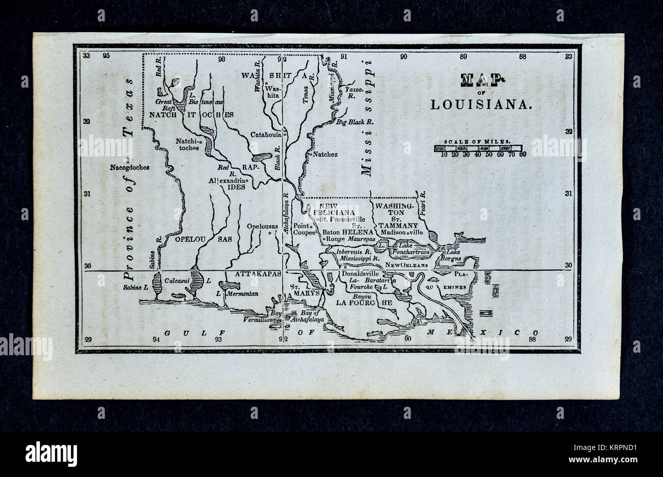 1830 Nathan Hale Map - Louisiana - New Orleans Baton Rouge Alexandria - United States Stock Photohttps://www.alamy.com/image-license-details/?v=1https://www.alamy.com/stock-image-1830-nathan-hale-map-louisiana-new-orleans-baton-rouge-alexandria-169530173.html
RFKRPND1–1830 Nathan Hale Map - Louisiana - New Orleans Baton Rouge Alexandria - United States
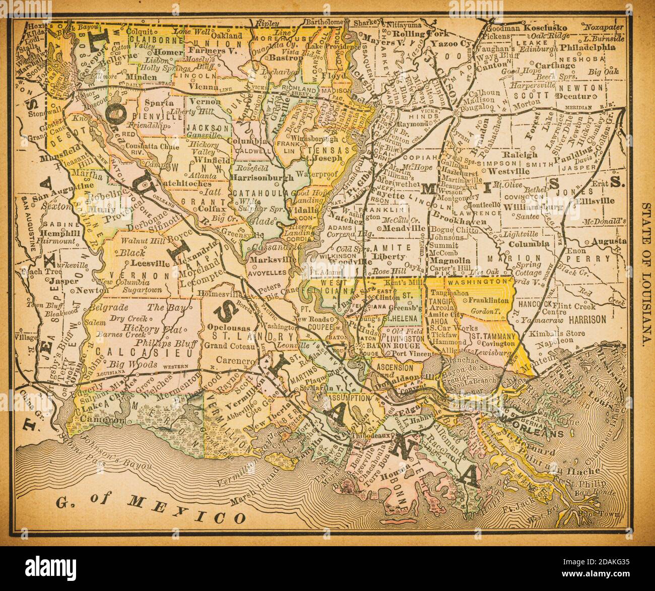 19th century map of Louisiana. Published in New Dollar Atlas of the United States and Dominion of Canada. (Rand McNally & Co's, Chicago, 1884). Stock Photohttps://www.alamy.com/image-license-details/?v=1https://www.alamy.com/19th-century-map-of-louisiana-published-in-new-dollar-atlas-of-the-united-states-and-dominion-of-canada-rand-mcnally-cos-chicago-1884-image385204377.html
RF2DAKG35–19th century map of Louisiana. Published in New Dollar Atlas of the United States and Dominion of Canada. (Rand McNally & Co's, Chicago, 1884).
 Map of a part of the State of Louisiana exhibiting the route of the New-Orleans, Opelousas & Great Western Rail Road. Stock Photohttps://www.alamy.com/image-license-details/?v=1https://www.alamy.com/map-of-a-part-of-the-state-of-louisiana-exhibiting-the-route-of-the-new-orleans-opelousas-great-western-rail-road-image398199592.html
RM2E3RFJ0–Map of a part of the State of Louisiana exhibiting the route of the New-Orleans, Opelousas & Great Western Rail Road.
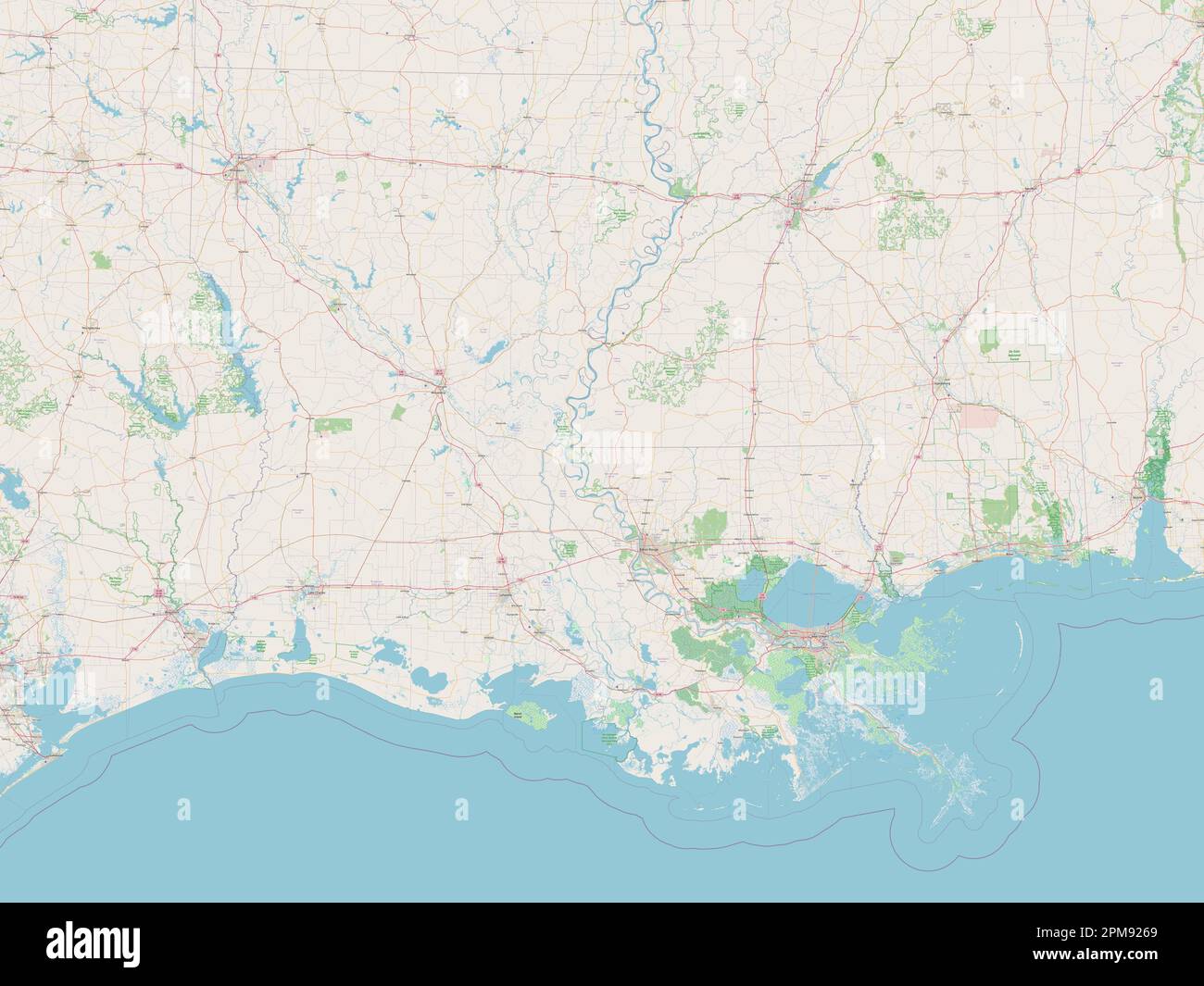 Louisiana, state of United States of America. Open Street Map Stock Photohttps://www.alamy.com/image-license-details/?v=1https://www.alamy.com/louisiana-state-of-united-states-of-america-open-street-map-image546013841.html
RF2PM9269–Louisiana, state of United States of America. Open Street Map
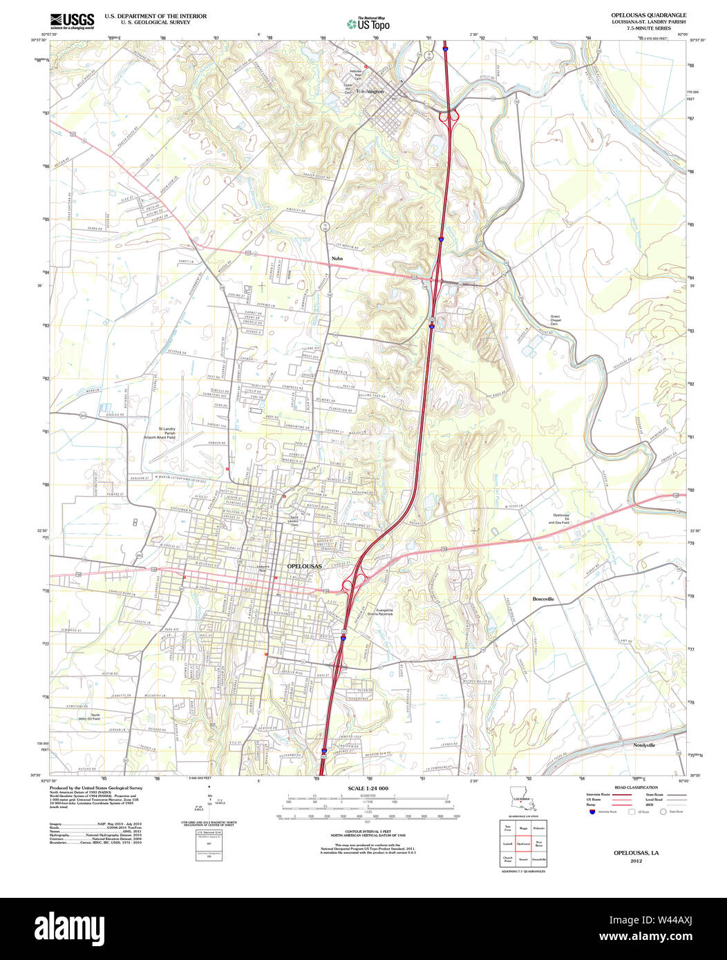 USGS TOPO Map Louisiana LA Opelousas 20120314 TM Stock Photohttps://www.alamy.com/image-license-details/?v=1https://www.alamy.com/usgs-topo-map-louisiana-la-opelousas-20120314-tm-image260710538.html
RMW44AXJ–USGS TOPO Map Louisiana LA Opelousas 20120314 TM
 . Pictorial history of the great Civil War : embracing full and authentic accounts of battles by land and sea ... . MAP S?JOWiNG THE POSITIONS OF THE ARMIES NEAR PETERSBURG, VA. CAPTURE OF OPELOUSAS. 437 other vessels had suffered severely.The Richmond received a shot in hersteam-drum, and was compelled to fallback and anchor. The captain of theMonongahela was seriously injured;that vessel, also, fell back and anchored.The Kineo had her rudder-post shotthrough ; her propeller was made foulby a hawser; she, too, floated down andanchored. The Mississippi had theworst fate of all. Grounding at a Stock Photohttps://www.alamy.com/image-license-details/?v=1https://www.alamy.com/pictorial-history-of-the-great-civil-war-embracing-full-and-authentic-accounts-of-battles-by-land-and-sea-map-sjowing-the-positions-of-the-armies-near-petersburg-va-capture-of-opelousas-437-other-vessels-had-suffered-severelythe-richmond-received-a-shot-in-hersteam-drum-and-was-compelled-to-fallback-and-anchor-the-captain-of-themonongahela-was-seriously-injuredthat-vessel-also-fell-back-and-anchoredthe-kineo-had-her-rudder-post-shotthrough-her-propeller-was-made-foulby-a-hawser-she-too-floated-down-andanchored-the-mississippi-had-theworst-fate-of-all-grounding-at-a-image371676514.html
RM2CGK956–. Pictorial history of the great Civil War : embracing full and authentic accounts of battles by land and sea ... . MAP S?JOWiNG THE POSITIONS OF THE ARMIES NEAR PETERSBURG, VA. CAPTURE OF OPELOUSAS. 437 other vessels had suffered severely.The Richmond received a shot in hersteam-drum, and was compelled to fallback and anchor. The captain of theMonongahela was seriously injured;that vessel, also, fell back and anchored.The Kineo had her rudder-post shotthrough ; her propeller was made foulby a hawser; she, too, floated down andanchored. The Mississippi had theworst fate of all. Grounding at a
 St. Landry County, Louisiana (U.S. county, United States of America, USA, U.S., US) map vector illustration, scribble sketch Saint Landry Parish map Stock Vectorhttps://www.alamy.com/image-license-details/?v=1https://www.alamy.com/st-landry-county-louisiana-us-county-united-states-of-america-usa-us-us-map-vector-illustration-scribble-sketch-saint-landry-parish-map-image382717216.html
RF2D6J7M0–St. Landry County, Louisiana (U.S. county, United States of America, USA, U.S., US) map vector illustration, scribble sketch Saint Landry Parish map
 Opelousas, Saint Landry Parish, US, United States, Louisiana, N 30 32' 0'', S 92 4' 53'', map, Cartascapes Map published in 2024. Explore Cartascapes, a map revealing Earth's diverse landscapes, cultures, and ecosystems. Journey through time and space, discovering the interconnectedness of our planet's past, present, and future. Stock Photohttps://www.alamy.com/image-license-details/?v=1https://www.alamy.com/opelousas-saint-landry-parish-us-united-states-louisiana-n-30-32-0-s-92-4-53-map-cartascapes-map-published-in-2024-explore-cartascapes-a-map-revealing-earths-diverse-landscapes-cultures-and-ecosystems-journey-through-time-and-space-discovering-the-interconnectedness-of-our-planets-past-present-and-future-image620837952.html
RM2Y21H40–Opelousas, Saint Landry Parish, US, United States, Louisiana, N 30 32' 0'', S 92 4' 53'', map, Cartascapes Map published in 2024. Explore Cartascapes, a map revealing Earth's diverse landscapes, cultures, and ecosystems. Journey through time and space, discovering the interconnectedness of our planet's past, present, and future.
 Map exhibiting the fixed location of the main trunk of the New-Orleans, Opelousas & Great Western Railroad of Louisiana, together with its proposed branches, connections and extensions in Louisiana, Stock Photohttps://www.alamy.com/image-license-details/?v=1https://www.alamy.com/map-exhibiting-the-fixed-location-of-the-main-trunk-of-the-new-orleans-opelousas-great-western-railroad-of-louisiana-together-with-its-proposed-branches-connections-and-extensions-in-louisiana-image398203245.html
RM2E3RM8D–Map exhibiting the fixed location of the main trunk of the New-Orleans, Opelousas & Great Western Railroad of Louisiana, together with its proposed branches, connections and extensions in Louisiana,
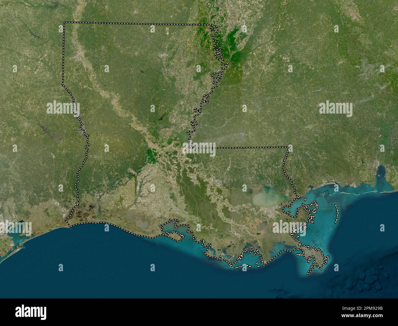 Louisiana, state of United States of America. Low resolution satellite map Stock Photohttps://www.alamy.com/image-license-details/?v=1https://www.alamy.com/louisiana-state-of-united-states-of-america-low-resolution-satellite-map-image546013927.html
RF2PM929B–Louisiana, state of United States of America. Low resolution satellite map
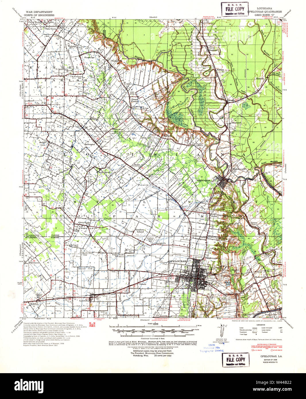 USGS TOPO Map Louisiana LA Opelousas 334886 1939 62500 Stock Photohttps://www.alamy.com/image-license-details/?v=1https://www.alamy.com/usgs-topo-map-louisiana-la-opelousas-334886-1939-62500-image260710634.html
RMW44B22–USGS TOPO Map Louisiana LA Opelousas 334886 1939 62500
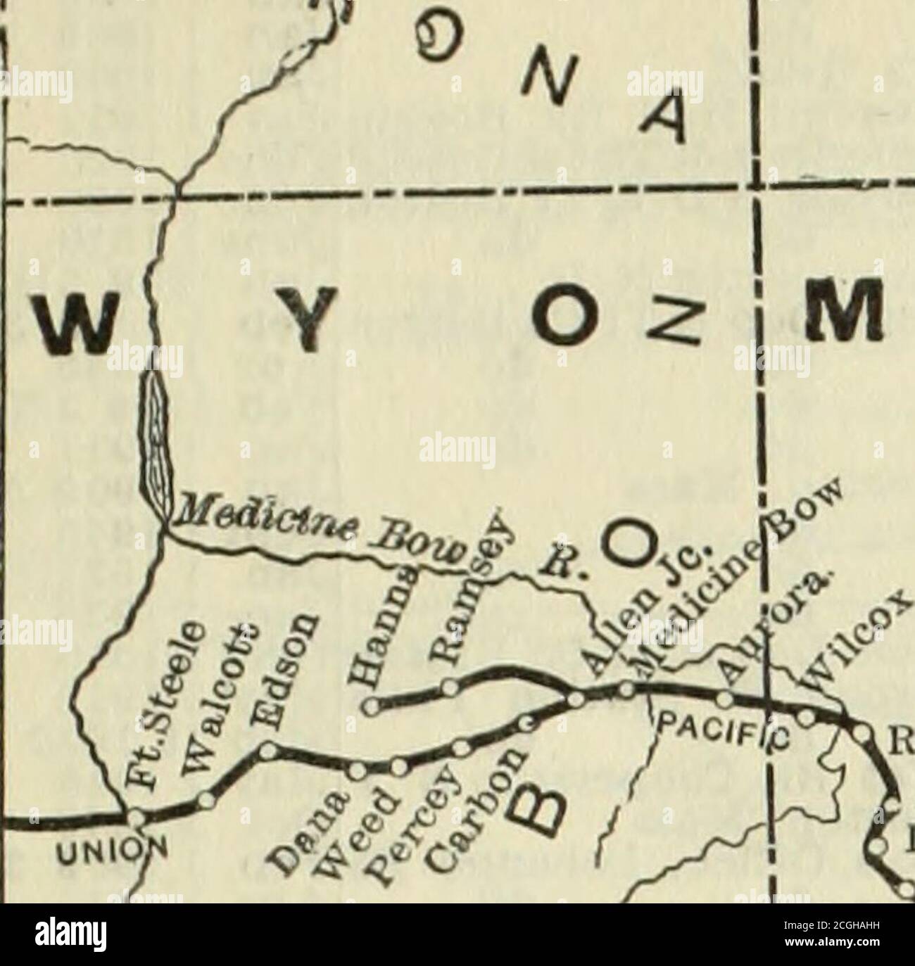 . The Commercial and financial chronicle . S. F. Map.)—Baton Rouge, La., to Houston. Tex.. 303 m., of whichBaton Rouge to Opelousas, La., 59 miles, under construction In June 1908,remainder In operation; from Baton Rouge to have 111. Cent, trackage toN.Orleans, 130m. Extension was built from De Qulncey to Houston,Tex.,137 m.. Including Kansas City Sou. trackage between De Qulncey andBeaumont, Tex.. 47 m.. and the Beaumont Sour Lake & Western RR.,Beaumont to Sour Lake, 22 m., and the Orange & Northwestern RR.,Newton to Orange. Tex., 61 m., acquired. V. 87, p. 873. The St. Louis & San Fran, owns Stock Photohttps://www.alamy.com/image-license-details/?v=1https://www.alamy.com/the-commercial-and-financial-chronicle-s-f-mapbaton-rouge-la-to-houston-tex-303-m-of-whichbaton-rouge-to-opelousas-la-59-miles-under-construction-in-june-1908remainder-in-operation-from-baton-rouge-to-have-111-cent-trackage-tonorleans-130m-extension-was-built-from-de-qulncey-to-houstontex137-m-including-kansas-city-sou-trackage-between-de-qulncey-andbeaumont-tex-47-m-and-the-beaumont-sour-lake-western-rrbeaumont-to-sour-lake-22-m-and-the-orange-northwestern-rrnewton-to-orange-tex-61-m-acquired-v-87-p-873-the-st-louis-san-fran-owns-image371633741.html
RM2CGHAHH–. The Commercial and financial chronicle . S. F. Map.)—Baton Rouge, La., to Houston. Tex.. 303 m., of whichBaton Rouge to Opelousas, La., 59 miles, under construction In June 1908,remainder In operation; from Baton Rouge to have 111. Cent, trackage toN.Orleans, 130m. Extension was built from De Qulncey to Houston,Tex.,137 m.. Including Kansas City Sou. trackage between De Qulncey andBeaumont, Tex.. 47 m.. and the Beaumont Sour Lake & Western RR.,Beaumont to Sour Lake, 22 m., and the Orange & Northwestern RR.,Newton to Orange. Tex., 61 m., acquired. V. 87, p. 873. The St. Louis & San Fran, owns
 St. Landry County, Louisiana (U.S. county, United States of America, USA, U.S., US) map vector illustration, scribble sketch Saint Landry Parish map Stock Vectorhttps://www.alamy.com/image-license-details/?v=1https://www.alamy.com/st-landry-county-louisiana-us-county-united-states-of-america-usa-us-us-map-vector-illustration-scribble-sketch-saint-landry-parish-map-image370968672.html
RF2CFF294–St. Landry County, Louisiana (U.S. county, United States of America, USA, U.S., US) map vector illustration, scribble sketch Saint Landry Parish map
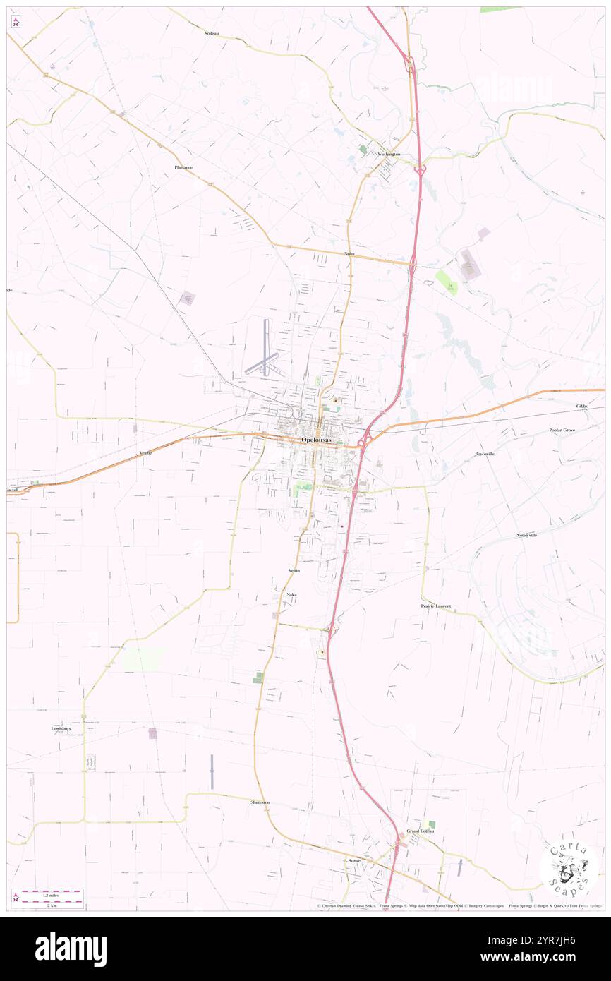 City of Opelousas, Saint Landry Parish, US, United States, Louisiana, N 30 31' 40'', S 92 5' 6'', map, Cartascapes Map published in 2024. Explore Cartascapes, a map revealing Earth's diverse landscapes, cultures, and ecosystems. Journey through time and space, discovering the interconnectedness of our planet's past, present, and future. Stock Photohttps://www.alamy.com/image-license-details/?v=1https://www.alamy.com/city-of-opelousas-saint-landry-parish-us-united-states-louisiana-n-30-31-40-s-92-5-6-map-cartascapes-map-published-in-2024-explore-cartascapes-a-map-revealing-earths-diverse-landscapes-cultures-and-ecosystems-journey-through-time-and-space-discovering-the-interconnectedness-of-our-planets-past-present-and-future-image633878594.html
RM2YR7JH6–City of Opelousas, Saint Landry Parish, US, United States, Louisiana, N 30 31' 40'', S 92 5' 6'', map, Cartascapes Map published in 2024. Explore Cartascapes, a map revealing Earth's diverse landscapes, cultures, and ecosystems. Journey through time and space, discovering the interconnectedness of our planet's past, present, and future.
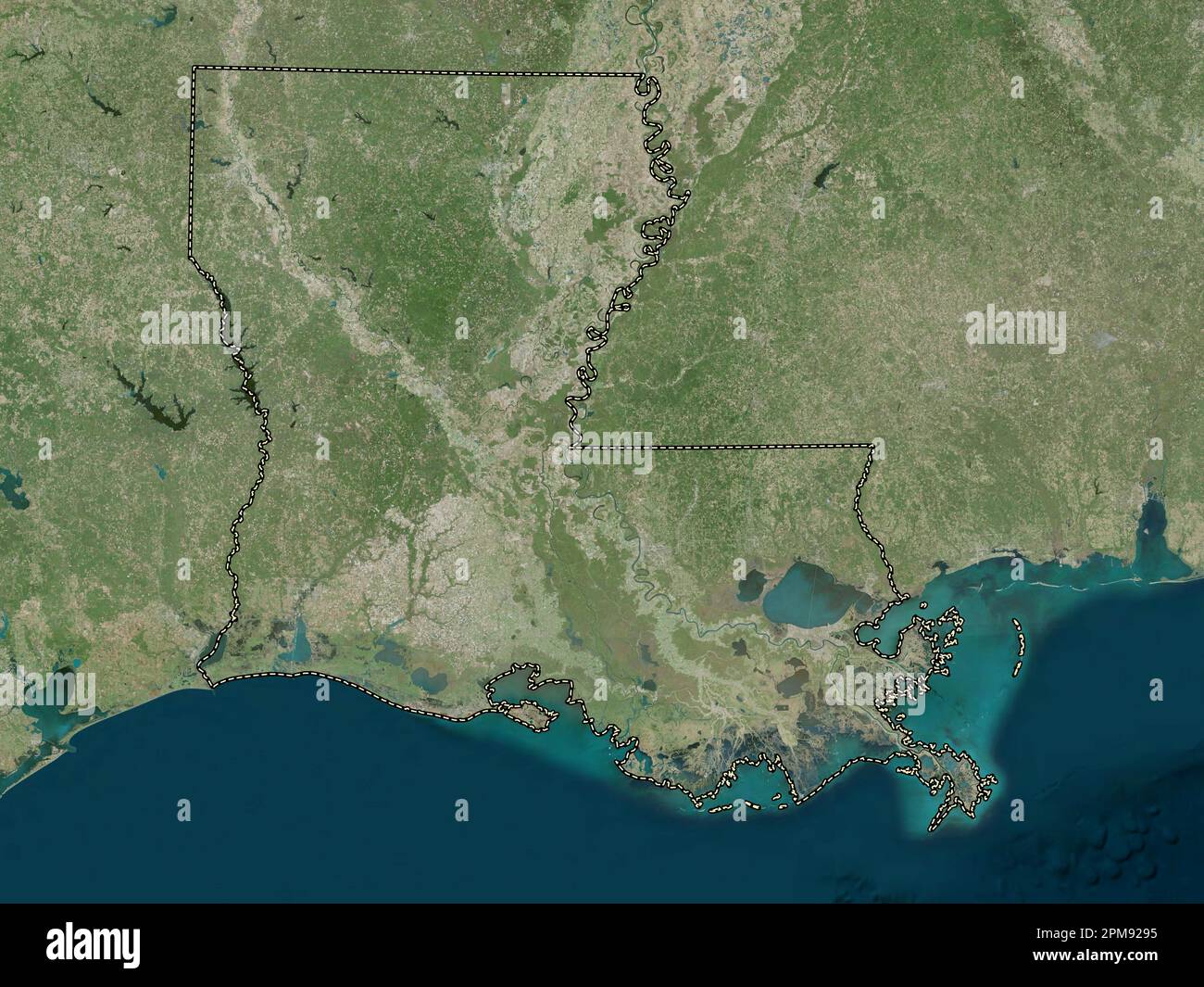 Louisiana, state of United States of America. High resolution satellite map Stock Photohttps://www.alamy.com/image-license-details/?v=1https://www.alamy.com/louisiana-state-of-united-states-of-america-high-resolution-satellite-map-image546013921.html
RF2PM9295–Louisiana, state of United States of America. High resolution satellite map
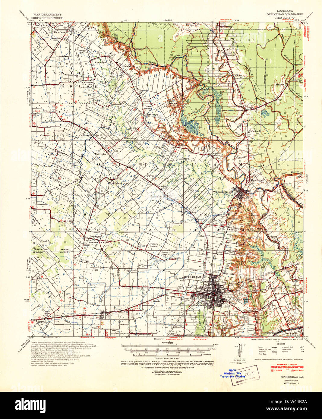 USGS TOPO Map Louisiana LA Opelousas 334885 1939 62500 Stock Photohttps://www.alamy.com/image-license-details/?v=1https://www.alamy.com/usgs-topo-map-louisiana-la-opelousas-334885-1939-62500-image260710642.html
RMW44B2A–USGS TOPO Map Louisiana LA Opelousas 334885 1939 62500
 St. Landry County, Louisiana (U.S. county, United States of America, USA, U.S., US) map vector illustration, scribble sketch Saint Landry Parish map Stock Vectorhttps://www.alamy.com/image-license-details/?v=1https://www.alamy.com/st-landry-county-louisiana-us-county-united-states-of-america-usa-us-us-map-vector-illustration-scribble-sketch-saint-landry-parish-map-image384574981.html
RF2D9JW8N–St. Landry County, Louisiana (U.S. county, United States of America, USA, U.S., US) map vector illustration, scribble sketch Saint Landry Parish map
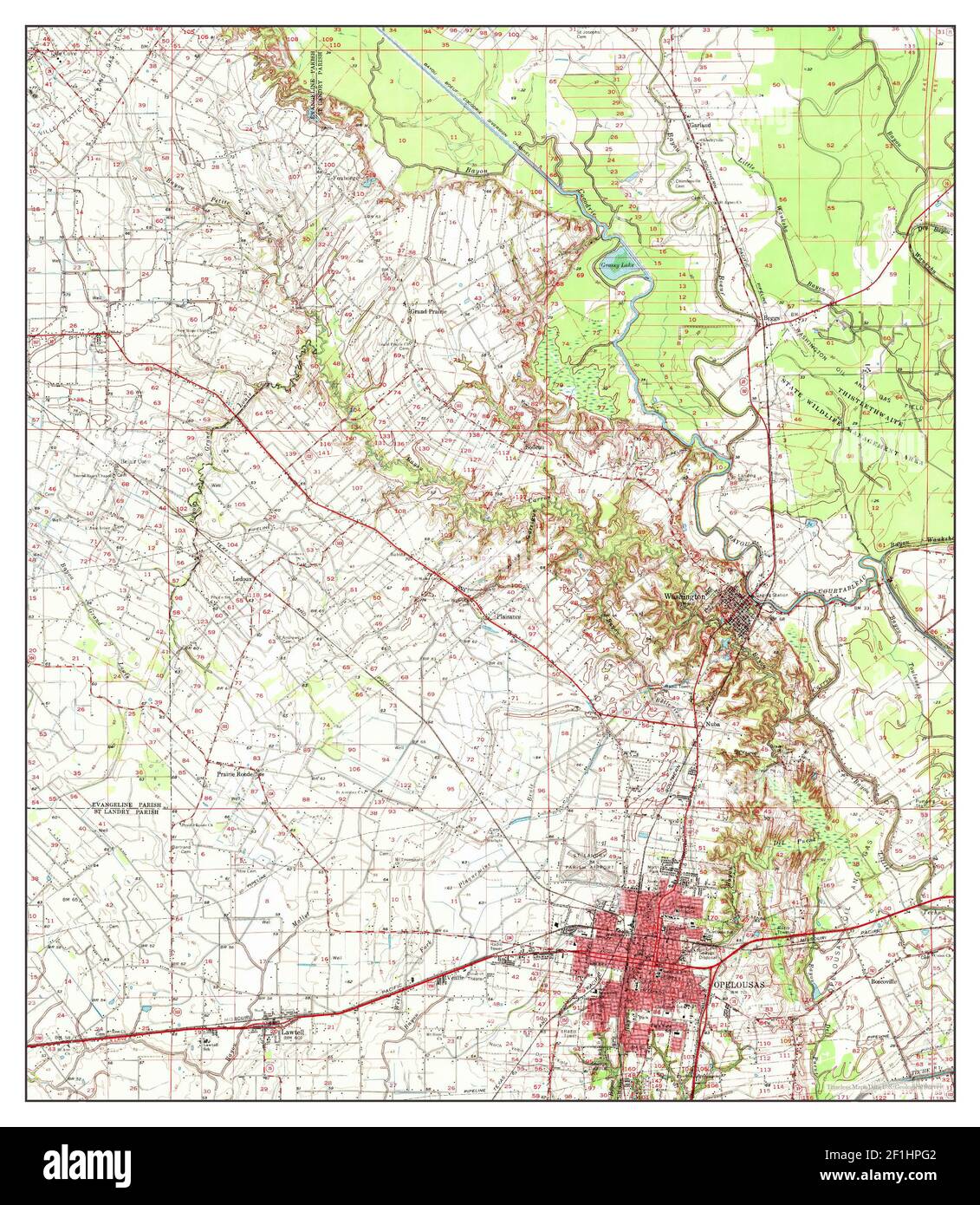 Opelousas, Louisiana, map 1970, 1:62500, United States of America by Timeless Maps, data U.S. Geological Survey Stock Photohttps://www.alamy.com/image-license-details/?v=1https://www.alamy.com/opelousas-louisiana-map-1970-162500-united-states-of-america-by-timeless-maps-data-us-geological-survey-image414054370.html
RM2F1HPG2–Opelousas, Louisiana, map 1970, 1:62500, United States of America by Timeless Maps, data U.S. Geological Survey
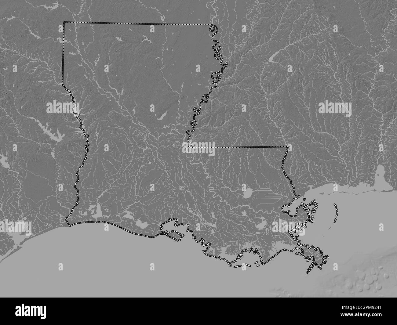 Louisiana, state of United States of America. Bilevel elevation map with lakes and rivers Stock Photohttps://www.alamy.com/image-license-details/?v=1https://www.alamy.com/louisiana-state-of-united-states-of-america-bilevel-elevation-map-with-lakes-and-rivers-image546013777.html
RF2PM9241–Louisiana, state of United States of America. Bilevel elevation map with lakes and rivers
 USGS TOPO Map Louisiana LA Opelousas 332972 1983 24000 Stock Photohttps://www.alamy.com/image-license-details/?v=1https://www.alamy.com/usgs-topo-map-louisiana-la-opelousas-332972-1983-24000-image260710614.html
RMW44B1A–USGS TOPO Map Louisiana LA Opelousas 332972 1983 24000
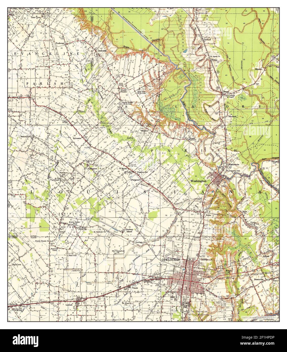 Opelousas, Louisiana, map 1956, 1:62500, United States of America by Timeless Maps, data U.S. Geological Survey Stock Photohttps://www.alamy.com/image-license-details/?v=1https://www.alamy.com/opelousas-louisiana-map-1956-162500-united-states-of-america-by-timeless-maps-data-us-geological-survey-image414054306.html
RM2F1HPDP–Opelousas, Louisiana, map 1956, 1:62500, United States of America by Timeless Maps, data U.S. Geological Survey
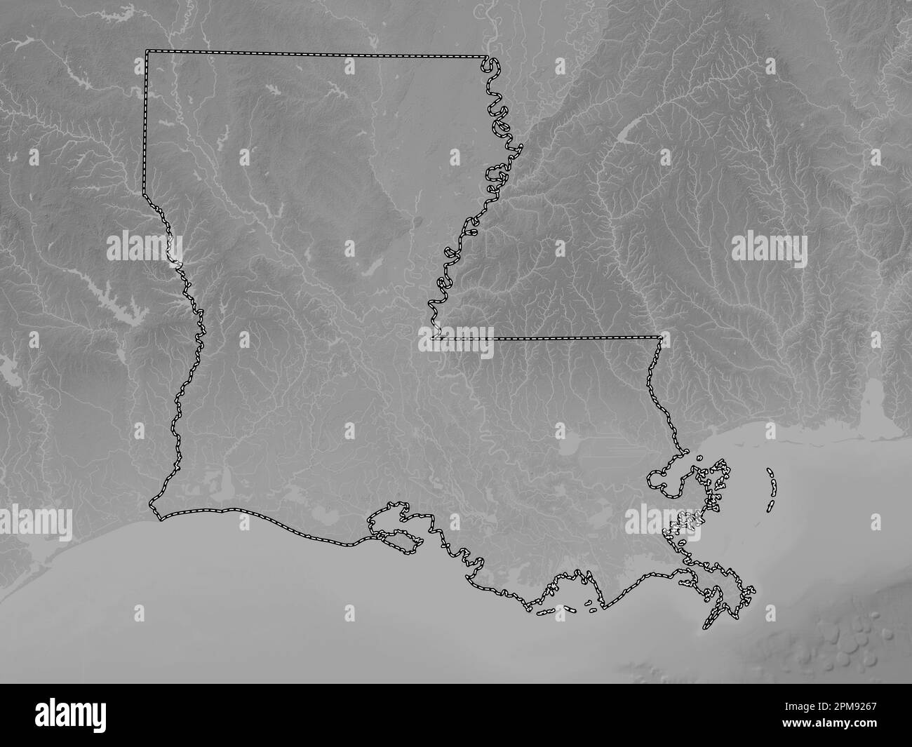 Louisiana, state of United States of America. Grayscale elevation map with lakes and rivers Stock Photohttps://www.alamy.com/image-license-details/?v=1https://www.alamy.com/louisiana-state-of-united-states-of-america-grayscale-elevation-map-with-lakes-and-rivers-image546013839.html
RF2PM9267–Louisiana, state of United States of America. Grayscale elevation map with lakes and rivers
 USGS TOPO Map Louisiana LA Opelousas 334887 1956 62500 Stock Photohttps://www.alamy.com/image-license-details/?v=1https://www.alamy.com/usgs-topo-map-louisiana-la-opelousas-334887-1956-62500-image260710657.html
RMW44B2W–USGS TOPO Map Louisiana LA Opelousas 334887 1956 62500
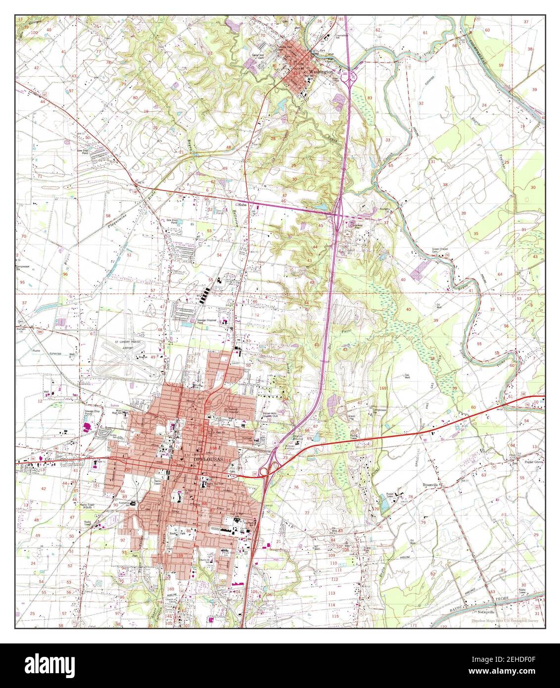 Opelousas, Louisiana, map 1983, 1:24000, United States of America by Timeless Maps, data U.S. Geological Survey Stock Photohttps://www.alamy.com/image-license-details/?v=1https://www.alamy.com/opelousas-louisiana-map-1983-124000-united-states-of-america-by-timeless-maps-data-us-geological-survey-image406584767.html
RM2EHDF0F–Opelousas, Louisiana, map 1983, 1:24000, United States of America by Timeless Maps, data U.S. Geological Survey
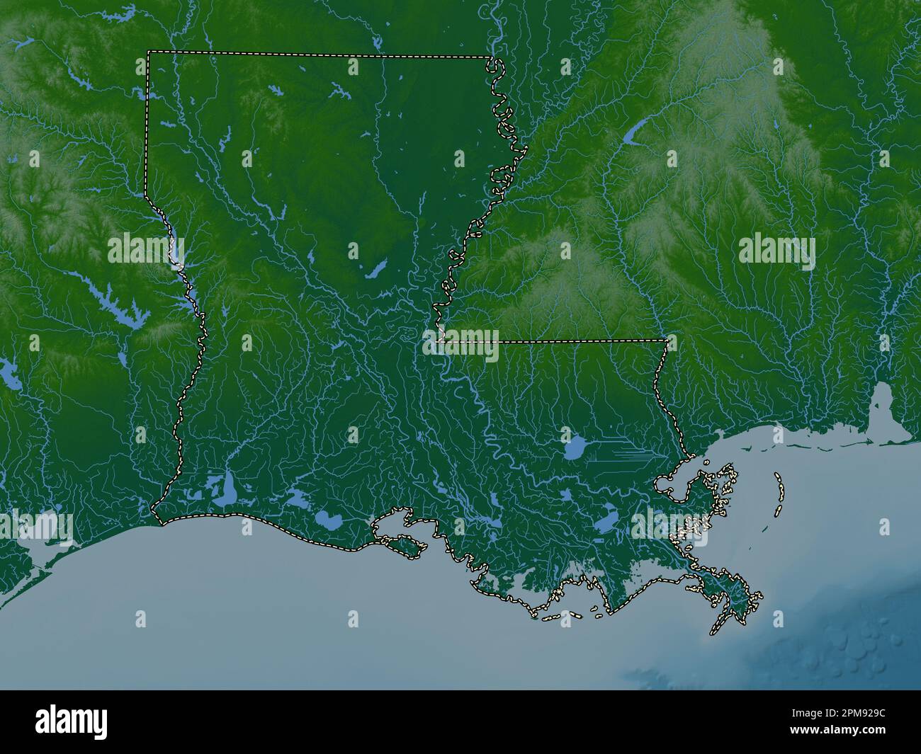 Louisiana, state of United States of America. Colored elevation map with lakes and rivers Stock Photohttps://www.alamy.com/image-license-details/?v=1https://www.alamy.com/louisiana-state-of-united-states-of-america-colored-elevation-map-with-lakes-and-rivers-image546013928.html
RF2PM929C–Louisiana, state of United States of America. Colored elevation map with lakes and rivers
 USGS TOPO Map Louisiana LA Opelousas 334888 1957 62500 Stock Photohttps://www.alamy.com/image-license-details/?v=1https://www.alamy.com/usgs-topo-map-louisiana-la-opelousas-334888-1957-62500-image260710679.html
RMW44B3K–USGS TOPO Map Louisiana LA Opelousas 334888 1957 62500
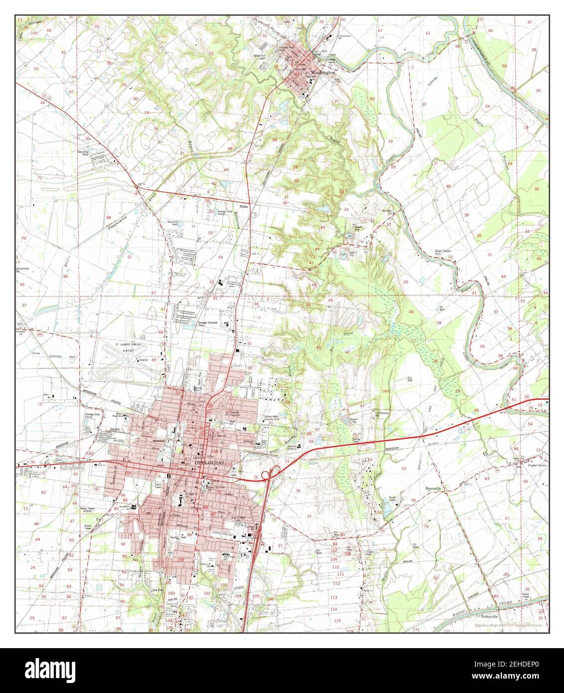 Opelousas, Louisiana, map 1983, 1:24000, United States of America by Timeless Maps, data U.S. Geological Survey Stock Photohttps://www.alamy.com/image-license-details/?v=1https://www.alamy.com/opelousas-louisiana-map-1983-124000-united-states-of-america-by-timeless-maps-data-us-geological-survey-image406584584.html
RM2EHDEP0–Opelousas, Louisiana, map 1983, 1:24000, United States of America by Timeless Maps, data U.S. Geological Survey
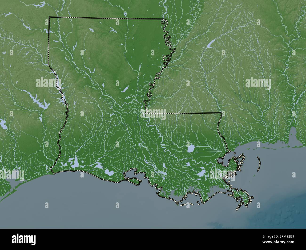 Louisiana, state of United States of America. Elevation map colored in wiki style with lakes and rivers Stock Photohttps://www.alamy.com/image-license-details/?v=1https://www.alamy.com/louisiana-state-of-united-states-of-america-elevation-map-colored-in-wiki-style-with-lakes-and-rivers-image546013981.html
RF2PM92B9–Louisiana, state of United States of America. Elevation map colored in wiki style with lakes and rivers
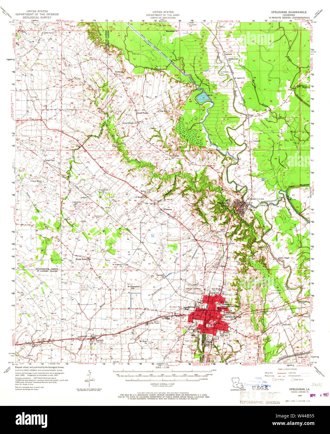 USGS TOPO Map Louisiana LA Opelousas 334889 1957 62500 Stock Photohttps://www.alamy.com/image-license-details/?v=1https://www.alamy.com/usgs-topo-map-louisiana-la-opelousas-334889-1957-62500-image260710721.html
RMW44B55–USGS TOPO Map Louisiana LA Opelousas 334889 1957 62500
 Opelousas, Louisiana, map 1957, 1:62500, United States of America by Timeless Maps, data U.S. Geological Survey Stock Photohttps://www.alamy.com/image-license-details/?v=1https://www.alamy.com/opelousas-louisiana-map-1957-162500-united-states-of-america-by-timeless-maps-data-us-geological-survey-image414054377.html
RM2F1HPG9–Opelousas, Louisiana, map 1957, 1:62500, United States of America by Timeless Maps, data U.S. Geological Survey
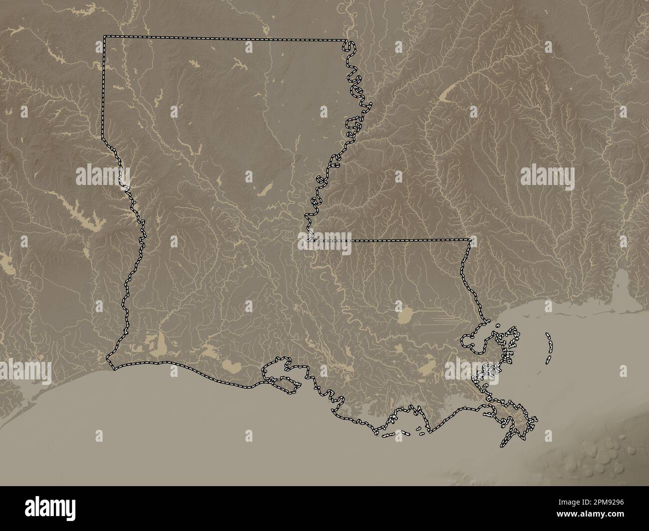 Louisiana, state of United States of America. Elevation map colored in sepia tones with lakes and rivers Stock Photohttps://www.alamy.com/image-license-details/?v=1https://www.alamy.com/louisiana-state-of-united-states-of-america-elevation-map-colored-in-sepia-tones-with-lakes-and-rivers-image546013922.html
RF2PM9296–Louisiana, state of United States of America. Elevation map colored in sepia tones with lakes and rivers
 USGS TOPO Map Louisiana LA Opelousas 332971 1983 24000 Stock Photohttps://www.alamy.com/image-license-details/?v=1https://www.alamy.com/usgs-topo-map-louisiana-la-opelousas-332971-1983-24000-image260710598.html
RMW44B0P–USGS TOPO Map Louisiana LA Opelousas 332971 1983 24000
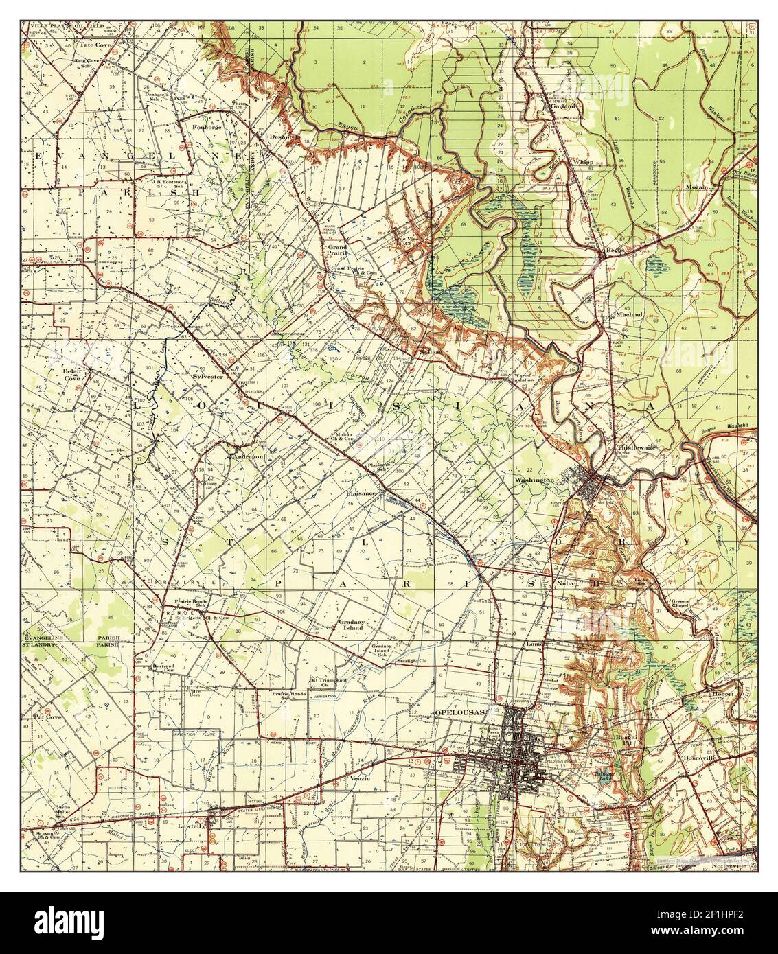 Opelousas, Louisiana, map 1939, 1:62500, United States of America by Timeless Maps, data U.S. Geological Survey Stock Photohttps://www.alamy.com/image-license-details/?v=1https://www.alamy.com/opelousas-louisiana-map-1939-162500-united-states-of-america-by-timeless-maps-data-us-geological-survey-image414054342.html
RM2F1HPF2–Opelousas, Louisiana, map 1939, 1:62500, United States of America by Timeless Maps, data U.S. Geological Survey
 Louisiana, state of United States of America. Open Street Map. Locations of major cities of the region. Corner auxiliary location maps Stock Photohttps://www.alamy.com/image-license-details/?v=1https://www.alamy.com/louisiana-state-of-united-states-of-america-open-street-map-locations-of-major-cities-of-the-region-corner-auxiliary-location-maps-image546013858.html
RF2PM926X–Louisiana, state of United States of America. Open Street Map. Locations of major cities of the region. Corner auxiliary location maps
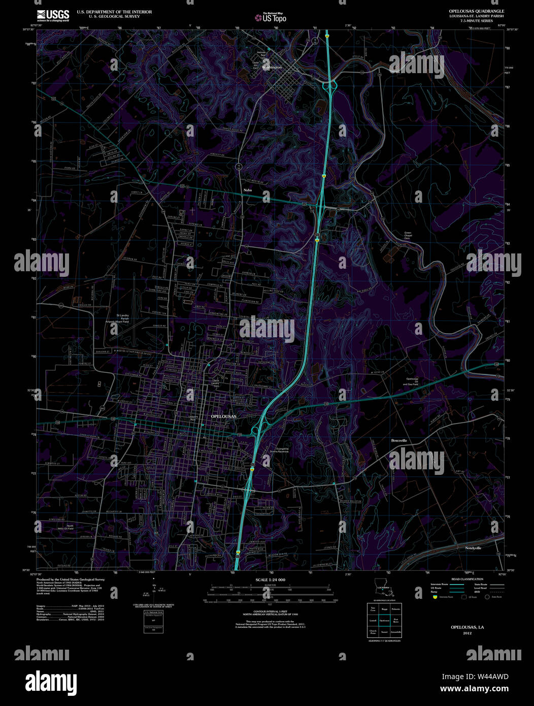 USGS TOPO Map Louisiana LA Opelousas 20120314 TM Inverted Stock Photohttps://www.alamy.com/image-license-details/?v=1https://www.alamy.com/usgs-topo-map-louisiana-la-opelousas-20120314-tm-inverted-image260710505.html
RMW44AWD–USGS TOPO Map Louisiana LA Opelousas 20120314 TM Inverted
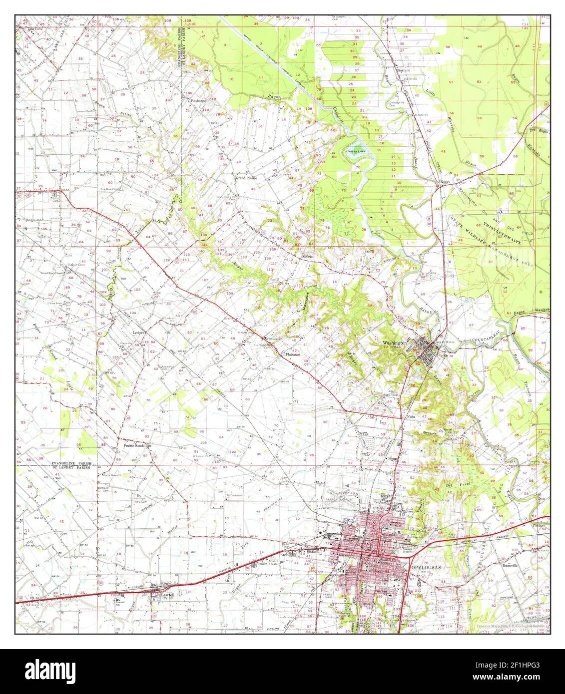 Opelousas, Louisiana, map 1970, 1:62500, United States of America by Timeless Maps, data U.S. Geological Survey Stock Photohttps://www.alamy.com/image-license-details/?v=1https://www.alamy.com/opelousas-louisiana-map-1970-162500-united-states-of-america-by-timeless-maps-data-us-geological-survey-image414054371.html
RM2F1HPG3–Opelousas, Louisiana, map 1970, 1:62500, United States of America by Timeless Maps, data U.S. Geological Survey
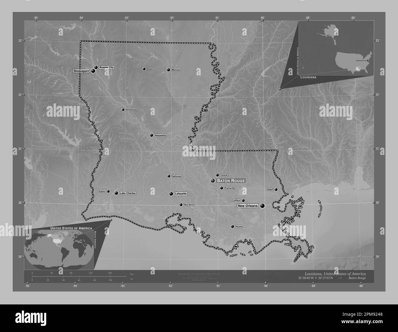 Louisiana, state of United States of America. Grayscale elevation map with lakes and rivers. Locations and names of major cities of the region. Corner Stock Photohttps://www.alamy.com/image-license-details/?v=1https://www.alamy.com/louisiana-state-of-united-states-of-america-grayscale-elevation-map-with-lakes-and-rivers-locations-and-names-of-major-cities-of-the-region-corner-image546013784.html
RF2PM9248–Louisiana, state of United States of America. Grayscale elevation map with lakes and rivers. Locations and names of major cities of the region. Corner
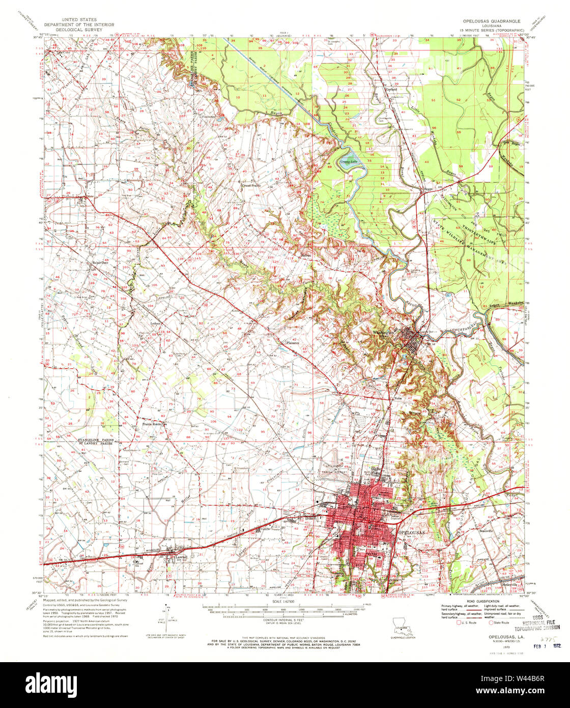 USGS TOPO Map Louisiana LA Opelousas 334891 1970 62500 Stock Photohttps://www.alamy.com/image-license-details/?v=1https://www.alamy.com/usgs-topo-map-louisiana-la-opelousas-334891-1970-62500-image260710767.html
RMW44B6R–USGS TOPO Map Louisiana LA Opelousas 334891 1970 62500
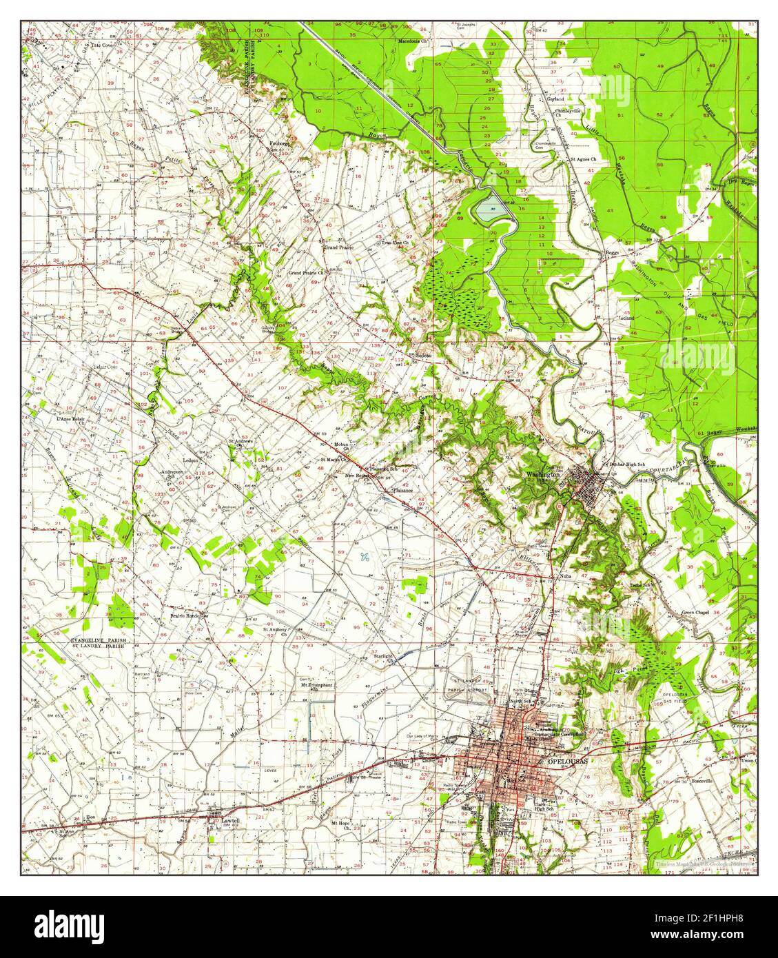 Opelousas, Louisiana, map 1957, 1:62500, United States of America by Timeless Maps, data U.S. Geological Survey Stock Photohttps://www.alamy.com/image-license-details/?v=1https://www.alamy.com/opelousas-louisiana-map-1957-162500-united-states-of-america-by-timeless-maps-data-us-geological-survey-image414054404.html
RM2F1HPH8–Opelousas, Louisiana, map 1957, 1:62500, United States of America by Timeless Maps, data U.S. Geological Survey
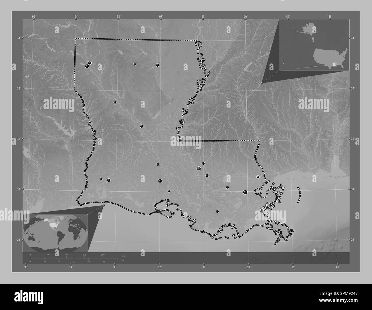 Louisiana, state of United States of America. Grayscale elevation map with lakes and rivers. Locations of major cities of the region. Corner auxiliary Stock Photohttps://www.alamy.com/image-license-details/?v=1https://www.alamy.com/louisiana-state-of-united-states-of-america-grayscale-elevation-map-with-lakes-and-rivers-locations-of-major-cities-of-the-region-corner-auxiliary-image546013783.html
RF2PM9247–Louisiana, state of United States of America. Grayscale elevation map with lakes and rivers. Locations of major cities of the region. Corner auxiliary
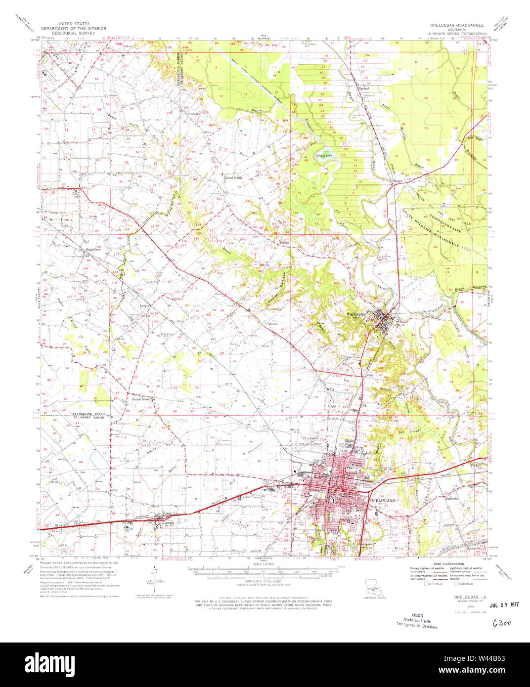 USGS TOPO Map Louisiana LA Opelousas 334890 1970 62500 Stock Photohttps://www.alamy.com/image-license-details/?v=1https://www.alamy.com/usgs-topo-map-louisiana-la-opelousas-334890-1970-62500-image260710747.html
RMW44B63–USGS TOPO Map Louisiana LA Opelousas 334890 1970 62500
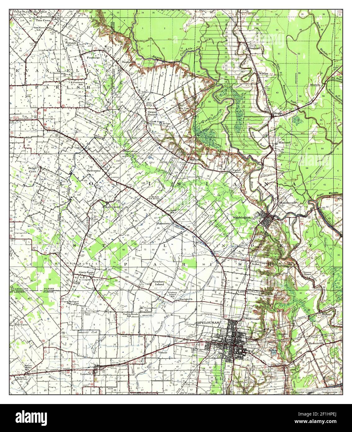 Opelousas, Louisiana, map 1939, 1:62500, United States of America by Timeless Maps, data U.S. Geological Survey Stock Photohttps://www.alamy.com/image-license-details/?v=1https://www.alamy.com/opelousas-louisiana-map-1939-162500-united-states-of-america-by-timeless-maps-data-us-geological-survey-image414054330.html
RM2F1HPEJ–Opelousas, Louisiana, map 1939, 1:62500, United States of America by Timeless Maps, data U.S. Geological Survey
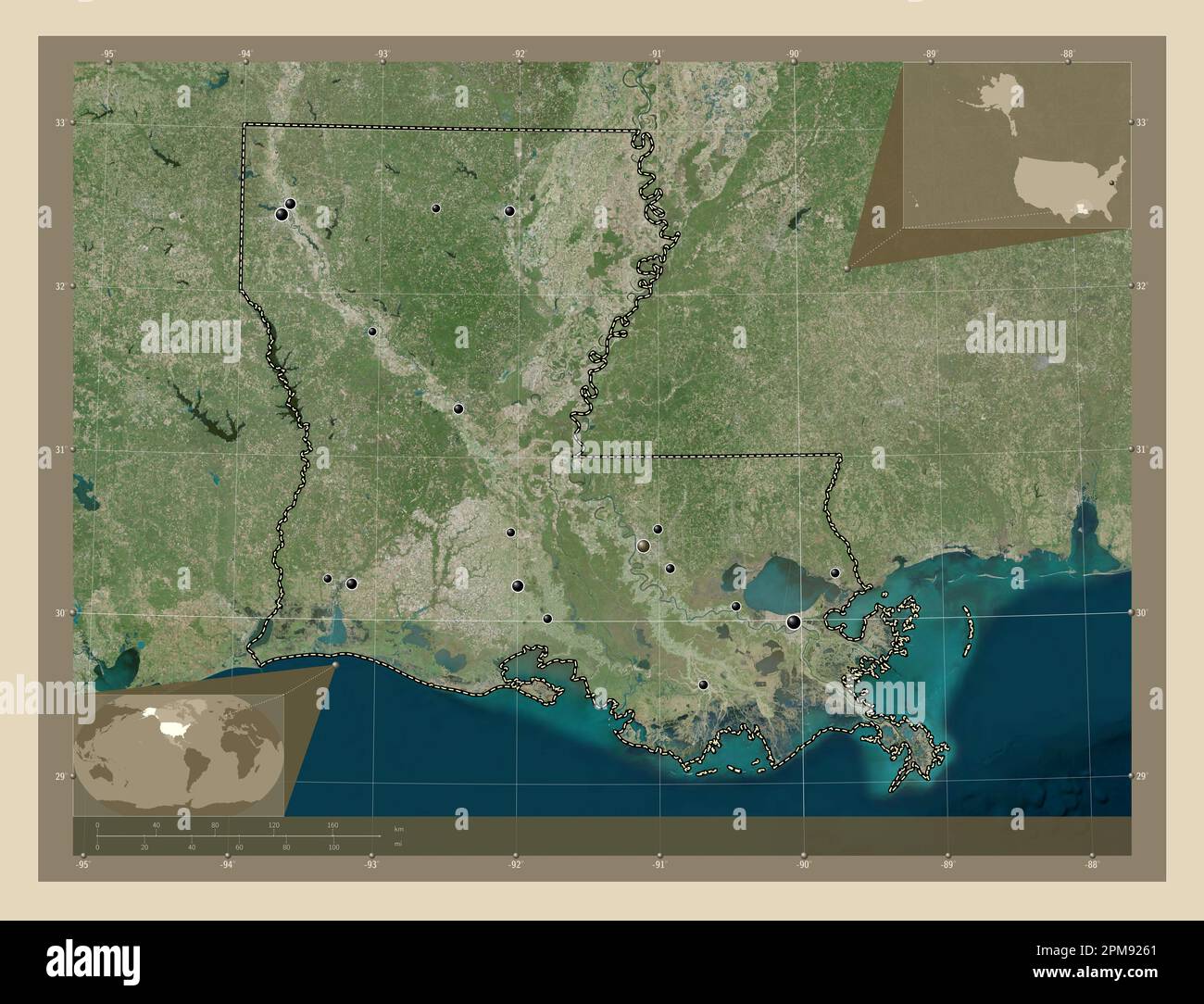 Louisiana, state of United States of America. High resolution satellite map. Locations of major cities of the region. Corner auxiliary location maps Stock Photohttps://www.alamy.com/image-license-details/?v=1https://www.alamy.com/louisiana-state-of-united-states-of-america-high-resolution-satellite-map-locations-of-major-cities-of-the-region-corner-auxiliary-location-maps-image546013833.html
RF2PM9261–Louisiana, state of United States of America. High resolution satellite map. Locations of major cities of the region. Corner auxiliary location maps
 USGS TOPO Map Louisiana LA Opelousas 334891 1970 62500 Inverted Stock Photohttps://www.alamy.com/image-license-details/?v=1https://www.alamy.com/usgs-topo-map-louisiana-la-opelousas-334891-1970-62500-inverted-image260710744.html
RMW44B60–USGS TOPO Map Louisiana LA Opelousas 334891 1970 62500 Inverted
 Louisiana, state of United States of America. Colored elevation map with lakes and rivers. Locations of major cities of the region. Corner auxiliary l Stock Photohttps://www.alamy.com/image-license-details/?v=1https://www.alamy.com/louisiana-state-of-united-states-of-america-colored-elevation-map-with-lakes-and-rivers-locations-of-major-cities-of-the-region-corner-auxiliary-l-image546013917.html
RF2PM9291–Louisiana, state of United States of America. Colored elevation map with lakes and rivers. Locations of major cities of the region. Corner auxiliary l
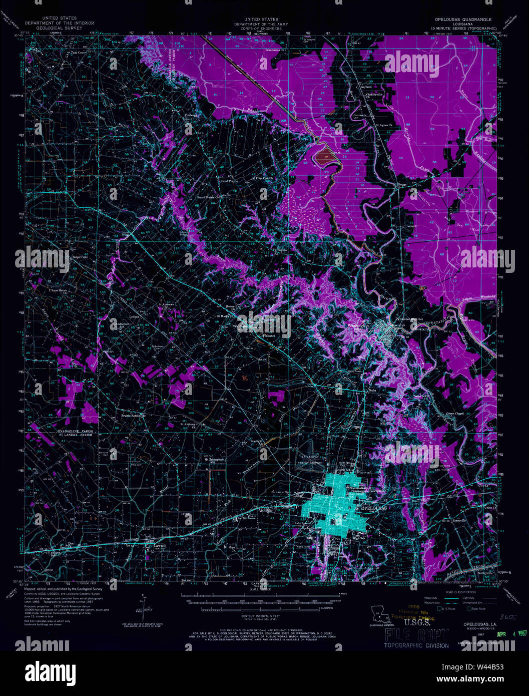 USGS TOPO Map Louisiana LA Opelousas 334889 1957 62500 Inverted Stock Photohttps://www.alamy.com/image-license-details/?v=1https://www.alamy.com/usgs-topo-map-louisiana-la-opelousas-334889-1957-62500-inverted-image260710719.html
RMW44B53–USGS TOPO Map Louisiana LA Opelousas 334889 1957 62500 Inverted
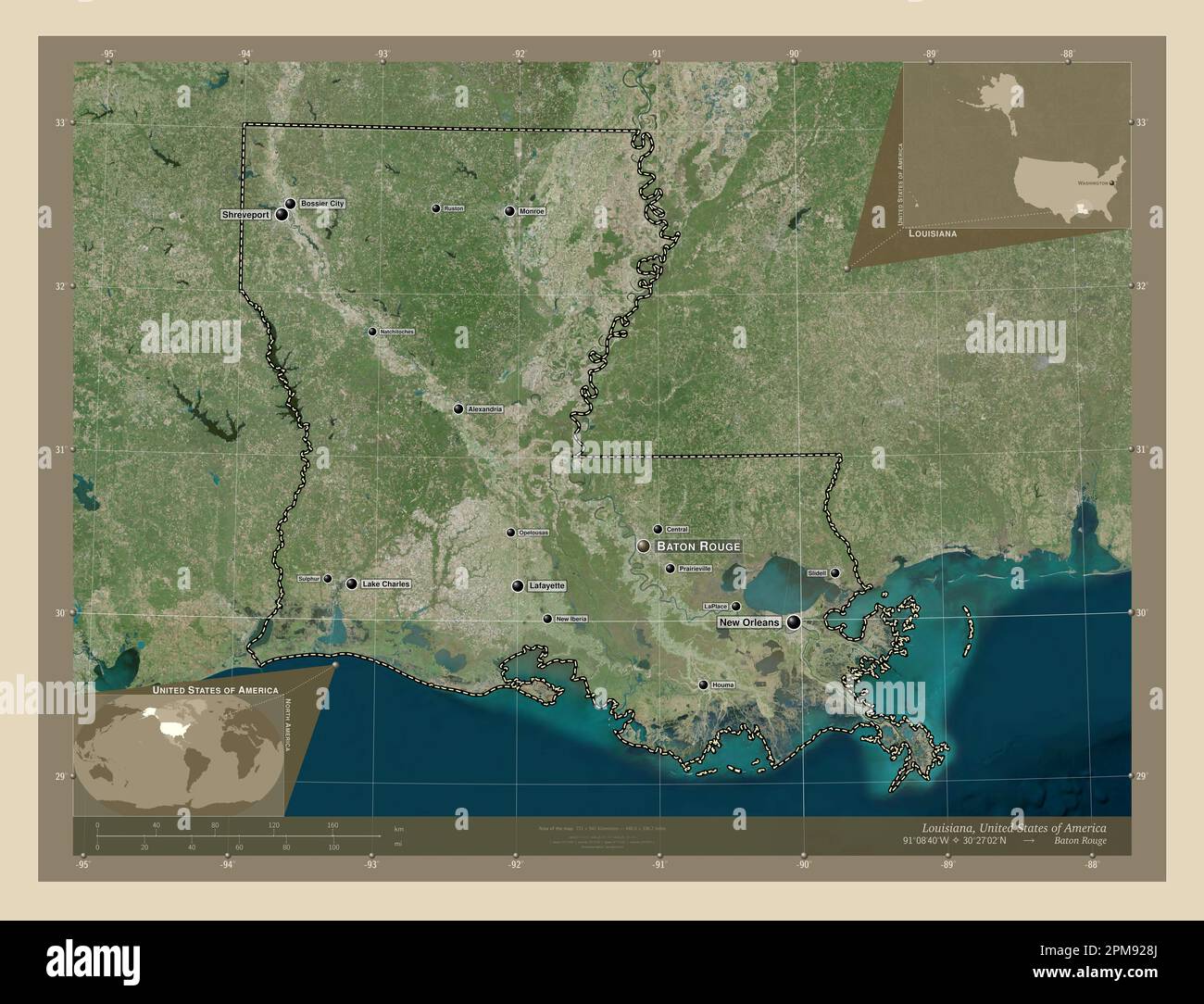 Louisiana, state of United States of America. High resolution satellite map. Locations and names of major cities of the region. Corner auxiliary locat Stock Photohttps://www.alamy.com/image-license-details/?v=1https://www.alamy.com/louisiana-state-of-united-states-of-america-high-resolution-satellite-map-locations-and-names-of-major-cities-of-the-region-corner-auxiliary-locat-image546013906.html
RF2PM928J–Louisiana, state of United States of America. High resolution satellite map. Locations and names of major cities of the region. Corner auxiliary locat
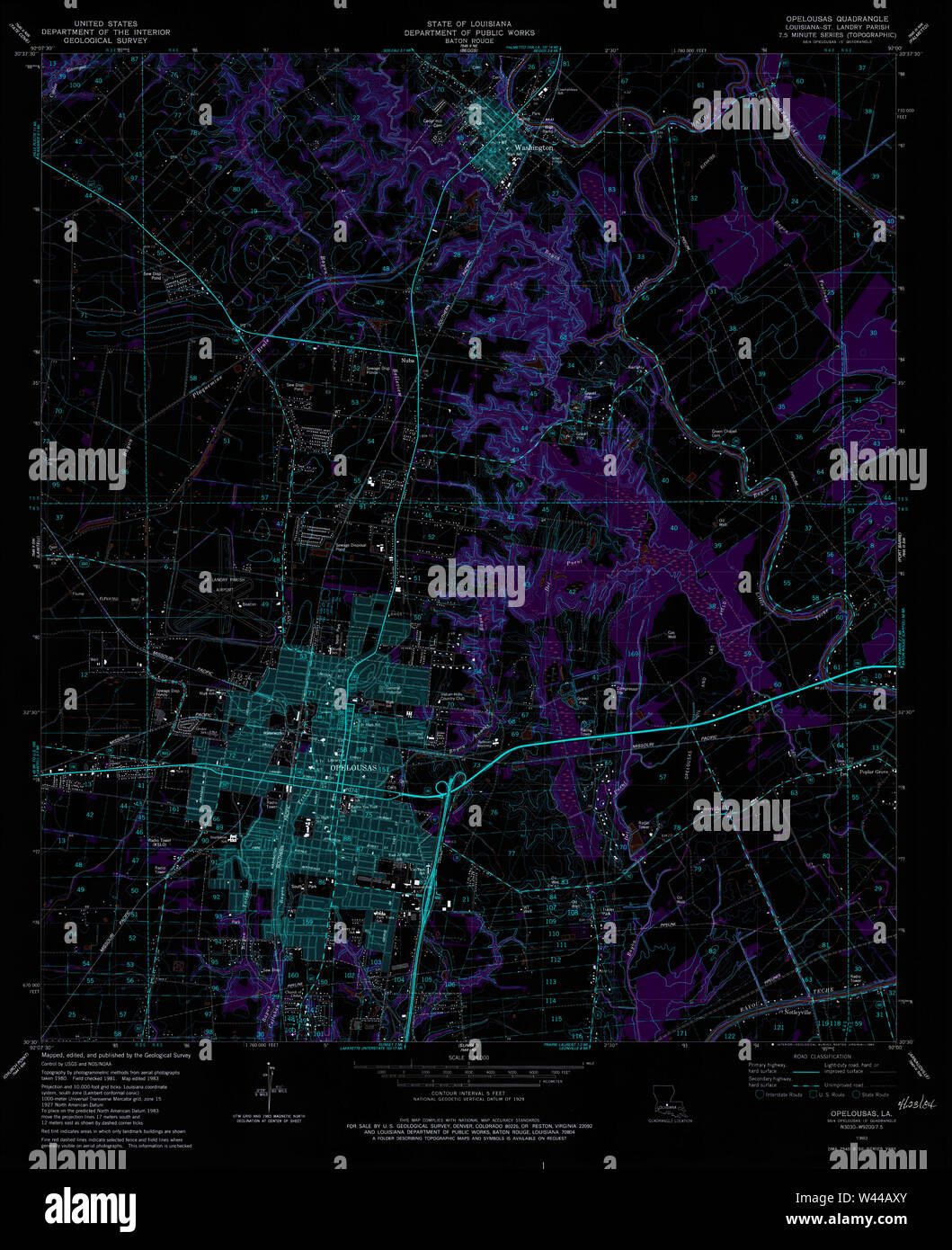 USGS TOPO Map Louisiana LA Opelousas 332971 1983 24000 Inverted Stock Photohttps://www.alamy.com/image-license-details/?v=1https://www.alamy.com/usgs-topo-map-louisiana-la-opelousas-332971-1983-24000-inverted-image260710547.html
RMW44AXY–USGS TOPO Map Louisiana LA Opelousas 332971 1983 24000 Inverted
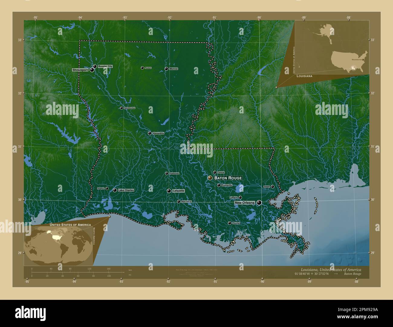 Louisiana, state of United States of America. Colored elevation map with lakes and rivers. Locations and names of major cities of the region. Corner a Stock Photohttps://www.alamy.com/image-license-details/?v=1https://www.alamy.com/louisiana-state-of-united-states-of-america-colored-elevation-map-with-lakes-and-rivers-locations-and-names-of-major-cities-of-the-region-corner-a-image546013926.html
RF2PM929A–Louisiana, state of United States of America. Colored elevation map with lakes and rivers. Locations and names of major cities of the region. Corner a
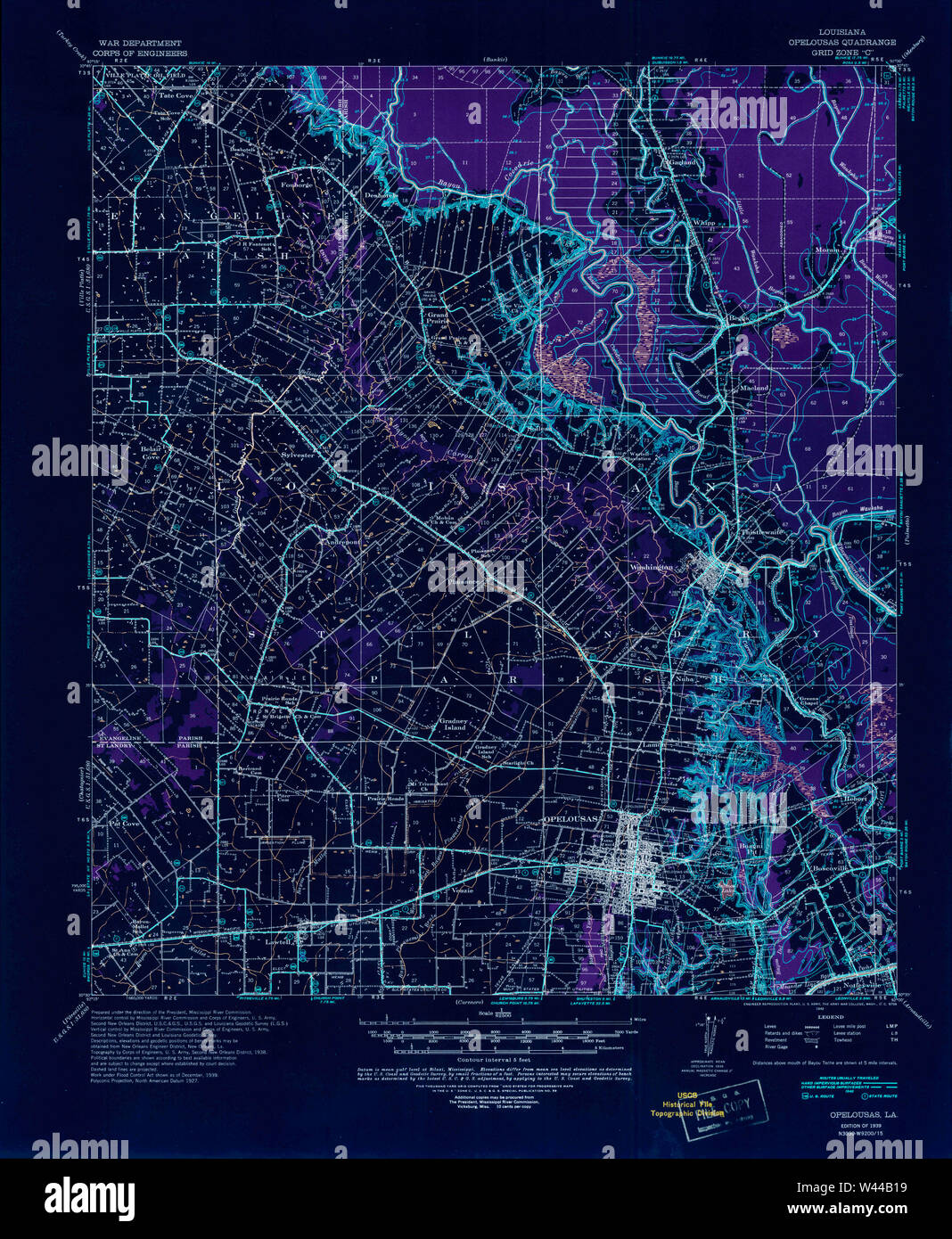 USGS TOPO Map Louisiana LA Opelousas 334885 1939 62500 Inverted Stock Photohttps://www.alamy.com/image-license-details/?v=1https://www.alamy.com/usgs-topo-map-louisiana-la-opelousas-334885-1939-62500-inverted-image260710613.html
RMW44B19–USGS TOPO Map Louisiana LA Opelousas 334885 1939 62500 Inverted
 Louisiana, state of United States of America. Bilevel elevation map with lakes and rivers. Locations of major cities of the region. Corner auxiliary l Stock Photohttps://www.alamy.com/image-license-details/?v=1https://www.alamy.com/louisiana-state-of-united-states-of-america-bilevel-elevation-map-with-lakes-and-rivers-locations-of-major-cities-of-the-region-corner-auxiliary-l-image546013690.html
RF2PM920X–Louisiana, state of United States of America. Bilevel elevation map with lakes and rivers. Locations of major cities of the region. Corner auxiliary l
 USGS TOPO Map Louisiana LA Opelousas 332972 1983 24000 Inverted Stock Photohttps://www.alamy.com/image-license-details/?v=1https://www.alamy.com/usgs-topo-map-louisiana-la-opelousas-332972-1983-24000-inverted-image260710594.html
RMW44B0J–USGS TOPO Map Louisiana LA Opelousas 332972 1983 24000 Inverted
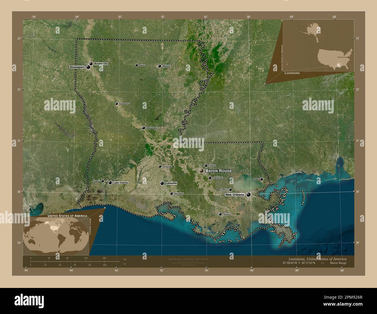 Louisiana, state of United States of America. Low resolution satellite map. Locations and names of major cities of the region. Corner auxiliary locati Stock Photohttps://www.alamy.com/image-license-details/?v=1https://www.alamy.com/louisiana-state-of-united-states-of-america-low-resolution-satellite-map-locations-and-names-of-major-cities-of-the-region-corner-auxiliary-locati-image546013855.html
RF2PM926R–Louisiana, state of United States of America. Low resolution satellite map. Locations and names of major cities of the region. Corner auxiliary locati
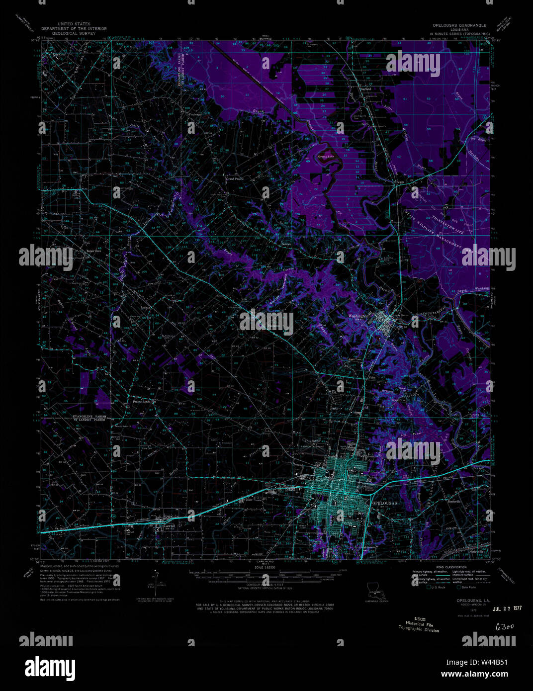 USGS TOPO Map Louisiana LA Opelousas 334890 1970 62500 Inverted Stock Photohttps://www.alamy.com/image-license-details/?v=1https://www.alamy.com/usgs-topo-map-louisiana-la-opelousas-334890-1970-62500-inverted-image260710717.html
RMW44B51–USGS TOPO Map Louisiana LA Opelousas 334890 1970 62500 Inverted
 Louisiana, state of United States of America. Low resolution satellite map. Locations of major cities of the region. Corner auxiliary location maps Stock Photohttps://www.alamy.com/image-license-details/?v=1https://www.alamy.com/louisiana-state-of-united-states-of-america-low-resolution-satellite-map-locations-of-major-cities-of-the-region-corner-auxiliary-location-maps-image546013916.html
RF2PM9290–Louisiana, state of United States of America. Low resolution satellite map. Locations of major cities of the region. Corner auxiliary location maps
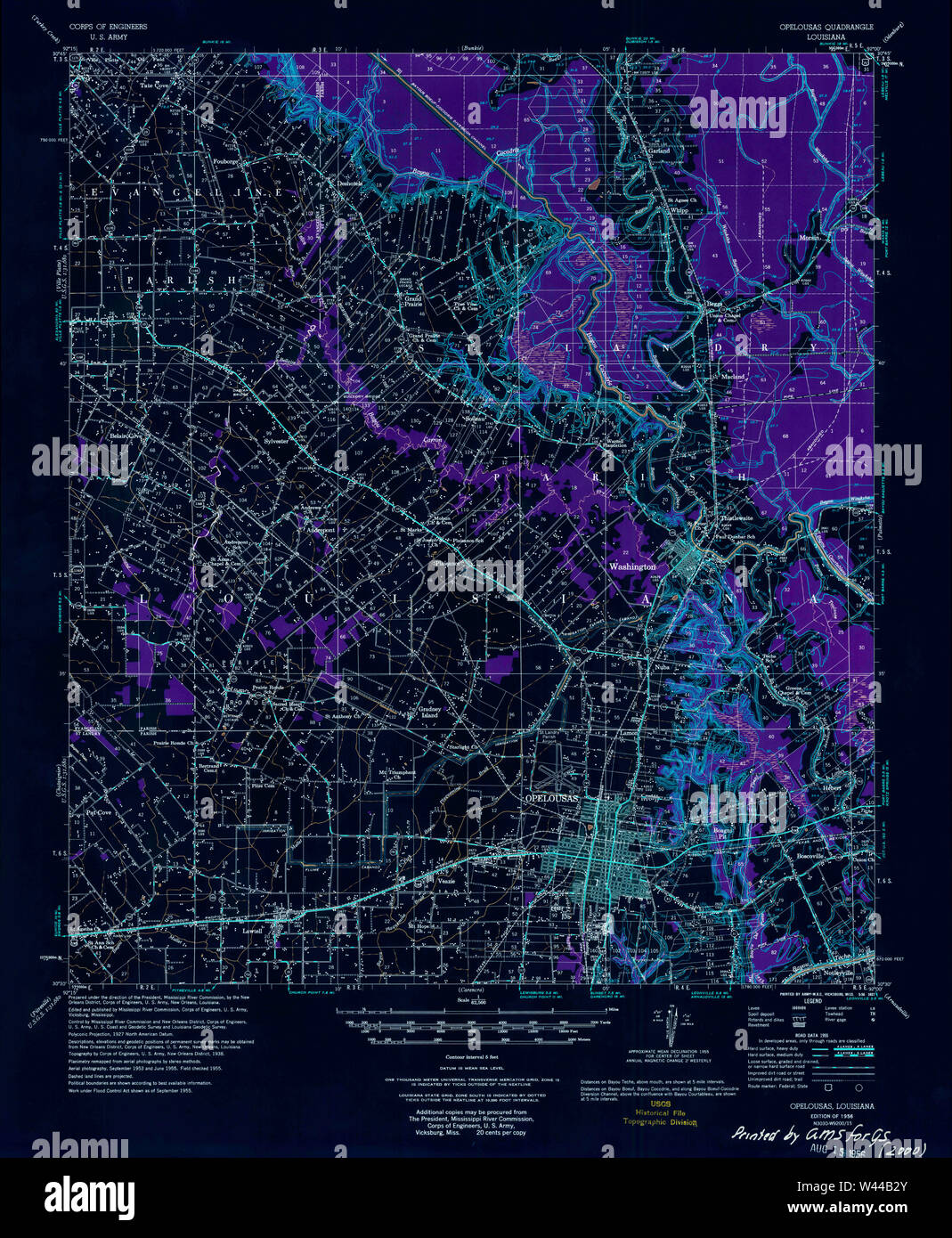 USGS TOPO Map Louisiana LA Opelousas 334887 1956 62500 Inverted Stock Photohttps://www.alamy.com/image-license-details/?v=1https://www.alamy.com/usgs-topo-map-louisiana-la-opelousas-334887-1956-62500-inverted-image260710659.html
RMW44B2Y–USGS TOPO Map Louisiana LA Opelousas 334887 1956 62500 Inverted
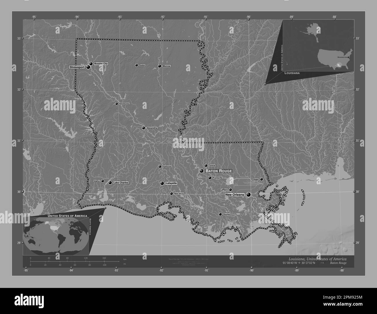 Louisiana, state of United States of America. Bilevel elevation map with lakes and rivers. Locations and names of major cities of the region. Corner a Stock Photohttps://www.alamy.com/image-license-details/?v=1https://www.alamy.com/louisiana-state-of-united-states-of-america-bilevel-elevation-map-with-lakes-and-rivers-locations-and-names-of-major-cities-of-the-region-corner-a-image546013824.html
RF2PM925M–Louisiana, state of United States of America. Bilevel elevation map with lakes and rivers. Locations and names of major cities of the region. Corner a
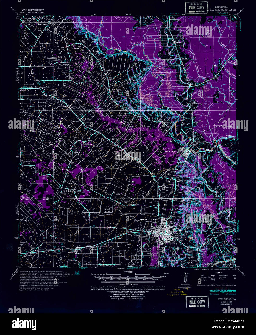 USGS TOPO Map Louisiana LA Opelousas 334886 1939 62500 Inverted Stock Photohttps://www.alamy.com/image-license-details/?v=1https://www.alamy.com/usgs-topo-map-louisiana-la-opelousas-334886-1939-62500-inverted-image260710635.html
RMW44B23–USGS TOPO Map Louisiana LA Opelousas 334886 1939 62500 Inverted
 Louisiana, state of United States of America. Elevation map colored in wiki style with lakes and rivers. Locations and names of major cities of the re Stock Photohttps://www.alamy.com/image-license-details/?v=1https://www.alamy.com/louisiana-state-of-united-states-of-america-elevation-map-colored-in-wiki-style-with-lakes-and-rivers-locations-and-names-of-major-cities-of-the-re-image546013971.html
RF2PM92AY–Louisiana, state of United States of America. Elevation map colored in wiki style with lakes and rivers. Locations and names of major cities of the re
 USGS TOPO Map Louisiana LA Opelousas 334888 1957 62500 Inverted Stock Photohttps://www.alamy.com/image-license-details/?v=1https://www.alamy.com/usgs-topo-map-louisiana-la-opelousas-334888-1957-62500-inverted-image260710684.html
RMW44B3T–USGS TOPO Map Louisiana LA Opelousas 334888 1957 62500 Inverted
 Louisiana, state of United States of America. Open Street Map. Locations and names of major cities of the region. Corner auxiliary location maps Stock Photohttps://www.alamy.com/image-license-details/?v=1https://www.alamy.com/louisiana-state-of-united-states-of-america-open-street-map-locations-and-names-of-major-cities-of-the-region-corner-auxiliary-location-maps-image546013920.html
RF2PM9294–Louisiana, state of United States of America. Open Street Map. Locations and names of major cities of the region. Corner auxiliary location maps
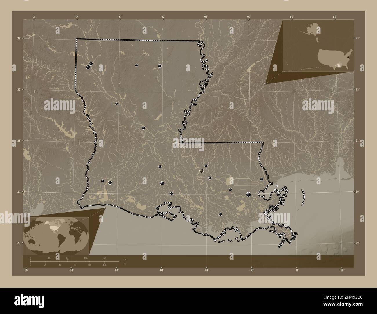 Louisiana, state of United States of America. Elevation map colored in sepia tones with lakes and rivers. Locations of major cities of the region. Cor Stock Photohttps://www.alamy.com/image-license-details/?v=1https://www.alamy.com/louisiana-state-of-united-states-of-america-elevation-map-colored-in-sepia-tones-with-lakes-and-rivers-locations-of-major-cities-of-the-region-cor-image546013978.html
RF2PM92B6–Louisiana, state of United States of America. Elevation map colored in sepia tones with lakes and rivers. Locations of major cities of the region. Cor
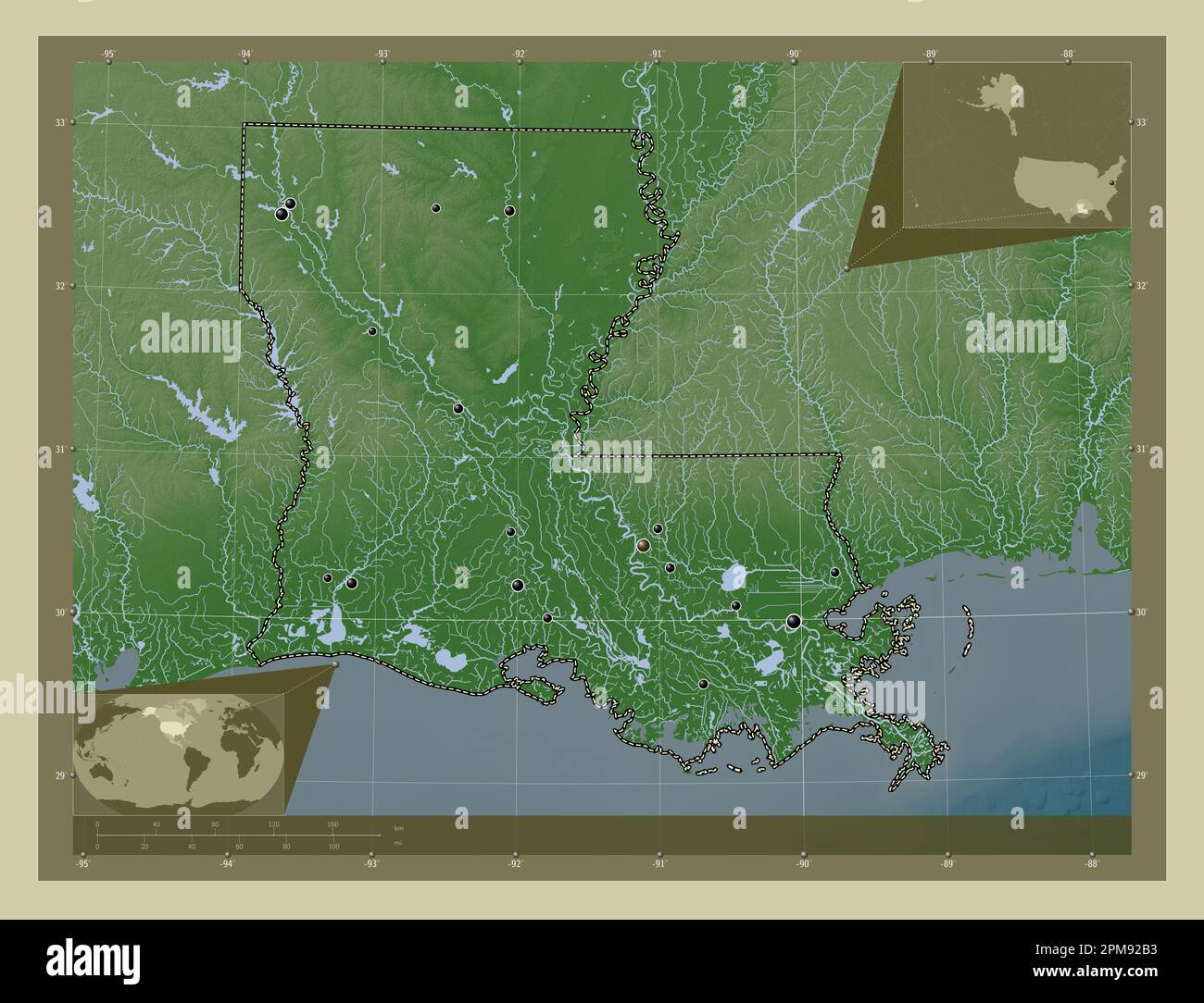 Louisiana, state of United States of America. Elevation map colored in wiki style with lakes and rivers. Locations of major cities of the region. Corn Stock Photohttps://www.alamy.com/image-license-details/?v=1https://www.alamy.com/louisiana-state-of-united-states-of-america-elevation-map-colored-in-wiki-style-with-lakes-and-rivers-locations-of-major-cities-of-the-region-corn-image546013975.html
RF2PM92B3–Louisiana, state of United States of America. Elevation map colored in wiki style with lakes and rivers. Locations of major cities of the region. Corn
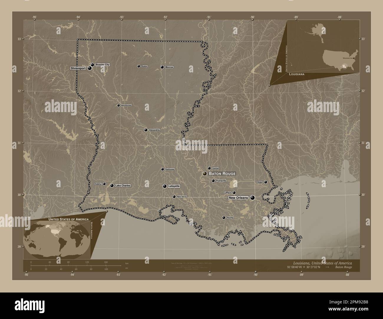 Louisiana, state of United States of America. Elevation map colored in sepia tones with lakes and rivers. Locations and names of major cities of the r Stock Photohttps://www.alamy.com/image-license-details/?v=1https://www.alamy.com/louisiana-state-of-united-states-of-america-elevation-map-colored-in-sepia-tones-with-lakes-and-rivers-locations-and-names-of-major-cities-of-the-r-image546013980.html
RF2PM92B8–Louisiana, state of United States of America. Elevation map colored in sepia tones with lakes and rivers. Locations and names of major cities of the r
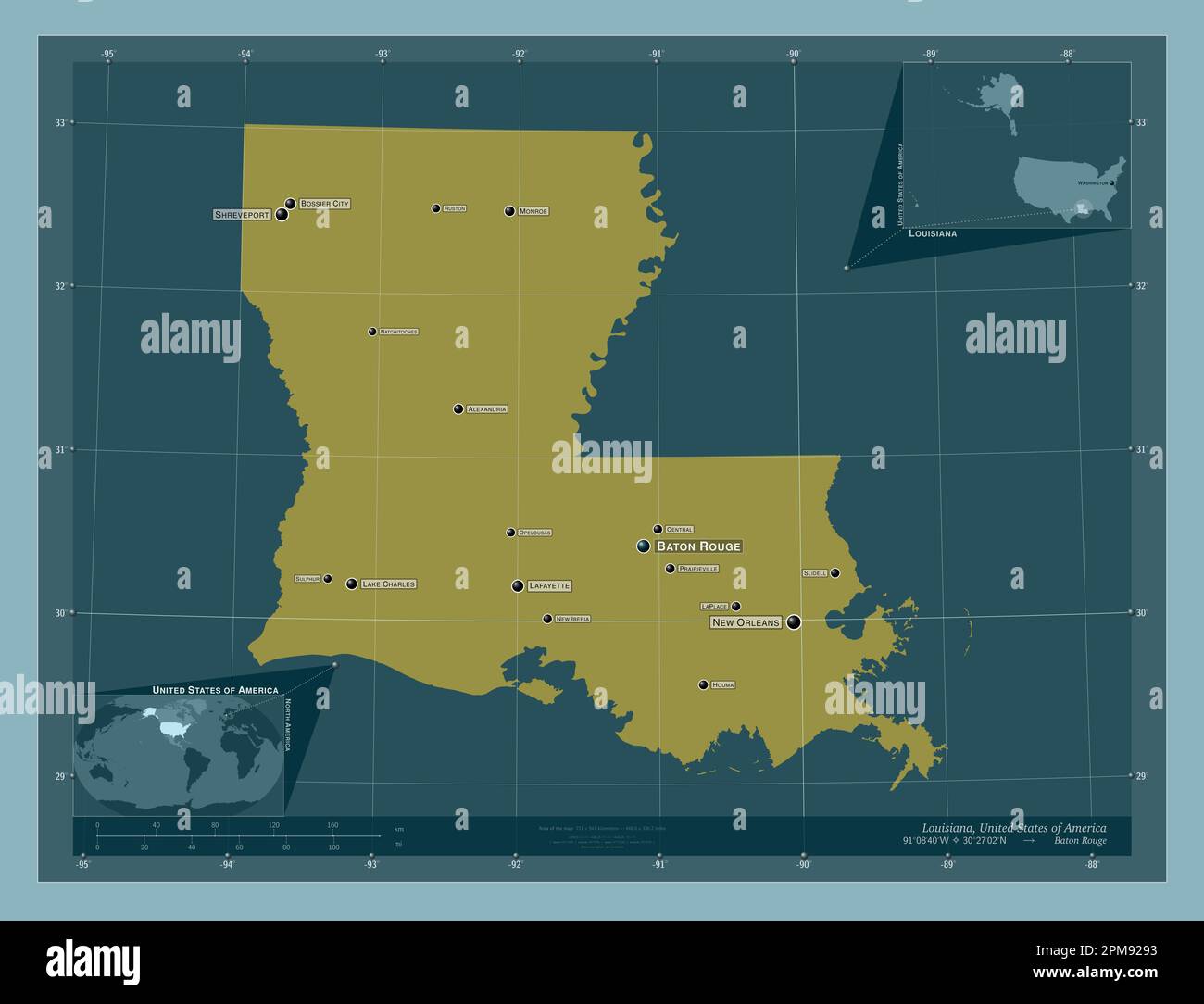 Louisiana, state of United States of America. Solid color shape. Locations and names of major cities of the region. Corner auxiliary location maps Stock Photohttps://www.alamy.com/image-license-details/?v=1https://www.alamy.com/louisiana-state-of-united-states-of-america-solid-color-shape-locations-and-names-of-major-cities-of-the-region-corner-auxiliary-location-maps-image546013919.html
RF2PM9293–Louisiana, state of United States of America. Solid color shape. Locations and names of major cities of the region. Corner auxiliary location maps
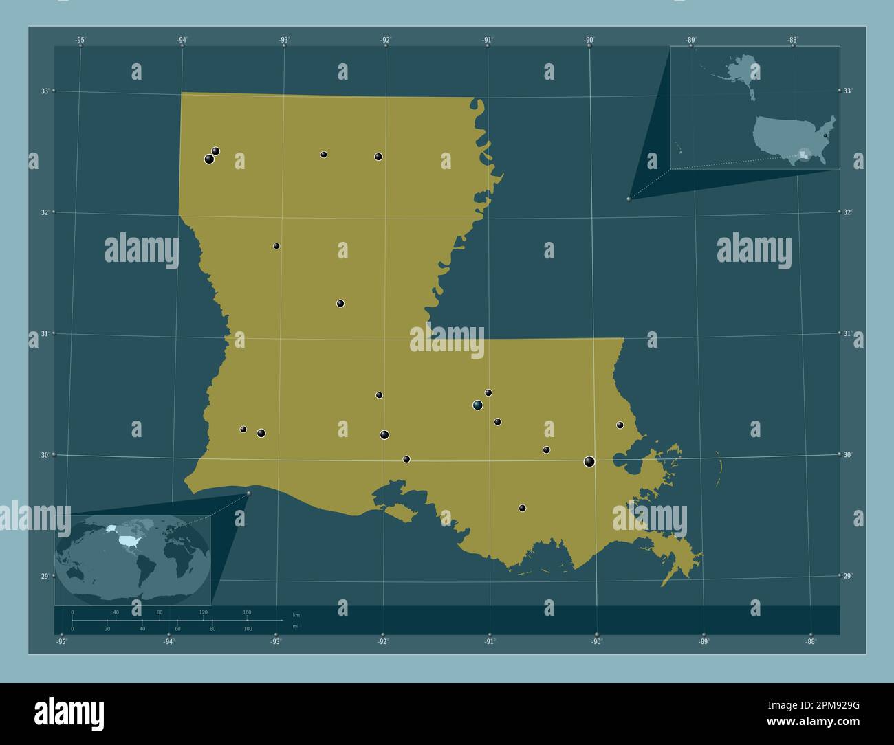 Louisiana, state of United States of America. Solid color shape. Locations of major cities of the region. Corner auxiliary location maps Stock Photohttps://www.alamy.com/image-license-details/?v=1https://www.alamy.com/louisiana-state-of-united-states-of-america-solid-color-shape-locations-of-major-cities-of-the-region-corner-auxiliary-location-maps-image546013932.html
RF2PM929G–Louisiana, state of United States of America. Solid color shape. Locations of major cities of the region. Corner auxiliary location maps
