Quick filters:
Map of paris 1900 Stock Photos and Images
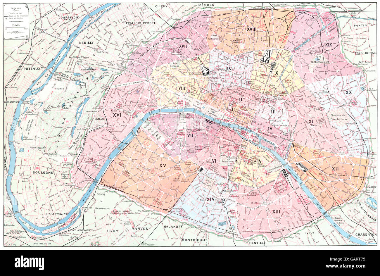 PARIS: Paris (1) , 1900 antique map Stock Photohttps://www.alamy.com/image-license-details/?v=1https://www.alamy.com/stock-photo-paris-paris-1-1900-antique-map-109932681.html
RFGART75–PARIS: Paris (1) , 1900 antique map
 Bretez, Turgot View and Map of Paris, France, c. 1900 Stock Photohttps://www.alamy.com/image-license-details/?v=1https://www.alamy.com/stock-image-bretez-turgot-view-and-map-of-paris-france-c-1900-162575152.html
RMKCDX7C–Bretez, Turgot View and Map of Paris, France, c. 1900
 Paris and Versailles marked with precious stones and platinum rivers on the detail of the stone mosaic map of France produced by Russian craftsmen on display at the Château de Compiègne in Compiègne, France. The mosaic map was made from Ural precious and semiprecious stones by Russian craftsmen led by craftsman Danila Zverev and engineer Vasily Mostovenko at the Imperial Lapidary Factory in Yekaterinburg, Russian Empire. The map was exhibited at the Exposition Universelle in Paris in 1900 and was gifted to the French state during the visit of Tsar Nicholas II of Russia to the Château de Compi Stock Photohttps://www.alamy.com/image-license-details/?v=1https://www.alamy.com/paris-and-versailles-marked-with-precious-stones-and-platinum-rivers-on-the-detail-of-the-stone-mosaic-map-of-france-produced-by-russian-craftsmen-on-display-at-the-chteau-de-compigne-in-compigne-france-the-mosaic-map-was-made-from-ural-precious-and-semiprecious-stones-by-russian-craftsmen-led-by-craftsman-danila-zverev-and-engineer-vasily-mostovenko-at-the-imperial-lapidary-factory-in-yekaterinburg-russian-empire-the-map-was-exhibited-at-the-exposition-universelle-in-paris-in-1900-and-was-gifted-to-the-french-state-during-the-visit-of-tsar-nicholas-ii-of-russia-to-the-chteau-de-compi-image466998635.html
RM2J3NHEK–Paris and Versailles marked with precious stones and platinum rivers on the detail of the stone mosaic map of France produced by Russian craftsmen on display at the Château de Compiègne in Compiègne, France. The mosaic map was made from Ural precious and semiprecious stones by Russian craftsmen led by craftsman Danila Zverev and engineer Vasily Mostovenko at the Imperial Lapidary Factory in Yekaterinburg, Russian Empire. The map was exhibited at the Exposition Universelle in Paris in 1900 and was gifted to the French state during the visit of Tsar Nicholas II of Russia to the Château de Compi
 1652 Gomboust Map of Paris, France (c. 1900 Taride reissue) Stock Photohttps://www.alamy.com/image-license-details/?v=1https://www.alamy.com/stock-photo-1652-gomboust-map-of-paris-france-c-1900-taride-reissue-50537410.html
RMCX64YE–1652 Gomboust Map of Paris, France (c. 1900 Taride reissue)
 Illustration showing a plan of the exhibition areas for the Exposition Universelle of 1900. This was a fair held in Paris, France, from 14 April to 12 November 1900, to celebrate the achievements of the past century and to accelerate development into the next. Stock Photohttps://www.alamy.com/image-license-details/?v=1https://www.alamy.com/illustration-showing-a-plan-of-the-exhibition-areas-for-the-exposition-universelle-of-1900-this-was-a-fair-held-in-paris-france-from-14-april-to-12-november-1900-to-celebrate-the-achievements-of-the-past-century-and-to-accelerate-development-into-the-next-image642218195.html
RM2S8RFT3–Illustration showing a plan of the exhibition areas for the Exposition Universelle of 1900. This was a fair held in Paris, France, from 14 April to 12 November 1900, to celebrate the achievements of the past century and to accelerate development into the next.
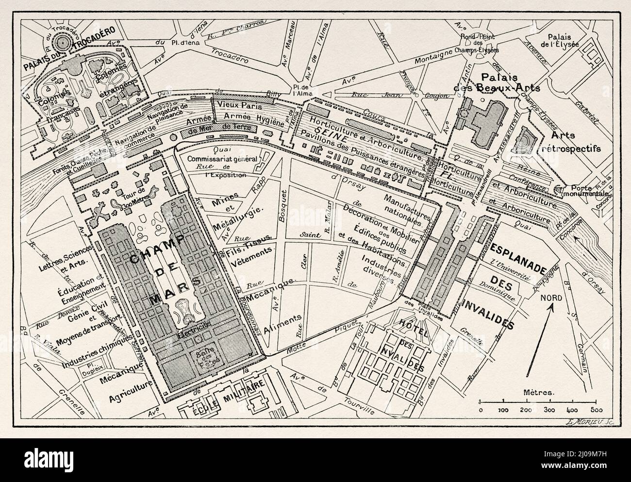 Map of the Universal Exhibition in Paris, 1900. France, Europe. Old 19th century engraved illustration from La Nature 1899 Stock Photohttps://www.alamy.com/image-license-details/?v=1https://www.alamy.com/map-of-the-universal-exhibition-in-paris-1900-france-europe-old-19th-century-engraved-illustration-from-la-nature-1899-image464893397.html
RM2J09M7H–Map of the Universal Exhibition in Paris, 1900. France, Europe. Old 19th century engraved illustration from La Nature 1899
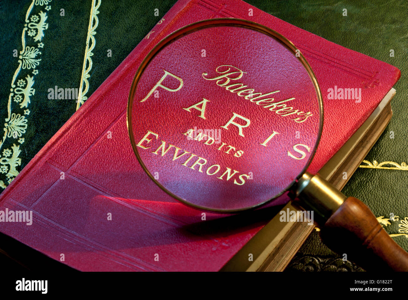 1900 Paris Baedekers antiquarian guide and map book of Paris and environs by Karl Baedeker with magnifying reading glass enlarging title Stock Photohttps://www.alamy.com/image-license-details/?v=1https://www.alamy.com/stock-photo-1900-paris-baedekers-antiquarian-guide-and-map-book-of-paris-and-environs-104054128.html
RMG1822T–1900 Paris Baedekers antiquarian guide and map book of Paris and environs by Karl Baedeker with magnifying reading glass enlarging title
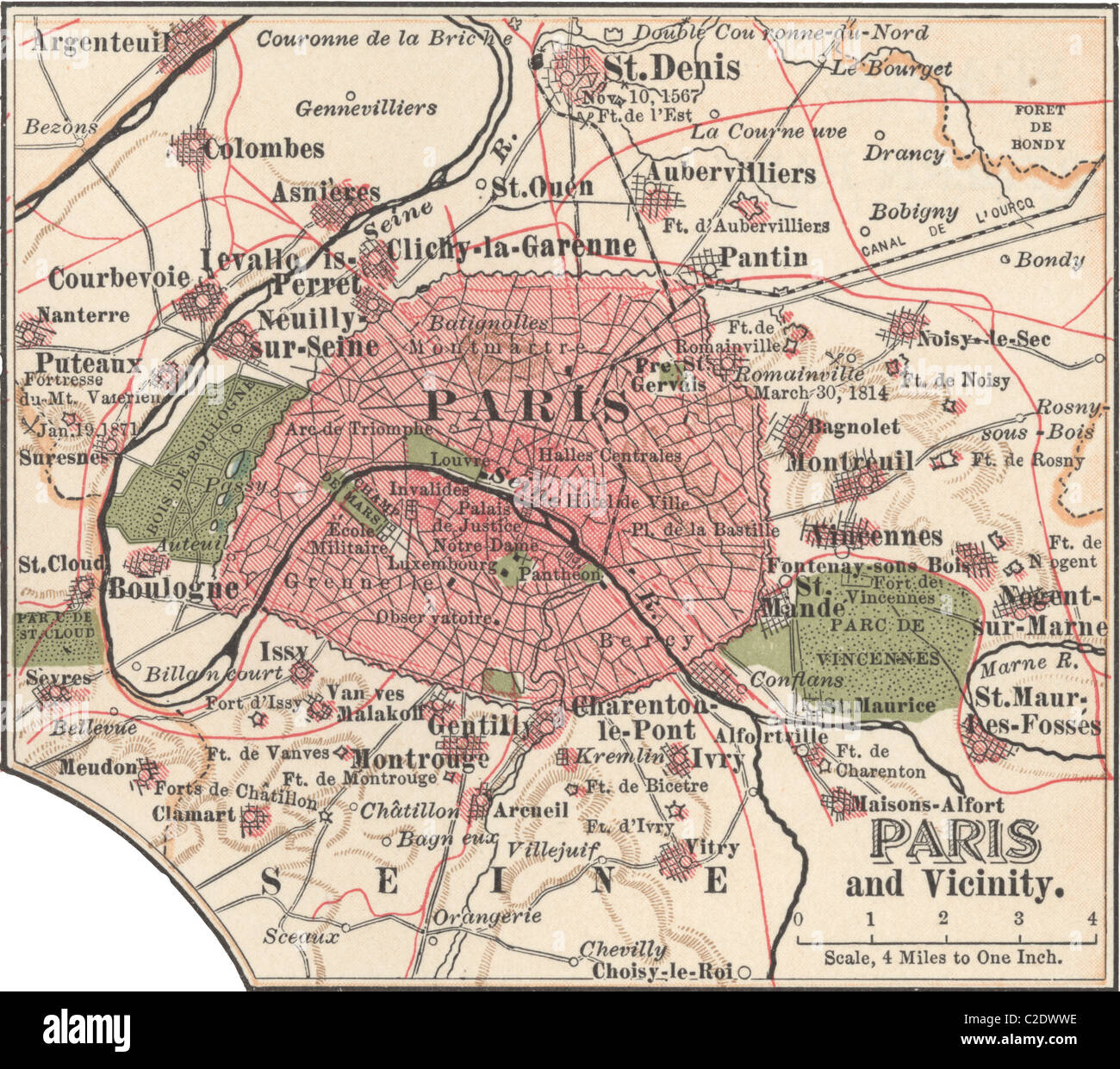 Map of Paris Stock Photohttps://www.alamy.com/image-license-details/?v=1https://www.alamy.com/stock-photo-map-of-paris-35955738.html
RMC2DWWE–Map of Paris
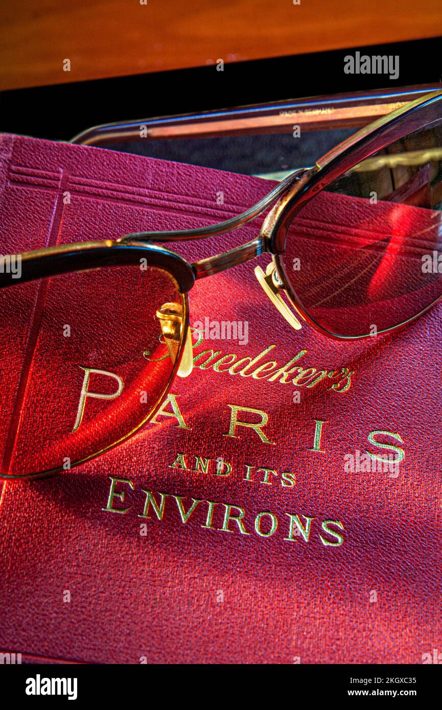 1900 Paris Baedekers antiquarian vintage guide and map book of Paris and environs by Karl Baedeker with vintage retro Zeiss sunglasses on cover Stock Photohttps://www.alamy.com/image-license-details/?v=1https://www.alamy.com/1900-paris-baedekers-antiquarian-vintage-guide-and-map-book-of-paris-and-environs-by-karl-baedeker-with-vintage-retro-zeiss-sunglasses-on-cover-image492305049.html
RM2KGXC35–1900 Paris Baedekers antiquarian vintage guide and map book of Paris and environs by Karl Baedeker with vintage retro Zeiss sunglasses on cover
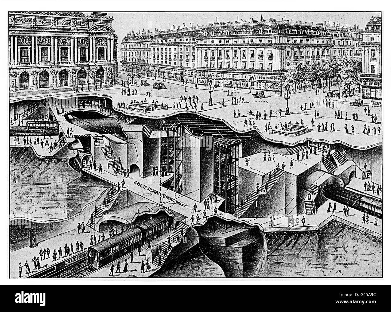 Impressive map of the Paris metro under Palais Garnier, the Opera house. The metro was opened to the public in 1900 Stock Photohttps://www.alamy.com/image-license-details/?v=1https://www.alamy.com/stock-photo-impressive-map-of-the-paris-metro-under-palais-garnier-the-opera-house-105838696.html
RFG45A9C–Impressive map of the Paris metro under Palais Garnier, the Opera house. The metro was opened to the public in 1900
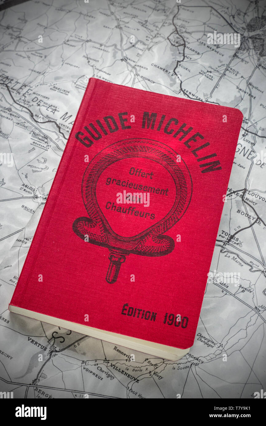 1900 MICHELIN GUIDE first edition Michelin brothers, 35,000 free copies printed for World Fair Paris France 'offer gracieusement aux chauffeurs' Paris Stock Photohttps://www.alamy.com/image-license-details/?v=1https://www.alamy.com/1900-michelin-guide-first-edition-michelin-brothers-35000-free-copies-printed-for-world-fair-paris-france-offer-gracieusement-aux-chauffeurs-paris-image245848037.html
RMT7Y9K1–1900 MICHELIN GUIDE first edition Michelin brothers, 35,000 free copies printed for World Fair Paris France 'offer gracieusement aux chauffeurs' Paris
 Map of the Paris Universal Exposition, 1900. Artist: Unknown Stock Photohttps://www.alamy.com/image-license-details/?v=1https://www.alamy.com/stock-photo-map-of-the-paris-universal-exposition-1900-artist-unknown-11068152.html
RMA4K3GW–Map of the Paris Universal Exposition, 1900. Artist: Unknown
 1900’s Paris Map Tour Eiffel Magnifying glass on vintage Paris Guide book map detail of exposition area surrounding Eiffel Tower in 1900 Paris France Stock Photohttps://www.alamy.com/image-license-details/?v=1https://www.alamy.com/stock-photo-1900s-paris-map-tour-eiffel-magnifying-glass-on-vintage-paris-guide-104054123.html
RMG1822K–1900’s Paris Map Tour Eiffel Magnifying glass on vintage Paris Guide book map detail of exposition area surrounding Eiffel Tower in 1900 Paris France
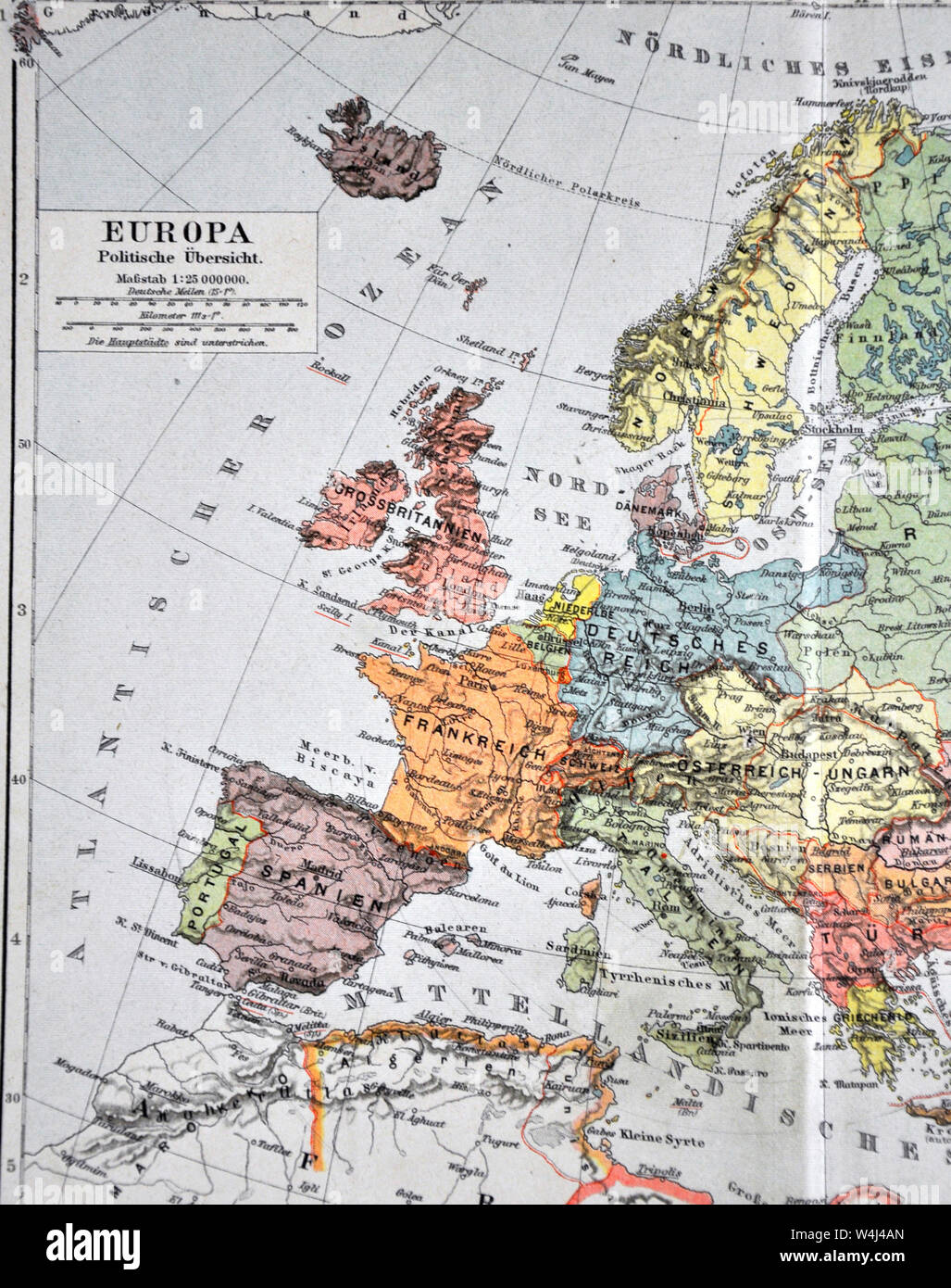 1900 Meyer Map of Europe Stock Photohttps://www.alamy.com/image-license-details/?v=1https://www.alamy.com/1900-meyer-map-of-europe-image261012717.html
RFW4J4AN–1900 Meyer Map of Europe
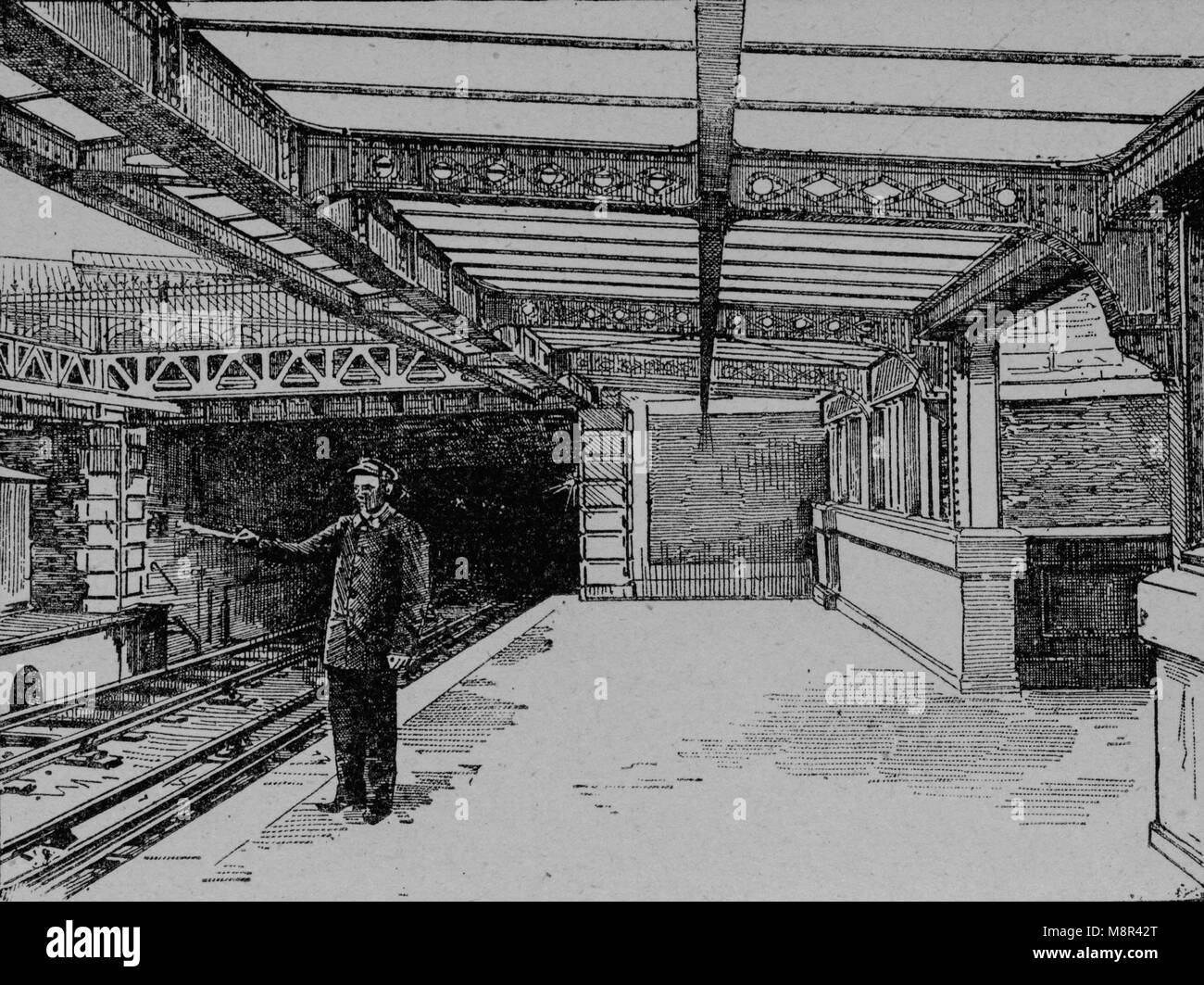 La Bastille subway station, Paris, Picture from the French weekly newspaper l'Illustration, 14th July 1900 Stock Photohttps://www.alamy.com/image-license-details/?v=1https://www.alamy.com/stock-photo-la-bastille-subway-station-paris-picture-from-the-french-weekly-newspaper-177529040.html
RFM8R42T–La Bastille subway station, Paris, Picture from the French weekly newspaper l'Illustration, 14th July 1900
 Map Weltausstellung in Paris 1900 by Otto Witt Stock Photohttps://www.alamy.com/image-license-details/?v=1https://www.alamy.com/stock-photo-map-weltausstellung-in-paris-1900-by-otto-witt-142928048.html
RMJ8EX54–Map Weltausstellung in Paris 1900 by Otto Witt
 . Nouveau paris Monumental Intineraire Pratique de L'Etranger dans Paris. English: This is an extremely attractive 1900 tourist pocket map of Paris, France. Published by Garnier Freres, this is most likely the 1900 first edition. Covers the walled city of Paris and the immediate vicinity from Billancourt to Aubervilliers and from Puteau to Charenton. Important buildings are shown in profile, including the Eiffel Tower, the Arc de Triomphe, Sacre-Coeur, the Pantheon, and others. This map was issued in various editions from, roughly 1900 to 1937. Though most examples are undated we can assign a Stock Photohttps://www.alamy.com/image-license-details/?v=1https://www.alamy.com/nouveau-paris-monumental-intineraire-pratique-de-letranger-dans-paris-english-this-is-an-extremely-attractive-1900-tourist-pocket-map-of-paris-france-published-by-garnier-freres-this-is-most-likely-the-1900-first-edition-covers-the-walled-city-of-paris-and-the-immediate-vicinity-from-billancourt-to-aubervilliers-and-from-puteau-to-charenton-important-buildings-are-shown-in-profile-including-the-eiffel-tower-the-arc-de-triomphe-sacre-coeur-the-pantheon-and-others-this-map-was-issued-in-various-editions-from-roughly-1900-to-1937-though-most-examples-are-undated-we-can-assign-a-image187622936.html
RMMW6XY4–. Nouveau paris Monumental Intineraire Pratique de L'Etranger dans Paris. English: This is an extremely attractive 1900 tourist pocket map of Paris, France. Published by Garnier Freres, this is most likely the 1900 first edition. Covers the walled city of Paris and the immediate vicinity from Billancourt to Aubervilliers and from Puteau to Charenton. Important buildings are shown in profile, including the Eiffel Tower, the Arc de Triomphe, Sacre-Coeur, the Pantheon, and others. This map was issued in various editions from, roughly 1900 to 1937. Though most examples are undated we can assign a
 Carte de Tendre (Map of Love) from the novel 'Clélie', 1654, by Madeleine de Scudéry. After a copy in the National Library of Paris. With the sea of enmity, the lake of indifference, the dangerous sea, the castle Hochmut, but also in villages goodness, obedience, new friendship, righteousness, nobleness and many others. , (literary history book, 1900) Stock Photohttps://www.alamy.com/image-license-details/?v=1https://www.alamy.com/carte-de-tendre-map-of-love-from-the-novel-cllie-1654-by-madeleine-de-scudry-after-a-copy-in-the-national-library-of-paris-with-the-sea-of-enmity-the-lake-of-indifference-the-dangerous-sea-the-castle-hochmut-but-also-in-villages-goodness-obedience-new-friendship-righteousness-nobleness-and-many-others-literary-history-book-1900-image247279665.html
RMTA8FMH–Carte de Tendre (Map of Love) from the novel 'Clélie', 1654, by Madeleine de Scudéry. After a copy in the National Library of Paris. With the sea of enmity, the lake of indifference, the dangerous sea, the castle Hochmut, but also in villages goodness, obedience, new friendship, righteousness, nobleness and many others. , (literary history book, 1900)
 Map of the 1900 Paris Exposition. Stock Photohttps://www.alamy.com/image-license-details/?v=1https://www.alamy.com/map-of-the-1900-paris-exposition-image398172921.html
RM2E3P9HD–Map of the 1900 Paris Exposition.
 PARIS: Bassin de Paris, 1900 antique map Stock Photohttps://www.alamy.com/image-license-details/?v=1https://www.alamy.com/stock-photo-paris-bassin-de-paris-1900-antique-map-109931659.html
RFGARPXK–PARIS: Bassin de Paris, 1900 antique map
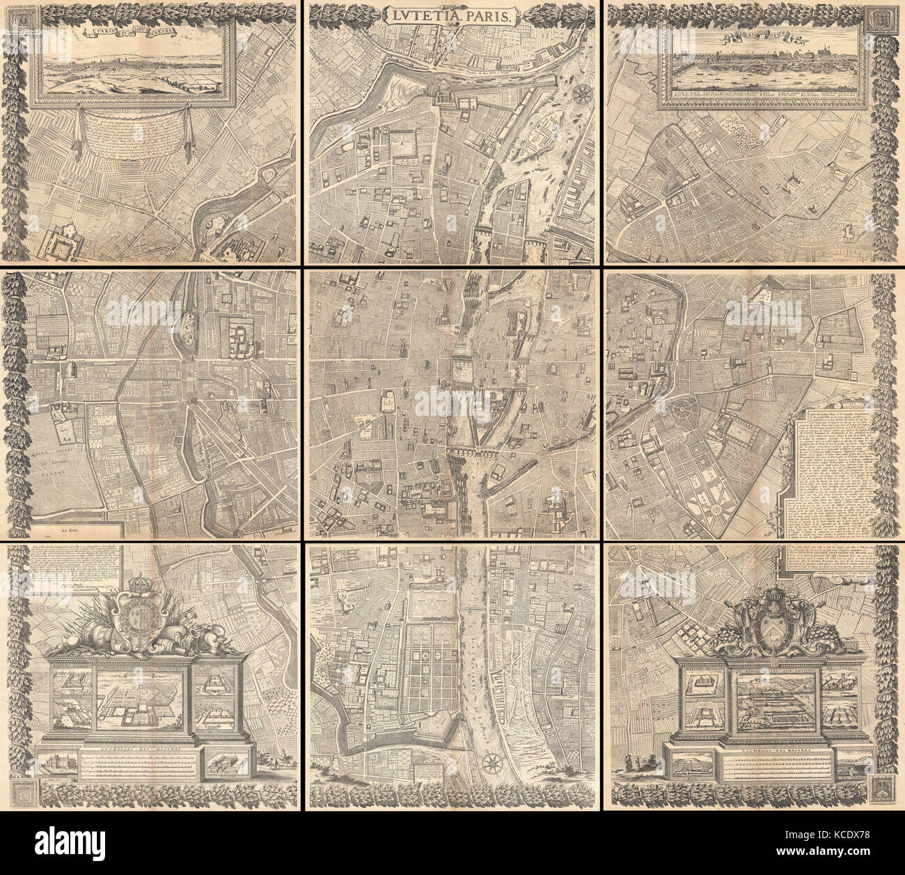 Gomboust, 9 Panel Map of Paris, France, c. 1900 Stock Photohttps://www.alamy.com/image-license-details/?v=1https://www.alamy.com/stock-image-gomboust-9-panel-map-of-paris-france-c-1900-162575148.html
RMKCDX78–Gomboust, 9 Panel Map of Paris, France, c. 1900
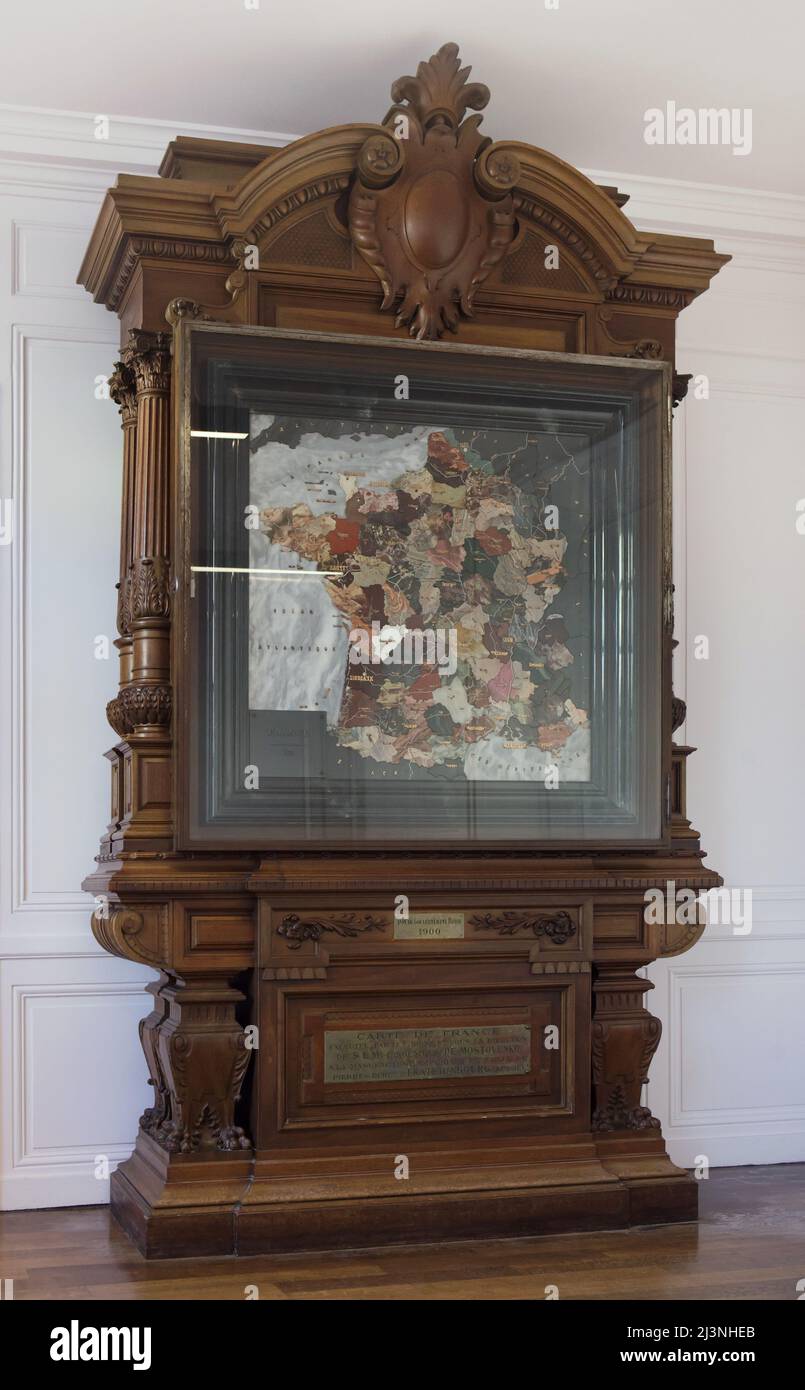 Stone mosaic map of France produced by Russian craftsmen on display at the Château de Compiègne in Compiègne, France. The mosaic map was made from Ural precious and semiprecious stones by Russian craftsmen led by craftsman Danila Zverev and engineer Vasily Mostovenko at the Imperial Lapidary Factory in Yekaterinburg, Russian Empire. The map was exhibited at the Exposition Universelle in Paris in 1900 and was gifted to the French state during the visit of Tsar Nicholas II of Russia to the Château de Compiègne in 1901. Stock Photohttps://www.alamy.com/image-license-details/?v=1https://www.alamy.com/stone-mosaic-map-of-france-produced-by-russian-craftsmen-on-display-at-the-chteau-de-compigne-in-compigne-france-the-mosaic-map-was-made-from-ural-precious-and-semiprecious-stones-by-russian-craftsmen-led-by-craftsman-danila-zverev-and-engineer-vasily-mostovenko-at-the-imperial-lapidary-factory-in-yekaterinburg-russian-empire-the-map-was-exhibited-at-the-exposition-universelle-in-paris-in-1900-and-was-gifted-to-the-french-state-during-the-visit-of-tsar-nicholas-ii-of-russia-to-the-chteau-de-compigne-in-1901-image466998627.html
RM2J3NHEB–Stone mosaic map of France produced by Russian craftsmen on display at the Château de Compiègne in Compiègne, France. The mosaic map was made from Ural precious and semiprecious stones by Russian craftsmen led by craftsman Danila Zverev and engineer Vasily Mostovenko at the Imperial Lapidary Factory in Yekaterinburg, Russian Empire. The map was exhibited at the Exposition Universelle in Paris in 1900 and was gifted to the French state during the visit of Tsar Nicholas II of Russia to the Château de Compiègne in 1901.
 1652, Gomboust Map of Paris, France, c. 1900 Taride reissue Stock Photohttps://www.alamy.com/image-license-details/?v=1https://www.alamy.com/stock-image-1652-gomboust-map-of-paris-france-c-1900-taride-reissue-162583935.html
RMKCE9D3–1652, Gomboust Map of Paris, France, c. 1900 Taride reissue
 1900 Garnier Pocket Map or Plan of Paris, France ( Eiffel Tower and other Monuments Stock Photohttps://www.alamy.com/image-license-details/?v=1https://www.alamy.com/stock-photo-1900-garnier-pocket-map-or-plan-of-paris-france-eiffel-tower-and-other-50533441.html
RMCX5YWN–1900 Garnier Pocket Map or Plan of Paris, France ( Eiffel Tower and other Monuments
 Illustration showing a plan of the exhibition areas for the Exposition Universelle of 1900. This was a fair held in Paris, France, from 14 April to 12 November 1900, to celebrate the achievements of the past century and to accelerate development into the next. Stock Photohttps://www.alamy.com/image-license-details/?v=1https://www.alamy.com/illustration-showing-a-plan-of-the-exhibition-areas-for-the-exposition-universelle-of-1900-this-was-a-fair-held-in-paris-france-from-14-april-to-12-november-1900-to-celebrate-the-achievements-of-the-past-century-and-to-accelerate-development-into-the-next-image642218216.html
RM2S8RFTT–Illustration showing a plan of the exhibition areas for the Exposition Universelle of 1900. This was a fair held in Paris, France, from 14 April to 12 November 1900, to celebrate the achievements of the past century and to accelerate development into the next.
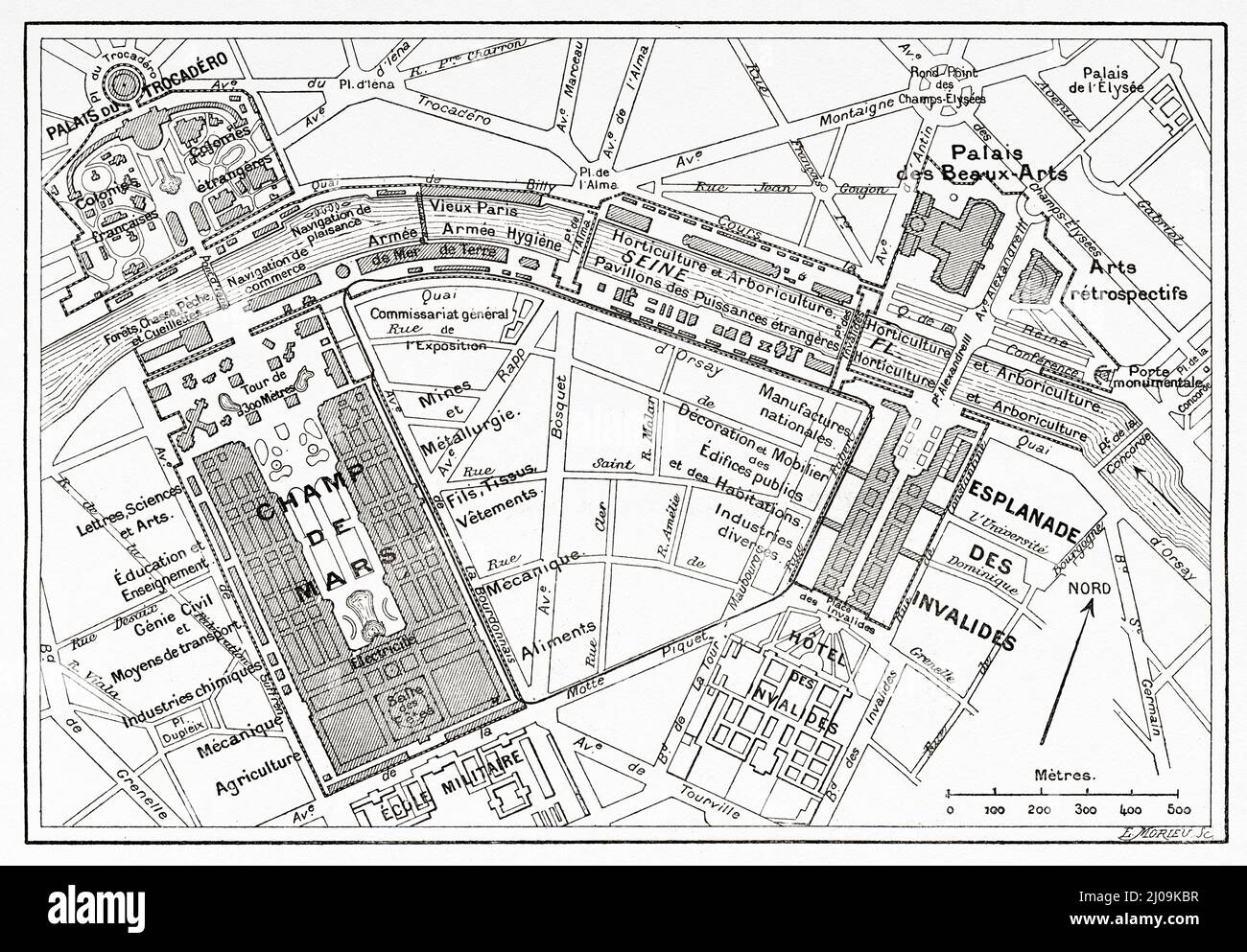 Map of the Universal Exhibition in Paris, 1900. France, Europe. Old 19th century engraved illustration from La Nature 1899 Stock Photohttps://www.alamy.com/image-license-details/?v=1https://www.alamy.com/map-of-the-universal-exhibition-in-paris-1900-france-europe-old-19th-century-engraved-illustration-from-la-nature-1899-image464892731.html
RM2J09KBR–Map of the Universal Exhibition in Paris, 1900. France, Europe. Old 19th century engraved illustration from La Nature 1899
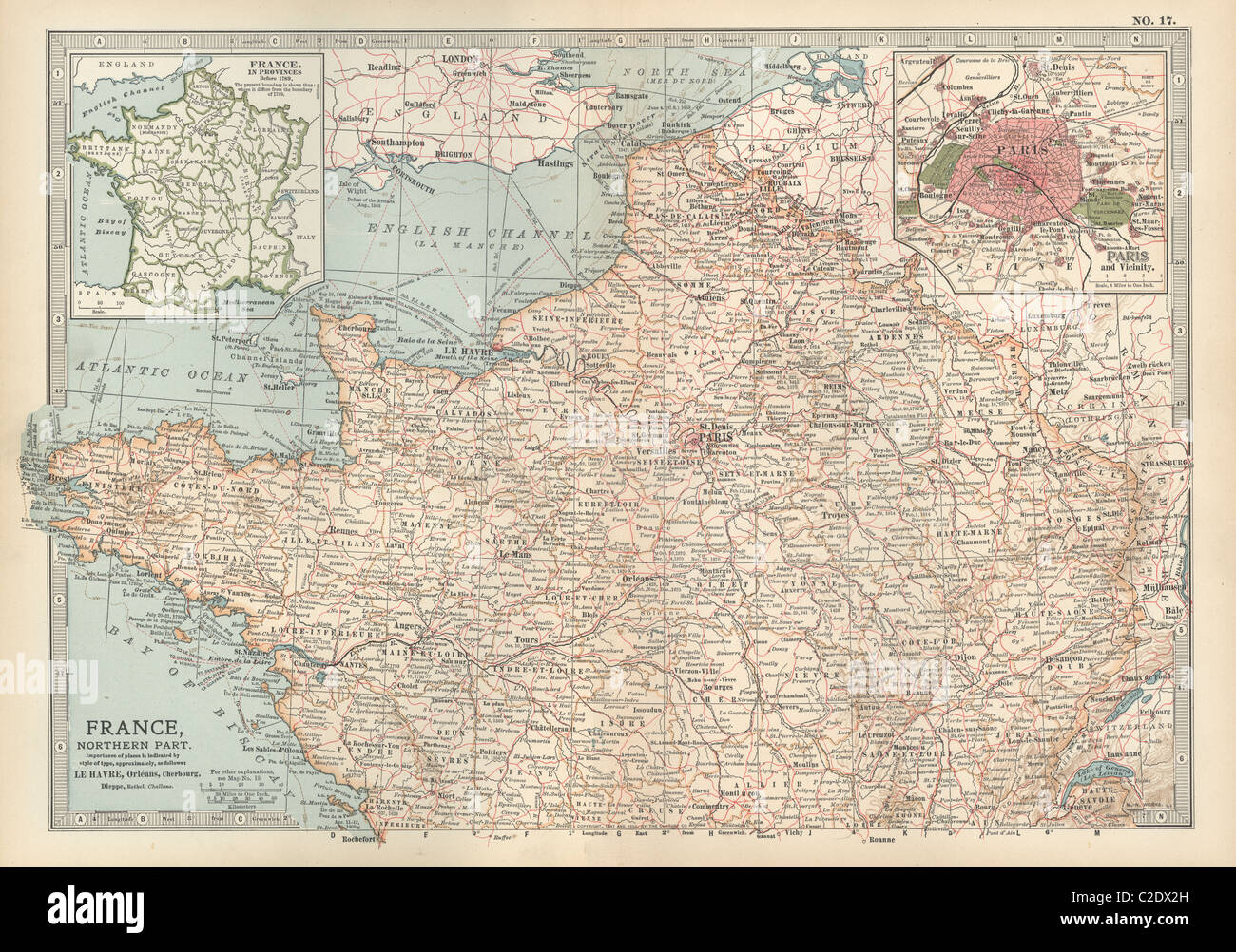 Map of France Stock Photohttps://www.alamy.com/image-license-details/?v=1https://www.alamy.com/stock-photo-map-of-france-35955881.html
RMC2DX2H–Map of France
 Map of the Saint-Jacques and the surrounding area Alfred Bonnardot (1808-1884). Plan de la porte Saint-Jacques et ses environs. Crayon sur papier calque, 1801-1900. Paris, musée Carnavalet. Stock Photohttps://www.alamy.com/image-license-details/?v=1https://www.alamy.com/map-of-the-saint-jacques-and-the-surrounding-area-alfred-bonnardot-1808-1884-plan-de-la-porte-saint-jacques-et-ses-environs-crayon-sur-papier-calque-1801-1900-paris-muse-carnavalet-image349745353.html
RM2B907ND–Map of the Saint-Jacques and the surrounding area Alfred Bonnardot (1808-1884). Plan de la porte Saint-Jacques et ses environs. Crayon sur papier calque, 1801-1900. Paris, musée Carnavalet.
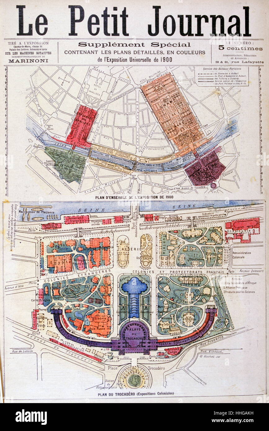 Illustration showing a plan of the exhibition areas for the Exposition Universelle of 1900. This was a fair held in Paris, France, from 14 April to 12 November 1900, to celebrate the achievements of the past century and to accelerate development into the next. Stock Photohttps://www.alamy.com/image-license-details/?v=1https://www.alamy.com/stock-photo-illustration-showing-a-plan-of-the-exhibition-areas-for-the-exposition-131281349.html
RMHHGAKH–Illustration showing a plan of the exhibition areas for the Exposition Universelle of 1900. This was a fair held in Paris, France, from 14 April to 12 November 1900, to celebrate the achievements of the past century and to accelerate development into the next.
!['Diagram Showing Positions of the Troops in South Africa, 31st January 1900', (c1900). Boer Wars. Map showing lines of communication and the positions of the British and the Boers: 'The figures in the circles denote distances by rail between the stations...The Figures below the Generals' names denote the strength of their force [ie numbers of soldiers]'. From "Cassell's History of England, Vol. IX". [Cassell and Company, Limited, London, Paris, New York & Melbourne] Stock Photo 'Diagram Showing Positions of the Troops in South Africa, 31st January 1900', (c1900). Boer Wars. Map showing lines of communication and the positions of the British and the Boers: 'The figures in the circles denote distances by rail between the stations...The Figures below the Generals' names denote the strength of their force [ie numbers of soldiers]'. From "Cassell's History of England, Vol. IX". [Cassell and Company, Limited, London, Paris, New York & Melbourne] Stock Photo](https://c8.alamy.com/comp/2R8Y2J6/diagram-showing-positions-of-the-troops-in-south-africa-31st-january-1900-c1900-boer-wars-map-showing-lines-of-communication-and-the-positions-of-the-british-and-the-boers-the-figures-in-the-circles-denote-distances-by-rail-between-the-stationsthe-figures-below-the-generals-names-denote-the-strength-of-their-force-ie-numbers-of-soldiers-from-quotcassells-history-of-england-vol-ixquot-cassell-and-company-limited-london-paris-new-york-amp-melbourne-2R8Y2J6.jpg) 'Diagram Showing Positions of the Troops in South Africa, 31st January 1900', (c1900). Boer Wars. Map showing lines of communication and the positions of the British and the Boers: 'The figures in the circles denote distances by rail between the stations...The Figures below the Generals' names denote the strength of their force [ie numbers of soldiers]'. From "Cassell's History of England, Vol. IX". [Cassell and Company, Limited, London, Paris, New York & Melbourne] Stock Photohttps://www.alamy.com/image-license-details/?v=1https://www.alamy.com/diagram-showing-positions-of-the-troops-in-south-africa-31st-january-1900-c1900-boer-wars-map-showing-lines-of-communication-and-the-positions-of-the-british-and-the-boers-the-figures-in-the-circles-denote-distances-by-rail-between-the-stationsthe-figures-below-the-generals-names-denote-the-strength-of-their-force-ie-numbers-of-soldiers-from-quotcassells-history-of-england-vol-ixquot-cassell-and-company-limited-london-paris-new-york-amp-melbourne-image556243806.html
'Diagram Showing Positions of the Troops in South Africa, 31st January 1900', (c1900). Boer Wars. Map showing lines of communication and the positions of the British and the Boers: 'The figures in the circles denote distances by rail between the stations...The Figures below the Generals' names denote the strength of their force [ie numbers of soldiers]'. From "Cassell's History of England, Vol. IX". [Cassell and Company, Limited, London, Paris, New York & Melbourne] Stock Photohttps://www.alamy.com/image-license-details/?v=1https://www.alamy.com/diagram-showing-positions-of-the-troops-in-south-africa-31st-january-1900-c1900-boer-wars-map-showing-lines-of-communication-and-the-positions-of-the-british-and-the-boers-the-figures-in-the-circles-denote-distances-by-rail-between-the-stationsthe-figures-below-the-generals-names-denote-the-strength-of-their-force-ie-numbers-of-soldiers-from-quotcassells-history-of-england-vol-ixquot-cassell-and-company-limited-london-paris-new-york-amp-melbourne-image556243806.htmlRM2R8Y2J6–'Diagram Showing Positions of the Troops in South Africa, 31st January 1900', (c1900). Boer Wars. Map showing lines of communication and the positions of the British and the Boers: 'The figures in the circles denote distances by rail between the stations...The Figures below the Generals' names denote the strength of their force [ie numbers of soldiers]'. From "Cassell's History of England, Vol. IX". [Cassell and Company, Limited, London, Paris, New York & Melbourne]
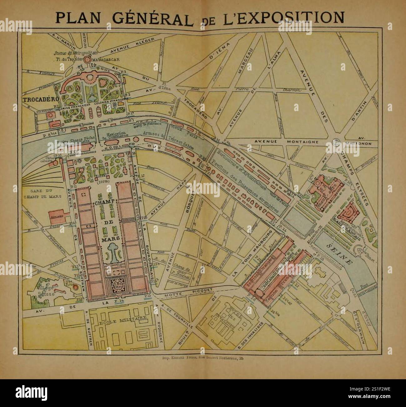 Vintage Map of the site of the 1900 Paris Exposition Universelle (World Fair) Stock Photohttps://www.alamy.com/image-license-details/?v=1https://www.alamy.com/vintage-map-of-the-site-of-the-1900-paris-exposition-universelle-world-fair-image637729834.html
RM2S1F2WE–Vintage Map of the site of the 1900 Paris Exposition Universelle (World Fair)
 Vintage retro Zeiss sunglasses on Baedeker's travel guide book on Paris and environs France Stock Photohttps://www.alamy.com/image-license-details/?v=1https://www.alamy.com/stock-photo-vintage-retro-zeiss-sunglasses-on-baedekers-travel-guide-book-on-paris-104532724.html
RMG21TFG–Vintage retro Zeiss sunglasses on Baedeker's travel guide book on Paris and environs France
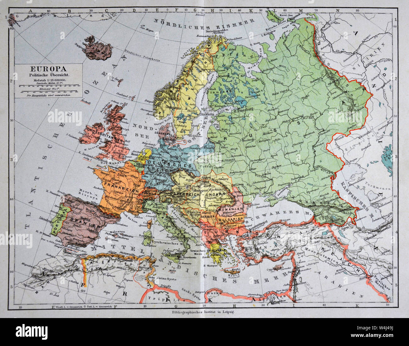 1900 Meyer Map of Europe Stock Photohttps://www.alamy.com/image-license-details/?v=1https://www.alamy.com/1900-meyer-map-of-europe-image261012686.html
RFW4J49J–1900 Meyer Map of Europe
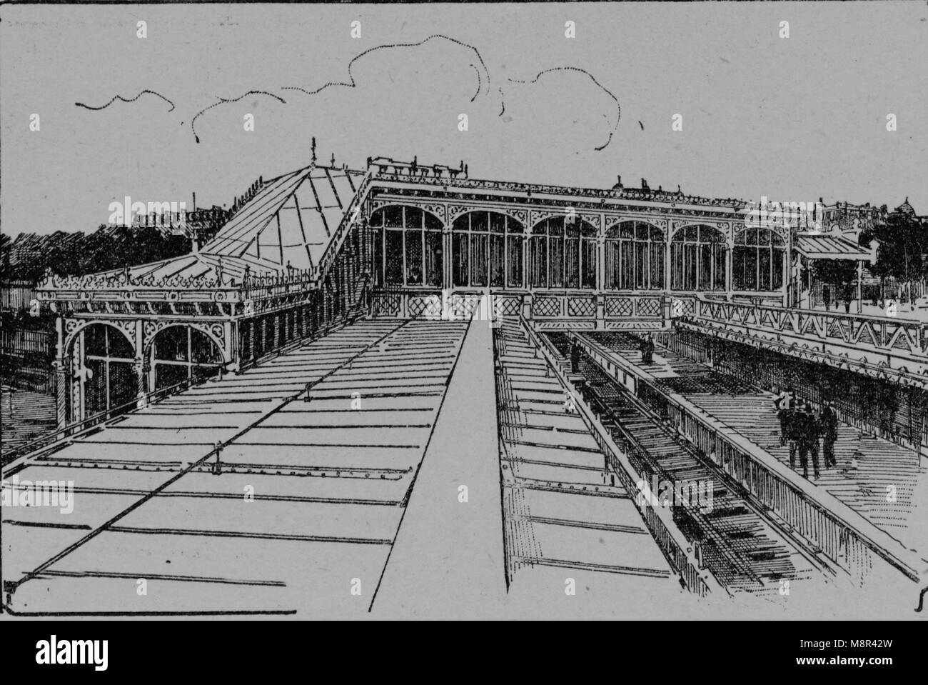 La Bastille subway station, Paris, Picture from the French weekly newspaper l'Illustration, 14th July 1900 Stock Photohttps://www.alamy.com/image-license-details/?v=1https://www.alamy.com/stock-photo-la-bastille-subway-station-paris-picture-from-the-french-weekly-newspaper-177529041.html
RFM8R42W–La Bastille subway station, Paris, Picture from the French weekly newspaper l'Illustration, 14th July 1900
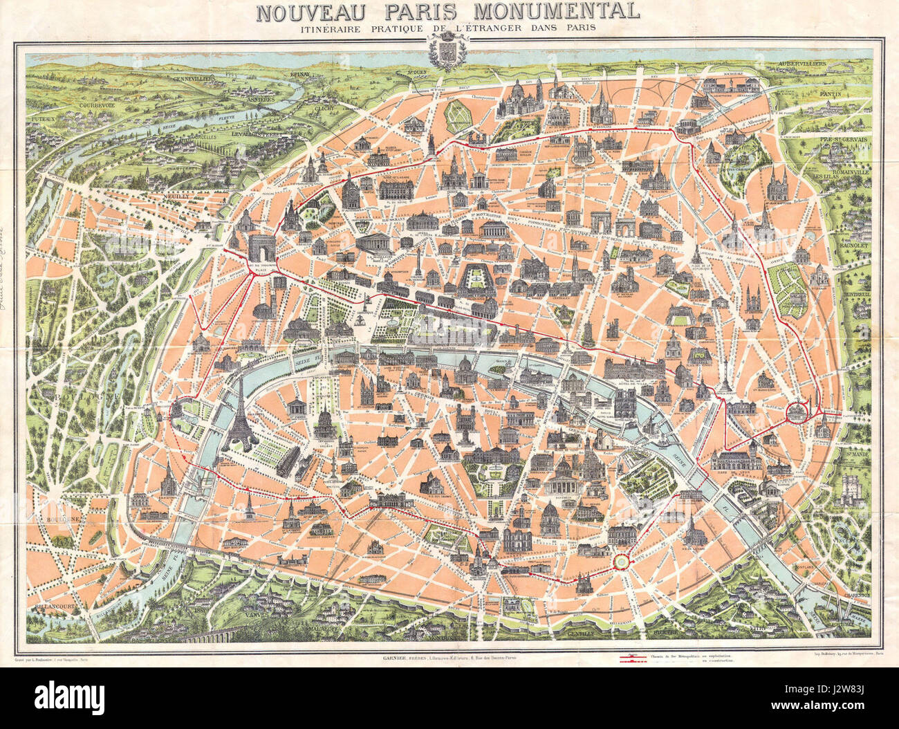 1900 Garnier Pocket Map or Plan of Paris, France ( Eiffel Tower ) - Geographicus - Paris-garnier-1900 Stock Photohttps://www.alamy.com/image-license-details/?v=1https://www.alamy.com/stock-photo-1900-garnier-pocket-map-or-plan-of-paris-france-eiffel-tower-geographicus-139467430.html
RMJ2W83J–1900 Garnier Pocket Map or Plan of Paris, France ( Eiffel Tower ) - Geographicus - Paris-garnier-1900
 . Nouveau paris Monumental Intineraire Pratique de L'Etranger dans Paris. English: This is an extremely attractive 1900 tourist pocket map of Paris, France. Published by Garnier Freres, this is most likely the 1900 first edition. Covers the walled city of Paris and the immediate vicinity from Billancourt to Aubervilliers and from Puteau to Charenton. Important buildings are shown in profile, including the Eiffel Tower, the Arc de Triomphe, Sacre-Coeur, the Pantheon, and others. This map was issued in various editions from, roughly 1900 to 1937. Though most examples are undated we can assign a Stock Photohttps://www.alamy.com/image-license-details/?v=1https://www.alamy.com/nouveau-paris-monumental-intineraire-pratique-de-letranger-dans-paris-english-this-is-an-extremely-attractive-1900-tourist-pocket-map-of-paris-france-published-by-garnier-freres-this-is-most-likely-the-1900-first-edition-covers-the-walled-city-of-paris-and-the-immediate-vicinity-from-billancourt-to-aubervilliers-and-from-puteau-to-charenton-important-buildings-are-shown-in-profile-including-the-eiffel-tower-the-arc-de-triomphe-sacre-coeur-the-pantheon-and-others-this-map-was-issued-in-various-editions-from-roughly-1900-to-1937-though-most-examples-are-undated-we-can-assign-a-image188898968.html
RMMY92FM–. Nouveau paris Monumental Intineraire Pratique de L'Etranger dans Paris. English: This is an extremely attractive 1900 tourist pocket map of Paris, France. Published by Garnier Freres, this is most likely the 1900 first edition. Covers the walled city of Paris and the immediate vicinity from Billancourt to Aubervilliers and from Puteau to Charenton. Important buildings are shown in profile, including the Eiffel Tower, the Arc de Triomphe, Sacre-Coeur, the Pantheon, and others. This map was issued in various editions from, roughly 1900 to 1937. Though most examples are undated we can assign a
 Kahn, Cécile. 1900 fashion drawing. Black ink and watercolor on a map. Palais Galliera, fashion museum of the city of Paris. Stock Photohttps://www.alamy.com/image-license-details/?v=1https://www.alamy.com/kahn-ccile-1900-fashion-drawing-black-ink-and-watercolor-on-a-map-palais-galliera-fashion-museum-of-the-city-of-paris-image596842904.html
RM2WK0F60–Kahn, Cécile. 1900 fashion drawing. Black ink and watercolor on a map. Palais Galliera, fashion museum of the city of Paris.
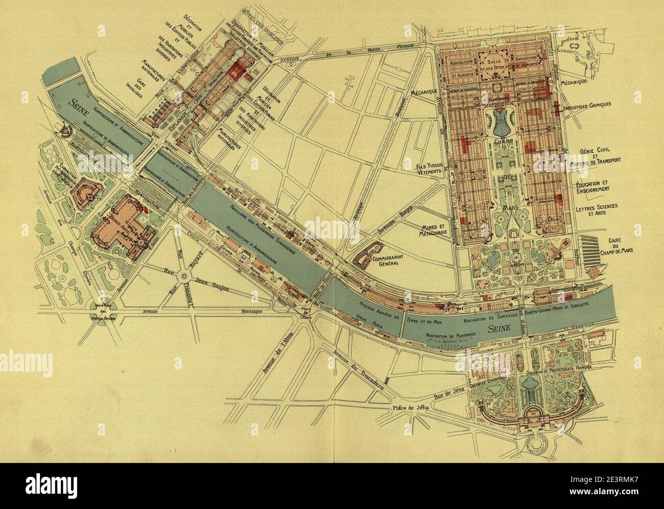 Map - Weltausstellung in Paris 1900 by Otto Witt. Stock Photohttps://www.alamy.com/image-license-details/?v=1https://www.alamy.com/map-weltausstellung-in-paris-1900-by-otto-witt-image398203547.html
RM2E3RMK7–Map - Weltausstellung in Paris 1900 by Otto Witt.
 PARIS: Camp Retranché de Paris. Defences. Forts, 1900 antique map Stock Photohttps://www.alamy.com/image-license-details/?v=1https://www.alamy.com/stock-photo-paris-camp-retranch-de-paris-defences-forts-1900-antique-map-109931763.html
RFGARR2B–PARIS: Camp Retranché de Paris. Defences. Forts, 1900 antique map
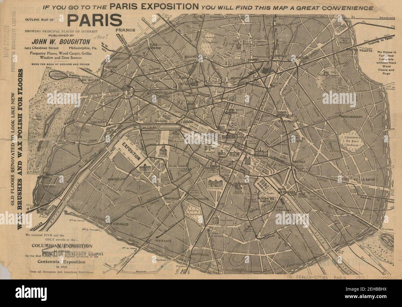 Outline map of Paris, France by John W. Boughton, 1900 - Stanford Libraries. Stock Photohttps://www.alamy.com/image-license-details/?v=1https://www.alamy.com/outline-map-of-paris-france-by-john-w-boughton-1900-stanford-libraries-image406538214.html
RM2EHBBHX–Outline map of Paris, France by John W. Boughton, 1900 - Stanford Libraries.
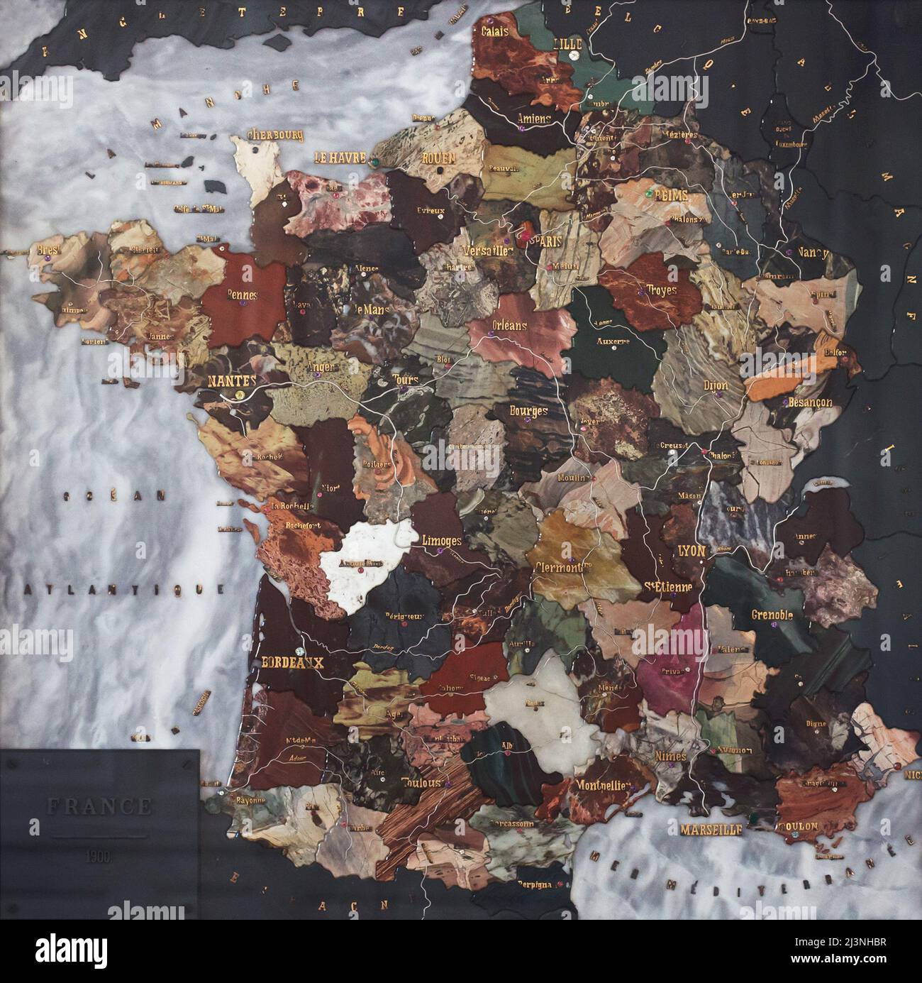 Stone mosaic map of France produced by Russian craftsmen on display at the Château de Compiègne in Compiègne, France. The mosaic map was made from Ural precious and semiprecious stones by Russian craftsmen led by craftsman Danila Zverev and engineer Vasily Mostovenko at the Imperial Lapidary Factory in Yekaterinburg, Russian Empire. The map was exhibited at the Exposition Universelle in Paris in 1900 and was gifted to the French state during the visit of Tsar Nicholas II of Russia to the Château de Compiègne in 1901. Stock Photohttps://www.alamy.com/image-license-details/?v=1https://www.alamy.com/stone-mosaic-map-of-france-produced-by-russian-craftsmen-on-display-at-the-chteau-de-compigne-in-compigne-france-the-mosaic-map-was-made-from-ural-precious-and-semiprecious-stones-by-russian-craftsmen-led-by-craftsman-danila-zverev-and-engineer-vasily-mostovenko-at-the-imperial-lapidary-factory-in-yekaterinburg-russian-empire-the-map-was-exhibited-at-the-exposition-universelle-in-paris-in-1900-and-was-gifted-to-the-french-state-during-the-visit-of-tsar-nicholas-ii-of-russia-to-the-chteau-de-compigne-in-1901-image466998555.html
RM2J3NHBR–Stone mosaic map of France produced by Russian craftsmen on display at the Château de Compiègne in Compiègne, France. The mosaic map was made from Ural precious and semiprecious stones by Russian craftsmen led by craftsman Danila Zverev and engineer Vasily Mostovenko at the Imperial Lapidary Factory in Yekaterinburg, Russian Empire. The map was exhibited at the Exposition Universelle in Paris in 1900 and was gifted to the French state during the visit of Tsar Nicholas II of Russia to the Château de Compiègne in 1901.
 1900, Garnier Pocket Map or Plan of Paris, France, Eiffel Tower Stock Photohttps://www.alamy.com/image-license-details/?v=1https://www.alamy.com/stock-image-1900-garnier-pocket-map-or-plan-of-paris-france-eiffel-tower-162575099.html
RMKCDX5F–1900, Garnier Pocket Map or Plan of Paris, France, Eiffel Tower
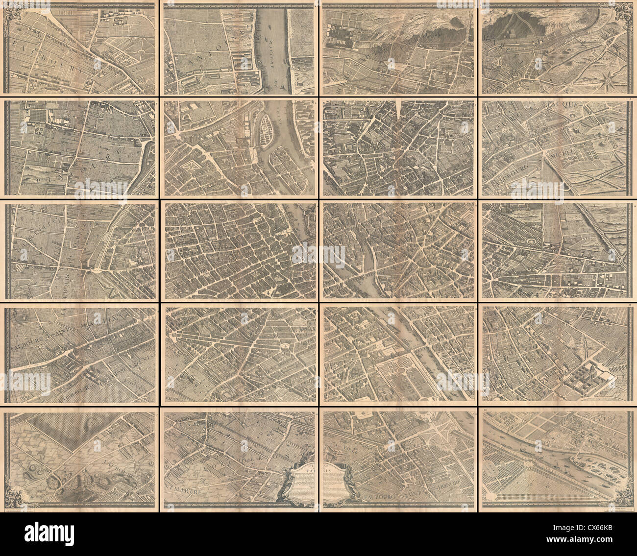 1739 Bretez - Turgot View and Map of Paris, France (c. 1900 Taride issue) - Stock Photohttps://www.alamy.com/image-license-details/?v=1https://www.alamy.com/stock-photo-1739-bretez-turgot-view-and-map-of-paris-france-c-1900-taride-issue-50538751.html
RMCX66KB–1739 Bretez - Turgot View and Map of Paris, France (c. 1900 Taride issue) -
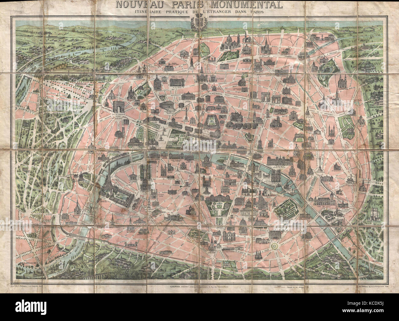 1900, Garnier Pocket Map or Plan of Paris, France, Eiffel Tower and other Monuments Stock Photohttps://www.alamy.com/image-license-details/?v=1https://www.alamy.com/stock-image-1900-garnier-pocket-map-or-plan-of-paris-france-eiffel-tower-and-other-162575102.html
RMKCDX5J–1900, Garnier Pocket Map or Plan of Paris, France, Eiffel Tower and other Monuments
 Illustration showing a plan of the exhibition areas for the Exposition Universelle of 1900. This was a fair held in Paris, France, from 14 April to 12 November 1900, to celebrate the achievements of the past century and to accelerate development into the next. Stock Photohttps://www.alamy.com/image-license-details/?v=1https://www.alamy.com/illustration-showing-a-plan-of-the-exhibition-areas-for-the-exposition-universelle-of-1900-this-was-a-fair-held-in-paris-france-from-14-april-to-12-november-1900-to-celebrate-the-achievements-of-the-past-century-and-to-accelerate-development-into-the-next-image642218212.html
RM2S8RFTM–Illustration showing a plan of the exhibition areas for the Exposition Universelle of 1900. This was a fair held in Paris, France, from 14 April to 12 November 1900, to celebrate the achievements of the past century and to accelerate development into the next.
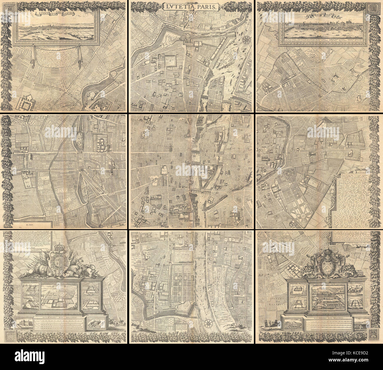 1652, Gomboust 9 Panel Map of Paris, France, c. 1900 Taride reissue Stock Photohttps://www.alamy.com/image-license-details/?v=1https://www.alamy.com/stock-image-1652-gomboust-9-panel-map-of-paris-france-c-1900-taride-reissue-162583934.html
RMKCE9D2–1652, Gomboust 9 Panel Map of Paris, France, c. 1900 Taride reissue
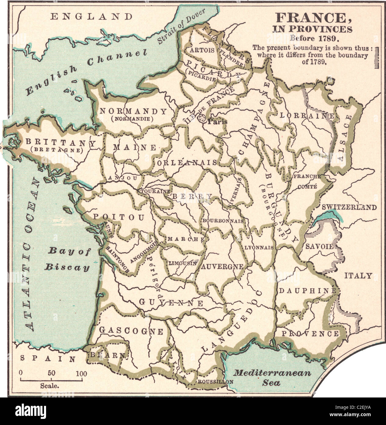 Map of France in Provinces Stock Photohttps://www.alamy.com/image-license-details/?v=1https://www.alamy.com/stock-photo-map-of-france-in-provinces-35972254.html
RMC2EJYA–Map of France in Provinces
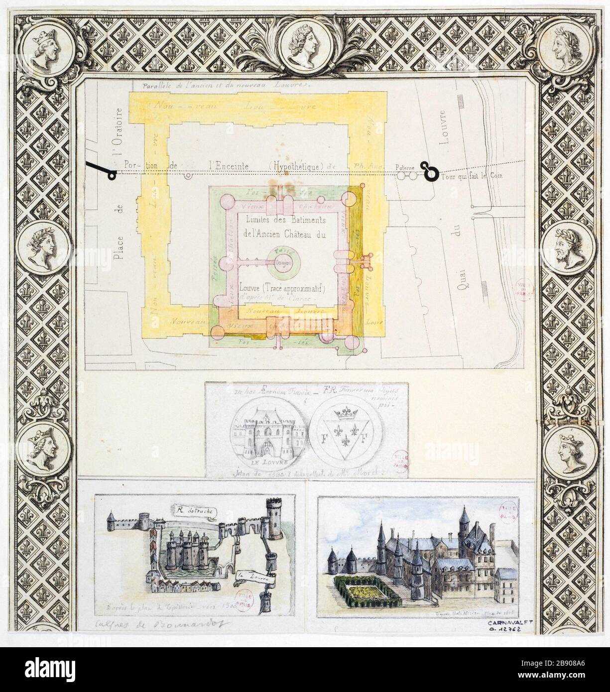 Map and view of the Old Louvre Alfred Bonnardot (1808-1884). Plan et vue du Vieux Louvre. Plume, crayon et aquarelle sur papier crème et sur papiers cartonnés, 1801-1900. Paris, musée Carnavalet. Stock Photohttps://www.alamy.com/image-license-details/?v=1https://www.alamy.com/map-and-view-of-the-old-louvre-alfred-bonnardot-1808-1884-plan-et-vue-du-vieux-louvre-plume-crayon-et-aquarelle-sur-papier-crme-et-sur-papiers-cartonns-1801-1900-paris-muse-carnavalet-image349745822.html
RM2B908A6–Map and view of the Old Louvre Alfred Bonnardot (1808-1884). Plan et vue du Vieux Louvre. Plume, crayon et aquarelle sur papier crème et sur papiers cartonnés, 1801-1900. Paris, musée Carnavalet.
 Illustration showing a plan of the exhibition areas for the Exposition Universelle of 1900. This was a fair held in Paris, France, from 14 April to 12 November 1900, to celebrate the achievements of the past century and to accelerate development into the next. Stock Photohttps://www.alamy.com/image-license-details/?v=1https://www.alamy.com/stock-photo-illustration-showing-a-plan-of-the-exhibition-areas-for-the-exposition-131281354.html
RMHHGAKP–Illustration showing a plan of the exhibition areas for the Exposition Universelle of 1900. This was a fair held in Paris, France, from 14 April to 12 November 1900, to celebrate the achievements of the past century and to accelerate development into the next.
!['Sketch Map of the Theatre of War in Ashanti, 1900', c1900. Showing Hodgson's line of retreat, line of advance, 'friendly' towns, rivers, roads and sites of battles. The Anglo-Ashanti wars were fought between the Ashanti Empire and the British Empire and its African allies in what became the Gold Coast, and later, Ghana. The British ultimately prevailed, resulting in the complete annexation of the Ashanti Empire by 1900. From "Cassell's History of England, Vol. IX". [Cassell and Company, Limited, London, Paris, New York & Melbourne] Stock Photo 'Sketch Map of the Theatre of War in Ashanti, 1900', c1900. Showing Hodgson's line of retreat, line of advance, 'friendly' towns, rivers, roads and sites of battles. The Anglo-Ashanti wars were fought between the Ashanti Empire and the British Empire and its African allies in what became the Gold Coast, and later, Ghana. The British ultimately prevailed, resulting in the complete annexation of the Ashanti Empire by 1900. From "Cassell's History of England, Vol. IX". [Cassell and Company, Limited, London, Paris, New York & Melbourne] Stock Photo](https://c8.alamy.com/comp/2R8Y2D2/sketch-map-of-the-theatre-of-war-in-ashanti-1900-c1900-showing-hodgsons-line-of-retreat-line-of-advance-friendly-towns-rivers-roads-and-sites-of-battles-the-anglo-ashanti-wars-were-fought-between-the-ashanti-empire-and-the-british-empire-and-its-african-allies-in-what-became-the-gold-coast-and-later-ghana-the-british-ultimately-prevailed-resulting-in-the-complete-annexation-of-the-ashanti-empire-by-1900-from-quotcassells-history-of-england-vol-ixquot-cassell-and-company-limited-london-paris-new-york-amp-melbourne-2R8Y2D2.jpg) 'Sketch Map of the Theatre of War in Ashanti, 1900', c1900. Showing Hodgson's line of retreat, line of advance, 'friendly' towns, rivers, roads and sites of battles. The Anglo-Ashanti wars were fought between the Ashanti Empire and the British Empire and its African allies in what became the Gold Coast, and later, Ghana. The British ultimately prevailed, resulting in the complete annexation of the Ashanti Empire by 1900. From "Cassell's History of England, Vol. IX". [Cassell and Company, Limited, London, Paris, New York & Melbourne] Stock Photohttps://www.alamy.com/image-license-details/?v=1https://www.alamy.com/sketch-map-of-the-theatre-of-war-in-ashanti-1900-c1900-showing-hodgsons-line-of-retreat-line-of-advance-friendly-towns-rivers-roads-and-sites-of-battles-the-anglo-ashanti-wars-were-fought-between-the-ashanti-empire-and-the-british-empire-and-its-african-allies-in-what-became-the-gold-coast-and-later-ghana-the-british-ultimately-prevailed-resulting-in-the-complete-annexation-of-the-ashanti-empire-by-1900-from-quotcassells-history-of-england-vol-ixquot-cassell-and-company-limited-london-paris-new-york-amp-melbourne-image556243662.html
'Sketch Map of the Theatre of War in Ashanti, 1900', c1900. Showing Hodgson's line of retreat, line of advance, 'friendly' towns, rivers, roads and sites of battles. The Anglo-Ashanti wars were fought between the Ashanti Empire and the British Empire and its African allies in what became the Gold Coast, and later, Ghana. The British ultimately prevailed, resulting in the complete annexation of the Ashanti Empire by 1900. From "Cassell's History of England, Vol. IX". [Cassell and Company, Limited, London, Paris, New York & Melbourne] Stock Photohttps://www.alamy.com/image-license-details/?v=1https://www.alamy.com/sketch-map-of-the-theatre-of-war-in-ashanti-1900-c1900-showing-hodgsons-line-of-retreat-line-of-advance-friendly-towns-rivers-roads-and-sites-of-battles-the-anglo-ashanti-wars-were-fought-between-the-ashanti-empire-and-the-british-empire-and-its-african-allies-in-what-became-the-gold-coast-and-later-ghana-the-british-ultimately-prevailed-resulting-in-the-complete-annexation-of-the-ashanti-empire-by-1900-from-quotcassells-history-of-england-vol-ixquot-cassell-and-company-limited-london-paris-new-york-amp-melbourne-image556243662.htmlRM2R8Y2D2–'Sketch Map of the Theatre of War in Ashanti, 1900', c1900. Showing Hodgson's line of retreat, line of advance, 'friendly' towns, rivers, roads and sites of battles. The Anglo-Ashanti wars were fought between the Ashanti Empire and the British Empire and its African allies in what became the Gold Coast, and later, Ghana. The British ultimately prevailed, resulting in the complete annexation of the Ashanti Empire by 1900. From "Cassell's History of England, Vol. IX". [Cassell and Company, Limited, London, Paris, New York & Melbourne]
 1900 Garnier Pocket Map or Plan of Paris, France ( Eiffel Tower ) - Geographicus - Paris-garnier-1900. Stock Photohttps://www.alamy.com/image-license-details/?v=1https://www.alamy.com/1900-garnier-pocket-map-or-plan-of-paris-france-eiffel-tower-geographicus-paris-garnier-1900-image210550386.html
RMP6FB4J–1900 Garnier Pocket Map or Plan of Paris, France ( Eiffel Tower ) - Geographicus - Paris-garnier-1900.
 1900 Meyer Map of Europe Stock Photohttps://www.alamy.com/image-license-details/?v=1https://www.alamy.com/1900-meyer-map-of-europe-image261012681.html
RFW4J49D–1900 Meyer Map of Europe
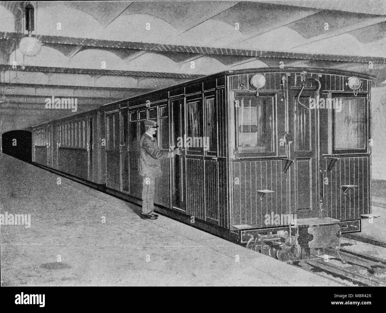 Palais Royal subway station, Paris, Picture from the French weekly newspaper l'Illustration, 14th July 1900 Stock Photohttps://www.alamy.com/image-license-details/?v=1https://www.alamy.com/stock-photo-palais-royal-subway-station-paris-picture-from-the-french-weekly-newspaper-177529042.html
RFM8R42X–Palais Royal subway station, Paris, Picture from the French weekly newspaper l'Illustration, 14th July 1900
 1739 Bretez - Turgot View and Map of Paris, France (c. 1900 Taride issue) - Geographicus - Paris-turgot-1909 Stock Photohttps://www.alamy.com/image-license-details/?v=1https://www.alamy.com/stock-photo-1739-bretez-turgot-view-and-map-of-paris-france-c-1900-taride-issue-139469463.html
RMJ2WAM7–1739 Bretez - Turgot View and Map of Paris, France (c. 1900 Taride issue) - Geographicus - Paris-turgot-1909
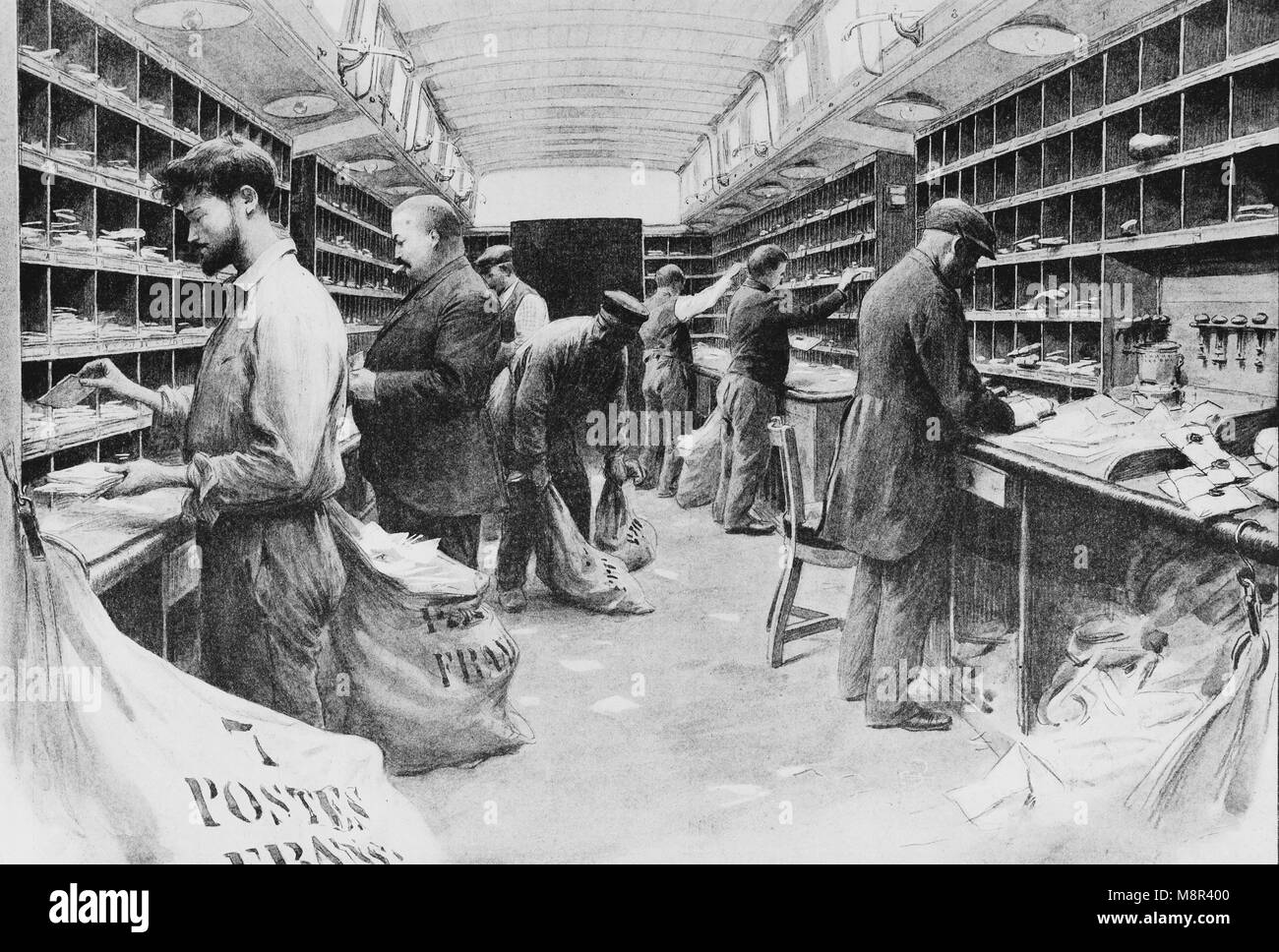 Postal Train from Paris to Lille, Picture from the French weekly newspaper l'Illustration, 1st December 1900 Stock Photohttps://www.alamy.com/image-license-details/?v=1https://www.alamy.com/stock-photo-postal-train-from-paris-to-lille-picture-from-the-french-weekly-newspaper-177528960.html
RFM8R400–Postal Train from Paris to Lille, Picture from the French weekly newspaper l'Illustration, 1st December 1900
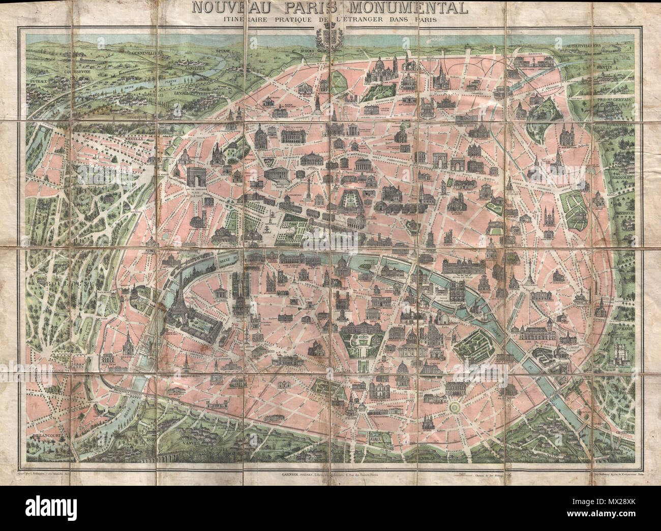 . Nouveau paris Monumental Intineraire Pratique de L'Etranger dans Paris. English: This is an extremely attractive 1900 tourist pocket map of Paris, France. Published by Garnier Freres, this is most likely the 1900 first edition. Covers the walled city of Paris and the immediate vicinity from Billancourt to Aubervilliers and from Puteau to Charenton. Important buildings are shown in profile, including the Eiffel Tower, the Arc de Triomphe, Sacre-Coeur, the Pantheon, and others. This map was issued in various editions from, roughly 1900 to 1937. Though most examples are undated we can assign a Stock Photohttps://www.alamy.com/image-license-details/?v=1https://www.alamy.com/nouveau-paris-monumental-intineraire-pratique-de-letranger-dans-paris-english-this-is-an-extremely-attractive-1900-tourist-pocket-map-of-paris-france-published-by-garnier-freres-this-is-most-likely-the-1900-first-edition-covers-the-walled-city-of-paris-and-the-immediate-vicinity-from-billancourt-to-aubervilliers-and-from-puteau-to-charenton-important-buildings-are-shown-in-profile-including-the-eiffel-tower-the-arc-de-triomphe-sacre-coeur-the-pantheon-and-others-this-map-was-issued-in-various-editions-from-roughly-1900-to-1937-though-most-examples-are-undated-we-can-assign-a-image188135659.html
RMMX28XK–. Nouveau paris Monumental Intineraire Pratique de L'Etranger dans Paris. English: This is an extremely attractive 1900 tourist pocket map of Paris, France. Published by Garnier Freres, this is most likely the 1900 first edition. Covers the walled city of Paris and the immediate vicinity from Billancourt to Aubervilliers and from Puteau to Charenton. Important buildings are shown in profile, including the Eiffel Tower, the Arc de Triomphe, Sacre-Coeur, the Pantheon, and others. This map was issued in various editions from, roughly 1900 to 1937. Though most examples are undated we can assign a
 The Champs de Mars, Universal Exhibition of 1900, Paris, 1900. Artist: G Rochet Stock Photohttps://www.alamy.com/image-license-details/?v=1https://www.alamy.com/stock-photo-the-champs-de-mars-universal-exhibition-of-1900-paris-1900-artist-17639822.html
RMB0KFNJ–The Champs de Mars, Universal Exhibition of 1900, Paris, 1900. Artist: G Rochet
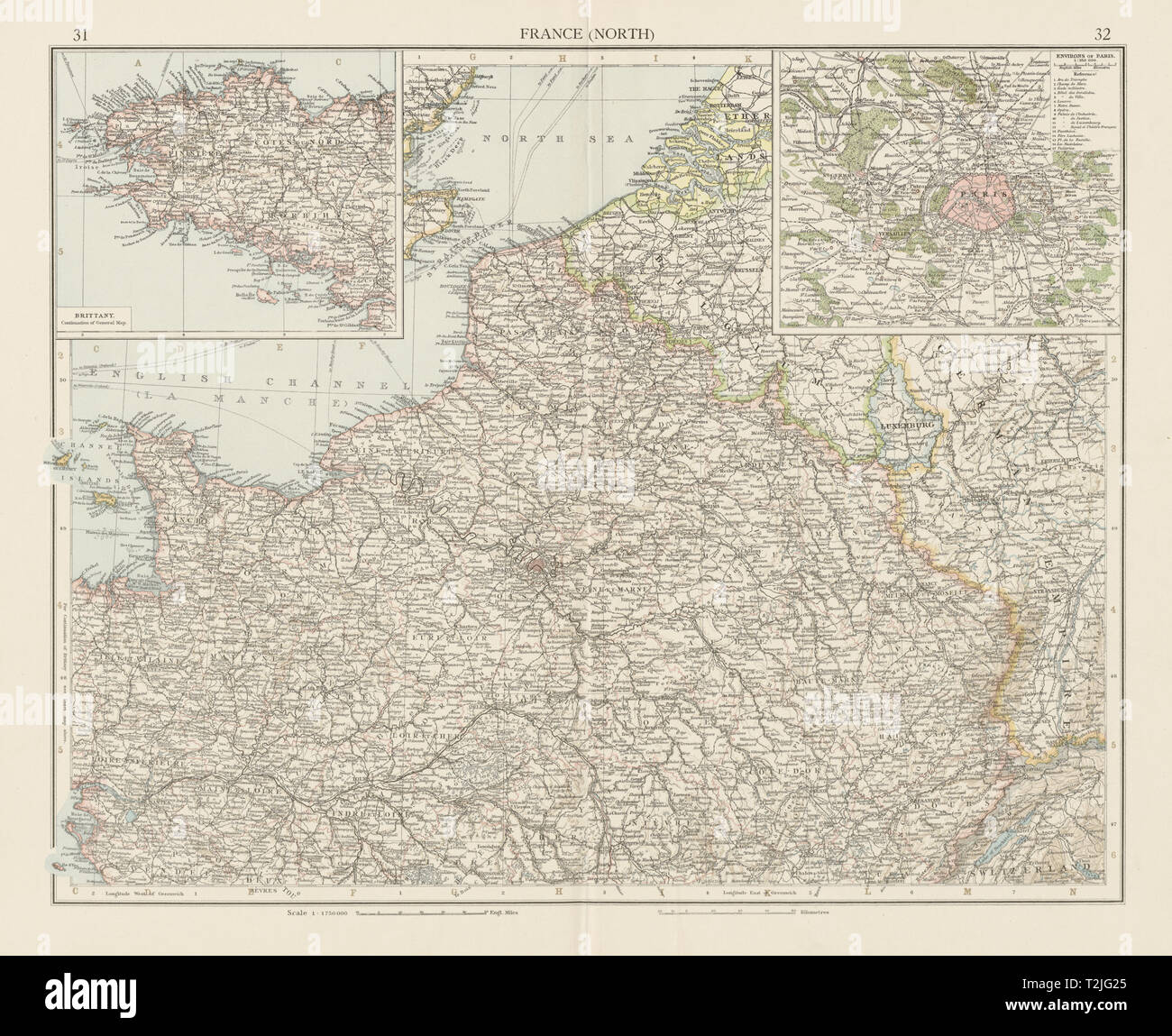 France (North). Paris environs. THE TIMES 1900 old antique map plan chart Stock Photohttps://www.alamy.com/image-license-details/?v=1https://www.alamy.com/france-north-paris-environs-the-times-1900-old-antique-map-plan-chart-image242582205.html
RFT2JG25–France (North). Paris environs. THE TIMES 1900 old antique map plan chart
 Kahn, Cécile. Fashion drawing (dummy title), 1900. Black ink, black pencil, white gouache on a map. Palais Galliera, fashion museum of the city of Paris. Stock Photohttps://www.alamy.com/image-license-details/?v=1https://www.alamy.com/kahn-ccile-fashion-drawing-dummy-title-1900-black-ink-black-pencil-white-gouache-on-a-map-palais-galliera-fashion-museum-of-the-city-of-paris-image596840552.html
RM2WK0C60–Kahn, Cécile. Fashion drawing (dummy title), 1900. Black ink, black pencil, white gouache on a map. Palais Galliera, fashion museum of the city of Paris.
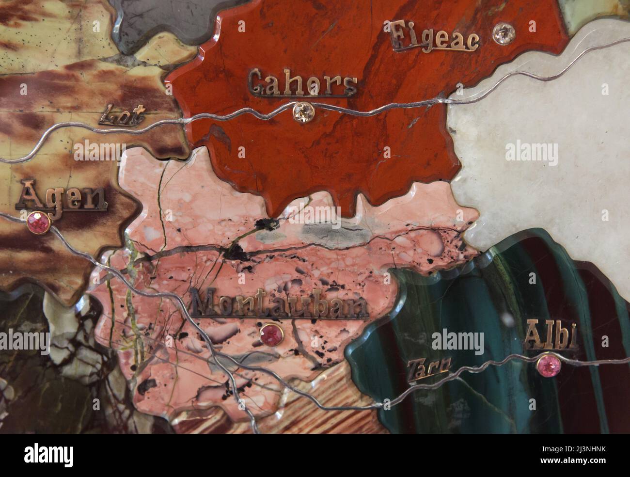 French towns and cities marked with precious stones and platinum rivers on the detail of the stone mosaic map of France produced by Russian craftsmen on display at the Château de Compiègne in Compiègne, France. The mosaic map was made from Ural precious and semiprecious stones by Russian craftsmen led by craftsman Danila Zverev and engineer Vasily Mostovenko at the Imperial Lapidary Factory in Yekaterinburg, Russian Empire. The map was exhibited at the Exposition Universelle in Paris in 1900 and was gifted to the French state during the visit of Tsar Nicholas II of Russia to the Château de Co Stock Photohttps://www.alamy.com/image-license-details/?v=1https://www.alamy.com/french-towns-and-cities-marked-with-precious-stones-and-platinum-rivers-on-the-detail-of-the-stone-mosaic-map-of-france-produced-by-russian-craftsmen-on-display-at-the-chteau-de-compigne-in-compigne-france-the-mosaic-map-was-made-from-ural-precious-and-semiprecious-stones-by-russian-craftsmen-led-by-craftsman-danila-zverev-and-engineer-vasily-mostovenko-at-the-imperial-lapidary-factory-in-yekaterinburg-russian-empire-the-map-was-exhibited-at-the-exposition-universelle-in-paris-in-1900-and-was-gifted-to-the-french-state-during-the-visit-of-tsar-nicholas-ii-of-russia-to-the-chteau-de-co-image466998831.html
RM2J3NHNK–French towns and cities marked with precious stones and platinum rivers on the detail of the stone mosaic map of France produced by Russian craftsmen on display at the Château de Compiègne in Compiègne, France. The mosaic map was made from Ural precious and semiprecious stones by Russian craftsmen led by craftsman Danila Zverev and engineer Vasily Mostovenko at the Imperial Lapidary Factory in Yekaterinburg, Russian Empire. The map was exhibited at the Exposition Universelle in Paris in 1900 and was gifted to the French state during the visit of Tsar Nicholas II of Russia to the Château de Co
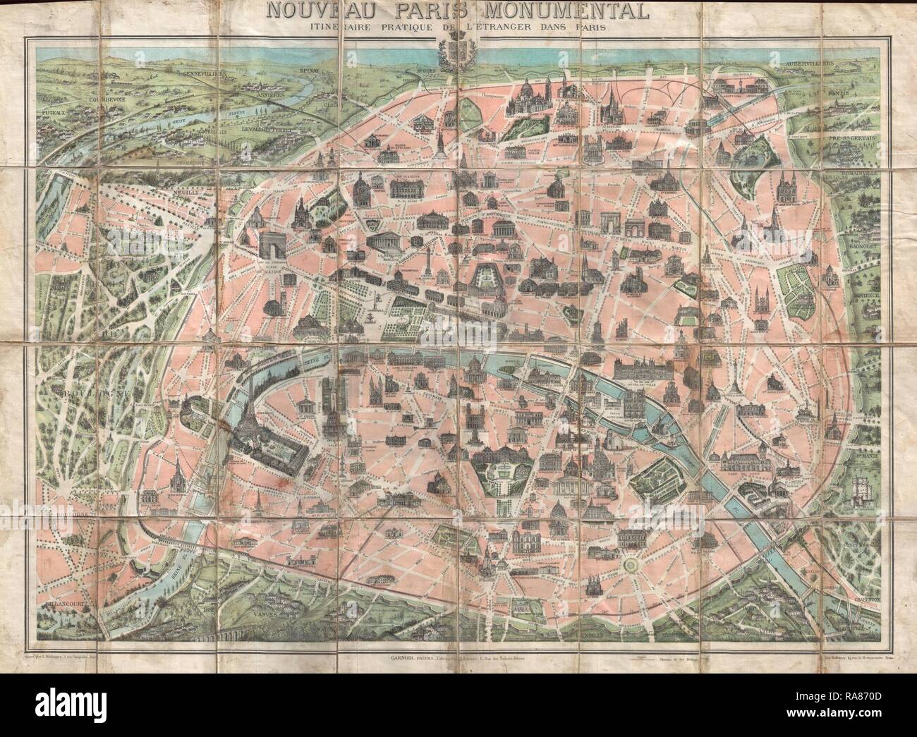 1900, Garnier Pocket Map or Plan of Paris, France, Eiffel Tower and other Monuments. Reimagined by Gibon. Classic art reimagined Stock Photohttps://www.alamy.com/image-license-details/?v=1https://www.alamy.com/1900-garnier-pocket-map-or-plan-of-paris-france-eiffel-tower-and-other-monuments-reimagined-by-gibon-classic-art-reimagined-image230062461.html
RFRA870D–1900, Garnier Pocket Map or Plan of Paris, France, Eiffel Tower and other Monuments. Reimagined by Gibon. Classic art reimagined
 1739 Bretez - Turgot View and Map of Paris, France (c. 1900 Taride issue) Stock Photohttps://www.alamy.com/image-license-details/?v=1https://www.alamy.com/stock-photo-1739-bretez-turgot-view-and-map-of-paris-france-c-1900-taride-issue-50534479.html
RMCX616R–1739 Bretez - Turgot View and Map of Paris, France (c. 1900 Taride issue)
 PARIS/FRANCE - September 6, 2019 : Abbesses subway station entrance sign at the Butte Montmartre Stock Photohttps://www.alamy.com/image-license-details/?v=1https://www.alamy.com/parisfrance-september-6-2019-abbesses-subway-station-entrance-sign-at-the-butte-montmartre-image340433279.html
RF2ANT23B–PARIS/FRANCE - September 6, 2019 : Abbesses subway station entrance sign at the Butte Montmartre
 Illustration showing a plan of the exhibition area at the Champs de Mars, Paris for the Exposition Universelle of 1900. This was a fair held in Paris, France, from 14 April to 12 November 1900, to celebrate the achievements of the past century and to accelerate development into the next. Stock Photohttps://www.alamy.com/image-license-details/?v=1https://www.alamy.com/illustration-showing-a-plan-of-the-exhibition-area-at-the-champs-de-mars-paris-for-the-exposition-universelle-of-1900-this-was-a-fair-held-in-paris-france-from-14-april-to-12-november-1900-to-celebrate-the-achievements-of-the-past-century-and-to-accelerate-development-into-the-next-image642218194.html
RM2S8RFT2–Illustration showing a plan of the exhibition area at the Champs de Mars, Paris for the Exposition Universelle of 1900. This was a fair held in Paris, France, from 14 April to 12 November 1900, to celebrate the achievements of the past century and to accelerate development into the next.
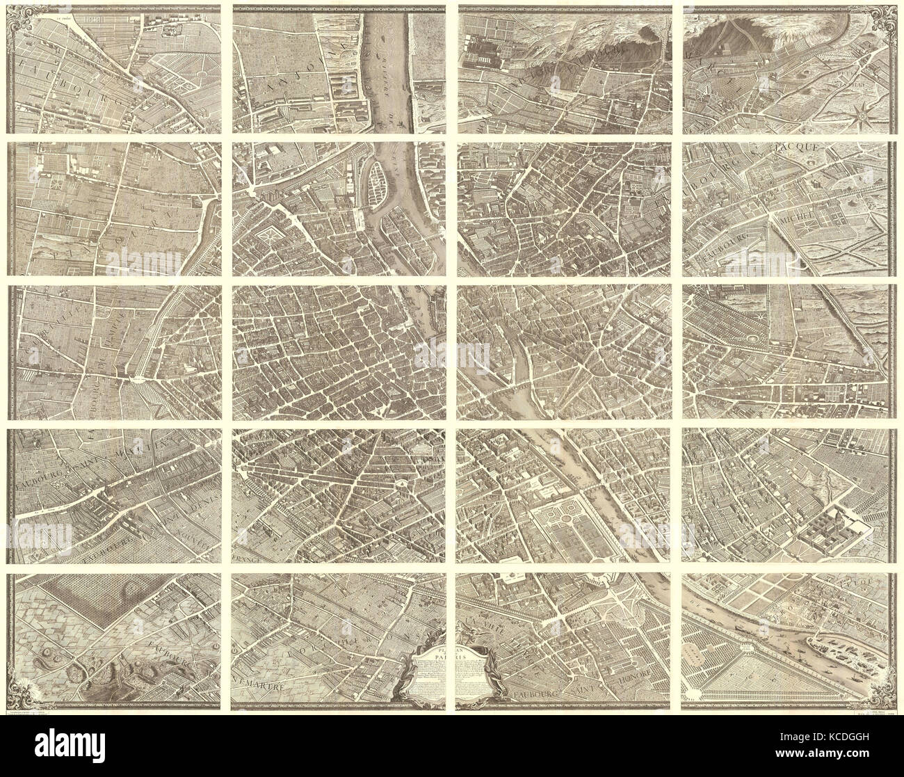 1739, Bretez, Turgot View and Map of Paris, France, c. 1900 Stock Photohttps://www.alamy.com/image-license-details/?v=1https://www.alamy.com/stock-image-1739-bretez-turgot-view-and-map-of-paris-france-c-1900-162567569.html
RMKCDGGH–1739, Bretez, Turgot View and Map of Paris, France, c. 1900
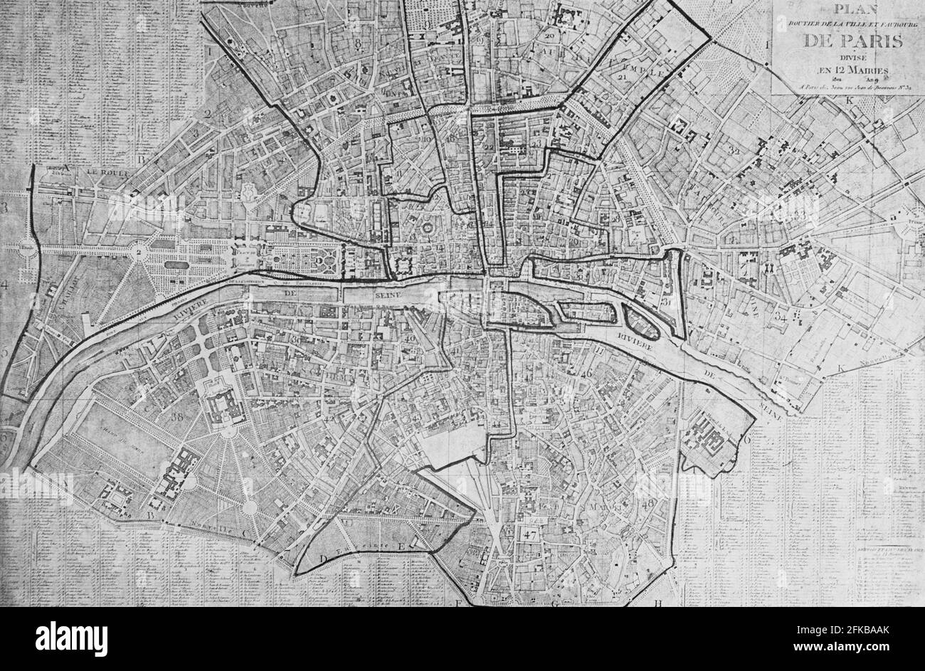 Map of Paris in 1801 'Plan routier de la ville et faubourg, divisé en 12 mairies' (Road map of the town and suburb, divided in 12 districts). Engraving from Dépôt des cartes et plans de la Bibliothèque Nationale. In : Louis Barron, Paris Pittoresque 1800-1900. La Vie - Les Moeurs - Les Plaisirs, Paris, Société Française d'Editions d'Art L.-Henry May, 1899. Stock Photohttps://www.alamy.com/image-license-details/?v=1https://www.alamy.com/map-of-paris-in-1801-plan-routier-de-la-ville-et-faubourg-divis-en-12-mairies-road-map-of-the-town-and-suburb-divided-in-12-districts-engraving-from-dpt-des-cartes-et-plans-de-la-bibliothque-nationale-in-louis-barron-paris-pittoresque-1800-1900-la-vie-les-moeurs-les-plaisirs-paris-socit-franaise-deditions-dart-l-henry-may-1899-image424976907.html
RM2FKBAAK–Map of Paris in 1801 'Plan routier de la ville et faubourg, divisé en 12 mairies' (Road map of the town and suburb, divided in 12 districts). Engraving from Dépôt des cartes et plans de la Bibliothèque Nationale. In : Louis Barron, Paris Pittoresque 1800-1900. La Vie - Les Moeurs - Les Plaisirs, Paris, Société Française d'Editions d'Art L.-Henry May, 1899.
 Map of France Stock Photohttps://www.alamy.com/image-license-details/?v=1https://www.alamy.com/stock-photo-map-of-france-35955886.html
RMC2DX2P–Map of France
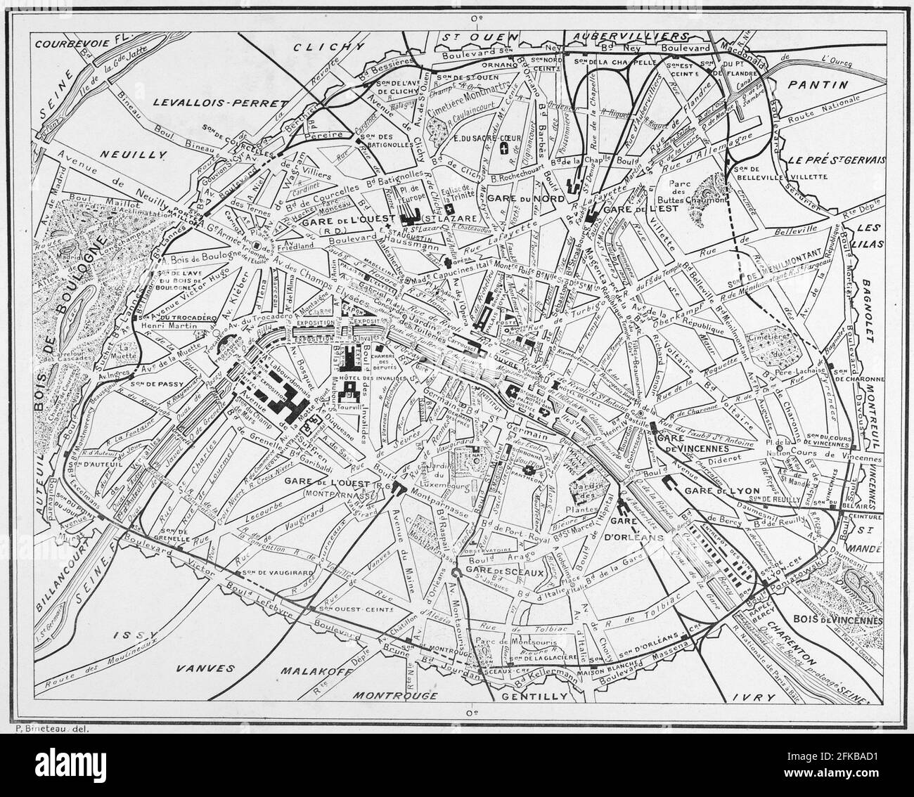 Plan de Paris en 1899 In : Louis Barron, Paris Pittoresque 1800-1900. La Vie - Les Moeurs - Les Plaisirs, Paris, Société Française d'Editions d'Art L.-Henry May, 1899. Stock Photohttps://www.alamy.com/image-license-details/?v=1https://www.alamy.com/plan-de-paris-en-1899-in-louis-barron-paris-pittoresque-1800-1900-la-vie-les-moeurs-les-plaisirs-paris-socit-franaise-deditions-dart-l-henry-may-1899-image424976973.html
RM2FKBAD1–Plan de Paris en 1899 In : Louis Barron, Paris Pittoresque 1800-1900. La Vie - Les Moeurs - Les Plaisirs, Paris, Société Française d'Editions d'Art L.-Henry May, 1899.
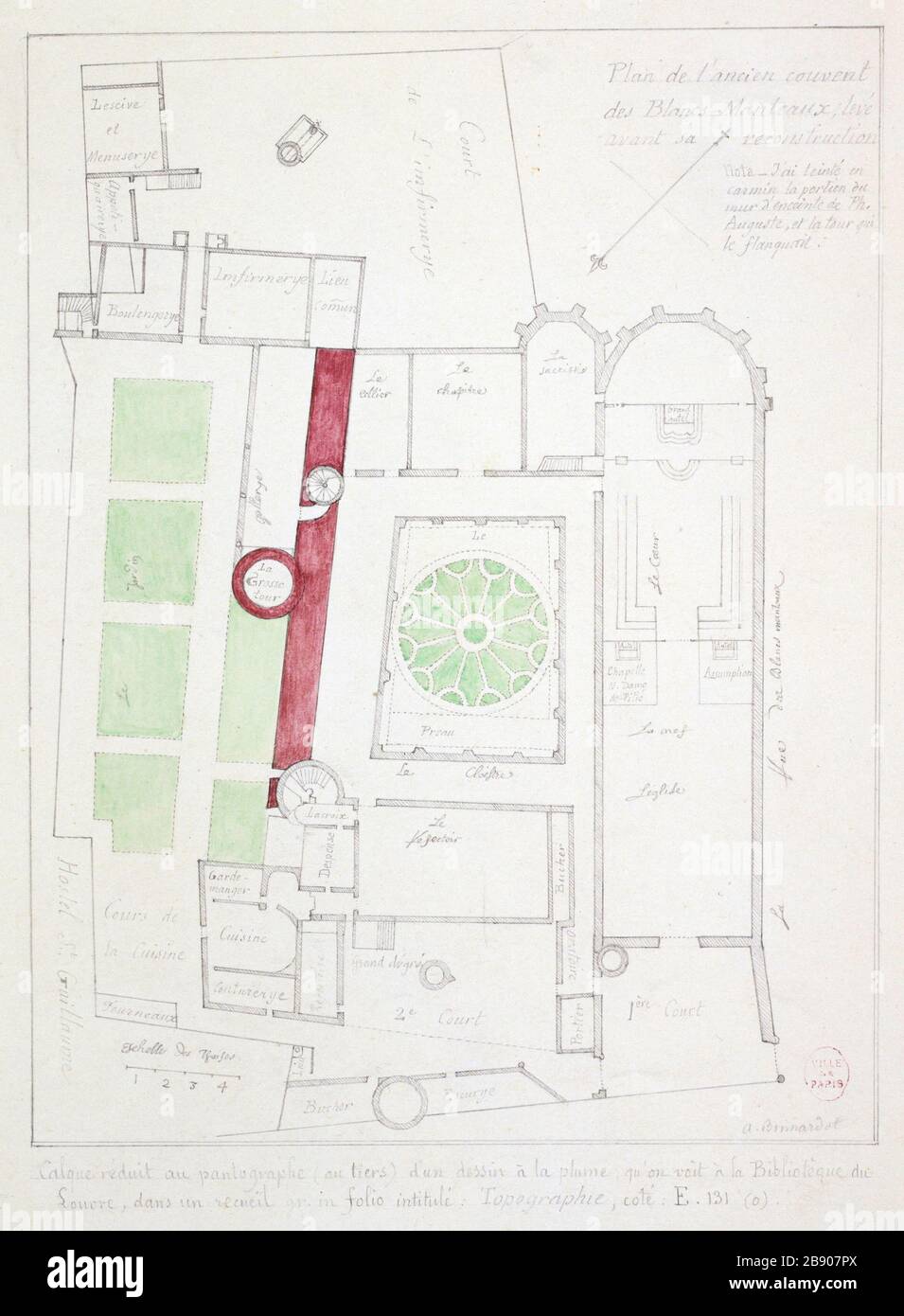 Map of the former convent of the White Coats Alfred Bonnardot (1808-1884). Plan de l'ancien couvent des Blancs-Manteaux. Crayon et lavis de couleur sur papier crème foncé, 1801-1900. Paris, musée Carnavalet. Stock Photohttps://www.alamy.com/image-license-details/?v=1https://www.alamy.com/map-of-the-former-convent-of-the-white-coats-alfred-bonnardot-1808-1884-plan-de-lancien-couvent-des-blancs-manteaux-crayon-et-lavis-de-couleur-sur-papier-crme-fonc-1801-1900-paris-muse-carnavalet-image349745394.html
RM2B907PX–Map of the former convent of the White Coats Alfred Bonnardot (1808-1884). Plan de l'ancien couvent des Blancs-Manteaux. Crayon et lavis de couleur sur papier crème foncé, 1801-1900. Paris, musée Carnavalet.
 Map of Paris fortifications In : Louis Barron, Paris Pittoresque 1800-1900. La Vie - Les Moeurs - Les Plaisirs, Paris, Société Française d'Editions d'Art L.-Henry May, 1899. Stock Photohttps://www.alamy.com/image-license-details/?v=1https://www.alamy.com/map-of-paris-fortifications-in-louis-barron-paris-pittoresque-1800-1900-la-vie-les-moeurs-les-plaisirs-paris-socit-franaise-deditions-dart-l-henry-may-1899-image424976986.html
RM2FKBADE–Map of Paris fortifications In : Louis Barron, Paris Pittoresque 1800-1900. La Vie - Les Moeurs - Les Plaisirs, Paris, Société Française d'Editions d'Art L.-Henry May, 1899.
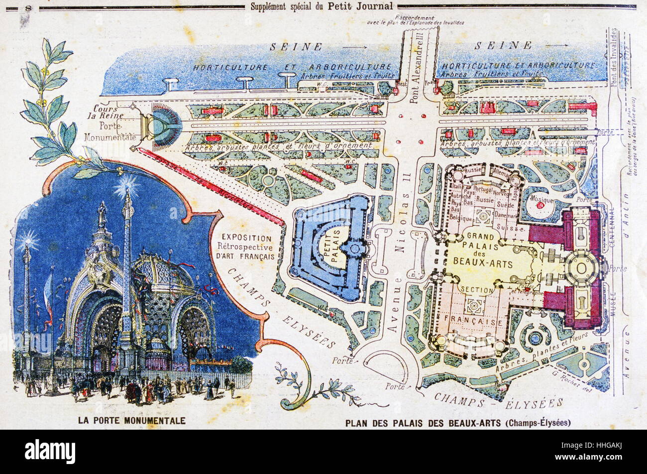 Illustration showing a plan of the exhibition areas for the Exposition Universelle of 1900. This was a fair held in Paris, France, from 14 April to 12 November 1900, to celebrate the achievements of the past century and to accelerate development into the next. Stock Photohttps://www.alamy.com/image-license-details/?v=1https://www.alamy.com/stock-photo-illustration-showing-a-plan-of-the-exhibition-areas-for-the-exposition-131281350.html
RMHHGAKJ–Illustration showing a plan of the exhibition areas for the Exposition Universelle of 1900. This was a fair held in Paris, France, from 14 April to 12 November 1900, to celebrate the achievements of the past century and to accelerate development into the next.
 1652 Gomboust Map of Paris, France (c. 1900 Taride reissue) - Geographicus - ParisSm-gomboust-1900. Stock Photohttps://www.alamy.com/image-license-details/?v=1https://www.alamy.com/1652-gomboust-map-of-paris-france-c-1900-taride-reissue-geographicus-parissm-gomboust-1900-image209428140.html
RMP4M7MC–1652 Gomboust Map of Paris, France (c. 1900 Taride reissue) - Geographicus - ParisSm-gomboust-1900.
 1900 Garnier Pocket Map or Plan of Paris, France ( Eiffel Tower and other Monuments ) - Geographicus - NouveauParisMonumental-garnier-1900 Stock Photohttps://www.alamy.com/image-license-details/?v=1https://www.alamy.com/stock-photo-1900-garnier-pocket-map-or-plan-of-paris-france-eiffel-tower-and-other-139472786.html
RMJ2WEXX–1900 Garnier Pocket Map or Plan of Paris, France ( Eiffel Tower and other Monuments ) - Geographicus - NouveauParisMonumental-garnier-1900
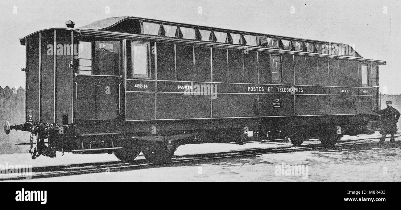 Postal Train from Paris to Lille, Picture from the French weekly newspaper l'Illustration, 1st December 1900 Stock Photohttps://www.alamy.com/image-license-details/?v=1https://www.alamy.com/stock-photo-postal-train-from-paris-to-lille-picture-from-the-french-weekly-newspaper-177528963.html
RFM8R403–Postal Train from Paris to Lille, Picture from the French weekly newspaper l'Illustration, 1st December 1900
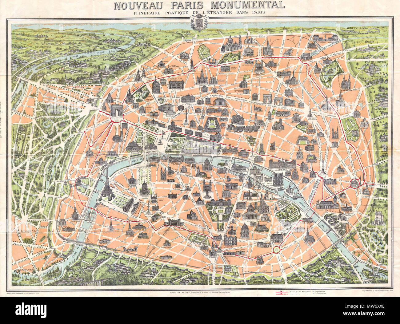 . Nouveau Paris Monumental itineraire Pratique de L’Etranger Dans Paris. English: This rare c. 1900 pocket map of Paris, France, combines the virtues of a map and a view. Covers the old walled city of Paris and surrounding areas. Paris proper is colored in appealing pastels and exhibits more “map-like” qualities in the layout of the streets, trains, and bridges. Important buildings and monuments are shown in profile. These include the Eiffel Tower, The Arc de Triomphe and the Opera, among hundreds of others. The regions outside the walled city are mostly in view format, with a horizon in at t Stock Photohttps://www.alamy.com/image-license-details/?v=1https://www.alamy.com/nouveau-paris-monumental-itineraire-pratique-de-letranger-dans-paris-english-this-rare-c-1900-pocket-map-of-paris-france-combines-the-virtues-of-a-map-and-a-view-covers-the-old-walled-city-of-paris-and-surrounding-areas-paris-proper-is-colored-in-appealing-pastels-and-exhibits-more-map-like-qualities-in-the-layout-of-the-streets-trains-and-bridges-important-buildings-and-monuments-are-shown-in-profile-these-include-the-eiffel-tower-the-arc-de-triomphe-and-the-opera-among-hundreds-of-others-the-regions-outside-the-walled-city-are-mostly-in-view-format-with-a-horizon-in-at-t-image187622918.html
RMMW6XXE–. Nouveau Paris Monumental itineraire Pratique de L’Etranger Dans Paris. English: This rare c. 1900 pocket map of Paris, France, combines the virtues of a map and a view. Covers the old walled city of Paris and surrounding areas. Paris proper is colored in appealing pastels and exhibits more “map-like” qualities in the layout of the streets, trains, and bridges. Important buildings and monuments are shown in profile. These include the Eiffel Tower, The Arc de Triomphe and the Opera, among hundreds of others. The regions outside the walled city are mostly in view format, with a horizon in at t
 Map of the first subway line in Paris, Picture from the French weekly newspaper l'Illustration, 14th July 1900 Stock Photohttps://www.alamy.com/image-license-details/?v=1https://www.alamy.com/stock-photo-map-of-the-first-subway-line-in-paris-picture-from-the-french-weekly-177529037.html
RMM8R42N–Map of the first subway line in Paris, Picture from the French weekly newspaper l'Illustration, 14th July 1900
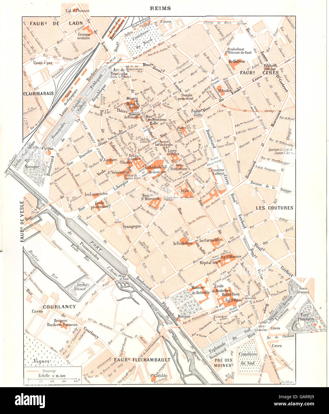 MARNE: Reims, 1900 antique map Stock Photohttps://www.alamy.com/image-license-details/?v=1https://www.alamy.com/stock-photo-marne-reims-1900-antique-map-109932209.html
RFGARRJ9–MARNE: Reims, 1900 antique map
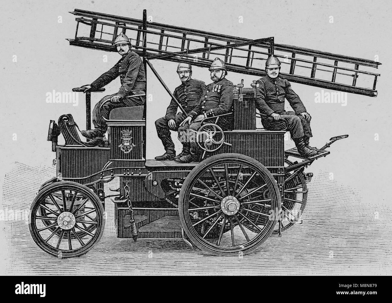 Electric material of the Paris Firemen, Van, Picture from the French weekly newspaper l'Illustration, 25th July 1900 Stock Photohttps://www.alamy.com/image-license-details/?v=1https://www.alamy.com/stock-photo-electric-material-of-the-paris-firemen-van-picture-from-the-french-177488397.html
RFM8N879–Electric material of the Paris Firemen, Van, Picture from the French weekly newspaper l'Illustration, 25th July 1900
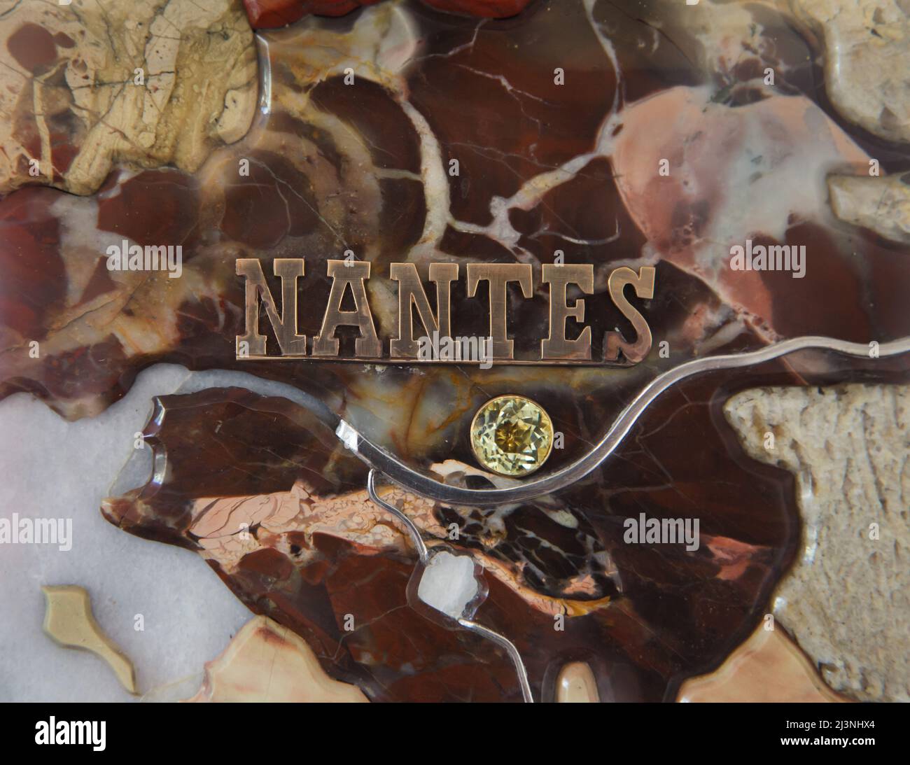 Nantes marked with a yellow precious stone and the Loire River marked with platinum on the detail of the stone mosaic map of France produced by Russian craftsmen on display at the Château de Compiègne in Compiègne, France. The mosaic map was made from Ural precious and semiprecious stones by Russian craftsmen led by craftsman Danila Zverev and engineer Vasily Mostovenko at the Imperial Lapidary Factory in Yekaterinburg, Russian Empire. The map was exhibited at the Exposition Universelle in Paris in 1900 and was gifted to the French state during the visit of Tsar Nicholas II of Russia to the C Stock Photohttps://www.alamy.com/image-license-details/?v=1https://www.alamy.com/nantes-marked-with-a-yellow-precious-stone-and-the-loire-river-marked-with-platinum-on-the-detail-of-the-stone-mosaic-map-of-france-produced-by-russian-craftsmen-on-display-at-the-chteau-de-compigne-in-compigne-france-the-mosaic-map-was-made-from-ural-precious-and-semiprecious-stones-by-russian-craftsmen-led-by-craftsman-danila-zverev-and-engineer-vasily-mostovenko-at-the-imperial-lapidary-factory-in-yekaterinburg-russian-empire-the-map-was-exhibited-at-the-exposition-universelle-in-paris-in-1900-and-was-gifted-to-the-french-state-during-the-visit-of-tsar-nicholas-ii-of-russia-to-the-c-image466998956.html
RM2J3NHX4–Nantes marked with a yellow precious stone and the Loire River marked with platinum on the detail of the stone mosaic map of France produced by Russian craftsmen on display at the Château de Compiègne in Compiègne, France. The mosaic map was made from Ural precious and semiprecious stones by Russian craftsmen led by craftsman Danila Zverev and engineer Vasily Mostovenko at the Imperial Lapidary Factory in Yekaterinburg, Russian Empire. The map was exhibited at the Exposition Universelle in Paris in 1900 and was gifted to the French state during the visit of Tsar Nicholas II of Russia to the C
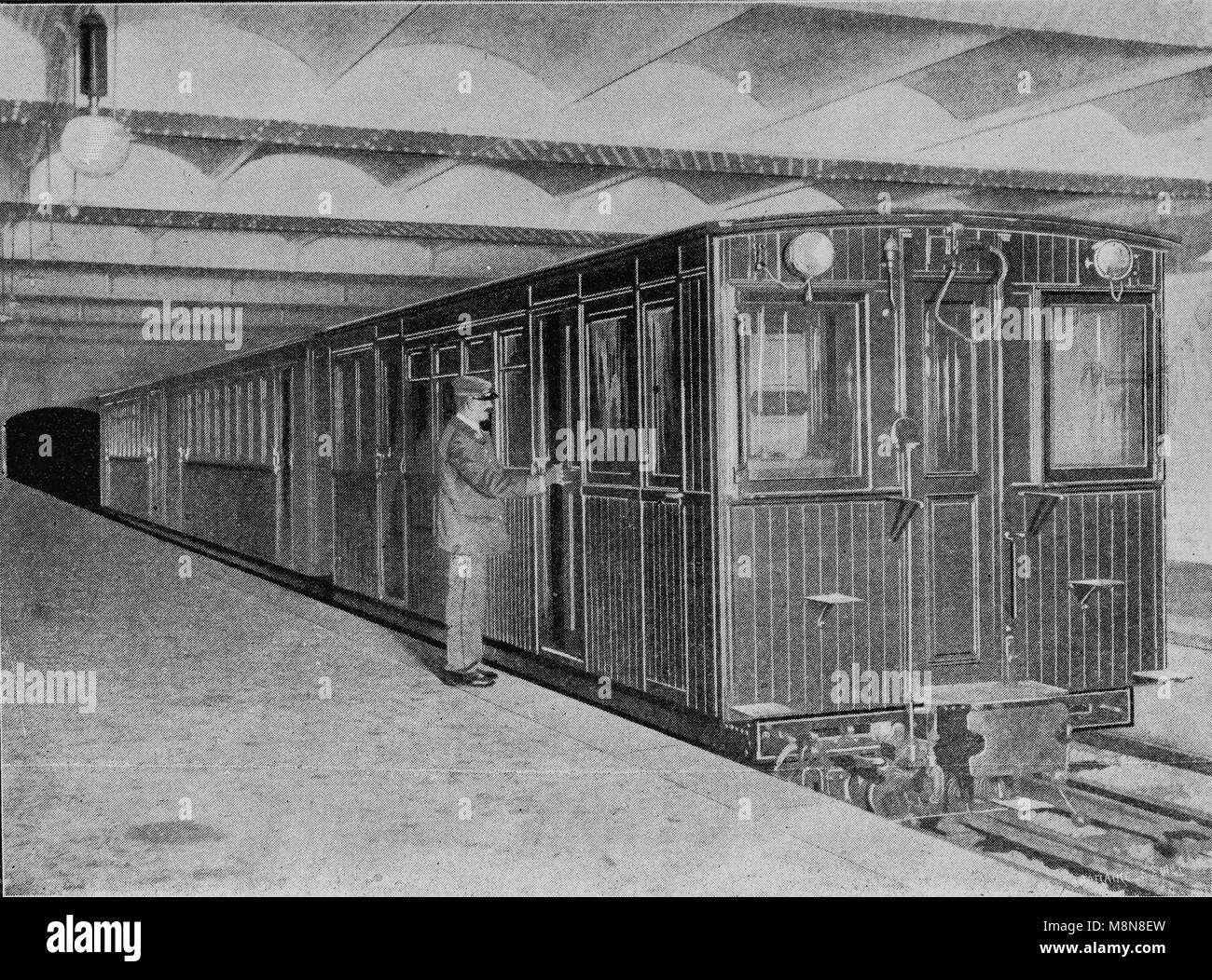 Palais Royal subway station, Paris, Picture from the French weekly newspaper l'Illustration, 14th July 1900 Stock Photohttps://www.alamy.com/image-license-details/?v=1https://www.alamy.com/stock-photo-palais-royal-subway-station-paris-picture-from-the-french-weekly-newspaper-177488609.html
RFM8N8EW–Palais Royal subway station, Paris, Picture from the French weekly newspaper l'Illustration, 14th July 1900
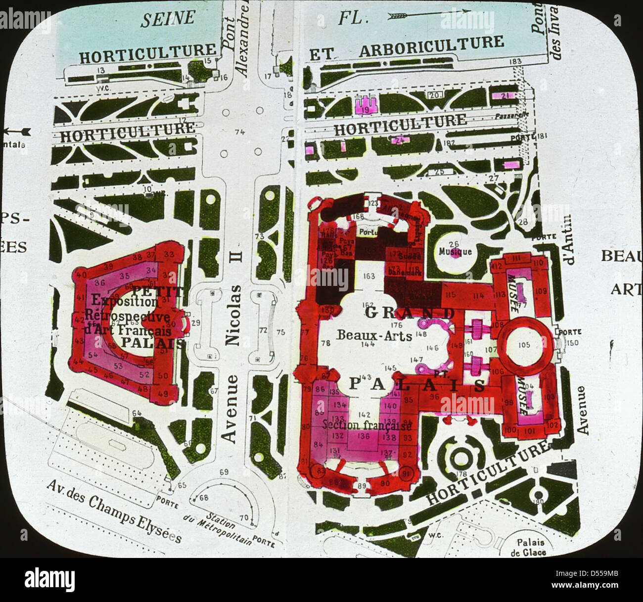 Paris Exposition: map, Paris, France, 1900 Stock Photohttps://www.alamy.com/image-license-details/?v=1https://www.alamy.com/stock-photo-paris-exposition-map-paris-france-1900-54821771.html
RMD559MB–Paris Exposition: map, Paris, France, 1900
 Grand Palais and Petit Palais, Exposition Universal, 1900, Paris, France Stock Photohttps://www.alamy.com/image-license-details/?v=1https://www.alamy.com/stock-image-grand-palais-and-petit-palais-exposition-universal-1900-paris-france-162787885.html
RMKCRHH1–Grand Palais and Petit Palais, Exposition Universal, 1900, Paris, France
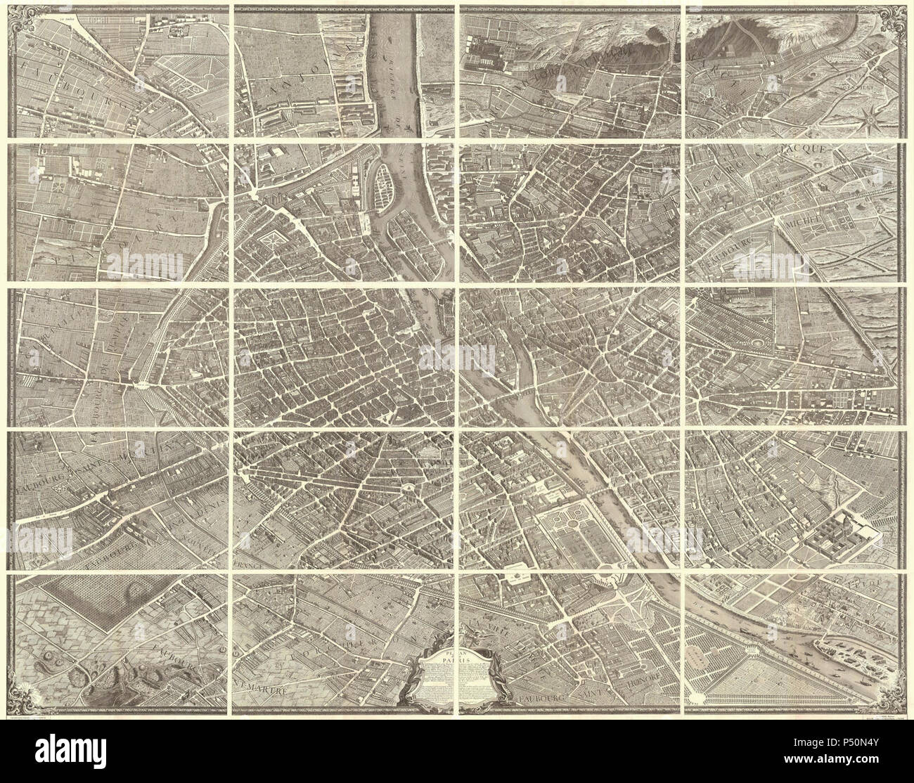 1739 Bretez - Turgot View and Map of Paris, France (c. 1900 Taride issue) - Geographicus - Paris-turgot-1900. Stock Photohttps://www.alamy.com/image-license-details/?v=1https://www.alamy.com/1739-bretez-turgot-view-and-map-of-paris-france-c-1900-taride-issue-geographicus-paris-turgot-1900-image209614299.html
RMP50N4Y–1739 Bretez - Turgot View and Map of Paris, France (c. 1900 Taride issue) - Geographicus - Paris-turgot-1900.
 1739, Bretez, Turgot View and Map of Paris, France, c. 1900 Stock Photohttps://www.alamy.com/image-license-details/?v=1https://www.alamy.com/stock-image-1739-bretez-turgot-view-and-map-of-paris-france-c-1900-162567570.html
RMKCDGGJ–1739, Bretez, Turgot View and Map of Paris, France, c. 1900
 1739 Bretez - Turgot View and Map of Paris, France (c. 1900 Taride issue) - Geographicus - Paris-turgot-1909. Stock Photohttps://www.alamy.com/image-license-details/?v=1https://www.alamy.com/1739-bretez-turgot-view-and-map-of-paris-france-c-1900-taride-issue-geographicus-paris-turgot-1909-image209614316.html
RMP50N5G–1739 Bretez - Turgot View and Map of Paris, France (c. 1900 Taride issue) - Geographicus - Paris-turgot-1909.
 Plan for the Trocadero and Universal Exhibition of 1900, Paris, 1900. Artist: G Rochet Stock Photohttps://www.alamy.com/image-license-details/?v=1https://www.alamy.com/stock-photo-plan-for-the-trocadero-and-universal-exhibition-of-1900-paris-1900-17639825.html
RMB0KFNN–Plan for the Trocadero and Universal Exhibition of 1900, Paris, 1900. Artist: G Rochet
 Kahn, Cécile. Fashion drawing (dummy title), 1900. Black ink, black pencil, white gouache on a map, Galliera palace, fashion museum of the city of Paris. Stock Photohttps://www.alamy.com/image-license-details/?v=1https://www.alamy.com/kahn-ccile-fashion-drawing-dummy-title-1900-black-ink-black-pencil-white-gouache-on-a-map-galliera-palace-fashion-museum-of-the-city-of-paris-image596841023.html
RM2WK0CPR–Kahn, Cécile. Fashion drawing (dummy title), 1900. Black ink, black pencil, white gouache on a map, Galliera palace, fashion museum of the city of Paris.
 Map of the Saint-Jacques and the surrounding area Alfred Bonnardot (1808-1884). Plan de la porte Saint-Jacques et ses environs. Crayon sur papier calque (dessin de gauche). Plume sur papier gris bleu (dessin de droite), 1801-1900. Paris, musée Carnavalet. Stock Photohttps://www.alamy.com/image-license-details/?v=1https://www.alamy.com/map-of-the-saint-jacques-and-the-surrounding-area-alfred-bonnardot-1808-1884-plan-de-la-porte-saint-jacques-et-ses-environs-crayon-sur-papier-calque-dessin-de-gauche-plume-sur-papier-gris-bleu-dessin-de-droite-1801-1900-paris-muse-carnavalet-image349745382.html
RM2B907PE–Map of the Saint-Jacques and the surrounding area Alfred Bonnardot (1808-1884). Plan de la porte Saint-Jacques et ses environs. Crayon sur papier calque (dessin de gauche). Plume sur papier gris bleu (dessin de droite), 1801-1900. Paris, musée Carnavalet.
 Bretez, Turgot View and Map of Paris, France, c. 1900. Reimagined by Gibon. Classic art with a modern twist reimagined Stock Photohttps://www.alamy.com/image-license-details/?v=1https://www.alamy.com/bretez-turgot-view-and-map-of-paris-france-c-1900-reimagined-by-gibon-classic-art-with-a-modern-twist-reimagined-image230062520.html
RFRA872G–Bretez, Turgot View and Map of Paris, France, c. 1900. Reimagined by Gibon. Classic art with a modern twist reimagined
 Illustration showing a plan of the exhibition area at the Champs du Mars, Paris for the Exposition Universelle of 1900. This was a fair held in Paris, France, from 14 April to 12 November 1900, to celebrate the achievements of the past century and to accelerate development into the next. Stock Photohttps://www.alamy.com/image-license-details/?v=1https://www.alamy.com/stock-photo-illustration-showing-a-plan-of-the-exhibition-area-at-the-champs-du-131281348.html
RMHHGAKG–Illustration showing a plan of the exhibition area at the Champs du Mars, Paris for the Exposition Universelle of 1900. This was a fair held in Paris, France, from 14 April to 12 November 1900, to celebrate the achievements of the past century and to accelerate development into the next.
 Parisian Subway Stock Photohttps://www.alamy.com/image-license-details/?v=1https://www.alamy.com/stock-photo-parisian-subway-28611190.html
RFBJF9T6–Parisian Subway
 London UK 07 November 2019 Katie McCurrach Gallery curator for the forthcoming W. E. B. Du Bois: Charting Black Lives, preparing some of the charts for the above exhibition that will open at House of Illustration on 8 November 2019 (until 1 March 2020). For the first time in the UK, it will display the complete set of 63 graphics shown at the 1900 Paris Exposition, produced by Du Bois and a team of African American students from his sociology laboratory at Atlanta University. Credit: Paul Quezada-Neiman/Alamy Live News Stock Photohttps://www.alamy.com/image-license-details/?v=1https://www.alamy.com/london-uk-07-november-2019-katie-mccurrach-gallery-curator-for-the-forthcoming-w-e-b-du-bois-charting-black-lives-preparing-some-of-the-charts-for-the-above-exhibition-that-will-open-at-house-of-illustration-on-8-november-2019-until-1-march-2020-for-the-first-time-in-the-uk-it-will-display-the-complete-set-of-63-graphics-shown-at-the-1900-paris-exposition-produced-by-du-bois-and-a-team-of-african-american-students-from-his-sociology-laboratory-at-atlanta-university-credit-paul-quezada-neimanalamy-live-news-image332097782.html
RM2A88A32–London UK 07 November 2019 Katie McCurrach Gallery curator for the forthcoming W. E. B. Du Bois: Charting Black Lives, preparing some of the charts for the above exhibition that will open at House of Illustration on 8 November 2019 (until 1 March 2020). For the first time in the UK, it will display the complete set of 63 graphics shown at the 1900 Paris Exposition, produced by Du Bois and a team of African American students from his sociology laboratory at Atlanta University. Credit: Paul Quezada-Neiman/Alamy Live News
 . Review of reviews and world's work. REGIONS DEVASTATED BY WAR, 1864-1900. (Map sent to the Paris Exposition by the International Association of the Red Cross.) November 20.—Charles H. Hoyt, theatrical managerand playwright, 39.. N. Stembel, GENERAL CHRISTIAN DE WET. (The Boer chieftain who lias proved to be the ablestleader against the British.) SOME CARTOONS OF THE DAY AFTER ELECTION. Stock Photohttps://www.alamy.com/image-license-details/?v=1https://www.alamy.com/review-of-reviews-and-worlds-work-regions-devastated-by-war-1864-1900-map-sent-to-the-paris-exposition-by-the-international-association-of-the-red-cross-november-20charles-h-hoyt-theatrical-managerand-playwright-39-n-stembel-general-christian-de-wet-the-boer-chieftain-who-lias-proved-to-be-the-ablestleader-against-the-british-some-cartoons-of-the-day-after-election-image336973508.html
RM2AG6D44–. Review of reviews and world's work. REGIONS DEVASTATED BY WAR, 1864-1900. (Map sent to the Paris Exposition by the International Association of the Red Cross.) November 20.—Charles H. Hoyt, theatrical managerand playwright, 39.. N. Stembel, GENERAL CHRISTIAN DE WET. (The Boer chieftain who lias proved to be the ablestleader against the British.) SOME CARTOONS OF THE DAY AFTER ELECTION.
 . Nouveau Paris Monumental itineraire Pratique de L’Etranger Dans Paris. English: This rare c. 1900 pocket map of Paris, France, combines the virtues of a map and a view. Covers the old walled city of Paris and surrounding areas. Paris proper is colored in appealing pastels and exhibits more “map-like” qualities in the layout of the streets, trains, and bridges. Important buildings and monuments are shown in profile. These include the Eiffel Tower, The Arc de Triomphe and the Opera, among hundreds of others. The regions outside the walled city are mostly in view format, with a horizon in at t Stock Photohttps://www.alamy.com/image-license-details/?v=1https://www.alamy.com/nouveau-paris-monumental-itineraire-pratique-de-letranger-dans-paris-english-this-rare-c-1900-pocket-map-of-paris-france-combines-the-virtues-of-a-map-and-a-view-covers-the-old-walled-city-of-paris-and-surrounding-areas-paris-proper-is-colored-in-appealing-pastels-and-exhibits-more-map-like-qualities-in-the-layout-of-the-streets-trains-and-bridges-important-buildings-and-monuments-are-shown-in-profile-these-include-the-eiffel-tower-the-arc-de-triomphe-and-the-opera-among-hundreds-of-others-the-regions-outside-the-walled-city-are-mostly-in-view-format-with-a-horizon-in-at-t-image188135652.html
RMMX28XC–. Nouveau Paris Monumental itineraire Pratique de L’Etranger Dans Paris. English: This rare c. 1900 pocket map of Paris, France, combines the virtues of a map and a view. Covers the old walled city of Paris and surrounding areas. Paris proper is colored in appealing pastels and exhibits more “map-like” qualities in the layout of the streets, trains, and bridges. Important buildings and monuments are shown in profile. These include the Eiffel Tower, The Arc de Triomphe and the Opera, among hundreds of others. The regions outside the walled city are mostly in view format, with a horizon in at t
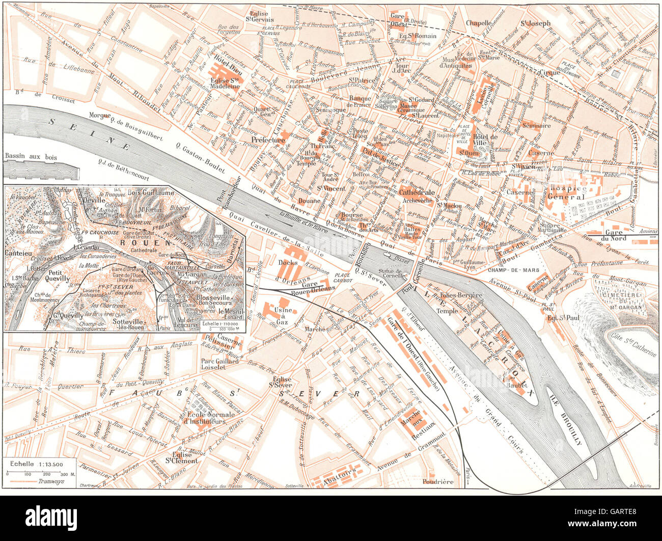 SEINE- MARITIME: Rouen (1) , 1900 antique map Stock Photohttps://www.alamy.com/image-license-details/?v=1https://www.alamy.com/stock-photo-seine-maritime-rouen-1-1900-antique-map-109932880.html
RFGARTE8–SEINE- MARITIME: Rouen (1) , 1900 antique map
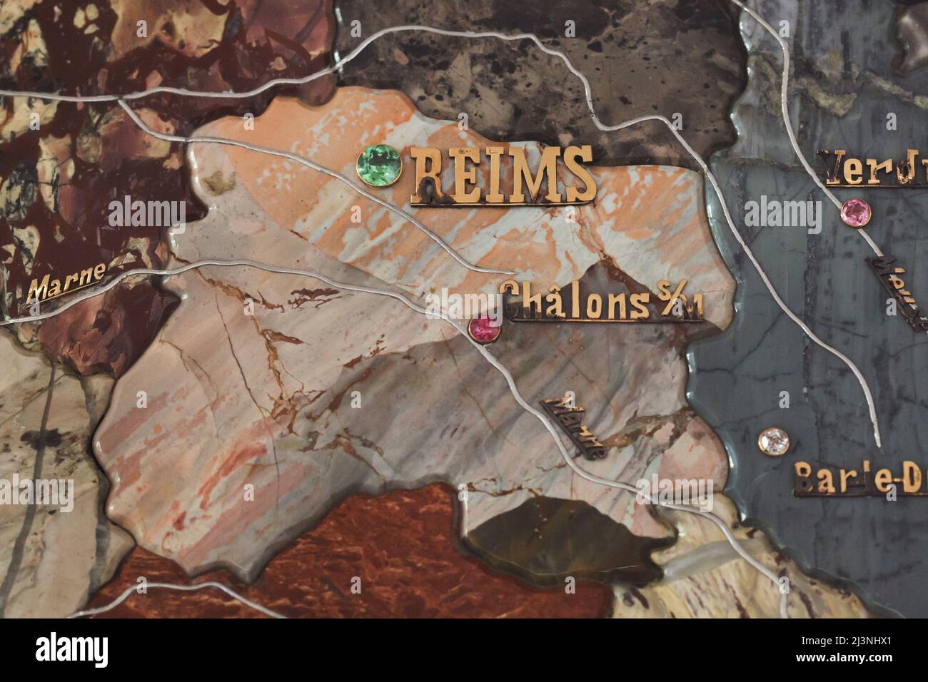 Reims marked with a green precious stone and the Marne River marked with platinum on the detail of the stone mosaic map of France produced by Russian craftsmen on display at the Château de Compiègne in Compiègne, France. The mosaic map was made from Ural precious and semiprecious stones by Russian craftsmen led by craftsman Danila Zverev and engineer Vasily Mostovenko at the Imperial Lapidary Factory in Yekaterinburg, Russian Empire. The map was exhibited at the Exposition Universelle in Paris in 1900 and was gifted to the French state during the visit of Tsar Nicholas II of Russia to the Châ Stock Photohttps://www.alamy.com/image-license-details/?v=1https://www.alamy.com/reims-marked-with-a-green-precious-stone-and-the-marne-river-marked-with-platinum-on-the-detail-of-the-stone-mosaic-map-of-france-produced-by-russian-craftsmen-on-display-at-the-chteau-de-compigne-in-compigne-france-the-mosaic-map-was-made-from-ural-precious-and-semiprecious-stones-by-russian-craftsmen-led-by-craftsman-danila-zverev-and-engineer-vasily-mostovenko-at-the-imperial-lapidary-factory-in-yekaterinburg-russian-empire-the-map-was-exhibited-at-the-exposition-universelle-in-paris-in-1900-and-was-gifted-to-the-french-state-during-the-visit-of-tsar-nicholas-ii-of-russia-to-the-ch-image466998953.html
RM2J3NHX1–Reims marked with a green precious stone and the Marne River marked with platinum on the detail of the stone mosaic map of France produced by Russian craftsmen on display at the Château de Compiègne in Compiègne, France. The mosaic map was made from Ural precious and semiprecious stones by Russian craftsmen led by craftsman Danila Zverev and engineer Vasily Mostovenko at the Imperial Lapidary Factory in Yekaterinburg, Russian Empire. The map was exhibited at the Exposition Universelle in Paris in 1900 and was gifted to the French state during the visit of Tsar Nicholas II of Russia to the Châ
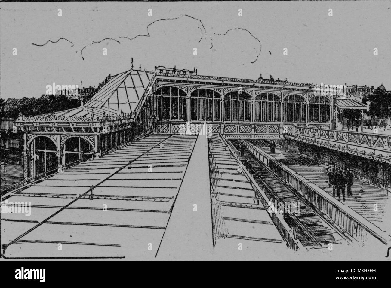 La Bastille subway station, Paris, Picture from the French weekly newspaper l'Illustration, 14th July 1900 Stock Photohttps://www.alamy.com/image-license-details/?v=1https://www.alamy.com/stock-photo-la-bastille-subway-station-paris-picture-from-the-french-weekly-newspaper-177488604.html
RFM8N8EM–La Bastille subway station, Paris, Picture from the French weekly newspaper l'Illustration, 14th July 1900
 Paris Exposition: map, Paris, France, 1900 Stock Photohttps://www.alamy.com/image-license-details/?v=1https://www.alamy.com/stock-photo-paris-exposition-map-paris-france-1900-54824212.html
RMD55CRG–Paris Exposition: map, Paris, France, 1900
 Ancient Paris, Palais of the Land and Sea Forces, Exposition Universelle, Paris, France, 1900 Stock Photohttps://www.alamy.com/image-license-details/?v=1https://www.alamy.com/stock-image-ancient-paris-palais-of-the-land-and-sea-forces-exposition-universelle-162787886.html
RMKCRHH2–Ancient Paris, Palais of the Land and Sea Forces, Exposition Universelle, Paris, France, 1900
