Quick filters:
Map of pearl mississippi Stock Photos and Images
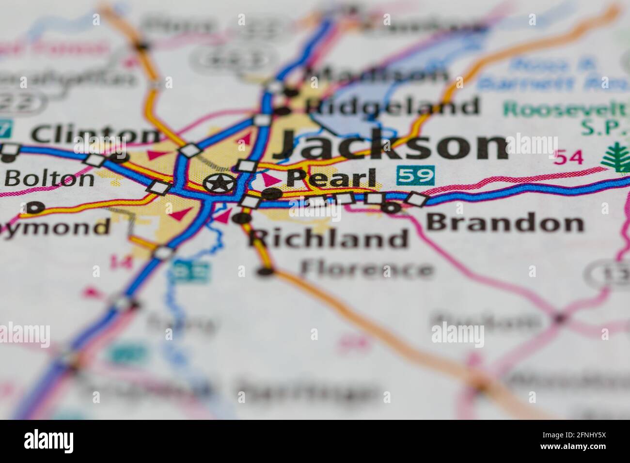 Pearl Mississippi USA shown on a Geography map or road map Stock Photohttps://www.alamy.com/image-license-details/?v=1https://www.alamy.com/pearl-mississippi-usa-shown-on-a-geography-map-or-road-map-image426351126.html
RM2FNHY5X–Pearl Mississippi USA shown on a Geography map or road map
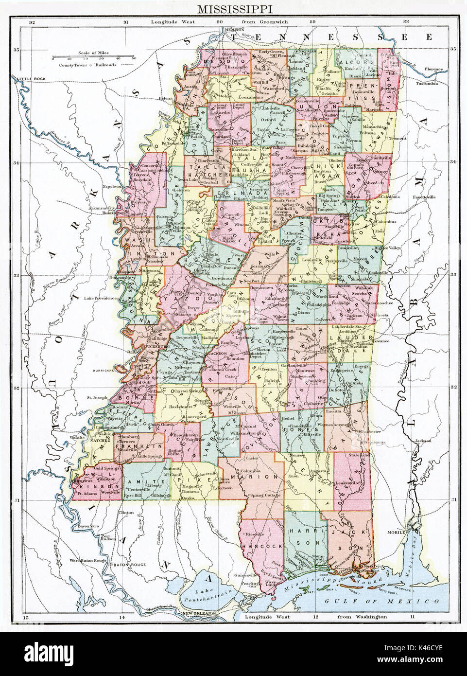 Antique map, circa 1875, of Mississippi Stock Photohttps://www.alamy.com/image-license-details/?v=1https://www.alamy.com/antique-map-circa-1875-of-mississippi-image157493826.html
RMK46CYE–Antique map, circa 1875, of Mississippi
 Pearl River map turtle (Graptemys pearlensis) the Bogue Chitto River, Mississippi, USA. July. Meetyourneighbours.net project Stock Photohttps://www.alamy.com/image-license-details/?v=1https://www.alamy.com/pearl-river-map-turtle-graptemys-pearlensis-the-bogue-chitto-river-mississippi-usa-july-meetyourneighboursnet-project-image357417157.html
RM2BNDN6D–Pearl River map turtle (Graptemys pearlensis) the Bogue Chitto River, Mississippi, USA. July. Meetyourneighbours.net project
 Pearl, Simpson County, US, United States, Mississippi, N 32 0' 7'', S 90 11' 56'', map, Cartascapes Map published in 2024. Explore Cartascapes, a map revealing Earth's diverse landscapes, cultures, and ecosystems. Journey through time and space, discovering the interconnectedness of our planet's past, present, and future. Stock Photohttps://www.alamy.com/image-license-details/?v=1https://www.alamy.com/pearl-simpson-county-us-united-states-mississippi-n-32-0-7-s-90-11-56-map-cartascapes-map-published-in-2024-explore-cartascapes-a-map-revealing-earths-diverse-landscapes-cultures-and-ecosystems-journey-through-time-and-space-discovering-the-interconnectedness-of-our-planets-past-present-and-future-image621227273.html
RM2Y2K9M9–Pearl, Simpson County, US, United States, Mississippi, N 32 0' 7'', S 90 11' 56'', map, Cartascapes Map published in 2024. Explore Cartascapes, a map revealing Earth's diverse landscapes, cultures, and ecosystems. Journey through time and space, discovering the interconnectedness of our planet's past, present, and future.
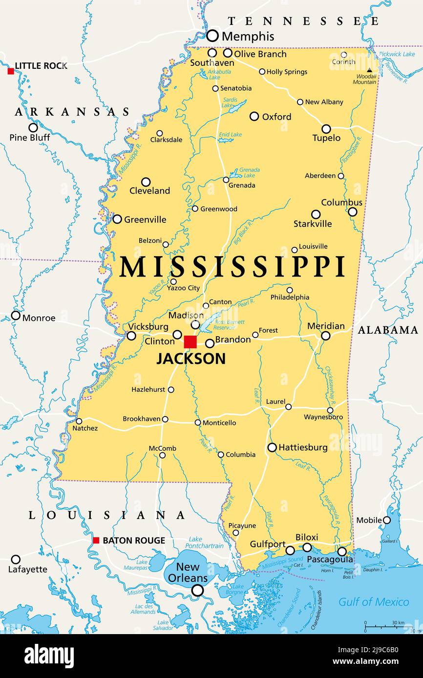 Mississippi, MS, political map, with capital Jackson, important cities, rivers and lakes. State in the Southeastern region of the United States. Stock Photohttps://www.alamy.com/image-license-details/?v=1https://www.alamy.com/mississippi-ms-political-map-with-capital-jackson-important-cities-rivers-and-lakes-state-in-the-southeastern-region-of-the-united-states-image470480276.html
RF2J9C6B0–Mississippi, MS, political map, with capital Jackson, important cities, rivers and lakes. State in the Southeastern region of the United States.
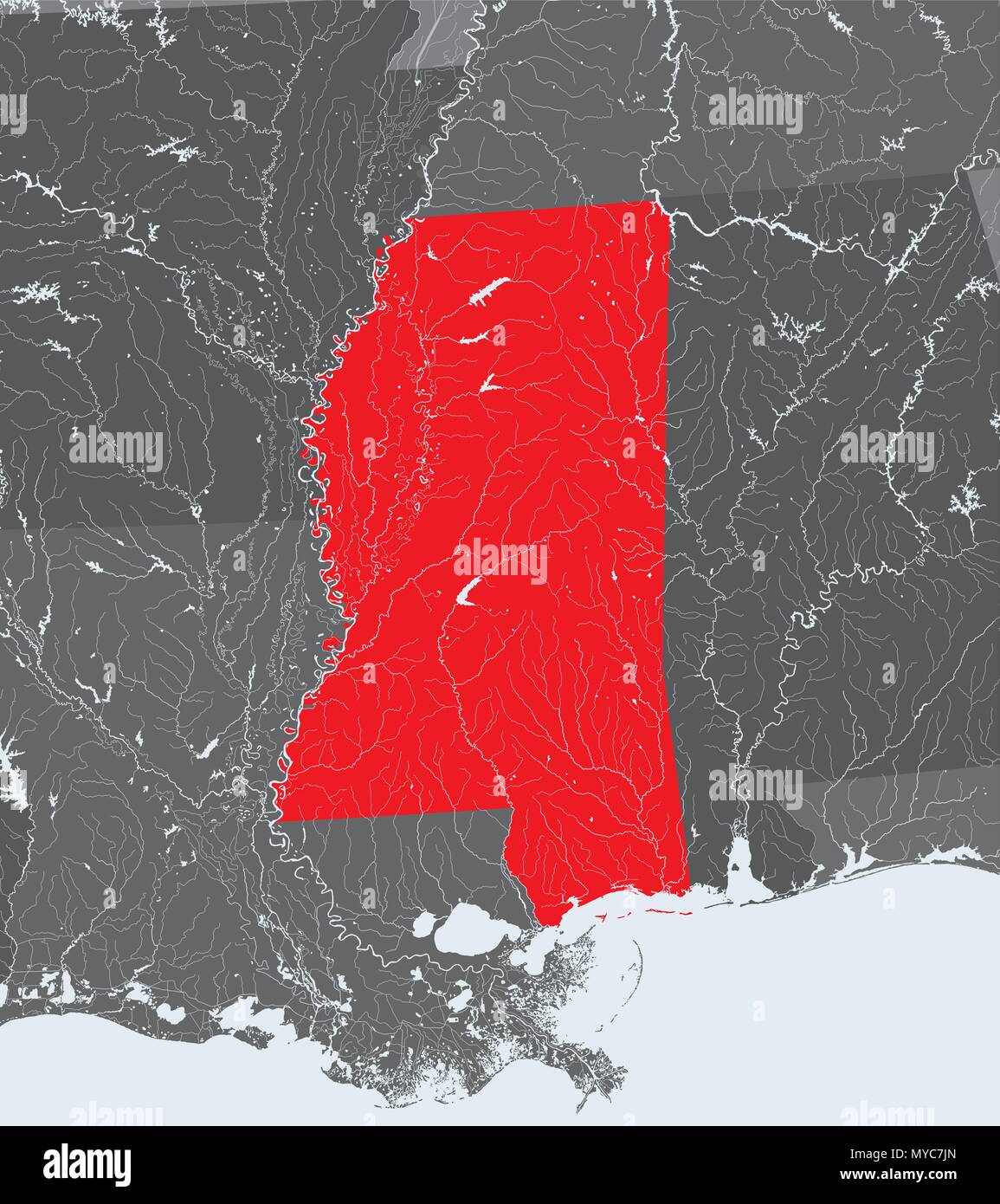 U.S. states - map of Mississippi. Hand made. Rivers and lakes are shown. Please look at my other images of cartographic series - they are all very det Stock Vectorhttps://www.alamy.com/image-license-details/?v=1https://www.alamy.com/us-states-map-of-mississippi-hand-made-rivers-and-lakes-are-shown-please-look-at-my-other-images-of-cartographic-series-they-are-all-very-det-image188968829.html
RFMYC7JN–U.S. states - map of Mississippi. Hand made. Rivers and lakes are shown. Please look at my other images of cartographic series - they are all very det
 (Map of the Rigolet and the mouth of the Pearl River, Louisiana and Mississippi). LOC 2013585063. Stock Photohttps://www.alamy.com/image-license-details/?v=1https://www.alamy.com/map-of-the-rigolet-and-the-mouth-of-the-pearl-river-louisiana-and-mississippi-loc-2013585063-image207961003.html
RMP29CAK–(Map of the Rigolet and the mouth of the Pearl River, Louisiana and Mississippi). LOC 2013585063.
 SEATTLE -SEP 11, 2022 - This hand-colored map depicts the state of louisiana as it was in 1818, showing parish boundaries and settlements Stock Photohttps://www.alamy.com/image-license-details/?v=1https://www.alamy.com/seattle-sep-11-2022-this-hand-colored-map-depicts-the-state-of-louisiana-as-it-was-in-1818-showing-parish-boundaries-and-settlements-image626238632.html
RM2YARHNC–SEATTLE -SEP 11, 2022 - This hand-colored map depicts the state of louisiana as it was in 1818, showing parish boundaries and settlements
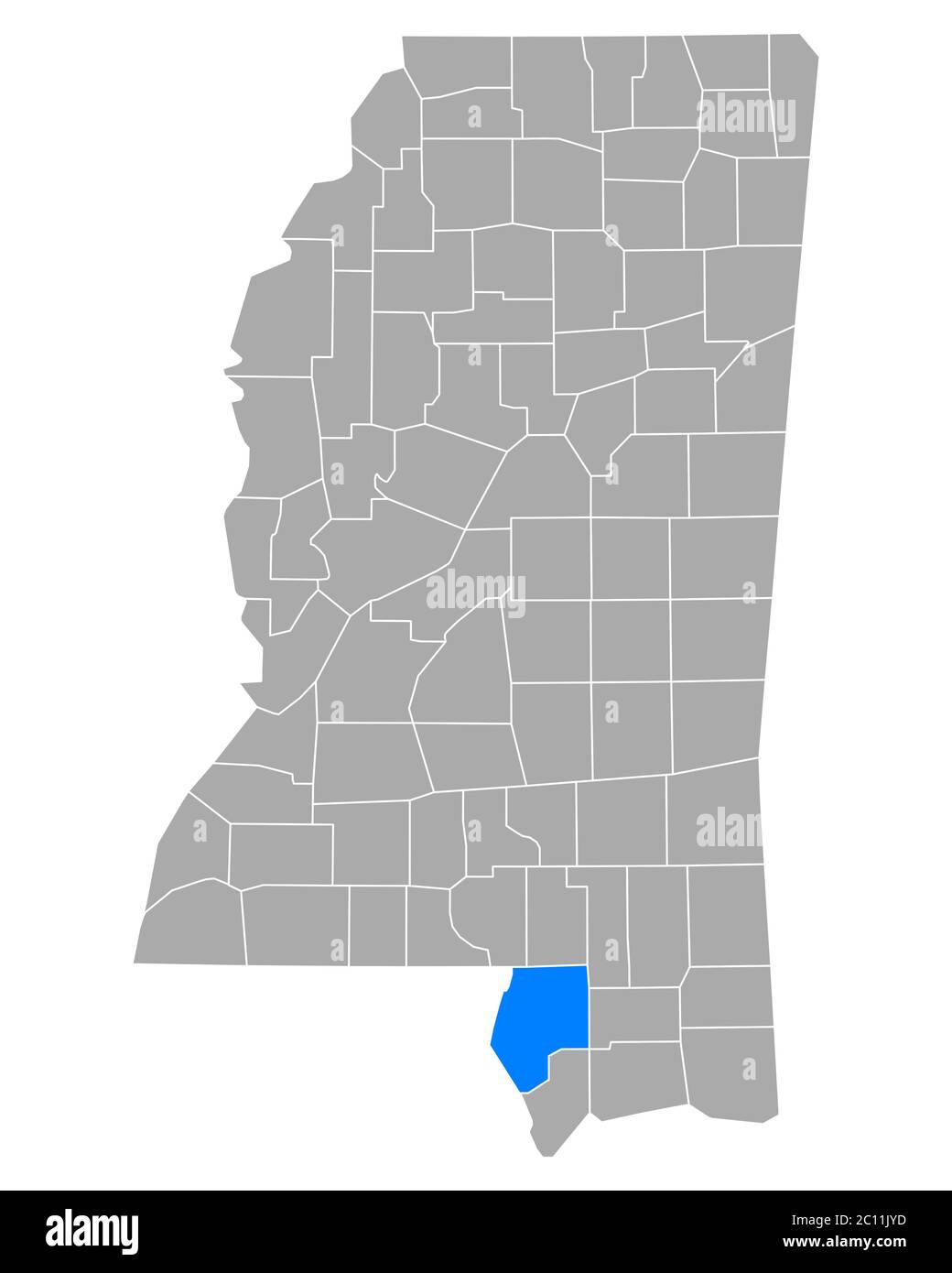 Map of Pearl River in Mississippi Stock Photohttps://www.alamy.com/image-license-details/?v=1https://www.alamy.com/map-of-pearl-river-in-mississippi-image362069217.html
RF2C11JYD–Map of Pearl River in Mississippi
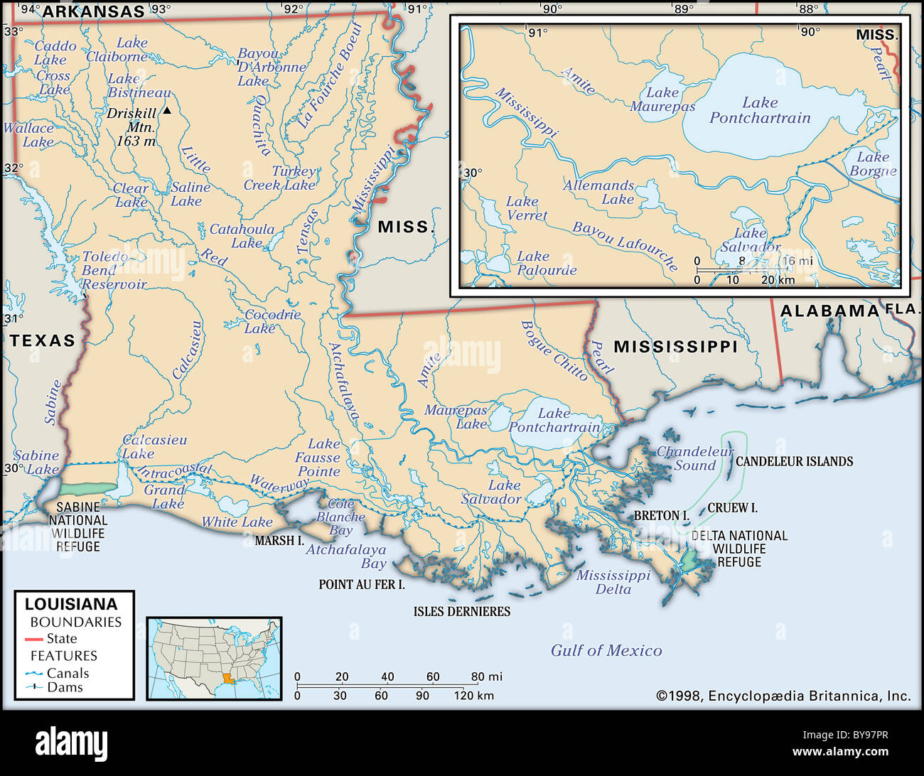 Physical map of Louisiana Stock Photohttps://www.alamy.com/image-license-details/?v=1https://www.alamy.com/stock-photo-physical-map-of-louisiana-34009775.html
RMBY97PR–Physical map of Louisiana
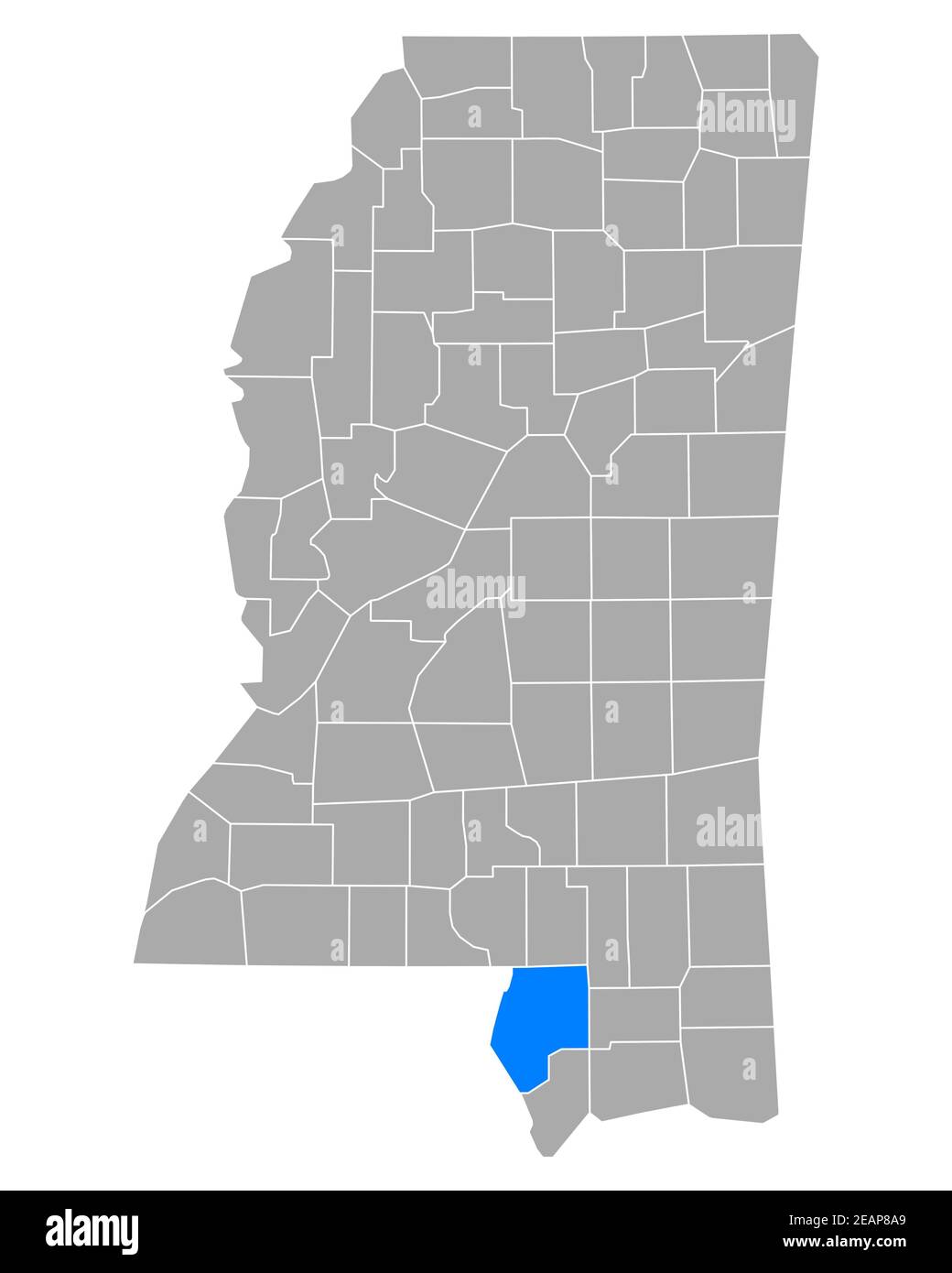 Map of Pearl River in Mississippi Stock Photohttps://www.alamy.com/image-license-details/?v=1https://www.alamy.com/map-of-pearl-river-in-mississippi-image402474529.html
RF2EAP8A9–Map of Pearl River in Mississippi
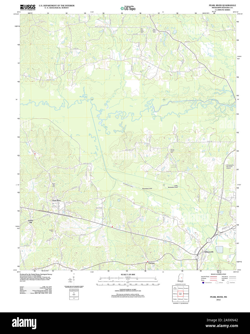 USGS TOPO Map Mississippi MS Pearl River 20120508 TM Restoration Stock Photohttps://www.alamy.com/image-license-details/?v=1https://www.alamy.com/usgs-topo-map-mississippi-ms-pearl-river-20120508-tm-restoration-image333116226.html
RM2A9XN42–USGS TOPO Map Mississippi MS Pearl River 20120508 TM Restoration
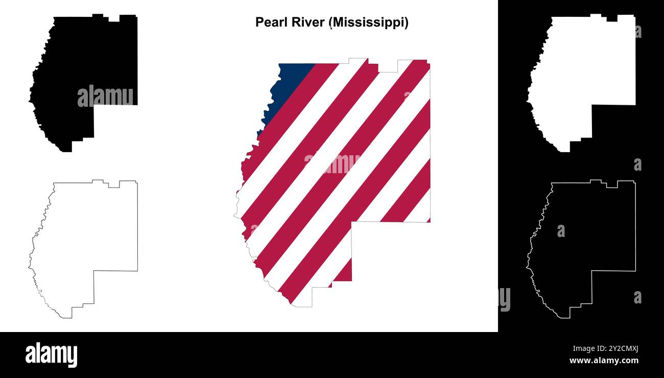 Pearl River County (Mississippi) outline map set Stock Vectorhttps://www.alamy.com/image-license-details/?v=1https://www.alamy.com/pearl-river-county-mississippi-outline-map-set-image621082410.html
RF2Y2CMXJ–Pearl River County (Mississippi) outline map set
 Pearl River County, Mississippi (U.S. county, United States of America, USA, U.S., US) map vector illustration, scribble sketch Pearl River map Stock Vectorhttps://www.alamy.com/image-license-details/?v=1https://www.alamy.com/pearl-river-county-mississippi-us-county-united-states-of-america-usa-us-us-map-vector-illustration-scribble-sketch-pearl-river-map-image390452767.html
RF2DK6JDK–Pearl River County, Mississippi (U.S. county, United States of America, USA, U.S., US) map vector illustration, scribble sketch Pearl River map
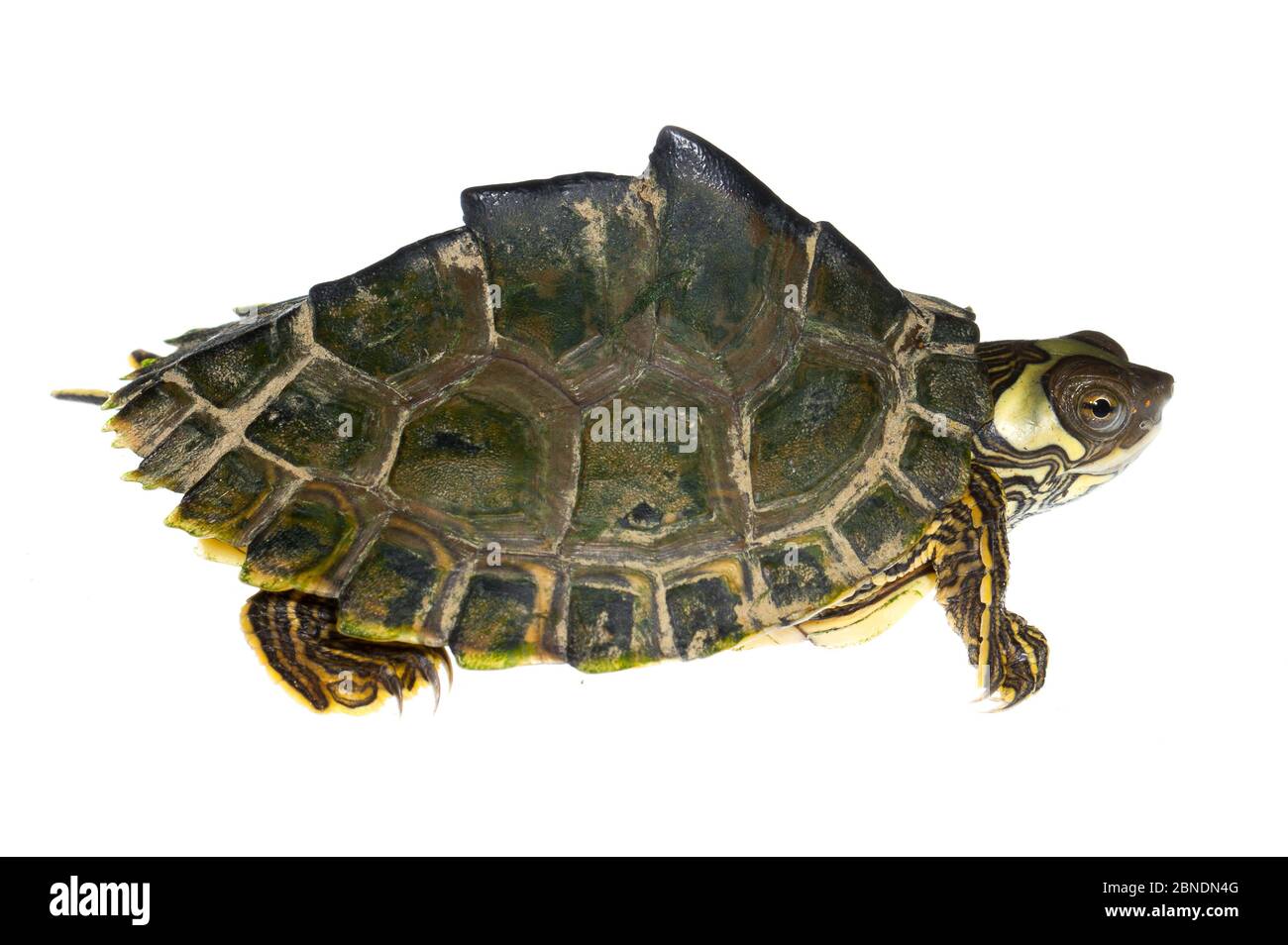 Pearl River map turtle (Graptemys pearlensis) the Bogue Chitto River, Mississippi, USA. July. Meetyourneighbours.net project Stock Photohttps://www.alamy.com/image-license-details/?v=1https://www.alamy.com/pearl-river-map-turtle-graptemys-pearlensis-the-bogue-chitto-river-mississippi-usa-july-meetyourneighboursnet-project-image357417104.html
RM2BNDN4G–Pearl River map turtle (Graptemys pearlensis) the Bogue Chitto River, Mississippi, USA. July. Meetyourneighbours.net project
 Pearl, Rankin County, US, United States, Mississippi, N 32 16' 28'', S 90 7' 55'', map, Cartascapes Map published in 2024. Explore Cartascapes, a map revealing Earth's diverse landscapes, cultures, and ecosystems. Journey through time and space, discovering the interconnectedness of our planet's past, present, and future. Stock Photohttps://www.alamy.com/image-license-details/?v=1https://www.alamy.com/pearl-rankin-county-us-united-states-mississippi-n-32-16-28-s-90-7-55-map-cartascapes-map-published-in-2024-explore-cartascapes-a-map-revealing-earths-diverse-landscapes-cultures-and-ecosystems-journey-through-time-and-space-discovering-the-interconnectedness-of-our-planets-past-present-and-future-image621235386.html
RM2Y2KM22–Pearl, Rankin County, US, United States, Mississippi, N 32 16' 28'', S 90 7' 55'', map, Cartascapes Map published in 2024. Explore Cartascapes, a map revealing Earth's diverse landscapes, cultures, and ecosystems. Journey through time and space, discovering the interconnectedness of our planet's past, present, and future.
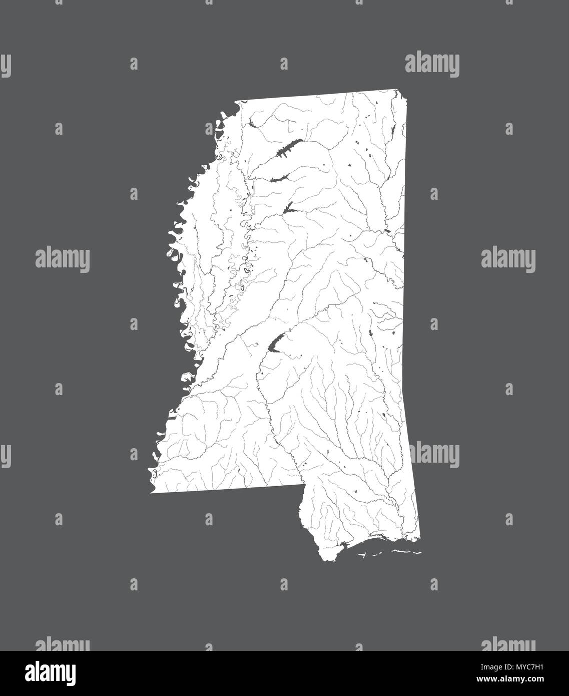 U.S. states - map of Mississippi. Hand made. Rivers and lakes are shown. Please look at my other images of cartographic series - they are all very det Stock Vectorhttps://www.alamy.com/image-license-details/?v=1https://www.alamy.com/us-states-map-of-mississippi-hand-made-rivers-and-lakes-are-shown-please-look-at-my-other-images-of-cartographic-series-they-are-all-very-det-image188968781.html
RFMYC7H1–U.S. states - map of Mississippi. Hand made. Rivers and lakes are shown. Please look at my other images of cartographic series - they are all very det
 Map of Pearl River in Mississippi Stock Photohttps://www.alamy.com/image-license-details/?v=1https://www.alamy.com/map-of-pearl-river-in-mississippi-image361479734.html
RF2C02R2E–Map of Pearl River in Mississippi
 Map of Pearl River in Mississippi Stock Photohttps://www.alamy.com/image-license-details/?v=1https://www.alamy.com/map-of-pearl-river-in-mississippi-image443925843.html
RF2GP6FXB–Map of Pearl River in Mississippi
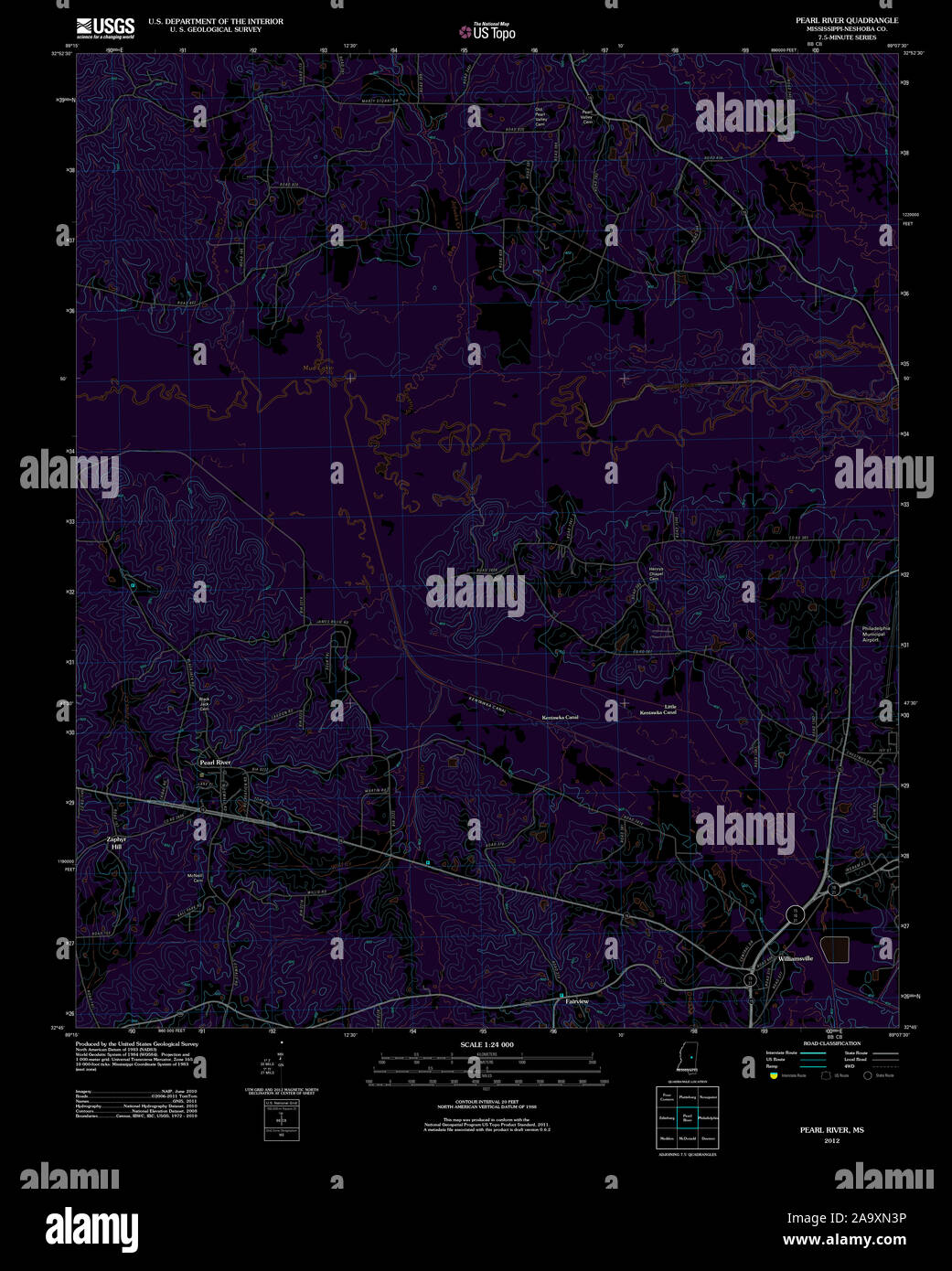 USGS TOPO Map Mississippi MS Pearl River 20120508 TM Inverted Restoration Stock Photohttps://www.alamy.com/image-license-details/?v=1https://www.alamy.com/usgs-topo-map-mississippi-ms-pearl-river-20120508-tm-inverted-restoration-image333116218.html
RM2A9XN3P–USGS TOPO Map Mississippi MS Pearl River 20120508 TM Inverted Restoration
 Pearl River County, Mississippi (U.S. county, United States of America, USA, U.S., US) map vector illustration, scribble sketch Pearl River map Stock Vectorhttps://www.alamy.com/image-license-details/?v=1https://www.alamy.com/pearl-river-county-mississippi-us-county-united-states-of-america-usa-us-us-map-vector-illustration-scribble-sketch-pearl-river-map-image386355977.html
RF2DCG0YN–Pearl River County, Mississippi (U.S. county, United States of America, USA, U.S., US) map vector illustration, scribble sketch Pearl River map
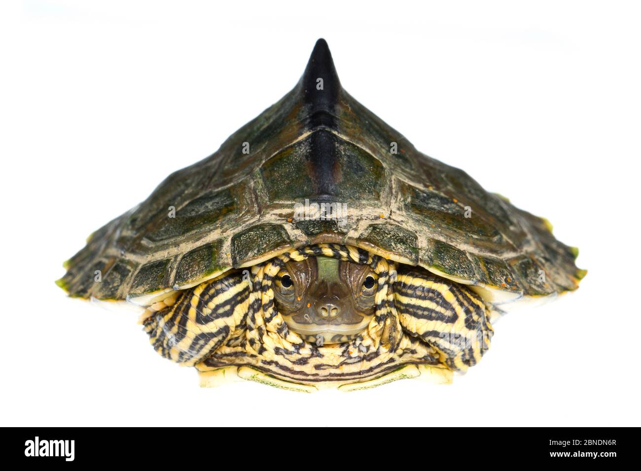 Pearl River map turtle (Graptemys pearlensis) the Bogue Chitto River, Mississippi, USA. July. Meetyourneighbours.net project Stock Photohttps://www.alamy.com/image-license-details/?v=1https://www.alamy.com/pearl-river-map-turtle-graptemys-pearlensis-the-bogue-chitto-river-mississippi-usa-july-meetyourneighboursnet-project-image357417167.html
RM2BNDN6R–Pearl River map turtle (Graptemys pearlensis) the Bogue Chitto River, Mississippi, USA. July. Meetyourneighbours.net project
 Pearl, Rankin County, US, United States, Mississippi, N 32 16' 28'', S 90 7' 55'', map, Cartascapes Map published in 2024. Explore Cartascapes, a map revealing Earth's diverse landscapes, cultures, and ecosystems. Journey through time and space, discovering the interconnectedness of our planet's past, present, and future. Stock Photohttps://www.alamy.com/image-license-details/?v=1https://www.alamy.com/pearl-rankin-county-us-united-states-mississippi-n-32-16-28-s-90-7-55-map-cartascapes-map-published-in-2024-explore-cartascapes-a-map-revealing-earths-diverse-landscapes-cultures-and-ecosystems-journey-through-time-and-space-discovering-the-interconnectedness-of-our-planets-past-present-and-future-image621308235.html
RM2Y2R0YR–Pearl, Rankin County, US, United States, Mississippi, N 32 16' 28'', S 90 7' 55'', map, Cartascapes Map published in 2024. Explore Cartascapes, a map revealing Earth's diverse landscapes, cultures, and ecosystems. Journey through time and space, discovering the interconnectedness of our planet's past, present, and future.
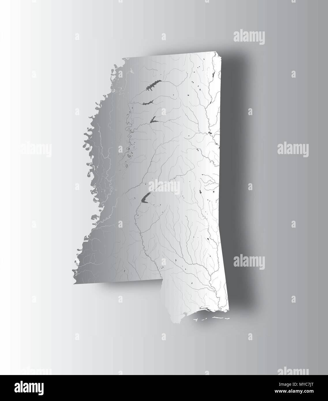 U.S. states - map of Mississippi with paper cut effect. Hand made. Rivers and lakes are shown. Please look at my other images of cartographic series - Stock Vectorhttps://www.alamy.com/image-license-details/?v=1https://www.alamy.com/us-states-map-of-mississippi-with-paper-cut-effect-hand-made-rivers-and-lakes-are-shown-please-look-at-my-other-images-of-cartographic-series-image188968832.html
RFMYC7JT–U.S. states - map of Mississippi with paper cut effect. Hand made. Rivers and lakes are shown. Please look at my other images of cartographic series -
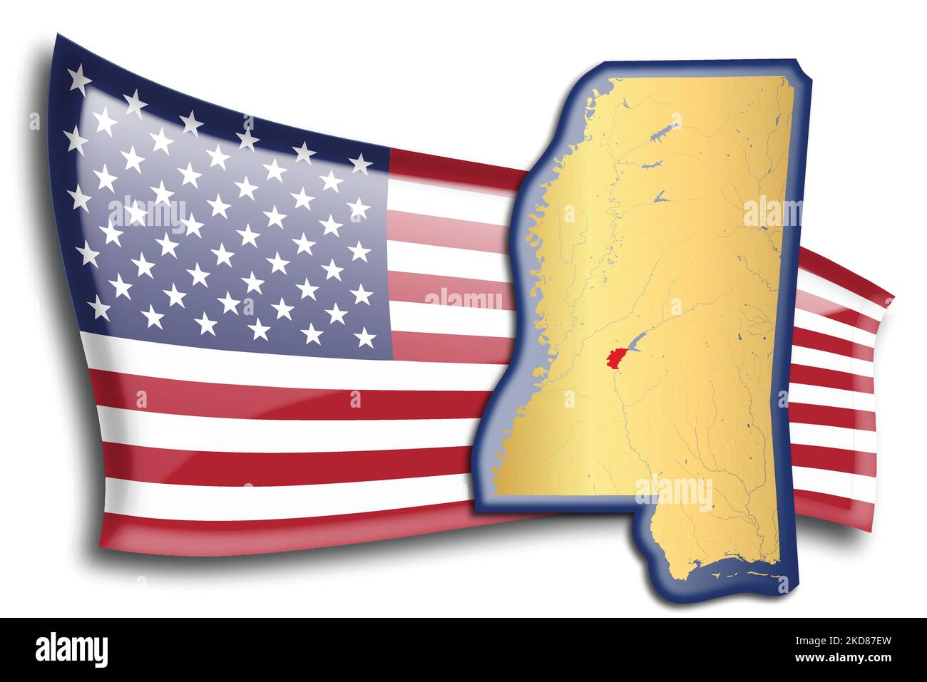 U.S. states - map of Mississippi against an American flag. Rivers and lakes are shown on the map. American Flag and State Map can be used separately a Stock Vectorhttps://www.alamy.com/image-license-details/?v=1https://www.alamy.com/us-states-map-of-mississippi-against-an-american-flag-rivers-and-lakes-are-shown-on-the-map-american-flag-and-state-map-can-be-used-separately-a-image490062353.html
RF2KD87EW–U.S. states - map of Mississippi against an American flag. Rivers and lakes are shown on the map. American Flag and State Map can be used separately a
 Map of Pearl River in Mississippi Stock Photohttps://www.alamy.com/image-license-details/?v=1https://www.alamy.com/map-of-pearl-river-in-mississippi-image360928457.html
RF2BY5KX1–Map of Pearl River in Mississippi
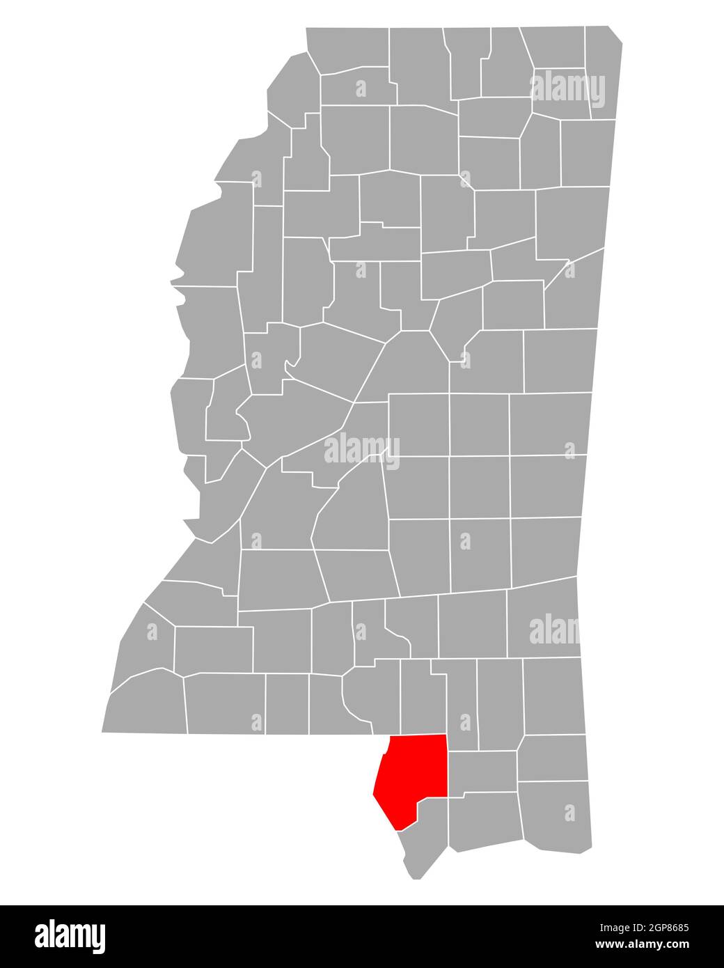 Map of Pearl River in Mississippi Stock Photohttps://www.alamy.com/image-license-details/?v=1https://www.alamy.com/map-of-pearl-river-in-mississippi-image443962181.html
RF2GP8685–Map of Pearl River in Mississippi
 USGS TOPO Map Mississippi MS Pearl River 336260 1972 24000 Restoration Stock Photohttps://www.alamy.com/image-license-details/?v=1https://www.alamy.com/usgs-topo-map-mississippi-ms-pearl-river-336260-1972-24000-restoration-image333116318.html
RM2A9XN7A–USGS TOPO Map Mississippi MS Pearl River 336260 1972 24000 Restoration
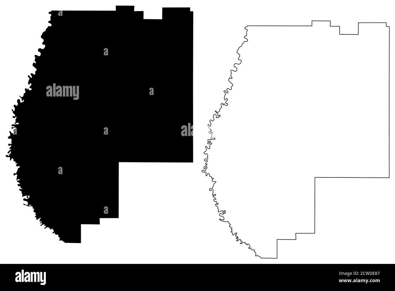 Pearl River County, Mississippi (U.S. county, United States of America, USA, U.S., US) map vector illustration, scribble sketch Pearl River map Stock Vectorhttps://www.alamy.com/image-license-details/?v=1https://www.alamy.com/pearl-river-county-mississippi-us-county-united-states-of-america-usa-us-us-map-vector-illustration-scribble-sketch-pearl-river-map-image377080711.html
RF2CWDE87–Pearl River County, Mississippi (U.S. county, United States of America, USA, U.S., US) map vector illustration, scribble sketch Pearl River map
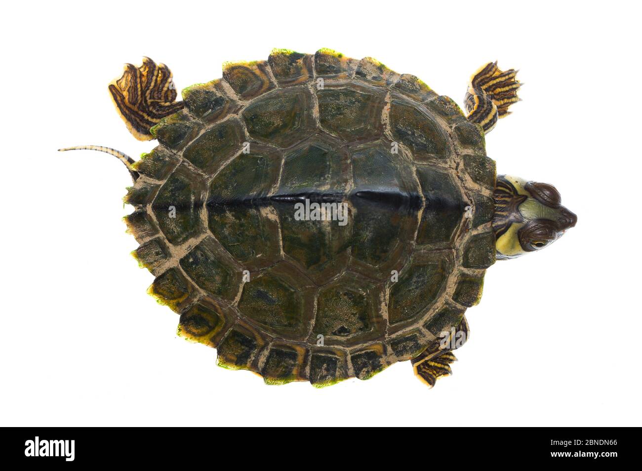 Pearl River map turtle (Graptemys pearlensis) the Bogue Chitto River, Mississippi, USA. July. Meetyourneighbours.net project Stock Photohttps://www.alamy.com/image-license-details/?v=1https://www.alamy.com/pearl-river-map-turtle-graptemys-pearlensis-the-bogue-chitto-river-mississippi-usa-july-meetyourneighboursnet-project-image357417150.html
RM2BNDN66–Pearl River map turtle (Graptemys pearlensis) the Bogue Chitto River, Mississippi, USA. July. Meetyourneighbours.net project
 Picayune, Pearl River County, US, United States, Mississippi, N 30 31' 32'', S 89 40' 40'', map, Cartascapes Map published in 2024. Explore Cartascapes, a map revealing Earth's diverse landscapes, cultures, and ecosystems. Journey through time and space, discovering the interconnectedness of our planet's past, present, and future. Stock Photohttps://www.alamy.com/image-license-details/?v=1https://www.alamy.com/picayune-pearl-river-county-us-united-states-mississippi-n-30-31-32-s-89-40-40-map-cartascapes-map-published-in-2024-explore-cartascapes-a-map-revealing-earths-diverse-landscapes-cultures-and-ecosystems-journey-through-time-and-space-discovering-the-interconnectedness-of-our-planets-past-present-and-future-image621475788.html
RM2Y32JKT–Picayune, Pearl River County, US, United States, Mississippi, N 30 31' 32'', S 89 40' 40'', map, Cartascapes Map published in 2024. Explore Cartascapes, a map revealing Earth's diverse landscapes, cultures, and ecosystems. Journey through time and space, discovering the interconnectedness of our planet's past, present, and future.
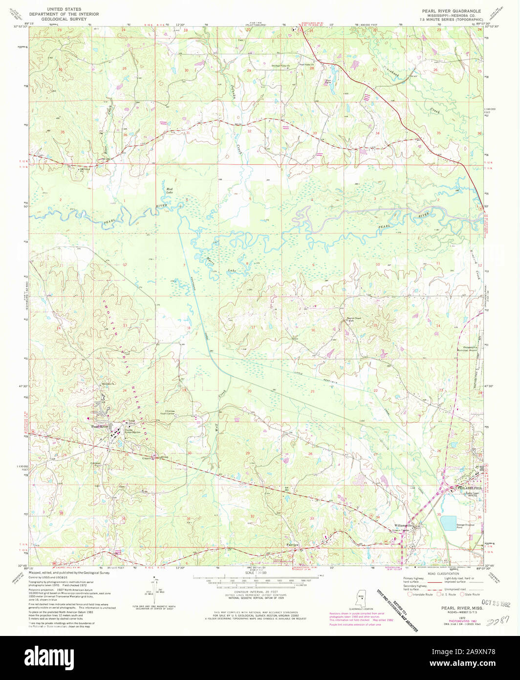 USGS TOPO Map Mississippi MS Pearl River 336261 1972 24000 Restoration Stock Photohttps://www.alamy.com/image-license-details/?v=1https://www.alamy.com/usgs-topo-map-mississippi-ms-pearl-river-336261-1972-24000-restoration-image333116316.html
RM2A9XN78–USGS TOPO Map Mississippi MS Pearl River 336261 1972 24000 Restoration
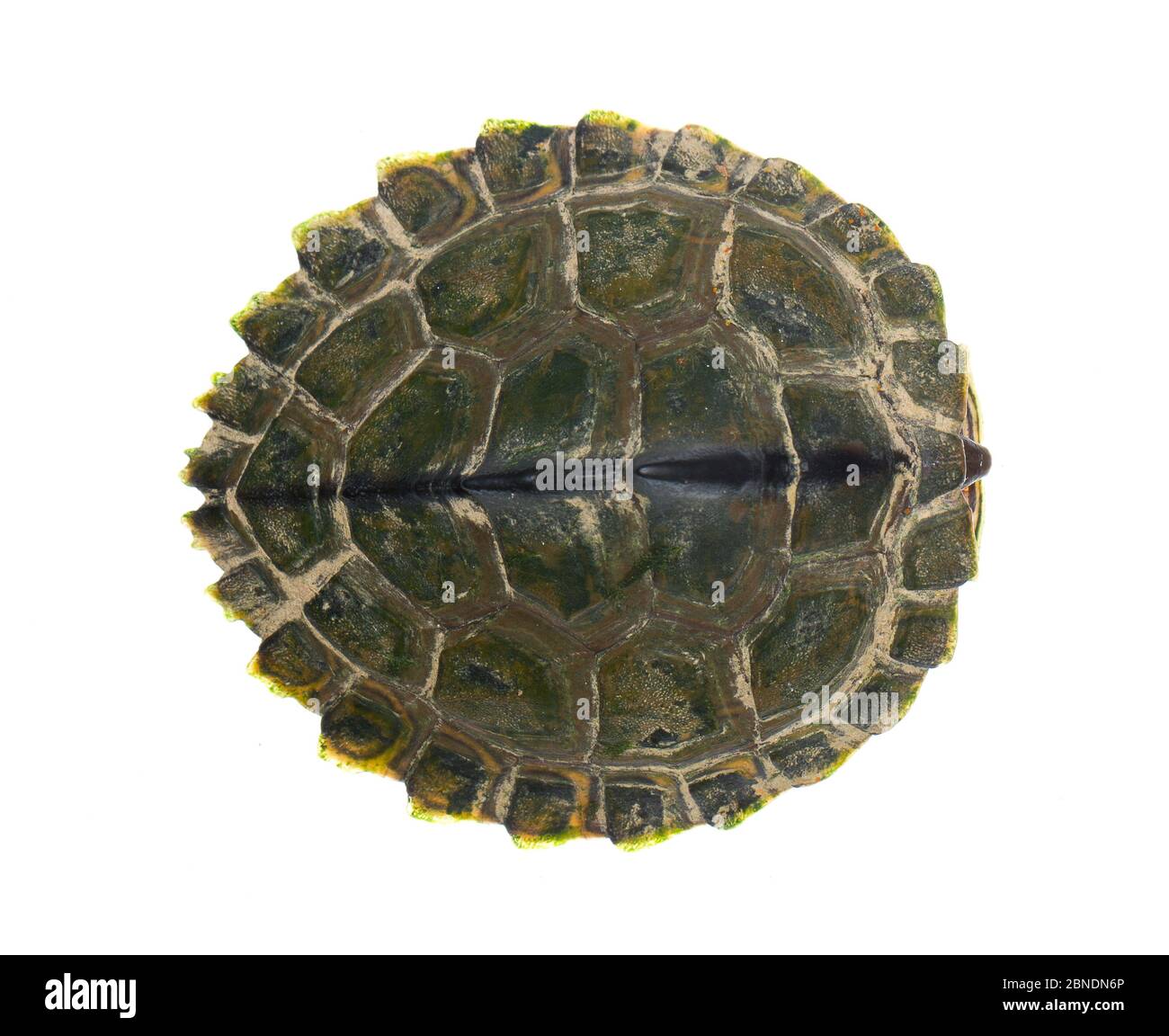 Pearl River map turtle (Graptemys pearlensis) the Bogue Chitto River, Mississippi, USA. July. Meetyourneighbours.net project Stock Photohttps://www.alamy.com/image-license-details/?v=1https://www.alamy.com/pearl-river-map-turtle-graptemys-pearlensis-the-bogue-chitto-river-mississippi-usa-july-meetyourneighboursnet-project-image357417166.html
RM2BNDN6P–Pearl River map turtle (Graptemys pearlensis) the Bogue Chitto River, Mississippi, USA. July. Meetyourneighbours.net project
 Carriere, Pearl River County, US, United States, Mississippi, N 30 37' 0'', S 89 39' 9'', map, Cartascapes Map published in 2024. Explore Cartascapes, a map revealing Earth's diverse landscapes, cultures, and ecosystems. Journey through time and space, discovering the interconnectedness of our planet's past, present, and future. Stock Photohttps://www.alamy.com/image-license-details/?v=1https://www.alamy.com/carriere-pearl-river-county-us-united-states-mississippi-n-30-37-0-s-89-39-9-map-cartascapes-map-published-in-2024-explore-cartascapes-a-map-revealing-earths-diverse-landscapes-cultures-and-ecosystems-journey-through-time-and-space-discovering-the-interconnectedness-of-our-planets-past-present-and-future-image621445362.html
RM2Y317W6–Carriere, Pearl River County, US, United States, Mississippi, N 30 37' 0'', S 89 39' 9'', map, Cartascapes Map published in 2024. Explore Cartascapes, a map revealing Earth's diverse landscapes, cultures, and ecosystems. Journey through time and space, discovering the interconnectedness of our planet's past, present, and future.
 USGS TOPO Map Mississippi MS Pearl River 336260 1972 24000 Inverted Restoration Stock Photohttps://www.alamy.com/image-license-details/?v=1https://www.alamy.com/usgs-topo-map-mississippi-ms-pearl-river-336260-1972-24000-inverted-restoration-image333116220.html
RM2A9XN3T–USGS TOPO Map Mississippi MS Pearl River 336260 1972 24000 Inverted Restoration
 Pearl River, Neshoba County, US, United States, Mississippi, N 32 47' 0'', S 89 13' 40'', map, Cartascapes Map published in 2024. Explore Cartascapes, a map revealing Earth's diverse landscapes, cultures, and ecosystems. Journey through time and space, discovering the interconnectedness of our planet's past, present, and future. Stock Photohttps://www.alamy.com/image-license-details/?v=1https://www.alamy.com/pearl-river-neshoba-county-us-united-states-mississippi-n-32-47-0-s-89-13-40-map-cartascapes-map-published-in-2024-explore-cartascapes-a-map-revealing-earths-diverse-landscapes-cultures-and-ecosystems-journey-through-time-and-space-discovering-the-interconnectedness-of-our-planets-past-present-and-future-image621157386.html
RM2Y2G4GA–Pearl River, Neshoba County, US, United States, Mississippi, N 32 47' 0'', S 89 13' 40'', map, Cartascapes Map published in 2024. Explore Cartascapes, a map revealing Earth's diverse landscapes, cultures, and ecosystems. Journey through time and space, discovering the interconnectedness of our planet's past, present, and future.
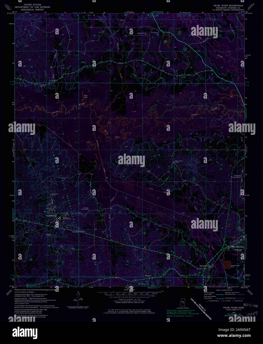 USGS TOPO Map Mississippi MS Pearl River 336261 1972 24000 Inverted Restoration Stock Photohttps://www.alamy.com/image-license-details/?v=1https://www.alamy.com/usgs-topo-map-mississippi-ms-pearl-river-336261-1972-24000-inverted-restoration-image333116304.html
RM2A9XN6T–USGS TOPO Map Mississippi MS Pearl River 336261 1972 24000 Inverted Restoration
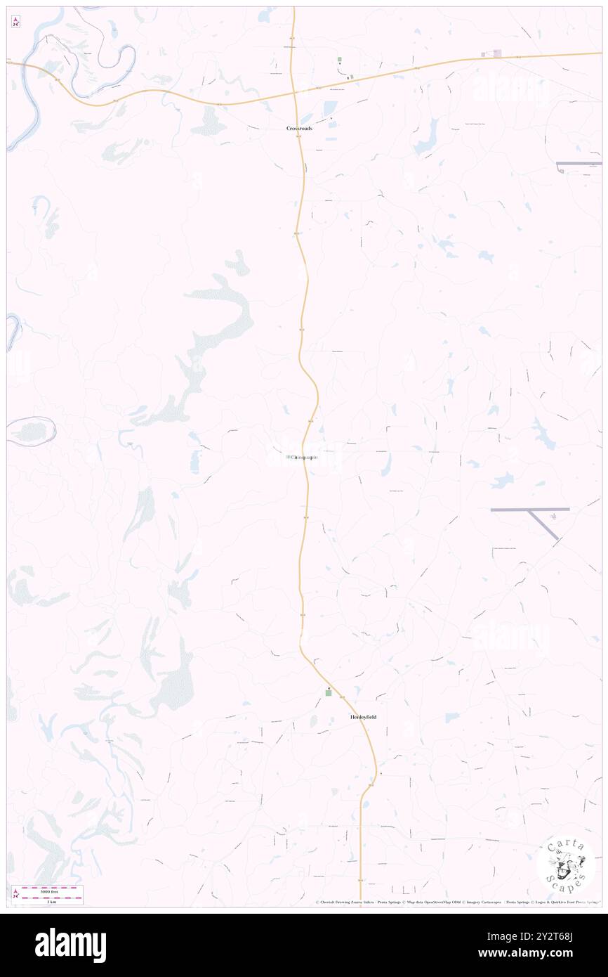 Chinquapin, Pearl River County, US, United States, Mississippi, N 30 44' 5'', S 89 46' 26'', map, Cartascapes Map published in 2024. Explore Cartascapes, a map revealing Earth's diverse landscapes, cultures, and ecosystems. Journey through time and space, discovering the interconnectedness of our planet's past, present, and future. Stock Photohttps://www.alamy.com/image-license-details/?v=1https://www.alamy.com/chinquapin-pearl-river-county-us-united-states-mississippi-n-30-44-5-s-89-46-26-map-cartascapes-map-published-in-2024-explore-cartascapes-a-map-revealing-earths-diverse-landscapes-cultures-and-ecosystems-journey-through-time-and-space-discovering-the-interconnectedness-of-our-planets-past-present-and-future-image621334354.html
RM2Y2T68J–Chinquapin, Pearl River County, US, United States, Mississippi, N 30 44' 5'', S 89 46' 26'', map, Cartascapes Map published in 2024. Explore Cartascapes, a map revealing Earth's diverse landscapes, cultures, and ecosystems. Journey through time and space, discovering the interconnectedness of our planet's past, present, and future.
 Tyler, Pearl River County, US, United States, Mississippi, N 30 42' 26'', S 89 36' 22'', map, Cartascapes Map published in 2024. Explore Cartascapes, a map revealing Earth's diverse landscapes, cultures, and ecosystems. Journey through time and space, discovering the interconnectedness of our planet's past, present, and future. Stock Photohttps://www.alamy.com/image-license-details/?v=1https://www.alamy.com/tyler-pearl-river-county-us-united-states-mississippi-n-30-42-26-s-89-36-22-map-cartascapes-map-published-in-2024-explore-cartascapes-a-map-revealing-earths-diverse-landscapes-cultures-and-ecosystems-journey-through-time-and-space-discovering-the-interconnectedness-of-our-planets-past-present-and-future-image621461791.html
RM2Y320RY–Tyler, Pearl River County, US, United States, Mississippi, N 30 42' 26'', S 89 36' 22'', map, Cartascapes Map published in 2024. Explore Cartascapes, a map revealing Earth's diverse landscapes, cultures, and ecosystems. Journey through time and space, discovering the interconnectedness of our planet's past, present, and future.
 Nicholson, Pearl River County, US, United States, Mississippi, N 30 28' 37'', S 89 41' 37'', map, Cartascapes Map published in 2024. Explore Cartascapes, a map revealing Earth's diverse landscapes, cultures, and ecosystems. Journey through time and space, discovering the interconnectedness of our planet's past, present, and future. Stock Photohttps://www.alamy.com/image-license-details/?v=1https://www.alamy.com/nicholson-pearl-river-county-us-united-states-mississippi-n-30-28-37-s-89-41-37-map-cartascapes-map-published-in-2024-explore-cartascapes-a-map-revealing-earths-diverse-landscapes-cultures-and-ecosystems-journey-through-time-and-space-discovering-the-interconnectedness-of-our-planets-past-present-and-future-image621431678.html
RM2Y30JCE–Nicholson, Pearl River County, US, United States, Mississippi, N 30 28' 37'', S 89 41' 37'', map, Cartascapes Map published in 2024. Explore Cartascapes, a map revealing Earth's diverse landscapes, cultures, and ecosystems. Journey through time and space, discovering the interconnectedness of our planet's past, present, and future.
 Poplarville, Pearl River County, US, United States, Mississippi, N 30 50' 24'', S 89 32' 3'', map, Cartascapes Map published in 2024. Explore Cartascapes, a map revealing Earth's diverse landscapes, cultures, and ecosystems. Journey through time and space, discovering the interconnectedness of our planet's past, present, and future. Stock Photohttps://www.alamy.com/image-license-details/?v=1https://www.alamy.com/poplarville-pearl-river-county-us-united-states-mississippi-n-30-50-24-s-89-32-3-map-cartascapes-map-published-in-2024-explore-cartascapes-a-map-revealing-earths-diverse-landscapes-cultures-and-ecosystems-journey-through-time-and-space-discovering-the-interconnectedness-of-our-planets-past-present-and-future-image621141940.html
RM2Y2FCTM–Poplarville, Pearl River County, US, United States, Mississippi, N 30 50' 24'', S 89 32' 3'', map, Cartascapes Map published in 2024. Explore Cartascapes, a map revealing Earth's diverse landscapes, cultures, and ecosystems. Journey through time and space, discovering the interconnectedness of our planet's past, present, and future.
 Barth, Pearl River County, US, United States, Mississippi, N 30 40' 20'', S 89 21' 52'', map, Cartascapes Map published in 2024. Explore Cartascapes, a map revealing Earth's diverse landscapes, cultures, and ecosystems. Journey through time and space, discovering the interconnectedness of our planet's past, present, and future. Stock Photohttps://www.alamy.com/image-license-details/?v=1https://www.alamy.com/barth-pearl-river-county-us-united-states-mississippi-n-30-40-20-s-89-21-52-map-cartascapes-map-published-in-2024-explore-cartascapes-a-map-revealing-earths-diverse-landscapes-cultures-and-ecosystems-journey-through-time-and-space-discovering-the-interconnectedness-of-our-planets-past-present-and-future-image621229798.html
RM2Y2KCXE–Barth, Pearl River County, US, United States, Mississippi, N 30 40' 20'', S 89 21' 52'', map, Cartascapes Map published in 2024. Explore Cartascapes, a map revealing Earth's diverse landscapes, cultures, and ecosystems. Journey through time and space, discovering the interconnectedness of our planet's past, present, and future.
 Young, Pearl River County, US, United States, Mississippi, N 30 59' 52'', S 89 22' 9'', map, Cartascapes Map published in 2024. Explore Cartascapes, a map revealing Earth's diverse landscapes, cultures, and ecosystems. Journey through time and space, discovering the interconnectedness of our planet's past, present, and future. Stock Photohttps://www.alamy.com/image-license-details/?v=1https://www.alamy.com/young-pearl-river-county-us-united-states-mississippi-n-30-59-52-s-89-22-9-map-cartascapes-map-published-in-2024-explore-cartascapes-a-map-revealing-earths-diverse-landscapes-cultures-and-ecosystems-journey-through-time-and-space-discovering-the-interconnectedness-of-our-planets-past-present-and-future-image621330992.html
RM2Y2T20G–Young, Pearl River County, US, United States, Mississippi, N 30 59' 52'', S 89 22' 9'', map, Cartascapes Map published in 2024. Explore Cartascapes, a map revealing Earth's diverse landscapes, cultures, and ecosystems. Journey through time and space, discovering the interconnectedness of our planet's past, present, and future.
 Caesar, Pearl River County, US, United States, Mississippi, N 30 35' 3'', S 89 32' 48'', map, Cartascapes Map published in 2024. Explore Cartascapes, a map revealing Earth's diverse landscapes, cultures, and ecosystems. Journey through time and space, discovering the interconnectedness of our planet's past, present, and future. Stock Photohttps://www.alamy.com/image-license-details/?v=1https://www.alamy.com/caesar-pearl-river-county-us-united-states-mississippi-n-30-35-3-s-89-32-48-map-cartascapes-map-published-in-2024-explore-cartascapes-a-map-revealing-earths-diverse-landscapes-cultures-and-ecosystems-journey-through-time-and-space-discovering-the-interconnectedness-of-our-planets-past-present-and-future-image621438566.html
RM2Y30Y6E–Caesar, Pearl River County, US, United States, Mississippi, N 30 35' 3'', S 89 32' 48'', map, Cartascapes Map published in 2024. Explore Cartascapes, a map revealing Earth's diverse landscapes, cultures, and ecosystems. Journey through time and space, discovering the interconnectedness of our planet's past, present, and future.
 Sellers, Pearl River County, US, United States, Mississippi, N 30 35' 29'', S 89 21' 27'', map, Cartascapes Map published in 2024. Explore Cartascapes, a map revealing Earth's diverse landscapes, cultures, and ecosystems. Journey through time and space, discovering the interconnectedness of our planet's past, present, and future. Stock Photohttps://www.alamy.com/image-license-details/?v=1https://www.alamy.com/sellers-pearl-river-county-us-united-states-mississippi-n-30-35-29-s-89-21-27-map-cartascapes-map-published-in-2024-explore-cartascapes-a-map-revealing-earths-diverse-landscapes-cultures-and-ecosystems-journey-through-time-and-space-discovering-the-interconnectedness-of-our-planets-past-present-and-future-image621257306.html
RM2Y2MM0X–Sellers, Pearl River County, US, United States, Mississippi, N 30 35' 29'', S 89 21' 27'', map, Cartascapes Map published in 2024. Explore Cartascapes, a map revealing Earth's diverse landscapes, cultures, and ecosystems. Journey through time and space, discovering the interconnectedness of our planet's past, present, and future.
 Pearl River, Neshoba County, US, United States, Mississippi, N 32 47' 0'', S 89 13' 40'', map, Cartascapes Map published in 2024. Explore Cartascapes, a map revealing Earth's diverse landscapes, cultures, and ecosystems. Journey through time and space, discovering the interconnectedness of our planet's past, present, and future. Stock Photohttps://www.alamy.com/image-license-details/?v=1https://www.alamy.com/pearl-river-neshoba-county-us-united-states-mississippi-n-32-47-0-s-89-13-40-map-cartascapes-map-published-in-2024-explore-cartascapes-a-map-revealing-earths-diverse-landscapes-cultures-and-ecosystems-journey-through-time-and-space-discovering-the-interconnectedness-of-our-planets-past-present-and-future-image621275846.html
RM2Y2NFK2–Pearl River, Neshoba County, US, United States, Mississippi, N 32 47' 0'', S 89 13' 40'', map, Cartascapes Map published in 2024. Explore Cartascapes, a map revealing Earth's diverse landscapes, cultures, and ecosystems. Journey through time and space, discovering the interconnectedness of our planet's past, present, and future.
 Cybur, Pearl River County, US, United States, Mississippi, N 30 37' 40'', S 89 46' 15'', map, Cartascapes Map published in 2024. Explore Cartascapes, a map revealing Earth's diverse landscapes, cultures, and ecosystems. Journey through time and space, discovering the interconnectedness of our planet's past, present, and future. Stock Photohttps://www.alamy.com/image-license-details/?v=1https://www.alamy.com/cybur-pearl-river-county-us-united-states-mississippi-n-30-37-40-s-89-46-15-map-cartascapes-map-published-in-2024-explore-cartascapes-a-map-revealing-earths-diverse-landscapes-cultures-and-ecosystems-journey-through-time-and-space-discovering-the-interconnectedness-of-our-planets-past-present-and-future-image621404065.html
RM2Y2YB69–Cybur, Pearl River County, US, United States, Mississippi, N 30 37' 40'', S 89 46' 15'', map, Cartascapes Map published in 2024. Explore Cartascapes, a map revealing Earth's diverse landscapes, cultures, and ecosystems. Journey through time and space, discovering the interconnectedness of our planet's past, present, and future.
 Hawthorne, Pearl River County, US, United States, Mississippi, N 30 38' 59'', S 89 38' 33'', map, Cartascapes Map published in 2024. Explore Cartascapes, a map revealing Earth's diverse landscapes, cultures, and ecosystems. Journey through time and space, discovering the interconnectedness of our planet's past, present, and future. Stock Photohttps://www.alamy.com/image-license-details/?v=1https://www.alamy.com/hawthorne-pearl-river-county-us-united-states-mississippi-n-30-38-59-s-89-38-33-map-cartascapes-map-published-in-2024-explore-cartascapes-a-map-revealing-earths-diverse-landscapes-cultures-and-ecosystems-journey-through-time-and-space-discovering-the-interconnectedness-of-our-planets-past-present-and-future-image621186164.html
RM2Y2HD84–Hawthorne, Pearl River County, US, United States, Mississippi, N 30 38' 59'', S 89 38' 33'', map, Cartascapes Map published in 2024. Explore Cartascapes, a map revealing Earth's diverse landscapes, cultures, and ecosystems. Journey through time and space, discovering the interconnectedness of our planet's past, present, and future.
 Picayune, Pearl River County, US, United States, Mississippi, N 30 31' 32'', S 89 40' 40'', map, Cartascapes Map published in 2024. Explore Cartascapes, a map revealing Earth's diverse landscapes, cultures, and ecosystems. Journey through time and space, discovering the interconnectedness of our planet's past, present, and future. Stock Photohttps://www.alamy.com/image-license-details/?v=1https://www.alamy.com/picayune-pearl-river-county-us-united-states-mississippi-n-30-31-32-s-89-40-40-map-cartascapes-map-published-in-2024-explore-cartascapes-a-map-revealing-earths-diverse-landscapes-cultures-and-ecosystems-journey-through-time-and-space-discovering-the-interconnectedness-of-our-planets-past-present-and-future-image621282393.html
RM2Y2NT0W–Picayune, Pearl River County, US, United States, Mississippi, N 30 31' 32'', S 89 40' 40'', map, Cartascapes Map published in 2024. Explore Cartascapes, a map revealing Earth's diverse landscapes, cultures, and ecosystems. Journey through time and space, discovering the interconnectedness of our planet's past, present, and future.
 Derby, Pearl River County, US, United States, Mississippi, N 30 45' 34'', S 89 34' 59'', map, Cartascapes Map published in 2024. Explore Cartascapes, a map revealing Earth's diverse landscapes, cultures, and ecosystems. Journey through time and space, discovering the interconnectedness of our planet's past, present, and future. Stock Photohttps://www.alamy.com/image-license-details/?v=1https://www.alamy.com/derby-pearl-river-county-us-united-states-mississippi-n-30-45-34-s-89-34-59-map-cartascapes-map-published-in-2024-explore-cartascapes-a-map-revealing-earths-diverse-landscapes-cultures-and-ecosystems-journey-through-time-and-space-discovering-the-interconnectedness-of-our-planets-past-present-and-future-image621291720.html
RM2Y2P7X0–Derby, Pearl River County, US, United States, Mississippi, N 30 45' 34'', S 89 34' 59'', map, Cartascapes Map published in 2024. Explore Cartascapes, a map revealing Earth's diverse landscapes, cultures, and ecosystems. Journey through time and space, discovering the interconnectedness of our planet's past, present, and future.
 Hillsdale, Pearl River County, US, United States, Mississippi, N 30 55' 40'', S 89 29' 50'', map, Cartascapes Map published in 2024. Explore Cartascapes, a map revealing Earth's diverse landscapes, cultures, and ecosystems. Journey through time and space, discovering the interconnectedness of our planet's past, present, and future. Stock Photohttps://www.alamy.com/image-license-details/?v=1https://www.alamy.com/hillsdale-pearl-river-county-us-united-states-mississippi-n-30-55-40-s-89-29-50-map-cartascapes-map-published-in-2024-explore-cartascapes-a-map-revealing-earths-diverse-landscapes-cultures-and-ecosystems-journey-through-time-and-space-discovering-the-interconnectedness-of-our-planets-past-present-and-future-image621343671.html
RM2Y2TJ5B–Hillsdale, Pearl River County, US, United States, Mississippi, N 30 55' 40'', S 89 29' 50'', map, Cartascapes Map published in 2024. Explore Cartascapes, a map revealing Earth's diverse landscapes, cultures, and ecosystems. Journey through time and space, discovering the interconnectedness of our planet's past, present, and future.
 Orvisburg, Pearl River County, US, United States, Mississippi, N 30 54' 46'', S 89 31' 31'', map, Cartascapes Map published in 2024. Explore Cartascapes, a map revealing Earth's diverse landscapes, cultures, and ecosystems. Journey through time and space, discovering the interconnectedness of our planet's past, present, and future. Stock Photohttps://www.alamy.com/image-license-details/?v=1https://www.alamy.com/orvisburg-pearl-river-county-us-united-states-mississippi-n-30-54-46-s-89-31-31-map-cartascapes-map-published-in-2024-explore-cartascapes-a-map-revealing-earths-diverse-landscapes-cultures-and-ecosystems-journey-through-time-and-space-discovering-the-interconnectedness-of-our-planets-past-present-and-future-image621349964.html
RM2Y2TX64–Orvisburg, Pearl River County, US, United States, Mississippi, N 30 54' 46'', S 89 31' 31'', map, Cartascapes Map published in 2024. Explore Cartascapes, a map revealing Earth's diverse landscapes, cultures, and ecosystems. Journey through time and space, discovering the interconnectedness of our planet's past, present, and future.
 Richardson, Pearl River County, US, United States, Mississippi, N 30 33' 36'', S 89 40' 2'', map, Cartascapes Map published in 2024. Explore Cartascapes, a map revealing Earth's diverse landscapes, cultures, and ecosystems. Journey through time and space, discovering the interconnectedness of our planet's past, present, and future. Stock Photohttps://www.alamy.com/image-license-details/?v=1https://www.alamy.com/richardson-pearl-river-county-us-united-states-mississippi-n-30-33-36-s-89-40-2-map-cartascapes-map-published-in-2024-explore-cartascapes-a-map-revealing-earths-diverse-landscapes-cultures-and-ecosystems-journey-through-time-and-space-discovering-the-interconnectedness-of-our-planets-past-present-and-future-image621243492.html
RM2Y2M2BG–Richardson, Pearl River County, US, United States, Mississippi, N 30 33' 36'', S 89 40' 2'', map, Cartascapes Map published in 2024. Explore Cartascapes, a map revealing Earth's diverse landscapes, cultures, and ecosystems. Journey through time and space, discovering the interconnectedness of our planet's past, present, and future.
 Crossroads, Pearl River County, US, United States, Mississippi, N 30 46' 57'', S 89 46' 29'', map, Cartascapes Map published in 2024. Explore Cartascapes, a map revealing Earth's diverse landscapes, cultures, and ecosystems. Journey through time and space, discovering the interconnectedness of our planet's past, present, and future. Stock Photohttps://www.alamy.com/image-license-details/?v=1https://www.alamy.com/crossroads-pearl-river-county-us-united-states-mississippi-n-30-46-57-s-89-46-29-map-cartascapes-map-published-in-2024-explore-cartascapes-a-map-revealing-earths-diverse-landscapes-cultures-and-ecosystems-journey-through-time-and-space-discovering-the-interconnectedness-of-our-planets-past-present-and-future-image621293477.html
RM2Y2PA4N–Crossroads, Pearl River County, US, United States, Mississippi, N 30 46' 57'', S 89 46' 29'', map, Cartascapes Map published in 2024. Explore Cartascapes, a map revealing Earth's diverse landscapes, cultures, and ecosystems. Journey through time and space, discovering the interconnectedness of our planet's past, present, and future.
 Millard, Pearl River County, US, United States, Mississippi, N 30 43' 20'', S 89 35' 54'', map, Cartascapes Map published in 2024. Explore Cartascapes, a map revealing Earth's diverse landscapes, cultures, and ecosystems. Journey through time and space, discovering the interconnectedness of our planet's past, present, and future. Stock Photohttps://www.alamy.com/image-license-details/?v=1https://www.alamy.com/millard-pearl-river-county-us-united-states-mississippi-n-30-43-20-s-89-35-54-map-cartascapes-map-published-in-2024-explore-cartascapes-a-map-revealing-earths-diverse-landscapes-cultures-and-ecosystems-journey-through-time-and-space-discovering-the-interconnectedness-of-our-planets-past-present-and-future-image621251441.html
RM2Y2MCFD–Millard, Pearl River County, US, United States, Mississippi, N 30 43' 20'', S 89 35' 54'', map, Cartascapes Map published in 2024. Explore Cartascapes, a map revealing Earth's diverse landscapes, cultures, and ecosystems. Journey through time and space, discovering the interconnectedness of our planet's past, present, and future.
 McNeill, Pearl River County, US, United States, Mississippi, N 30 40' 7'', S 89 38' 18'', map, Cartascapes Map published in 2024. Explore Cartascapes, a map revealing Earth's diverse landscapes, cultures, and ecosystems. Journey through time and space, discovering the interconnectedness of our planet's past, present, and future. Stock Photohttps://www.alamy.com/image-license-details/?v=1https://www.alamy.com/mcneill-pearl-river-county-us-united-states-mississippi-n-30-40-7-s-89-38-18-map-cartascapes-map-published-in-2024-explore-cartascapes-a-map-revealing-earths-diverse-landscapes-cultures-and-ecosystems-journey-through-time-and-space-discovering-the-interconnectedness-of-our-planets-past-present-and-future-image621497714.html
RM2Y33JJX–McNeill, Pearl River County, US, United States, Mississippi, N 30 40' 7'', S 89 38' 18'', map, Cartascapes Map published in 2024. Explore Cartascapes, a map revealing Earth's diverse landscapes, cultures, and ecosystems. Journey through time and space, discovering the interconnectedness of our planet's past, present, and future.
 Fords Creek, Pearl River County, US, United States, Mississippi, N 30 56' 54'', S 89 41' 23'', map, Cartascapes Map published in 2024. Explore Cartascapes, a map revealing Earth's diverse landscapes, cultures, and ecosystems. Journey through time and space, discovering the interconnectedness of our planet's past, present, and future. Stock Photohttps://www.alamy.com/image-license-details/?v=1https://www.alamy.com/fords-creek-pearl-river-county-us-united-states-mississippi-n-30-56-54-s-89-41-23-map-cartascapes-map-published-in-2024-explore-cartascapes-a-map-revealing-earths-diverse-landscapes-cultures-and-ecosystems-journey-through-time-and-space-discovering-the-interconnectedness-of-our-planets-past-present-and-future-image621359211.html
RM2Y2WA0B–Fords Creek, Pearl River County, US, United States, Mississippi, N 30 56' 54'', S 89 41' 23'', map, Cartascapes Map published in 2024. Explore Cartascapes, a map revealing Earth's diverse landscapes, cultures, and ecosystems. Journey through time and space, discovering the interconnectedness of our planet's past, present, and future.
 White Sand, Pearl River County, US, United States, Mississippi, N 30 47' 57'', S 89 39' 29'', map, Cartascapes Map published in 2024. Explore Cartascapes, a map revealing Earth's diverse landscapes, cultures, and ecosystems. Journey through time and space, discovering the interconnectedness of our planet's past, present, and future. Stock Photohttps://www.alamy.com/image-license-details/?v=1https://www.alamy.com/white-sand-pearl-river-county-us-united-states-mississippi-n-30-47-57-s-89-39-29-map-cartascapes-map-published-in-2024-explore-cartascapes-a-map-revealing-earths-diverse-landscapes-cultures-and-ecosystems-journey-through-time-and-space-discovering-the-interconnectedness-of-our-planets-past-present-and-future-image621207701.html
RM2Y2JCN9–White Sand, Pearl River County, US, United States, Mississippi, N 30 47' 57'', S 89 39' 29'', map, Cartascapes Map published in 2024. Explore Cartascapes, a map revealing Earth's diverse landscapes, cultures, and ecosystems. Journey through time and space, discovering the interconnectedness of our planet's past, present, and future.
 Centre (historical), Pearl River County, US, United States, Mississippi, N 30 43' 4'', S 89 33' 18'', map, Cartascapes Map published in 2024. Explore Cartascapes, a map revealing Earth's diverse landscapes, cultures, and ecosystems. Journey through time and space, discovering the interconnectedness of our planet's past, present, and future. Stock Photohttps://www.alamy.com/image-license-details/?v=1https://www.alamy.com/centre-historical-pearl-river-county-us-united-states-mississippi-n-30-43-4-s-89-33-18-map-cartascapes-map-published-in-2024-explore-cartascapes-a-map-revealing-earths-diverse-landscapes-cultures-and-ecosystems-journey-through-time-and-space-discovering-the-interconnectedness-of-our-planets-past-present-and-future-image621223600.html
RM2Y2K514–Centre (historical), Pearl River County, US, United States, Mississippi, N 30 43' 4'', S 89 33' 18'', map, Cartascapes Map published in 2024. Explore Cartascapes, a map revealing Earth's diverse landscapes, cultures, and ecosystems. Journey through time and space, discovering the interconnectedness of our planet's past, present, and future.
 Juniper Grove, Pearl River County, US, United States, Mississippi, N 30 46' 5'', S 89 30' 5'', map, Cartascapes Map published in 2024. Explore Cartascapes, a map revealing Earth's diverse landscapes, cultures, and ecosystems. Journey through time and space, discovering the interconnectedness of our planet's past, present, and future. Stock Photohttps://www.alamy.com/image-license-details/?v=1https://www.alamy.com/juniper-grove-pearl-river-county-us-united-states-mississippi-n-30-46-5-s-89-30-5-map-cartascapes-map-published-in-2024-explore-cartascapes-a-map-revealing-earths-diverse-landscapes-cultures-and-ecosystems-journey-through-time-and-space-discovering-the-interconnectedness-of-our-planets-past-present-and-future-image621388291.html
RM2Y2XK2Y–Juniper Grove, Pearl River County, US, United States, Mississippi, N 30 46' 5'', S 89 30' 5'', map, Cartascapes Map published in 2024. Explore Cartascapes, a map revealing Earth's diverse landscapes, cultures, and ecosystems. Journey through time and space, discovering the interconnectedness of our planet's past, present, and future.
 Riceville (historical), Pearl River County, US, United States, Mississippi, N 30 47' 35'', S 89 45' 40'', map, Cartascapes Map published in 2024. Explore Cartascapes, a map revealing Earth's diverse landscapes, cultures, and ecosystems. Journey through time and space, discovering the interconnectedness of our planet's past, present, and future. Stock Photohttps://www.alamy.com/image-license-details/?v=1https://www.alamy.com/riceville-historical-pearl-river-county-us-united-states-mississippi-n-30-47-35-s-89-45-40-map-cartascapes-map-published-in-2024-explore-cartascapes-a-map-revealing-earths-diverse-landscapes-cultures-and-ecosystems-journey-through-time-and-space-discovering-the-interconnectedness-of-our-planets-past-present-and-future-image621437938.html
RM2Y30XC2–Riceville (historical), Pearl River County, US, United States, Mississippi, N 30 47' 35'', S 89 45' 40'', map, Cartascapes Map published in 2024. Explore Cartascapes, a map revealing Earth's diverse landscapes, cultures, and ecosystems. Journey through time and space, discovering the interconnectedness of our planet's past, present, and future.
 Yamacraw (historical), Pearl River County, US, United States, Mississippi, N 30 37' 57'', S 89 48' 0'', map, Cartascapes Map published in 2024. Explore Cartascapes, a map revealing Earth's diverse landscapes, cultures, and ecosystems. Journey through time and space, discovering the interconnectedness of our planet's past, present, and future. Stock Photohttps://www.alamy.com/image-license-details/?v=1https://www.alamy.com/yamacraw-historical-pearl-river-county-us-united-states-mississippi-n-30-37-57-s-89-48-0-map-cartascapes-map-published-in-2024-explore-cartascapes-a-map-revealing-earths-diverse-landscapes-cultures-and-ecosystems-journey-through-time-and-space-discovering-the-interconnectedness-of-our-planets-past-present-and-future-image621329978.html
RM2Y2T0MA–Yamacraw (historical), Pearl River County, US, United States, Mississippi, N 30 37' 57'', S 89 48' 0'', map, Cartascapes Map published in 2024. Explore Cartascapes, a map revealing Earth's diverse landscapes, cultures, and ecosystems. Journey through time and space, discovering the interconnectedness of our planet's past, present, and future.
 Mill Creek, Pearl River County, US, United States, Mississippi, N 30 40' 14'', S 89 42' 9'', map, Cartascapes Map published in 2024. Explore Cartascapes, a map revealing Earth's diverse landscapes, cultures, and ecosystems. Journey through time and space, discovering the interconnectedness of our planet's past, present, and future. Stock Photohttps://www.alamy.com/image-license-details/?v=1https://www.alamy.com/mill-creek-pearl-river-county-us-united-states-mississippi-n-30-40-14-s-89-42-9-map-cartascapes-map-published-in-2024-explore-cartascapes-a-map-revealing-earths-diverse-landscapes-cultures-and-ecosystems-journey-through-time-and-space-discovering-the-interconnectedness-of-our-planets-past-present-and-future-image621177288.html
RM2Y2H1Y4–Mill Creek, Pearl River County, US, United States, Mississippi, N 30 40' 14'', S 89 42' 9'', map, Cartascapes Map published in 2024. Explore Cartascapes, a map revealing Earth's diverse landscapes, cultures, and ecosystems. Journey through time and space, discovering the interconnectedness of our planet's past, present, and future.
 Hickory Grove, Pearl River County, US, United States, Mississippi, N 30 59' 51'', S 89 24' 27'', map, Cartascapes Map published in 2024. Explore Cartascapes, a map revealing Earth's diverse landscapes, cultures, and ecosystems. Journey through time and space, discovering the interconnectedness of our planet's past, present, and future. Stock Photohttps://www.alamy.com/image-license-details/?v=1https://www.alamy.com/hickory-grove-pearl-river-county-us-united-states-mississippi-n-30-59-51-s-89-24-27-map-cartascapes-map-published-in-2024-explore-cartascapes-a-map-revealing-earths-diverse-landscapes-cultures-and-ecosystems-journey-through-time-and-space-discovering-the-interconnectedness-of-our-planets-past-present-and-future-image621464869.html
RM2Y324NW–Hickory Grove, Pearl River County, US, United States, Mississippi, N 30 59' 51'', S 89 24' 27'', map, Cartascapes Map published in 2024. Explore Cartascapes, a map revealing Earth's diverse landscapes, cultures, and ecosystems. Journey through time and space, discovering the interconnectedness of our planet's past, present, and future.
 Walkiah (historical), Pearl River County, US, United States, Mississippi, N 30 34' 14'', S 89 47' 13'', map, Cartascapes Map published in 2024. Explore Cartascapes, a map revealing Earth's diverse landscapes, cultures, and ecosystems. Journey through time and space, discovering the interconnectedness of our planet's past, present, and future. Stock Photohttps://www.alamy.com/image-license-details/?v=1https://www.alamy.com/walkiah-historical-pearl-river-county-us-united-states-mississippi-n-30-34-14-s-89-47-13-map-cartascapes-map-published-in-2024-explore-cartascapes-a-map-revealing-earths-diverse-landscapes-cultures-and-ecosystems-journey-through-time-and-space-discovering-the-interconnectedness-of-our-planets-past-present-and-future-image621425569.html
RM2Y30AJ9–Walkiah (historical), Pearl River County, US, United States, Mississippi, N 30 34' 14'', S 89 47' 13'', map, Cartascapes Map published in 2024. Explore Cartascapes, a map revealing Earth's diverse landscapes, cultures, and ecosystems. Journey through time and space, discovering the interconnectedness of our planet's past, present, and future.
 Silver Run, Pearl River County, US, United States, Mississippi, N 30 44' 0'', S 89 20' 44'', map, Cartascapes Map published in 2024. Explore Cartascapes, a map revealing Earth's diverse landscapes, cultures, and ecosystems. Journey through time and space, discovering the interconnectedness of our planet's past, present, and future. Stock Photohttps://www.alamy.com/image-license-details/?v=1https://www.alamy.com/silver-run-pearl-river-county-us-united-states-mississippi-n-30-44-0-s-89-20-44-map-cartascapes-map-published-in-2024-explore-cartascapes-a-map-revealing-earths-diverse-landscapes-cultures-and-ecosystems-journey-through-time-and-space-discovering-the-interconnectedness-of-our-planets-past-present-and-future-image621282117.html
RM2Y2NRK1–Silver Run, Pearl River County, US, United States, Mississippi, N 30 44' 0'', S 89 20' 44'', map, Cartascapes Map published in 2024. Explore Cartascapes, a map revealing Earth's diverse landscapes, cultures, and ecosystems. Journey through time and space, discovering the interconnectedness of our planet's past, present, and future.
 Beaver Wood Estates, Pearl River County, US, United States, Mississippi, N 30 33' 28'', S 89 33' 46'', map, Cartascapes Map published in 2024. Explore Cartascapes, a map revealing Earth's diverse landscapes, cultures, and ecosystems. Journey through time and space, discovering the interconnectedness of our planet's past, present, and future. Stock Photohttps://www.alamy.com/image-license-details/?v=1https://www.alamy.com/beaver-wood-estates-pearl-river-county-us-united-states-mississippi-n-30-33-28-s-89-33-46-map-cartascapes-map-published-in-2024-explore-cartascapes-a-map-revealing-earths-diverse-landscapes-cultures-and-ecosystems-journey-through-time-and-space-discovering-the-interconnectedness-of-our-planets-past-present-and-future-image621370131.html
RM2Y2WRXB–Beaver Wood Estates, Pearl River County, US, United States, Mississippi, N 30 33' 28'', S 89 33' 46'', map, Cartascapes Map published in 2024. Explore Cartascapes, a map revealing Earth's diverse landscapes, cultures, and ecosystems. Journey through time and space, discovering the interconnectedness of our planet's past, present, and future.
 Hide-A-Way Lake, Pearl River County, US, United States, Mississippi, N 30 33' 53'', S 89 38' 24'', map, Cartascapes Map published in 2024. Explore Cartascapes, a map revealing Earth's diverse landscapes, cultures, and ecosystems. Journey through time and space, discovering the interconnectedness of our planet's past, present, and future. Stock Photohttps://www.alamy.com/image-license-details/?v=1https://www.alamy.com/hide-a-way-lake-pearl-river-county-us-united-states-mississippi-n-30-33-53-s-89-38-24-map-cartascapes-map-published-in-2024-explore-cartascapes-a-map-revealing-earths-diverse-landscapes-cultures-and-ecosystems-journey-through-time-and-space-discovering-the-interconnectedness-of-our-planets-past-present-and-future-image621253199.html
RM2Y2MEP7–Hide-A-Way Lake, Pearl River County, US, United States, Mississippi, N 30 33' 53'', S 89 38' 24'', map, Cartascapes Map published in 2024. Explore Cartascapes, a map revealing Earth's diverse landscapes, cultures, and ecosystems. Journey through time and space, discovering the interconnectedness of our planet's past, present, and future.
 Pearl, Simpson County, US, United States, Mississippi, N 32 0' 7'', S 90 11' 56'', map, Cartascapes Map published in 2024. Explore Cartascapes, a map revealing Earth's diverse landscapes, cultures, and ecosystems. Journey through time and space, discovering the interconnectedness of our planet's past, present, and future. Stock Photohttps://www.alamy.com/image-license-details/?v=1https://www.alamy.com/pearl-simpson-county-us-united-states-mississippi-n-32-0-7-s-90-11-56-map-cartascapes-map-published-in-2024-explore-cartascapes-a-map-revealing-earths-diverse-landscapes-cultures-and-ecosystems-journey-through-time-and-space-discovering-the-interconnectedness-of-our-planets-past-present-and-future-image620813021.html
RM2Y20D9H–Pearl, Simpson County, US, United States, Mississippi, N 32 0' 7'', S 90 11' 56'', map, Cartascapes Map published in 2024. Explore Cartascapes, a map revealing Earth's diverse landscapes, cultures, and ecosystems. Journey through time and space, discovering the interconnectedness of our planet's past, present, and future.
 Pearl Hill, Leake County, US, United States, Mississippi, N 32 47' 20'', S 89 24' 15'', map, Cartascapes Map published in 2024. Explore Cartascapes, a map revealing Earth's diverse landscapes, cultures, and ecosystems. Journey through time and space, discovering the interconnectedness of our planet's past, present, and future. Stock Photohttps://www.alamy.com/image-license-details/?v=1https://www.alamy.com/pearl-hill-leake-county-us-united-states-mississippi-n-32-47-20-s-89-24-15-map-cartascapes-map-published-in-2024-explore-cartascapes-a-map-revealing-earths-diverse-landscapes-cultures-and-ecosystems-journey-through-time-and-space-discovering-the-interconnectedness-of-our-planets-past-present-and-future-image620857077.html
RM2Y22DF1–Pearl Hill, Leake County, US, United States, Mississippi, N 32 47' 20'', S 89 24' 15'', map, Cartascapes Map published in 2024. Explore Cartascapes, a map revealing Earth's diverse landscapes, cultures, and ecosystems. Journey through time and space, discovering the interconnectedness of our planet's past, present, and future.
 Poplarville, Pearl River County, US, United States, Mississippi, N 30 50' 24'', S 89 32' 3'', map, Cartascapes Map published in 2024. Explore Cartascapes, a map revealing Earth's diverse landscapes, cultures, and ecosystems. Journey through time and space, discovering the interconnectedness of our planet's past, present, and future. Stock Photohttps://www.alamy.com/image-license-details/?v=1https://www.alamy.com/poplarville-pearl-river-county-us-united-states-mississippi-n-30-50-24-s-89-32-3-map-cartascapes-map-published-in-2024-explore-cartascapes-a-map-revealing-earths-diverse-landscapes-cultures-and-ecosystems-journey-through-time-and-space-discovering-the-interconnectedness-of-our-planets-past-present-and-future-image620753085.html
RM2Y1WMW1–Poplarville, Pearl River County, US, United States, Mississippi, N 30 50' 24'', S 89 32' 3'', map, Cartascapes Map published in 2024. Explore Cartascapes, a map revealing Earth's diverse landscapes, cultures, and ecosystems. Journey through time and space, discovering the interconnectedness of our planet's past, present, and future.
 Savannah, Pearl River County, US, United States, Mississippi, N 30 44' 22'', S 89 29' 27'', map, Cartascapes Map published in 2024. Explore Cartascapes, a map revealing Earth's diverse landscapes, cultures, and ecosystems. Journey through time and space, discovering the interconnectedness of our planet's past, present, and future. Stock Photohttps://www.alamy.com/image-license-details/?v=1https://www.alamy.com/savannah-pearl-river-county-us-united-states-mississippi-n-30-44-22-s-89-29-27-map-cartascapes-map-published-in-2024-explore-cartascapes-a-map-revealing-earths-diverse-landscapes-cultures-and-ecosystems-journey-through-time-and-space-discovering-the-interconnectedness-of-our-planets-past-present-and-future-image620736183.html
RM2Y1TY9B–Savannah, Pearl River County, US, United States, Mississippi, N 30 44' 22'', S 89 29' 27'', map, Cartascapes Map published in 2024. Explore Cartascapes, a map revealing Earth's diverse landscapes, cultures, and ecosystems. Journey through time and space, discovering the interconnectedness of our planet's past, present, and future.
 Nortac, Pearl River County, US, United States, Mississippi, N 30 47' 6'', S 89 34' 0'', map, Cartascapes Map published in 2024. Explore Cartascapes, a map revealing Earth's diverse landscapes, cultures, and ecosystems. Journey through time and space, discovering the interconnectedness of our planet's past, present, and future. Stock Photohttps://www.alamy.com/image-license-details/?v=1https://www.alamy.com/nortac-pearl-river-county-us-united-states-mississippi-n-30-47-6-s-89-34-0-map-cartascapes-map-published-in-2024-explore-cartascapes-a-map-revealing-earths-diverse-landscapes-cultures-and-ecosystems-journey-through-time-and-space-discovering-the-interconnectedness-of-our-planets-past-present-and-future-image620746470.html
RM2Y1WCCP–Nortac, Pearl River County, US, United States, Mississippi, N 30 47' 6'', S 89 34' 0'', map, Cartascapes Map published in 2024. Explore Cartascapes, a map revealing Earth's diverse landscapes, cultures, and ecosystems. Journey through time and space, discovering the interconnectedness of our planet's past, present, and future.
 West Poplarville, Pearl River County, US, United States, Mississippi, N 30 50' 3'', S 89 34' 17'', map, Cartascapes Map published in 2024. Explore Cartascapes, a map revealing Earth's diverse landscapes, cultures, and ecosystems. Journey through time and space, discovering the interconnectedness of our planet's past, present, and future. Stock Photohttps://www.alamy.com/image-license-details/?v=1https://www.alamy.com/west-poplarville-pearl-river-county-us-united-states-mississippi-n-30-50-3-s-89-34-17-map-cartascapes-map-published-in-2024-explore-cartascapes-a-map-revealing-earths-diverse-landscapes-cultures-and-ecosystems-journey-through-time-and-space-discovering-the-interconnectedness-of-our-planets-past-present-and-future-image620850575.html
RM2Y2256R–West Poplarville, Pearl River County, US, United States, Mississippi, N 30 50' 3'', S 89 34' 17'', map, Cartascapes Map published in 2024. Explore Cartascapes, a map revealing Earth's diverse landscapes, cultures, and ecosystems. Journey through time and space, discovering the interconnectedness of our planet's past, present, and future.
 Industrial, Pearl River County, US, United States, Mississippi, N 30 34' 34'', S 89 45' 48'', map, Cartascapes Map published in 2024. Explore Cartascapes, a map revealing Earth's diverse landscapes, cultures, and ecosystems. Journey through time and space, discovering the interconnectedness of our planet's past, present, and future. Stock Photohttps://www.alamy.com/image-license-details/?v=1https://www.alamy.com/industrial-pearl-river-county-us-united-states-mississippi-n-30-34-34-s-89-45-48-map-cartascapes-map-published-in-2024-explore-cartascapes-a-map-revealing-earths-diverse-landscapes-cultures-and-ecosystems-journey-through-time-and-space-discovering-the-interconnectedness-of-our-planets-past-present-and-future-image620853111.html
RM2Y228DB–Industrial, Pearl River County, US, United States, Mississippi, N 30 34' 34'', S 89 45' 48'', map, Cartascapes Map published in 2024. Explore Cartascapes, a map revealing Earth's diverse landscapes, cultures, and ecosystems. Journey through time and space, discovering the interconnectedness of our planet's past, present, and future.
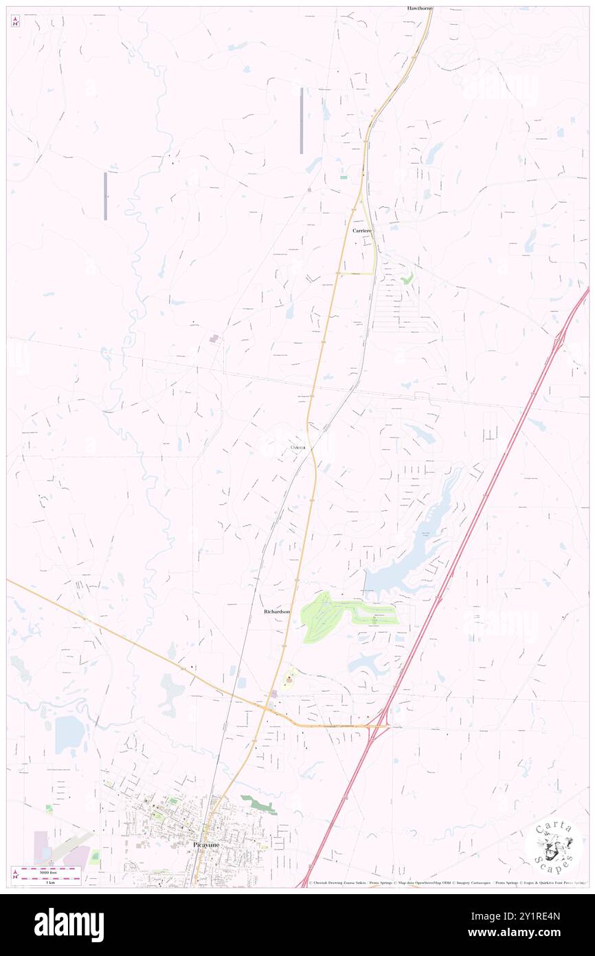 Ozona, Pearl River County, US, United States, Mississippi, N 30 35' 4'', S 89 39' 49'', map, Cartascapes Map published in 2024. Explore Cartascapes, a map revealing Earth's diverse landscapes, cultures, and ecosystems. Journey through time and space, discovering the interconnectedness of our planet's past, present, and future. Stock Photohttps://www.alamy.com/image-license-details/?v=1https://www.alamy.com/ozona-pearl-river-county-us-united-states-mississippi-n-30-35-4-s-89-39-49-map-cartascapes-map-published-in-2024-explore-cartascapes-a-map-revealing-earths-diverse-landscapes-cultures-and-ecosystems-journey-through-time-and-space-discovering-the-interconnectedness-of-our-planets-past-present-and-future-image620703909.html
RM2Y1RE4N–Ozona, Pearl River County, US, United States, Mississippi, N 30 35' 4'', S 89 39' 49'', map, Cartascapes Map published in 2024. Explore Cartascapes, a map revealing Earth's diverse landscapes, cultures, and ecosystems. Journey through time and space, discovering the interconnectedness of our planet's past, present, and future.
 Palestine, Pearl River County, US, United States, Mississippi, N 30 31' 56'', S 89 43' 49'', map, Cartascapes Map published in 2024. Explore Cartascapes, a map revealing Earth's diverse landscapes, cultures, and ecosystems. Journey through time and space, discovering the interconnectedness of our planet's past, present, and future. Stock Photohttps://www.alamy.com/image-license-details/?v=1https://www.alamy.com/palestine-pearl-river-county-us-united-states-mississippi-n-30-31-56-s-89-43-49-map-cartascapes-map-published-in-2024-explore-cartascapes-a-map-revealing-earths-diverse-landscapes-cultures-and-ecosystems-journey-through-time-and-space-discovering-the-interconnectedness-of-our-planets-past-present-and-future-image620754247.html
RM2Y1WPAF–Palestine, Pearl River County, US, United States, Mississippi, N 30 31' 56'', S 89 43' 49'', map, Cartascapes Map published in 2024. Explore Cartascapes, a map revealing Earth's diverse landscapes, cultures, and ecosystems. Journey through time and space, discovering the interconnectedness of our planet's past, present, and future.
 Red Top, Pearl River County, US, United States, Mississippi, N 30 58' 9'', S 89 28' 38'', map, Cartascapes Map published in 2024. Explore Cartascapes, a map revealing Earth's diverse landscapes, cultures, and ecosystems. Journey through time and space, discovering the interconnectedness of our planet's past, present, and future. Stock Photohttps://www.alamy.com/image-license-details/?v=1https://www.alamy.com/red-top-pearl-river-county-us-united-states-mississippi-n-30-58-9-s-89-28-38-map-cartascapes-map-published-in-2024-explore-cartascapes-a-map-revealing-earths-diverse-landscapes-cultures-and-ecosystems-journey-through-time-and-space-discovering-the-interconnectedness-of-our-planets-past-present-and-future-image620644868.html
RM2Y1MPT4–Red Top, Pearl River County, US, United States, Mississippi, N 30 58' 9'', S 89 28' 38'', map, Cartascapes Map published in 2024. Explore Cartascapes, a map revealing Earth's diverse landscapes, cultures, and ecosystems. Journey through time and space, discovering the interconnectedness of our planet's past, present, and future.
 Rowlands, Pearl River County, US, United States, Mississippi, N 30 41' 40'', S 89 28' 19'', map, Cartascapes Map published in 2024. Explore Cartascapes, a map revealing Earth's diverse landscapes, cultures, and ecosystems. Journey through time and space, discovering the interconnectedness of our planet's past, present, and future. Stock Photohttps://www.alamy.com/image-license-details/?v=1https://www.alamy.com/rowlands-pearl-river-county-us-united-states-mississippi-n-30-41-40-s-89-28-19-map-cartascapes-map-published-in-2024-explore-cartascapes-a-map-revealing-earths-diverse-landscapes-cultures-and-ecosystems-journey-through-time-and-space-discovering-the-interconnectedness-of-our-planets-past-present-and-future-image620889355.html
RM2Y23XKR–Rowlands, Pearl River County, US, United States, Mississippi, N 30 41' 40'', S 89 28' 19'', map, Cartascapes Map published in 2024. Explore Cartascapes, a map revealing Earth's diverse landscapes, cultures, and ecosystems. Journey through time and space, discovering the interconnectedness of our planet's past, present, and future.
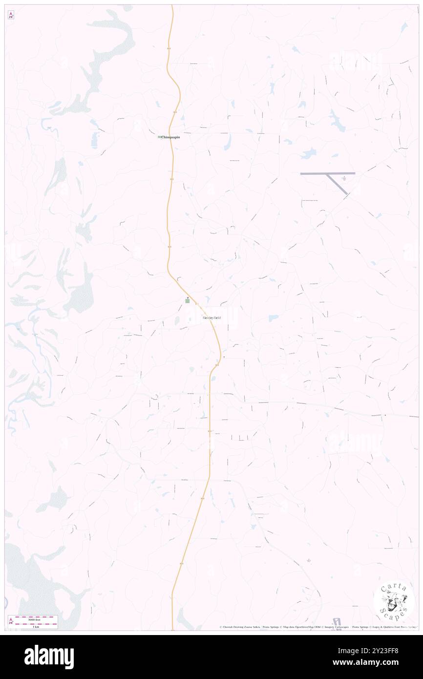 Henleyfield, Pearl River County, US, United States, Mississippi, N 30 41' 49'', S 89 45' 50'', map, Cartascapes Map published in 2024. Explore Cartascapes, a map revealing Earth's diverse landscapes, cultures, and ecosystems. Journey through time and space, discovering the interconnectedness of our planet's past, present, and future. Stock Photohttps://www.alamy.com/image-license-details/?v=1https://www.alamy.com/henleyfield-pearl-river-county-us-united-states-mississippi-n-30-41-49-s-89-45-50-map-cartascapes-map-published-in-2024-explore-cartascapes-a-map-revealing-earths-diverse-landscapes-cultures-and-ecosystems-journey-through-time-and-space-discovering-the-interconnectedness-of-our-planets-past-present-and-future-image620880604.html
RM2Y23FF8–Henleyfield, Pearl River County, US, United States, Mississippi, N 30 41' 49'', S 89 45' 50'', map, Cartascapes Map published in 2024. Explore Cartascapes, a map revealing Earth's diverse landscapes, cultures, and ecosystems. Journey through time and space, discovering the interconnectedness of our planet's past, present, and future.
 Liberty Road Mobile Home Park, Pearl River County, US, United States, Mississippi, N 30 33' 51'', S 89 42' 5'', map, Cartascapes Map published in 2024. Explore Cartascapes, a map revealing Earth's diverse landscapes, cultures, and ecosystems. Journey through time and space, discovering the interconnectedness of our planet's past, present, and future. Stock Photohttps://www.alamy.com/image-license-details/?v=1https://www.alamy.com/liberty-road-mobile-home-park-pearl-river-county-us-united-states-mississippi-n-30-33-51-s-89-42-5-map-cartascapes-map-published-in-2024-explore-cartascapes-a-map-revealing-earths-diverse-landscapes-cultures-and-ecosystems-journey-through-time-and-space-discovering-the-interconnectedness-of-our-planets-past-present-and-future-image620853438.html
RM2Y228W2–Liberty Road Mobile Home Park, Pearl River County, US, United States, Mississippi, N 30 33' 51'', S 89 42' 5'', map, Cartascapes Map published in 2024. Explore Cartascapes, a map revealing Earth's diverse landscapes, cultures, and ecosystems. Journey through time and space, discovering the interconnectedness of our planet's past, present, and future.
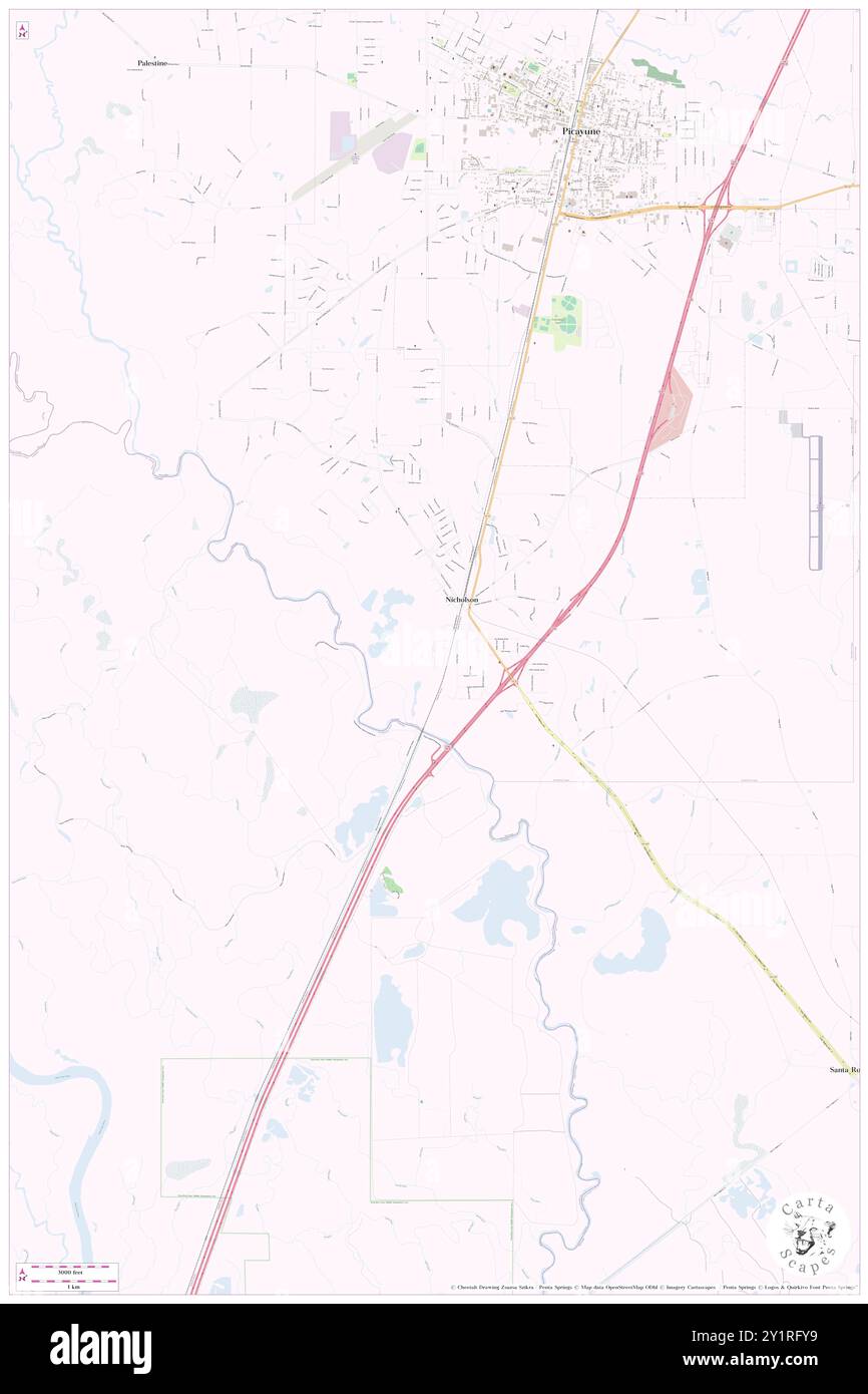 Willow Bend Mobile Home Park, Pearl River County, US, United States, Mississippi, N 30 28' 20'', S 89 41' 48'', map, Cartascapes Map published in 2024. Explore Cartascapes, a map revealing Earth's diverse landscapes, cultures, and ecosystems. Journey through time and space, discovering the interconnectedness of our planet's past, present, and future. Stock Photohttps://www.alamy.com/image-license-details/?v=1https://www.alamy.com/willow-bend-mobile-home-park-pearl-river-county-us-united-states-mississippi-n-30-28-20-s-89-41-48-map-cartascapes-map-published-in-2024-explore-cartascapes-a-map-revealing-earths-diverse-landscapes-cultures-and-ecosystems-journey-through-time-and-space-discovering-the-interconnectedness-of-our-planets-past-present-and-future-image620705325.html
RM2Y1RFY9–Willow Bend Mobile Home Park, Pearl River County, US, United States, Mississippi, N 30 28' 20'', S 89 41' 48'', map, Cartascapes Map published in 2024. Explore Cartascapes, a map revealing Earth's diverse landscapes, cultures, and ecosystems. Journey through time and space, discovering the interconnectedness of our planet's past, present, and future.
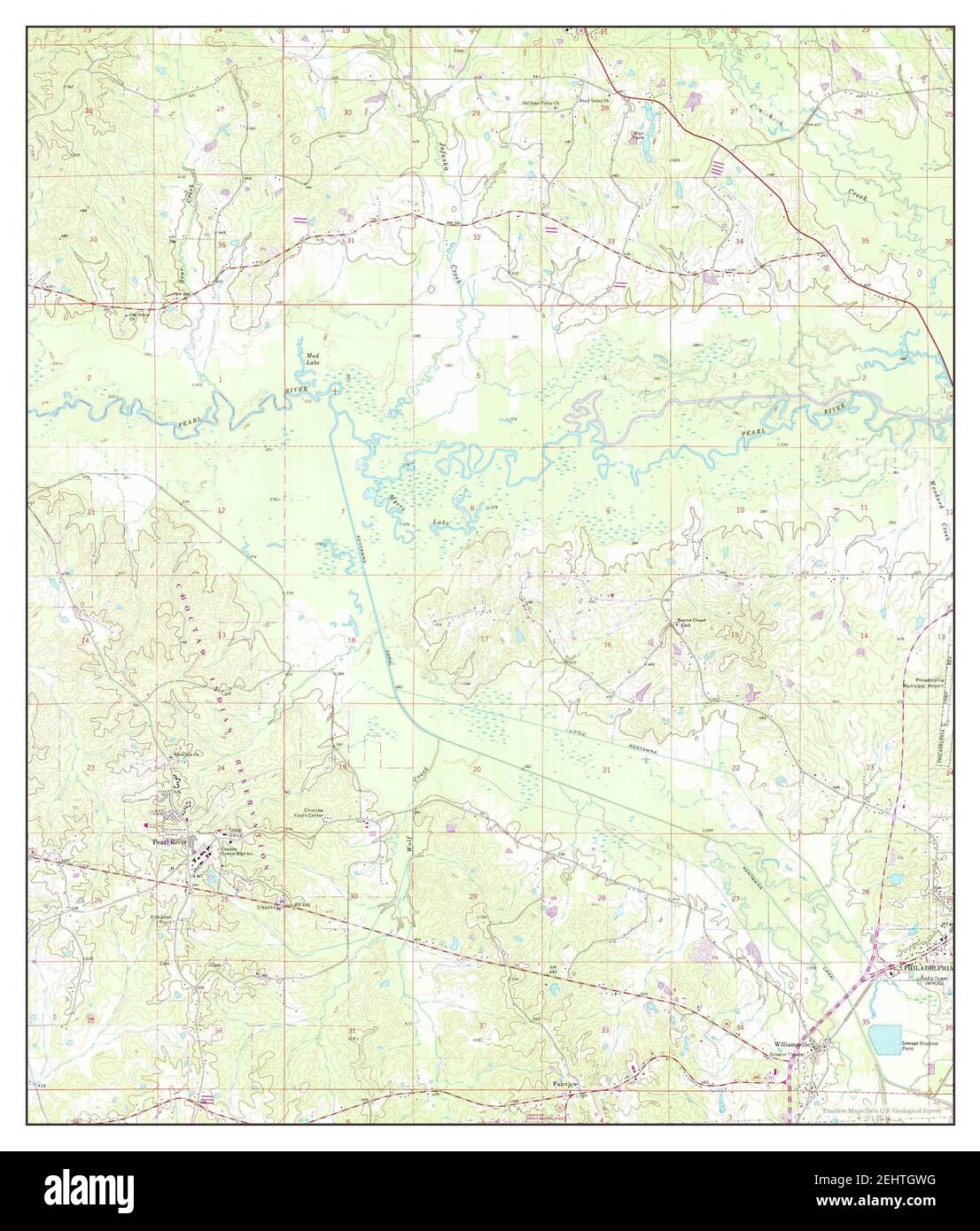 Pearl River, Mississippi, map 1972, 1:24000, United States of America by Timeless Maps, data U.S. Geological Survey Stock Photohttps://www.alamy.com/image-license-details/?v=1https://www.alamy.com/pearl-river-mississippi-map-1972-124000-united-states-of-america-by-timeless-maps-data-us-geological-survey-image406827724.html
RM2EHTGWG–Pearl River, Mississippi, map 1972, 1:24000, United States of America by Timeless Maps, data U.S. Geological Survey
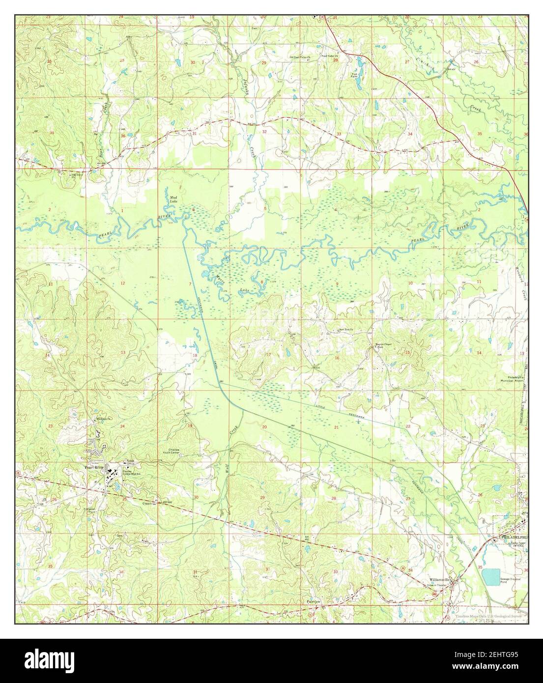 Pearl River, Mississippi, map 1972, 1:24000, United States of America by Timeless Maps, data U.S. Geological Survey Stock Photohttps://www.alamy.com/image-license-details/?v=1https://www.alamy.com/pearl-river-mississippi-map-1972-124000-united-states-of-america-by-timeless-maps-data-us-geological-survey-image406827265.html
RM2EHTG95–Pearl River, Mississippi, map 1972, 1:24000, United States of America by Timeless Maps, data U.S. Geological Survey